Trails in Switzerland
15,055 hiking trails, each with its route, climb, walking time and grade.
All trails, page 147 of 314
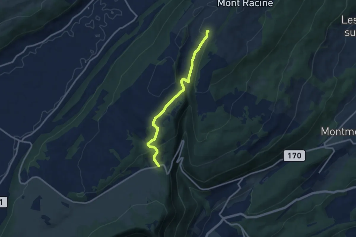
Easy · Trail
La Tourne – Grande Sagneule
7.5 km · ↑ 274 m · 2 h 22 min
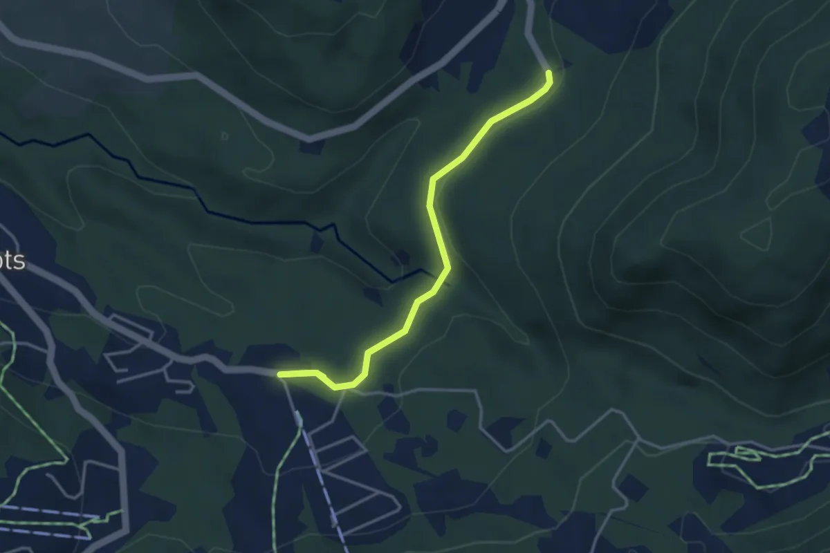
Easy · Trail
Les Rosalys – Les Pueys
3.4 km · ↑ 107 m · 1 h 3 min
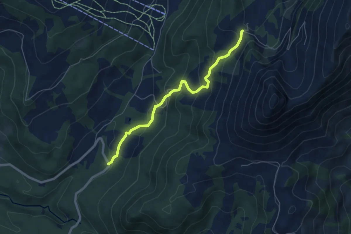
Medium · Trail
Les Pueys – Le Villard-Dessus
5.3 km · ↑ 331 m · 1 h 57 min
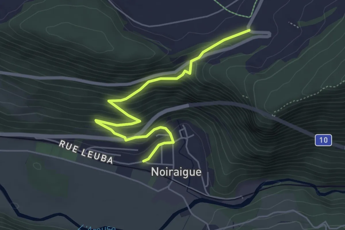
Medium · Trail
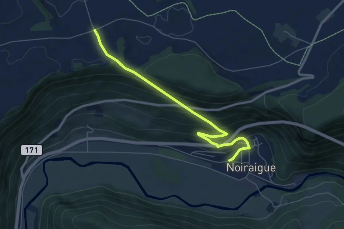
Noiraigue – Haut de la Côte
5.2 km · ↑ 314 m · 1 h 55 min
Medium · Trail
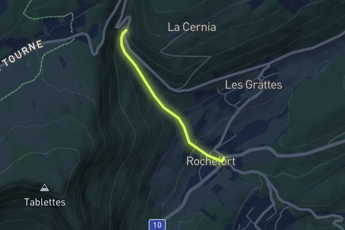
Noiraigue – Les Emposieux
5.9 km · ↑ 363 m · 2 h 11 min
Easy · Trail
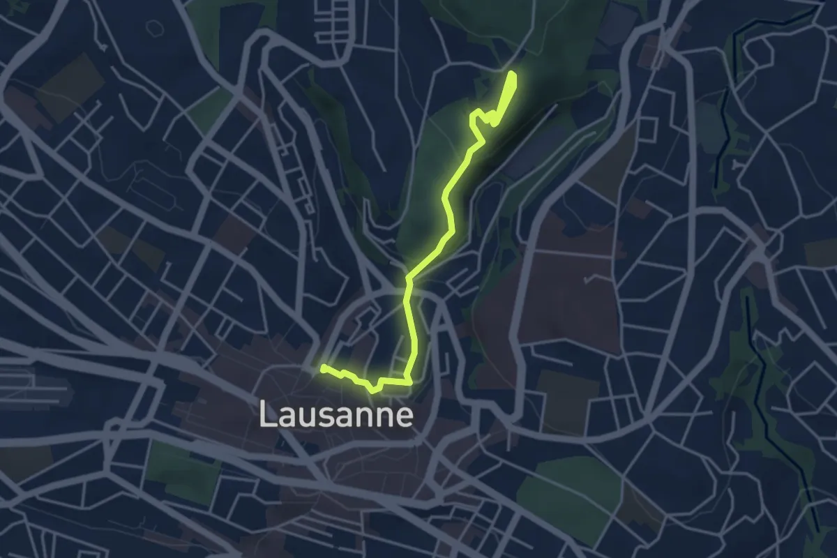
Rochefort – Grande Sagneule
3.2 km · ↑ 239 m · 1 h 17 min
Easy · Trail
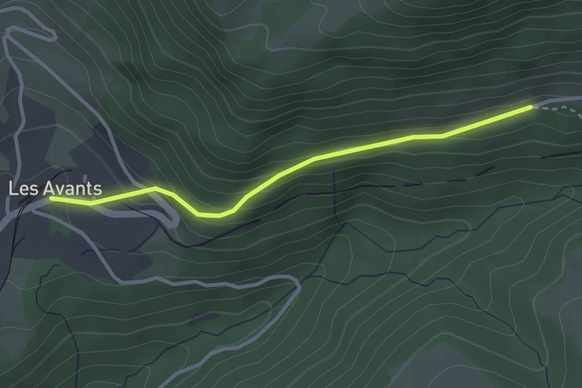
Lausanne Riponne – Sauvabelin
3.8 km · ↑ 133 m · 1 h 12 min
Easy · Trail
Les Avants – Jor
2.7 km · ↑ 183 m · 1 h 2 min
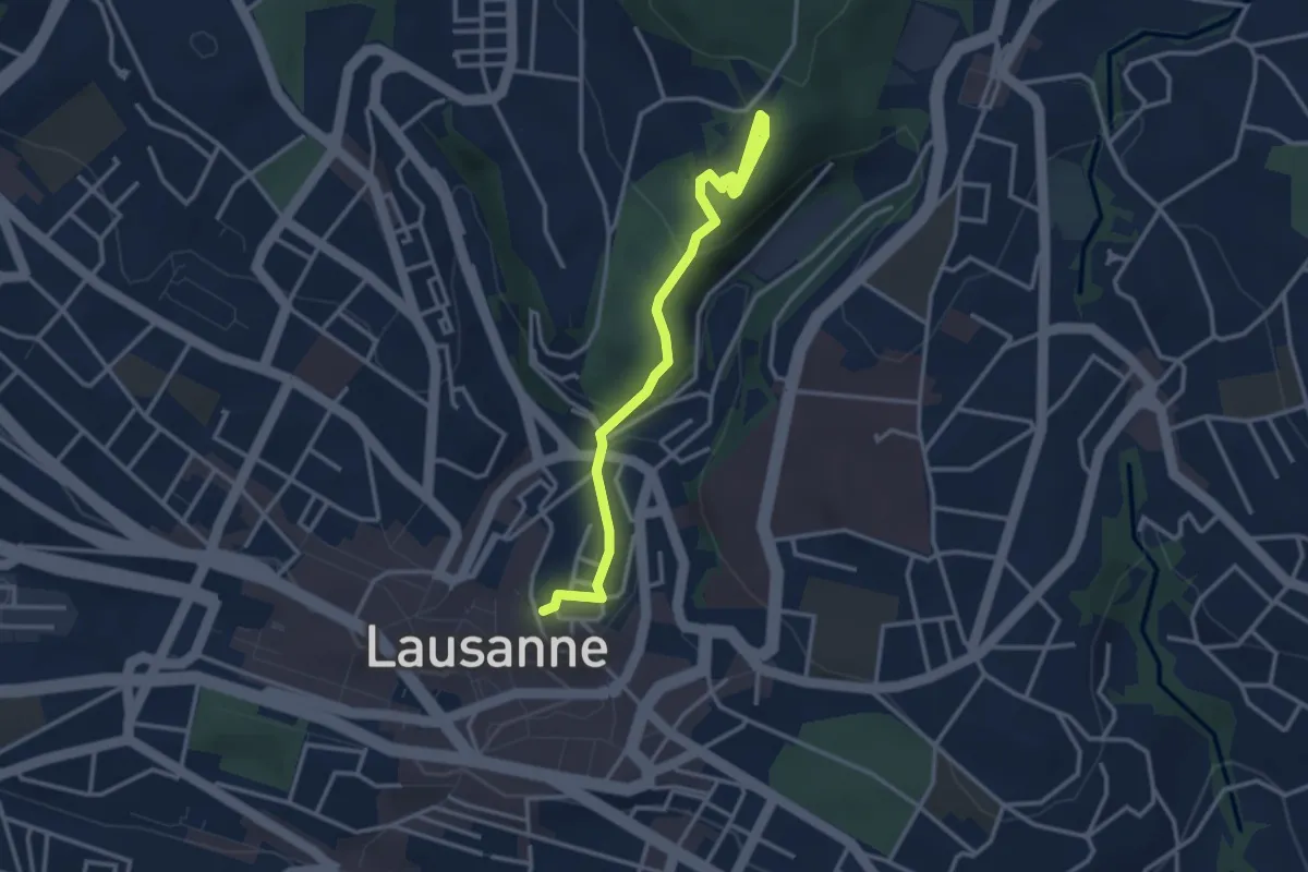
Easy · Pilgrim path
Lausanne, Cathédrale – Montpreveyres, "El Jire"
1.7 km · ↑ 119 m · 38 min
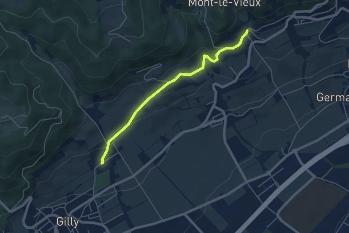
Easy · Trail
Bugnaux – Vincy
4.2 km · ↑ 126 m · 1 h 16 min
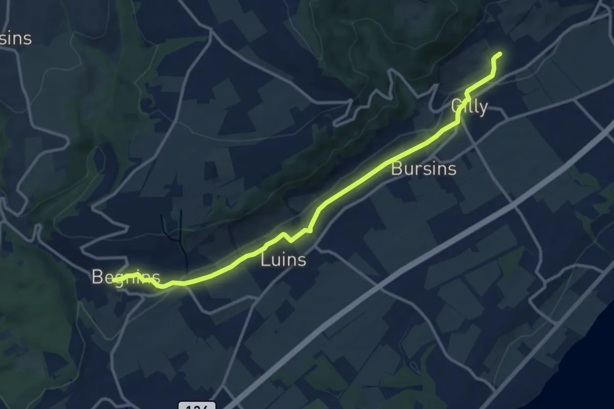
Medium · Trail
Vincy – Begnins
10.7 km · ↑ 213 m · 2 h 59 min
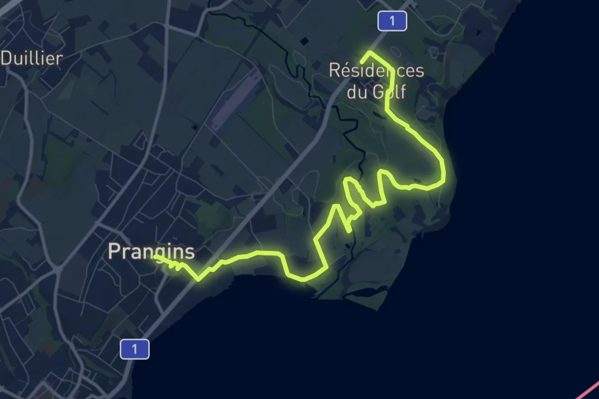
Medium · Trail
Villa Rose – Prangins
12.4 km · ↑ 101 m · 3 h 8 min
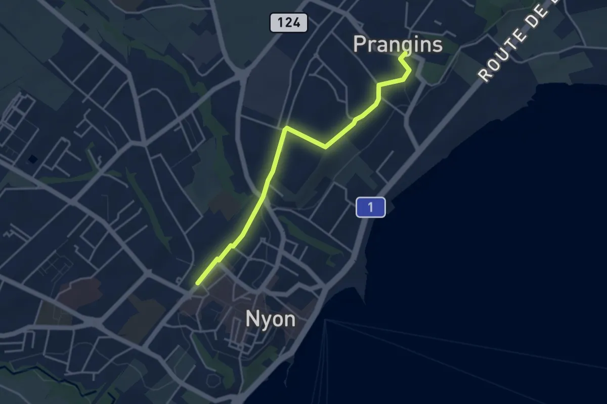
Easy · Trail
Prangins – Nyon
3.8 km · ↑ 48 m · 1 h 1 min
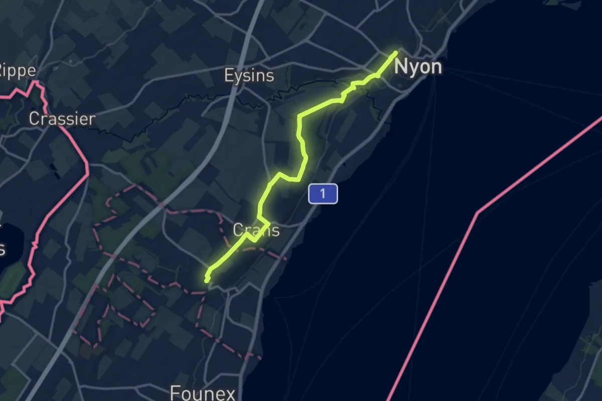
Medium · Trail
Nyon Gare – Celigny
12.8 km · ↑ 75 m · 3 h 12 min
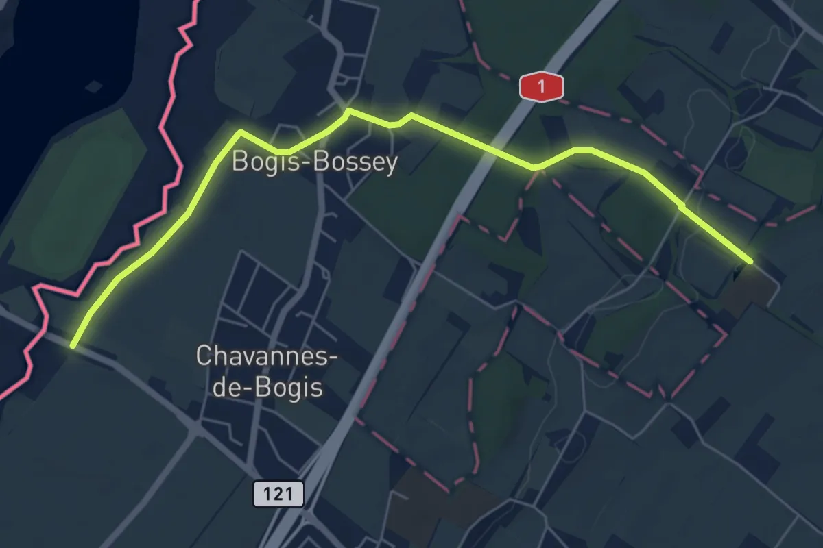
Easy · Trail
Château de Bossey – Chavannes do Bogis Douane
6.3 km · ↑ 36 m · 1 h 34 min
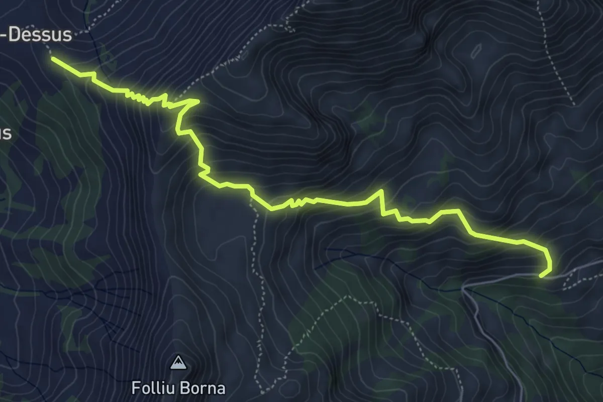
Medium · Trail
Paccot-Dessus – Chenalette
6.5 km · ↑ 678 m · 3 h
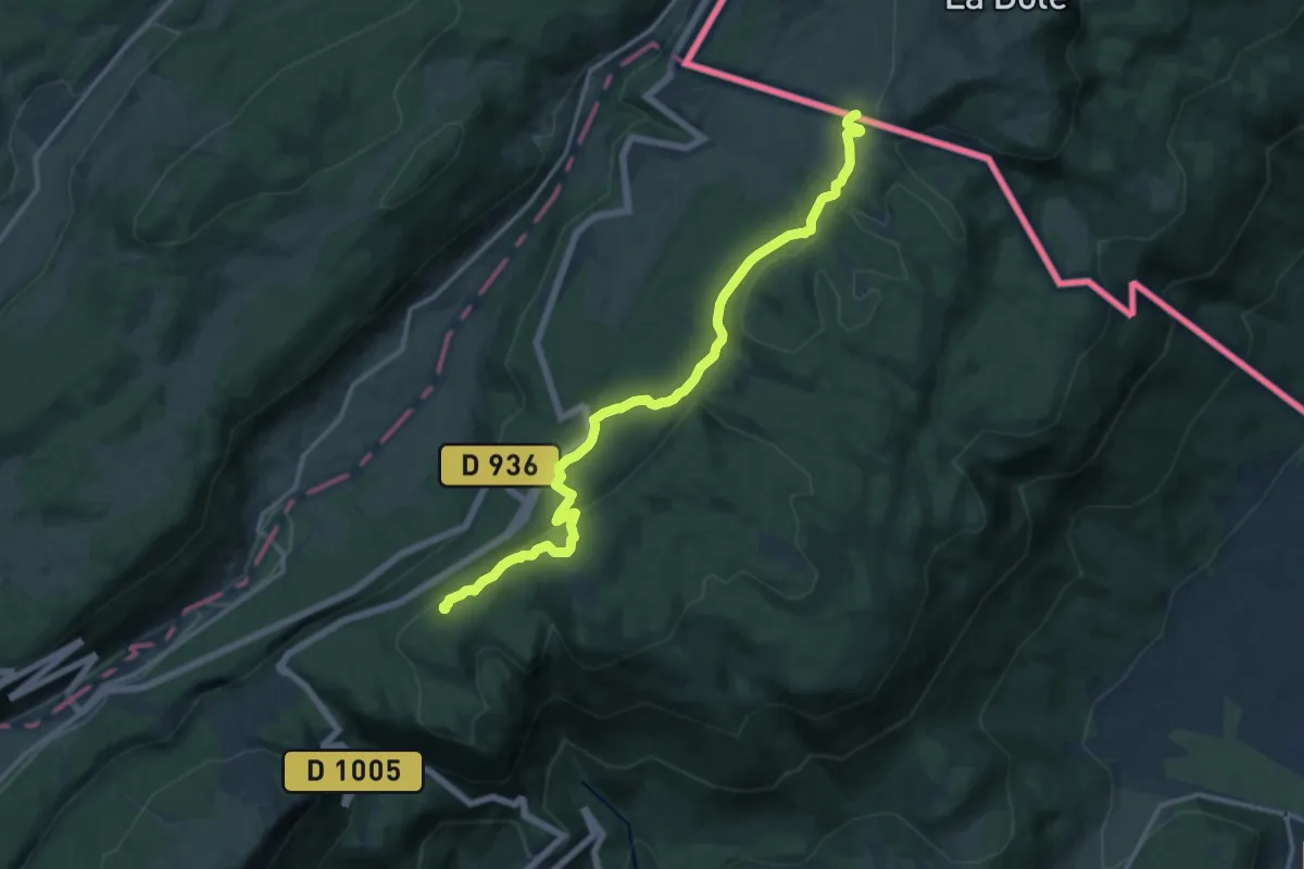
Medium · Summit
La Vieille Faucille – Petit Sonnailley
14.4 km · ↑ 681 m · 4 h 52 min
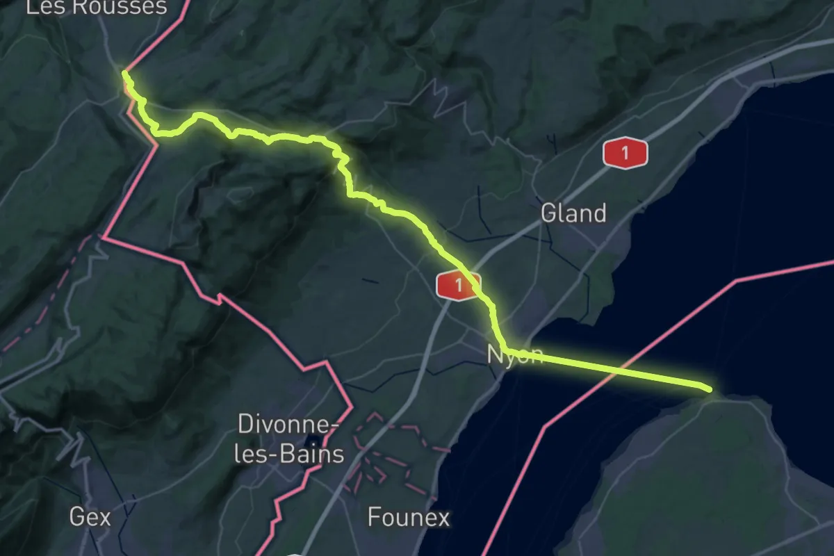
Demanding · Trail
La Cure – Nyon
26.8 km · ↑ 189 m · 7 h 30 min
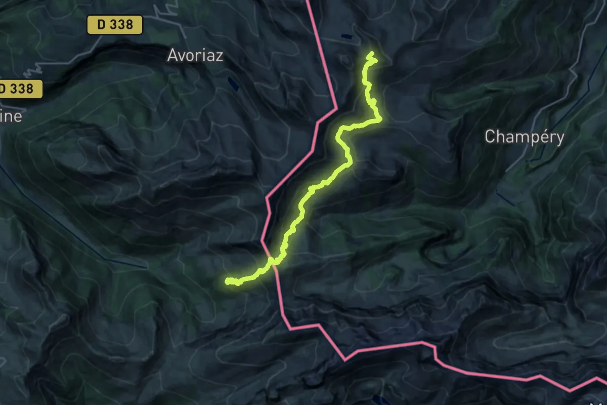
Demanding · Summit
La Montagne de Neuteu Sud – Les Houches
19.3 km · ↑ 1174 m · 7 h 6 min
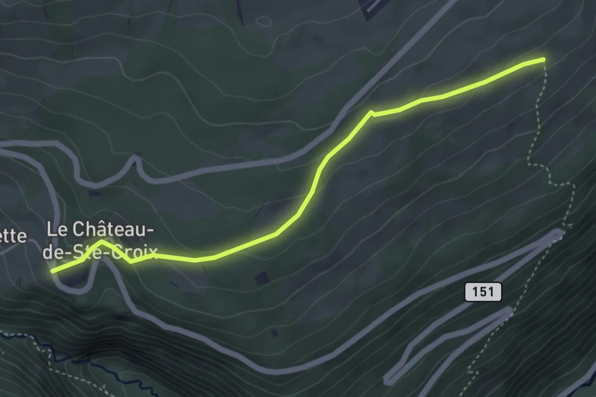
Easy · Trail
Le Château de Sainte-Croix – Bas de la Fin
4.3 km · ↑ 165 m · 1 h 22 min
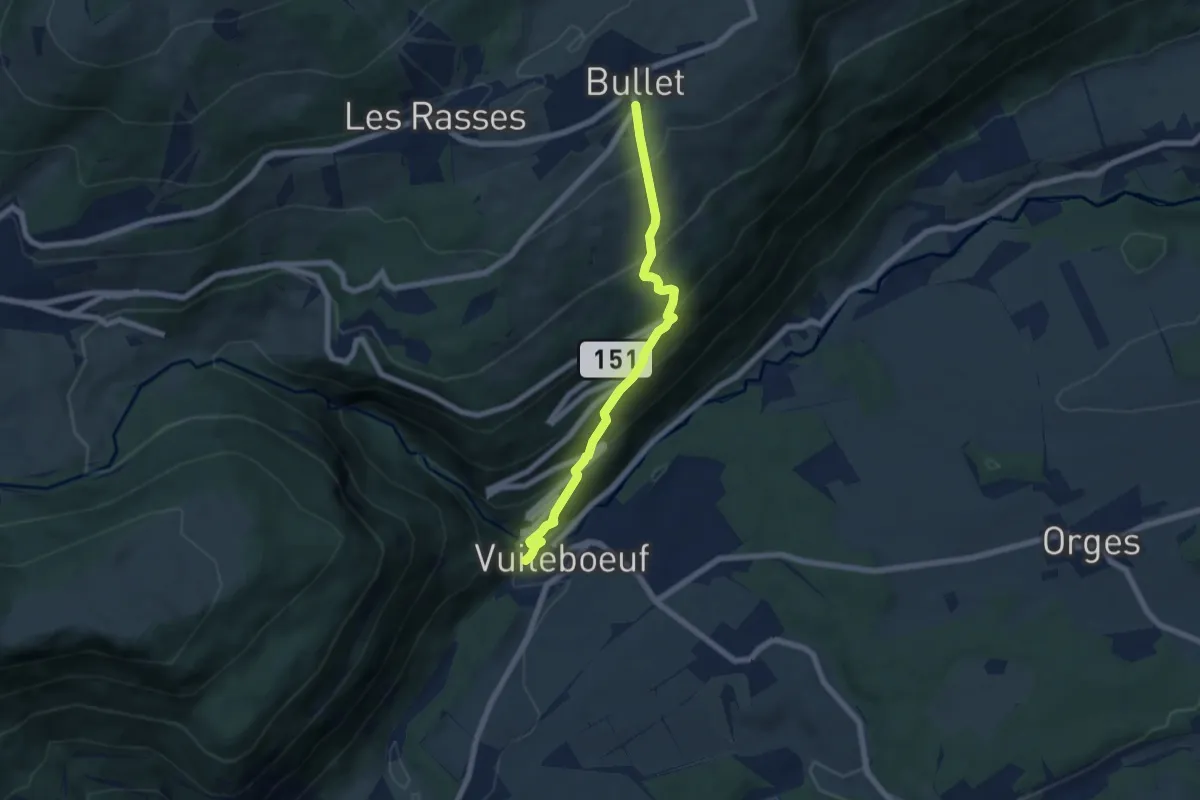
Medium · Trail
Bullet – Vuiteboeuf
6.2 km · ↑ 533 m · 2 h 38 min
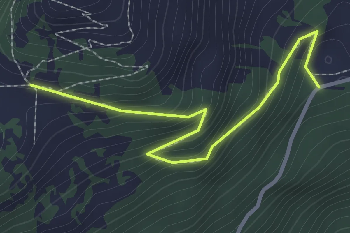
Medium · Trail
Joux des Vents – Solacyre
2.4 km · ↑ 185 m · 59 min
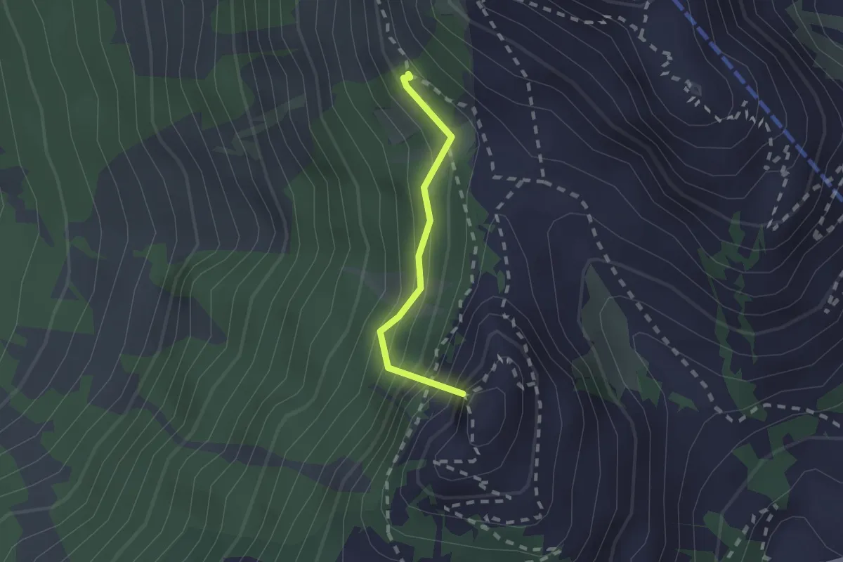
Medium · Summit
Prafandaz – Berneuse
1.5 km · ↑ 278 m · 57 min
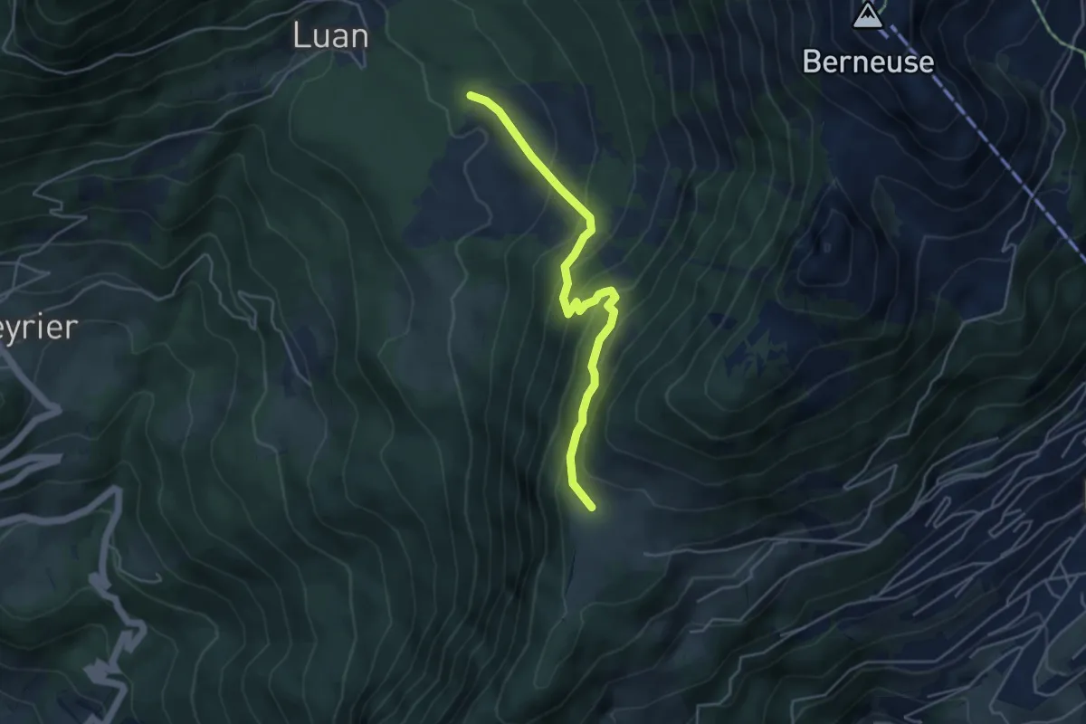
Medium · Trail
Prafandaz – Luan
4.3 km · ↑ 347 m · 1 h 46 min
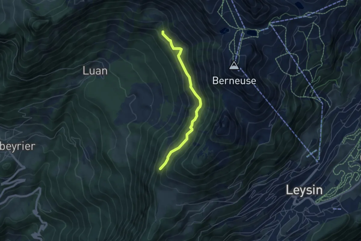
Medium · Trail
Maupas – Les Mandreys
4.9 km · ↑ 410 m · 2 h 3 min
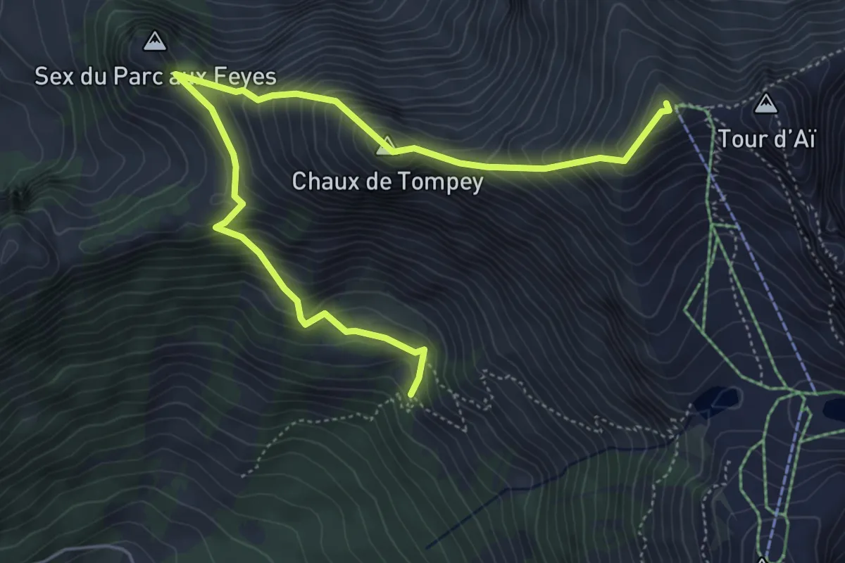
Demanding · Summit
Les Mandreys – Chaux-de-Mont
6.3 km · ↑ 691 m · 3 h
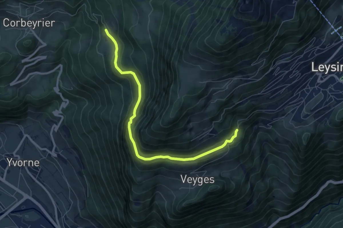
Easy · Trail
Boveau – Comborcheries
7.4 km · ↑ 298 m · 2 h 24 min
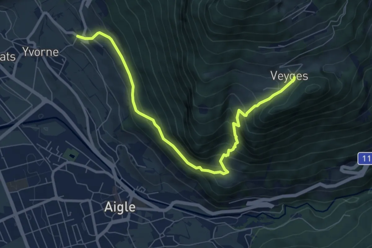
Medium · Trail
Vers Morey – Veyges
7.8 km · ↑ 714 m · 3 h 23 min
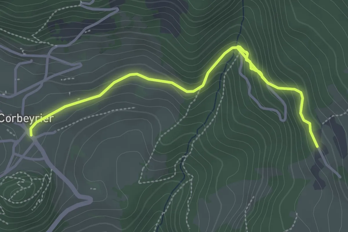
Easy · Trail
Corbeyrier – Boveau
3.8 km · ↑ 161 m · 1 h 14 min
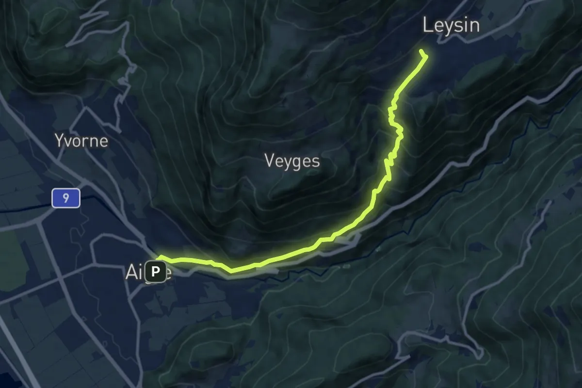
Demanding · Trail
Leysin – Aigle
11.1 km · ↑ 916 m · 4 h 36 min
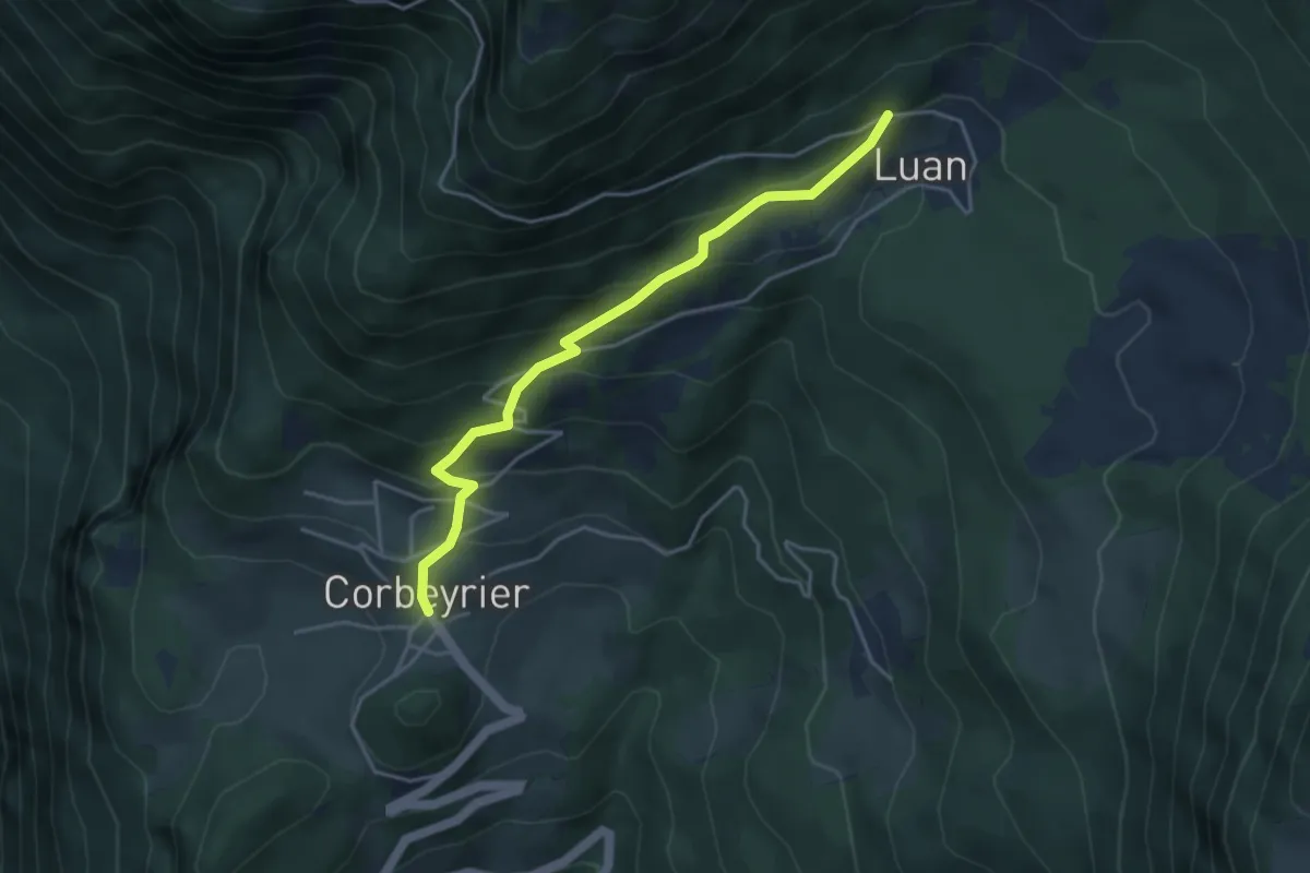
Medium · Trail
Corbeyrier – Luan
4.1 km · ↑ 351 m · 1 h 44 min
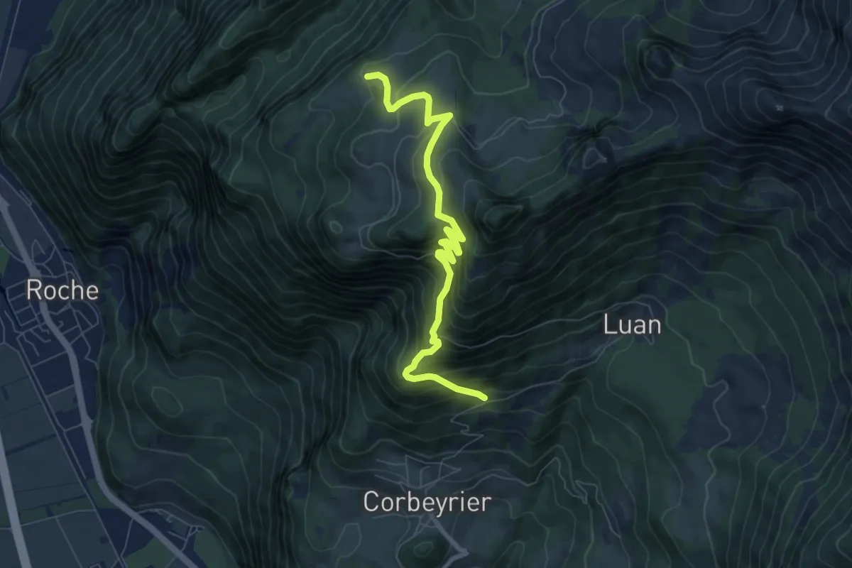
Medium · Trail
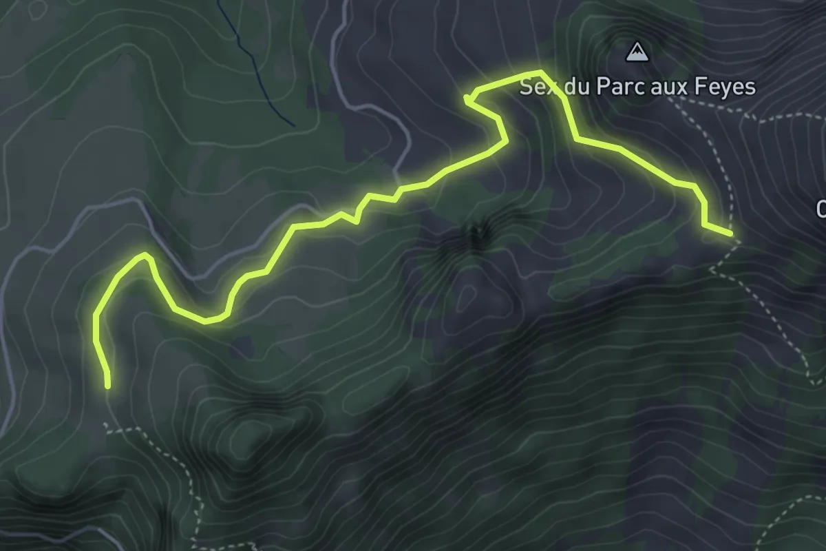
Trebache – aaa
7.8 km · ↑ 694 m · 3 h 20 min
Medium · Trail
Les Agittes – Col de Tompey
5.4 km · ↑ 335 m · 2 h
Medium · Trail
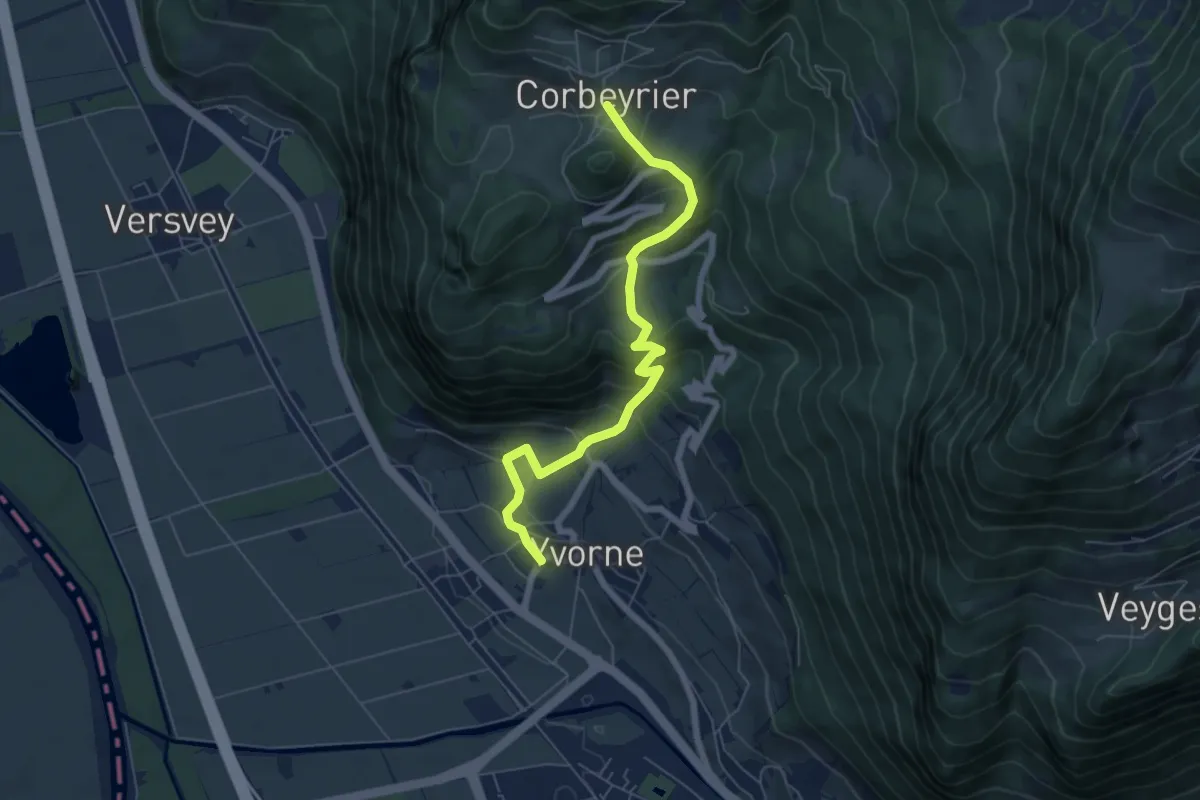
Corbeyrier – Yvorne
6.4 km · ↑ 539 m · 2 h 41 min
Medium · Trail
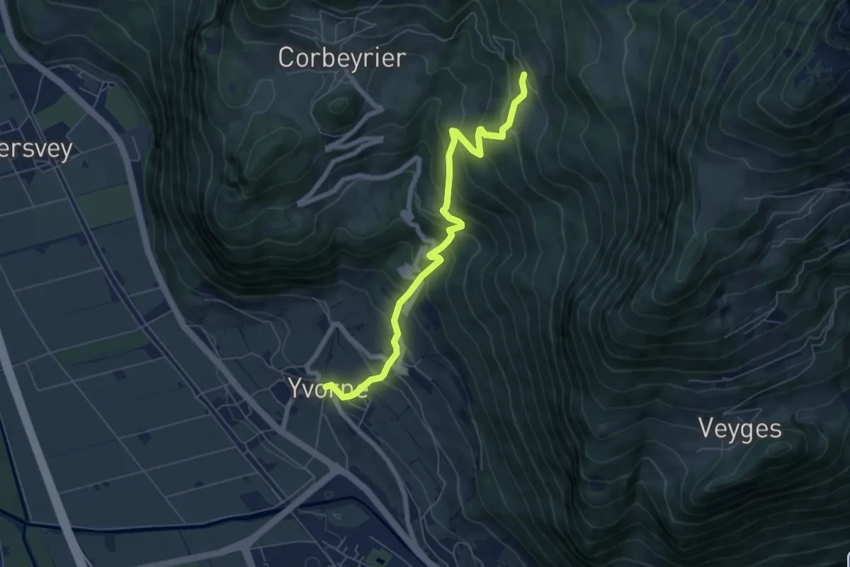
Yvorne – Boveau
6.4 km · ↑ 599 m · 2 h 49 min
Easy · Trail
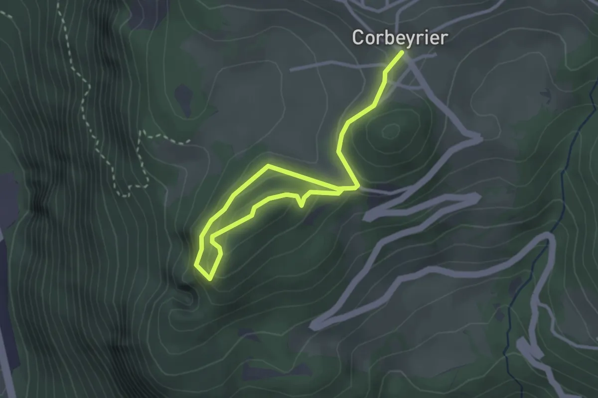
Corbeyrier – Champillon
3.7 km · ↑ 173 m · 1 h 15 min
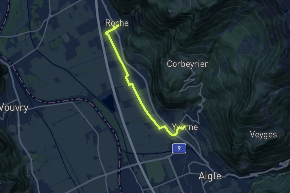
Medium · Trail
Roche – Yvorne
10.4 km · ↑ 92 m · 2 h 40 min
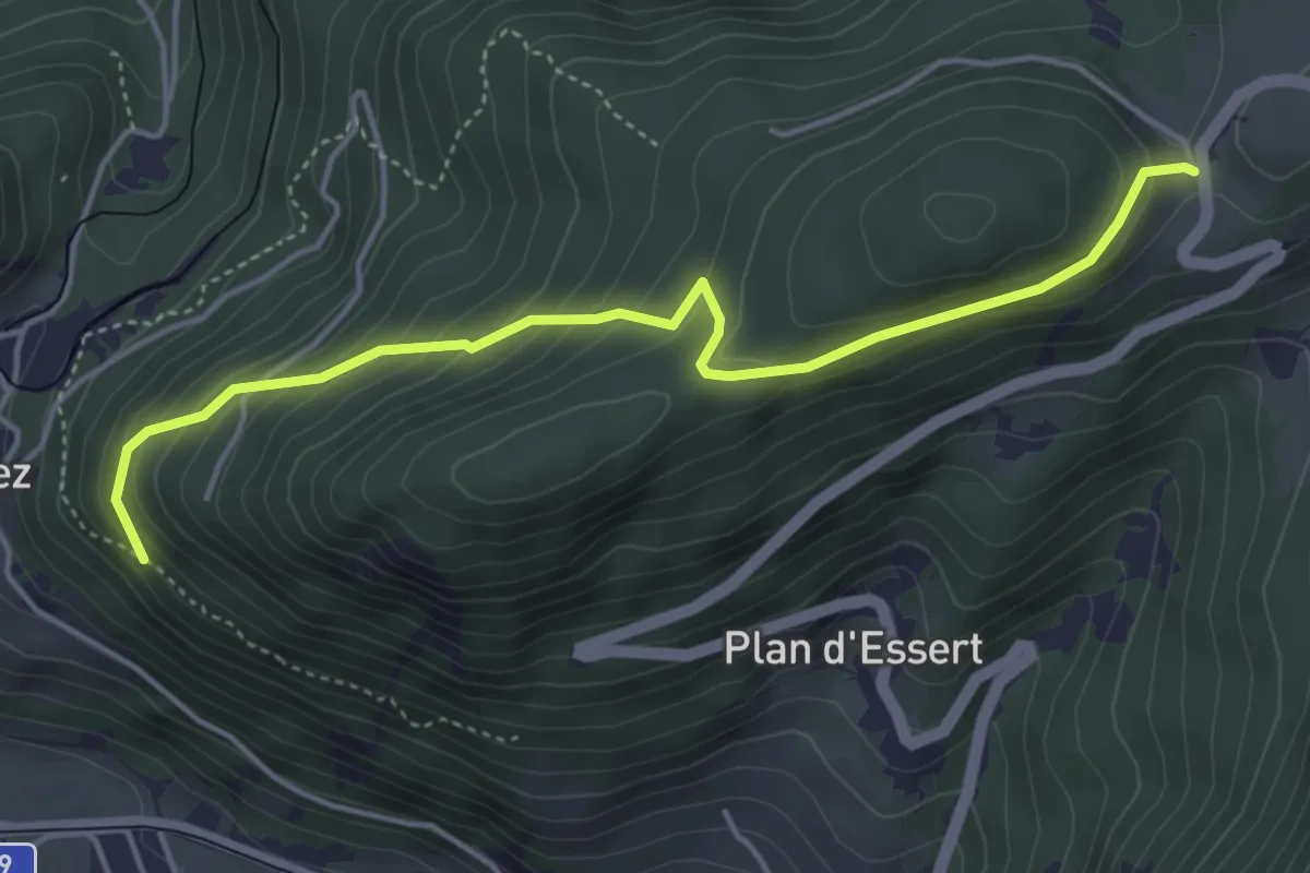
Easy · Trail
Panex – Bois de la Glaive
4.6 km · ↑ 301 m · 1 h 45 min
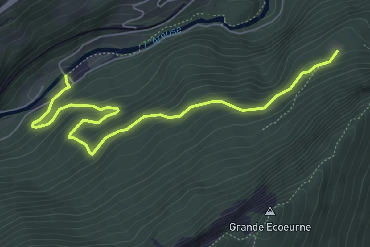
Medium · Trail
Champ du Moulin – Treymont
6.0 km · ↑ 331 m · 2 h 9 min
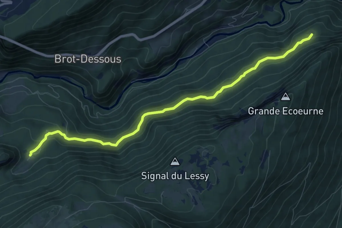
Medium · Trail
Treymont – Ferme Robert
9.7 km · ↑ 501 m · 3 h 23 min
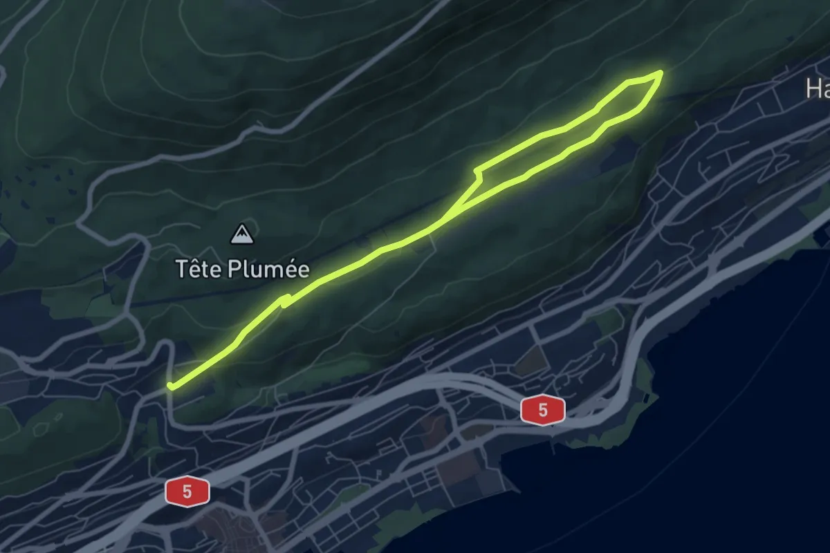
Medium · Trail
Neuchâtel Cadolles – Ch. de la Châtelainie
9.4 km · ↑ 178 m · 2 h 37 min
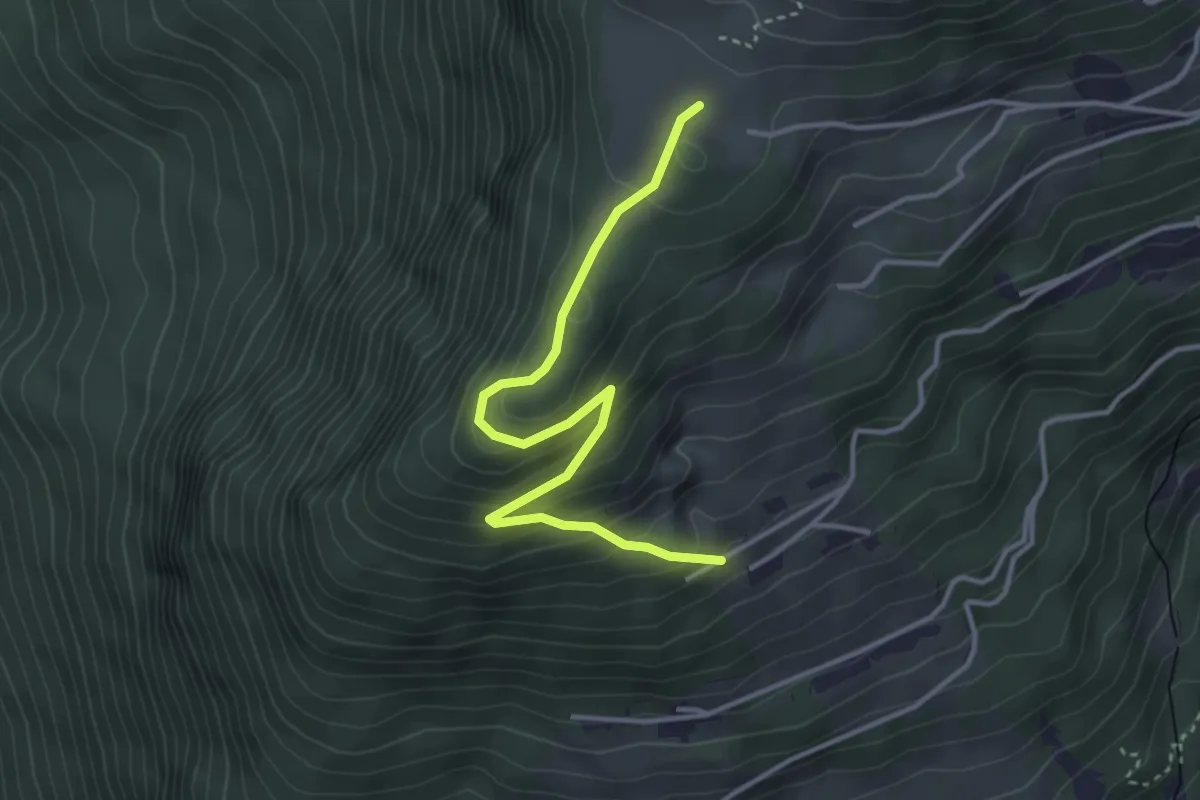
Easy · Trail
Prafandaz – Prélan
3.7 km · ↑ 257 m · 1 h 26 min
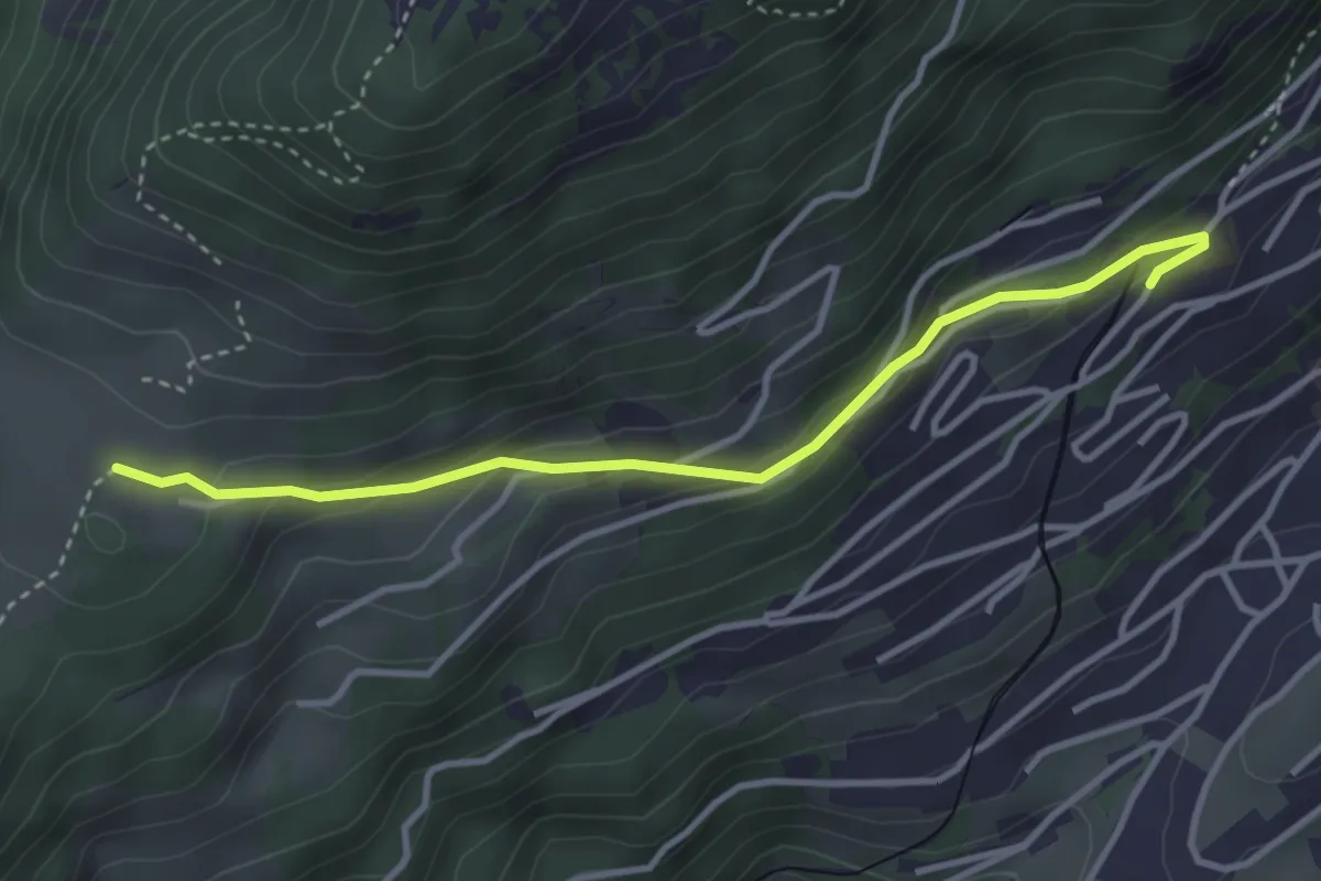
Easy · Trail
Prafandaz – Féydey
3.6 km · ↑ 166 m · 1 h 12 min
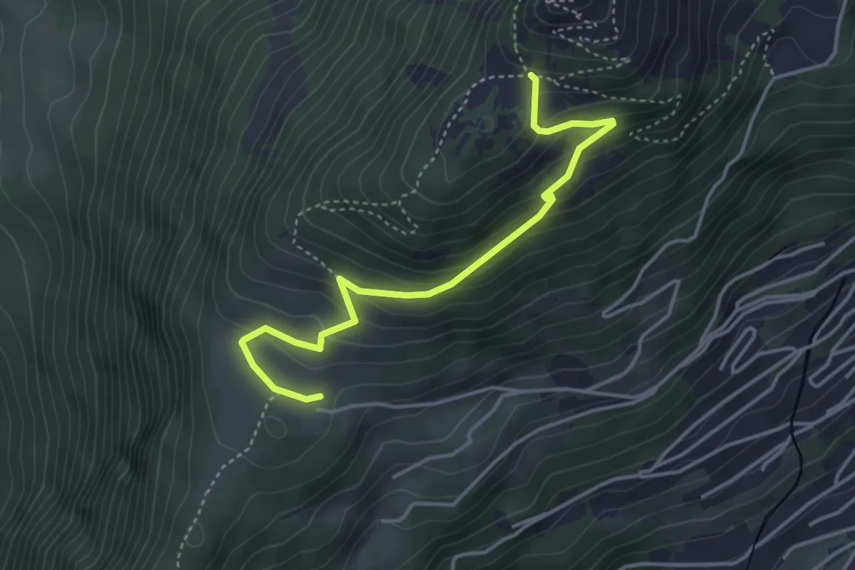
Medium · Trail
Prafandaz – Solacyre
4.1 km · ↑ 254 m · 1 h 31 min
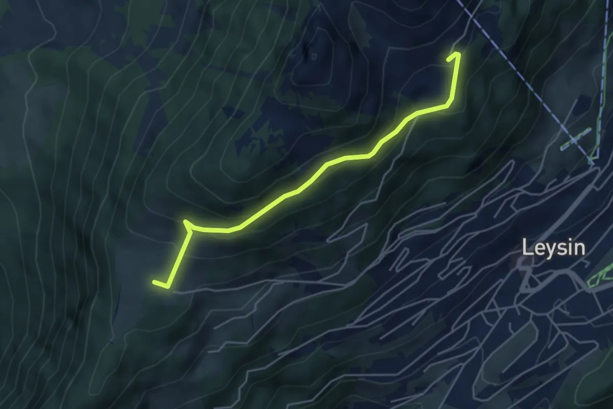
Medium · Trail
Prafandaz – Le Temeley
4.4 km · ↑ 257 m · 1 h 35 min
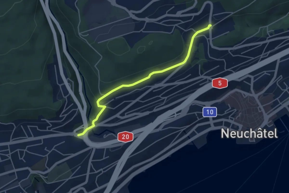
Easy · Trail
Neuchâtel Cadolles – Neuchâtel Vauseyon
3.9 km · ↑ 101 m · 1 h 9 min
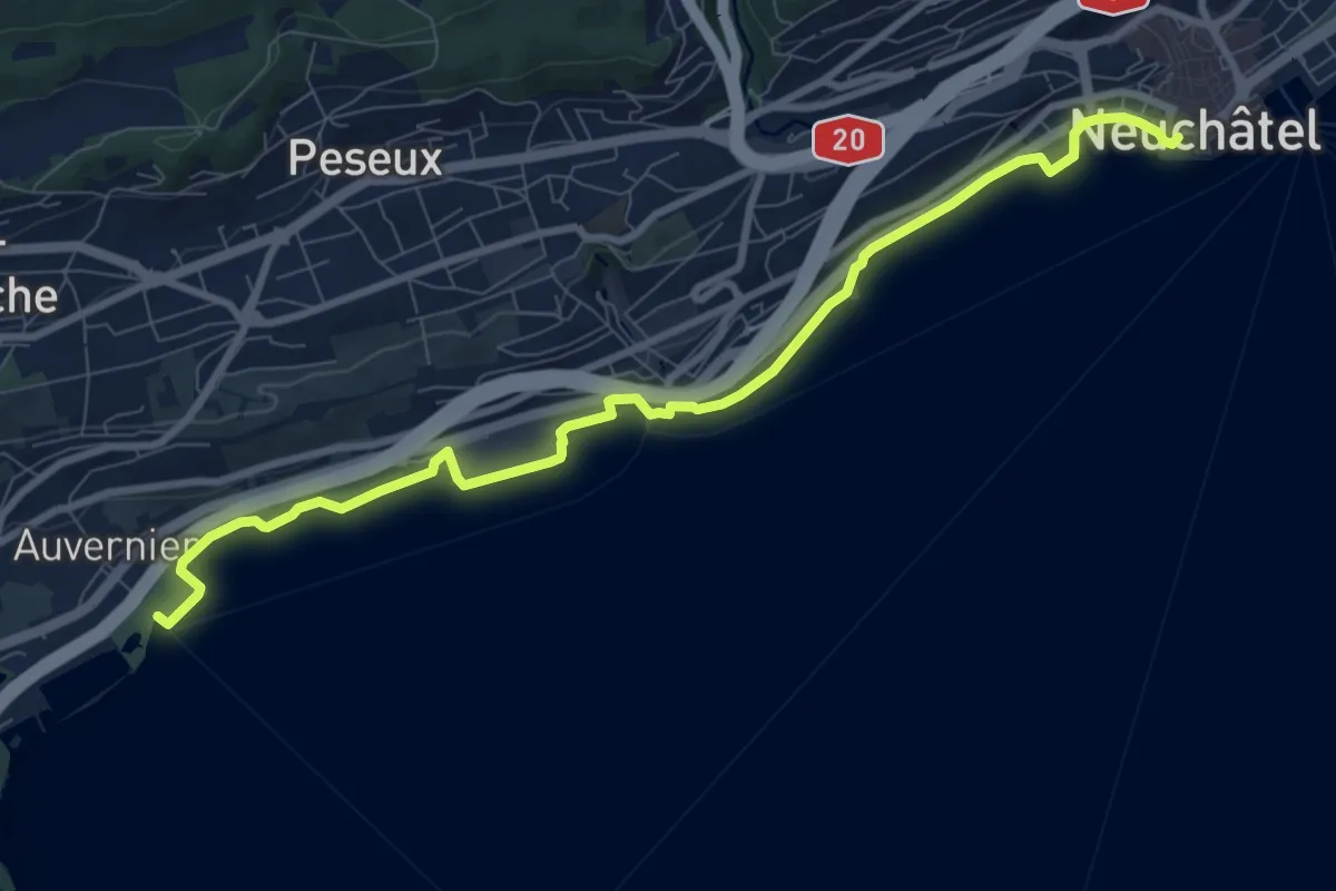
Medium · Trail
Auvernier – Neuchâtel Place Pury
9.7 km · ↑ 36 m · 2 h 22 min
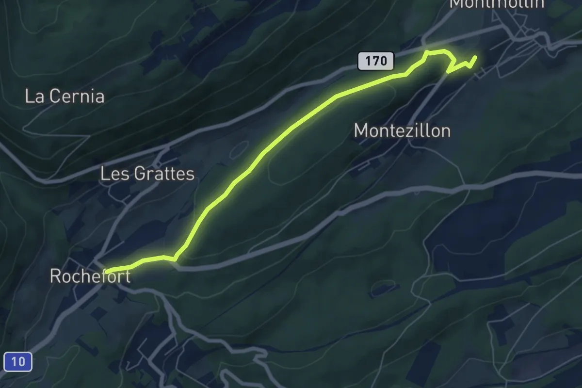
Easy · Trail
Montmollin – Rochefort
6.6 km · ↑ 149 m · 1 h 53 min