Trails in Switzerland
15,055 hiking trails, each with its route, climb, walking time and grade.
All trails, page 148 of 314
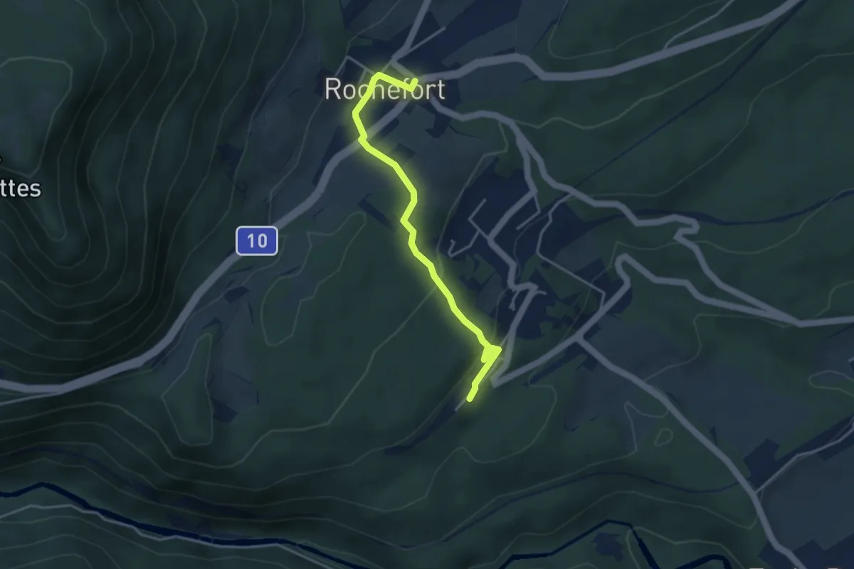
Easy · Trail
Rochefort – Chambrelien
3.6 km · ↑ 125 m · 1 h 8 min
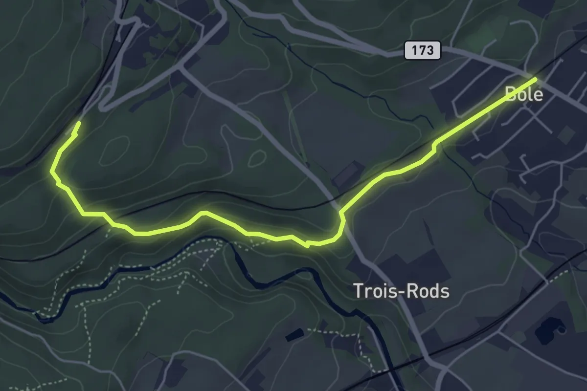
Easy · Trail
Chambrelien – Bôle
5.5 km · ↑ 200 m · 1 h 43 min
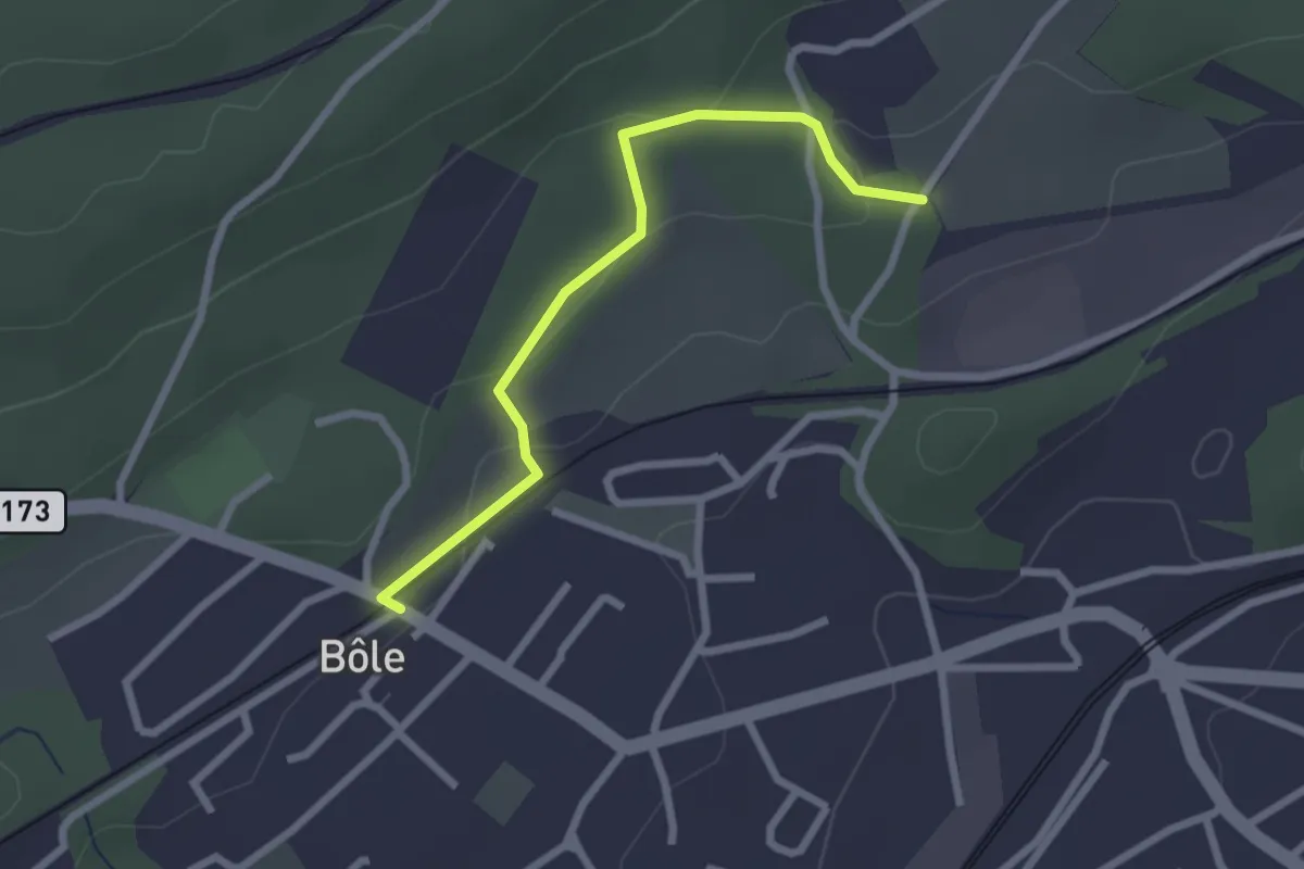
Easy · Trail
Bôle – Cottendart
2.4 km · ↑ 69 m · 43 min
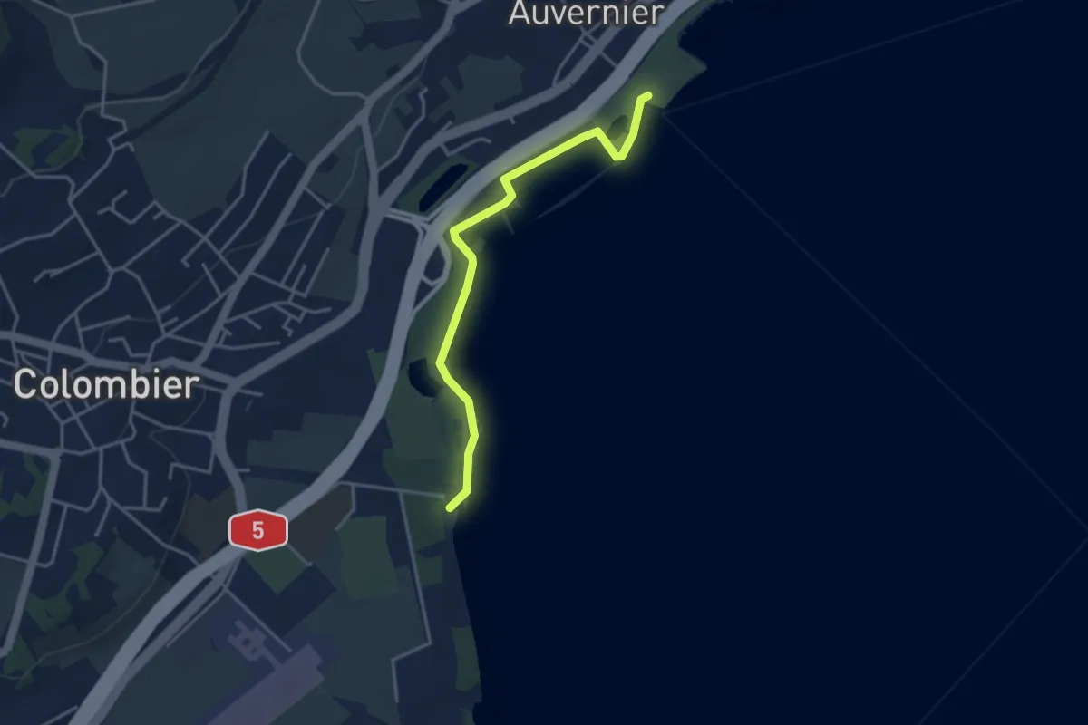
Easy · Trail
Auvernier – Colombier Robinson
3.6 km · ↑ 14 m · 53 min
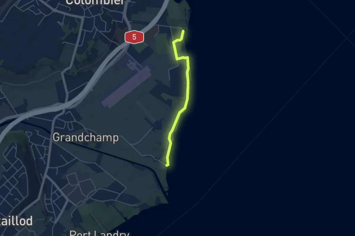
Easy · Trail
Colombier Robinson – Plage de Boudry
3.7 km · ↑ 28 m · 56 min
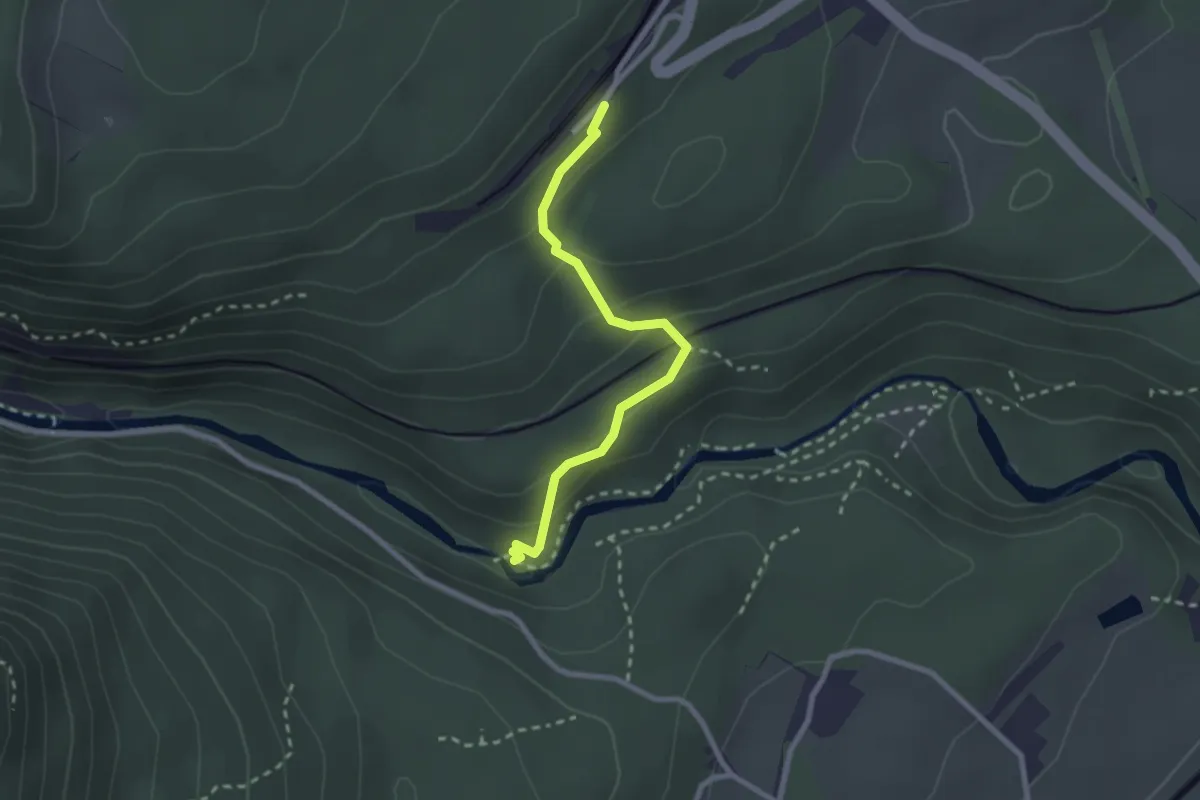
Easy · Trail
Chambrelien – Pont de Vert
2.4 km · ↑ 153 m · 53 min
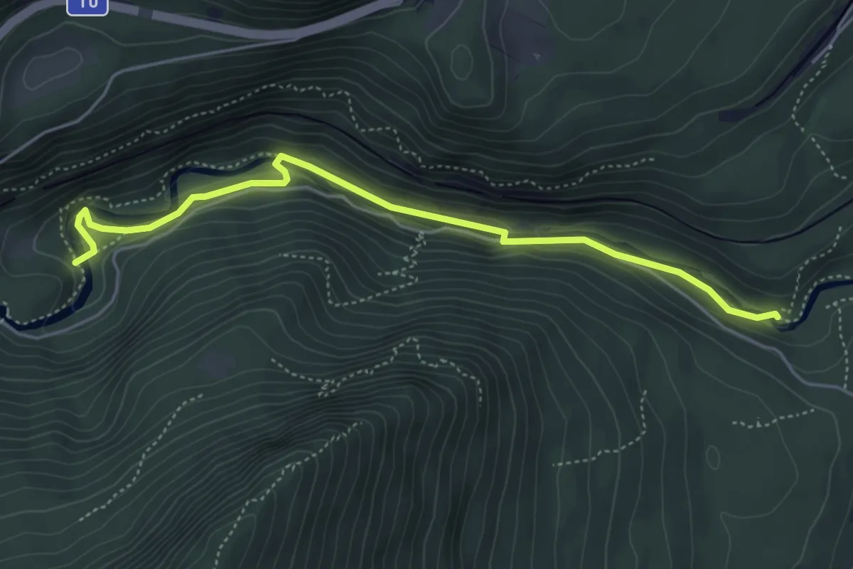
Medium · Trail
Pont de Vert – Pont de la Verrière
5.1 km · ↑ 163 m · 1 h 33 min
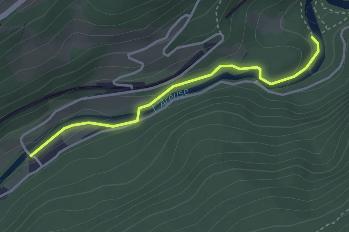
Easy · Trail
Champ du Moulin – Pont de la Verrière
2.8 km · ↑ 82 m · 50 min
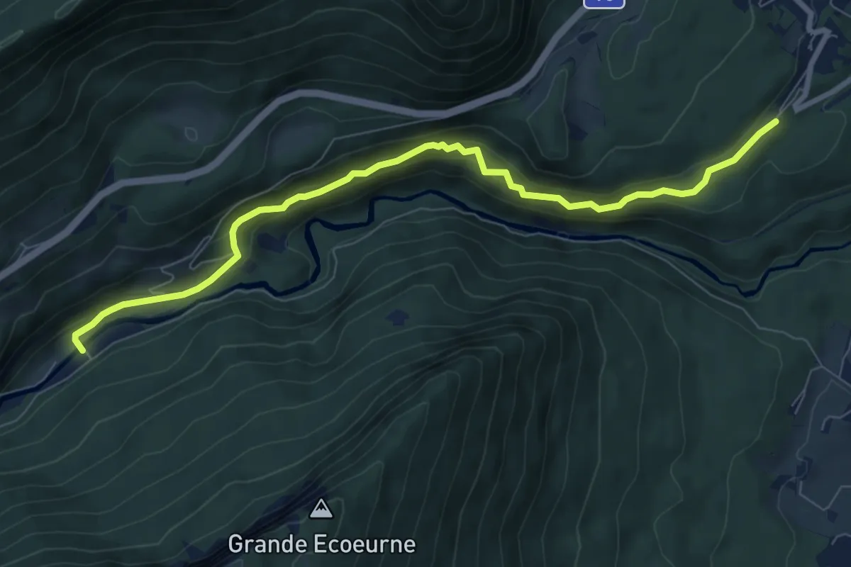
Medium · Trail
Chambrelien – Champ du Moulin
8.2 km · ↑ 540 m · 3 h 7 min
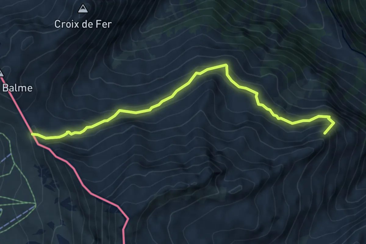
Medium · Summit
Chalet du Glacier – Col de Balme
6.7 km · ↑ 474 m · 2 h 37 min
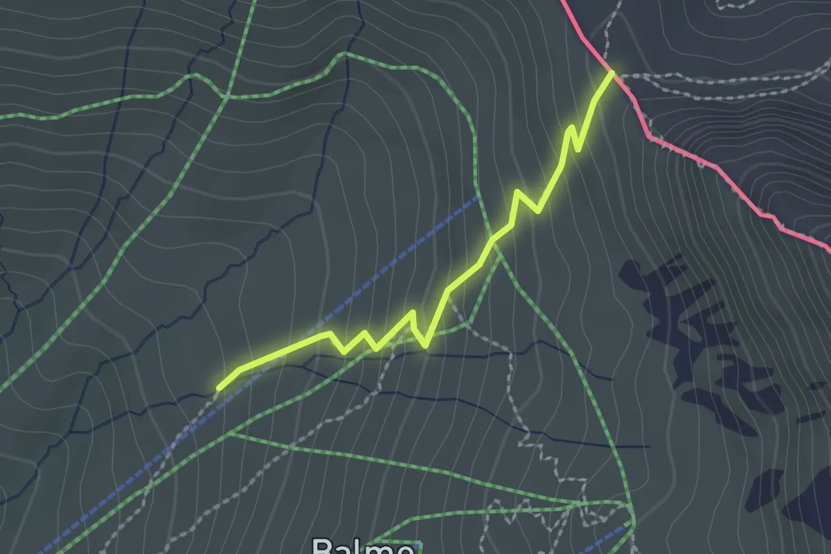
Medium · Cabin
Col de Balme – Tré-le-Champ
2.0 km · ↑ 185 m · 52 min
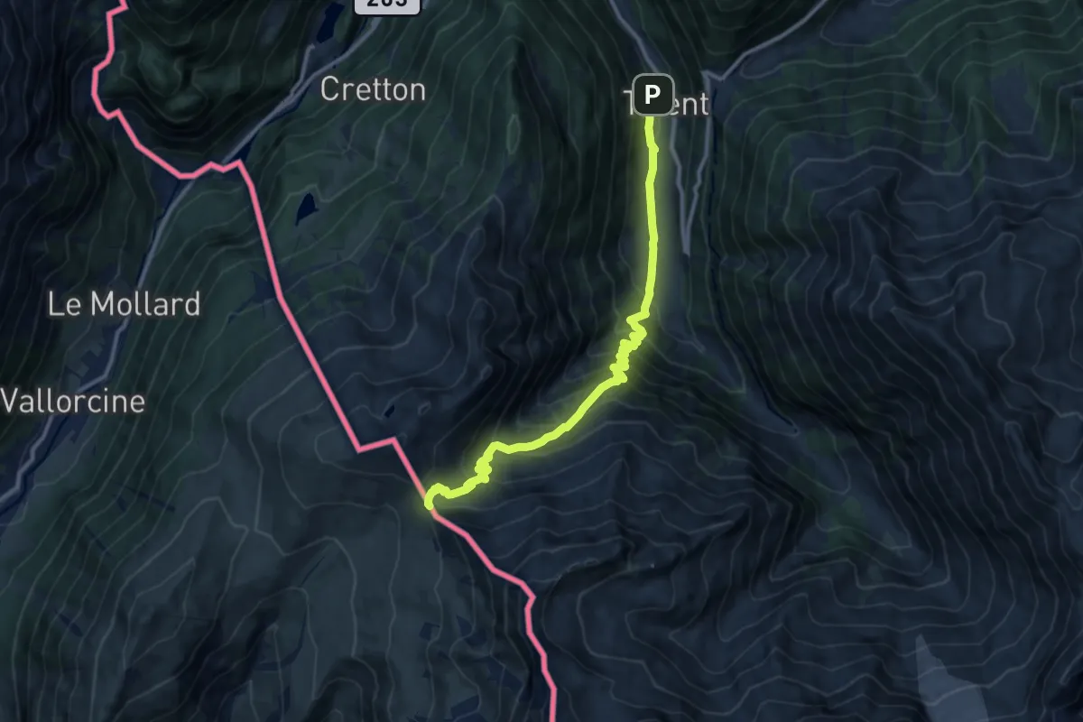
Demanding · Cabin
Trient – Col de Balme
11.3 km · ↑ 944 m · 4 h 43 min
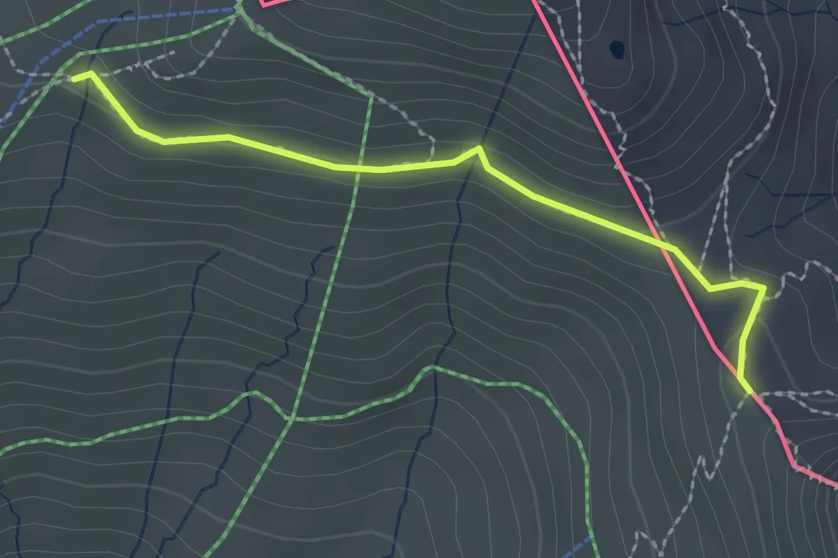
Medium · Cabin
Col de Balme – Tré-le-Champ
2.1 km · ↑ 71 m · 39 min
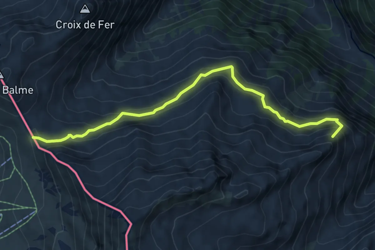
Medium · Summit
Col de Balme – Chalet du Glacier
6.7 km · ↑ 474 m · 2 h 37 min
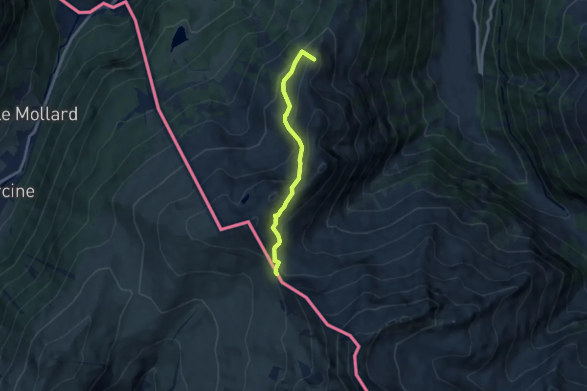
Medium · Summit
Col de Balme – Trient
5.6 km · ↑ 455 m · 2 h 18 min
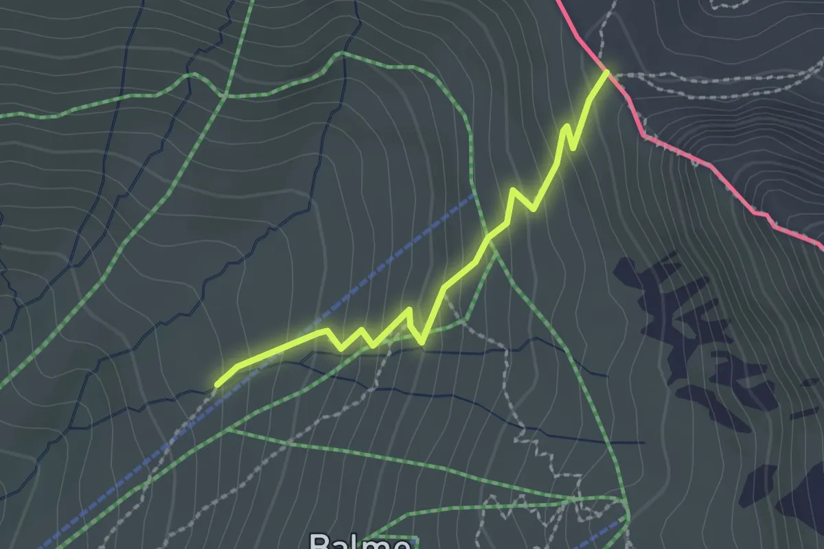
Medium · Cabin
Argentière – Col de Balme
2.0 km · ↑ 185 m · 52 min
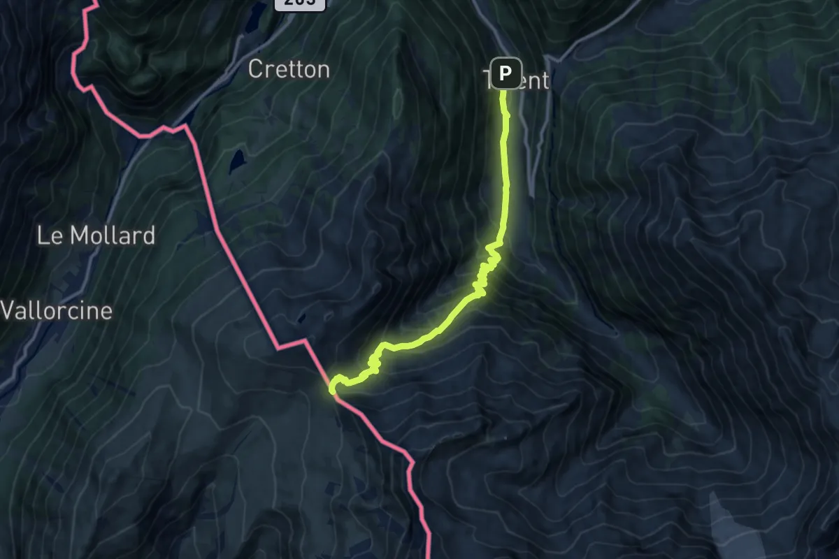
Demanding · Cabin
Col de Balme – Trient
11.3 km · ↑ 944 m · 4 h 43 min
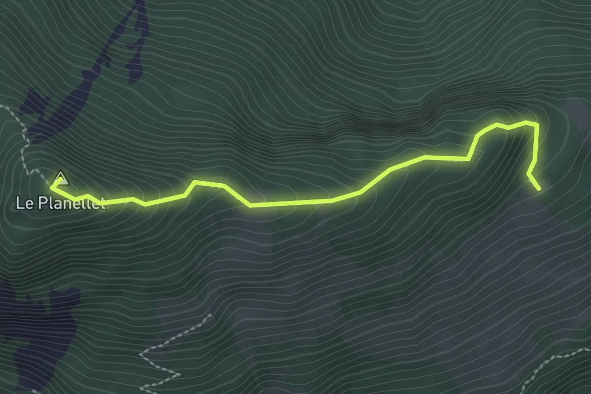
Demanding · Summit
Col du Blancsex – La Caux
2.6 km · ↑ 250 m · 1 h 9 min
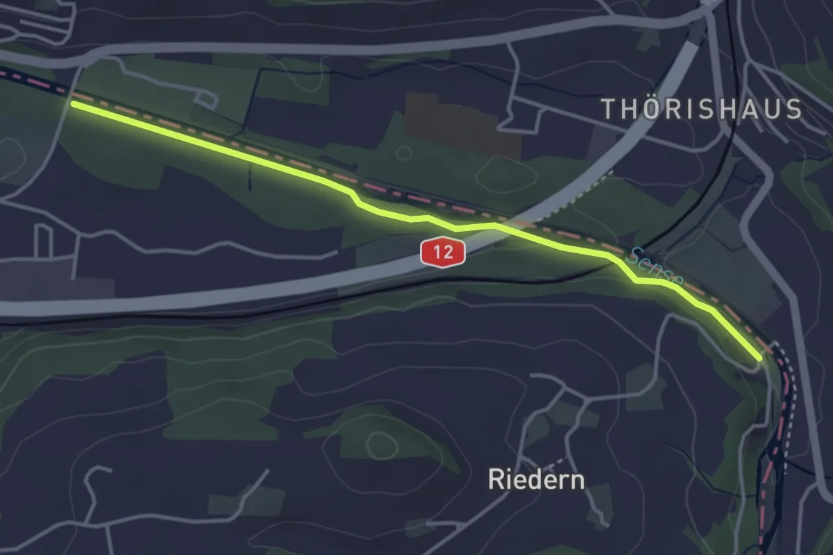
Easy · Trail
Riederenbrücke – Ober Flamatt
3.9 km · ↑ 45 m · 1 h 1 min
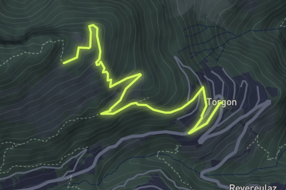
Medium · Trail
Torgon village – La Caux
5.5 km · ↑ 430 m · 2 h 14 min
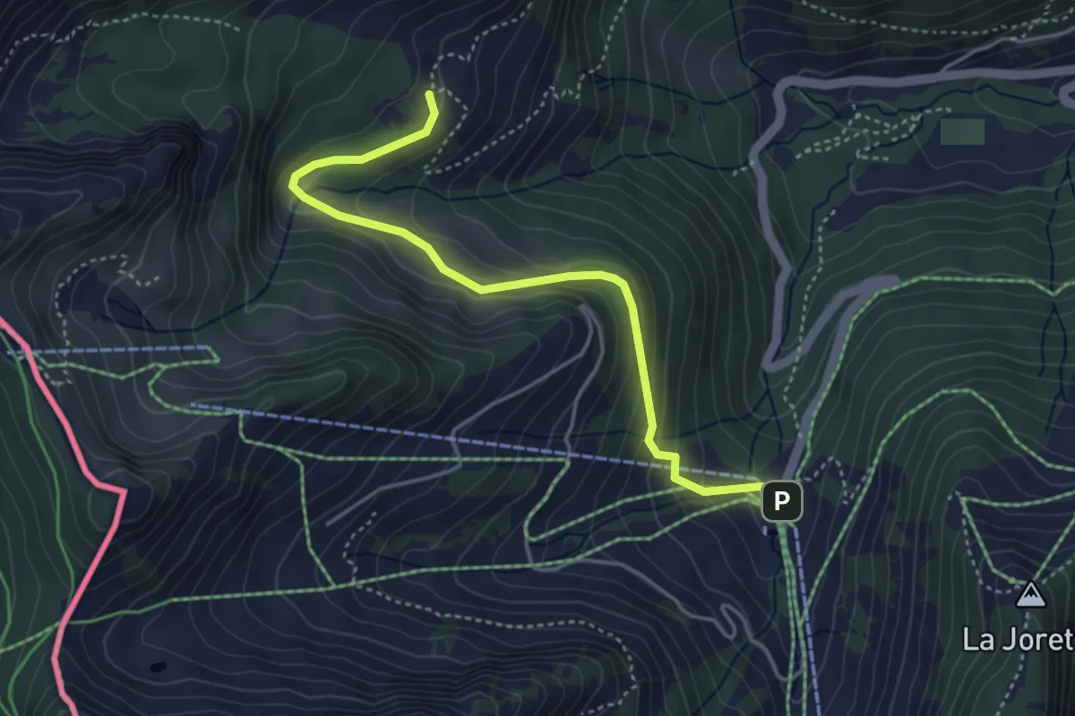
Easy · Trail
Plan du Croix – Dravers
4.3 km · ↑ 242 m · 1 h 32 min
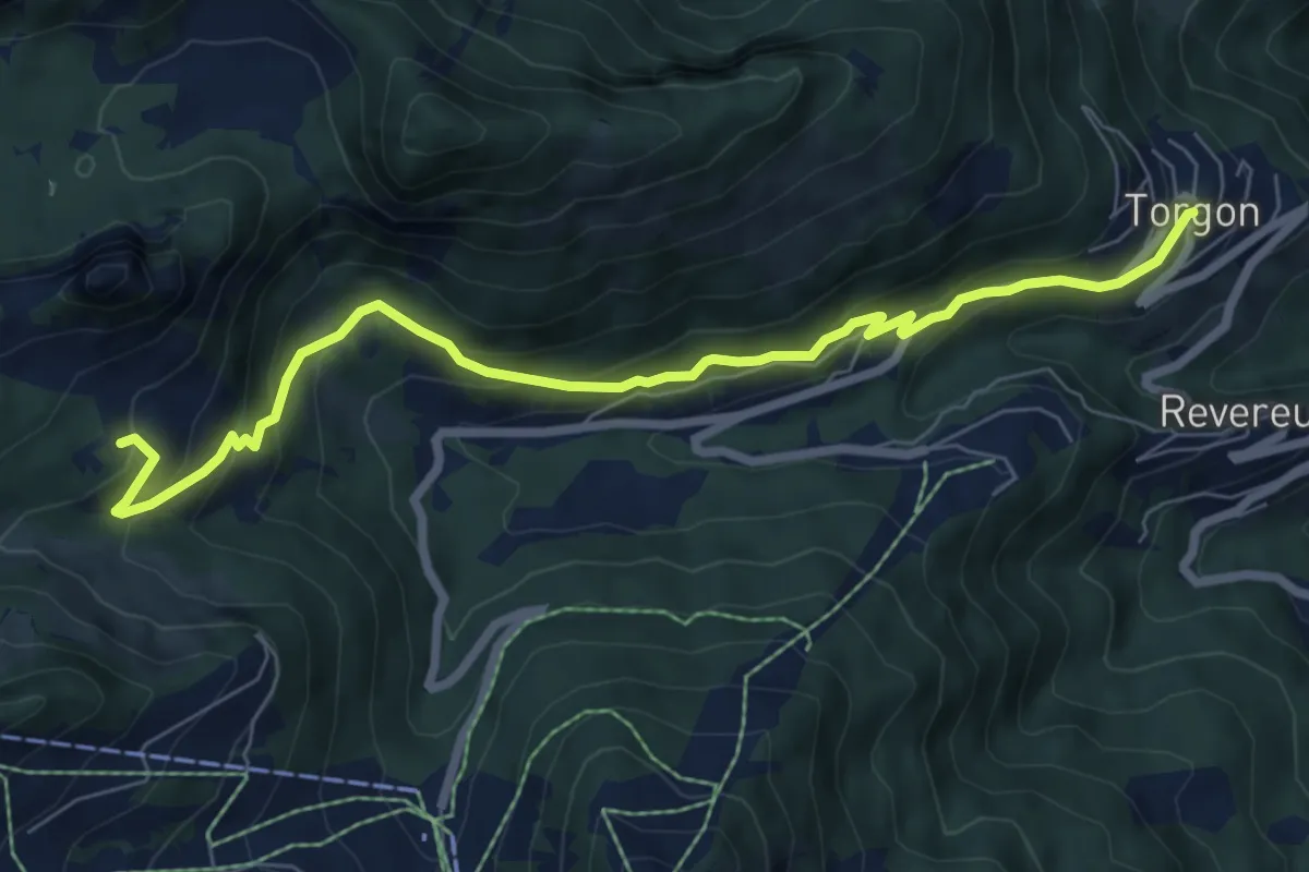
Medium · Trail
Torgon village – Dravers
7.8 km · ↑ 506 m · 2 h 56 min
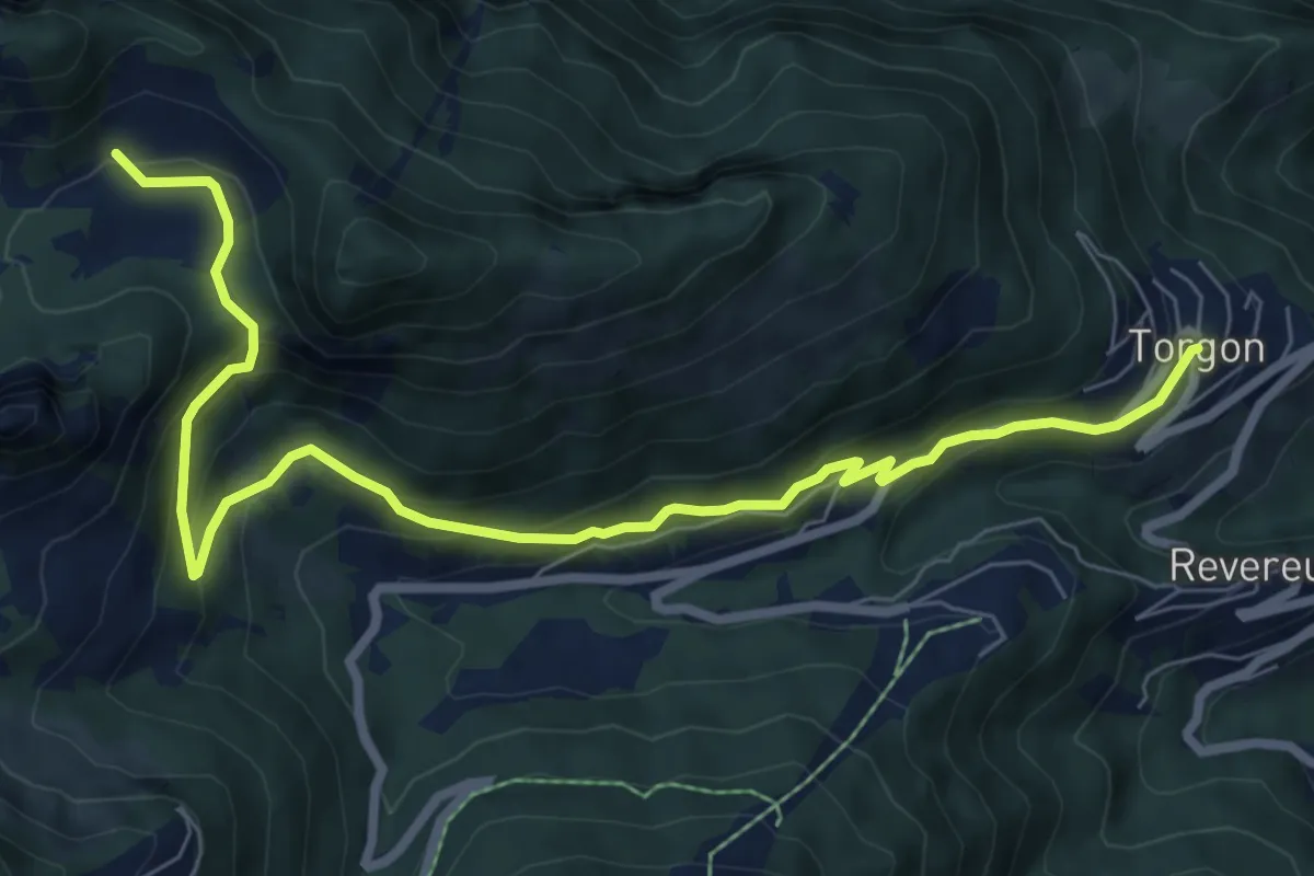
Medium · Trail
Torgon village – Chalet de Blancsex
8.7 km · ↑ 508 m · 3 h 10 min
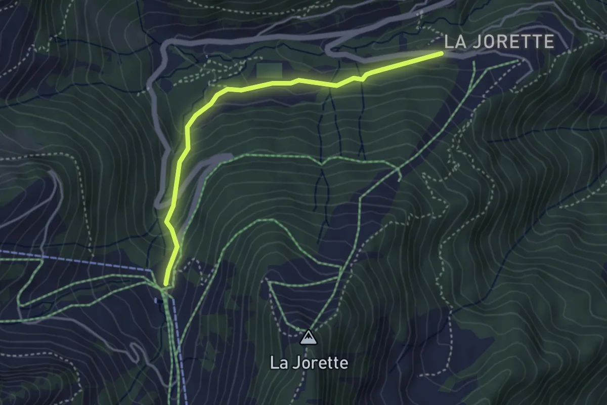
Easy · Trail
Torgon/La Jorette – Plan du Croix
3.7 km · ↑ 204 m · 1 h 19 min
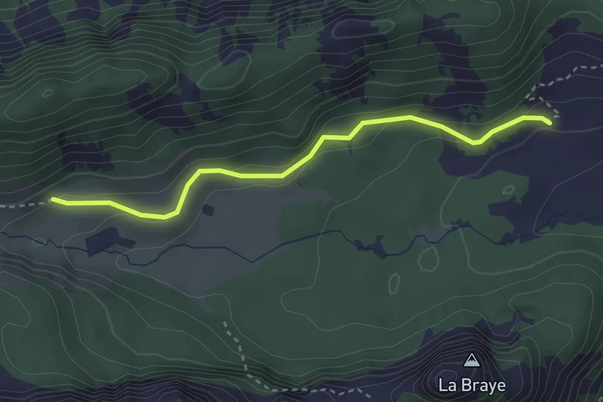
Easy · Trail
Chalet de Blancsex – Savalène
2.8 km · ↑ 170 m · 1 h 2 min
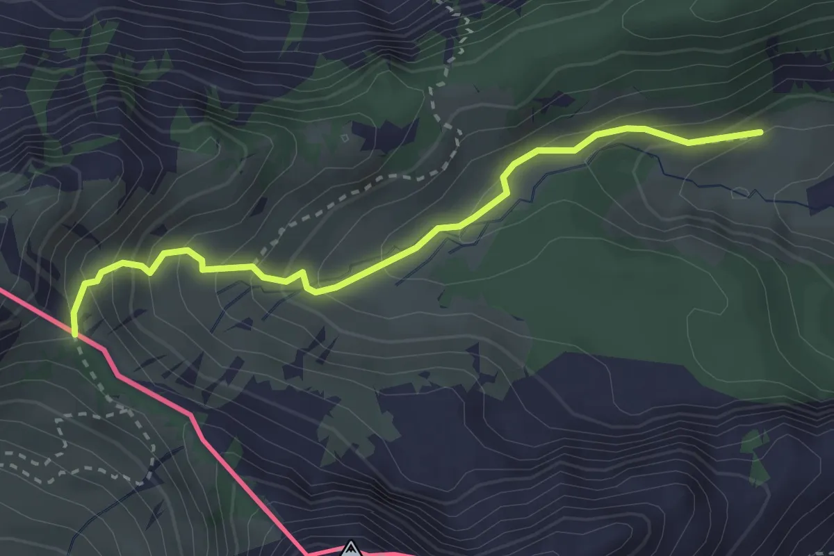
Medium · Trail
Savalène – Col de Savalène
3.0 km · ↑ 275 m · 1 h 18 min
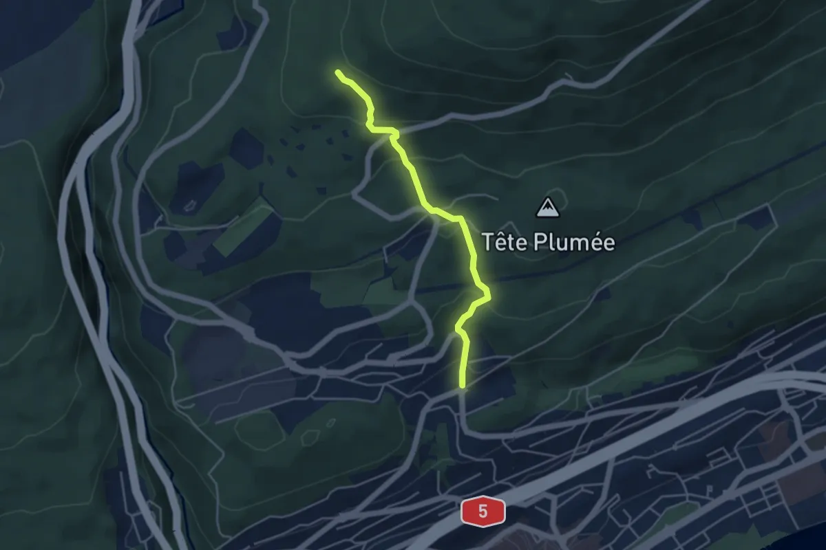
Easy · Trail
Les Trois Bornes – Neuchâtel Cadolles
3.7 km · ↑ 250 m · 1 h 25 min
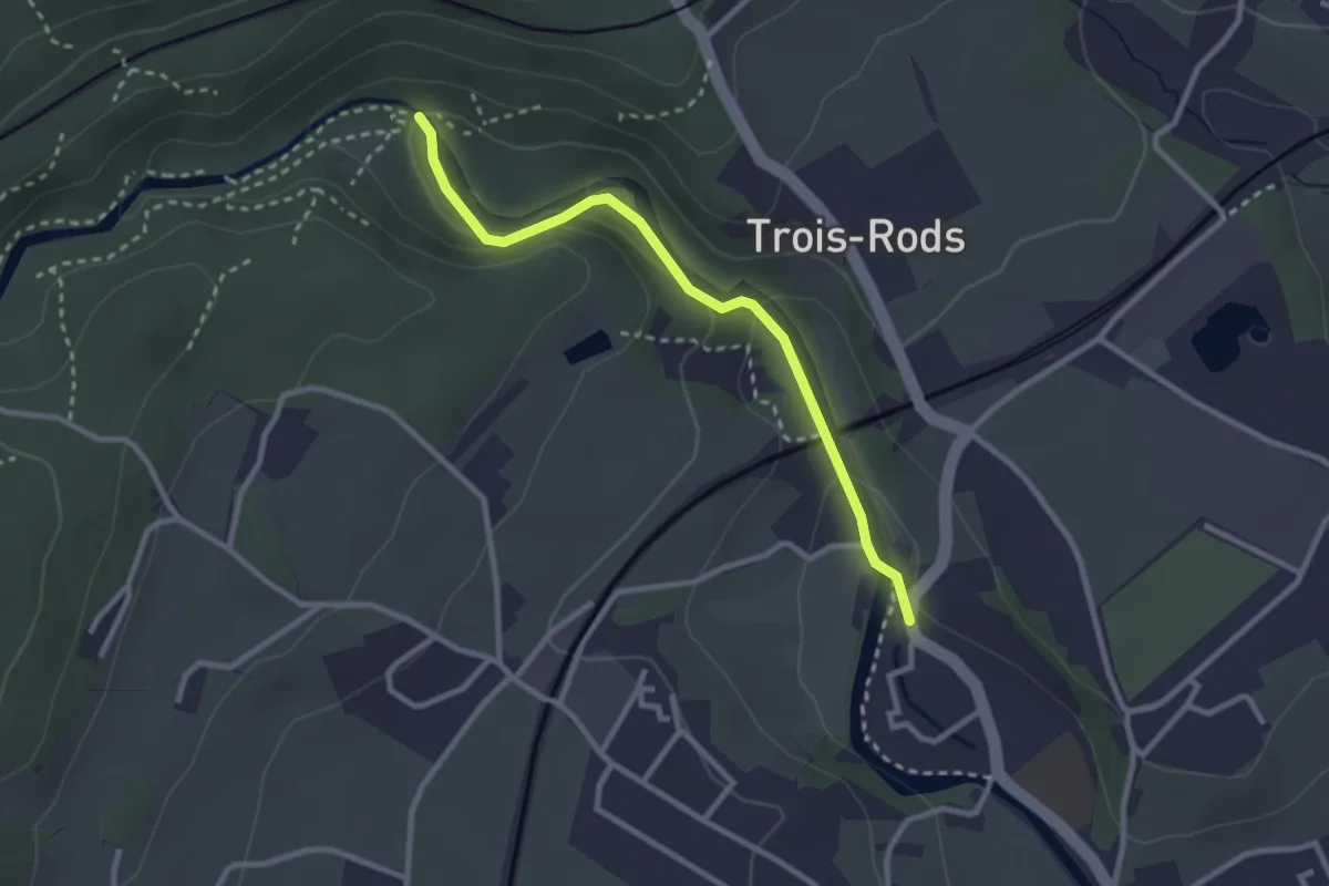
Easy · Trail
Boudry – Pont des Clées
2.7 km · ↑ 80 m · 49 min
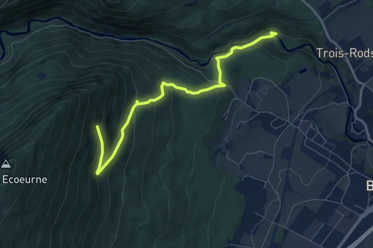
Medium · Trail
Pont des Clées – Forêt de Boudry
7.1 km · ↑ 451 m · 2 h 40 min
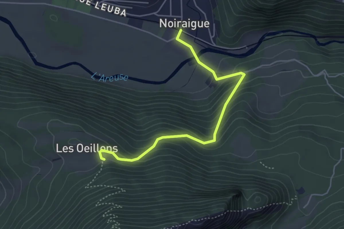
Easy · Trail
Noiraigue – Les Oeuillons
4.4 km · ↑ 294 m · 1 h 41 min
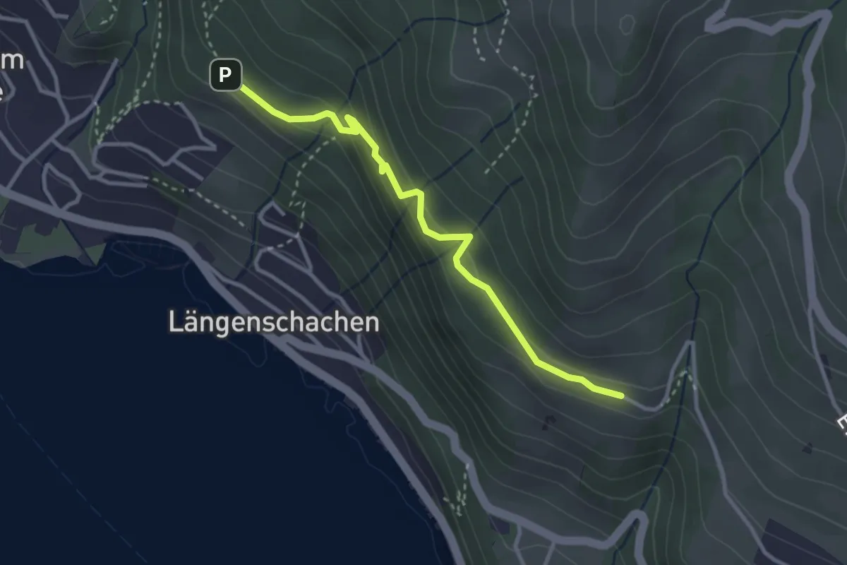
Easy · Trail
Blooch – Erizbüel
3.1 km · ↑ 206 m · 1 h 10 min
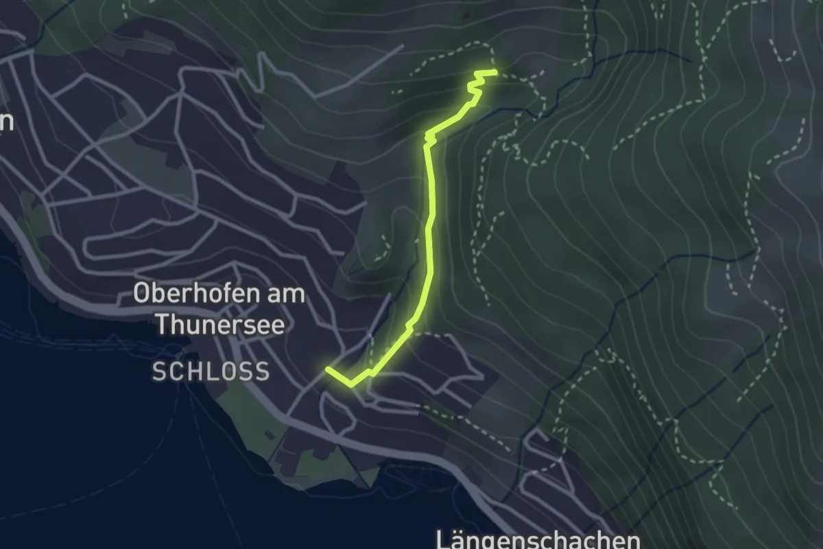
Easy · Trail
Balmflue – Oberhofen
2.3 km · ↑ 164 m · 54 min
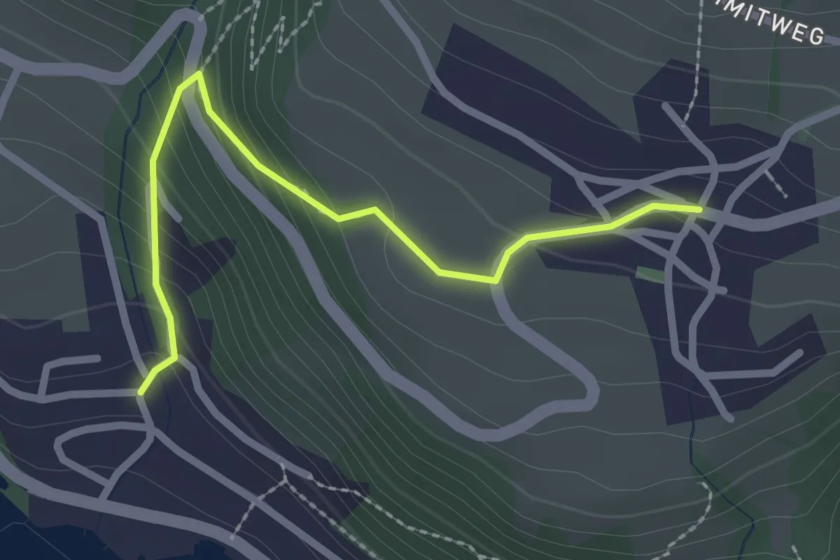
Easy · Trail
Aeschlen – Oertli
2.3 km · ↑ 180 m · 56 min
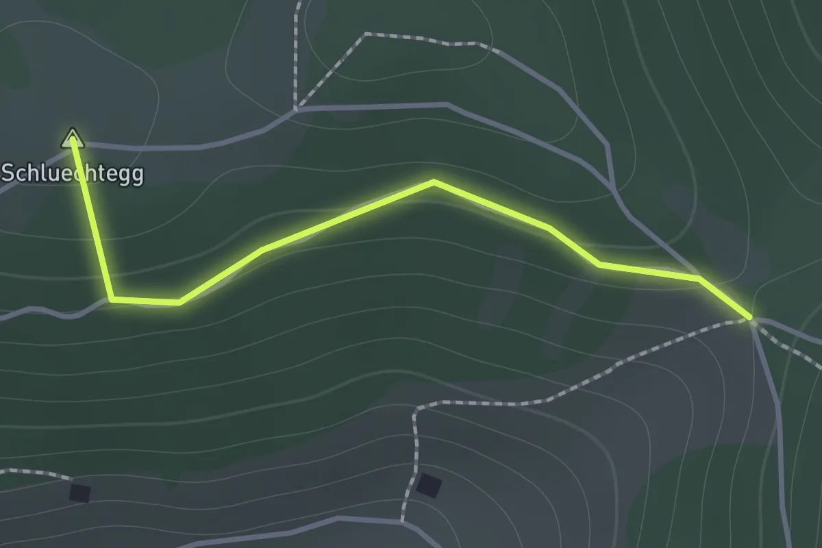
Easy · Summit
Gründungsahorn – Wolfsgrube
1.2 km · ↑ 47 m · 23 min
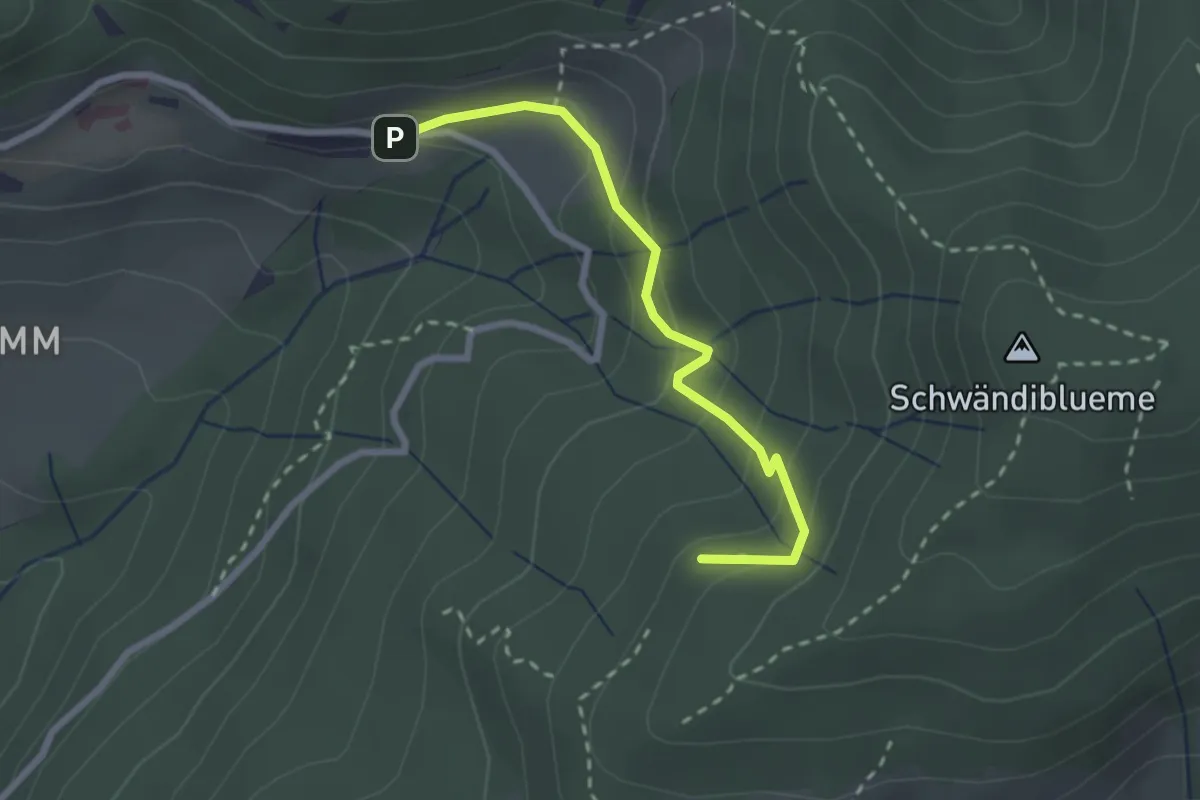
Easy · Trail
Hinderport – Weide
2.4 km · ↑ 184 m · 58 min
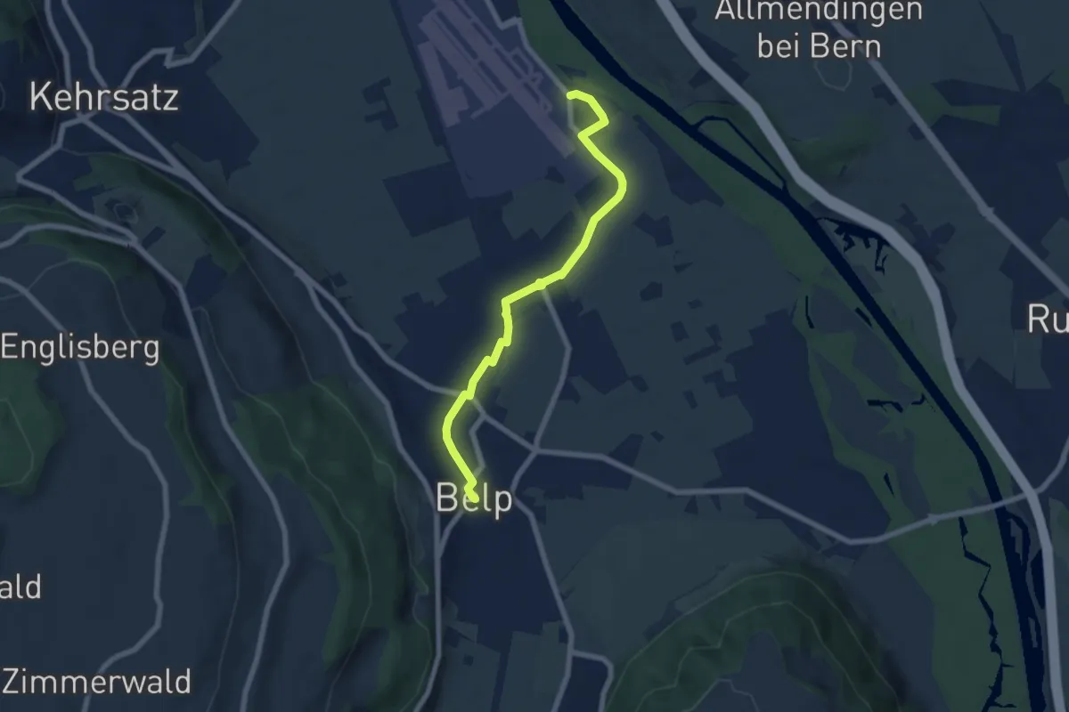
Easy · Trail
Belp – Flugplatz Bern Belp
6.4 km · ↑ 13 m · 1 h 33 min
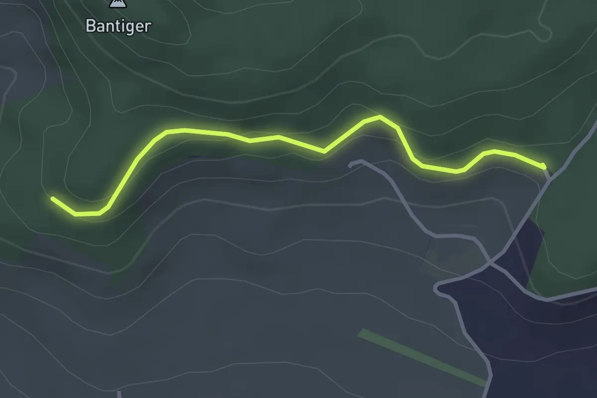
Easy · Trail
Chatzenstyg – Cholegruebe
2.8 km · ↑ 80 m · 51 min
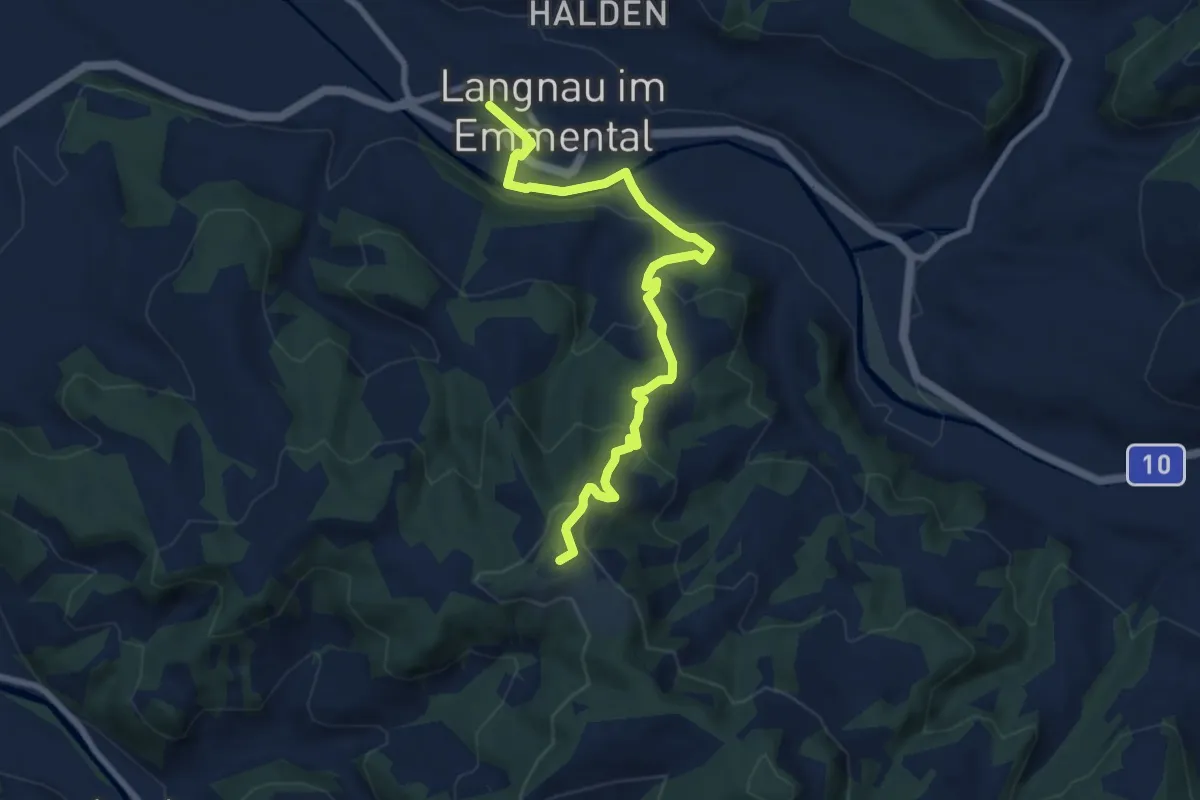
Medium · Summit
Langnau i.E. – Hohwacht
8.4 km · ↑ 362 m · 2 h 46 min
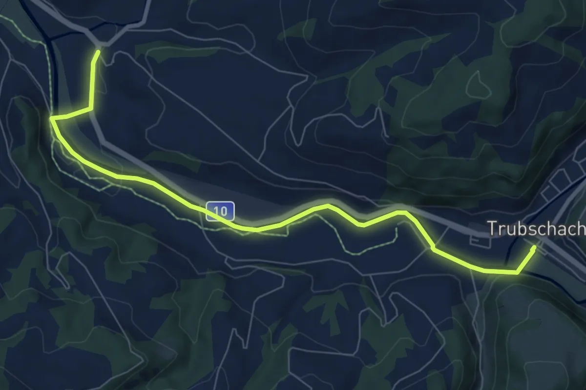
Medium · Trail
Bärau – Trubschachen
8.0 km · ↑ 105 m · 2 h 8 min
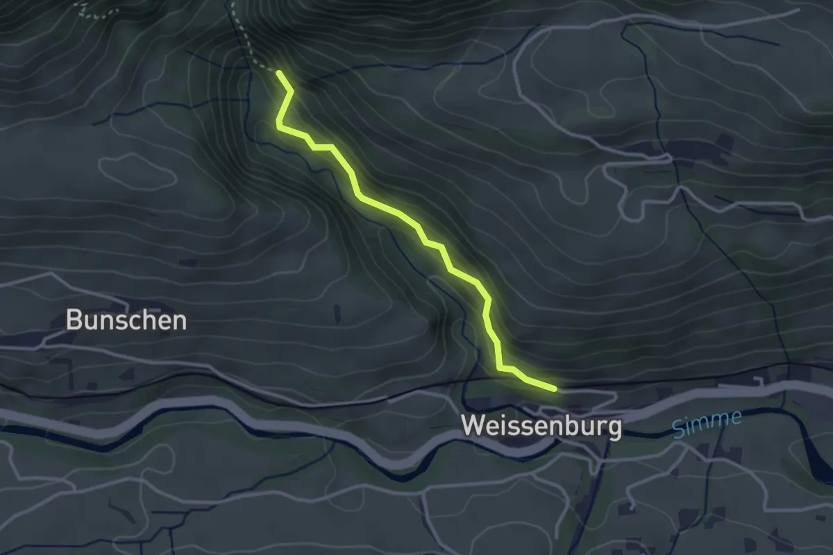
Easy · Trail
Weissenburg – Ehem. Weissenburgbad
2.8 km · ↑ 188 m · 1 h 4 min
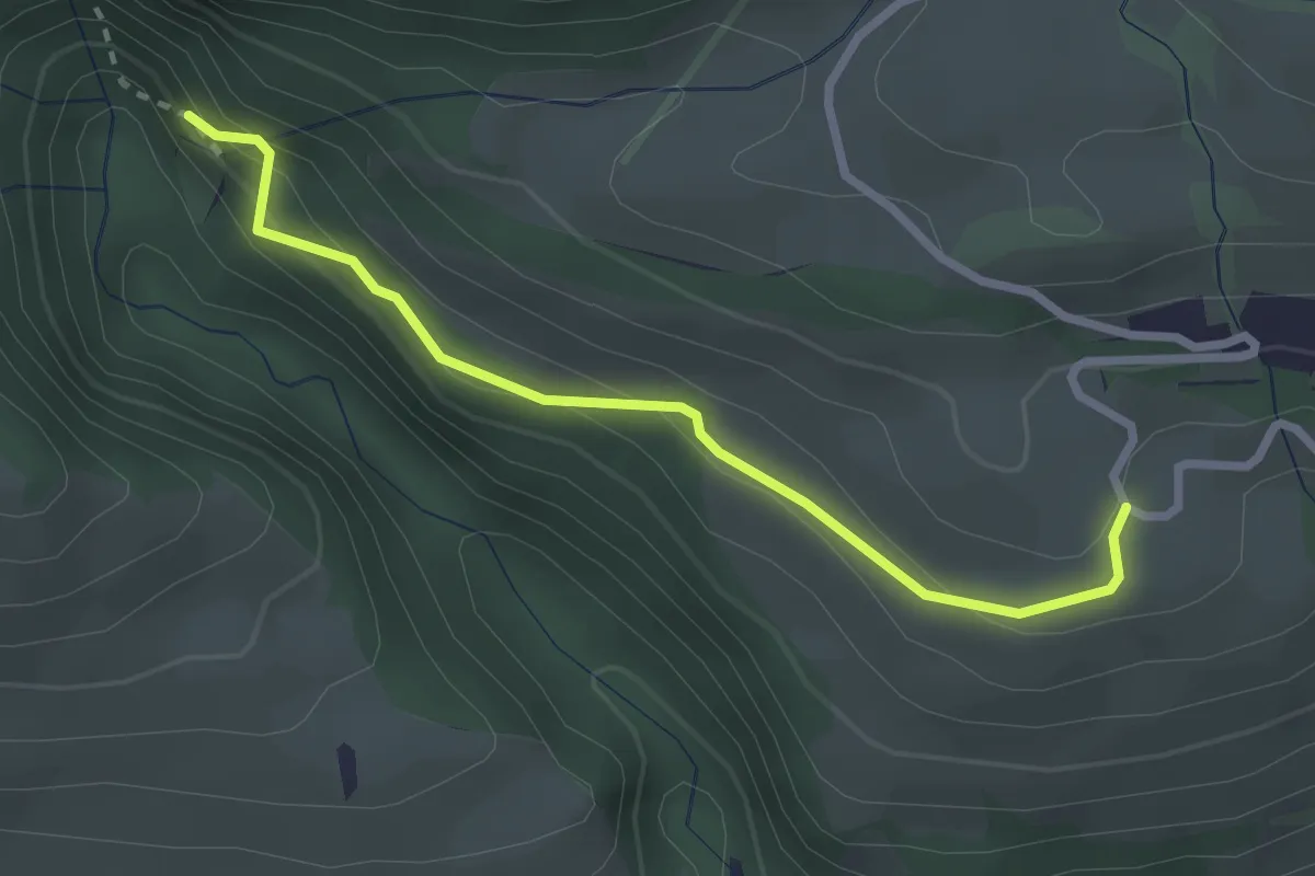
Easy · Trail
Ehem. Weissenburgbad – Weissenburgberg
2.6 km · ↑ 174 m · 1 h
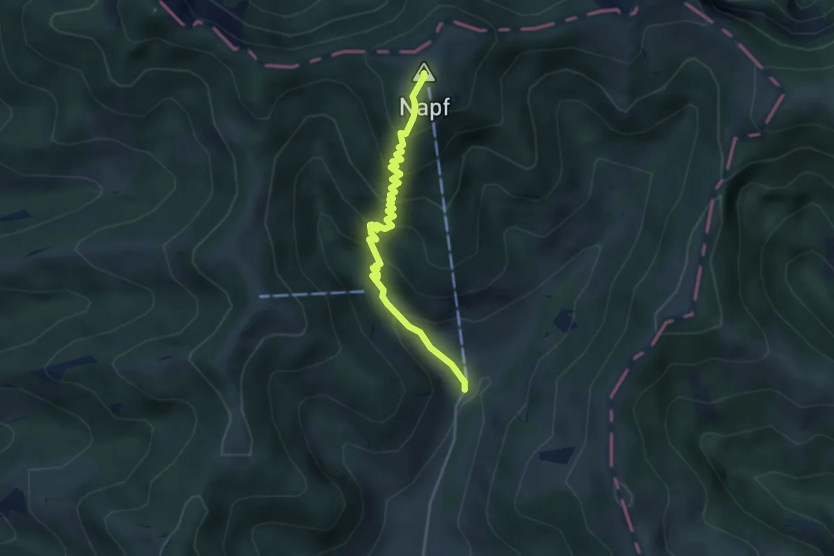
Medium · Summit
Mettlenalp – Napf
3.4 km · ↑ 322 m · 1 h 29 min
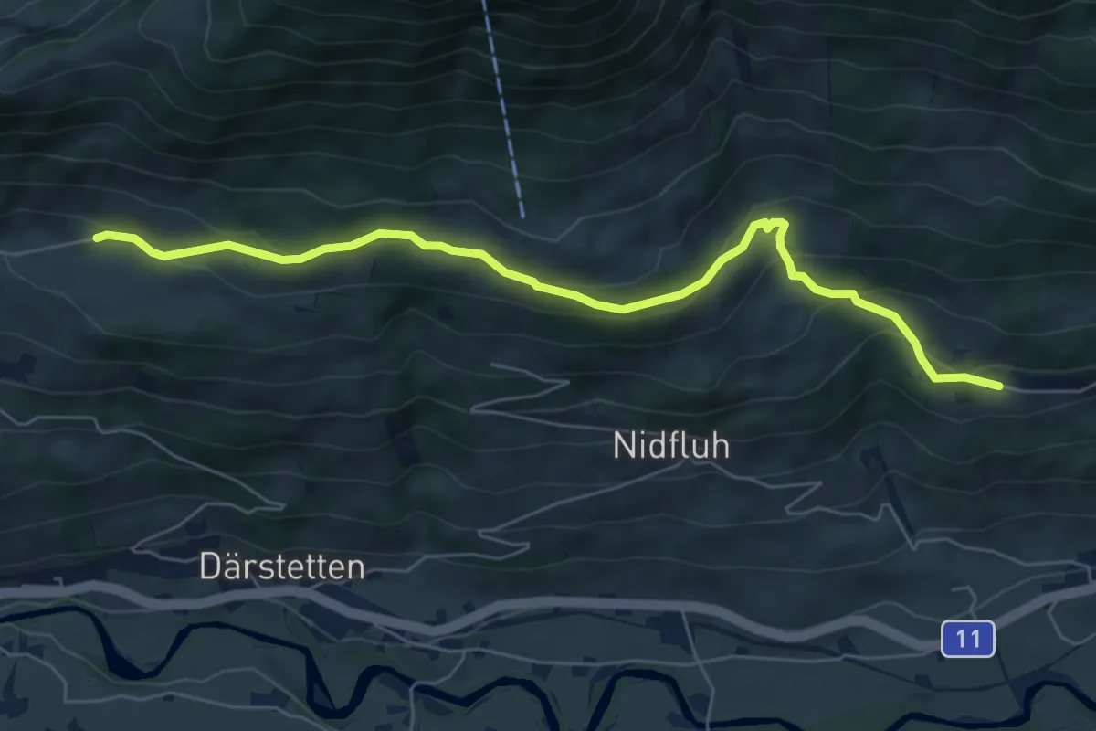
Easy · Trail
Stigimad – Balzenberg
6.7 km · ↑ 316 m · 2 h 15 min
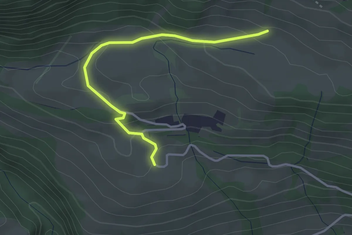
Easy · Trail
Weissenburgberg – Stigimad
3.1 km · ↑ 157 m · 1 h 5 min
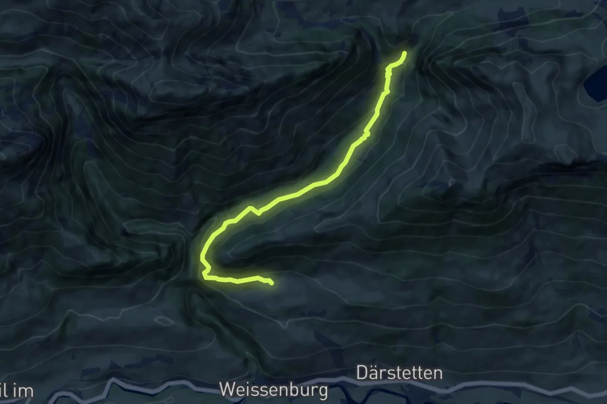
Medium · Trail
Weissenburgberg – Im Stuefe
8.8 km · ↑ 683 m · 3 h 34 min
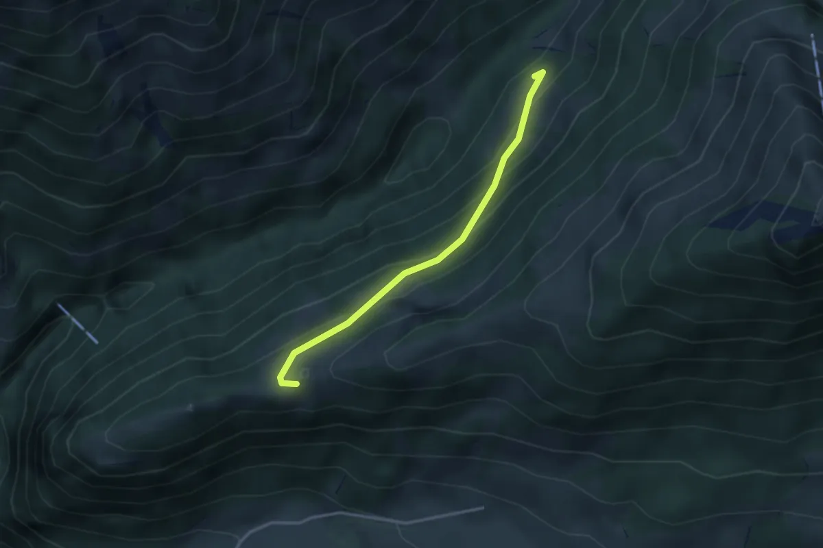
Easy · Trail
Flüeberg – Schattenhalb
2.9 km · ↑ 214 m · 1 h 9 min
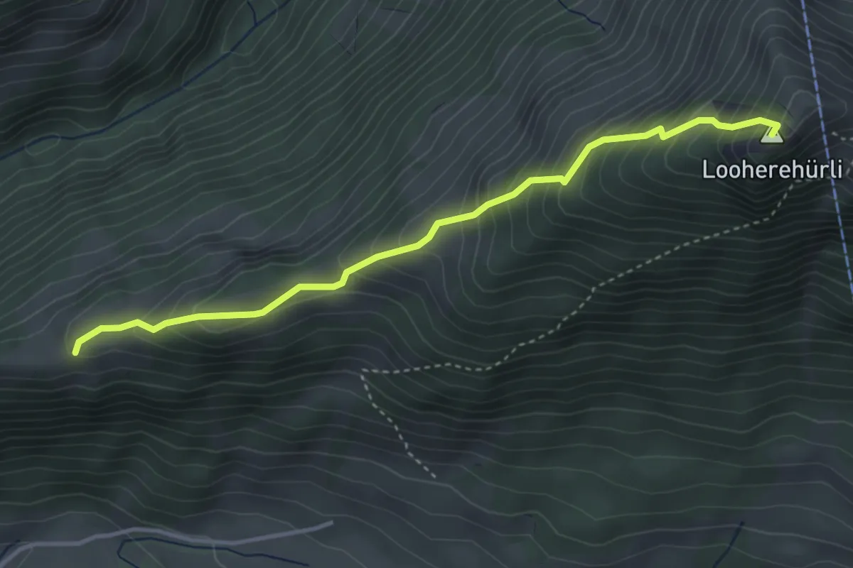
Medium · Summit
Flüeberg – Oberi Loohere
3.9 km · ↑ 470 m · 1 h 56 min
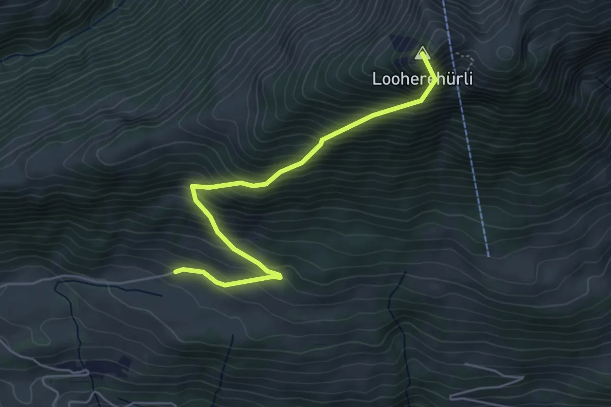
Medium · Summit
Stigimad – Oberi Loohere
4.7 km · ↑ 633 m · 2 h 29 min