Trails in Switzerland
15,055 hiking trails, each with its route, climb, walking time and grade.
All trails, page 149 of 314
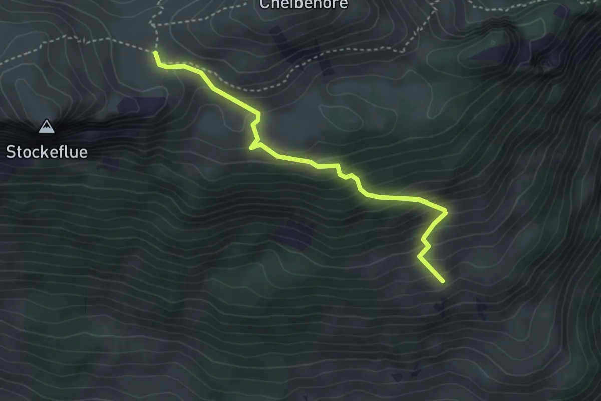
Medium · Trail
Vorderstockenalp – Ufem Hus
3.5 km · ↑ 330 m · 1 h 32 min
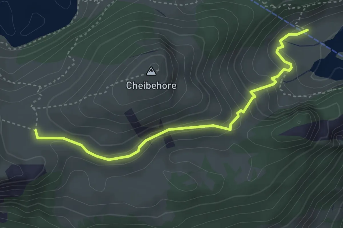
Medium · Trail
Vorderstockenalp – Hinterstockenalp
3.7 km · ↑ 214 m · 1 h 20 min
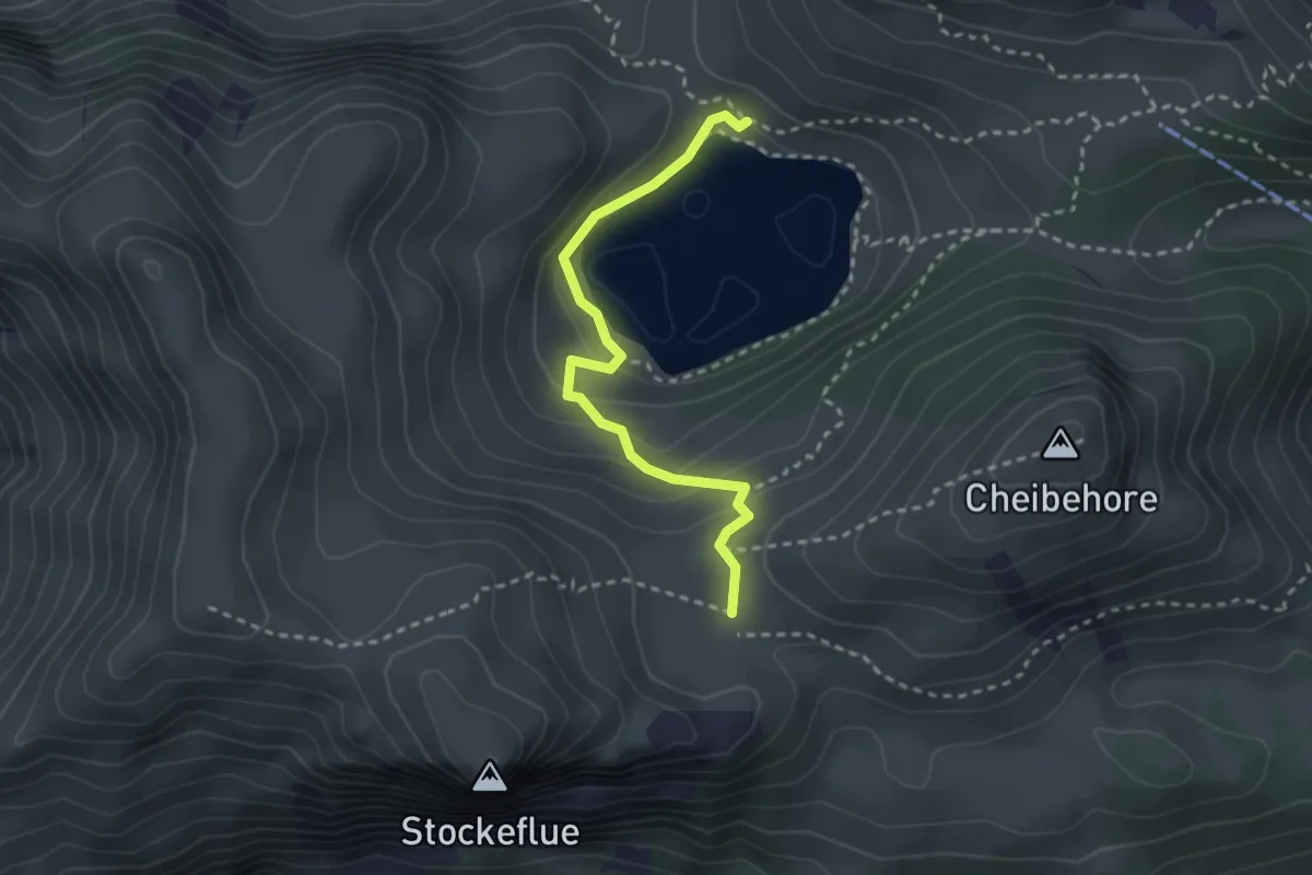
Easy · Trail
Vorderstockenalp – Walalp
2.7 km · ↑ 171 m · 1 h
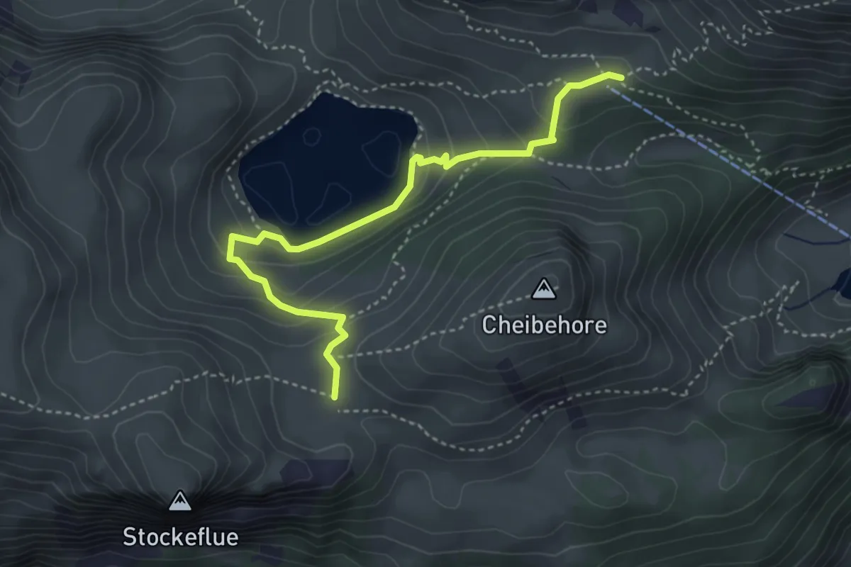
Medium · Trail
Vorderstockenalp – Oberstockenalp
4.0 km · ↑ 231 m · 1 h 26 min
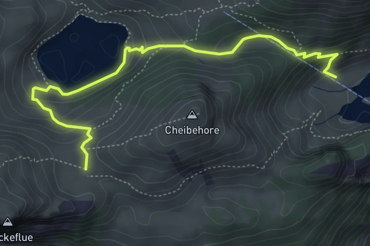
Medium · Trail
Hinterstockenalp – Vorderstockenalp
5.4 km · ↑ 310 m · 1 h 57 min
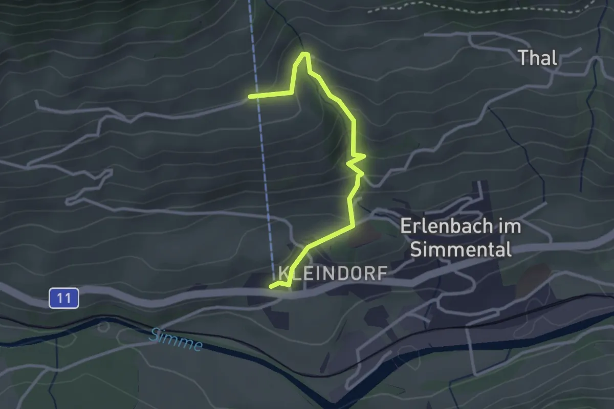
Easy · Trail
Stockhornbahn – Moos
2.7 km · ↑ 204 m · 1 h 5 min
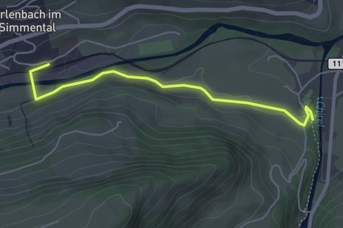
Easy · Trail
Erlenbach – Oey Diemtigen
4.3 km · ↑ 51 m · 1 h 7 min
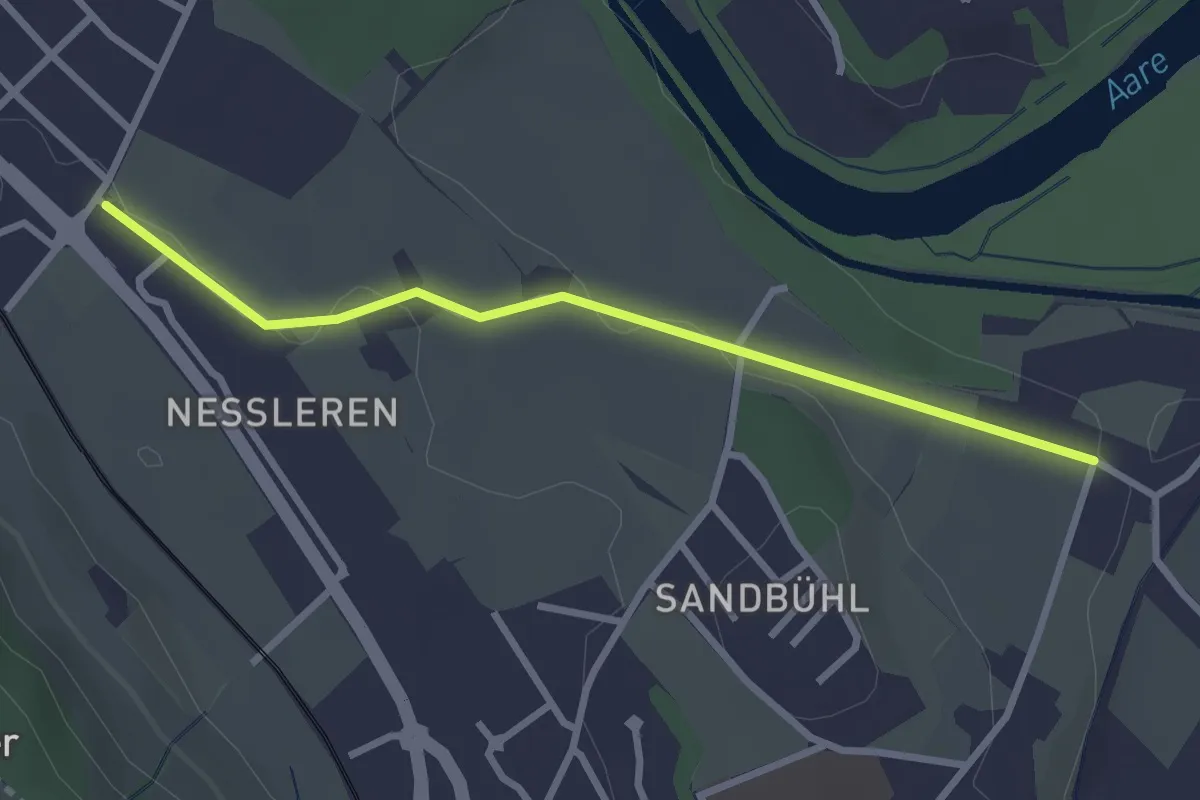
Easy · Trail
Chli Wabern – Unter Selhofen
2.8 km · ↑ 36 m · 44 min
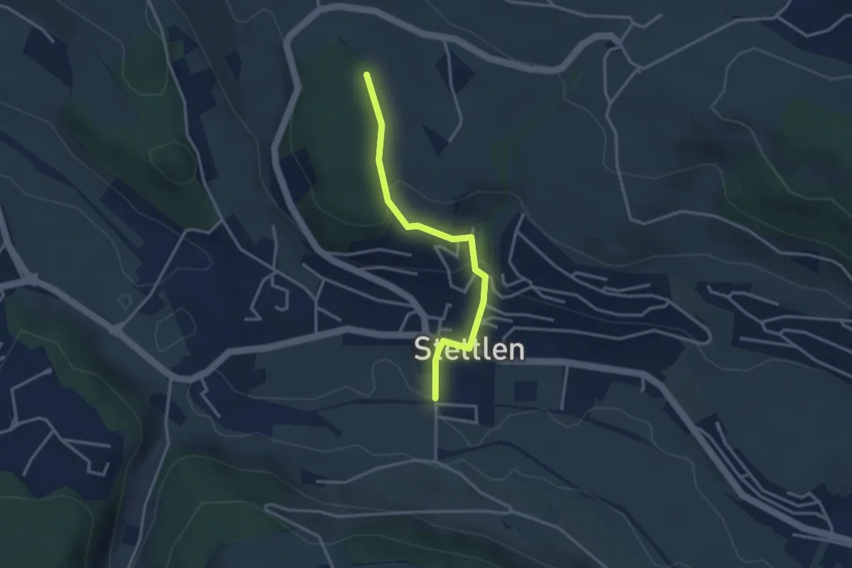
Easy · Trail
Buechholz – Stettlen
2.8 km · ↑ 113 m · 55 min
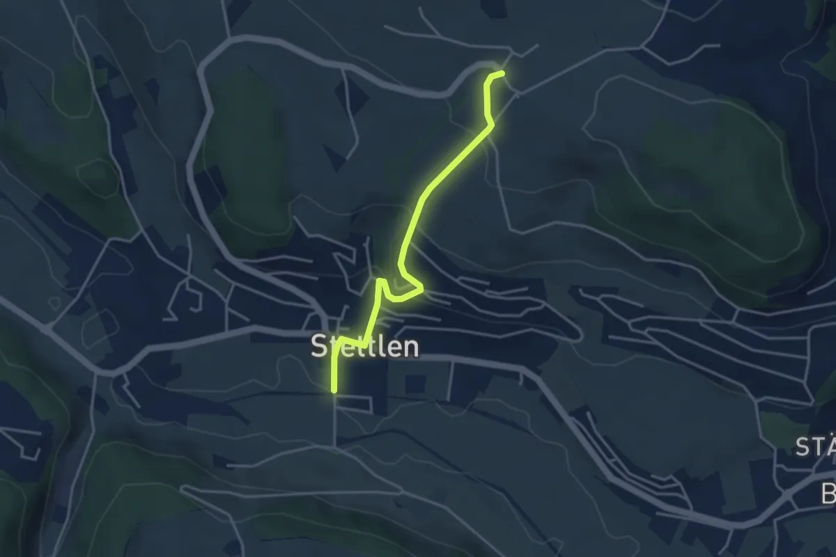
Easy · Trail
Ferenberg – Stettlen
3.4 km · ↑ 182 m · 1 h 11 min
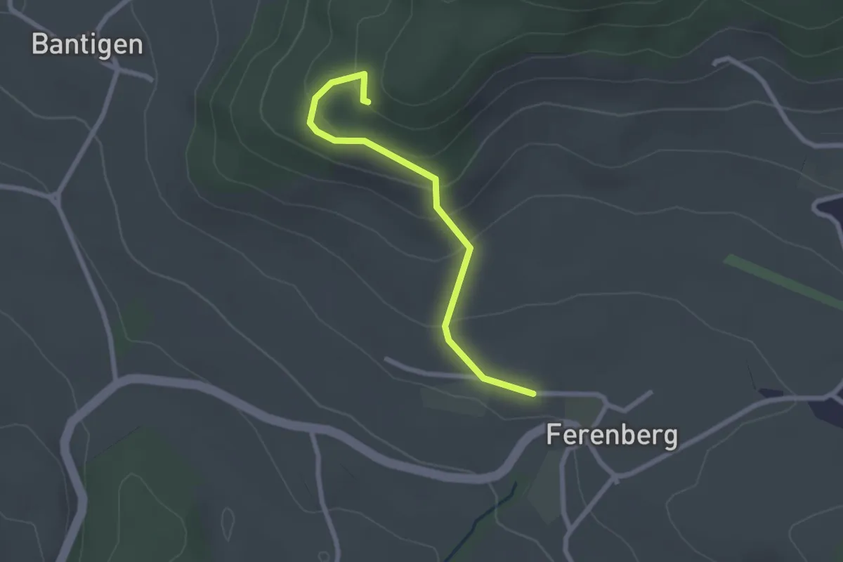
Easy · Trail
Chatzenstyg – Ferenberg
2.2 km · ↑ 131 m · 49 min
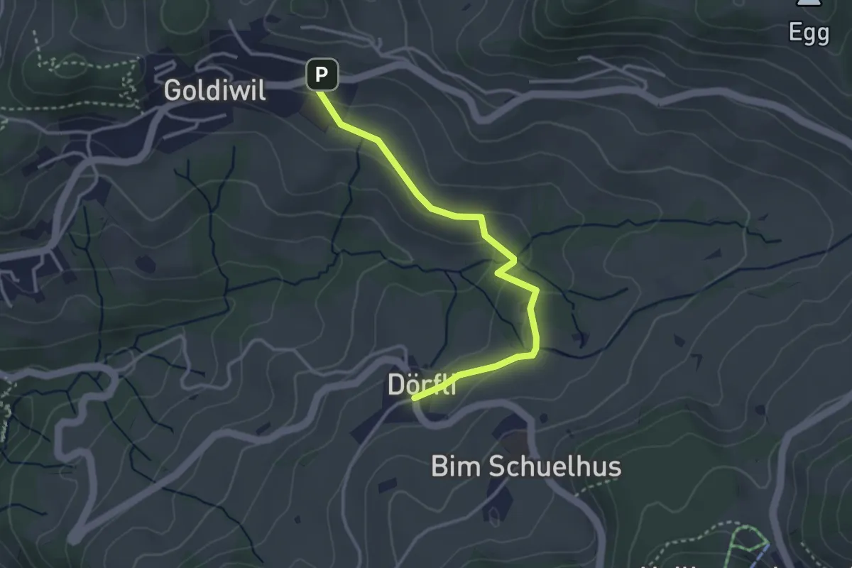
Easy · Trail
Hl. Schwendi Dörfli – Goldiwil
3.2 km · ↑ 77 m · 56 min
Easy · Trail
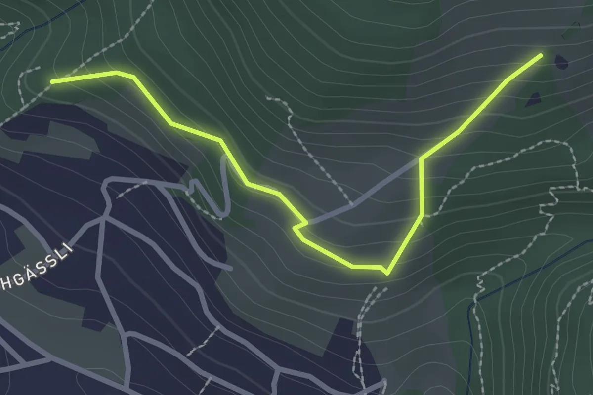
Tannebüel – Oberi Allmit
2.5 km · ↑ 181 m · 58 min
Easy · Trail
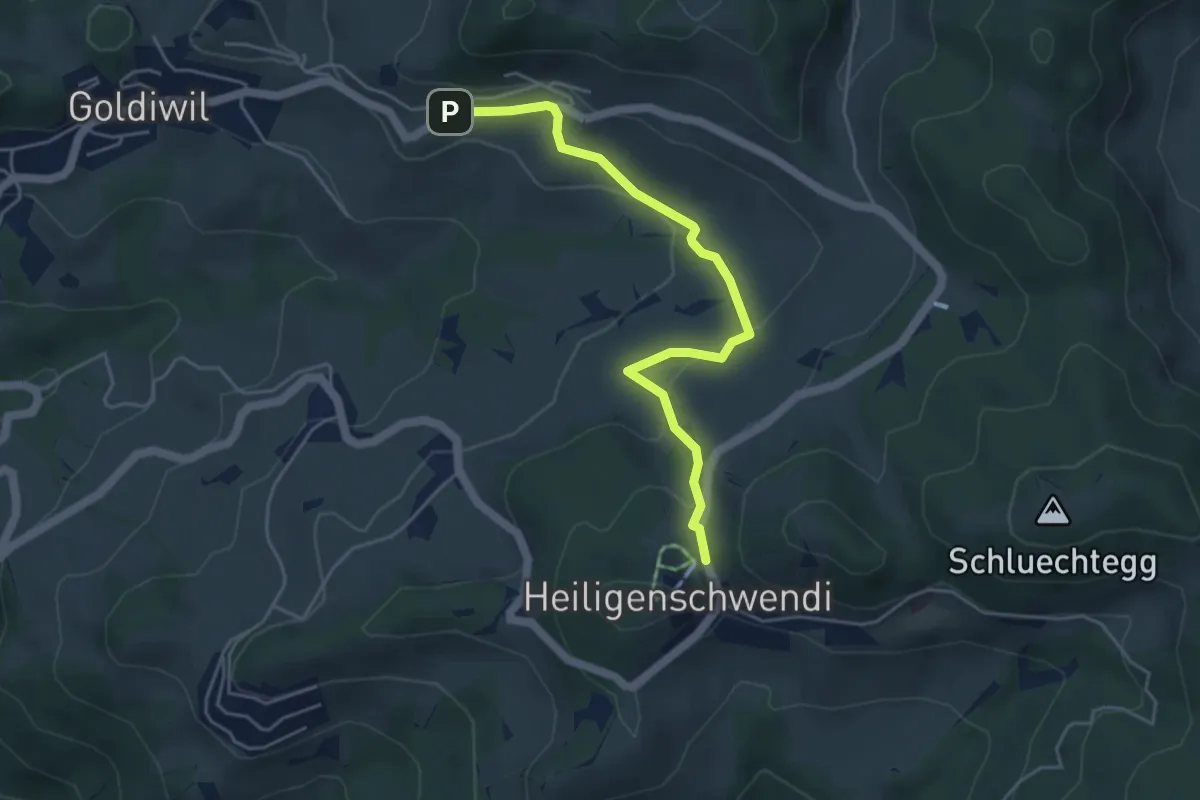
Hubelweid – Goldiwil / Wendeplatz
4.6 km · ↑ 226 m · 1 h 35 min
Medium · Trail
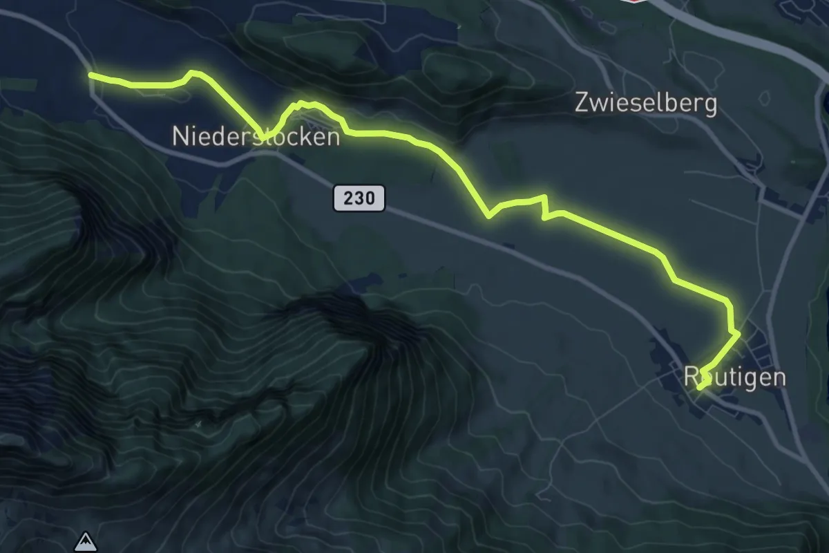
Reutigen – Niederstocken
10.9 km · ↑ 76 m · 2 h 44 min
Medium · Trail
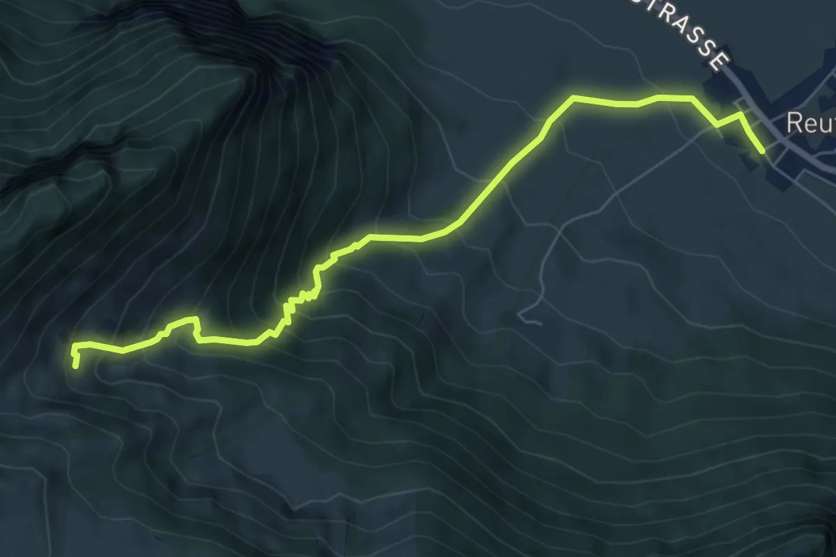
Reutigen – Lengeberg
7.0 km · ↑ 667 m · 3 h 6 min
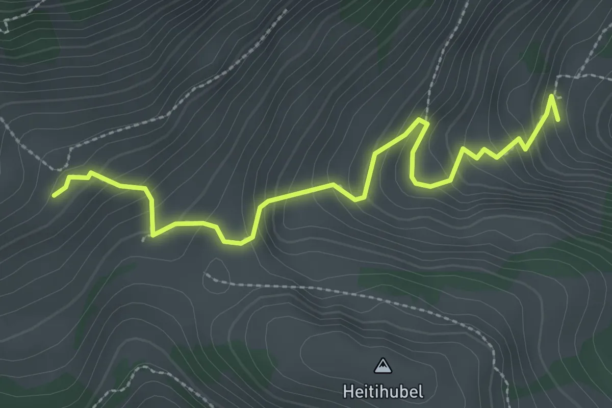
Easy · Trail
Lengeberg – Matten
2.9 km · ↑ 277 m · 1 h 17 min
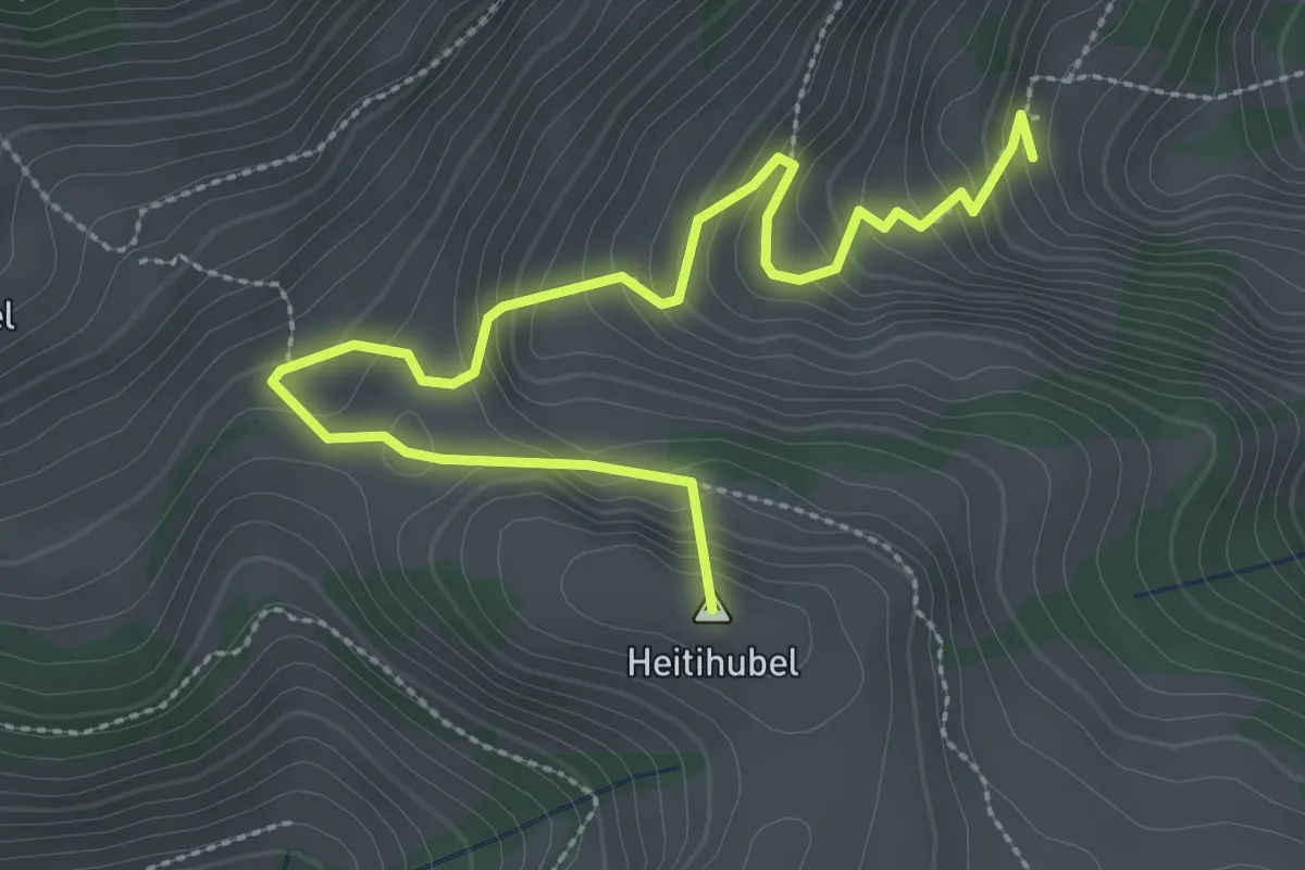
Medium · Summit
Lengeberg – Oberes Heiti
3.5 km · ↑ 289 m · 1 h 27 min
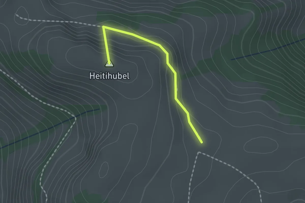
Medium · Summit
Matten – Oberes Heiti? / Günzenen? / Wimmis?
1.4 km · ↑ 63 m · 28 min
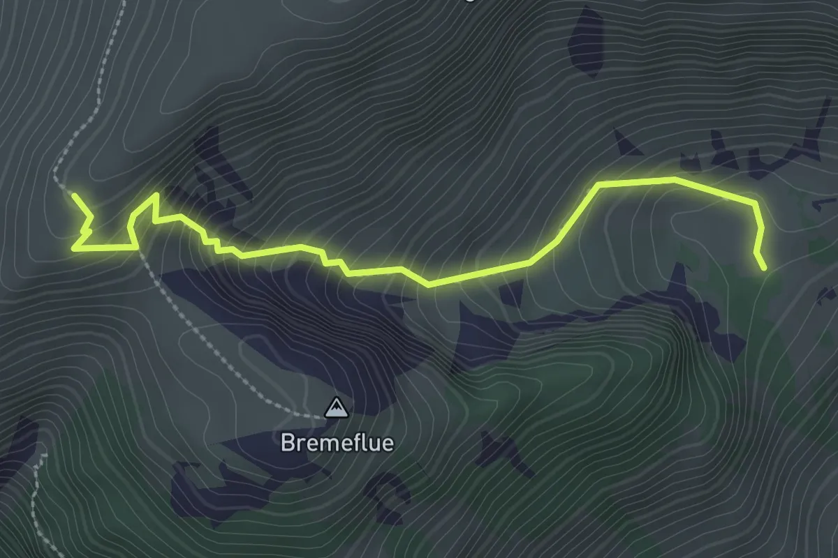
Medium · Trail
Steinig Nacki – Furgge
2.9 km · ↑ 378 m · 1 h 31 min
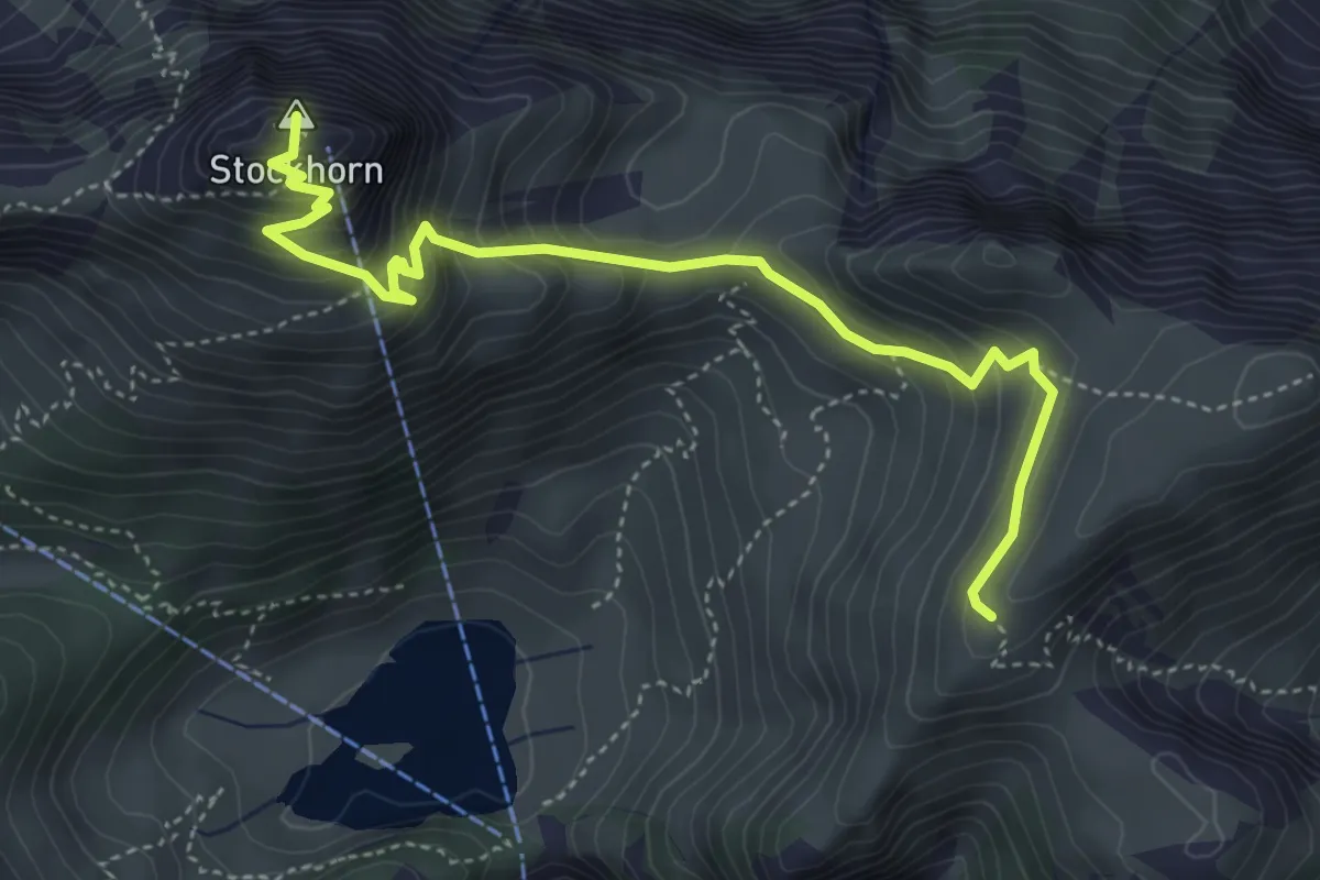
Medium · Summit
Furgge – Stockhorn
4.8 km · ↑ 475 m · 2 h 9 min
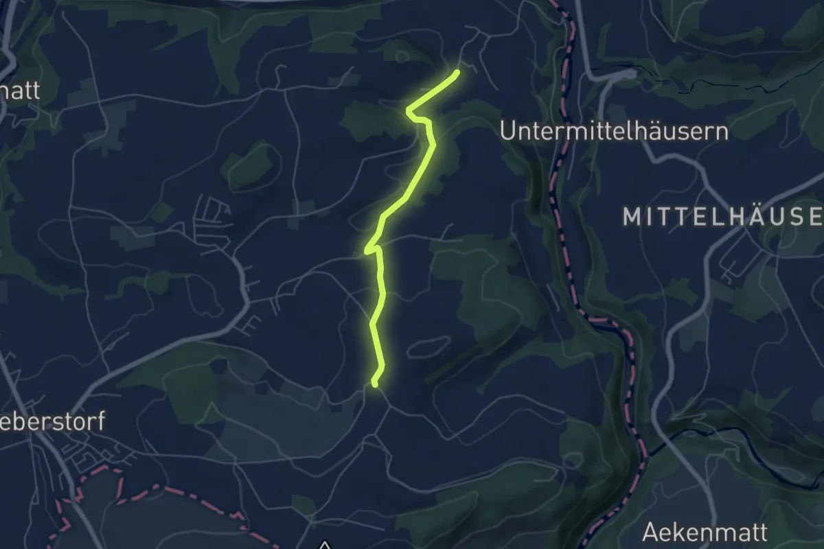
Easy · Trail
Obermettlen – Riederen
4.8 km · ↑ 129 m · 1 h 24 min
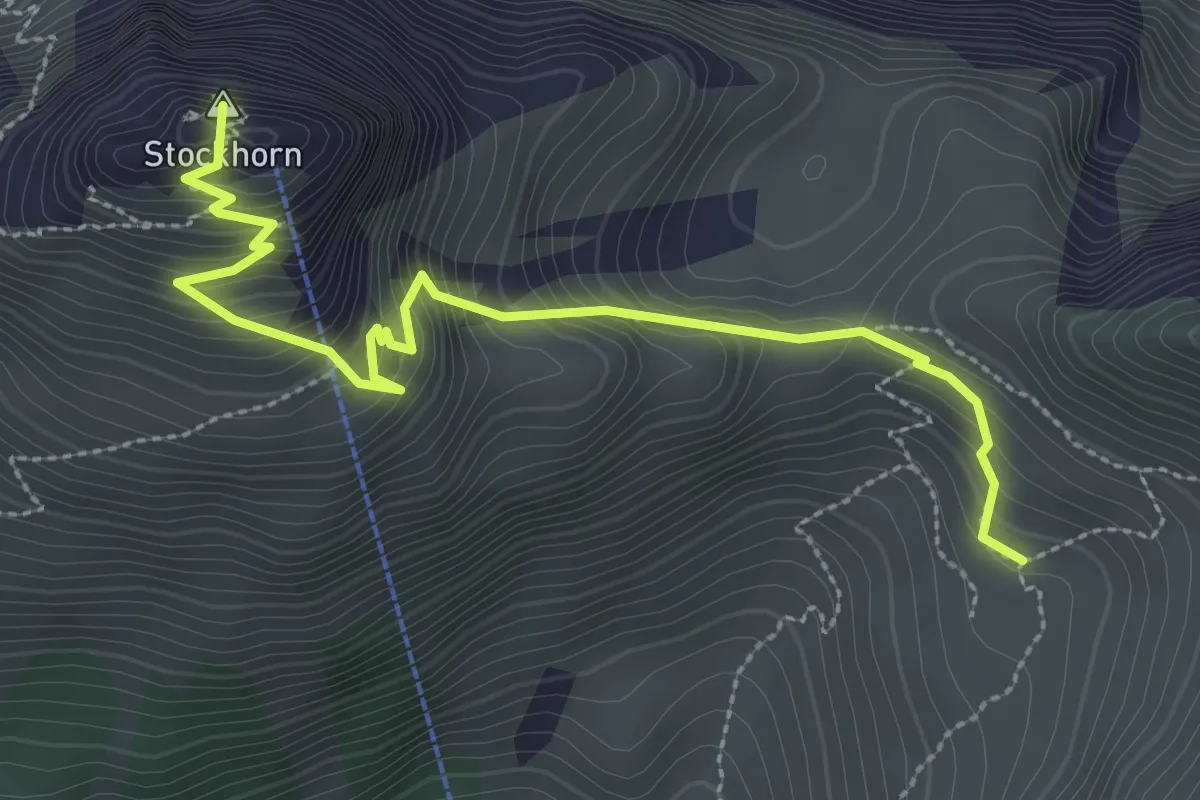
Medium · Summit
Stockhorn – Oberbärgli
3.3 km · ↑ 376 m · 1 h 36 min
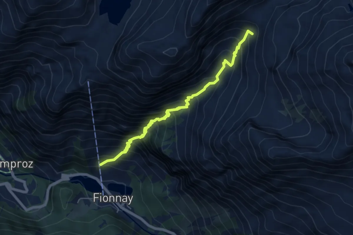
Medium · Trail
Fionnay p1553 – Le Dâ p2313
5.2 km · ↑ 773 m · 2 h 54 min
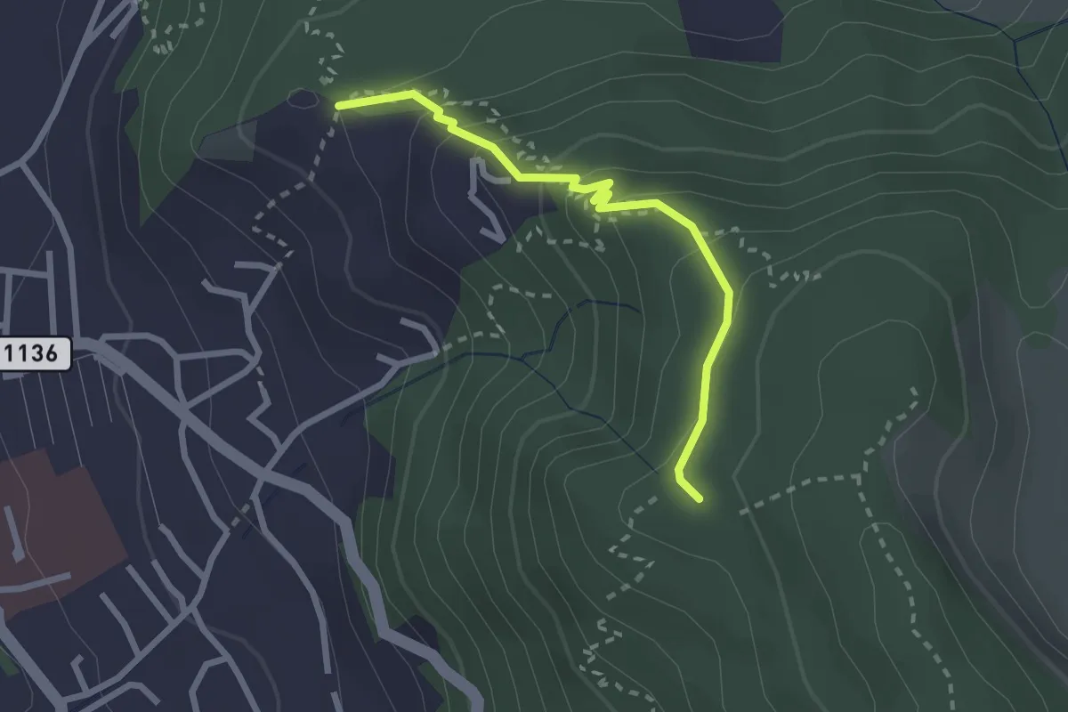
Easy · Trail
Brändisberg – Rabenflue
2.3 km · ↑ 169 m · 55 min
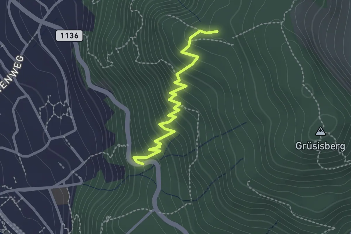
Easy · Trail
Rabenflue – Vogelsang
2.3 km · ↑ 295 m · 1 h 11 min
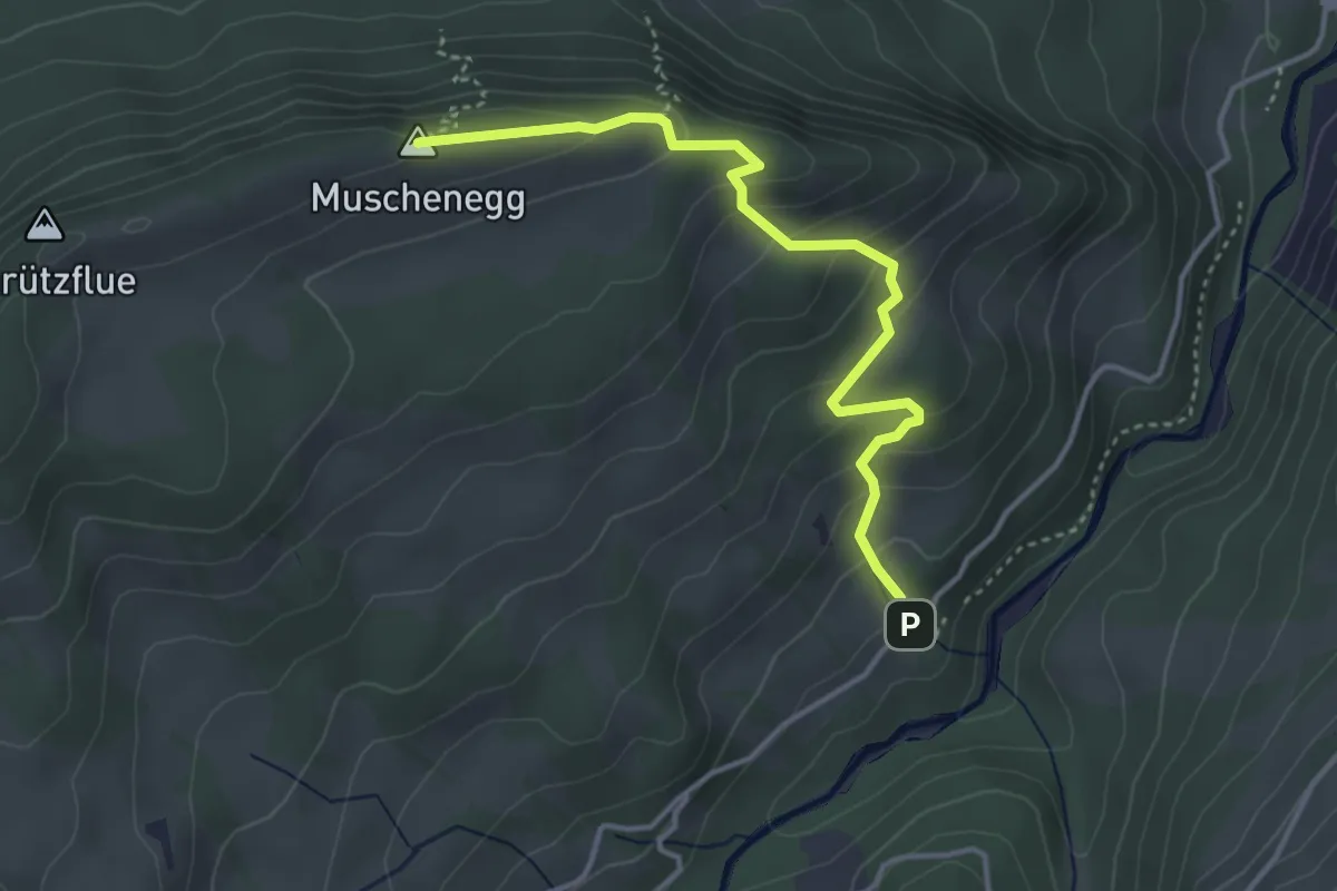
Easy · Summit
Hitusvorsass – Muschenegg
3.9 km · ↑ 263 m · 1 h 29 min
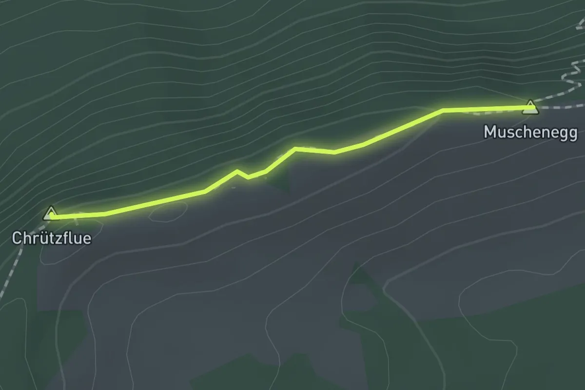
Easy · Summit
Muschenegg – Oberi Gigera
1.4 km · ↑ 42 m · 25 min
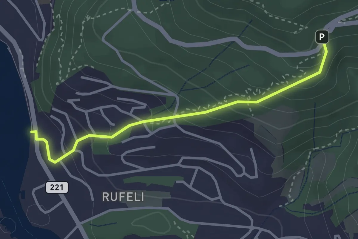
Easy · Trail
Bächimatt – Scheidweg
2.8 km · ↑ 255 m · 1 h 13 min
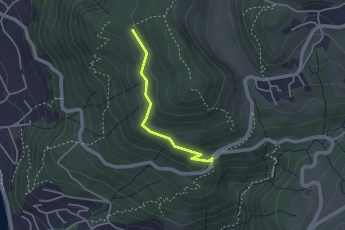
Easy · Trail
Scheidweg – Blockhaus
2.3 km · ↑ 95 m · 44 min
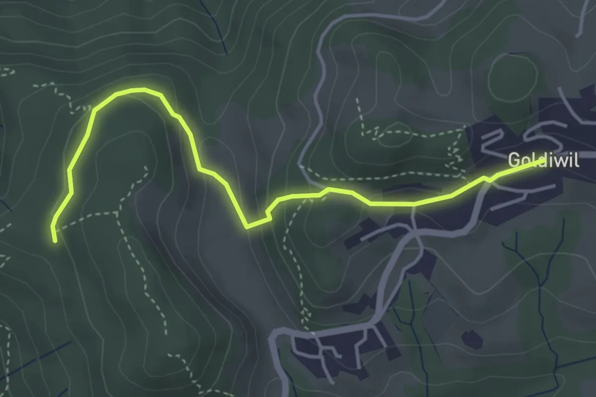
Easy · Trail
Blockhaus – Goldiwil / Post
4.0 km · ↑ 175 m · 1 h 19 min
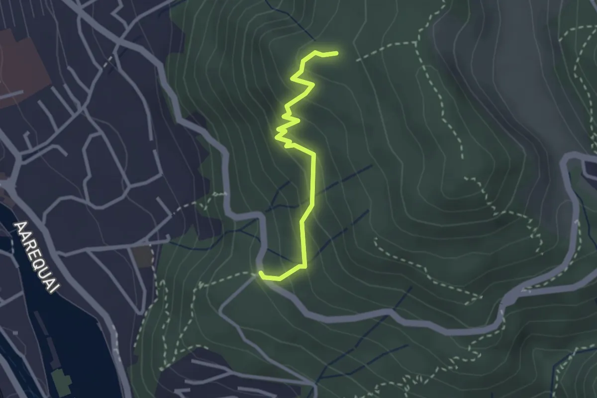
Easy · Trail
Rabenflue – Wartboden
2.3 km · ↑ 233 m · 1 h 4 min
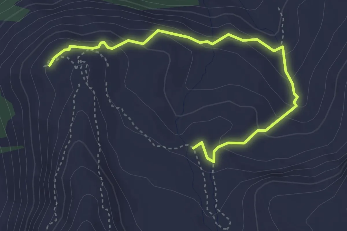
Medium · Trail
Hôtel Weisshorn – Les Faches
4.0 km · ↑ 240 m · 1 h 28 min
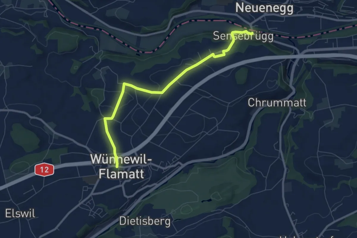
Easy · Trail
Sensebrücke – Wünnewil
7.6 km · ↑ 186 m · 2 h 11 min
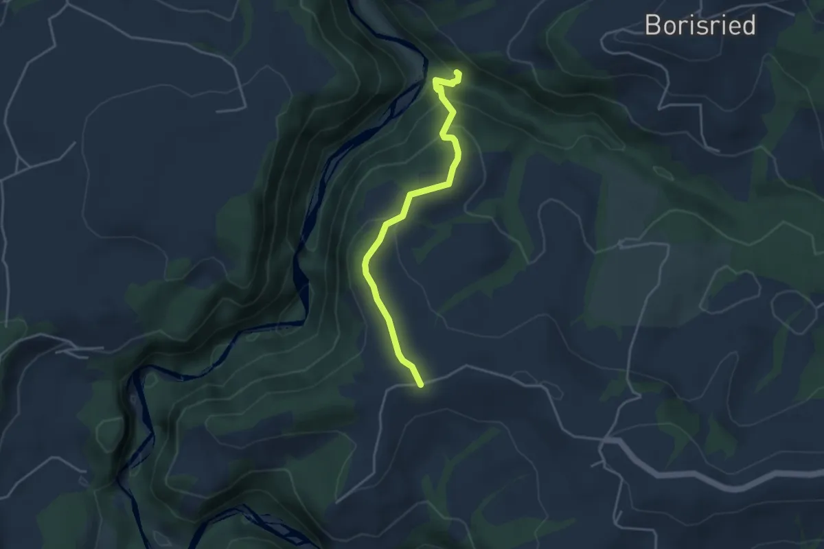
Easy · Trail
Bütschelbachsteg – Krommen
3.5 km · ↑ 192 m · 1 h 15 min
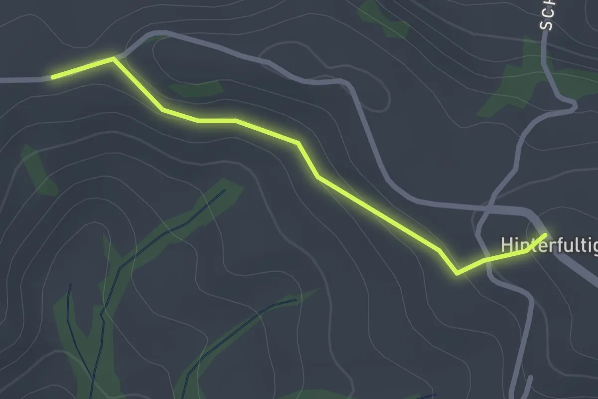
Easy · Trail
Krommen – Hinterfultigen
2.0 km · ↑ 41 m · 34 min
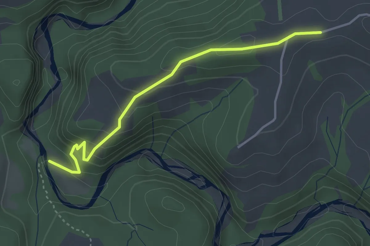
Easy · Trail
Krommen – Schwarzwasser / Steiglenau
3.3 km · ↑ 260 m · 1 h 20 min
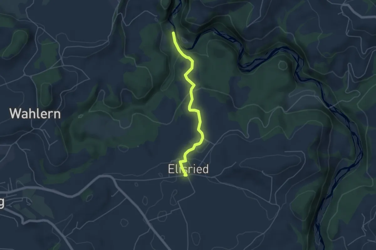
Easy · Trail
Burgbachstäg – Elisried
4.3 km · ↑ 156 m · 1 h 20 min
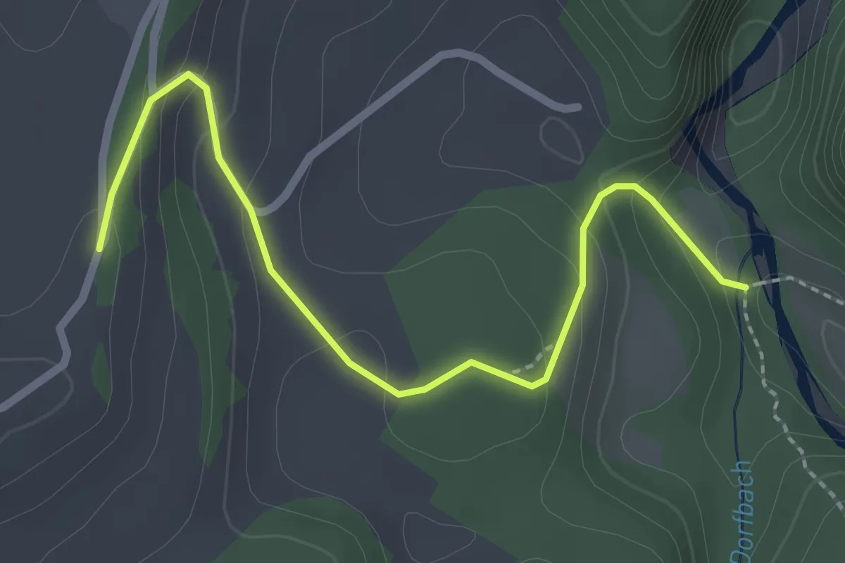
Easy · Trail
Burgbachstäg – Ried
2.5 km · ↑ 129 m · 53 min
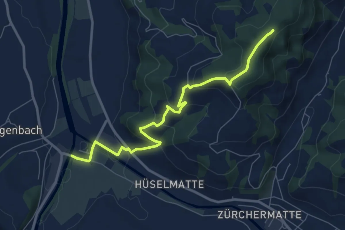
Easy · Trail
Emmenmatt – Oberdürsrütiwald
6.8 km · ↑ 312 m · 2 h 17 min
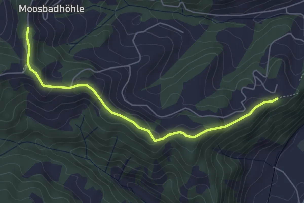
Easy · Trail
Blasenegg – Moosegg
4.9 km · ↑ 173 m · 1 h 32 min
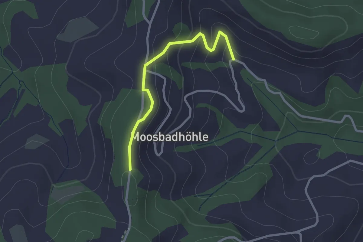
Easy · Trail
Moosbad – Moosegg
2.3 km · ↑ 102 m · 45 min
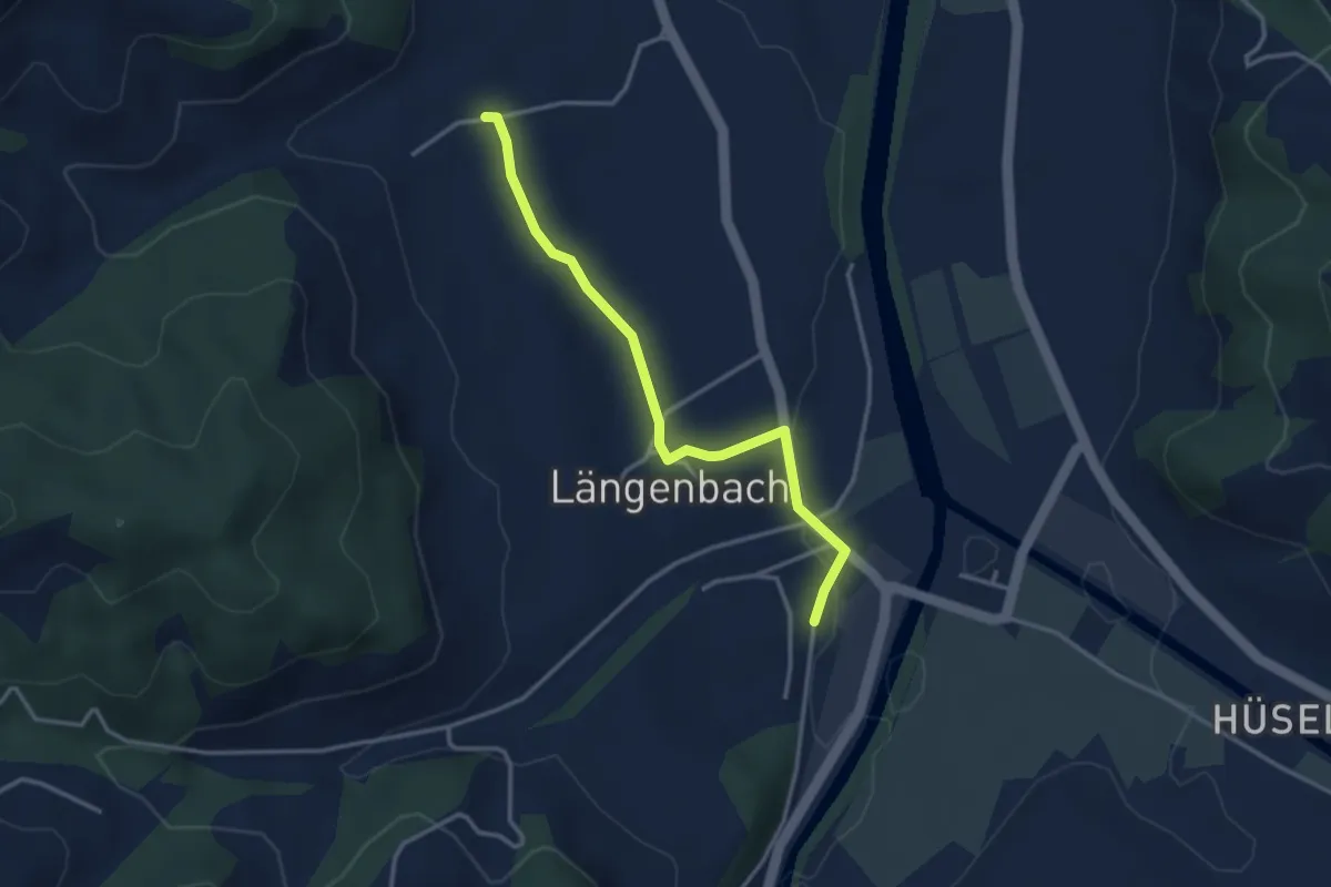
Easy · Trail
Witenbach – Emmenmatt
3.3 km · ↑ 40 m · 52 min
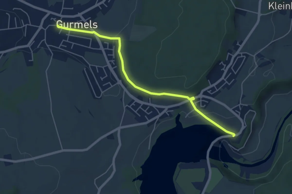
Easy · Trail
Schiffenen / Staumauer – Gurmels
4.7 km · ↑ 87 m · 1 h 18 min
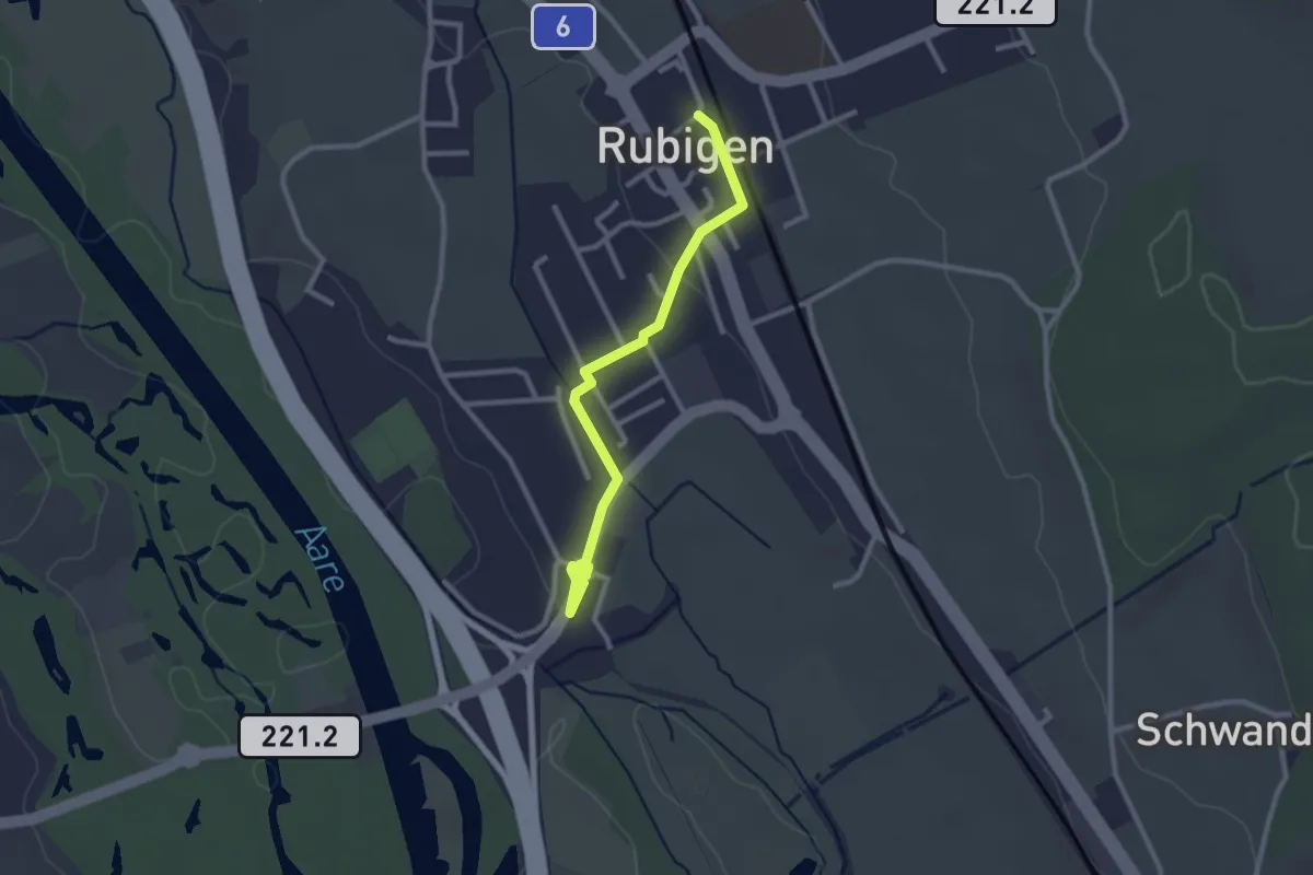
Easy · Trail
Rubigen – Hunziken
2.6 km · ↑ 24 m · 40 min
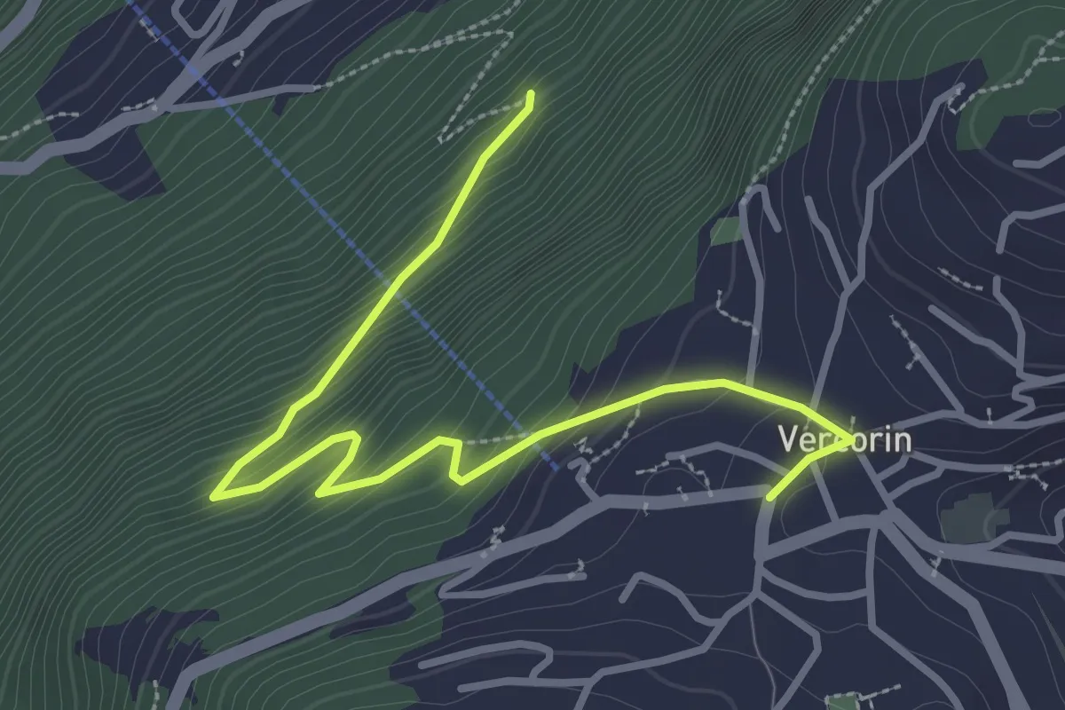
Easy · Trail
Vercorin – Chapelle du Bouillet
3.5 km · ↑ 275 m · 1 h 26 min
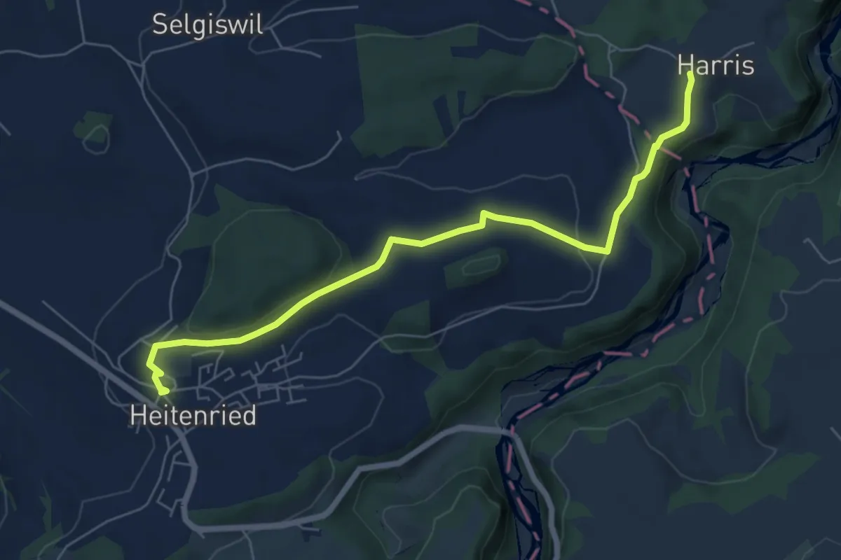
Easy · Trail
Heitenried – Harris
6.5 km · ↑ 103 m · 1 h 46 min
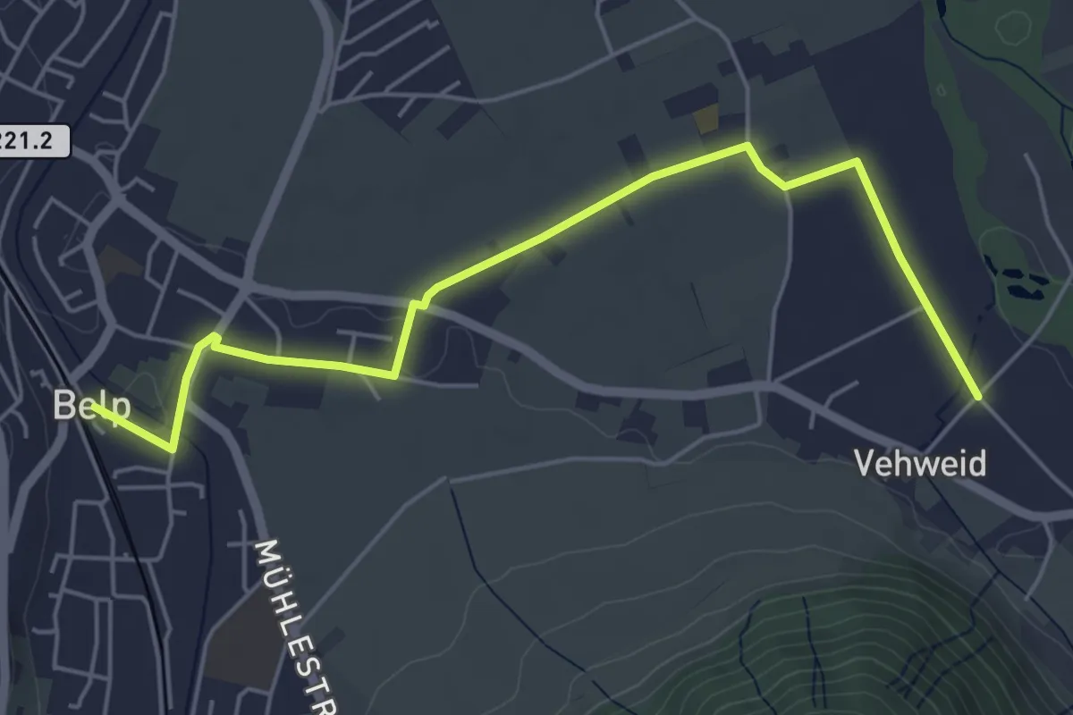
Easy · Trail
Belp – Vehweid
5.7 km · ↑ 9 m · 1 h 21 min