Trails in Switzerland
15,055 hiking trails, each with its route, climb, walking time and grade.
All trails, page 150 of 314
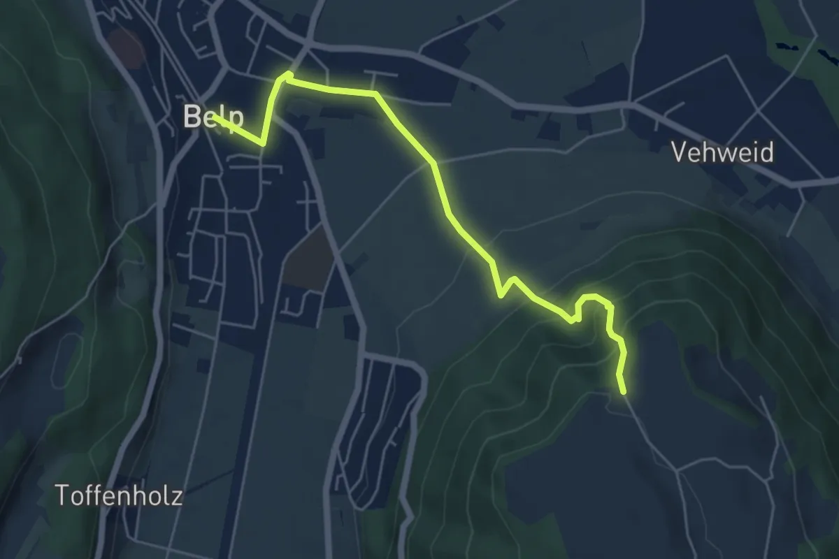
Easy · Trail
Belp – Hoburg
5.3 km · ↑ 310 m · 1 h 55 min
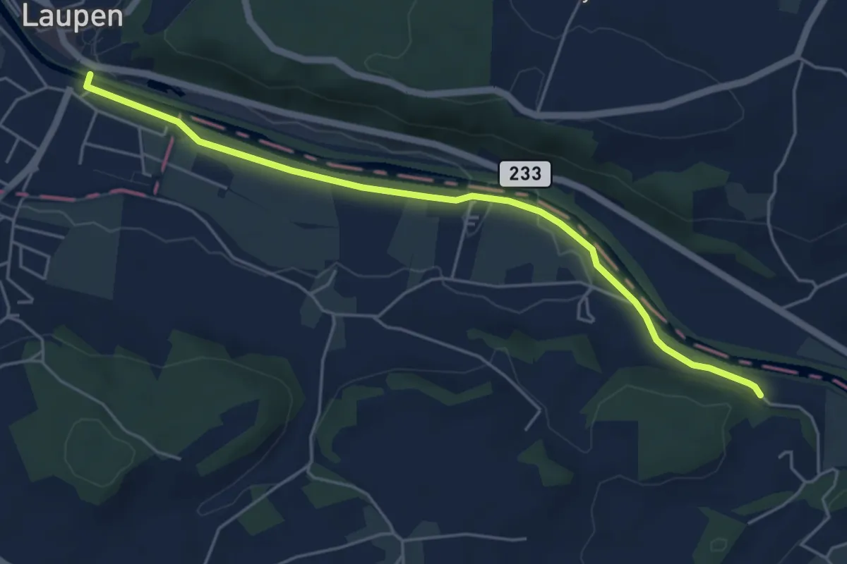
Easy · Trail
Laupen – Noflenau
5.2 km · ↑ 29 m · 1 h 17 min
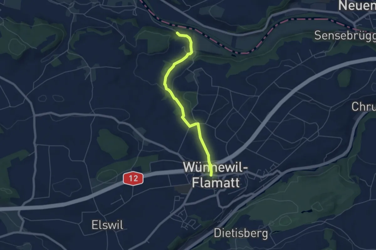
Easy · Trail
Noflenau – Wünnewil
5.1 km · ↑ 108 m · 1 h 27 min
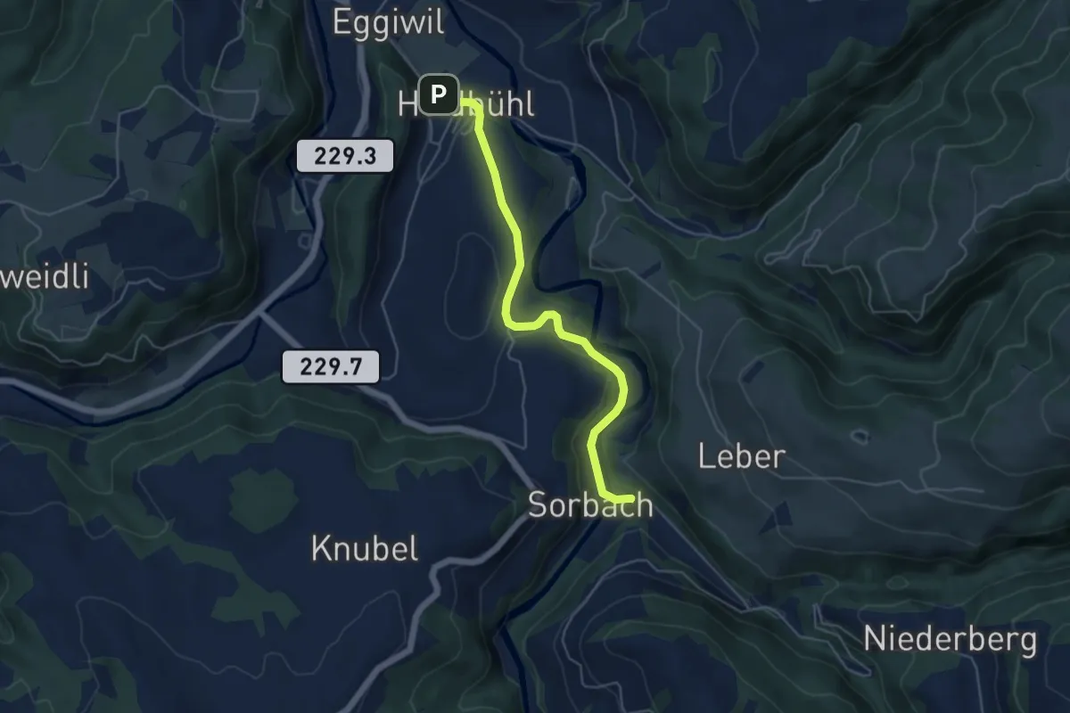
Easy · Trail
Sorbach – Heidbüel
4.8 km · ↑ 137 m · 1 h 26 min
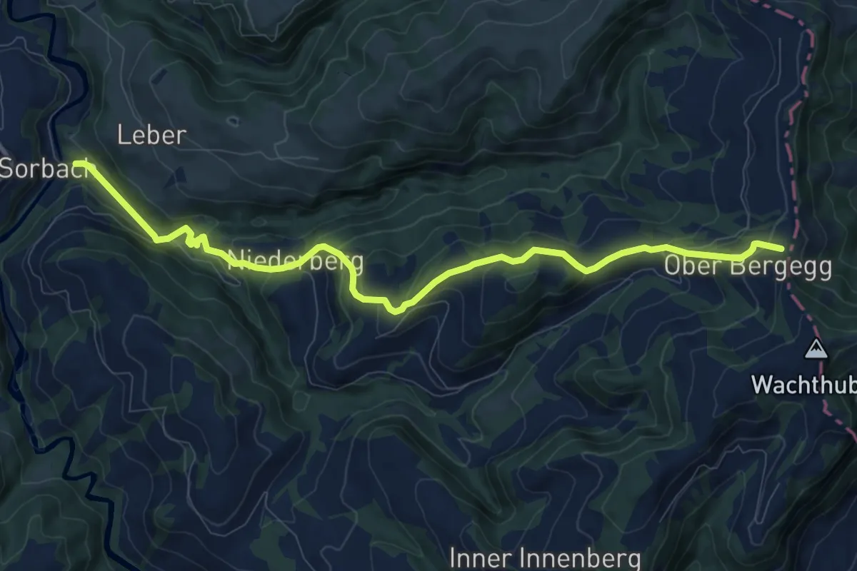
Medium · Trail
Sorbach – Bergegg
10.6 km · ↑ 584 m · 3 h 46 min
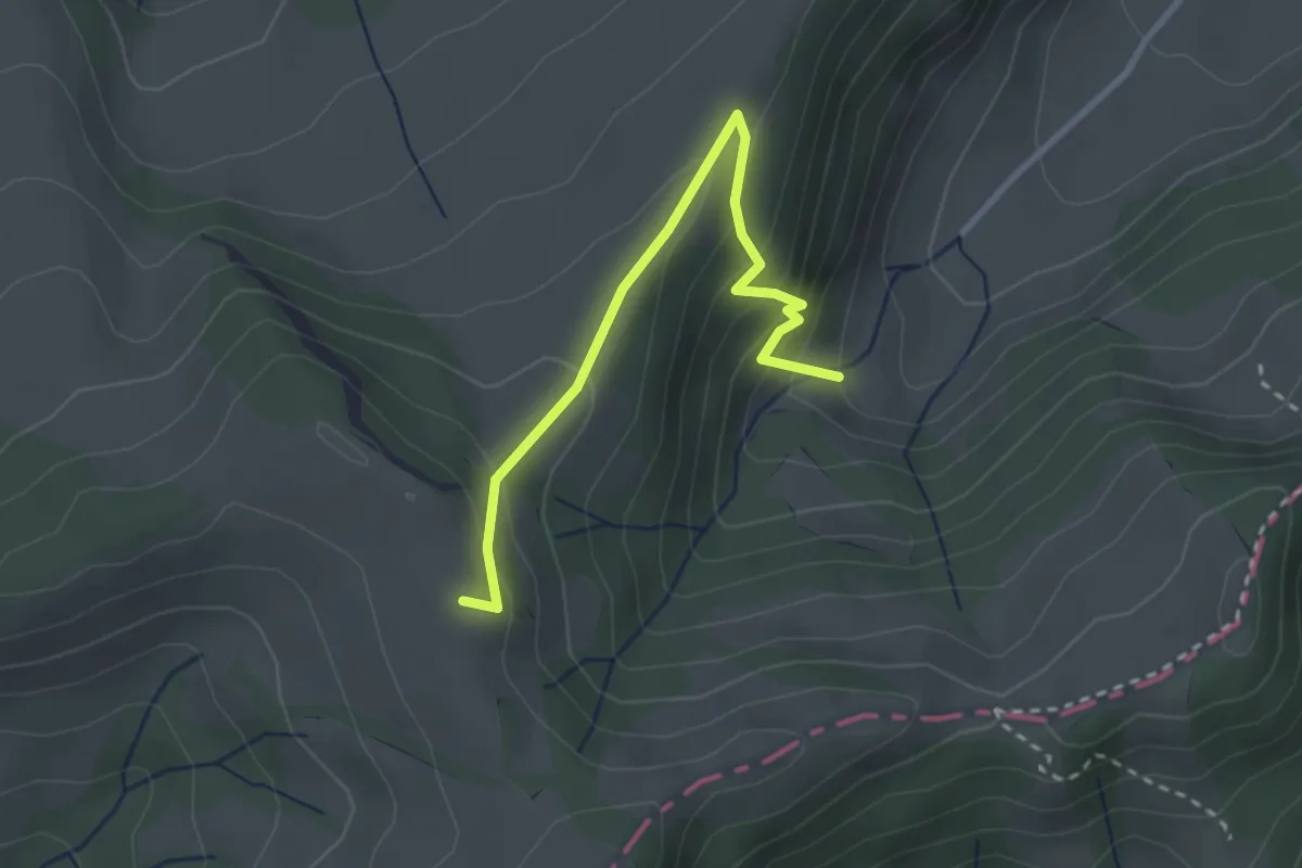
Easy · Summit
Grabenweidli – Vorder Rämisgumme
2.9 km · ↑ 200 m · 1 h 7 min
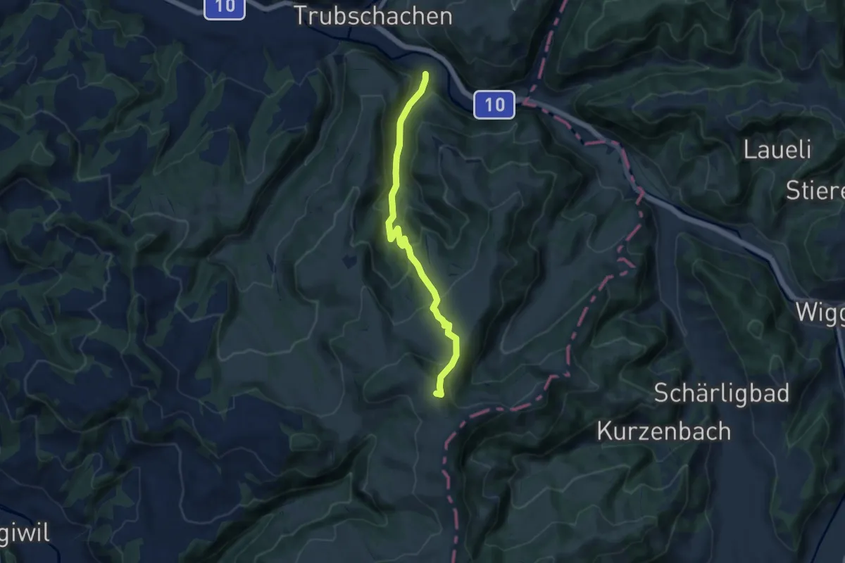
Medium · Summit
Steinbach – Vorder Rämisgumme
8.3 km · ↑ 515 m · 3 h 4 min
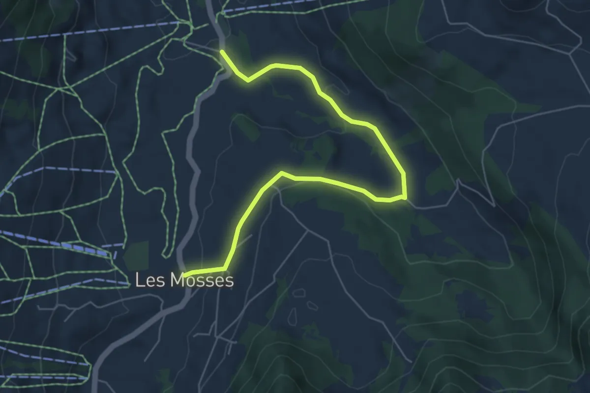
Easy · Trail
Les Mosses – L'Arsaz
6.1 km · ↑ 141 m · 1 h 45 min
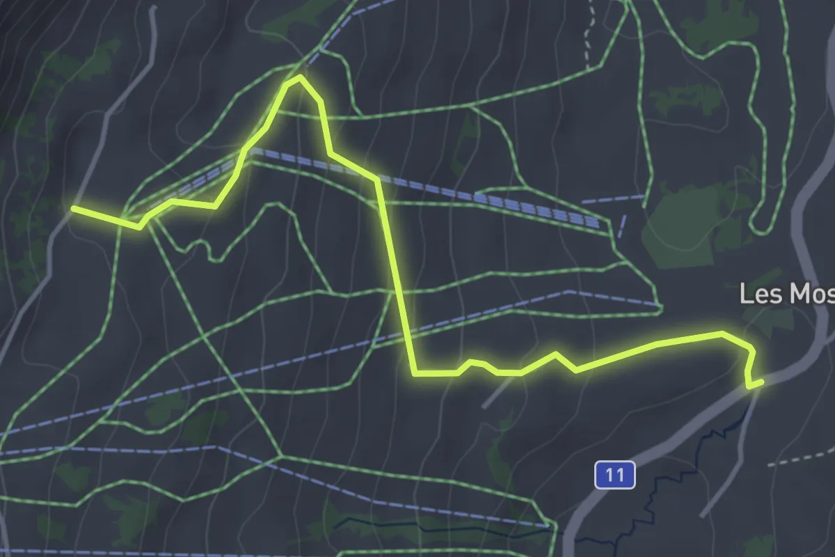
Easy · Trail
Col de Mosses – Sonnaz
4.3 km · ↑ 229 m · 1 h 30 min
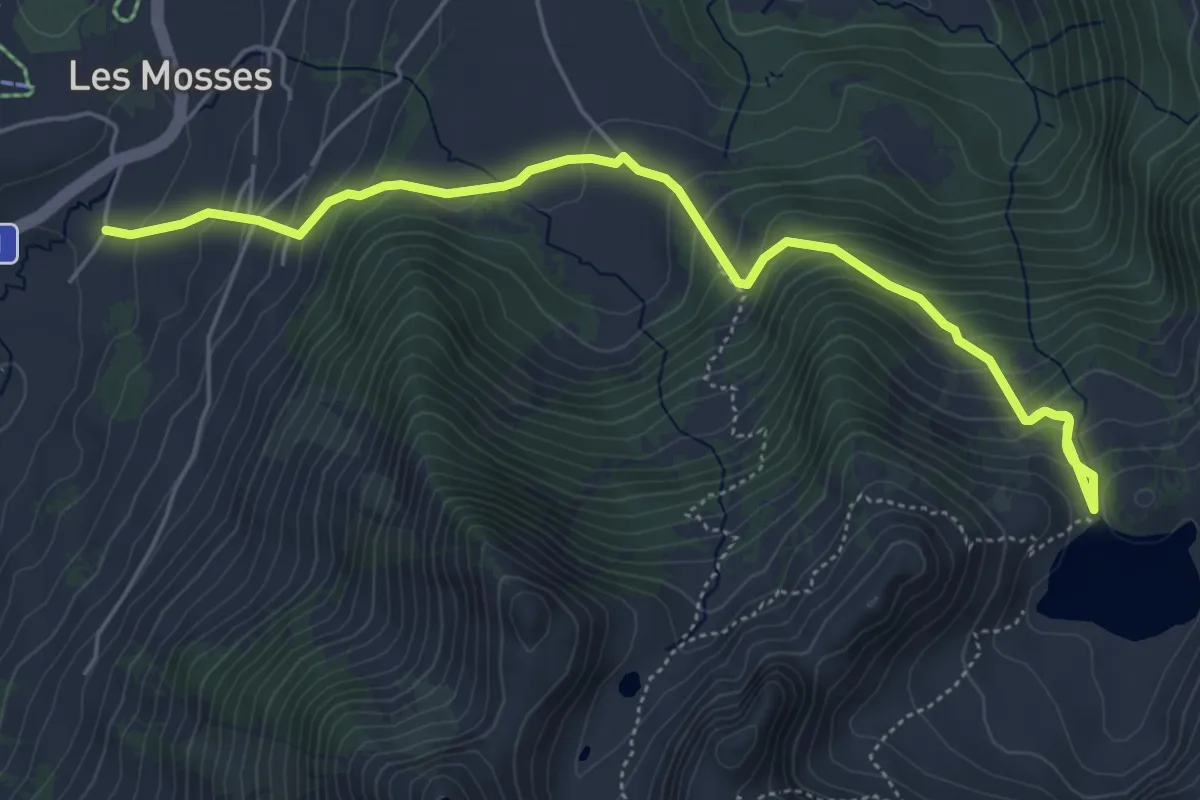
Medium · Trail
Les Mosses – Lac Lioson
6.1 km · ↑ 490 m · 2 h 30 min
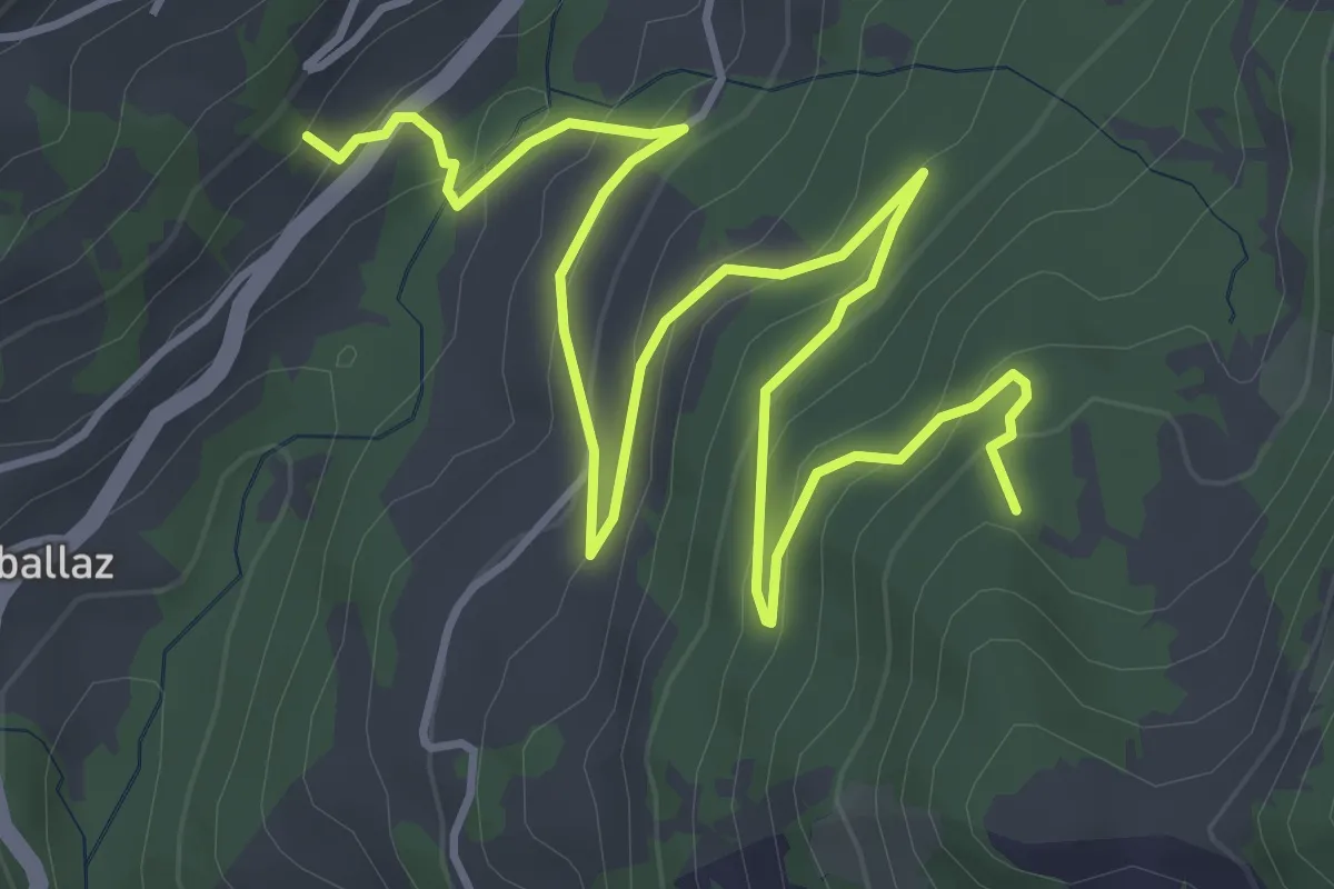
Easy · Trail
La Comballaz – Plan des Moilles
6.1 km · ↑ 305 m · 2 h 6 min
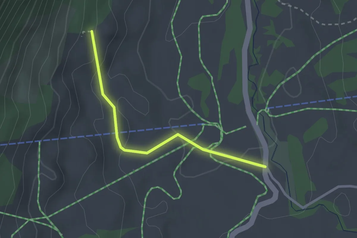
Easy · Trail
Communs des Mosses – L'Arsaz
2.1 km · ↑ 61 m · 38 min
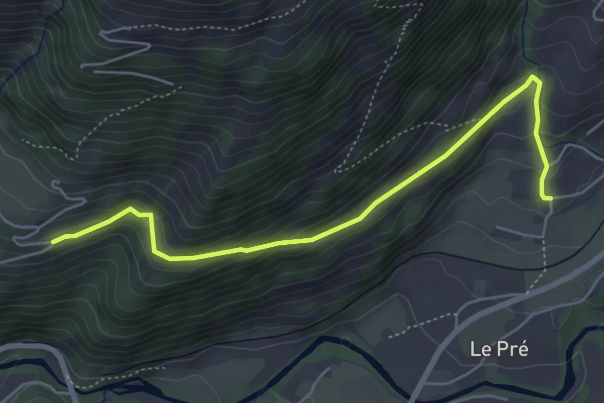
Easy · Trail
La Frasse – Route des Chevalettes
5.1 km · ↑ 309 m · 1 h 52 min
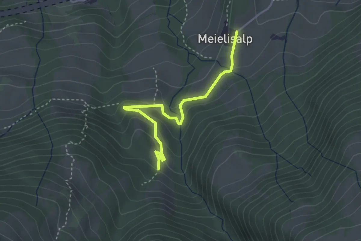
Easy · Trail
Meilisalp – Speicheralmi
3.2 km · ↑ 137 m · 1 h 3 min
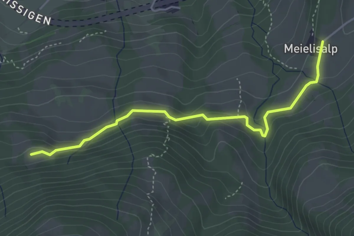
Easy · Trail
Meielisalp – Chüngstuel
4.1 km · ↑ 151 m · 1 h 17 min
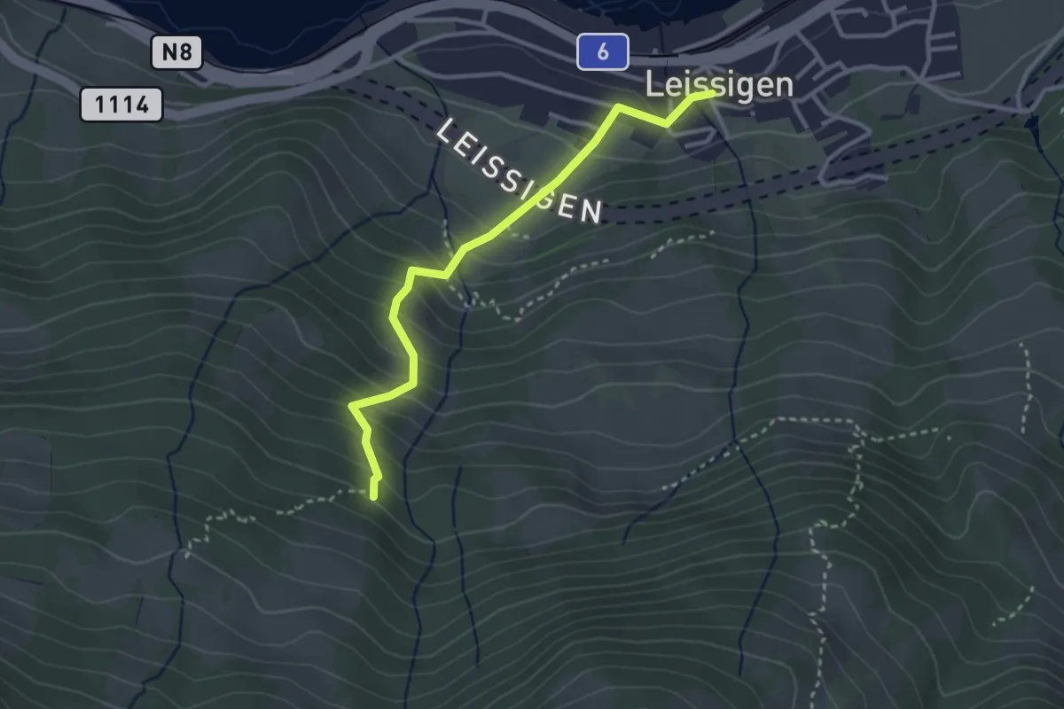
Easy · Trail
Rügger – Leissigen
3.0 km · ↑ 315 m · 1 h 23 min
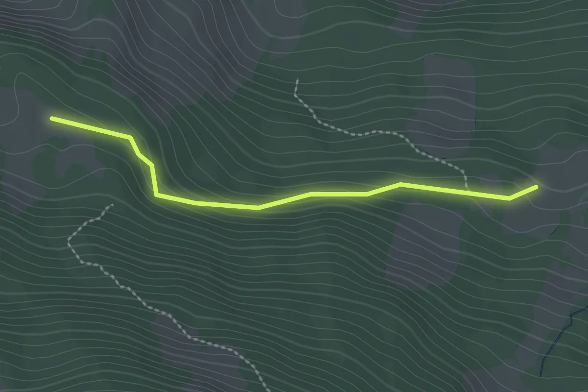
Easy · Cabin
Schüpfweid – Ufem Viertel
2.3 km · ↑ 102 m · 46 min
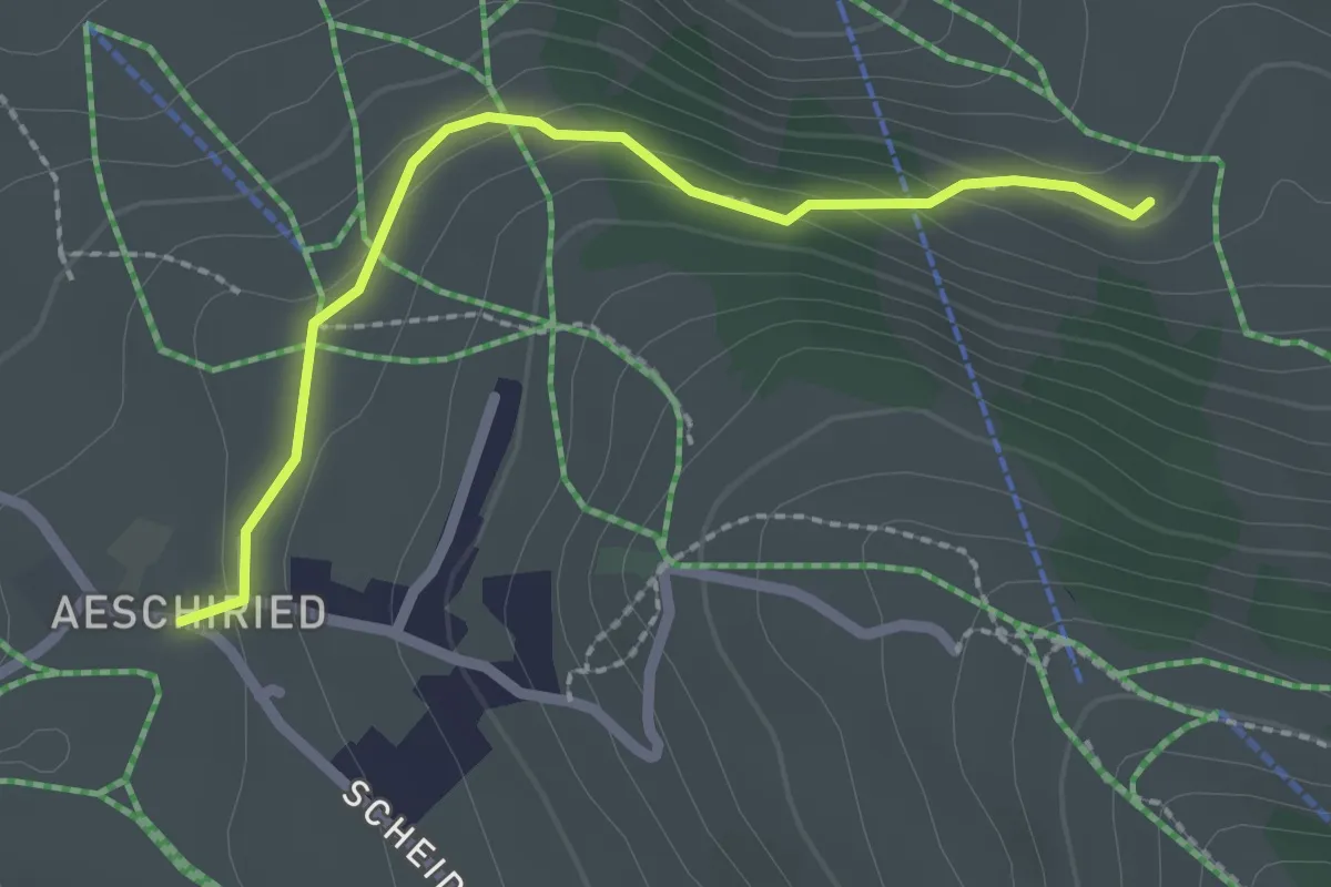
Easy · Trail
Hellbode – Aeschiried
2.2 km · ↑ 88 m · 43 min
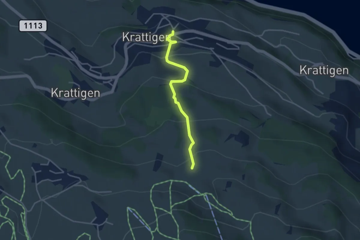
Easy · Trail
Blase – Krattigen
2.8 km · ↑ 198 m · 1 h 5 min
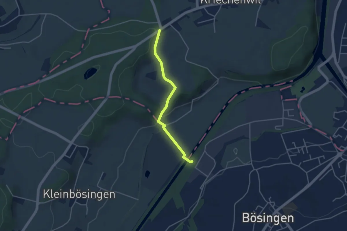
Easy · Trail
Röseli – Auriedsteg
3.0 km · ↑ 63 m · 51 min
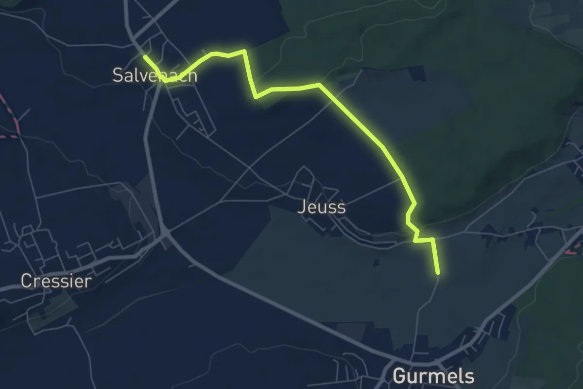
Easy · Trail
Salvenach – Bieberenächer
6.6 km · ↑ 131 m · 1 h 50 min
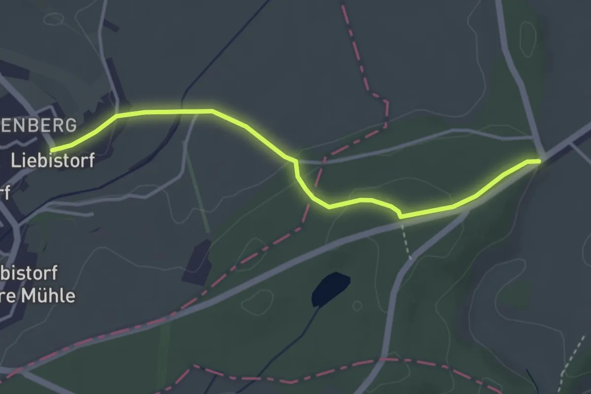
Easy · Trail
Liebistorf – Röseli
3.5 km · ↑ 95 m · 1 h 2 min
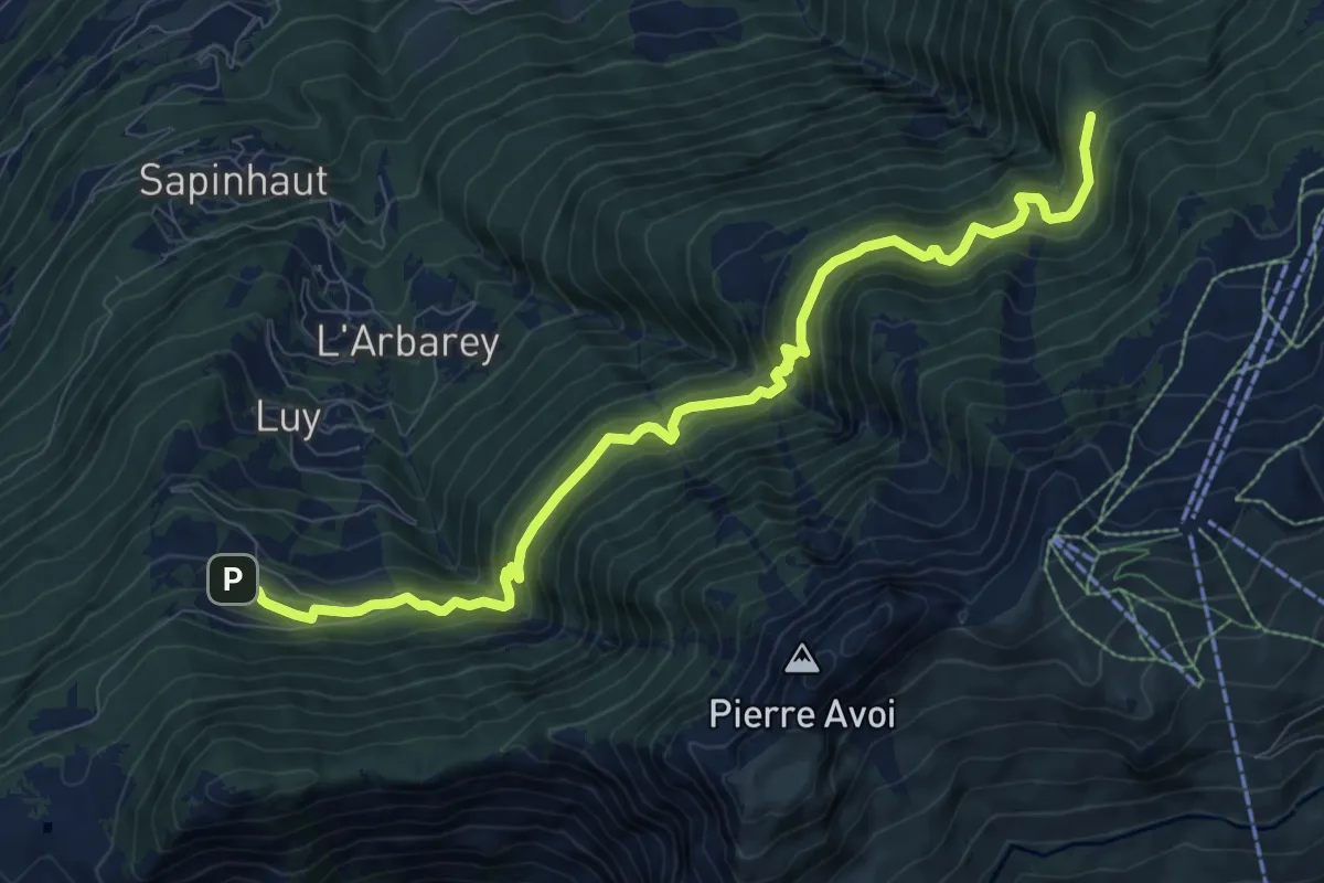
Demanding · Trail
Boveresse – Crête de Seu
10.3 km · ↑ 1026 m · 4 h 39 min
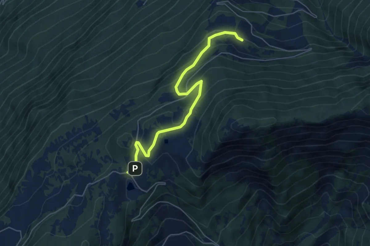
Medium · Trail
Col du Lein – Boveresse
5.5 km · ↑ 286 m · 1 h 55 min
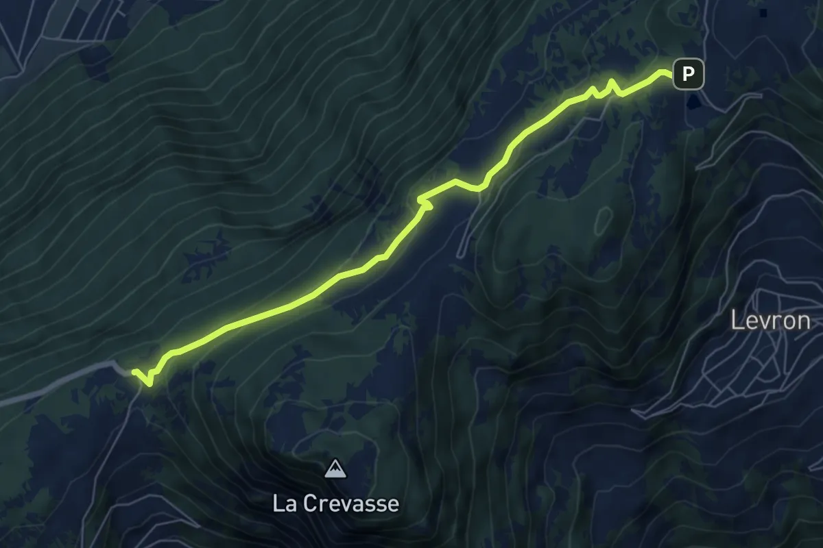
Easy · Trail
Col des Planches – Col du Lein
6.9 km · ↑ 247 m · 2 h 9 min
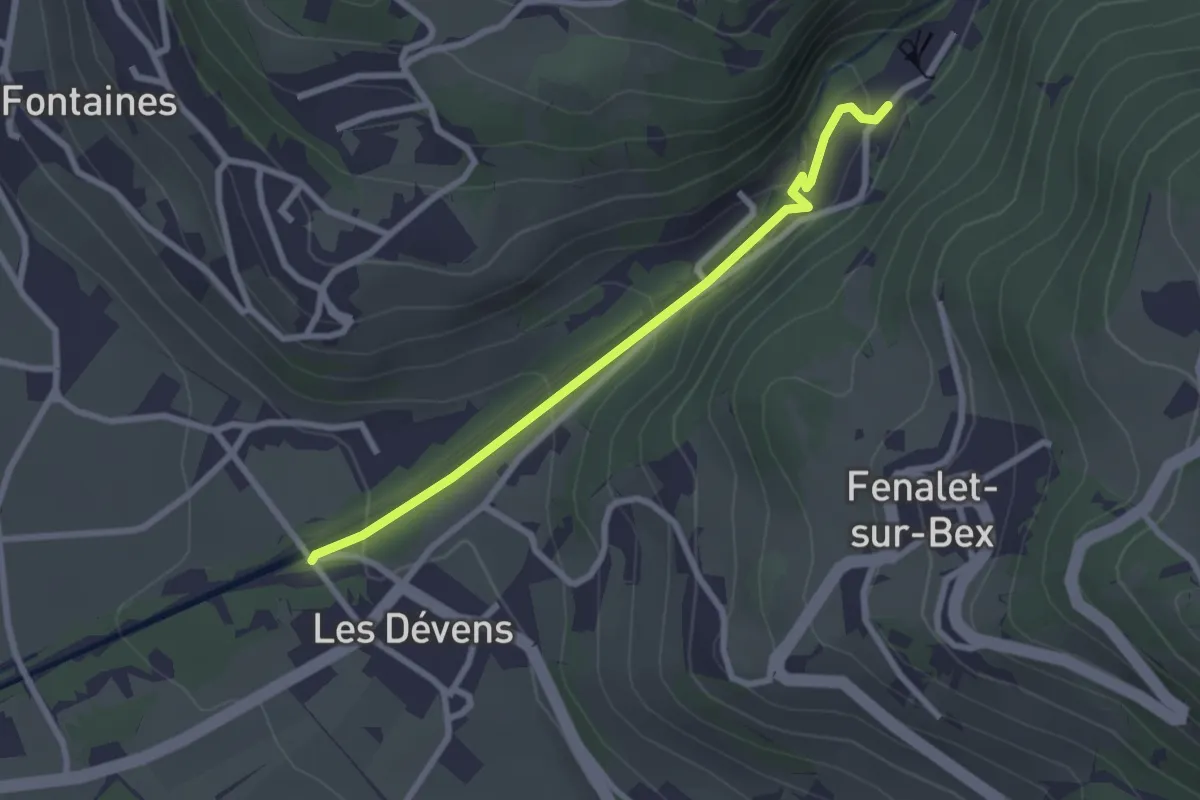
Easy · Trail
Le Bouillet Mines de sel – Les Dévens
2.5 km · ↑ 109 m · 50 min
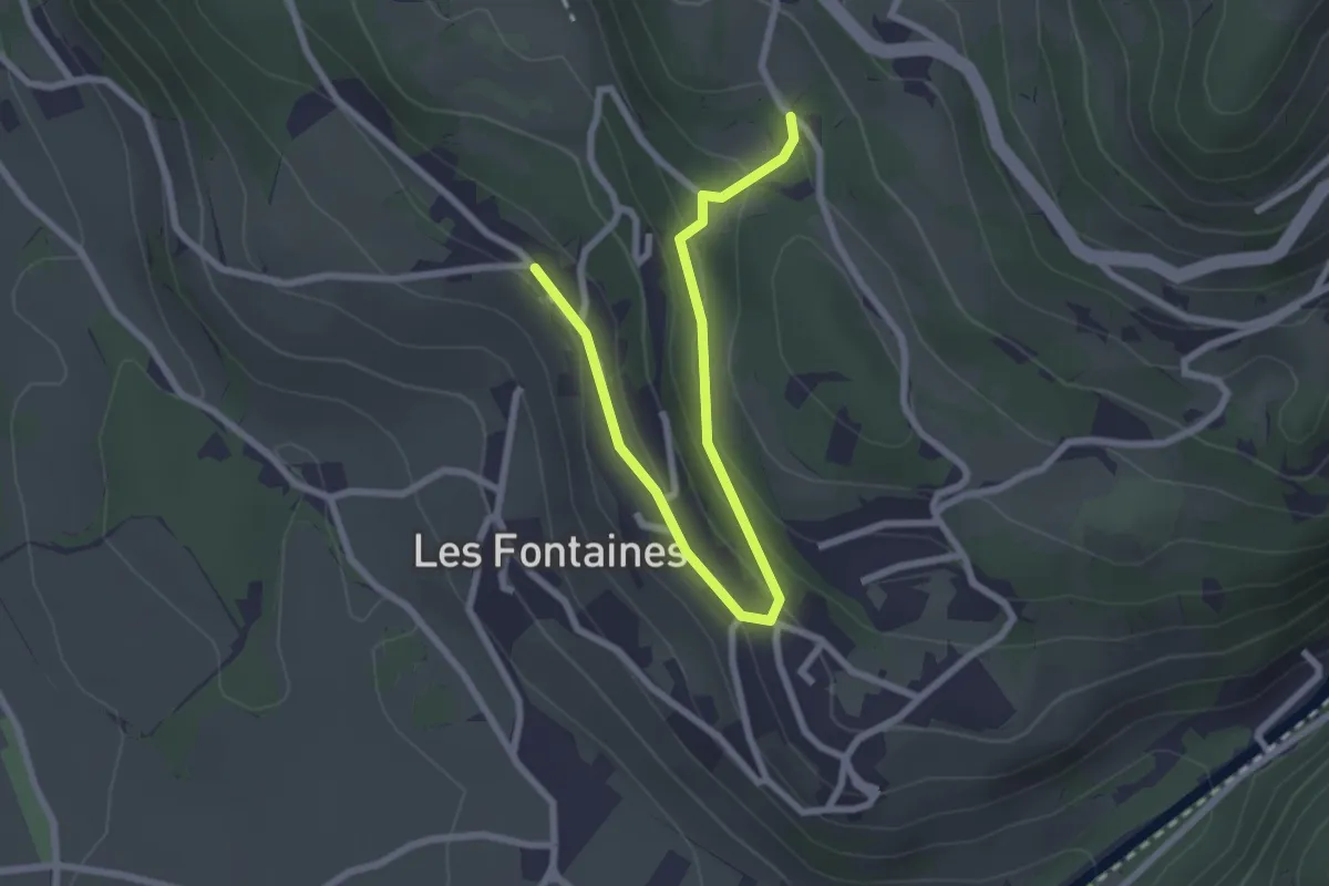
Easy · Trail
Antagnes – Glutières
2.9 km · ↑ 115 m · 56 min
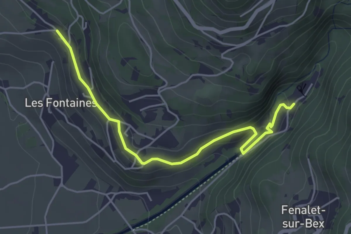
Easy · Trail
Antagnes – Le Bouillet Mines de sel
4.6 km · ↑ 171 m · 1 h 27 min
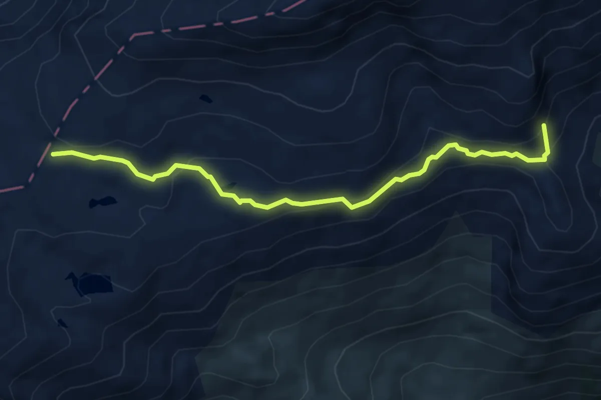
Demanding · Summit
Löschenpass (Römerweg) – Lauchernalp
5.4 km · ↑ 232 m · 1 h 47 min
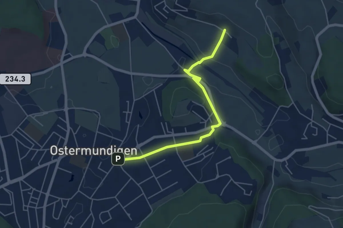
Easy · Trail
Hüenerbüel – Ostermundigen
4.6 km · ↑ 91 m · 1 h 17 min
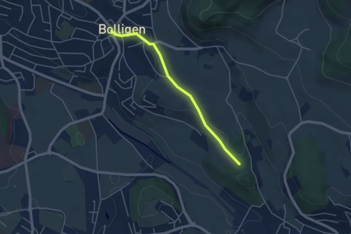
Easy · Trail
Bolligen / Sternen – Schwandiholz
3.4 km · ↑ 53 m · 55 min
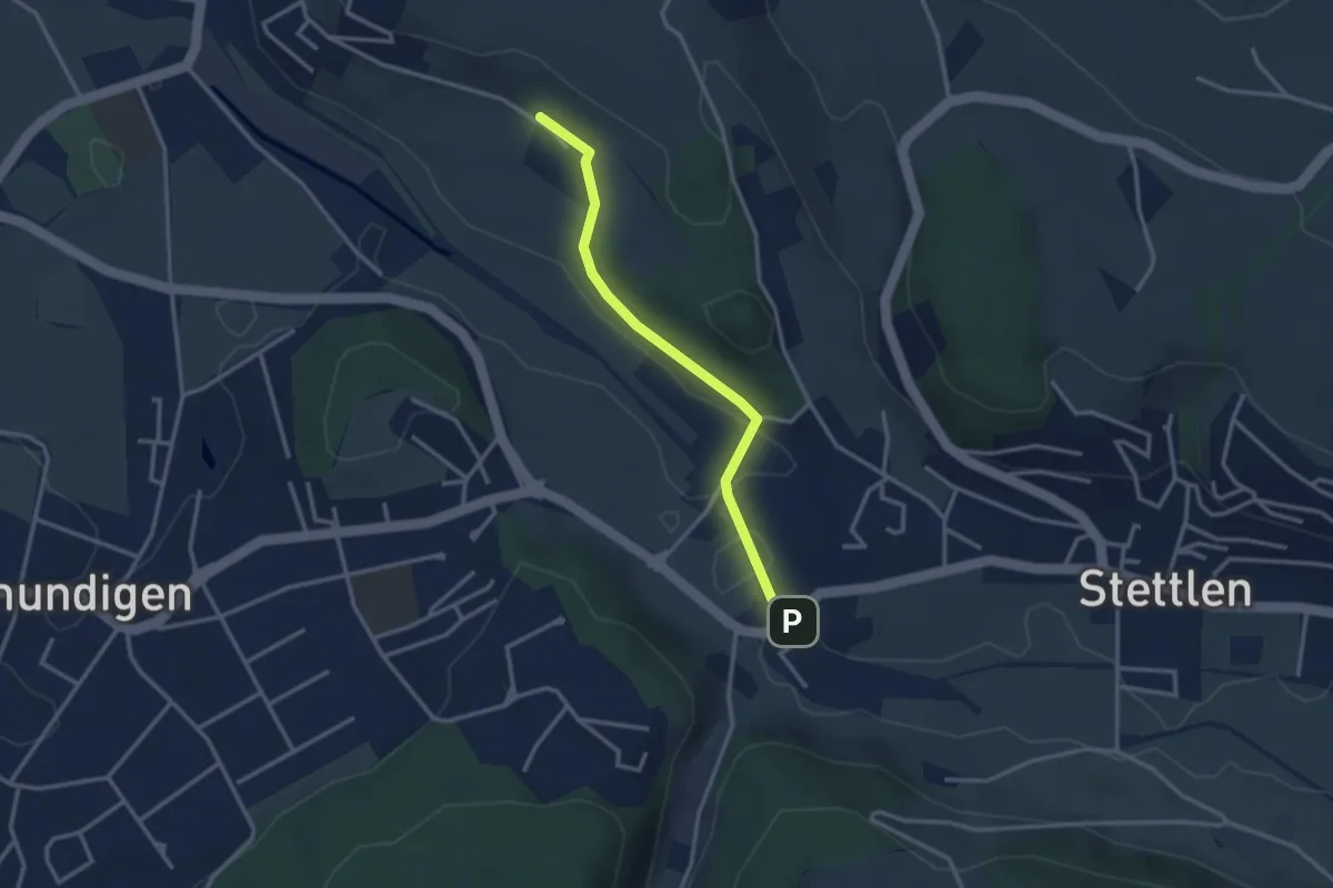
Easy · Trail
Hüenerbüel – Deisswil
2.9 km · ↑ 33 m · 45 min
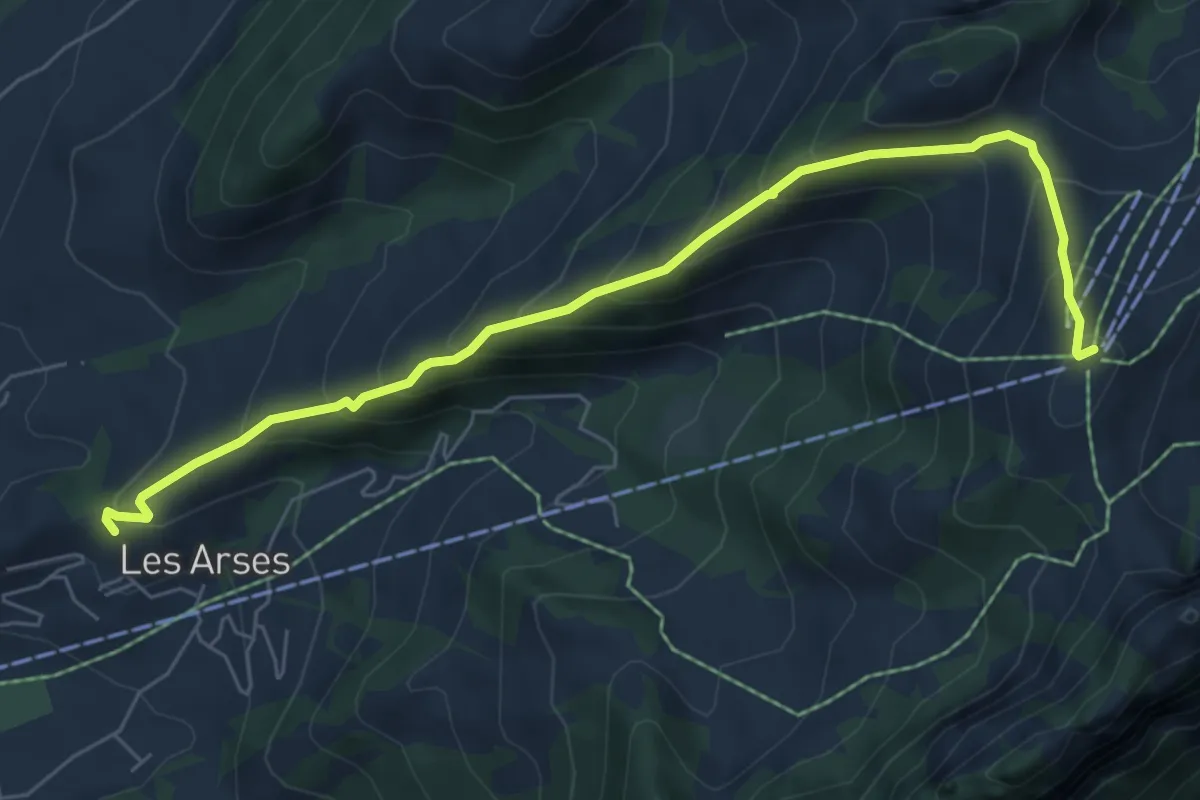
Medium · Summit
Montminard – Vounetse
7.0 km · ↑ 610 m · 2 h 58 min
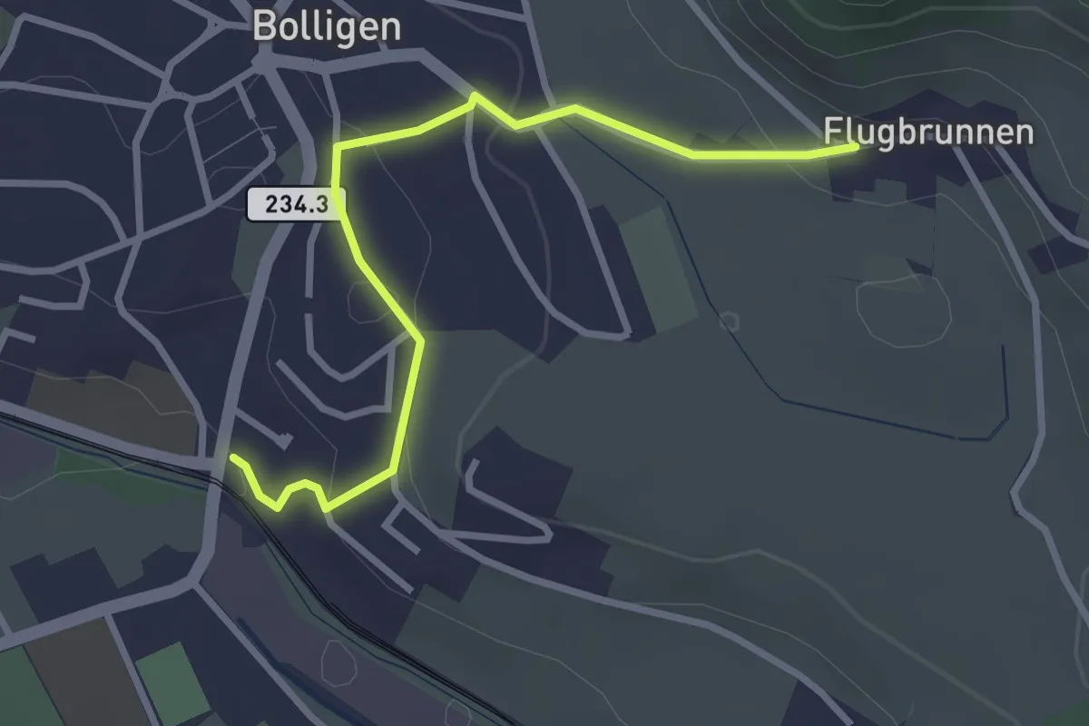
Easy · Trail
Flugbrunnen – Bolligen
2.9 km · ↑ 87 m · 53 min
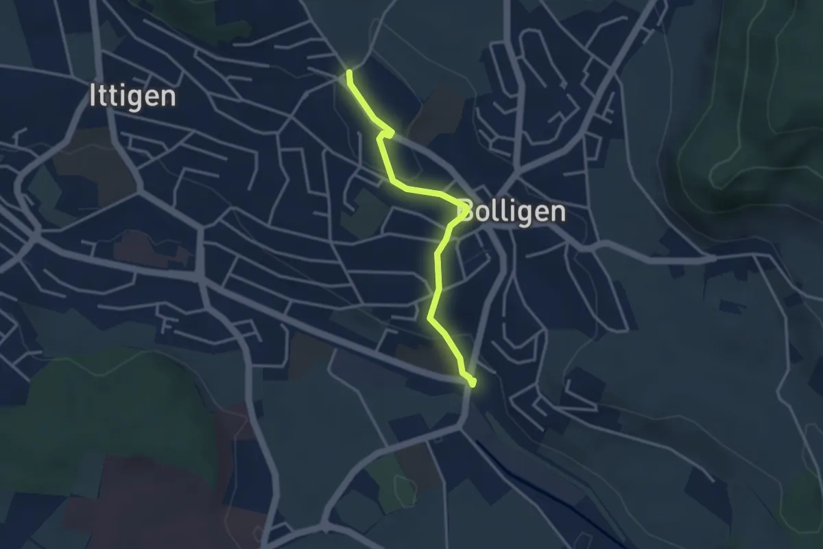
Easy · Trail
Schnägghubel – Bolligen
2.9 km · ↑ 59 m · 48 min
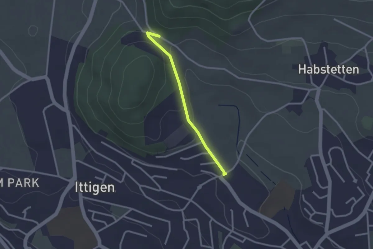
Easy · Trail
Schlupf – Schnägghubel
2.0 km · ↑ 56 m · 36 min
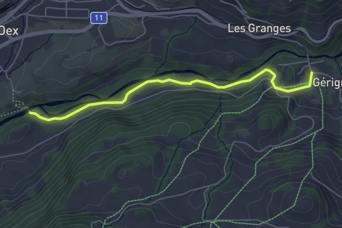
Easy · Trail
Gérignoz – Pont Turrian
4.8 km · ↑ 108 m · 1 h 22 min
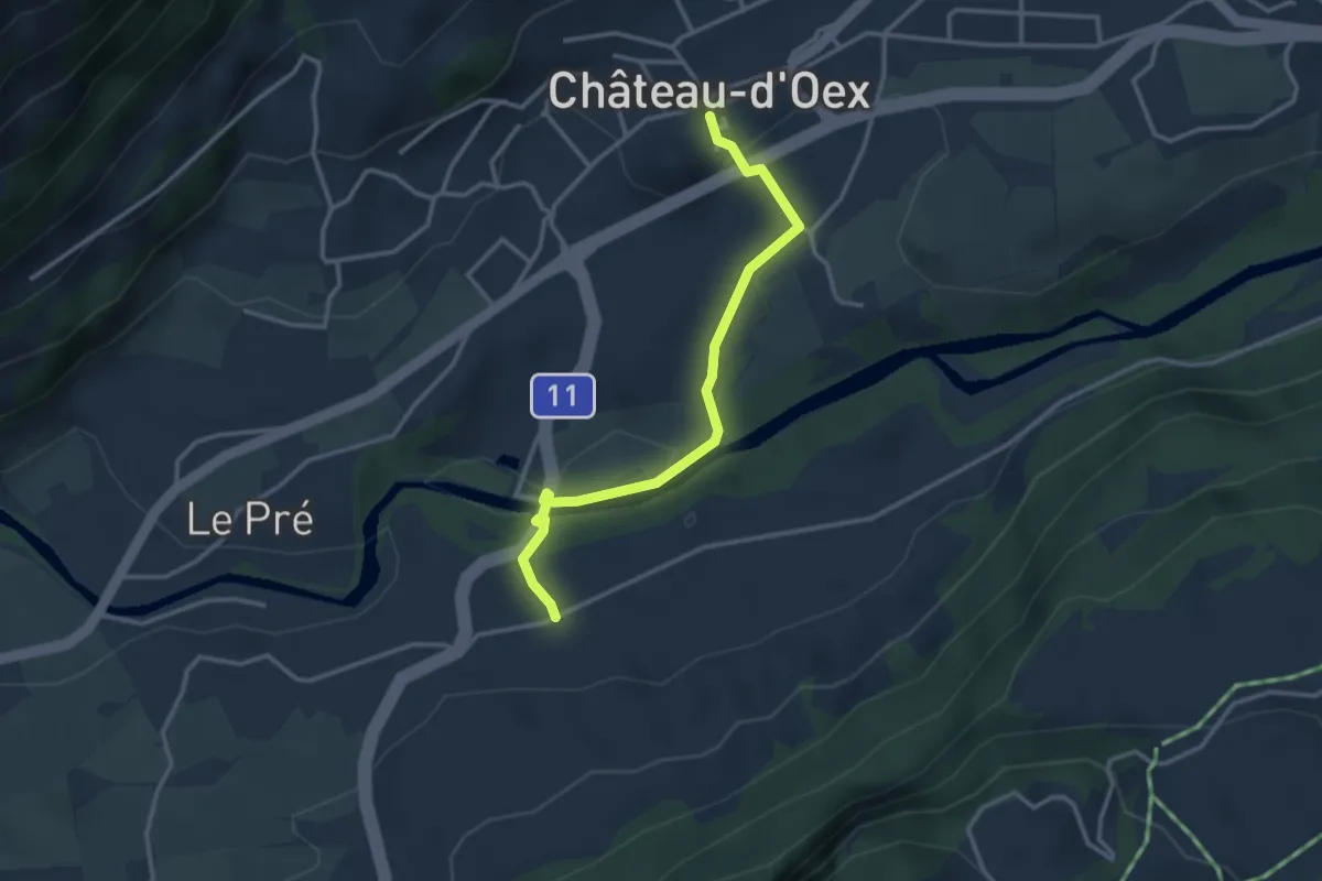
Easy · Trail
Château-d'Oex Centre – Granges d'Oex
3.1 km · ↑ 89 m · 56 min
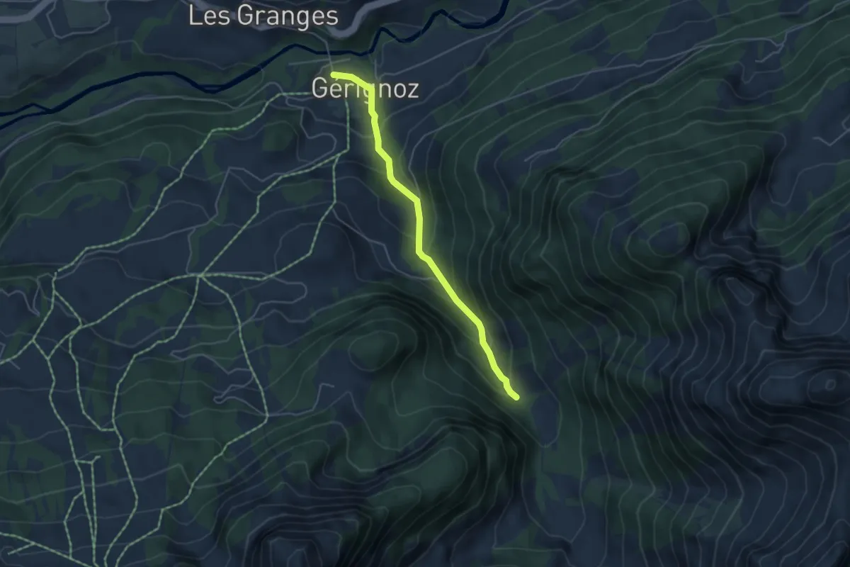
Easy · Trail
Les Paccots – Gérignoz
4.3 km · ↑ 310 m · 1 h 41 min
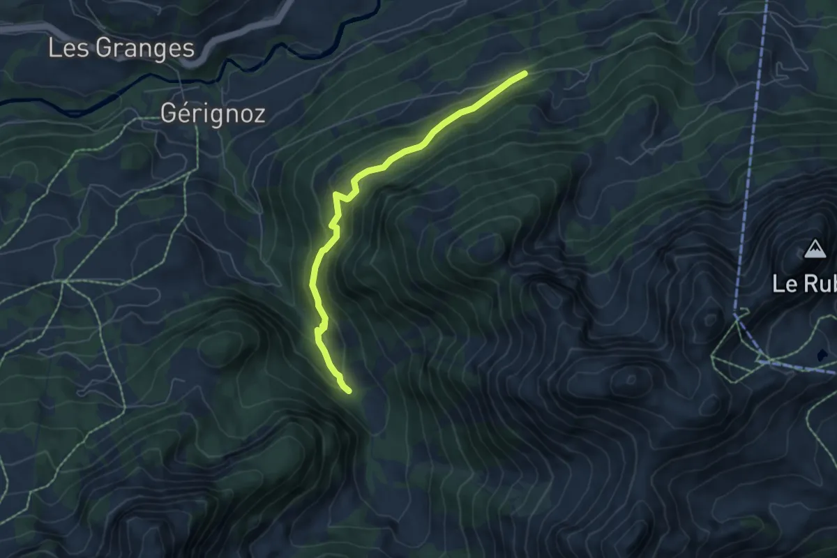
Medium · Trail
Les Paccots – Planquirin
5.7 km · ↑ 380 m · 2 h 10 min
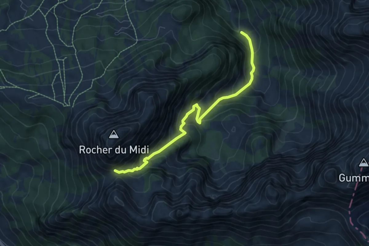
Medium · Trail
Col de Base – Les Paccots
7.0 km · ↑ 619 m · 3 h
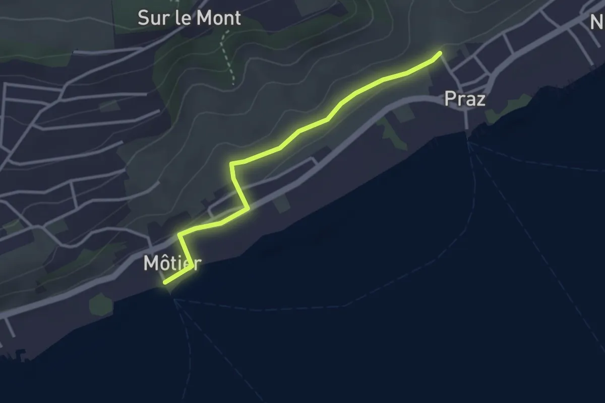
Easy · Trail
Praz – Môtier Port
2.9 km · ↑ 45 m · 47 min
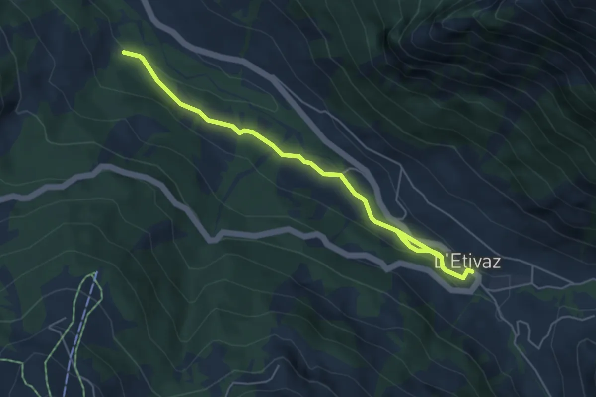
Easy · Trail
L'Etivaz – Ciernes Raynoud
5.5 km · ↑ 102 m · 1 h 31 min
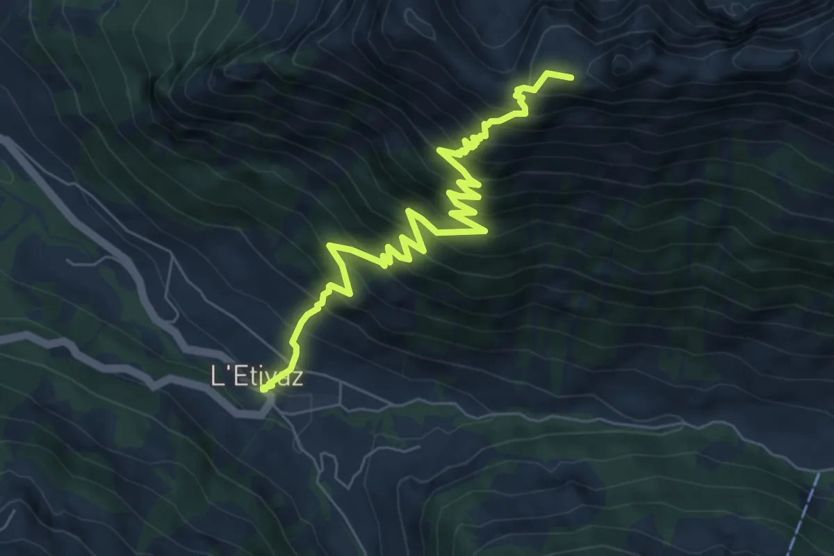
Demanding · Summit
L'Etivaz – Plan de la Douve
7.5 km · ↑ 931 m · 3 h 48 min
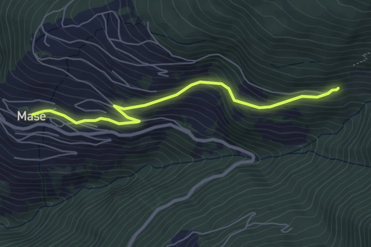
Easy · Trail
Mase – Mayen-des-Praz
5.2 km · ↑ 308 m · 1 h 53 min
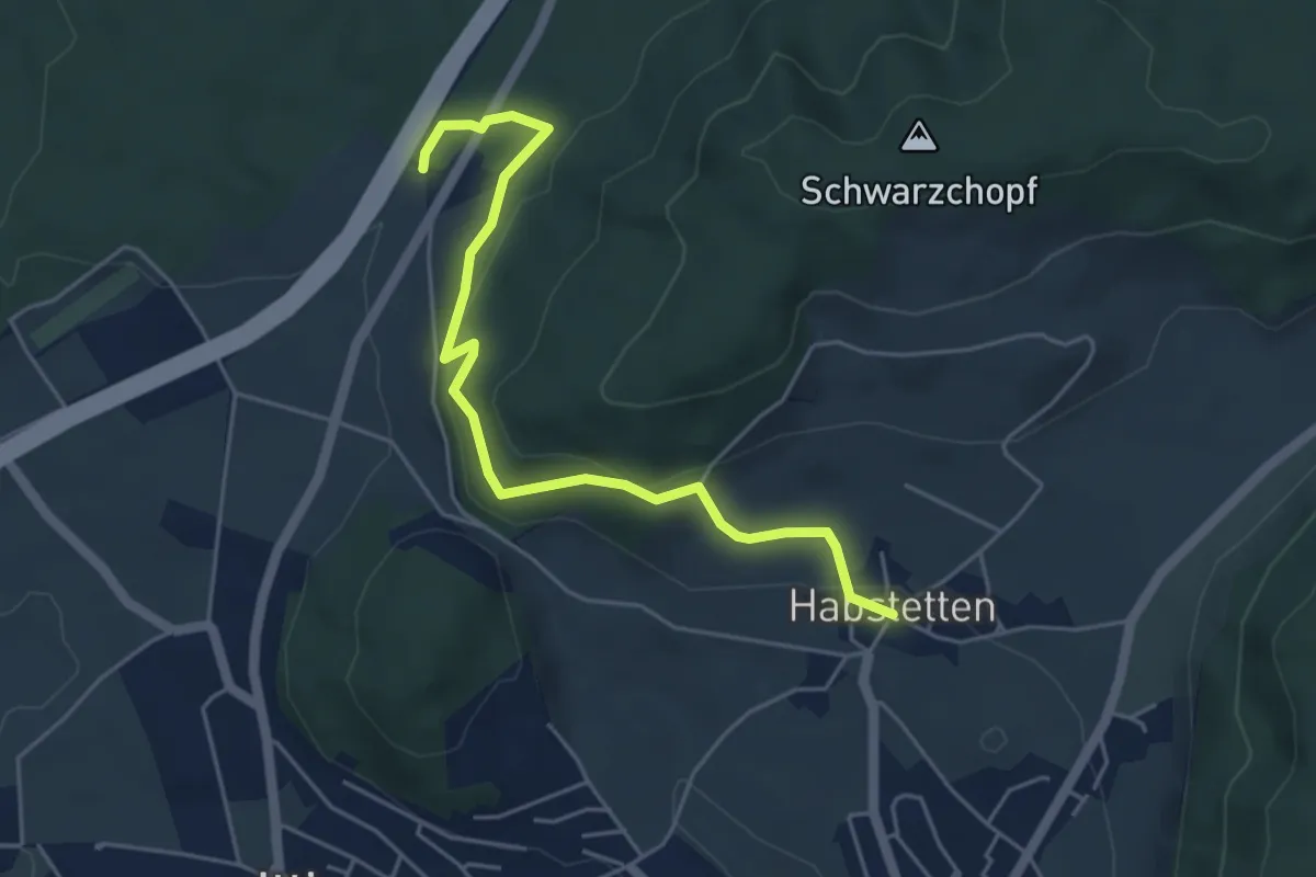
Easy · Trail
Forsthus – Habstetten
5.1 km · ↑ 170 m · 1 h 34 min
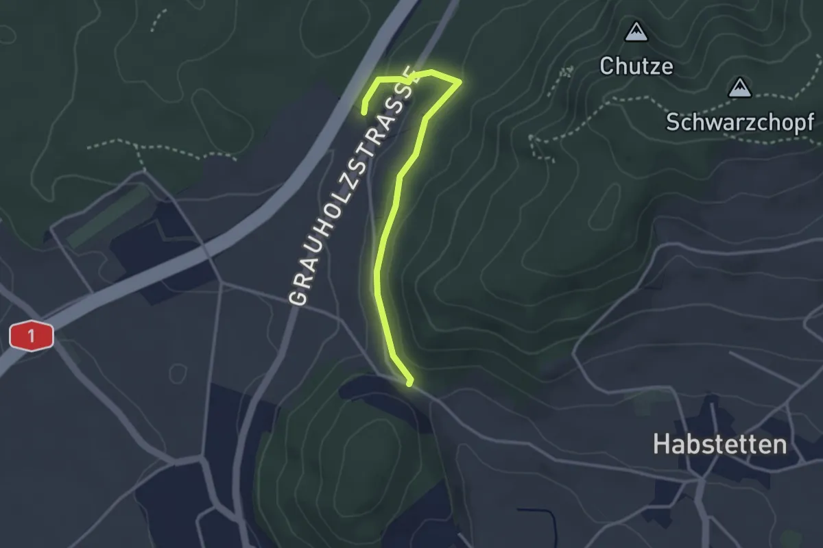
Easy · Trail
Forsthus – Schlupf
2.8 km · ↑ 40 m · 45 min
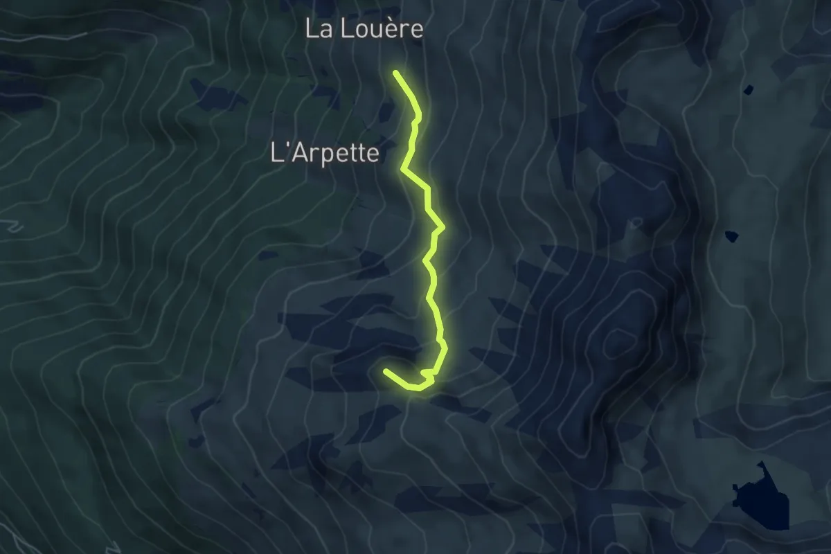
Medium · Summit
La Louère – Pas de Lovégno
4.1 km · ↑ 329 m · 1 h 40 min