Trails in Switzerland
15,055 hiking trails, each with its route, climb, walking time and grade.
All trails, page 151 of 314
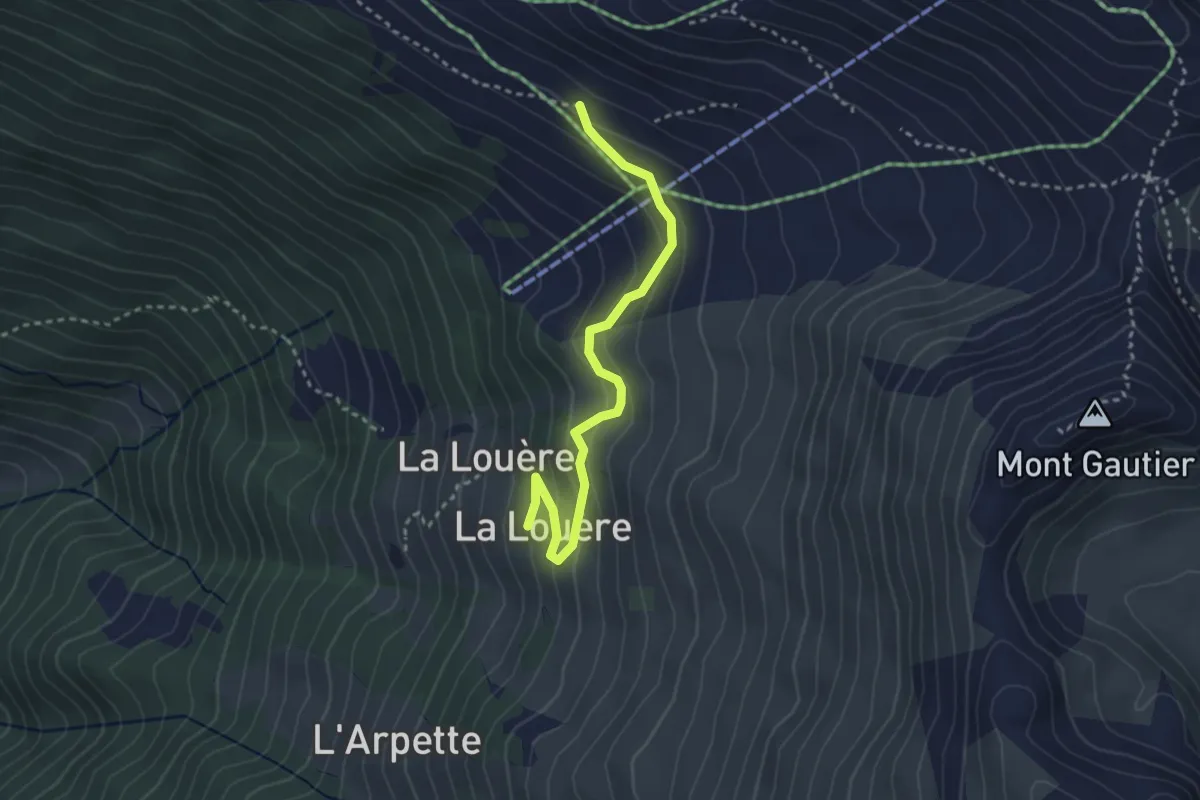
Easy · Cabin
La Louère – La Combe
3.1 km · ↑ 187 m · 1 h 8 min
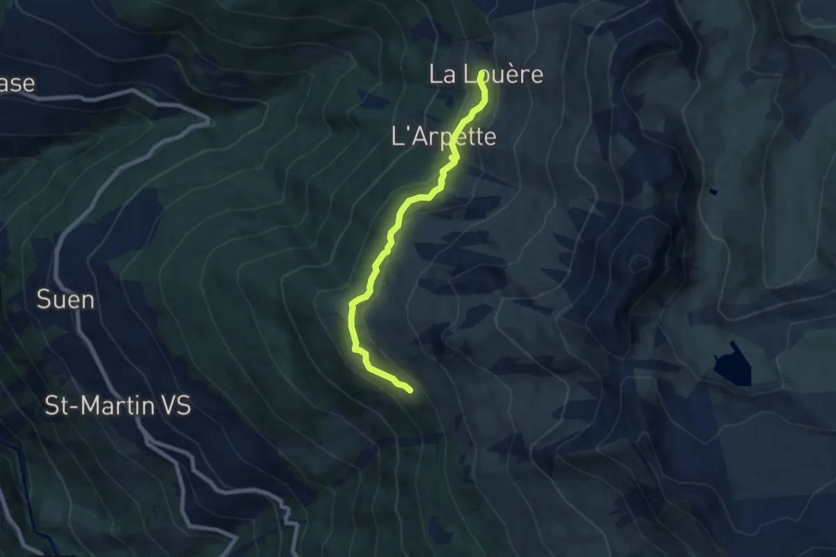
Easy · Cabin
La Louère – Lovégno
6.2 km · ↑ 262 m · 2 h 2 min
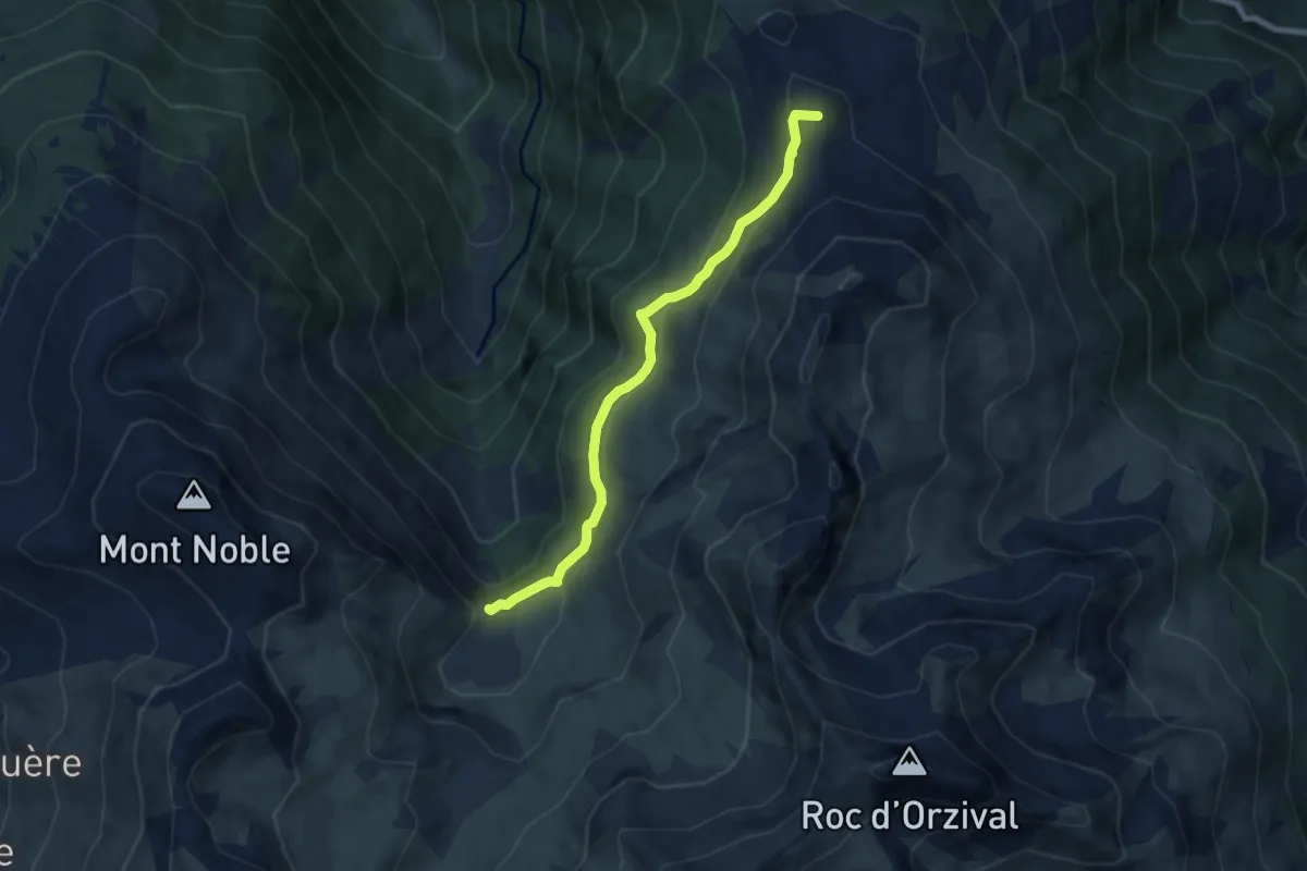
Easy · Summit
Crêt du Midi – L'Ar du Tsan - Le Pichioc
7.0 km · ↑ 287 m · 2 h 16 min
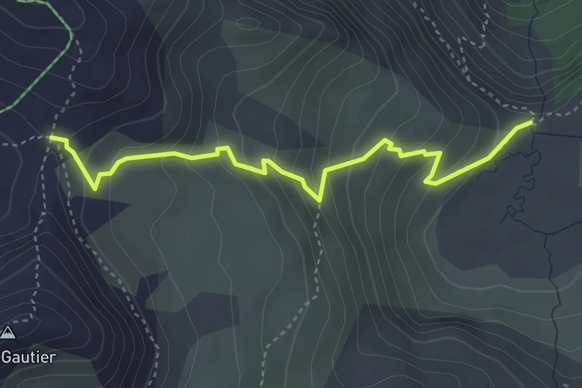
Medium · Trail
L'Ar du Tsan - Le Pichioc – Col de Cou
3.6 km · ↑ 340 m · 1 h 35 min
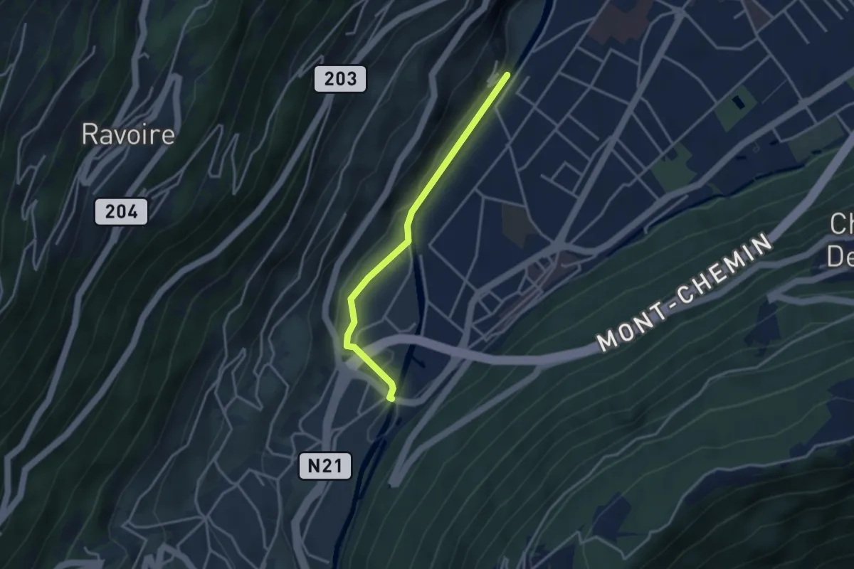
Easy · Trail
Pont de Rossettan – La Croix
3.0 km · ↑ 23 m · 45 min
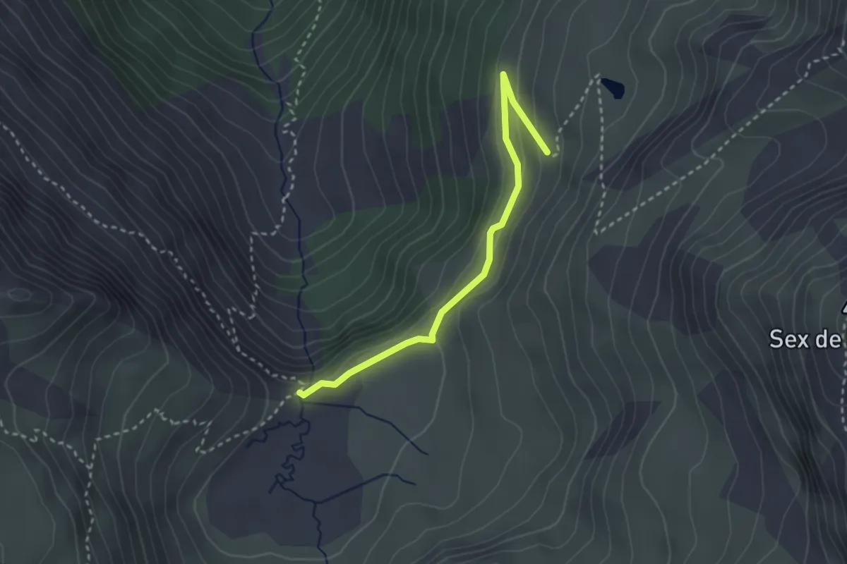
Easy · Trail
L'Ar du Tsan - Le Pichioc – La Brinta
2.8 km · ↑ 123 m · 56 min
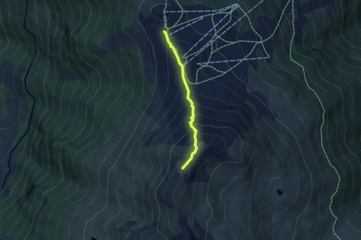
Medium · Summit
Crêt du Midi – La Brinta
3.1 km · ↑ 315 m · 1 h 24 min
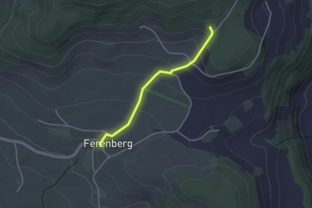
Easy · Trail
Cholegruebe – Ferenberg
2.4 km · ↑ 106 m · 48 min
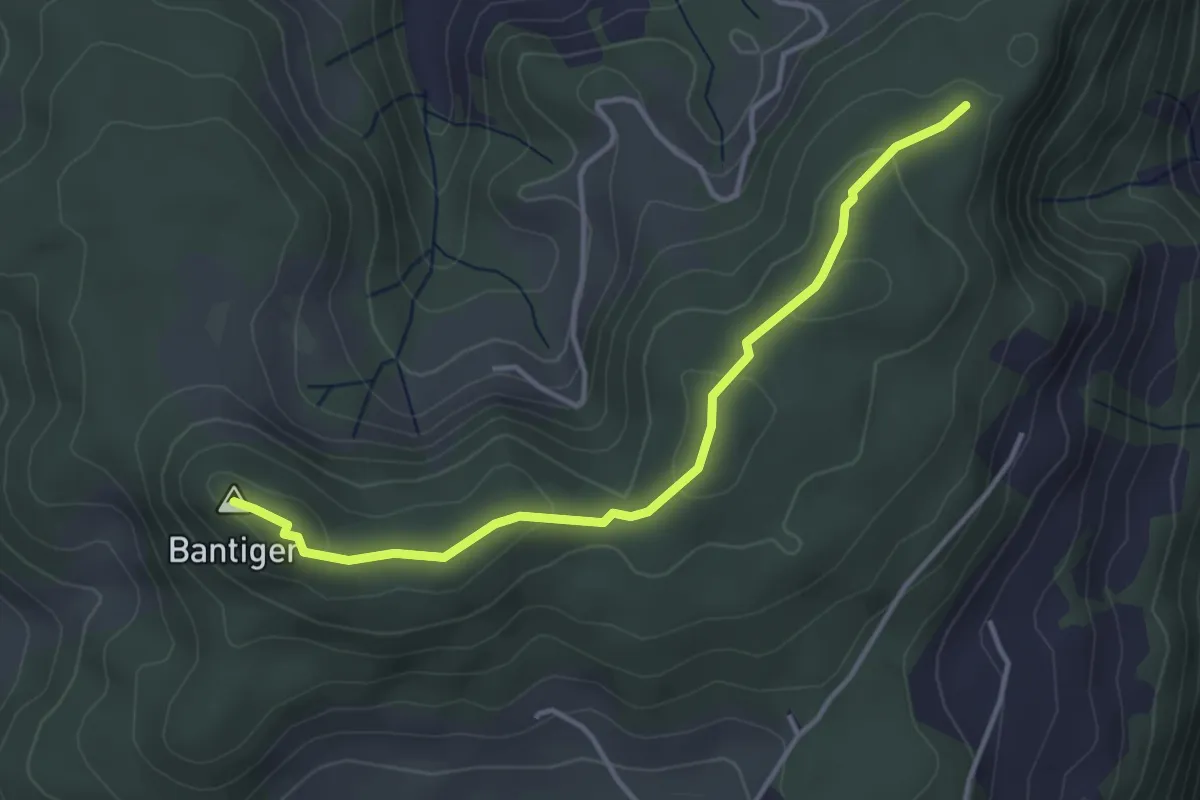
Easy · Summit
Mühlestein – Bantiger
3.7 km · ↑ 89 m · 1 h 4 min
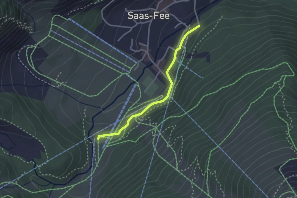
Easy · Trail
Saas-Fee – Saas-Fee Bifig
2.3 km · ↑ 50 m · 40 min
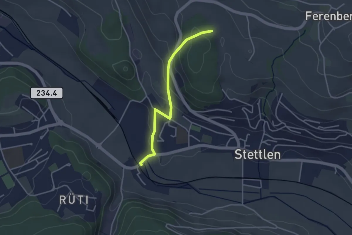
Easy · Trail
Buechholz – Deisswil
2.8 km · ↑ 135 m · 57 min
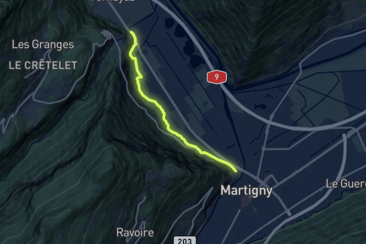
Medium · Trail
La Bâtiaz – Gorges du Trient
7.8 km · ↑ 331 m · 2 h 34 min
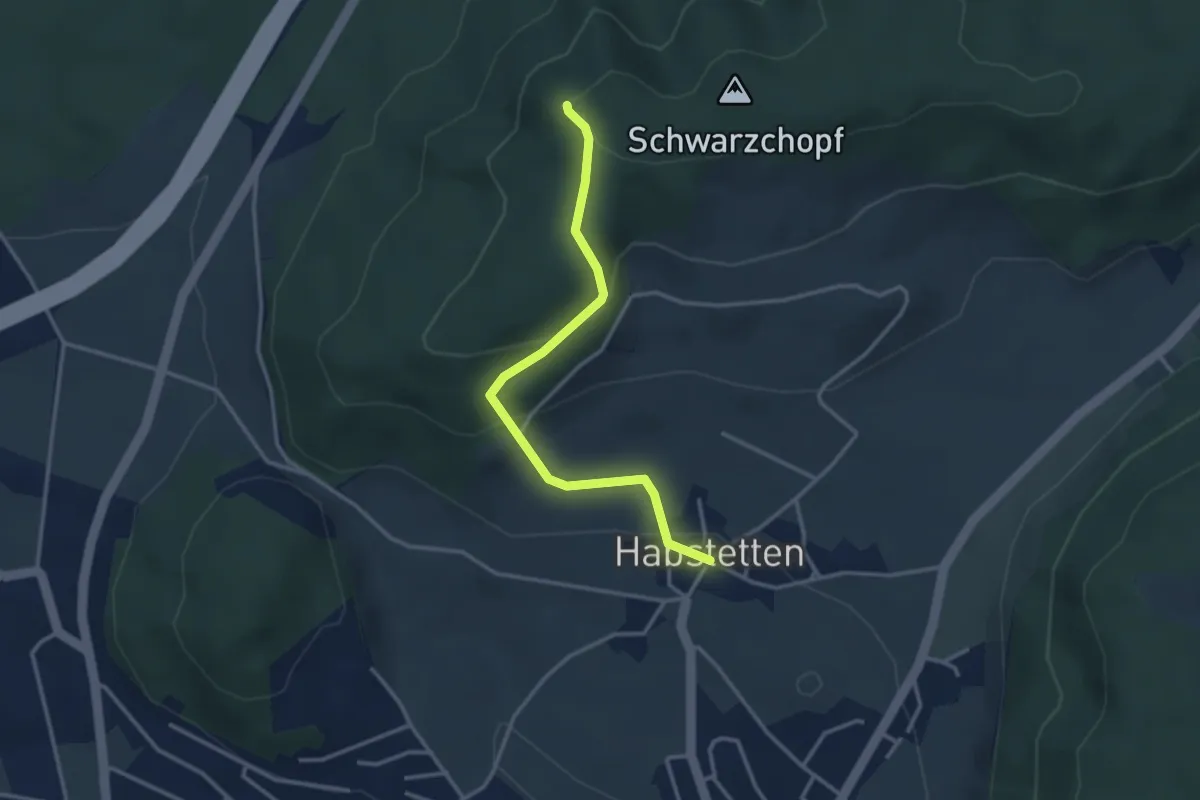
Easy · Trail
Grauholz/Schwarzkopf – Habstetten
3.2 km · ↑ 160 m · 1 h 6 min
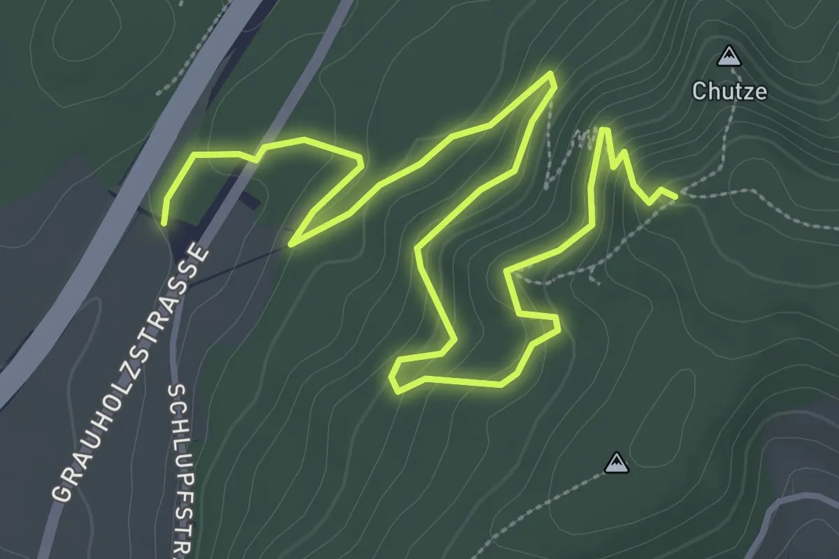
Medium · Trail
Forsthus – Grauholz/Schwarzkopf
5.1 km · ↑ 351 m · 1 h 58 min
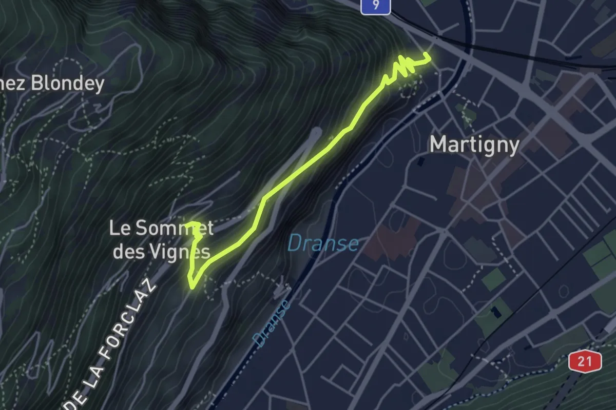
Medium · Trail
La Bâtiaz – Sommet des Vignes
4.1 km · ↑ 359 m · 1 h 45 min
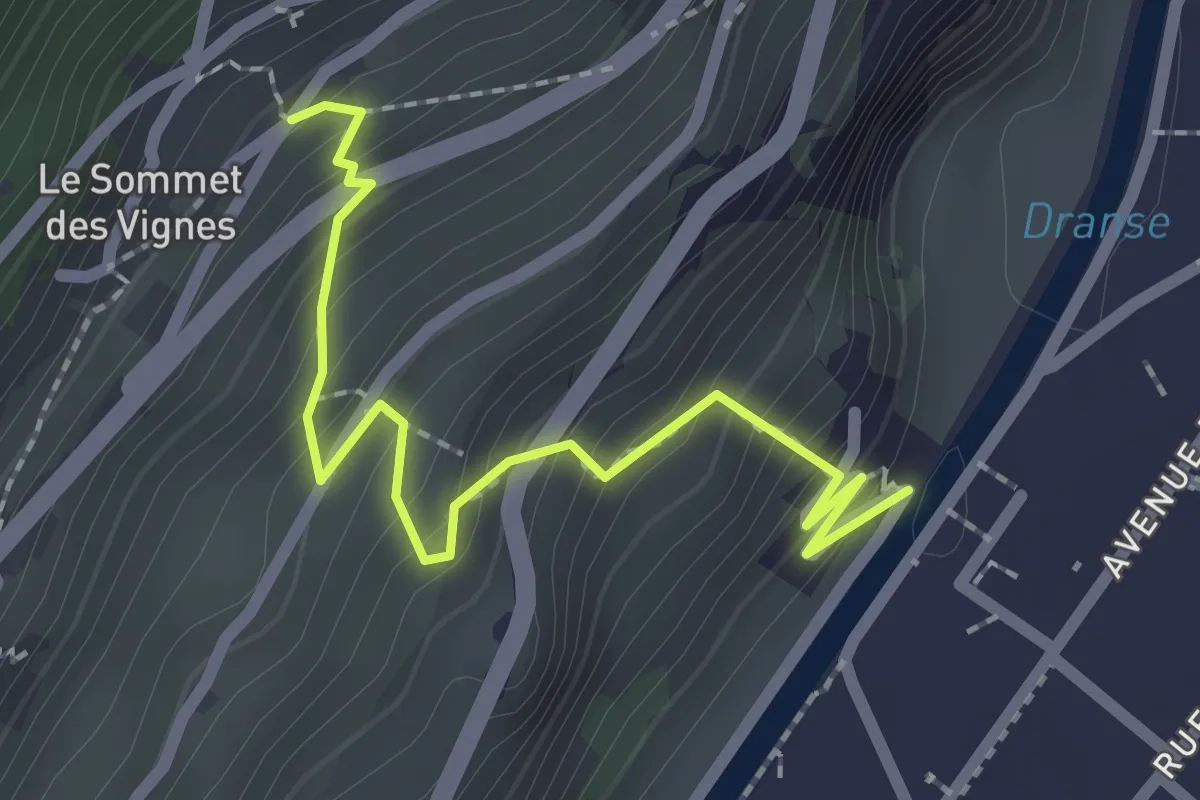
Easy · Trail
Sommet des Vignes – Pont de Rossettan
2.3 km · ↑ 263 m · 1 h 7 min
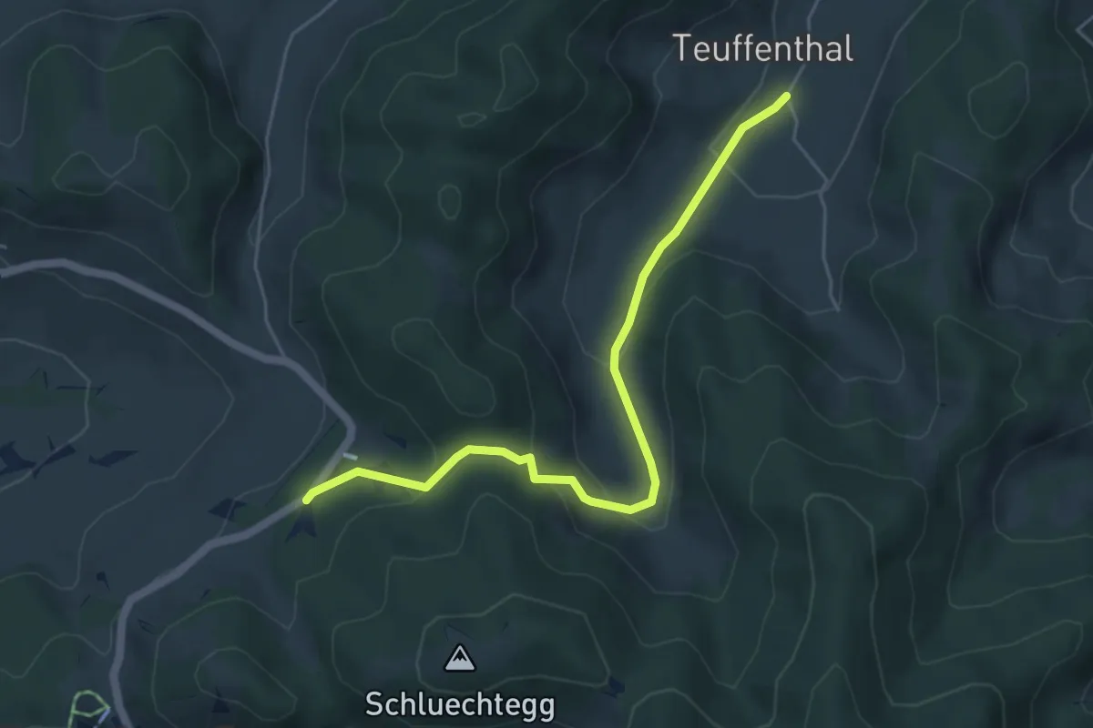
Easy · Trail
Hüniboden – Teuffenthal
5.2 km · ↑ 251 m · 1 h 46 min
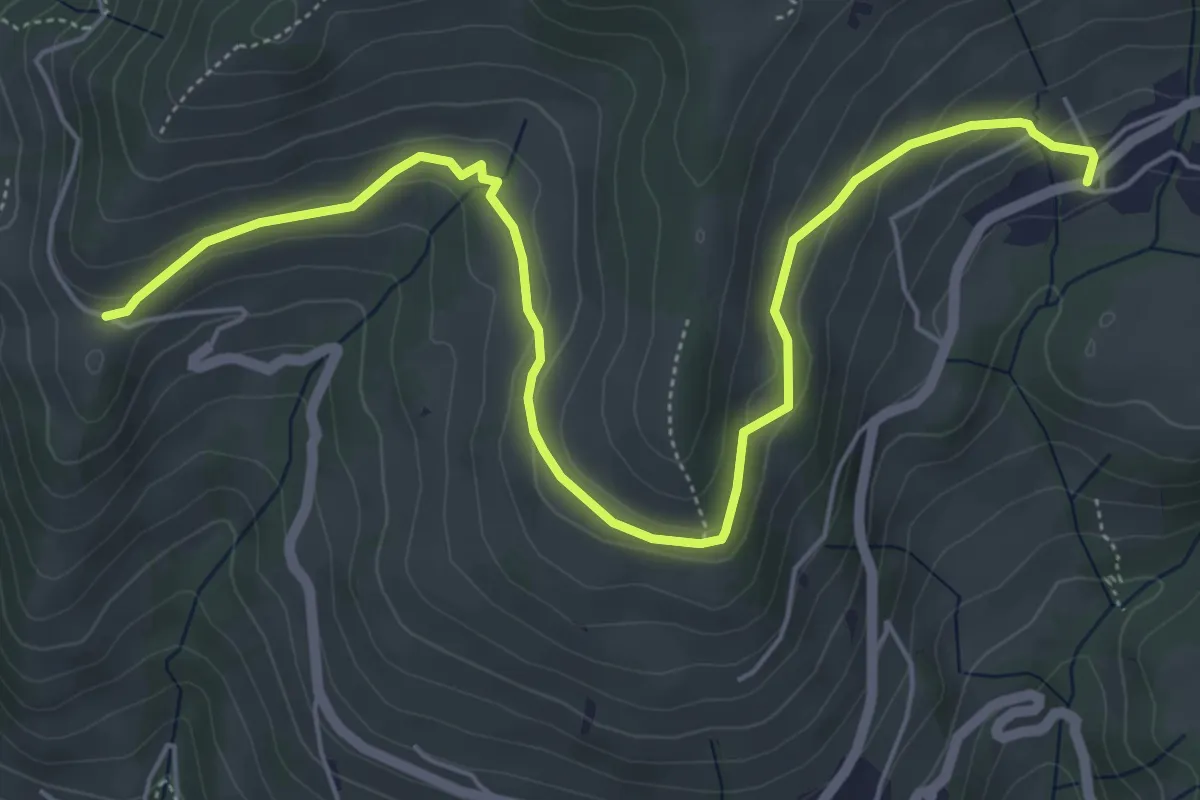
Easy · Trail
Schwanden – Chrinde
6.7 km · ↑ 253 m · 2 h 8 min
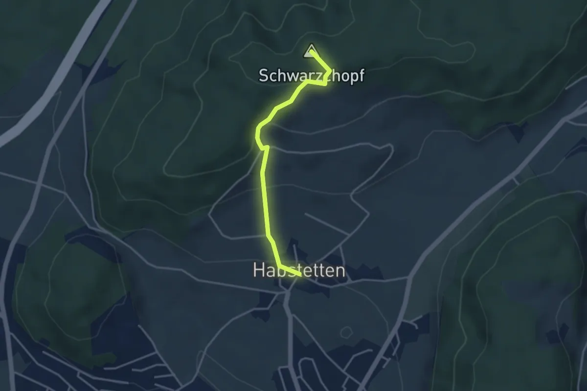
Easy · Summit
Bannholz – Habstetten
3.0 km · ↑ 167 m · 1 h 4 min
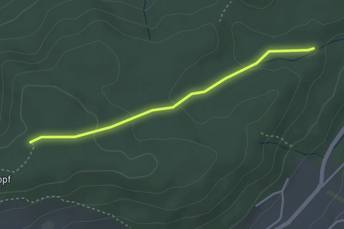
Easy · Trail
Sädelbachhüttli – Bannholz
2.8 km · ↑ 83 m · 50 min
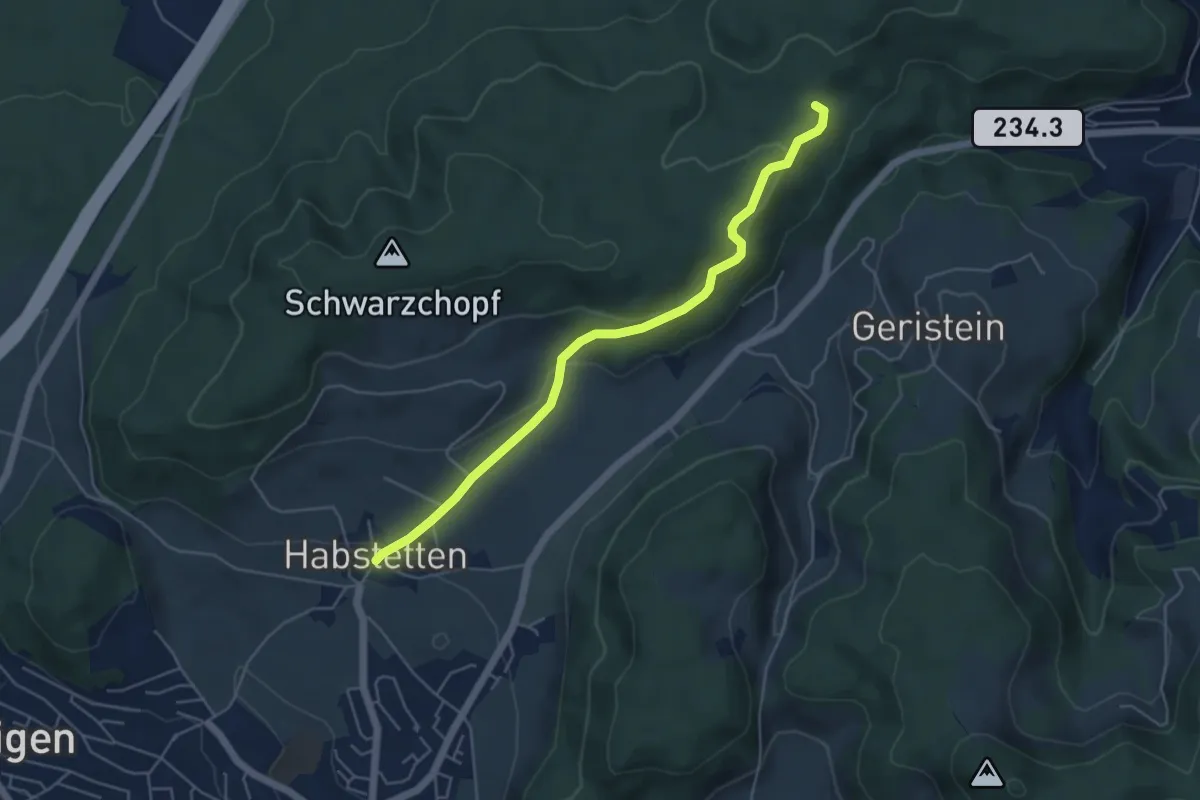
Easy · Trail
Sädelbachhüttli – Habstetten
5.0 km · ↑ 180 m · 1 h 35 min
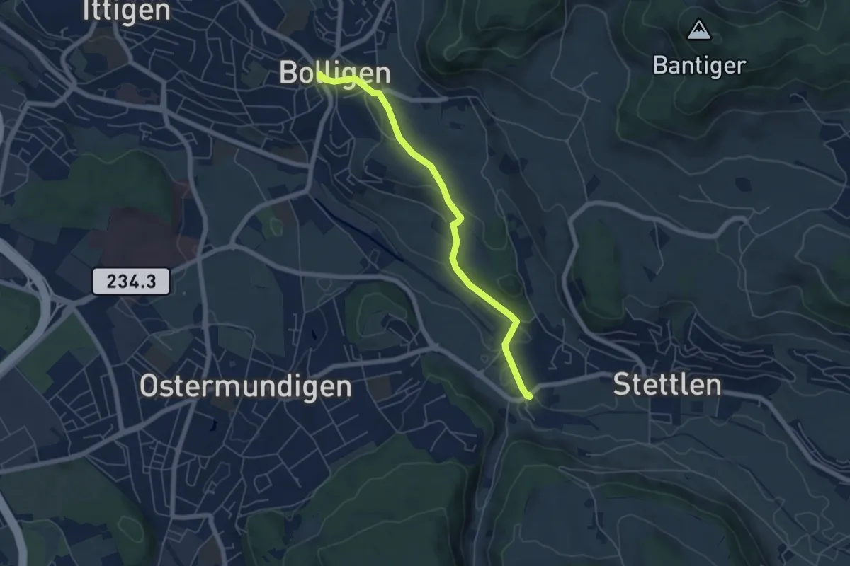
Easy · Trail
Bolligen / Sternen – Deisswil
5.4 km · ↑ 90 m · 1 h 29 min
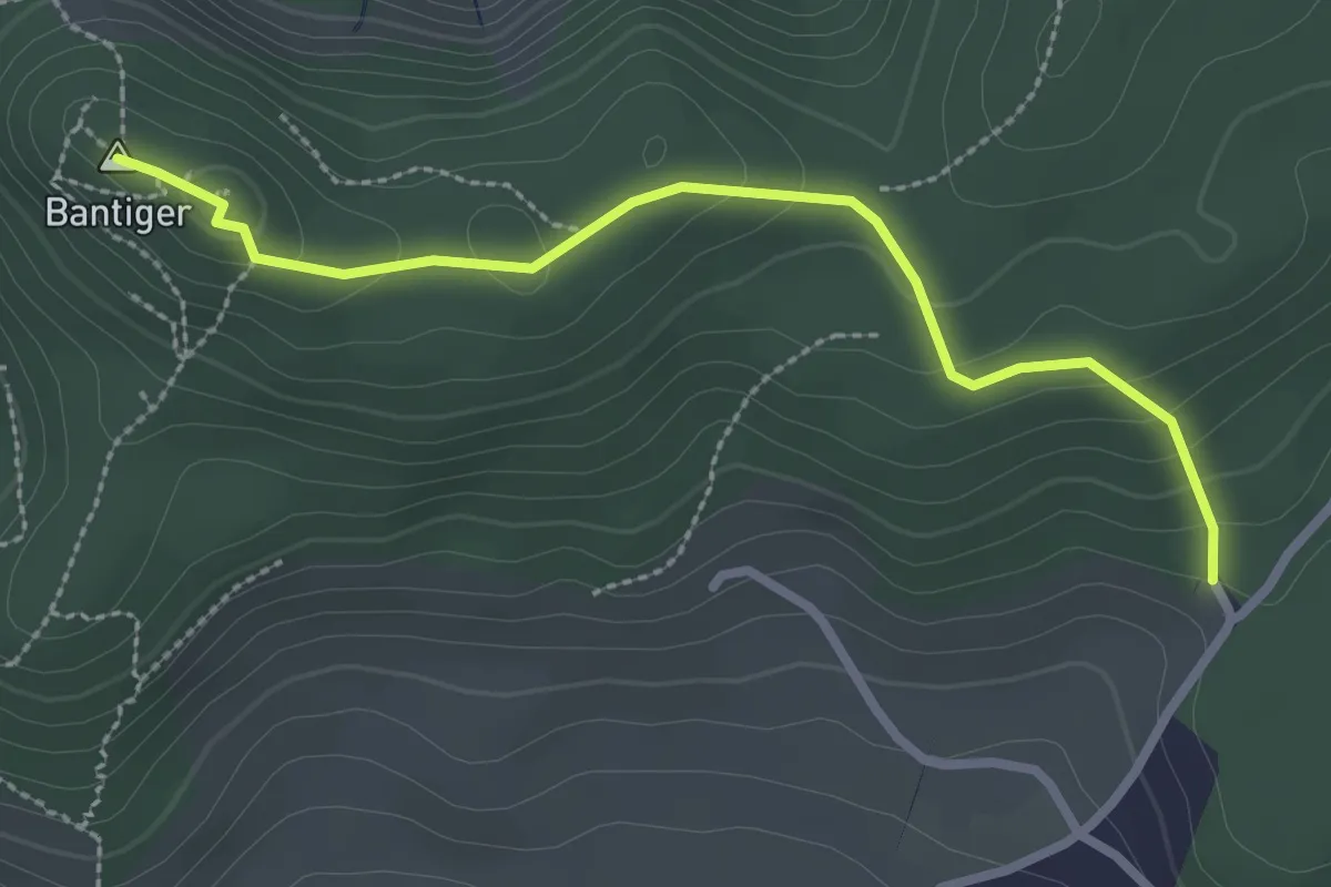
Easy · Summit
Bantiger – Cholgruebe
2.7 km · ↑ 119 m · 54 min
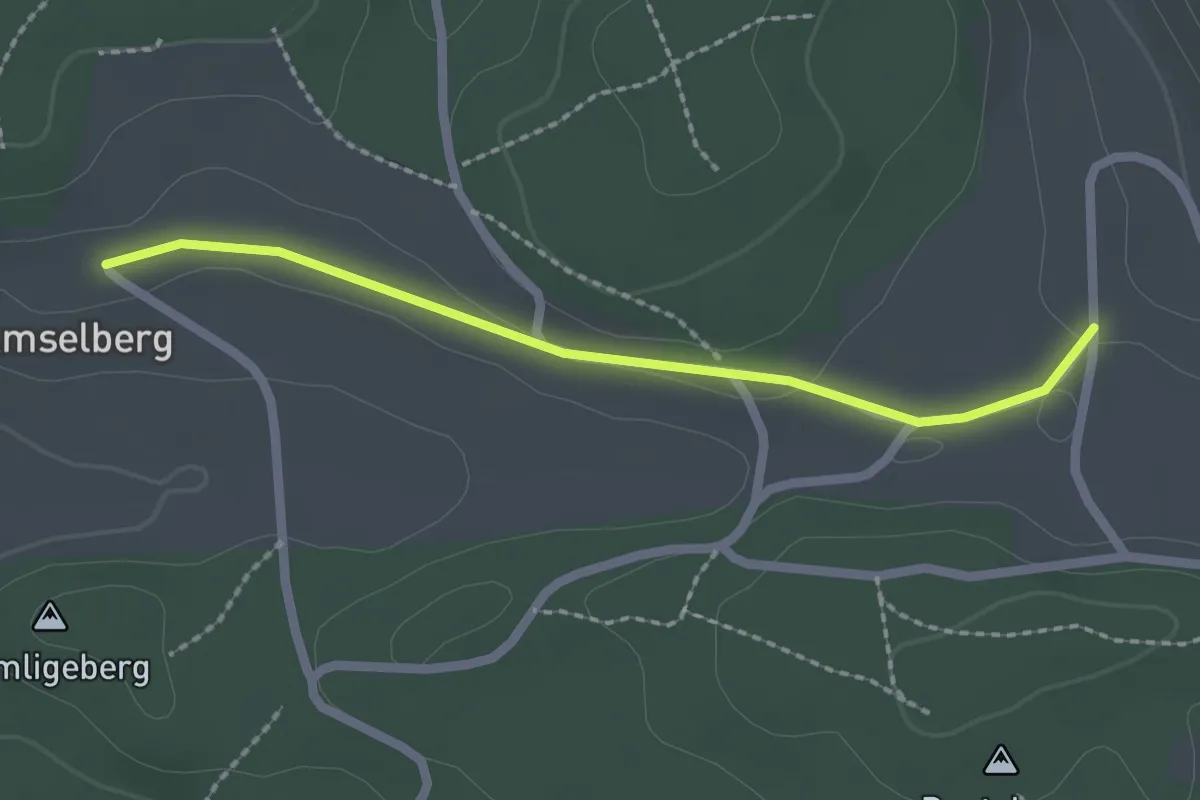
Easy · Trail
Dentenberg/Käserei – Amsleberg
2.0 km · ↑ 17 m · 31 min
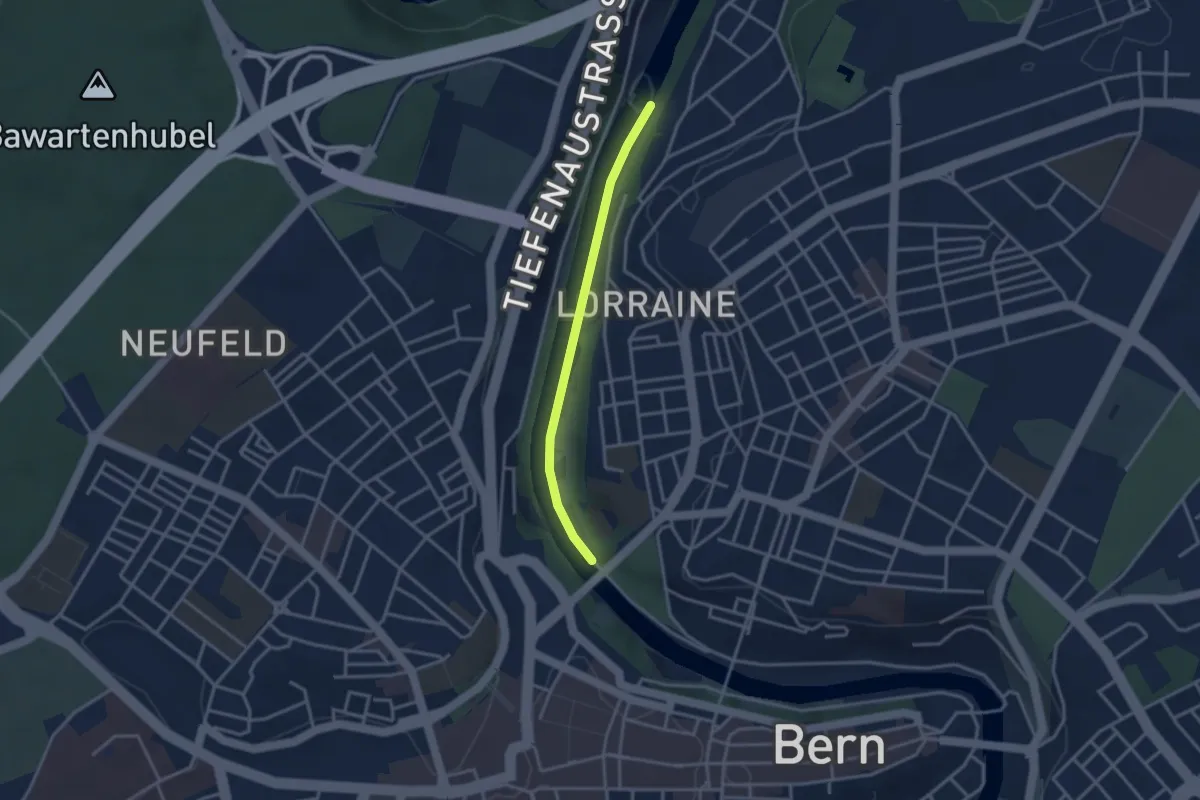
Easy · Trail
Felsenausteg – Lorrainebrücke
2.8 km · ↑ 5 m · 41 min
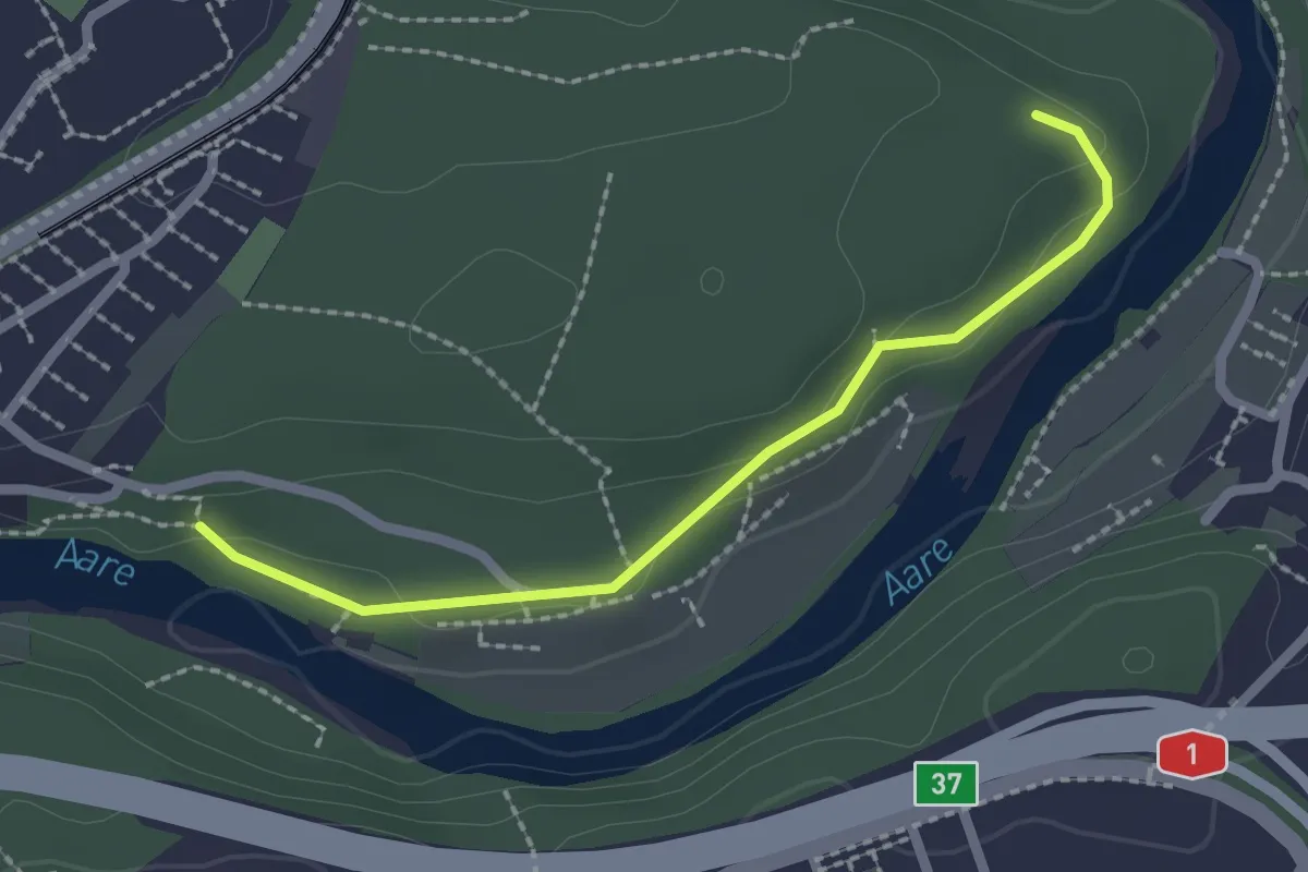
Easy · Trail
Aaregg – Thormeboden
2.1 km · ↑ 30 m · 34 min
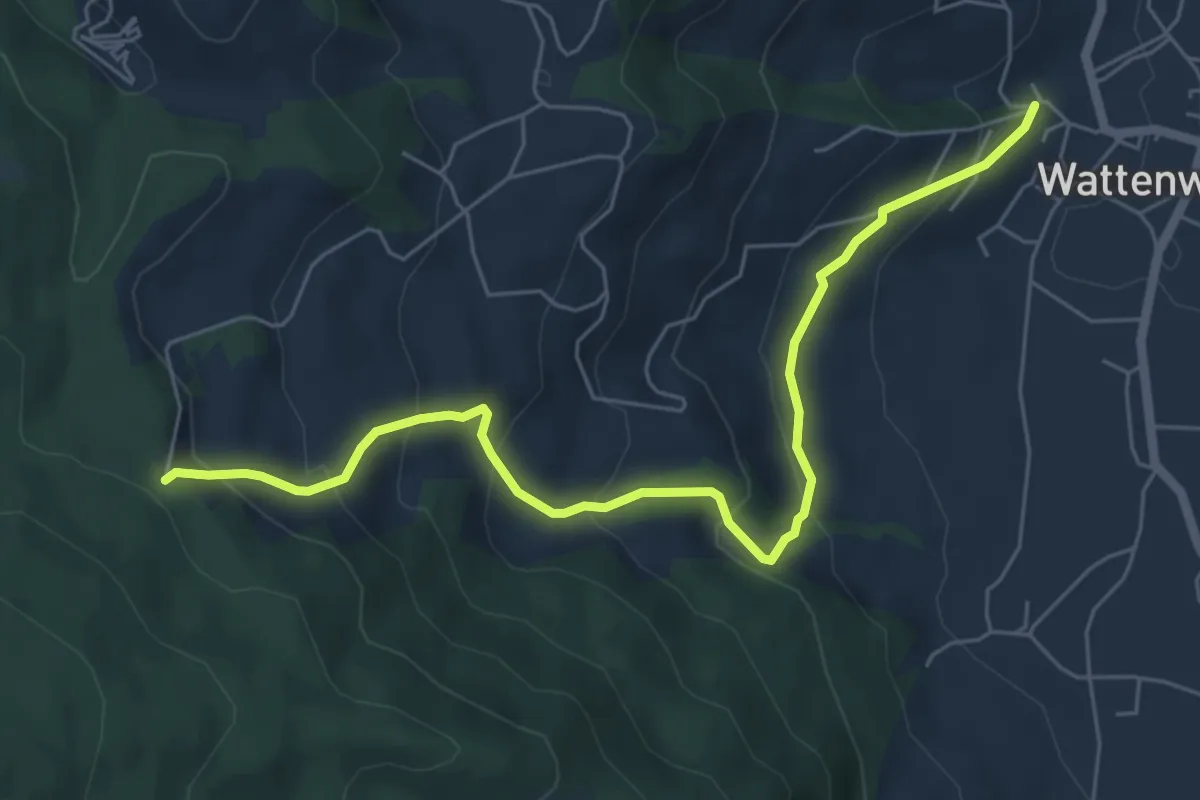
Medium · Trail
Wattenwil Kirche – Stafelalp
6.5 km · ↑ 406 m · 2 h 25 min
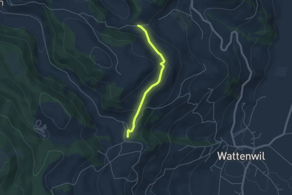
Easy · Trail
Grundbach/Käserei – Fluhweid
3.4 km · ↑ 139 m · 1 h 7 min
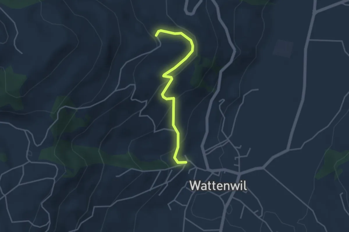
Easy · Trail
Wattenwil Kirche – Lörtscherei
3.1 km · ↑ 187 m · 1 h 9 min
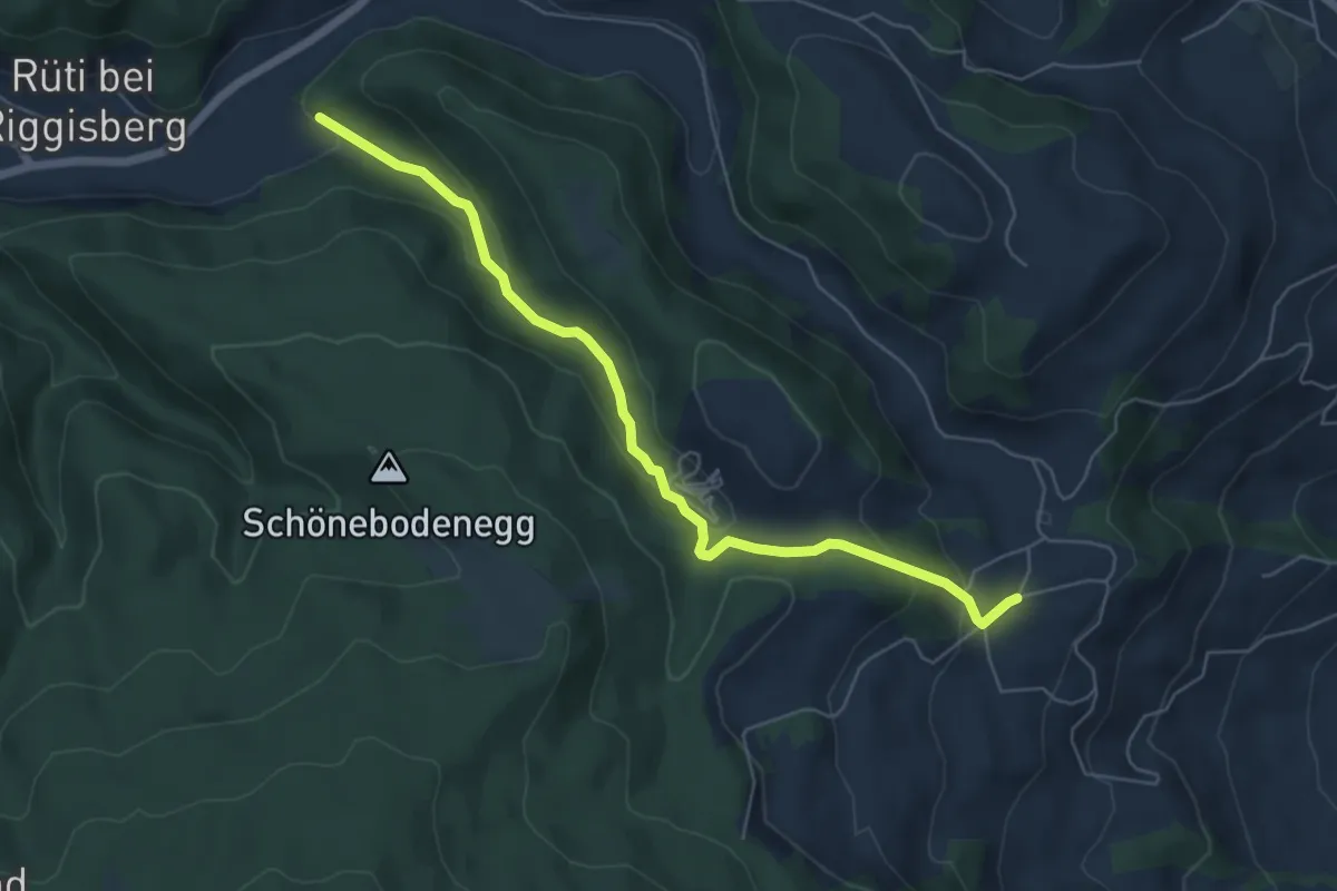
Easy · Trail
Grundbach – Geisshaus
6.0 km · ↑ 211 m · 1 h 52 min
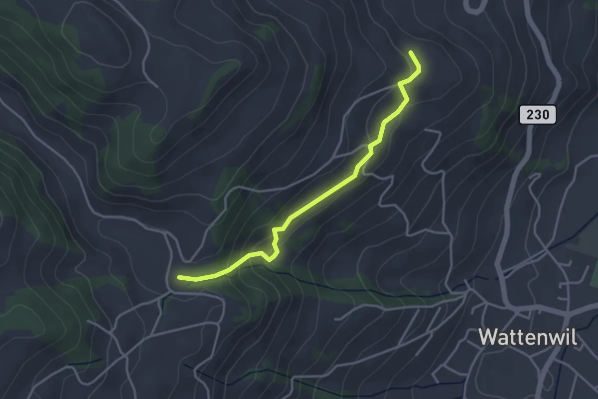
Easy · Trail
Grundbach/Käserei – Lörtscherei
3.2 km · ↑ 158 m · 1 h 6 min
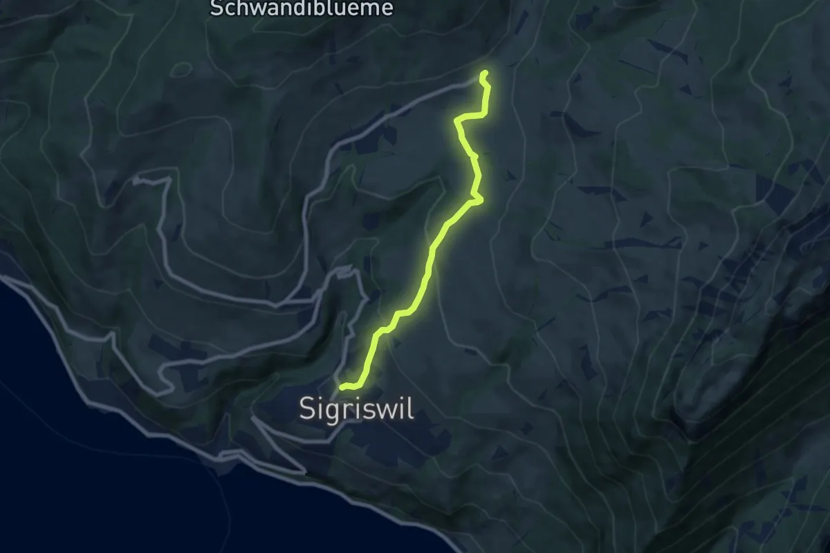
Medium · Trail
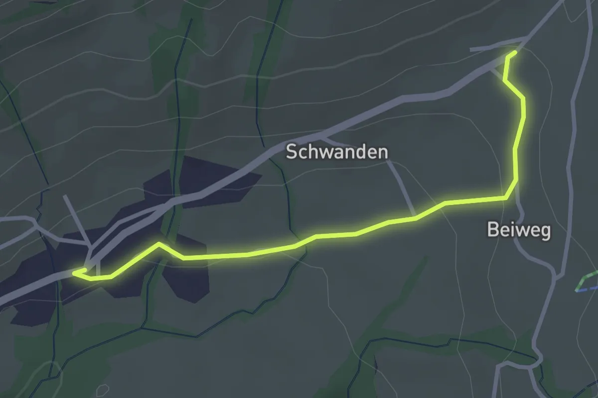
Sigriswil / Gewölb – Schwanden / Sagi
6.6 km · ↑ 327 m · 2 h 16 min
Easy · Trail
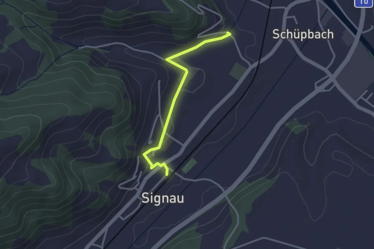
Schwanden / Sagi – Schwanden
2.8 km · ↑ 71 m · 49 min
Easy · Trail
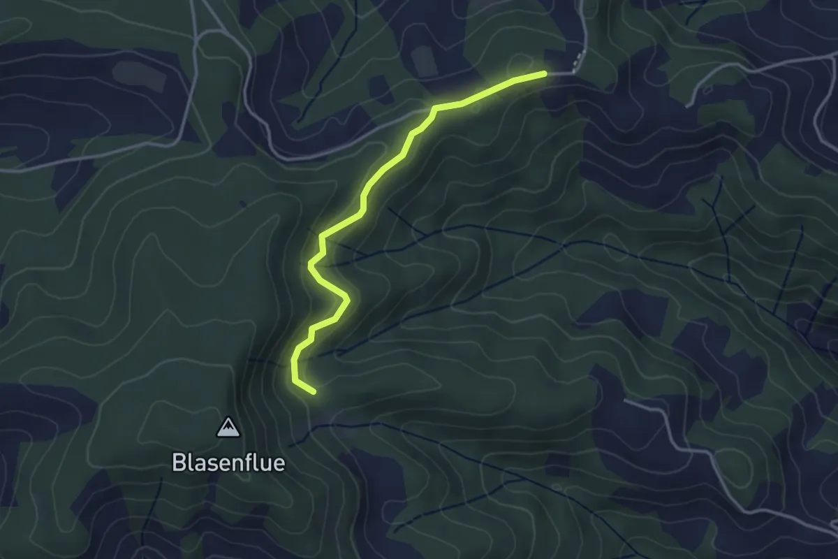
Signau – Gassen
2.7 km · ↑ 69 m · 47 min
Easy · Trail
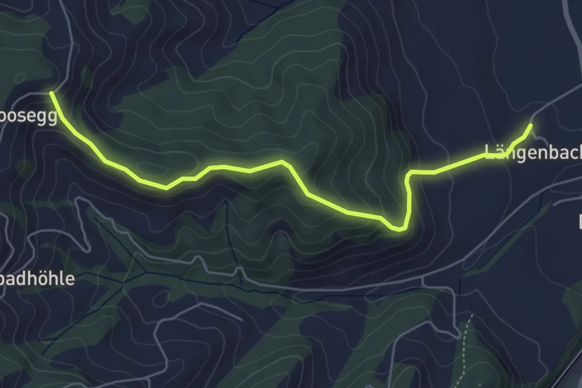
Mittler Hundschüpfen – Waldhäusern
3.1 km · ↑ 131 m · 1 h 1 min
Medium · Trail
Felbach – Längebach
5.2 km · ↑ 322 m · 1 h 56 min
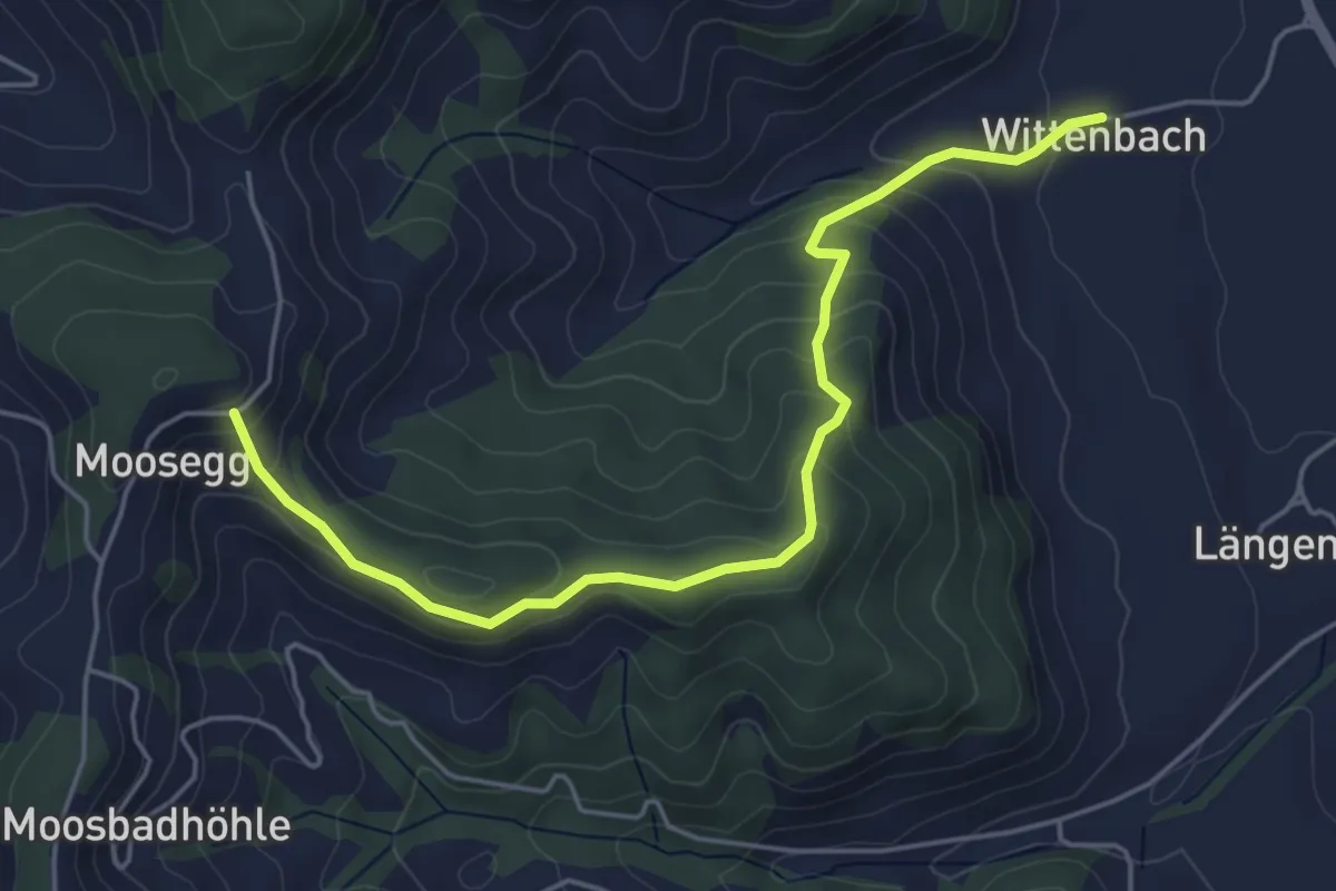
Easy · Trail
Felbach – Wittenbach
5.2 km · ↑ 314 m · 1 h 55 min
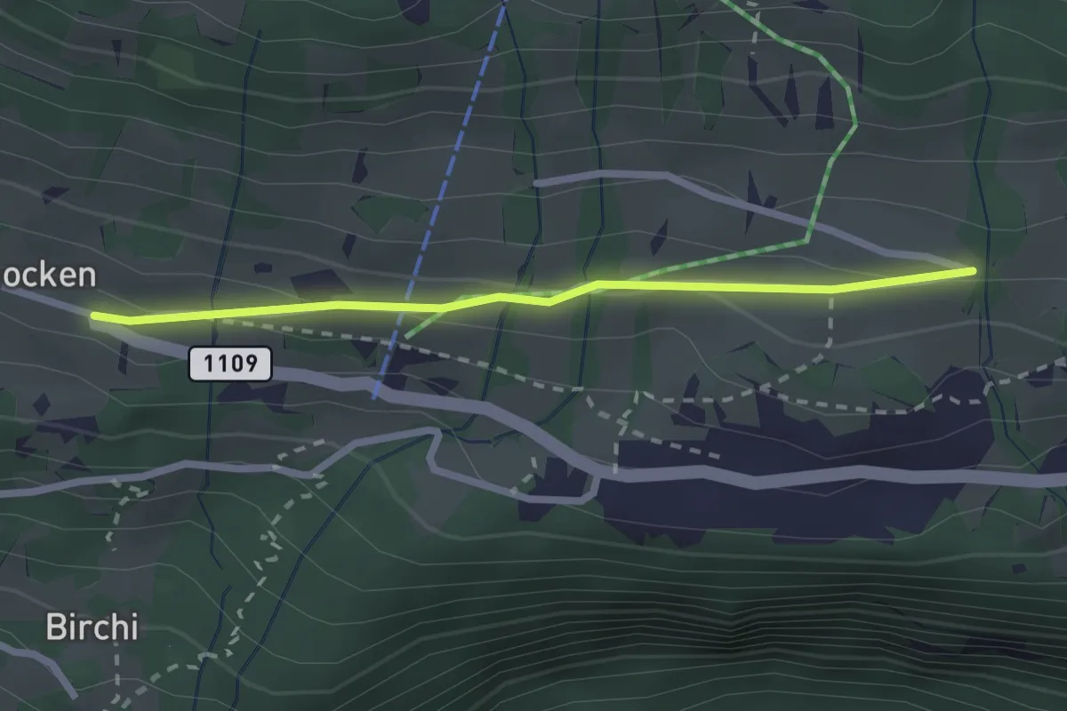
Easy · Trail
Riedboden – Schmocken
2.2 km · ↑ 72 m · 41 min
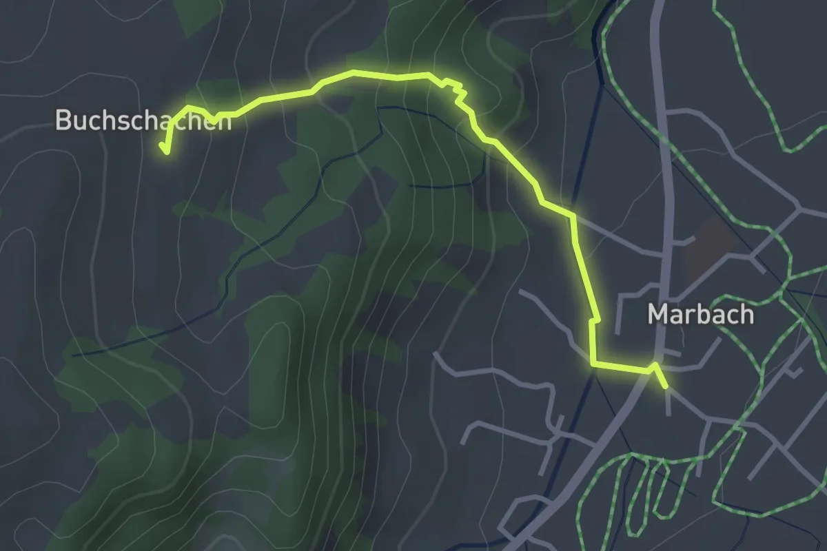
Easy · Trail
Marbach – Buschachenegg
3.0 km · ↑ 219 m · 1 h 11 min
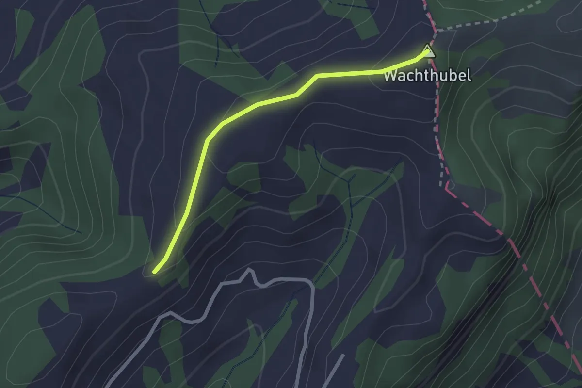
Easy · Summit
Wachthubel – Meisenegg
2.1 km · ↑ 70 m · 39 min
Easy · Summit
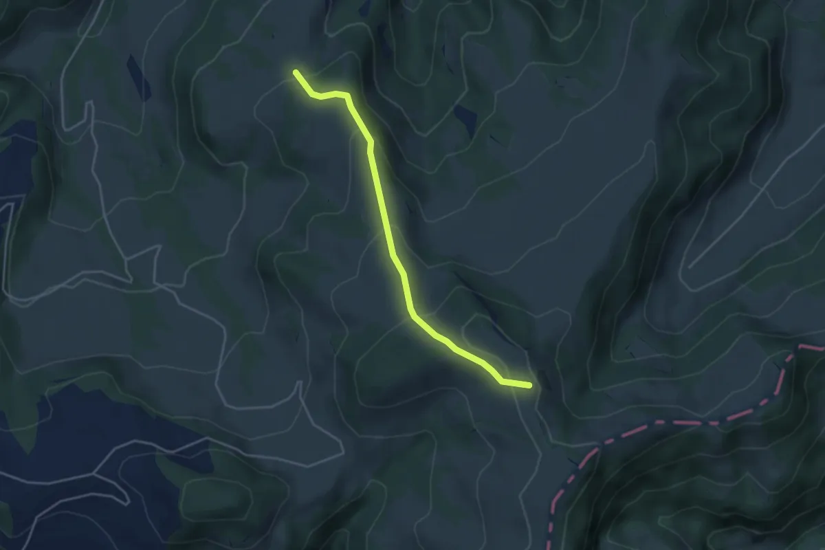
Vorder Rämisgumme – Unter Houenen
3.8 km · ↑ 223 m · 1 h 22 min
Easy · Summit
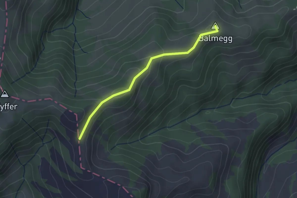
Brunnebode – Balmegg
2.7 km · ↑ 111 m · 52 min
Medium · Trail
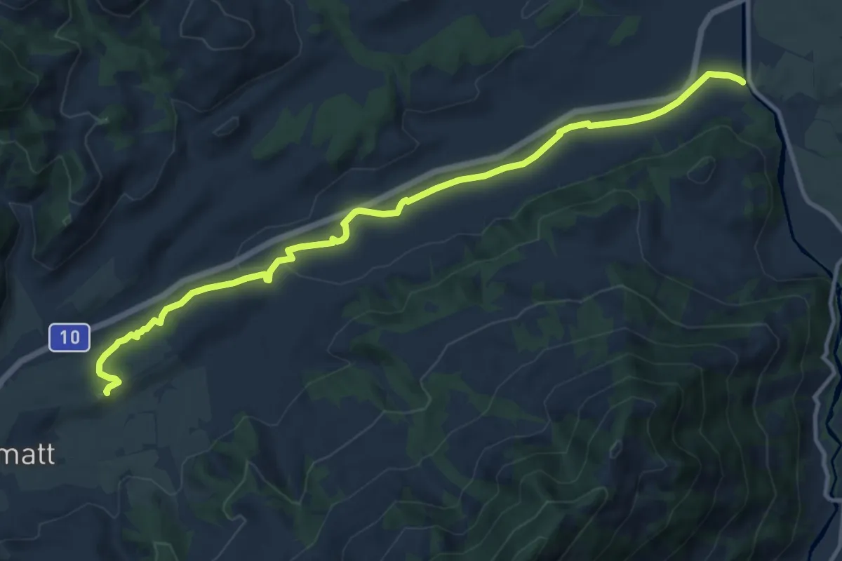
Büelwald – Ei
11.8 km · ↑ 192 m · 3 h 12 min
Easy · Trail
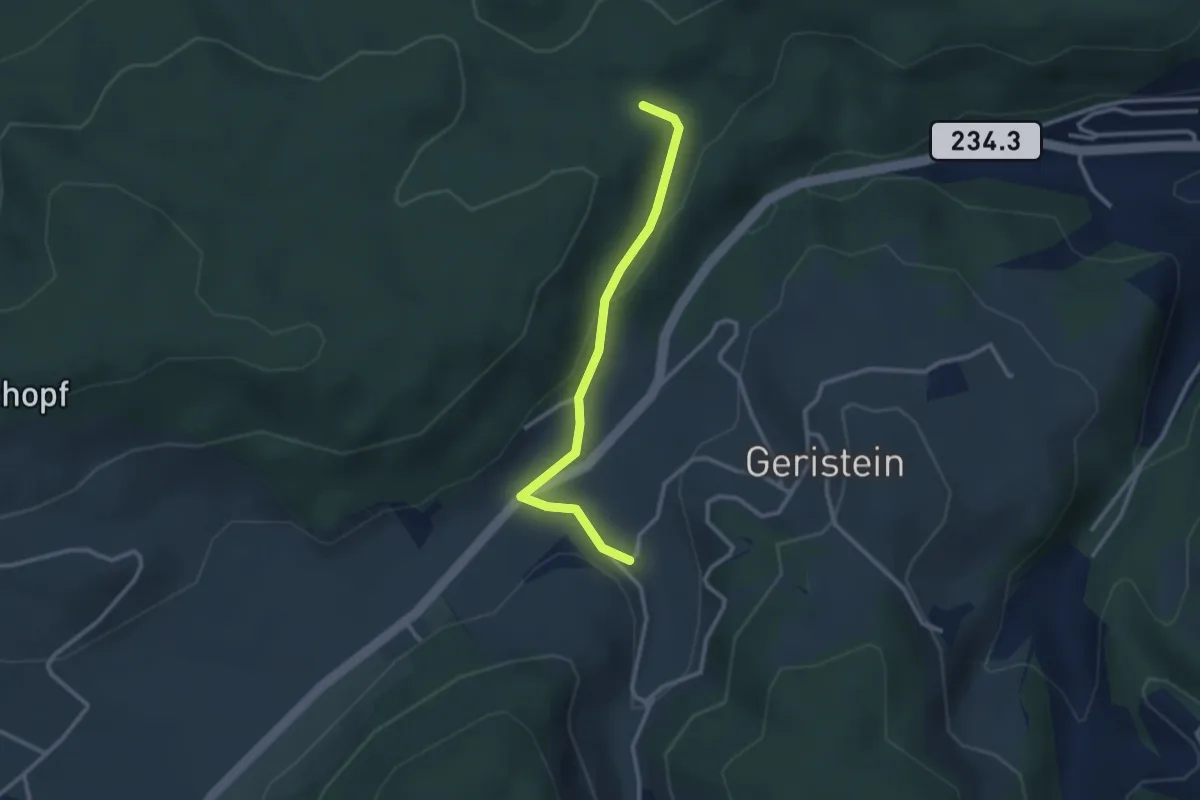
Sädelbachhüttli – Lutzere
2.7 km · ↑ 47 m · 44 min
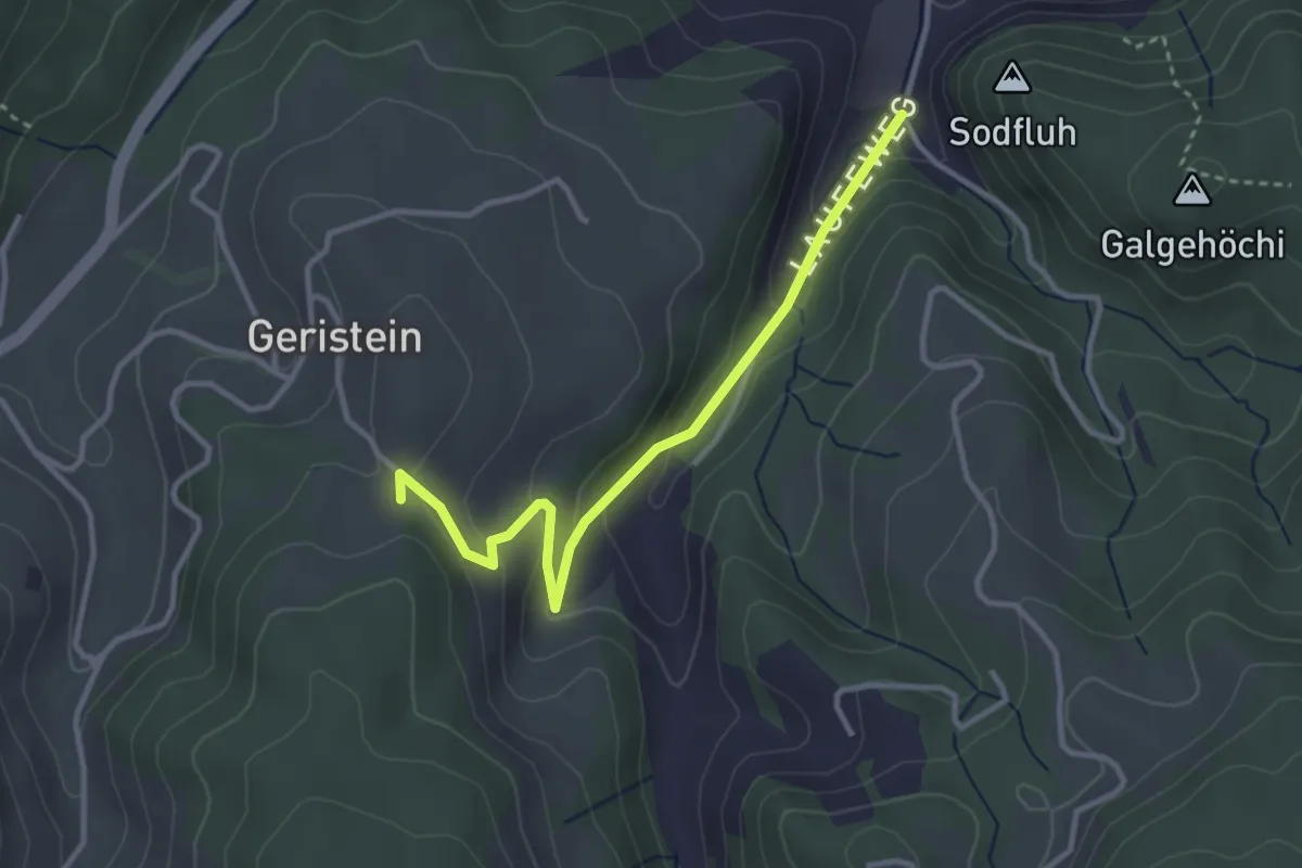
Easy · Trail
Laufe – Geristein
3.2 km · ↑ 163 m · 1 h 7 min
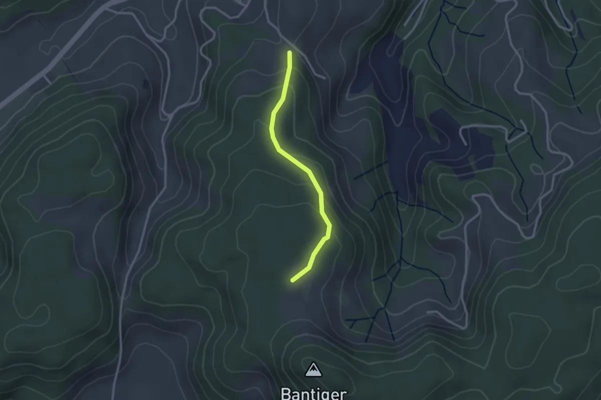
Easy · Trail
Geristein – Bantigenhubel
2.3 km · ↑ 111 m · 46 min
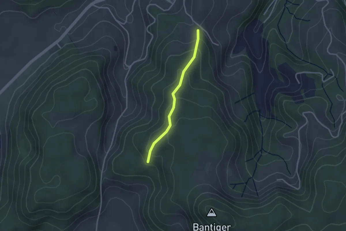
Easy · Trail
Geristein – Geristeinwald
2.2 km · ↑ 89 m · 42 min
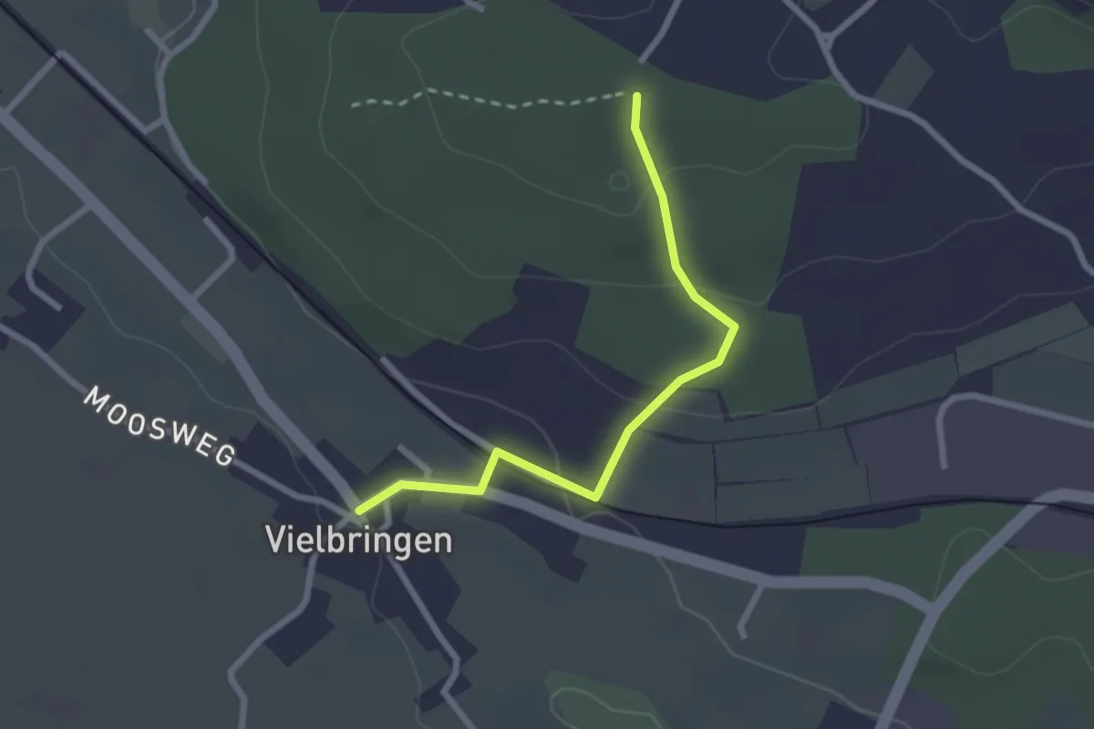
Easy · Trail
Vielbringen – Wislenwald
2.4 km · ↑ 85 m · 44 min