Trails in Switzerland
15,055 hiking trails, each with its route, climb, walking time and grade.
All trails, page 152 of 314
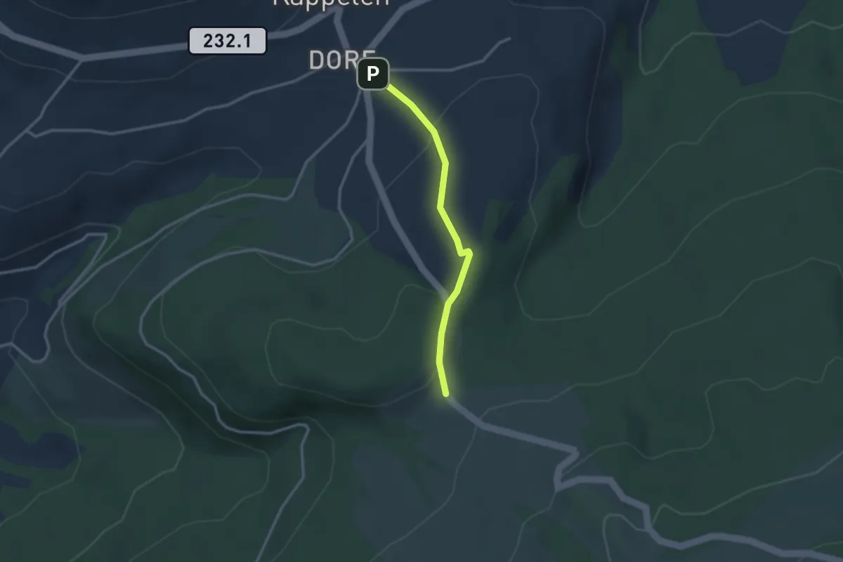
Easy · Trail
Riffenmatt – Hinterm Grat
2.4 km · ↑ 69 m · 43 min
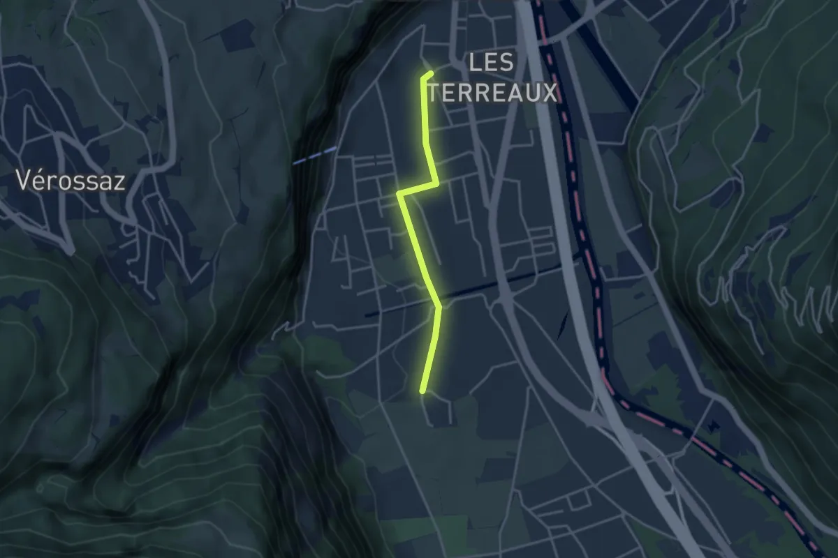
Easy · Trail
St-Maurice Gare – Vérolliez
2.9 km · ↑ 18 m · 43 min
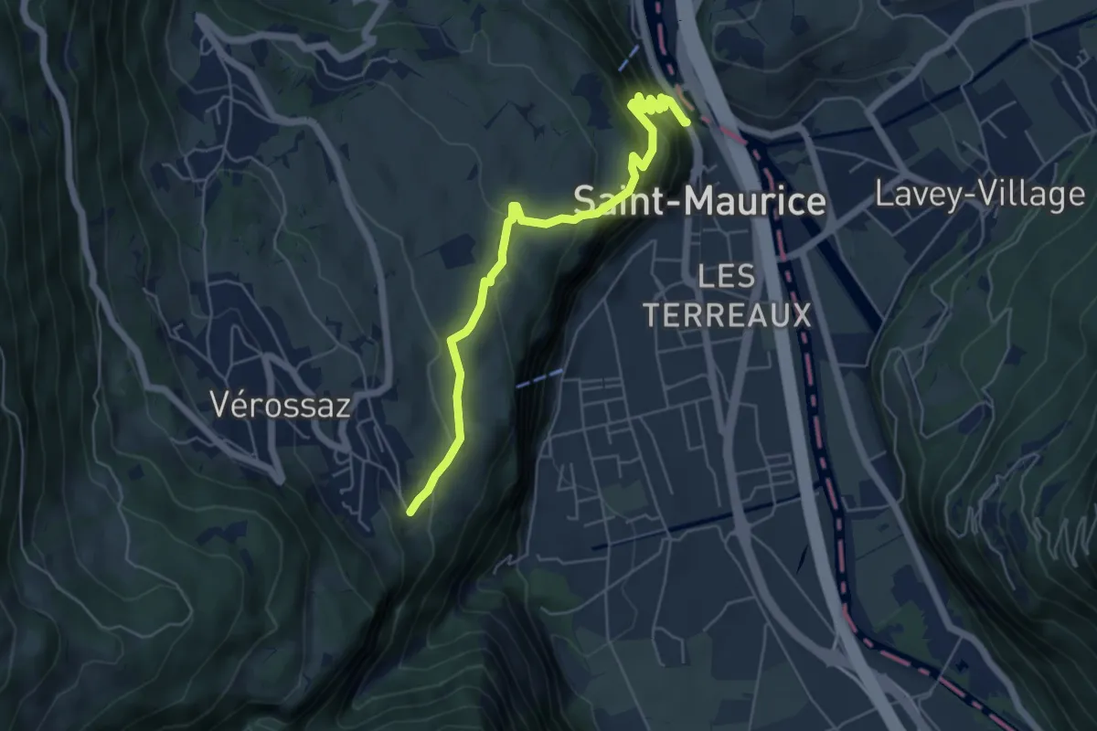
Medium · Trail
Bassays – Château de St-Maurice
5.6 km · ↑ 395 m · 2 h 11 min
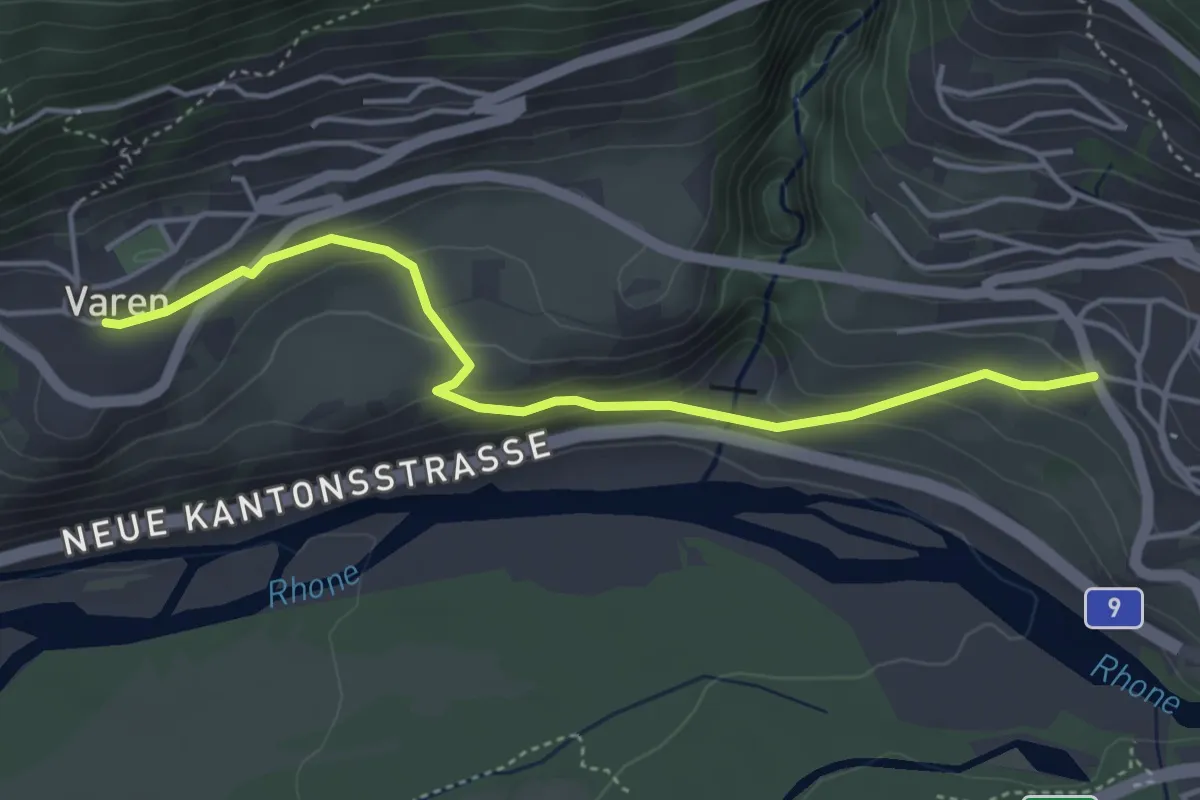
Easy · Trail
Leuk – Varen
4.3 km · ↑ 218 m · 1 h 30 min
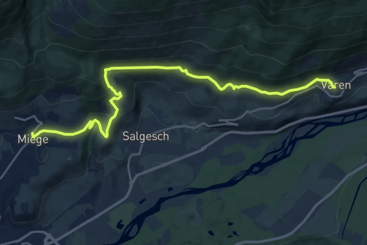
Medium · Trail
Varen – Miège
13.8 km · ↑ 408 m · 4 h 8 min
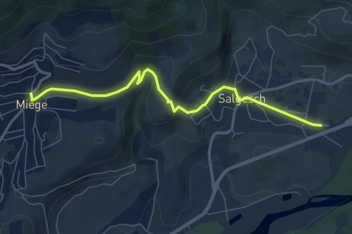
Easy · Trail
Miège – Salgesch Bahnhof
6.4 km · ↑ 148 m · 1 h 49 min
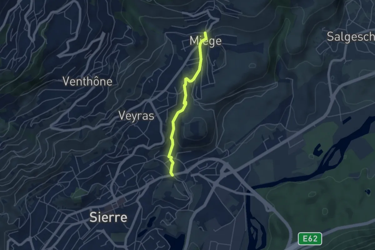
Easy · Trail
Miège – Glarey
4.1 km · ↑ 149 m · 1 h 17 min
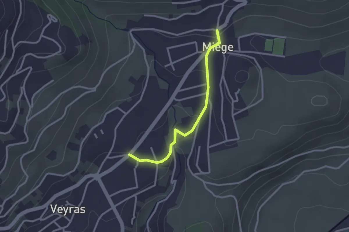
Easy · Trail
Miège – Veyras
2.2 km · ↑ 62 m · 40 min
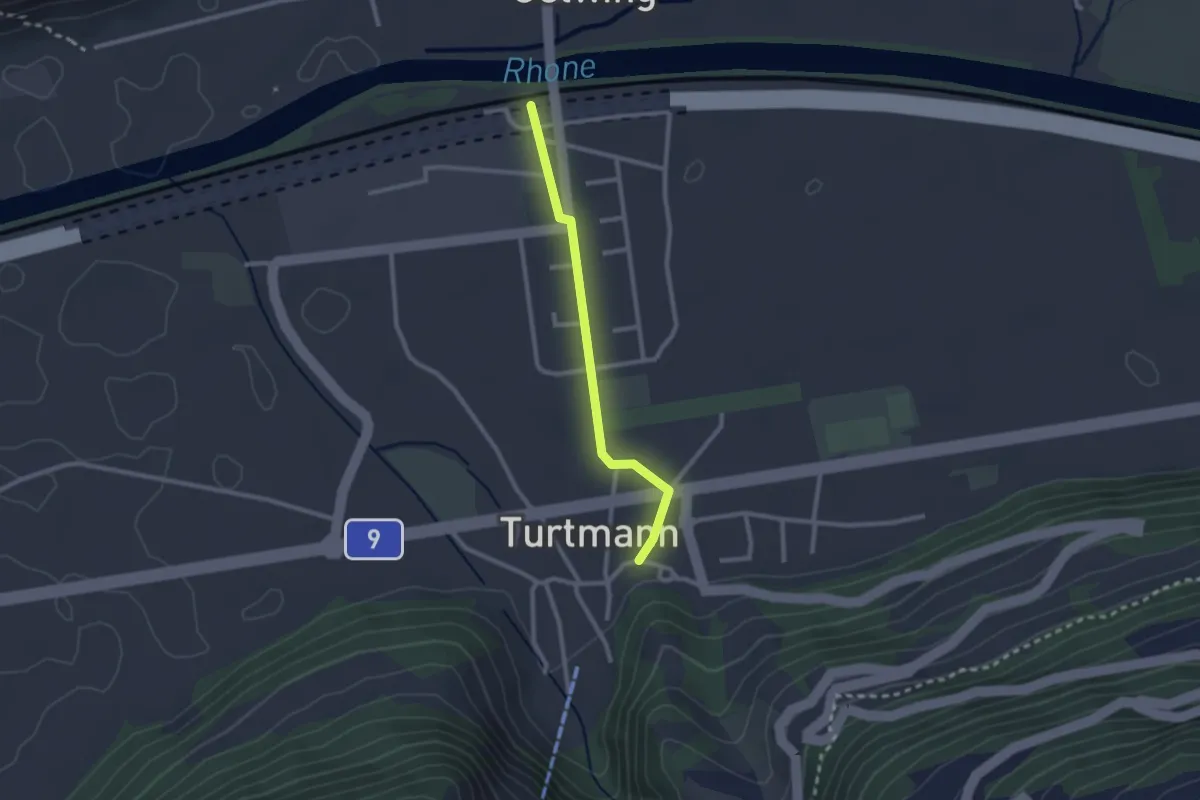
Easy · Trail
Bahnhof – Turtmann Dorf
2.2 km · ↑ 13 m · 33 min
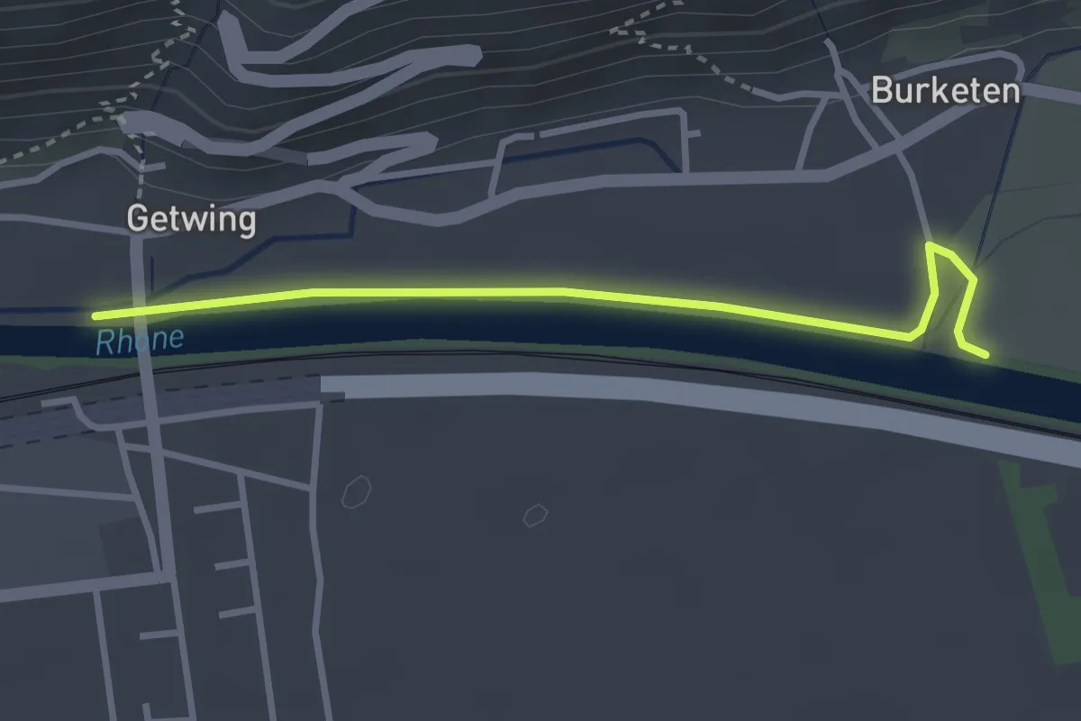
Easy · Trail
Ober Getwing – Gampel
3.0 km · ↑ 0 m · 43 min
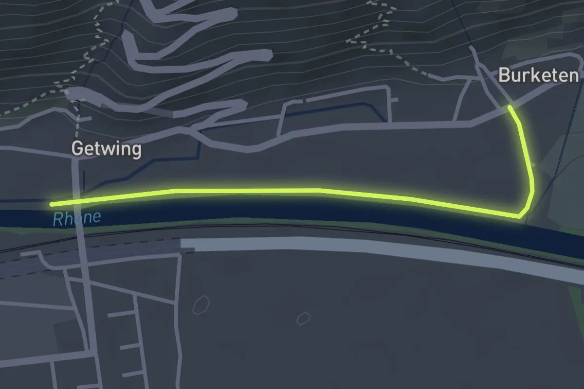
Easy · Trail
Ober Getwing – Niedergampel
2.9 km · ↑ 9 m · 42 min
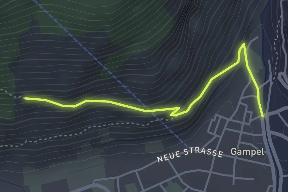
Easy · Trail
Gampel – Jeizinen/Bratsch?
3.4 km · ↑ 264 m · 1 h 22 min
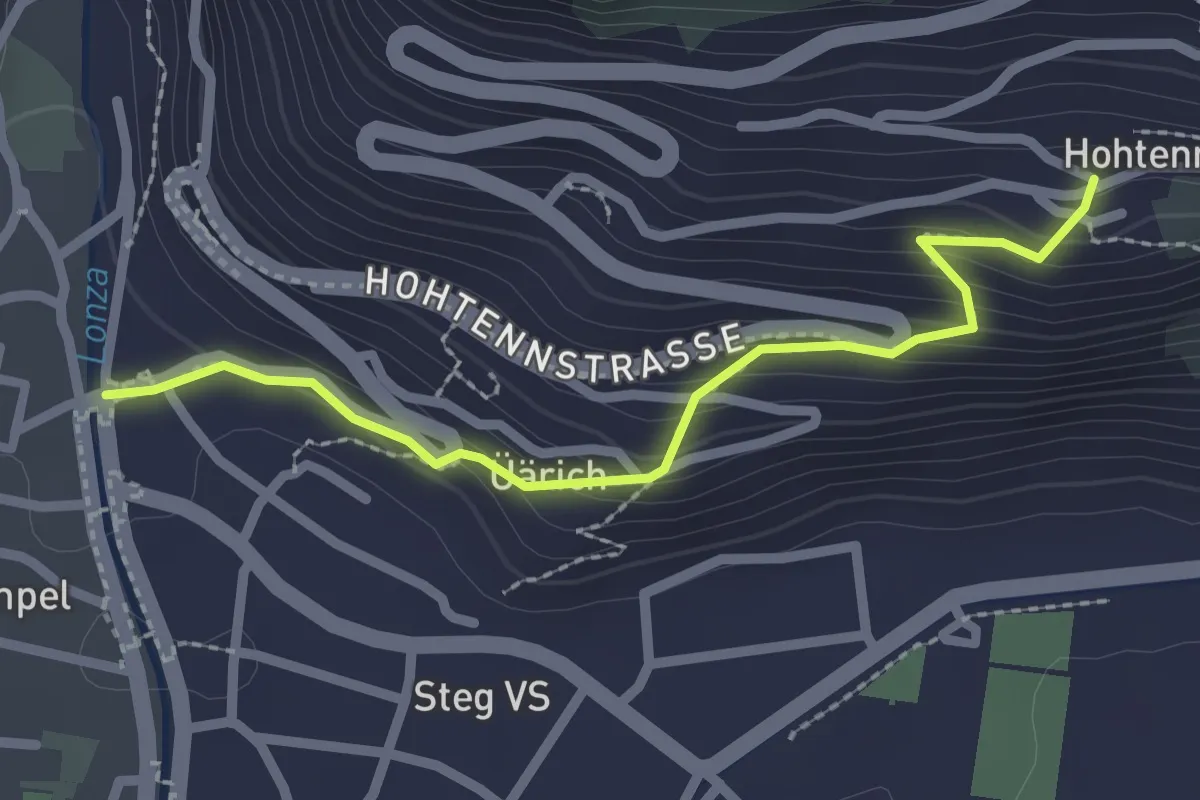
Easy · Trail
Steg – Hohtenn
2.4 km · ↑ 188 m · 58 min
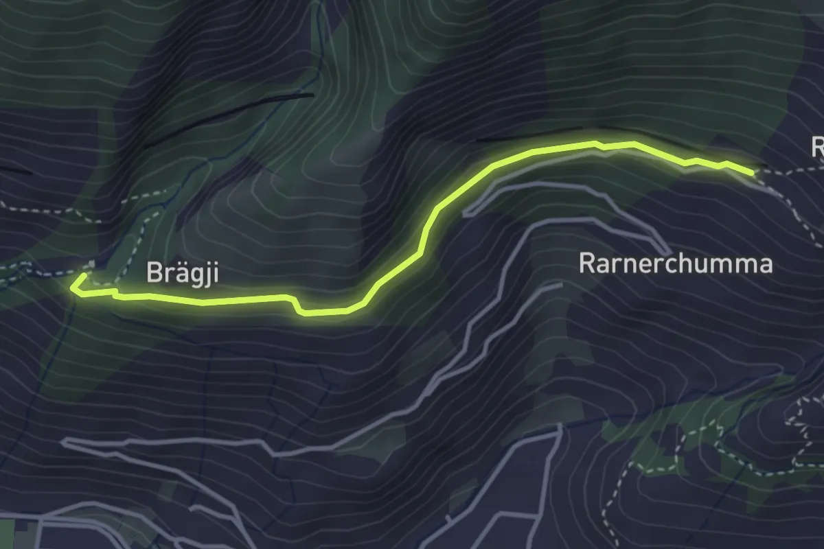
Easy · Trail
Hängebrücke – Rarnerchumma
3.5 km · ↑ 142 m · 1 h 8 min
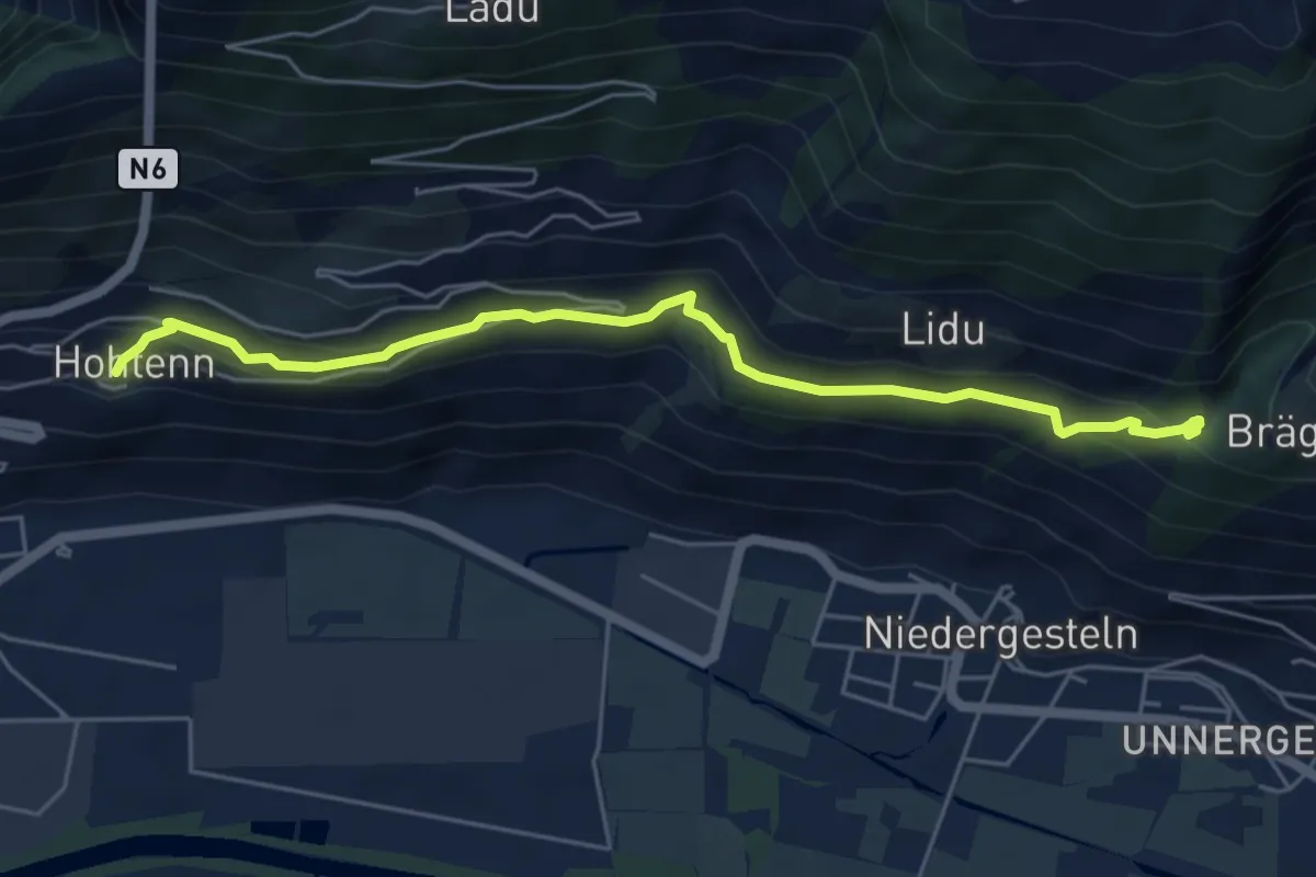
Demanding · Trail
Hohtenn – Hängebrücke
5.8 km · ↑ 272 m · 1 h 57 min
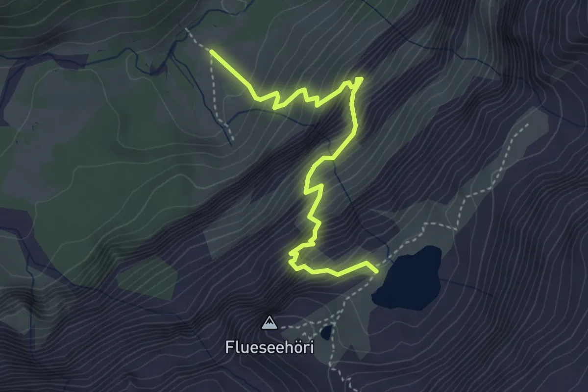
Demanding · Trail
Sibe Brünne - Rezlibergli – Flueseeli
4.0 km · ↑ 694 m · 2 h 26 min
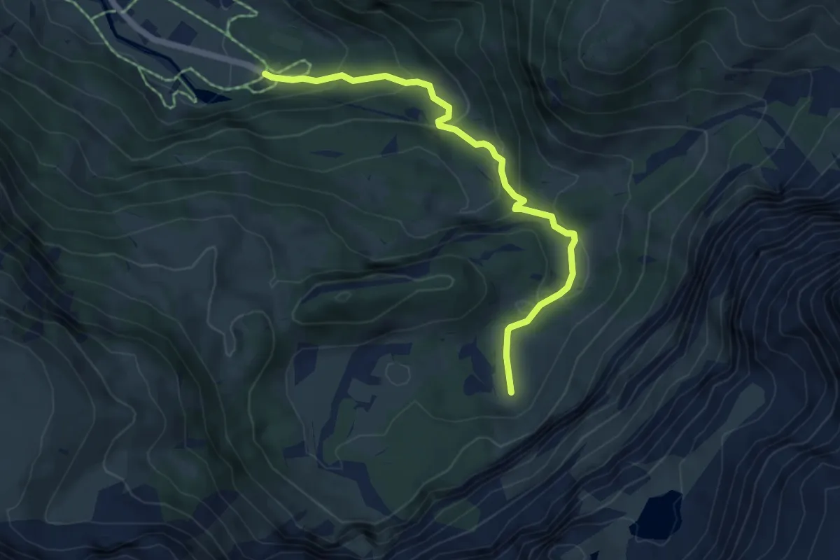
Medium · Trail
Simmefäll – Sibe Brünne
5.4 km · ↑ 321 m · 1 h 59 min
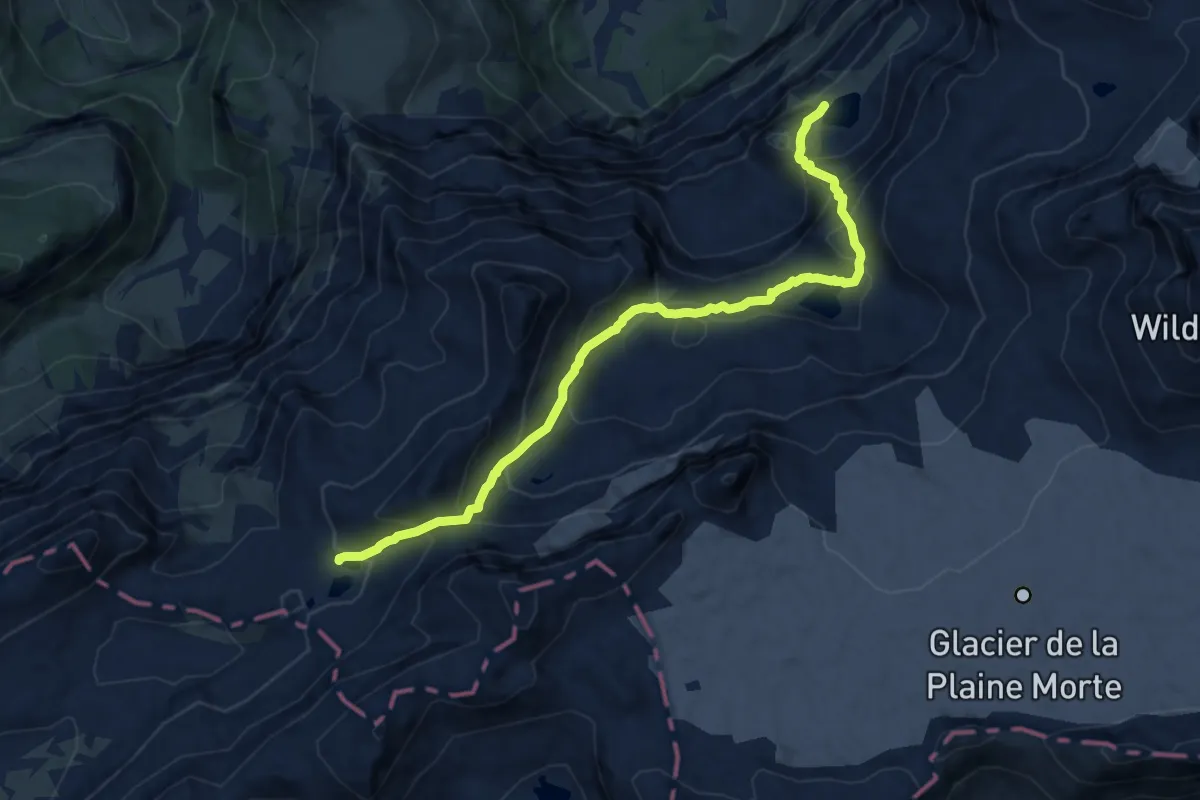
Demanding · Trail
Flueseeli – Rawilseeleni
10.7 km · ↑ 839 m · 4 h 20 min
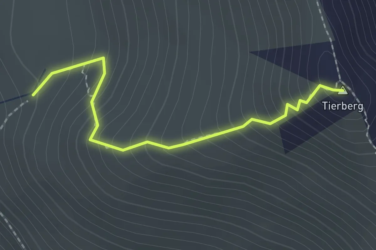
Medium · Summit
Obere Seewle – Hahnenmoospass
1.9 km · ↑ 240 m · 57 min
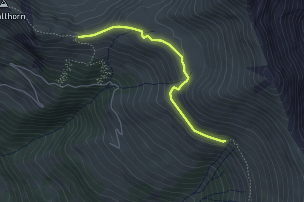
Easy · Trail
Ober Laubbärgli – Obere Seewle
3.7 km · ↑ 176 m · 1 h 16 min
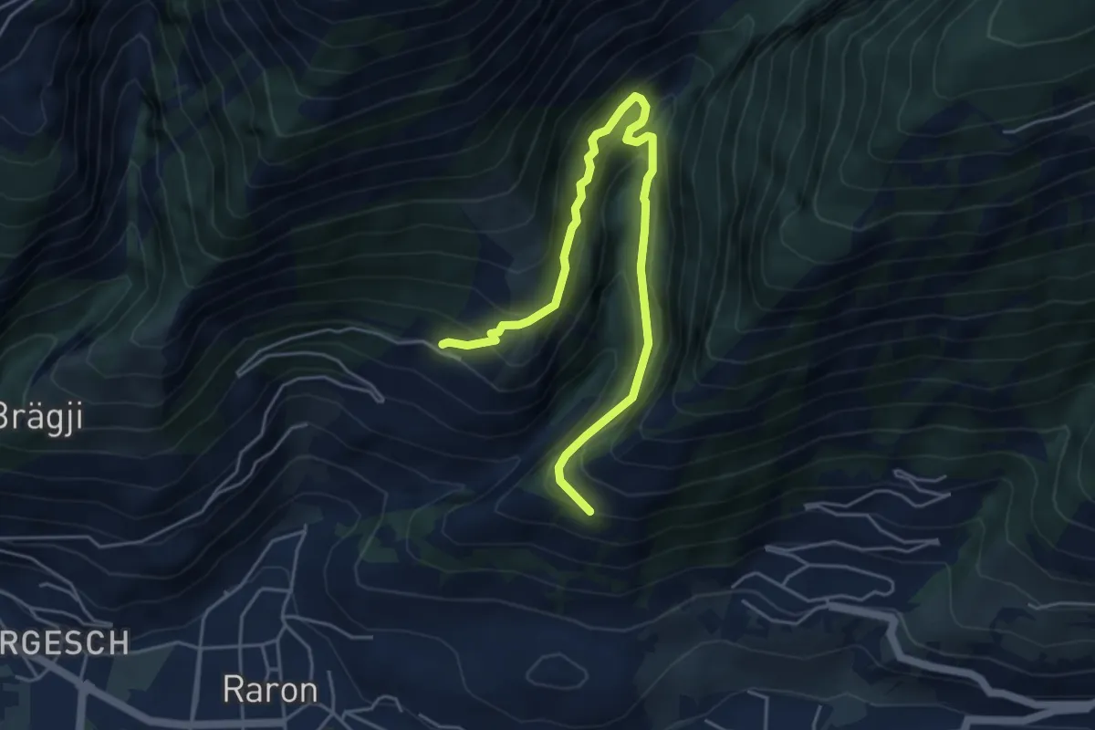
Demanding · Trail
Rarnerchumma – Riedgarto
5.4 km · ↑ 551 m · 2 h 29 min
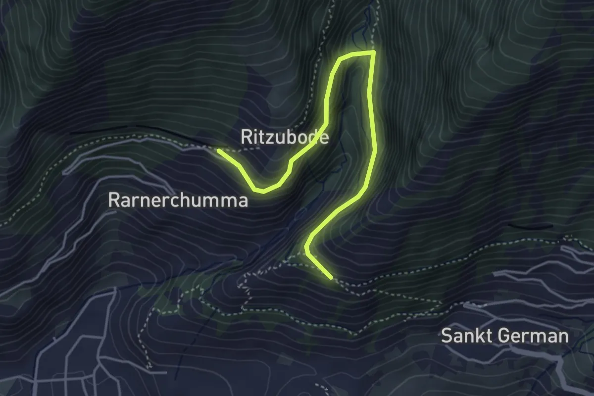
Medium · Trail
Rarnerchumma – Riedgarto
4.2 km · ↑ 420 m · 1 h 55 min
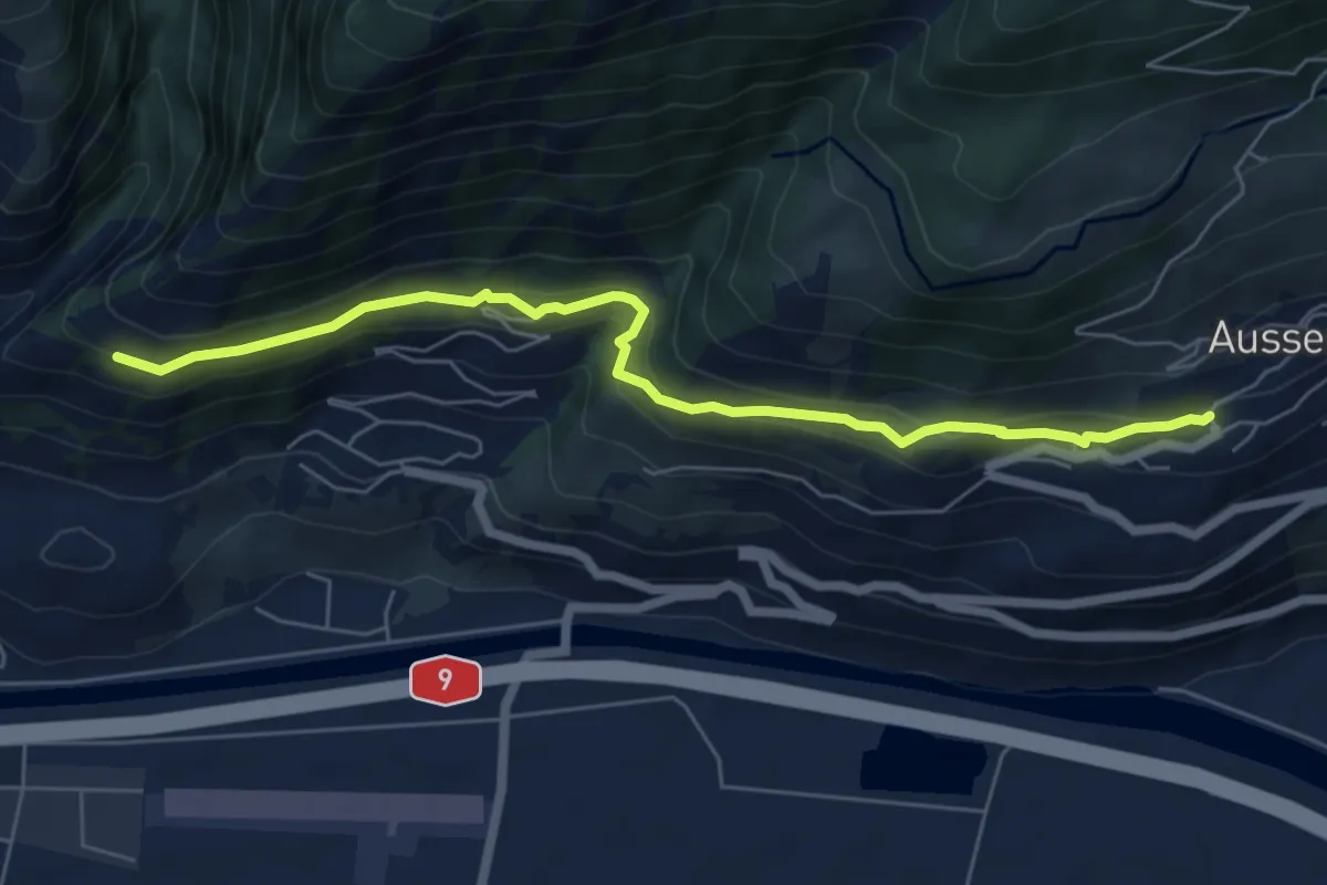
Easy · Trail
Riedgarto – Ausserberg
6.5 km · ↑ 278 m · 2 h 9 min
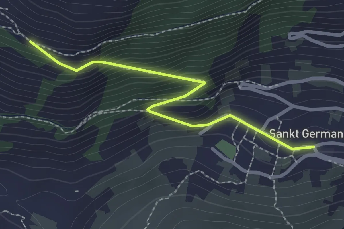
Easy · Trail
Riedgarto – St. German
2.2 km · ↑ 202 m · 58 min
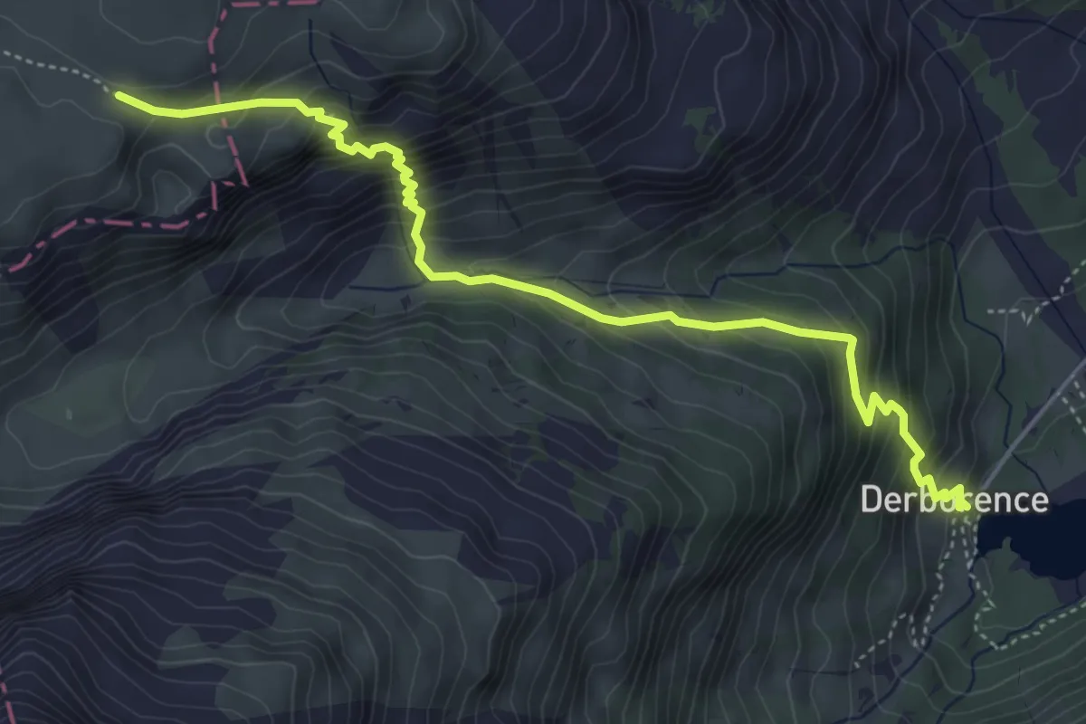
Medium · Cabin
Derborence – Pas de Cheville
5.4 km · ↑ 593 m · 2 h 34 min
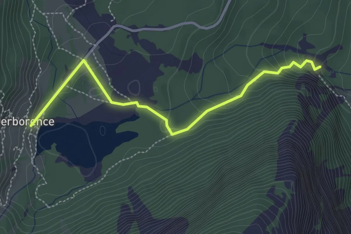
Easy · Cabin
Derborence – Le Godey
2.9 km · ↑ 115 m · 56 min
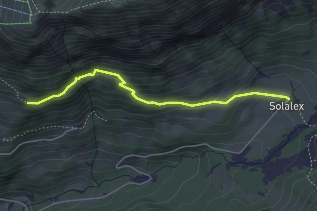
Easy · Trail
Solalex – Les Chaux
3.8 km · ↑ 273 m · 1 h 30 min
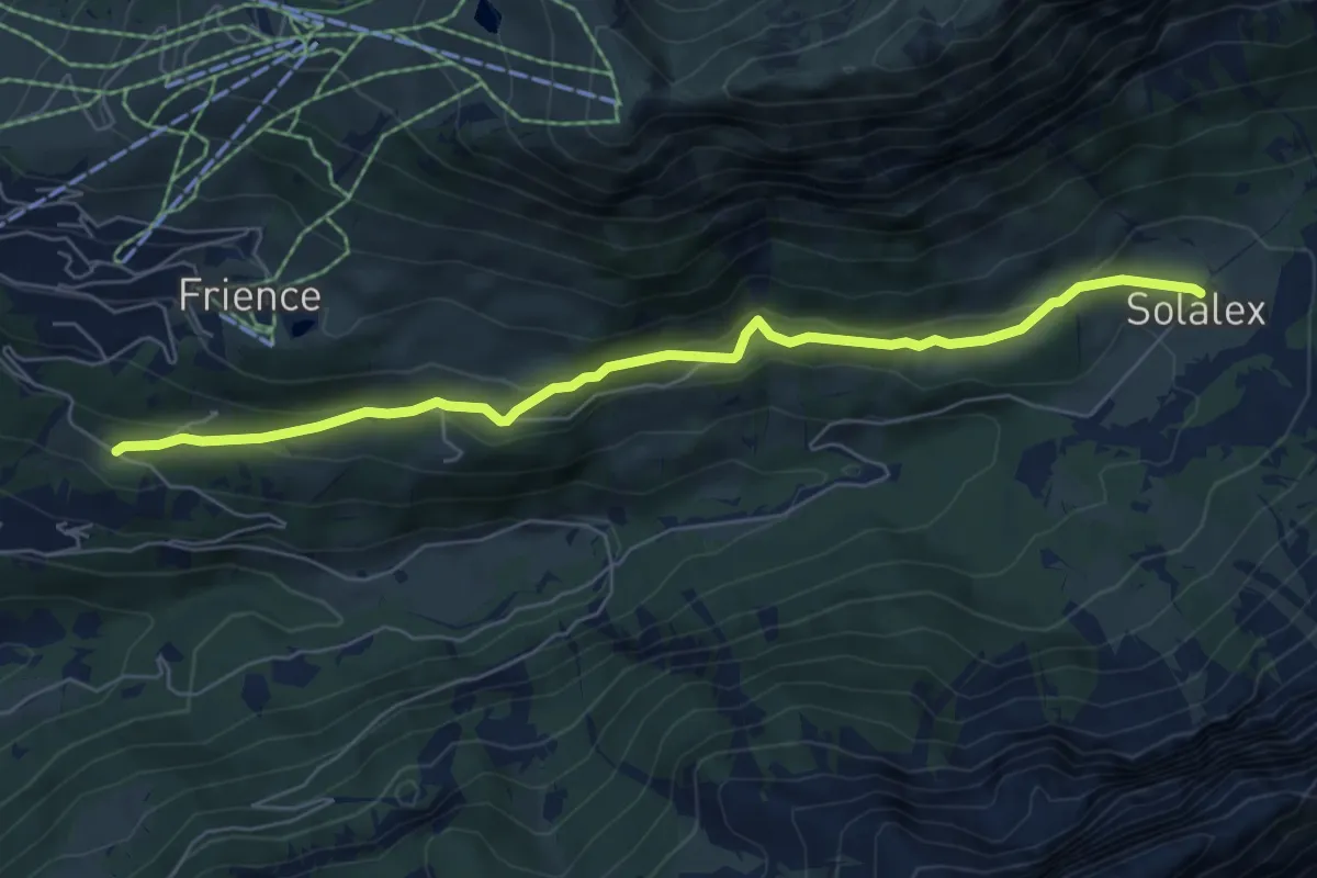
Easy · Trail
Solalex – Les Ernets
6.5 km · ↑ 299 m · 2 h 12 min
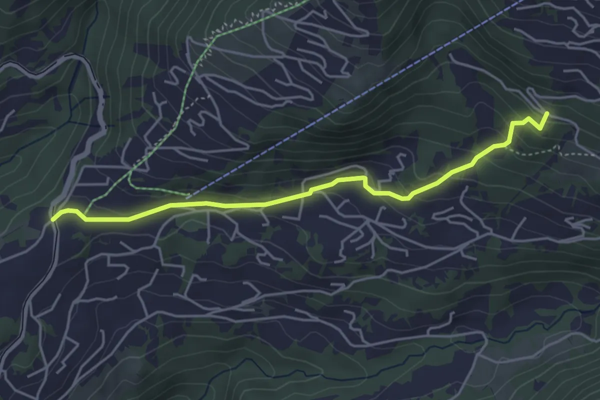
Easy · Trail
La Barboleusaz – Frience/Alpe des Chaux?
4.3 km · ↑ 198 m · 1 h 27 min
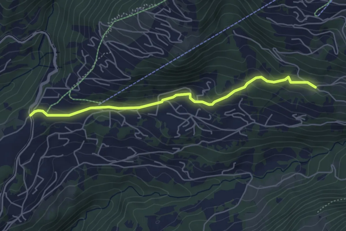
Easy · Trail
La Barboleusaz – Les Ernets
4.6 km · ↑ 190 m · 1 h 31 min
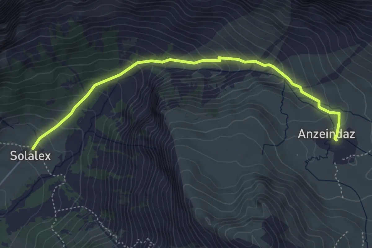
Medium · Cabin
Anzeindaz – Solalex
4.9 km · ↑ 416 m · 2 h 4 min
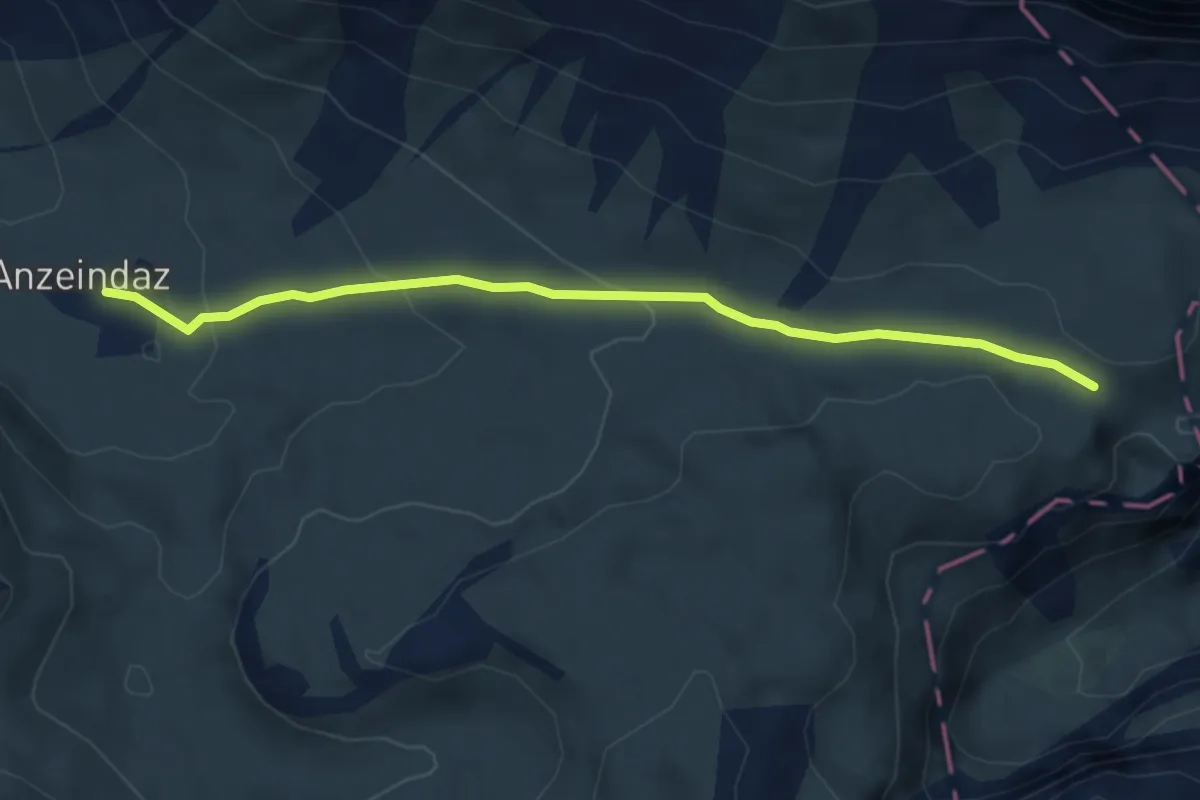
Medium · Cabin
Pas de Cheville – Anzeindaz
4.7 km · ↑ 155 m · 1 h 27 min
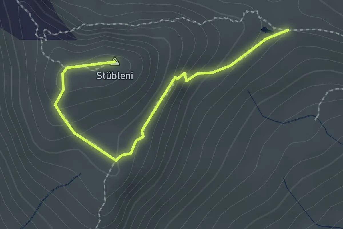
Medium · Summit
Gryde – Stübleni
2.1 km · ↑ 96 m · 43 min
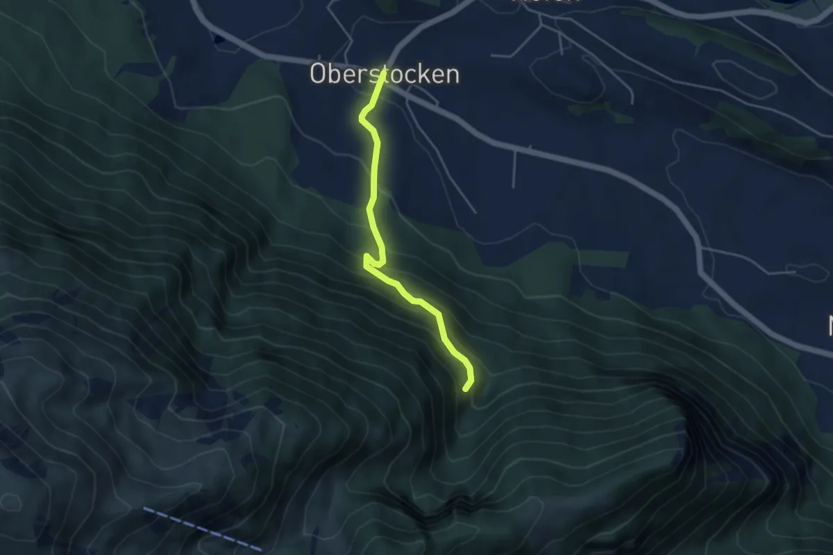
Medium · Trail
Oberstocken – Schwand
3.8 km · ↑ 356 m · 1 h 40 min
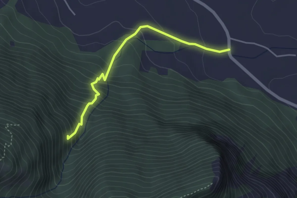
Medium · Trail
Niederstocken – Schwand
3.4 km · ↑ 382 m · 1 h 38 min
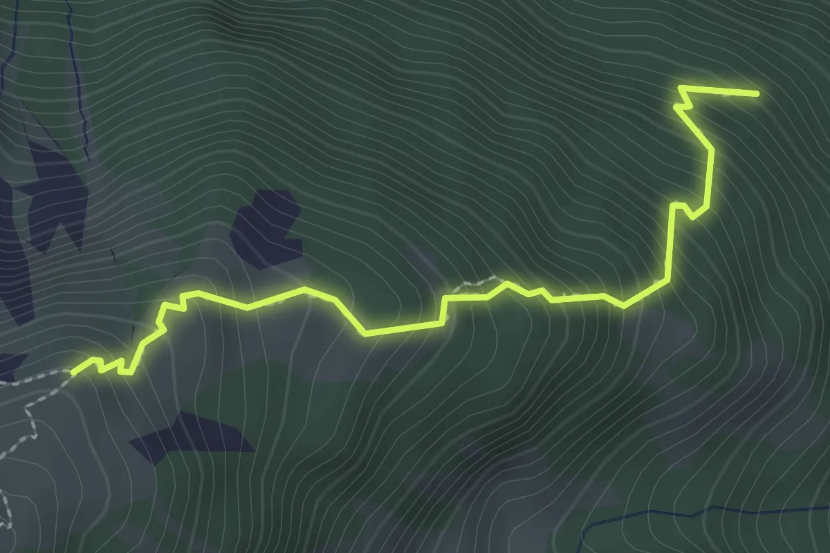
Medium · Trail
Nesselboden – Vorderälplital
2.5 km · ↑ 398 m · 1 h 27 min
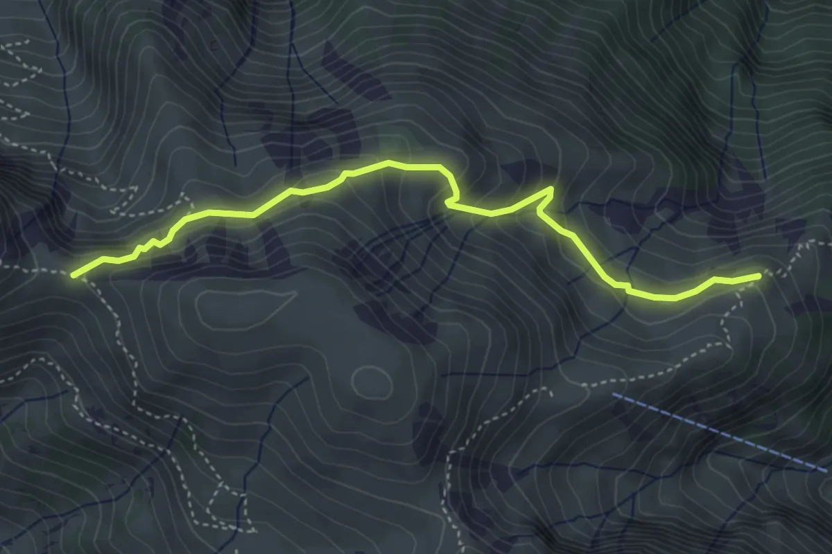
Medium · Trail
Vorderälpital – Walalpgrat
4.4 km · ↑ 260 m · 1 h 36 min
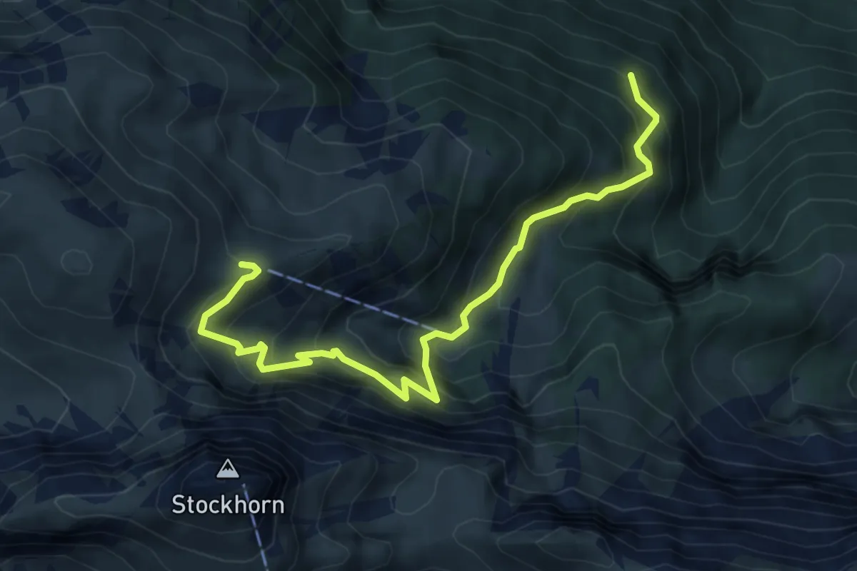
Medium · Trail
Nesselboden – Ober Baach
6.1 km · ↑ 719 m · 2 h 59 min
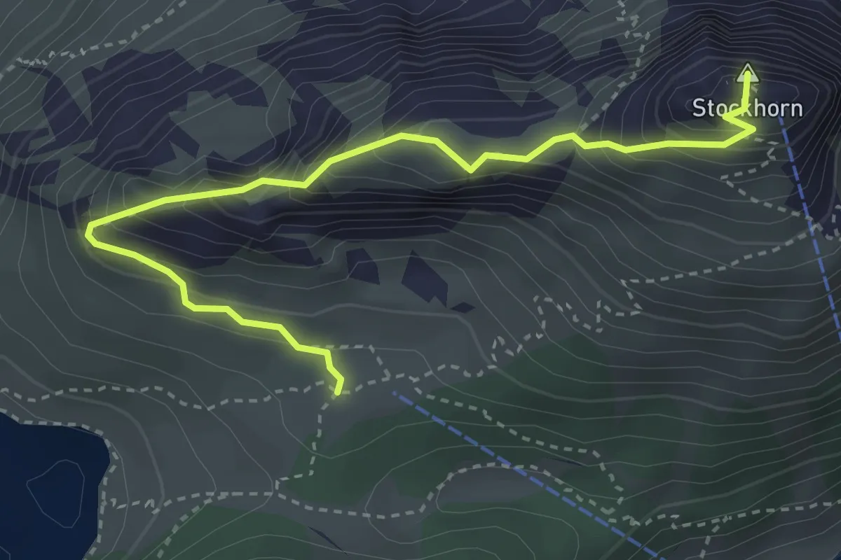
Demanding · Summit
Stockhorn – Oberstockenalp
3.9 km · ↑ 392 m · 1 h 46 min
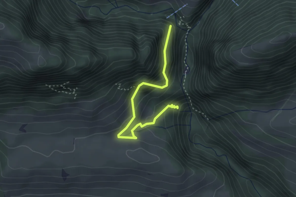
Easy · Trail
Ehem. Weissenburgbad – Leiterenweideni
3.2 km · ↑ 271 m · 1 h 21 min
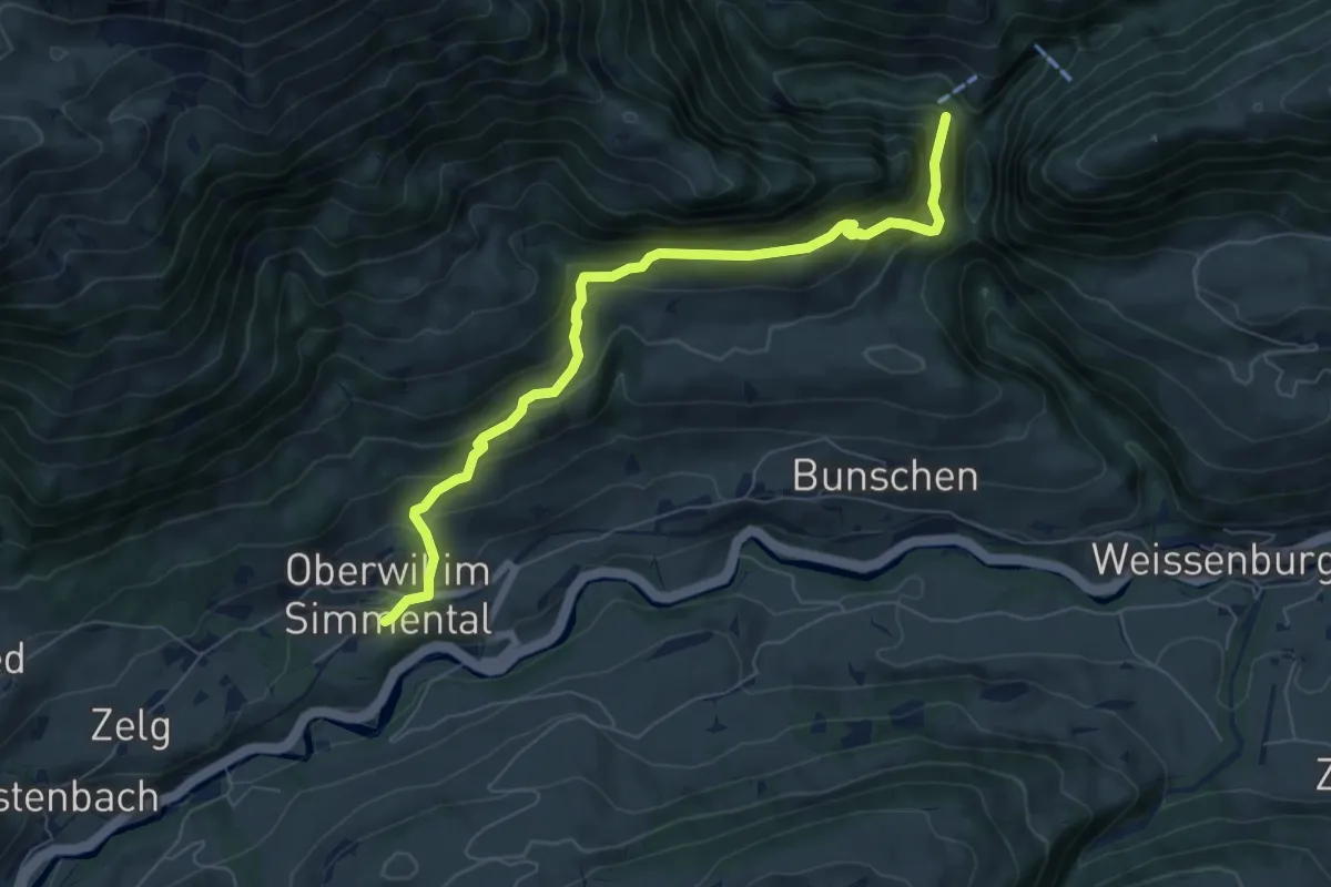
Medium · Trail
Leiterenweideni – Oberwil
7.1 km · ↑ 486 m · 2 h 44 min
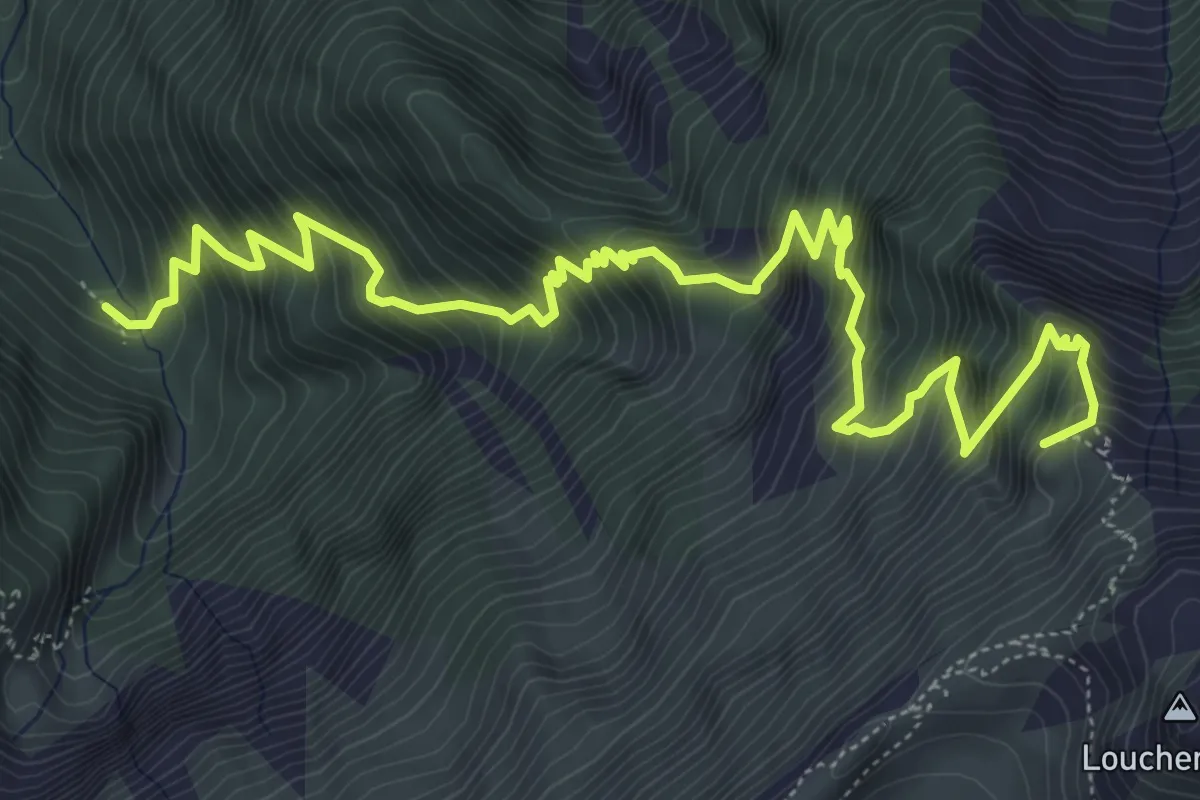
Demanding · Summit
Bannwald – Louchera Grätli
7.9 km · ↑ 1138 m · 4 h 20 min
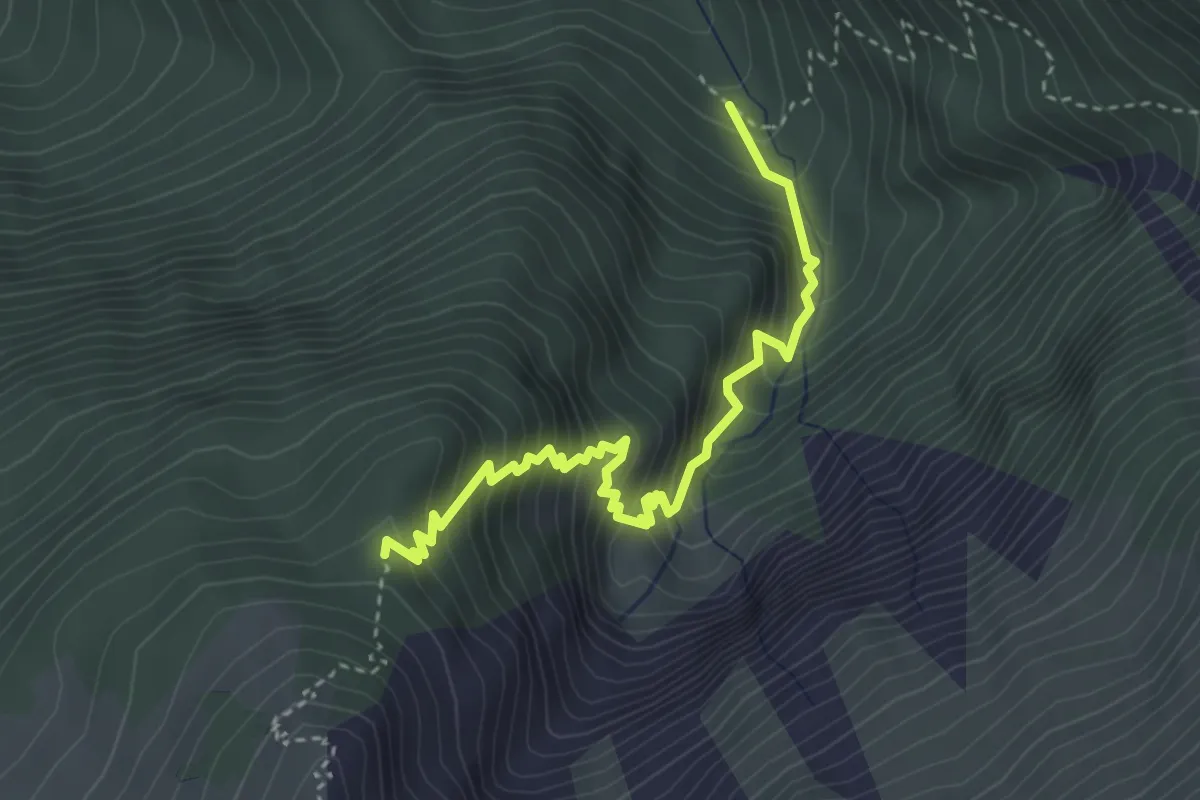
Demanding · Trail
Bannwald – Rotmoos
3.8 km · ↑ 513 m · 2 h
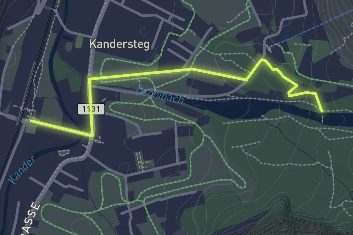
Easy · Trail
Kandersteg – Öschiwald
2.8 km · ↑ 48 m · 46 min
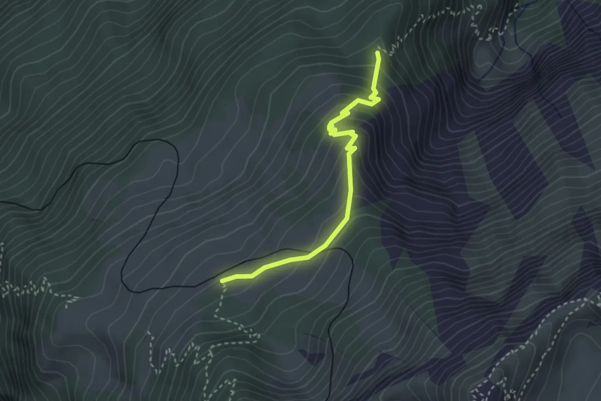
Medium · Trail
Rotmoos – Breitlauenen
3.0 km · ↑ 274 m · 1 h 17 min
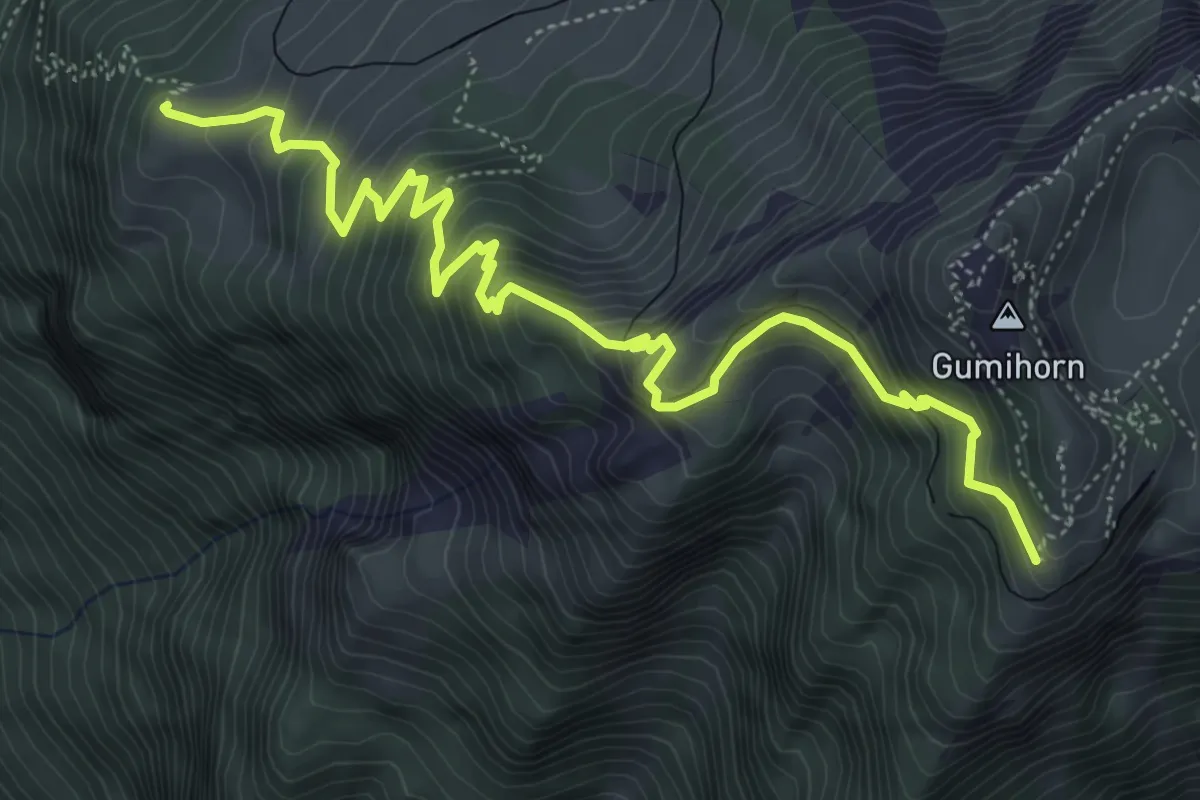
Medium · Trail
Schönegg – Schynige Platte
6.4 km · ↑ 613 m · 2 h 50 min
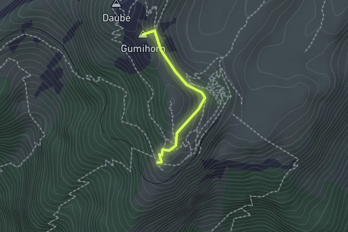
Medium · Summit
Schynige Platte – Grat
1.3 km · ↑ 103 m · 32 min
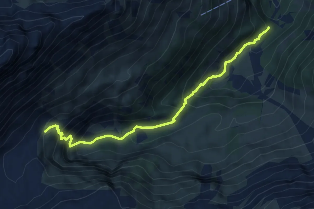
Medium · Trail
Berkwerk – Wilde Egg
5.9 km · ↑ 515 m · 2 h 31 min