Trails in Switzerland
15,055 hiking trails, each with its route, climb, walking time and grade.
All trails, page 153 of 314
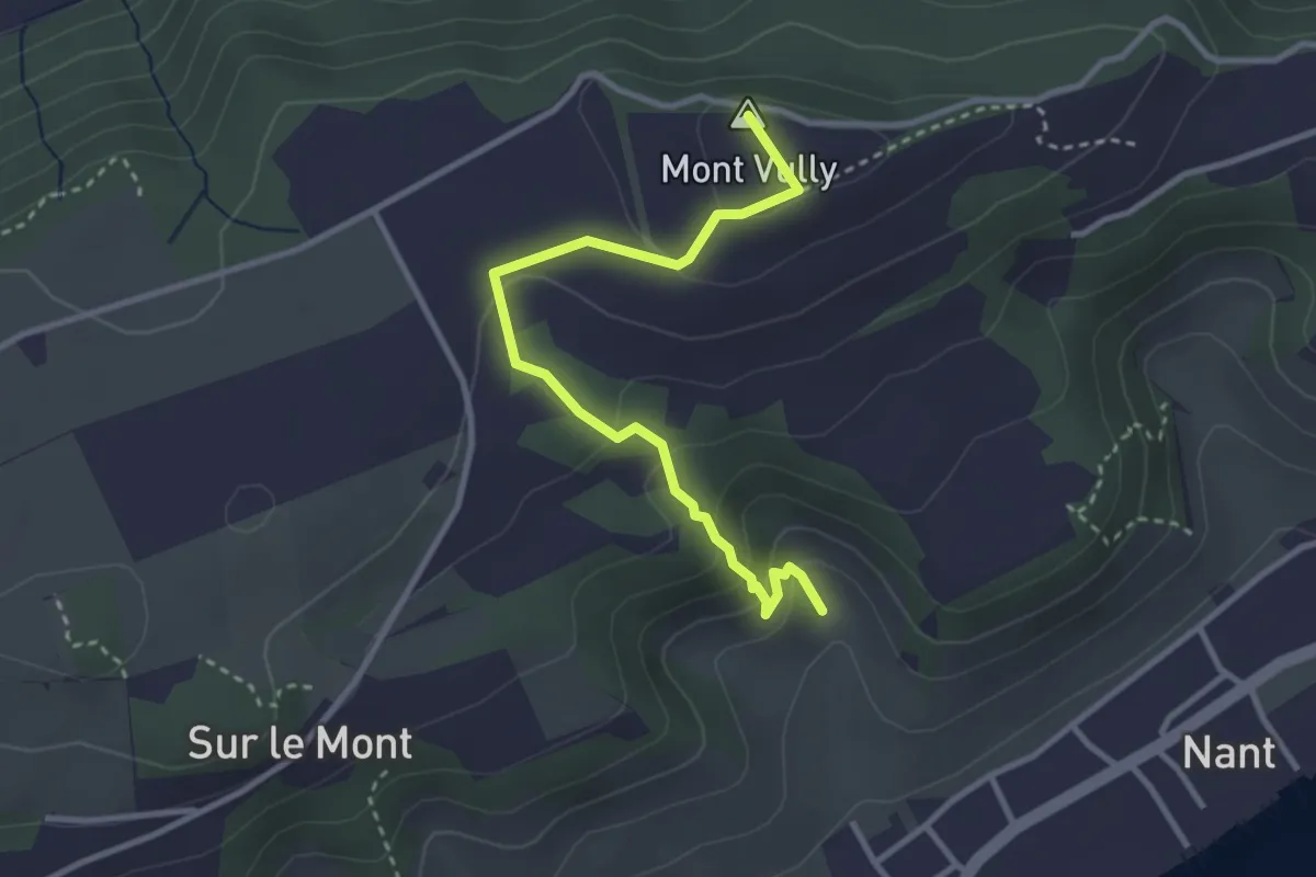
Easy · Summit
Creux-de-Praz – Mont Vully
3.2 km · ↑ 189 m · 1 h 10 min
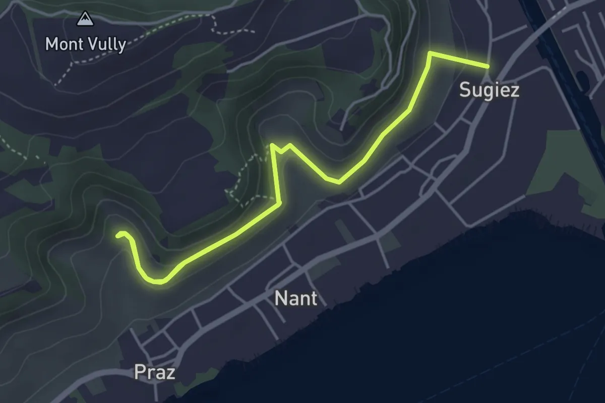
Easy · Trail
Sugiez – Creux-de-Praz
5.6 km · ↑ 265 m · 1 h 54 min
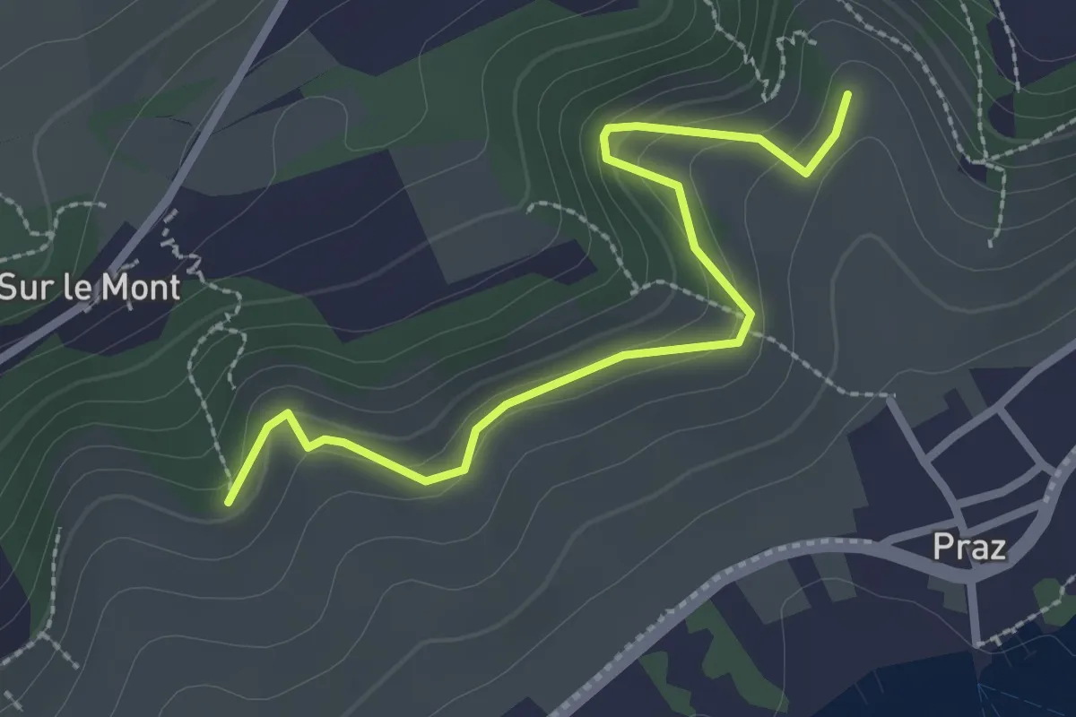
Easy · Trail
Roches Grises – Creux-de-Praz
2.6 km · ↑ 136 m · 55 min
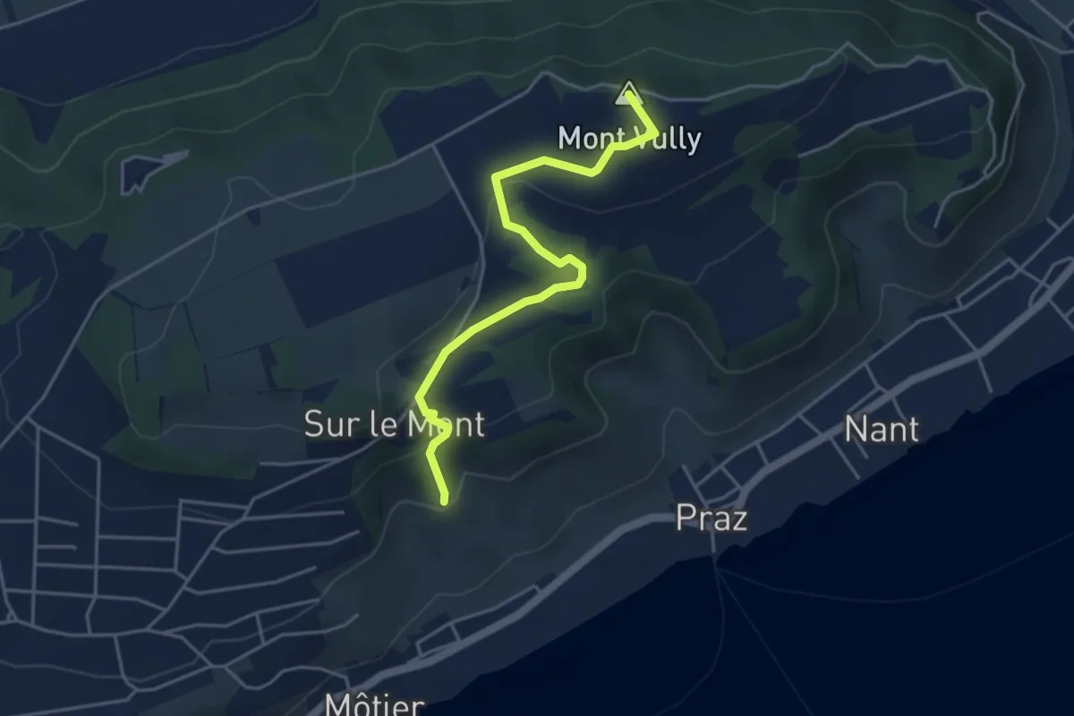
Easy · Summit
Roches Grises – Mont Vully
4.3 km · ↑ 159 m · 1 h 21 min
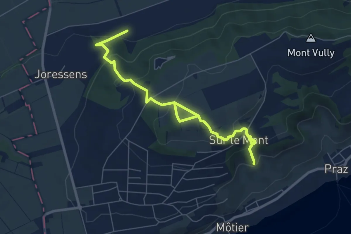
Medium · Trail
Roches Grises – La Sauge
7.9 km · ↑ 406 m · 2 h 45 min
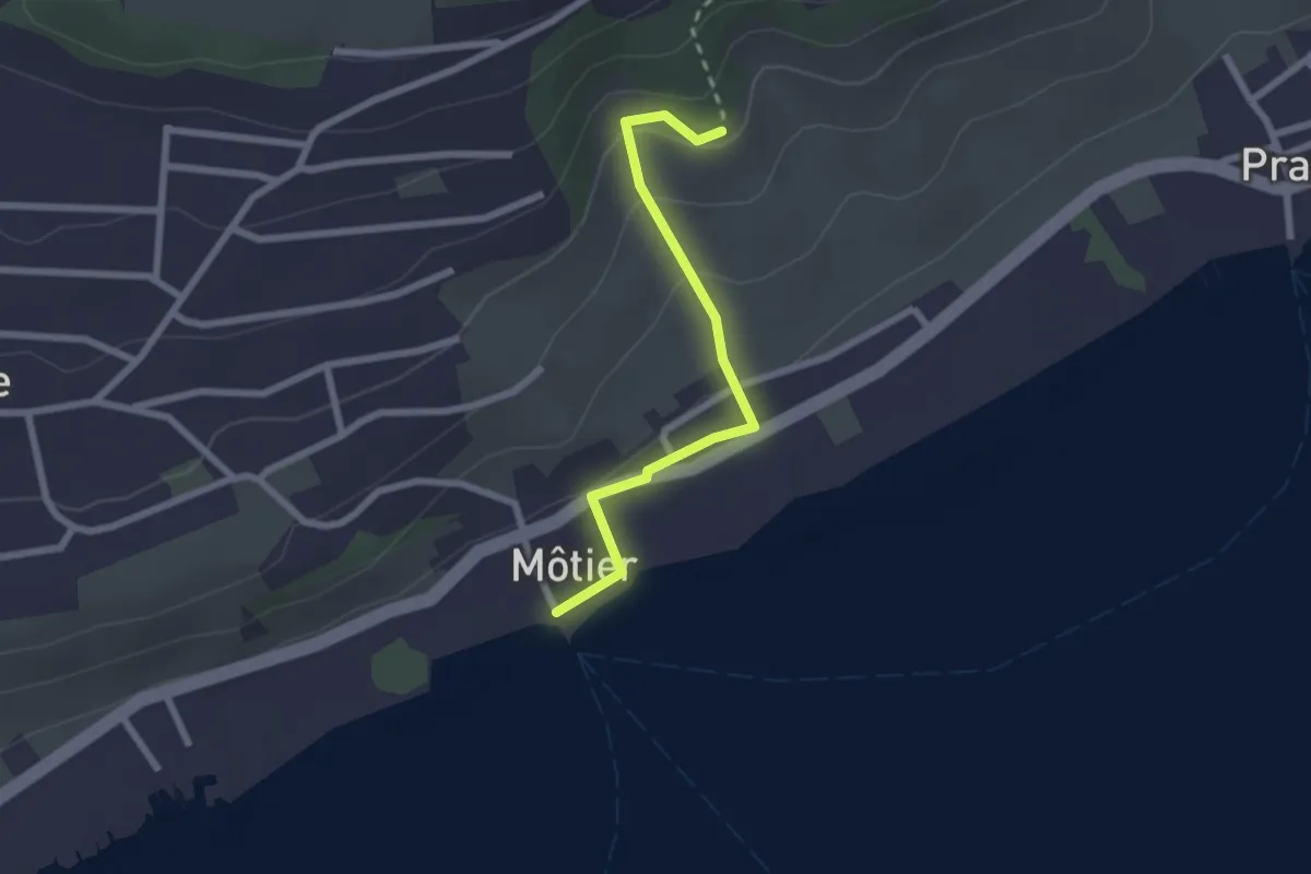
Easy · Trail
Roches Grises – Môtier Port
2.2 km · ↑ 104 m · 44 min
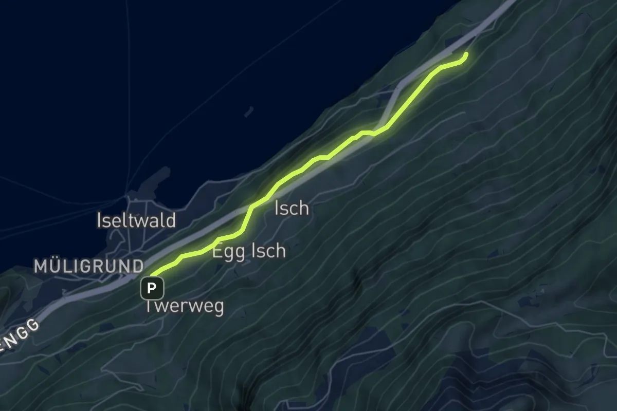
Medium · Trail
Mülibachfall – Pt. 700
5.1 km · ↑ 348 m · 1 h 58 min
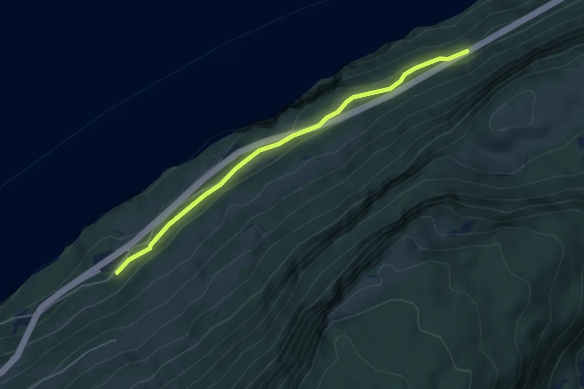
Easy · Trail
Pt. 700 – Underholz
4.5 km · ↑ 187 m · 1 h 28 min
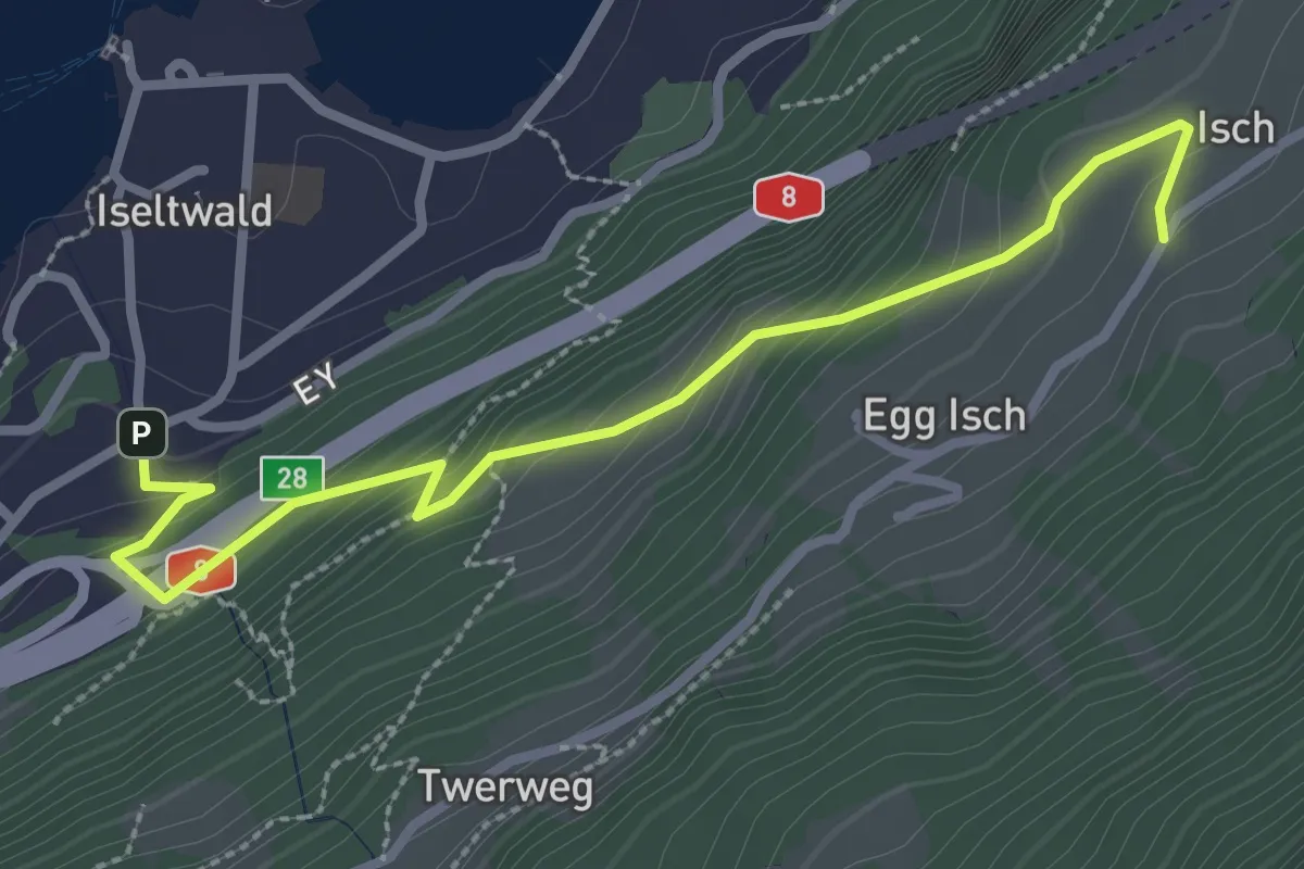
Easy · Trail
Iseltwald – Isch
3.1 km · ↑ 260 m · 1 h 17 min
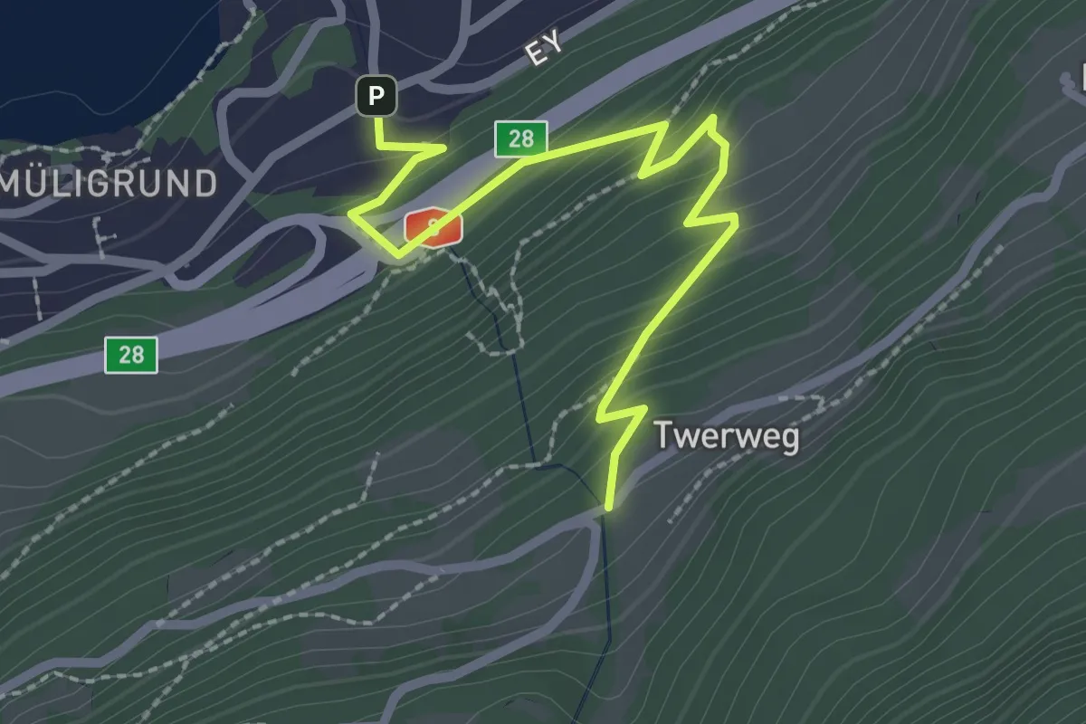
Easy · Trail
Iseltwald – Werzisboden
2.5 km · ↑ 265 m · 1 h 10 min
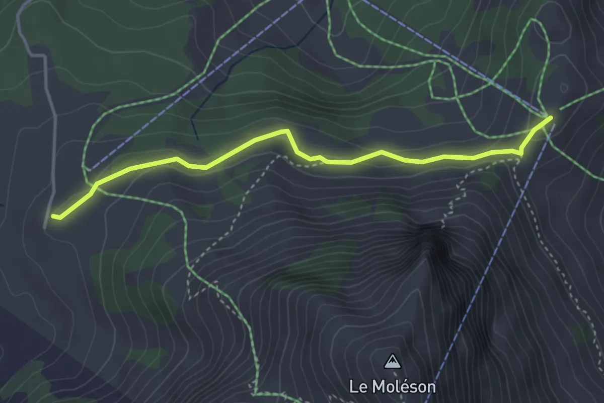
Medium · Cabin
Plan-Francey – Gros-Plané
3.5 km · ↑ 133 m · 1 h 7 min
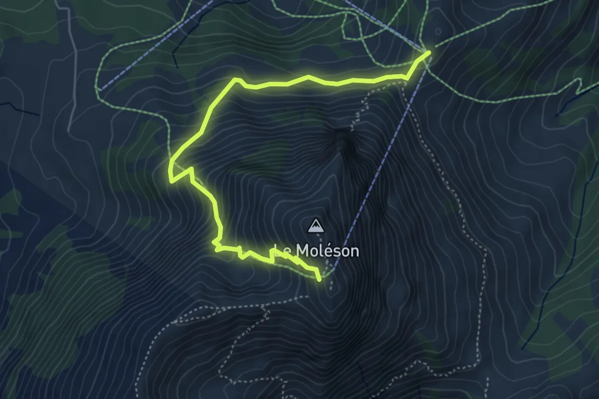
Medium · Trail
Plan-Francey – Moléson
5.4 km · ↑ 548 m · 2 h 27 min
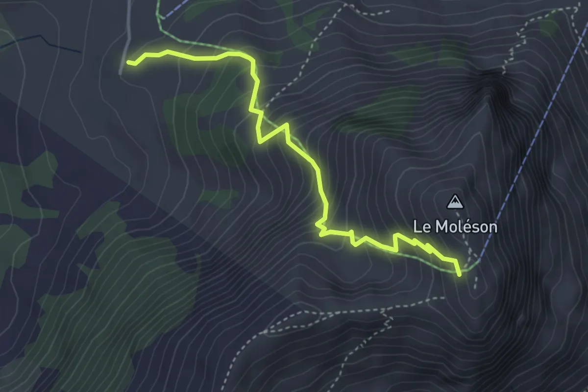
Medium · Cabin
Gros-Plané – Moléson
3.9 km · ↑ 468 m · 1 h 55 min
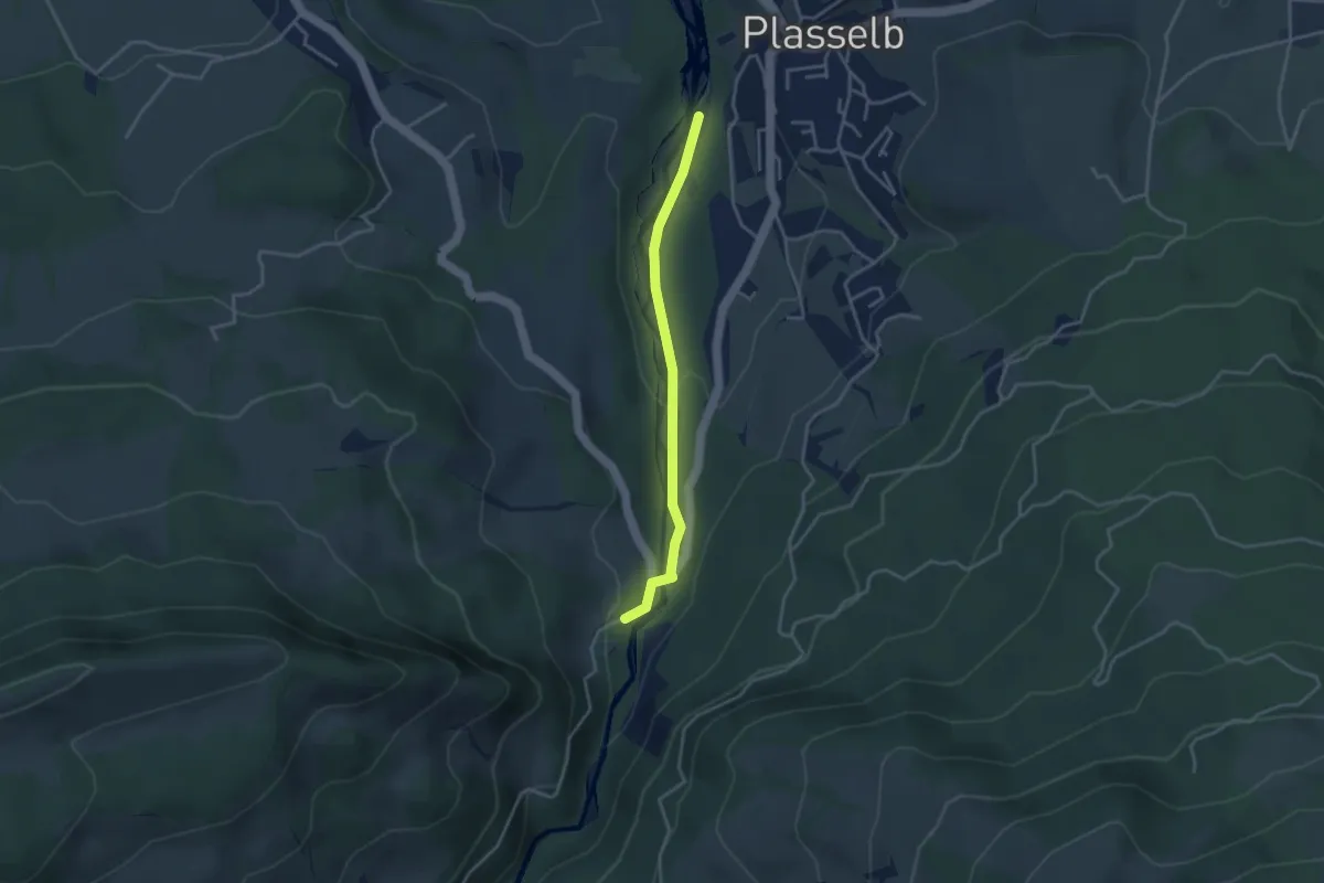
Easy · Trail
Plasselb Ärgerabrücke – Roggeli
3.3 km · ↑ 87 m · 57 min
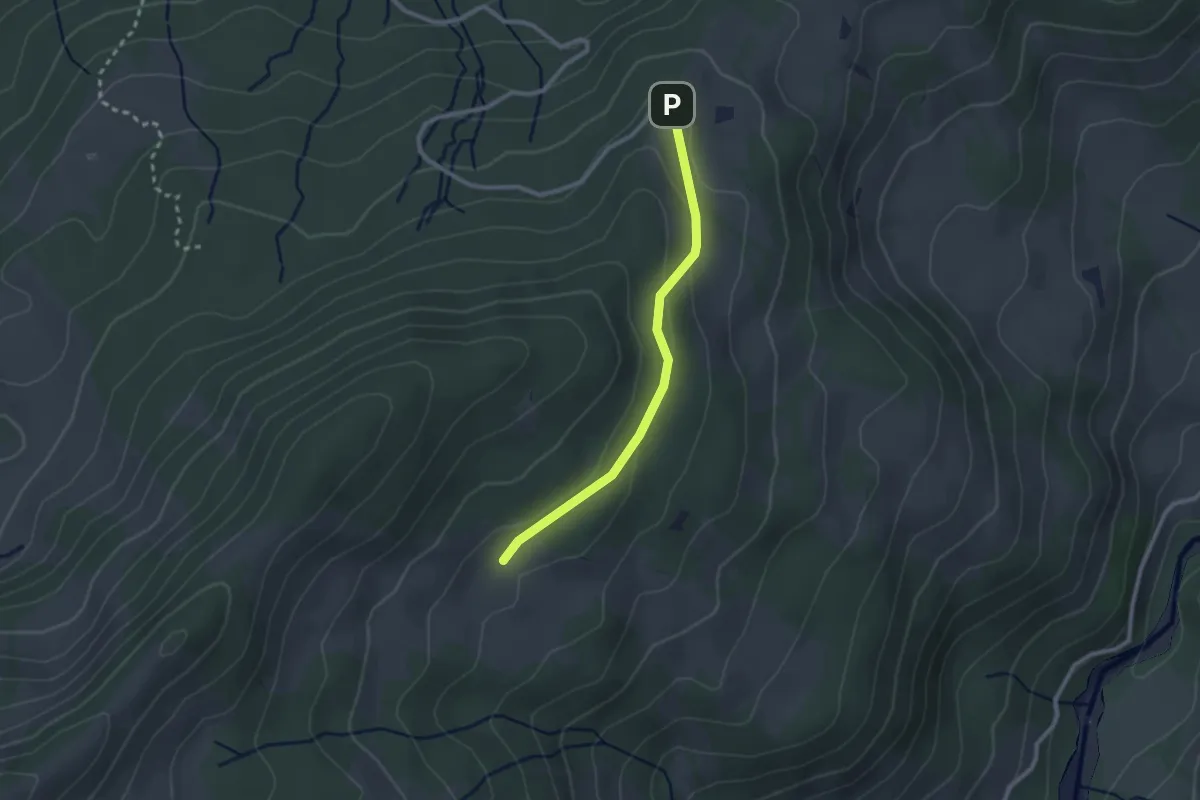
Easy · Cabin
Crau – Wusta
2.3 km · ↑ 68 m · 41 min
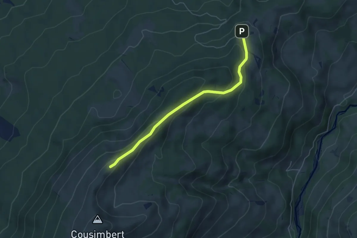
Easy · Cabin
Crau – Gros Cousimbert Käsenberg
4.9 km · ↑ 227 m · 1 h 39 min
Easy · Summit
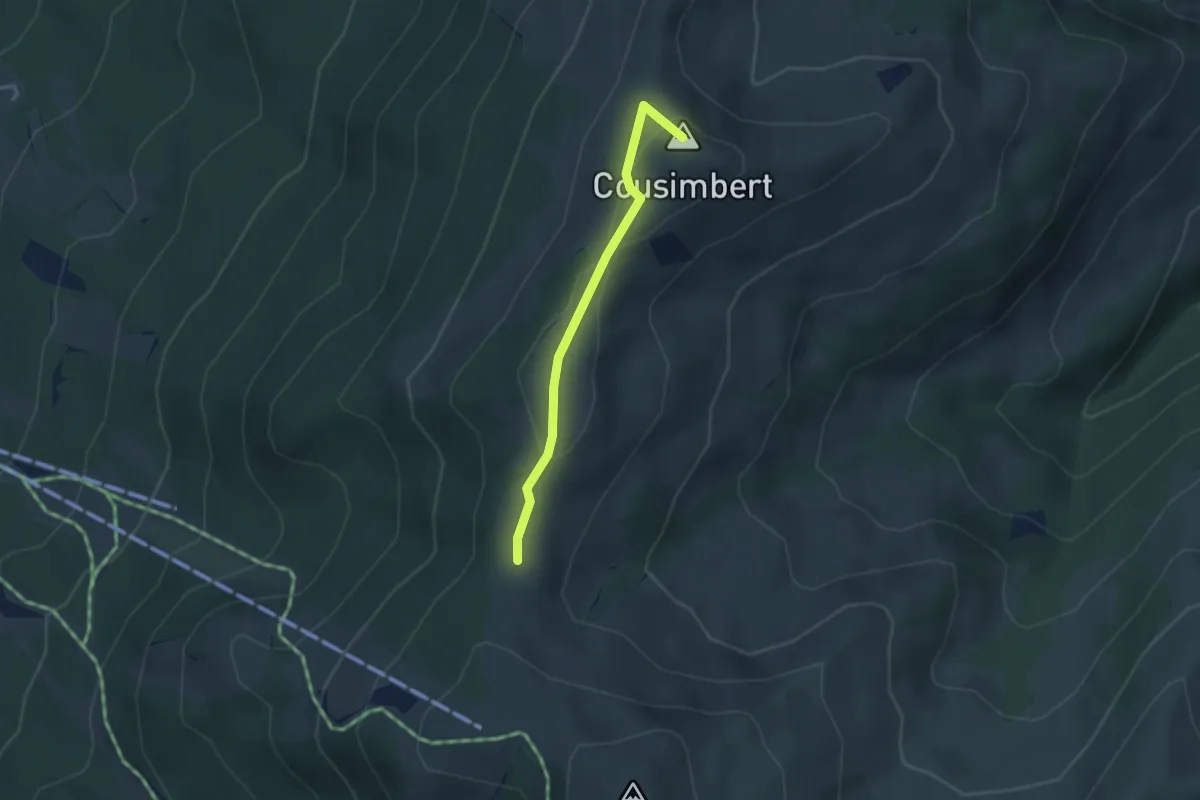
Gros Cousimbert Käsenberg – Supillette
2.9 km · ↑ 141 m · 1 h
Easy · Cabin
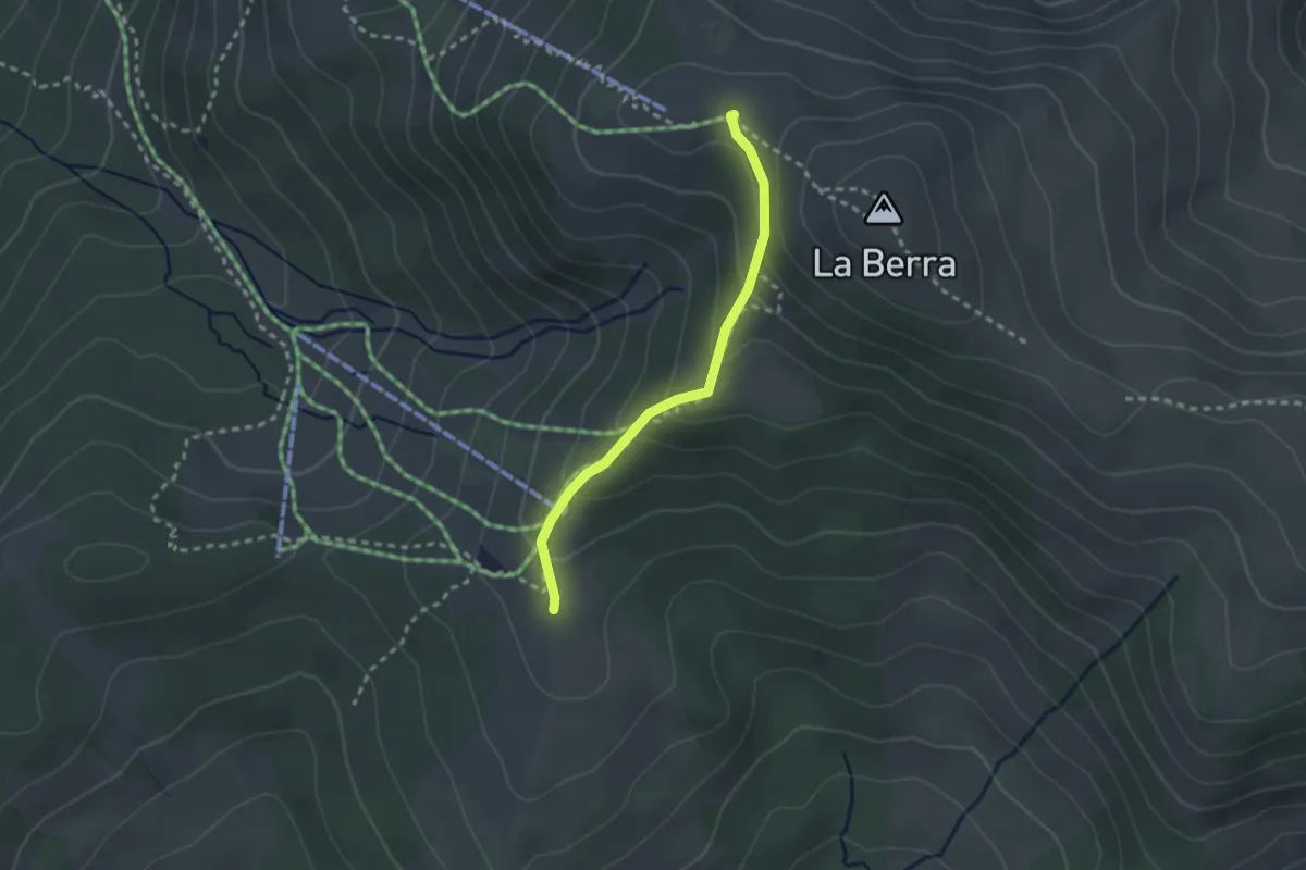
La Berra Chalet – Gîte d'Allières
2.3 km · ↑ 146 m · 51 min
Easy · Trail
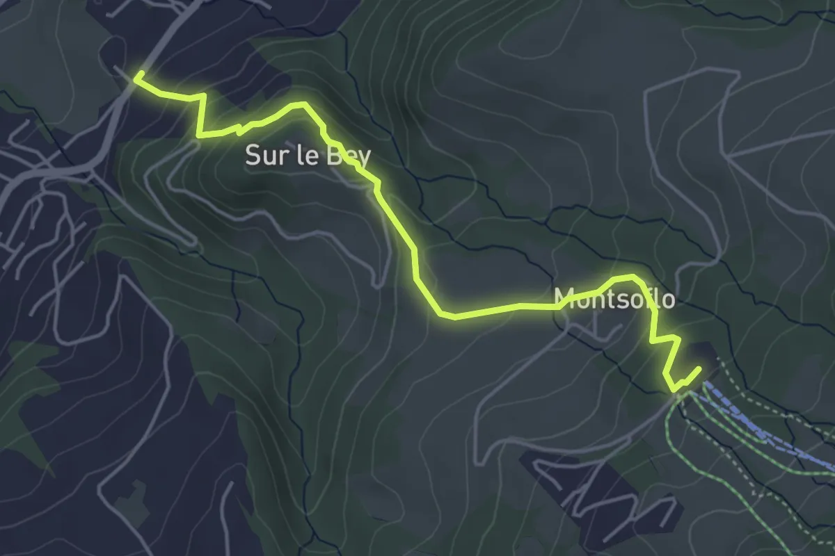
Le Brand – La Roche Eglise
4.9 km · ↑ 303 m · 1 h 48 min
Medium · Summit
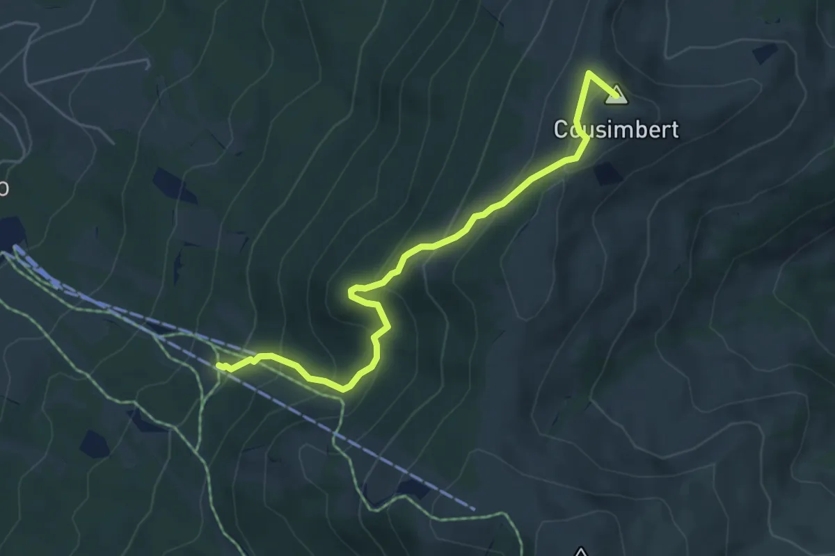
Gros Cousimbert Käsenberg – La Tschaka
5.2 km · ↑ 453 m · 2 h 13 min
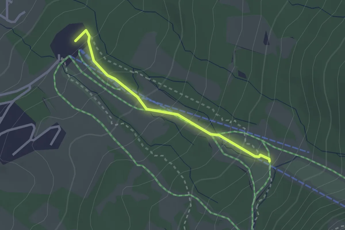
Easy · Trail
Le Brand – La Tschaka
2.1 km · ↑ 188 m · 55 min
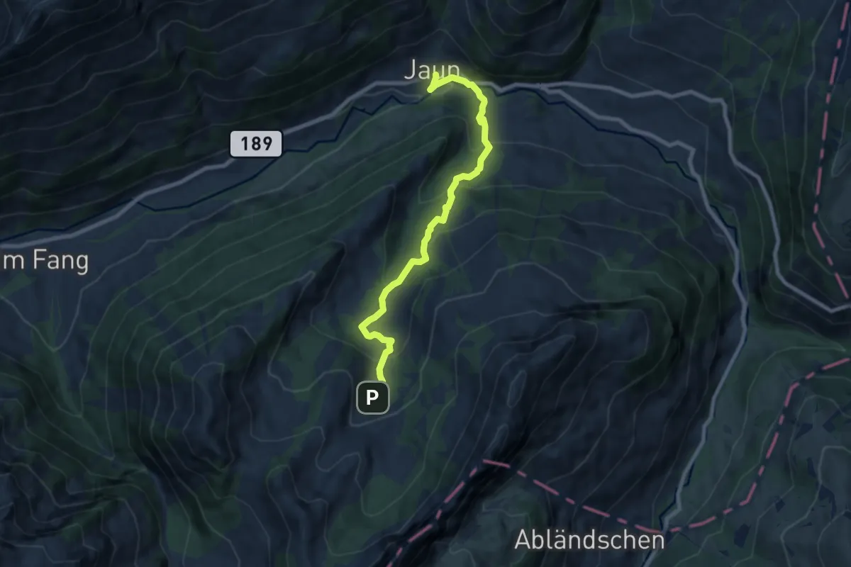
Medium · Trail
Jaun – Sattel
7.7 km · ↑ 498 m · 2 h 54 min
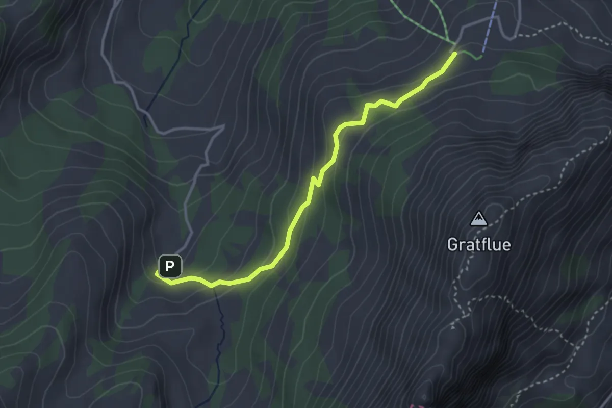
Easy · Cabin
Sattel – Musersbergli
3.3 km · ↑ 175 m · 1 h 10 min
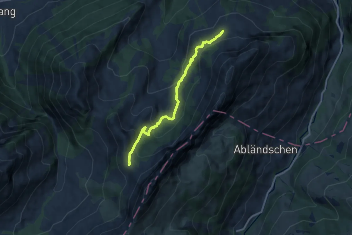
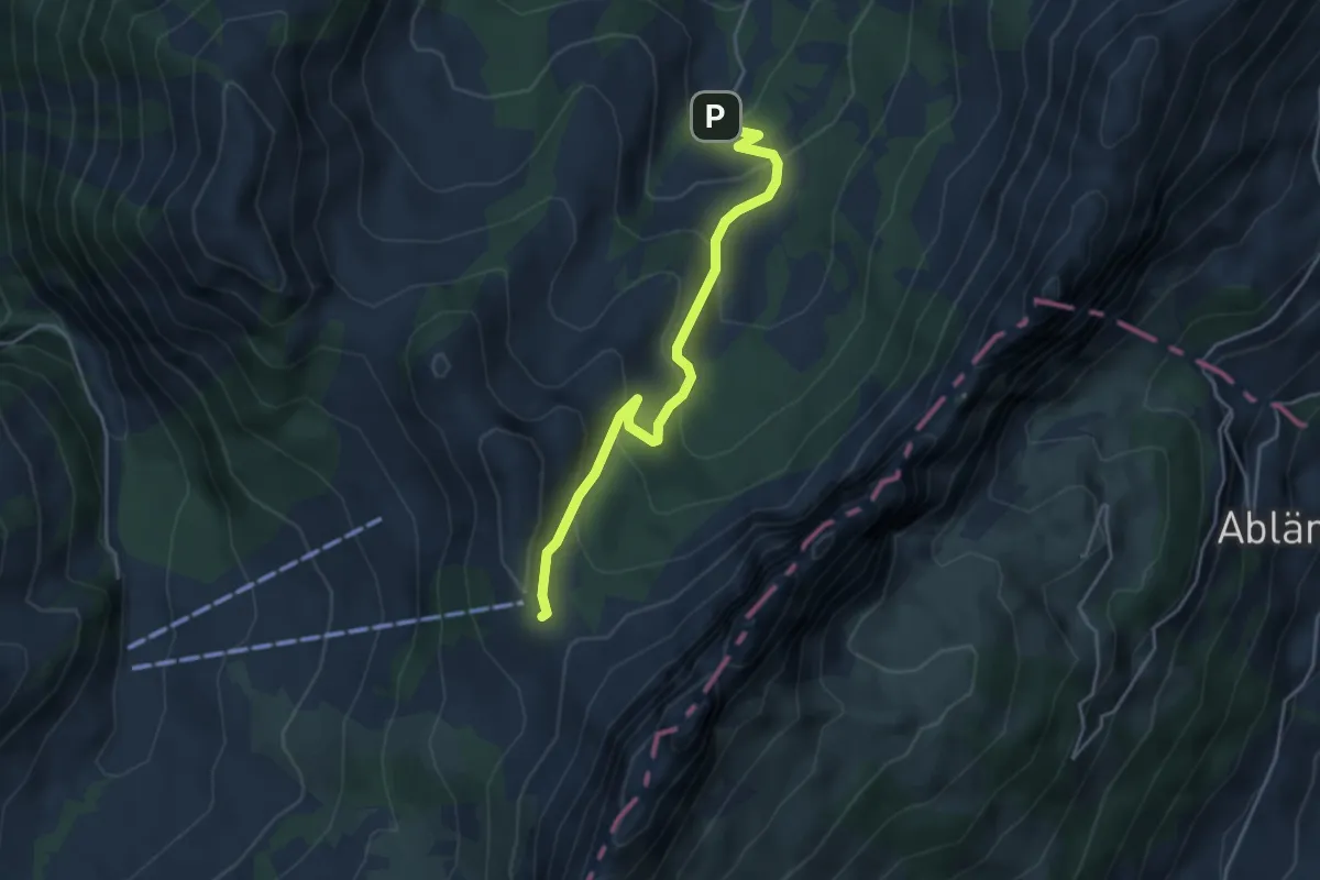
Medium · Cabin
Musersbergli – Soldatenhaus
6.5 km · ↑ 382 m · 2 h 22 min
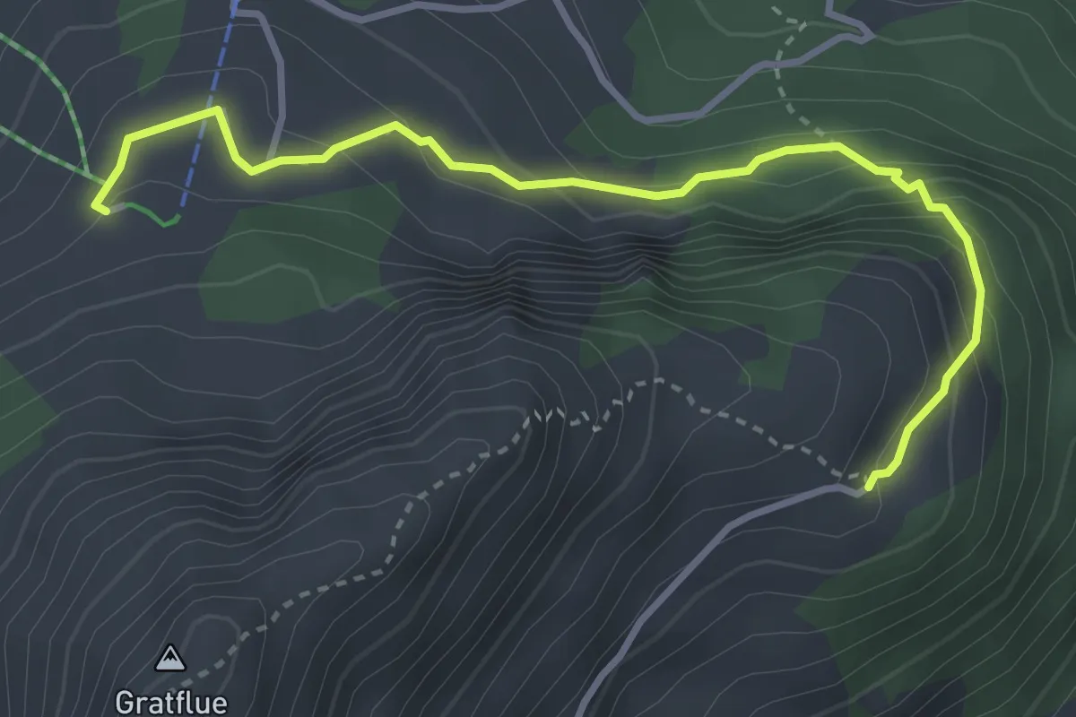
Easy · Cabin
Sattel – Soldatenhaus
4.3 km · ↑ 311 m · 1 h 41 min
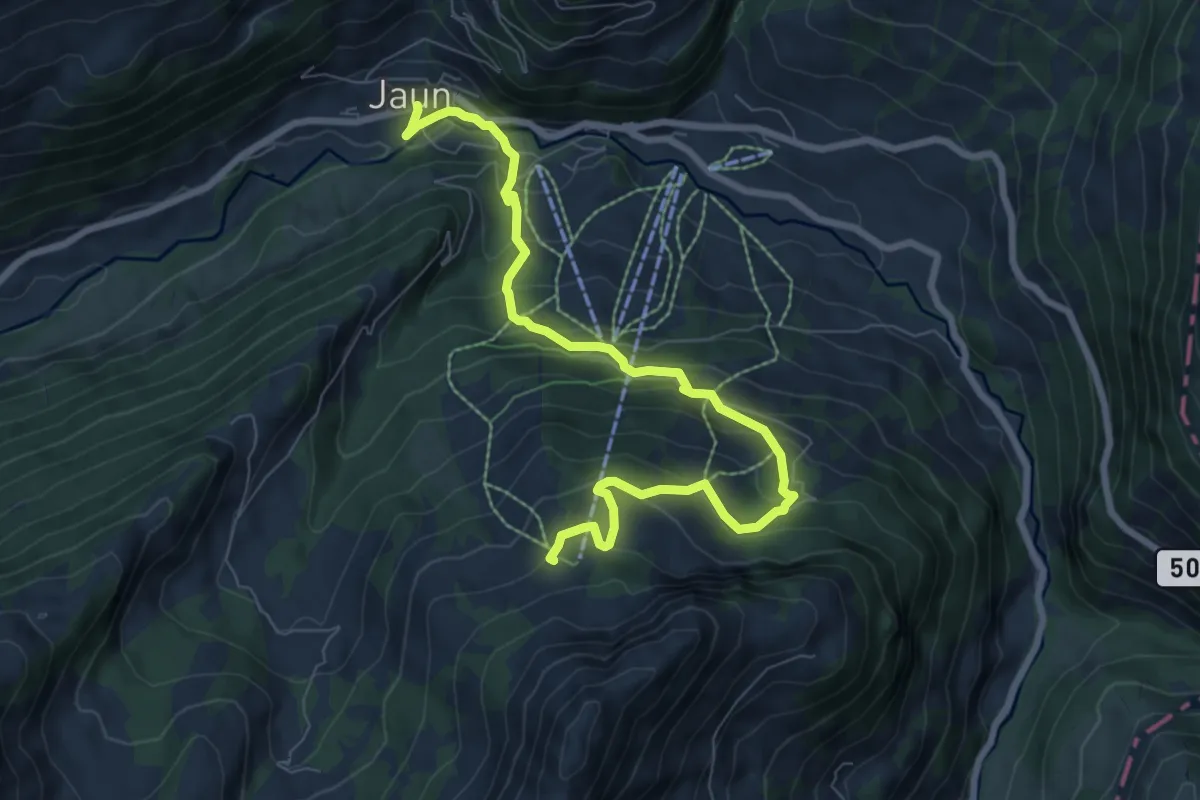
Medium · Cabin
Musersbergli – Grat
3.6 km · ↑ 276 m · 1 h 27 min
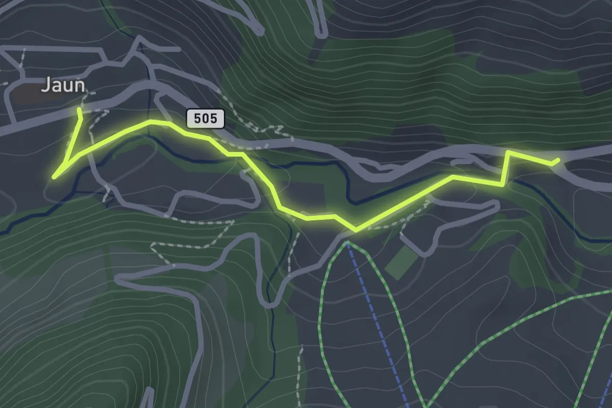
Medium · Cabin
Musersbergli – Jaun
8.7 km · ↑ 614 m · 3 h 23 min
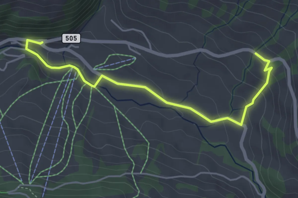
Easy · Trail
Jaun – Kappelboden
2.3 km · ↑ 88 m · 44 min
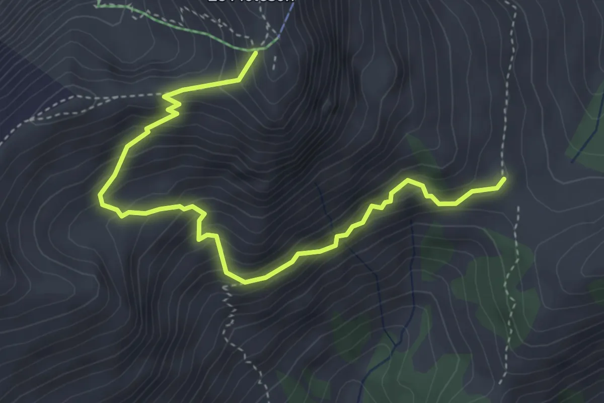
Easy · Trail
Kappelboden – In der Weid
4.3 km · ↑ 196 m · 1 h 27 min
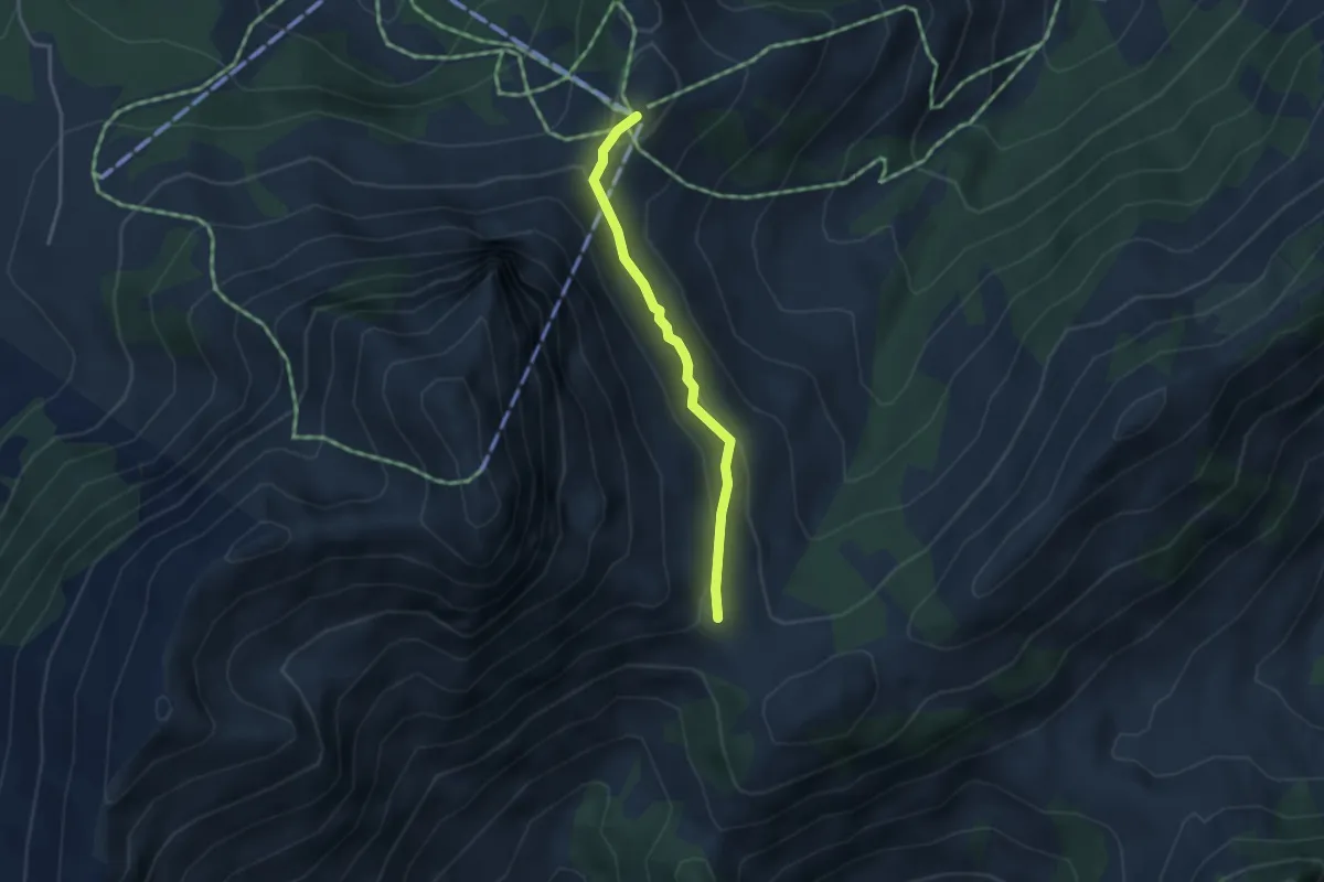
Medium · Trail
Moléson – Gros-Moléson
4.6 km · ↑ 515 m · 2 h 12 min
Medium · Trail
Plan-Francey – Gros-Moléson
3.1 km · ↑ 145 m · 1 h 2 min
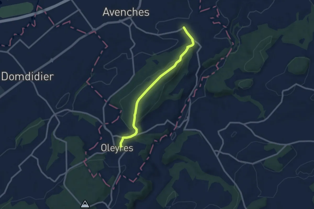
Easy · Trail
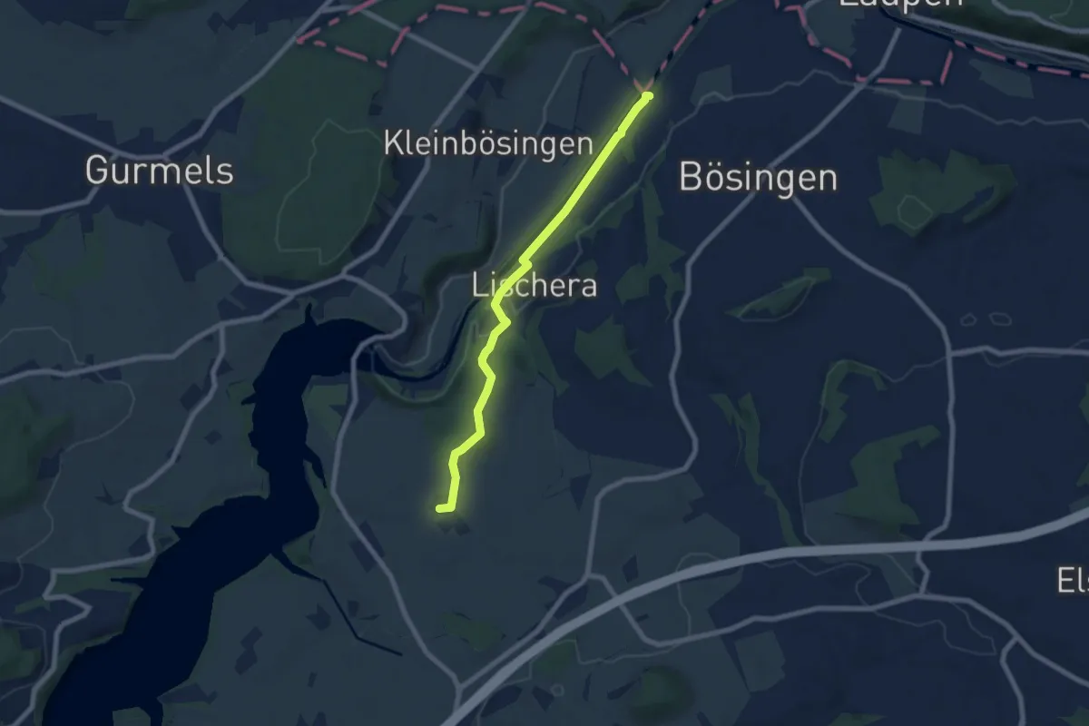
Donatyre – Oleyres
6.8 km · ↑ 219 m · 2 h 4 min
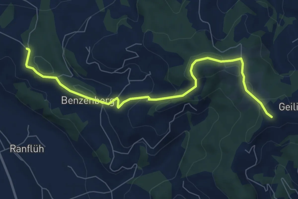
Easy · Trail
Auriedsteg – Schlattli
6.8 km · ↑ 102 m · 1 h 49 min
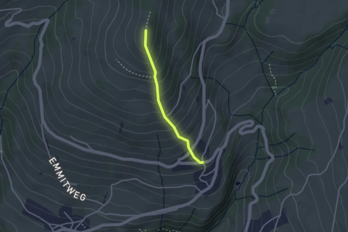
Easy · Trail
Ober Ramisberg – Geilisguetegg
7.1 km · ↑ 243 m · 2 h 12 min
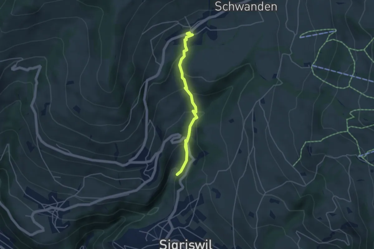
Easy · Trail
Margel – Tschingel
2.1 km · ↑ 261 m · 1 h 4 min
Easy · Trail
Grabemüli – Schwanden
4.0 km · ↑ 247 m · 1 h 28 min
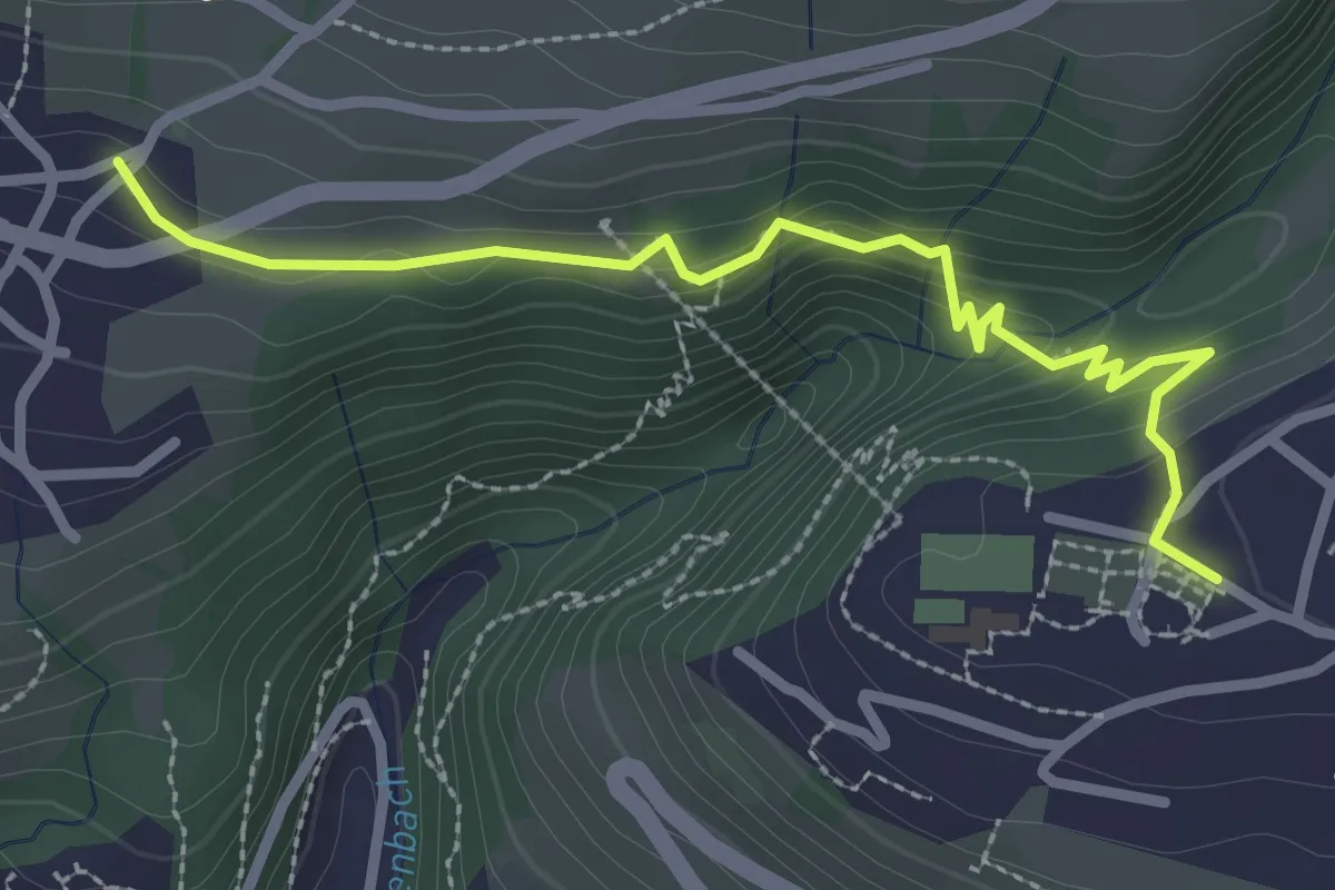
Easy · Trail
Sigriswil – Aeschlen
2.9 km · ↑ 133 m · 58 min
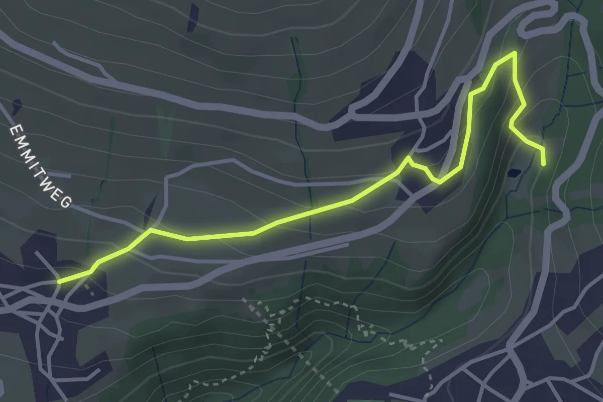
Easy · Trail
Grabemüli – Aeschlen
3.6 km · ↑ 216 m · 1 h 19 min
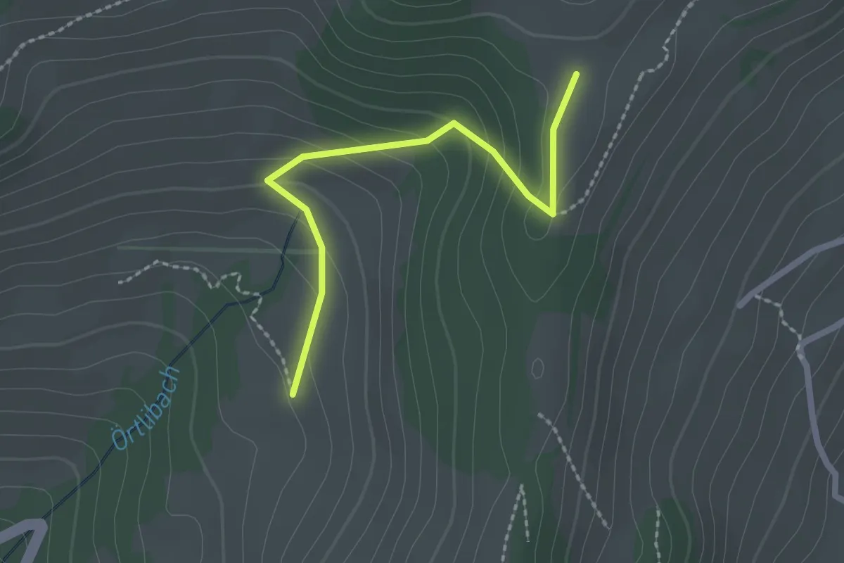
Easy · Trail
Margelsattel – Aeschlenallmi
2.1 km · ↑ 120 m · 45 min
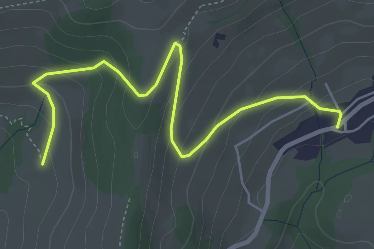
Easy · Trail
Aeschlenallmi – Schwanden
4.6 km · ↑ 275 m · 1 h 41 min
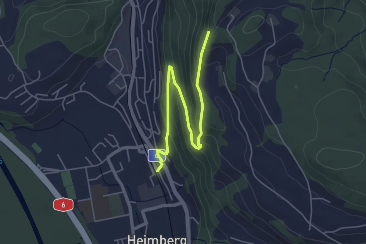
Easy · Trail
Heimberg – Heimbergflue
4.5 km · ↑ 221 m · 1 h 32 min
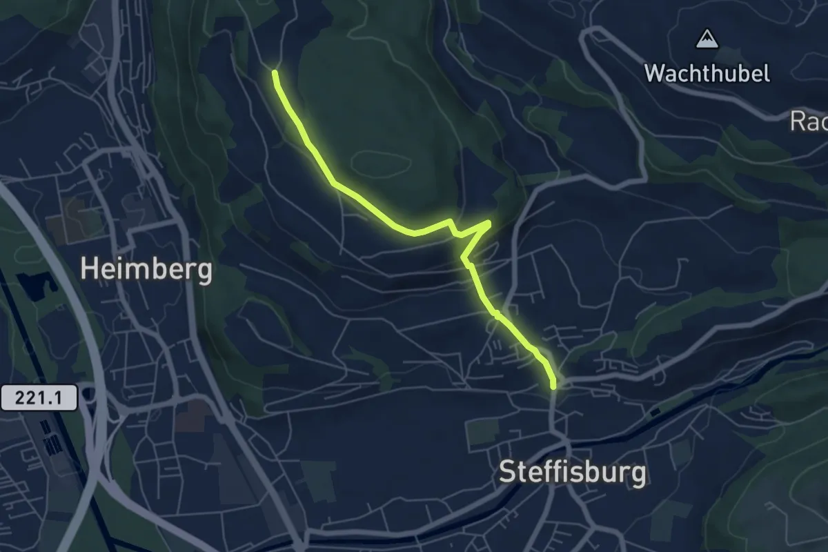
Easy · Trail
Oberi Riedere – Steffisburg
5.5 km · ↑ 190 m · 1 h 42 min
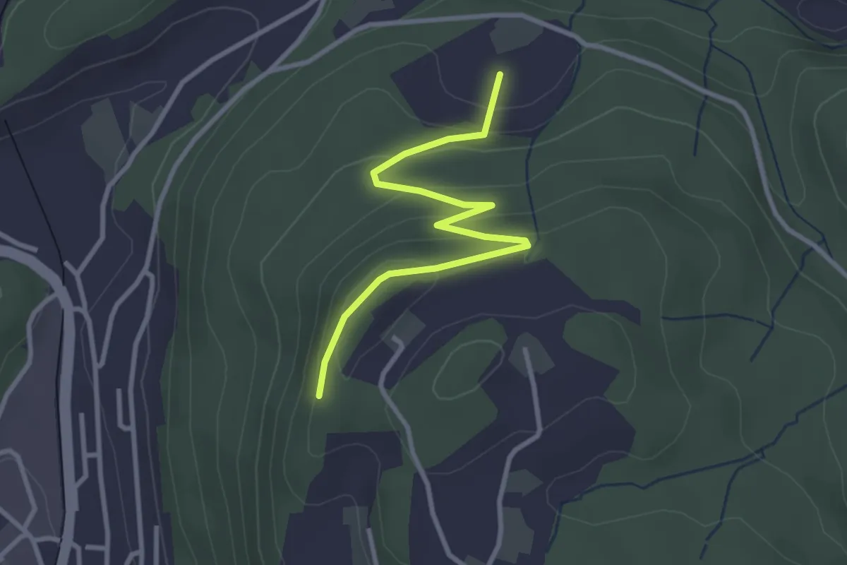
Easy · Trail
Heimbergflue – Spittelsheimberg
3.0 km · ↑ 143 m · 1 h 2 min
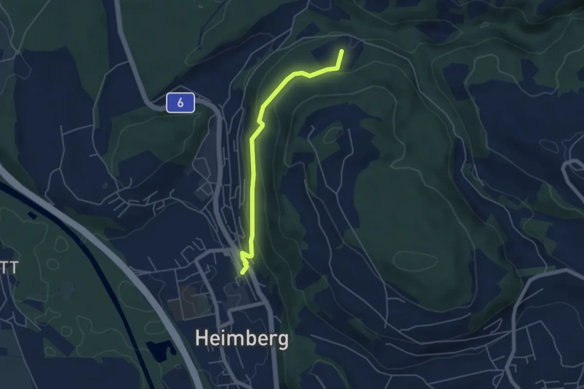
Easy · Trail
Heimberg – Spittelsheimberg
4.2 km · ↑ 211 m · 1 h 27 min
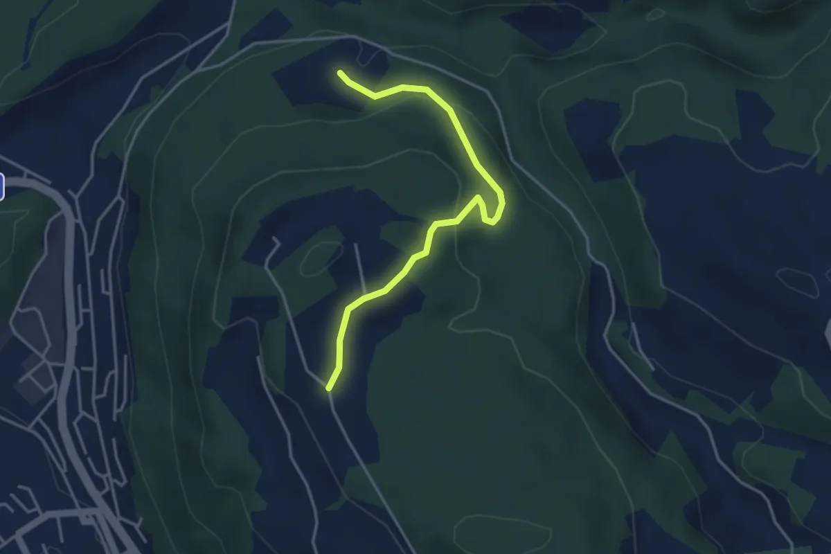
Easy · Trail
Oberi Riedere – Spittelsheimberg
3.6 km · ↑ 136 m · 1 h 8 min
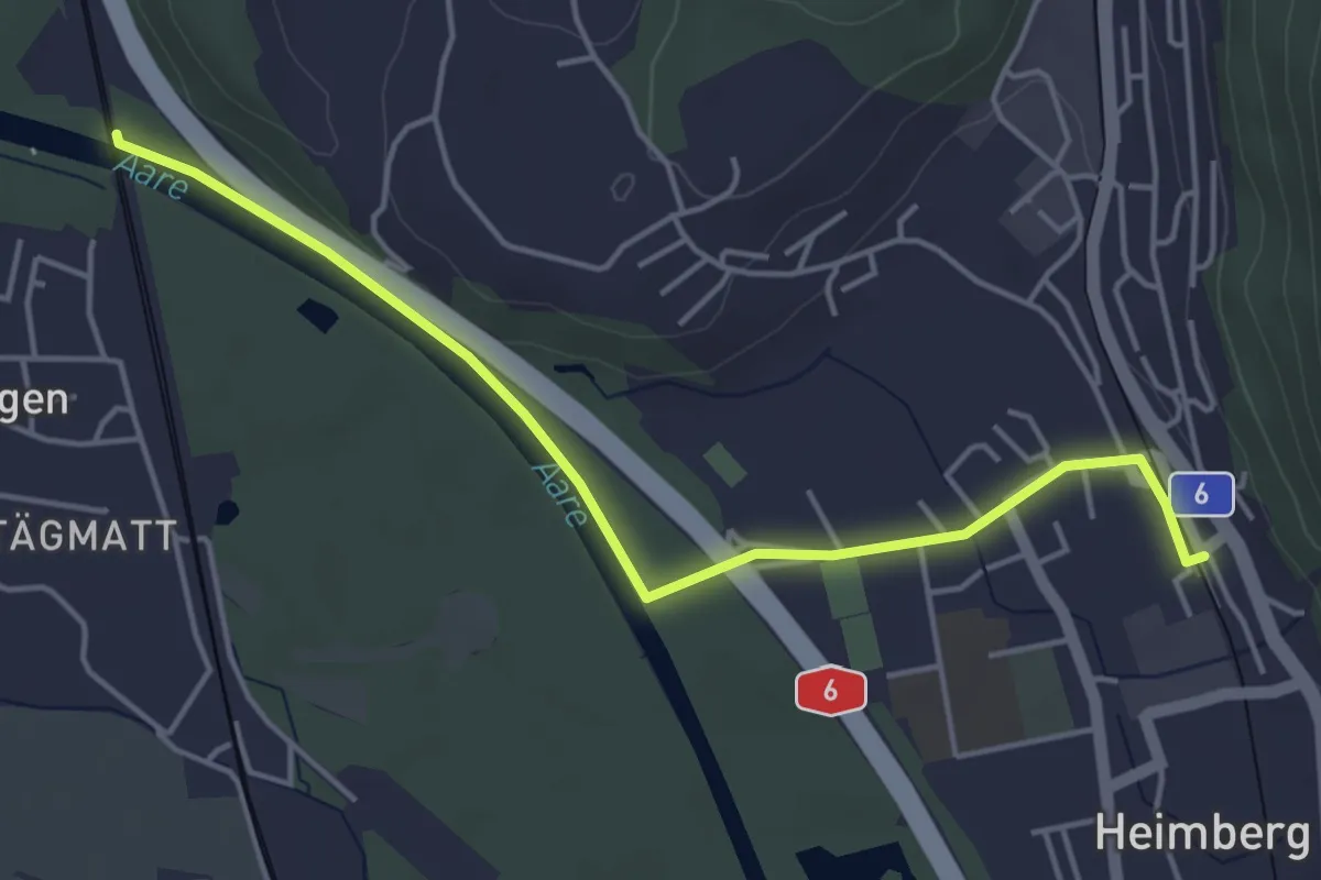
Easy · Trail
Heimberg – Uttigenbrücke
4.7 km · ↑ 0 m · 1 h 6 min
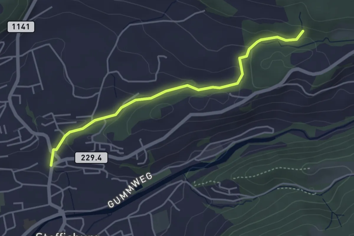
Easy · Trail
Steffisburg – Birchigraben
4.0 km · ↑ 125 m · 1 h 13 min
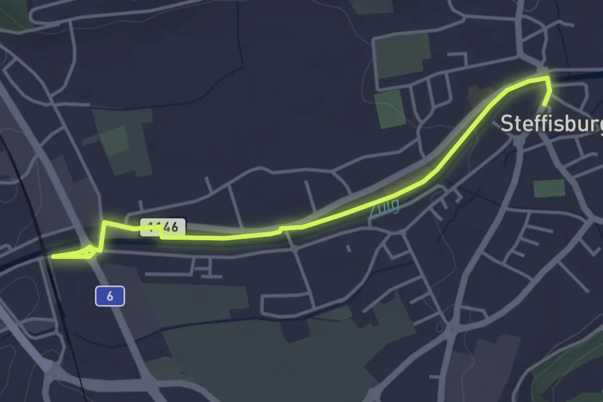
Easy · Trail
Steffisburg – Steffisburg Bahnhof
4.2 km · ↑ 21 m · 1 h 2 min