Trails in Switzerland
15,055 hiking trails, each with its route, climb, walking time and grade.
All trails, page 154 of 314
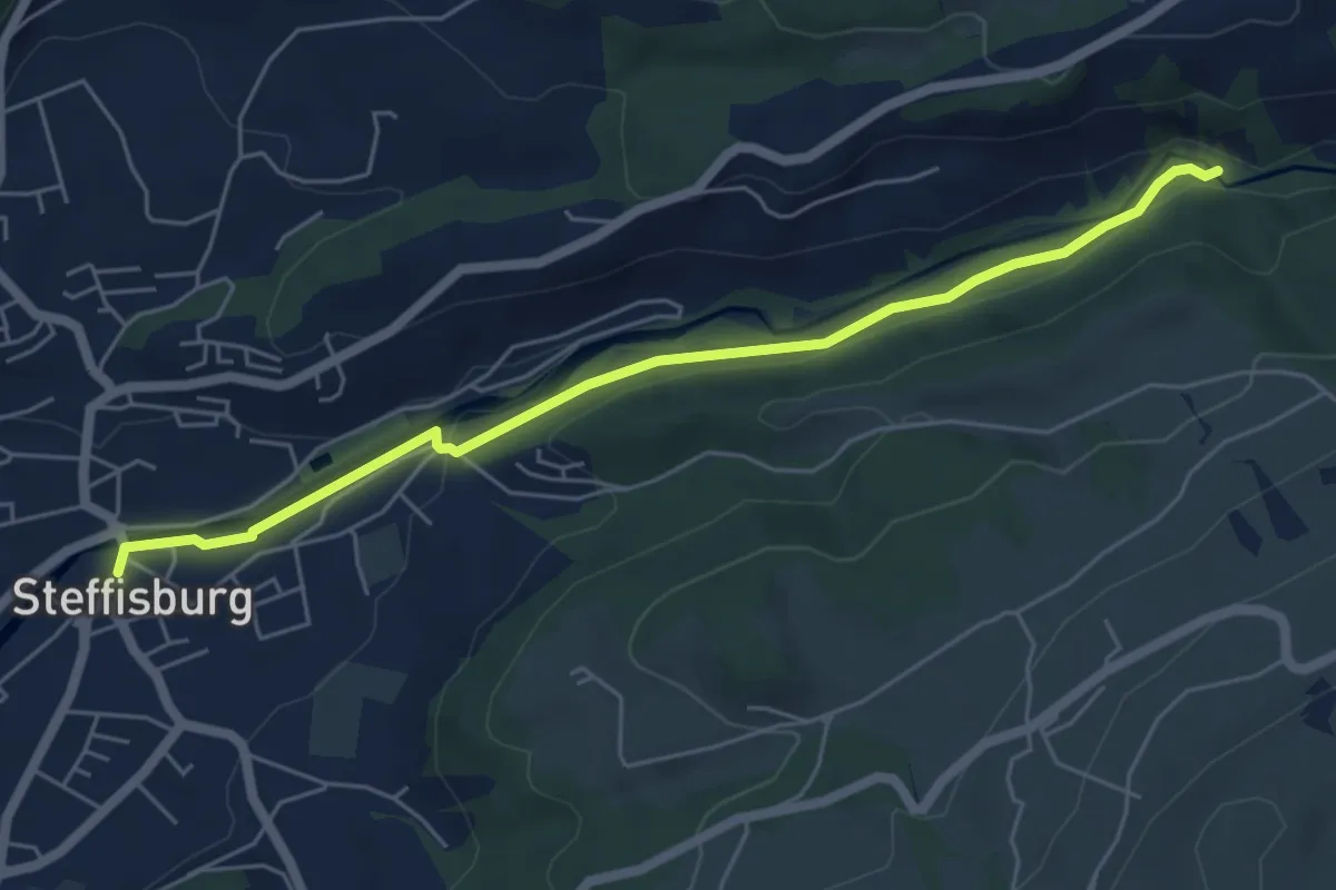
Easy · Trail
Steffisburg – Waggelistäg
5.7 km · ↑ 78 m · 1 h 31 min
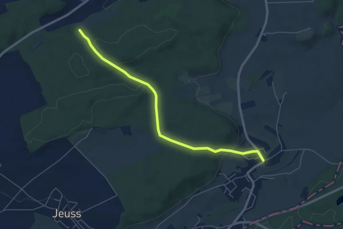
Easy · Trail
Galmacher – Liebistorf
5.6 km · ↑ 138 m · 1 h 38 min
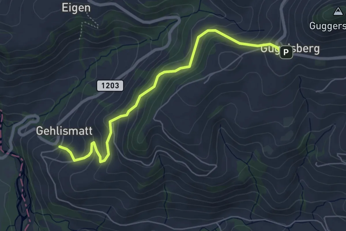
Medium · Trail
Guggisberg – Gelismatt
5.2 km · ↑ 332 m · 1 h 56 min
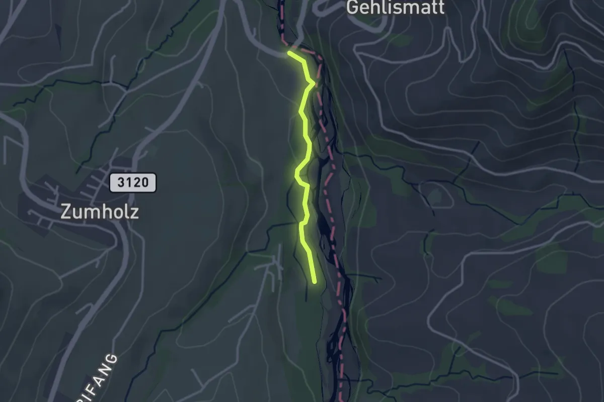
Easy · Trail
Guggersbachbrücke – Füllmattli
2.2 km · ↑ 22 m · 34 min
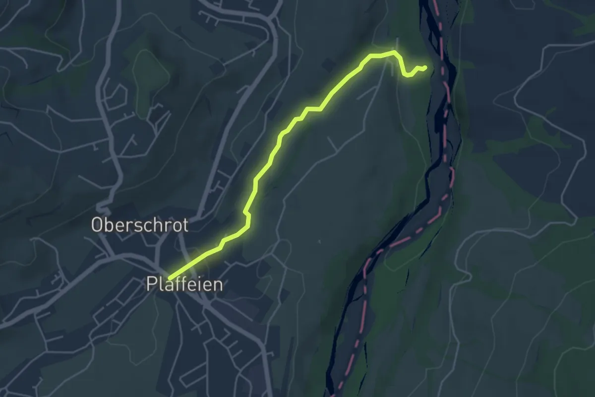
Easy · Trail
Füllmattli – Plaffeien
4.2 km · ↑ 76 m · 1 h 9 min
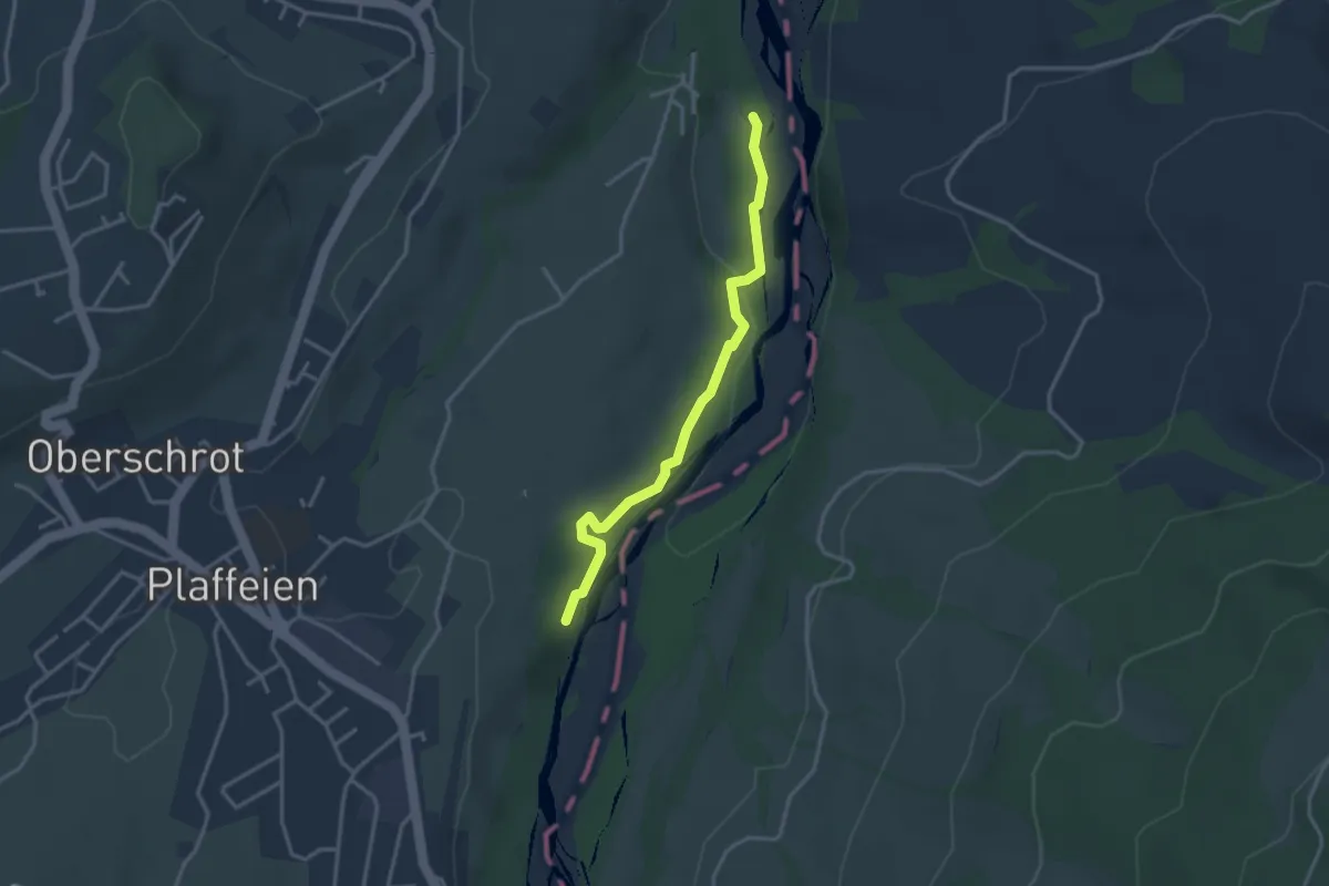
Easy · Trail
Füllmattli – Lätti
3.2 km · ↑ 83 m · 56 min
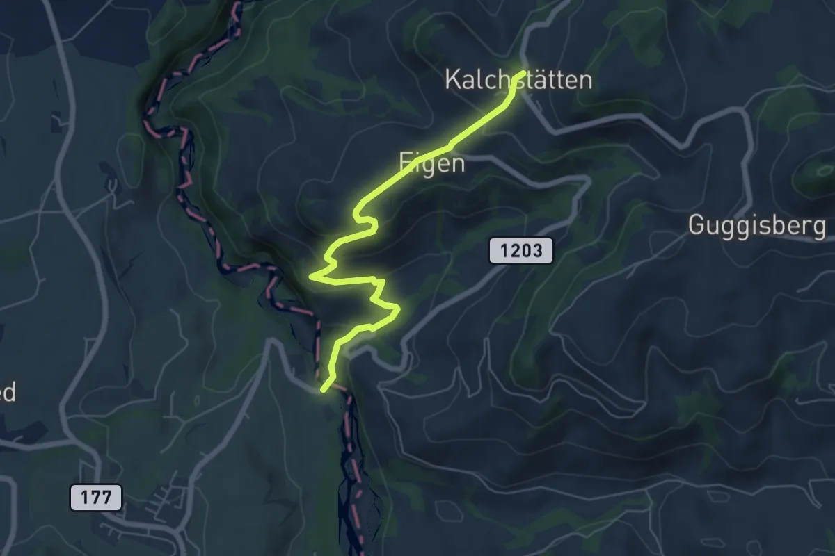
Easy · Trail
Guggersbachbrücke – Kalchstätten
5.8 km · ↑ 268 m · 1 h 57 min
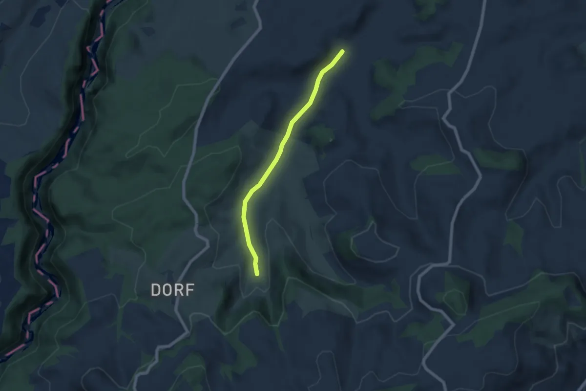
Easy · Trail
Schönenboden – Spüelibach
5.1 km · ↑ 73 m · 1 h 22 min
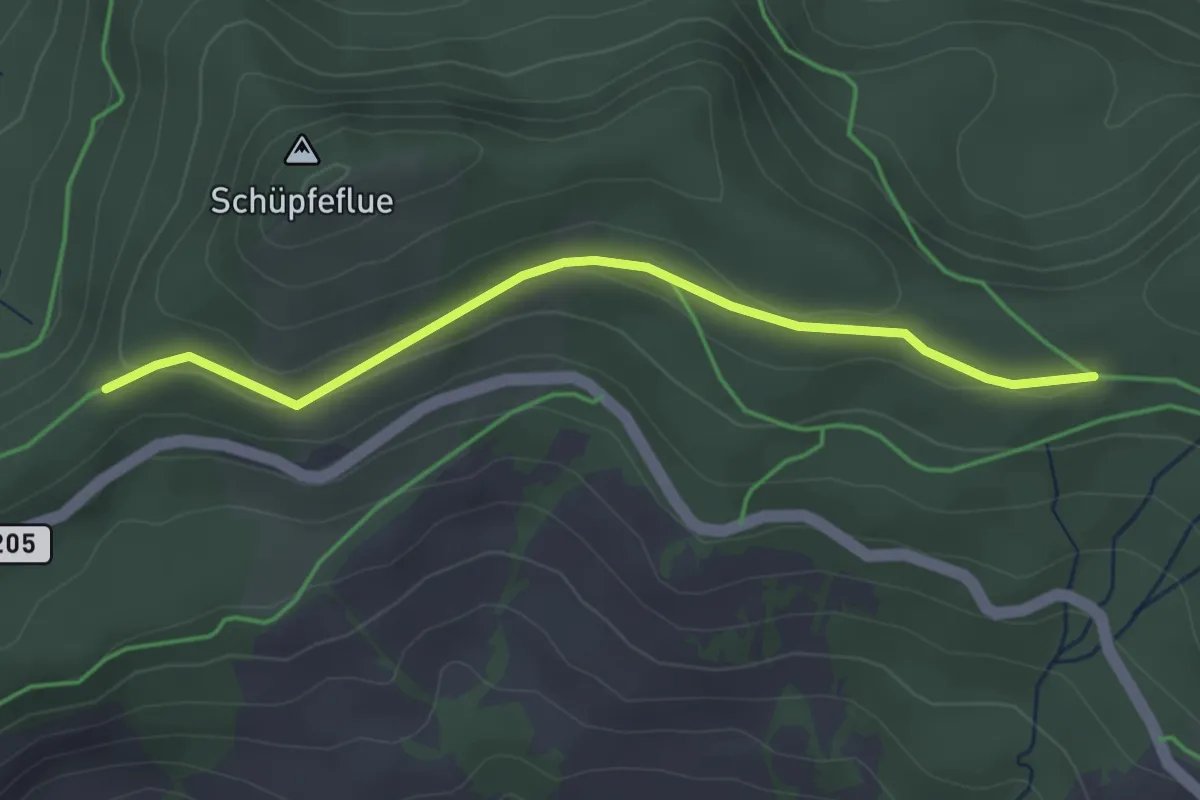
Easy · Trail
Süftenenegg – Chaltweh
3.4 km · ↑ 83 m · 59 min
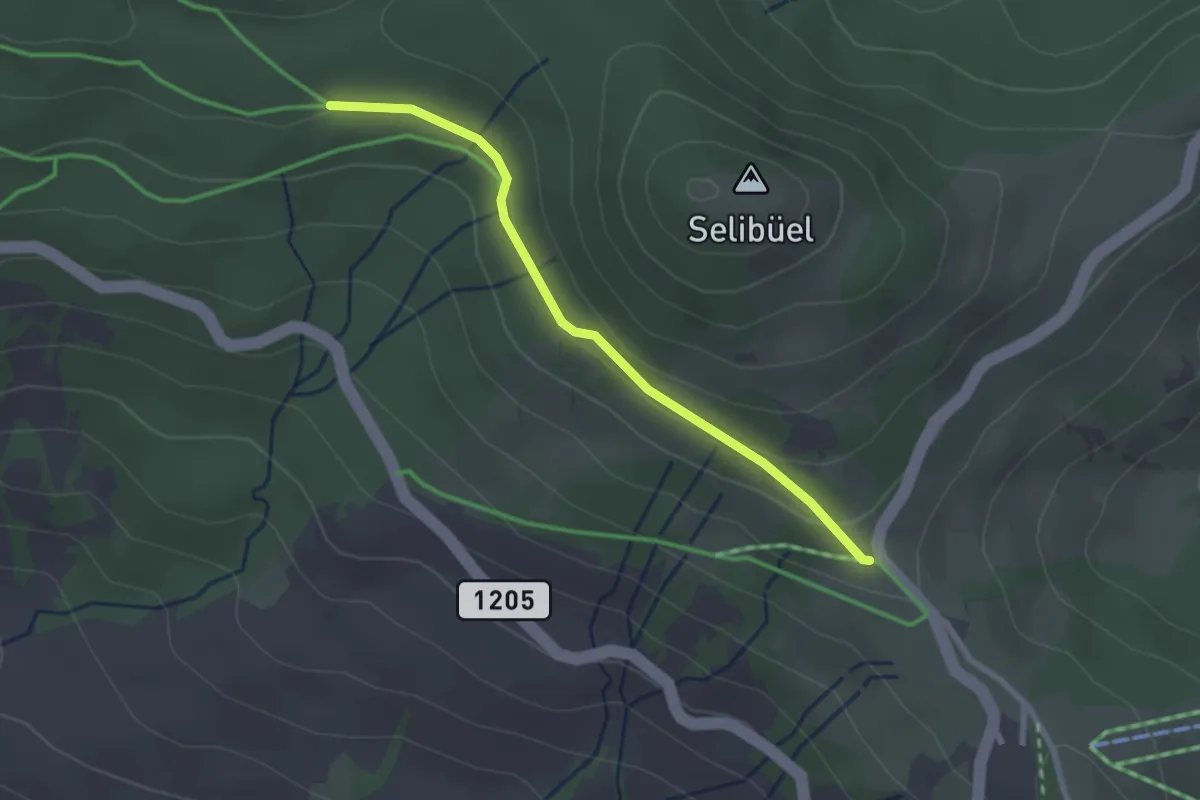
Easy · Cabin
Chaltweh – Wasserscheidi
2.4 km · ↑ 73 m · 43 min
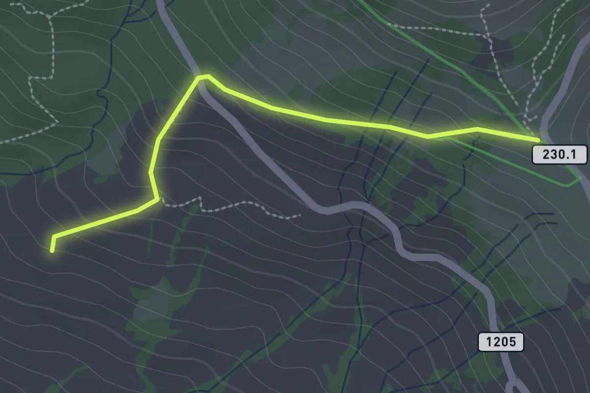
Easy · Cabin
Wasserscheidi – Oberi Walehütte
2.7 km · ↑ 155 m · 58 min
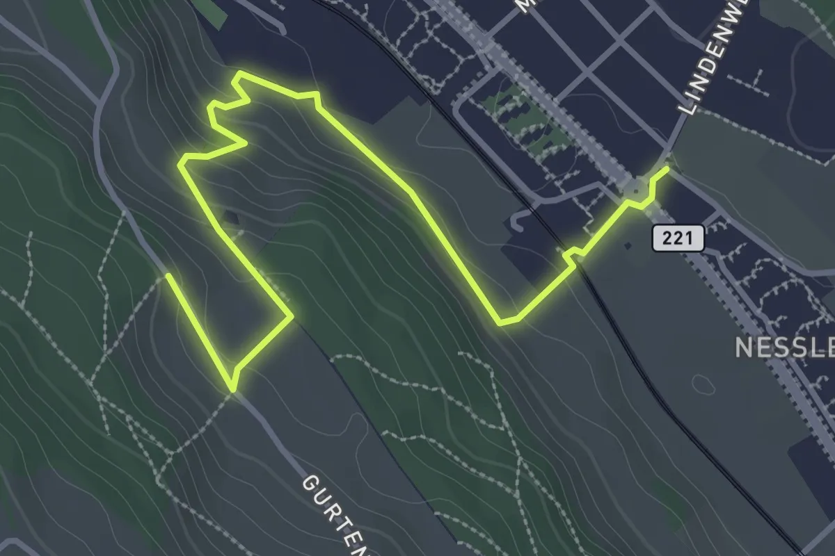
Easy · Trail
Chli-Wabern – Bergweid
3.8 km · ↑ 169 m · 1 h 15 min
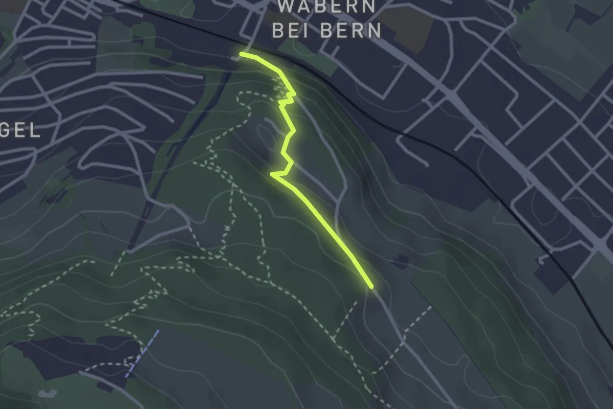
Easy · Trail
Wabern/Gurtenbahn – Bergweid
2.1 km · ↑ 103 m · 43 min
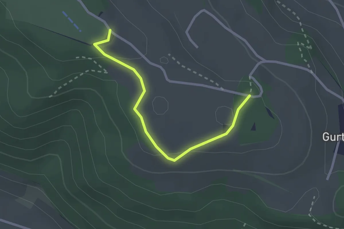
Easy · Summit
Studholz – Gurten/Ostsignal
2.3 km · ↑ 58 m · 39 min
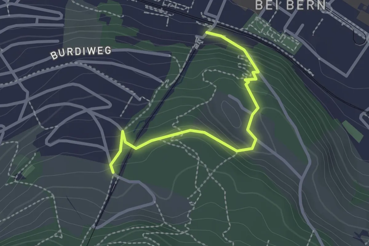
Easy · Trail
Wabern/Gurtenbahn – Grüneboden
2.3 km · ↑ 129 m · 49 min
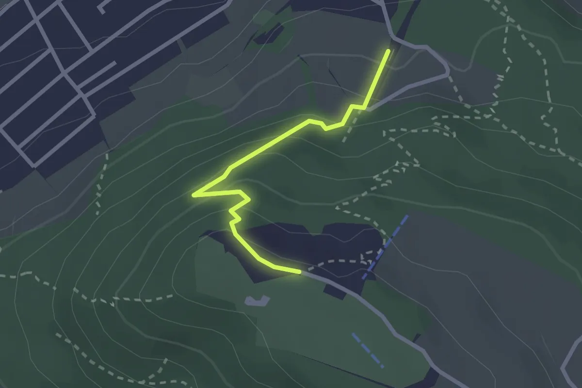
Easy · Trail
Grünenboden – Gurten Kulm
2.1 km · ↑ 138 m · 47 min
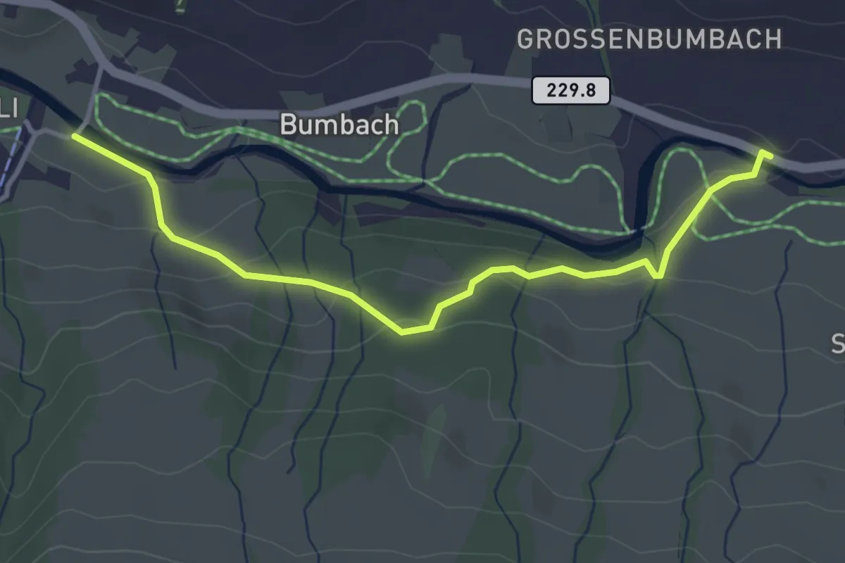
Easy · Trail
Büetschli – Bödeli
3.6 km · ↑ 133 m · 1 h 8 min
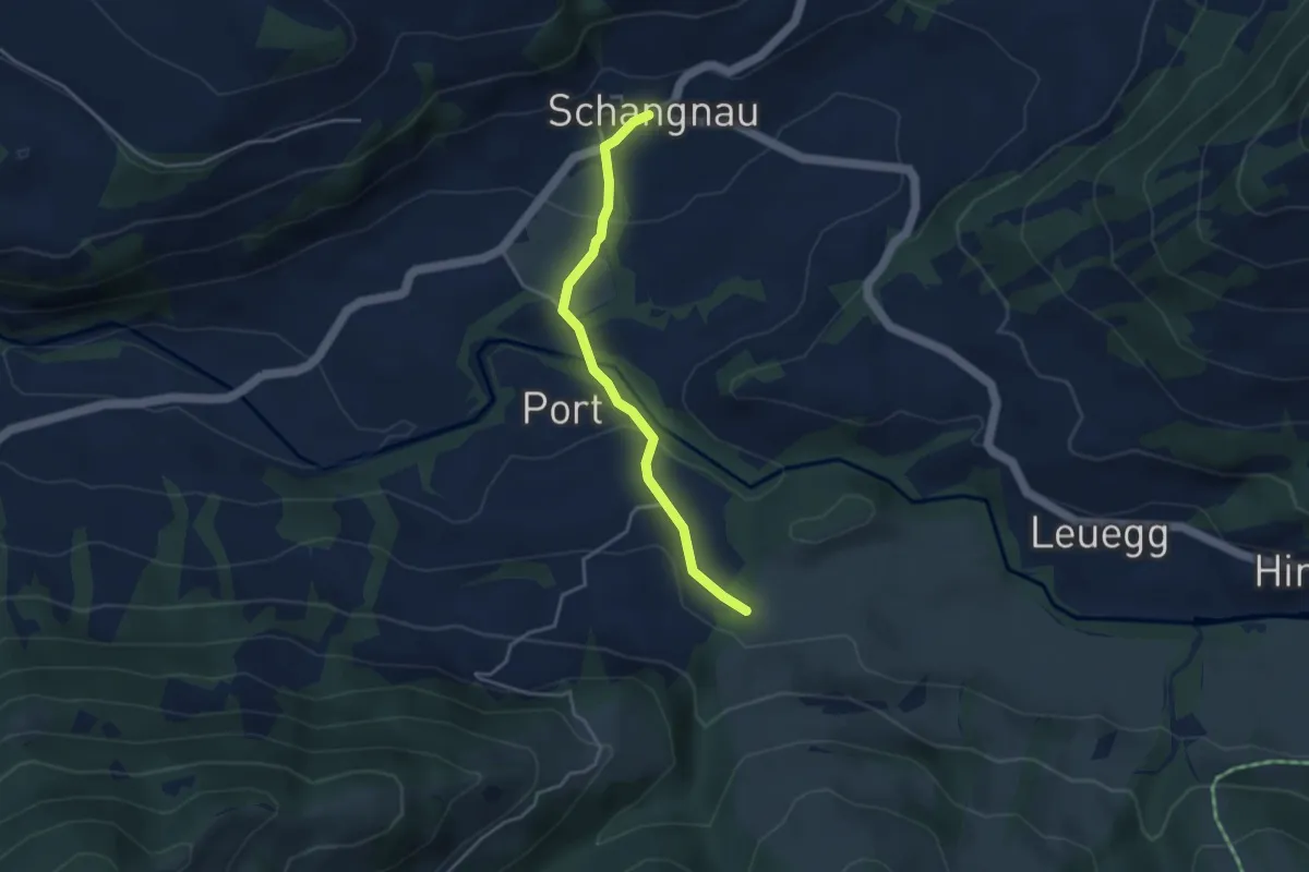
Easy · Trail
Schangnau – Schwarzbach
3.5 km · ↑ 130 m · 1 h 7 min
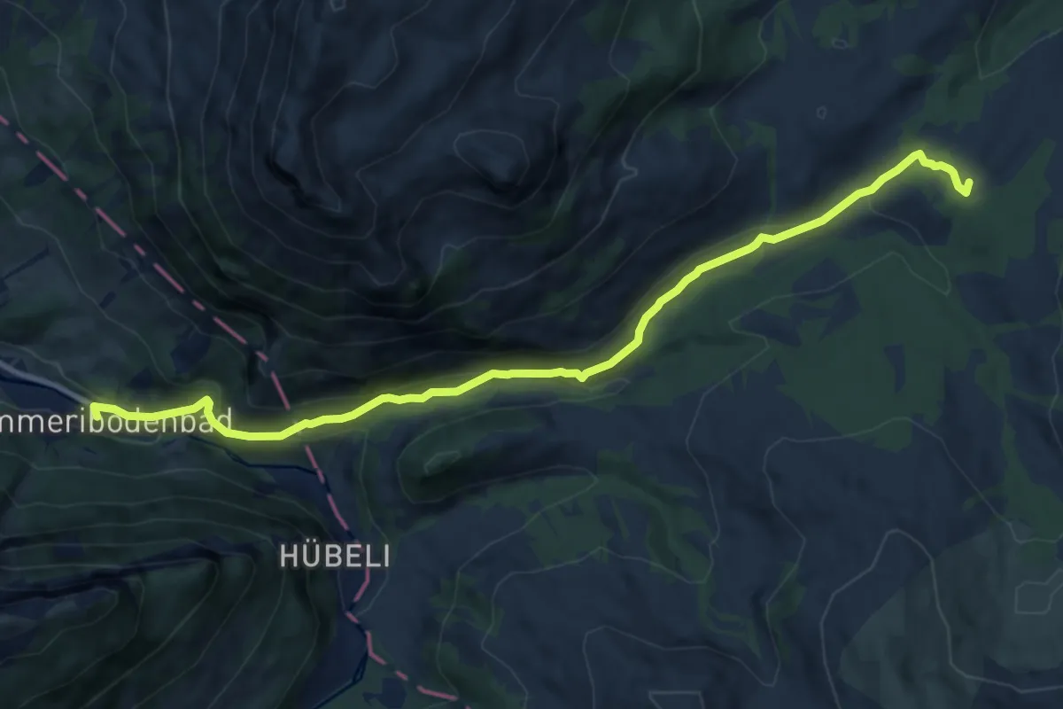
Medium · Trail
Kemmeriboden – Salwideli
11.0 km · ↑ 415 m · 3 h 30 min
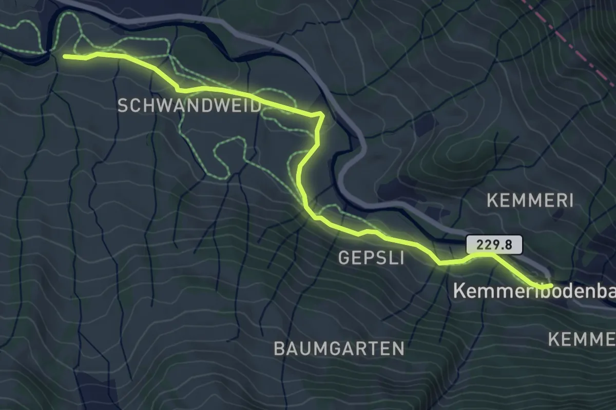
Easy · Trail
Bödeli – Kemmeribodenbad
5.5 km · ↑ 68 m · 1 h 26 min
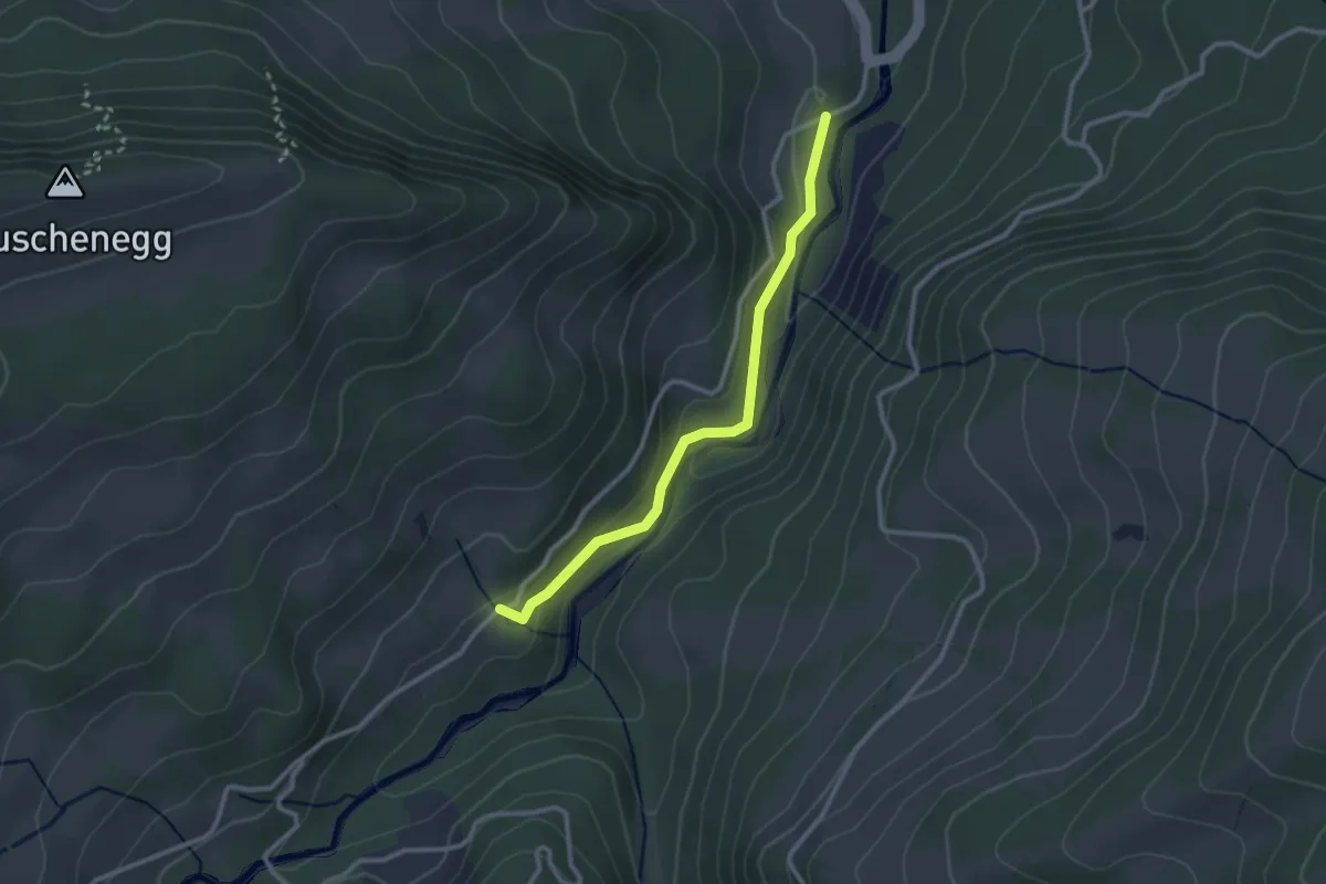
Easy · Trail
Roggeli – Hitusvorsass
2.6 km · ↑ 78 m · 47 min
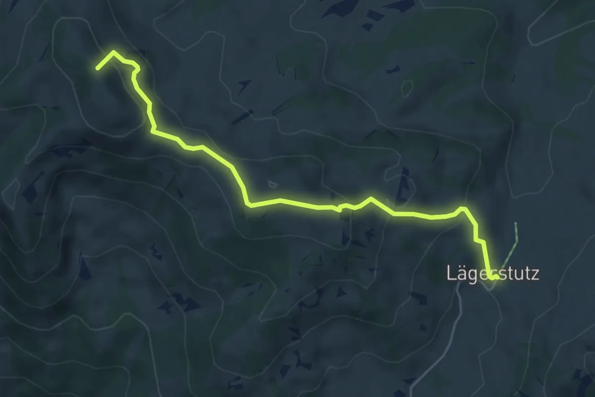
Medium · Summit
Bohl/Widegg – Lombachalp
5.3 km · ↑ 305 m · 1 h 54 min
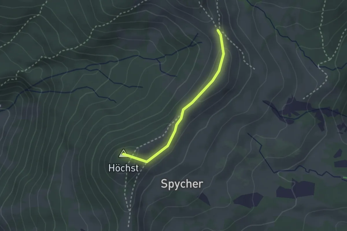
Medium · Summit
Widegg – Stand/Wehri
2.2 km · ↑ 57 m · 39 min
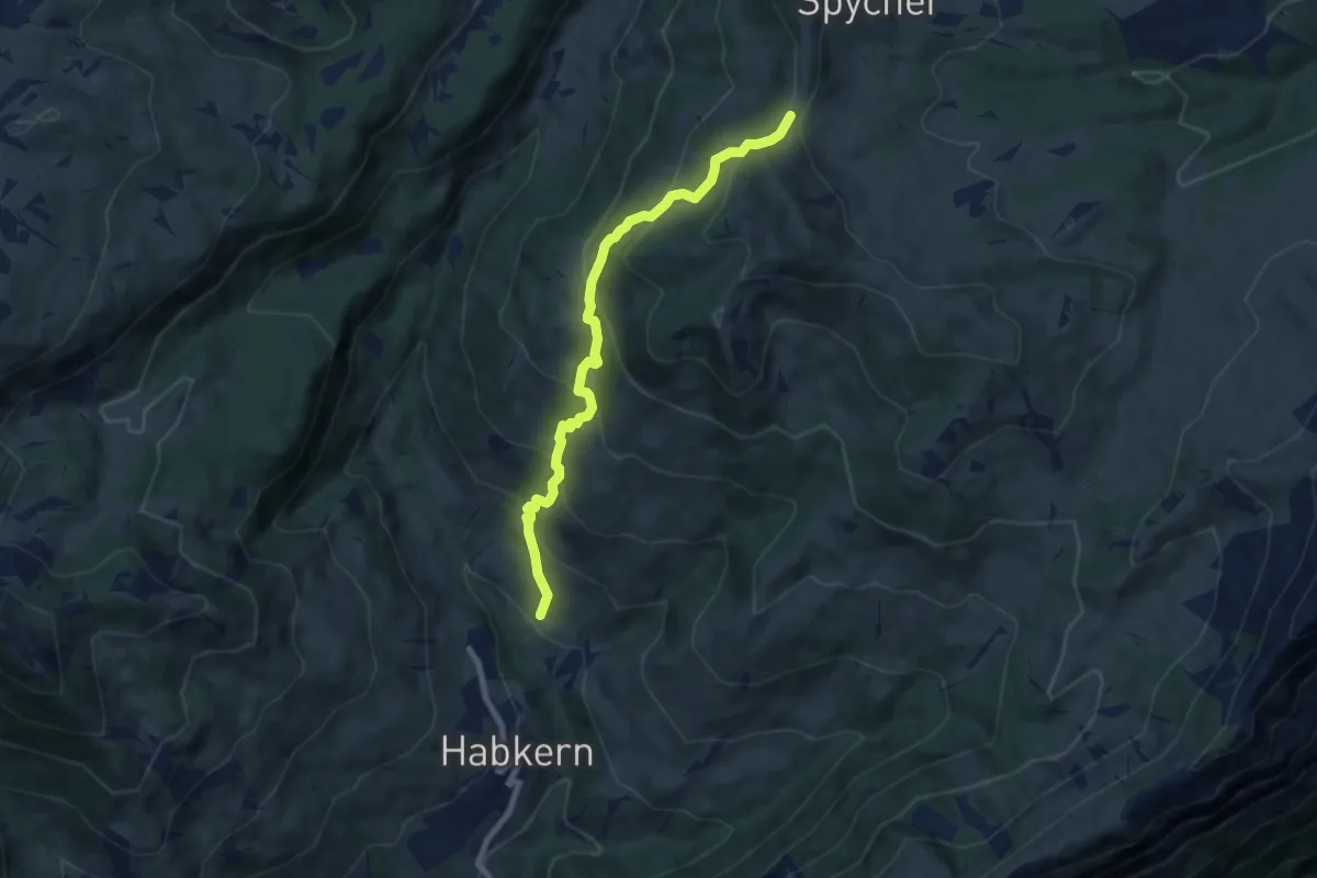
Medium · Trail
Bohl/Widegg – Bolsiten
7.5 km · ↑ 605 m · 3 h 4 min
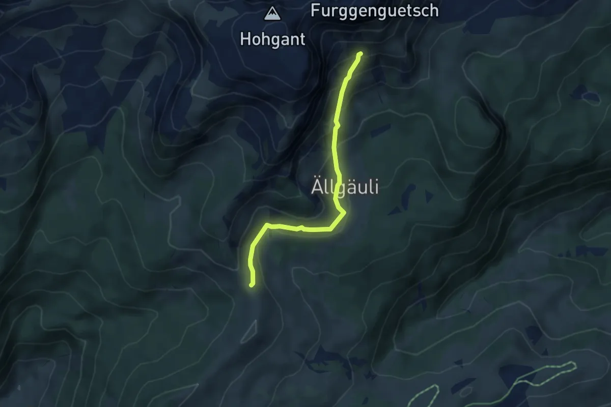
Medium · Trail
Stand / Wehri – Aellgäuli
4.1 km · ↑ 251 m · 1 h 31 min
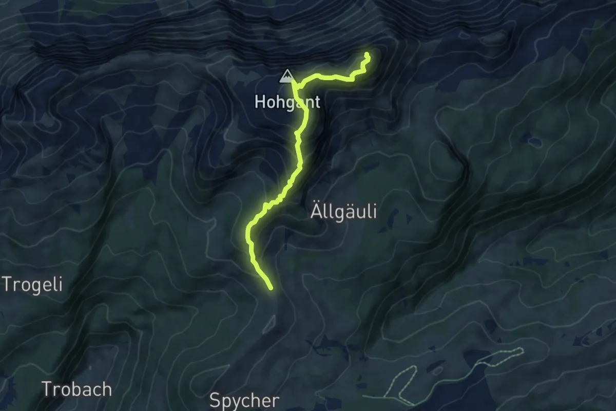
Demanding · Summit
Stand – Furggegütsch
5.9 km · ↑ 583 m · 2 h 40 min
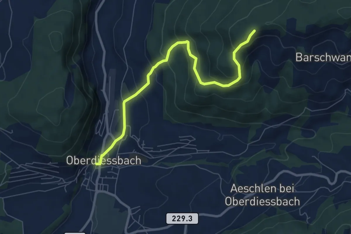
Medium · Trail
Oberdiessbach – Güggel
7.1 km · ↑ 468 m · 2 h 41 min
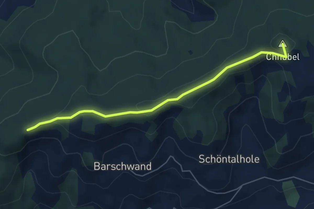
Easy · Summit
Güggel – Äbersold
5.0 km · ↑ 147 m · 1 h 30 min
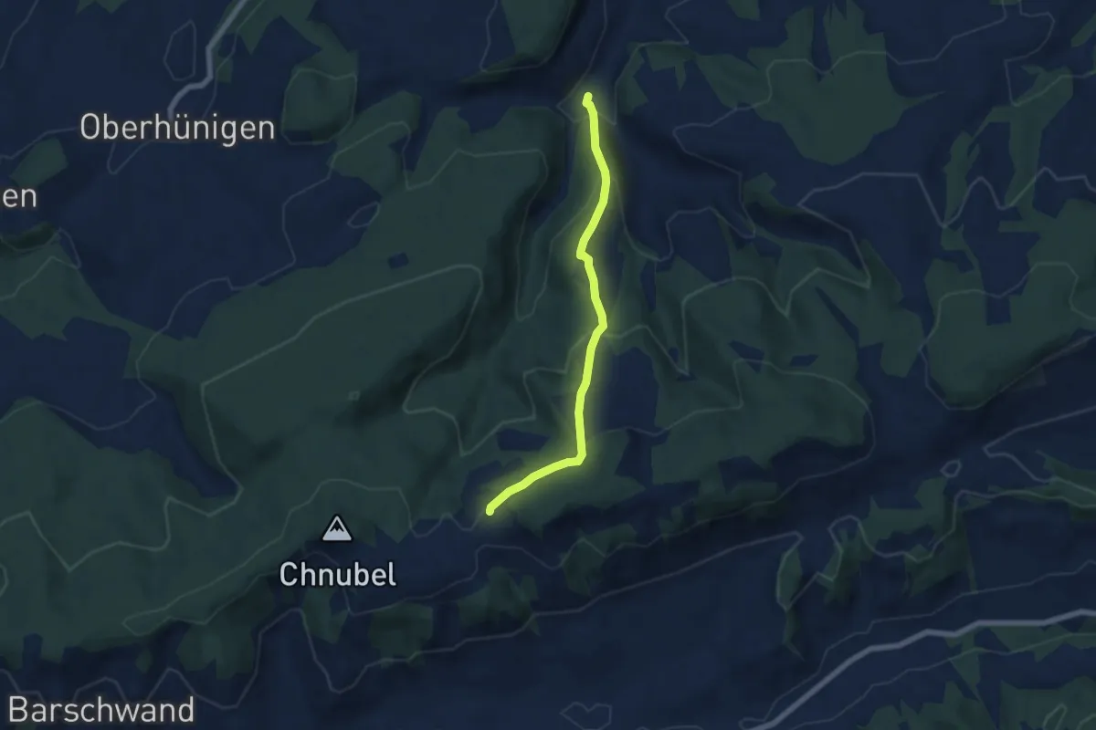
Medium · Trail
Äbersold – Längeney
5.7 km · ↑ 321 m · 2 h 3 min
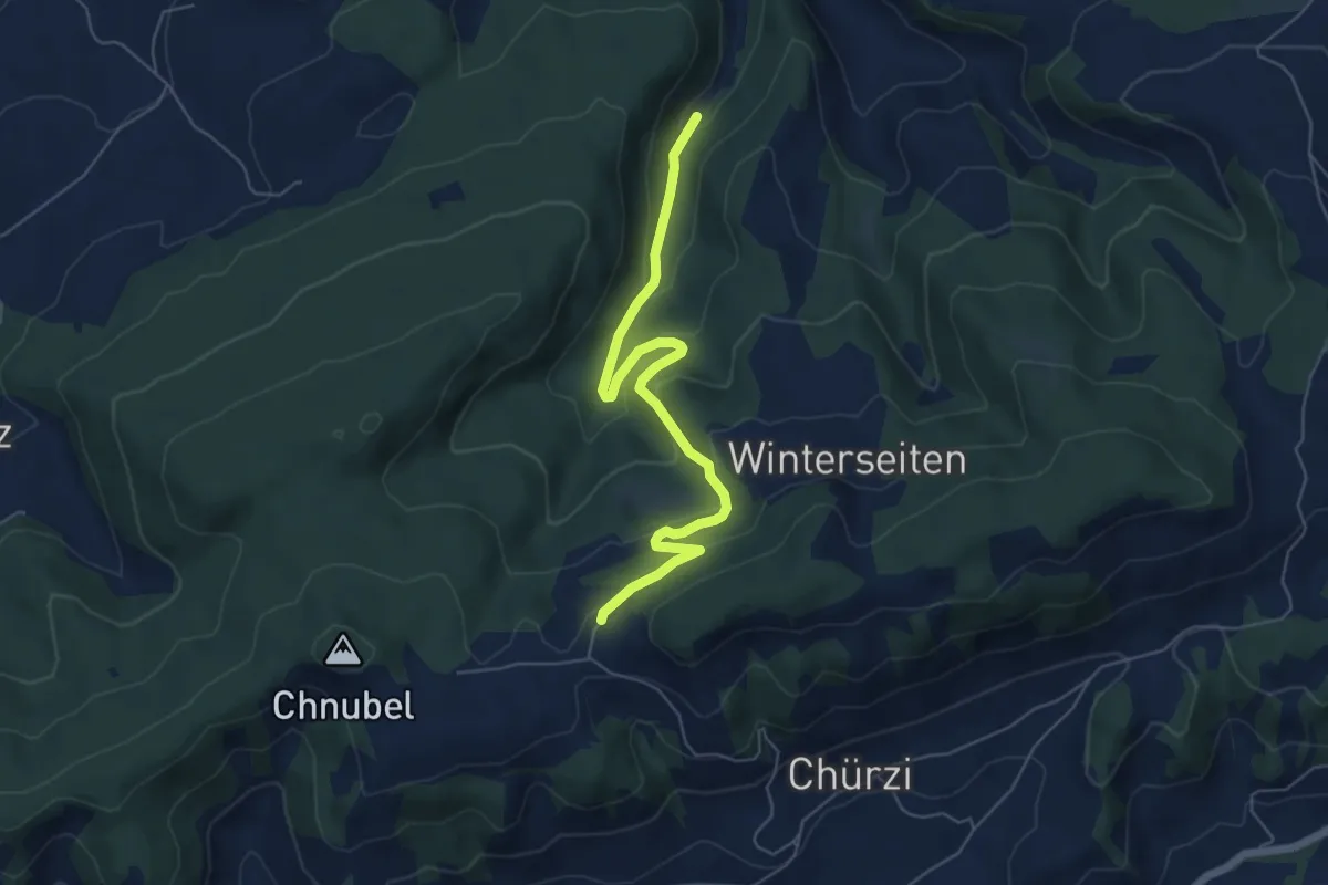
Easy · Trail
Äbersold – Wildeneybad
6.0 km · ↑ 279 m · 2 h 2 min
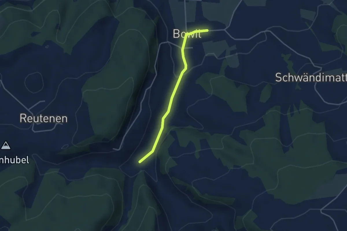
Easy · Trail
Längeney – Bowil
3.0 km · ↑ 61 m · 51 min
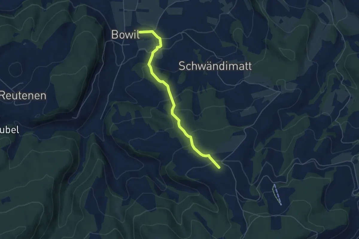
Easy · Trail
Bowil – Meienried
4.9 km · ↑ 279 m · 1 h 46 min
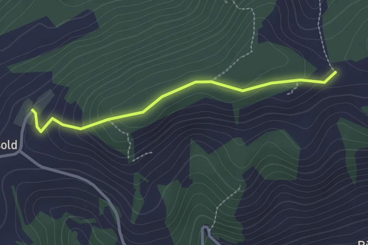
Easy · Trail
Äbersold – Ringgis
2.2 km · ↑ 109 m · 45 min
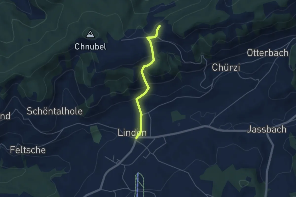
Easy · Trail
Äbersold – Linden
3.5 km · ↑ 189 m · 1 h 14 min
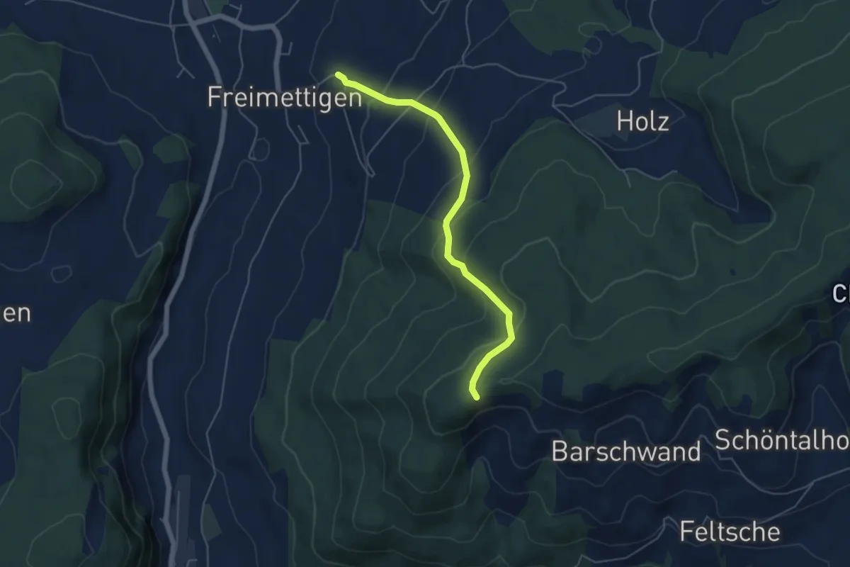
Easy · Trail
Güggel – Freimettigen
4.9 km · ↑ 314 m · 1 h 50 min
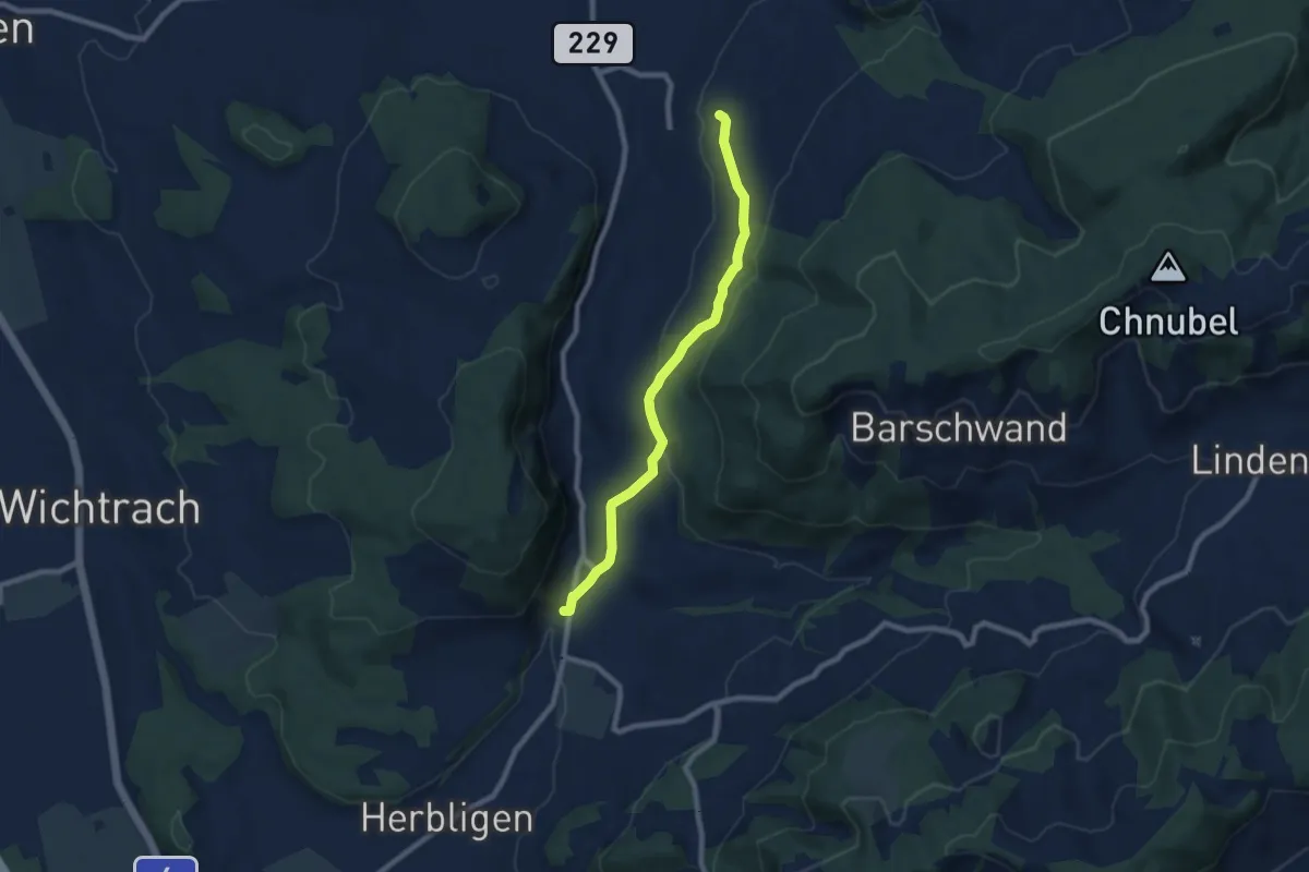
Easy · Trail
Oberdiessbach – Freimettigen
7.7 km · ↑ 239 m · 2 h 20 min
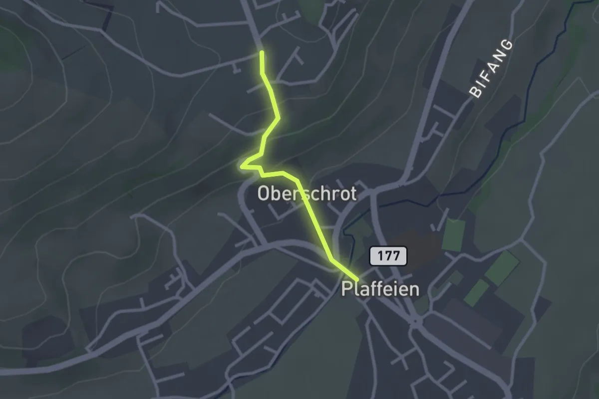
Easy · Trail
Plaffeien – Berg
2.0 km · ↑ 81 m · 39 min
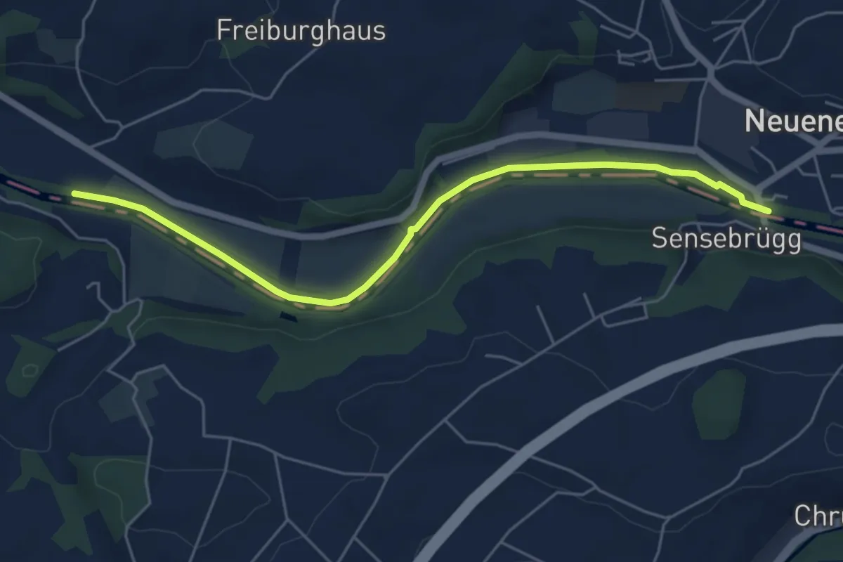
Easy · Trail
Rieldiau – Sensebrücke
5.5 km · ↑ 25 m · 1 h 21 min
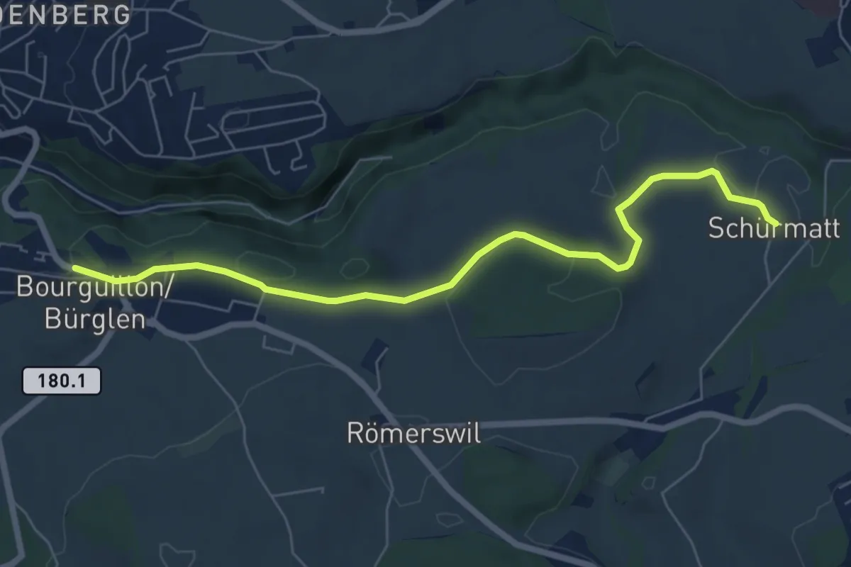
Easy · Trail
Bourguillon – Schürmatt
6.6 km · ↑ 162 m · 1 h 55 min
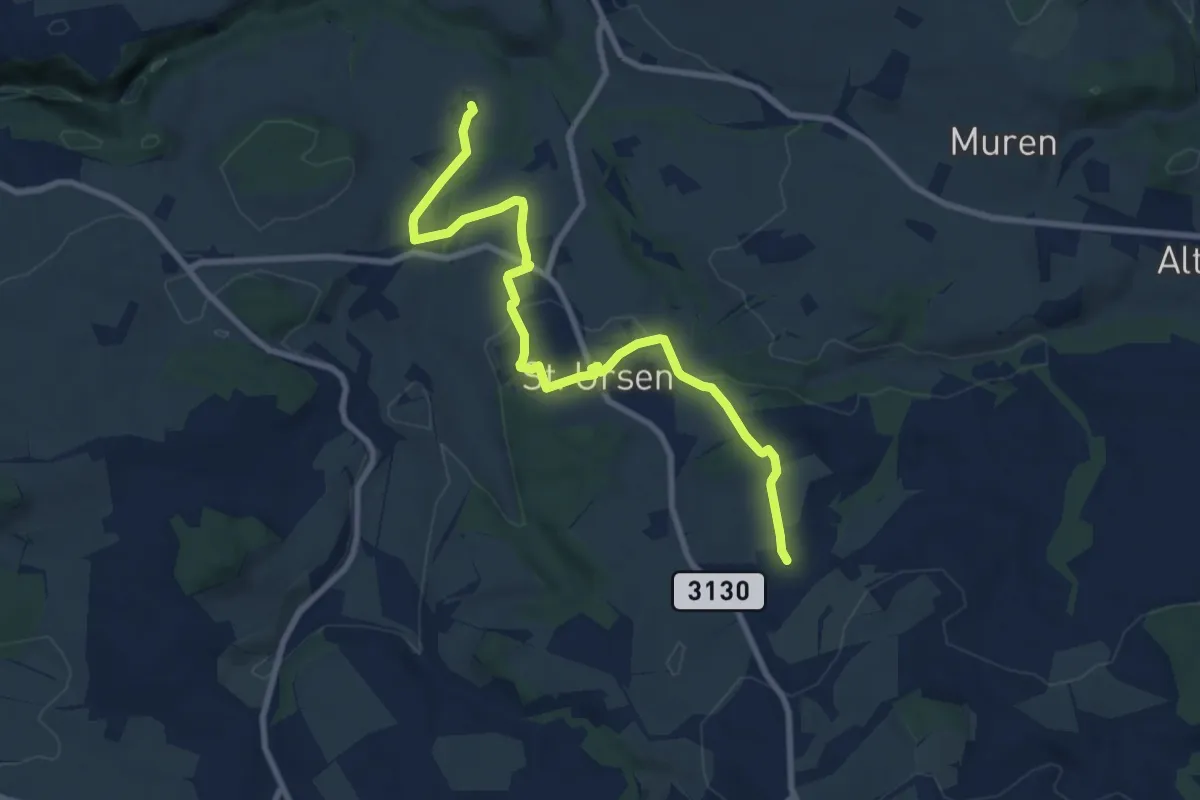
Medium · Trail
Schürmatt – Etiwil
9.4 km · ↑ 207 m · 2 h 41 min
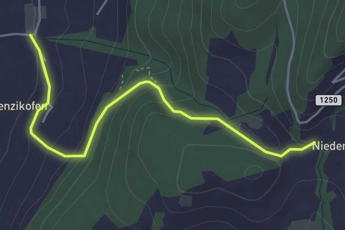
Easy · Trail
Brenzikofen – Niederbleiken
3.8 km · ↑ 209 m · 1 h 21 min
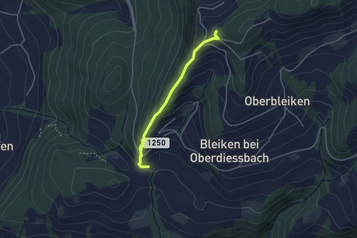
Easy · Trail
Niederbleiken – Falkeflue
2.7 km · ↑ 239 m · 1 h 9 min
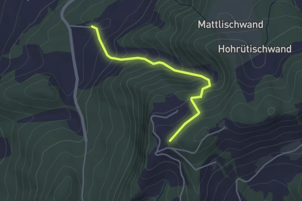
Easy · Trail
Falkeflue – Unterhus
3.2 km · ↑ 291 m · 1 h 23 min
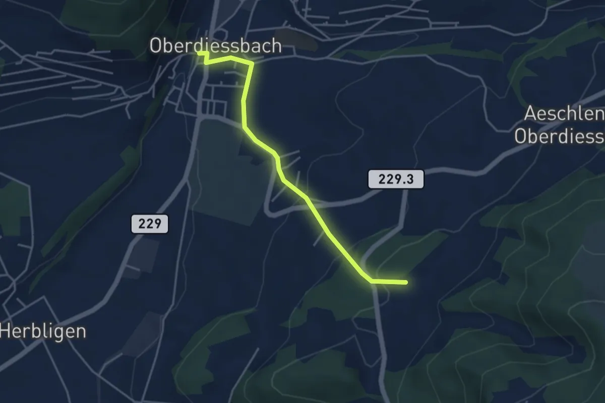
Easy · Trail
Unterhus – Oberdiessbach
3.6 km · ↑ 150 m · 1 h 10 min
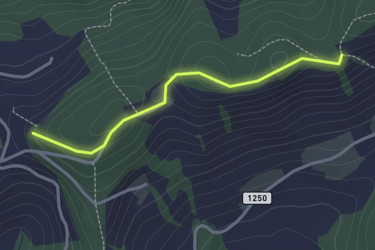
Easy · Trail
Falkeflue – Sattelwald
2.1 km · ↑ 61 m · 38 min
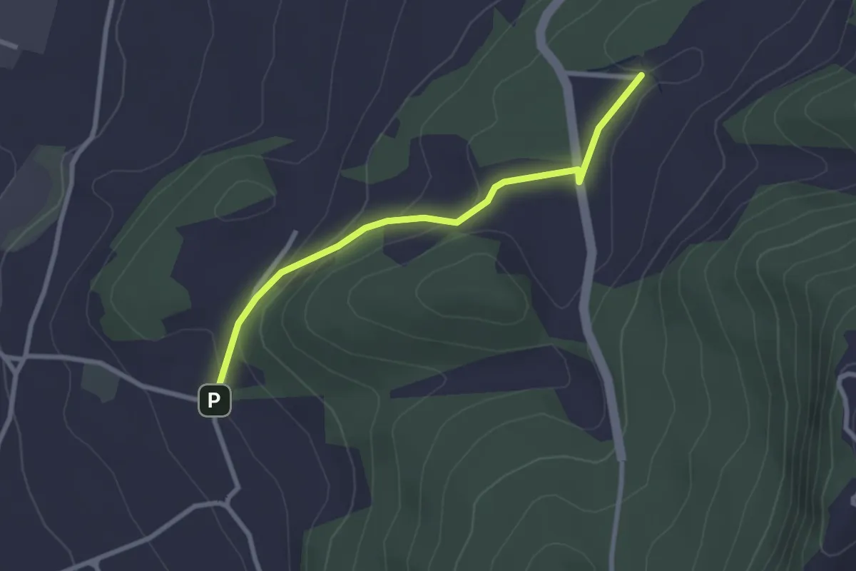
Easy · Trail
Wydibühl – Unterhus
2.5 km · ↑ 101 m · 49 min
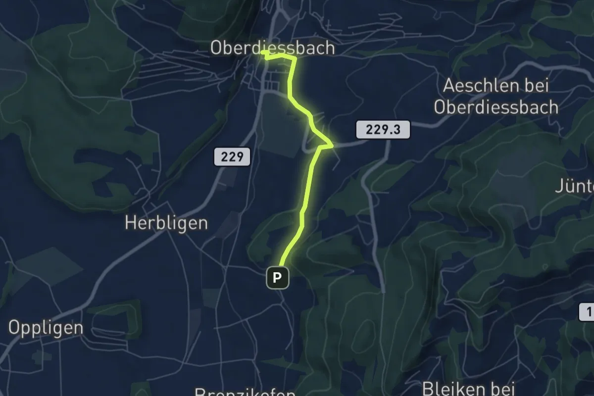
Easy · Trail
Oberdiessbach – Wydibühl
4.7 km · ↑ 119 m · 1 h 22 min
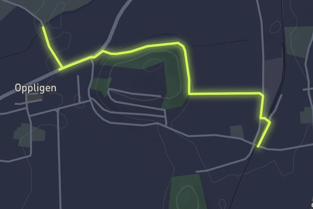
Easy · Trail
Brenzikofen Station – Opplingen
3.6 km · ↑ 47 m · 57 min