Trails in Switzerland
15,055 hiking trails, each with its route, climb, walking time and grade.
All trails, page 155 of 314
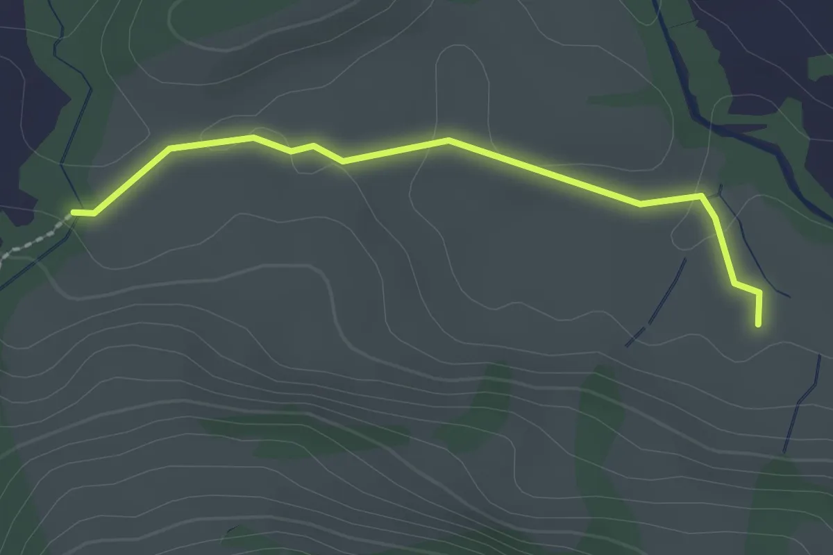
Easy · Trail
Schwarzbach – Hintere Buchhütte
2.0 km · ↑ 24 m · 32 min
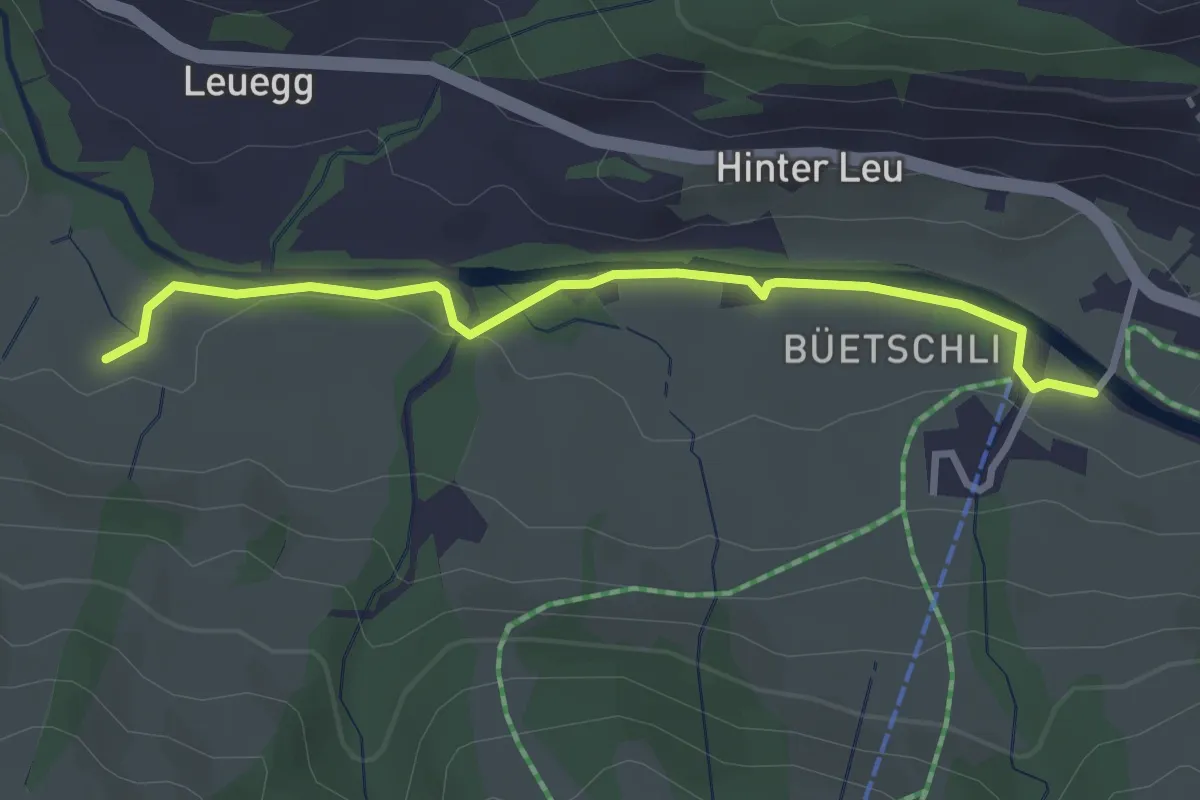
Easy · Trail
Hintere Buchhütte – Büetschli
3.0 km · ↑ 11 m · 44 min
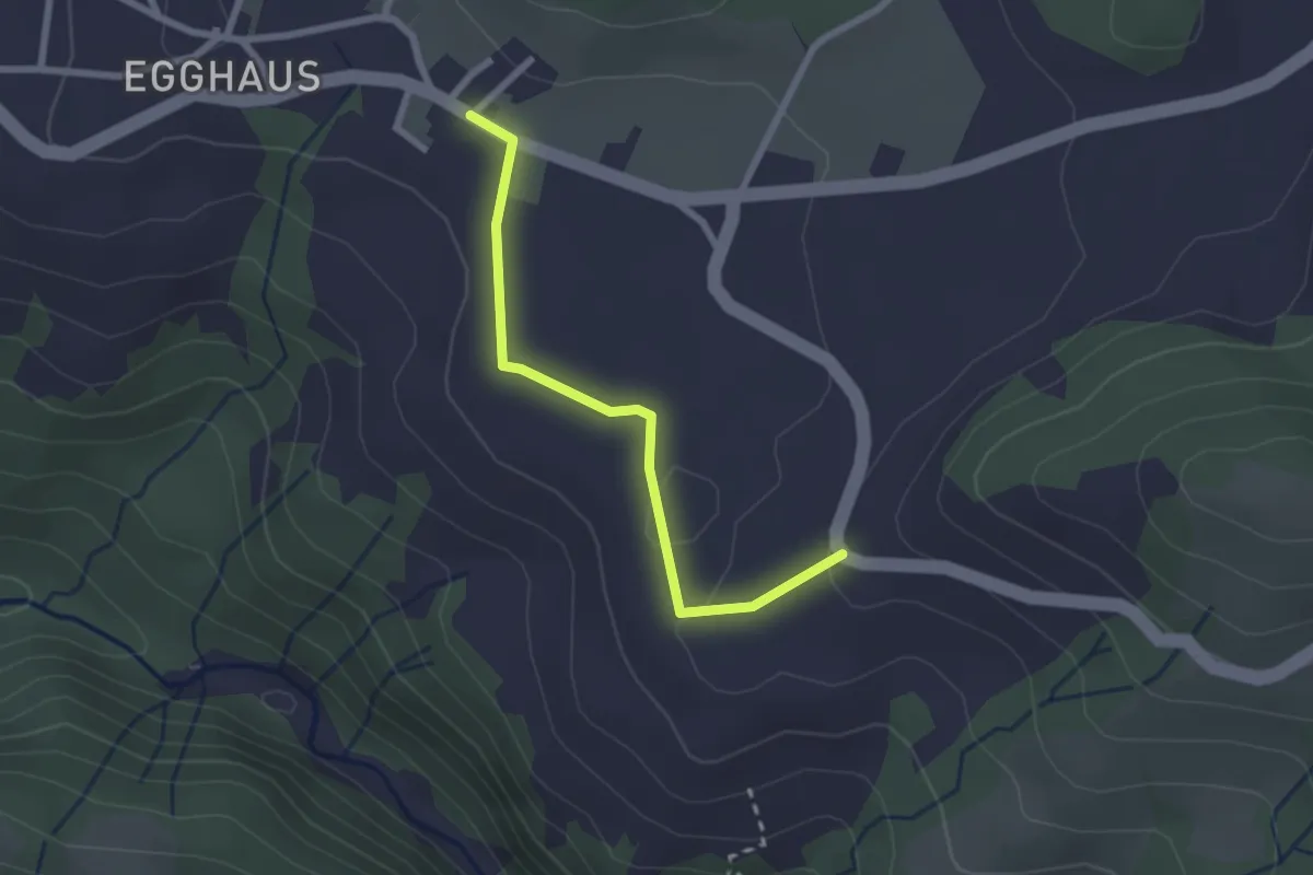
Easy · Trail
Schwarzenegg – Honegg
2.3 km · ↑ 36 m · 37 min
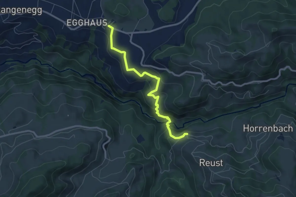
Medium · Trail
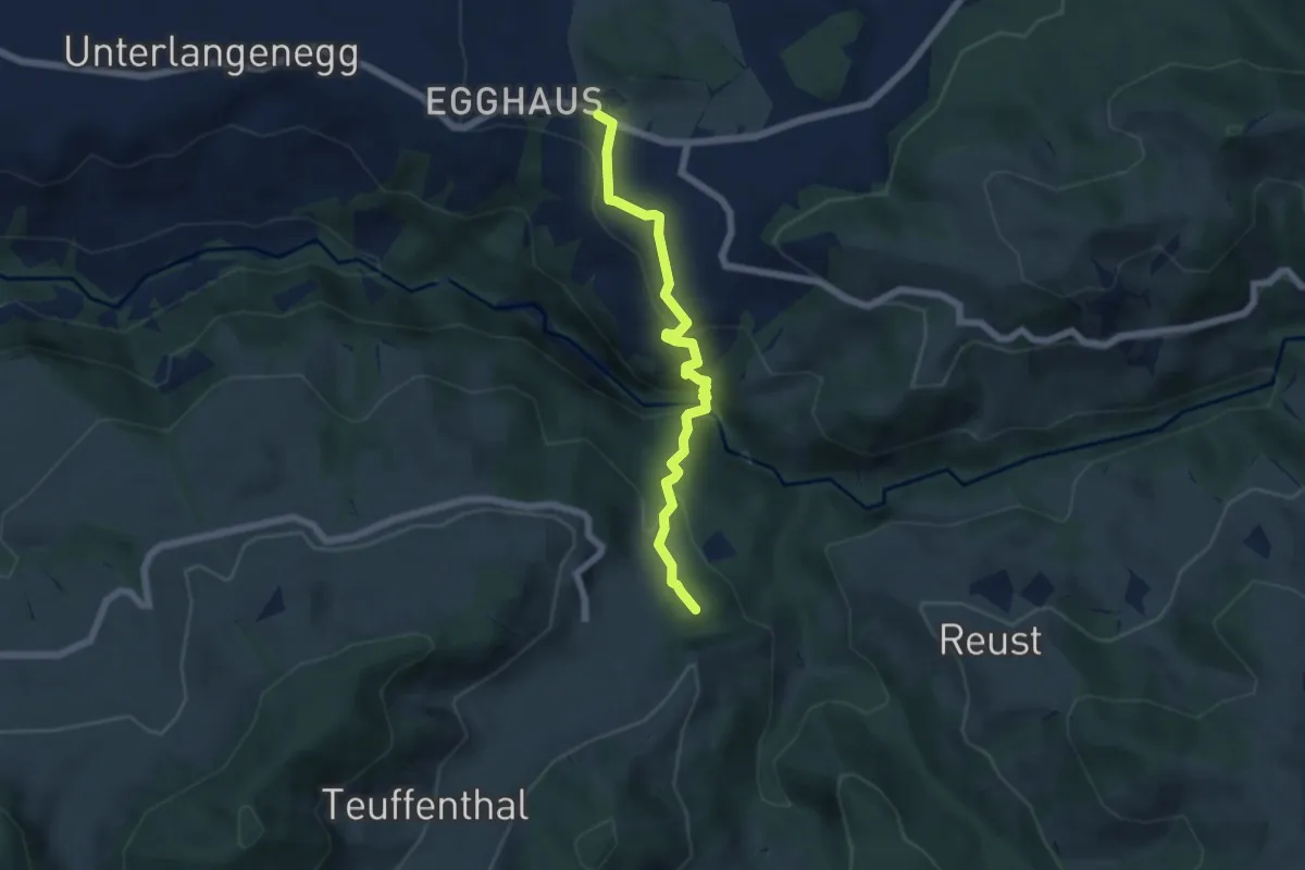
Schwarzenegg – Cheistli
6.4 km · ↑ 299 m · 2 h 10 min
Medium · Summit
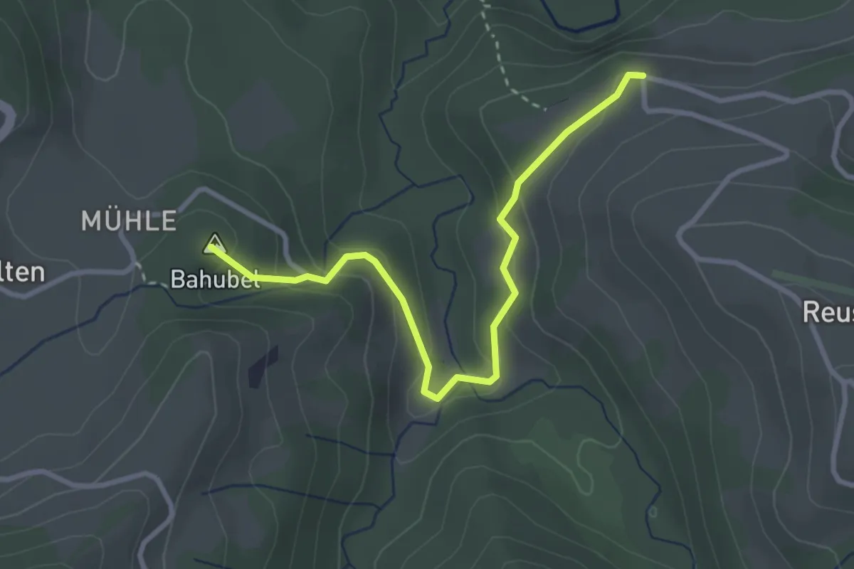
Schwarzenegg – Teuffenthal/Burghalten
5.5 km · ↑ 293 m · 1 h 56 min
Easy · Summit
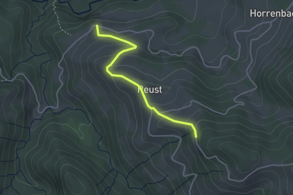
Cheistli – Teuffenthal
3.1 km · ↑ 164 m · 1 h 5 min
Easy · Trail
Cheistli – Reust
3.0 km · ↑ 191 m · 1 h 7 min
Easy · Trail
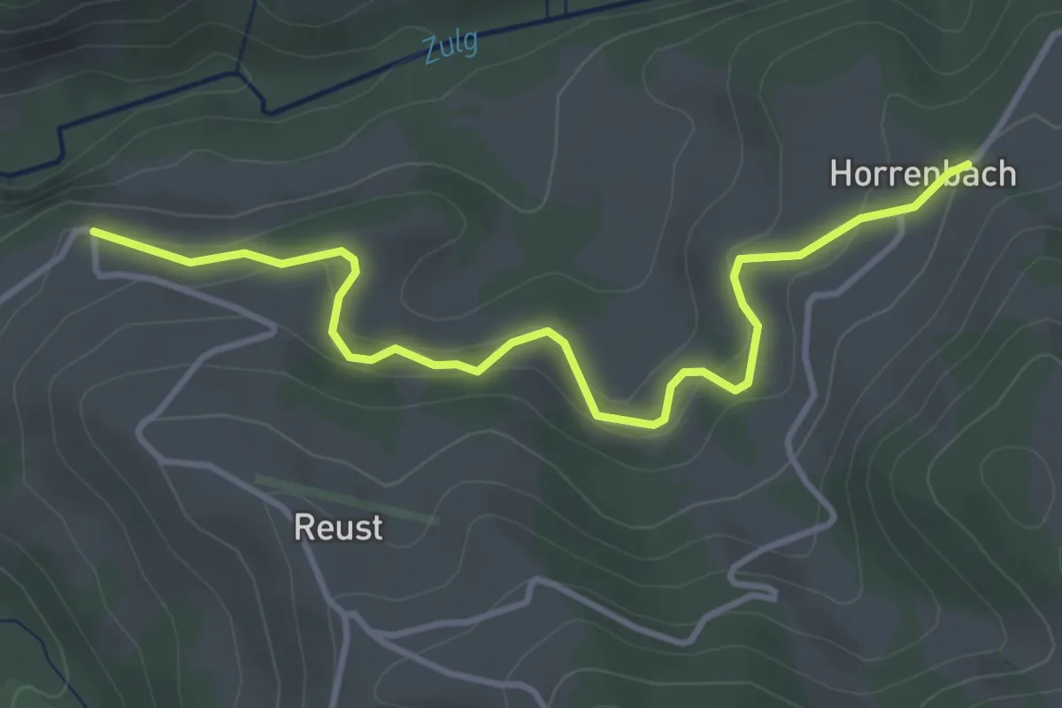
Cheistli – Horrenbach
3.9 km · ↑ 198 m · 1 h 22 min
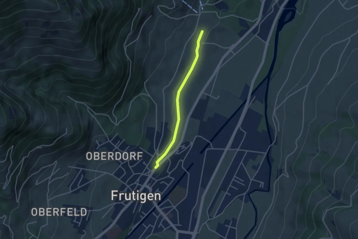
Easy · Trail
Frutigen – Winklen
2.9 km · ↑ 34 m · 45 min
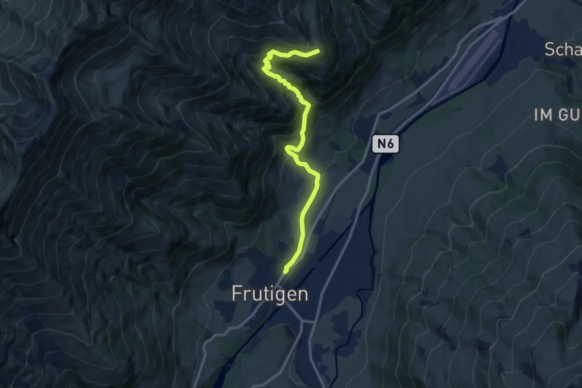
Medium · Trail
Frutigen – Eggweid
8.9 km · ↑ 624 m · 3 h 27 min
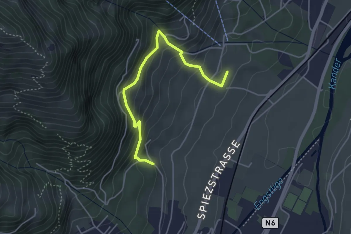
Medium · Trail
Tanzplatz – Winkeln
3.8 km · ↑ 343 m · 1 h 39 min
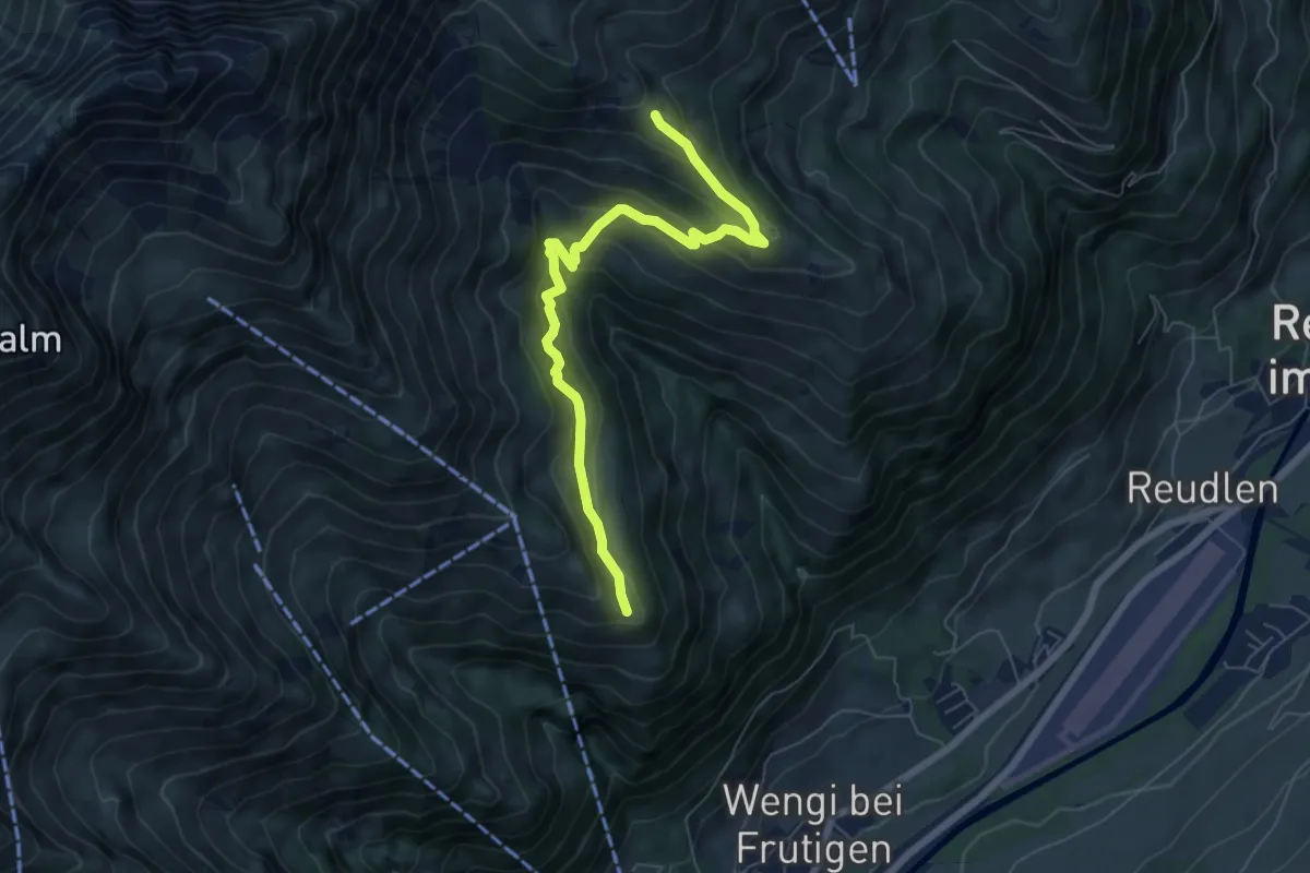
Medium · Trail
Eggweid – Unterniesen
6.7 km · ↑ 428 m · 2 h 30 min
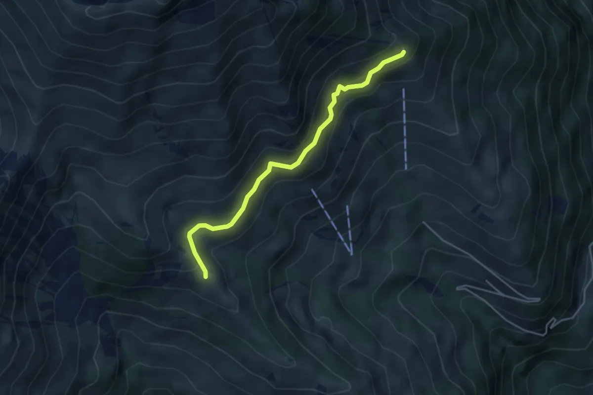
Easy · Trail
Unterniesen – Schwandegg
3.8 km · ↑ 236 m · 1 h 25 min
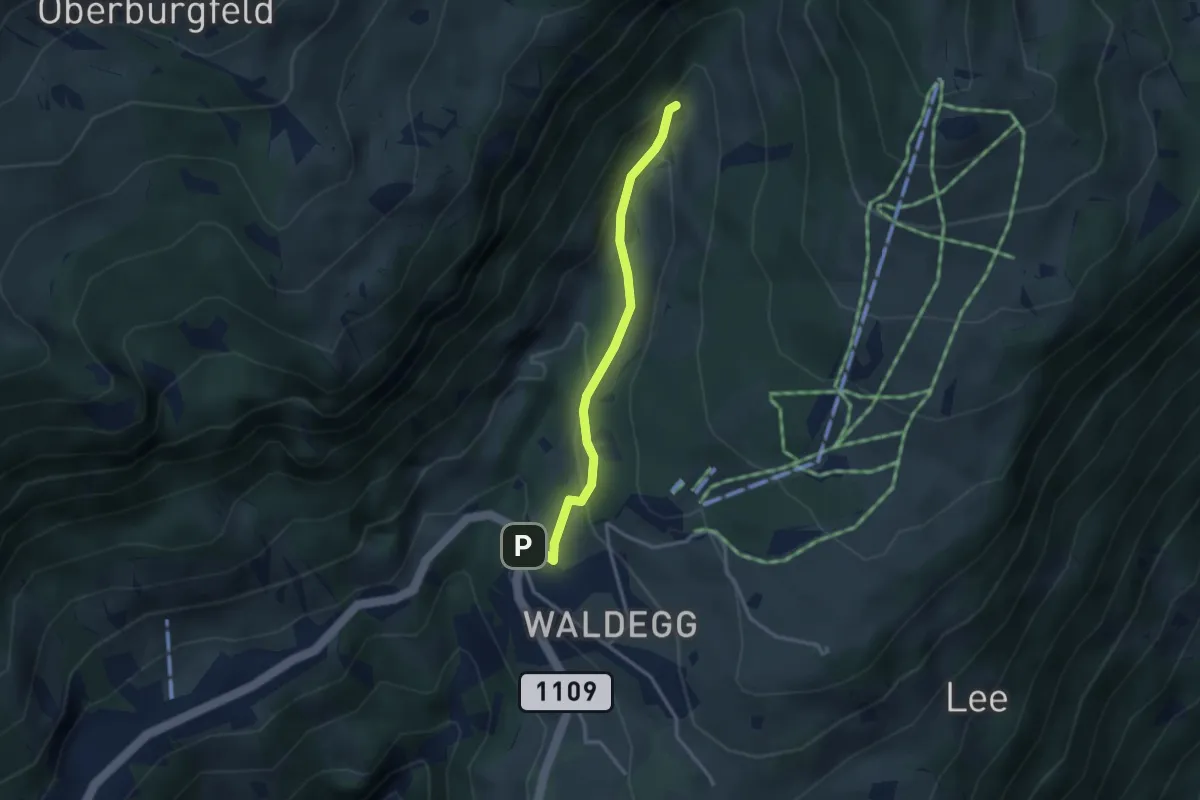
Easy · Trail
Beatenberg Waldegg – Rischere
2.9 km · ↑ 134 m · 58 min
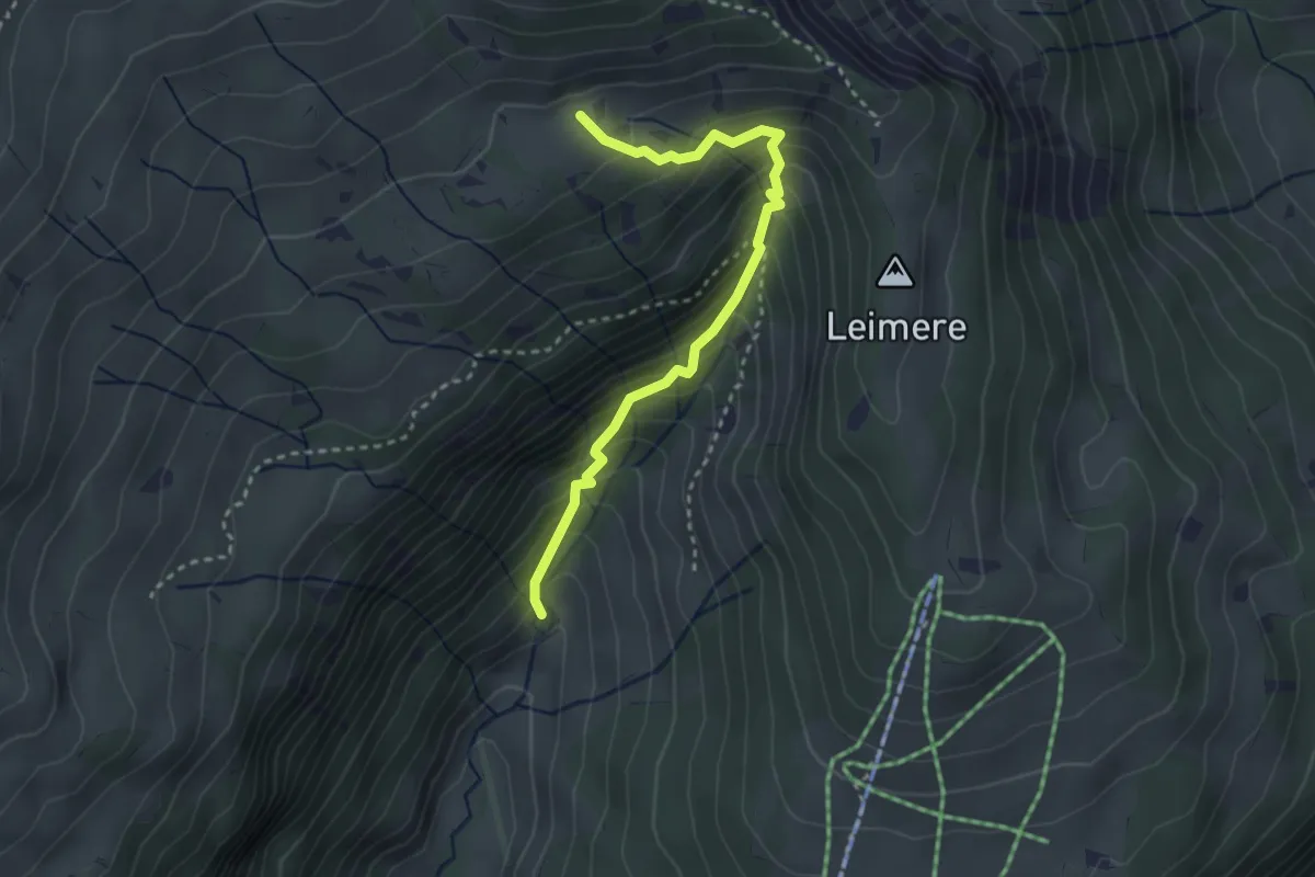
Medium · Trail
Rischeren – Chüematte
3.1 km · ↑ 363 m · 1 h 31 min
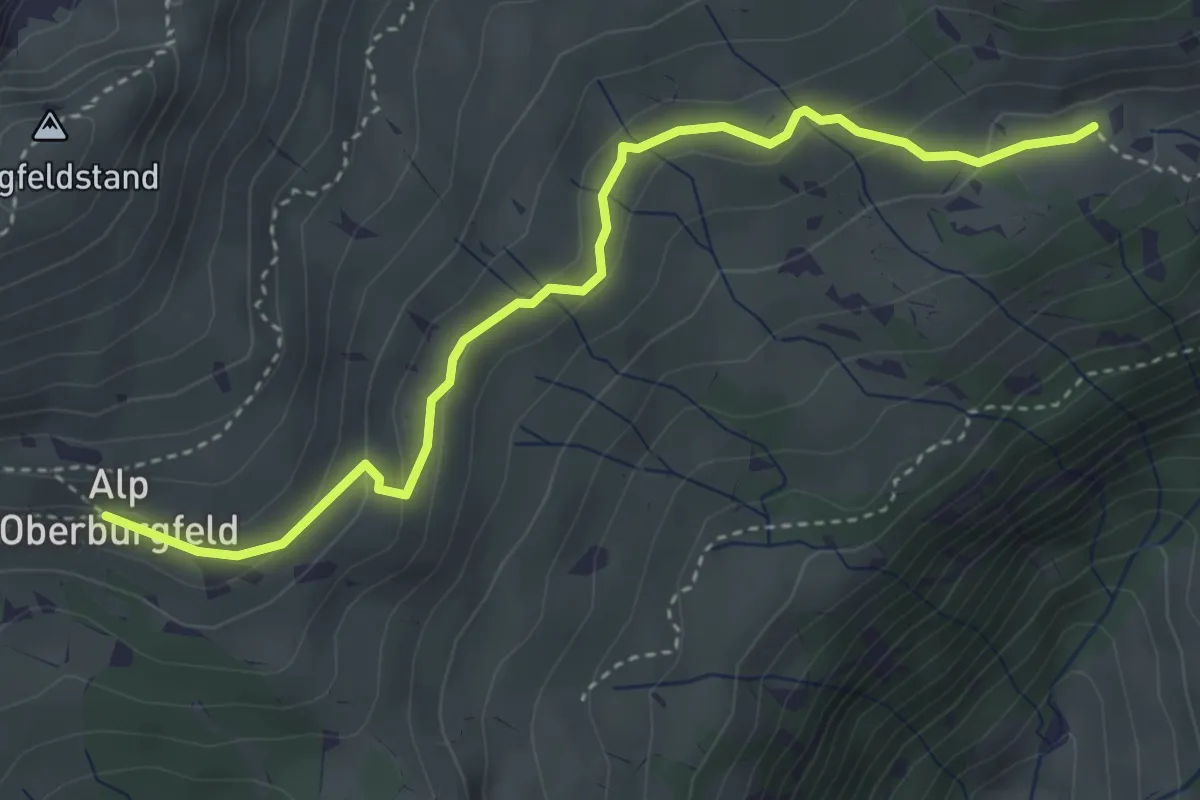
Medium · Trail
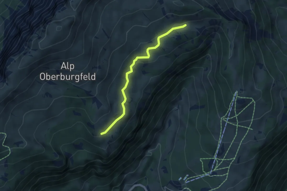
Chüematte – Oberburgfeld
4.0 km · ↑ 173 m · 1 h 20 min
Easy · Trail
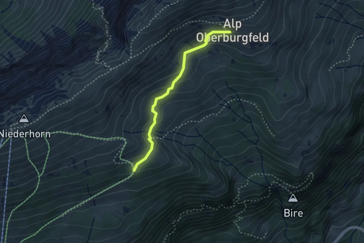
Chüematte – Unterburgfeld
4.1 km · ↑ 99 m · 1 h 11 min
Medium · Trail
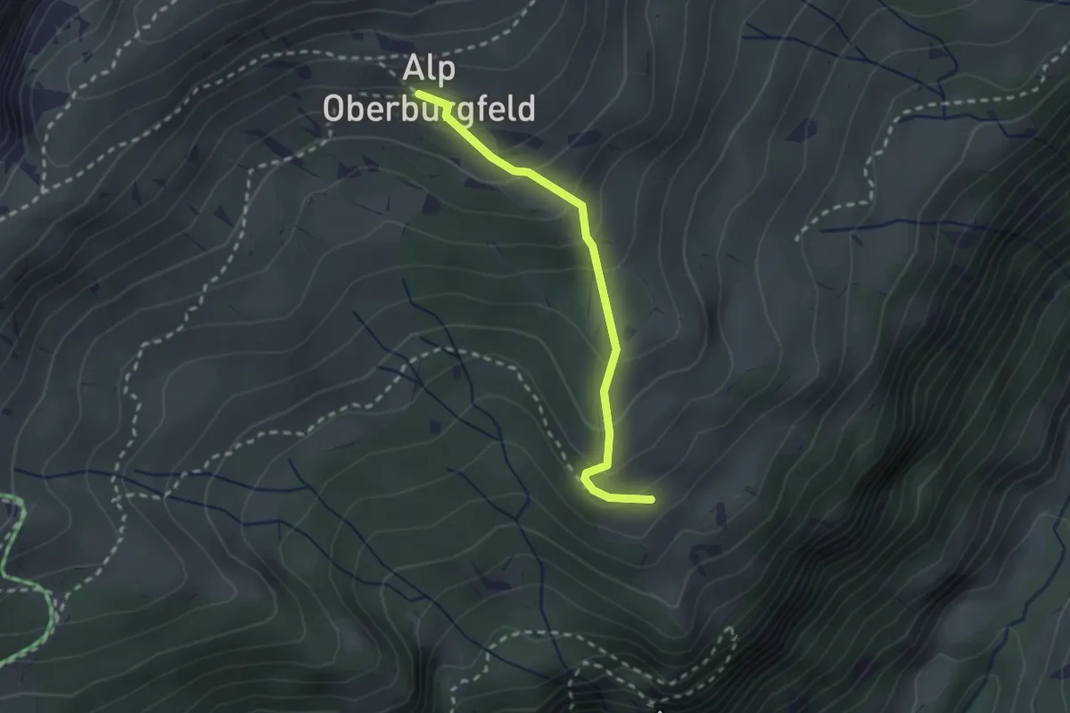
Oberburgfeld – Häliloch
2.9 km · ↑ 138 m · 59 min
Medium · Trail
Oberburgfeld – Unterburgfeld
2.2 km · ↑ 185 m · 55 min
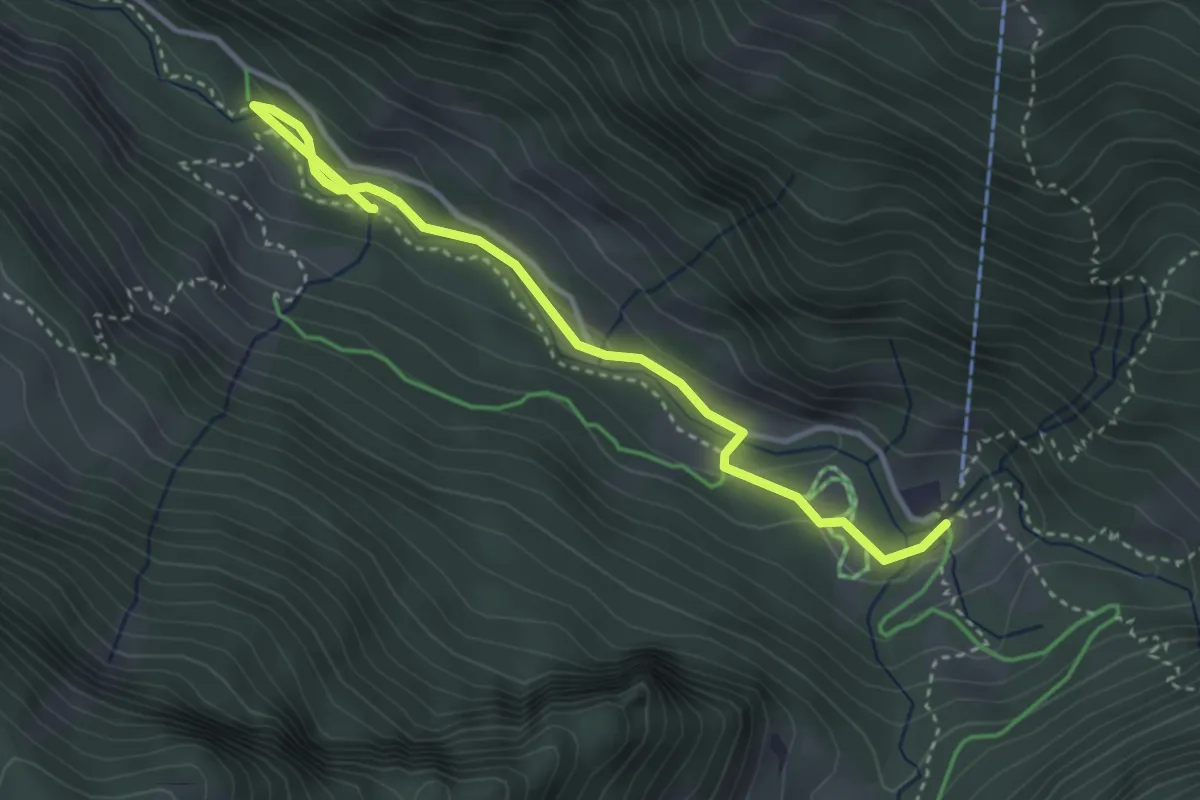
Easy · Trail
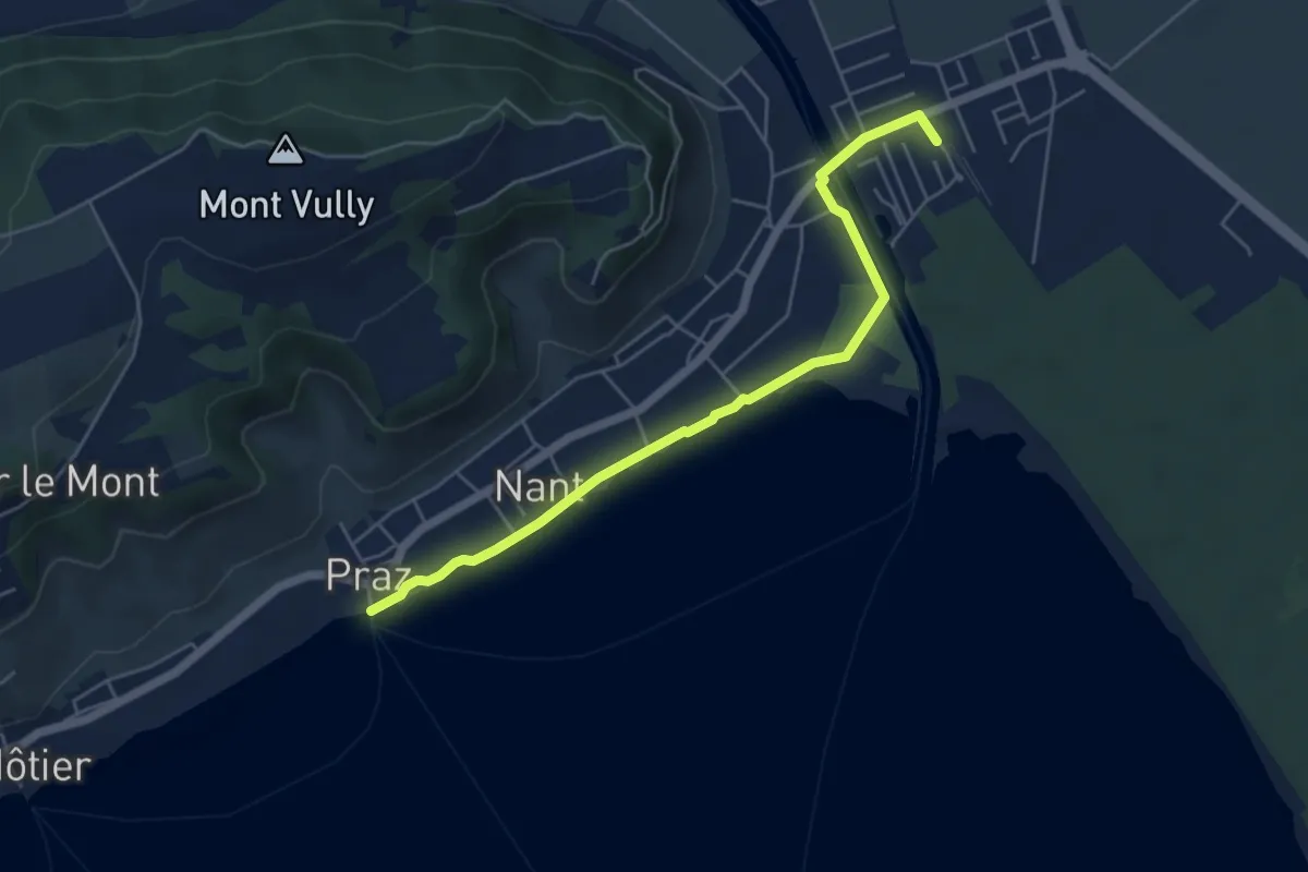
Sugiez gare – Praz Port
5.3 km · ↑ 0 m · 1 h 16 min
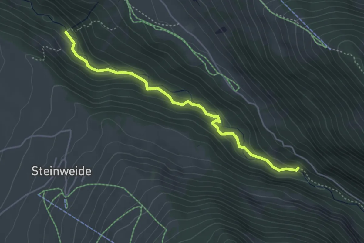
Easy · Trail
Suld – Suldweidli
3.8 km · ↑ 85 m · 1 h 4 min
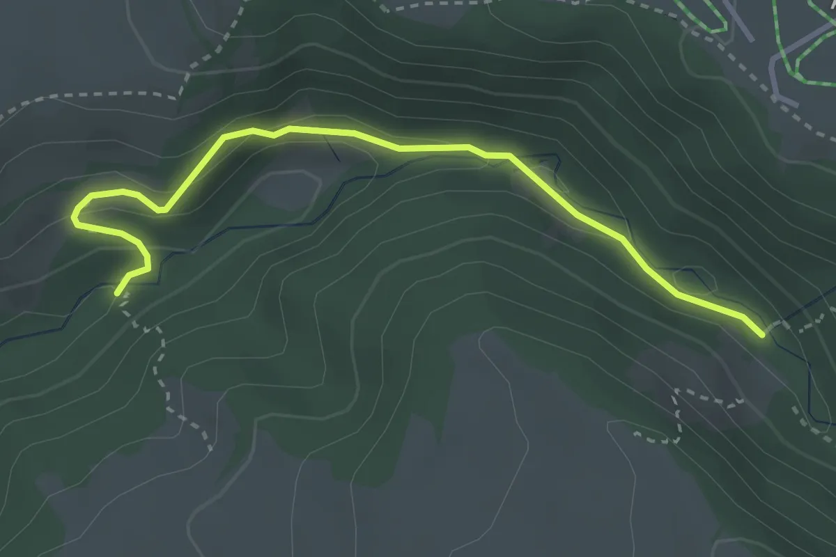
Medium · Trail
Staldenweid – Stächgrabe
4.1 km · ↑ 168 m · 1 h 20 min
Medium · Trail
Stächgrabe – Suldgrabe
3.2 km · ↑ 175 m · 1 h 8 min
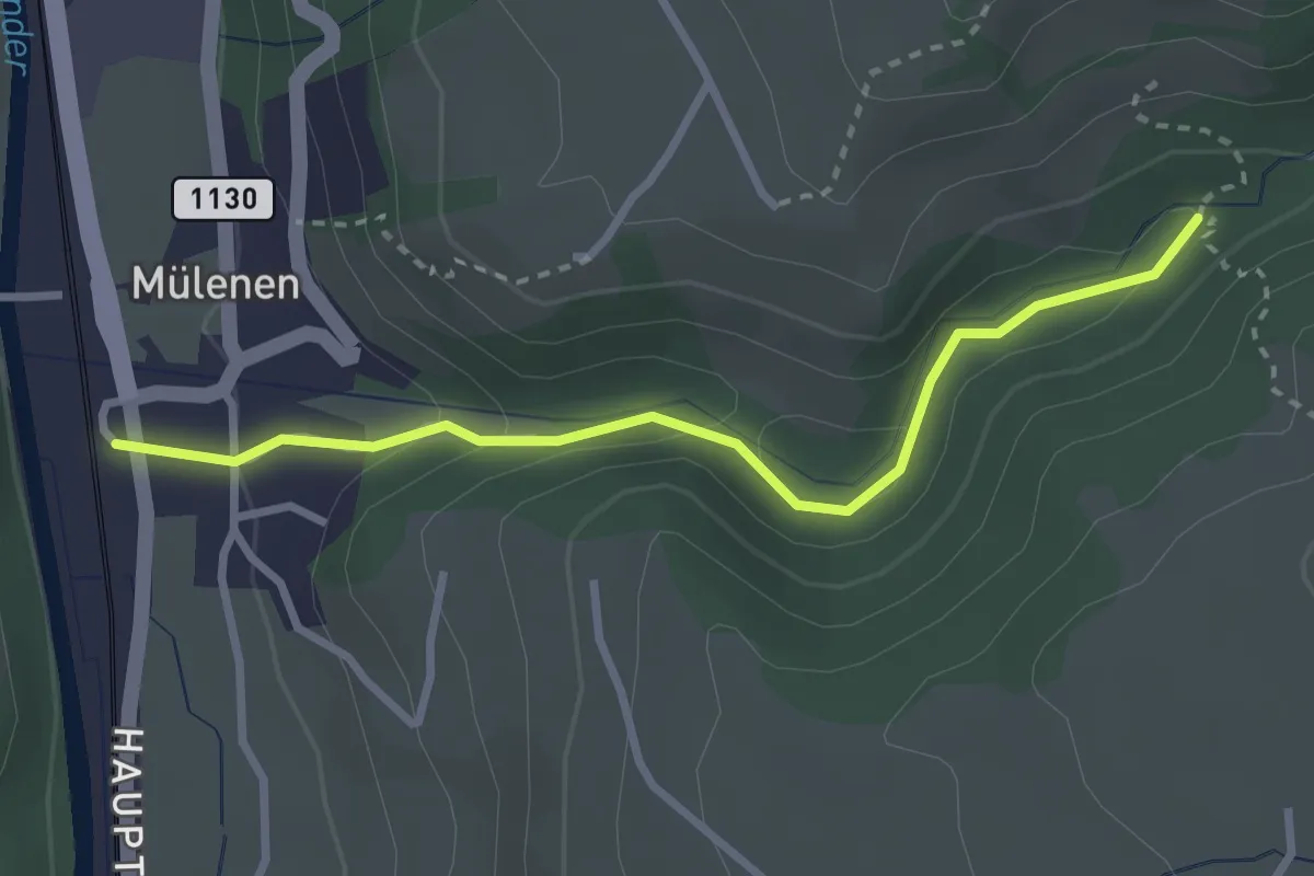
Easy · Trail
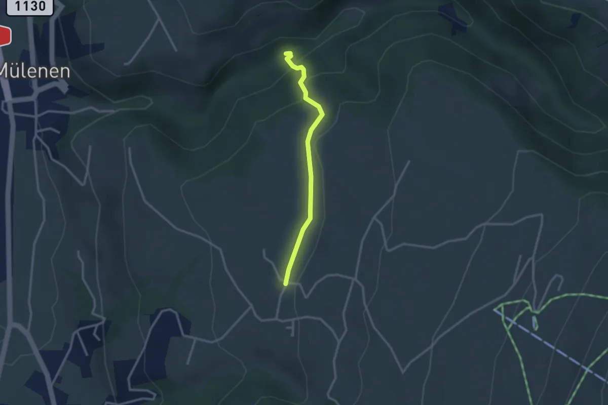
Suldgrabe – Mülenen
2.9 km · ↑ 104 m · 54 min
Medium · Trail
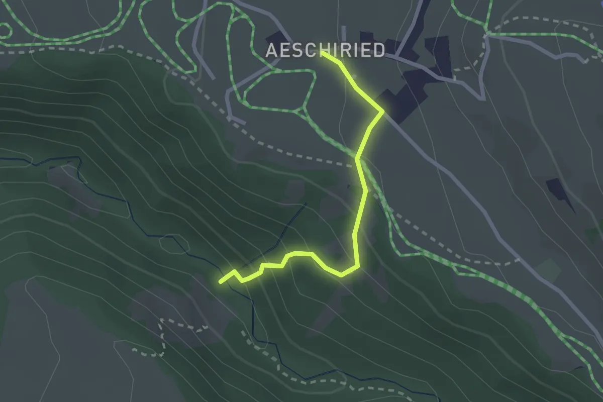
Suldgrabe – Faltschen
2.3 km · ↑ 111 m · 48 min
Medium · Trail
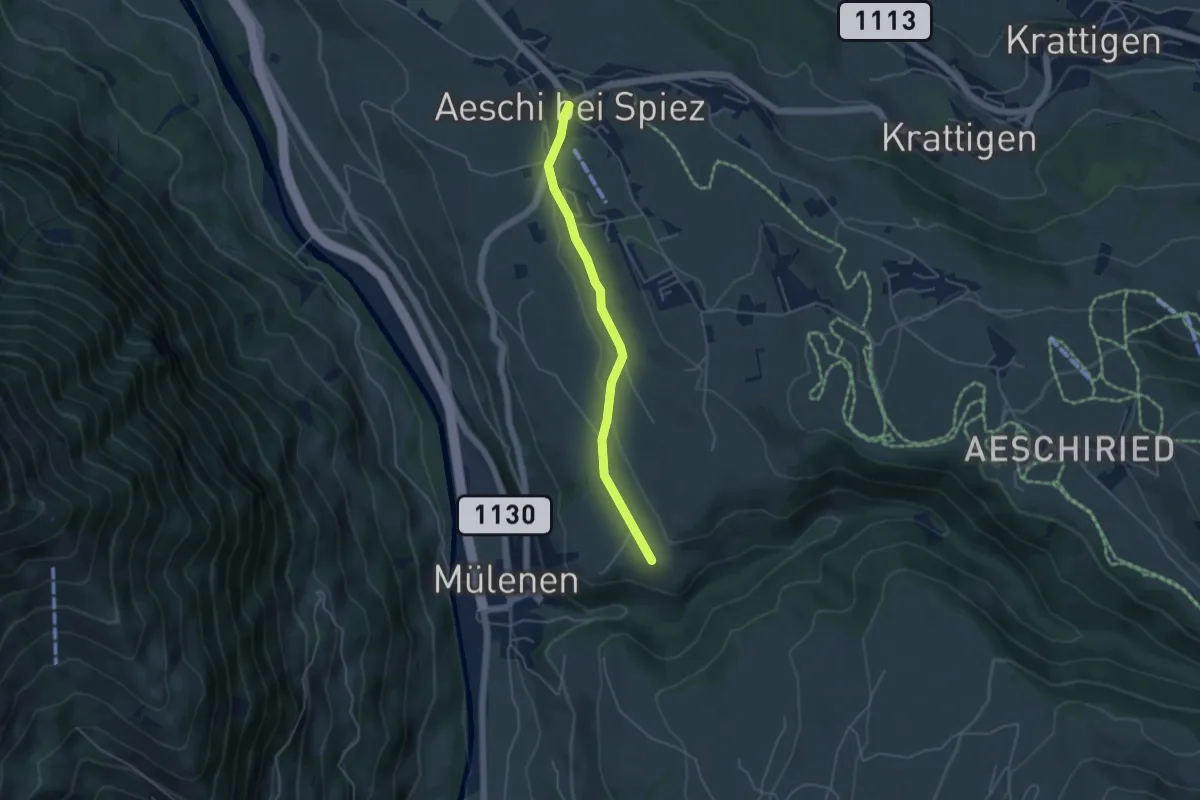
Stächgrabe – Aeschiried
2.0 km · ↑ 158 m · 49 min
Easy · Trail
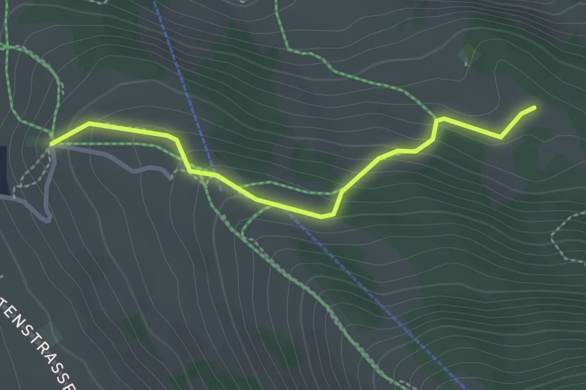
Suldhalte – Aeschi
4.3 km · ↑ 46 m · 1 h 6 min
Medium · Cabin
Aeschiallmend – Ufem Viertel
2.4 km · ↑ 136 m · 51 min
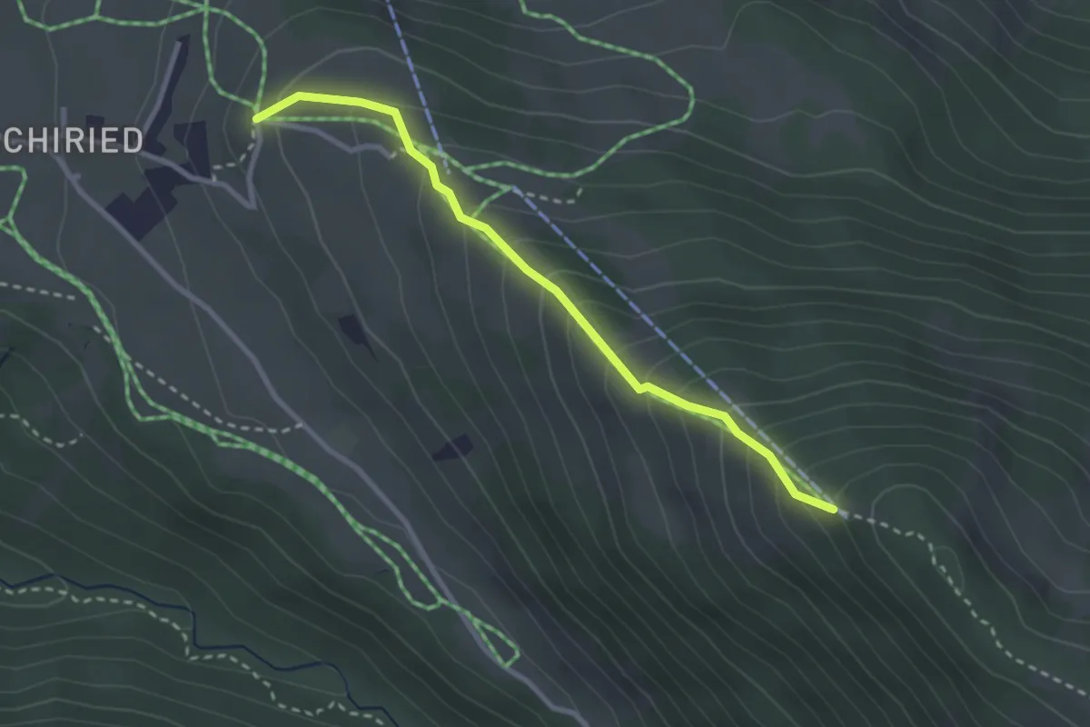
Medium · Trail
Spitz – Aeschiallmend
2.7 km · ↑ 284 m · 1 h 16 min
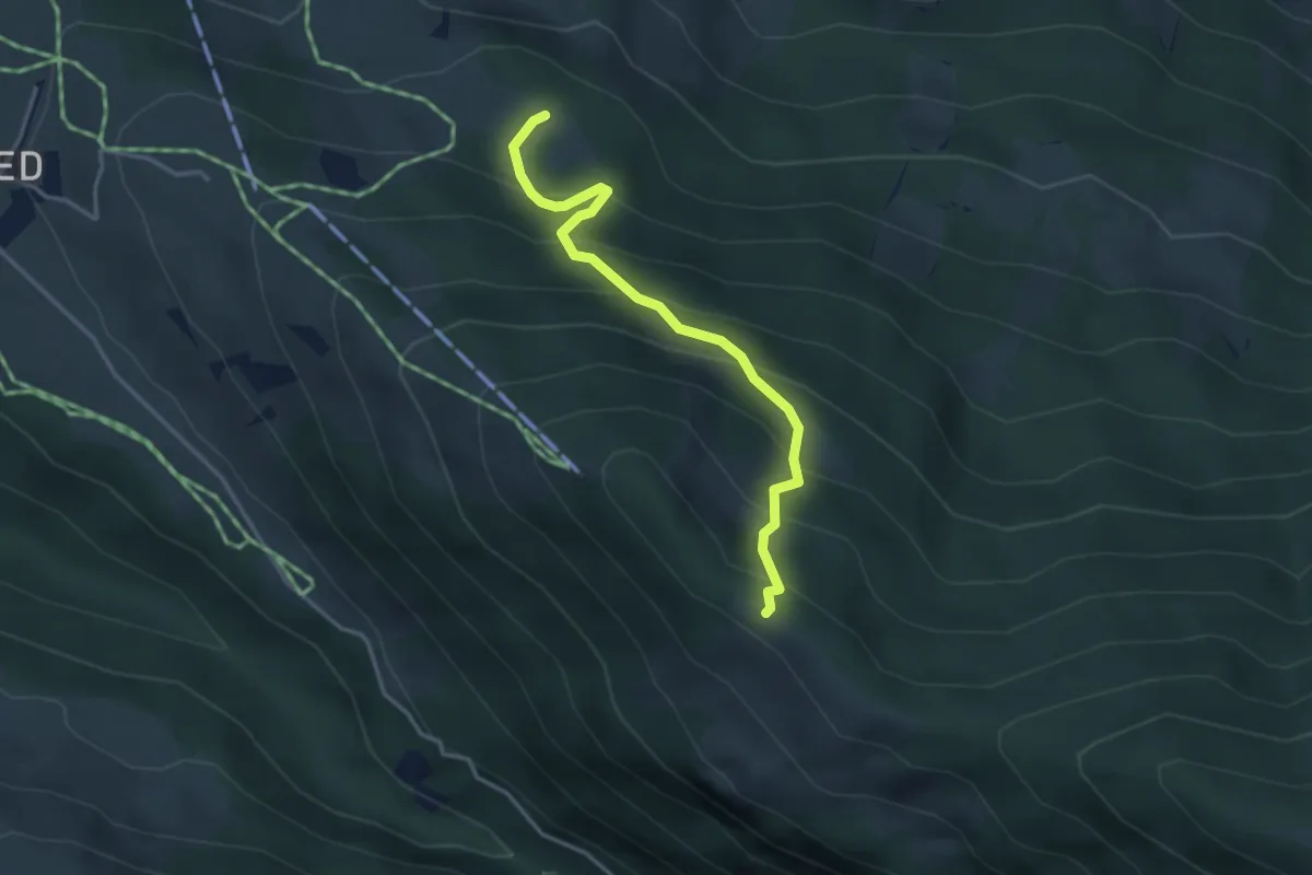
Medium · Cabin
Ufem Viertel – Bireberg
3.5 km · ↑ 361 m · 1 h 36 min
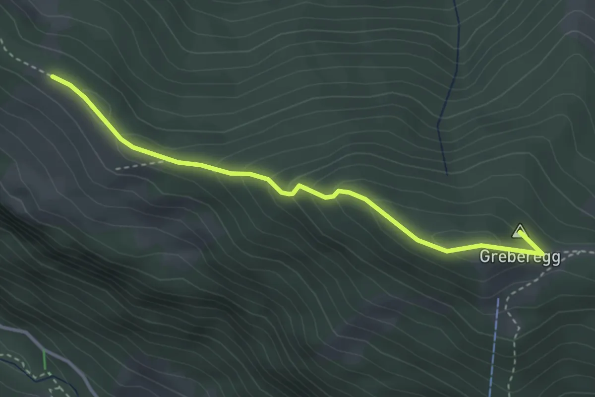
Medium · Summit
Bireberg – Greberegg
3.4 km · ↑ 193 m · 1 h 13 min
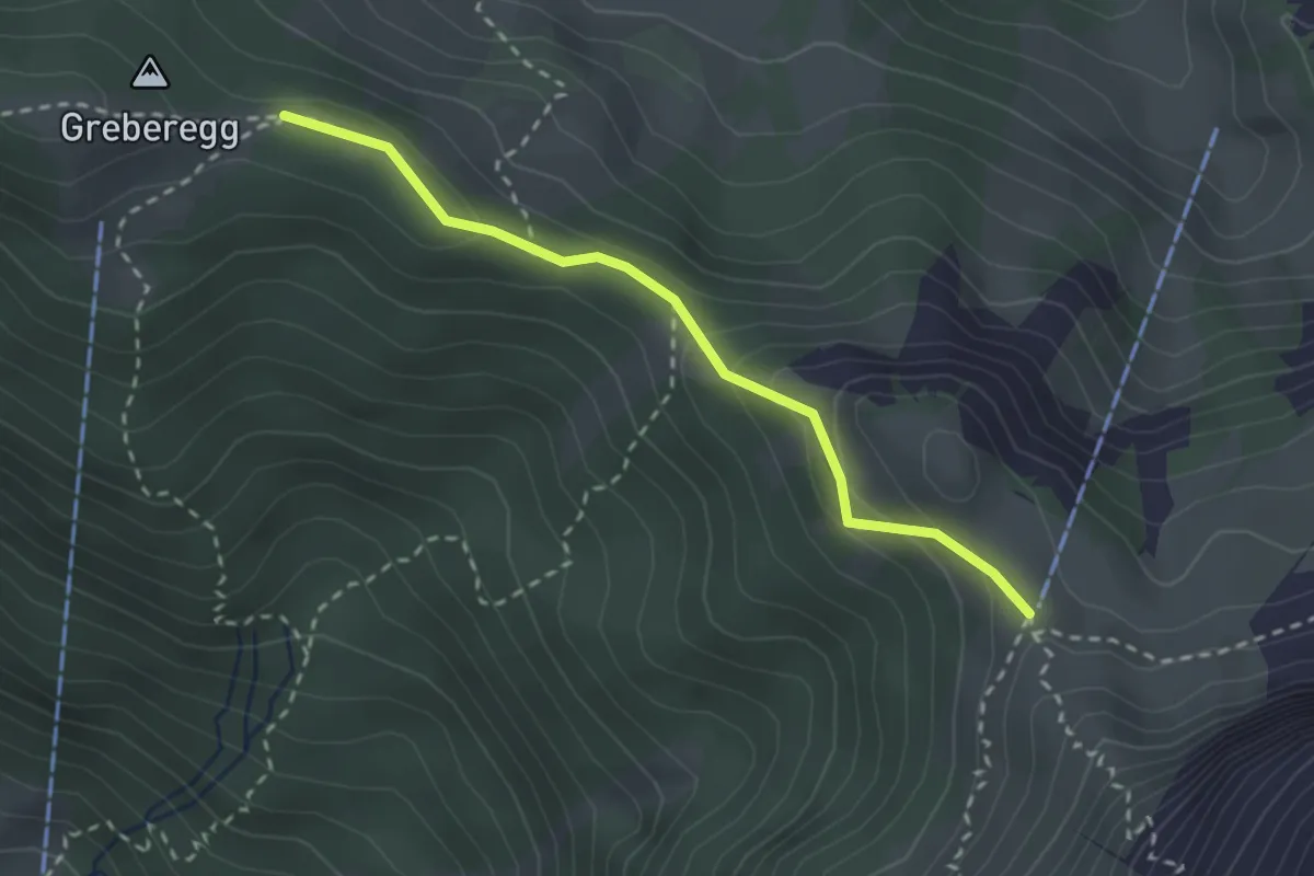
Medium · Cabin
Greberegg – Brunni
2.5 km · ↑ 143 m · 54 min
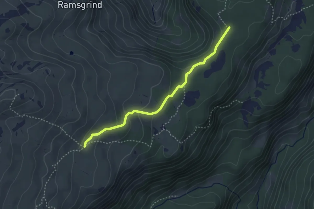
Medium · Trail
Mittlers Seefeld – Grünenbergpass
3.4 km · ↑ 114 m · 1 h 3 min
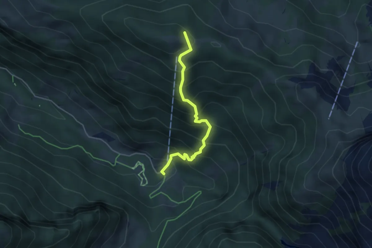
Medium · Summit
Suld – Greberegg
3.5 km · ↑ 460 m · 1 h 50 min
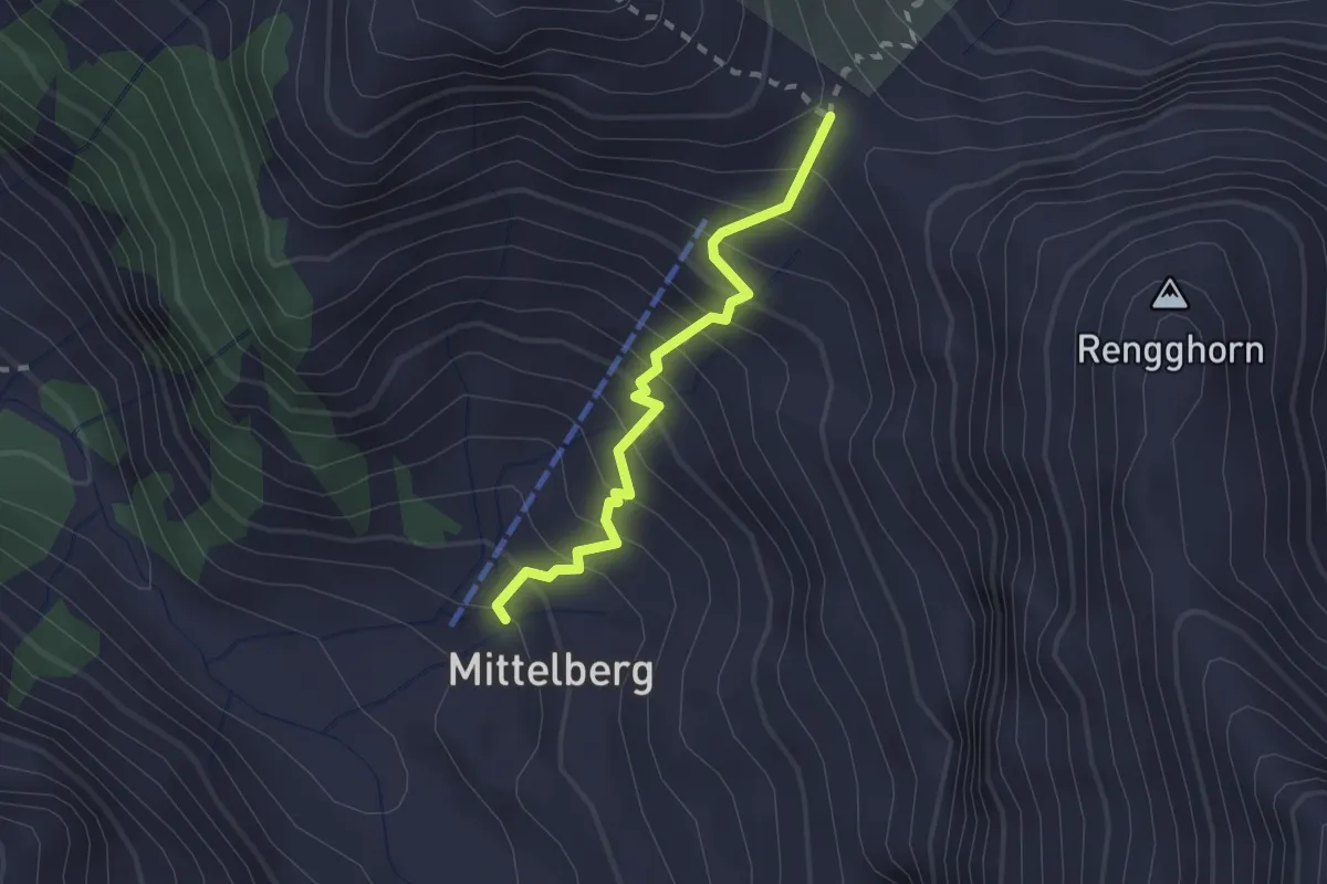
Medium · Trail
Rengglipass – Mittelbrg
2.0 km · ↑ 287 m · 1 h 5 min
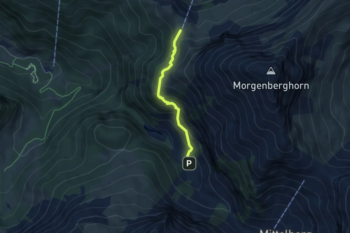
Medium · Cabin
Schlieri – Brunni
3.4 km · ↑ 312 m · 1 h 28 min
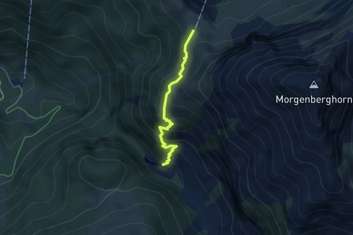
Medium · Cabin
Louene – Brunni
3.0 km · ↑ 378 m · 1 h 32 min
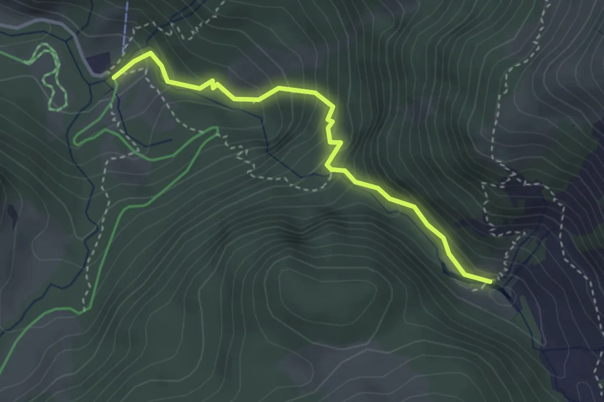
Demanding · Trail
Louene – Suld
3.2 km · ↑ 324 m · 1 h 27 min
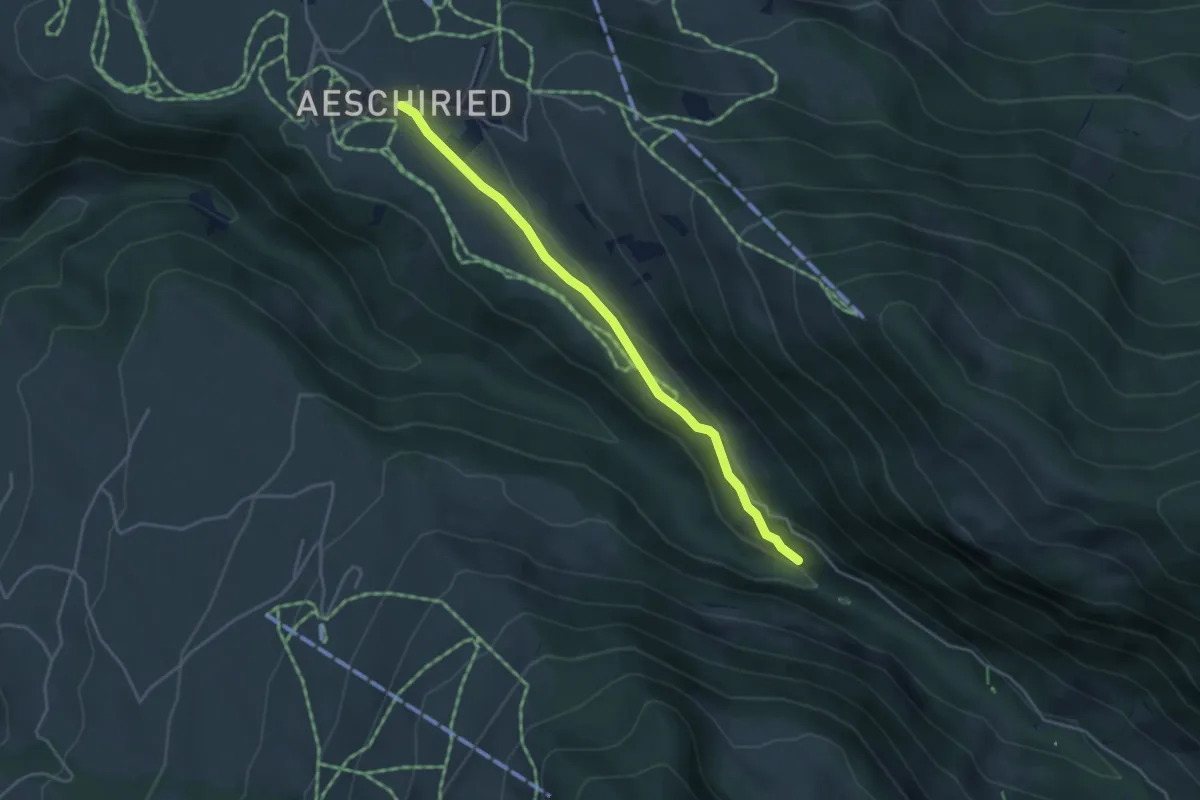
Easy · Trail
Staldenweid – Aeschiried
3.9 km · ↑ 75 m · 1 h 5 min
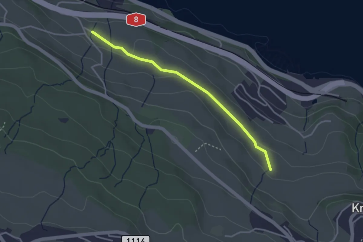
Easy · Trail
Schüpfgasse – Allmend
2.9 km · ↑ 45 m · 46 min
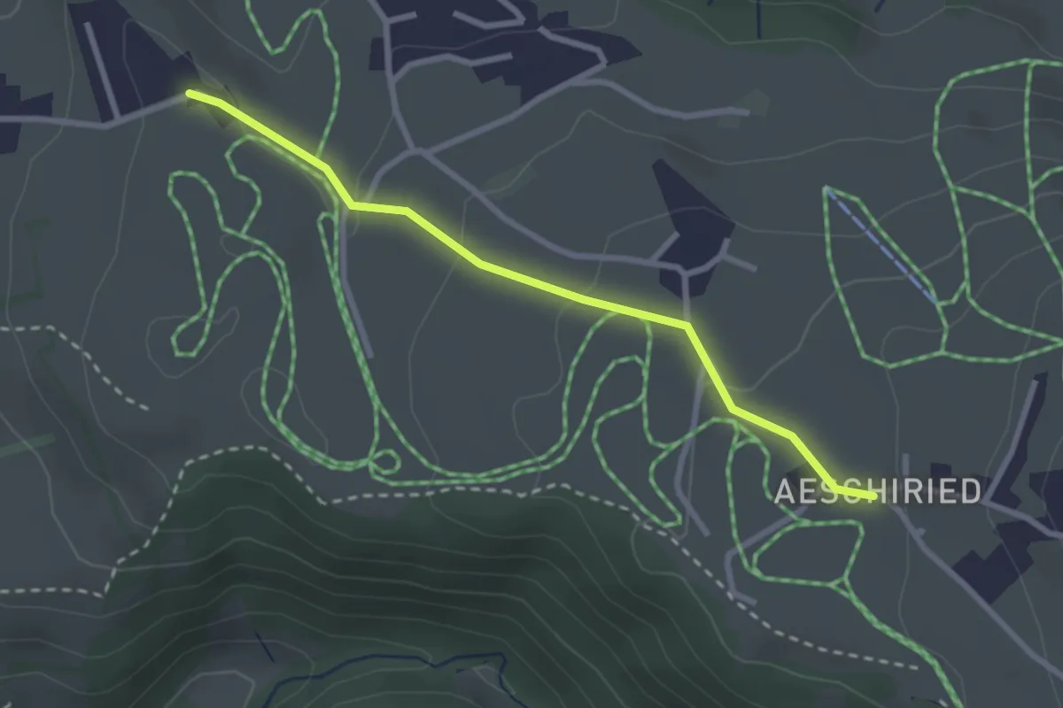
Easy · Trail
Aeschiried – Wachthubel
2.7 km · ↑ 85 m · 49 min
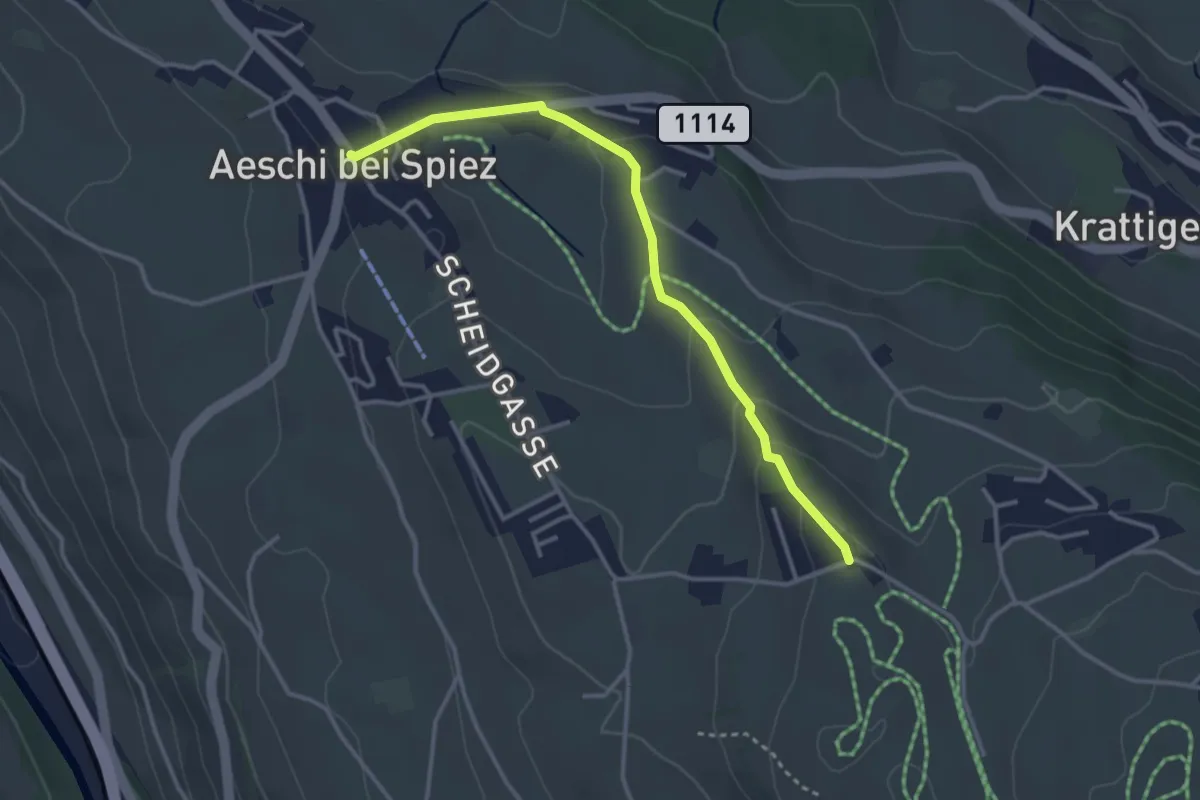
Easy · Trail
Wachthubel – Aeschi
3.4 km · ↑ 99 m · 1 h 1 min
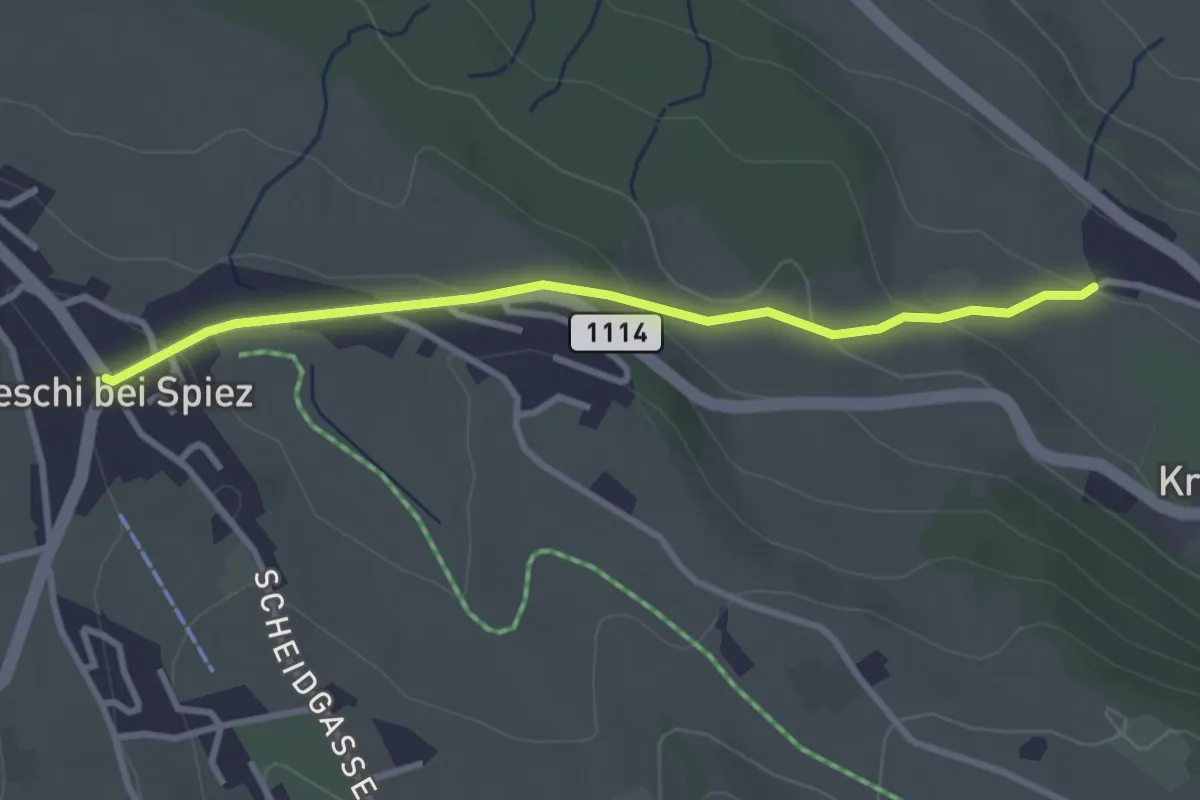
Easy · Trail
Aeschi – Stuhlegg
3.0 km · ↑ 104 m · 57 min
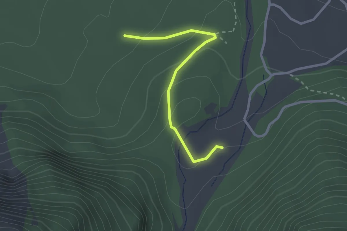
Easy · Trail
Bhutan-Brücke – Obere Abschlacht
2.2 km · ↑ 86 m · 42 min
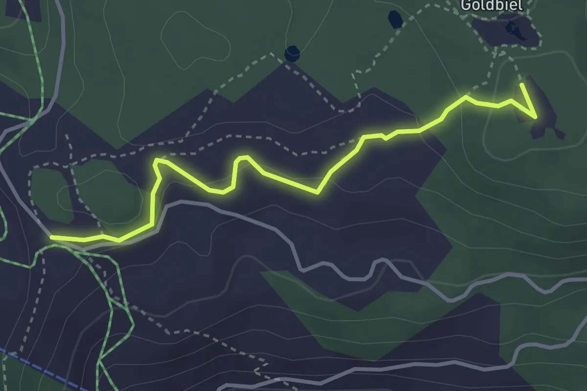
Easy · Trail
Moosalp Chalte Brunne – Stand
3.4 km · ↑ 131 m · 1 h 5 min
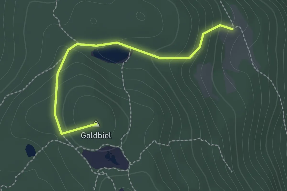
Easy · Summit
Boniger See – Breitmatte
2.2 km · ↑ 120 m · 47 min
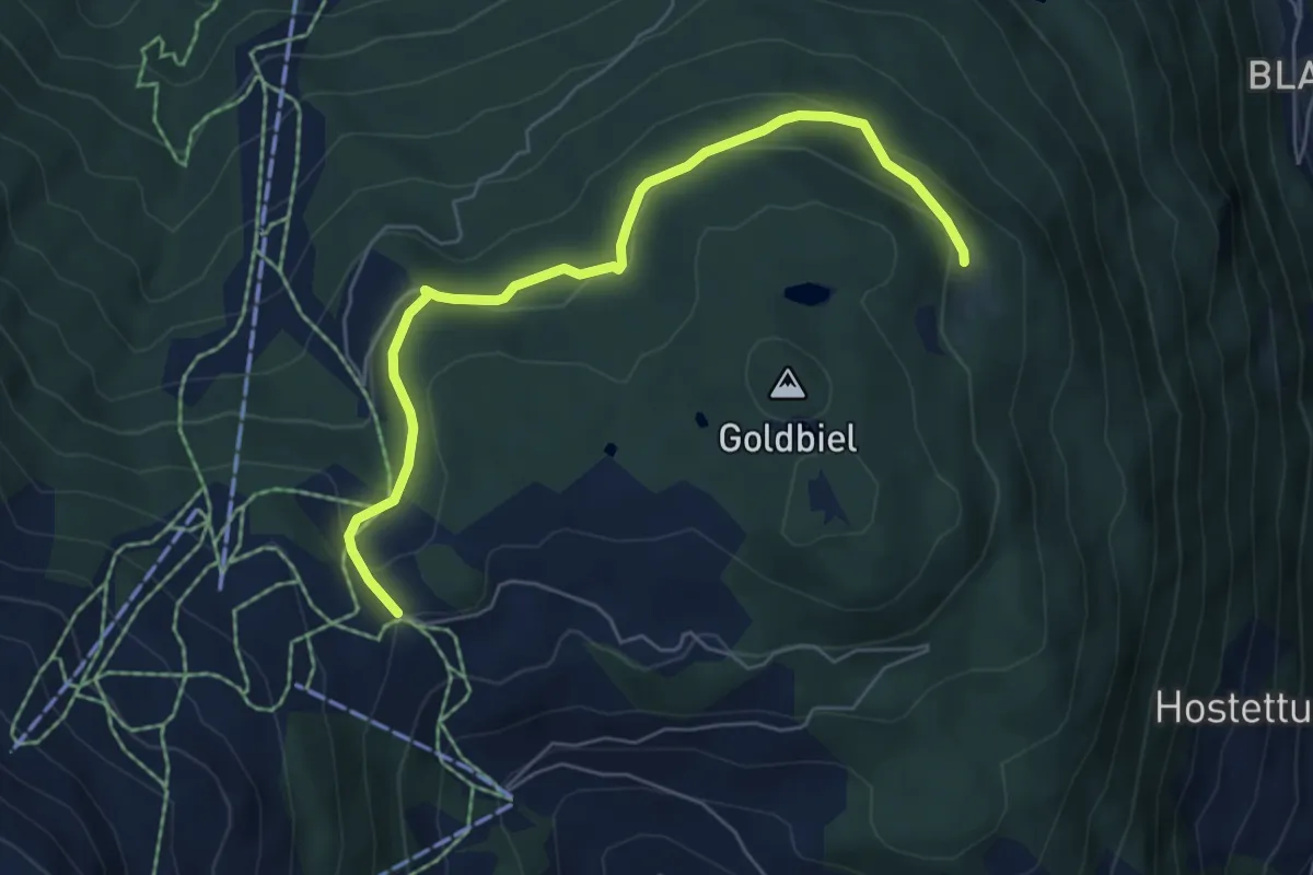
Easy · Trail
Breitmatte – Moosalp Chalte Brunne
6.1 km · ↑ 213 m · 1 h 54 min
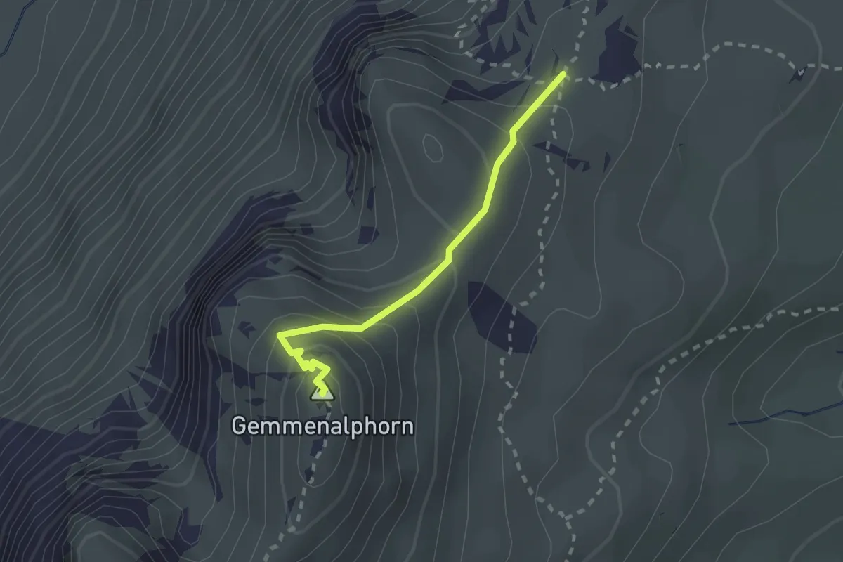
Medium · Summit
Gemmenalphorn – Kühstand
2.0 km · ↑ 158 m · 48 min