Trails in Switzerland
15,055 hiking trails, each with its route, climb, walking time and grade.
All trails, page 156 of 314
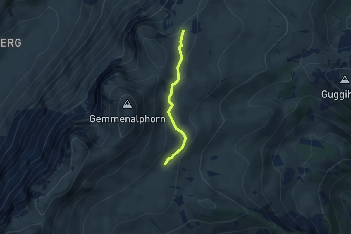
Medium · Trail
Gemmenalp/Oberberg – Kühstand
2.5 km · ↑ 85 m · 46 min
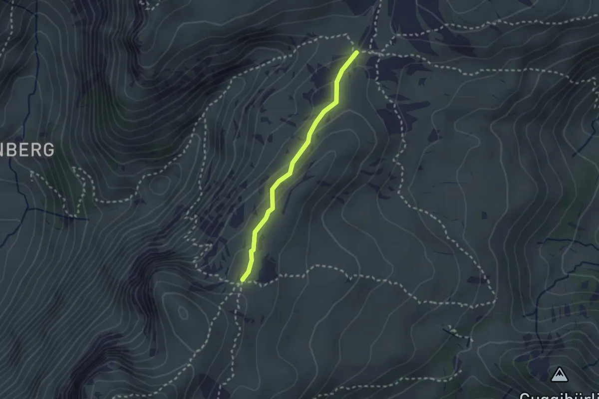
Medium · Trail
Kühstand – Seefeld / Oberberg
2.1 km · ↑ 104 m · 44 min
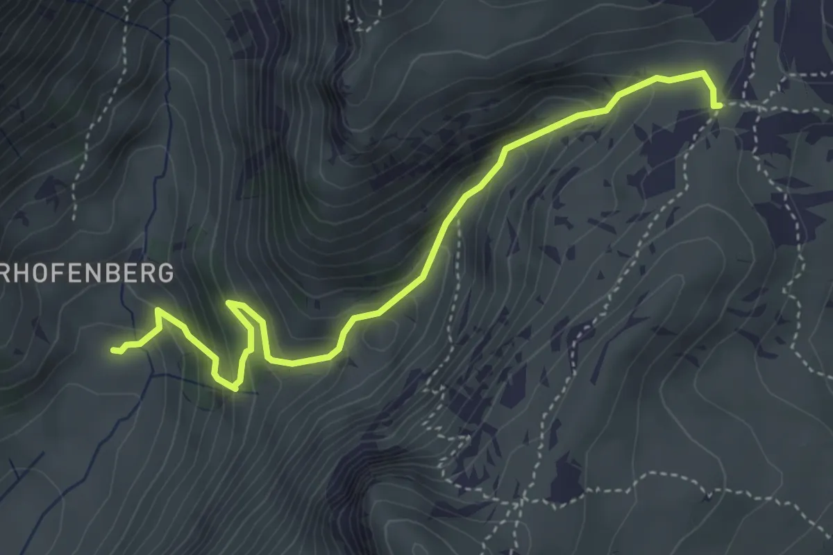
Medium · Trail
Seefeld / Oberberg – Hinterstberg
4.5 km · ↑ 455 m · 2 h 3 min
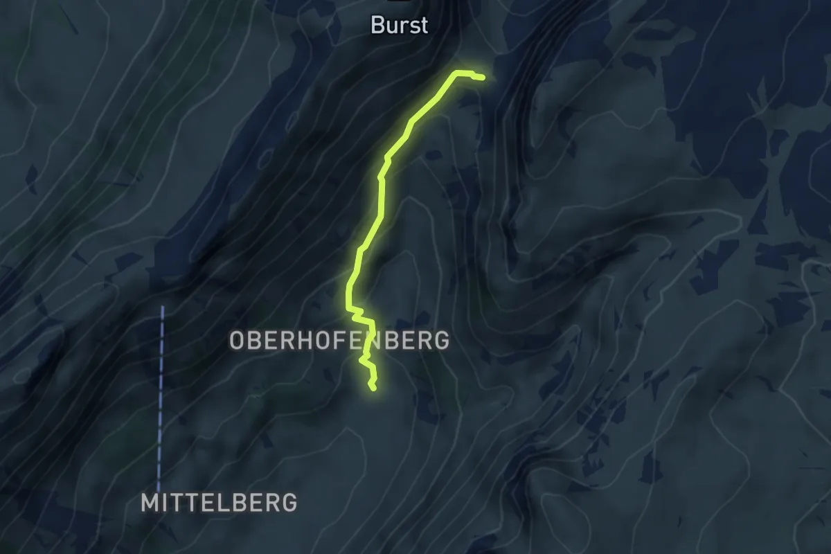
Medium · Trail
Hinterstberg – Sichle
3.1 km · ↑ 315 m · 1 h 25 min
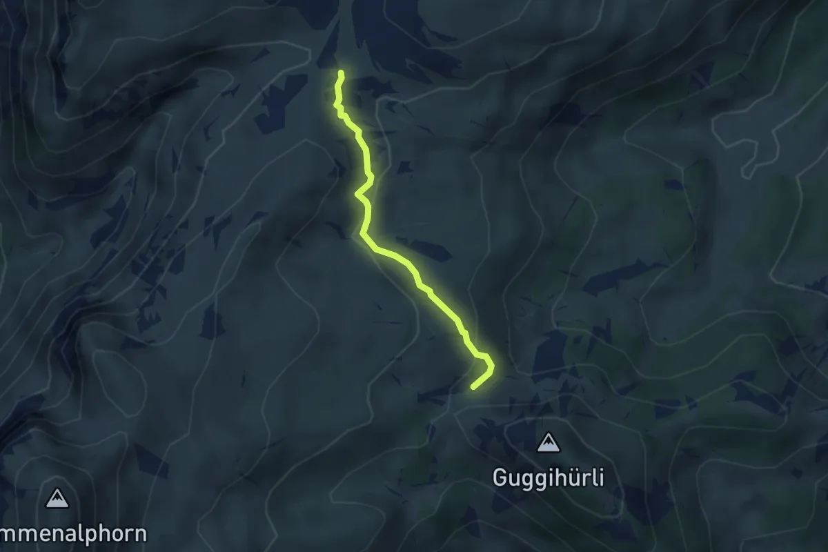
Medium · Trail
Oberberg – Bäreney
2.8 km · ↑ 117 m · 55 min
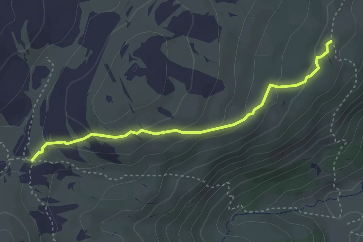
Medium · Trail
Oberberg – Vorderes Seefeld
3.2 km · ↑ 142 m · 1 h 4 min
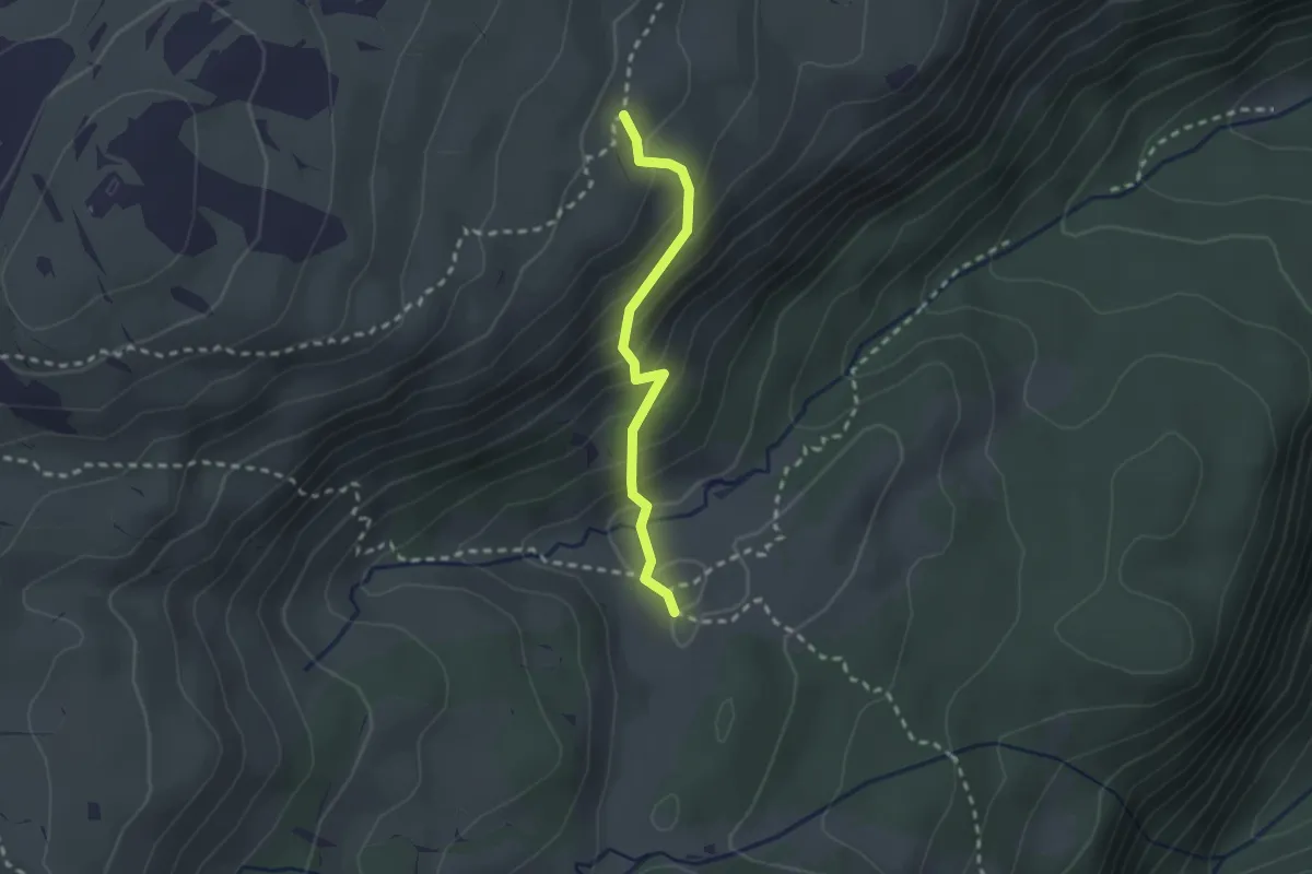
Medium · Trail
Vorderes Seefeld – Chromatte
2.1 km · ↑ 191 m · 54 min
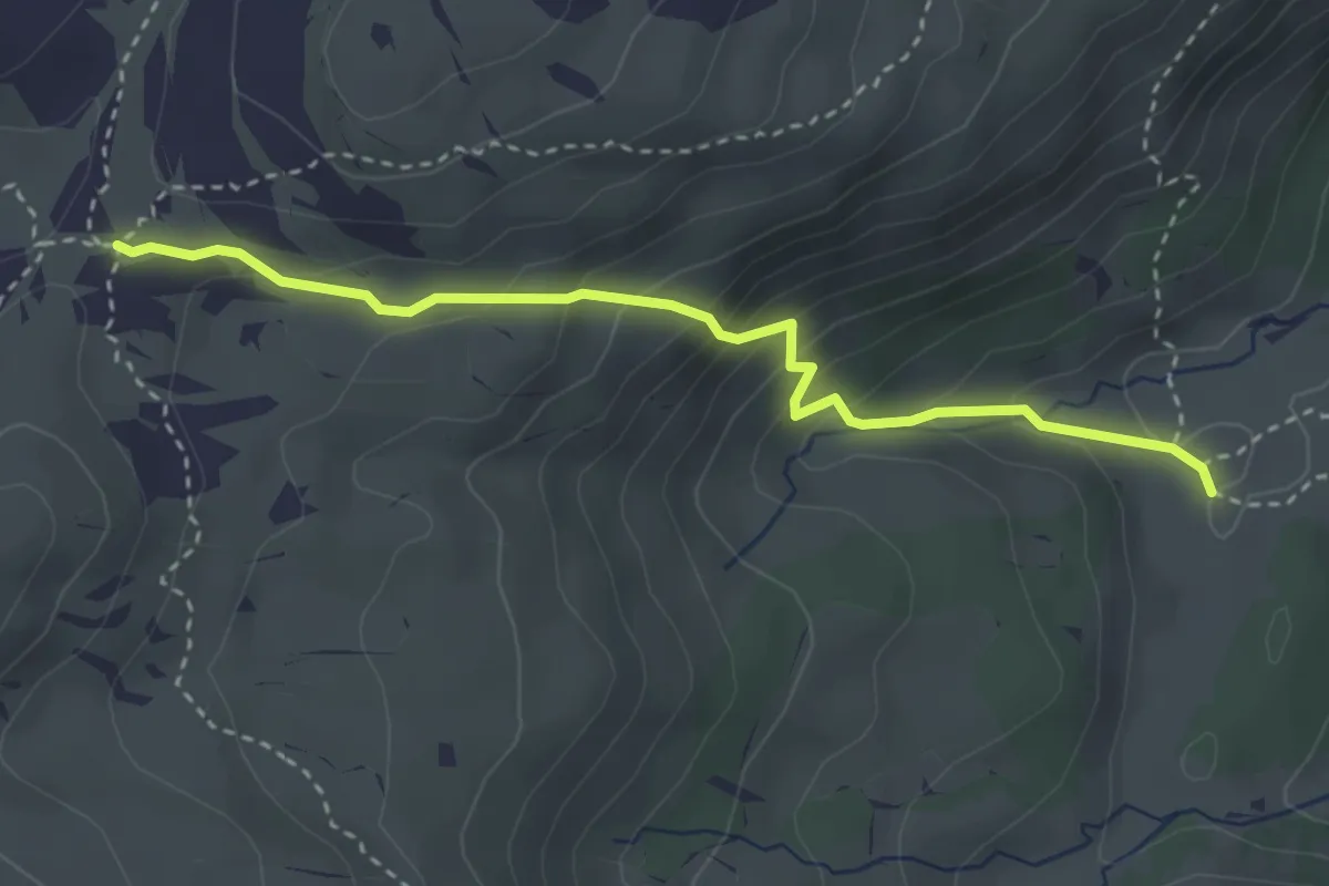
Medium · Trail
Oberberg – Chromatte
3.3 km · ↑ 263 m · 1 h 21 min
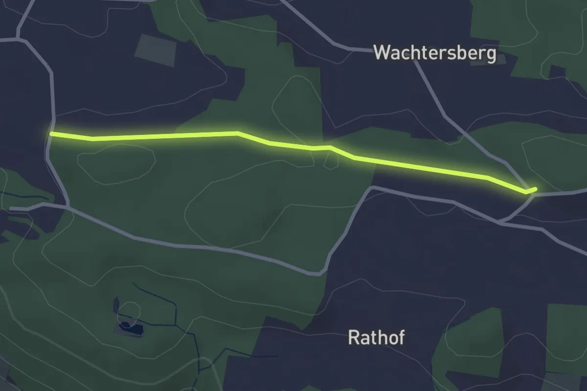
Easy · Trail
Dattenhueb – Stelzenhof
2.6 km · ↑ 55 m · 43 min
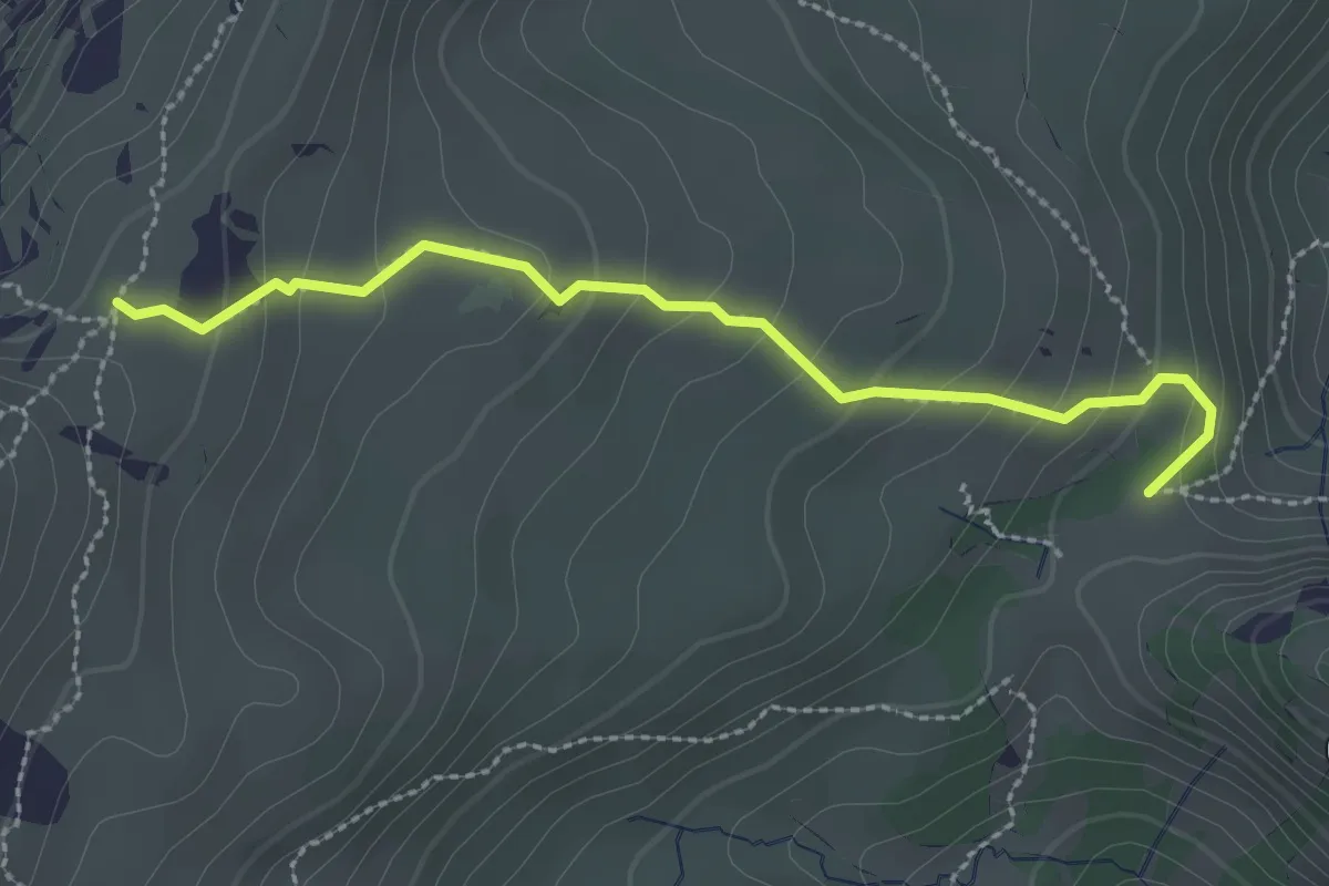
Medium · Trail
Kühstand – Bäreney
2.6 km · ↑ 193 m · 1 h 2 min
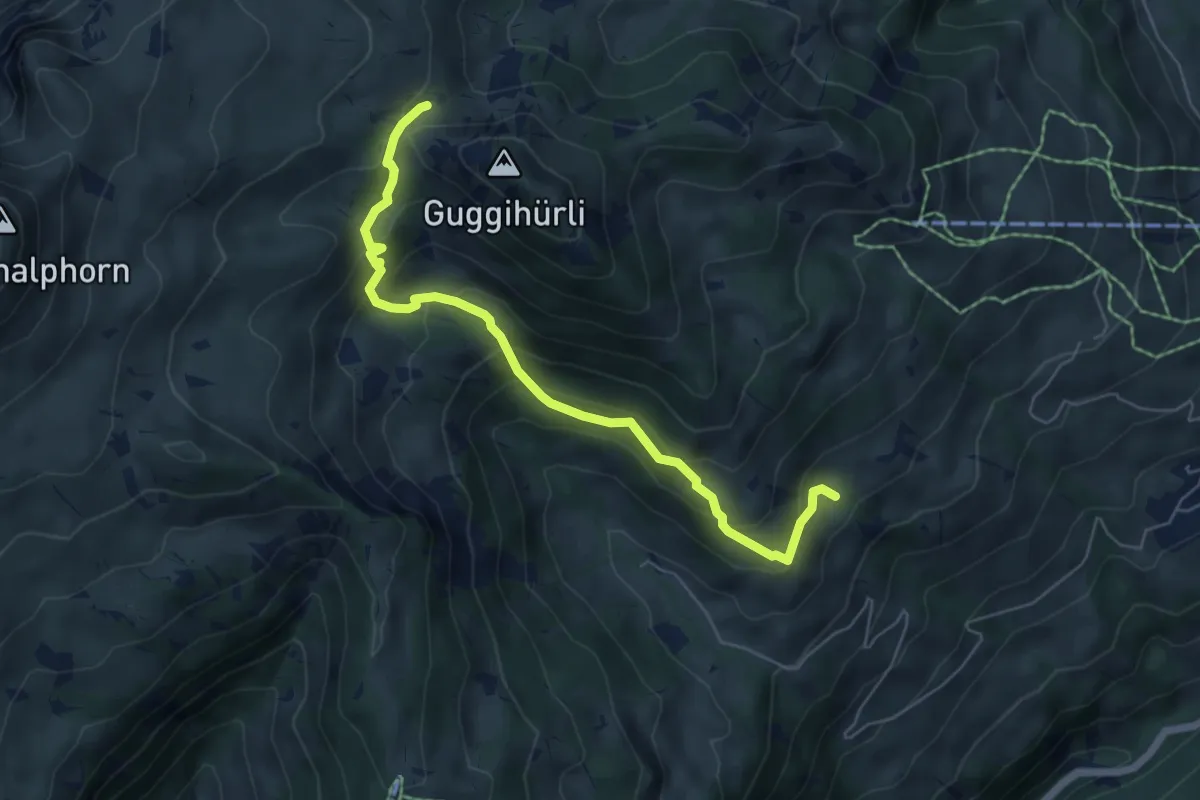
Medium · Trail
Bäreney – Hellbode
6.1 km · ↑ 478 m · 2 h 28 min
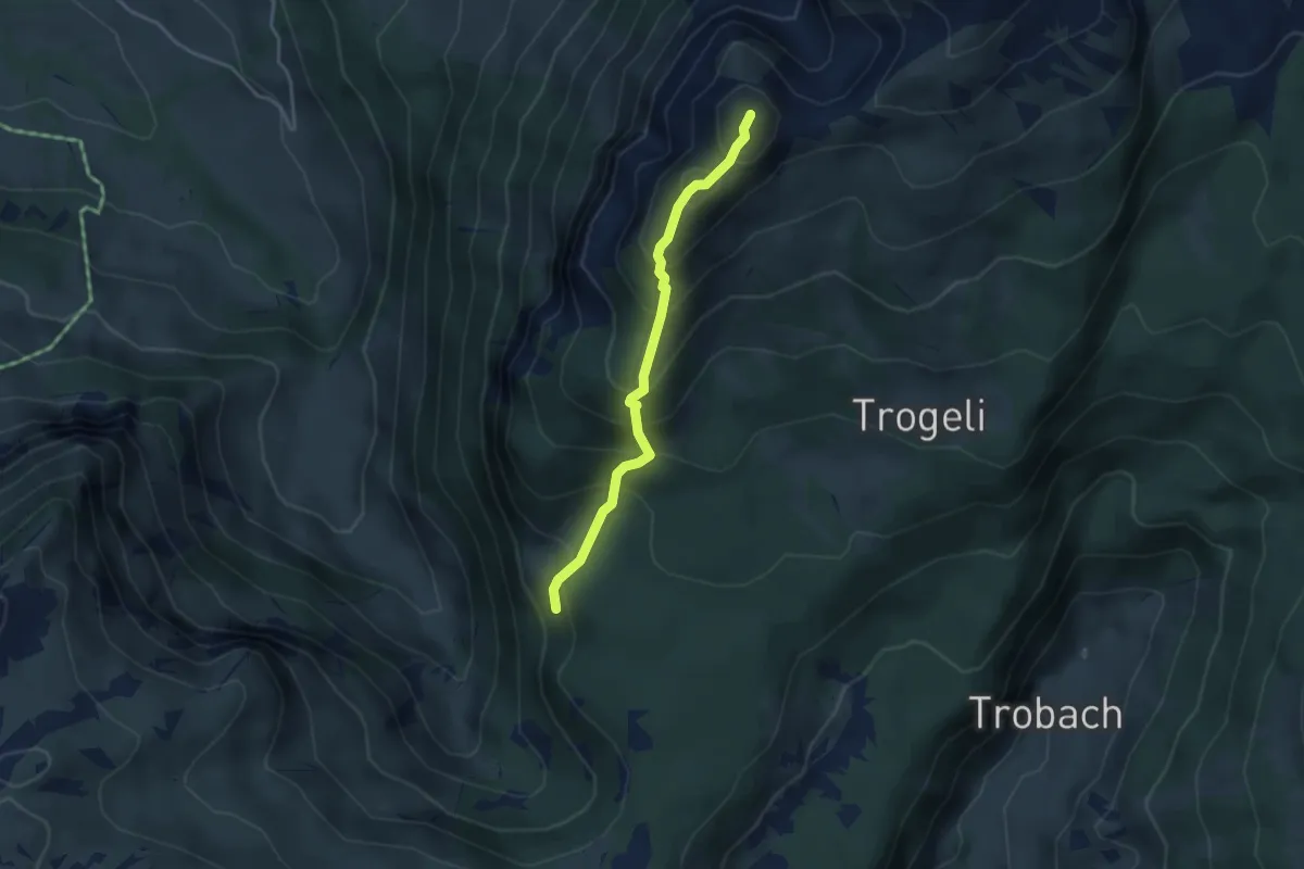
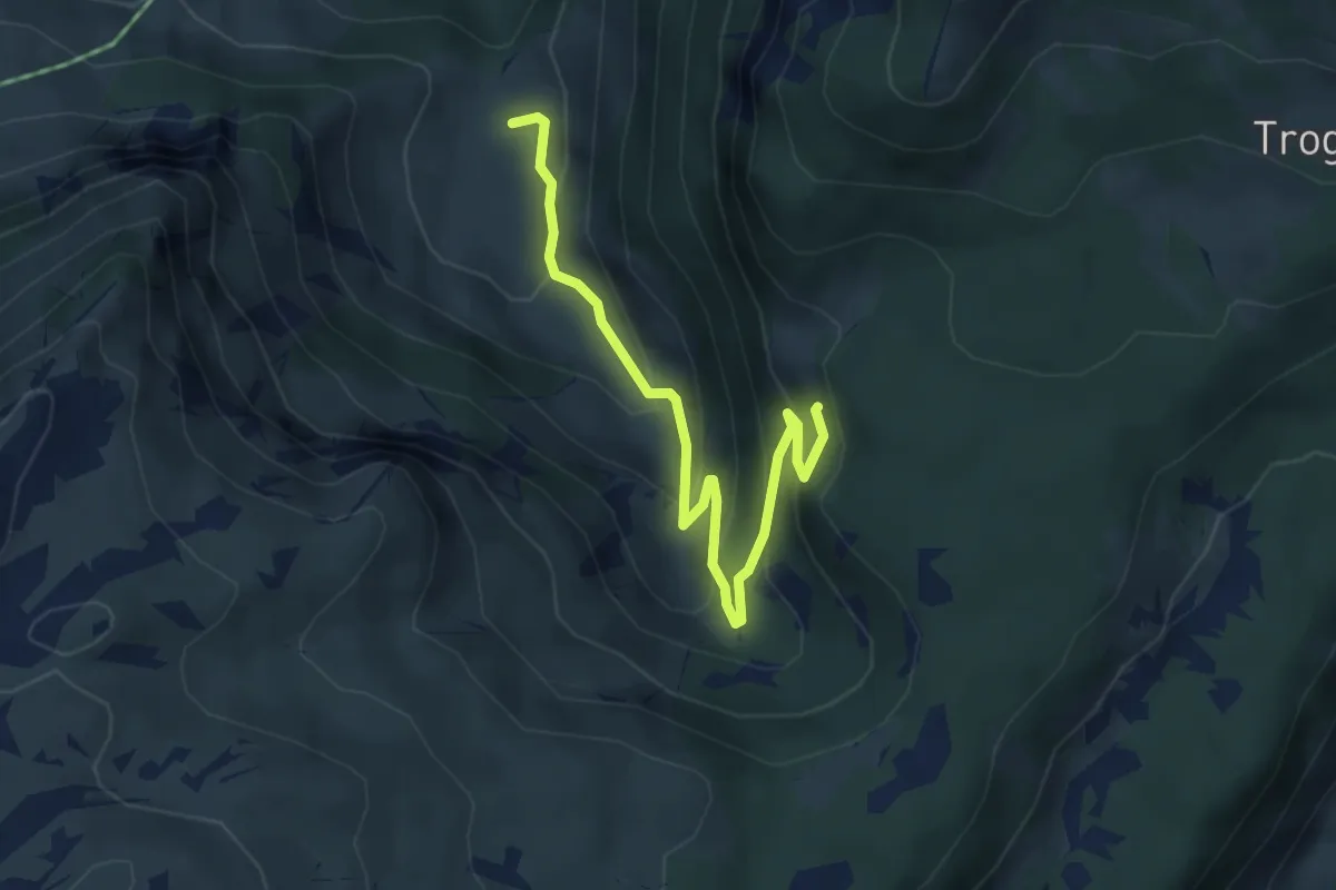
Expert · Summit
Arni – Trogehorn
3.4 km · ↑ 386 m · 1 h 39 min
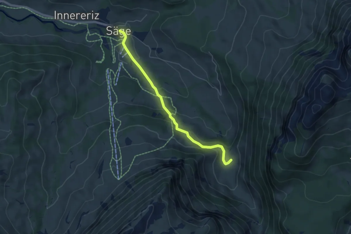
Medium · Trail
Arni – Fall
4.5 km · ↑ 326 m · 1 h 46 min
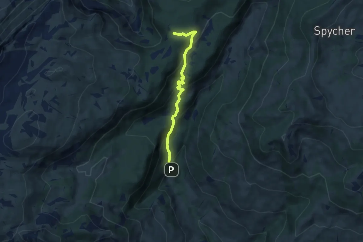
Easy · Trail
Fall – Innereriz
4.8 km · ↑ 230 m · 1 h 38 min
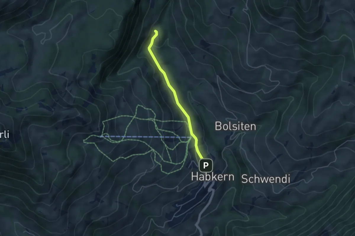
Medium · Trail
Grünenbergpass – Blossmoos
5.9 km · ↑ 419 m · 2 h 18 min
Easy · Trail
Blossmoos – Habkern
3.7 km · ↑ 106 m · 1 h 6 min
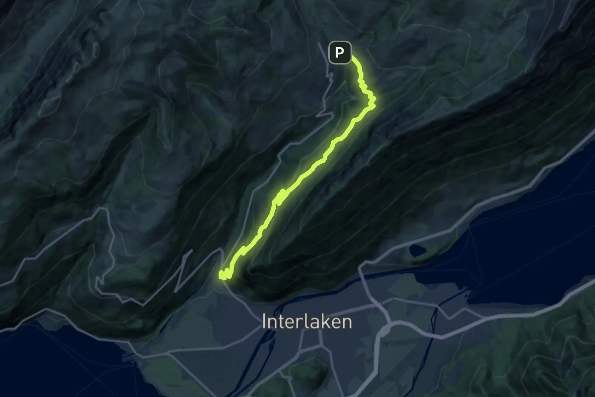
Demanding · Trail
Mettlen – Schwendi
14.4 km · ↑ 826 m · 5 h 12 min
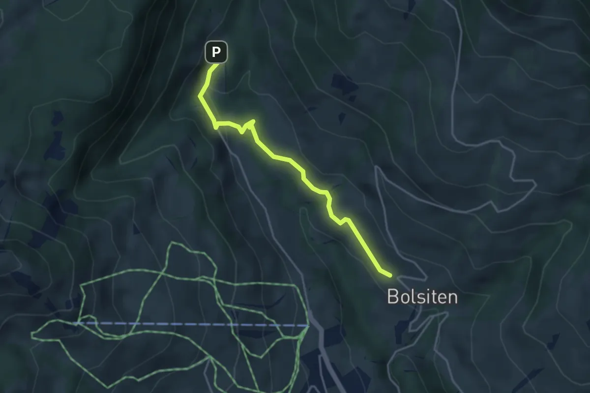
Easy · Trail
Bolsiten – Blossmoos
3.4 km · ↑ 92 m · 1 h 1 min
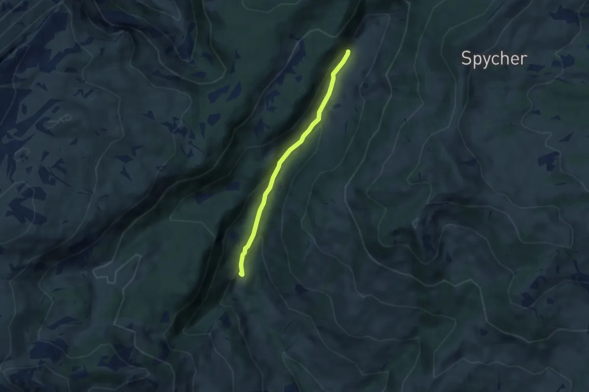
Easy · Trail
Blossmoos – Traubachalp
5.1 km · ↑ 201 m · 1 h 38 min
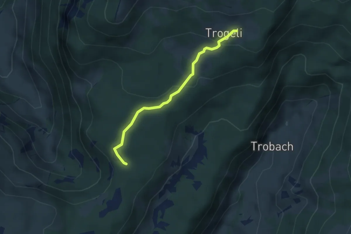
Medium · Trail
Grünenbergpass – Trogenalp
3.2 km · ↑ 101 m · 58 min
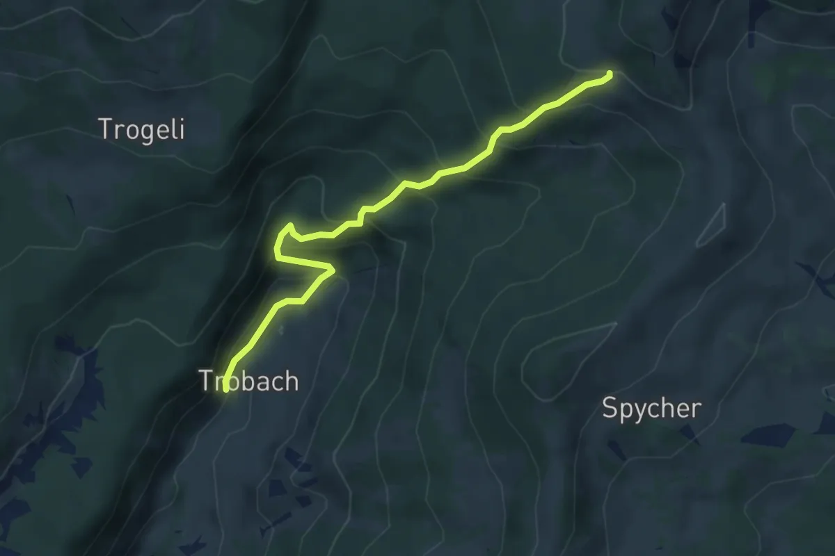
Medium · Trail
Traubachalp – Haglätsch
4.5 km · ↑ 427 m · 1 h 59 min
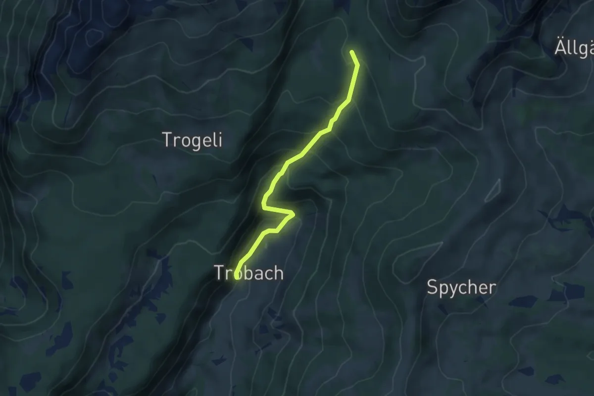
Medium · Trail
Traubachalp – Pt1694
4.0 km · ↑ 341 m · 1 h 41 min
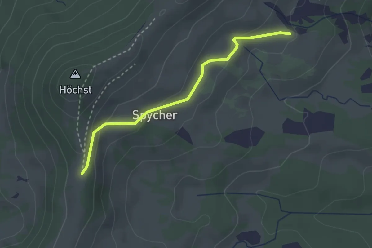
Easy · Trail
Widegg – Habchegg / Widegg
2.6 km · ↑ 119 m · 52 min
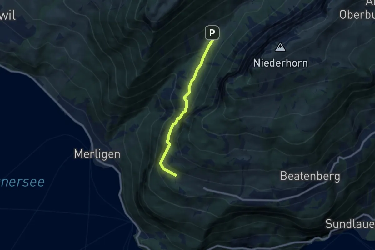
Medium · Trail
Waldbrand – Justistal/Grön
5.4 km · ↑ 337 m · 2 h 1 min
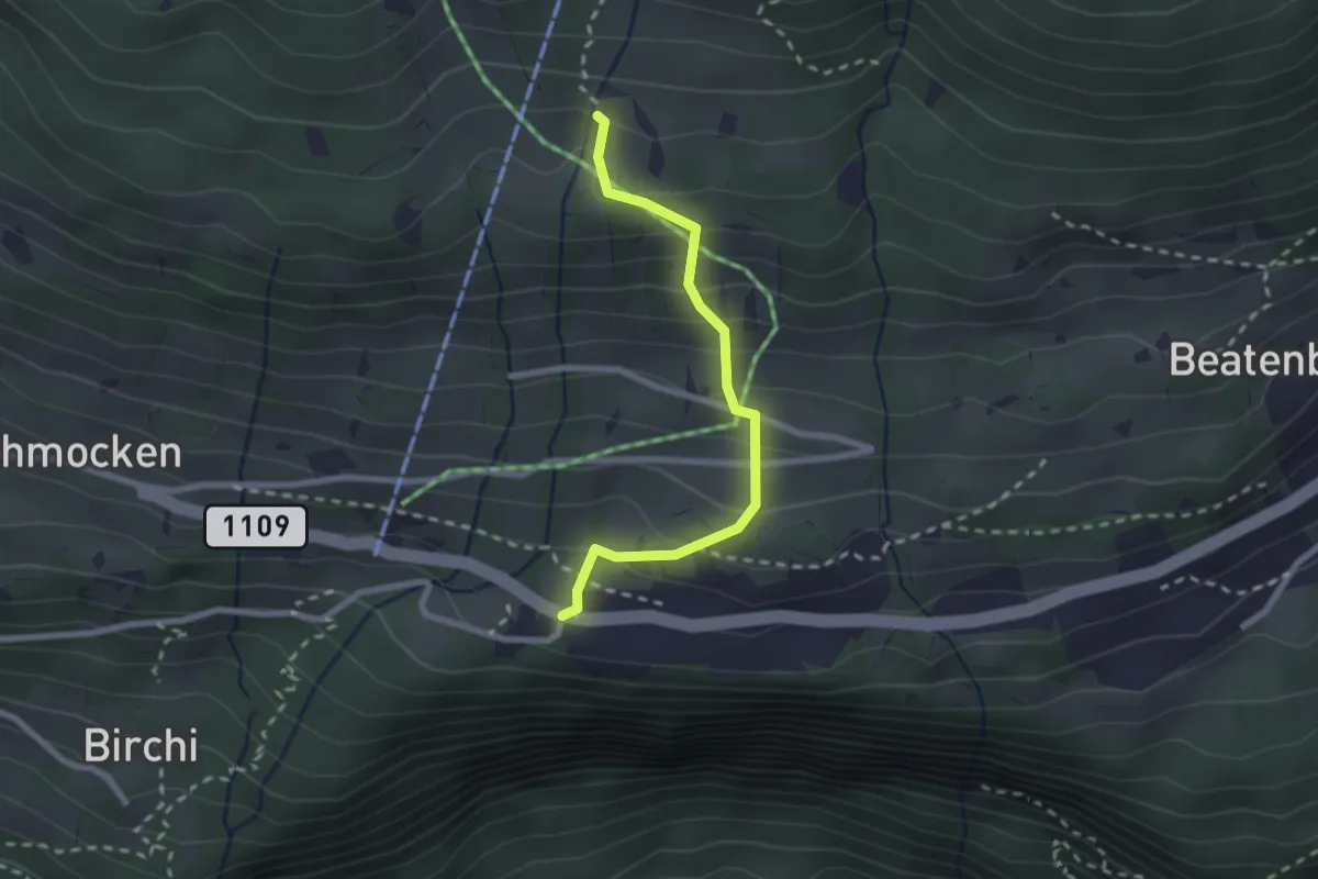
Medium · Trail
Boden – Beatenberg Altersheim
2.2 km · ↑ 251 m · 1 h 4 min
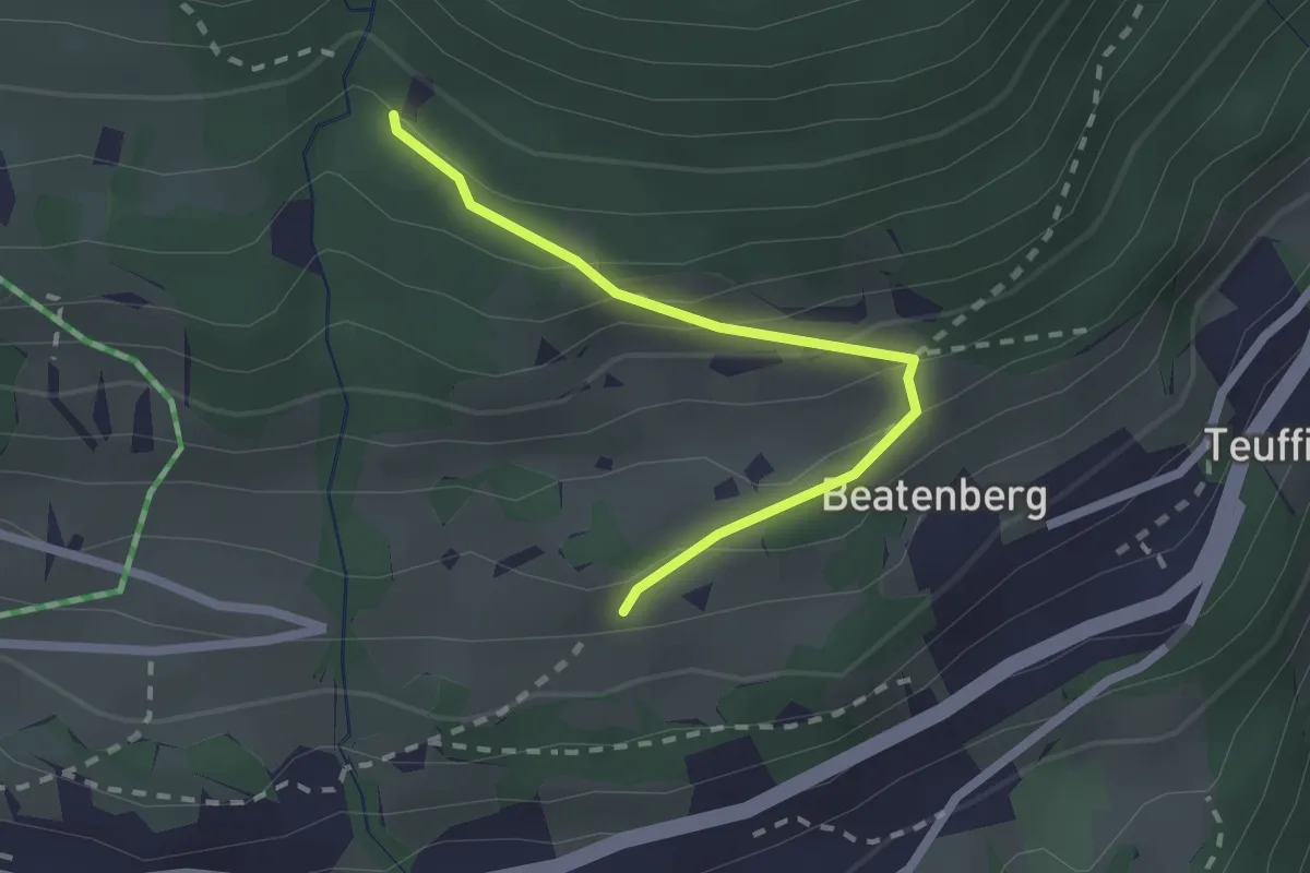
Easy · Trail
Chüelauigrabe – Rossi
2.0 km · ↑ 159 m · 50 min
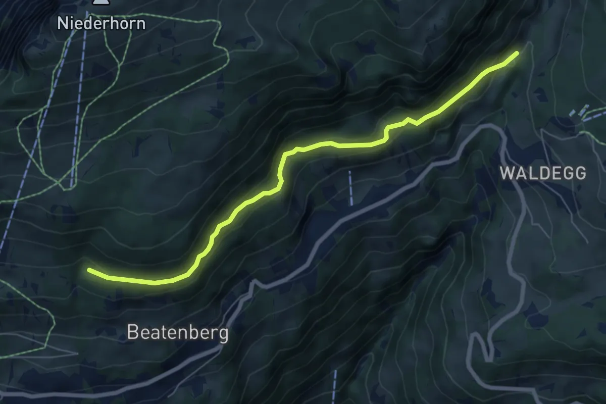
Easy · Trail
Chüelauigrabe – Spirewald
6.7 km · ↑ 262 m · 2 h 8 min
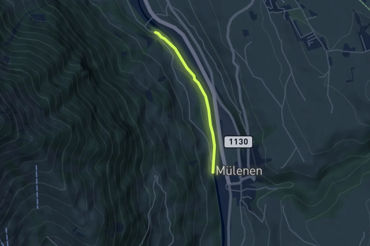
Easy · Trail
Mülenen – Heustrich
3.1 km · ↑ 22 m · 47 min
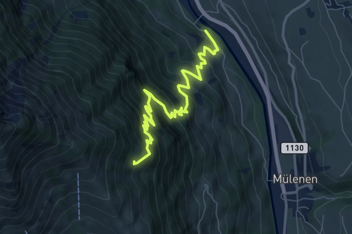
Medium · Trail
Heustrich – Rölleren
7.7 km · ↑ 725 m · 3 h 23 min
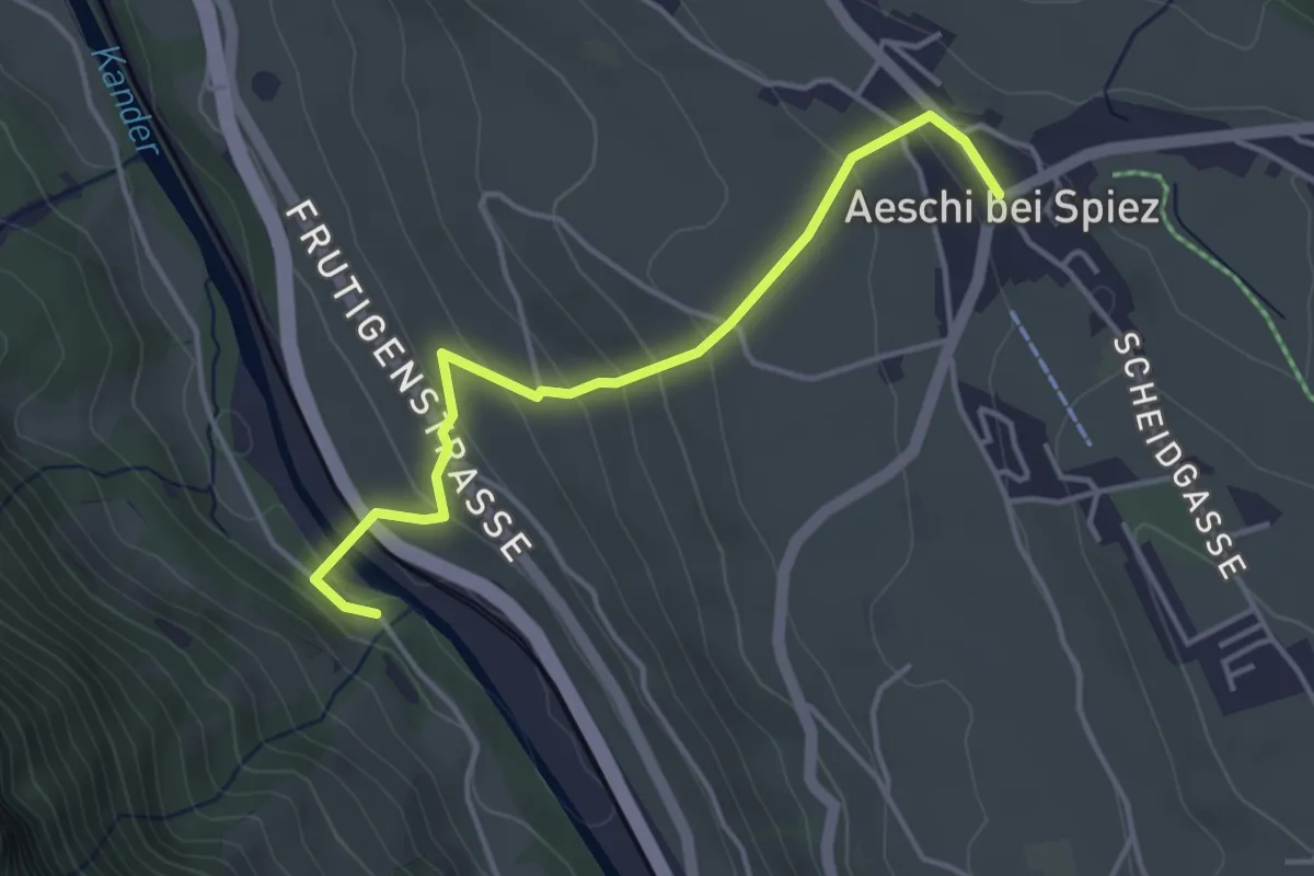
Easy · Trail
Heustrich – Aeschi
3.9 km · ↑ 194 m · 1 h 21 min
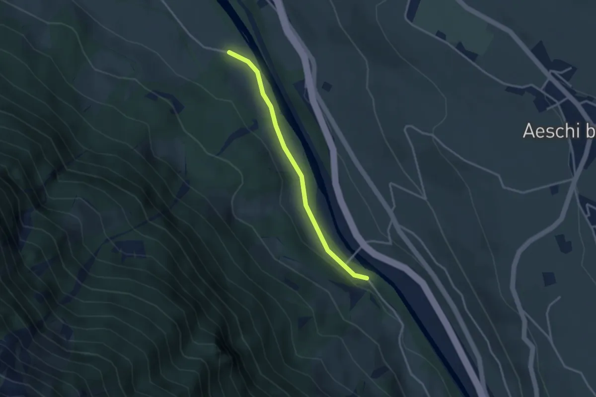
Easy · Trail
Heustrich – Rossweid
2.7 km · ↑ 38 m · 43 min
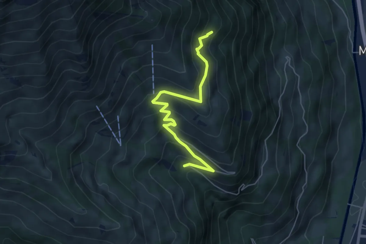
Medium · Trail
Stöpfweidleni – Rölleren
5.2 km · ↑ 336 m · 1 h 58 min
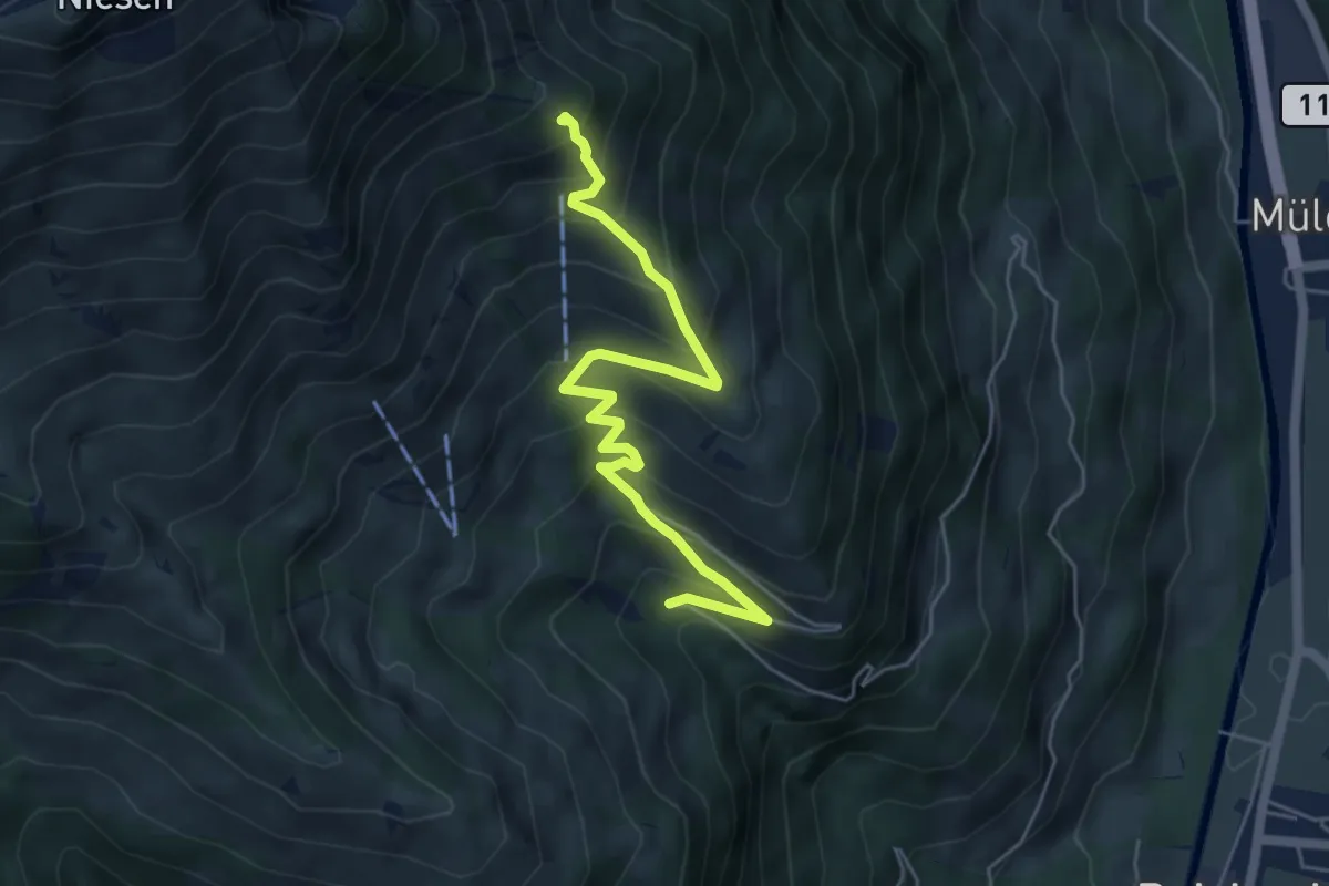
Medium · Trail
Stöpfweidleni – Schwandegg
5.6 km · ↑ 484 m · 2 h 22 min
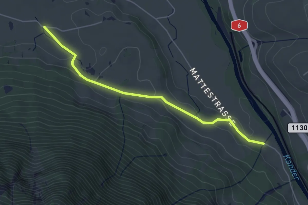
Easy · Trail
Rossweid – Hasli
4.4 km · ↑ 82 m · 1 h 12 min
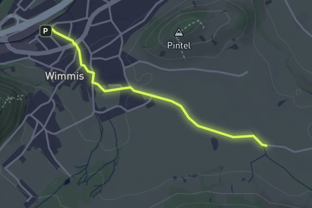
Easy · Trail
Hasli – Wimmis
2.9 km · ↑ 39 m · 46 min
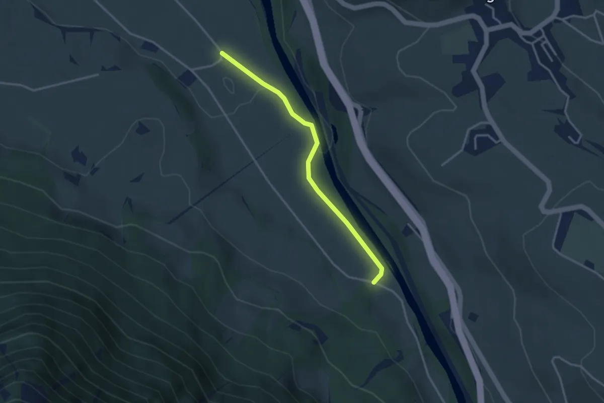
Easy · Trail
Rossweid – Bodenweid
2.9 km · ↑ 17 m · 43 min
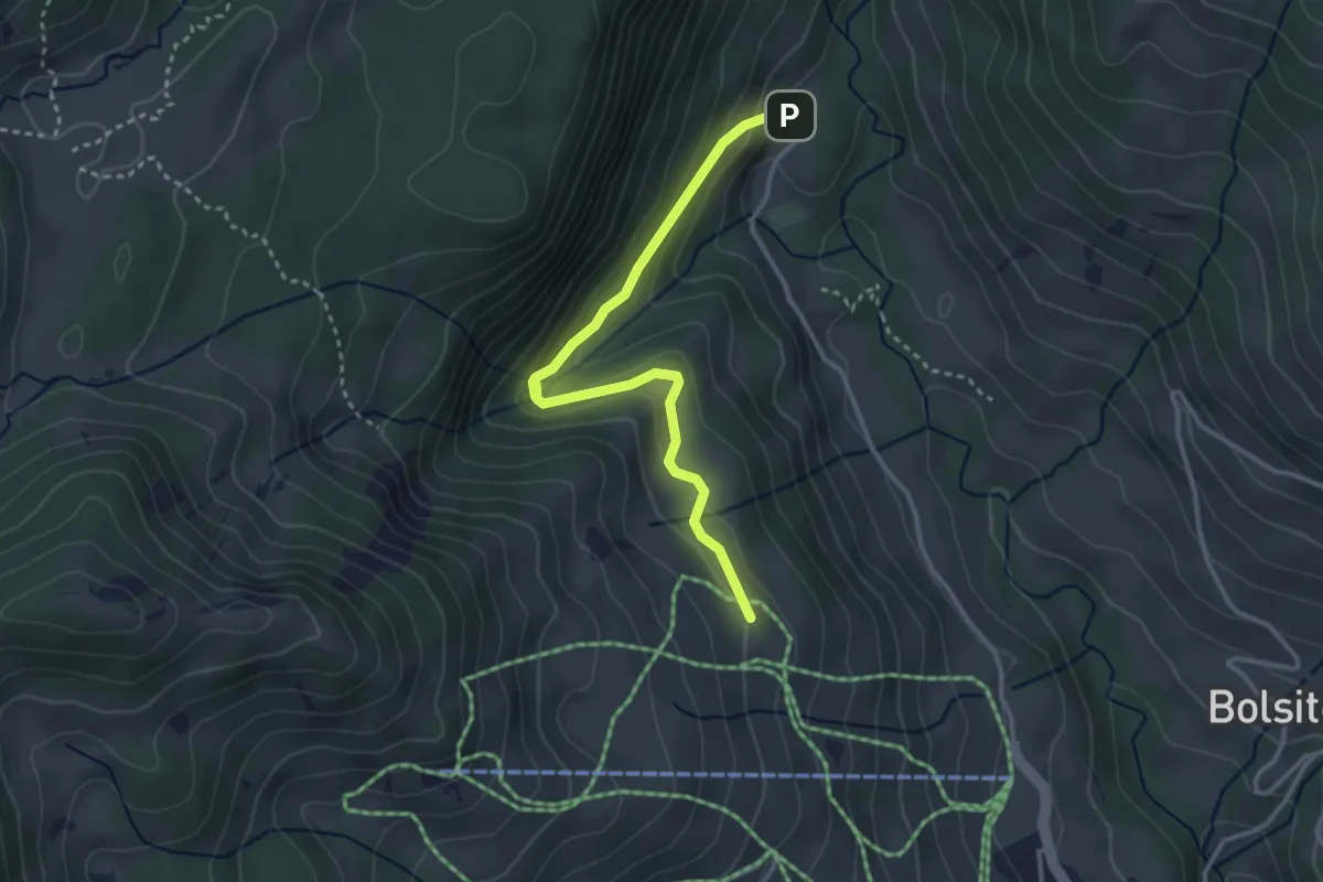
Easy · Cabin
Blossmoos – Läger
3.4 km · ↑ 180 m · 1 h 11 min
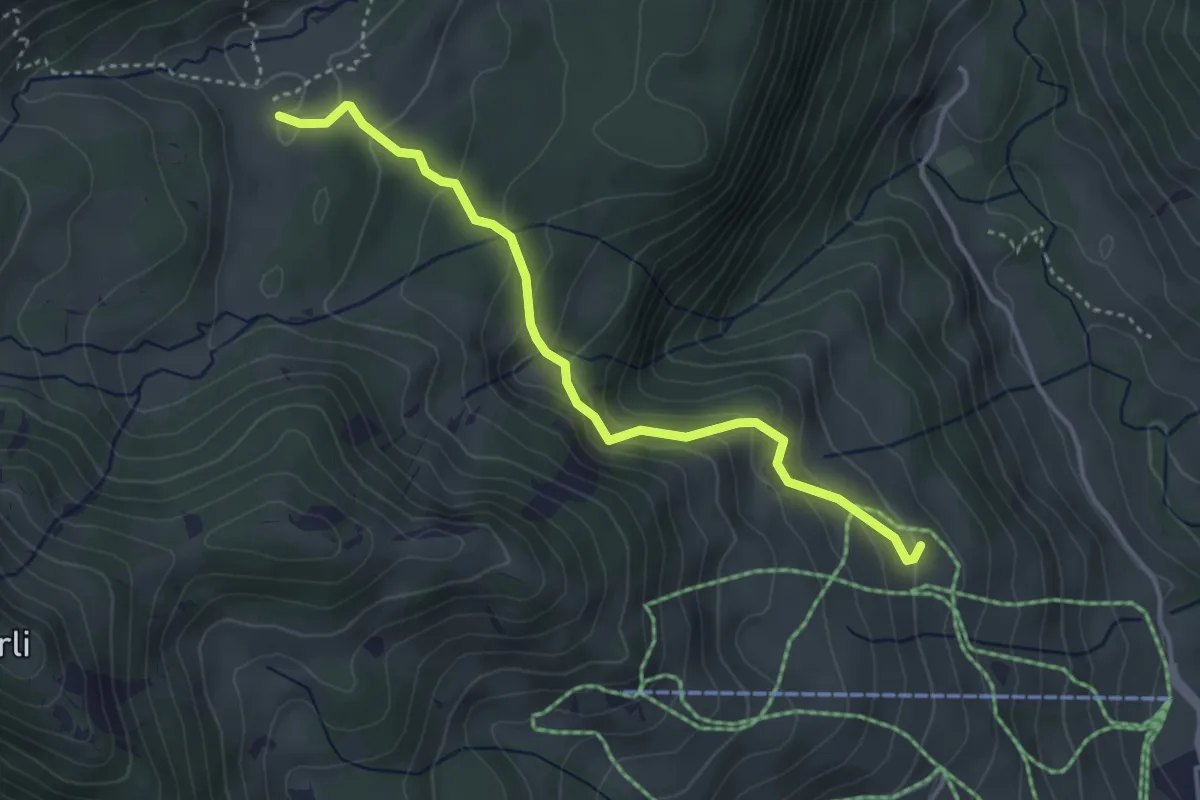
Medium · Cabin
Läger – Chromatte
3.8 km · ↑ 227 m · 1 h 23 min
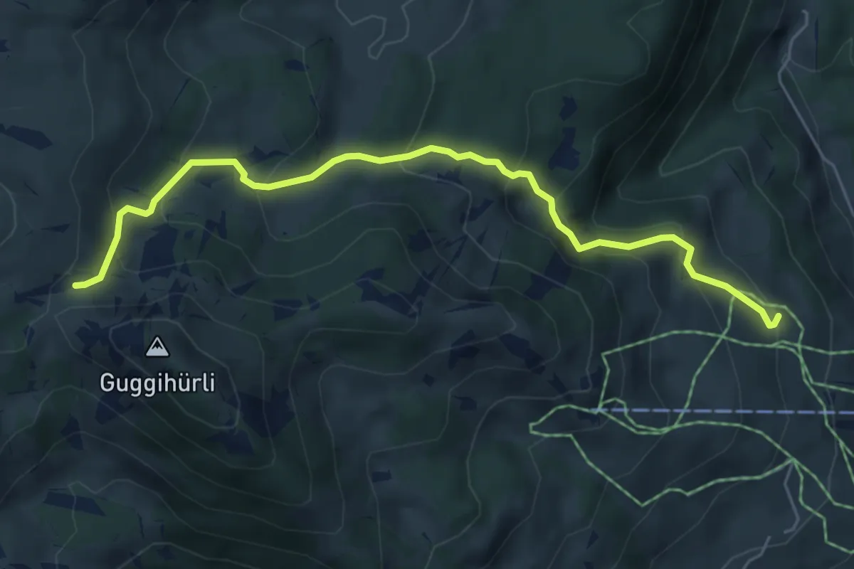
Medium · Cabin
Läger – Bäreney
5.8 km · ↑ 431 m · 2 h 18 min
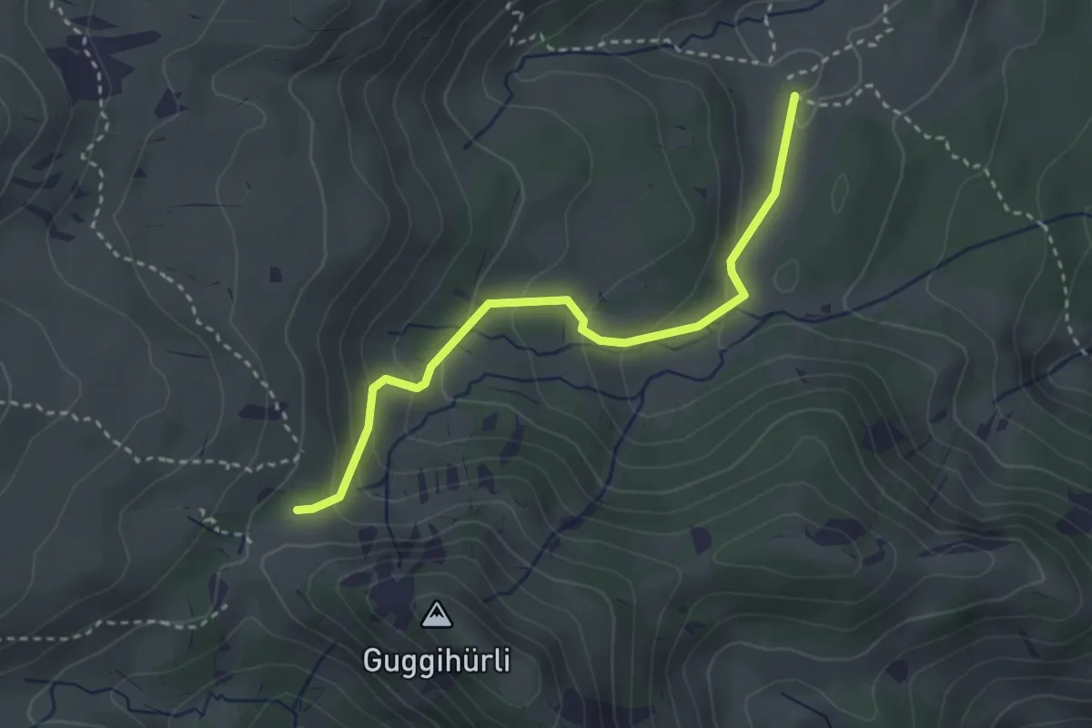
Easy · Trail
Bäreney – Chromatte
3.1 km · ↑ 200 m · 1 h 10 min
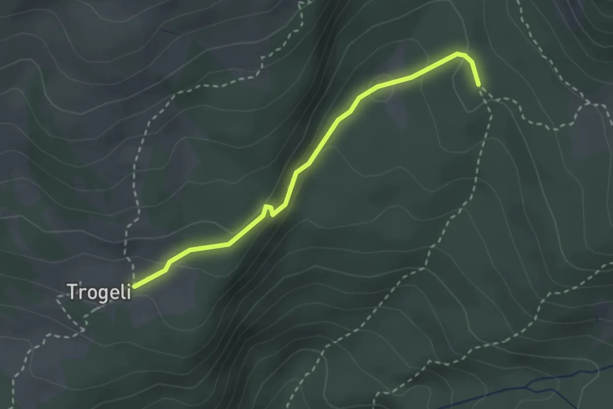
Medium · Trail
Trogenalp – Pt1694
2.6 km · ↑ 87 m · 47 min
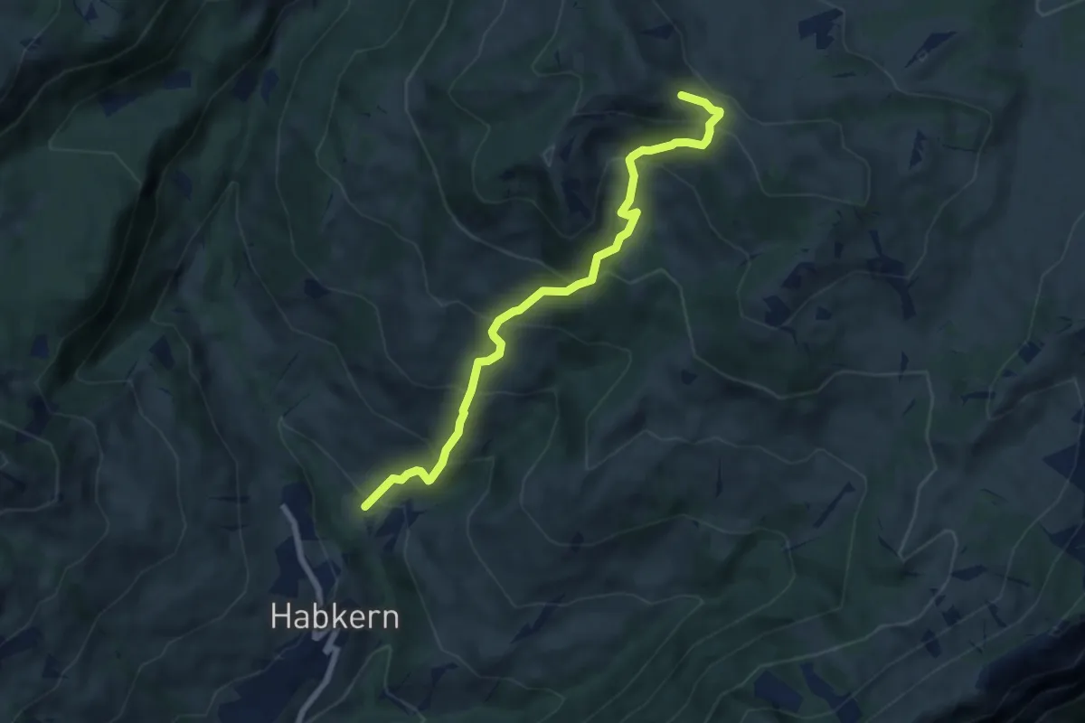
Medium · Trail
Bolsiten – Bohl / Läger
6.9 km · ↑ 637 m · 3 h
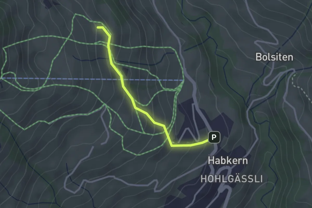
Easy · Cabin
Läger – Habkern
2.3 km · ↑ 196 m · 58 min
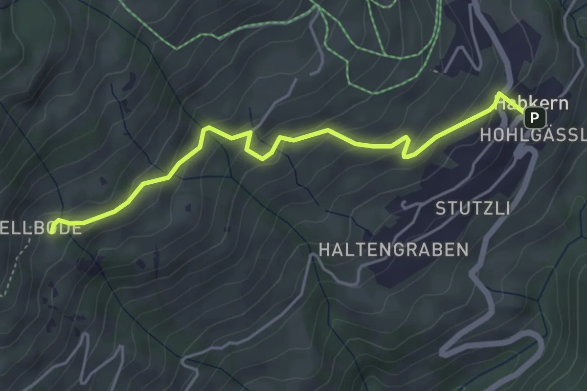
Easy · Trail
Hellboden – Habkern
4.3 km · ↑ 265 m · 1 h 35 min
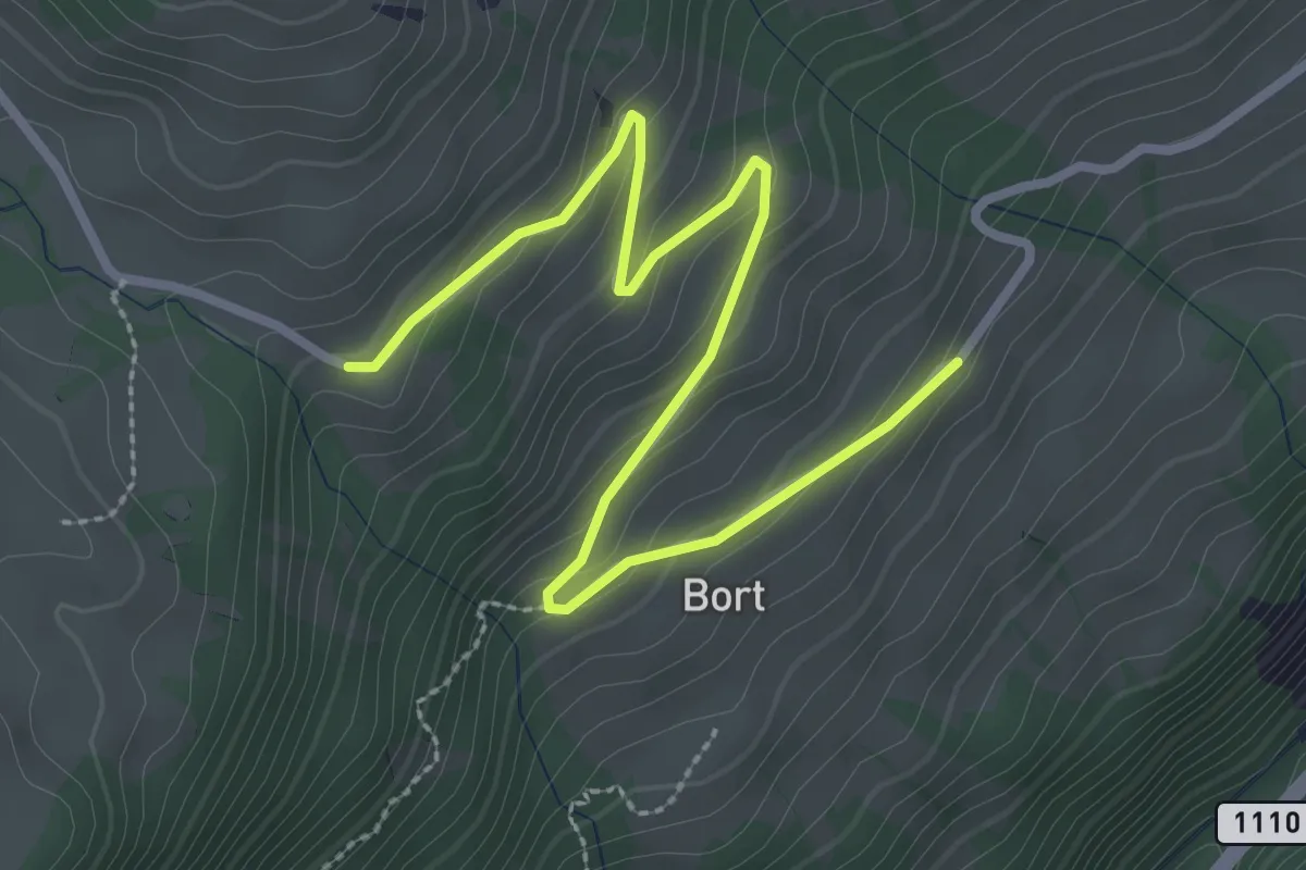
Easy · Trail
Büelbach – Bort
3.4 km · ↑ 165 m · 1 h 9 min
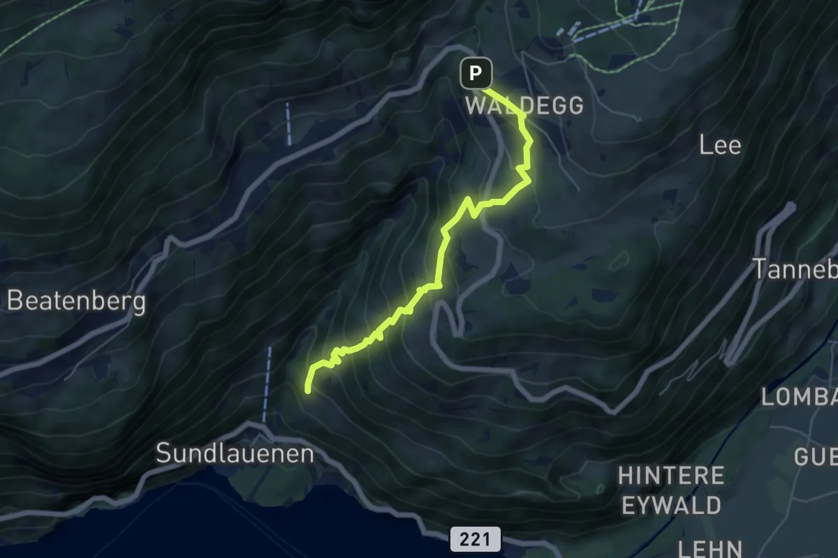
Medium · Trail
Ruchenbühl – Beatenberg Waldegg
5.6 km · ↑ 516 m · 2 h 27 min
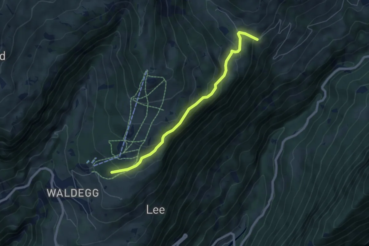
Easy · Trail
Büelbach – Spycherwald
5.4 km · ↑ 275 m · 1 h 53 min
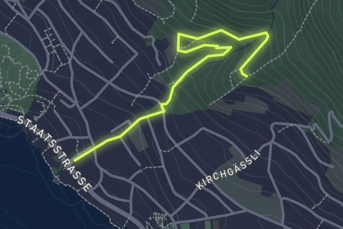
Easy · Trail
Hilterfingen Burech – Tannebüel
3.0 km · ↑ 241 m · 1 h 14 min