Trails in Switzerland
15,055 hiking trails, each with its route, climb, walking time and grade.
All trails, page 157 of 314
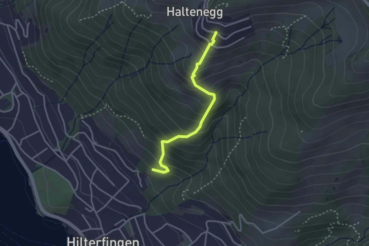
Easy · Trail
Hilterfingen Burech – Halten
2.6 km · ↑ 301 m · 1 h 16 min
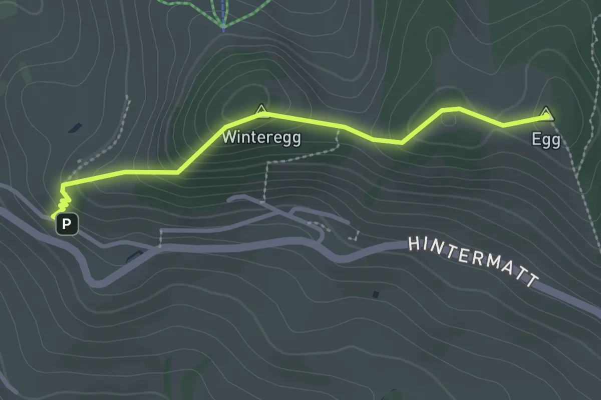
Easy · Summit
Egg – Flühli
2.5 km · ↑ 170 m · 58 min
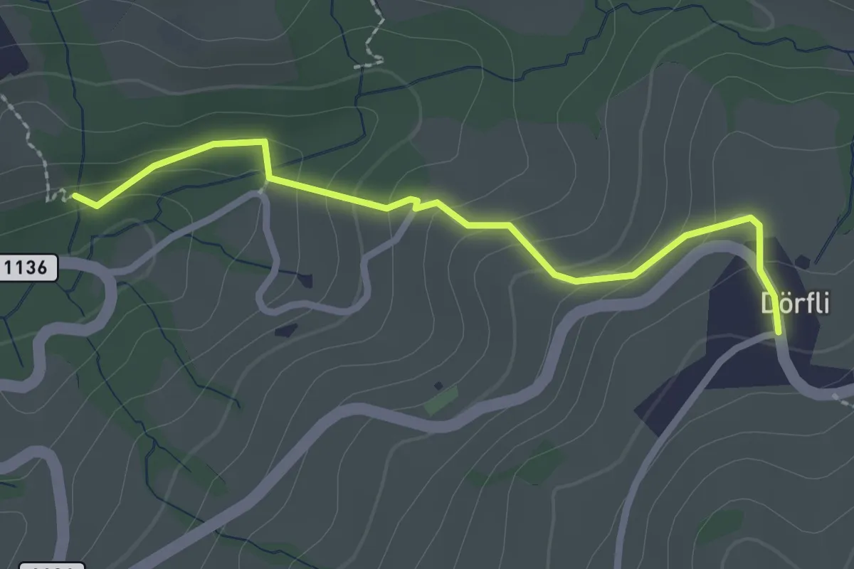
Easy · Trail
Cholerenschlucht – Hl. Schwendi Dörfli
2.4 km · ↑ 142 m · 52 min
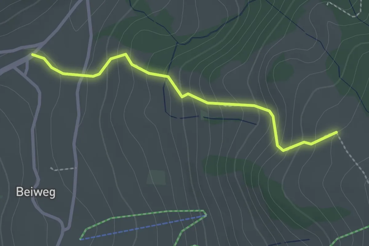
Easy · Trail
Schwanden Sagi – Stampf
2.2 km · ↑ 181 m · 55 min
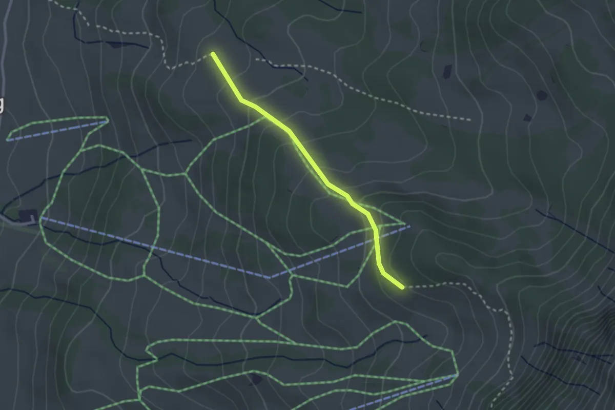
Easy · Trail
Stampf – Bodmi
2.3 km · ↑ 166 m · 54 min
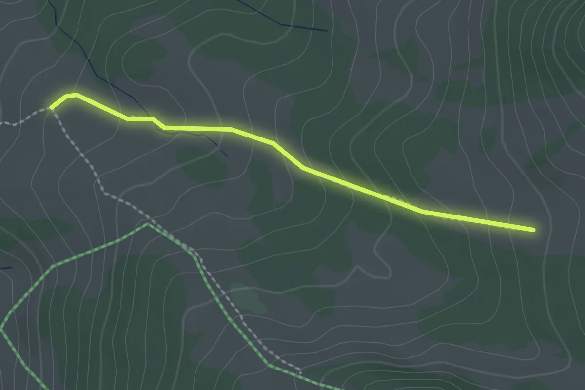
Easy · Trail
Stampf – Oberi Matte
2.0 km · ↑ 132 m · 46 min
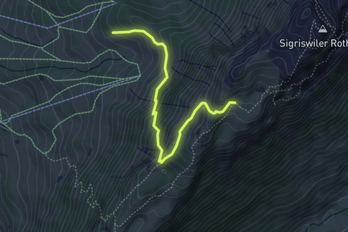
Medium · Trail
Oberbergli – Bodmi
4.6 km · ↑ 426 m · 2 h 1 min
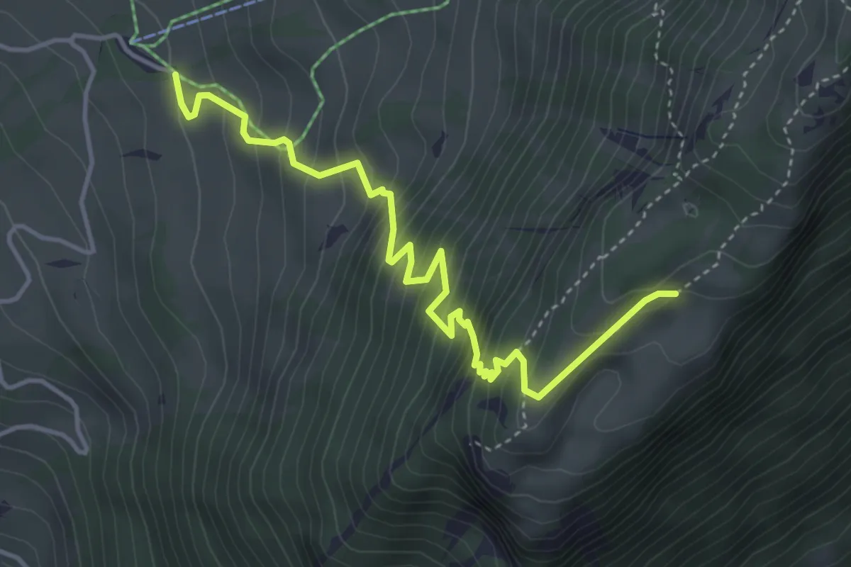
Medium · Trail
Unterbergli – Wilerallmi
4.6 km · ↑ 504 m · 2 h 10 min
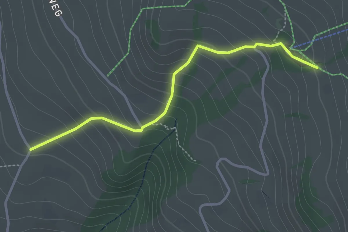
Easy · Trail
Wilerallmi – Zälg
2.6 km · ↑ 194 m · 1 h 2 min
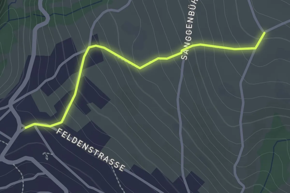
Easy · Trail
Zälg – Sigriswil / Gewölb
2.4 km · ↑ 195 m · 1 h
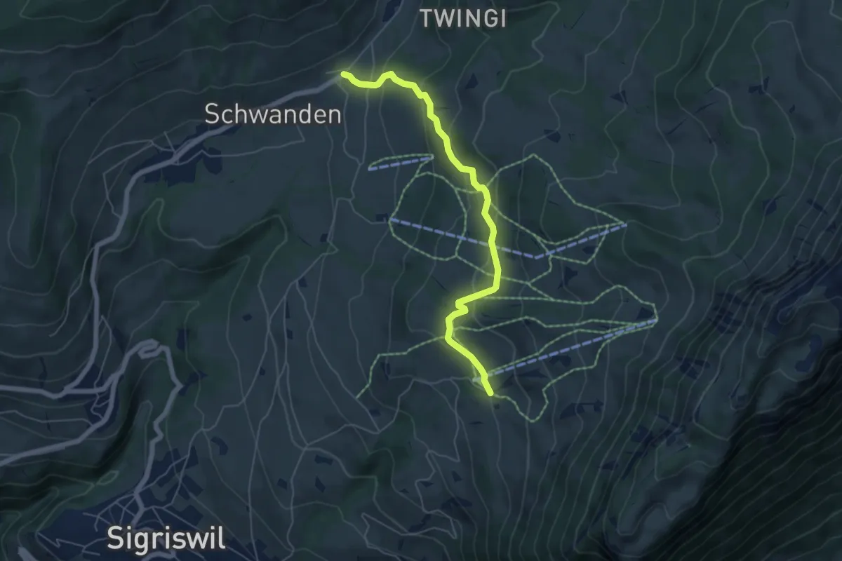
Easy · Trail
Wilerallmi – Schwanden Sagi
5.5 km · ↑ 261 m · 1 h 52 min
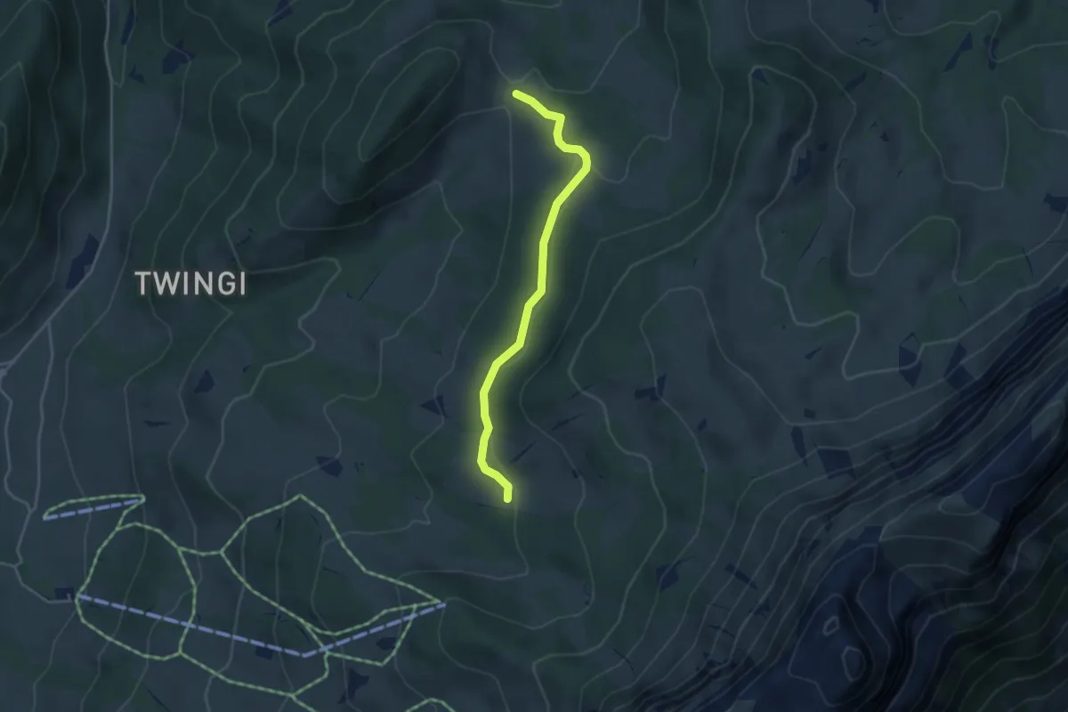
Easy · Trail
Oberi Matte – Dünzenegg
3.6 km · ↑ 109 m · 1 h 6 min
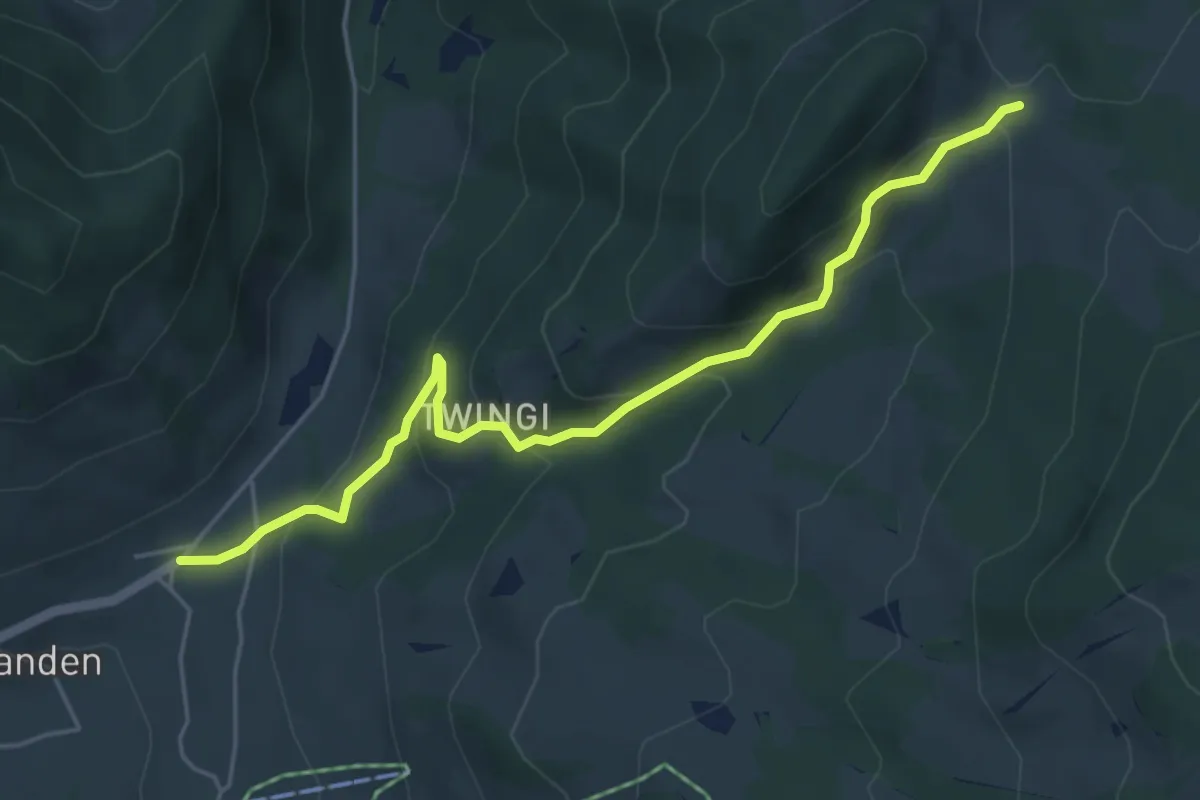
Easy · Trail
Schwanden Sagi – Dünzenegg
5.3 km · ↑ 282 m · 1 h 52 min
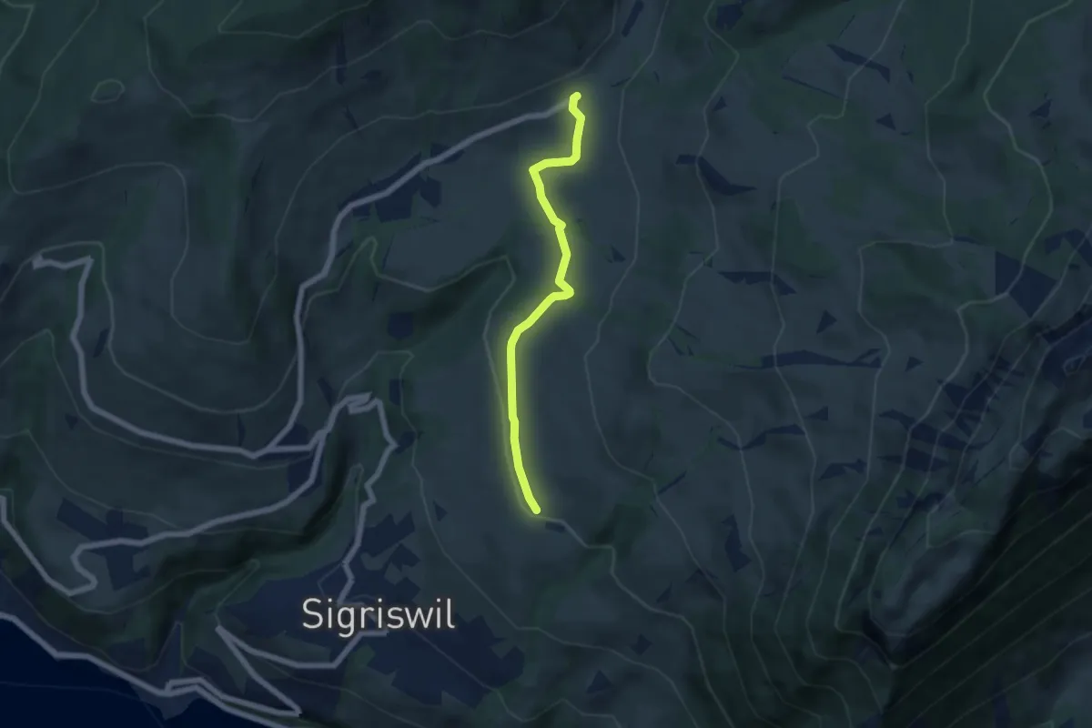
Easy · Trail
Zälg – Schwanden Sagi
5.1 km · ↑ 128 m · 1 h 29 min
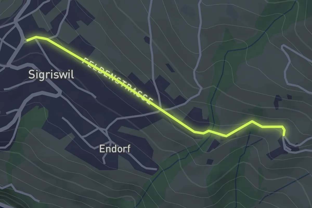
Easy · Trail
Sigriswil / Gewölb – Wiler
2.9 km · ↑ 66 m · 49 min
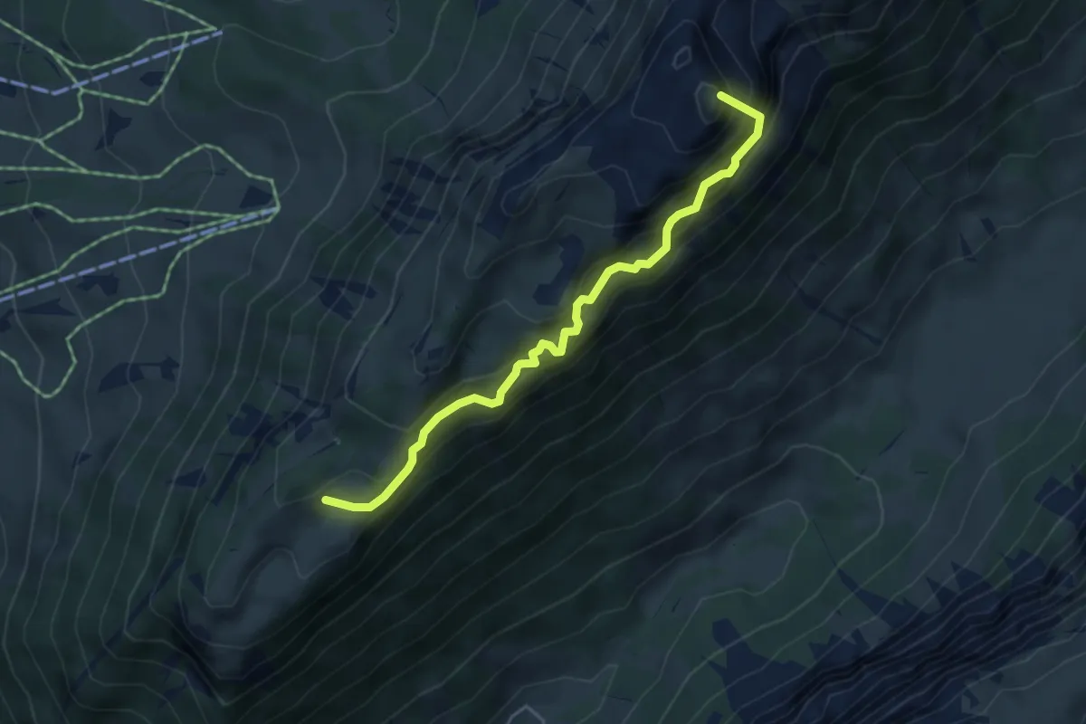
Demanding · Summit
Unterbergli – Schafloch
4.5 km · ↑ 699 m · 2 h 35 min
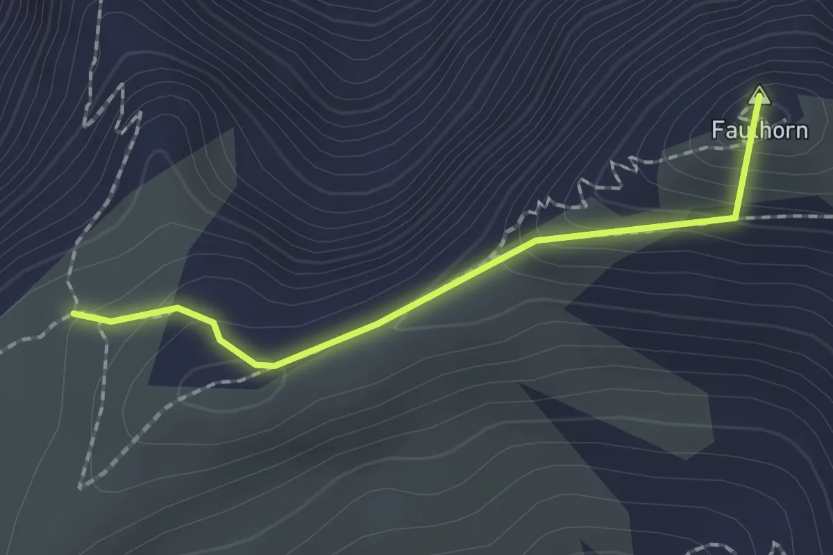
Medium · Summit
Gassenboden – Pkt. 2546
1.6 km · ↑ 145 m · 42 min
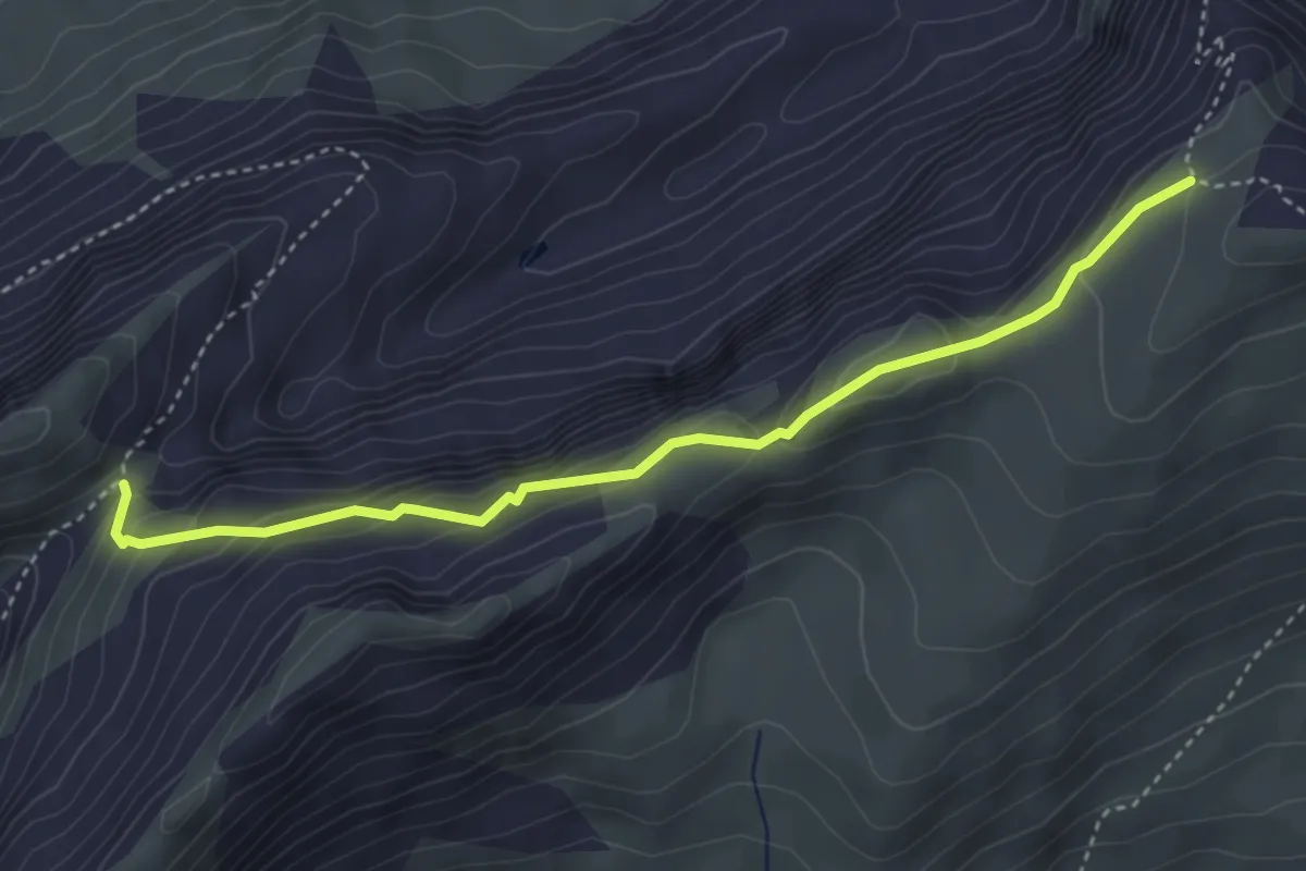
Medium · Cabin
Pkt 2546 – Männdlenen
3.9 km · ↑ 311 m · 1 h 36 min
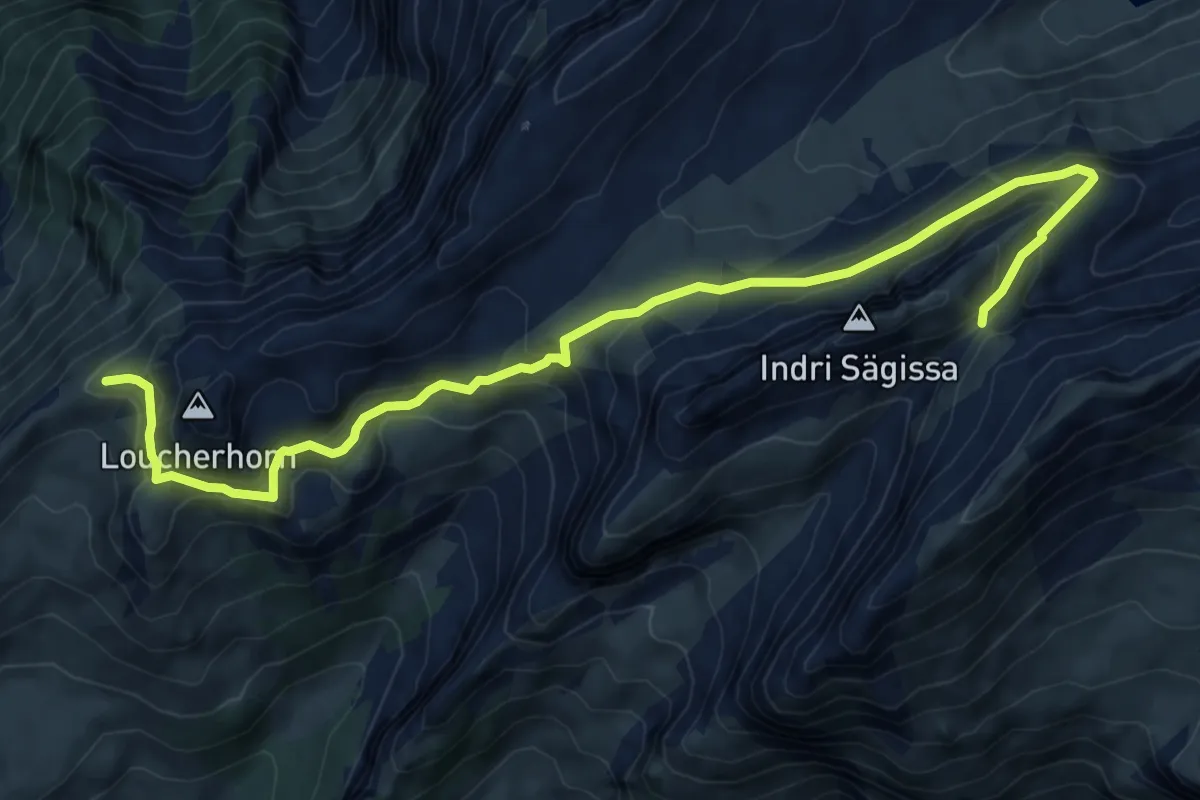
Medium · Cabin
Männdlenen – Lauchera Grätli
9.5 km · ↑ 488 m · 3 h 19 min
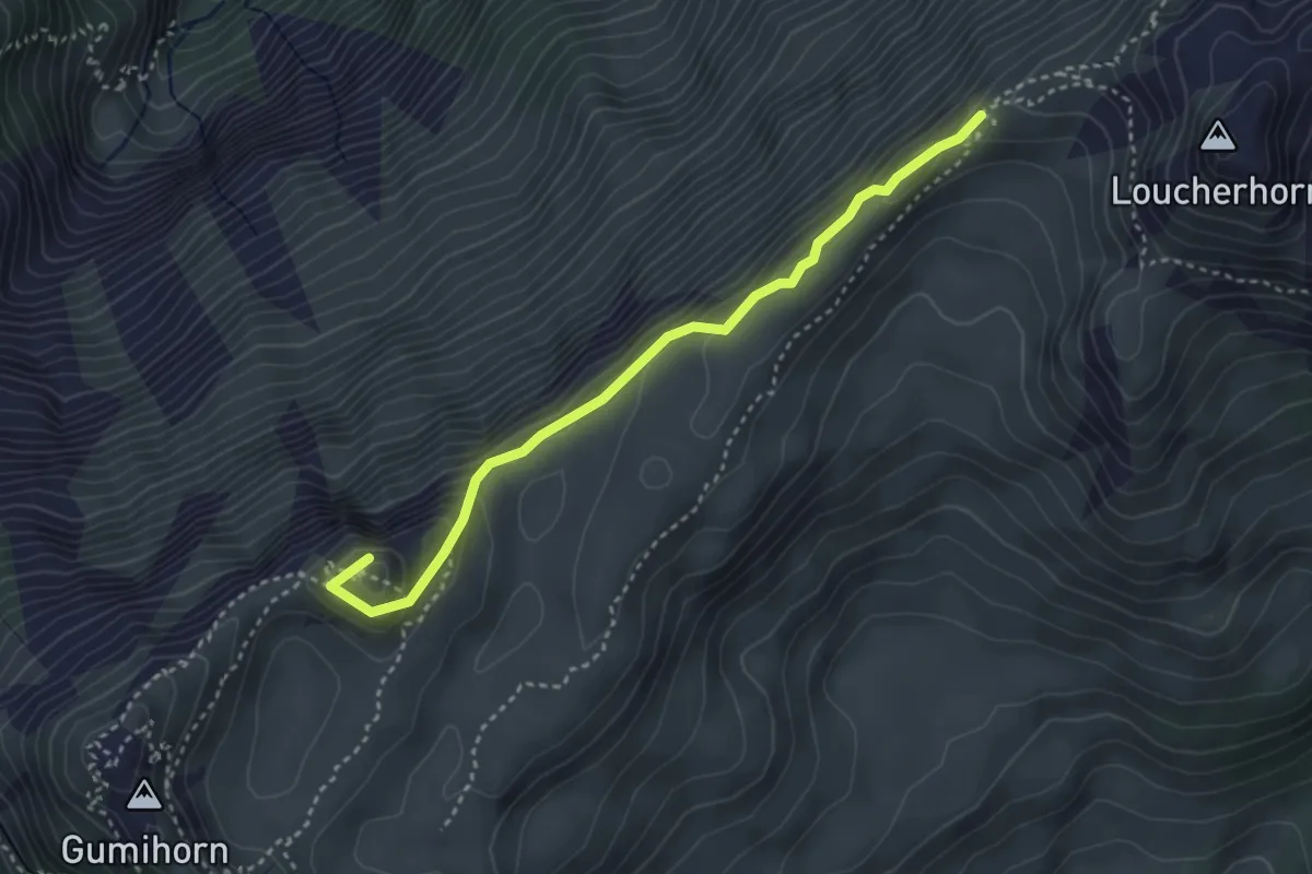
Medium · Summit
Lauchera Grätli – Grat
3.5 km · ↑ 187 m · 1 h 13 min
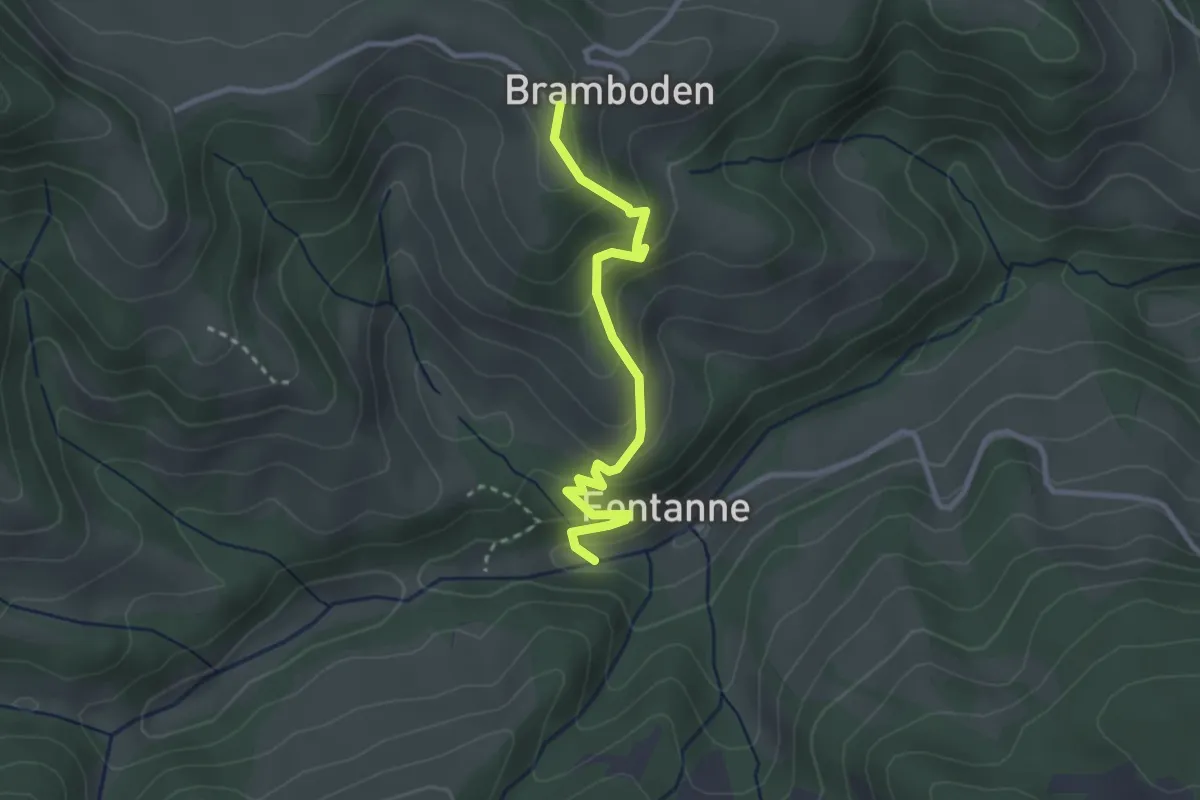
Easy · Trail
Bramboden – Fontanne
2.8 km · ↑ 214 m · 1 h 7 min
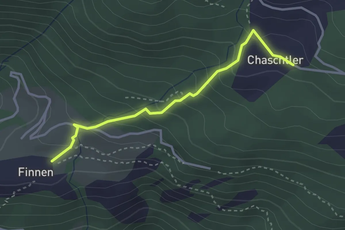
Easy · Trail
Chaschtler – Finnu
2.7 km · ↑ 249 m · 1 h 11 min
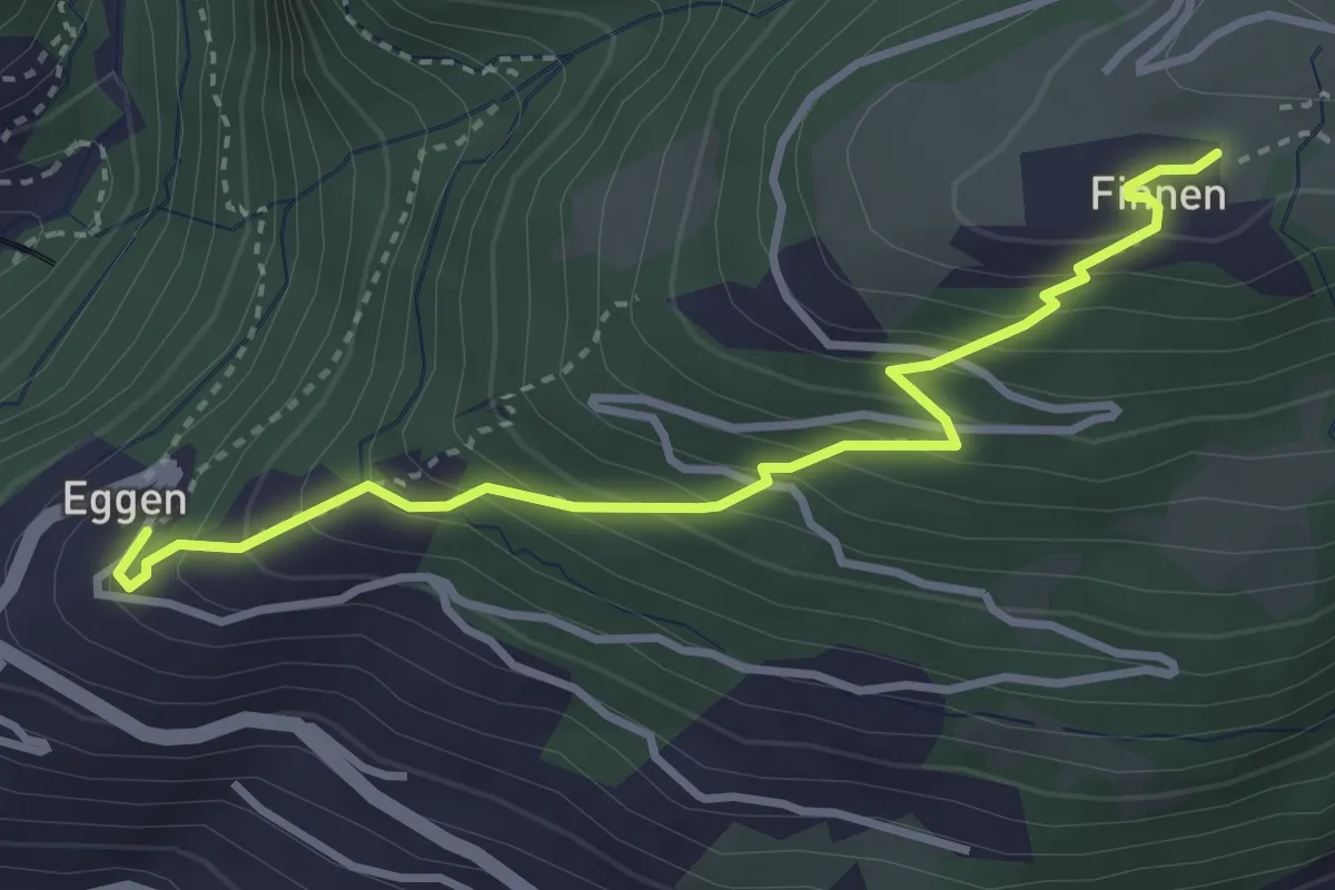
Medium · Trail
Finnu – Eggen
3.6 km · ↑ 361 m · 1 h 38 min
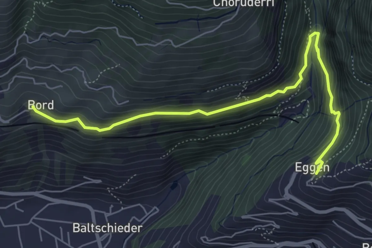
Medium · Trail
Eggen – Bord
6.2 km · ↑ 322 m · 2 h 10 min
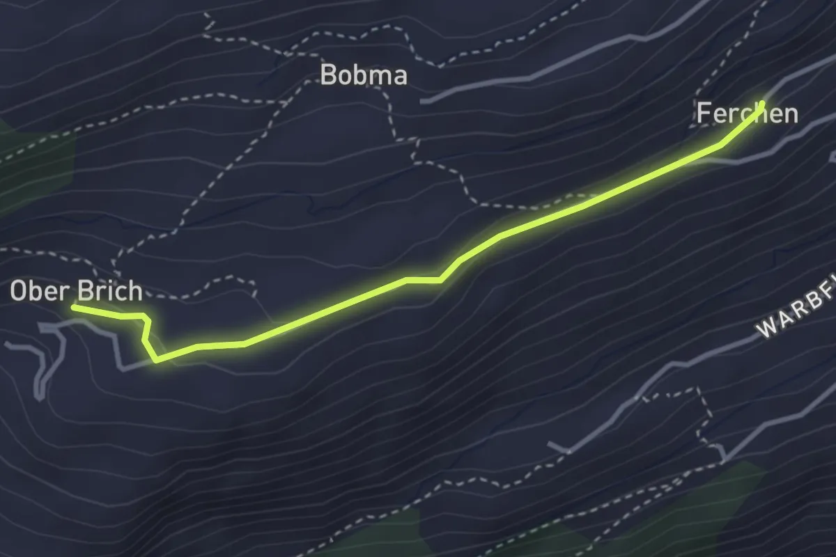
Easy · Trail
Färchu – Oberi Brich
3.2 km · ↑ 71 m · 54 min
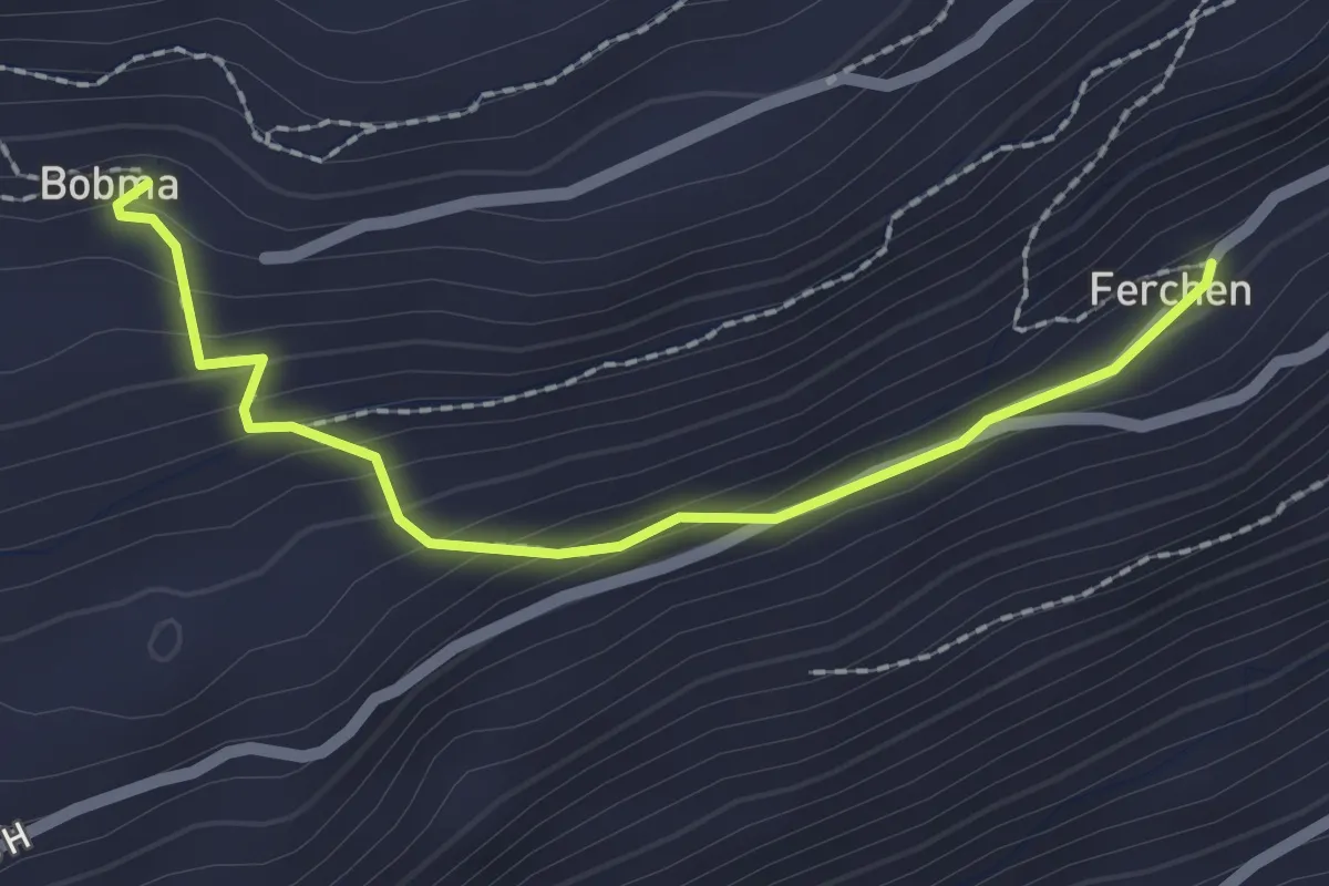
Easy · Trail
Färchu – Bobma
2.1 km · ↑ 139 m · 49 min
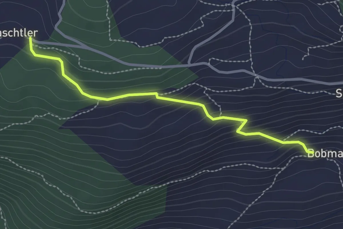
Medium · Trail
Chaschtler – Bobma
2.6 km · ↑ 164 m · 58 min
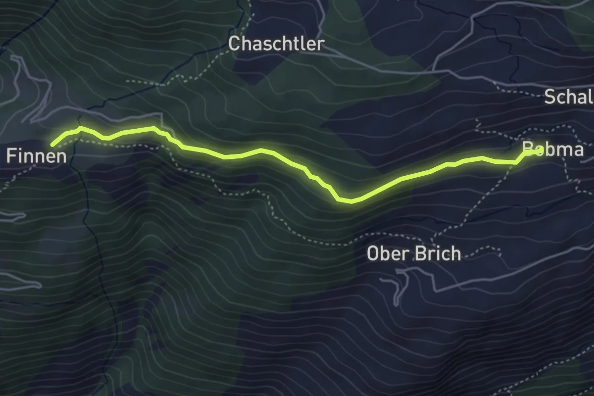
Easy · Trail
Bobma – Finnu
4.5 km · ↑ 203 m · 1 h 30 min
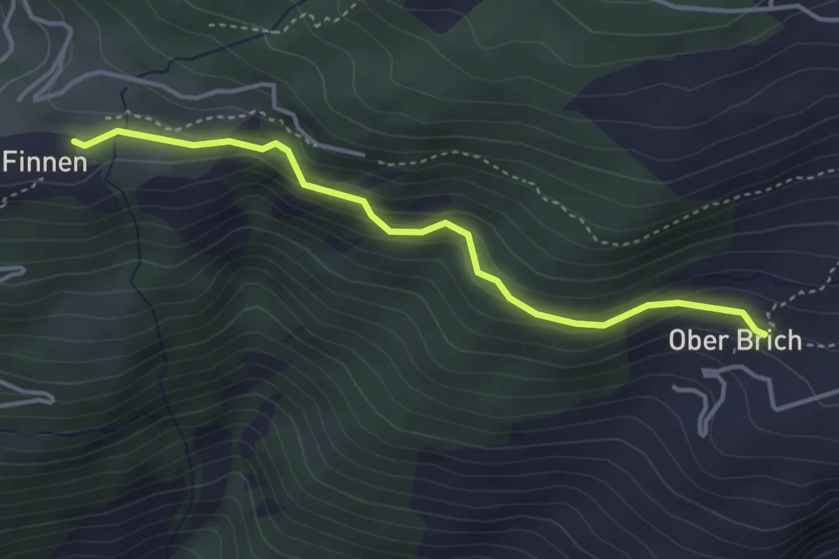
Easy · Trail
Finnu – Ober Brich
3.6 km · ↑ 196 m · 1 h 17 min
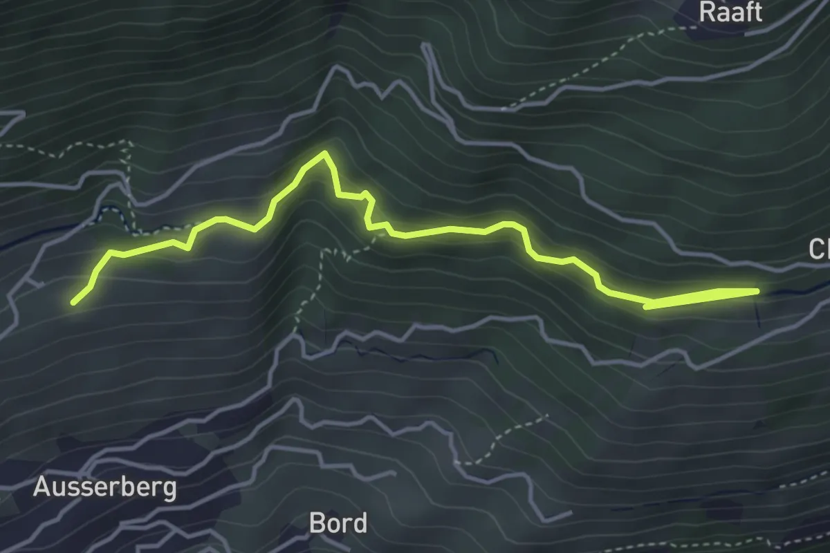
Easy · Trail
Niwärch Weiler – Stolleneingang Süd
4.5 km · ↑ 262 m · 1 h 37 min
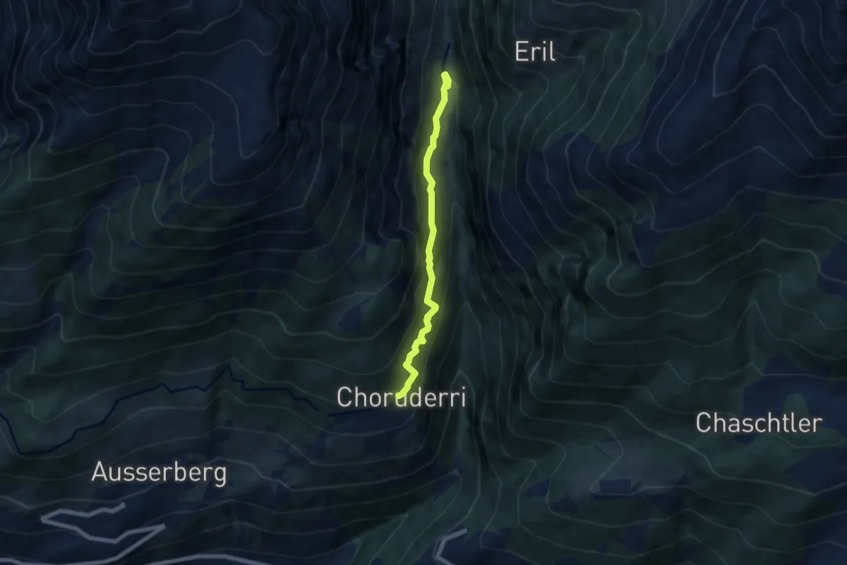
Demanding · Trail
Choruderri – Ze Steinu
5.5 km · ↑ 582 m · 2 h 33 min
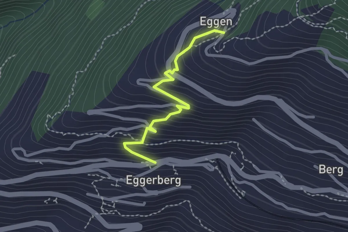
Easy · Trail
Eggerberg Dorf – Eggen
2.0 km · ↑ 203 m · 55 min
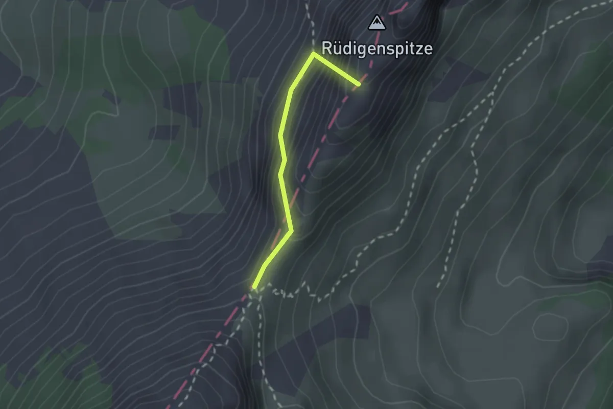
Demanding · Summit
Soldatenhaus – Wolfs Ort
1.6 km · ↑ 223 m · 52 min
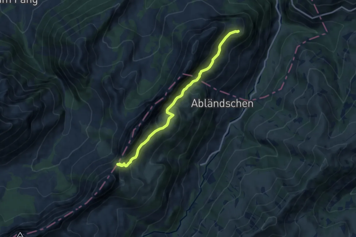
Medium · Cabin
Wolfs Ort – Grat
8.7 km · ↑ 484 m · 3 h 7 min
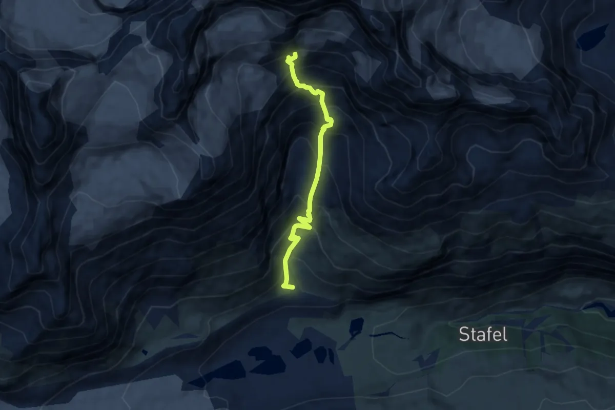
Expert · Trail
Arbenbachfall p2342 – Arbenbiwak p3223
6.9 km · ↑ 886 m · 3 h 32 min
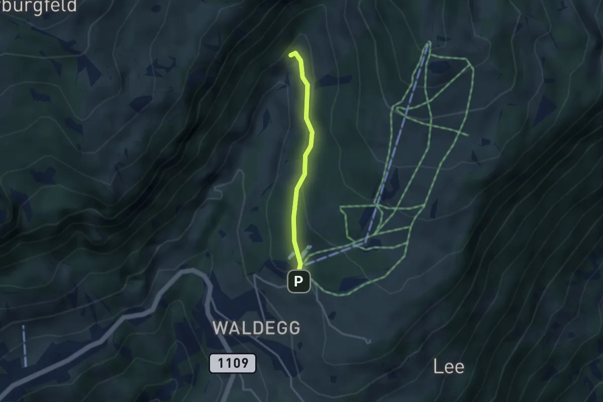
Easy · Trail
Beatenberg Station – Rischere
2.5 km · ↑ 113 m · 50 min
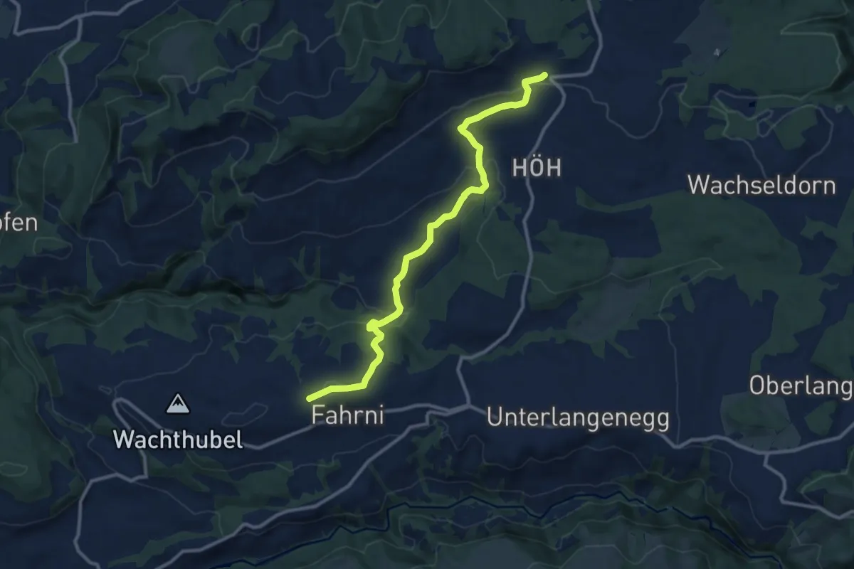
Medium · Trail
Heimenschwand – Chrüzweg
11.0 km · ↑ 355 m · 3 h 22 min
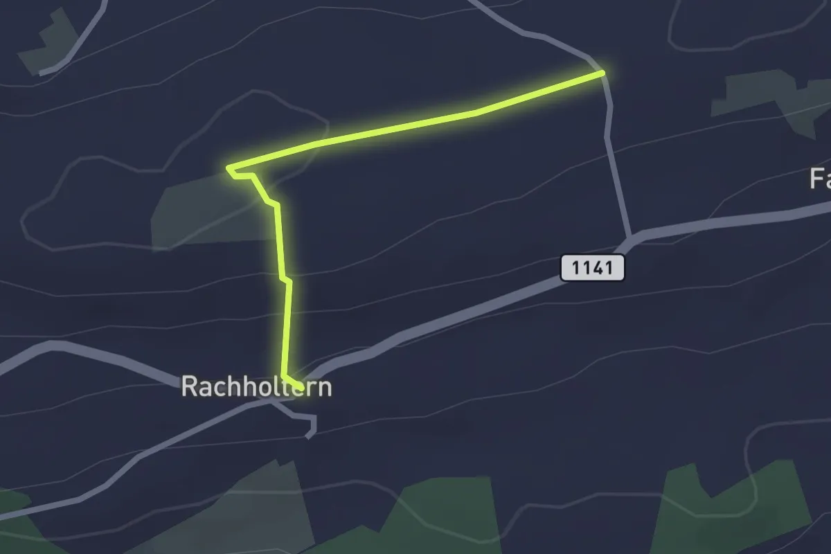
Easy · Trail
Chrüzweg – Rachholtern
2.1 km · ↑ 67 m · 38 min
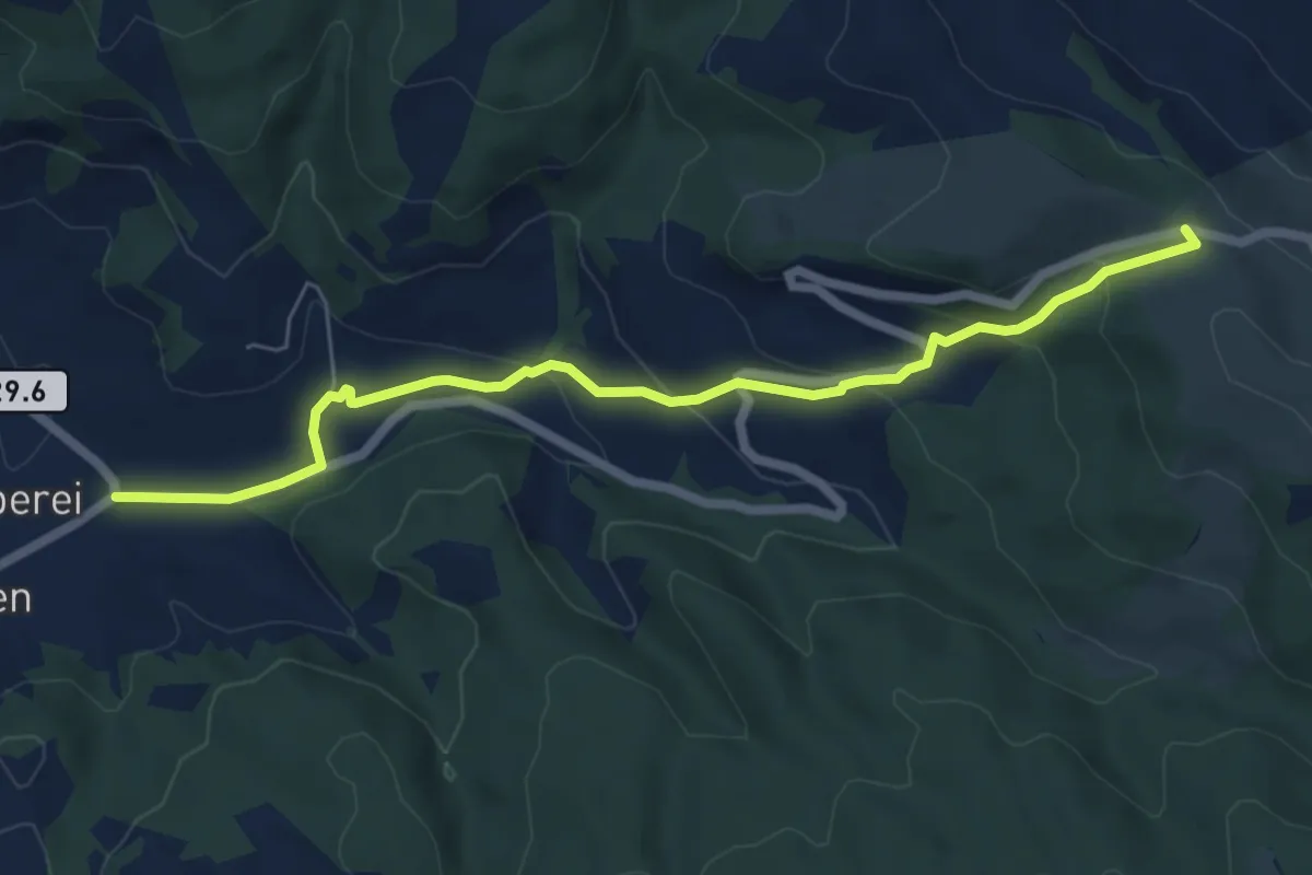
Easy · Trail
Oberei – Schallenberg
6.4 km · ↑ 257 m · 2 h 5 min
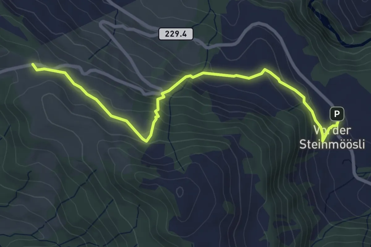
Easy · Trail
Schallenberg – Vorder Steinmöösli
6.0 km · ↑ 297 m · 2 h 4 min
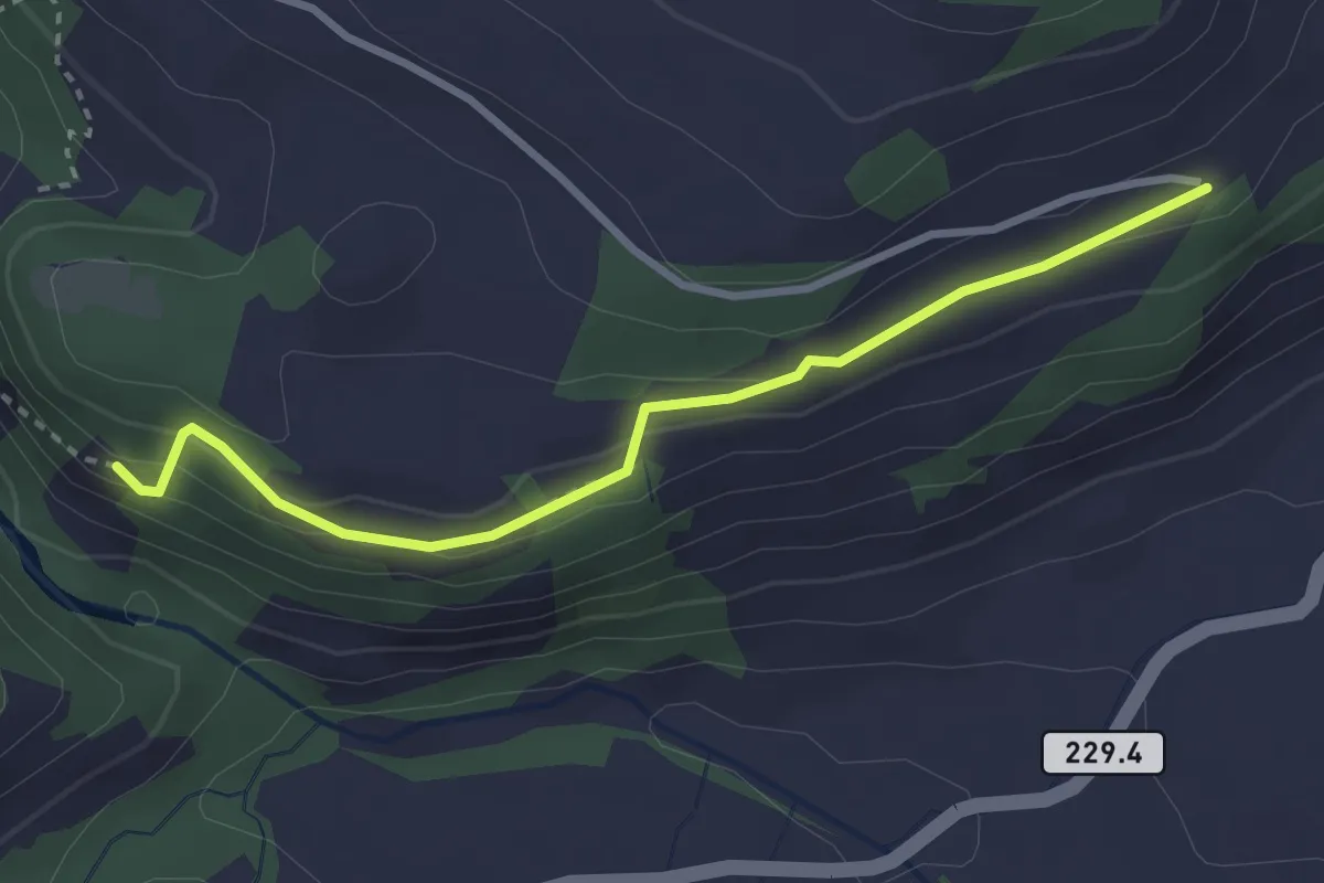
Easy · Trail
Schafschwand – Vorder Scheidbach
3.0 km · ↑ 100 m · 56 min
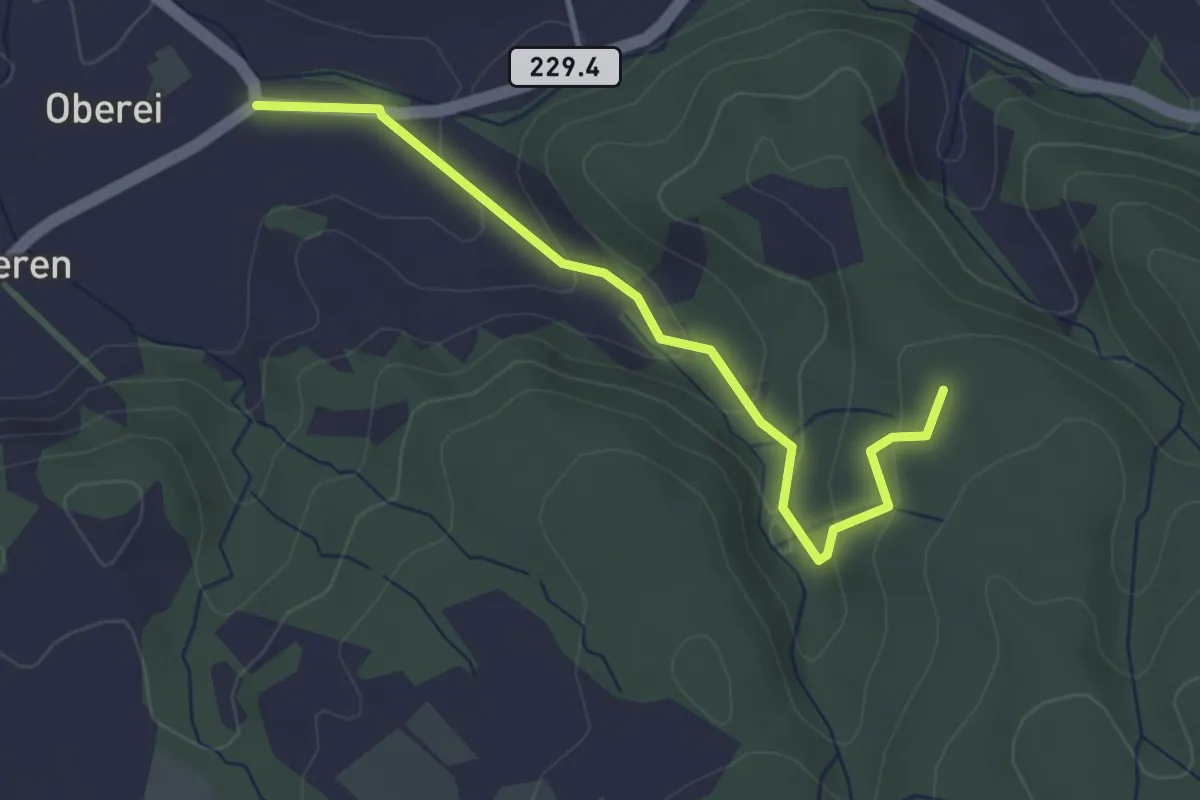
Easy · Trail
Oberei – Buechschachebode
3.4 km · ↑ 151 m · 1 h 8 min
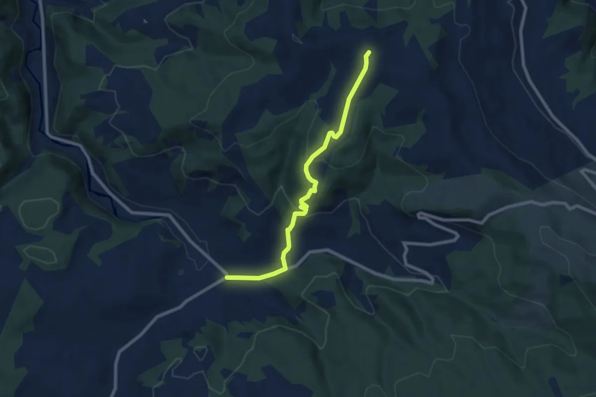
Easy · Trail
Oberei – Hinder Naters
6.2 km · ↑ 273 m · 2 h 3 min
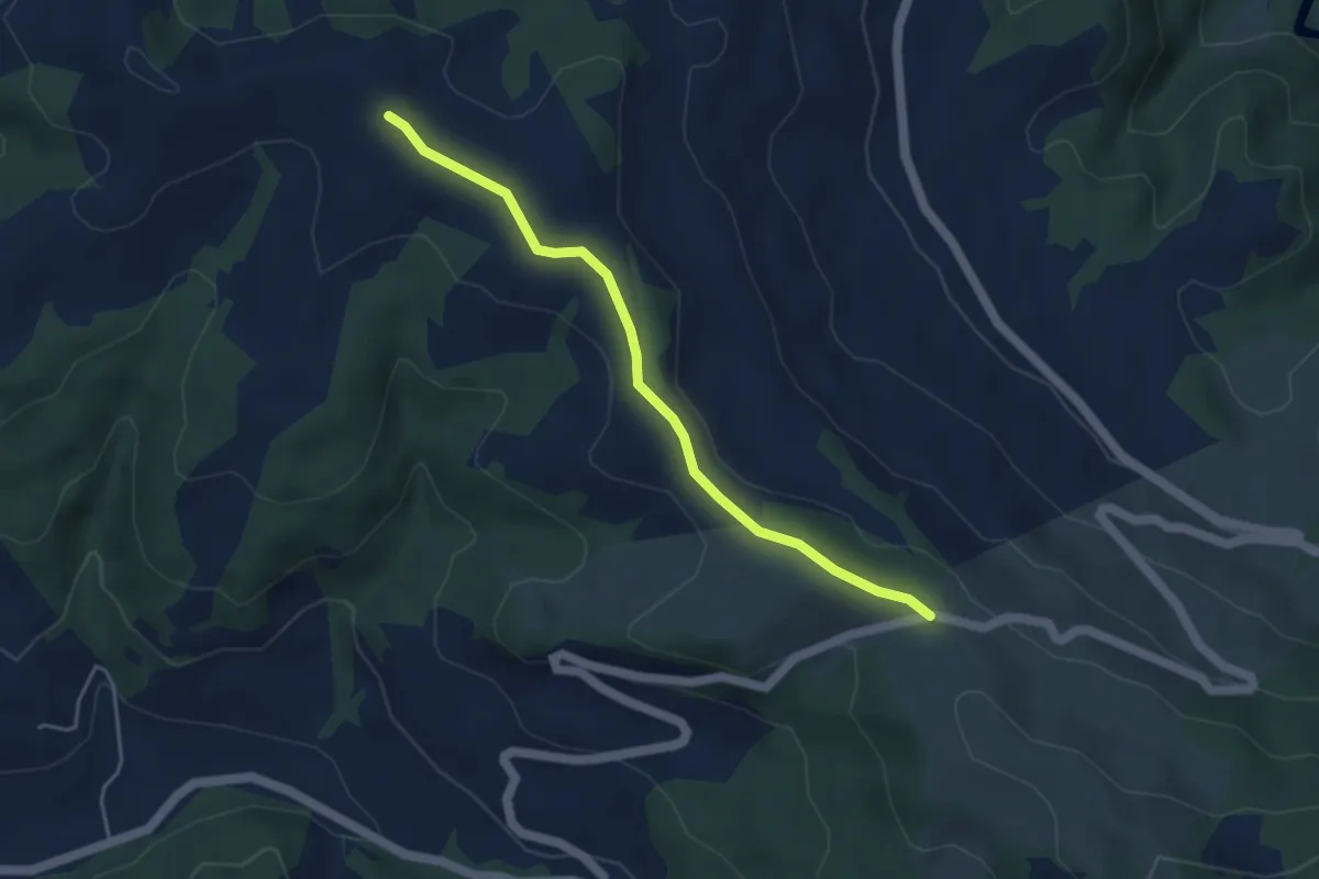
Easy · Trail
Schallenberg – Hinter Naters
4.2 km · ↑ 76 m · 1 h 9 min
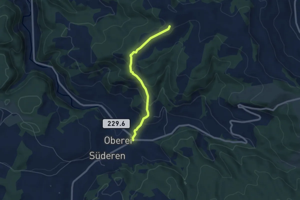
Easy · Trail
Oberei – Vorder Naters
4.8 km · ↑ 251 m · 1 h 41 min
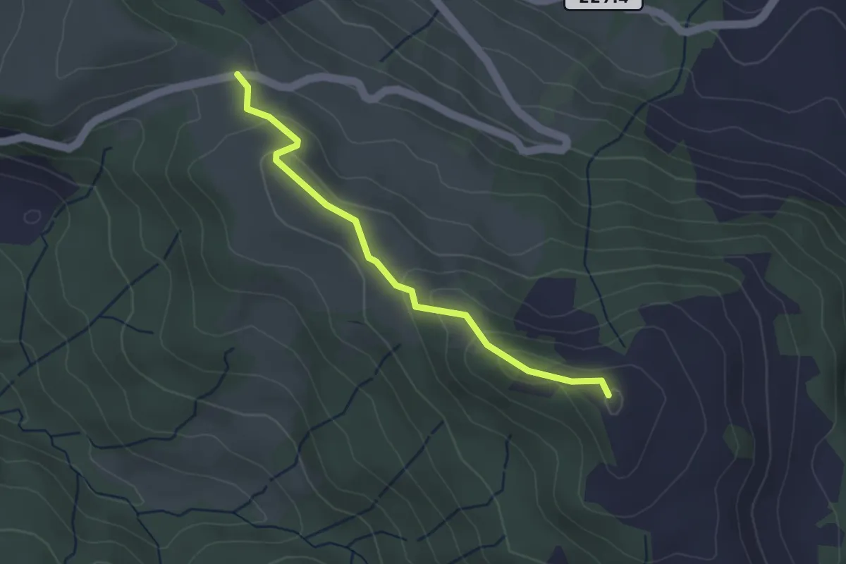
Easy · Summit
Schallenberg – Turner
3.0 km · ↑ 125 m · 59 min
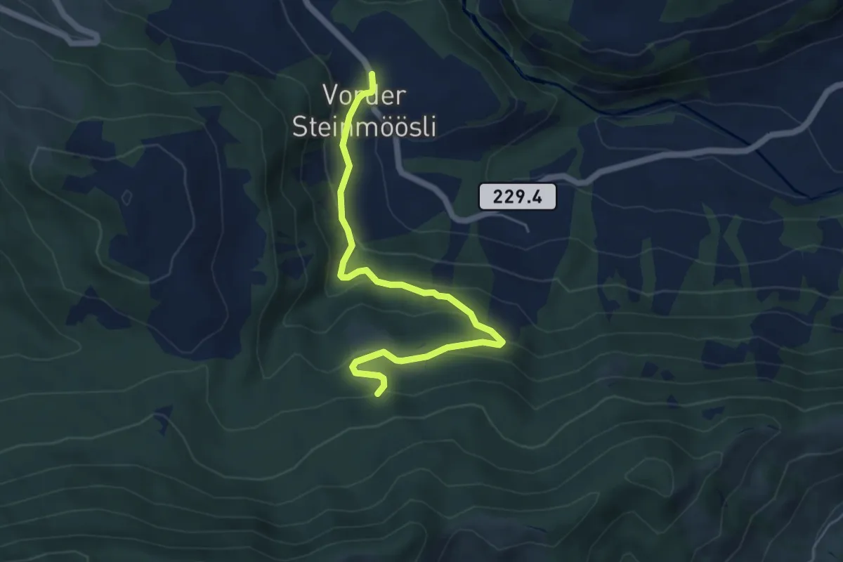
Easy · Trail
Vorder Steinmöösli – Stäldeli
5.4 km · ↑ 286 m · 1 h 53 min
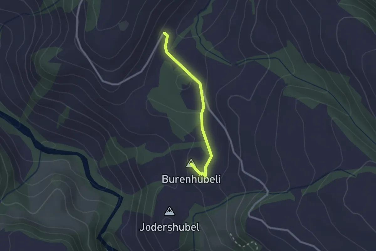
Medium · Summit
Schafschwand – Pfaffenmoos
1.9 km · ↑ 42 m · 33 min