Trails in Switzerland
15,055 hiking trails, each with its route, climb, walking time and grade.
All trails, page 158 of 314
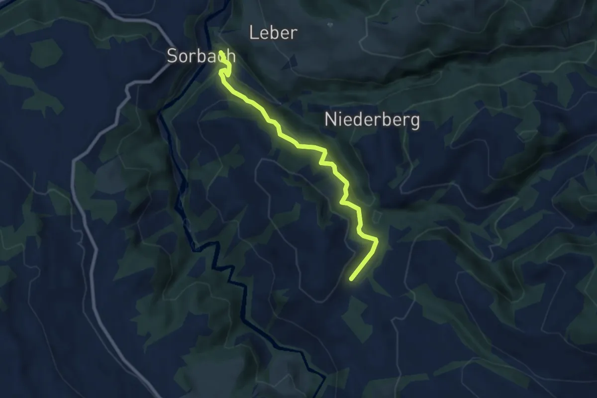
Medium · Trail
Pfaffenmoos – Sorbach
6.3 km · ↑ 437 m · 2 h 25 min
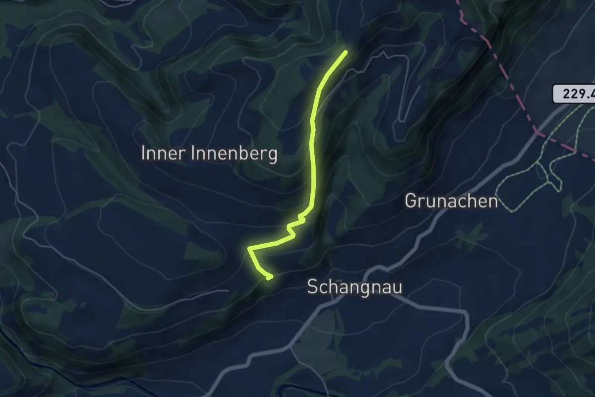
Easy · Trail
Meisenegg – Untere Rütti
4.0 km · ↑ 314 m · 1 h 38 min
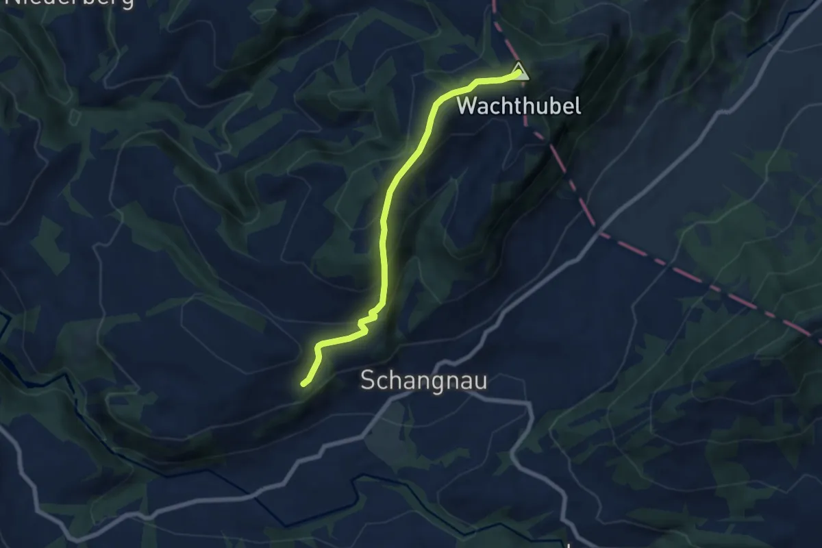
Medium · Summit
Vorder Scheidbach – Wachthubel
6.2 km · ↑ 355 m · 2 h 14 min
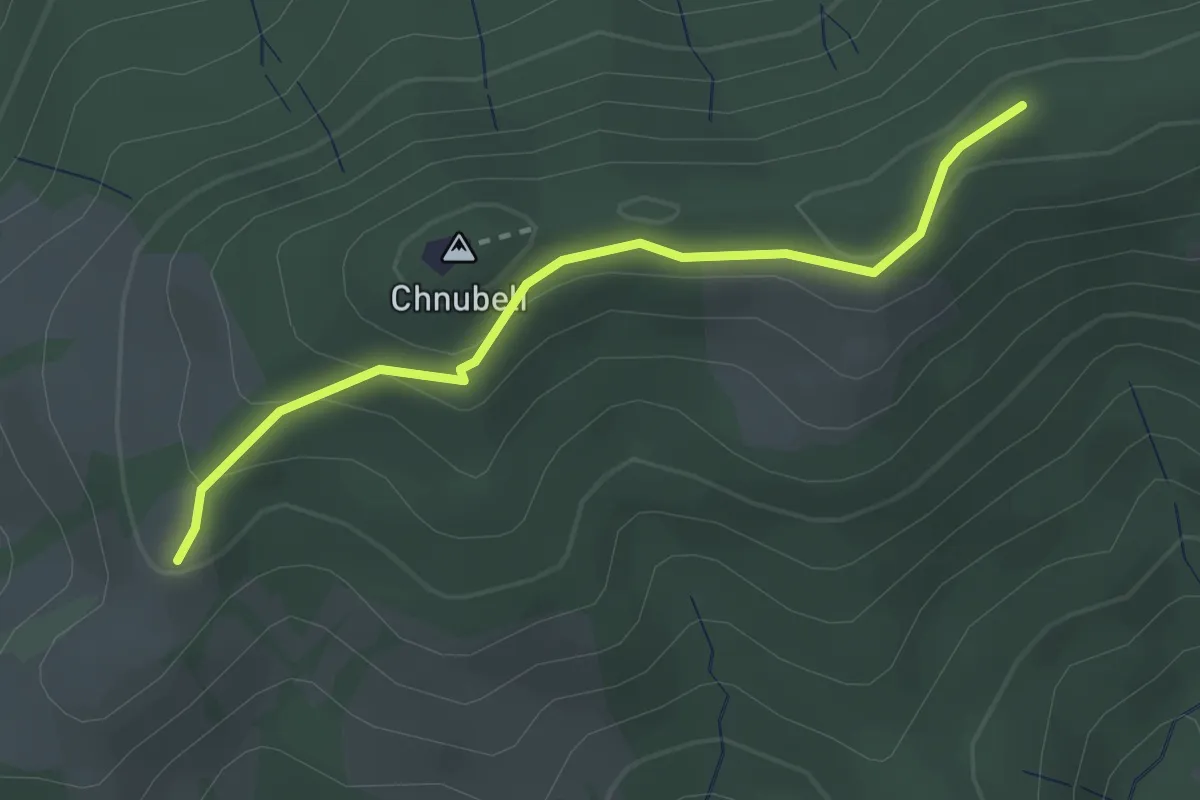
Easy · Summit
Fallenstutz – Chnubelegg
2.5 km · ↑ 133 m · 53 min
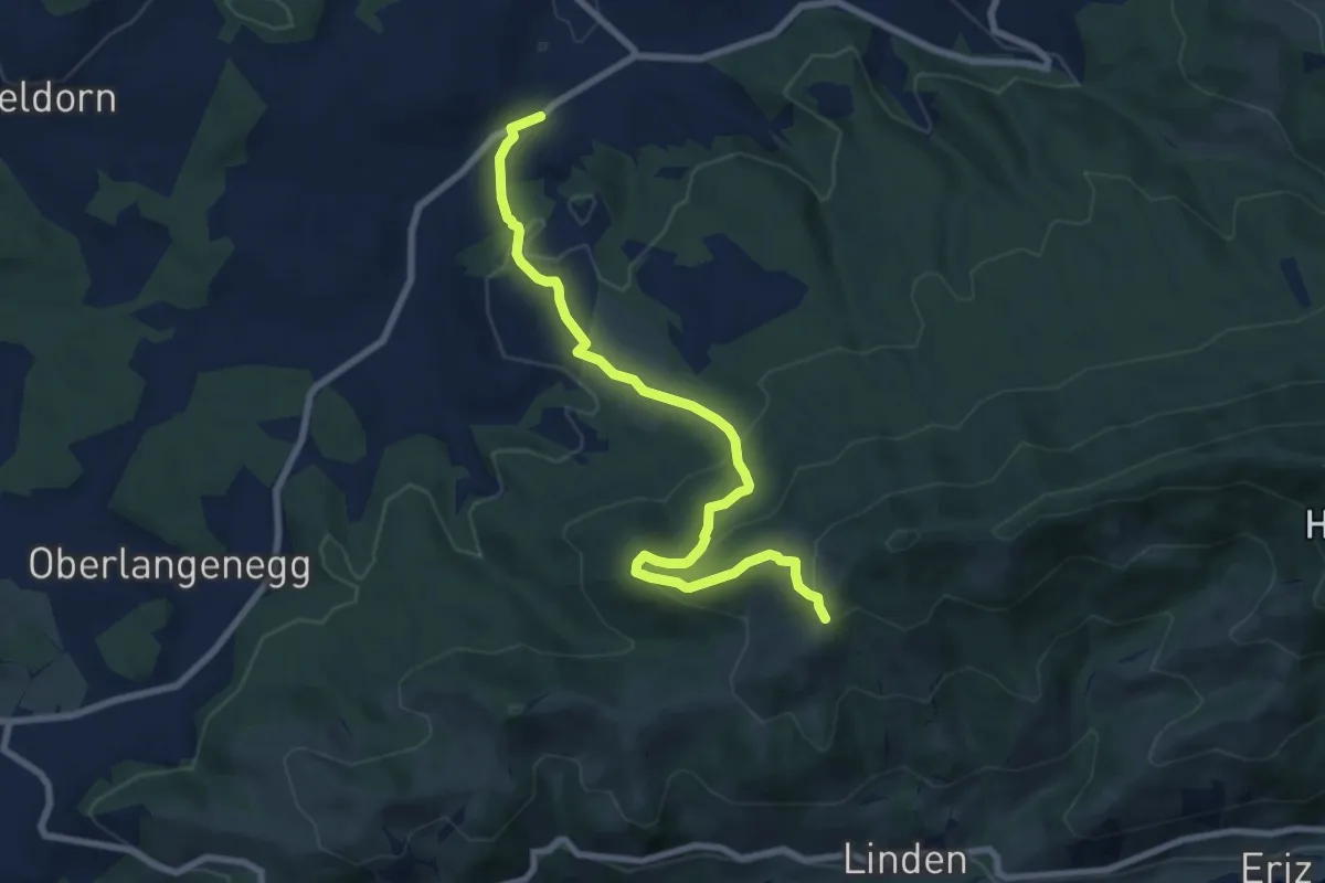
Medium · Trail
Fallenstutz – Süderen
8.5 km · ↑ 411 m · 2 h 54 min
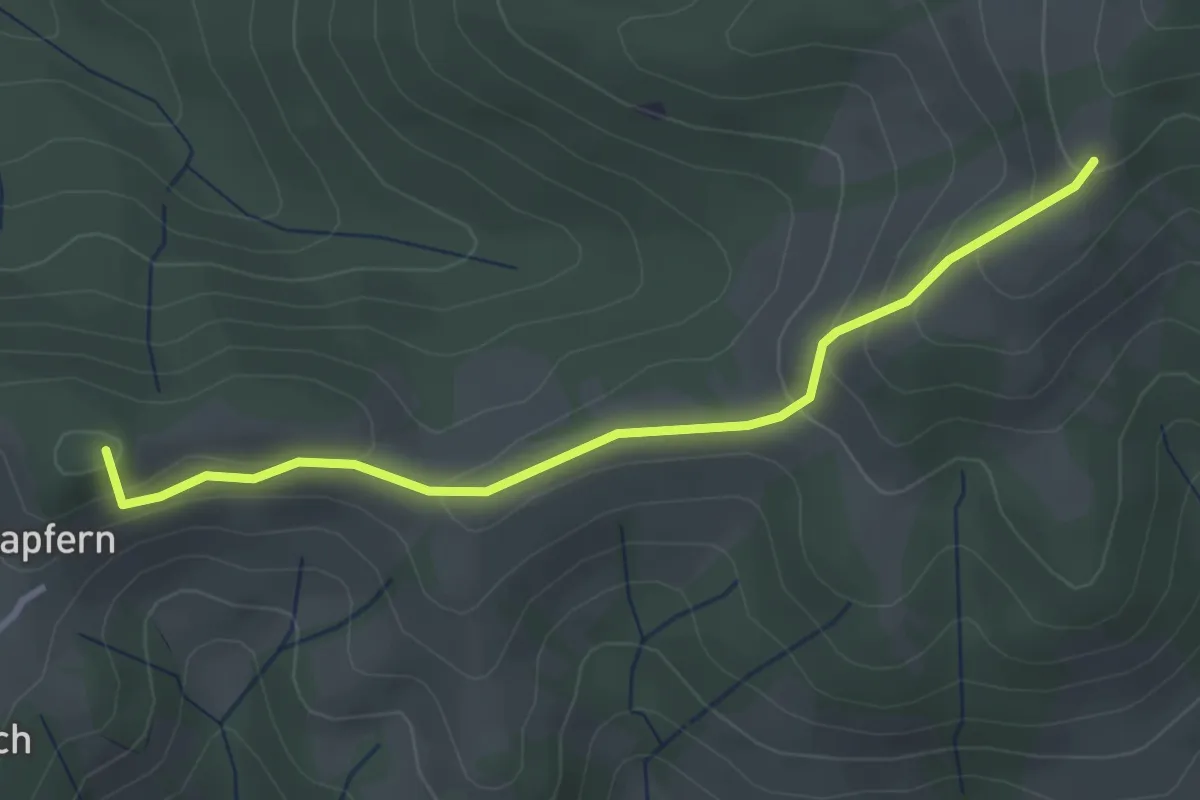
Easy · Summit
Fallenstutz – Kürze
3.2 km · ↑ 143 m · 1 h 4 min
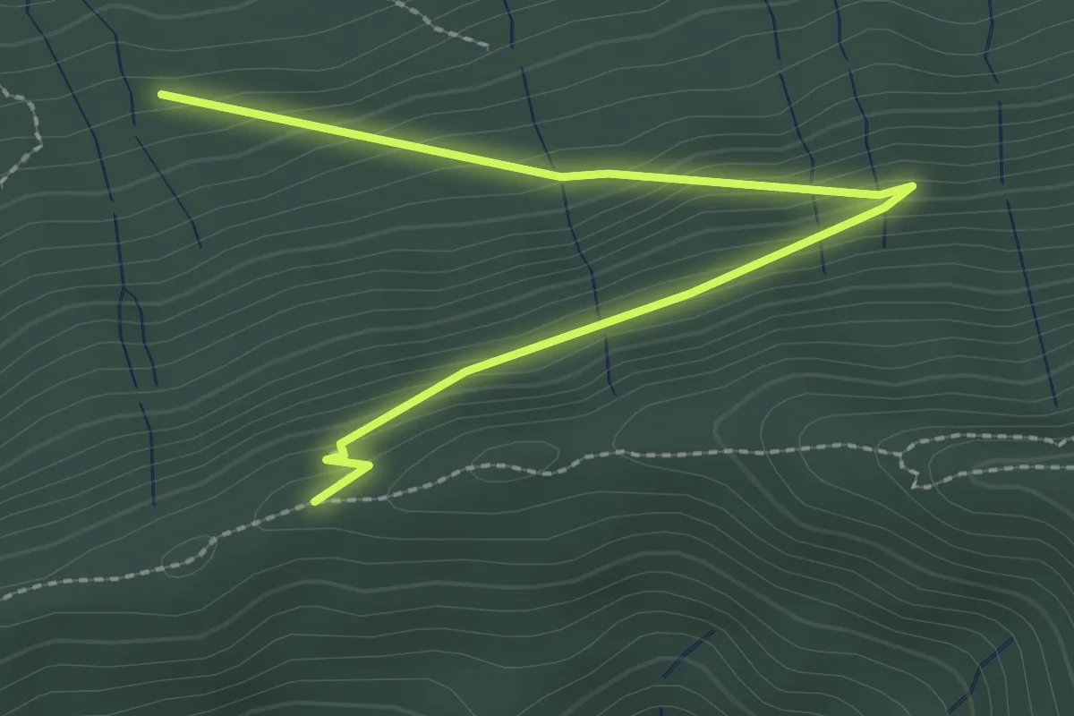
Easy · Trail
Schafegg – Buechschacheboden
3.0 km · ↑ 207 m · 1 h 10 min
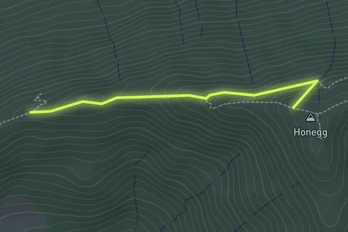
Easy · Summit
Schafegg – Honegg
2.2 km · ↑ 104 m · 44 min
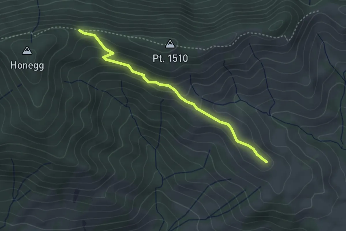
Easy · Trail
Honegg – Grossi Honegg
3.3 km · ↑ 132 m · 1 h 4 min
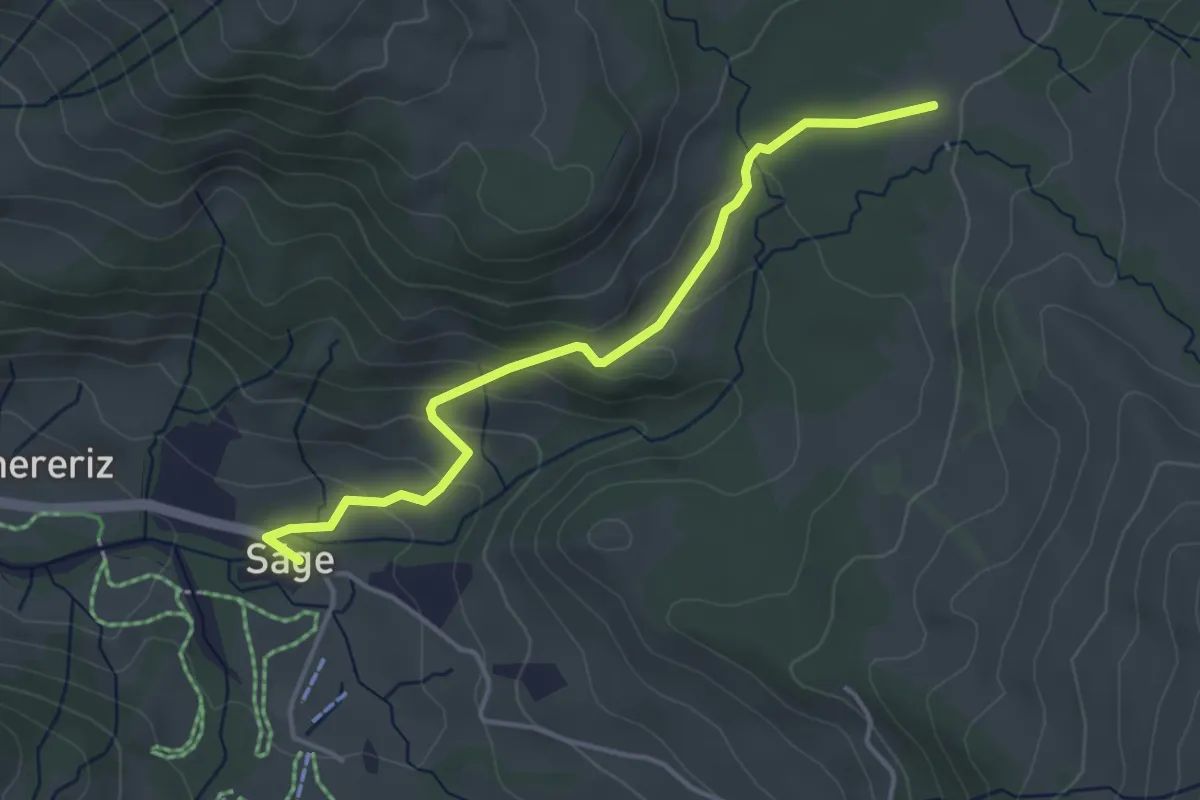
Easy · Trail
Rotmoos – Innereriz / Säge
4.0 km · ↑ 156 m · 1 h 17 min
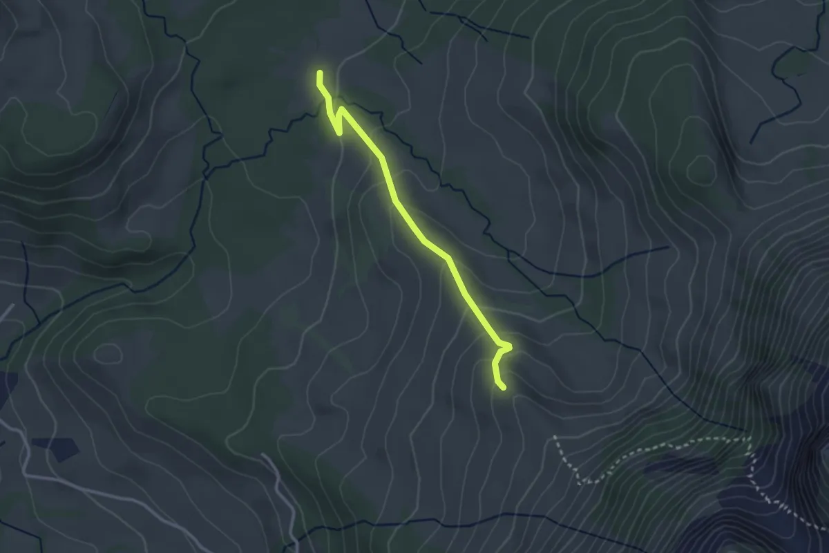
Easy · Trail
Rotmoos – Ober Breitwang
2.7 km · ↑ 165 m · 59 min
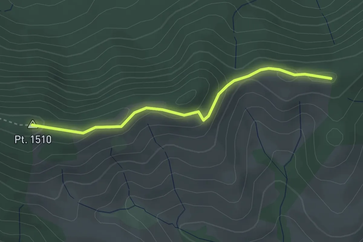
Easy · Summit
Honegg – Bürkeliegg
3.0 km · ↑ 90 m · 54 min
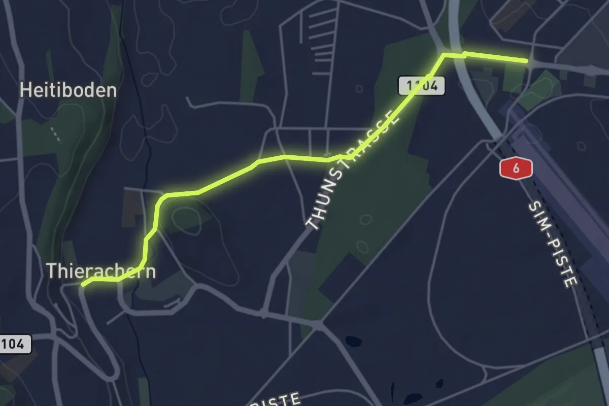
Easy · Trail
Thierachern Kirche – Thun Waldeck
4.5 km · ↑ 37 m · 1 h 9 min
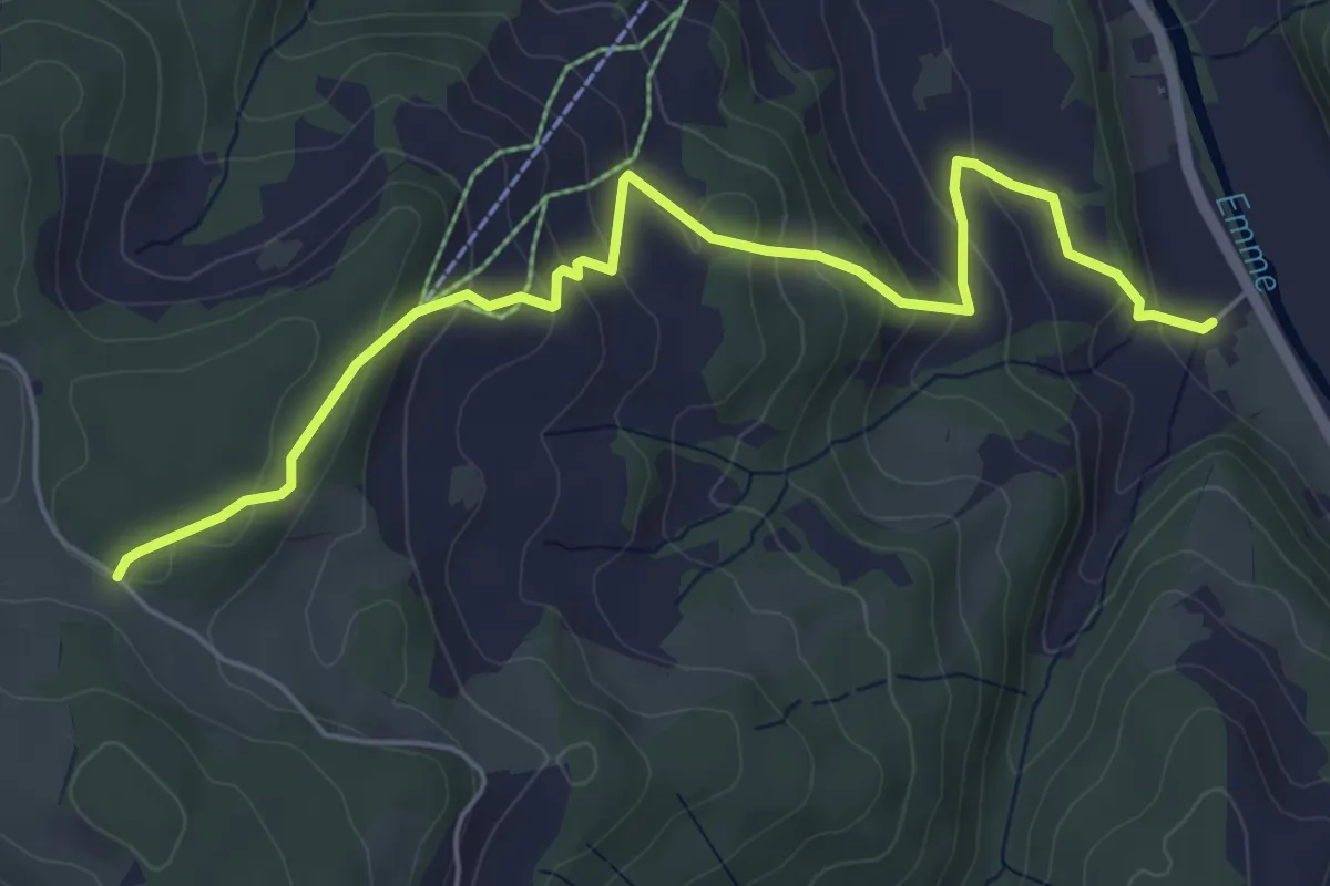
Medium · Trail
Holzmatt – Junkholz
6.0 km · ↑ 353 m · 2 h 11 min
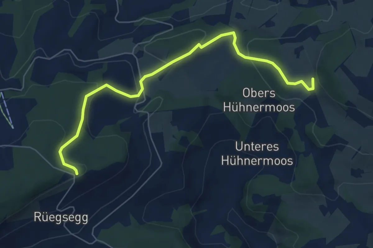
Easy · Trail
Stockeren – Chuderhüsi
6.0 km · ↑ 217 m · 1 h 54 min
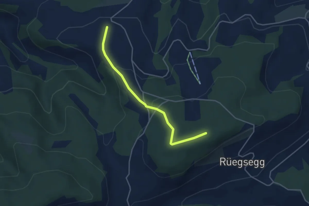
Easy · Trail
Goucherewald – Meieried
3.2 km · ↑ 143 m · 1 h 4 min
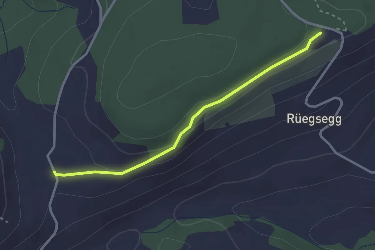
Easy · Trail
Chuderhüsi – Müliseile
2.4 km · ↑ 58 m · 41 min
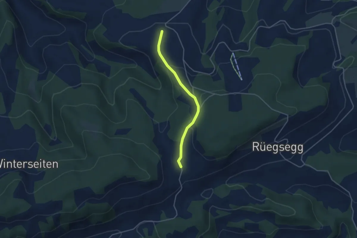
Easy · Trail
Müliseile – Meieried
3.1 km · ↑ 116 m · 59 min
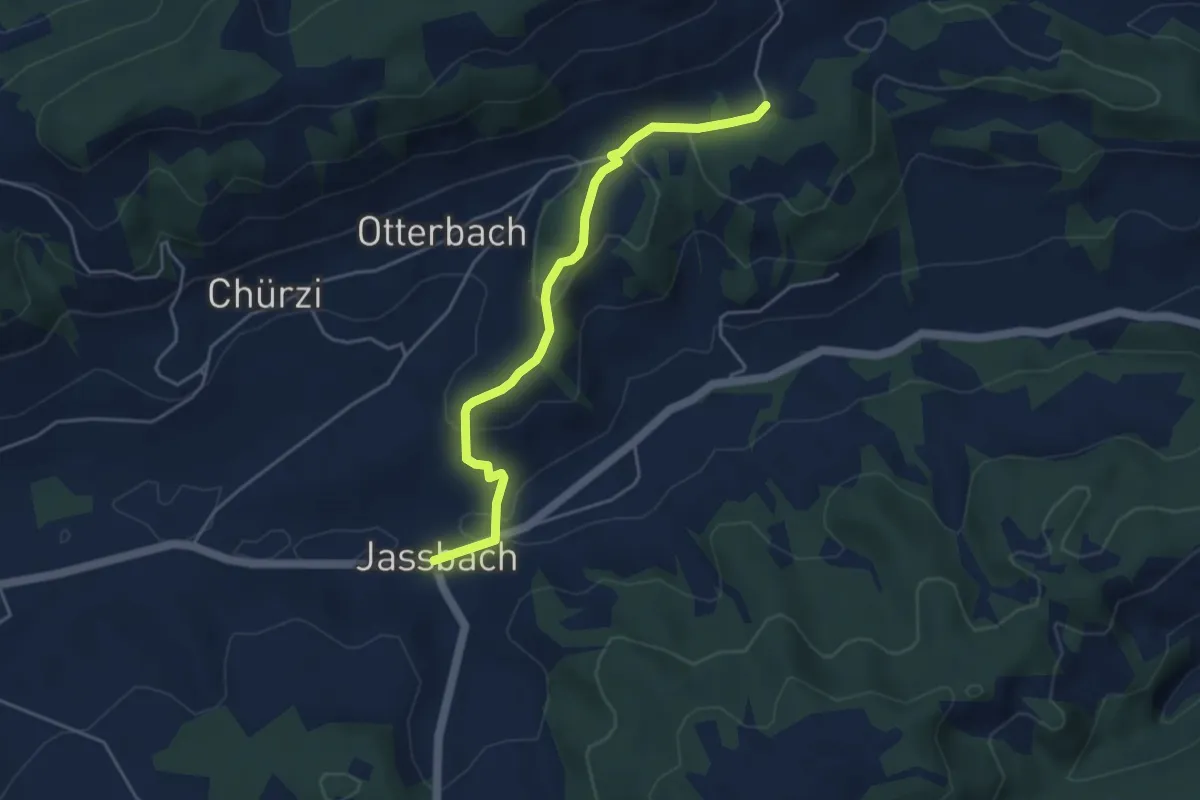
Easy · Trail
Togglismatt – Jassbach
4.4 km · ↑ 127 m · 1 h 19 min
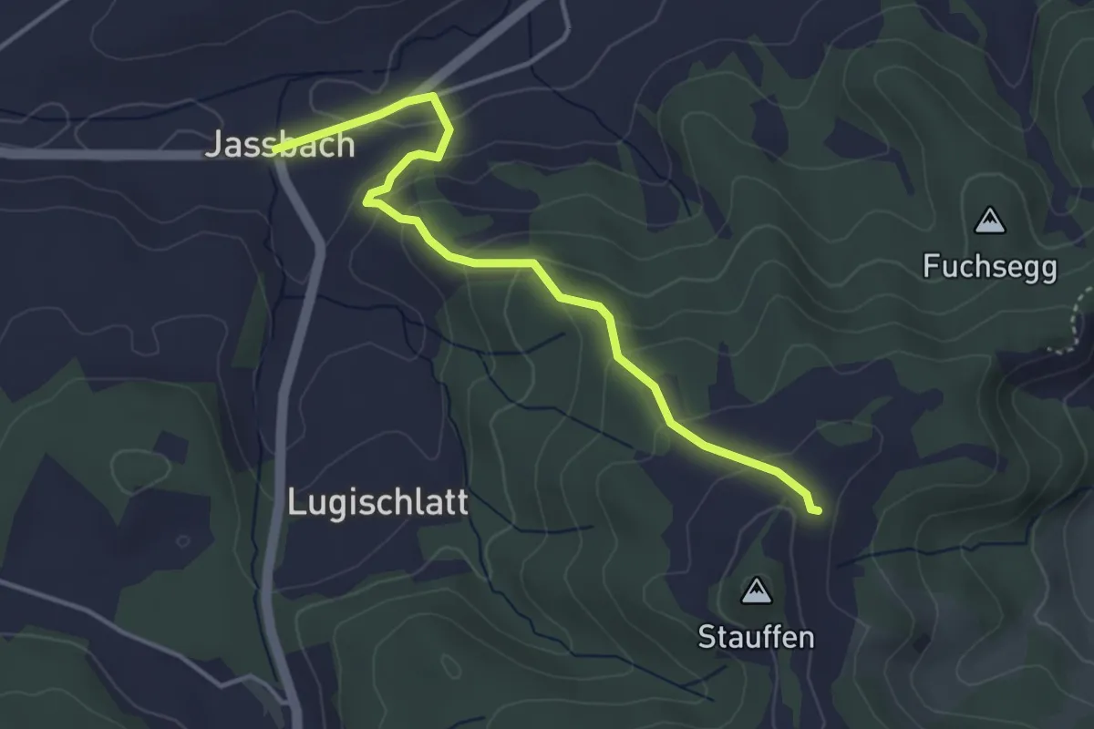
Easy · Trail
Jassbach – Hinter Stauffen
3.9 km · ↑ 196 m · 1 h 21 min
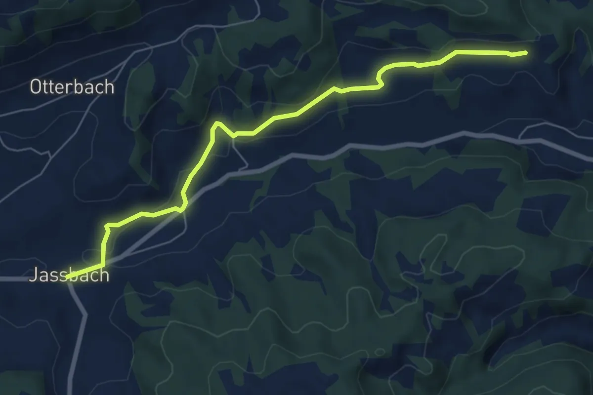
Easy · Trail
Jassbach – Vorderi Schindellegi
6.3 km · ↑ 152 m · 1 h 49 min
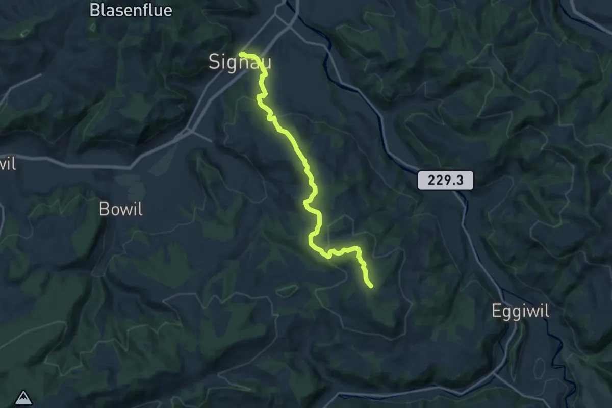
Medium · Trail
Junkholz – Signau
14.1 km · ↑ 510 m · 4 h 26 min
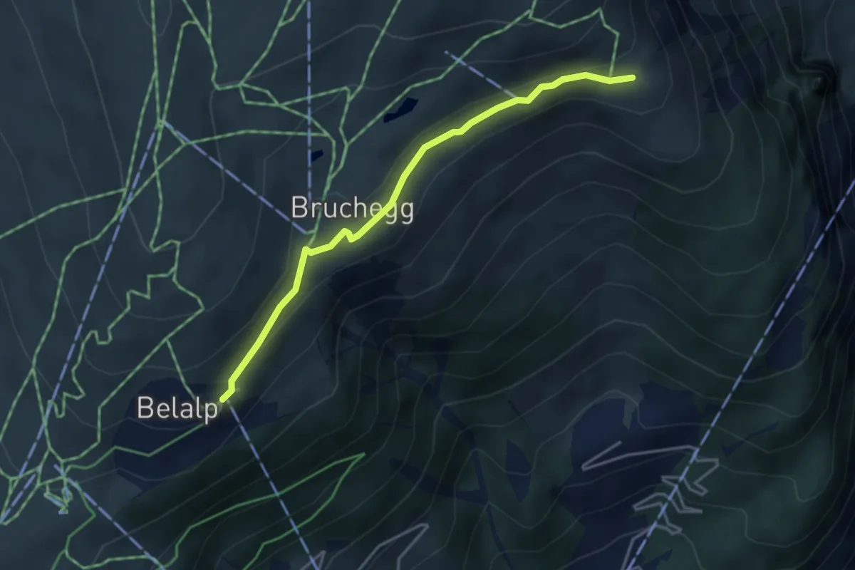
Easy · Trail
Belalp – Hotel Belalp Aletschbord
3.6 km · ↑ 93 m · 1 h 3 min
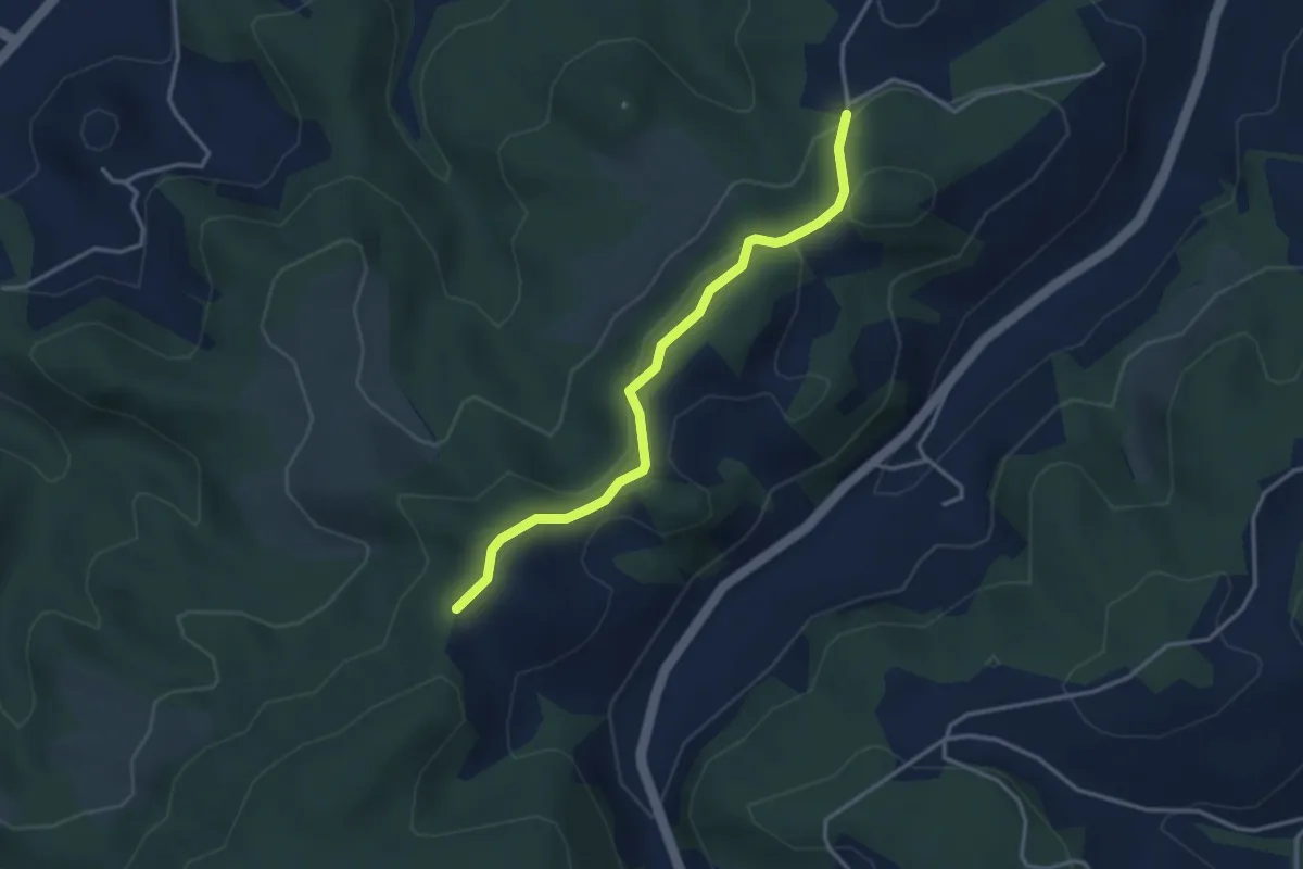
Easy · Trail
Buechwald – Mueleren
3.3 km · ↑ 139 m · 1 h 5 min
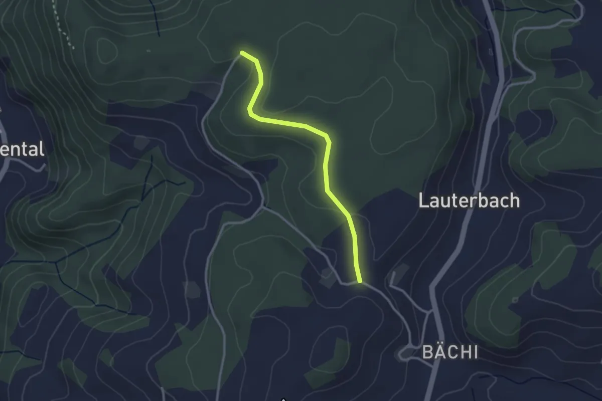
Easy · Trail
Aebnit/Klosterweg – Rötelismatt
2.5 km · ↑ 32 m · 40 min
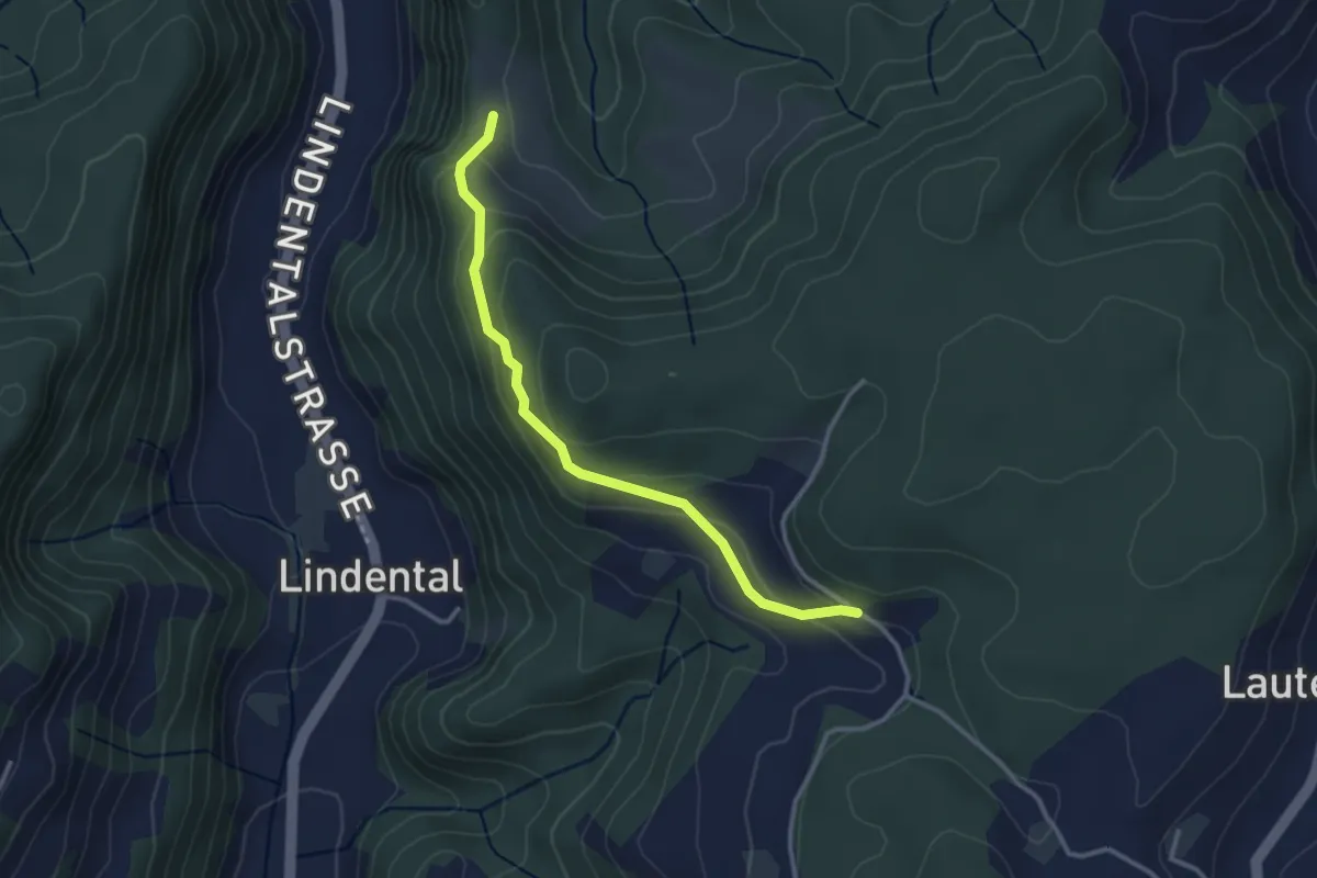
Easy · Trail
Vordere Geisme – Sonnenrain
3.0 km · ↑ 144 m · 1 h 1 min
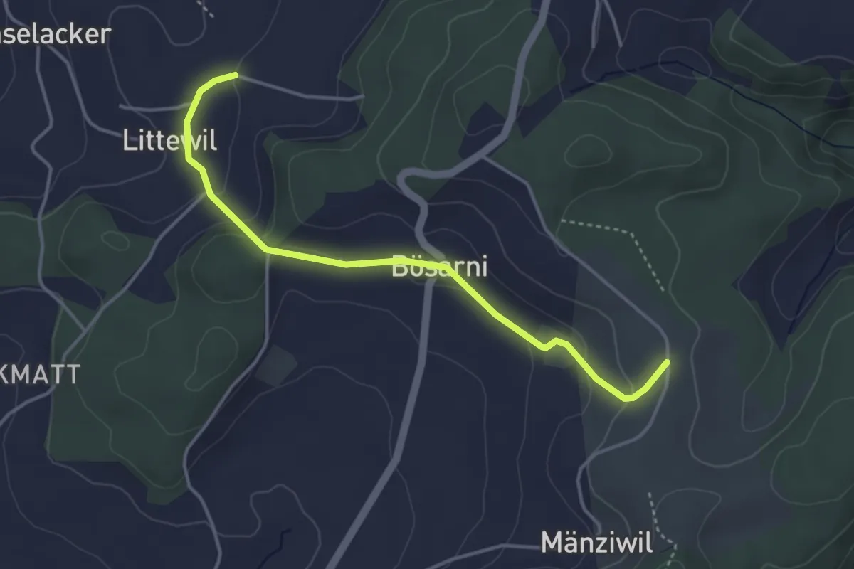
Easy · Trail
Littiwil – Vechigen
3.9 km · ↑ 120 m · 1 h 11 min
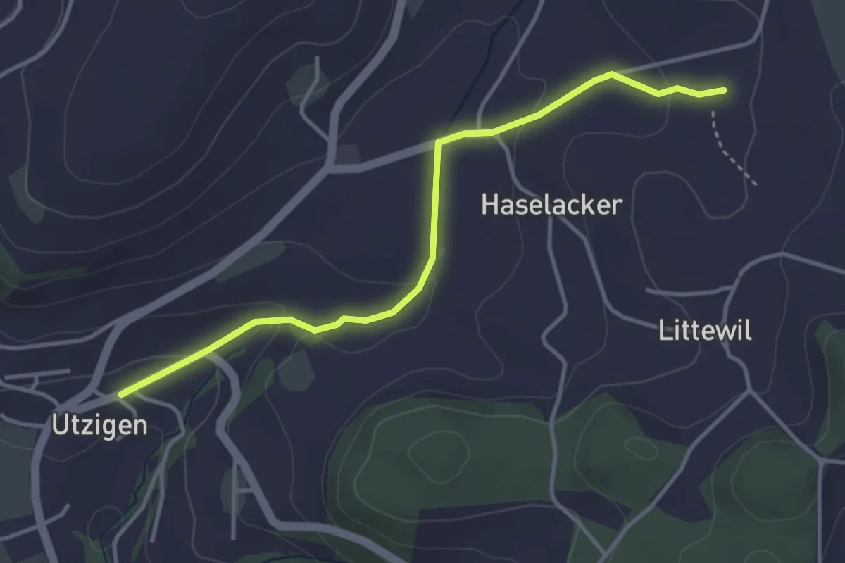
Easy · Trail
Sänggi – Utzigen
3.7 km · ↑ 98 m · 1 h 5 min
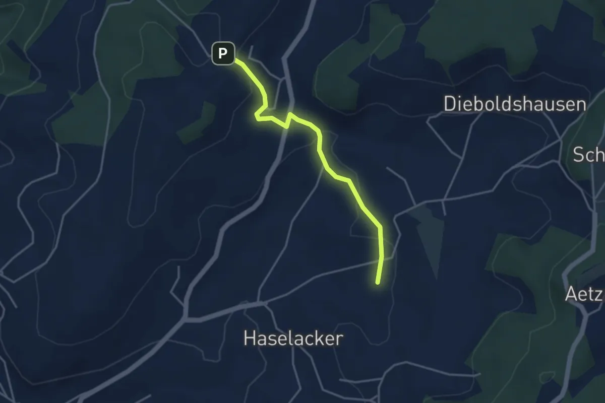
Easy · Trail
Rötelismatt – Sänggi
3.3 km · ↑ 88 m · 58 min
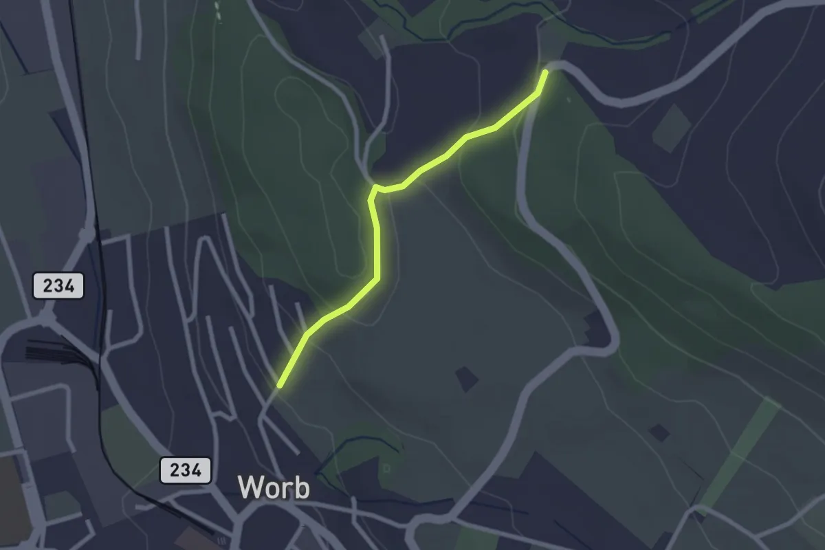
Easy · Trail
Egghalde – Worb/Hasli
2.1 km · ↑ 94 m · 41 min
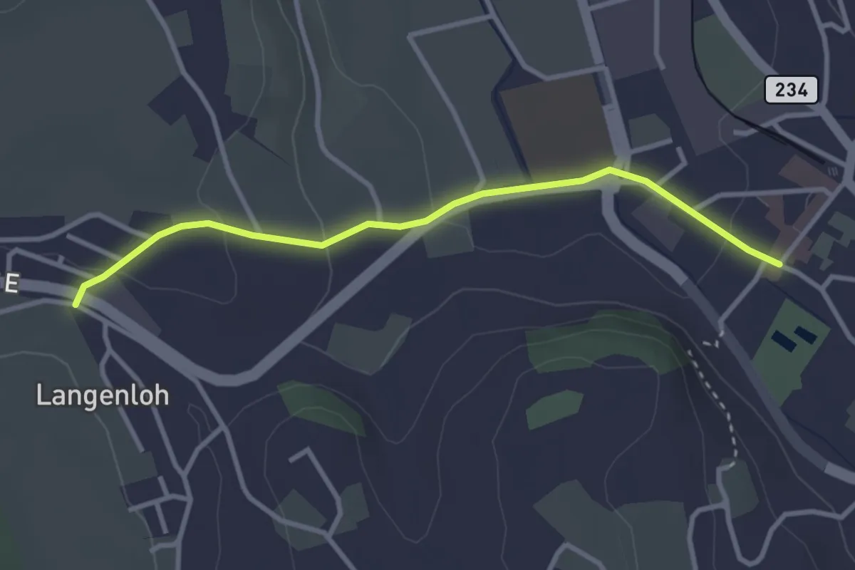
Easy · Trail
Langenloh – Worb Sternen
3.0 km · ↑ 66 m · 52 min
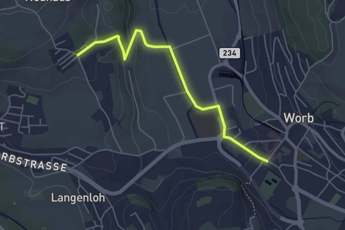
Easy · Trail
Neuhus – Worb Sternen
4.4 km · ↑ 113 m · 1 h 17 min
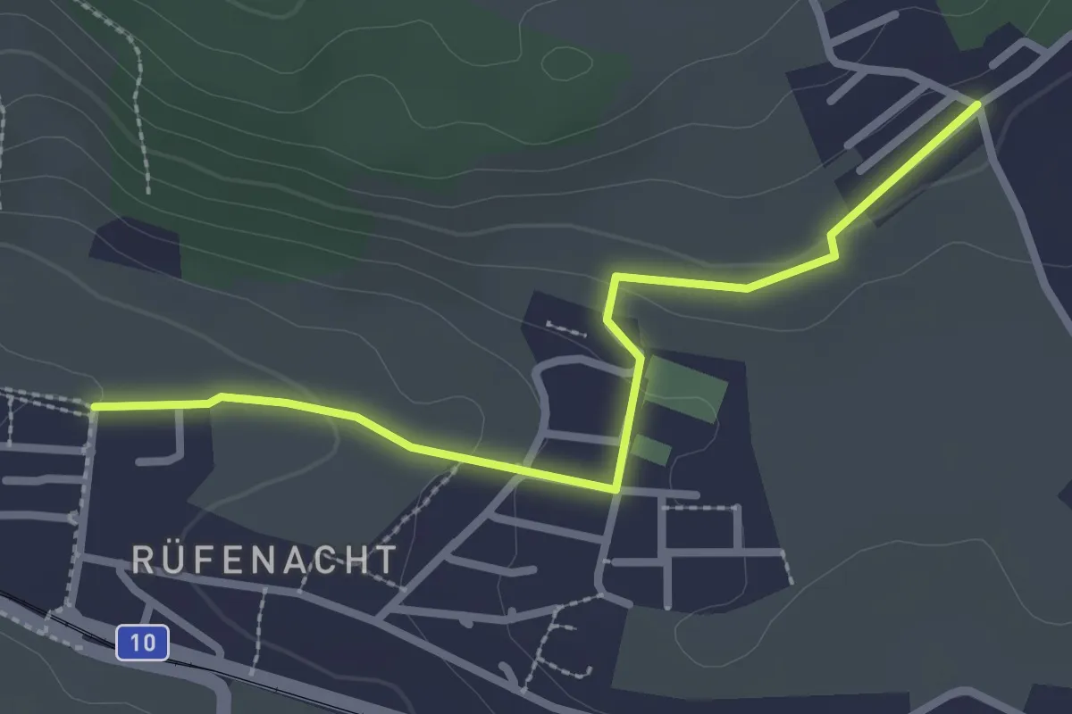
Easy · Trail
Neuhus – Rüfenacht
2.7 km · ↑ 67 m · 46 min
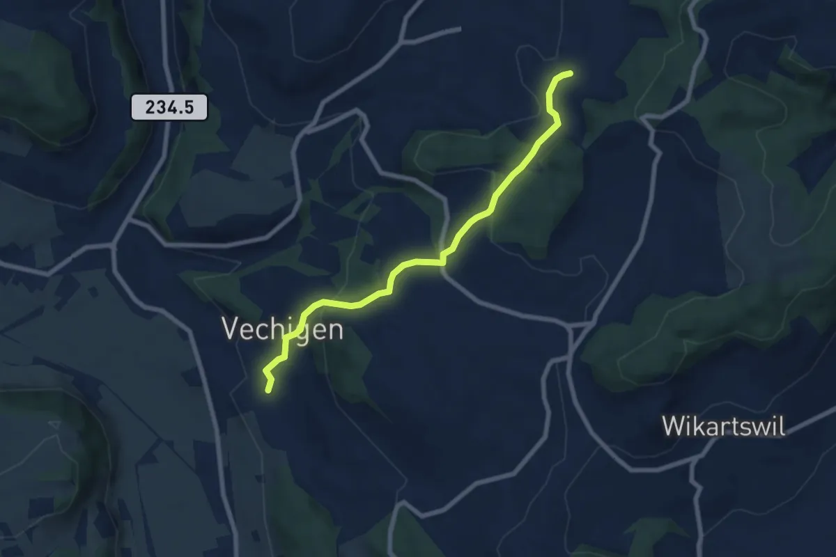
Easy · Trail
Littiwil – Vechigen
6.5 km · ↑ 260 m · 2 h 6 min
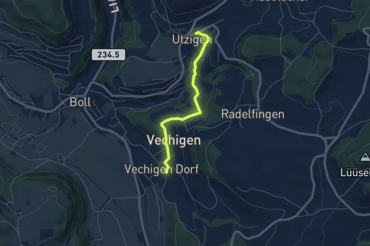
Easy · Trail
Utzigen – Vechigen
4.6 km · ↑ 145 m · 1 h 24 min
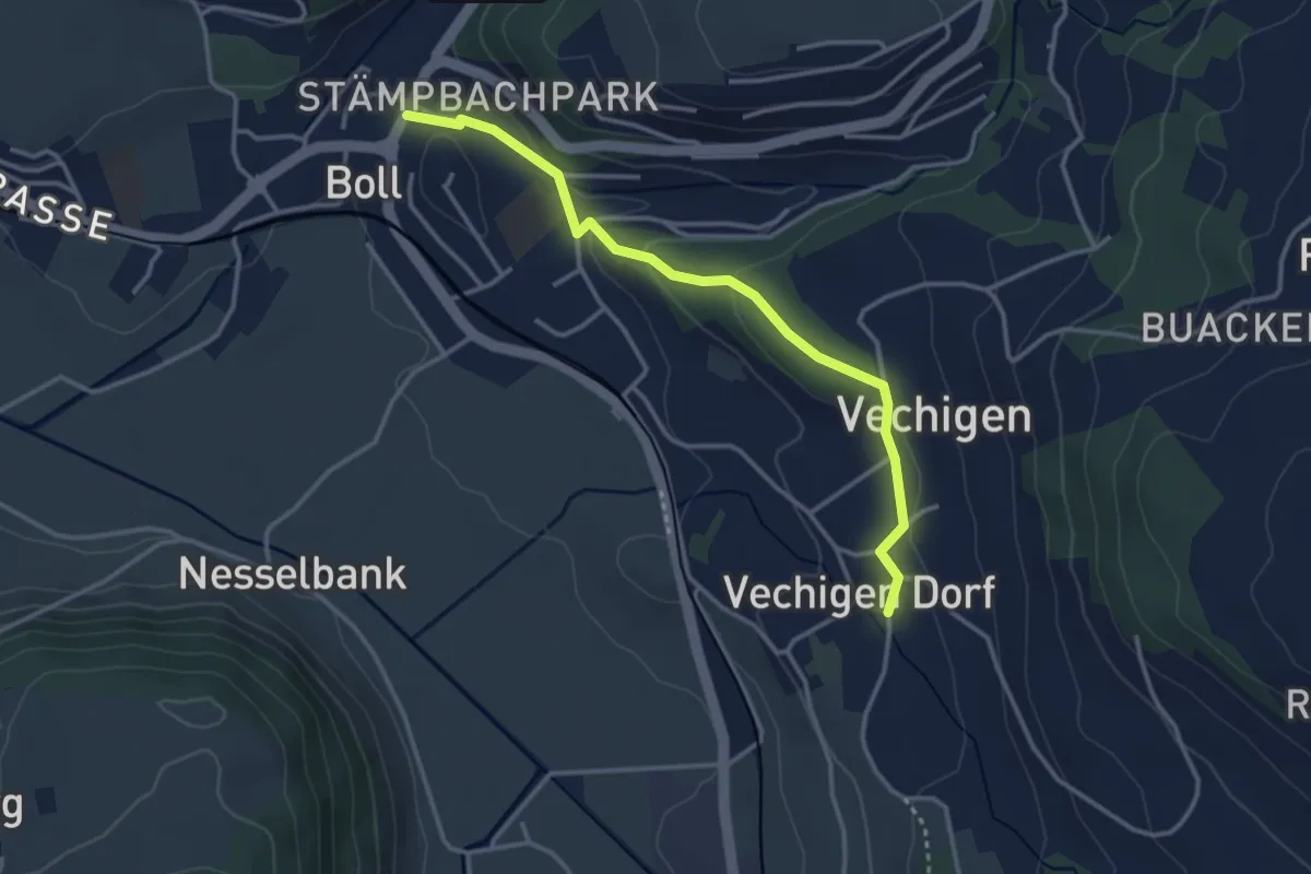
Easy · Trail
Boll – Vechigen
3.4 km · ↑ 74 m · 57 min
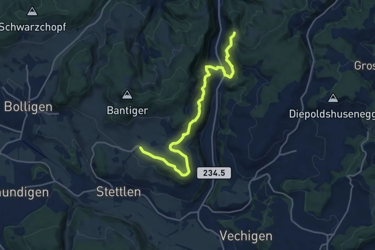
Medium · Trail
Vordere Geisme – Ferenberg
12.7 km · ↑ 592 m · 4 h 17 min
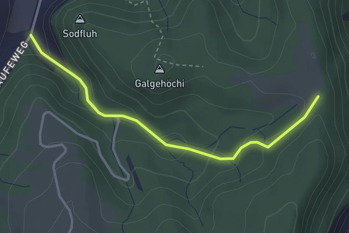
Easy · Trail
Chlosteralp – Laufe
2.7 km · ↑ 148 m · 58 min
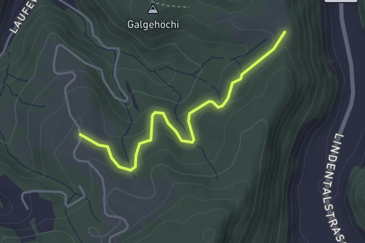
Easy · Trail
Chlosteralp – Vorder Jucke
3.2 km · ↑ 193 m · 1 h 11 min
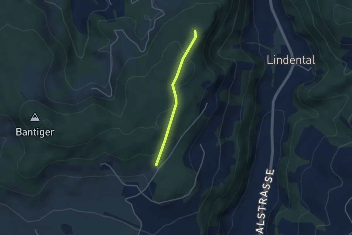
Easy · Trail
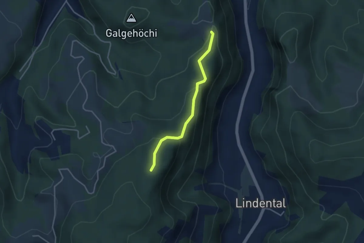
Mühlestein – Cholegruebe
2.4 km · ↑ 114 m · 49 min
Easy · Trail
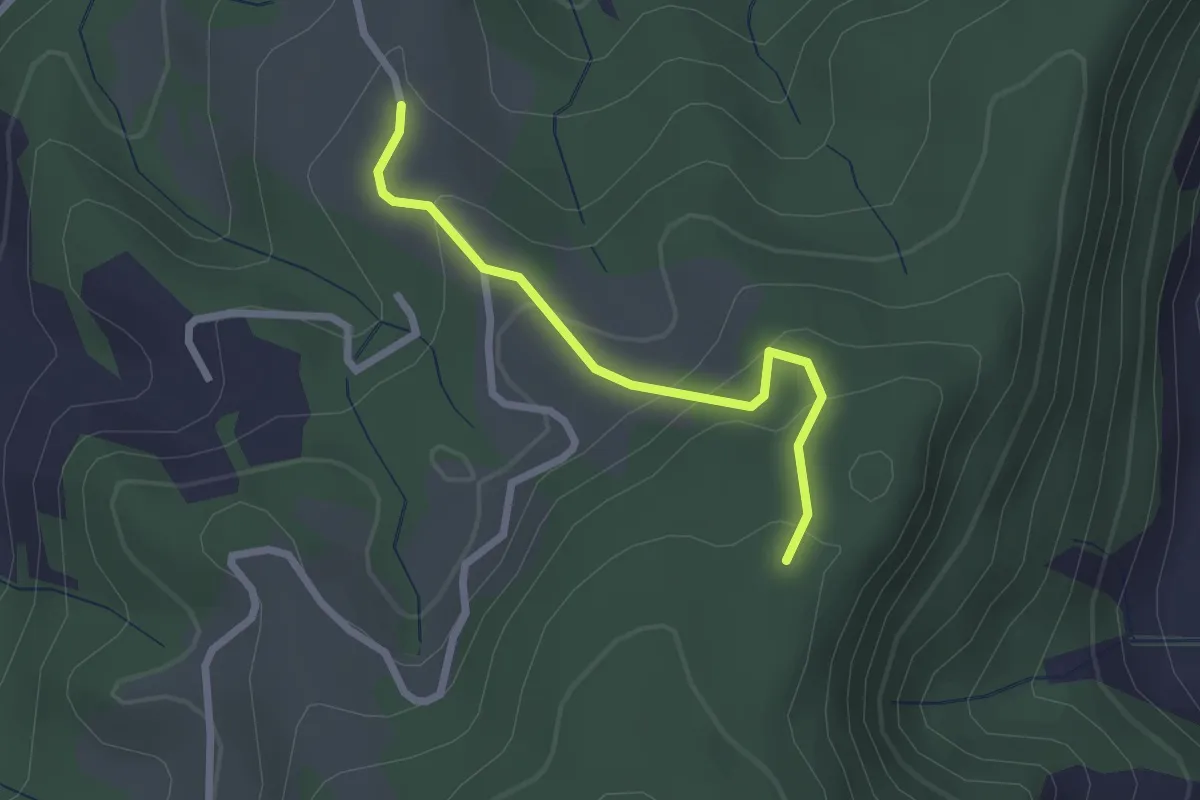
Chlosteralp – Mühlestein
2.6 km · ↑ 138 m · 54 min
Easy · Trail
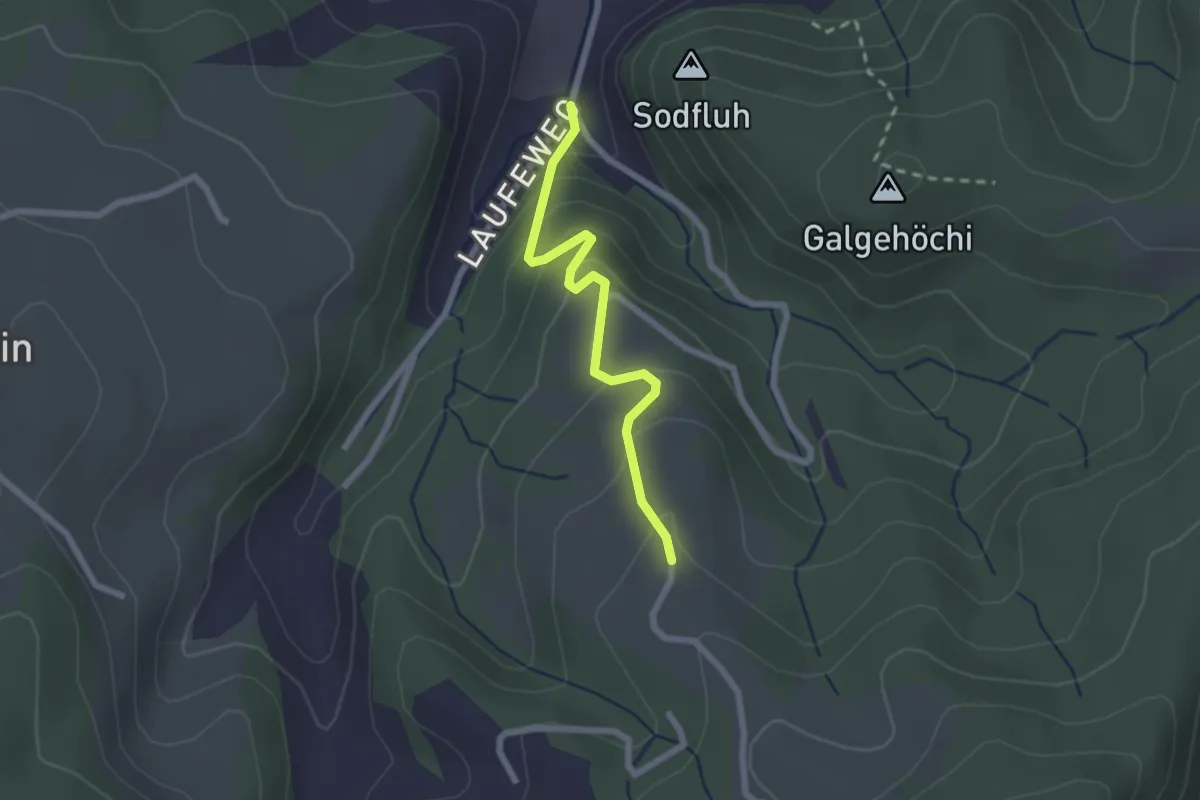
Vorder Jucke – Mühlestein
2.1 km · ↑ 142 m · 48 min
Easy · Trail
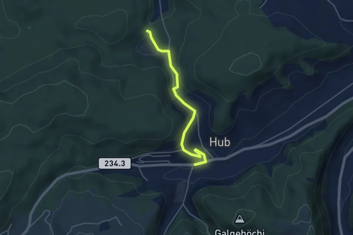
Laufe – Vordere Jucke
2.1 km · ↑ 151 m · 49 min
Easy · Trail
Wannetal – Hueb
3.5 km · ↑ 169 m · 1 h 11 min
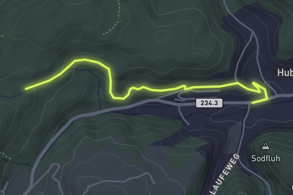
Easy · Trail
Sädelbachhüttli – Hueb
4.2 km · ↑ 167 m · 1 h 22 min
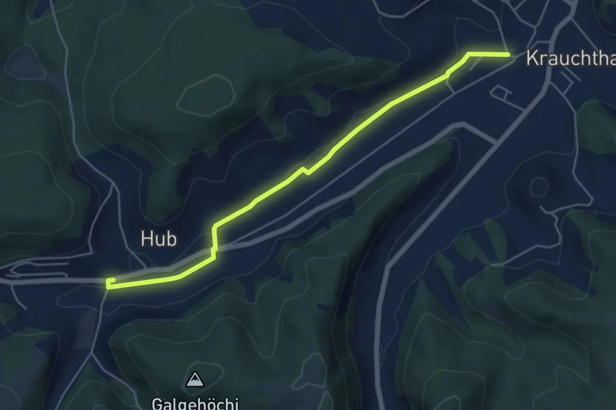
Easy · Trail
Sandhole – Hueb
4.7 km · ↑ 50 m · 1 h 14 min
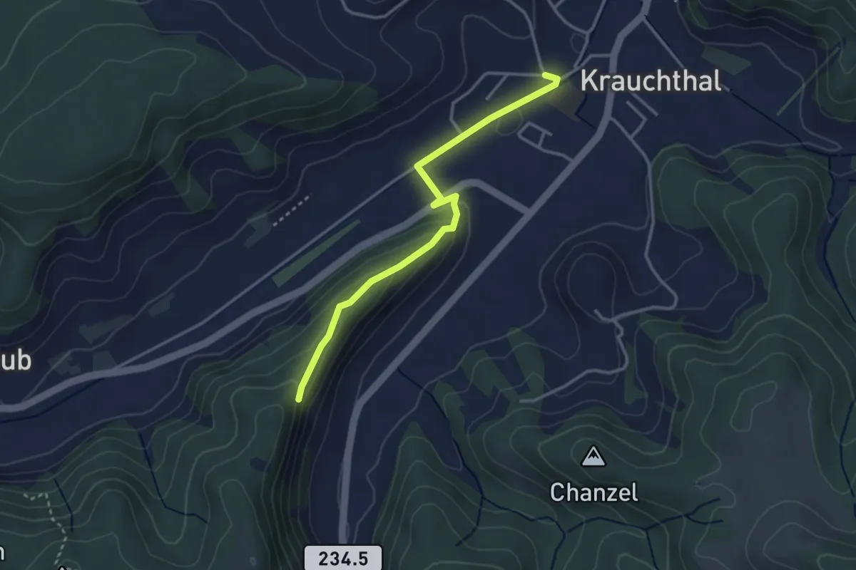
Easy · Trail
Sandhole – Fluehüsli
3.2 km · ↑ 113 m · 1 h
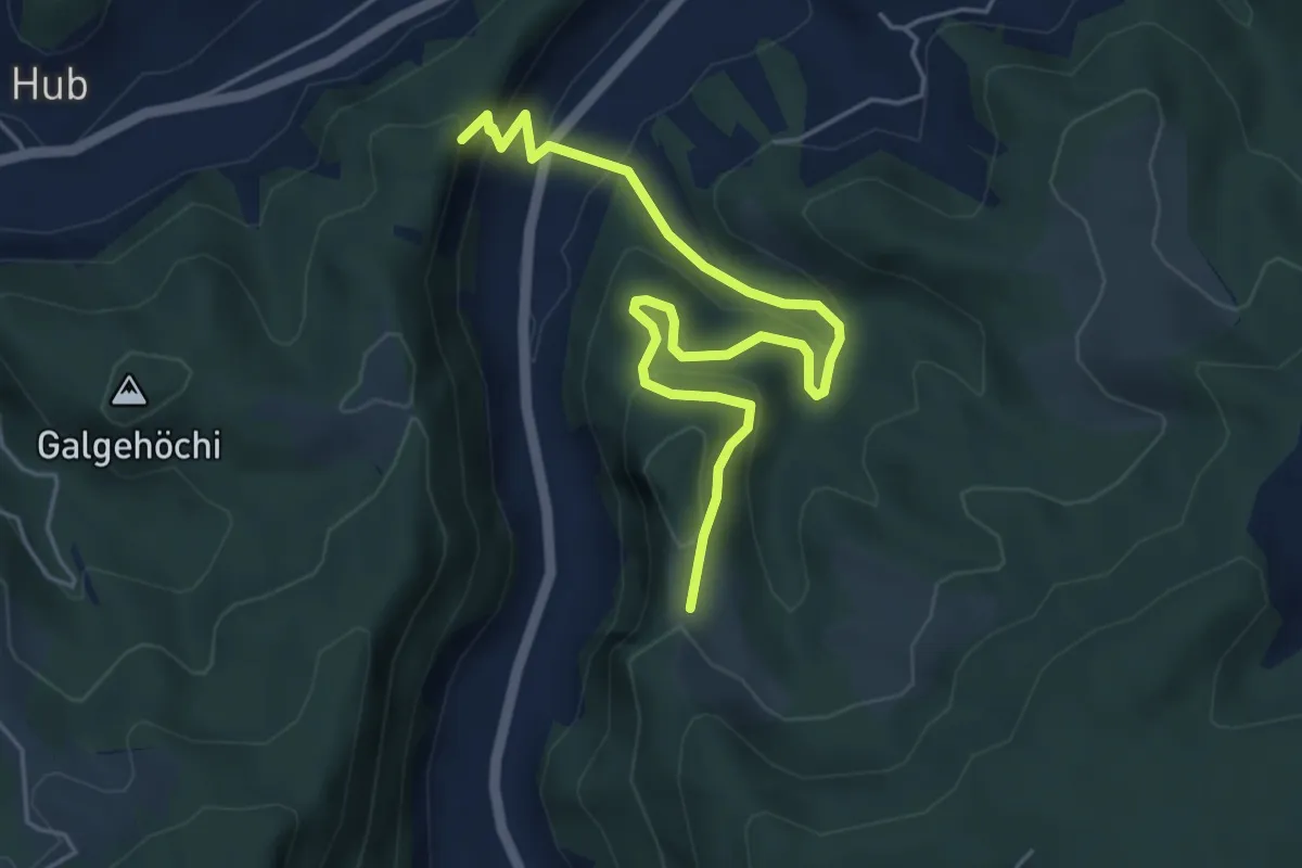
Medium · Trail
Fluehüsli – Vordere Geisme
5.6 km · ↑ 361 m · 2 h 6 min