Trails in Switzerland
15,055 hiking trails, each with its route, climb, walking time and grade.
All trails, page 159 of 314
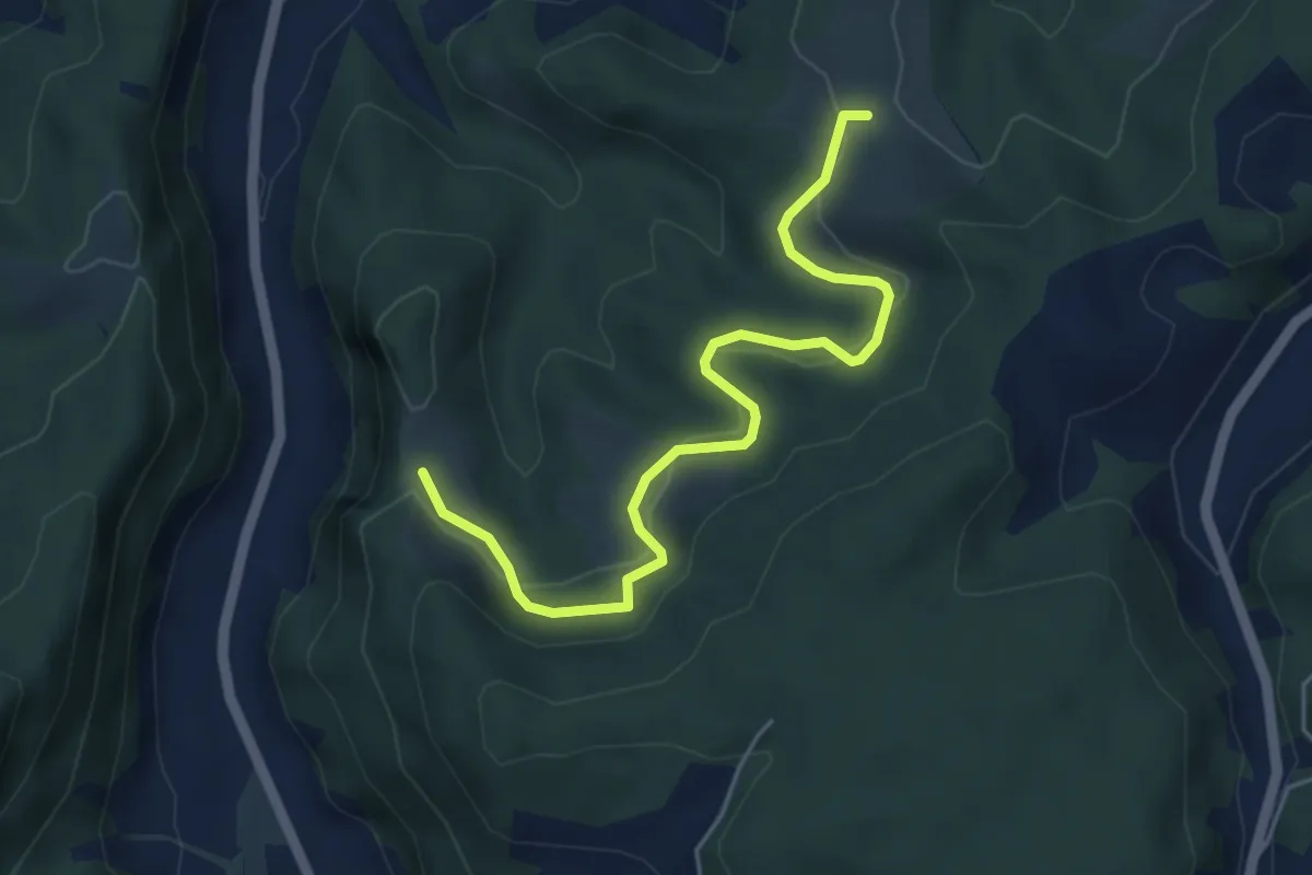
Easy · Trail
Schwändi – Vordere Geisme
5.0 km · ↑ 203 m · 1 h 38 min
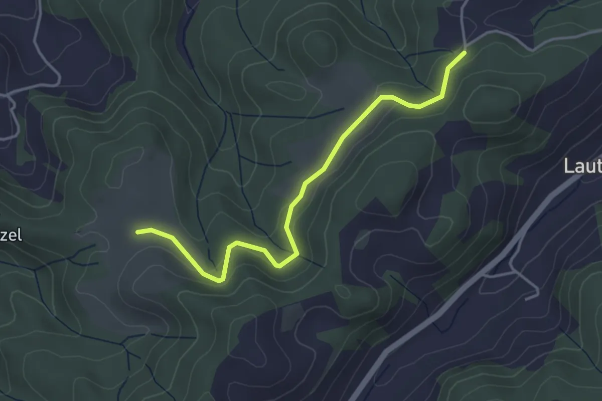
Easy · Trail
Buechwald – Schwändi
3.8 km · ↑ 169 m · 1 h 16 min
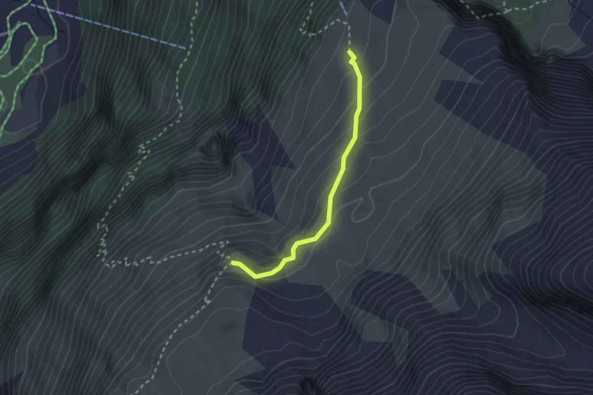
Medium · Trail
Fisialp – Fisischafberg
2.1 km · ↑ 196 m · 55 min
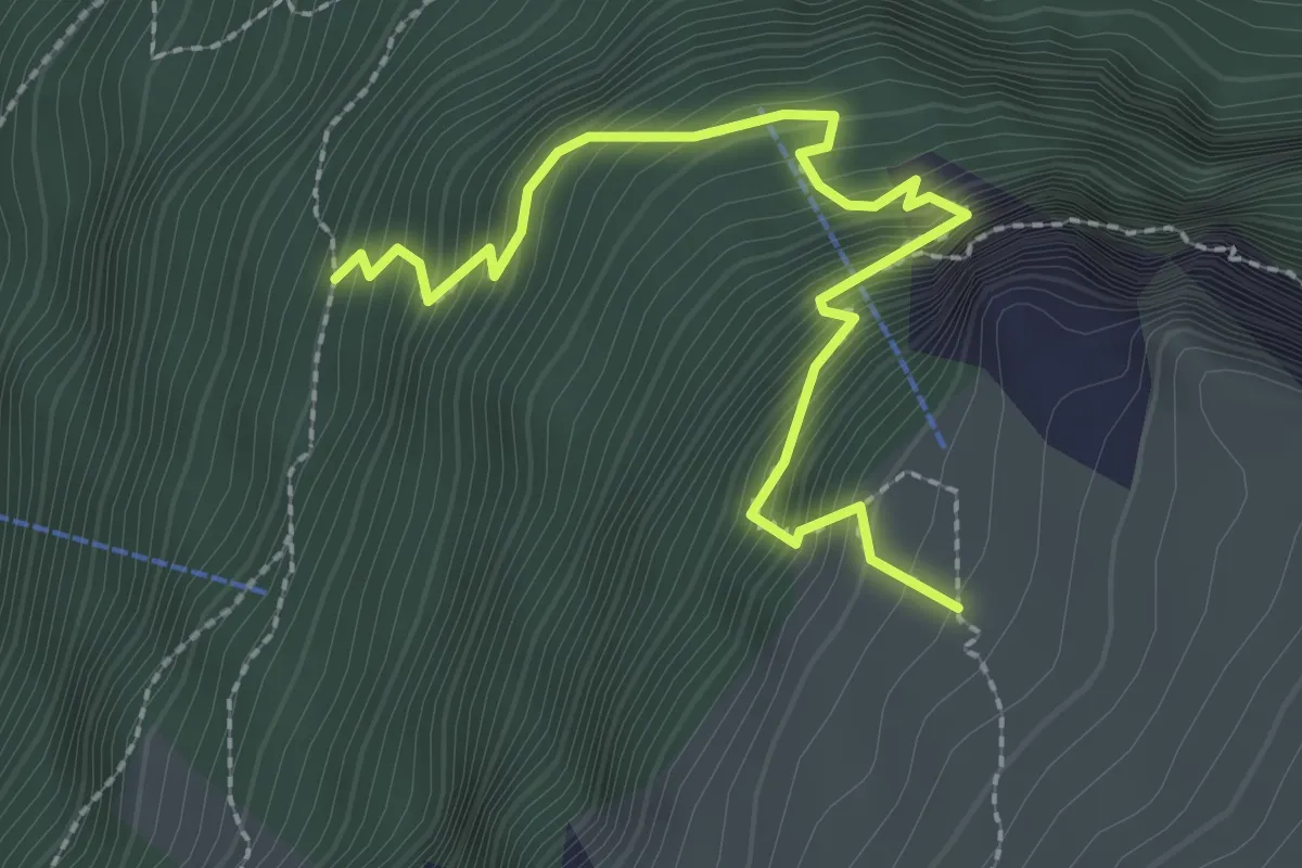
Medium · Trail
Schleifen – Fisialp
2.8 km · ↑ 454 m · 1 h 38 min
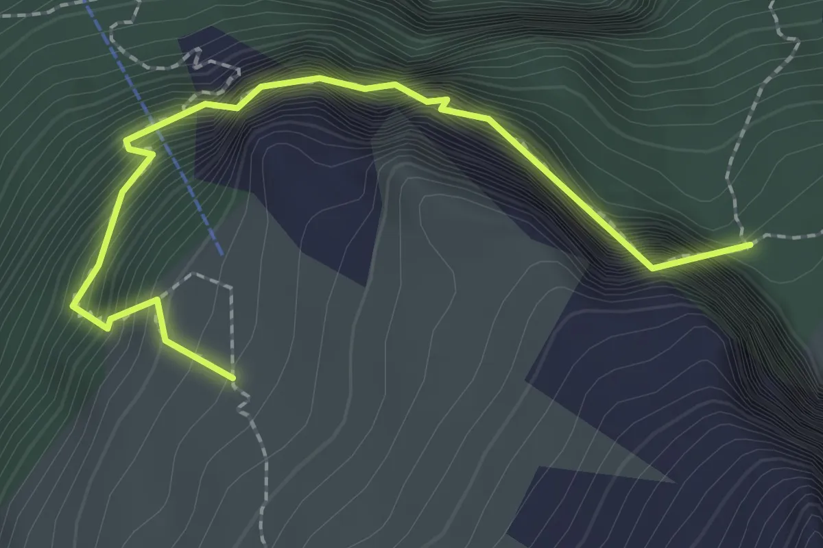
Expert · Trail
Fisialp – Obere Biberg
2.4 km · ↑ 525 m · 1 h 42 min
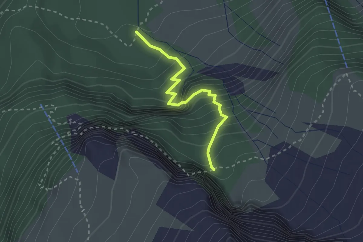
Medium · Trail
Undere Biiberg – Obere Biberg
2.2 km · ↑ 367 m · 1 h 19 min
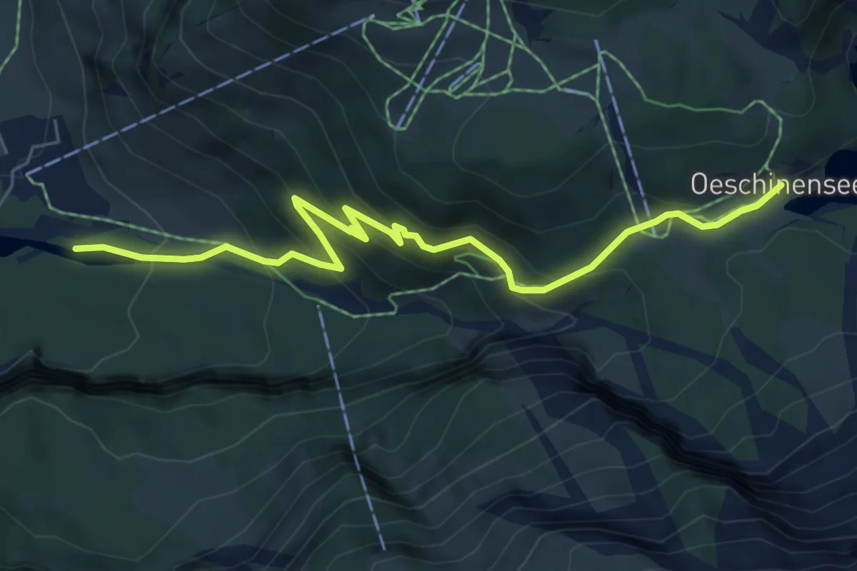
Medium · Trail
Öschiwald – Oeschinensee
6.5 km · ↑ 471 m · 2 h 33 min
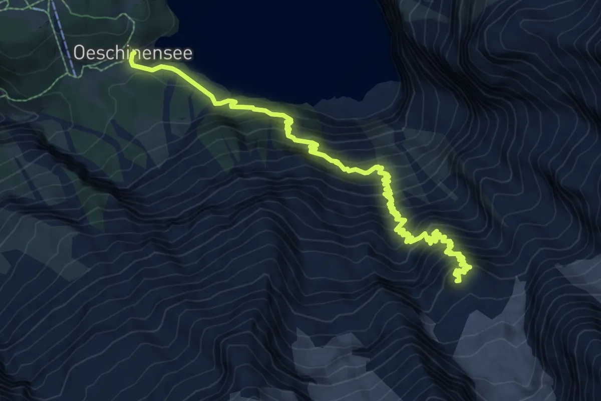
Demanding · Summit
Oeschinensee – Fründenhütte
10.4 km · ↑ 1175 m · 5 h
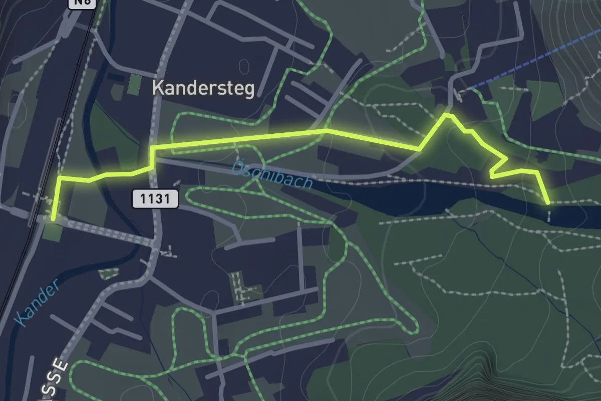
Easy · Trail
Kandersteg, Bahnhof – Öschiwald
2.6 km · ↑ 48 m · 44 min
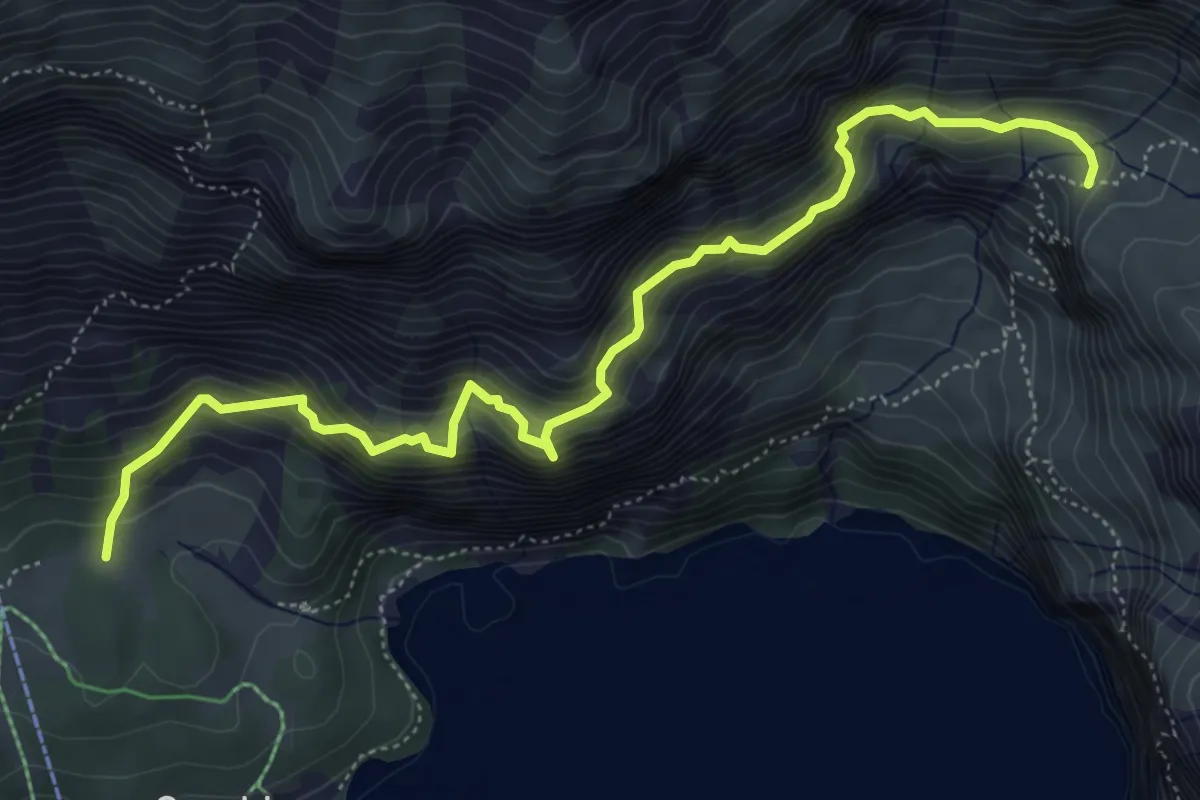
Demanding · Trail
Ober Bergli – Läger
6.2 km · ↑ 806 m · 3 h 13 min
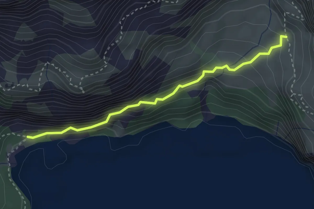
Demanding · Cabin
Feiserwald – Underbärgli
2.9 km · ↑ 258 m · 1 h 14 min
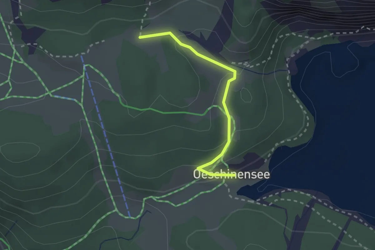
Easy · Trail
Läger – Oeschinensee
2.0 km · ↑ 87 m · 39 min
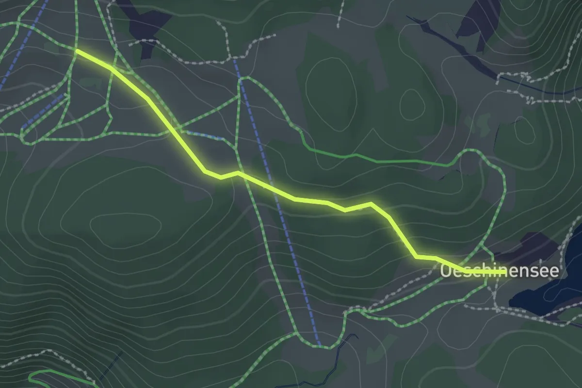
Easy · Trail
Schatthaus – Oeschinensee
2.2 km · ↑ 73 m · 41 min
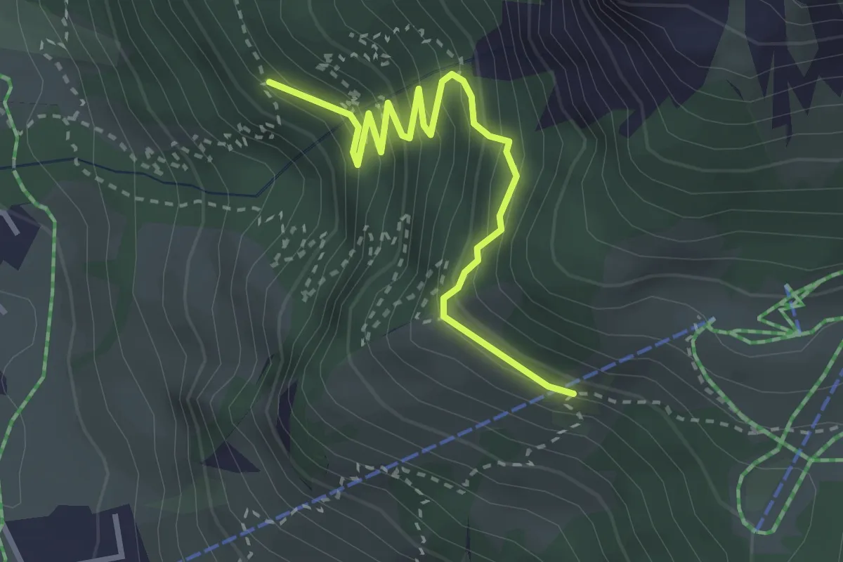
Medium · Trail
Port – I de Huble
3.2 km · ↑ 277 m · 1 h 21 min
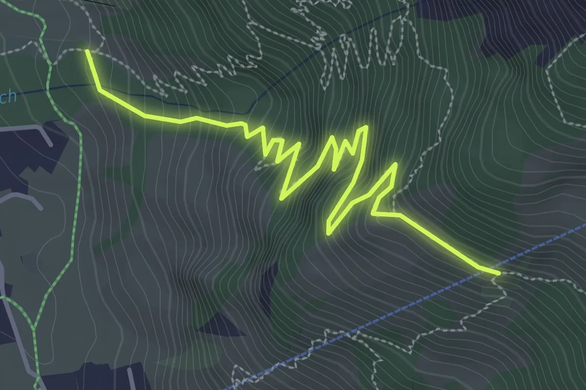
Medium · Trail
Röstiweid – I de Huble
4.1 km · ↑ 433 m · 1 h 54 min
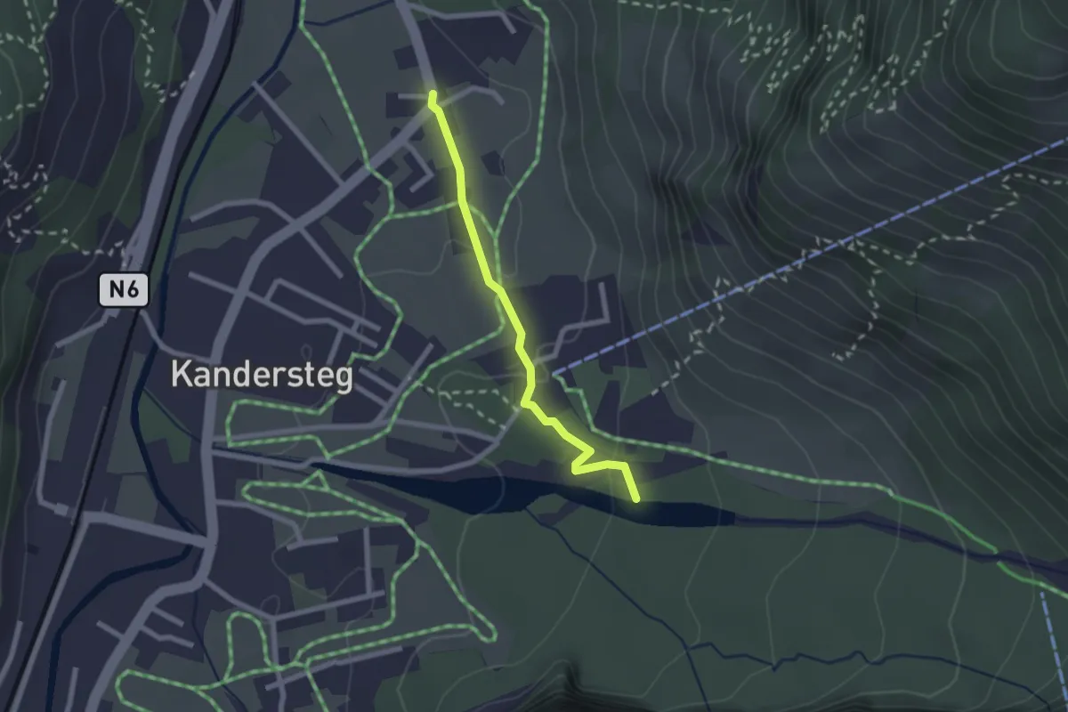
Easy · Trail
Im Cher – Öschiwald
2.0 km · ↑ 48 m · 34 min
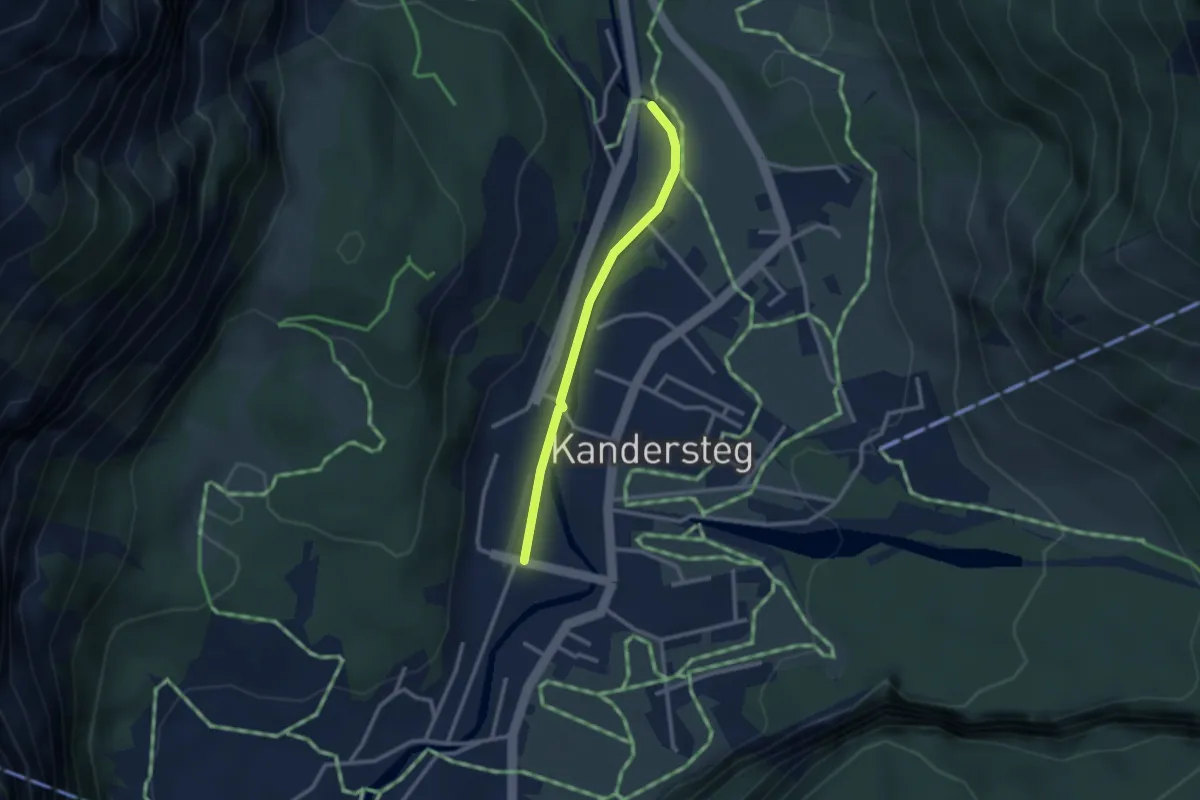
Easy · Trail
Büelbad – Kandersteg
2.4 km · ↑ 20 m · 37 min
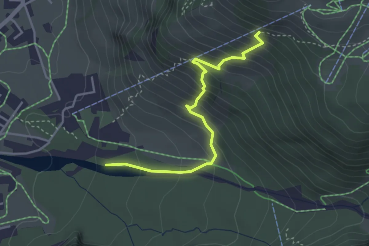
Medium · Trail
I de Huble – Öschiwald
3.2 km · ↑ 364 m · 1 h 33 min
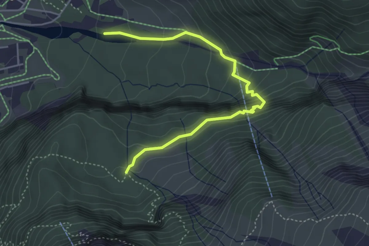
Medium · Trail
Öschiwald – Undere Biiberg
4.4 km · ↑ 373 m · 1 h 52 min
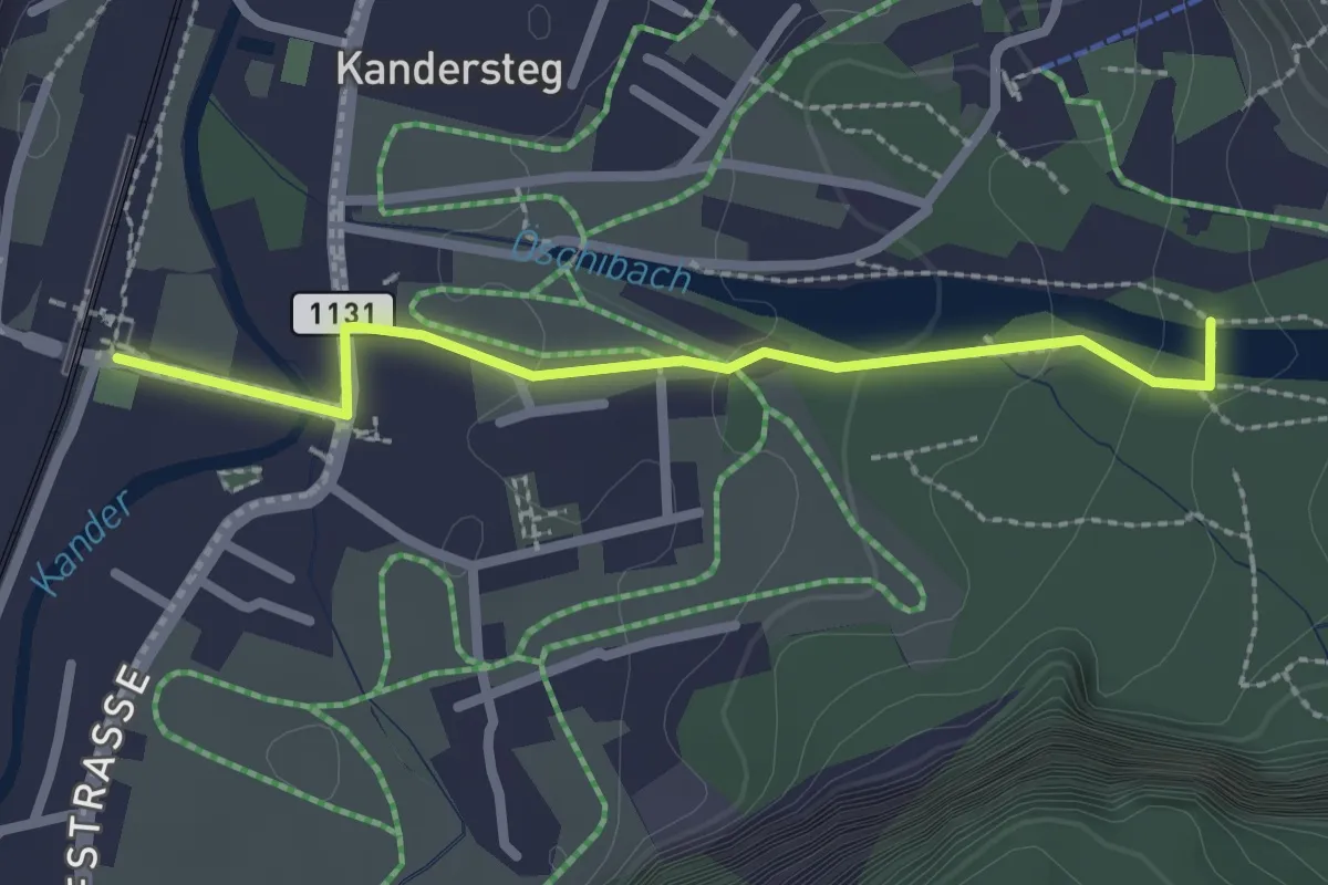
Easy · Trail
Kandersteg – Öschiwald
2.4 km · ↑ 48 m · 40 min
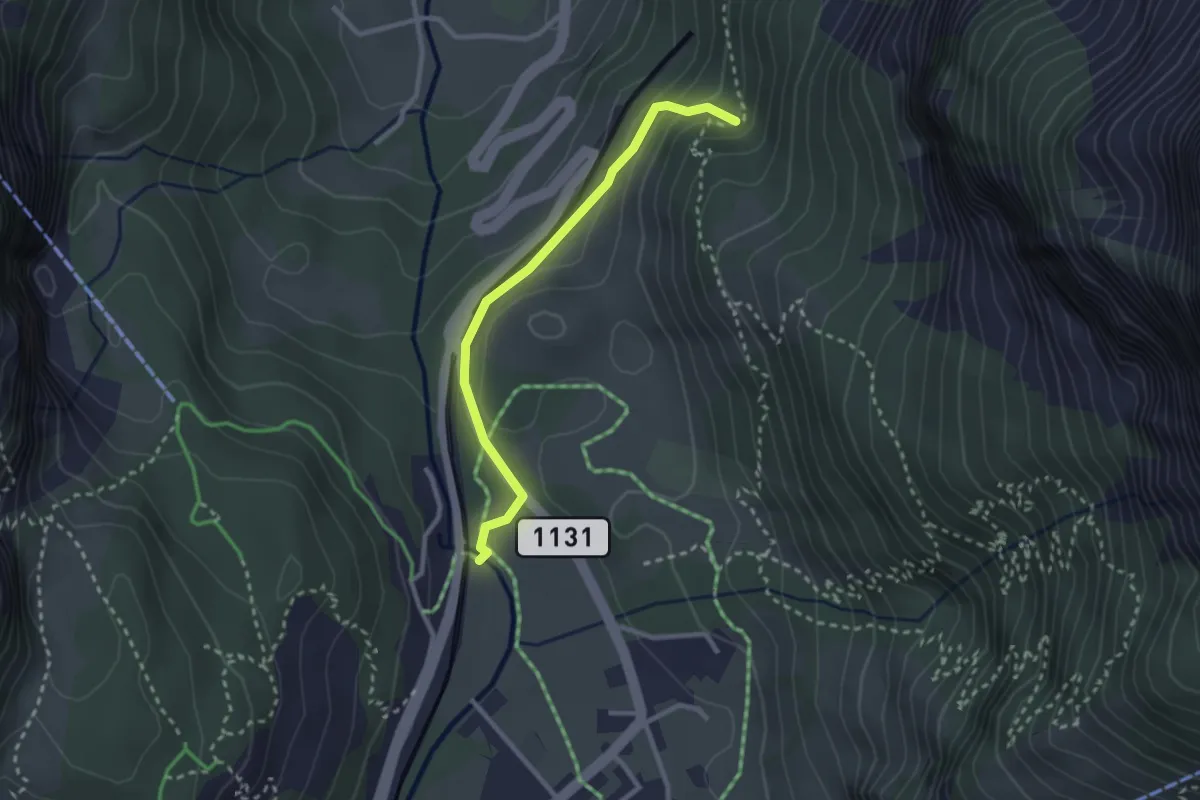
Medium · Trail
Saregrabe – Büelbad
2.6 km · ↑ 104 m · 50 min
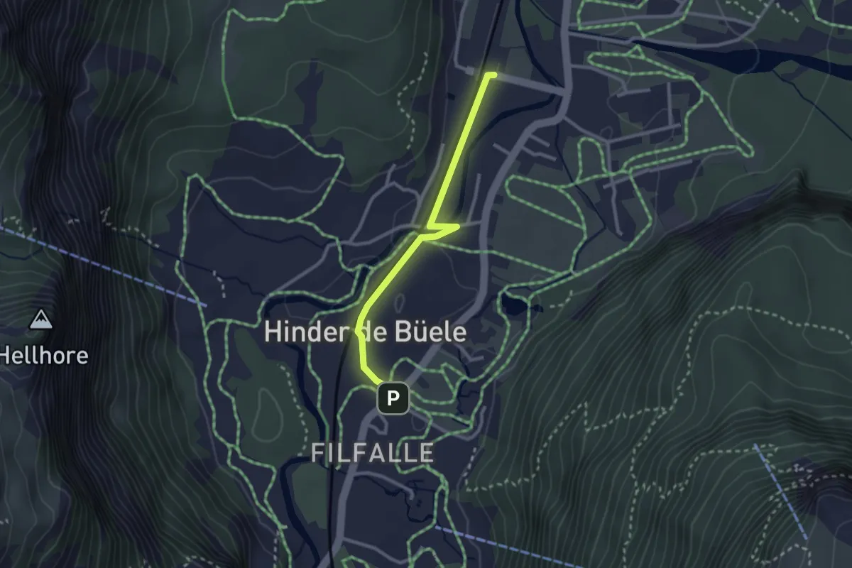
Easy · Trail
Kandersteg – Ruedi Hus
2.5 km · ↑ 22 m · 38 min
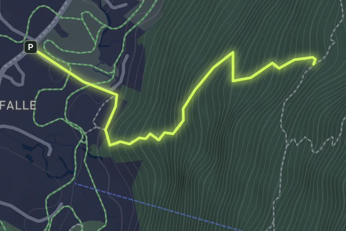
Medium · Trail
Ruedi Hus – Dürreschwand
2.5 km · ↑ 320 m · 1 h 17 min
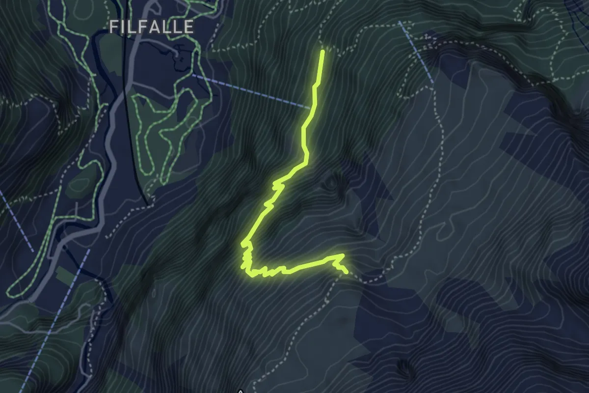
Demanding · Trail
Schleifen – Fisischafberg
4.2 km · ↑ 582 m · 2 h 15 min
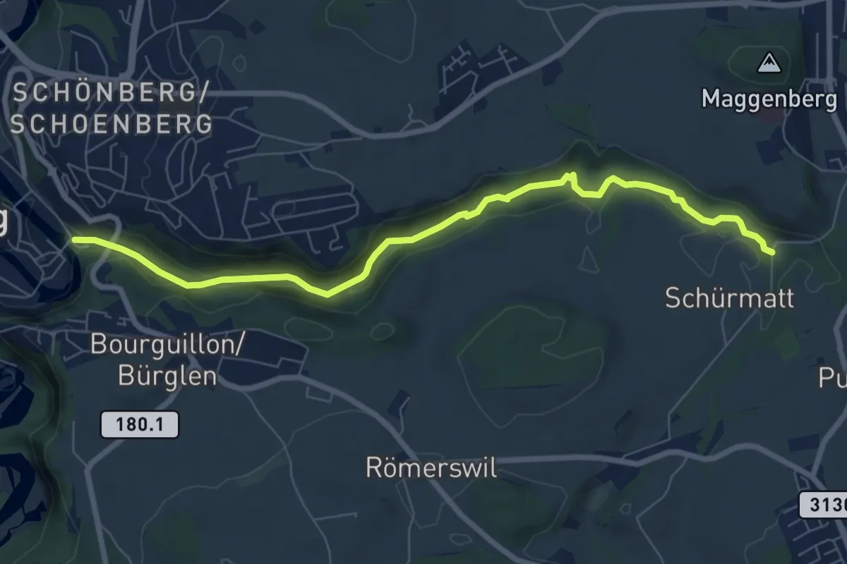
Easy · Trail
Freiburg/Fribourg - Balm/La Palme – Ameismüli
7.7 km · ↑ 250 m · 2 h 21 min
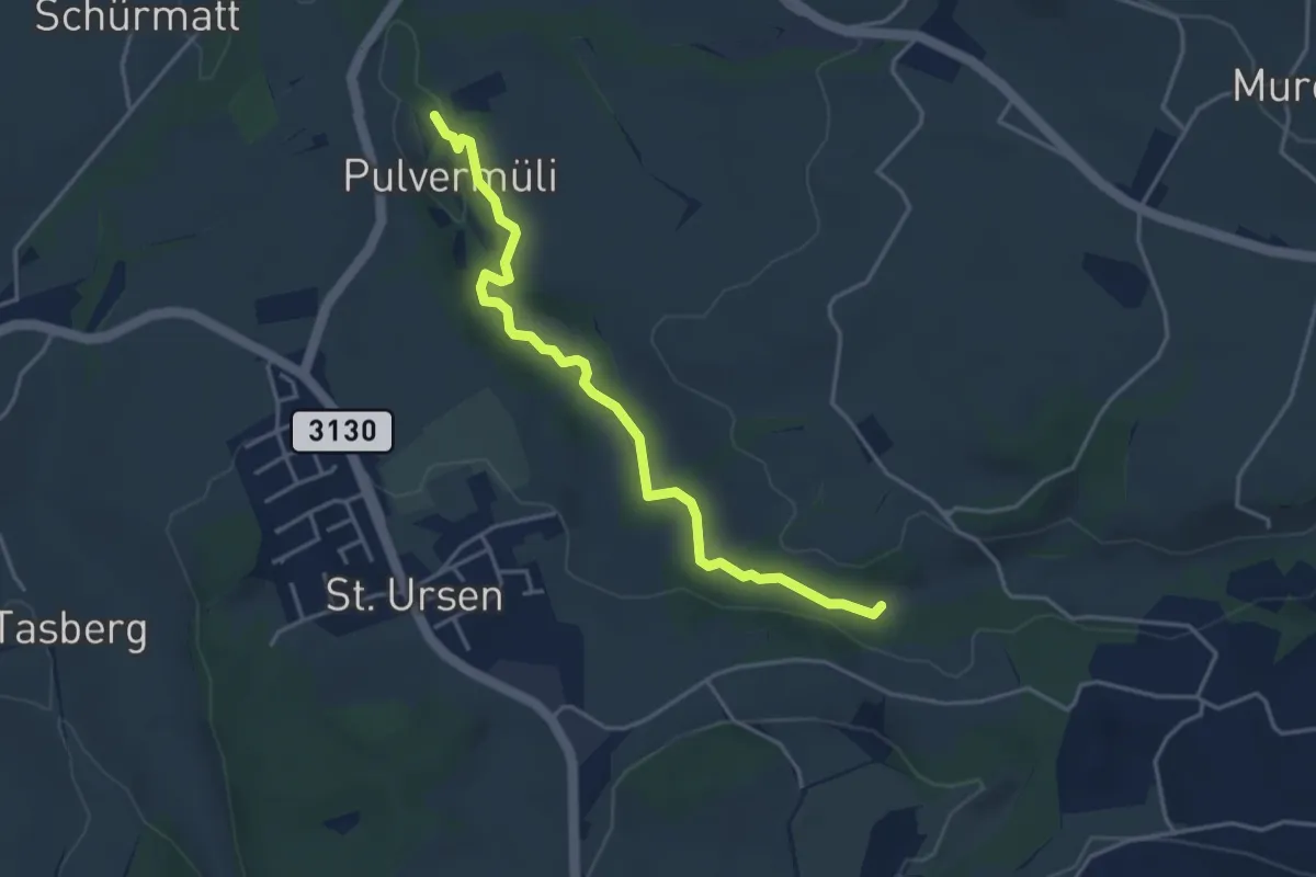
Easy · Trail
Pulvermüli – Poffetsmüli
4.1 km · ↑ 70 m · 1 h 7 min
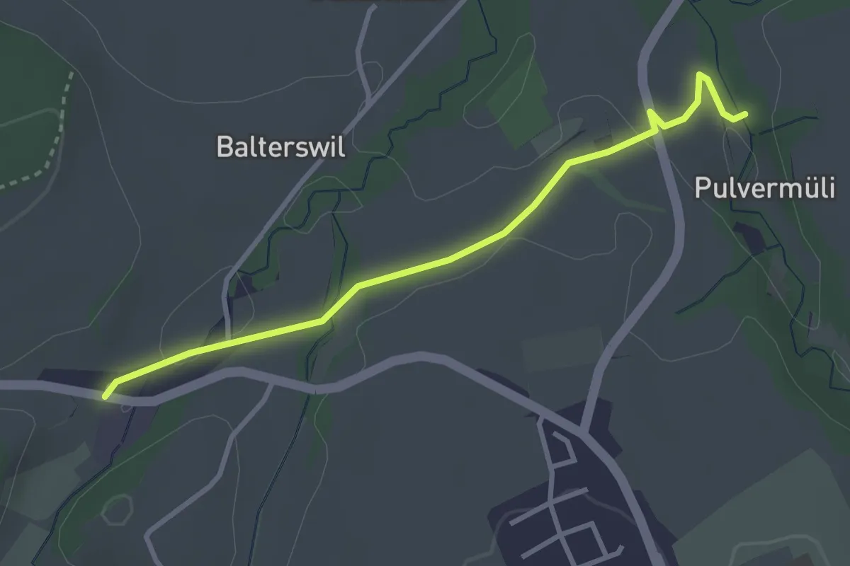
Easy · Trail
Pulvermüli – Tasberg
3.1 km · ↑ 65 m · 52 min
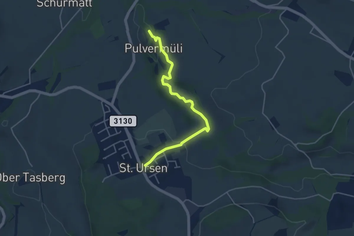
Easy · Trail
Pulvermüli – St. Urban
3.7 km · ↑ 73 m · 1 h 2 min
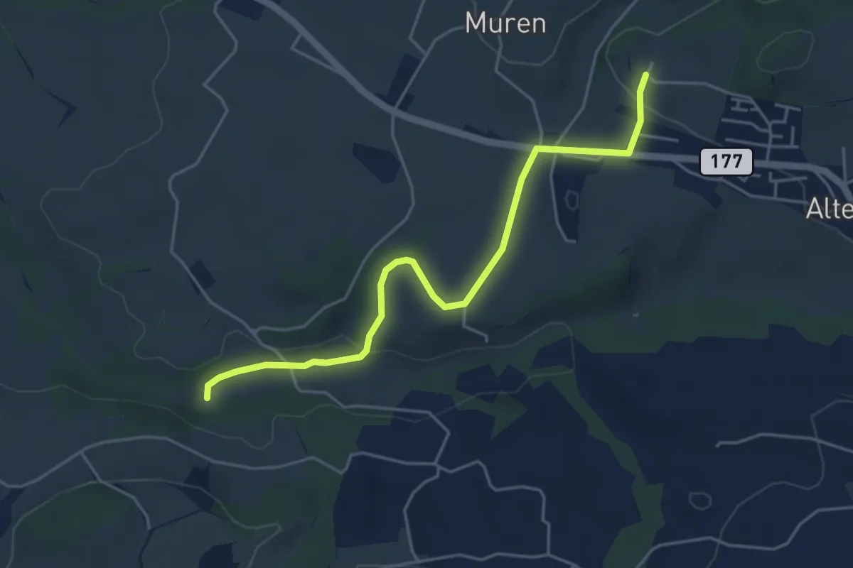
Easy · Trail
Poffetsmüli – Beniwil
4.6 km · ↑ 67 m · 1 h 14 min
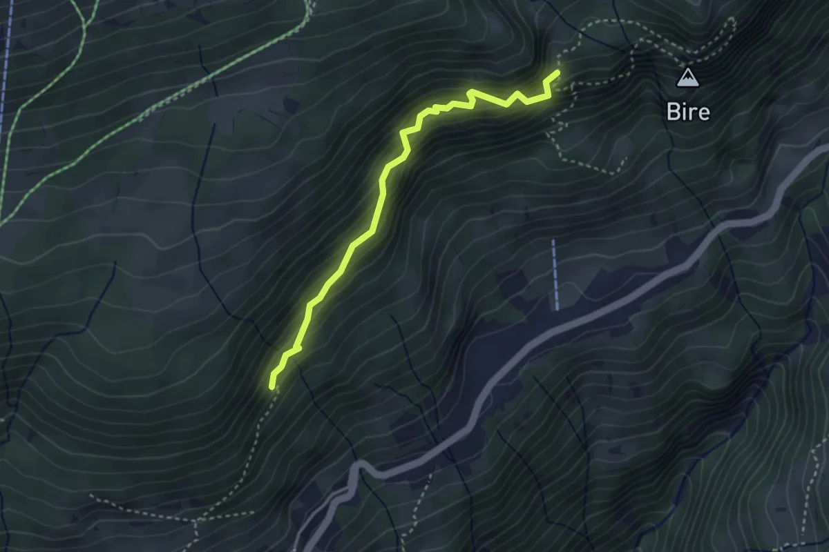
Medium · Trail
Fitzligraben – Bireflue
3.2 km · ↑ 525 m · 1 h 54 min
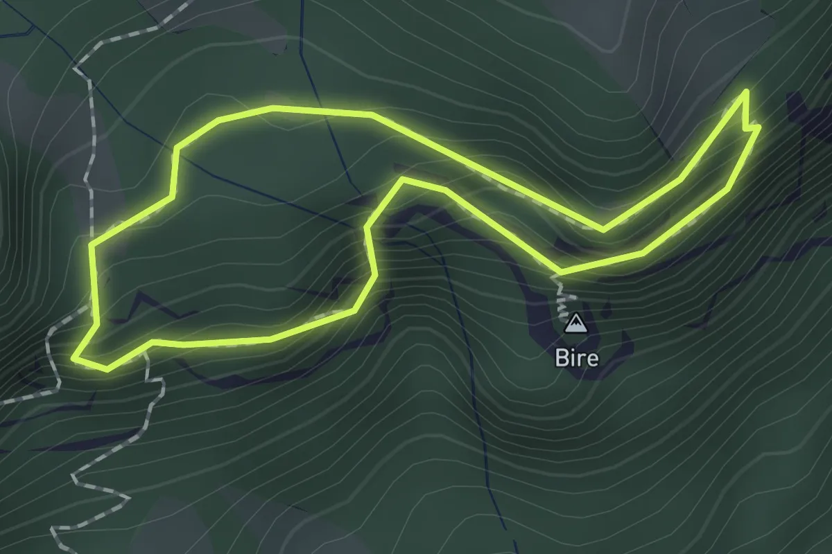
Demanding · Summit
Bireflue – Bire
1.5 km · ↑ 169 m · 45 min
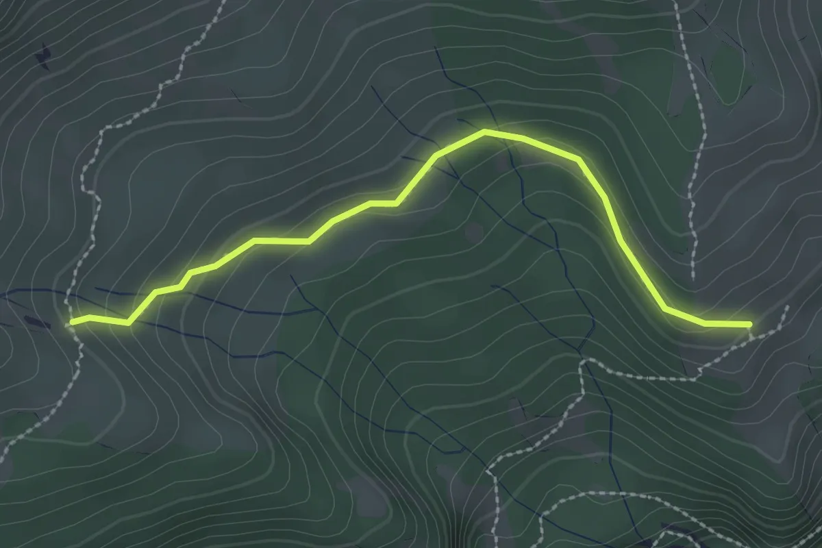
Easy · Trail
Unterburgfeld – Häliloch
2.5 km · ↑ 108 m · 50 min
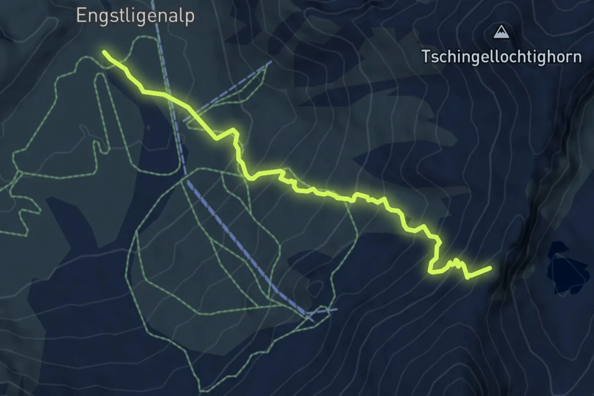
Medium · Summit
Engstligenalp – Chindbettipass
7.0 km · ↑ 656 m · 3 h 4 min
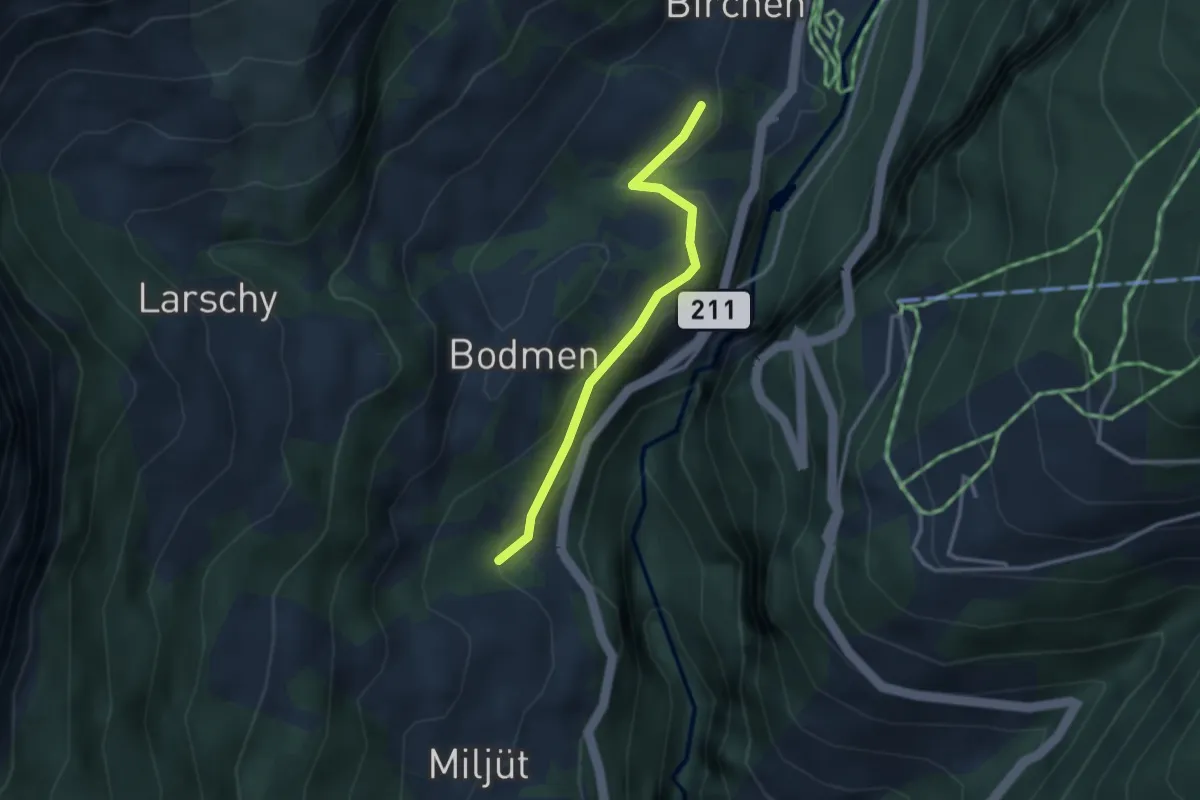
Easy · Trail
Birchen – Russengraben
2.7 km · ↑ 101 m · 52 min
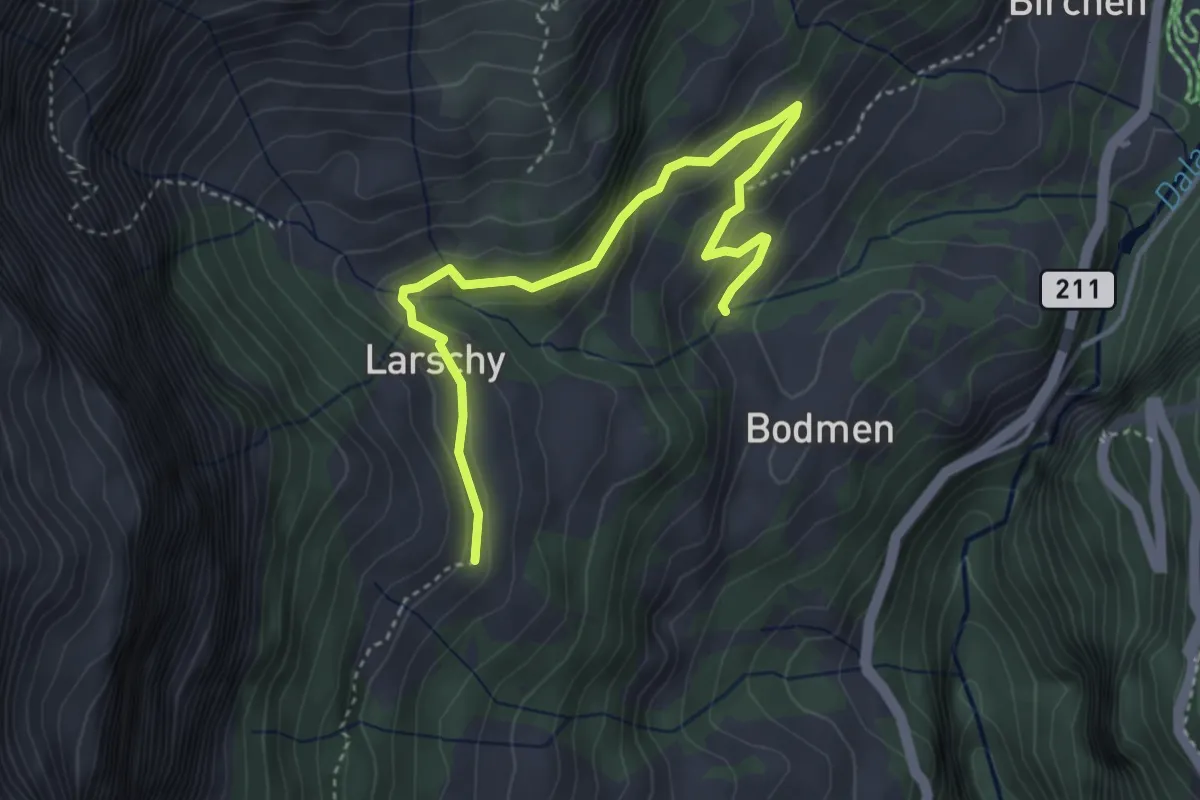
Easy · Trail
Bodmen – Larschy Wegweiser
4.3 km · ↑ 208 m · 1 h 27 min
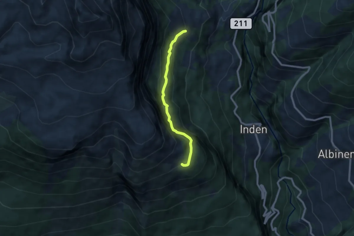
Medium · Trail
Larschy – Chäller
5.1 km · ↑ 537 m · 2 h 22 min
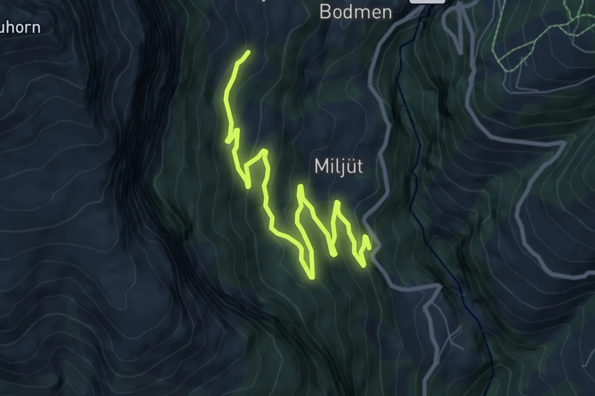
Medium · Trail
Larschi – Kantonsstrasse
8.8 km · ↑ 417 m · 2 h 58 min
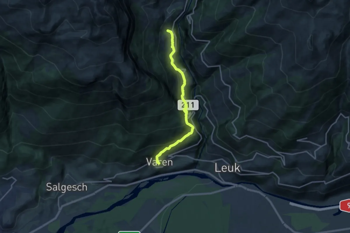
Demanding · Trail
Russengraben – Varen
11.1 km · ↑ 1184 m · 5 h 11 min
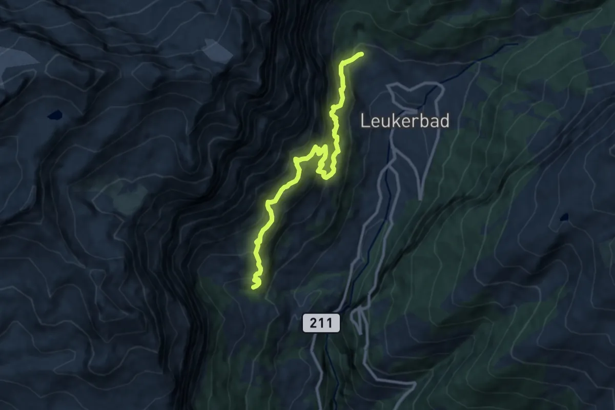
Expert · Trail
Larschi – Leukerbad
9.5 km · ↑ 1031 m · 4 h 29 min
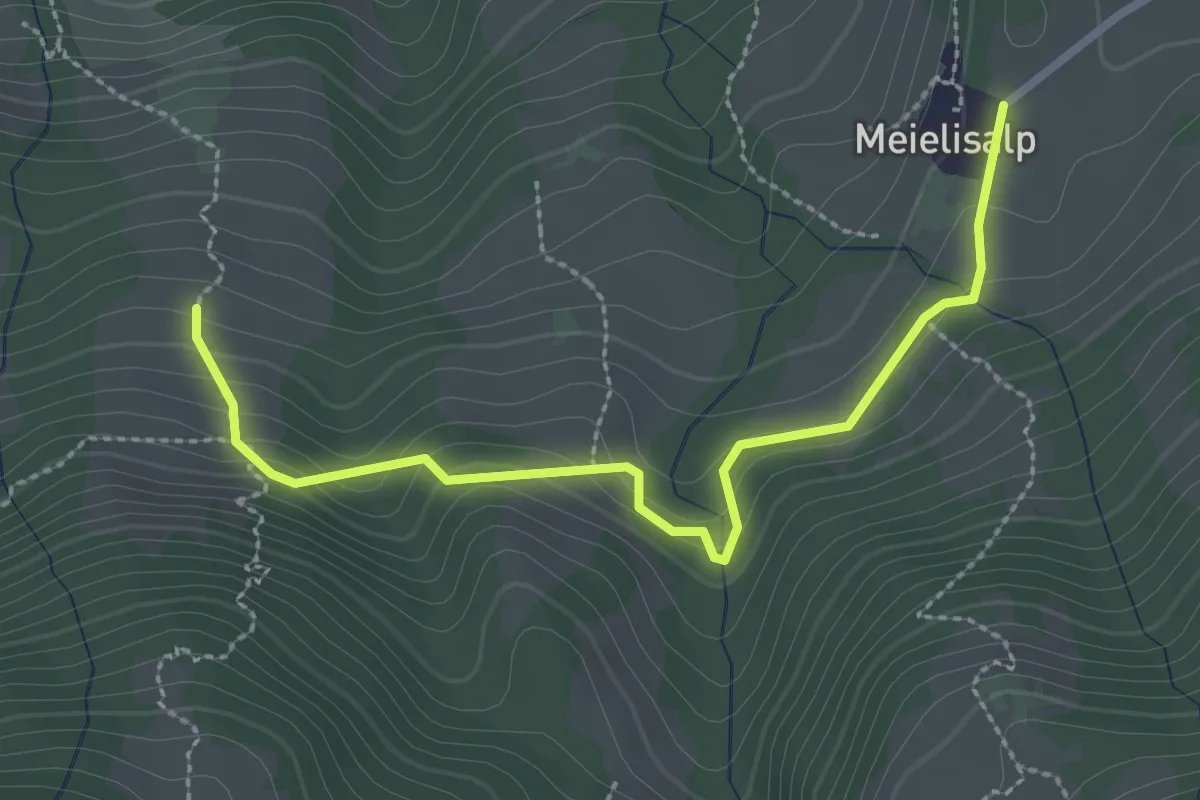
Easy · Trail
Äbnitweid – Meielisalp
2.9 km · ↑ 153 m · 1 h
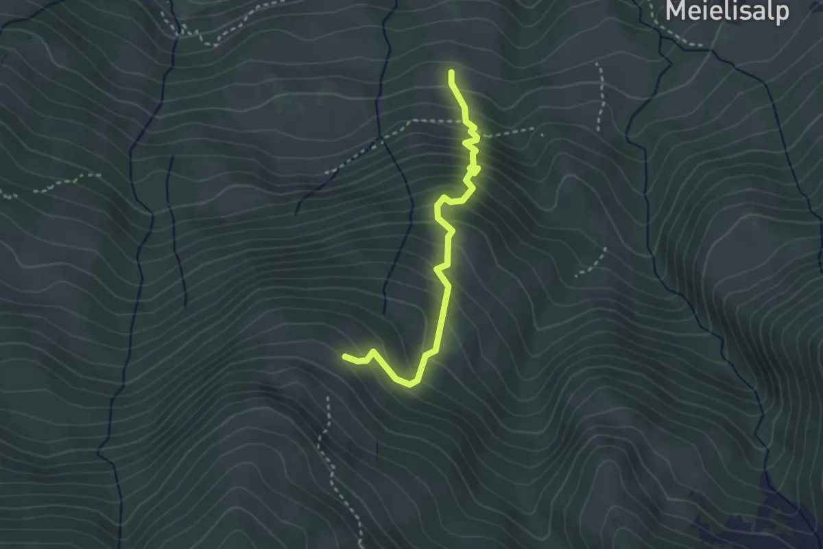
Medium · Trail
Äbnitweid – Unteres Horn
2.9 km · ↑ 387 m · 1 h 32 min
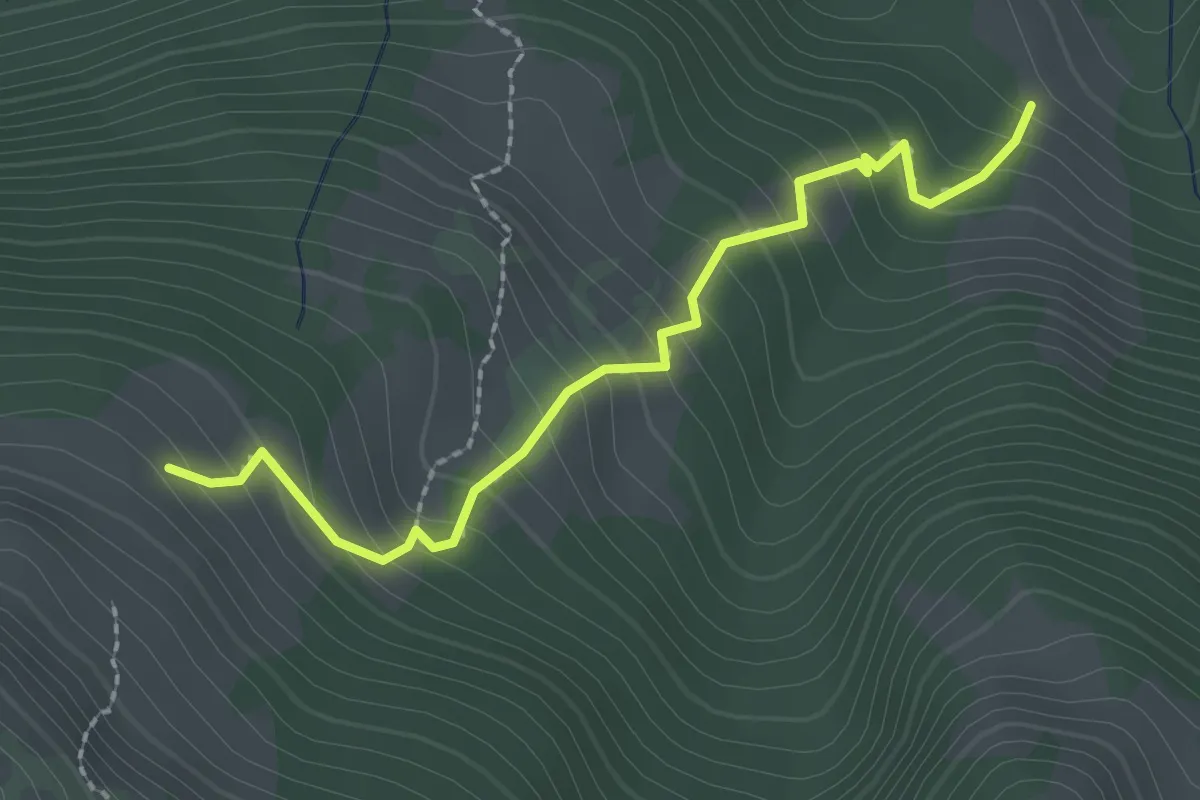
Medium · Trail
Spicheralmi – Unteres Horn
2.3 km · ↑ 273 m · 1 h 8 min
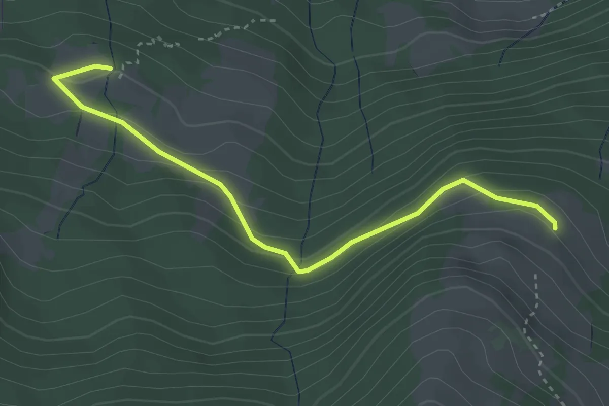
Easy · Trail
Unteres Horn – Schüpfweid
3.4 km · ↑ 193 m · 1 h 14 min
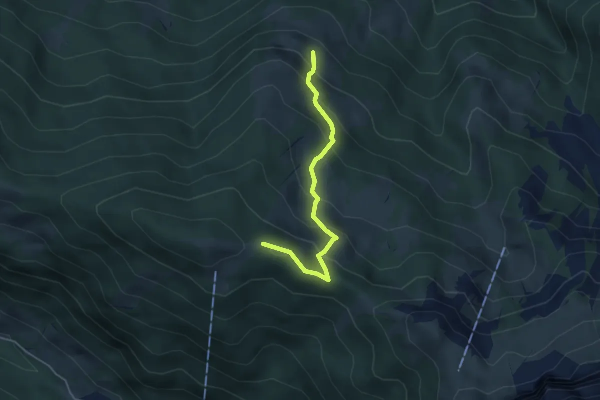
Medium · Trail
Unders Hore – Greberegg
3.5 km · ↑ 314 m · 1 h 30 min
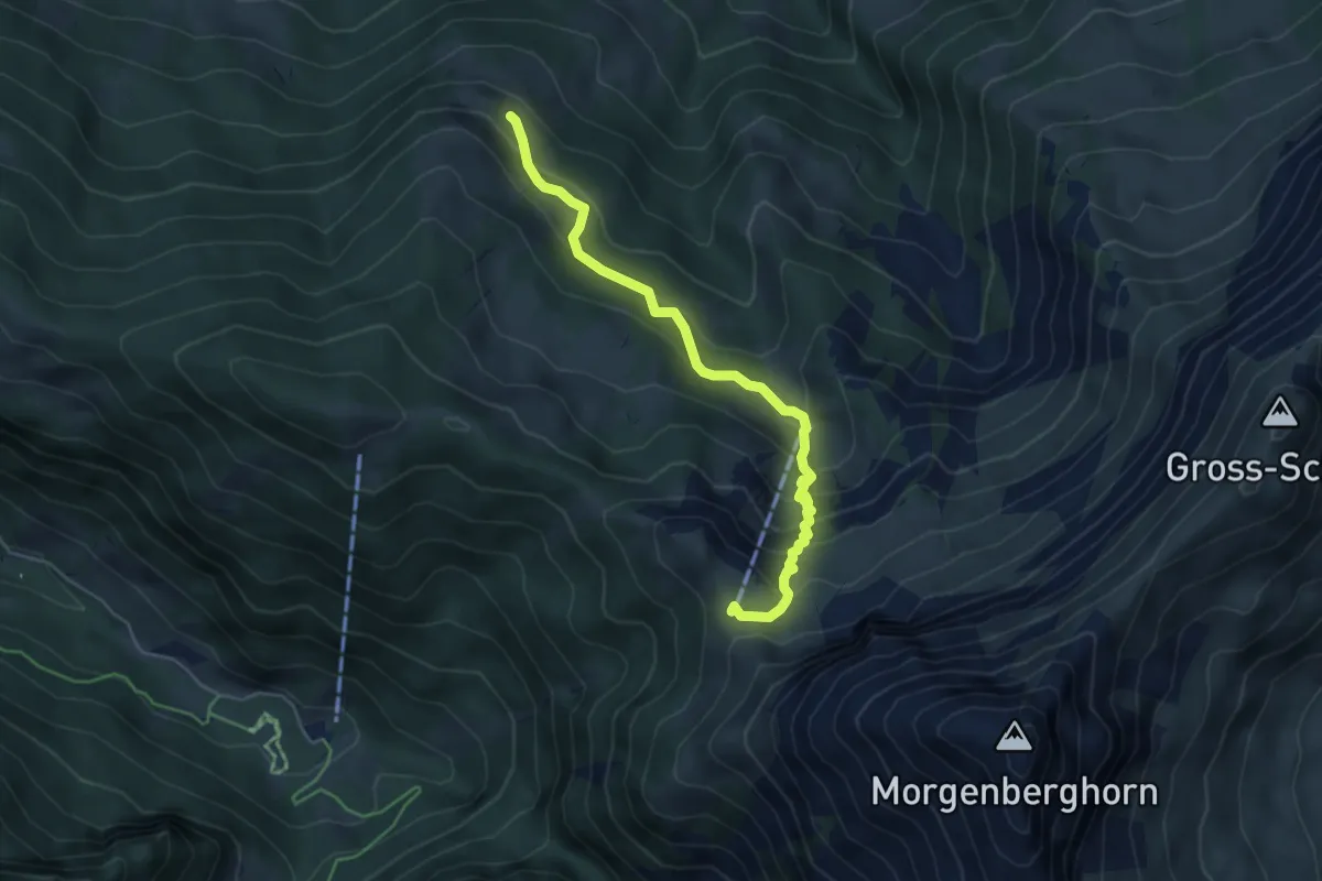
Medium · Cabin
Unders Hore – Brunnialp
5.1 km · ↑ 479 m · 2 h 14 min
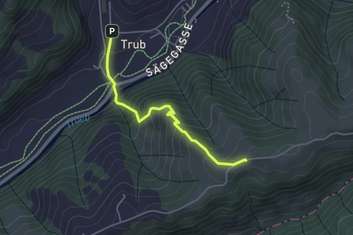
Easy · Trail
Trub – Schindelegg
3.3 km · ↑ 292 m · 1 h 25 min
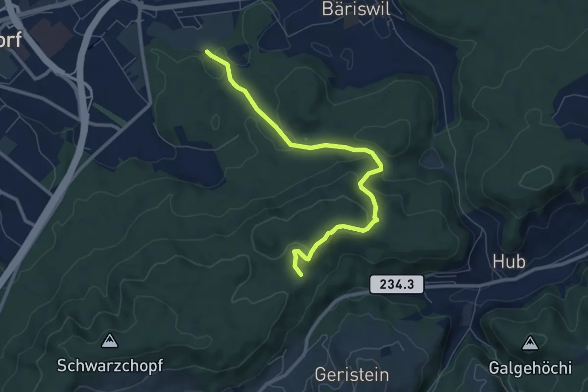
Easy · Trail
Holzmatt – Mattstettenberg
6.9 km · ↑ 277 m · 2 h 14 min
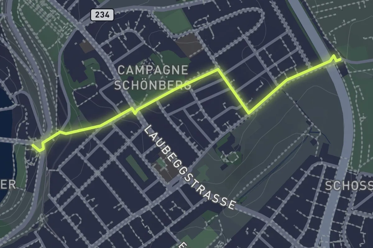
Easy · Trail
Bern/Bärenpark – Zentrum Paul Klee
2.5 km · ↑ 82 m · 46 min