Trails in Switzerland
15,055 hiking trails, each with its route, climb, walking time and grade.
All trails, page 160 of 314
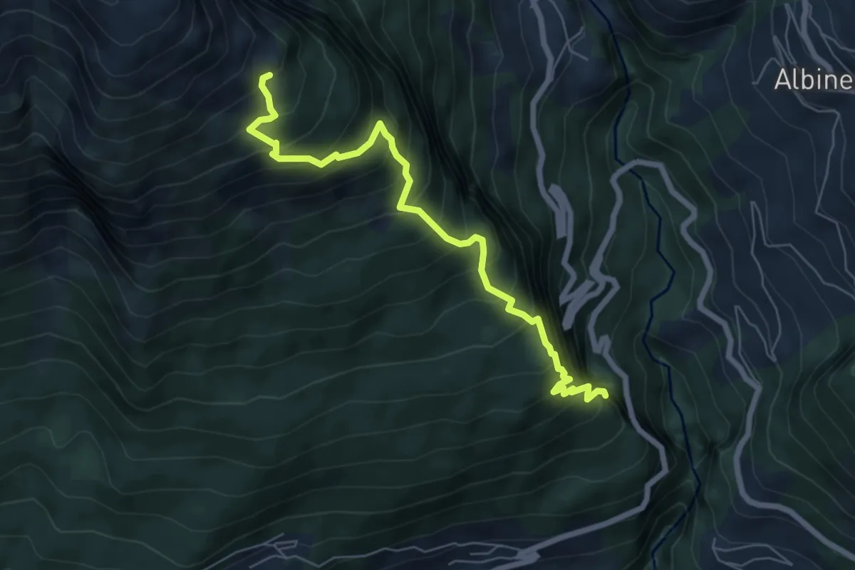
Demanding · Trail
Chäller – Varner Leitern
6.5 km · ↑ 941 m · 3 h 35 min
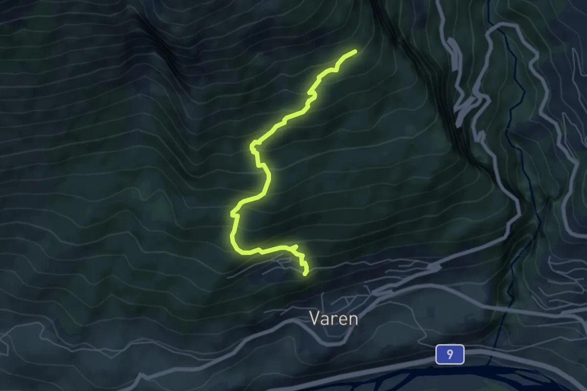
Medium · Trail
Chäller – Taschonieren
5.7 km · ↑ 600 m · 2 h 39 min
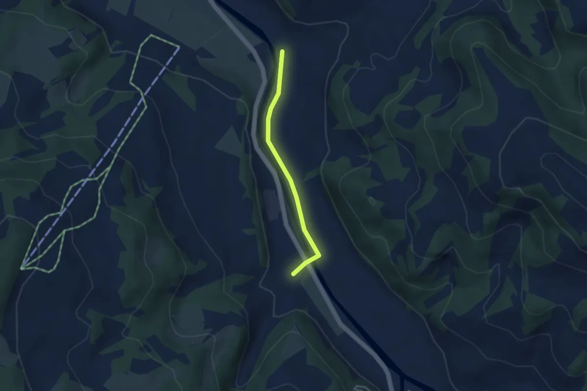
Easy · Trail
Holzmatt – Dieboldswil
2.6 km · ↑ 14 m · 39 min
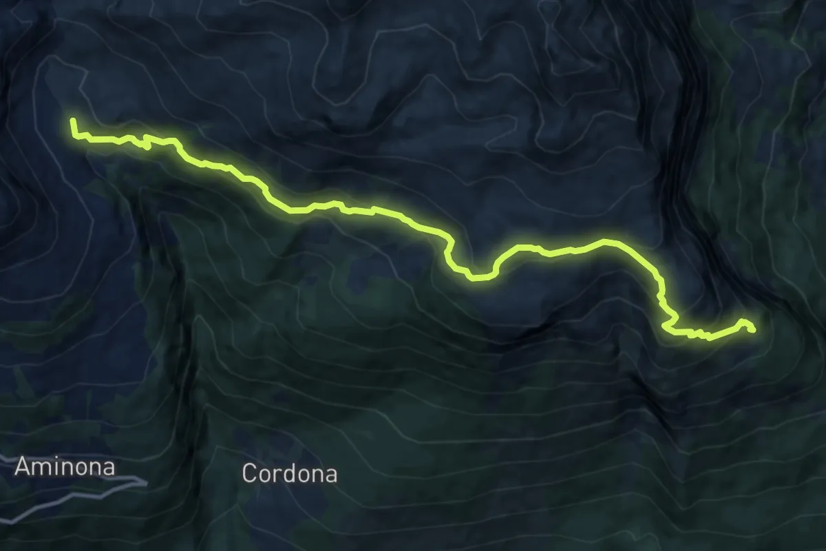
Demanding · Trail
Chäller – La Tieche
14.1 km · ↑ 927 m · 5 h 21 min
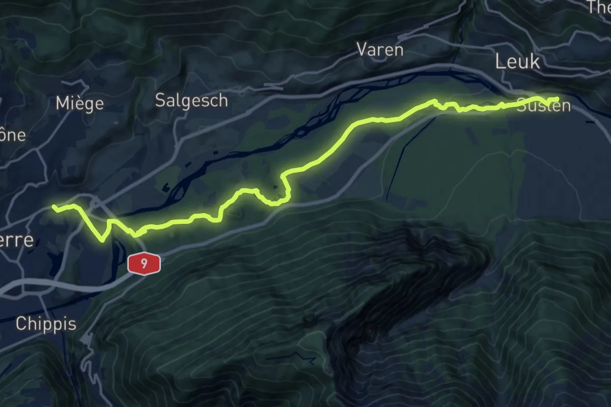
Demanding · Trail
Leuk Bahnhof – Sierre
20.7 km · ↑ 264 m · 5 h 27 min
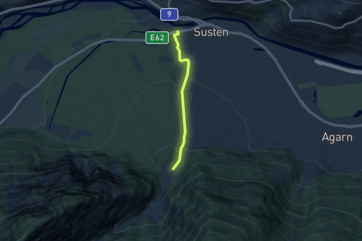
Easy · Trail
Susten – Butanbrücke
4.6 km · ↑ 203 m · 1 h 32 min
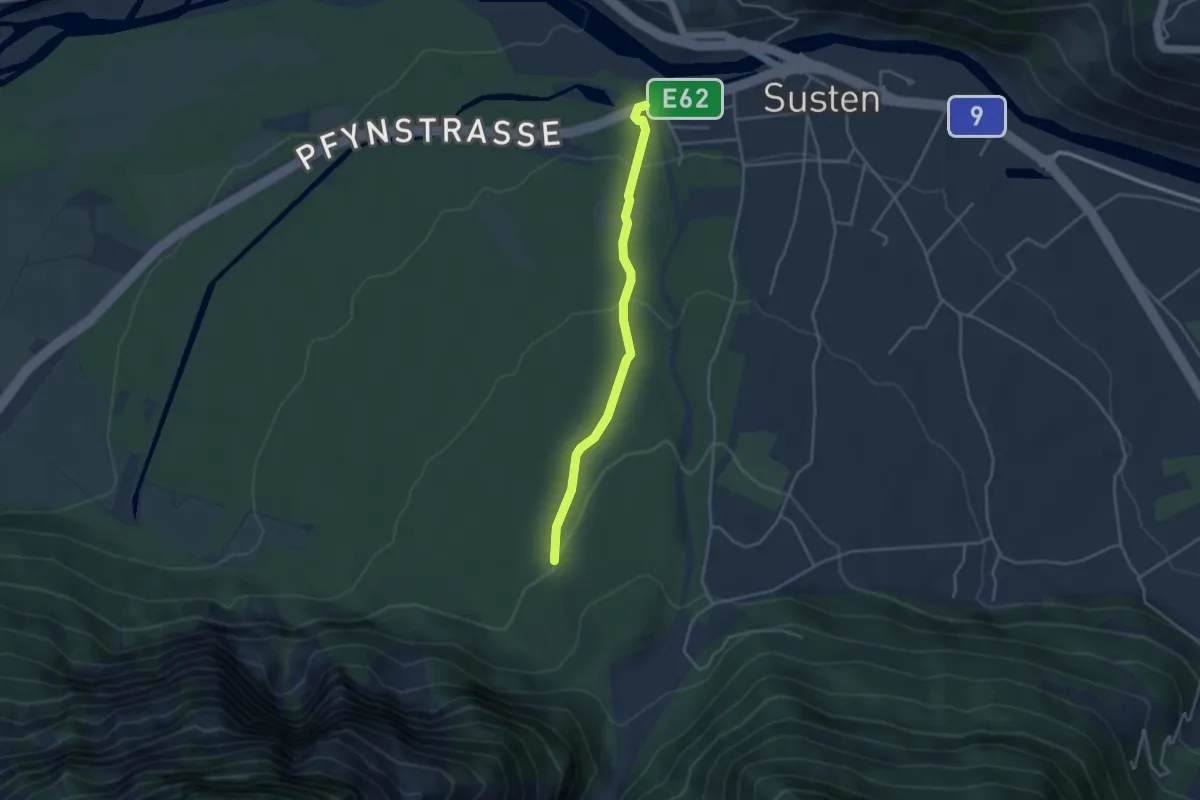
Easy · Trail
Obere Abschlacht – Susten
3.5 km · ↑ 118 m · 1 h 5 min
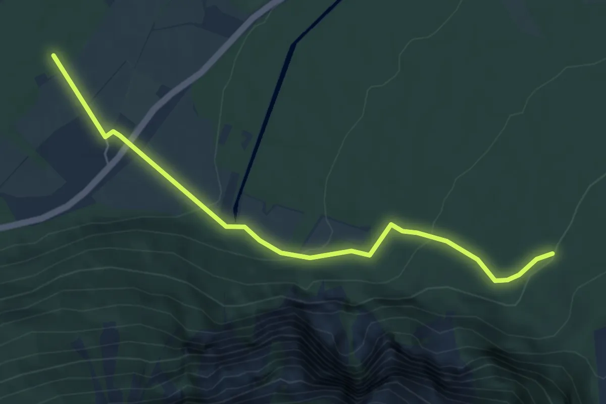
Easy · Trail
Obere Abschlacht – Pfyn
5.9 km · ↑ 184 m · 1 h 48 min
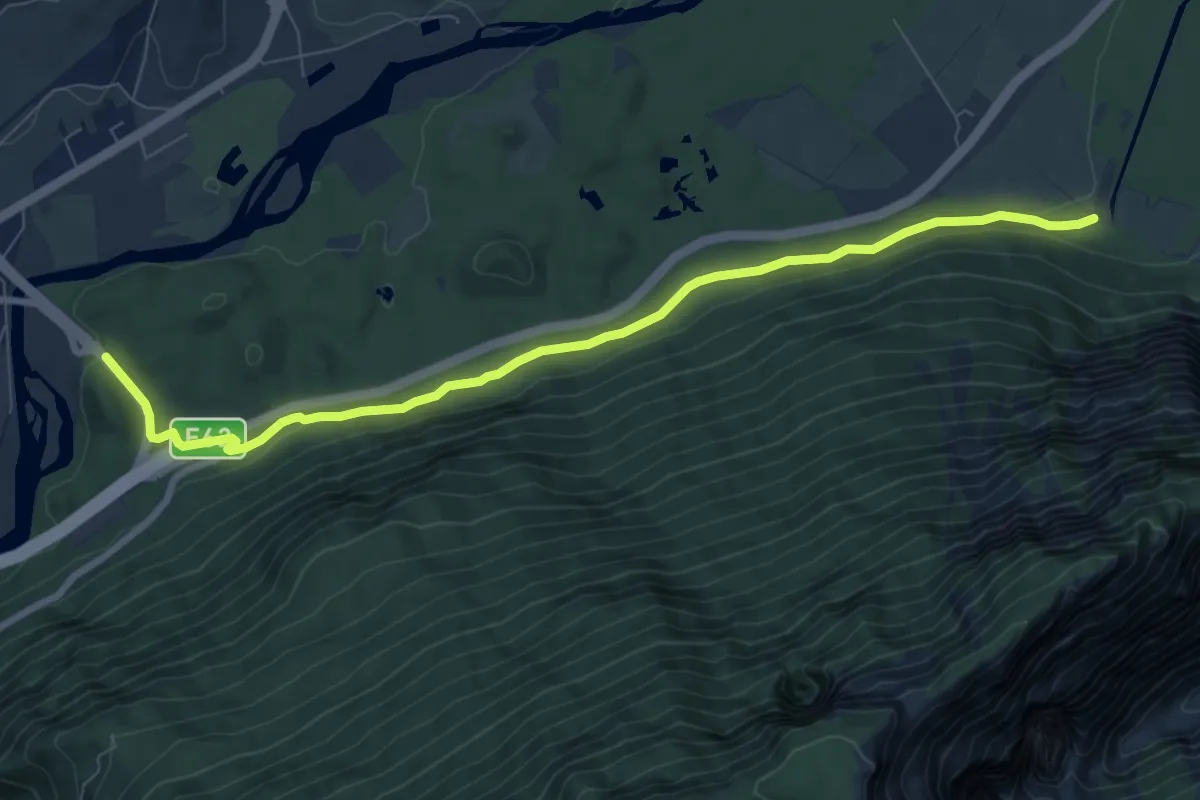
Medium · Trail
Untere Abschlacht – Sierre
8.7 km · ↑ 202 m · 2 h 30 min
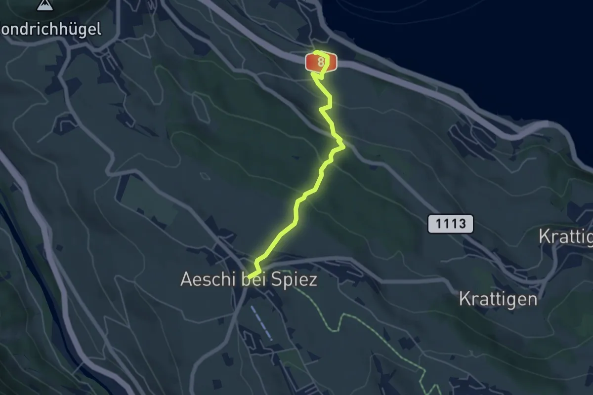
Easy · Trail
Aeschi – Faulensee
4.3 km · ↑ 264 m · 1 h 35 min
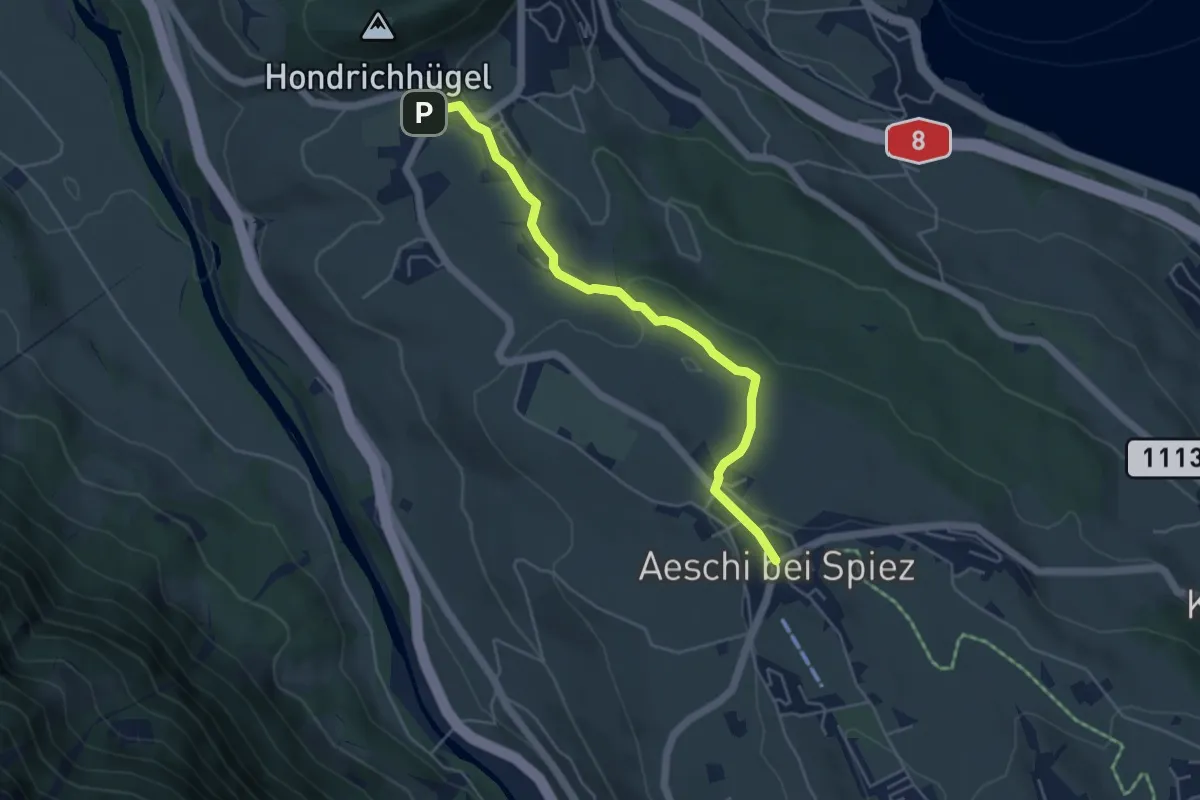
Easy · Trail
Hondrich – Aeschi
4.8 km · ↑ 118 m · 1 h 23 min
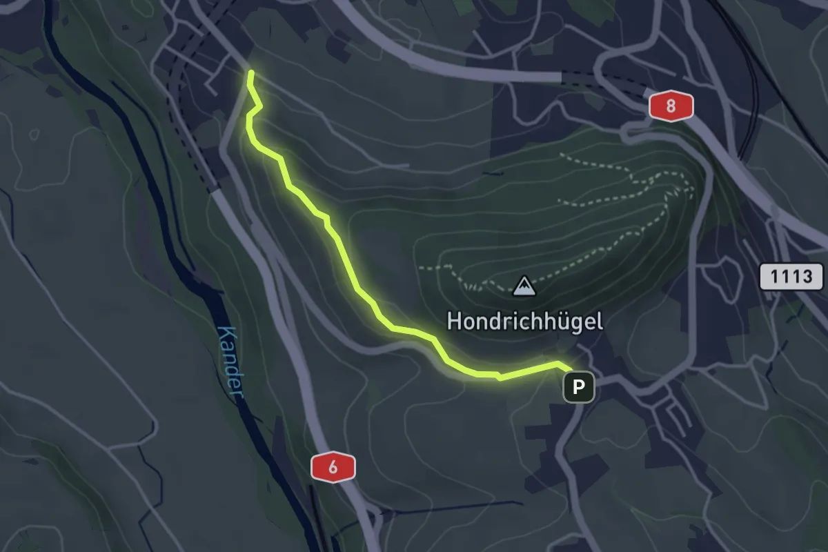
Easy · Trail
Hondrich – Spiezwiler
3.2 km · ↑ 101 m · 58 min
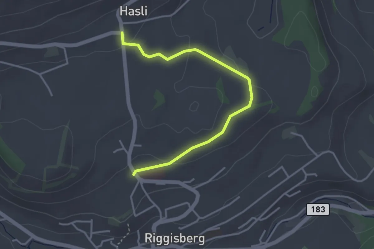
Easy · Trail
Riggisberg / Staudengasse – Hasli
3.4 km · ↑ 107 m · 1 h 2 min
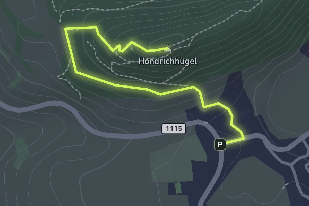
Easy · Summit
Hondrich – Hondrichhügel
2.5 km · ↑ 124 m · 51 min
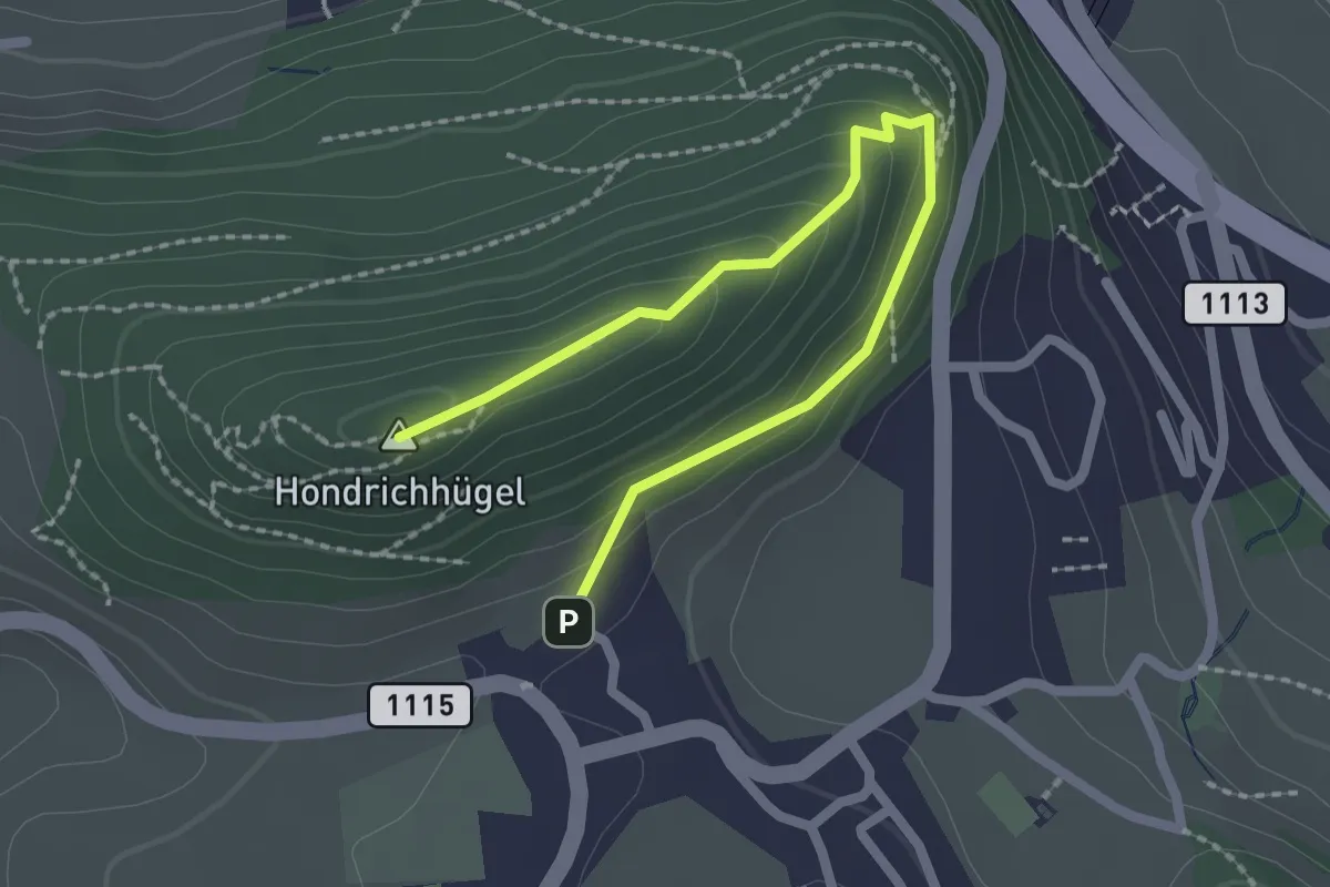
Easy · Summit
Hondrichhügel – Hondrich
2.5 km · ↑ 138 m · 53 min
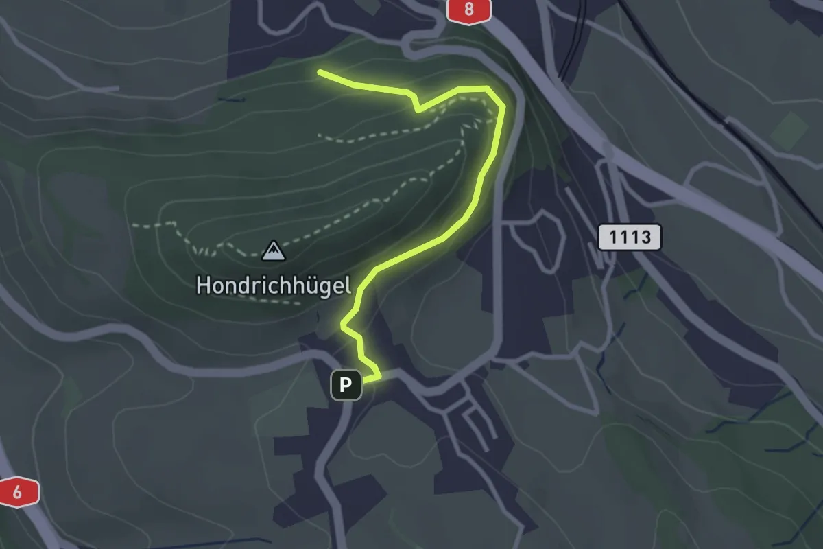
Easy · Trail
Hondrichwald – Hondrich
2.6 km · ↑ 195 m · 1 h 3 min
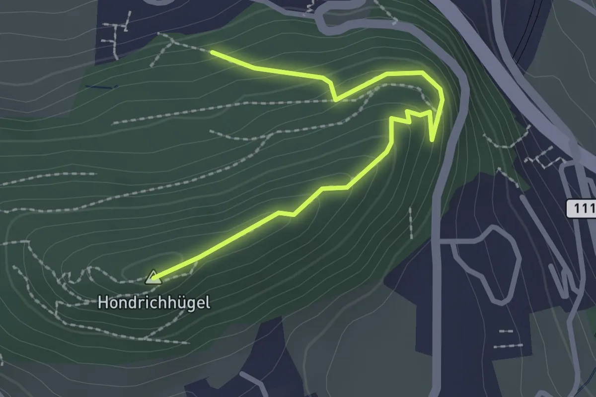
Easy · Summit
Hondrichwald – Hondrichhügel
2.5 km · ↑ 210 m · 1 h 2 min
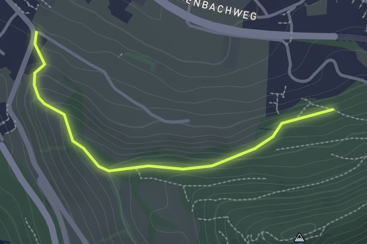
Easy · Trail
Hondrichwald – Spiezwiler
2.6 km · ↑ 99 m · 49 min
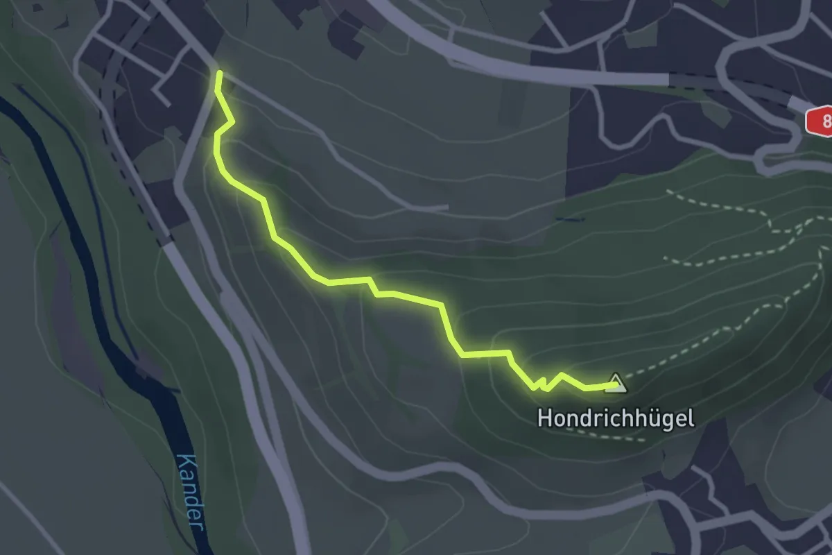
Easy · Summit
Hondrichhügel – Spiezwiler
2.6 km · ↑ 174 m · 1 h
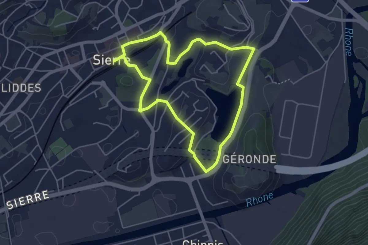
Easy · Trail
Gare – Gare
3.8 km · ↑ 46 m · 1 h 3 min
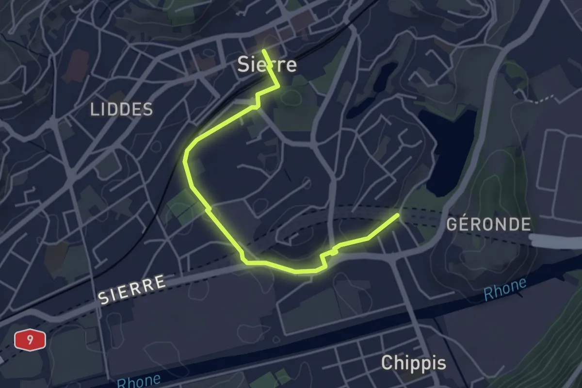
Easy · Trail
Lac Geronde – gare
4.2 km · ↑ 44 m · 1 h 5 min
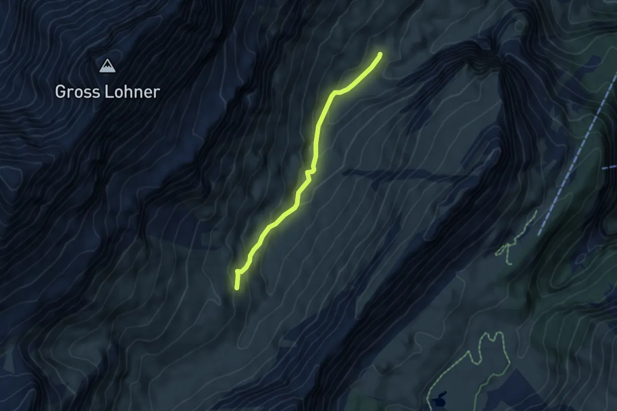
Medium · Cabin
Ueschinenhütte – P1620
4.4 km · ↑ 267 m · 1 h 36 min
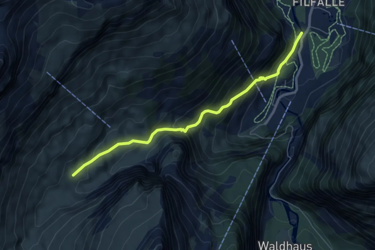
Medium · Trail
P1620 – Schwarzbachschwendli
5.9 km · ↑ 475 m · 2 h 26 min
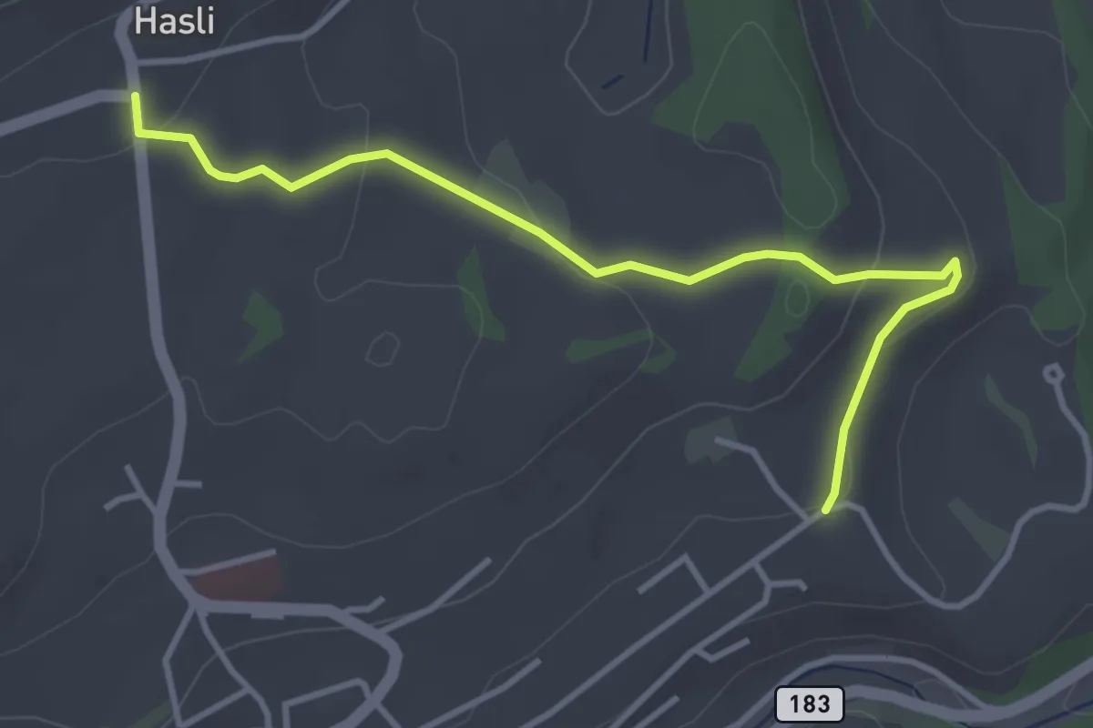
Easy · Trail
Hasli – Eybrunnen
3.8 km · ↑ 115 m · 1 h 9 min
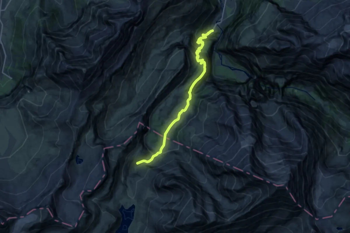
Demanding · Trail
Schwarenbach – Eggenschwand
15.6 km · ↑ 1106 m · 6 h 5 min
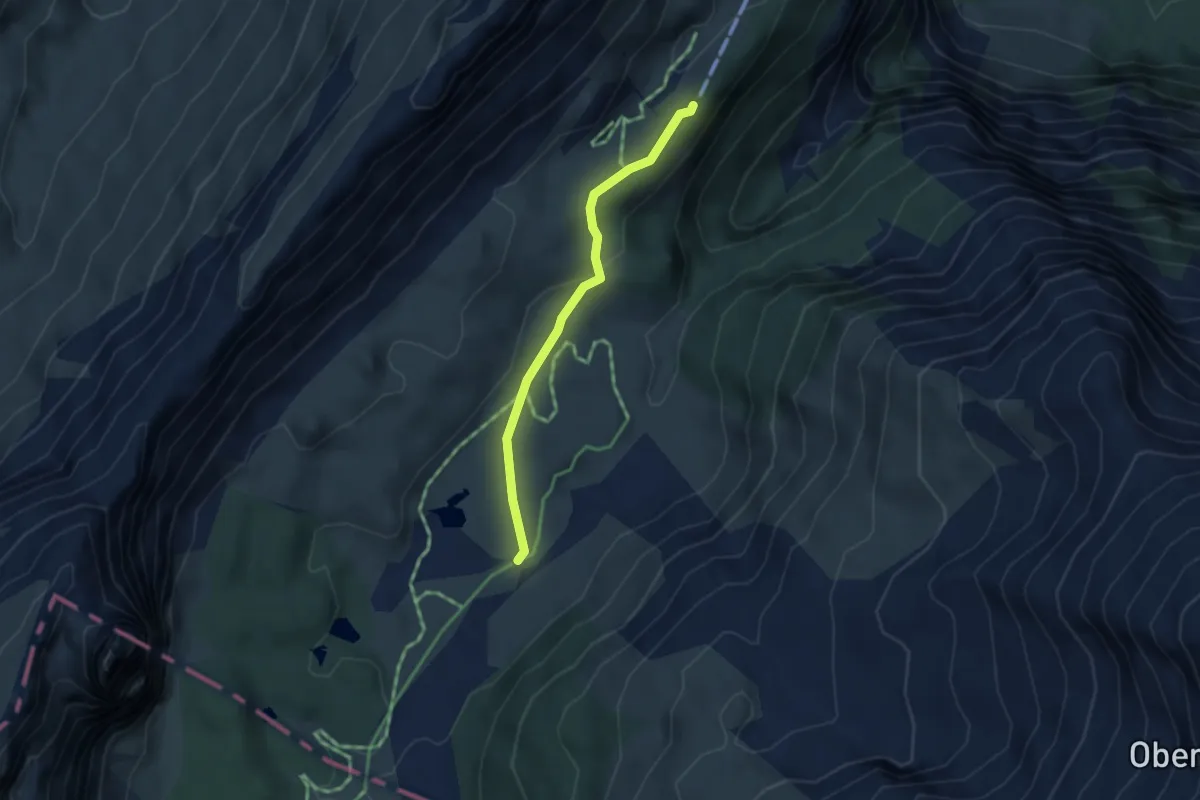
Easy · Trail
P1900 – Sunnbüel
3.1 km · ↑ 74 m · 54 min
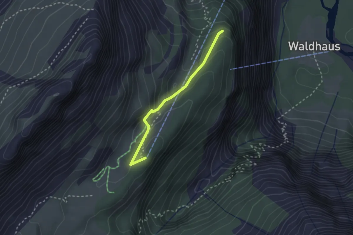
Medium · Cabin
Sunnmbüehl – Stock
2.2 km · ↑ 113 m · 45 min
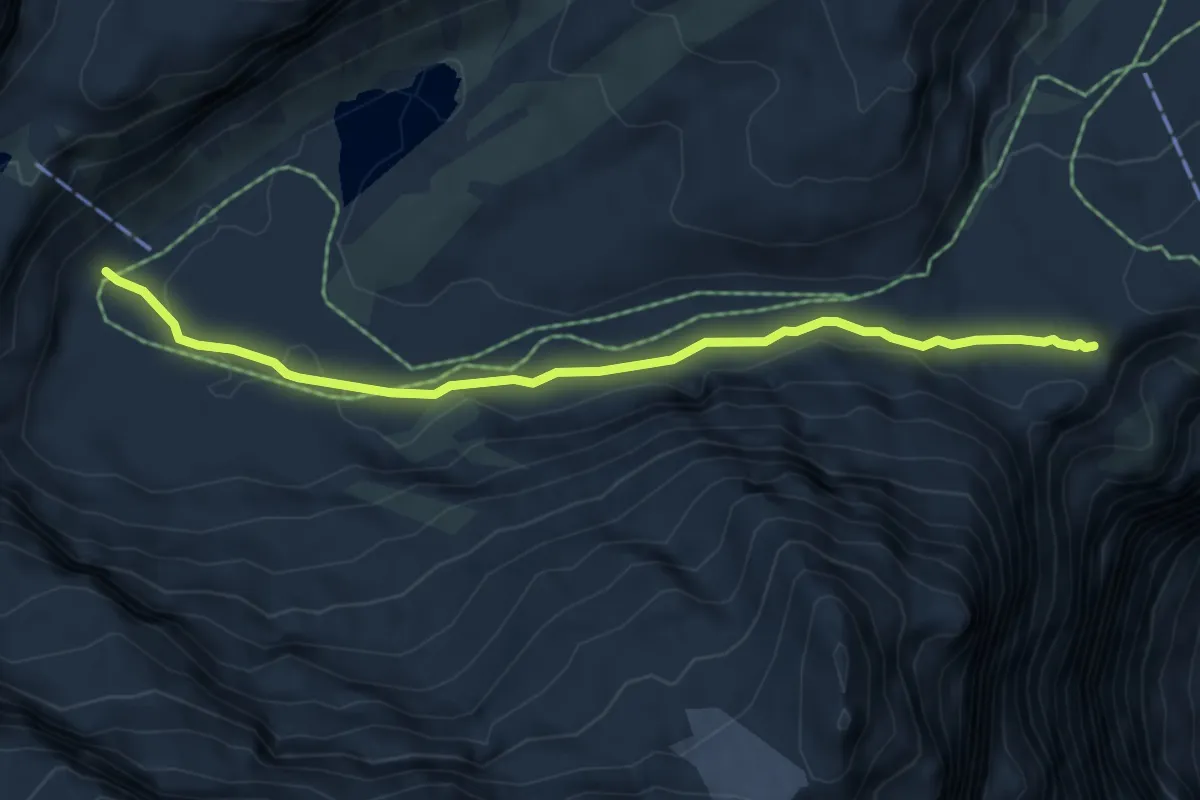
Medium · Trail
Gemmipass – Lämmerenhütte
5.6 km · ↑ 80 m · 1 h 30 min
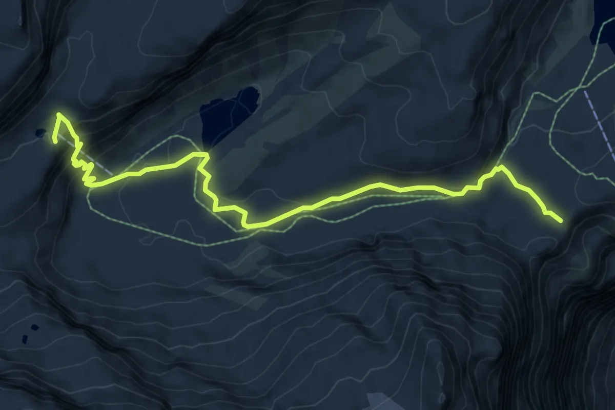
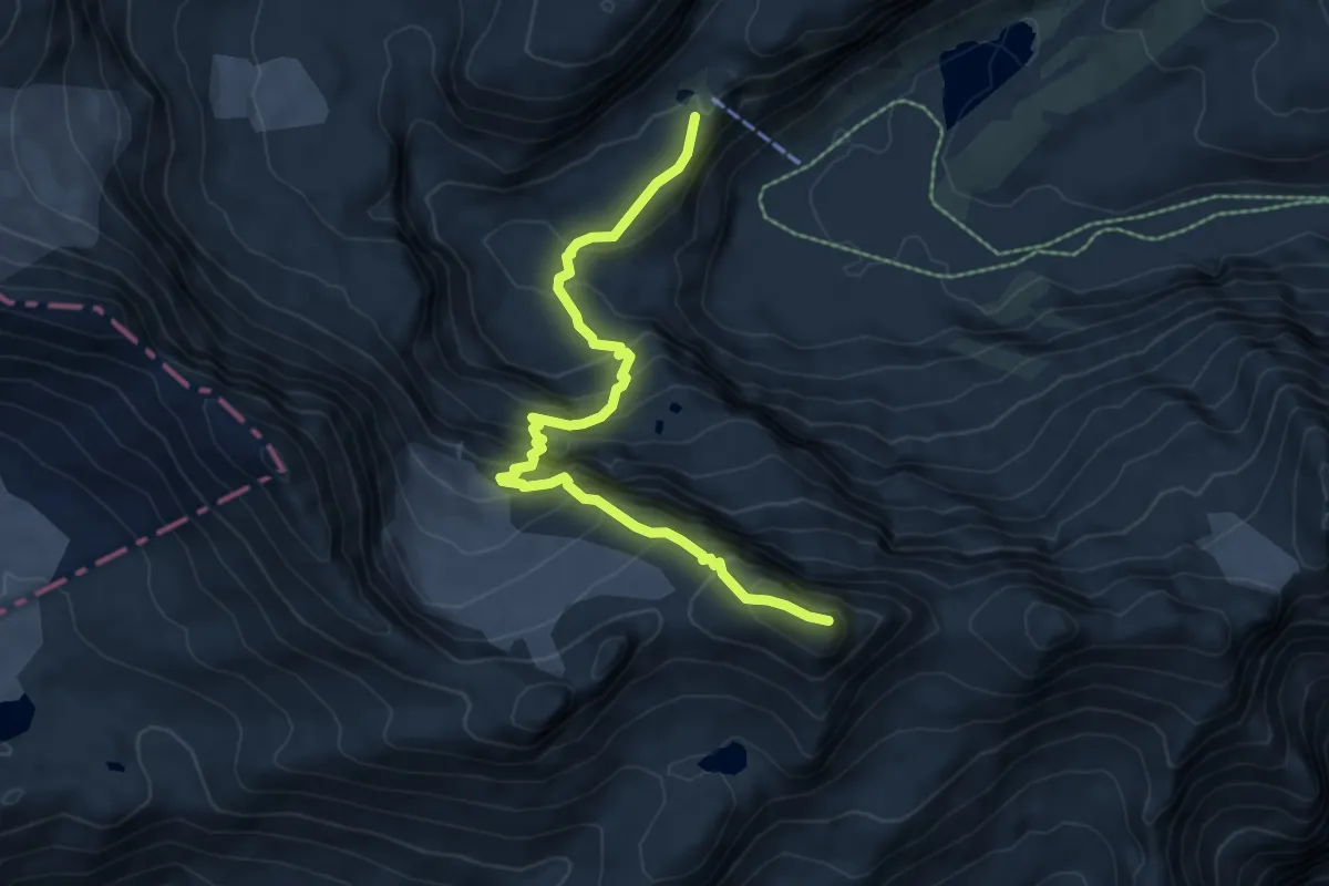
Medium · Cabin
Gemmipass – Lämmerenhütte
8.5 km · ↑ 318 m · 2 h 42 min
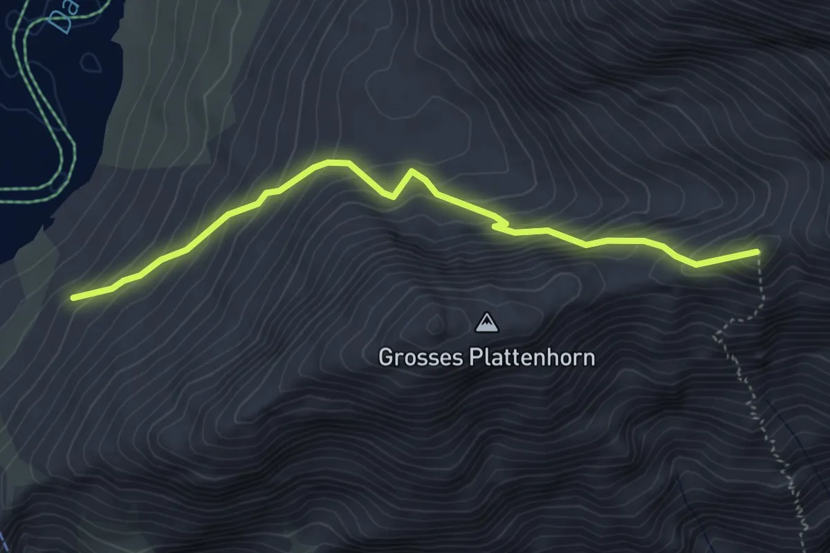
Expert · Summit
Lämmernhütte – Schwarzhorn
7.1 km · ↑ 716 m · 3 h 13 min
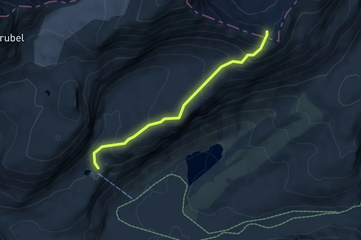
Medium · Trail
Daubensee – alte Gemmi
4.4 km · ↑ 545 m · 2 h 14 min
Expert · Cabin
Lämmernhütte – Rote Totz Lücke
4.4 km · ↑ 317 m · 1 h 44 min
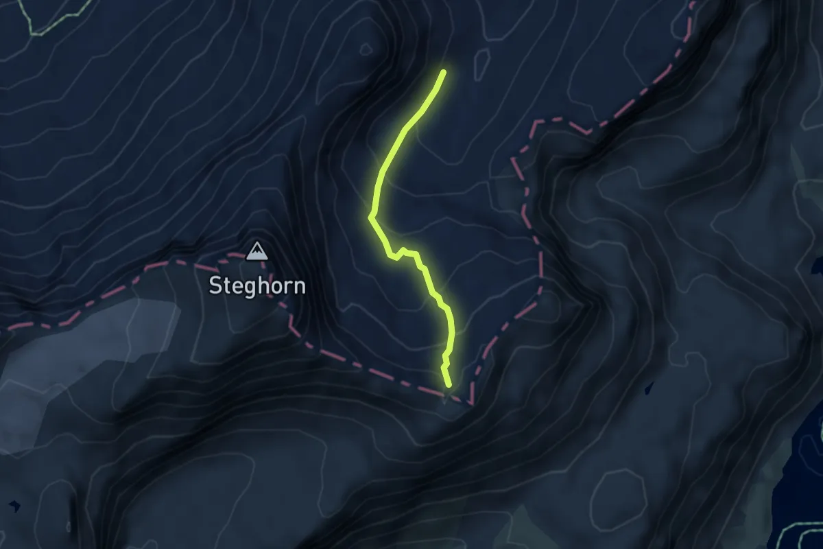
Expert · Trail
Rote Totz Lücke – P2540
3.5 km · ↑ 269 m · 1 h 24 min
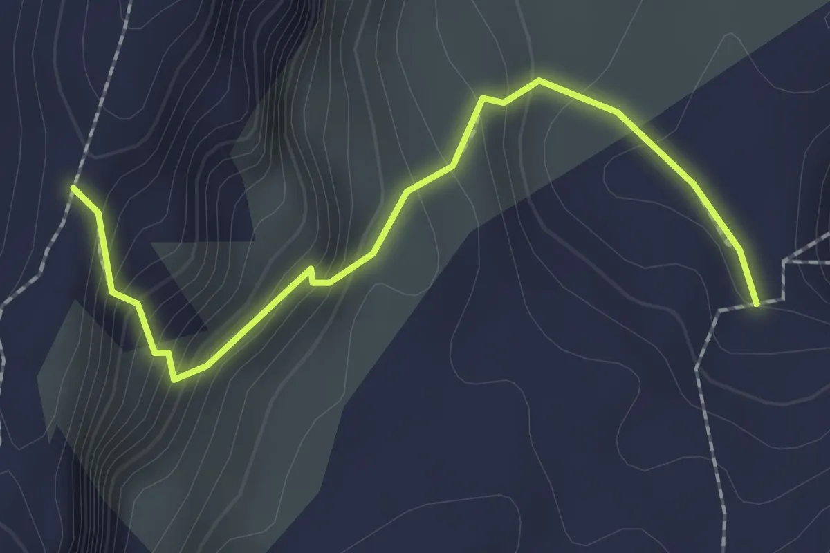
Medium · Trail
P2540 – Engstligengrat
2.1 km · ↑ 218 m · 58 min
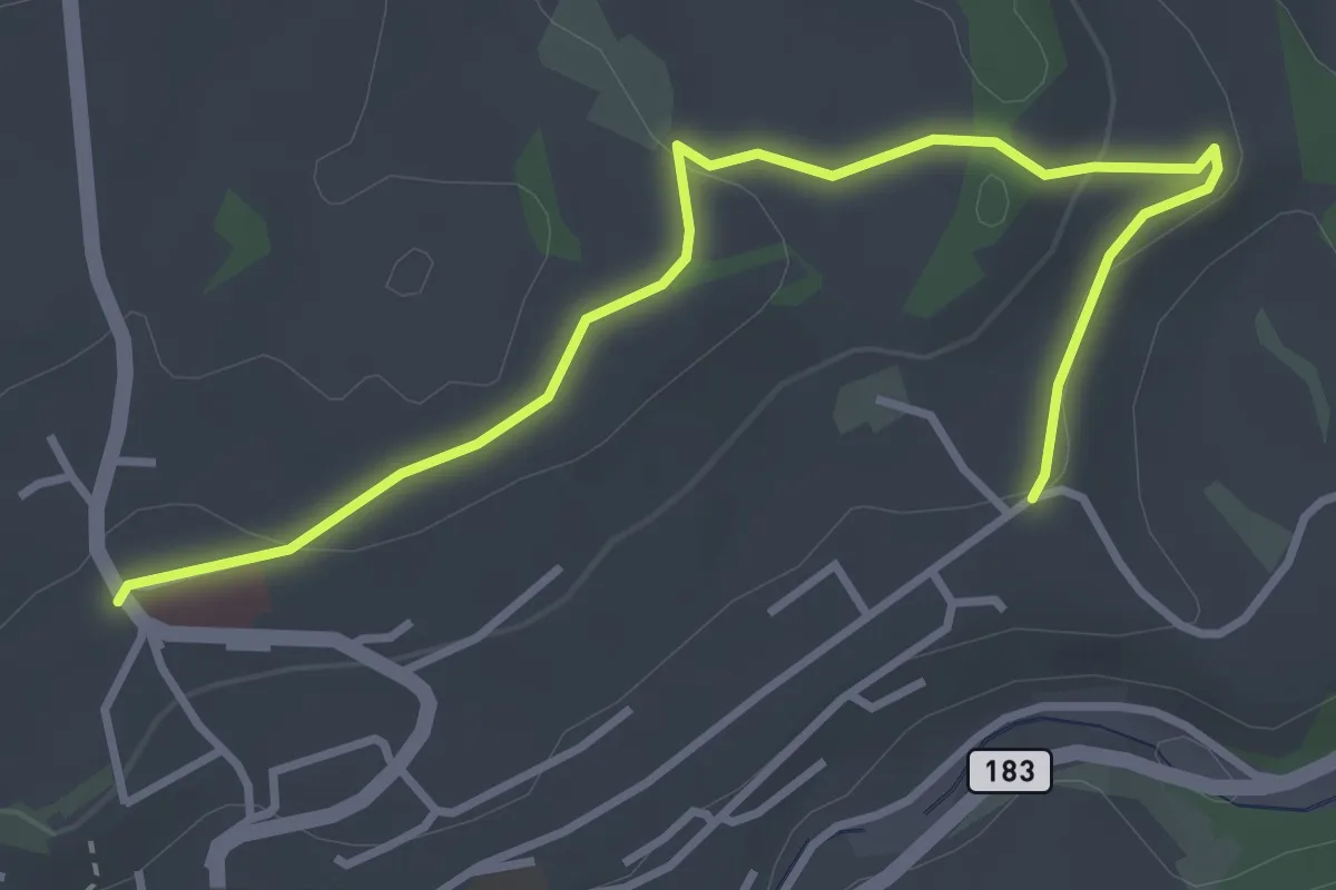
Easy · Trail
Riggisberg / Staudengasse – Eybrunnen
3.9 km · ↑ 112 m · 1 h 10 min
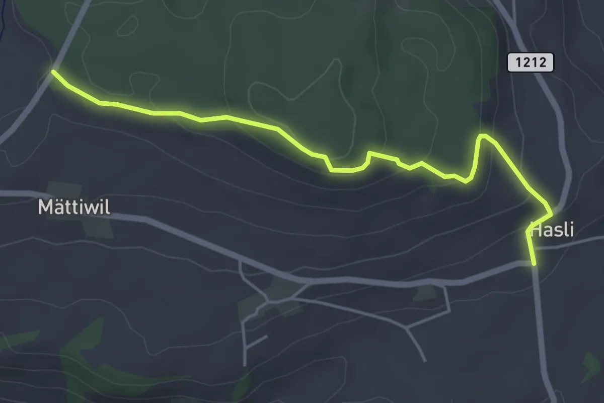
Easy · Trail
Hasli – Than
4.6 km · ↑ 179 m · 1 h 29 min
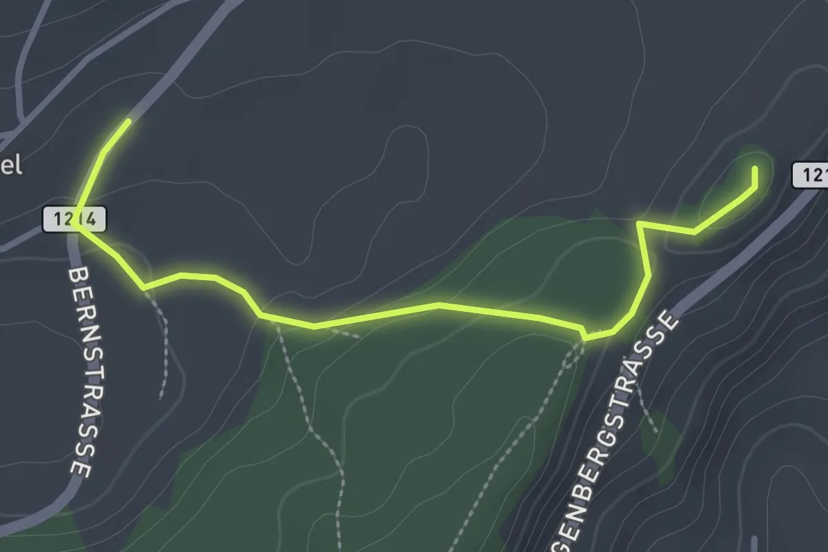
Easy · Summit
Oberbütschel – Tavelgedenkstätte
2.9 km · ↑ 84 m · 52 min
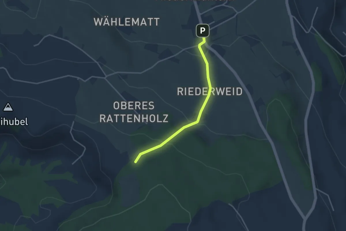
Easy · Trail
Seitenberg – Niedermuhlern
2.8 km · ↑ 139 m · 57 min
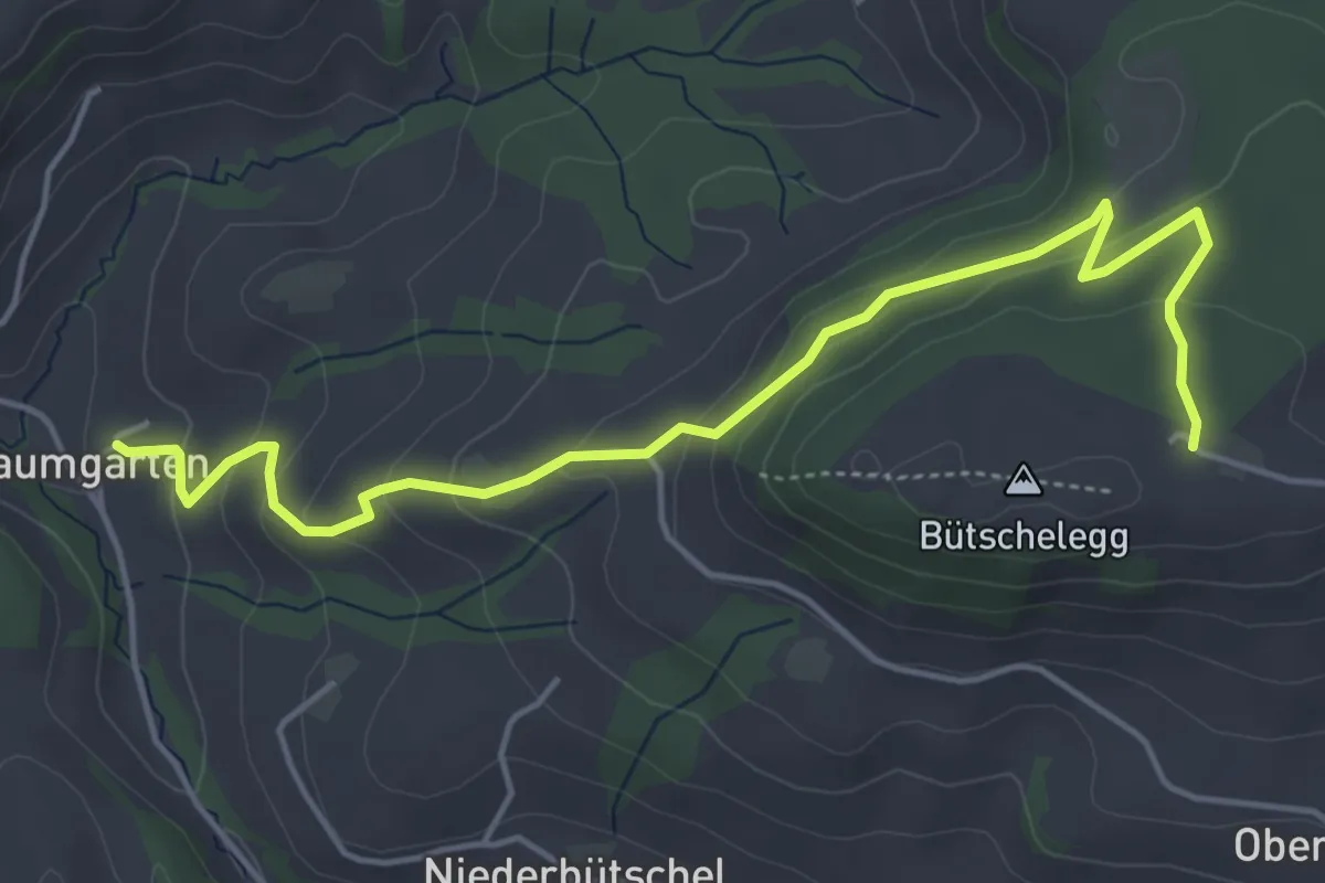
Easy · Trail
Bütschelegg – Baumgarten
5.4 km · ↑ 269 m · 1 h 51 min
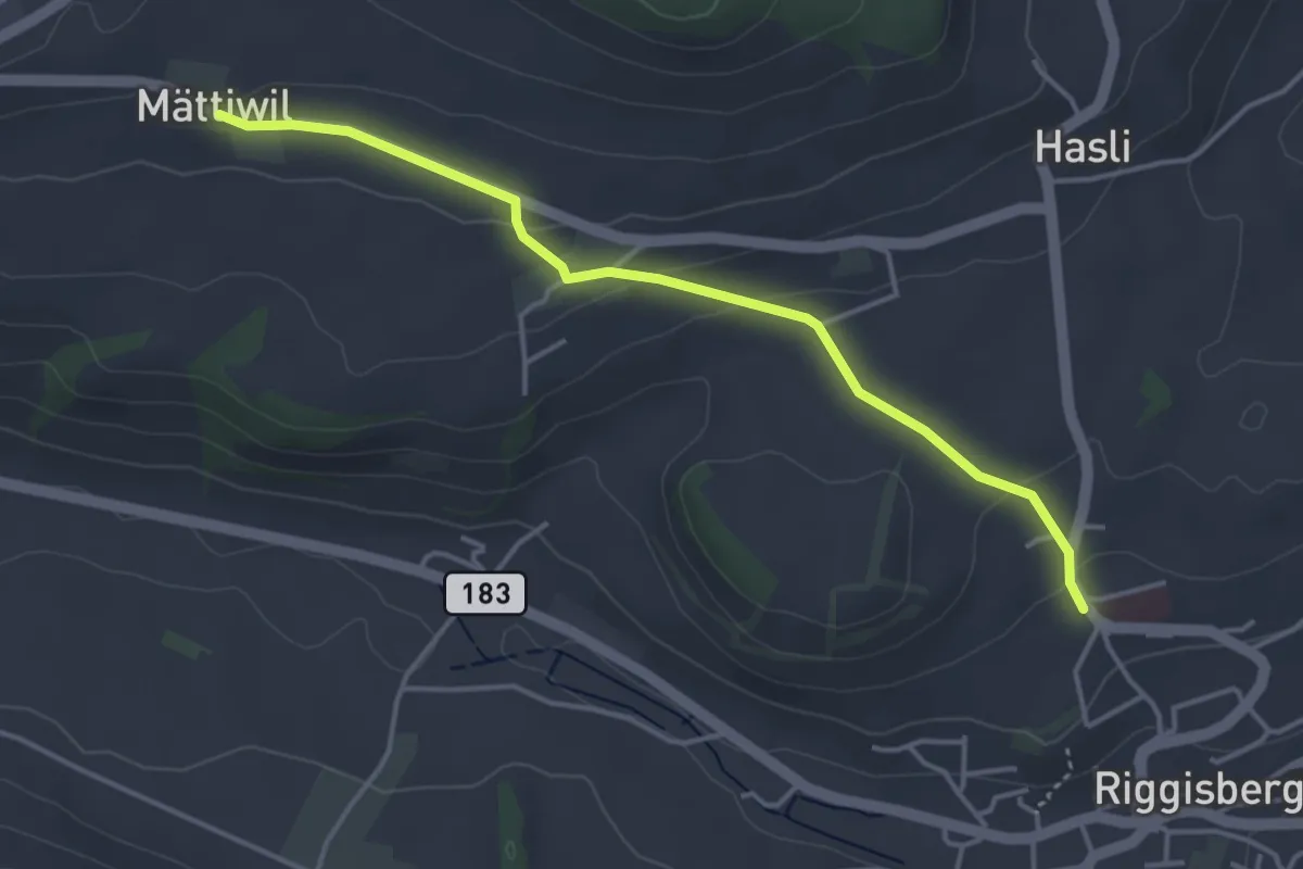
Easy · Trail
Riggisberg / Staudengasse – Mättiwil
4.0 km · ↑ 101 m · 1 h 10 min
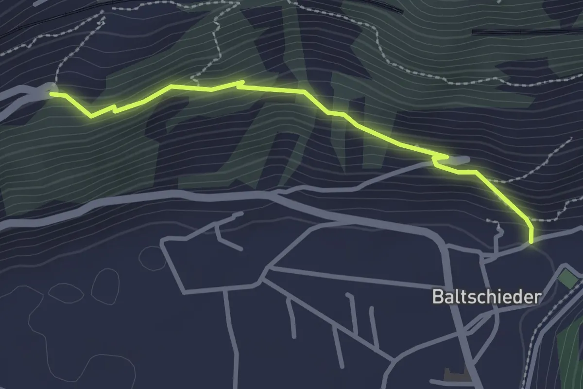
Easy · Trail
Baltschieder alter Dorfkern – Brannuhittu
2.5 km · ↑ 218 m · 1 h 3 min
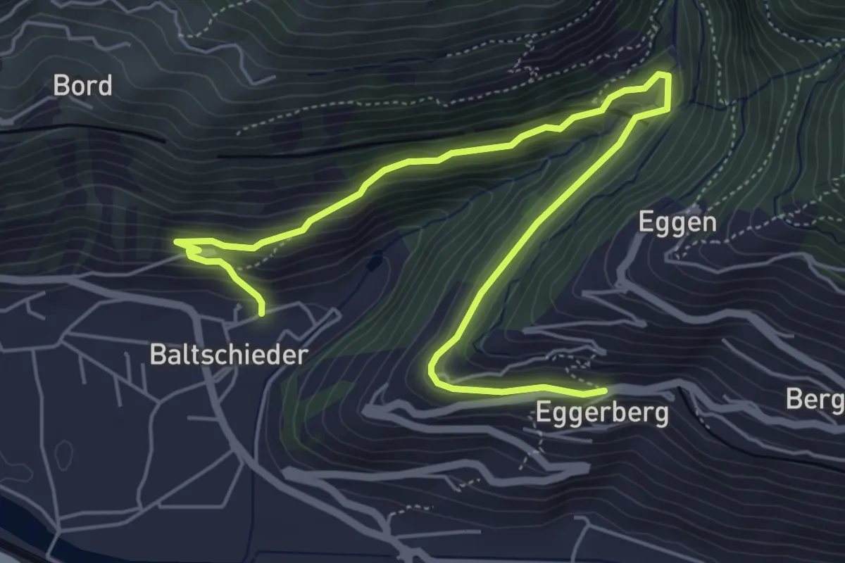
Medium · Trail
Baltschieder alter Dorfkern – Eggerberg Dorf
6.9 km · ↑ 354 m · 2 h 24 min
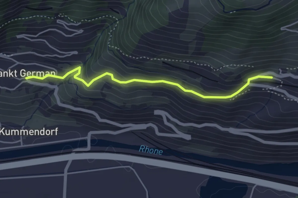
Easy · Trail
Ausserberg Bahnhof – St. German
4.0 km · ↑ 218 m · 1 h 24 min
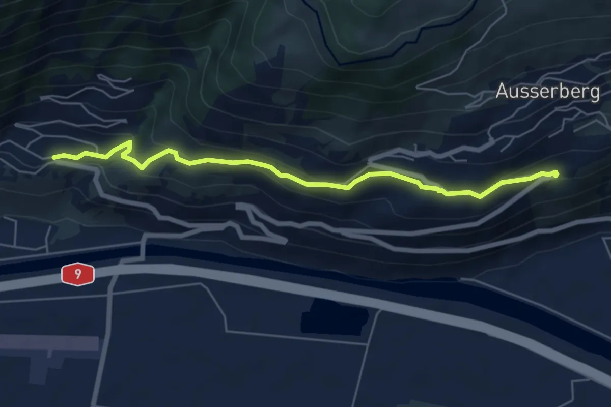
Easy · Trail
Brannuhittu – St. German
5.5 km · ↑ 247 m · 1 h 50 min
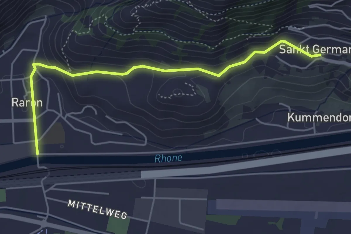
Easy · Trail
St. German – Raron
4.7 km · ↑ 180 m · 1 h 30 min
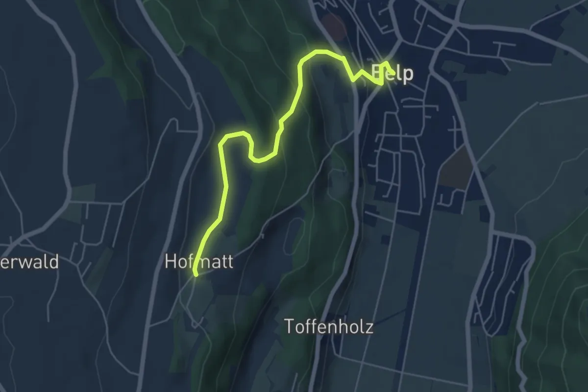
Easy · Trail
Hofmatt – Belp
5.1 km · ↑ 249 m · 1 h 44 min
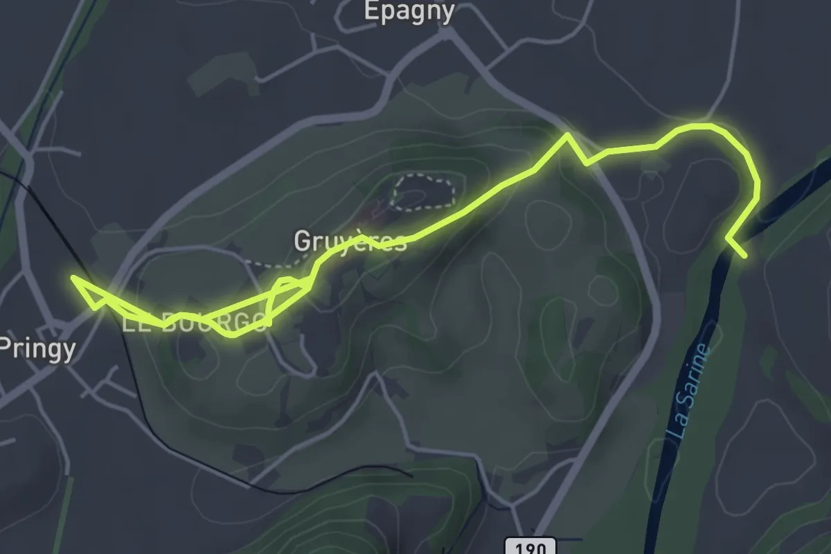
Easy · Trail
Pringy – Le Pont qui Branle
6.7 km · ↑ 278 m · 2 h 12 min
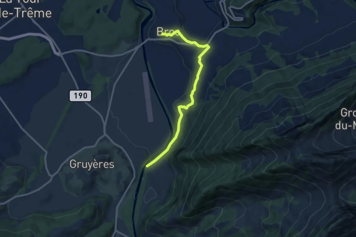
Easy · Trail
Le pont qui Branle – Broc
7.3 km · ↑ 125 m · 1 h 59 min