Trails in Switzerland
15,055 hiking trails, each with its route, climb, walking time and grade.
All trails, page 161 of 314
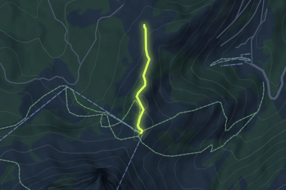
Medium · Trail
Plan-Francy – Grosses-Cles
2.2 km · ↑ 137 m · 49 min
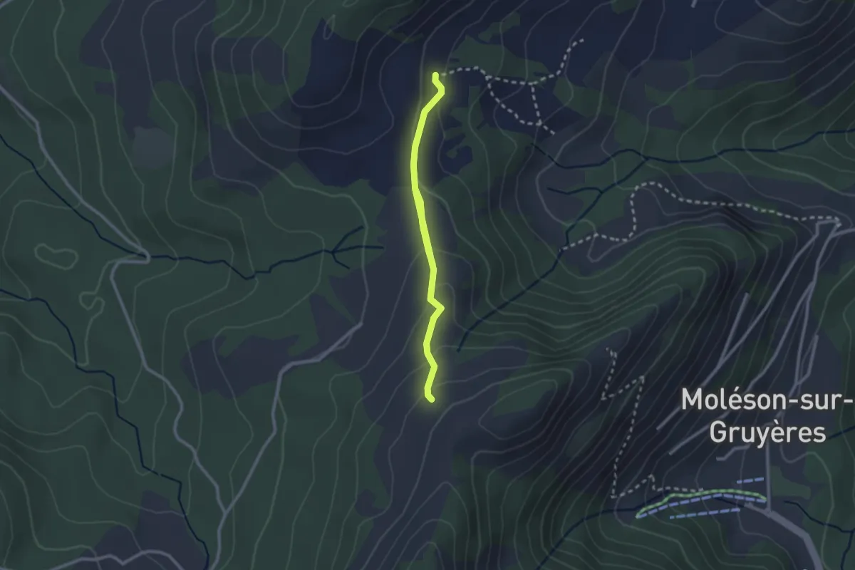
Medium · Trail
Grosses-Cles – In Maulatre
3.0 km · ↑ 167 m · 1 h 4 min
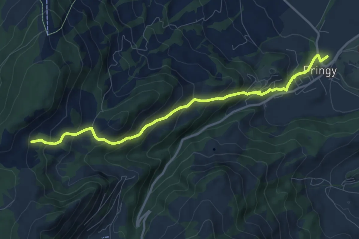
Medium · Trail
In Maulatrê – Pringy
9.0 km · ↑ 549 m · 3 h 19 min
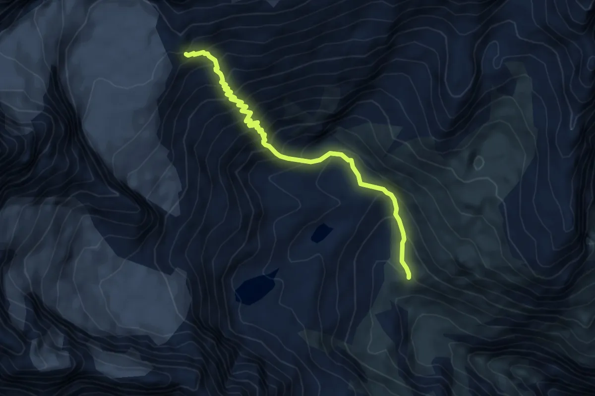
Demanding · Cabin
Vieliboden / Trift – Rothornhütte
6.6 km · ↑ 734 m · 3 h 9 min
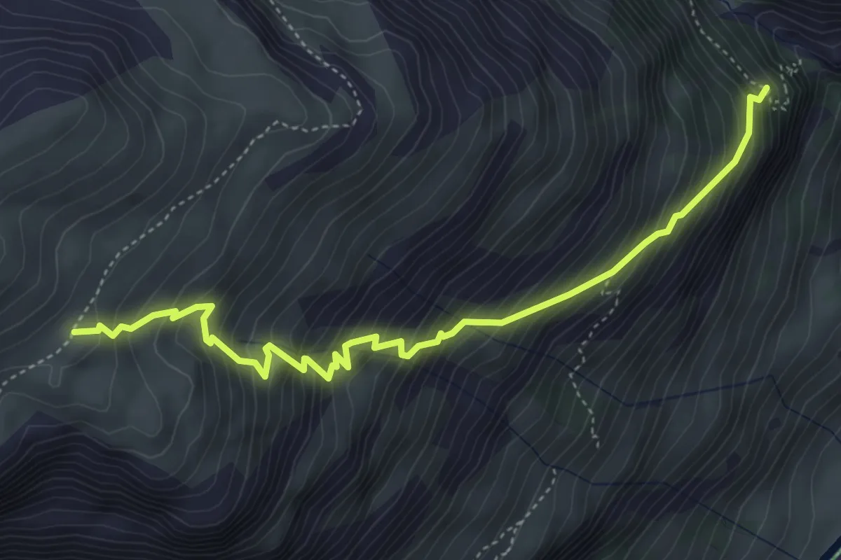
Demanding · Trail
Alterhöud Edelweiss 1962 – Höhbalmen 2665
5.1 km · ↑ 781 m · 2 h 53 min
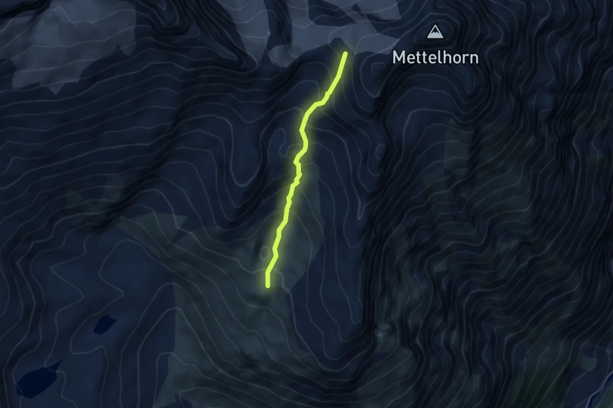
Expert · Trail
Triftchumme – Furggji
3.8 km · ↑ 429 m · 1 h 50 min
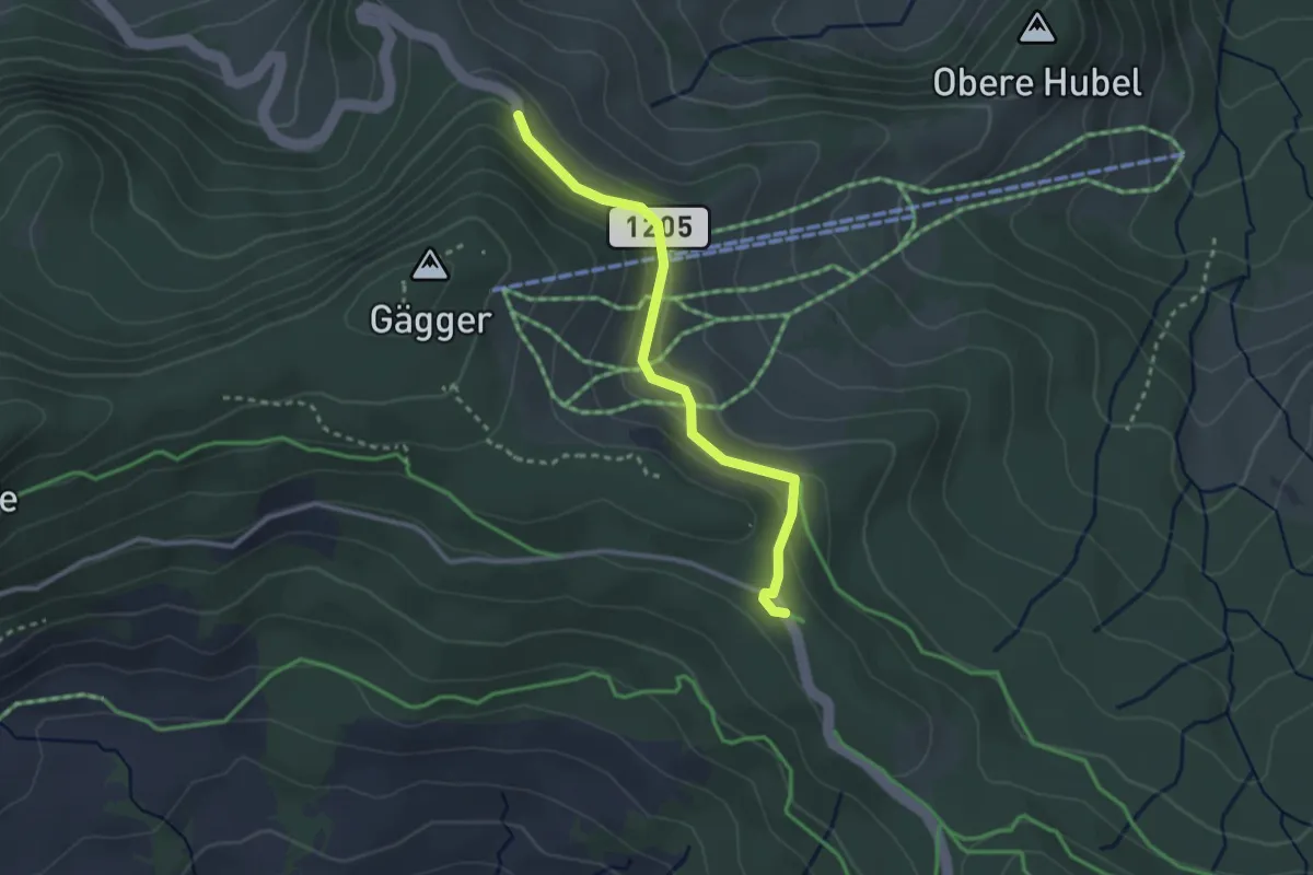
Easy · Trail
Süftenen – Schwarzenbühl
2.7 km · ↑ 107 m · 52 min
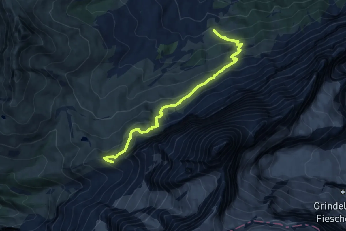
Demanding · Trail
Eigergletscher – Alpiglen
12.0 km · ↑ 908 m · 4 h 48 min
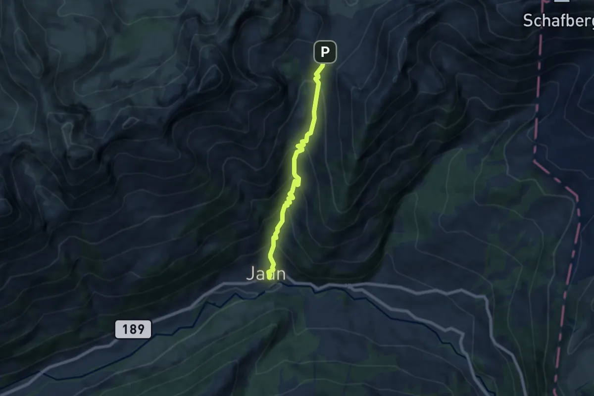
Medium · Trail
Jaun – Euschelpass
5.8 km · ↑ 553 m · 2 h 34 min
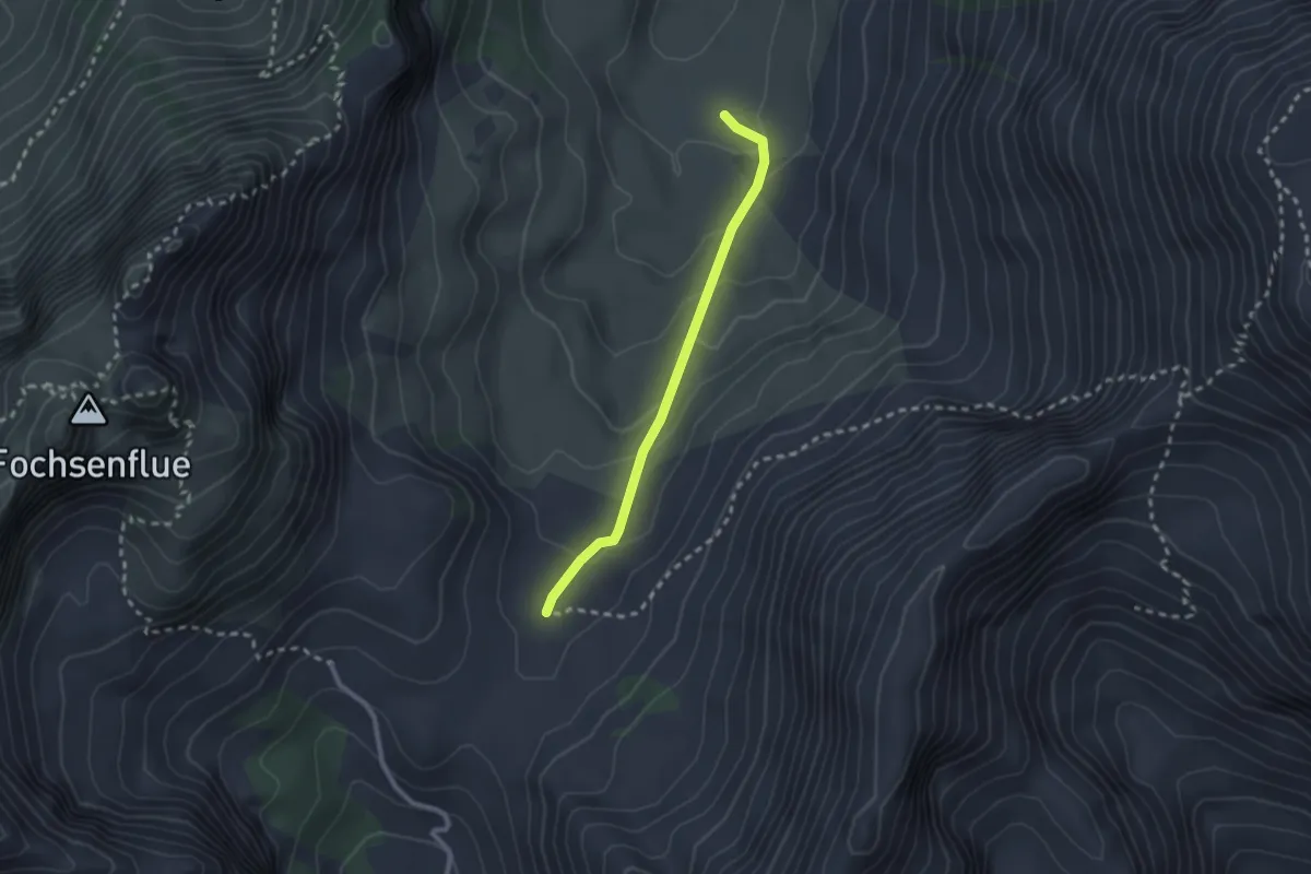
Easy · Cabin
Obere Euschels – Untere Euschels
2.2 km · ↑ 116 m · 46 min
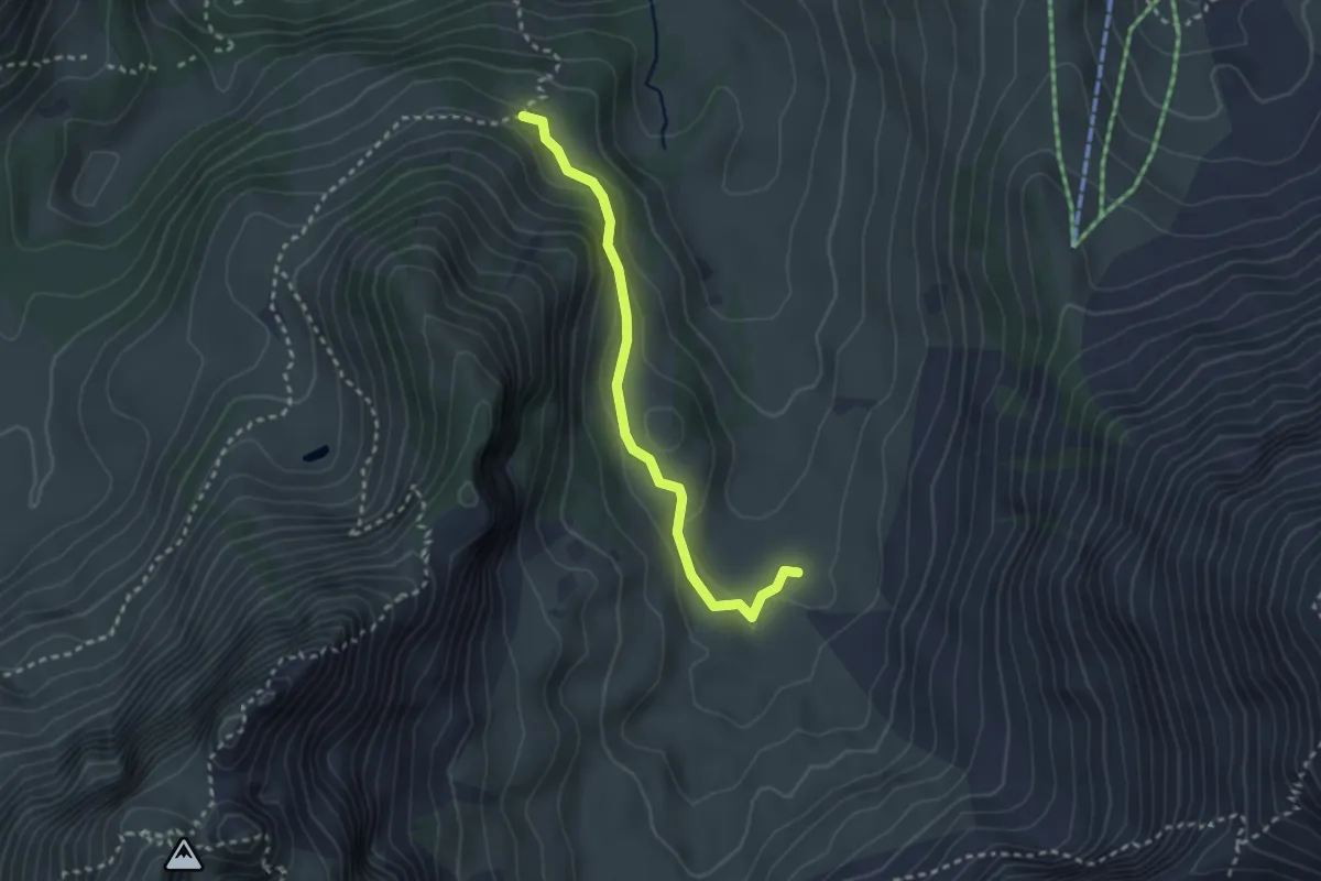
Easy · Trail
Untere Euschels – Stierenberg
2.7 km · ↑ 138 m · 56 min
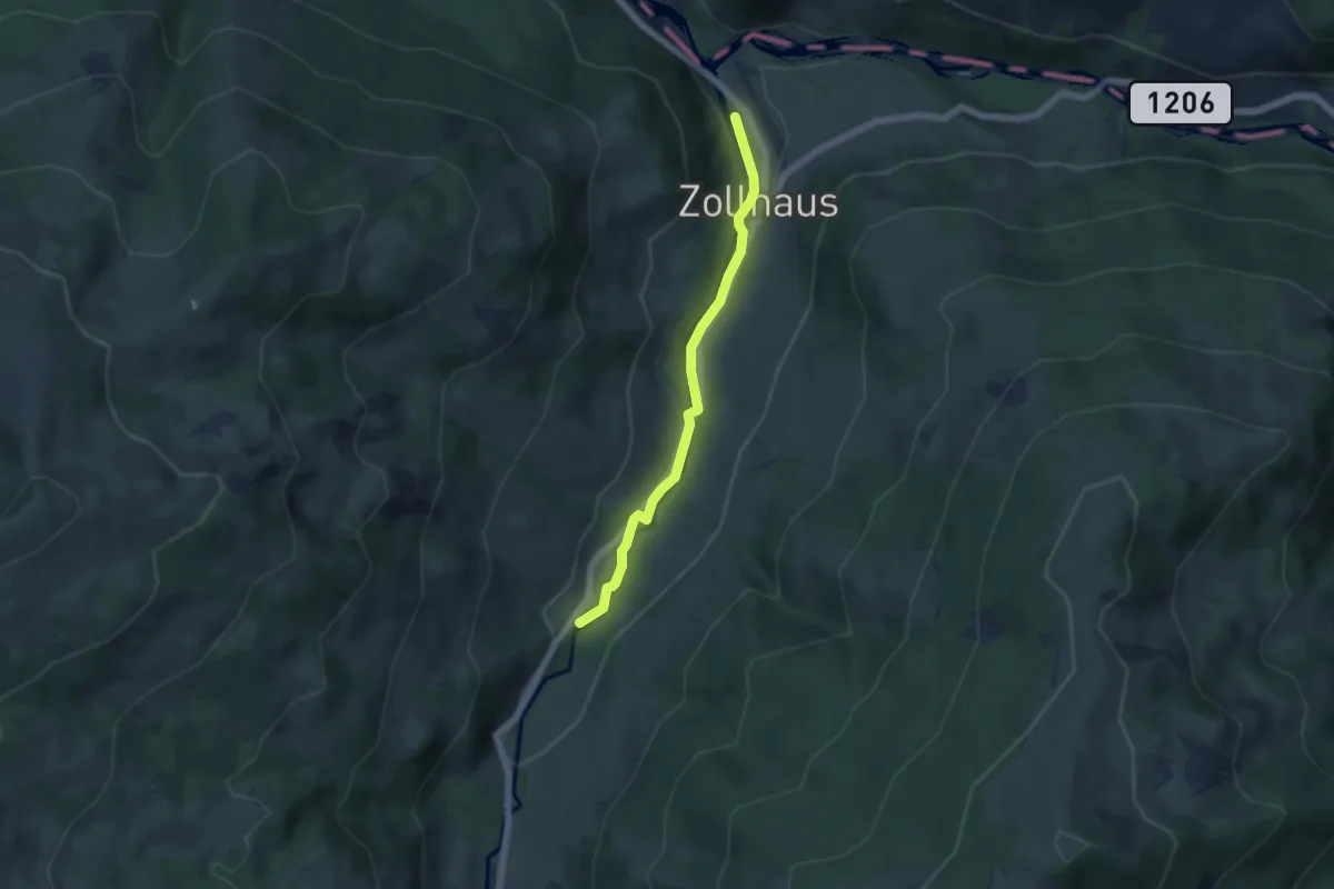
Easy · Trail
Zollhaus – Liechtena
4.9 km · ↑ 140 m · 1 h 28 min
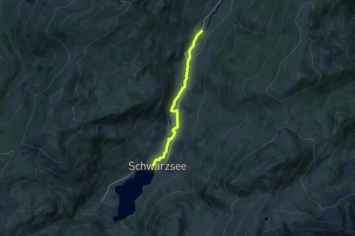
Easy · Trail
Liechtena – Schwarzsee
7.0 km · ↑ 159 m · 2 h
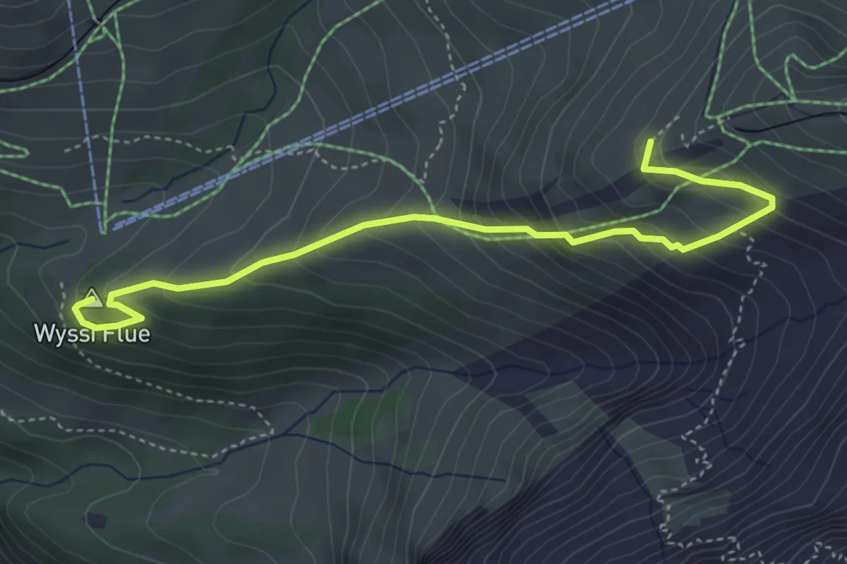
Medium · Summit
Obri Mettla – Eigergletscher
4.7 km · ↑ 406 m · 1 h 59 min
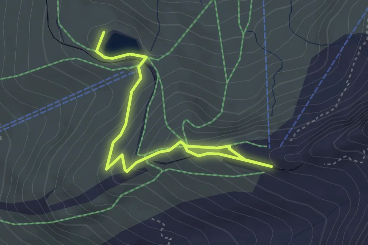
Easy · Summit
Kleine Scheidegg – Eigergletscher
4.0 km · ↑ 233 m · 1 h 27 min
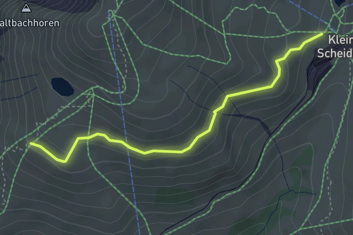
Medium · Trail
Kleine Scheidegg – Rinderhitta
3.5 km · ↑ 156 m · 1 h 10 min
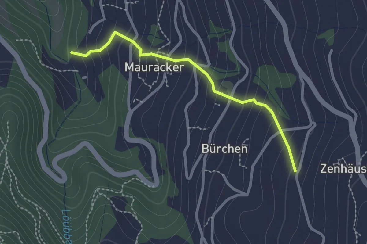
Easy · Trail
Zenhäusern – Mauracker
2.1 km · ↑ 194 m · 55 min
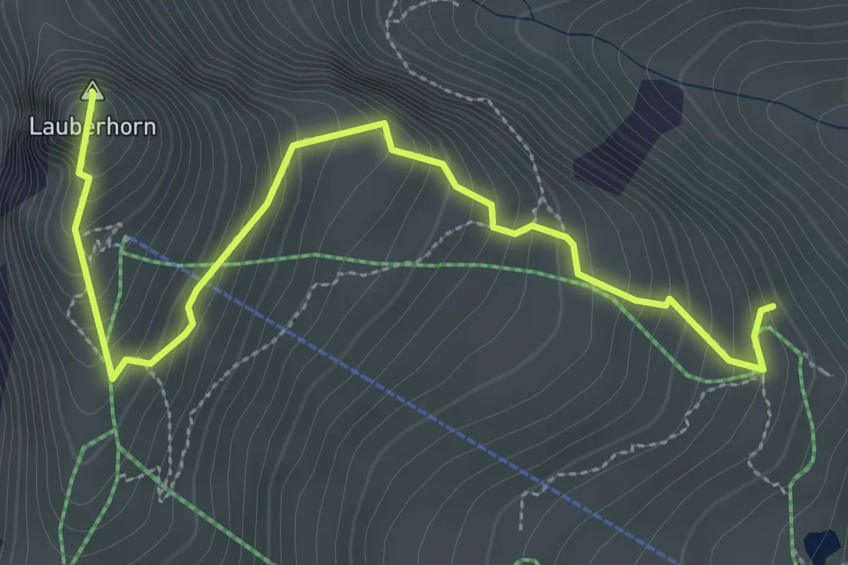
Demanding · Summit
Rotstecki – Lauberhorn
3.5 km · ↑ 310 m · 1 h 29 min
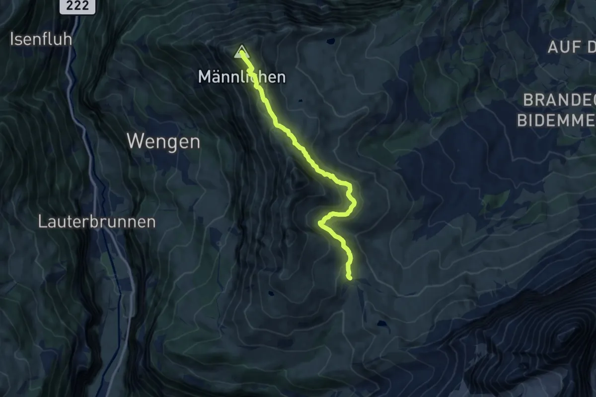
Medium · Summit
Kleine Scheidegg – Männlichen
10.6 km · ↑ 527 m · 3 h 39 min
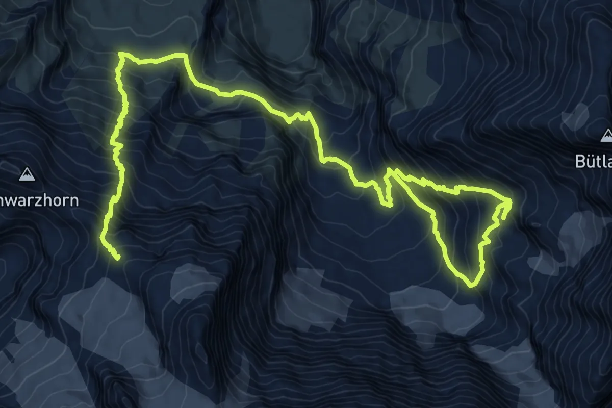
Demanding · Cabin
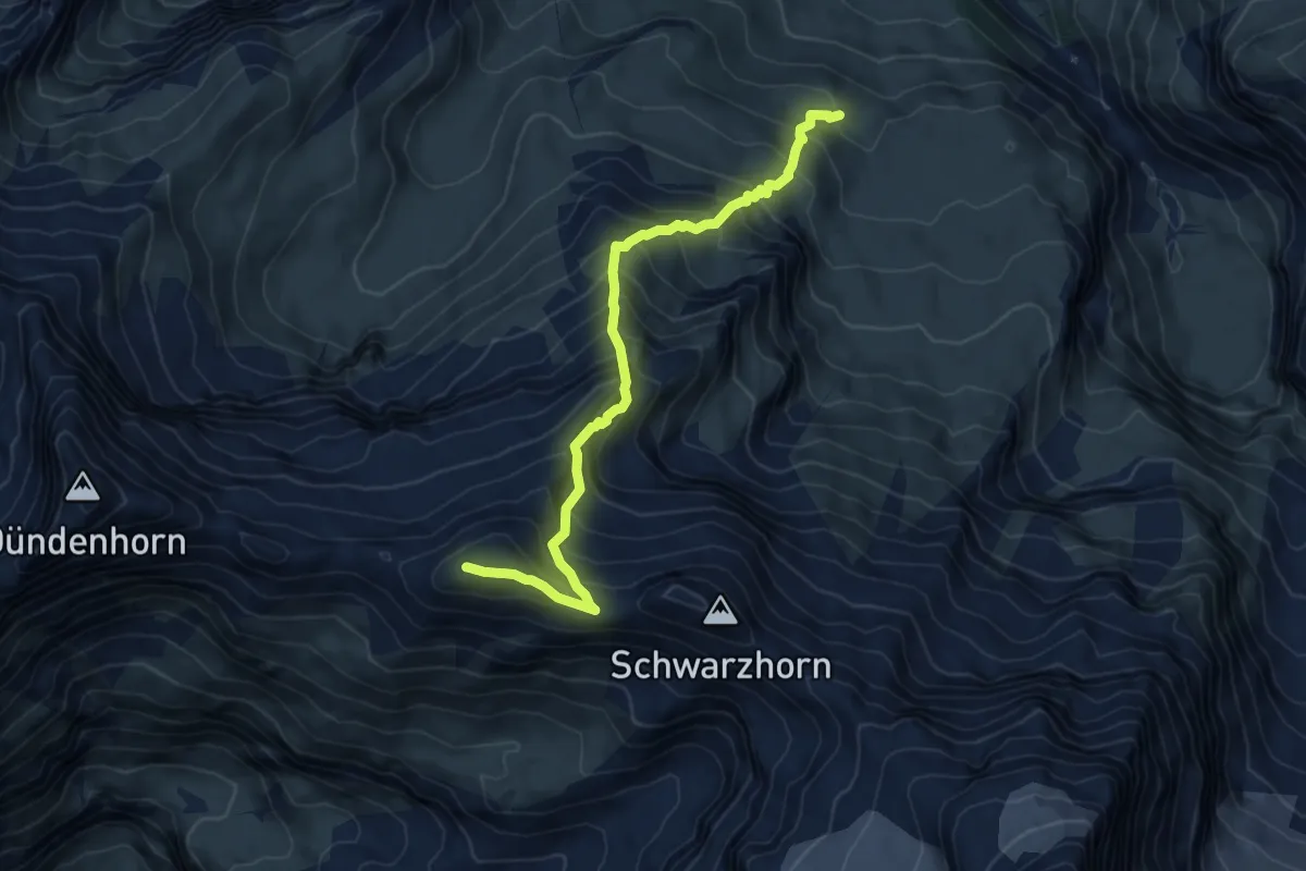
Blüemlisalphütte – Gspaltenhornhütte
8.9 km · ↑ 1353 m · 4 h 48 min
Demanding · Summit
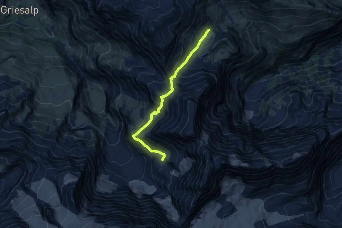
Bundalp – Bundstock
7.0 km · ↑ 885 m · 3 h 34 min
Demanding · Cabin
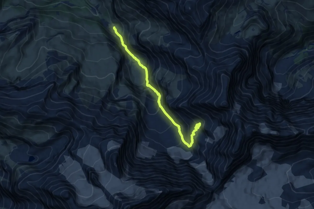
Gspaltenhornhütte – Rotstockhütte
10.1 km · ↑ 1043 m · 4 h 38 min
Demanding · Cabin
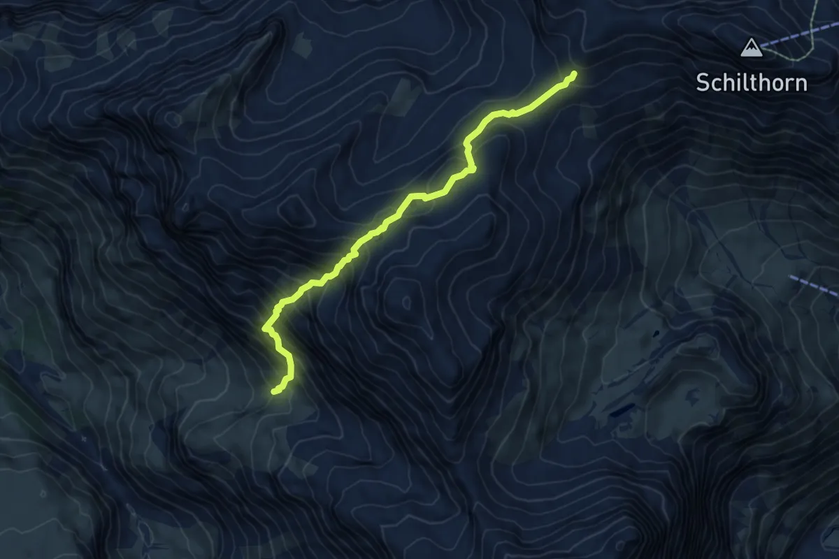
Buergli – Gspaltenhornhütte
10.7 km · ↑ 1058 m · 4 h 49 min
Expert · Trail
Obere Duerrenberg – Rota Haerd
6.8 km · ↑ 837 m · 3 h 26 min
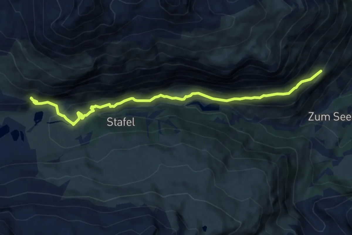
Medium · Trail
Hubel p2002 – Arbenbachfall p2327
11.1 km · ↑ 675 m · 4 h 6 min
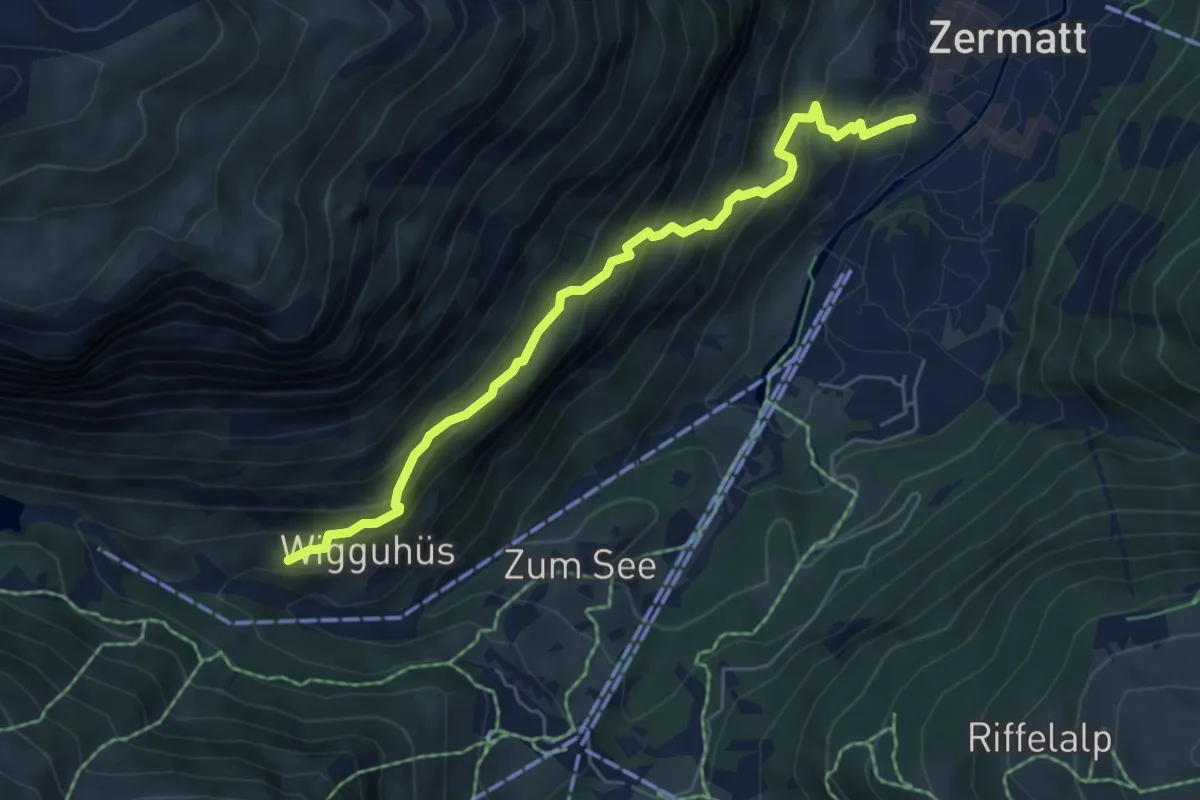
Medium · Trail
Zermatt – Zmutt
5.9 km · ↑ 557 m · 2 h 36 min
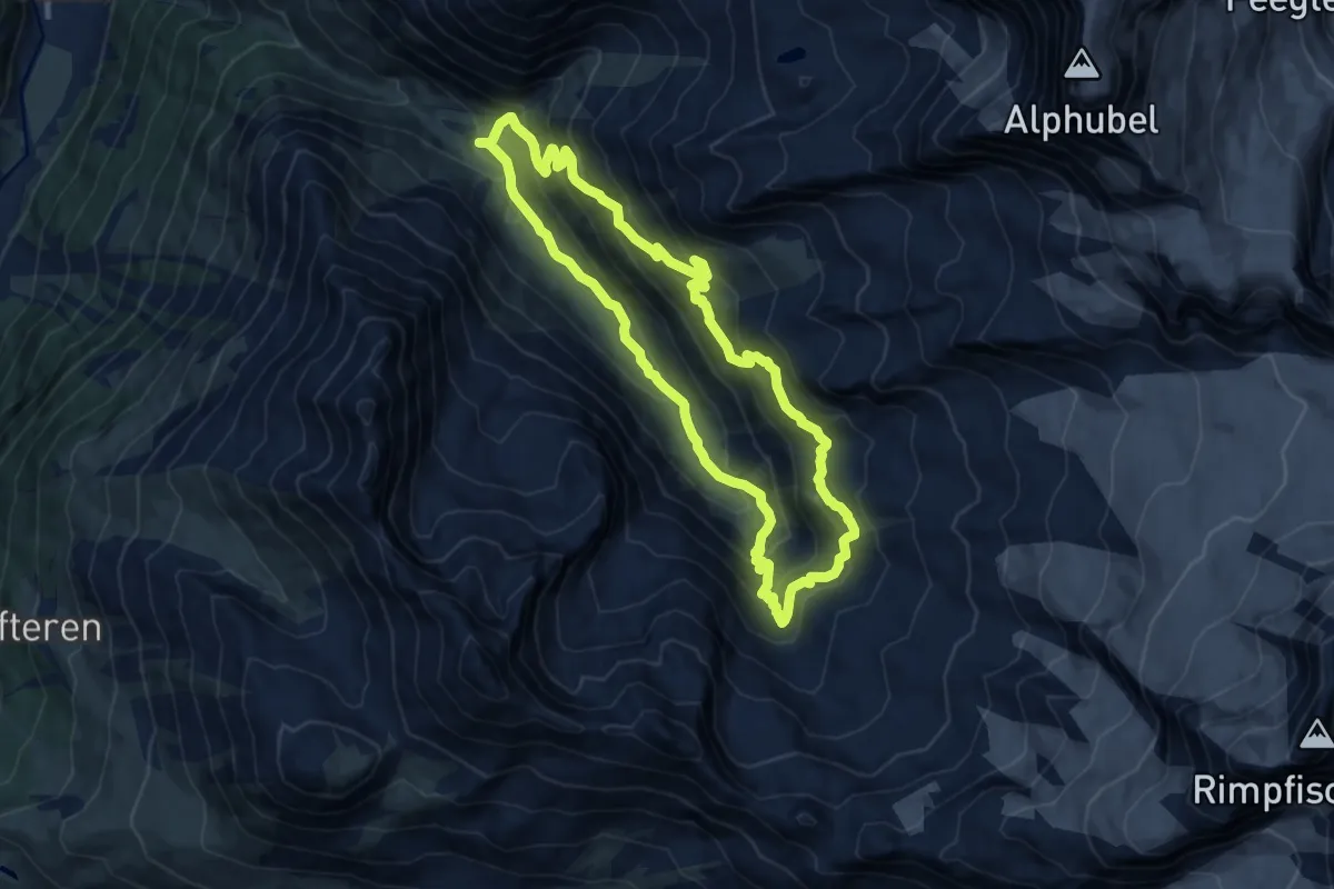
Demanding · Trail
Fluhalp – Täschhütte
10.7 km · ↑ 798 m · 4 h 23 min
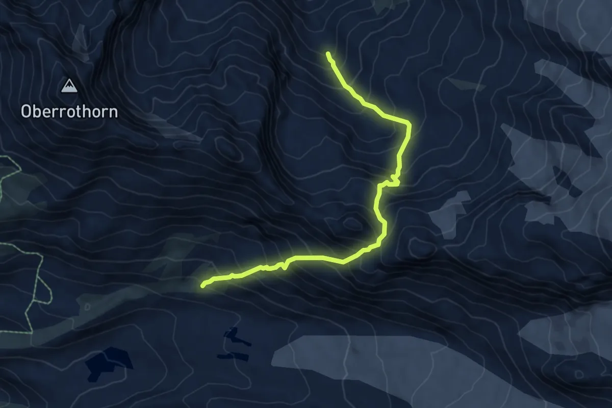
Expert · Trail
Fluhalp – Täschhütte
7.0 km · ↑ 952 m · 3 h 43 min
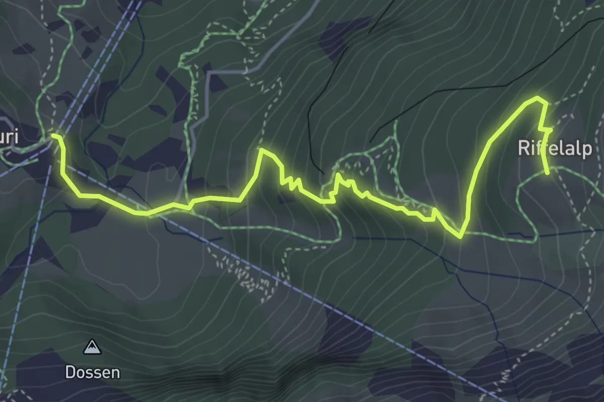
Medium · Trail
Furi – Riffelalp
5.0 km · ↑ 403 m · 2 h 3 min
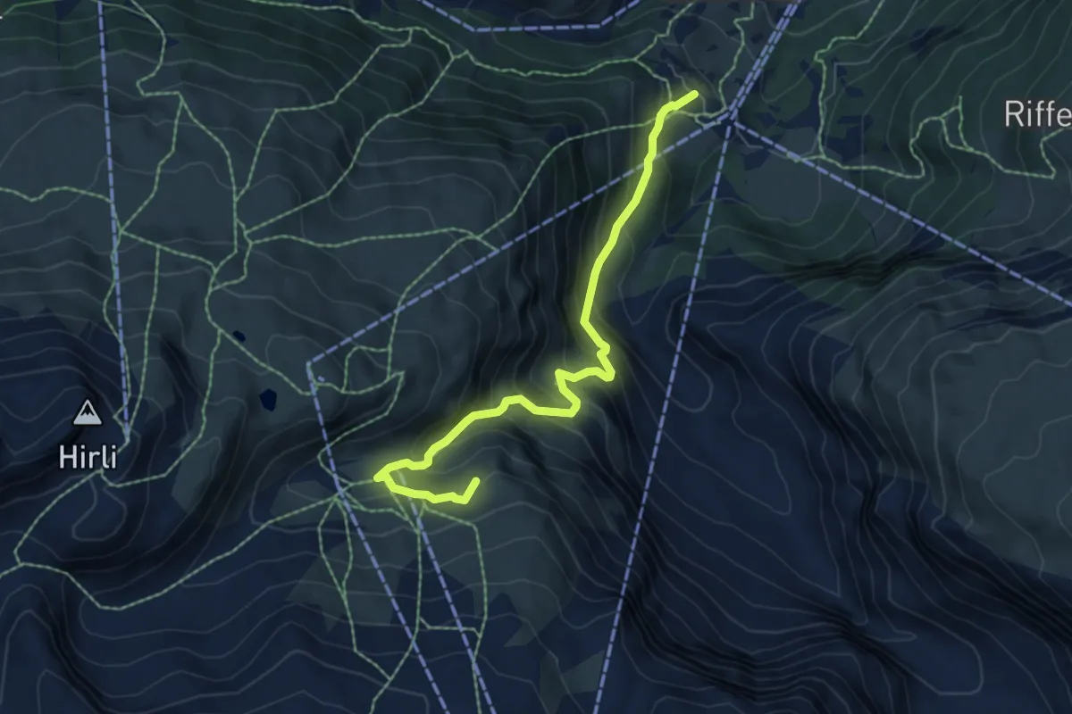
Medium · Trail
Furi – Furgg
6.7 km · ↑ 609 m · 2 h 54 min
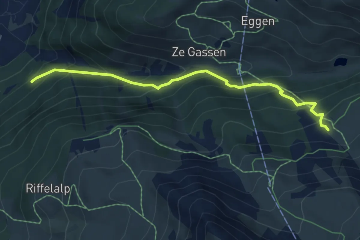
Medium · Cabin
Findelbach – Bärghüs Grünsee
5.4 km · ↑ 461 m · 2 h 17 min
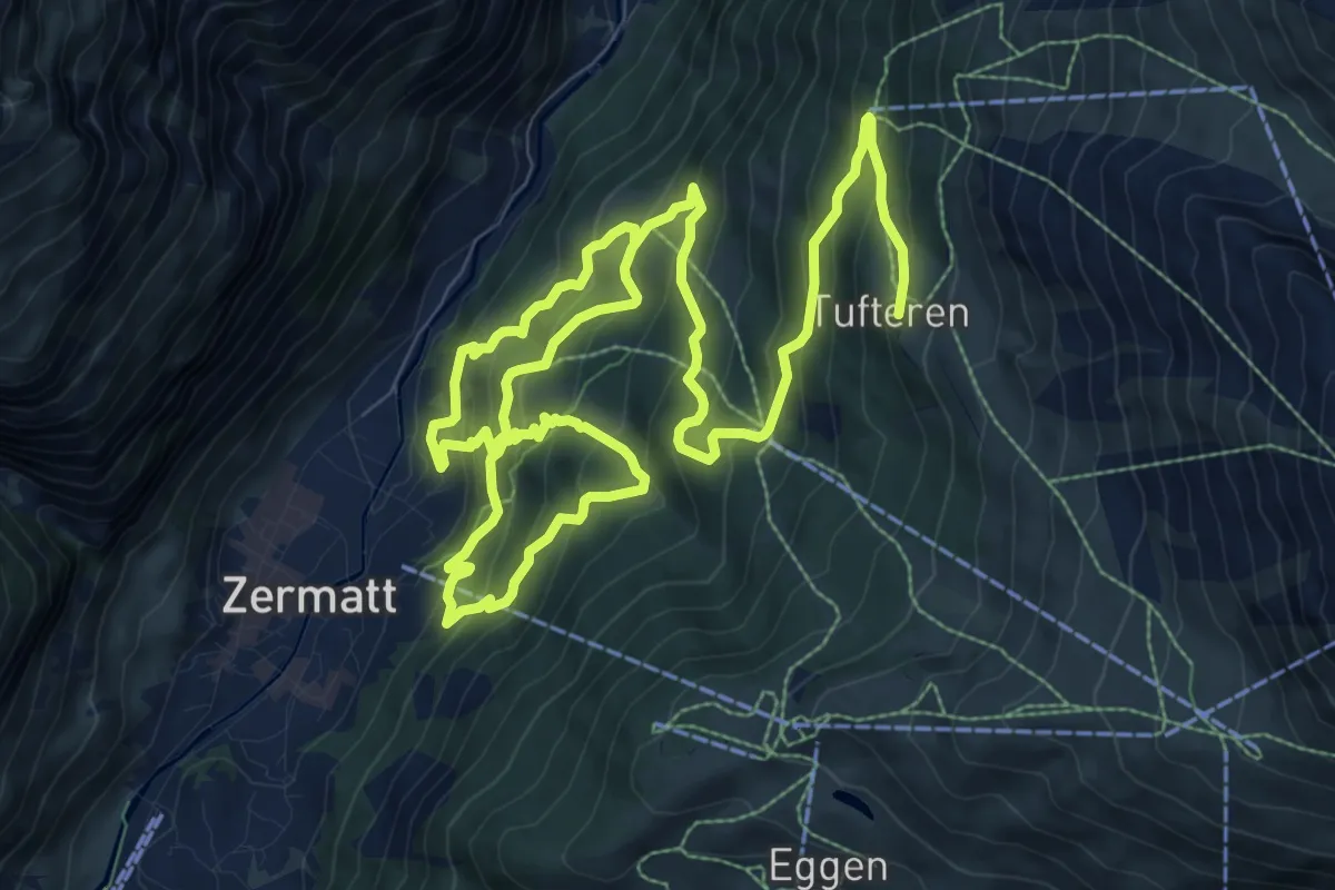
Demanding · Trail
Zermatt – Tuftern
17.3 km · ↑ 1354 m · 7 h 1 min
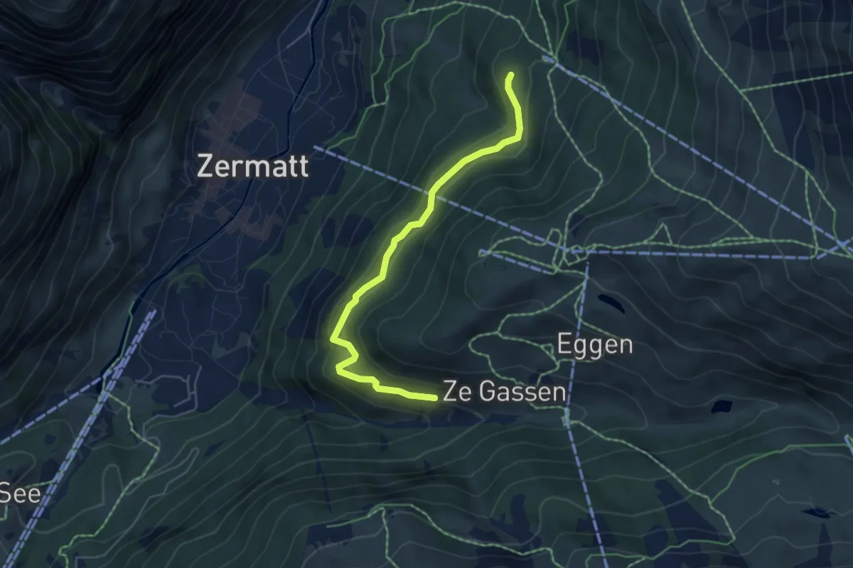
Medium · Trail
Zu Gassen – Patrullarve
5.2 km · ↑ 380 m · 2 h 3 min
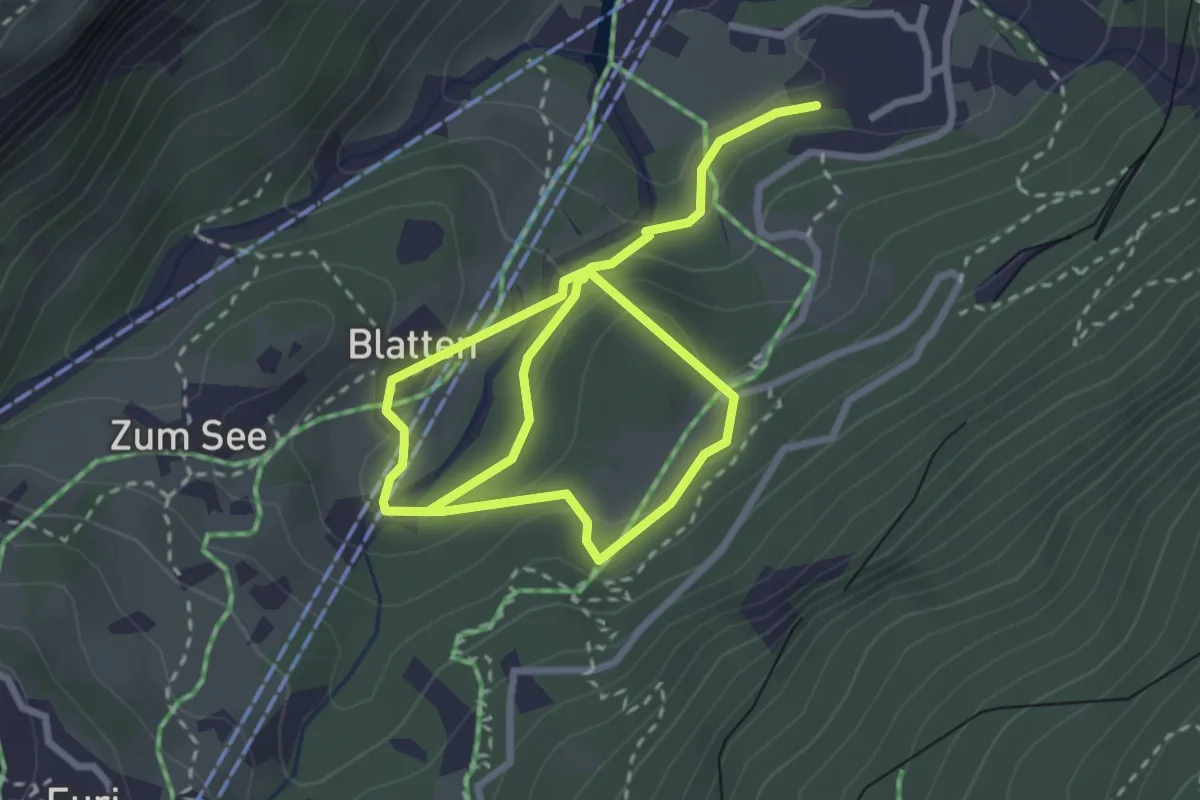
Medium · Trail
Zermatt – Blatten
4.7 km · ↑ 216 m · 1 h 35 min
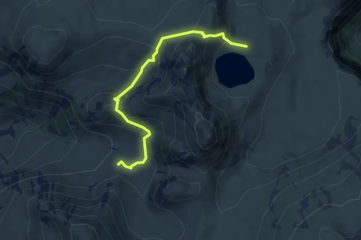
Medium · Trail
Seebergsee – Oberi Muntigli
4.4 km · ↑ 285 m · 1 h 40 min
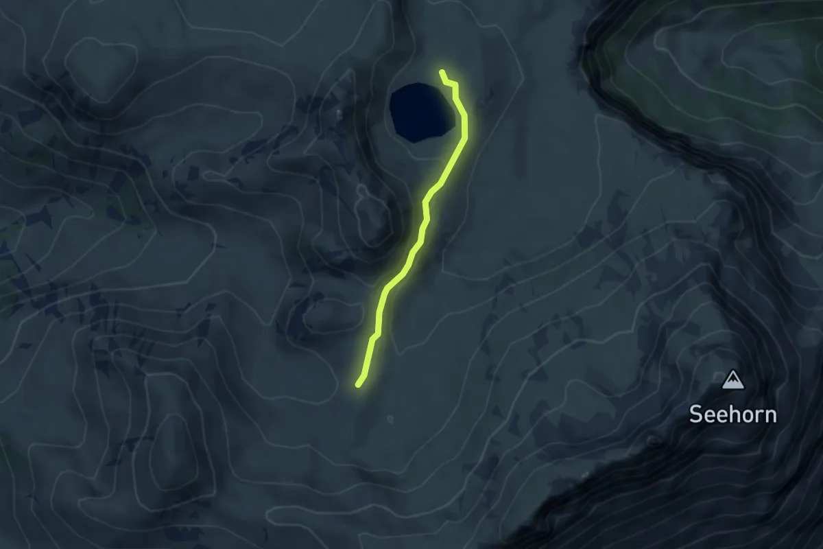
Easy · Cabin
Stierenseeberg – Seebergsee
3.1 km · ↑ 100 m · 57 min
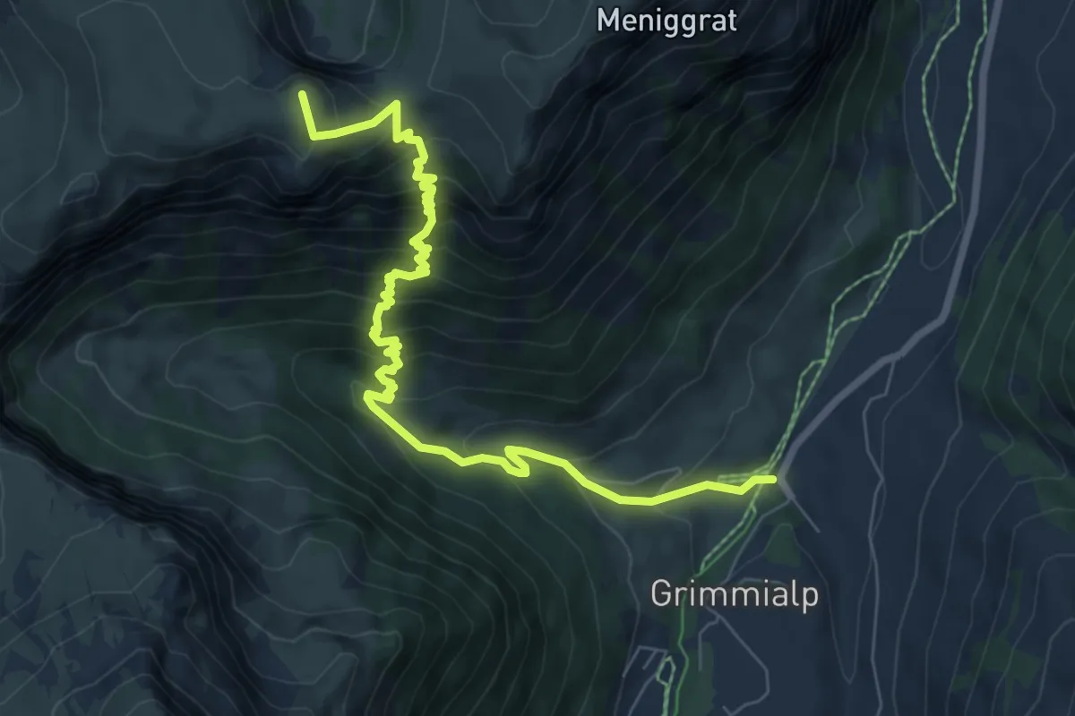
Medium · Summit
Seebergsee – Schwenden Fildrichbrücke
8.2 km · ↑ 772 m · 3 h 36 min
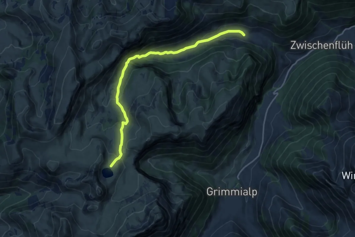
Medium · Trail
Meniggrund – Seebergsee
12.7 km · ↑ 582 m · 4 h 16 min
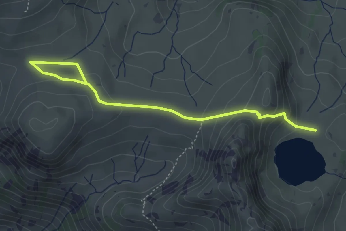
Medium · Trail
Seebergsee – Meiebergalp
4.3 km · ↑ 178 m · 1 h 25 min
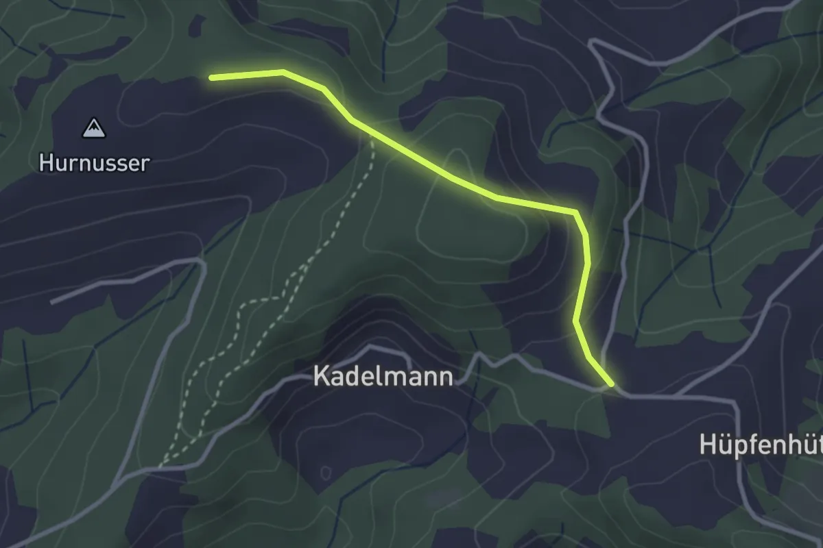
Easy · Trail
Hinter Scheidegg – Hüpfebode
2.6 km · ↑ 138 m · 55 min
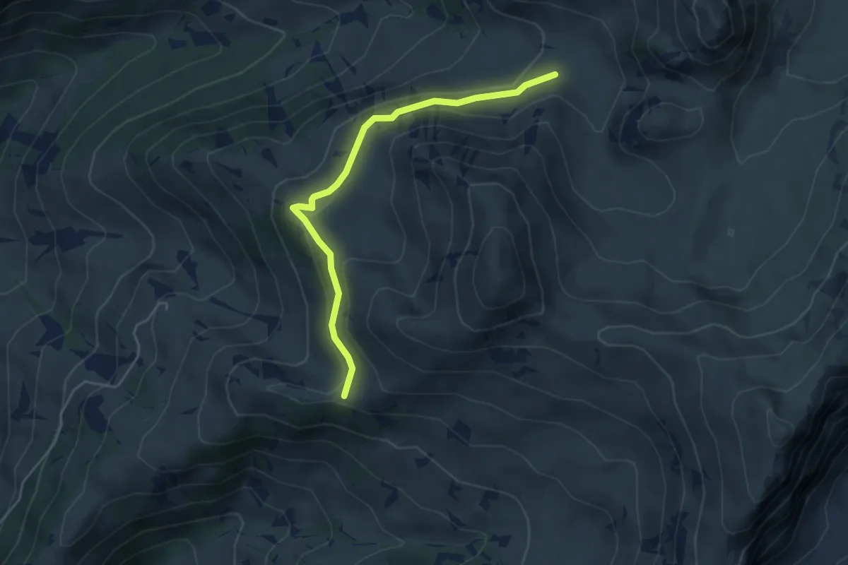
Easy · Trail
Obers Muntigli – Hinder-Chumi
4.4 km · ↑ 167 m · 1 h 24 min
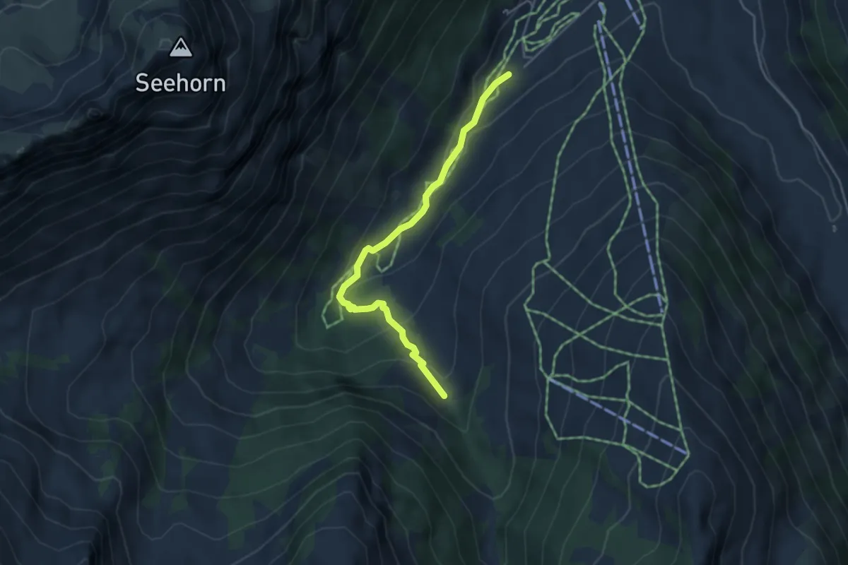
Easy · Trail
Blauseeli – Türli
3.9 km · ↑ 198 m · 1 h 21 min
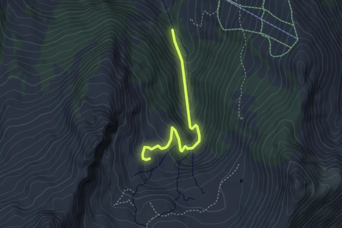
Easy · Trail
Nideggwald – Grimmi
3.5 km · ↑ 305 m · 1 h 29 min
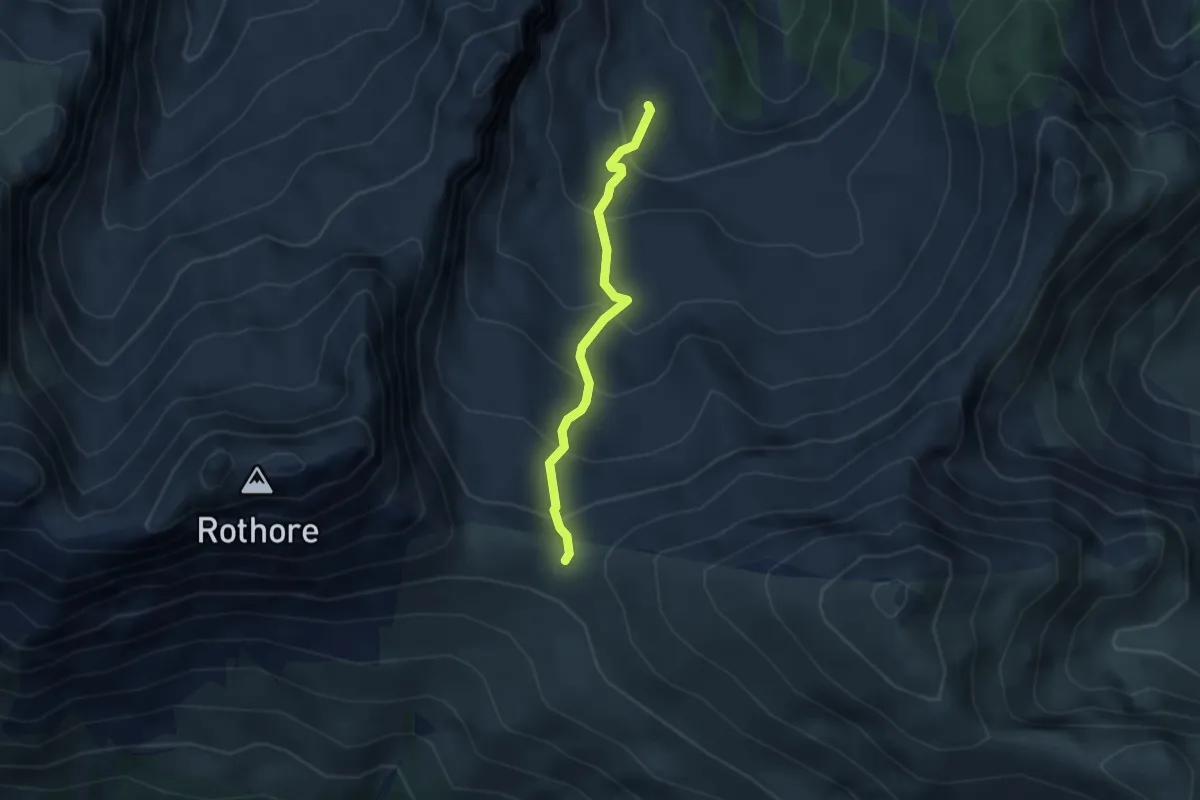
Demanding · Trail
Grimmi – Grimmifurggi
2.8 km · ↑ 293 m · 1 h 18 min
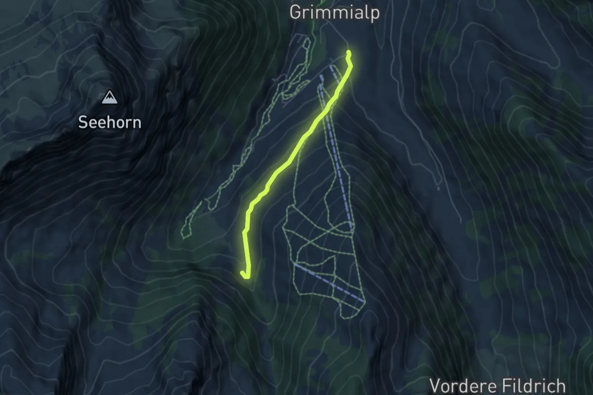
Easy · Trail
Türli – Egg
4.4 km · ↑ 244 m · 1 h 34 min
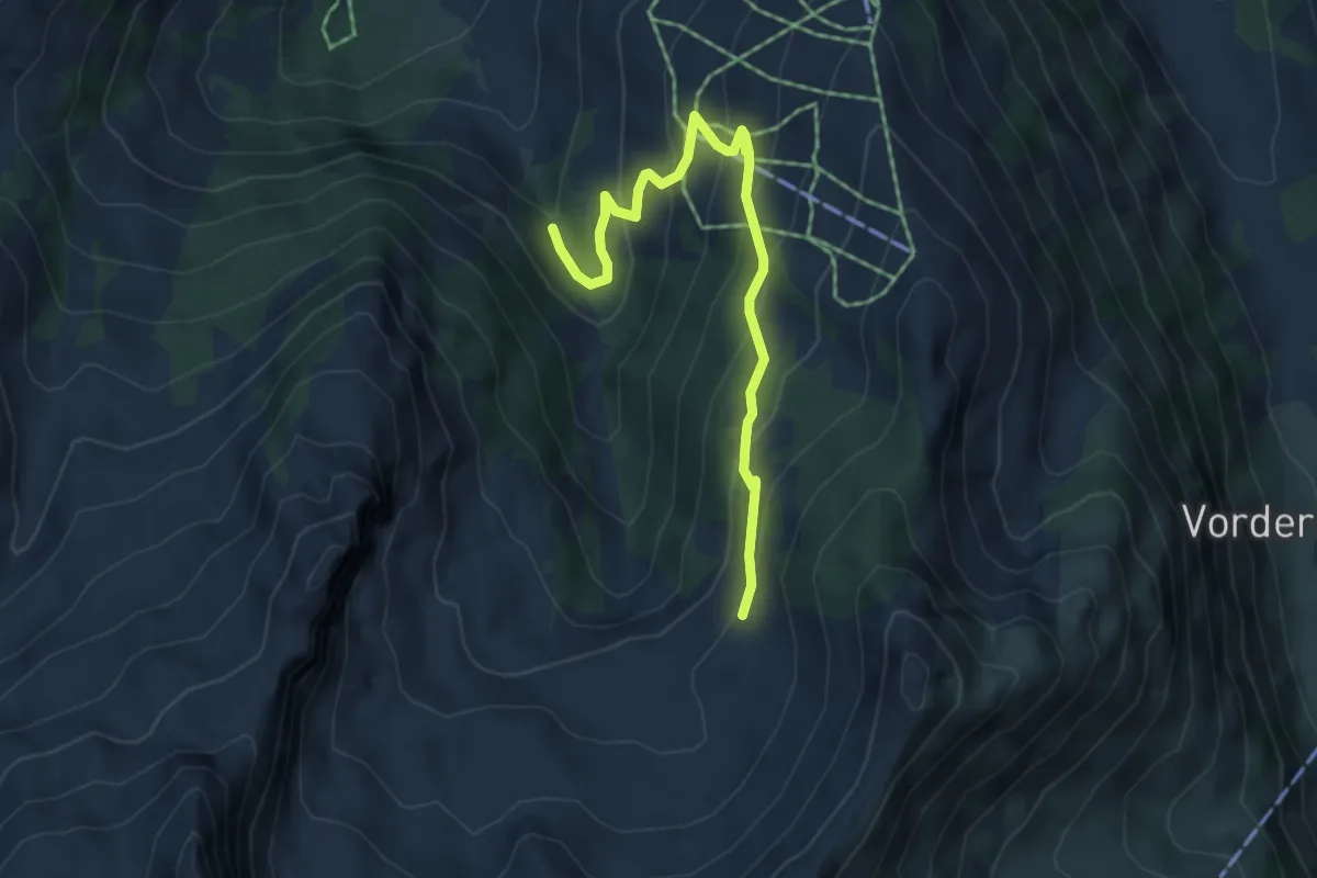
Medium · Trail
Nideggwald – Uelis Grimmi
5.0 km · ↑ 364 m · 1 h 58 min
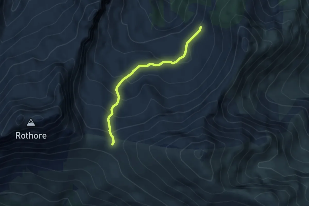
Demanding · Trail
Uelis Grimmi – Grimmifurggi
3.5 km · ↑ 230 m · 1 h 19 min
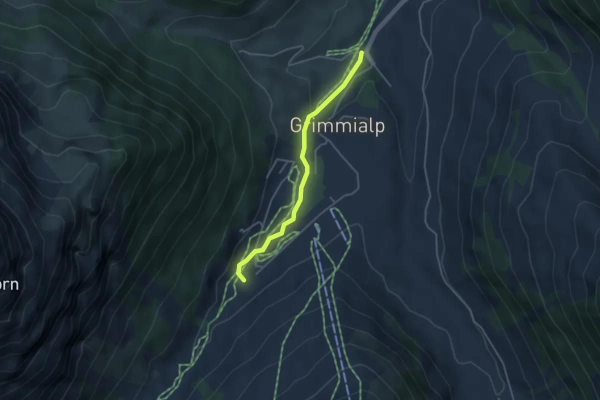
Easy · Trail
Schwenden Fildrichbrücke – Blauseeli
3.0 km · ↑ 68 m · 51 min