Trails in Switzerland
15,055 hiking trails, each with its route, climb, walking time and grade.
All trails, page 162 of 314
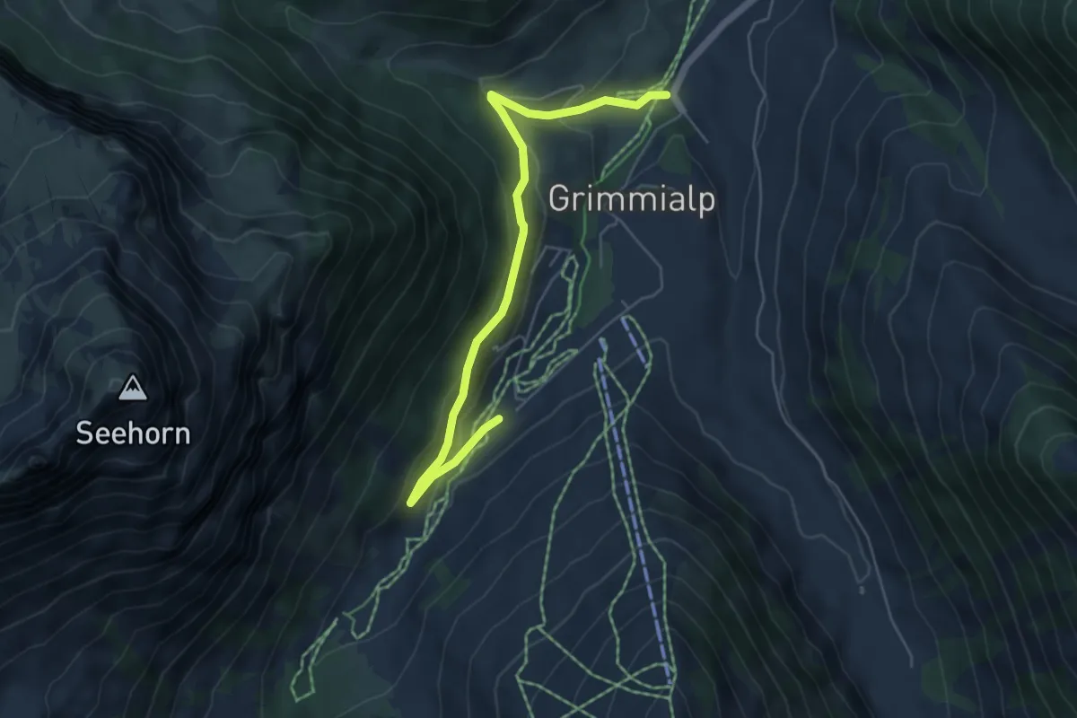
Easy · Trail
Blauseeli – Schwenden Fildrichbrücke
5.6 km · ↑ 204 m · 1 h 45 min
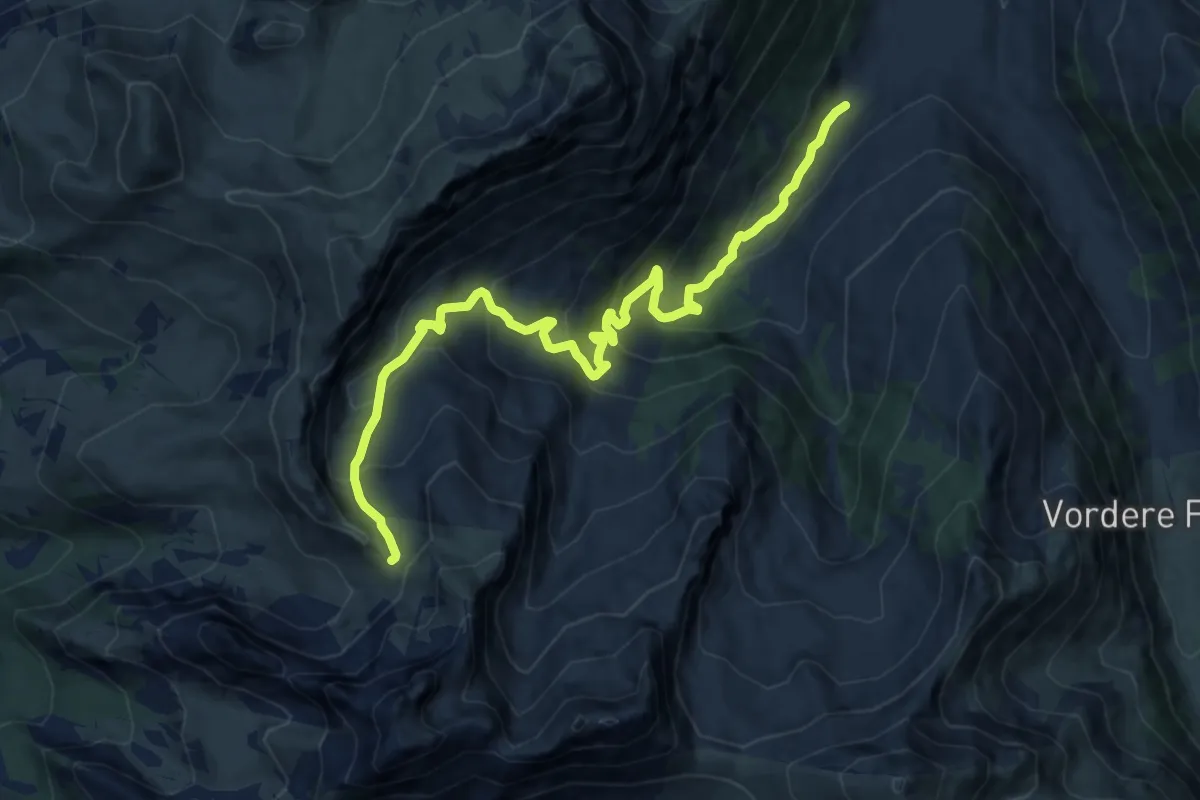
Demanding · Trail
Blauseeli – Scheidegg
12.3 km · ↑ 852 m · 4 h 45 min
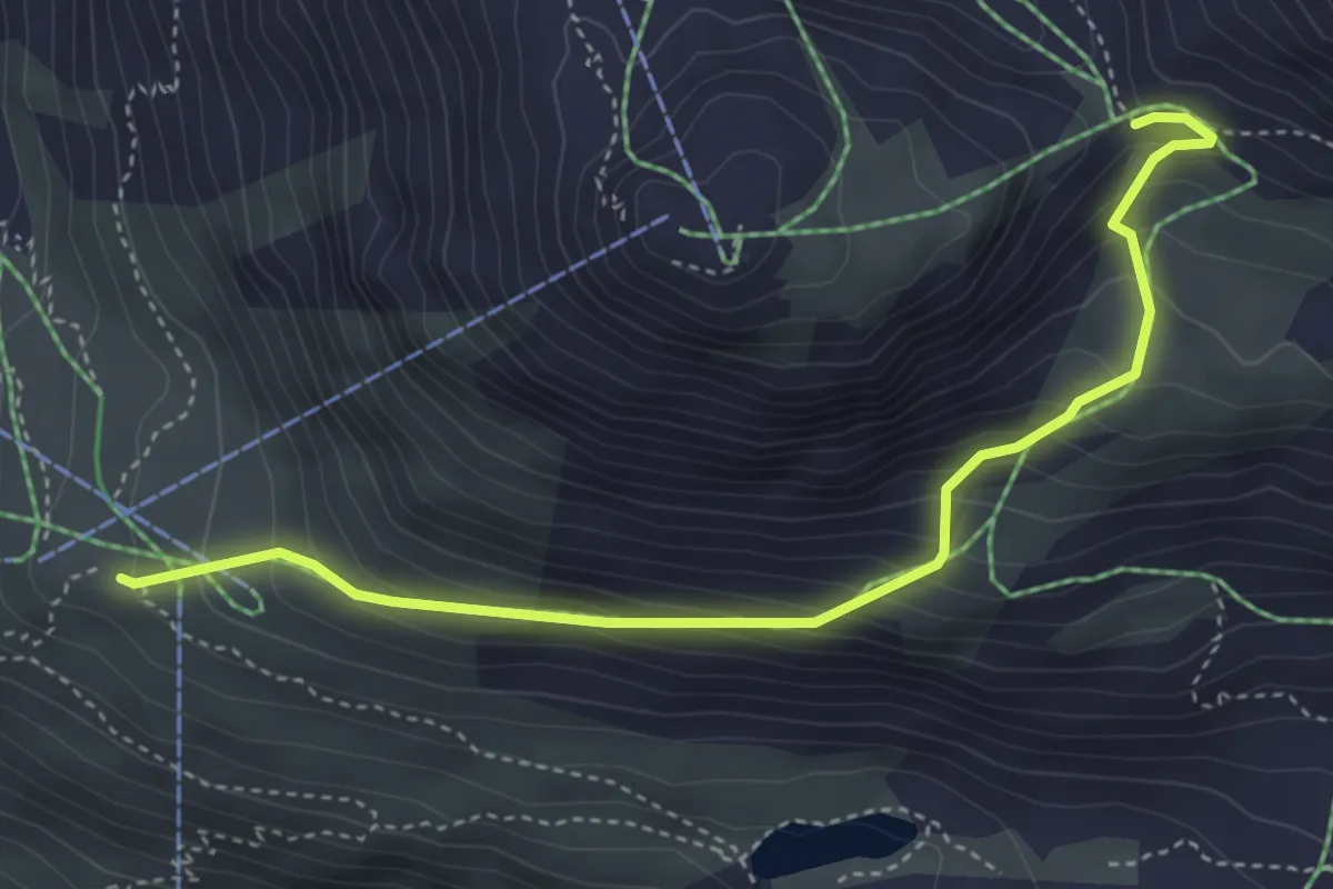
Medium · Trail
Blauherd – Furggji
4.4 km · ↑ 408 m · 1 h 55 min
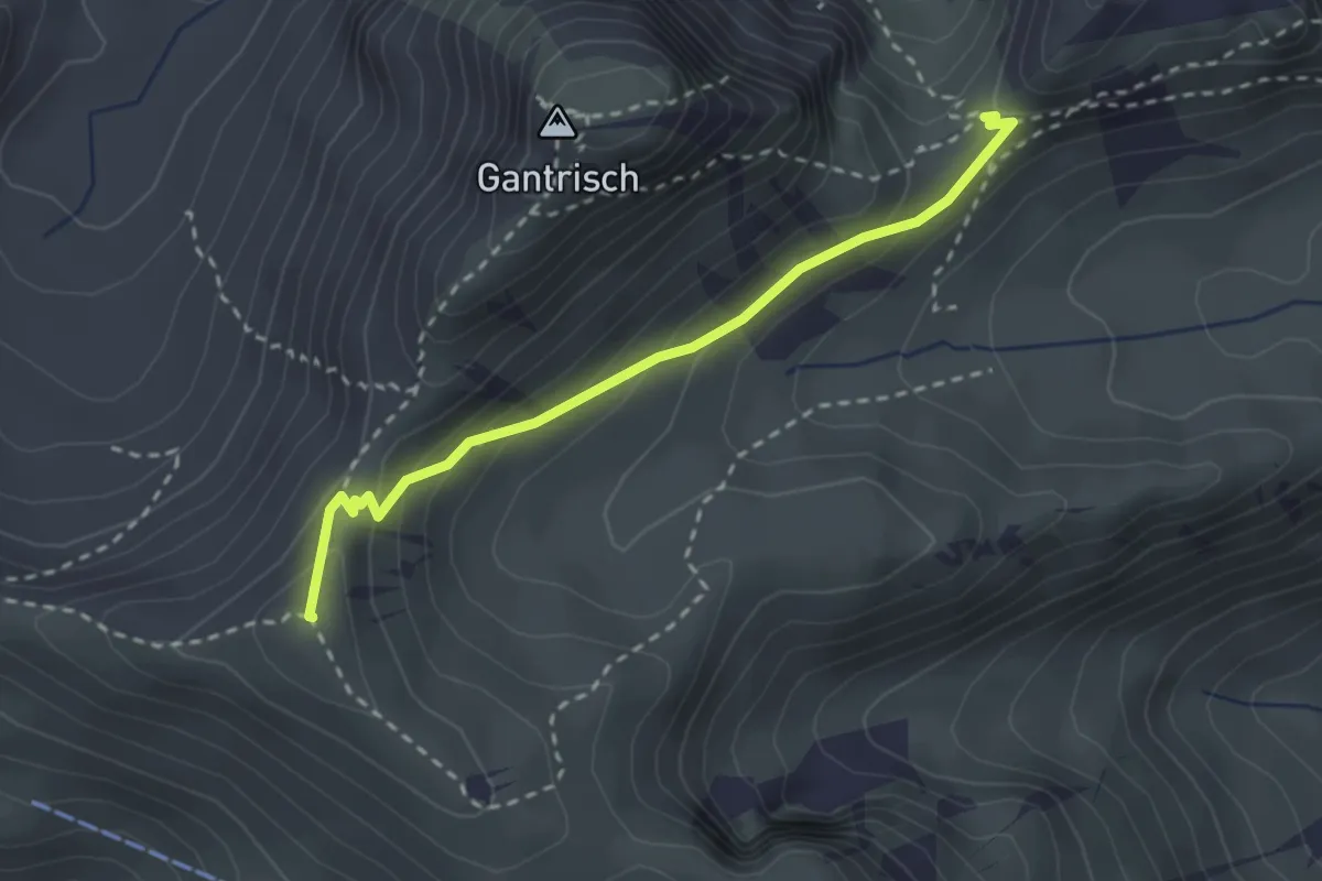
Medium · Summit
Schibespitz – Leiterenpass
2.6 km · ↑ 126 m · 53 min
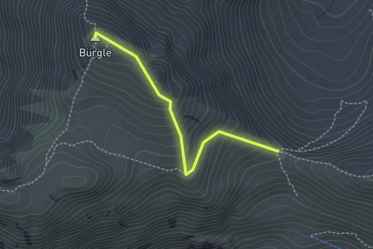
Medium · Summit
Morgetepass – Bürgle
2.0 km · ↑ 191 m · 54 min
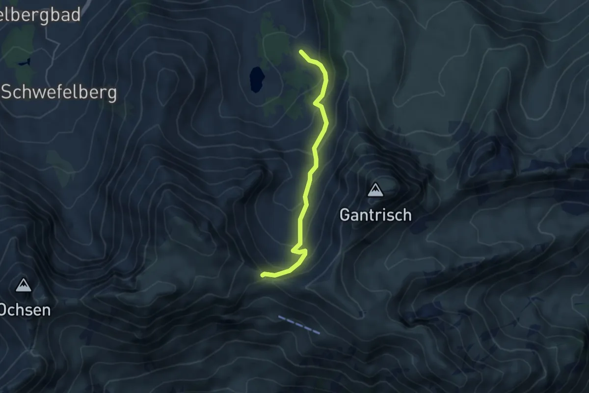
Medium · Trail
Morgetepass – Oberi Gantrischhütte
4.1 km · ↑ 323 m · 1 h 40 min
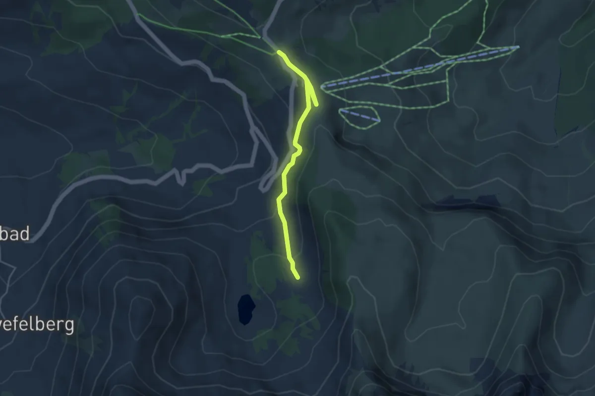
Easy · Trail
Oberi Gantrischhütte – Wasserscheidi
3.7 km · ↑ 152 m · 1 h 12 min
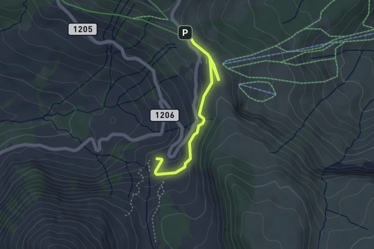
Easy · Cabin
Underi Gantrischhütte – Wasserscheidi
3.4 km · ↑ 108 m · 1 h 2 min
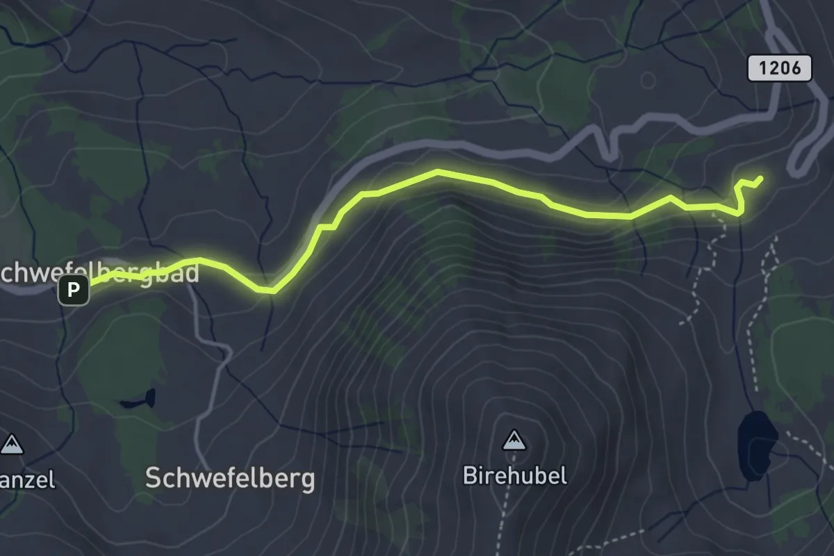
Easy · Cabin
Underi Gantrischhütte – Schwefelbergbad
4.2 km · ↑ 146 m · 1 h 19 min
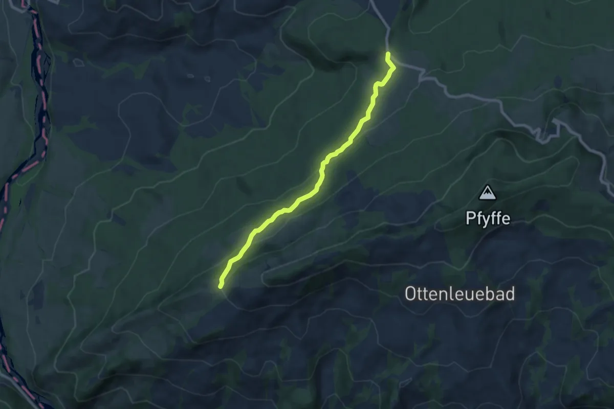
Easy · Trail
Underi Hällstett – Hinterm Grat
7.4 km · ↑ 311 m · 2 h 25 min
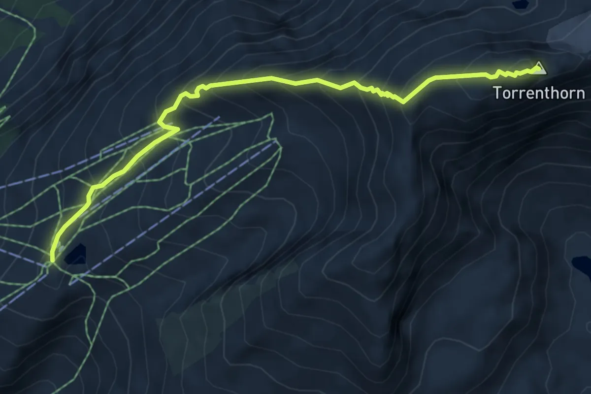
Demanding · Summit
Rinderhütte Bergstation – Torrenthorn
6.2 km · ↑ 679 m · 2 h 56 min
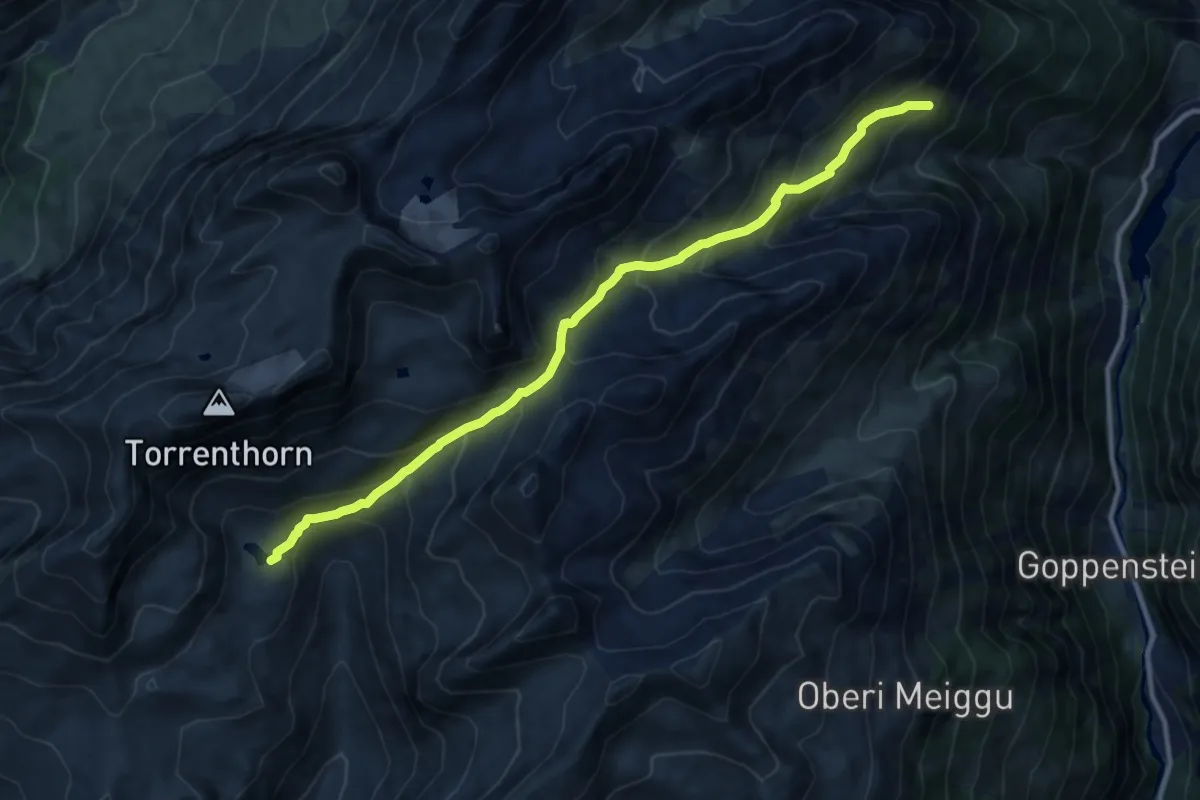
Demanding · Trail
Wysse See – Restialp
11.1 km · ↑ 878 m · 4 h 32 min
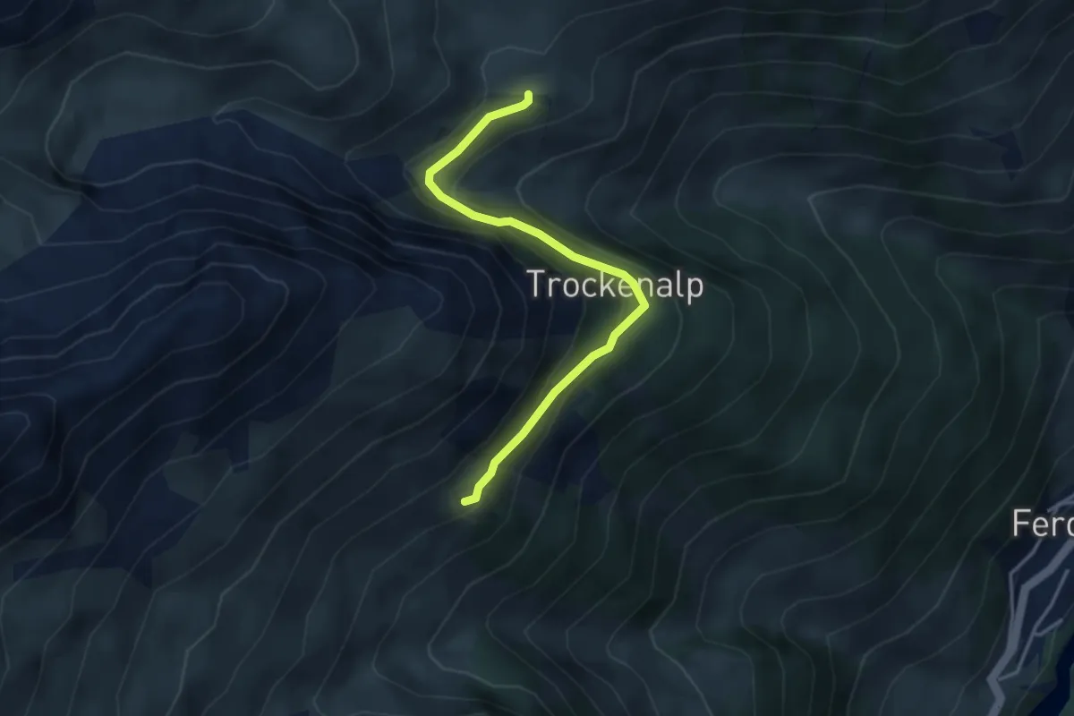
Easy · Trail
Restialp – Kummenalp
3.5 km · ↑ 259 m · 1 h 23 min
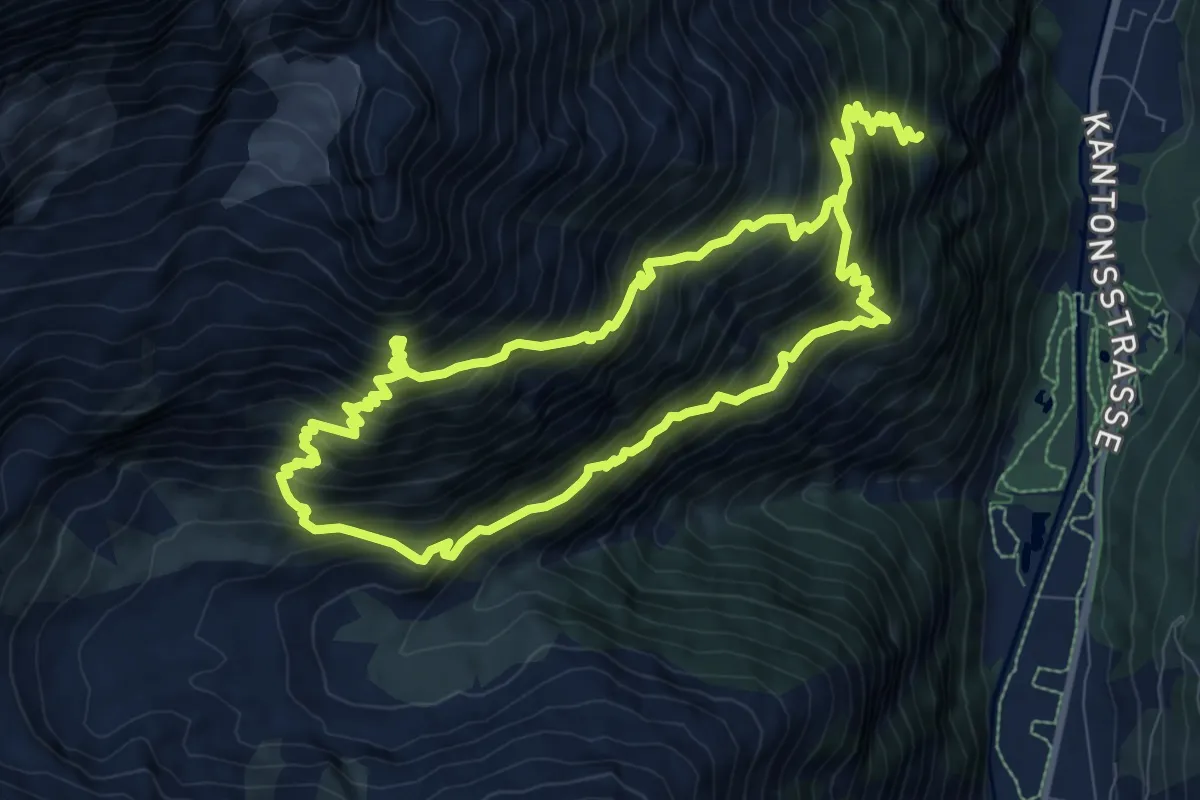
Demanding · Trail
Rötiboden – Weisshornhütte
8.9 km · ↑ 1037 m · 4 h 39 min
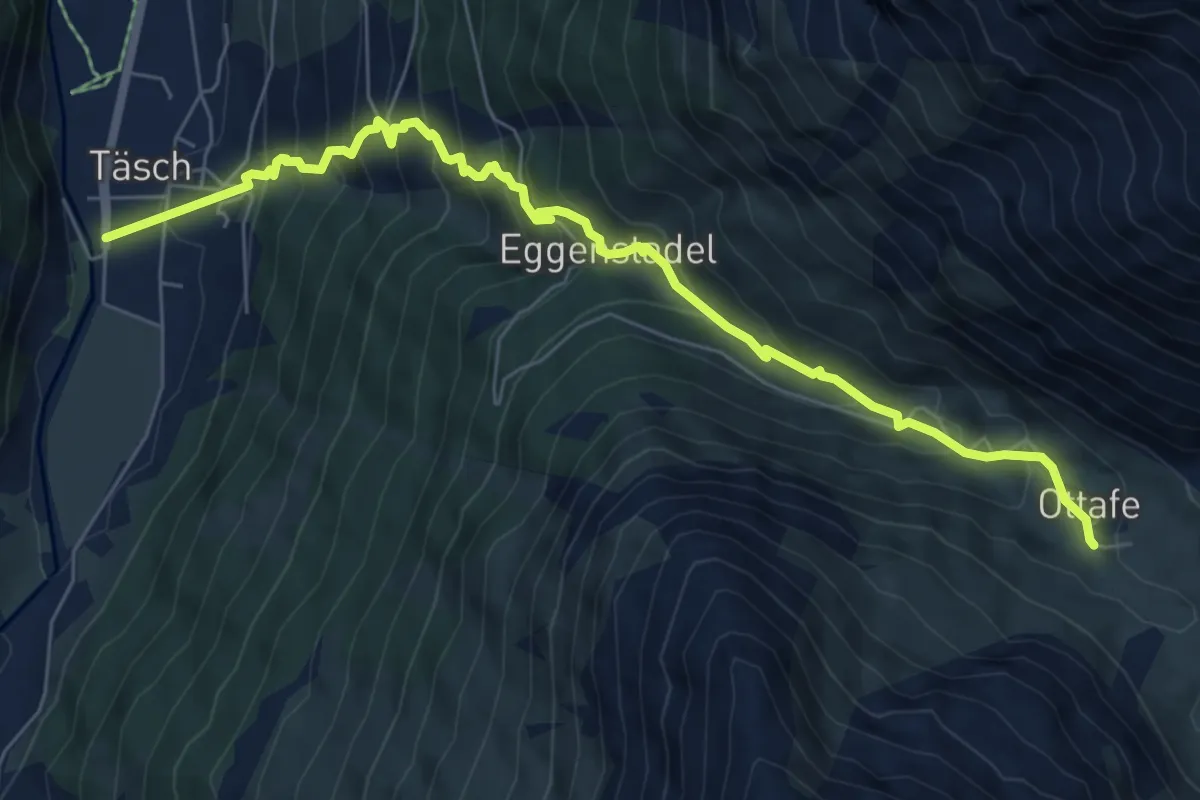
Medium · Trail
Taesch – Otaffe
7.7 km · ↑ 774 m · 3 h 30 min
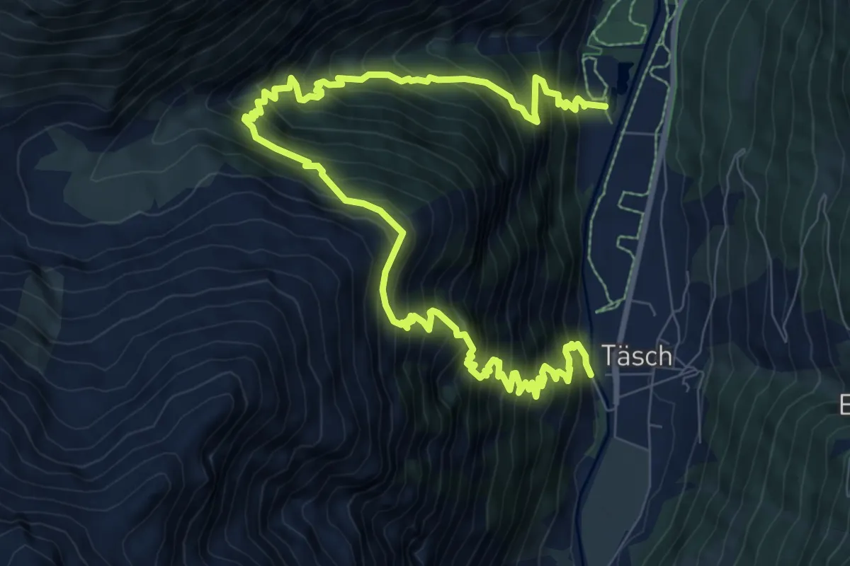
Demanding · Trail
Taesch – Arigscheis
13.3 km · ↑ 1717 m · 6 h 51 min
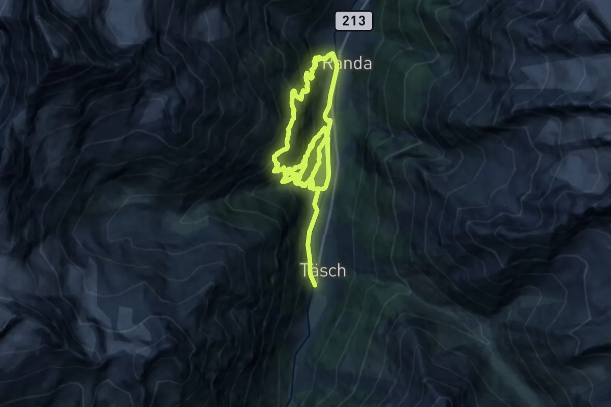
Demanding · Trail
Tasch – Randa
12.9 km · ↑ 1239 m · 5 h 48 min
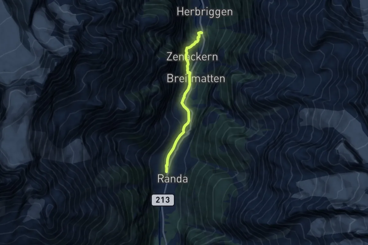
Medium · Trail
Randa – Herrbrigen
8.1 km · ↑ 383 m · 2 h 44 min
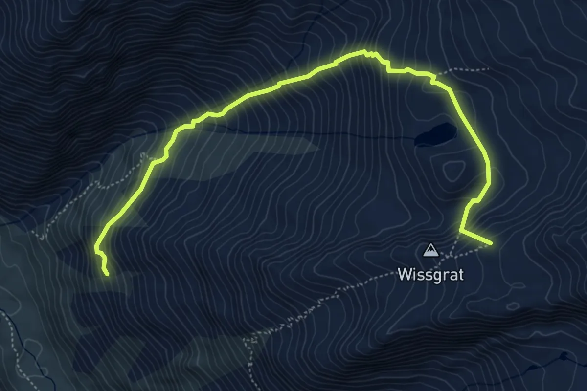
Expert · Summit
Ottawe – Wissgrat
6.3 km · ↑ 854 m · 3 h 20 min
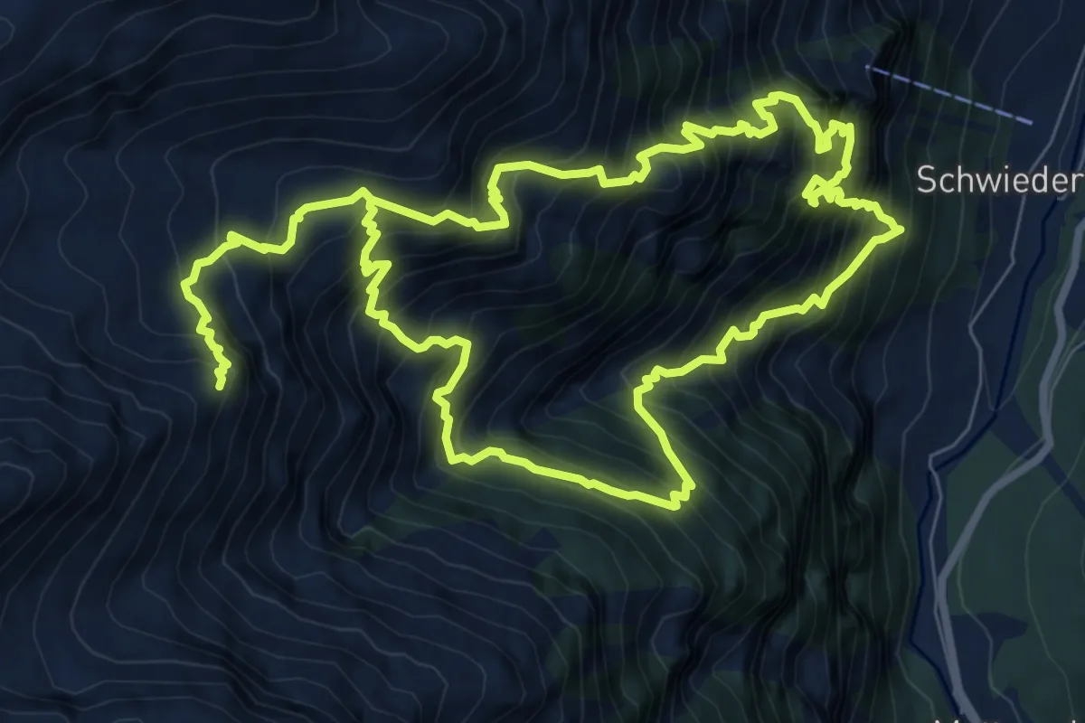
Expert · Cabin
Schwiedernen – Topalihütte
8.2 km · ↑ 1437 m · 5 h 3 min
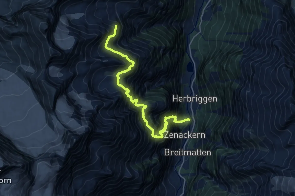
Expert · Cabin
Herrbigen – Topalihütte
8.5 km · ↑ 1915 m · 5 h 34 min
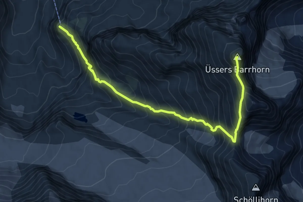
Expert · Summit
Turtmannhütte – Üssers Barrhorn
10.0 km · ↑ 1171 m · 4 h 53 min
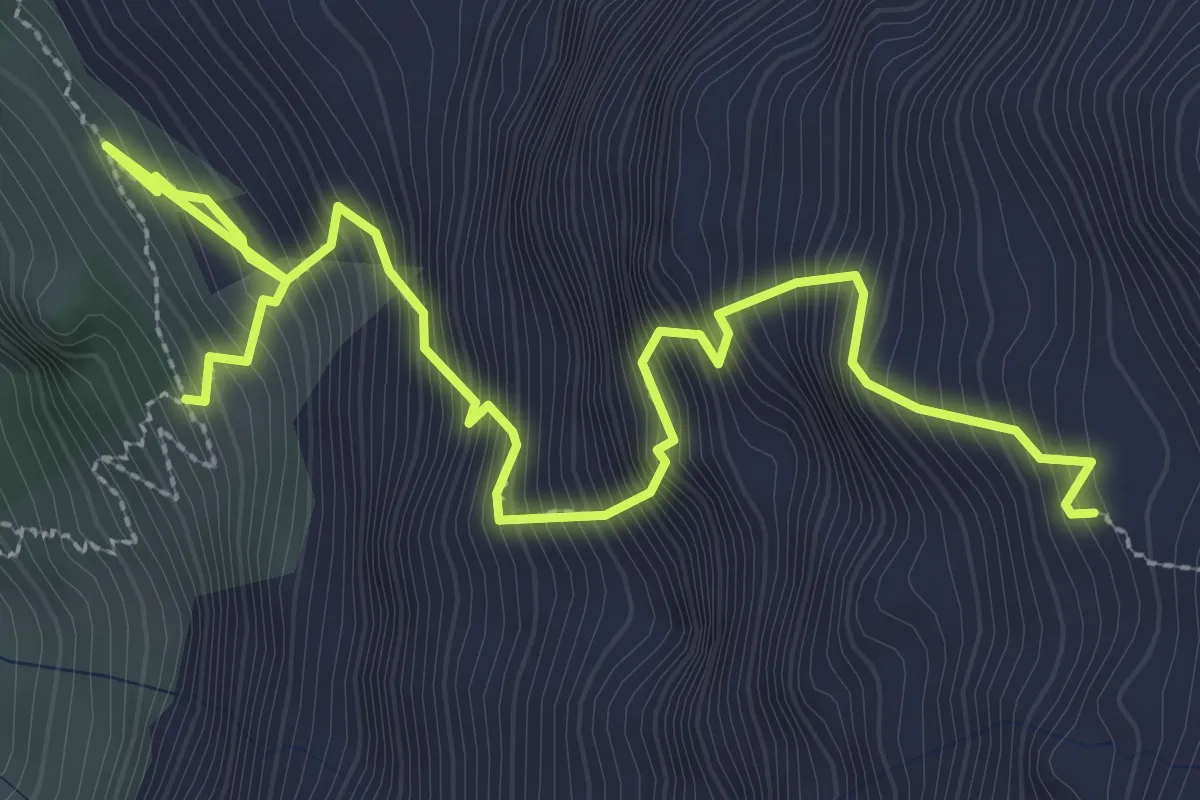
Expert · Cabin
Europahütte – Domhütte
4.2 km · ↑ 815 m · 2 h 45 min
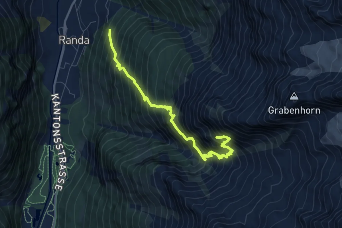
Demanding · Cabin
Randa – Kinhütte
8.3 km · ↑ 1230 m · 4 h 37 min
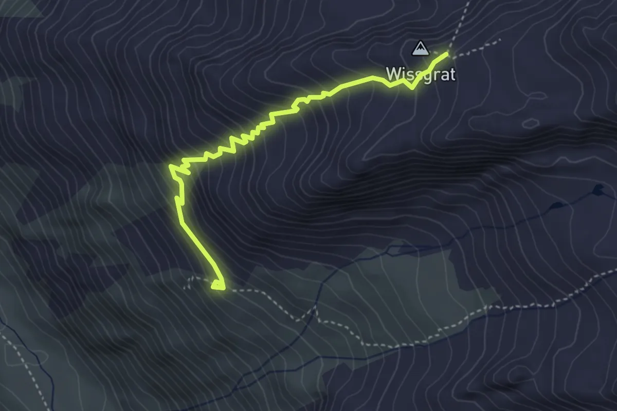
Demanding · Cabin
Täschhütte – Wissgrat
4.0 km · ↑ 461 m · 1 h 56 min
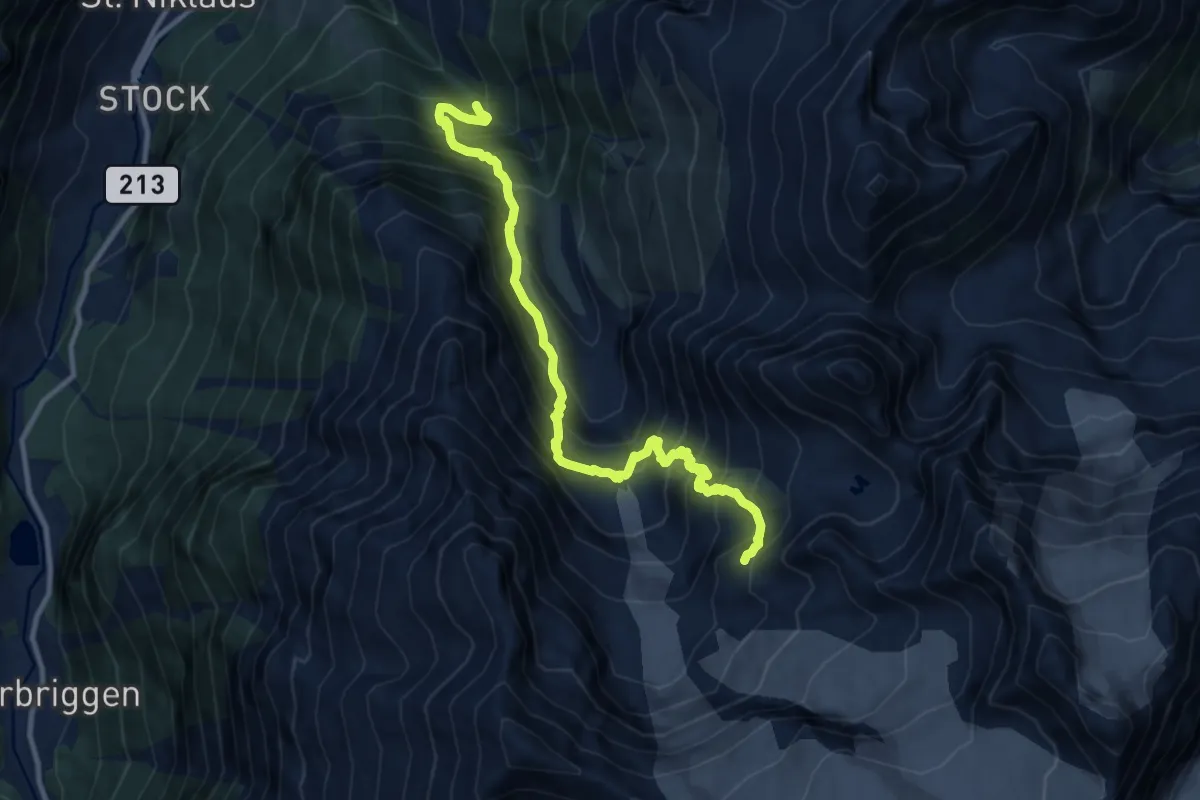
Expert · Cabin
Gasenried – Bordierhütte
11.4 km · ↑ 1404 m · 5 h 44 min
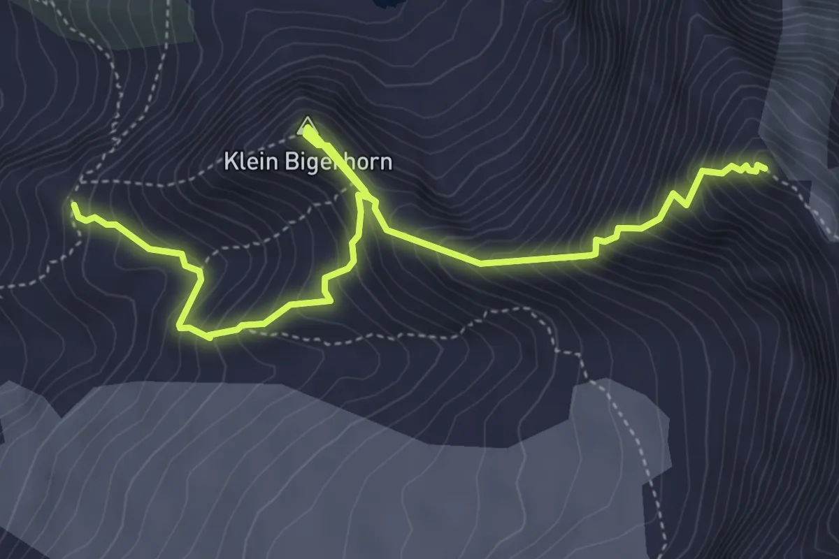
Expert · Summit
Bordierhütte – Gross Bigerhorn
5.6 km · ↑ 762 m · 2 h 58 min
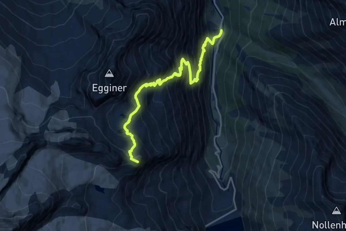
Expert · Summit
Zermaiggern – Britanniahütte
12.0 km · ↑ 1406 m · 5 h 53 min
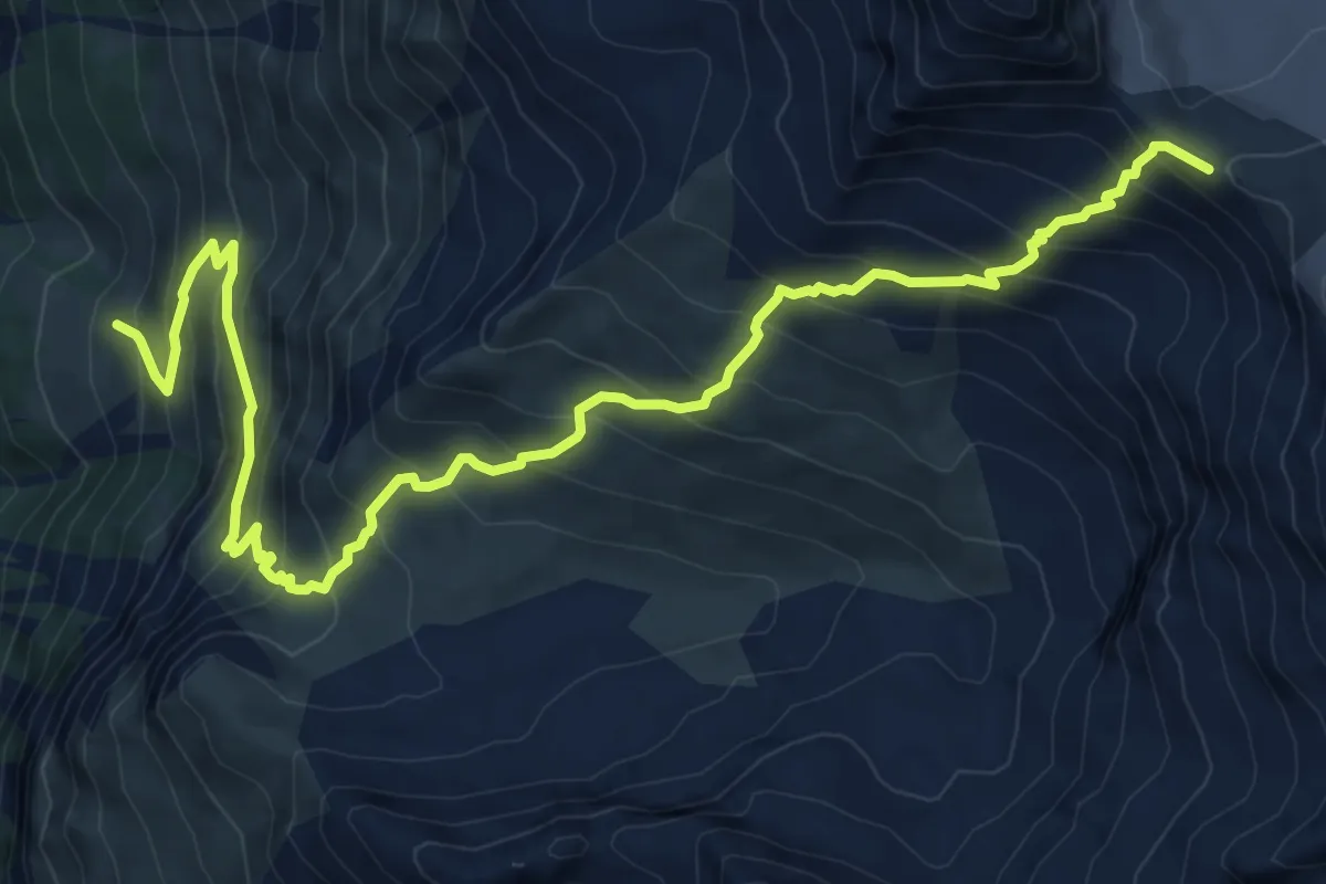
Demanding · Cabin
Zinal – Tracuit Hut
10.6 km · ↑ 1202 m · 5 h 7 min
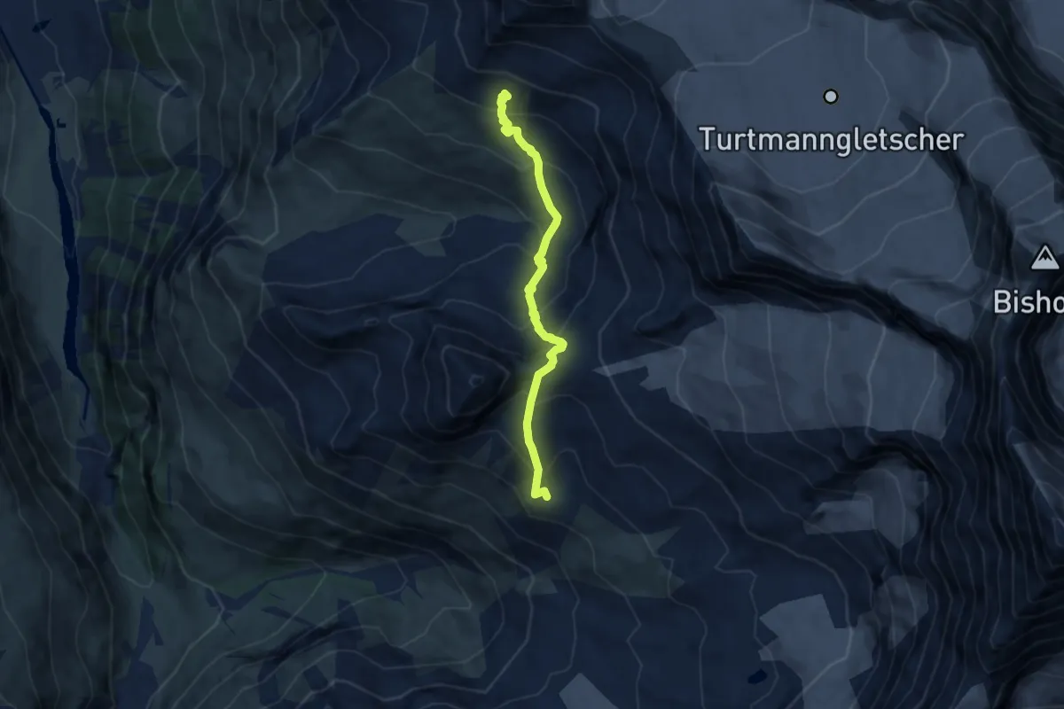
Demanding · Trail
Tracuit Hut – Cabane Arpitettaz
6.9 km · ↑ 671 m · 3 h 4 min
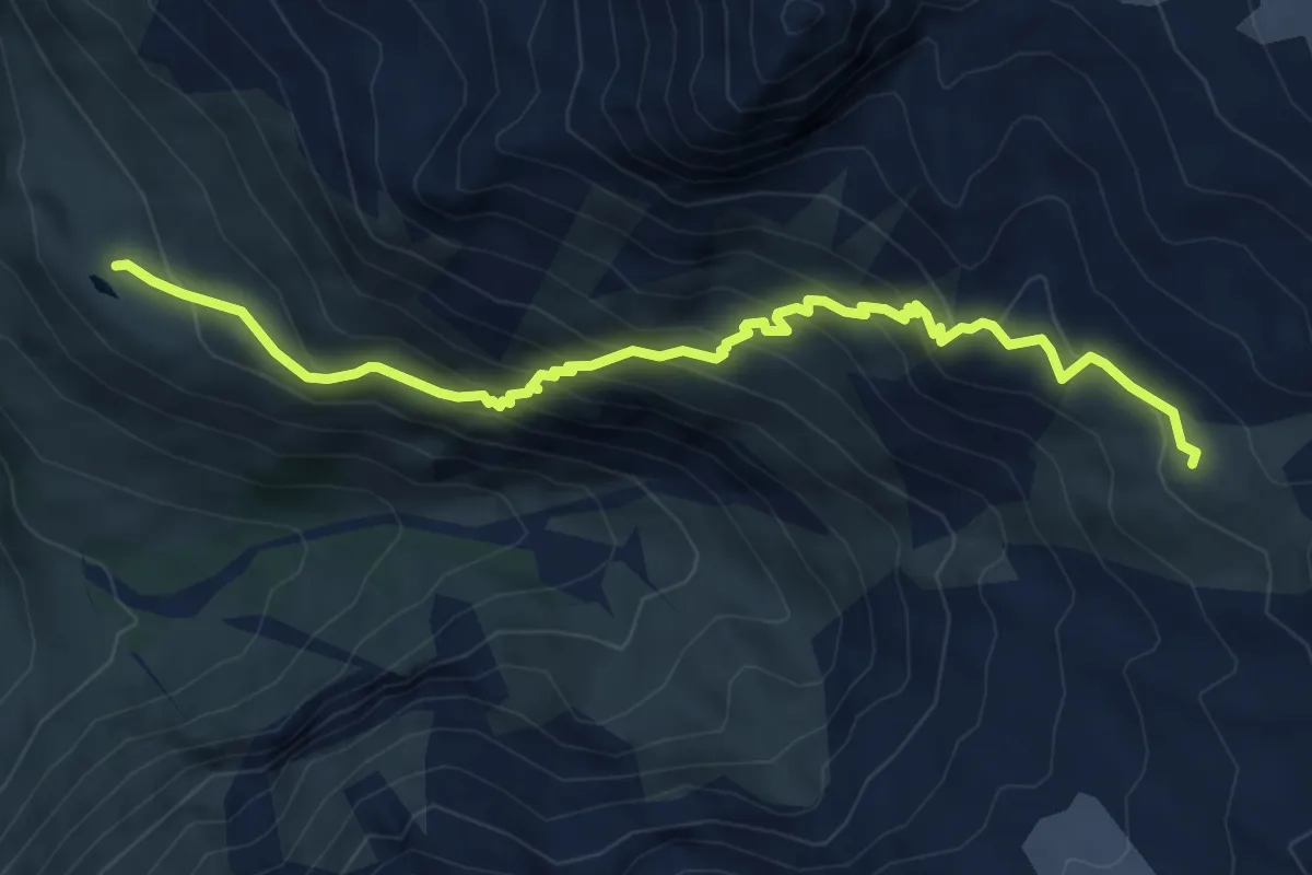
Demanding · Cabin
Lac Arpitettaz – Cabane Arpitettaz
7.2 km · ↑ 599 m · 2 h 59 min
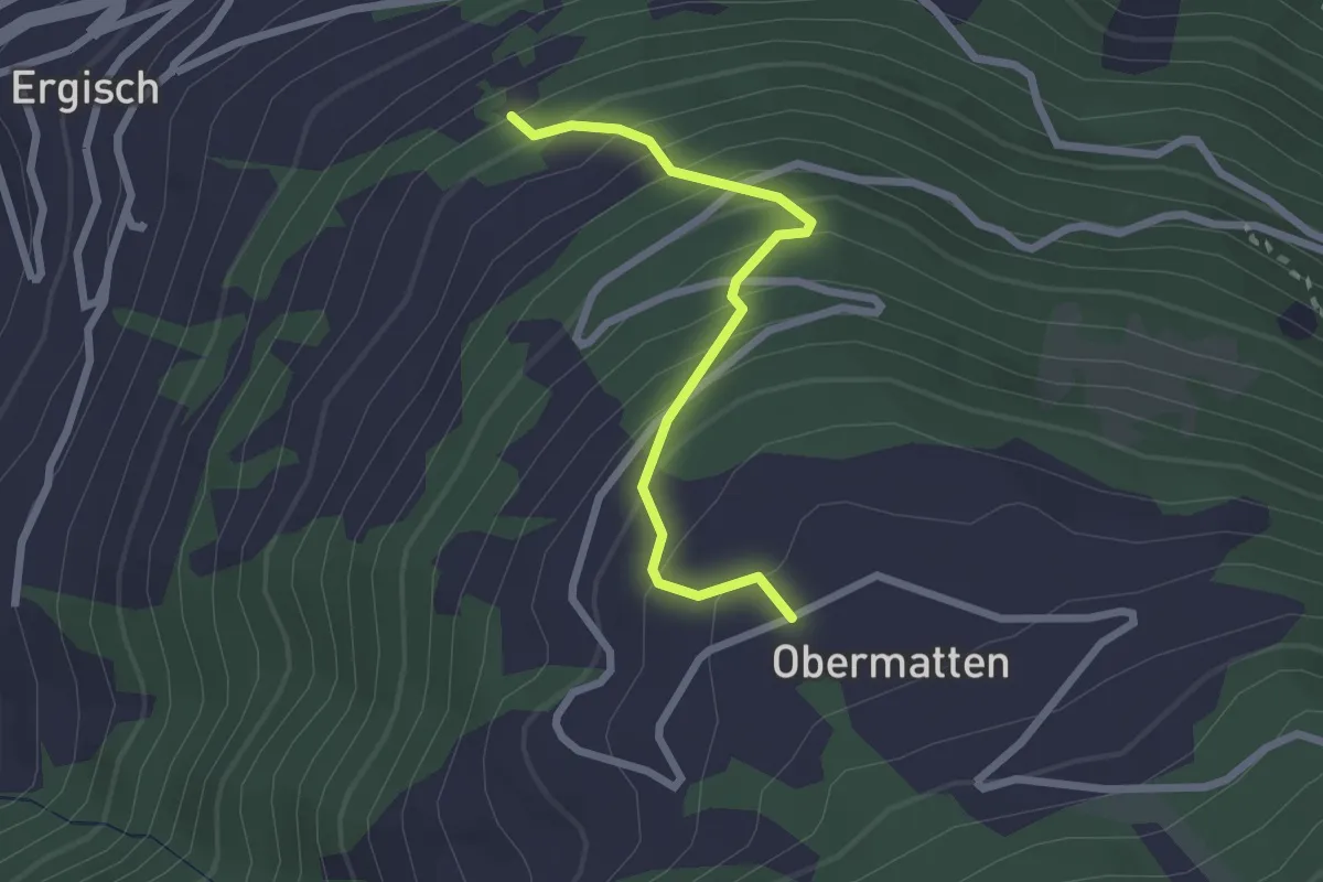
Easy · Trail
Zwischenmatten – Obermatten
2.3 km · ↑ 270 m · 1 h 7 min
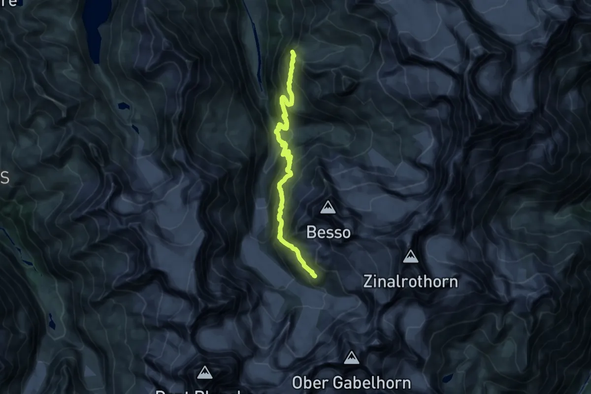
Demanding · Summit
Tracuit Hut – Grand Mountet Hut
19.9 km · ↑ 1894 m · 8 h 48 min
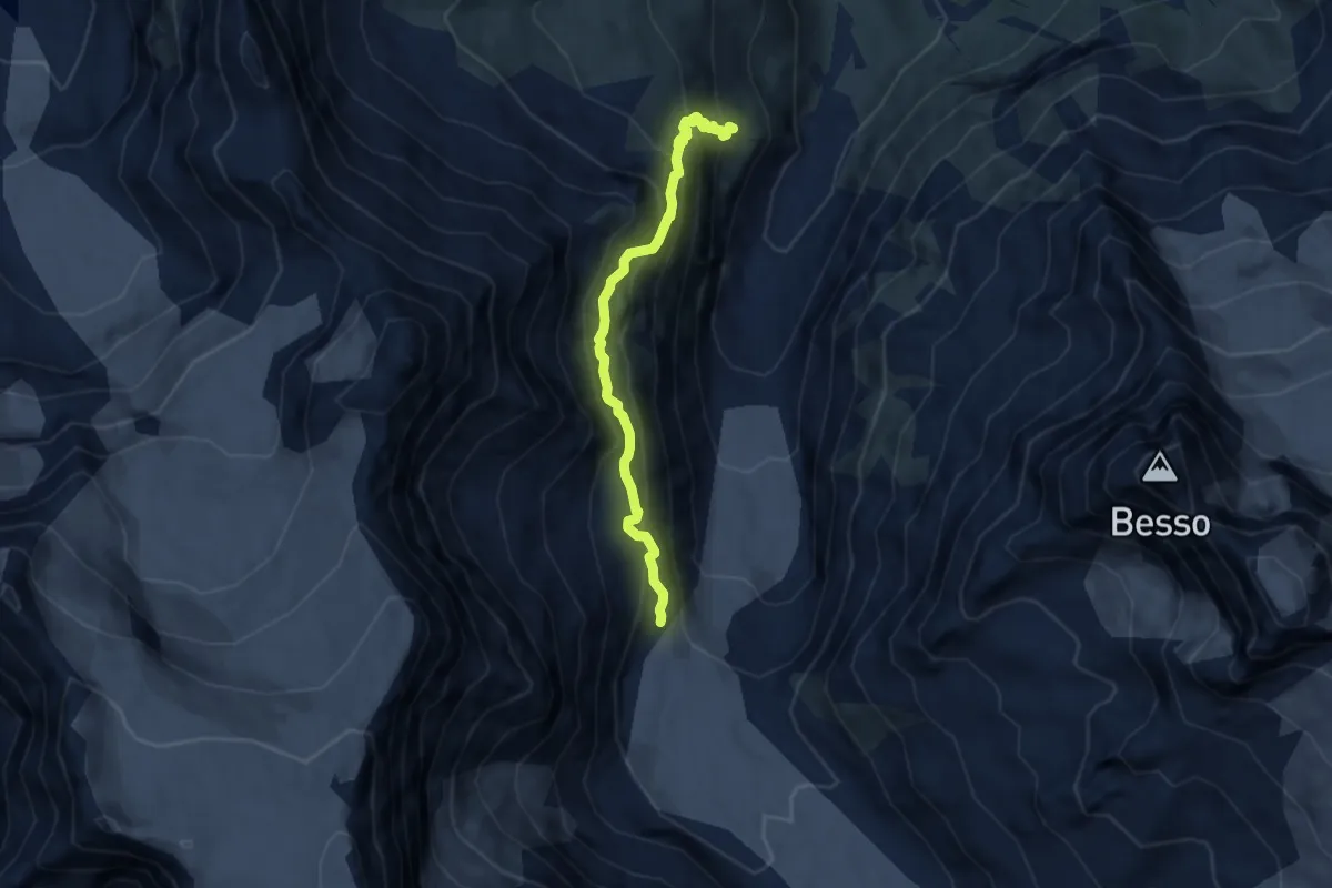
Medium · Cabin
Cabane du Petit Mountet – Grand Mountet Hut
6.6 km · ↑ 654 m · 2 h 59 min
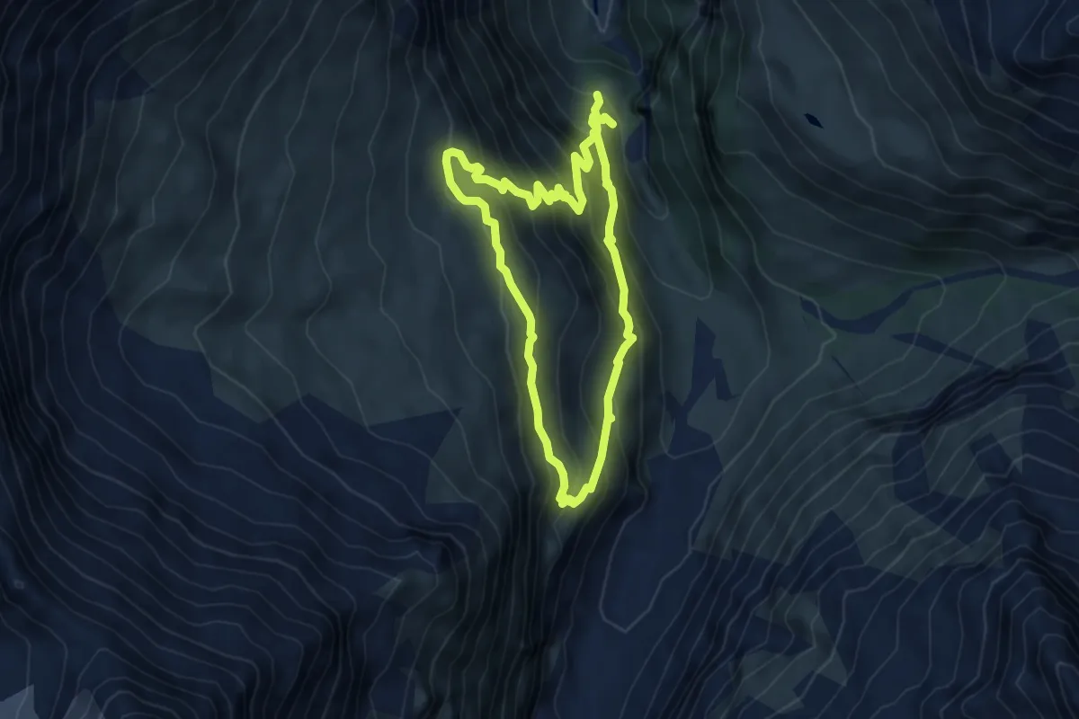
Medium · Trail
Le Vichiesso – Cabane du Petit Mountet
4.9 km · ↑ 431 m · 2 h 11 min
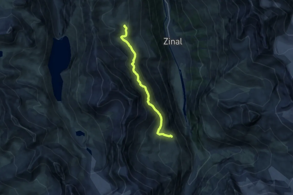
Demanding · Trail
Sorebois – Cabane du Petit Mountet
11.4 km · ↑ 822 m · 4 h 28 min
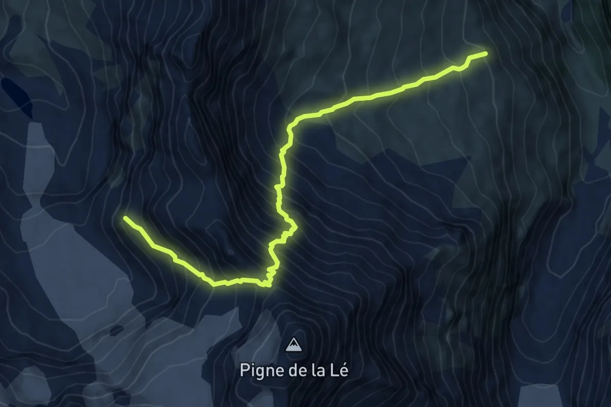
Expert · Cabin
Cabane du Petit Mountet – Cabane de Moiry
8.7 km · ↑ 1196 m · 4 h 39 min
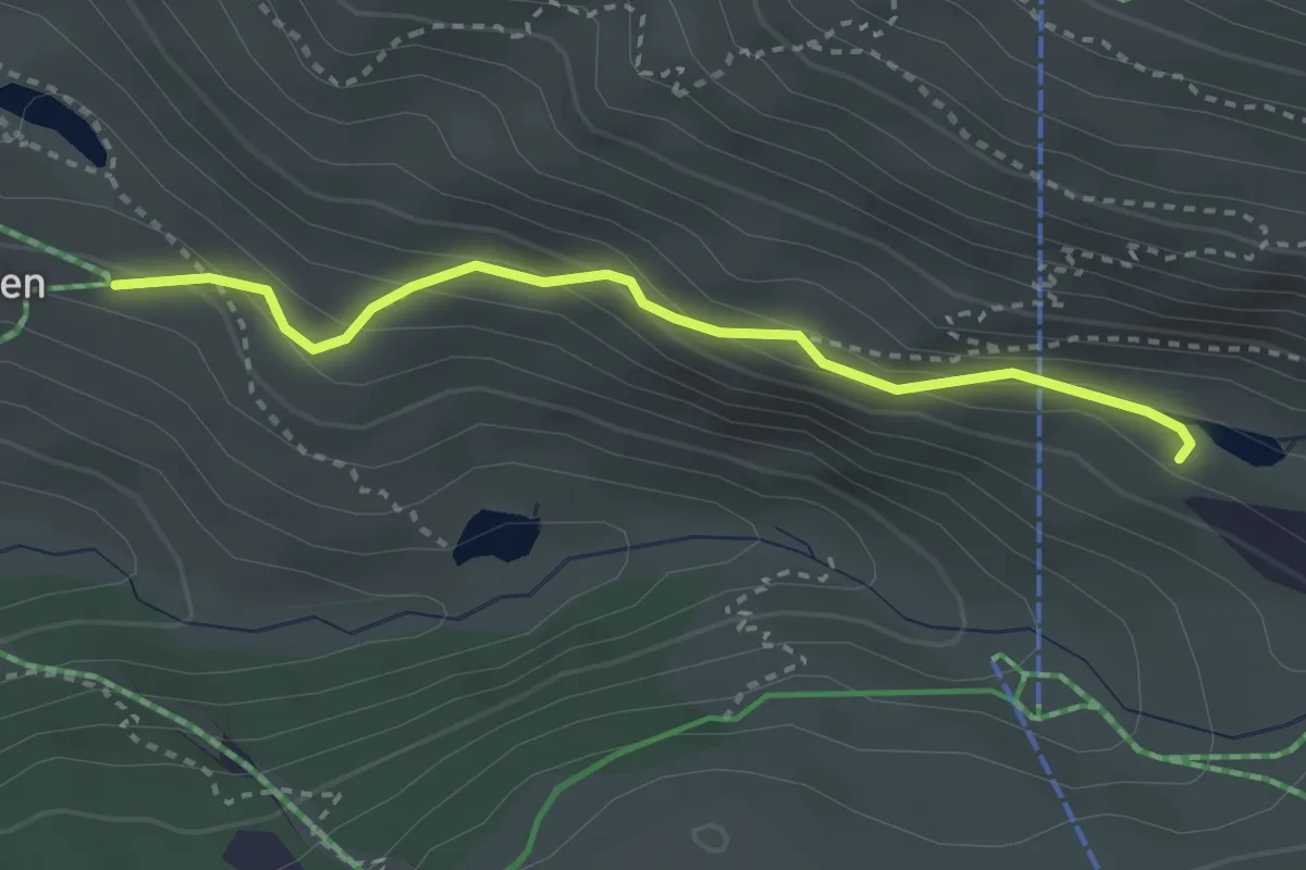
Medium · Trail
Grindjesee – Eggen
3.0 km · ↑ 197 m · 1 h 8 min
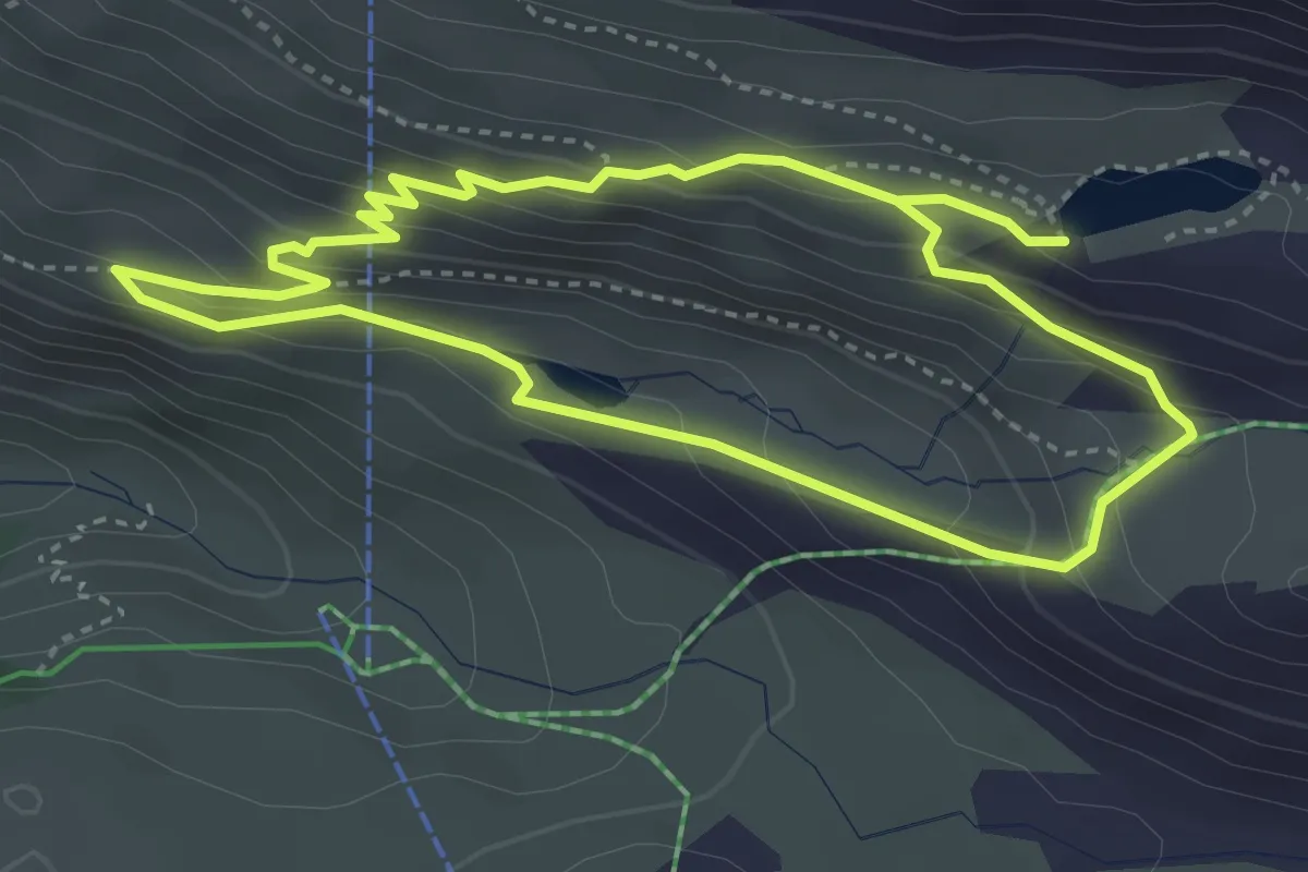
Medium · Trail
Stellisee – Grindjesee
3.5 km · ↑ 234 m · 1 h 23 min
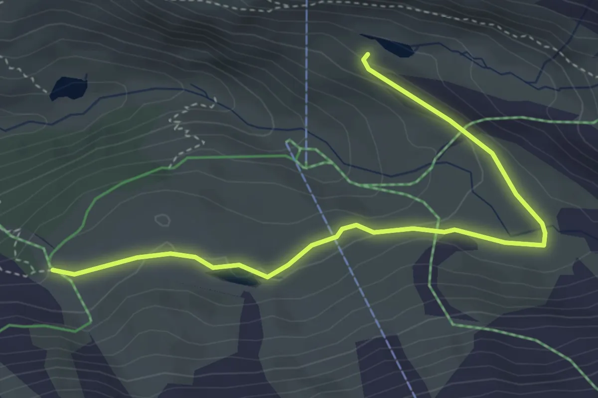
Medium · Cabin
Grindjesee – Grunsee
4.5 km · ↑ 102 m · 1 h 17 min
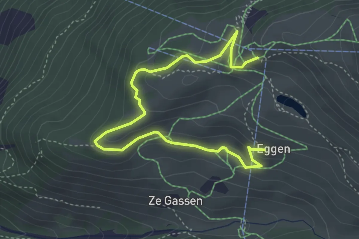
Medium · Trail
Eggen – Sunnegga
4.8 km · ↑ 204 m · 1 h 35 min
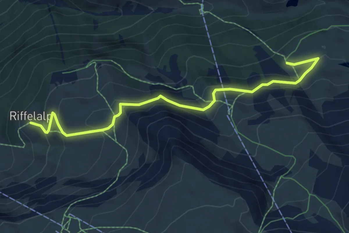
Medium · Cabin
Ze Seewjinnen – Riffelberg
6.9 km · ↑ 332 m · 2 h 21 min
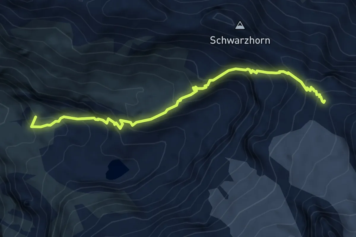
Demanding · Summit
Ober Bergli – Blüemlisalphütte
6.6 km · ↑ 814 m · 3 h 19 min
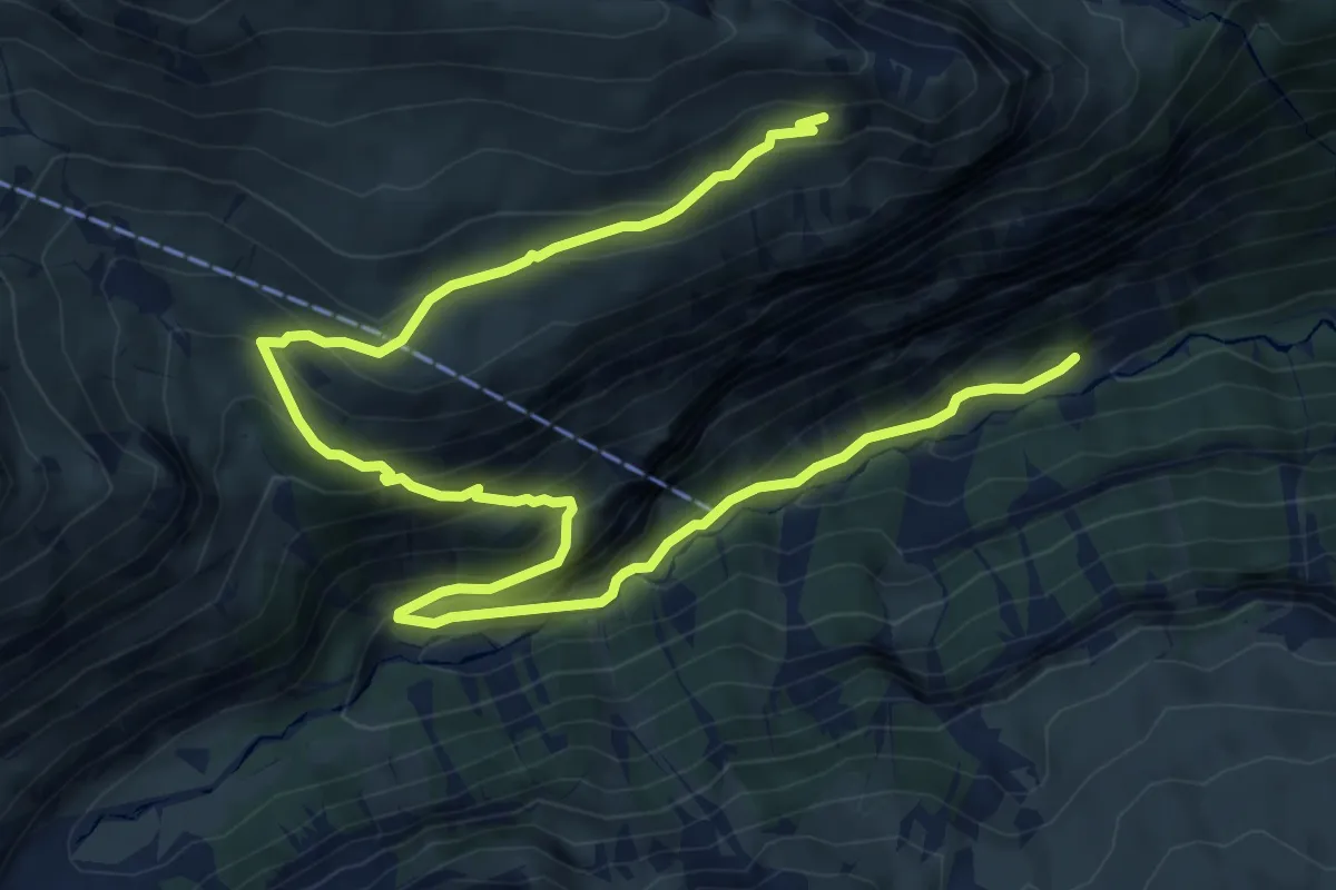
Medium · Trail
Im Tal – Rotstockhütte
10.3 km · ↑ 796 m · 4 h 10 min
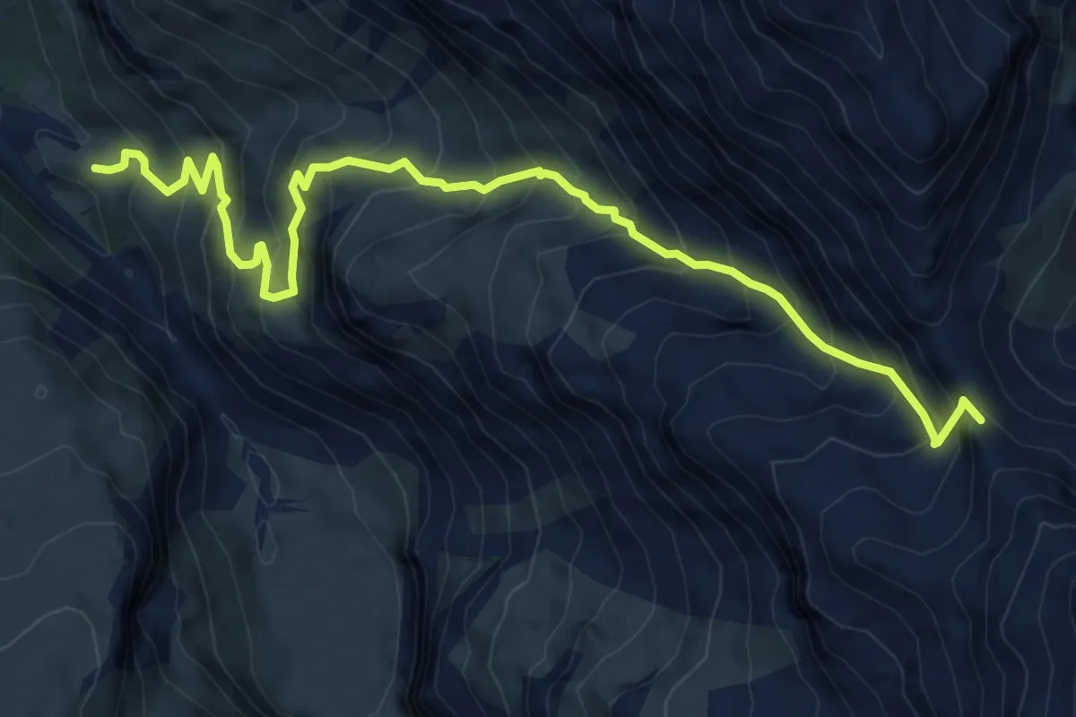
Demanding · Trail
Burgli – Sefinenfurgge
8.4 km · ↑ 968 m · 4 h 5 min
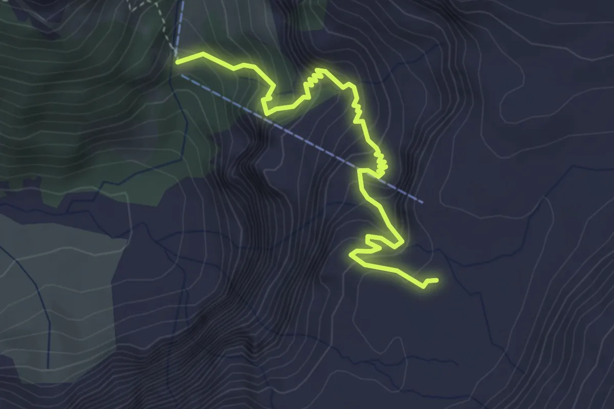
Medium · Trail
Glütschnessli – Alpwirtschaft Hohkien
4.1 km · ↑ 486 m · 2 h 1 min
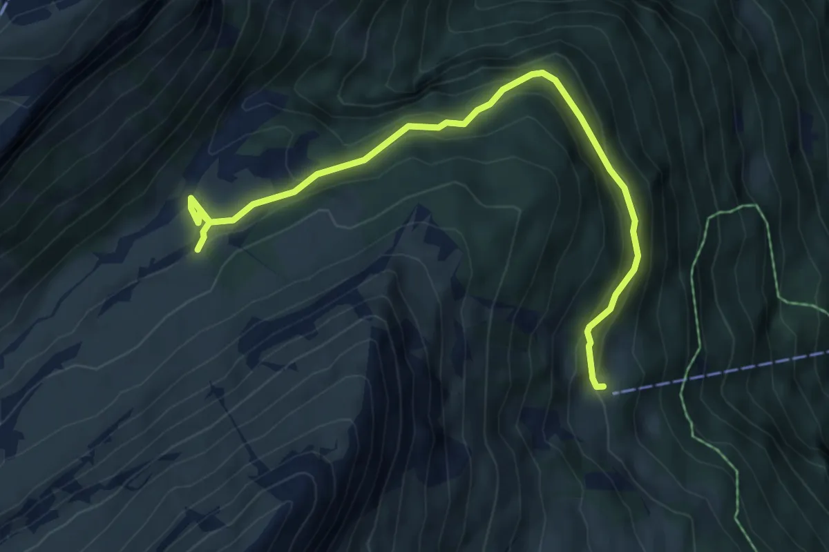
Medium · Trail
Grutschalp – Floschwand
6.5 km · ↑ 406 m · 2 h 25 min
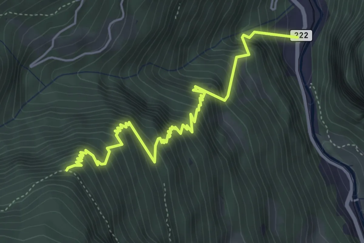
Demanding · Trail
Sandweidli – Spryssenwald
5.6 km · ↑ 865 m · 3 h 12 min