Trails in Switzerland
15,055 hiking trails, each with its route, climb, walking time and grade.
All trails, page 163 of 314
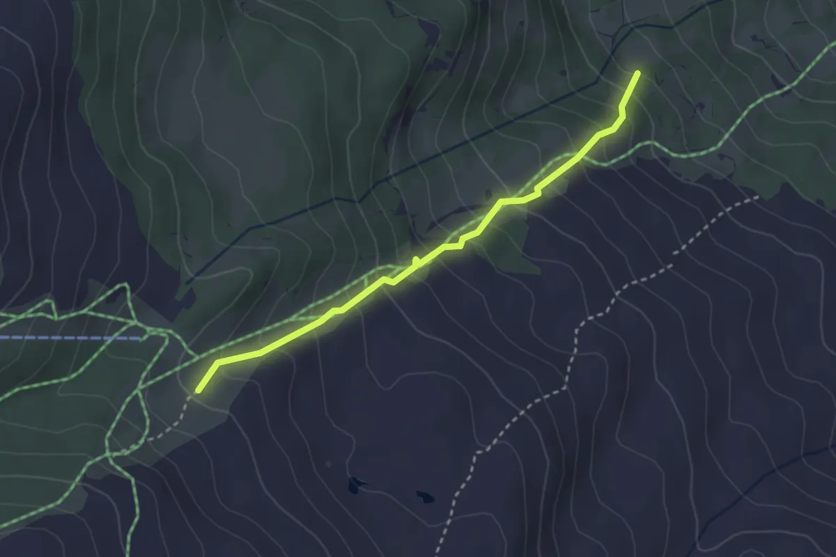
Medium · Trail
Brand – Obren Brand
2.9 km · ↑ 329 m · 1 h 24 min
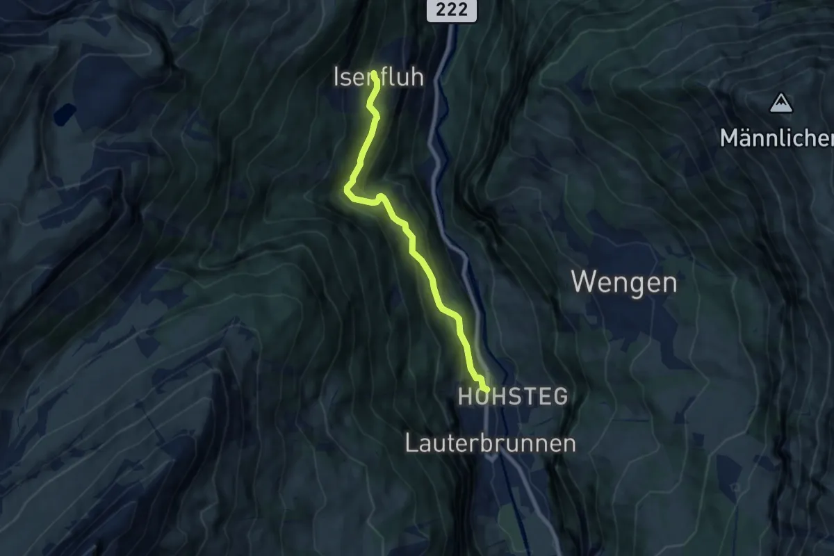
Medium · Trail
Lauterbrunnen – Isenfluh
6.5 km · ↑ 448 m · 2 h 30 min
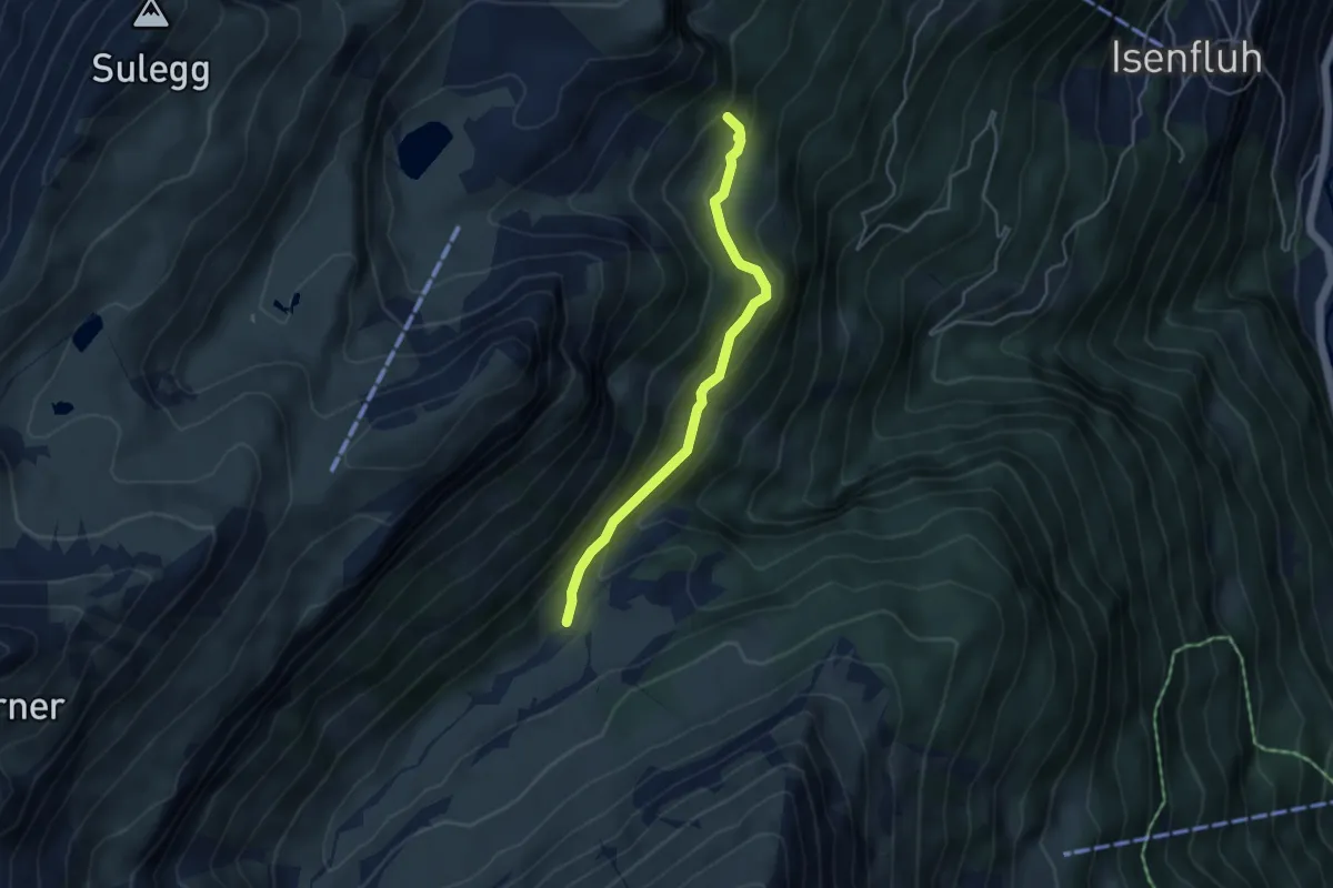
Medium · Trail
Kuehbodmen – Floschwald
4.0 km · ↑ 227 m · 1 h 26 min
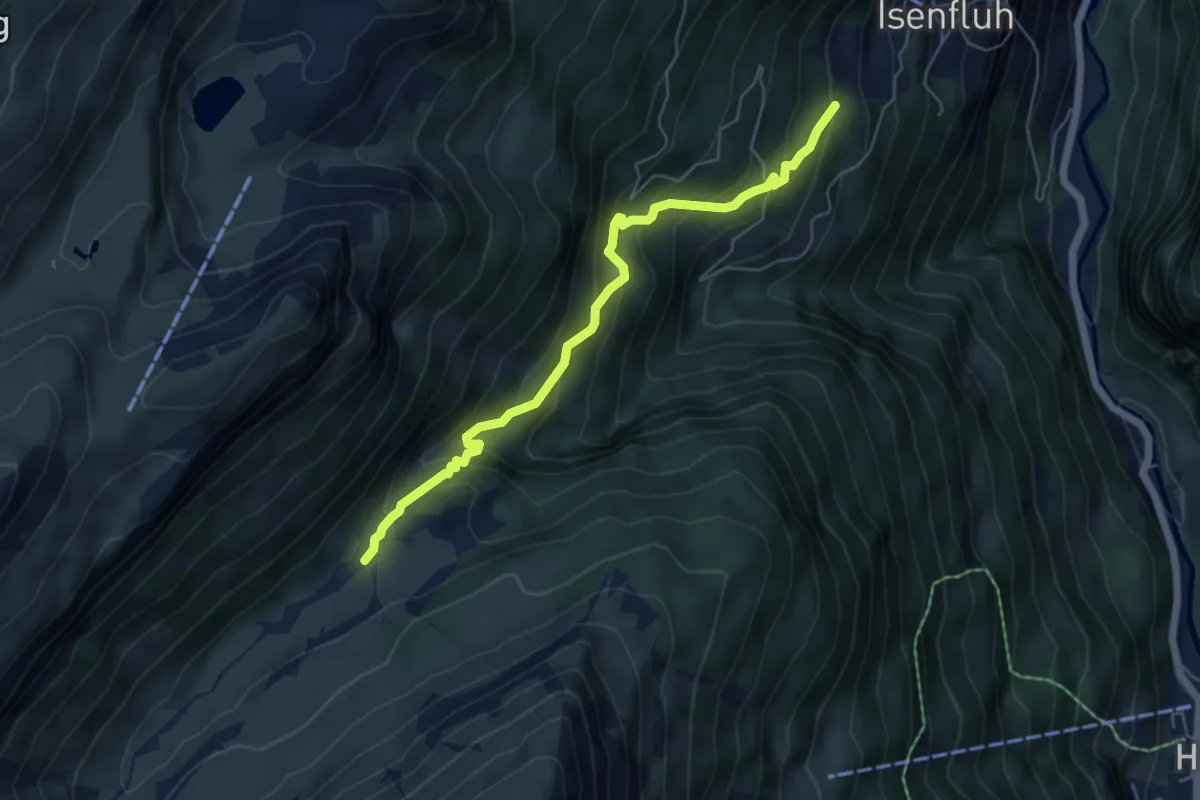
Medium · Trail
Isenfluh – Floschwald
5.5 km · ↑ 507 m · 2 h 25 min
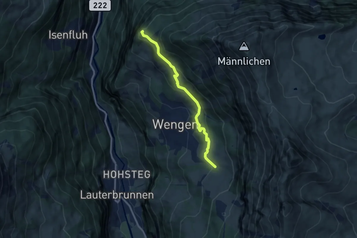
Medium · Summit
In Gasen – Leiterhorn
6.8 km · ↑ 311 m · 2 h 16 min
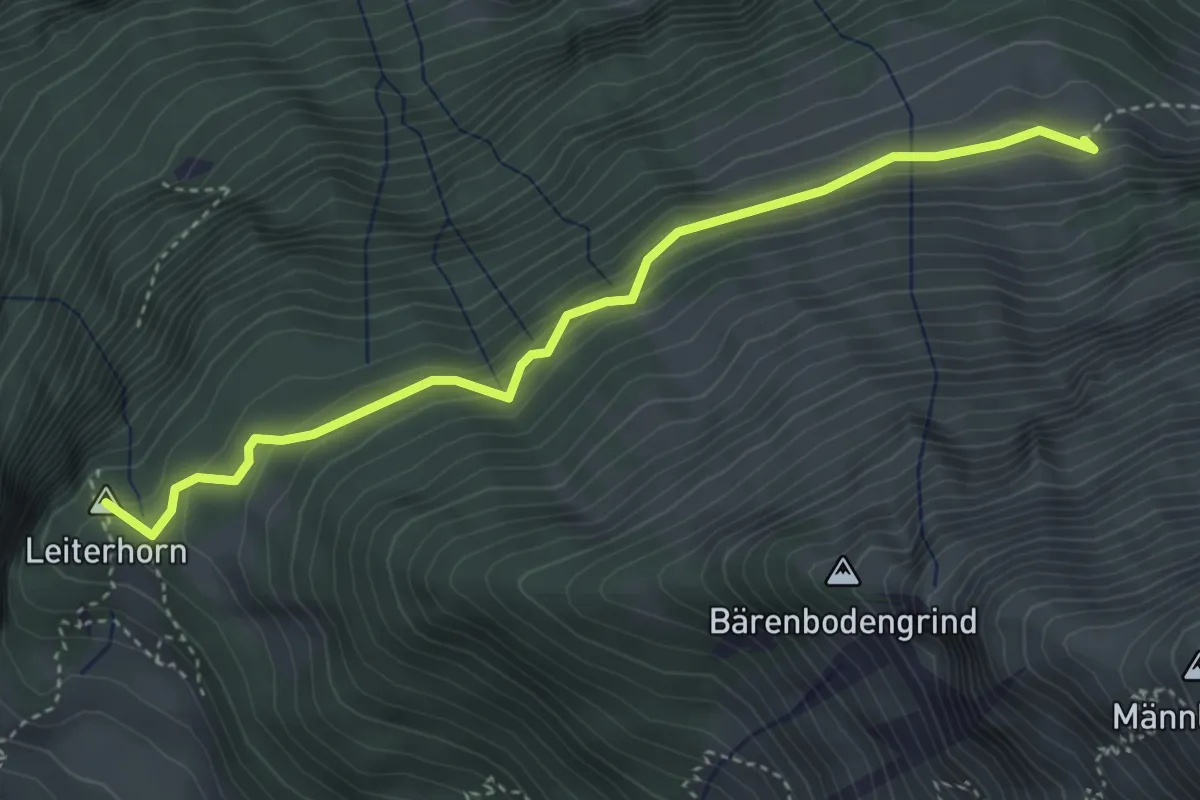
Medium · Summit
Leiterhorn – Alpwirtschaft Spaetenen
4.0 km · ↑ 227 m · 1 h 27 min
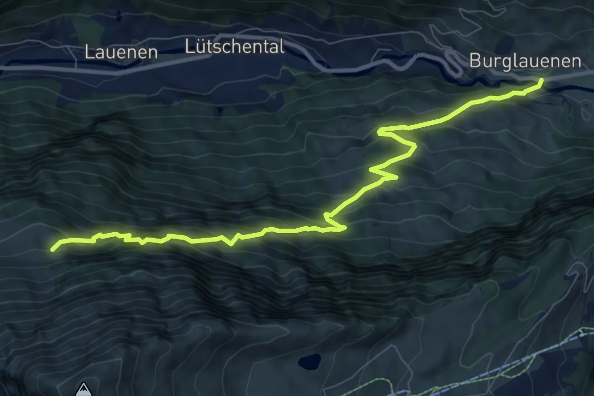
Demanding · Trail
Burglauenen – Alpwirtschaft Spaetenen
9.2 km · ↑ 878 m · 4 h 4 min
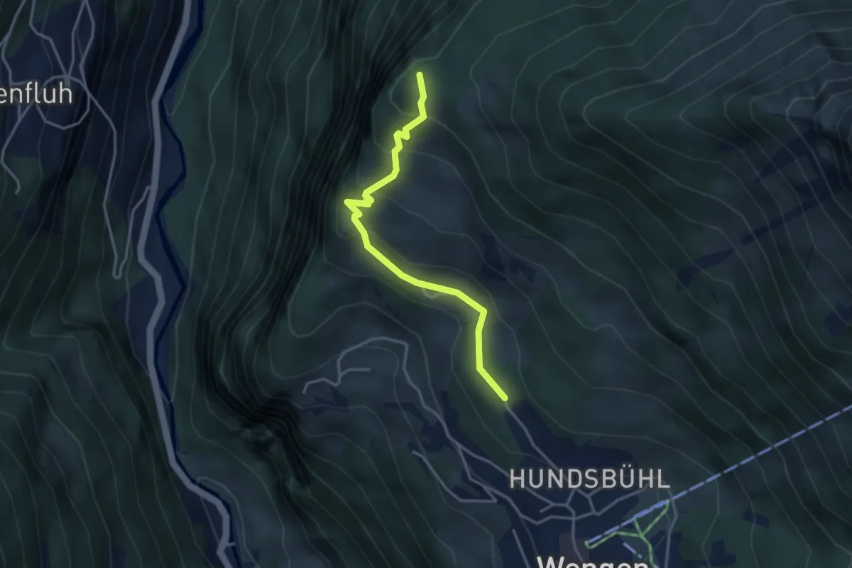
Medium · Summit
Wengen – Leitehorn
3.3 km · ↑ 238 m · 1 h 18 min
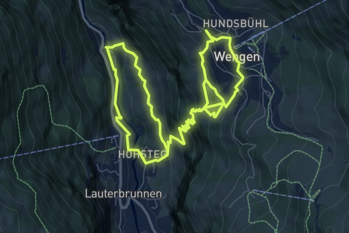
Demanding · Trail
Lauterbrunnen – Wengen
14.0 km · ↑ 975 m · 5 h 26 min
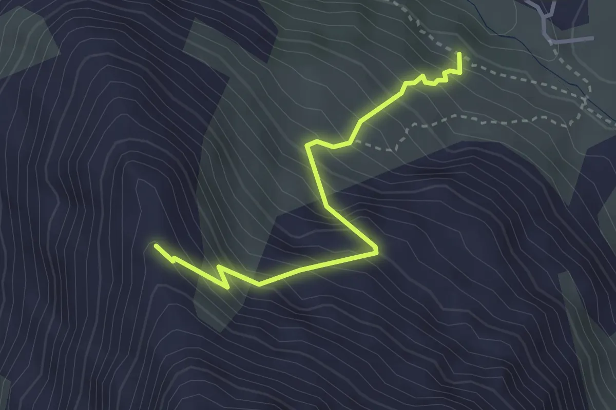
Demanding · Trail
Ottafe – Ober Sattla
3.0 km · ↑ 466 m · 1 h 43 min
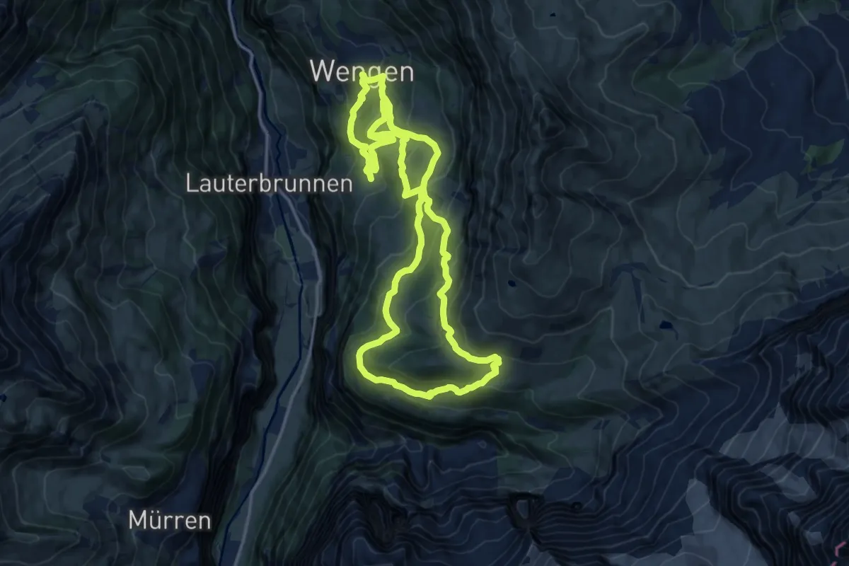
Demanding · Trail
Wengen – Wengernalp
13.8 km · ↑ 852 m · 5 h 17 min
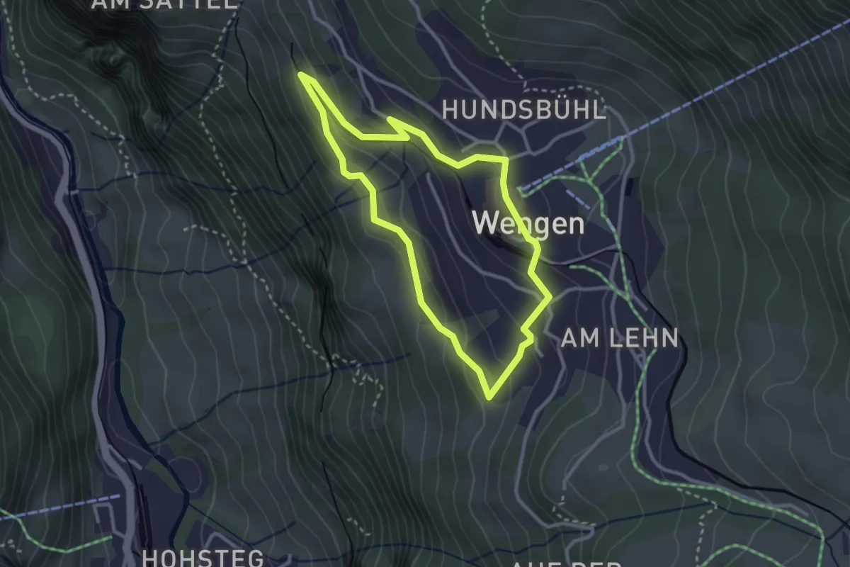
Easy · Trail
Wengen – Wengwald
2.6 km · ↑ 135 m · 57 min
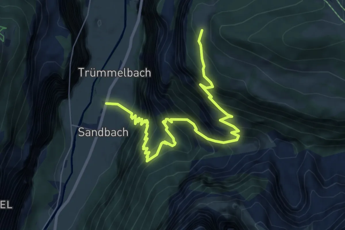
Demanding · Trail
Sandbach – Stalden
7.8 km · ↑ 972 m · 3 h 58 min
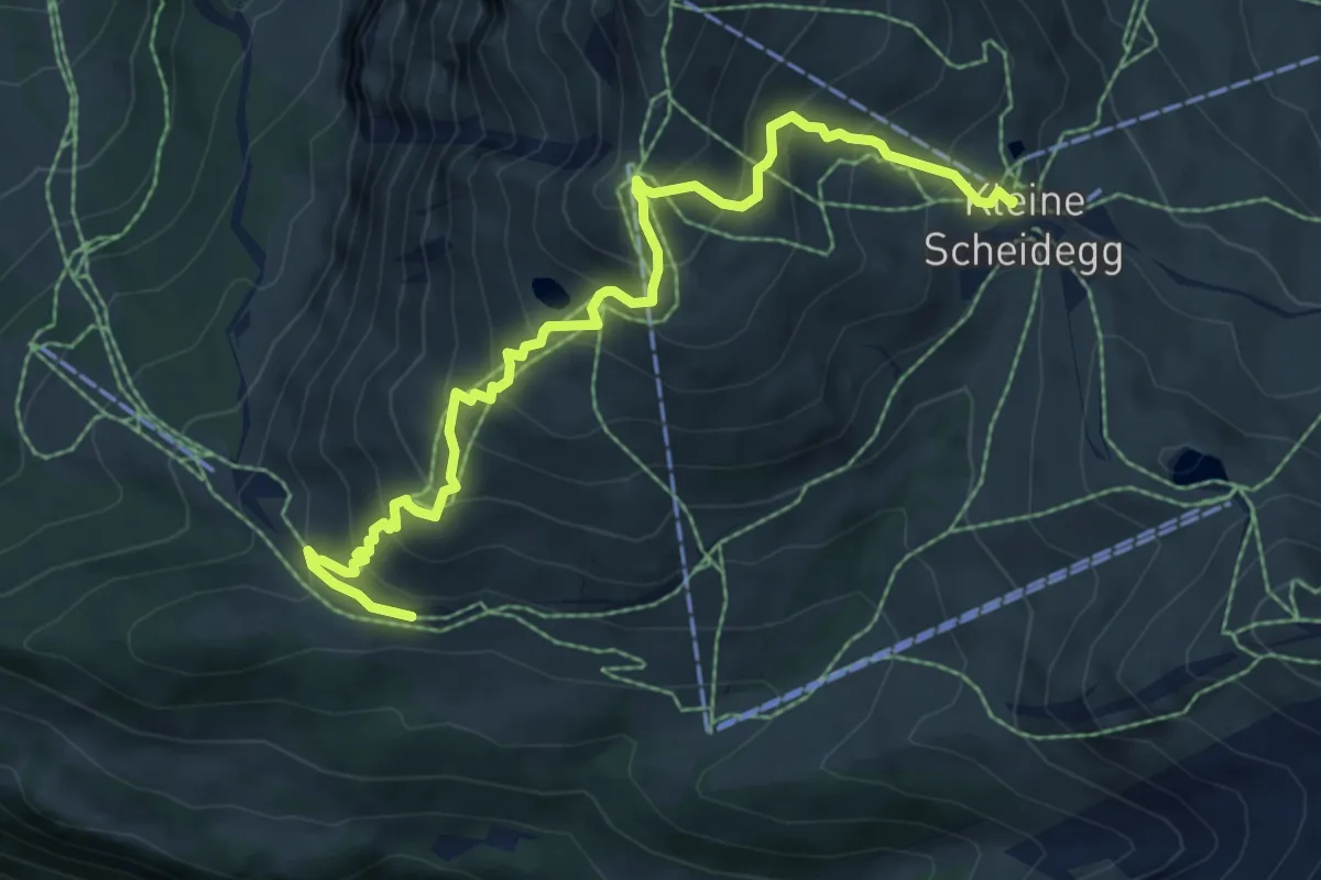
Medium · Trail
Kleine Scheidegg – Wengernalp
7.8 km · ↑ 764 m · 3 h 29 min
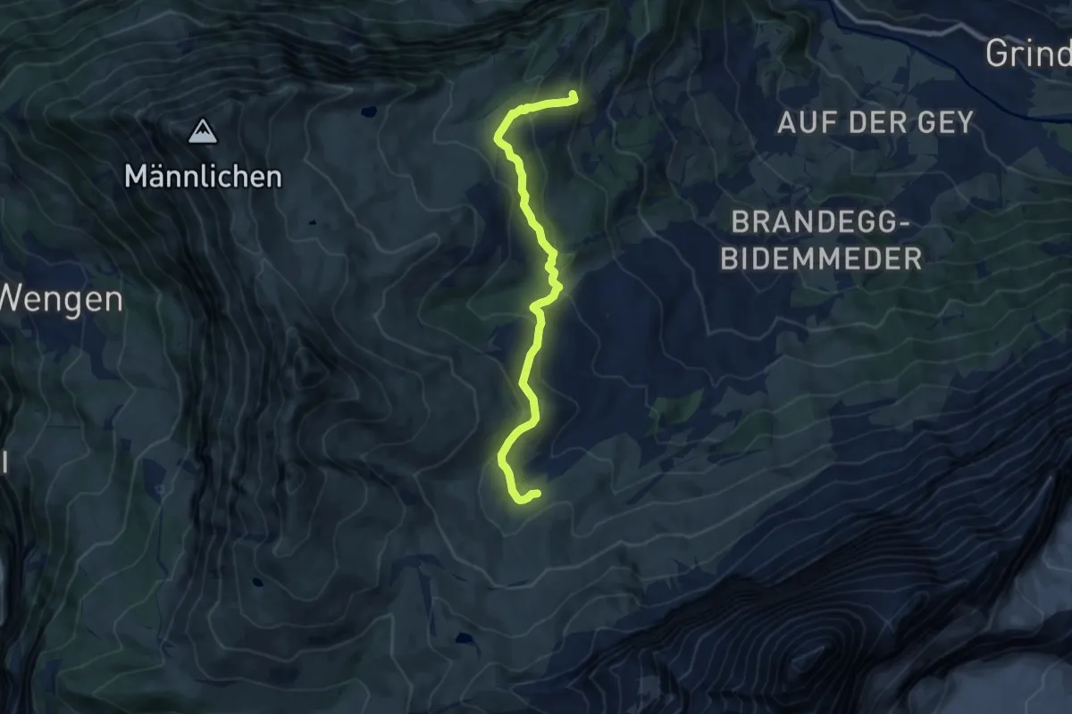
Medium · Trail
Arvengarten – Hohlenstein
9.5 km · ↑ 462 m · 3 h 15 min
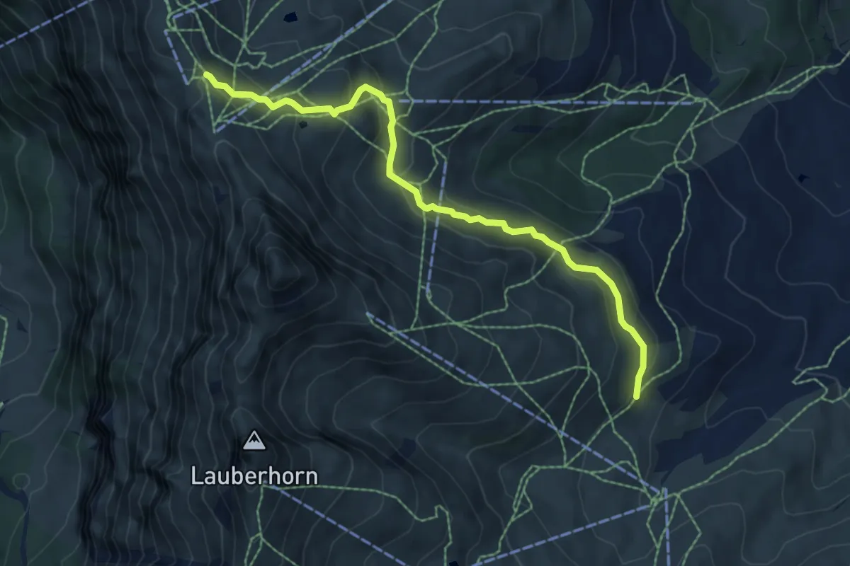
Medium · Trail
Arvengarten – Männlichen
6.7 km · ↑ 336 m · 2 h 19 min
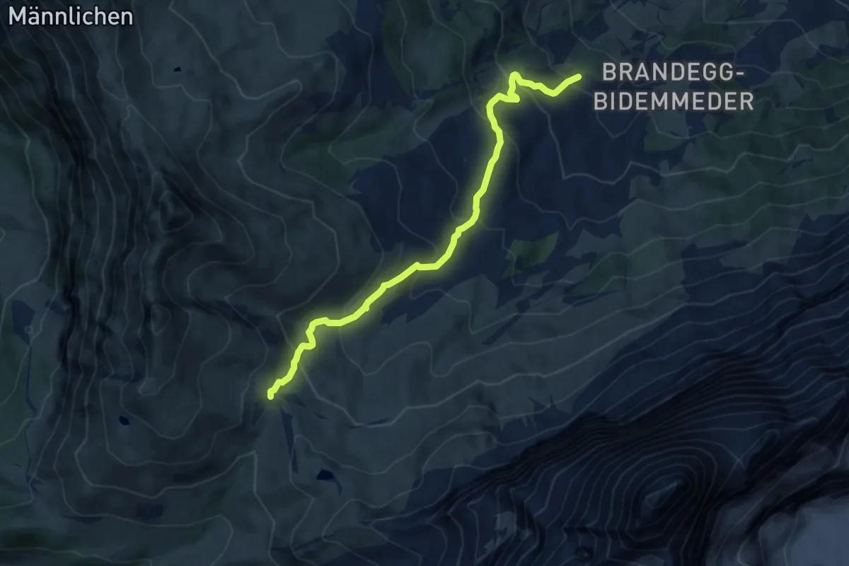
Demanding · Trail
Brand – Kleine Scheidegg
10.0 km · ↑ 683 m · 3 h 51 min
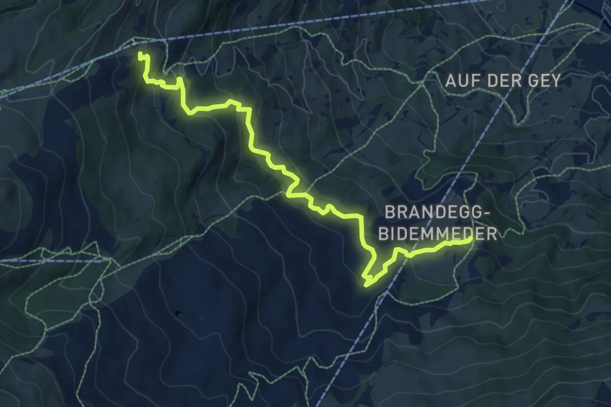
Medium · Trail
Brandegg – Hohlenstein
8.8 km · ↑ 521 m · 3 h 13 min
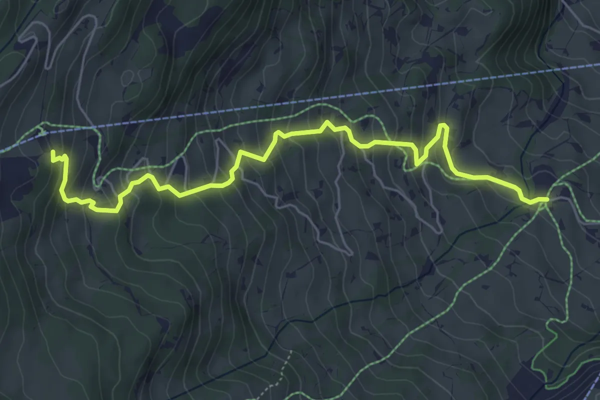
Medium · Trail
Aspen – Holenstein
6.1 km · ↑ 508 m · 2 h 32 min
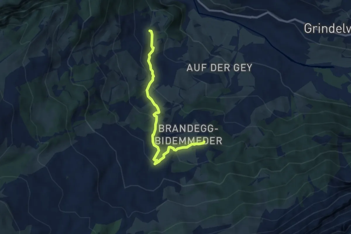
Medium · Trail
Schwendi – Brandegg
6.6 km · ↑ 373 m · 2 h 22 min
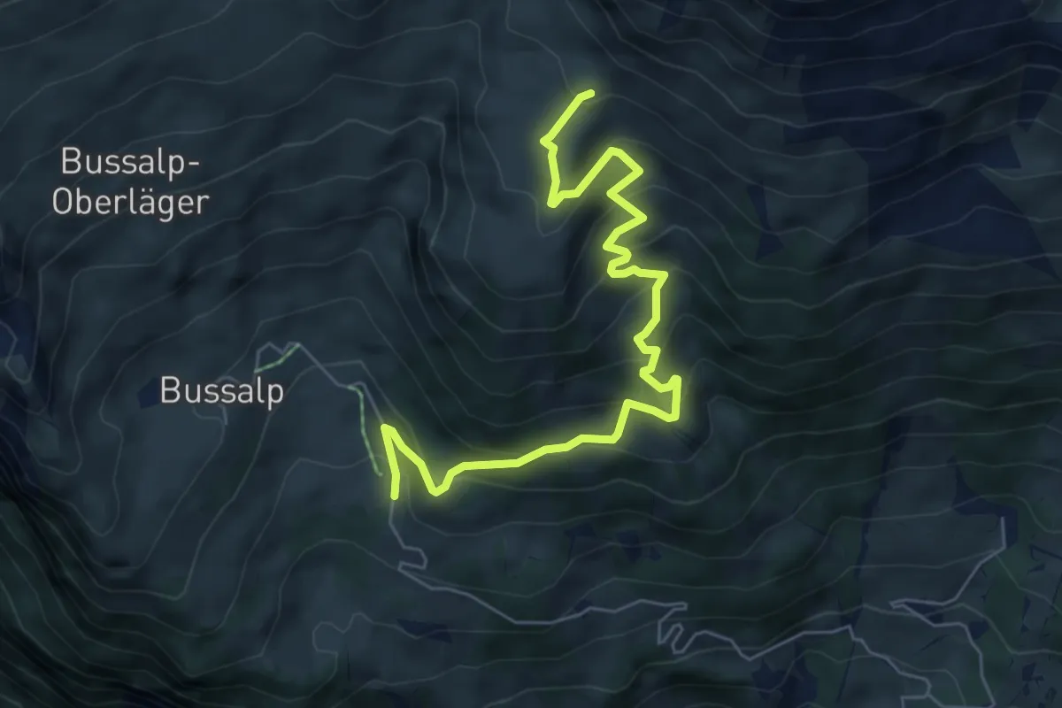
Medium · Trail
Holzmatten – Feld
6.9 km · ↑ 505 m · 2 h 44 min
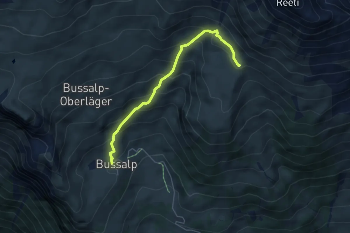
Medium · Trail
Bussalp – Feld
4.3 km · ↑ 407 m · 1 h 54 min
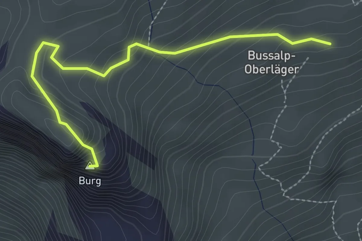
Demanding · Summit
Bussalp/Oberläger – Berg
2.7 km · ↑ 220 m · 1 h 7 min
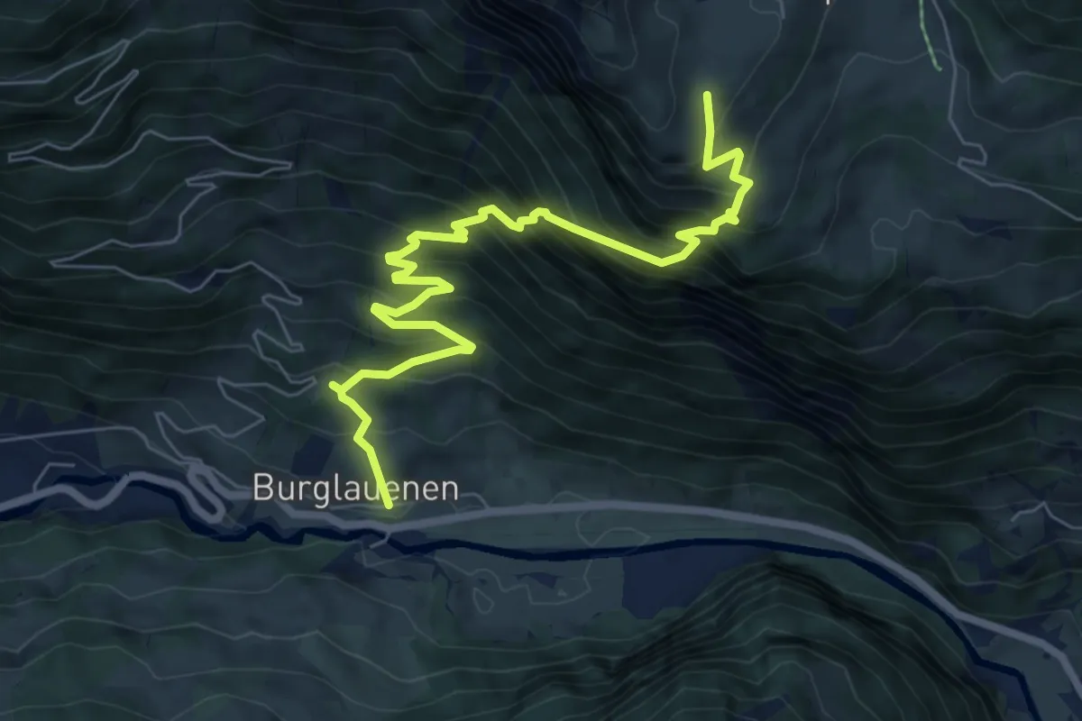
Demanding · Trail
Burglauenen – Bussalp
7.8 km · ↑ 917 m · 3 h 49 min
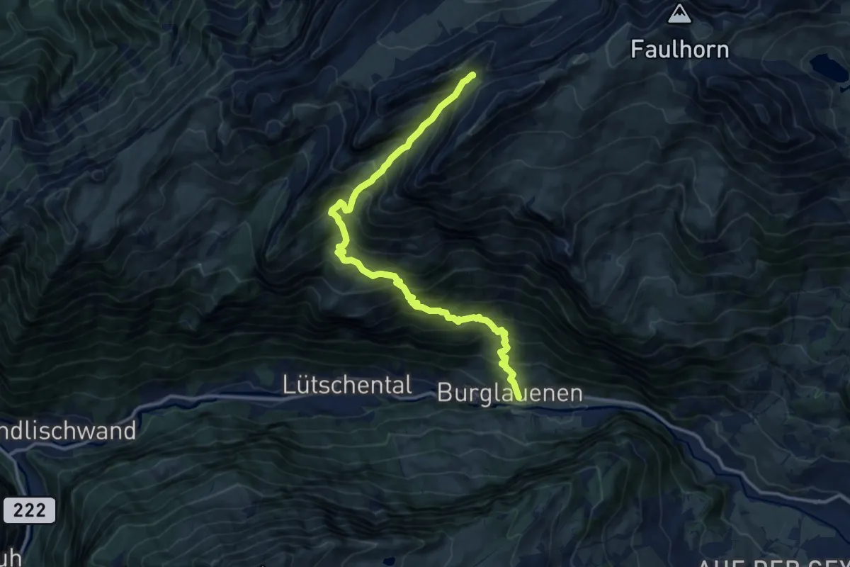
Demanding · Cabin
Burglauenen – Berghaus Männdlenen
13.1 km · ↑ 1480 m · 6 h 19 min
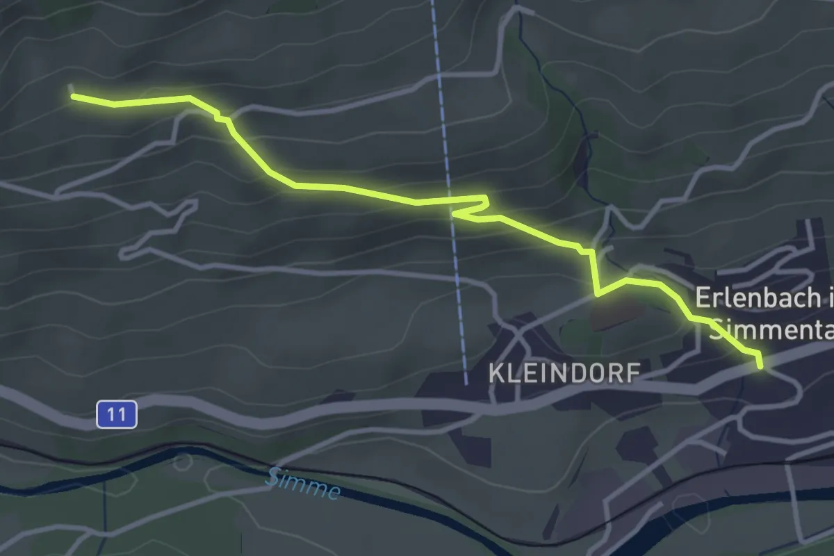
Easy · Trail
Obereschle – Erlenbach
3.5 km · ↑ 239 m · 1 h 20 min
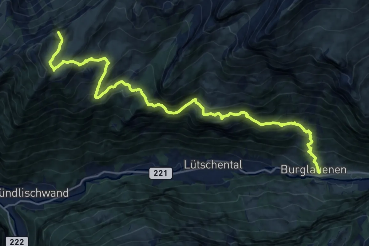
Demanding · Summit
Burglauenen – Loucherhorn
17.4 km · ↑ 1752 m · 7 h 55 min
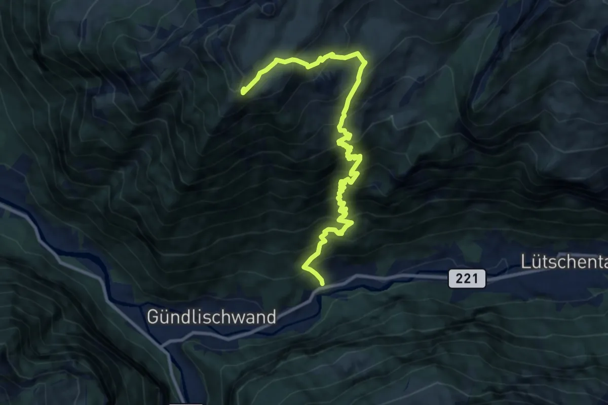
Demanding · Trail
Zweilütschinen – Schynige Platte
10.7 km · ↑ 1367 m · 5 h 30 min
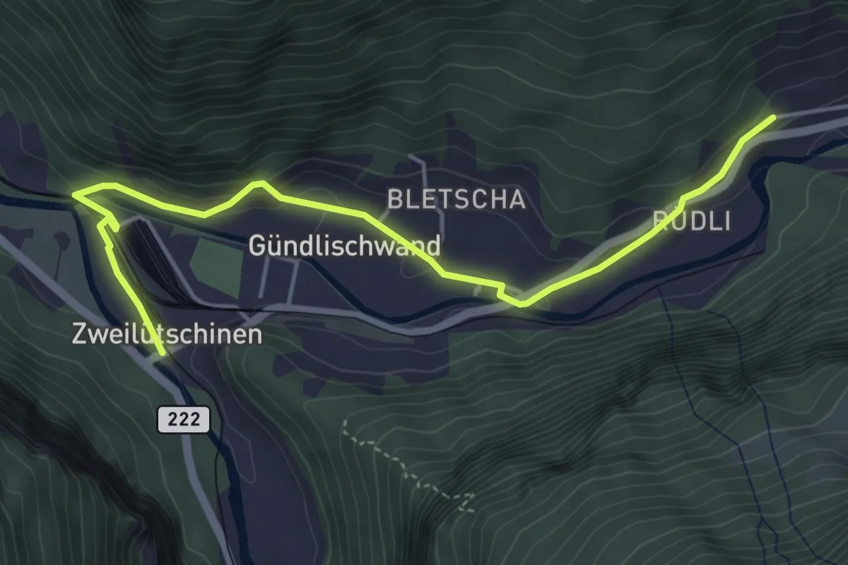
Easy · Trail
Zweilütschinen – Schynige Platte
5.0 km · ↑ 112 m · 1 h 26 min
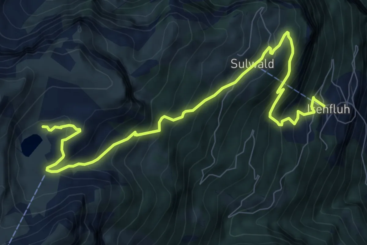
Demanding · Trail
Isenfluh – Lobhorn Hütte
10.3 km · ↑ 898 m · 4 h 22 min
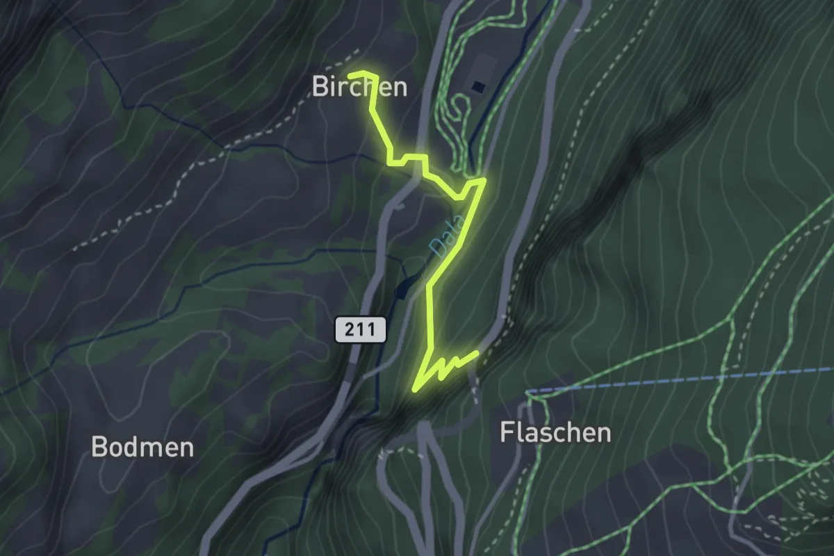
Easy · Trail
Birchen – Flaschen
2.6 km · ↑ 234 m · 1 h 7 min
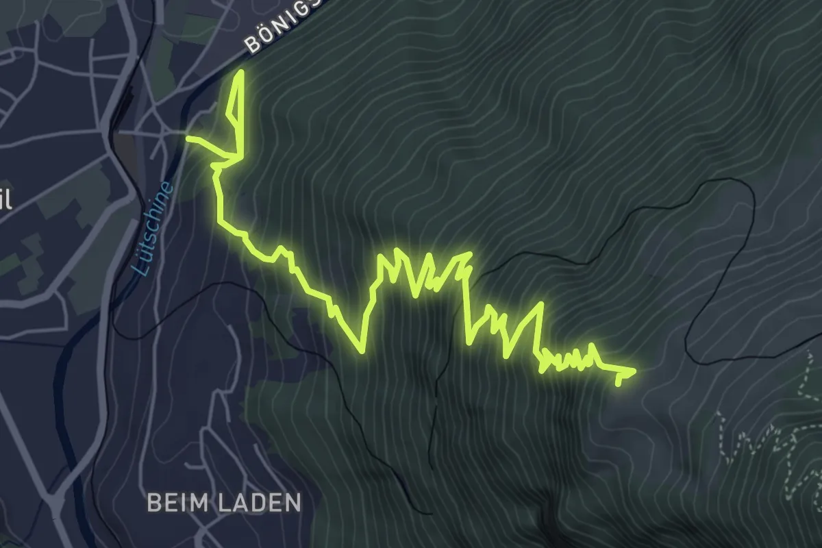
Demanding · Trail
Wildeswil – Schönegg
8.8 km · ↑ 1032 m · 4 h 18 min
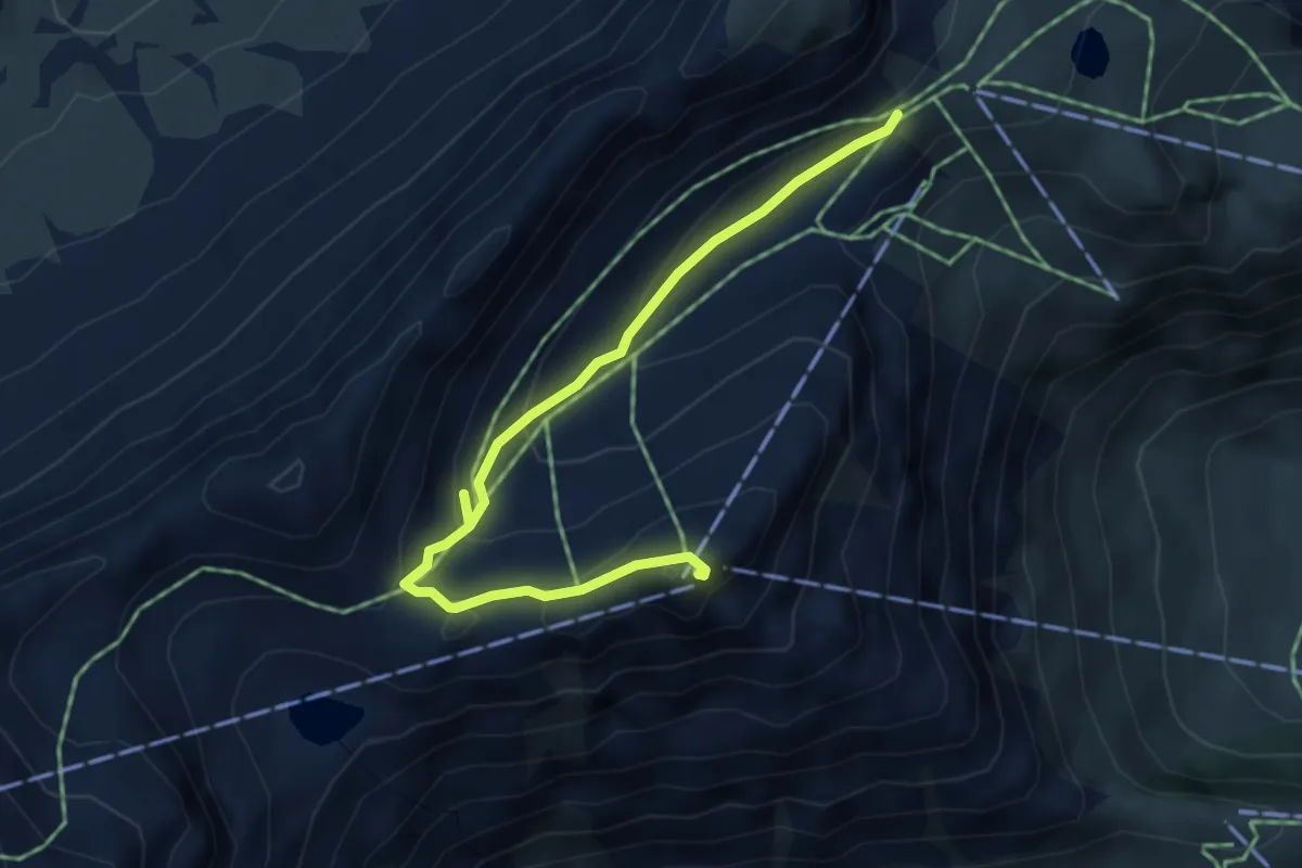
Medium · Summit
Schilthornhütte – Birg
4.6 km · ↑ 254 m · 1 h 38 min
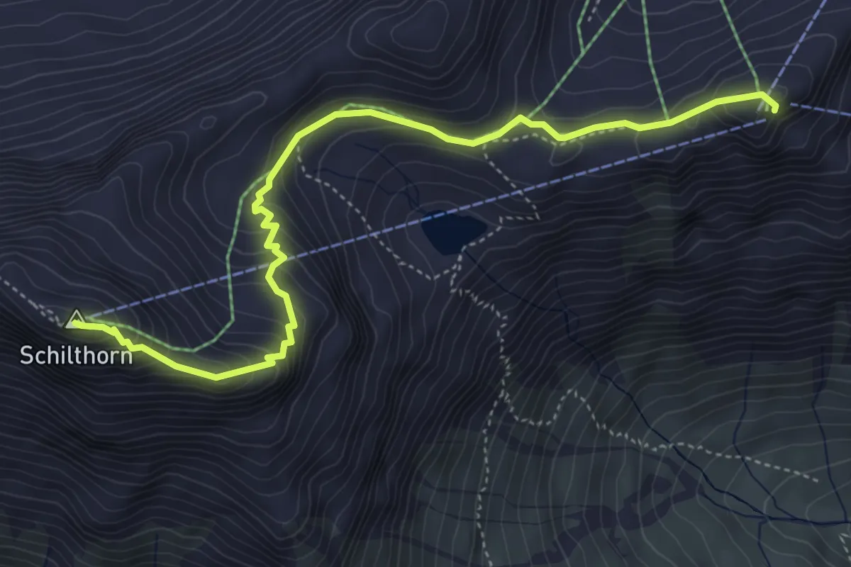
Medium · Summit
Birg – Schilthorn
5.2 km · ↑ 407 m · 2 h 7 min
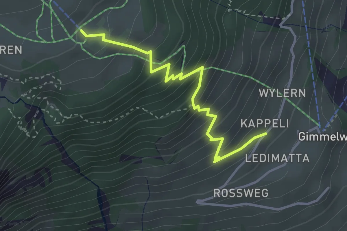
Medium · Trail
Gimmelwald – Wintertal
3.2 km · ↑ 374 m · 1 h 34 min
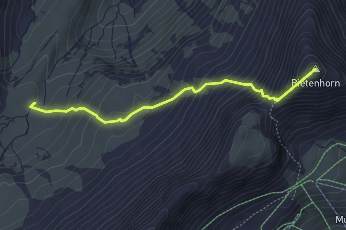
Expert · Summit
Schilthornhütte – Maettenberg
4.1 km · ↑ 494 m · 2 h 2 min
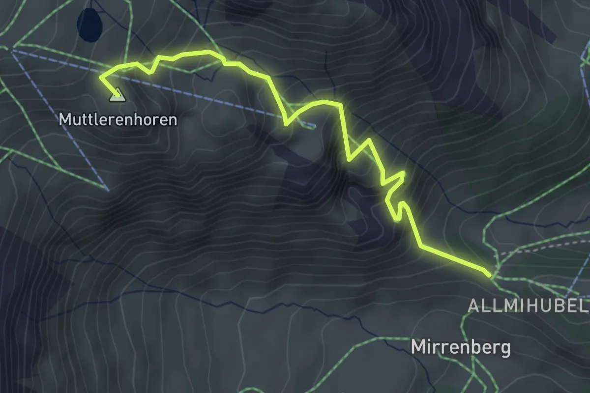
Medium · Summit
Höhlücke – Schilthornhütte
4.2 km · ↑ 499 m · 2 h 4 min
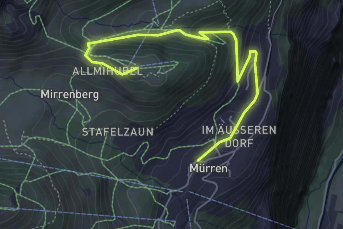
Easy · Summit
Almendhubel – Murren
5.1 km · ↑ 288 m · 1 h 49 min
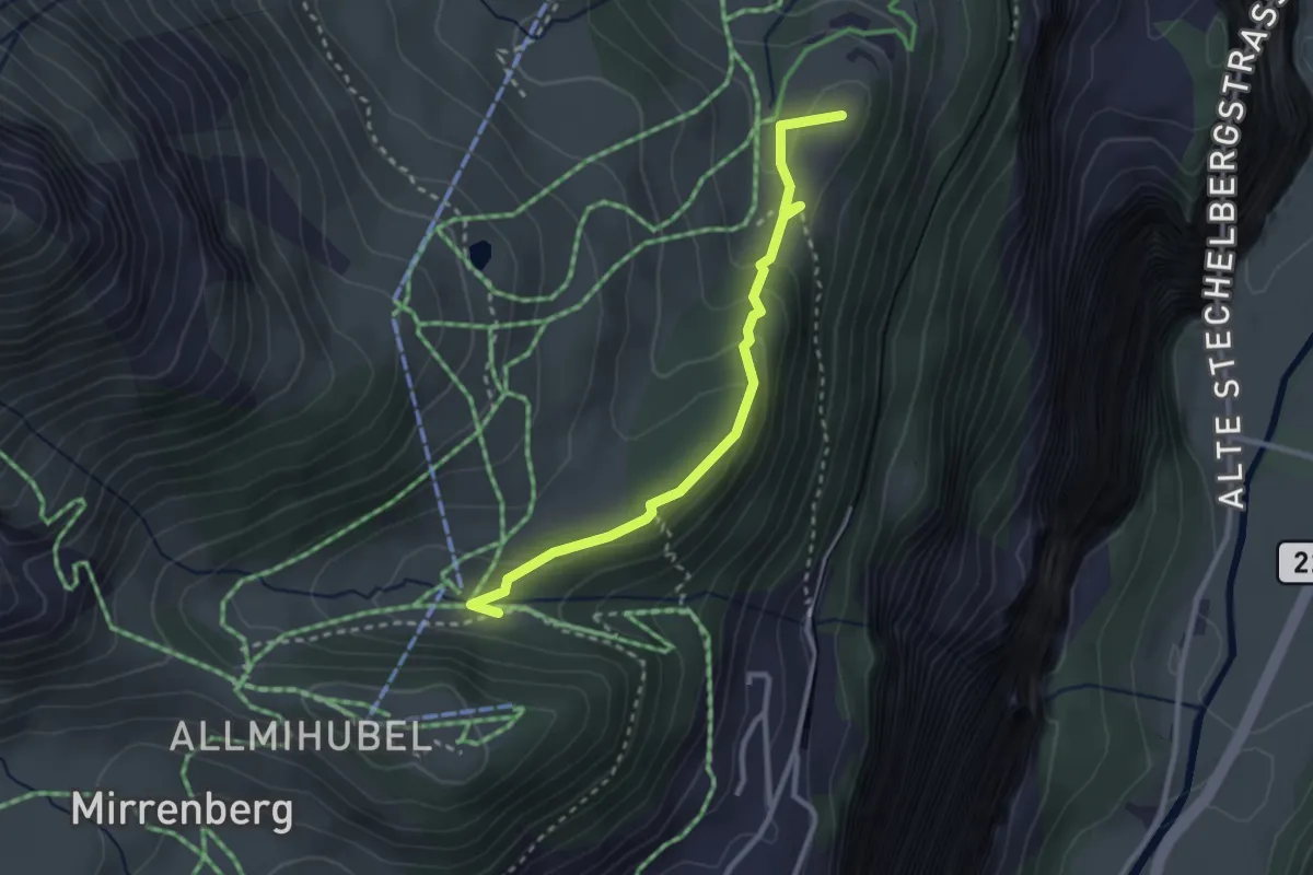
Medium · Summit
Allmiboden – Winteregg
2.8 km · ↑ 136 m · 57 min
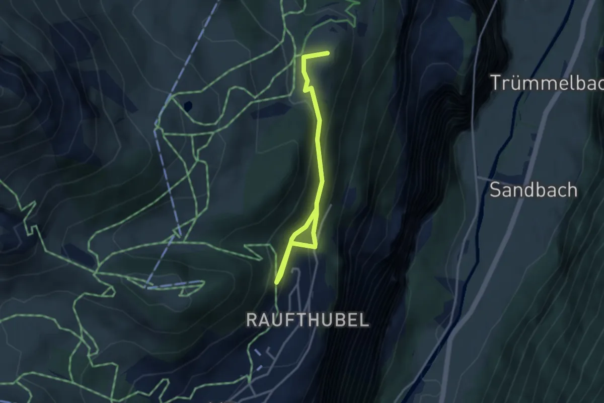
Medium · Summit
Murren – Oberberg
3.4 km · ↑ 209 m · 1 h 16 min
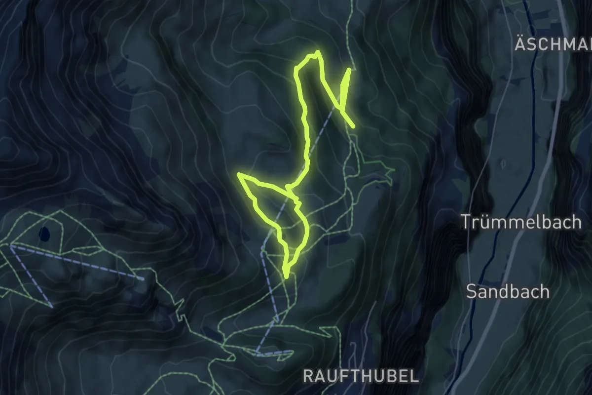
Medium · Trail
Winteregg – Allmihubel
8.6 km · ↑ 415 m · 2 h 56 min
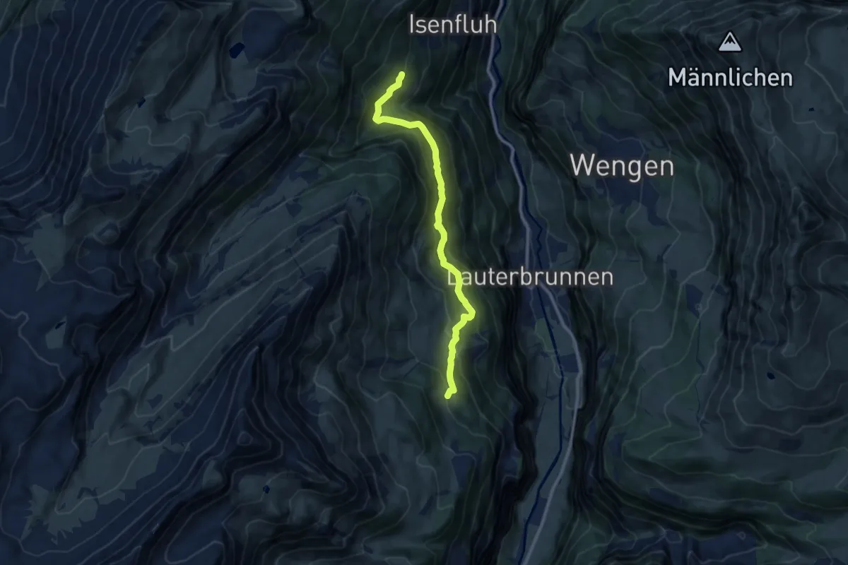
Medium · Trail
Winteregg – Bockstett
9.6 km · ↑ 681 m · 3 h 45 min
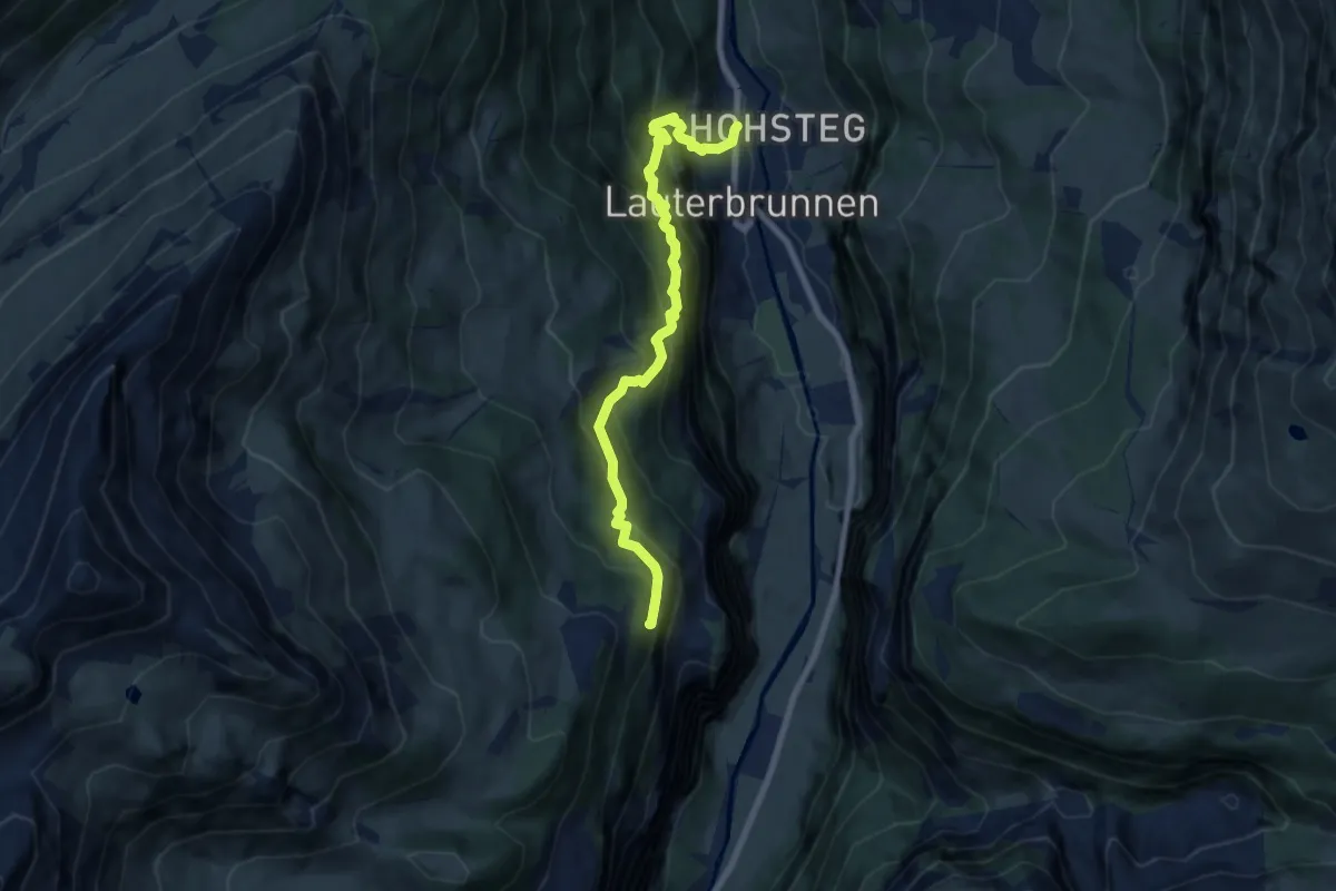
Demanding · Trail
Lauterbrunnen – Wintereggalp
7.6 km · ↑ 1125 m · 4 h 14 min
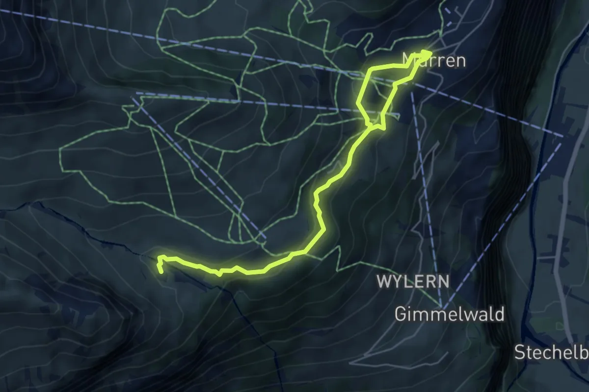
Medium · Cabin
Murren – Spielbodenalp
6.3 km · ↑ 237 m · 2 h
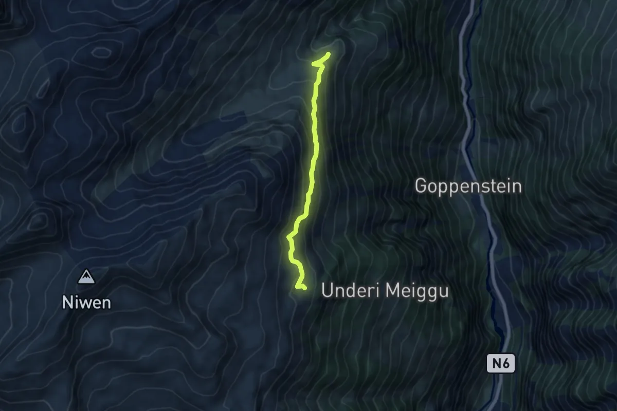
Easy · Trail
Oberi Meiggu – Faldumalp
4.7 km · ↑ 313 m · 1 h 47 min
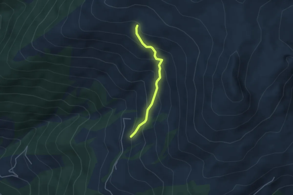
Easy · Trail
Tschärmilonga – P2209
2.8 km · ↑ 266 m · 1 h 14 min
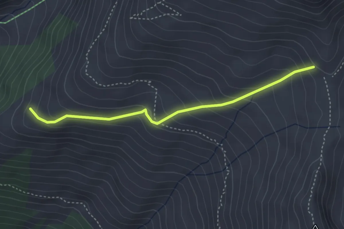
Easy · Trail
P2138 – Schnydi
3.6 km · ↑ 279 m · 1 h 28 min
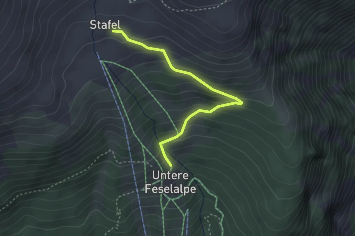
Easy · Trail
Underi Fäslialpu – Underi Fäslialpu
3.0 km · ↑ 236 m · 1 h 13 min