Trails in Switzerland
15,055 hiking trails, each with its route, climb, walking time and grade.
All trails, page 164 of 314
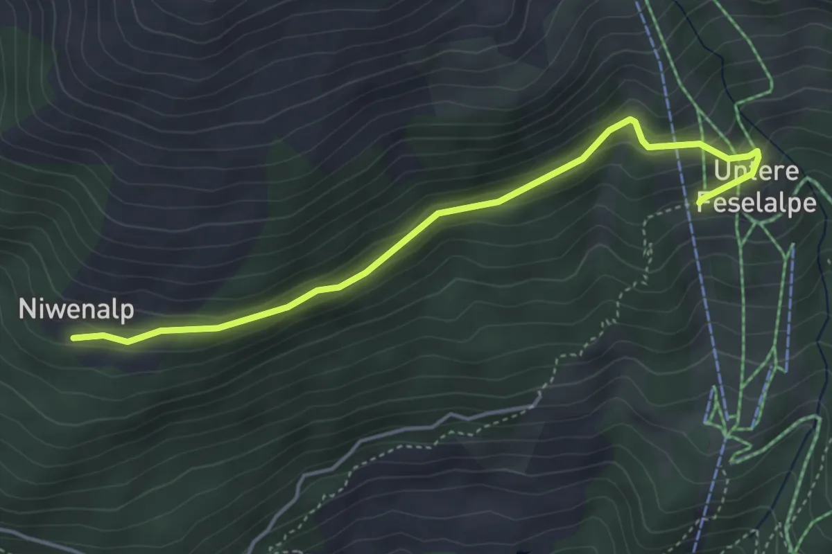
Easy · Trail
Niwenalp – Underi Fäslialpu
4.4 km · ↑ 206 m · 1 h 29 min
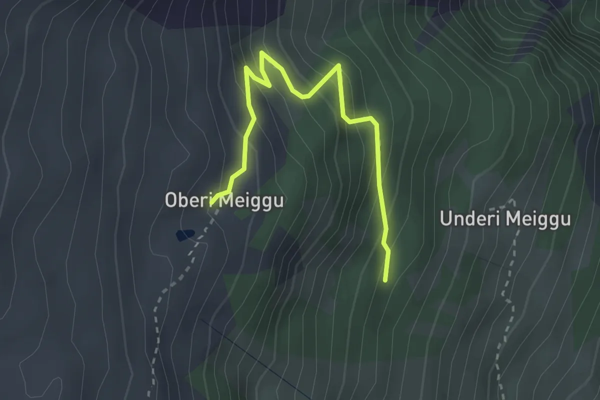
Easy · Trail
Underi Meiggu – Oberi Meiggu
2.7 km · ↑ 277 m · 1 h 15 min
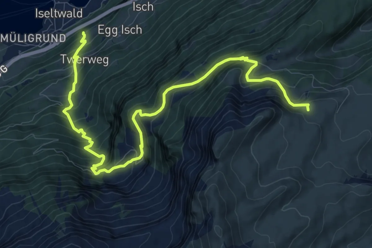
Demanding · Trail
Isetwald – Gstepf
13.2 km · ↑ 1300 m · 5 h 55 min
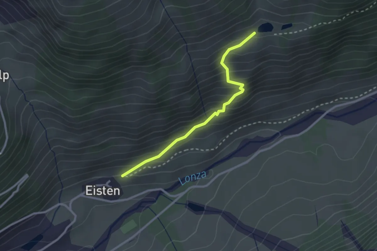
Easy · Trail
Eisten – Schwarzsee
2.4 km · ↑ 268 m · 1 h 9 min
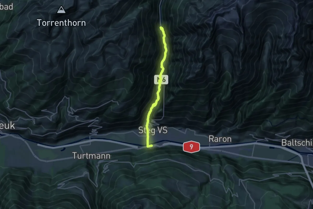
Medium · Trail
Gampel Steg Bahnhof – Goppenstein
17.4 km · ↑ 793 m · 5 h 50 min
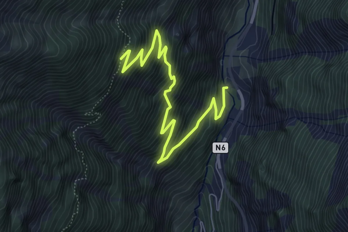
Medium · Trail
Mittal – Meiggu
6.9 km · ↑ 681 m · 3 h 6 min
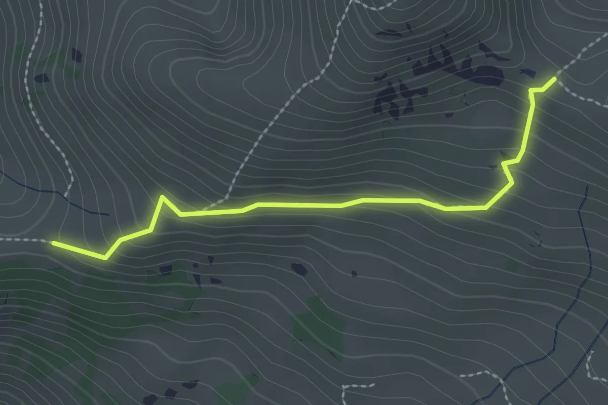
Easy · Trail
Gubi – Hinder-Chumi
2.3 km · ↑ 175 m · 56 min
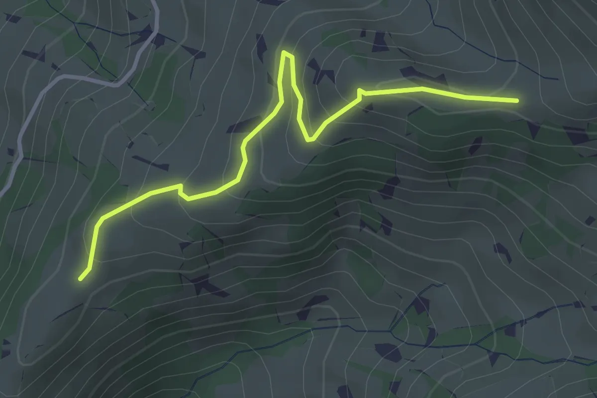
Easy · Trail
Uf dr Flue – Hinder-Chumi
3.3 km · ↑ 206 m · 1 h 13 min
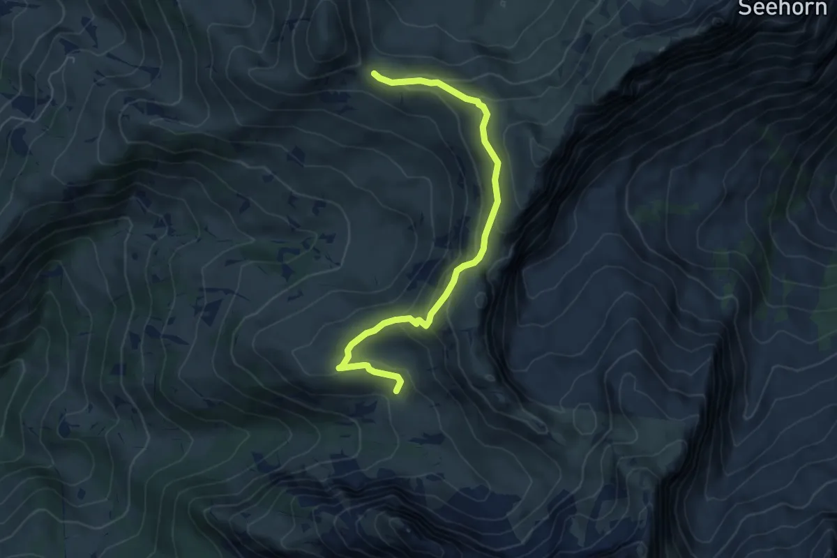
Medium · Cabin
Gubi – Fromatt
6.1 km · ↑ 338 m · 2 h 11 min
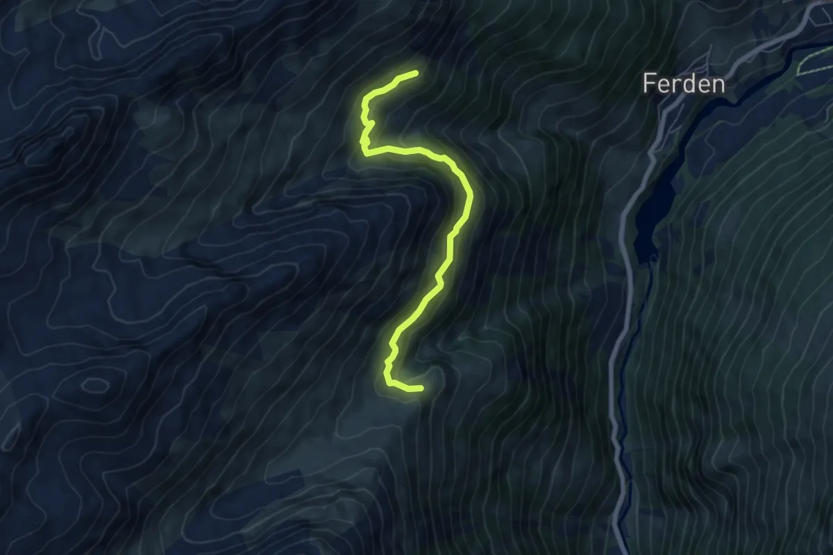
Medium · Trail
Faldumalp – Restialp
6.0 km · ↑ 391 m · 2 h 16 min
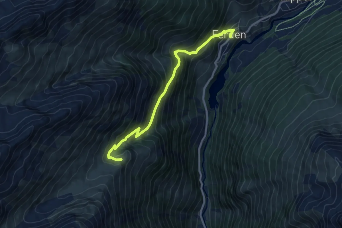
Medium · Trail
Faldumalp – Ferden Dorf Bushaltestelle
7.2 km · ↑ 707 m · 3 h 14 min
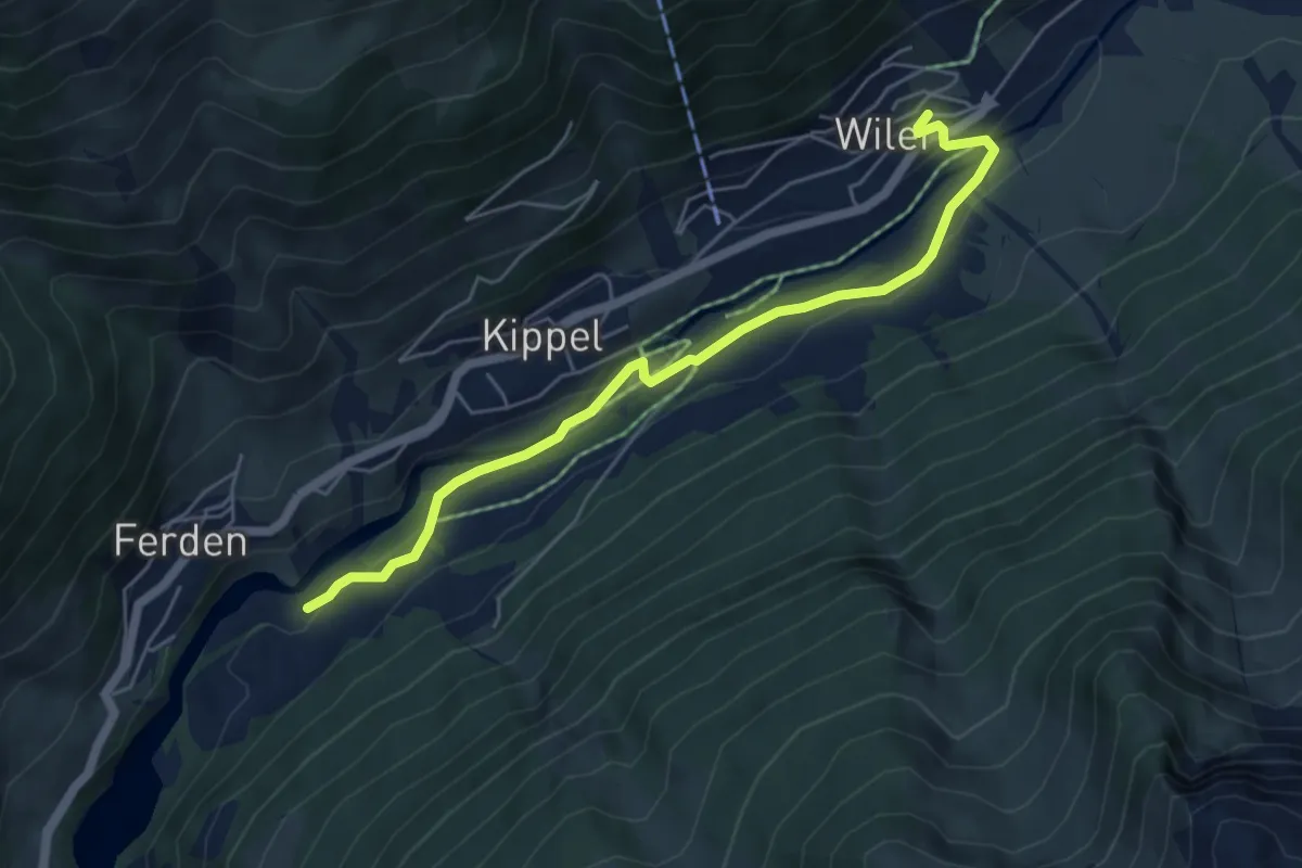
Easy · Trail
Harrischfuhre – Wiler
5.4 km · ↑ 132 m · 1 h 34 min
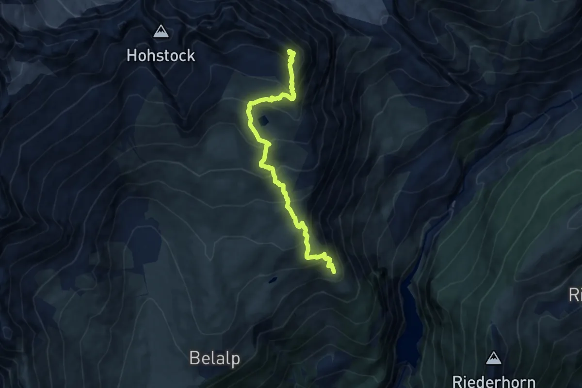
Demanding · Summit
Hotel Belalp Aletschbord – Sparrhorn
8.8 km · ↑ 859 m · 3 h 56 min
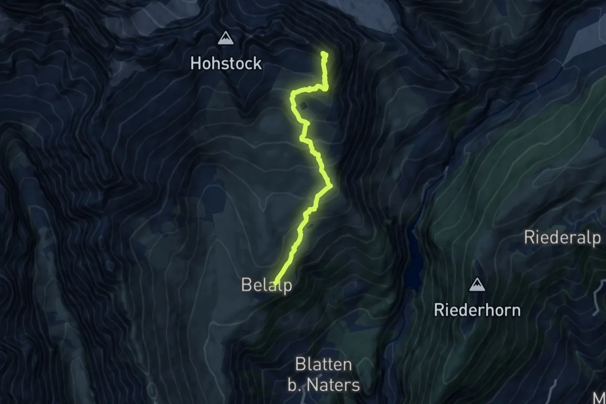
Demanding · Summit
Belalp – Sparrhorn
10.5 km · ↑ 900 m · 4 h 26 min
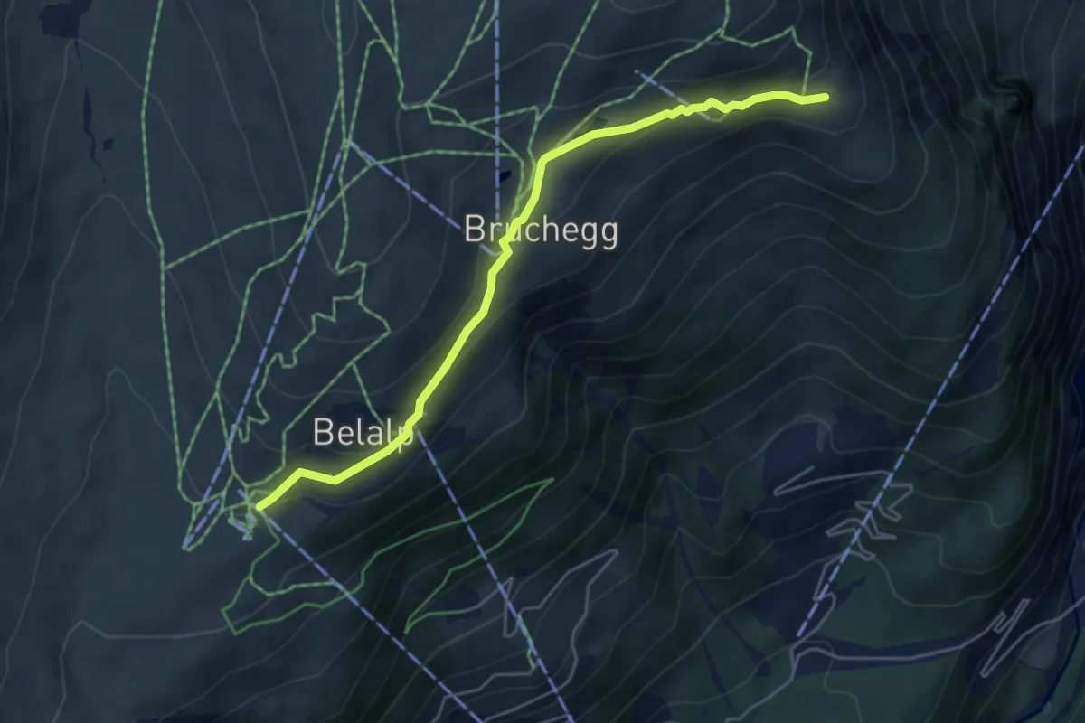
Easy · Trail
Belalp – Hotel Belalp Aletschbord
4.9 km · ↑ 163 m · 1 h 31 min
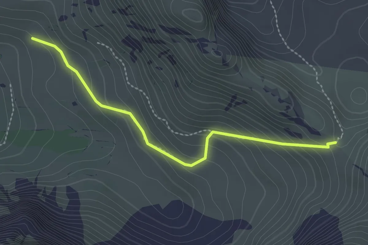
Easy · Cabin
Fromatt – Scheidegg
2.4 km · ↑ 150 m · 54 min
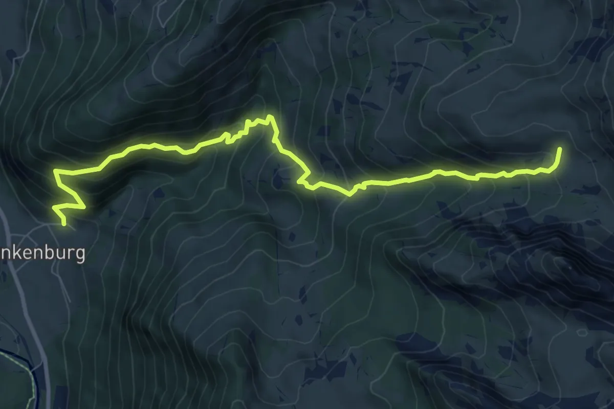
Demanding · Cabin
Fromatt – Blankenburg
9.5 km · ↑ 928 m · 4 h 16 min
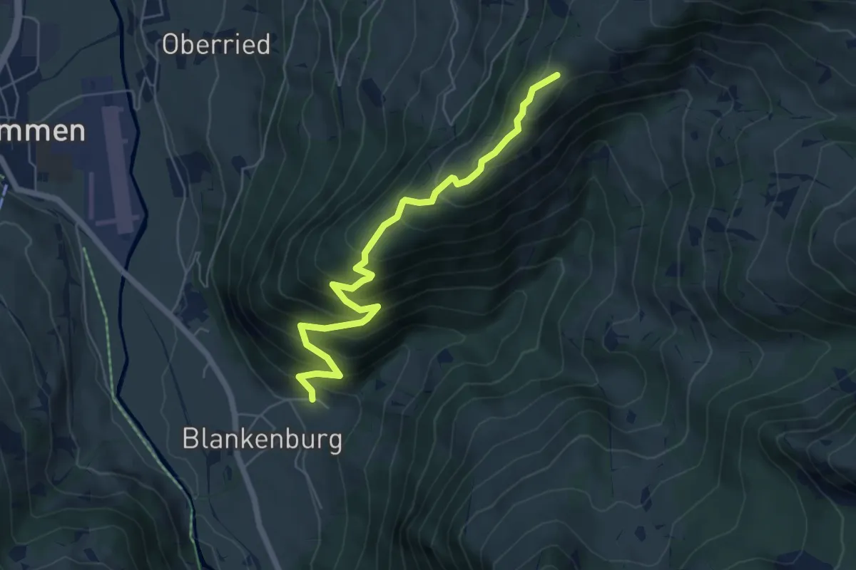
Medium · Trail
Uf der Flue – Blankenburg
6.0 km · ↑ 586 m · 2 h 41 min
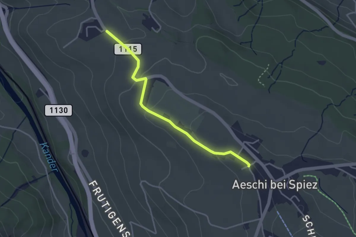
Easy · Trail
Aeschi – Bühlen
3.1 km · ↑ 73 m · 54 min
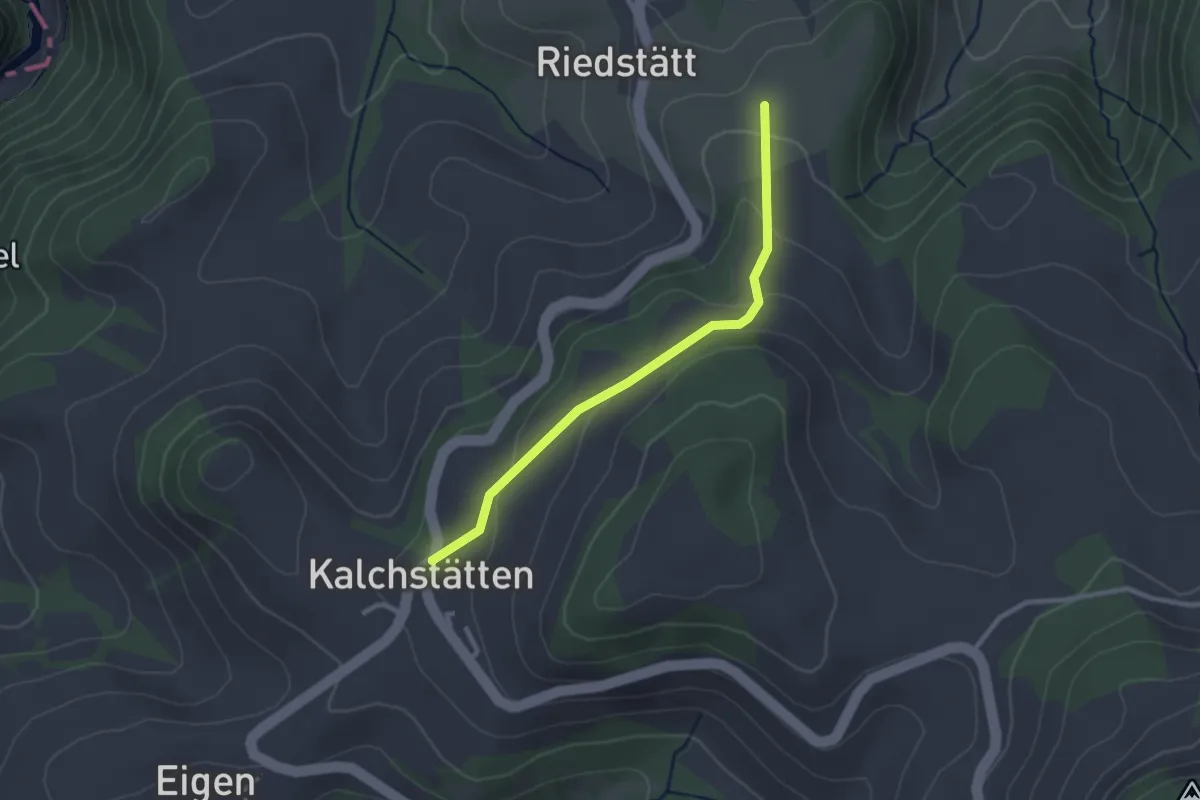
Easy · Trail
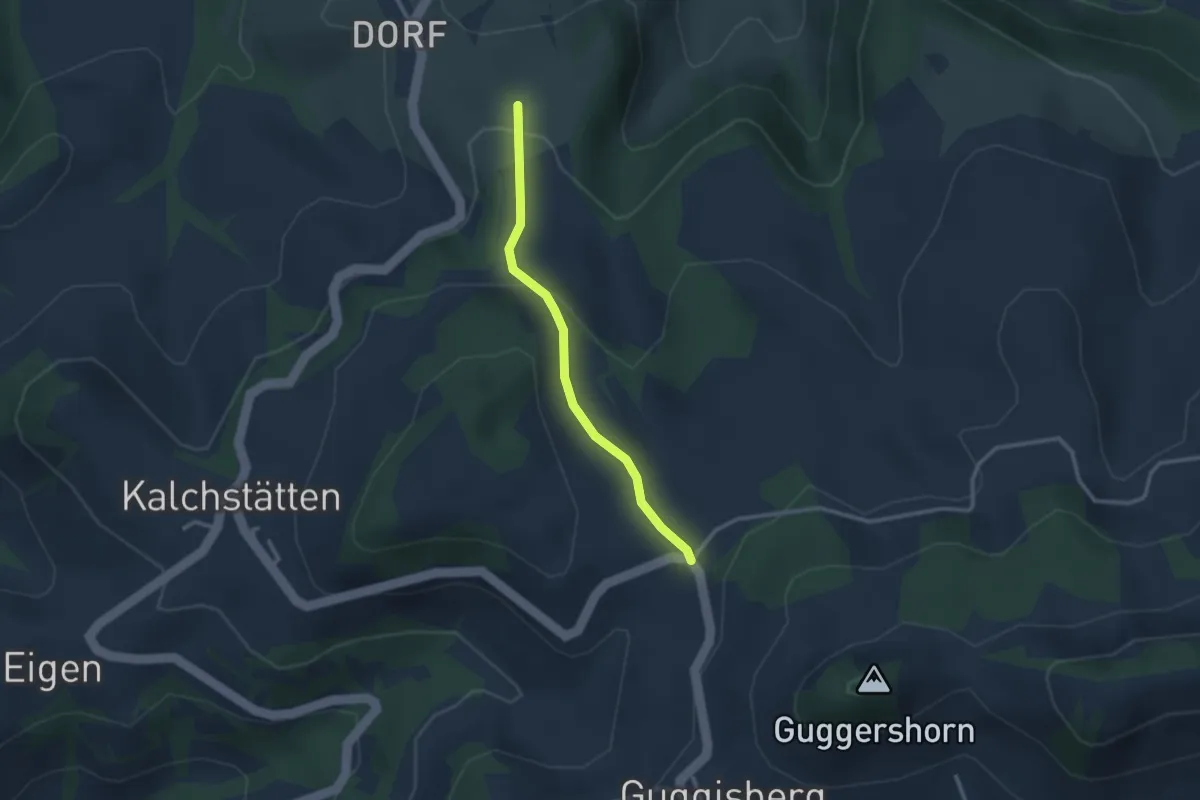
Steinern – Kalchstätten
2.5 km · ↑ 113 m · 50 min
Easy · Trail
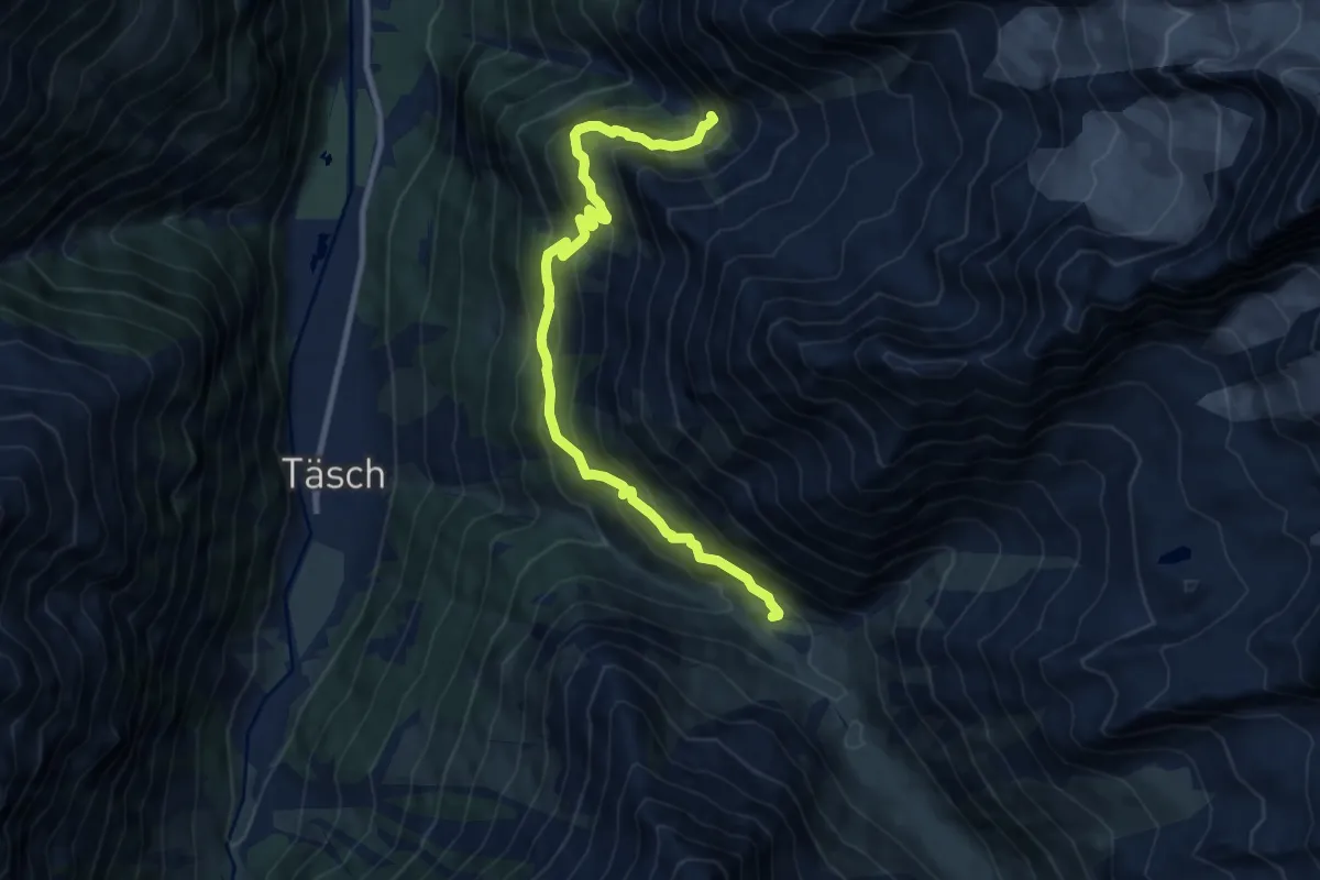
Steinern – Im Sand
2.5 km · ↑ 91 m · 47 min
Demanding · Trail
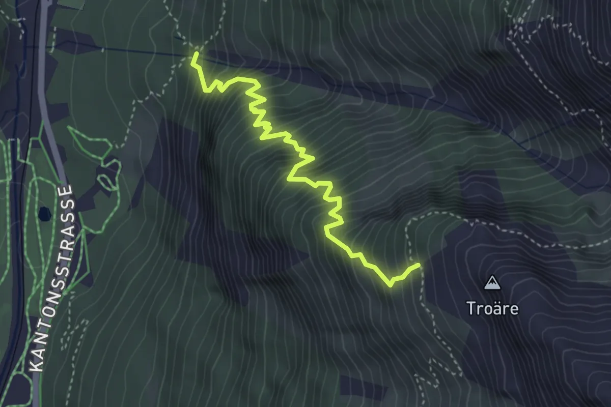
Springelboden – Ottafe
10.4 km · ↑ 934 m · 4 h 29 min
Medium · Trail
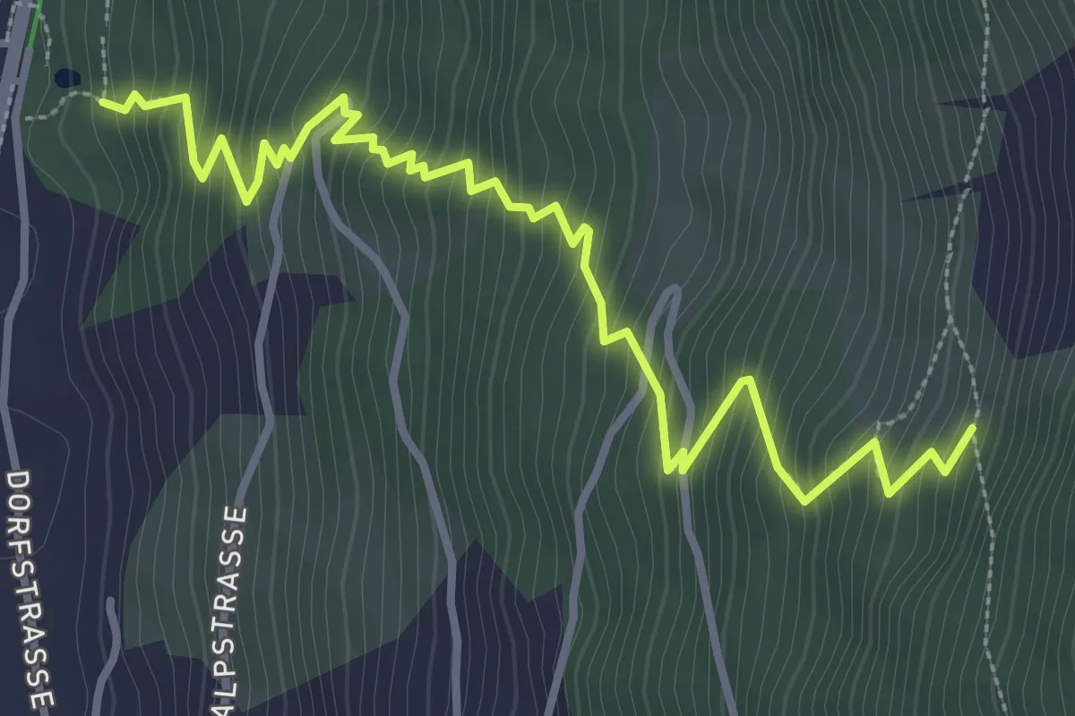
Wildi – Springelboden
3.9 km · ↑ 683 m · 2 h 24 min
Medium · Trail
Ranft – Europaweg
4.1 km · ↑ 515 m · 2 h 6 min
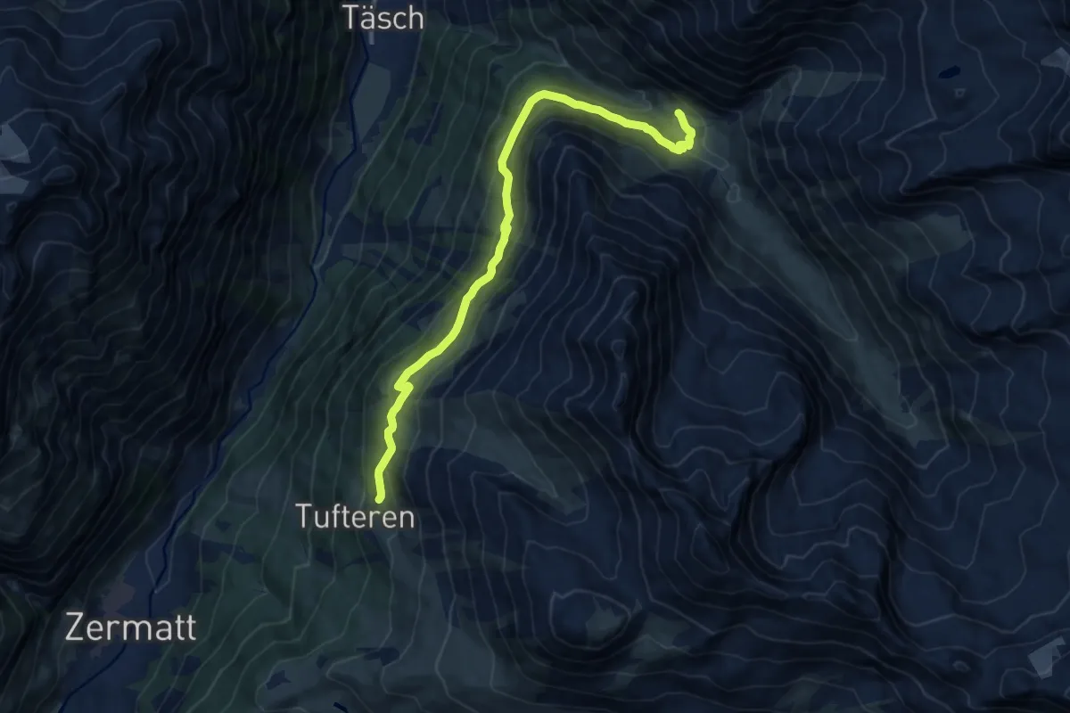
Medium · Trail
Ottafe – Tufteren
11.9 km · ↑ 625 m · 4 h 10 min
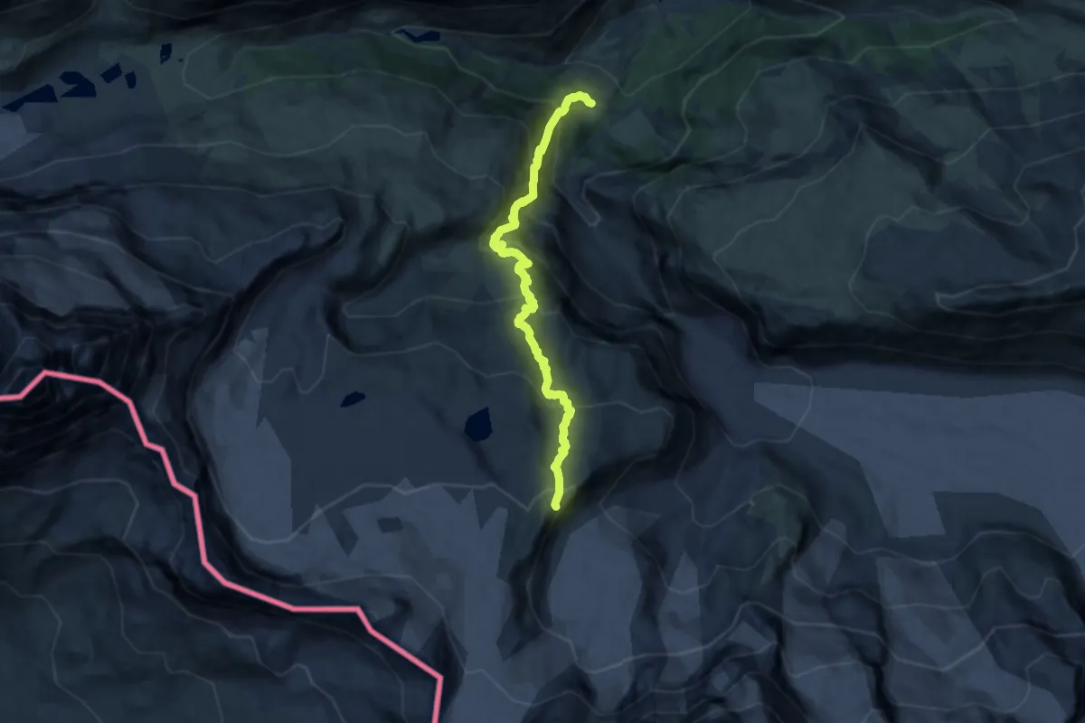
Demanding · Cabin
Furi – Gandegghütte
12.6 km · ↑ 1192 m · 5 h 33 min
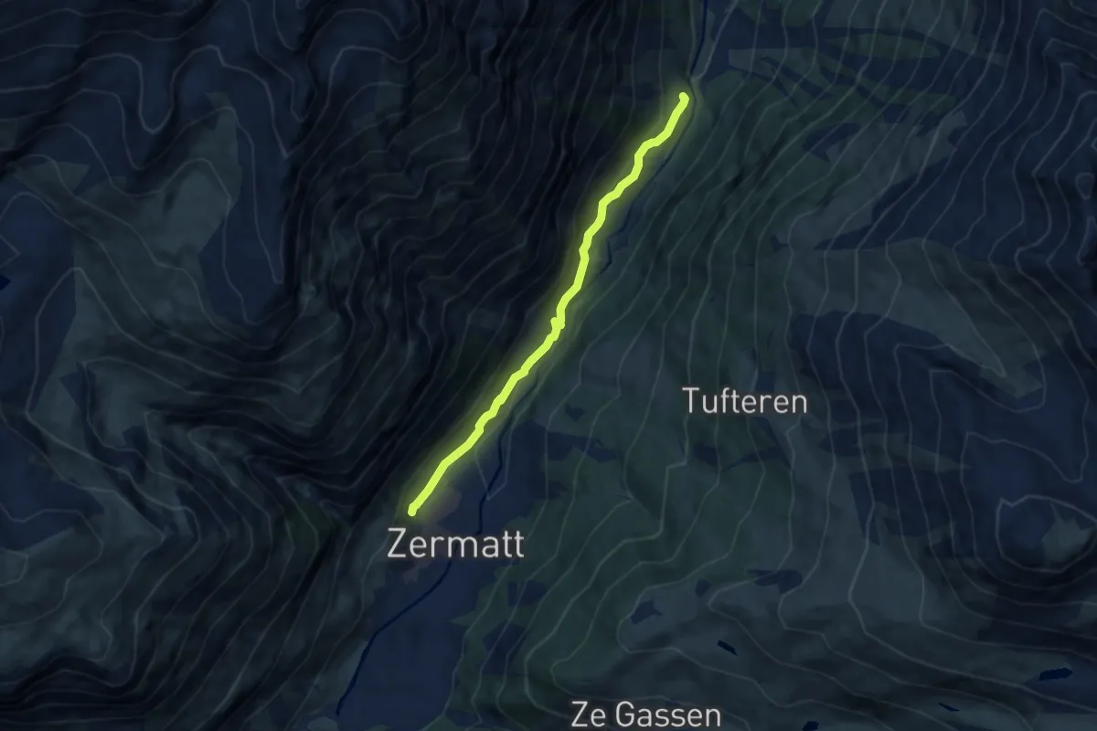
Medium · Trail
Schlangengruebe – Zermatt
7.1 km · ↑ 254 m · 2 h 13 min
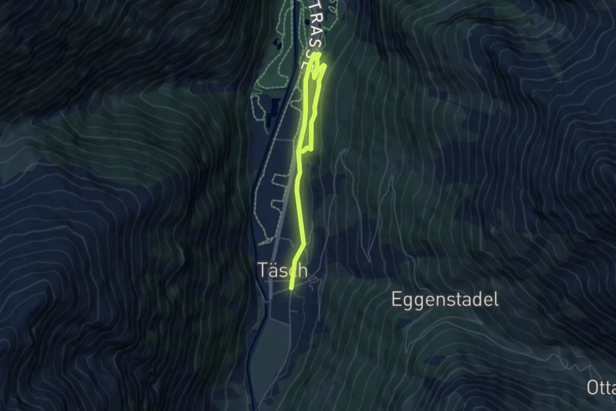
Medium · Trail
Täsch – Attermenzen
6.2 km · ↑ 119 m · 1 h 43 min
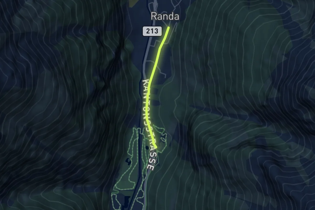
Easy · Trail
Attermenzen – Randa
3.1 km · ↑ 32 m · 48 min
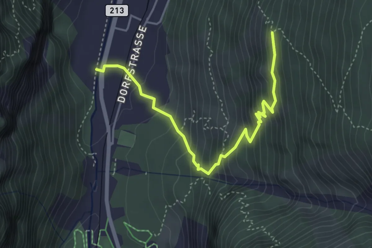
Medium · Trail
Wildi – Undri Tschugge
4.3 km · ↑ 420 m · 1 h 56 min
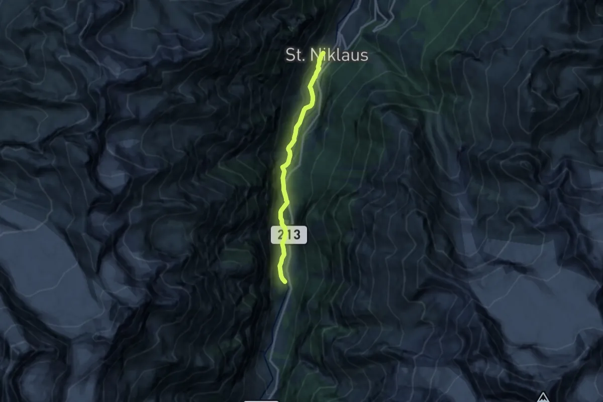
Medium · Trail
Herbriggen – St. Niklaus
11.1 km · ↑ 229 m · 3 h 7 min
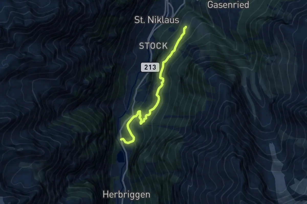
Medium · Trail
Mattsand – Tennjen
9.4 km · ↑ 577 m · 3 h 29 min
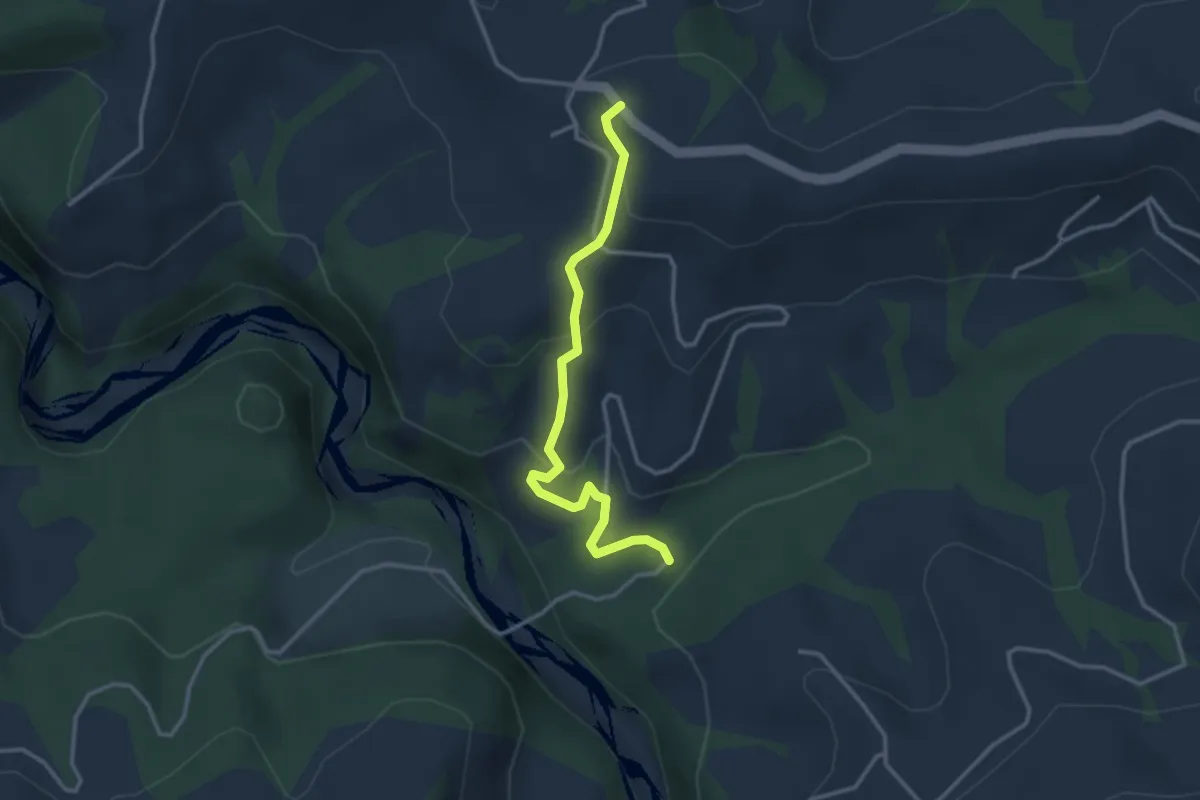
Easy · Trail
Schwandbachbrücke – Hinterfultigen
3.1 km · ↑ 152 m · 1 h 3 min
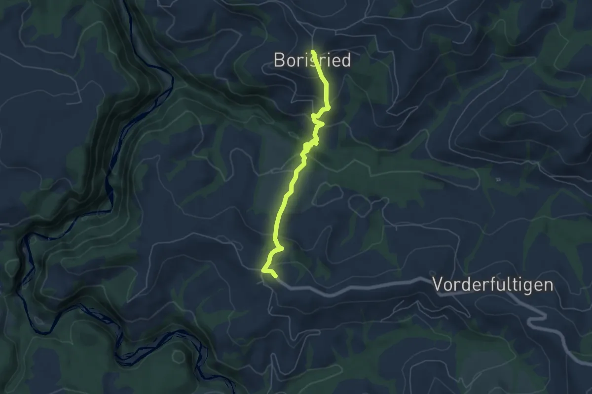
Easy · Trail
Borisried – Hinterfultigen
5.1 km · ↑ 303 m · 1 h 51 min
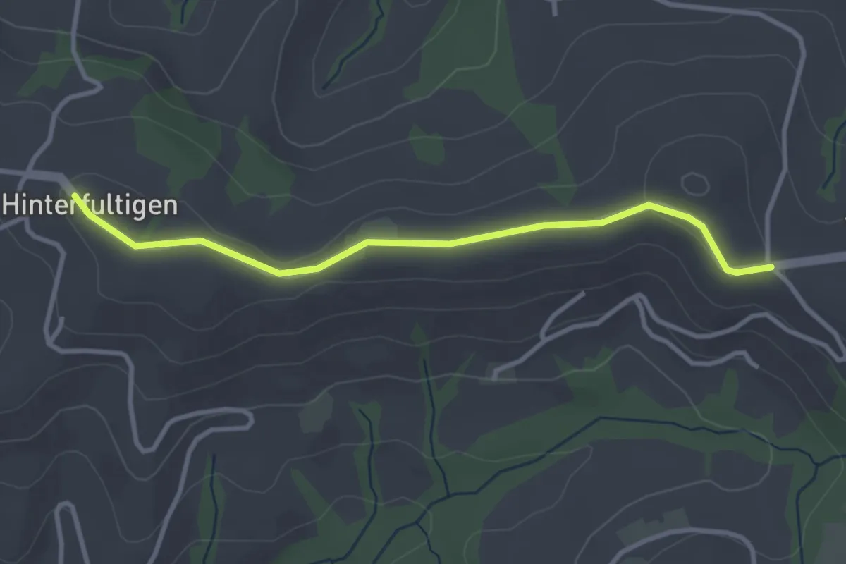
Easy · Trail
Hinterfultigen – Vorderfultigen
3.2 km · ↑ 45 m · 51 min
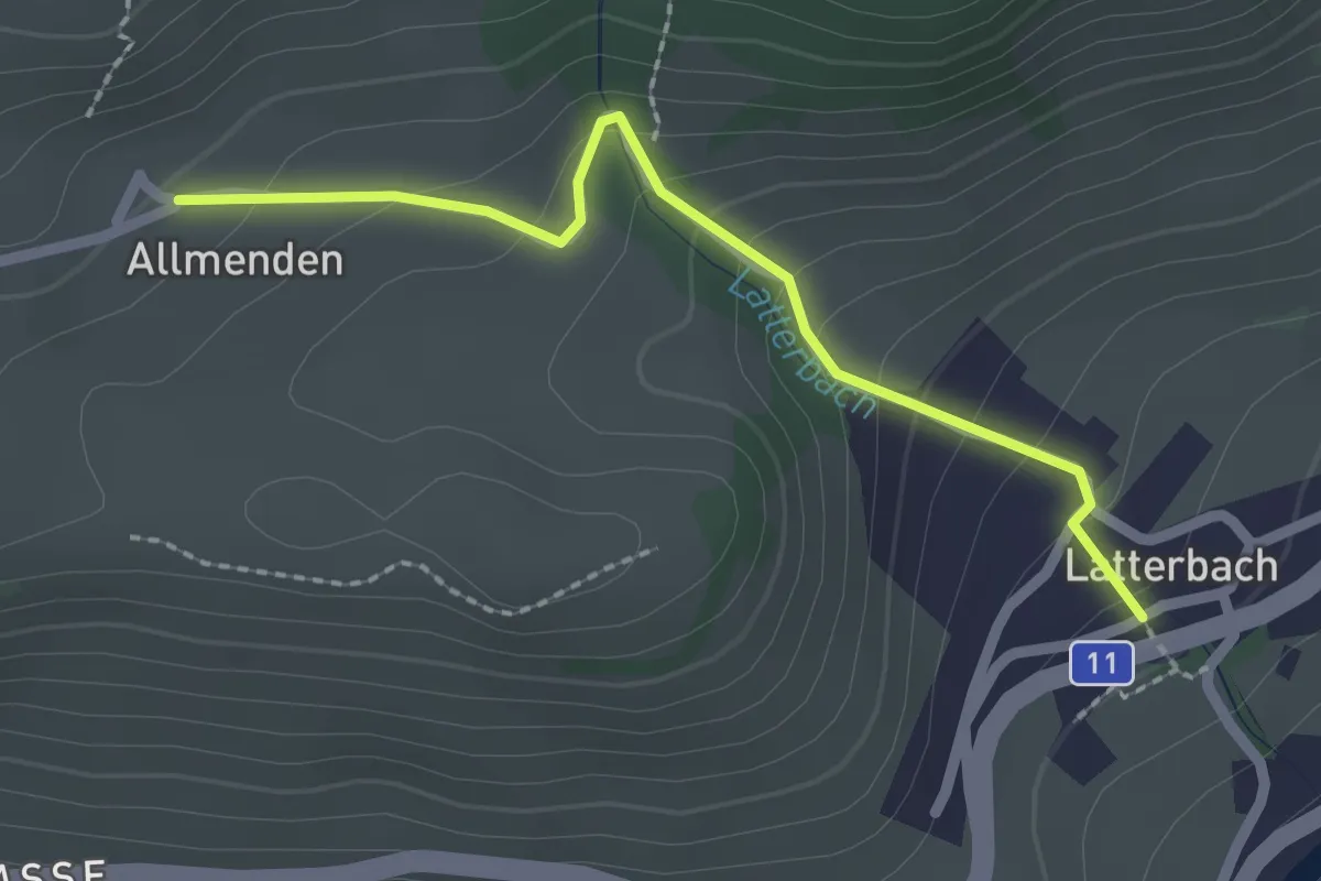
Easy · Trail
Latterbach – Allmenden
2.2 km · ↑ 160 m · 51 min
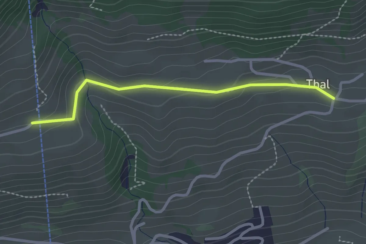
Easy · Trail
Tal – Moos
2.2 km · ↑ 64 m · 40 min
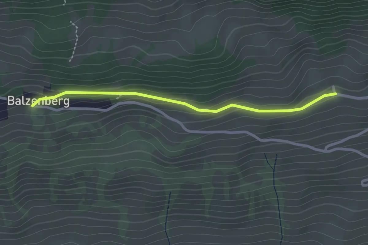
Easy · Trail
Obereschle – Balzeberg
2.2 km · ↑ 76 m · 41 min
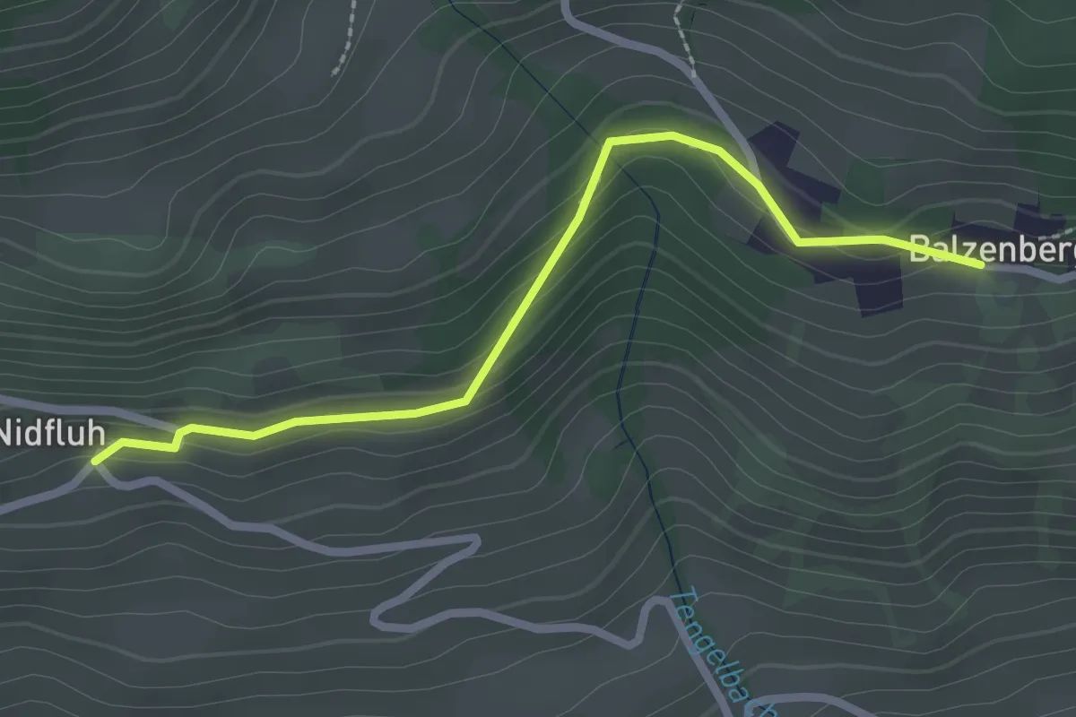
Easy · Trail
Balzeberg – Nidflue
2.4 km · ↑ 100 m · 47 min
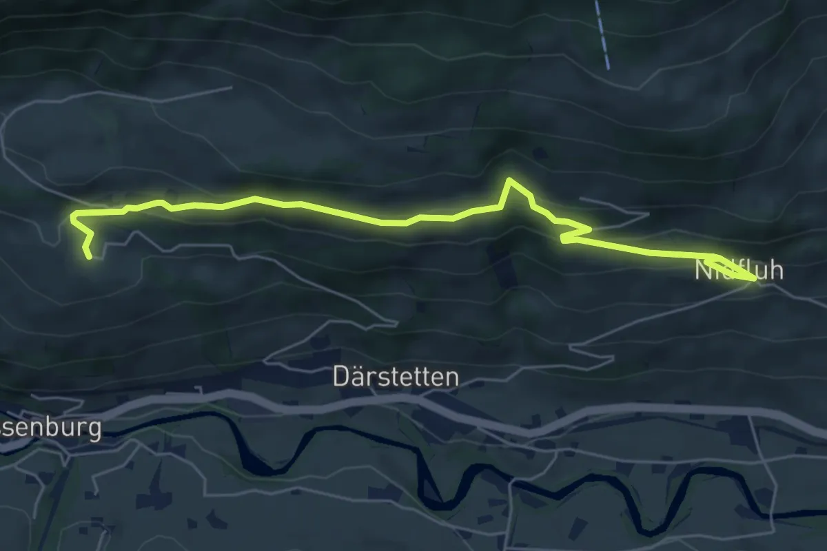
Easy · Trail
Nidflue – Weissenburgberg
6.5 km · ↑ 277 m · 2 h 8 min
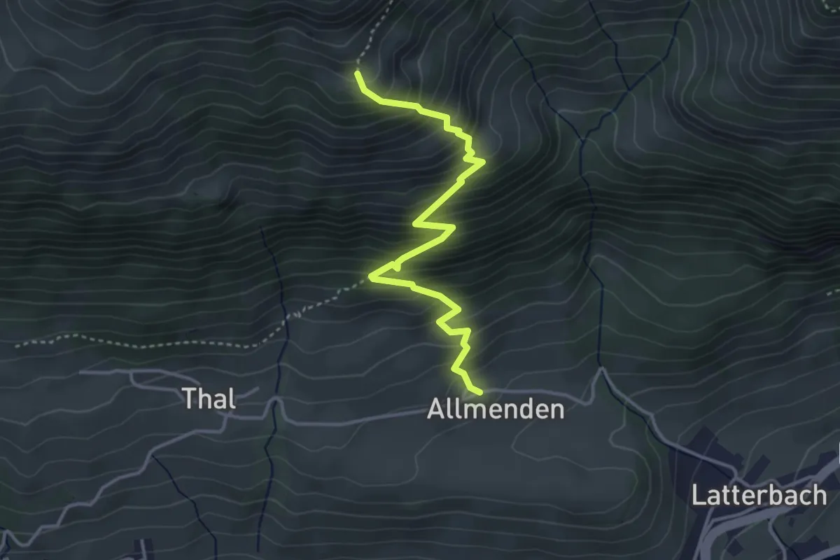
Medium · Trail
Allmenden – Müllersbode
3.8 km · ↑ 511 m · 2 h
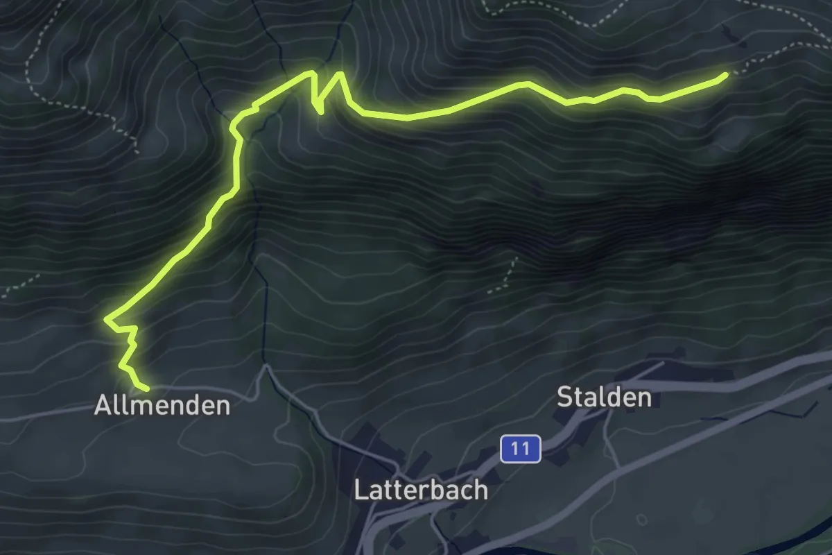
Medium · Trail
Allmenden – Unters Heiti
5.7 km · ↑ 579 m · 2 h 37 min
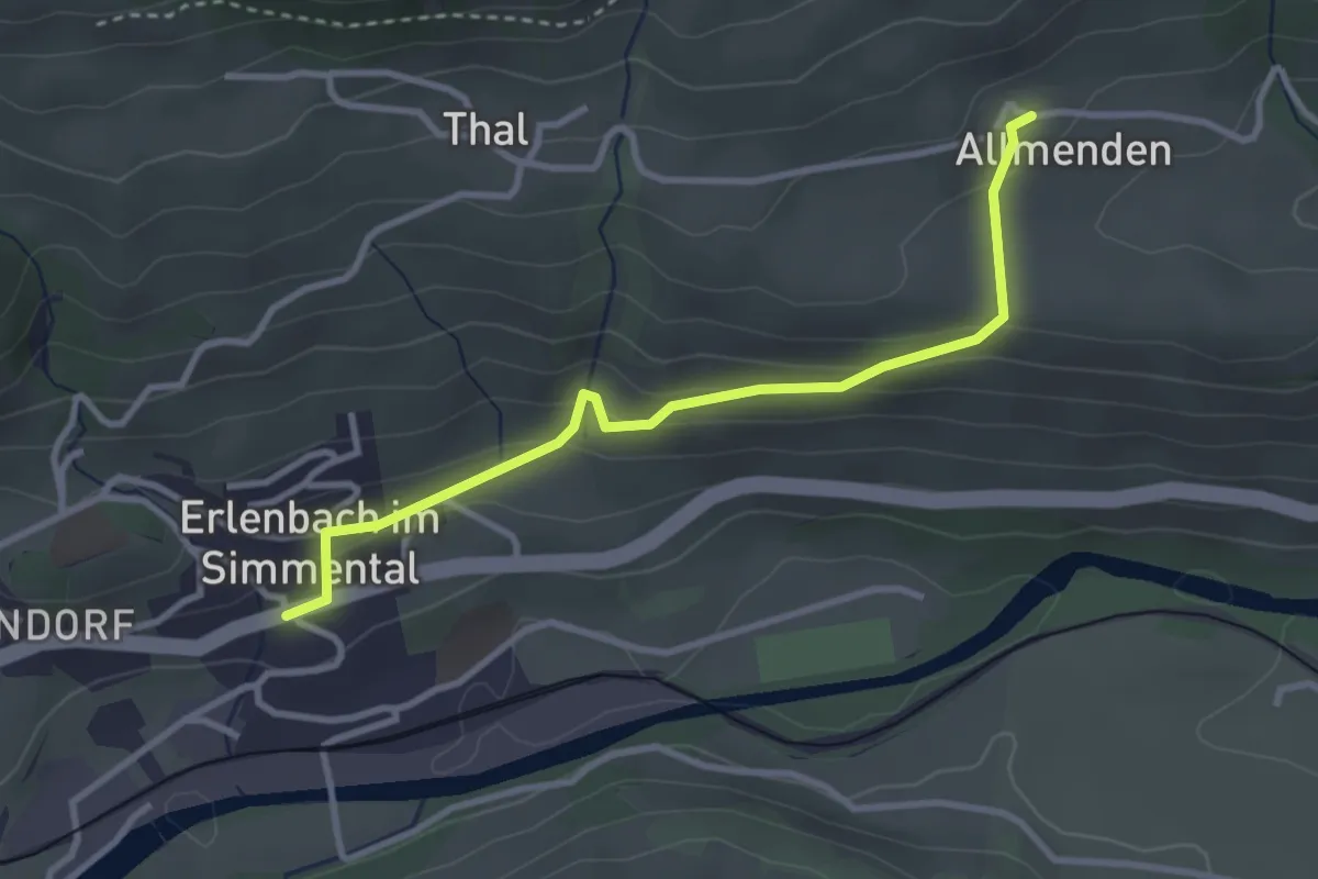
Easy · Trail
Allmenden – Erlenbach
3.2 km · ↑ 165 m · 1 h 6 min
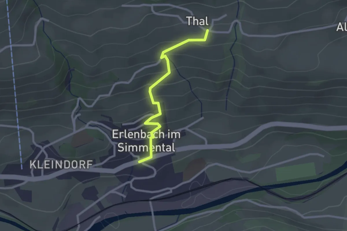
Easy · Trail
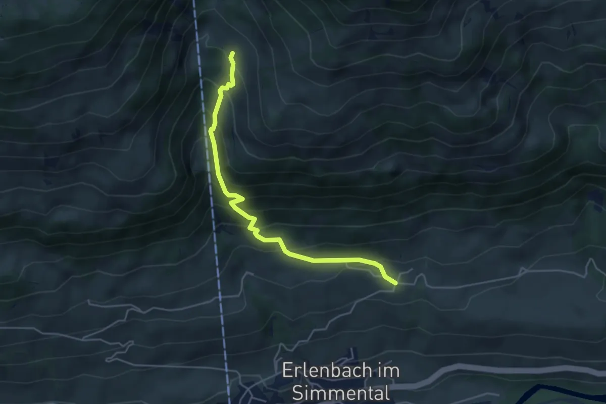
Tal – Erlenbach
2.2 km · ↑ 164 m · 52 min
Medium · Trail
Tal – Oberchlusi
4.4 km · ↑ 431 m · 1 h 59 min
Easy · Trail
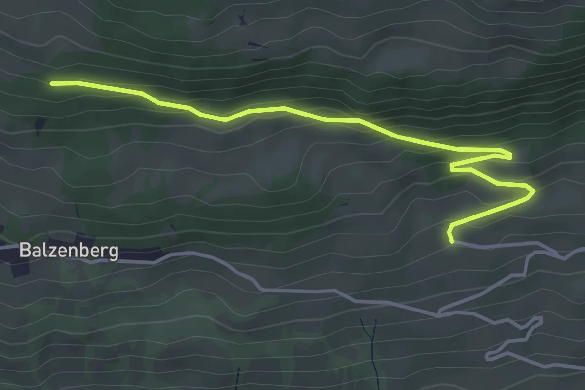
Obereschle – Schopf
4.0 km · ↑ 224 m · 1 h 25 min
Easy · Trail
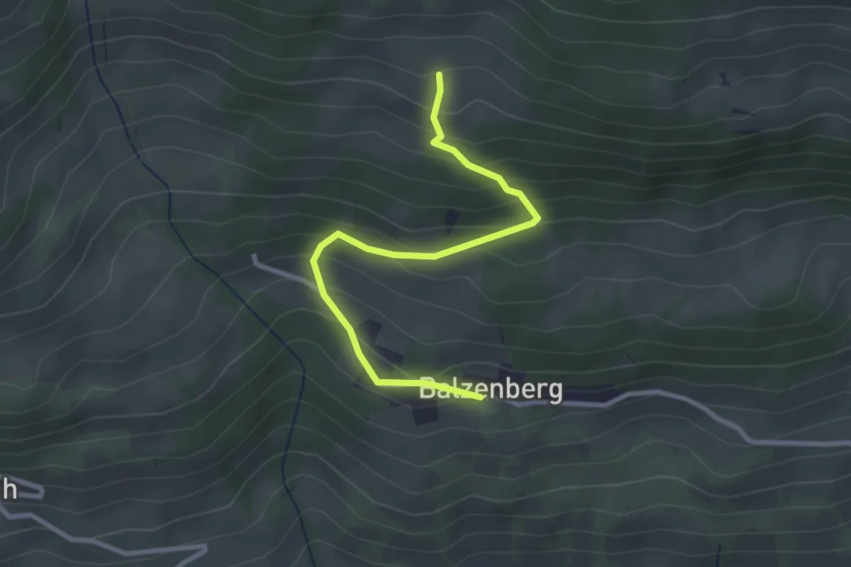
Balzeberg – Schopf
2.8 km · ↑ 236 m · 1 h 10 min
Easy · Trail
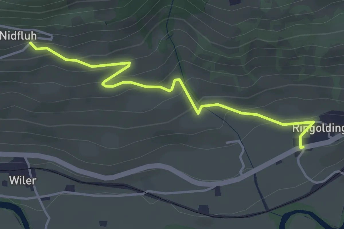
Nidflue – Ringoldingen
3.6 km · ↑ 184 m · 1 h 14 min