Trails in Switzerland
15,055 hiking trails, each with its route, climb, walking time and grade.
All trails, page 165 of 314
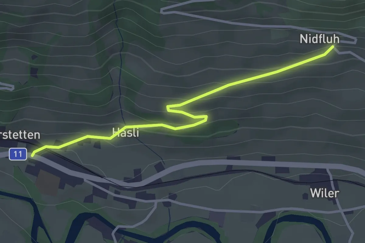
Easy · Trail
Nidflue – Därstetten
3.2 km · ↑ 165 m · 1 h 7 min
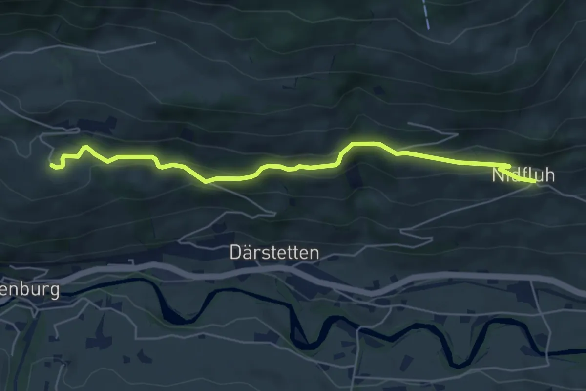
Easy · Trail
Weissenburgberg – Nidflue
5.4 km · ↑ 299 m · 1 h 55 min
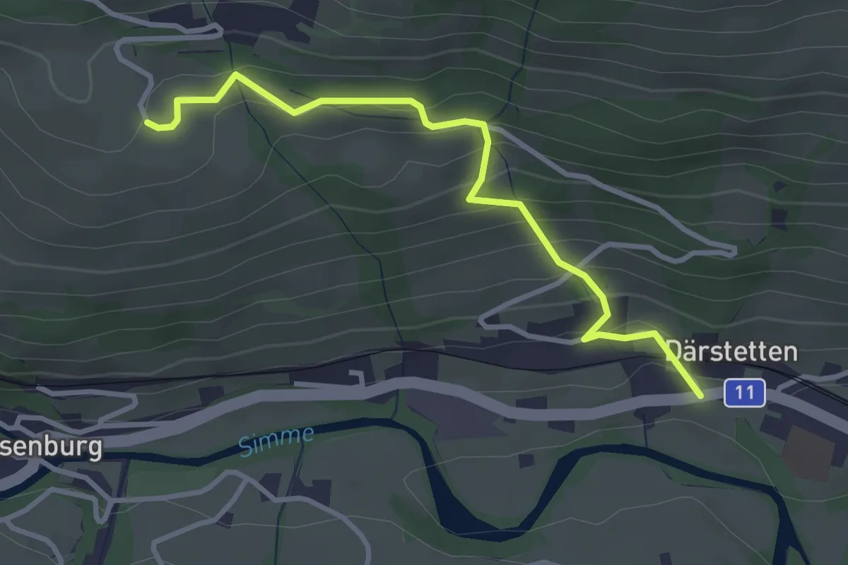
Easy · Trail
Weissenburgberg – Därstetten
3.2 km · ↑ 265 m · 1 h 20 min
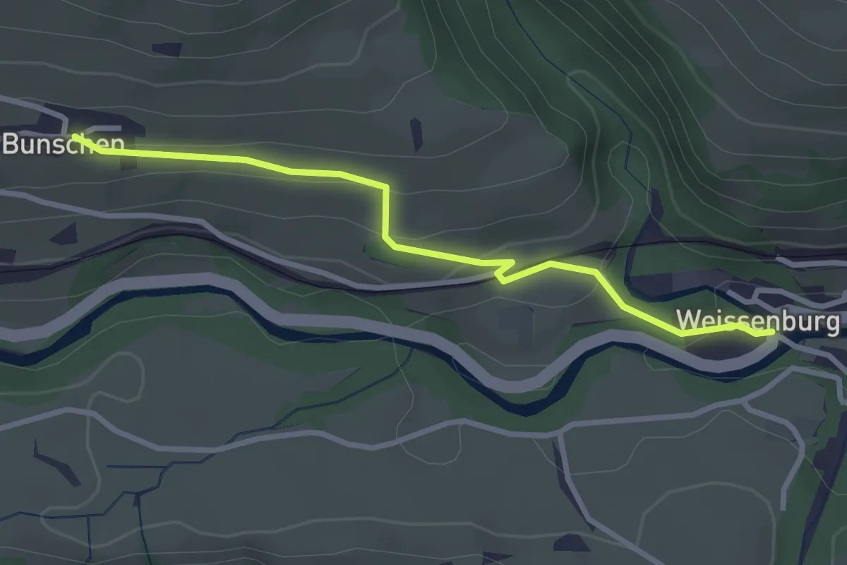
Easy · Trail
Weissenburg – Buusche
2.8 km · ↑ 106 m · 54 min
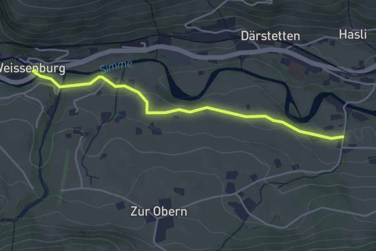
Easy · Trail
Weissenburg – Därstetten/Chloster
3.8 km · ↑ 54 m · 1 h
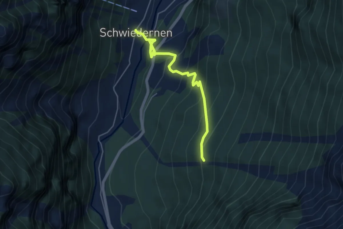
Medium · Trail
Balmu – Schwiedernen
4.4 km · ↑ 390 m · 1 h 53 min
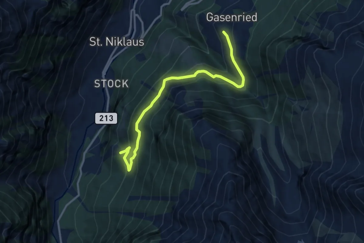
Medium · Trail
Balmu – Ried
8.9 km · ↑ 545 m · 3 h 18 min
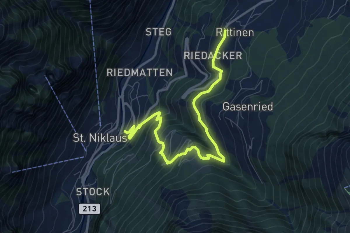
Medium · Trail
St. Niklaus – Rittinen
9.3 km · ↑ 775 m · 3 h 53 min
Medium · Trail
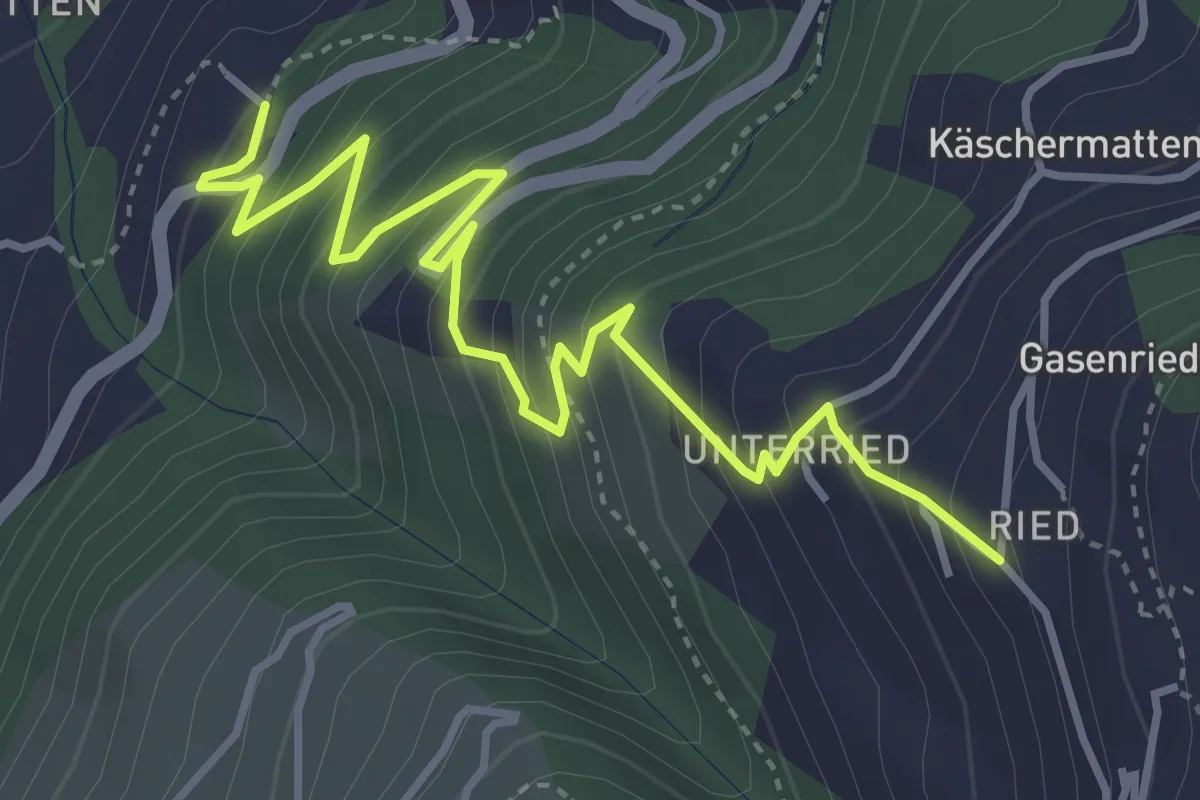
Wichel – Gasenried
4.7 km · ↑ 467 m · 2 h 7 min
Medium · Trail
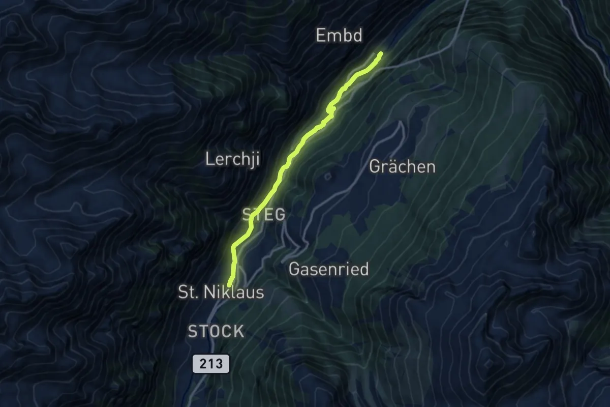
St. Niklaus – Kalpetran
10.5 km · ↑ 389 m · 3 h 19 min
Medium · Trail
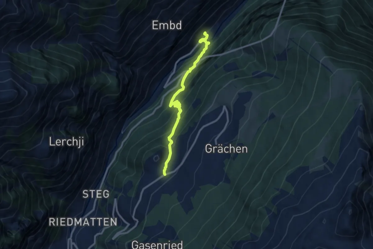
Kalpetran – Niedergrächen
7.6 km · ↑ 788 m · 3 h 31 min
Easy · Trail
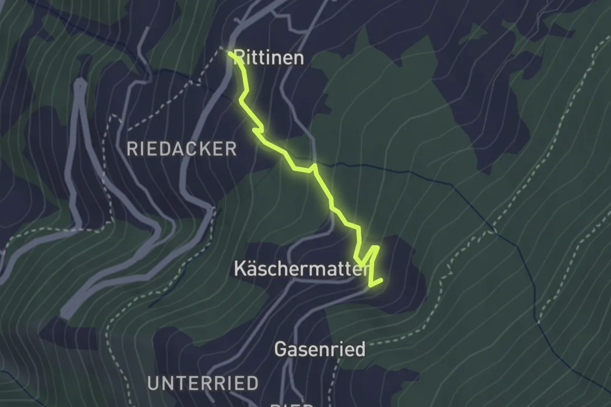
Rittinen – Erbji
2.3 km · ↑ 172 m · 56 min
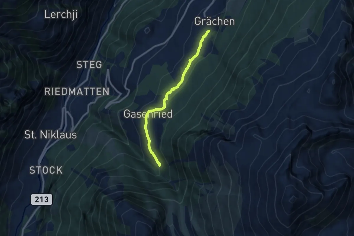
Easy · Trail
Bineri – Suon
6.4 km · ↑ 172 m · 1 h 53 min
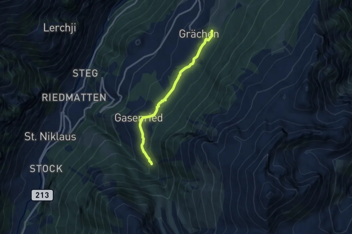
Medium · Trail
Drieri – Suon
7.2 km · ↑ 212 m · 2 h 9 min
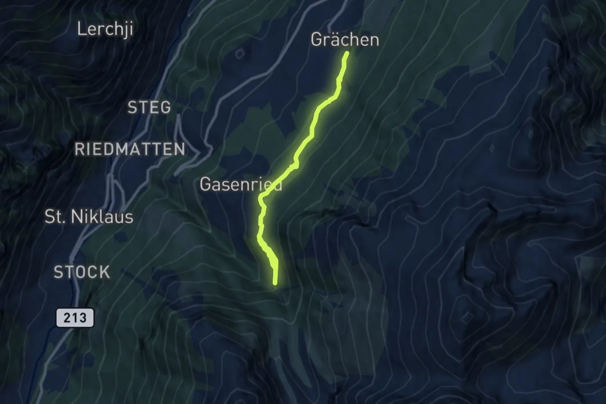
Medium · Trail
Chilcheri – Suon
8.0 km · ↑ 344 m · 2 h 38 min
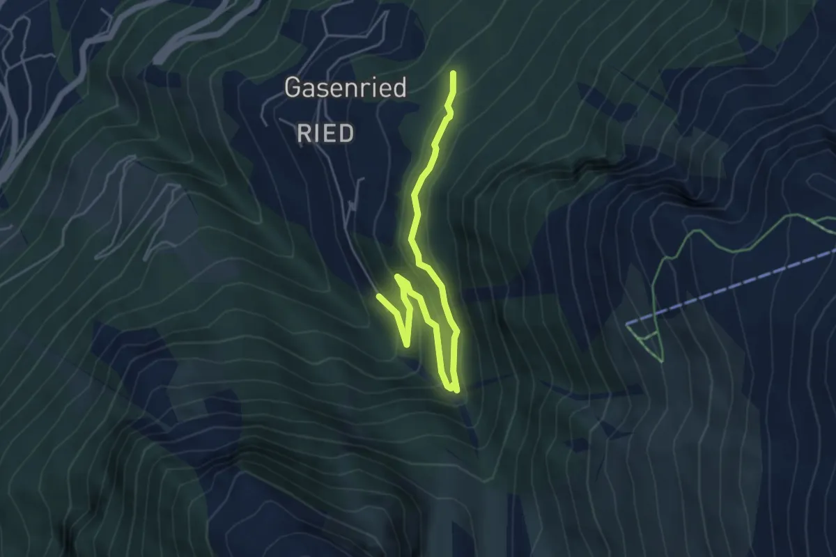
Easy · Trail
Eggeri – Suon
5.2 km · ↑ 313 m · 1 h 54 min
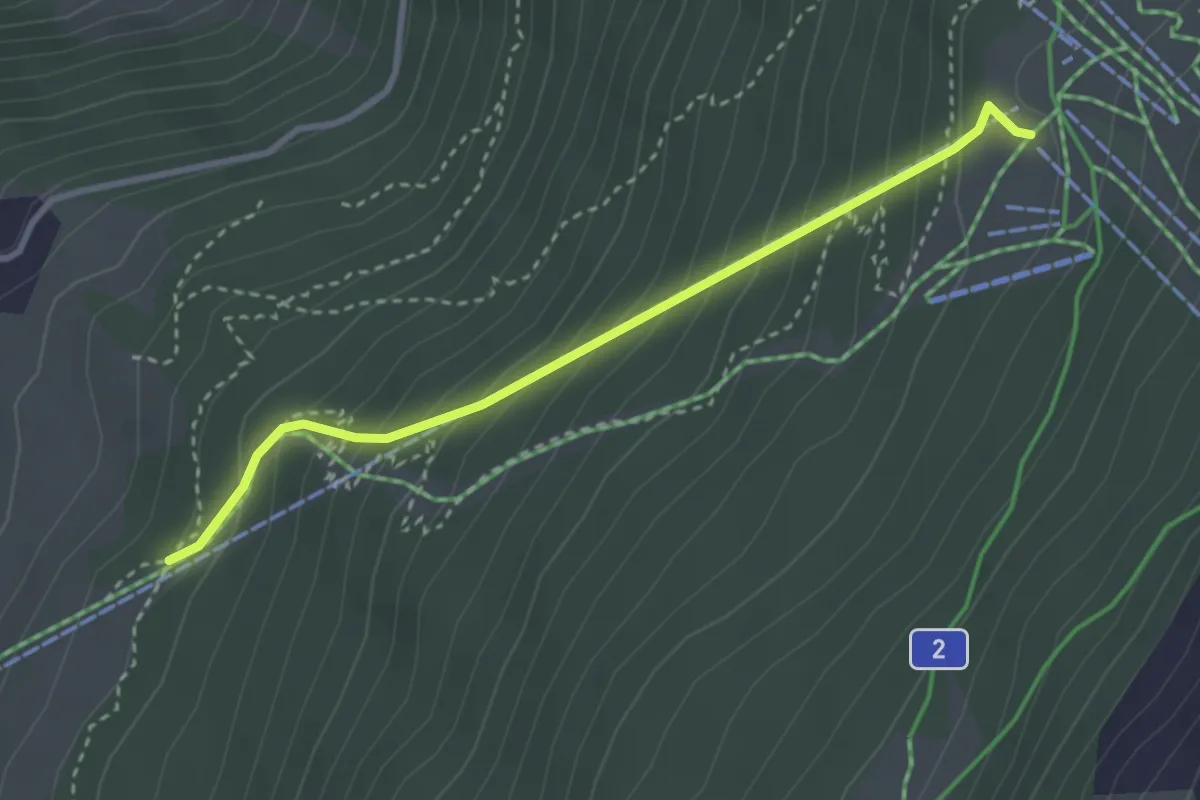
Medium · Trail
Meisustrasse – Hannigalp
3.1 km · ↑ 341 m · 1 h 29 min
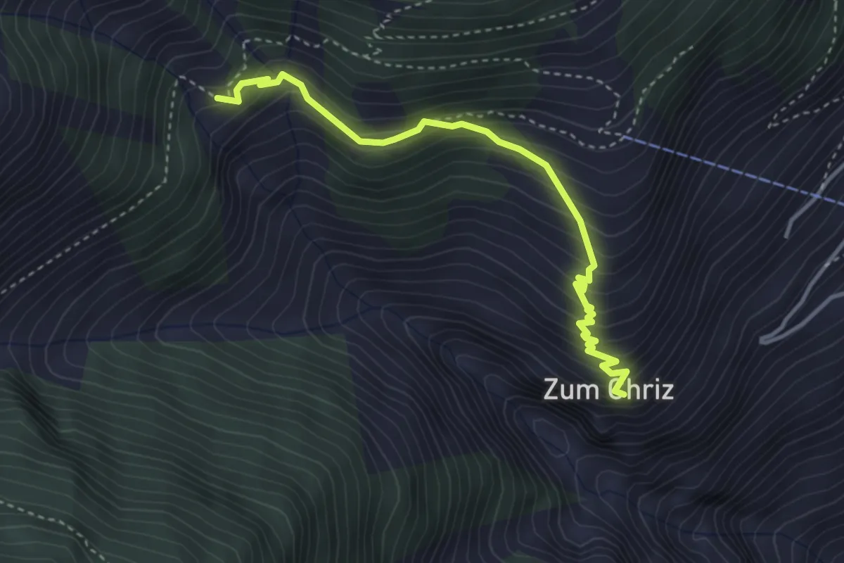
Medium · Trail
Zum Chriz – Gartini
3.7 km · ↑ 393 m · 1 h 43 min
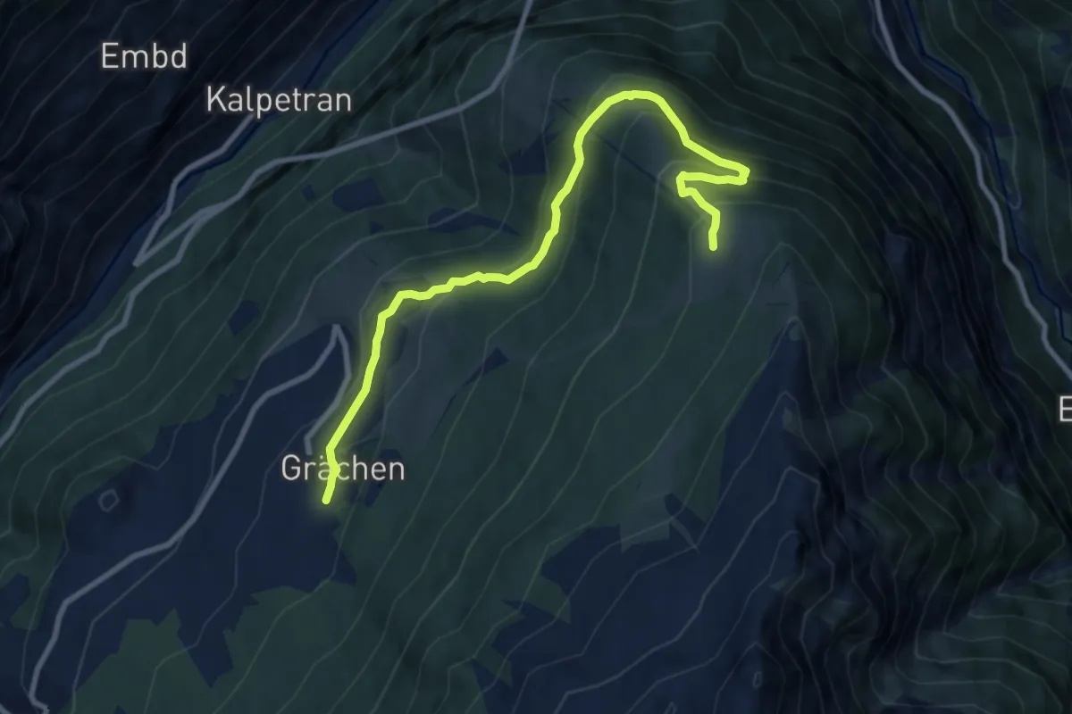
Medium · Trail
Grächen – Hannigalp
9.7 km · ↑ 585 m · 3 h 33 min
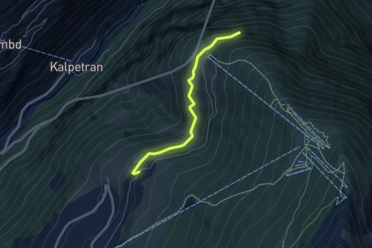
Medium · Trail
Egga – Hohtschugga
4.5 km · ↑ 327 m · 1 h 46 min
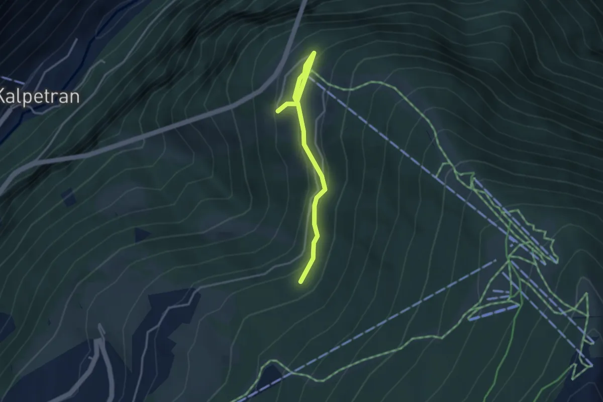
Easy · Trail
Taa – Bärgji
3.2 km · ↑ 156 m · 1 h 5 min
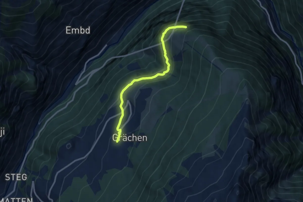
Medium · Trail
Grächen – Hohtschugge
7.1 km · ↑ 398 m · 2 h 33 min
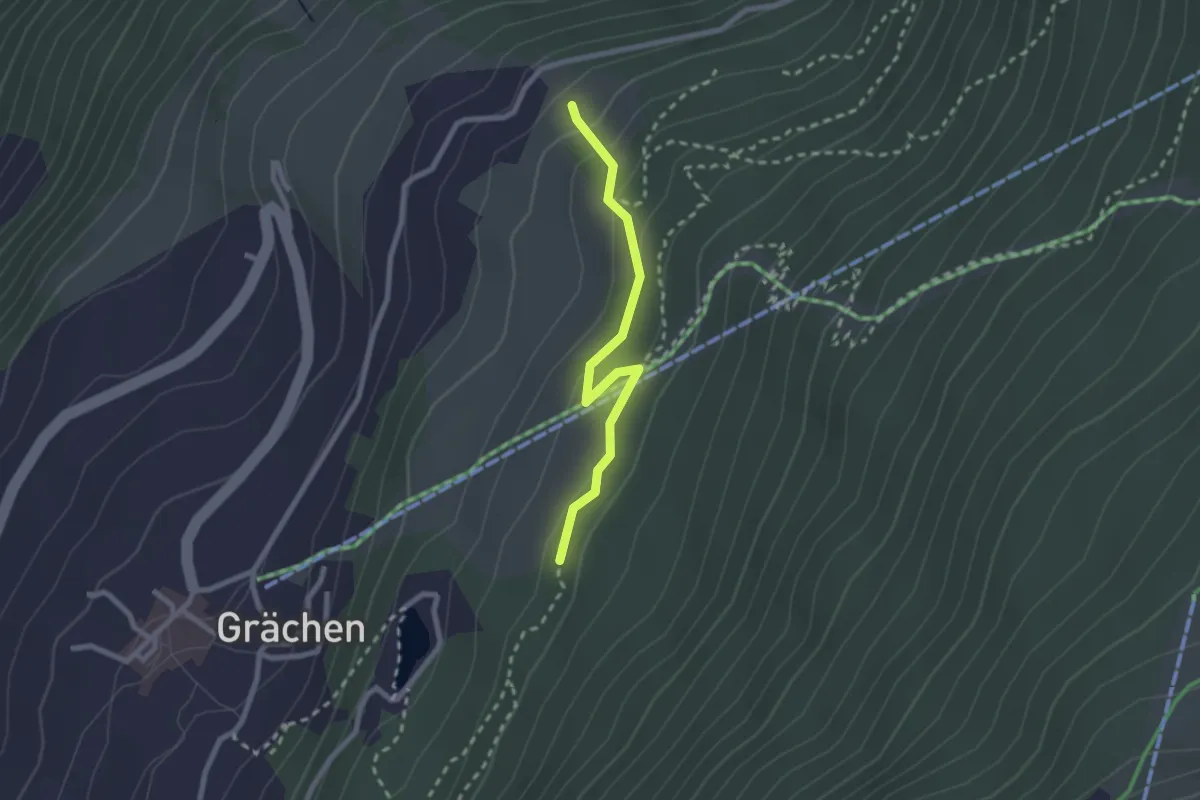
Easy · Trail
Grächerwald – Egga
2.3 km · ↑ 99 m · 45 min
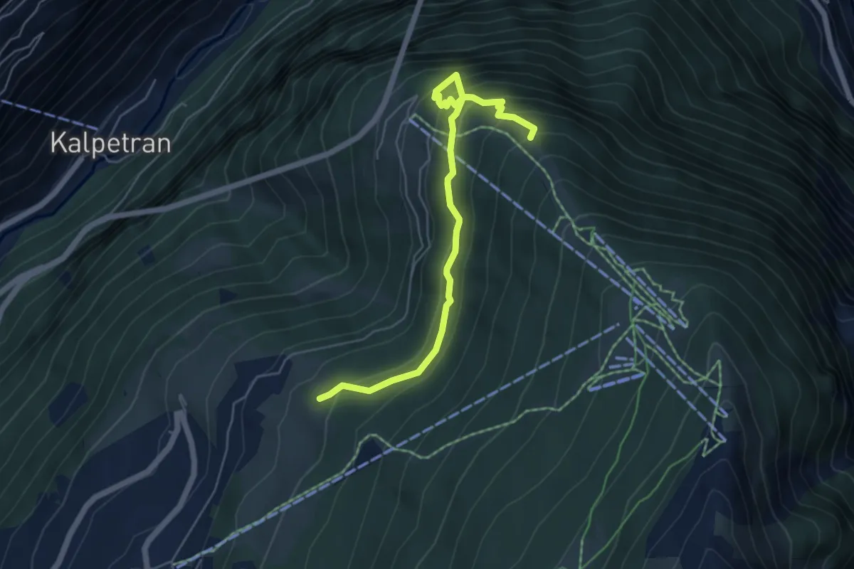
Medium · Trail
Dirri – Hohtschugge
5.5 km · ↑ 581 m · 2 h 34 min
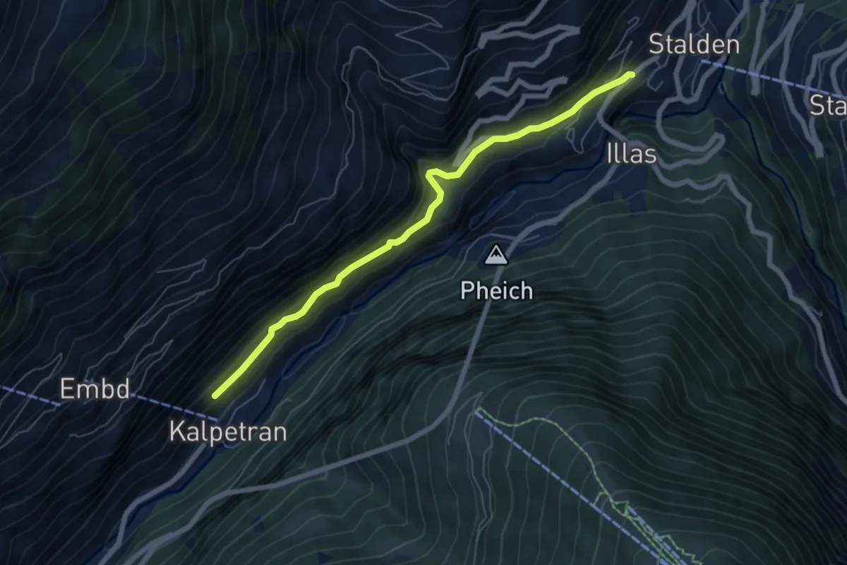
Medium · Trail
Kalpetran – Stalden
6.2 km · ↑ 415 m · 2 h 22 min
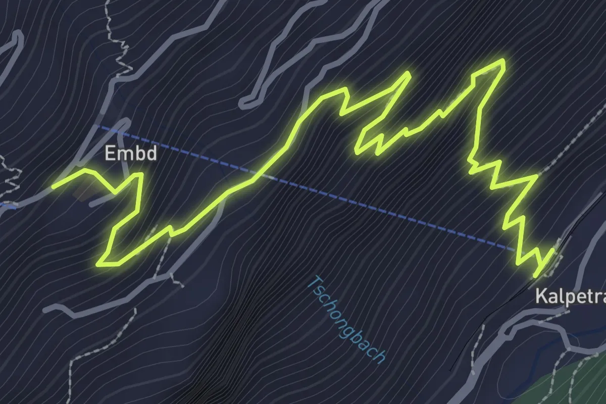
Medium · Trail
Kalpetran – Embd
4.5 km · ↑ 539 m · 2 h 14 min
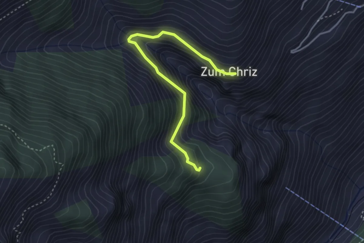
Medium · Trail
Zum Chriz – Grossberg
3.4 km · ↑ 327 m · 1 h 30 min
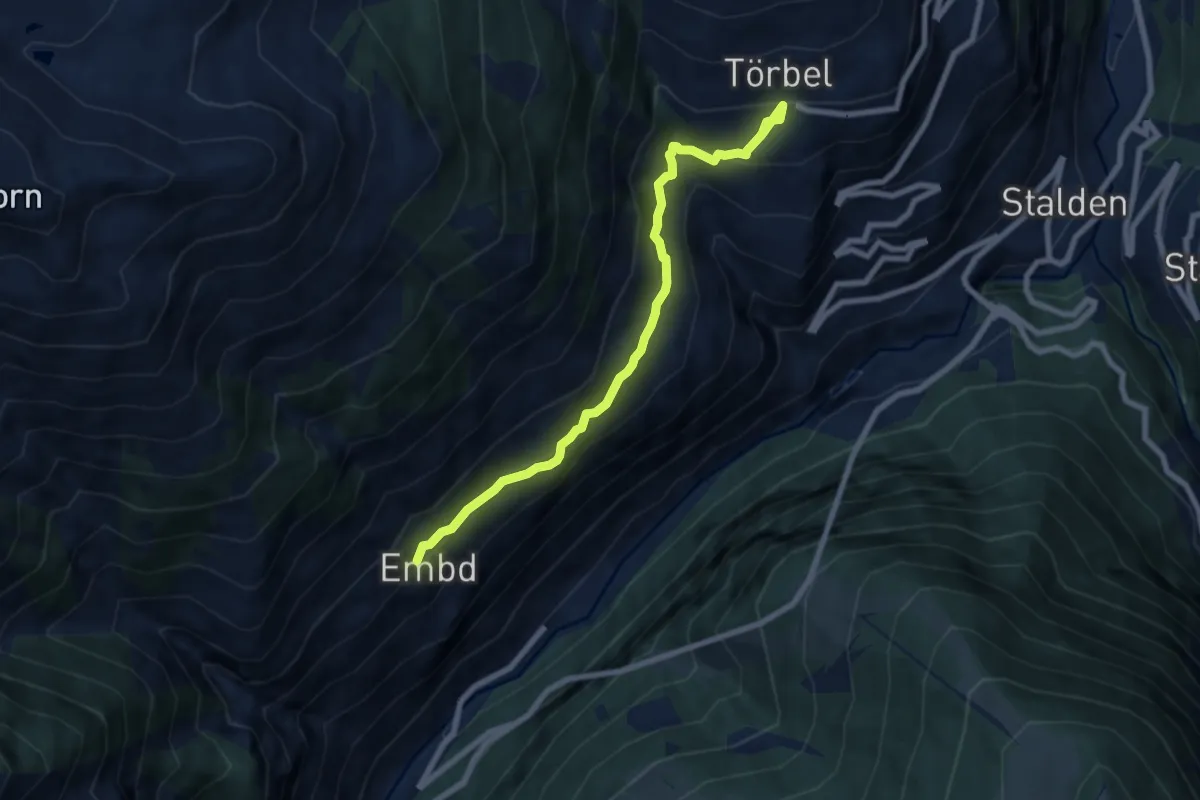
Medium · Trail
Embd – Törbel
7.5 km · ↑ 547 m · 2 h 58 min
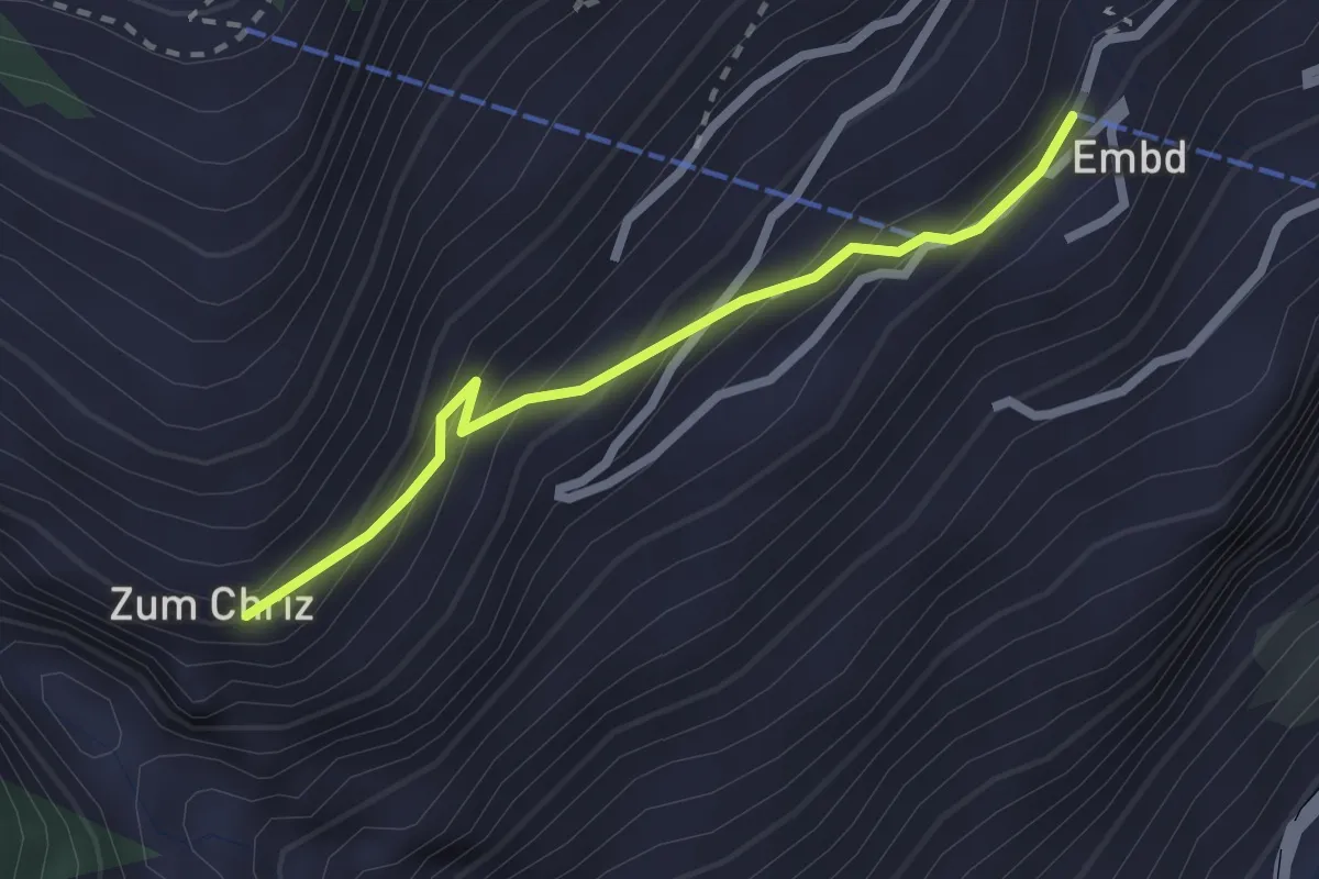
Easy · Trail
Embd – Zum Chriz
2.2 km · ↑ 205 m · 58 min
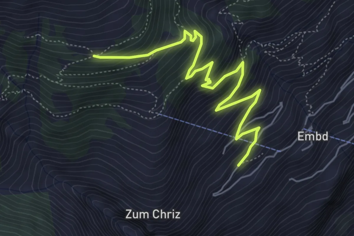
Medium · Trail
Embd – Läger
6.1 km · ↑ 670 m · 2 h 54 min
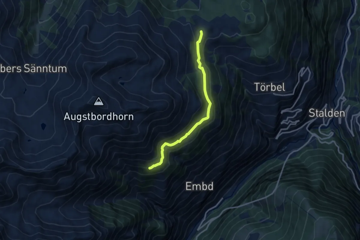
Expert · Trail
Läger – Moosalp
9.1 km · ↑ 346 m · 2 h 54 min
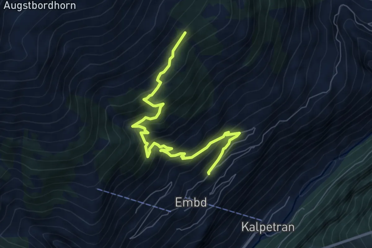
Medium · Trail
Ebnetweg – Pletsche
7.6 km · ↑ 747 m · 3 h 25 min
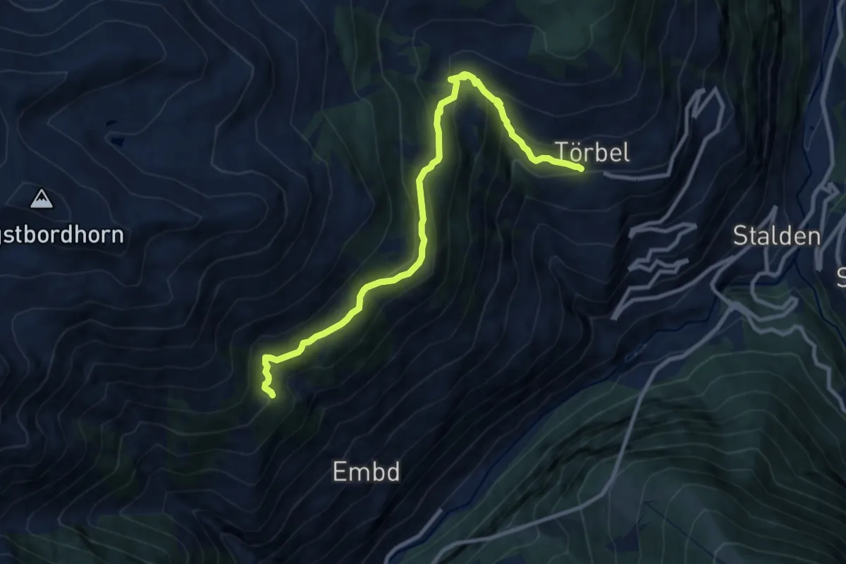
Medium · Trail
Hannig – Törbel
10.2 km · ↑ 757 m · 4 h 3 min
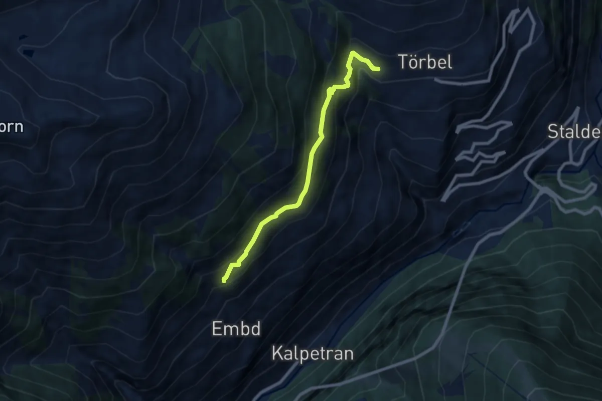
Medium · Trail
Riti Flüe – Törbel
6.2 km · ↑ 523 m · 2 h 36 min
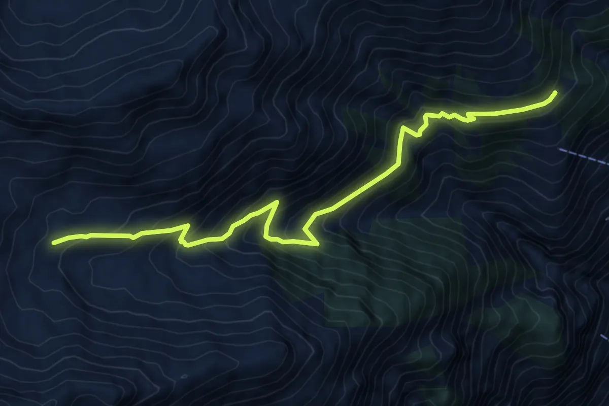
Demanding · Trail
Embd – Augstbord
9.5 km · ↑ 791 m · 3 h 58 min
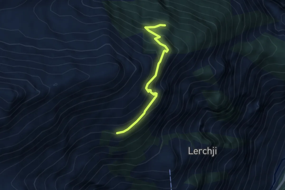
Medium · Trail
Läger – Obri Äbi
3.9 km · ↑ 339 m · 1 h 39 min
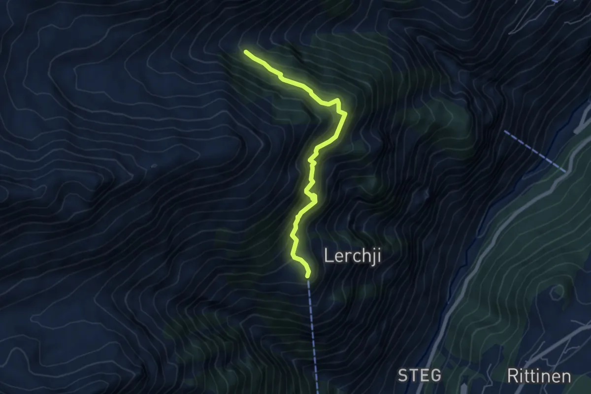
Demanding · Trail
Jungen – Embdbach
5.4 km · ↑ 607 m · 2 h 36 min
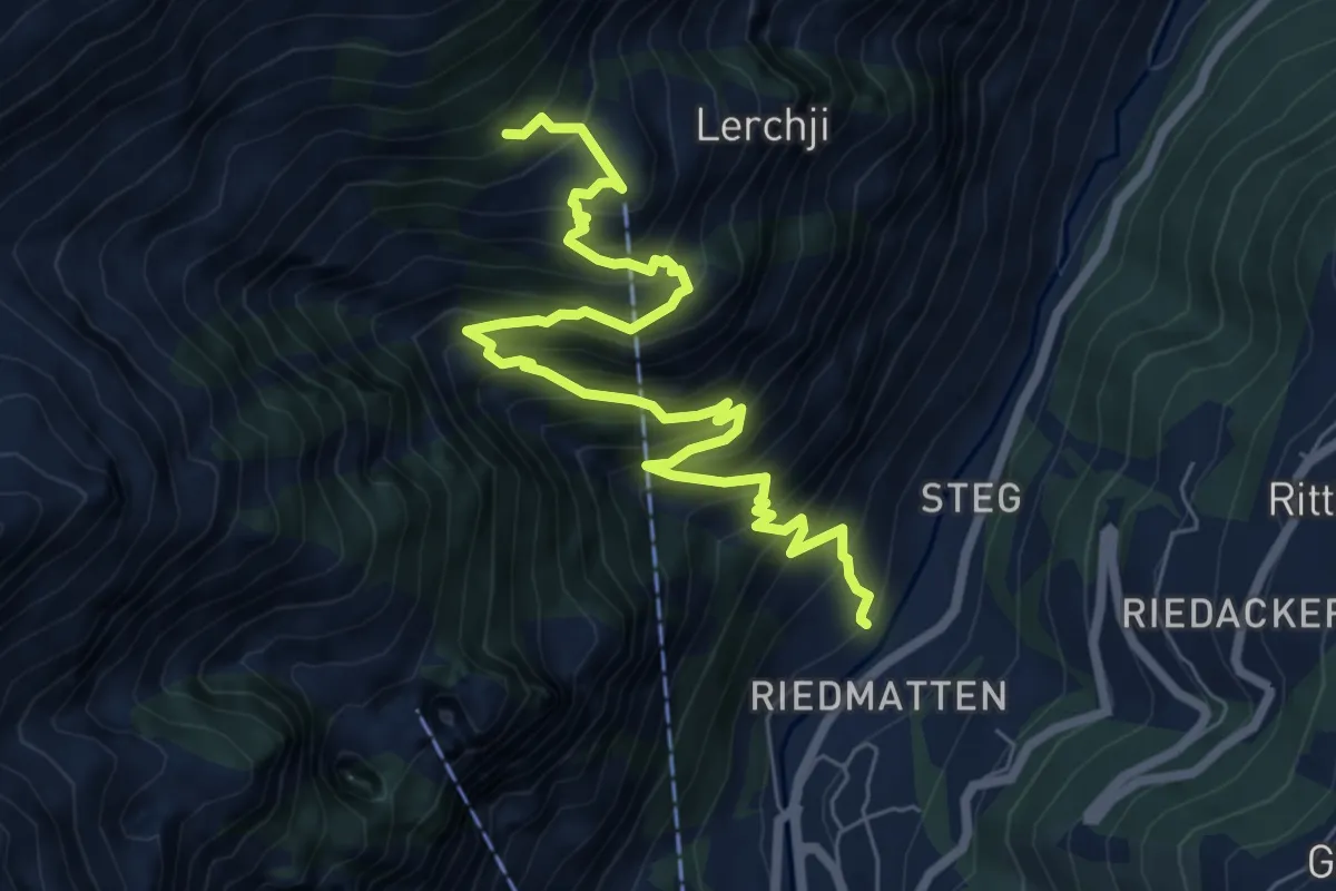
Demanding · Trail
Lochmatte – Jungen
8.2 km · ↑ 1088 m · 4 h 18 min
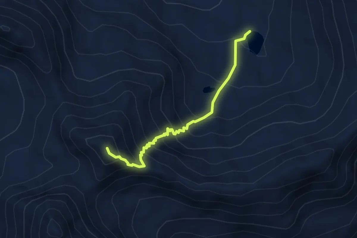
Demanding · Summit
Dreizehntenhorn – Seefeld
4.2 km · ↑ 486 m · 2 h 3 min
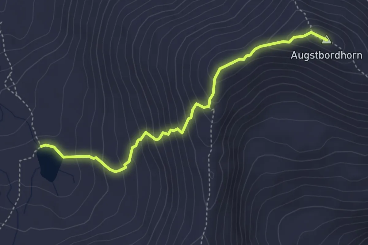
Expert · Summit
Seefeld – Augstbordhorn
4.0 km · ↑ 410 m · 1 h 50 min
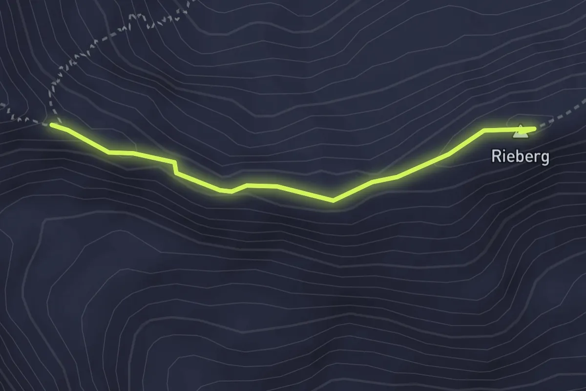
Demanding · Summit
Dreizehntenhorn – Augstbordhorn
2.8 km · ↑ 90 m · 51 min
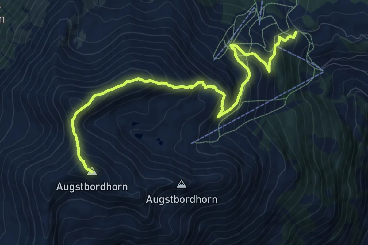
Demanding · Summit
Augstbordhorn – Moosalp
12.0 km · ↑ 963 m · 4 h 55 min
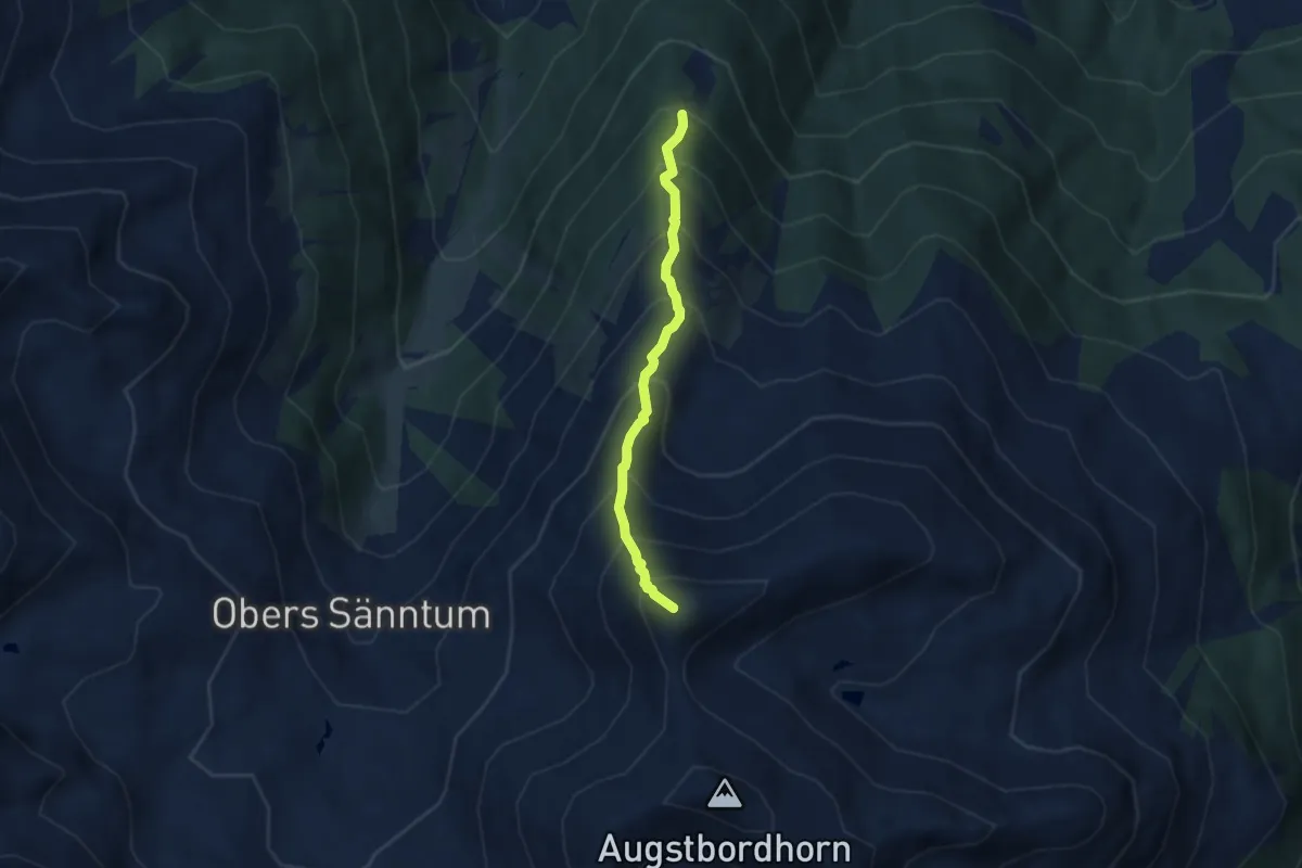
Demanding · Summit
Oberes Gibidum – March Violenhorn
5.3 km · ↑ 743 m · 2 h 51 min
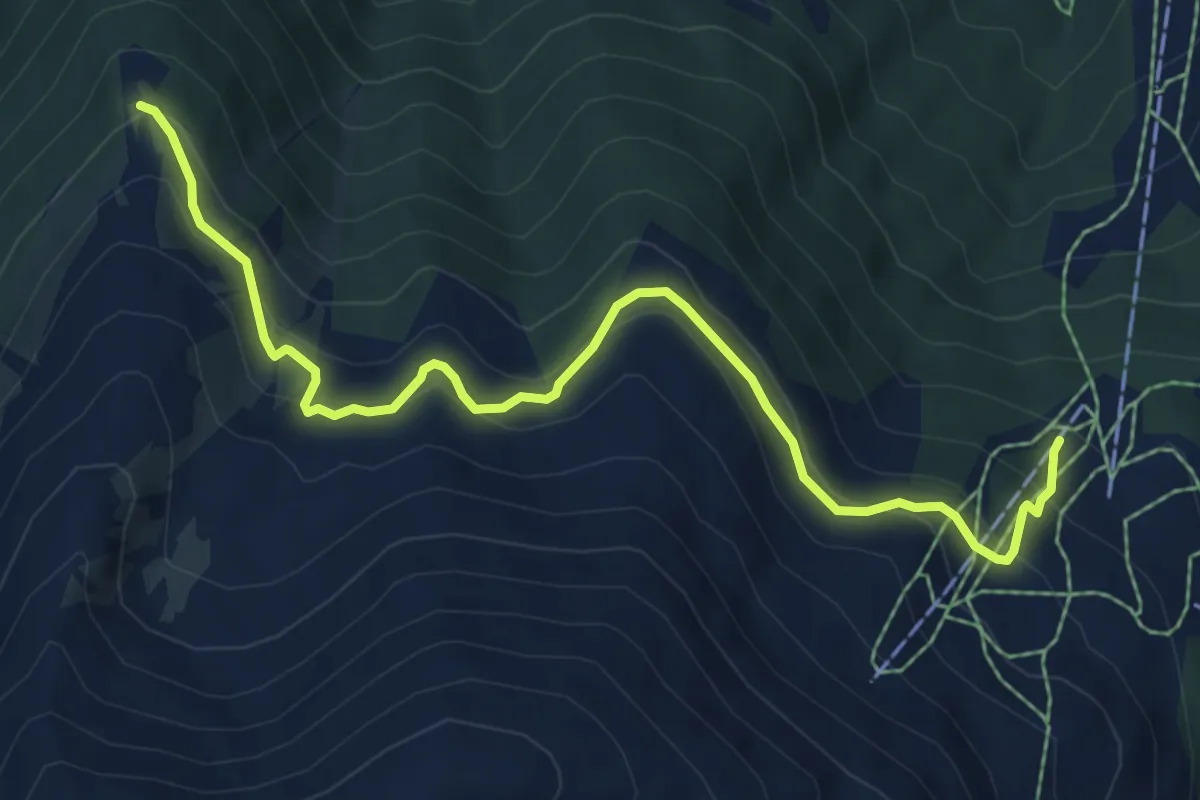
Medium · Trail
Unnerrat – Oberes Gibidum
7.3 km · ↑ 506 m · 2 h 49 min
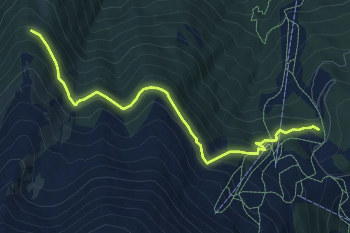
Medium · Trail
Unnerat – Gibidum
8.3 km · ↑ 463 m · 2 h 58 min
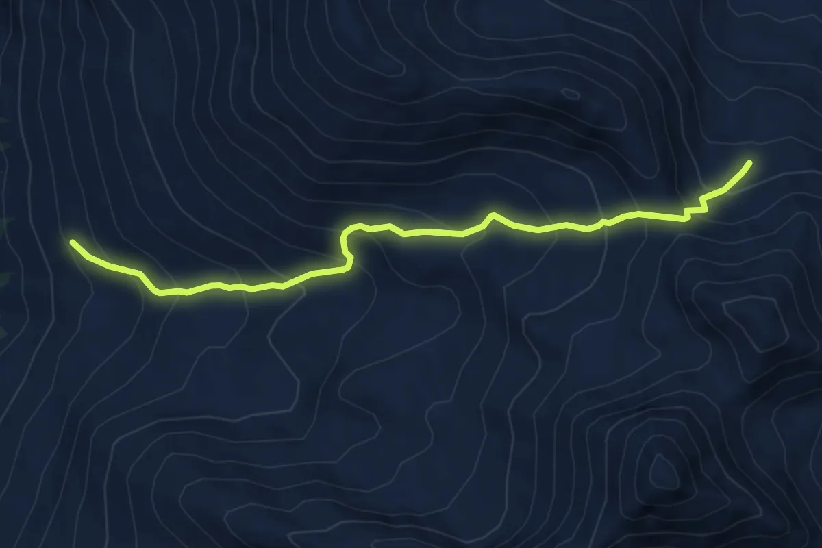
Demanding · Trail
Niggelingu Oberstafel – Niggelingenlicke
6.4 km · ↑ 615 m · 2 h 51 min
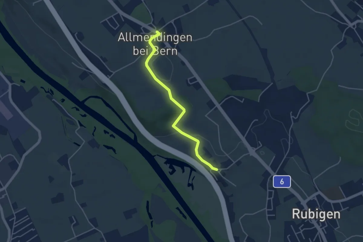
Easy · Trail
Kleinhöchstetten – Allmendingen
3.7 km · ↑ 73 m · 1 h 2 min
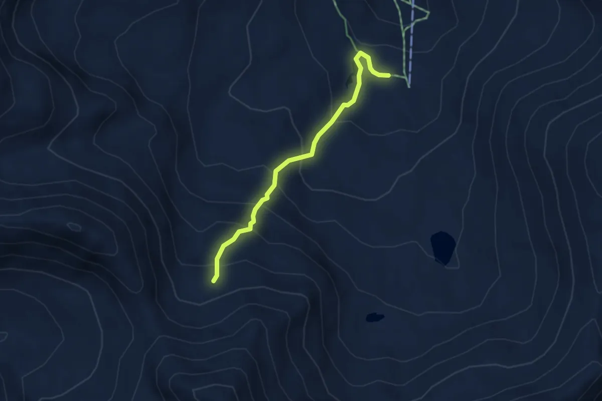
Easy · Trail
Seefeld – Niggelingenlicka
3.6 km · ↑ 302 m · 1 h 30 min