Trails in Switzerland
15,055 hiking trails, each with its route, climb, walking time and grade.
All trails, page 166 of 314
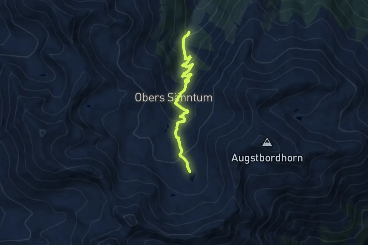
Expert · Trail
Unners Sänntum – Seefeld
8.2 km · ↑ 568 m · 3 h 10 min
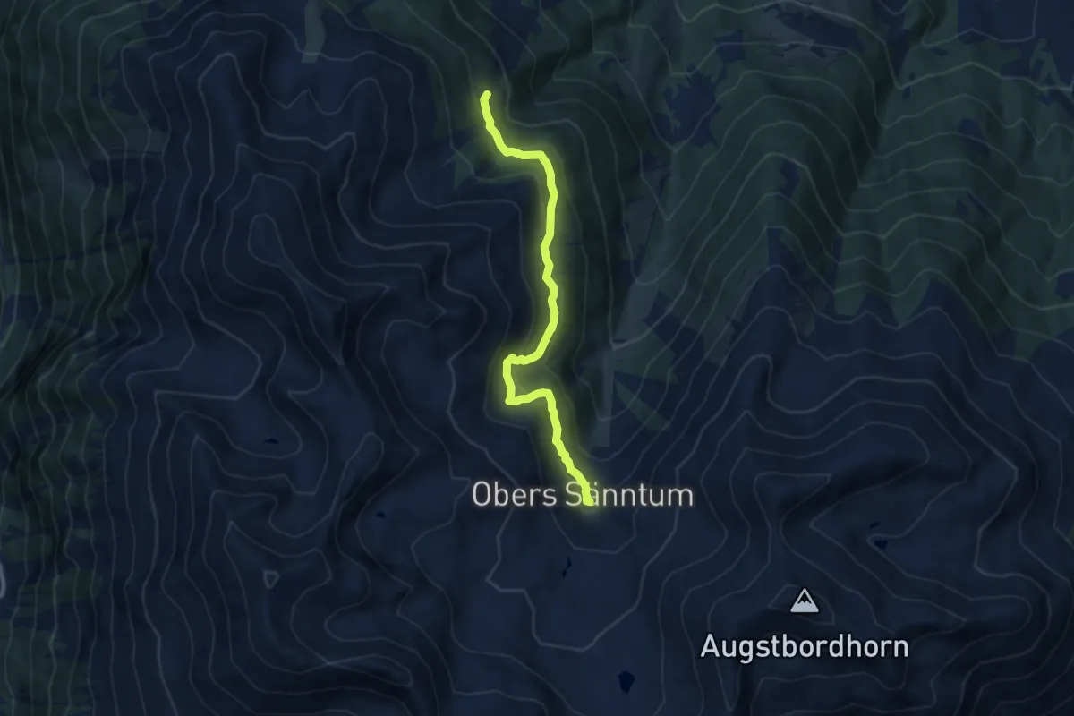
Medium · Trail
Obri Eischollalp – Seefeld
8.7 km · ↑ 446 m · 3 h 2 min
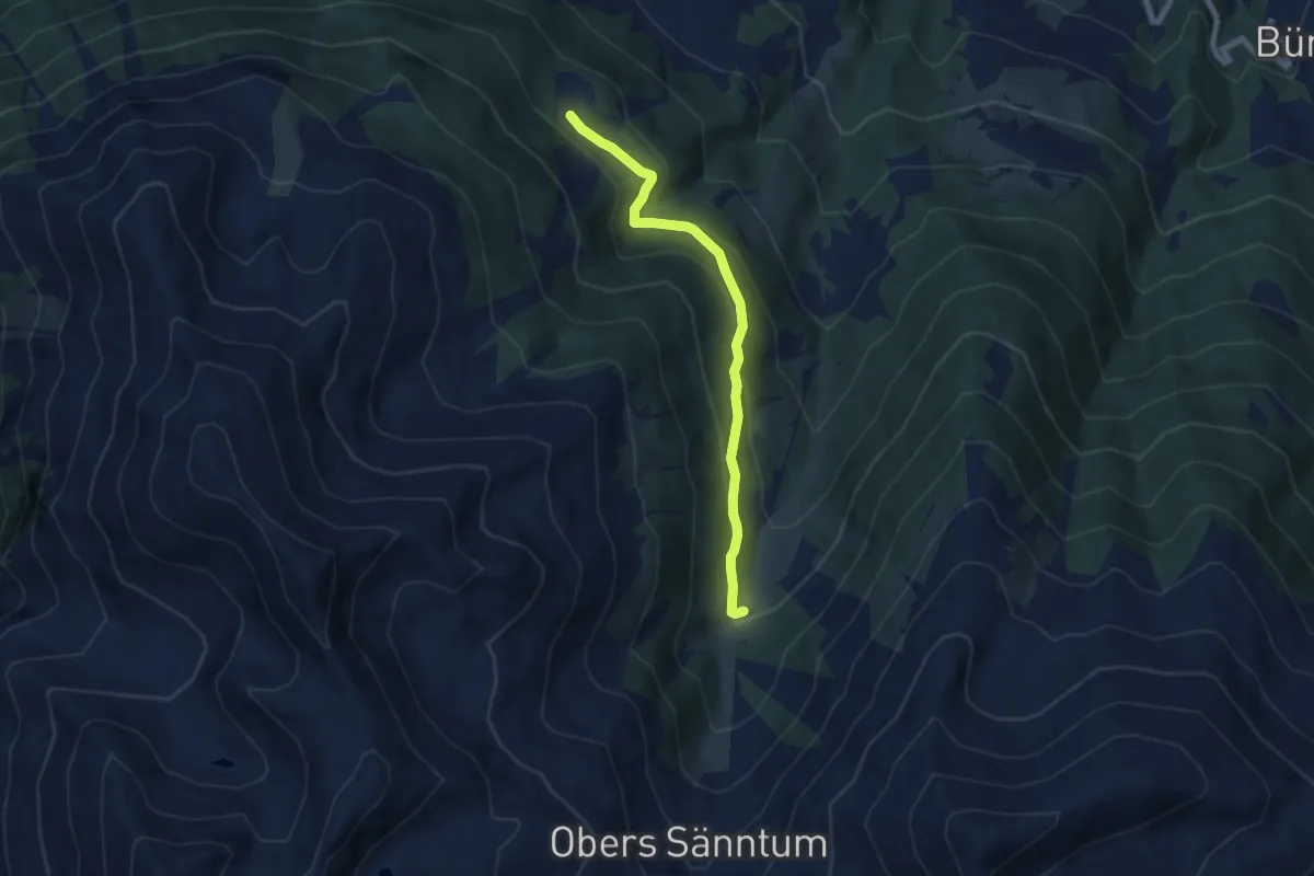
Medium · Trail
Unners Sänntum – Undri Eischollalp
6.6 km · ↑ 330 m · 2 h 17 min
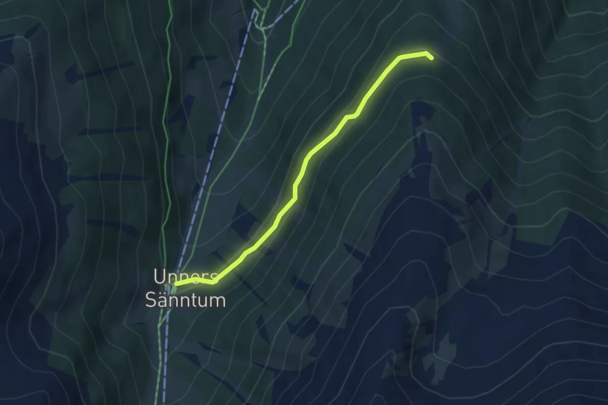
Easy · Trail
Unners Sänntum – Gibidum
3.7 km · ↑ 152 m · 1 h 12 min
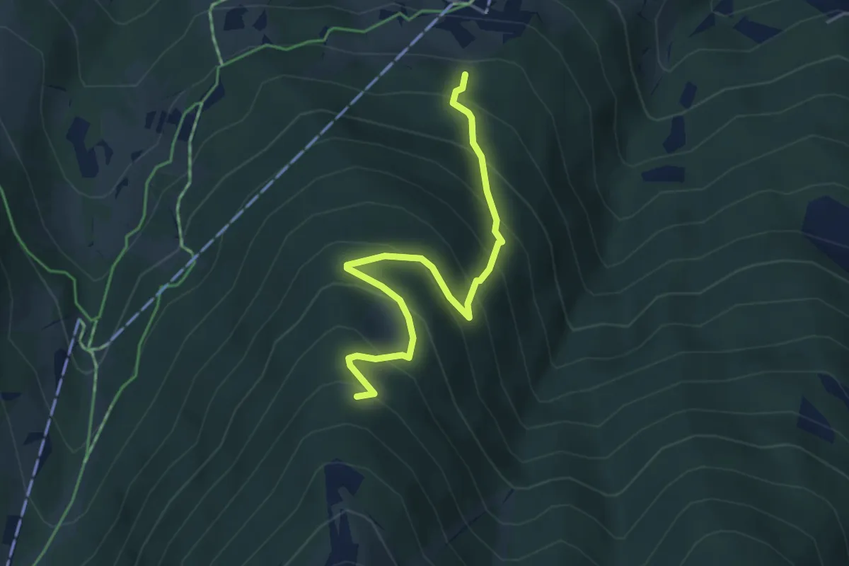
Medium · Trail
Brandweide – Gibidum
4.3 km · ↑ 444 m · 1 h 58 min
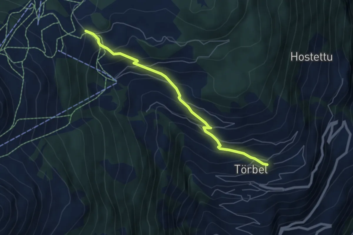
Medium · Trail
Moosalp – Törbel
5.4 km · ↑ 474 m · 2 h 18 min
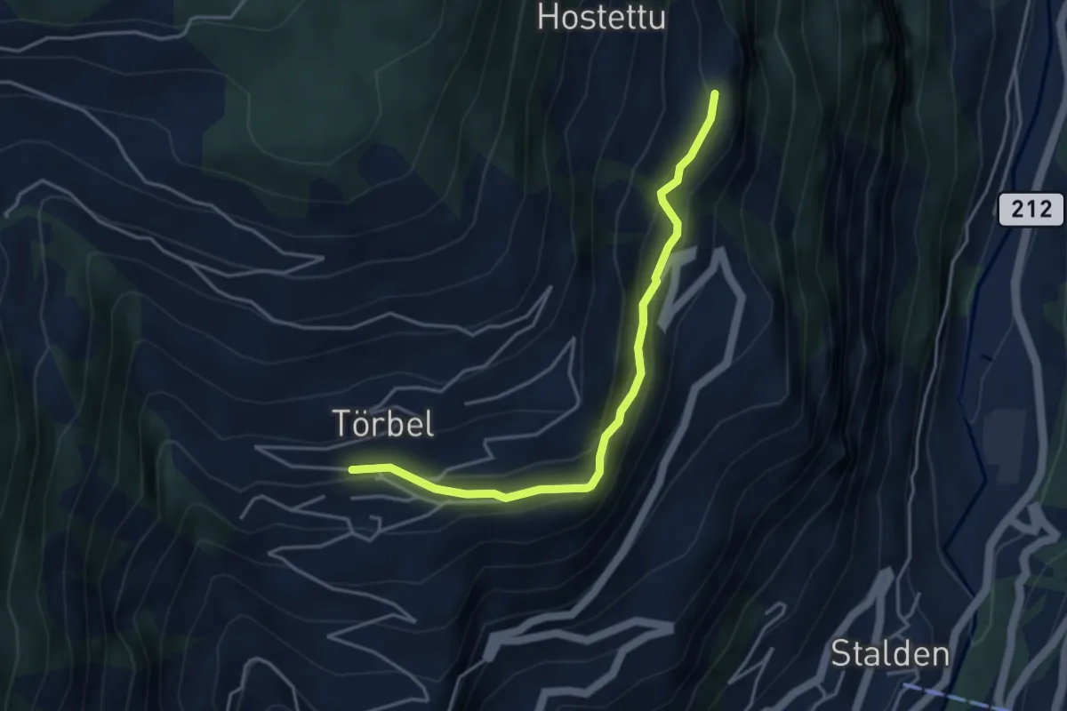
Easy · Trail
Törbel – Burgen
3.9 km · ↑ 262 m · 1 h 30 min
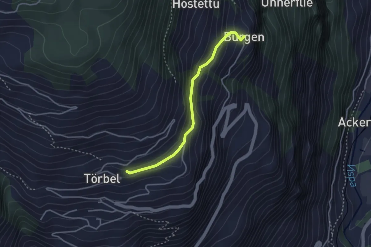
Easy · Trail
Furen – Burgen
2.9 km · ↑ 195 m · 1 h 6 min
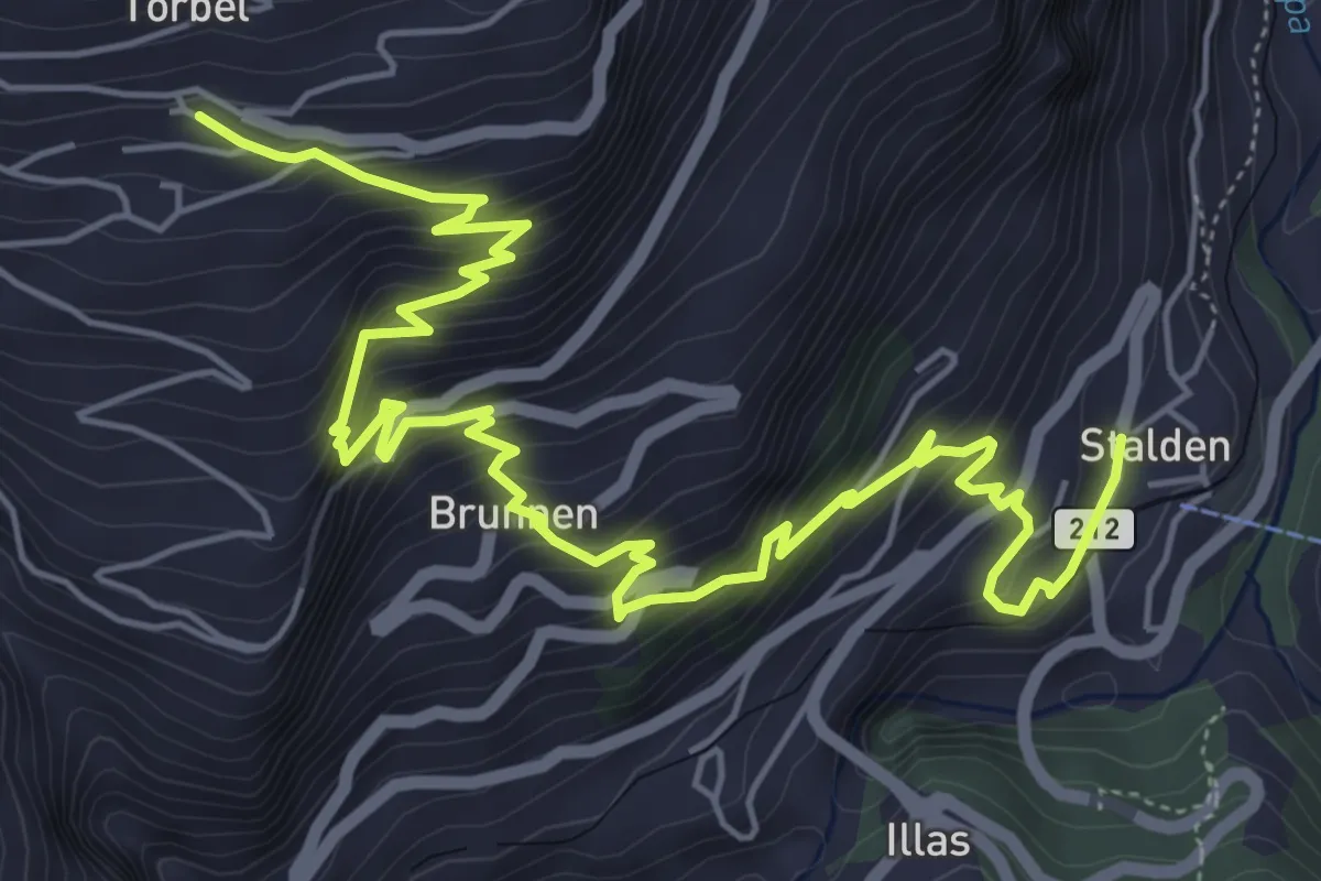
Medium · Trail
Törbel – Stalden
8.3 km · ↑ 784 m · 3 h 39 min
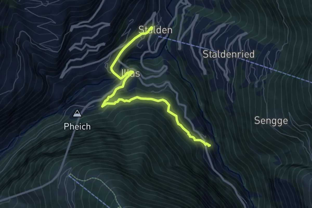
Medium · Trail
Stalden – Reschti
7.7 km · ↑ 480 m · 2 h 51 min
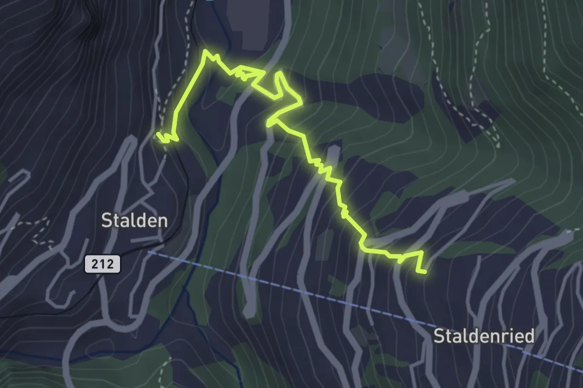
Medium · Trail
Stalden – Staldenried
4.3 km · ↑ 487 m · 2 h 4 min
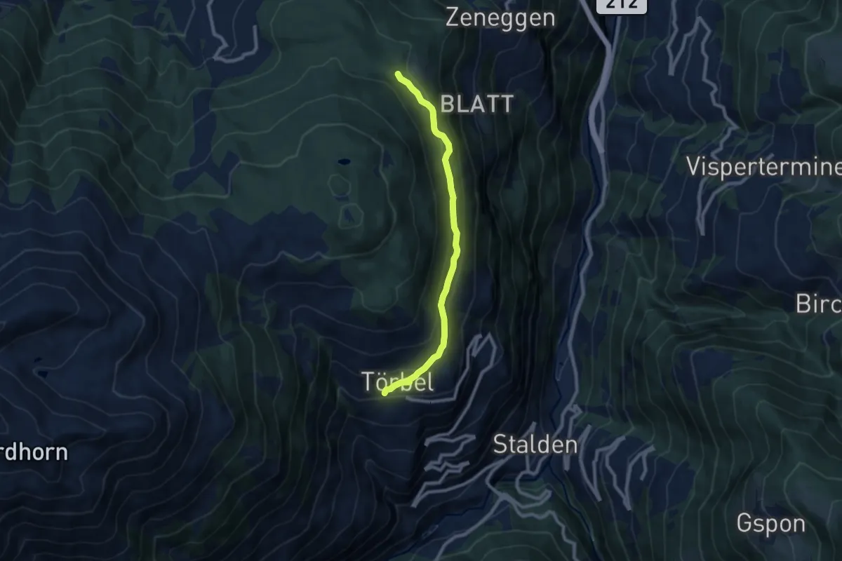
Medium · Trail
Diepja – Törbel
8.1 km · ↑ 284 m · 2 h 31 min
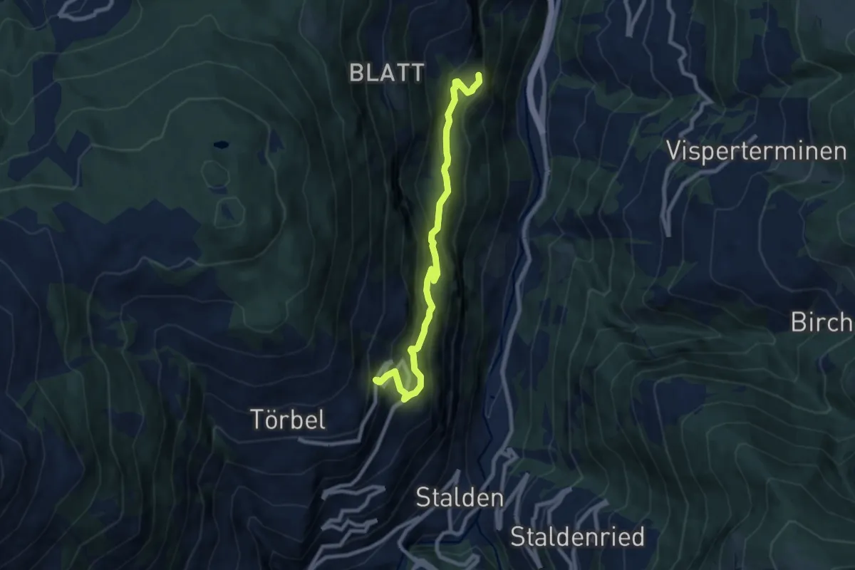
Medium · Trail
Burgen – Esch
8.0 km · ↑ 579 m · 3 h 8 min
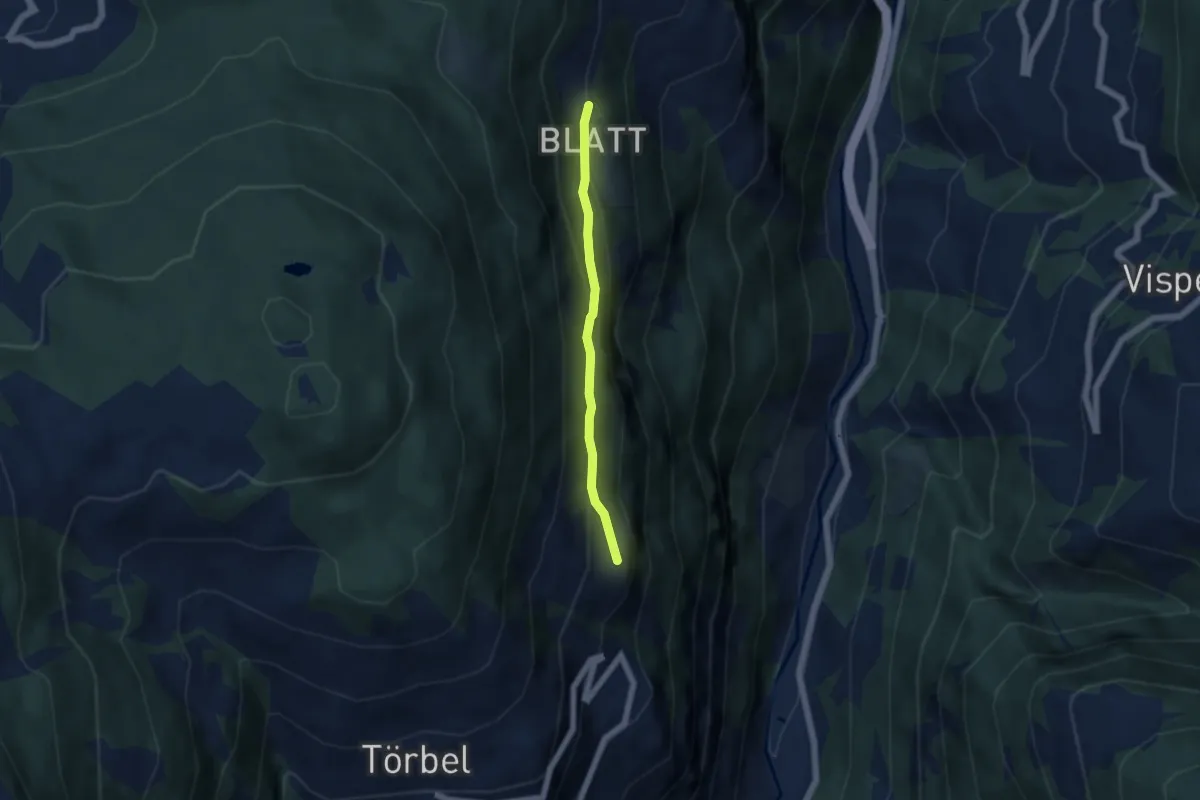
Easy · Trail
Burgen – Blatt
4.4 km · ↑ 232 m · 1 h 33 min
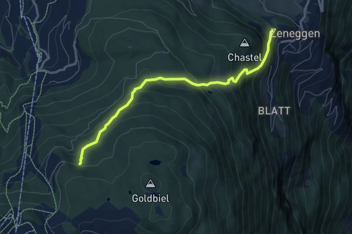
Medium · Trail
Panorama – Biel
6.7 km · ↑ 565 m · 2 h 49 min
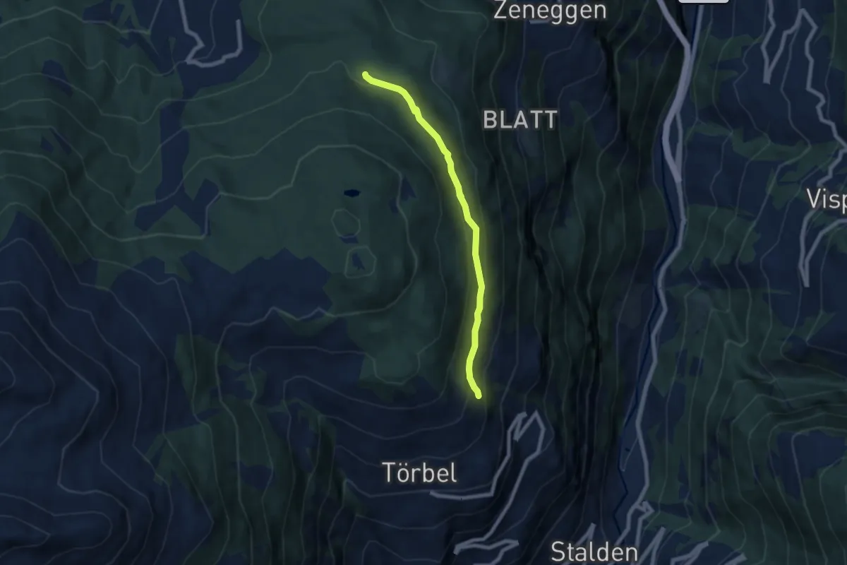
Medium · Trail
Eischmatte – Törbel
6.4 km · ↑ 327 m · 2 h 13 min
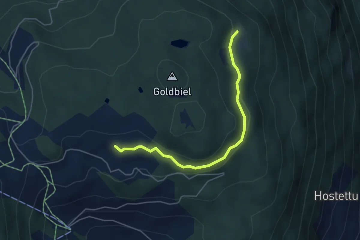
Easy · Trail
Plattjistei – Breitmatte
4.0 km · ↑ 96 m · 1 h 9 min
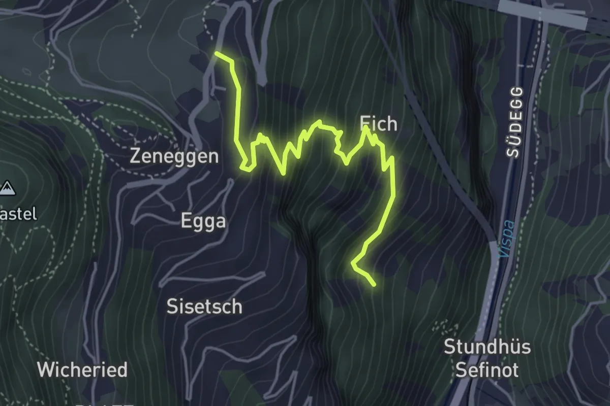
Medium · Trail
Zenstadlen – Riedboden
4.8 km · ↑ 431 m · 2 h 4 min
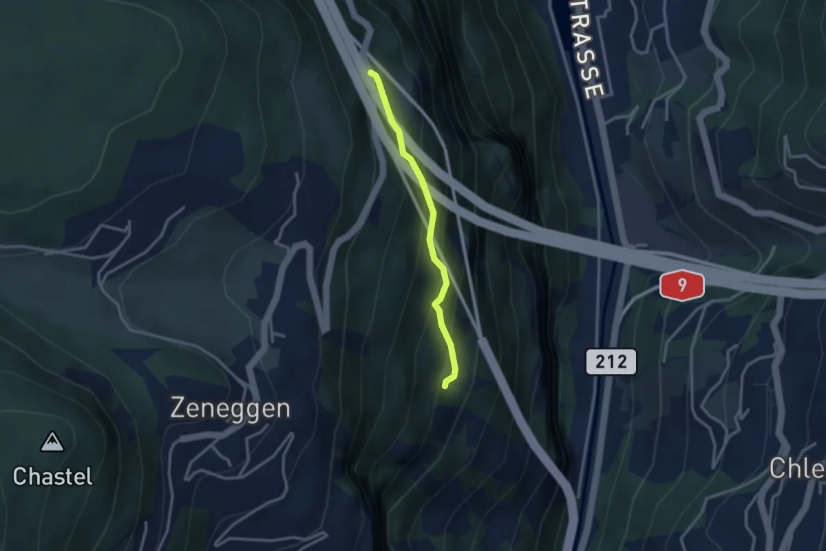
Easy · Trail
Eich – Helbriggachra
2.3 km · ↑ 193 m · 58 min
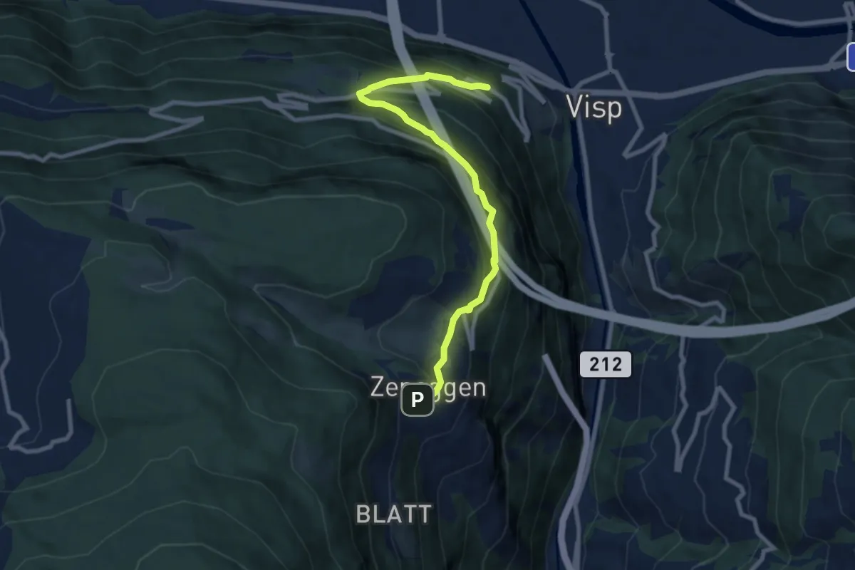
Medium · Trail
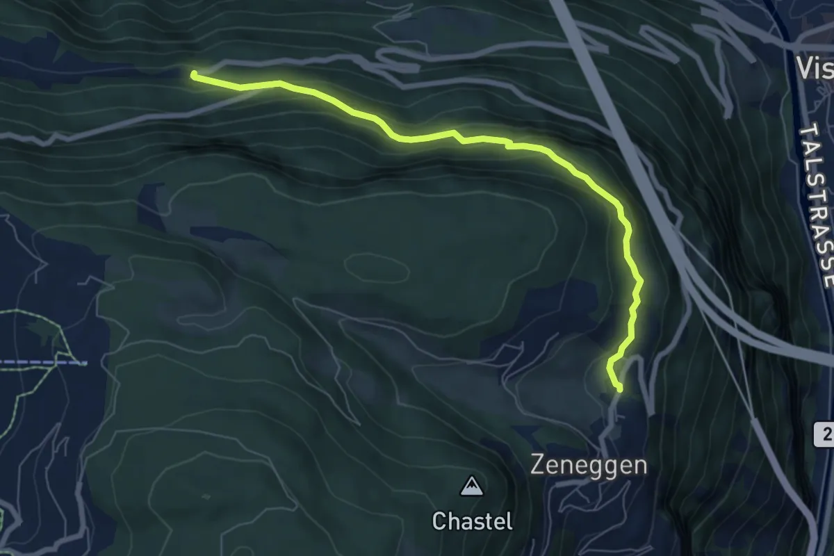
Zeneggen – Schlüsselacker
8.0 km · ↑ 630 m · 3 h 16 min
Medium · Trail
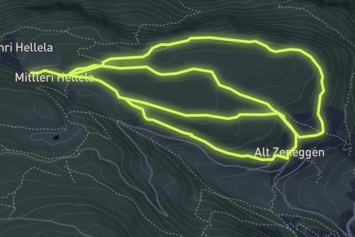
Zenstalden – Vorderried
6.9 km · ↑ 369 m · 2 h 26 min
Medium · Trail
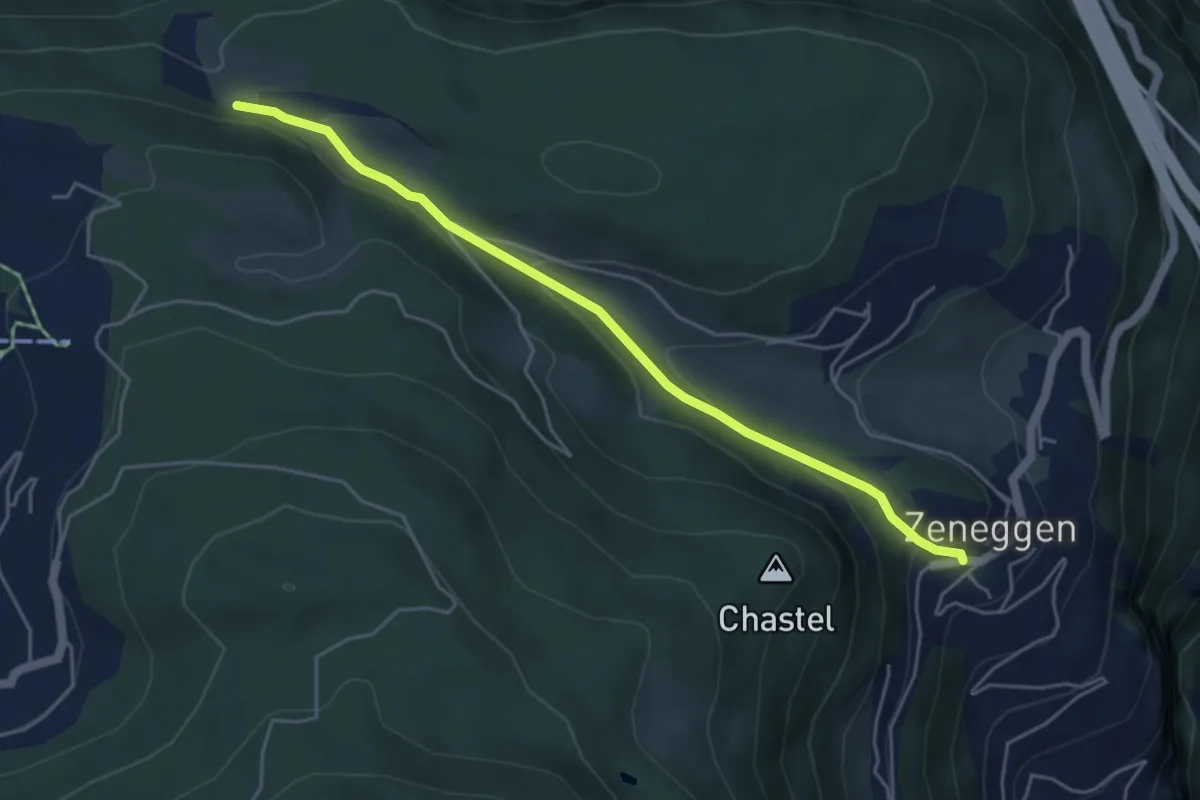
Mittleri Hellala – Alt Zeneggen
15.3 km · ↑ 551 m · 4 h 48 min
Easy · Trail
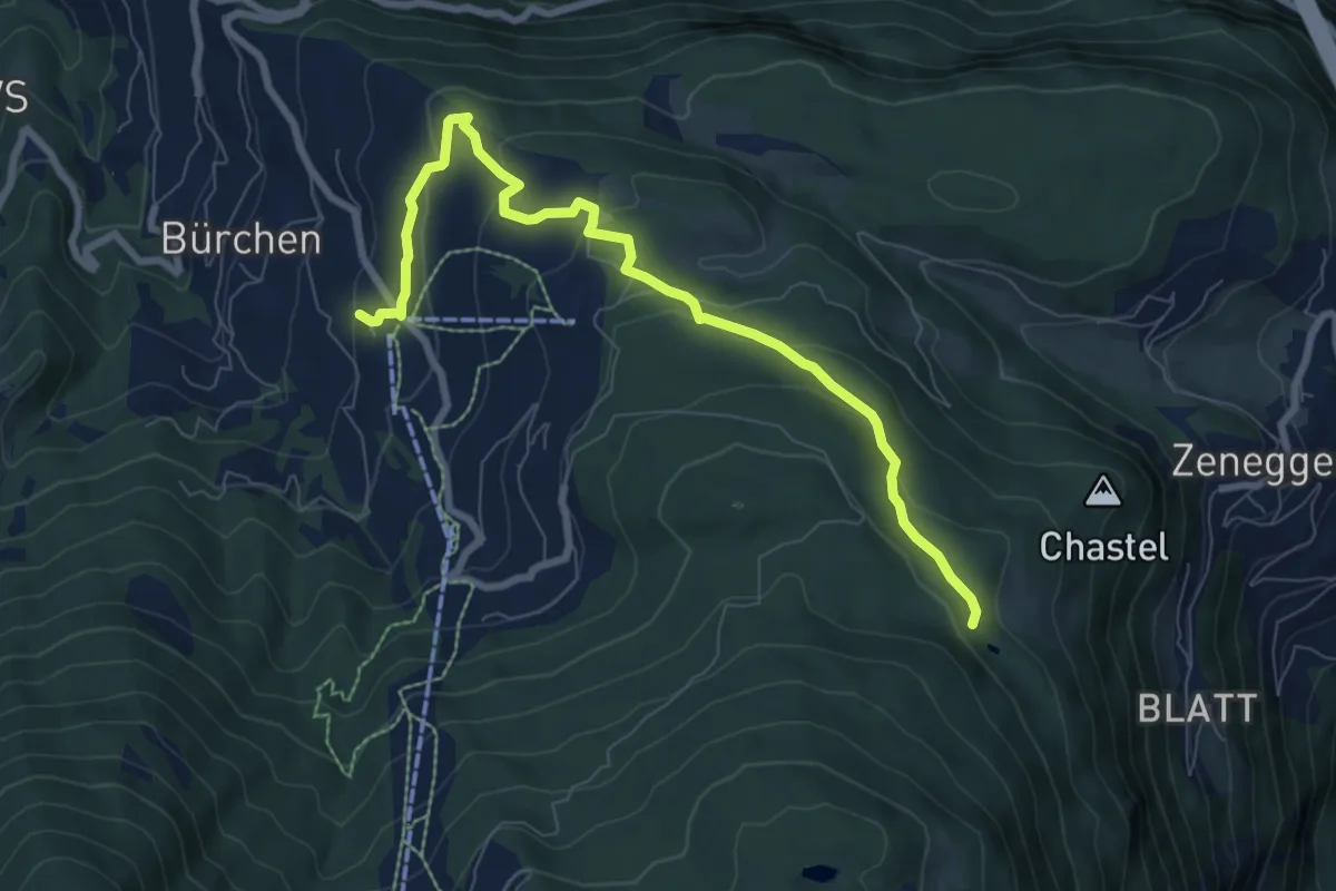
Unnri Hellala – Zeneggen
4.9 km · ↑ 148 m · 1 h 28 min
Medium · Trail
Diepja – Zenhäusern
8.5 km · ↑ 297 m · 2 h 39 min
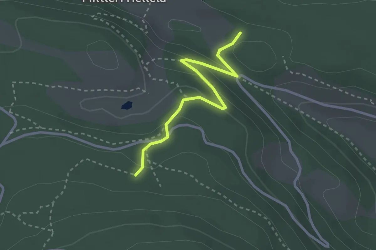
Easy · Trail
Obri Hellala – Loch
2.5 km · ↑ 110 m · 50 min
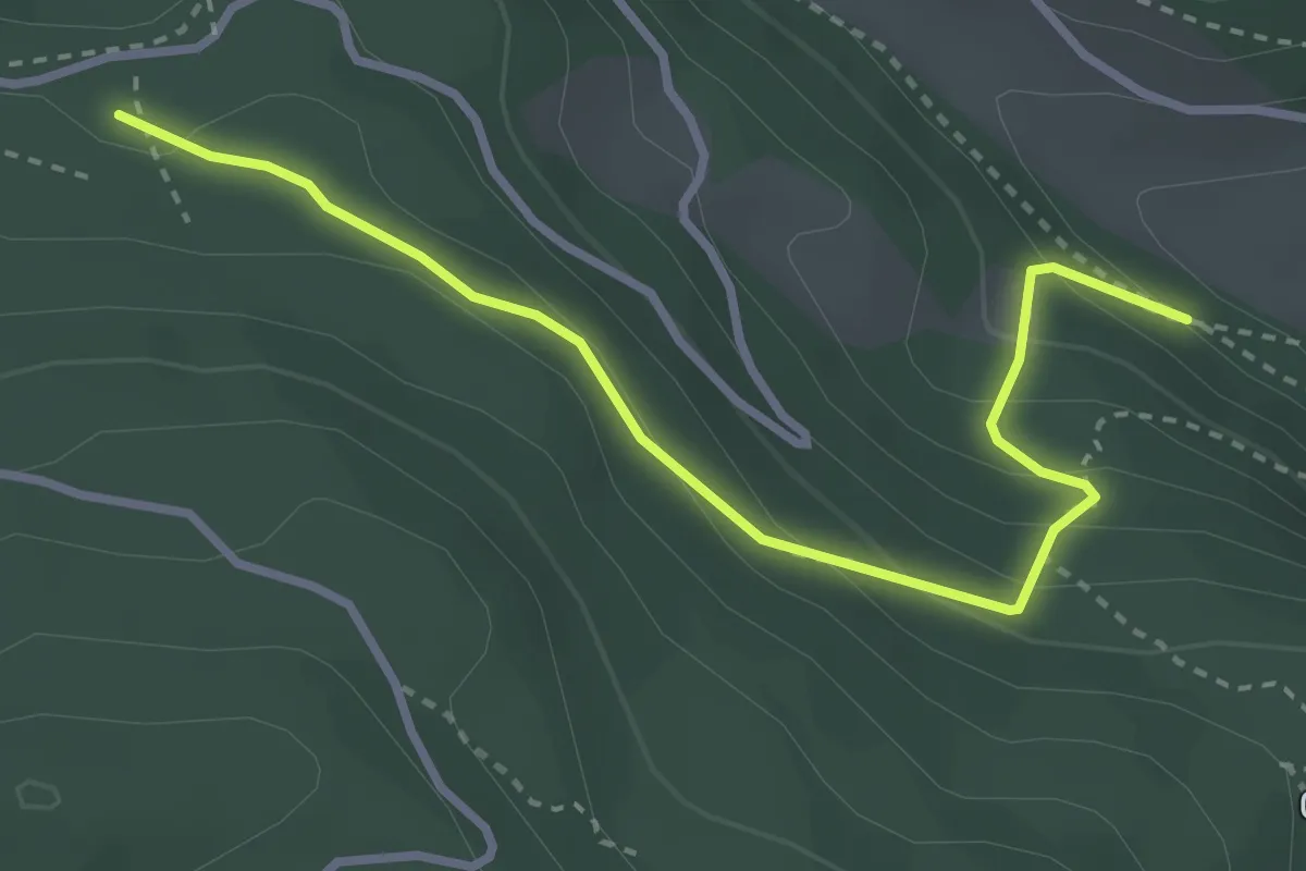
Medium · Trail
Mischini – Obri Hellala
3.4 km · ↑ 215 m · 1 h 16 min
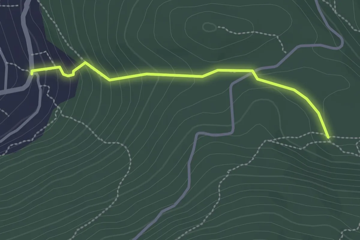
Easy · Trail
Eischmatte – Gärlich
2.5 km · ↑ 143 m · 53 min
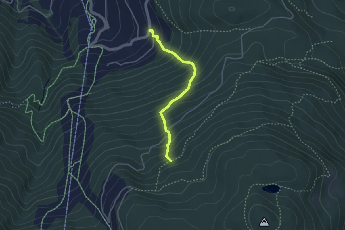
Easy · Trail
Gärlich – Teiffi-Matte
2.7 km · ↑ 300 m · 1 h 18 min
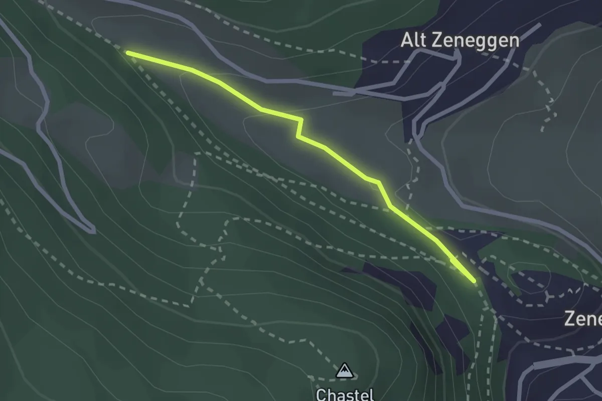
Easy · Trail
Riebe – Biel
2.1 km · ↑ 55 m · 37 min
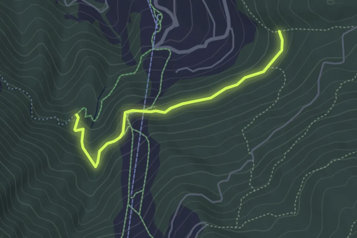
Easy · Trail
Gärlich – Ronalpa
4.0 km · ↑ 198 m · 1 h 23 min
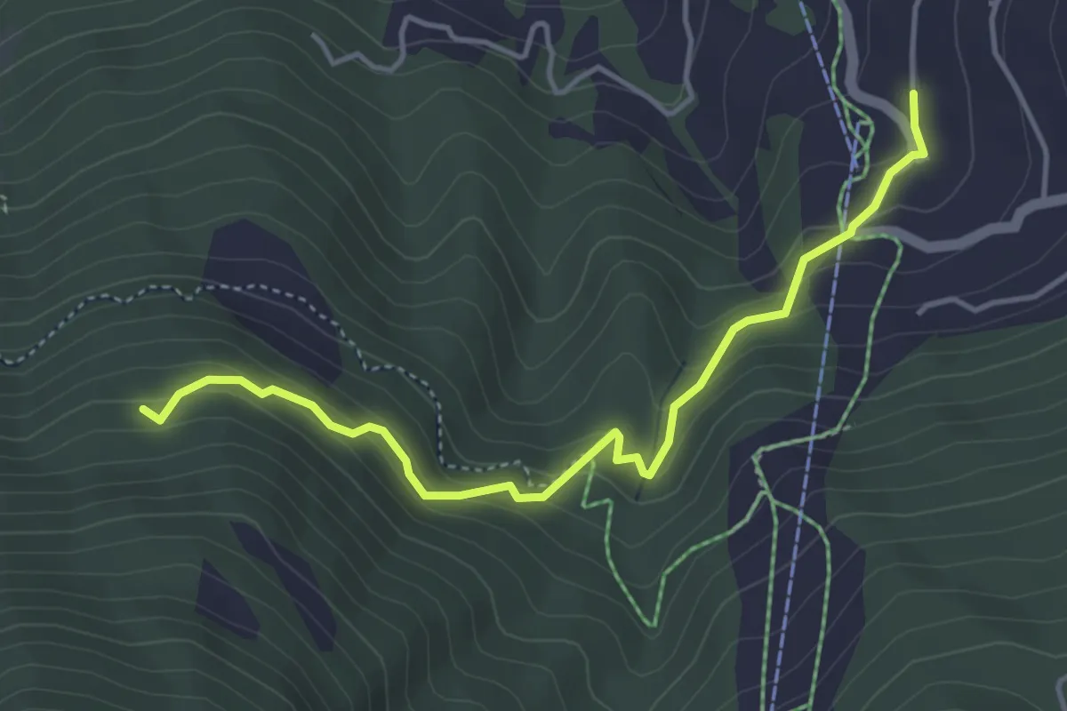
Medium · Trail
Gärwerwald – Moosalpbahn
4.3 km · ↑ 341 m · 1 h 46 min
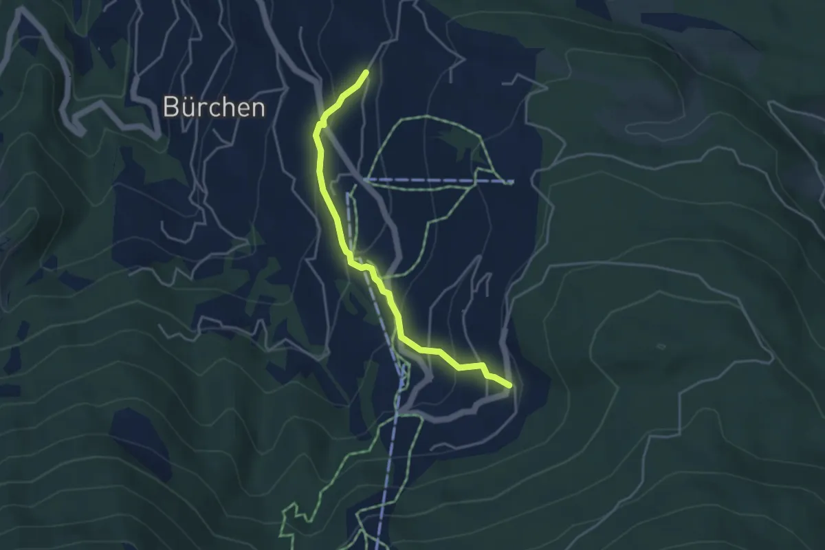
Easy · Trail
Zenhäusern – Gärlich
3.7 km · ↑ 245 m · 1 h 24 min
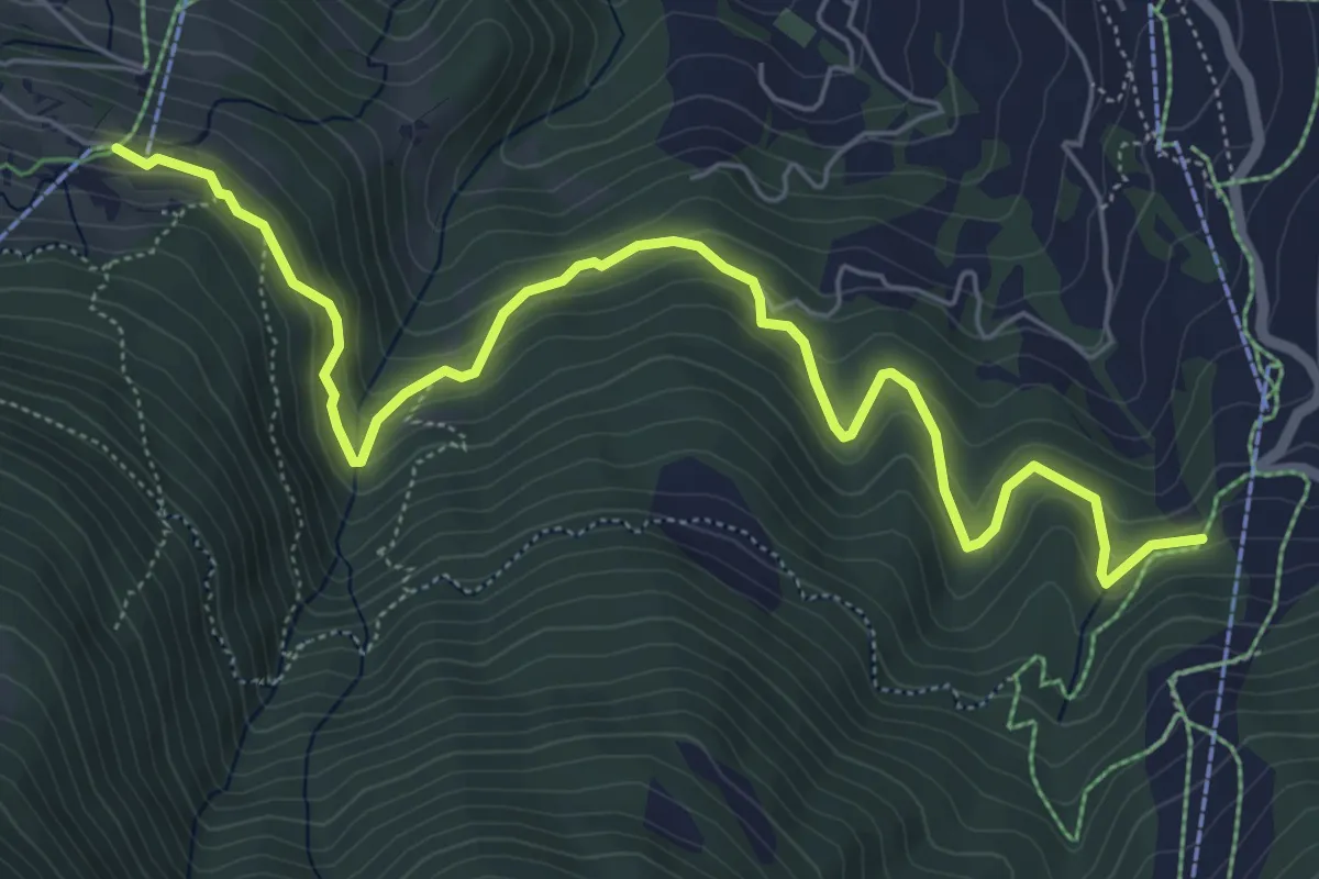
Medium · Trail
Brand – Gärlich
7.2 km · ↑ 476 m · 2 h 44 min
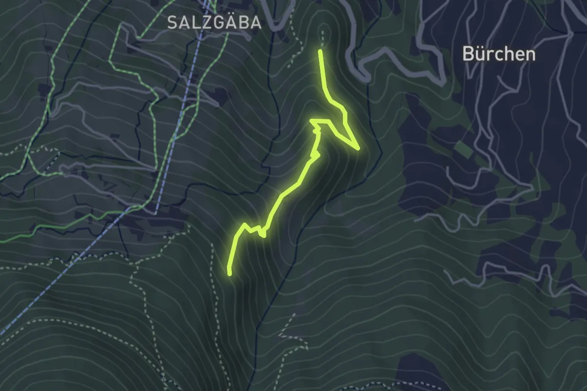
Medium · Trail
Brand – Hohegga
3.3 km · ↑ 321 m · 1 h 28 min
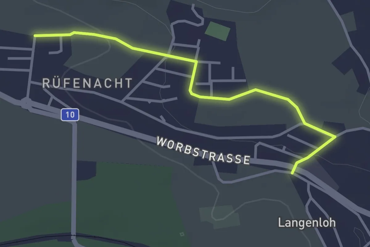
Easy · Trail
Langenloh – Rüfenacht
3.0 km · ↑ 56 m · 50 min
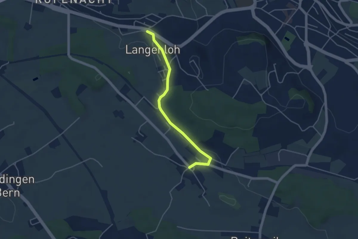
Easy · Trail
Langenloh – Vielbringen
3.7 km · ↑ 53 m · 59 min
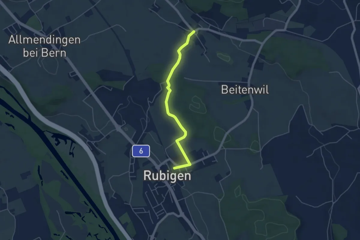
Easy · Trail
Rubigen – Vielbringen
4.6 km · ↑ 64 m · 1 h 14 min
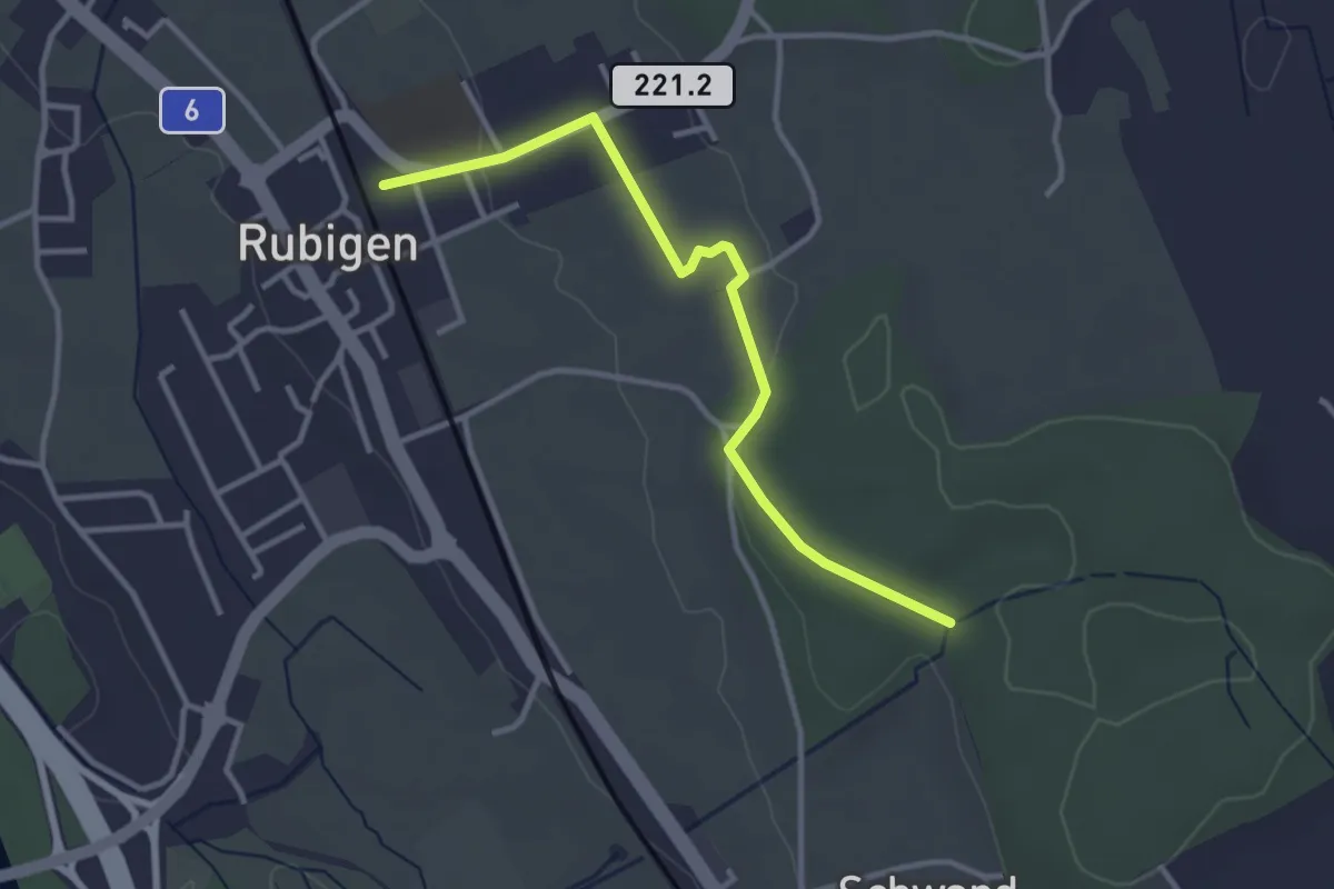
Easy · Trail
Rubigen – Schwandwald
3.2 km · ↑ 70 m · 55 min
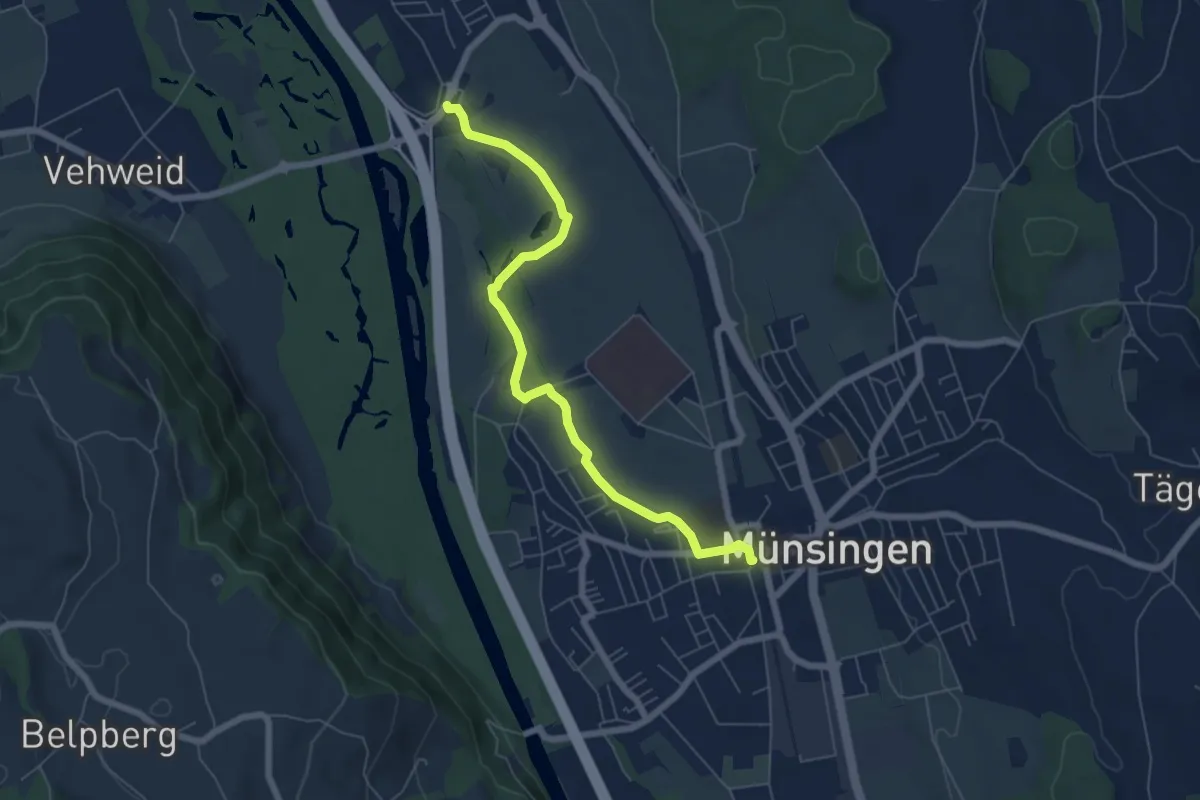
Easy · Trail
Münsingen – Hunziken
6.4 km · ↑ 9 m · 1 h 32 min
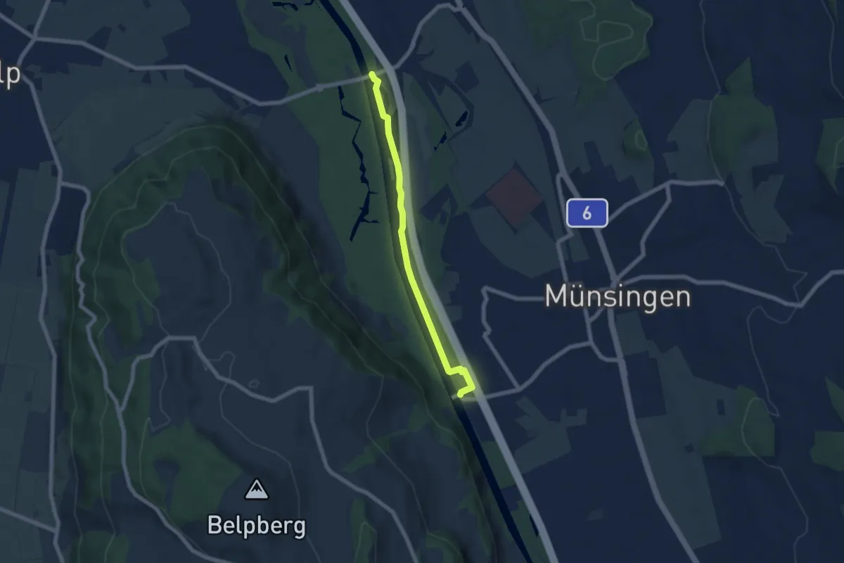
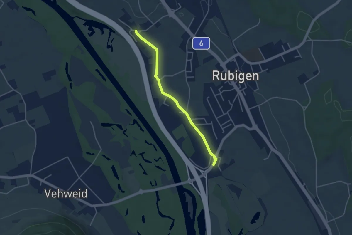
Easy · Trail
Hunzigenbrügg – Jabergbrücke
5.7 km · ↑ 18 m · 1 h 24 min
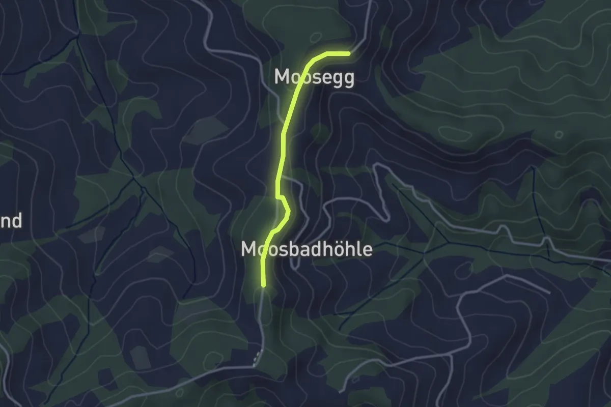
Easy · Trail
Kleinhöchstetten – Hunziken
3.2 km · ↑ 23 m · 49 min
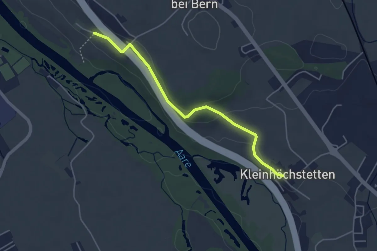
Easy · Trail
Moosegg – Felbach
2.2 km · ↑ 48 m · 38 min
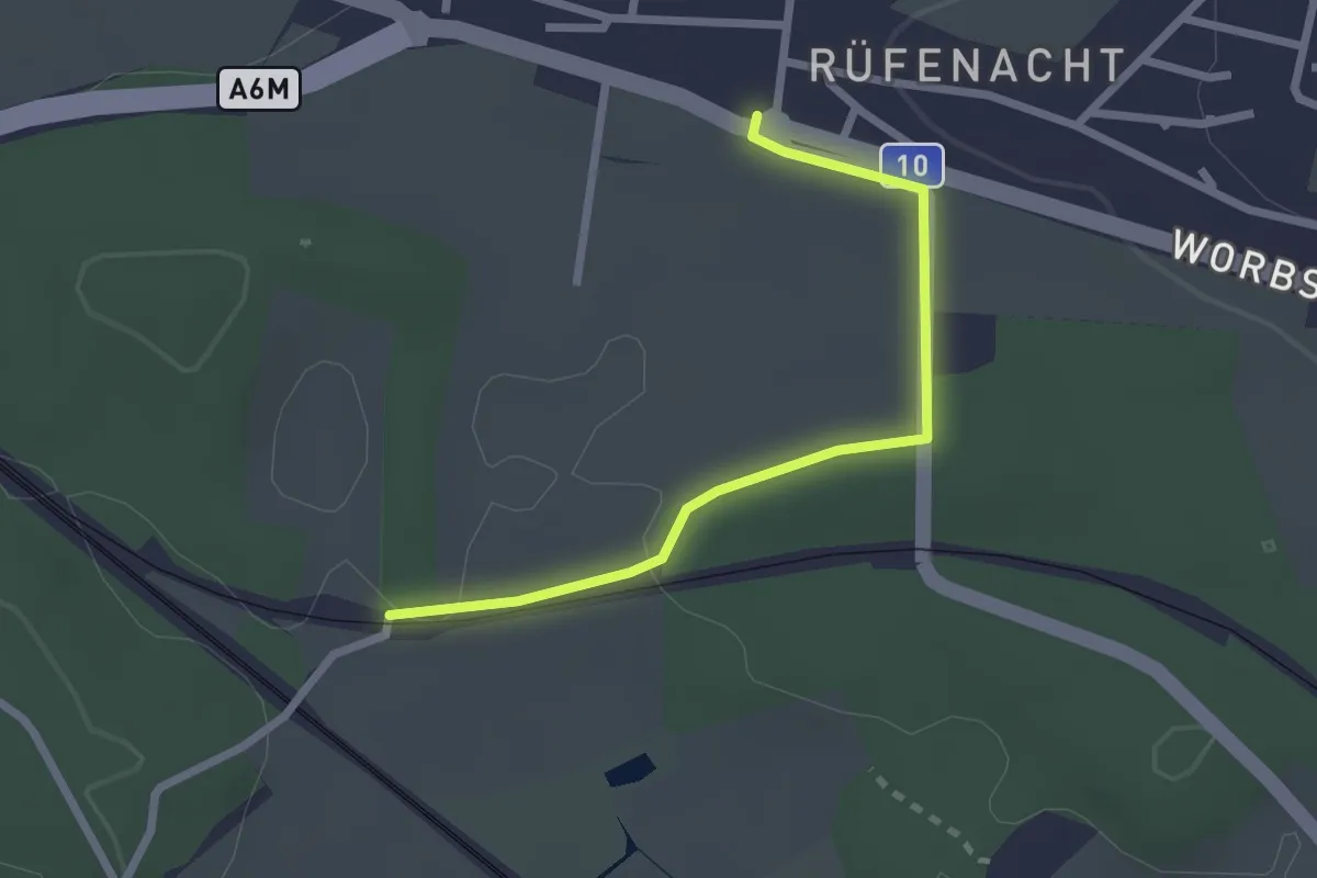
Easy · Trail
Kleinhöchstetten – Hinter Märchligen
3.7 km · ↑ 92 m · 1 h 5 min
Easy · Trail
Rüti – Rüfenacht
2.3 km · ↑ 14 m · 35 min
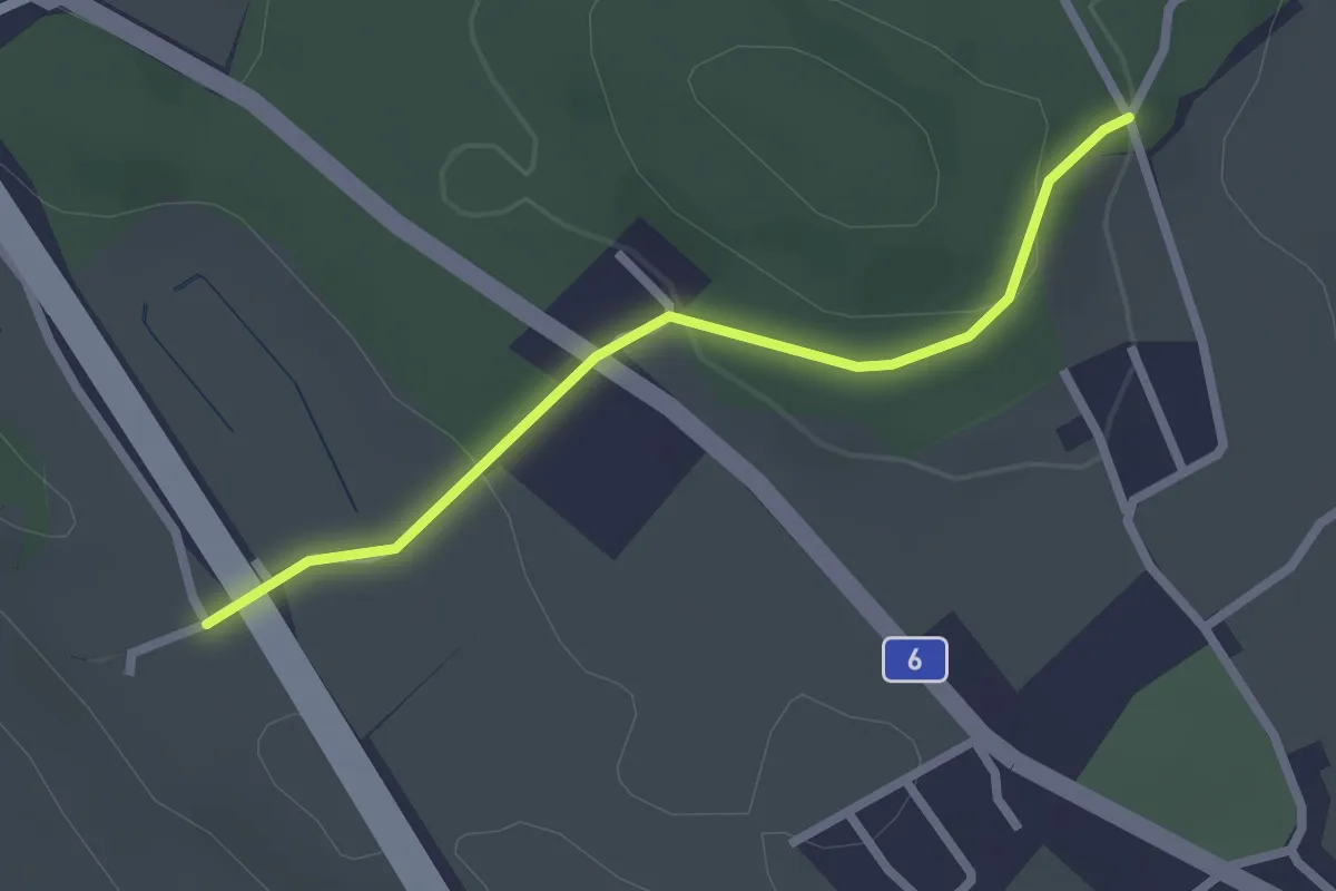
Easy · Trail
Hüenwald – Vorder Märchligen
2.3 km · ↑ 66 m · 41 min
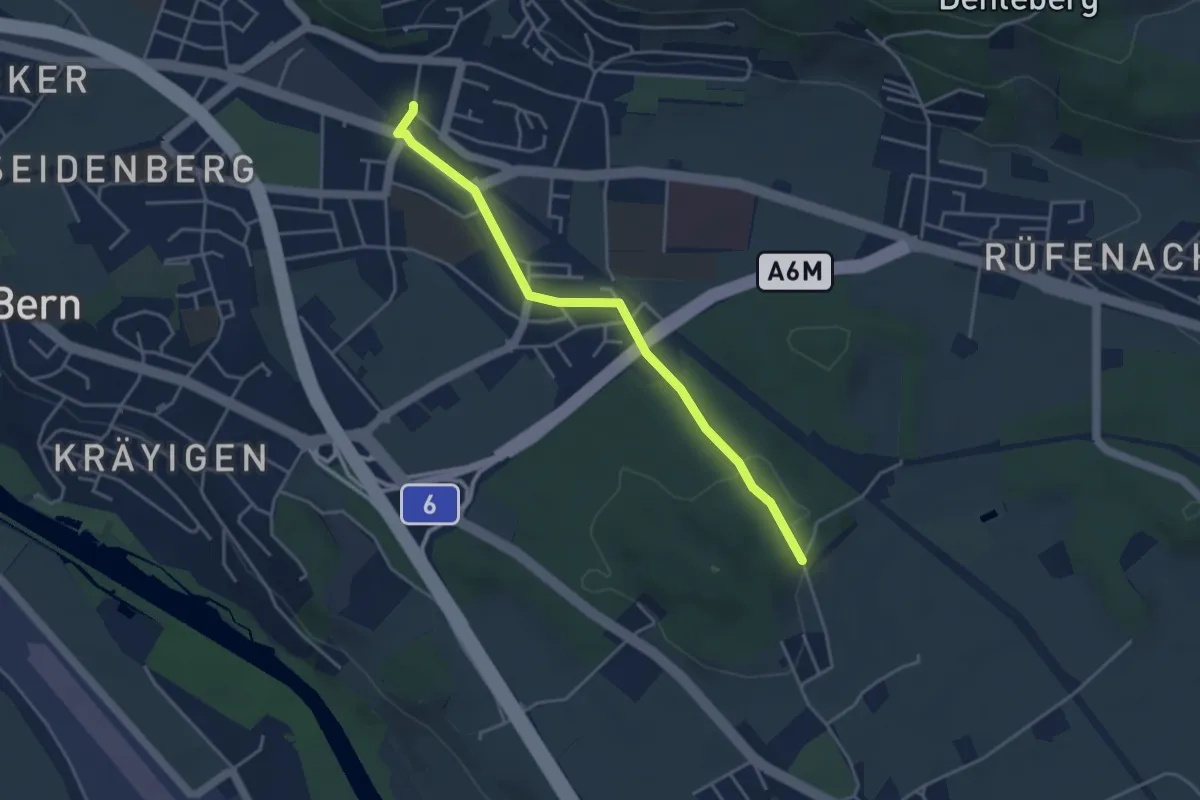
Easy · Trail
Hüenwald – Gümligen
4.0 km · ↑ 47 m · 1 h 3 min
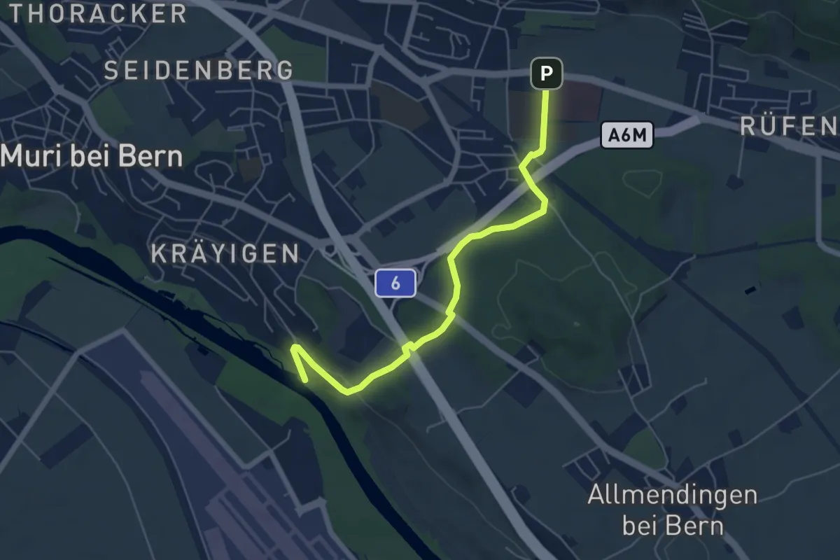
Easy · Trail
Gümligen Siloah – Auguetbrügg
5.5 km · ↑ 100 m · 1 h 31 min
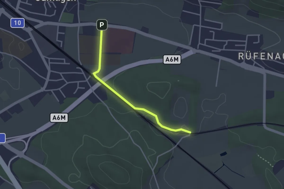
Easy · Trail
Gümligen Siloah – Rüti
2.7 km · ↑ 18 m · 41 min