Trails in Switzerland
15,055 hiking trails, each with its route, climb, walking time and grade.
All trails, page 167 of 314
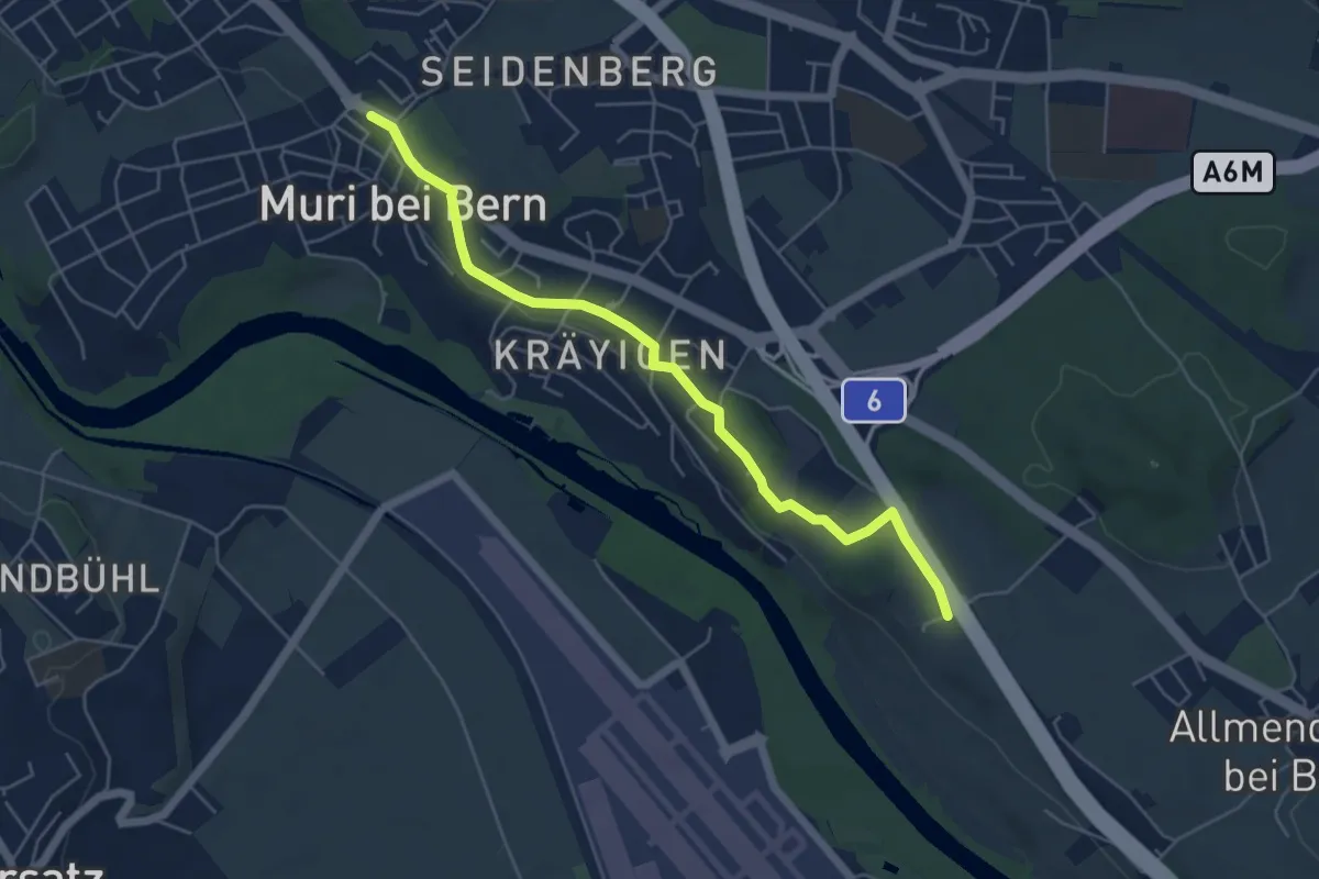
Easy · Trail
Muri – Vorder Märchligen
5.4 km · ↑ 49 m · 1 h 24 min
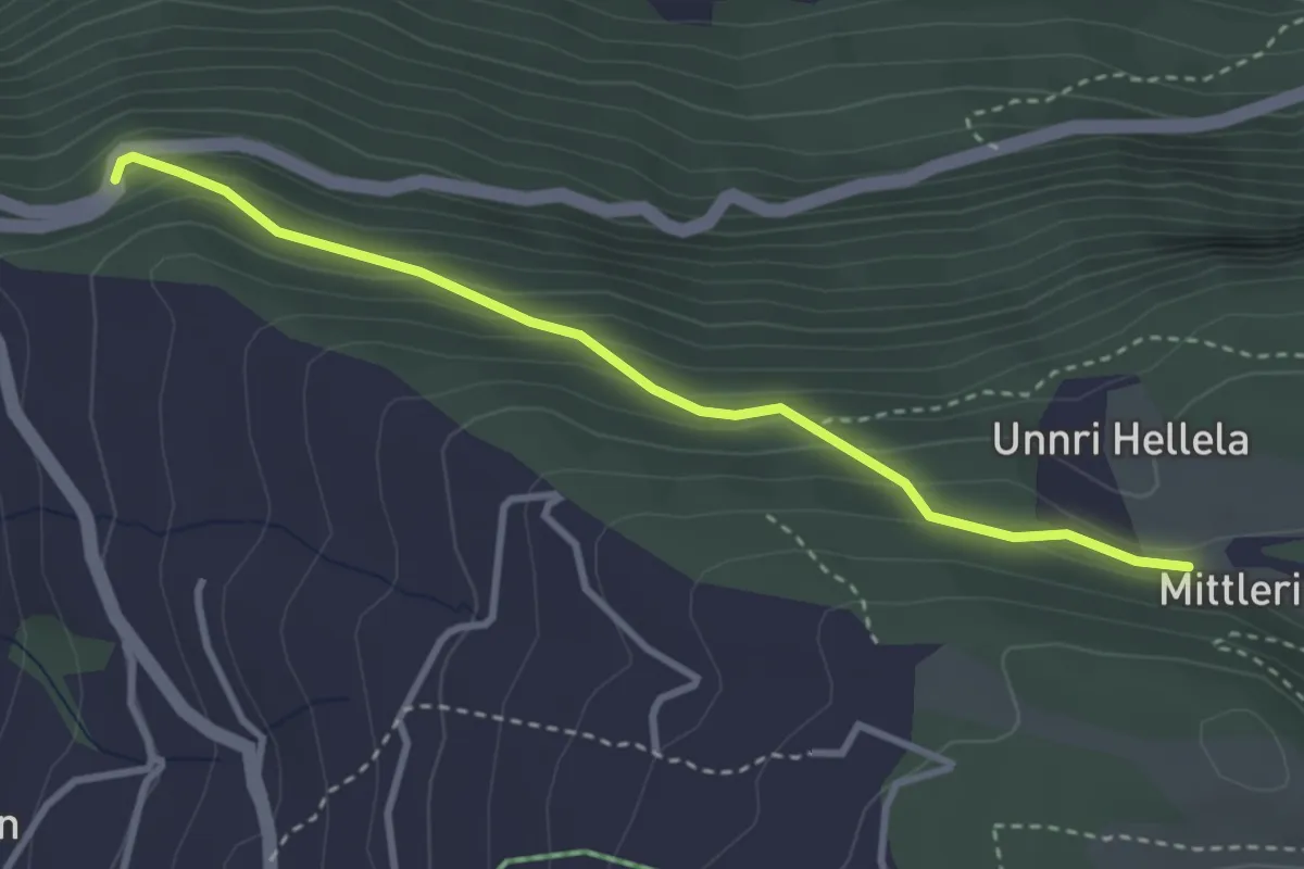
Medium · Trail
Mittleri Hellala – Albenwald
3.2 km · ↑ 249 m · 1 h 18 min
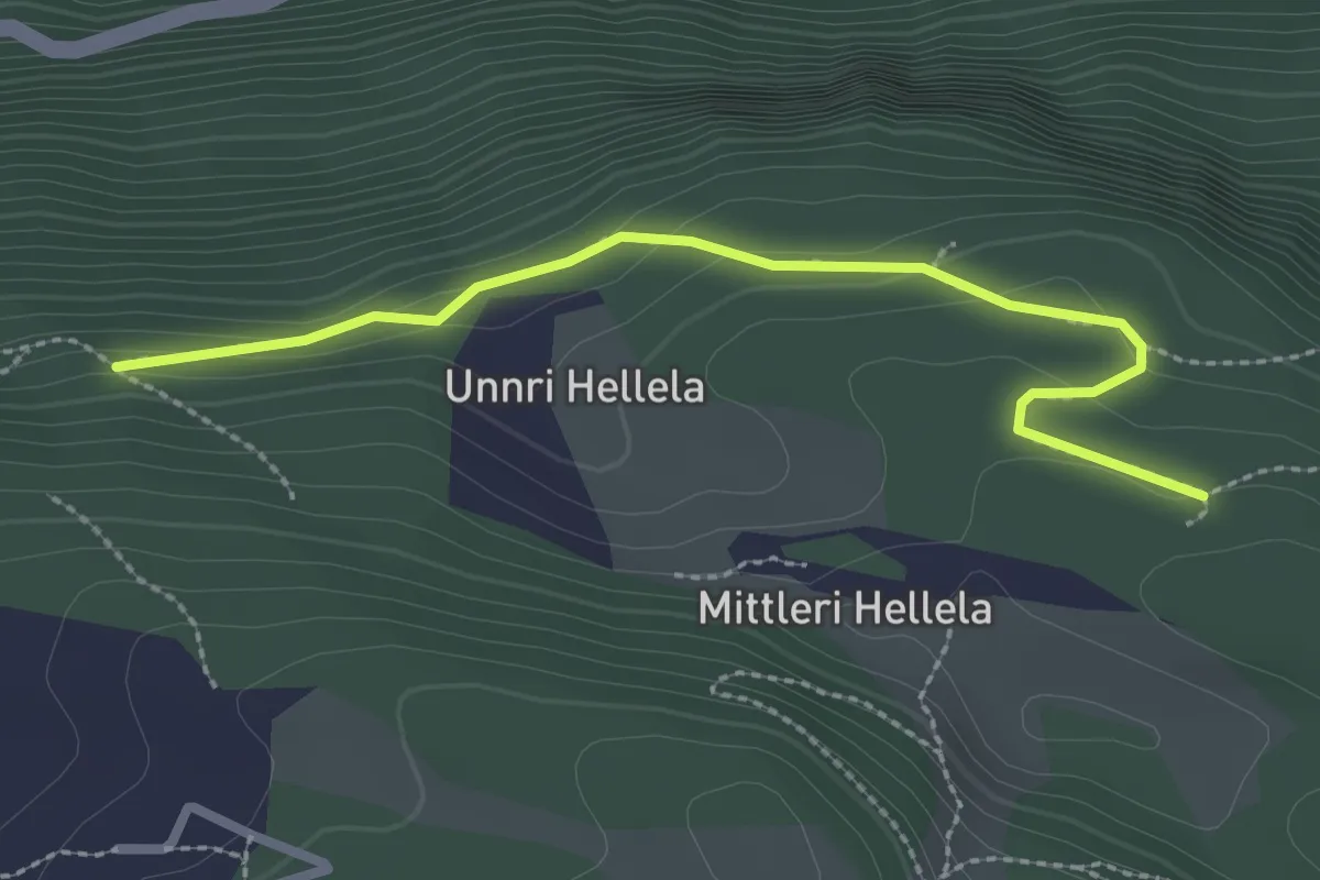
Medium · Trail
Mittleri Hellala – Alter Kalkofen
2.7 km · ↑ 99 m · 51 min
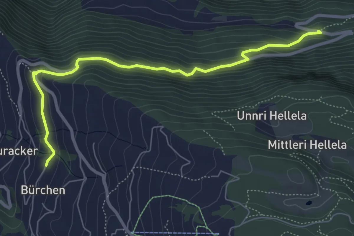
Medium · Trail
Vorderried – Hasel
6.1 km · ↑ 390 m · 2 h 17 min
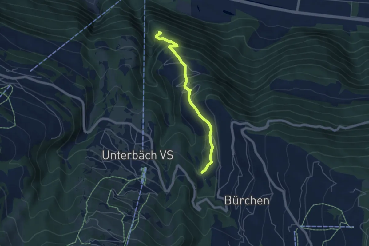
Medium · Trail
Wandflüe – Mauracker
4.3 km · ↑ 377 m · 1 h 51 min
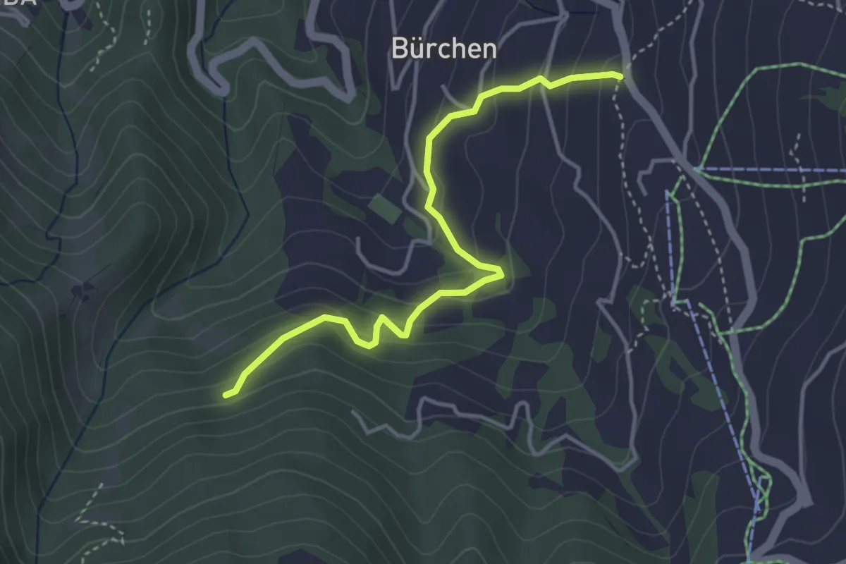
Easy · Trail
Zenhäusern – Wiisalpji
3.8 km · ↑ 267 m · 1 h 28 min
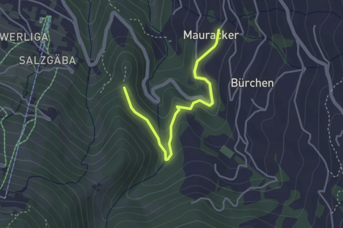
Easy · Trail
Mauracker – Hohegga
3.2 km · ↑ 194 m · 1 h 11 min
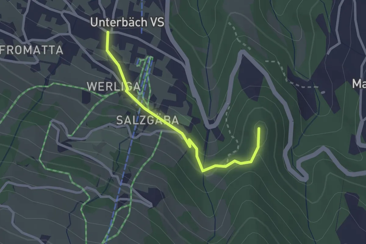
Easy · Trail
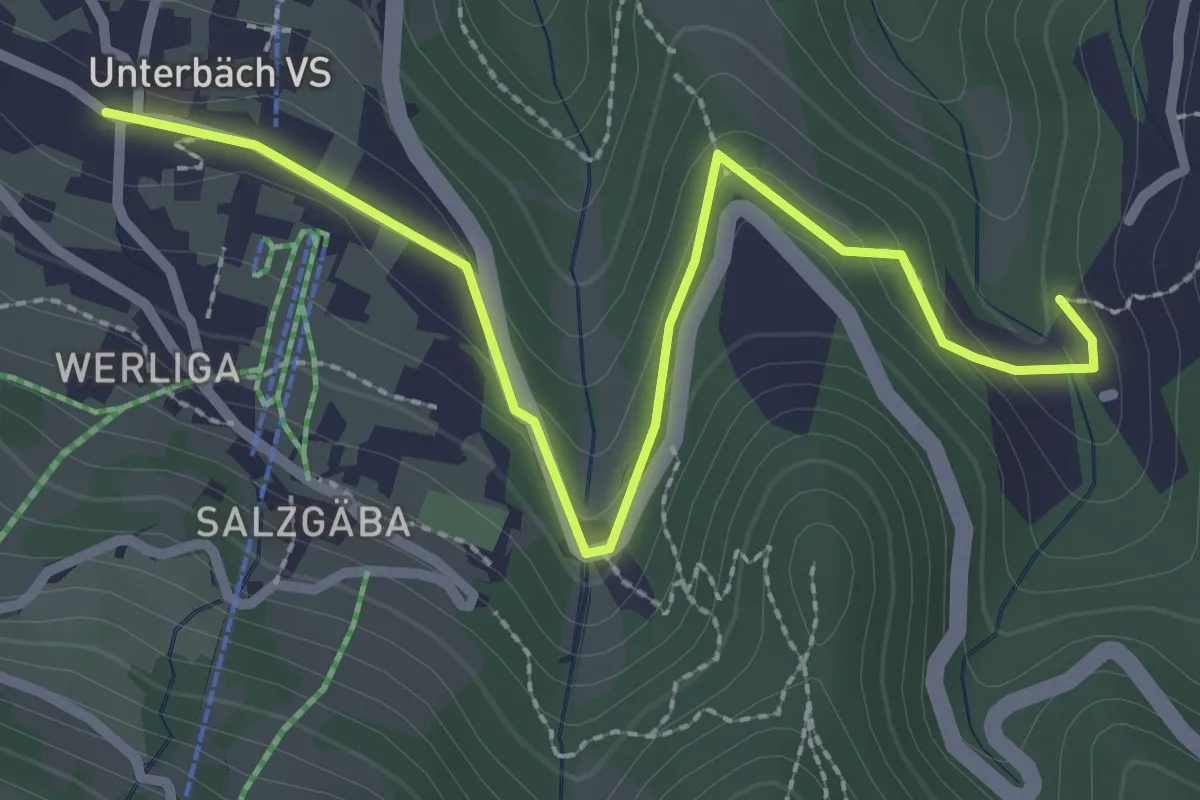
Unterbäch – Hohegge
2.2 km · ↑ 106 m · 46 min
Easy · Trail
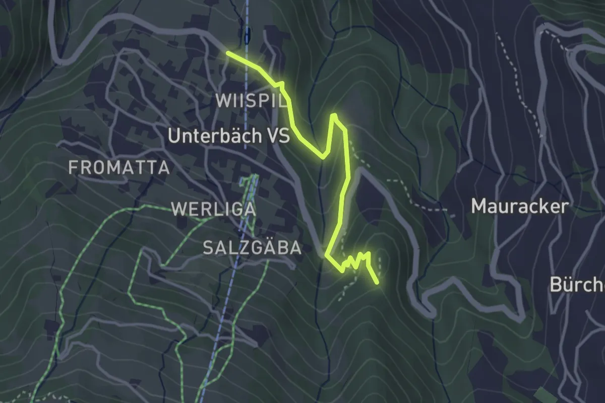
Unterbäch – Mauracker
3.0 km · ↑ 119 m · 58 min
Easy · Trail
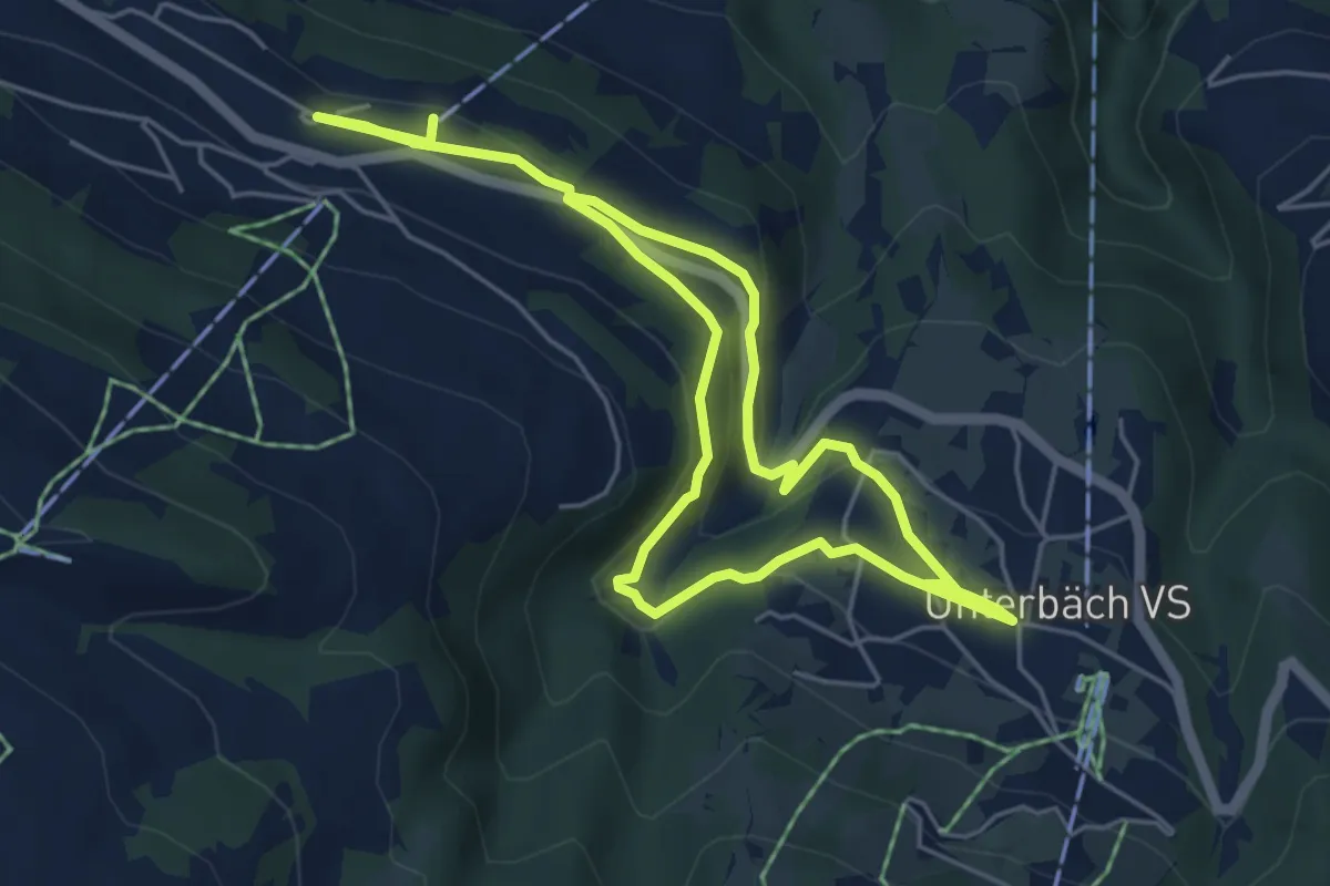
Hohegge – Wiispil
3.2 km · ↑ 136 m · 1 h 3 min
Medium · Trail
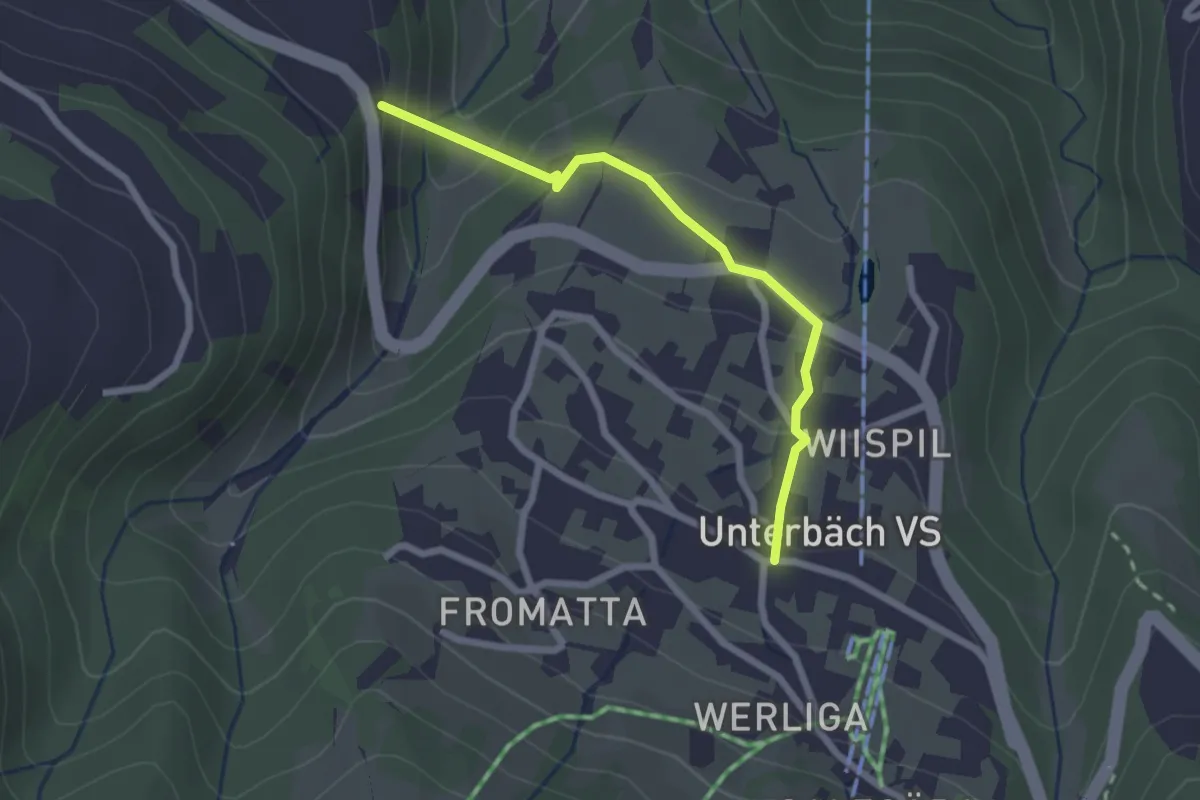
Unterbäch – Eischoll
8.9 km · ↑ 271 m · 2 h 41 min
Easy · Trail
Unterbäch – Hängebrücke Milibach
2.2 km · ↑ 162 m · 53 min
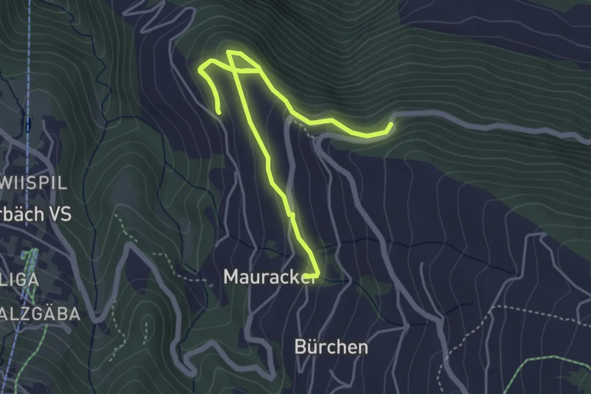
Easy · Trail
Bürchen – Hochaschtler
5.4 km · ↑ 219 m · 1 h 46 min
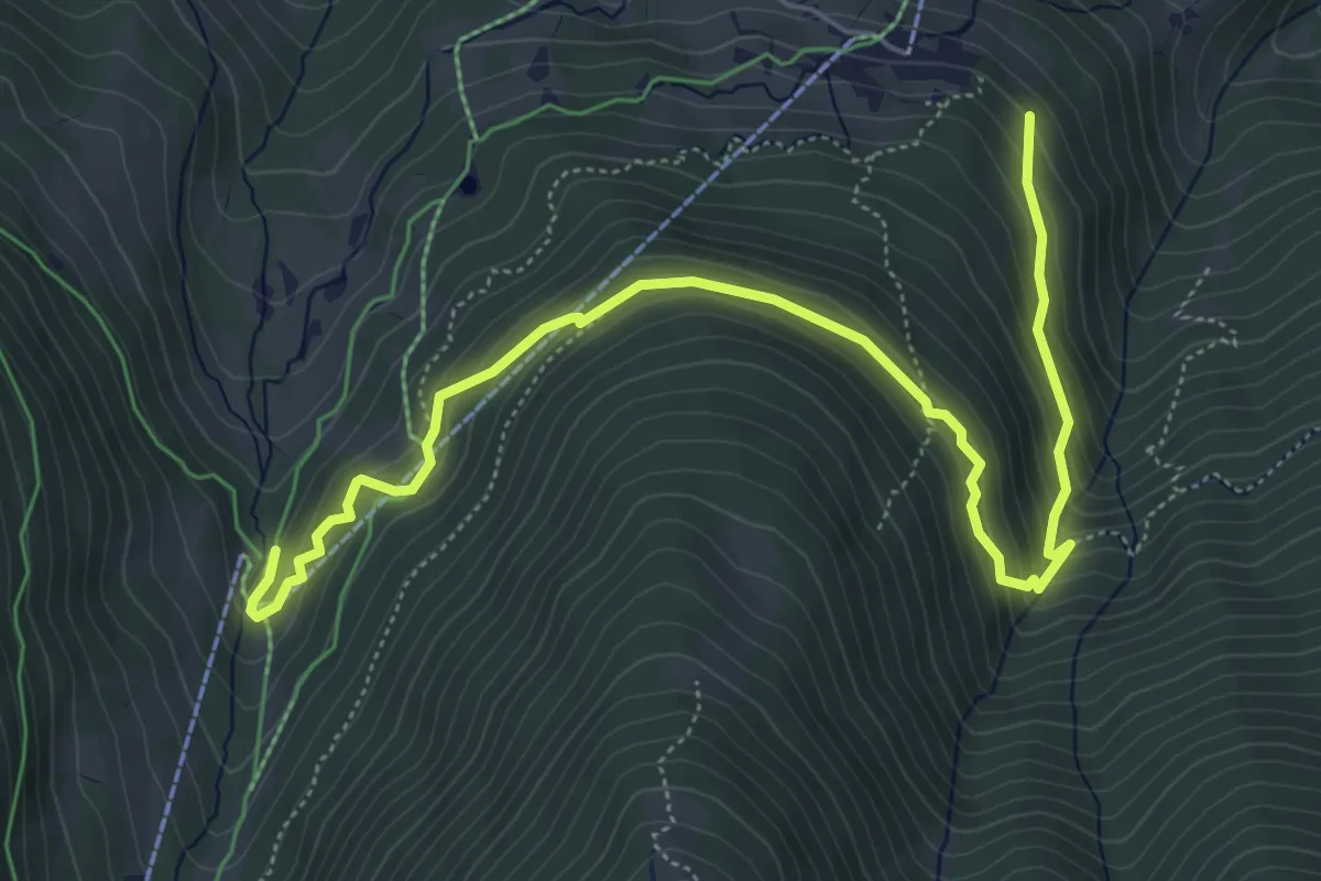
Medium · Trail
Brandalp – Breite Stäg
6.9 km · ↑ 421 m · 2 h 32 min
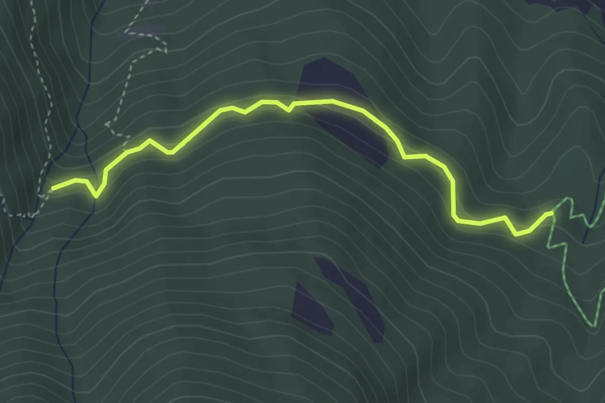
Easy · Trail
Ronalpa – Alte Suon
3.7 km · ↑ 318 m · 1 h 33 min
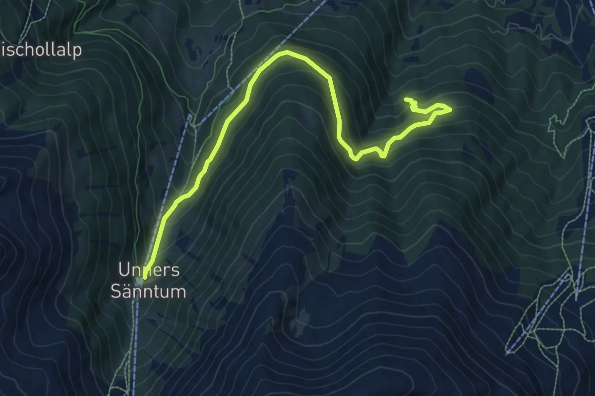
Medium · Trail
Unners Sänntum – Gärwerwald
10.0 km · ↑ 684 m · 3 h 51 min
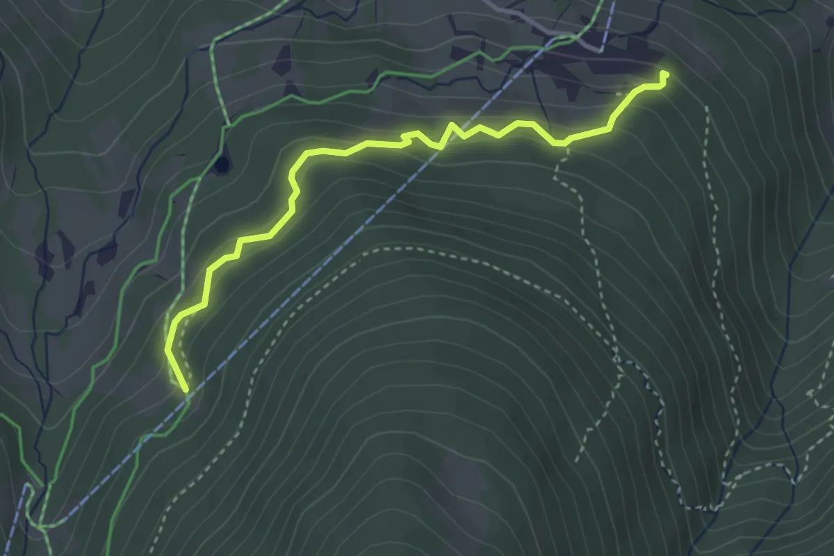
Easy · Trail
Meiggerli – Brandalp
3.4 km · ↑ 258 m · 1 h 22 min
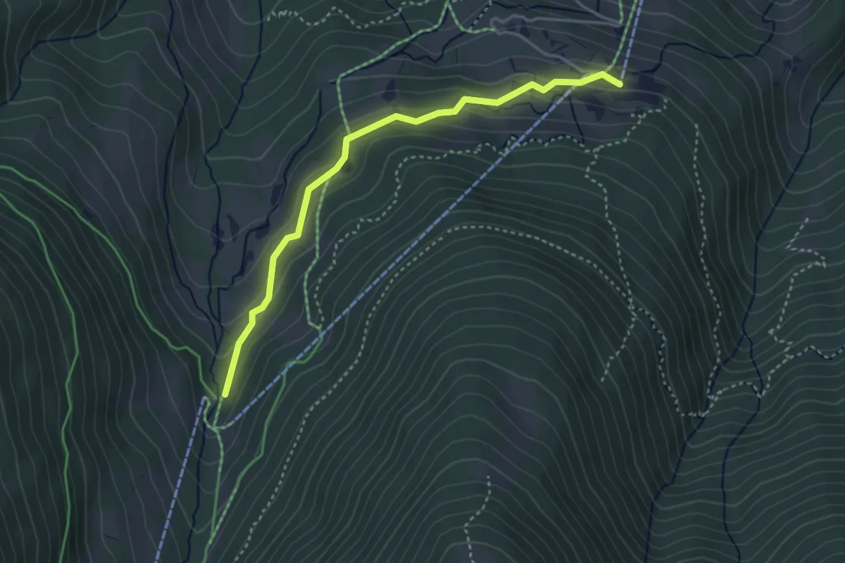
Easy · Trail
Brand – Breite Stäg
3.7 km · ↑ 190 m · 1 h 17 min
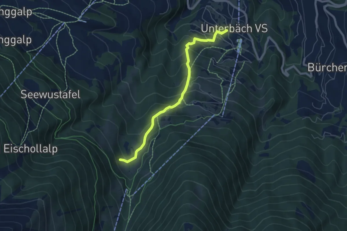
Medium · Trail
Unterbäch – Waldmatte
5.5 km · ↑ 453 m · 2 h 17 min
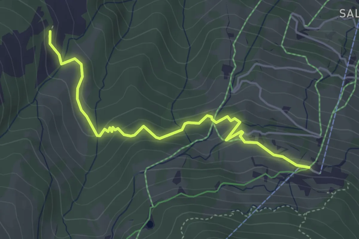
Easy · Trail
Brand – Obri Breitmatte
4.4 km · ↑ 245 m · 1 h 35 min
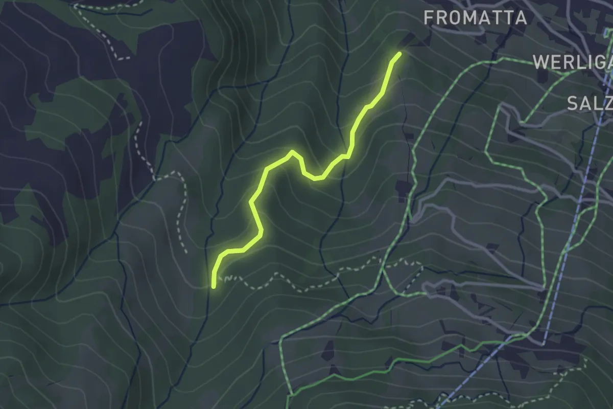
Easy · Trail
Obscha – Pfammatte
2.5 km · ↑ 180 m · 59 min
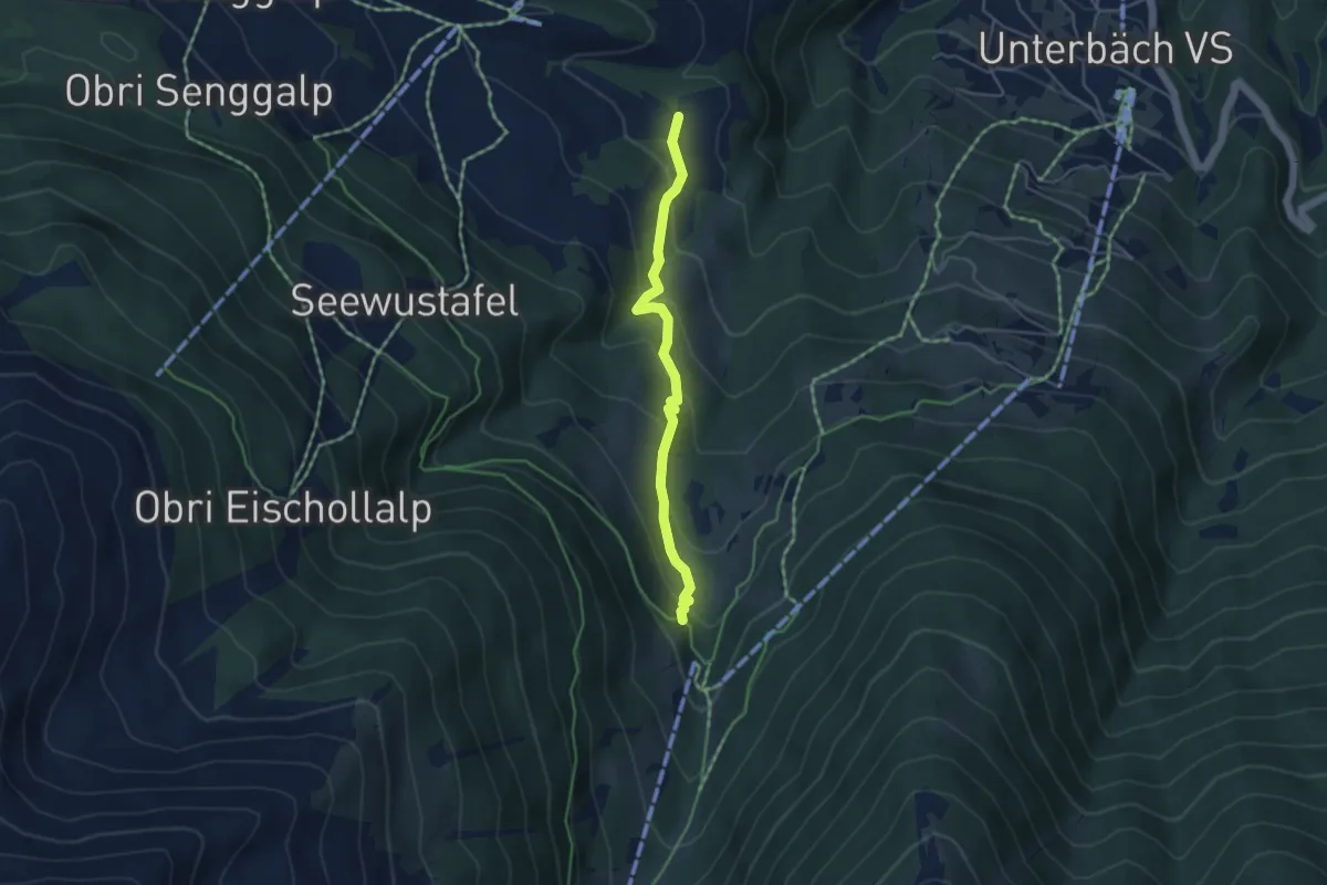
Easy · Trail
Breitmattu – Breite Stäg
4.1 km · ↑ 273 m · 1 h 34 min
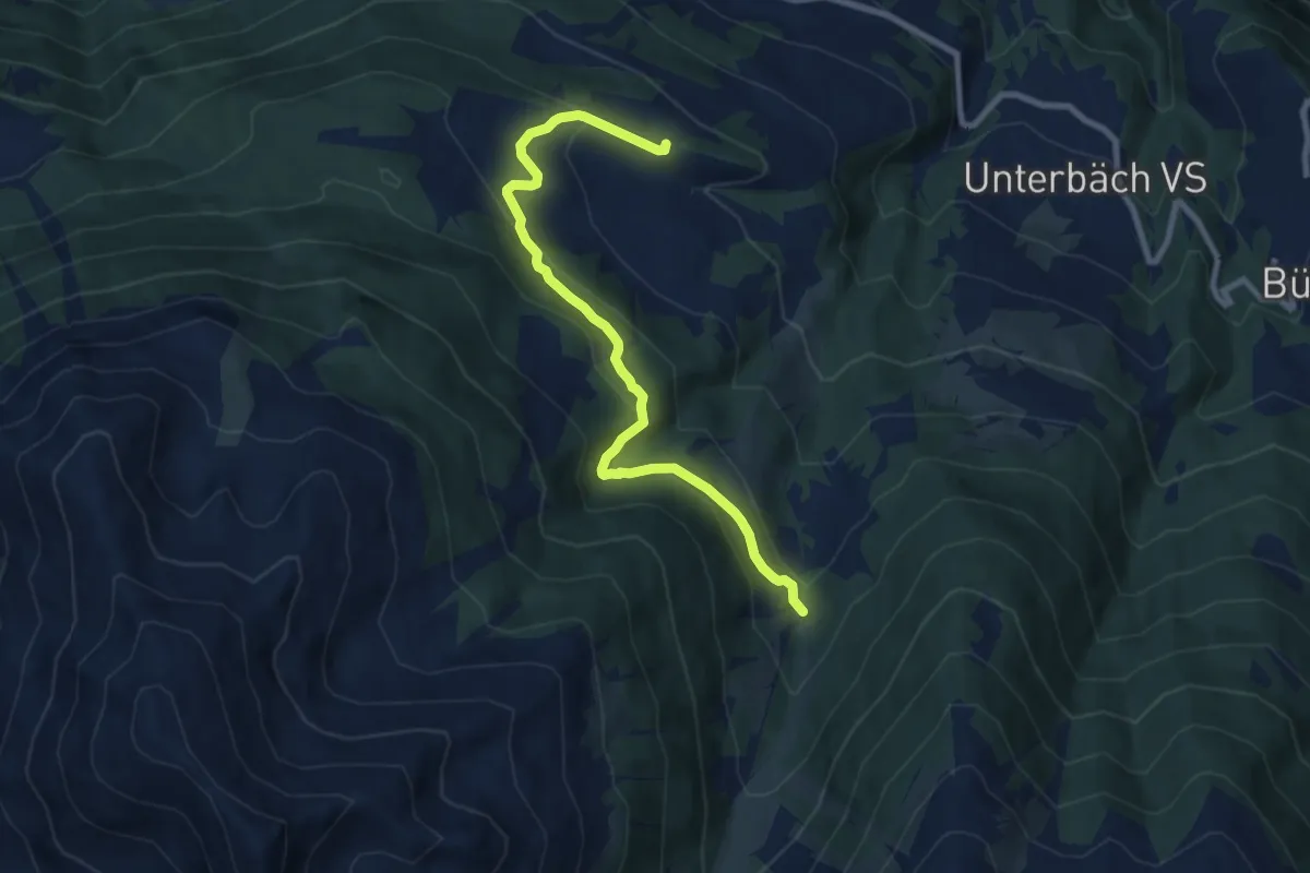
Medium · Trail
Strygge – Breite Stäg
8.7 km · ↑ 447 m · 3 h 2 min
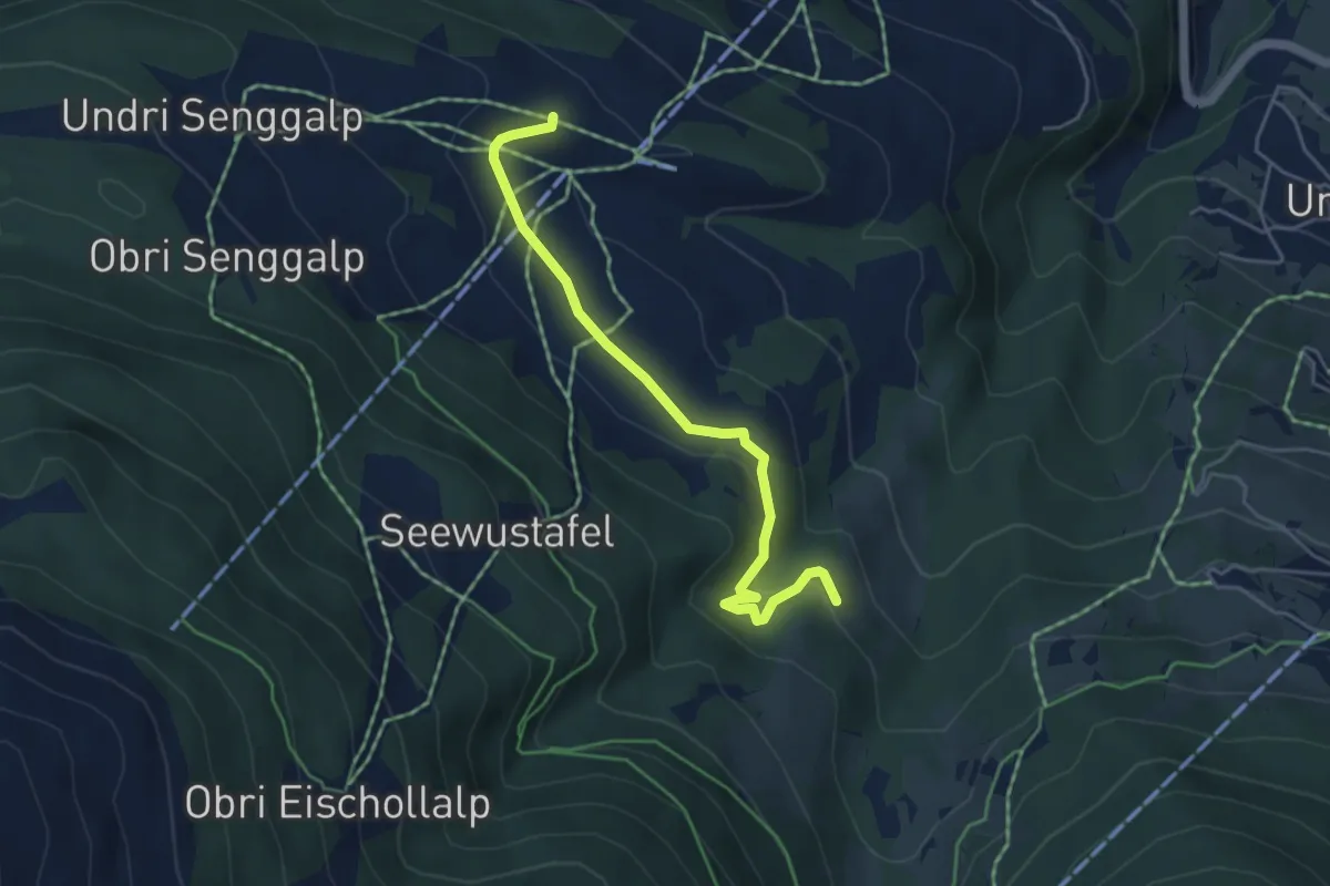
Easy · Trail
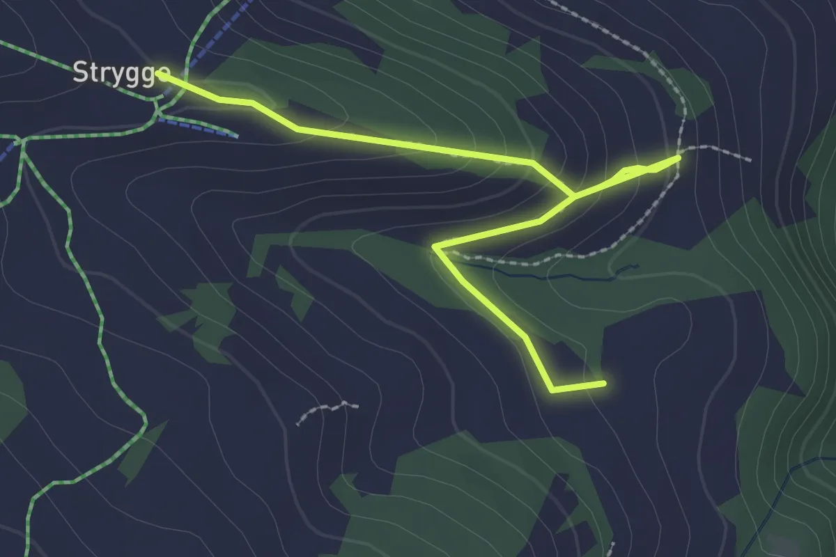
Strygge – Howwete
4.6 km · ↑ 120 m · 1 h 21 min
Easy · Trail
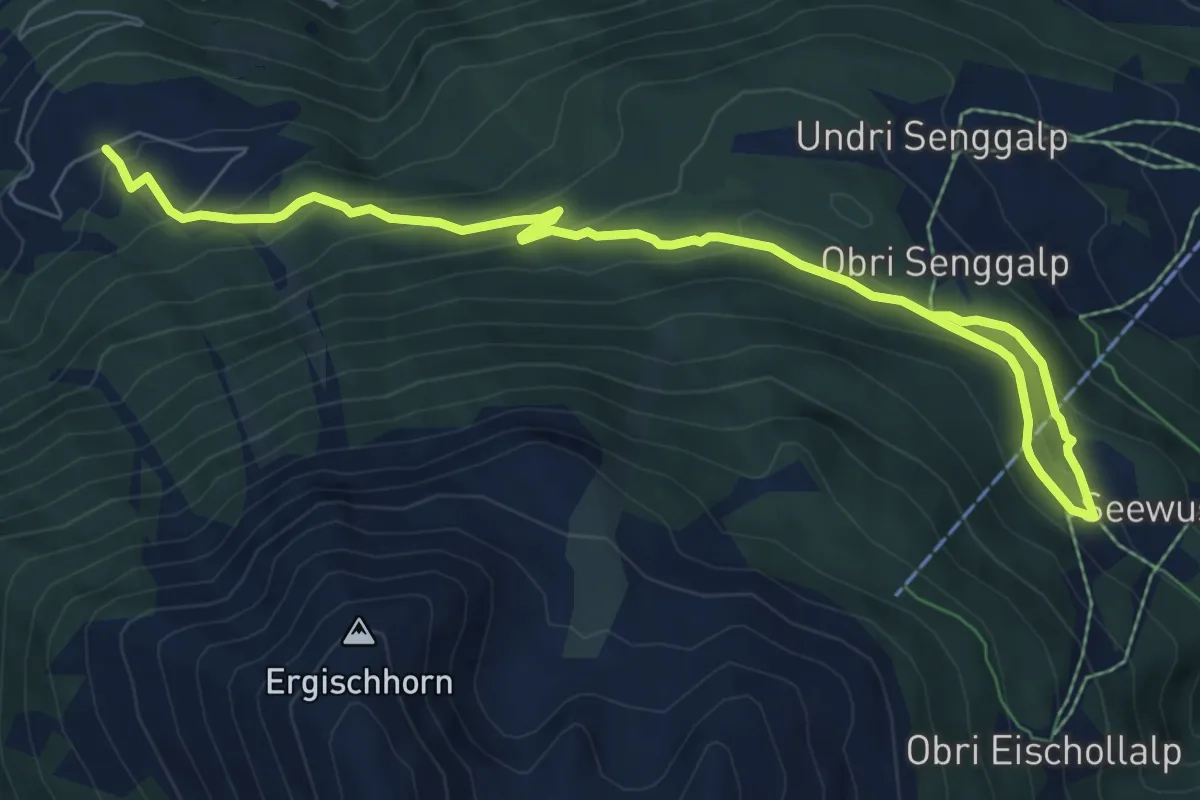
Strygge – Breitmattu
2.8 km · ↑ 172 m · 1 h 2 min
Medium · Trail
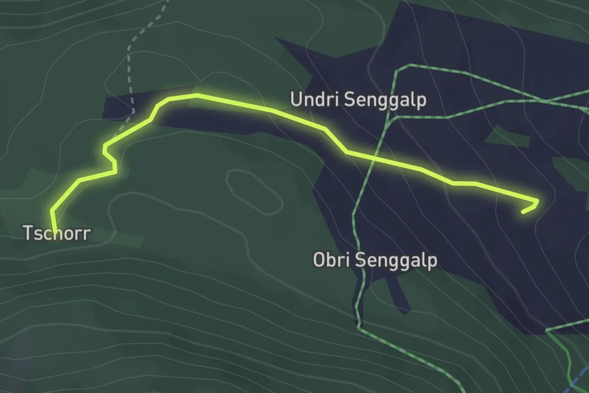
Undri Eischollalp – Obermatten
9.5 km · ↑ 456 m · 3 h 13 min
Easy · Trail
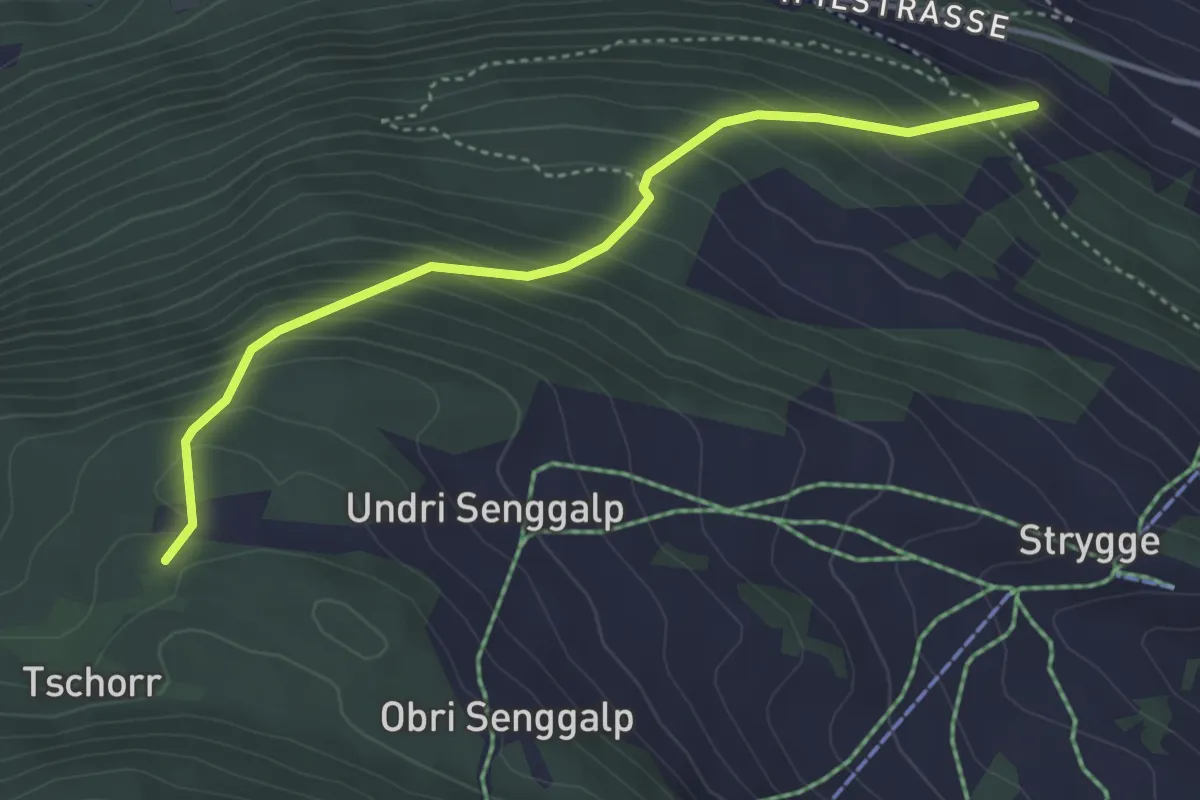
Tschorr – Meiggu
2.9 km · ↑ 128 m · 58 min
Medium · Trail
Tschorr – Habere
4.0 km · ↑ 414 m · 1 h 51 min
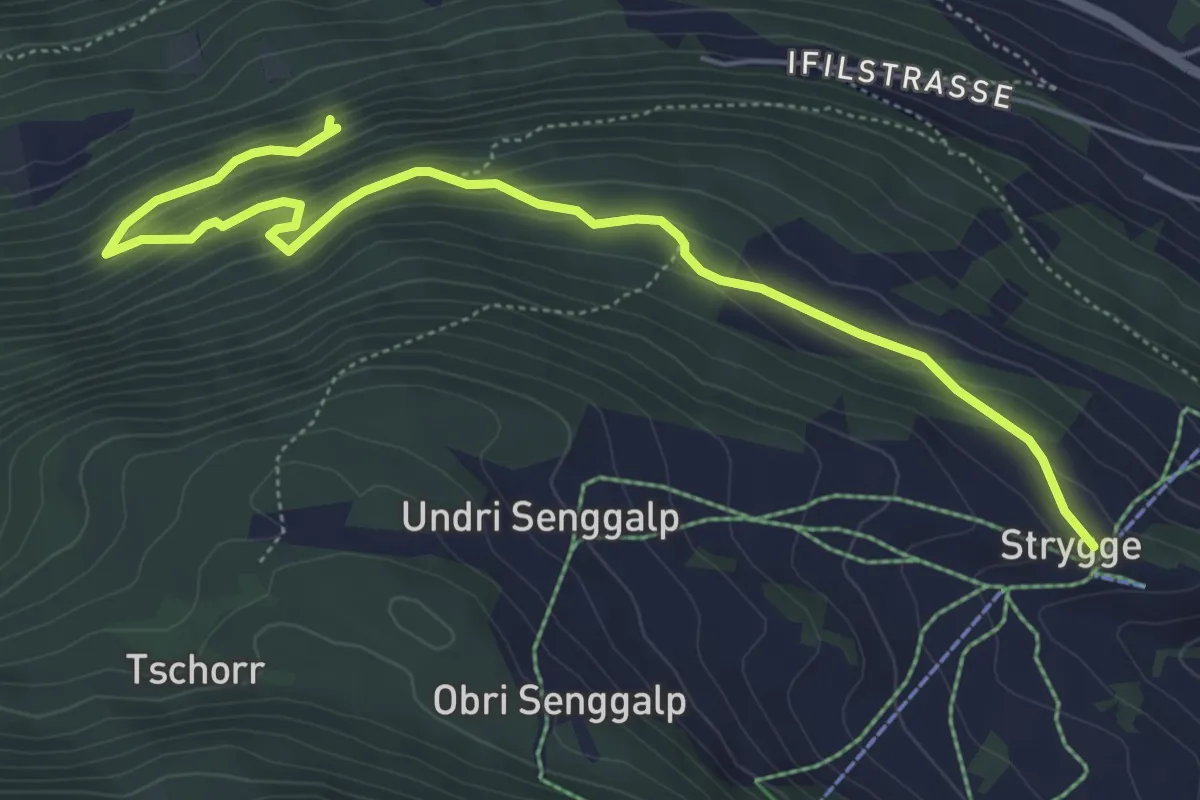
Medium · Trail
Strygge – Mettelstafel
6.4 km · ↑ 411 m · 2 h 24 min
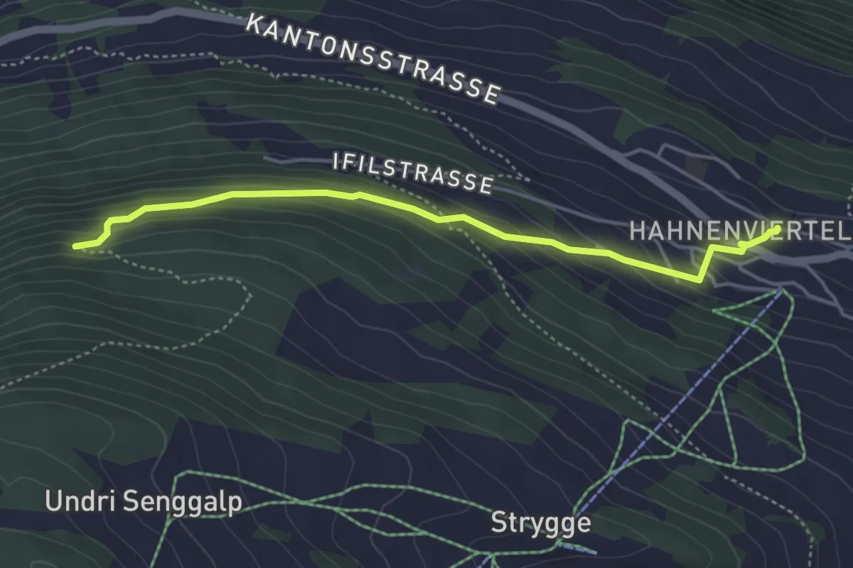
Easy · Trail
Eischoll – Mettelstafel
4.3 km · ↑ 275 m · 1 h 36 min
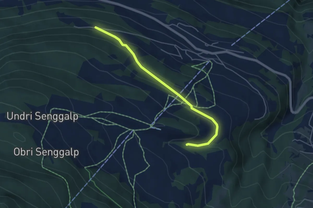
Easy · Trail
Breitmattu – Habere
4.2 km · ↑ 158 m · 1 h 21 min
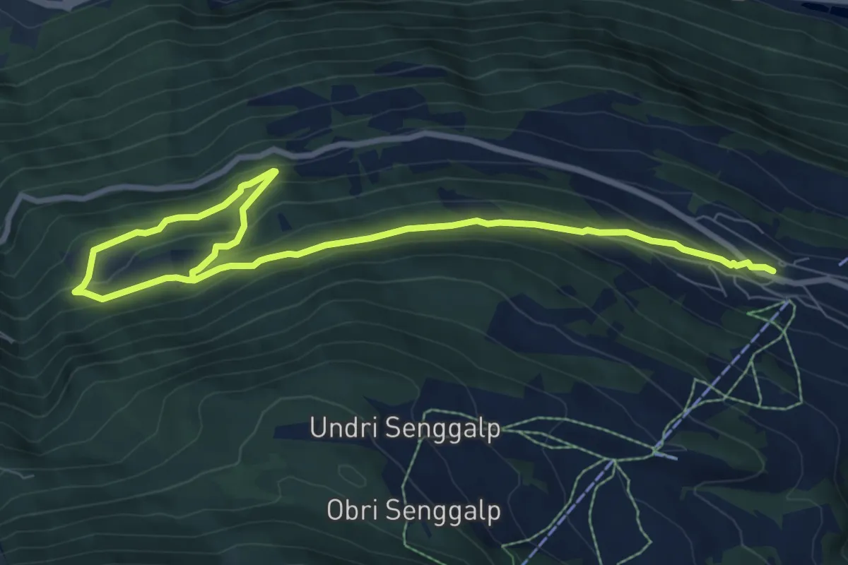
Medium · Trail
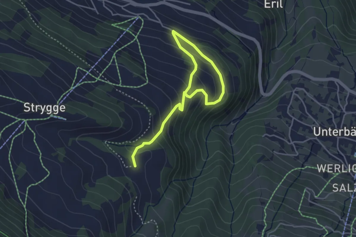
Eischoll – Ifil
10.3 km · ↑ 511 m · 3 h 32 min
Easy · Trail
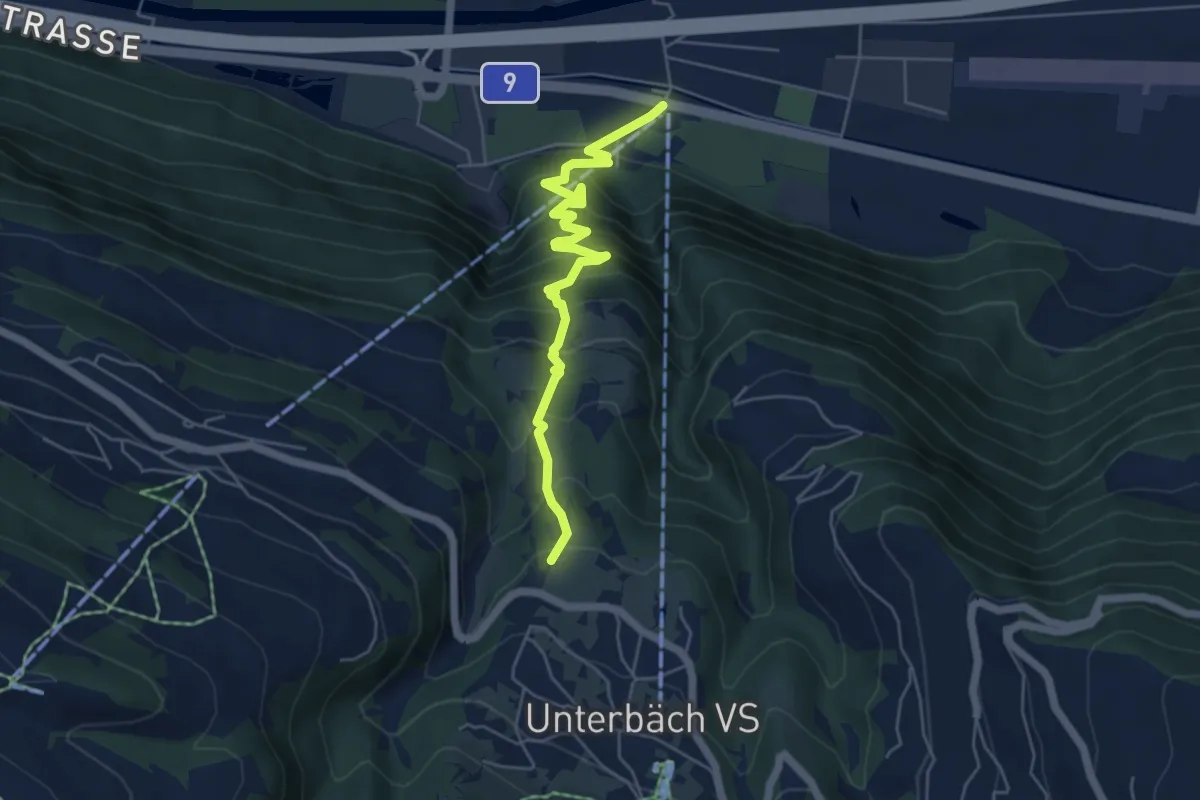
Eischoll – Breitmattu
4.6 km · ↑ 303 m · 1 h 44 min
Medium · Trail
Turtig – Steihüs
5.6 km · ↑ 550 m · 2 h 31 min
Easy · Trail
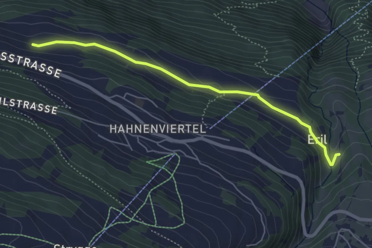
Eril – Breiu
4.7 km · ↑ 141 m · 1 h 25 min
Medium · Trail
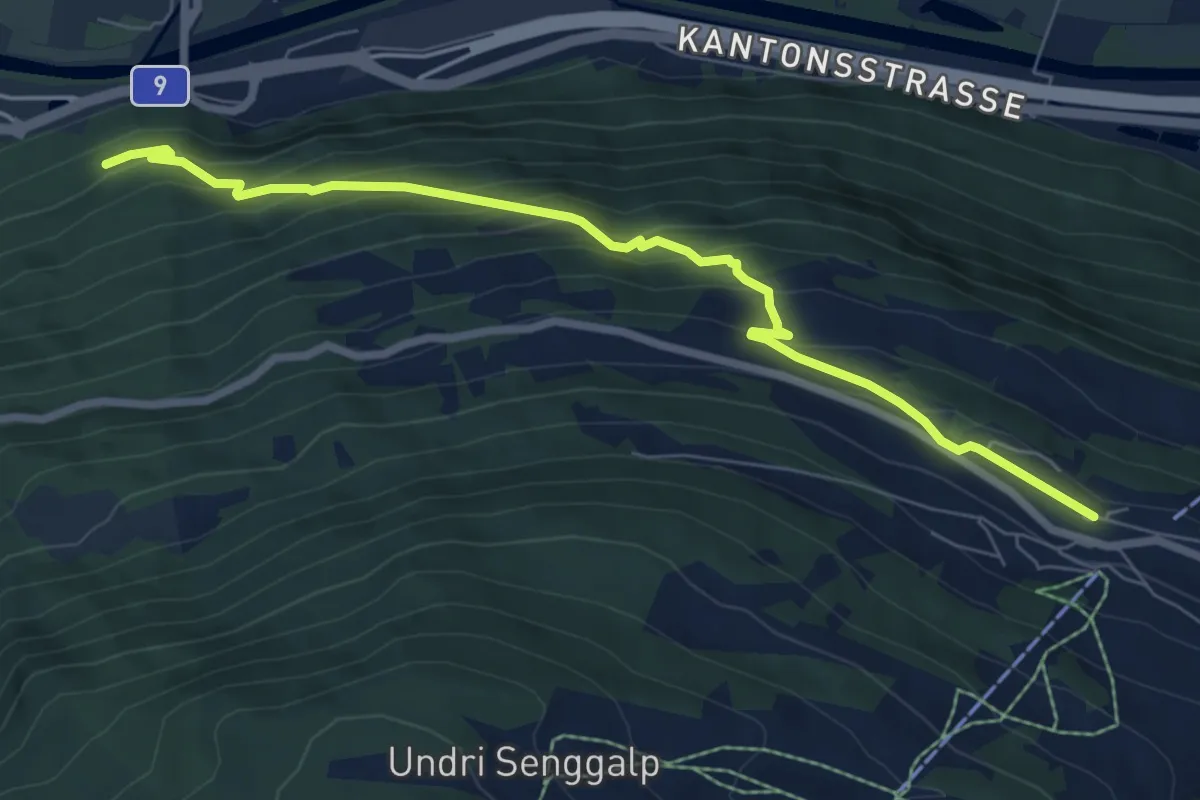
Eischoll – Lunggi
7.7 km · ↑ 530 m · 2 h 58 min
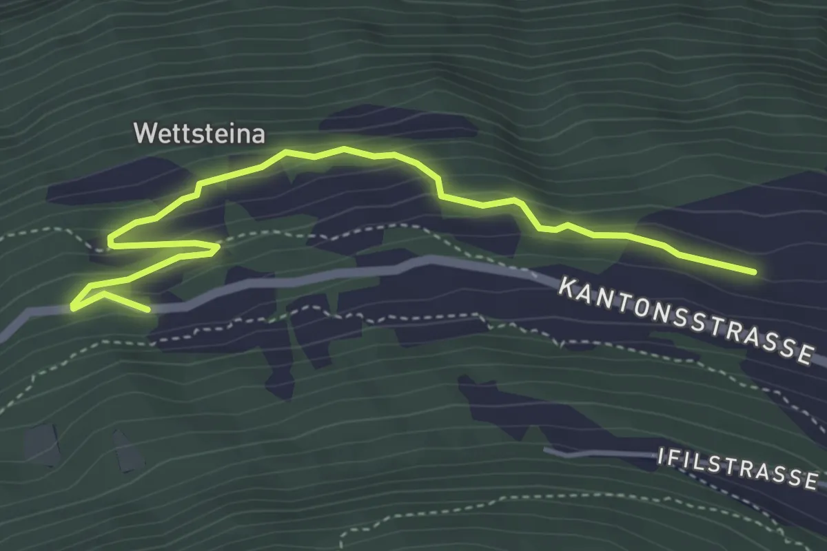
Easy · Trail
Breiu – Niederried
4.5 km · ↑ 274 m · 1 h 40 min
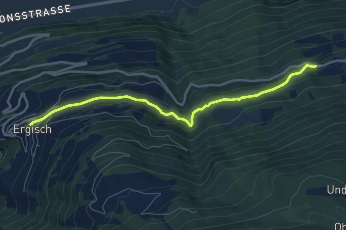
Easy · Trail
Niederried – Ergisch
6.6 km · ↑ 282 m · 2 h 10 min
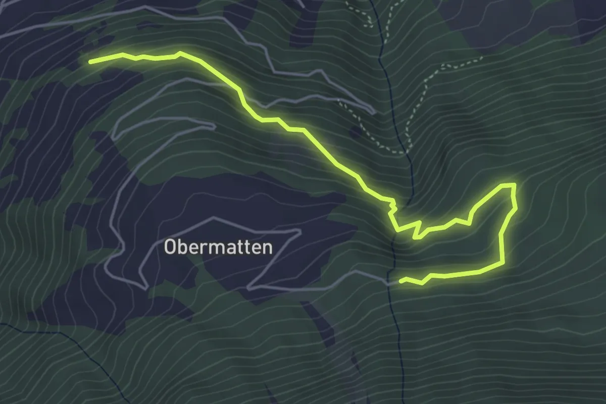
Medium · Trail
Zwischenmatten – Chollertschuggu
5.4 km · ↑ 443 m · 2 h 14 min
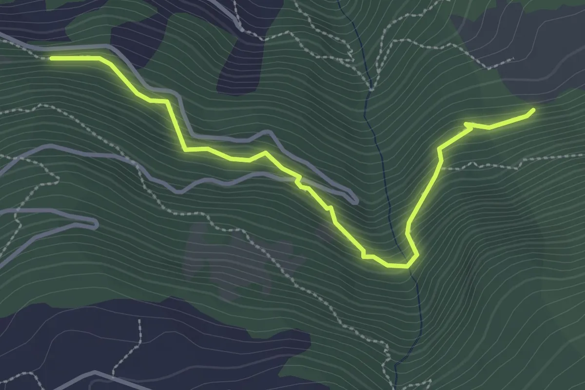
Demanding · Trail
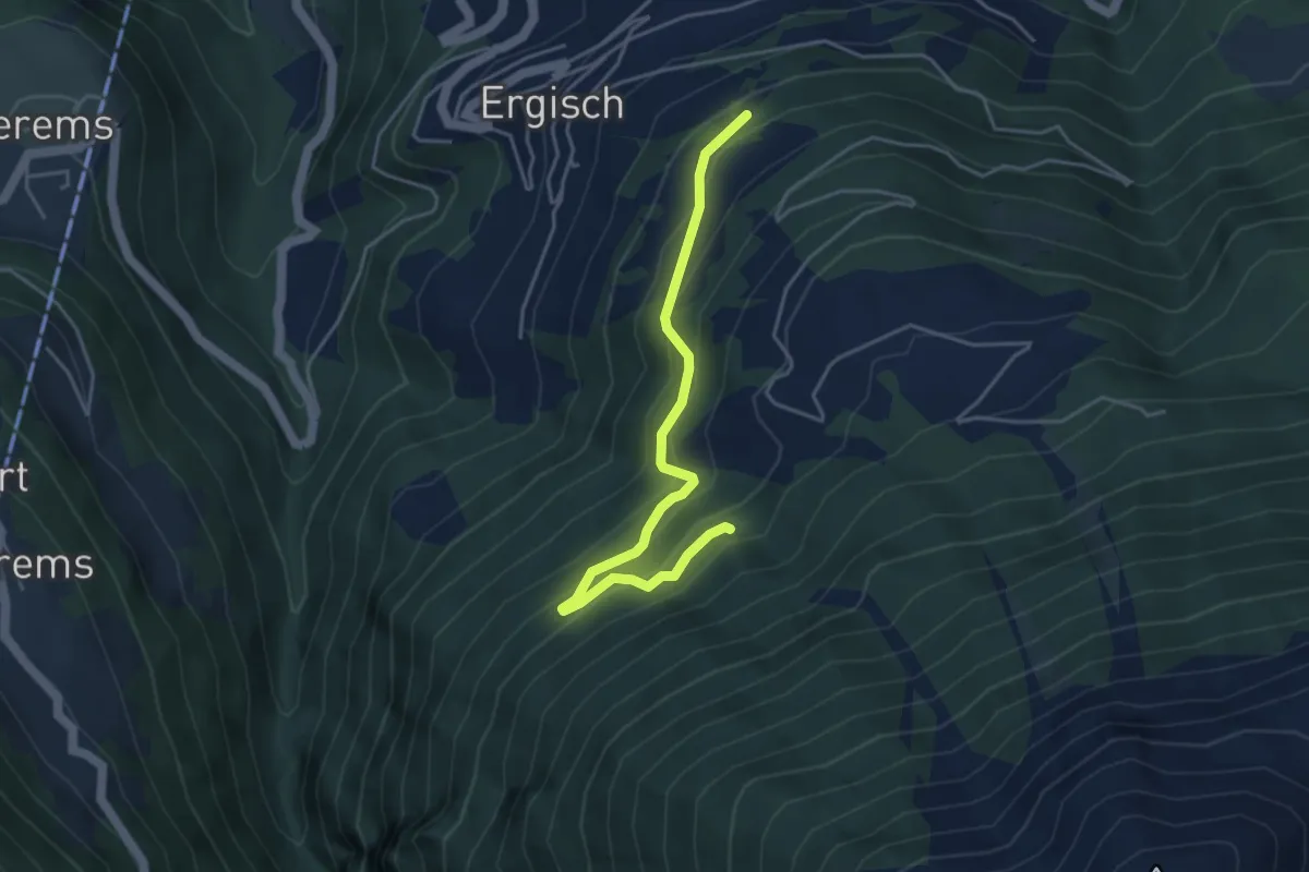
Golantschu – Ifilwald
3.2 km · ↑ 359 m · 1 h 31 min
Medium · Trail
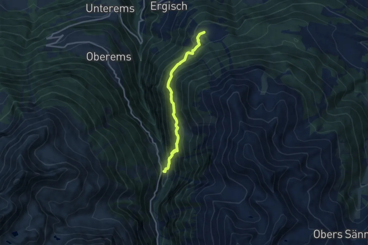
Zwischenmatten – Brandwald
4.4 km · ↑ 330 m · 1 h 45 min
Medium · Trail
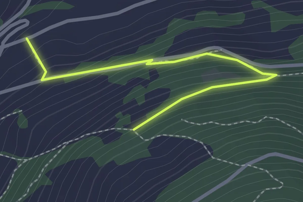
Obermatten – Wänge
8.8 km · ↑ 718 m · 3 h 38 min
Easy · Trail
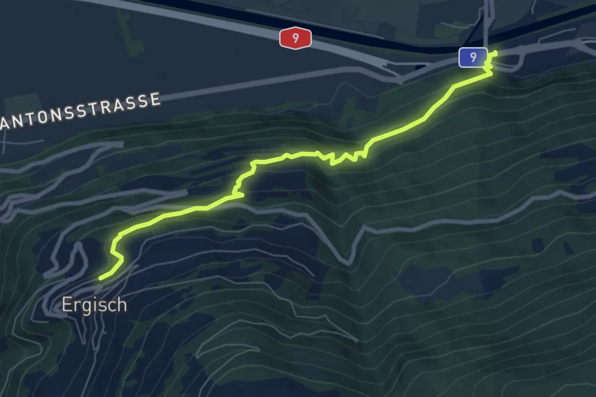
Zwischenmatten – Ritinustrasse
2.2 km · ↑ 165 m · 53 min
Medium · Trail
Gampel-Steg – Ergisch
6.7 km · ↑ 507 m · 2 h 41 min
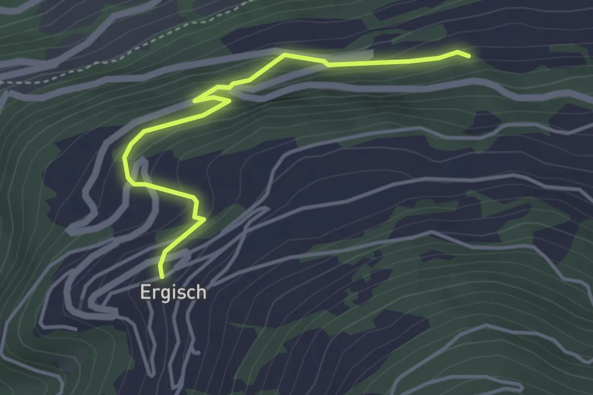
Easy · Trail
Ergisch – Ober Ried
3.6 km · ↑ 295 m · 1 h 29 min
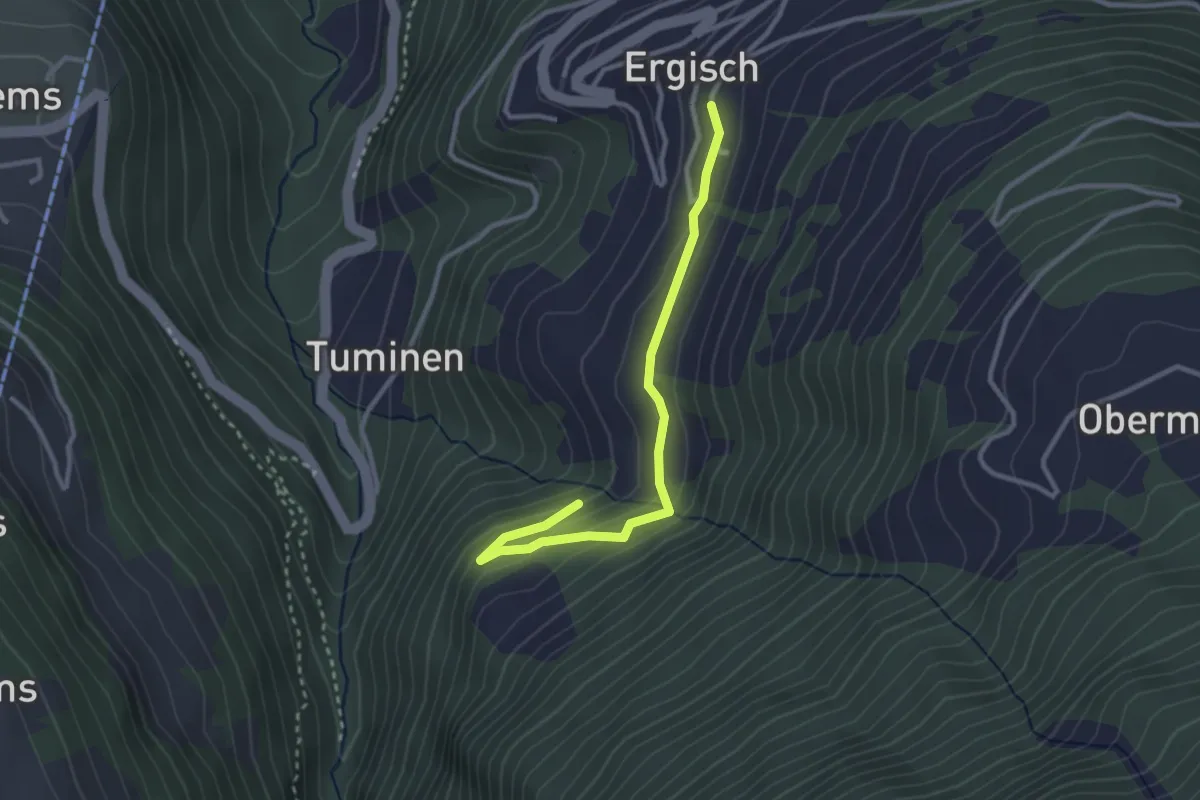
Easy · Trail
Ergisch – Chummugrabe
3.0 km · ↑ 131 m · 59 min
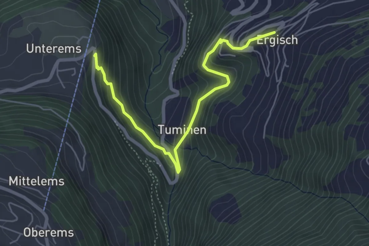
Medium · Trail
Ergisch – Unterems
5.2 km · ↑ 347 m · 1 h 59 min
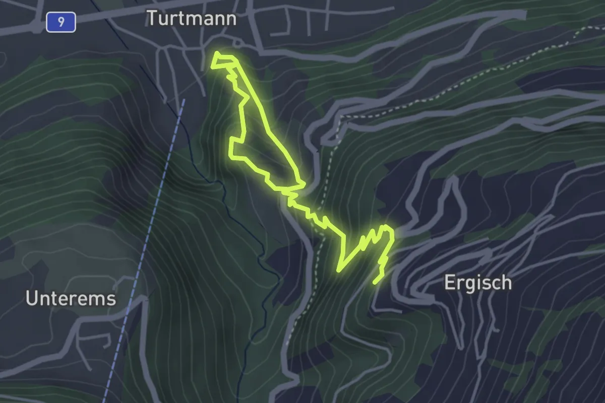
Medium · Trail
Ergisch – Turtmann
5.4 km · ↑ 509 m · 2 h 22 min