Trails in Switzerland
15,055 hiking trails, each with its route, climb, walking time and grade.
All trails, page 168 of 314
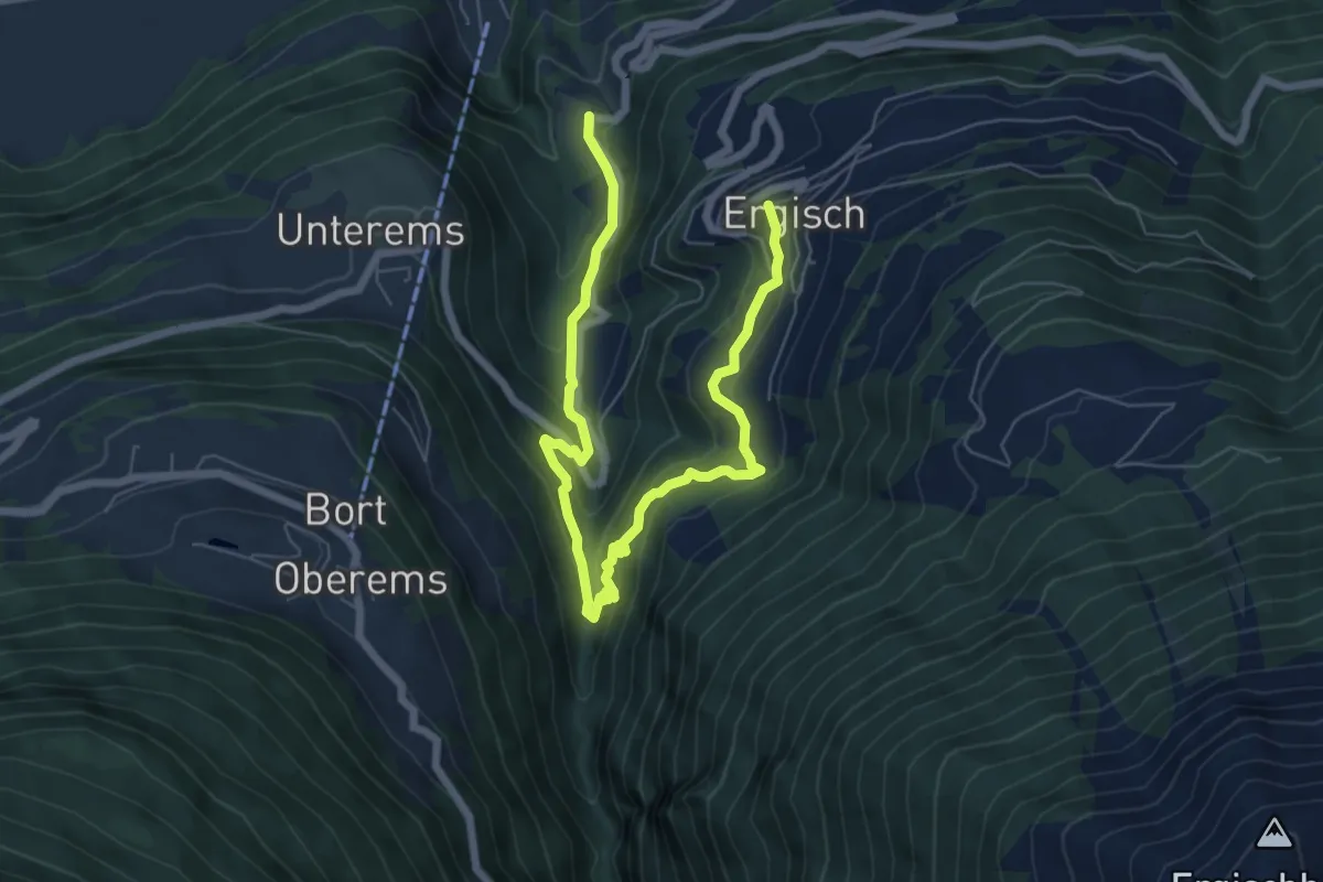
Medium · Trail
Ergisch – Zum Chriz
8.5 km · ↑ 565 m · 3 h 14 min
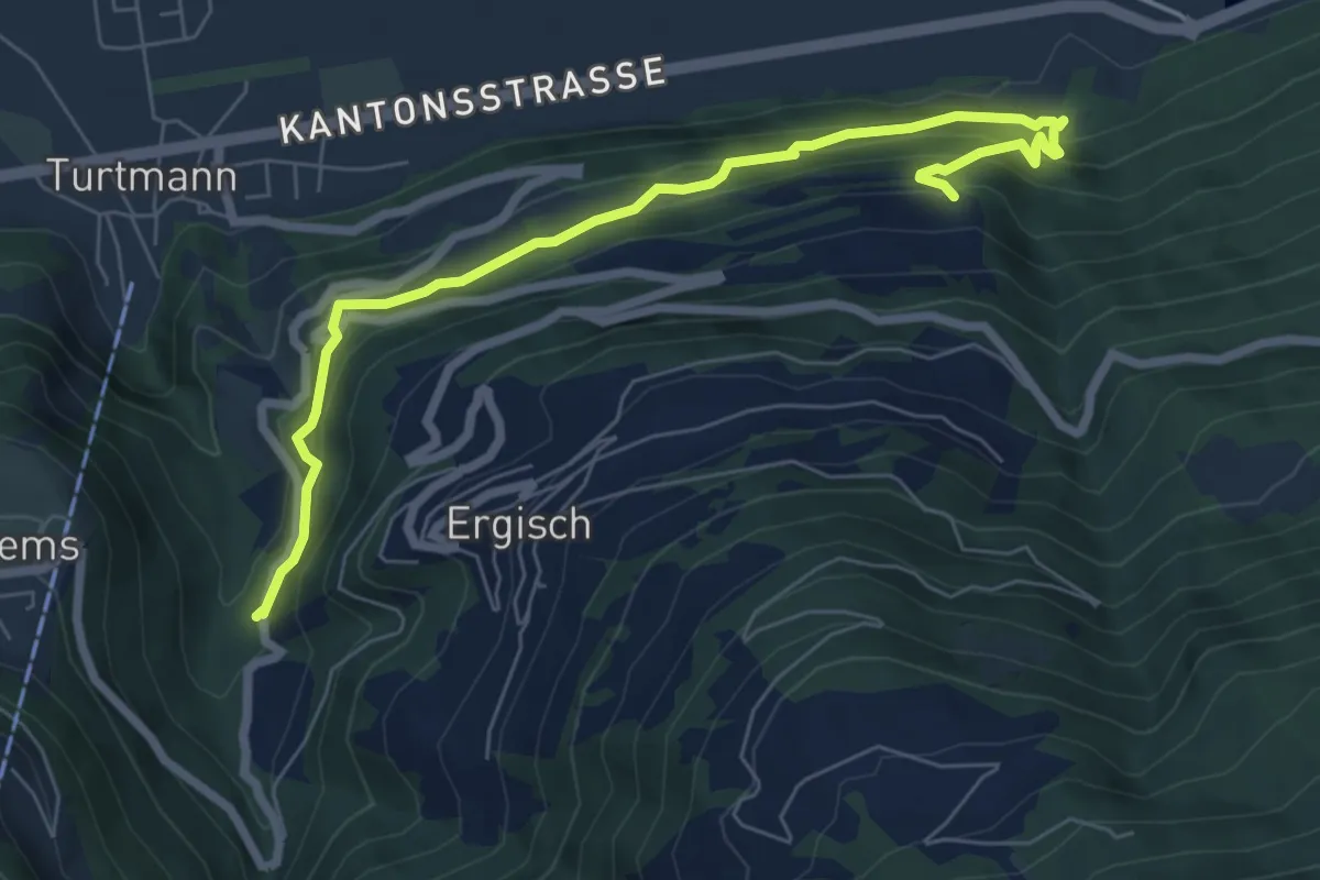
Medium · Trail
Riedru – Päriseggu
7.5 km · ↑ 657 m · 3 h 12 min
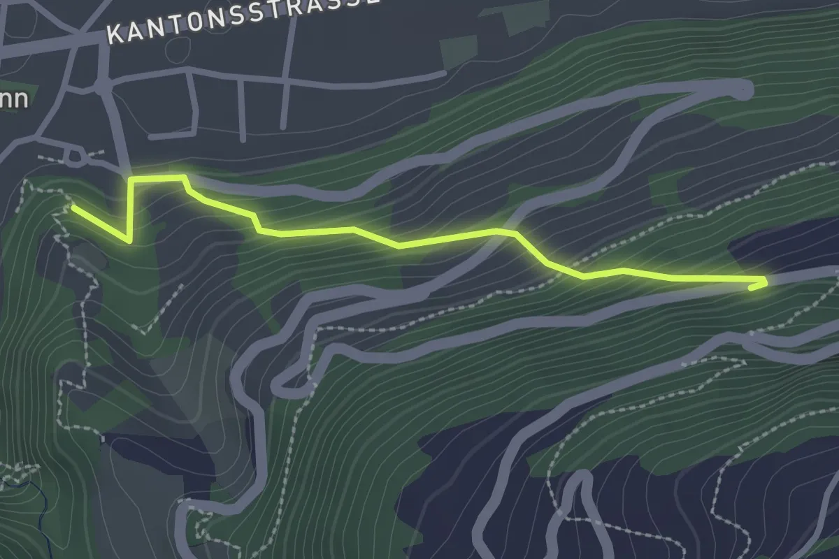
Easy · Trail
Ergisch – Turtmann
2.4 km · ↑ 267 m · 1 h 9 min
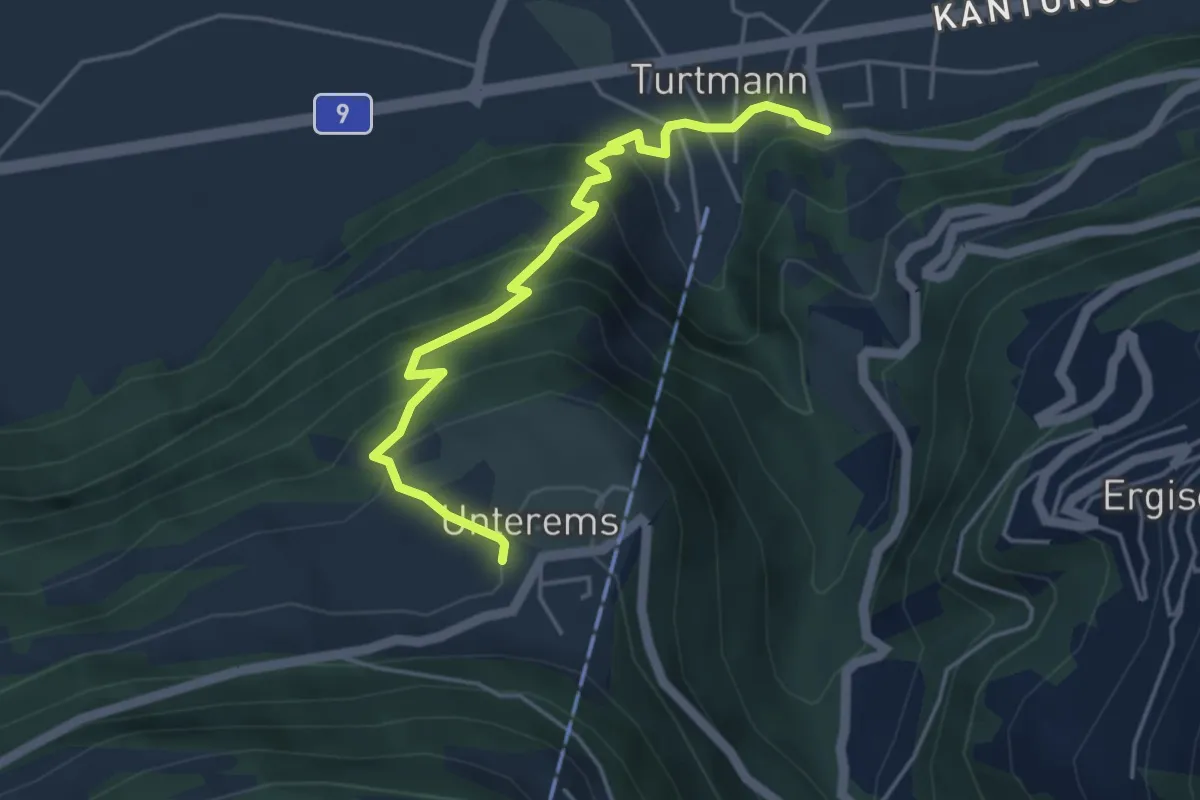
Medium · Trail
Turtmann – Unterems
4.5 km · ↑ 367 m · 1 h 52 min
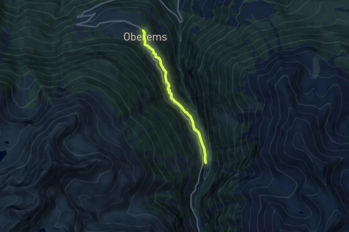
Medium · Trail
Oberems – Wänge
7.0 km · ↑ 377 m · 2 h 28 min
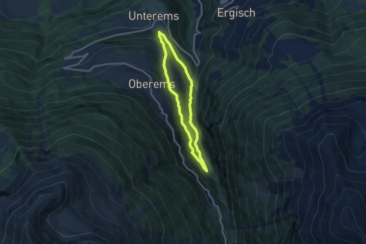
Medium · Trail
Unterems – Toibuwald
5.4 km · ↑ 415 m · 2 h 15 min
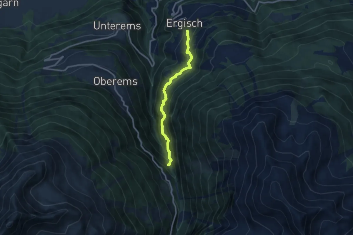
Demanding · Trail
Ergisch – Toibuwald
7.1 km · ↑ 829 m · 3 h 29 min
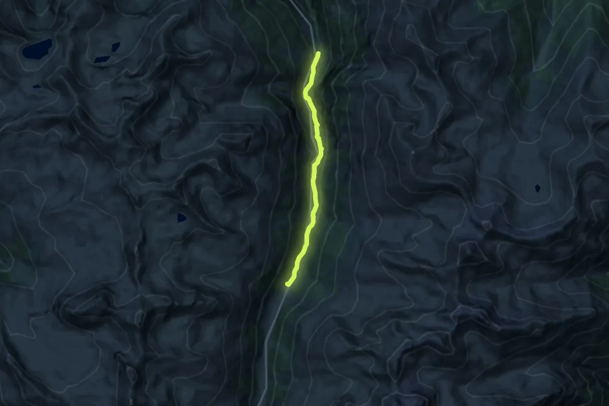
Medium · Trail
Wänge – Gruben
11.3 km · ↑ 398 m · 3 h 31 min
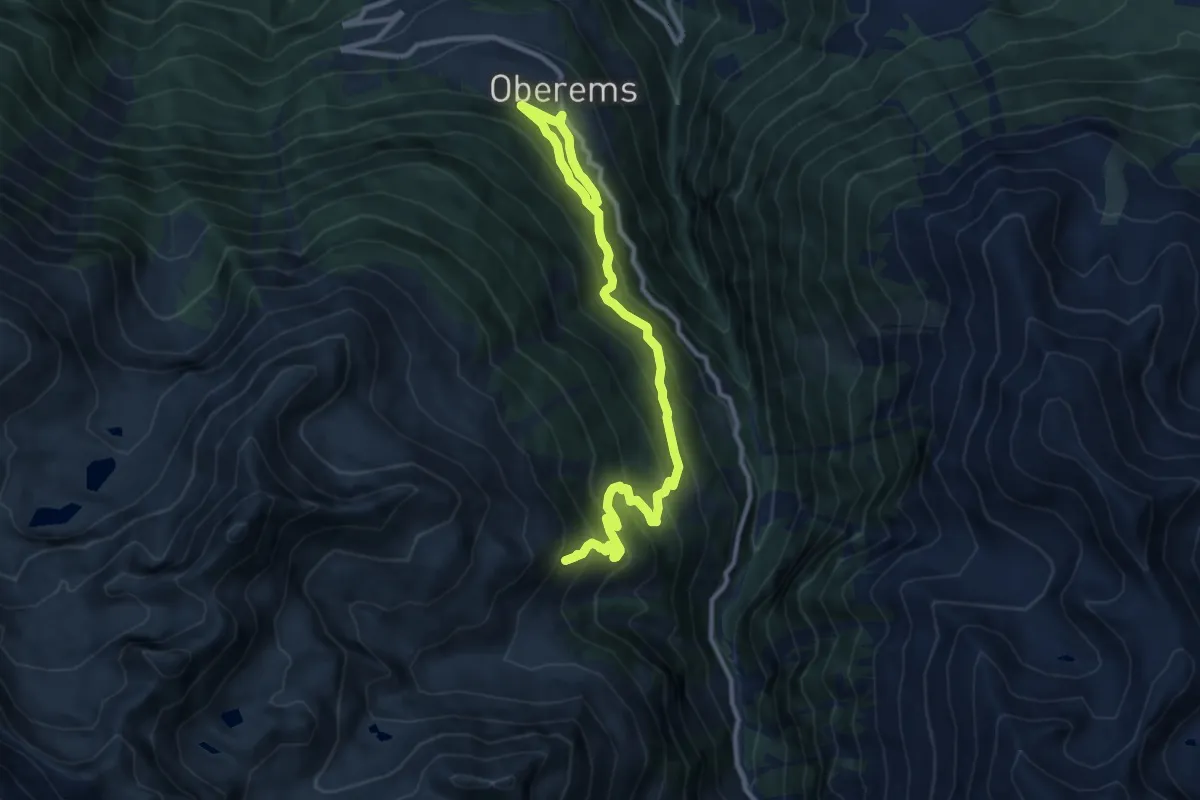
Demanding · Trail
Oberems – Vorsass
12.3 km · ↑ 1056 m · 5 h 12 min
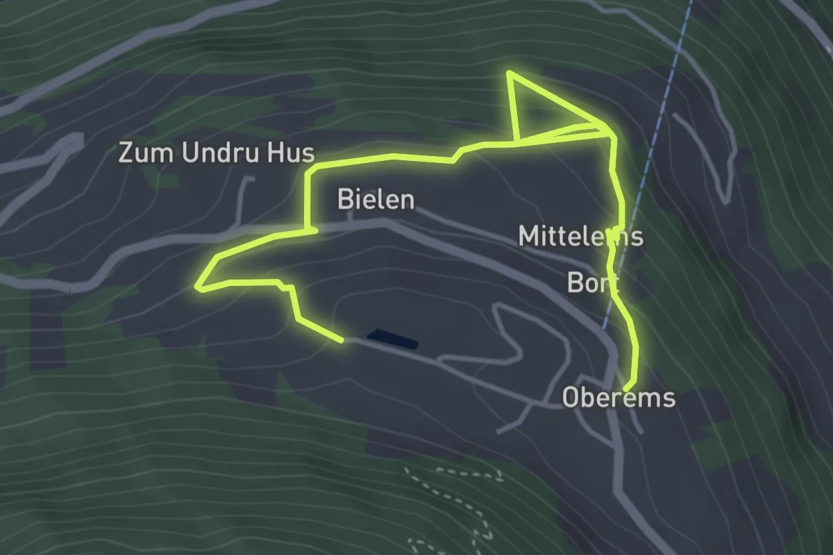
Medium · Trail
Oberems – Oberems
5.2 km · ↑ 405 m · 2 h 6 min
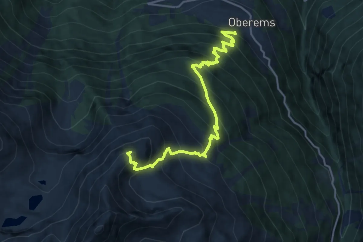
Demanding · Summit
Oberems – Emshorn
11.0 km · ↑ 1223 m · 5 h 15 min
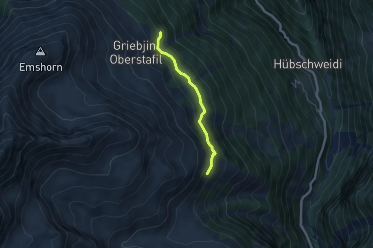
Easy · Trail
Flesch – Vorsass
3.7 km · ↑ 187 m · 1 h 17 min
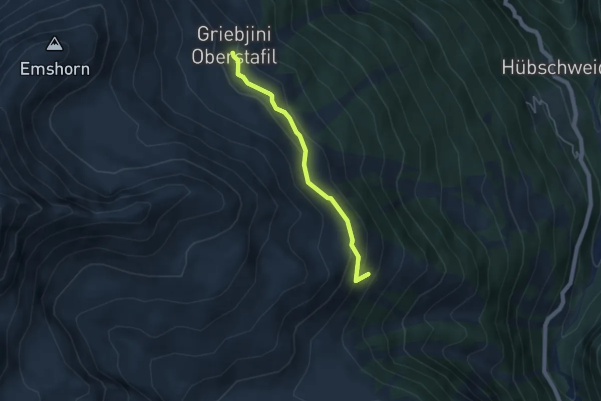
Easy · Trail
Griebjini – Vorsass
3.4 km · ↑ 183 m · 1 h 12 min
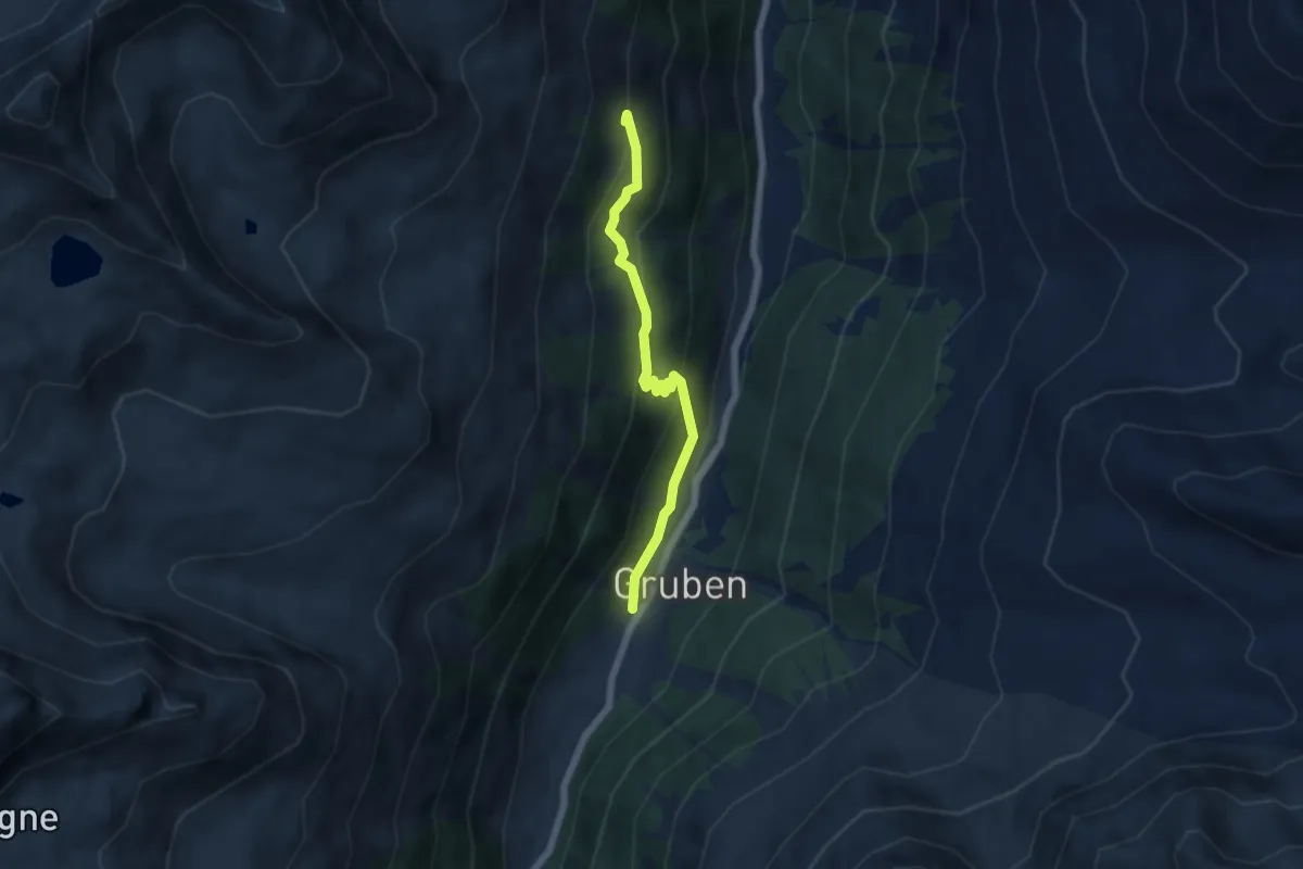
Medium · Trail
Gruben – Simmigu Mittelstafel
5.3 km · ↑ 337 m · 1 h 59 min
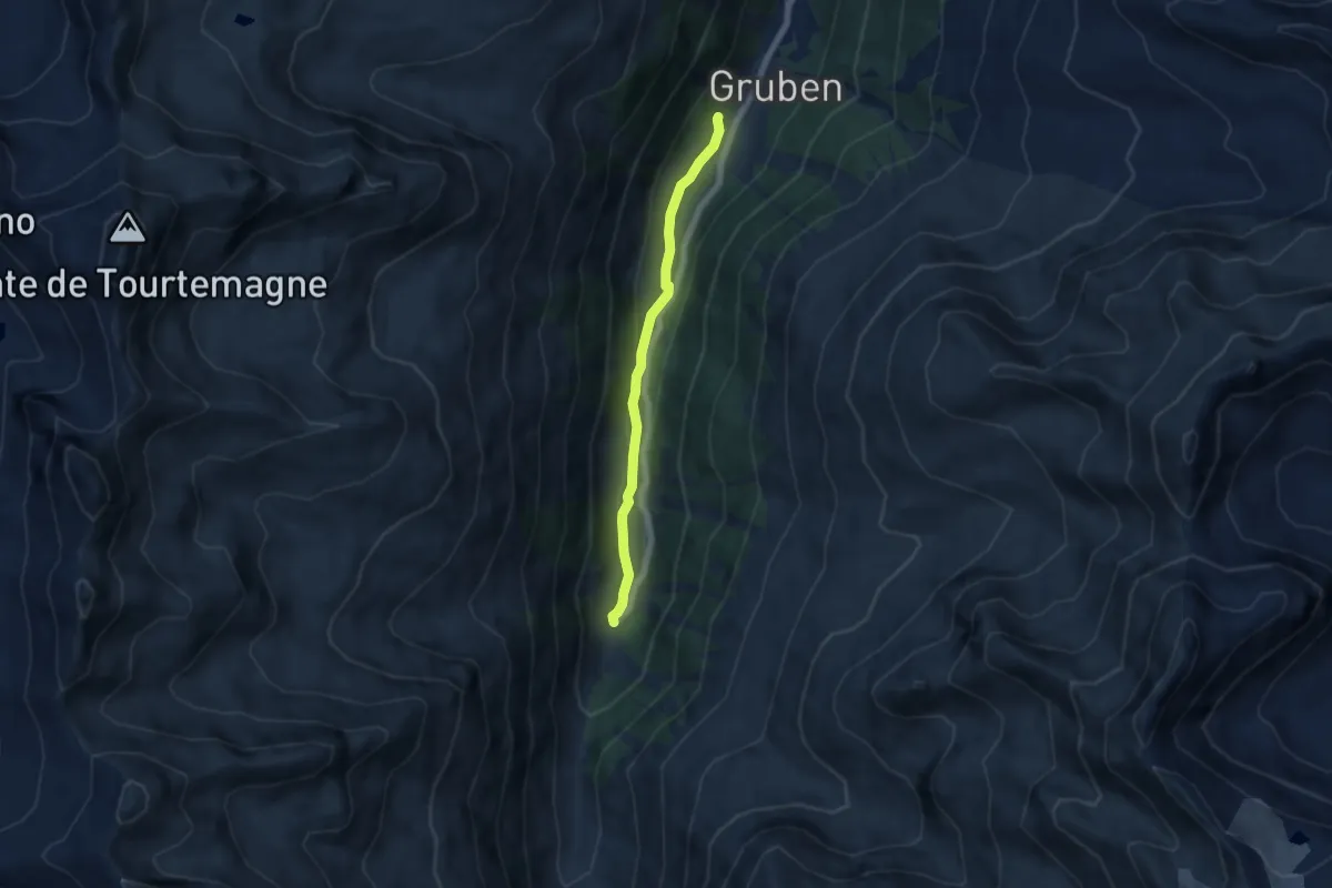
Easy · Trail
Gruben – Vorder Sänntum
5.8 km · ↑ 96 m · 1 h 34 min
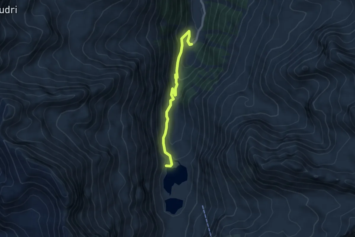
Easy · Trail
Vorder Sänntum – Turtmannsee
5.3 km · ↑ 306 m · 1 h 55 min
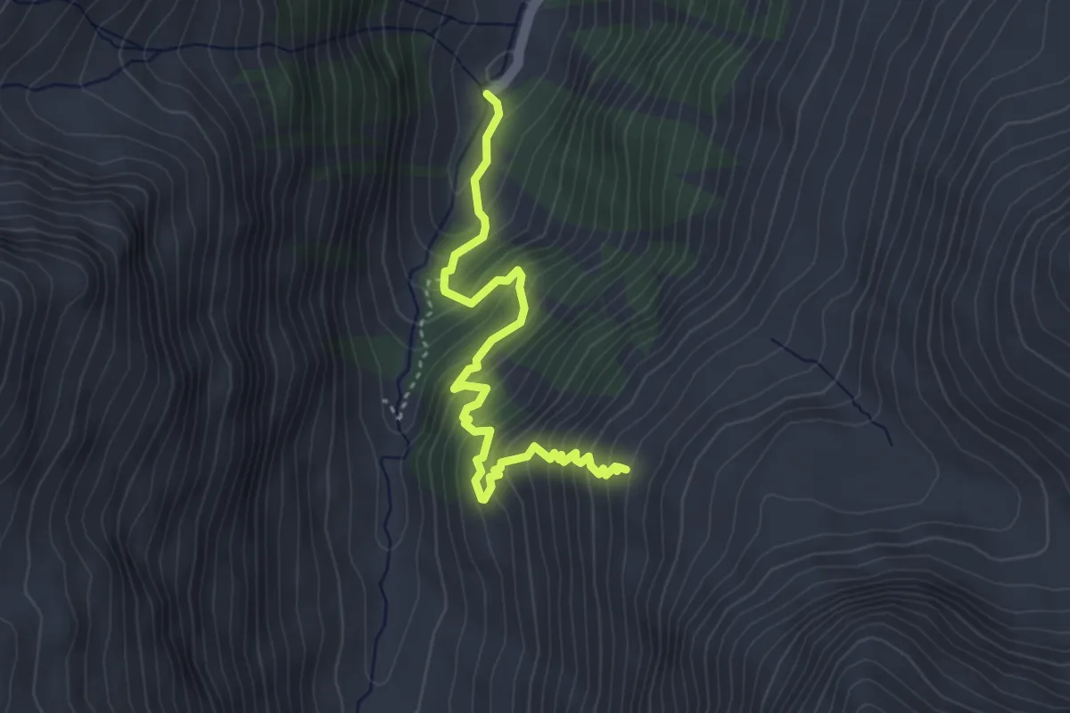
Medium · Trail
Vorder Sänntum – Holustei
4.0 km · ↑ 463 m · 1 h 57 min
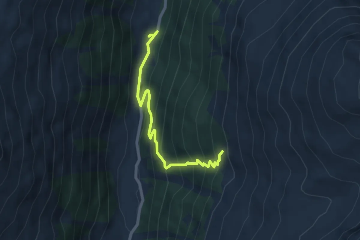
Medium · Trail
Brändji – Hungerli Mittilstafil
4.5 km · ↑ 365 m · 1 h 51 min
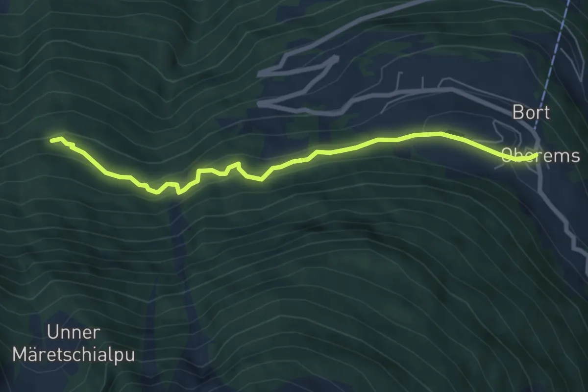
Medium · Trail
Oberems – Hinnerasp
6.0 km · ↑ 364 m · 2 h 12 min
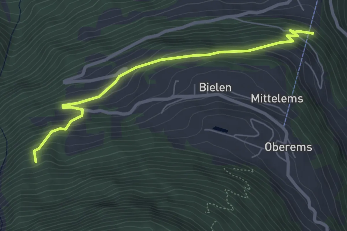
Medium · Trail
Unterems – Ahorn
5.4 km · ↑ 402 m · 2 h 8 min
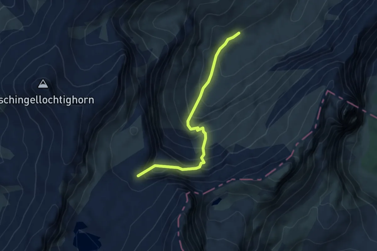
Medium · Trail
P2540 – Ueschinenhütte
4.3 km · ↑ 476 m · 2 h 2 min
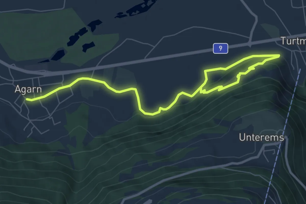
Medium · Trail
Agarn – Turtmann
8.8 km · ↑ 254 m · 2 h 38 min
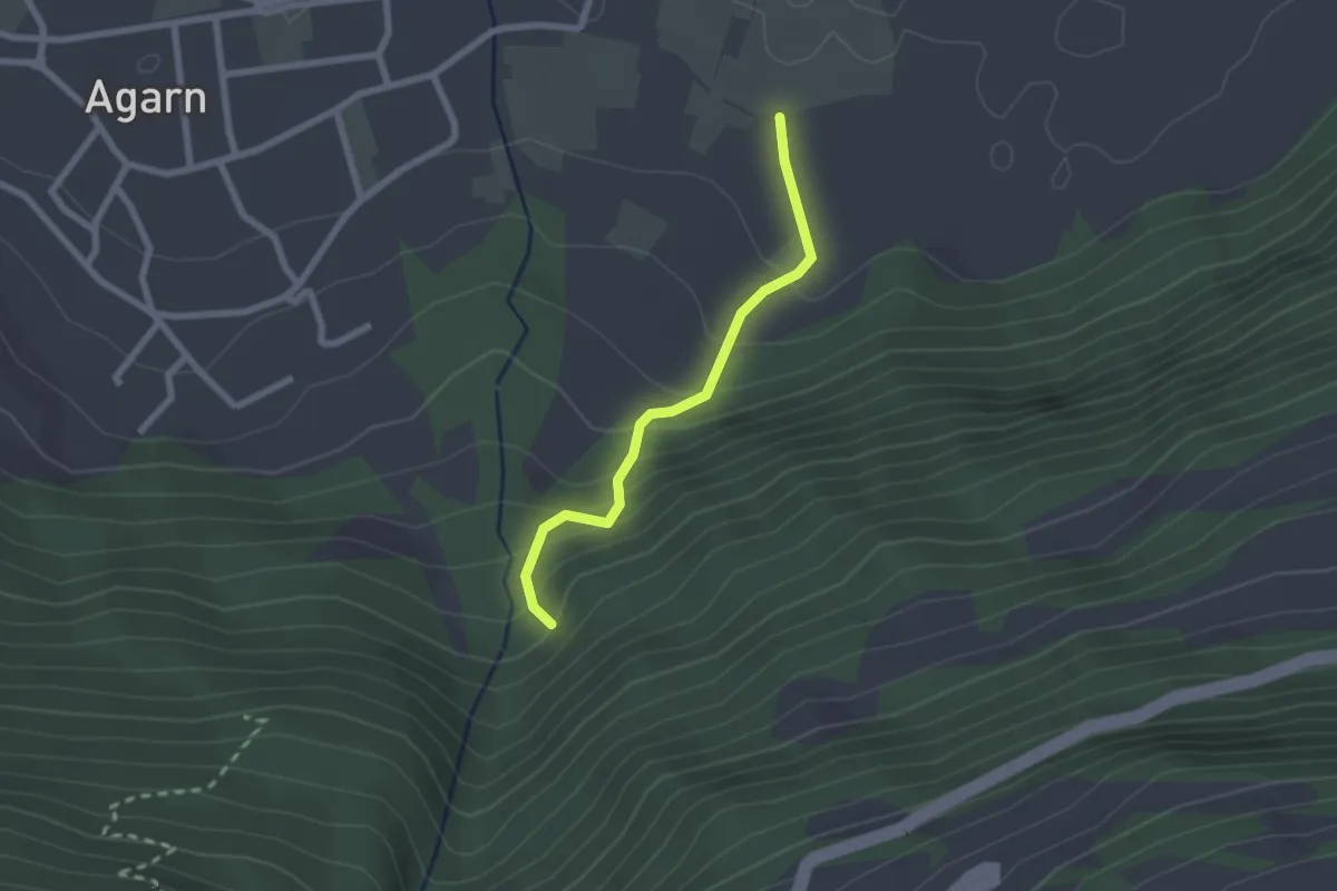
Easy · Trail
Pontetstrasse – Dachspfad
2.0 km · ↑ 183 m · 52 min
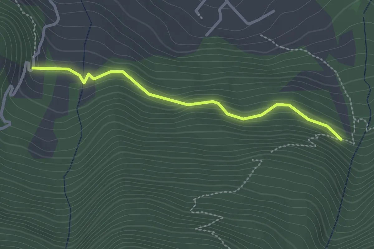
Easy · Trail
Talmatte – Milimatte
2.4 km · ↑ 123 m · 50 min
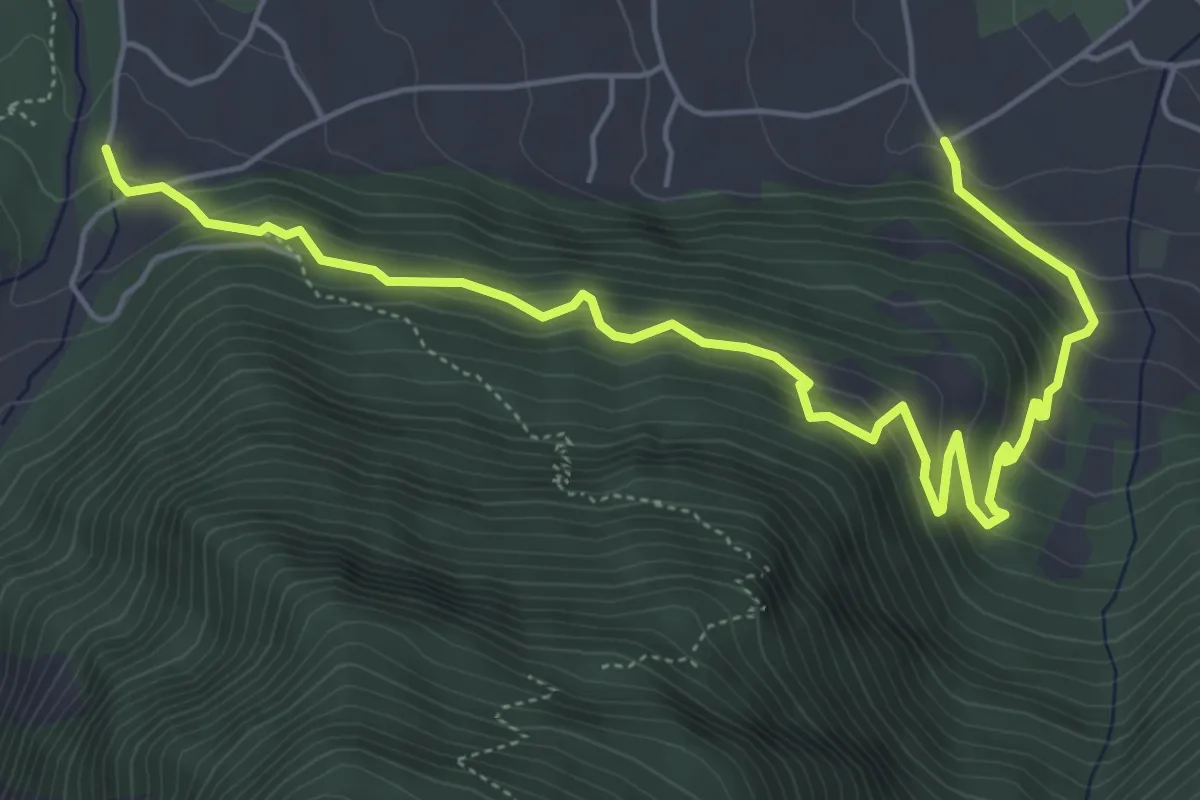
Medium · Trail
Briannen – Pulligu
6.8 km · ↑ 542 m · 2 h 47 min
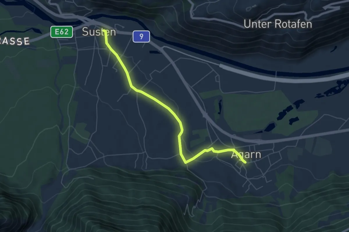
Easy · Trail
Agarn – Susten
6.2 km · ↑ 73 m · 1 h 38 min
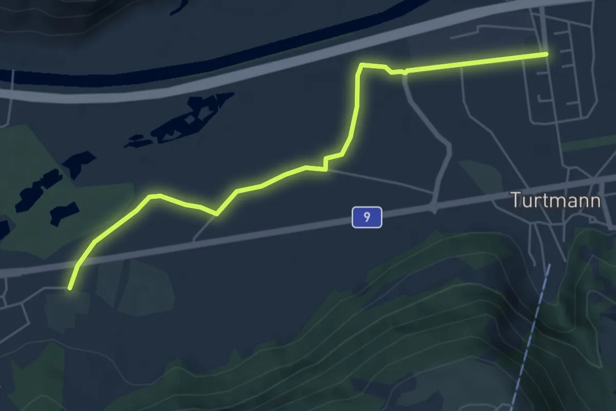
Easy · Trail
Agarn – Ofumattu
5.6 km · ↑ 0 m · 1 h 19 min
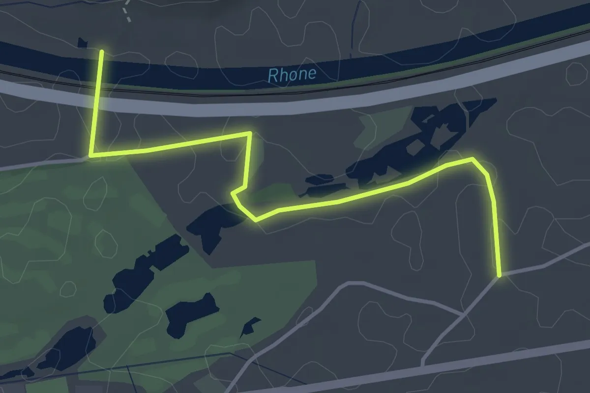
Easy · Trail
Rotten – Neugutstrasse
3.6 km · ↑ 5 m · 51 min
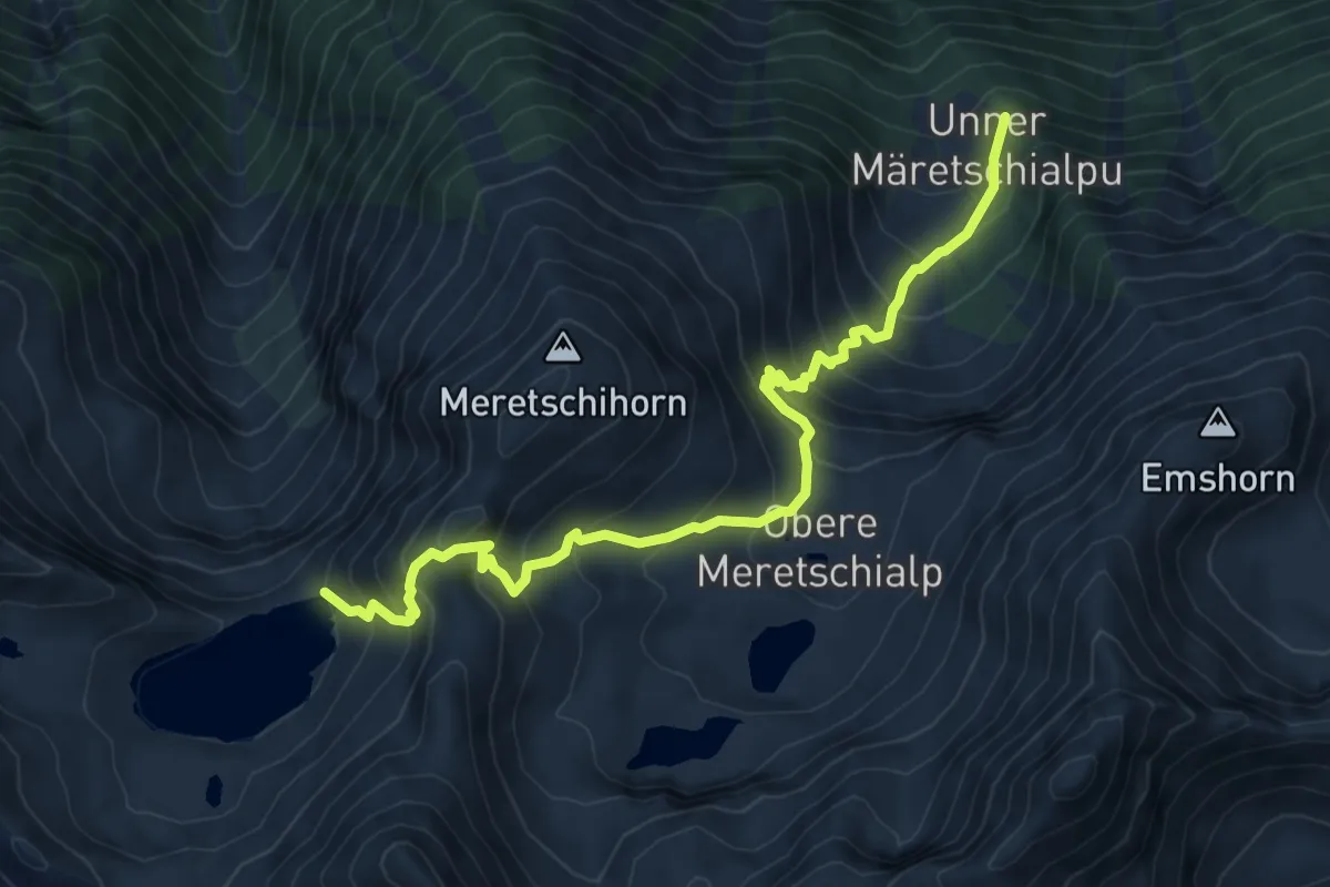
Demanding · Trail
Unter Meretschialp – Illsee
8.4 km · ↑ 842 m · 3 h 48 min
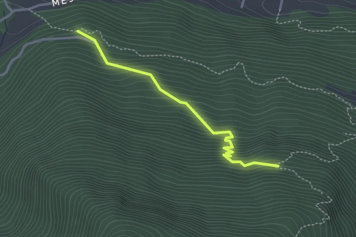
Easy · Trail
Pulligu – Berghuesli
2.3 km · ↑ 254 m · 1 h 6 min
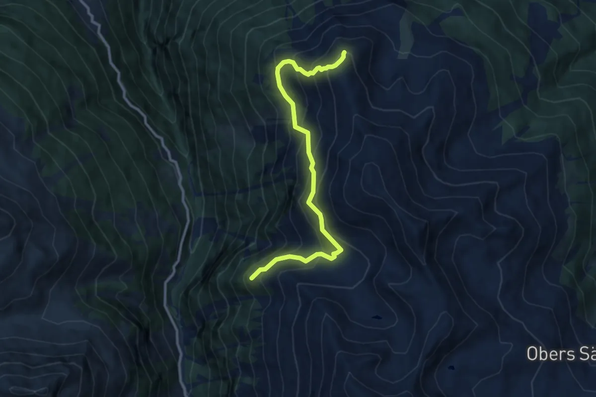
Demanding · Summit
Riebu – Ergischhorn
9.3 km · ↑ 958 m · 4 h 16 min
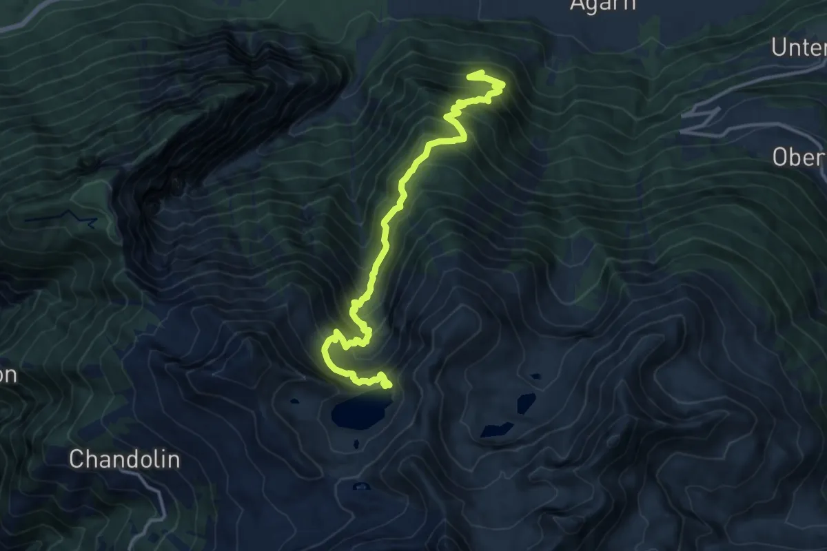
Demanding · Trail
Berghuesli – Illsee
13.9 km · ↑ 1539 m · 6 h 37 min
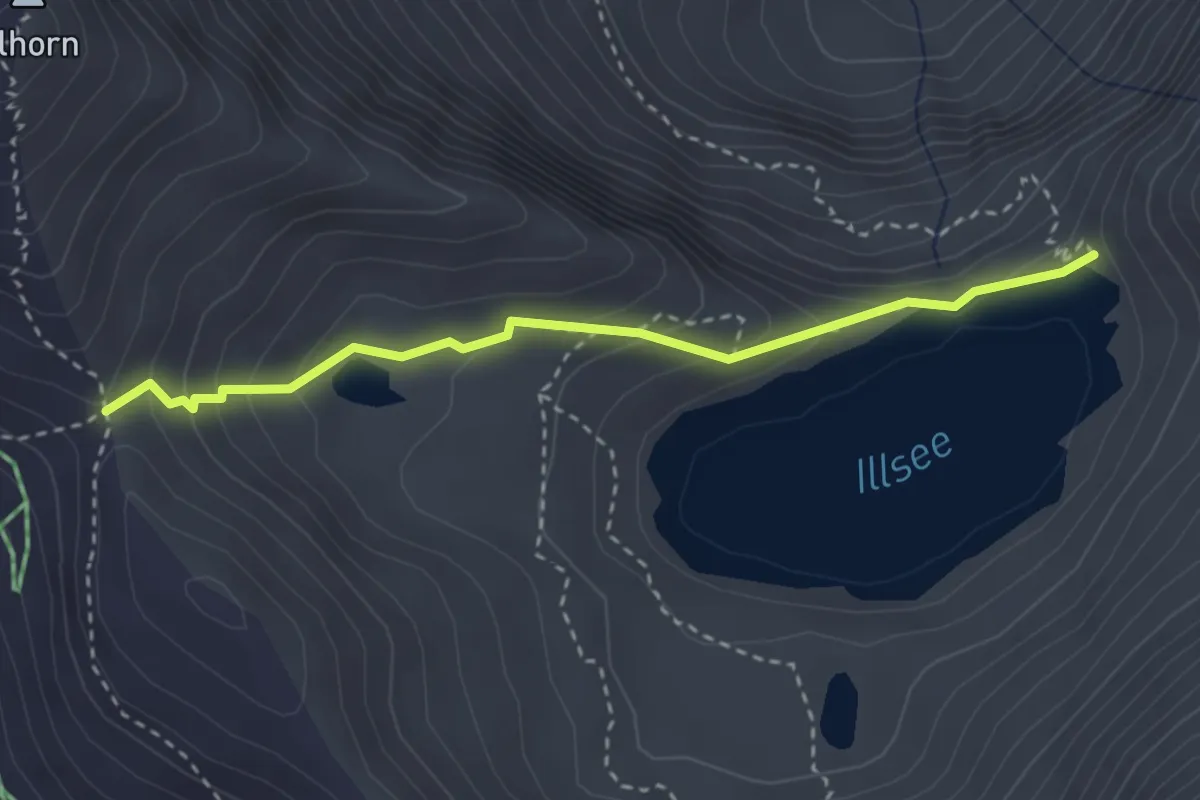
Medium · Trail
Pas de l'Illsee – Illsee
3.0 km · ↑ 199 m · 1 h 9 min
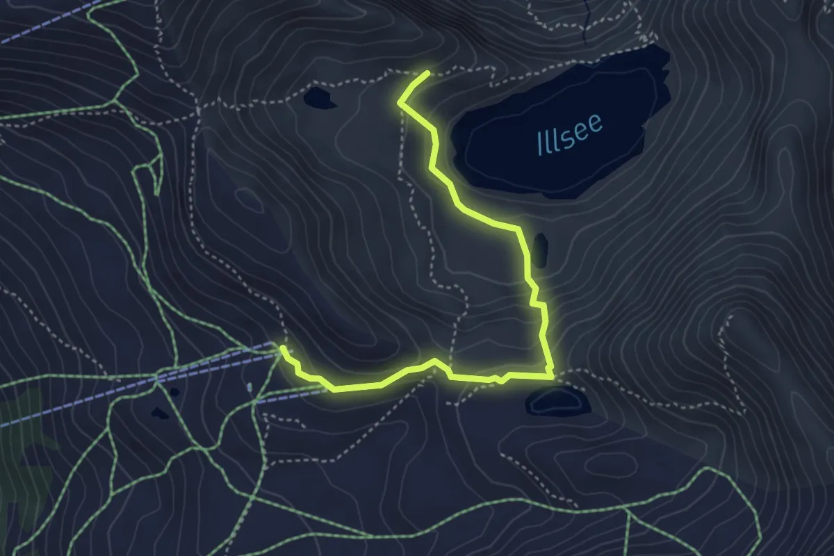
Demanding · Trail
Le Tsapé – Illsee
4.2 km · ↑ 207 m · 1 h 27 min
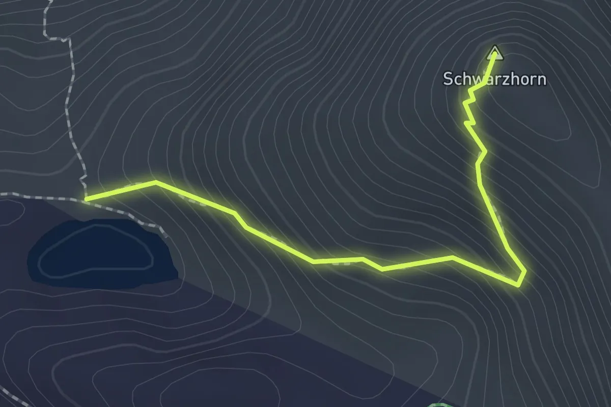
Demanding · Summit
Lac Noir – Schwarzhorn
2.0 km · ↑ 244 m · 1 h
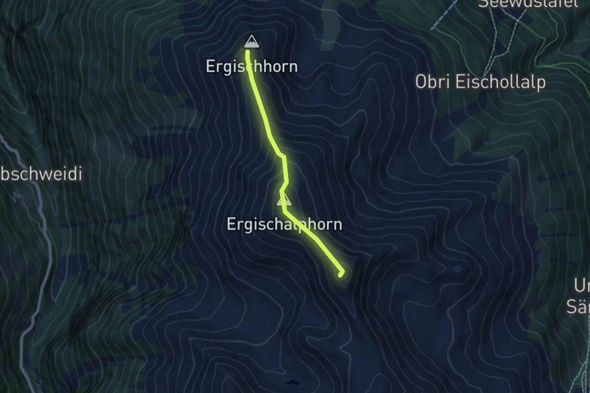
Medium · Summit
Ergischhorn – Signalhorn
4.6 km · ↑ 407 m · 1 h 58 min
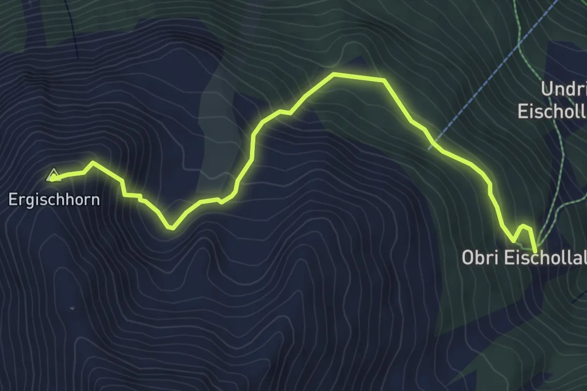
Medium · Summit
Obri Eischollalp – Ergischhorn
6.2 km · ↑ 521 m · 2 h 36 min
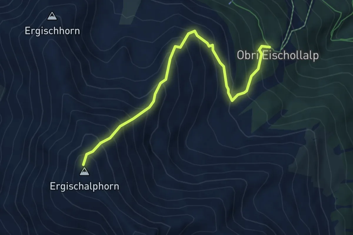
Medium · Summit
Obri Eischollalp – Ergischalphorn
6.3 km · ↑ 731 m · 3 h 5 min
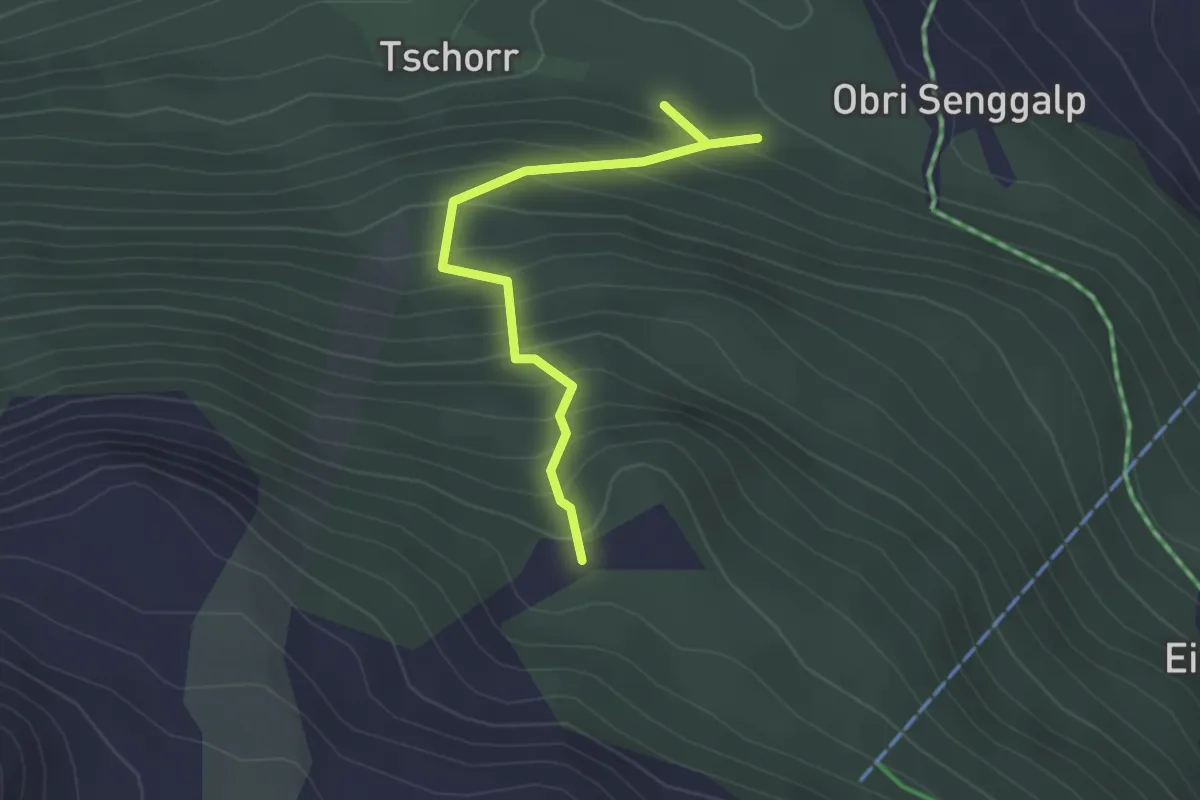
Easy · Trail
Obri Senggalp – Tschongstafel
2.6 km · ↑ 306 m · 1 h 17 min
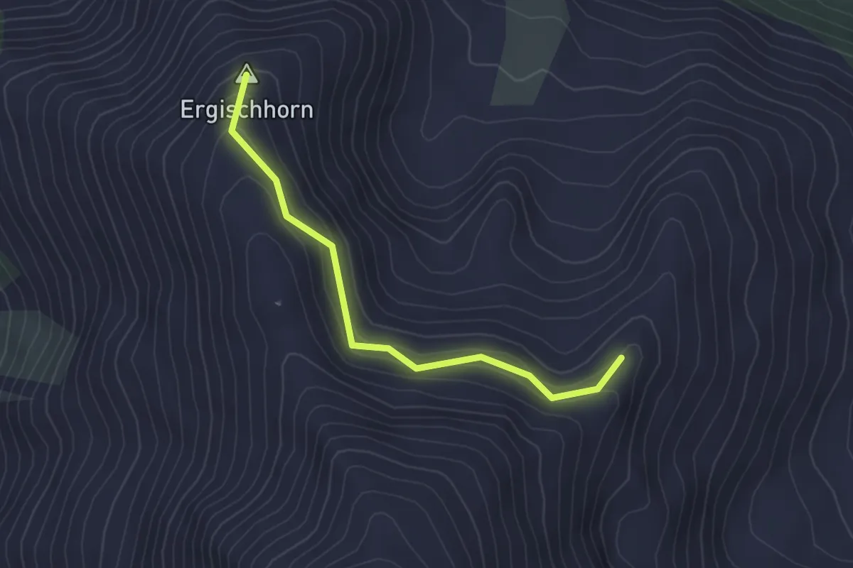
Easy · Summit
Gorpat – Ergischhorn
3.1 km · ↑ 183 m · 1 h 8 min
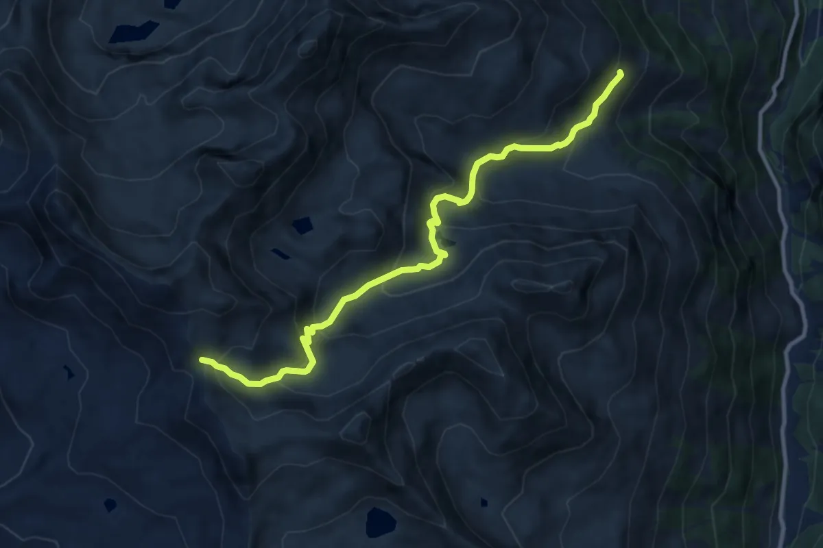
Medium · Trail
Vorsass – Pas de Boeuf
10.0 km · ↑ 731 m · 3 h 56 min
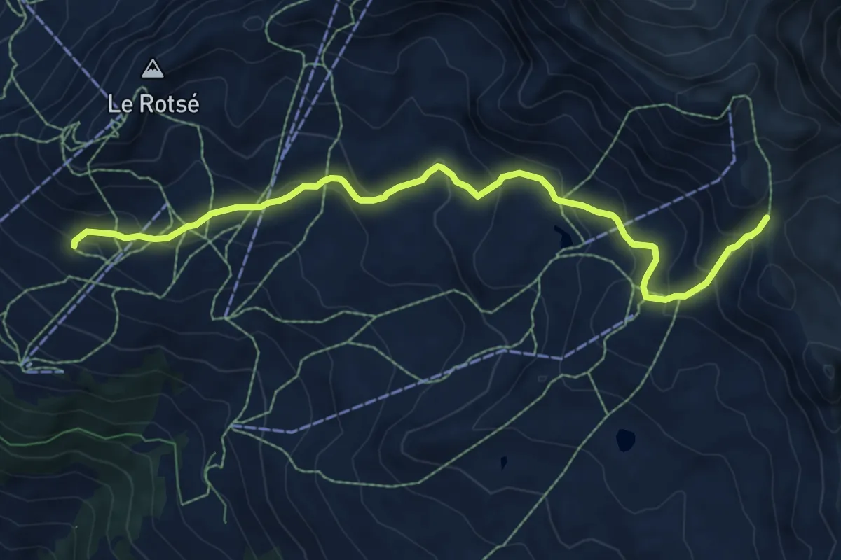
Medium · Cabin
Cabane Bella-Tola – Pas de Boeuf
8.3 km · ↑ 484 m · 3 h 1 min
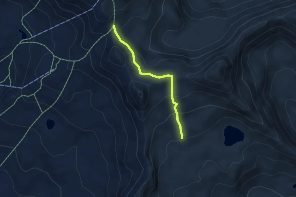
Easy · Trail
Pas de Boeuf – Meidsee
3.3 km · ↑ 162 m · 1 h 8 min
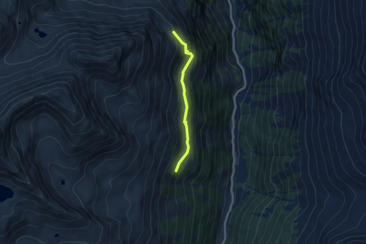
Easy · Trail
Grind Oberstafel – Simmigu Mittelstafel
4.1 km · ↑ 307 m · 1 h 37 min
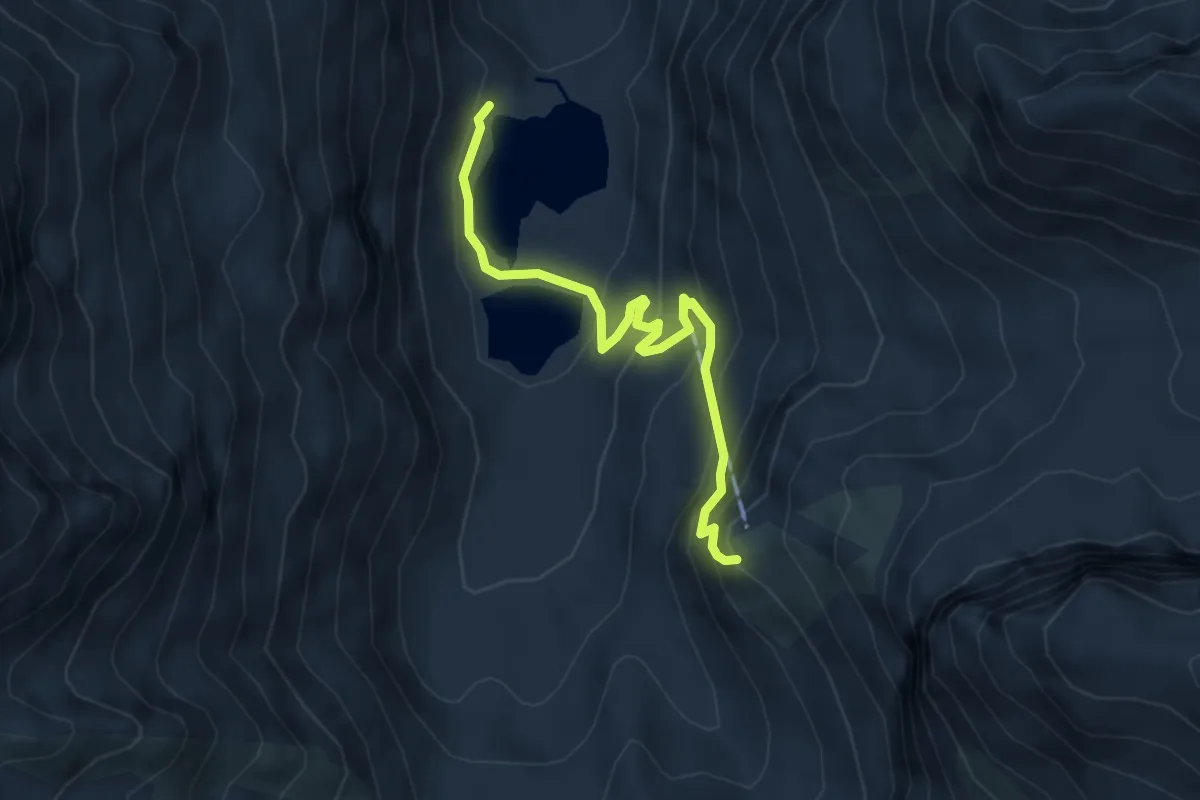
Medium · Cabin
Turtmannsee – Turtmannhütte SAC
4.7 km · ↑ 330 m · 1 h 49 min
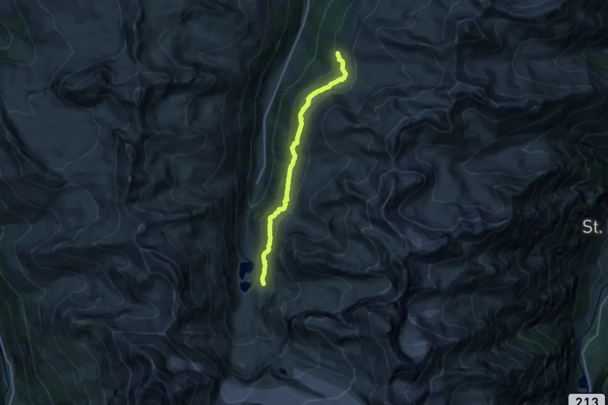
Demanding · Trail
Piipji – Grüobu
12.6 km · ↑ 701 m · 4 h 30 min
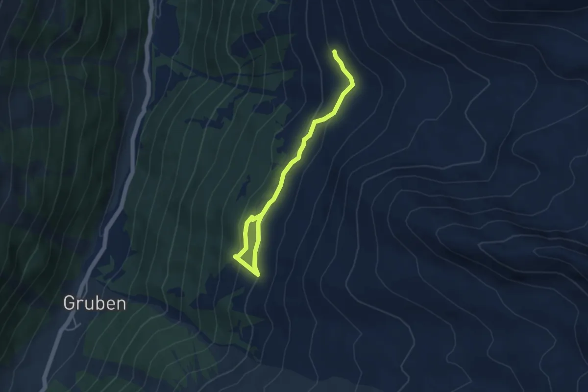
Easy · Trail
Grüobu – Niggelingu Oberstafil
4.3 km · ↑ 232 m · 1 h 32 min
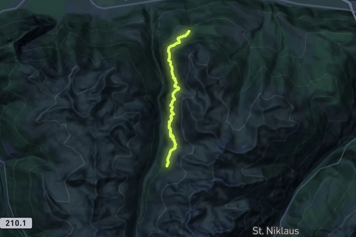
Demanding · Trail
Obermatten – Grüobu
11.2 km · ↑ 1281 m · 5 h 19 min