Trails in Switzerland
15,055 hiking trails, each with its route, climb, walking time and grade.
All trails, page 169 of 314
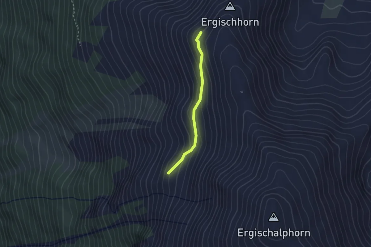
Easy · Trail
Schwarzi Bedu – Ergischhorn
2.1 km · ↑ 142 m · 48 min
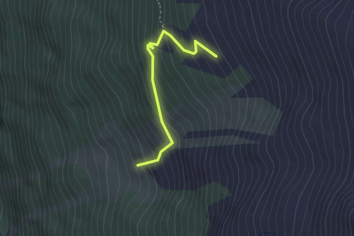
Medium · Trail
Sänntum Unerstafil – Sänntum Oberstafil
2.5 km · ↑ 322 m · 1 h 18 min
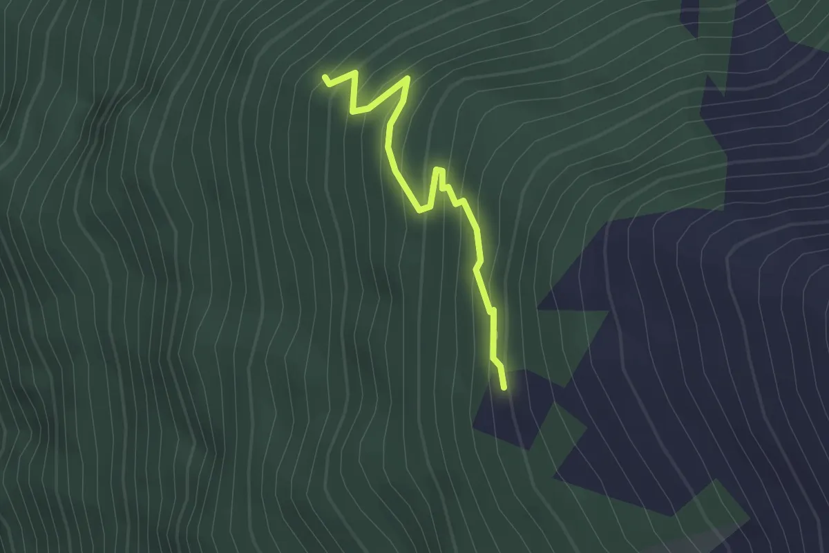
Medium · Trail
Zenrufinuwald – Sänntum Unnerstafil
2.1 km · ↑ 227 m · 59 min
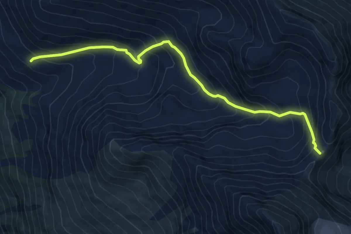
Expert · Trail
Le Chiesso – Col des Arpettes
7.9 km · ↑ 783 m · 3 h 34 min
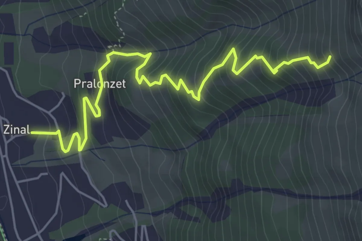
Medium · Trail
Zinal – 2303
5.8 km · ↑ 620 m · 2 h 43 min
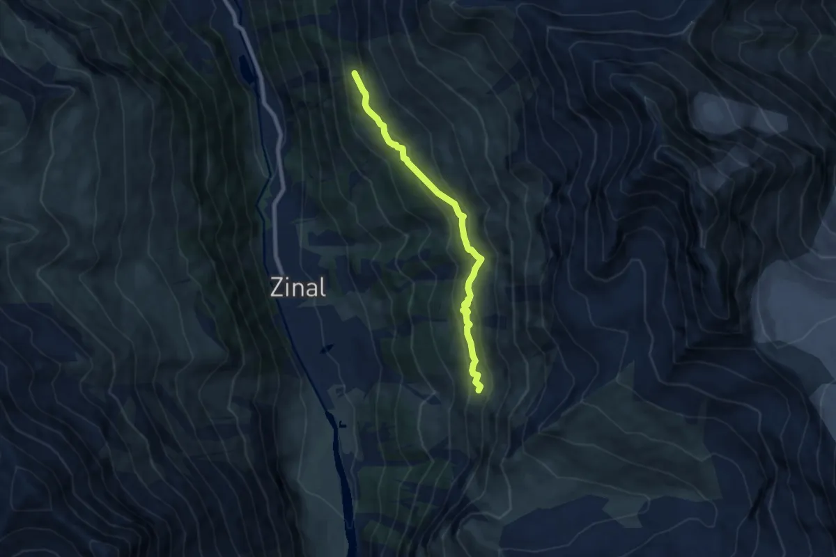
Medium · Trail
Lirec – Tracuit
6.7 km · ↑ 474 m · 2 h 37 min
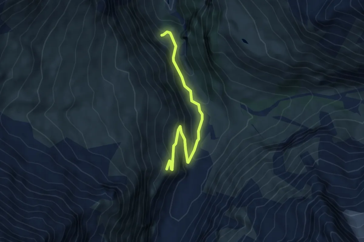
Medium · Cabin
Cabane du Petit Mountet – Le Vichiesso
5.5 km · ↑ 362 m · 2 h 5 min
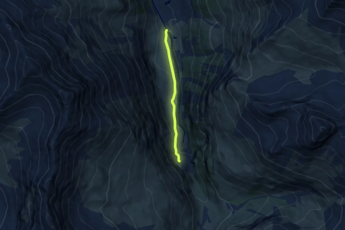
Easy · Trail
La Tsoucdanna – Le Vichiesso
5.0 km · ↑ 202 m · 1 h 36 min
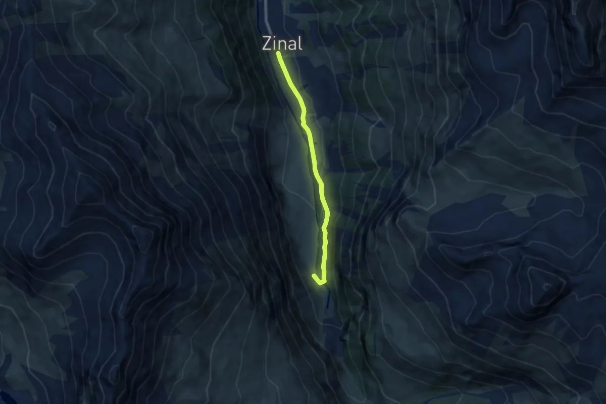
Easy · Trail
Zinal – Pont de Gietti
5.9 km · ↑ 85 m · 1 h 35 min
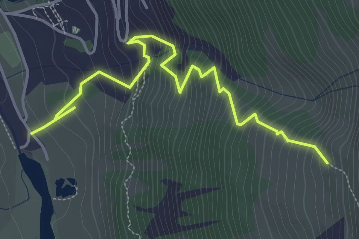
Demanding · Trail
La Tzoucdana – La Tracuit
3.8 km · ↑ 488 m · 1 h 58 min
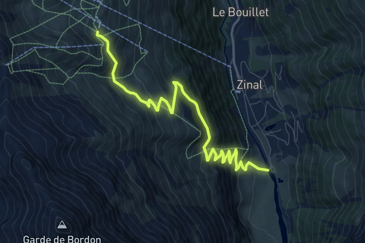
Medium · Trail
La Tzoucdana – Cabane de Sorebois
10.5 km · ↑ 755 m · 4 h 7 min
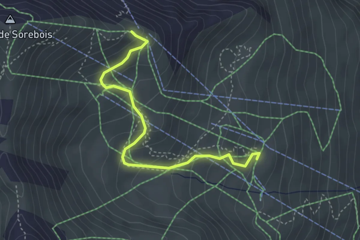
Easy · Trail
Sorebois – Espace Weisshorn
3.7 km · ↑ 251 m · 1 h 25 min
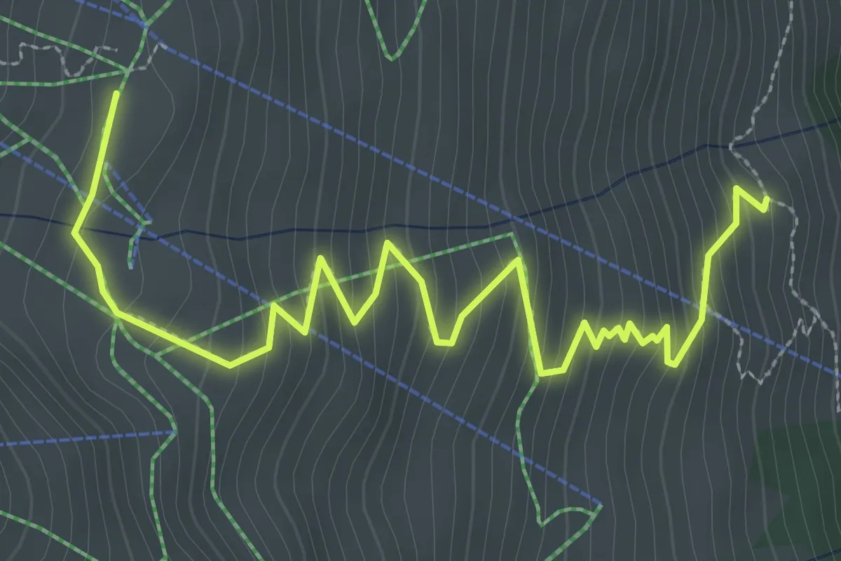
Demanding · Trail
Sorebois – Le Chiesso
4.0 km · ↑ 348 m · 1 h 41 min
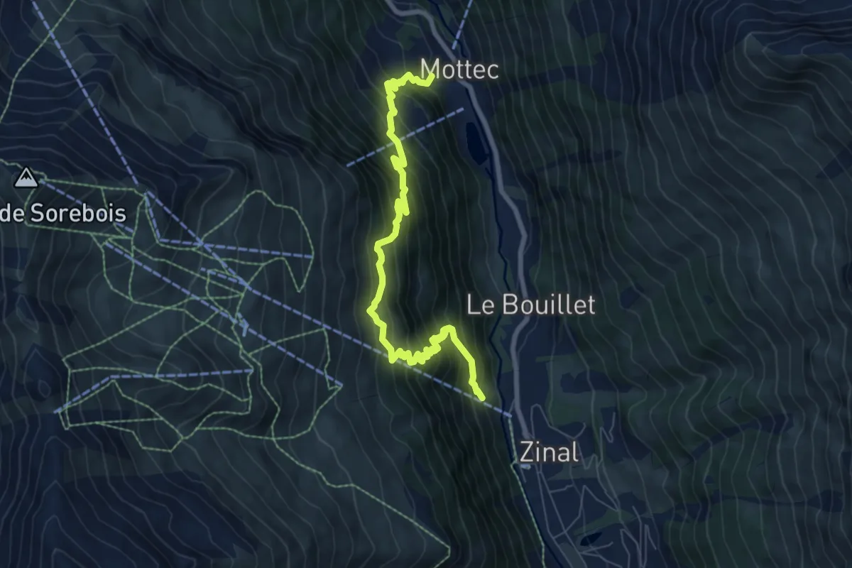
Demanding · Trail
Zinal – Mottec
8.1 km · ↑ 986 m · 4 h 3 min
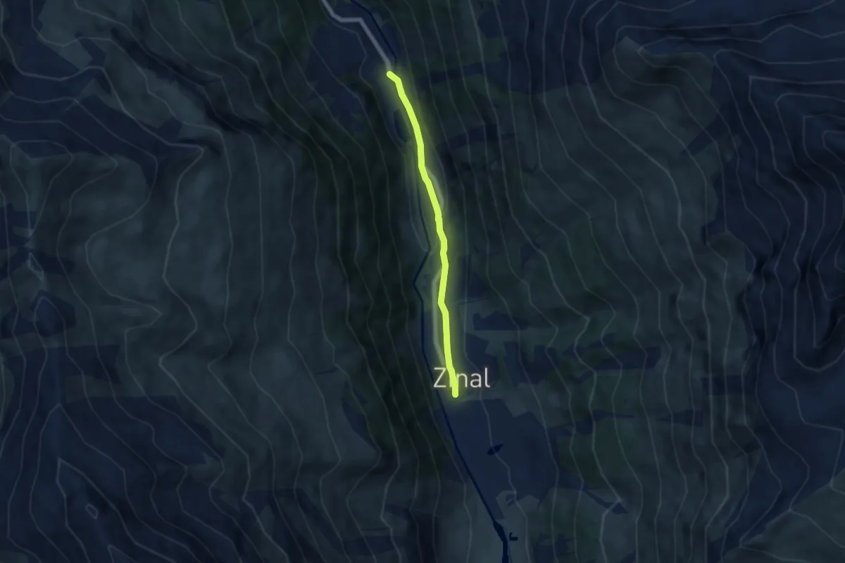
Easy · Trail
Zinal – Mottec
4.9 km · ↑ 128 m · 1 h 26 min
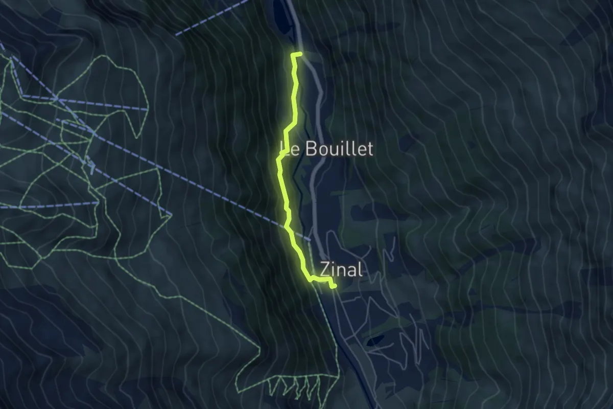
Medium · Trail
Zinal – Mottec
4.1 km · ↑ 228 m · 1 h 28 min
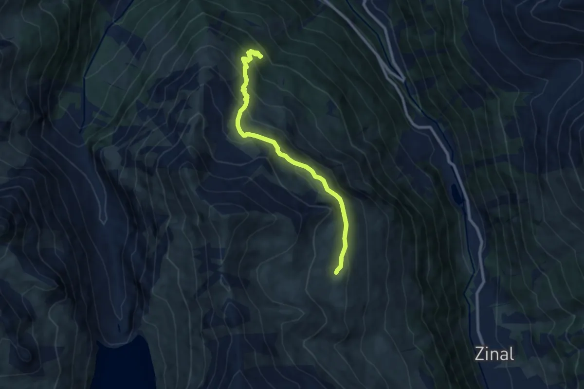
Medium · Trail
Grand Plan de Tsirouc – Sorebois
7.5 km · ↑ 562 m · 2 h 59 min
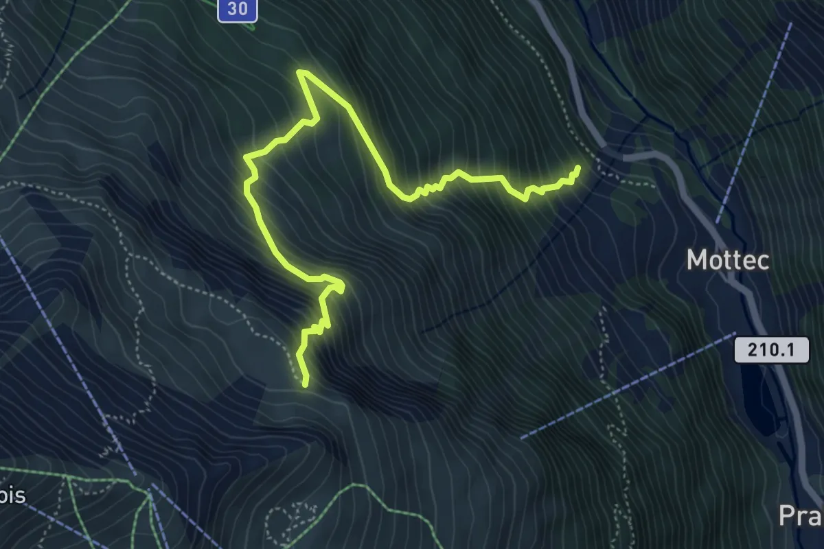
Medium · Trail
La Matsette – Sorebois
5.7 km · ↑ 793 m · 3 h 3 min
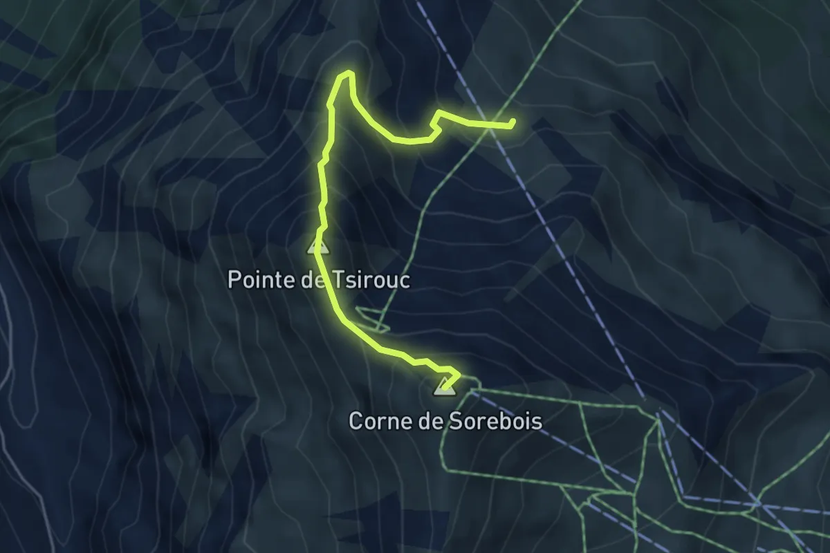
Medium · Summit
Tsirouc – Corne de Sorebois
4.3 km · ↑ 516 m · 2 h 8 min
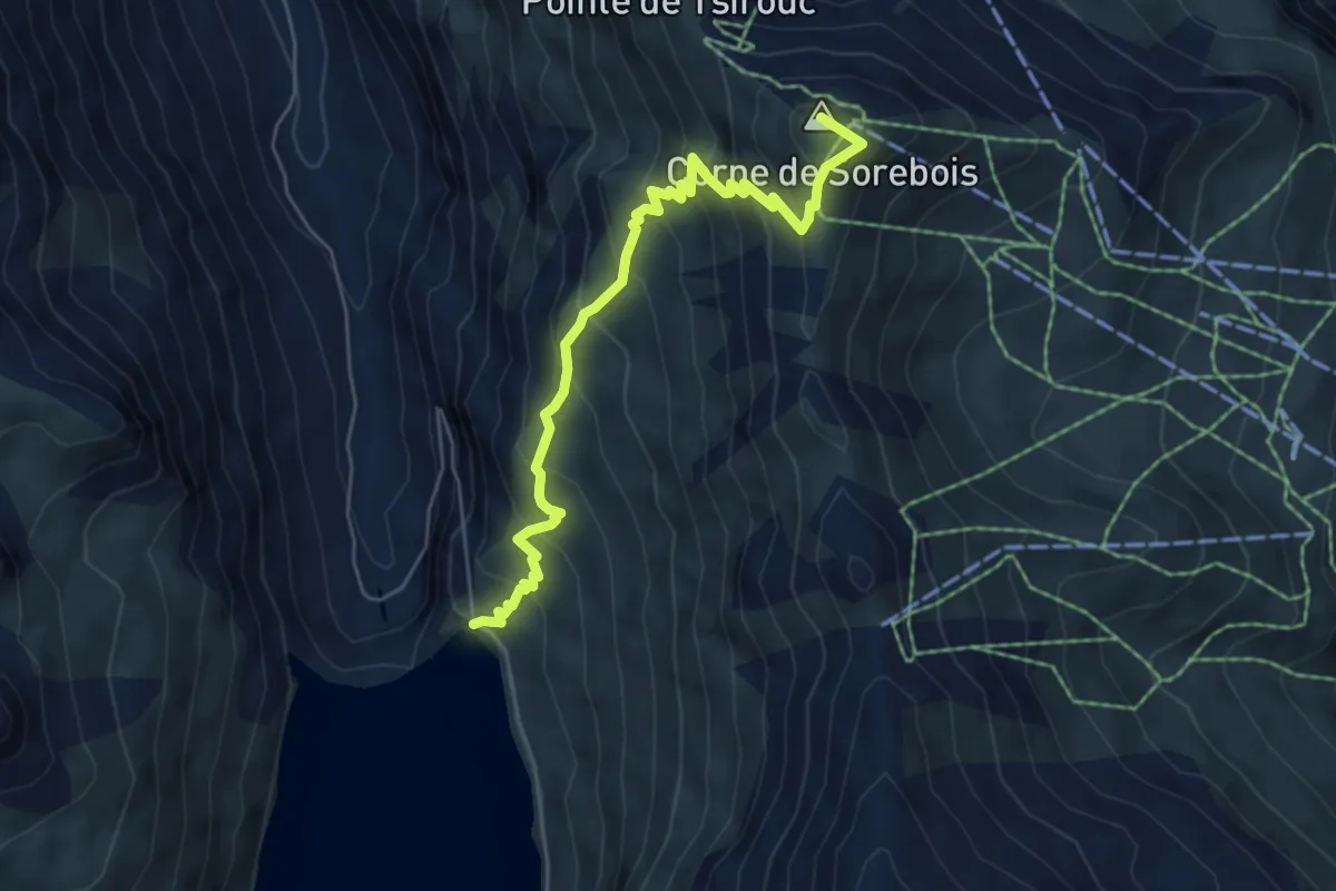
Demanding · Summit
Espace Weisshorn – Lac de Moiry
5.9 km · ↑ 615 m · 2 h 43 min
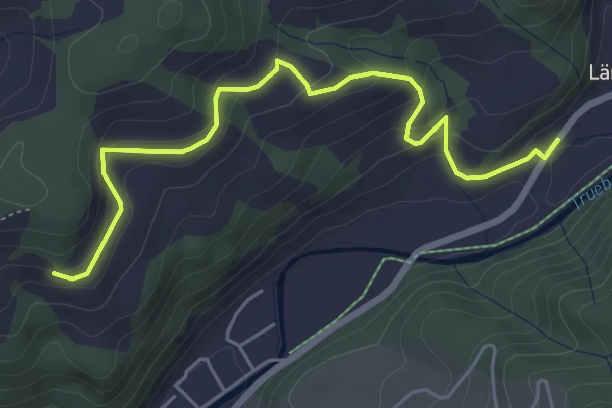
Easy · Trail
Säge – Ober Folz
4.8 km · ↑ 255 m · 1 h 41 min
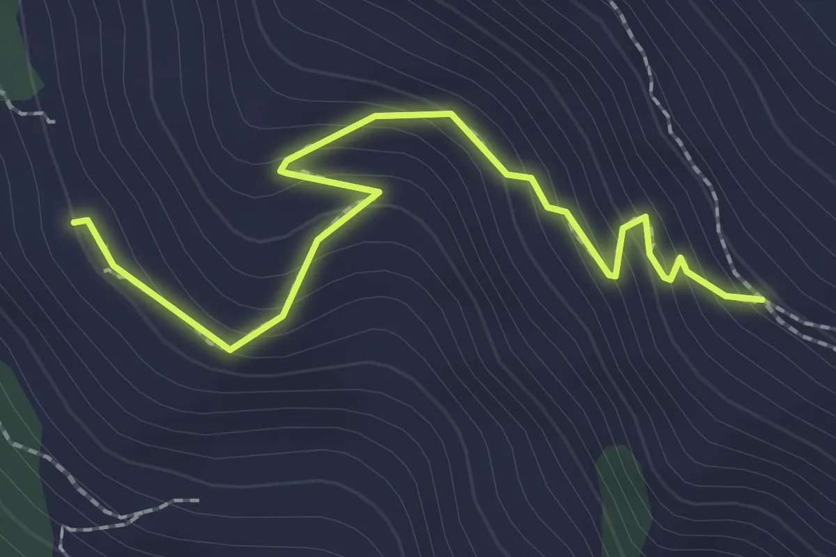
Easy · Trail
Nava – Bella Lé
2.3 km · ↑ 217 m · 1 h 1 min
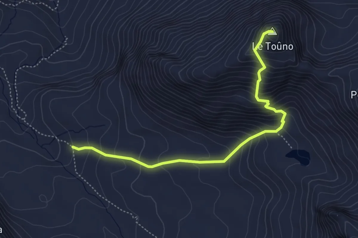
Medium · Summit
Le Vijivi – Le Toûno
5.0 km · ↑ 542 m · 2 h 22 min
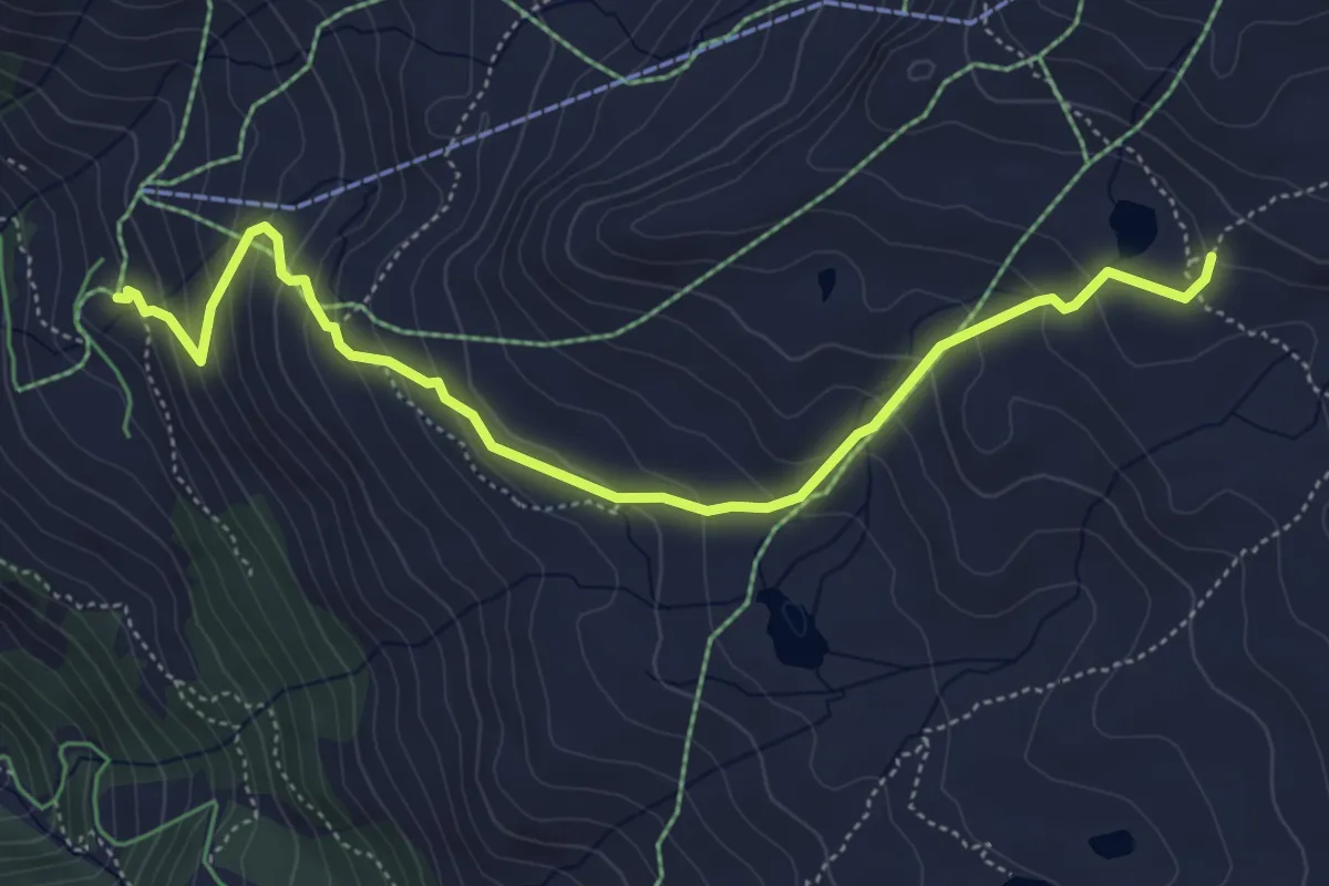
Medium · Trail
Chalet Blanc – Lac d'Armina
5.6 km · ↑ 410 m · 2 h 13 min
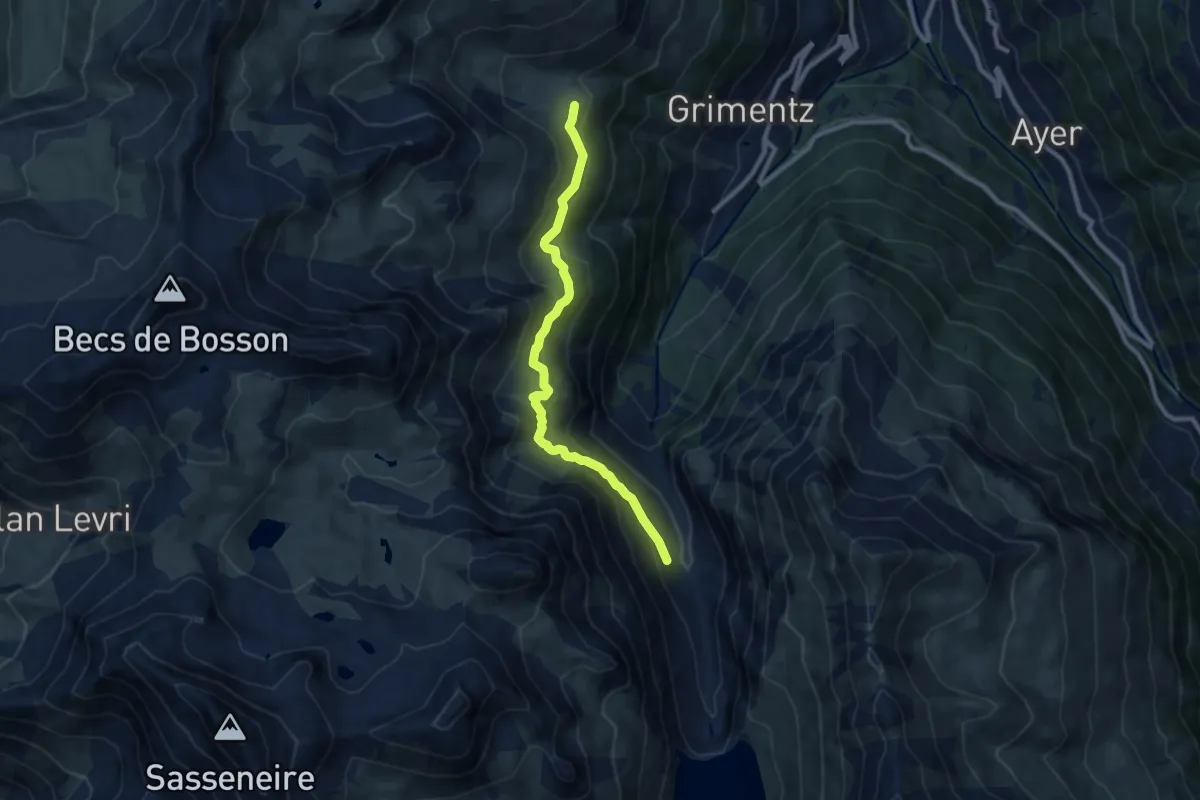
Medium · Trail
Moretta – Bendolla
8.8 km · ↑ 514 m · 3 h 11 min
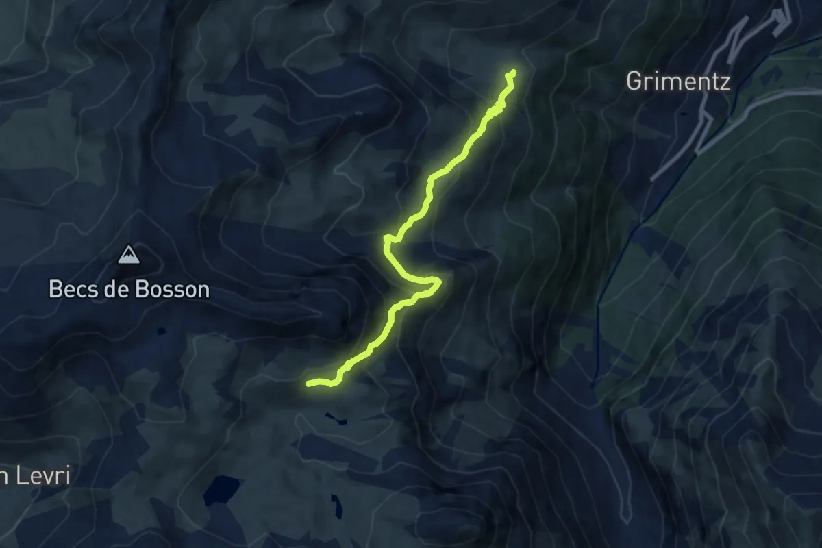
Medium · Trail
Lona – Bendolla
8.1 km · ↑ 600 m · 3 h 12 min
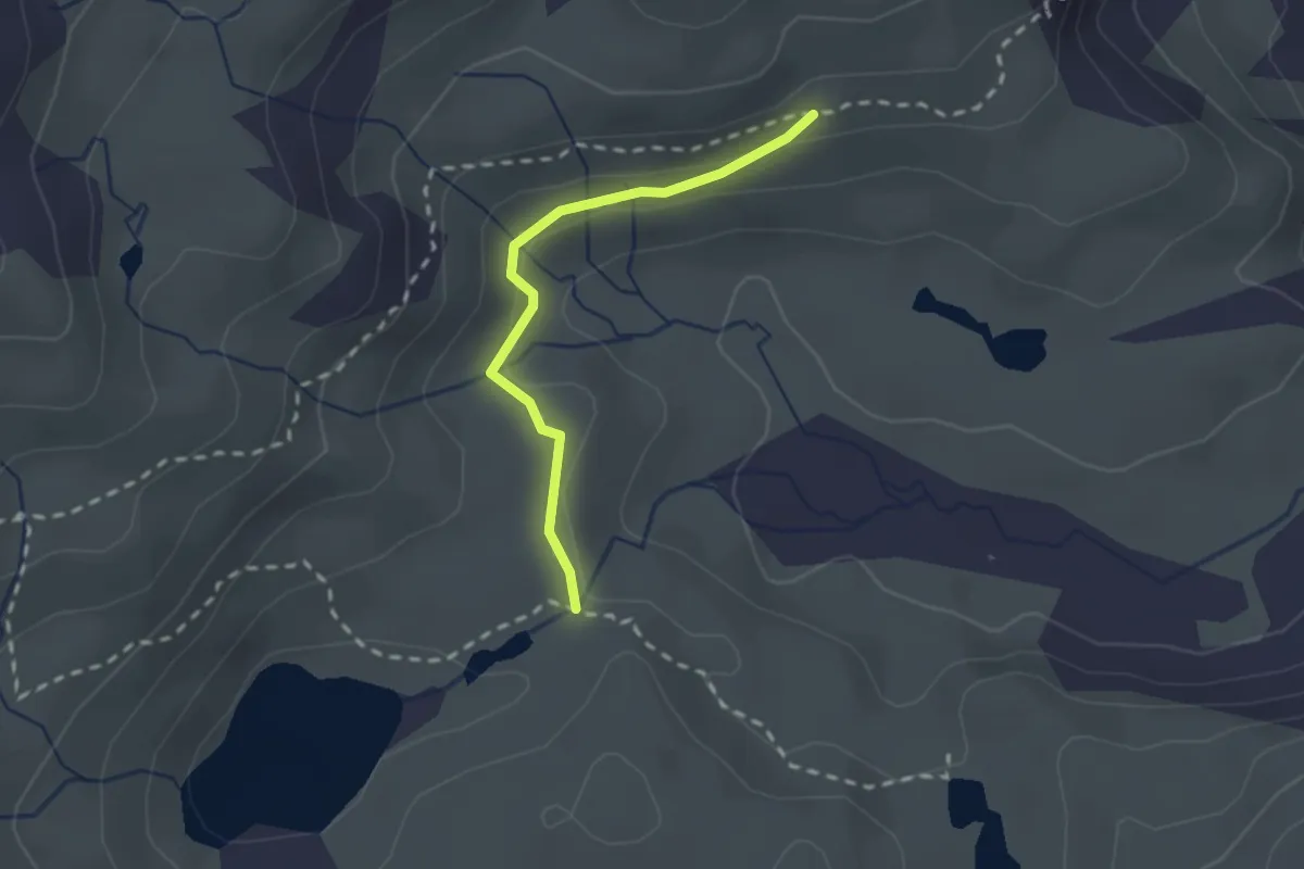
Medium · Trail
Lona – Lac de Lona
2.0 km · ↑ 42 m · 33 min
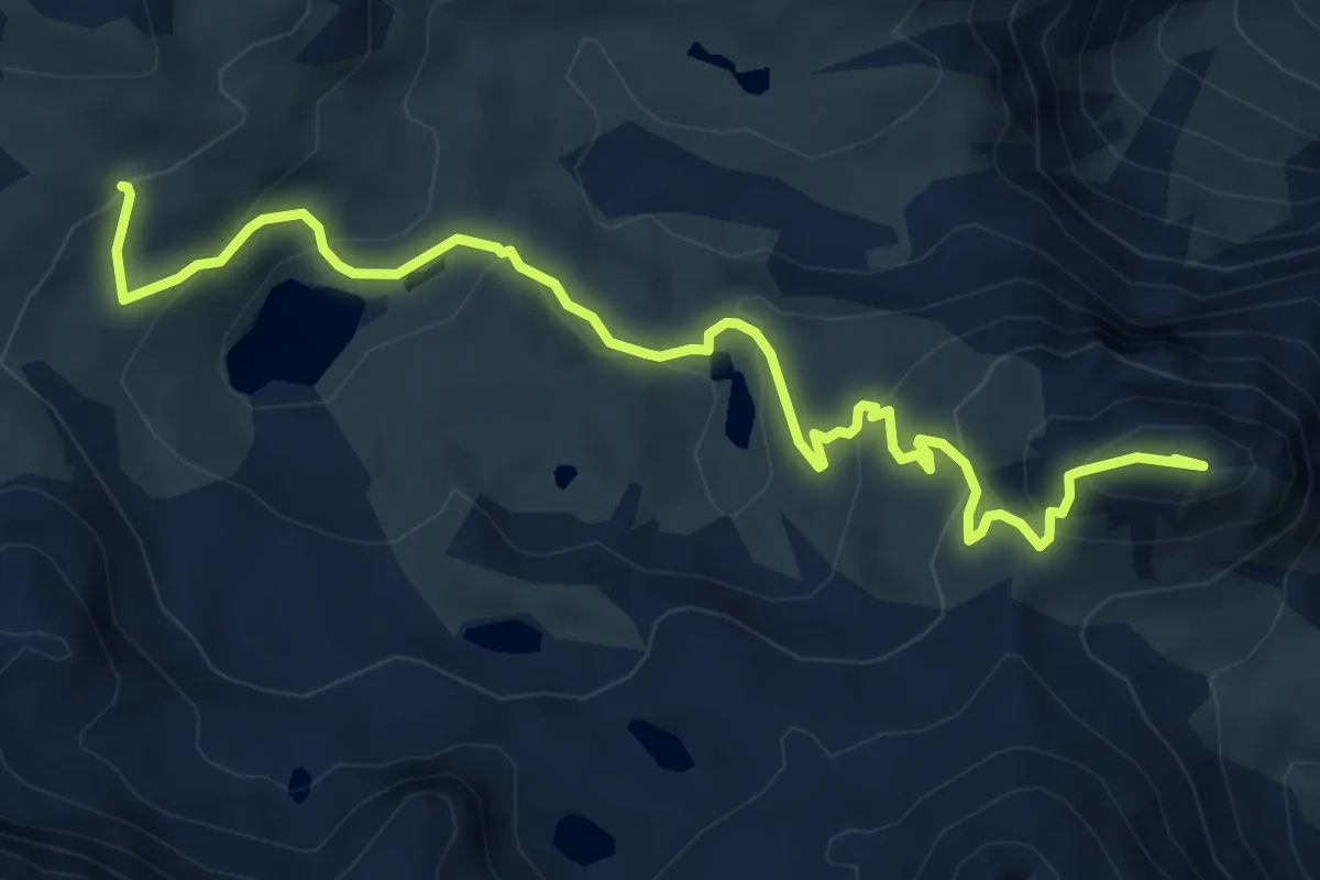
Demanding · Summit
Lac de Lona – Ché de Mareinda
7.3 km · ↑ 375 m · 2 h 32 min
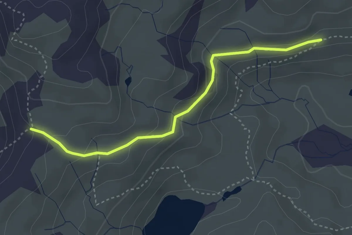
Medium · Trail
Lona – Pas de Lona
3.3 km · ↑ 130 m · 1 h 3 min
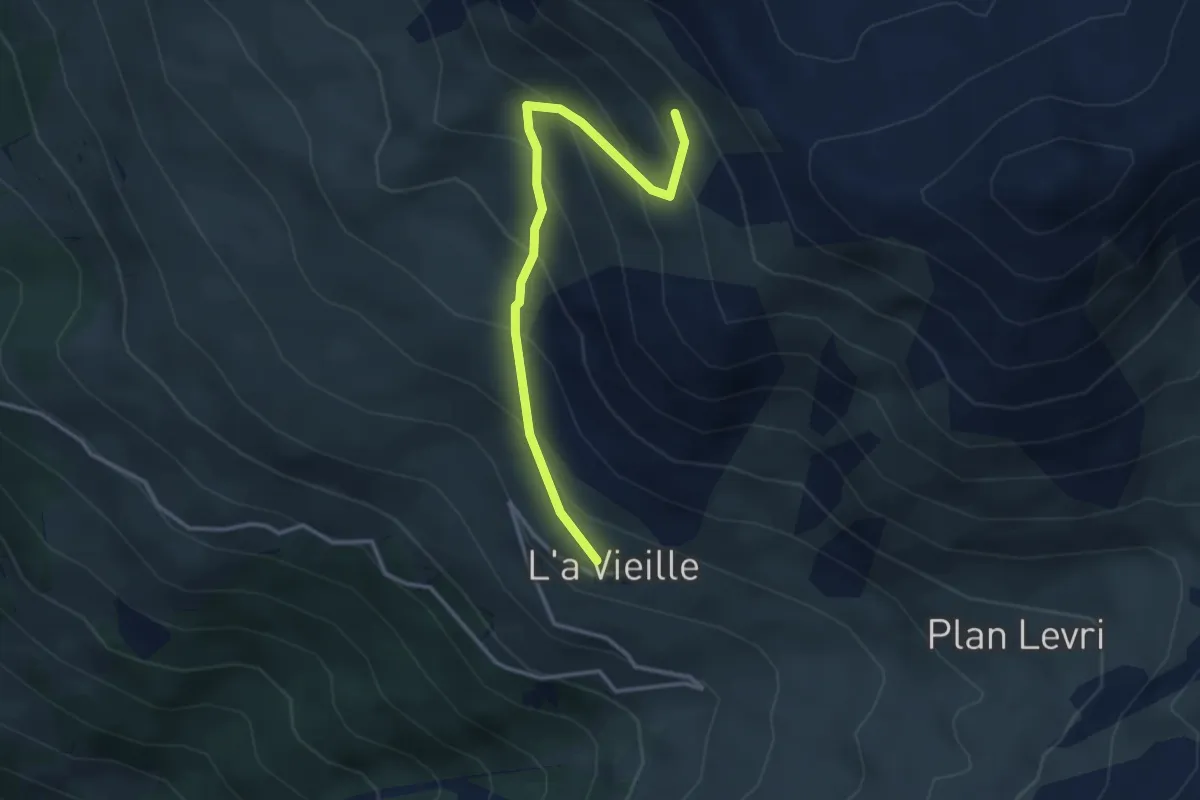
Medium · Trail
L'a Vieille – Grand Bandon
3.4 km · ↑ 352 m · 1 h 34 min
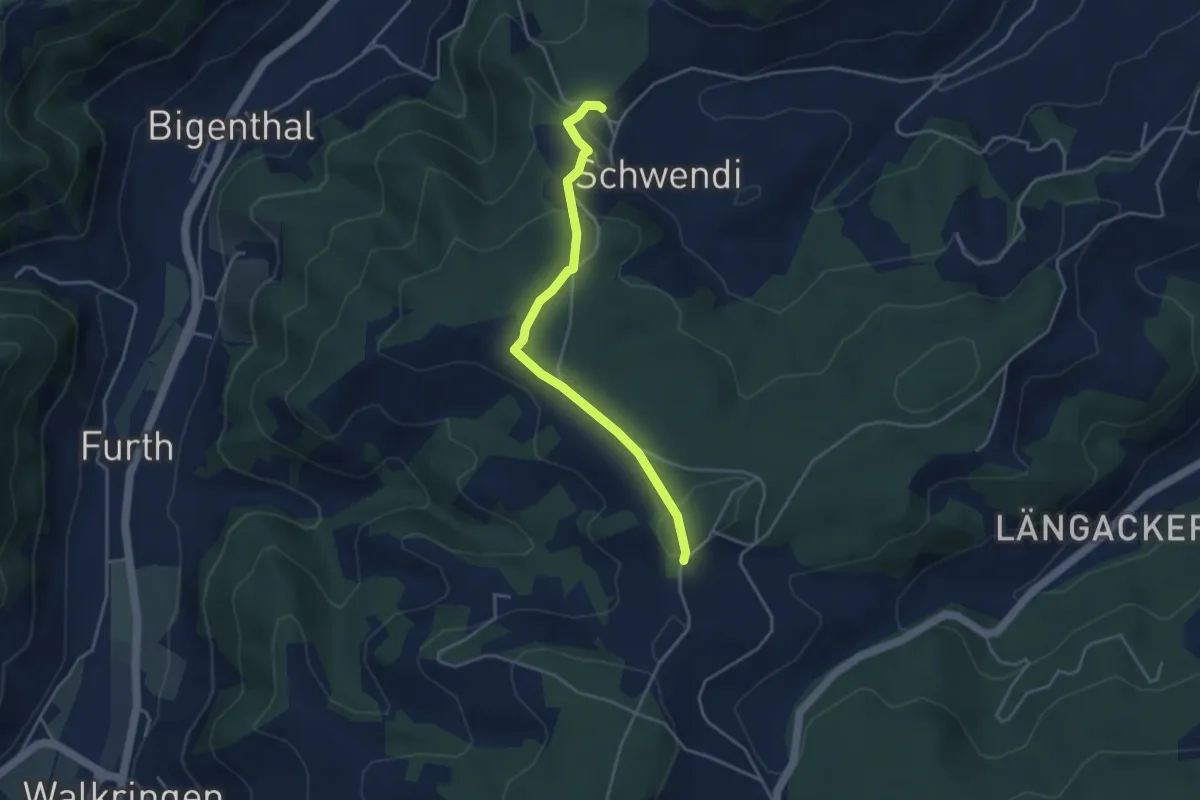
Easy · Trail
Hammwegg – Vorder Schwändi
3.8 km · ↑ 123 m · 1 h 10 min
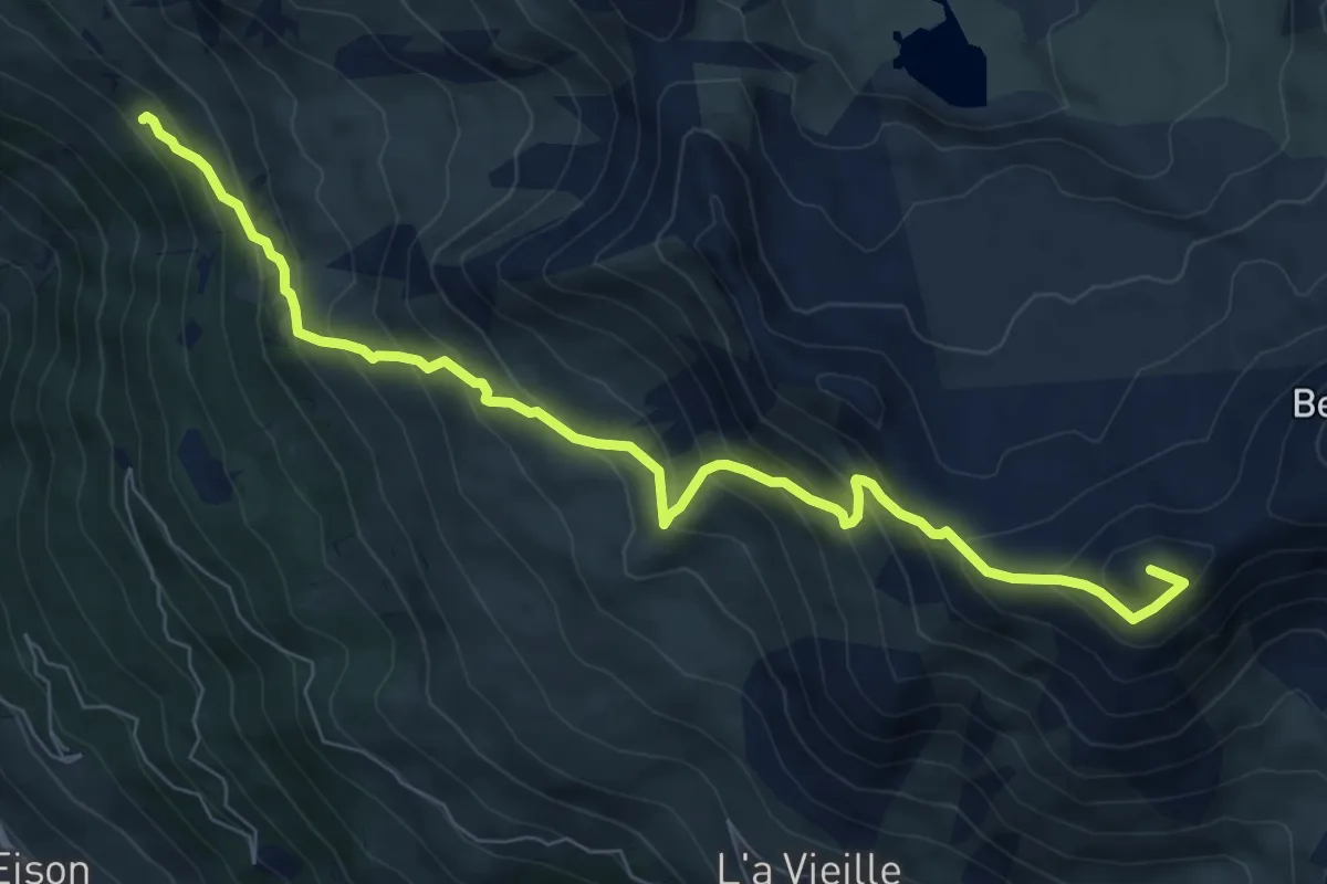
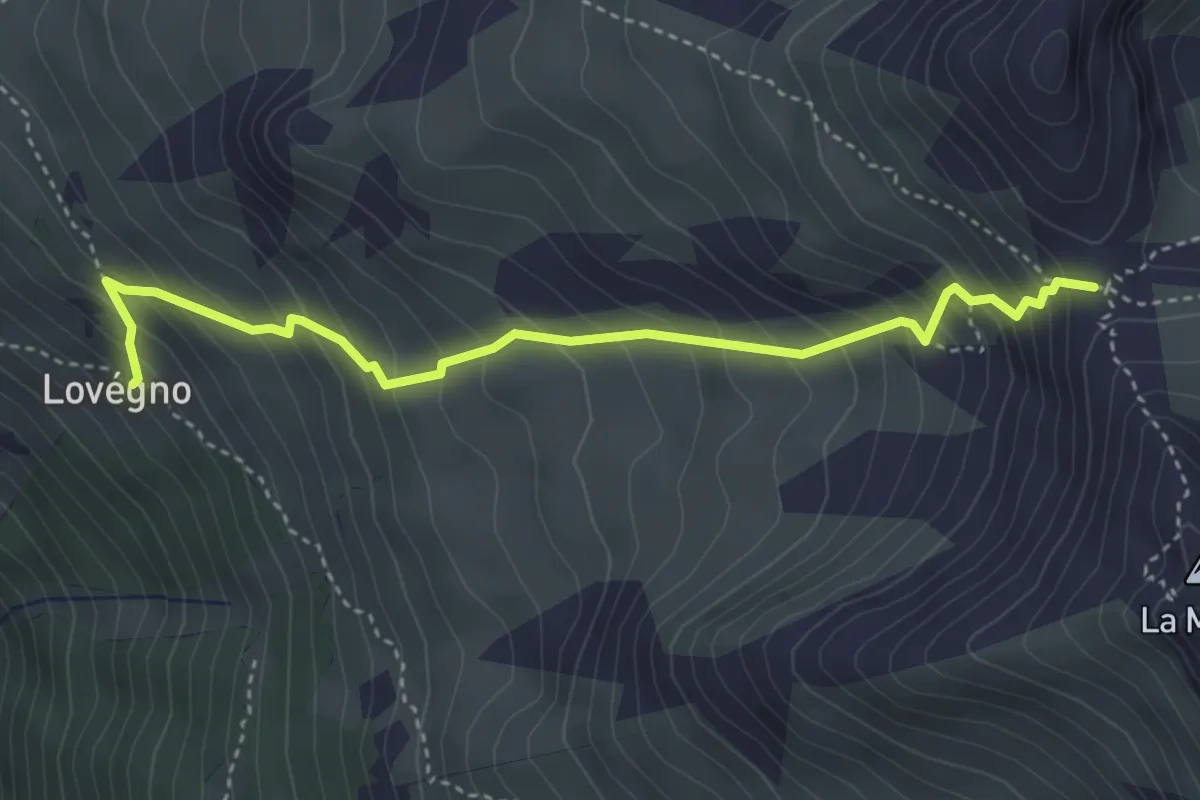
Demanding · Summit
Lovégno – Col de la Tsevalire
8.6 km · ↑ 819 m · 3 h 48 min
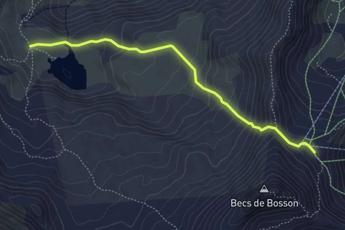
Medium · Trail
Lovégno – Pas de Lovègno
4.0 km · ↑ 516 m · 2 h 4 min
Medium · Trail
Le Louché Lac – Col du Louché
4.9 km · ↑ 342 m · 1 h 54 min
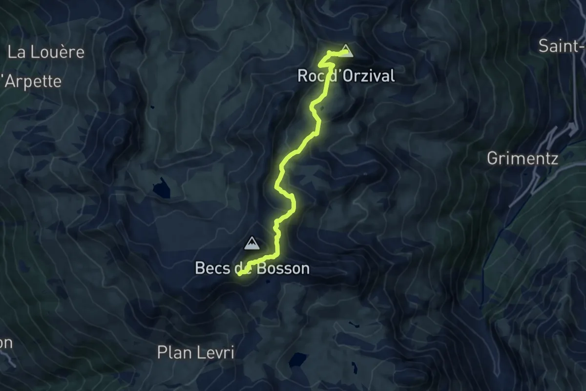
Medium · Summit
Becs de Bosson – Roc d'Orzival
10.7 km · ↑ 669 m · 3 h 59 min
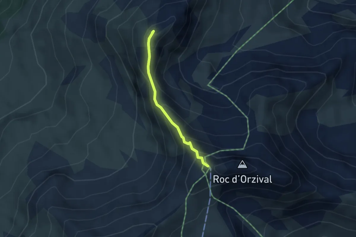
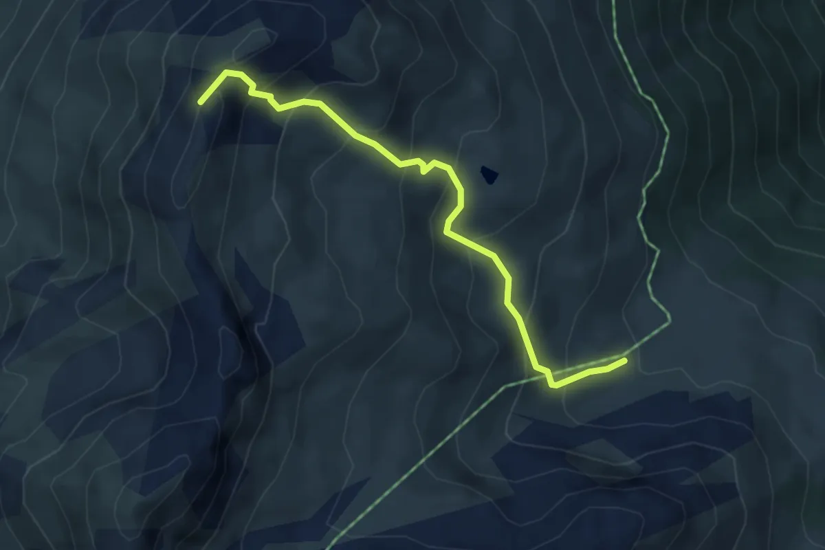
Demanding · Summit
La Brinta – Roc d'Orzival
2.5 km · ↑ 287 m · 1 h 13 min
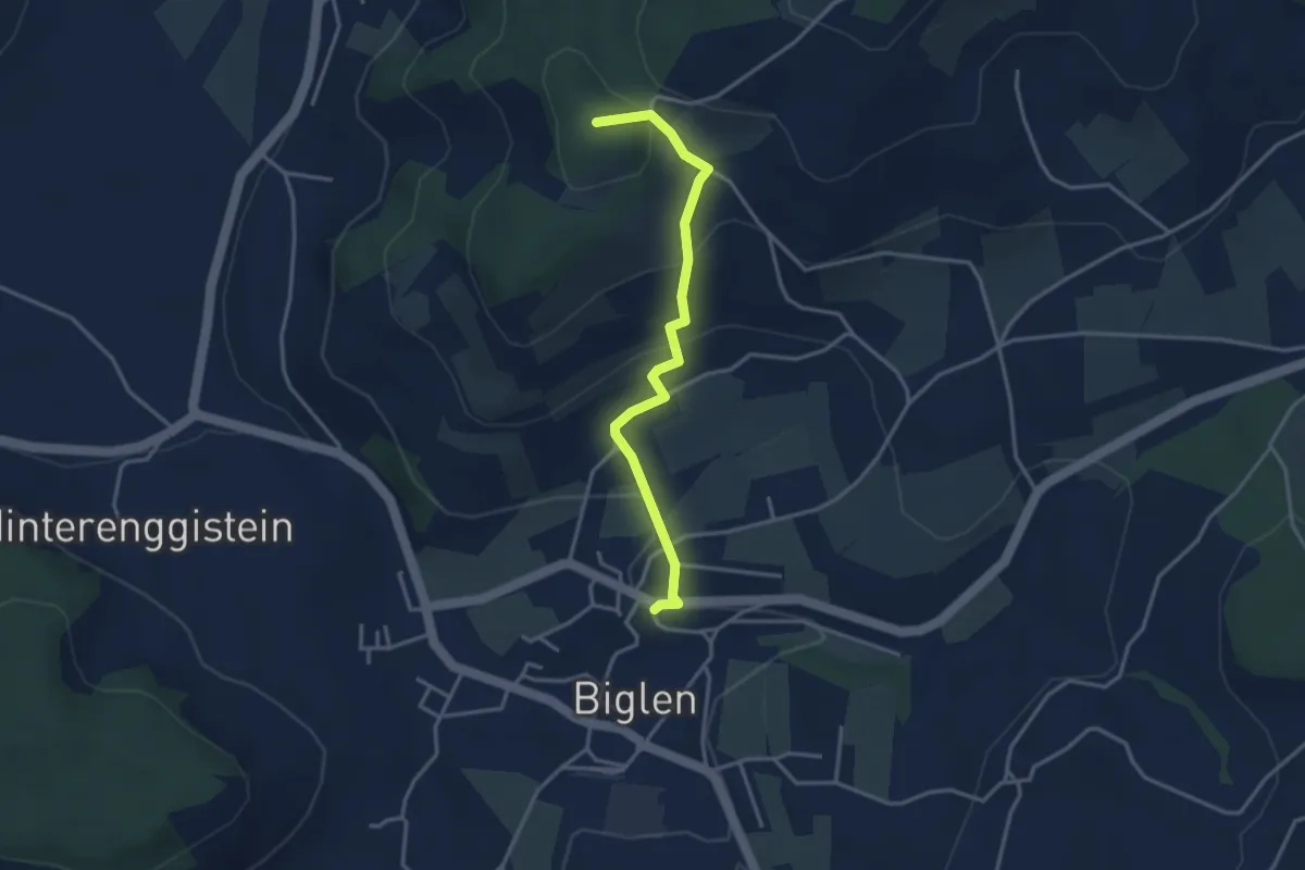
Medium · Summit
Orzival – La Brinta
4.3 km · ↑ 421 m · 1 h 55 min
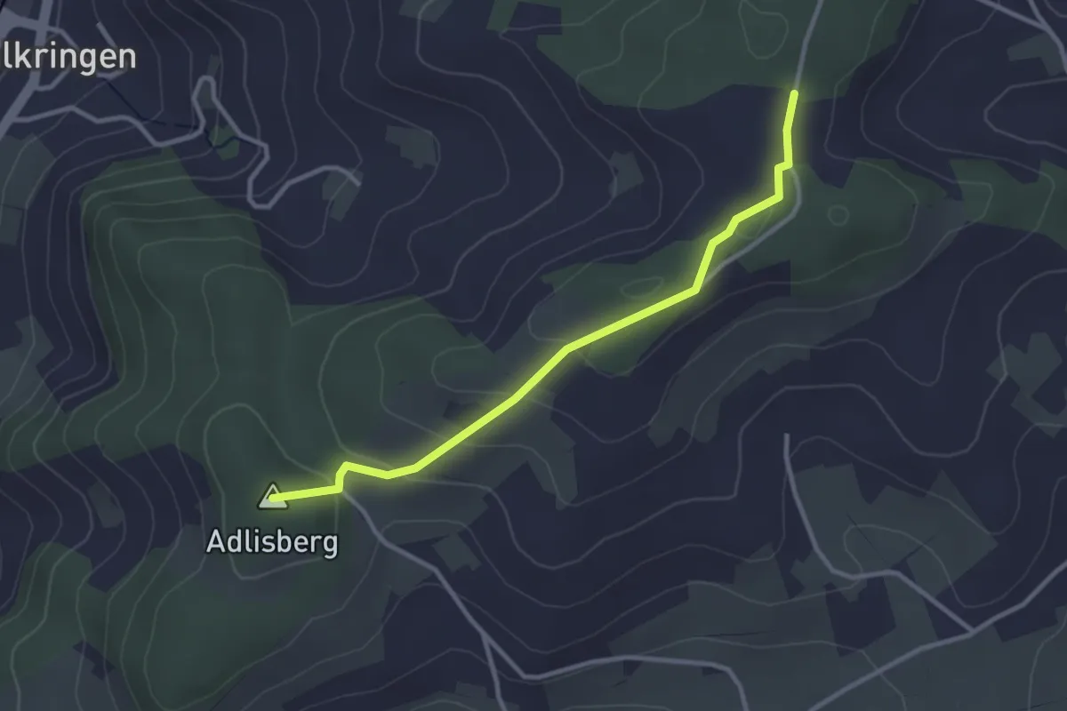
Easy · Summit
Biglen – Adlisberg
3.4 km · ↑ 169 m · 1 h 10 min
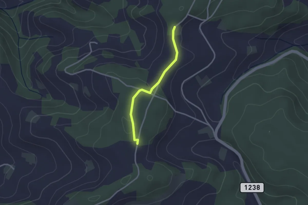
Easy · Summit
Adlisberg – Neunhaupt
3.0 km · ↑ 91 m · 55 min
Easy · Trail
Neunhaupt – Hammegg
2.1 km · ↑ 27 m · 33 min
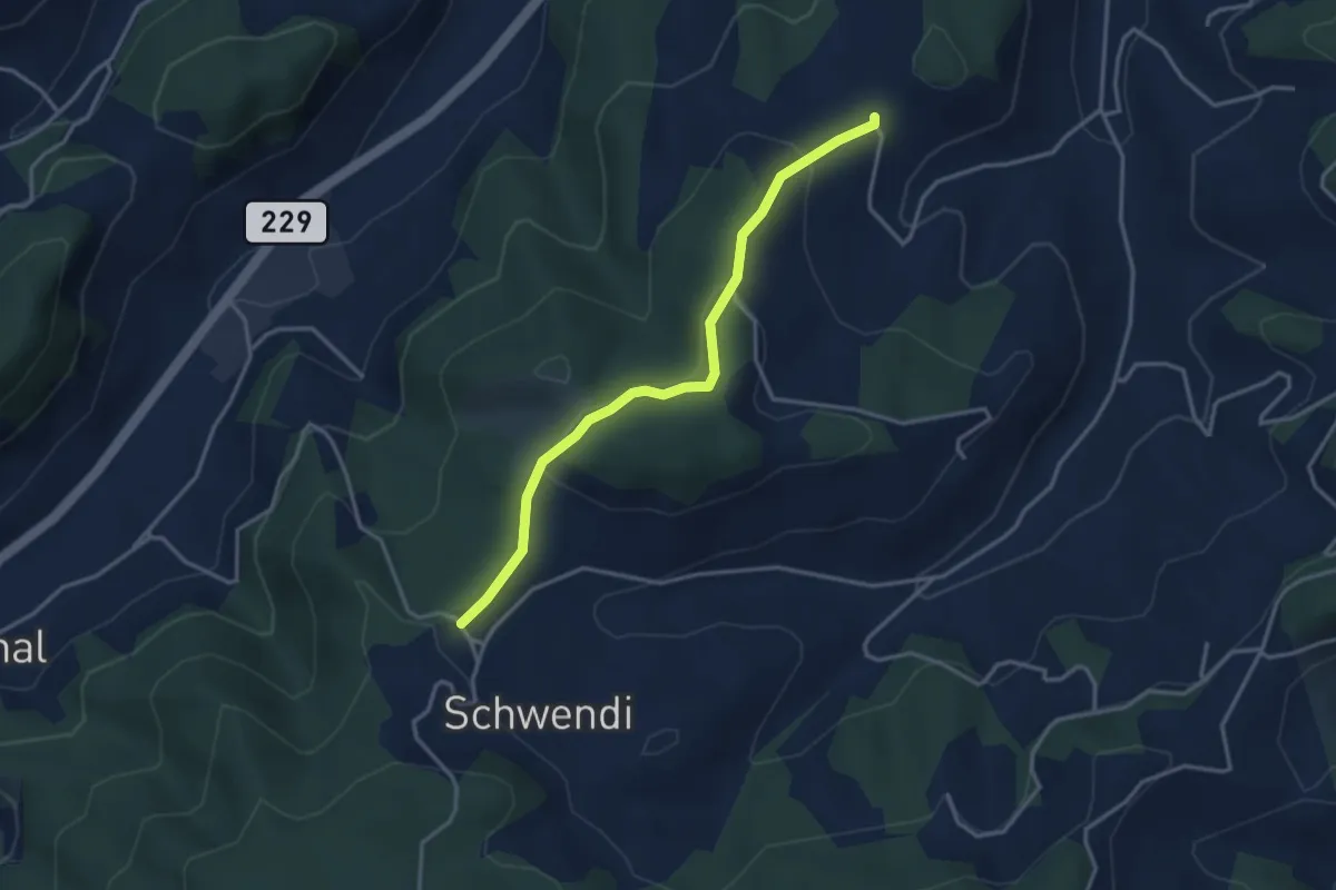
Easy · Trail
Vorder Schwändi – Bütschwil
3.4 km · ↑ 115 m · 1 h 3 min
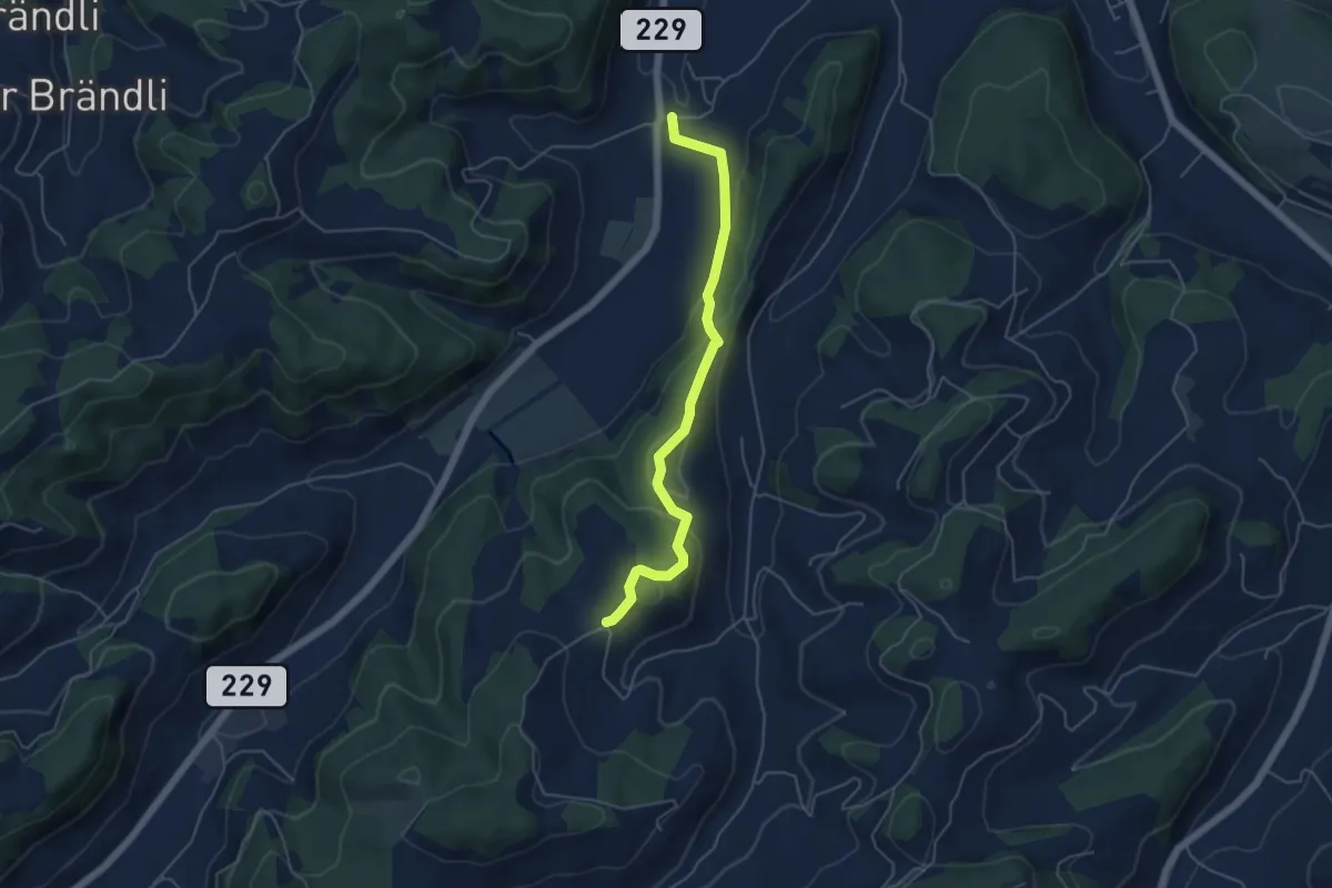
Easy · Trail
Bütschwil – Schafhausen
4.9 km · ↑ 202 m · 1 h 36 min
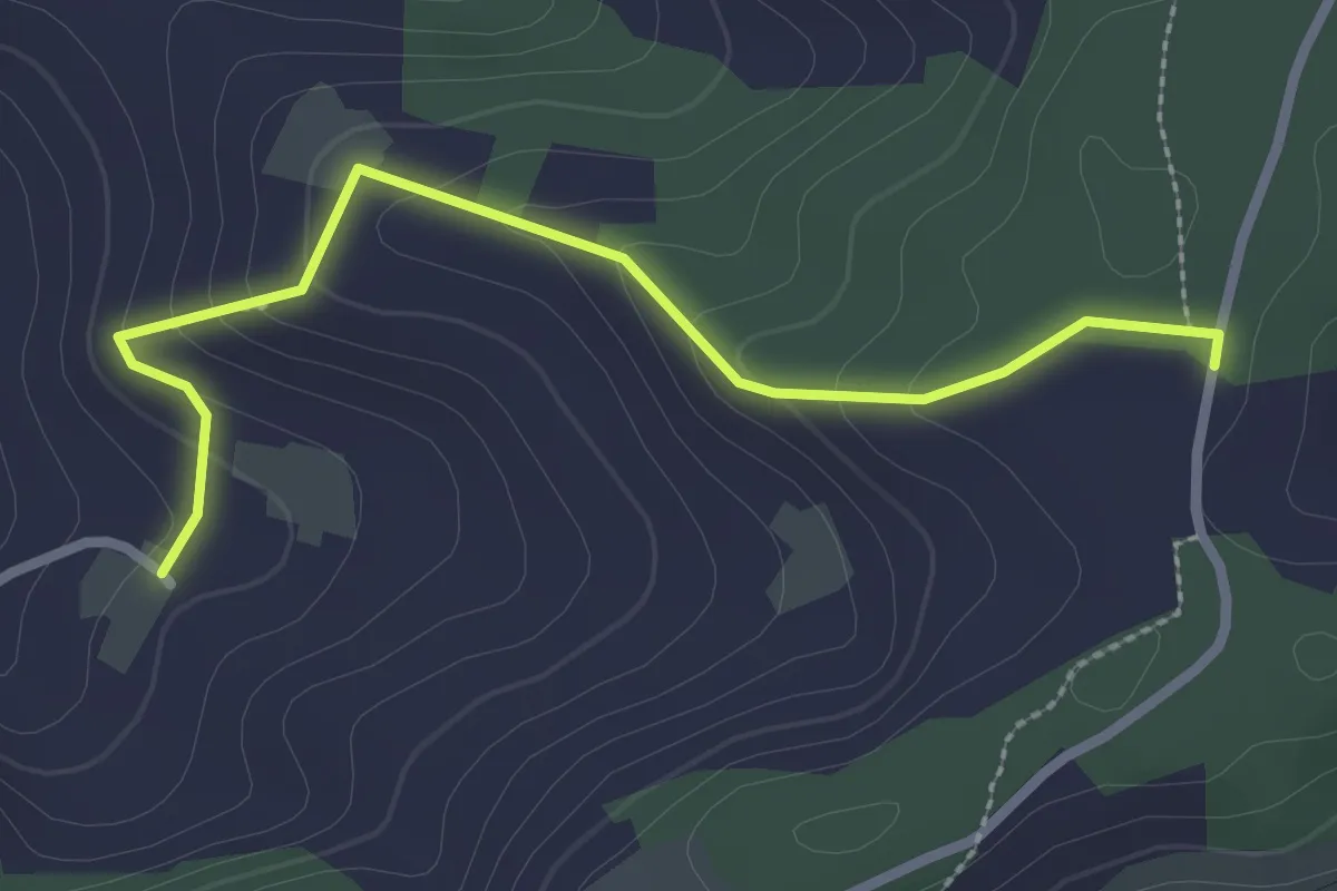
Easy · Trail
Neunhaupt – Golpisberg
2.7 km · ↑ 131 m · 56 min
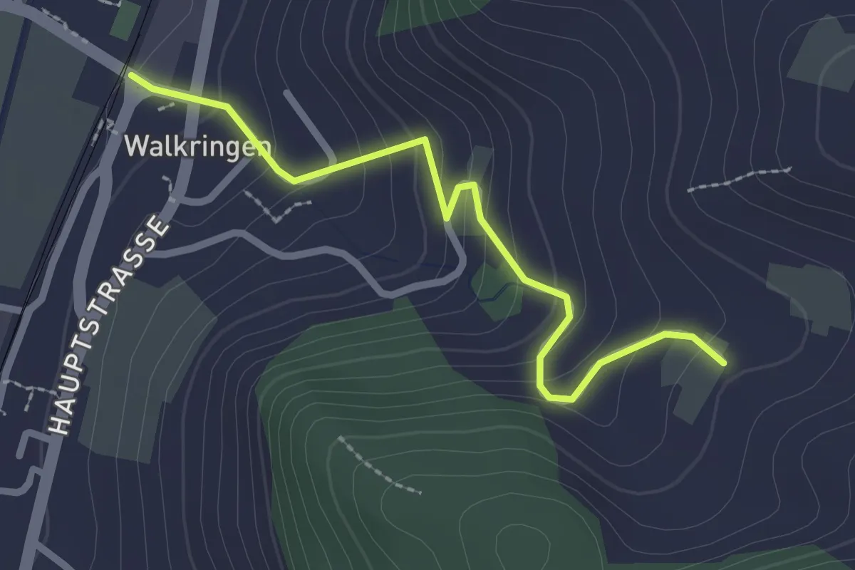
Easy · Trail
Golpisberg – Walkringen
2.3 km · ↑ 154 m · 53 min
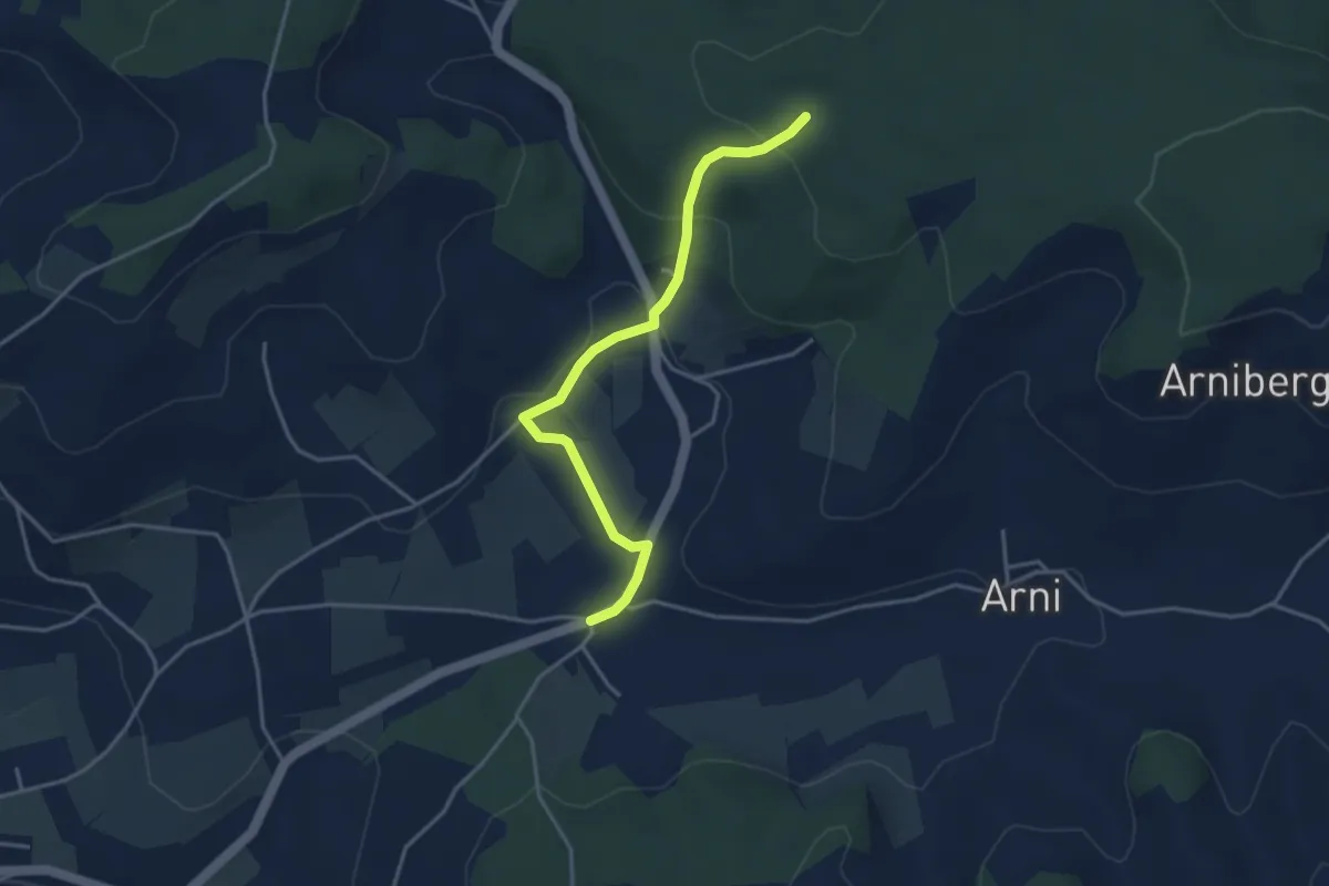
Easy · Trail
Spittelwald – Arnisäge
3.8 km · ↑ 141 m · 1 h 12 min
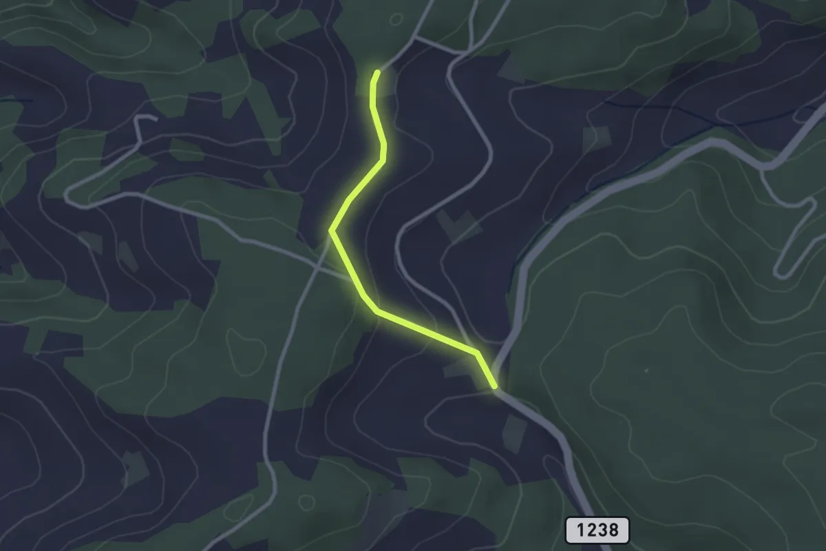
Easy · Trail
Hammegg – Tanne
2.1 km · ↑ 63 m · 38 min
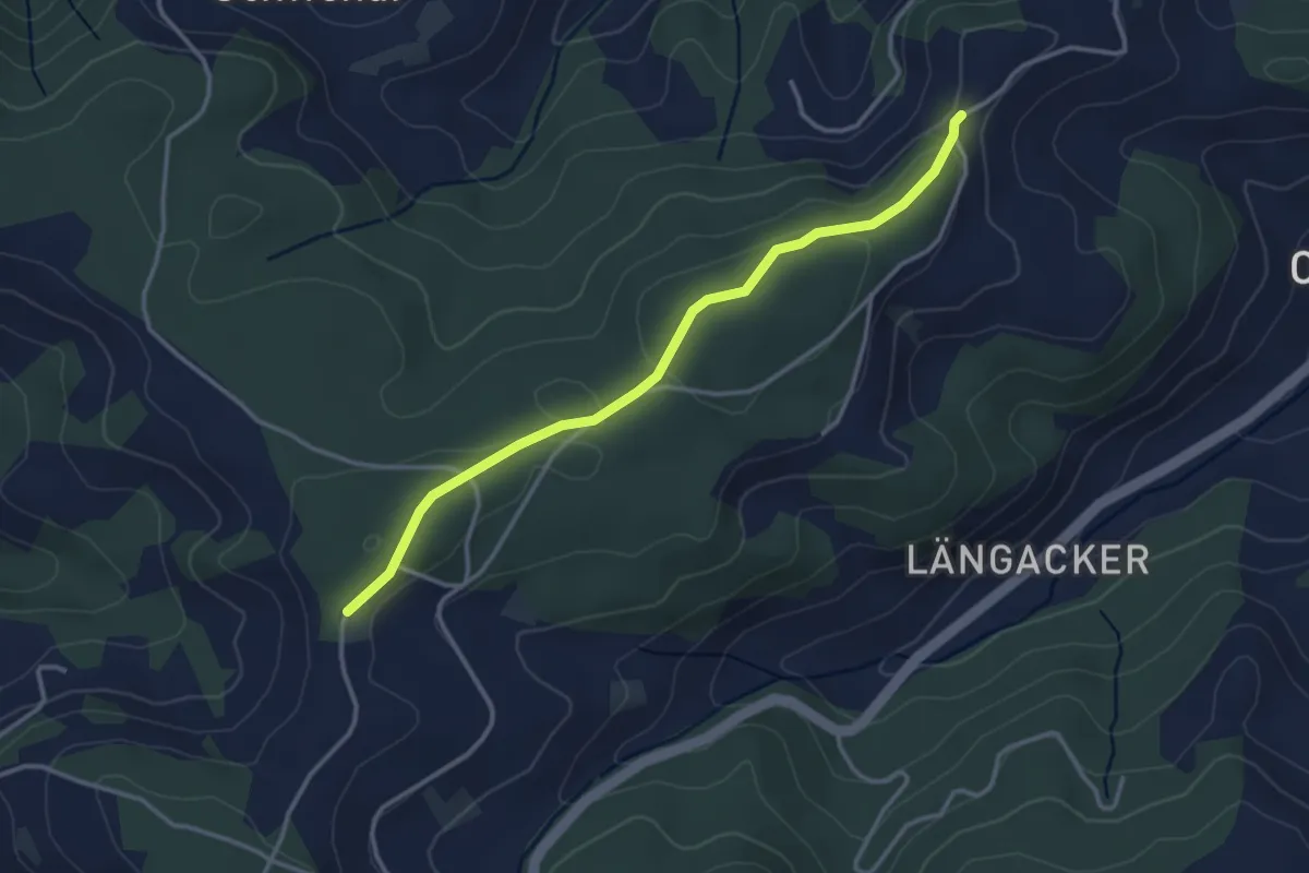
Easy · Trail
Hammegg – Aspiegg
3.3 km · ↑ 79 m · 57 min
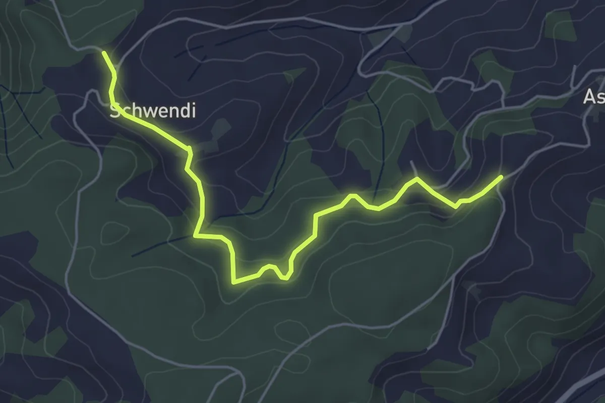
Easy · Trail
Vorder Schwändi – Aspiegg
5.0 km · ↑ 197 m · 1 h 37 min