Trails in Switzerland
15,055 hiking trails, each with its route, climb, walking time and grade.
All trails, page 170 of 314
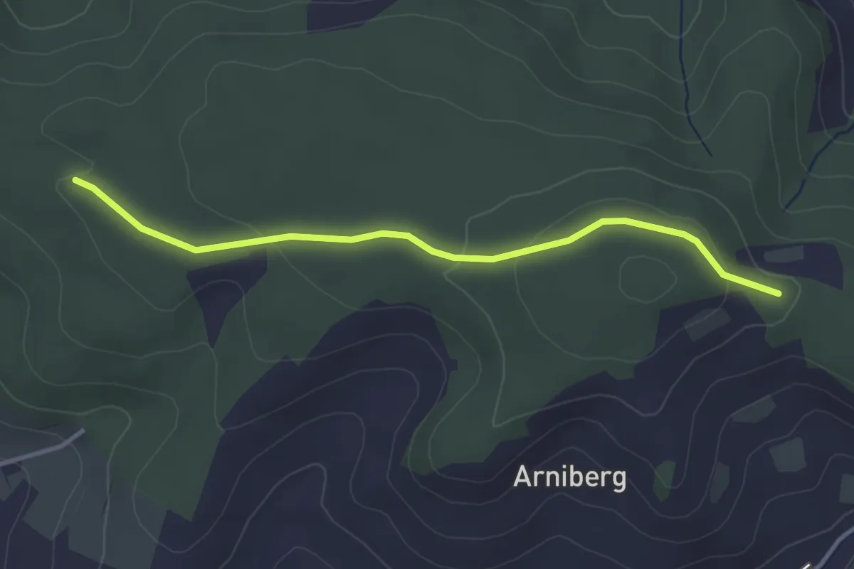
Easy · Trail
Spittelwald – Spränzel
3.4 km · ↑ 78 m · 58 min
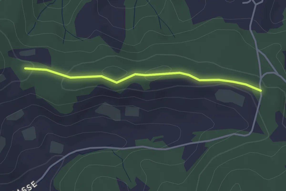
Easy · Trail
Spränzel – Hinderegg
2.7 km · ↑ 39 m · 43 min
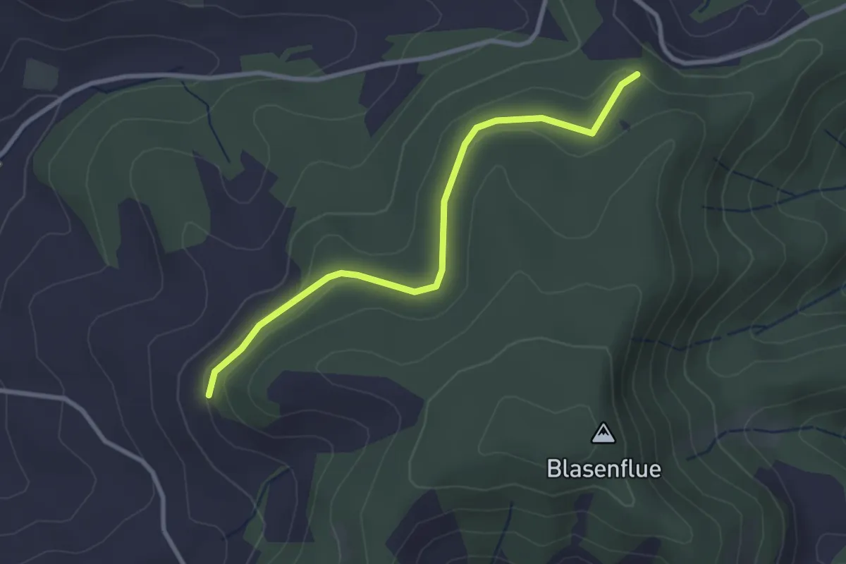
Easy · Trail
Fischerhubel – Blasenhorn
2.8 km · ↑ 110 m · 54 min
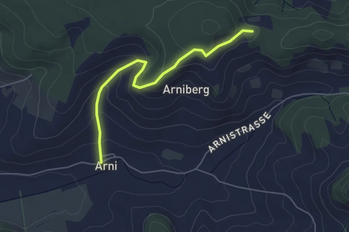
Easy · Trail
Spränzel – Arni
4.2 km · ↑ 213 m · 1 h 28 min
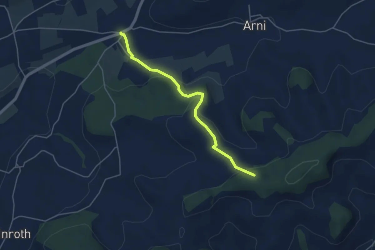
Easy · Trail
Arnisäge – Chapfwald
3.7 km · ↑ 134 m · 1 h 11 min
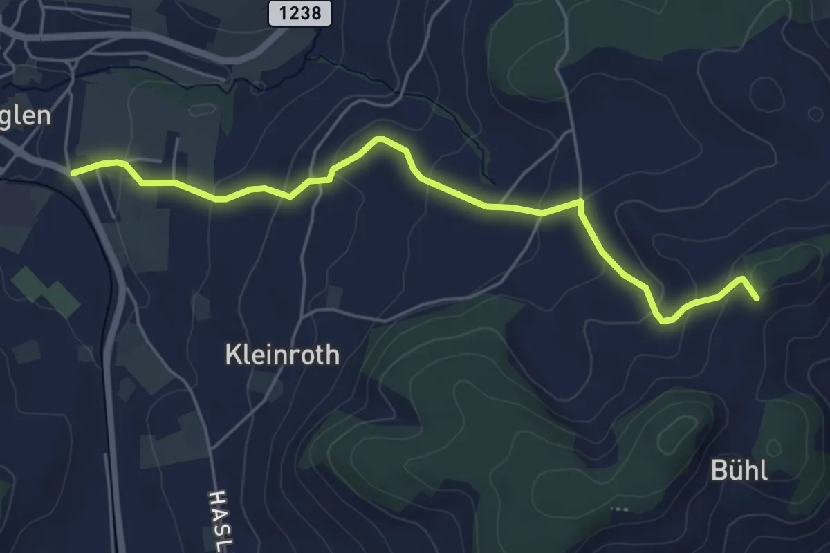
Easy · Trail
Chrutberg – Biglen
5.2 km · ↑ 200 m · 1 h 40 min
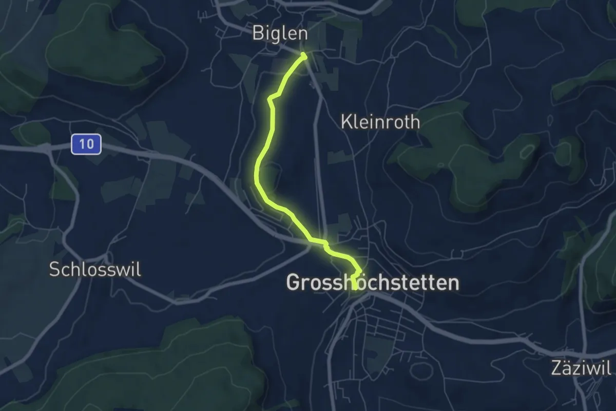
Easy · Trail
Biglen – Grosshöchstetten Marktplatz
5.3 km · ↑ 85 m · 1 h 26 min
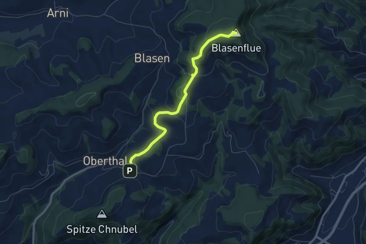
Easy · Summit
Blaseflue – Chäneltal
6.1 km · ↑ 316 m · 2 h 7 min
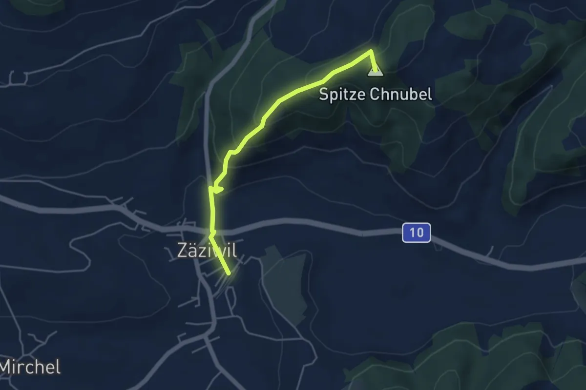
Easy · Summit
Chäneltal – Zäziwil
3.9 km · ↑ 260 m · 1 h 28 min
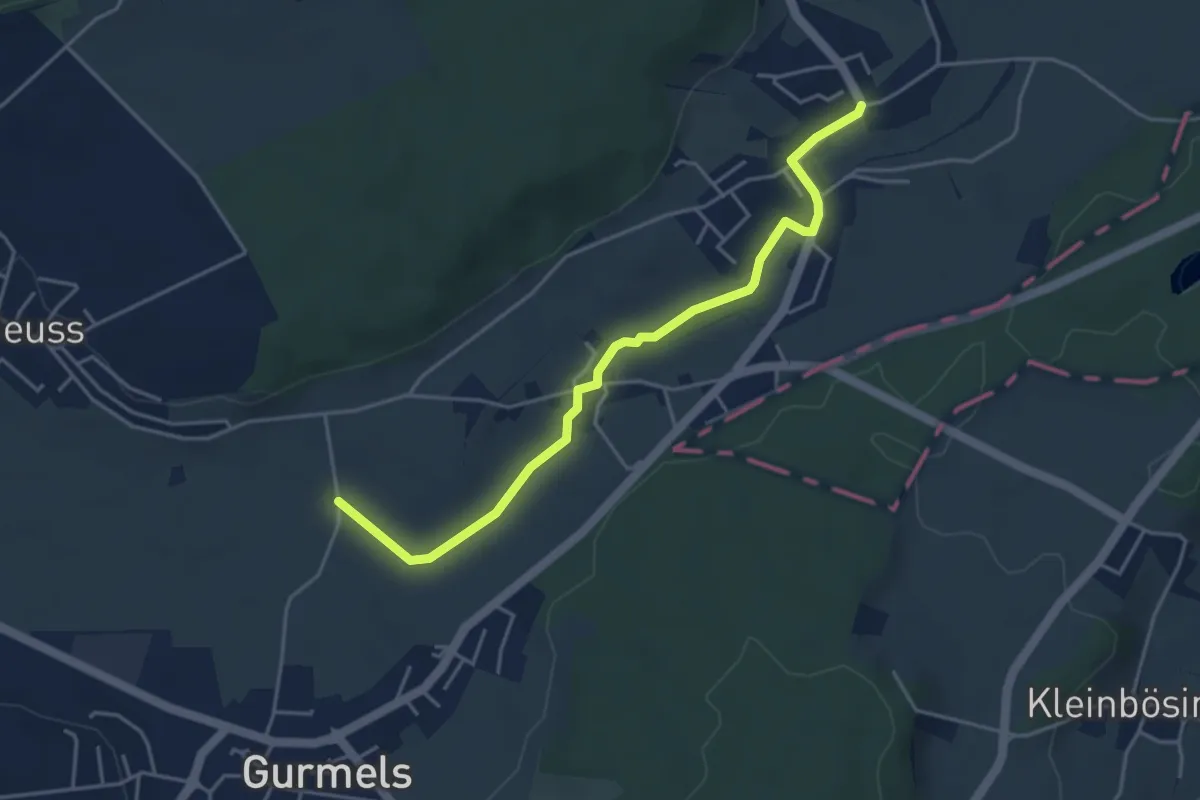
Easy · Trail
Liebistorf – Biberenächer
4.4 km · ↑ 19 m · 1 h 5 min
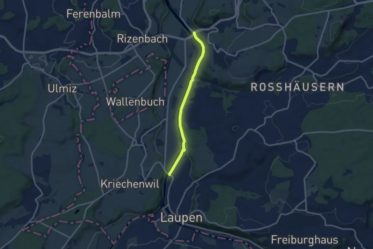
Easy · Trail
Saanebrücke – Gümmenen
7.8 km · ↑ 78 m · 2 h
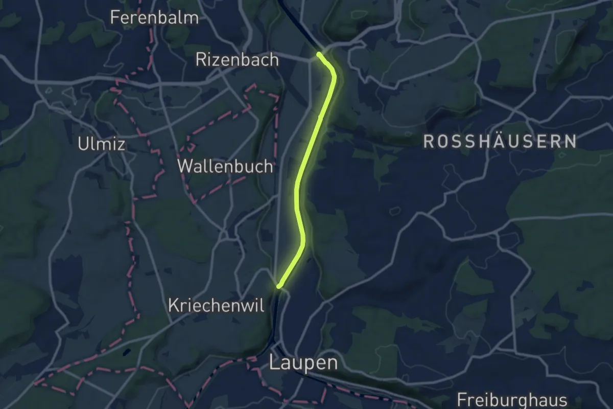
Easy · Trail
Saanebrücke – Gümmenen
7.4 km · ↑ 36 m · 1 h 50 min
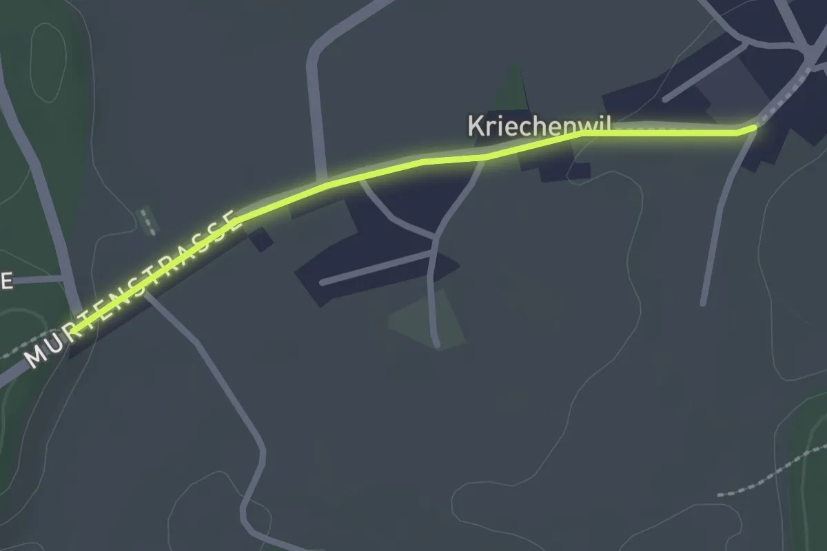
Easy · Trail
Kriechenwil – Röseli
2.1 km · ↑ 18 m · 32 min
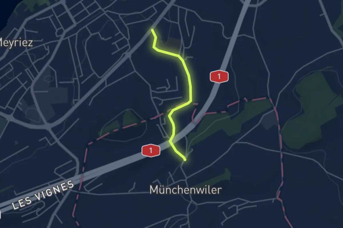
Easy · Trail
Prehl Murten – Münchenwiler Chliholz
2.8 km · ↑ 45 m · 46 min
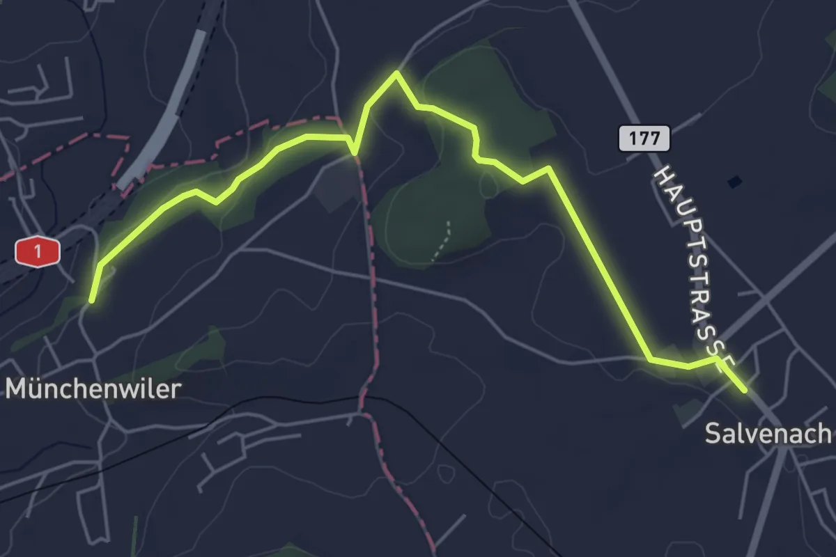
Easy · Trail
Münchenwiler Chliholz – Salvenach
5.6 km · ↑ 110 m · 1 h 33 min
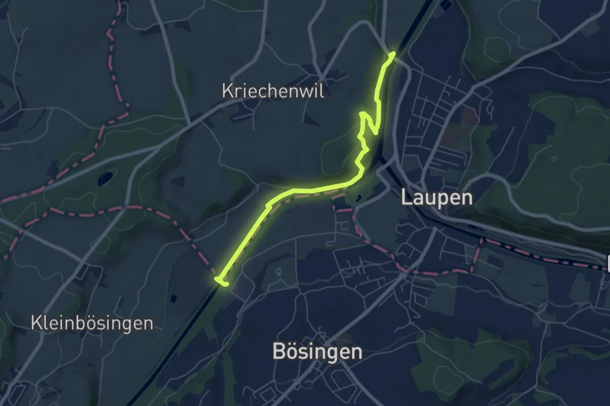
Easy · Trail
Saanebrücke – Auriedsteg
6.1 km · ↑ 177 m · 1 h 50 min
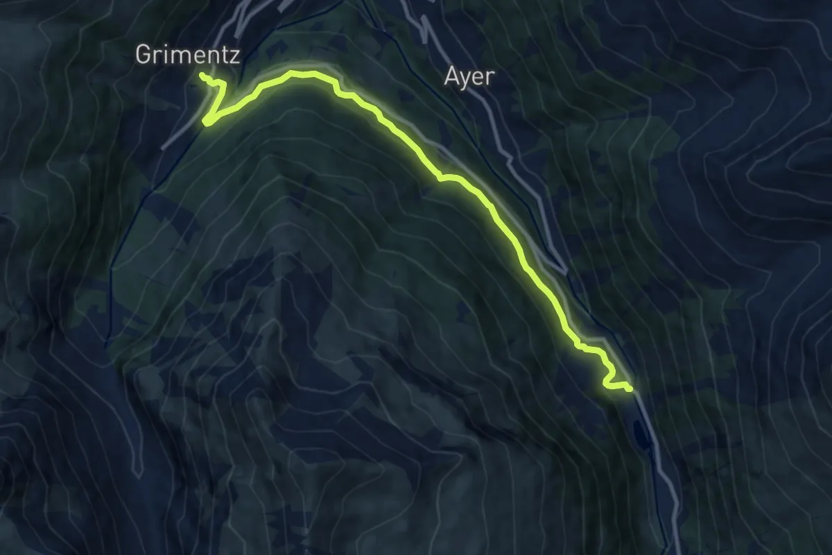
Medium · Trail
Grimentz – Mottec
11.1 km · ↑ 542 m · 3 h 47 min
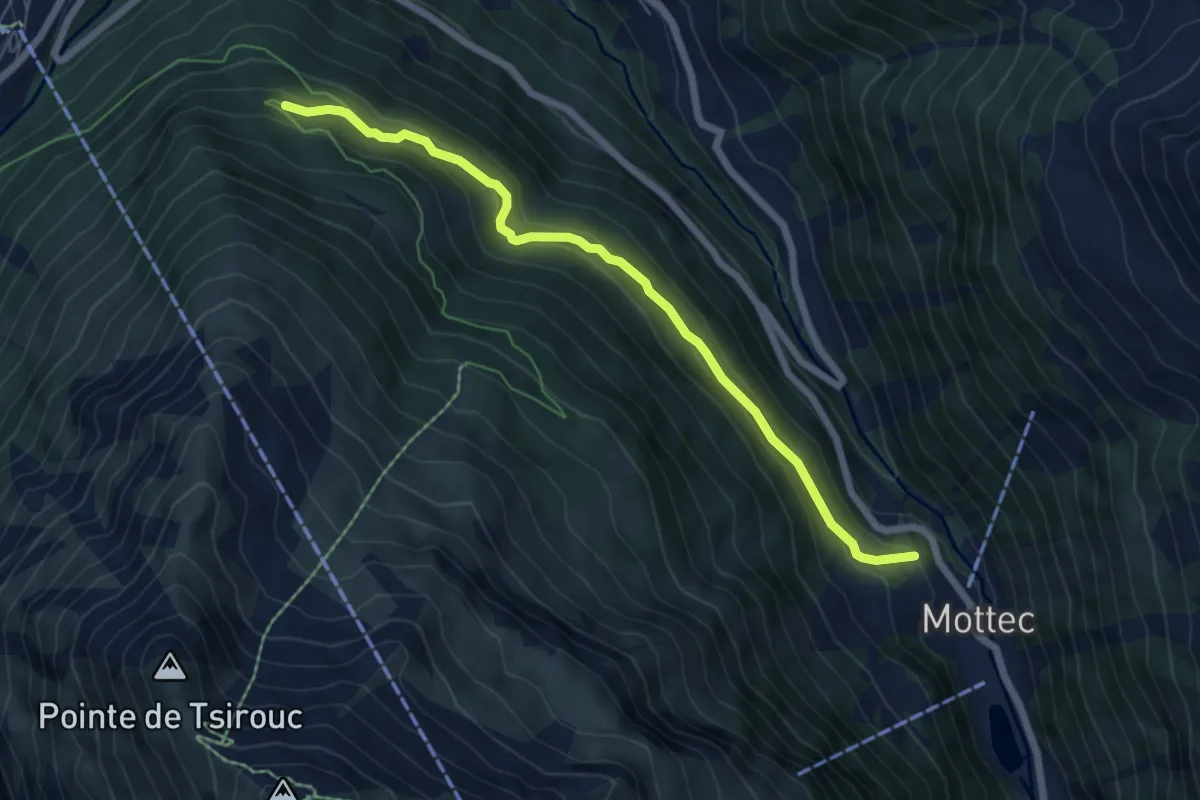
Medium · Trail
Mottec – Route du Biolec
6.4 km · ↑ 323 m · 2 h 12 min
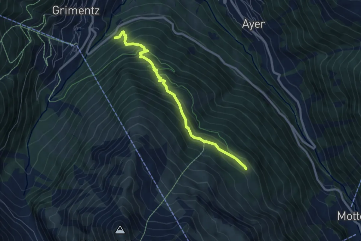
Medium · Trail
Grimentz – Le Biolec
6.1 km · ↑ 561 m · 2 h 39 min
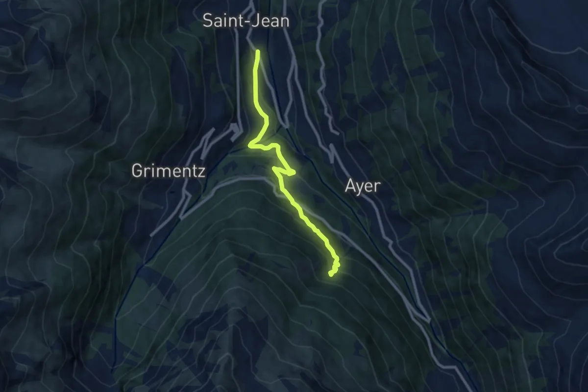
Medium · Trail
Les Barmes – Forêt des Morasses
7.7 km · ↑ 499 m · 2 h 53 min
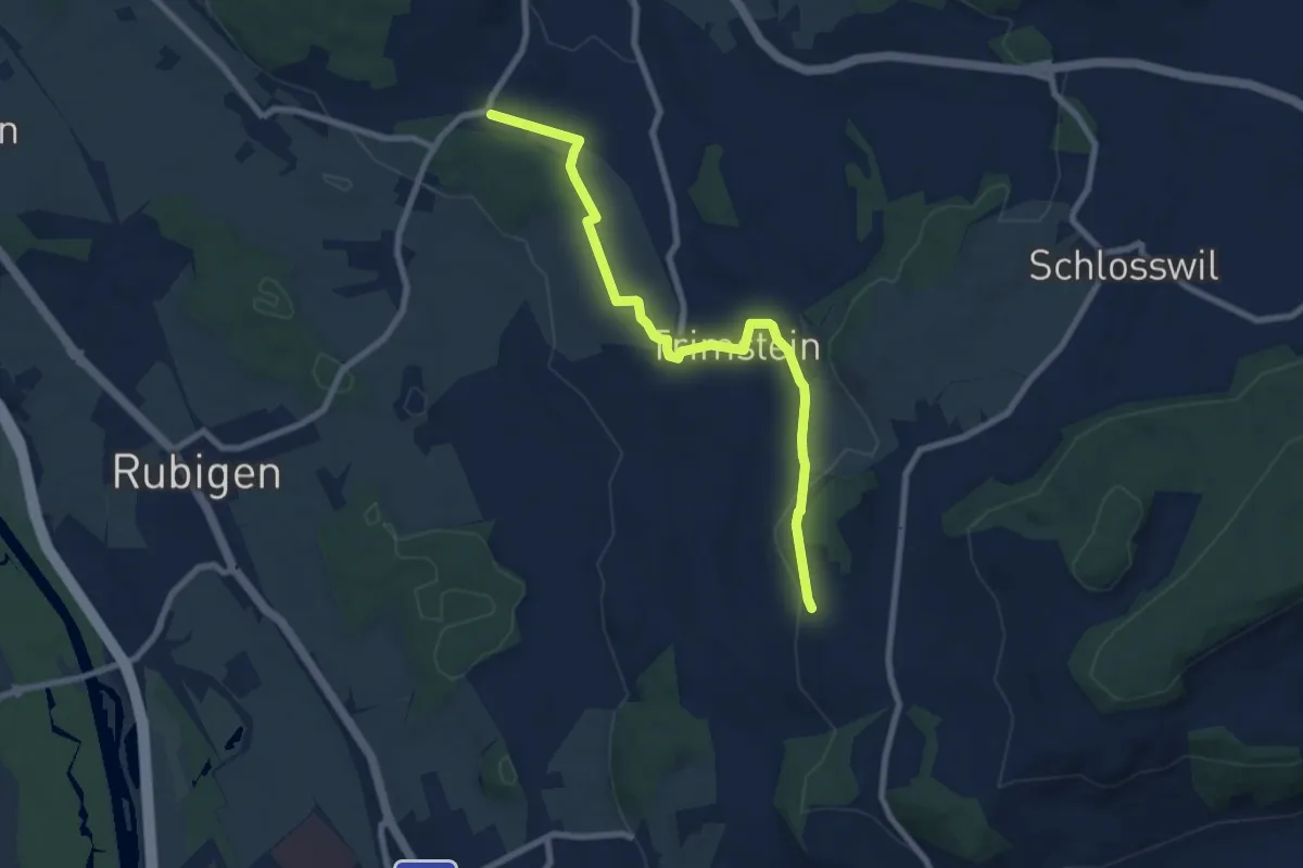
Medium · Trail
Worb SBB – Buechliacher
8.1 km · ↑ 165 m · 2 h 17 min
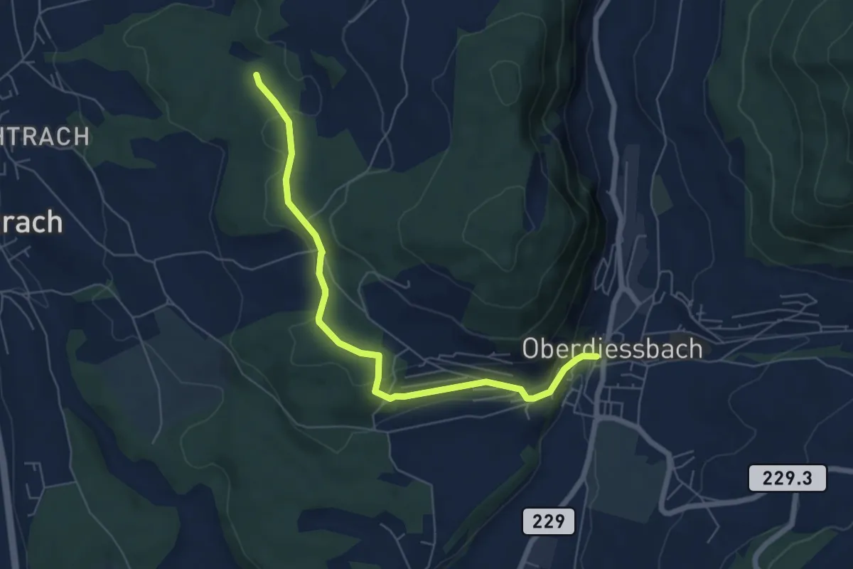
Easy · Trail
Oberdiessbach – Rotebüel
6.3 km · ↑ 182 m · 1 h 53 min
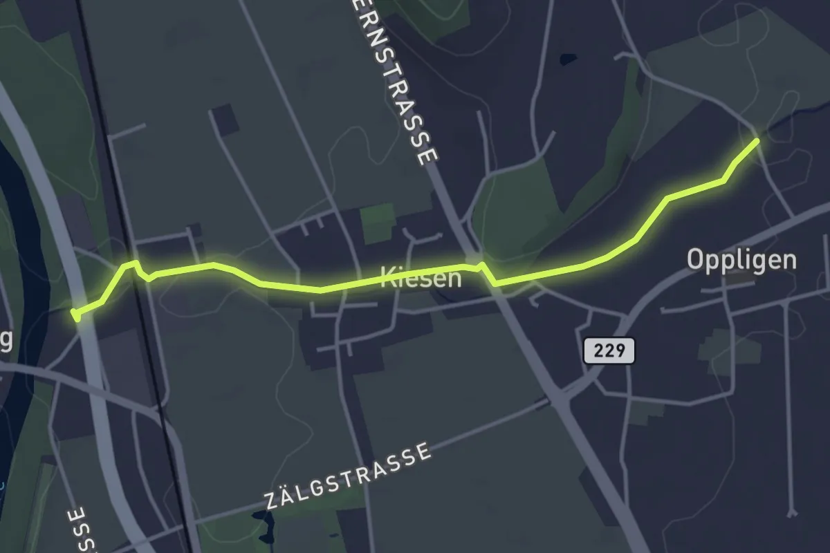
Easy · Trail
Kiesen – Oppligen
4.1 km · ↑ 19 m · 1 h
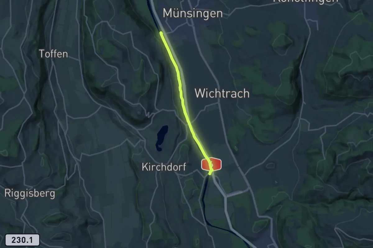
Medium · Trail
Jabergbrücke – Schützefahrbrügg
12.0 km · ↑ 8 m · 2 h 51 min
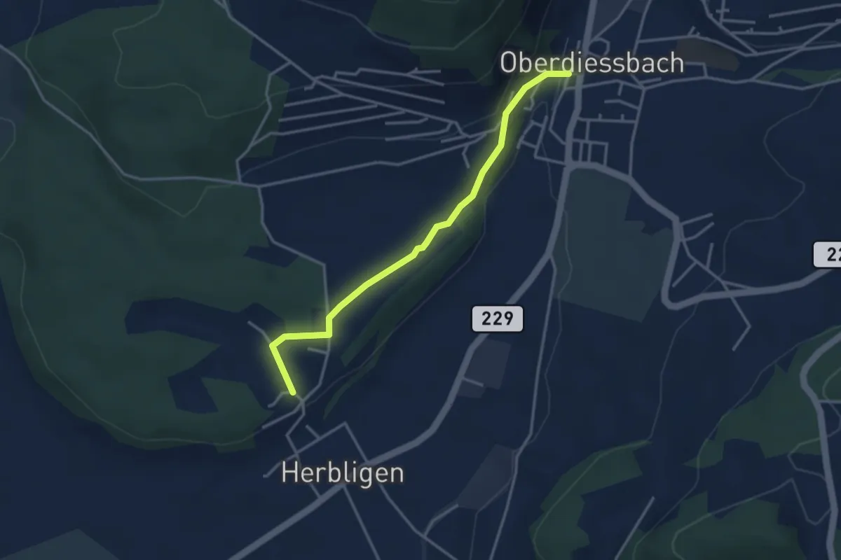
Easy · Trail
Oberdiessbach – Herblingen
3.3 km · ↑ 75 m · 57 min
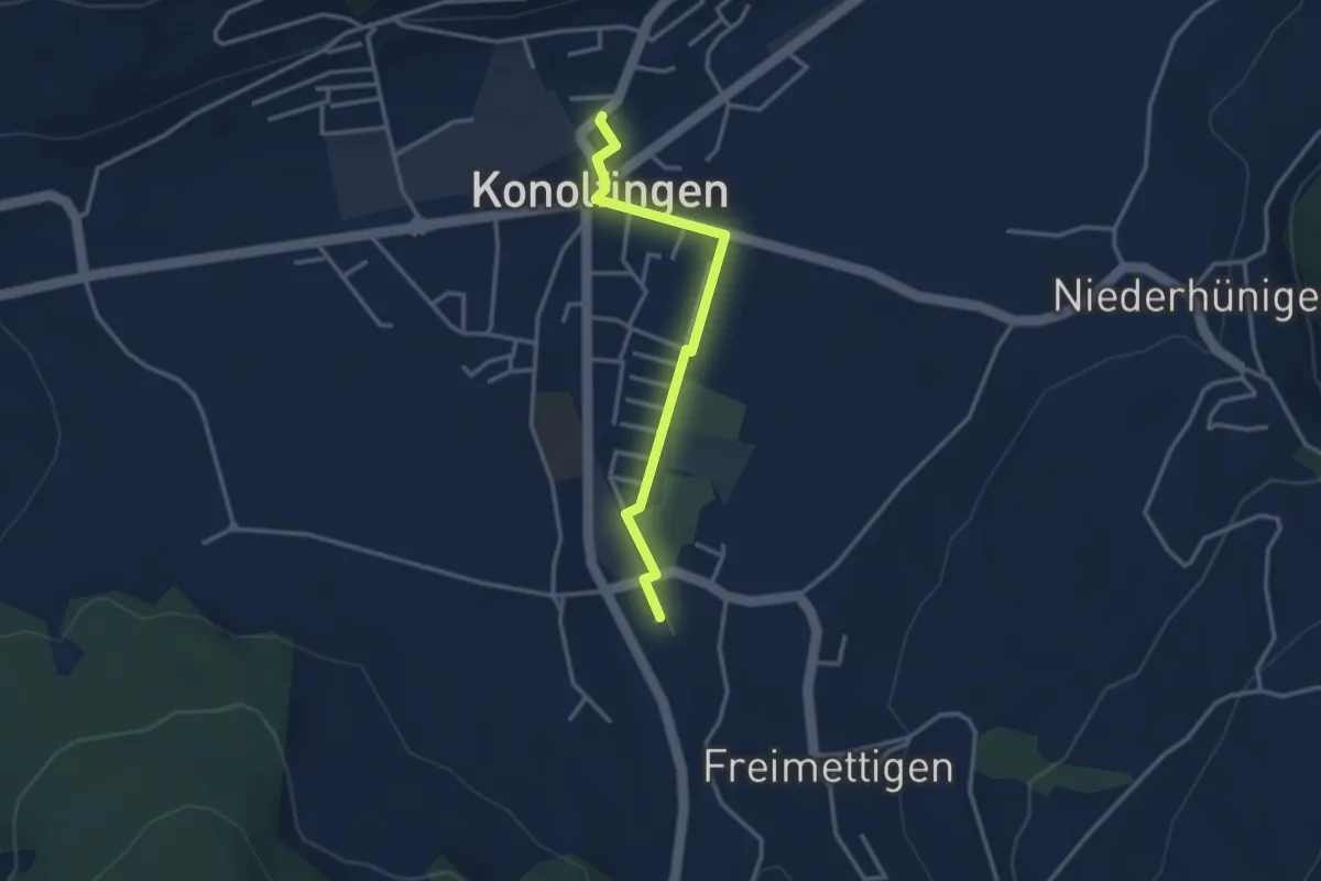
Easy · Trail
Stalden i. E. – Konolfingen
3.0 km · ↑ 9 m · 44 min
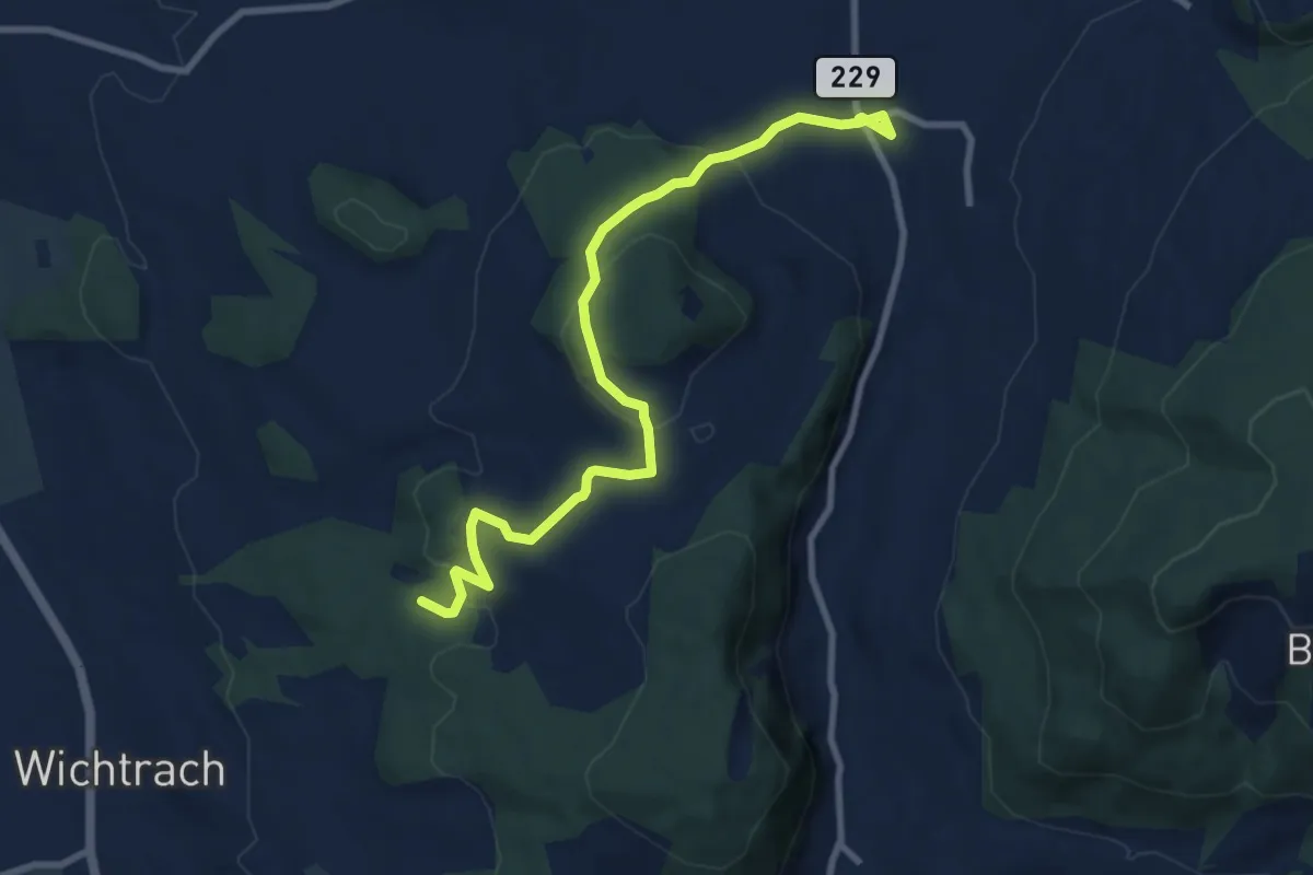
Medium · Trail
Stalden i. E. – Rotebüel
9.4 km · ↑ 302 m · 2 h 52 min
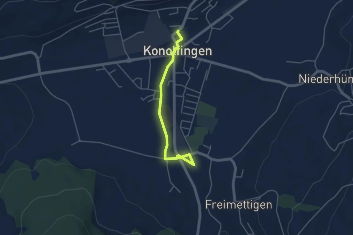
Easy · Trail
Stalden i. E. – Konolfingen
3.3 km · ↑ 23 m · 50 min
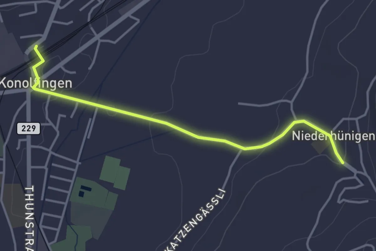
Easy · Trail
Niederhünigen – Konolfingen
3.6 km · ↑ 43 m · 57 min
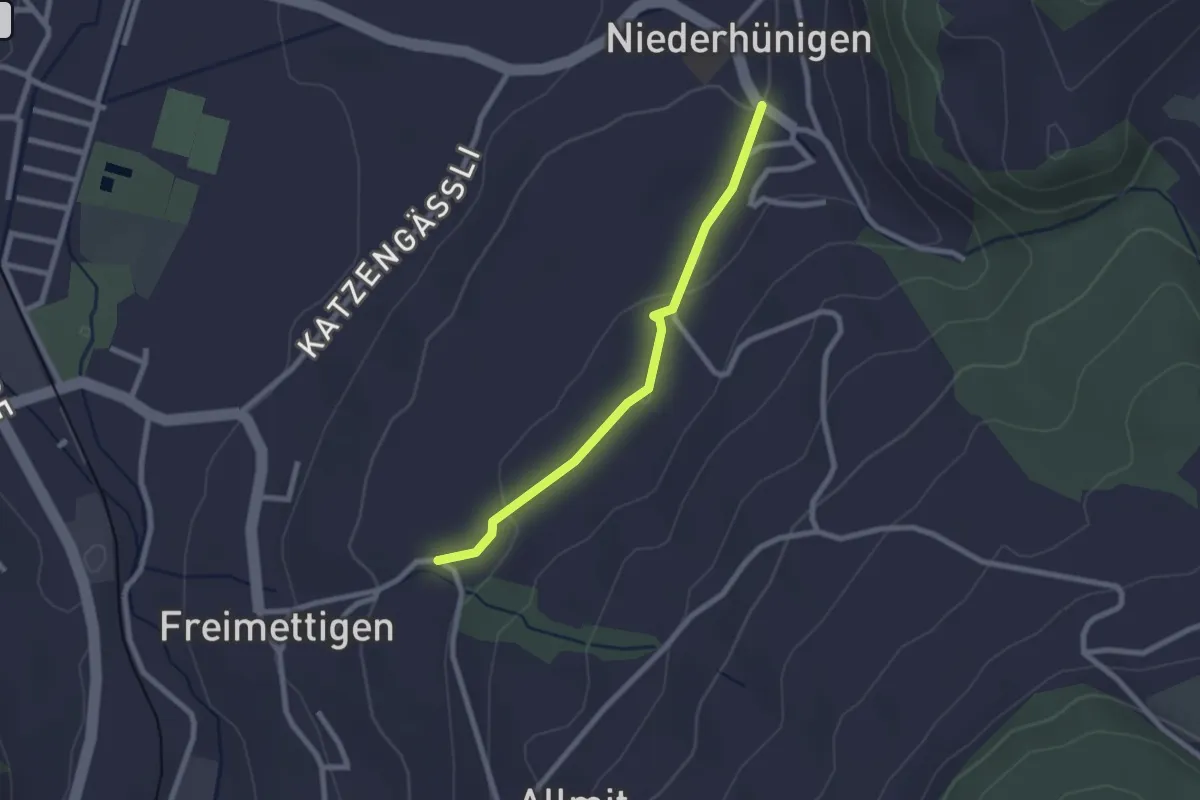
Easy · Trail
Niederhünigen – Freimettigen
2.2 km · ↑ 45 m · 37 min
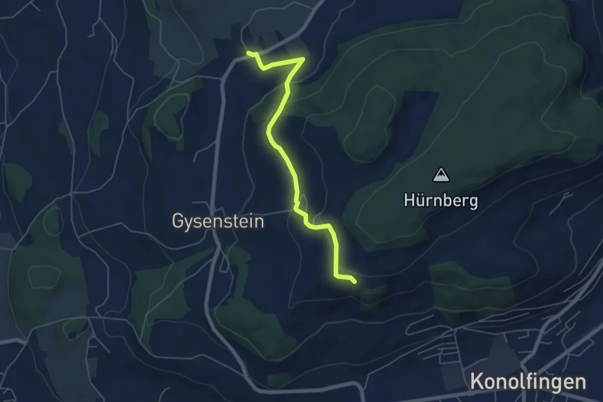
Easy · Trail
Herolfingen – Konolfingen
5.0 km · ↑ 146 m · 1 h 29 min
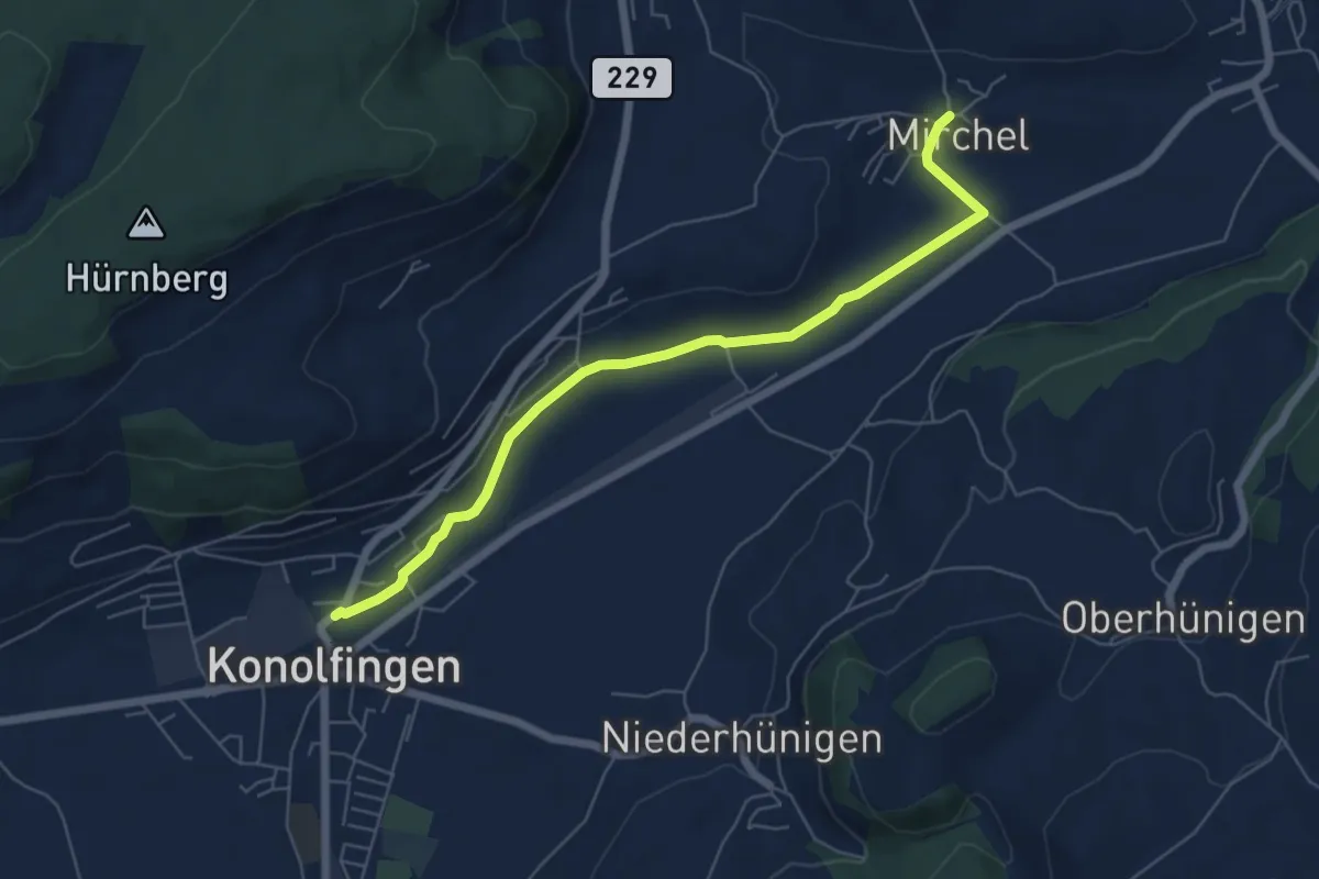
Easy · Trail
Mirchel – Konolfingen
6.2 km · ↑ 57 m · 1 h 35 min
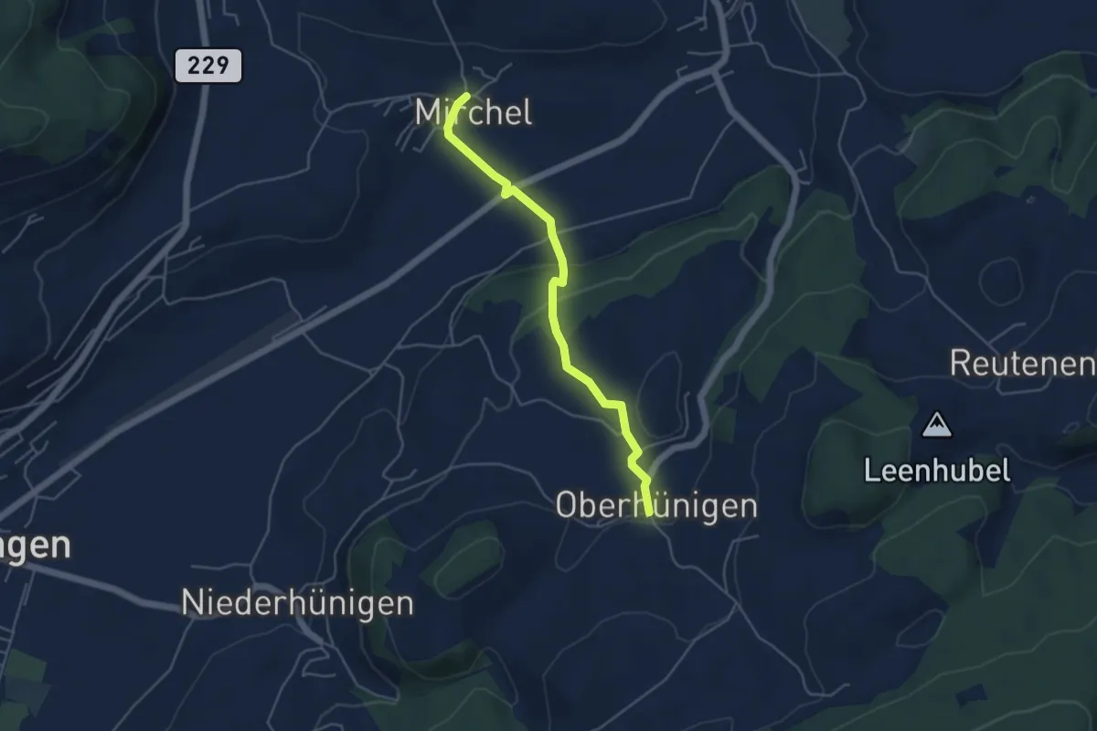
Easy · Trail
Oberhünigen – Mirchel
4.4 km · ↑ 140 m · 1 h 21 min
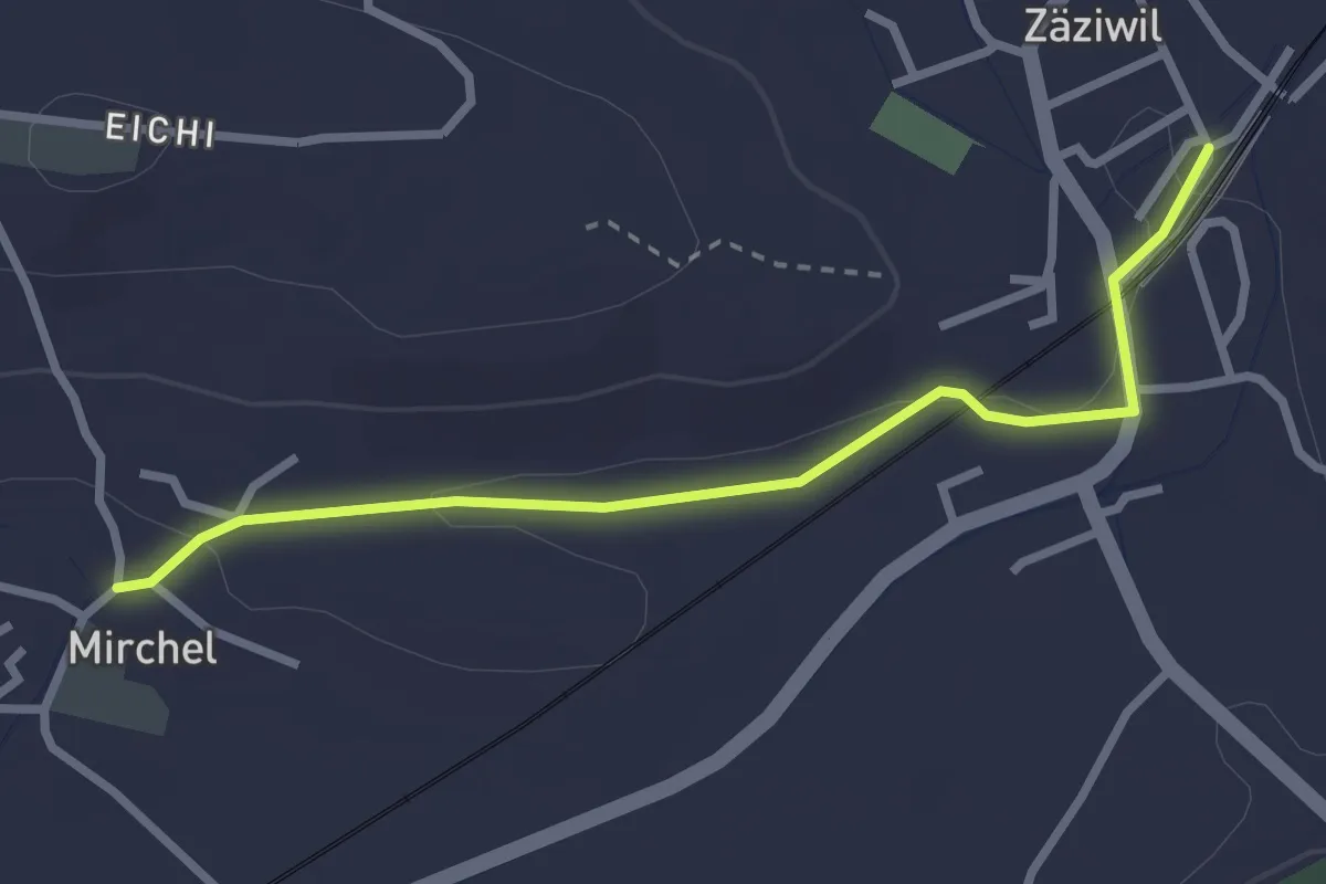
Easy · Trail
Zäziwil – Mirchel
2.9 km · ↑ 14 m · 42 min
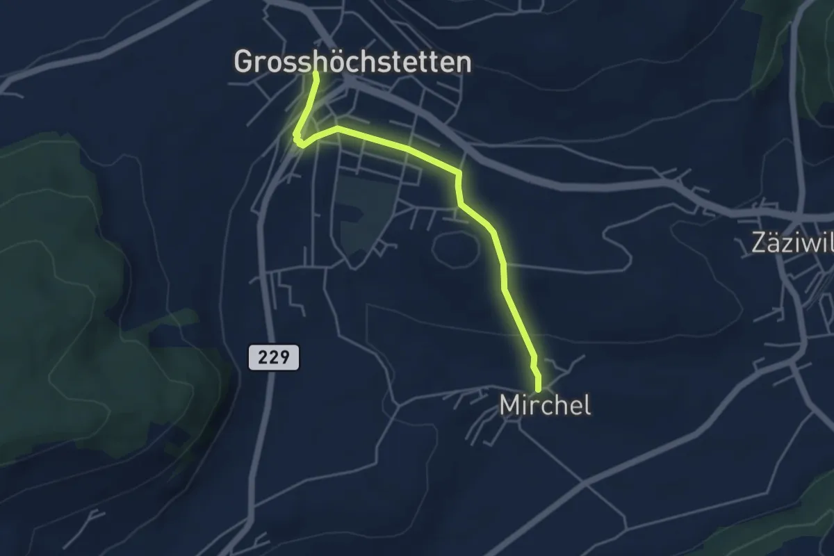
Easy · Trail
Grosshöchstetten – Mirchel
3.9 km · ↑ 89 m · 1 h 7 min
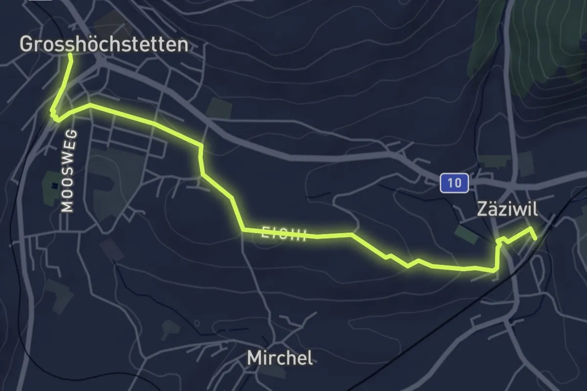
Easy · Trail
Grosshöchstetten – Zäziwil
5.9 km · ↑ 82 m · 1 h 34 min
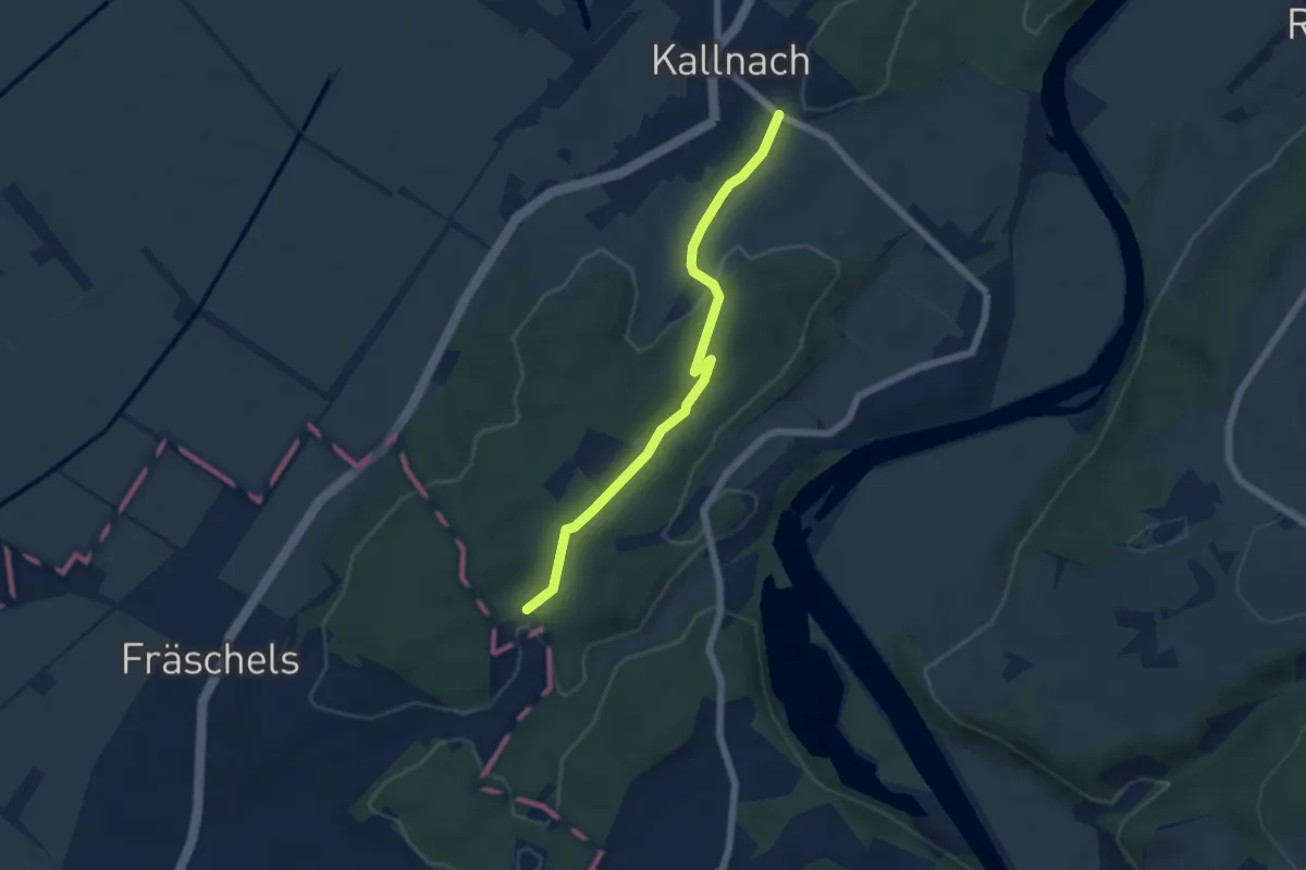
Easy · Trail
Kallnach – Buechersried
5.4 km · ↑ 124 m · 1 h 33 min
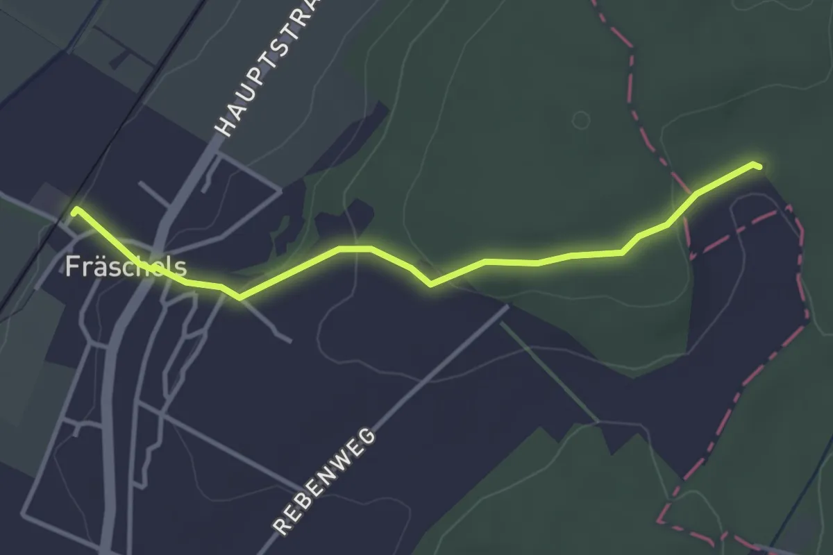
Easy · Trail
Fräschels – Buechersried
3.3 km · ↑ 115 m · 1 h 1 min
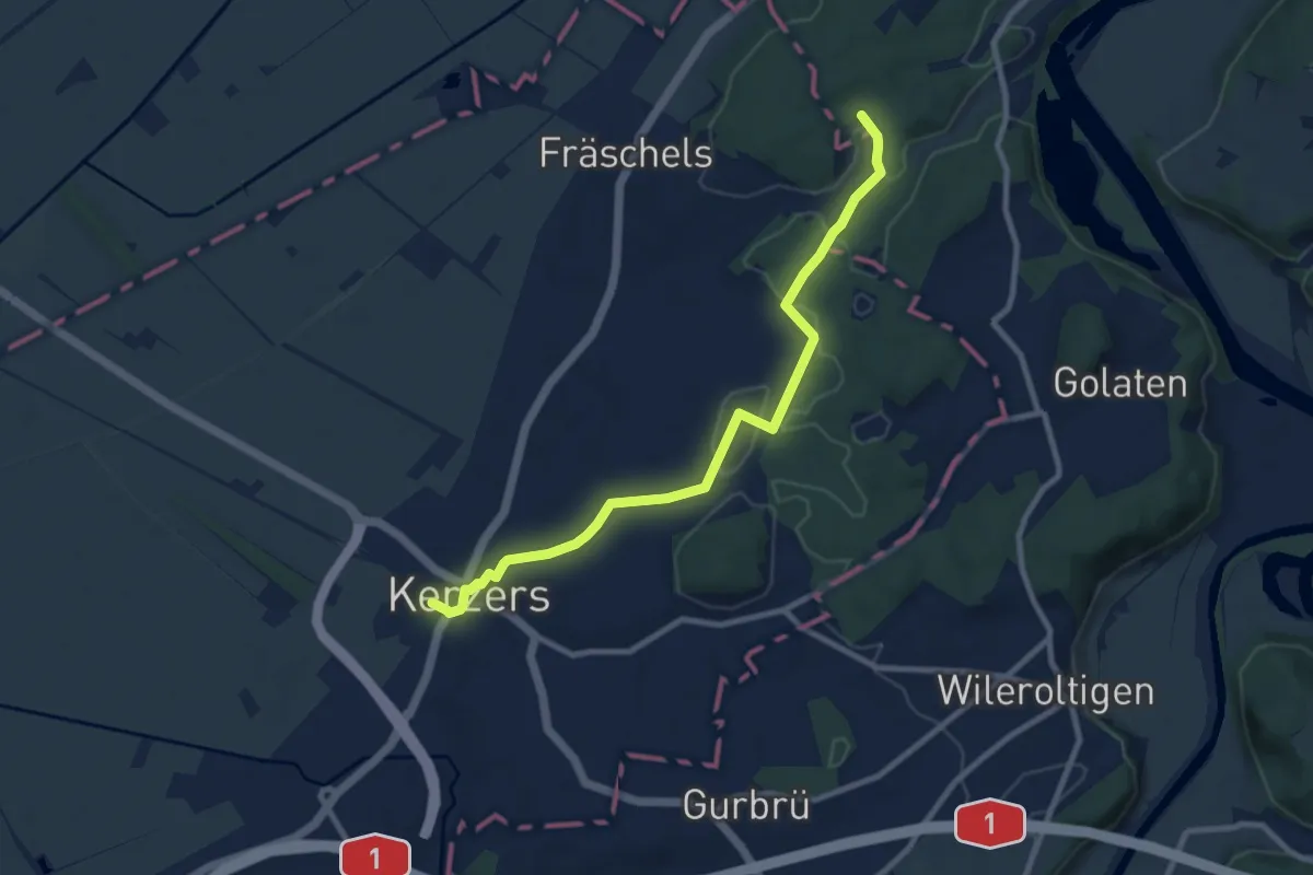
Medium · Trail
Kerzers – Buechersried
9.3 km · ↑ 120 m · 2 h 27 min
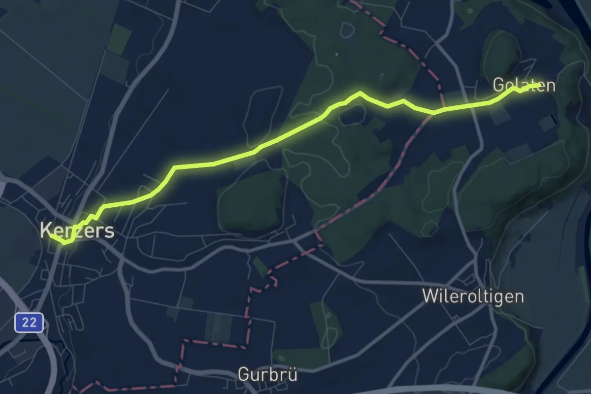
Medium · Trail
Golaten – Kerzers
9.2 km · ↑ 128 m · 2 h 27 min
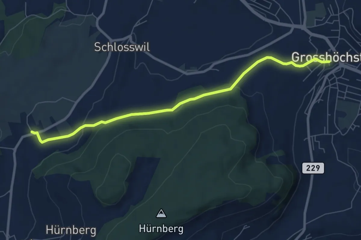
Easy · Trail
Grosshöchstetten – Herolfingen
7.0 km · ↑ 112 m · 1 h 54 min
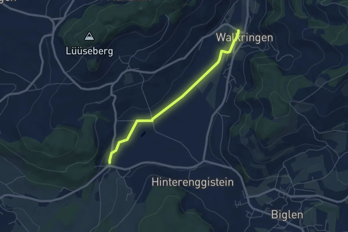
Easy · Trail
Enggistein – Walkringen
5.3 km · ↑ 23 m · 1 h 18 min
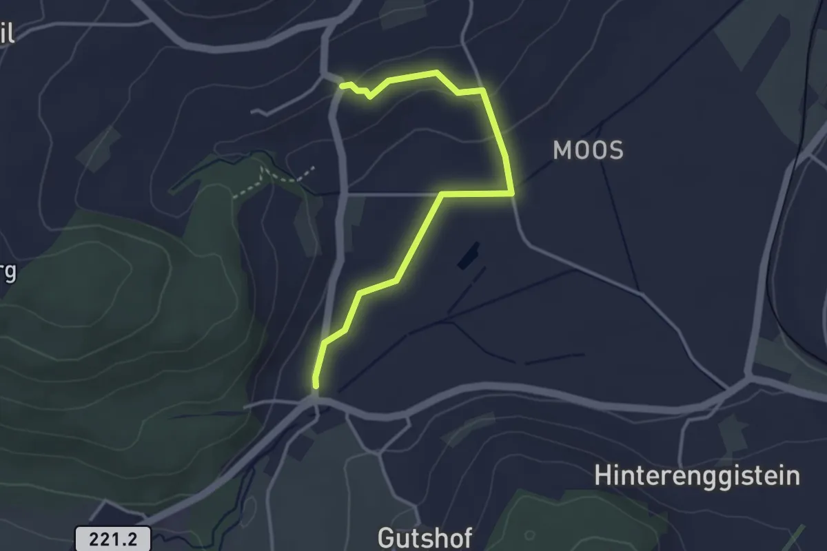
Easy · Trail
Enggistein – Rüttihubelbad
3.4 km · ↑ 62 m · 56 min
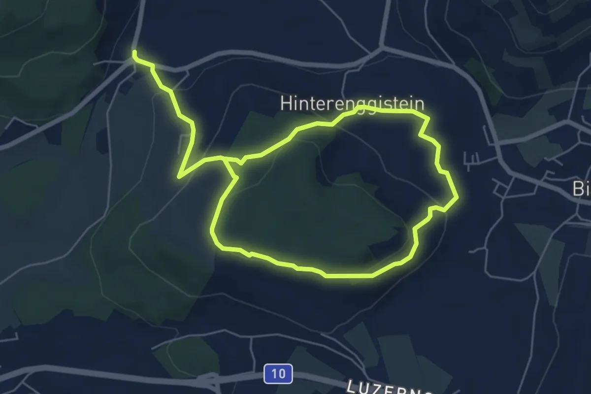
Medium · Trail
Enggistein – Biglen
9.3 km · ↑ 288 m · 2 h 49 min
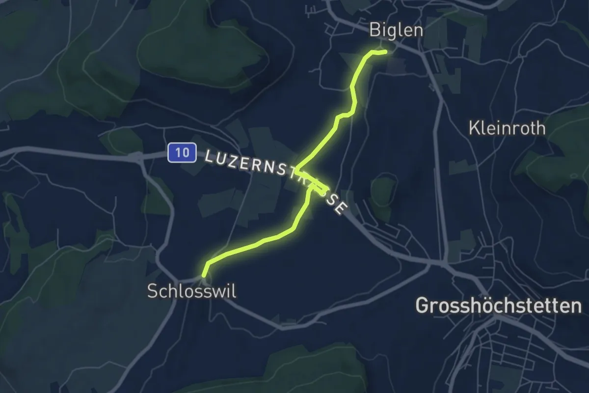
Easy · Trail
Schlosswil – Biglen
5.6 km · ↑ 36 m · 1 h 25 min
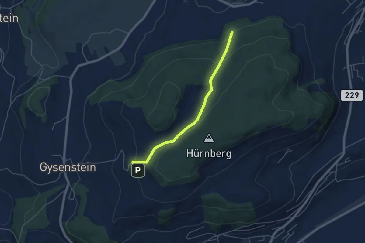
Easy · Trail
Ballenbühl – Schattacherwald
4.2 km · ↑ 130 m · 1 h 17 min
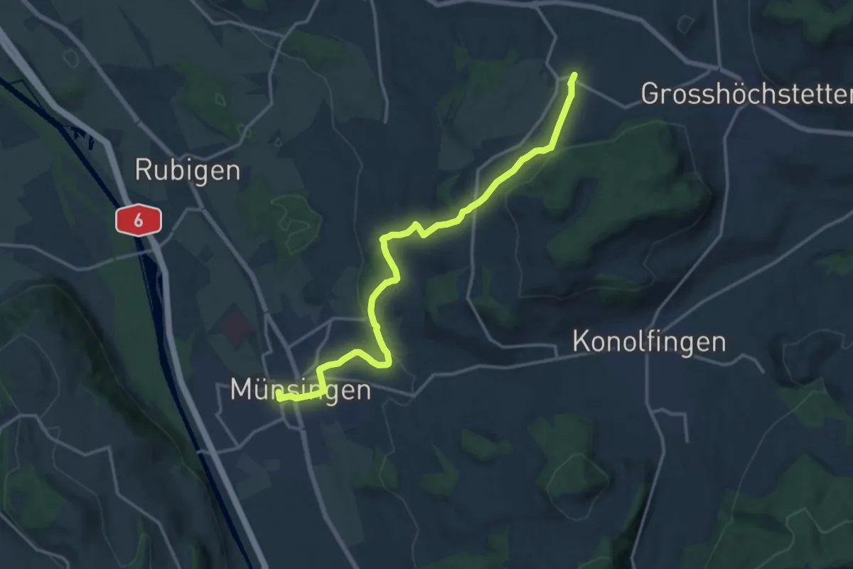
Medium · Trail
Münsingen – Schlosswil
14.9 km · ↑ 312 m · 4 h 11 min
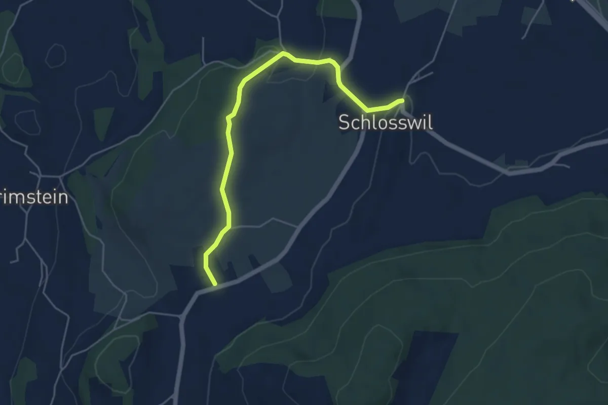
Easy · Trail
Herolfingen – Schlosswil
4.7 km · ↑ 104 m · 1 h 20 min