Trails in Switzerland
15,055 hiking trails, each with its route, climb, walking time and grade.
All trails, page 171 of 314
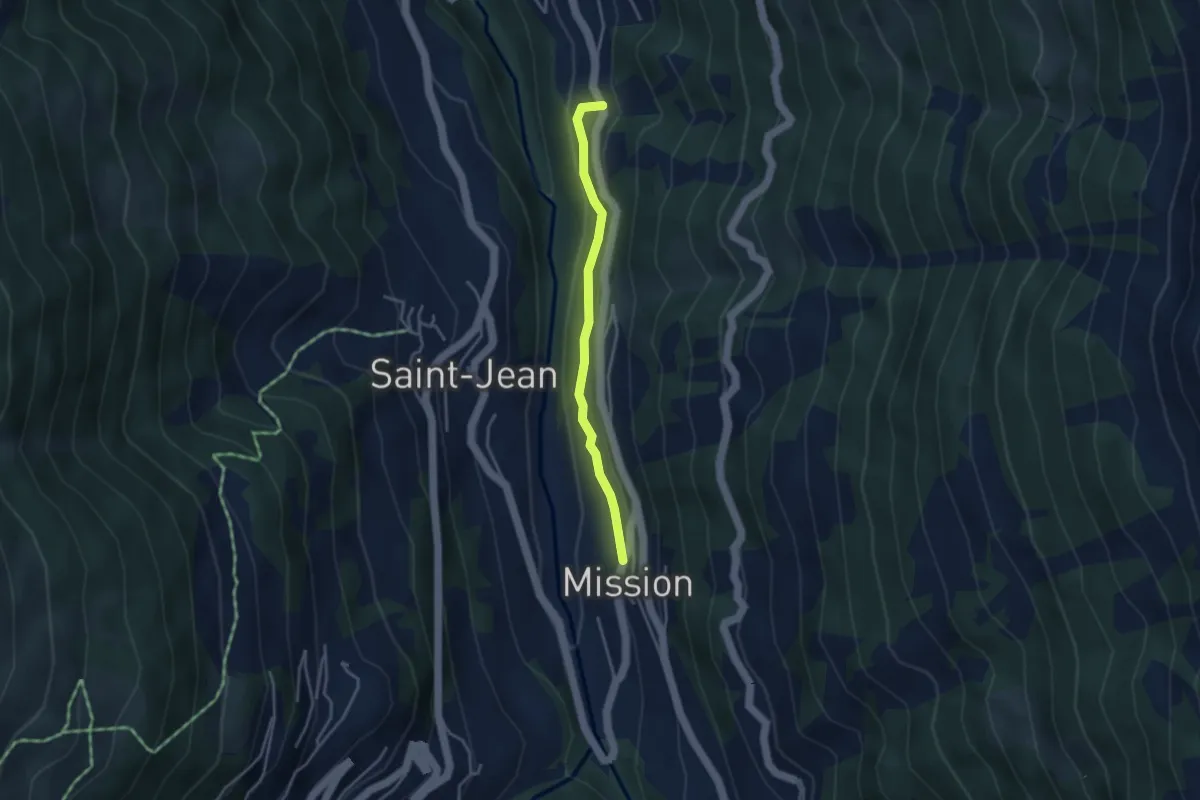
Easy · Trail
Mission – Cuimey
3.2 km · ↑ 123 m · 1 h 2 min
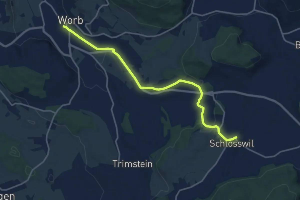
Medium · Trail
Worb – Schlosswil
10.2 km · ↑ 197 m · 2 h 50 min
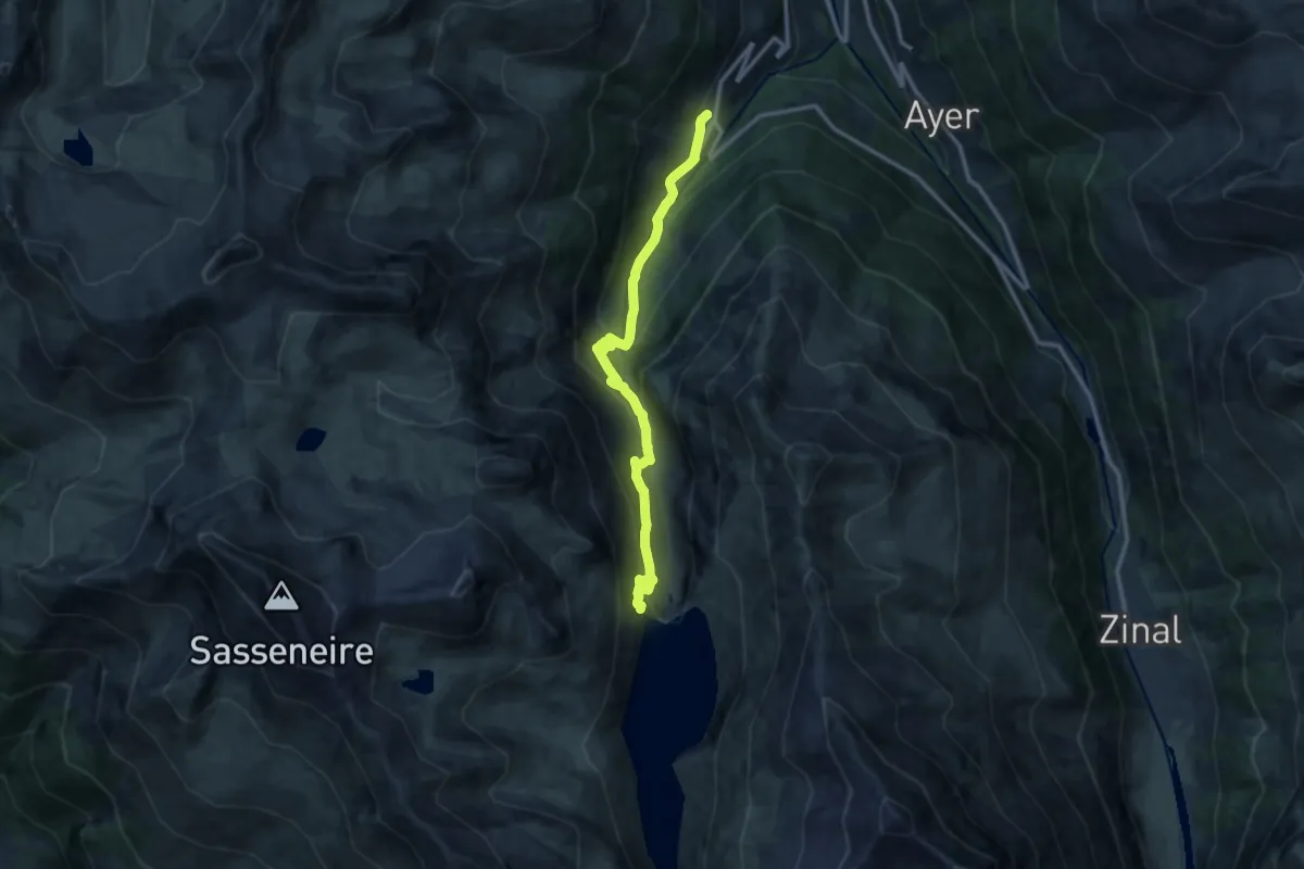
Medium · Trail
Grimentz – Lac de Moiry
12.5 km · ↑ 797 m · 4 h 40 min
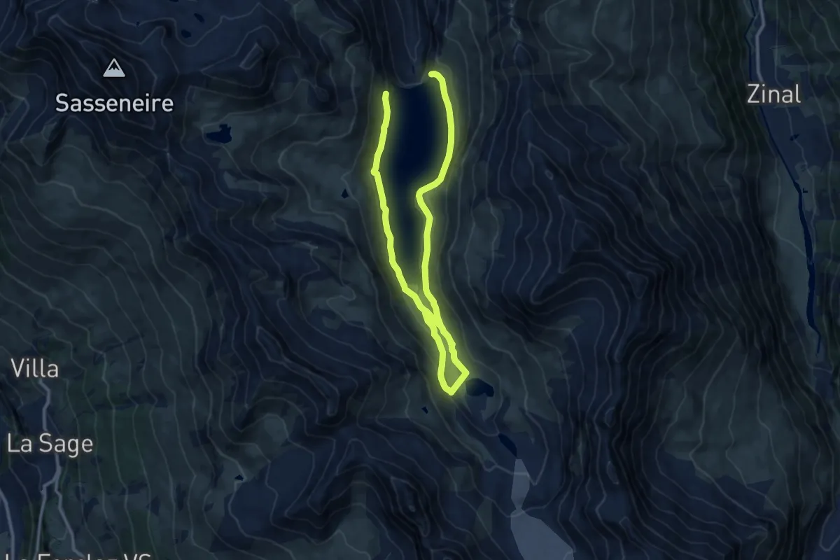
Medium · Trail
Lac de Moiry – Lac de Châteaupré
17.3 km · ↑ 702 m · 5 h 36 min
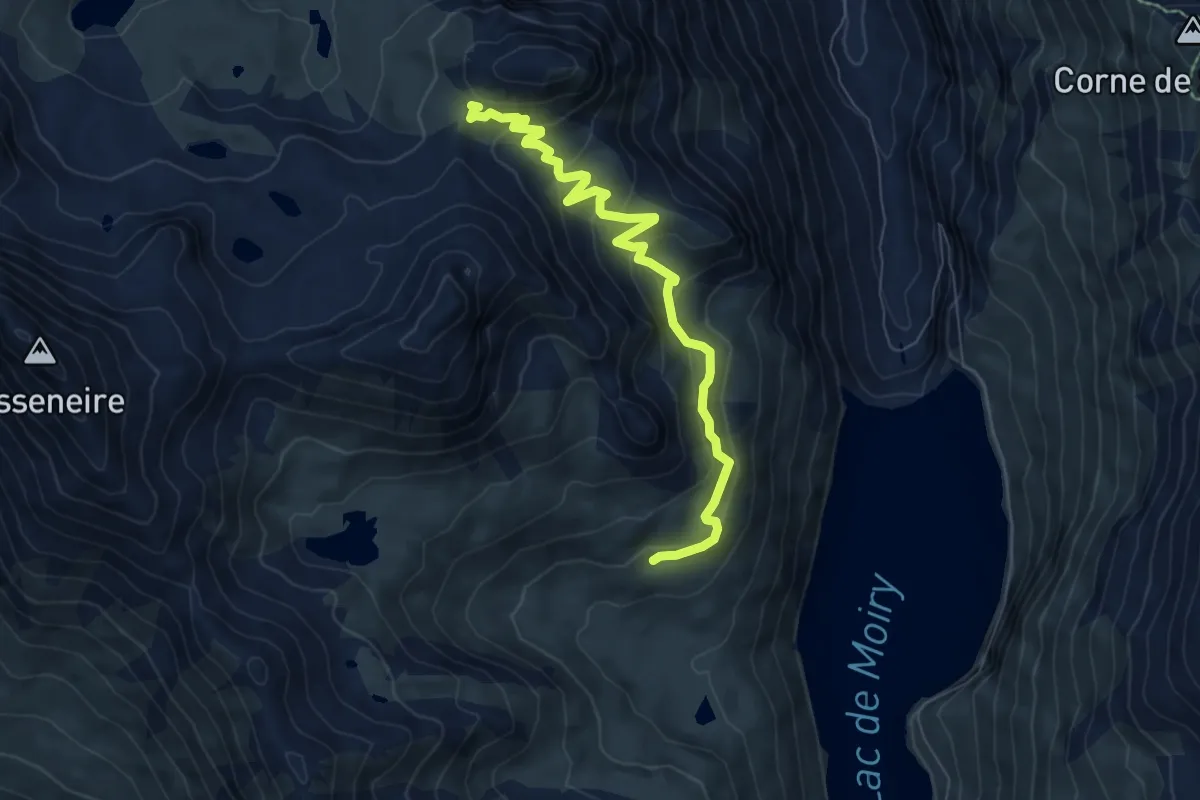
Medium · Trail
Alpage de Torrent – Basset de Lona
7.4 km · ↑ 405 m · 2 h 38 min
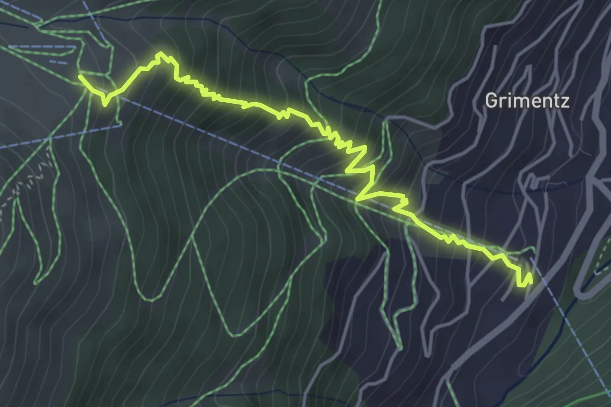
Medium · Trail
Grimentz – Bendolla
4.7 km · ↑ 550 m · 2 h 18 min
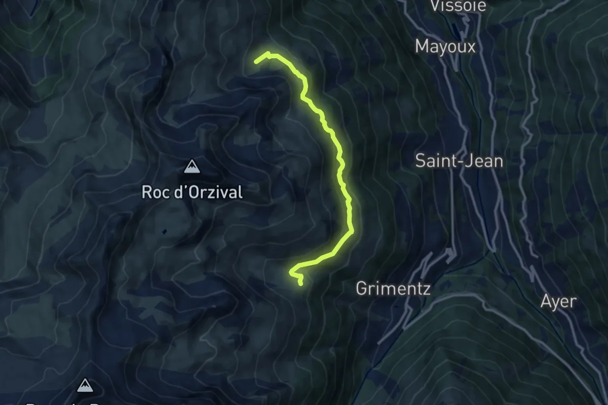
Medium · Trail
Bendolla – Orzival
9.2 km · ↑ 366 m · 2 h 58 min
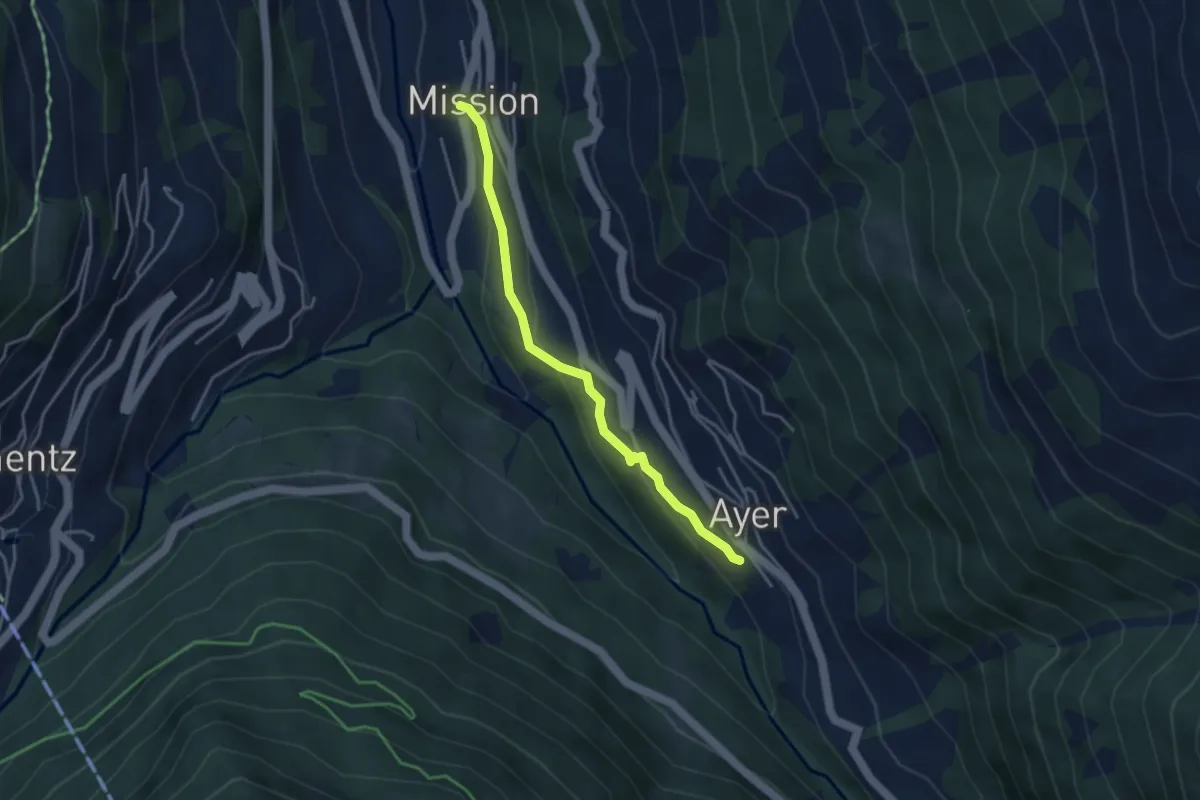
Easy · Trail
Ayer – Mission
3.6 km · ↑ 156 m · 1 h 11 min
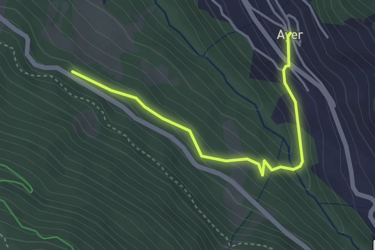
Easy · Trail
Ayer – Les Morasses
3.4 km · ↑ 229 m · 1 h 17 min
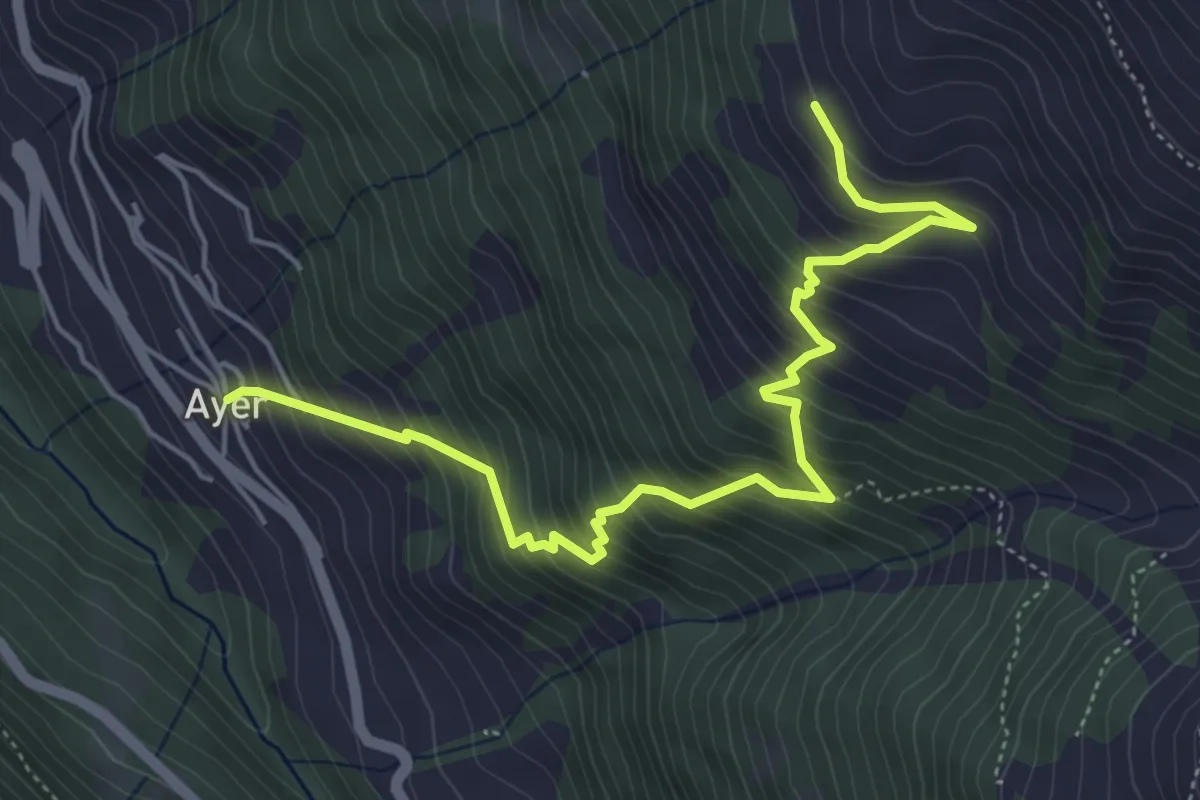
Medium · Trail
Ayer – Le Chiesso
5.8 km · ↑ 739 m · 2 h 58 min
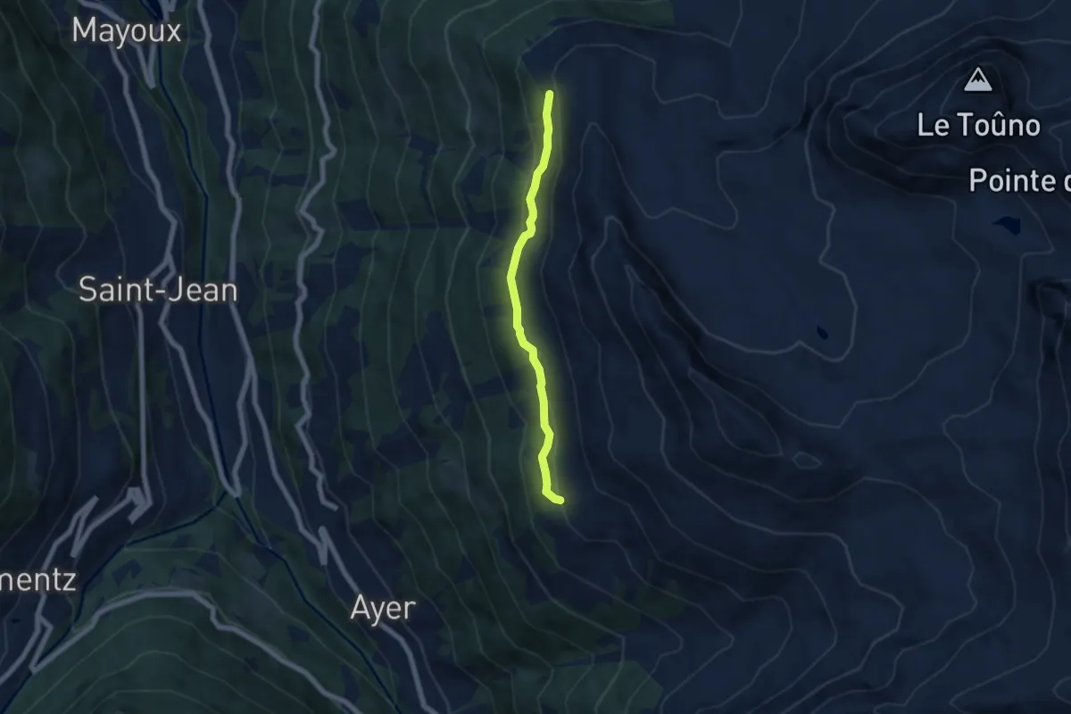
Easy · Trail
Le Chiesso – Hotel Weisshorn
5.3 km · ↑ 282 m · 1 h 52 min
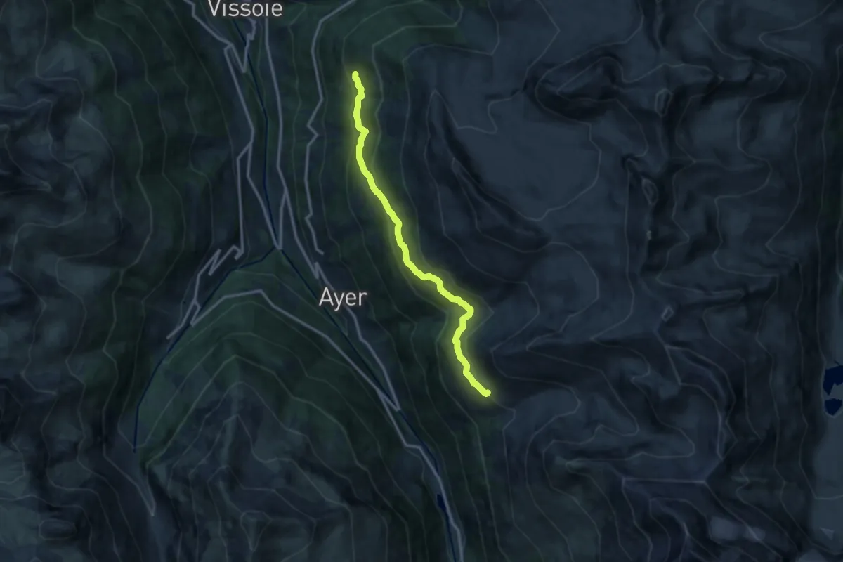
Medium · Trail
Berneuza Alpage – Gillou
11.3 km · ↑ 607 m · 3 h 59 min
Easy · Trail
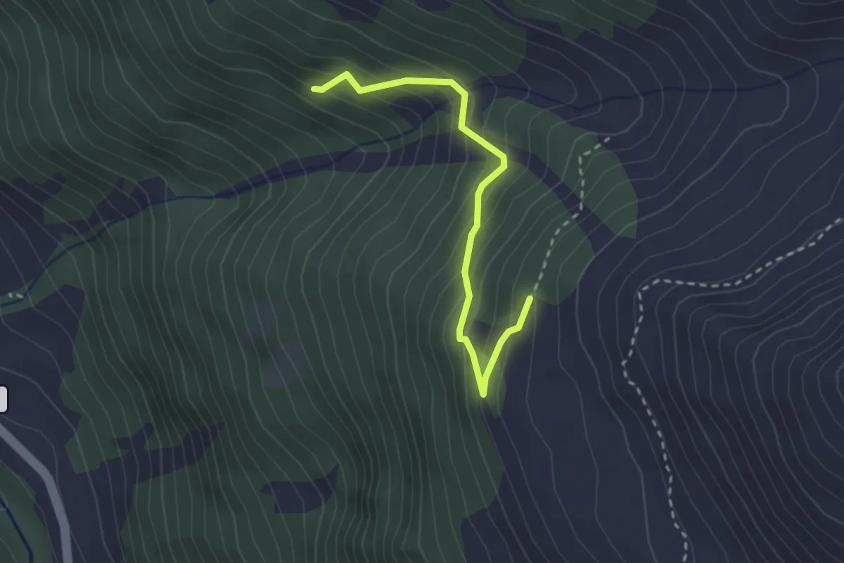
Le Chapec – Route de Navetta
2.6 km · ↑ 293 m · 1 h 15 min
Medium · Trail
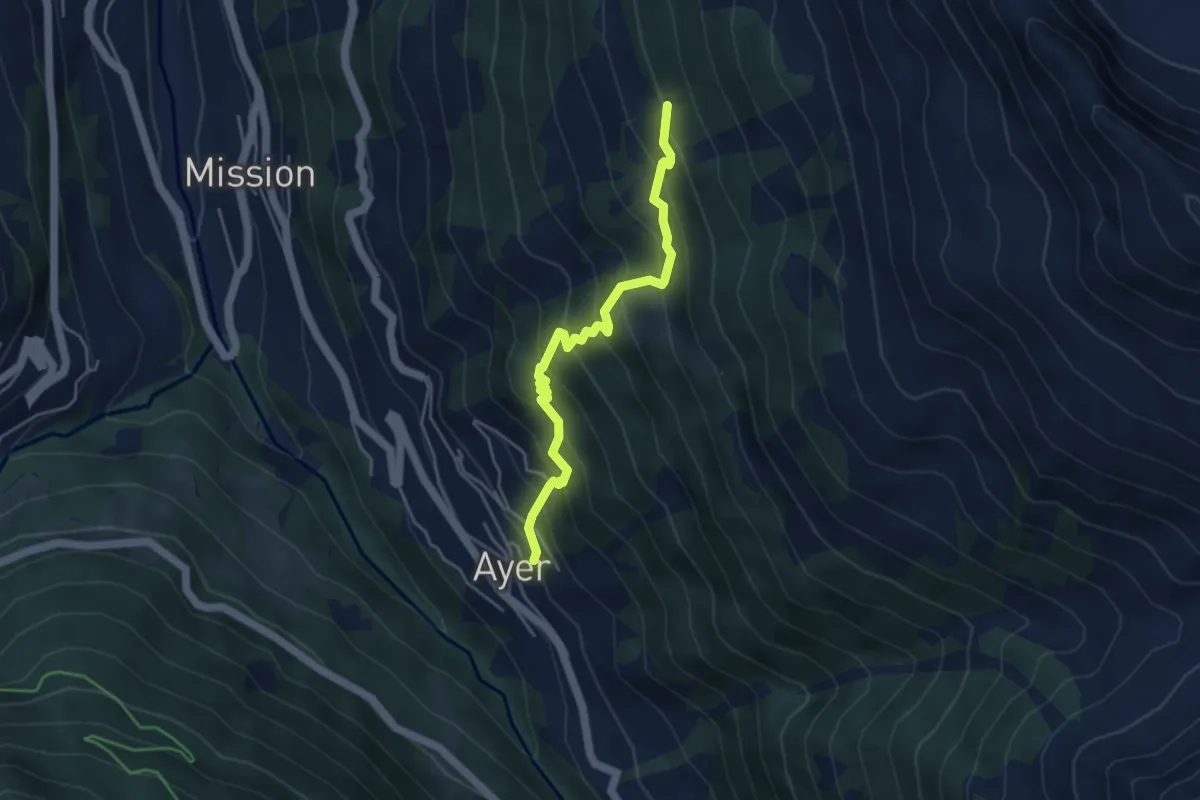
Ayer – Copaté
4.3 km · ↑ 495 m · 2 h 5 min
Medium · Trail
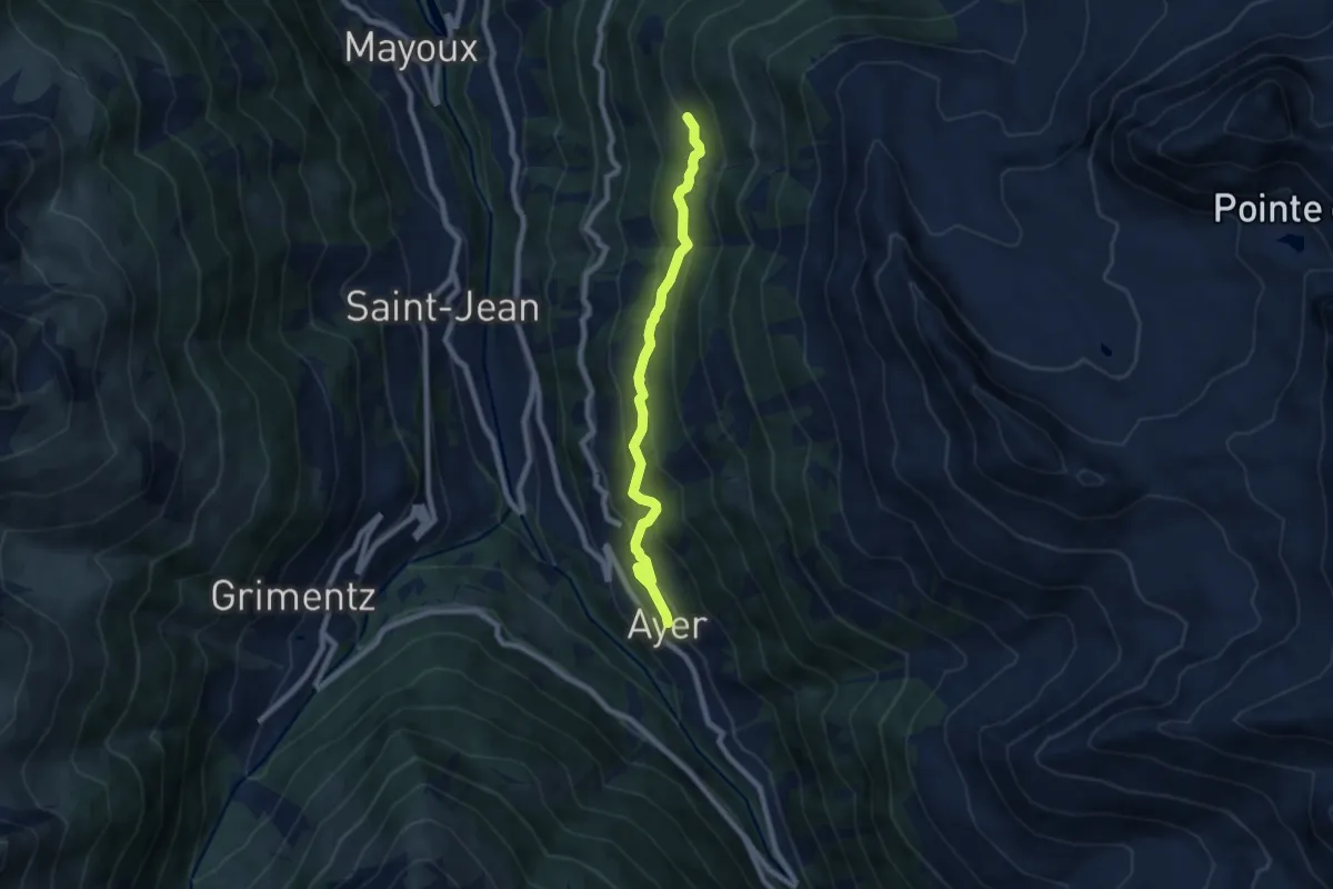
Ayer – Gillou
7.4 km · ↑ 512 m · 2 h 52 min
Medium · Trail
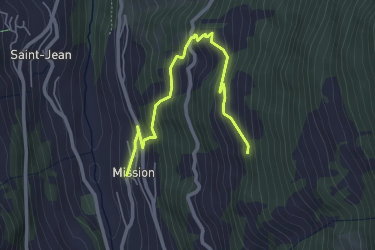
Mission – Les Replans
4.6 km · ↑ 380 m · 1 h 54 min
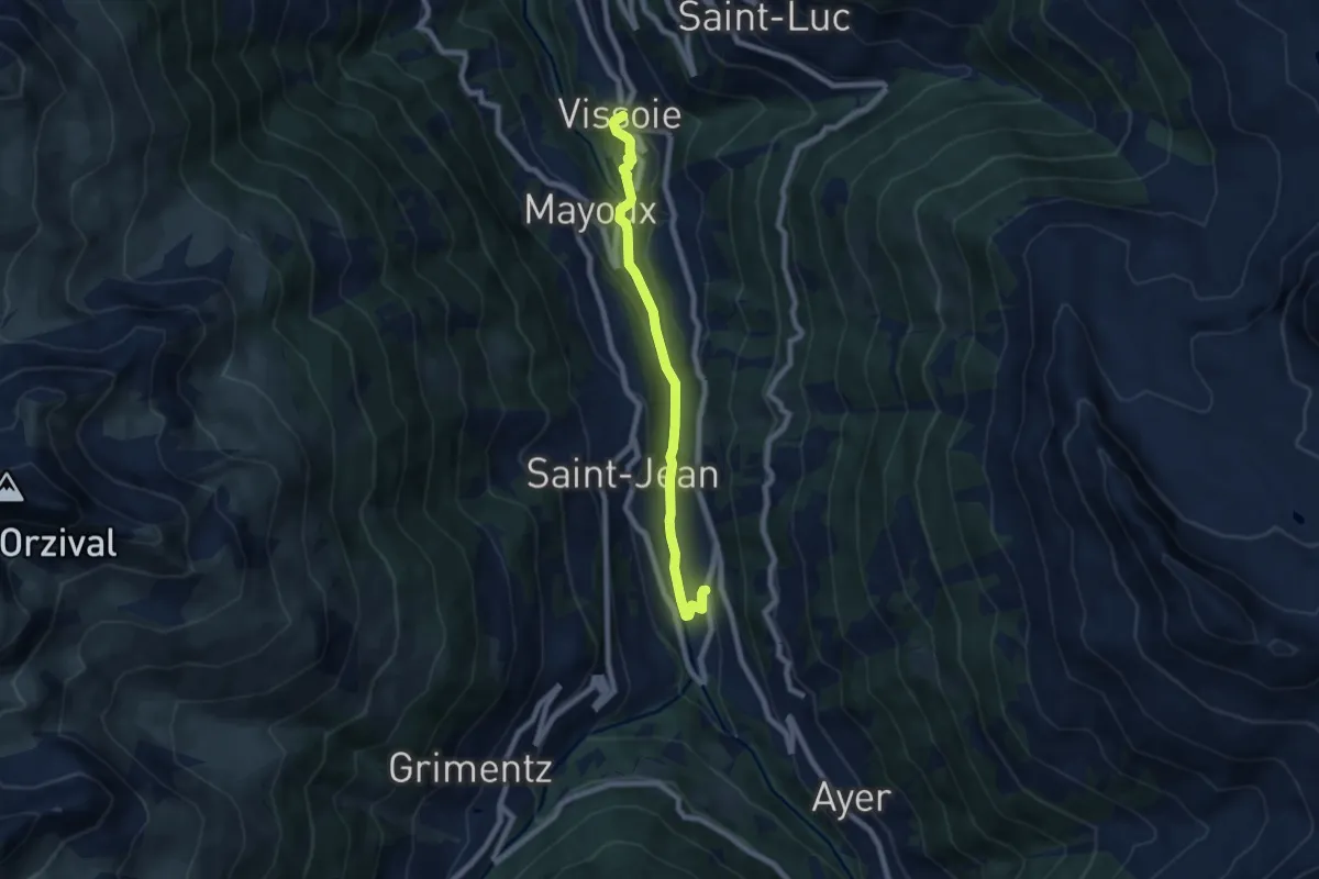
Easy · Trail
Mission – Vissoie
7.0 km · ↑ 247 m · 2 h 12 min
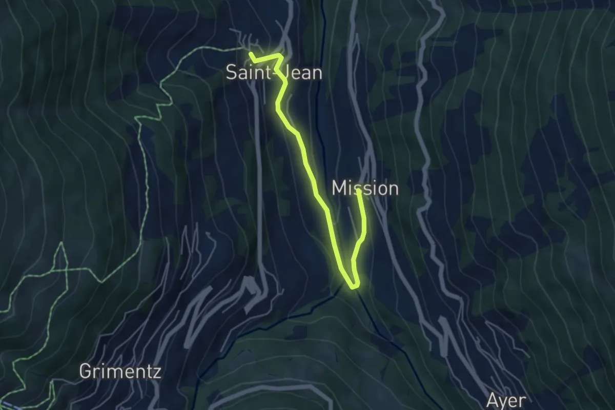
Easy · Trail
Mission – St. Jean
4.6 km · ↑ 189 m · 1 h 30 min
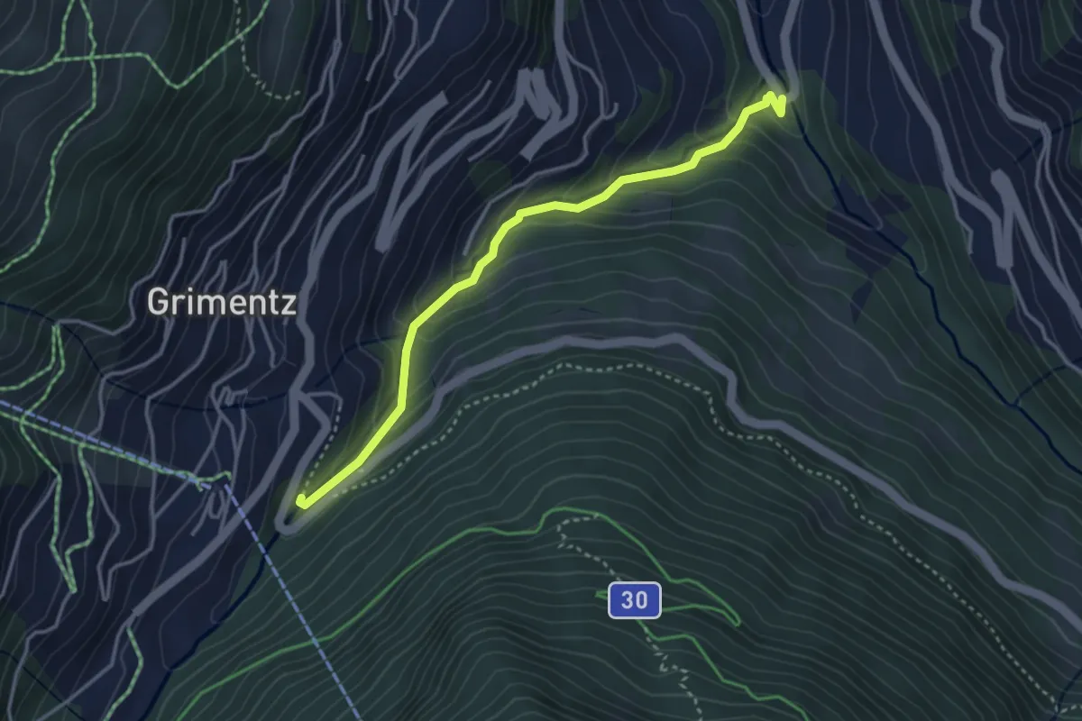
Easy · Trail
Mission – Grimentz
3.6 km · ↑ 266 m · 1 h 25 min
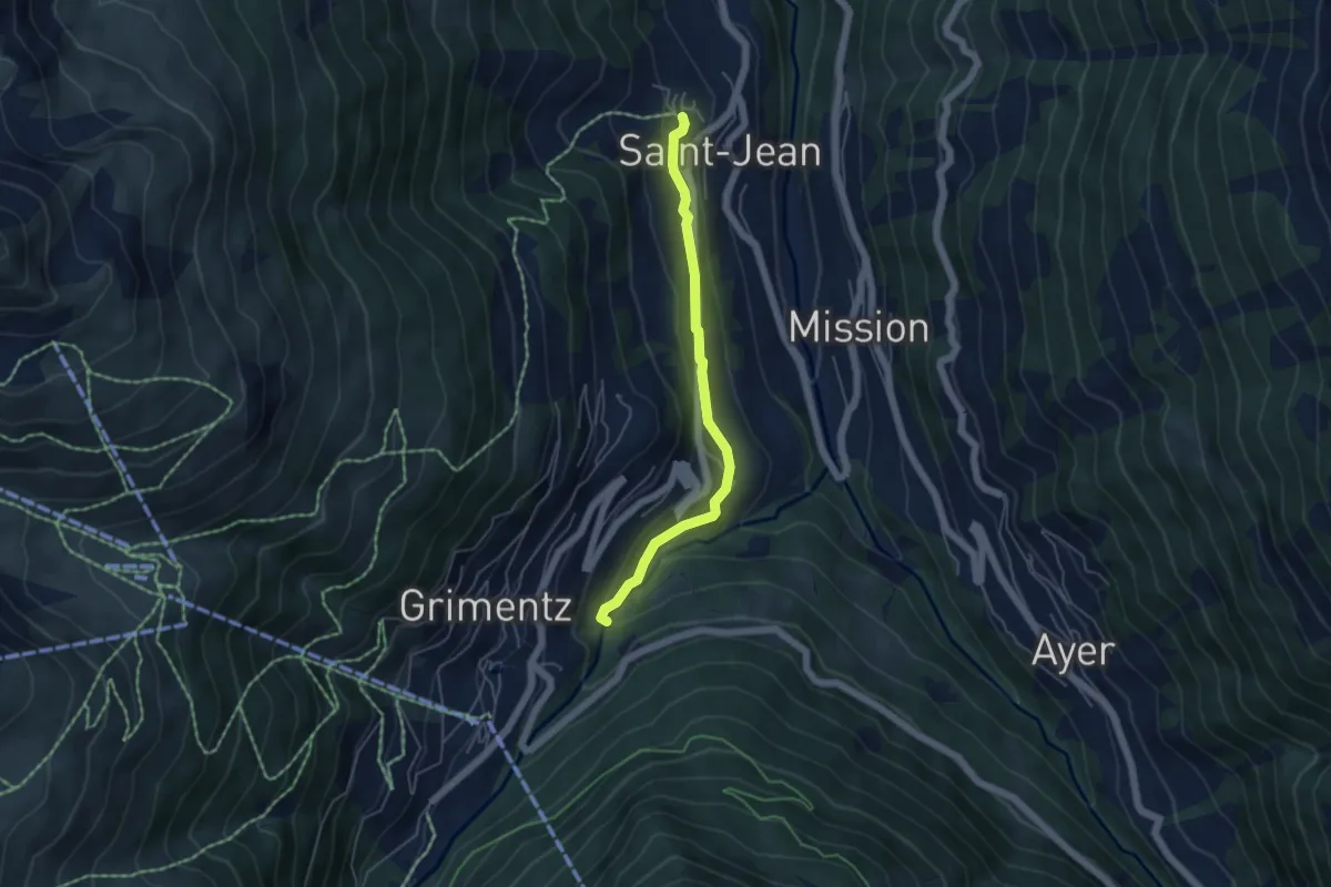
Easy · Trail
Morasse – St. Jean
4.6 km · ↑ 146 m · 1 h 24 min
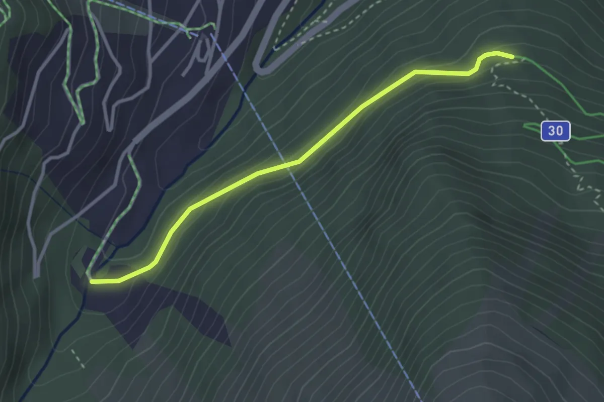
Medium · Trail
La Gougra – La Cherna
2.9 km · ↑ 140 m · 1 h
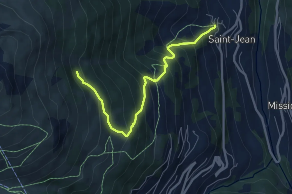
Medium · Trail
Avoin – St. Jean
5.7 km · ↑ 657 m · 2 h 46 min
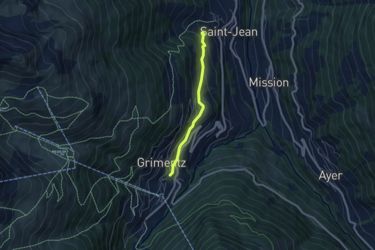
Easy · Trail
Grimentz – St. Jean
4.2 km · ↑ 191 m · 1 h 25 min
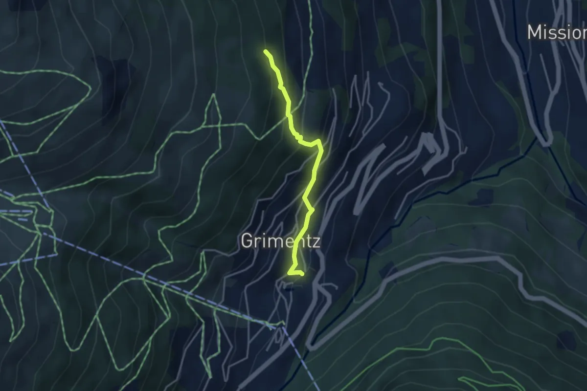
Easy · Trail
Grimentz – Avoin
2.9 km · ↑ 287 m · 1 h 19 min
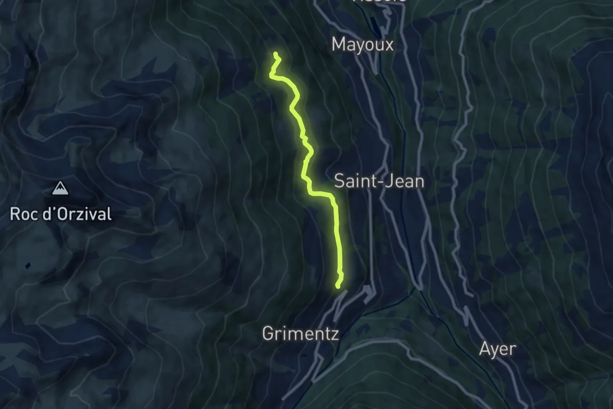
Easy · Trail
Grimentz – Les Bouesses
6.6 km · ↑ 295 m · 2 h 12 min
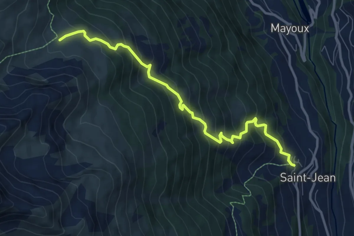
Expert · Trail
St. Jean – Orzival
8.0 km · ↑ 806 m · 3 h 39 min
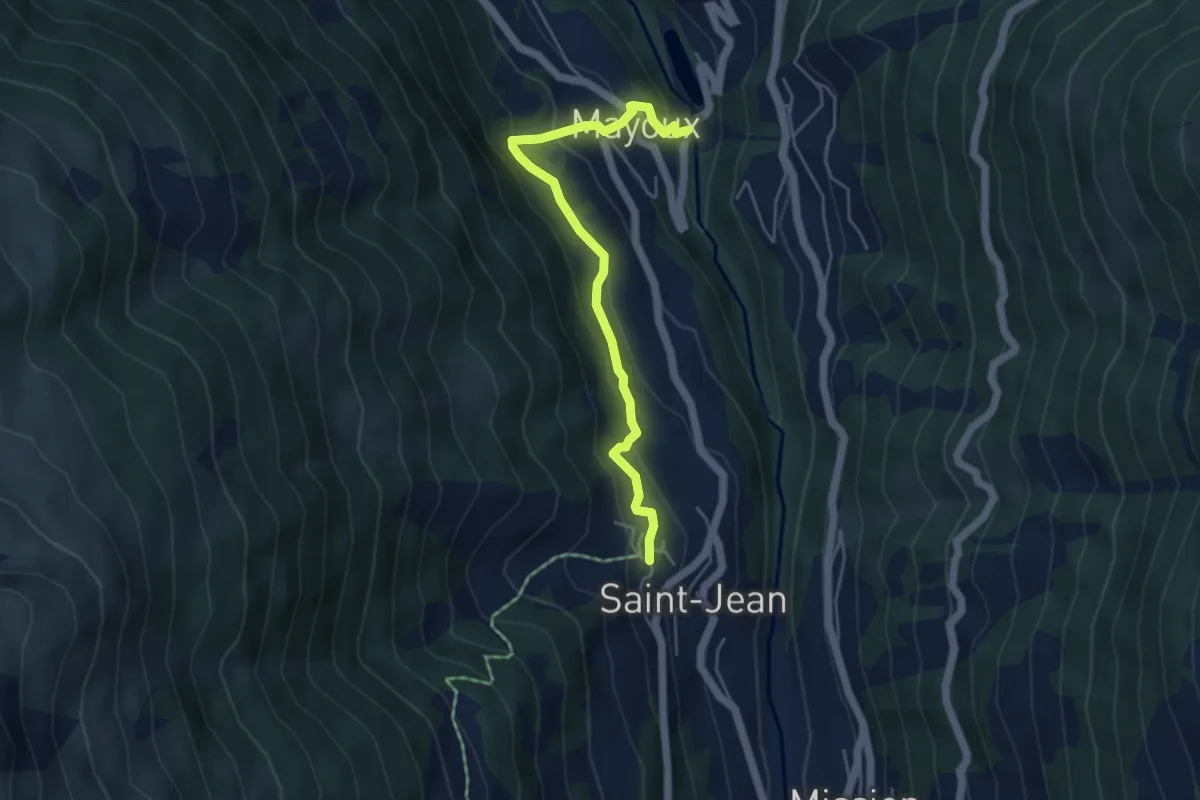
Expert · Trail
St. Jean – Mayoux
4.8 km · ↑ 306 m · 1 h 48 min
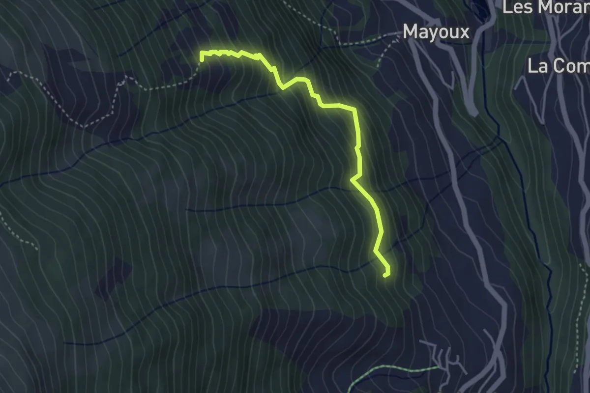
Medium · Trail
Mayoux – Les Bouesses
3.4 km · ↑ 455 m · 1 h 47 min
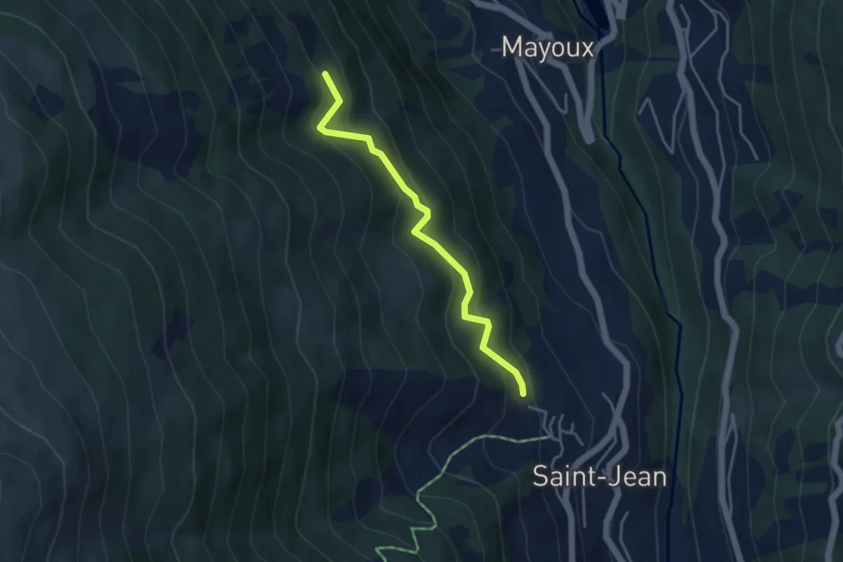
Medium · Trail
Les Bouesses – St. Jean
3.4 km · ↑ 357 m · 1 h 34 min
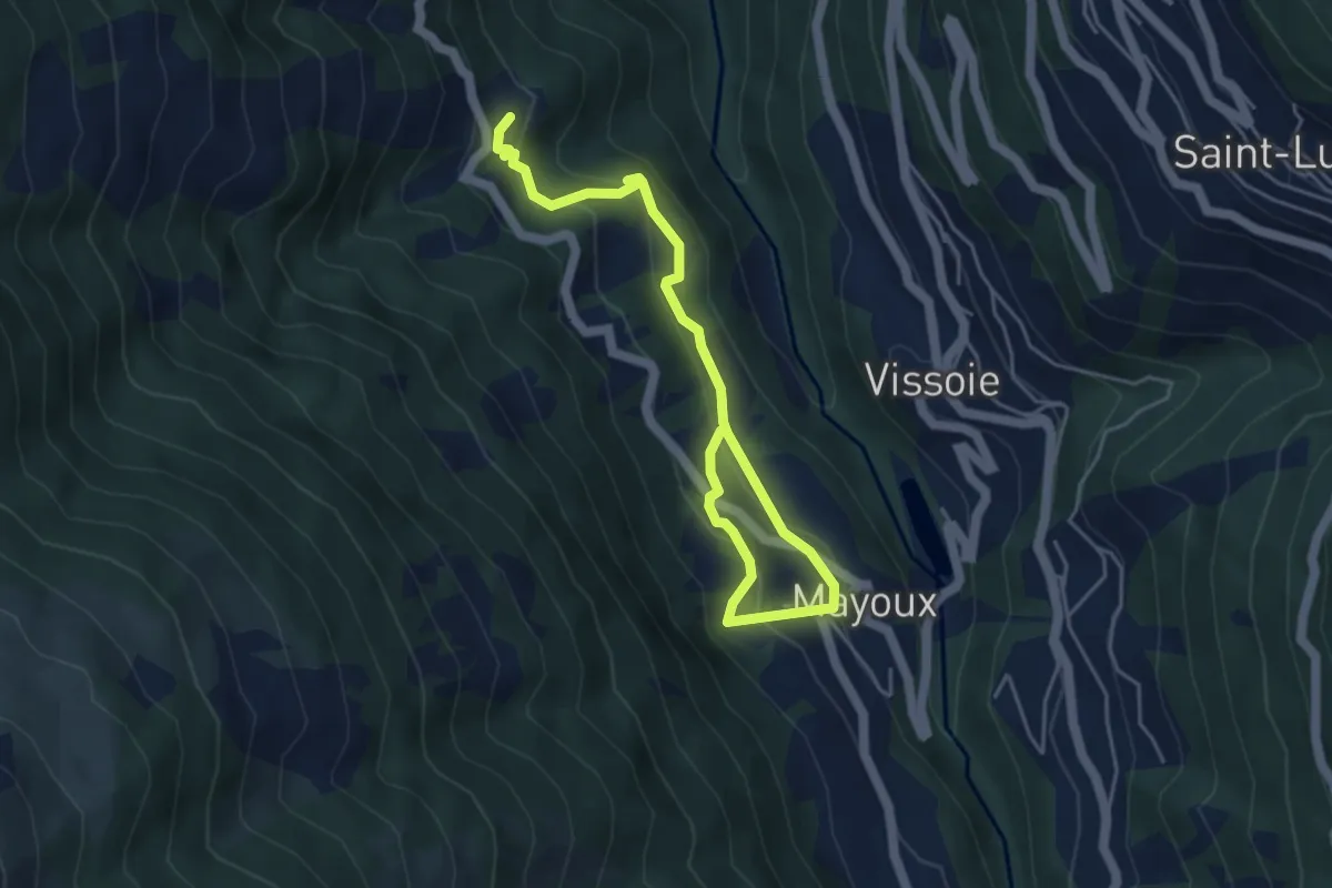
Medium · Trail
Pinsec – Mayoux
5.6 km · ↑ 365 m · 2 h 6 min
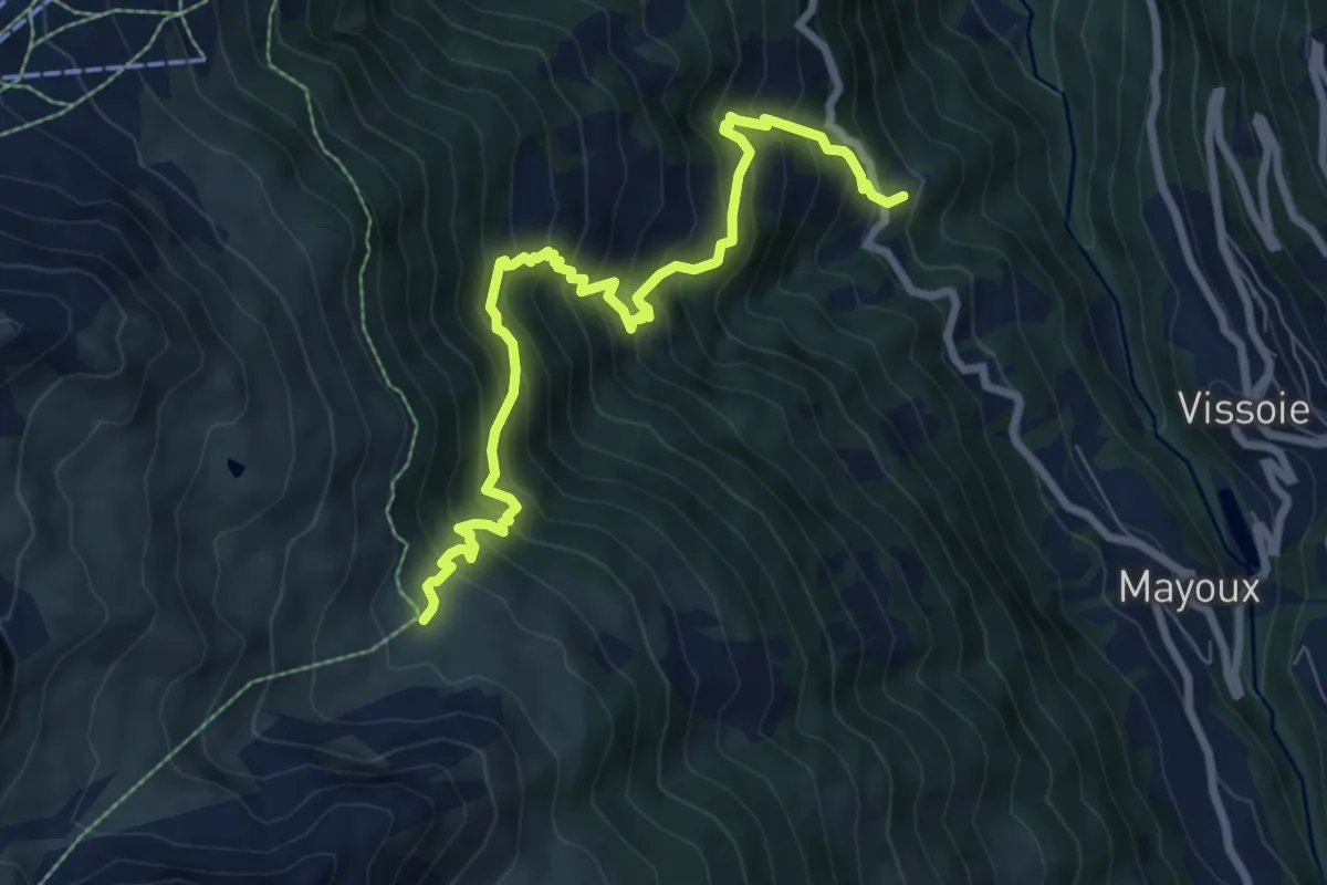
Demanding · Trail
Pinsec – Orzival
8.3 km · ↑ 964 m · 4 h 3 min
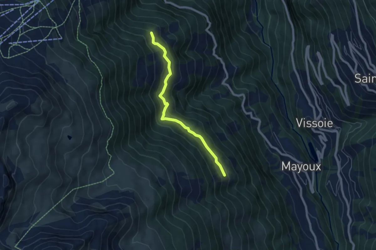
Easy · Trail
Les Bouesses – Les Lessettes
5.1 km · ↑ 308 m · 1 h 52 min
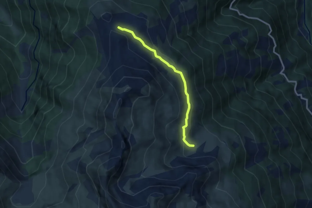
Easy · Trail
Orzival – Le Crêt du Midi
5.9 km · ↑ 253 m · 1 h 57 min
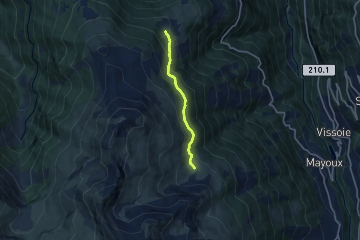
Easy · Trail
Orzival – Tracui d'en Bas
5.7 km · ↑ 284 m · 1 h 58 min
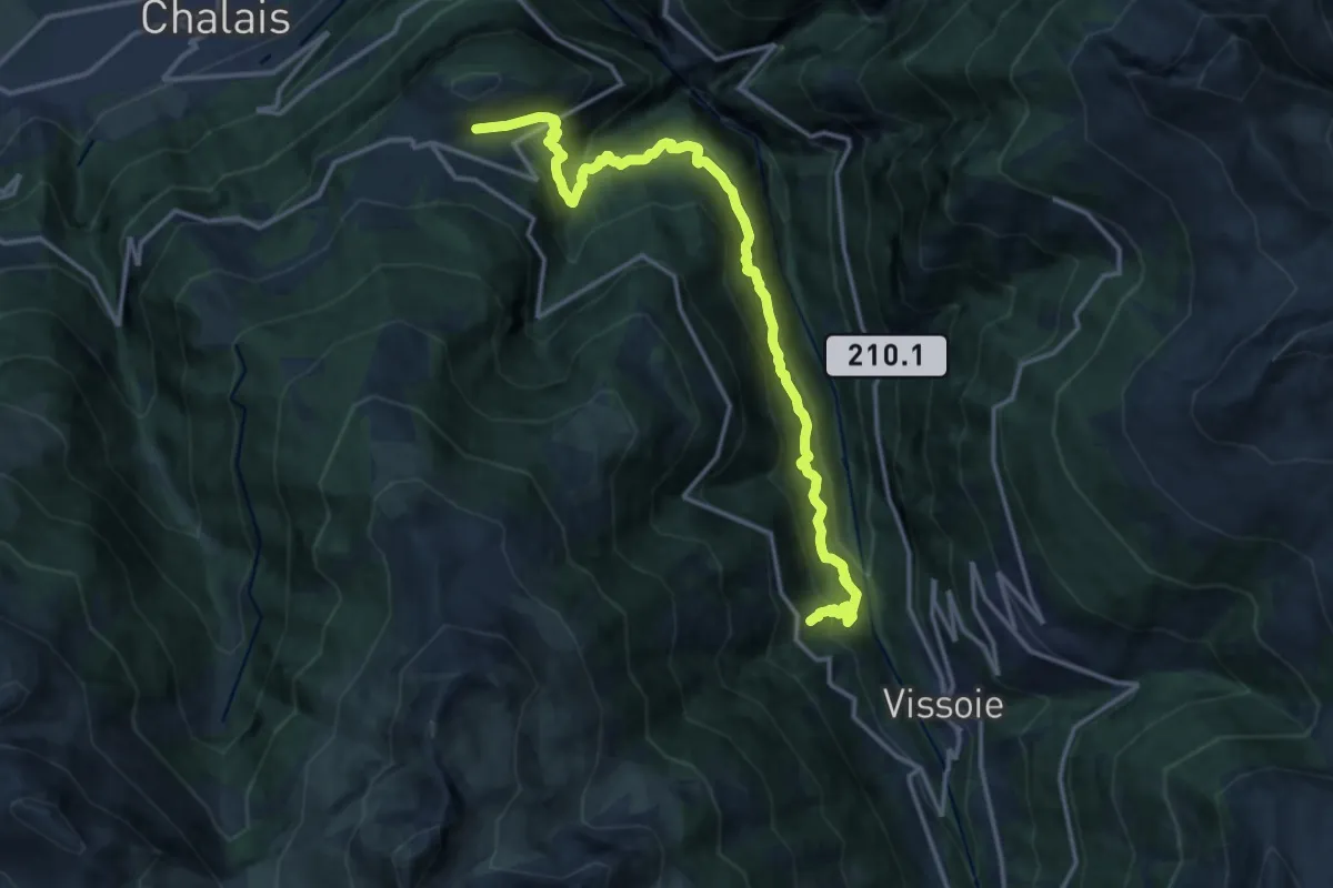
Demanding · Trail
Pinsec – Vercorin
16.4 km · ↑ 1505 m · 7 h 8 min
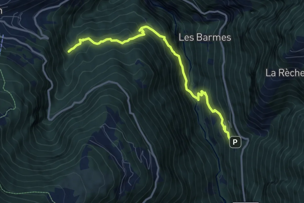
Medium · Trail
Fang – Vallon de Crouje
8.5 km · ↑ 742 m · 3 h 36 min
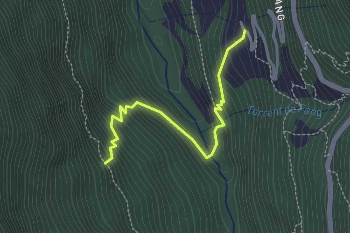
Easy · Trail
Fang – La Rocha
2.4 km · ↑ 264 m · 1 h 8 min
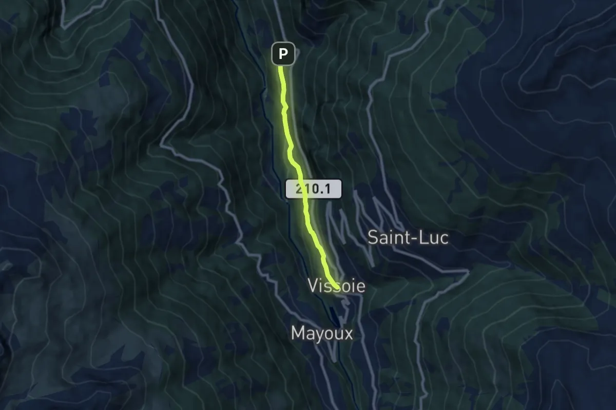
Medium · Trail
Fang – Vissoie
6.1 km · ↑ 353 m · 2 h 12 min
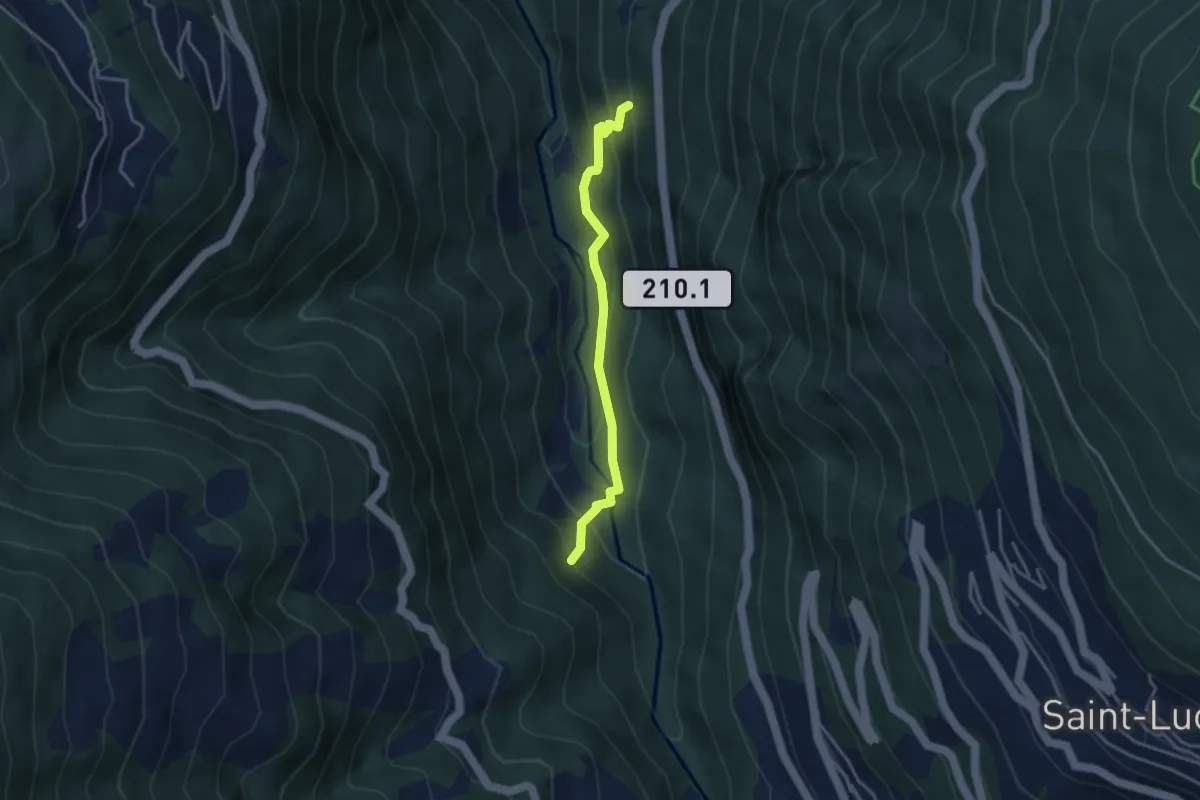
Easy · Trail
Bisse de Sarasins – Les Crettes
3.3 km · ↑ 284 m · 1 h 23 min
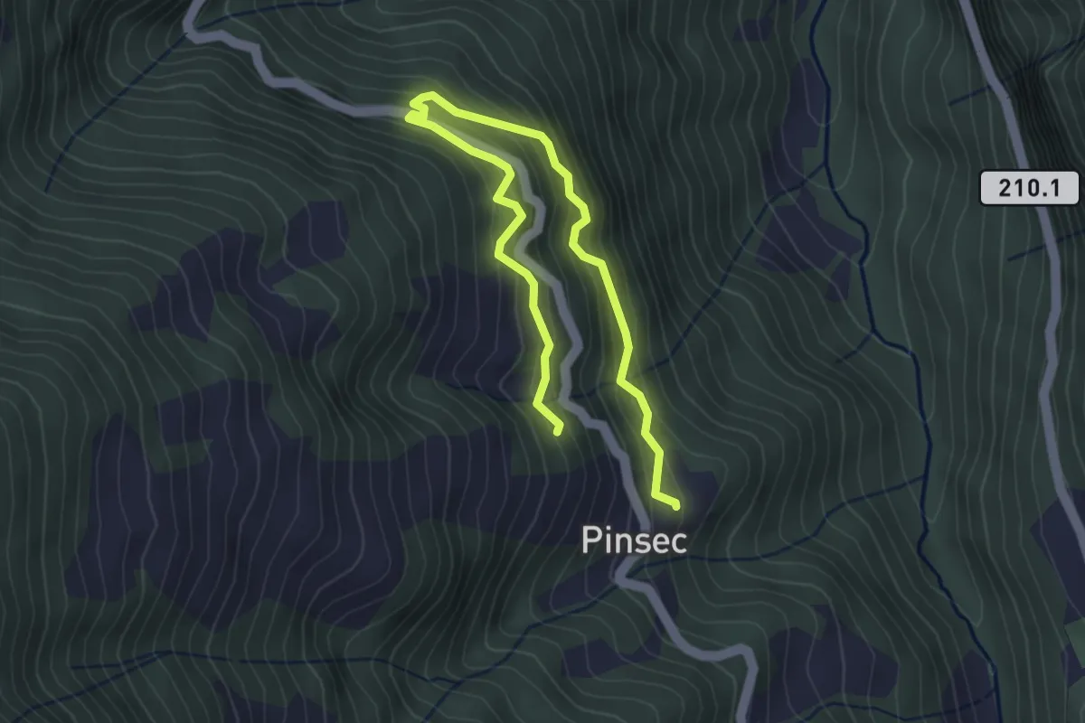
Medium · Trail
Pinsec – Le Melly
4.5 km · ↑ 422 m · 1 h 58 min
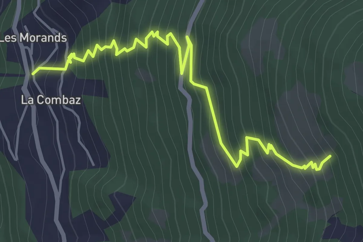
Medium · Trail
La Comba – Gillou
5.3 km · ↑ 590 m · 2 h 32 min
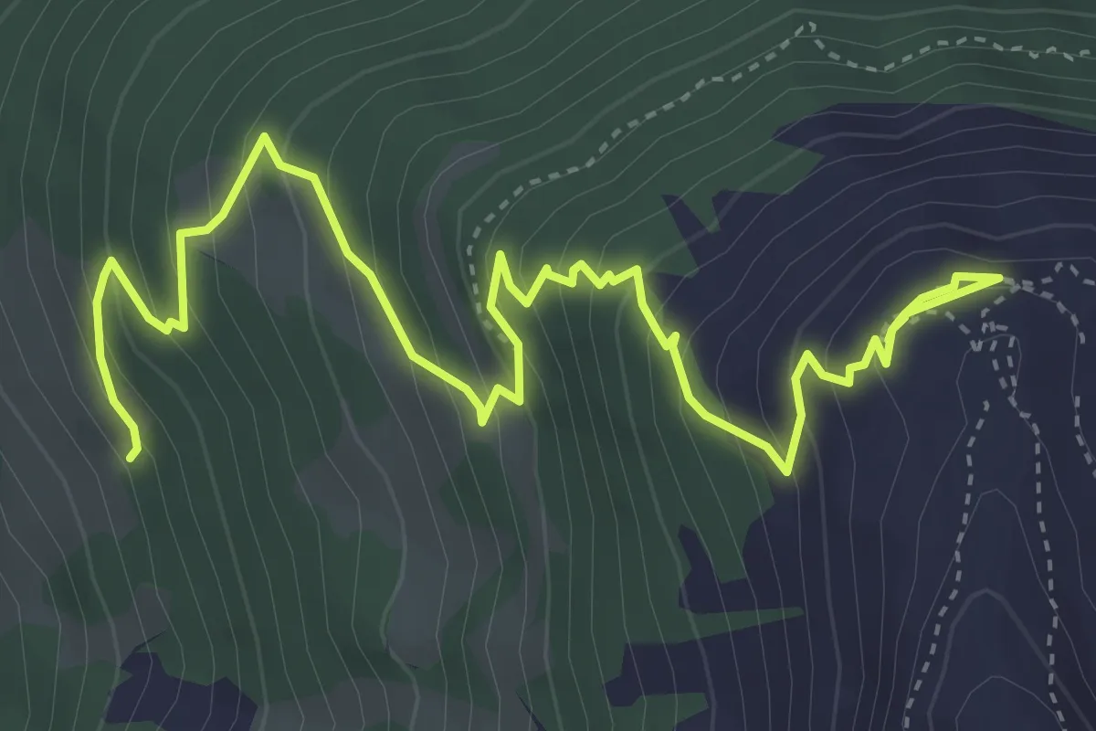
Medium · Trail
Gillou – Hotel Weisshorn
5.7 km · ↑ 521 m · 2 h 28 min
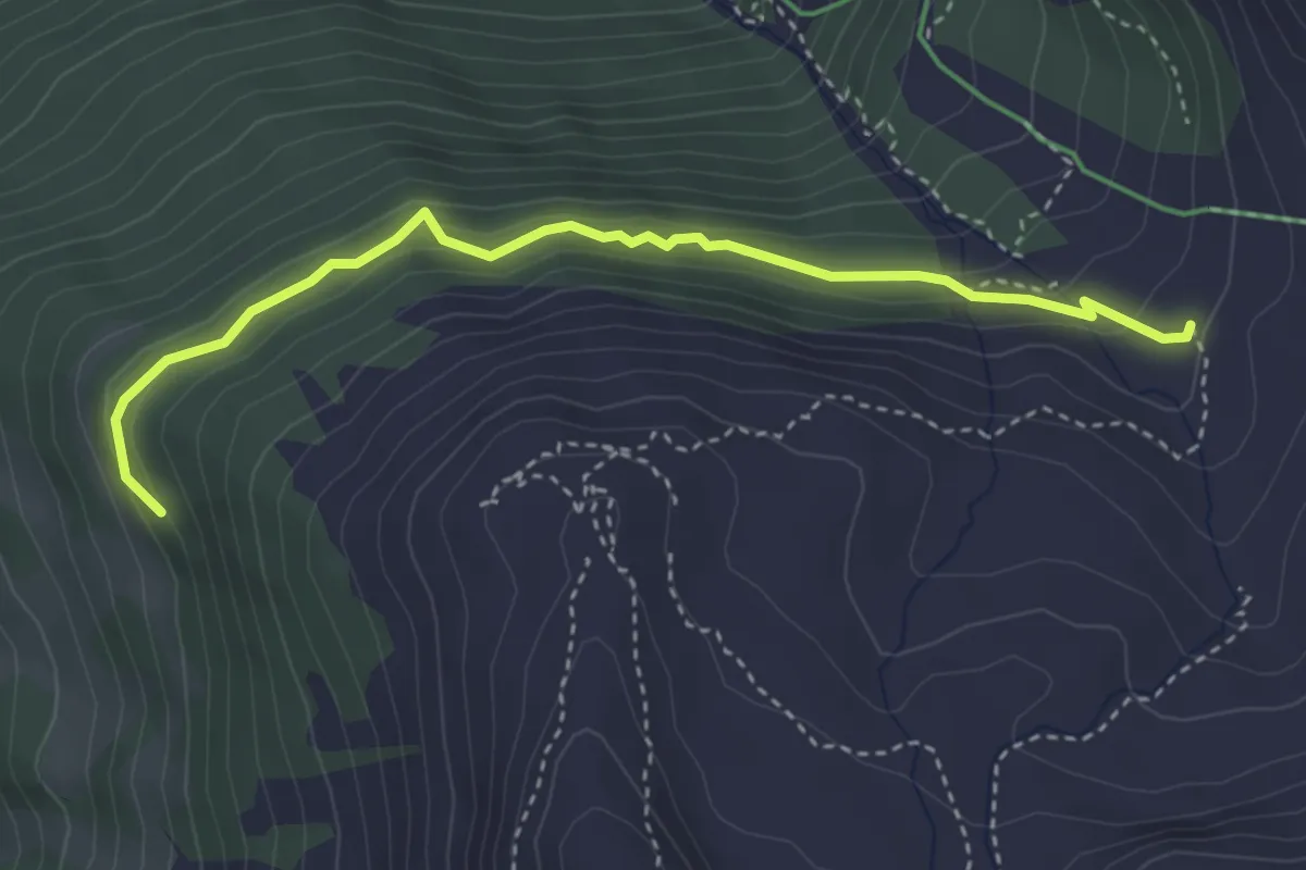
Demanding · Trail
Route de Gillou – Toûno Le Chiesso
3.8 km · ↑ 253 m · 1 h 26 min
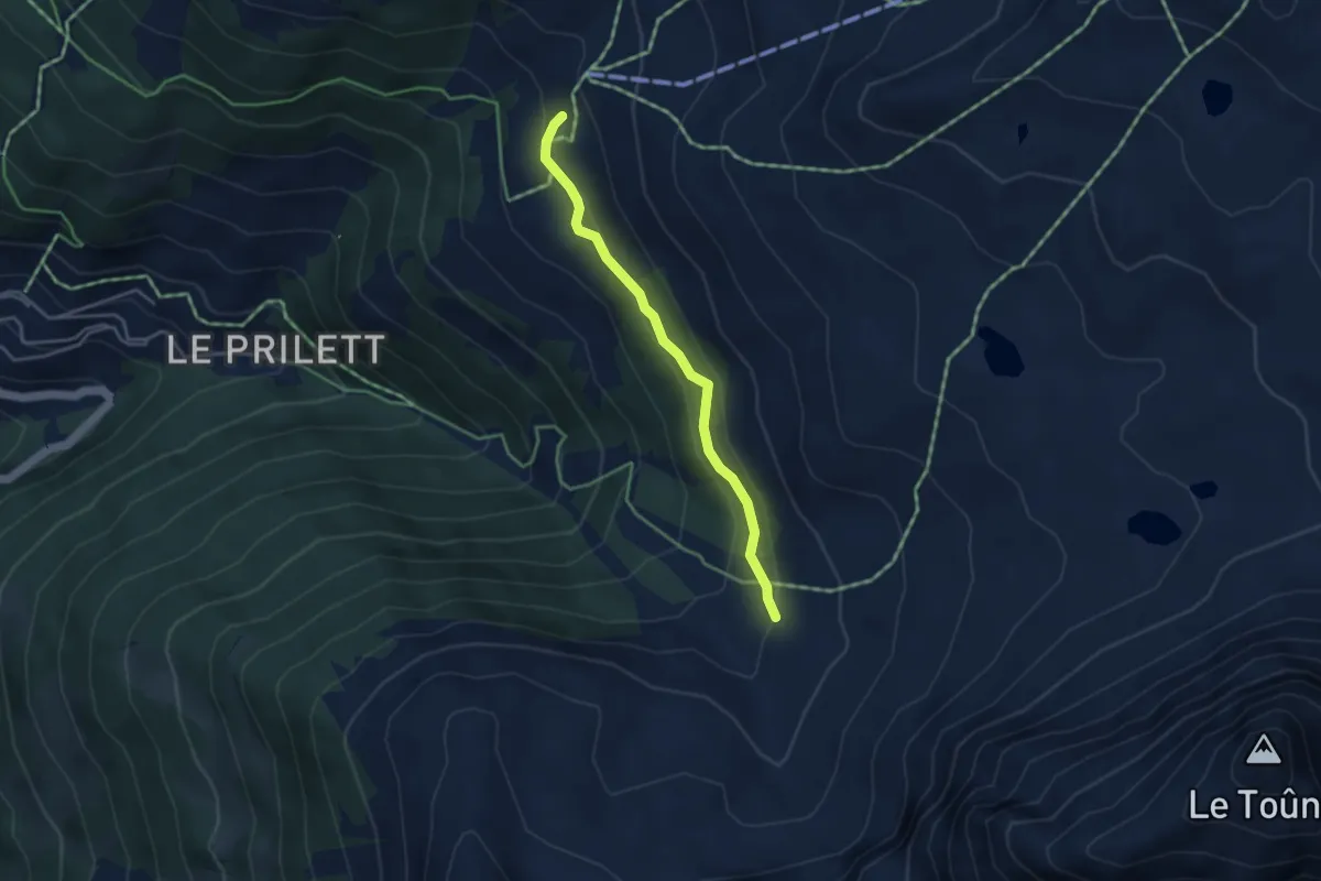
Easy · Trail
Toûno Le Chiesso – Chalet Blanc
3.5 km · ↑ 155 m · 1 h 10 min
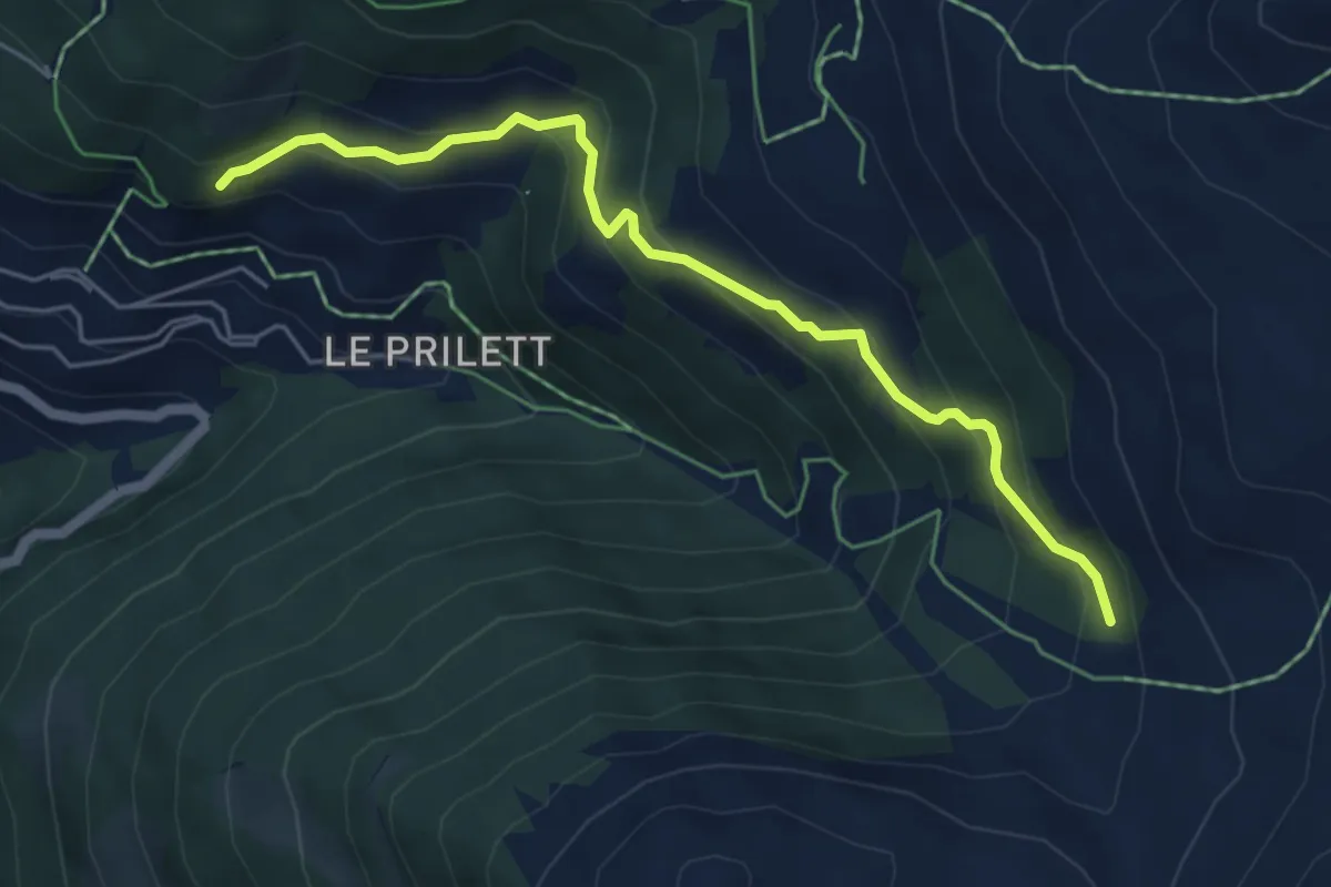
Medium · Trail
St. Luc – Toûno Le Chiesso
5.2 km · ↑ 374 m · 2 h 3 min
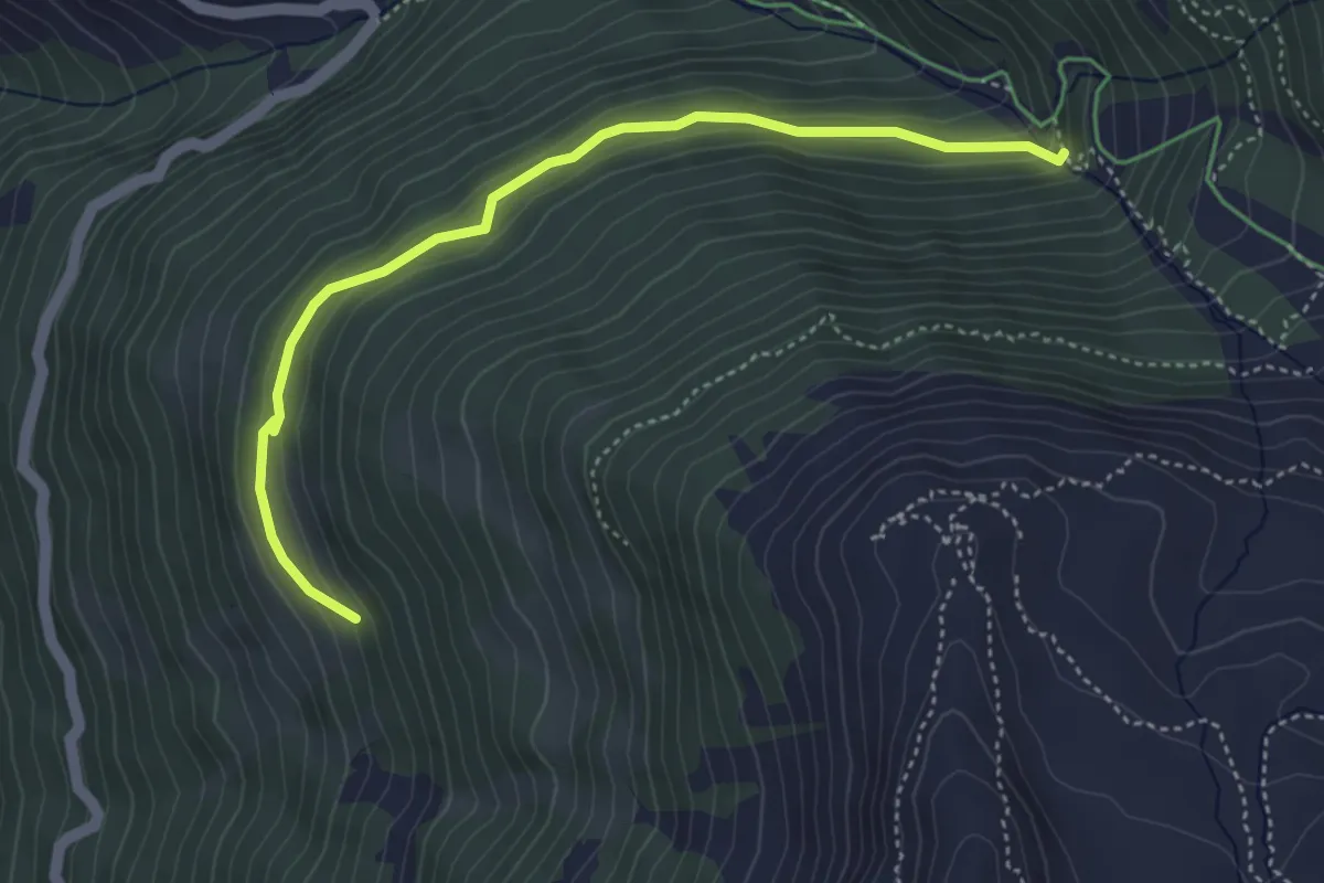
Easy · Trail
Vuibiesse – Gillou
4.4 km · ↑ 299 m · 1 h 42 min
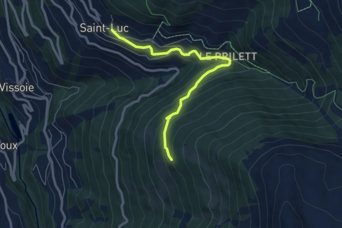
Easy · Trail
St. Luc – Gillou
5.5 km · ↑ 311 m · 1 h 58 min
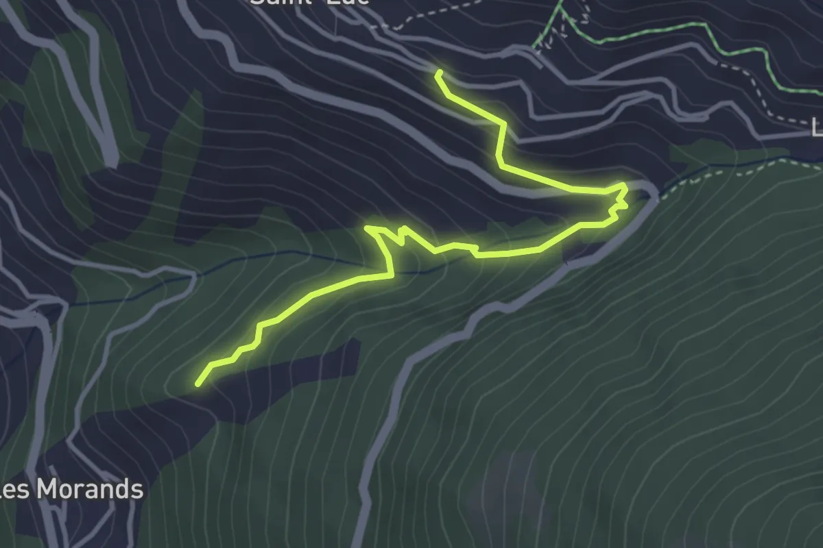
Easy · Trail
St. Luc – Forêt des Invers
3.8 km · ↑ 301 m · 1 h 33 min