Trails in Switzerland
15,055 hiking trails, each with its route, climb, walking time and grade.
All trails, page 172 of 314
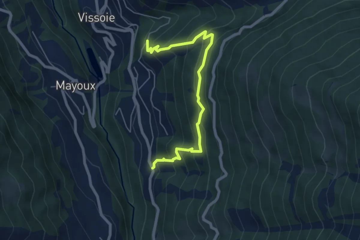
Medium · Trail
Cuimey – Route des Rotsecs
5.1 km · ↑ 522 m · 2 h 20 min
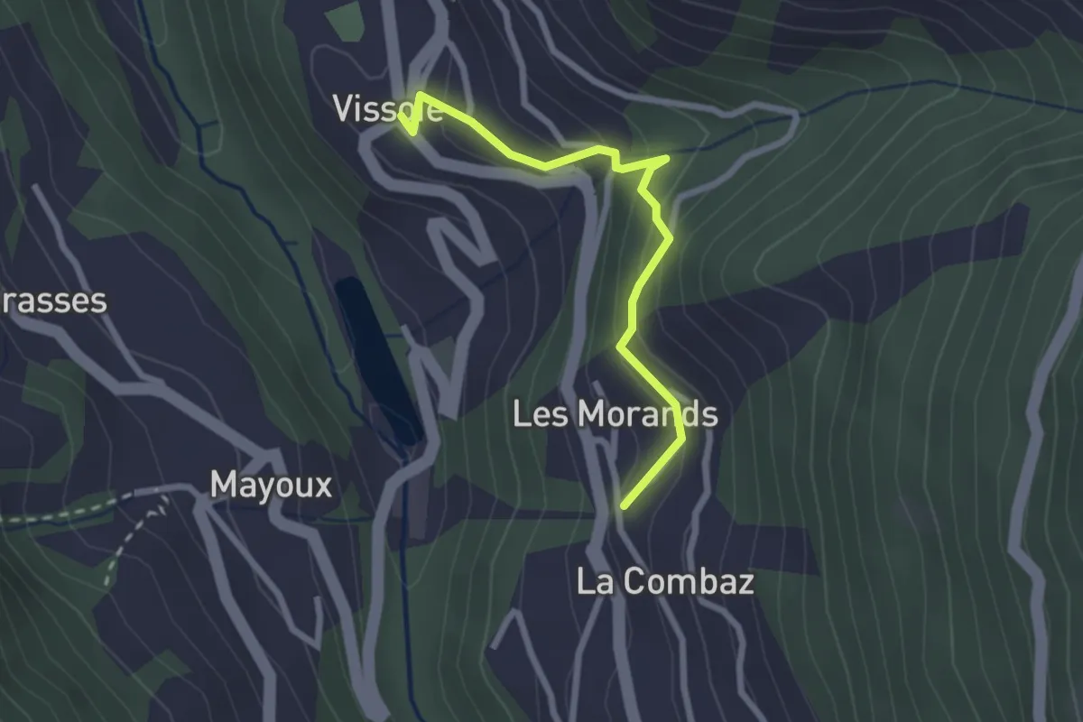
Easy · Trail
La Combaz – Vissoie
2.3 km · ↑ 156 m · 53 min
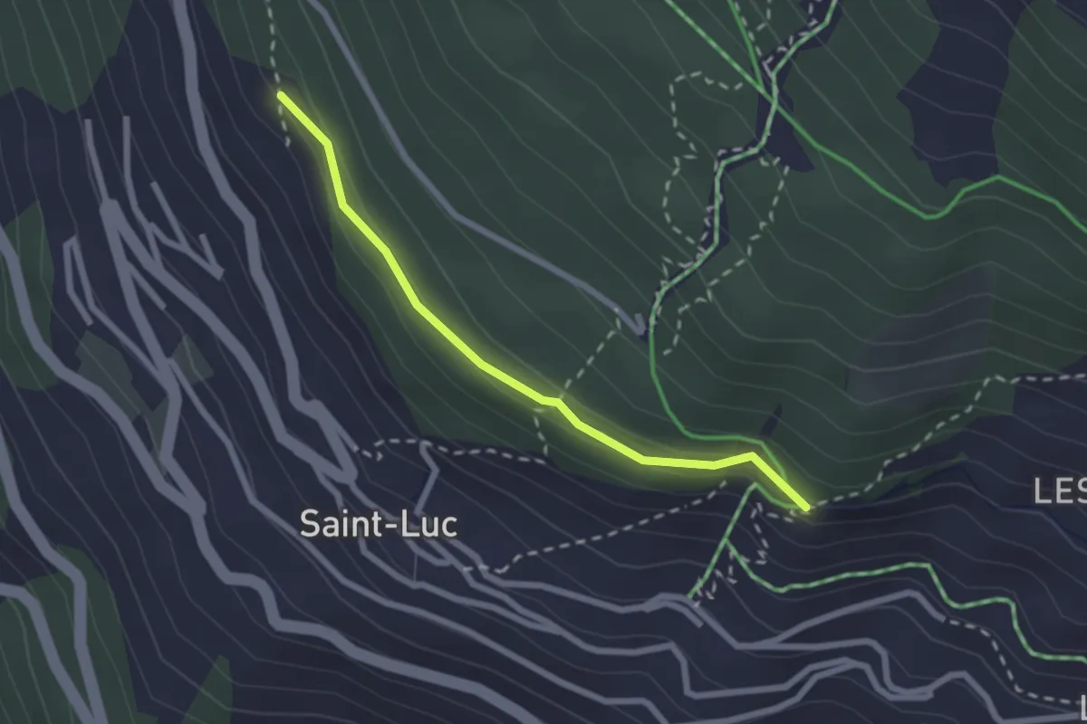
Easy · Trail
La Fortoûna – St. Luc
2.2 km · ↑ 109 m · 45 min
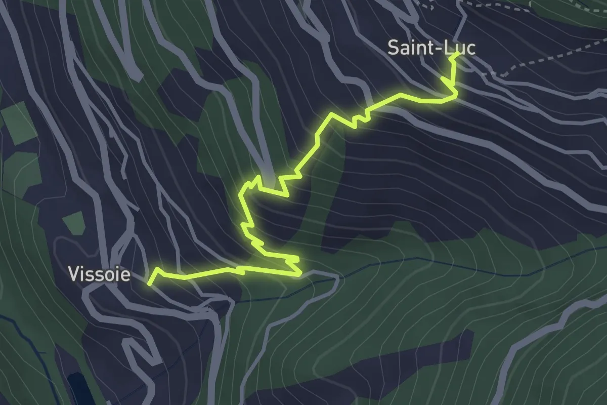
Medium · Trail
Vissoie – St. Luc
3.8 km · ↑ 433 m · 1 h 50 min
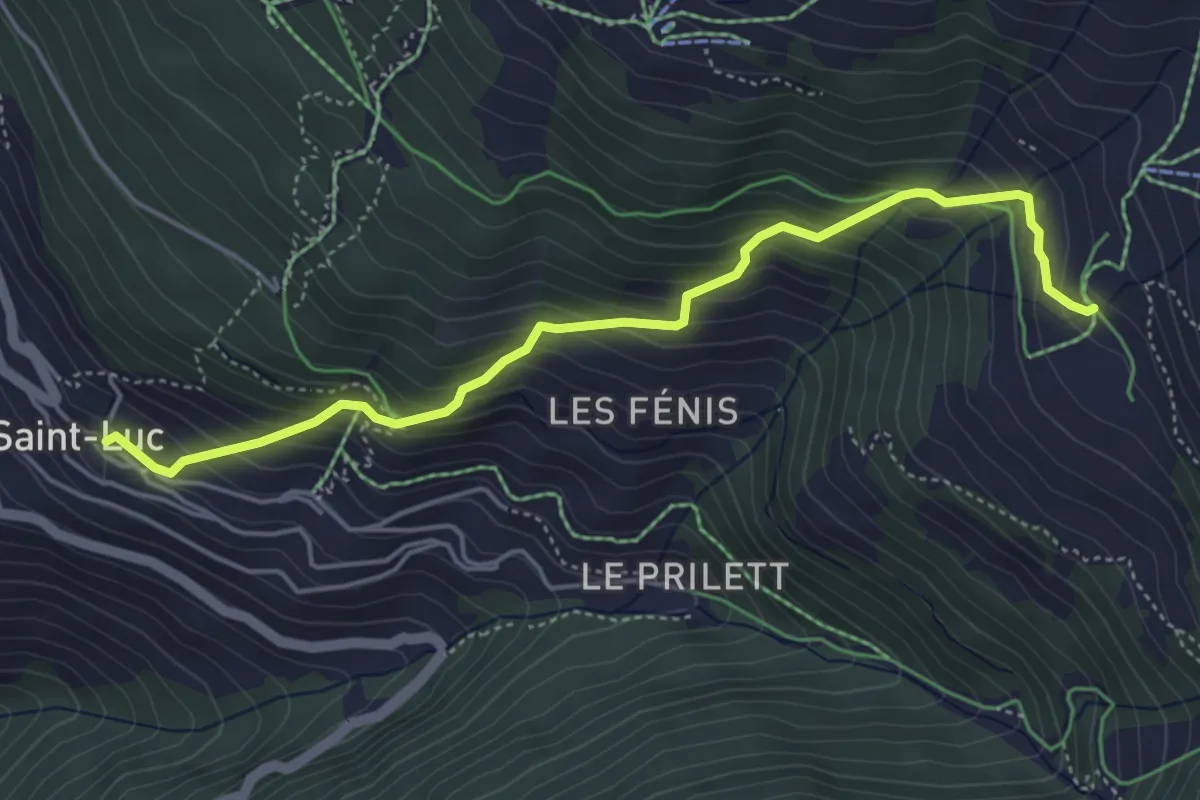
Medium · Trail
St. Luc – Chalet Blanc
4.9 km · ↑ 499 m · 2 h 14 min
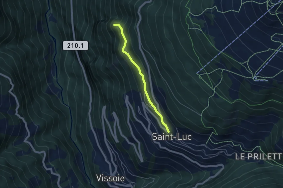
Easy · Trail
St. Luc – La Barma
3.6 km · ↑ 236 m · 1 h 22 min
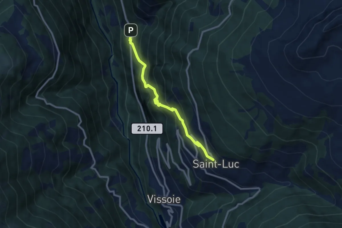
Medium · Trail
St. Luc – Fang
6.6 km · ↑ 705 m · 3 h 5 min
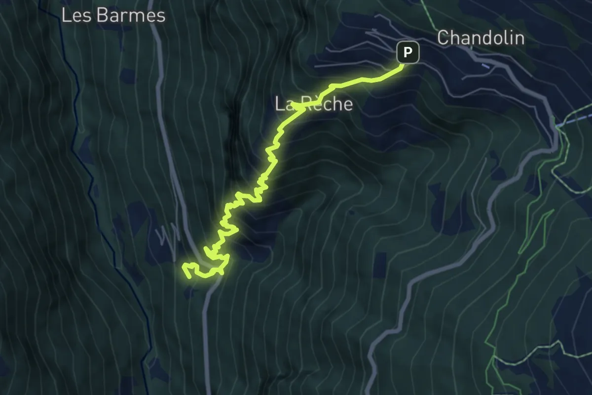
Demanding · Trail
Fang – Chandolin
6.8 km · ↑ 1002 m · 3 h 47 min
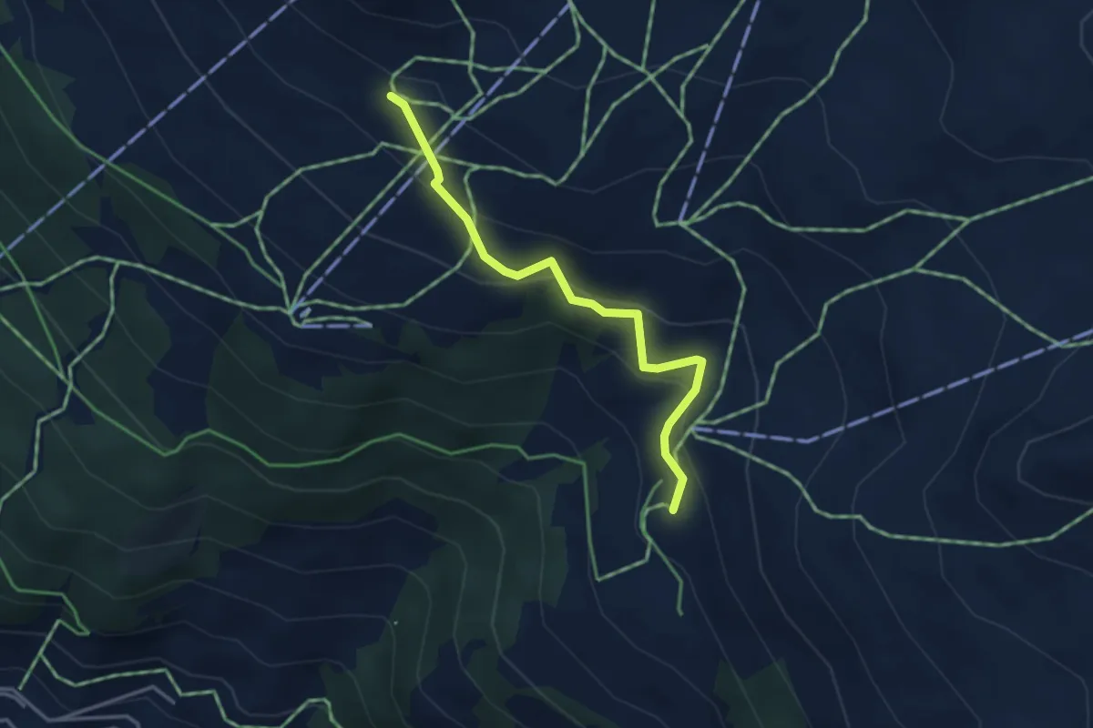
Easy · Cabin
Cabane Bella-Tola – Chalet Blanc
3.3 km · ↑ 265 m · 1 h 21 min
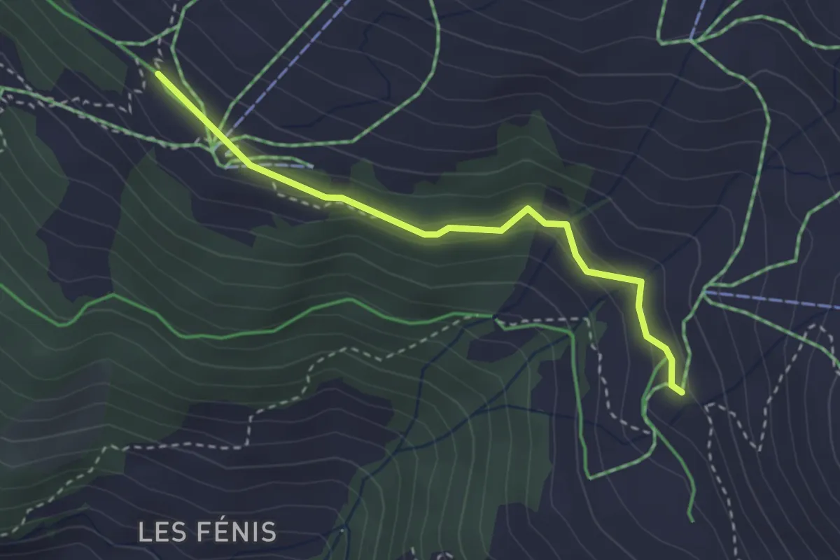
Easy · Trail
Tignousa – Chalet Blanc
2.9 km · ↑ 97 m · 53 min
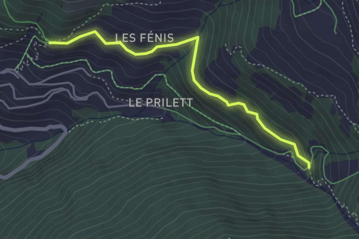
Easy · Trail
St. Luc – Vuibiesse
3.7 km · ↑ 314 m · 1 h 34 min
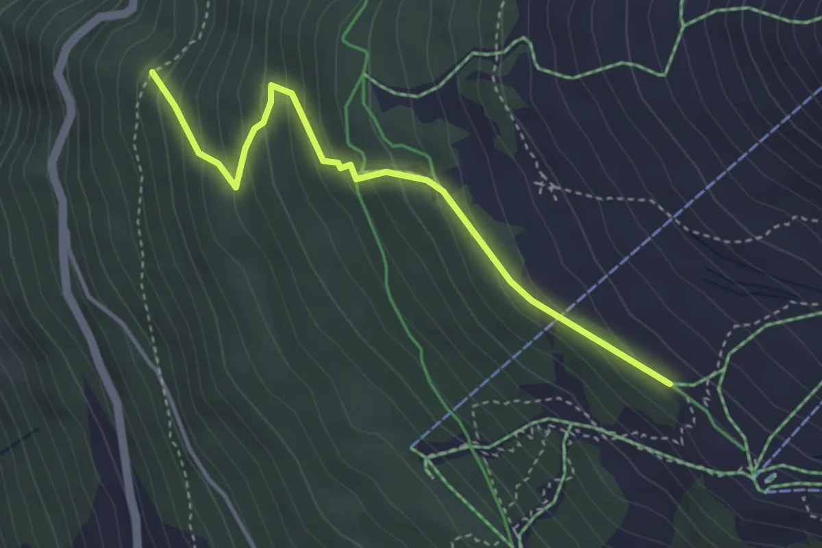
Easy · Trail
Tignousa – Forêt des Teppes
3.7 km · ↑ 292 m · 1 h 30 min
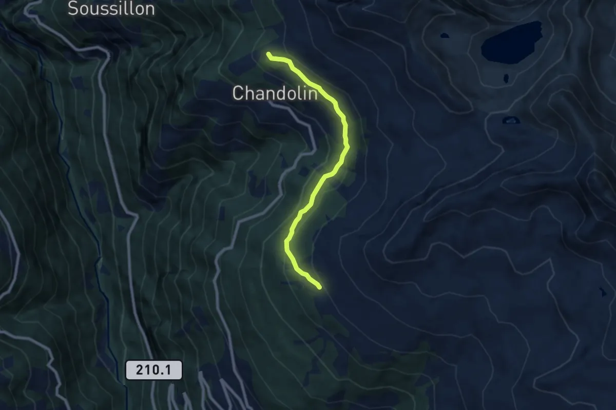
Medium · Cabin
Par di Modzes – Cabane Illhorn
6.7 km · ↑ 364 m · 2 h 22 min
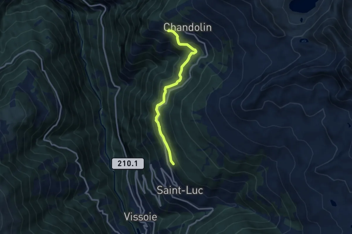
Medium · Trail
St. Luc – Chandolin
7.8 km · ↑ 390 m · 2 h 41 min
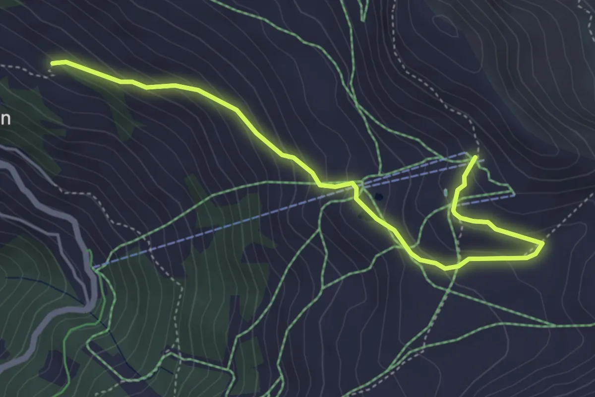
Medium · Trail
Tsapé – Cabane Illhorn
5.0 km · ↑ 311 m · 1 h 51 min
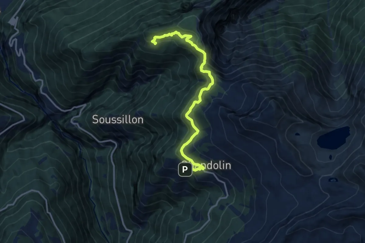
Medium · Trail
Chandolin – Ponchèt
10.6 km · ↑ 654 m · 3 h 55 min
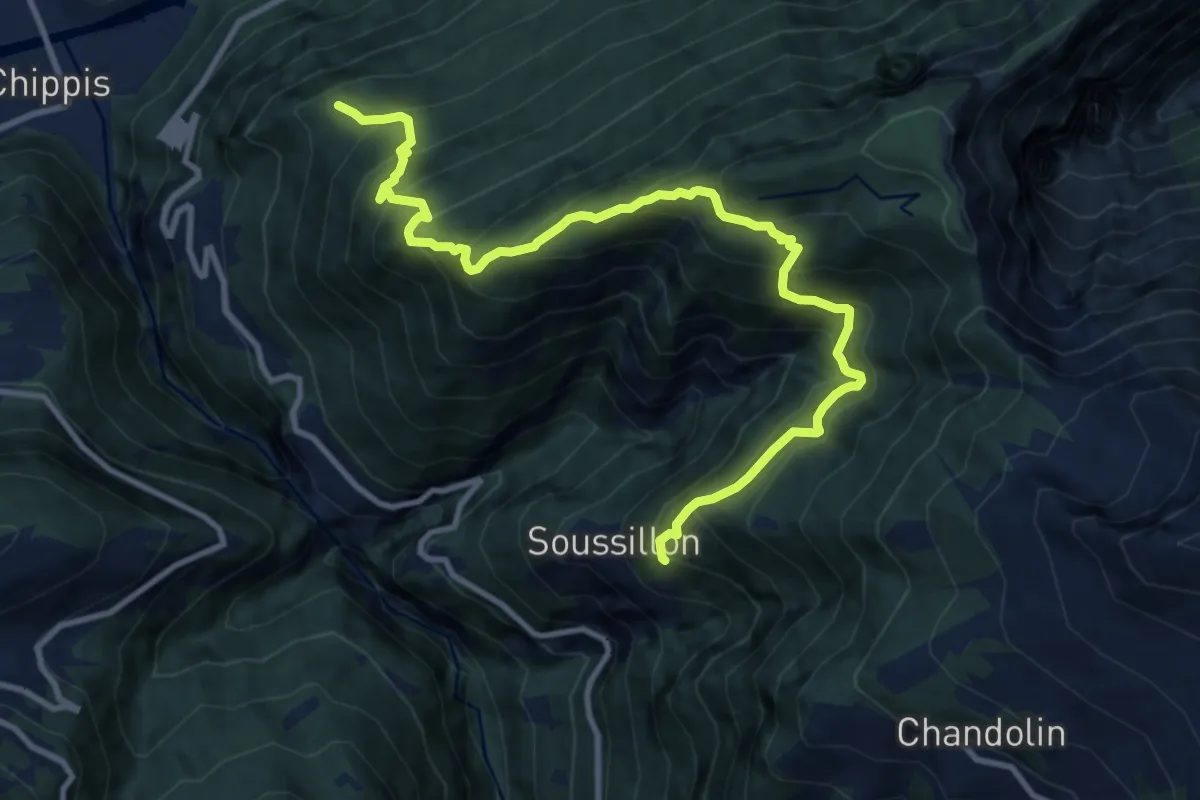
Demanding · Trail
Pramin d'en Bas – Plan Palet
12.1 km · ↑ 1437 m · 5 h 58 min
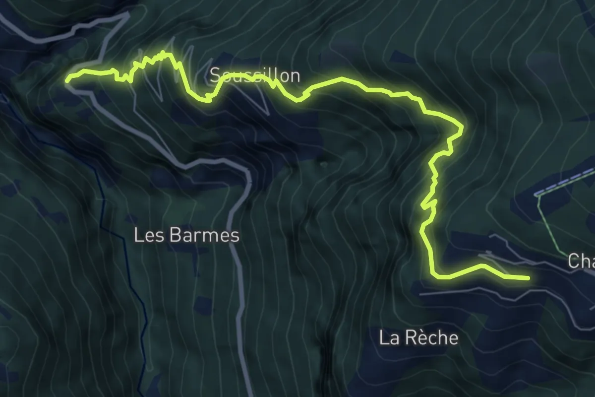
Demanding · Trail
Chandolin – Les Pontis
8.4 km · ↑ 1225 m · 4 h 38 min
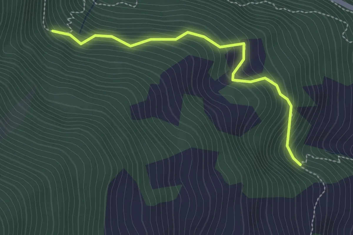
Easy · Trail
Les Bâges – Les Zau Derri
2.6 km · ↑ 242 m · 1 h 9 min
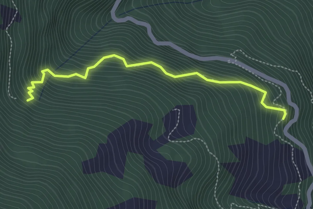
Medium · Trail
Pinsec – Les Zau Derri
2.9 km · ↑ 377 m · 1 h 30 min
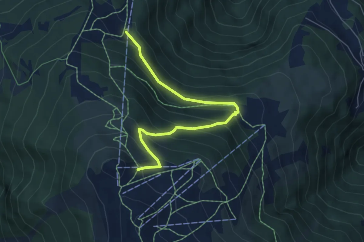
Medium · Trail
Sigeroulaz – Le Crêt du Midi
5.6 km · ↑ 428 m · 2 h 14 min
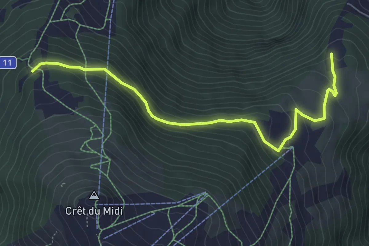
Easy · Trail
Les Planards – Les Evouettes
5.7 km · ↑ 249 m · 1 h 53 min
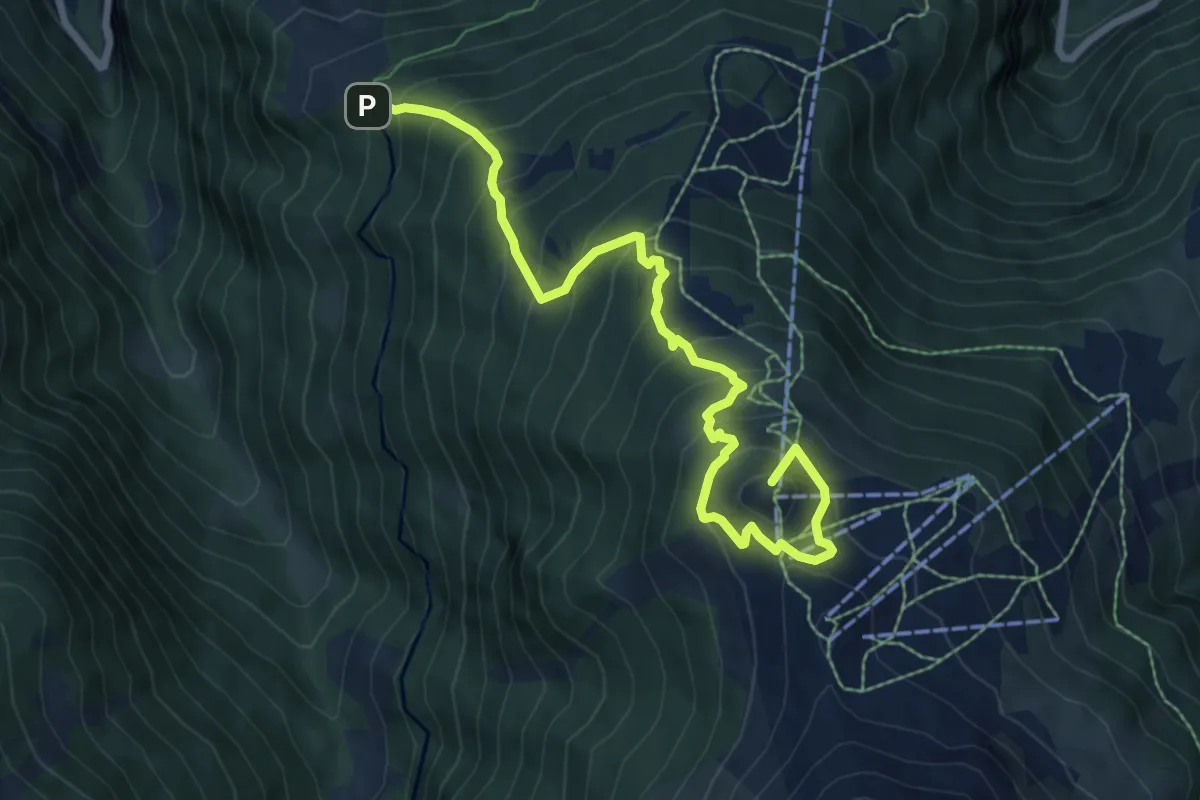
Demanding · Summit
Refuge du Bisse – Crêt du Midi
8.5 km · ↑ 813 m · 3 h 45 min
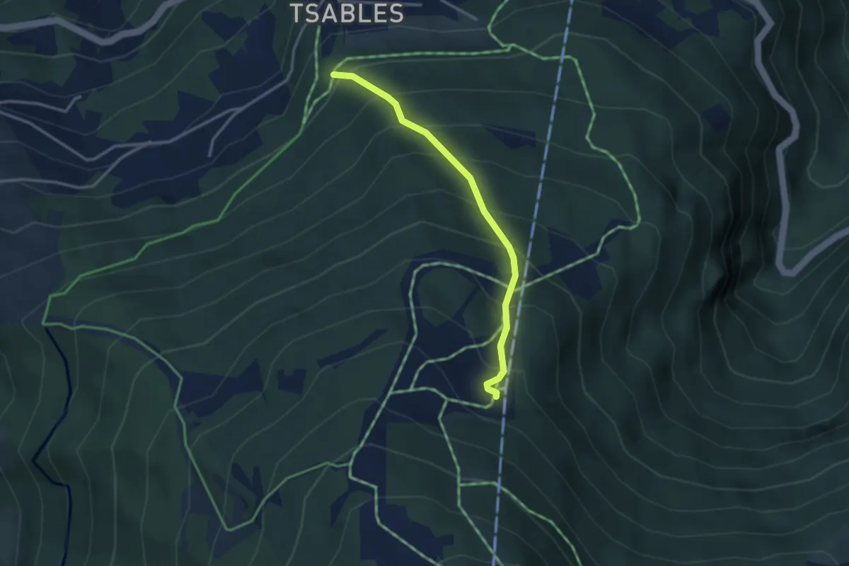
Medium · Trail
Sigeroula – Les Liches
2.8 km · ↑ 396 m · 1 h 32 min
Medium · Trail
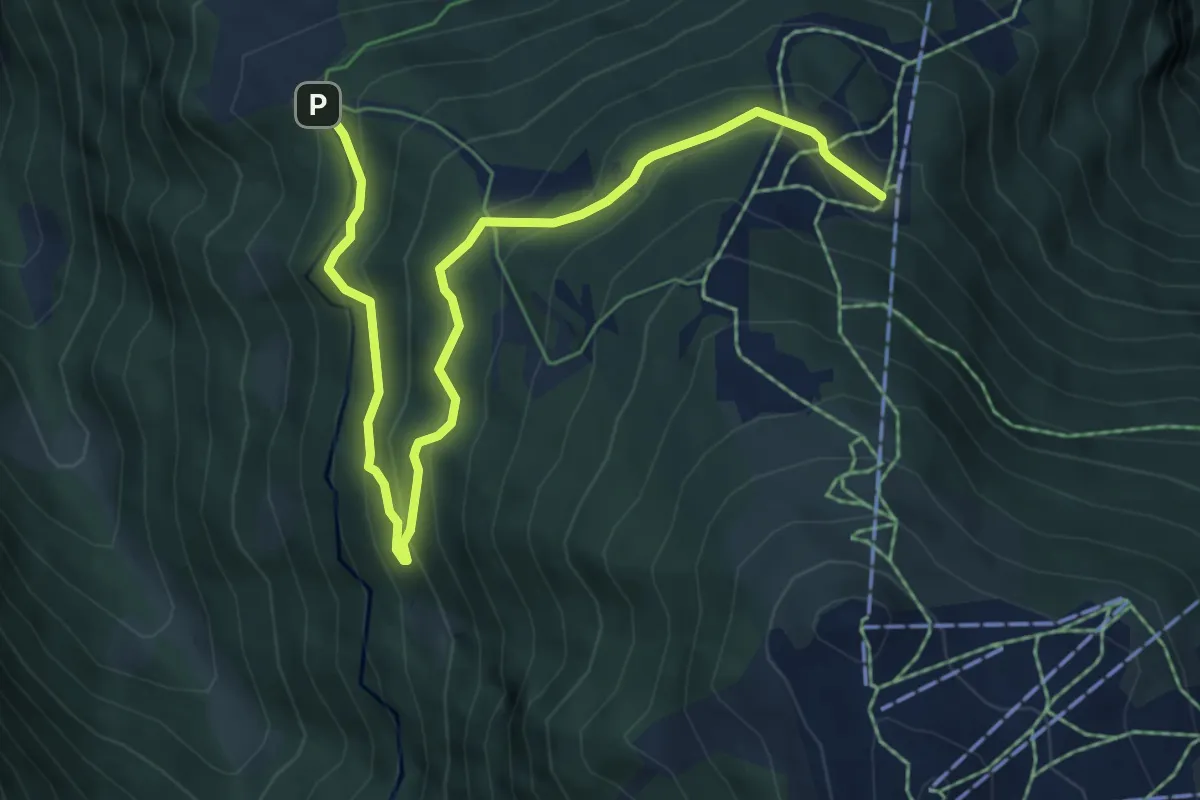
Sigeroula – Refuge du Bisse
7.3 km · ↑ 465 m · 2 h 44 min
Easy · Trail
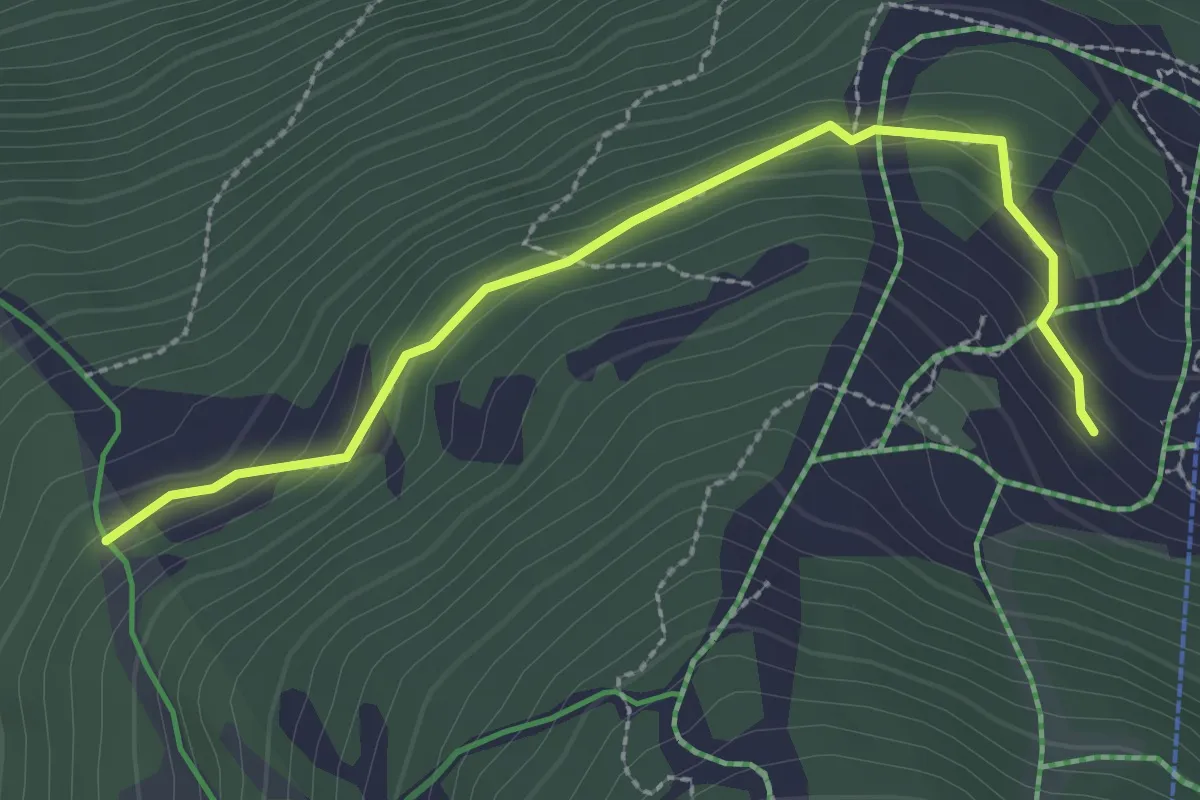
L'Ar de Bran – Sigeroula
2.7 km · ↑ 144 m · 58 min
Medium · Trail
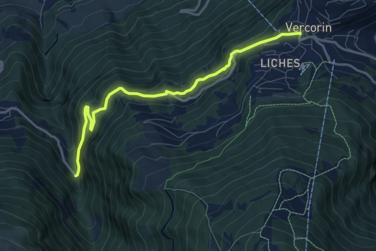
Vercorin – Les Moulins
7.8 km · ↑ 446 m · 2 h 49 min
Medium · Trail
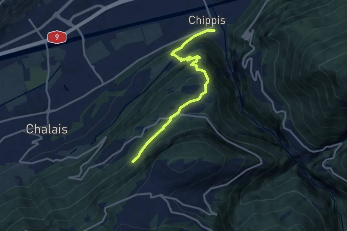
Vercorin – Chippis
7.7 km · ↑ 515 m · 2 h 55 min
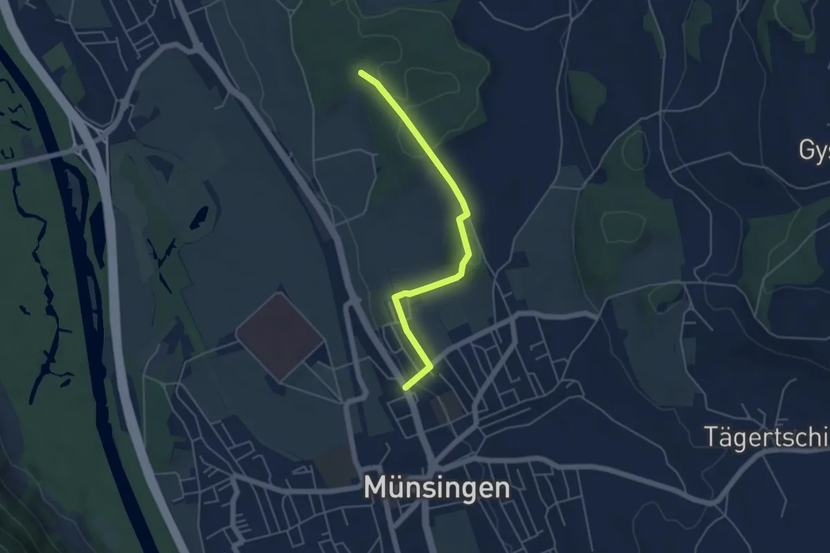
Easy · Trail
Münsingen – Schwandwald
4.4 km · ↑ 75 m · 1 h 12 min
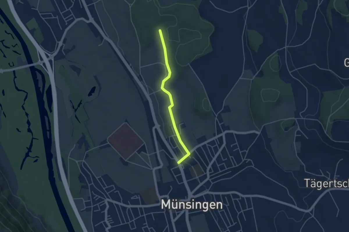
Easy · Trail
Münsingen – Schwandwald
3.7 km · ↑ 80 m · 1 h 3 min
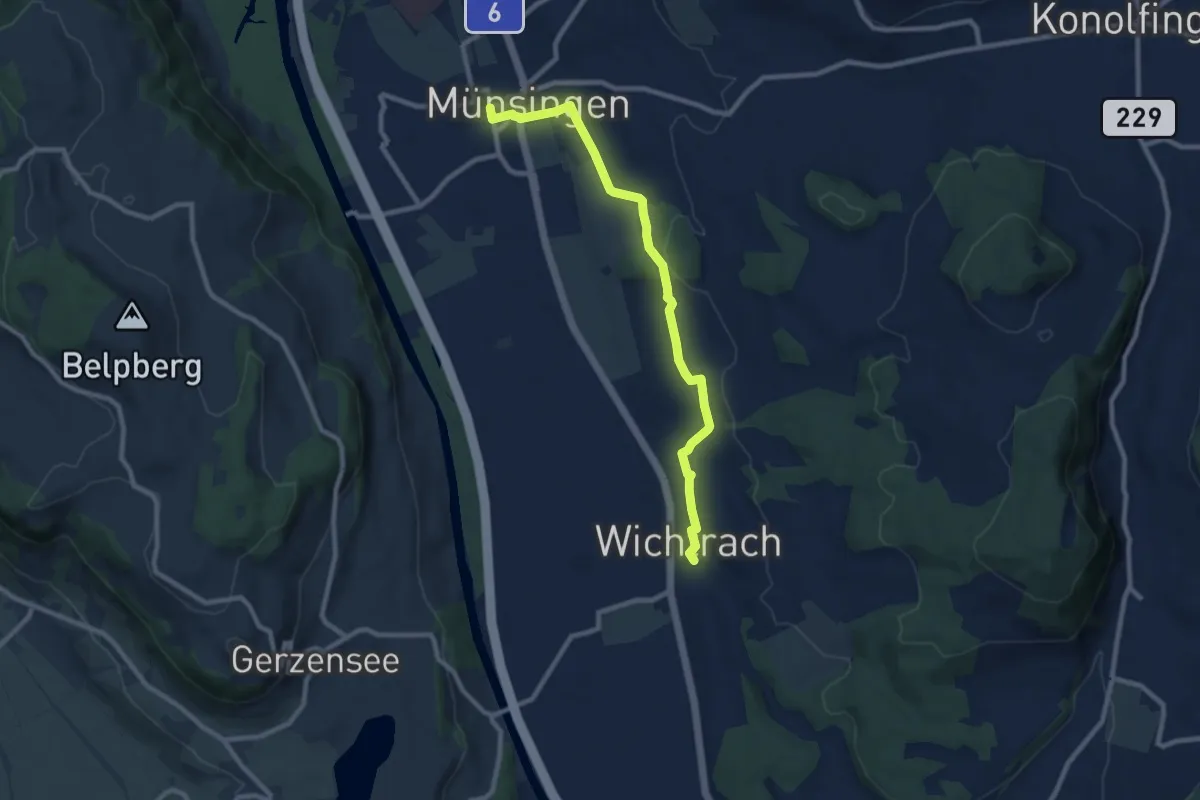
Medium · Trail
Münsingen – Wichtrach
9.1 km · ↑ 137 m · 2 h 26 min
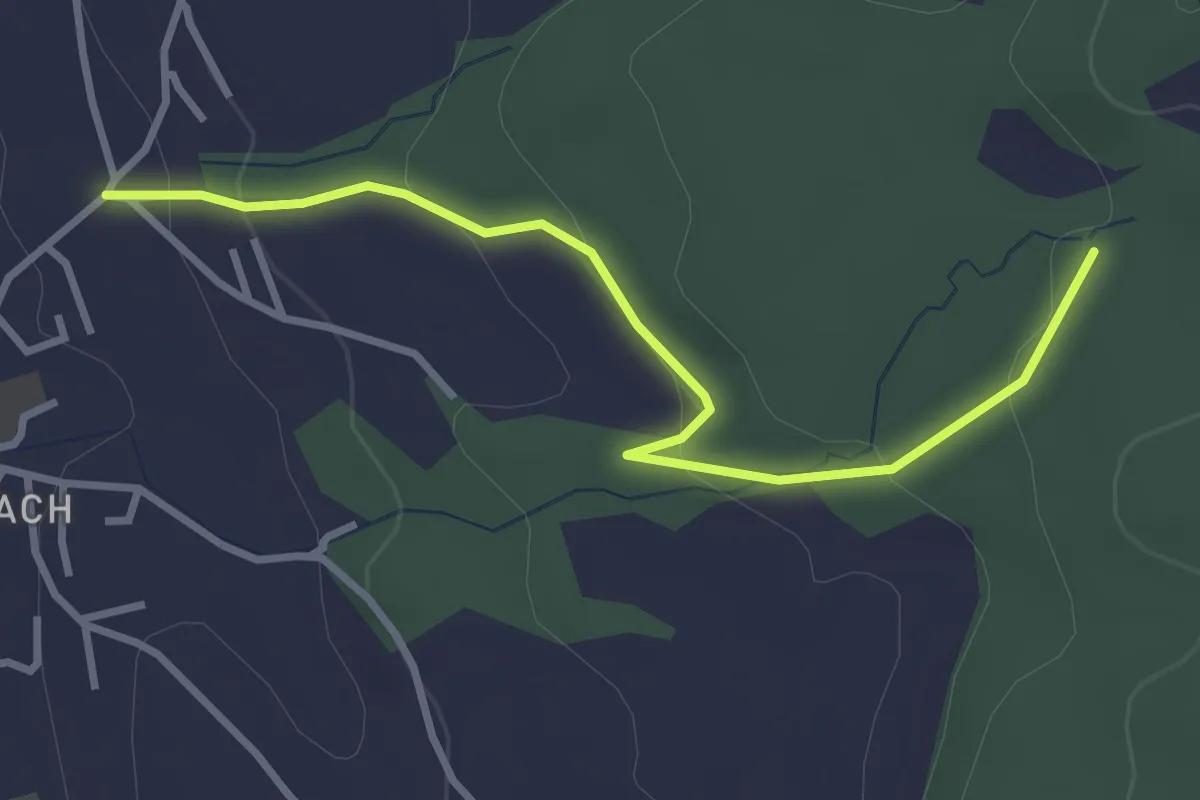
Easy · Trail
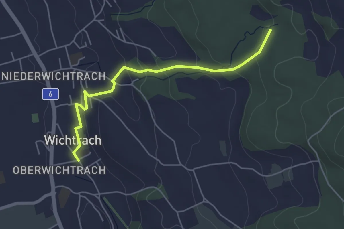
Wichtrach/Oberdorf – Rotebüel
3.3 km · ↑ 121 m · 1 h 2 min
Easy · Trail
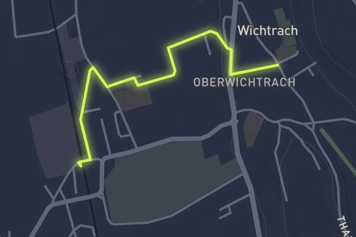
Wichtrach – Rotebüel
4.3 km · ↑ 137 m · 1 h 19 min
Easy · Trail
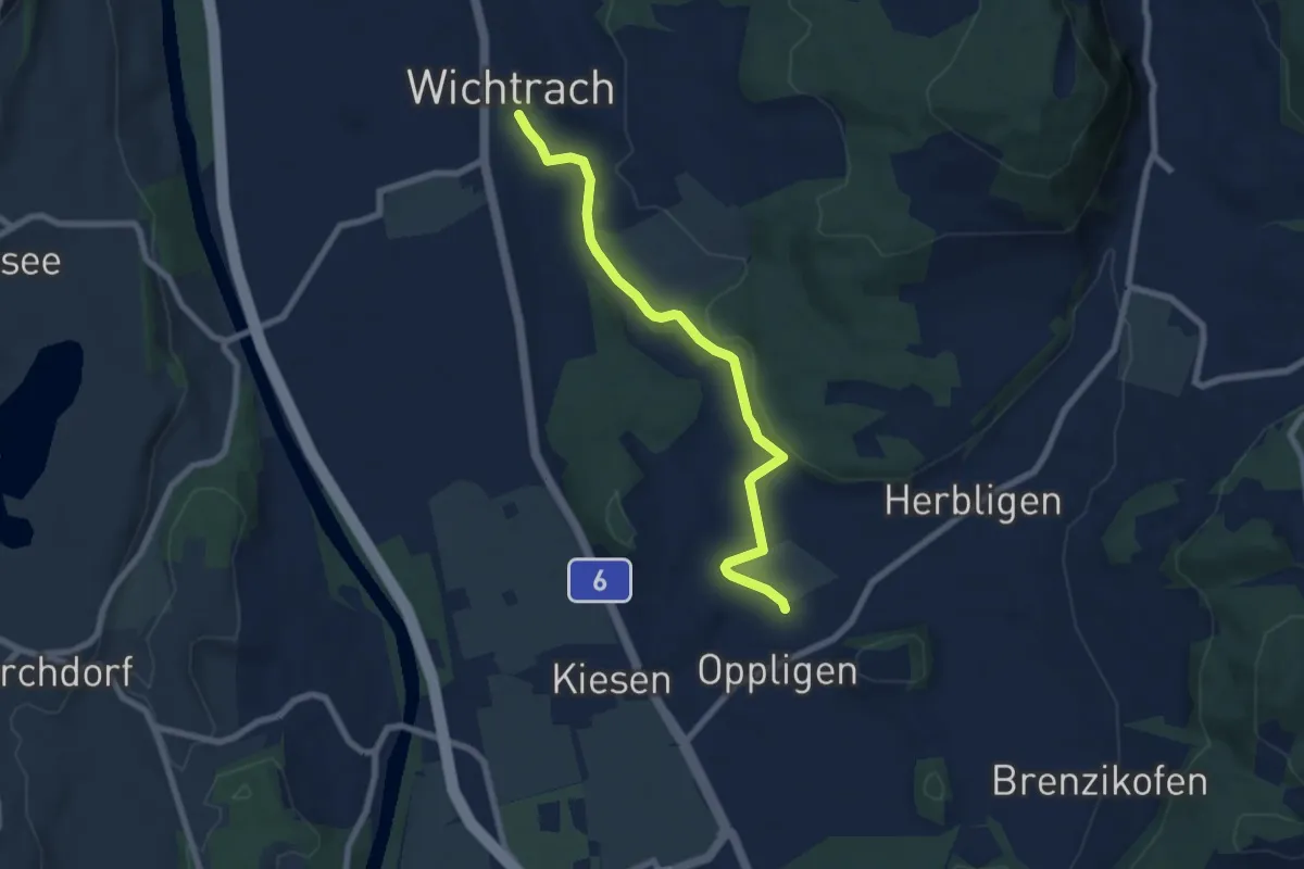
Wichtrach Bahnhof – Wichtrach/Kirche
3.0 km · ↑ 19 m · 45 min
Easy · Trail
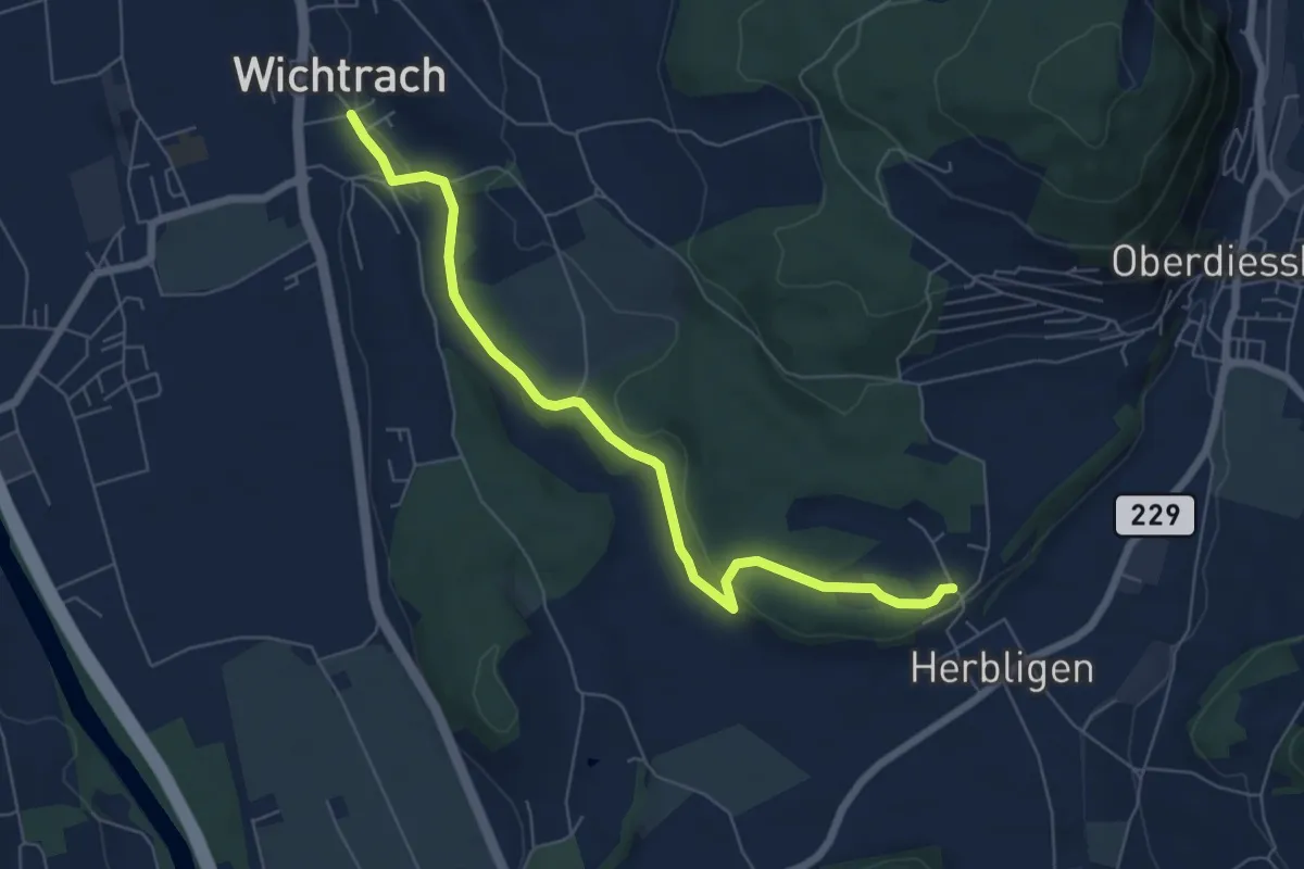
Wichtrach – Oppligen
7.0 km · ↑ 91 m · 1 h 51 min
Easy · Trail
Wichtrach – Herblingen
6.7 km · ↑ 133 m · 1 h 52 min
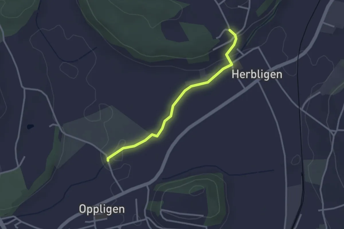
Easy · Trail
Oppligen – Herblingen
2.6 km · ↑ 48 m · 43 min
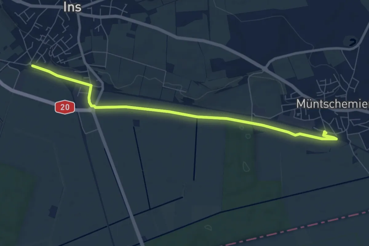
Easy · Trail
Müntschemier – Ins
7.9 km · ↑ 27 m · 1 h 55 min
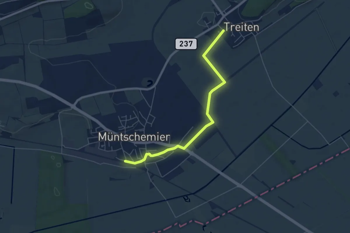
Easy · Trail
Müntschemier – Treiten
5.7 km · ↑ 4 m · 1 h 21 min
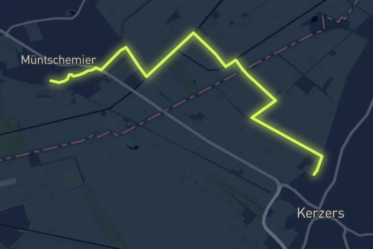
Medium · Trail
Müntschemier – Kerzers
13.0 km · ↑ 8 m · 3 h 6 min
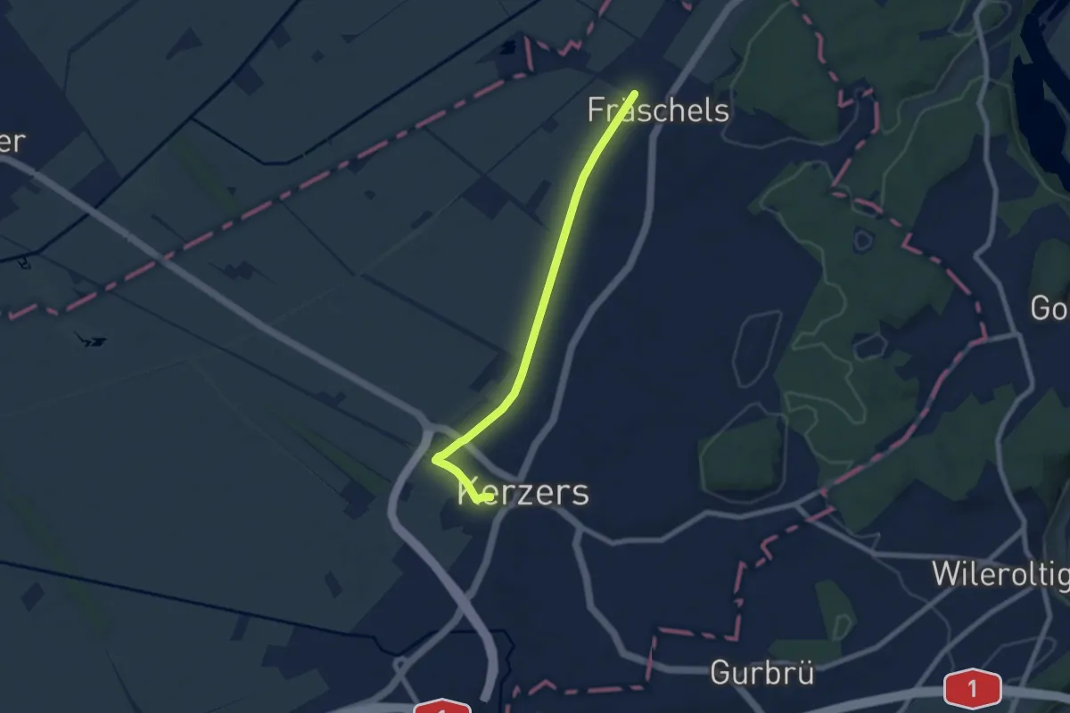
Easy · Trail
Fräschels – Kerzers
6.5 km · ↑ 13 m · 1 h 34 min
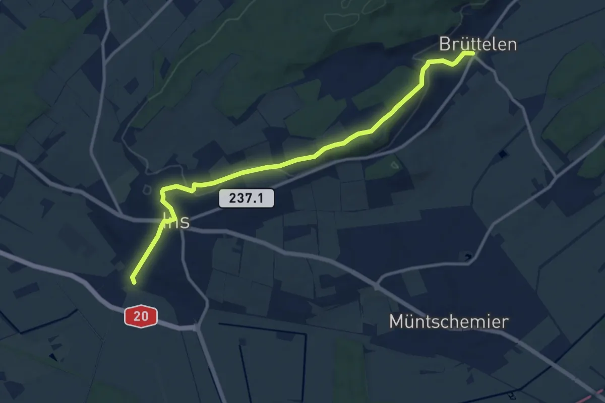
Medium · Trail
Ins – Brüttelen
10.4 km · ↑ 209 m · 2 h 54 min
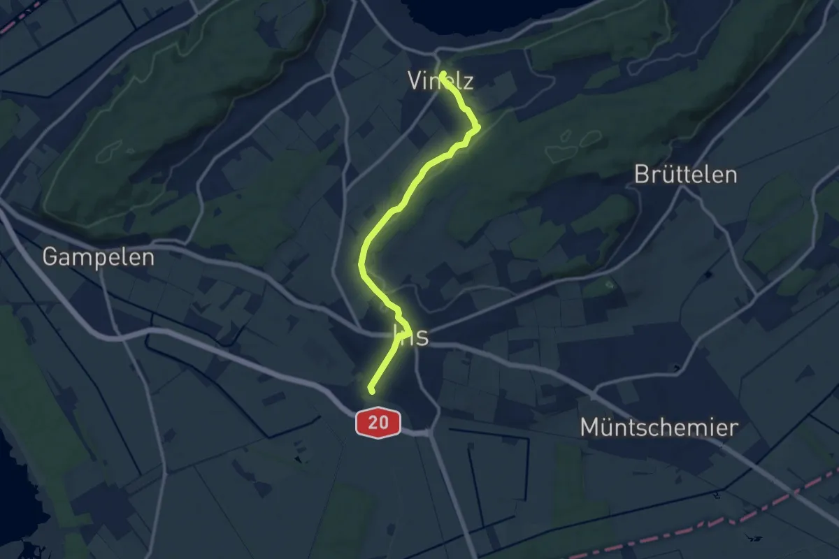
Medium · Trail
Ins – Vinelz
9.9 km · ↑ 199 m · 2 h 46 min
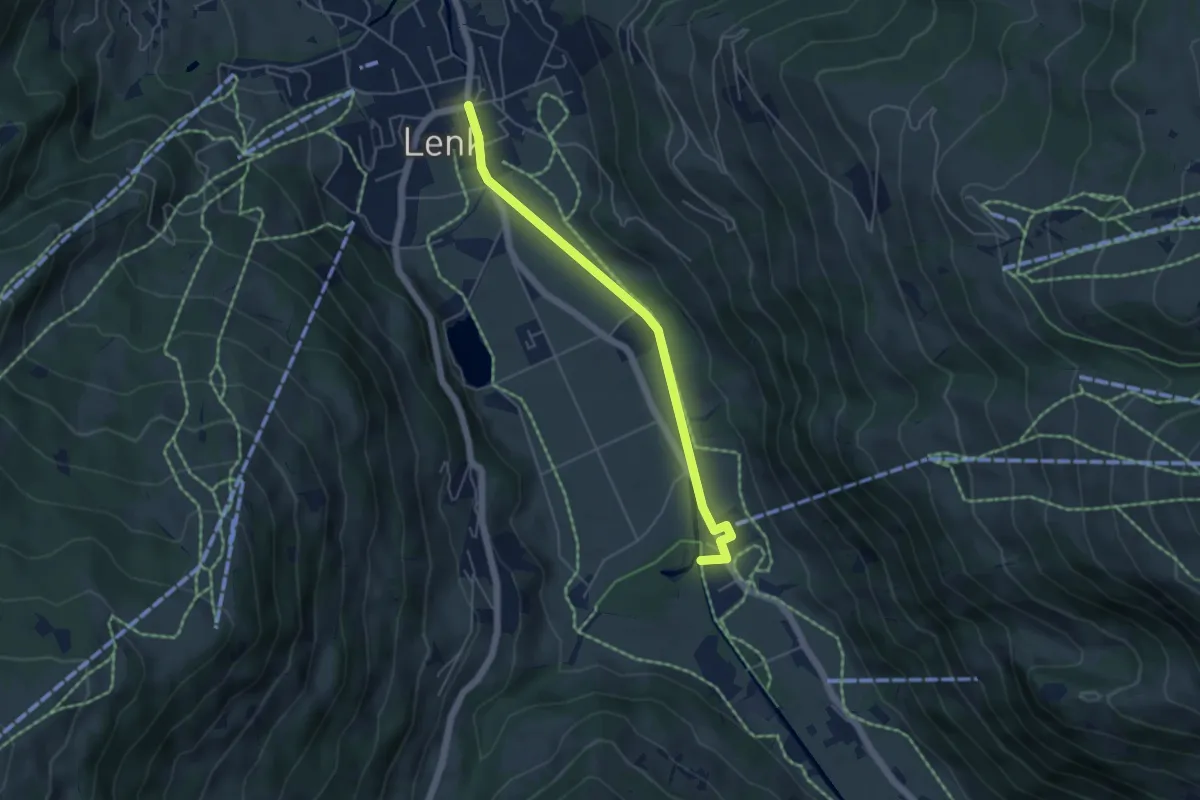
Easy · Trail
Lenk – Metschbahn
4.8 km · ↑ 17 m · 1 h 10 min
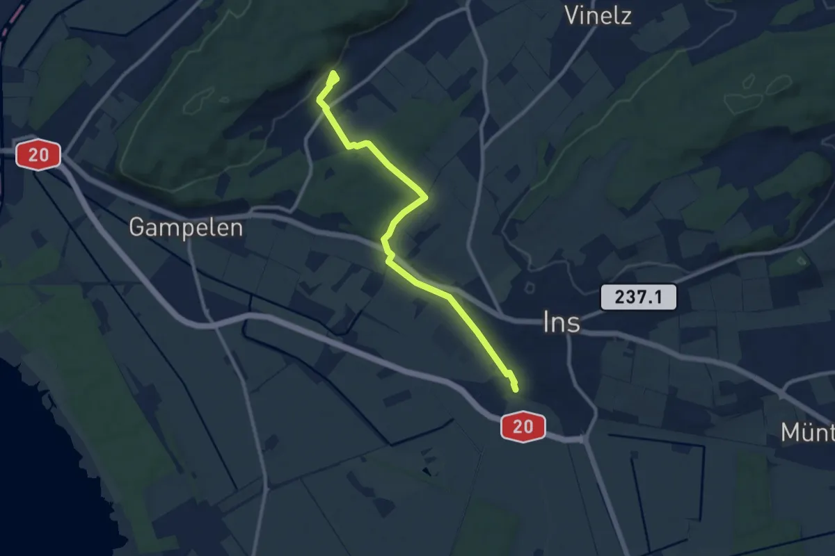
Medium · Trail
Ins – Tschugg
9.4 km · ↑ 72 m · 2 h 22 min
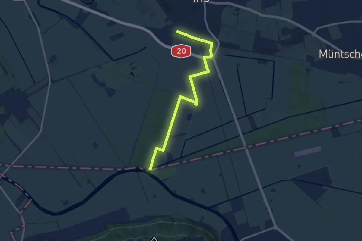
Medium · Trail
Ins – Les Trois Lacs
8.6 km · ↑ 52 m · 2 h 8 min
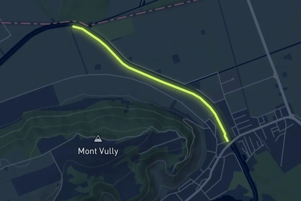
Easy · Trail
Sugiez – Pont Rotary
4.8 km · ↑ 0 m · 1 h 8 min
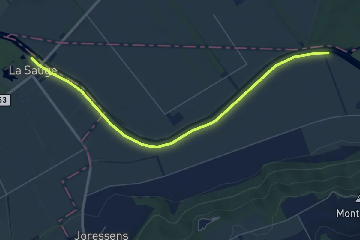
Easy · Trail
La Sauge – Pont Rotary
6.6 km · ↑ 0 m · 1 h 33 min