Trails in Switzerland
15,055 hiking trails, each with its route, climb, walking time and grade.
All trails, page 173 of 314
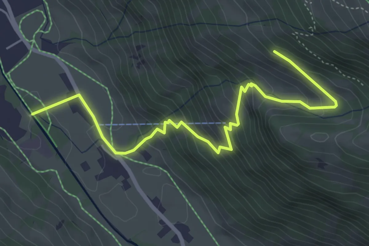
Medium · Trail
Rothenbach – Uf der Egge
5.3 km · ↑ 436 m · 2 h 12 min
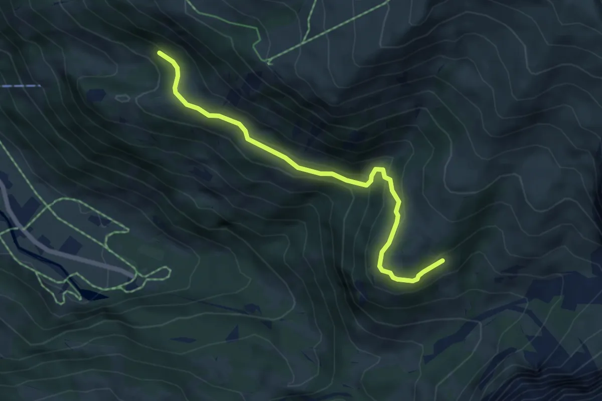
Easy · Trail
Sumpf – Nessli
5.3 km · ↑ 274 m · 1 h 51 min
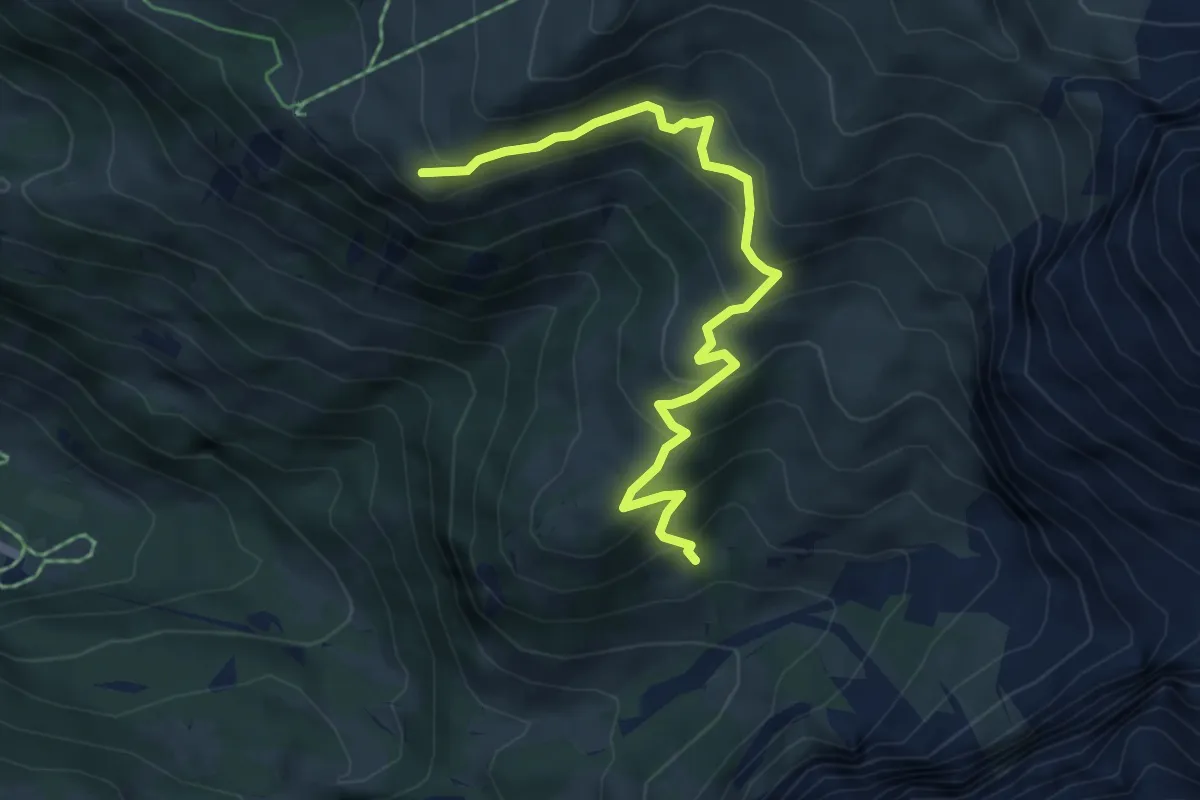
Medium · Trail
Ammerte – Metschhore
5.8 km · ↑ 426 m · 2 h 17 min
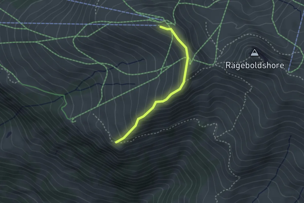
Medium · Trail
Metschhore – Metschstand
2.5 km · ↑ 220 m · 1 h 4 min
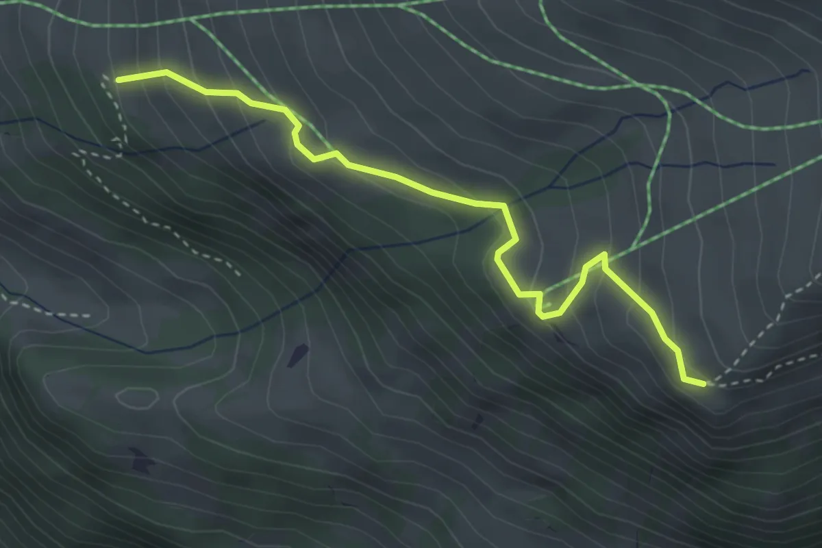
Medium · Trail
Metschhore – Ruttiweid
3.5 km · ↑ 257 m · 1 h 23 min
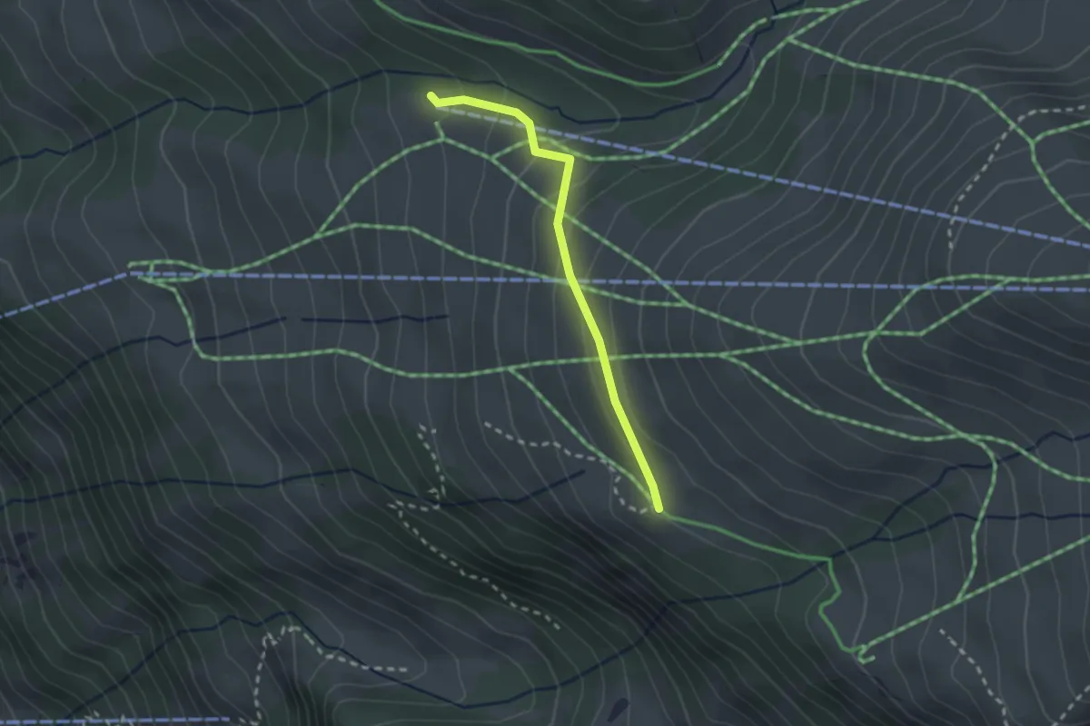
Easy · Trail
Metschmaad – Ruttiwei
2.2 km · ↑ 134 m · 48 min
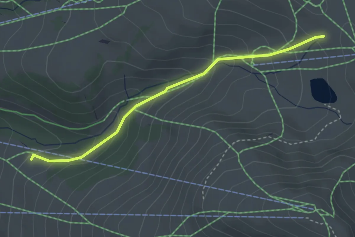
Easy · Trail
Metschmaad – Hahnenmoospass
3.1 km · ↑ 231 m · 1 h 14 min
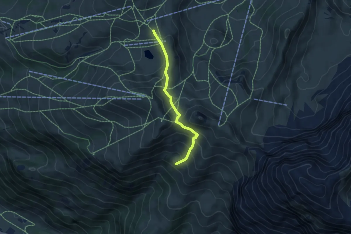
Medium · Trail
Hahnenmoospass – Wengib'rgli
4.4 km · ↑ 294 m · 1 h 41 min
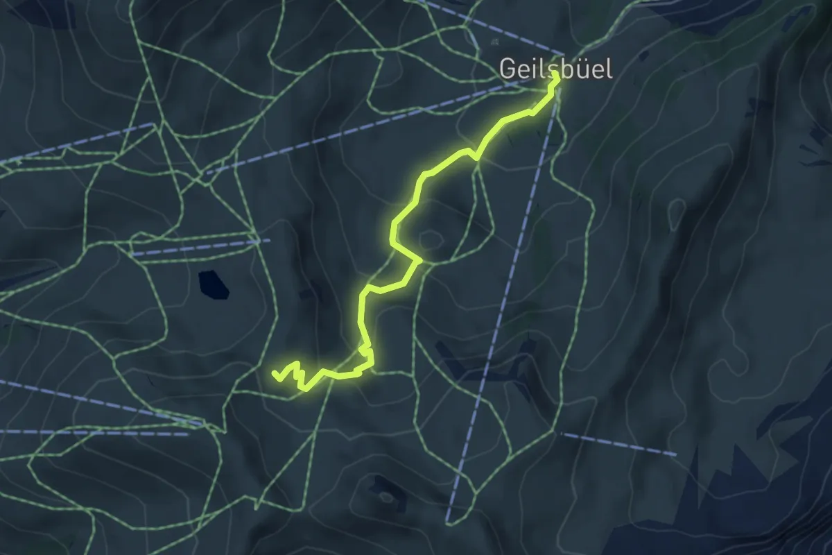
Medium · Trail
Geils – Ufem Blatti
4.8 km · ↑ 272 m · 1 h 43 min
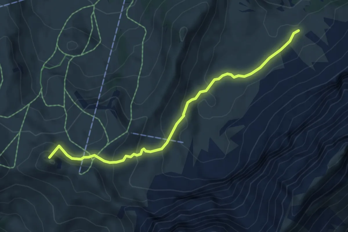
Medium · Summit
Brummerepass – Bütschi
5.8 km · ↑ 382 m · 2 h 11 min
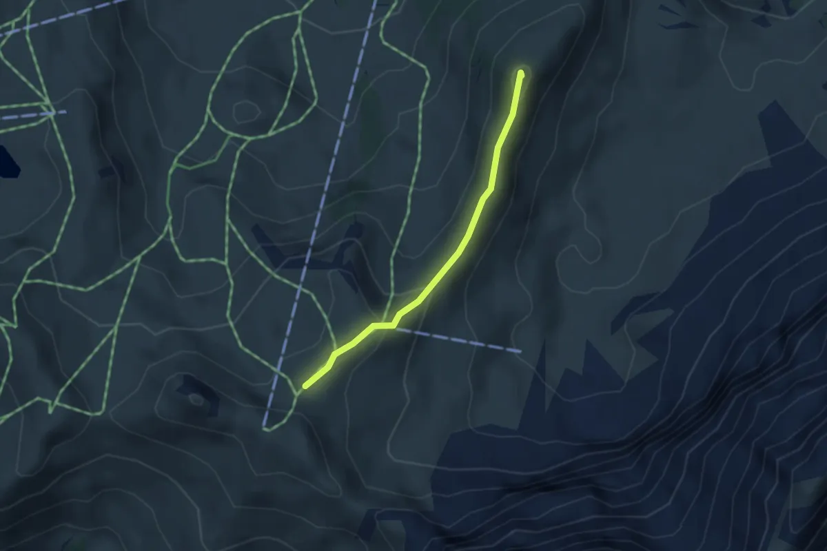
Medium · Summit
Luegli – Hüendersädel
2.9 km · ↑ 137 m · 58 min
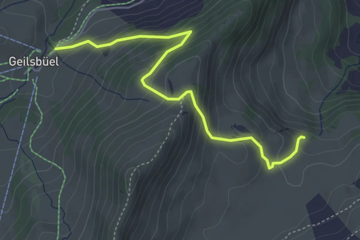
Medium · Trail
Geils – Bütschi
4.3 km · ↑ 361 m · 1 h 48 min
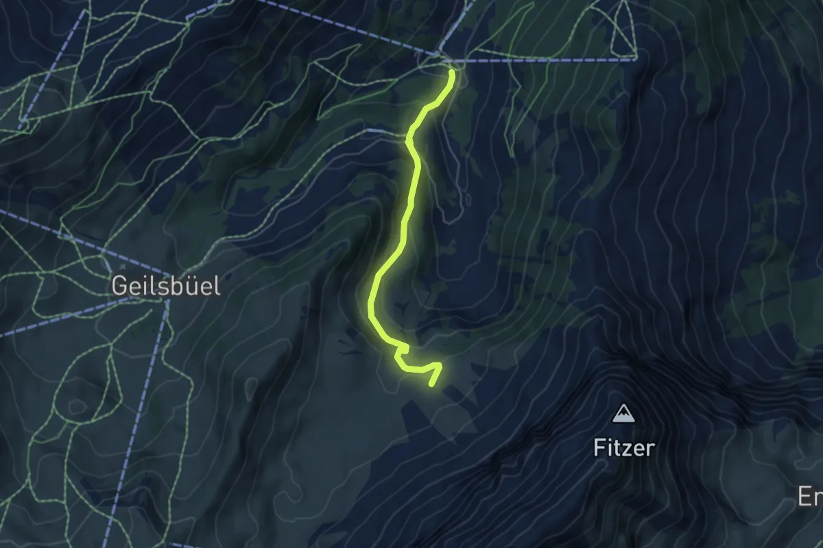
Medium · Trail
Berglägerr – Bütschi
4.6 km · ↑ 325 m · 1 h 48 min
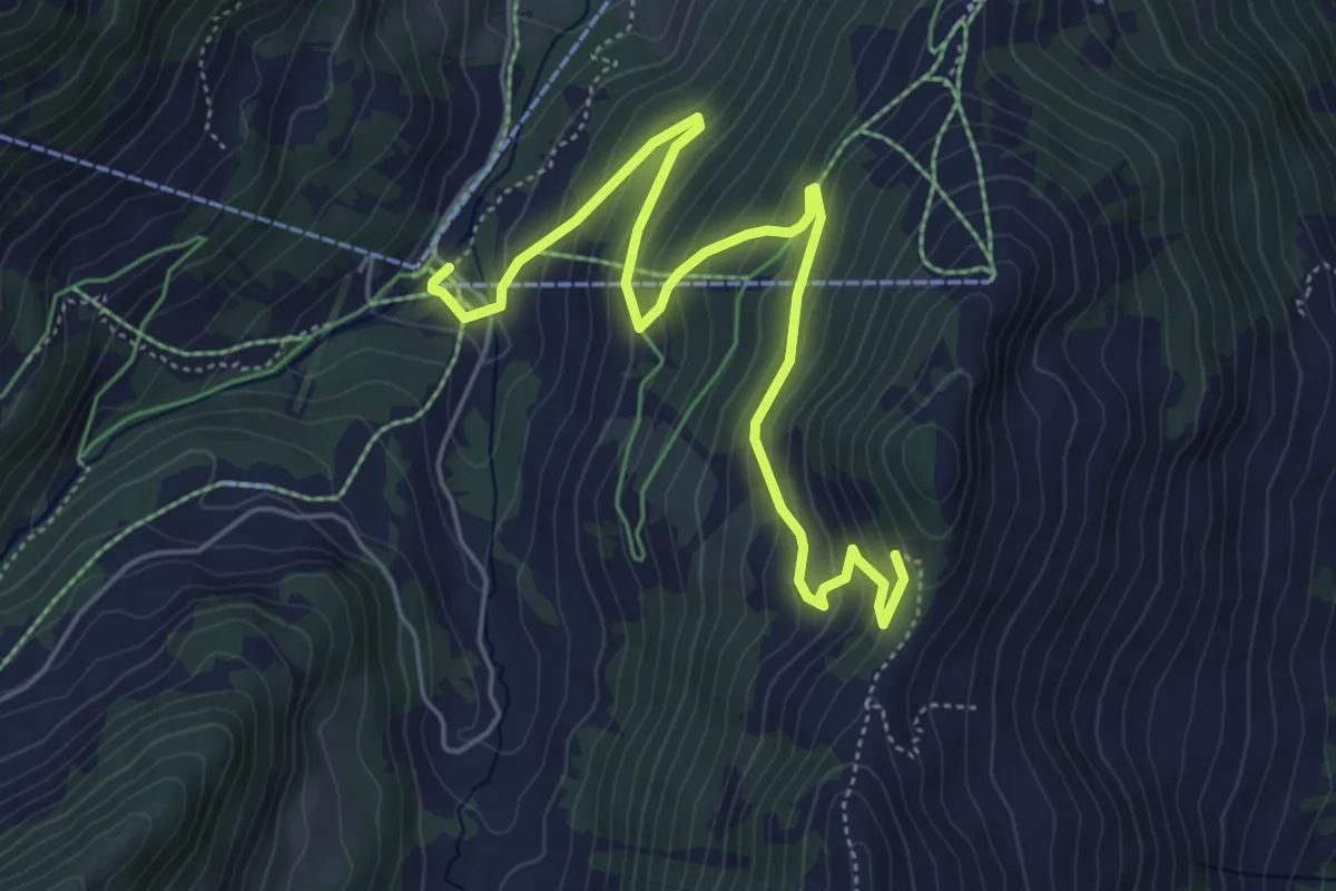
Medium · Trail
Bergläger – Teufebode
6.1 km · ↑ 424 m · 2 h 21 min
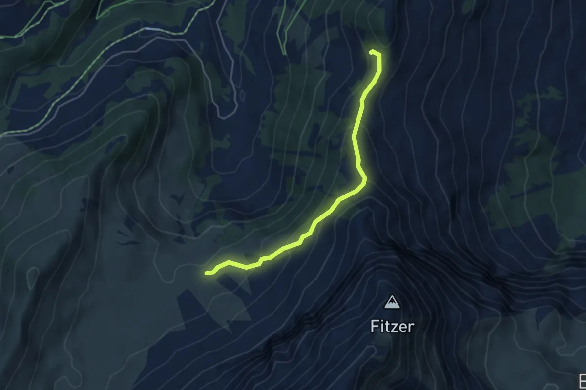
Medium · Trail
Bütschi – Teufebode
3.9 km · ↑ 256 m · 1 h 29 min
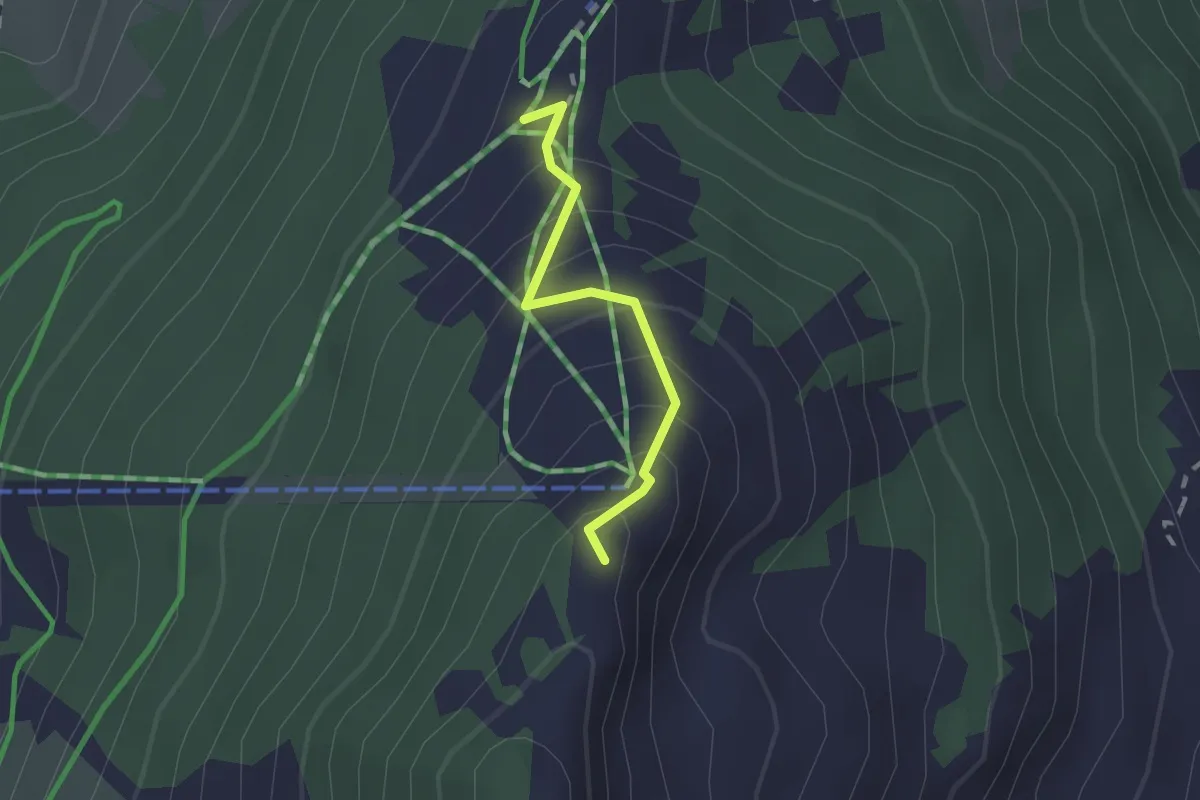
Medium · Summit
Teufebode – Chuenisbärgli
1.5 km · ↑ 144 m · 40 min
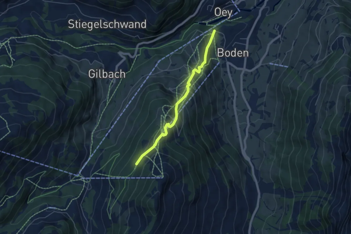
Medium · Trail
Stiereberg – Adelboden
4.7 km · ↑ 433 m · 2 h 3 min
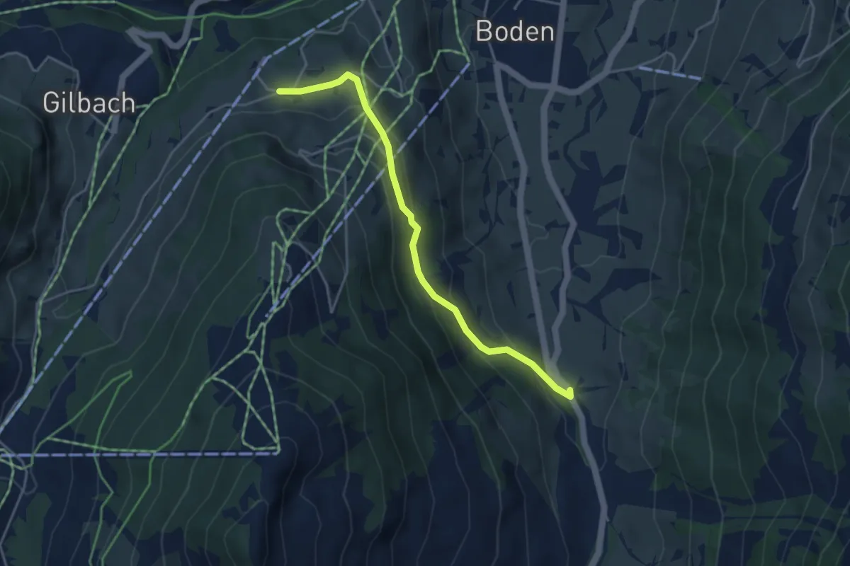
Medium · Trail
Eselmoos – Raufmatte
3.9 km · ↑ 203 m · 1 h 22 min
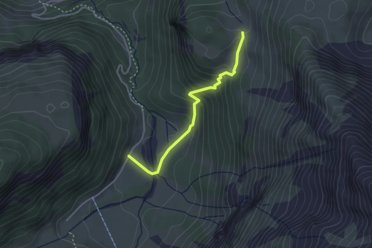
Easy · Trail
Iffigen Läger – Ritz
2.8 km · ↑ 230 m · 1 h 10 min
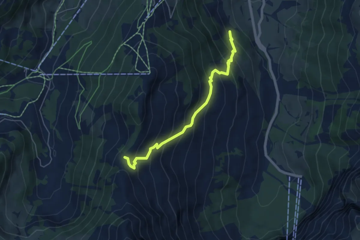
Medium · Trail
Raufmatte – Troneggrat
4.6 km · ↑ 484 m · 2 h 8 min
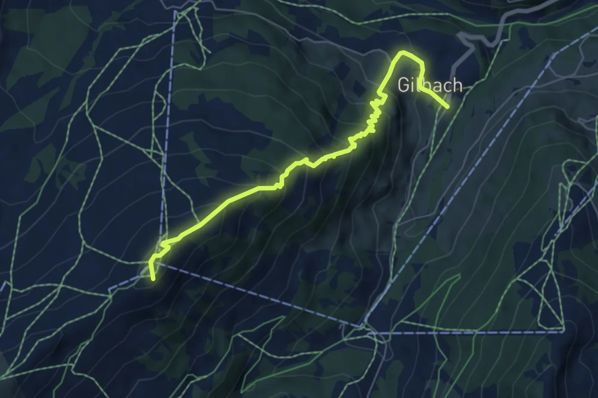
Medium · Summit
Sillerenbühl – Gilbach
5.9 km · ↑ 533 m · 2 h 33 min
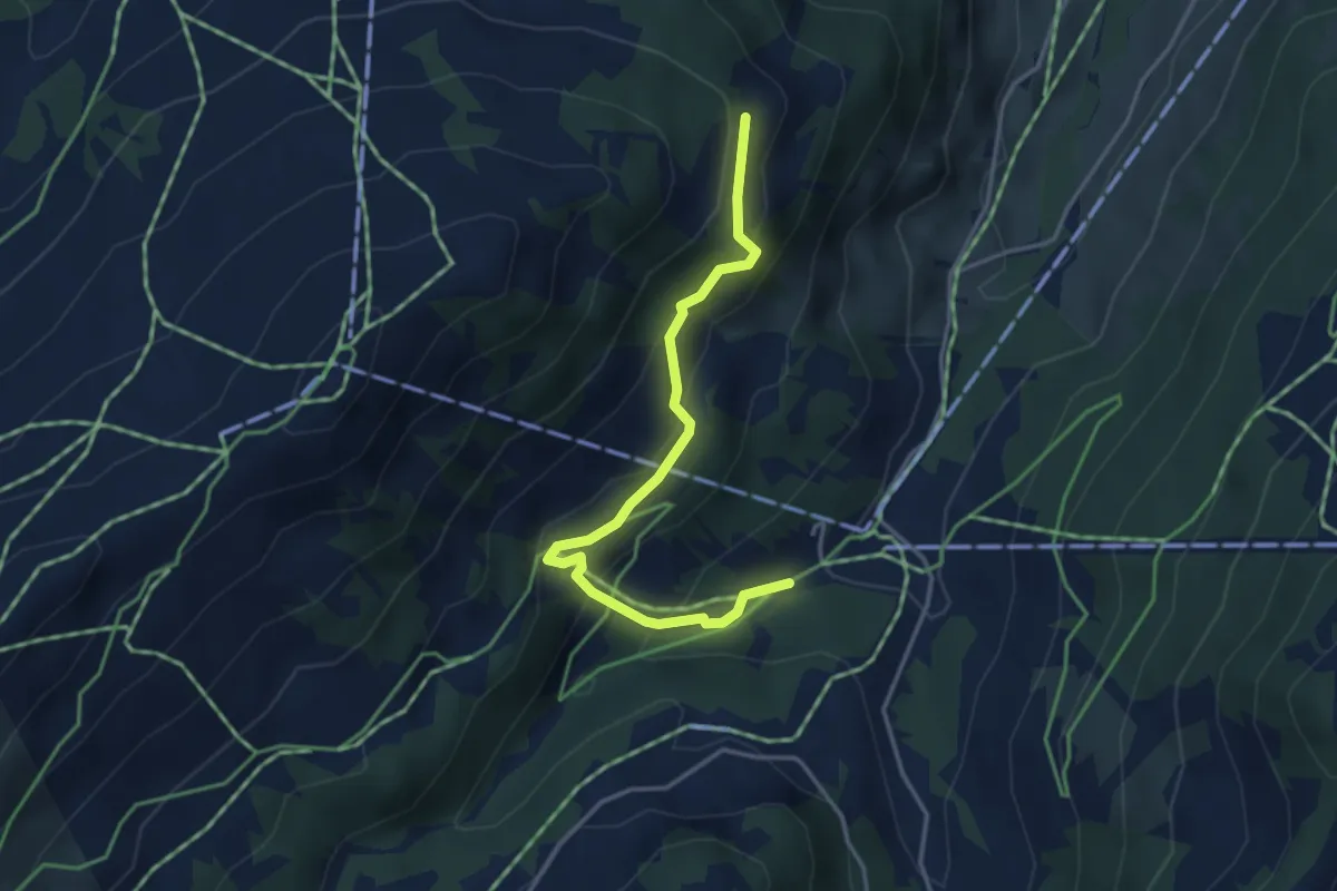
Medium · Trail
Gilbachegga – Bergläger
3.8 km · ↑ 297 m · 1 h 32 min
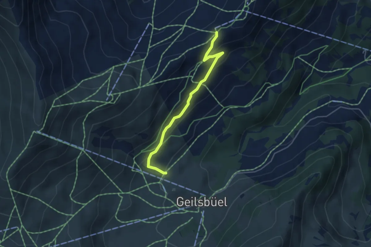
Easy · Trail
Sillerenbühl – Geils
3.6 km · ↑ 209 m · 1 h 19 min
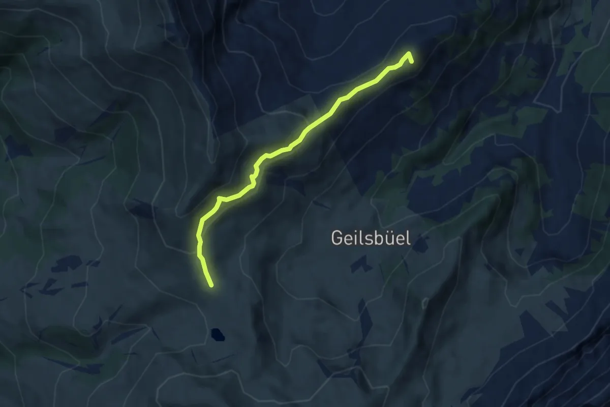
Medium · Summit
Hahnenmoospass – Sillerenbühl
6.4 km · ↑ 353 m · 2 h 16 min
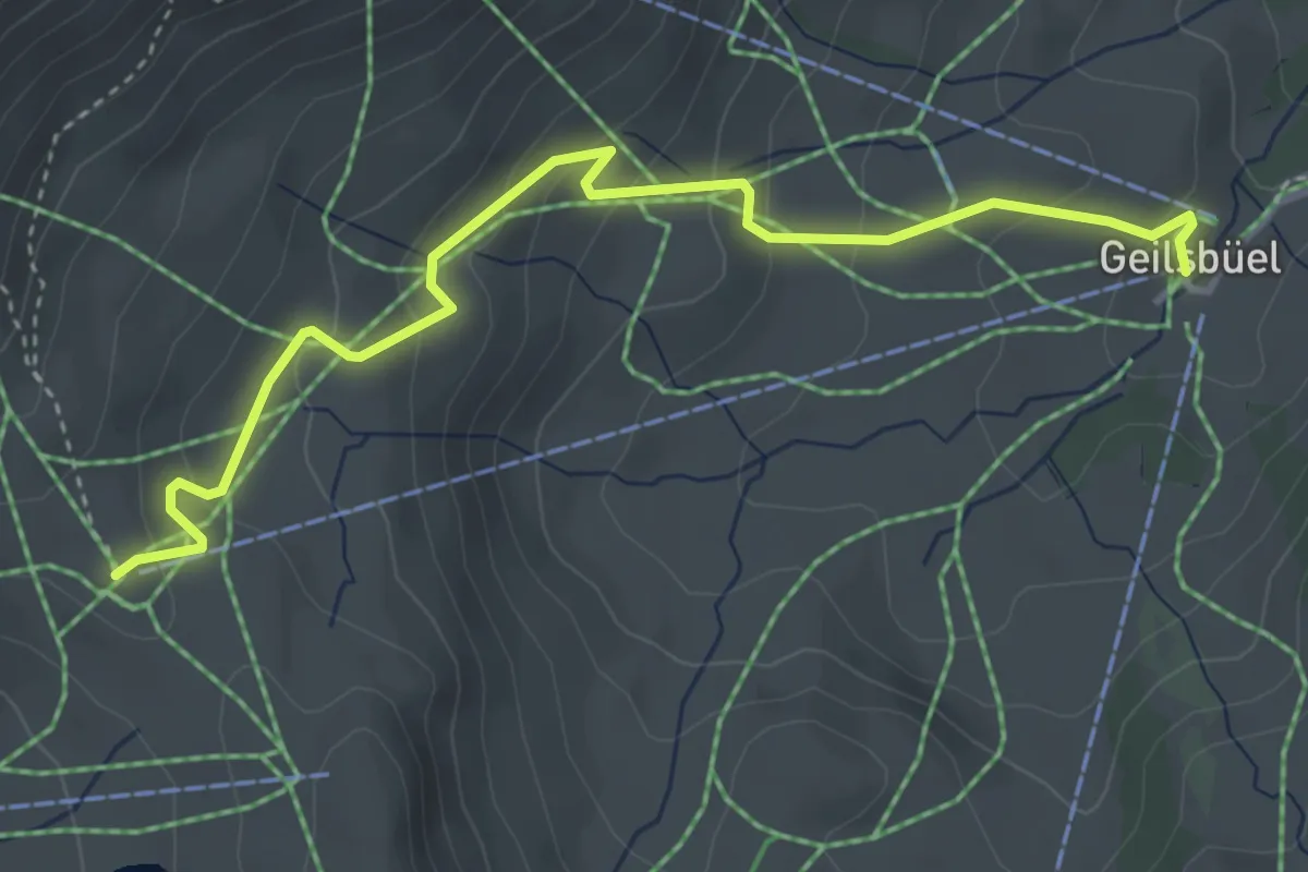
Easy · Trail
Hahnenmoospass – Geils
4.2 km · ↑ 226 m · 1 h 29 min
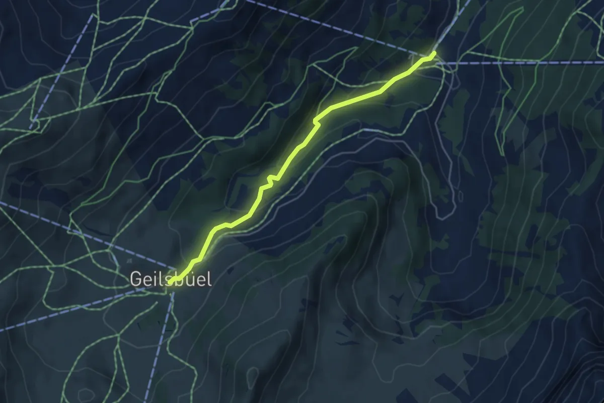
Easy · Trail
Geils – Bergläger
4.4 km · ↑ 212 m · 1 h 30 min
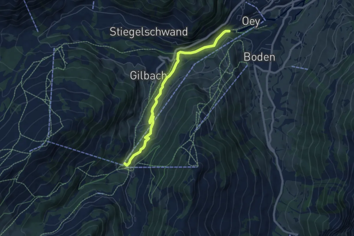
Easy · Trail
Bergläger – Adelboden
6.3 km · ↑ 208 m · 1 h 57 min
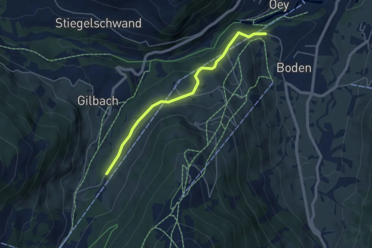
Easy · Trail
Ribestalde – Adelboden
4.0 km · ↑ 151 m · 1 h 16 min
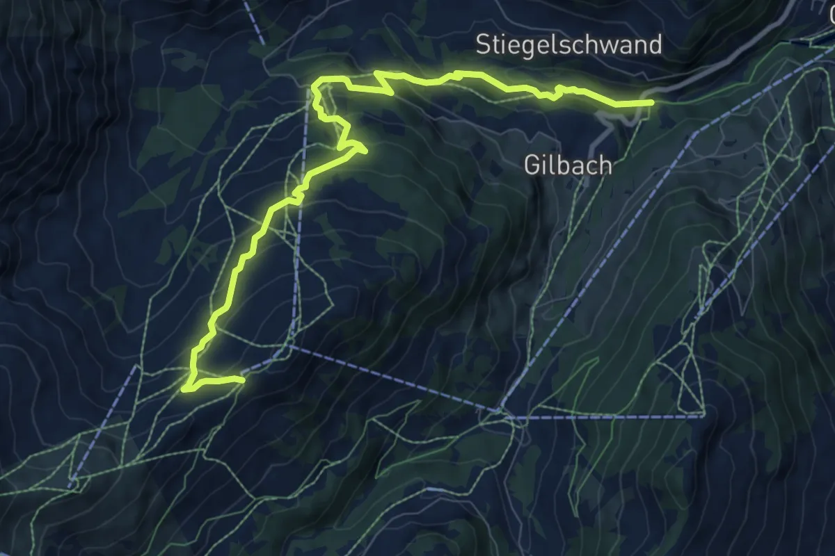
Medium · Trail
Adelboden – Sillerenbühl
10.2 km · ↑ 580 m · 3 h 40 min
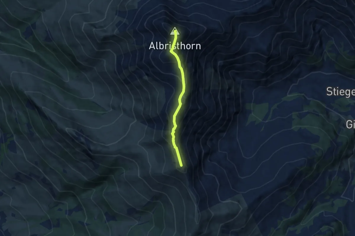
Expert · Summit
Tierberg – Furggeli
5.8 km · ↑ 509 m · 2 h 28 min
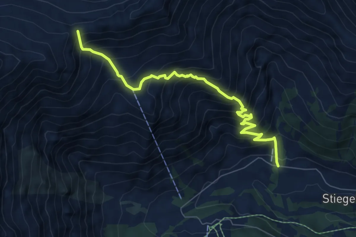
Demanding · Summit
Adelboden – Am vordere Berg
7.0 km · ↑ 888 m · 3 h 34 min
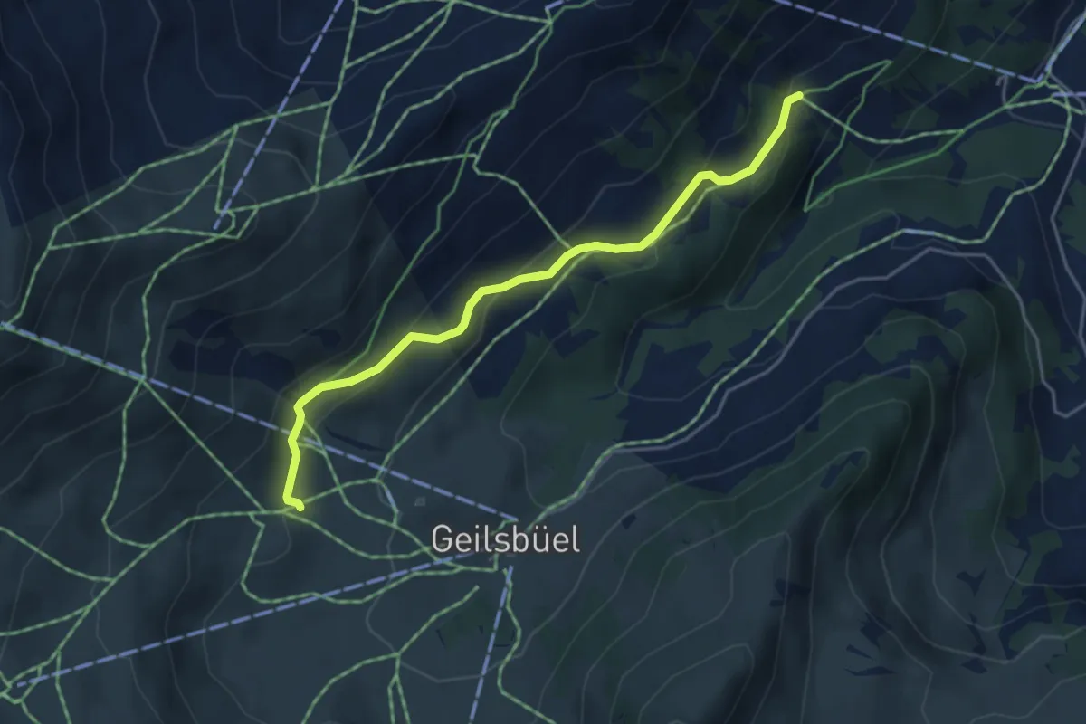
Easy · Trail
Bärleschwand – Chatzehubel
4.3 km · ↑ 243 m · 1 h 32 min
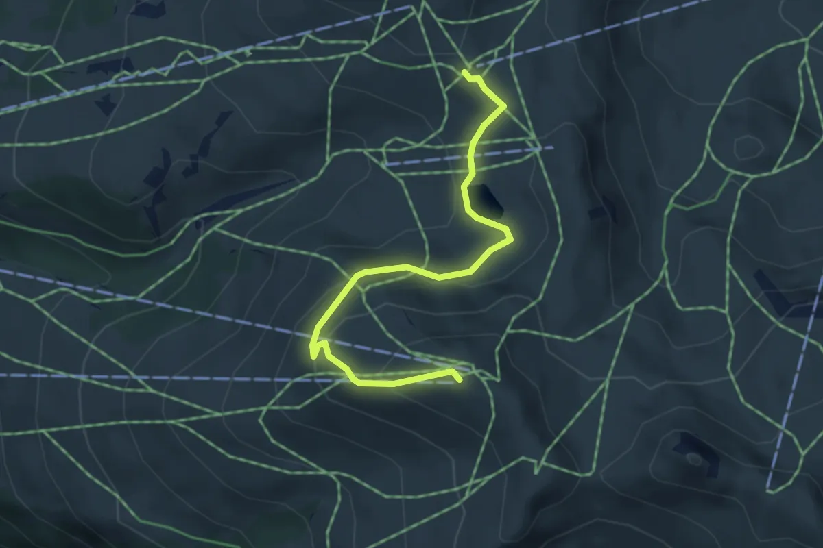
Medium · Trail
Hahnenmoospass – Metschstand
4.4 km · ↑ 218 m · 1 h 30 min
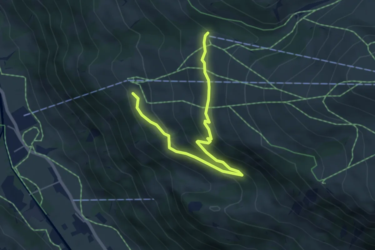
Easy · Trail
Metsch – Metschmaad
5.2 km · ↑ 273 m · 1 h 49 min
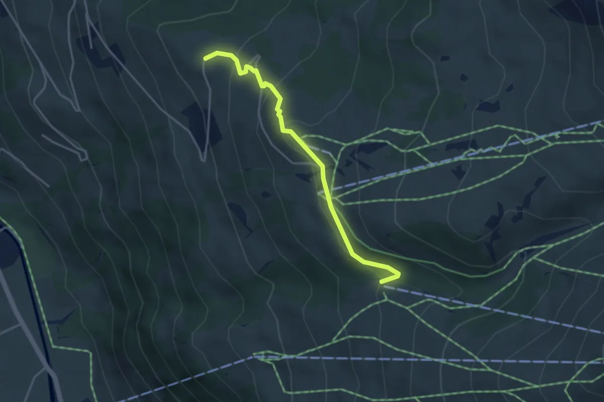
Easy · Trail
Metschmaad – Brandegg
3.4 km · ↑ 181 m · 1 h 12 min
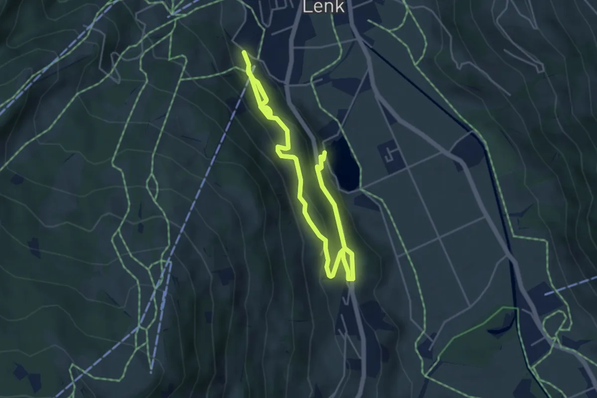
Medium · Trail
Lenkersee – Betelbergbahn
6.6 km · ↑ 462 m · 2 h 33 min
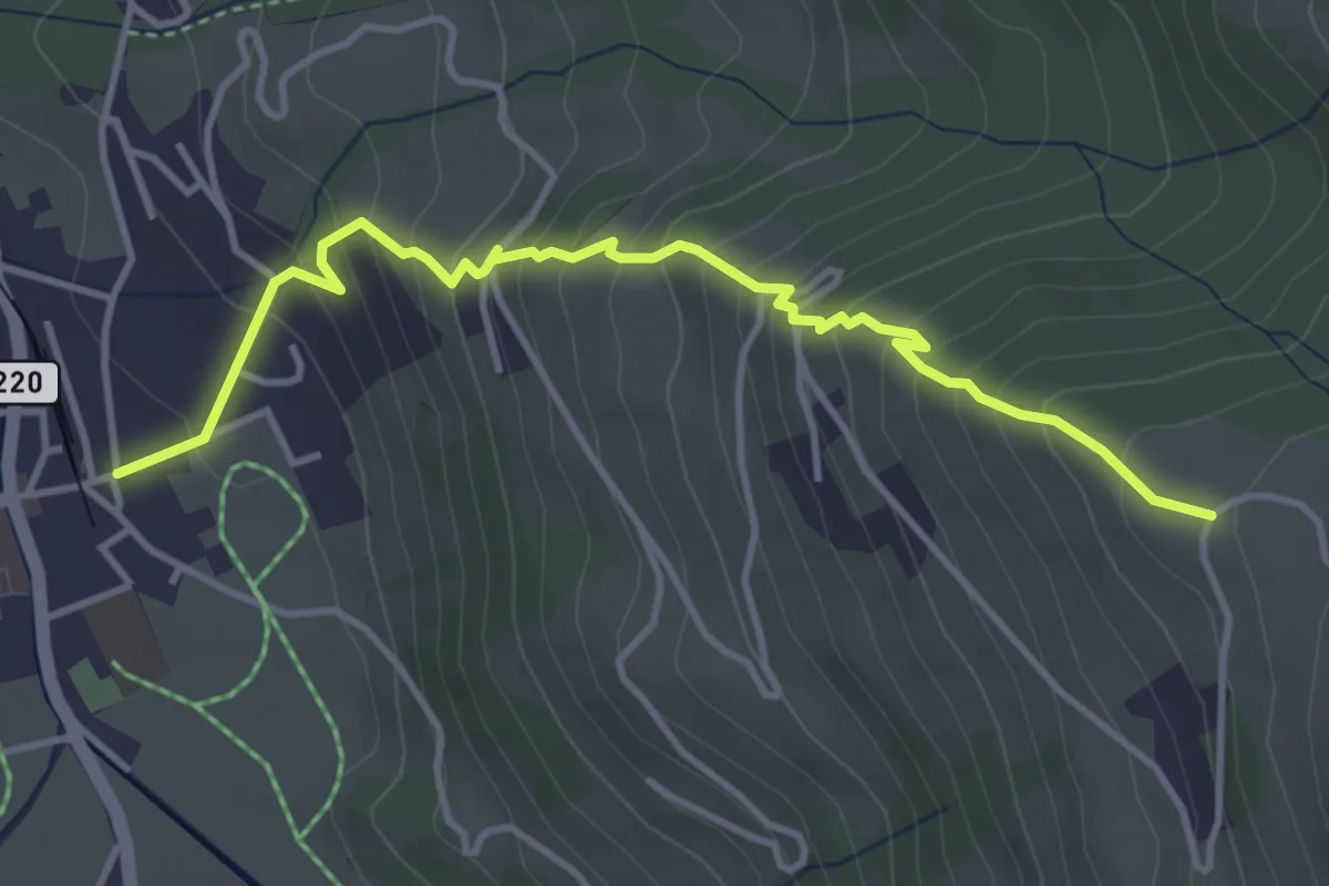
Medium · Trail
Lenk – Brandegg
4.3 km · ↑ 467 m · 2 h 1 min
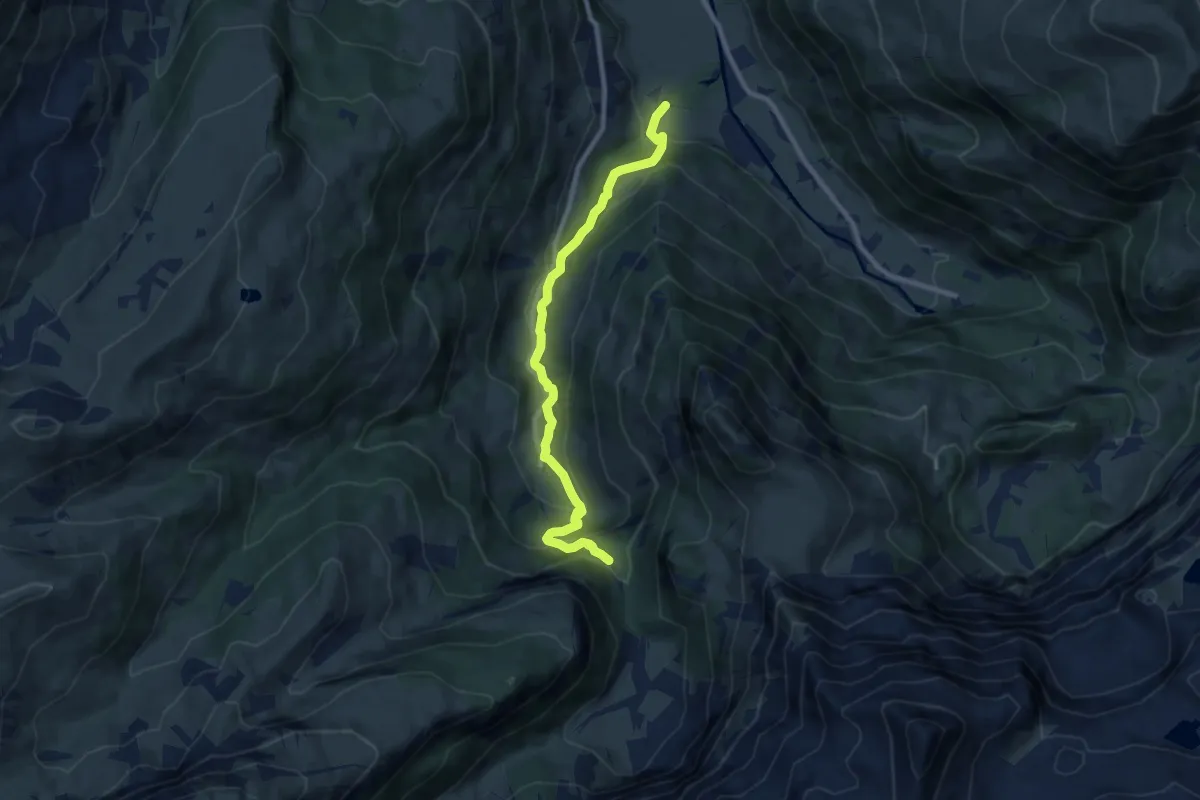
Medium · Trail
Ey – Ritzdole
9.0 km · ↑ 472 m · 3 h 9 min
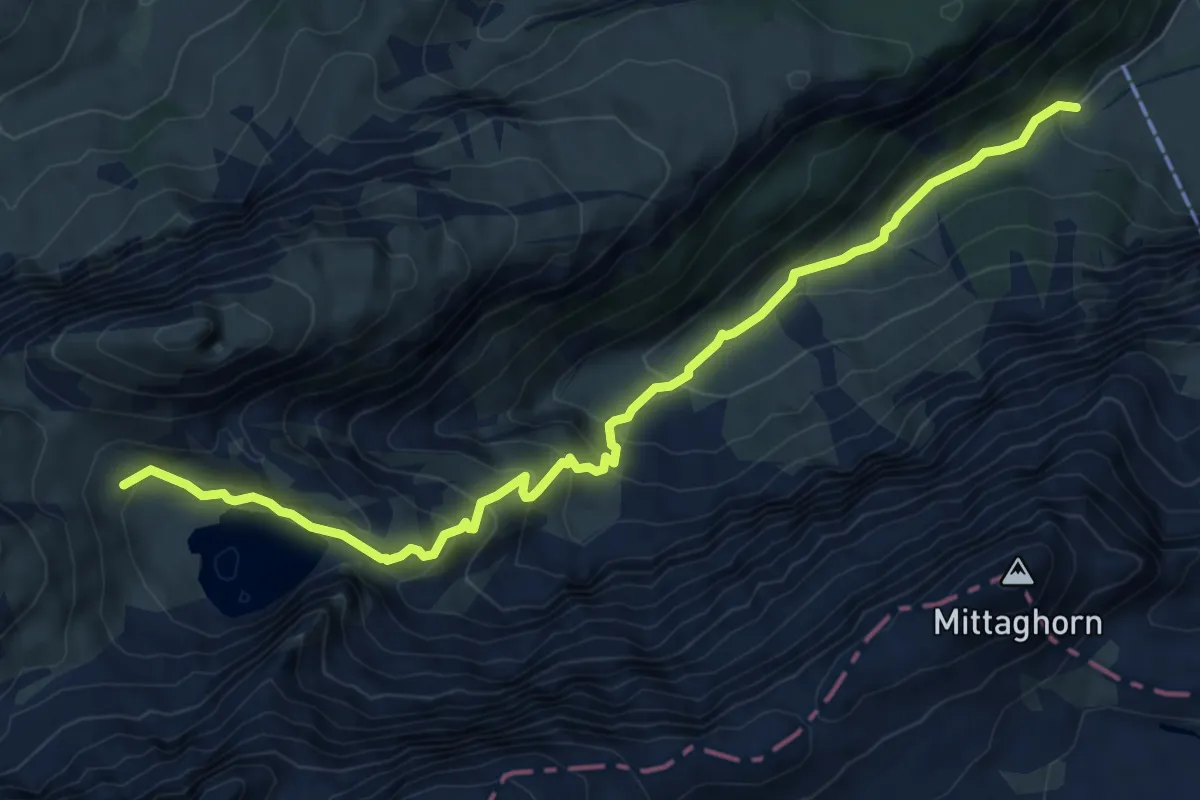
Medium · Cabin
Iffigenalp – Iffigsee
8.4 km · ↑ 598 m · 3 h 16 min
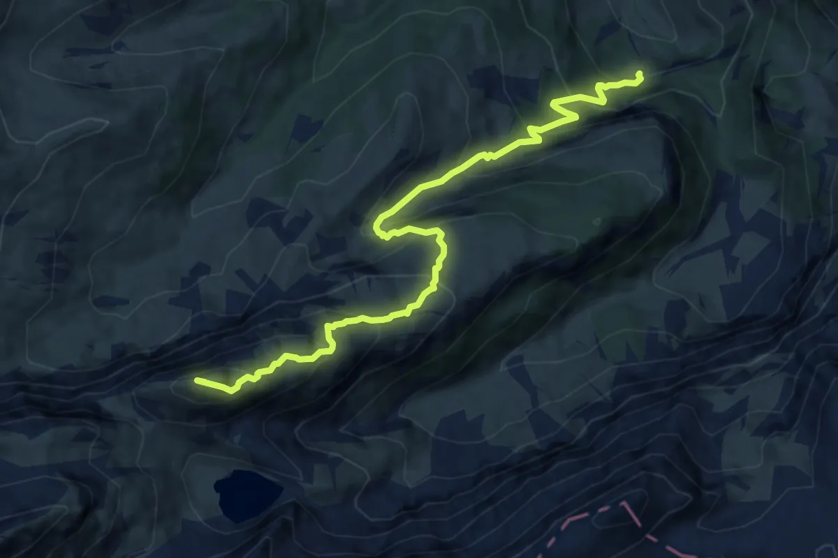
Demanding · Summit
Iffigfall – Iffigsee
11.3 km · ↑ 1023 m · 4 h 53 min
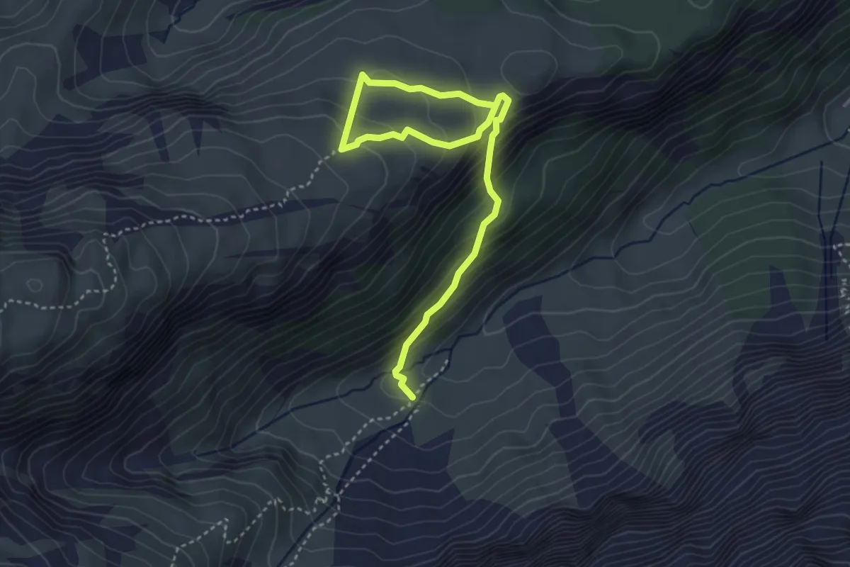
Medium · Trail
Groppi – Hoberg
4.6 km · ↑ 366 m · 1 h 52 min
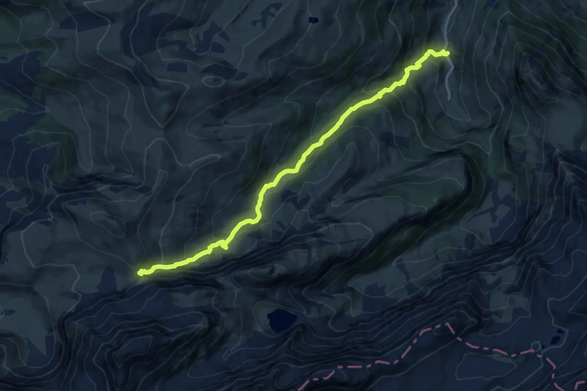
Demanding · Trail
Pöschenried – Tungelpass
13.5 km · ↑ 917 m · 5 h 10 min
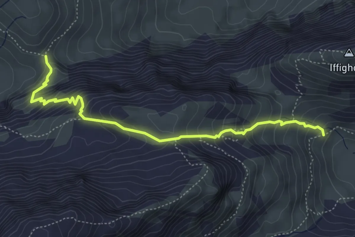
Medium · Trail
Tungelpass – Iffigsee
5.2 km · ↑ 582 m · 2 h 30 min
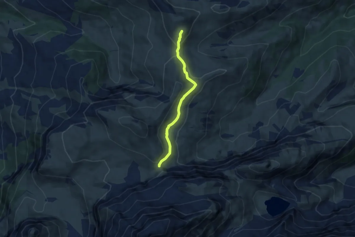
Medium · Trail
Tungelpass – Stübleni
5.8 km · ↑ 206 m · 1 h 49 min
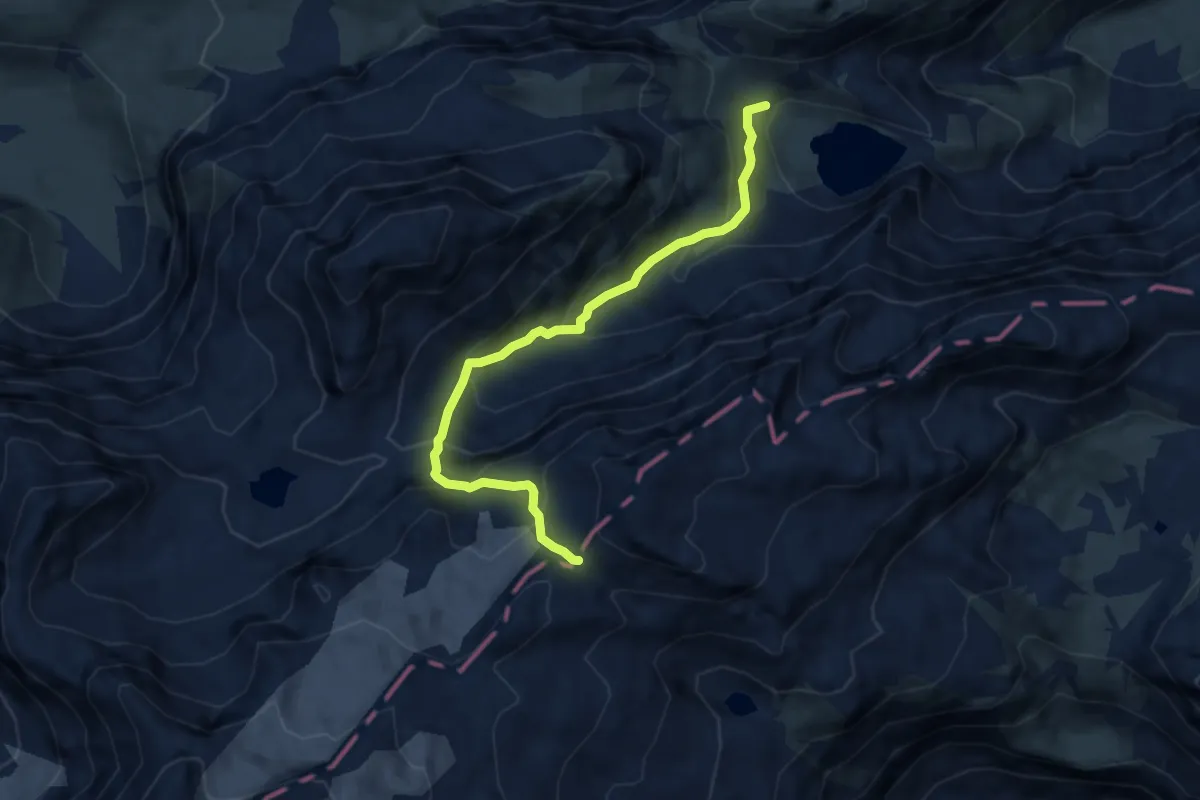
Demanding · Trail
Iffigsee – Schnidejoch
7.4 km · ↑ 641 m · 3 h 9 min
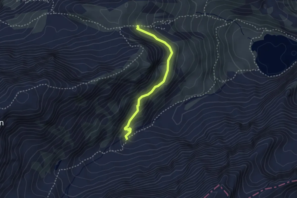
Medium · Cabin
2344 – Wildhornhütte
2.8 km · ↑ 202 m · 1 h 5 min
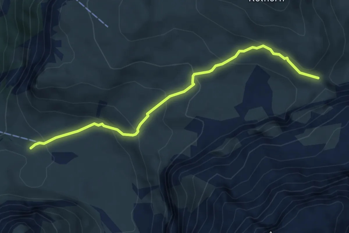
Medium · Trail
Kühtungel – Tungelpass
5.4 km · ↑ 353 m · 2 h 2 min
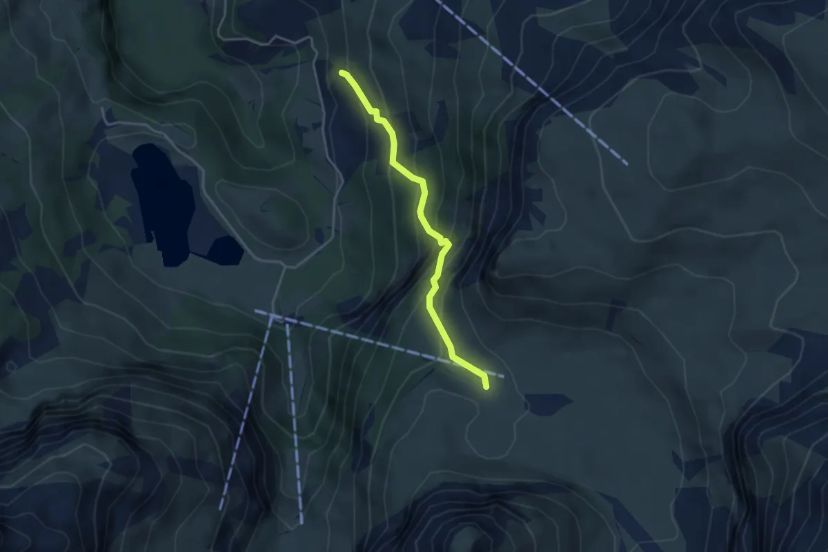
Medium · Trail
Vorschess – Kühtungel
3.3 km · ↑ 371 m · 1 h 36 min