Trails in Switzerland
15,055 hiking trails, each with its route, climb, walking time and grade.
All trails, page 174 of 314
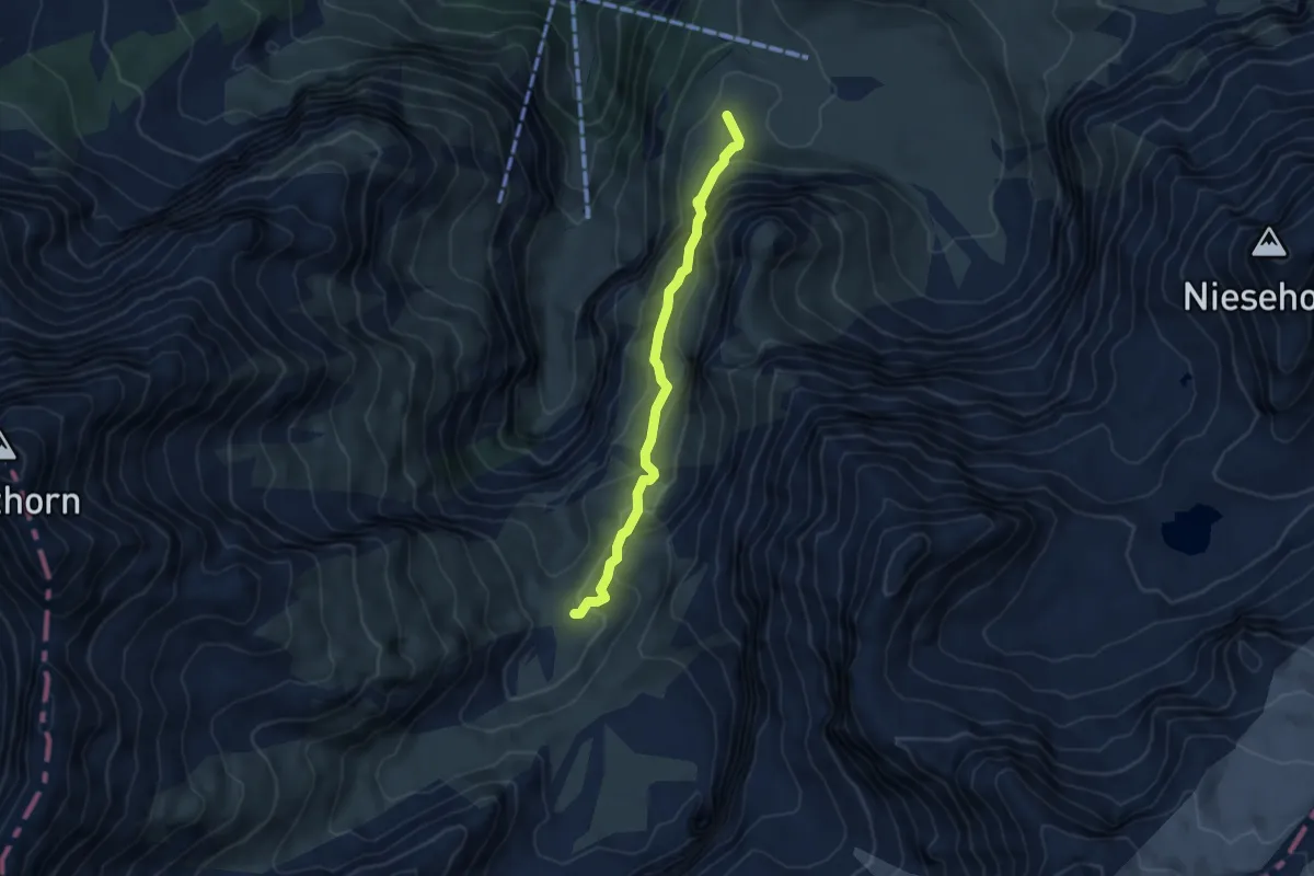
Medium · Summit
Kühtungel – Geltenhütte
4.5 km · ↑ 351 m · 1 h 50 min
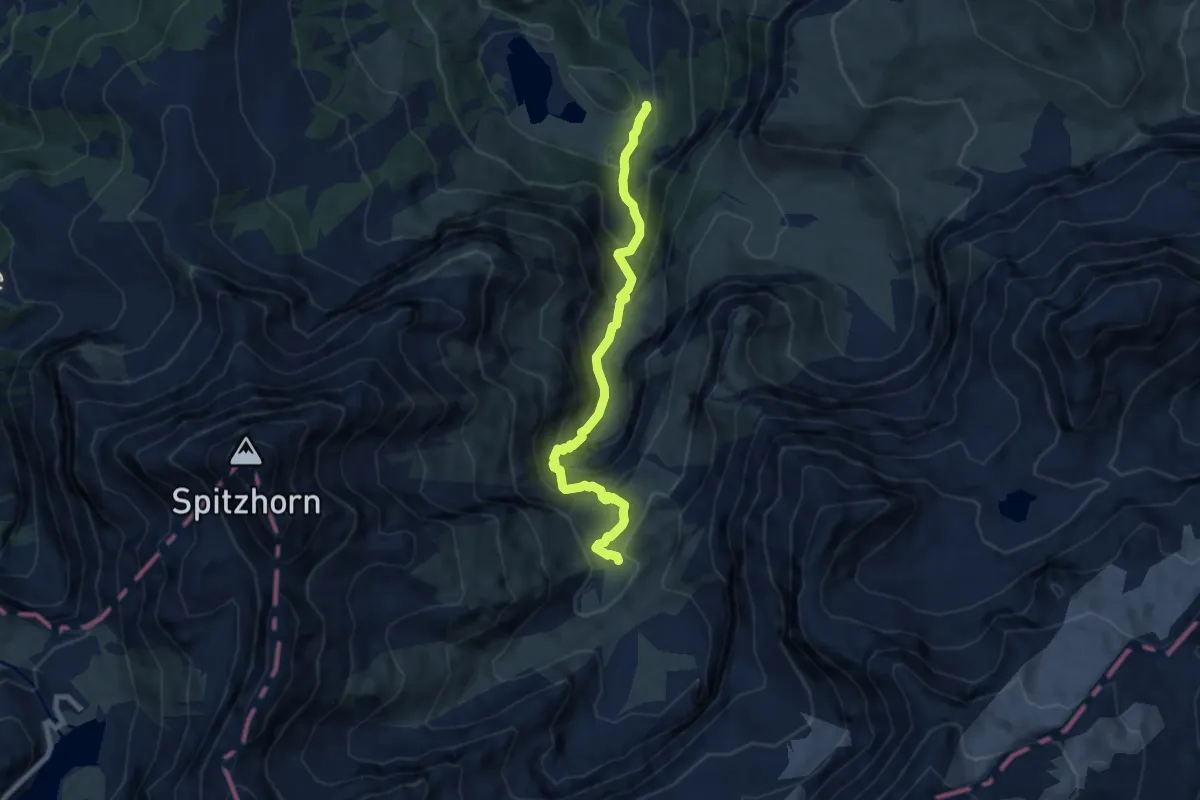
Medium · Cabin
Legerlibrügg – Geltenhütte
7.5 km · ↑ 717 m · 3 h 19 min
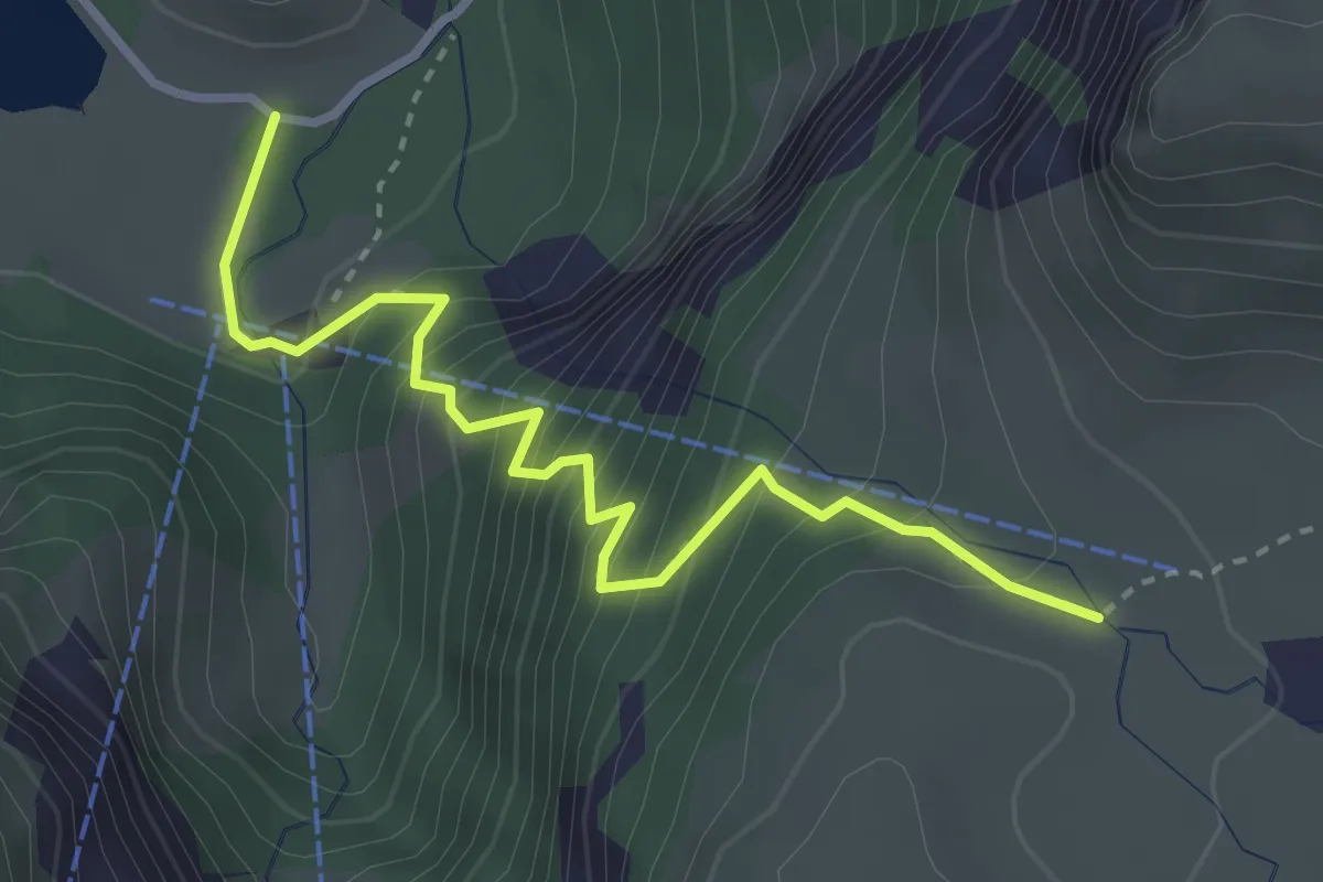
Medium · Trail
Kühtungel – Lauenensee
3.3 km · ↑ 401 m · 1 h 39 min
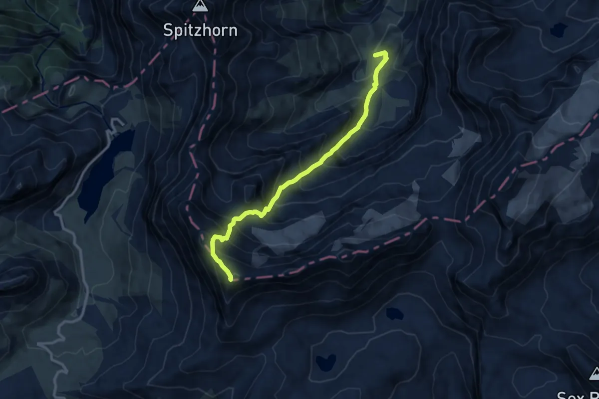
Expert · Summit
Geltenhütte – Arpelistock
9.0 km · ↑ 1042 m · 4 h 23 min
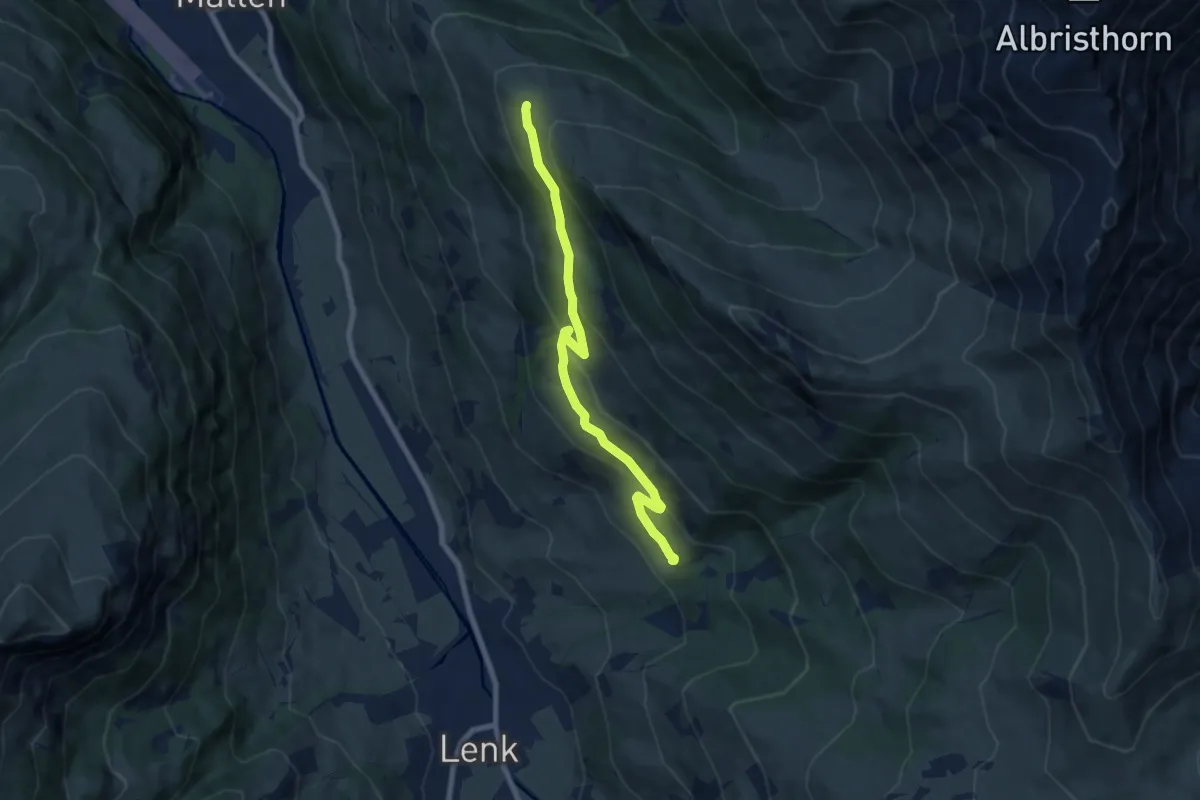
Medium · Trail
Schwand – Gibel
7.5 km · ↑ 368 m · 2 h 34 min
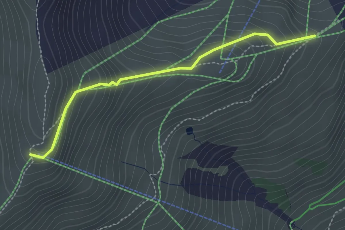
Medium · Trail
Lavey – Stand
2.3 km · ↑ 183 m · 56 min
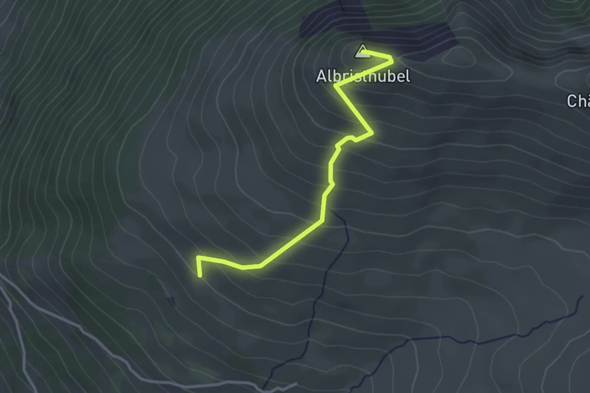
Easy · Summit
Am oberen Albrist – Albristhubel
3.0 km · ↑ 302 m · 1 h 22 min
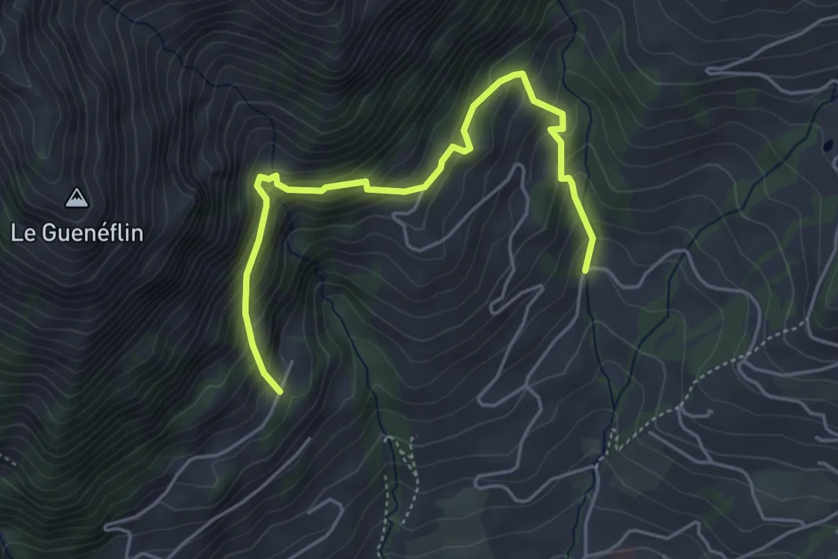
Medium · Trail
La Dent – Le Clôt
4.8 km · ↑ 530 m · 2 h 16 min
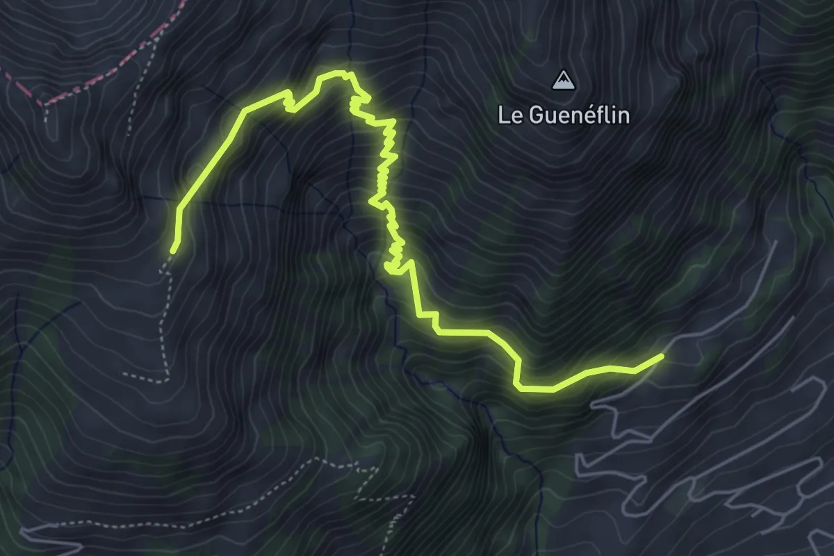
Medium · Trail
La Dent – Cray Dessous
6.4 km · ↑ 662 m · 2 h 57 min
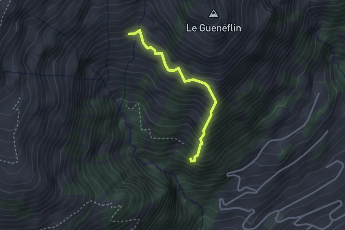
Demanding · Trail
Cabane des Choucas – Plan Berthod
2.4 km · ↑ 423 m · 1 h 29 min
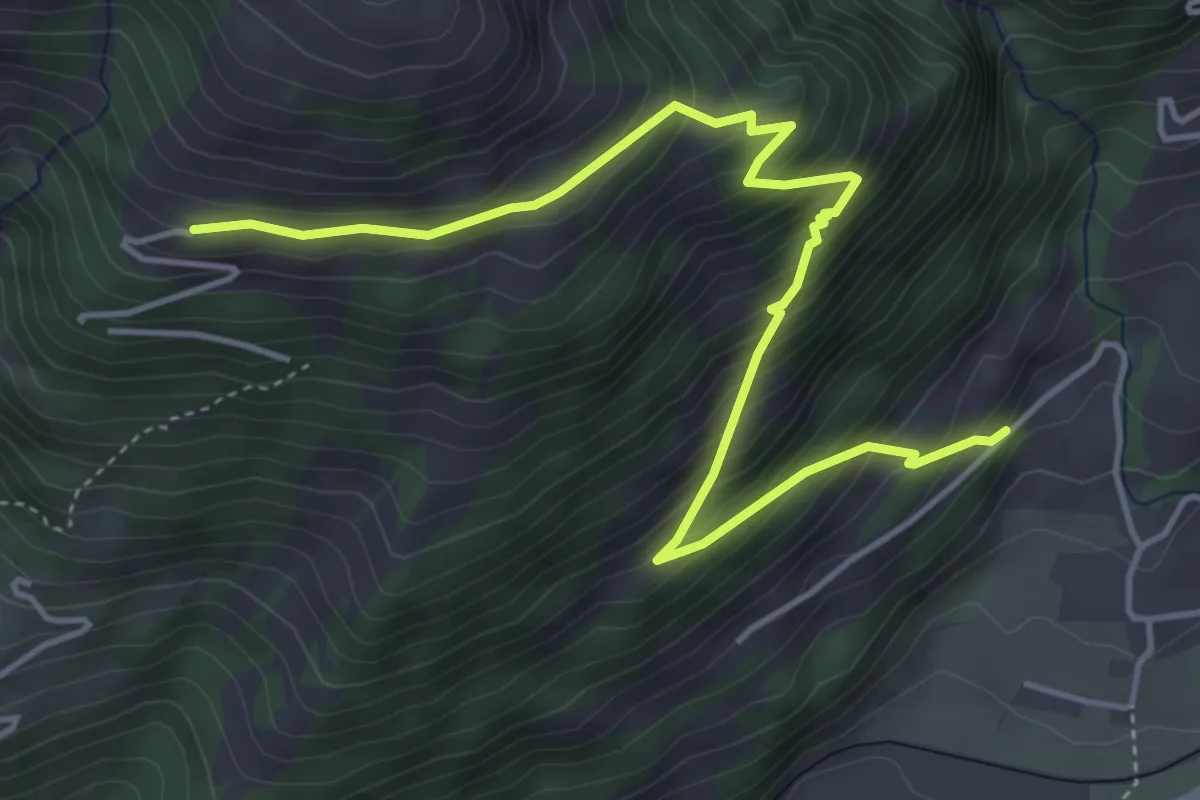
Medium · Trail
Château-d'Oex – Cray Dessous
5.3 km · ↑ 513 m · 2 h 22 min
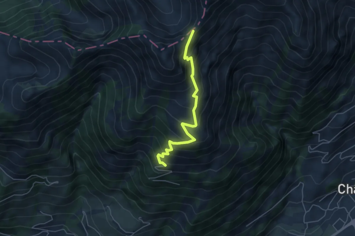
Medium · Trail
Cray Dessous – Col de Cray
4.6 km · ↑ 422 m · 2 h
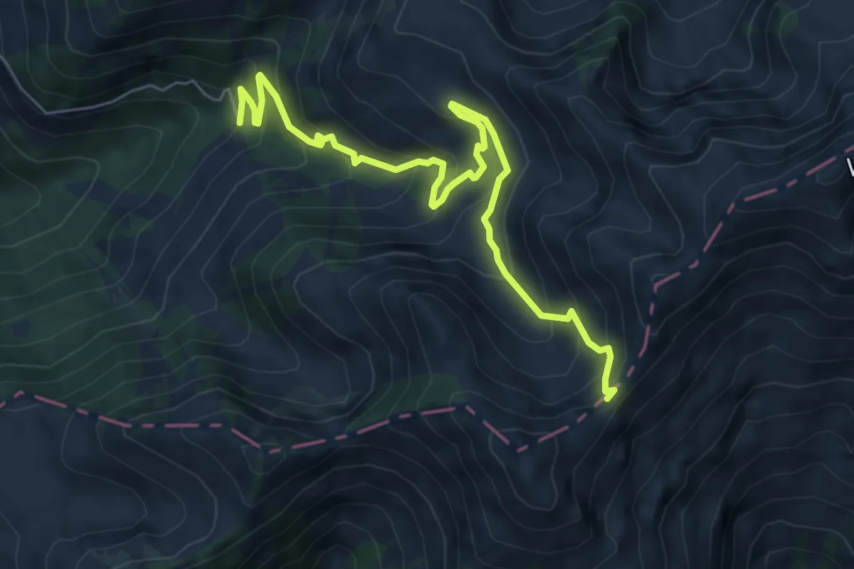
Medium · Trail
Col de Cray – 1383
7.1 km · ↑ 607 m · 3 h
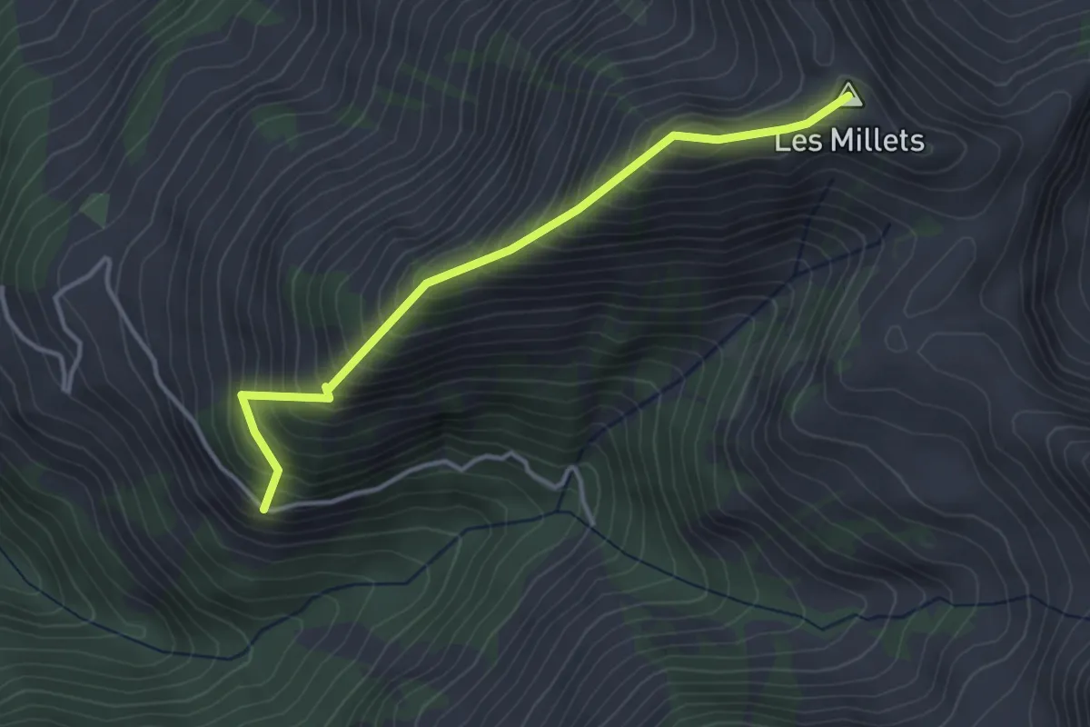
Medium · Summit
Saugerua – Les Millets
3.5 km · ↑ 504 m · 1 h 55 min
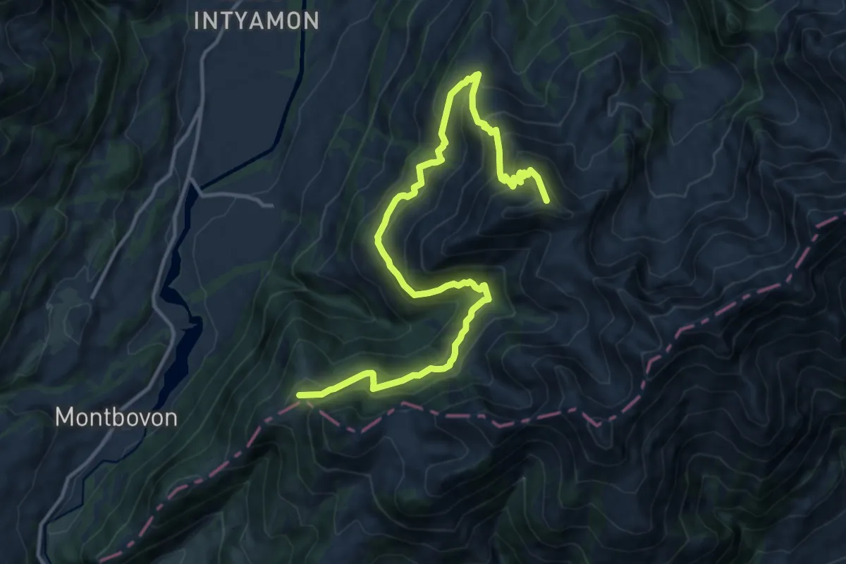
Demanding · Summit
La Brâ – Les Millets
15.8 km · ↑ 1223 m · 6 h 22 min
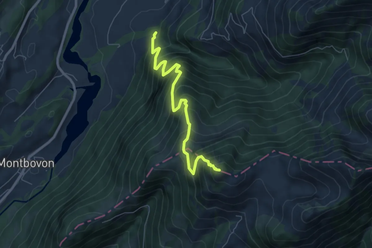
Demanding · Summit
Sur les Verbuts – L'Aiguille
6.2 km · ↑ 807 m · 3 h 13 min
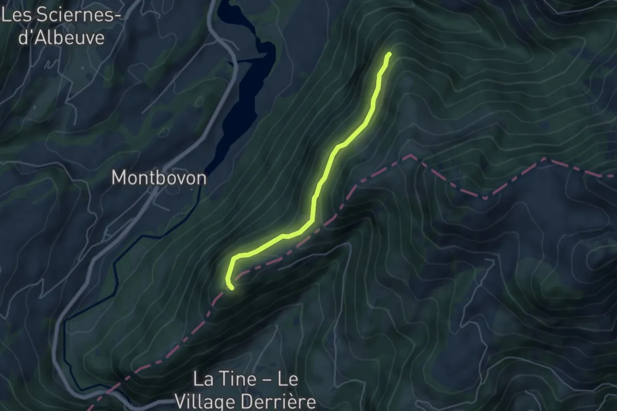
Easy · Trail
1191 – Les Cerniettes
4.2 km · ↑ 193 m · 1 h 25 min
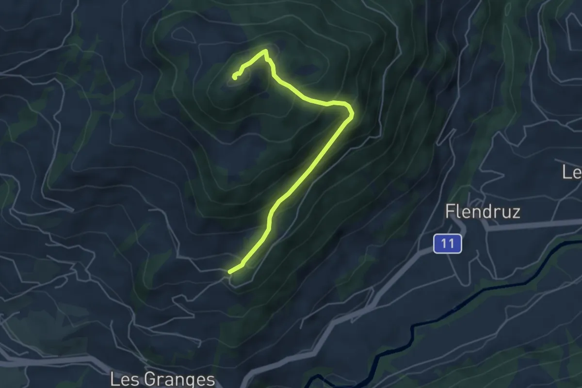
Medium · Summit
Pâquier Simond – La Laitemaire
4.5 km · ↑ 419 m · 1 h 58 min
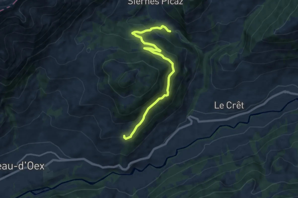
Medium · Trail
Pont des Siernes Picaz – Pâquier Simond
9.7 km · ↑ 506 m · 3 h 24 min
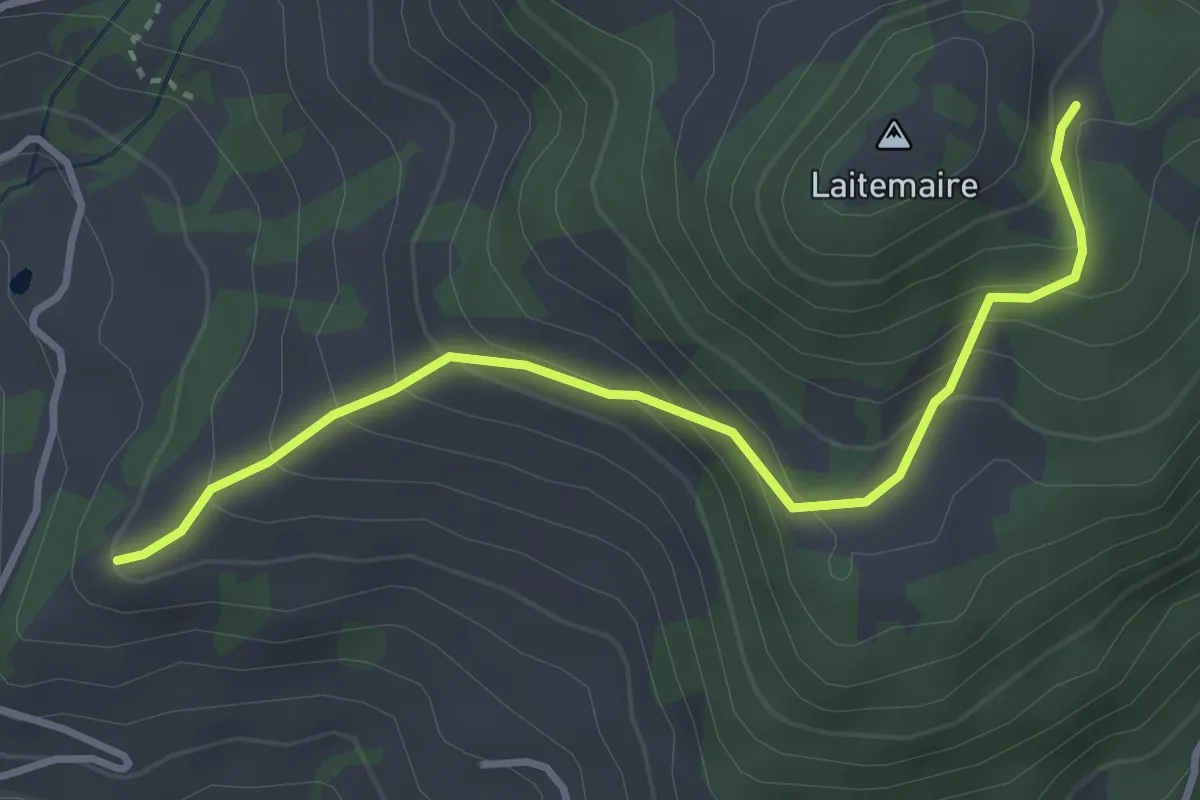
Easy · Trail
Route de Mont – La Laitemaire
3.6 km · ↑ 304 m · 1 h 30 min
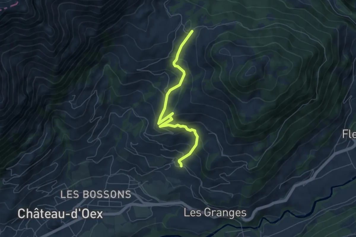
Medium · Trail
Le Mont – Les Laitalets
6.1 km · ↑ 488 m · 2 h 30 min
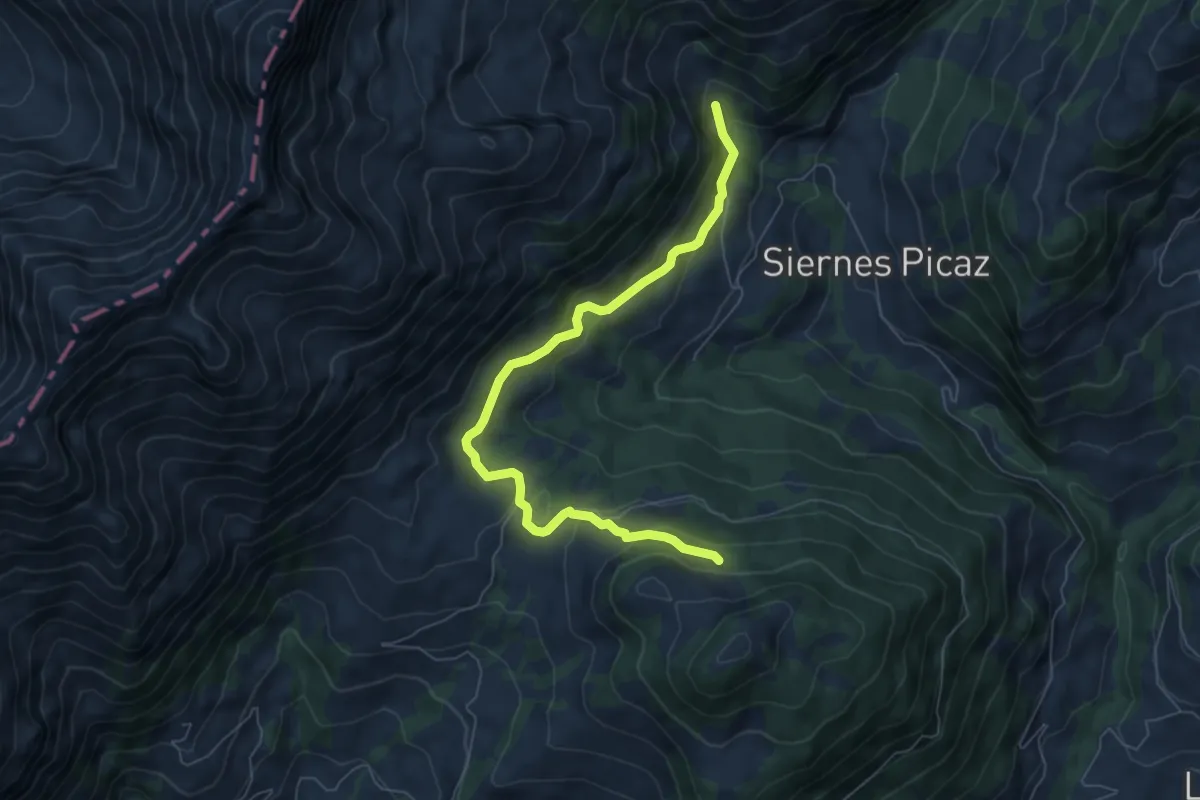
Easy · Trail
La Laitemaire – Béviau d'en Bas
7.1 km · ↑ 286 m · 2 h 18 min
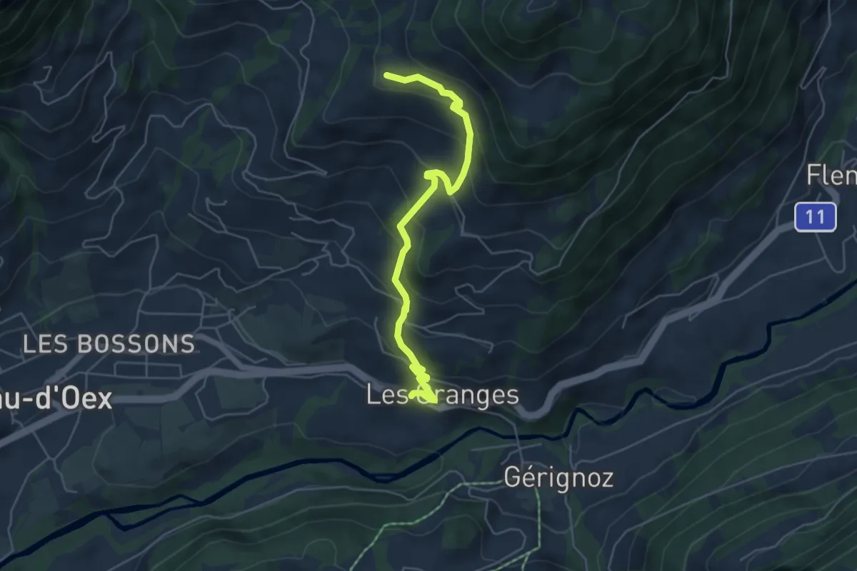
Medium · Trail
Les Granges – Pâquier Ministre
5.2 km · ↑ 406 m · 2 h 7 min
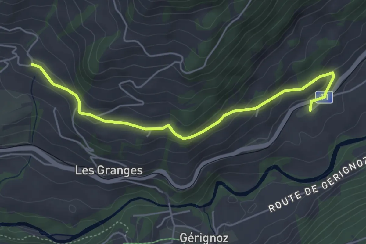
Easy · Trail
Le Mont – Les Combes
4.7 km · ↑ 154 m · 1 h 26 min
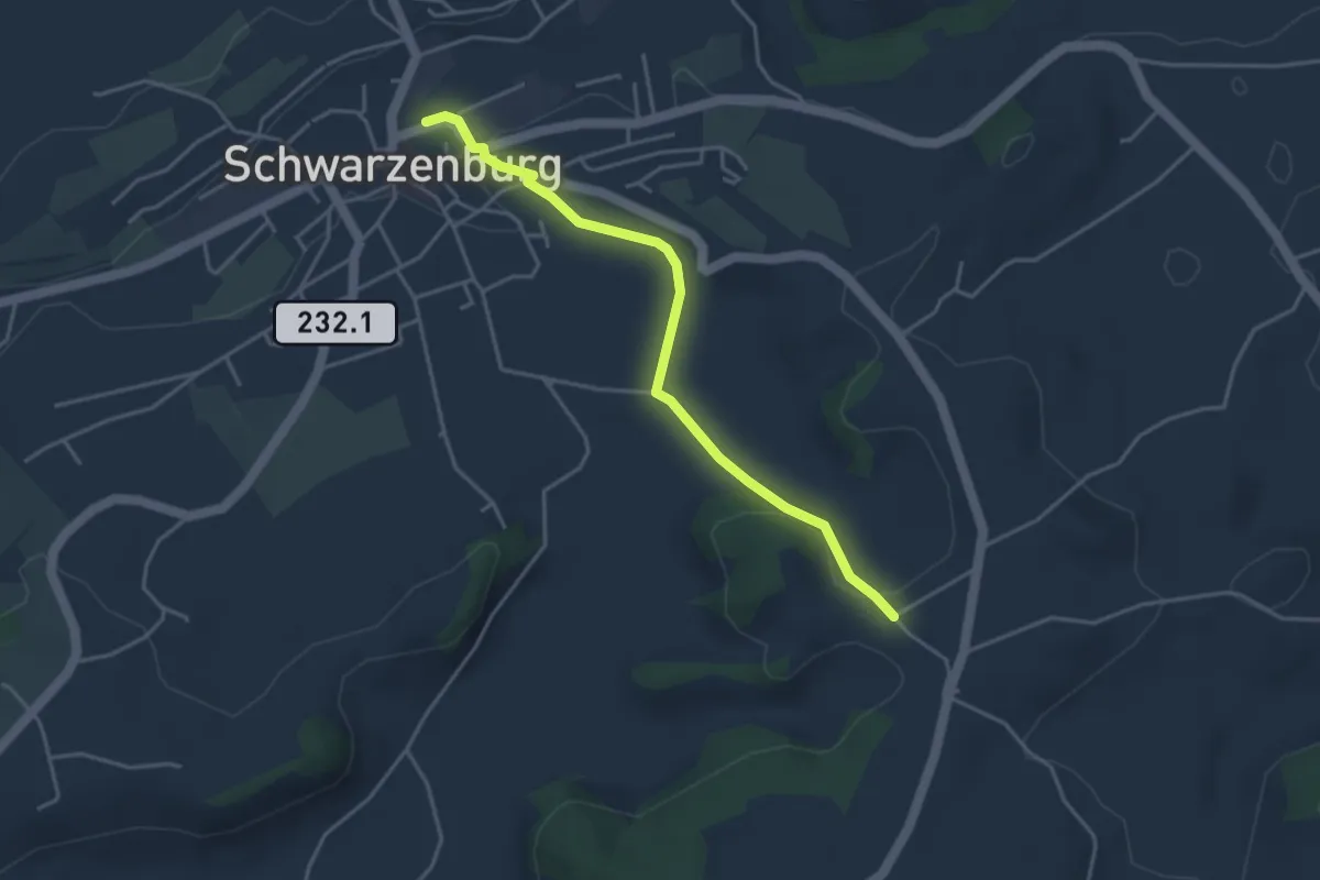
Easy · Trail
Schwarzenburg – Stiersacker
3.9 km · ↑ 79 m · 1 h 5 min
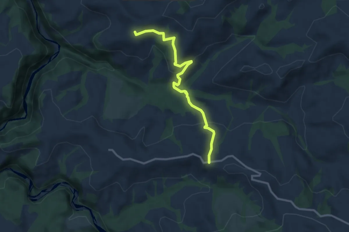
Medium · Trail
Borisried – Vorderfultigen
7.2 km · ↑ 329 m · 2 h 24 min
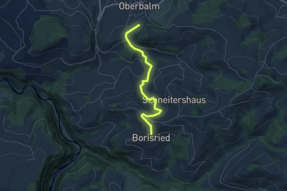
Easy · Trail
Boriswil – Oberbalm/Kirchweg
5.5 km · ↑ 195 m · 1 h 43 min
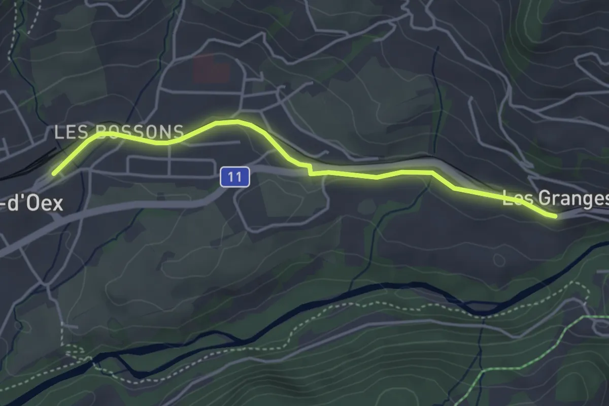
Easy · Trail
Château-d'Oex – Les Grenges
4.0 km · ↑ 30 m · 1 h
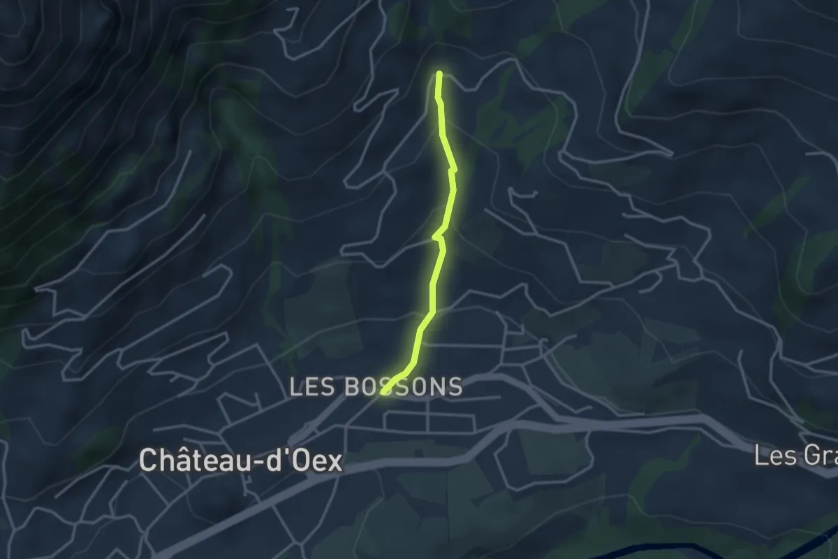
Easy · Trail
Les Bossons – Route de Clôt
2.4 km · ↑ 164 m · 56 min
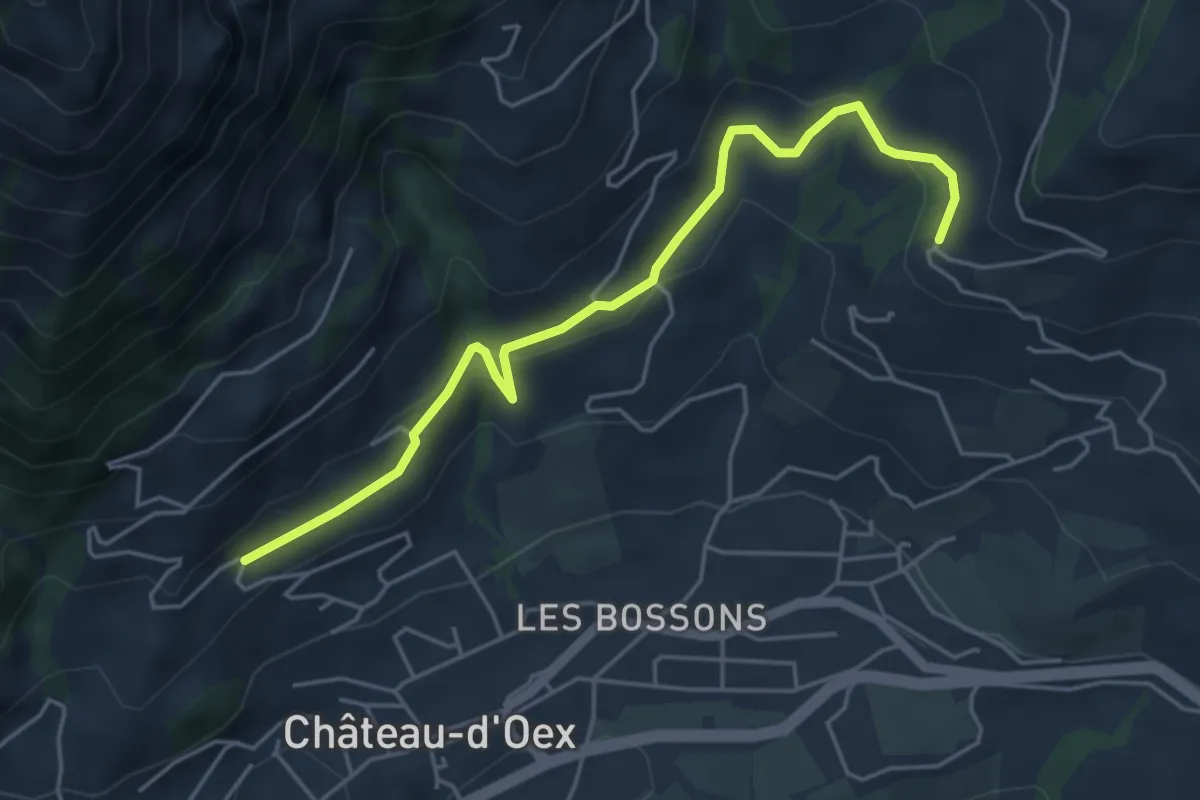
Easy · Trail
Bettens – Route du Mont
5.0 km · ↑ 221 m · 1 h 40 min
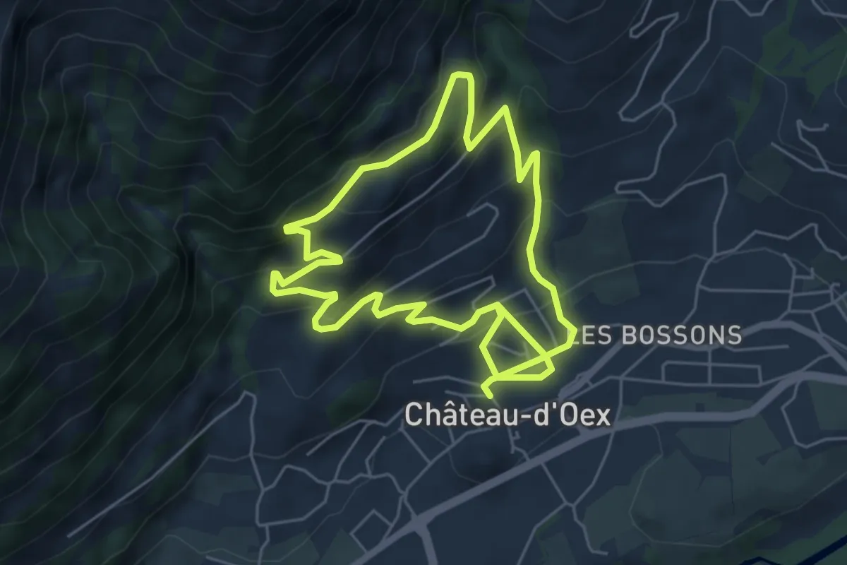
Easy · Trail
Château-d'Oex – Château-d'Oex
5.1 km · ↑ 305 m · 1 h 57 min
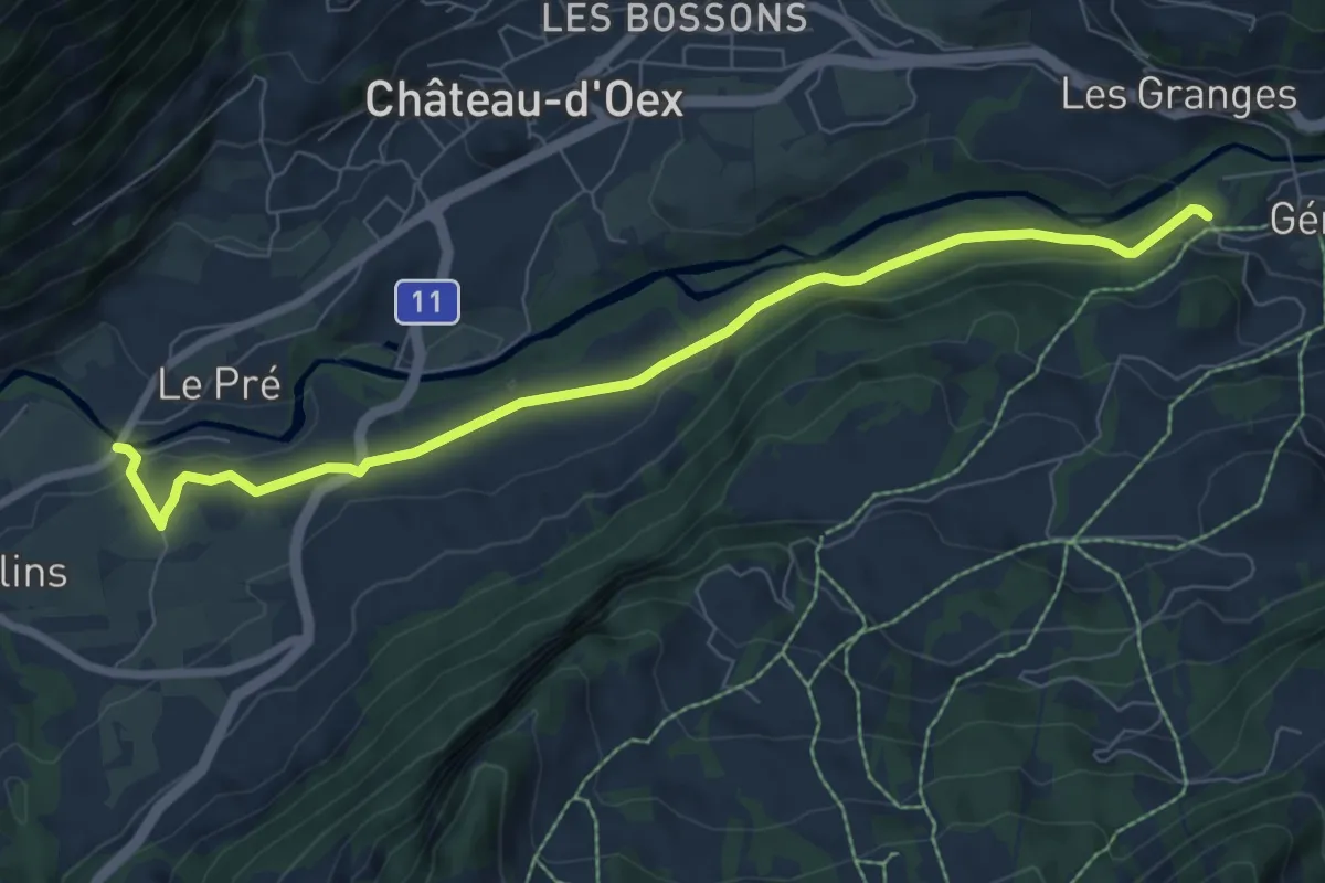
Easy · Trail
Pont de Pierre – Gérignoz
7.9 km · ↑ 164 m · 2 h 13 min
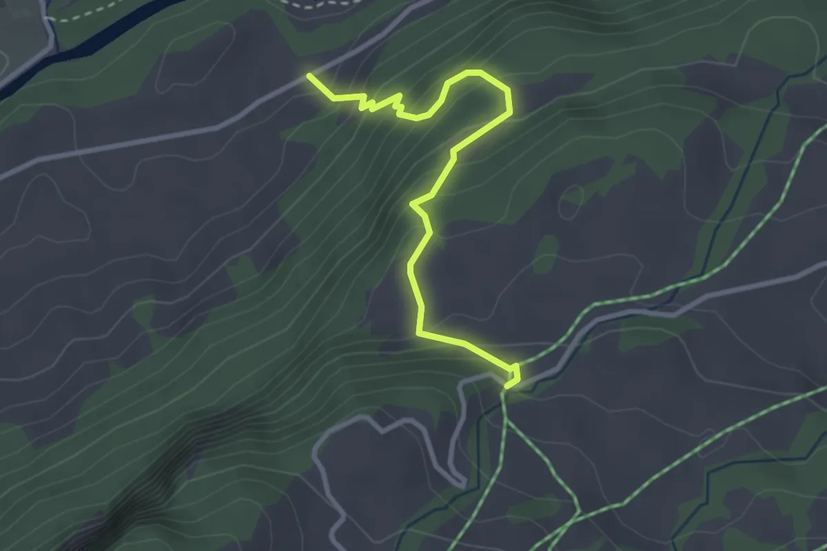
Easy · Trail
Granges d'Oex – Pra-Perron
2.9 km · ↑ 315 m · 1 h 21 min
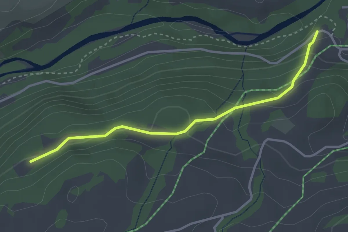
Easy · Trail
Pra-Perron – Gérignoz
2.9 km · ↑ 163 m · 1 h 2 min
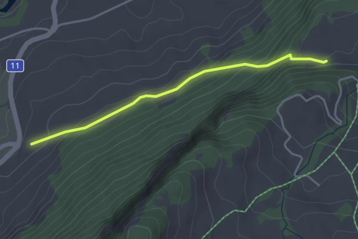
Easy · Trail
La Rosettaz – Pra-Perron
3.0 km · ↑ 211 m · 1 h 10 min
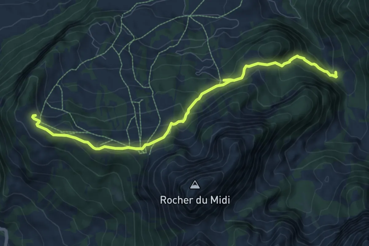
Medium · Trail
Sur le Grin – Les Paccots
9.3 km · ↑ 586 m · 3 h 28 min
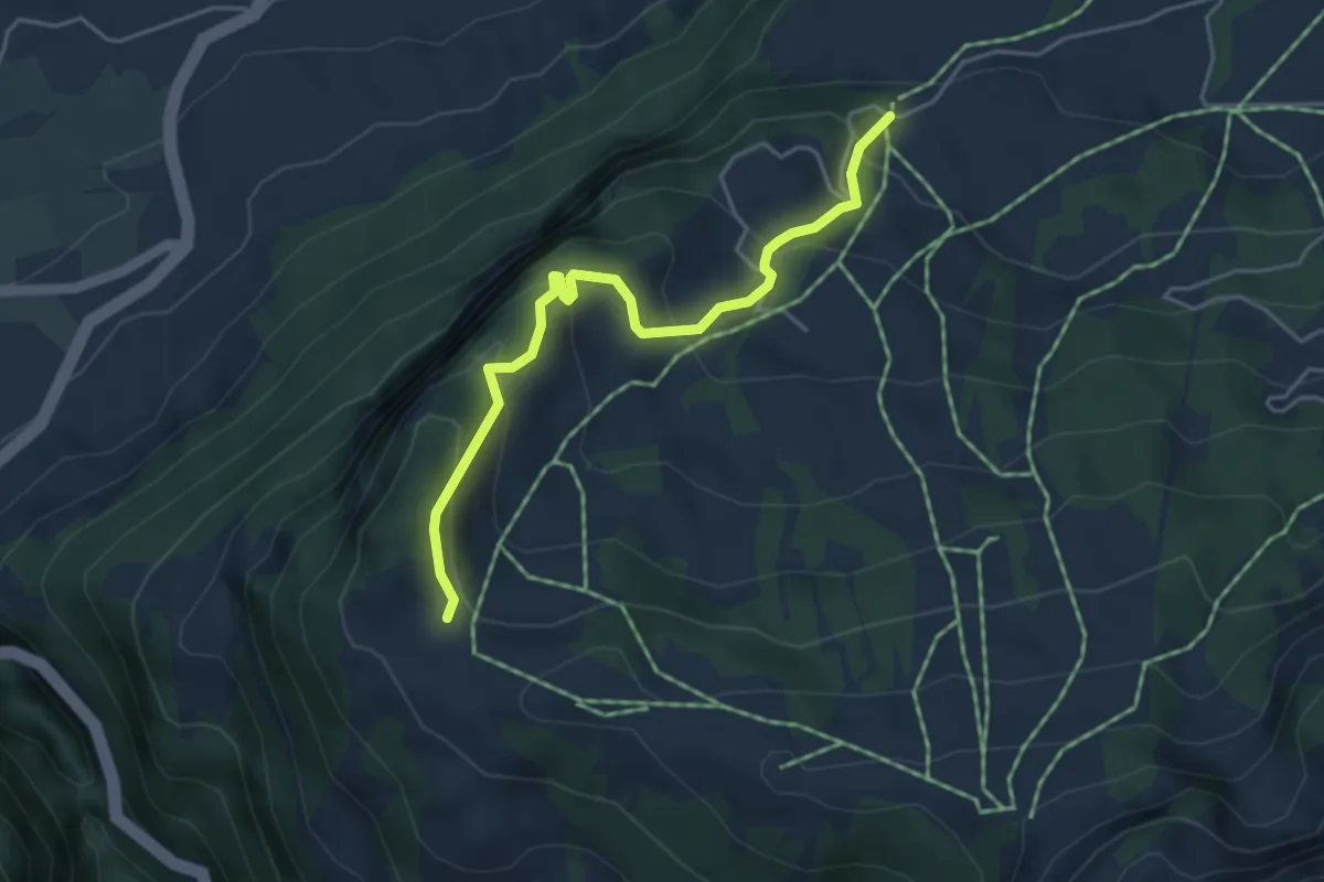
Medium · Trail
Sur le Grin – Pra-Perron
4.3 km · ↑ 359 m · 1 h 48 min
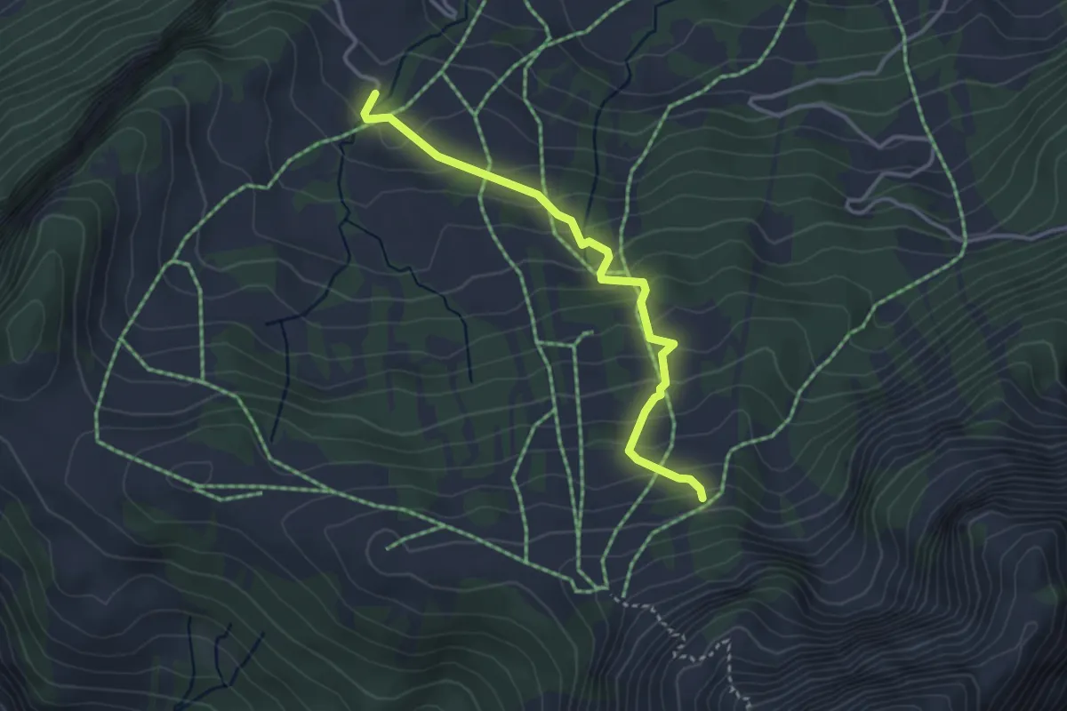
Easy · Trail
Braye d'en Haut – La Montagnette
3.3 km · ↑ 259 m · 1 h 21 min
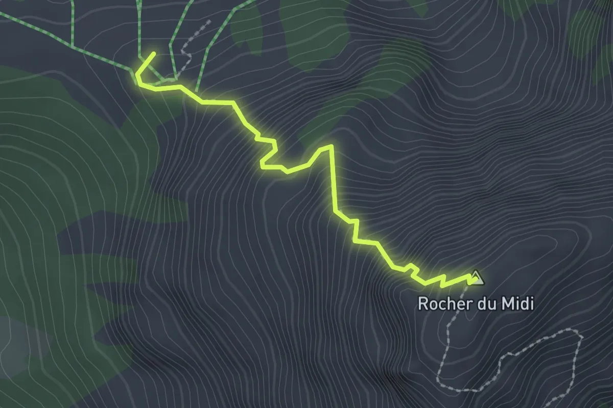
Expert · Summit
La Montagnette – Rocher du Midi
2.2 km · ↑ 443 m · 1 h 29 min
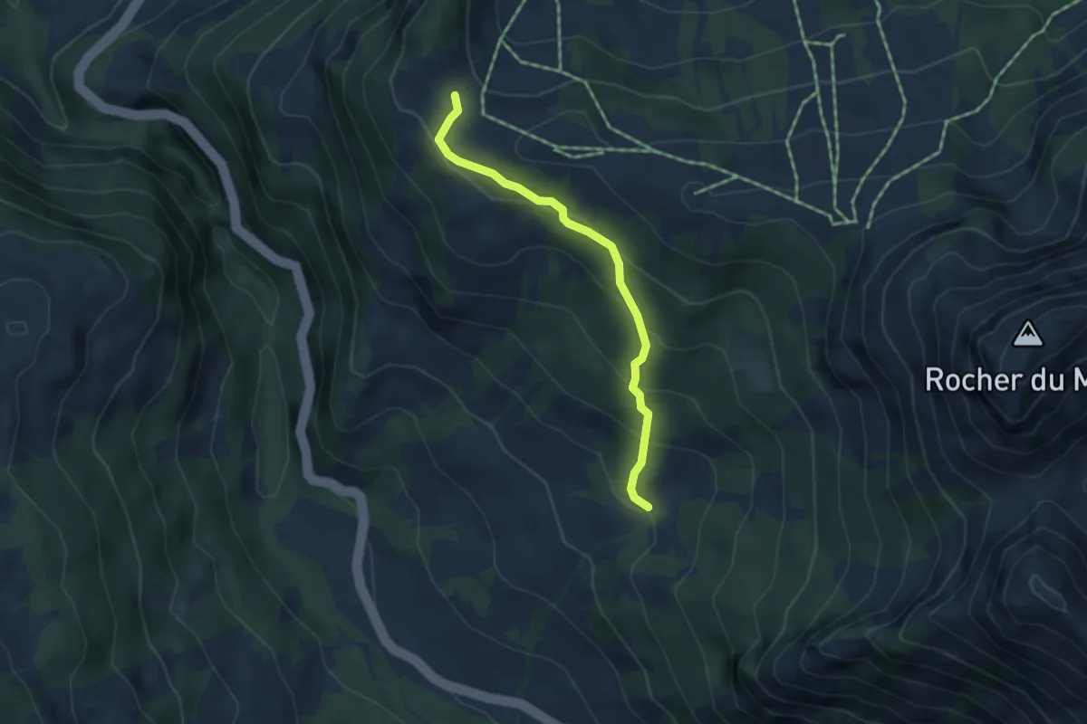
Easy · Trail
Sur le Grin – Le Daillex
3.6 km · ↑ 235 m · 1 h 22 min
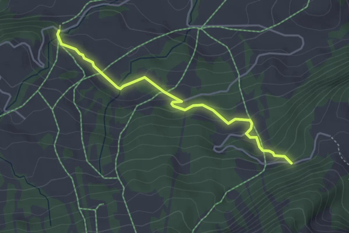
Easy · Trail
Pra-Perron – Rodosex
3.7 km · ↑ 215 m · 1 h 21 min
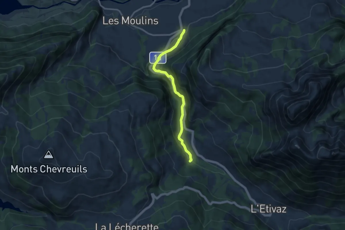
Medium · Trail
La Rosettaz – Ciernes Raynaud
7.3 km · ↑ 369 m · 2 h 31 min
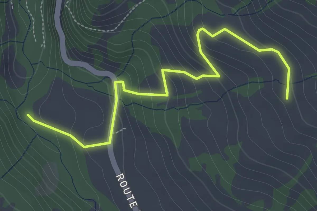
Easy · Trail
La Torneresse – Le Blancsex
3.4 km · ↑ 197 m · 1 h 14 min
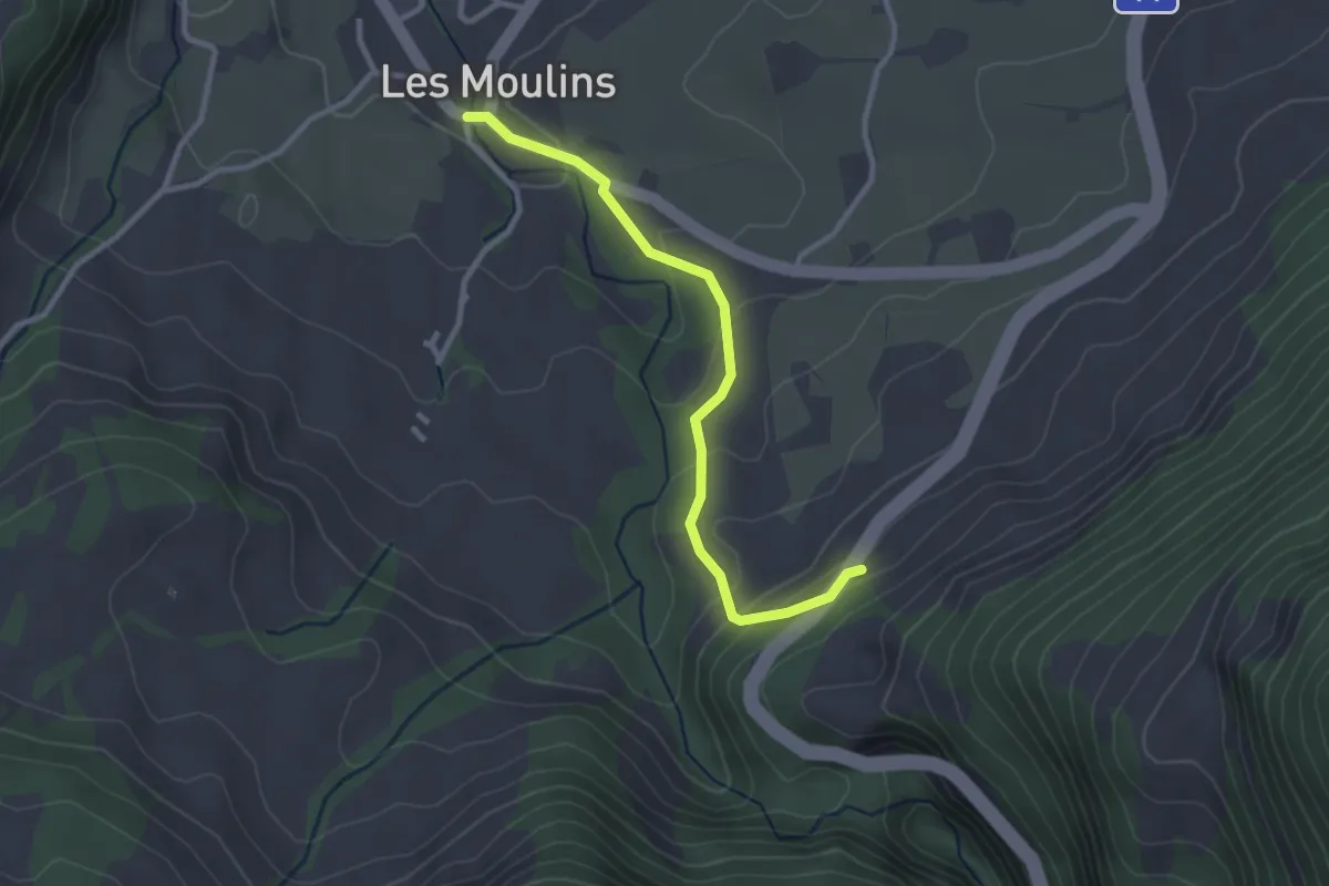
Easy · Trail
Les Moulins – Route des Mosses
2.8 km · ↑ 135 m · 57 min
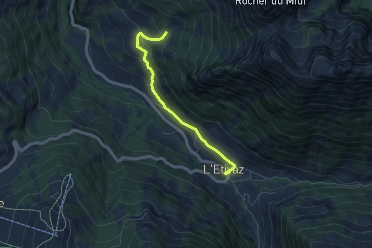
Easy · Trail
L'Etivaz – Le Daillex
5.4 km · ↑ 242 m · 1 h 49 min
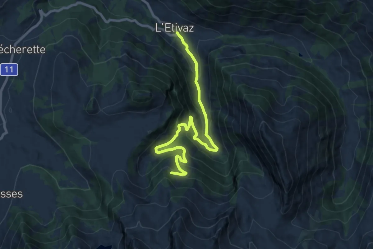
Medium · Trail
L'Etivaz – Lévanchy
12.6 km · ↑ 692 m · 4 h 28 min
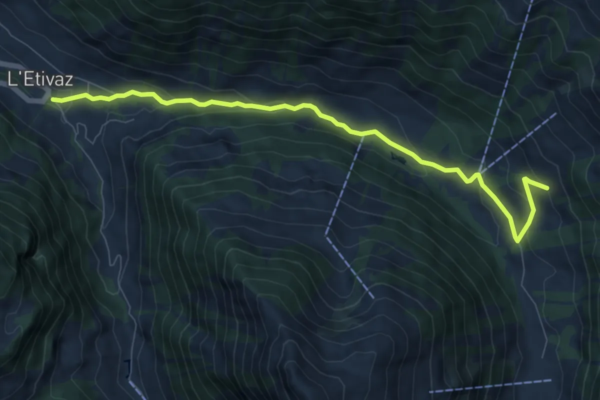
Medium · Trail
L'Etivaz – Le van
8.5 km · ↑ 321 m · 2 h 42 min
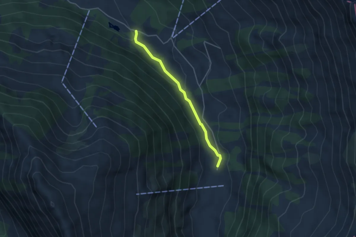
Easy · Trail
Les Vuittes – Pâquier Mottier
3.1 km · ↑ 86 m · 56 min