Trails in Switzerland
15,055 hiking trails, each with its route, climb, walking time and grade.
All trails, page 175 of 314
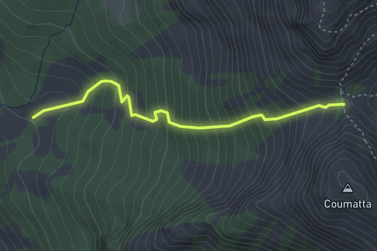
Medium · Trail
Le Daillex – Col de Base
3.1 km · ↑ 522 m · 1 h 52 min
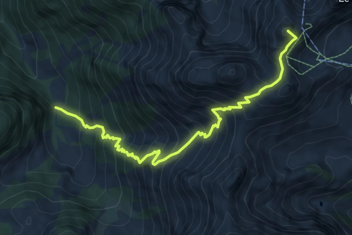
Demanding · Summit
Les Paccots – La Videmanette
8.0 km · ↑ 928 m · 3 h 54 min
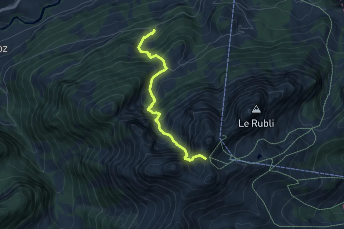
Demanding · Trail
Planquirin – La Videmanette
6.0 km · ↑ 816 m · 3 h 10 min
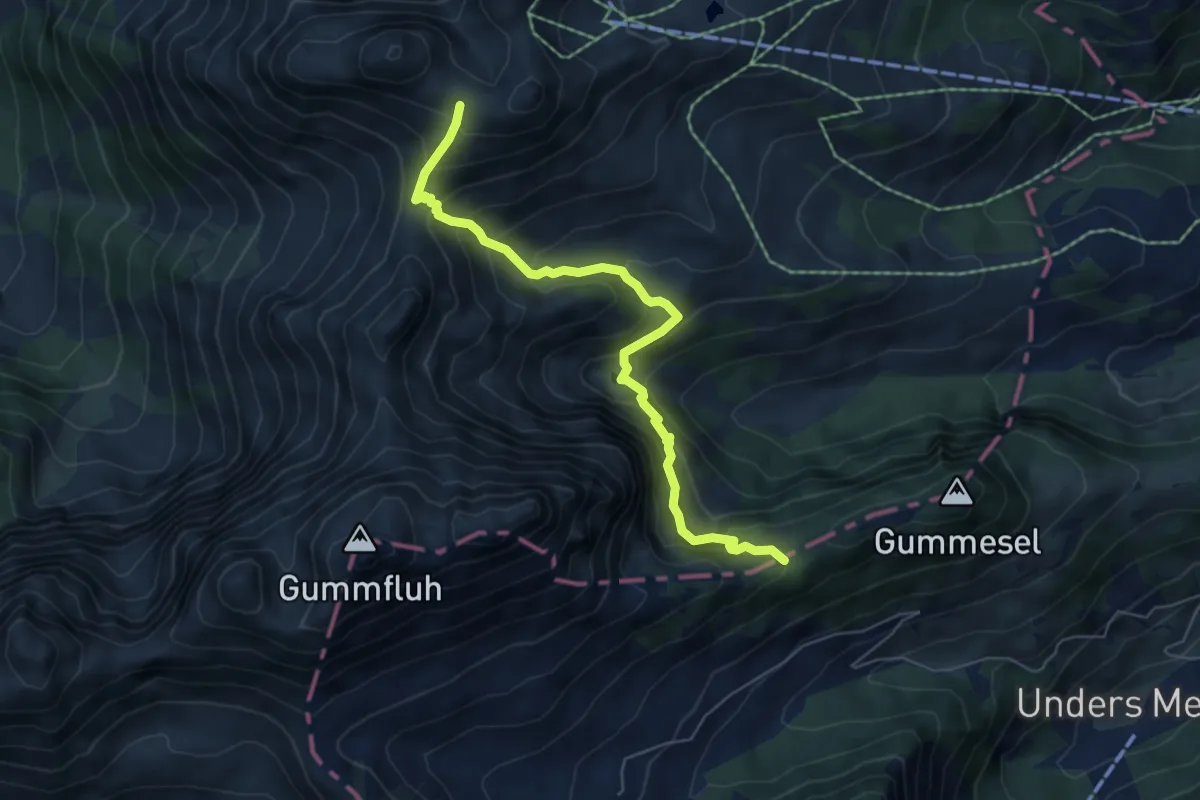
Medium · Trail
Trittlisattel – La Videmanette
6.1 km · ↑ 608 m · 2 h 45 min
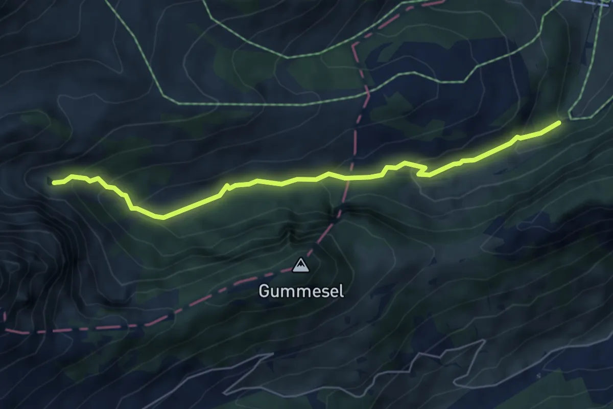
Easy · Trail
Gour de Comporsin – Chalberhönistrasse
5.6 km · ↑ 320 m · 2 h
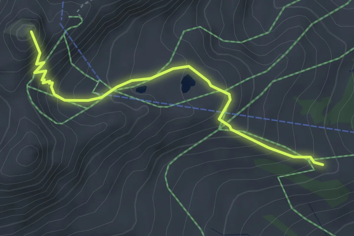
Medium · Summit
La Vindemanette – Pra Cluen
3.7 km · ↑ 358 m · 1 h 39 min
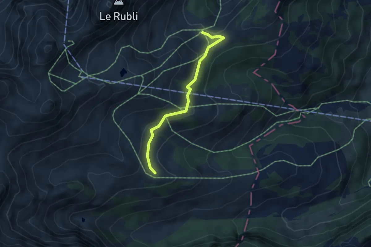
Easy · Trail
Les Praz – Ruble
3.6 km · ↑ 138 m · 1 h 9 min
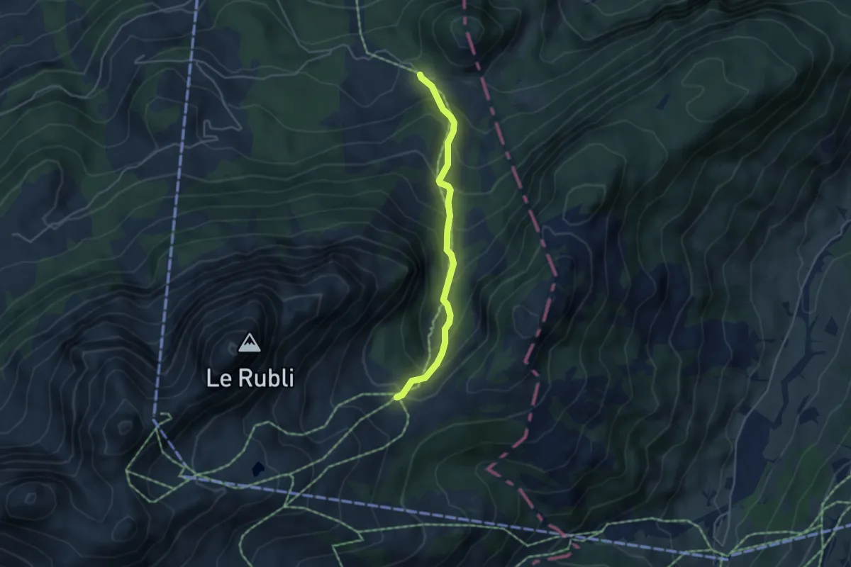
Medium · Trail
Ruble – Les Planards
3.8 km · ↑ 395 m · 1 h 44 min
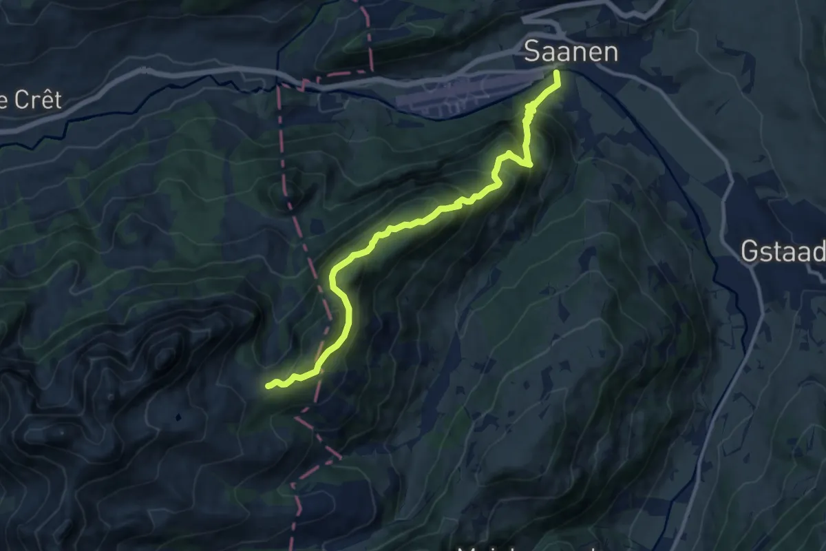
Demanding · Trail
Saanen – Ruble
11.3 km · ↑ 923 m · 4 h 39 min
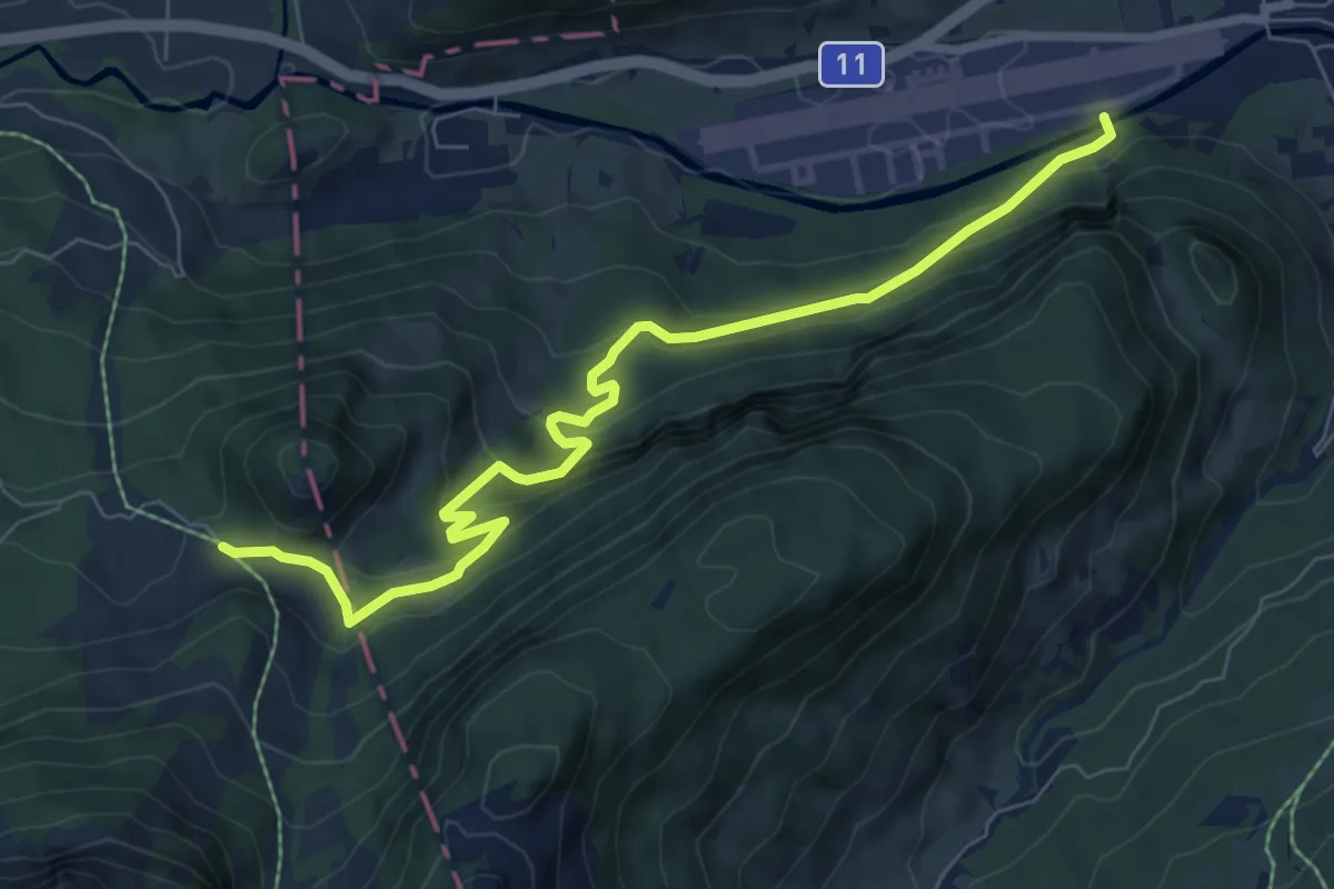
Medium · Trail
Saanen – Les Planards
8.0 km · ↑ 466 m · 2 h 54 min
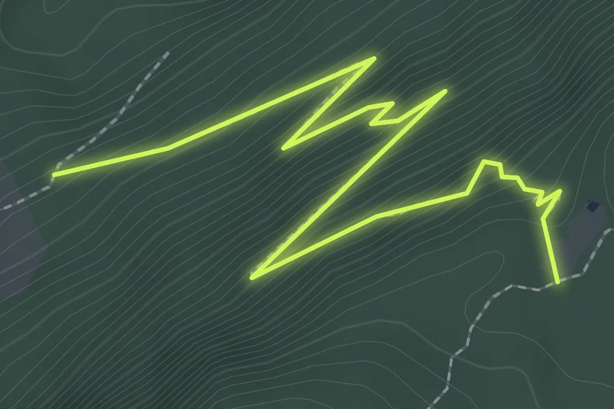
Medium · Trail
Les Planards – Oberi Dorfflüe
3.2 km · ↑ 347 m · 1 h 30 min
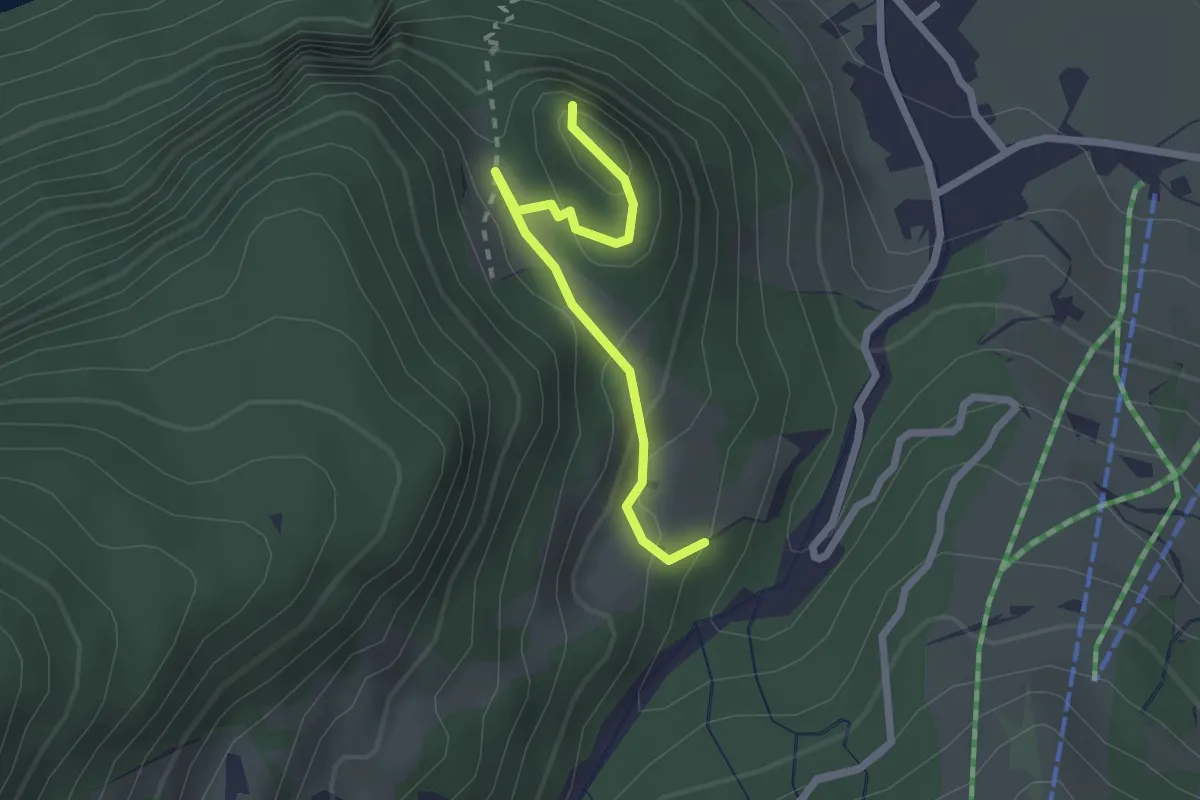
Easy · Trail
Cholisgrindweg – Cholis Grind
2.2 km · ↑ 119 m · 46 min
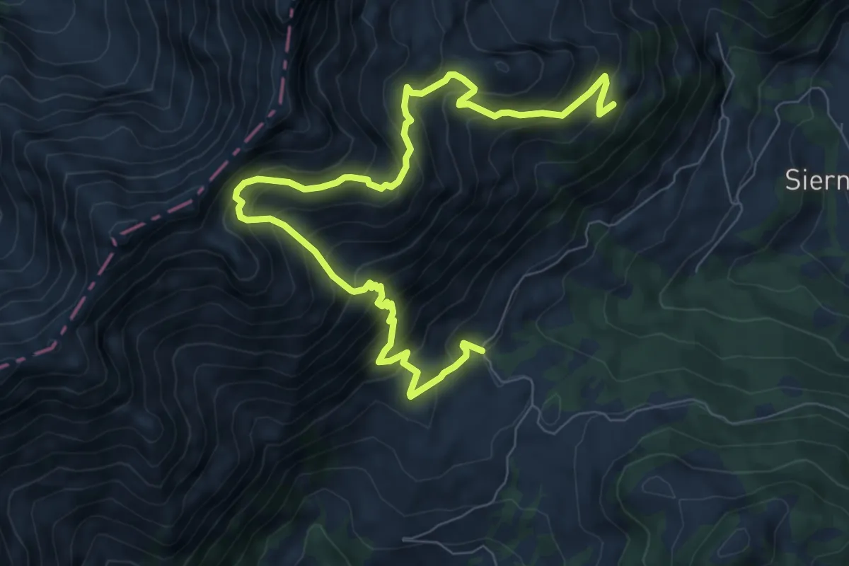
Demanding · Trail
Les Laitalets – Charbonnet
10.1 km · ↑ 1044 m · 4 h 39 min
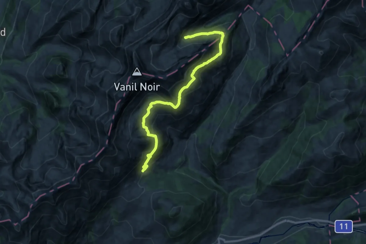
Demanding · Trail
Les Chargiaux – Les Morteys
15.8 km · ↑ 1001 m · 5 h 54 min
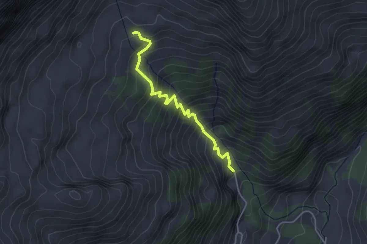
Medium · Trail
Béviau d'en Bas – Paray Doréna
3.1 km · ↑ 347 m · 1 h 29 min
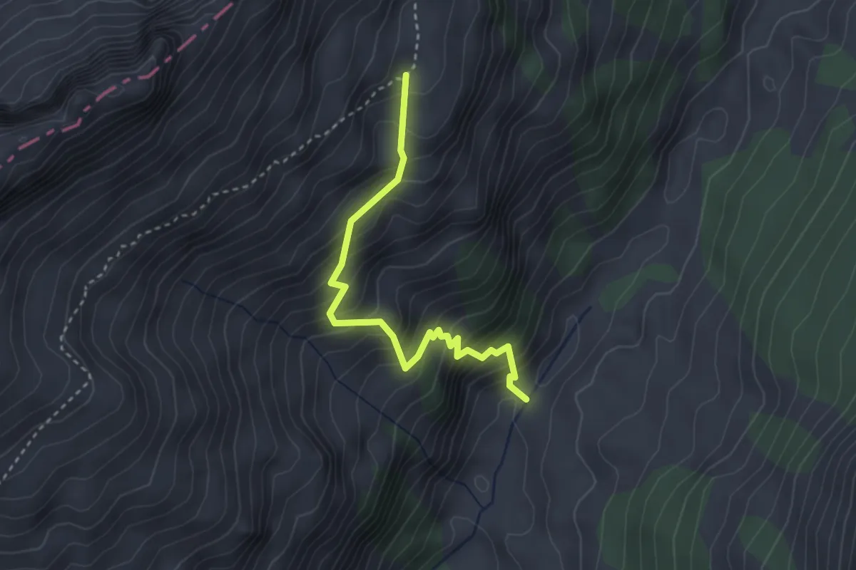
Medium · Trail
Ruisseau des Siernes Picaz – Les Bimis
3.1 km · ↑ 397 m · 1 h 35 min
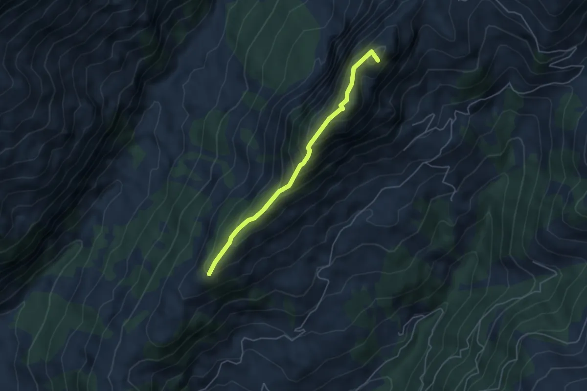
Medium · Summit
Montagne aux Manges – Combette
4.2 km · ↑ 452 m · 1 h 58 min
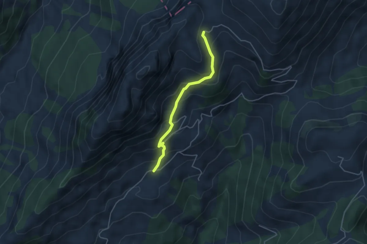
Easy · Trail
Les Rayes – Combette
3.4 km · ↑ 252 m · 1 h 21 min
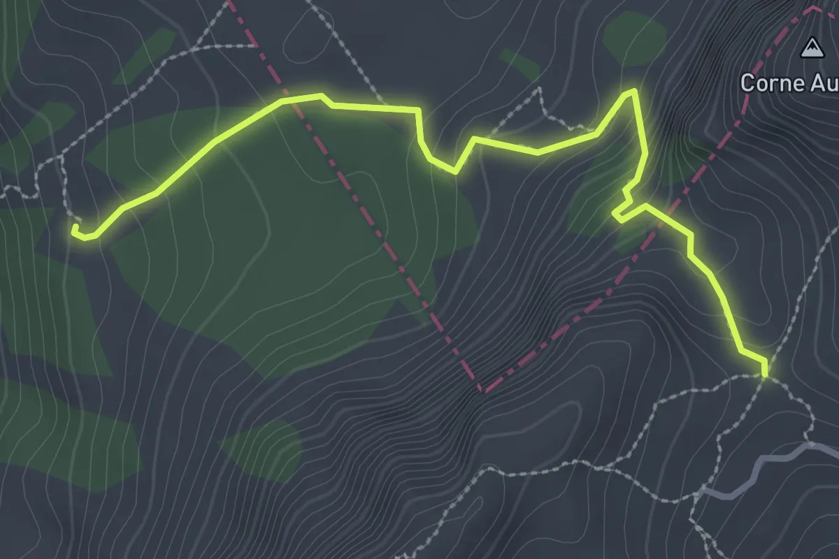
Easy · Trail
La Porsogne – Combette
3.1 km · ↑ 234 m · 1 h 14 min
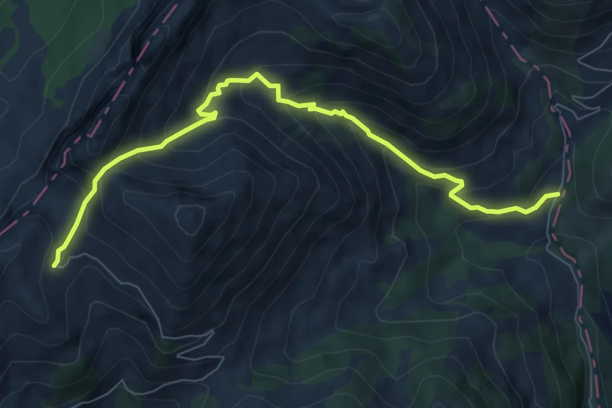
Medium · Trail
Les Fenils – Combette
7.5 km · ↑ 604 m · 3 h 5 min
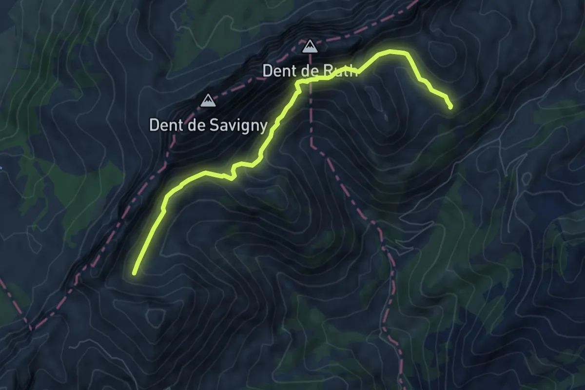
Demanding · Cabin
Combette – Grubenberghütte
7.9 km · ↑ 478 m · 2 h 54 min
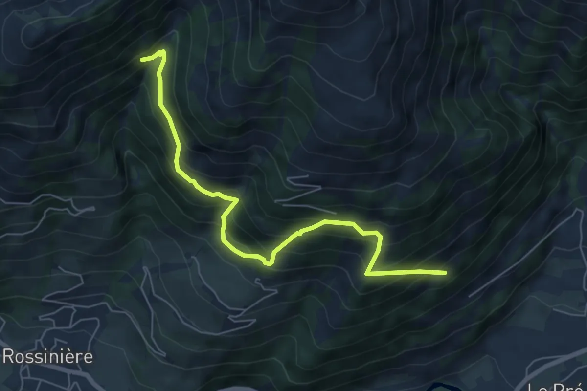
Medium · Trail
Les Chabloz – 1462
6.0 km · ↑ 693 m · 2 h 56 min
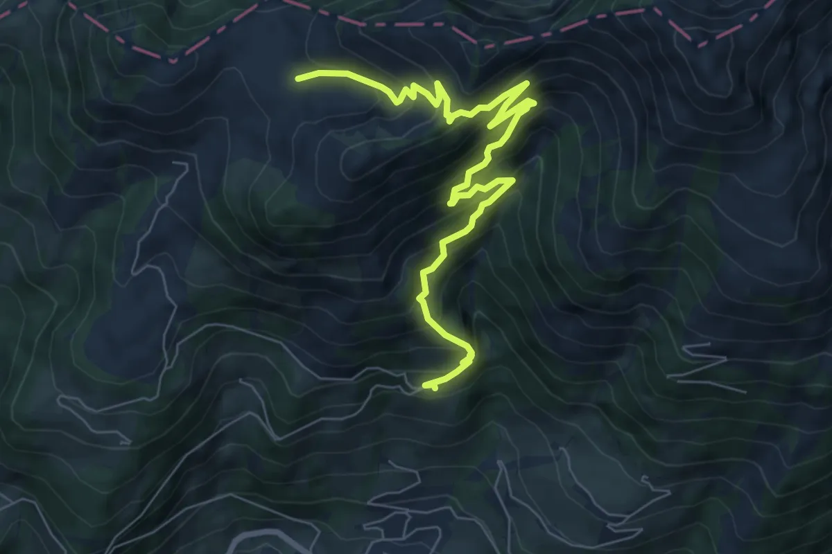
Medium · Trail
Clou des Mis – Culand
8.1 km · ↑ 788 m · 3 h 37 min
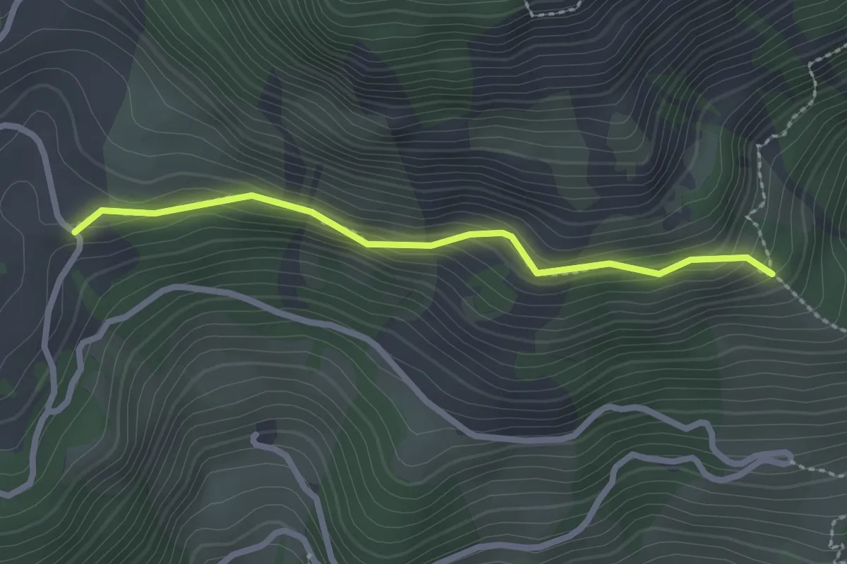
Easy · Trail
Clou des Mis – Les Clous
2.2 km · ↑ 189 m · 56 min
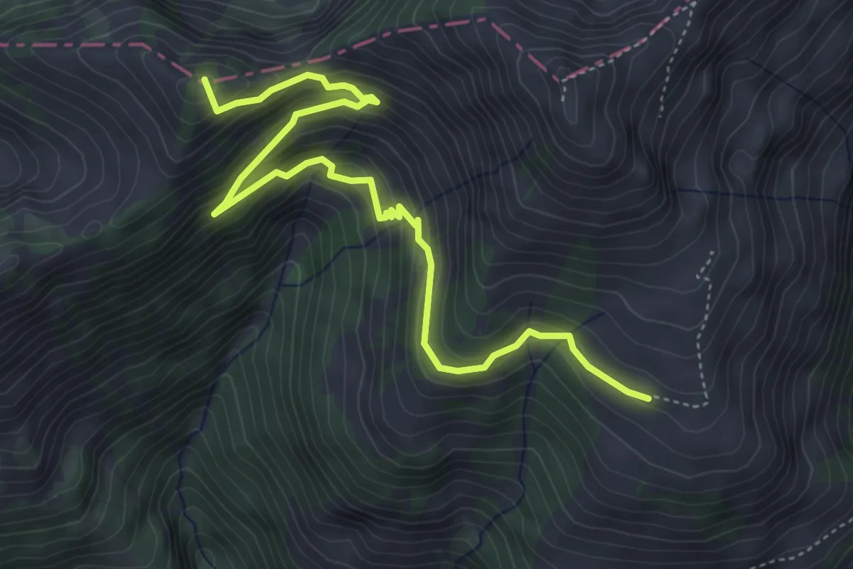
Medium · Summit
Cray du Milieu – Chaux de Culand
5.6 km · ↑ 422 m · 2 h 15 min
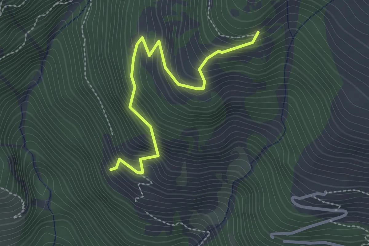
Medium · Trail
Cray du Milieu – Mont Dessous
2.6 km · ↑ 371 m · 1 h 26 min
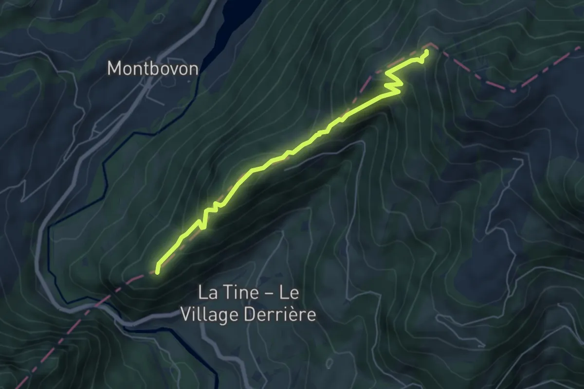
Medium · Trail
Petite Chia – La Brâ
5.3 km · ↑ 444 m · 2 h 13 min
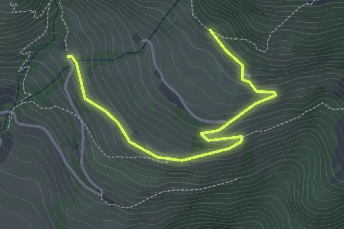
Easy · Trail
Les Ciernes – Les Chevallets
3.2 km · ↑ 151 m · 1 h 4 min
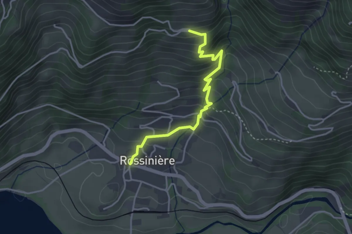
Medium · Trail
Rossiniére – Clou des Mis
3.3 km · ↑ 315 m · 1 h 28 min
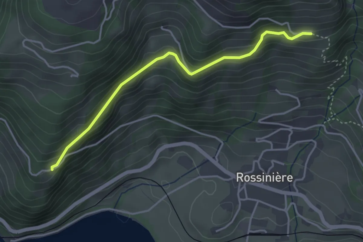
Easy · Trail
Solosex – Clou des Mis
3.6 km · ↑ 238 m · 1 h 23 min
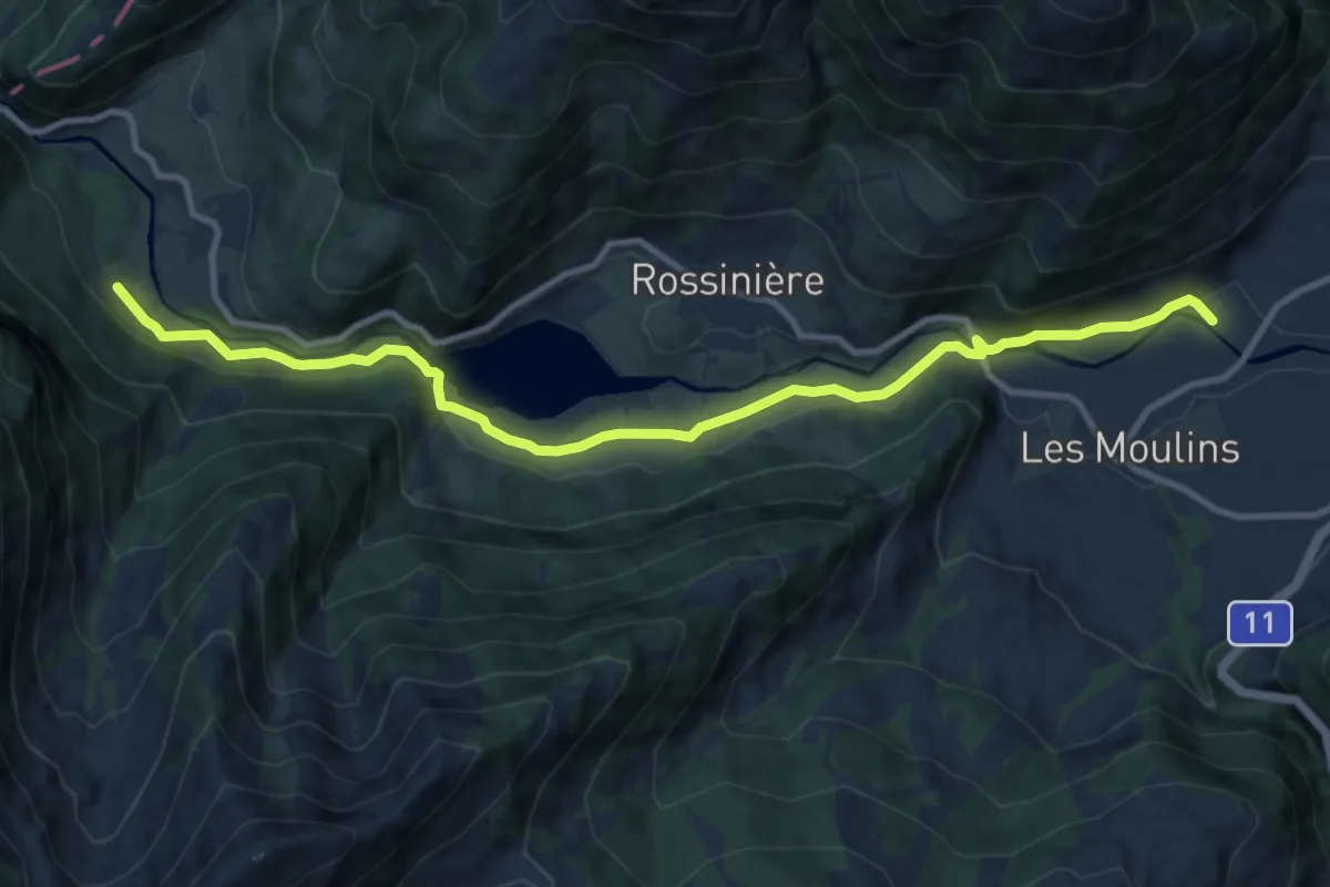
Medium · Trail
Pont de Pierre – La Tine
11.6 km · ↑ 239 m · 3 h 15 min
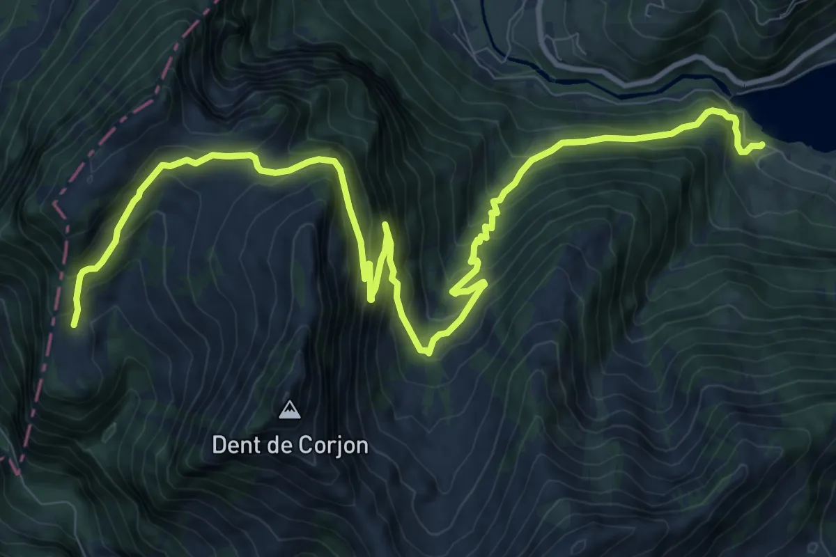
Demanding · Trail
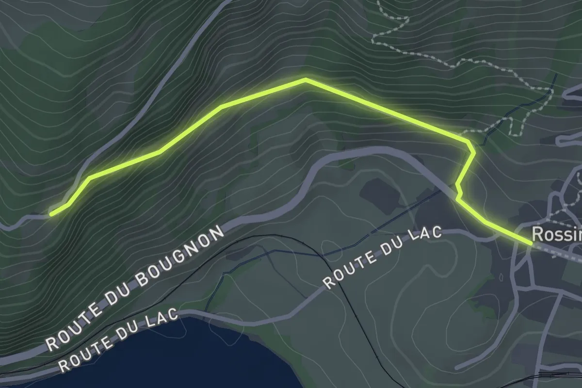
Les Châtelards – Lac du Vernex
14.0 km · ↑ 1062 m · 5 h 37 min
Easy · Trail
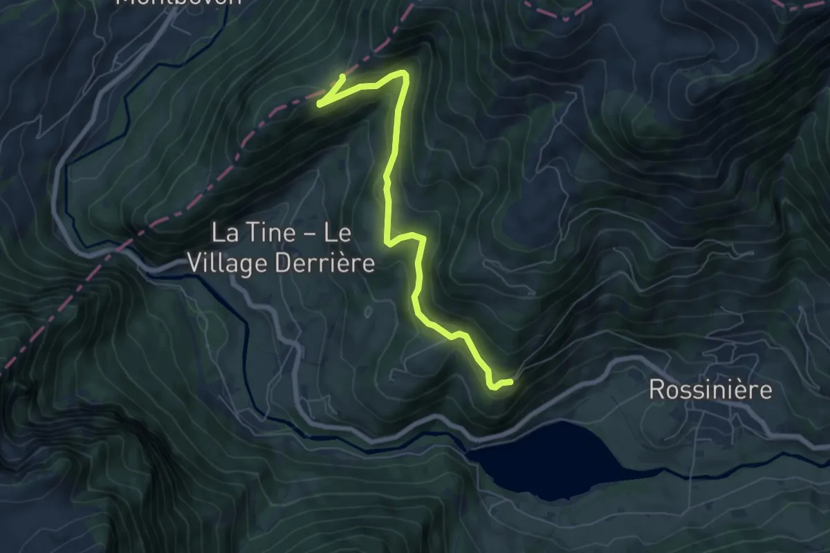
Rossinière – Solosex
2.7 km · ↑ 210 m · 1 h 5 min
Easy · Trail
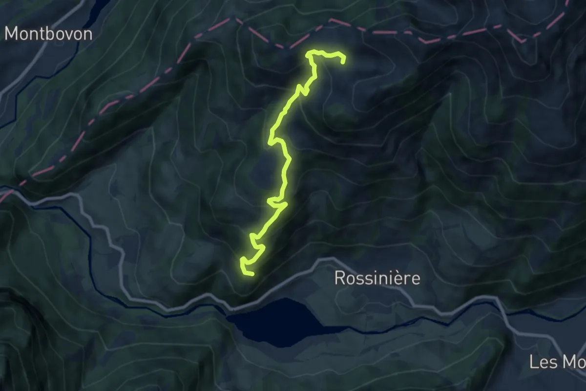
Solosex – Solomon
6.3 km · ↑ 297 m · 2 h 8 min
Medium · Trail
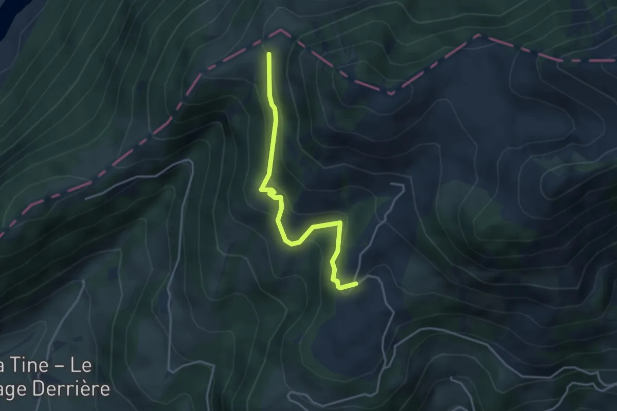
Solosex – Culand
7.3 km · ↑ 542 m · 2 h 54 min
Easy · Trail
Les Clous – La Brá
3.3 km · ↑ 229 m · 1 h 17 min
Easy · Trail
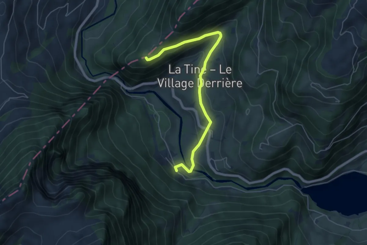
Petite Chia – La Tine
5.3 km · ↑ 227 m · 1 h 45 min
Demanding · Trail
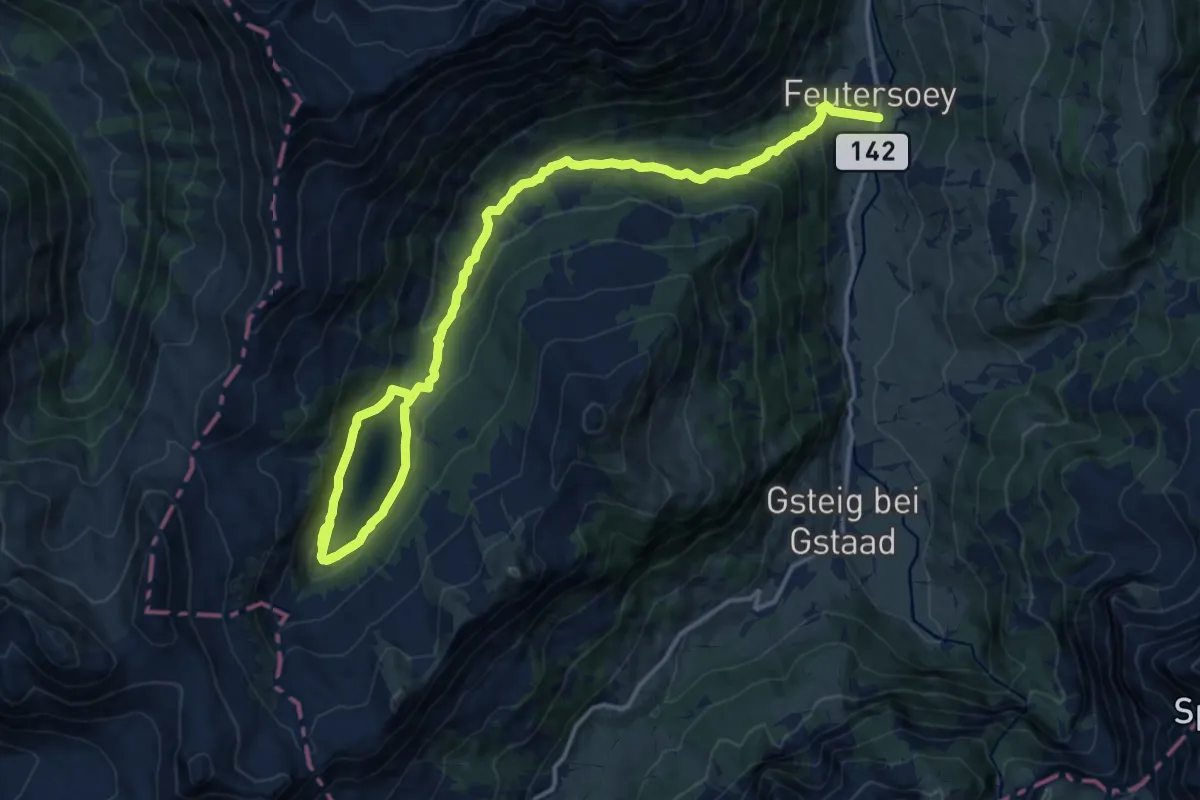
Arnesee – Feutersoey
22.1 km · ↑ 819 m · 6 h 59 min
Easy · Trail
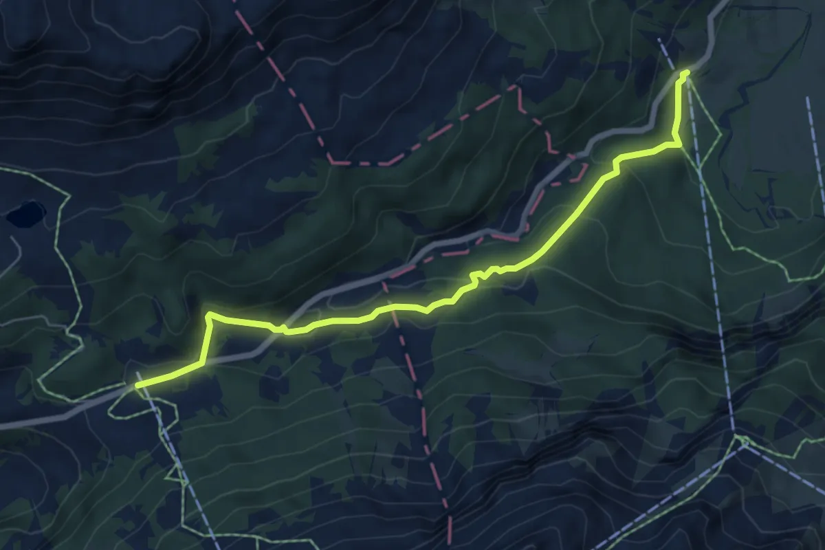
Col du Pillon – Reusch
6.4 km · ↑ 278 m · 2 h 7 min
Medium · Trail
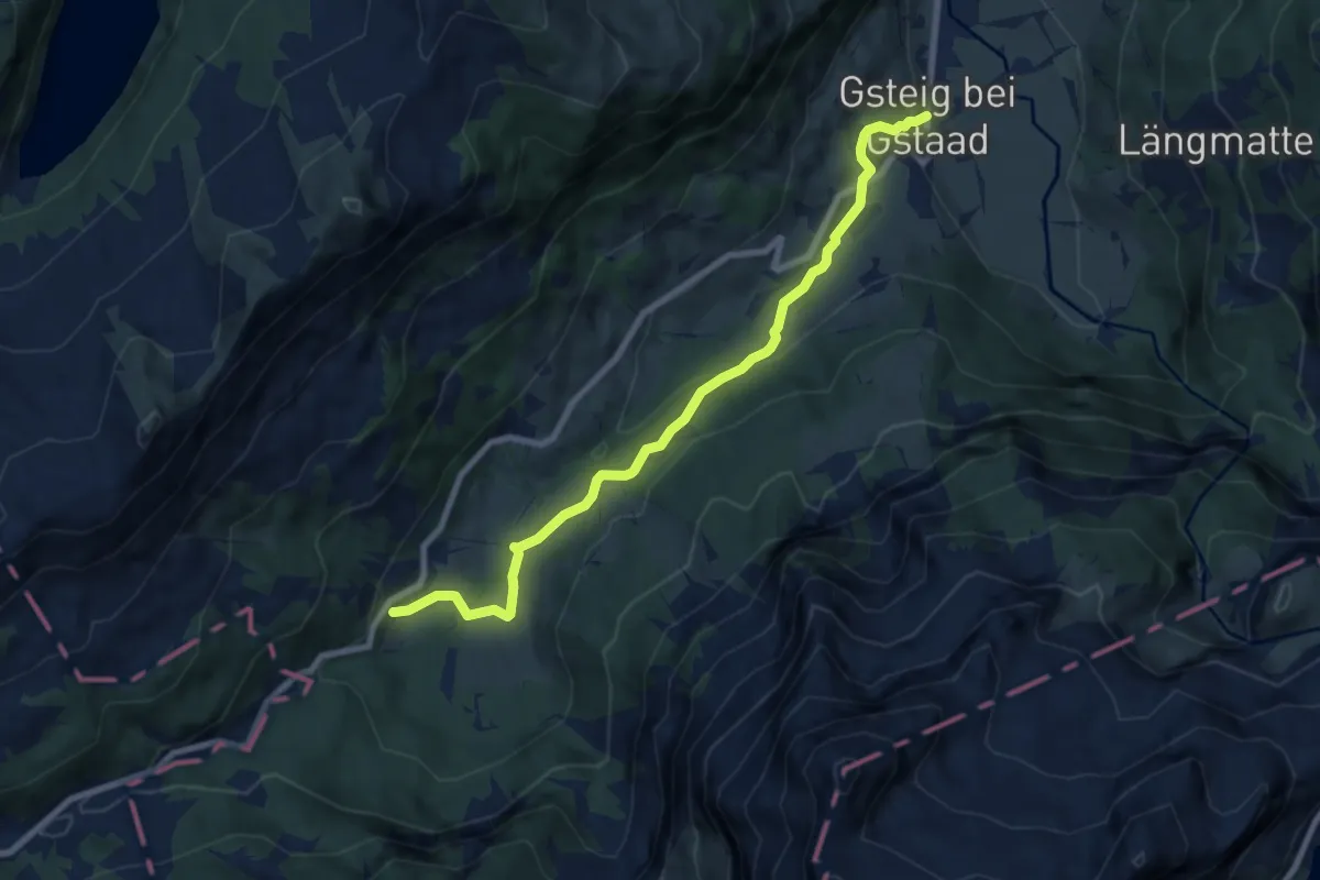
Reusch – Gsteig b. Gstaad
8.1 km · ↑ 300 m · 2 h 34 min
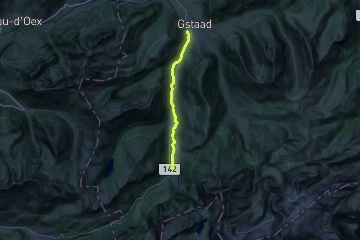
Demanding · Trail
Gstaad – Gsteig b. Gstaad
19.8 km · ↑ 322 m · 5 h 22 min
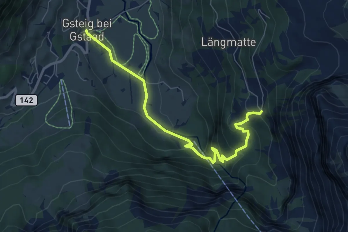
Medium · Trail
Burg – Gsteig b. Gstaad
6.6 km · ↑ 350 m · 2 h 19 min
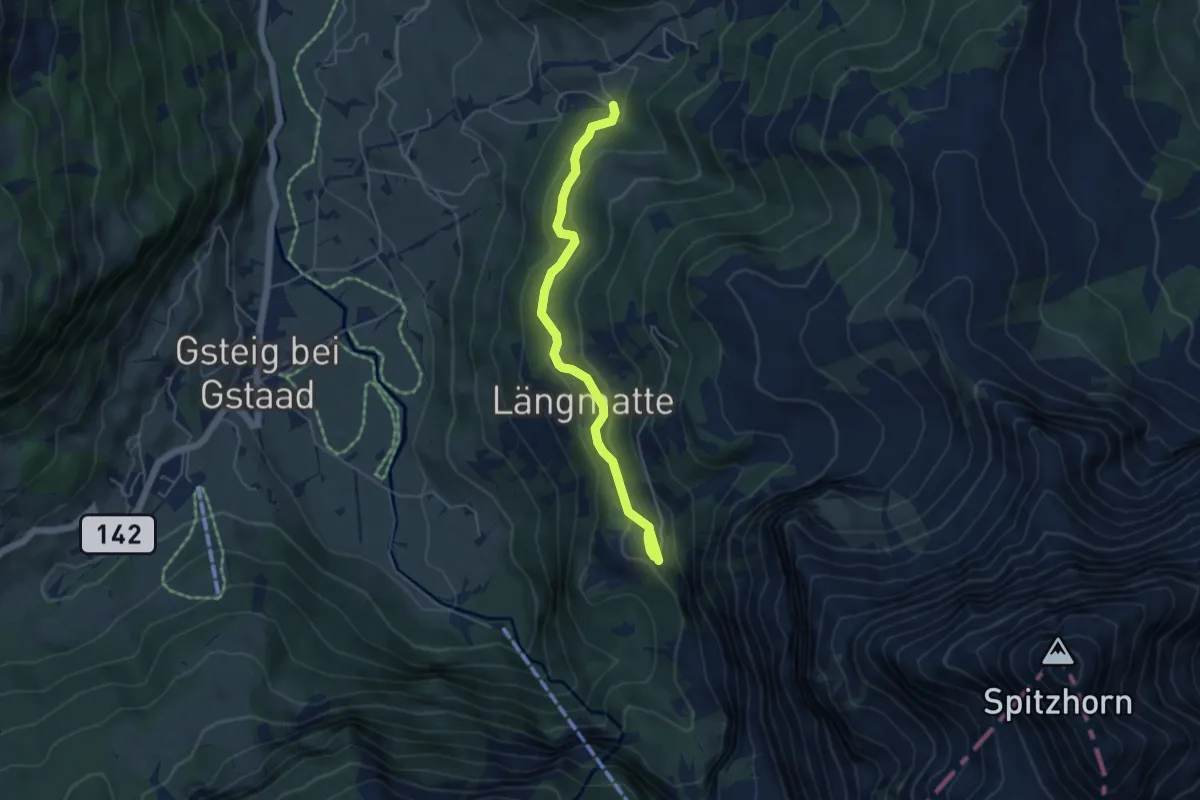
Easy · Trail
Burg – Wysstanegg
5.1 km · ↑ 217 m · 1 h 40 min
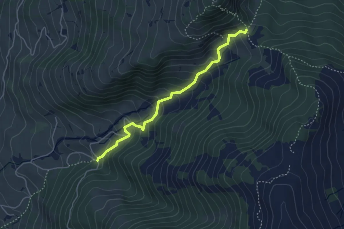
Easy · Trail
Wysstanegg – Chrine
3.7 km · ↑ 280 m · 1 h 28 min
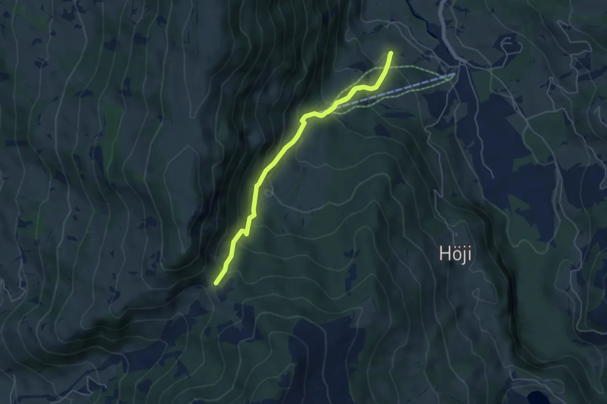
Medium · Trail
Chrine – Lauenen b. Gstaad
6.2 km · ↑ 496 m · 2 h 33 min
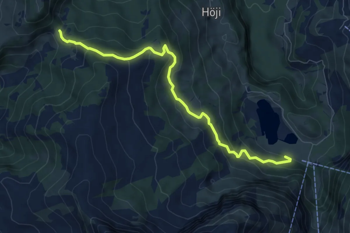
Medium · Trail
Chrine – Lauenensee
8.2 km · ↑ 481 m · 2 h 58 min
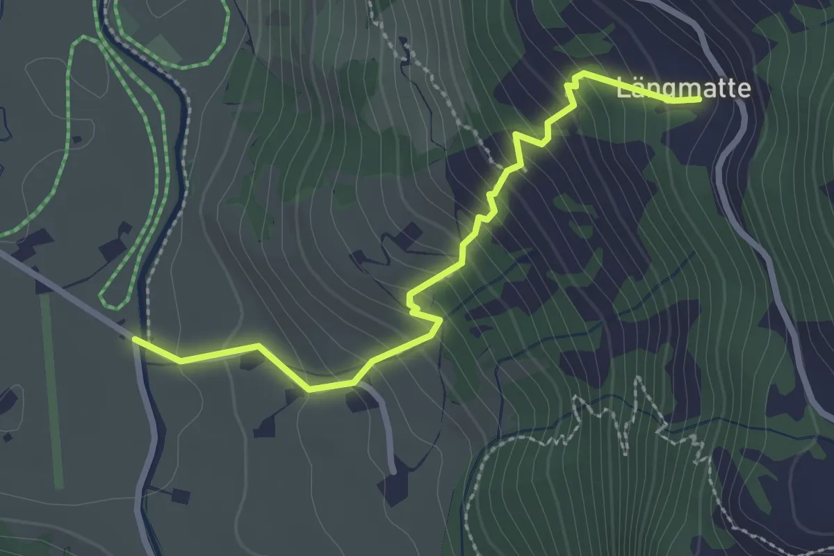
Medium · Trail
Bode – Längmatte
2.6 km · ↑ 281 m · 1 h 13 min
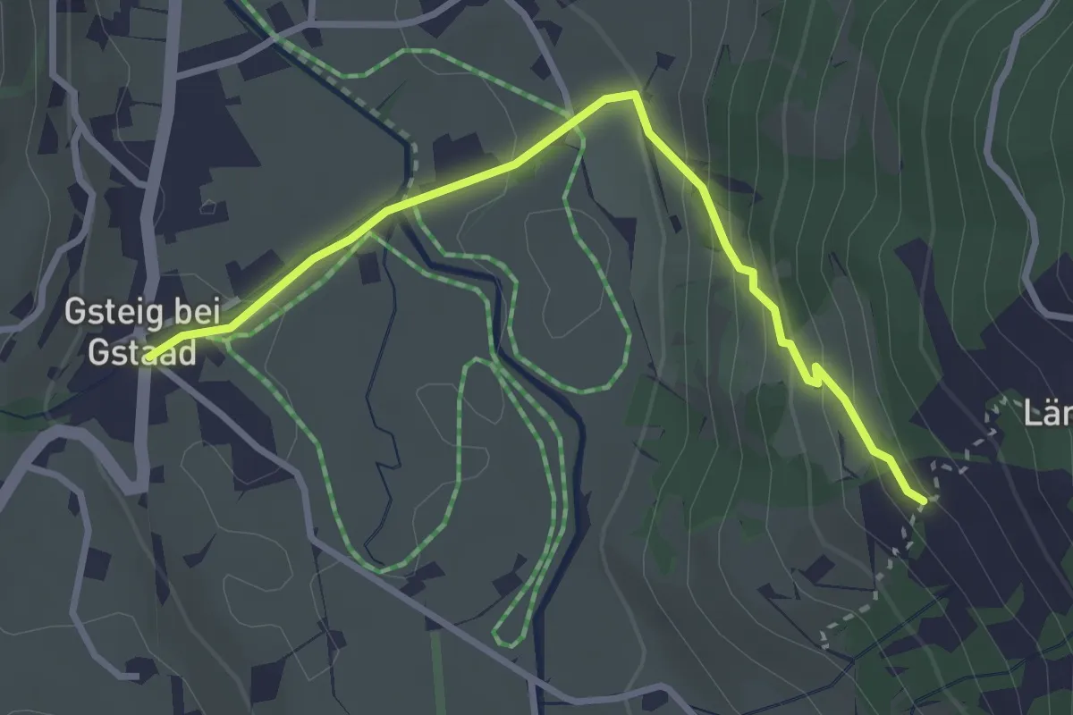
Easy · Trail
Längmatte – Gsteig b. Gstaad
3.1 km · ↑ 180 m · 1 h 7 min