Trails in Switzerland
15,055 hiking trails, each with its route, climb, walking time and grade.
All trails, page 176 of 314
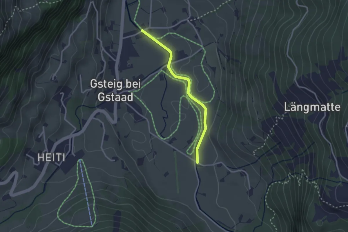
Easy · Trail
Bode – Saalistrasse
2.3 km · ↑ 22 m · 36 min
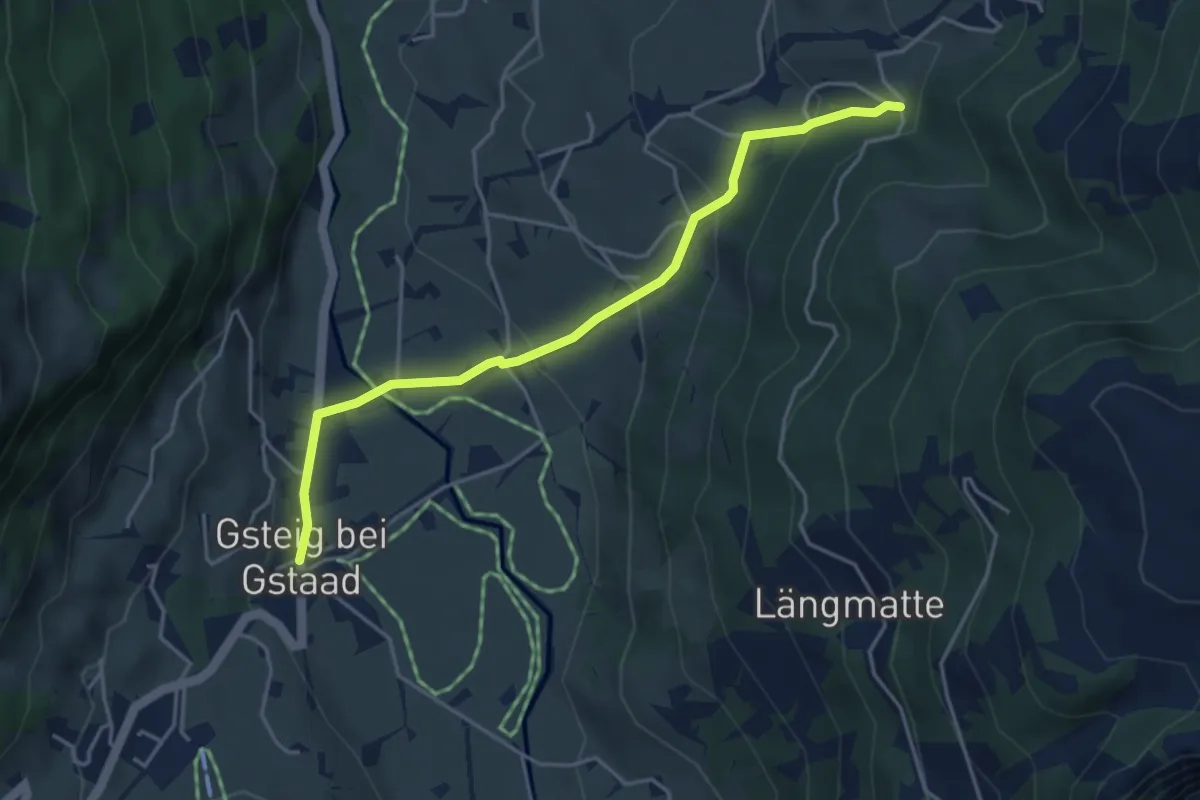
Easy · Trail
Wysstannegg – Gsteig b. Gstaad
4.2 km · ↑ 226 m · 1 h 29 min
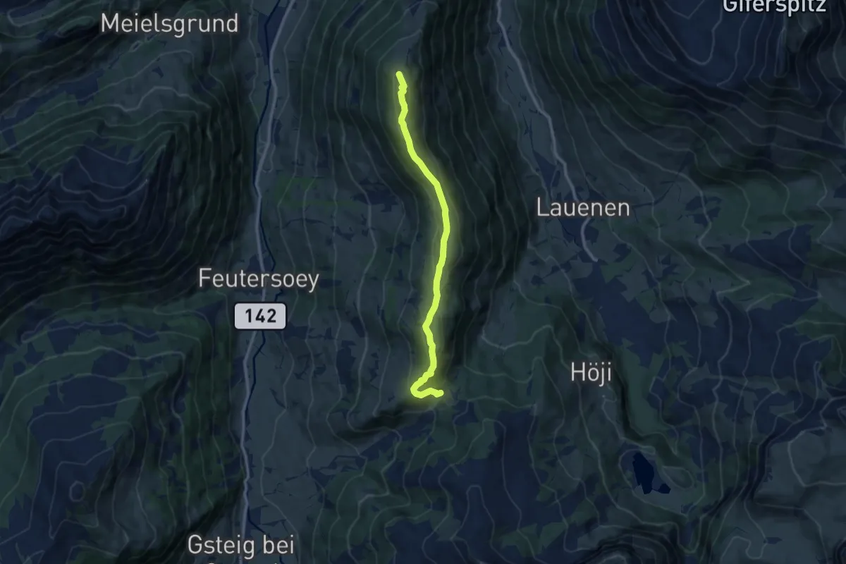
Medium · Trail
Chrine – Wispile
9.4 km · ↑ 350 m · 2 h 59 min
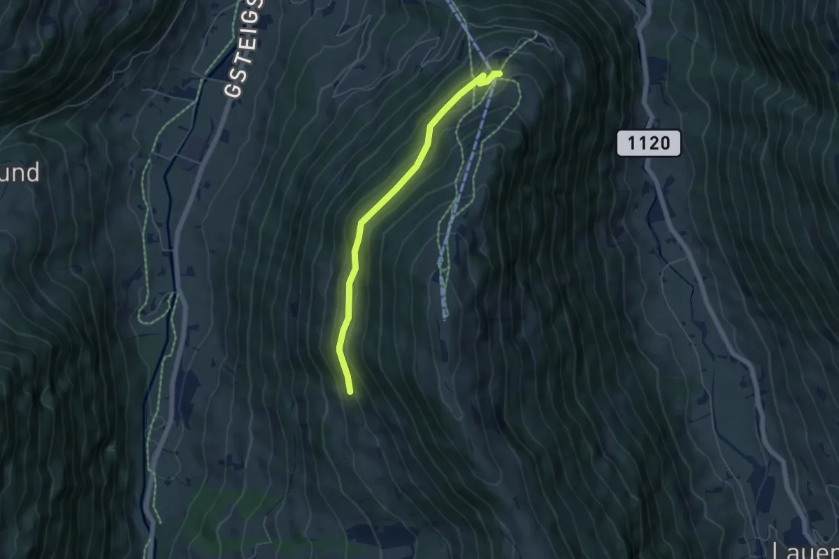
Easy · Trail
Länge Bode – Bodme
4.8 km · ↑ 275 m · 1 h 44 min
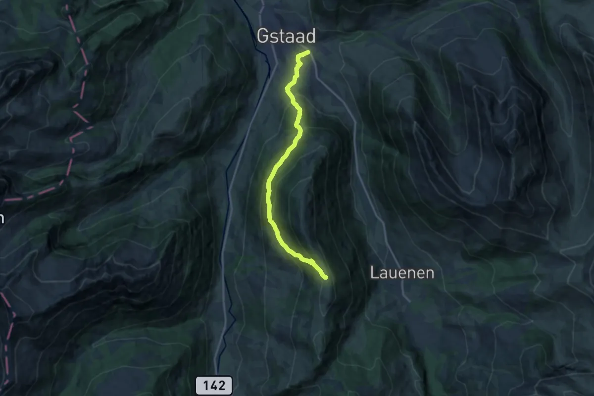
Demanding · Trail
Länge Bode – Gstaad
13.0 km · ↑ 802 m · 4 h 48 min
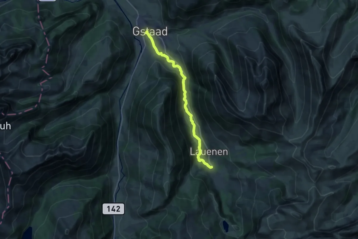
Medium · Trail
Gstaad – Lauenen b. Gstaad
15.7 km · ↑ 384 m · 4 h 32 min
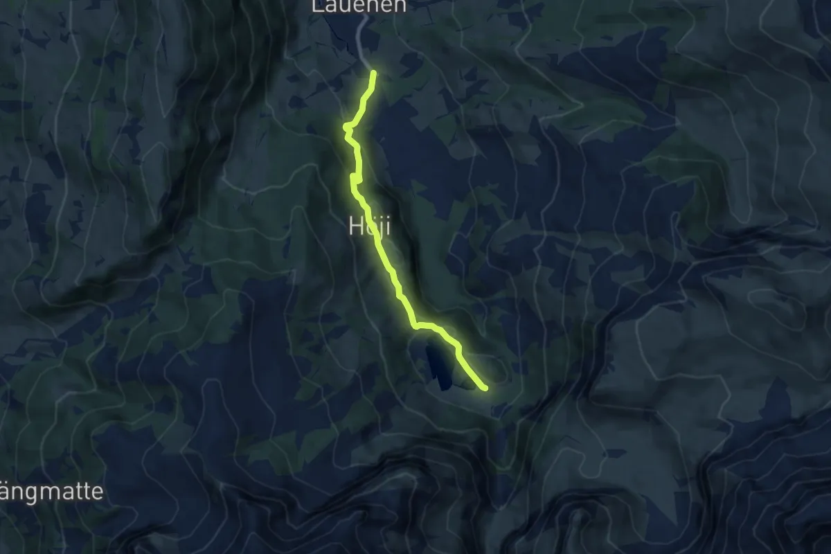
Easy · Trail
Lauenensee – Lauenen b. Gstaad
7.4 km · ↑ 251 m · 2 h 18 min
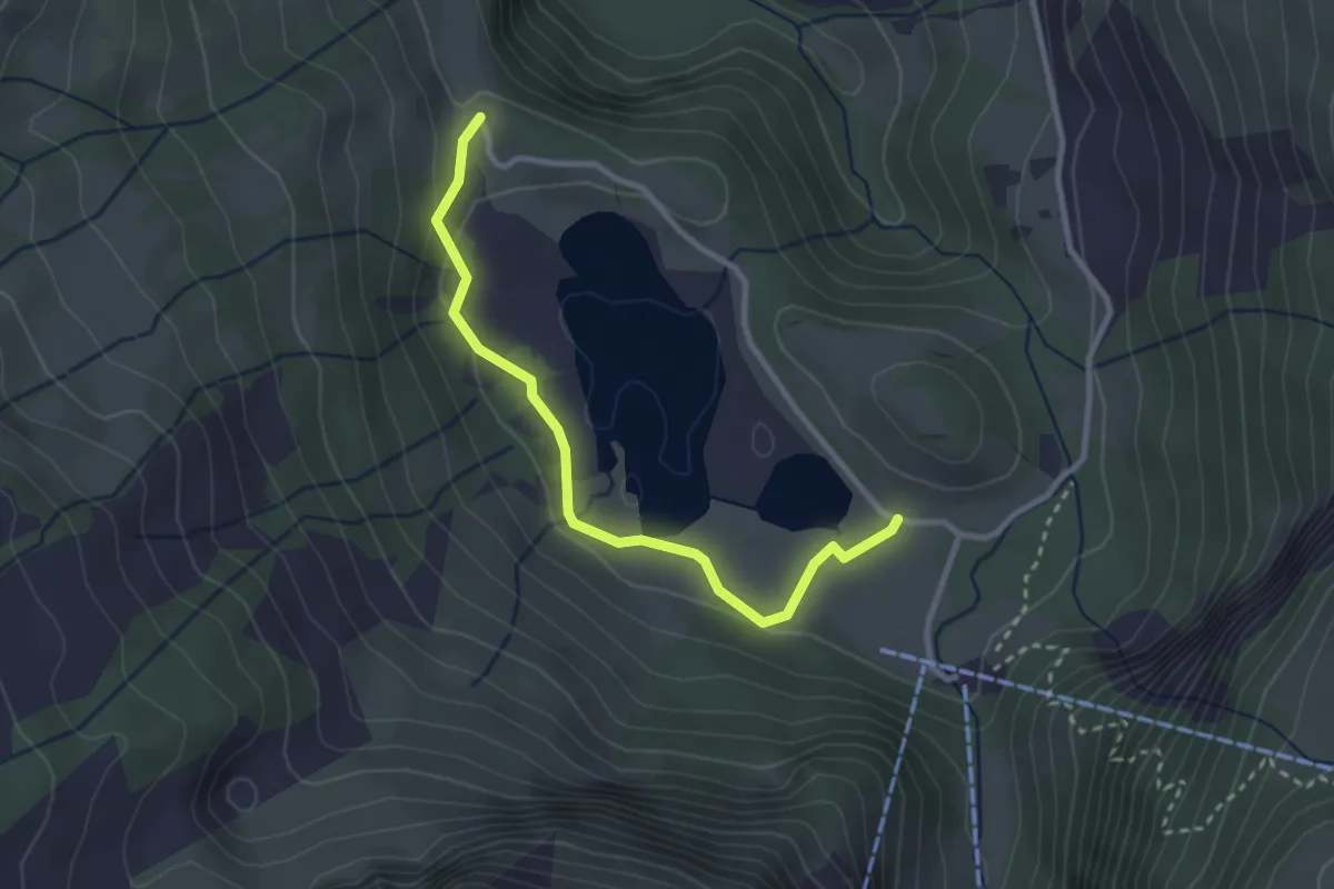
Easy · Trail
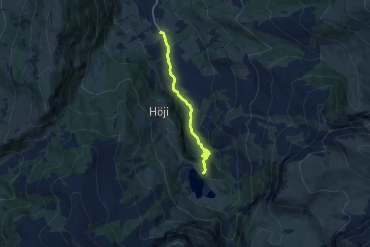
Flösch – Lauenensee
2.9 km · ↑ 76 m · 50 min
Easy · Trail
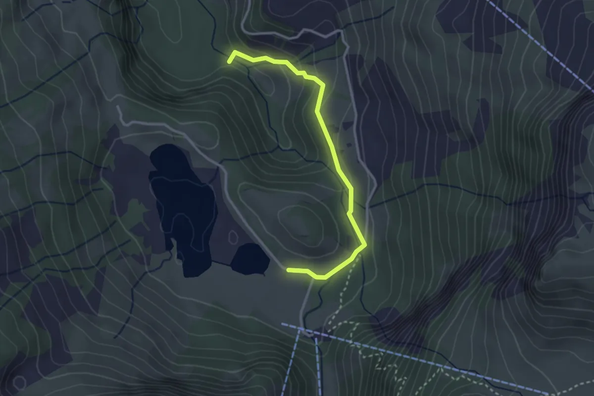
Rohrbrücke – Lauenensee
6.5 km · ↑ 211 m · 1 h 59 min
Easy · Trail
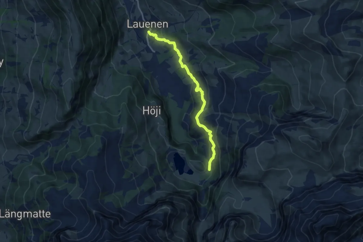
Lauenensee – Rossfalleschlucht
2.9 km · ↑ 114 m · 56 min
Medium · Trail
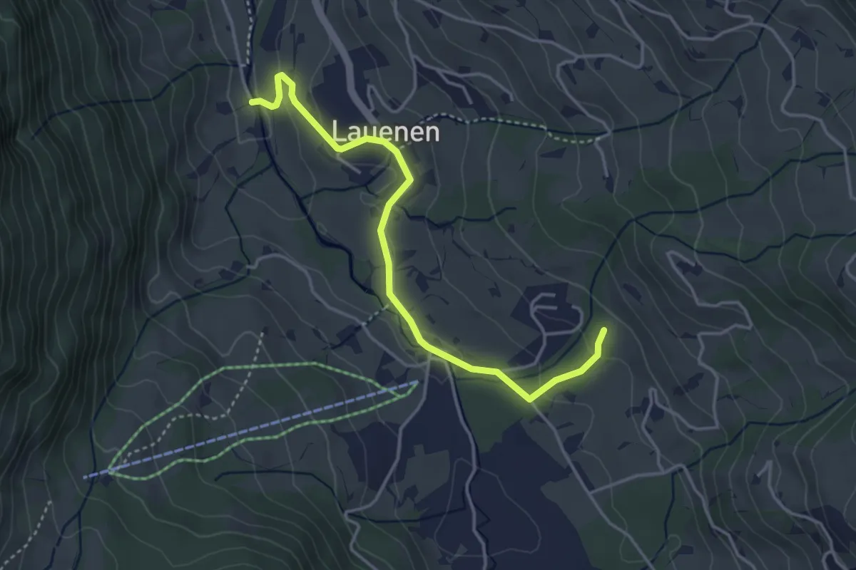
Lauenensee – Lauenen
9.0 km · ↑ 414 m · 3 h 2 min
Easy · Trail
Bode – Trüttli
4.0 km · ↑ 97 m · 1 h 9 min
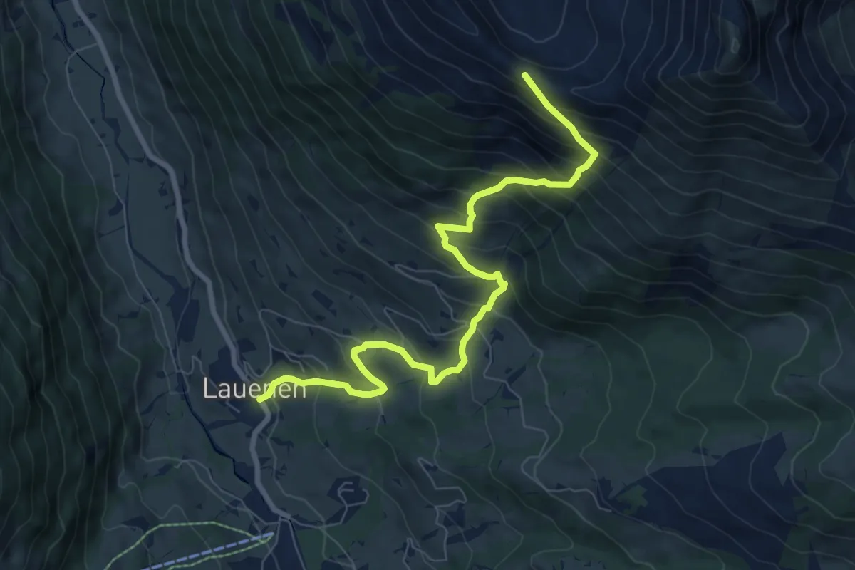
Demanding · Trail
Lauenen – Turnelssattel
8.6 km · ↑ 843 m · 3 h 51 min
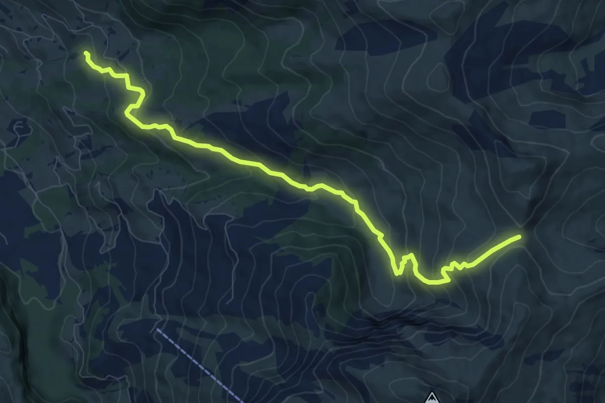
Medium · Trail
Rûtschli – Stüblenipass
10.7 km · ↑ 566 m · 3 h 46 min
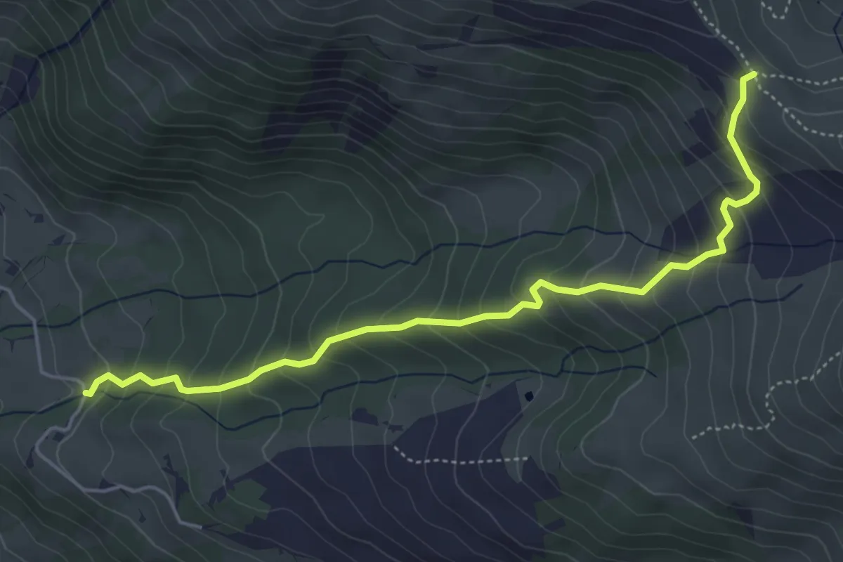
Medium · Trail
Lauenen – Türli
5.3 km · ↑ 482 m · 2 h 18 min
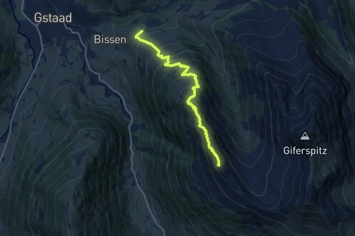
Demanding · Summit
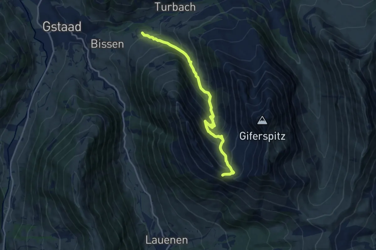
Bissen – Turnelssattel
9.4 km · ↑ 910 m · 4 h 12 min
Demanding · Trail
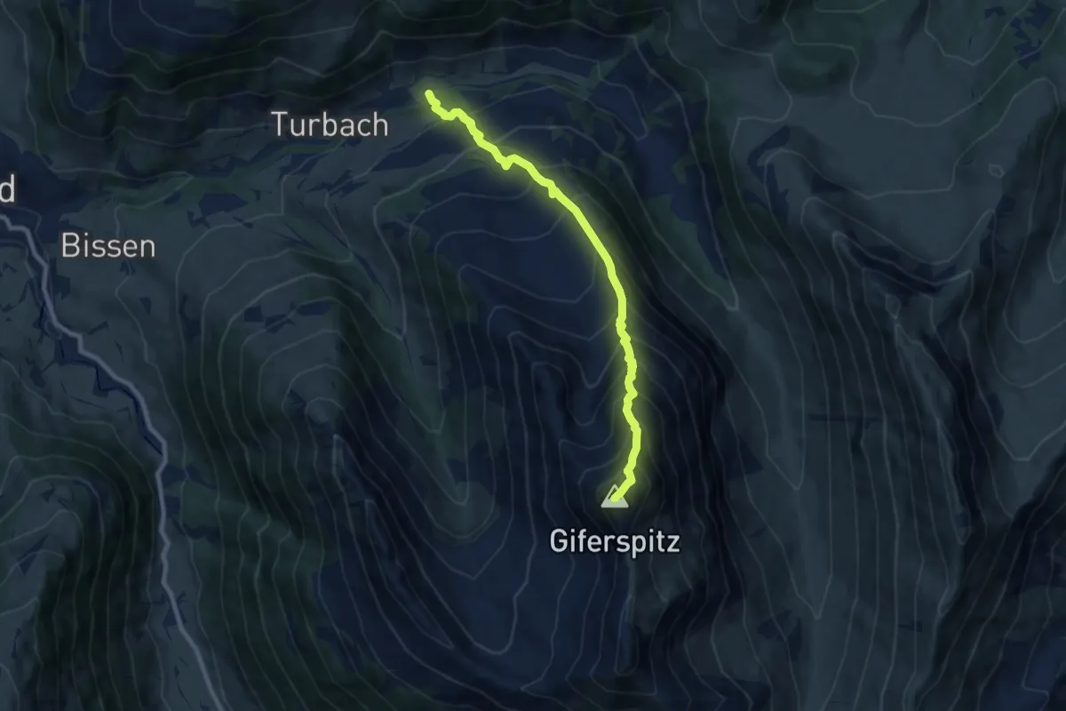
Scheidbachstrasse – Turnelssattel
11.5 km · ↑ 800 m · 4 h 27 min
Demanding · Summit
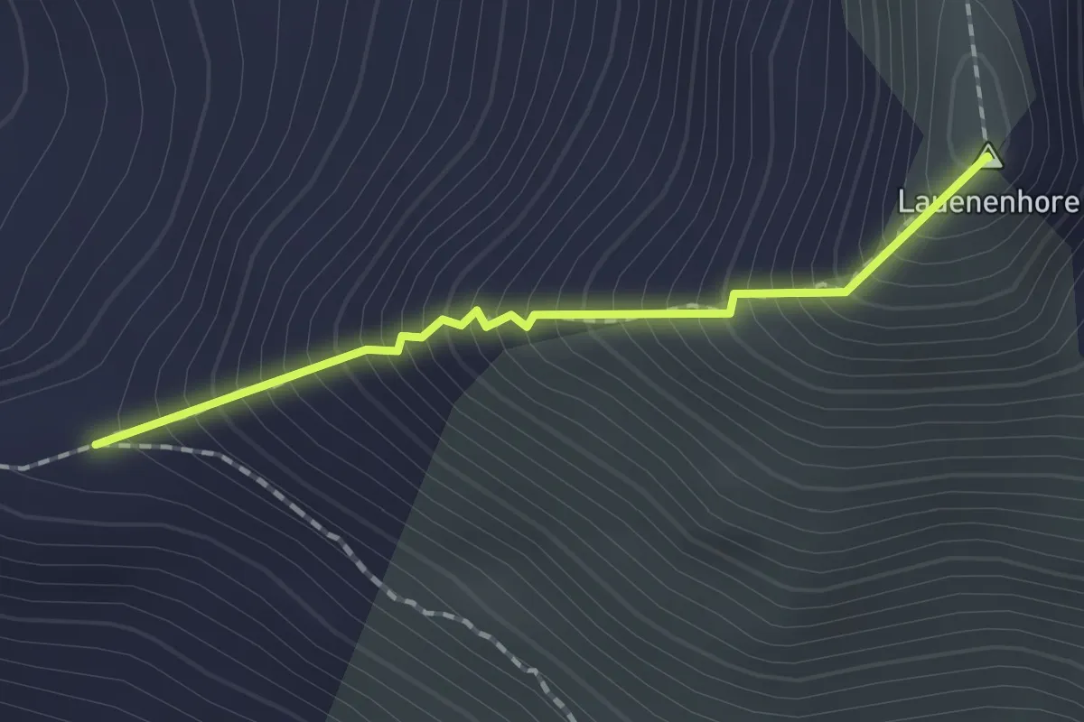
Turbach – Giferspitz
8.4 km · ↑ 1166 m · 4 h 31 min
Demanding · Summit
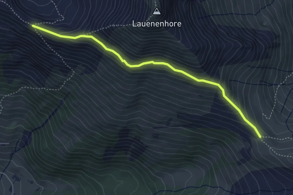
Turnelssattel – Giferspitz
1.5 km · ↑ 317 m · 1 h 3 min
Medium · Trail
Turnelssattel – Türli
4.8 km · ↑ 382 m · 1 h 57 min
Easy · Trail
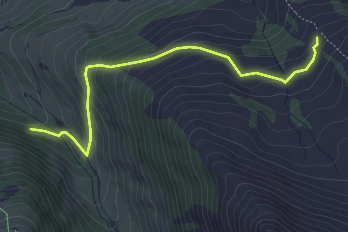
Zingrisberg – Berzgumm
4.9 km · ↑ 317 m · 1 h 50 min
Medium · Trail
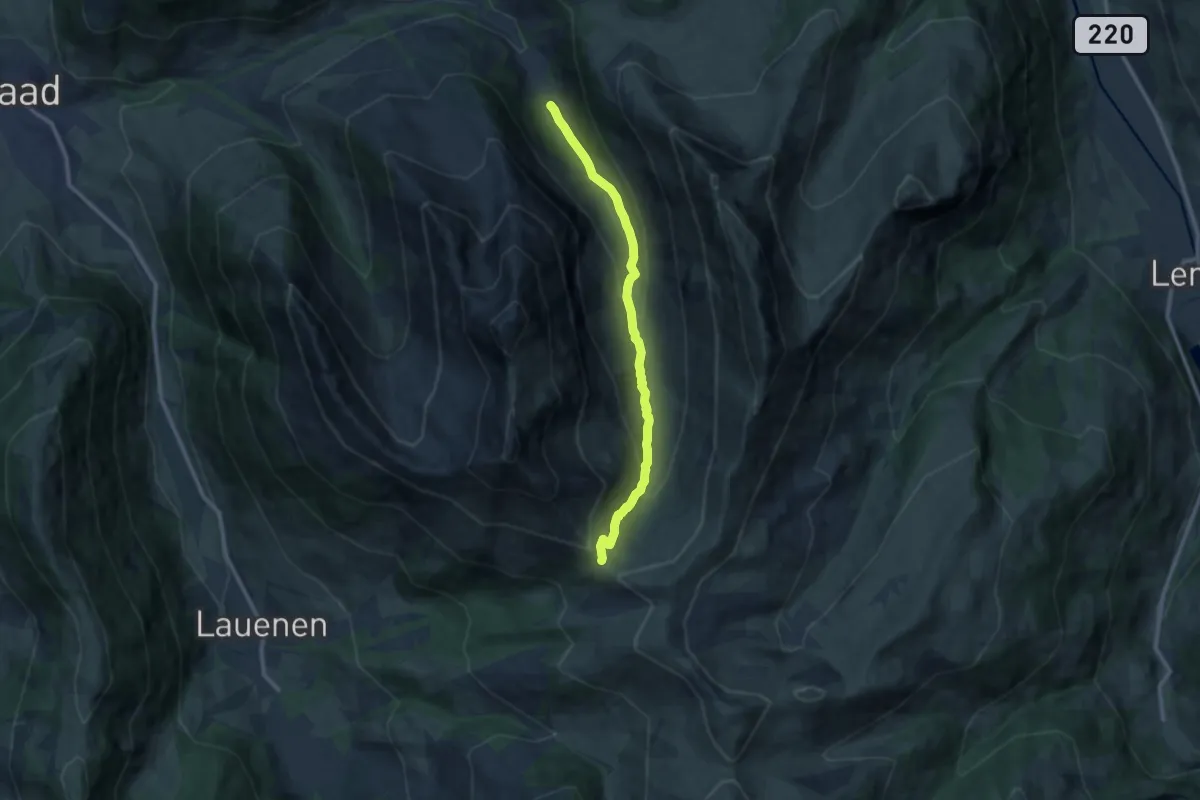
Wintermatte – Türli
10.4 km · ↑ 551 m · 3 h 38 min
Medium · Trail
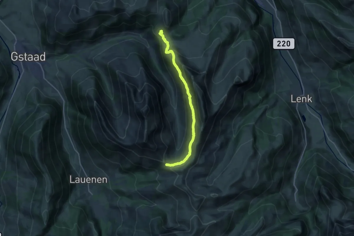
Undere Zwitzeregg – Türli
15.2 km · ↑ 738 m · 5 h 11 min
Medium · Trail
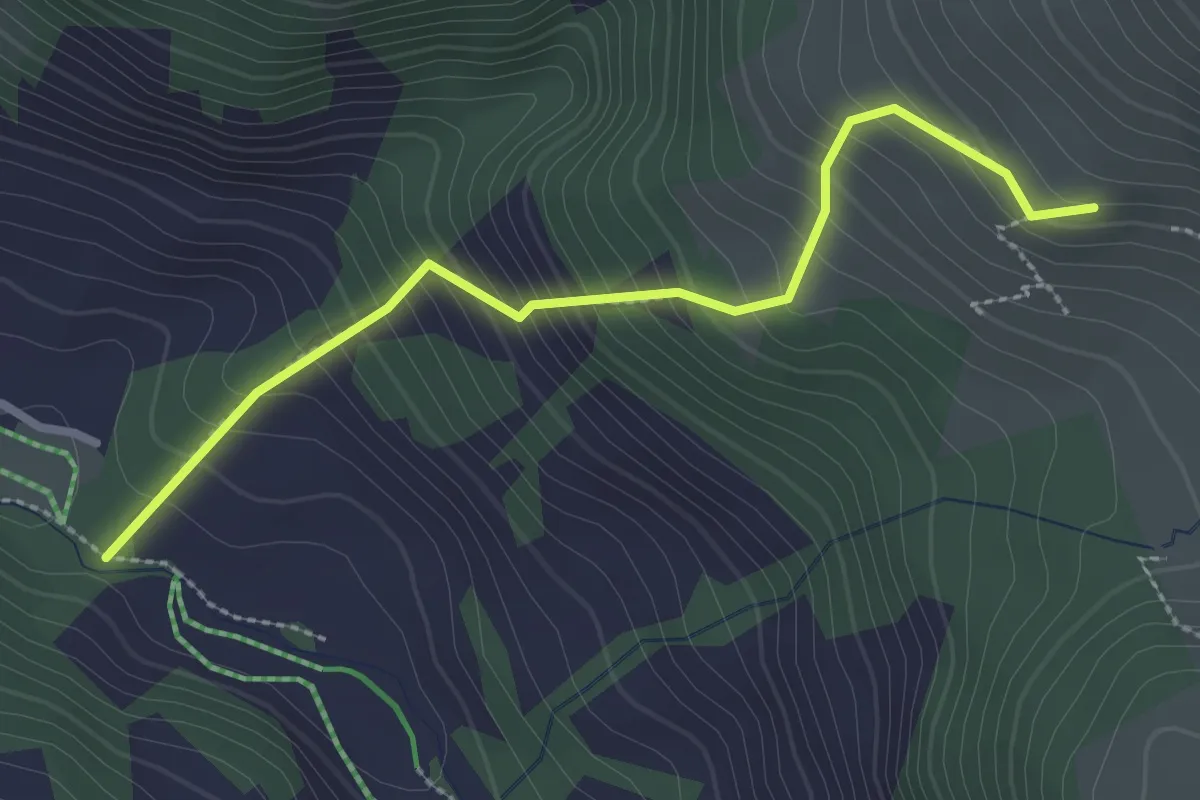
Rotegrabe – Untere Zwitzeregg
2.7 km · ↑ 332 m · 1 h 22 min
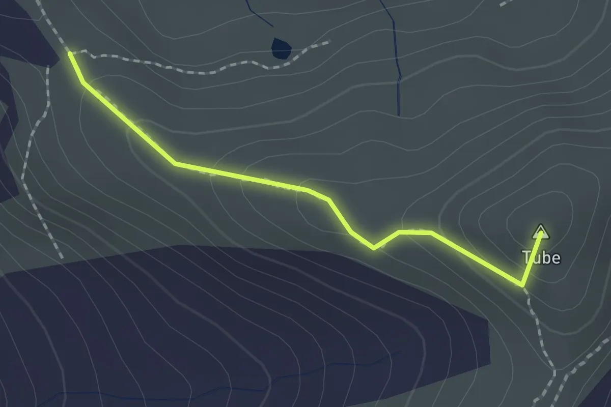
Medium · Summit
Türli – Trütlisbergpass
1.7 km · ↑ 102 m · 37 min
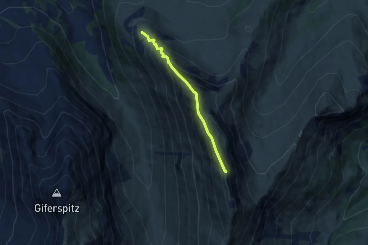
Demanding · Summit
Obere Witzeregg – Wistätthorn
5.4 km · ↑ 495 m · 2 h 20 min
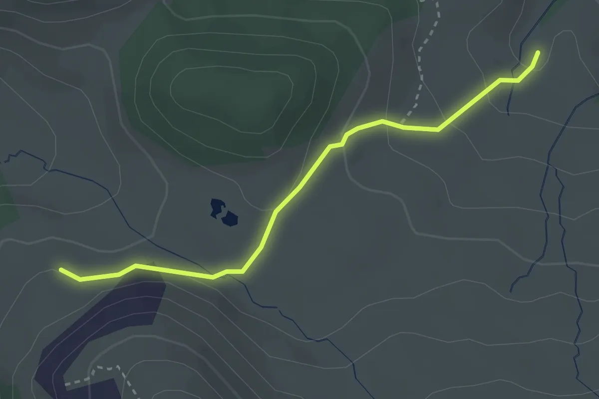
Easy · Trail
Obere Zwitzeregg – Rüwlis
3.0 km · ↑ 137 m · 1 h
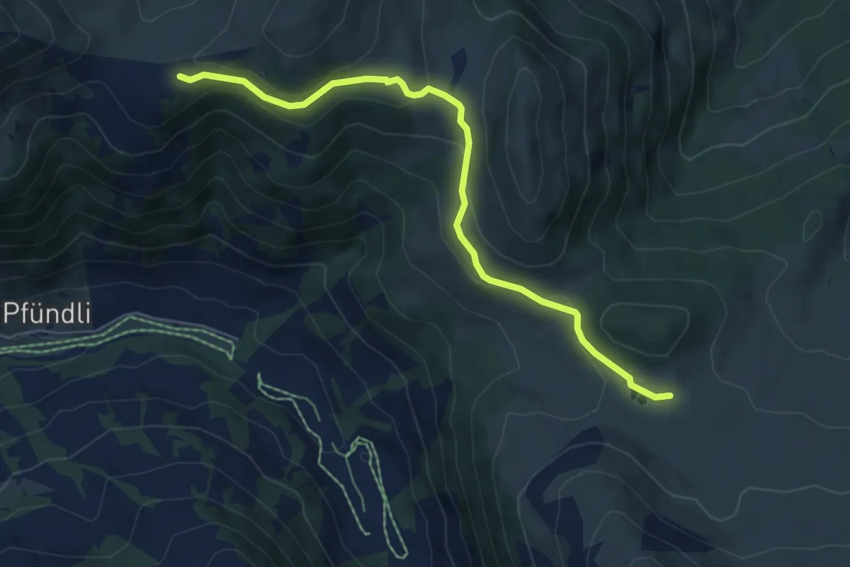
Medium · Trail
Parwengen – Rüwlispass
6.1 km · ↑ 225 m · 1 h 56 min
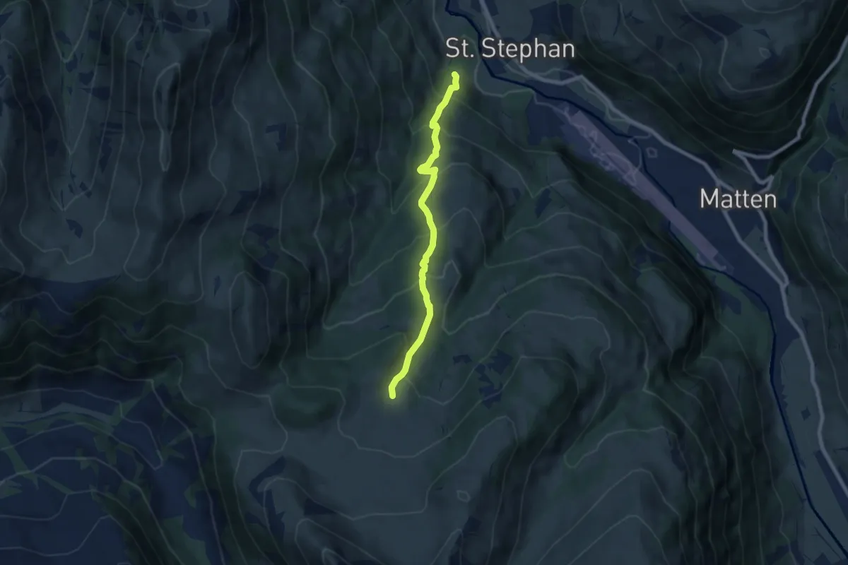
Medium · Trail
St. Stephan – Rüwlispass
6.8 km · ↑ 590 m · 2 h 52 min
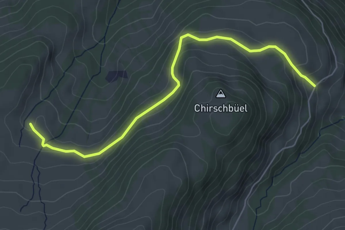
Easy · Trail
Chatezstalde – Rüwlis
5.5 km · ↑ 204 m · 1 h 44 min
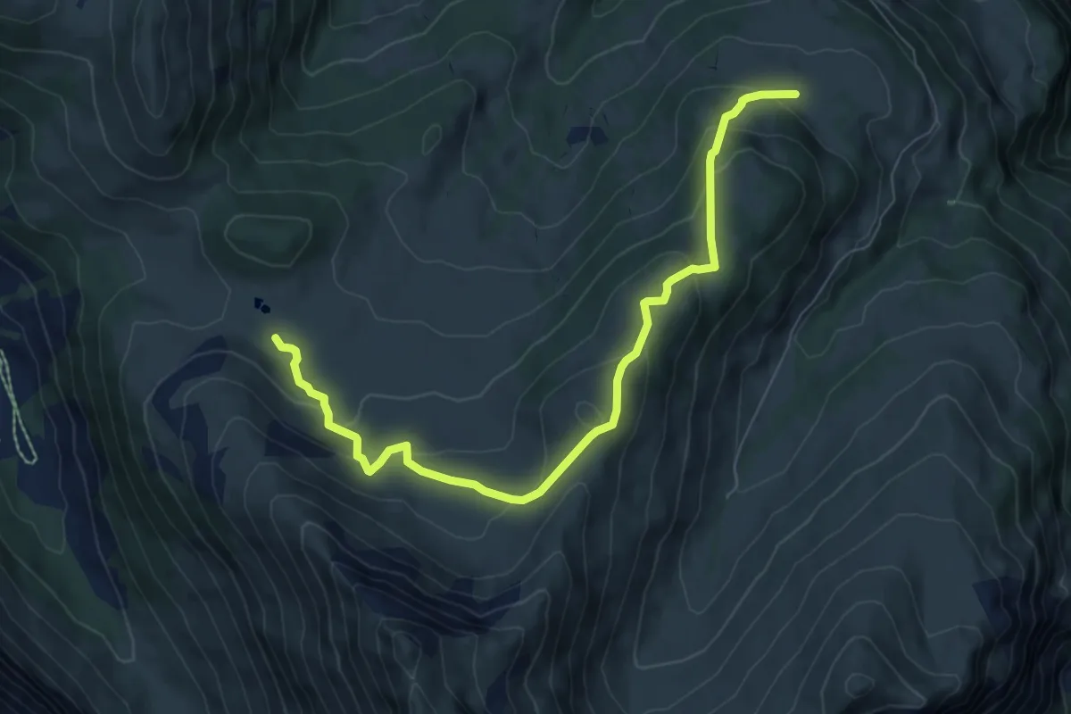
Medium · Trail
Lüss – Rüwlispass
8.1 km · ↑ 473 m · 2 h 57 min
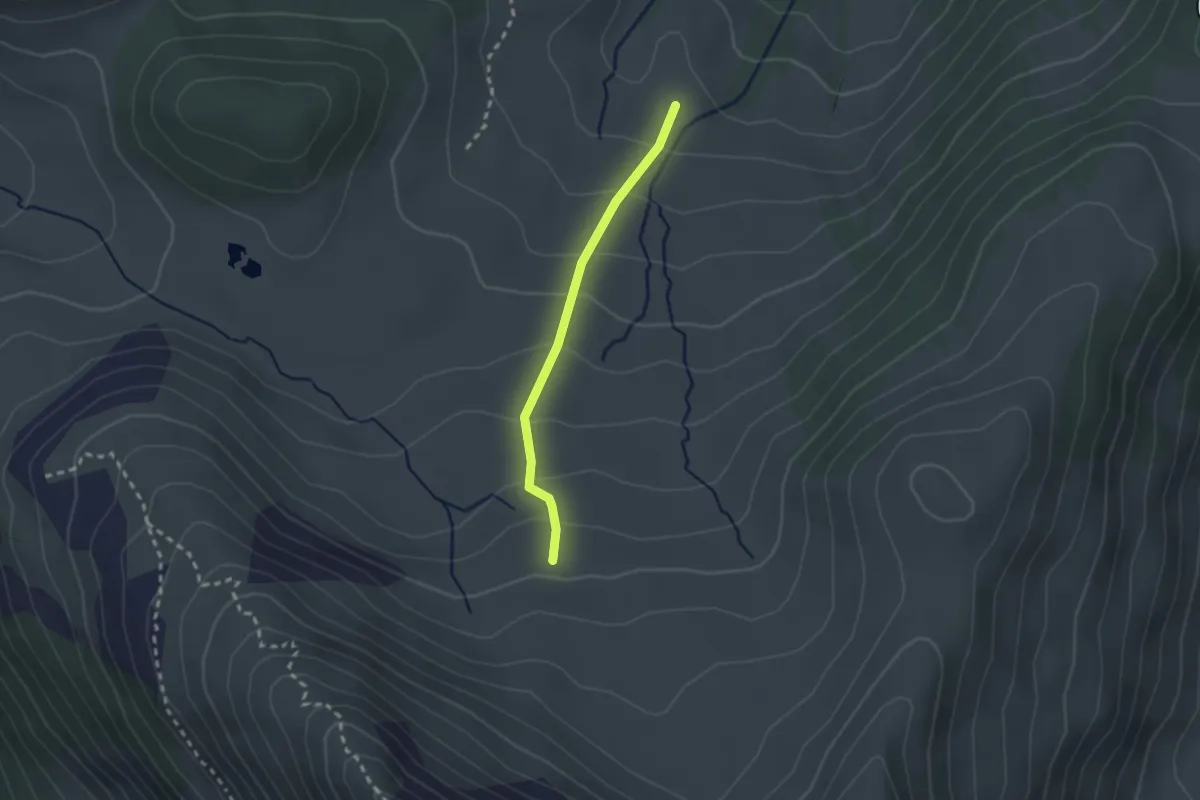
Easy · Trail
Rüwlis – Mattebärgli
2.0 km · ↑ 161 m · 50 min
Medium · Trail
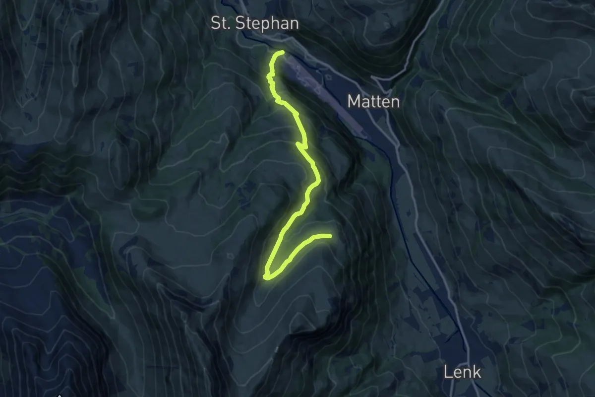
St. Stephan – Eggmatte
12.7 km · ↑ 766 m · 4 h 40 min
Medium · Trail
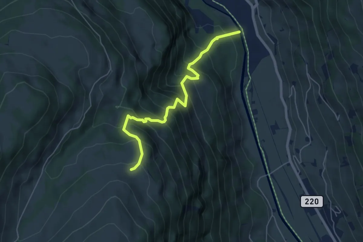
Stocken – Eggmatte
5.1 km · ↑ 629 m · 2 h 34 min
Demanding · Trail
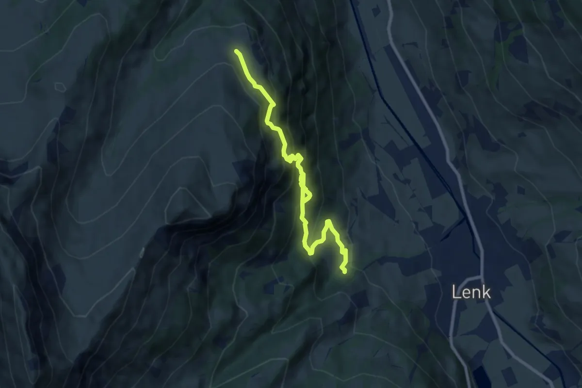
Eggmatte – Wallbachschlucht
8.5 km · ↑ 805 m · 3 h 46 min
Medium · Trail
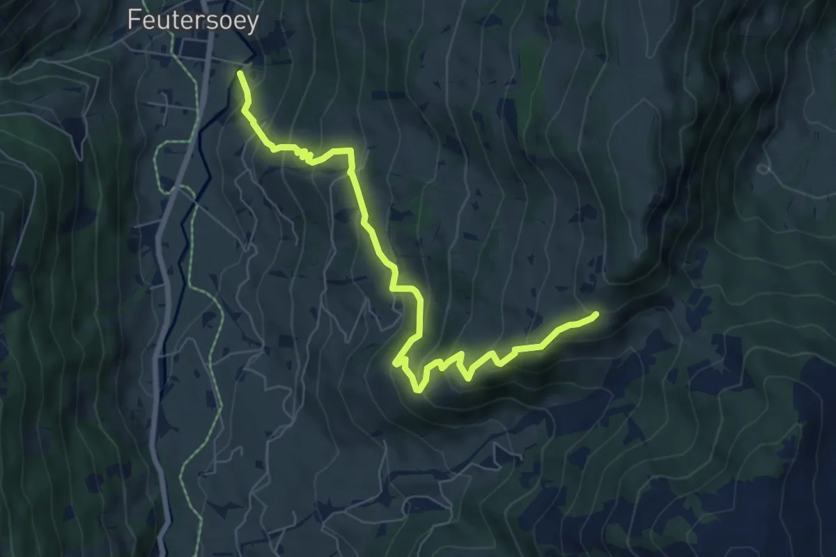
Feutersoey – Chrine
7.4 km · ↑ 579 m · 3 h
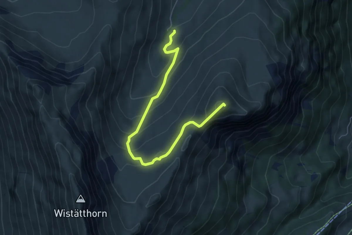
Medium · Summit
Dürewald – Eggmatte
6.2 km · ↑ 441 m · 2 h 25 min
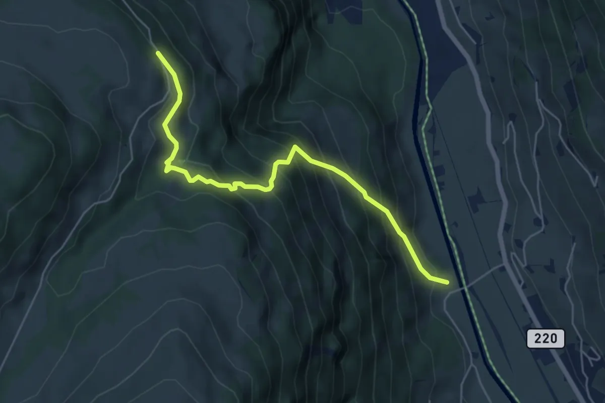
Medium · Trail
Schadauli – Chatzestalde
5.2 km · ↑ 563 m · 2 h 27 min
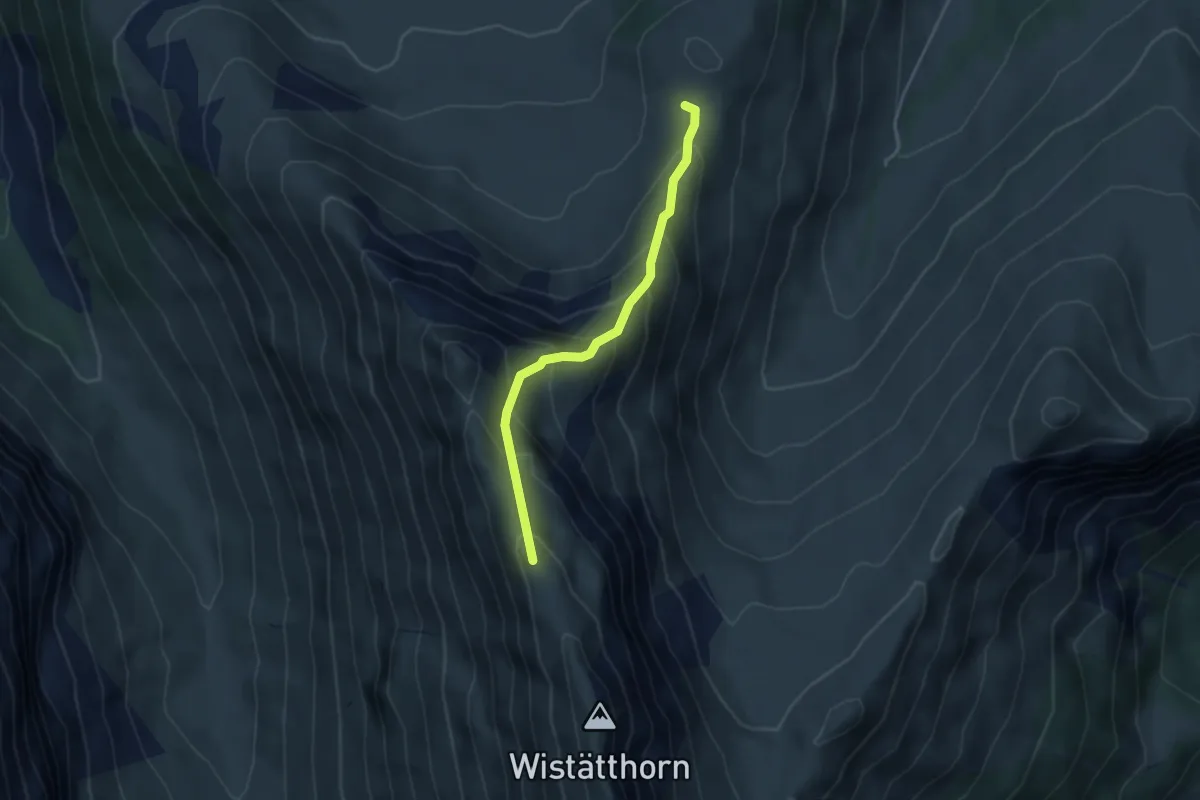
Medium · Trail
Mattebärgli – Wistätthorn
3.6 km · ↑ 363 m · 1 h 38 min
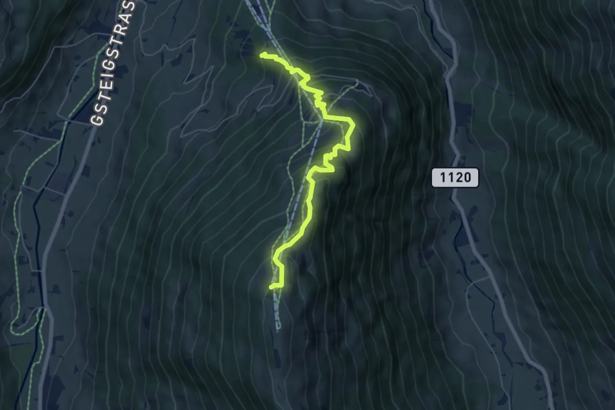
Medium · Trail
Bruch – Wispile
5.7 km · ↑ 542 m · 2 h 31 min
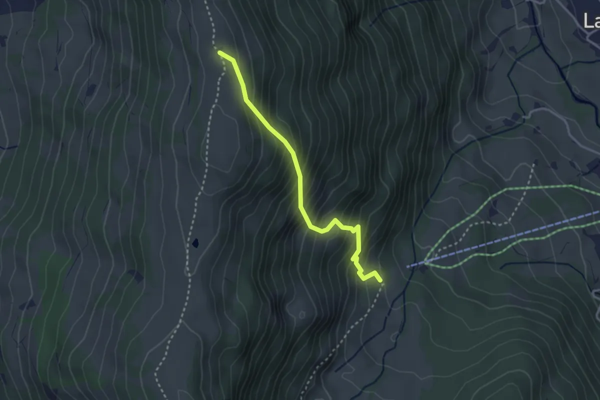
Medium · Trail
Länge Bode – Brüchliweg
2.9 km · ↑ 389 m · 1 h 32 min
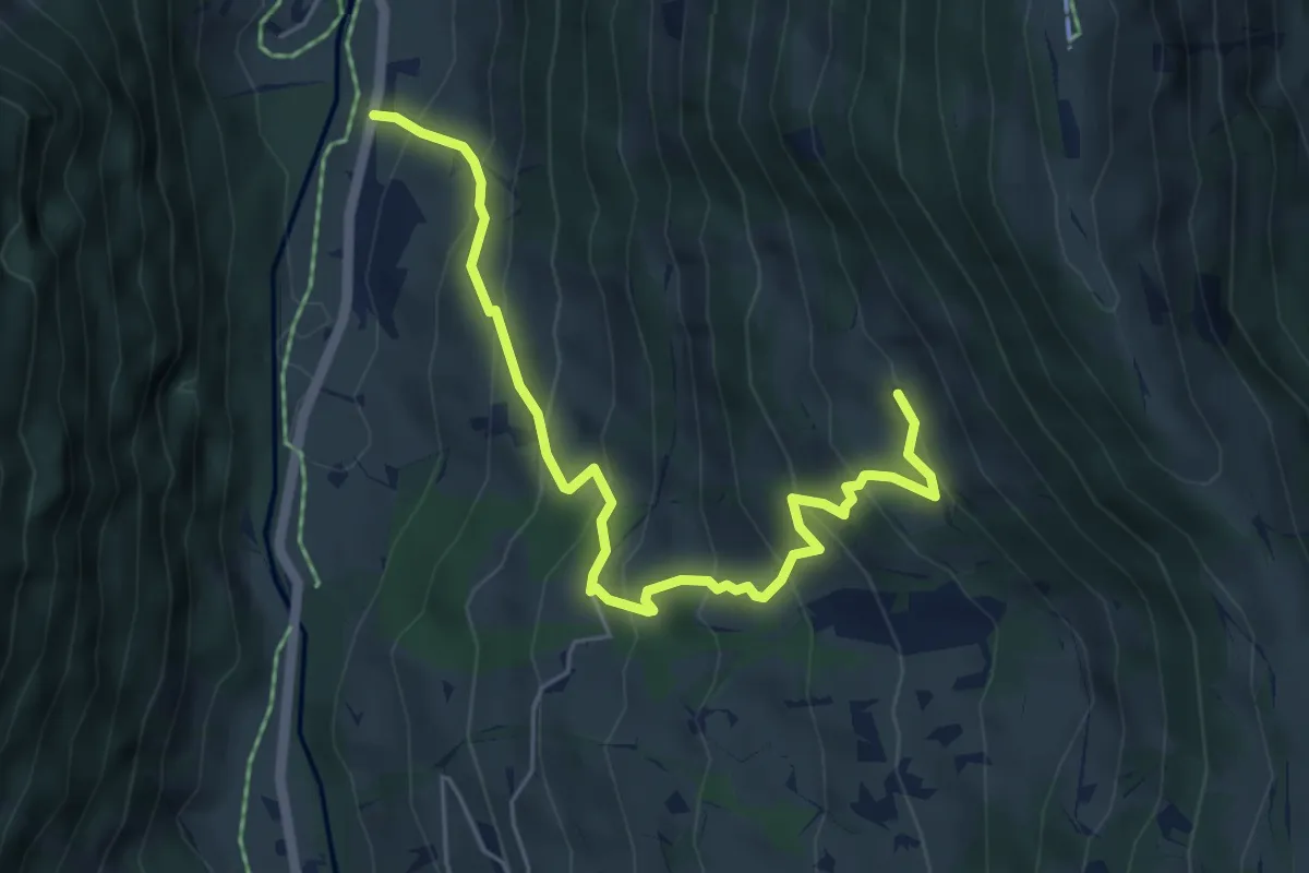
Medium · Trail
Klösterli – Länge Bode
5.9 km · ↑ 528 m · 2 h 32 min
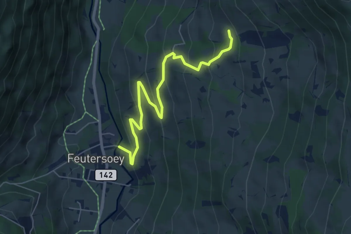
Easy · Trail
Feutersoey – Fänglisgrabe
5.6 km · ↑ 307 m · 2 h
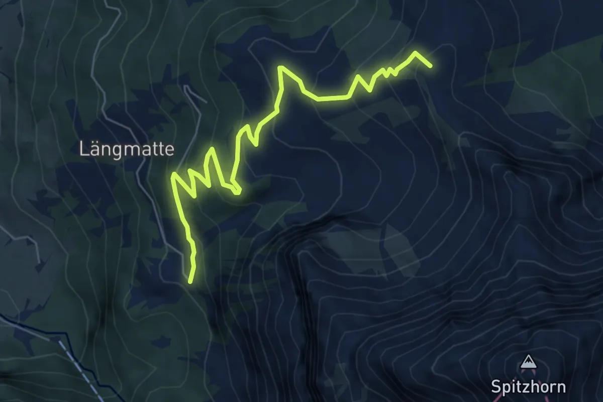
Medium · Summit
Burg – Chrine
6.7 km · ↑ 464 m · 2 h 35 min
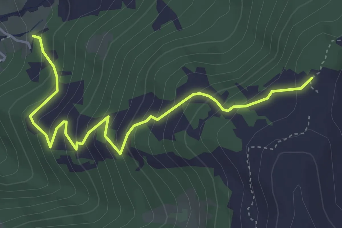
Medium · Trail
Chrinebach – Höher Wispile
4.3 km · ↑ 419 m · 1 h 55 min
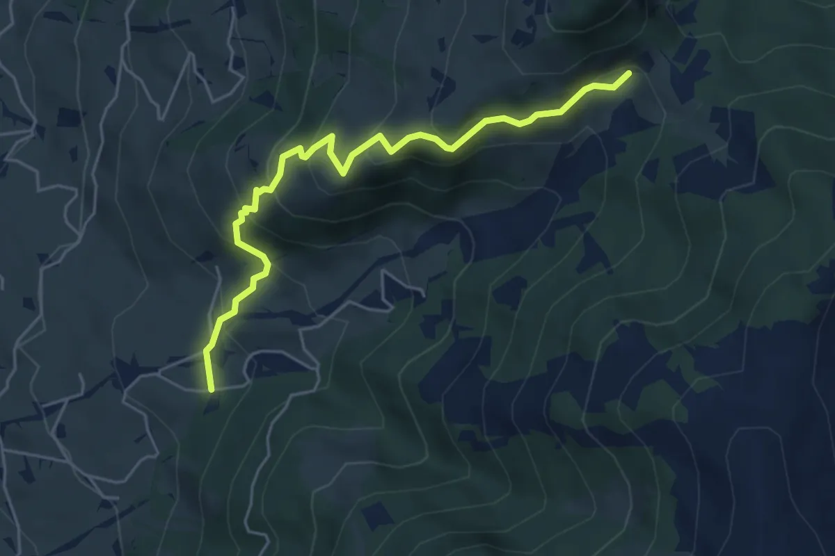
Medium · Trail
Saaligrabe – Chrine
5.0 km · ↑ 401 m · 2 h 3 min
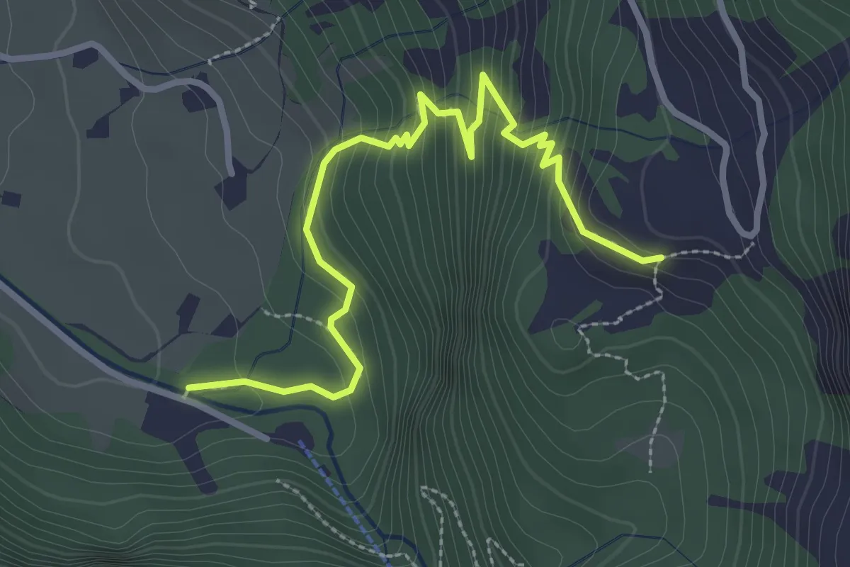
Medium · Trail
Innergsteig – Burg
3.2 km · ↑ 297 m · 1 h 24 min
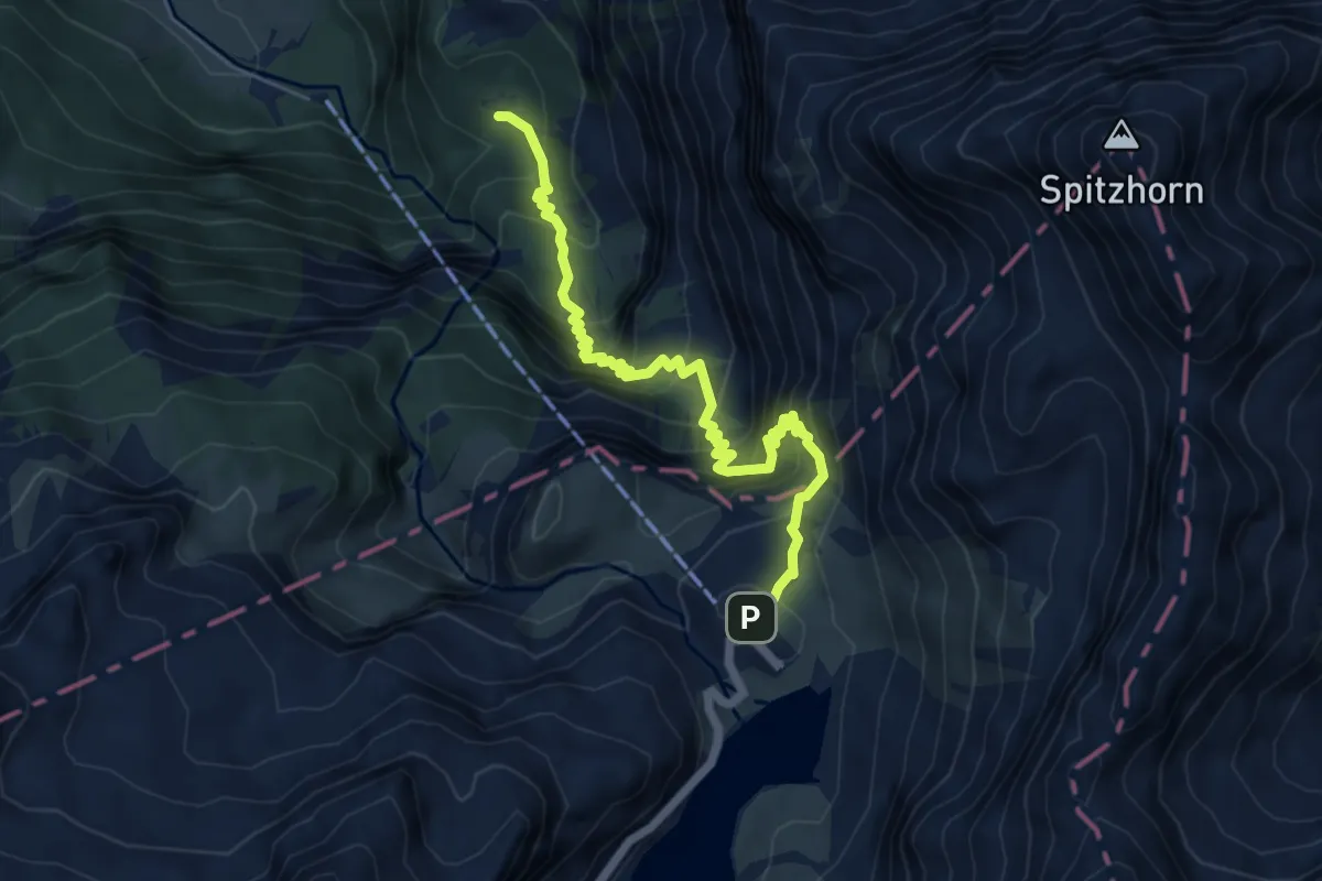
Medium · Trail
Burg – Sanetschsee
6.2 km · ↑ 744 m · 3 h 5 min