Trails in Switzerland
15,055 hiking trails, each with its route, climb, walking time and grade.
All trails, page 177 of 314
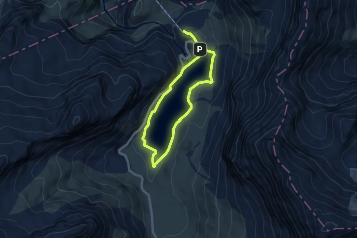
Medium · Trail
Sanetschsee – Sanetschsee
3.7 km · ↑ 133 m · 1 h 13 min
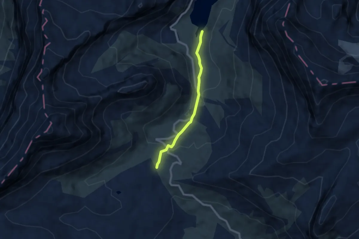
Medium · Trail
Sanetschsee – Col du Sanetsch
4.7 km · ↑ 204 m · 1 h 33 min
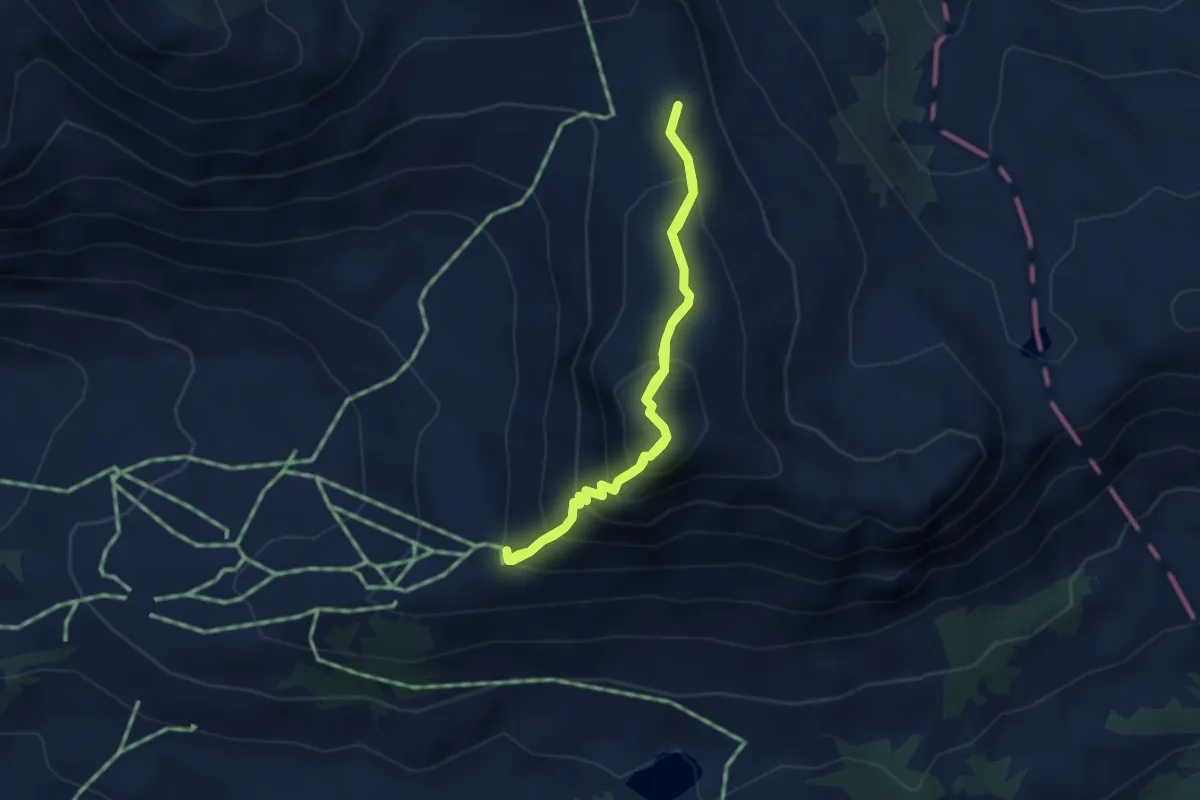
Medium · Summit
La Marnèche – Col des Andérets
2.9 km · ↑ 308 m · 1 h 23 min
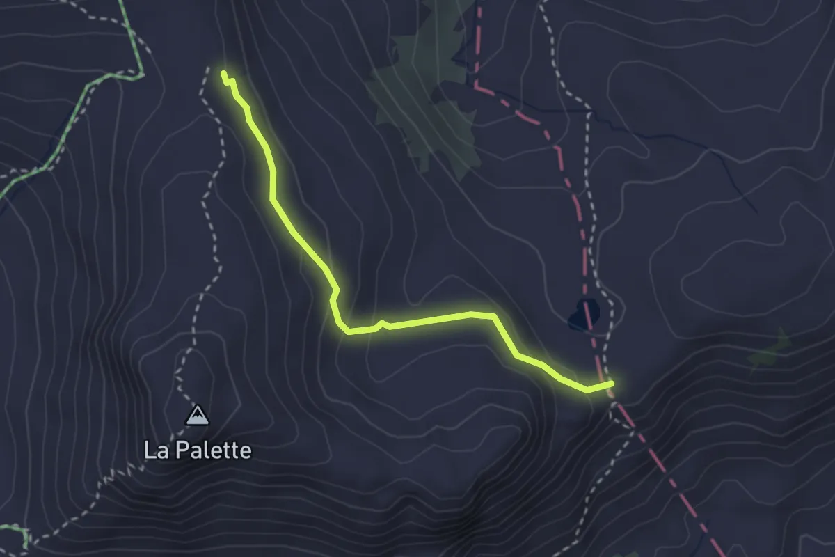
Medium · Trail
Col des Andérets – Col de Voré
2.6 km · ↑ 130 m · 54 min
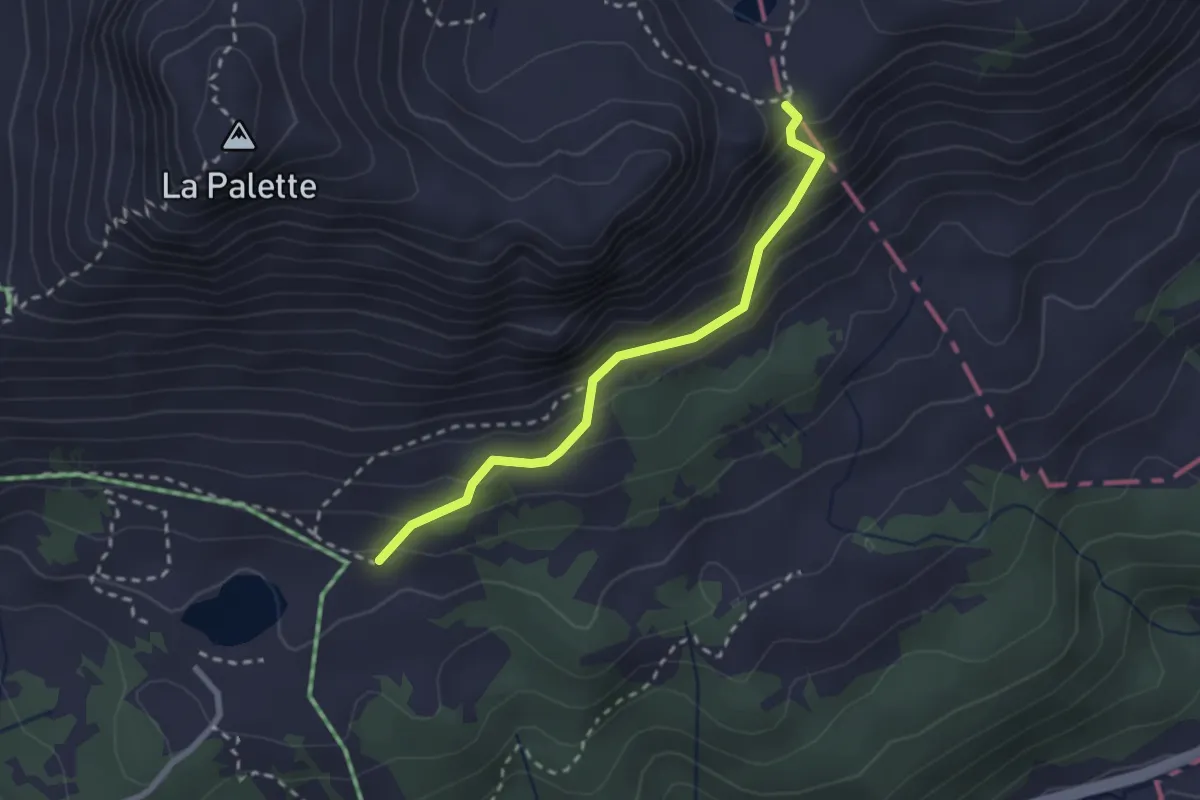
Medium · Trail
Lac Retaud – Col de Voré
2.4 km · ↑ 229 m · 1 h 3 min
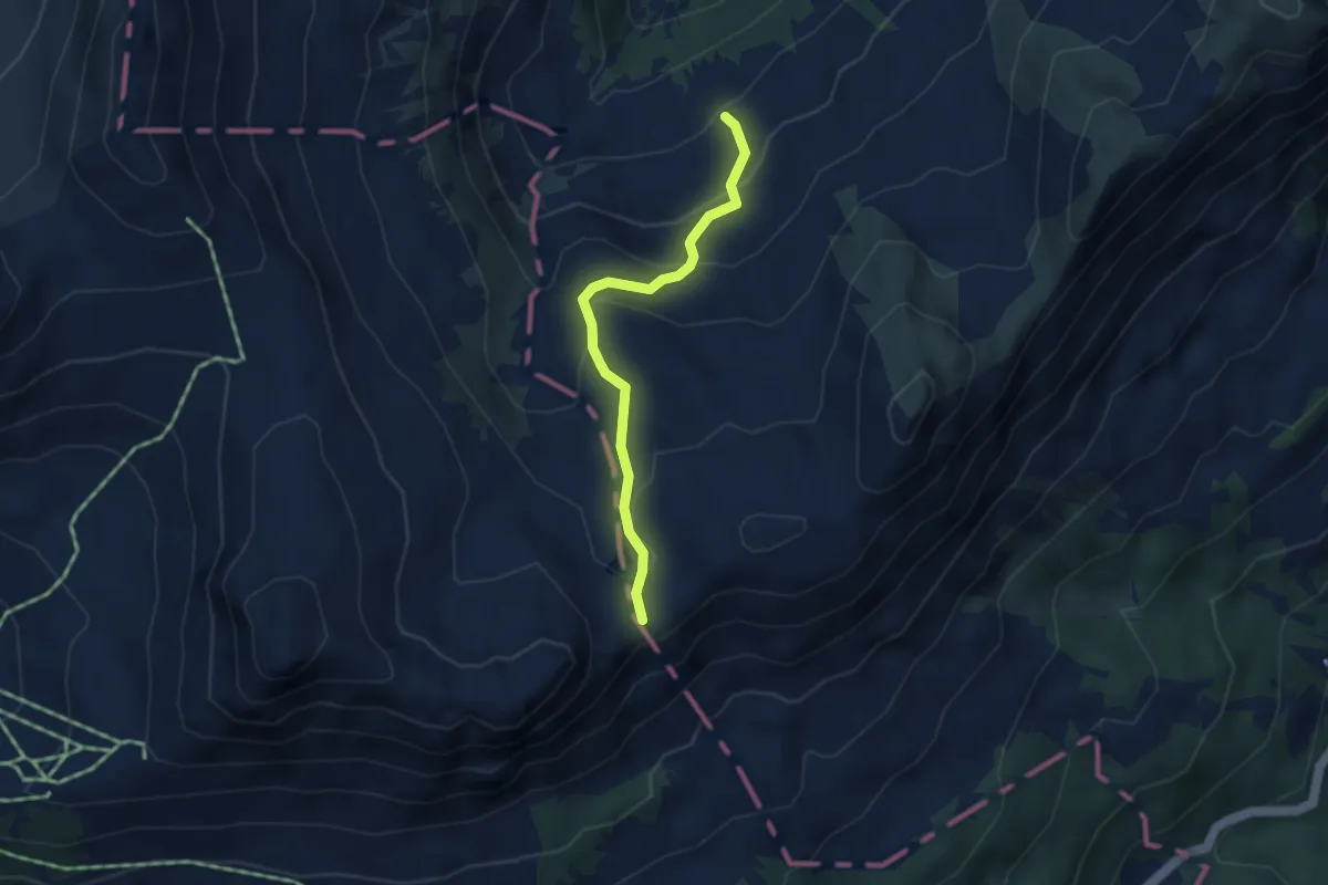
Easy · Trail
Col de Voré – Seeberg
3.3 km · ↑ 210 m · 1 h 15 min
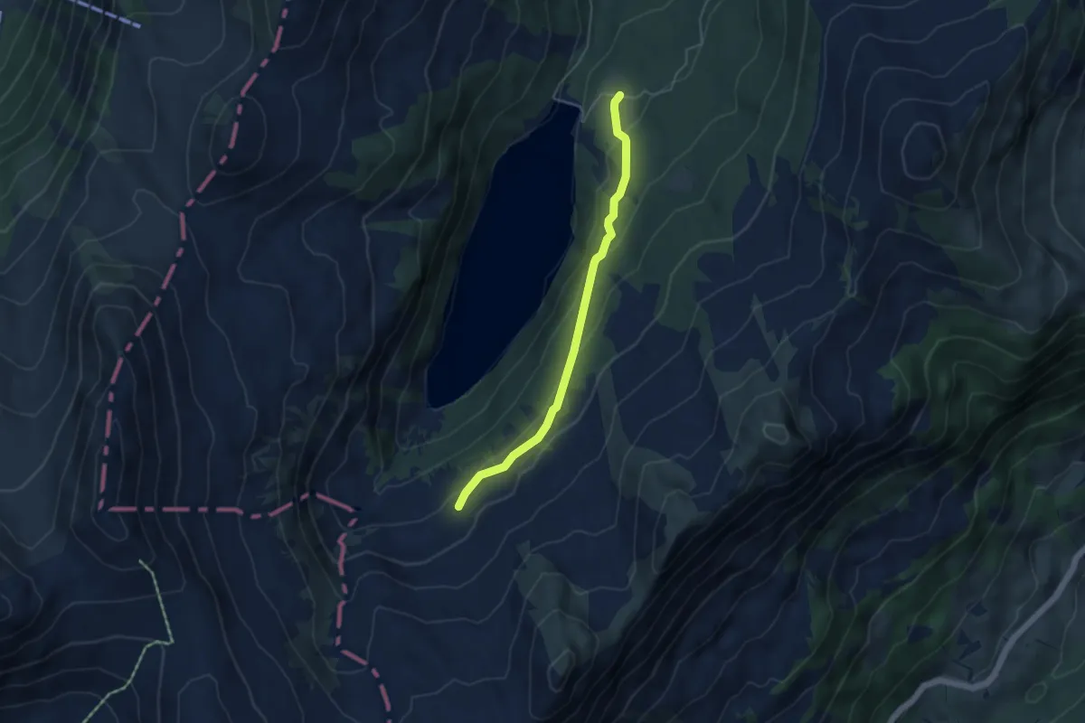
Easy · Trail
Arnesee – Stuedli
4.2 km · ↑ 160 m · 1 h 21 min
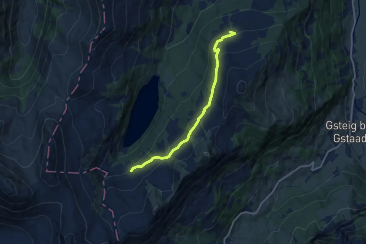
Easy · Trail
Seeberg – Hindere Walig
7.7 km · ↑ 305 m · 2 h 28 min
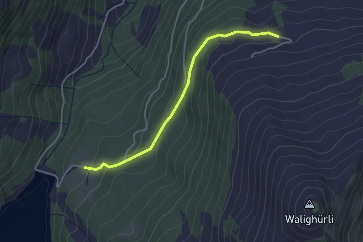
Easy · Trail
Stuedli – Hindere Walig
3.2 km · ↑ 114 m · 1 h
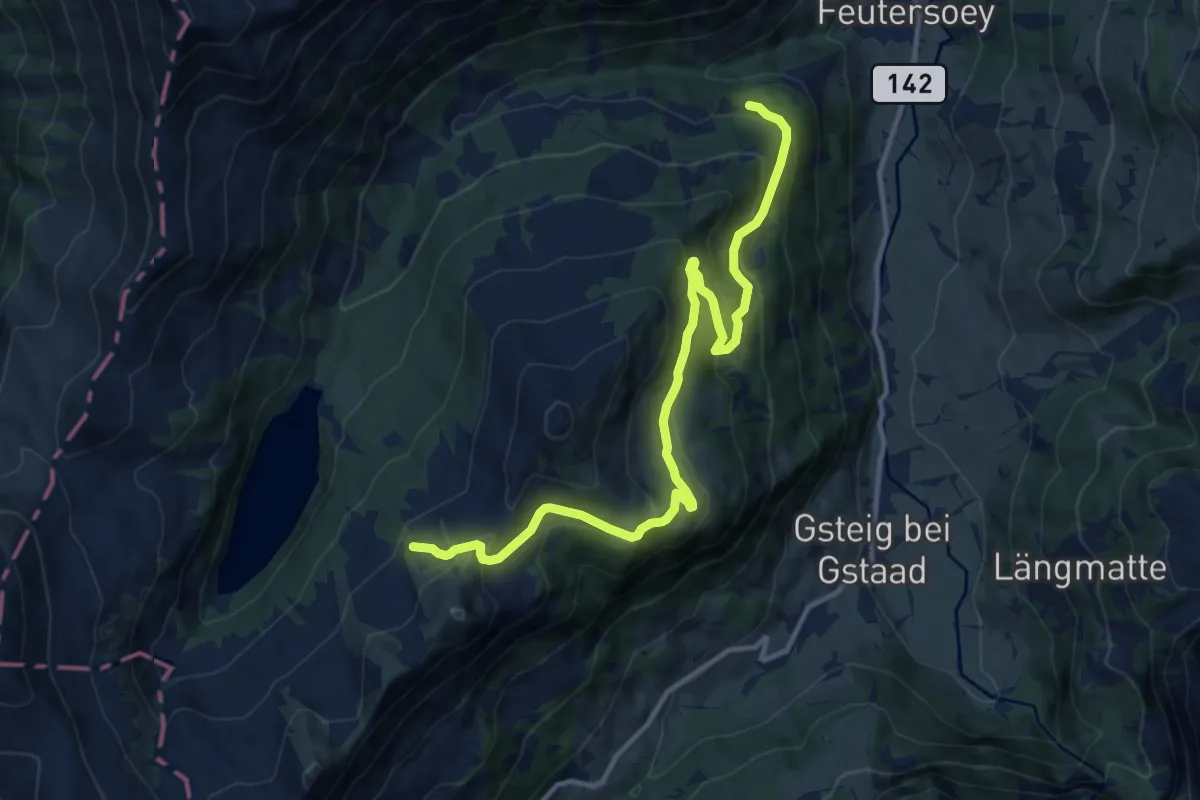
Medium · Trail
Blatti – Tuxberg
13.3 km · ↑ 654 m · 4 h 33 min
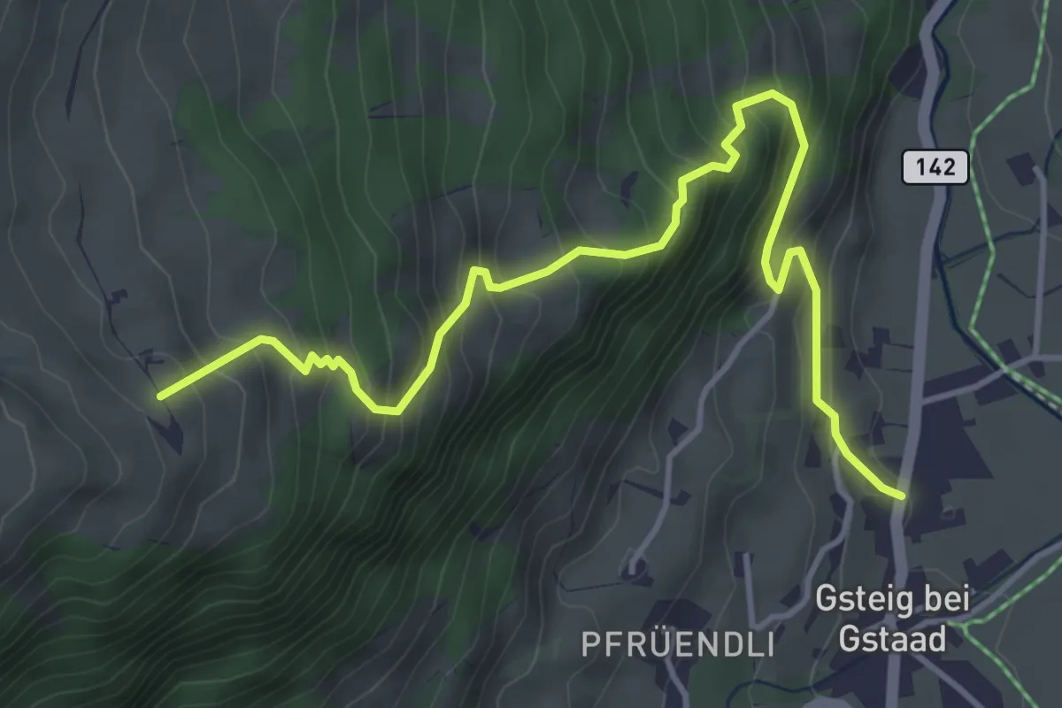
Medium · Trail
Gsteig b. Gstaad – Walig
4.8 km · ↑ 560 m · 2 h 21 min
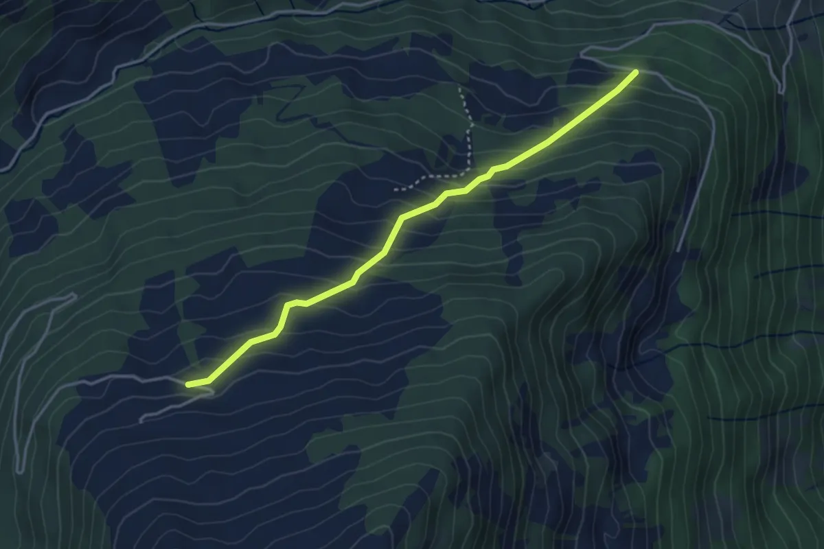
Easy · Trail
Tuxberg – Hindere Walig
3.6 km · ↑ 310 m · 1 h 32 min
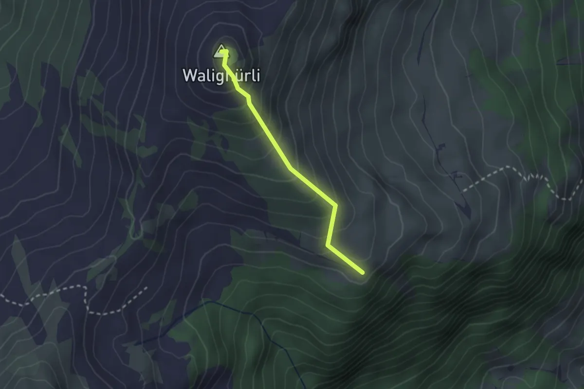
Easy · Summit
Walig – Walighürli
2.0 km · ↑ 217 m · 57 min
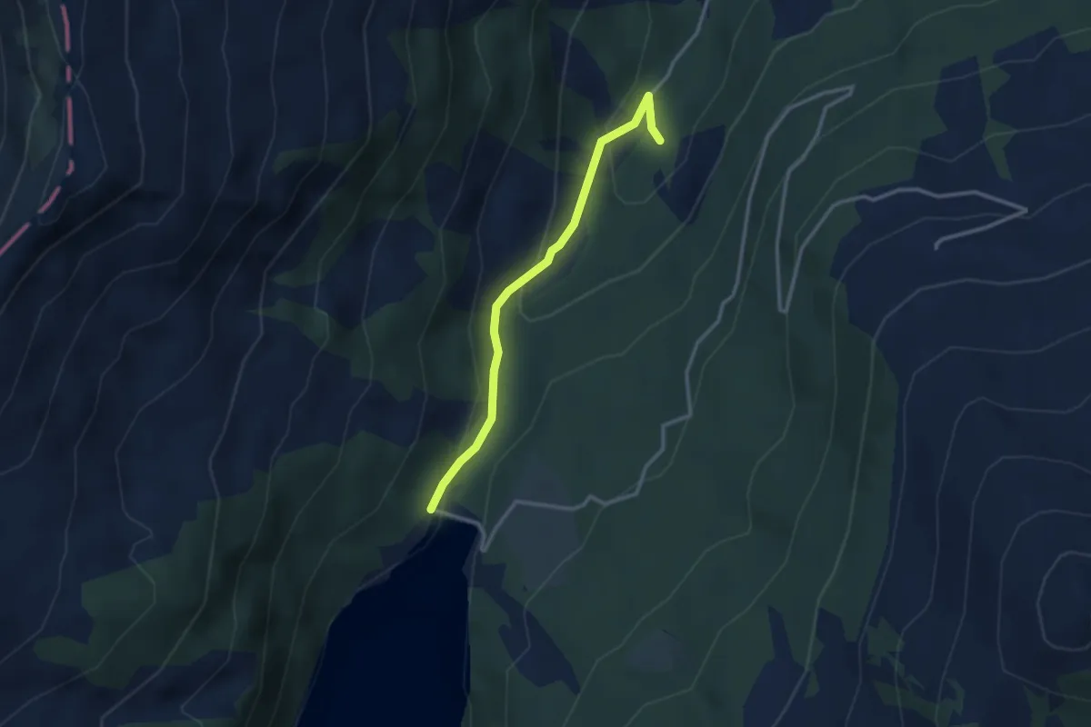
Easy · Trail
Arnensee – Gritteli
2.7 km · ↑ 121 m · 55 min
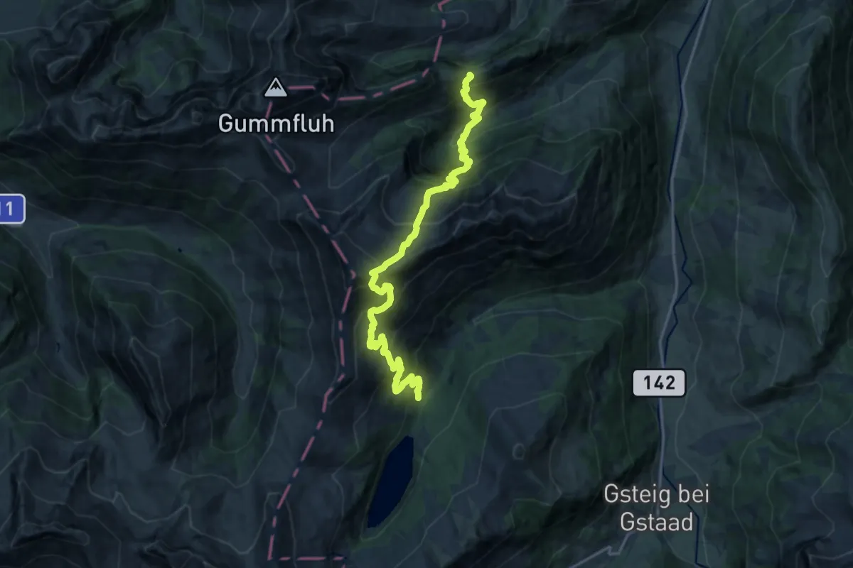
Demanding · Trail
Schüpfenweid – Wilde Bode
8.9 km · ↑ 854 m · 4 h 9 min
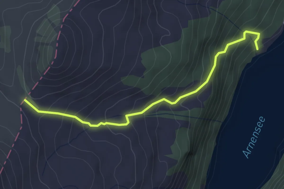
Medium · Trail
Arnesee – Fenêtre d'Arnon
3.9 km · ↑ 360 m · 1 h 42 min
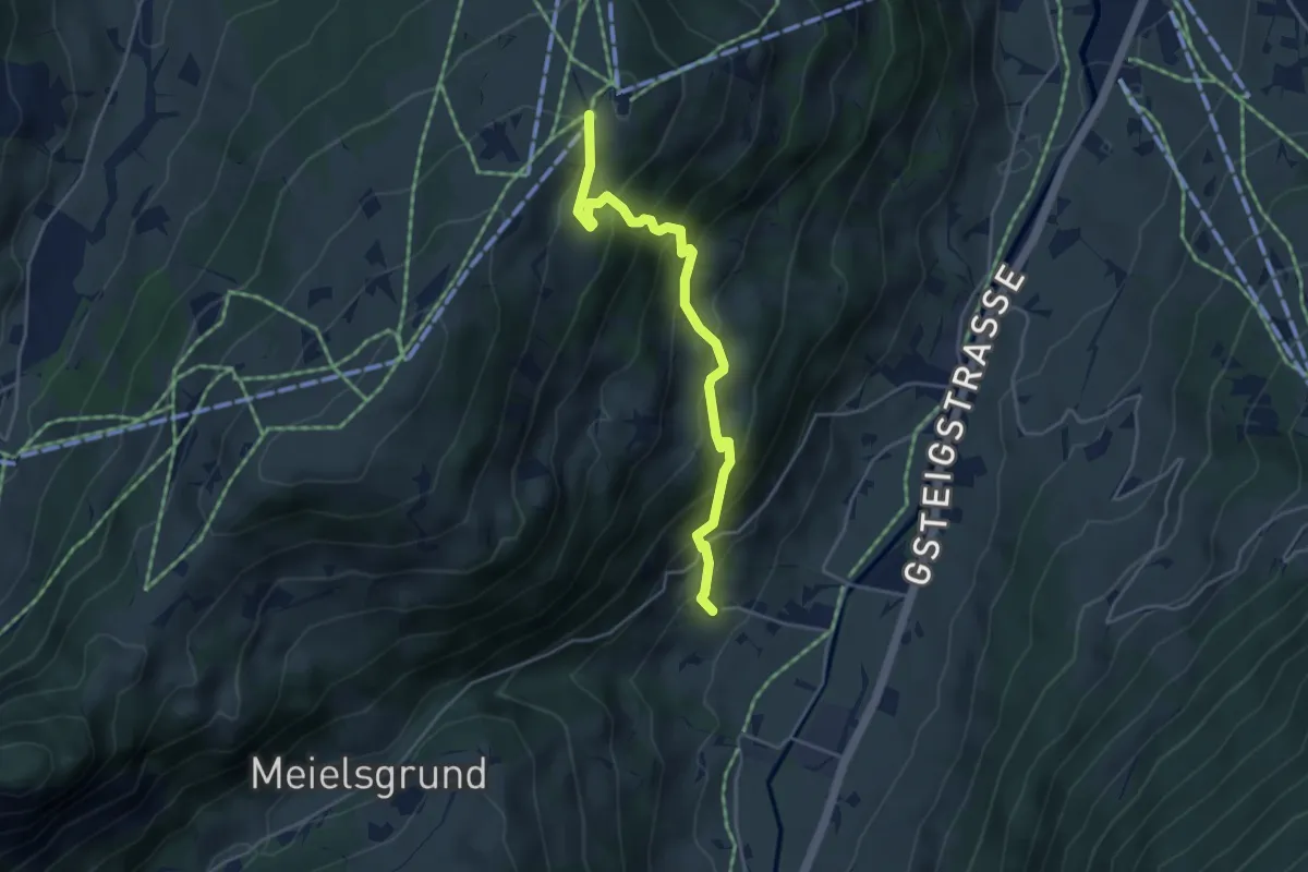
Medium · Trail
Grund b. Gstaad – Eggli
4.3 km · ↑ 434 m · 1 h 57 min
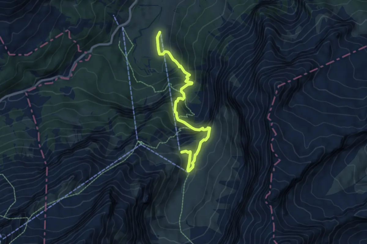
Medium · Trail
Reusch – Olden
6.7 km · ↑ 589 m · 2 h 51 min
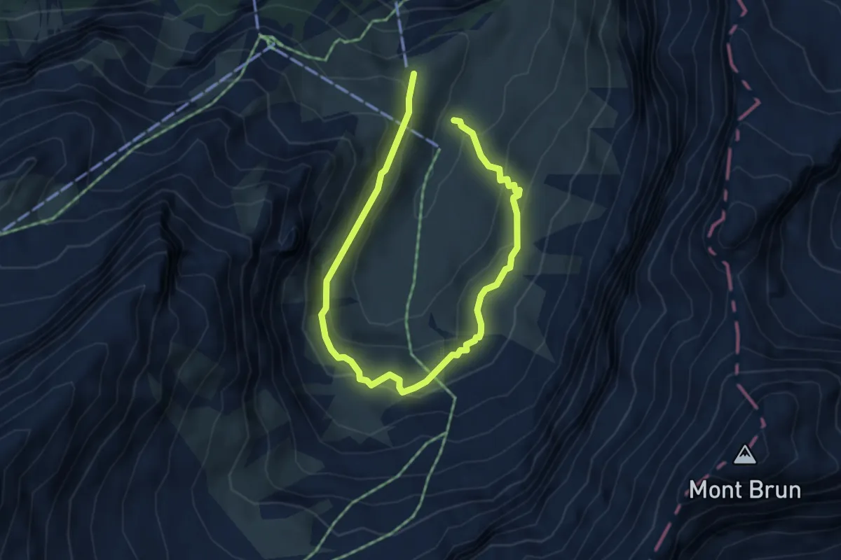
Easy · Trail
Olden – Olden
3.0 km · ↑ 165 m · 1 h 7 min
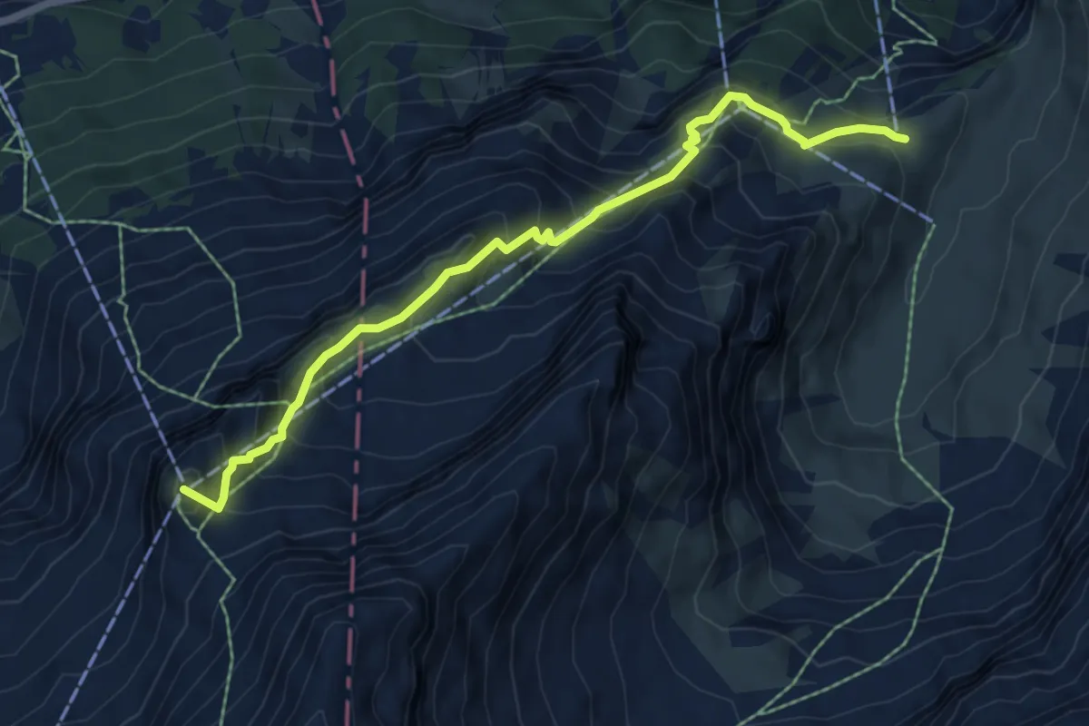
Medium · Summit
Olden – Cabane des Diablerets
6.6 km · ↑ 665 m · 3 h
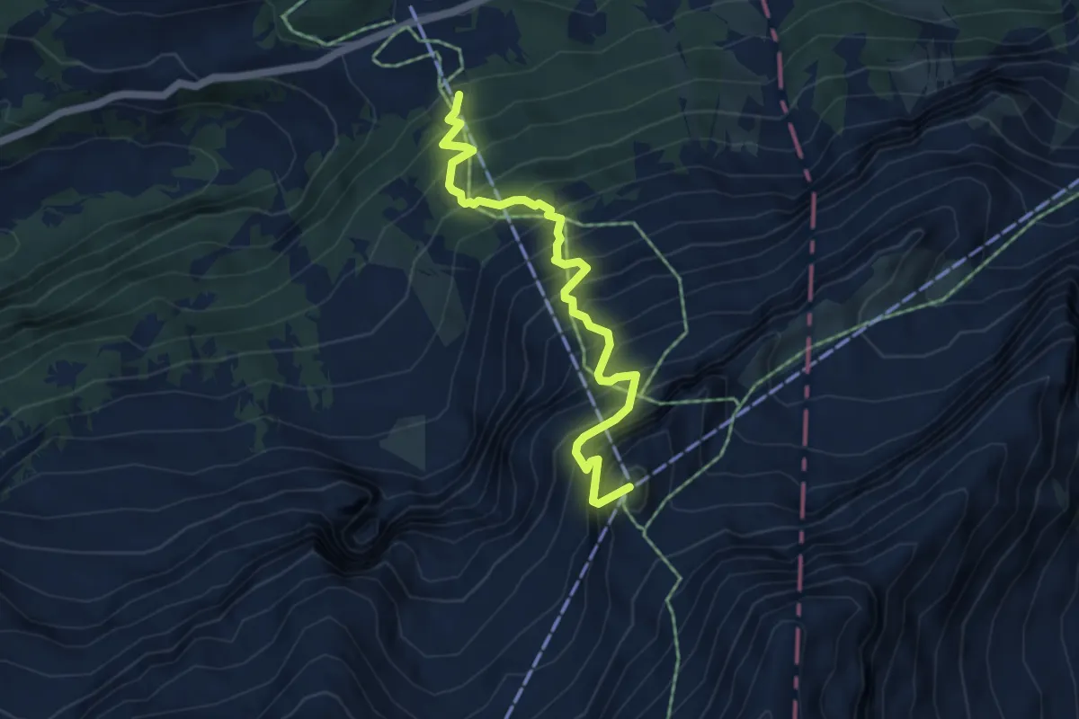
Expert · Summit
Col du Pillon – Cabane des Diablerets
5.1 km · ↑ 886 m · 3 h 7 min
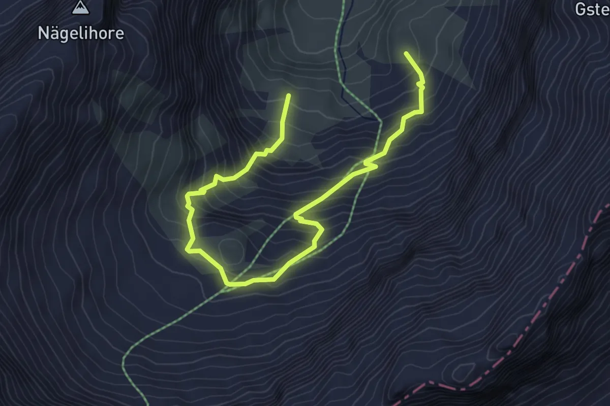
Medium · Trail
Olden – Obere Olden
5.6 km · ↑ 618 m · 2 h 40 min
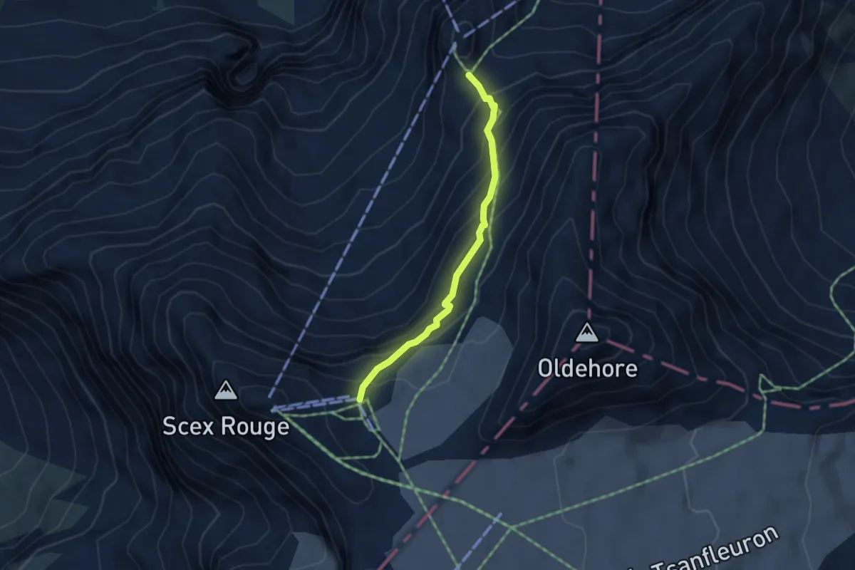
Demanding · Cabin
Cabane des Diablerets – Glacier du Sex Rouge
3.3 km · ↑ 365 m · 1 h 33 min
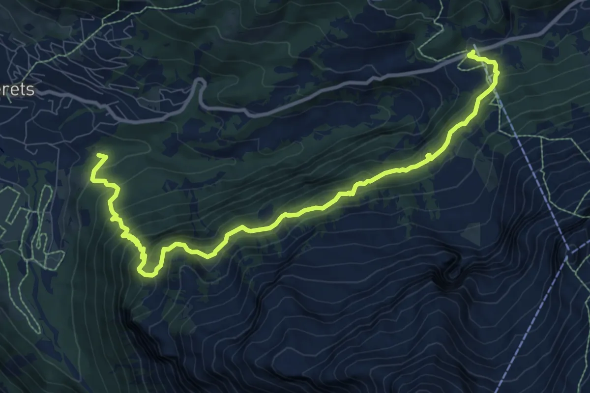
Demanding · Trail
Col du Pillon – Le Mont
10.9 km · ↑ 916 m · 4 h 33 min
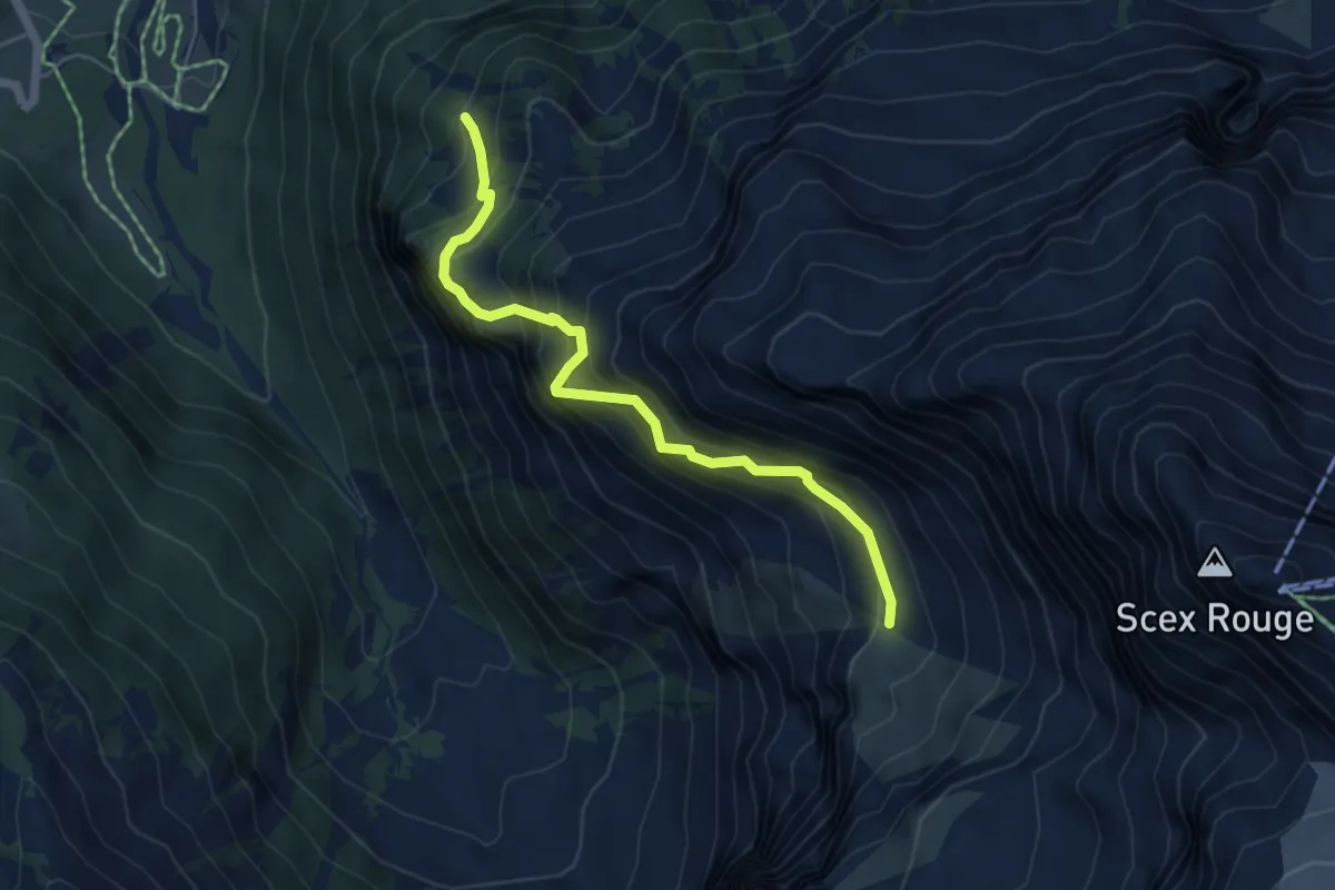
Expert · Trail
Lécheré – Prapio
5.2 km · ↑ 703 m · 2 h 45 min
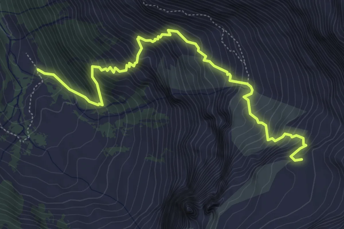
Demanding · Cabin
Creux de Champ – Refuge de Pierredar
6.7 km · ↑ 997 m · 3 h 44 min
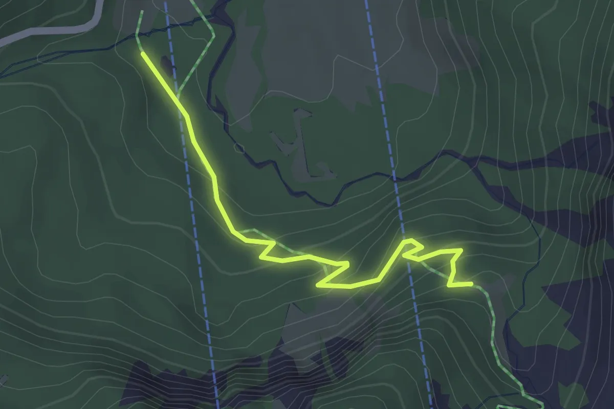
Easy · Trail
Stöckeweid – Büdemli
3.2 km · ↑ 246 m · 1 h 18 min
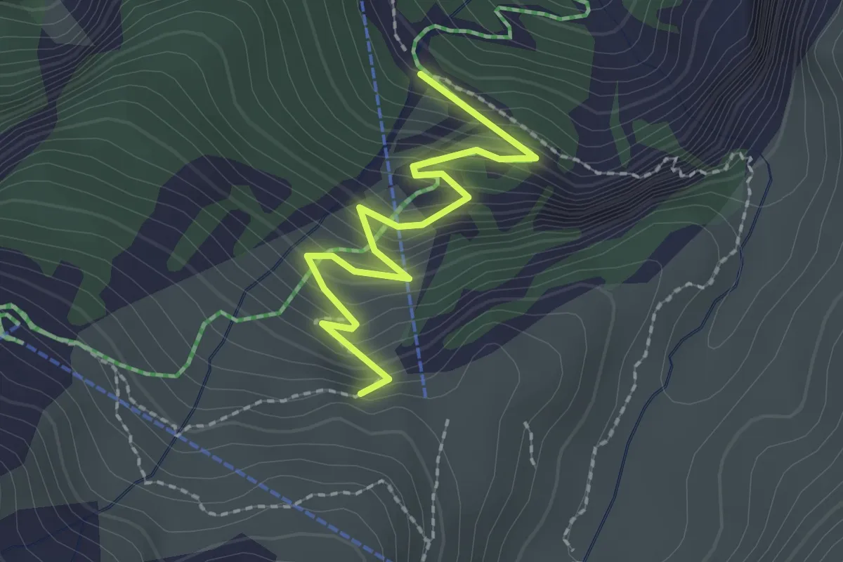
Easy · Trail
Büdemli – Olden
2.2 km · ↑ 266 m · 1 h 6 min
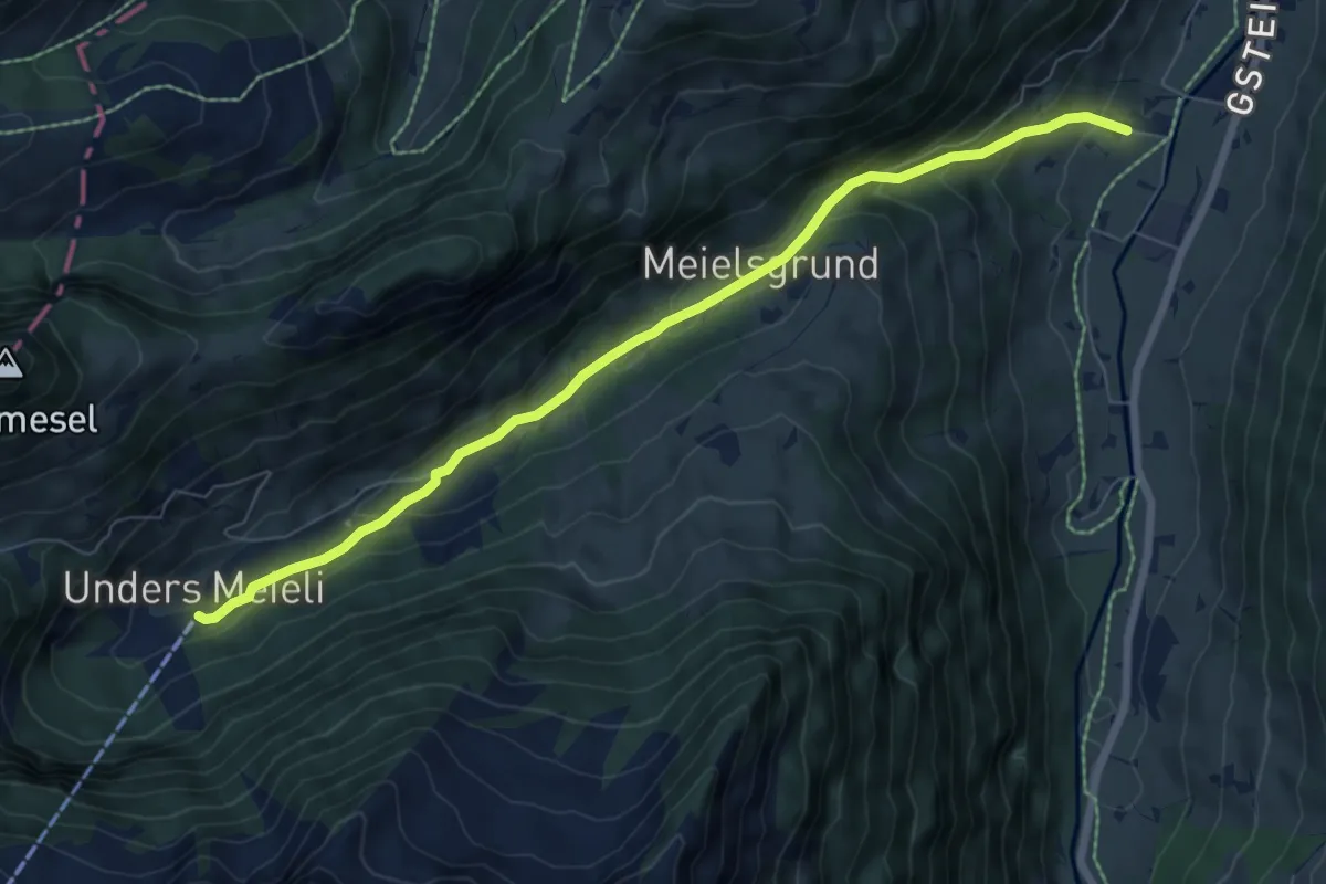
Medium · Trail
Grund b. Gstaad – Unders Meieli
7.4 km · ↑ 339 m · 2 h 28 min
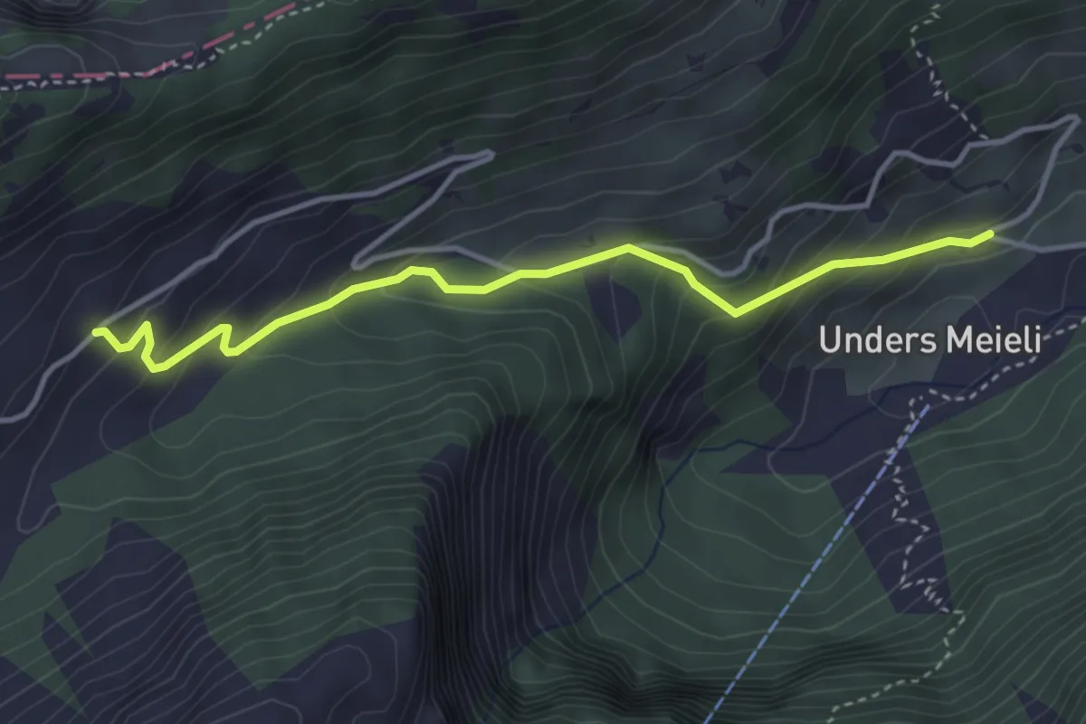
Easy · Trail
Unders Meieli – Gumm
3.7 km · ↑ 300 m · 1 h 32 min
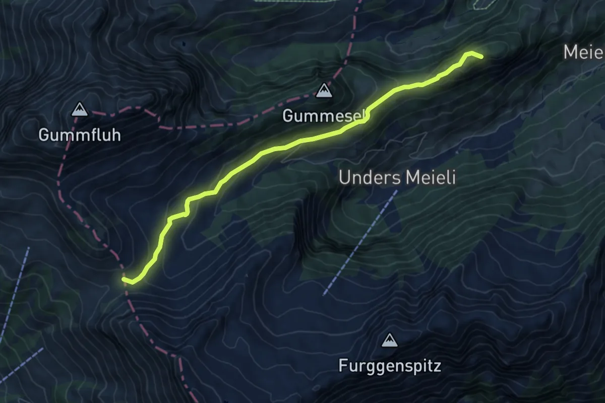
Medium · Summit
Hinders Eggli – Col de Jable
8.0 km · ↑ 414 m · 2 h 48 min
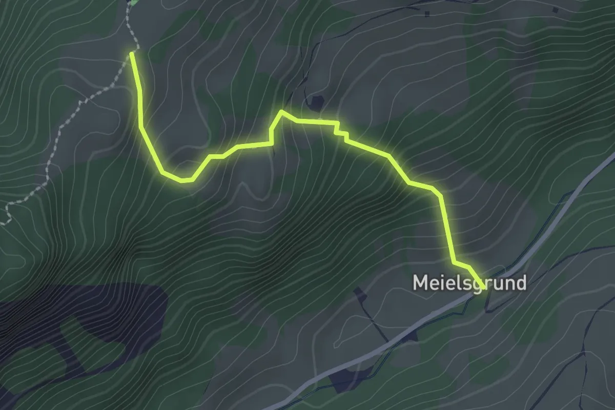
Medium · Trail
Meielsgrund – Hinders Eggli
2.3 km · ↑ 280 m · 1 h 9 min
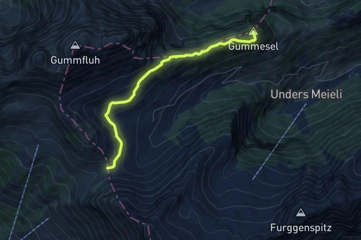
Medium · Summit
Wilde Bode – Col de Jable
6.2 km · ↑ 301 m · 2 h 8 min
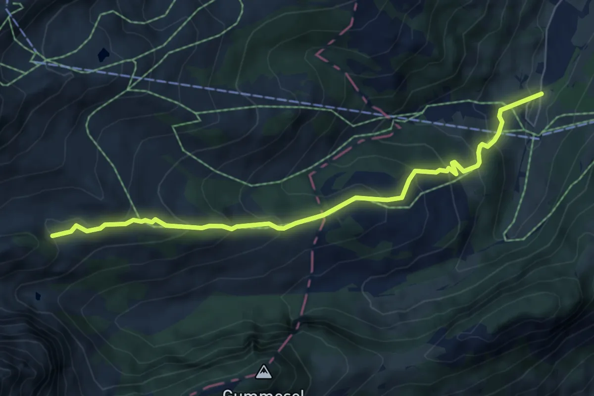
Medium · Trail
Les Praz – Chalberhöni
6.5 km · ↑ 458 m · 2 h 32 min
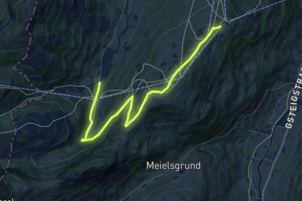
Medium · Trail
Chalberhäni – Eggli
8.7 km · ↑ 428 m · 2 h 58 min
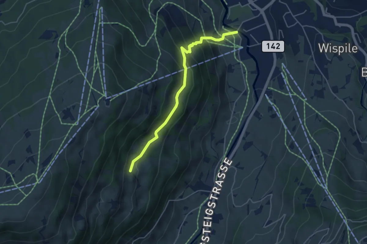
Medium · Trail
Gstaad – Flüemad
4.1 km · ↑ 331 m · 1 h 41 min
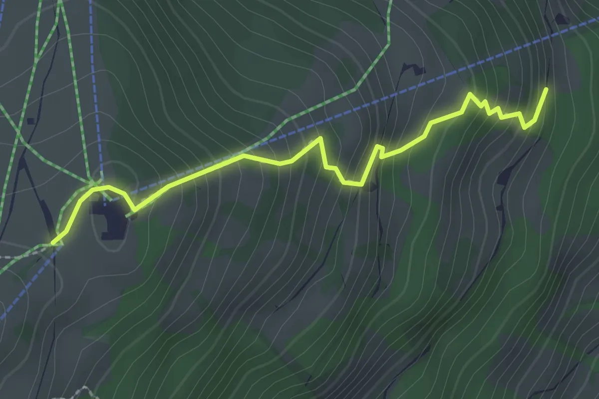
Easy · Trail
Chälweid – Eggli
2.3 km · ↑ 266 m · 1 h 8 min
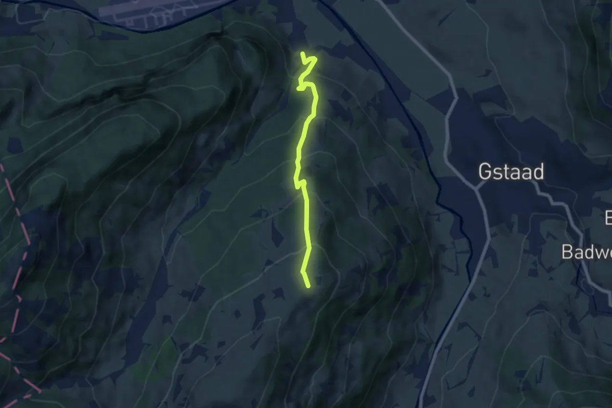
Medium · Trail
Saanen – Eggli
5.5 km · ↑ 530 m · 2 h 26 min
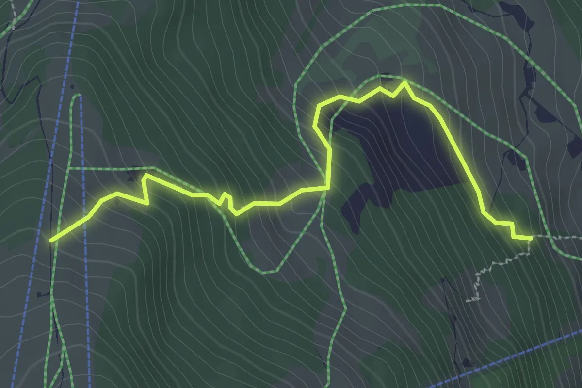
Medium · Trail
Gstaad – Schöpfe
3.1 km · ↑ 333 m · 1 h 28 min
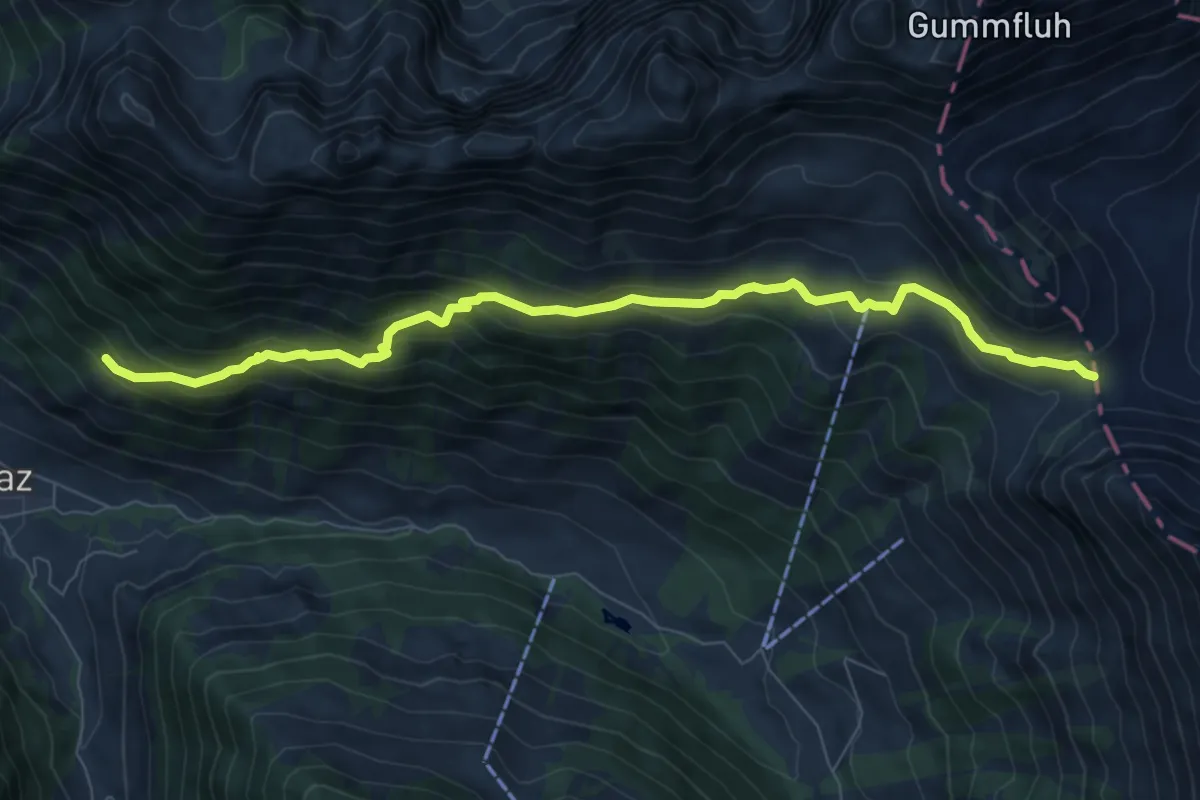
Medium · Trail
Col de Jable – L'Etivaz
8.4 km · ↑ 543 m · 3 h 10 min
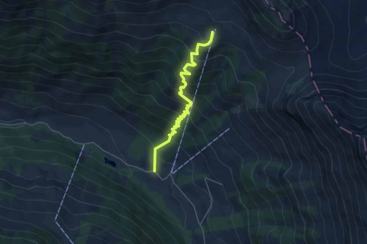
Medium · Trail
Gros Jable – Les Vuittes
4.4 km · ↑ 495 m · 2 h 7 min
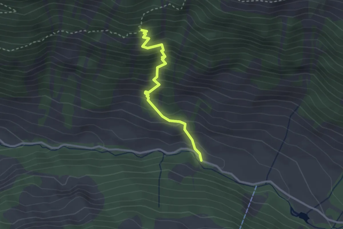
Easy · Trail
La Torneresse – Plan au Lare
2.4 km · ↑ 314 m · 1 h 15 min
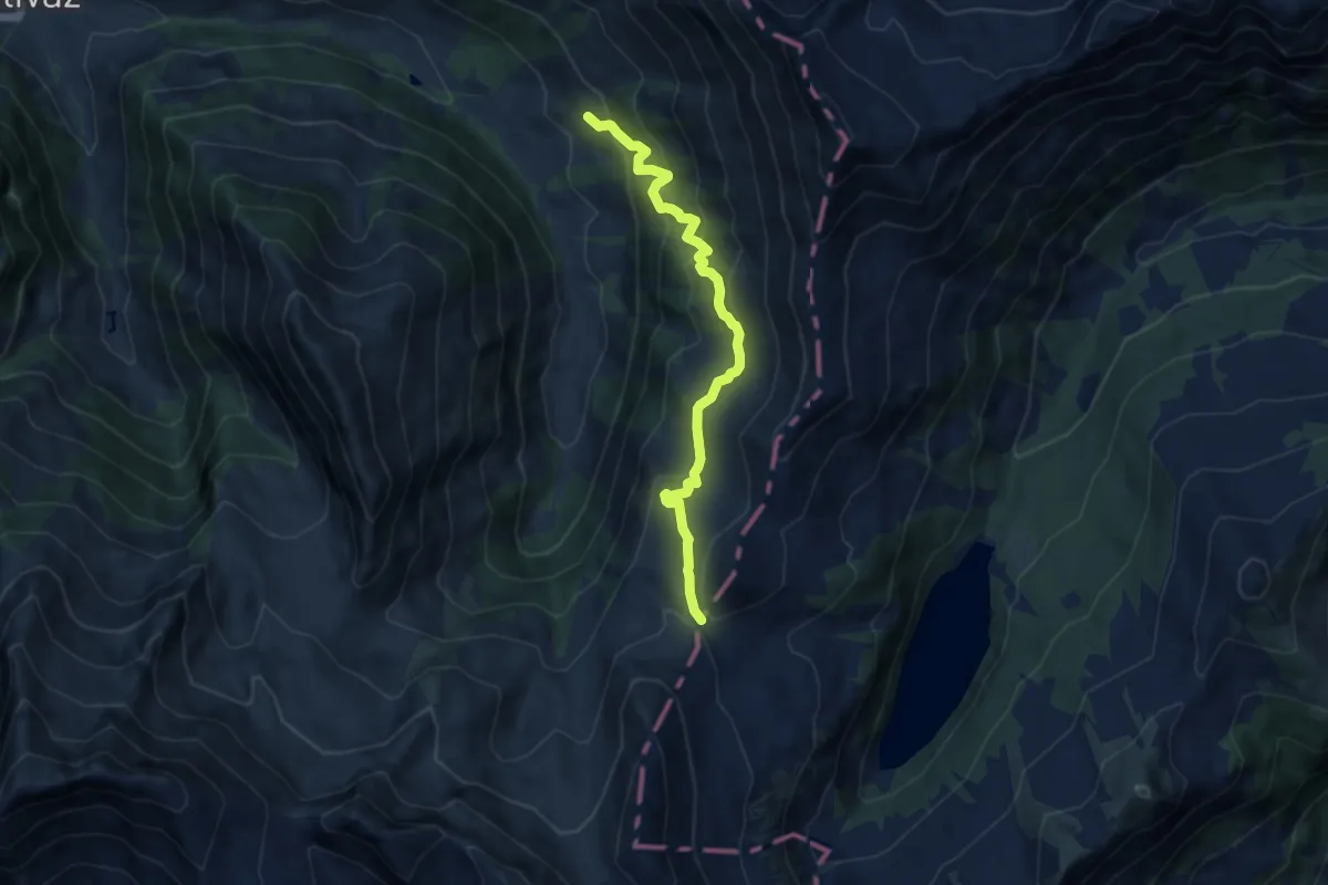
Medium · Trail
Le Van – Fenêtre d'Arnon
8.4 km · ↑ 589 m · 3 h 16 min
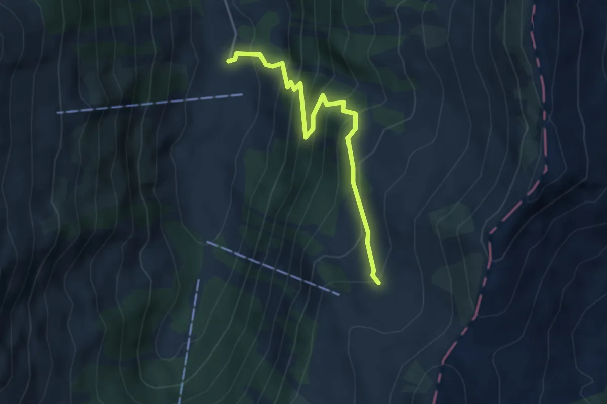
Medium · Trail
Pâquier Mottier – Grand Clé
3.9 km · ↑ 439 m · 1 h 52 min
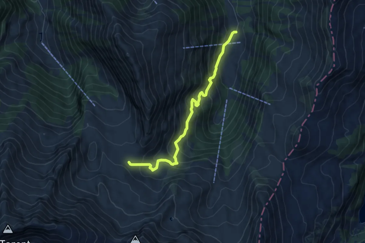
Medium · Trail
Pâquier Mottier – Les Châteaux
6.8 km · ↑ 538 m · 2 h 46 min
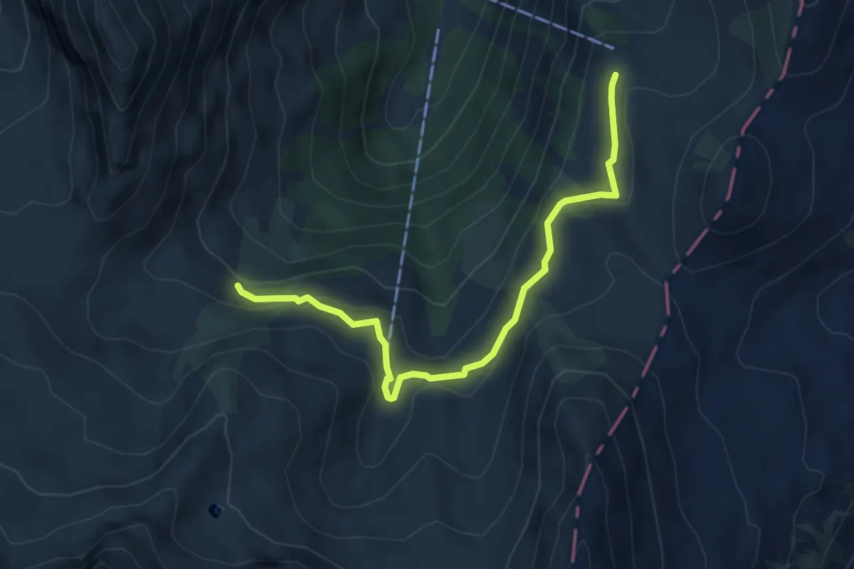
Easy · Trail
Pas de Sazième – Grand Clé
5.1 km · ↑ 184 m · 1 h 36 min
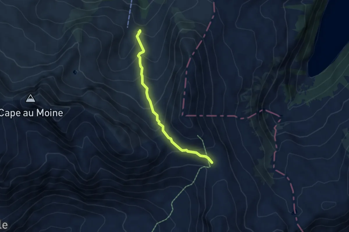
Medium · Trail
Sazième – Col des Andérets
4.1 km · ↑ 294 m · 1 h 36 min
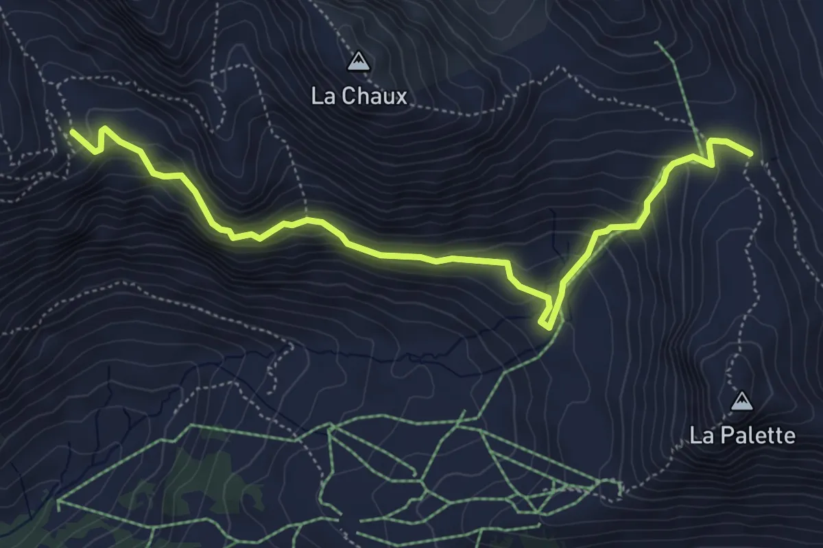
Demanding · Trail
Arpille – Col des Andérets
5.9 km · ↑ 414 m · 2 h 17 min