Trails in Switzerland
15,055 hiking trails, each with its route, climb, walking time and grade.
All trails, page 178 of 314
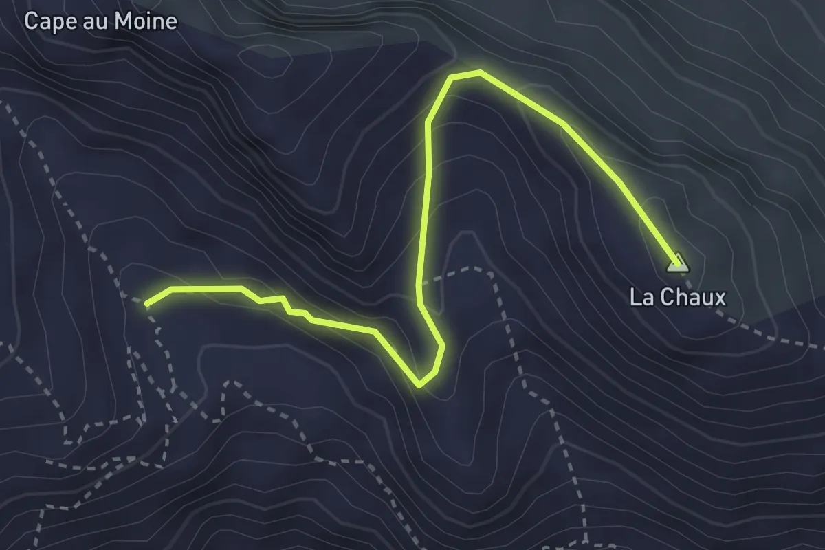
Medium · Summit
Arpille – Col d'Isenau
3.3 km · ↑ 243 m · 1 h 19 min
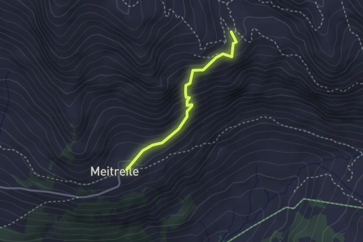
Easy · Trail
Meitreille – Arpille
2.3 km · ↑ 247 m · 1 h 5 min
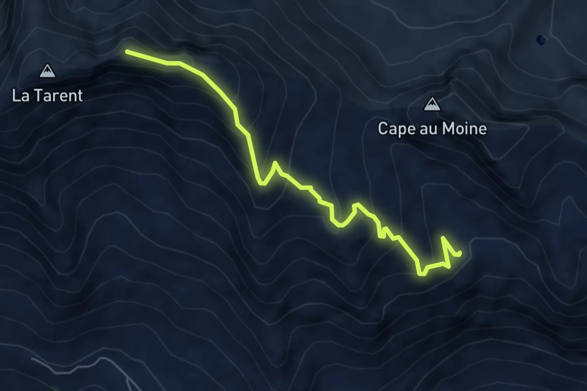
Medium · Summit
Arpille – La Pare
5.4 km · ↑ 494 m · 2 h 20 min
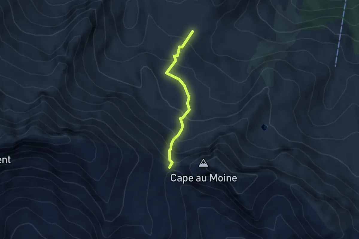
Easy · Trail
Les Châteaux – Col de Seron
2.9 km · ↑ 280 m · 1 h 17 min
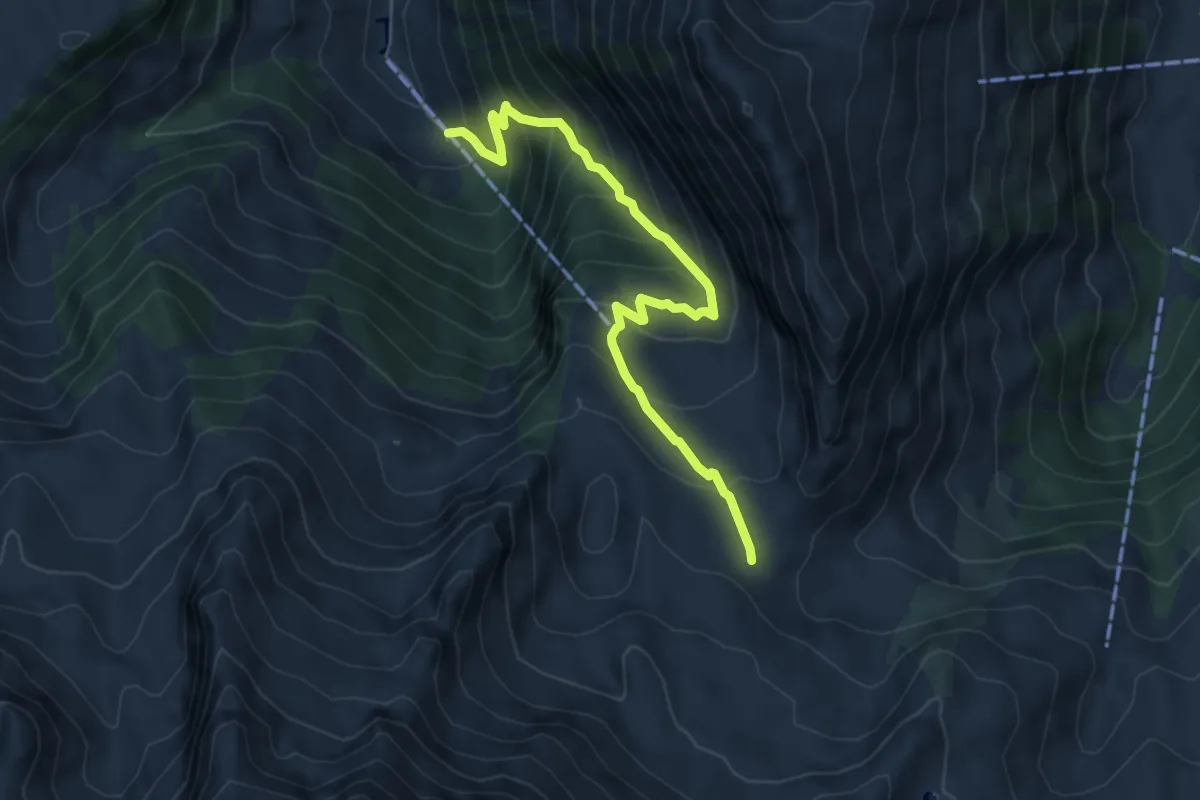
Medium · Trail
Les Maulatreys – Seron
6.2 km · ↑ 556 m · 2 h 40 min
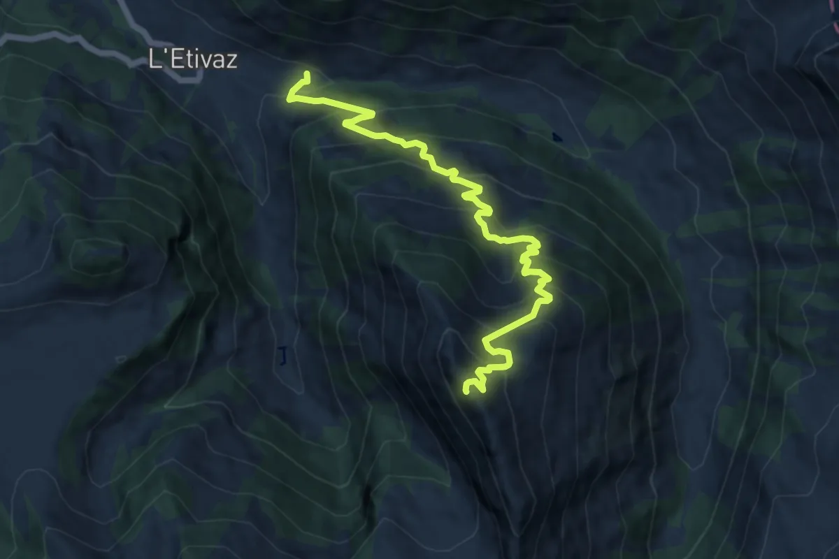
Demanding · Summit
L'Etivaz – Tête à Josué
10.3 km · ↑ 913 m · 4 h 24 min
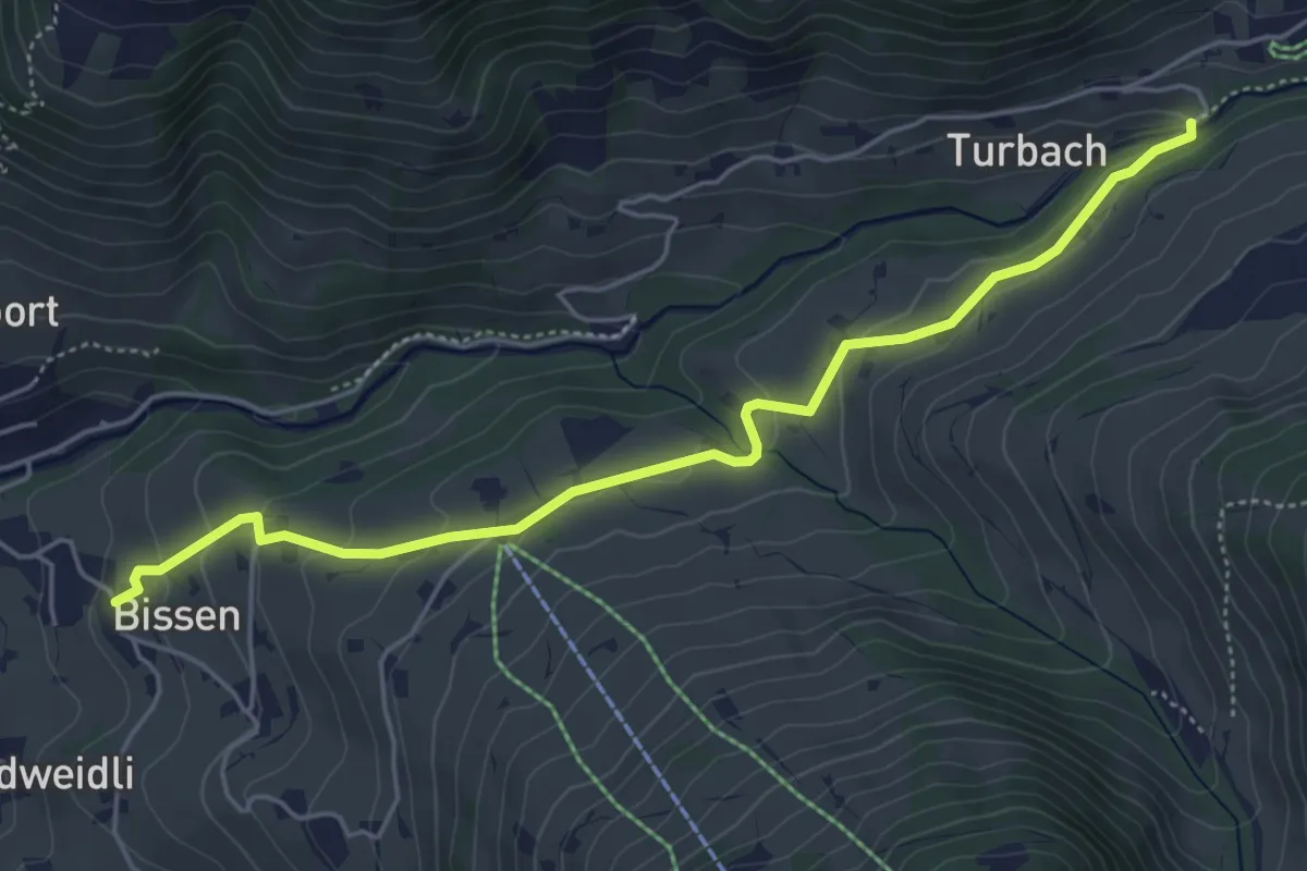
Easy · Trail
Bissen – Turbach
5.3 km · ↑ 170 m · 1 h 37 min
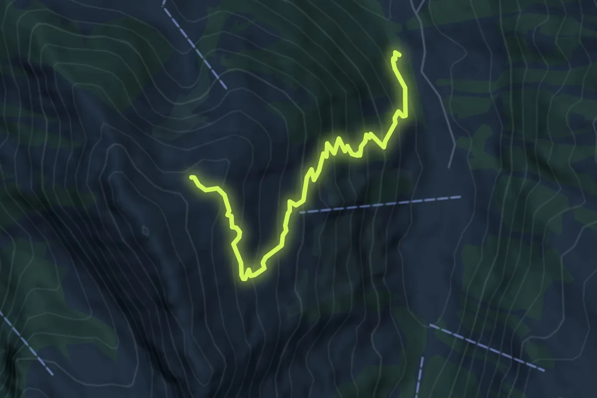
Medium · Trail
La Torneresse – Tête à Josué
6.0 km · ↑ 610 m · 2 h 44 min
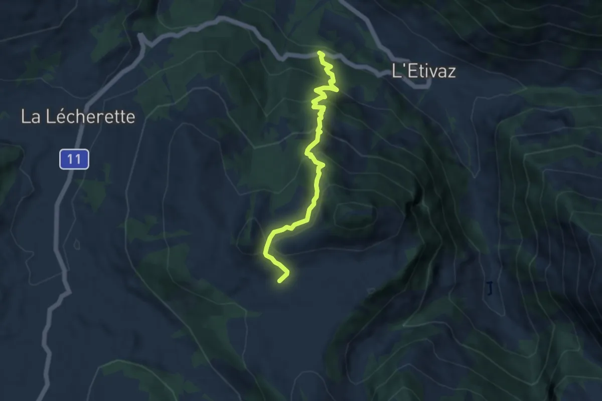
Medium · Trail
Bains-de-l'Etivaz – La Soere
6.4 km · ↑ 559 m · 2 h 43 min
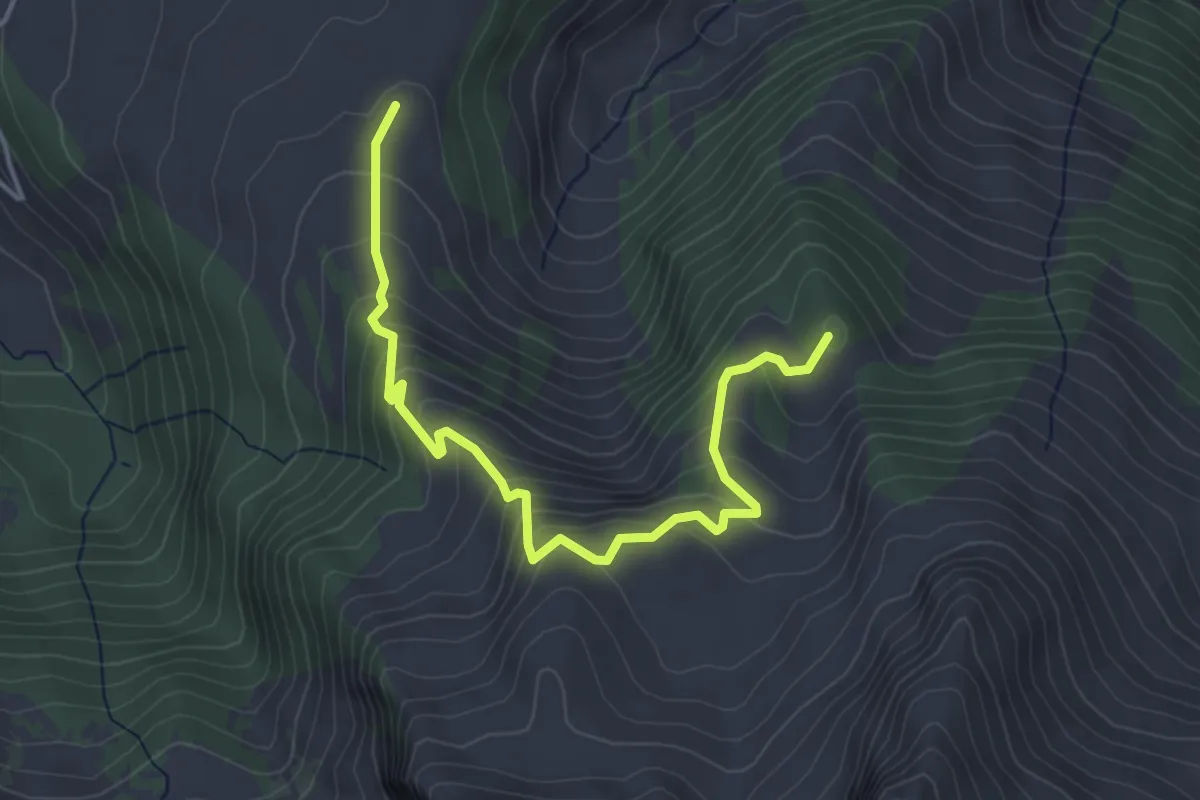
Medium · Summit
Le Lévanchy – Pra Cornet
4.6 km · ↑ 364 m · 1 h 52 min
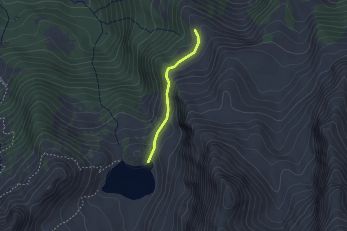
Easy · Trail
La Chaux Derrey – Lac Lioson
2.1 km · ↑ 92 m · 41 min
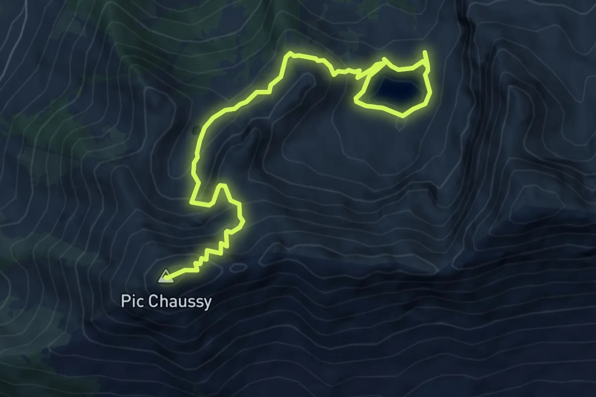
Medium · Summit
Lac Lioson – Pic Chaussy
8.5 km · ↑ 611 m · 3 h 19 min
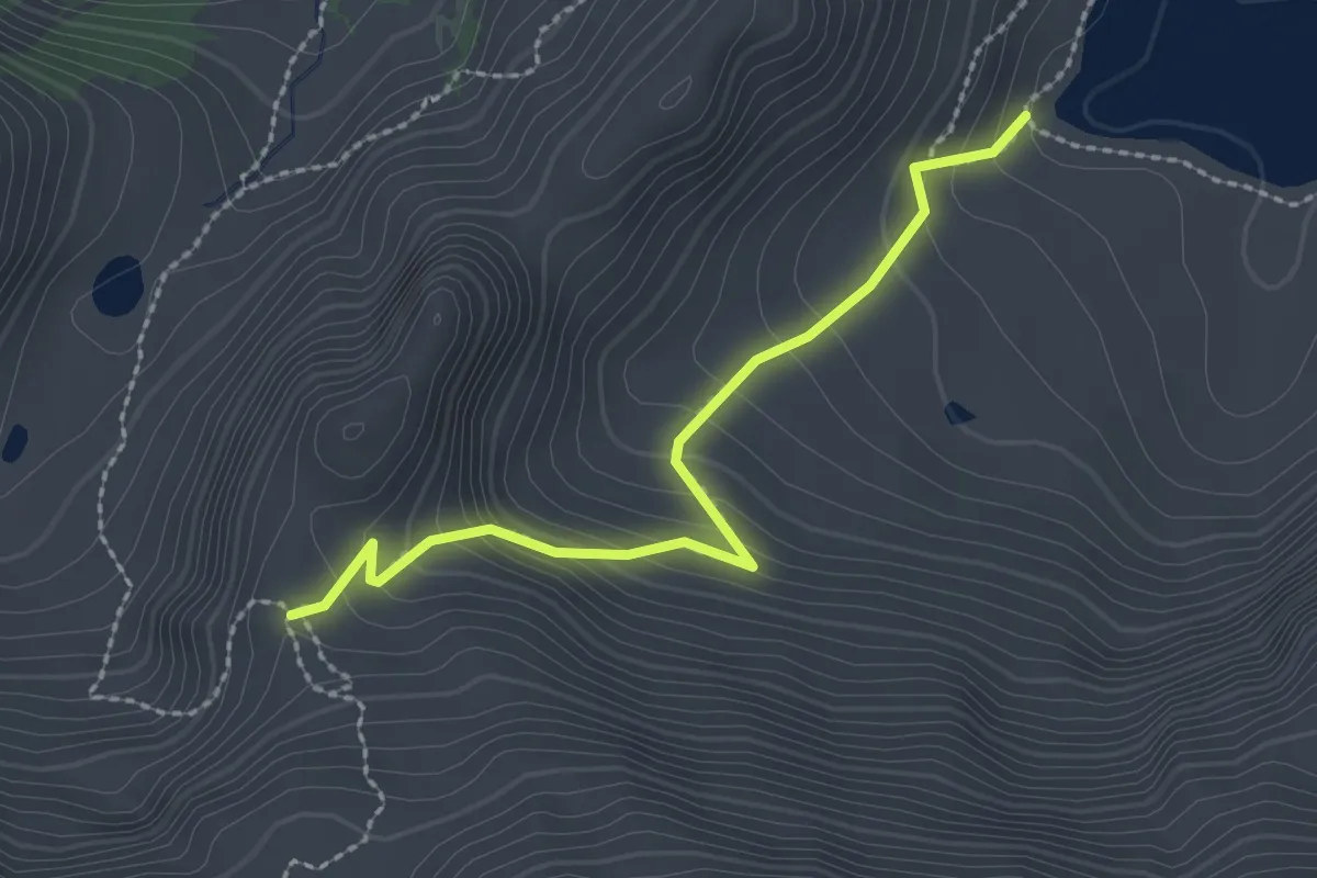
Medium · Trail
Lac Lioson – 2079
2.3 km · ↑ 197 m · 58 min
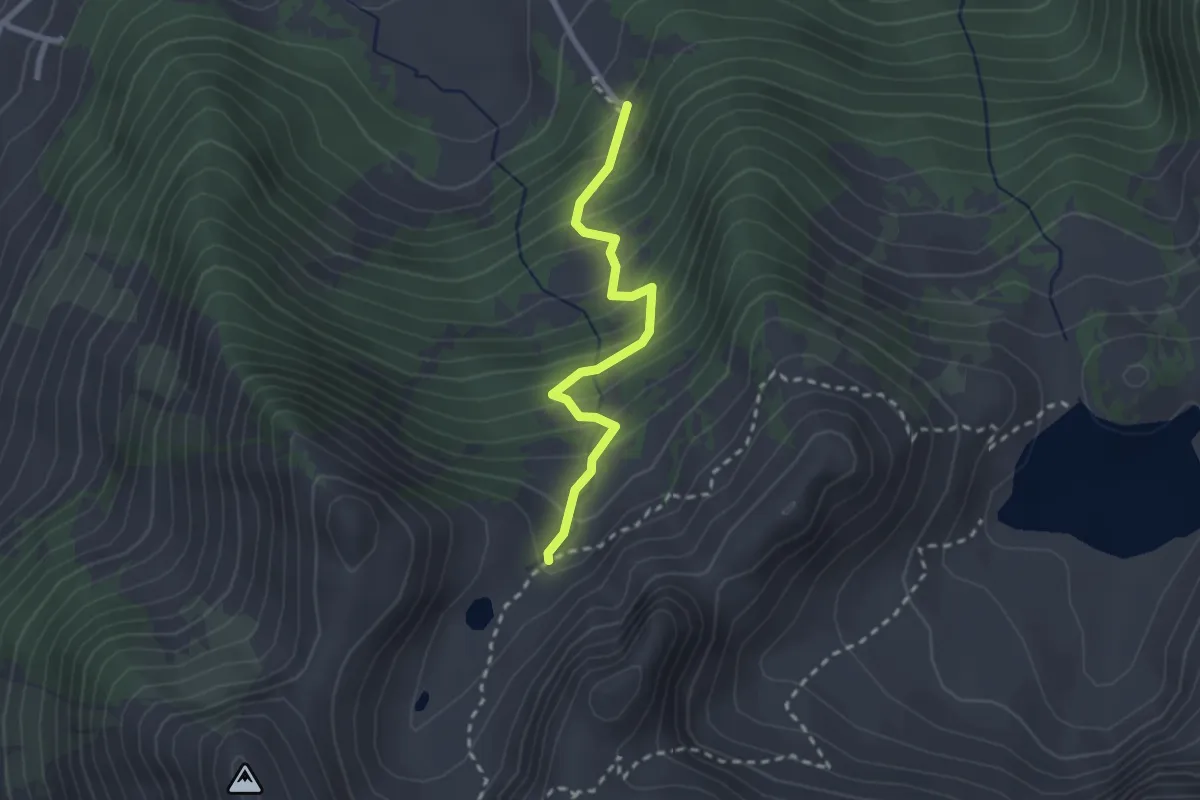
Medium · Trail
Chemin du Lioson – Buvette des Petit-Lacs
2.3 km · ↑ 289 m · 1 h 10 min
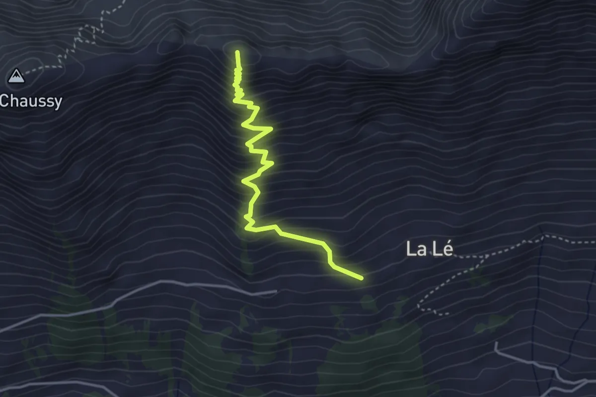
Medium · Summit
La Lé – Pic Chaussy
3.6 km · ↑ 494 m · 1 h 54 min
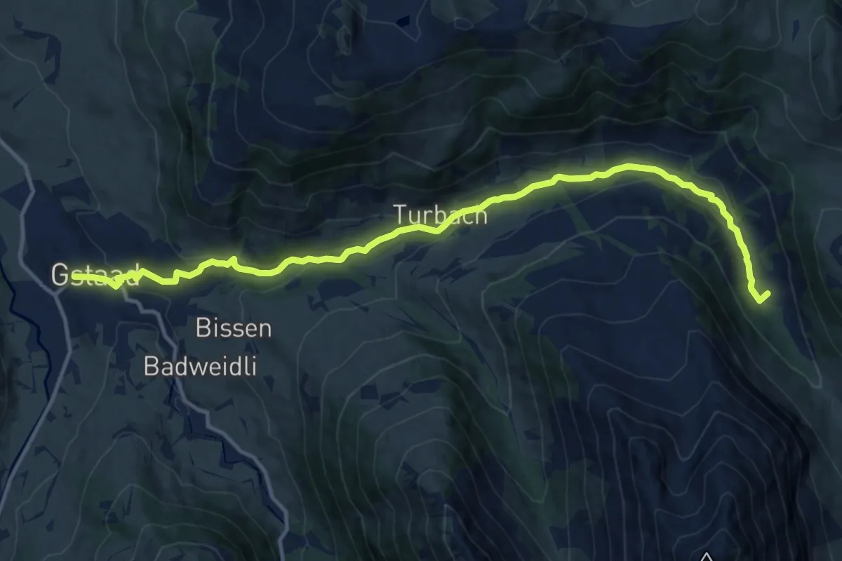
Medium · Trail
Wintermatte – Gstaad
13.9 km · ↑ 449 m · 4 h 16 min
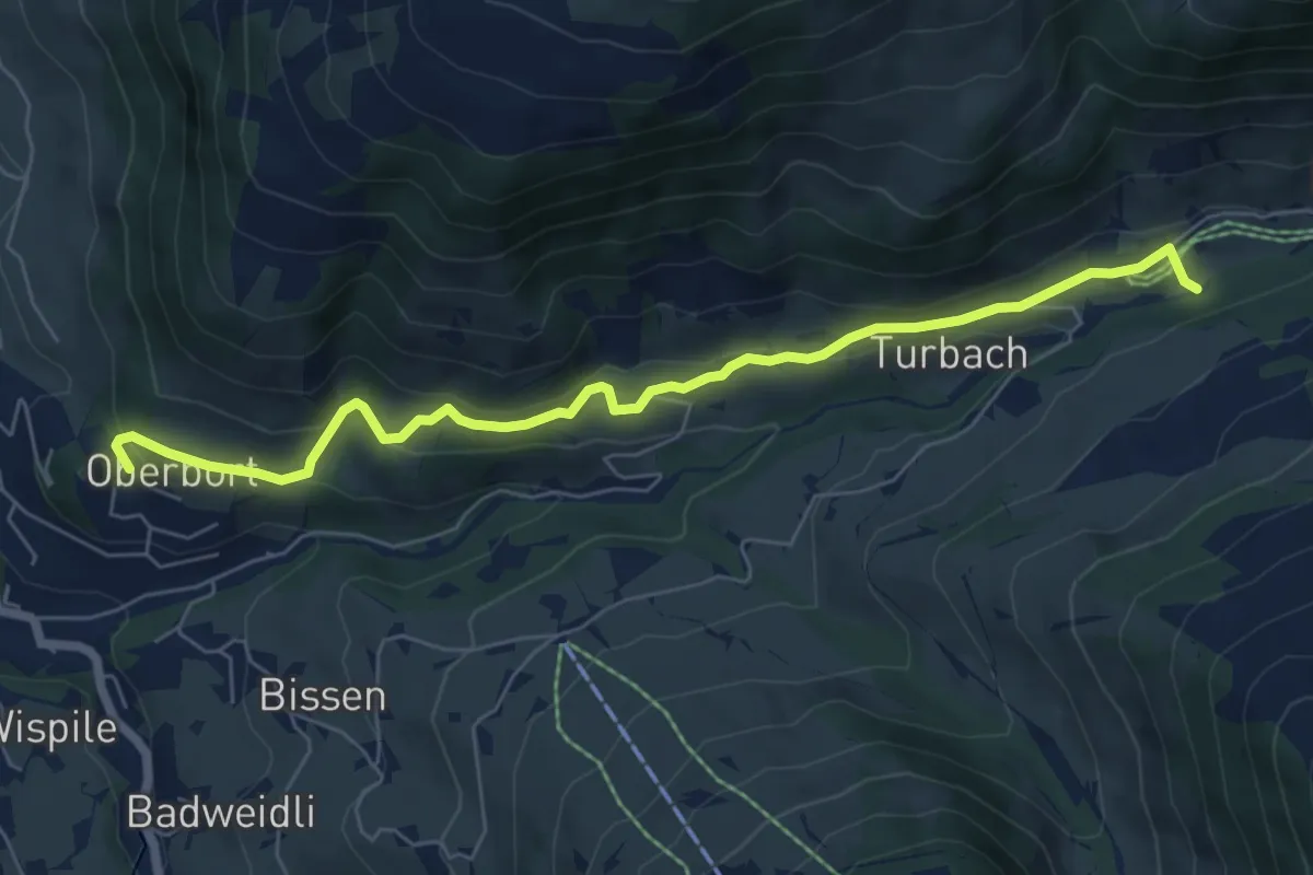
Easy · Trail
Turbach – Oberbort
6.9 km · ↑ 271 m · 2 h 13 min
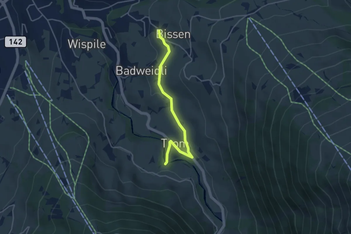
Easy · Trail
Bissen – Trom
3.3 km · ↑ 73 m · 56 min
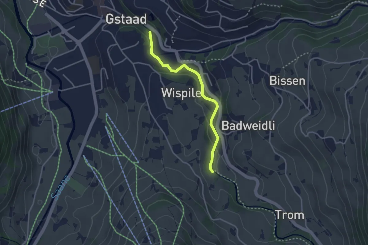
Easy · Trail
Ober-Gstaad – Badweidli
2.7 km · ↑ 31 m · 42 min
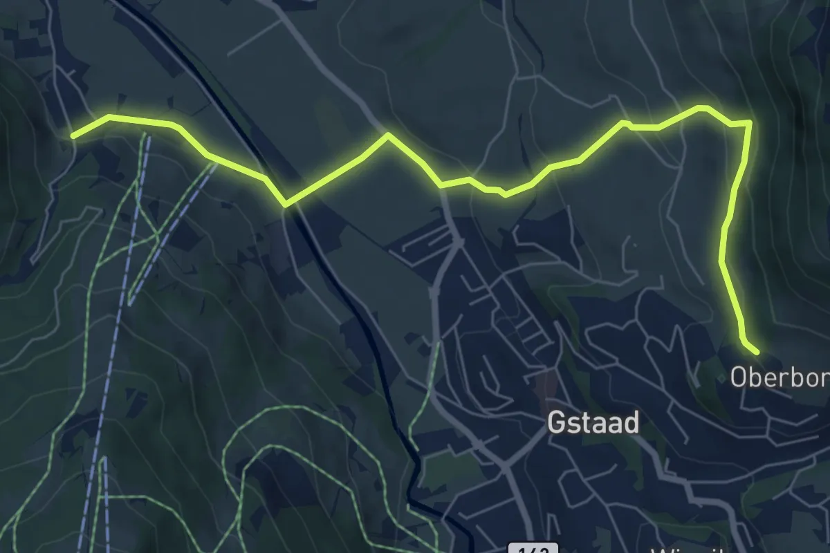
Easy · Trail
Oberbort – Rüebelsdorf
7.7 km · ↑ 295 m · 2 h 28 min
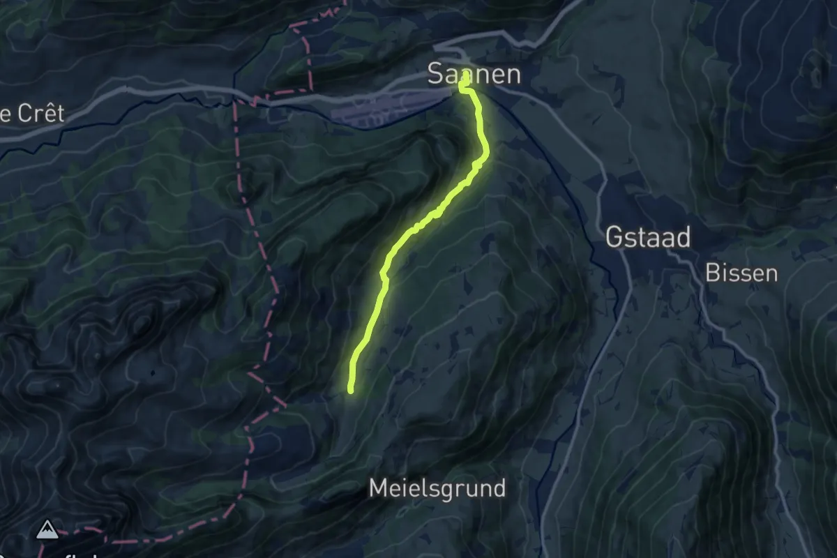
Medium · Trail
Saanen – Chalberhöni
9.6 km · ↑ 382 m · 3 h 6 min
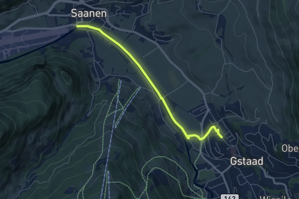
Easy · Trail
Saanen – Gstaad
5.7 km · ↑ 44 m · 1 h 27 min
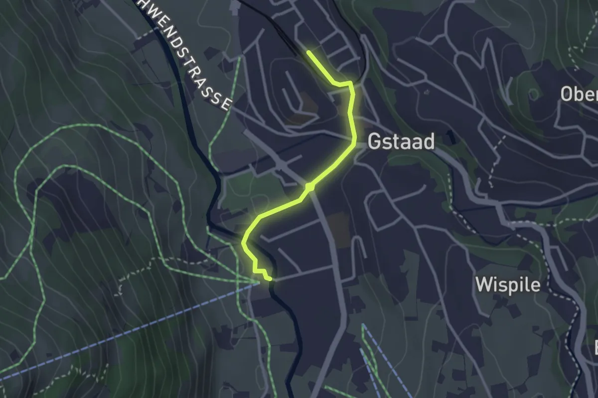
Easy · Trail
Gstaad – Eggli
2.4 km · ↑ 22 m · 37 min
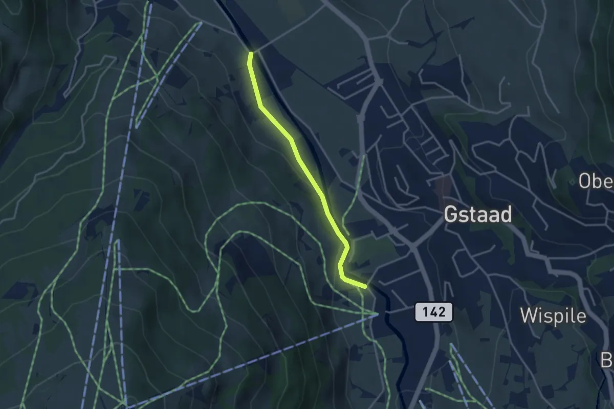
Easy · Trail
Mettlen – Eggli
2.8 km · ↑ 35 m · 44 min
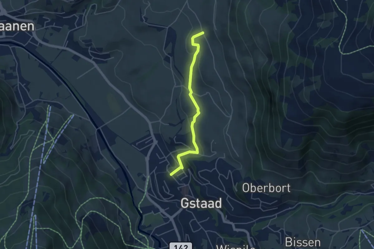
Easy · Trail
Gstaad – Cheserystrasse
4.1 km · ↑ 106 m · 1 h 11 min
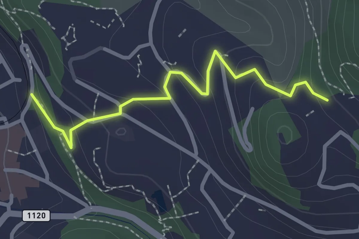
Easy · Trail
Gstaad – Hubel
2.2 km · ↑ 121 m · 47 min
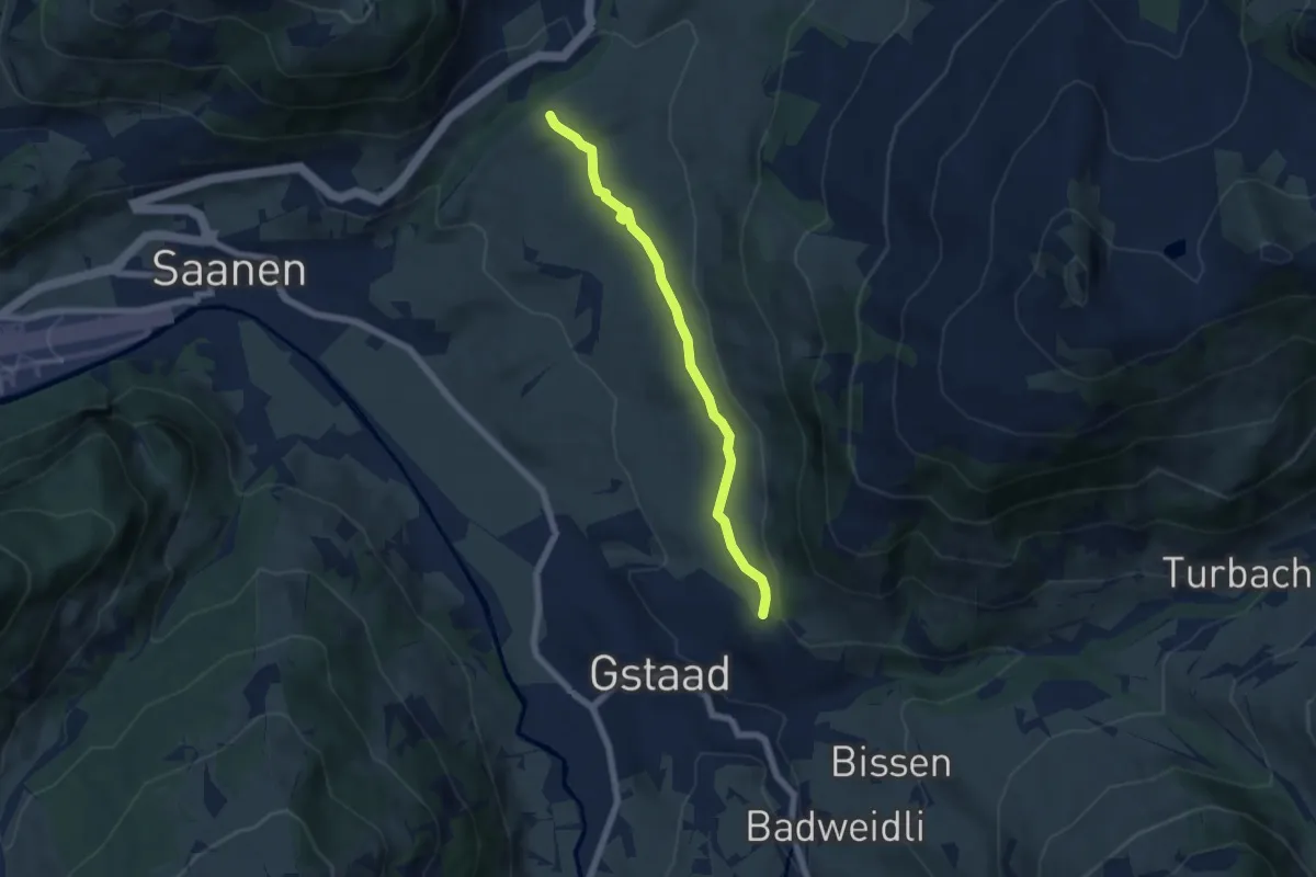
Easy · Trail
Oberbort – Gruben
5.8 km · ↑ 98 m · 1 h 35 min
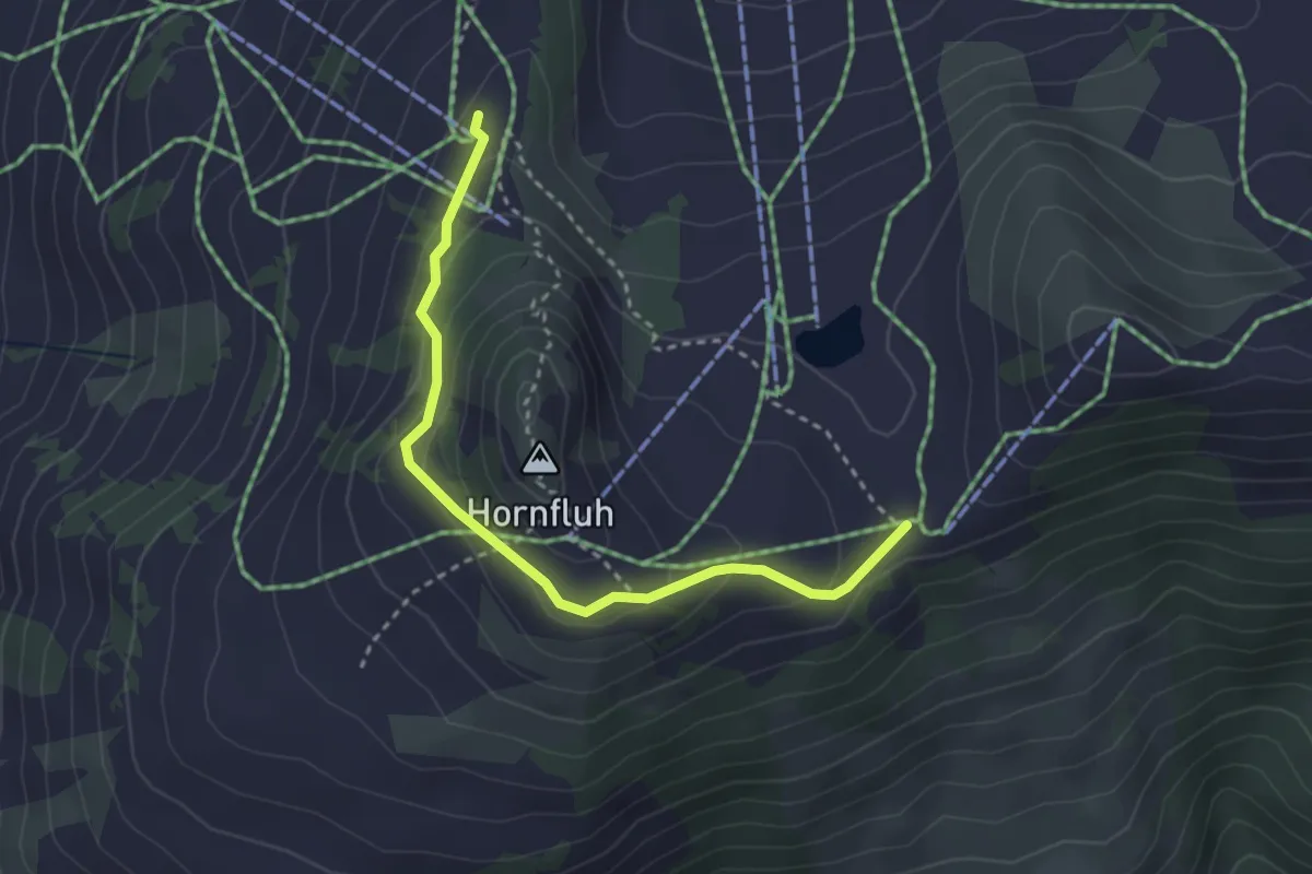
Medium · Trail
Hornberg – Horneggli
3.2 km · ↑ 161 m · 1 h 6 min
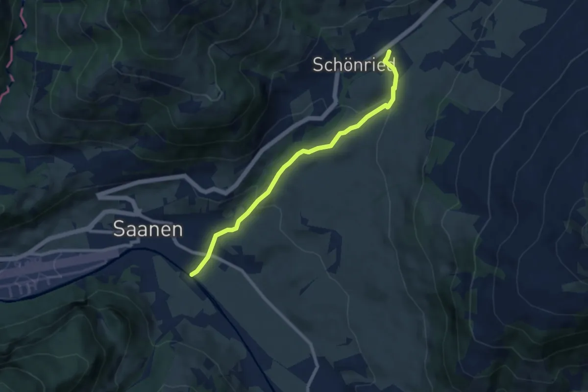
Easy · Trail
Egglilager – Schönried
6.3 km · ↑ 222 m · 1 h 58 min
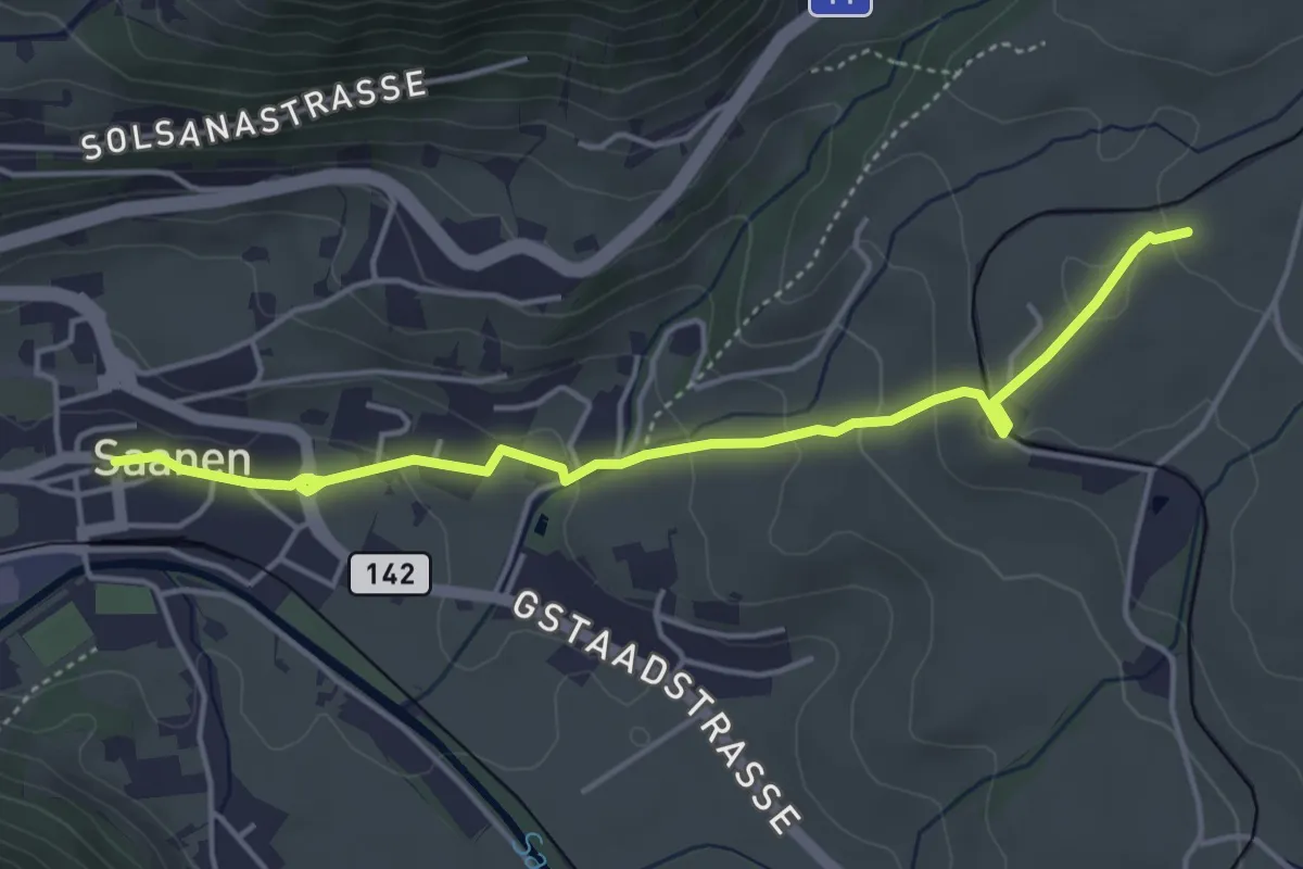
Easy · Trail
Saanen – Gruben
4.7 km · ↑ 150 m · 1 h 26 min
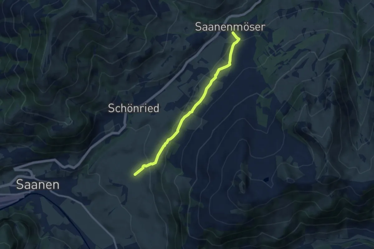
Easy · Trail
Gruben – Saanenmöser
7.7 km · ↑ 295 m · 2 h 27 min
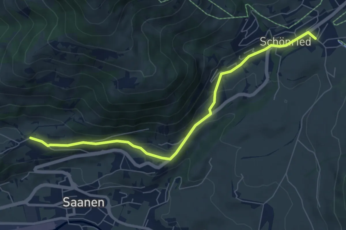
Easy · Trail
Büel – Schönried
6.8 km · ↑ 176 m · 2 h
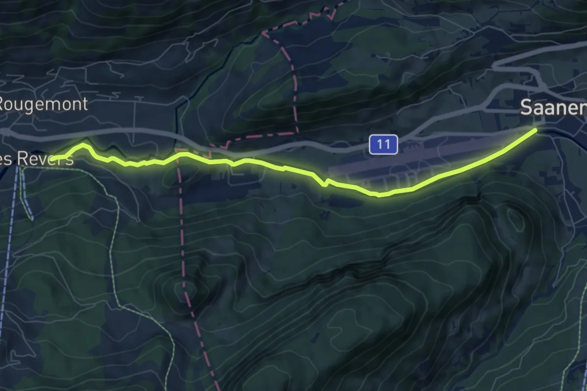
Easy · Trail
Saanen – Le Revers
8.0 km · ↑ 111 m · 2 h 8 min
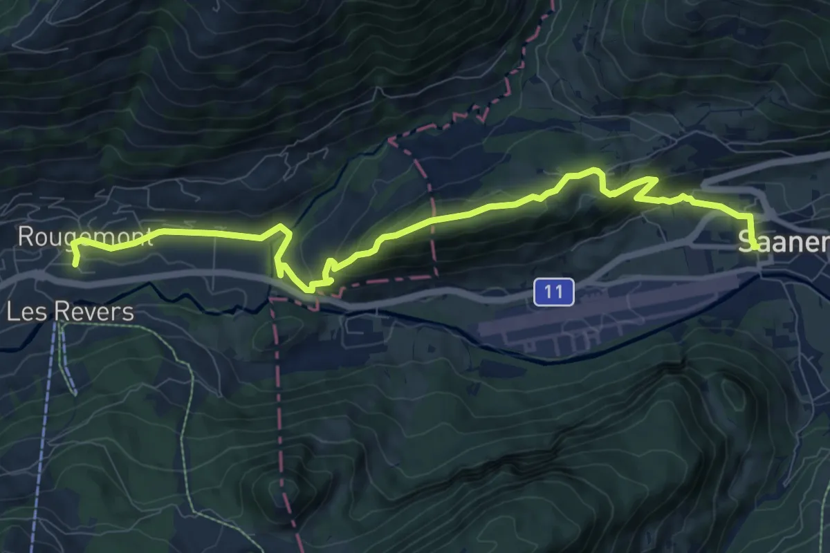
Medium · Trail
Saanen – Rougemont
10.7 km · ↑ 477 m · 3 h 33 min
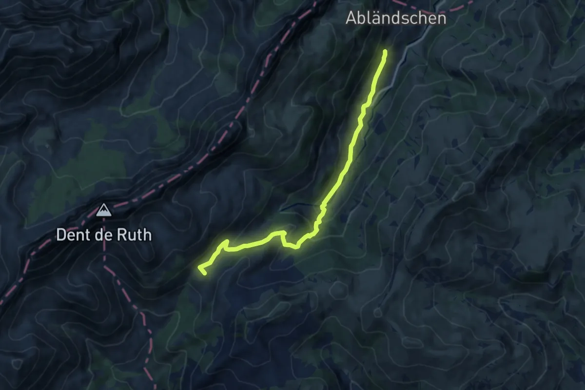
Medium · Summit
Saanen – Abländschen
10.8 km · ↑ 448 m · 3 h 31 min
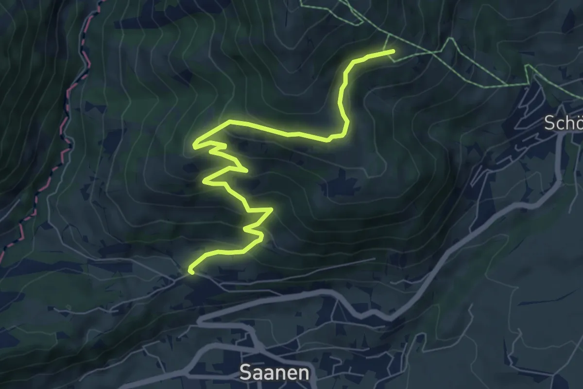
Medium · Trail
Saanen – Bodmenweg
7.8 km · ↑ 474 m · 2 h 53 min
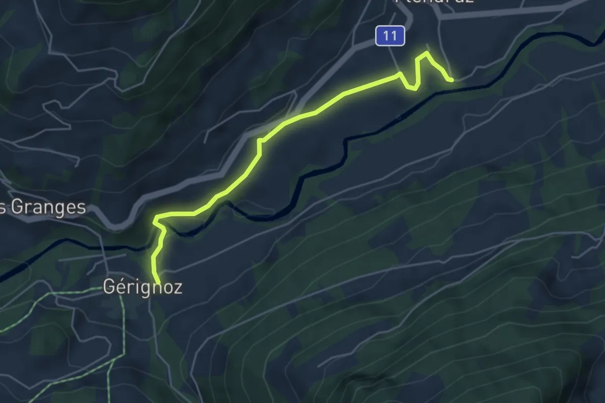
Easy · Trail
Gérignoz – Flendruz
4.6 km · ↑ 94 m · 1 h 18 min
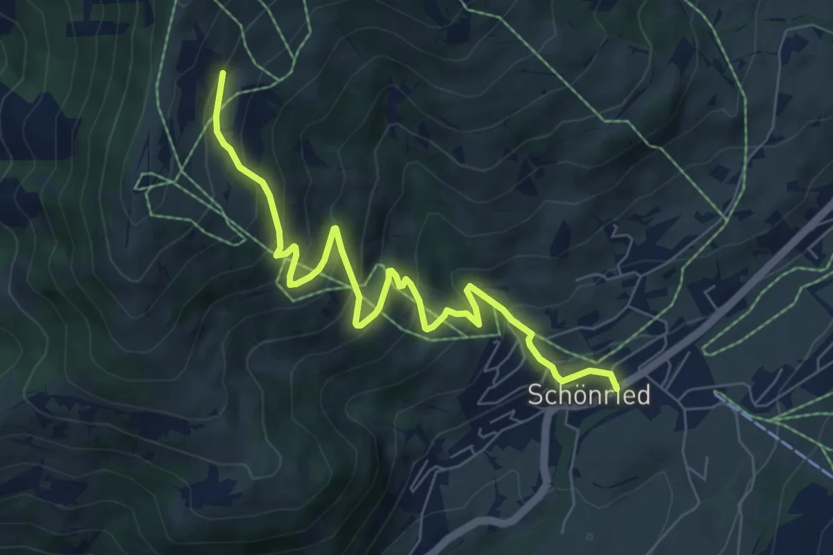
Medium · Trail
Schönried – Rellerligrat
7.3 km · ↑ 525 m · 2 h 52 min
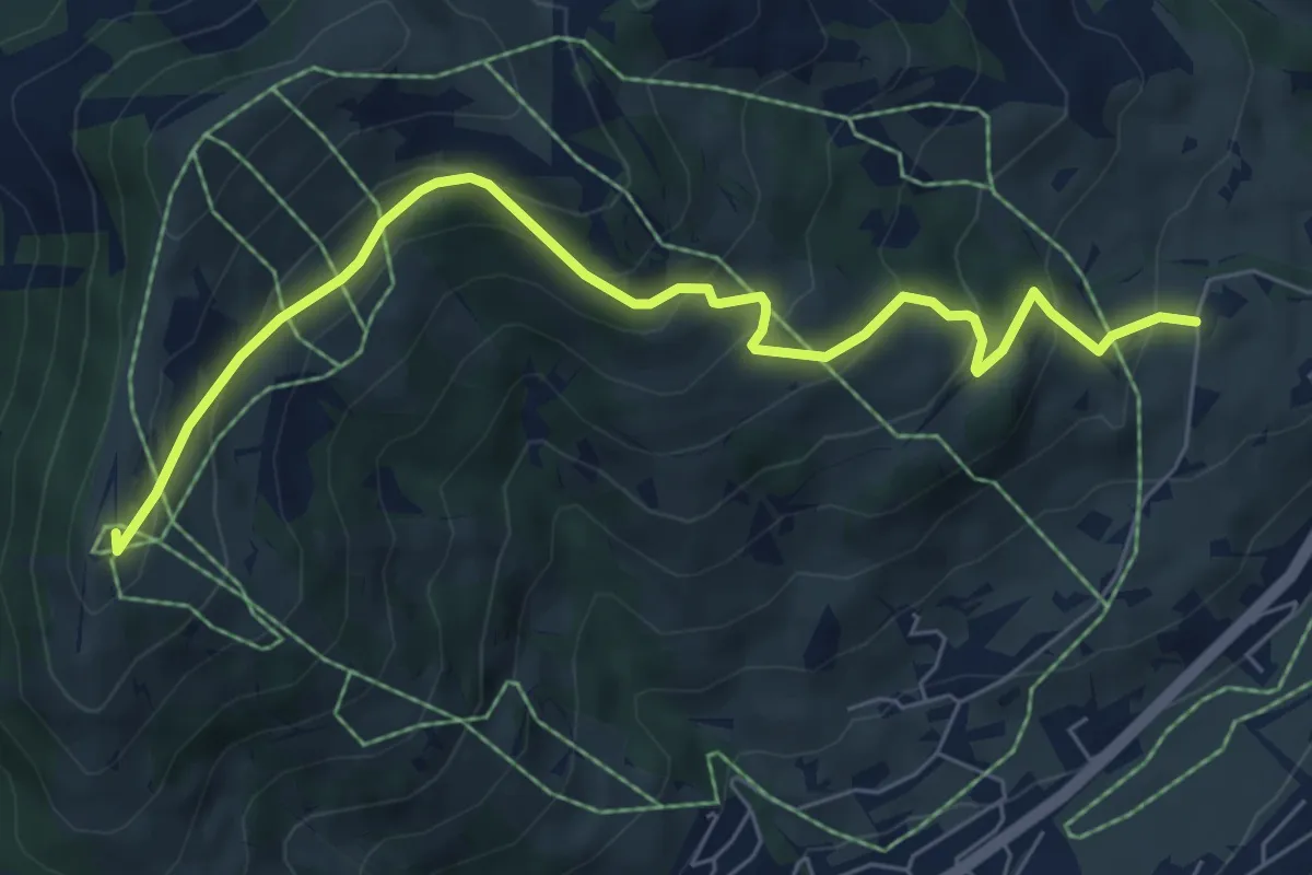
Medium · Summit
Bergmatte – Rellerligrat
7.3 km · ↑ 488 m · 2 h 46 min
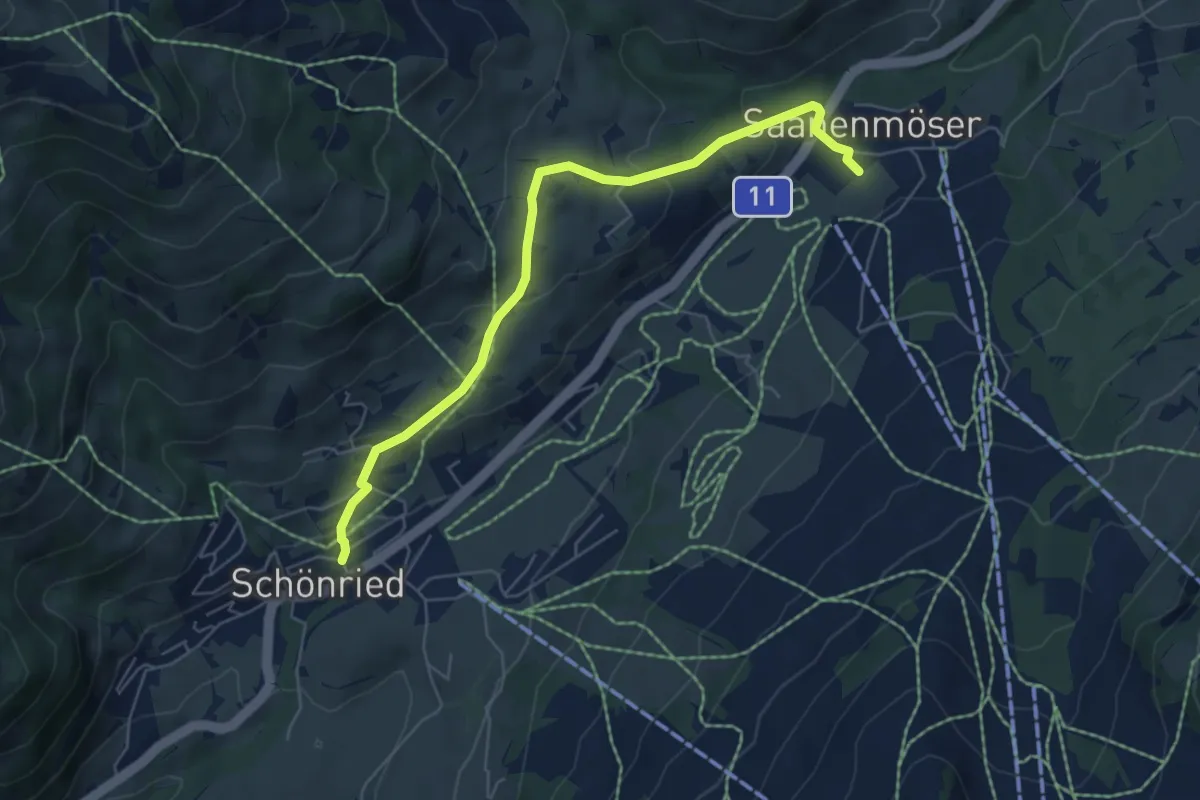
Easy · Trail
Schönried – Saanenmöser
6.1 km · ↑ 270 m · 2 h 2 min
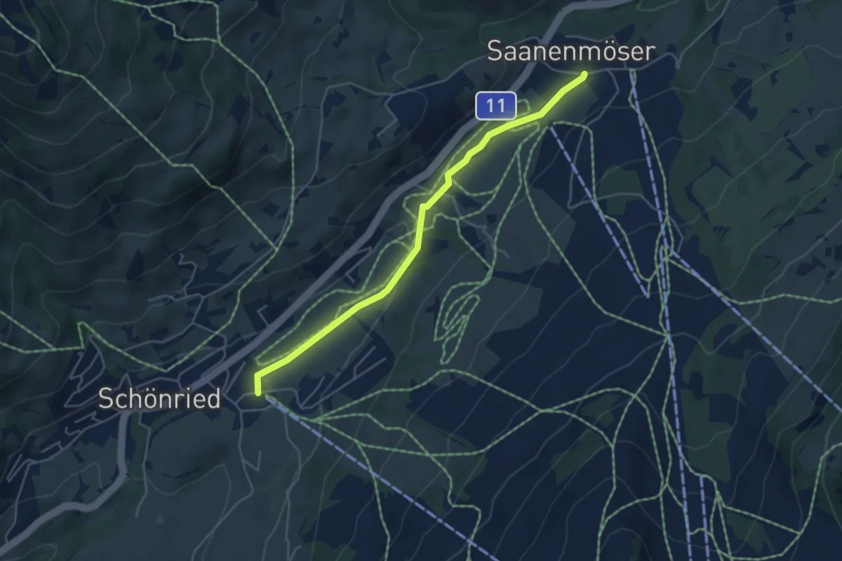
Easy · Trail
Schönried – Saanenmöser
4.6 km · ↑ 55 m · 1 h 12 min
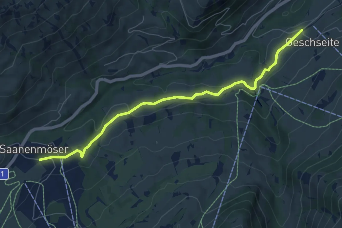
Easy · Trail
Oeschseite – Saanenmöser
7.0 km · ↑ 179 m · 2 h 2 min
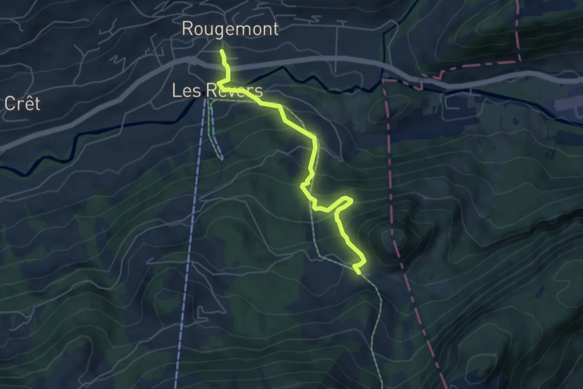
Medium · Trail
Rougemont – Les Planards
5.1 km · ↑ 416 m · 2 h 6 min
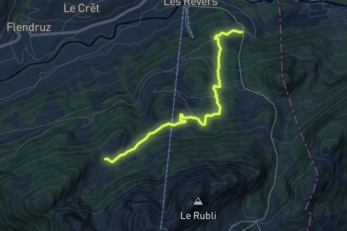
Medium · Trail
Pierres Blanches – Martigny
7.2 km · ↑ 483 m · 2 h 44 min
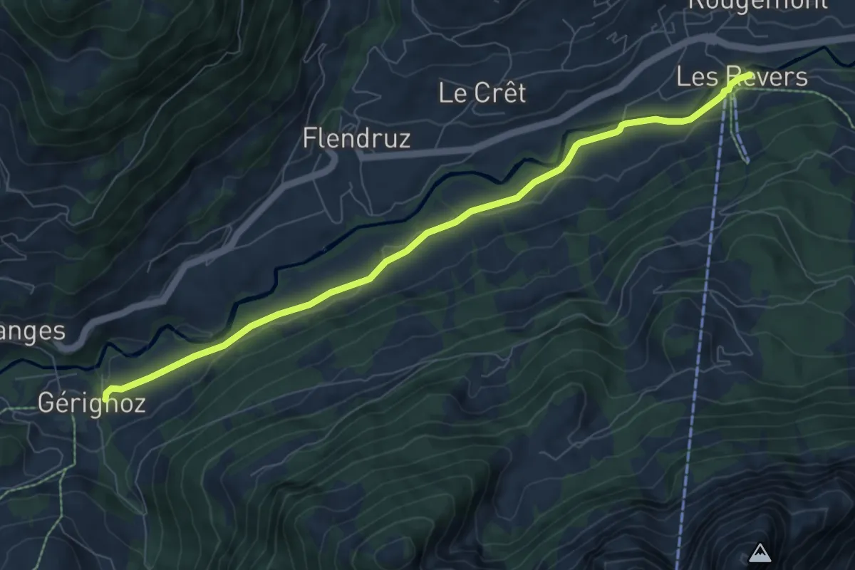
Medium · Trail
Les Revers – Gérignoz
8.0 km · ↑ 121 m · 2 h 9 min
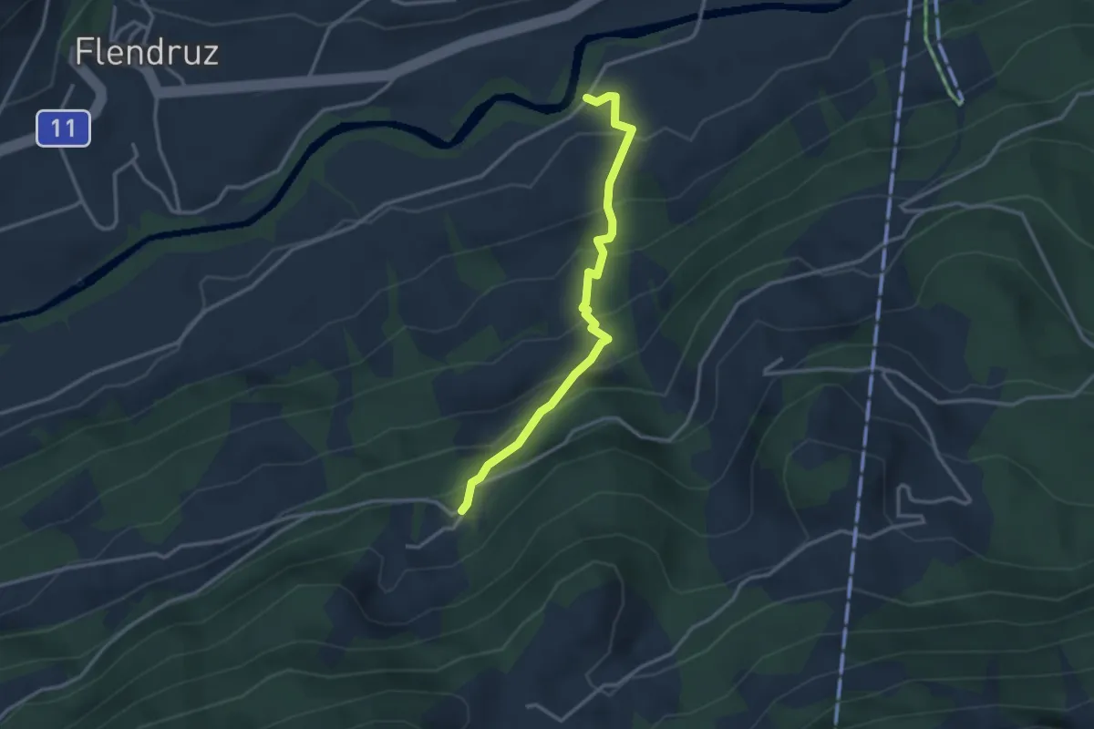
Medium · Trail
Le Clos des Pierres – Planquirin
2.9 km · ↑ 330 m · 1 h 24 min
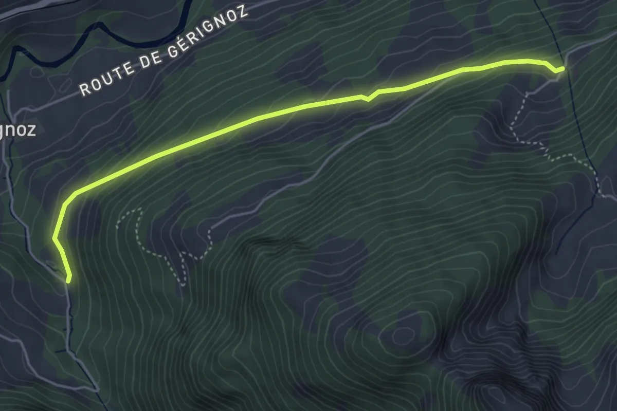
Easy · Trail
Planquirin – La Gérine
4.8 km · ↑ 258 m · 1 h 42 min
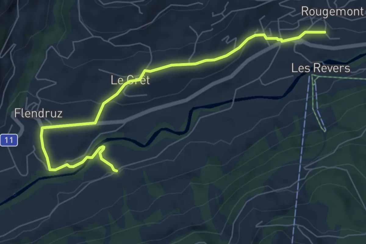
Easy · Trail
Le Revers – Rougemont
6.8 km · ↑ 162 m · 1 h 58 min