Trails in Switzerland
15,055 hiking trails, each with its route, climb, walking time and grade.
All trails, page 179 of 314
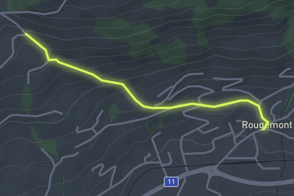
Easy · Trail
Rougemont – La Forcla
2.7 km · ↑ 183 m · 1 h 2 min
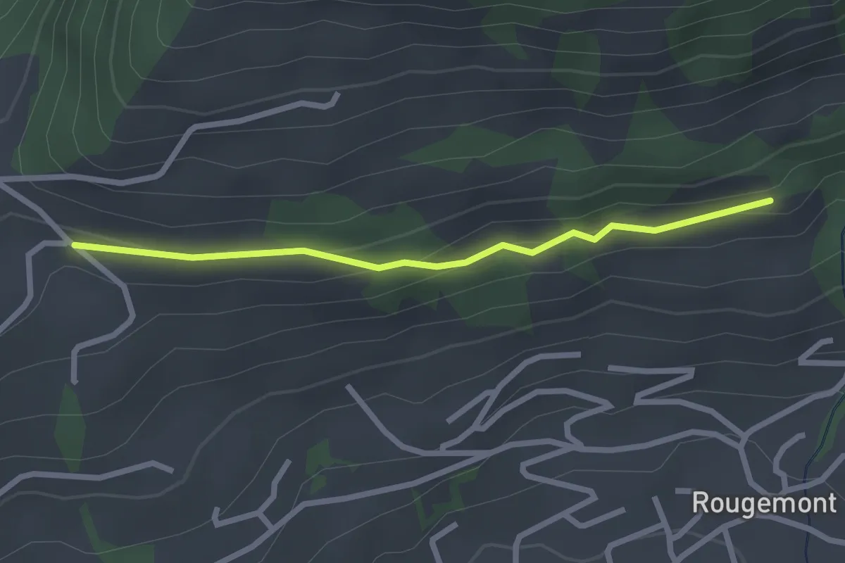
Easy · Trail
La Forcla – Plamont
2.3 km · ↑ 75 m · 42 min
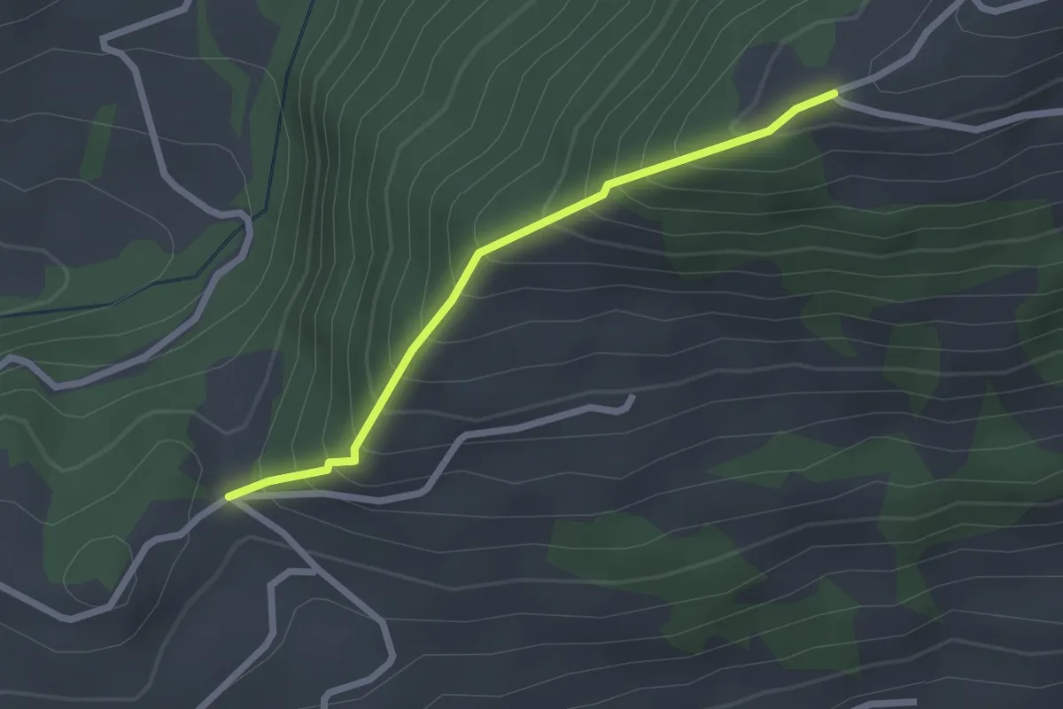
Easy · Trail
La Forcla – La Chia
2.1 km · ↑ 295 m · 1 h 8 min
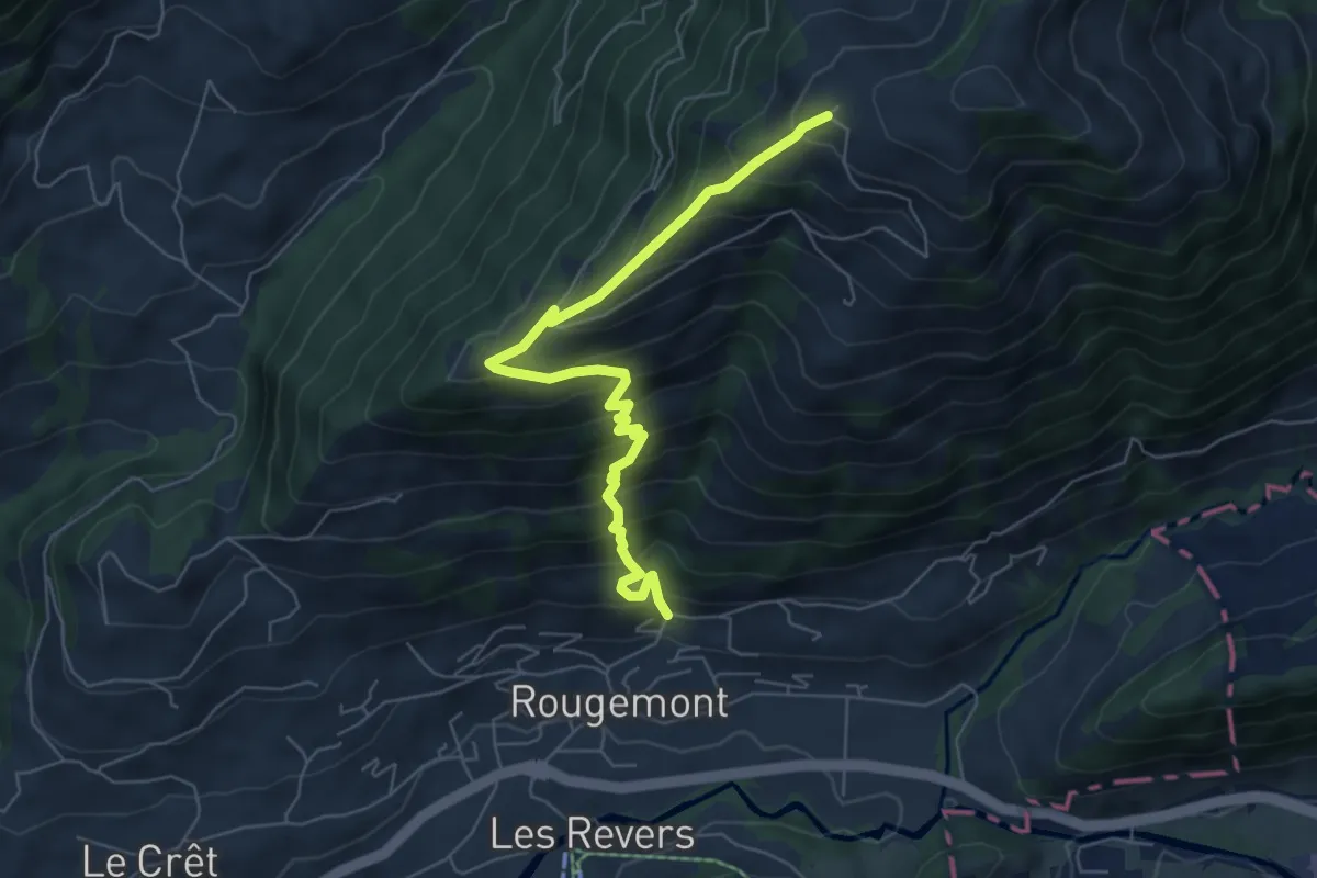
Medium · Trail
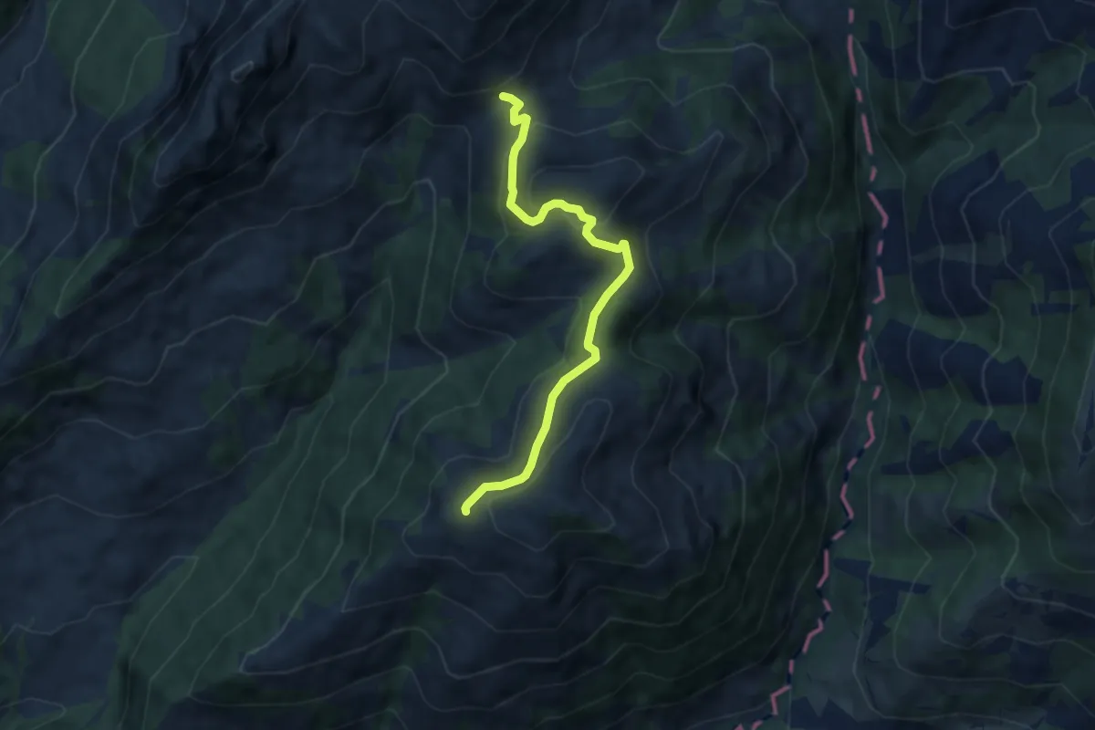
Rodomont Devant – Rougemont
6.4 km · ↑ 724 m · 3 h 6 min
Medium · Trail
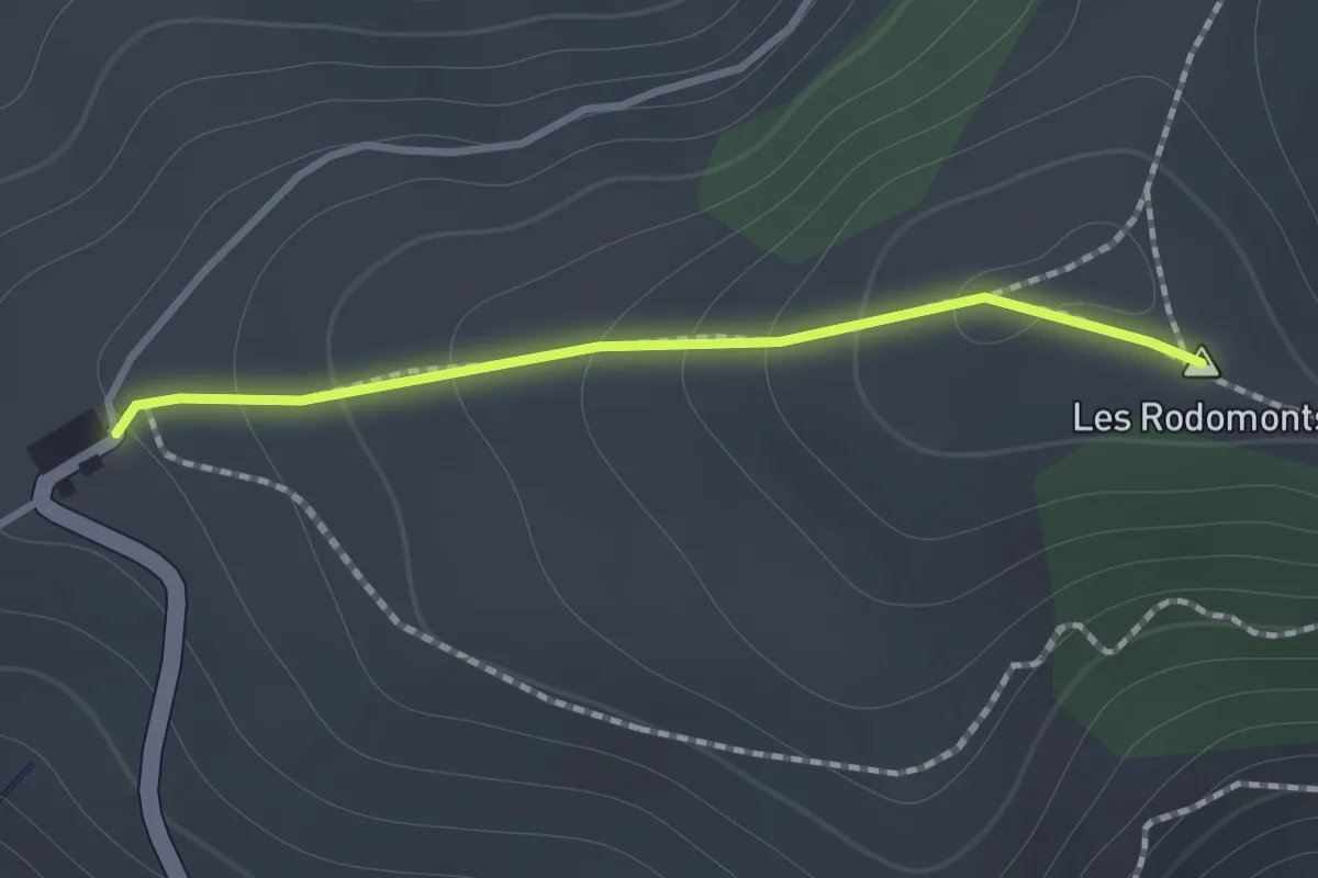
Rodomont Devant – Col de la Forcla
7.0 km · ↑ 342 m · 2 h 24 min
Easy · Summit
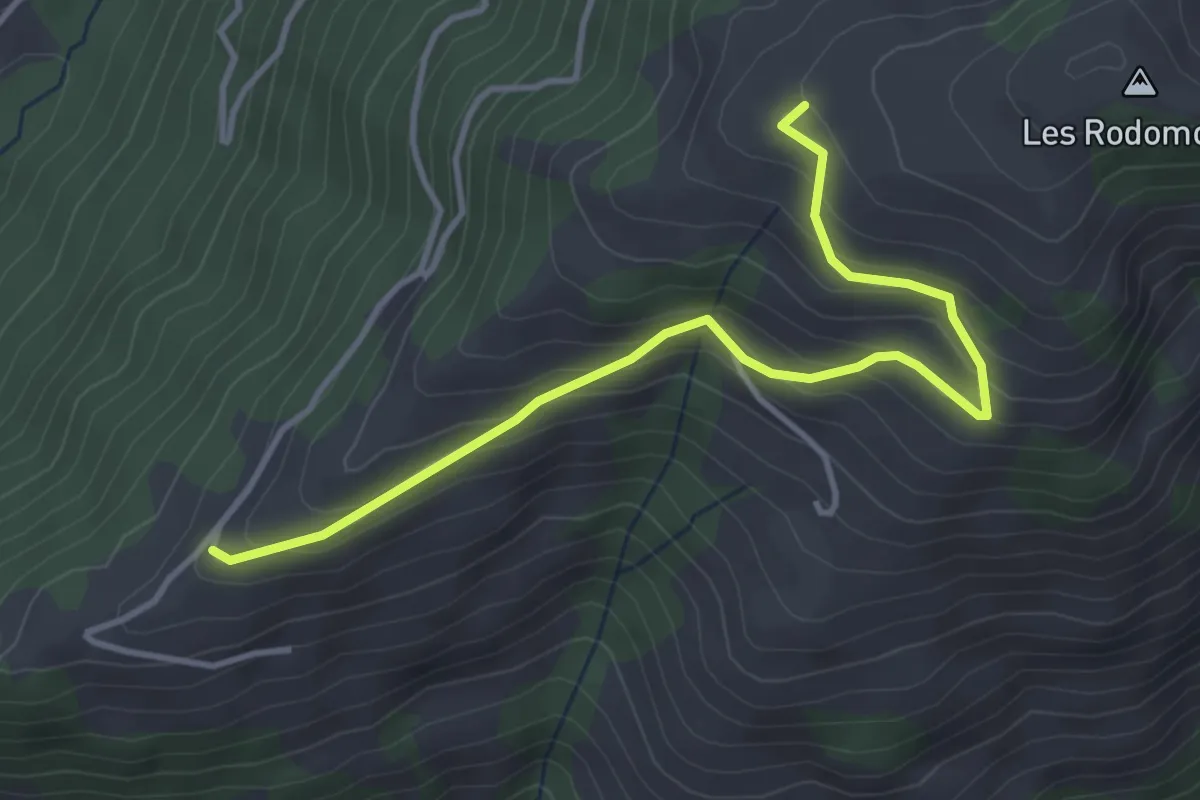
Montadzou – Rodomont Devant
1.1 km · ↑ 73 m · 25 min
Easy · Trail
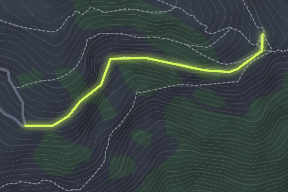
La Chia – Rodomont Devant
4.1 km · ↑ 285 m · 1 h 35 min
Easy · Trail
Pra Borni – Montadzou
2.0 km · ↑ 57 m · 35 min
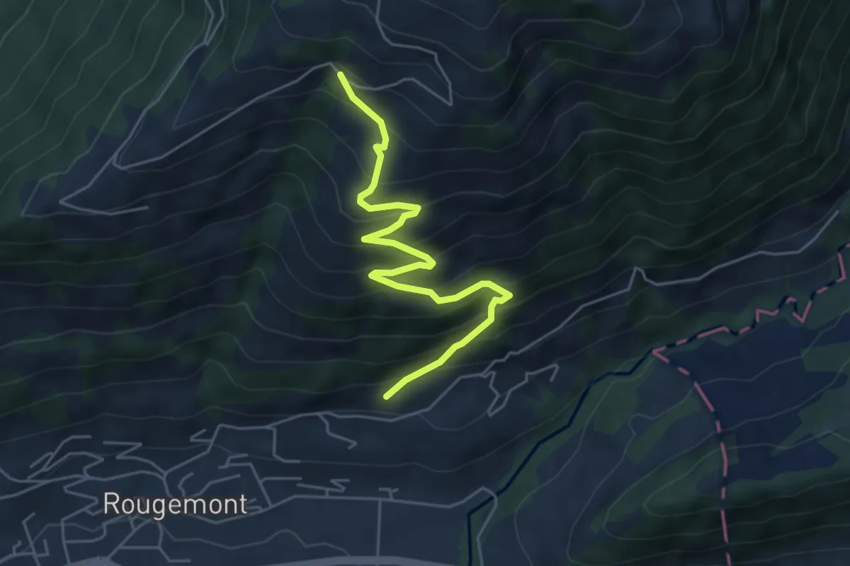
Medium · Trail
Les Bodemos – Le Leyti
5.2 km · ↑ 534 m · 2 h 24 min
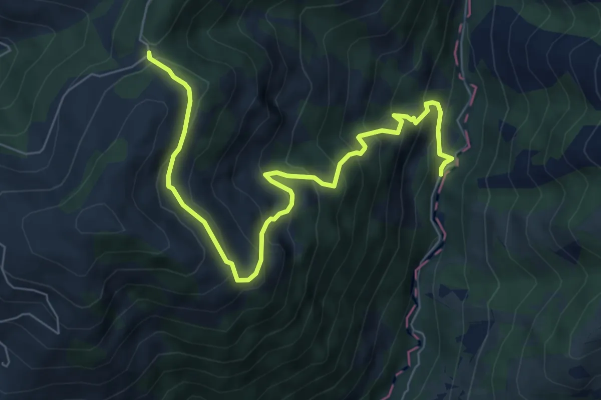
Medium · Trail
Route des Fenils – Route de Rodomont
7.2 km · ↑ 636 m · 3 h 5 min
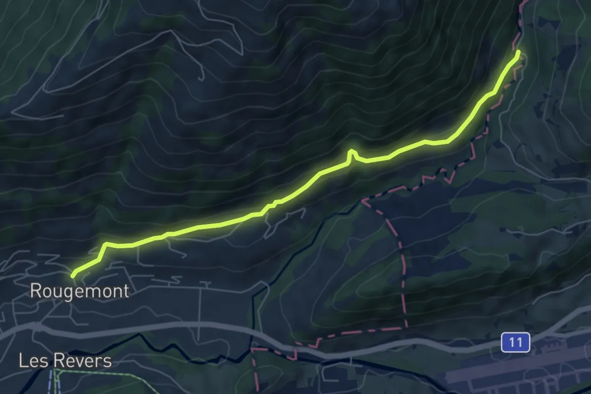
Medium · Trail
Rougemont – Pont de la Scie
6.5 km · ↑ 336 m · 2 h 16 min
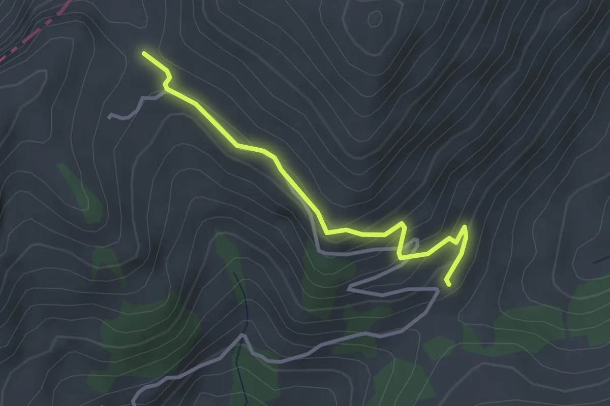
Easy · Trail
Combette – Col de la Forcla
2.8 km · ↑ 173 m · 1 h 2 min
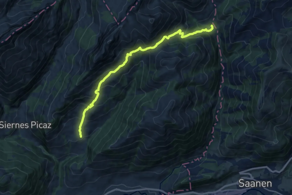
Demanding · Trail
Les Adannes – La Manche
13.6 km · ↑ 1003 m · 5 h 23 min
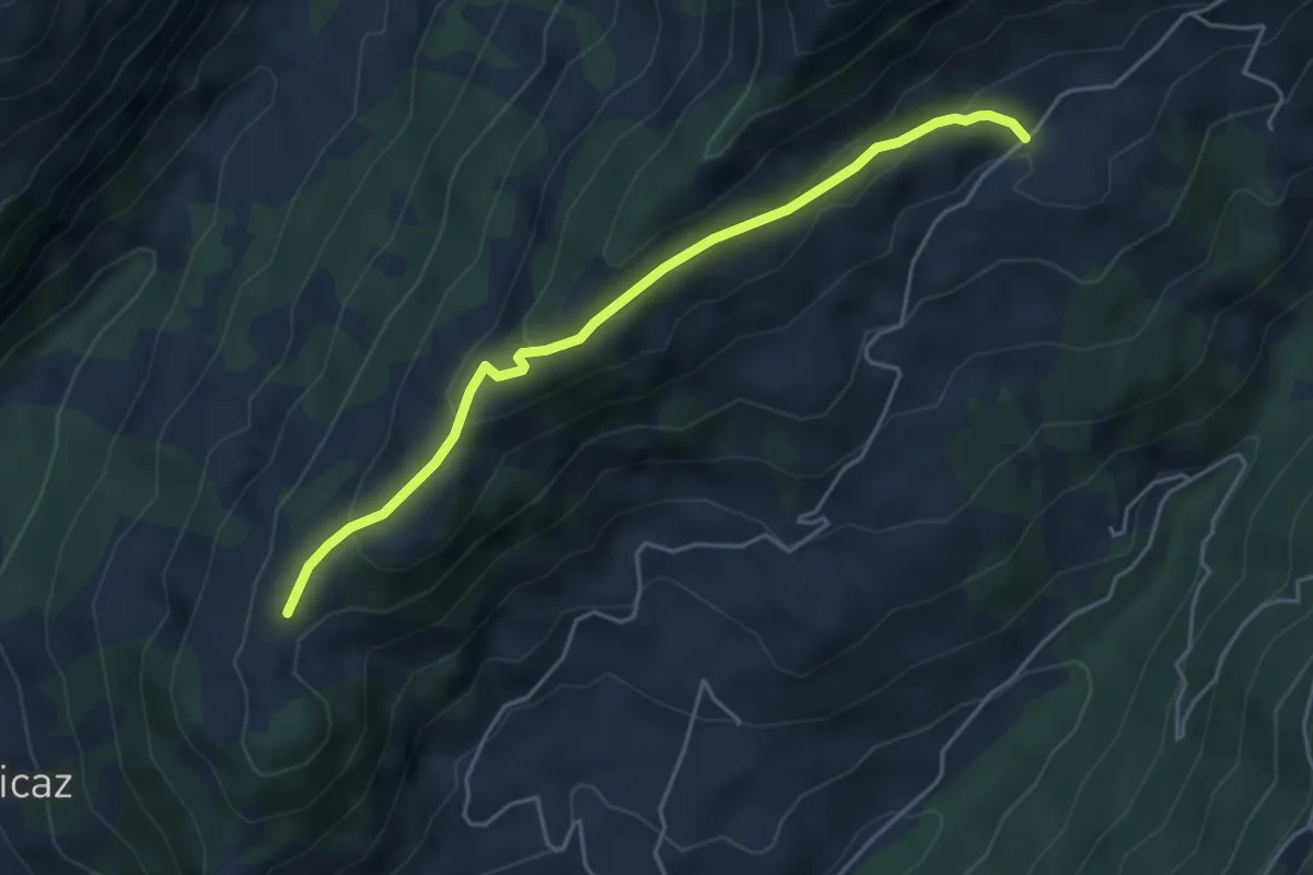
Easy · Trail
Route de Manche – Les Rayes
4.5 km · ↑ 257 m · 1 h 37 min
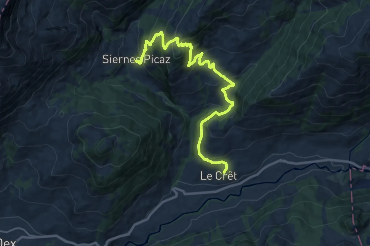
Demanding · Trail
Le Crêt – Les Siernes Picaz
14.0 km · ↑ 945 m · 5 h 21 min
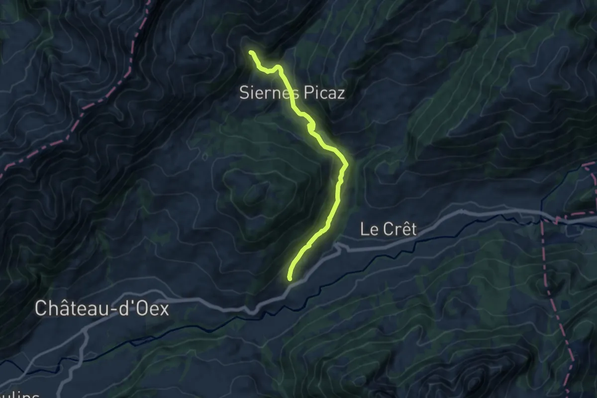
Medium · Trail
Les Combes – Béviau d'en Bas
10.2 km · ↑ 436 m · 3 h 22 min
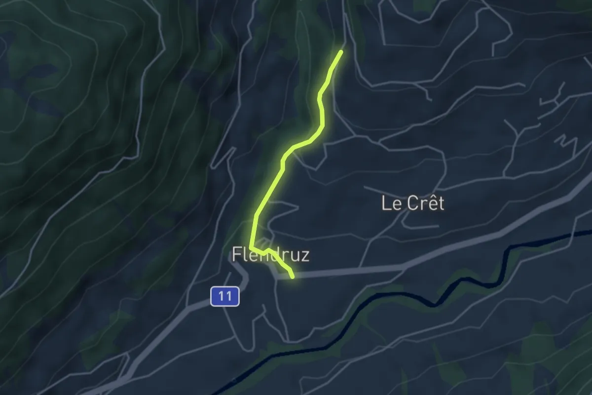
Easy · Trail
Flendruz – Route de la Manche
2.7 km · ↑ 136 m · 56 min
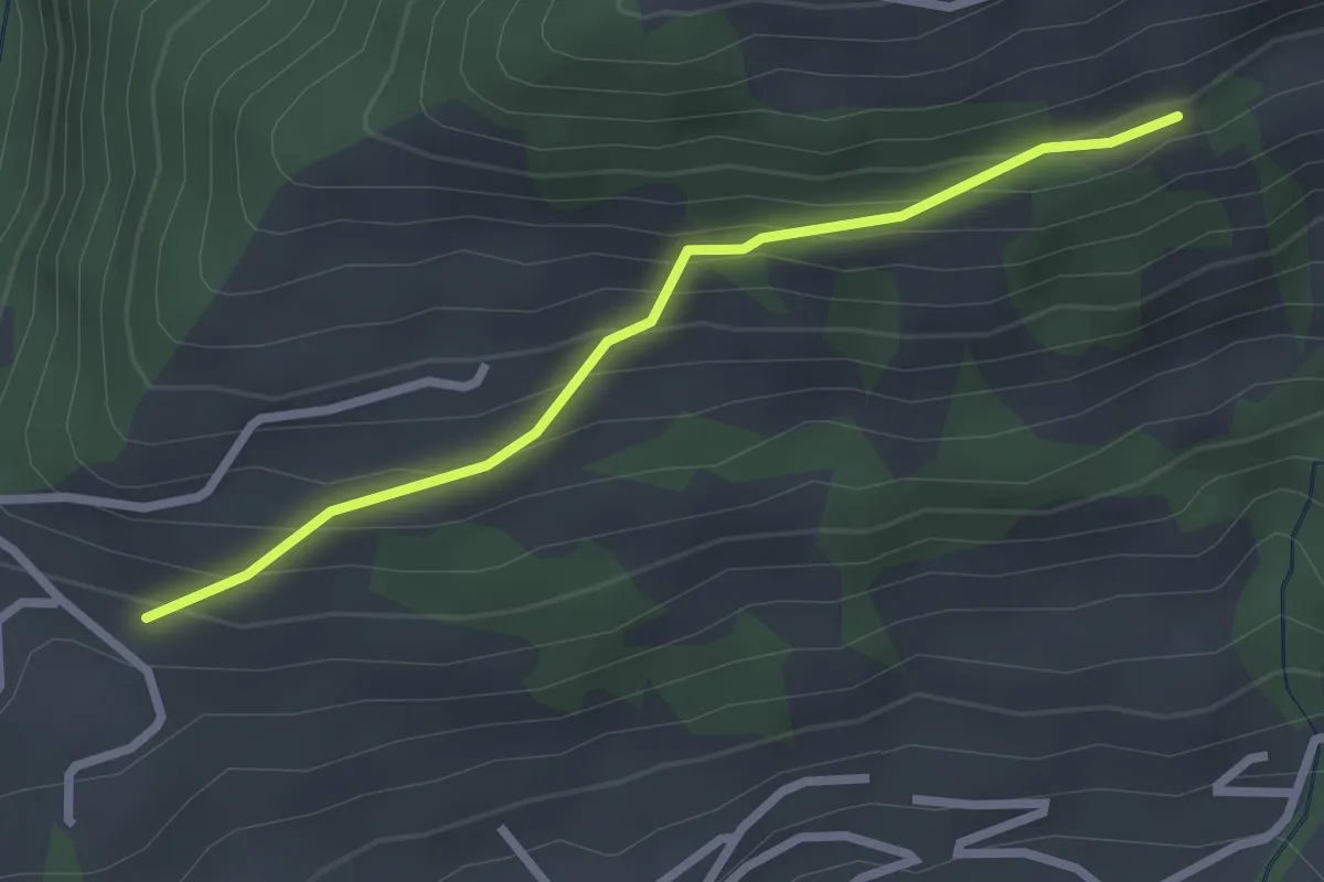
Easy · Trail
La Forcla – Passounette
2.4 km · ↑ 219 m · 1 h 3 min
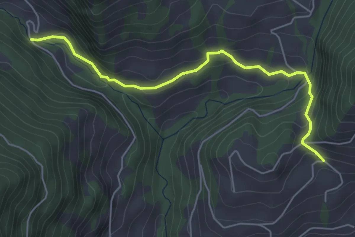
Easy · Trail
Pont des Siernes Picaz – La Forcla
4.8 km · ↑ 177 m · 1 h 30 min
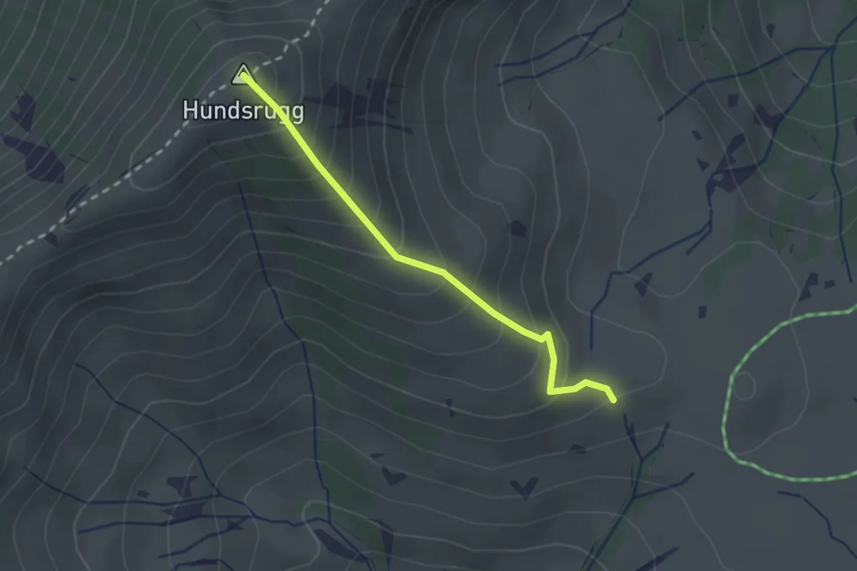
Easy · Summit
Schlittenegg – Hundsrügg
2.1 km · ↑ 245 m · 1 h 1 min
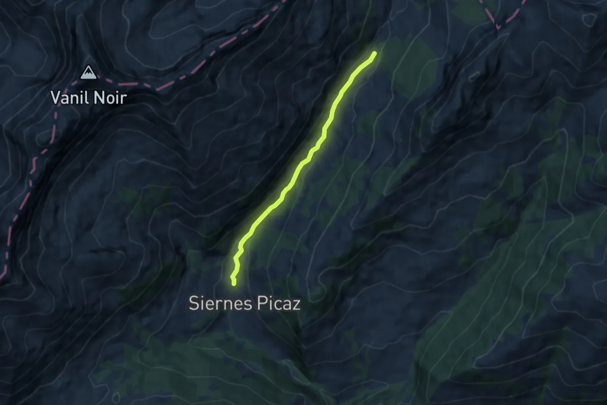
Easy · Trail
Les Siernes Picaz – La Jaquaraude
6.3 km · ↑ 217 m · 1 h 57 min
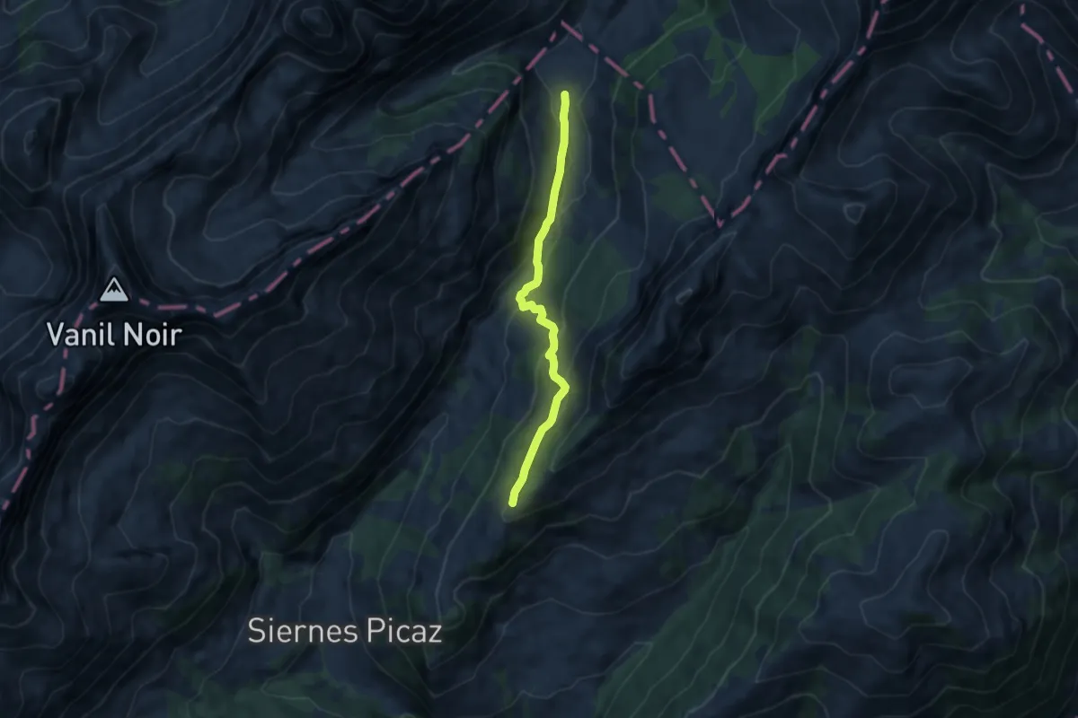
Medium · Trail
Le Sori – Montagne aux Manges
7.1 km · ↑ 334 m · 2 h 24 min
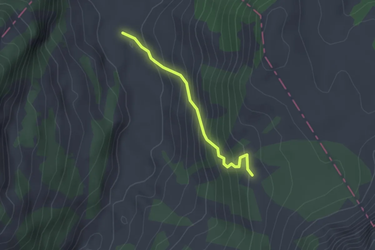
Easy · Trail
Le Sori – La Porsogne
2.2 km · ↑ 210 m · 58 min
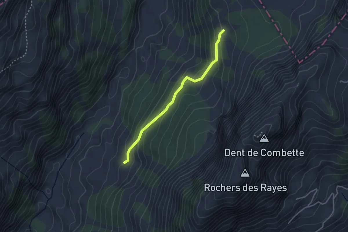
Easy · Trail
La Porsogne – Les Sauges
2.7 km · ↑ 157 m · 58 min
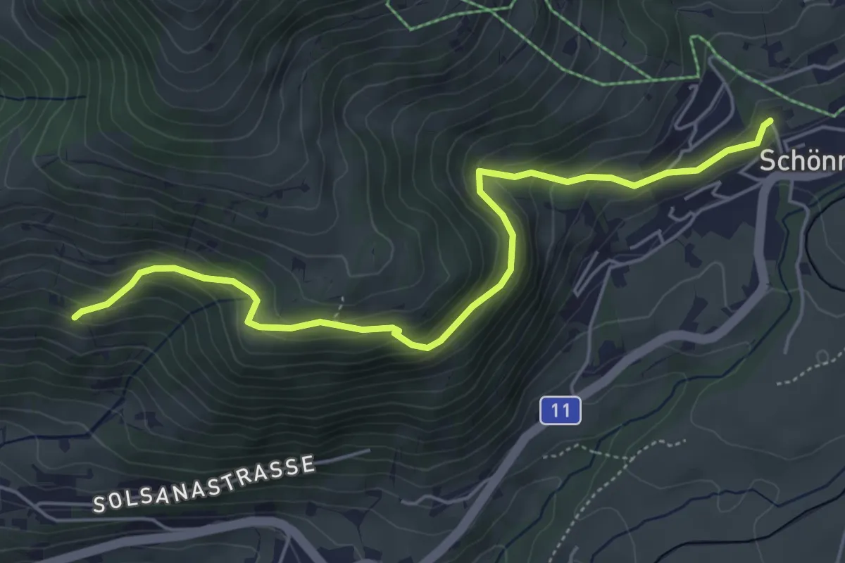
Medium · Trail
Rotieggweg – Schönried
5.6 km · ↑ 402 m · 2 h 11 min
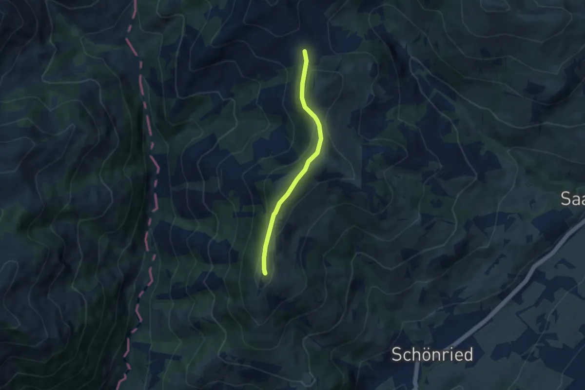
Easy · Summit
Gspan – Schneitsattel
5.2 km · ↑ 217 m · 1 h 41 min
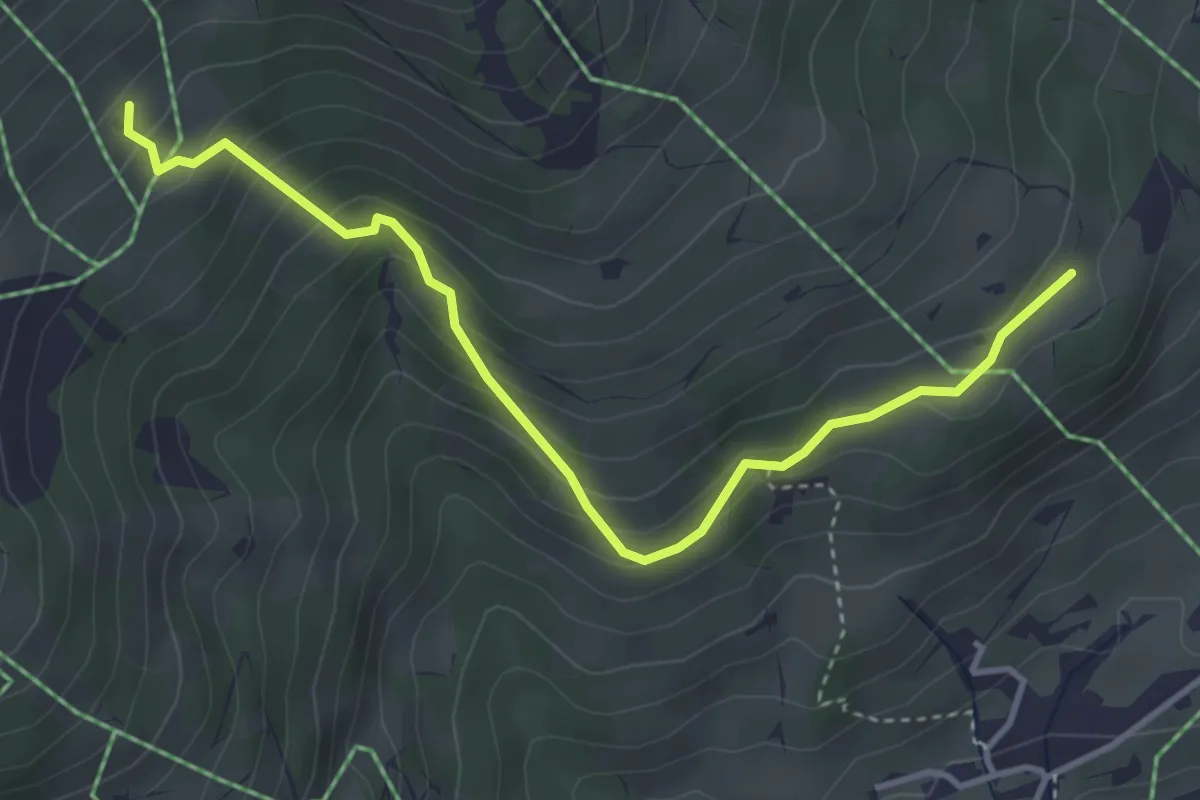
Easy · Trail
Hügeli – Rellerliweg
4.1 km · ↑ 296 m · 1 h 37 min
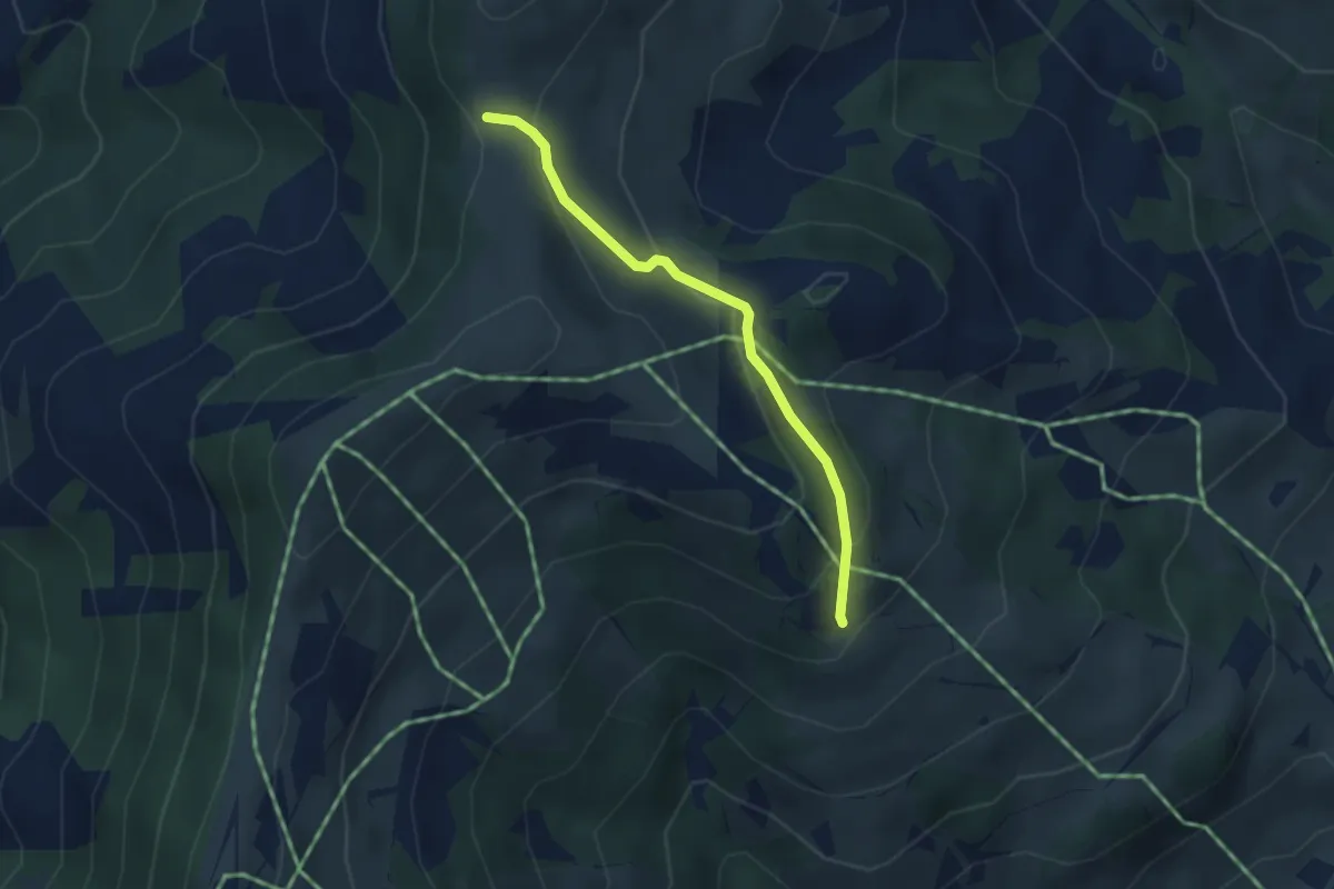
Easy · Trail
Grossi Vorschess – Aherlisbode
2.9 km · ↑ 142 m · 1 h
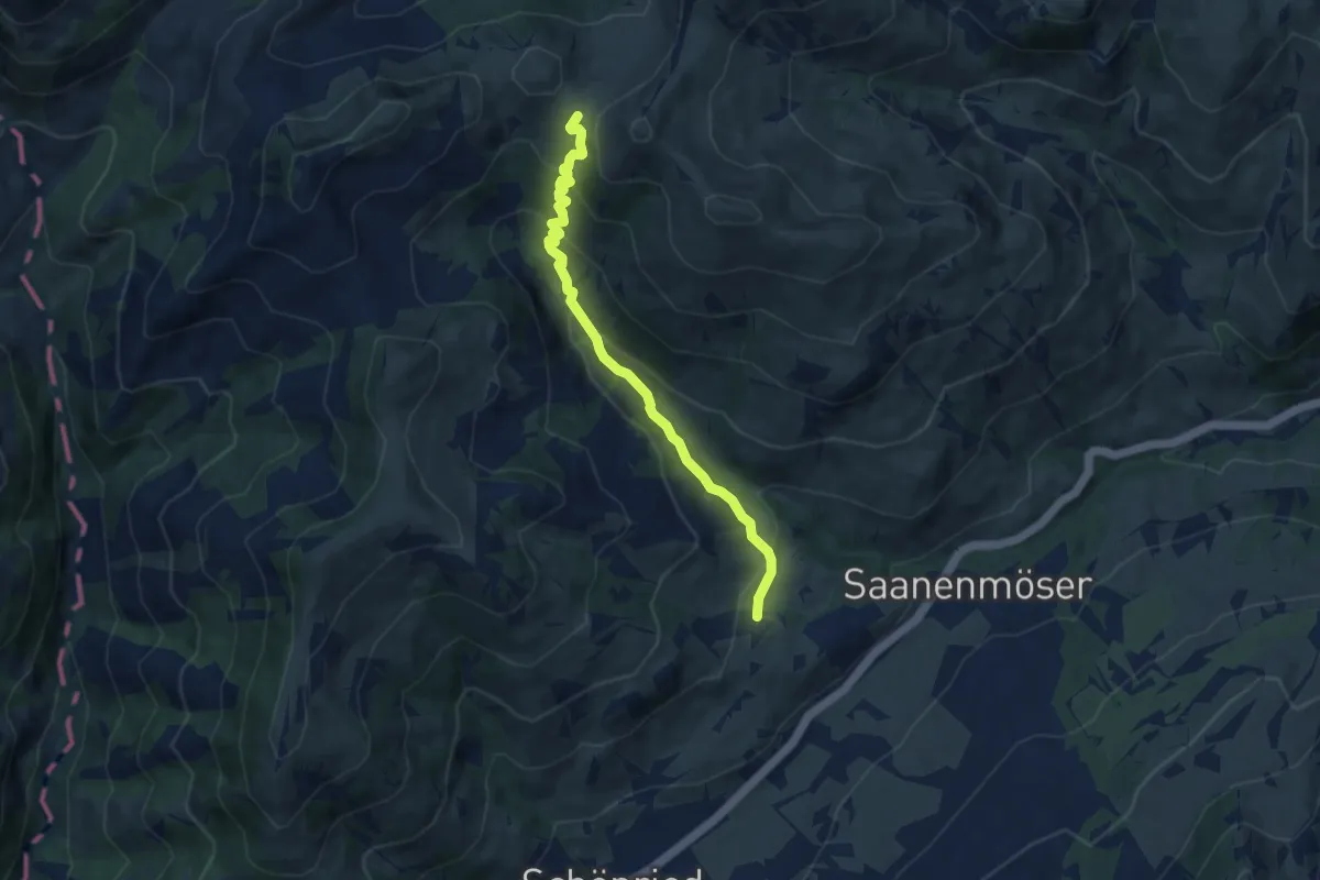
Medium · Trail
Bergmatte – Bire
7.4 km · ↑ 421 m · 2 h 40 min
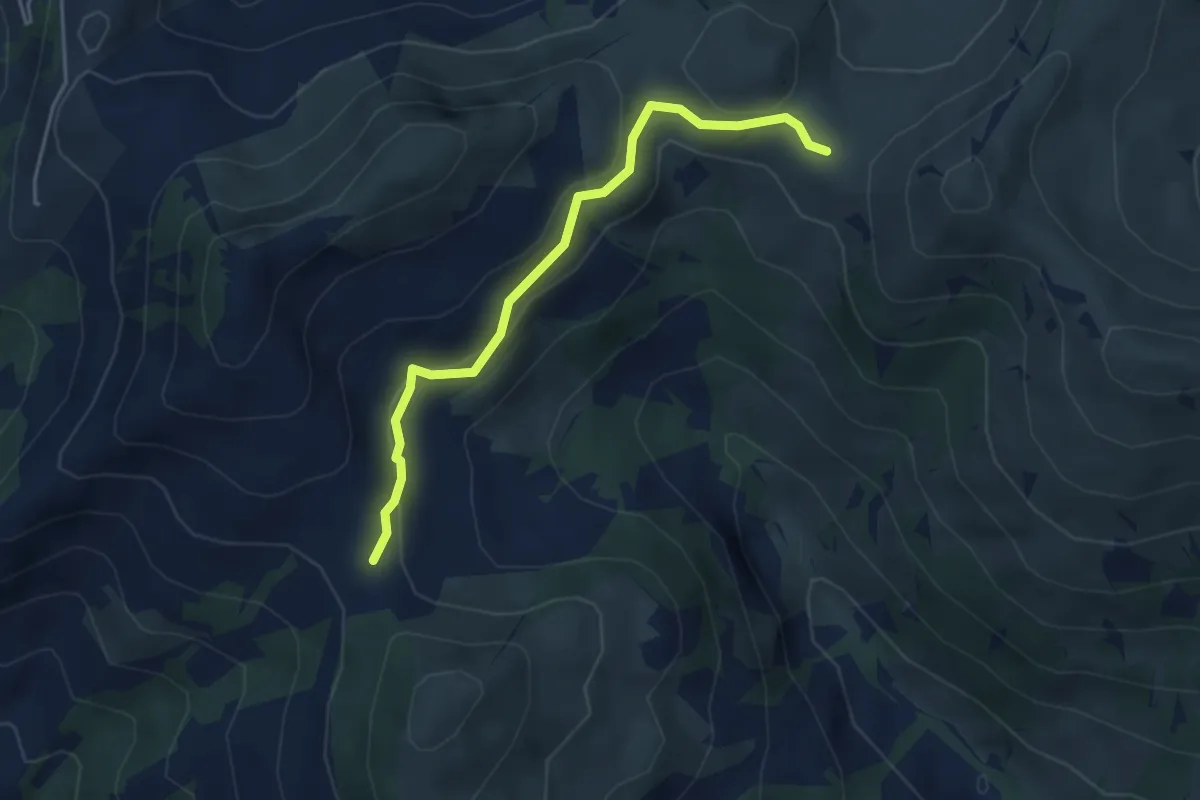
Medium · Trail
Schneitsattel – Bire
4.0 km · ↑ 102 m · 1 h 10 min
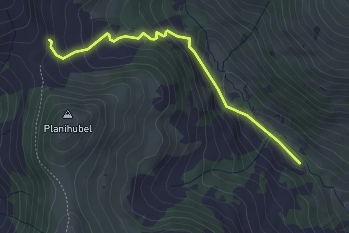
Easy · Trail
Schneitsattel – Simne
4.2 km · ↑ 290 m · 1 h 37 min
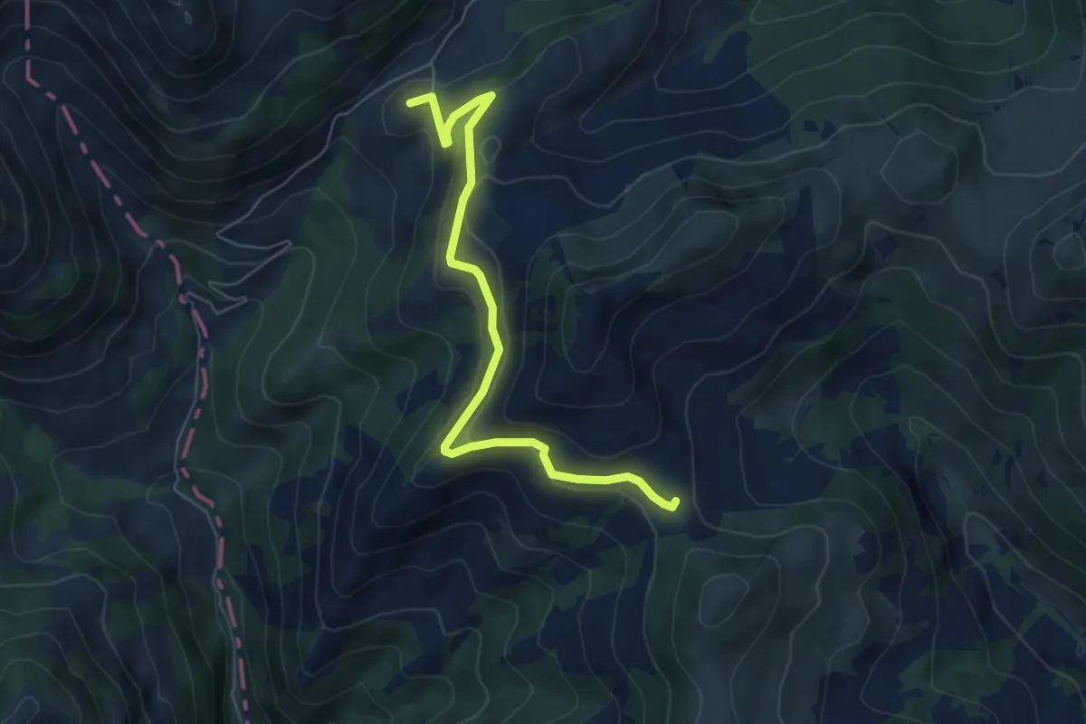
Easy · Summit
Schneitsattel – Mittelberg
6.2 km · ↑ 265 m · 2 h 2 min
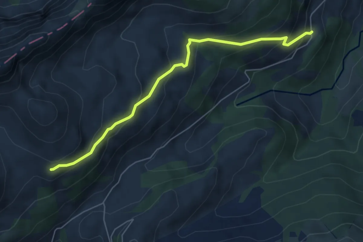
Medium · Cabin
Grabenberghütte – Underi Bire
5.2 km · ↑ 359 m · 2 h 1 min
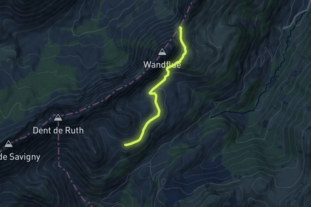
Medium · Cabin
Grubenberghütte – Wolfs Ort
5.4 km · ↑ 298 m · 1 h 55 min
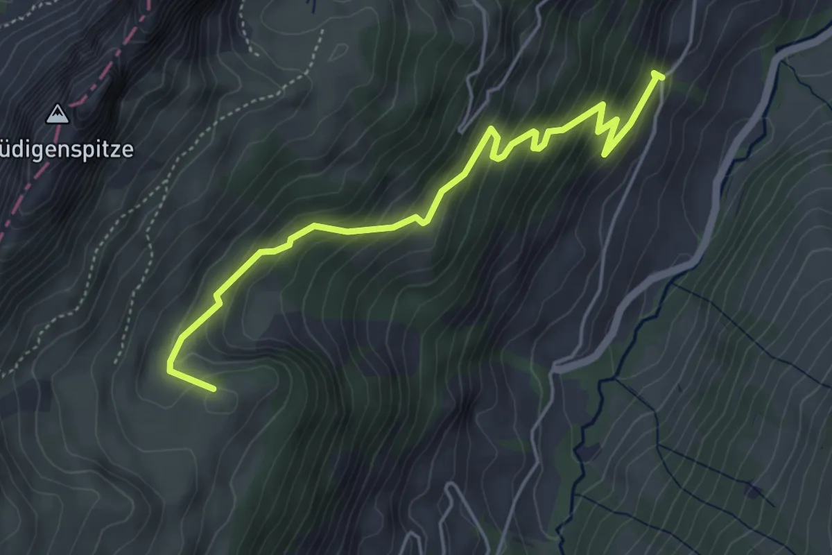
Medium · Summit
Wolfs Ort – Abländschen
4.9 km · ↑ 438 m · 2 h 7 min
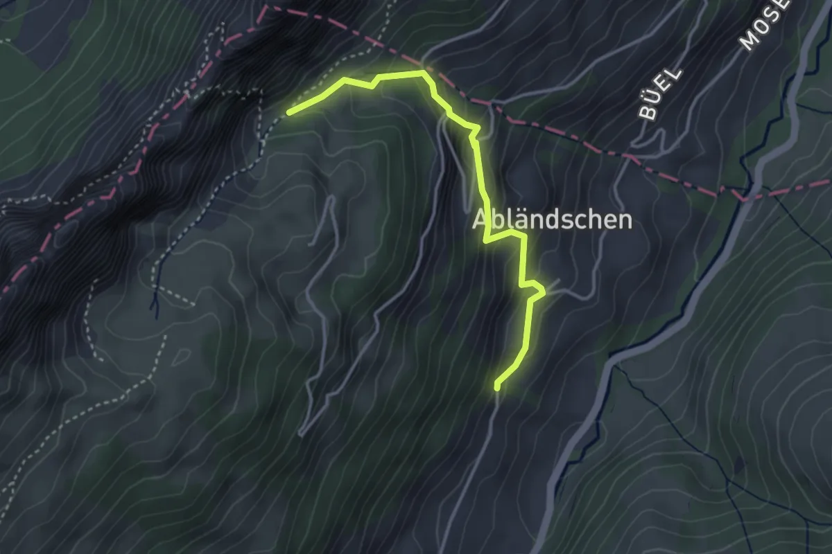
Easy · Trail
Abländschen – Büelsgrabe
3.3 km · ↑ 300 m · 1 h 26 min
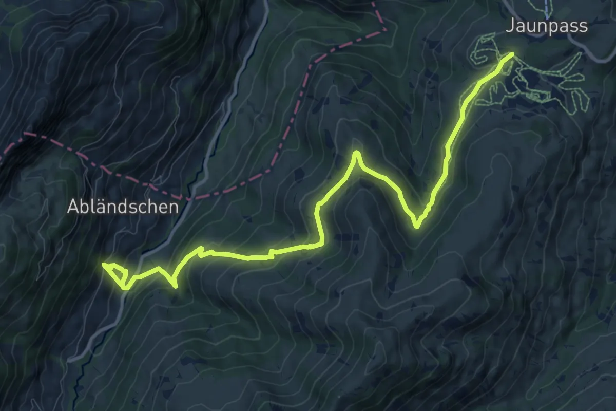
Medium · Trail
Abländschen – Jaunpass
12.5 km · ↑ 687 m · 4 h 26 min
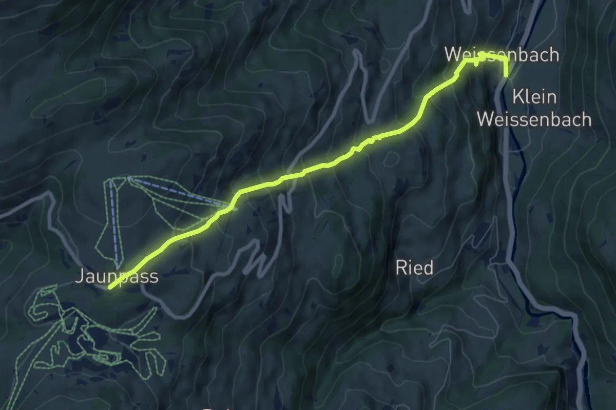
Medium · Trail
Jaunpass – Weissenbach
7.5 km · ↑ 686 m · 3 h 16 min
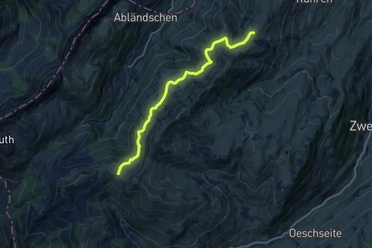
Medium · Trail
Bire – Saubode
12.9 km · ↑ 494 m · 4 h 7 min
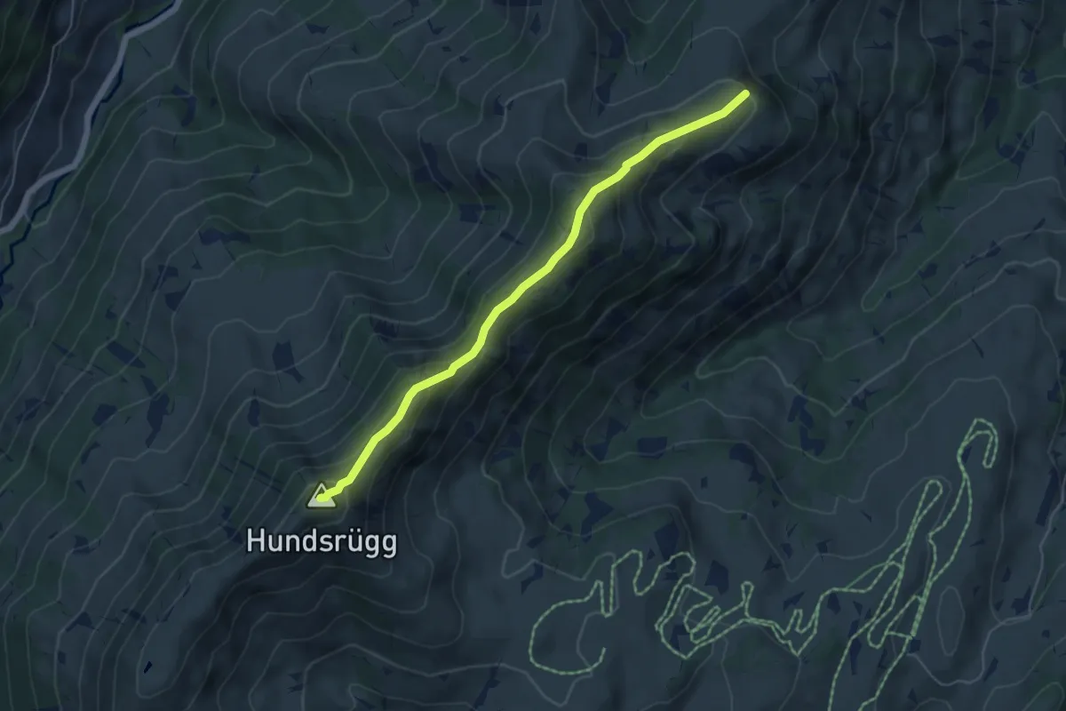
Medium · Summit
Luegle – Saubode
5.3 km · ↑ 326 m · 1 h 58 min
Medium · Summit
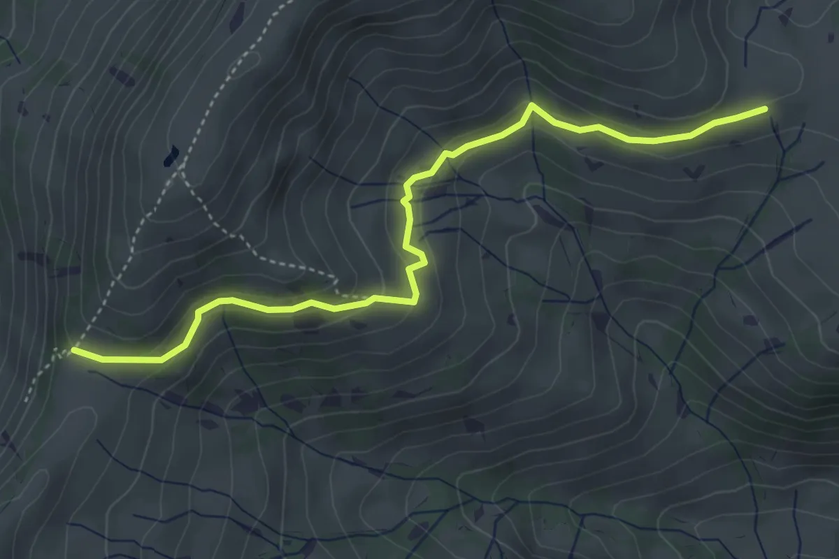
Luegle – Nüjeberg
4.6 km · ↑ 173 m · 1 h 27 min
Medium · Trail
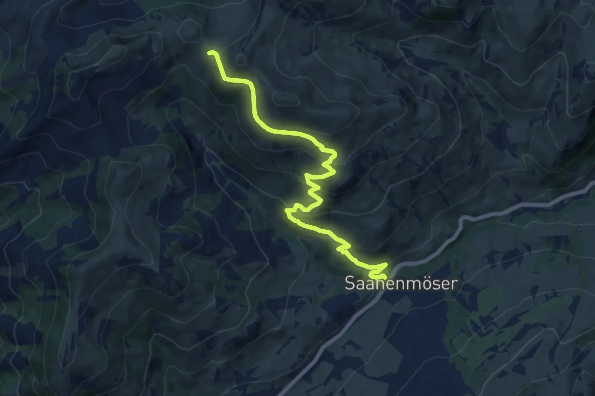
Saanenmöser – Bire
11.2 km · ↑ 577 m · 3 h 53 min
Medium · Trail
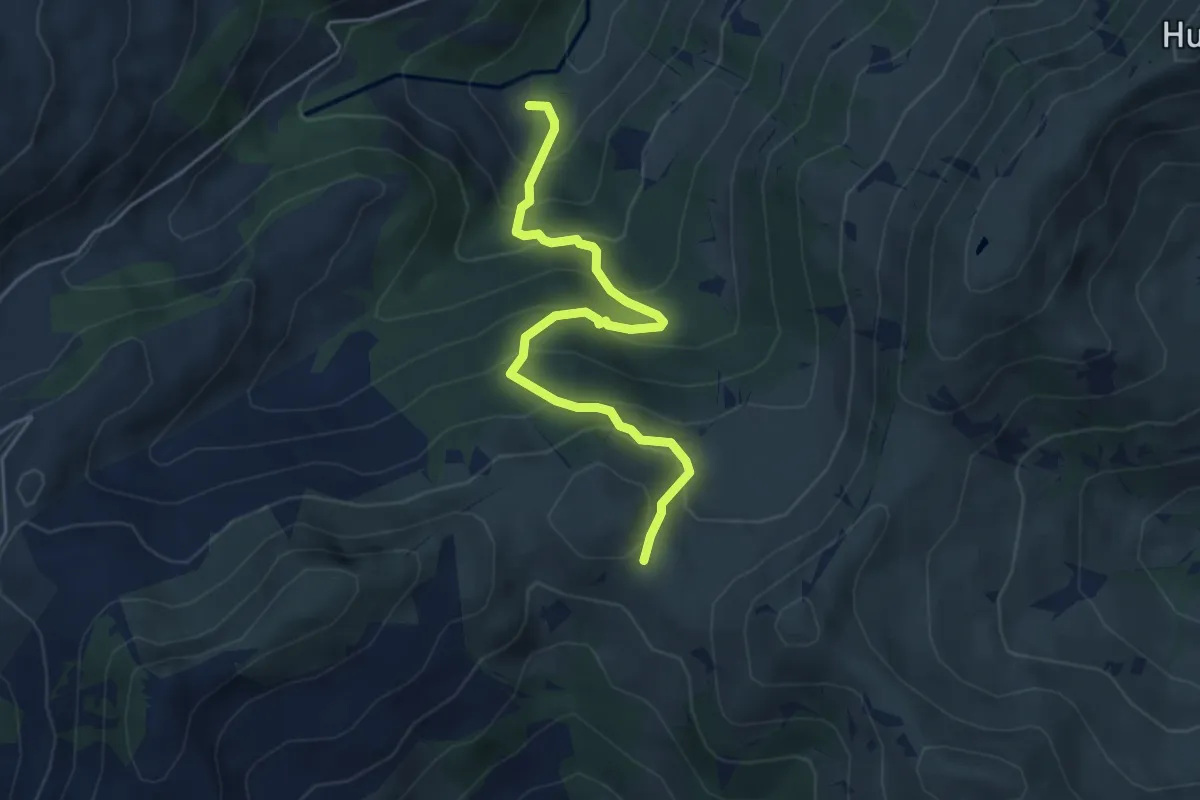
Bire – Herreschwändli
5.0 km · ↑ 466 m · 2 h 11 min
Easy · Trail
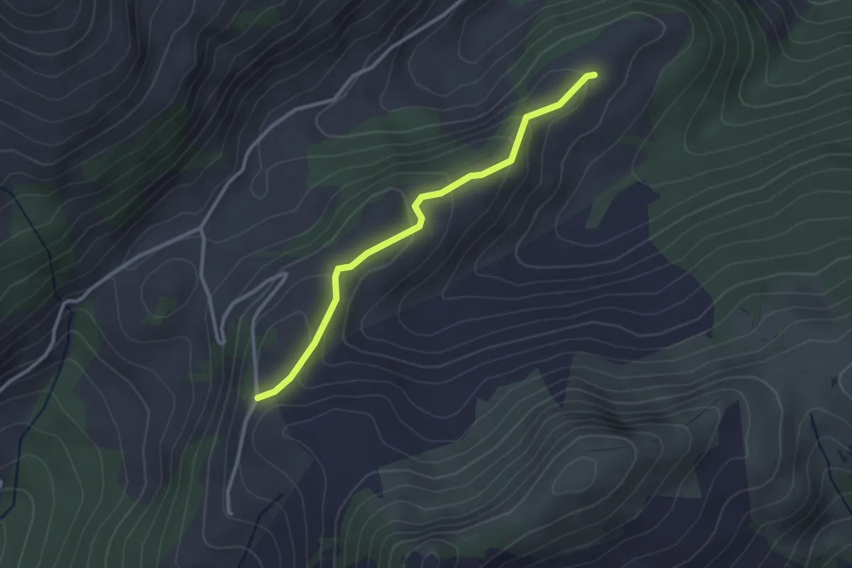
Mittelberg – Jaungrund
2.7 km · ↑ 159 m · 59 min
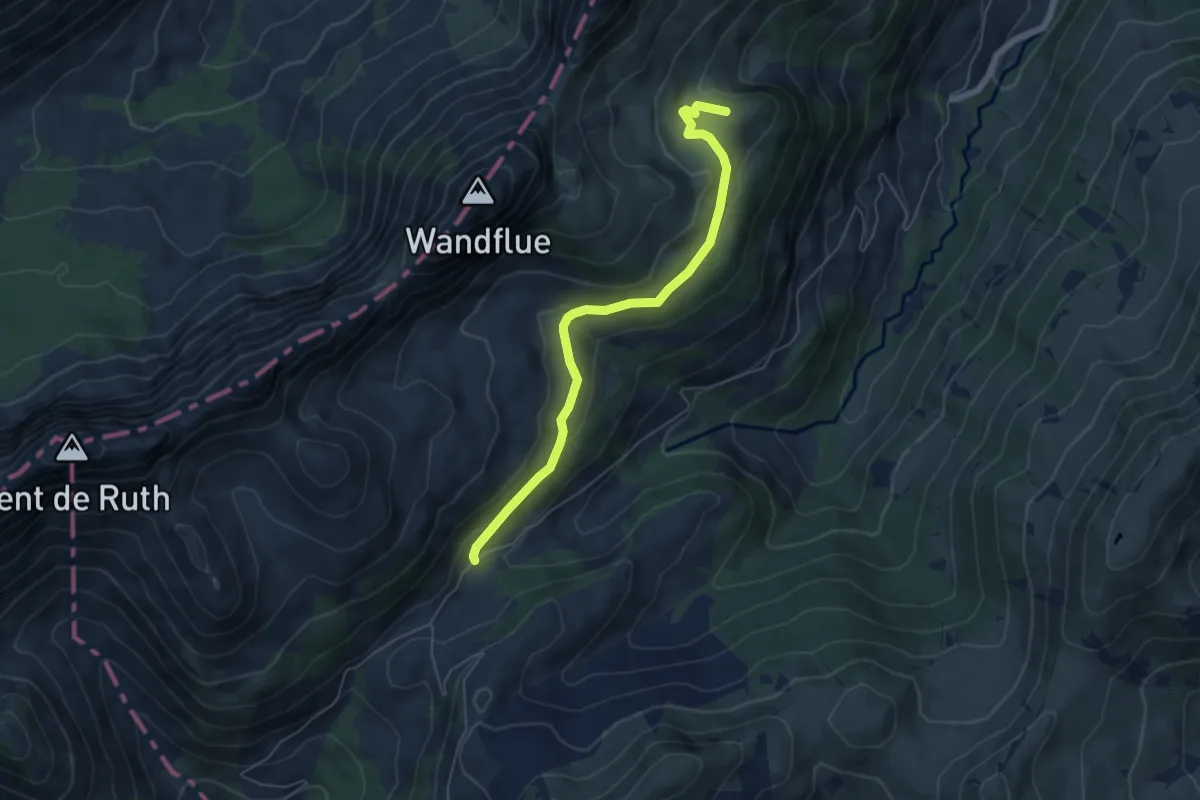
Easy · Summit
Mittelberg – Venners Chöpfli
5.7 km · ↑ 141 m · 1 h 39 min
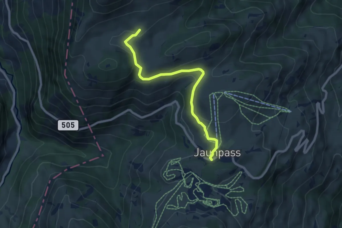
Easy · Trail
Jaunpass – Bäderberg
5.5 km · ↑ 142 m · 1 h 36 min
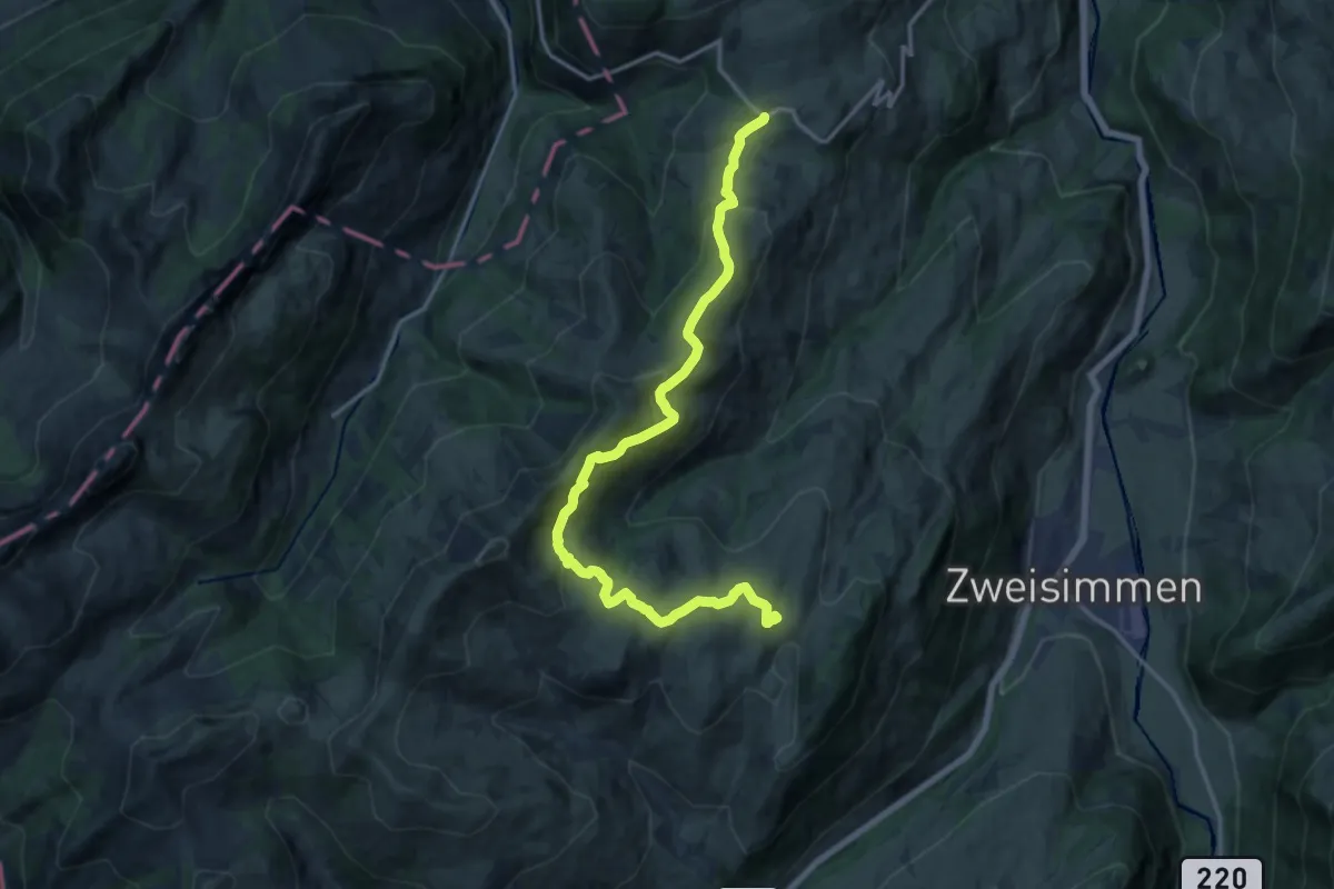
Medium · Trail
Jaunpass – Sparenmoos
16.3 km · ↑ 693 m · 5 h 22 min
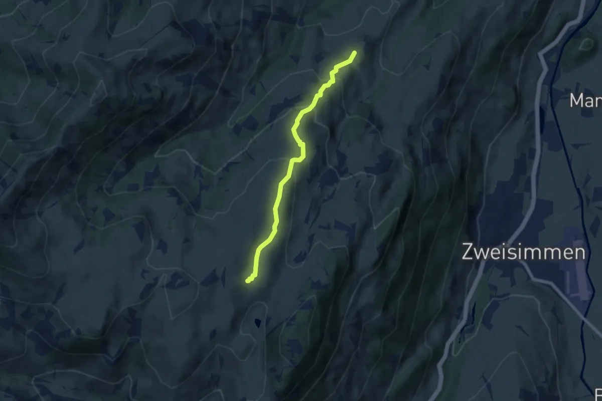
Easy · Trail
Sparenmoos – Zimmerboden
5.6 km · ↑ 304 m · 1 h 59 min