Trails in Switzerland
15,055 hiking trails, each with its route, climb, walking time and grade.
All trails, page 180 of 314
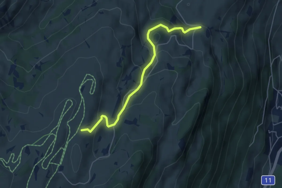
Easy · Trail
Sparenmoos – Heimchueweid
4.6 km · ↑ 310 m · 1 h 45 min
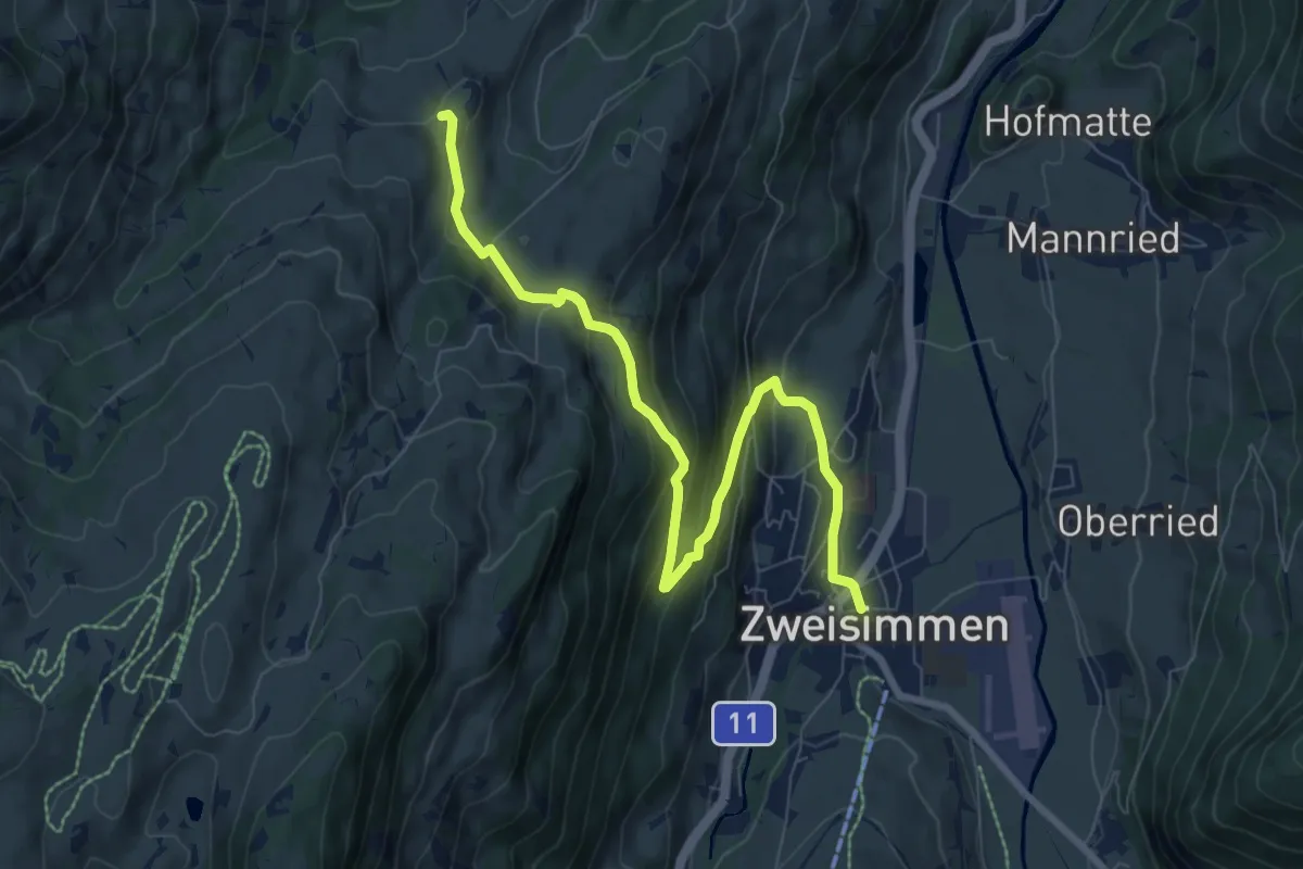
Medium · Trail
Zimmerboden – Zweisimmen
8.7 km · ↑ 455 m · 3 h 3 min
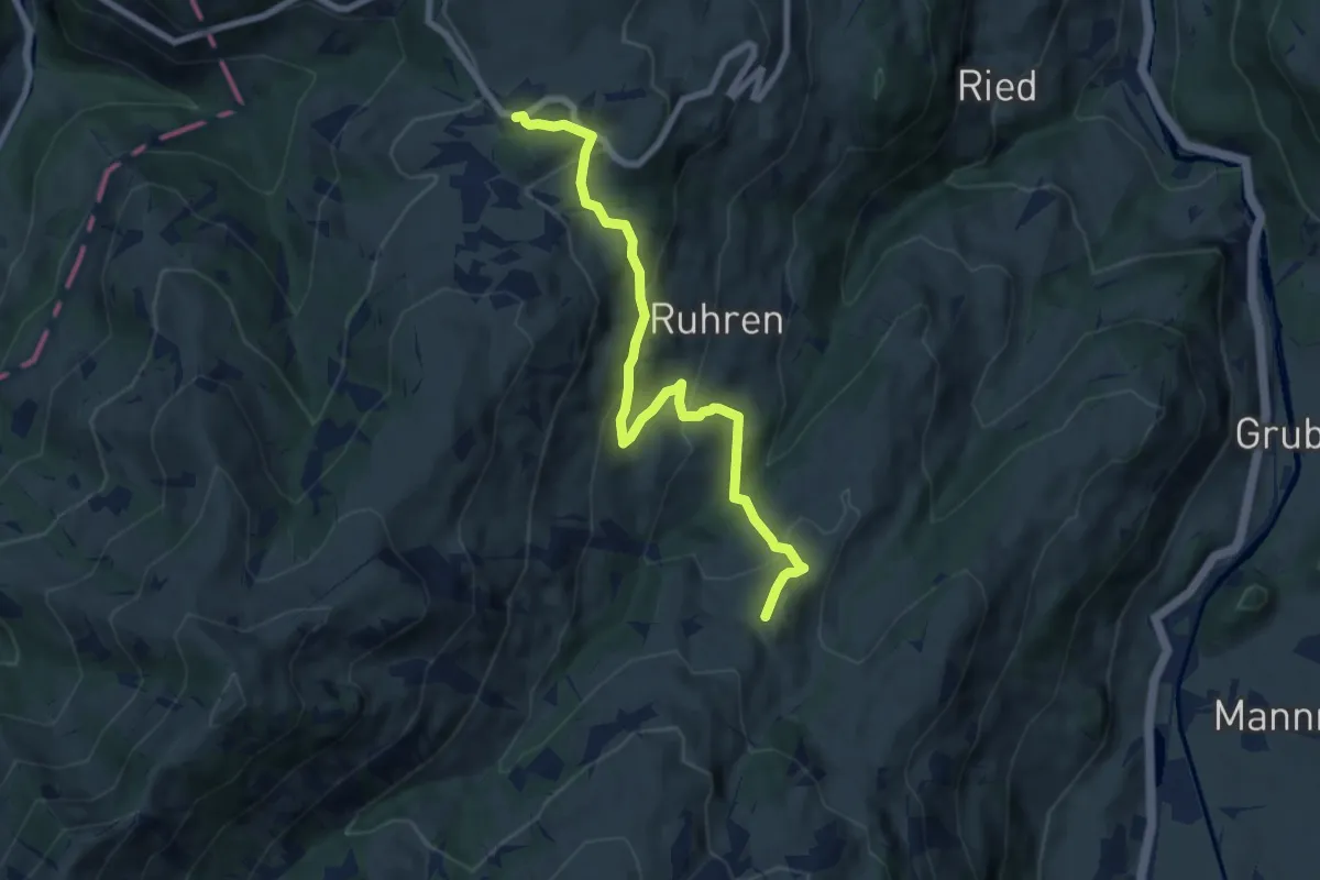
Medium · Trail
Zimmerboden – Jaunpass
8.0 km · ↑ 405 m · 2 h 46 min
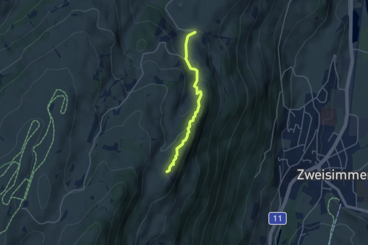
Easy · Trail
Heimchueweid – Holaasfluh
3.0 km · ↑ 204 m · 1 h 9 min
Medium · Trail
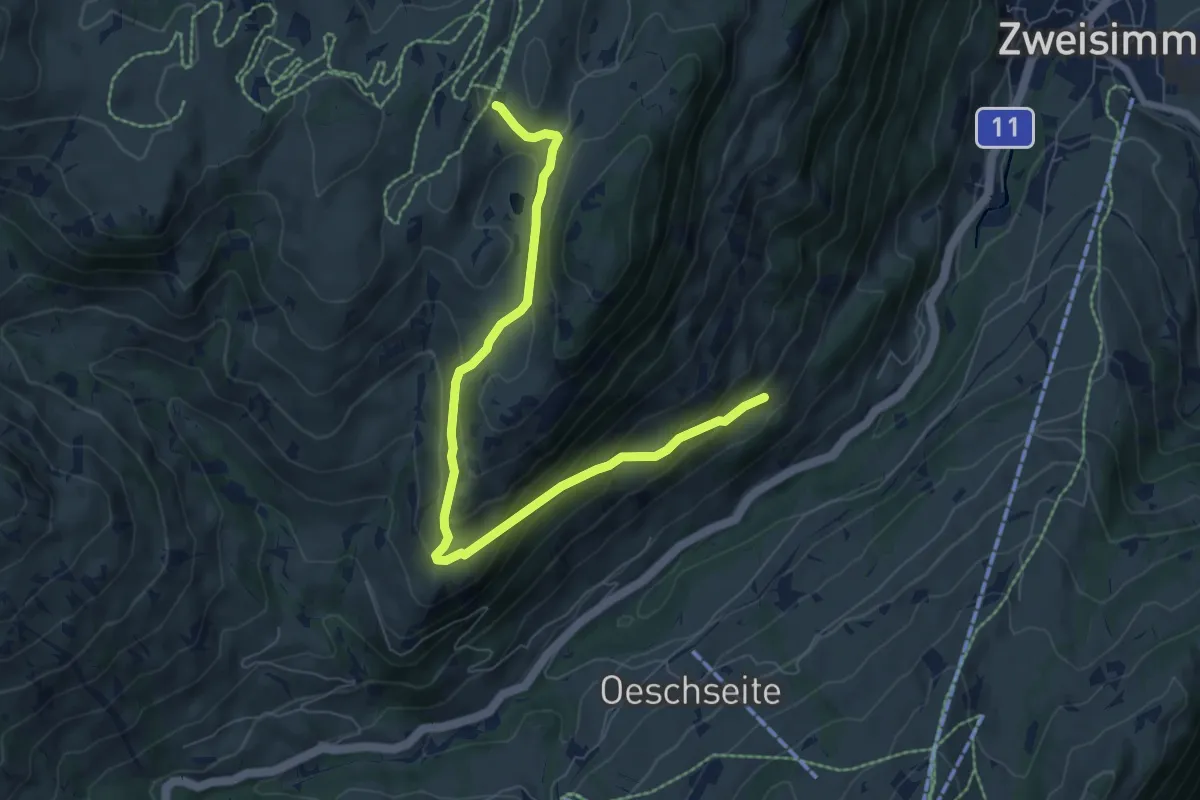
Sparenmoos – Chäleweid
7.9 km · ↑ 422 m · 2 h 46 min
Medium · Trail
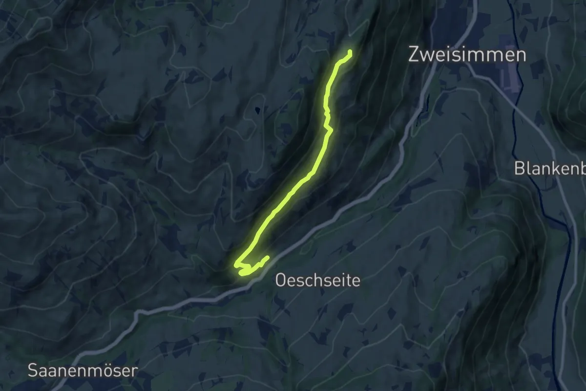
Reichenstein – Holaasfluh
7.9 km · ↑ 447 m · 2 h 50 min
Easy · Trail
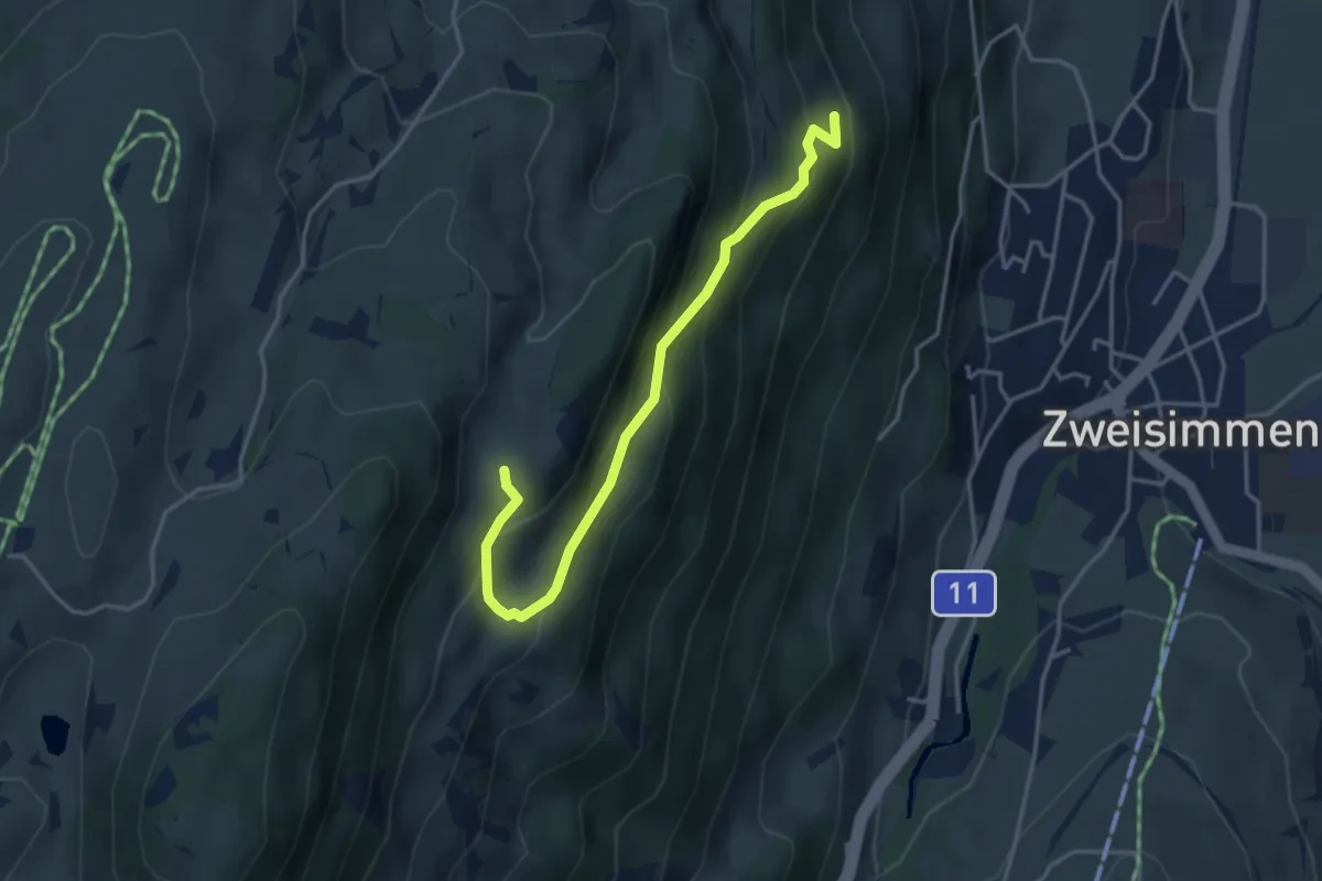
Vorderwald – Ober Holaas
3.8 km · ↑ 281 m · 1 h 31 min
Medium · Trail
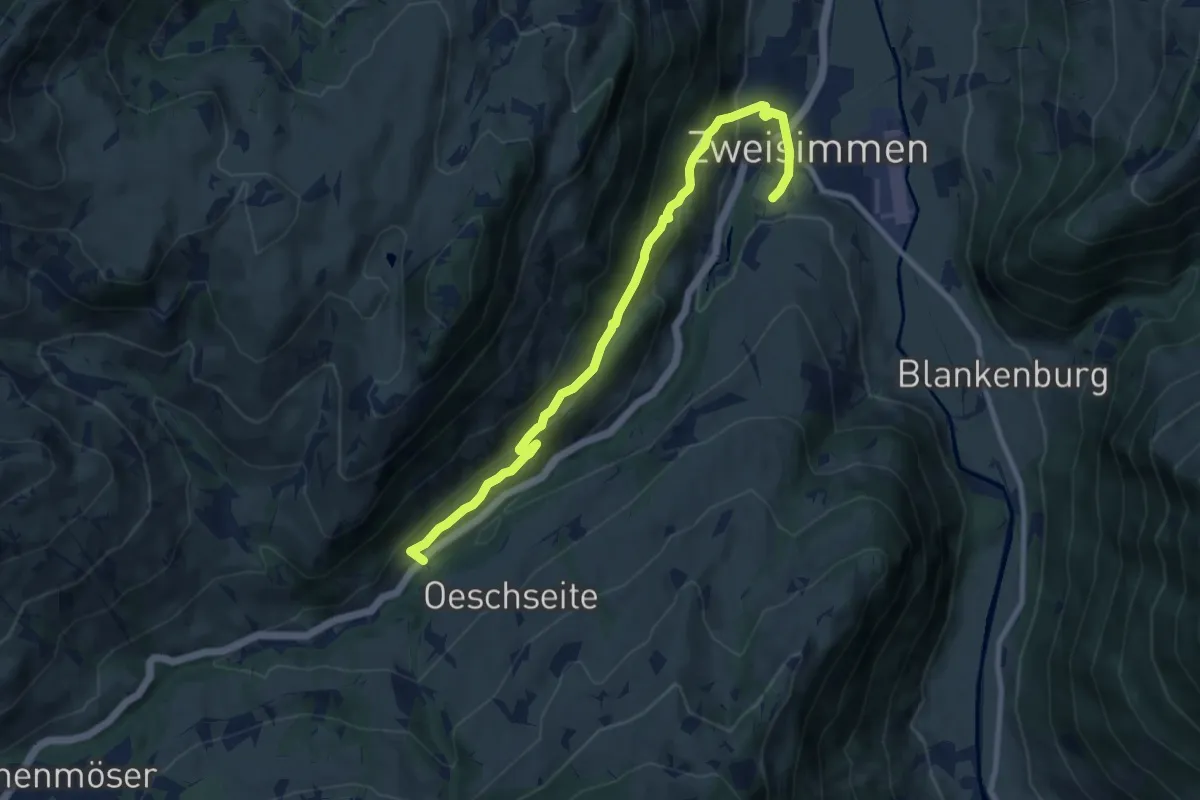
Reichenstein – Zweisimmen
9.7 km · ↑ 521 m · 3 h 25 min
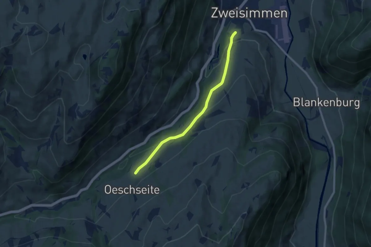
Easy · Trail
Oeschseite – Zweisimmen
5.7 km · ↑ 207 m · 1 h 48 min
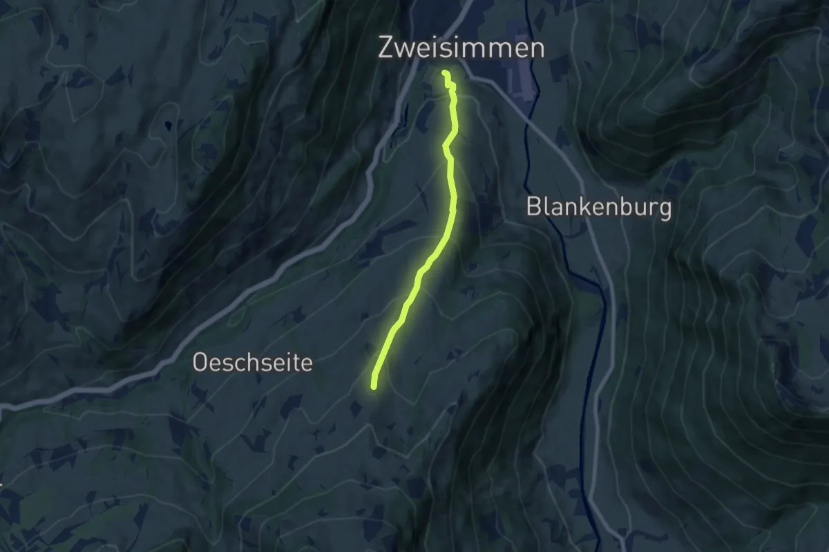
Medium · Trail
Zweisimmen – Eggweid
6.1 km · ↑ 471 m · 2 h 28 min
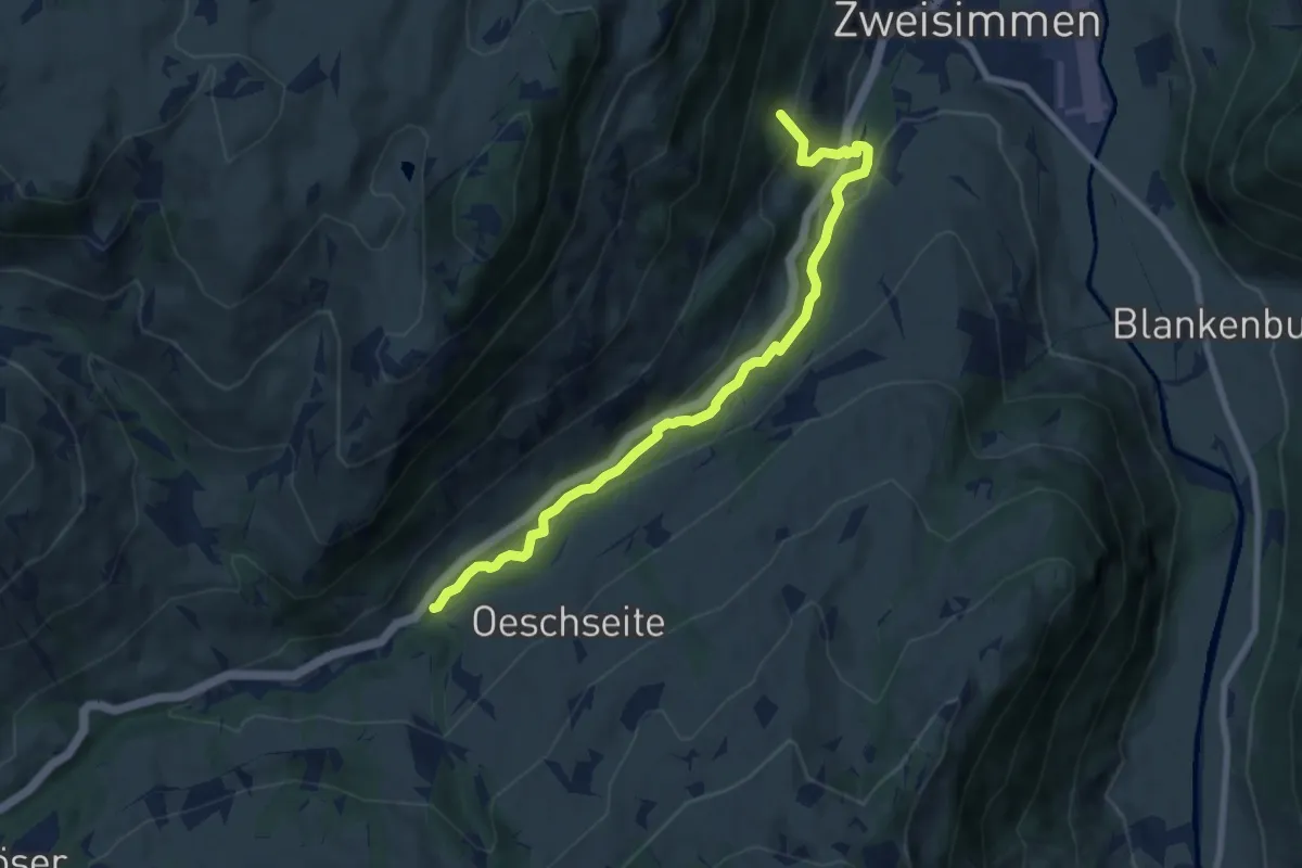
Medium · Trail
Reichenstein – Mosenried
8.0 km · ↑ 305 m · 2 h 33 min
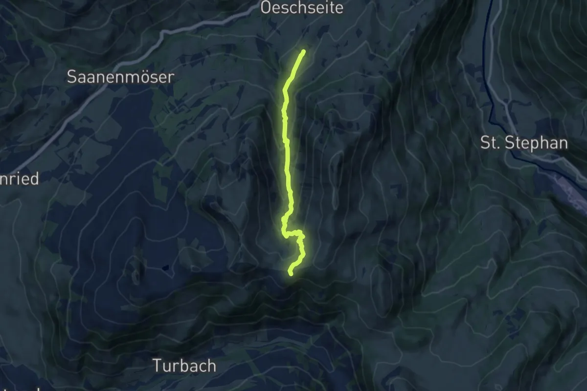
Medium · Trail
Oeschseite – Parwenge
8.8 km · ↑ 543 m · 3 h 15 min
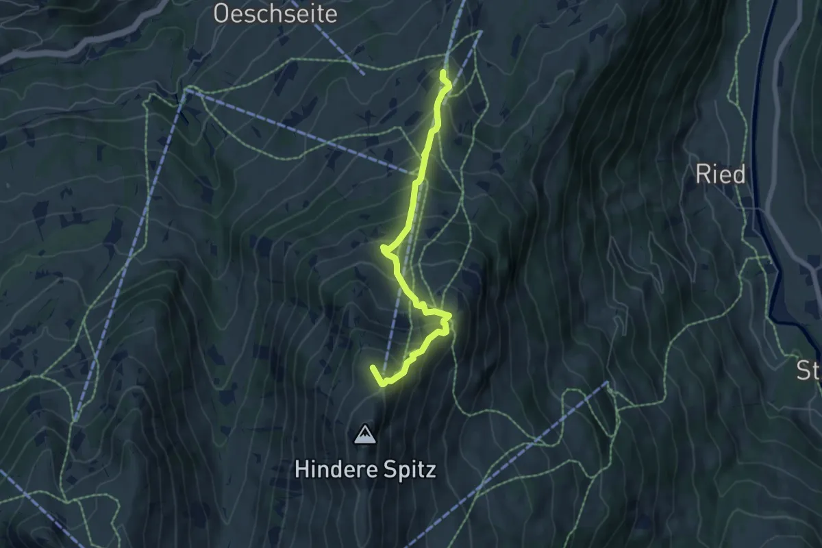
Medium · Summit
Eggweid – Rinderberg
5.4 km · ↑ 533 m · 2 h 26 min
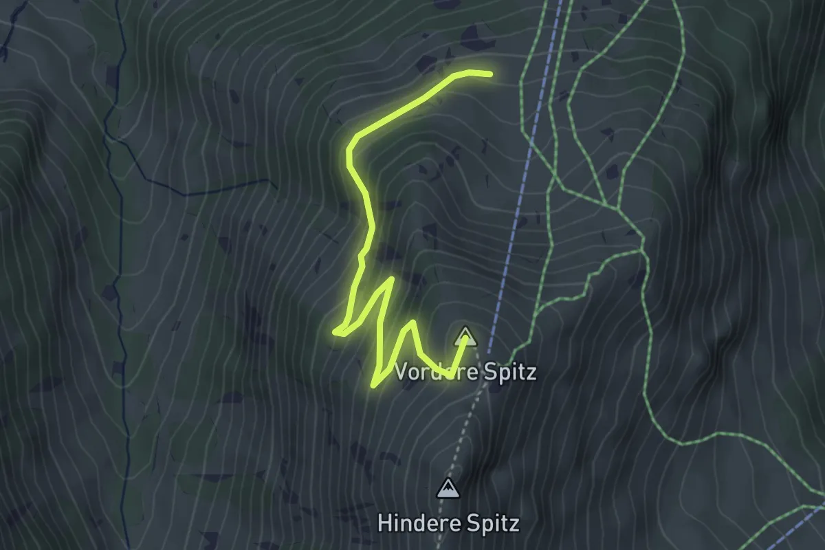
Easy · Summit
Alp Rinderberg – Rinderberg
4.0 km · ↑ 281 m · 1 h 34 min
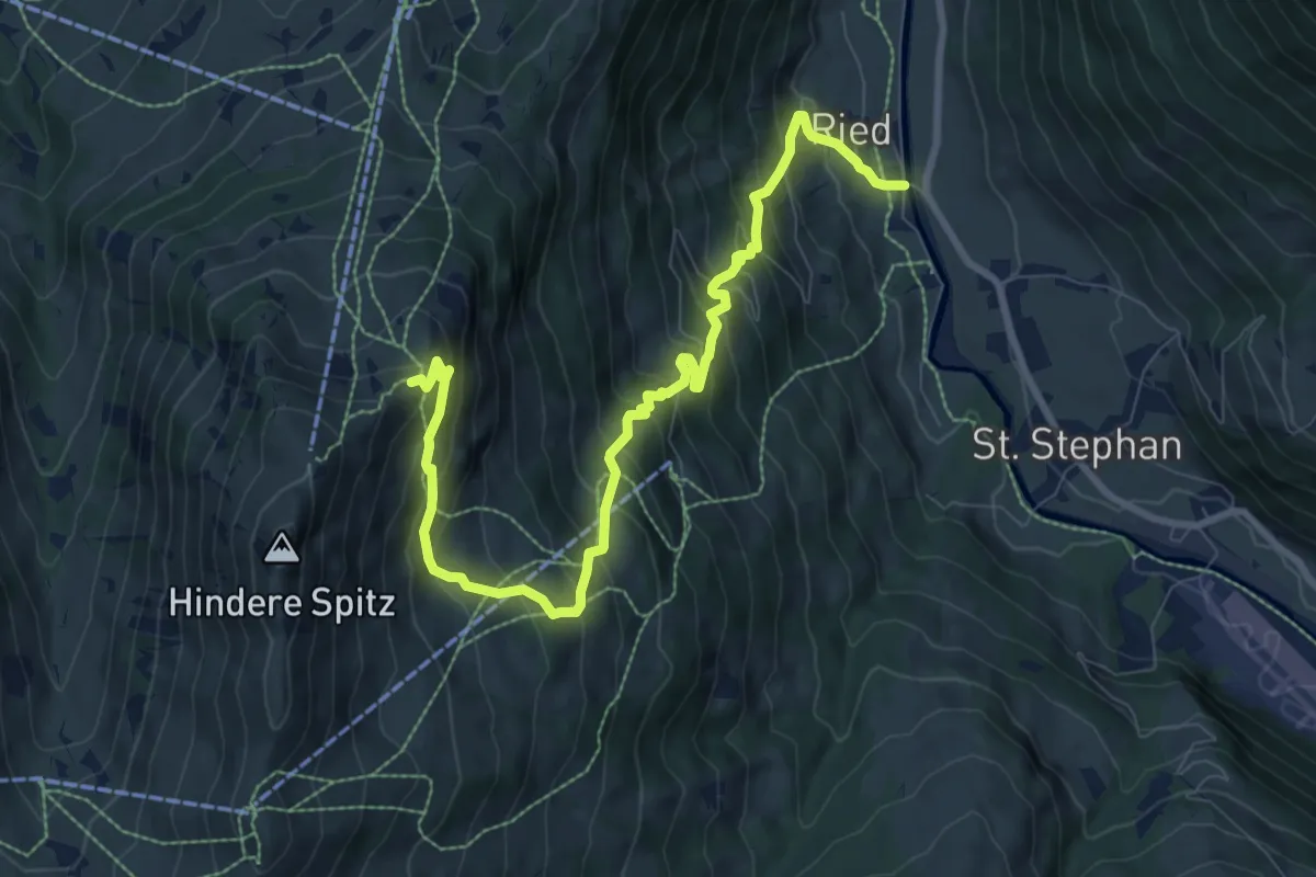
Demanding · Trail
Ried – Rinderberg
9.9 km · ↑ 973 m · 4 h 27 min
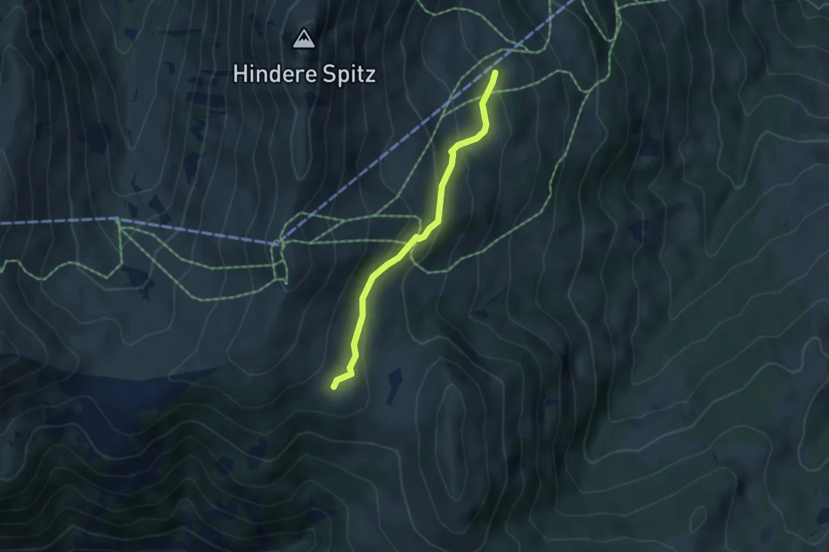
Easy · Trail
Gandlauenenstrasse – Parwengensattel
3.8 km · ↑ 190 m · 1 h 19 min
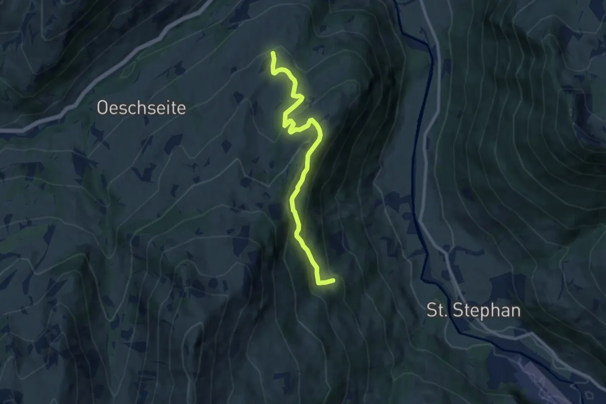
Medium · Trail
Gandlauenenstrasse – Fang
7.5 km · ↑ 470 m · 2 h 48 min
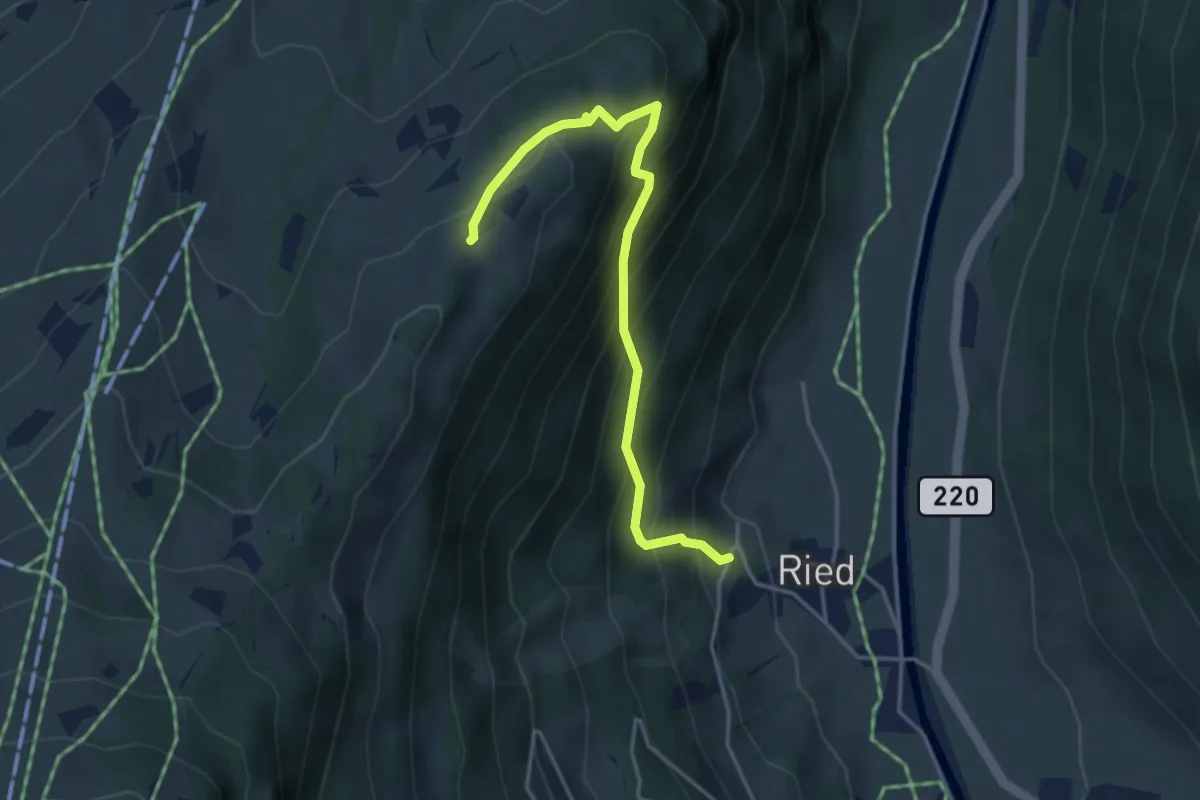
Medium · Trail
Ried – Flüeweid
4.0 km · ↑ 429 m · 1 h 52 min
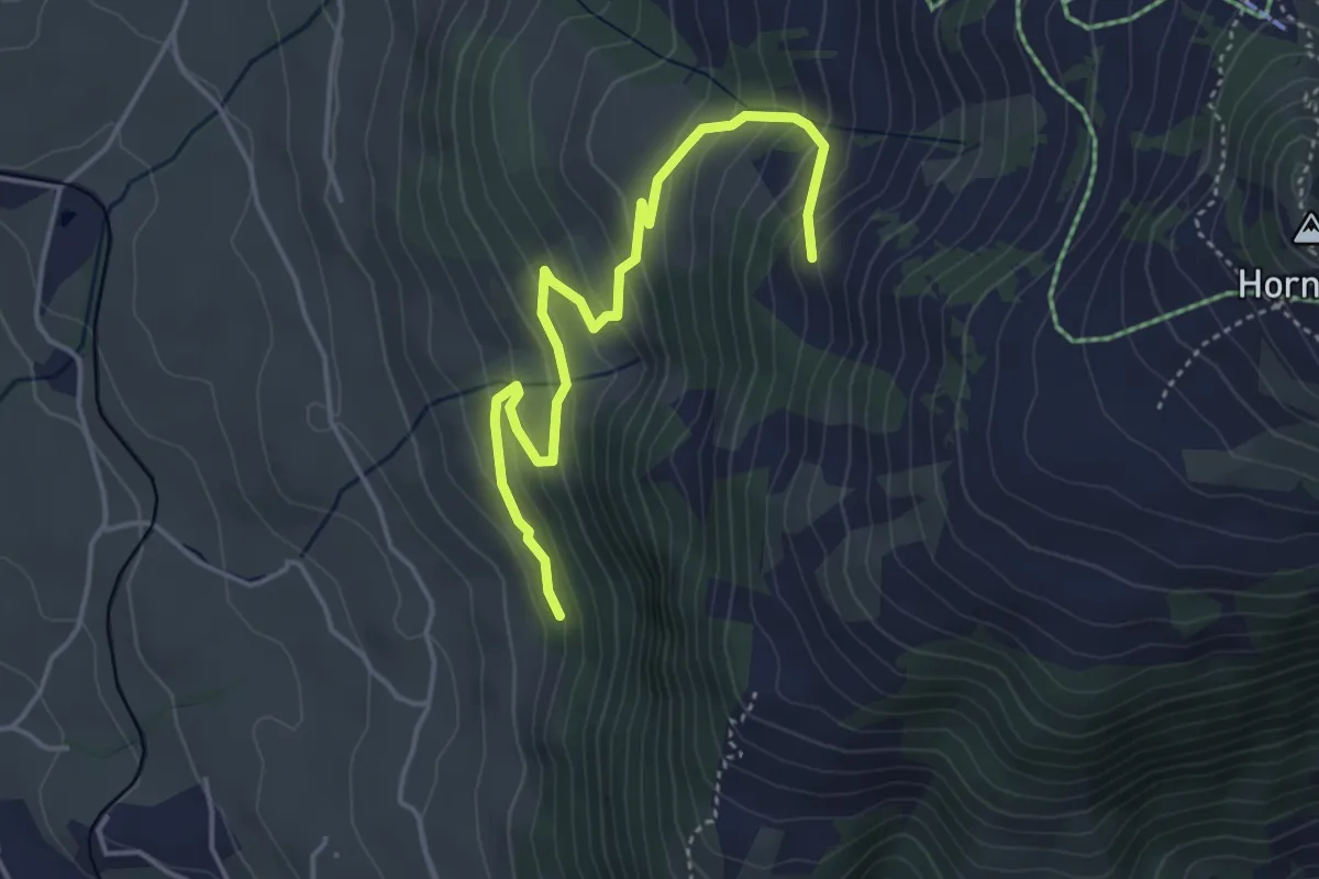
Medium · Trail
Steineweidli – Berschel
4.5 km · ↑ 330 m · 1 h 46 min
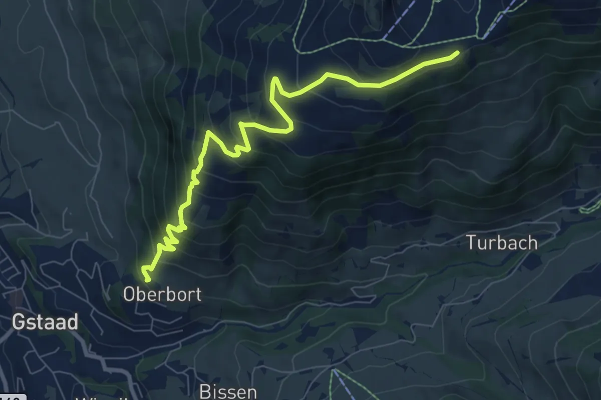
Medium · Trail
Oberbort – Berghotel Hornberg
8.0 km · ↑ 650 m · 3 h 17 min
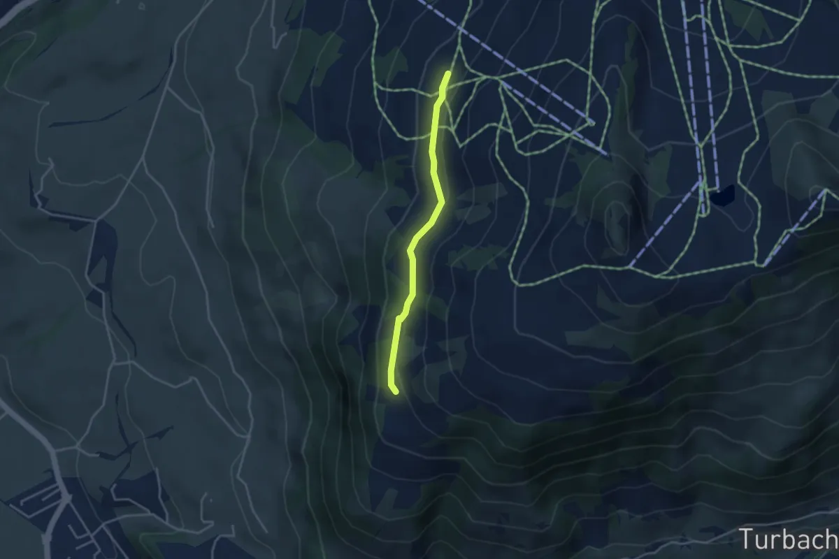
Easy · Trail
Obere Stutz – Haldis Bärgli
3.1 km · ↑ 59 m · 52 min
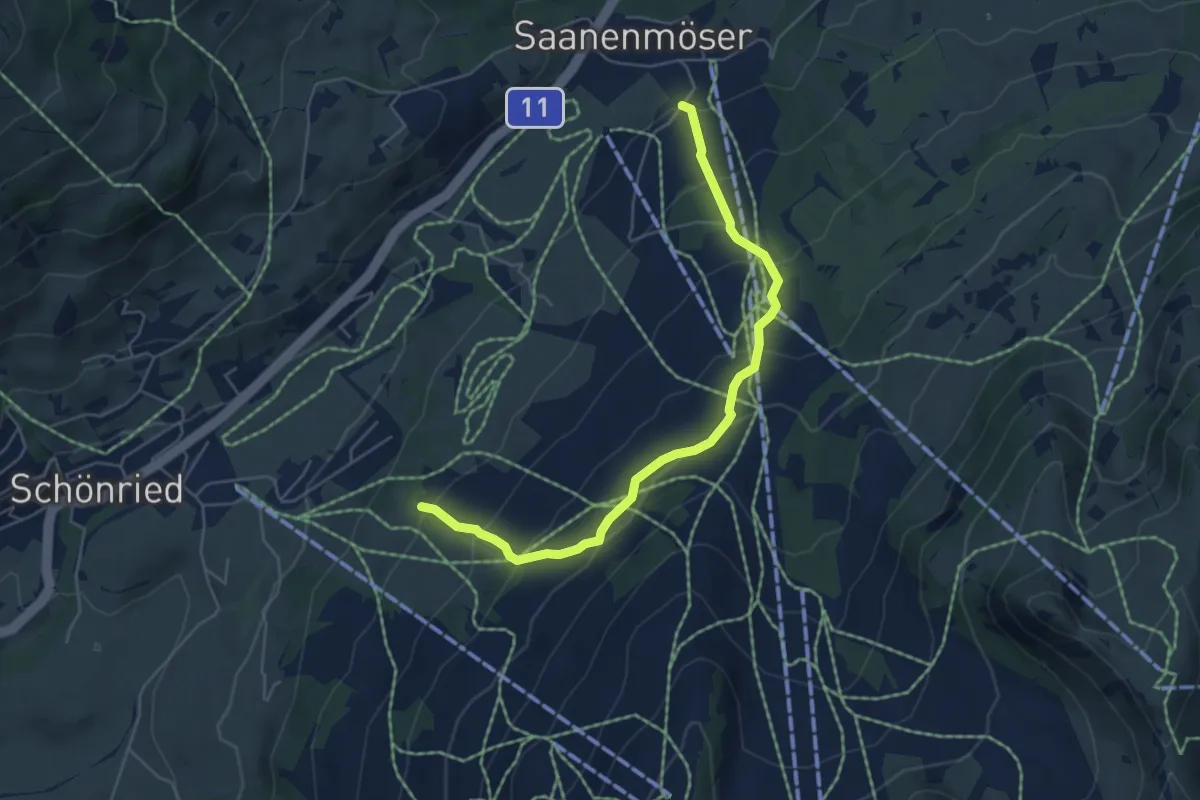
Medium · Trail
Saanenmöser – Wittere
5.5 km · ↑ 402 m · 2 h 10 min
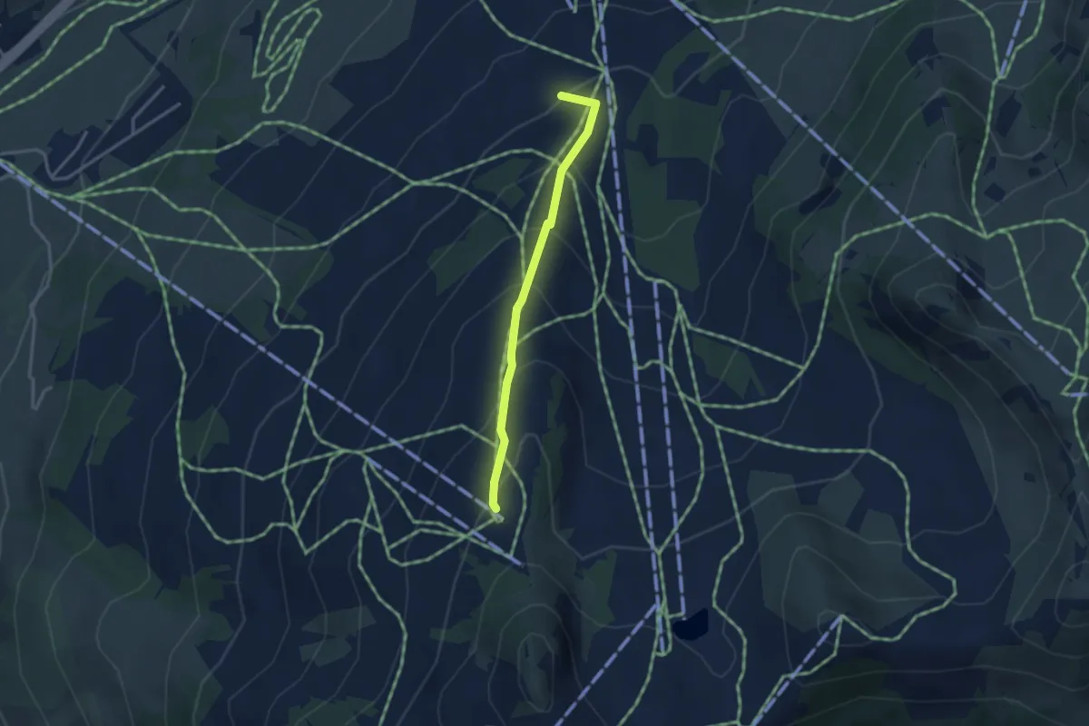
Medium · Trail
Majorsegge – Horneggli
2.9 km · ↑ 262 m · 1 h 15 min
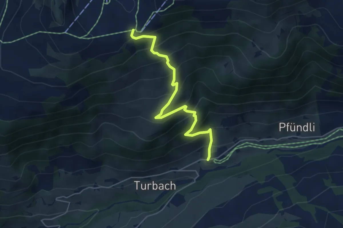
Medium · Trail
Turbach – Hornberg
4.4 km · ↑ 491 m · 2 h 6 min
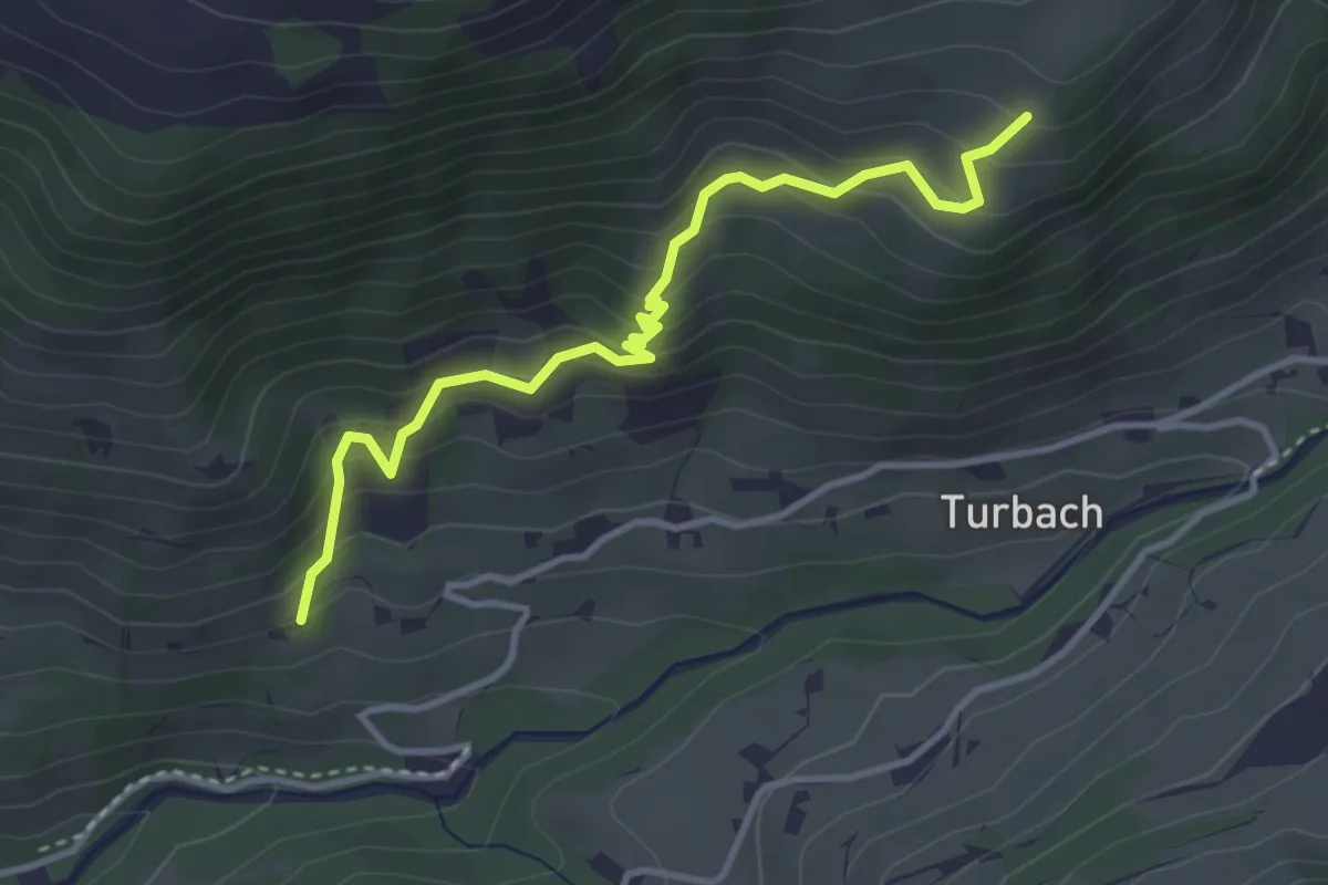
Easy · Trail
Chöli – Grosses Eige
3.7 km · ↑ 320 m · 1 h 34 min
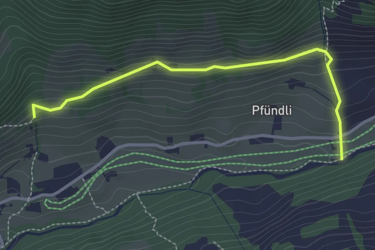
Easy · Trail
Pfündli – Turbach
2.6 km · ↑ 191 m · 1 h 1 min
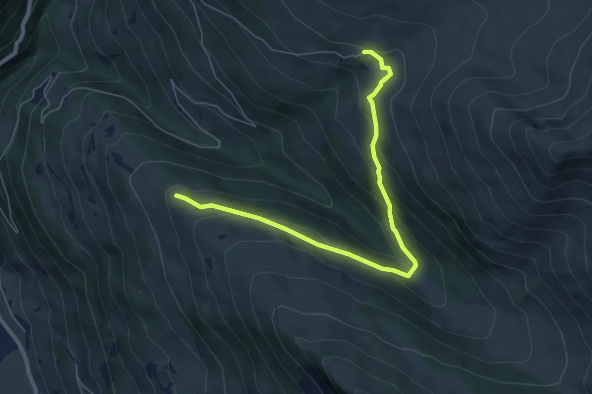
Easy · Trail
Am oberen Albrist – Gibel
6.0 km · ↑ 298 m · 2 h 4 min
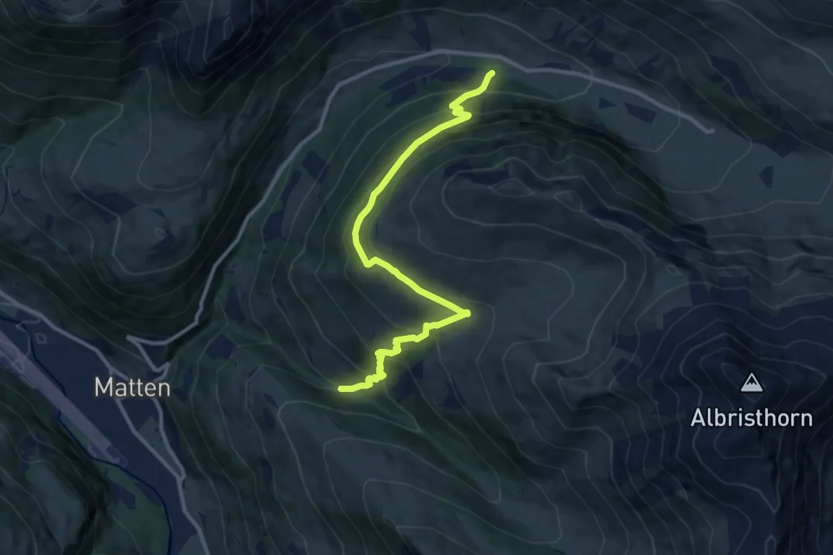
Demanding · Trail
Sitebach – Bibertsche
10.2 km · ↑ 819 m · 4 h 10 min
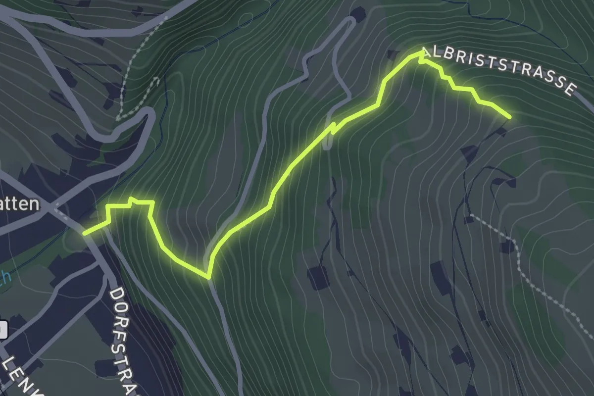
Medium · Trail
Matten – Sitebachwald
2.8 km · ↑ 347 m · 1 h 25 min
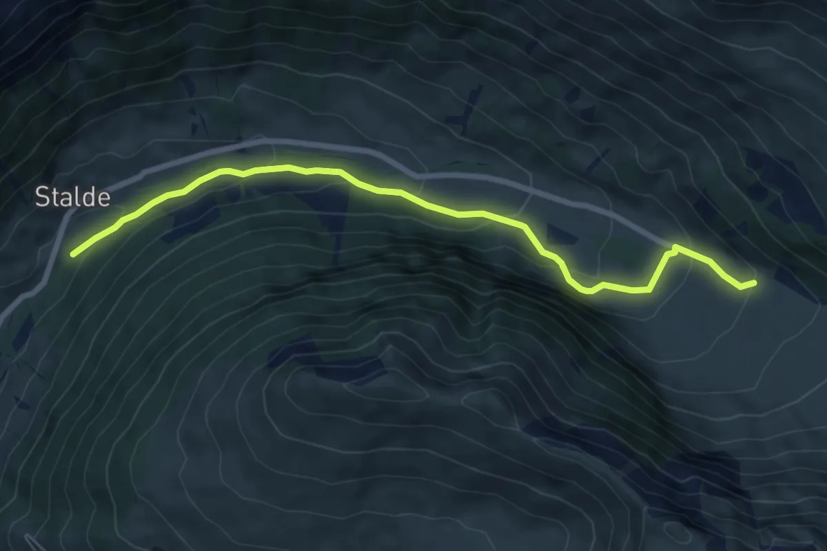
Medium · Trail
Stalde – Am vordere Berg
7.3 km · ↑ 336 m · 2 h 27 min
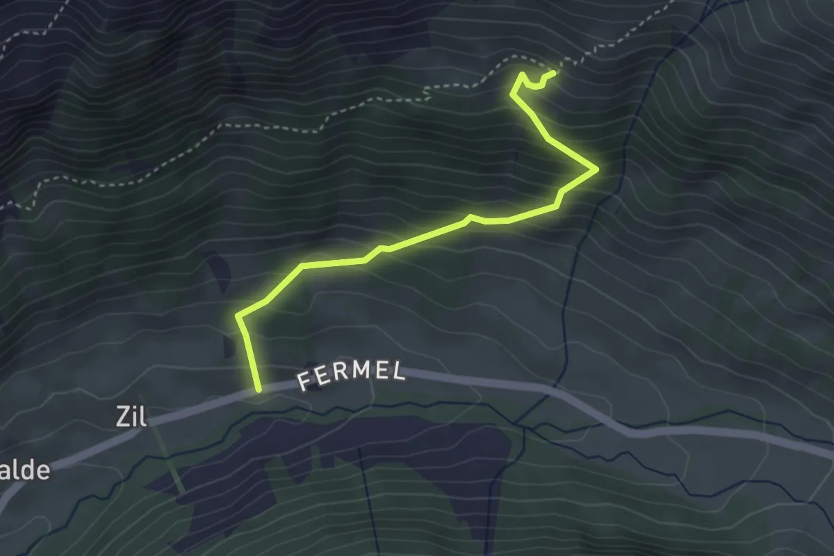
Medium · Trail
Bachti – Am undere Bluttlig
3.4 km · ↑ 377 m · 1 h 37 min
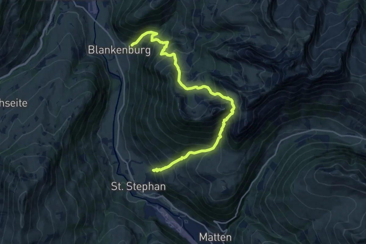
Demanding · Trail
Sankt Stephan – Blankenburg
16.1 km · ↑ 1801 m · 7 h 42 min
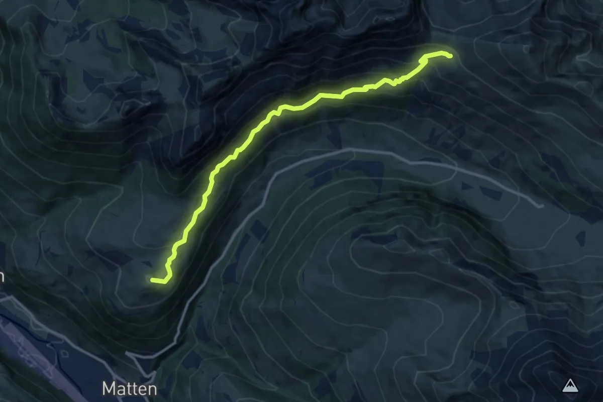
Medium · Summit
Matten – Furggi
10.6 km · ↑ 670 m · 3 h 57 min
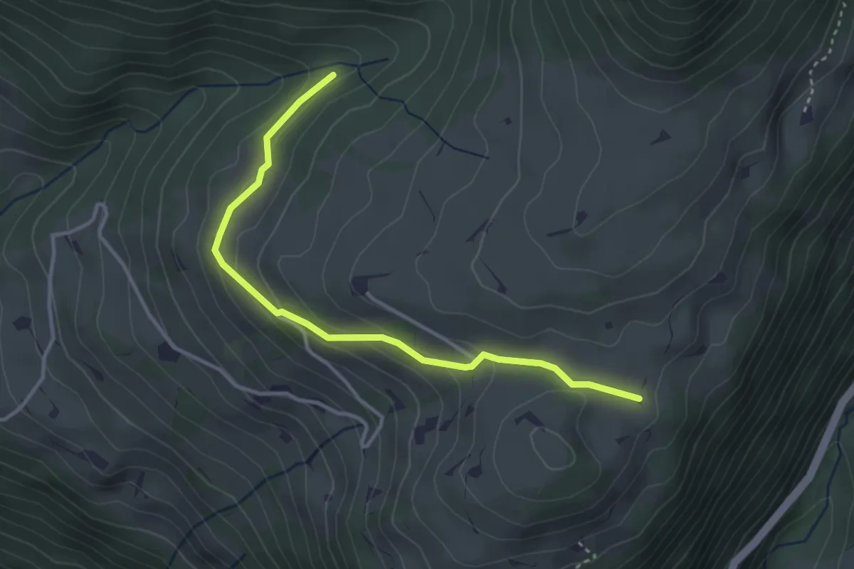
Easy · Trail
Mutzeflue – Gandbode
3.5 km · ↑ 160 m · 1 h 11 min
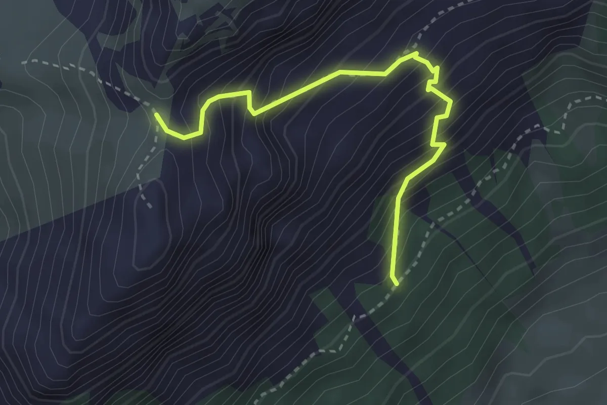
Medium · Trail
Allmi – Mieschflue
3.0 km · ↑ 442 m · 1 h 40 min
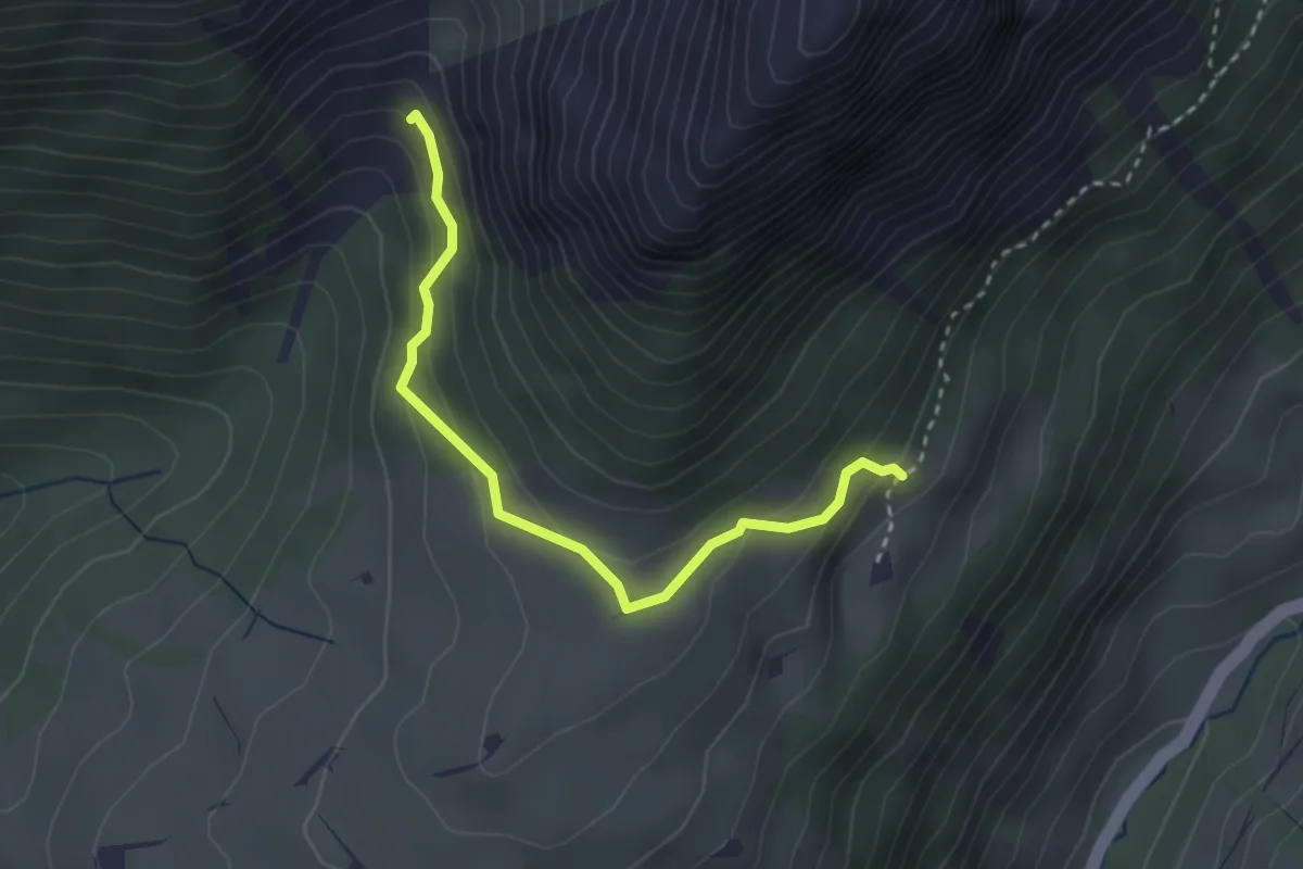
Easy · Trail
Breitgand – Dachbode
2.9 km · ↑ 185 m · 1 h 5 min
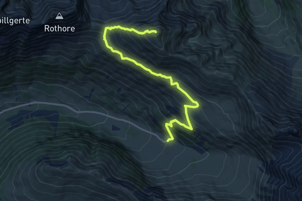
Demanding · Summit
Am vordere Berg – Fildrich
10.0 km · ↑ 773 m · 4 h 2 min
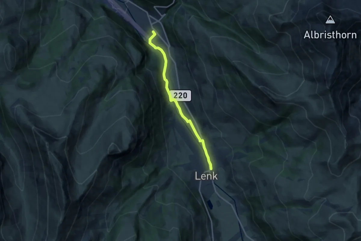
Medium · Trail
Lenk – Matten
9.9 km · ↑ 76 m · 2 h 30 min
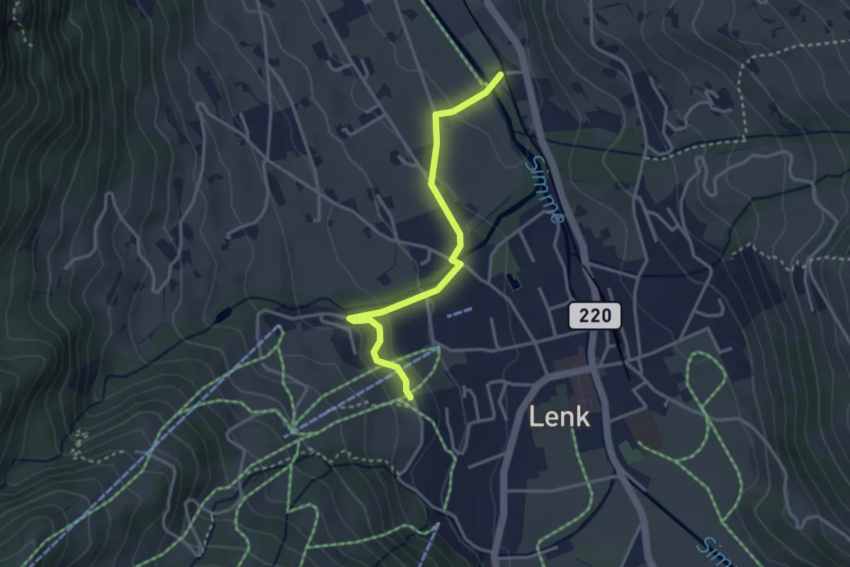
Easy · Trail
Hohliebi – Mühleweidli
3.0 km · ↑ 88 m · 54 min
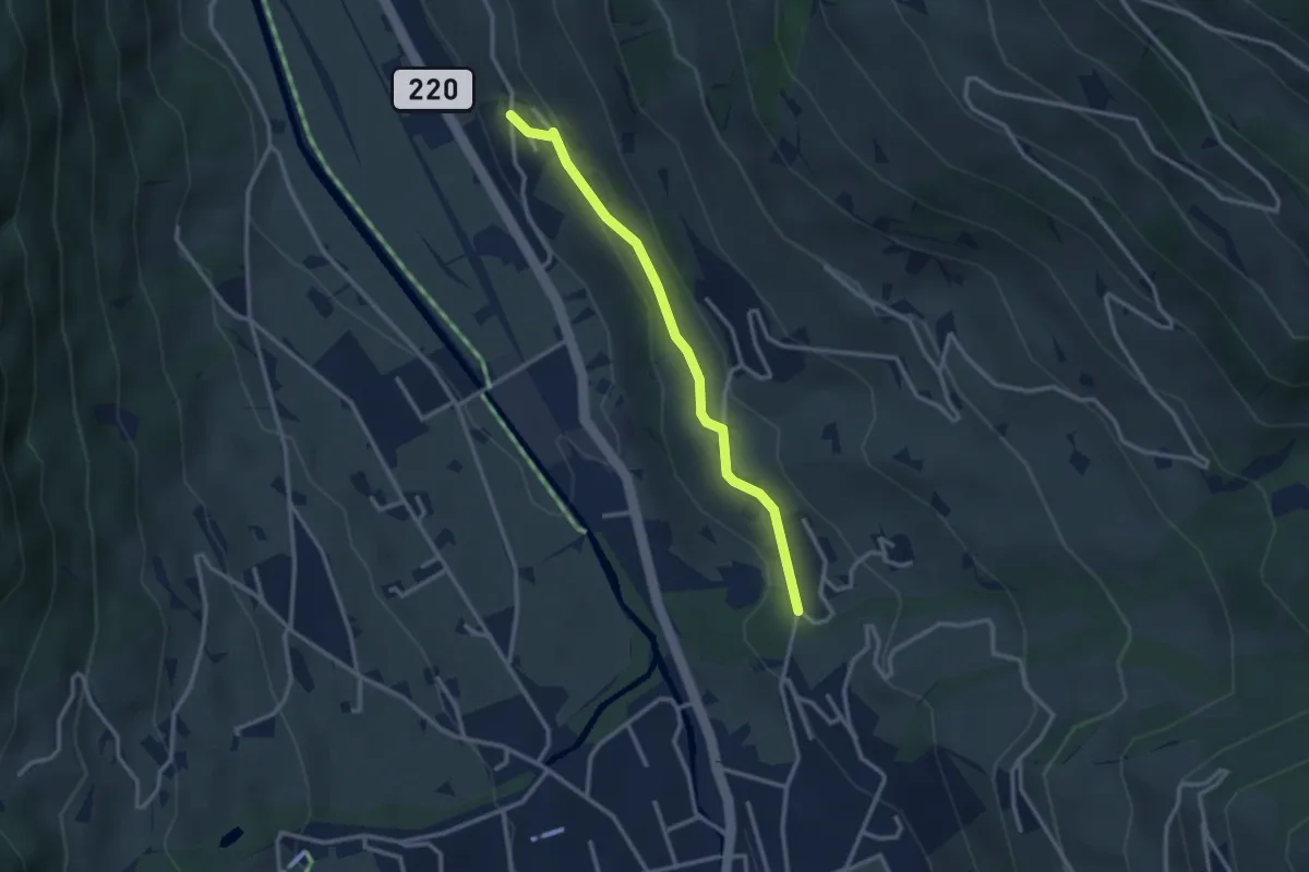
Easy · Trail
Äuserrer Seitenbach – Boden
2.8 km · ↑ 110 m · 53 min
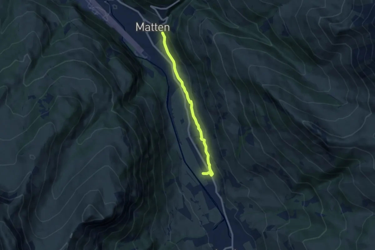
Easy · Trail
Boden – Matten
6.8 km · ↑ 160 m · 1 h 56 min
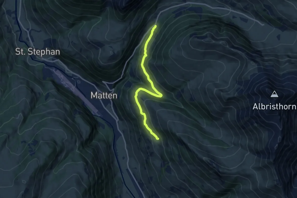
Medium · Trail
Bleikestafel – Stalde
9.9 km · ↑ 335 m · 3 h 4 min
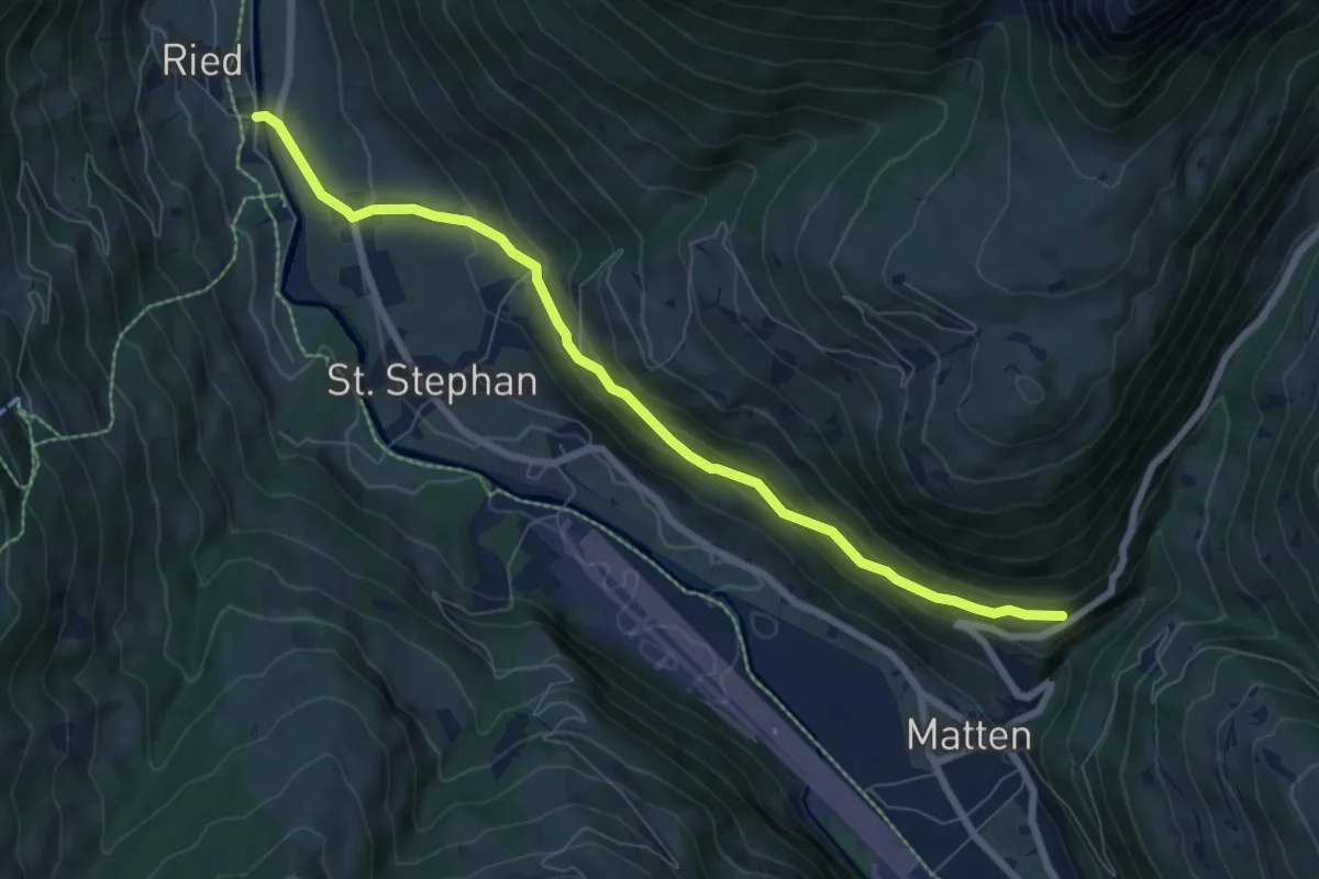
Medium · Trail
Matten – Stöckli
7.6 km · ↑ 414 m · 2 h 41 min
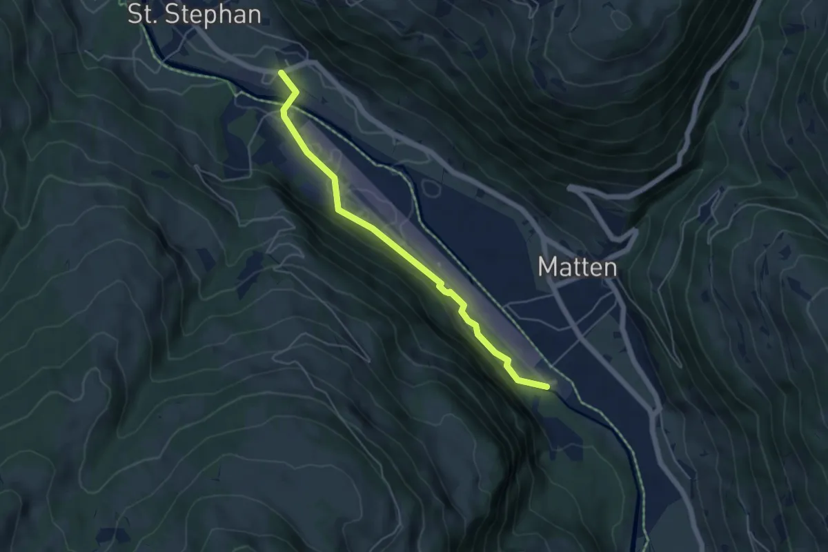
Easy · Trail
St. Stephan – Matten
4.8 km · ↑ 46 m · 1 h 14 min
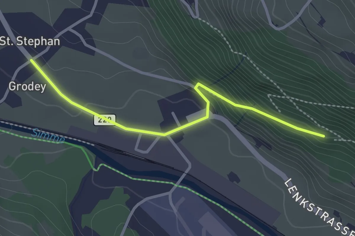
Easy · Trail
St. Stephan – Senggiwald
2.5 km · ↑ 106 m · 49 min
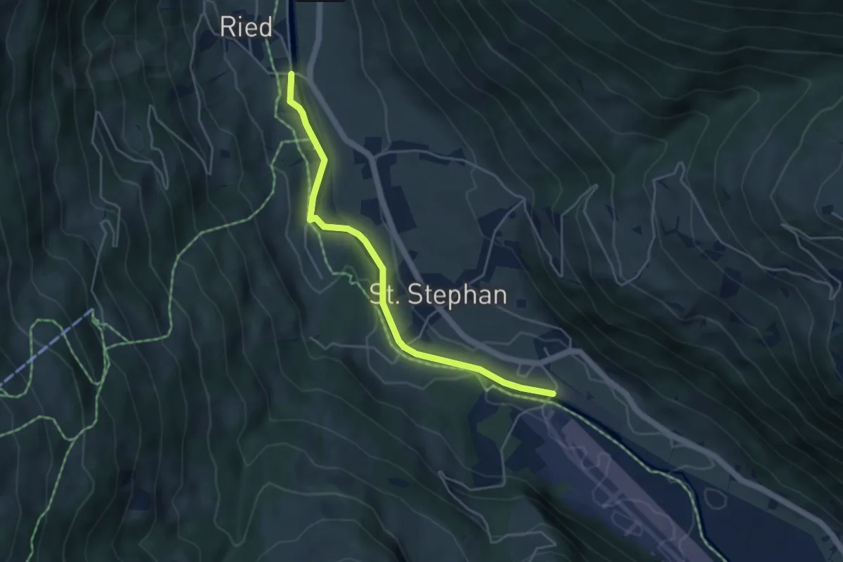
Easy · Trail
St. Stephan – Stöckli
4.4 km · ↑ 36 m · 1 h 7 min
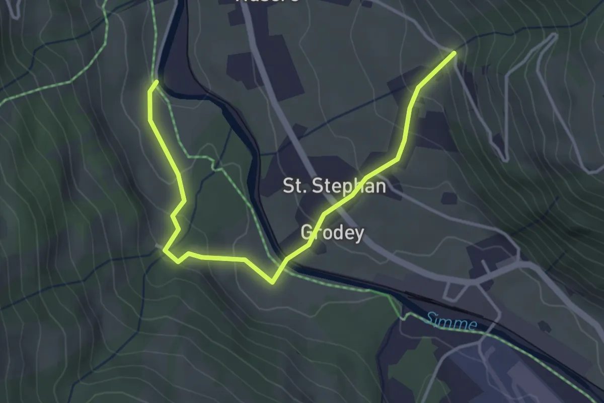
Easy · Trail
Schmitzenried – Im Grabe
3.9 km · ↑ 218 m · 1 h 24 min
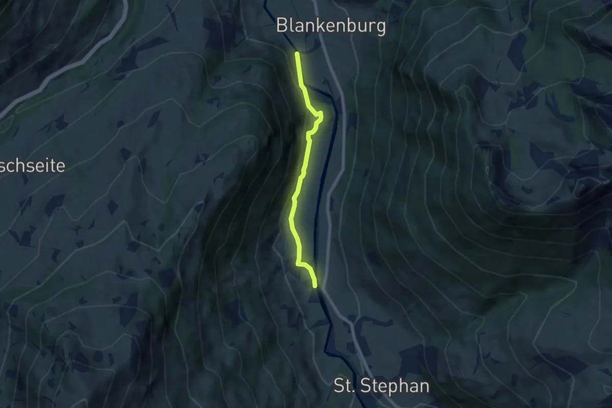
Easy · Trail
Stöckli – Hofbrügg
5.2 km · ↑ 103 m · 1 h 27 min