Trails in Switzerland
15,055 hiking trails, each with its route, climb, walking time and grade.
All trails, page 181 of 314
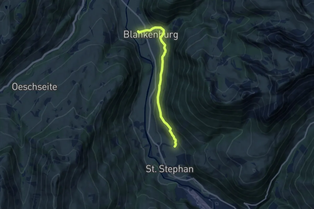
Medium · Trail
St. Stephan – Blankenburg
8.2 km · ↑ 410 m · 2 h 49 min
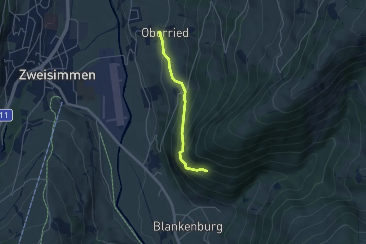
Easy · Trail
Oberried – Baawald
3.2 km · ↑ 235 m · 1 h 15 min
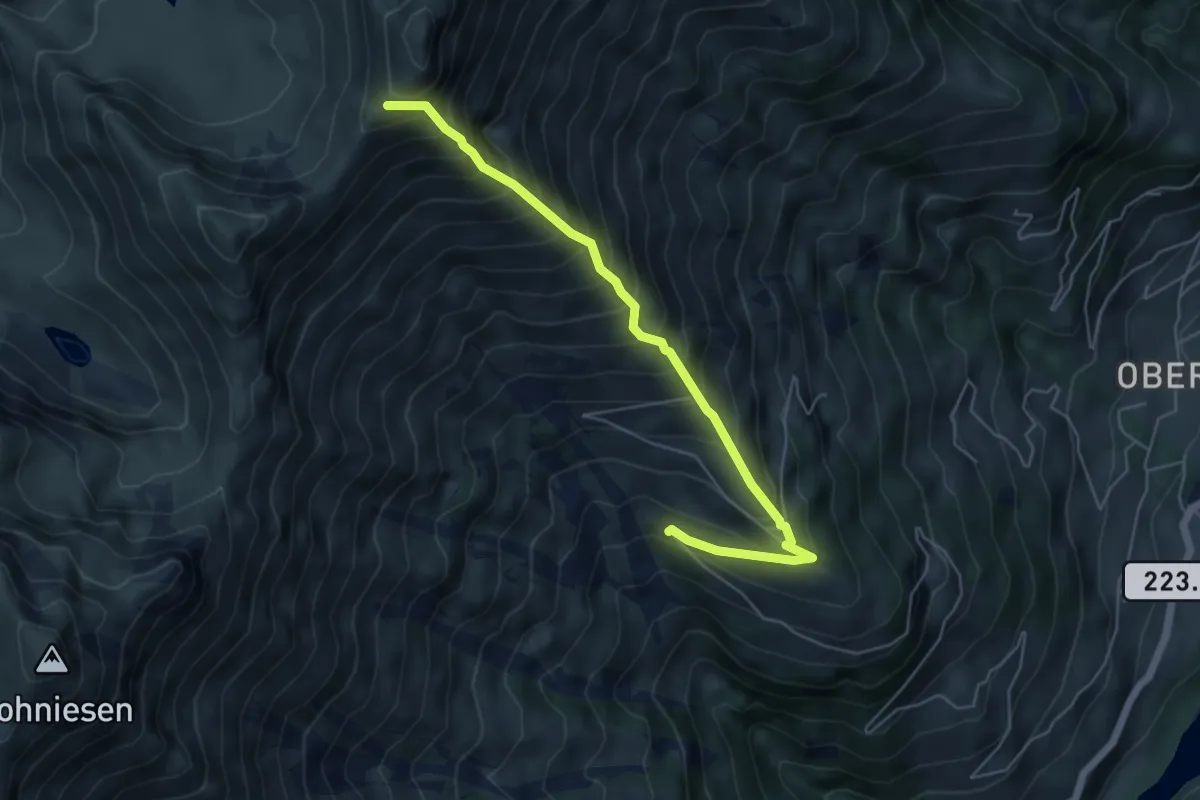
Demanding · Trail
Mäggisserhorn – Mäggissere
5.6 km · ↑ 818 m · 3 h 5 min
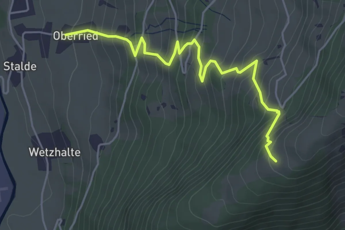
Medium · Trail
Oberried – Uf de Allmiflüene
4.7 km · ↑ 508 m · 2 h 13 min
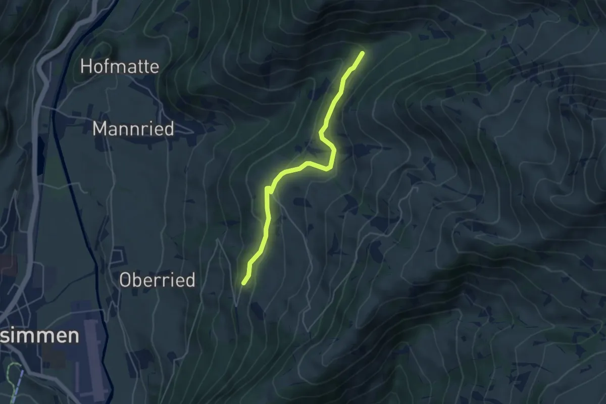
Easy · Trail
Danielsweid – Mariedgrabe
4.5 km · ↑ 191 m · 1 h 28 min
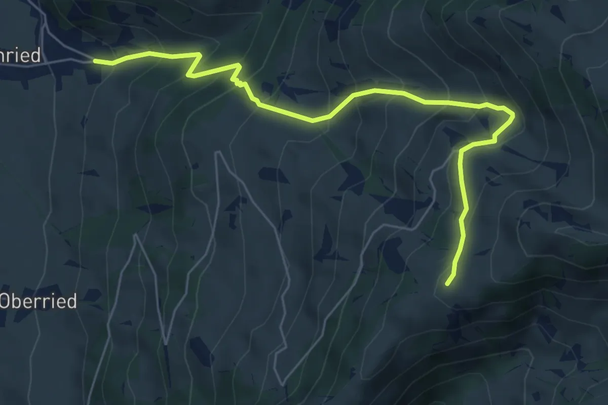
Medium · Trail
Mannried – Milch-Chäle
6.3 km · ↑ 633 m · 2 h 51 min
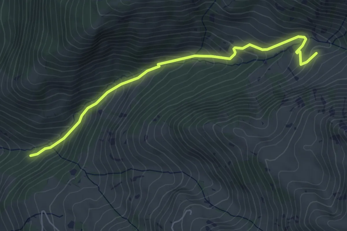
Medium · Trail
Mannried – Unders Muntigli
5.5 km · ↑ 486 m · 2 h 21 min
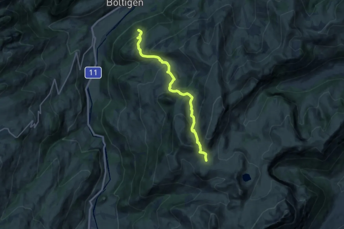
Demanding · Summit
Boltigen – Gestellenpass
12.9 km · ↑ 855 m · 4 h 54 min
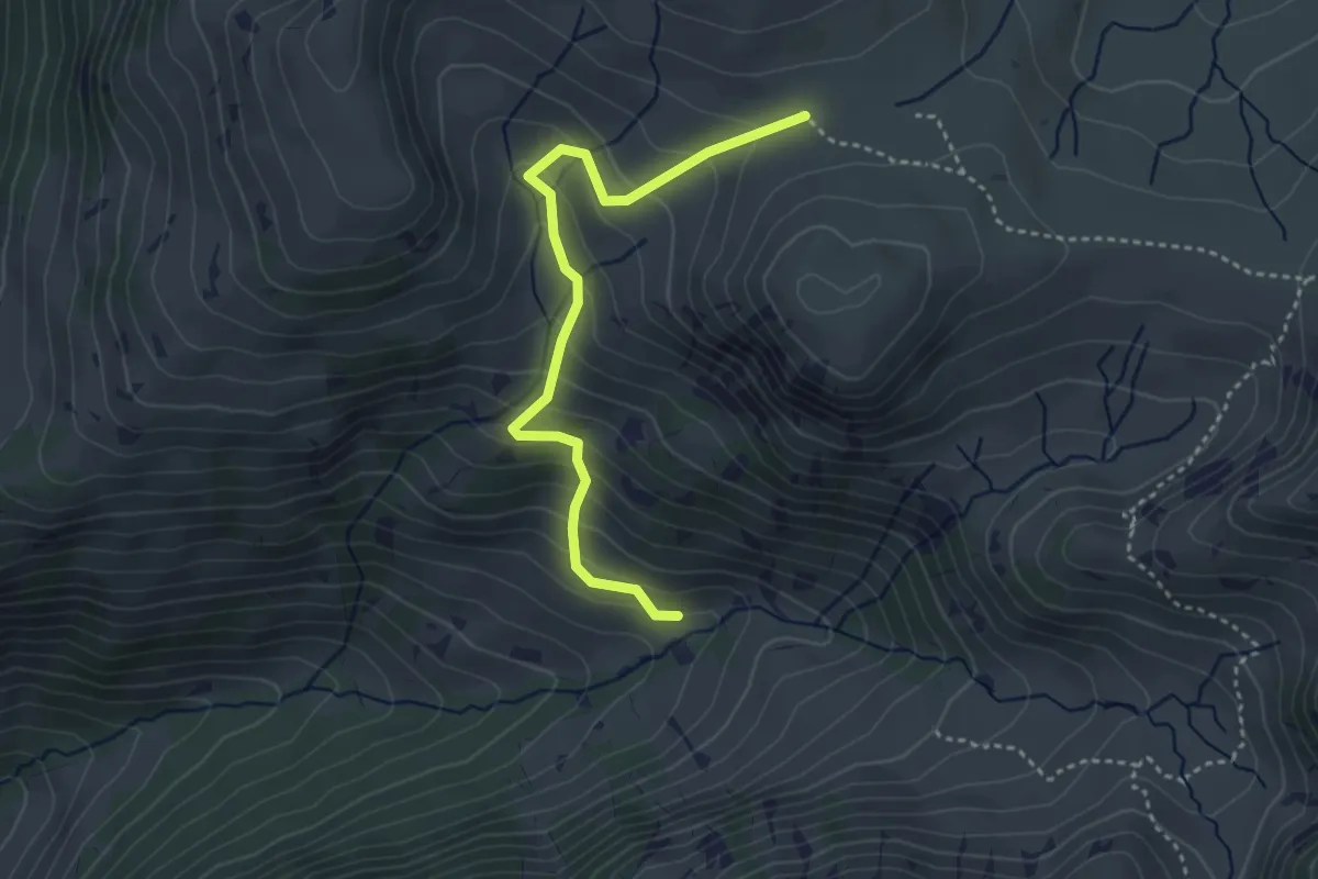
Easy · Trail
Unders Muntigli – Meieberg
3.6 km · ↑ 291 m · 1 h 30 min
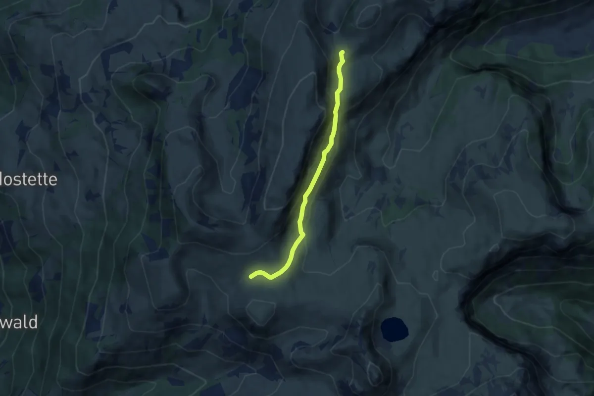
Easy · Trail
Gestellenpass – Urscher
5.8 km · ↑ 249 m · 1 h 54 min
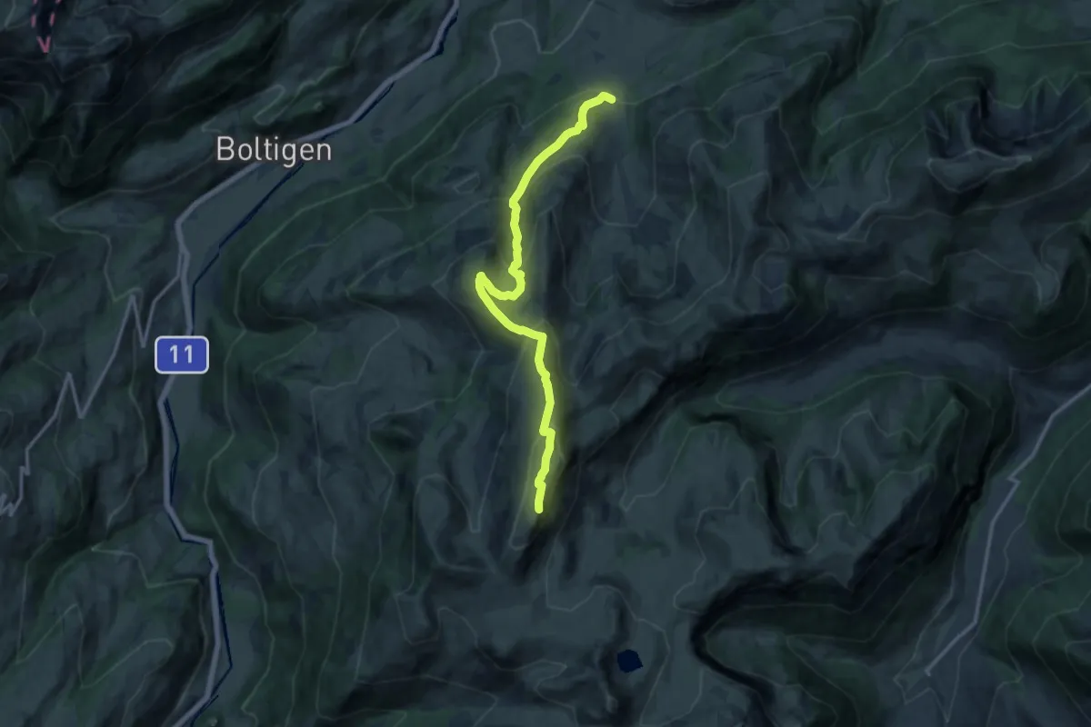
Demanding · Summit
Luegle – Cholermoos
13.5 km · ↑ 862 m · 5 h 3 min
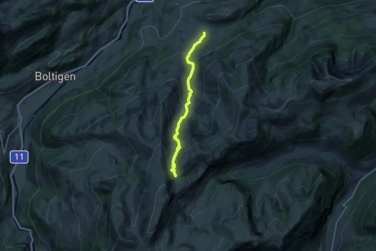
Demanding · Trail
Rossberg – Urscher
10.6 km · ↑ 715 m · 4 h 4 min
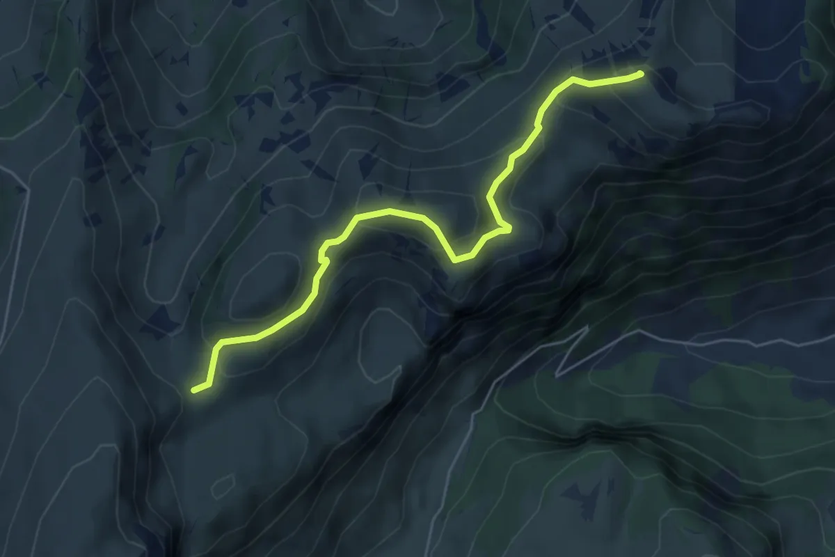
Medium · Summit
Urscher – Ramsli
5.4 km · ↑ 288 m · 1 h 54 min
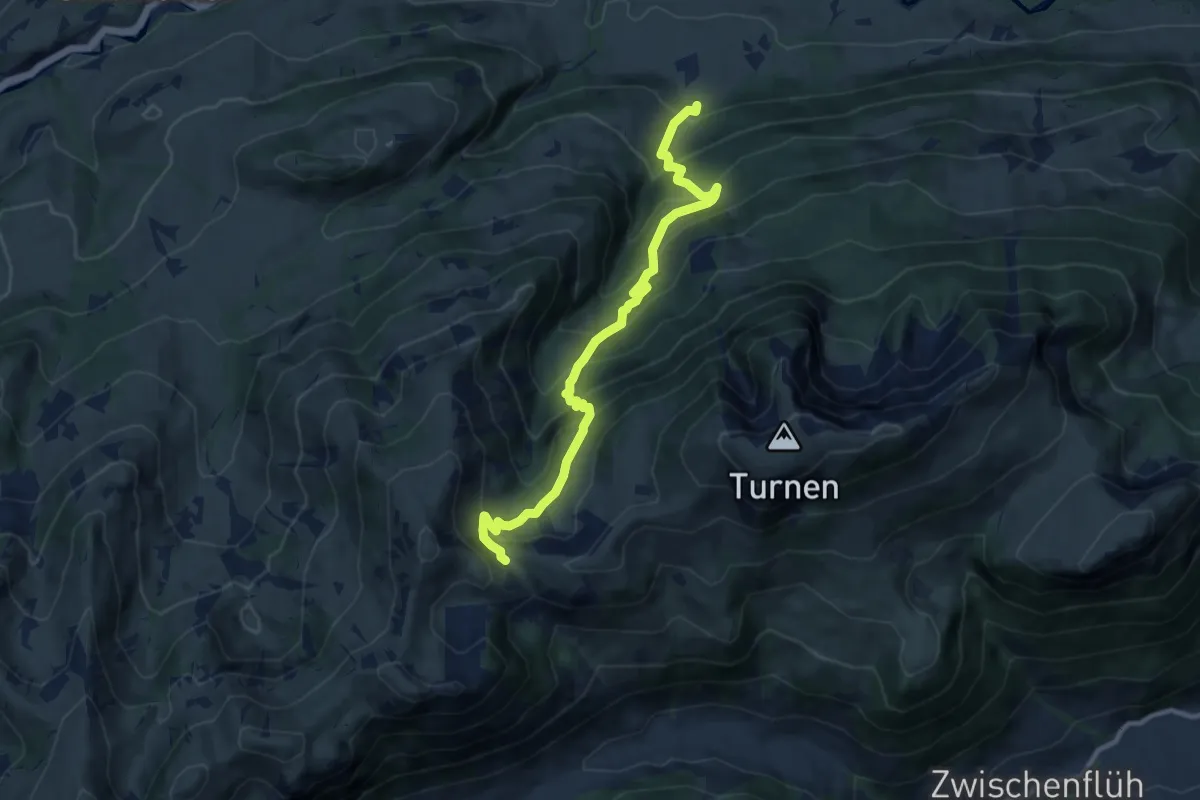
Demanding · Trail
Zur Obern – Ramsli
10.3 km · ↑ 937 m · 4 h 27 min
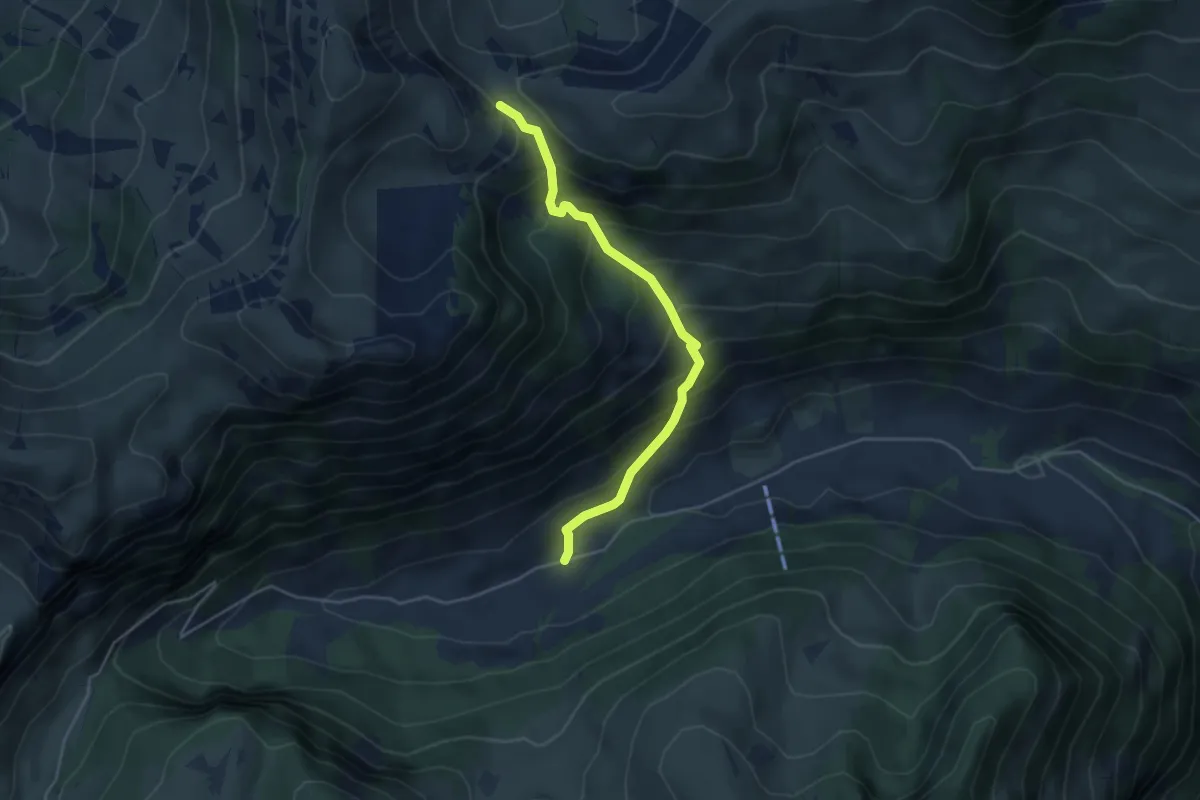
Medium · Trail
Meniggrund – Ramsli
4.3 km · ↑ 433 m · 1 h 57 min
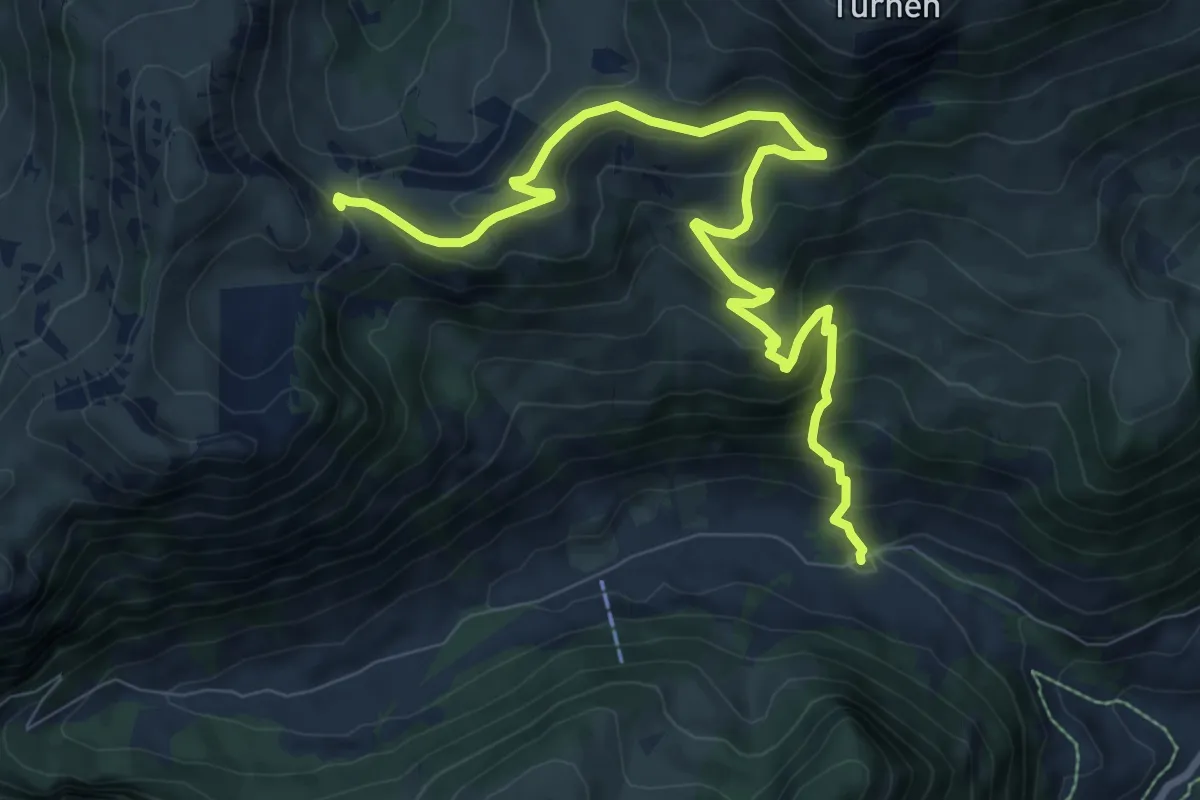
Medium · Trail
Schwand – Ramsli
10.4 km · ↑ 696 m · 3 h 58 min
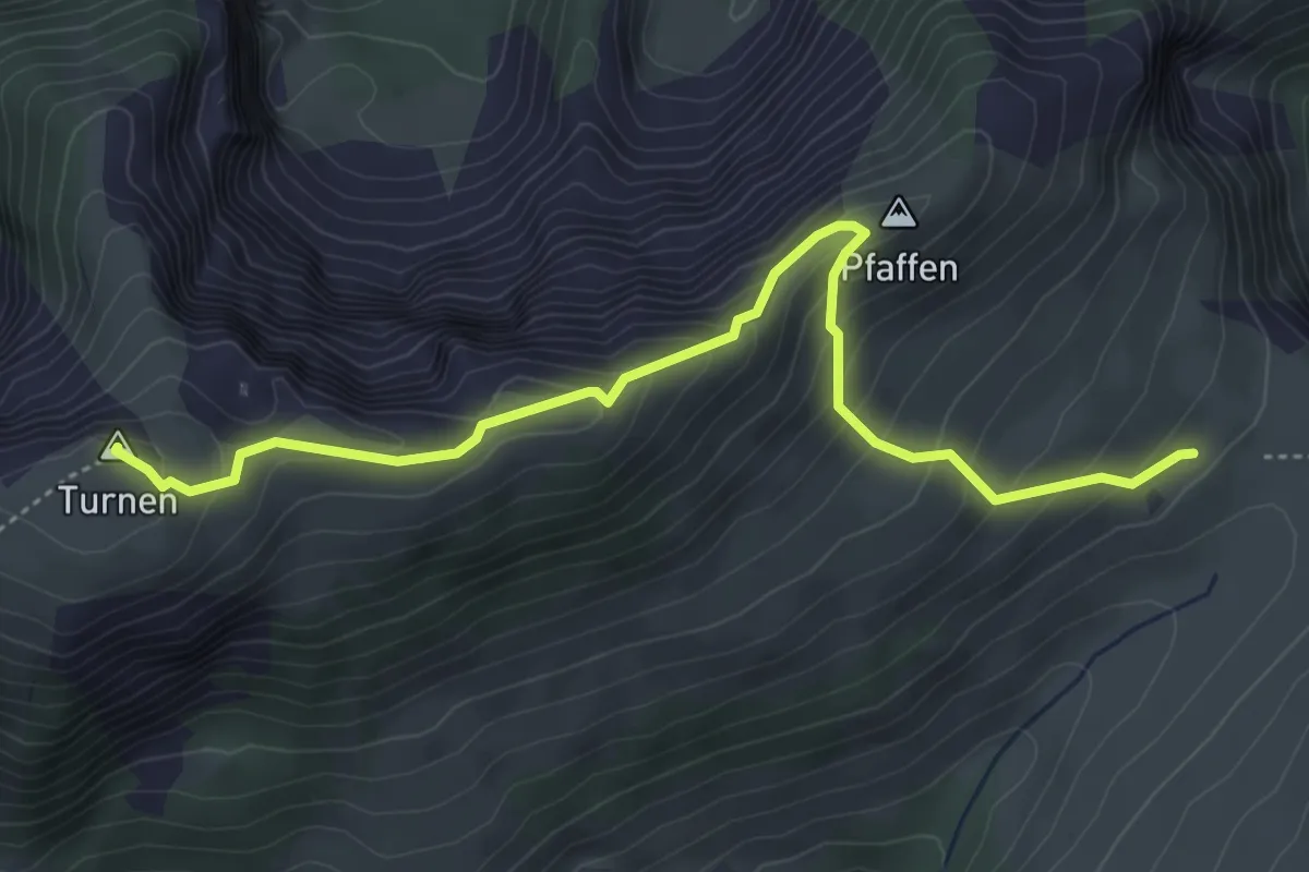
Medium · Summit
Hintertärfeten – Rinderalp
4.9 km · ↑ 334 m · 1 h 53 min
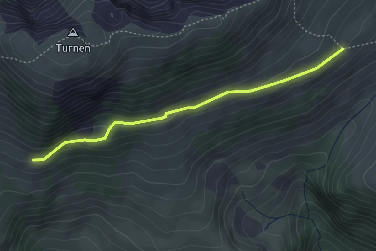
Easy · Trail
Rinderalp – Vordertärfeten
3.7 km · ↑ 126 m · 1 h 9 min
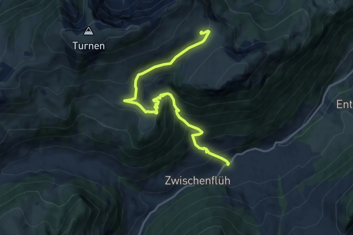
Medium · Cabin
Zwischenflüeh – Rinderalp
10.7 km · ↑ 738 m · 4 h 8 min
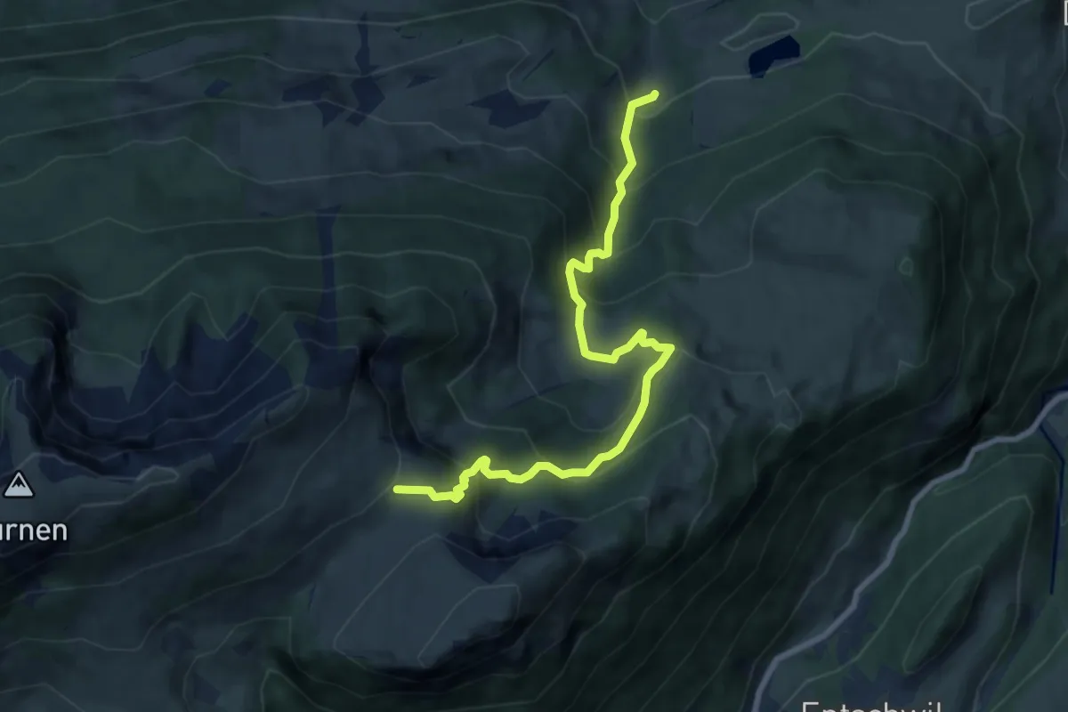
Medium · Cabin
Ägelsee – Rinderalp
8.5 km · ↑ 726 m · 3 h 35 min
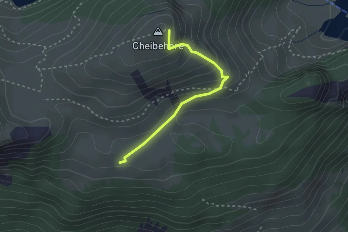
Easy · Summit
Vorderstocken – Cheibehor
2.2 km · ↑ 182 m · 54 min
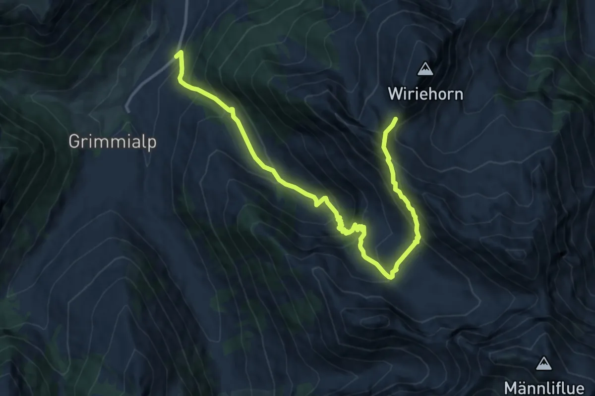
Demanding · Trail
Schlatti – Gurbssattel
12.9 km · ↑ 1070 m · 5 h 23 min
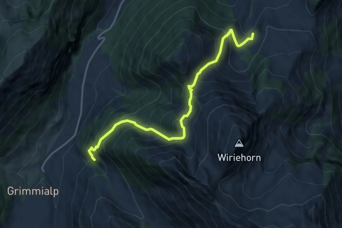
Demanding · Trail
Gurbsbach – Underi Heitere
10.0 km · ↑ 983 m · 4 h 30 min
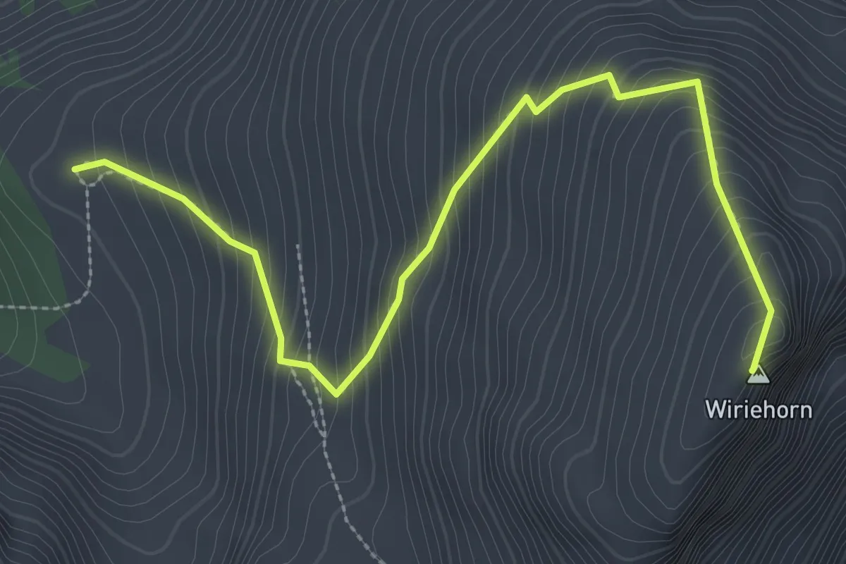
Medium · Summit
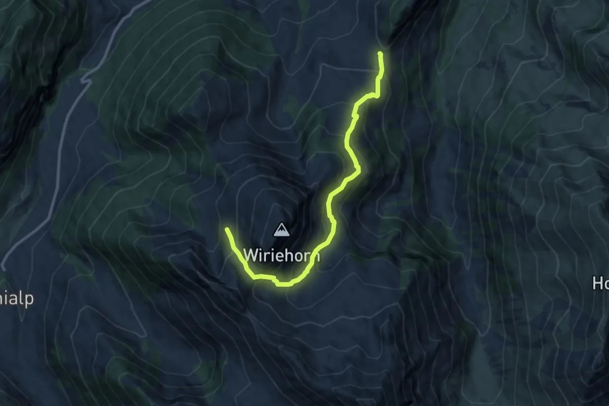
Wirie – Wiriehorn
3.4 km · ↑ 446 m · 1 h 46 min
Medium · Trail
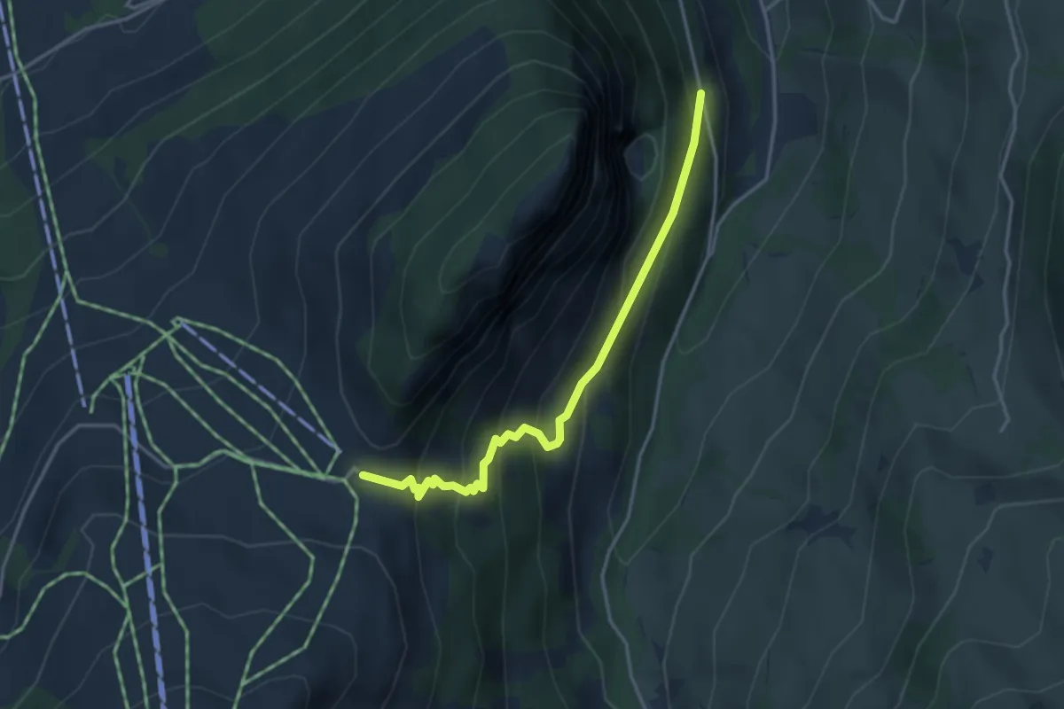
Wirie – Schwarzeberg
9.1 km · ↑ 708 m · 3 h 41 min
Easy · Trail
Underbergwald – Schwarzeberg
3.5 km · ↑ 312 m · 1 h 31 min
Easy · Summit
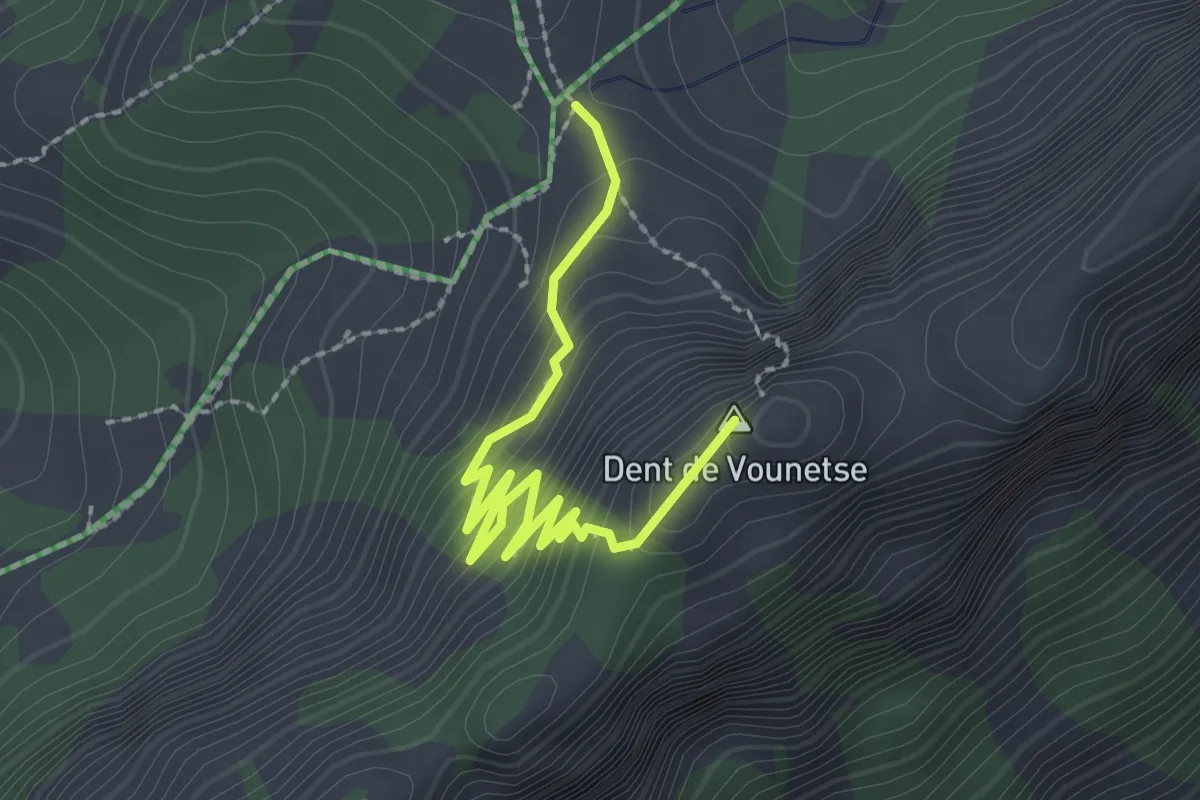
Vounetse – Dent du Vounetse
2.5 km · ↑ 210 m · 1 h 3 min
Medium · Trail
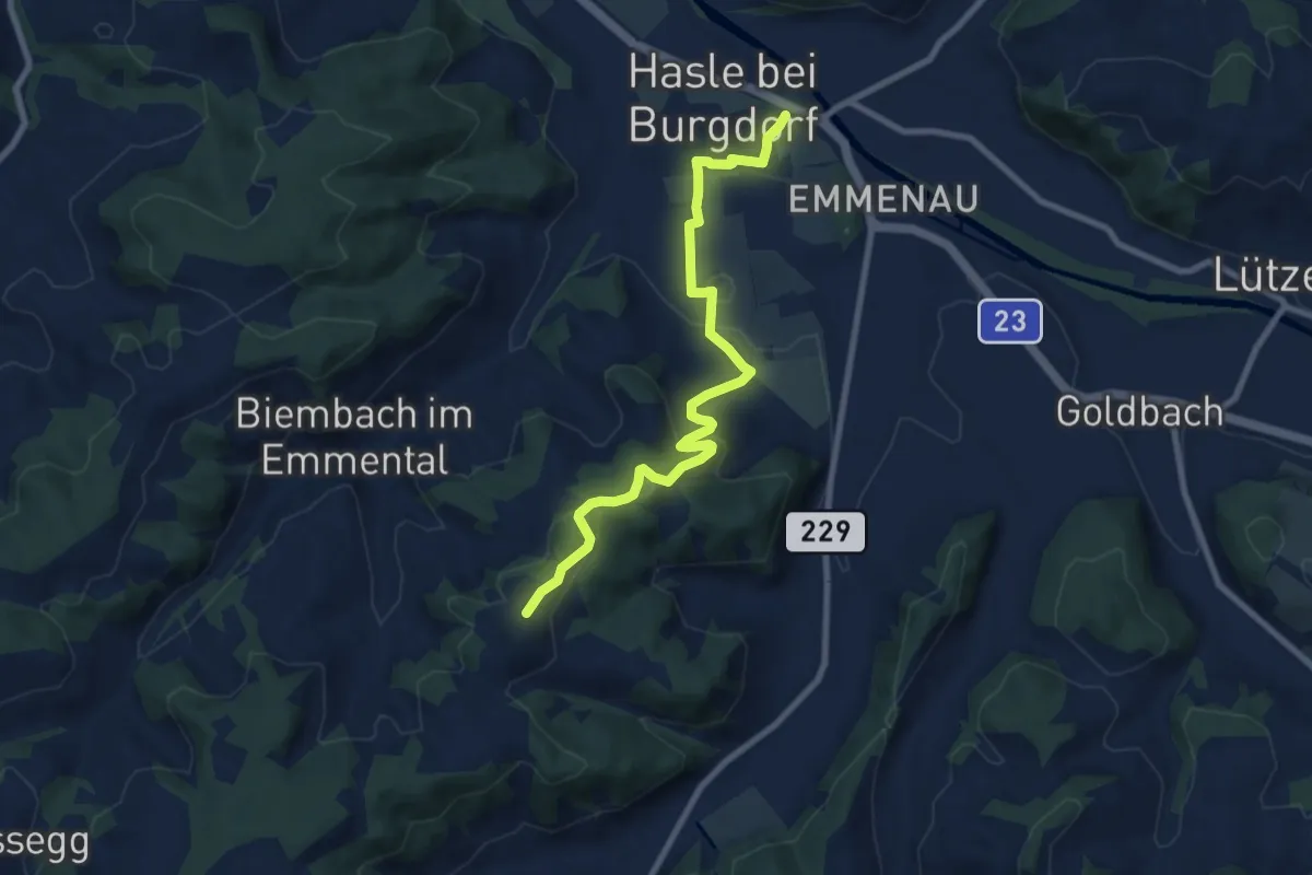
Schwand – Hasle-Rüegsau
8.7 km · ↑ 268 m · 2 h 38 min
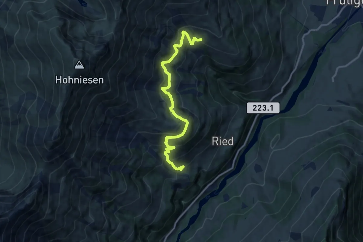
Medium · Trail
Ried – Mäggissere
8.9 km · ↑ 741 m · 3 h 42 min
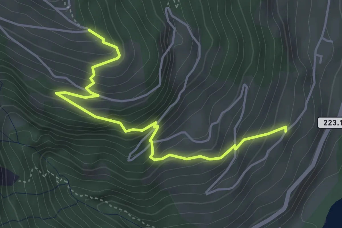
Medium · Trail
Prasten – Eggweid
4.3 km · ↑ 471 m · 2 h 3 min
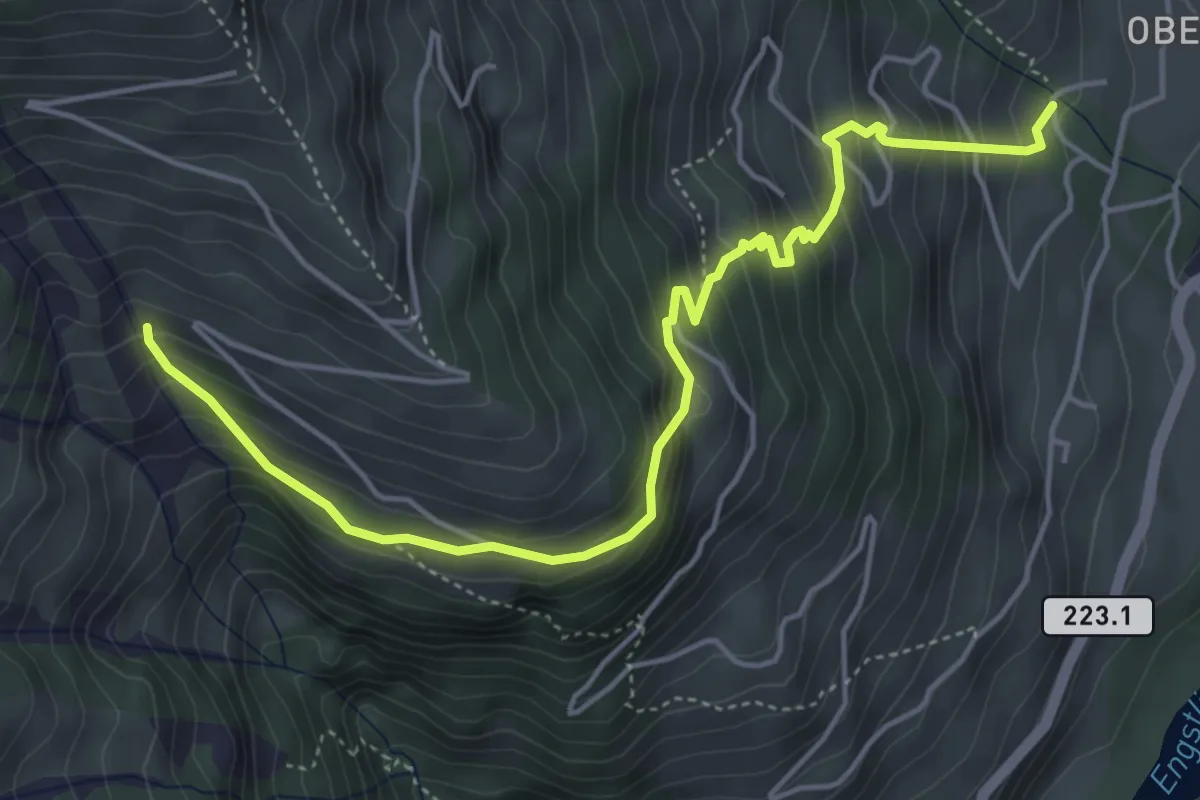
Medium · Trail
Oberfeld – Mäggissere
5.5 km · ↑ 507 m · 2 h 24 min
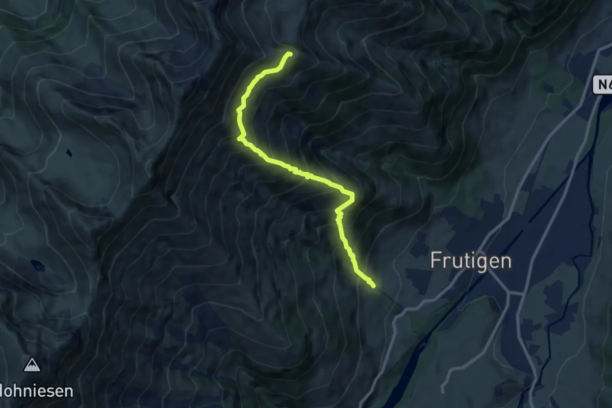
Demanding · Trail
Oberfeld – Gunggstand
8.0 km · ↑ 1093 m · 4 h 16 min
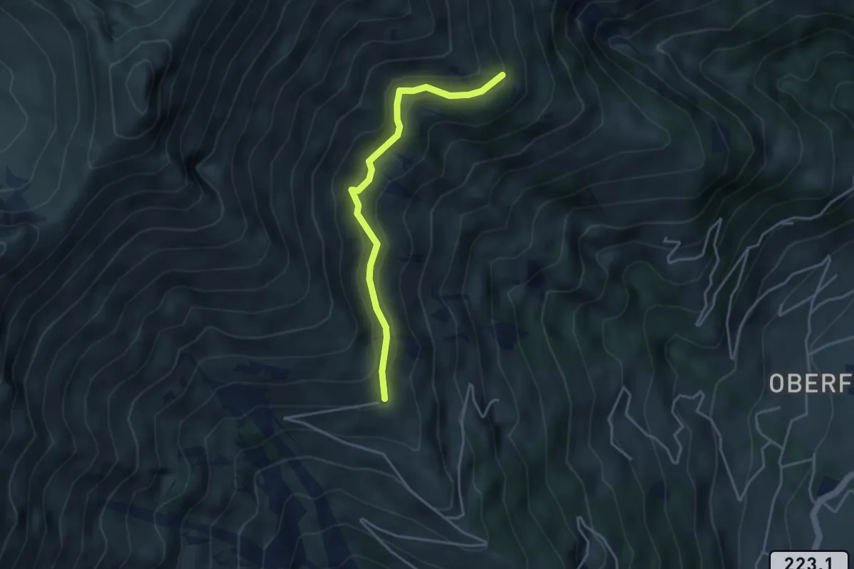
Easy · Trail
Zismasegg – Mäggisserenegg
3.5 km · ↑ 219 m · 1 h 19 min
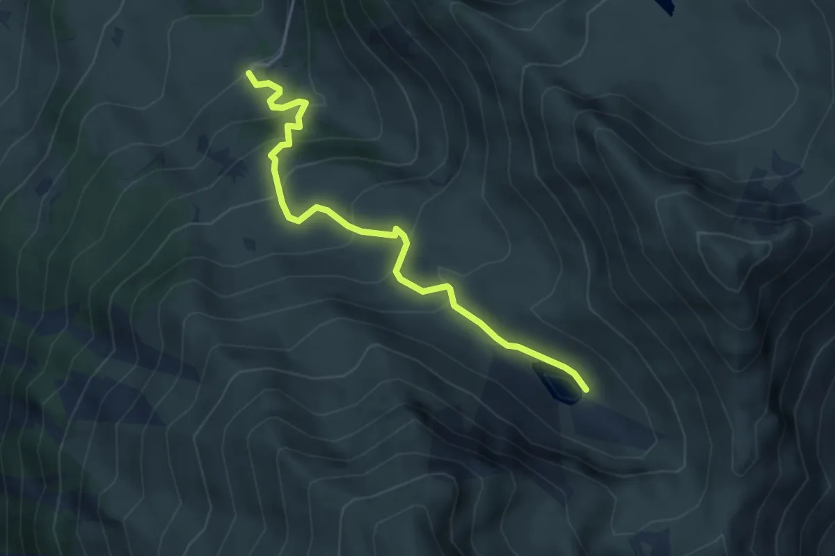
Easy · Trail
Undermeiefall – Meiefallseeli
4.1 km · ↑ 312 m · 1 h 39 min
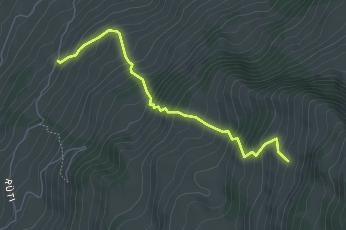
Medium · Trail
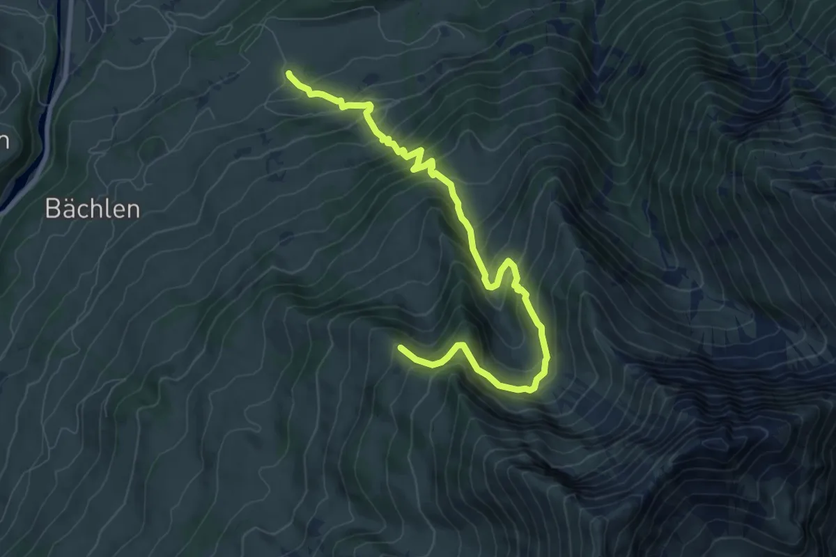
Bächlen – Neuenstift
4.7 km · ↑ 580 m · 2 h 22 min
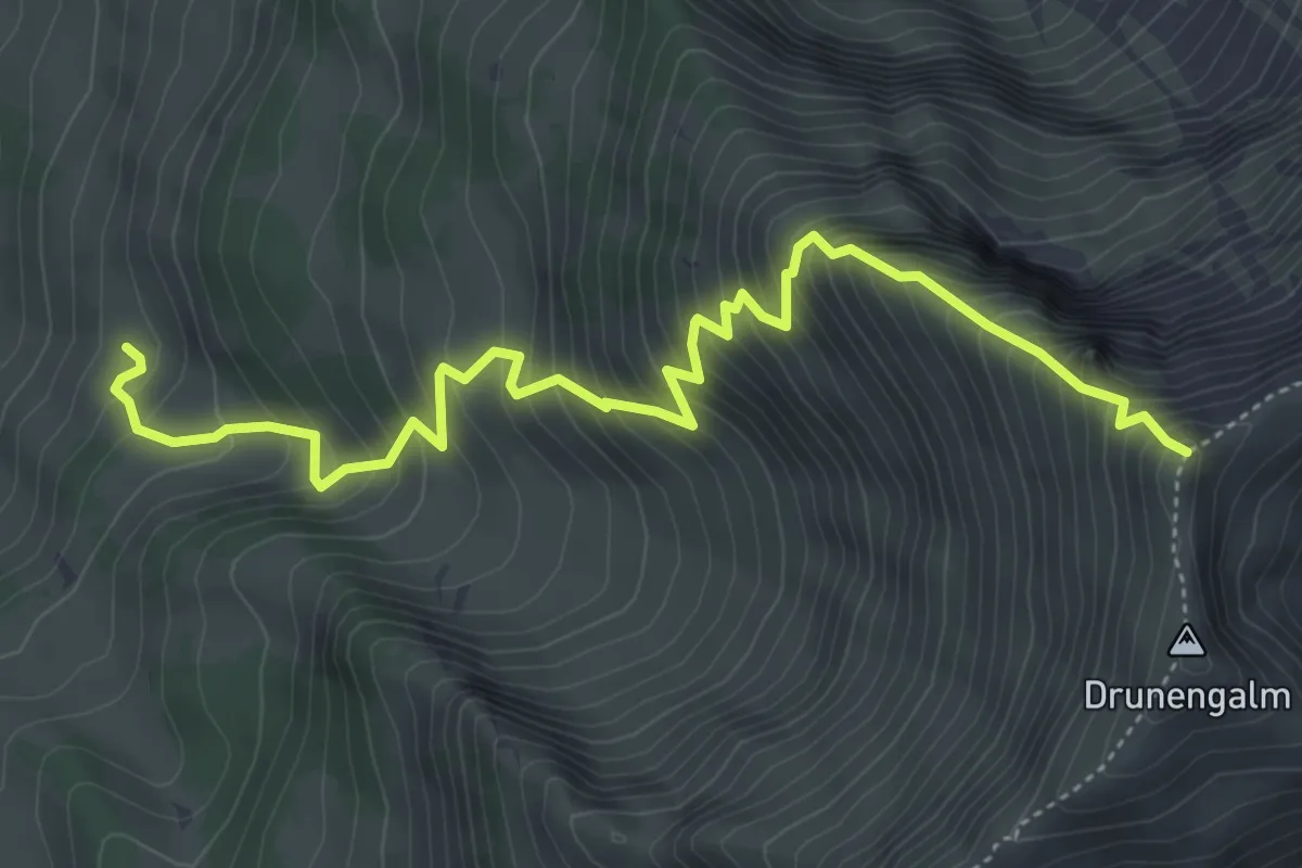
Demanding · Trail
Undere Drune – Drunegalm
5.7 km · ↑ 819 m · 3 h 8 min
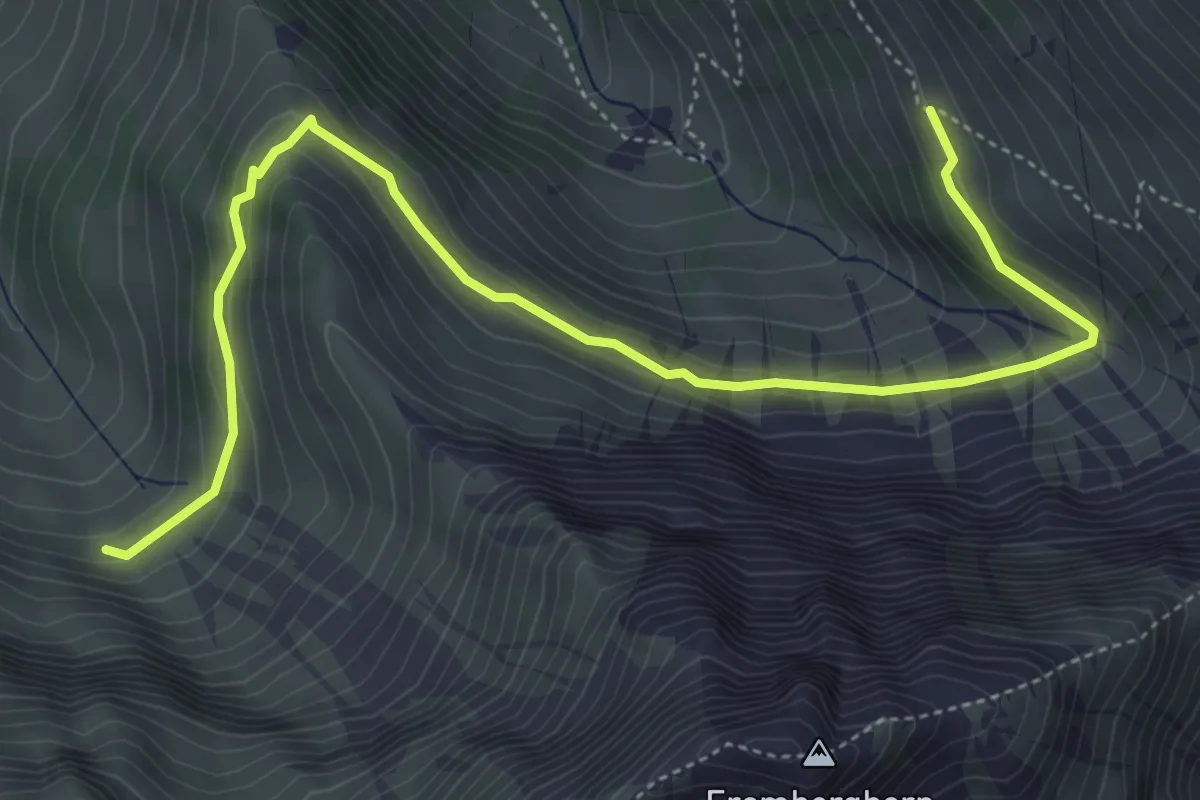
Demanding · Trail
Zäunegg – Hoschüpfe
9.1 km · ↑ 1002 m · 4 h 20 min
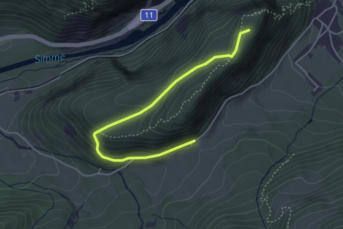
Medium · Trail
Geeri – Obere Stalde
5.9 km · ↑ 341 m · 2 h 8 min
Demanding · Summit
Wimmis – Burgfluh
3.9 km · ↑ 208 m · 1 h 23 min
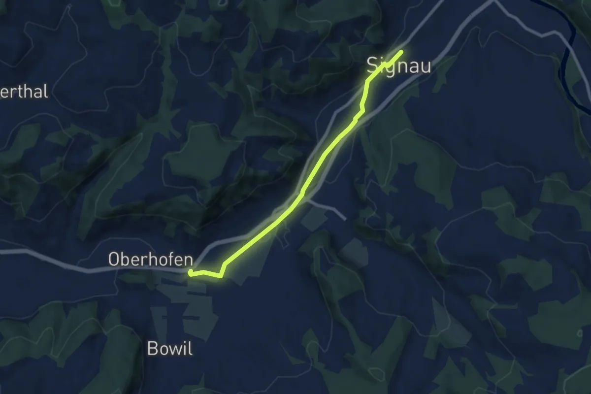
Easy · Trail
Signau – Bowil
6.8 km · ↑ 46 m · 1 h 42 min
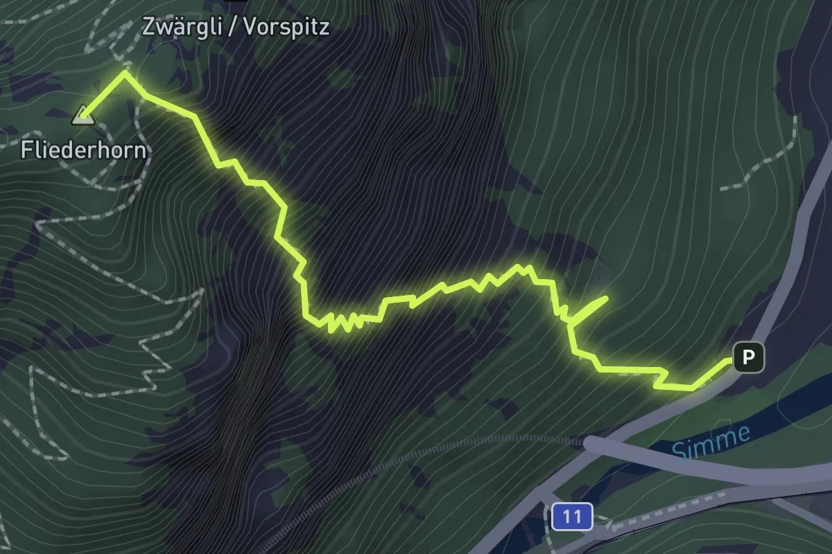
Expert · Summit
Brodhüsi – Sunnighorn
2.6 km · ↑ 694 m · 2 h 7 min
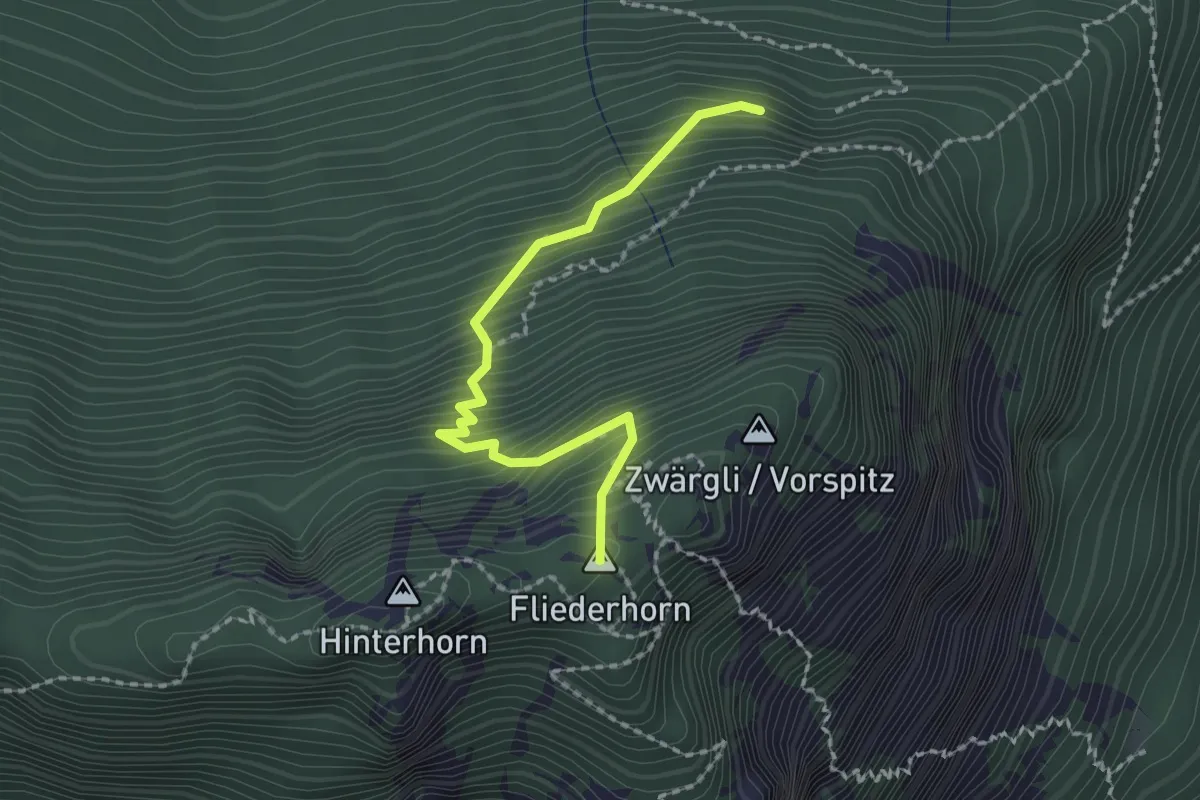
Medium · Summit
Schattigwald – Sunnighorn
2.0 km · ↑ 354 m · 1 h 14 min
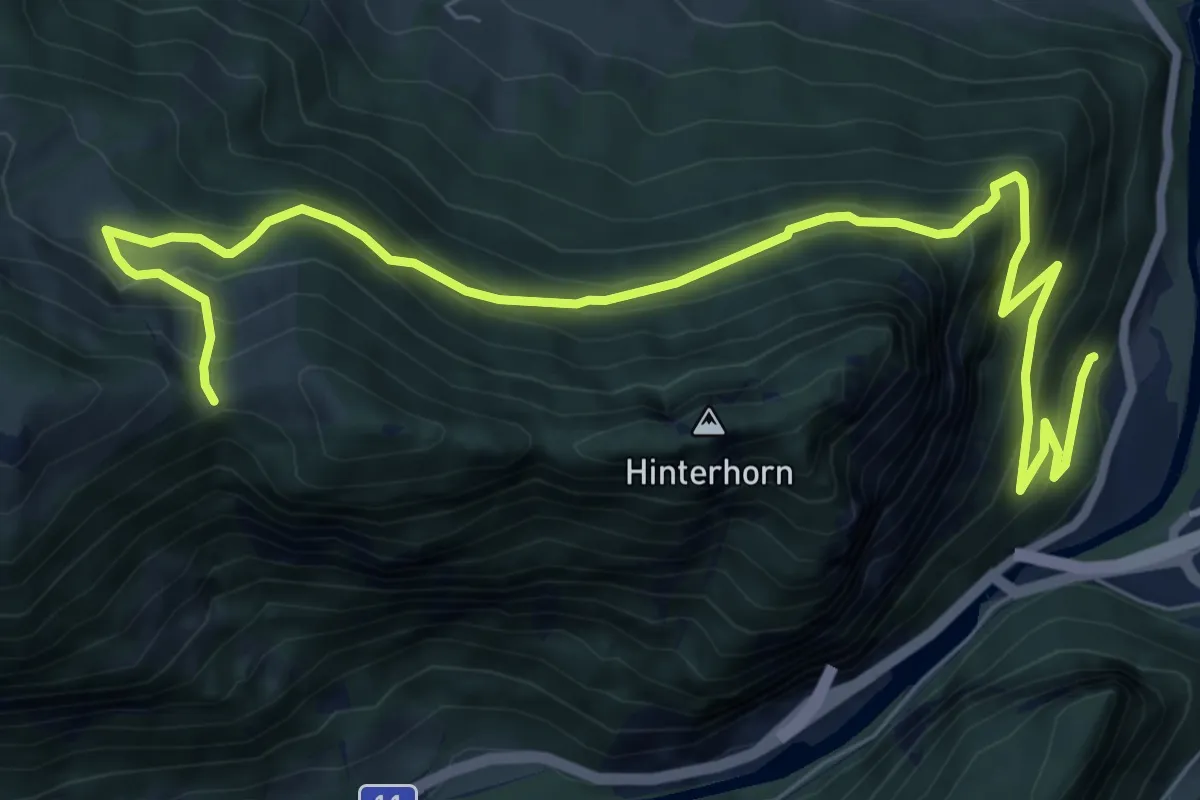
Demanding · Trail
Brodhüsi – Chrindi
10.0 km · ↑ 861 m · 4 h 13 min
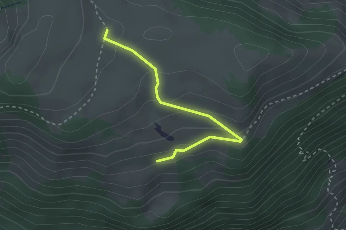
Easy · Trail
Unteres Heiti – Oberes Heiti
2.3 km · ↑ 126 m · 48 min
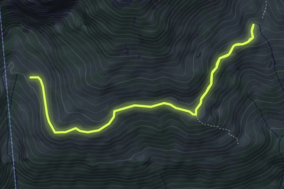
Medium · Trail
Oberchlusi – Spitelnacki
7.1 km · ↑ 368 m · 2 h 28 min
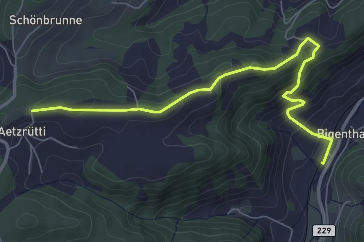
Easy · Trail
Ätzrüti – Bigenthal
6.1 km · ↑ 315 m · 2 h 8 min
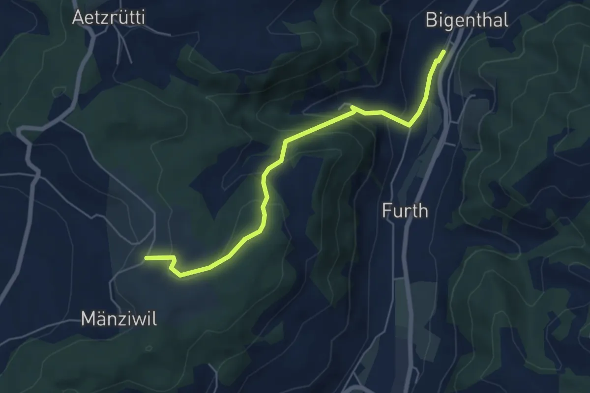
Easy · Trail
Mänziwilegg – Bigenthal
5.1 km · ↑ 278 m · 1 h 48 min
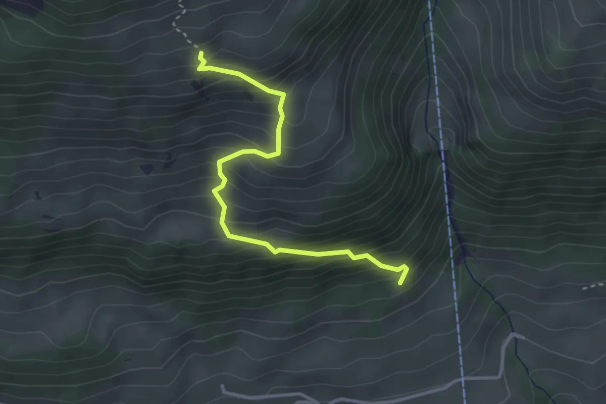
Medium · Trail
Salacher – Ufem Hus
3.2 km · ↑ 415 m · 1 h 39 min