Trails in Switzerland
15,055 hiking trails, each with its route, climb, walking time and grade.
All trails, page 182 of 314
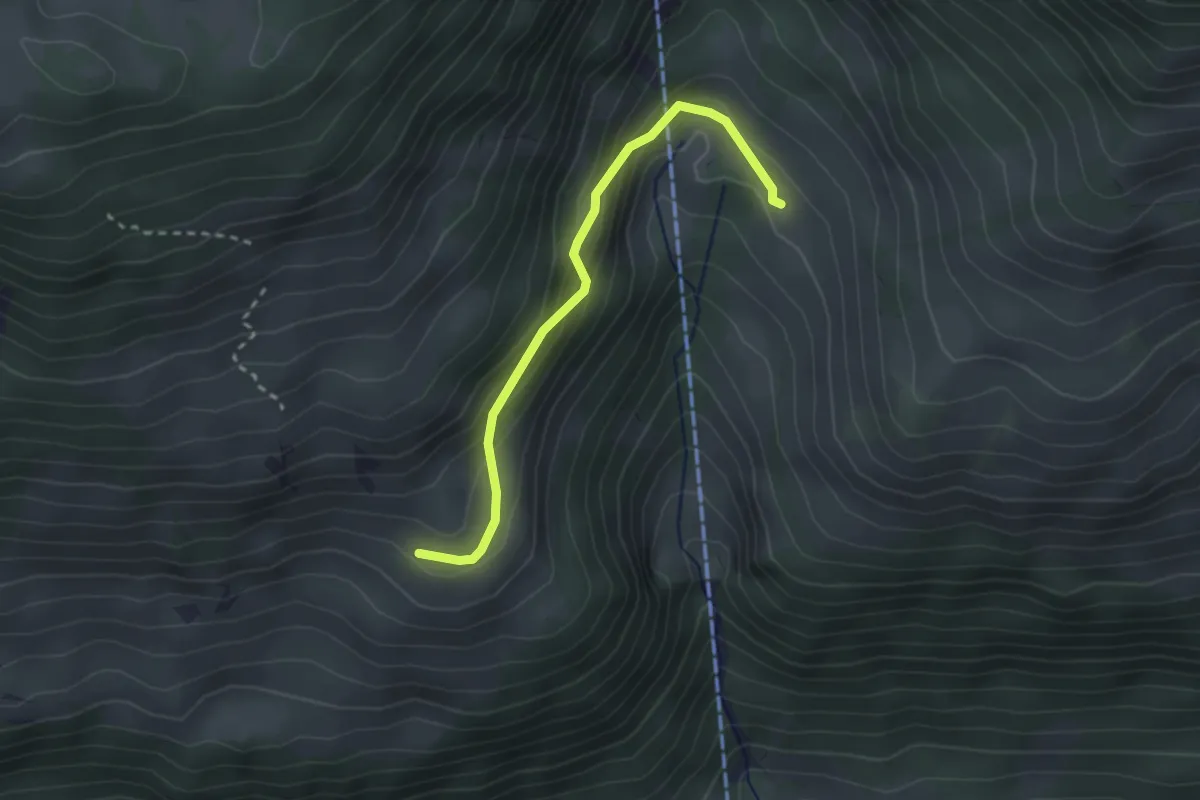
Easy · Trail
Rosenegg – Ober Klusi
2.5 km · ↑ 161 m · 57 min
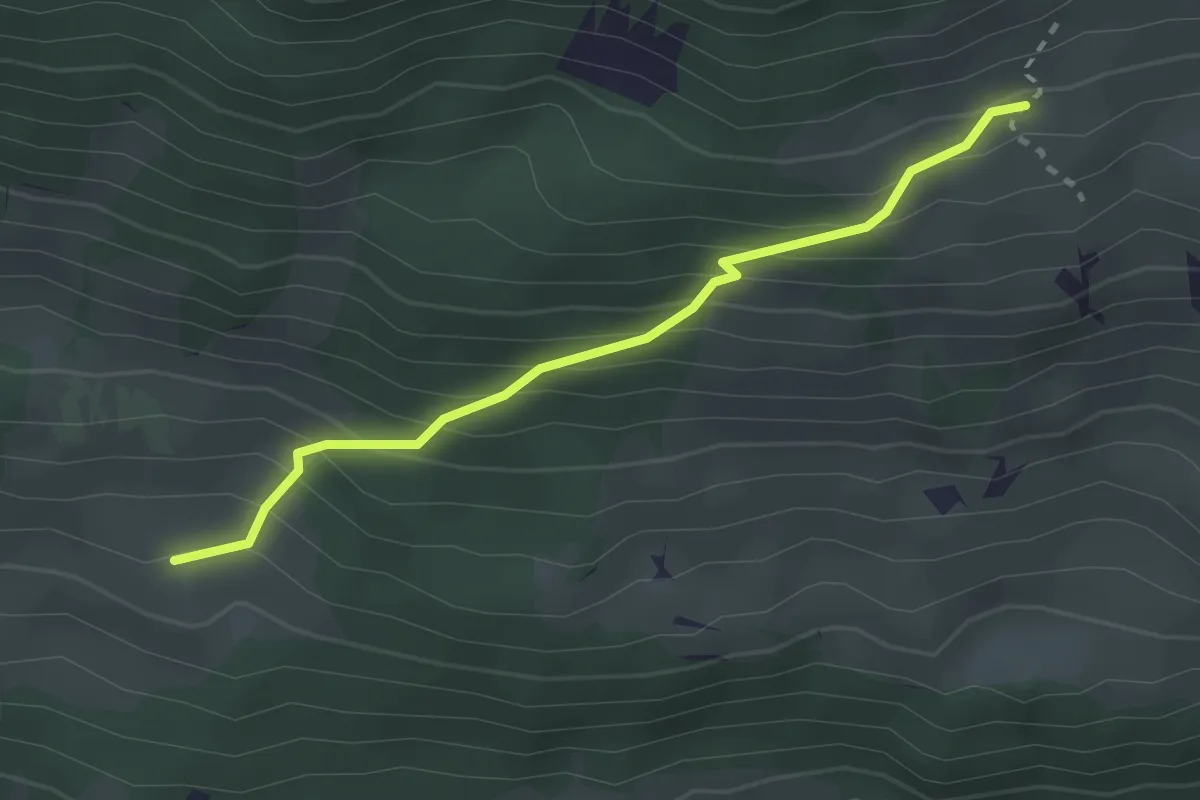
Easy · Trail
Schopf – Ufem Hus
2.5 km · ↑ 285 m · 1 h 12 min
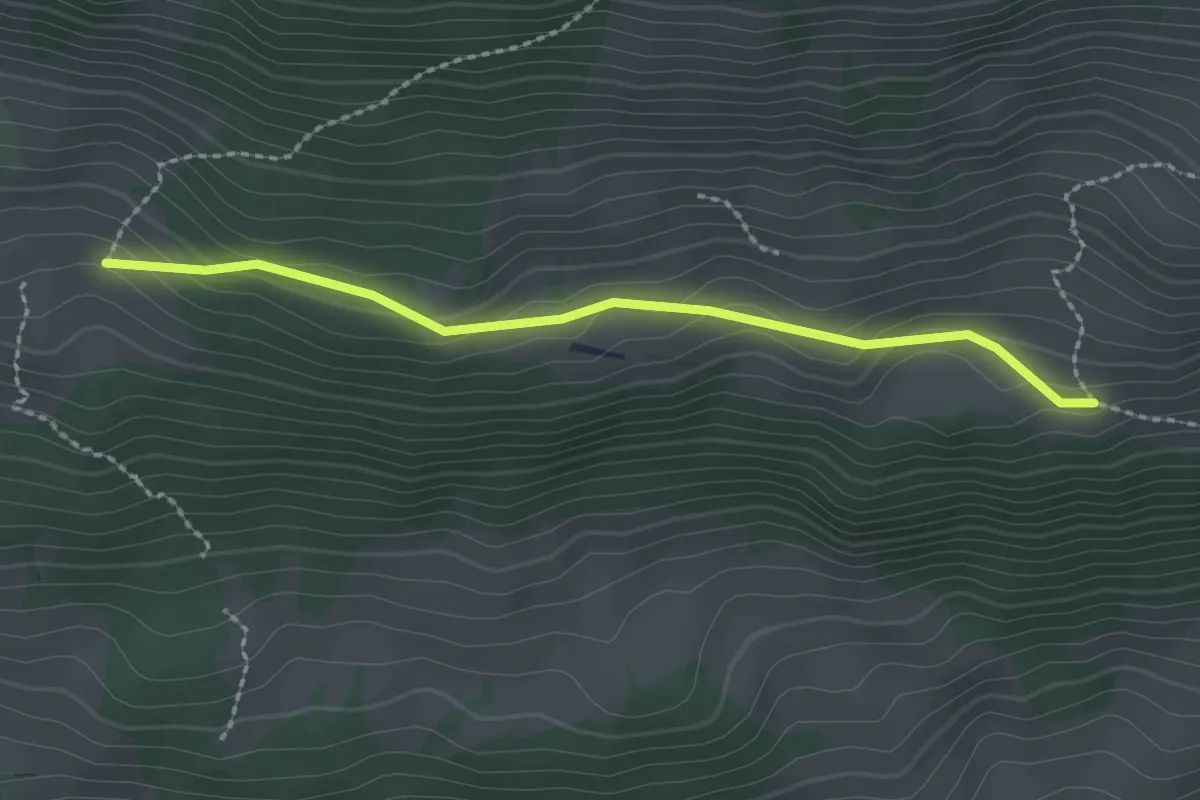
Easy · Trail
Schopf – Allmereweide
2.2 km · ↑ 95 m · 44 min
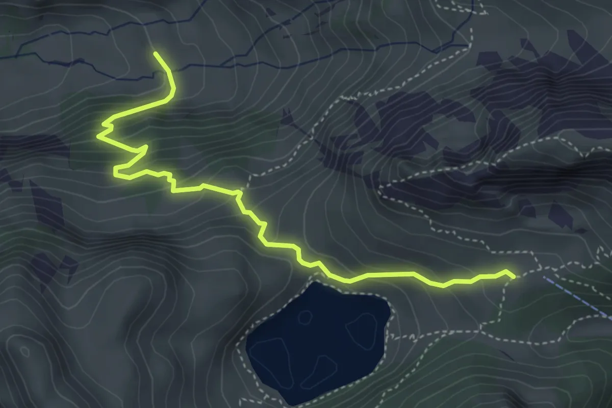
Demanding · Trail
Oberstackenalp – Unterwalalp
4.6 km · ↑ 385 m · 1 h 56 min
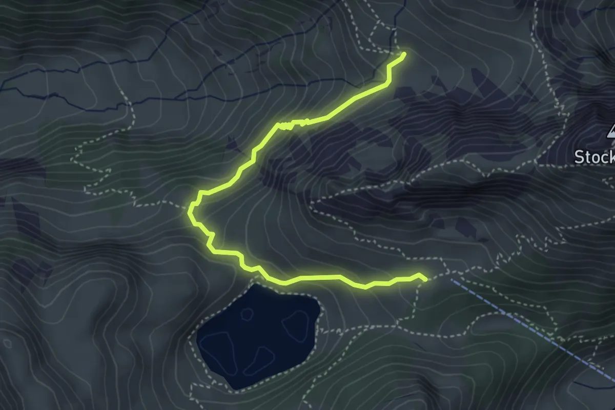
Demanding · Trail
Obere Walalp – Oberstockenalp
4.5 km · ↑ 337 m · 1 h 47 min
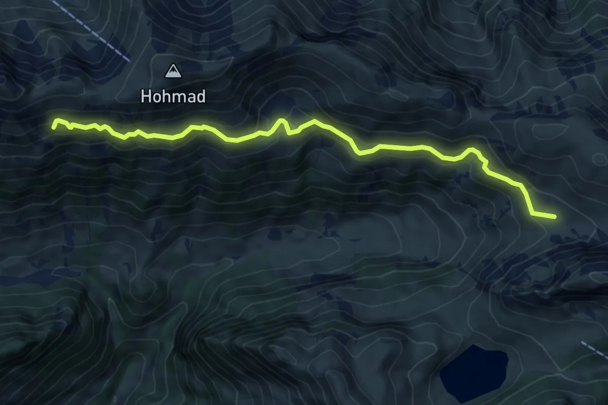
Medium · Trail
Obere Walalp – Schiterwang
8.0 km · ↑ 441 m · 2 h 50 min
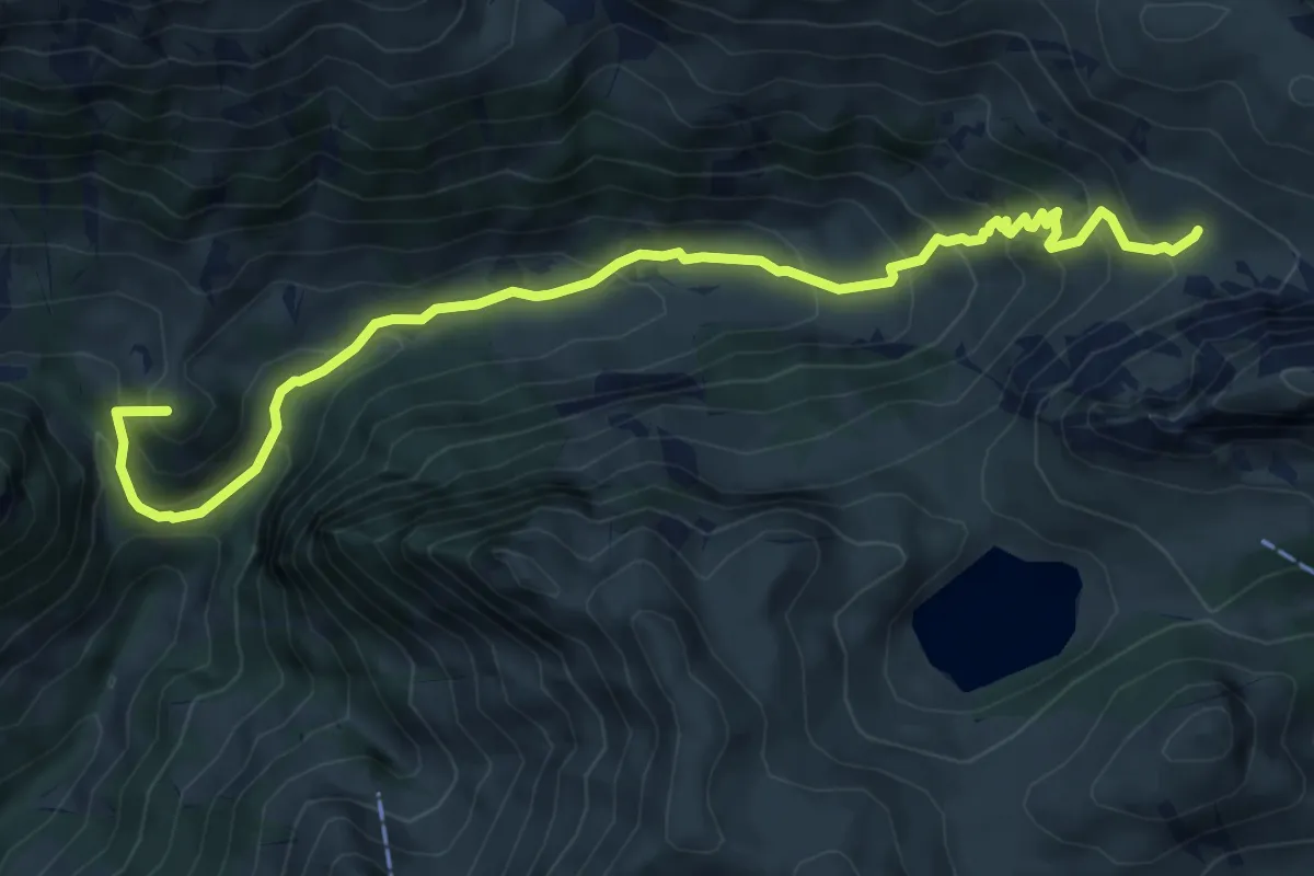
Medium · Summit
Obere Walalp – Leiterepass
8.2 km · ↑ 646 m · 3 h 20 min
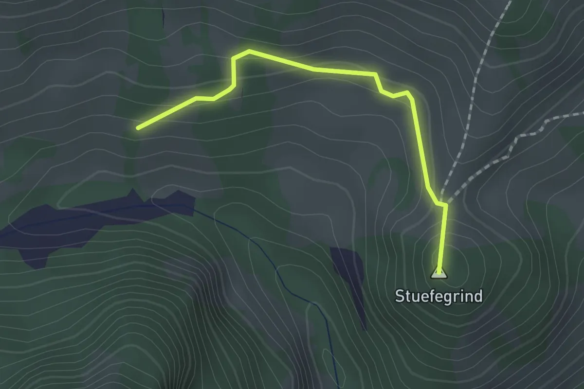
Easy · Summit
Bergli – Zügegg
1.6 km · ↑ 61 m · 31 min
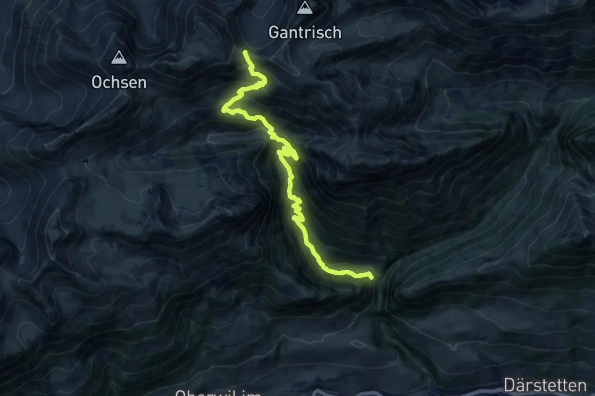
Demanding · Trail
Leiterenweidenli – Morgetepass
12.2 km · ↑ 1120 m · 5 h 19 min
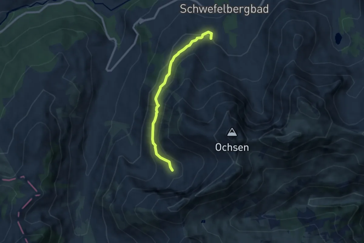
Medium · Summit
Schwefelbergbad – Oberalpiglen Hütte
5.6 km · ↑ 325 m · 2 h 1 min
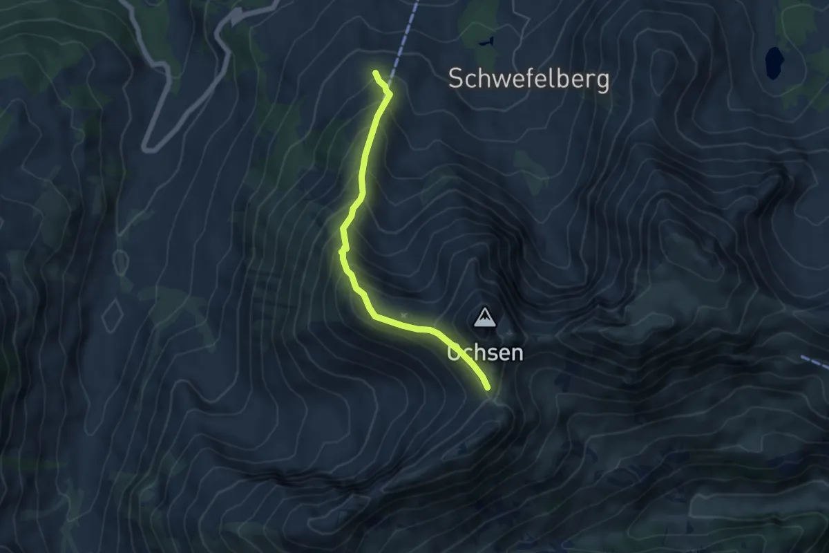
Medium · Trail
Chanzel – Alpiglegalm
4.7 km · ↑ 520 m · 2 h 14 min
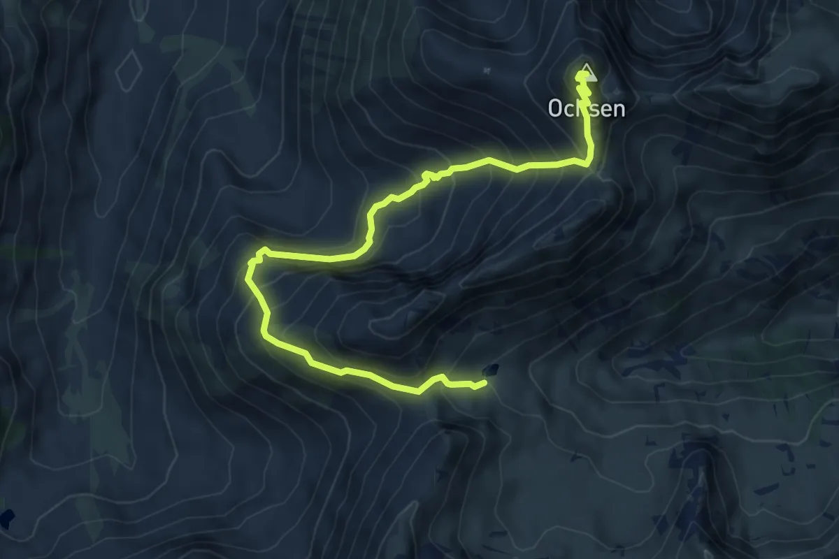
Demanding · Summit
Ochsen – Schattigseeli
7.9 km · ↑ 847 m · 3 h 42 min
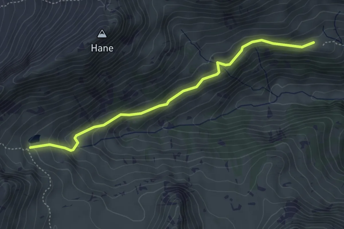
Medium · Trail
Schattigseeli – Mittlist Morgeten
4.6 km · ↑ 268 m · 1 h 40 min
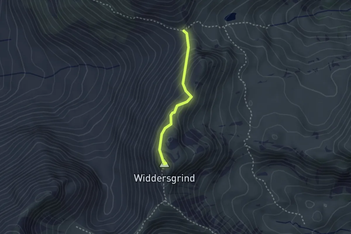
Easy · Summit
Grenchegalm – Widdersdgrind
2.2 km · ↑ 175 m · 54 min
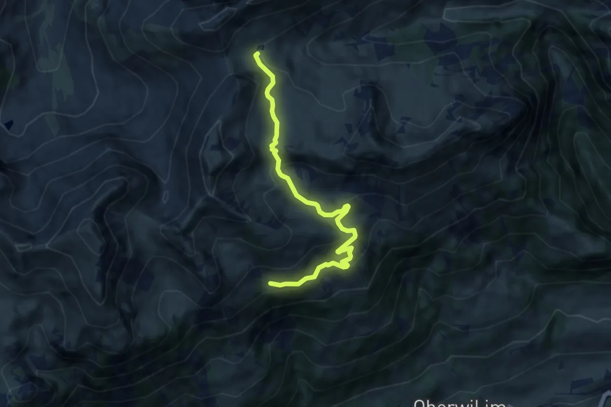
Medium · Trail
Schwaderei – Schattigseeli
7.6 km · ↑ 368 m · 2 h 36 min
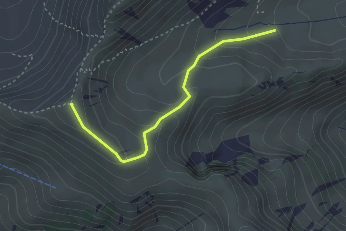
Easy · Summit
Schibenspitz – Kessel
2.7 km · ↑ 199 m · 1 h 4 min
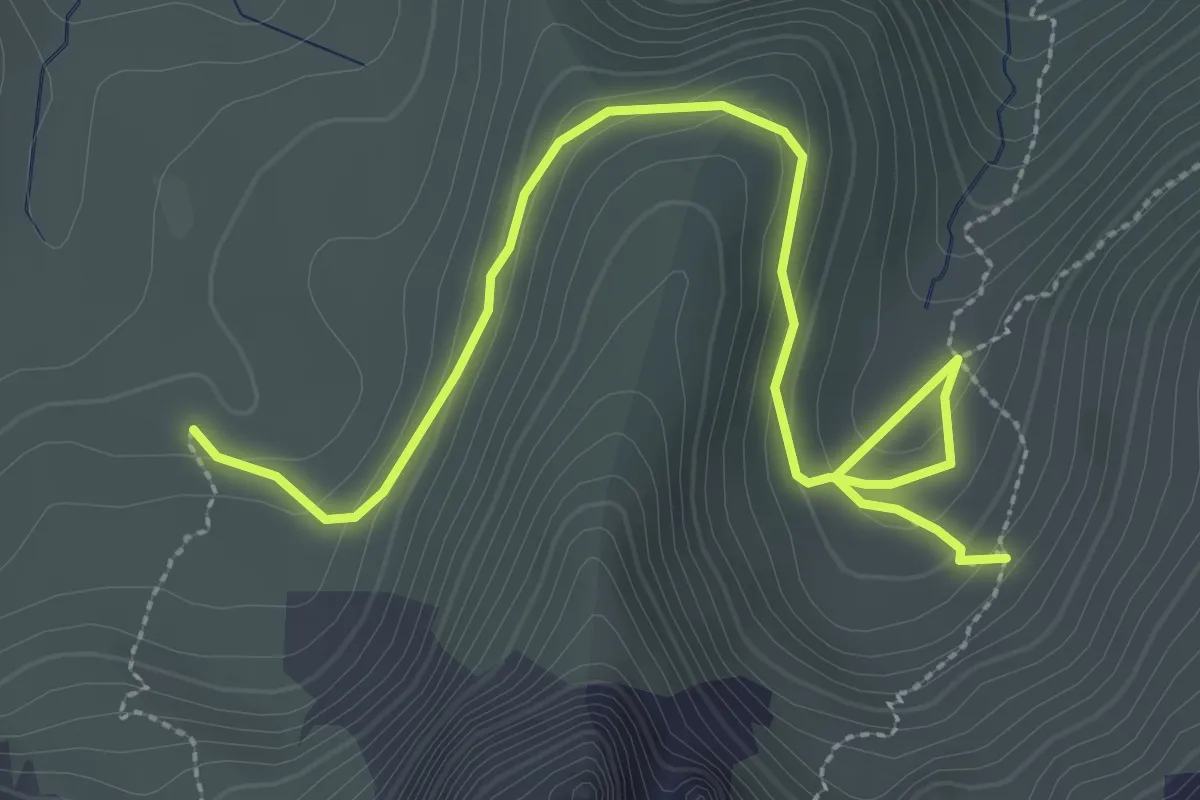
Medium · Trail
Obernünene – Gustiberg
3.7 km · ↑ 155 m · 1 h 12 min
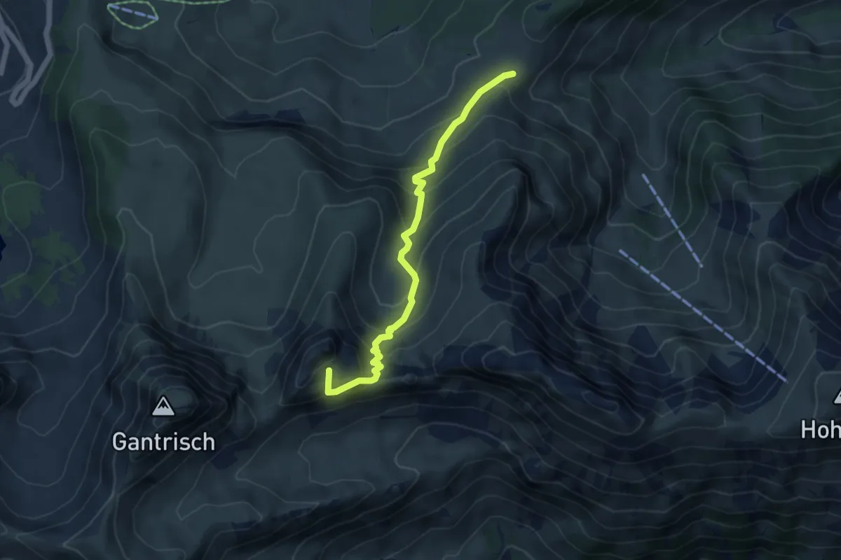
Medium · Summit
Kirsigraben – Leiterenpass
4.8 km · ↑ 449 m · 2 h 7 min
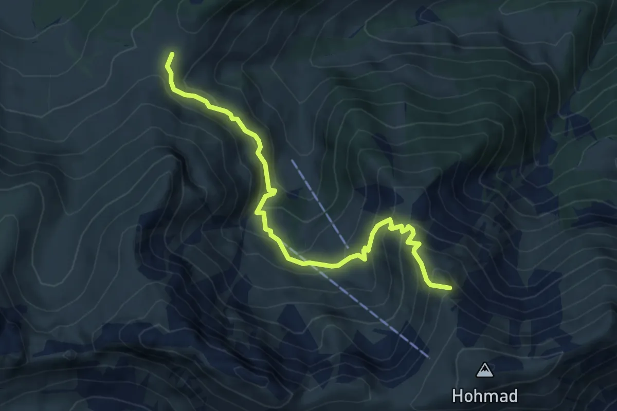
Demanding · Summit
Alp Oberwirtneren – Homadsattel
5.8 km · ↑ 509 m · 2 h 28 min
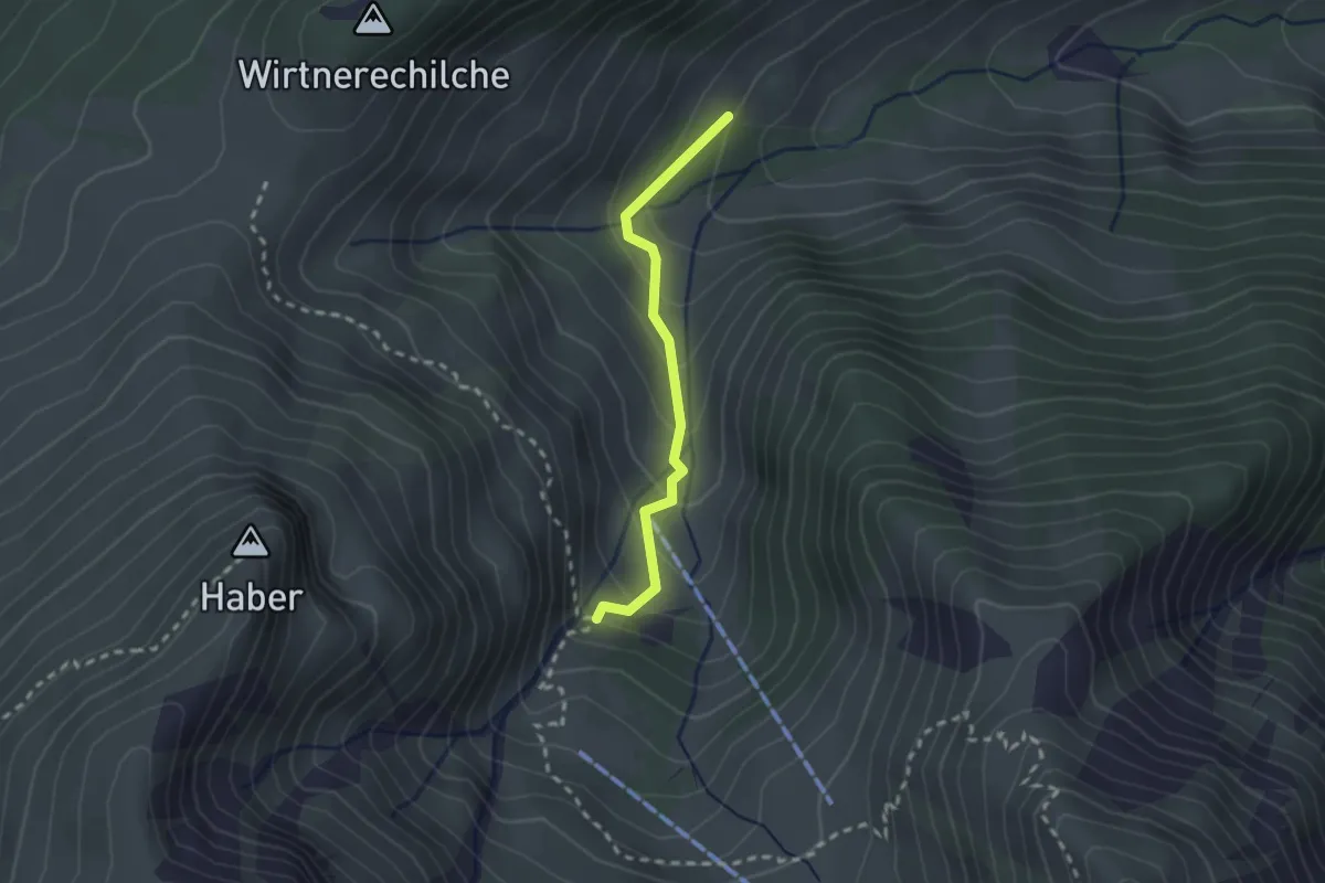
Easy · Trail
Alp Langenegg – Alp Blattenheid
2.0 km · ↑ 169 m · 51 min
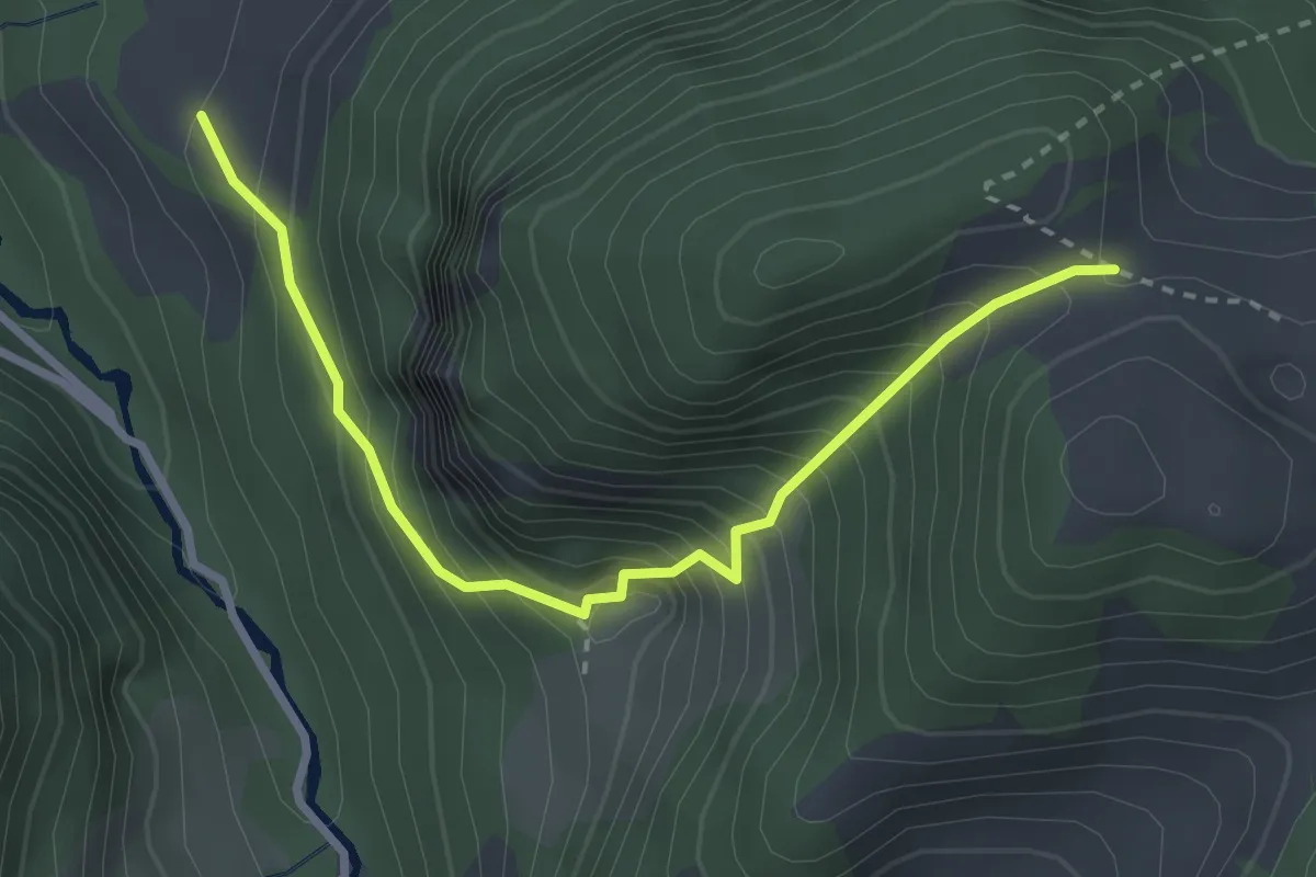
Demanding · Trail
Valée du Motélon – Les Plans
3.1 km · ↑ 420 m · 1 h 39 min
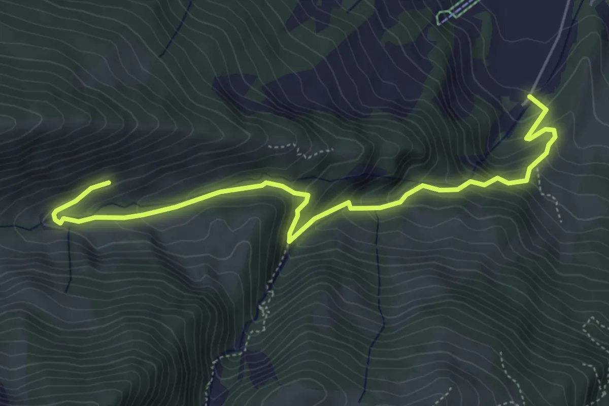
Medium · Trail
Alp Langenegg – Blumenstein/Kirche
6.2 km · ↑ 467 m · 2 h 28 min
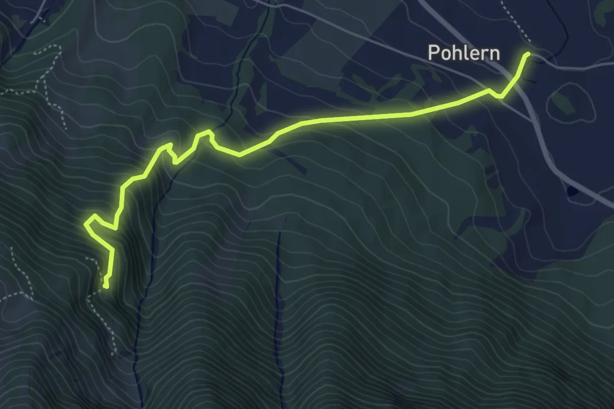
Medium · Trail
Pohlern – Möntschelewald
5.6 km · ↑ 513 m · 2 h 26 min
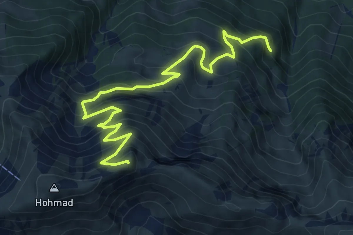
Demanding · Summit
Möntschelewald – Möntschelespitz
9.4 km · ↑ 918 m · 4 h 12 min
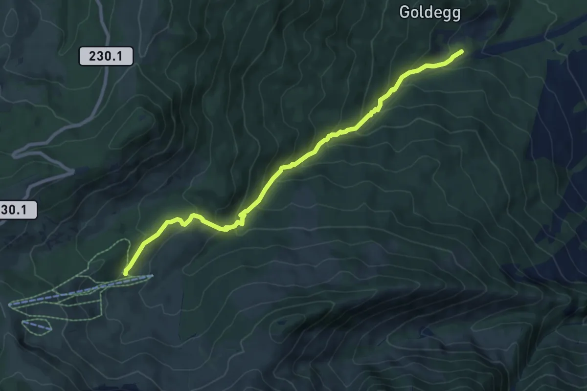
Medium · Trail
Weiermoos – Schwändli
7.7 km · ↑ 574 m · 3 h 4 min
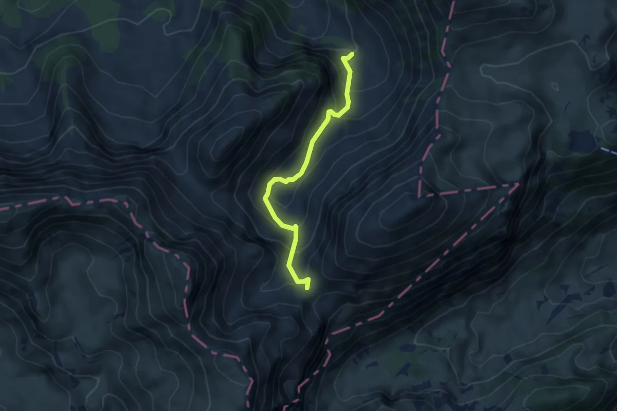
Medium · Trail
Chänel Gantrisch – Chüeharnisch
4.1 km · ↑ 341 m · 1 h 43 min
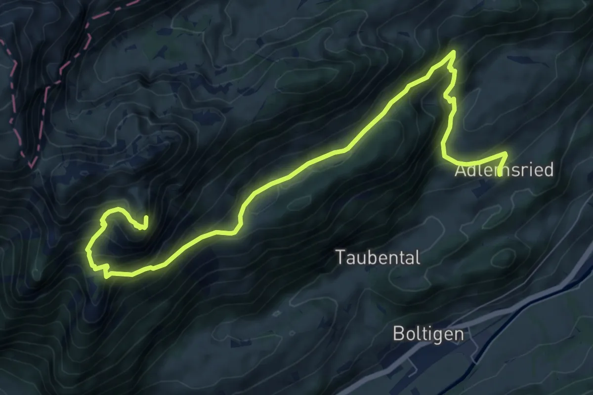
Demanding · Summit
Adlemsried – Mittagflue
10.4 km · ↑ 865 m · 4 h 20 min
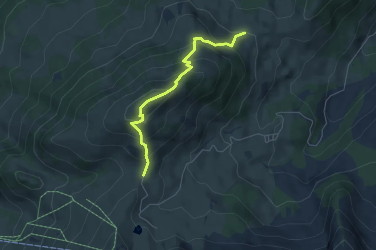
Medium · Cabin
Ober Hohberg – Salzmatt
4.4 km · ↑ 435 m · 1 h 59 min
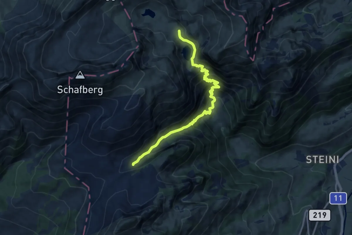
Demanding · Trail
Walop – Rienschli
9.4 km · ↑ 1125 m · 4 h 39 min
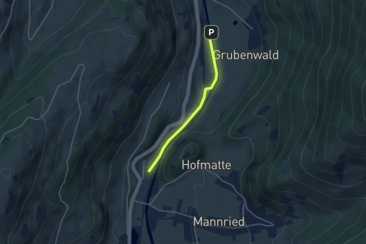
Easy · Summit
Forellensee – Grubenwald
2.6 km · ↑ 55 m · 44 min
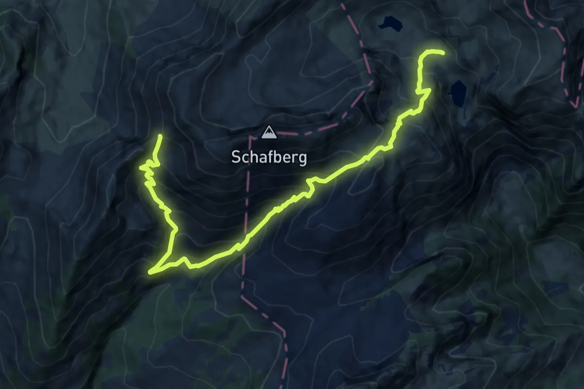
Demanding · Trail
Walop – Golmly
14.1 km · ↑ 1653 m · 6 h 55 min
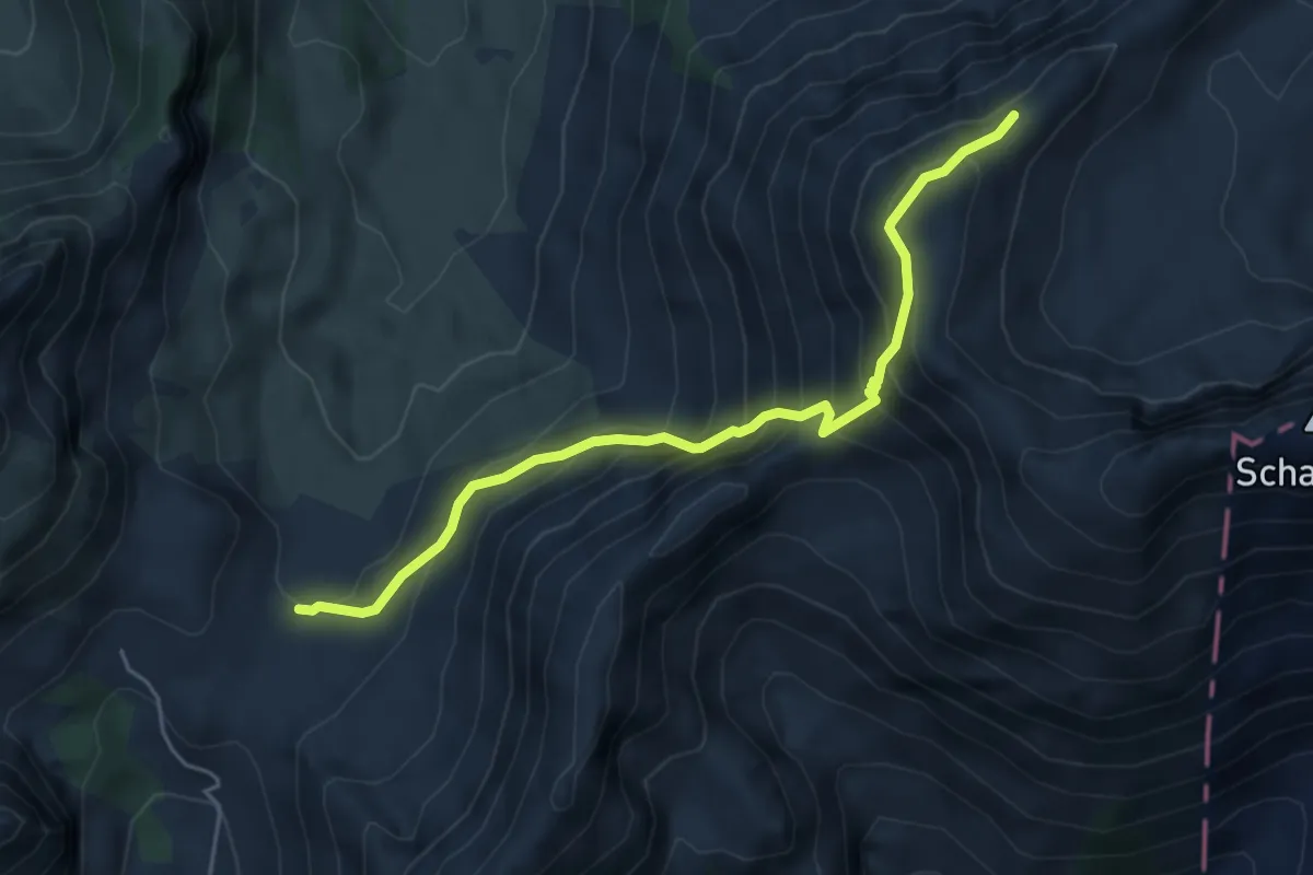
Expert · Cabin
Kaisereggpass – Obere Euschels
4.9 km · ↑ 554 m · 2 h 21 min
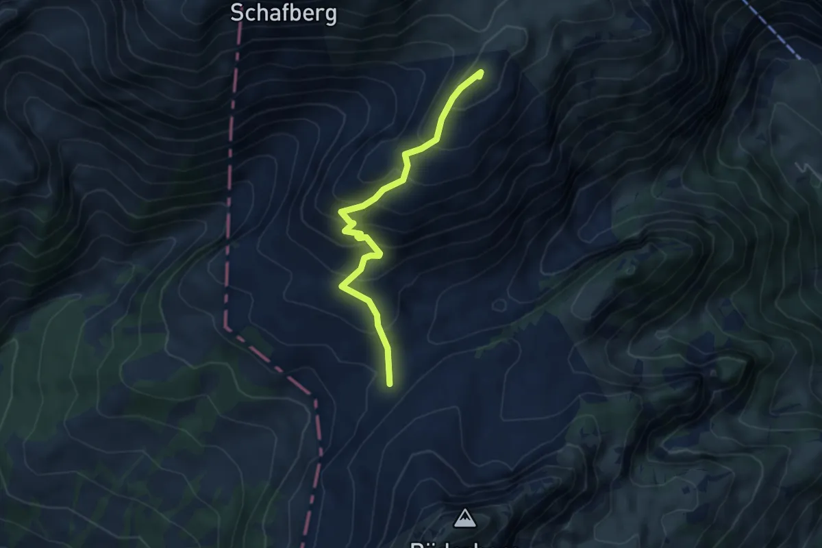
Medium · Summit
Oberi Luchere – Reidigenpass
4.6 km · ↑ 414 m · 1 h 59 min
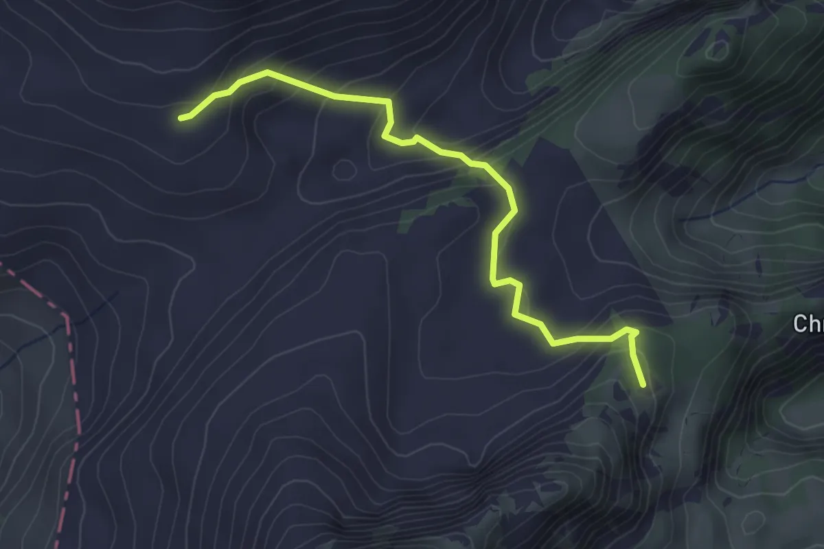
Easy · Trail
Reidige – Uf Pfad
3.6 km · ↑ 232 m · 1 h 21 min
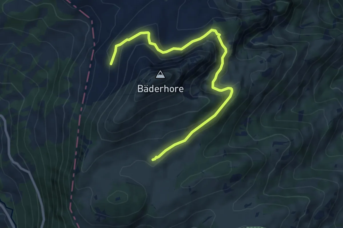
Easy · Trail
Grosse Bäder – Zitbode
7.2 km · ↑ 274 m · 2 h 17 min
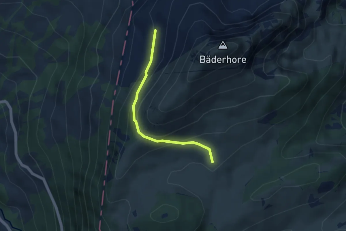
Medium · Trail
Grosse Bäder – Zitbode
3.0 km · ↑ 175 m · 1 h 6 min
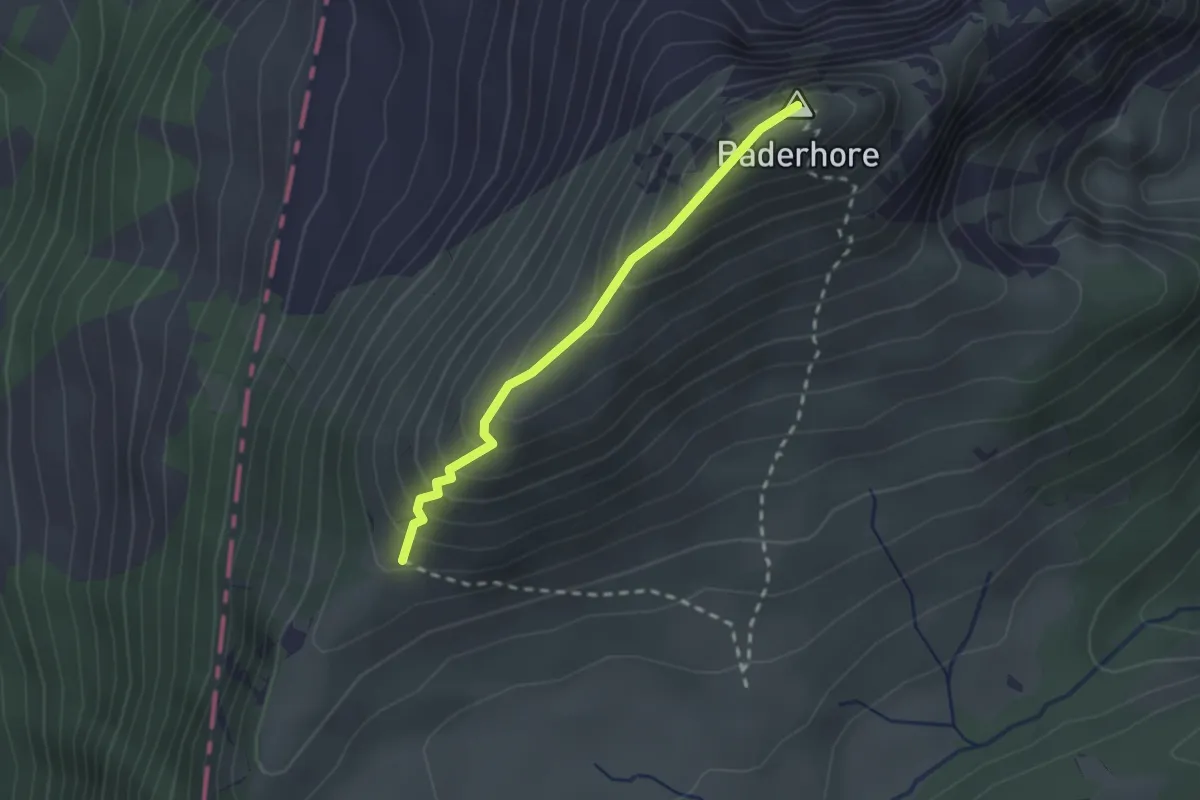
Medium · Summit
Chline Bäder – Bäderhore
2.0 km · ↑ 226 m · 58 min
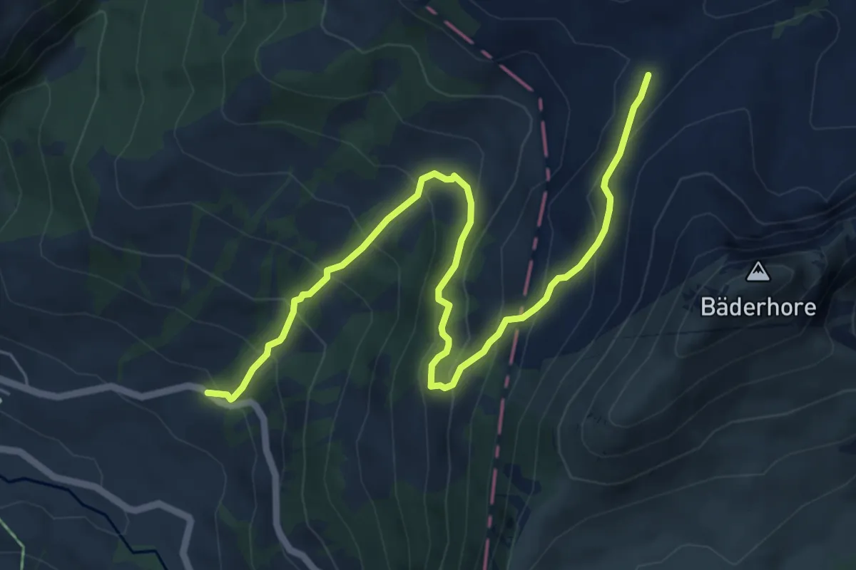
Medium · Trail
Reidigenpass – Kalberweide
6.9 km · ↑ 631 m · 3 h
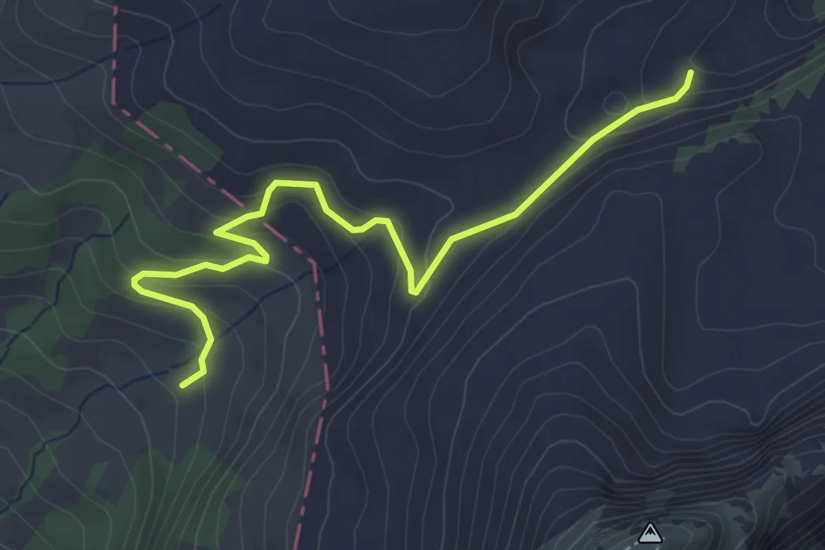
Easy · Trail
Leimera – Rieneschli
4.5 km · ↑ 263 m · 1 h 38 min
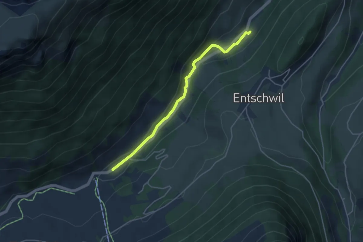
Easy · Trail
Studweid – Riedli
3.5 km · ↑ 75 m · 59 min
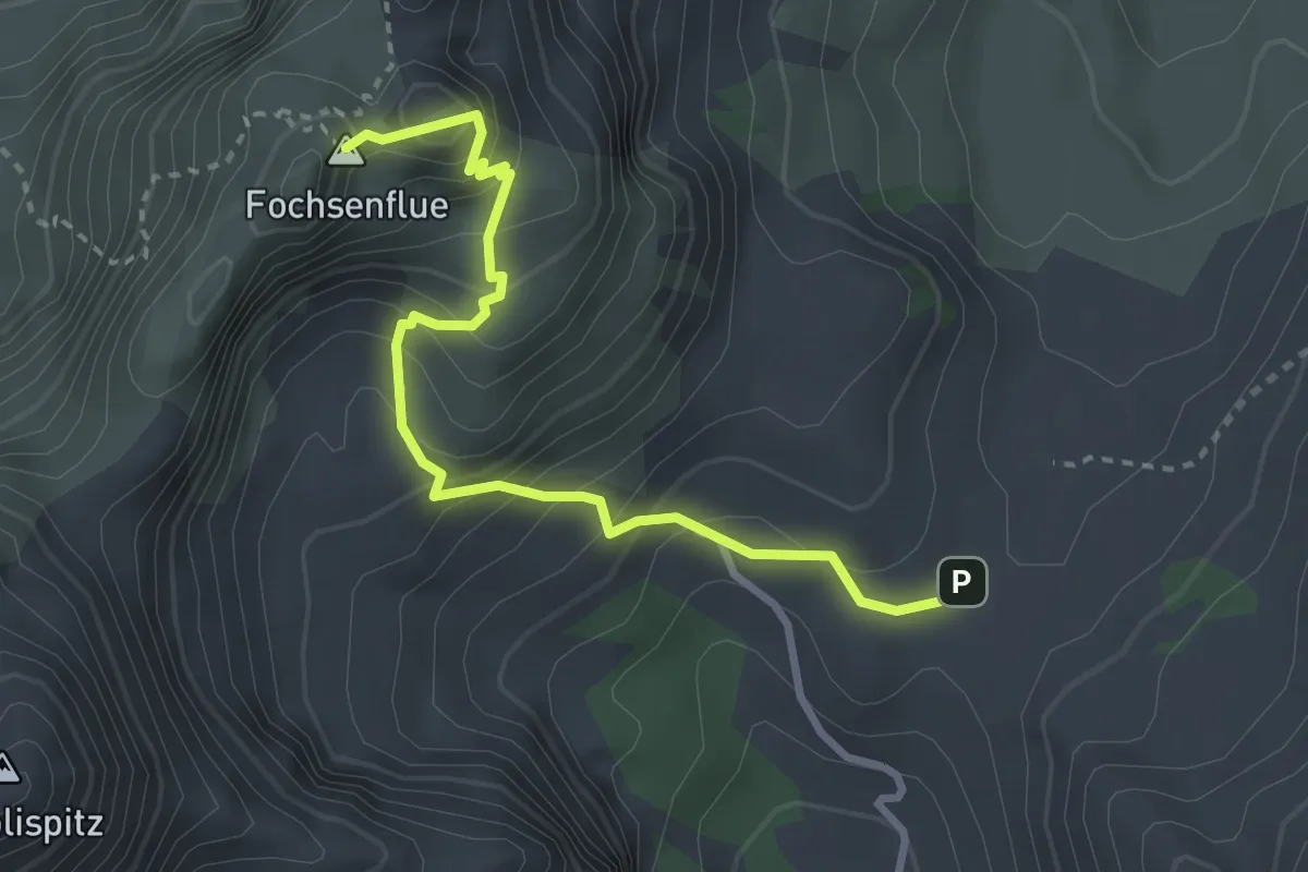
Medium · Summit
Euchelspass – Fochsenflue
3.2 km · ↑ 359 m · 1 h 32 min
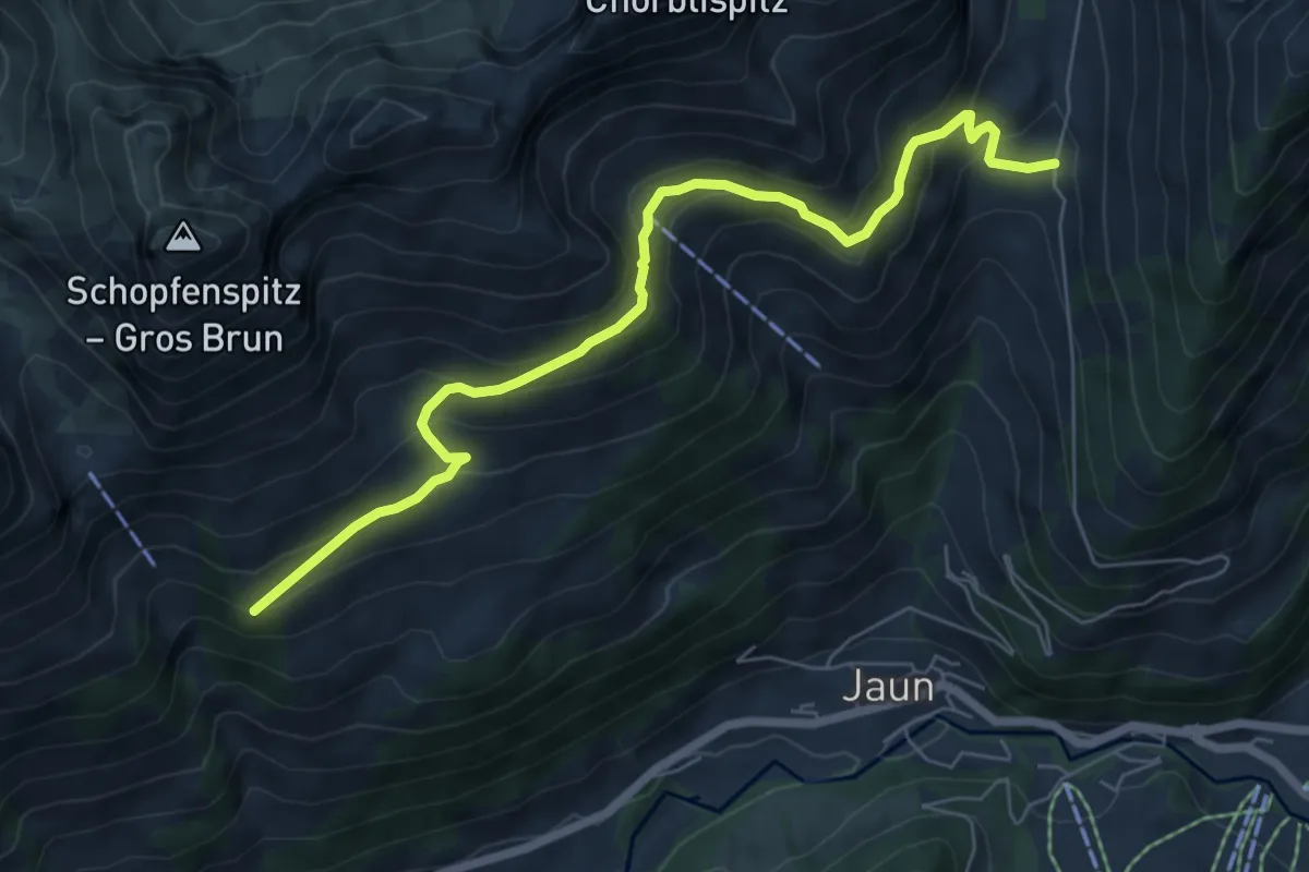
Expert · Trail
Ober Boden – Klein Brunn
6.9 km · ↑ 495 m · 2 h 43 min
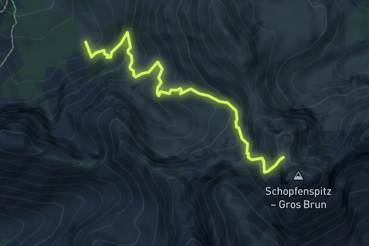
Expert · Trail
La Gisetta – Schopfenspitz
5.7 km · ↑ 682 m · 2 h 50 min
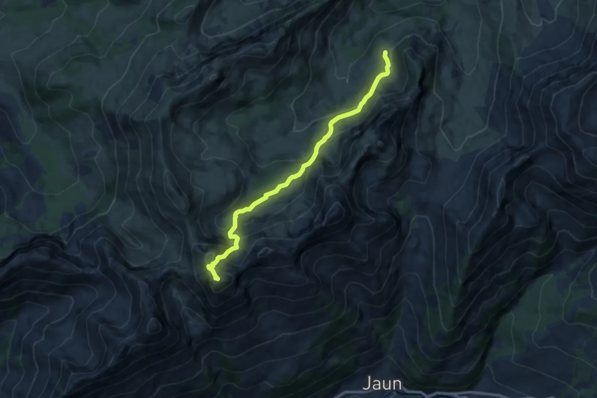
Demanding · Summit
Rippetli – Schopfenspitz
8.1 km · ↑ 698 m · 3 h 25 min
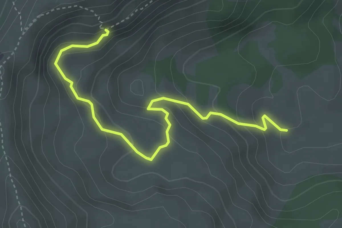
Medium · Cabin
Cerniets – Col du Chamois
4.0 km · ↑ 263 m · 1 h 31 min
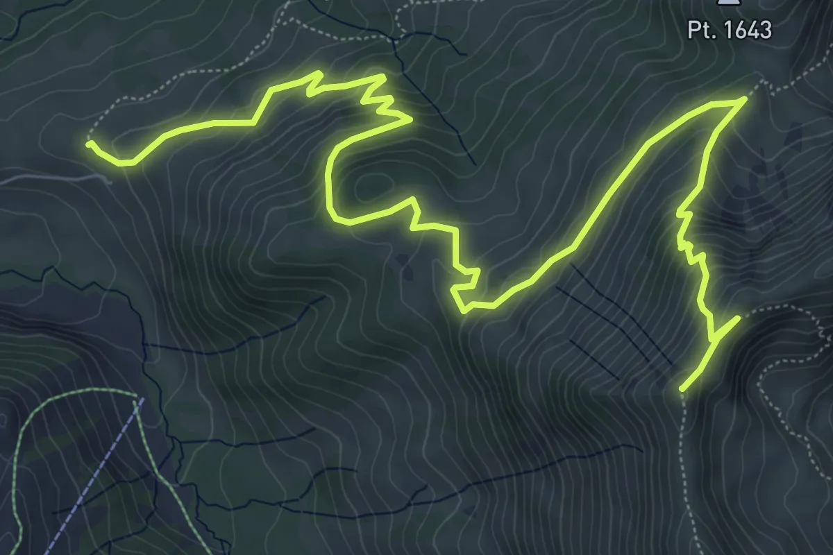
Medium · Summit
Pré de l'Essert – Patraflon
10.6 km · ↑ 712 m · 4 h 3 min
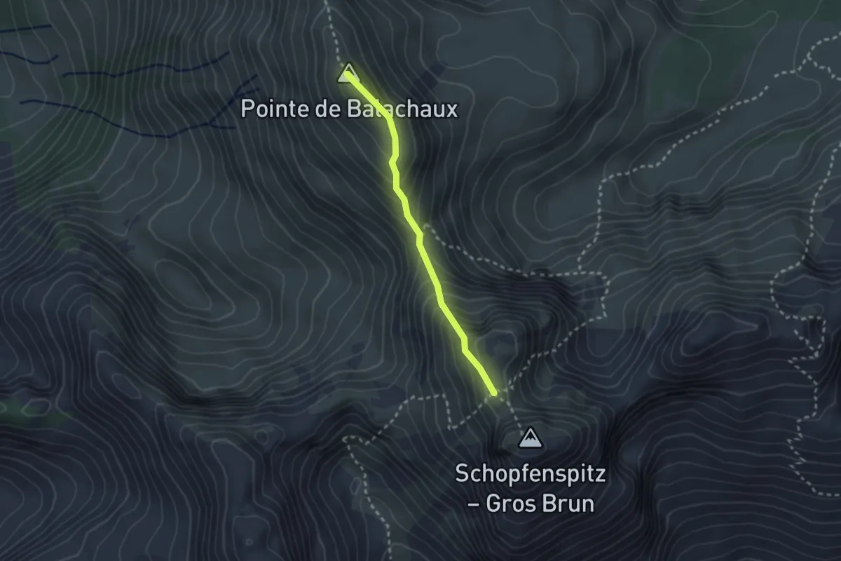
Expert · Summit
Patraflon – Schopfenspitz
2.2 km · ↑ 245 m · 1 h 3 min
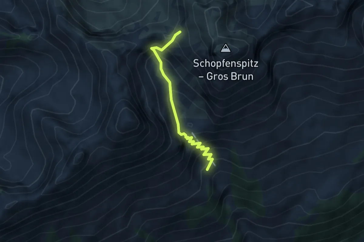
Expert · Trail
Vorder Maischüpfen – Schopfenspitz
3.4 km · ↑ 373 m · 1 h 37 min