Trails in Switzerland
15,055 hiking trails, each with its route, climb, walking time and grade.
All trails, page 183 of 314
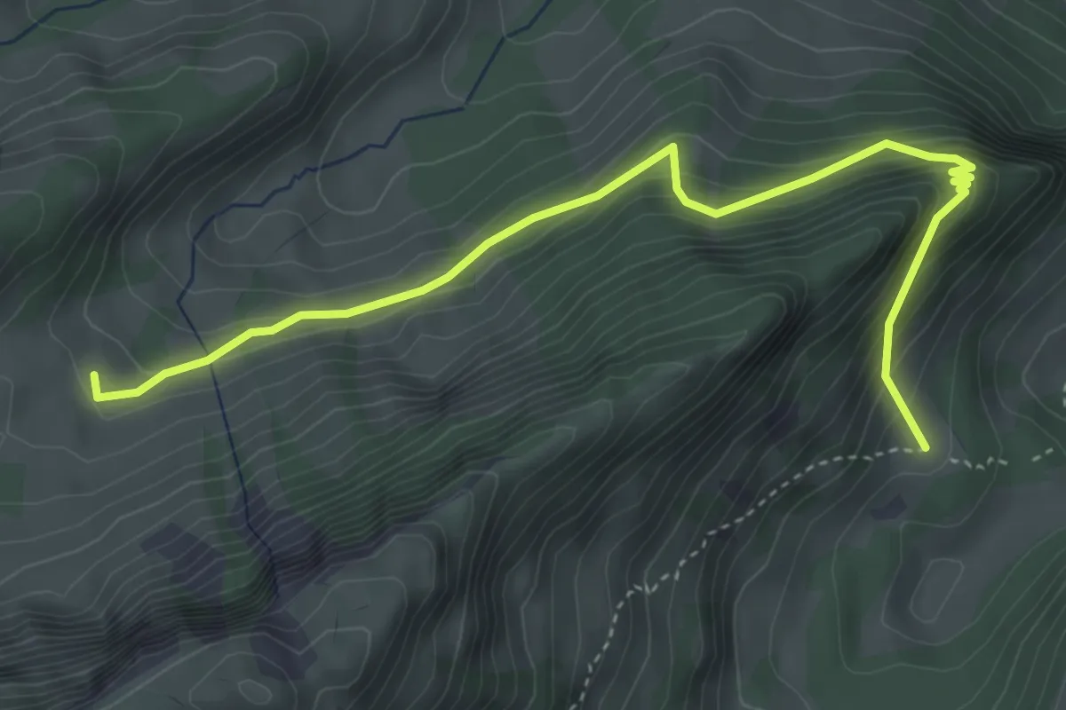
Medium · Cabin
Les Recardets – Unteri Rippa
4.7 km · ↑ 397 m · 1 h 58 min
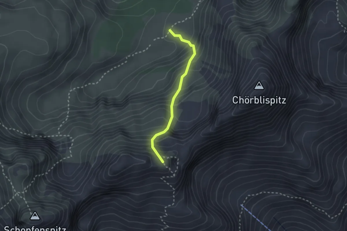
Expert · Summit
Combi – Ritz
2.0 km · ↑ 325 m · 1 h 11 min
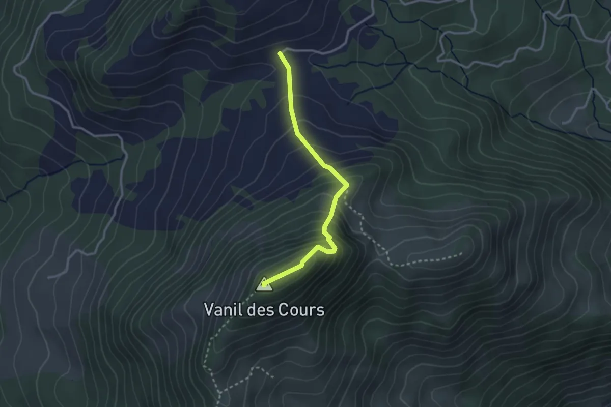
Demanding · Summit
La Guille – Mont Bifé
2.6 km · ↑ 302 m · 1 h 17 min
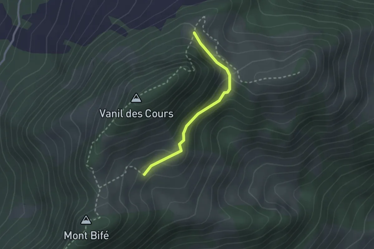
Easy · Trail
Le Commun Derrey – Les Cours
2.0 km · ↑ 71 m · 38 min
Medium · Trail
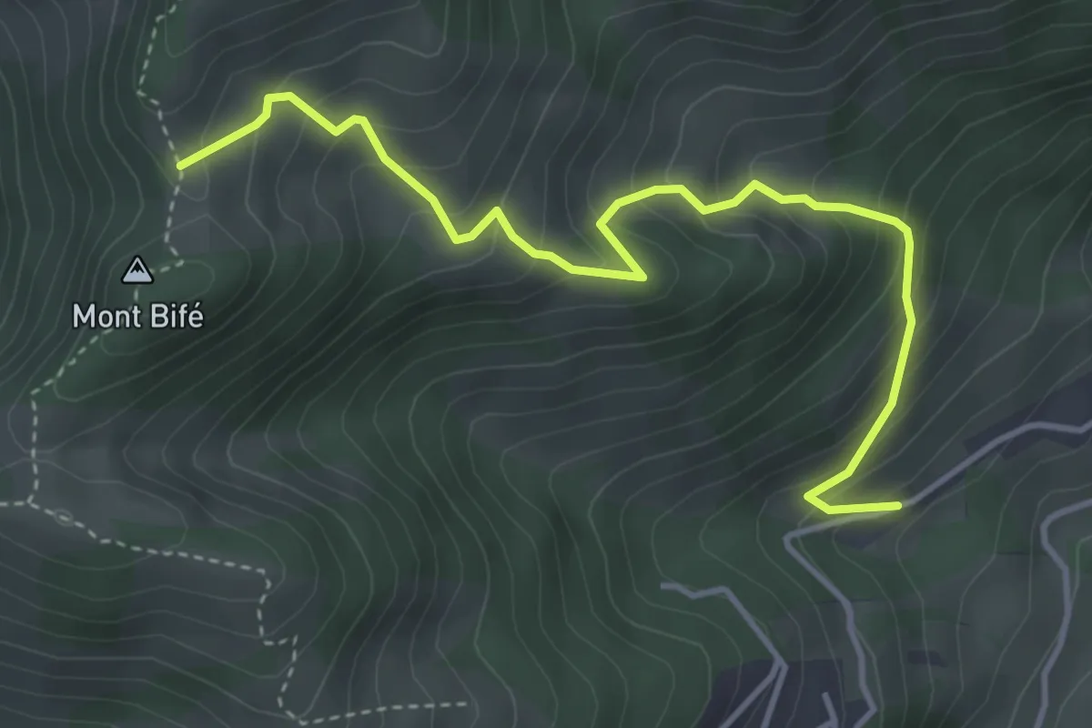
Cerniat – Mont Bifé
4.4 km · ↑ 455 m · 2 h 1 min
Easy · Summit
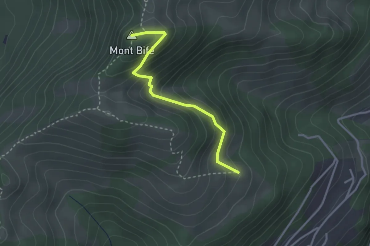
Petis Monts – Mint Bif"
2.6 km · ↑ 250 m · 1 h 9 min
Medium · Summit
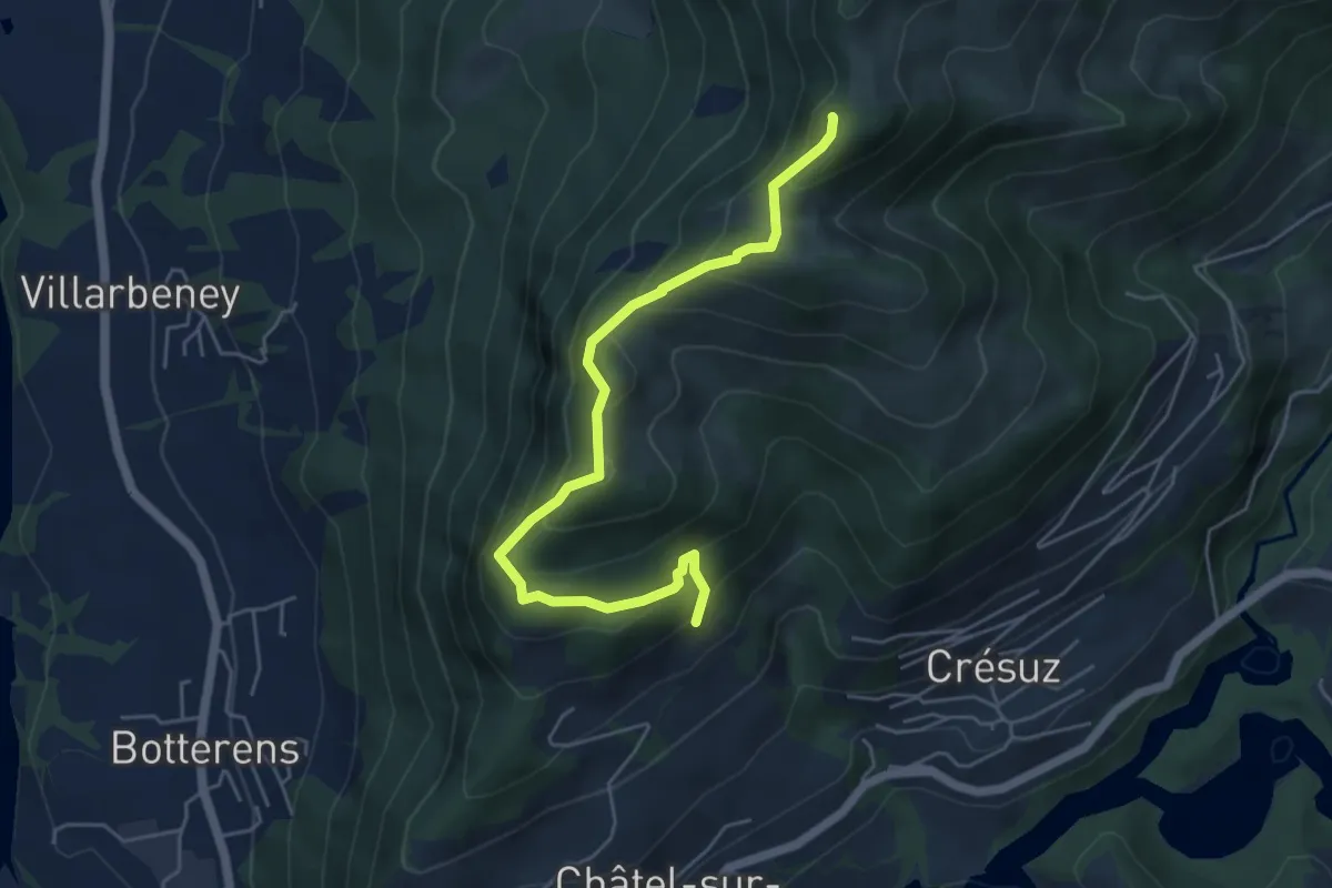
Le Commun – Mont Bifé
5.3 km · ↑ 427 m · 2 h 11 min
Medium · Trail
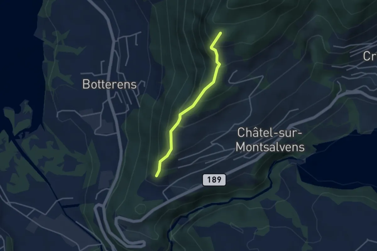
Châtel-sur-Montsalvens – Le Commun
2.8 km · ↑ 301 m · 1 h 18 min
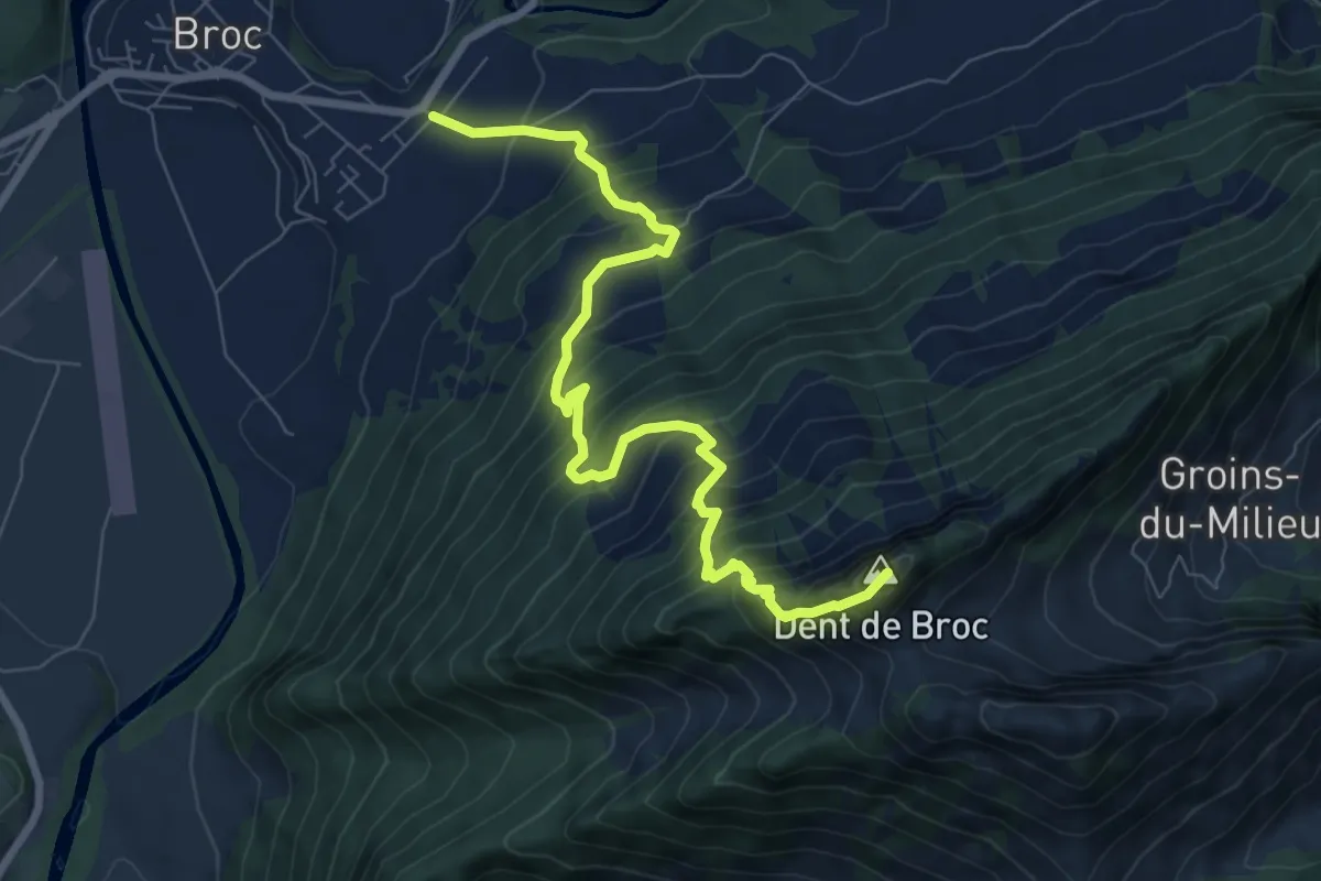
Demanding · Summit
Broc – Dent de Broc
8.5 km · ↑ 1062 m · 4 h 19 min
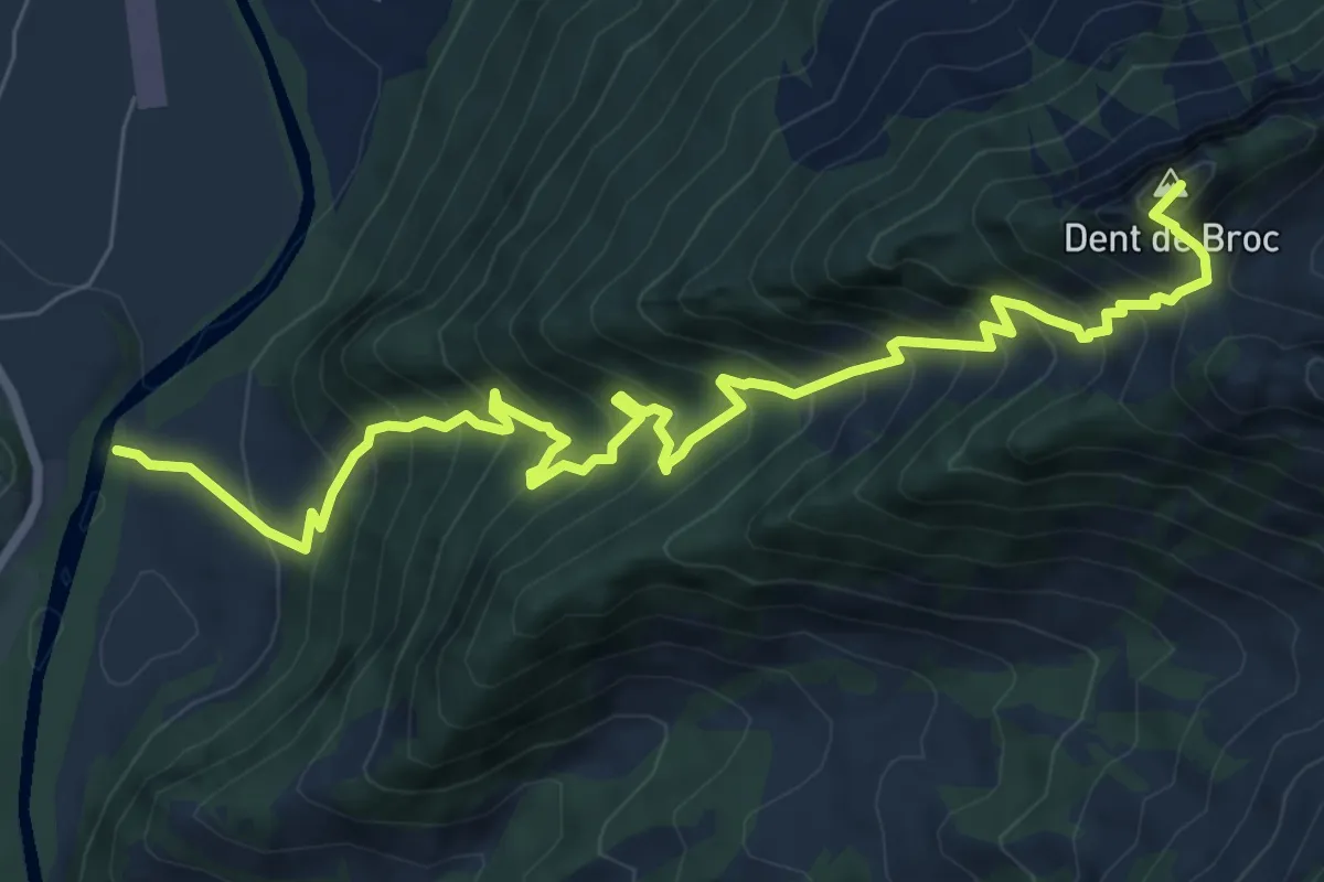
Demanding · Summit
Le Pont qui Branle – Dent de Broc
9.6 km · ↑ 1119 m · 4 h 41 min
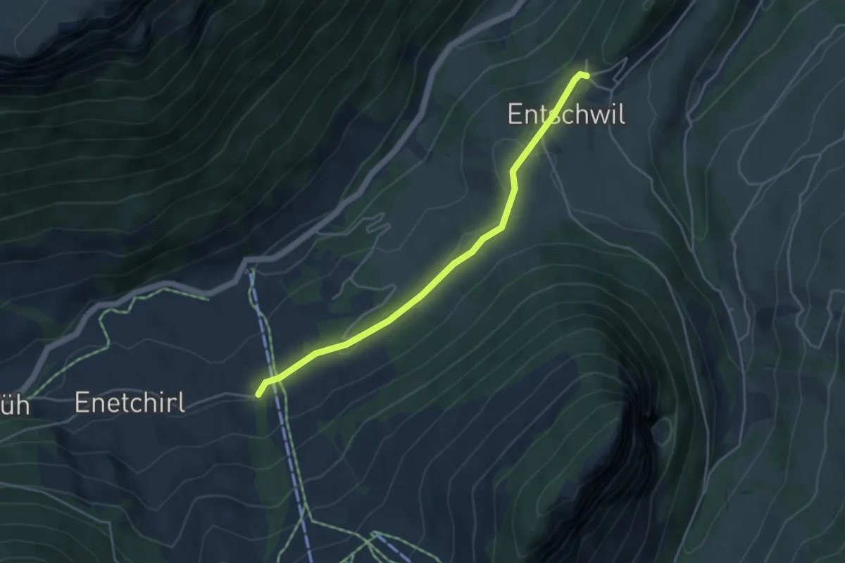
Easy · Trail
Entschwil – Allmiried
4.0 km · ↑ 96 m · 1 h 9 min
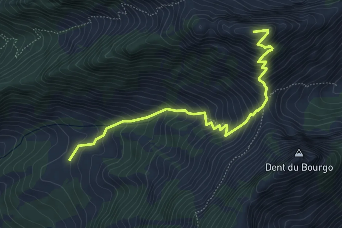
Medium · Trail
Les Perreyres – Dent du Chamois
6.0 km · ↑ 658 m · 2 h 51 min
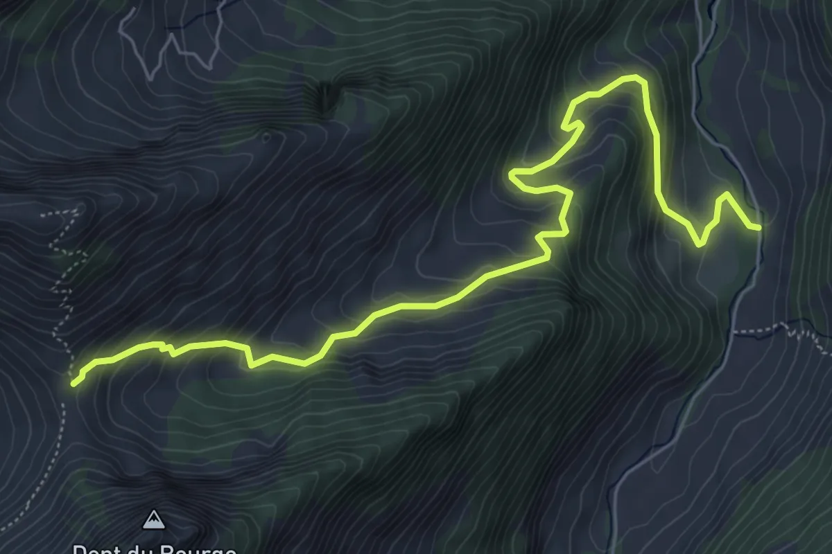
Medium · Trail
aaa – Vallée du Motélon
7.4 km · ↑ 551 m · 2 h 56 min
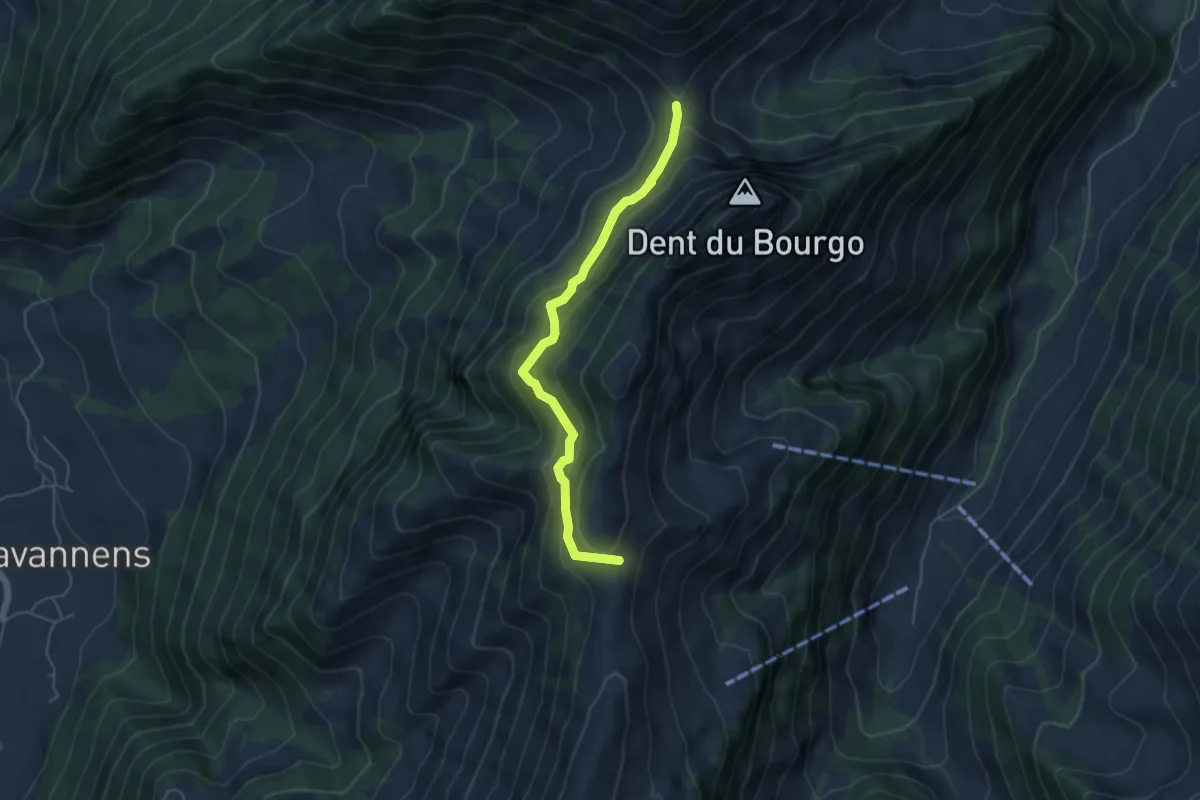
Medium · Trail
Vacheresse – La Forcla
4.8 km · ↑ 310 m · 1 h 48 min
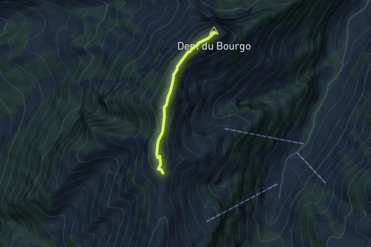
Easy · Summit
Vacheresse – Dent du Bourgo
3.5 km · ↑ 264 m · 1 h 24 min
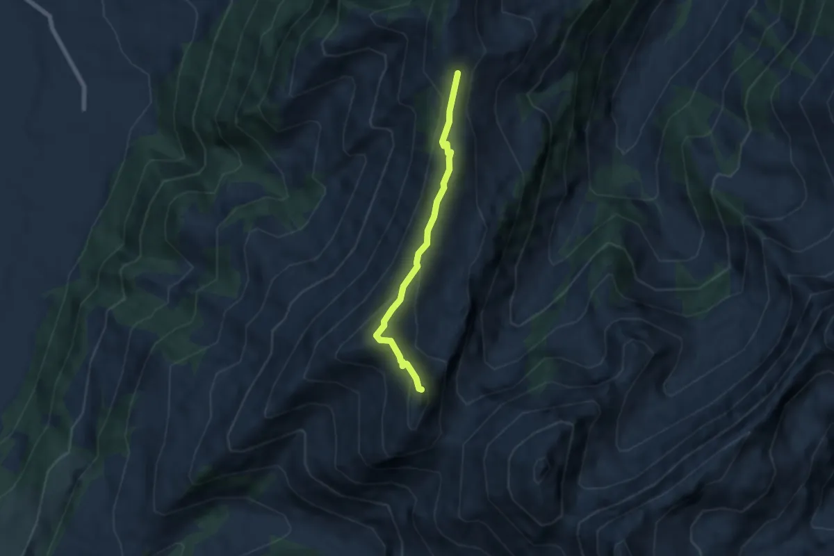
Medium · Summit
Vacheresse – Le Van
5.0 km · ↑ 307 m · 1 h 51 min
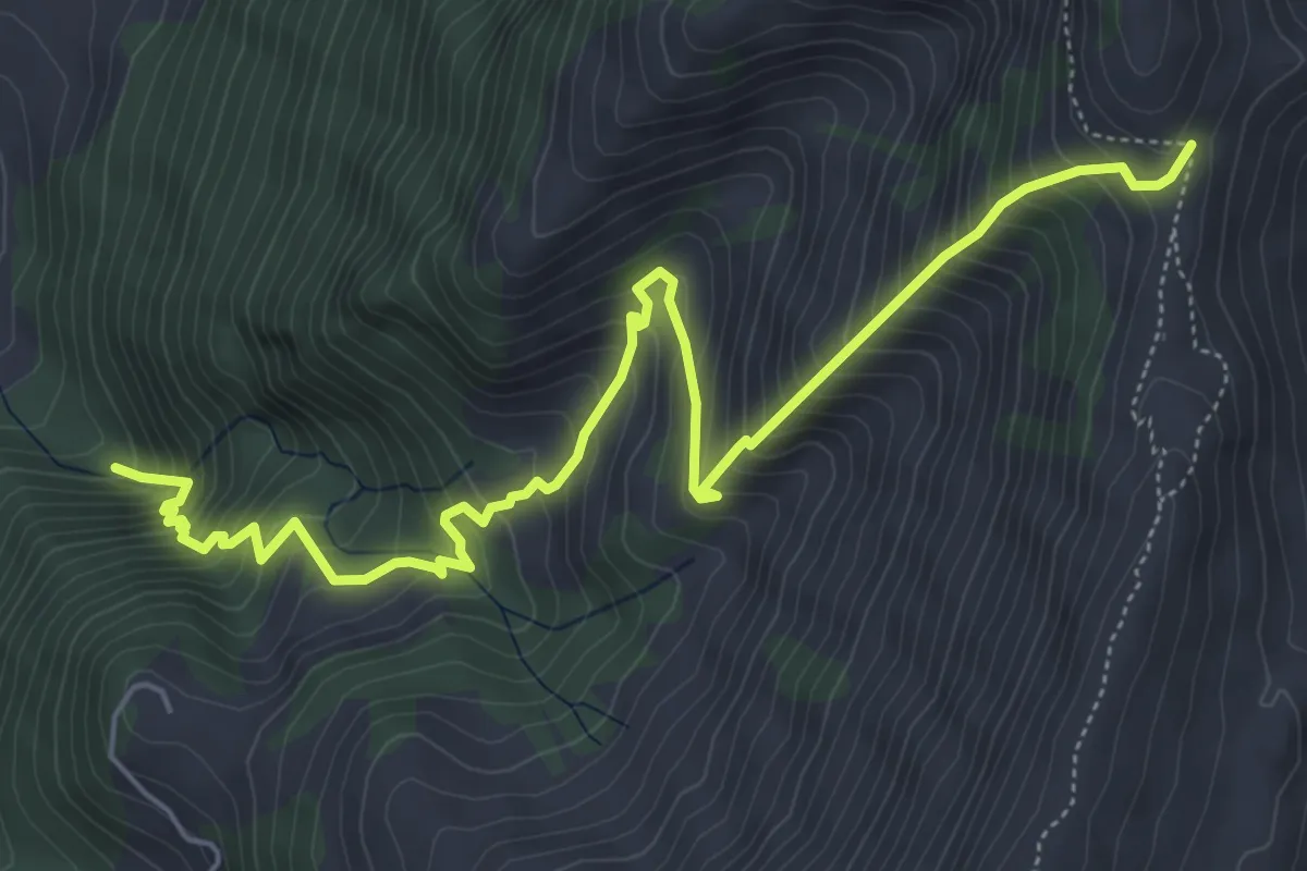
Demanding · Trail
Estavannens – Vacheresse
6.9 km · ↑ 885 m · 3 h 33 min
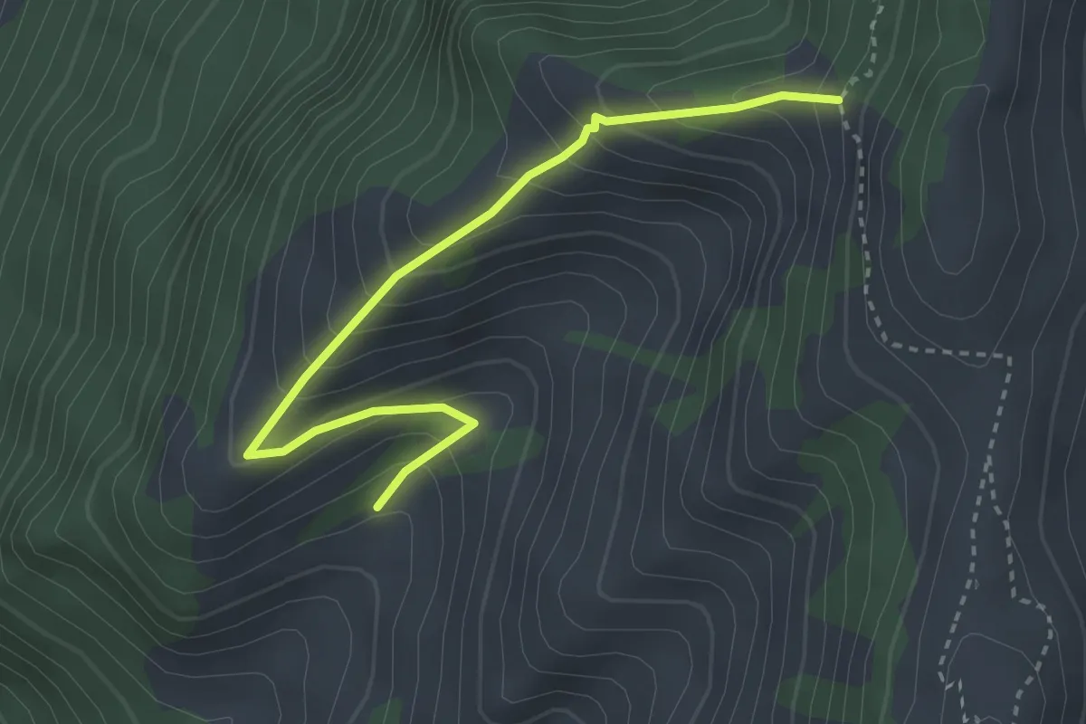
Medium · Trail
Le Rosy d'Avau – Le Paradis
3.2 km · ↑ 337 m · 1 h 30 min
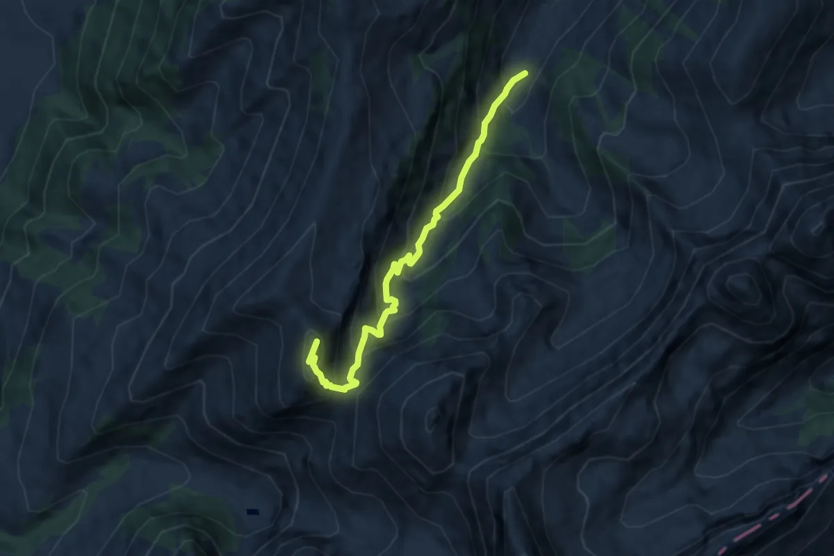
Medium · Summit
Le Van – Le Perru
7.4 km · ↑ 768 m · 3 h 25 min
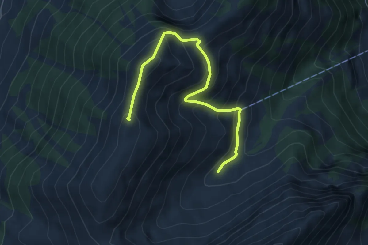
Medium · Summit
Grande Oudèche – Tissiniva de Motélon
5.3 km · ↑ 504 m · 2 h 20 min
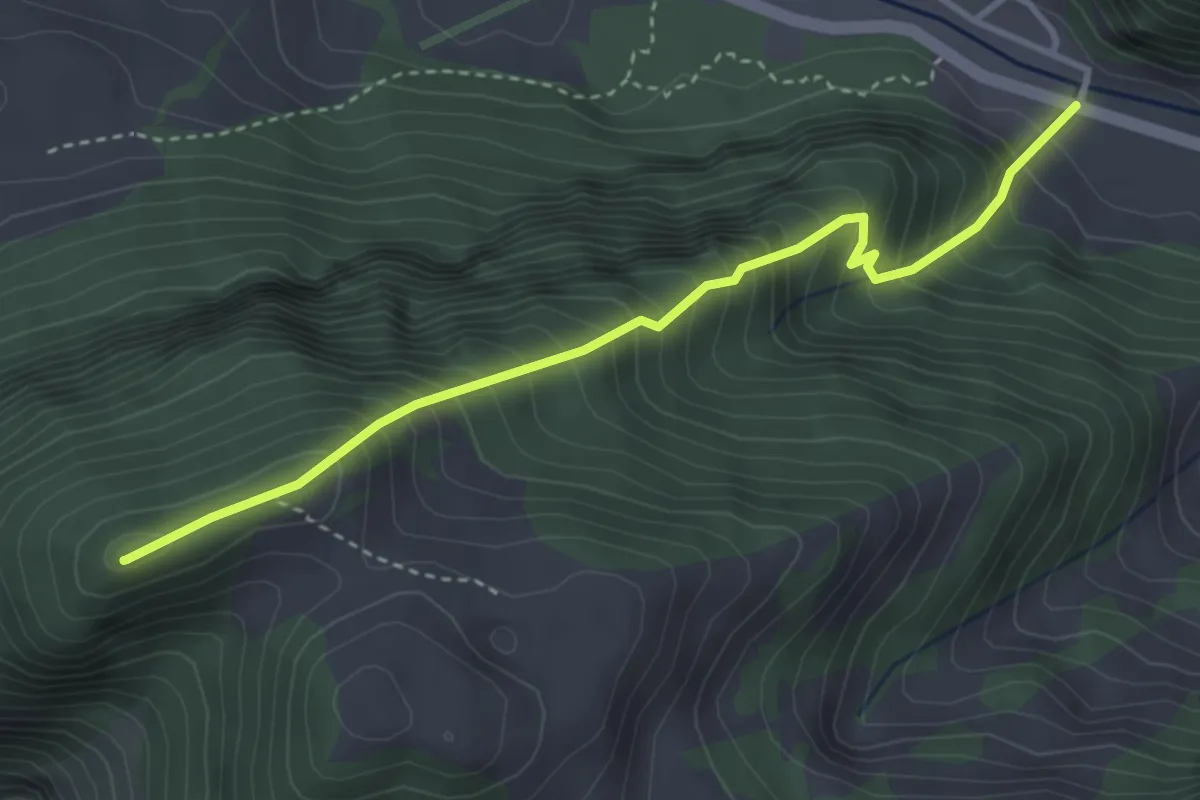
Demanding · Summit
Sous les Vanels – Vanil de la Monse
3.6 km · ↑ 538 m · 2 h 1 min
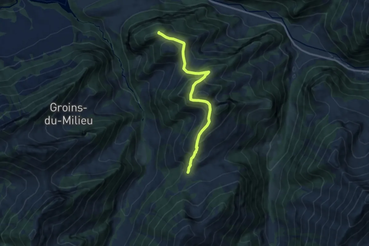
Demanding · Trail
Longe Sia – Vanil de la Monse
8.4 km · ↑ 606 m · 3 h 17 min
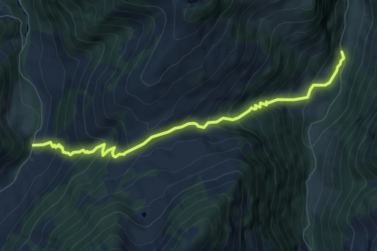
Medium · Trail
Valée du Motélon – Valée du Gros Mont
7.4 km · ↑ 762 m · 3 h 23 min
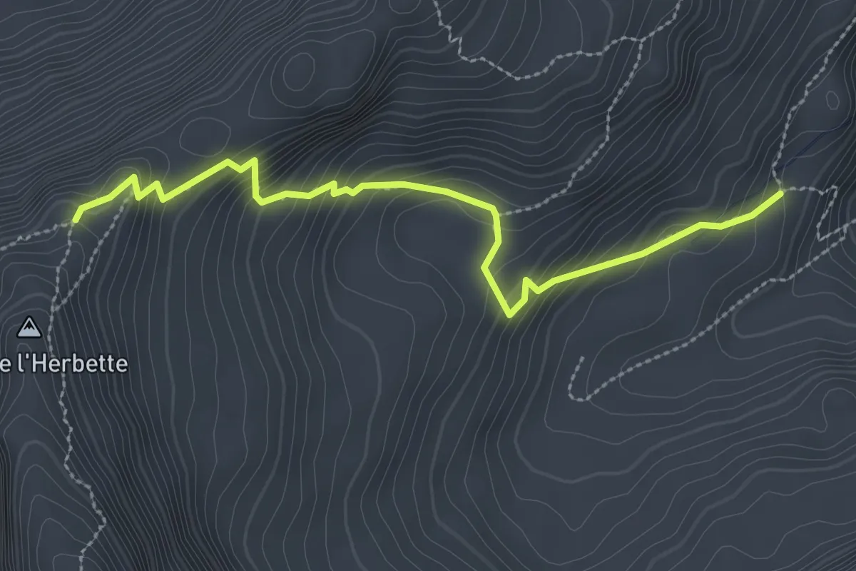
Expert · Cabin
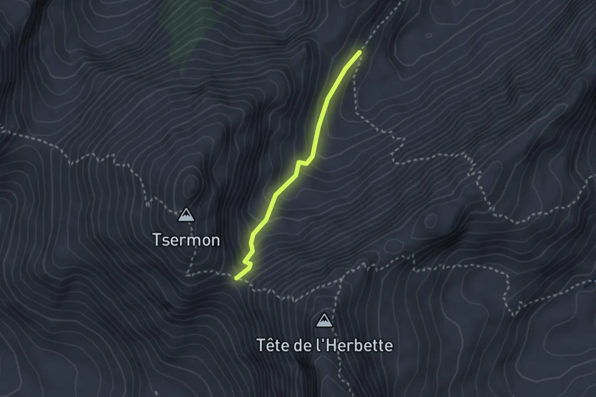
Cabane des Marindes – Tête de l'Herbette
3.0 km · ↑ 279 m · 1 h 19 min
Easy · Trail
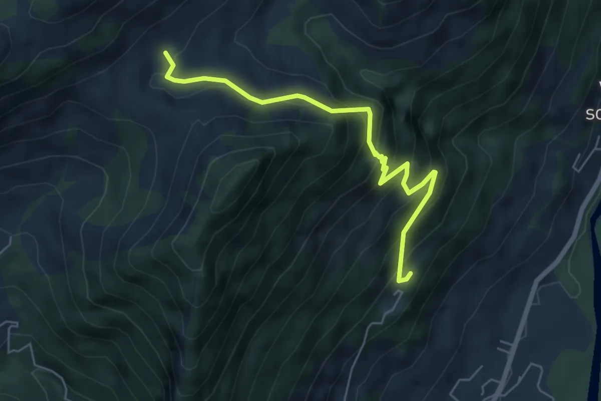
Col du Bounavalette – Porcheresse d'Enhaut
2.2 km · ↑ 217 m · 59 min
Medium · Trail
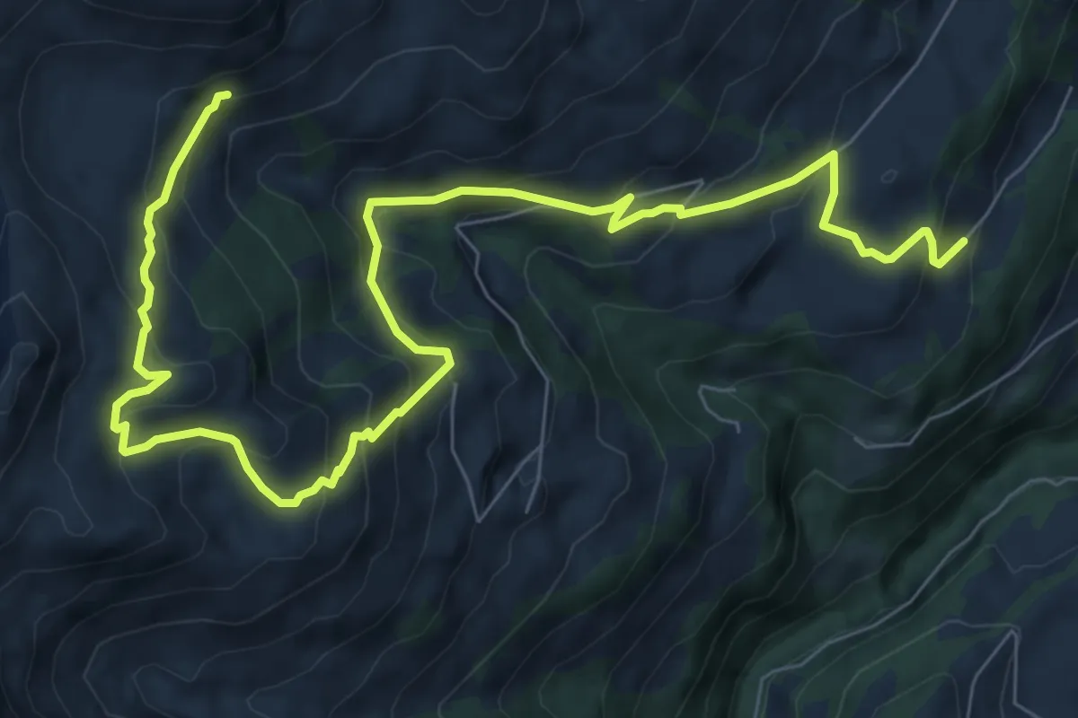
Les Pechots – Chalet Neuf
5.2 km · ↑ 448 m · 2 h 12 min
Medium · Trail
Châbloz – En Lys
10.9 km · ↑ 711 m · 4 h 6 min
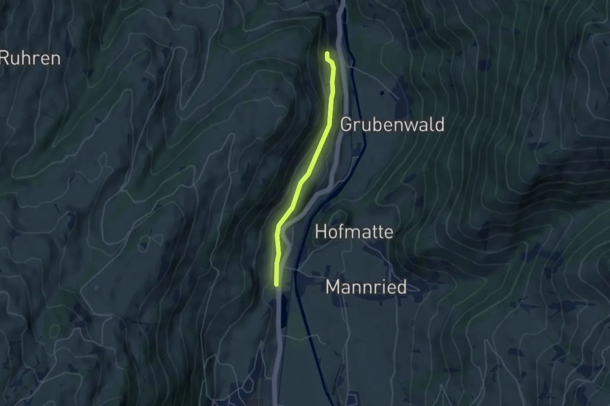
Easy · Trail
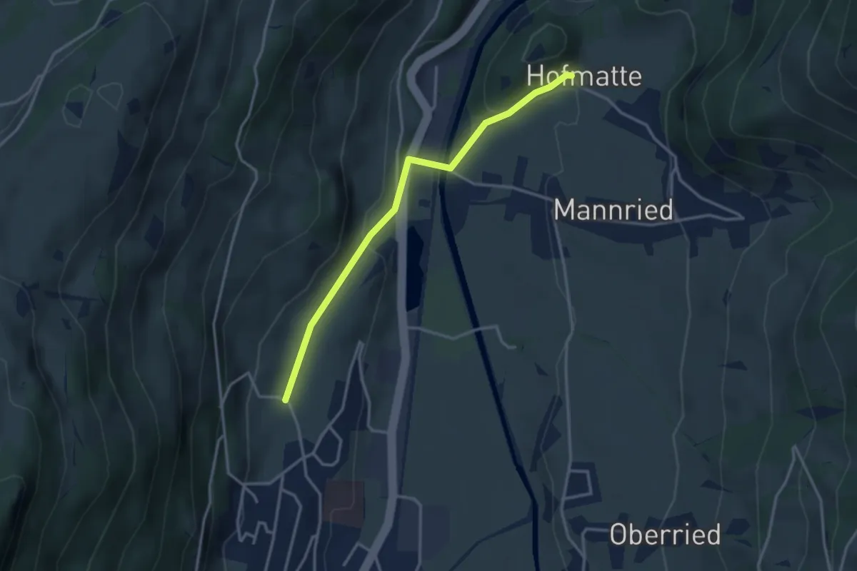
Oberegg – Hofmatte
3.1 km · ↑ 115 m · 1 h
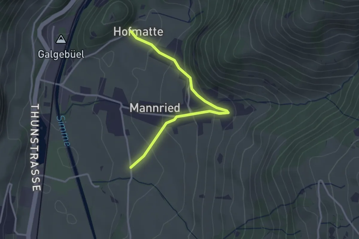
Easy · Trail
Forellensee – Lee
4.0 km · ↑ 157 m · 1 h 17 min
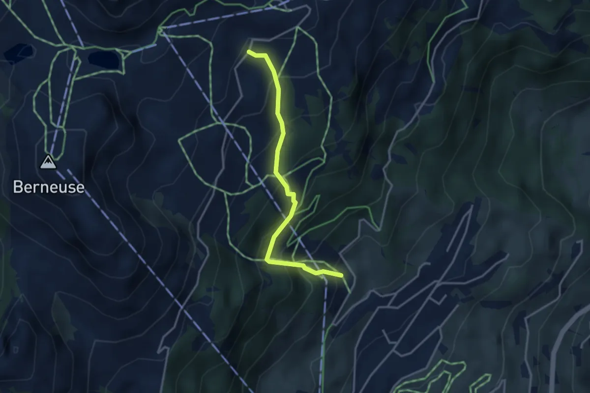
Easy · Trail
Hofmatte – Underi Matte
3.0 km · ↑ 175 m · 1 h 5 min
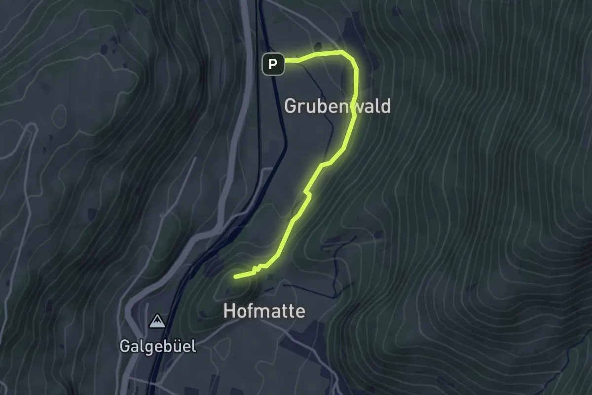
Medium · Trail
Tresseleire – Mayen
2.9 km · ↑ 345 m · 1 h 26 min
Easy · Summit
Manneberg – Grubenwald
3.0 km · ↑ 132 m · 1 h
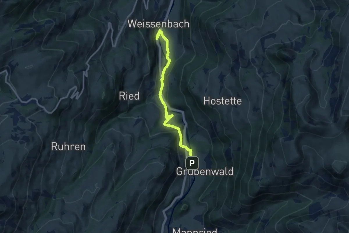
Medium · Trail
Grubenwald – Weissenbach
8.2 km · ↑ 241 m · 2 h 27 min
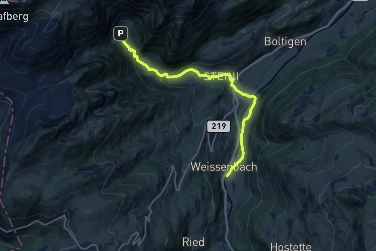
Medium · Trail
Weissenbach – Chlus
11.3 km · ↑ 388 m · 3 h 31 min
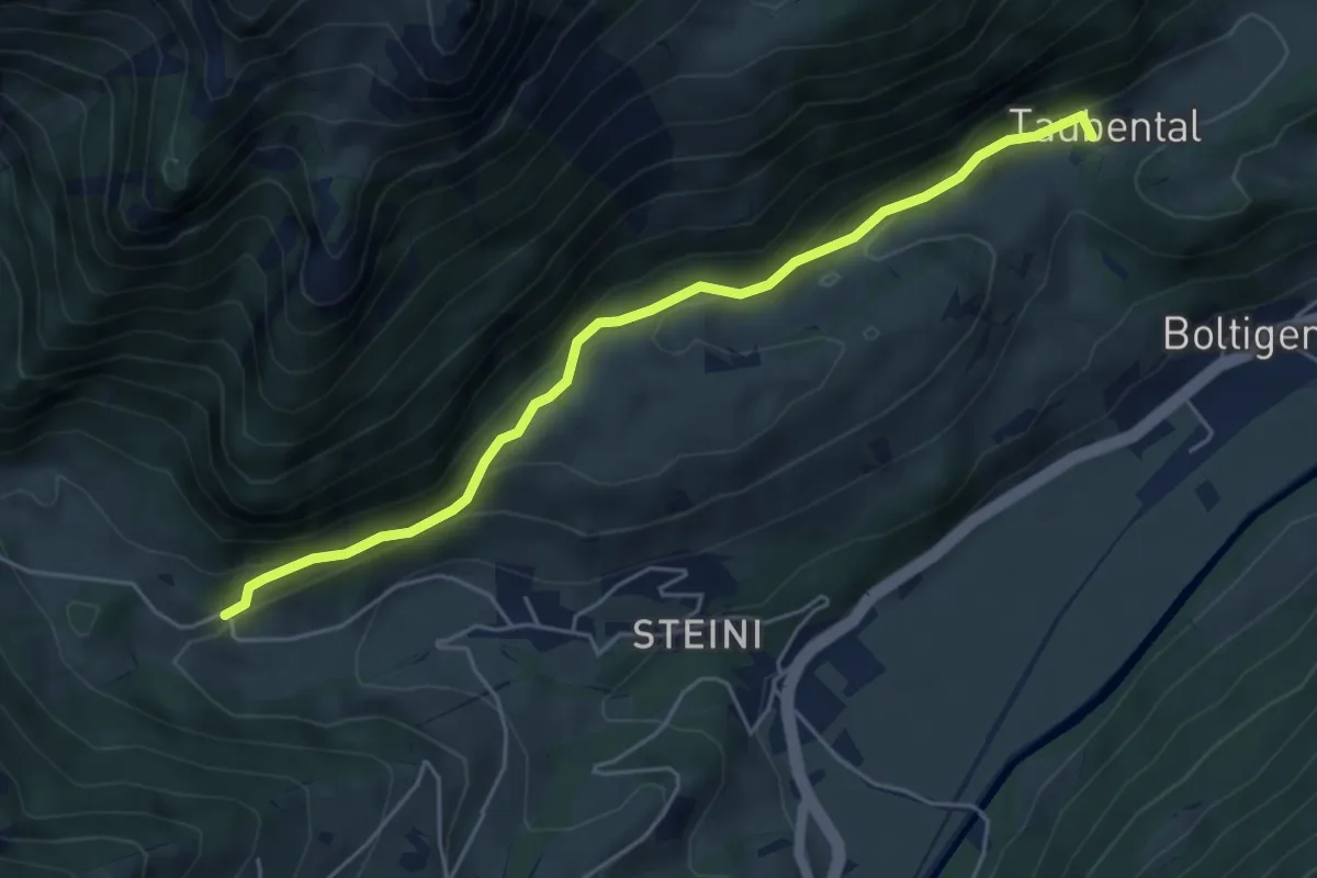
Medium · Trail
Farni – Taubenthal
5.1 km · ↑ 225 m · 1 h 42 min
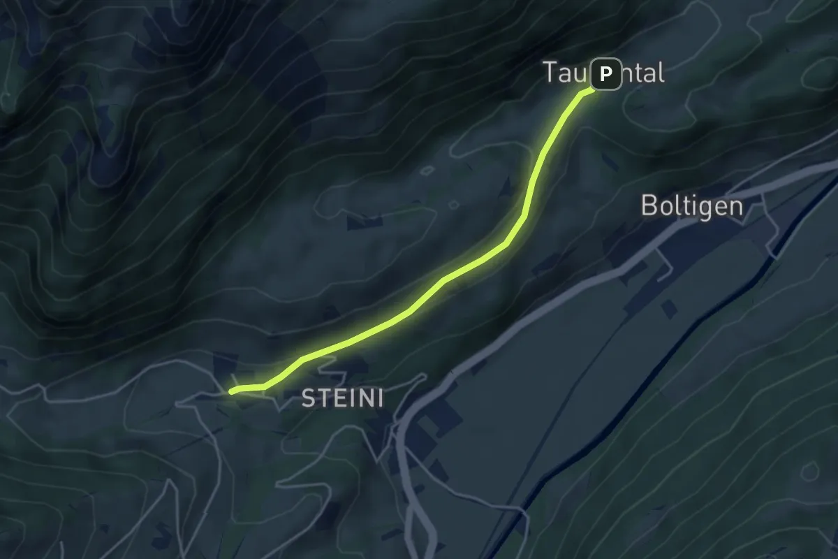
Easy · Trail
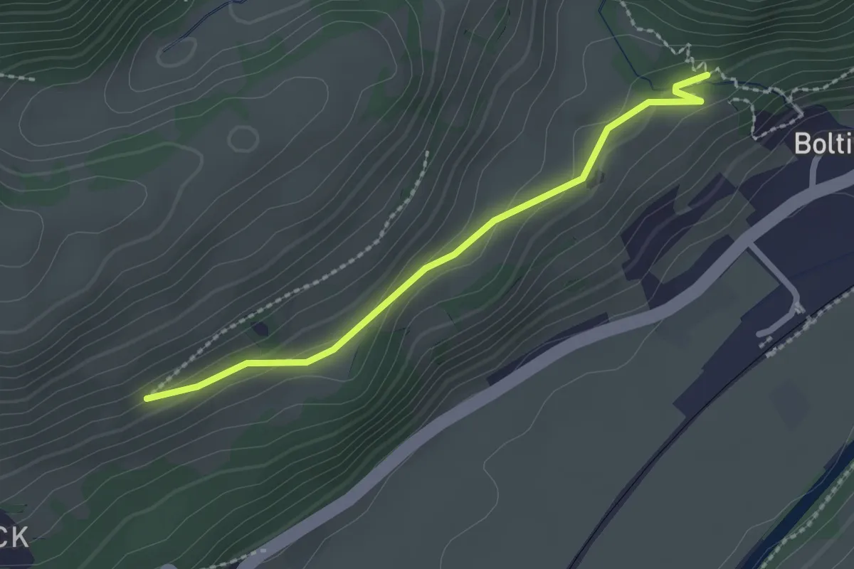
Schwarzenmatt – Taubental
3.9 km · ↑ 95 m · 1 h 7 min
Easy · Trail
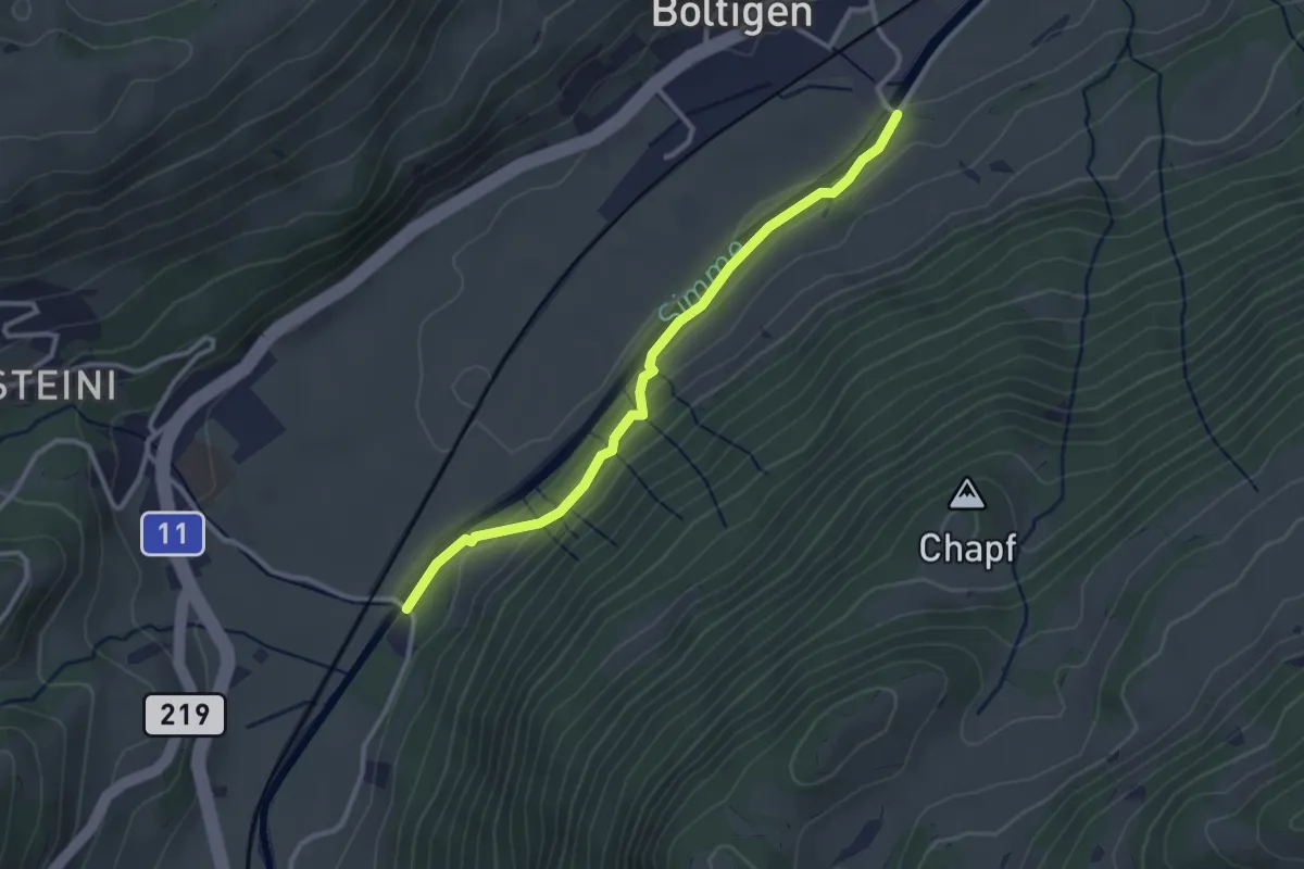
Schlündere – Stampfibach
2.1 km · ↑ 88 m · 42 min
Easy · Trail
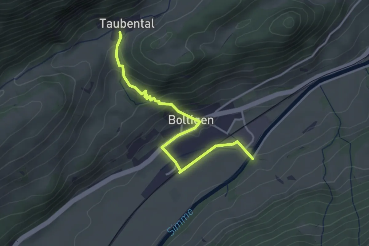
Schintibrügg – Boltigen
2.9 km · ↑ 71 m · 50 min
Easy · Trail
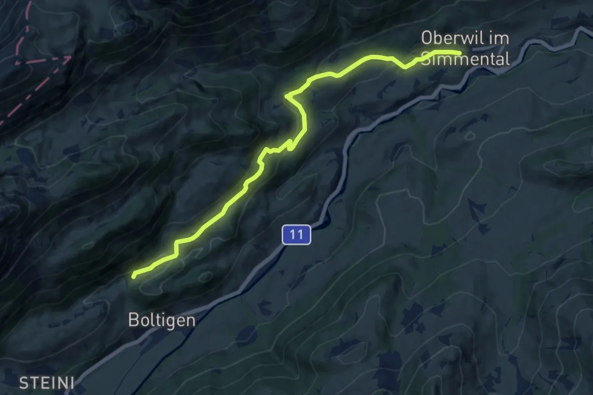
Boltigen – Taubental
3.3 km · ↑ 188 m · 1 h 12 min
Medium · Trail
Taubental – Oberwil
11.3 km · ↑ 435 m · 3 h 37 min
Medium · Trail
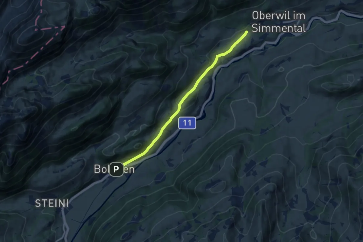
Boltigen – Oberwil
8.2 km · ↑ 212 m · 2 h 23 min
Easy · Trail
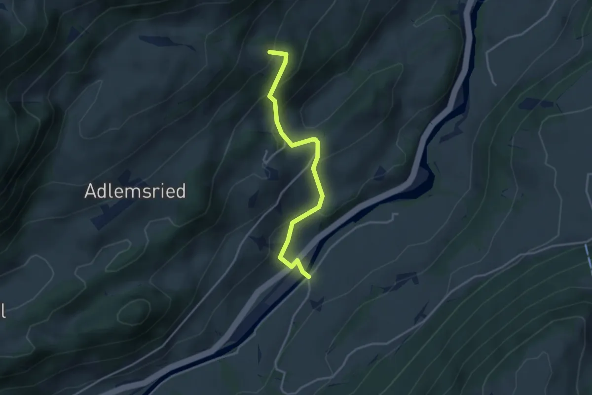
Holzerland – Brügghalte
3.1 km · ↑ 251 m · 1 h 17 min
Easy · Trail
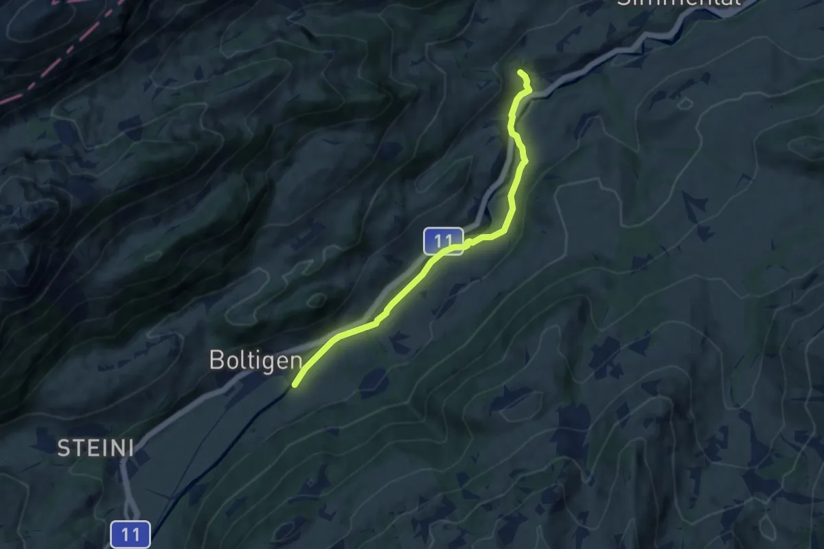
Boltigen – Wüstenbach
7.4 km · ↑ 110 m · 1 h 59 min
Easy · Trail
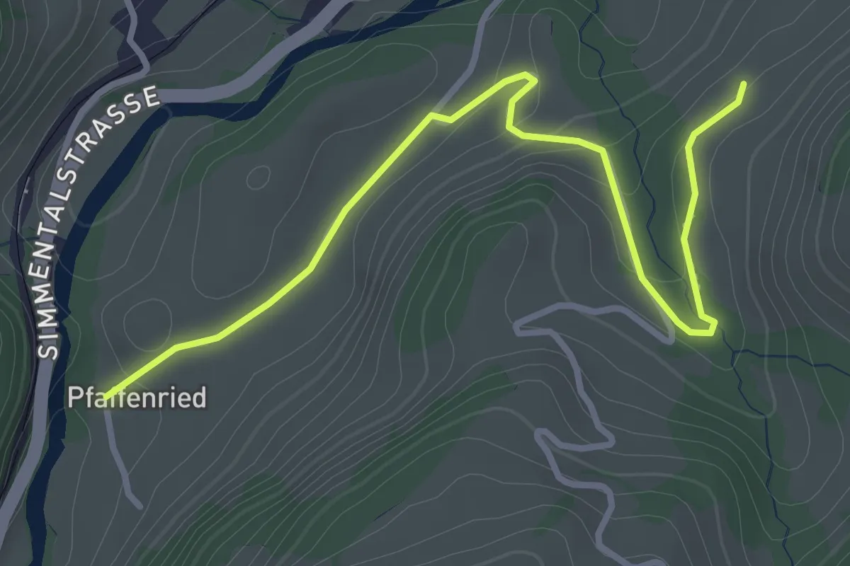
Pfaffenried – Mättelen
3.5 km · ↑ 95 m · 1 h 2 min
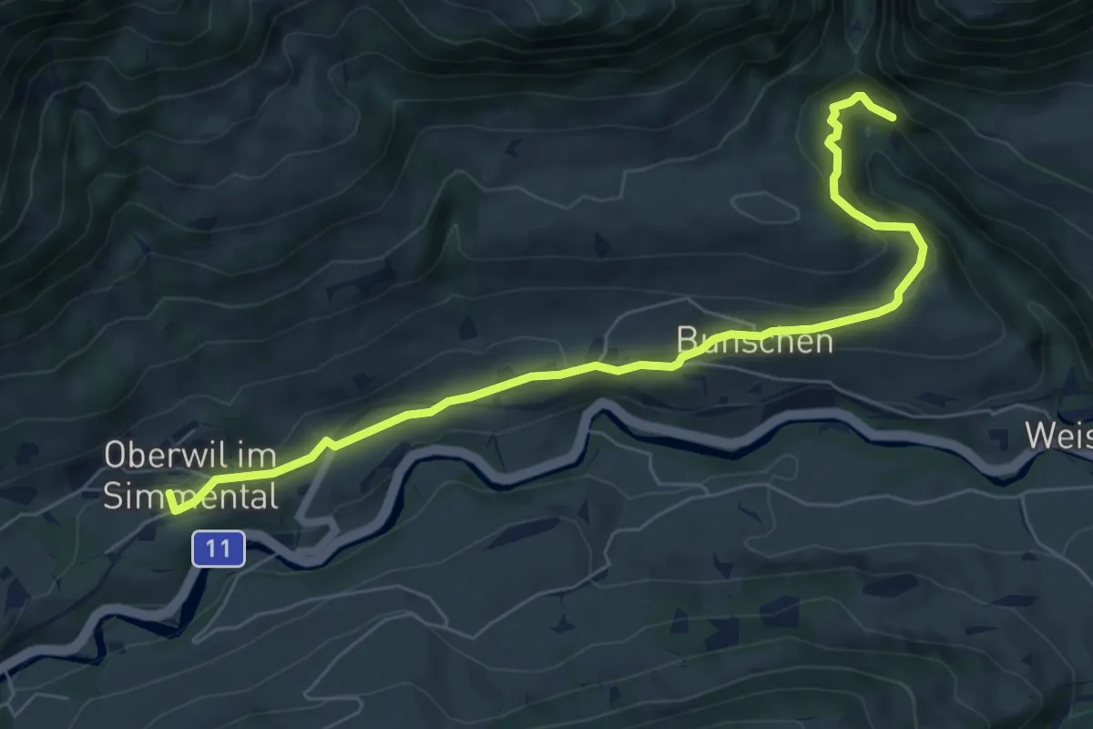
Easy · Trail
Oberwil – Weissenburgbad
7.3 km · ↑ 301 m · 2 h 22 min
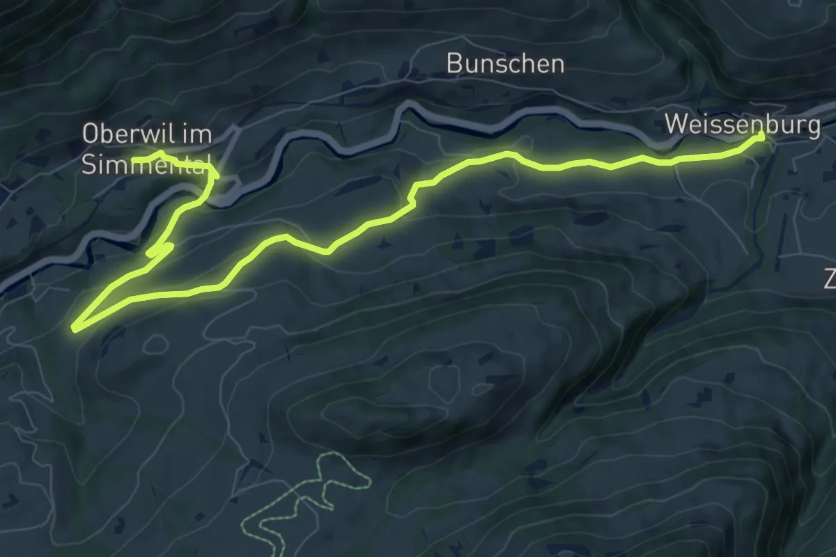
Medium · Trail
Oberwil – Weissenburg
11.4 km · ↑ 362 m · 3 h 29 min
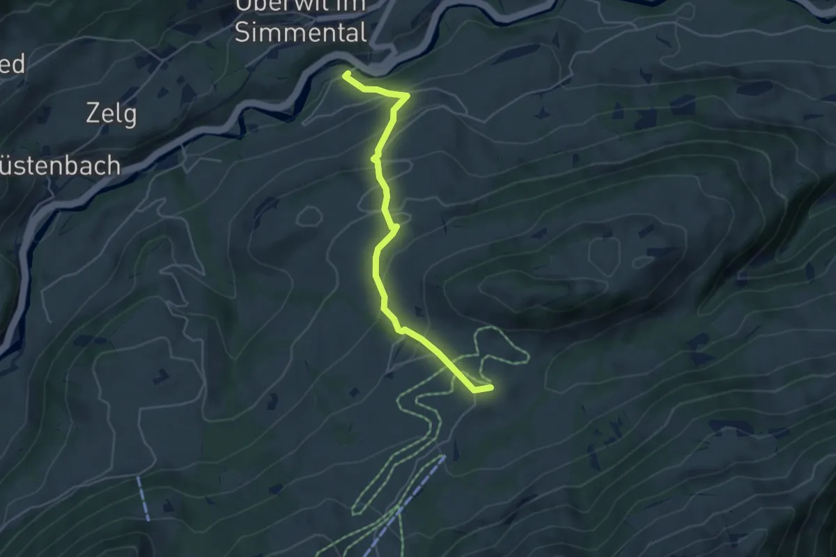
Medium · Trail
Tächenbühl – Rossberg
4.5 km · ↑ 334 m · 1 h 47 min
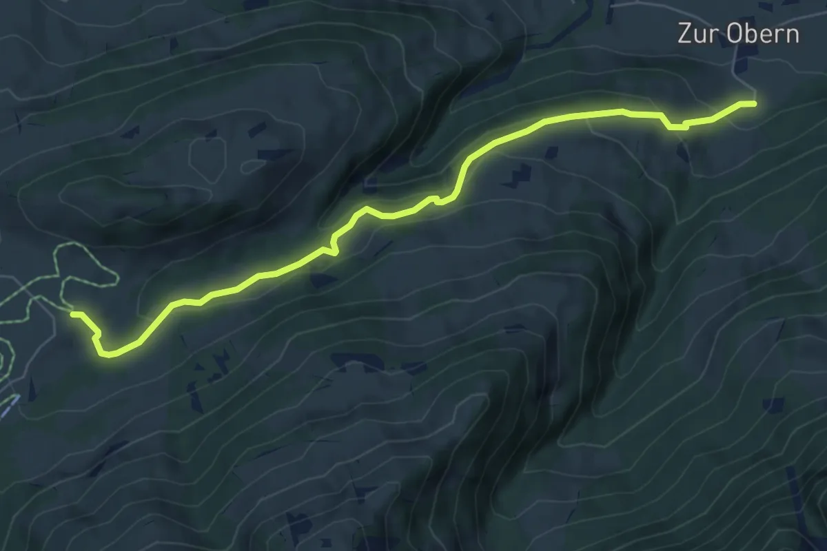
Medium · Trail
Rossberg – Zur Obern
6.9 km · ↑ 331 m · 2 h 21 min