Trails in Switzerland
15,055 hiking trails, each with its route, climb, walking time and grade.
All trails, page 184 of 314
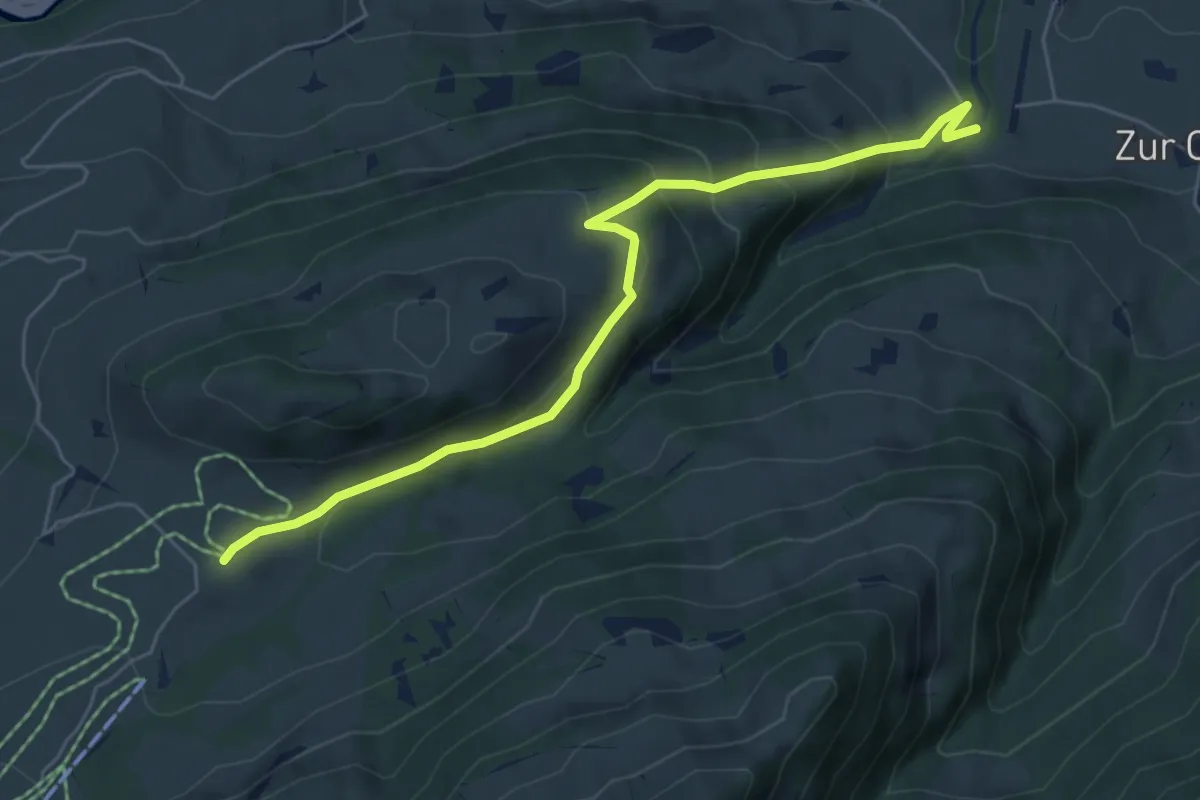
Medium · Trail
Rossberg – Rütti
6.2 km · ↑ 399 m · 2 h 20 min
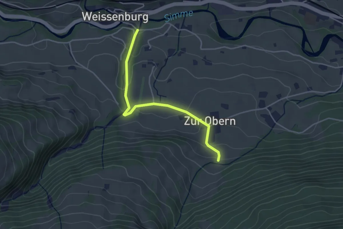
Easy · Trail
Weissenburg – Zur Obern
3.3 km · ↑ 139 m · 1 h 5 min
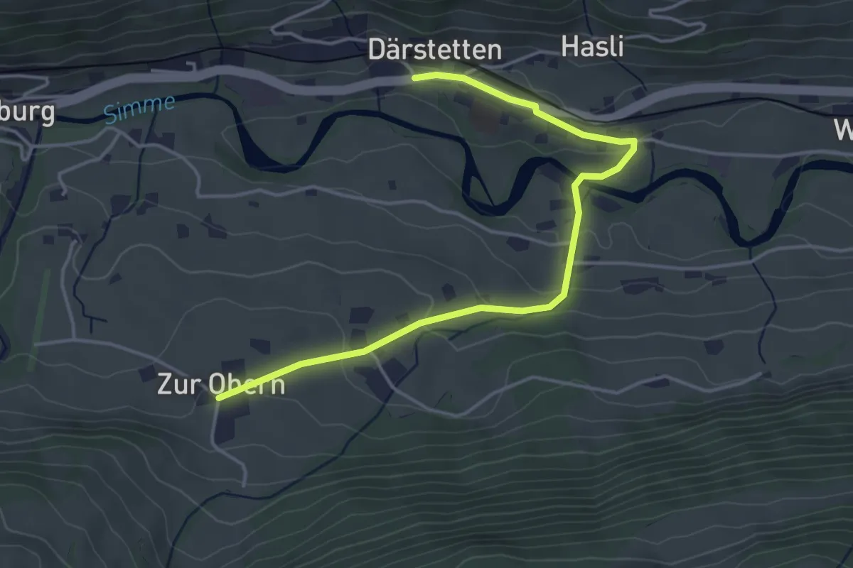
Easy · Trail
Därstetten – Zur Obern
4.5 km · ↑ 137 m · 1 h 22 min
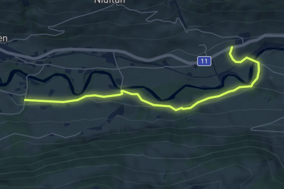
Easy · Trail
Waldegg – Rindgoldingen
6.1 km · ↑ 173 m · 1 h 49 min
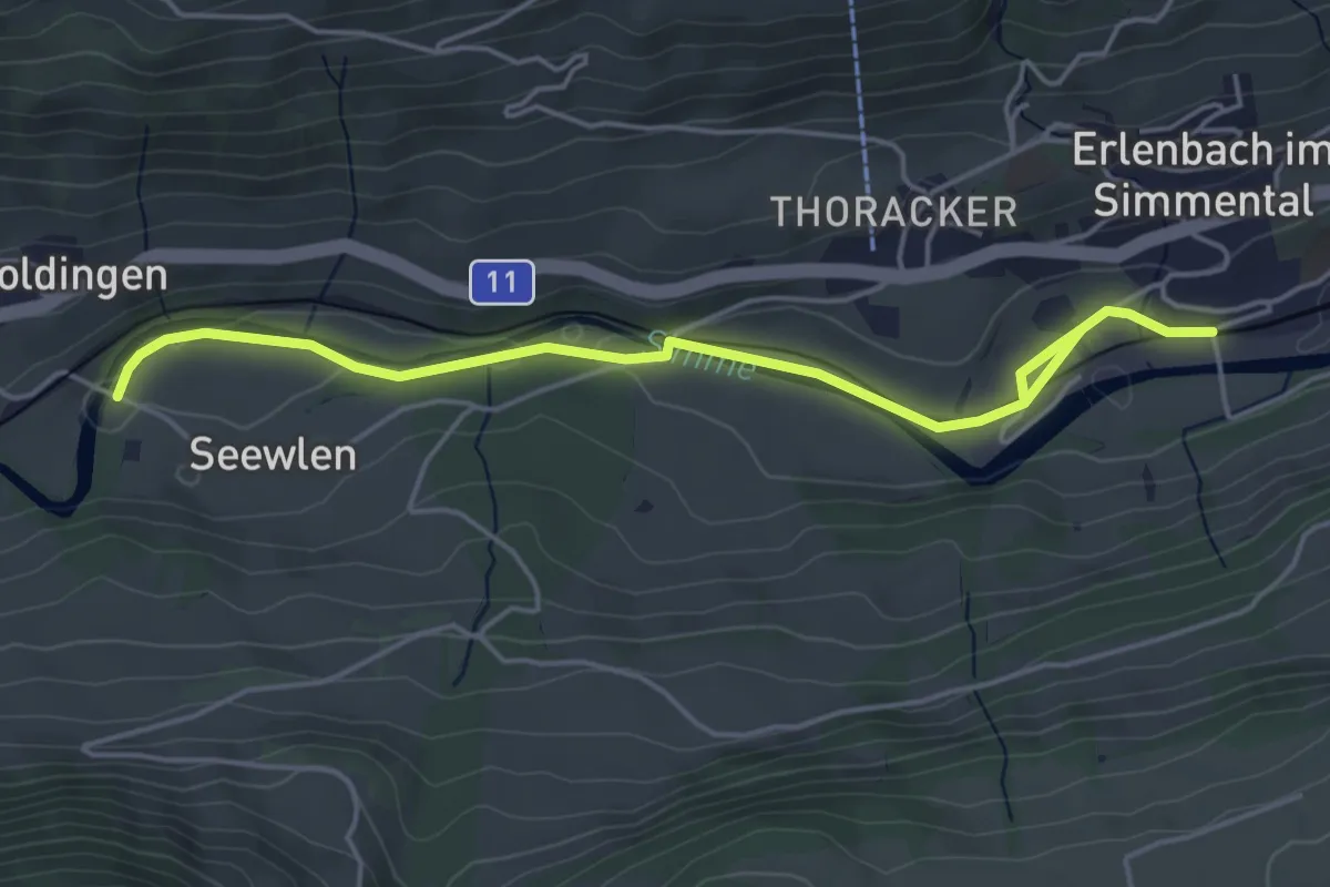
Easy · Trail
Seewlen – Erlenbach
5.3 km · ↑ 48 m · 1 h 21 min
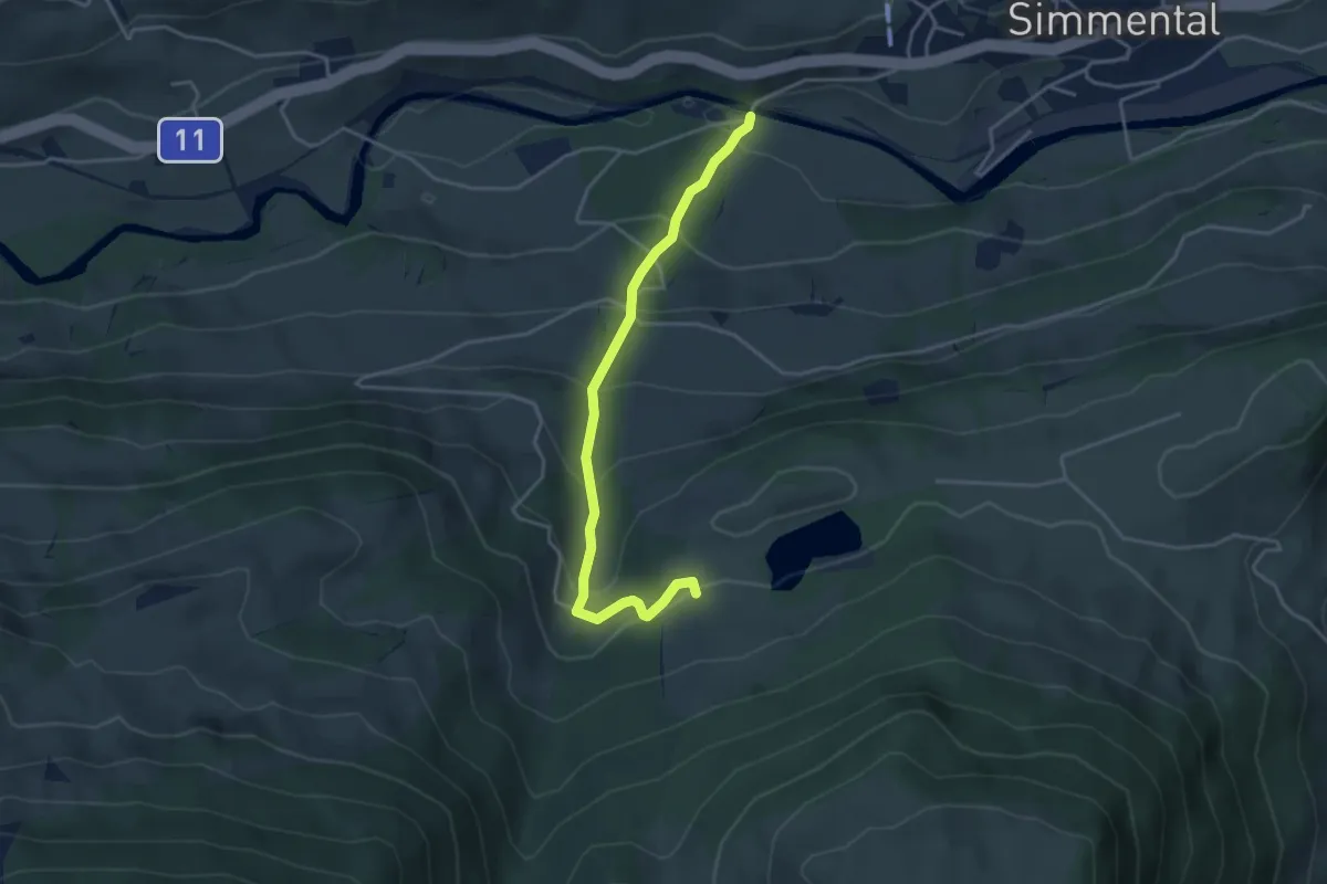
Easy · Trail
Steinibrügg – Aegelsee
3.9 km · ↑ 298 m · 1 h 34 min
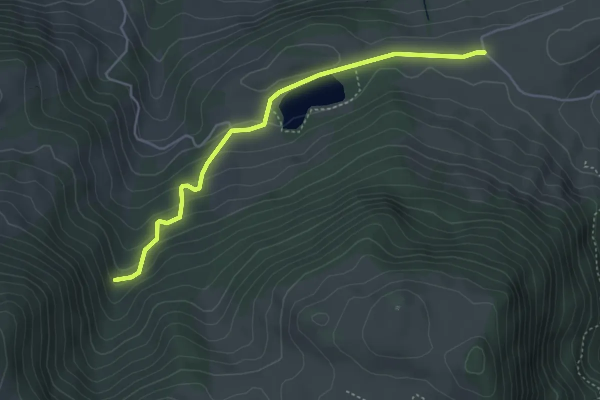
Easy · Trail
Oberhag – Bergli
4.1 km · ↑ 191 m · 1 h 22 min
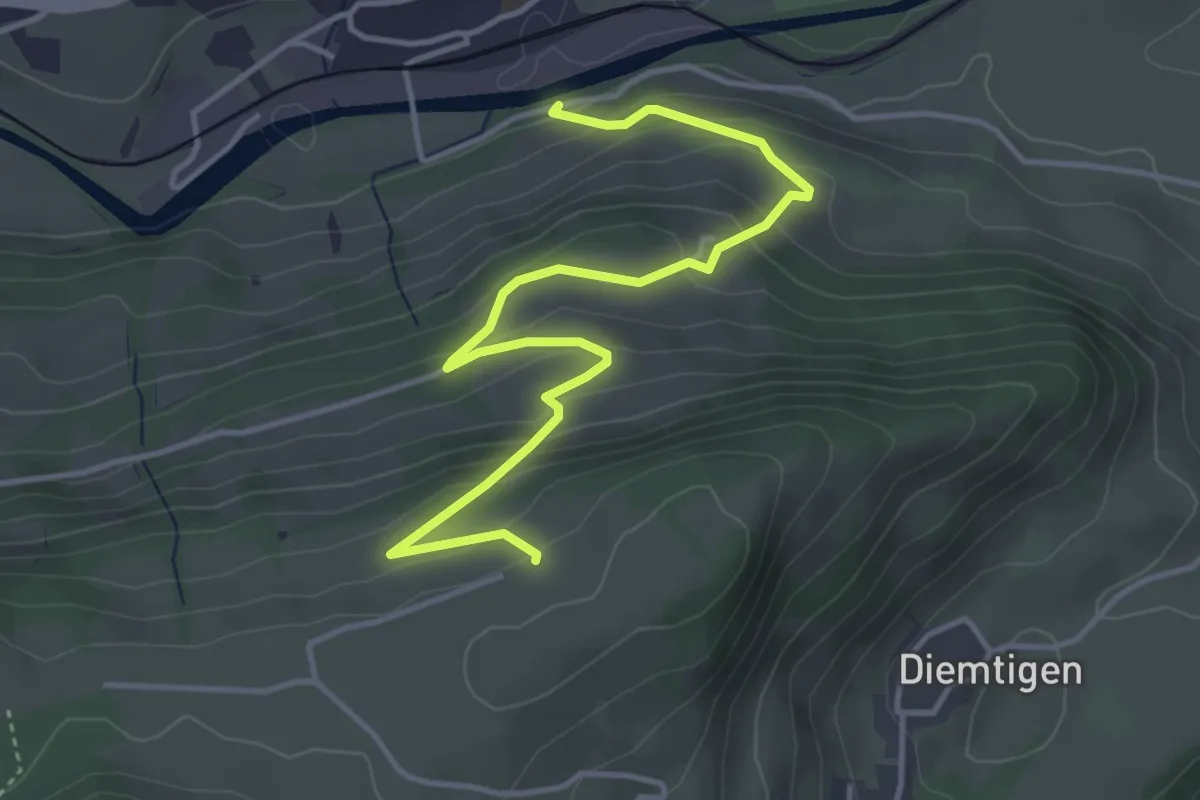
Easy · Trail
Erlenbach – Bergli
4.7 km · ↑ 297 m · 1 h 46 min
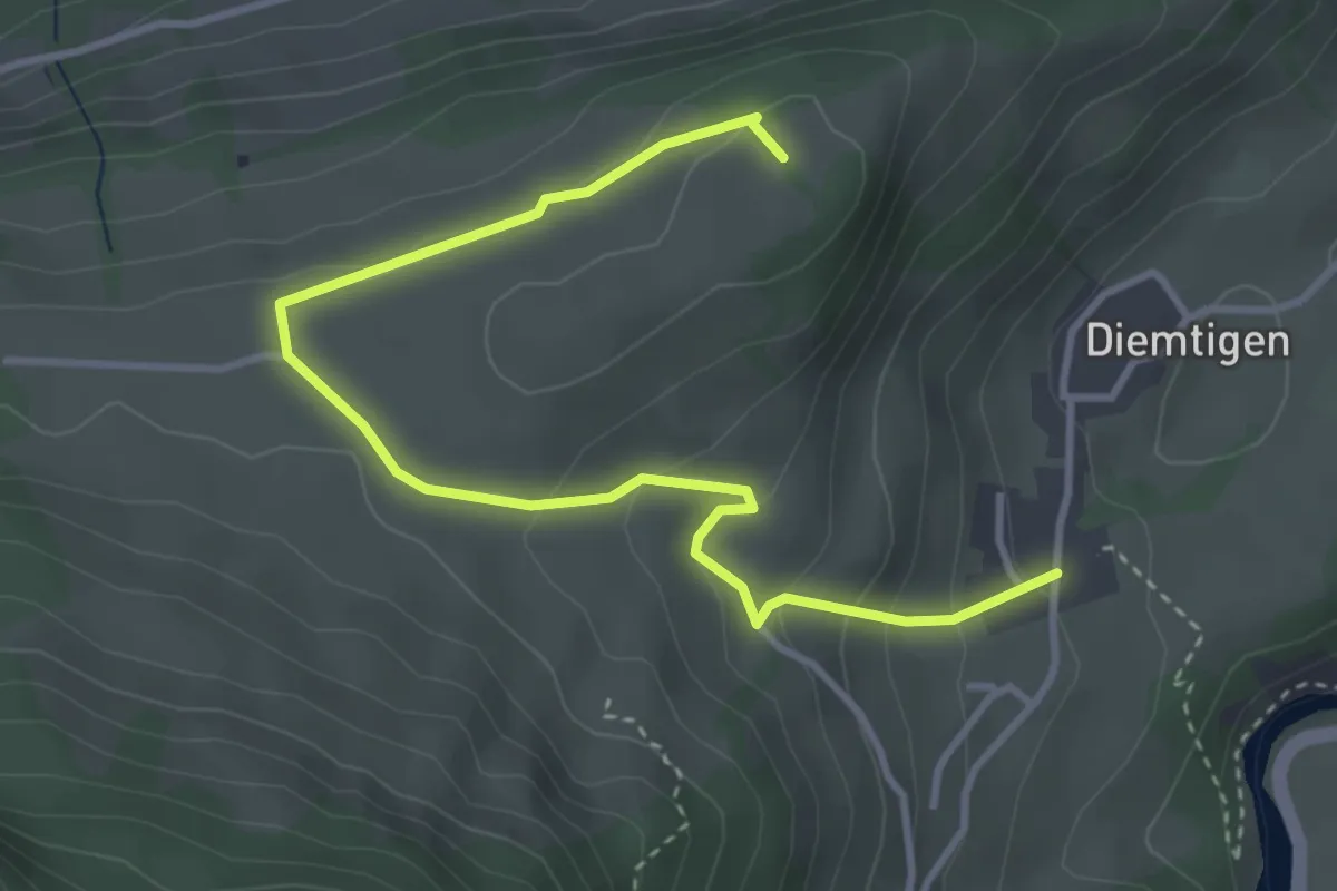
Easy · Trail
Diemtigen – Ufem Chrütz
4.2 km · ↑ 205 m · 1 h 27 min
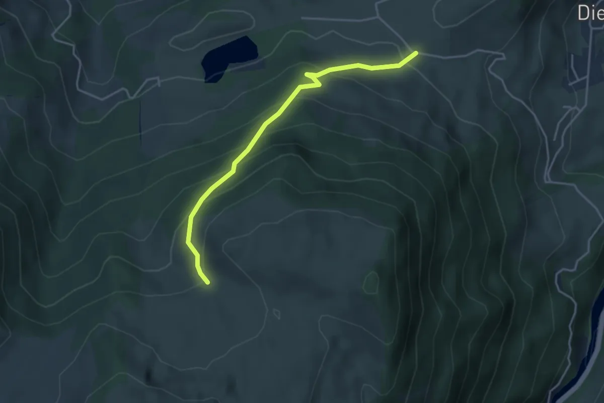
Easy · Trail
Bergli – Tschugge
3.7 km · ↑ 308 m · 1 h 32 min
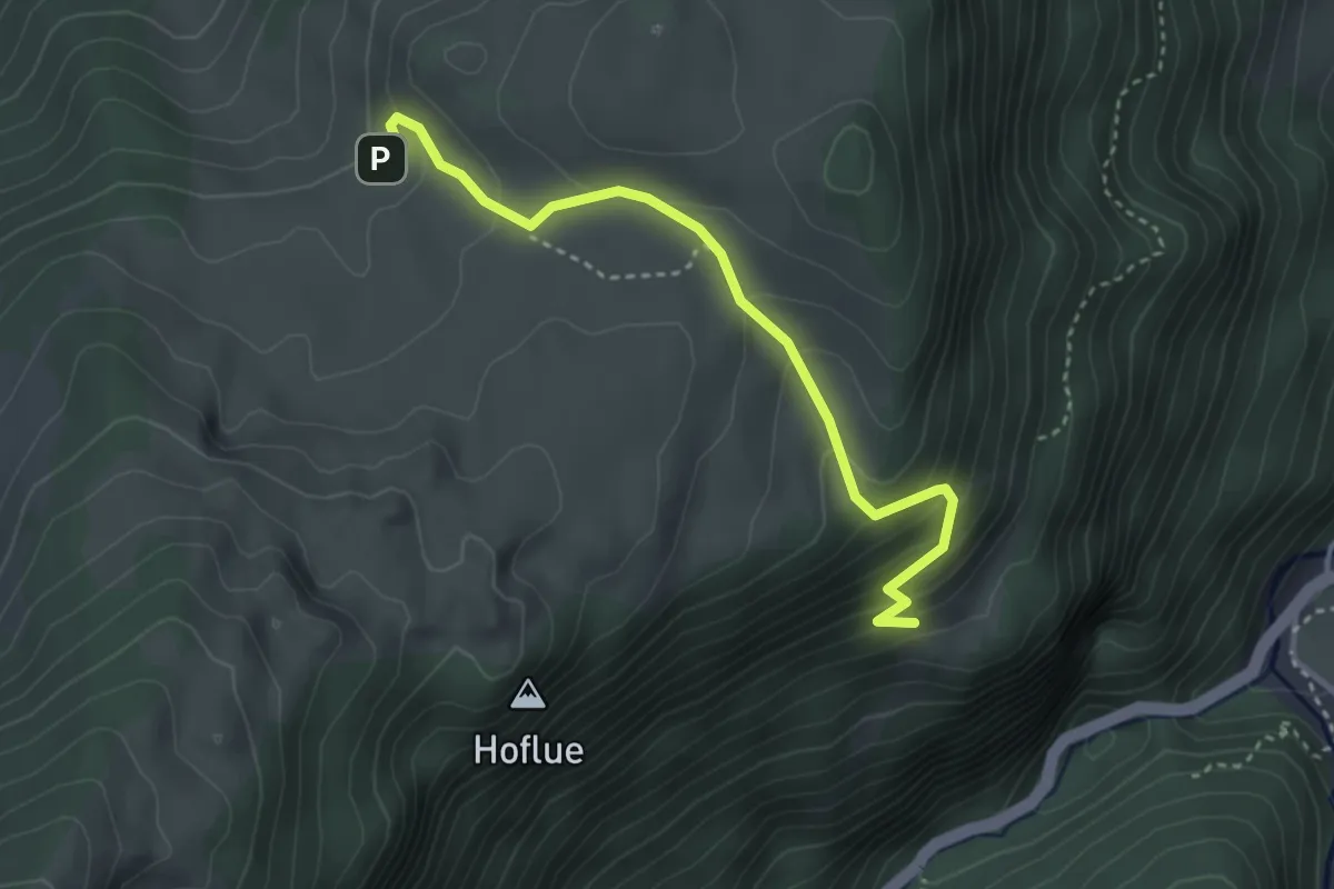
Medium · Trail
Tschugge – Chilchflue
3.4 km · ↑ 242 m · 1 h 20 min
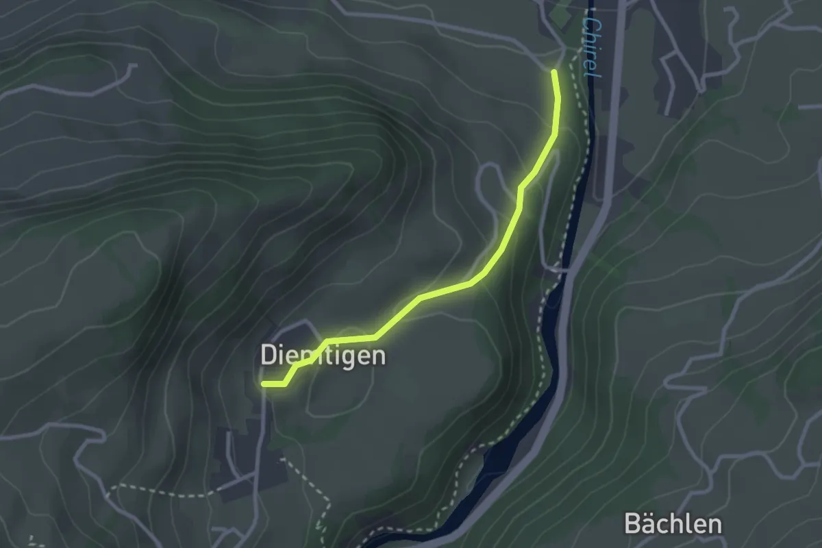
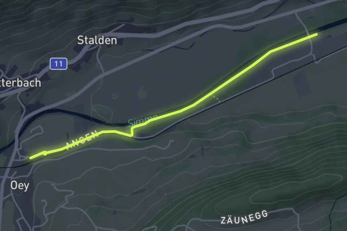
Easy · Trail
Diemtigen – Oey
2.4 km · ↑ 133 m · 52 min
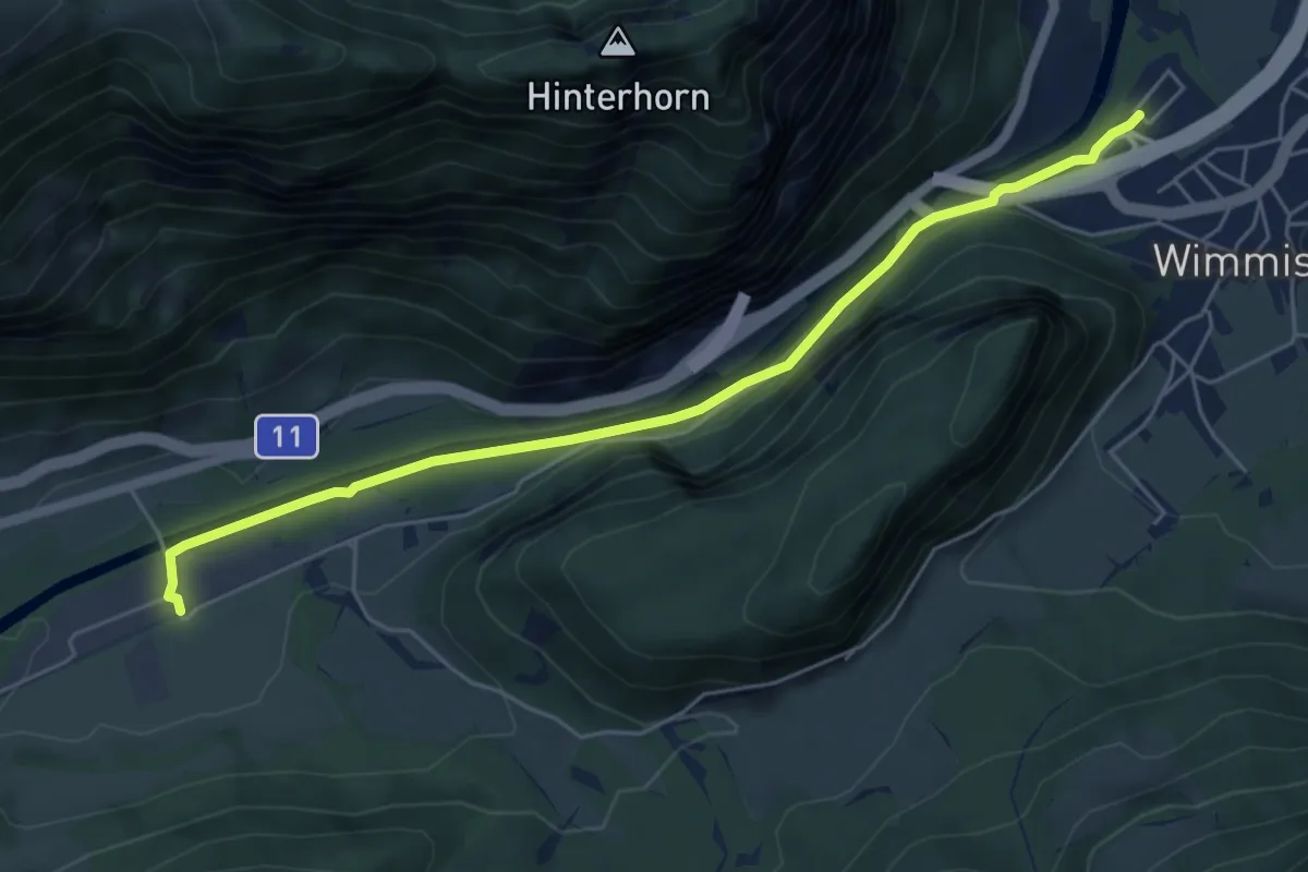
Easy · Trail
Oey – Burgholz
4.2 km · ↑ 31 m · 1 h 4 min
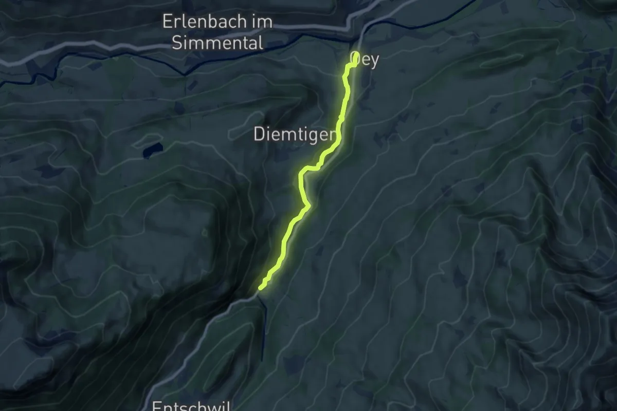
Easy · Trail
Burgholz – Wimmis
5.8 km · ↑ 71 m · 1 h 31 min
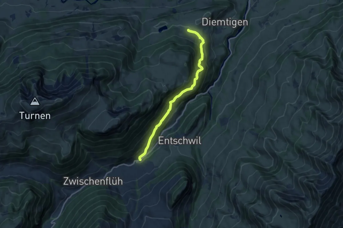
Easy · Trail
Oey – Horboden
7.4 km · ↑ 280 m · 2 h 21 min
Medium · Trail
Diemtigen – Riedli
10.2 km · ↑ 600 m · 3 h 42 min
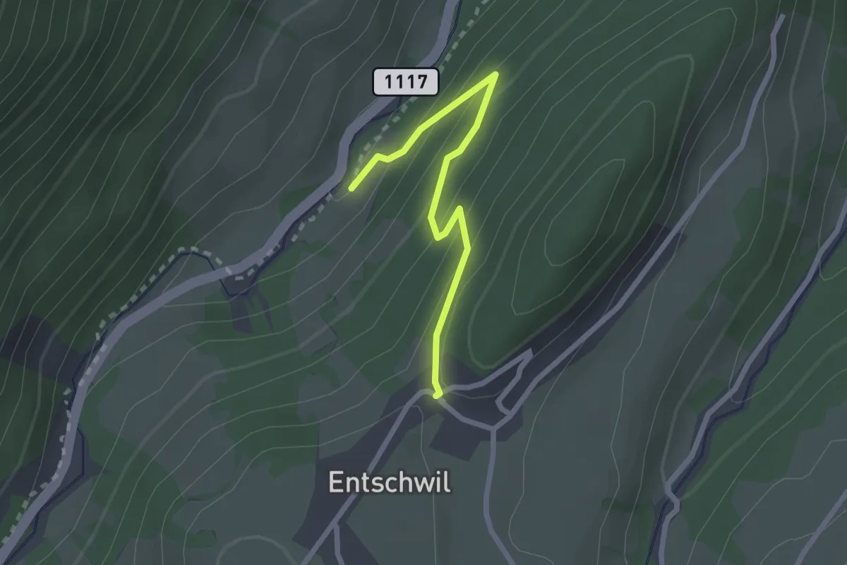
Easy · Trail
Studweid – Entschwil
2.2 km · ↑ 169 m · 53 min
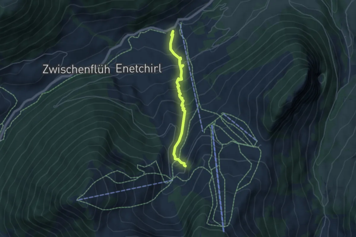
Medium · Trail
Riedli – Underi Heitere
4.2 km · ↑ 392 m · 1 h 50 min
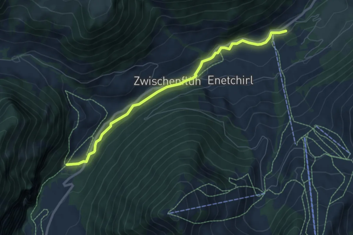
Easy · Trail
Riedli – Anger
6.8 km · ↑ 117 m · 1 h 51 min
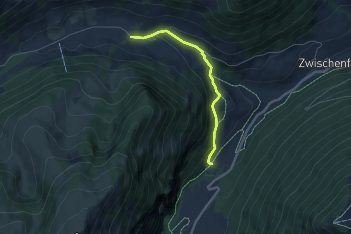
Easy · Trail
Meniggrund – Anger
4.1 km · ↑ 201 m · 1 h 24 min
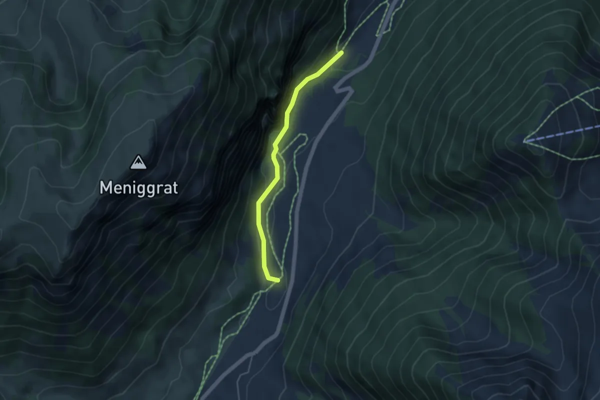
Easy · Trail
Anger – Tiermatti
3.6 km · ↑ 236 m · 1 h 21 min
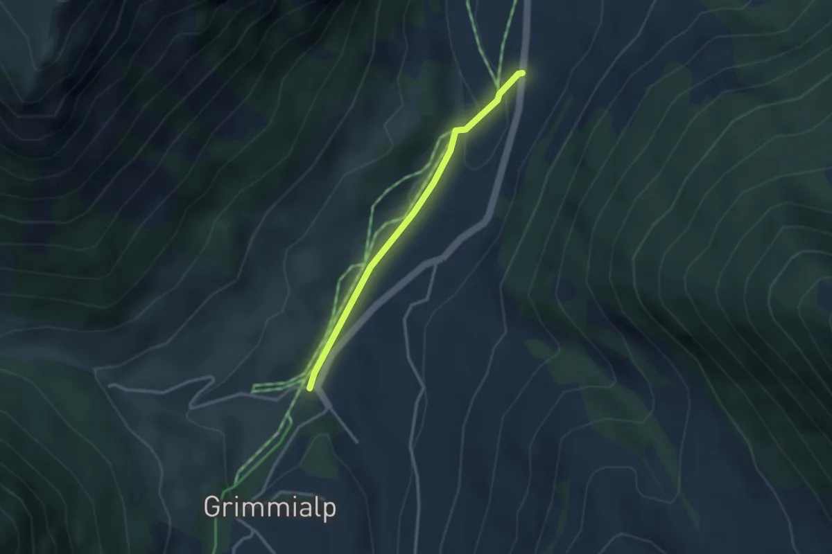
Easy · Trail
Schwenden – Tiermatti
2.5 km · ↑ 65 m · 43 min
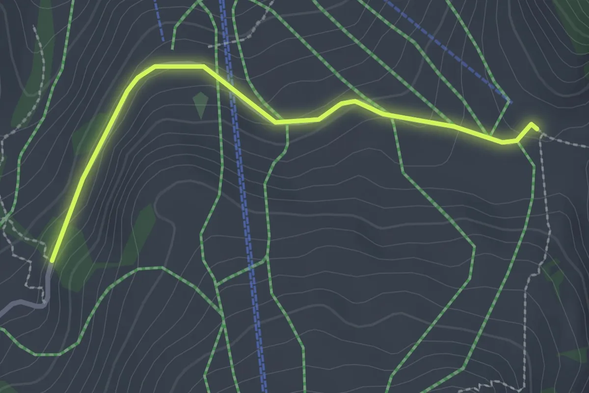
Easy · Trail
Underi Heitere – Schwarzenberg
2.4 km · ↑ 86 m · 46 min
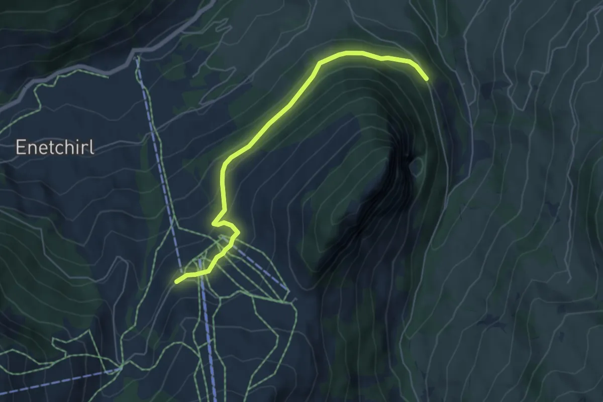
Easy · Trail
Nüegg – Underberg
5.3 km · ↑ 261 m · 1 h 49 min
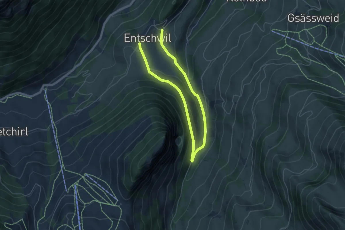
Easy · Trail
Entschwil – Entschwil
7.4 km · ↑ 209 m · 2 h 12 min
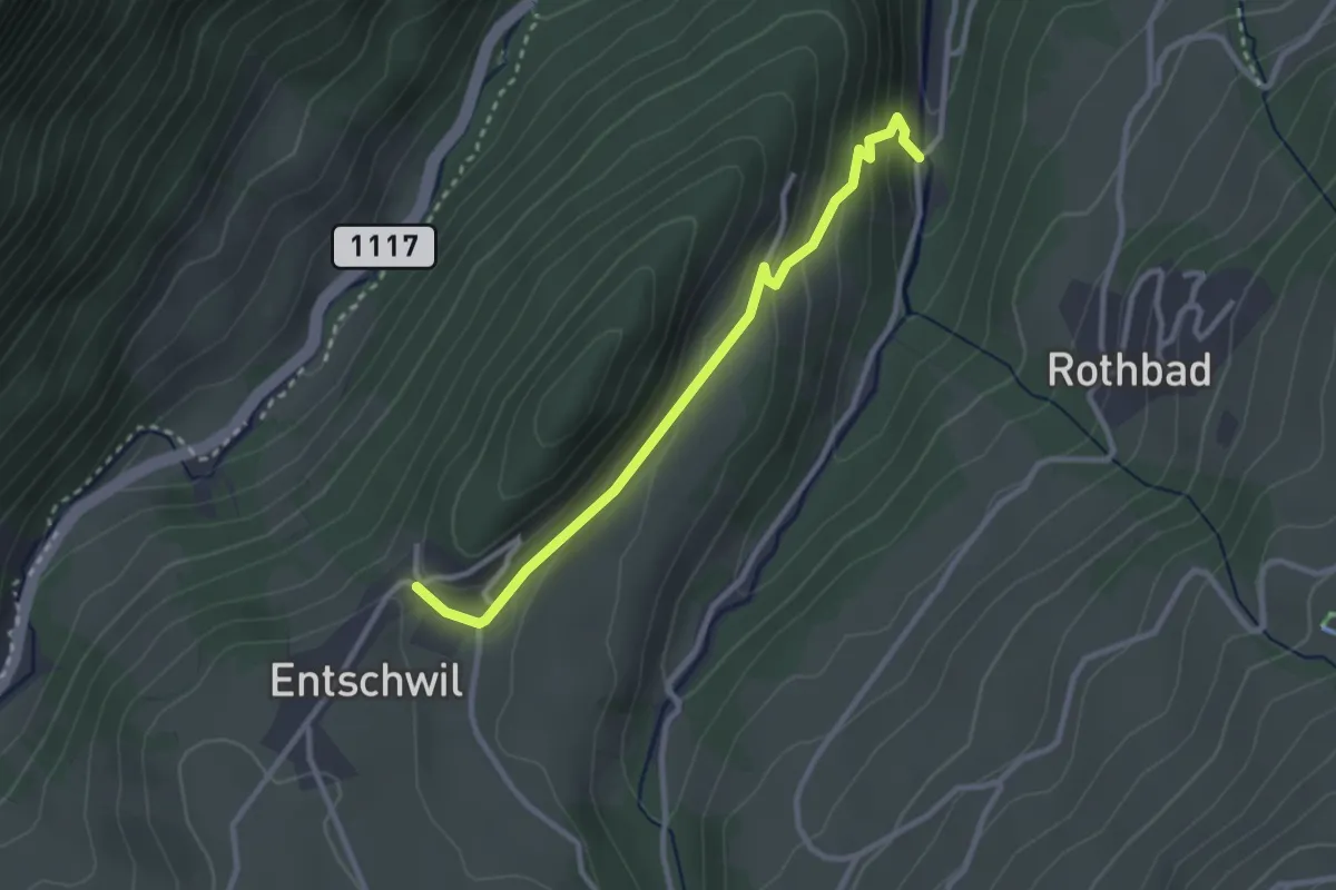
Easy · Trail
Entschwil – Cheerewald
2.8 km · ↑ 160 m · 1 h 1 min
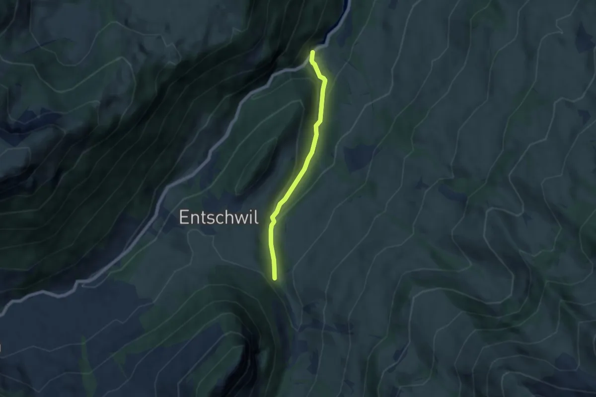
Easy · Trail
Horboden – Underberg
4.7 km · ↑ 237 m · 1 h 37 min
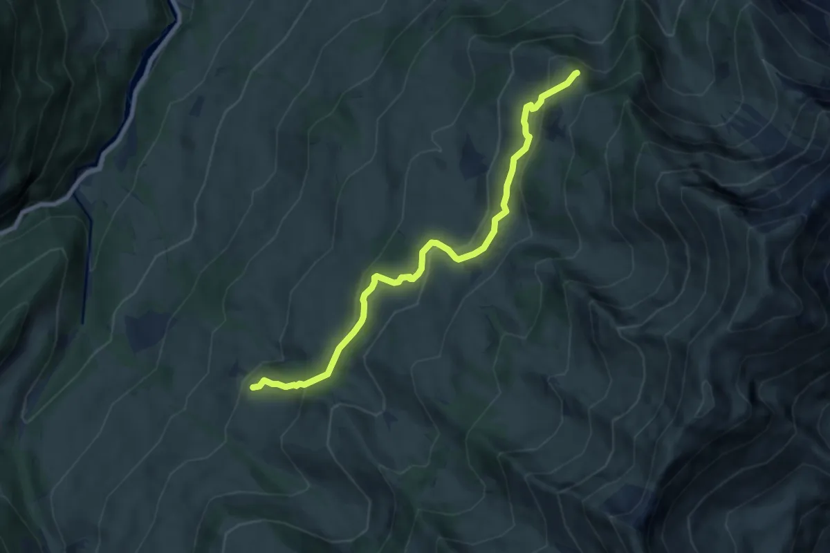
Medium · Trail
Springboden – Hoschüpfe
7.4 km · ↑ 432 m · 2 h 42 min
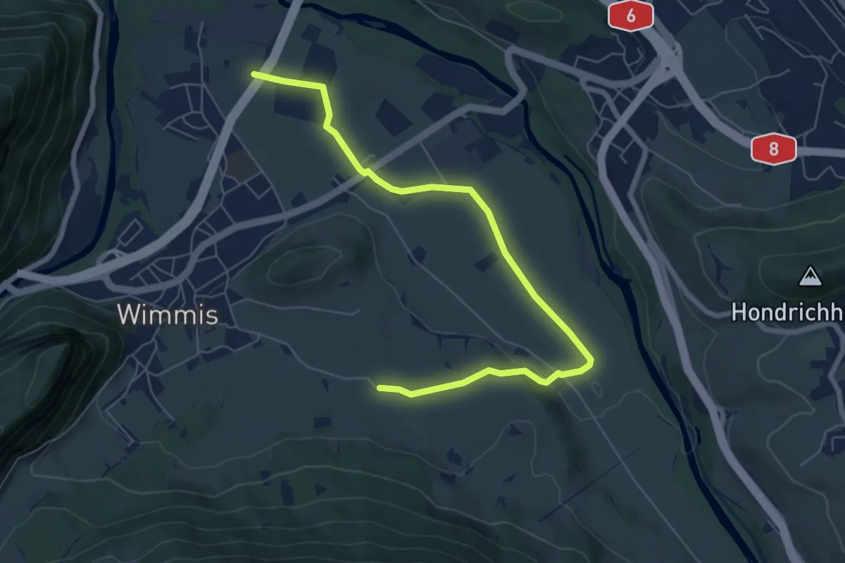
Easy · Trail
Eifeld – Hasli
7.2 km · ↑ 71 m · 1 h 51 min
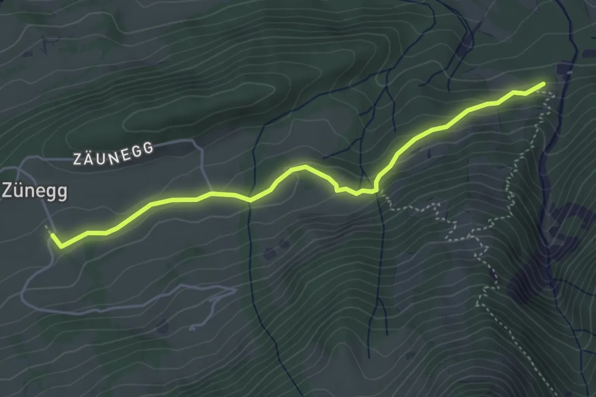
Easy · Trail
Zäunegg – Zünigwald
4.5 km · ↑ 177 m · 1 h 27 min
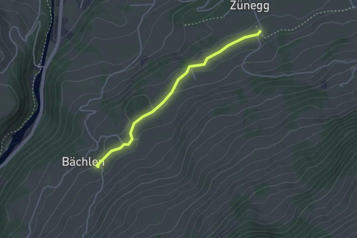
Easy · Trail
Bächlen – Zäunegg
3.1 km · ↑ 59 m · 51 min
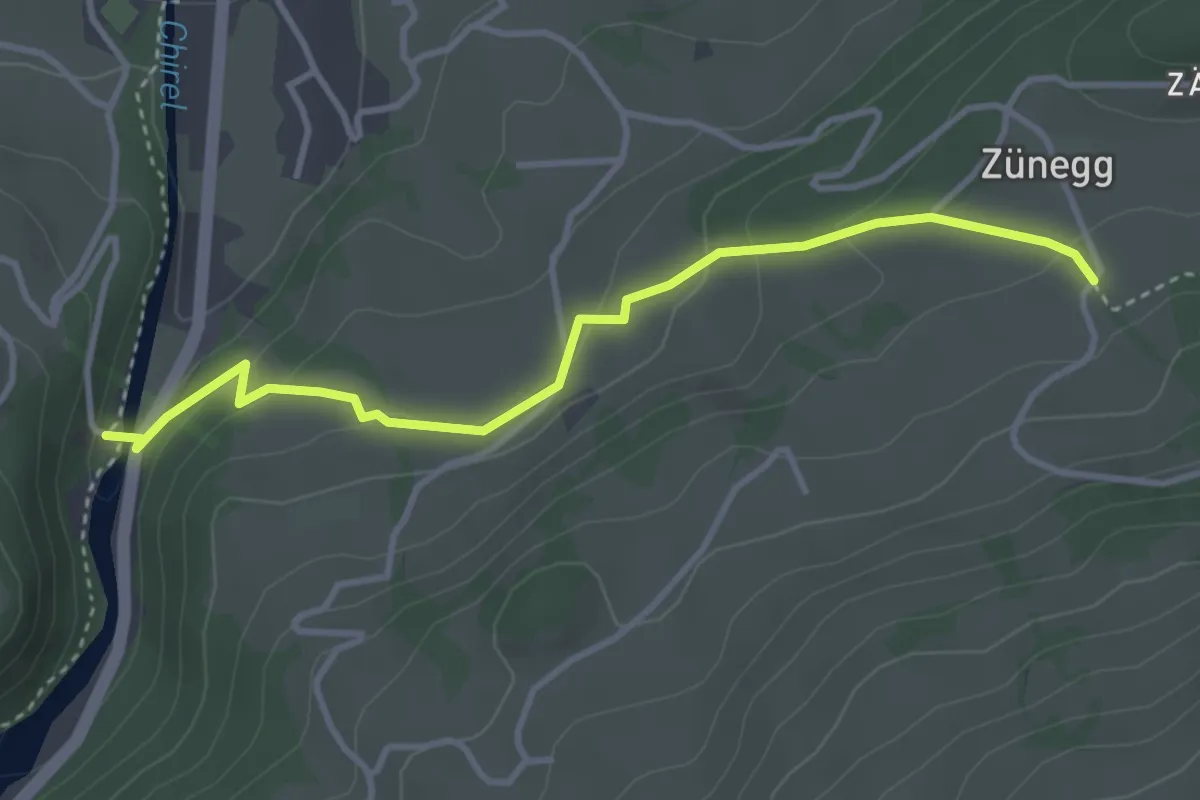
Easy · Trail
Katzenlochbrücke – Zäunegg
3.7 km · ↑ 155 m · 1 h 12 min
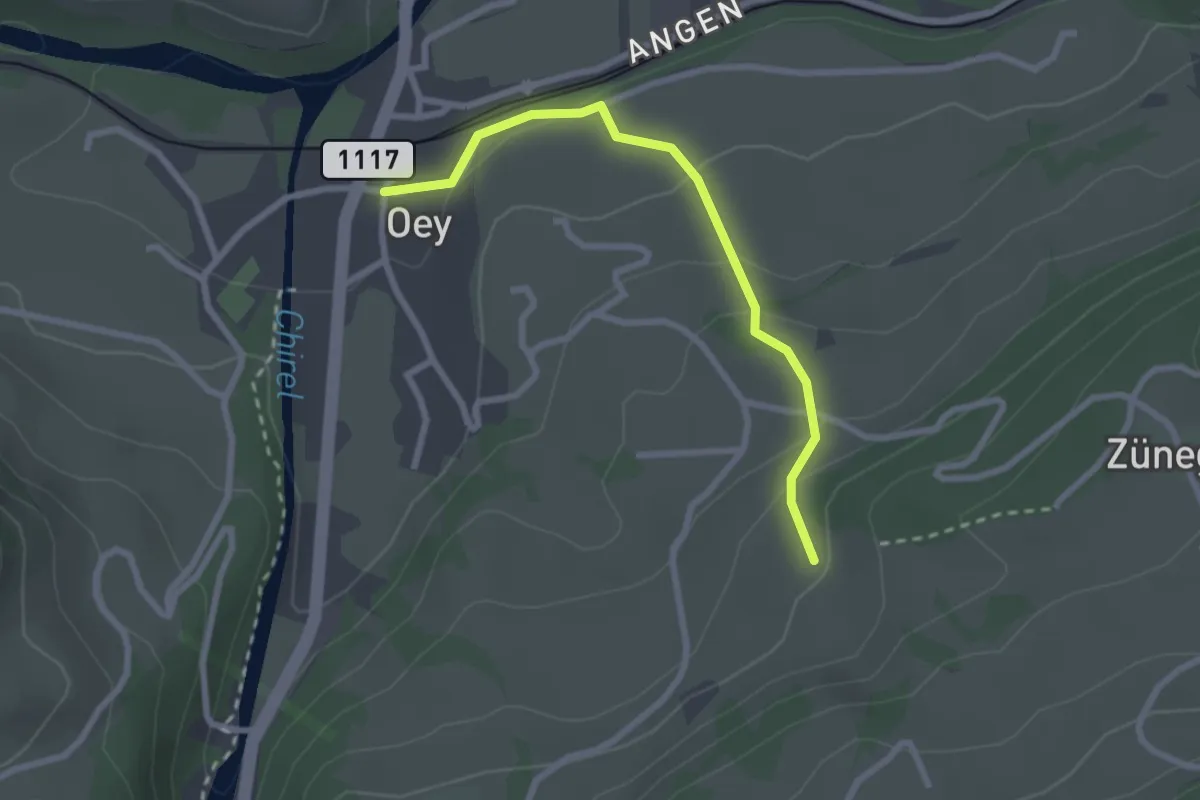
Easy · Trail
Oey – Selbezen
2.4 km · ↑ 121 m · 50 min
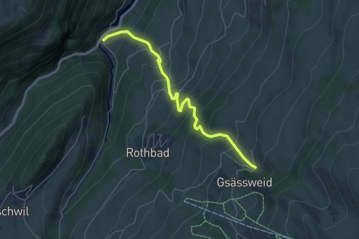
Medium · Trail
Horboden – Hasenloch
4.9 km · ↑ 480 m · 2 h 11 min
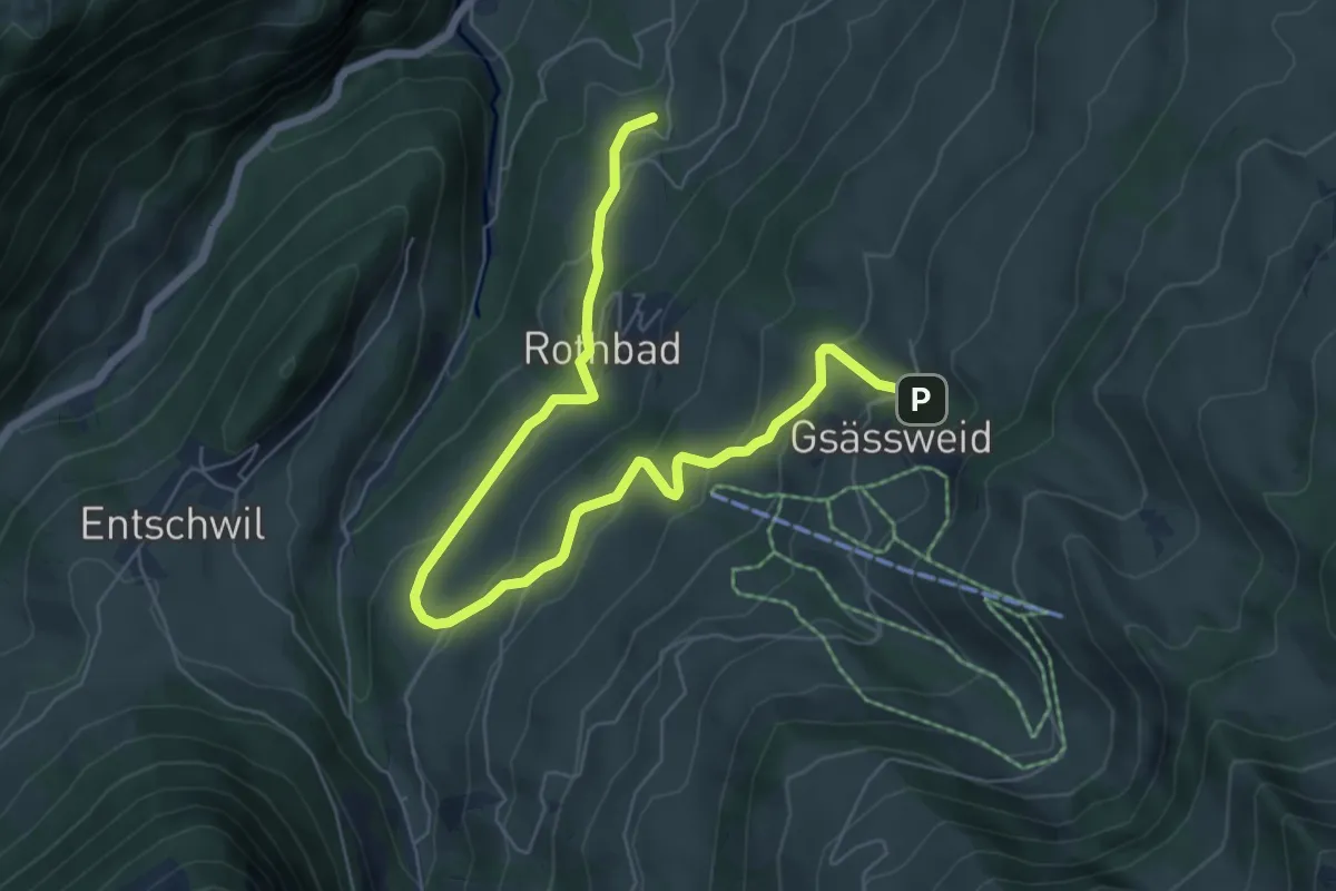
Medium · Trail
Tiefenbach – Hasenloch
7.8 km · ↑ 406 m · 2 h 44 min
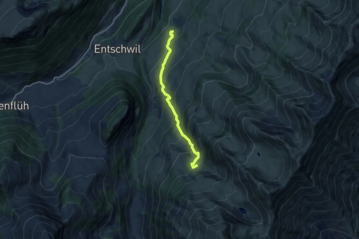
Medium · Trail
Rothbad – Under Meiefall
7.3 km · ↑ 612 m · 3 h 2 min
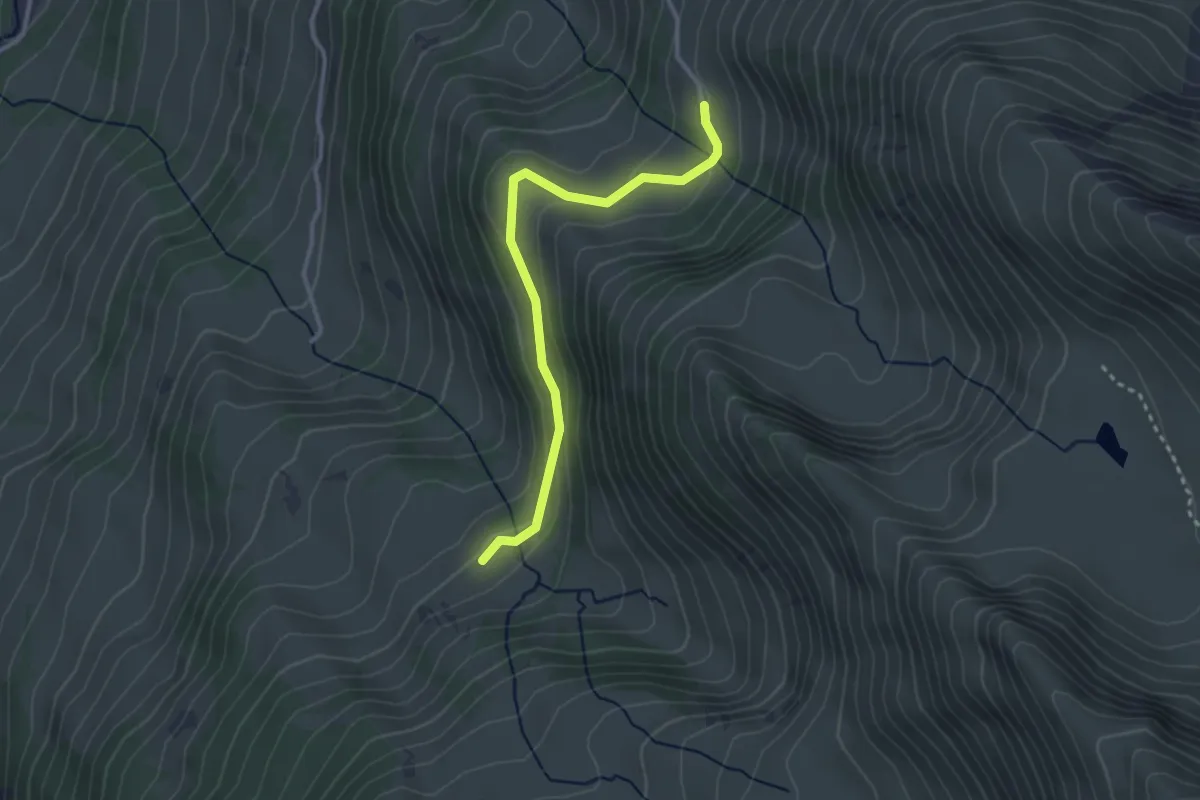
Easy · Trail
Under Meiefall – Horn
3.0 km · ↑ 118 m · 58 min
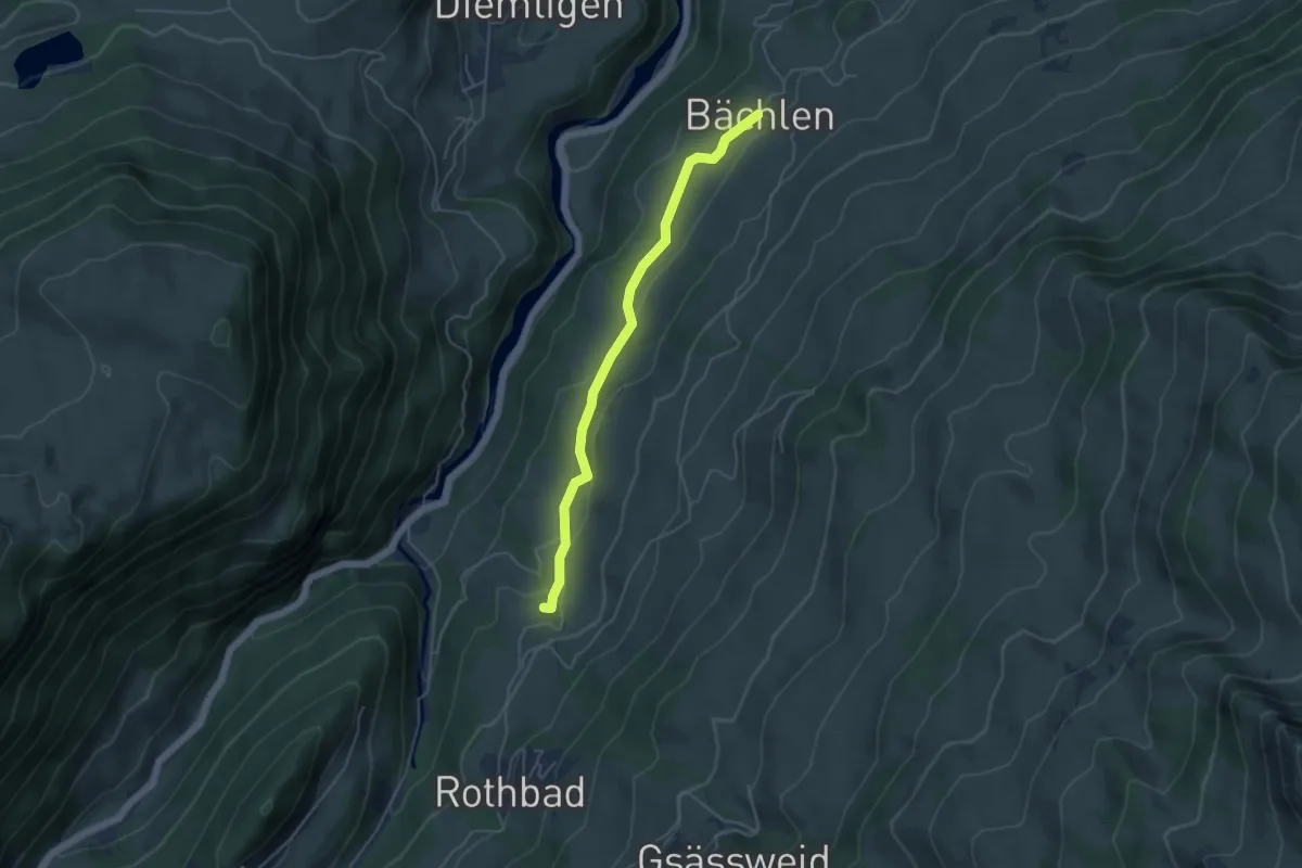
Easy · Trail
Tiefenbach – Bächlen
4.5 km · ↑ 138 m · 1 h 21 min
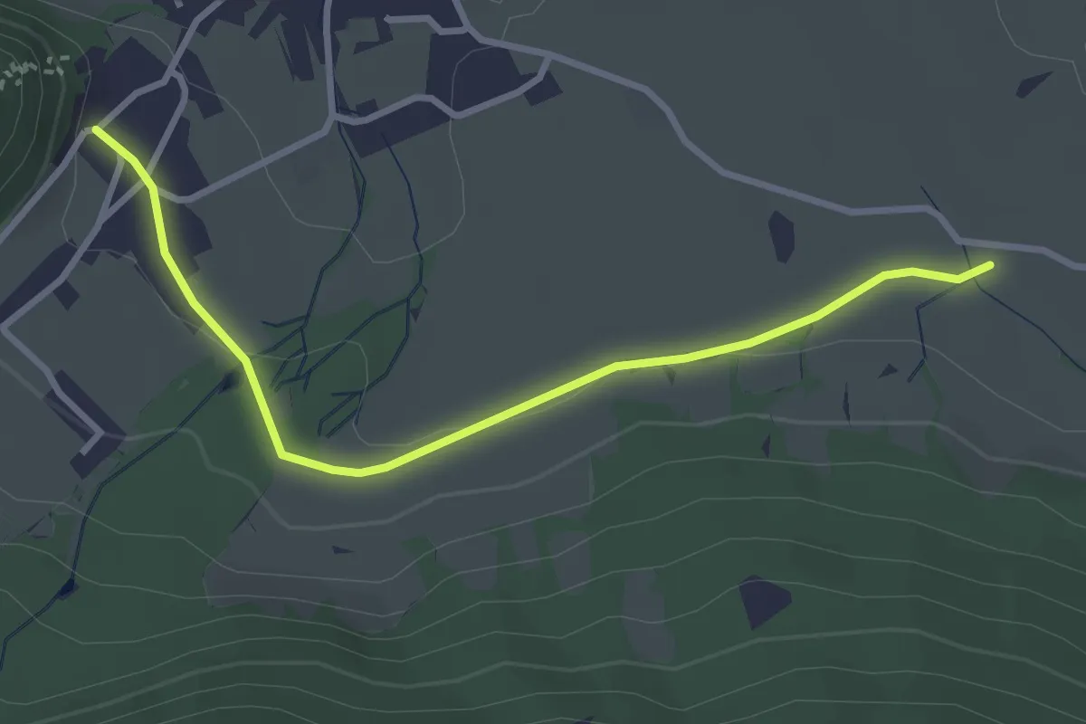
Easy · Trail
Oberdorf – Hasli
3.2 km · ↑ 51 m · 52 min
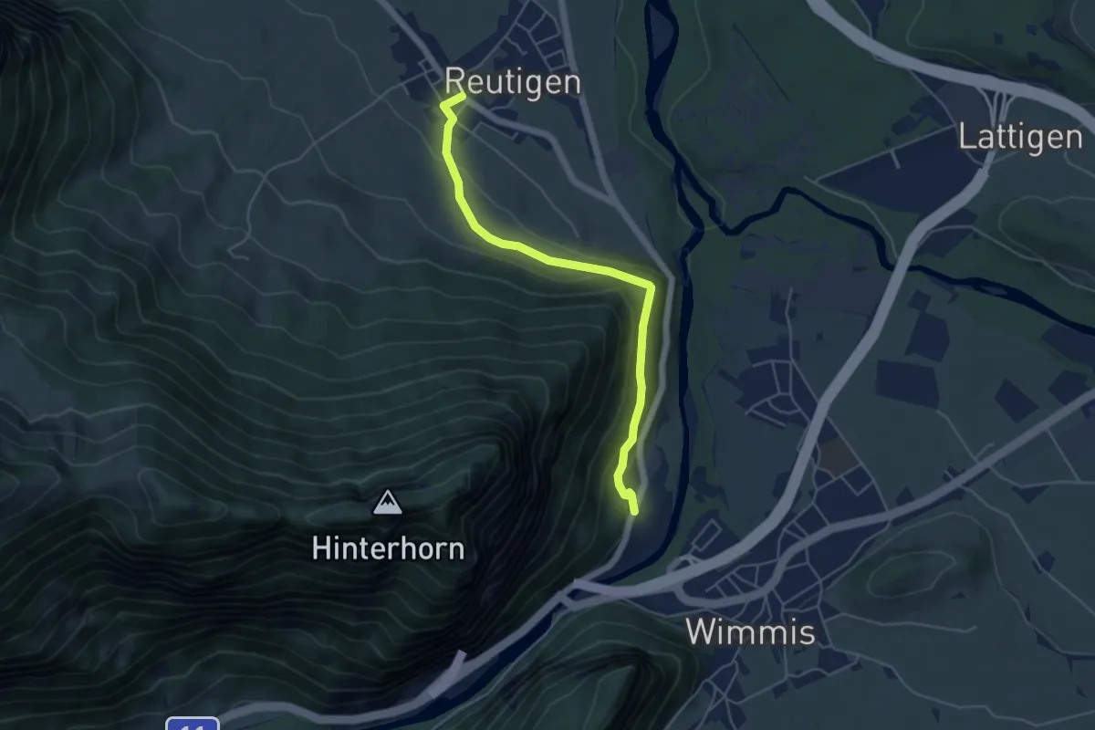
Easy · Trail
Brodhüsi – Reutigen
4.9 km · ↑ 216 m · 1 h 38 min
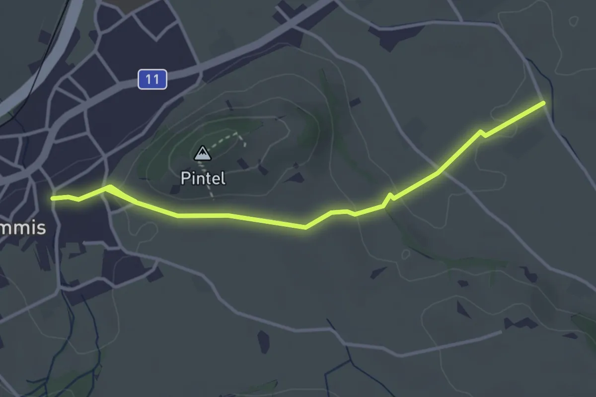
Easy · Trail
Wimmis – Rütene
3.8 km · ↑ 66 m · 1 h 2 min
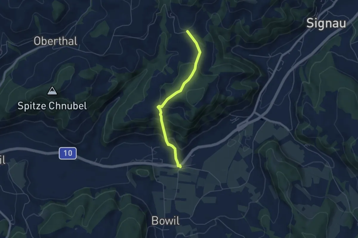
Easy · Trail
Bowil – Hüslebach
4.8 km · ↑ 289 m · 1 h 46 min
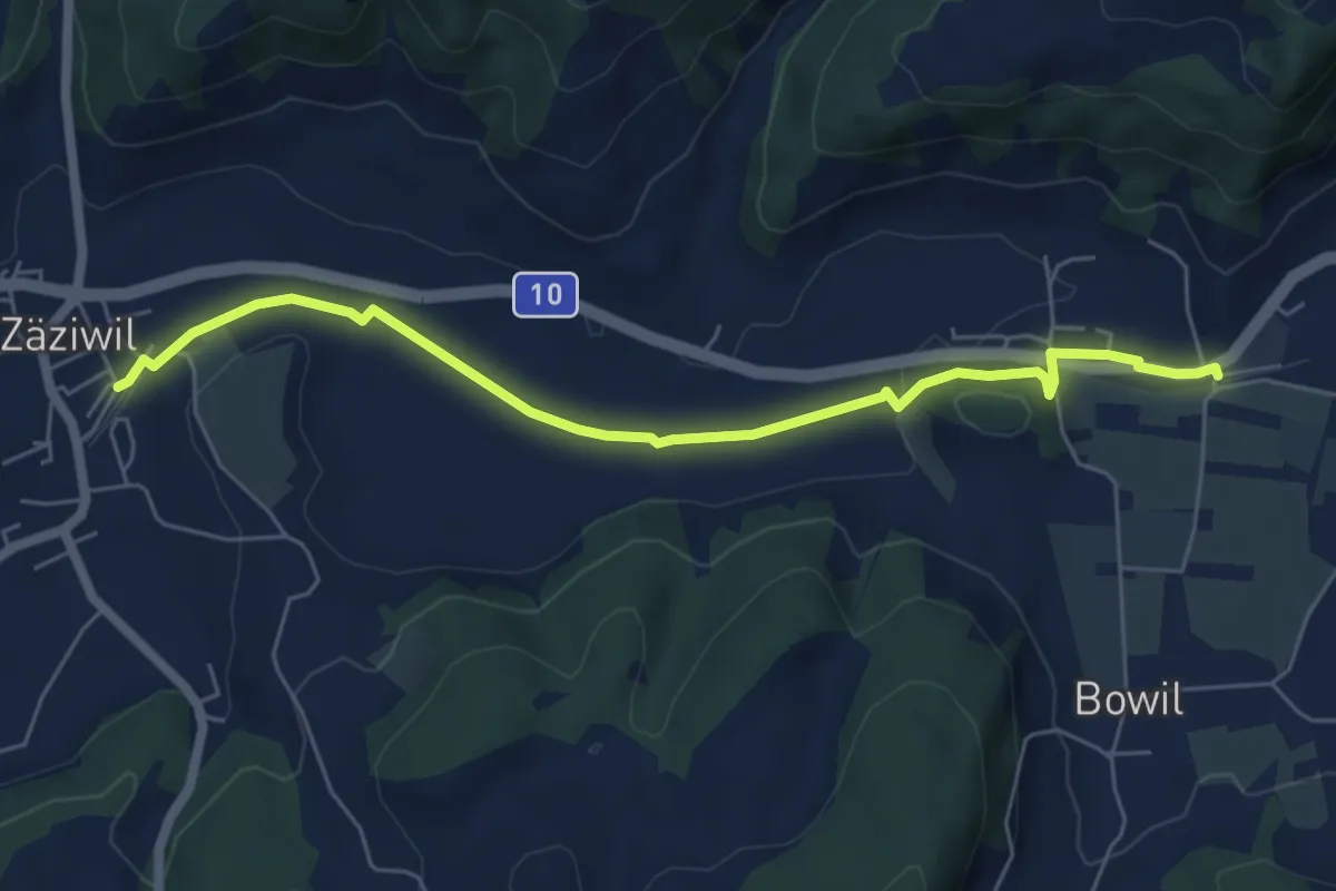
Easy · Trail
Bowil – Zäziwil
6.2 km · ↑ 51 m · 1 h 34 min
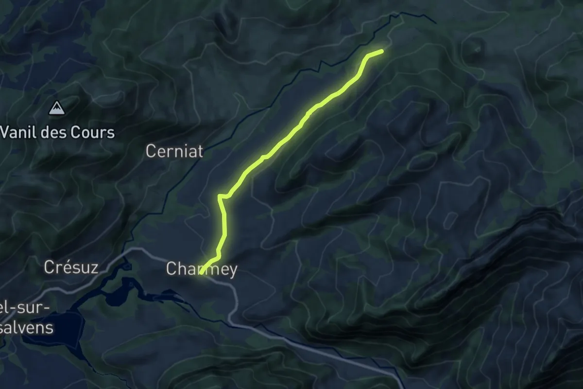
Medium · Trail
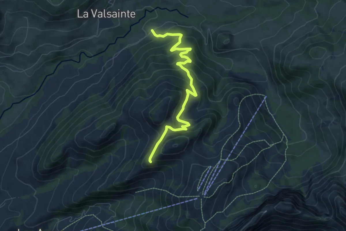
Charmey – Les Reposoirs
8.4 km · ↑ 166 m · 2 h 21 min
Medium · Trail
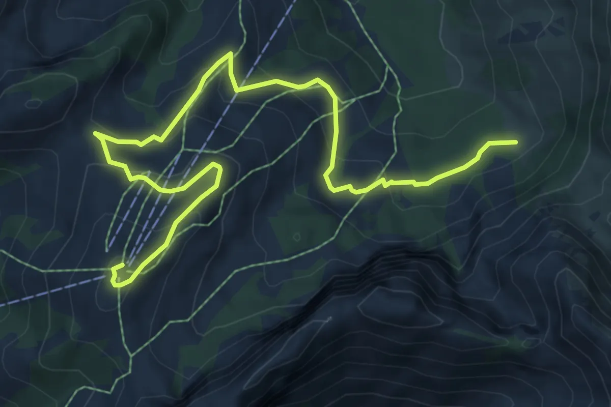
Les Reposoirs – Tissiniva
8.0 km · ↑ 488 m · 2 h 57 min
Medium · Summit
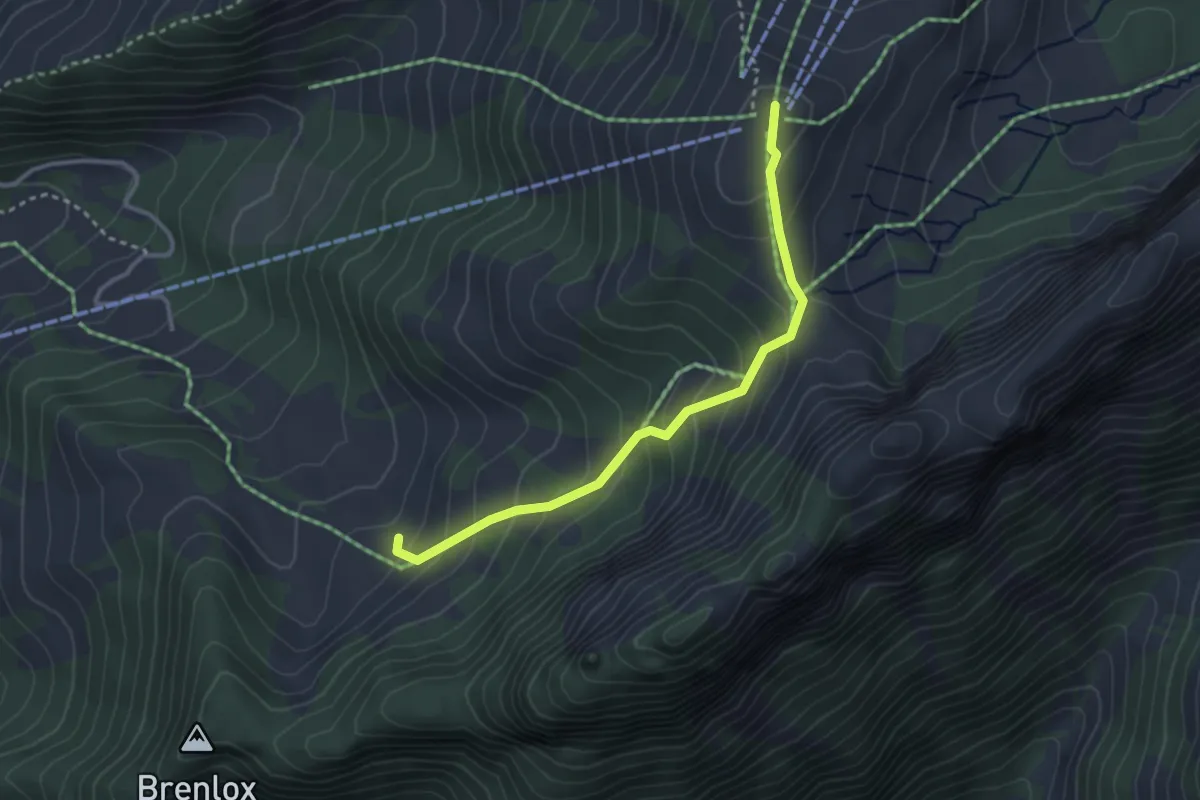
La Gisetta – Vounetz
8.8 km · ↑ 455 m · 3 h 4 min
Easy · Summit
Gros Ganet – Vounetz
3.1 km · ↑ 278 m · 1 h 20 min
Medium · Trail
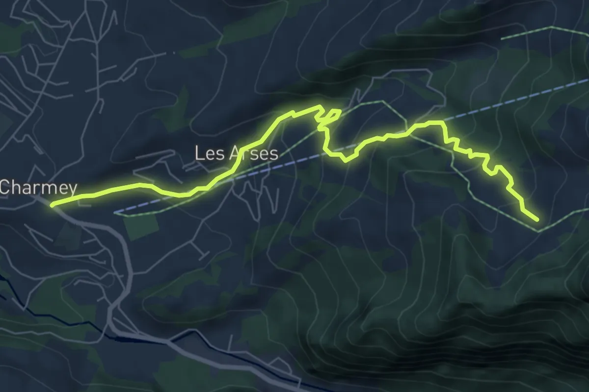
Charmey – Gros Ganet
7.6 km · ↑ 486 m · 2 h 51 min