Trails in Switzerland
15,055 hiking trails, each with its route, climb, walking time and grade.
All trails, page 185 of 314
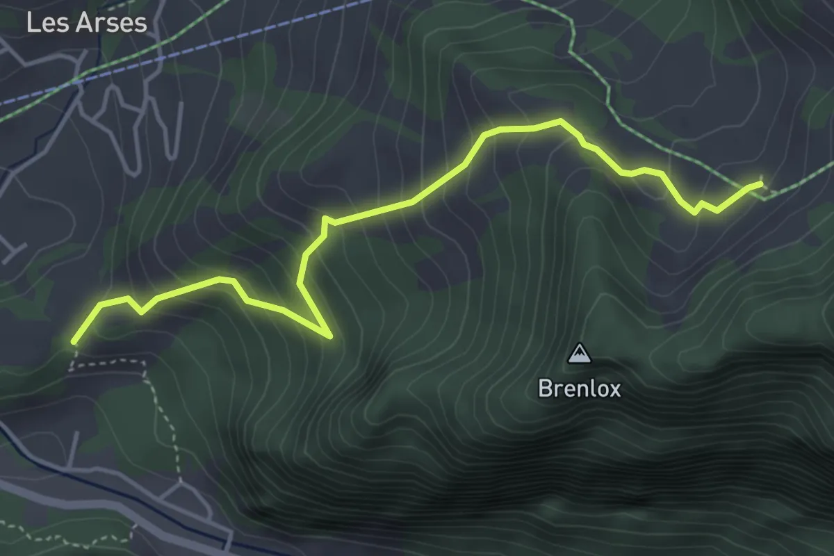
Medium · Trail
Pliaumont – Gros Ganet
4.4 km · ↑ 419 m · 1 h 57 min
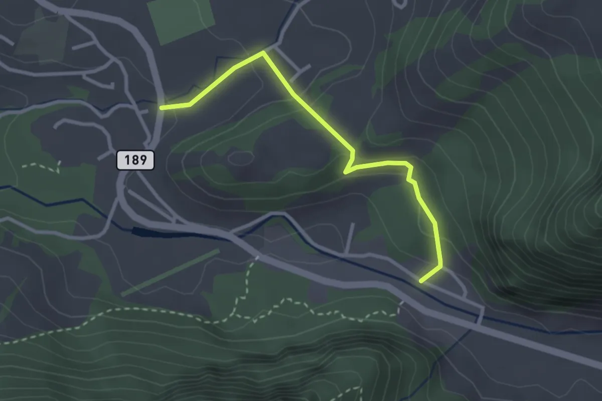
Easy · Trail
Sous les Vanels – La Tzintre
2.6 km · ↑ 147 m · 56 min
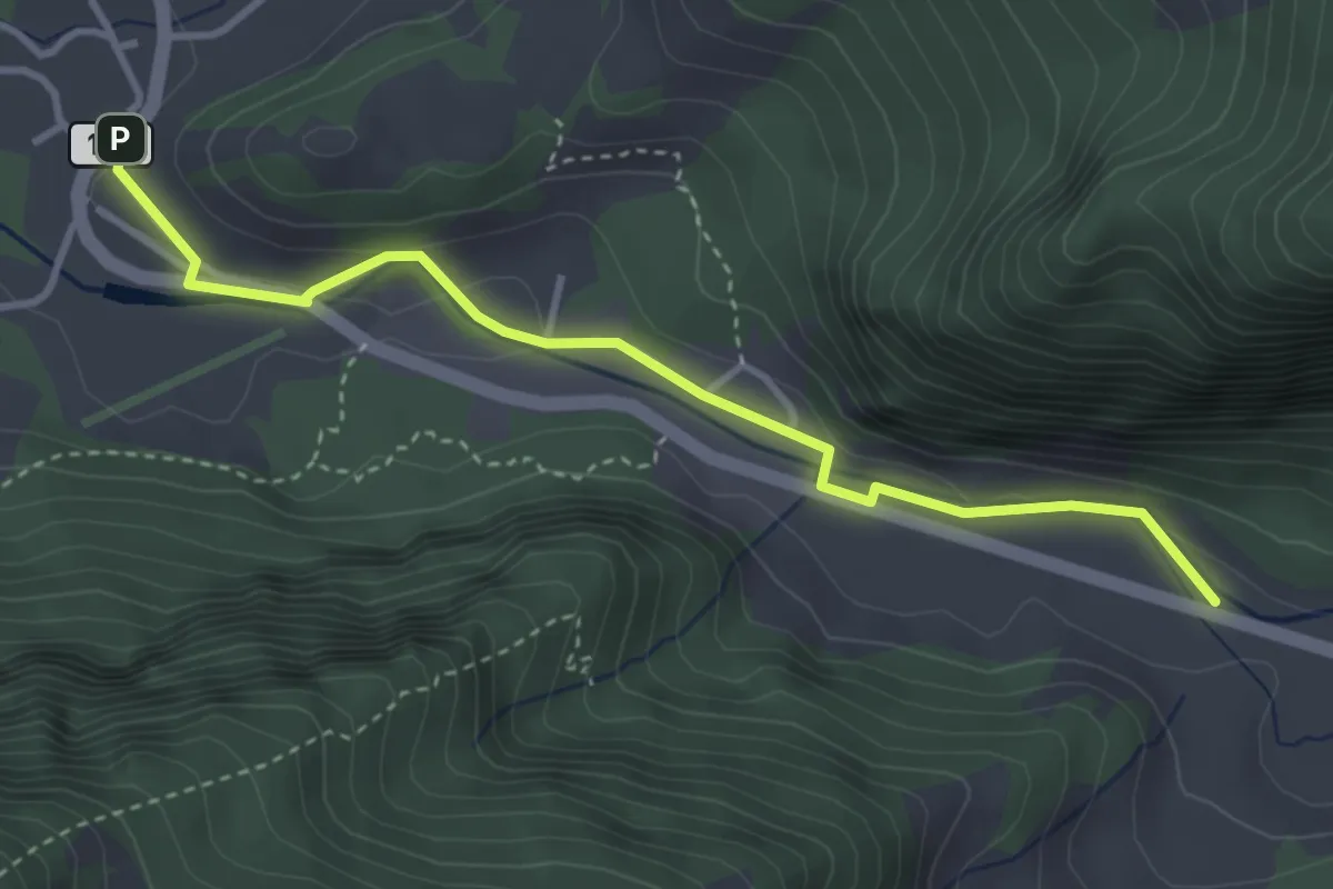
Easy · Trail
La Tzintre – Bonnefontaine
3.7 km · ↑ 111 m · 1 h 6 min
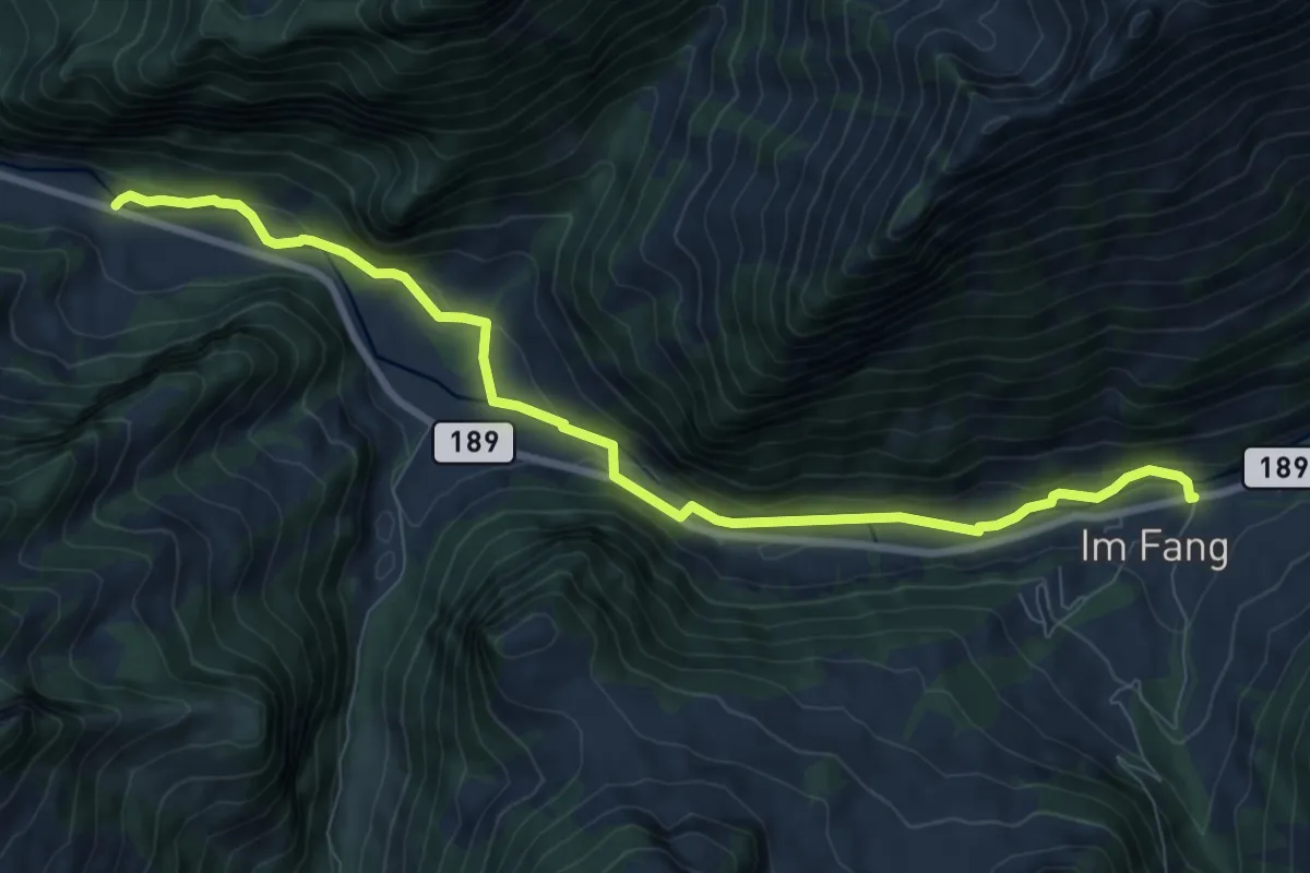
Medium · Trail
Bonnefontaine – Im Fang
9.3 km · ↑ 228 m · 2 h 42 min
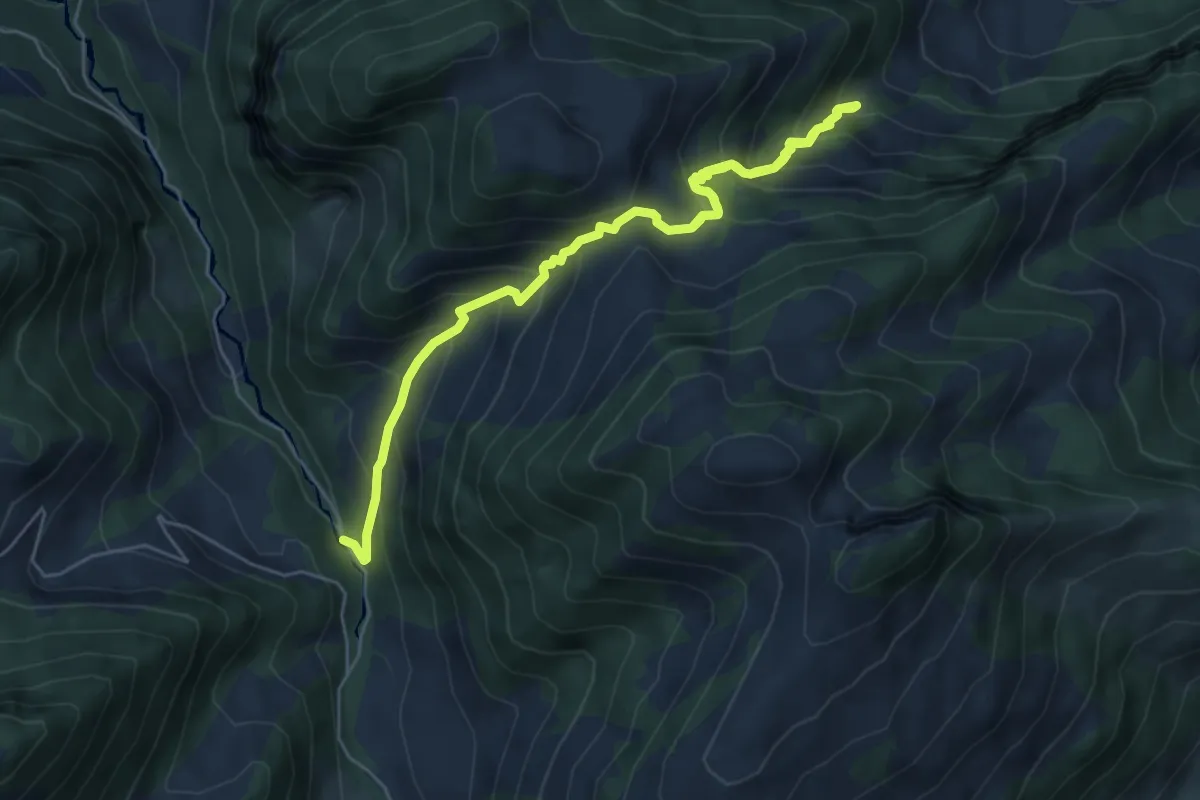
Medium · Trail
Bonnefontaine – Vallée du Motélon
7.3 km · ↑ 776 m · 3 h 24 min
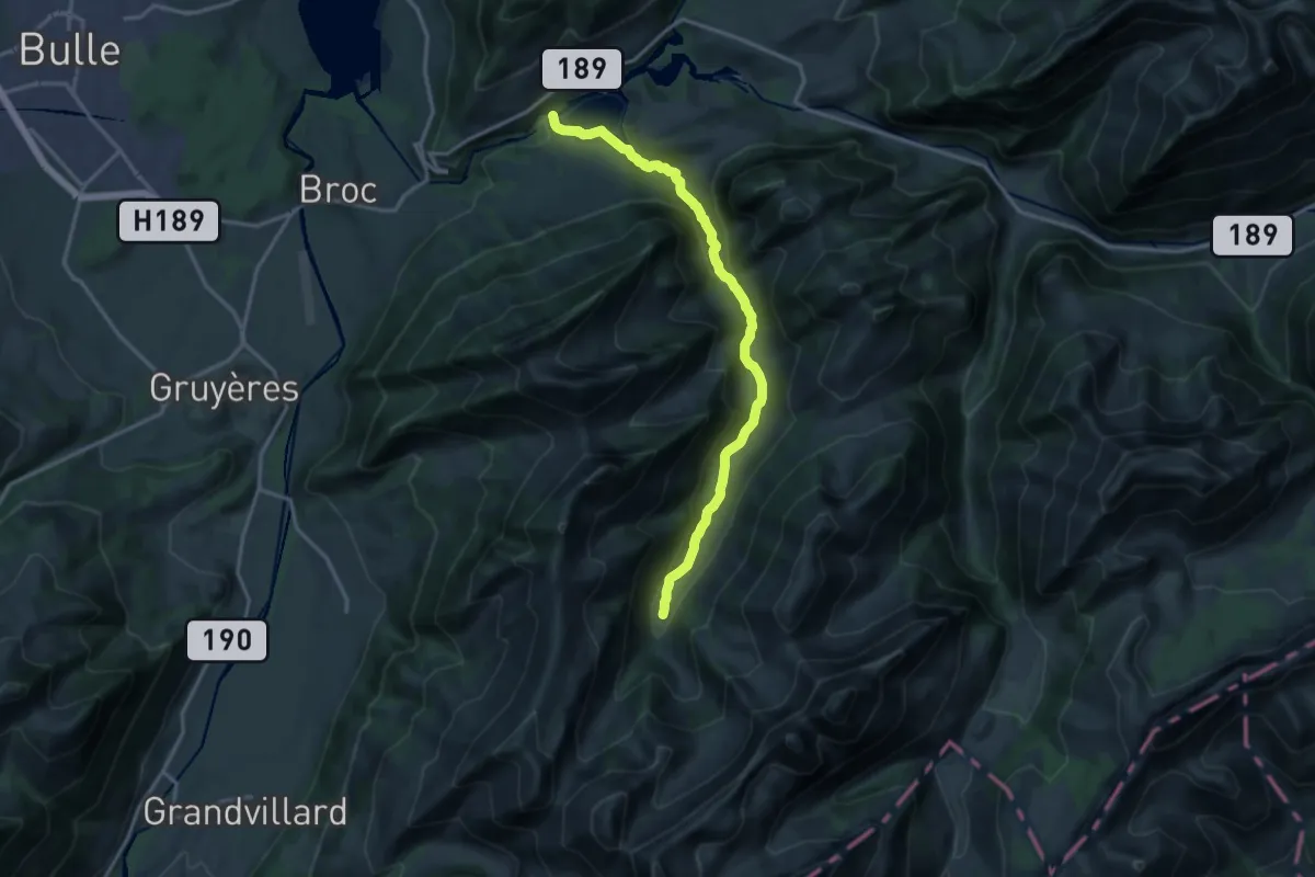
Medium · Trail
Lac de Montsalvens – La Perru
15.5 km · ↑ 515 m · 4 h 46 min
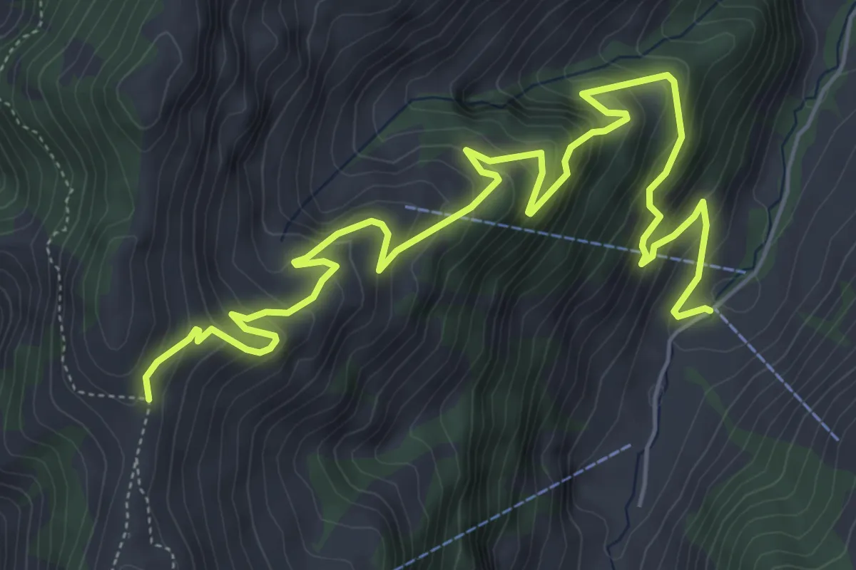
Medium · Trail
La Foreire – Vacheresse
8.1 km · ↑ 711 m · 3 h 27 min
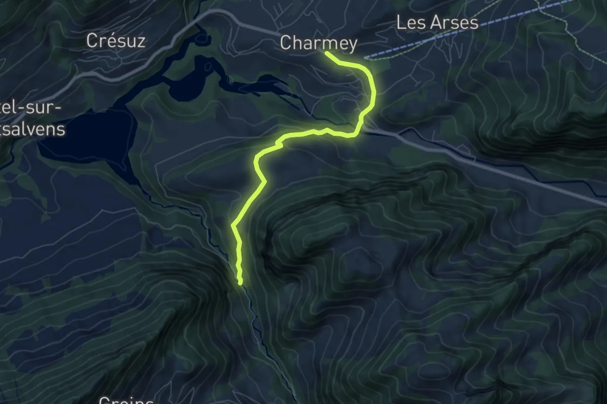
Easy · Trail
Charmey – Vallée du Motélon
6.4 km · ↑ 206 m · 1 h 58 min
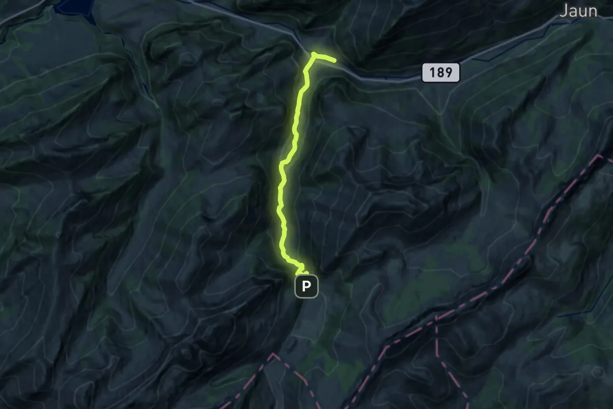
Medium · Trail
Praz-Jean – Gros Mont
12.7 km · ↑ 587 m · 4 h 16 min
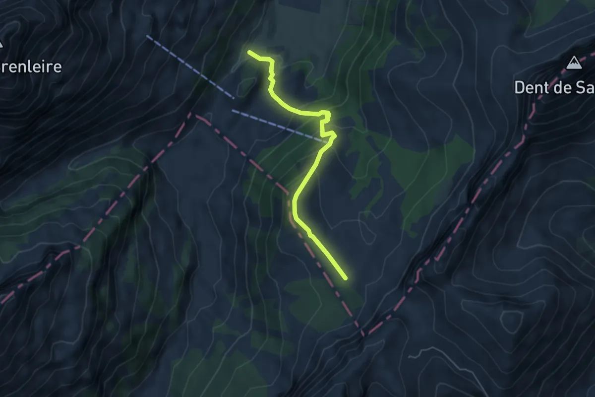
Easy · Trail
Gros Mont – Chalet du Pertet
4.6 km · ↑ 300 m · 1 h 45 min
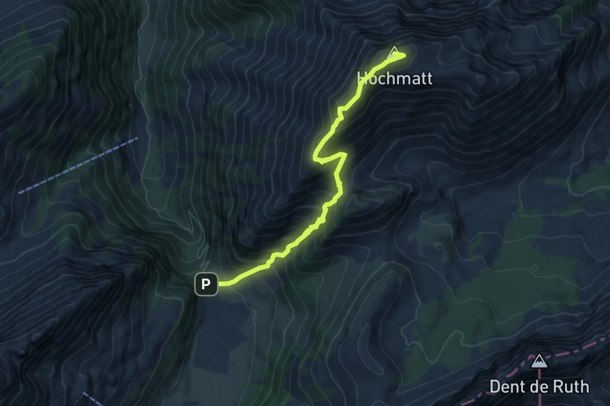
Demanding · Summit
Gros Mont – Hochmatt
7.0 km · ↑ 747 m · 3 h 17 min
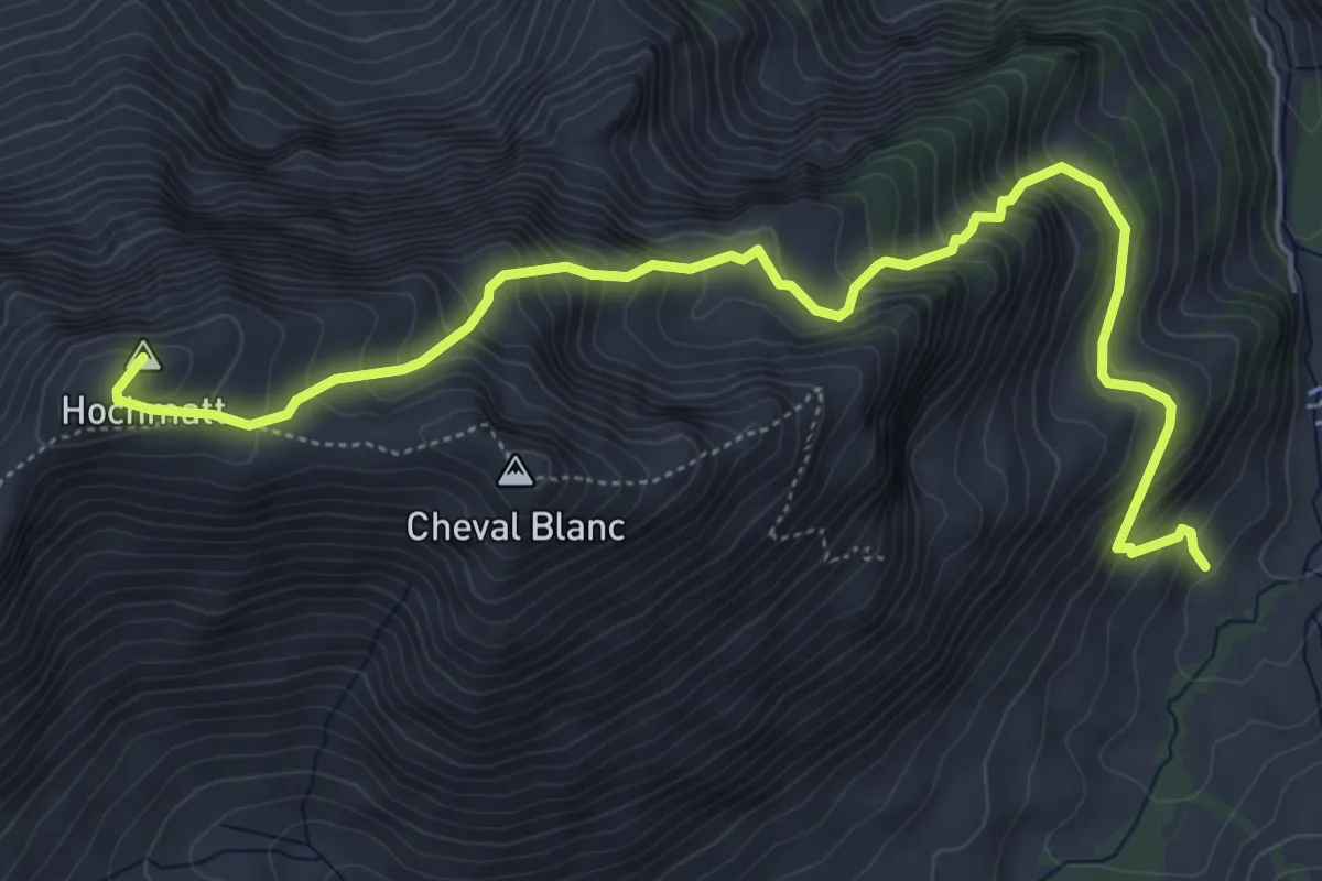
Demanding · Summit
Schänis – Hochmatt
6.5 km · ↑ 770 m · 3 h 12 min
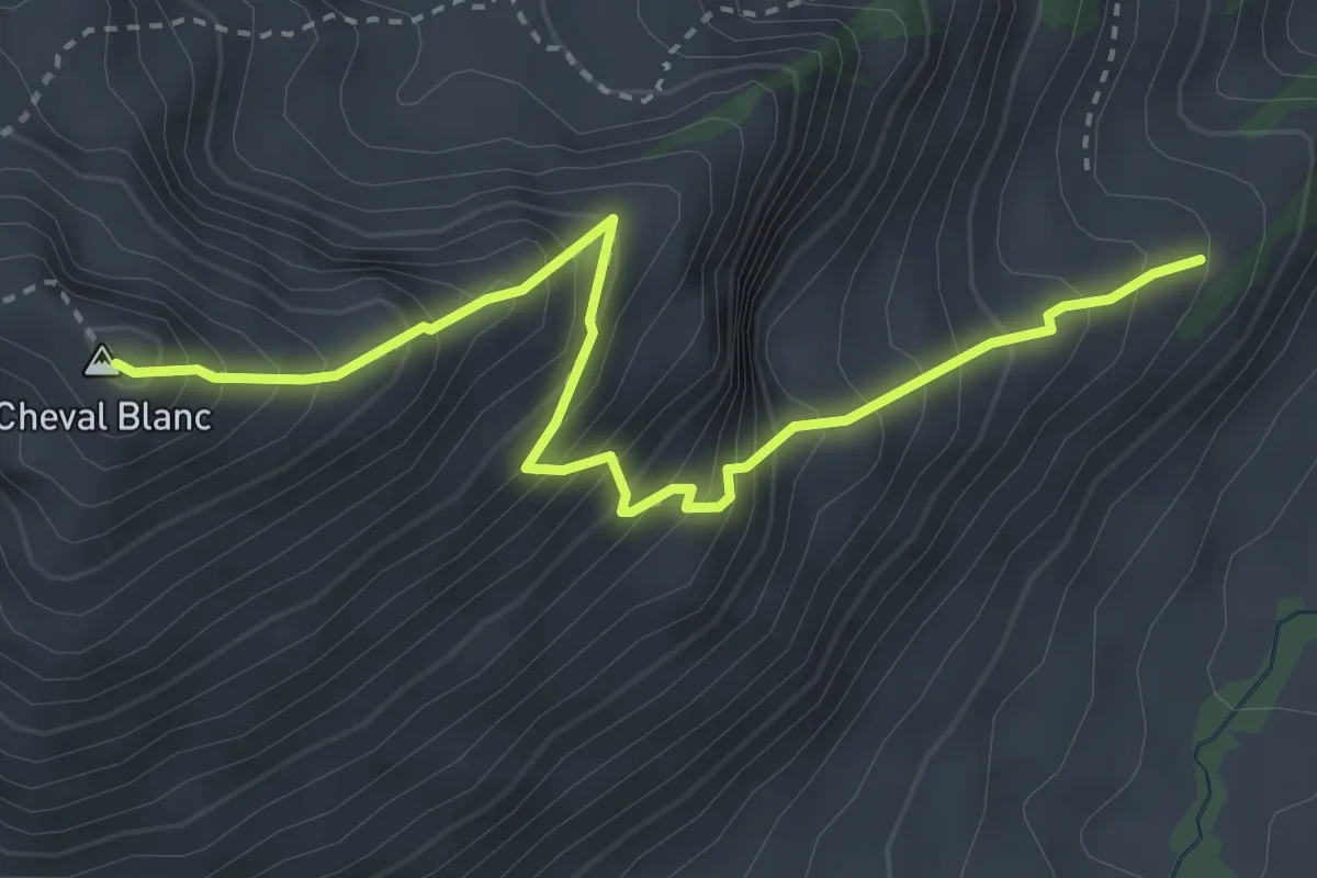
Demanding · Summit
Schänis – Cheval Blanc
3.7 km · ↑ 574 m · 2 h 6 min
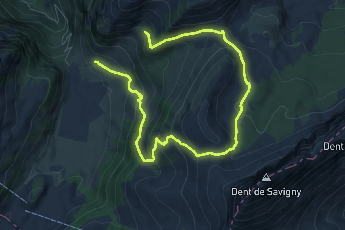
Medium · Trail
La Gueyre – Gros Mont
9.6 km · ↑ 695 m · 3 h 47 min
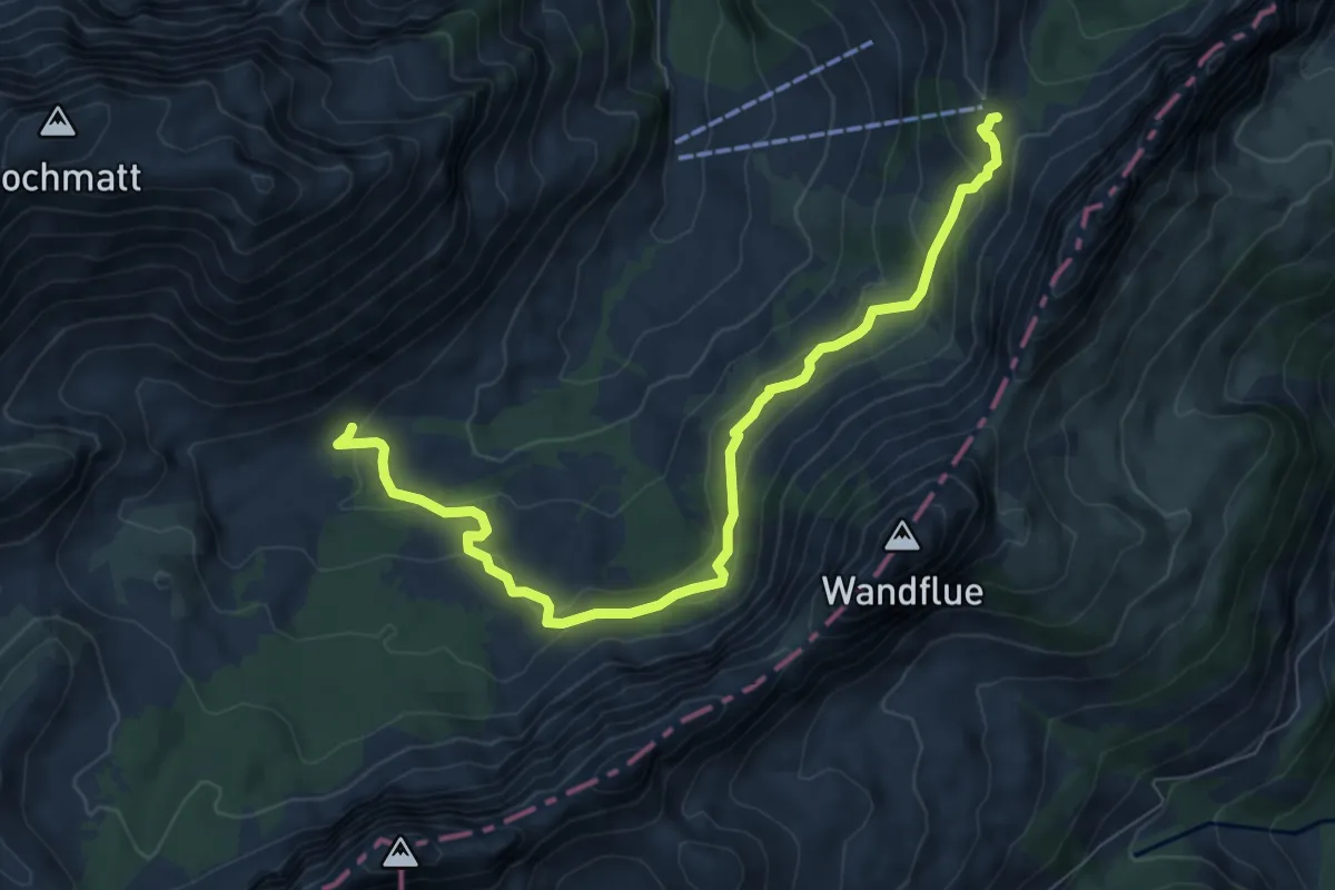
Medium · Cabin
Petit Mont – Chalet du Soldat
8.3 km · ↑ 384 m · 2 h 48 min
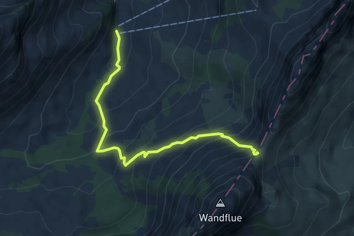
Medium · Trail
Schänis – Wolfsort
5.2 km · ↑ 505 m · 2 h 20 min
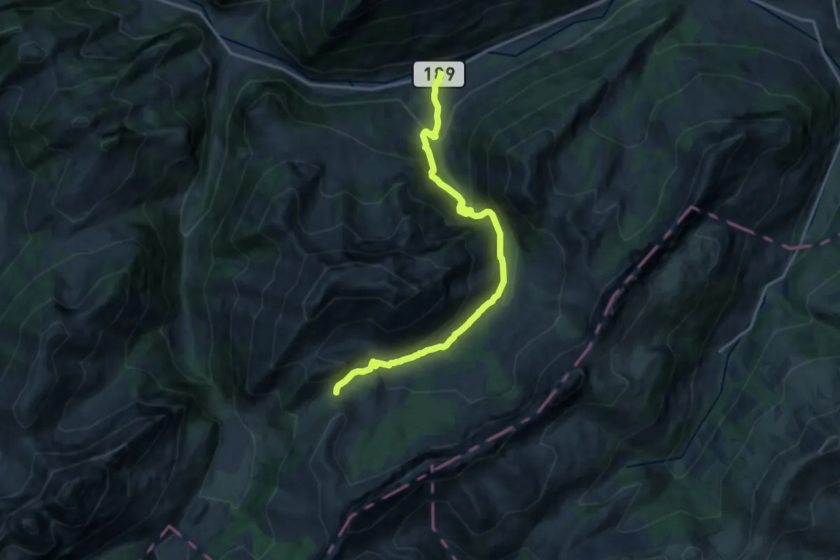
Demanding · Trail
Im Fang – Petit Mont
13.9 km · ↑ 898 m · 5 h 14 min
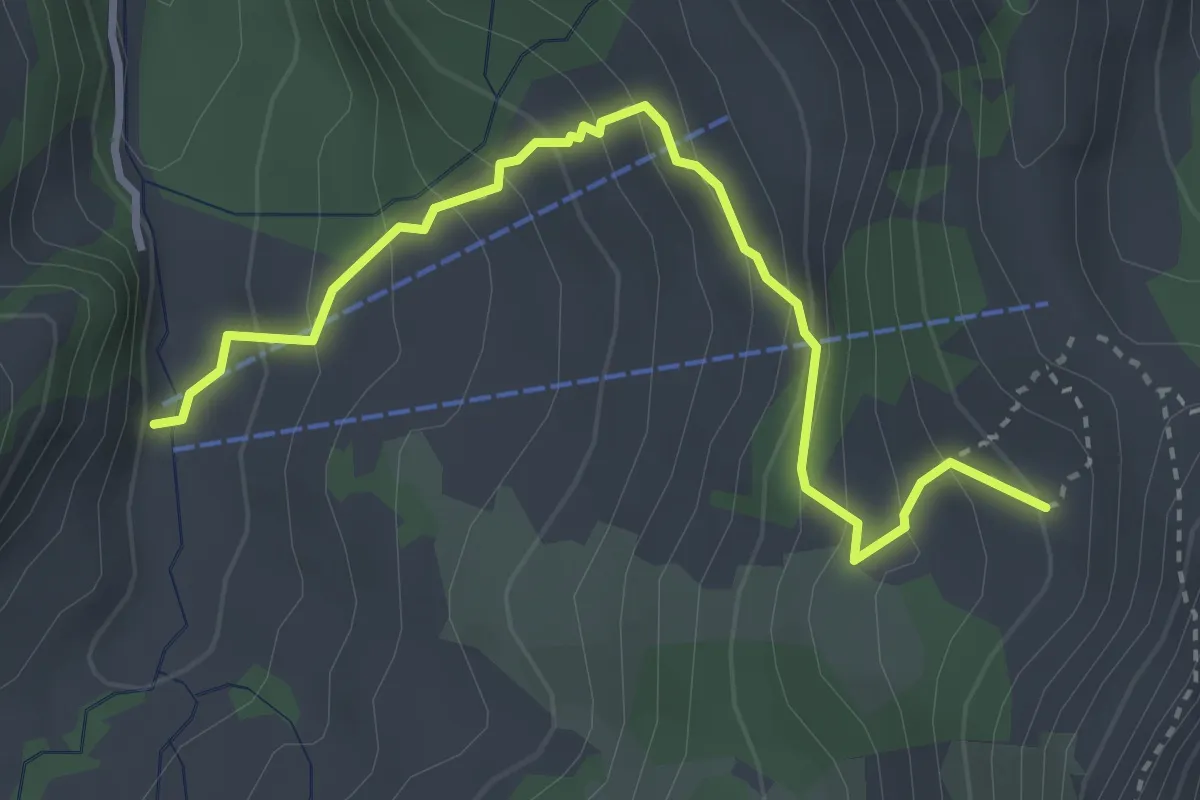
Easy · Trail
Schänis – Chalet du Soldat
3.6 km · ↑ 310 m · 1 h 31 min
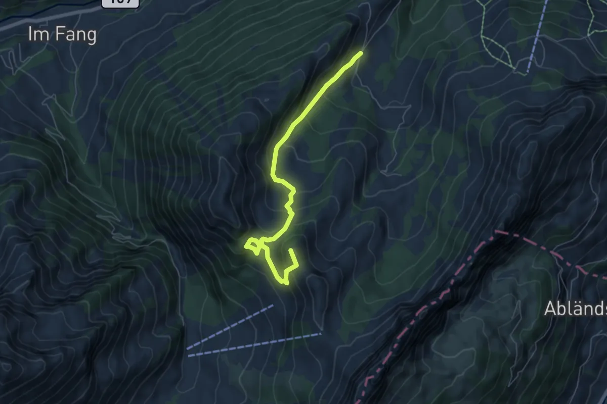
Medium · Summit
Gross Rüggli – Soldatenhaus
6.2 km · ↑ 513 m · 2 h 35 min
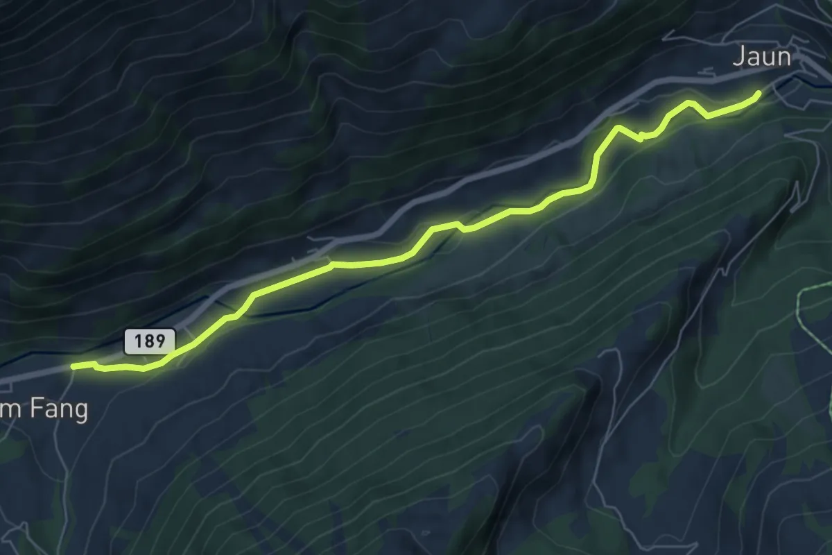
Easy · Trail
Im Fang – Jaun
6.8 km · ↑ 116 m · 1 h 52 min
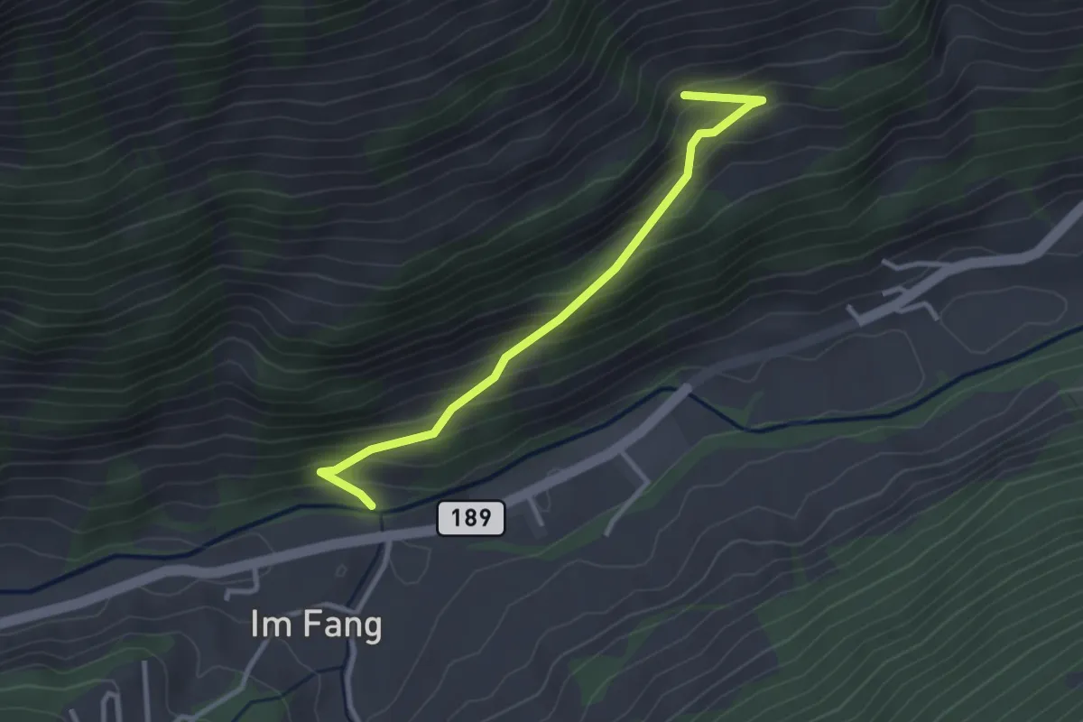
Easy · Trail
Im Fang – Unterberg
2.9 km · ↑ 273 m · 1 h 17 min
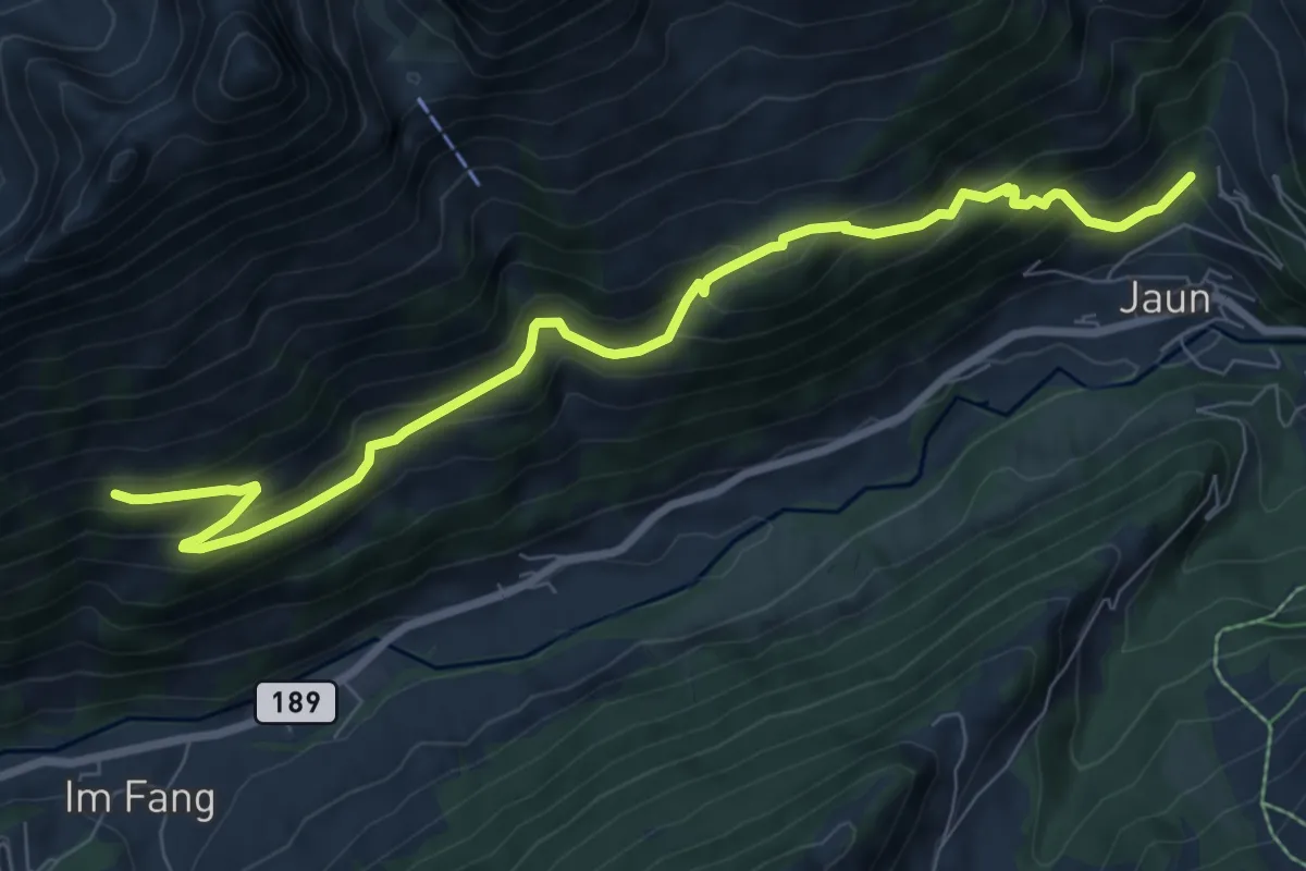
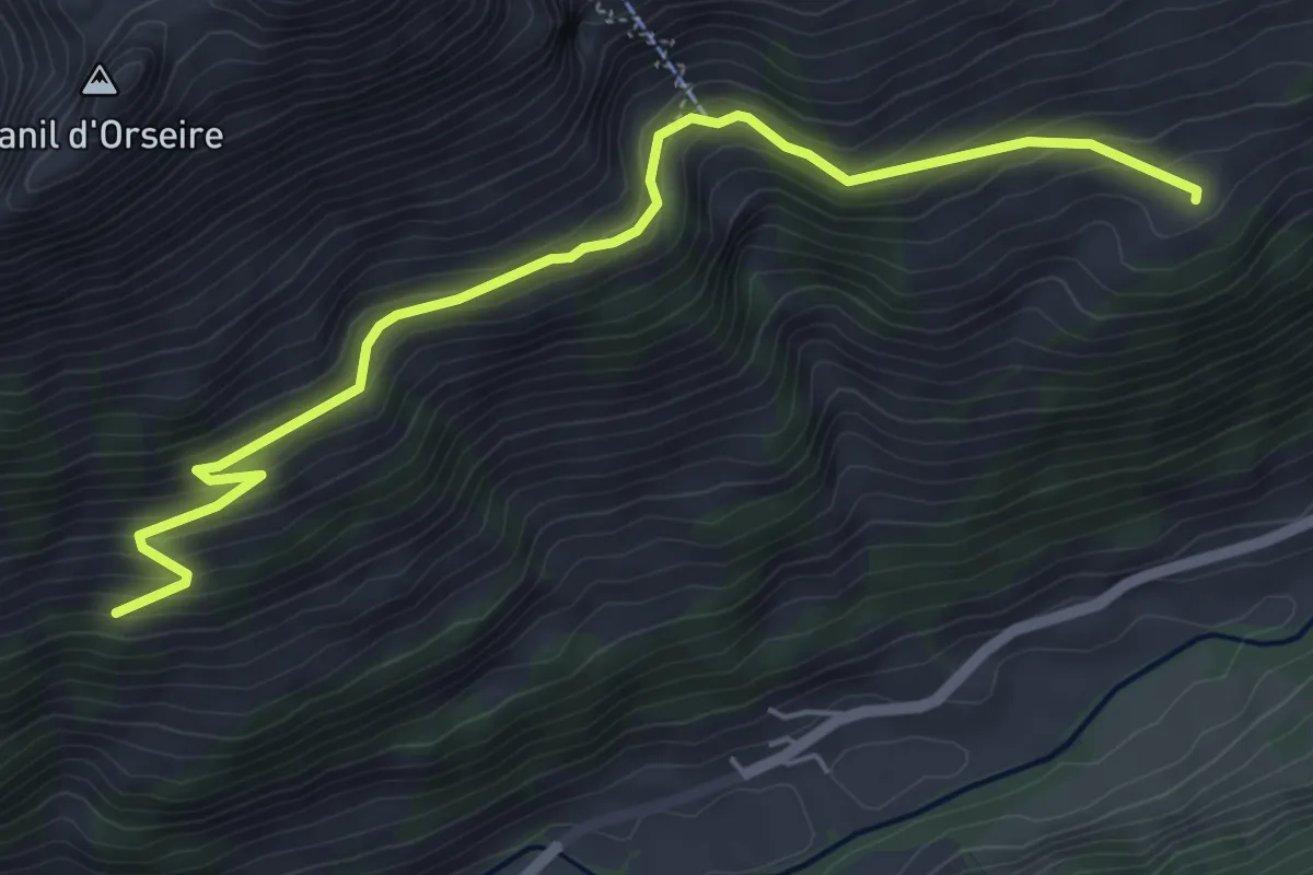
Medium · Trail
Oberberg – Jaun
8.8 km · ↑ 638 m · 3 h 28 min
Medium · Trail
Untere Jansegg – Oberberg
5.7 km · ↑ 416 m · 2 h 15 min
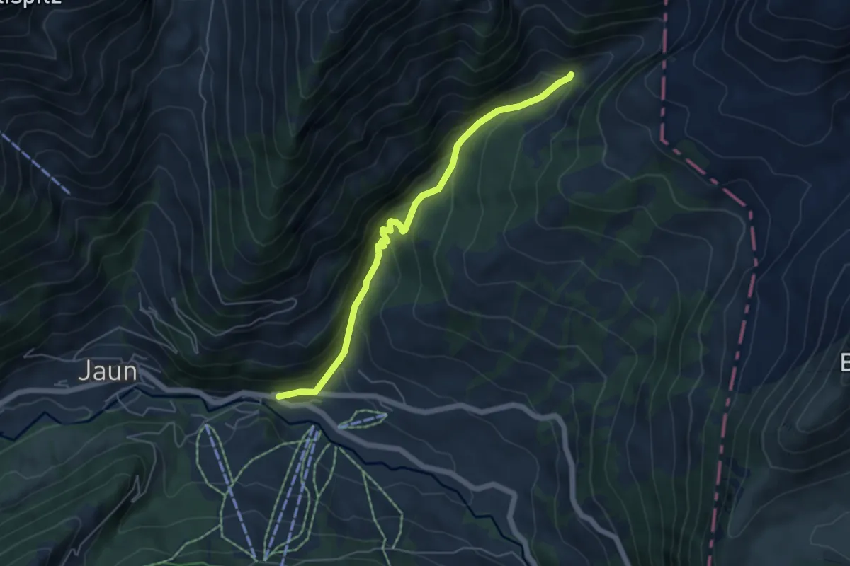
Medium · Trail
Kappelboden – Unterer Chüeboden
5.0 km · ↑ 434 m · 2 h 8 min
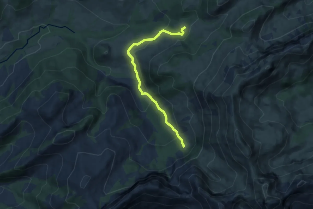
Medium · Trail
La Gisetta – Grattavache Dessous
6.8 km · ↑ 348 m · 2 h 22 min
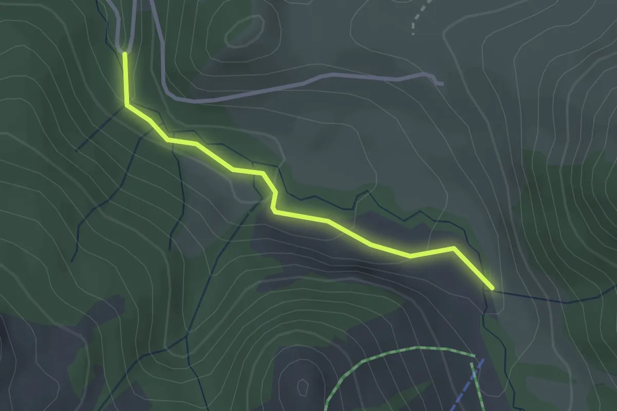
Easy · Trail
La Scie – Route des Revers
2.4 km · ↑ 83 m · 45 min
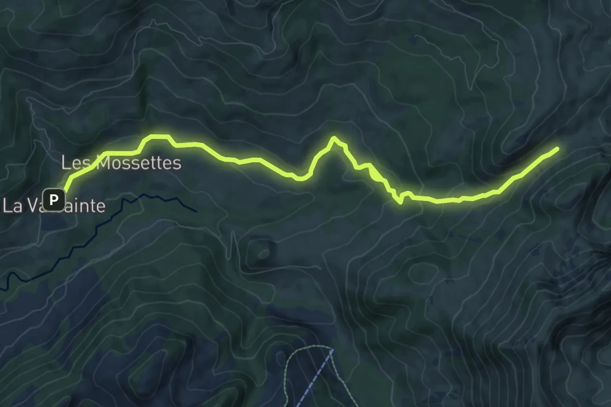
Medium · Cabin
La Balisa – La Valsainte
11.1 km · ↑ 416 m · 3 h 31 min
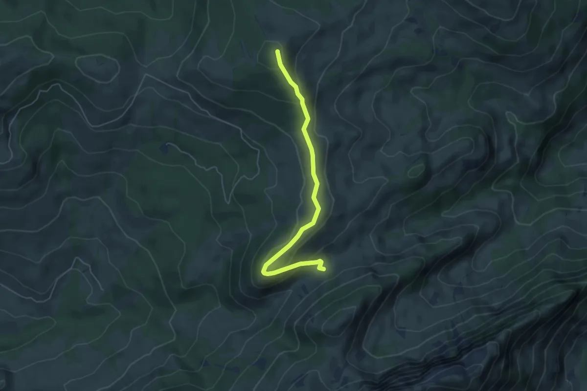
Easy · Summit
La Balisa – La Patta
4.9 km · ↑ 202 m · 1 h 36 min
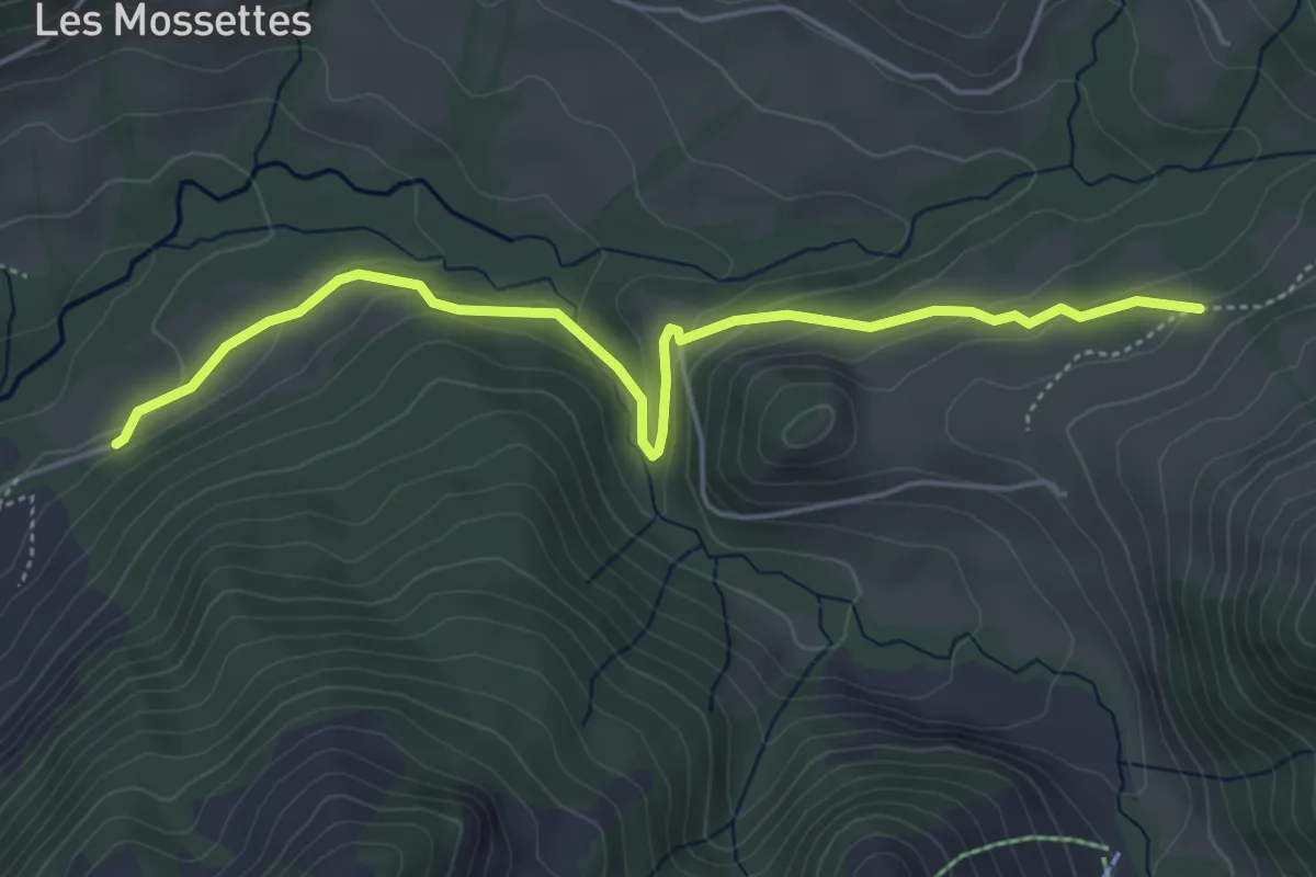
Medium · Trail
Les Reposoirs – Grattavache Dessous
5.1 km · ↑ 176 m · 1 h 36 min
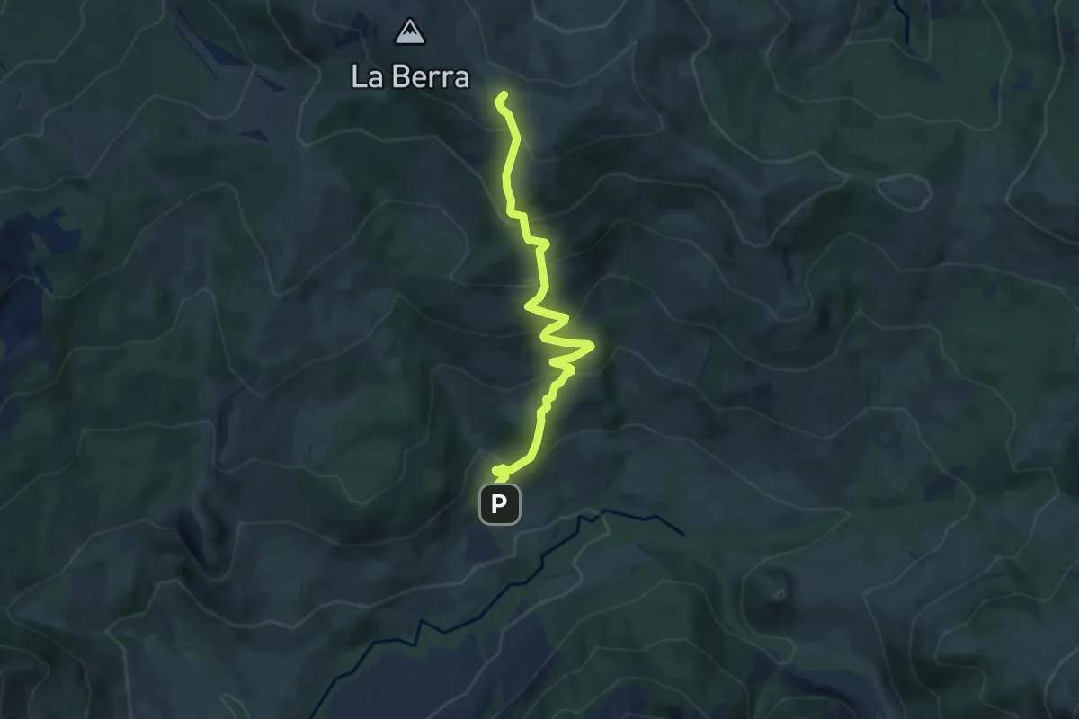
Medium · Cabin
La Valsainte – La Berra
7.5 km · ↑ 600 m · 3 h 4 min
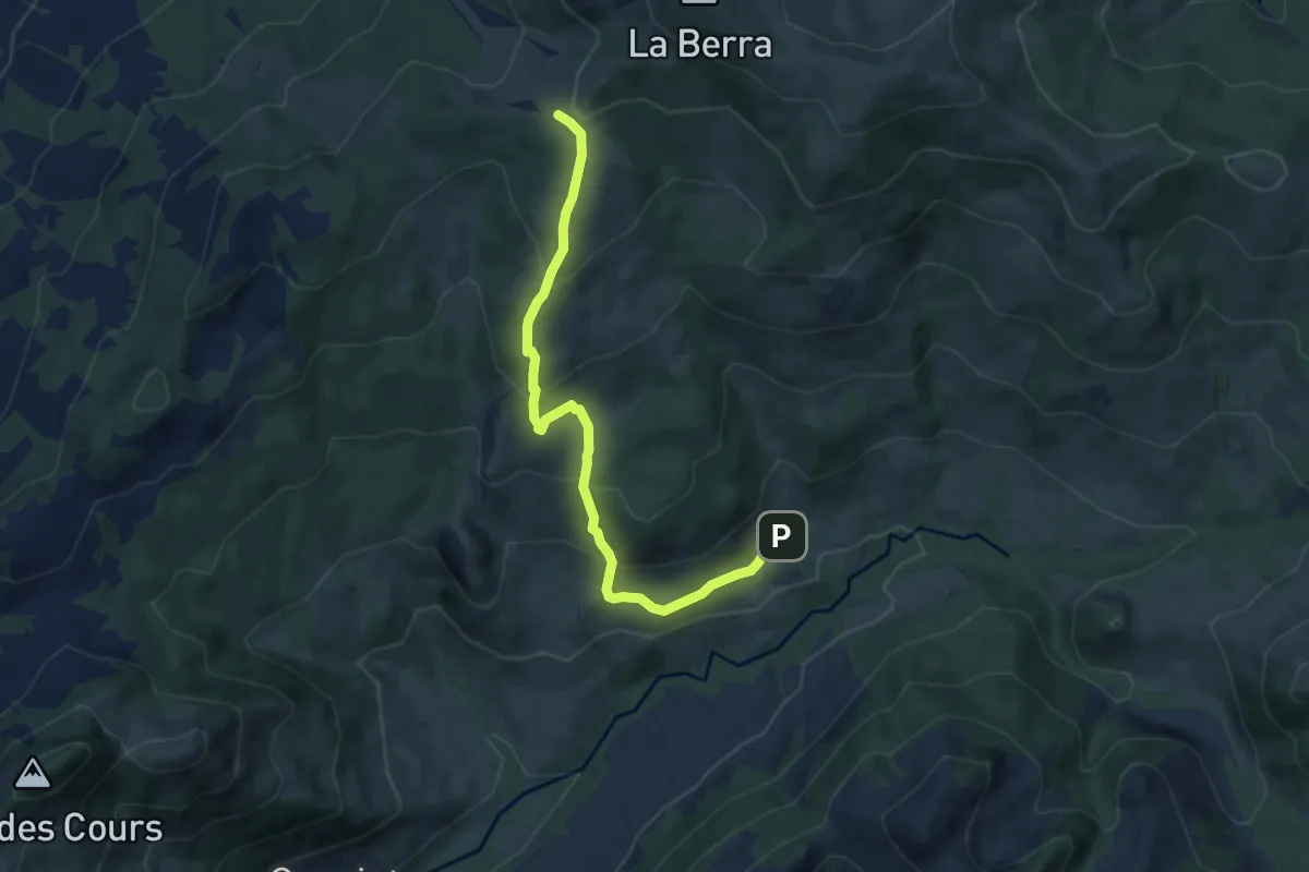
Medium · Cabin
La Valsainte – Les Allières
8.4 km · ↑ 510 m · 3 h 5 min
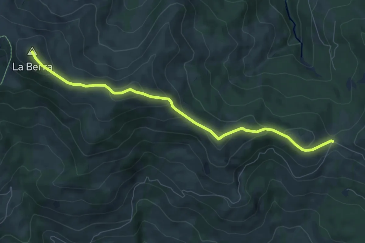
Medium · Summit
La Berra – Buvette de l'Hauta Chia
7.5 km · ↑ 359 m · 2 h 33 min
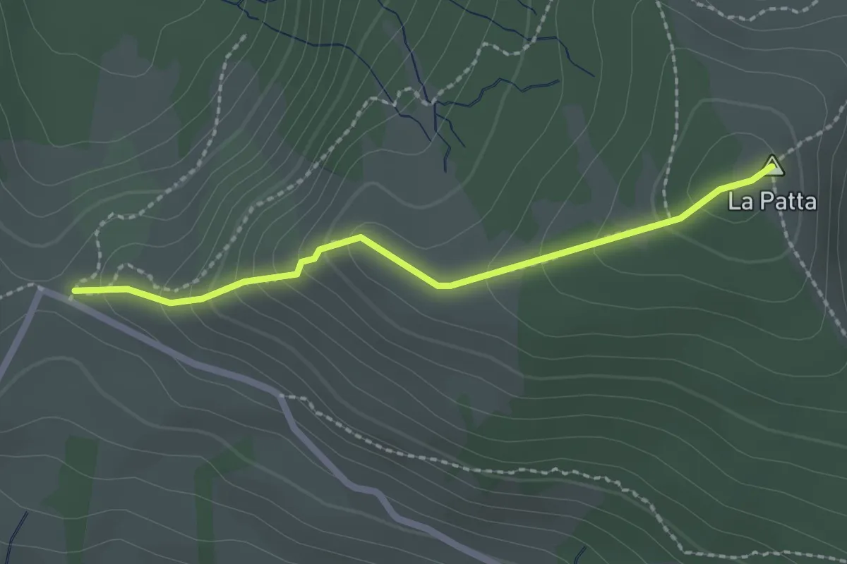
Easy · Summit
Auta Chia – La Patta
2.0 km · ↑ 152 m · 49 min
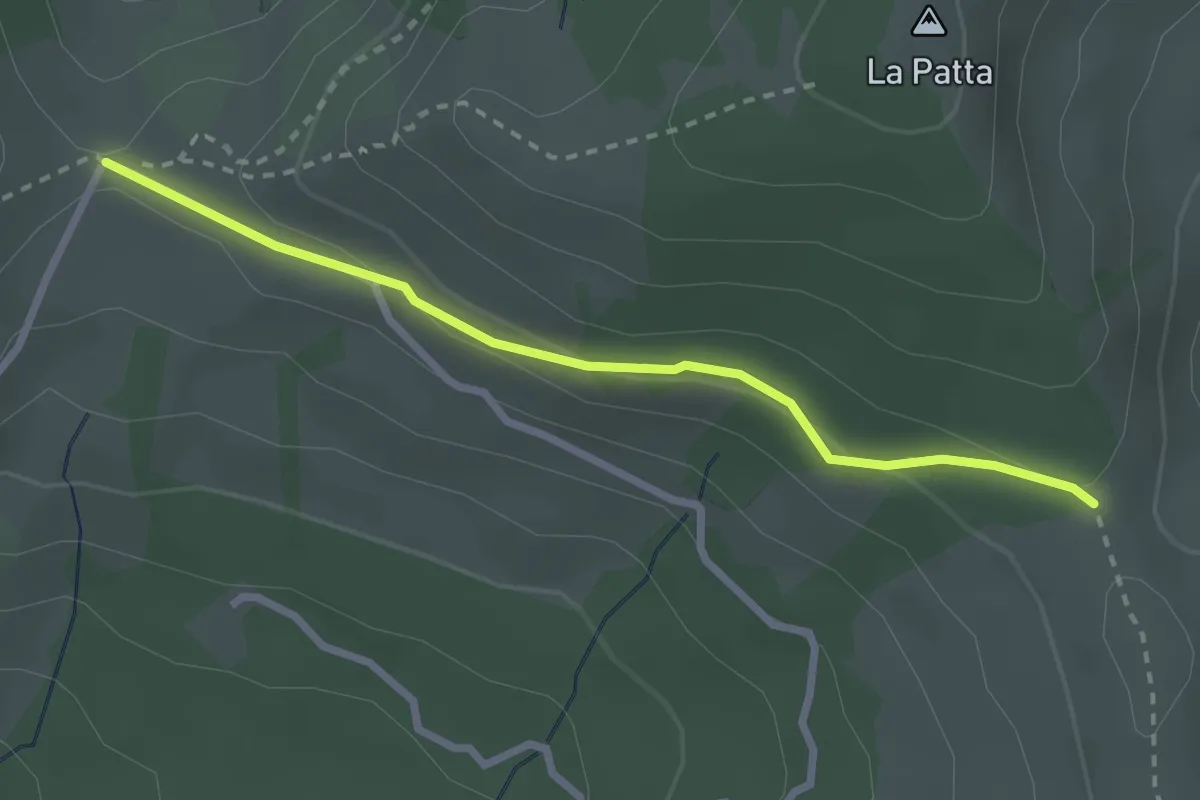
Easy · Cabin
Auta Chia – La Lenzbourguera
2.6 km · ↑ 63 m · 45 min
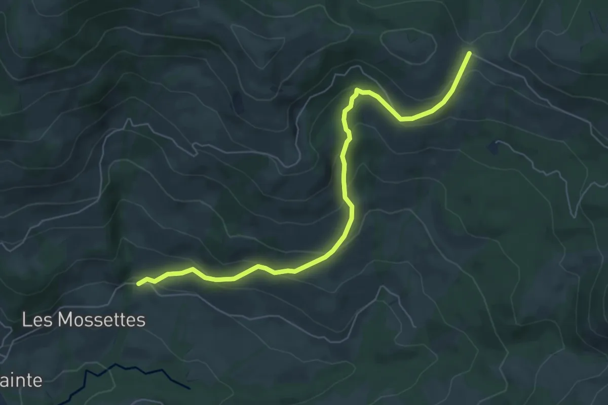
Medium · Cabin
Les Mossettes – Auta Chia
6.4 km · ↑ 369 m · 2 h 19 min
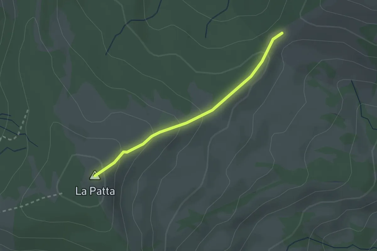
Easy · Summit
La Patta – Fuchses Schwyberg
2.0 km · ↑ 121 m · 44 min
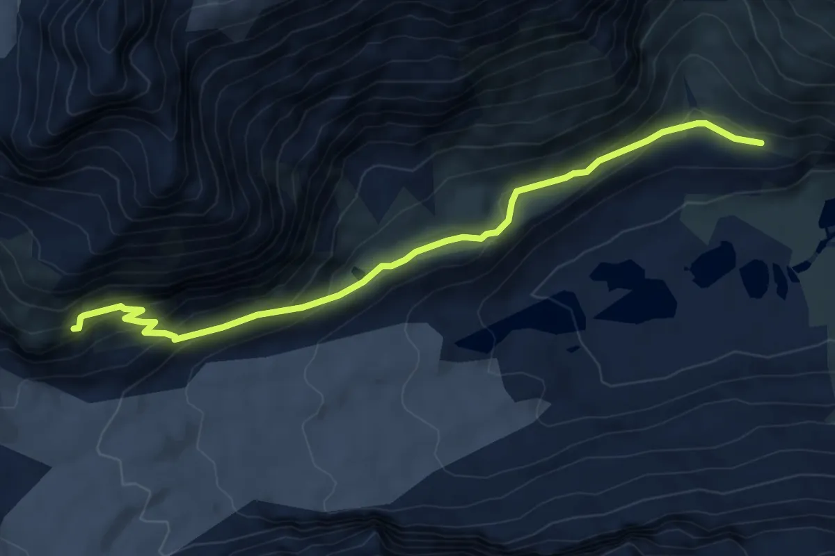
Demanding · Cabin
P2327 – Schönbielhütte SAC 2695
7.5 km · ↑ 397 m · 2 h 38 min
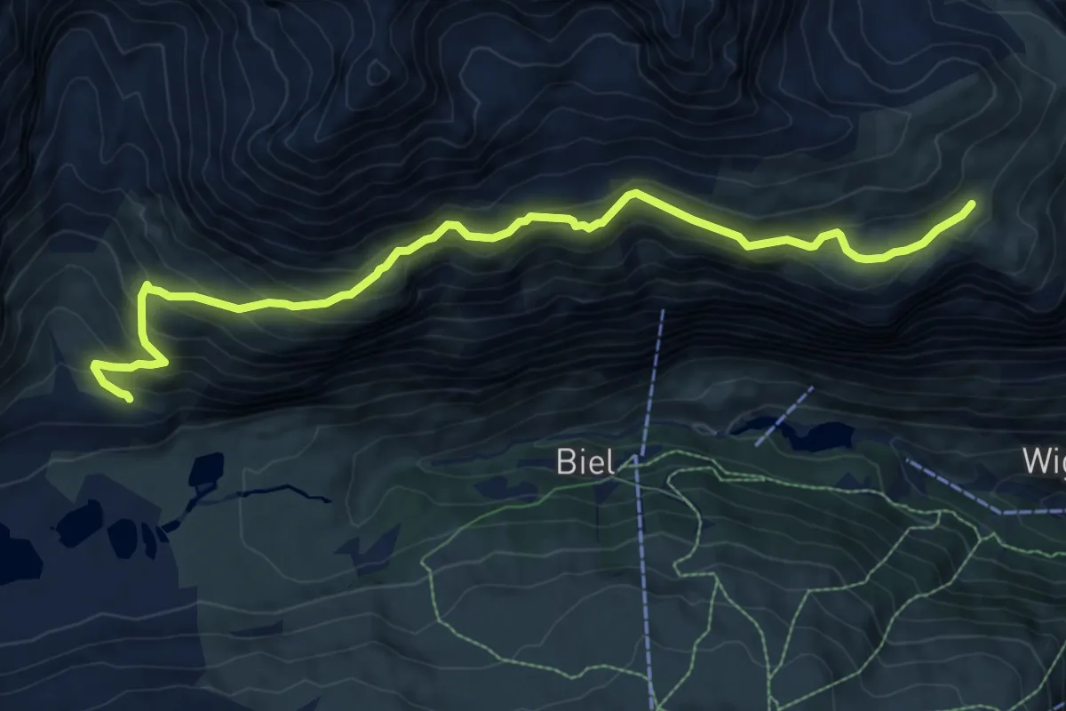
Demanding · Trail
Arbenbachfall 2327 – Höhbalmen 2665
10.1 km · ↑ 731 m · 3 h 58 min
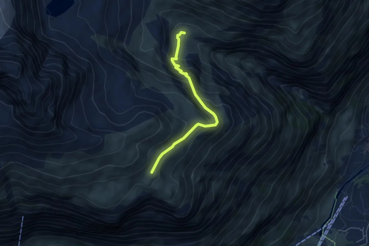
Demanding · Cabin
Berggasthaus Trift 2335 – Höhbalmen 2665
4.5 km · ↑ 344 m · 1 h 49 min
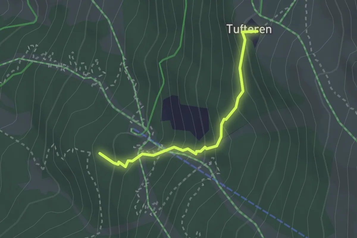
Medium · Trail
Patrullarve – Tuftern
2.2 km · ↑ 212 m · 58 min
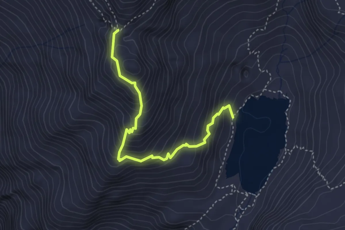
Medium · Trail
Lac de Louvie p2224 – Col Termin p2648
3.6 km · ↑ 431 m · 1 h 47 min
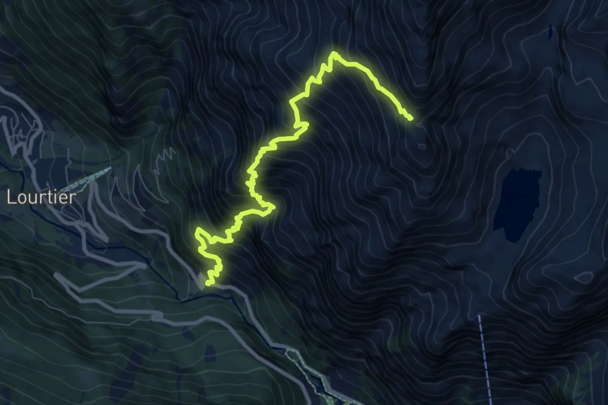
Demanding · Trail
p1283 – Col Termin p2648
9.0 km · ↑ 1417 m · 5 h 12 min
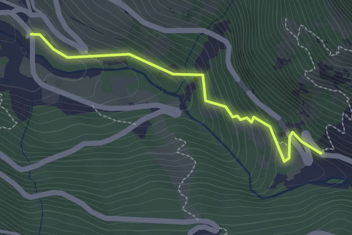
Easy · Trail
Lourtier p1094 – p1283
2.4 km · ↑ 210 m · 1 h 1 min
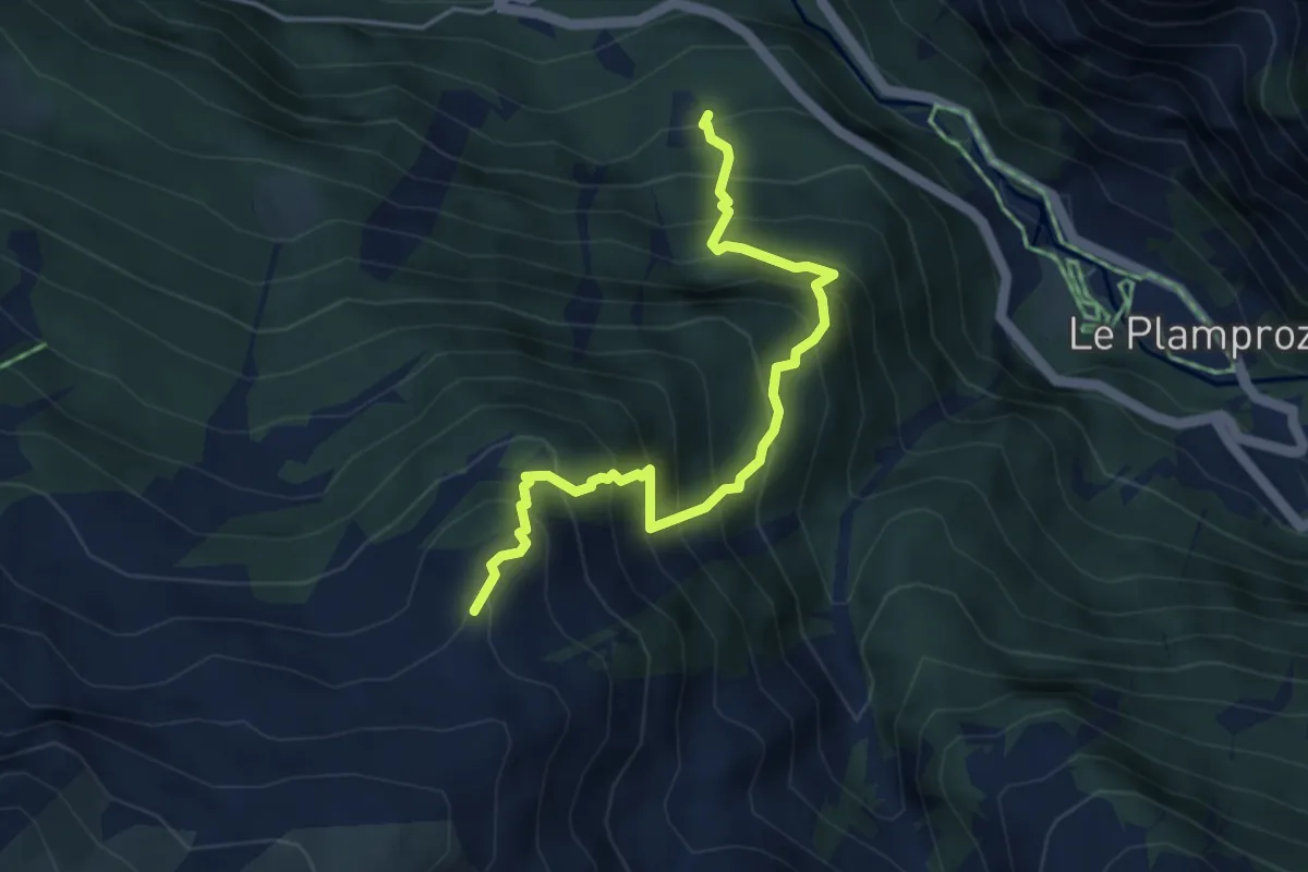
Medium · Cabin
Barmasse d'en Haut p1442 – Cabane Brunet p2103
4.5 km · ↑ 676 m · 2 h 32 min
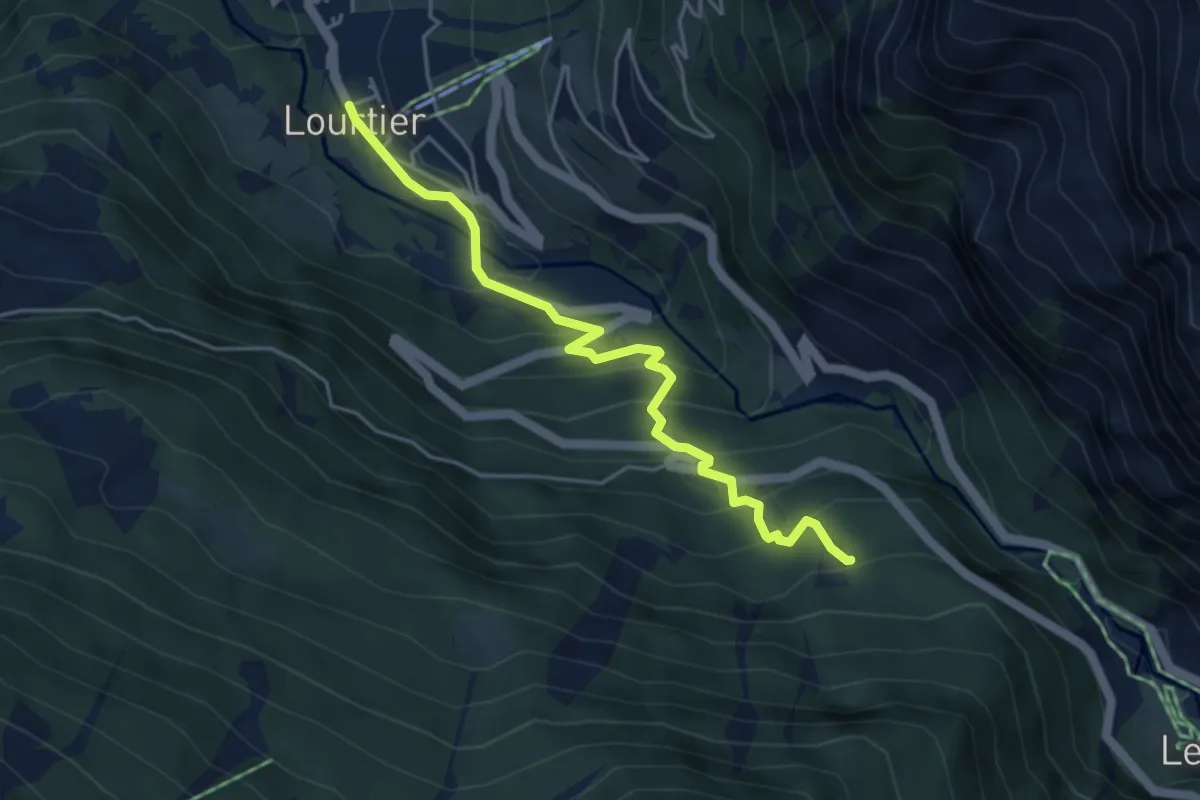
Medium · Trail
Lourtier p1087 – Barmasse-d'en Haut p1442
4.6 km · ↑ 383 m · 1 h 55 min
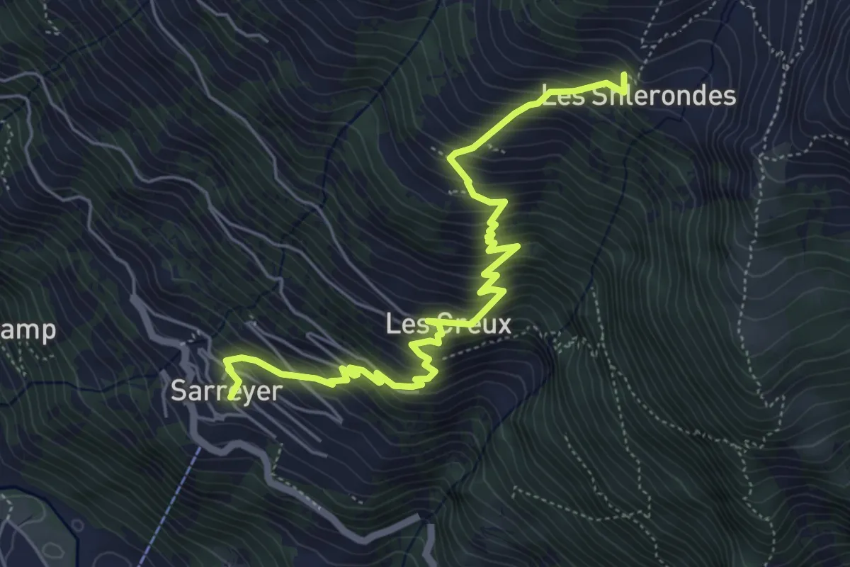
Medium · Trail
Sarreyer p1238 – Les Shlerondes p1962
6.2 km · ↑ 726 m · 3 h 2 min
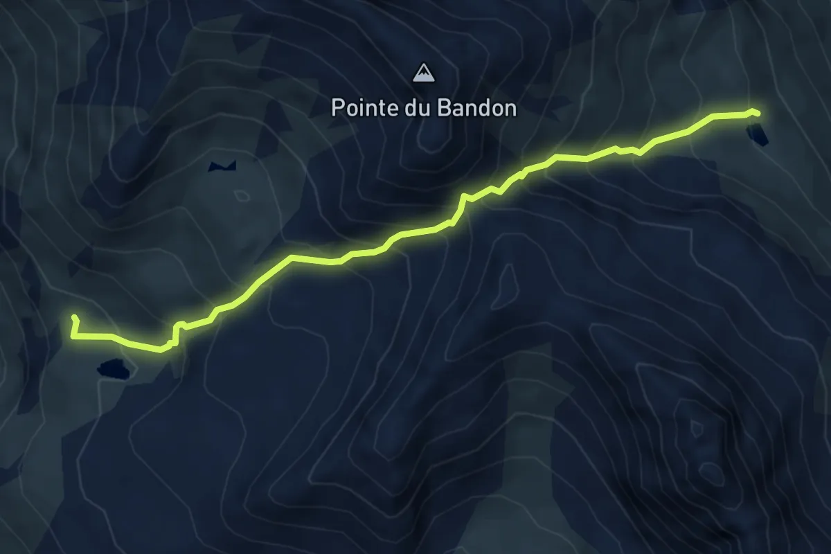
Medium · Trail
Remointse du Tsaté p2480 – Lac de la Bayenna p2548
5.6 km · ↑ 711 m · 2 h 52 min
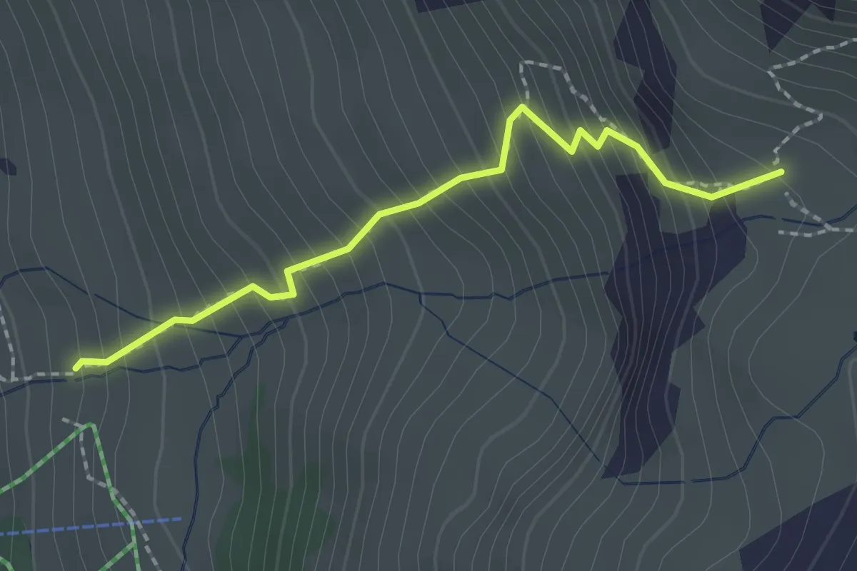
Easy · Trail
Le Tsalè du Tsaté p2175 – Remointse du Tasté p2480
2.0 km · ↑ 309 m · 1 h 9 min