Trails in Switzerland
15,055 hiking trails, each with its route, climb, walking time and grade.
All trails, page 186 of 314
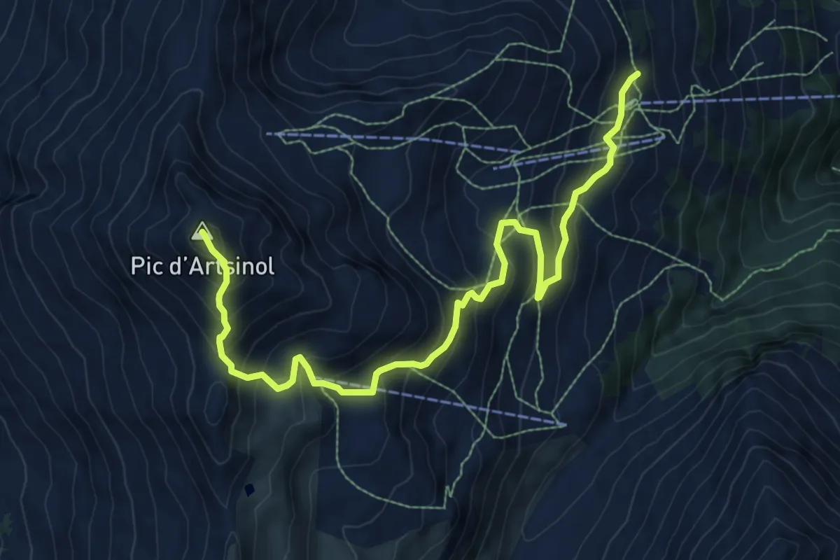
Demanding · Summit
Chemeuille p2122 – Pic d'Artsinol p2997
10.0 km · ↑ 858 m · 4 h 13 min
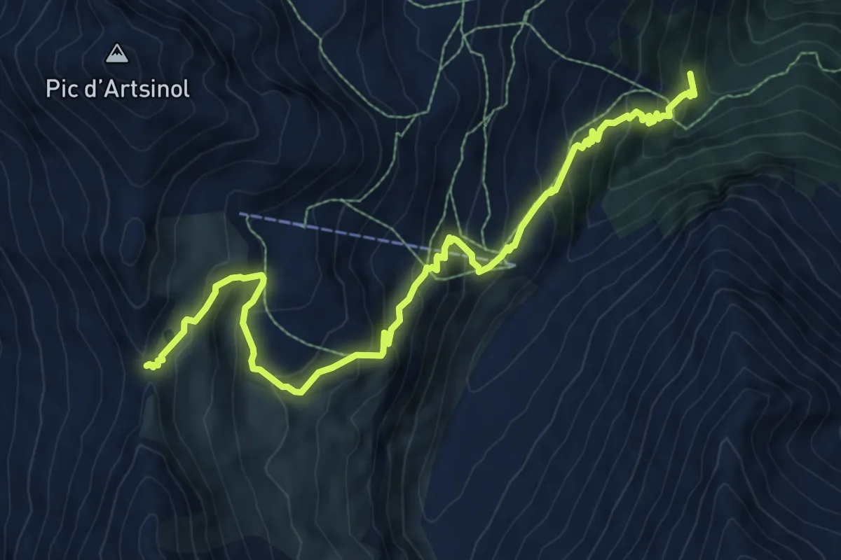
Demanding · Trail
Le Vernec p1880 – Col de Méribé p2702
9.8 km · ↑ 823 m · 4 h 6 min
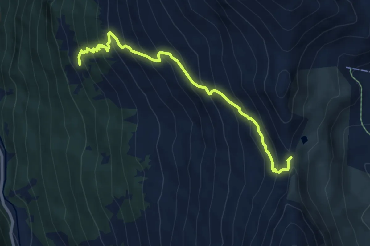
Medium · Trail
Novèlé p2082 – Col de Méribé p2702
5.8 km · ↑ 618 m · 2 h 42 min
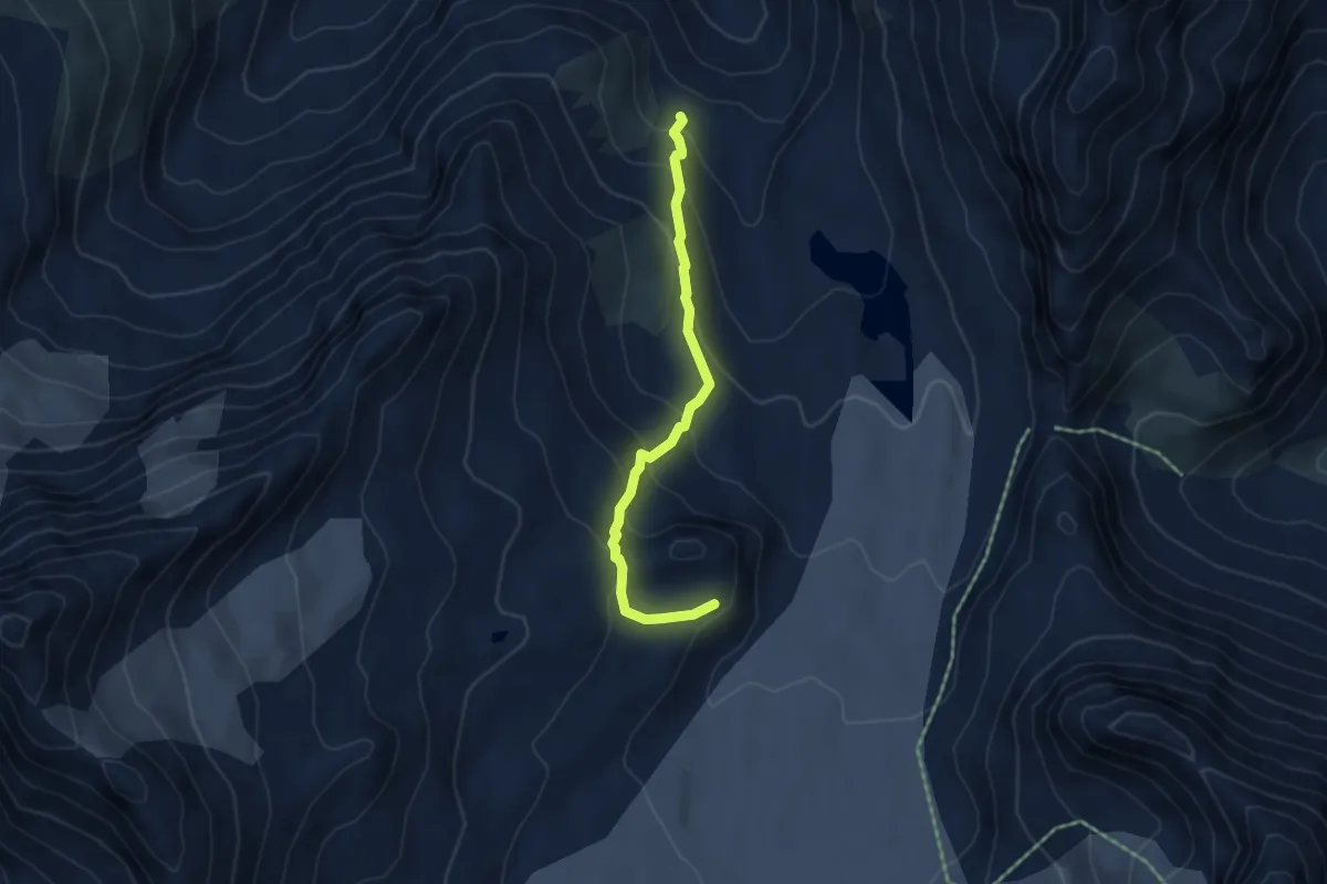
Medium · Cabin
p2649 – Cabane des Dix p2928
4.3 km · ↑ 357 m · 1 h 48 min
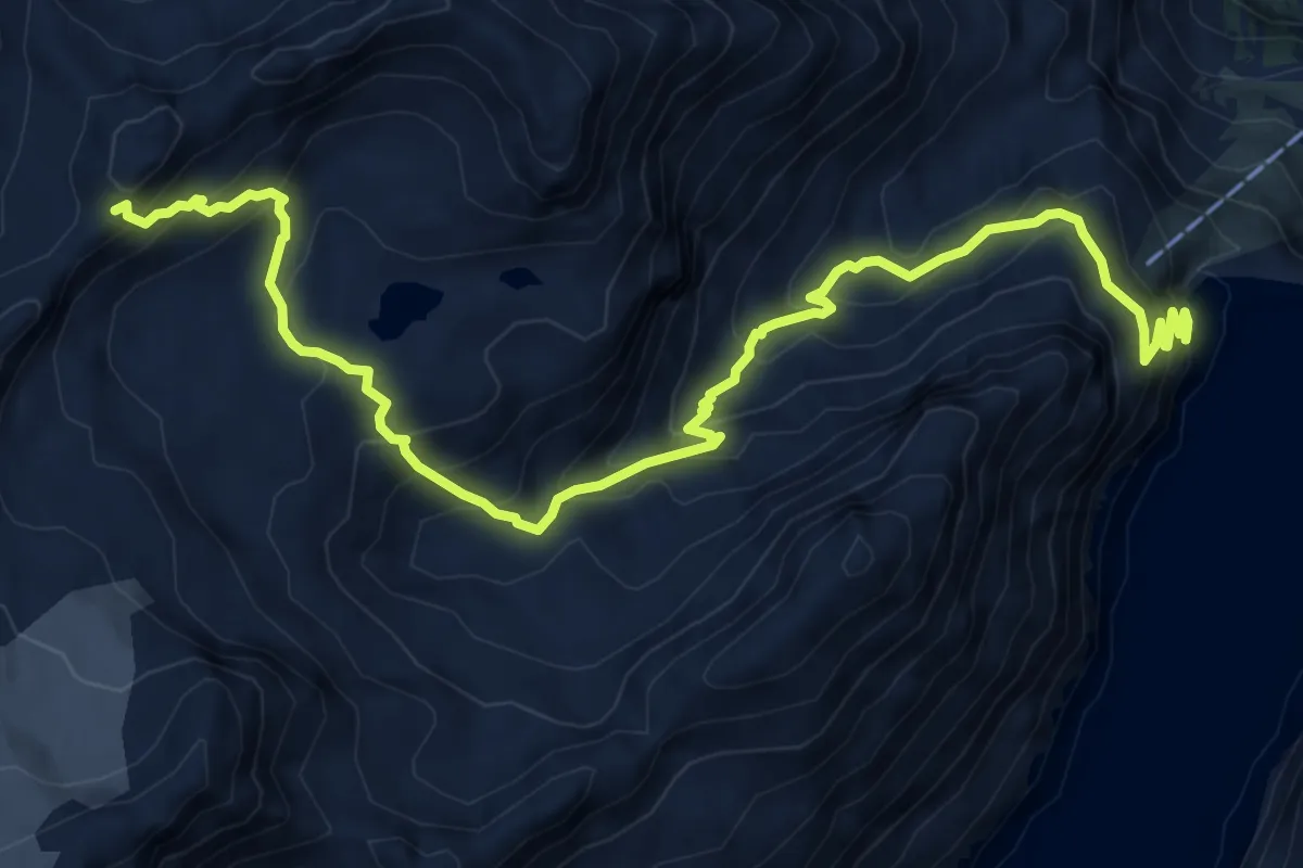
Demanding · Trail
Grande Dixence p2376 – Col de Prafleurie p2957
9.4 km · ↑ 862 m · 4 h 6 min
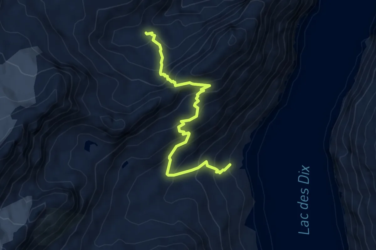
Medium · Cabin
La Barma p2390 – Cabane de Prafleurie p2656
6.2 km · ↑ 587 m · 2 h 45 min
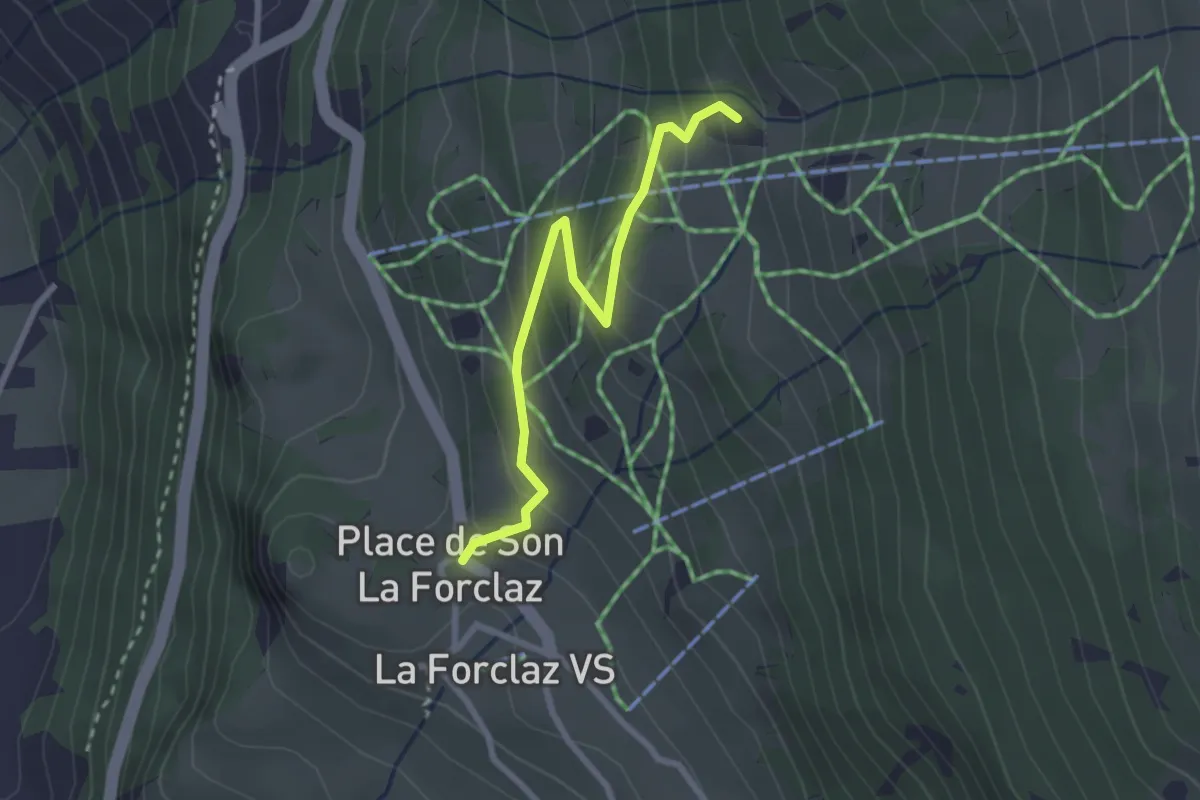
Easy · Trail
La Forclaz p 1730 – Motô p1920
2.6 km · ↑ 199 m · 1 h 2 min
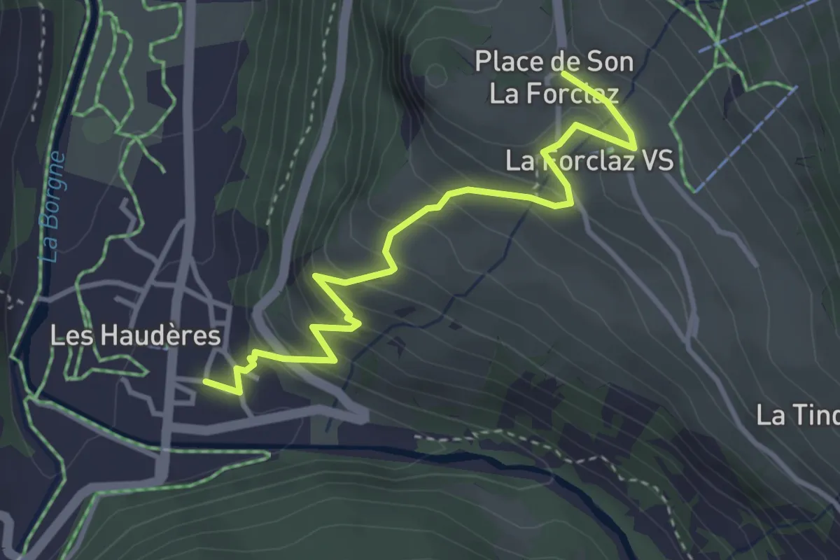
Easy · Trail
Les Hauderes p1450 – La Forclaz p1730
3.6 km · ↑ 276 m · 1 h 27 min
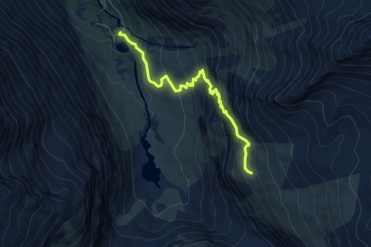
Medium · Trail
Ferpècle – Bricola p2416
6.1 km · ↑ 583 m · 2 h 42 min
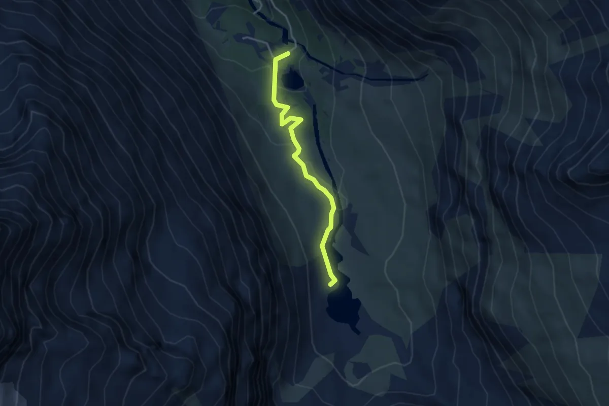
Easy · Trail
Ferpècle – Glacier du Mont Miné p1964
3.3 km · ↑ 106 m · 1 h 1 min
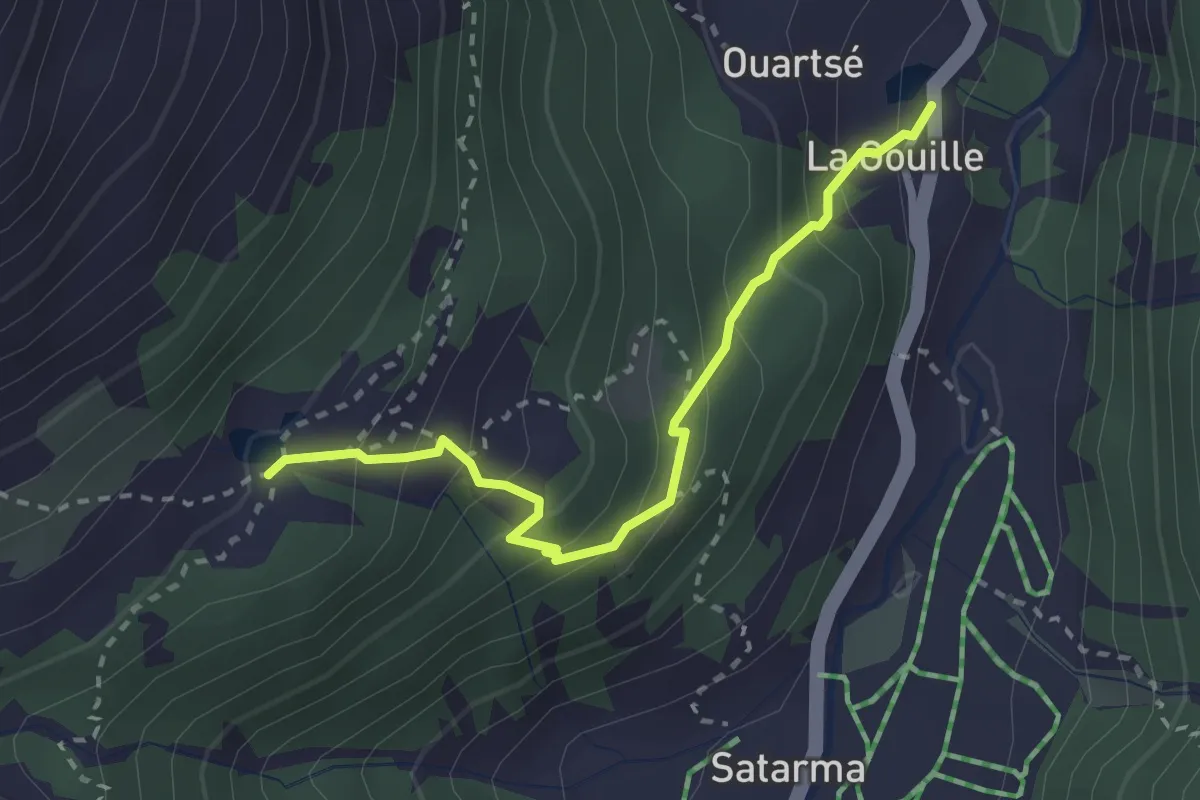
Medium · Trail
La Gouille p1835 – Lac Bleu P2091
2.6 km · ↑ 302 m · 1 h 16 min
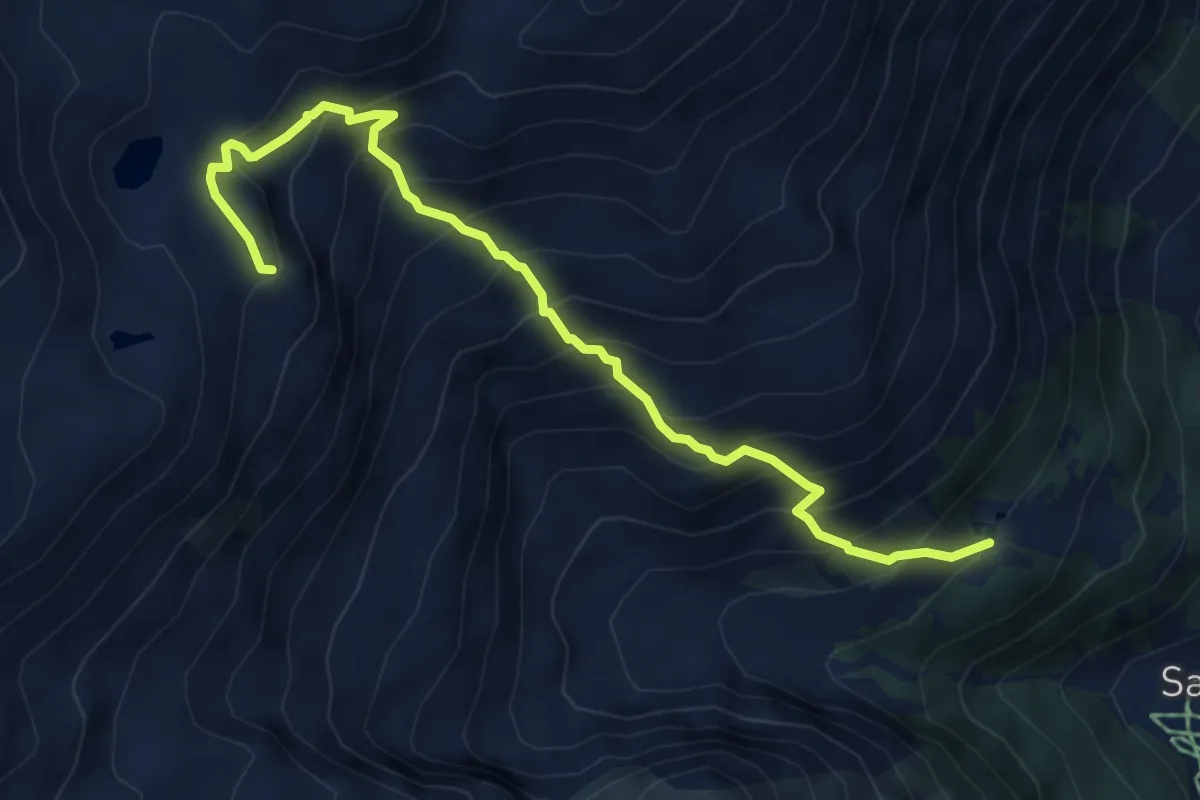
Medium · Cabin
lac Bleu p2091 – Cabane des Aiguilles Rouges p2809
6.3 km · ↑ 746 m · 3 h 6 min
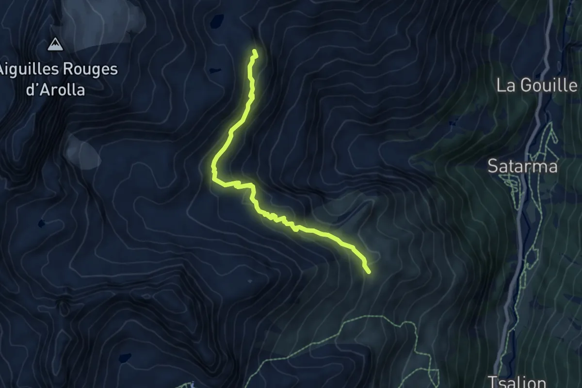
Medium · Cabin
Remointse de Pra Gra p2476 – Cabane des Aiguilles Rouges p2809
6.7 km · ↑ 354 m · 2 h 21 min
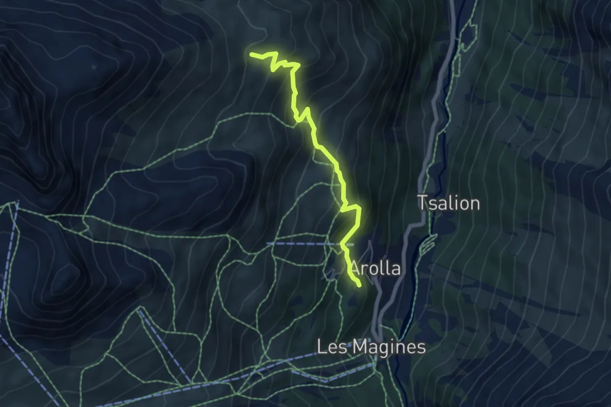
Medium · Trail
Arolla p2068 – Remointse de Pra Gra p2476
4.9 km · ↑ 438 m · 2 h 7 min
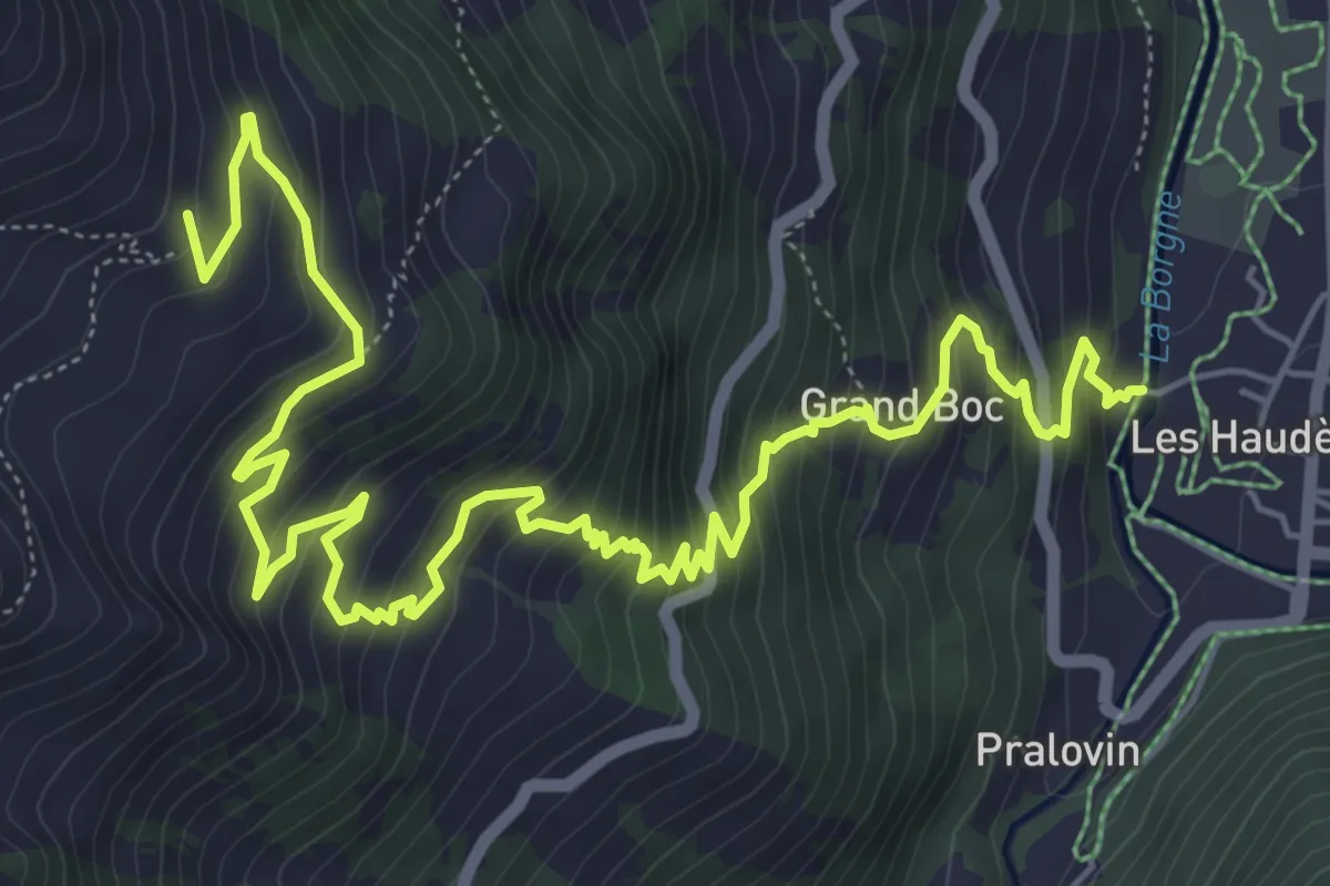
Demanding · Trail
Les Haudères p1423 – Les Chottes de l'Etoile p2190
9.1 km · ↑ 826 m · 3 h 56 min
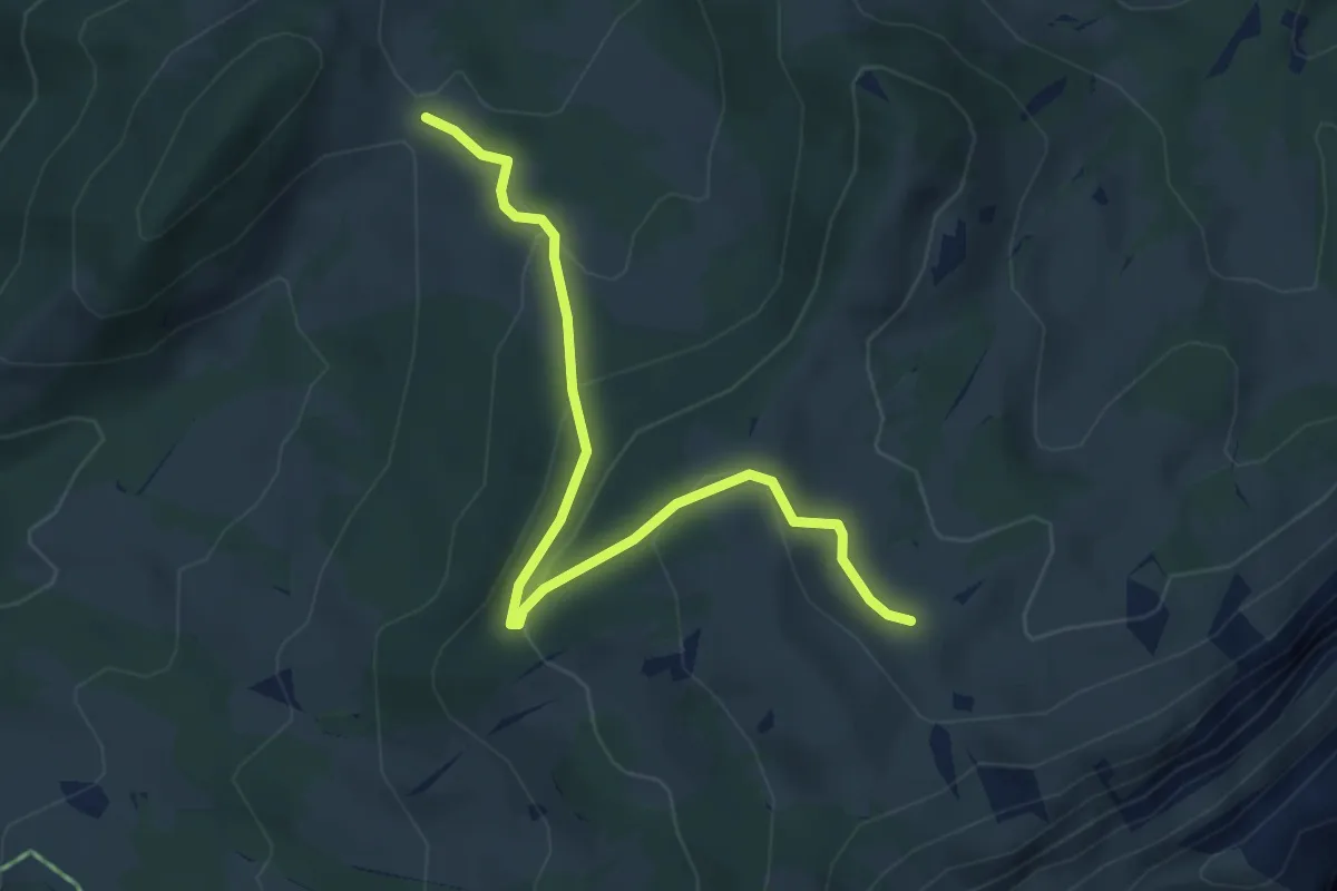
Easy · Trail
Dünzenegg – Obere Zettenalp
4.6 km · ↑ 205 m · 1 h 32 min
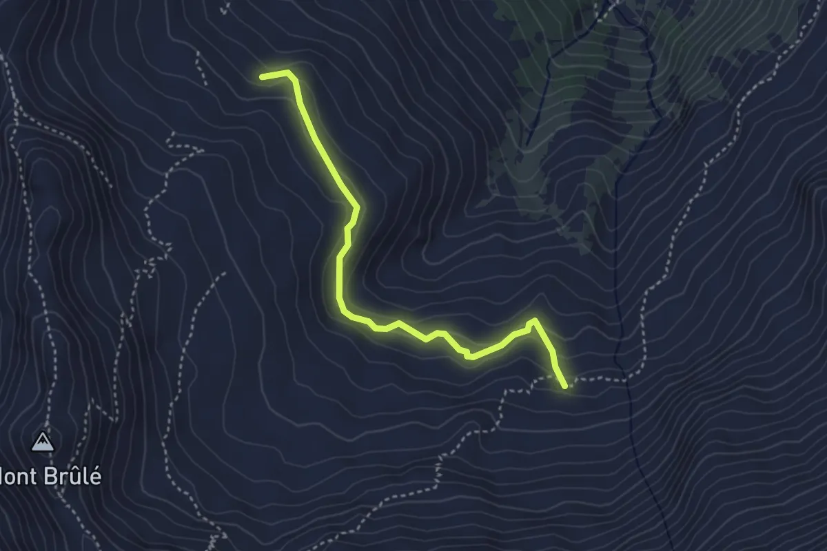
Medium · Trail
Ecuries de Mille p2171 – Oujets de Mille p2244
3.6 km · ↑ 215 m · 1 h 19 min
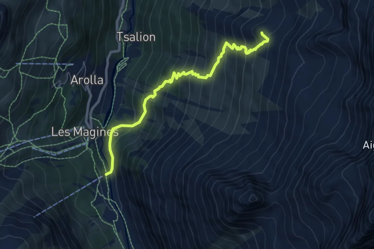
Medium · Cabin
Arolla p1985 – Cabane de la Tsa p2604
6.4 km · ↑ 663 m · 2 h 57 min
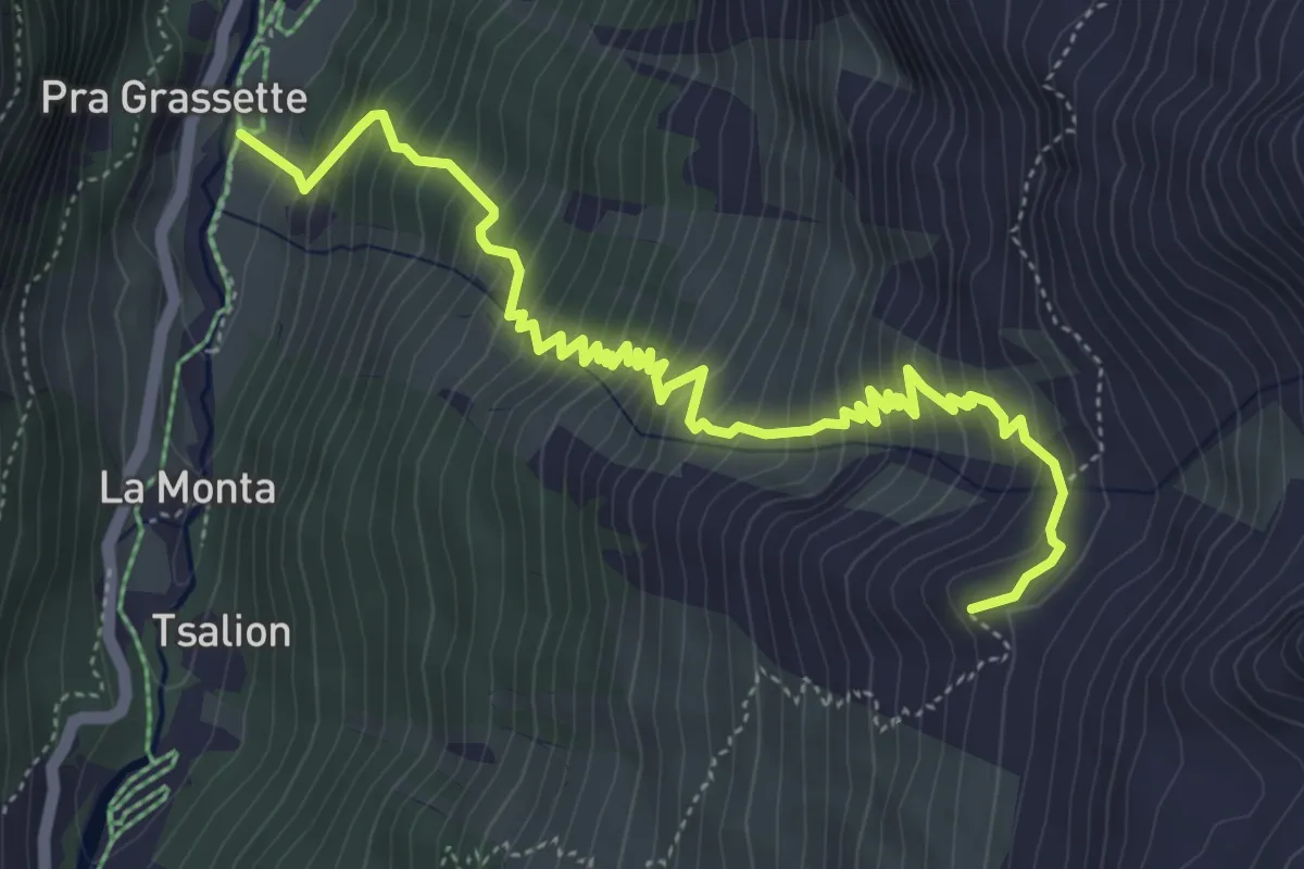
Medium · Cabin
Pramousse – Cabane de la Tsa p2604
6.4 km · ↑ 746 m · 3 h 7 min
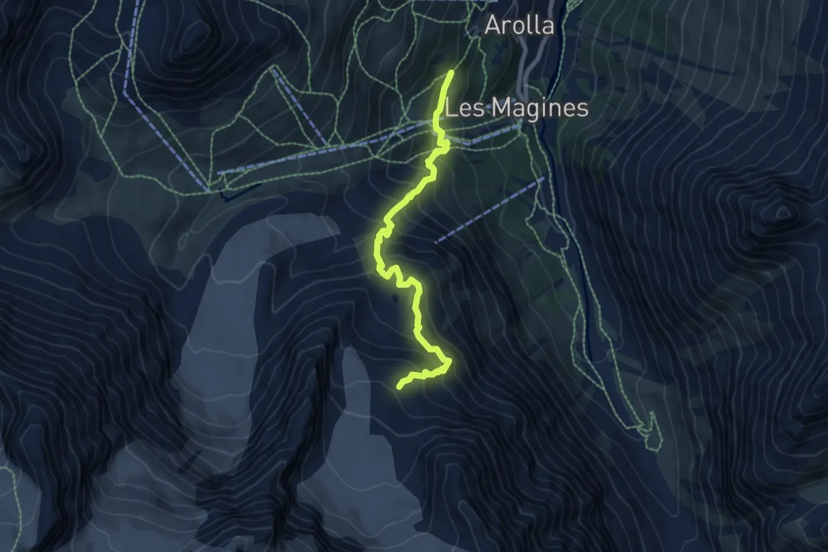
Expert · Trail
Arolla – Cabane des Vignettes
6.5 km · ↑ 662 m · 2 h 58 min
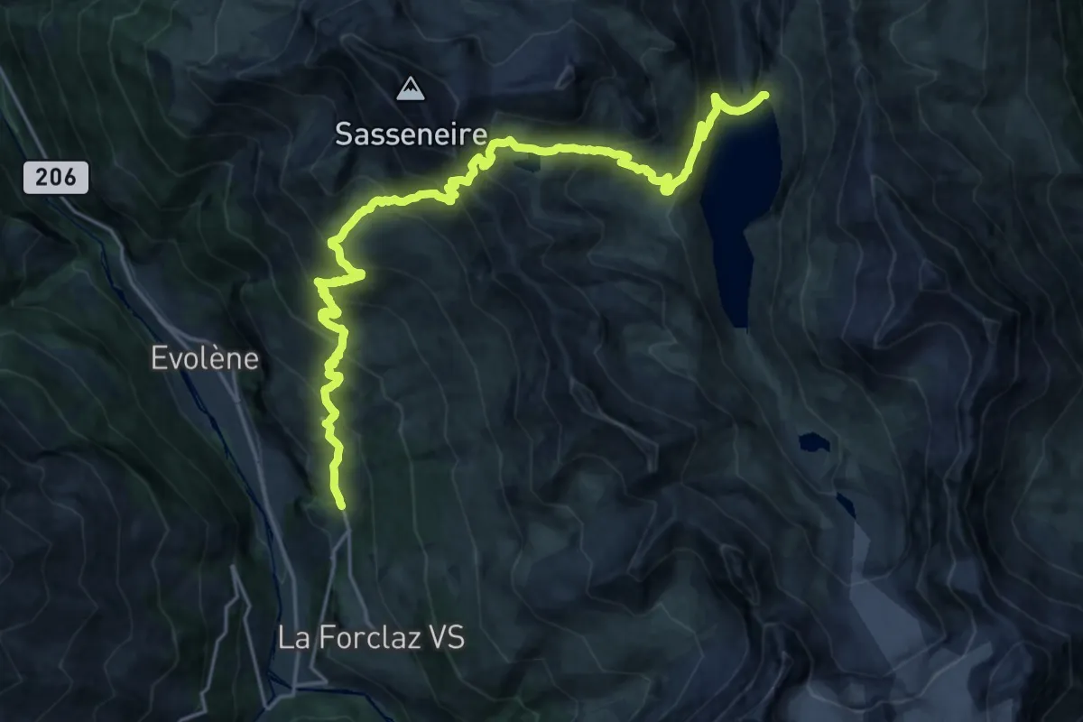
Demanding · Trail
La Sage – Lac de Moiry
12.4 km · ↑ 1292 m · 5 h 37 min
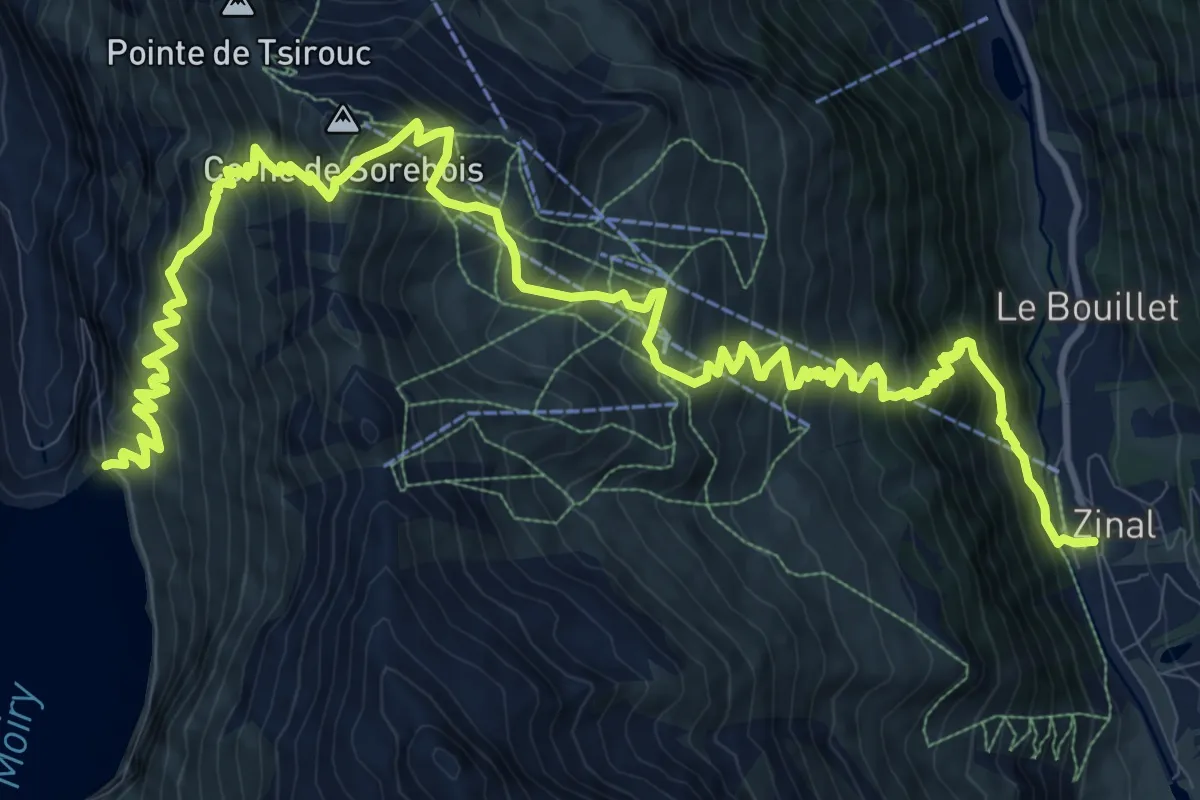
Demanding · Trail
Lac de Moiry – Zinal
9.5 km · ↑ 604 m · 3 h 58 min
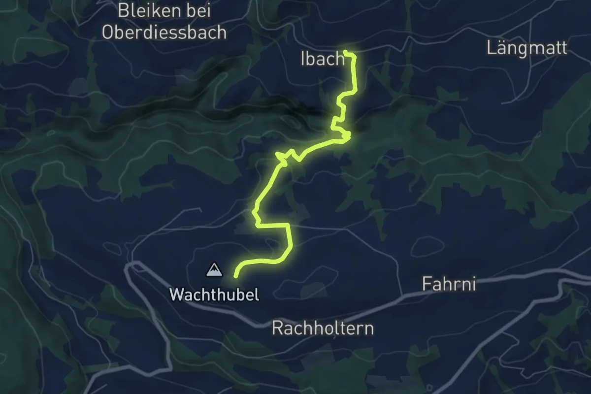
Easy · Trail
Lueghubel – Ibach
6.6 km · ↑ 298 m · 2 h 12 min
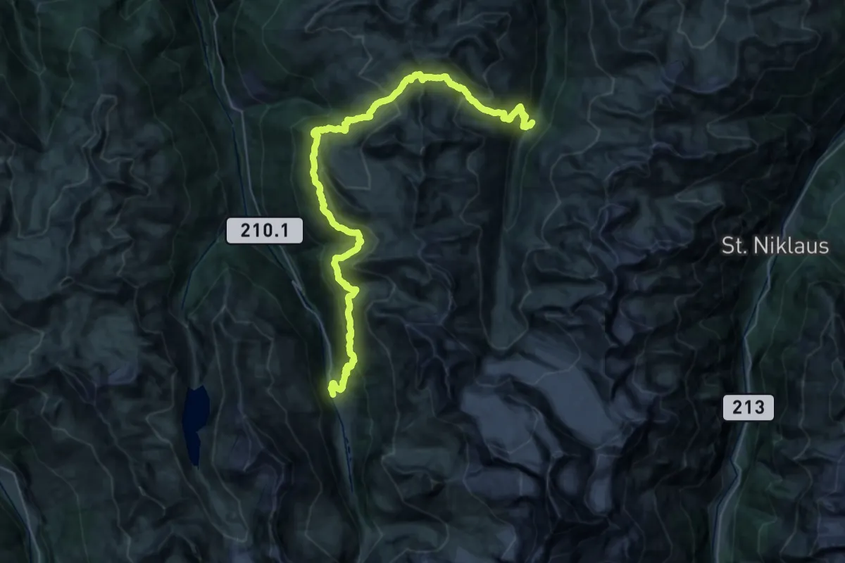
Demanding · Trail
Zinal – Gruben
21.8 km · ↑ 1607 m · 8 h 51 min
Demanding · Trail
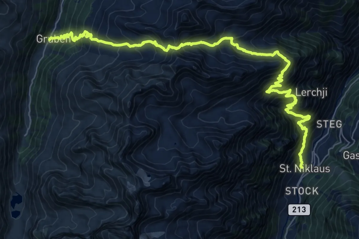
Gruben – St. Niklaus
16.7 km · ↑ 1290 m · 7 h 19 min
Medium · Trail
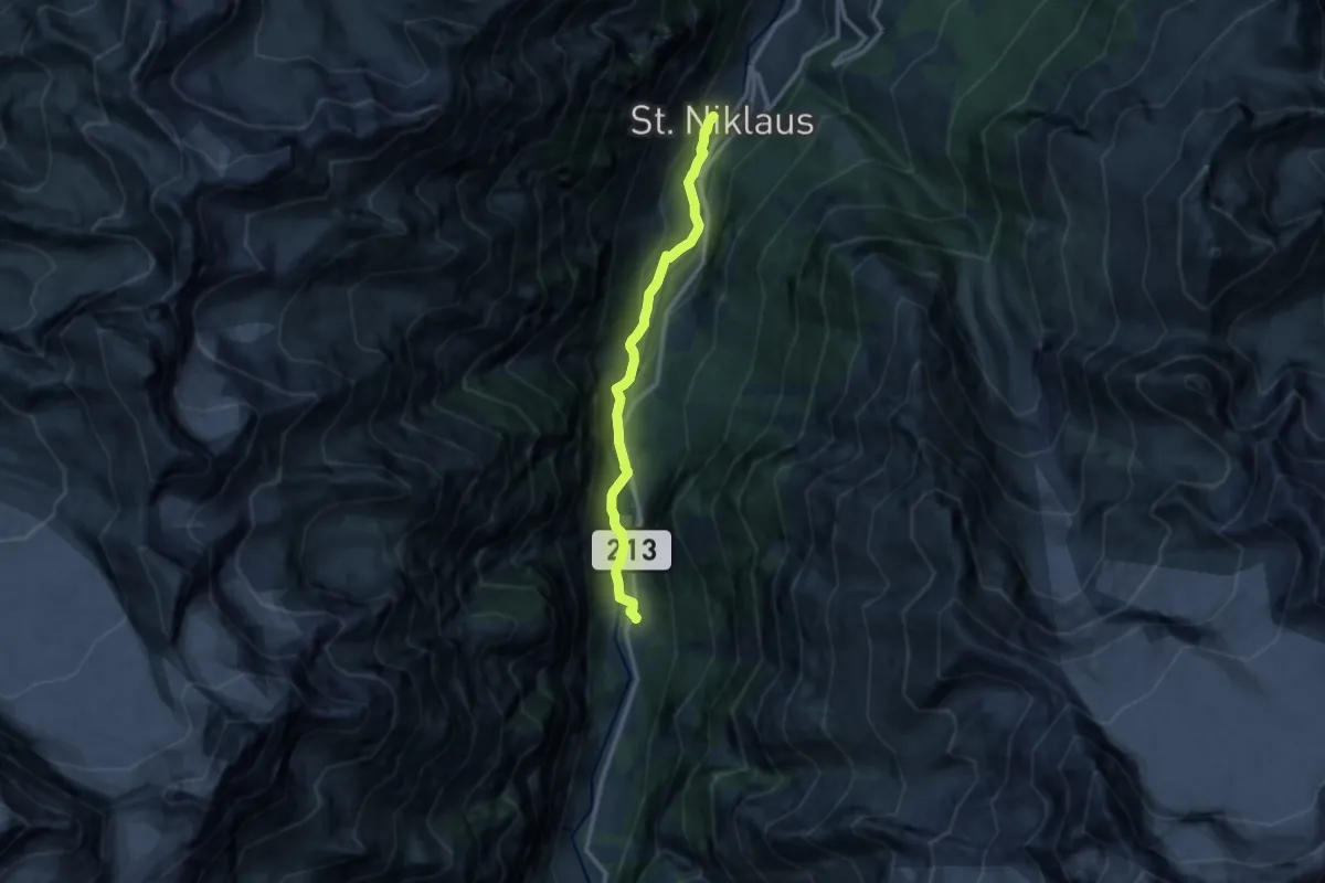
St. Niklaus – Herbriggen
10.6 km · ↑ 213 m · 2 h 58 min
Demanding · Cabin
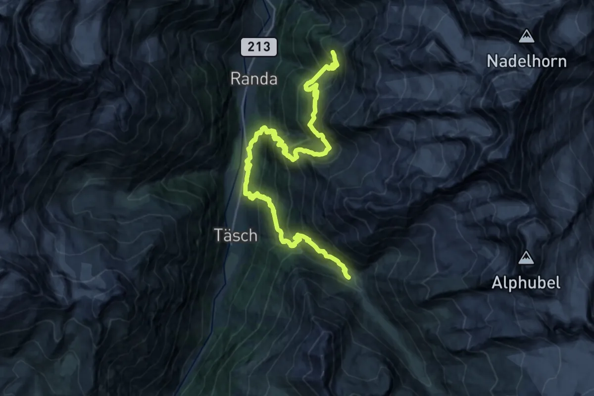
Europahütte – Täschalp
13.8 km · ↑ 1448 m · 6 h 33 min
Medium · Trail
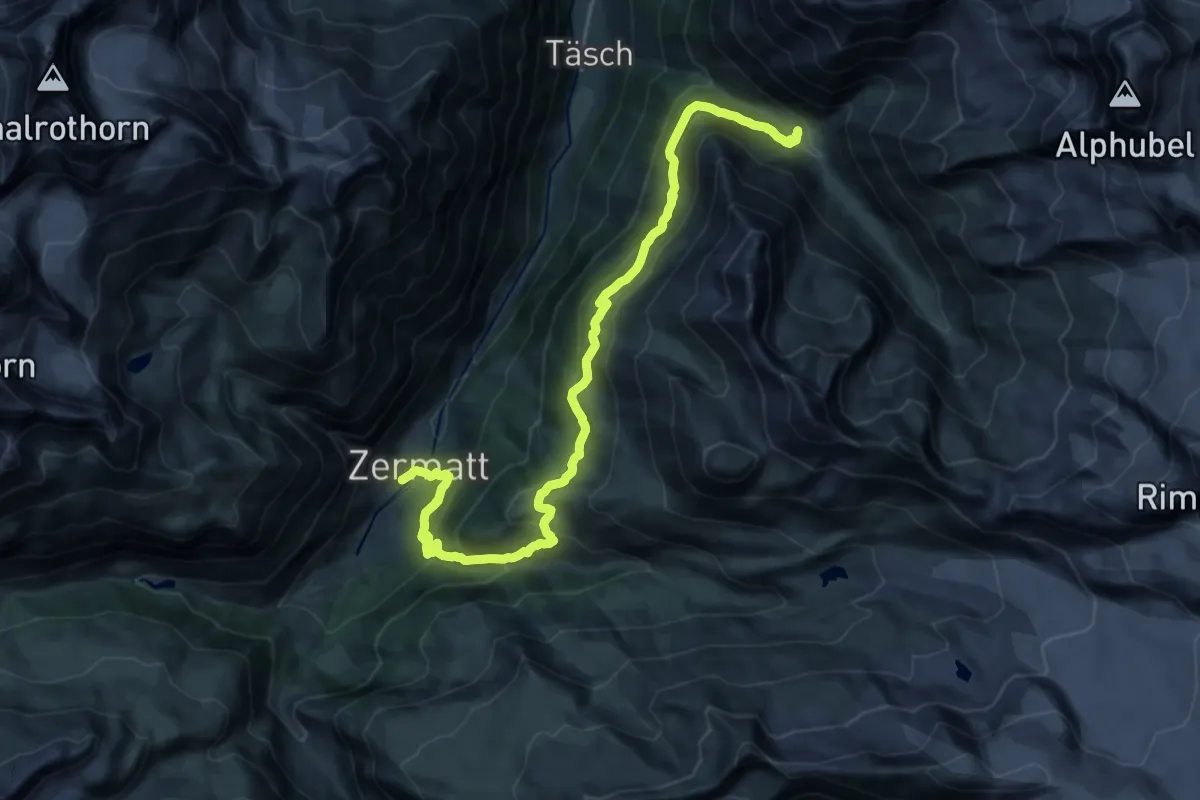
Täschalp – Zermatt
12.4 km · ↑ 484 m · 4 h 26 min
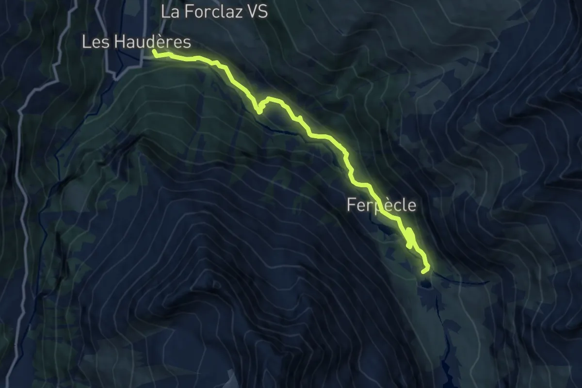
Medium · Trail
Les Haudères – Ferpècle
10.6 km · ↑ 526 m · 3 h 38 min
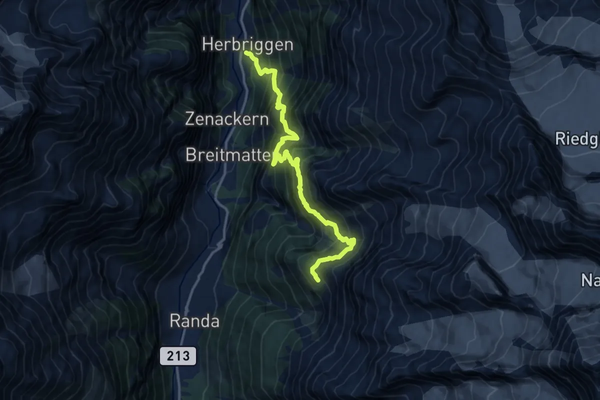
Demanding · Cabin
Herbriggen – Europahütte
12.8 km · ↑ 1641 m · 6 h 34 min
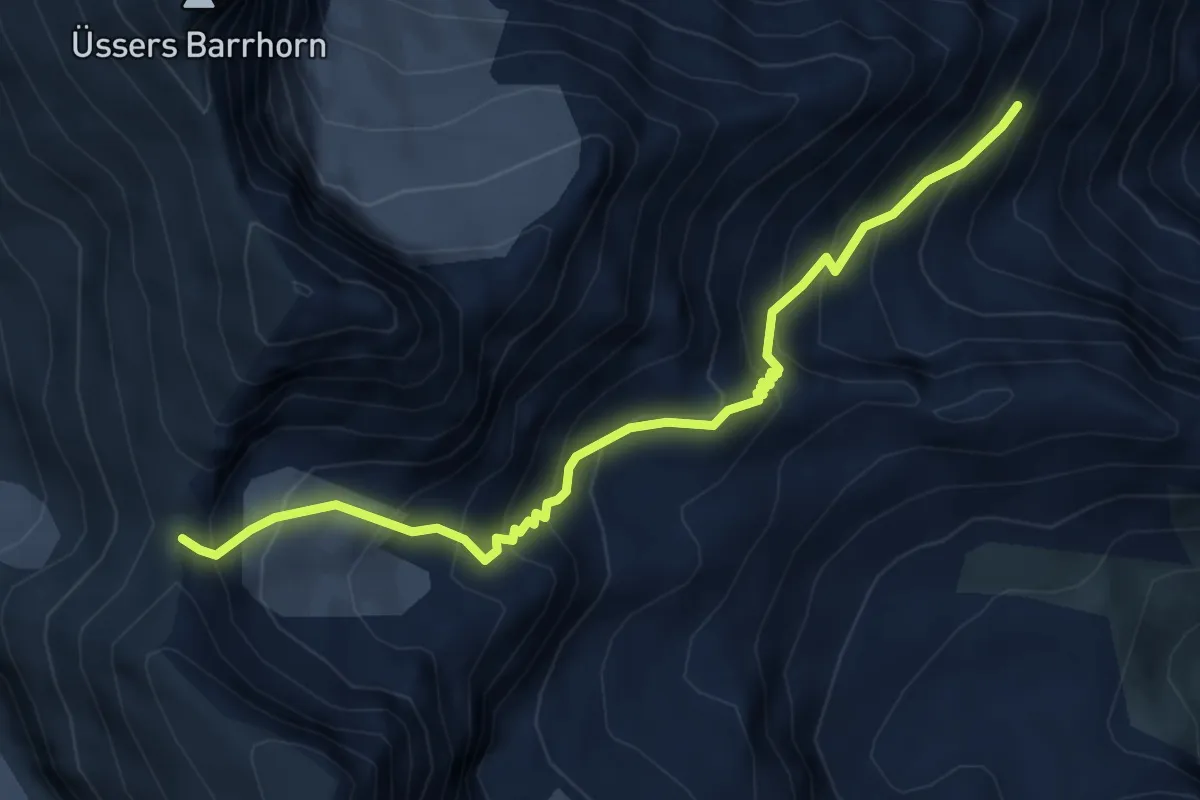
Expert · Trail
Topalihütte – Schöllijoch
5.6 km · ↑ 612 m · 2 h 39 min
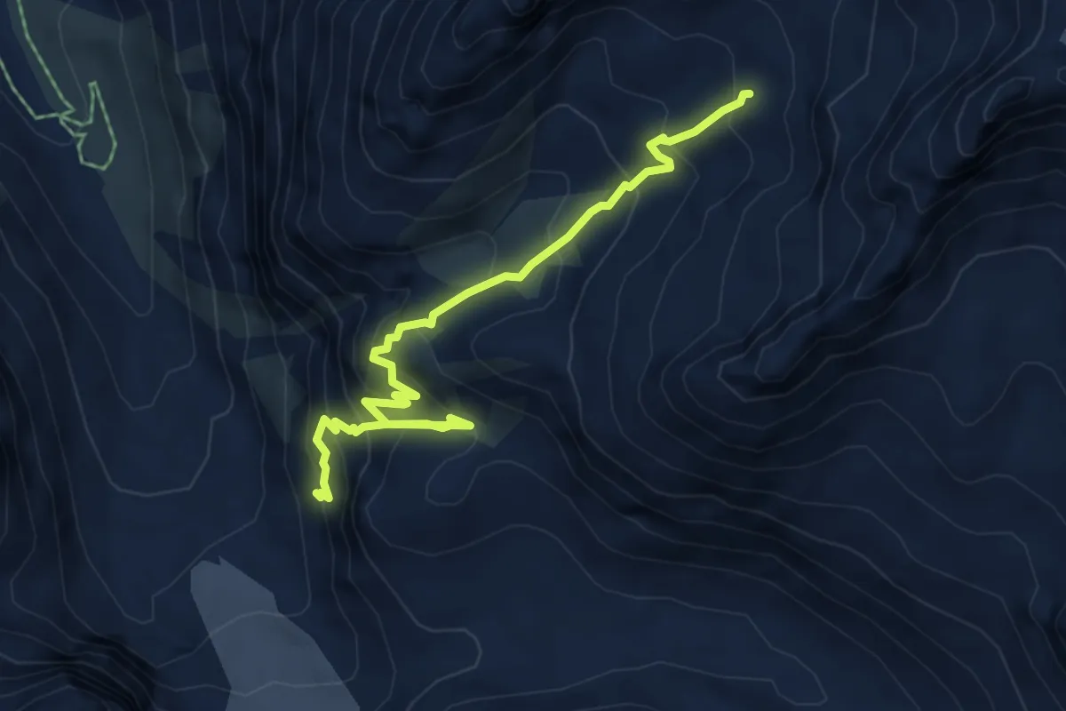
Expert · Trail
Bas Glacier d'Arolla – Cabane de Bertol
6.1 km · ↑ 656 m · 2 h 52 min
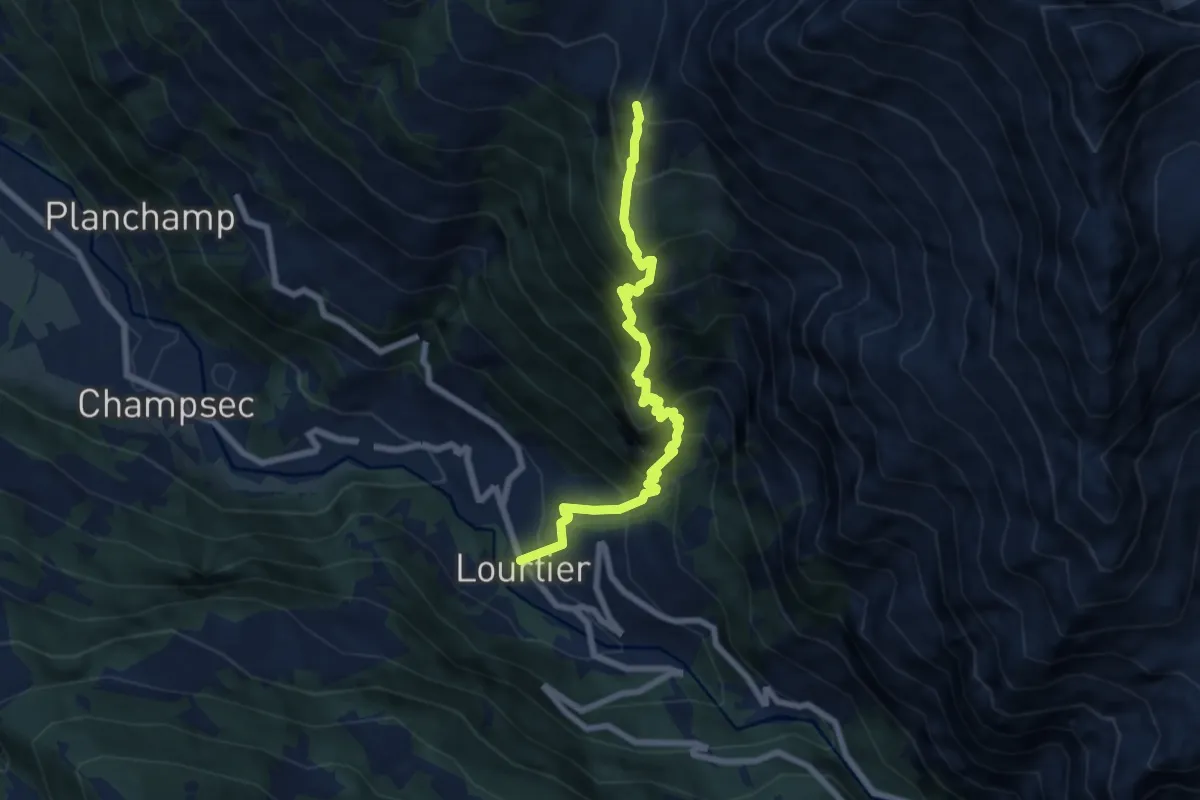
Demanding · Trail
Lourtier – Le Mintset d'en Haut p2113
7.2 km · ↑ 1019 m · 3 h 54 min
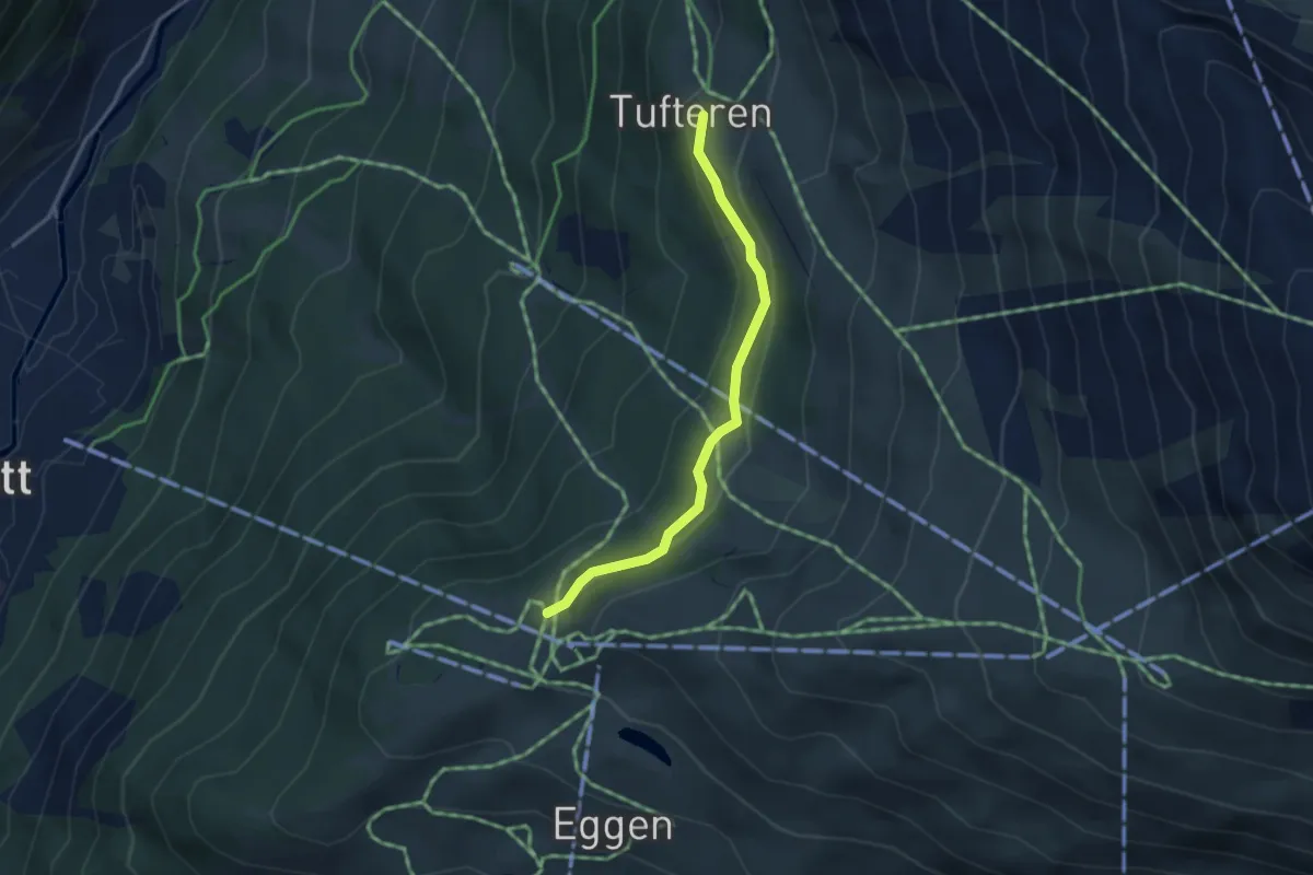
Easy · Trail
Sunnega p2246 – Tuftern p2215
3.2 km · ↑ 149 m · 1 h 5 min
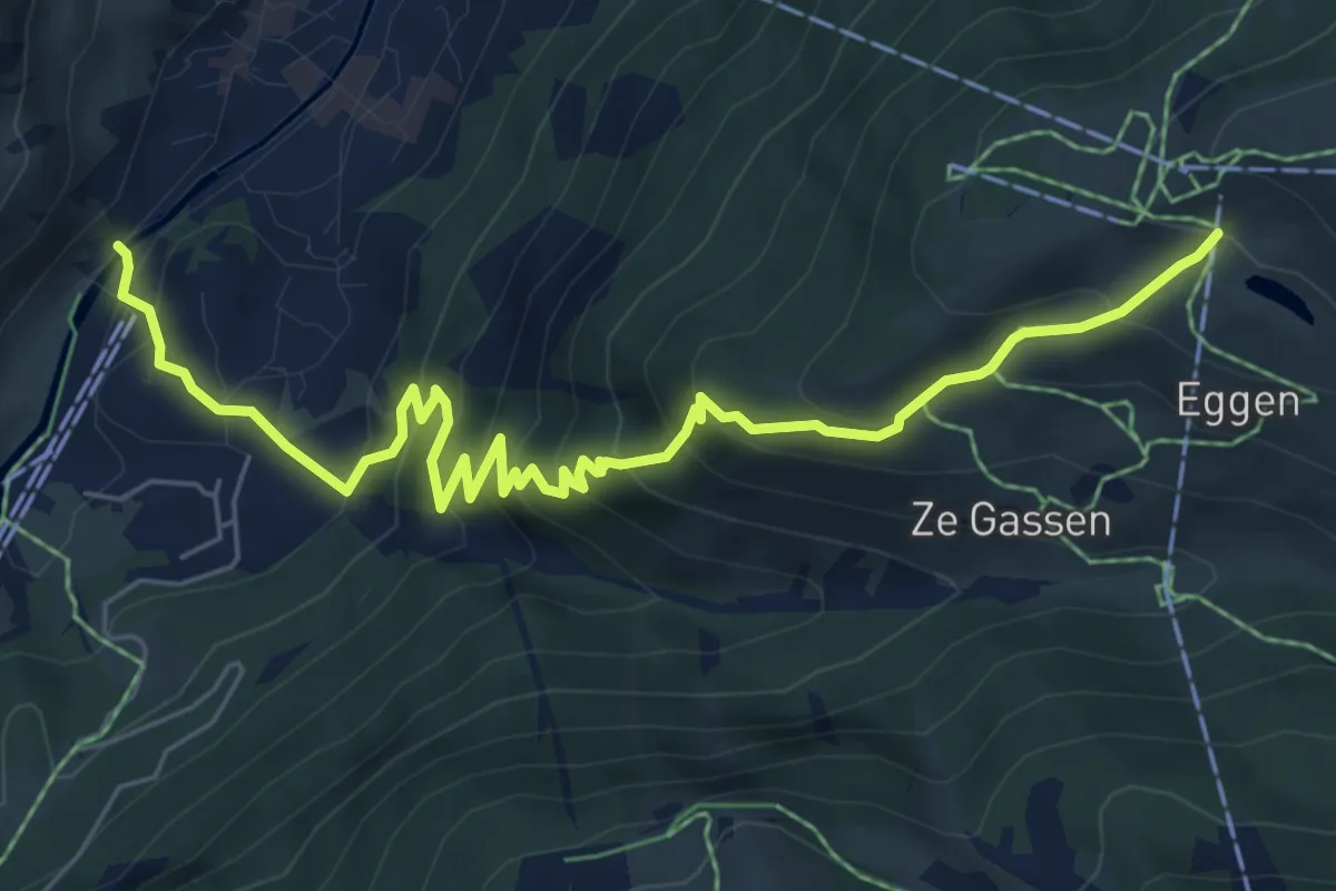
Medium · Trail
Zermatt – Sunnega
7.6 km · ↑ 613 m · 3 h 7 min
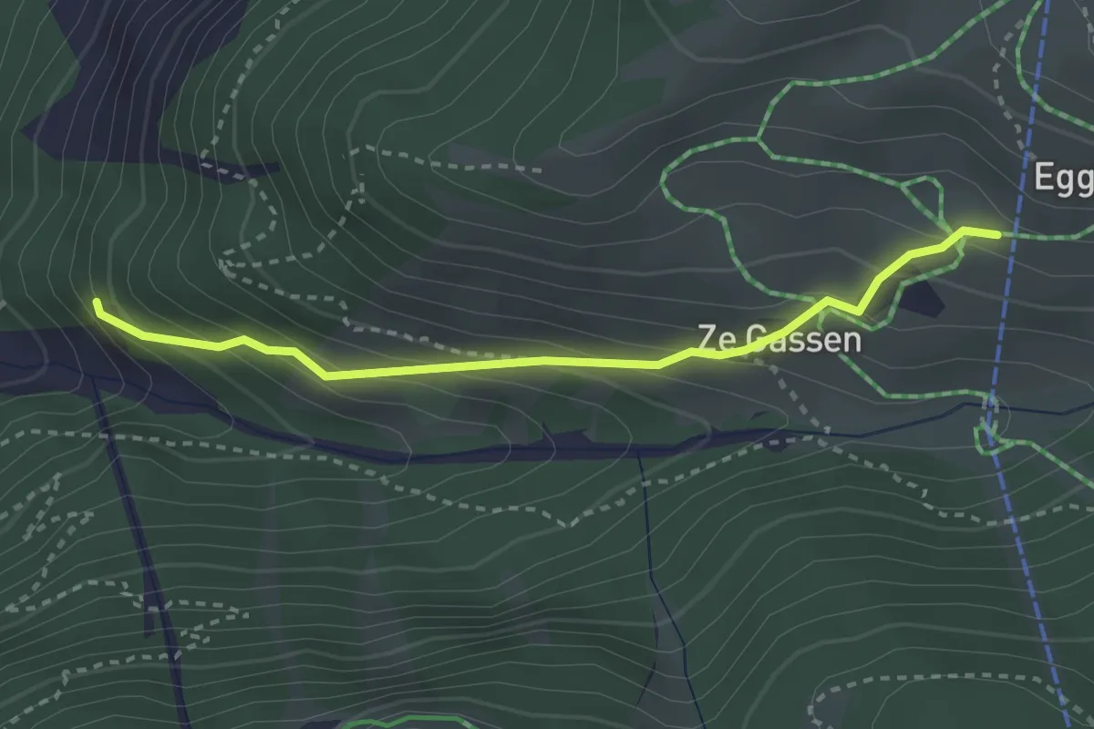
Easy · Trail
Zermatt – Eggen
2.9 km · ↑ 263 m · 1 h 15 min
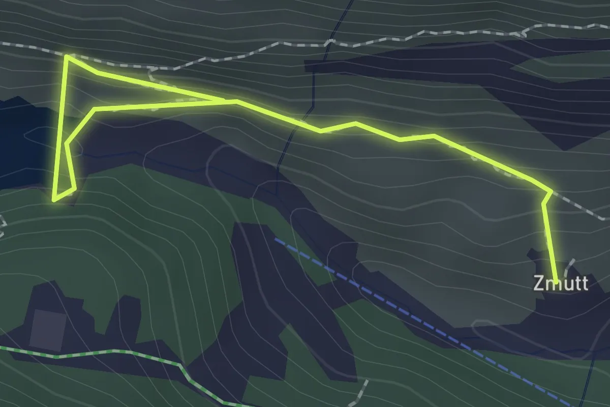
Medium · Trail
Zmutt – Stausee
2.3 km · ↑ 135 m · 50 min
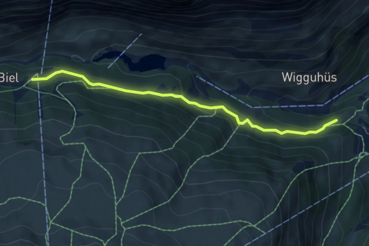
Medium · Trail
Furi – Joscht / Unner Stafel
4.9 km · ↑ 292 m · 1 h 48 min
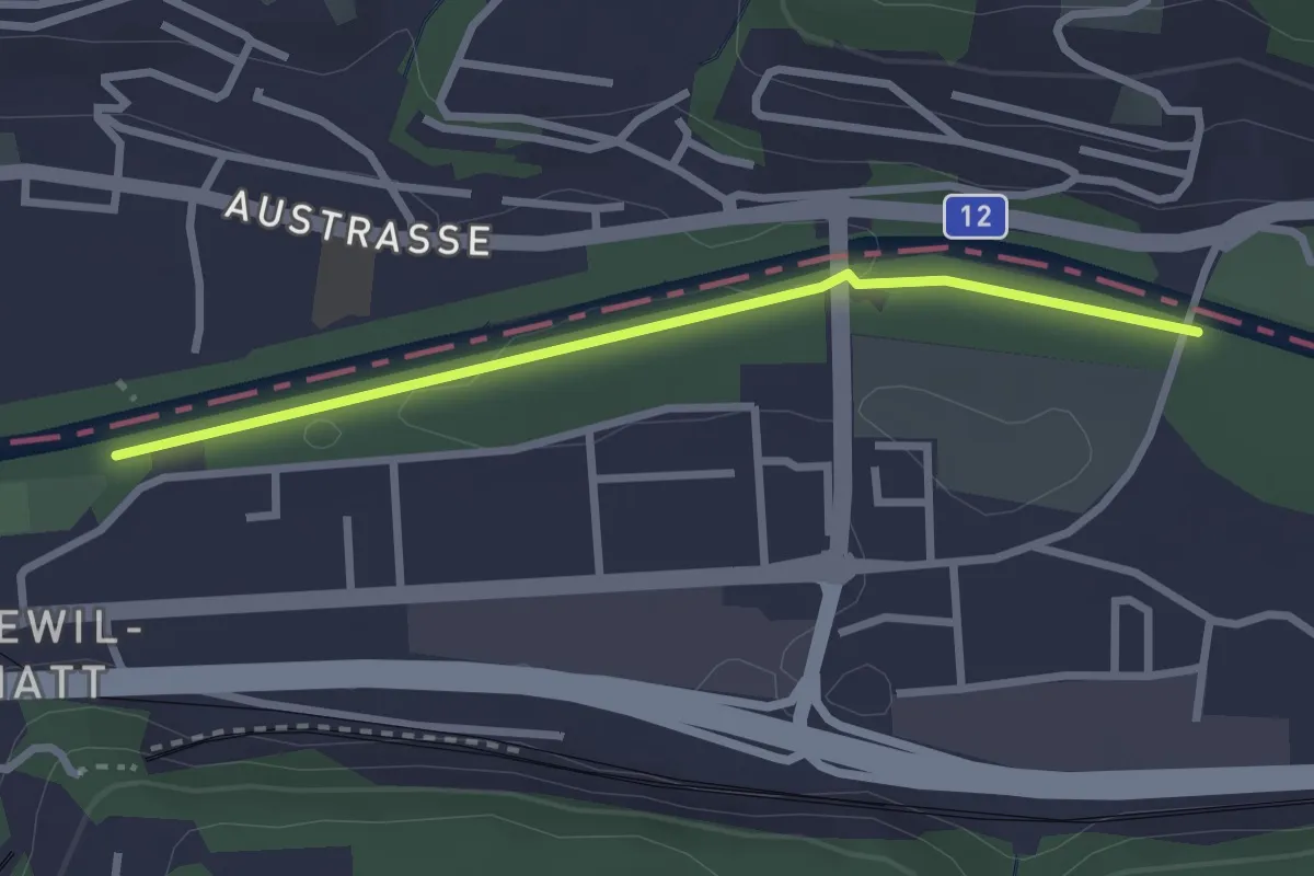
Easy · Trail
Ober Flamatt – Flamatt Sportplatz
2.6 km · ↑ 9 m · 38 min
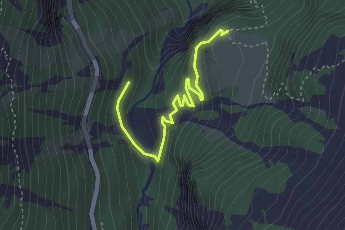
Easy · Trail
p1744 – Les Mayens de Veisivi p1876
3.1 km · ↑ 273 m · 1 h 20 min
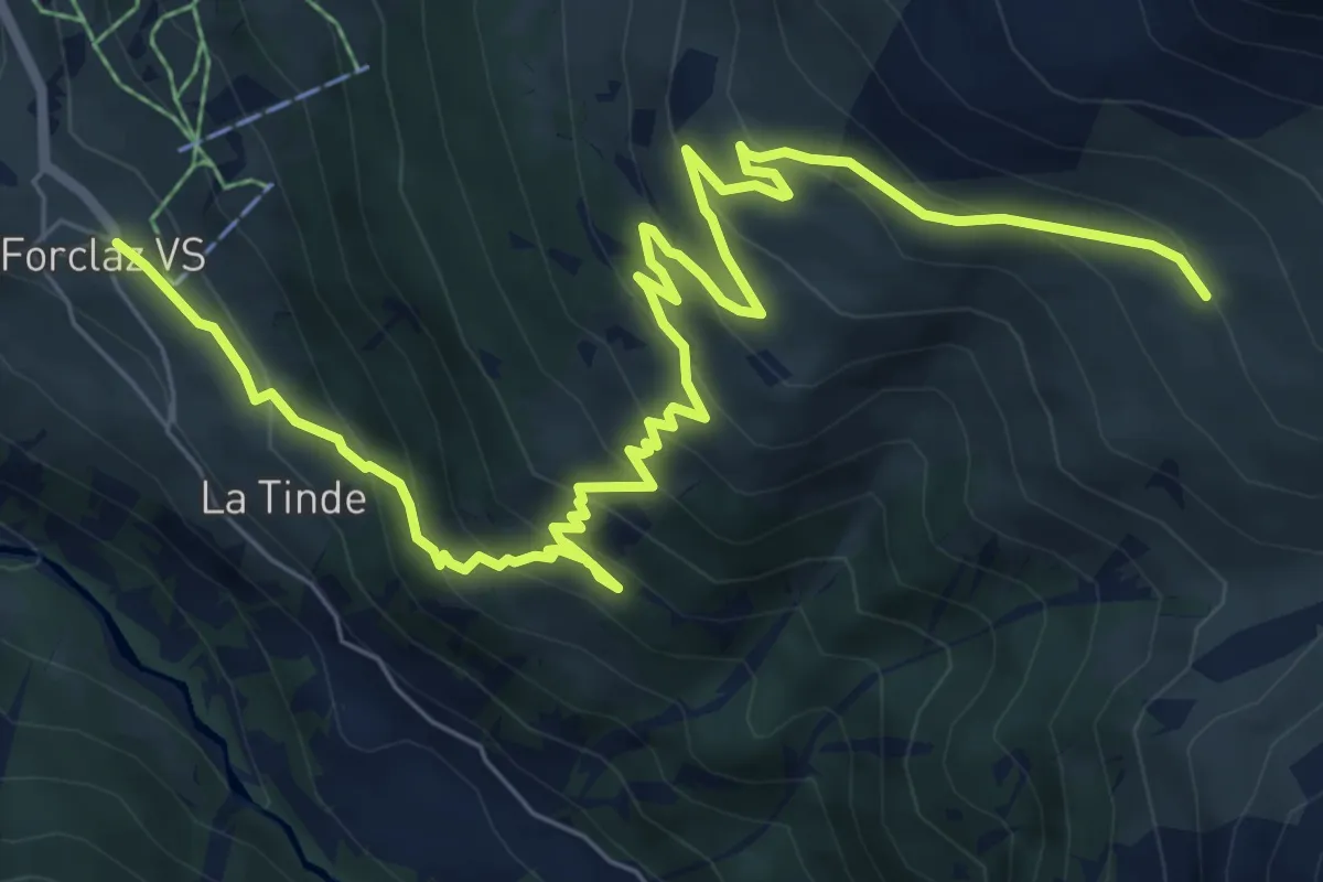
Medium · Trail
La Forclaz VS p1725 – Remointse de Bréonna
10.3 km · ↑ 689 m · 3 h 55 min
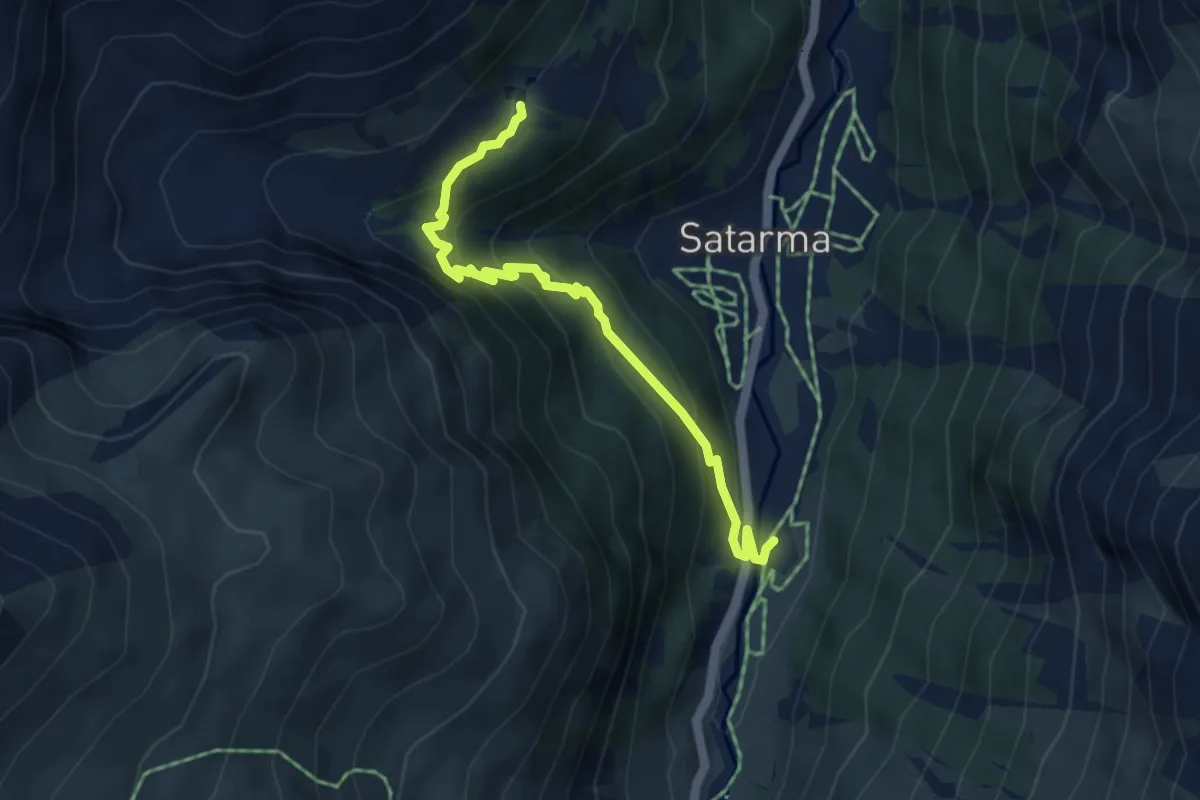
Medium · Trail
Pramousse – Lac Blue
4.6 km · ↑ 356 m · 1 h 52 min
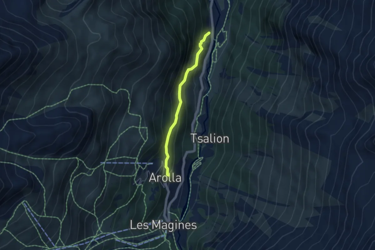
Medium · Trail
Pramousse – Arolla
3.6 km · ↑ 289 m · 1 h 28 min
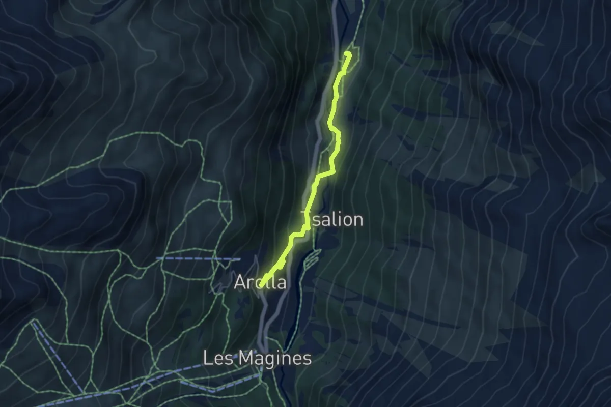
Medium · Trail
Pramousse – Arolla
4.6 km · ↑ 234 m · 1 h 35 min
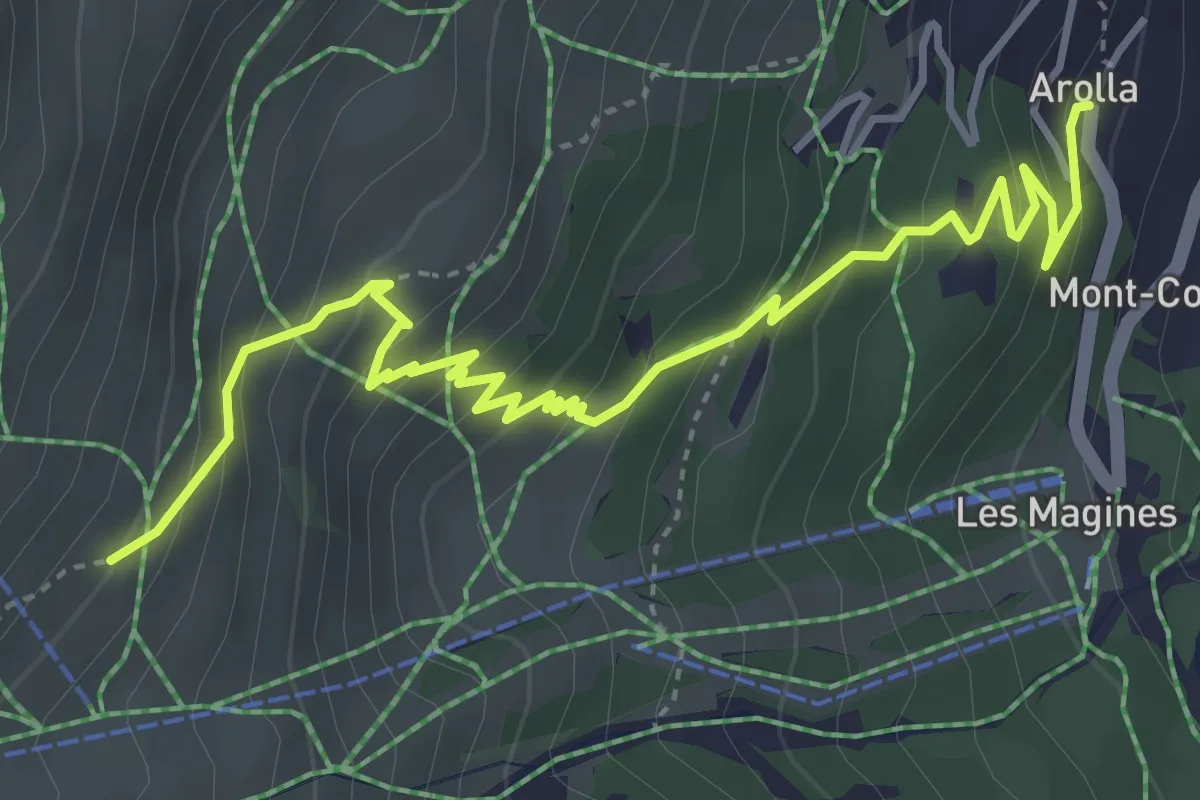
Medium · Trail
Arolla – La Remointse
5.2 km · ↑ 403 m · 2 h 5 min
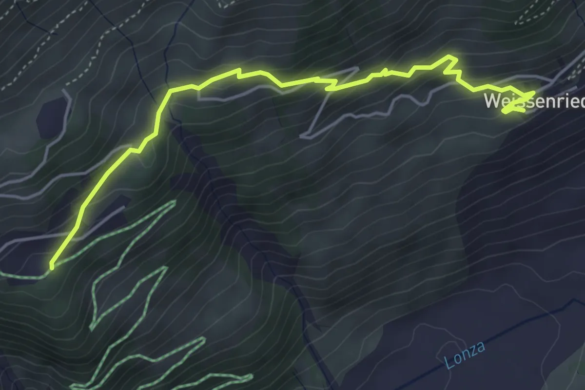
Medium · Trail
Weissenried – Fischbiel
4.8 km · ↑ 350 m · 1 h 54 min
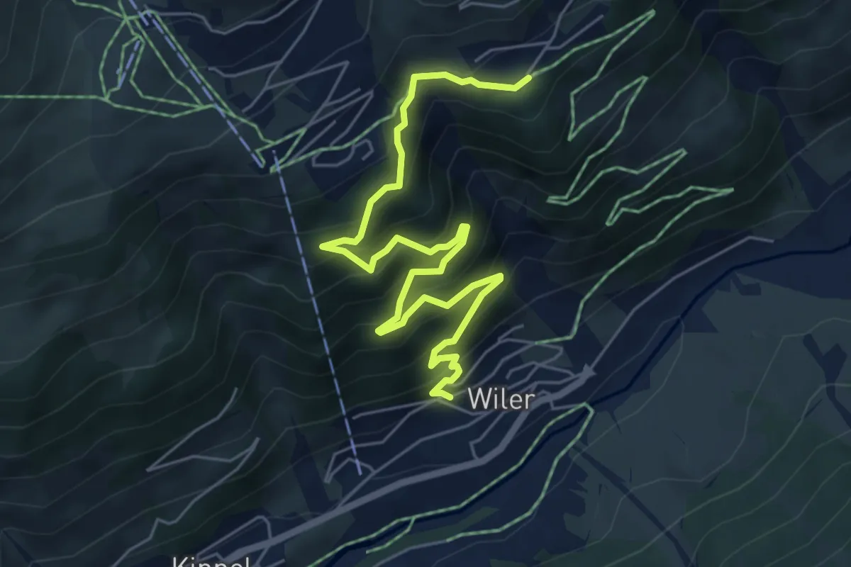
Medium · Trail
Fischbiel – Wiler
6.7 km · ↑ 709 m · 3 h 7 min
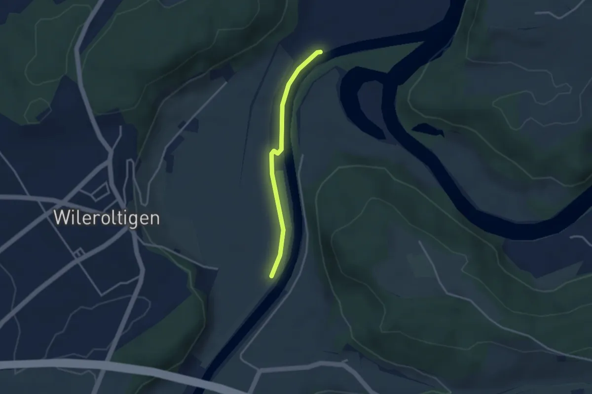
Easy · Trail
Wilerau – Saanesteg
2.6 km · ↑ 0 m · 37 min