Trails in Switzerland
15,055 hiking trails, each with its route, climb, walking time and grade.
All trails, page 187 of 314
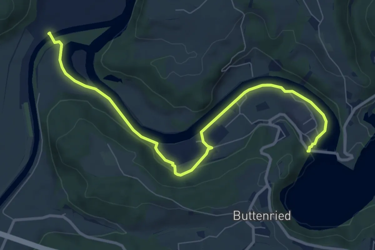
Medium · Trail
Saanesteg – Mühlebergwerk
8.3 km · ↑ 127 m · 2 h 14 min
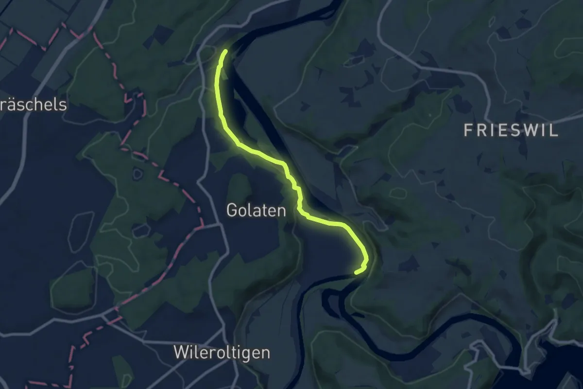
Medium · Trail
Saanemündung – Stausee Niederried
7.6 km · ↑ 185 m · 2 h 12 min
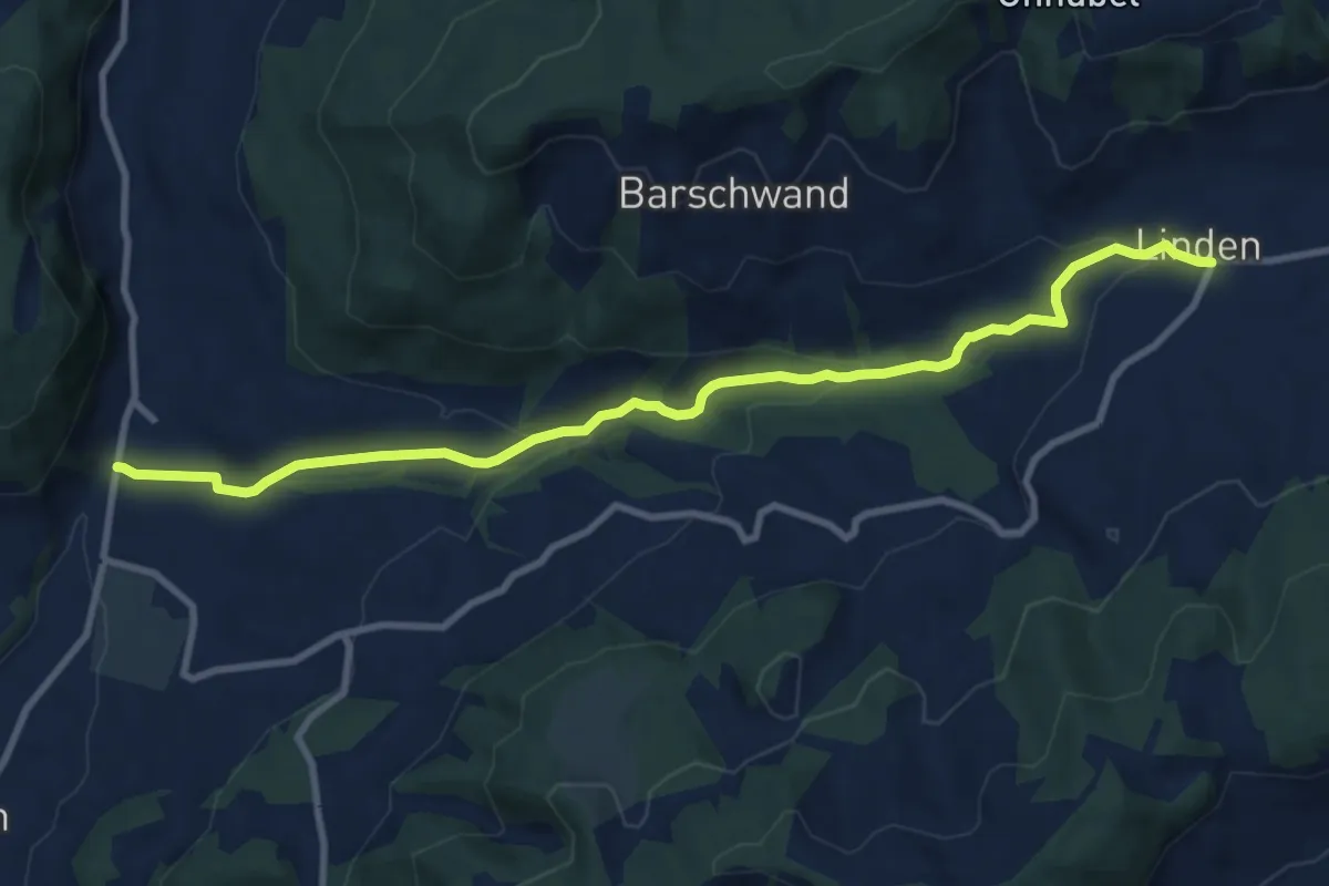
Medium · Trail
Linden – Oberdiessbach
10.2 km · ↑ 308 m · 3 h 4 min
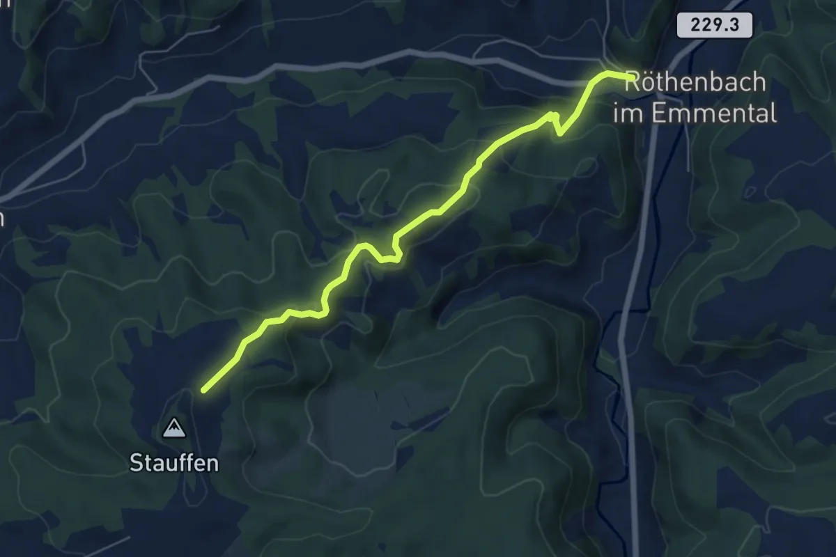
Medium · Trail
Röthenbach – Hinter Stauffen
5.8 km · ↑ 377 m · 2 h 11 min
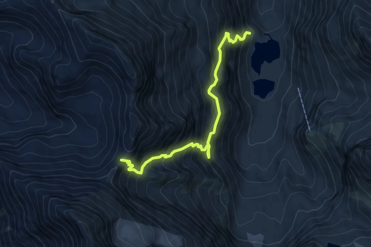
Demanding · Trail
Col des Arpettes – Turtmann
7.7 km · ↑ 910 m · 3 h 47 min
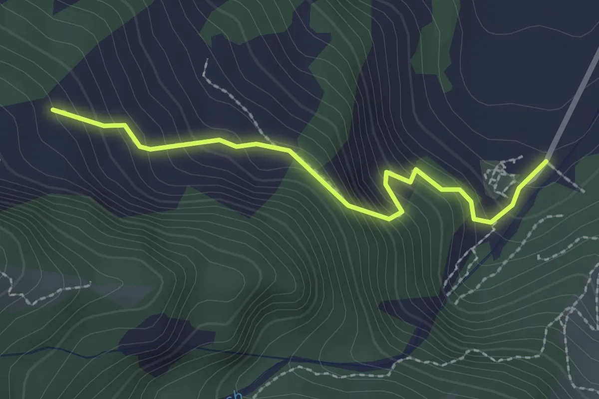
Easy · Trail
Blumenstein/Kirche – Breitebode
2.2 km · ↑ 229 m · 1 h 1 min
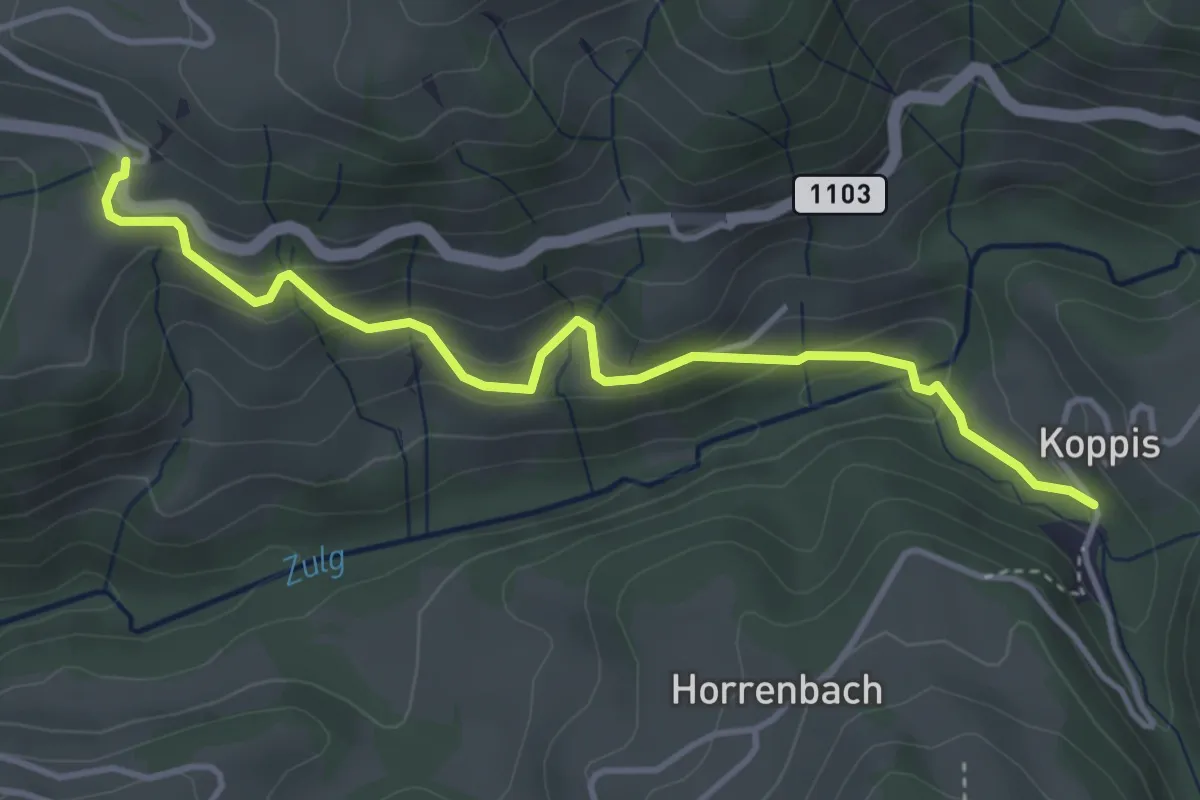
Easy · Trail
Losenegg – Horrenbachmüli
4.1 km · ↑ 271 m · 1 h 34 min
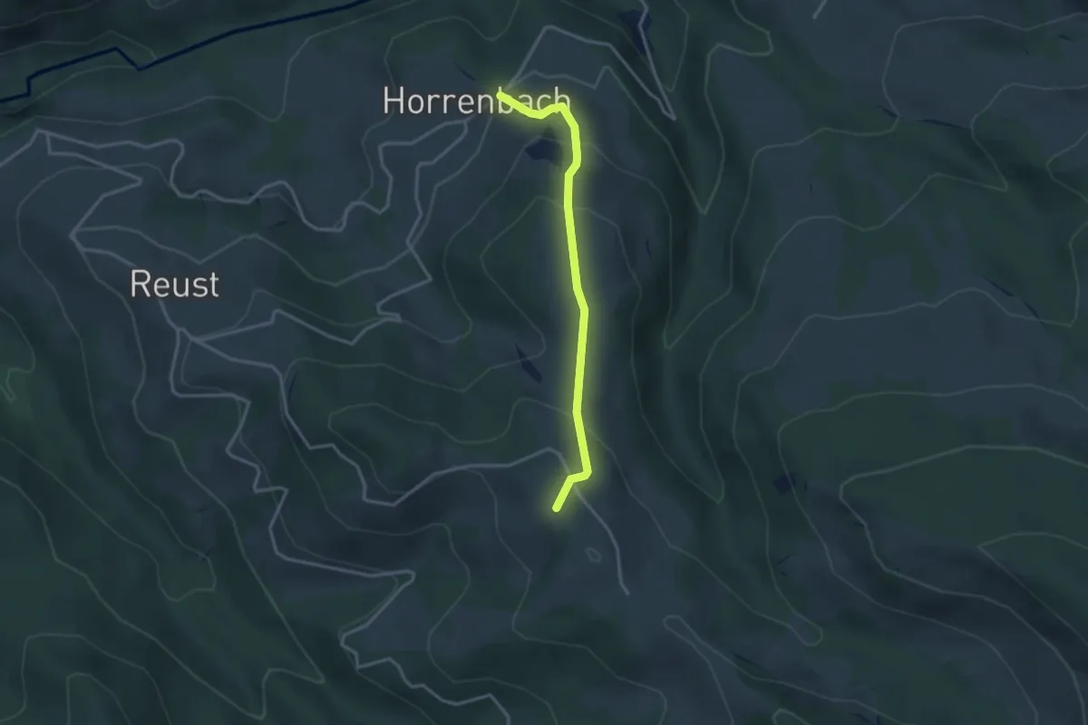
Easy · Summit
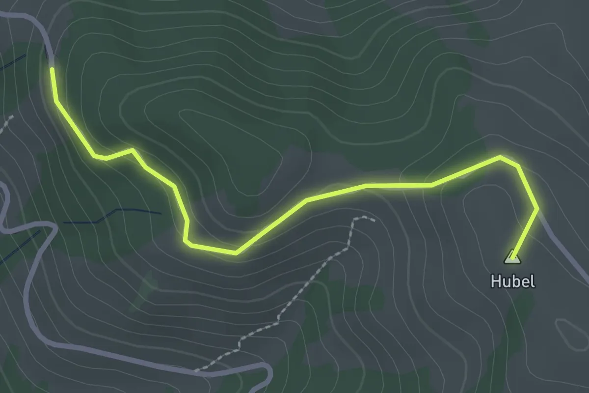
Horrenbach – Hubel
2.9 km · ↑ 197 m · 1 h 7 min
Easy · Summit
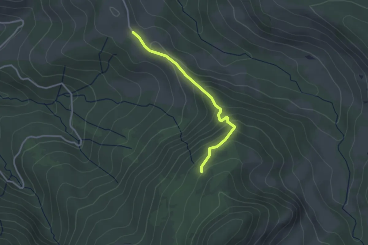
Hubel – Reust
2.5 km · ↑ 109 m · 50 min
Medium · Trail
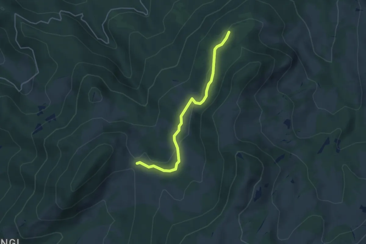
Thülboden – Schnabel
2.5 km · ↑ 169 m · 57 min
Easy · Trail
Schnabel – Dünzenegg
3.6 km · ↑ 93 m · 1 h 4 min
Easy · Trail
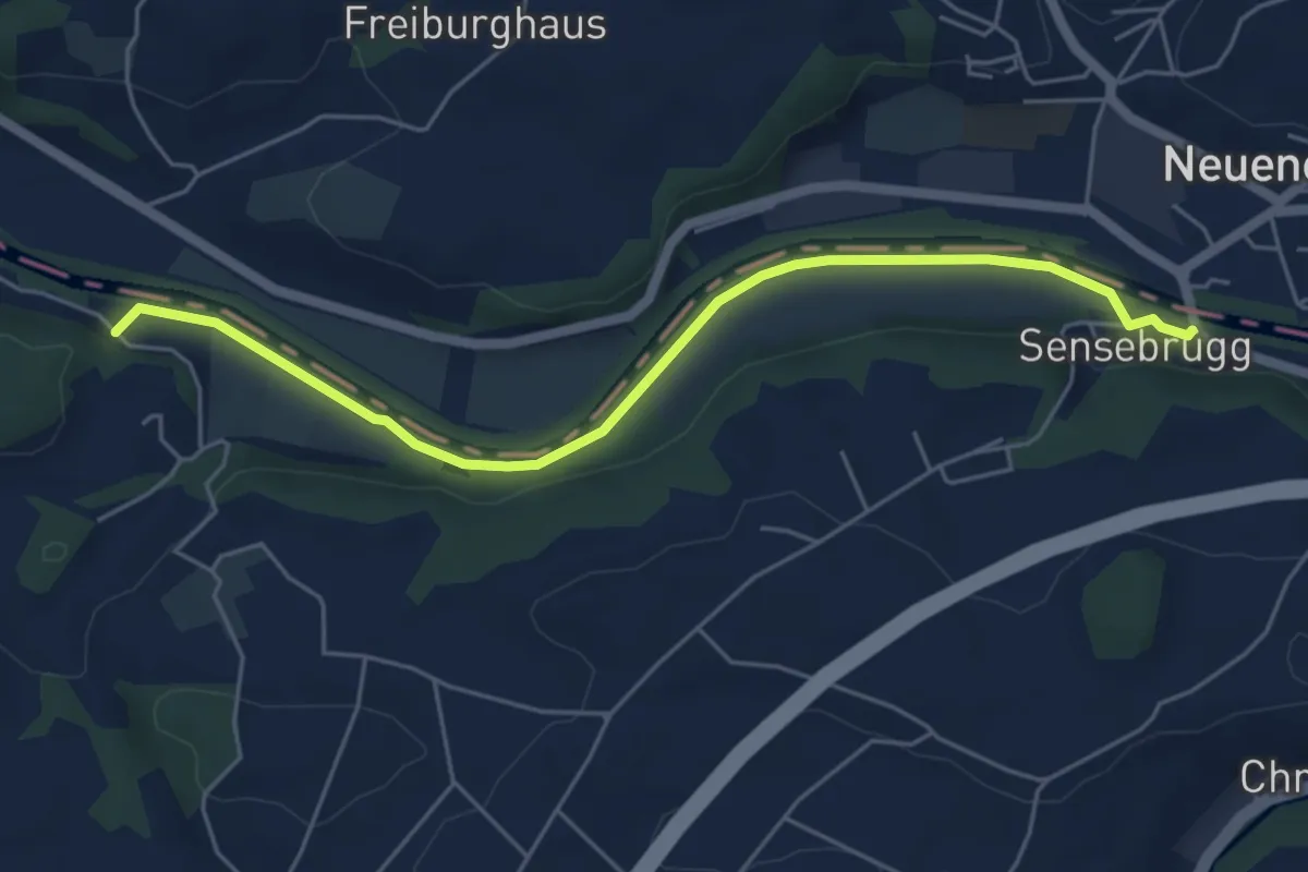
Sensebrücke – Noflenau
5.5 km · ↑ 34 m · 1 h 23 min
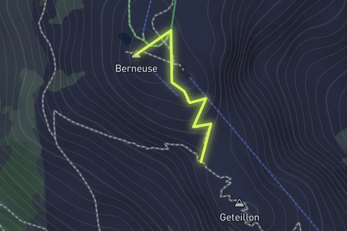
Medium · Summit
Ai – Geteillon
0.8 km · ↑ 51 m · 18 min
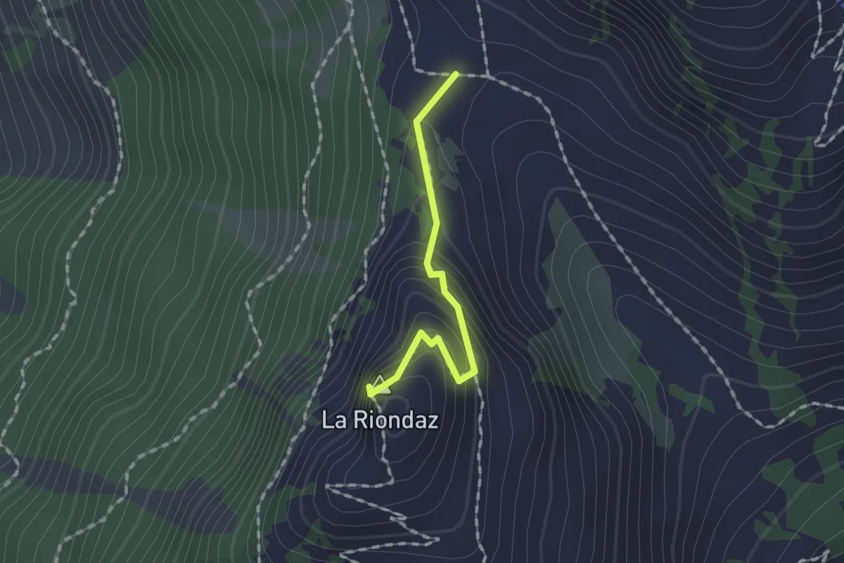
Medium · Summit
Solacyre – Col du Luissel
1.2 km · ↑ 105 m · 31 min
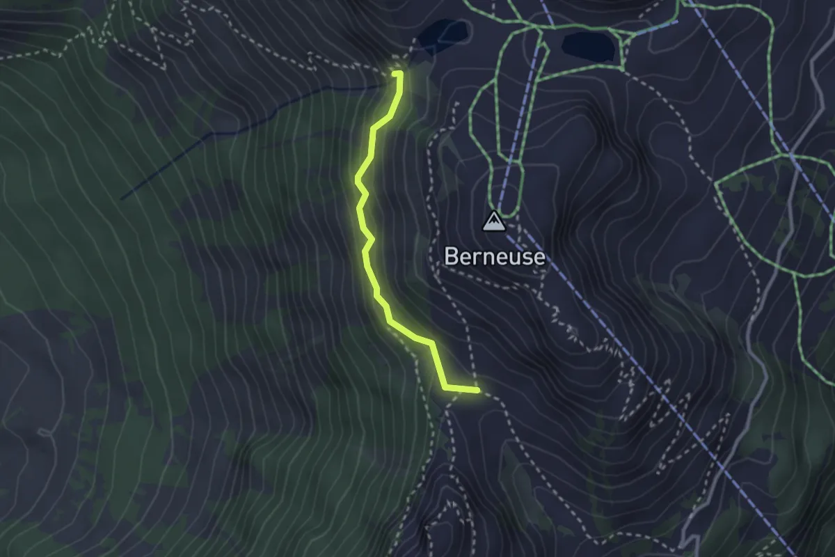
Medium · Trail
Col du Luissel – Chaux d'Ai
2.2 km · ↑ 185 m · 55 min
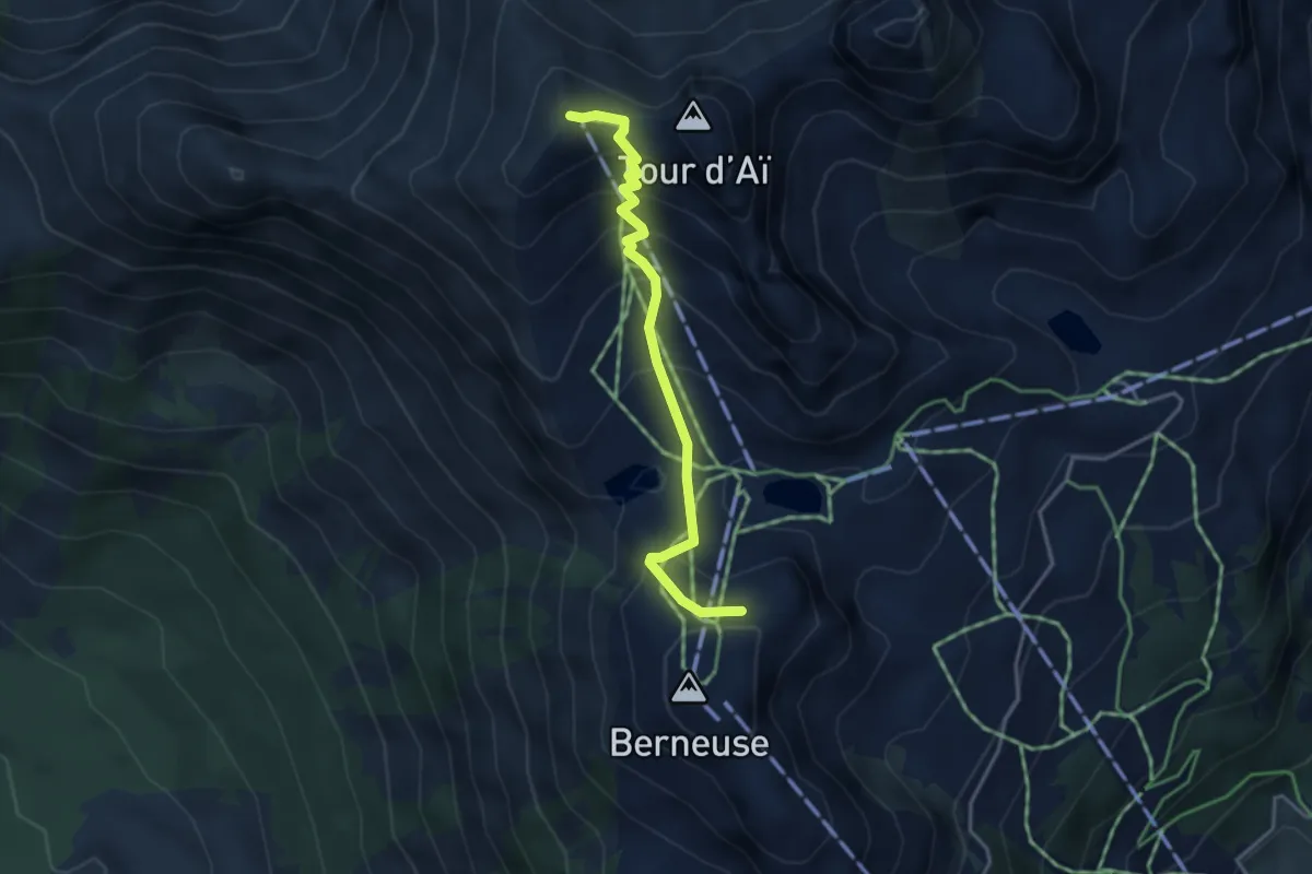
Medium · Summit
Berneuse – Chaux-de-Mont
3.5 km · ↑ 357 m · 1 h 37 min
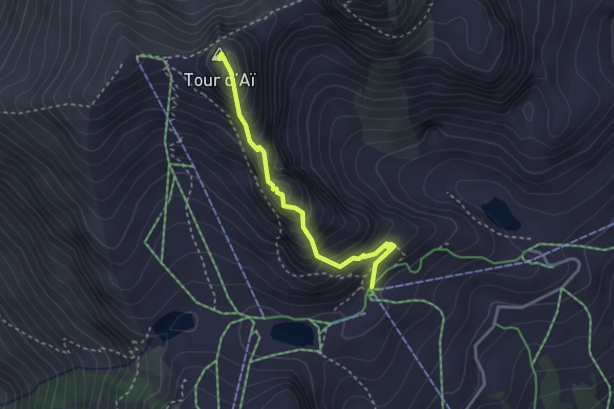
Expert · Summit
Tête d'Aï – Tour d'Aï
2.6 km · ↑ 331 m · 1 h 20 min
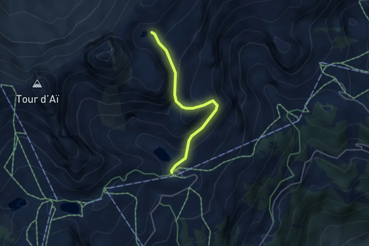
Medium · Cabin
Mayen – Lac Segray
3.1 km · ↑ 247 m · 1 h 16 min
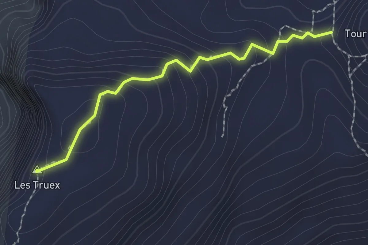
Medium · Summit
Lac Segray – Tour de Famelon
1.8 km · ↑ 126 m · 42 min
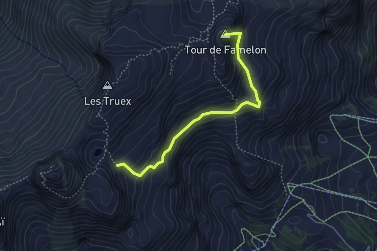
Medium · Summit
Lac Segray – Dessus Corbex
3.8 km · ↑ 396 m · 1 h 45 min
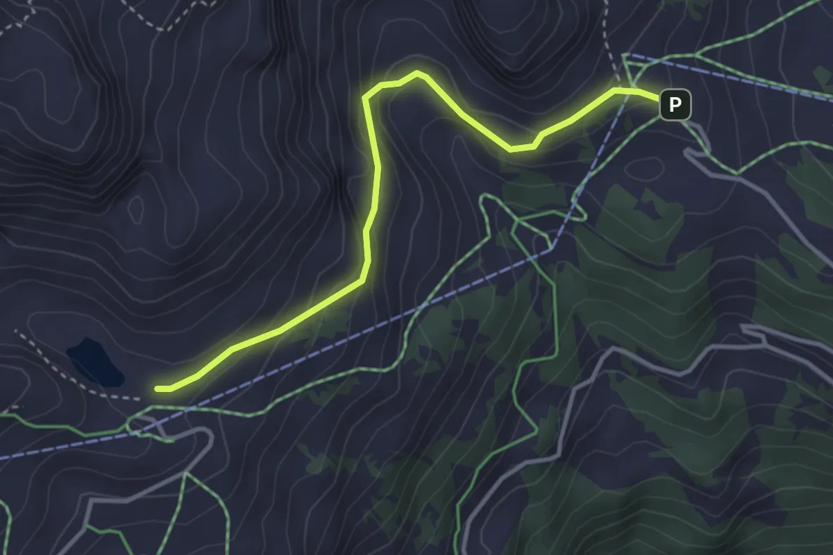
Medium · Cabin
Lac de Mayen – Crête du Fer
3.5 km · ↑ 230 m · 1 h 19 min
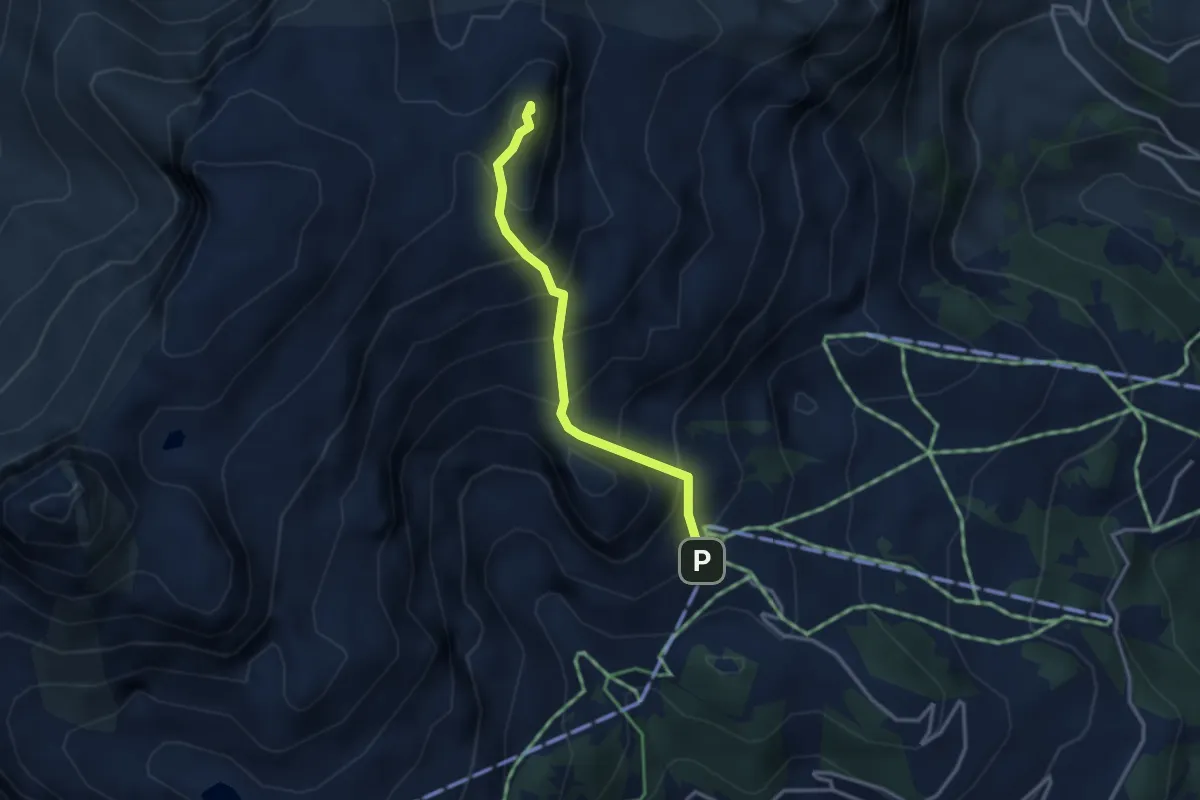
Medium · Summit
Les Fers – Tour de Famelon
2.9 km · ↑ 380 m · 1 h 30 min
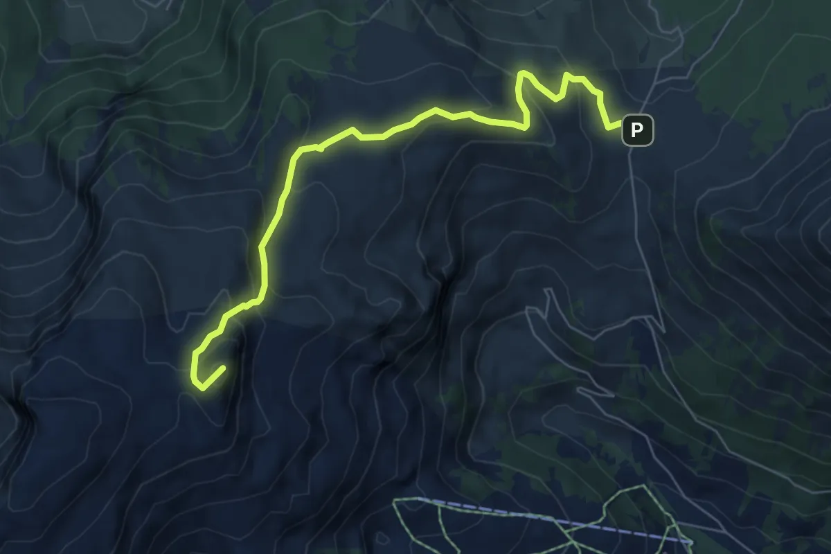
Medium · Summit
Pierre du Moëllé – Tour de Famelon
6.7 km · ↑ 439 m · 2 h 32 min
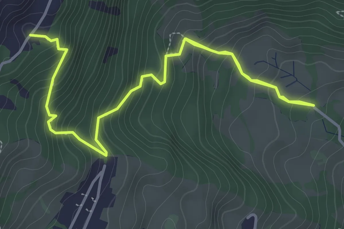
Medium · Trail
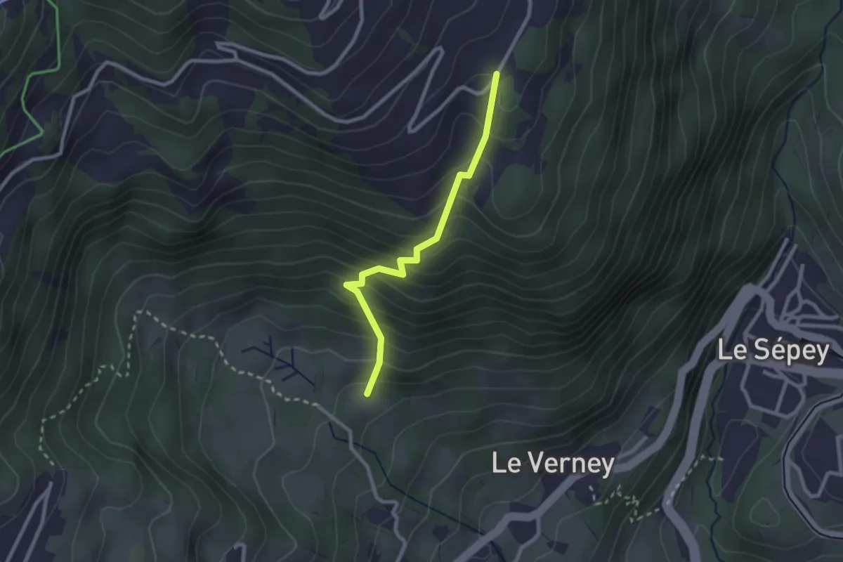
Chemin de la Bonne Eau – Lavanchy
4.6 km · ↑ 418 m · 2 h
Easy · Trail
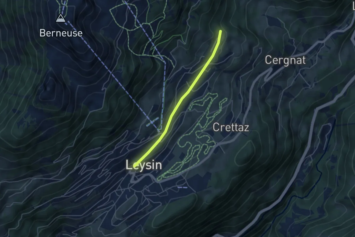
Chemin de la Bonne Eau – Le Cerf
2.3 km · ↑ 282 m · 1 h 9 min
Easy · Trail
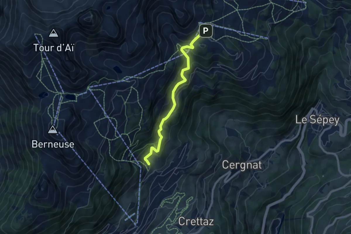
Leysin – Les Esserts
3.9 km · ↑ 80 m · 1 h 6 min
Medium · Trail
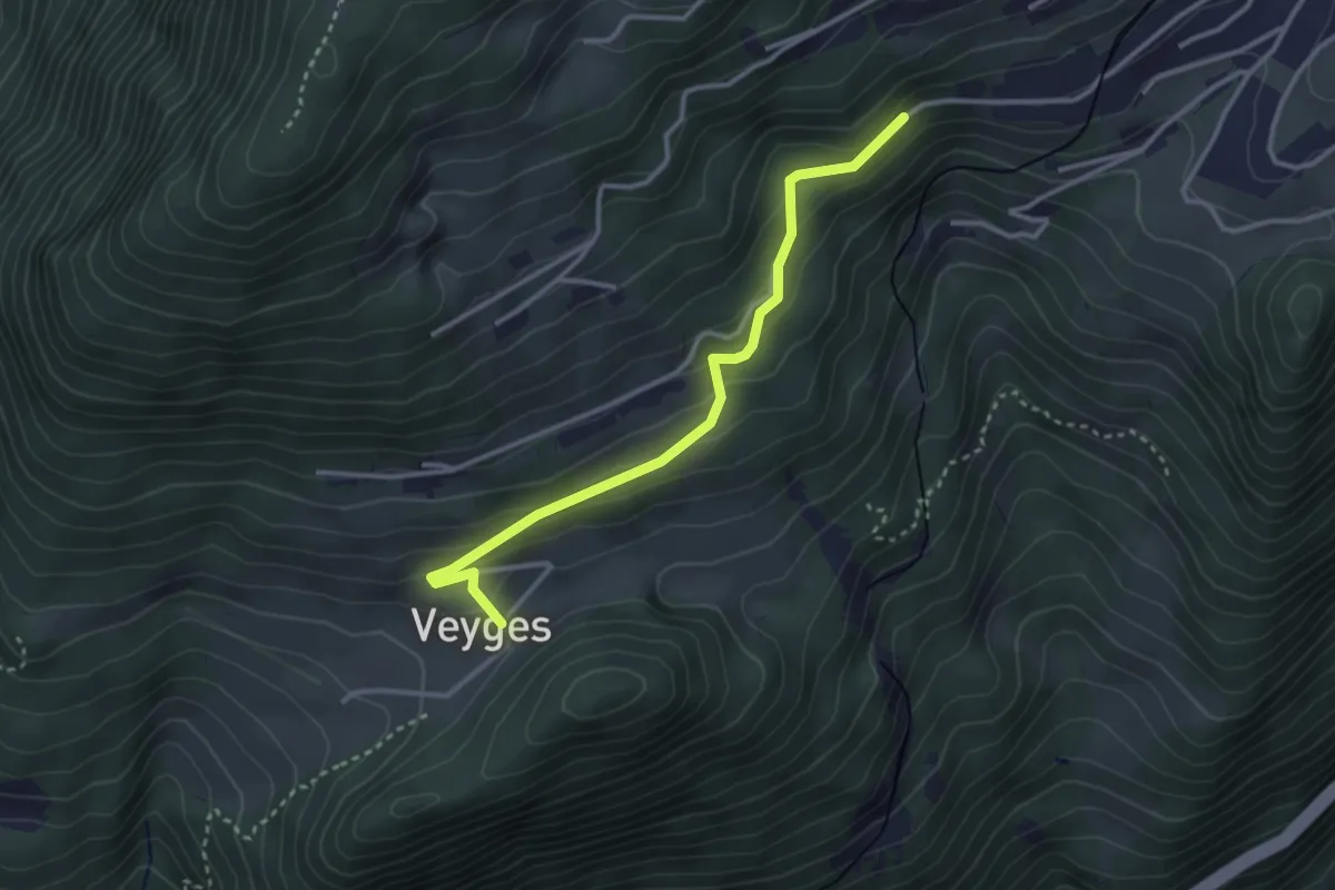
Tresseleire – Crête du Fer
5.4 km · ↑ 413 m · 2 h 10 min
Easy · Trail
Veyges – Leysin-Village
3.2 km · ↑ 193 m · 1 h 10 min
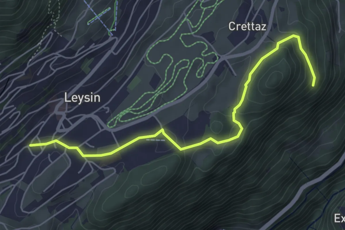
Easy · Trail
Leysin – Le Flot de Crête
5.4 km · ↑ 170 m · 1 h 39 min
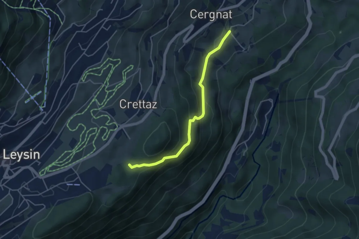
Easy · Trail
Le Flot de Crête – Cergnat
3.7 km · ↑ 227 m · 1 h 22 min
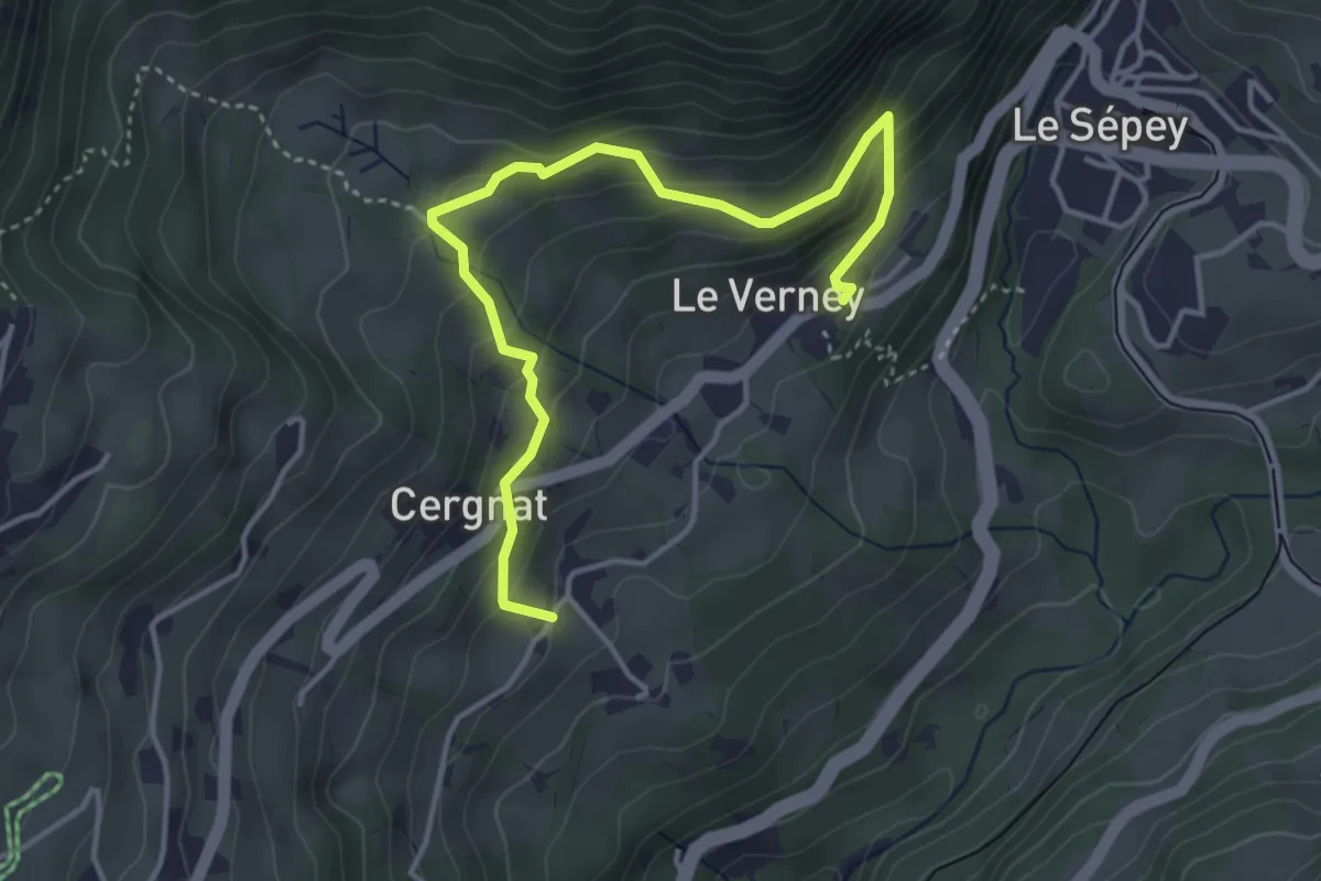
Easy · Trail
La Verney – Cergnat
4.4 km · ↑ 316 m · 1 h 44 min
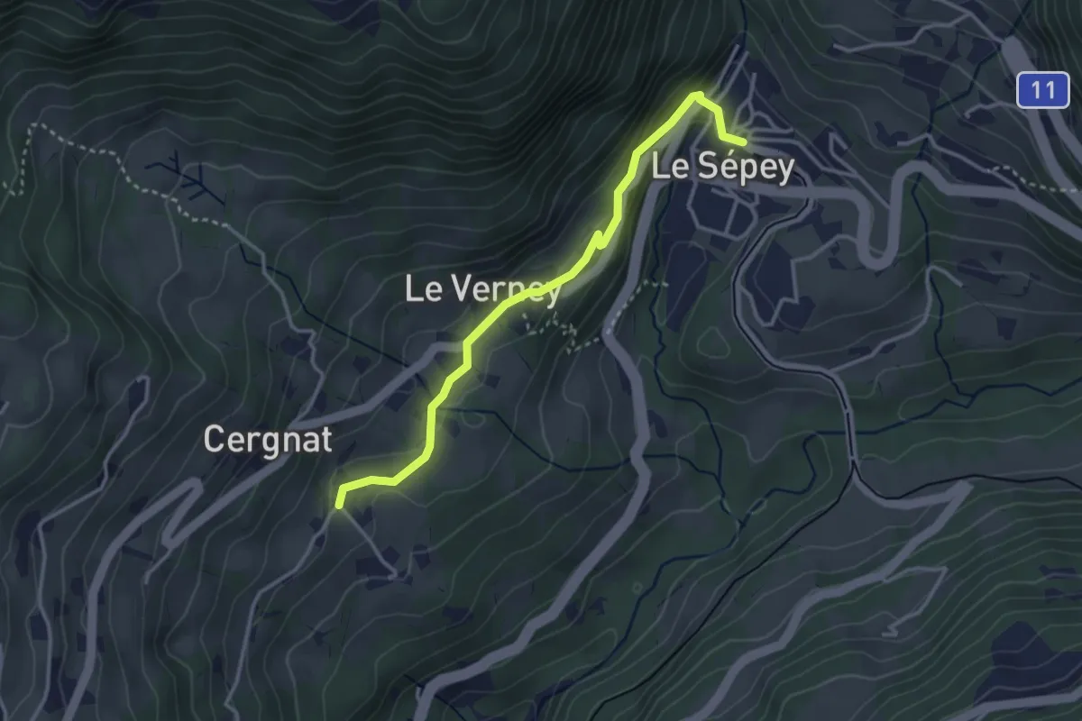
Easy · Trail
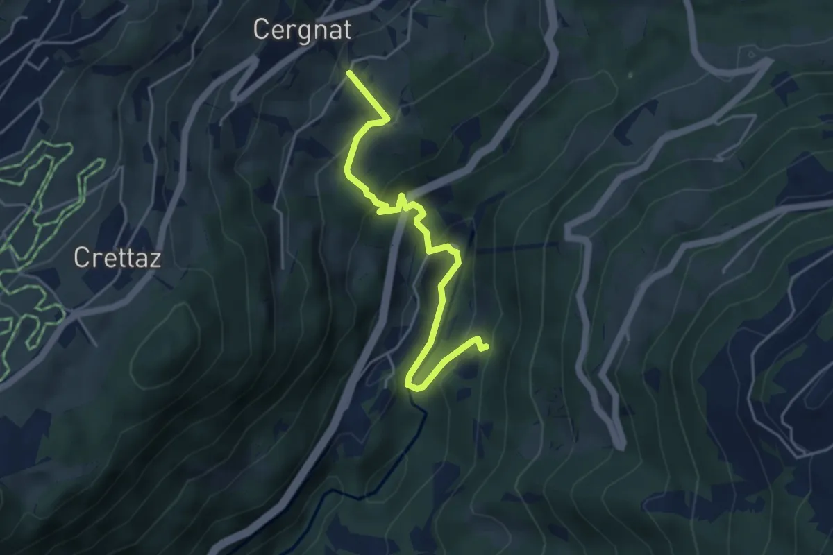
Cergnat – Le Sépey
3.3 km · ↑ 127 m · 1 h 3 min
Easy · Trail
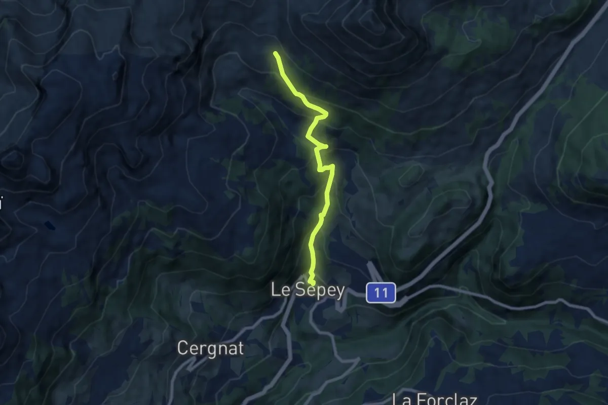
Cergnat – Les Faveires
4.2 km · ↑ 274 m · 1 h 35 min
Medium · Trail
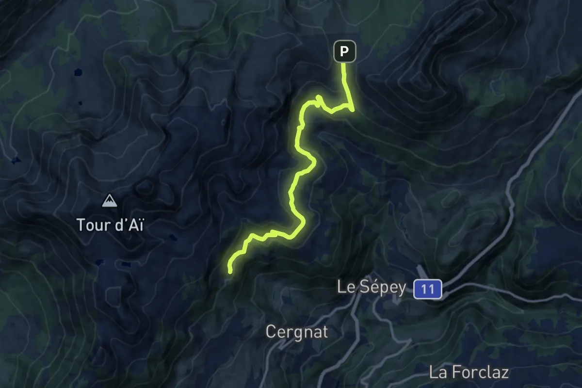
Le Sépey – Pierre du Moëllé
6.9 km · ↑ 575 m · 2 h 52 min
Medium · Trail
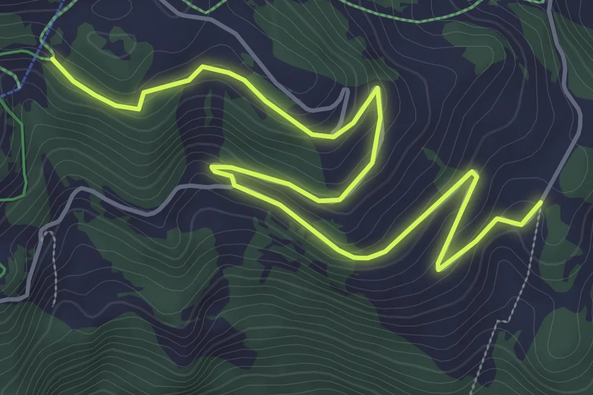
Les Plans – Pierre du Moëllé
11.4 km · ↑ 472 m · 3 h 43 min
Easy · Trail
Le Cerf – Crête du Fer
5.4 km · ↑ 182 m · 1 h 40 min
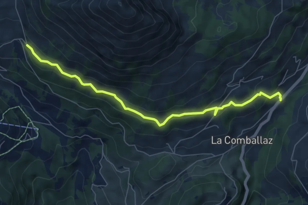
Medium · Trail
La Comballaz – Pierre du Moëllé
6.7 km · ↑ 353 m · 2 h 21 min
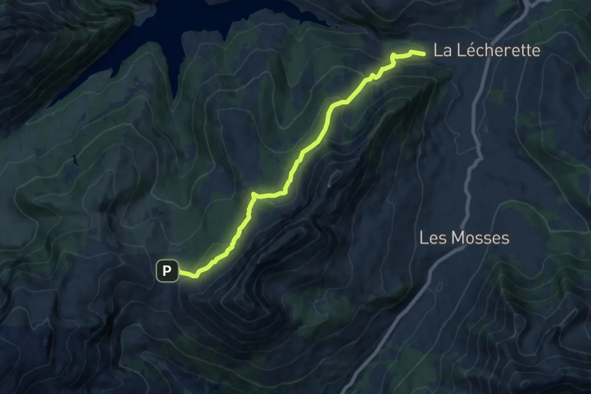
Medium · Trail
Pierre du Moëllé – La Lécherette
11.7 km · ↑ 562 m · 3 h 58 min
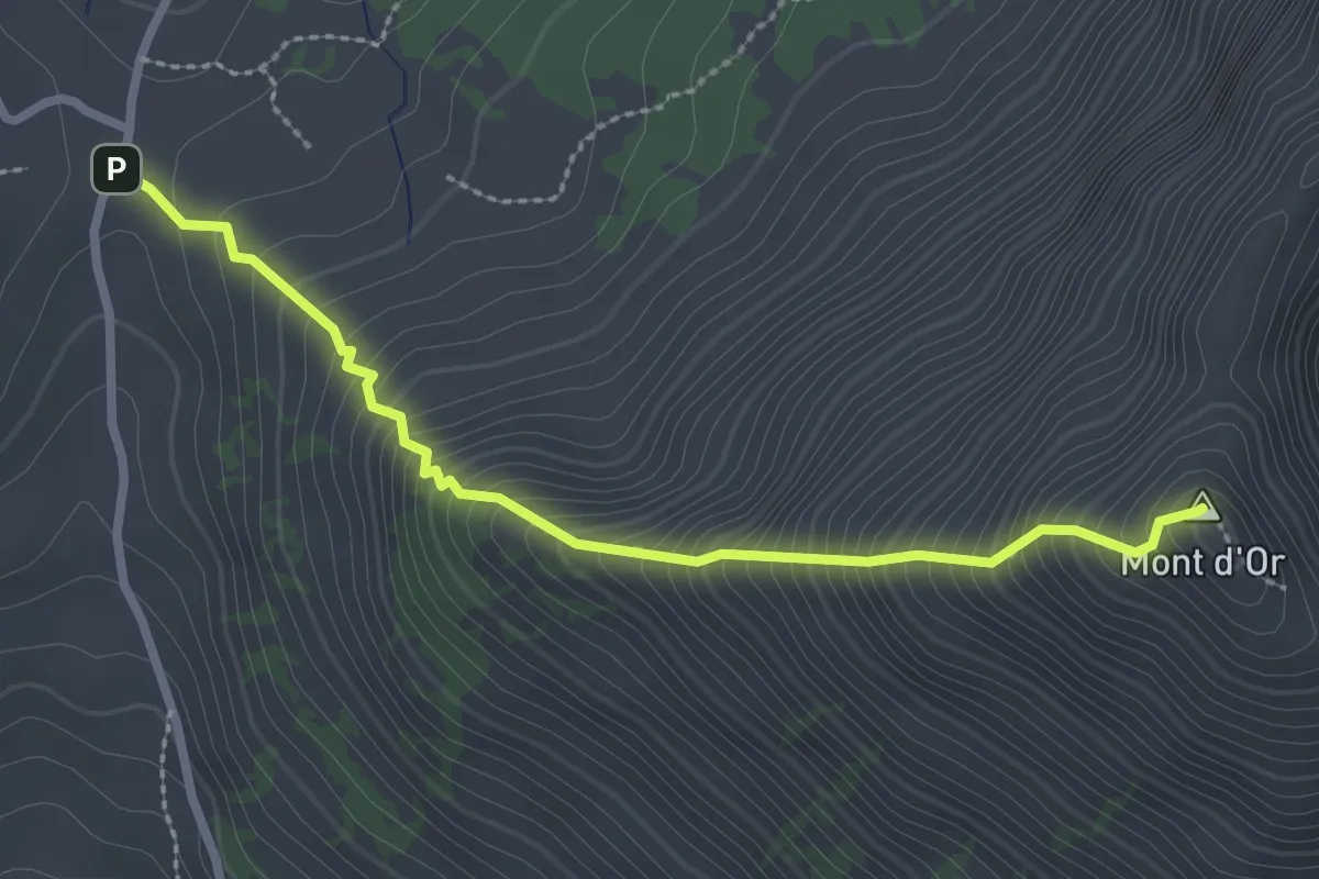
Medium · Summit
Pierre du Moëllé – Mpnt d'Or
2.7 km · ↑ 450 m · 1 h 37 min
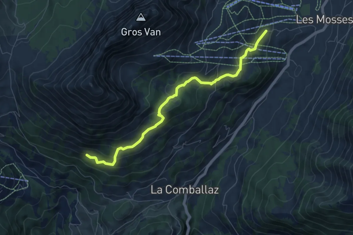
Medium · Trail
La Comballaz – Les Mosses
7.6 km · ↑ 407 m · 2 h 40 min
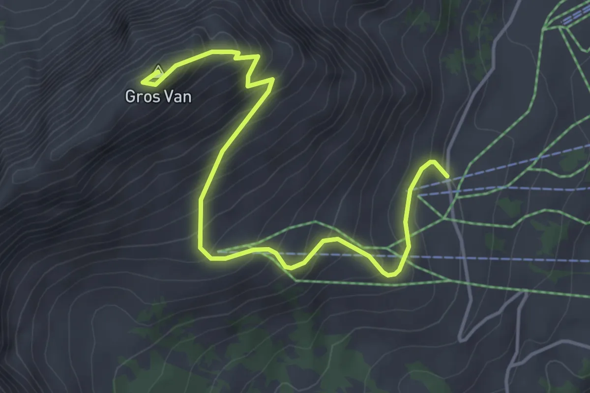
Medium · Summit
Sonnaz – Gros Van
4.5 km · ↑ 470 m · 2 h 5 min
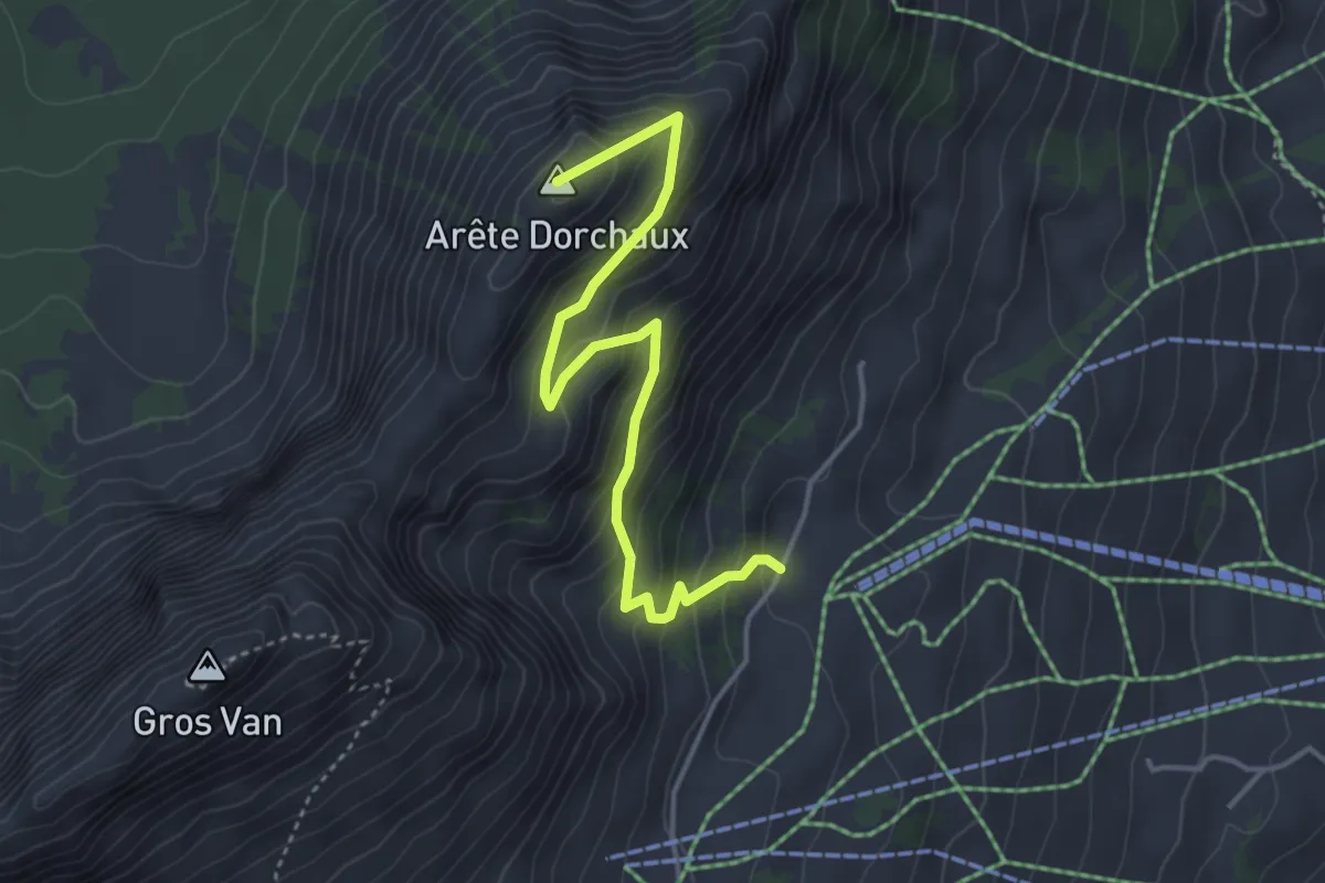
Medium · Summit
Sonnaz – Arête Dorchaux
4.1 km · ↑ 341 m · 1 h 42 min
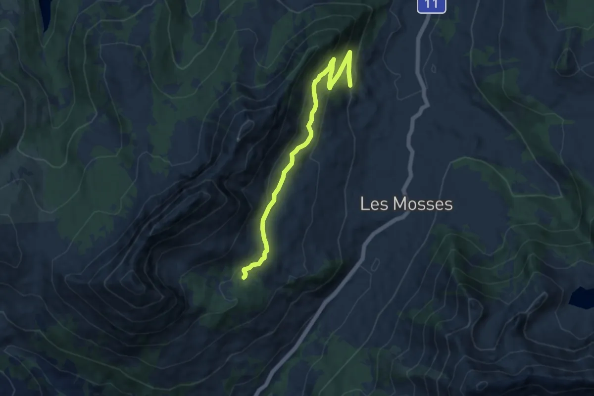
Medium · Trail
Le Larzey – L'Arsaz
8.4 km · ↑ 374 m · 2 h 48 min
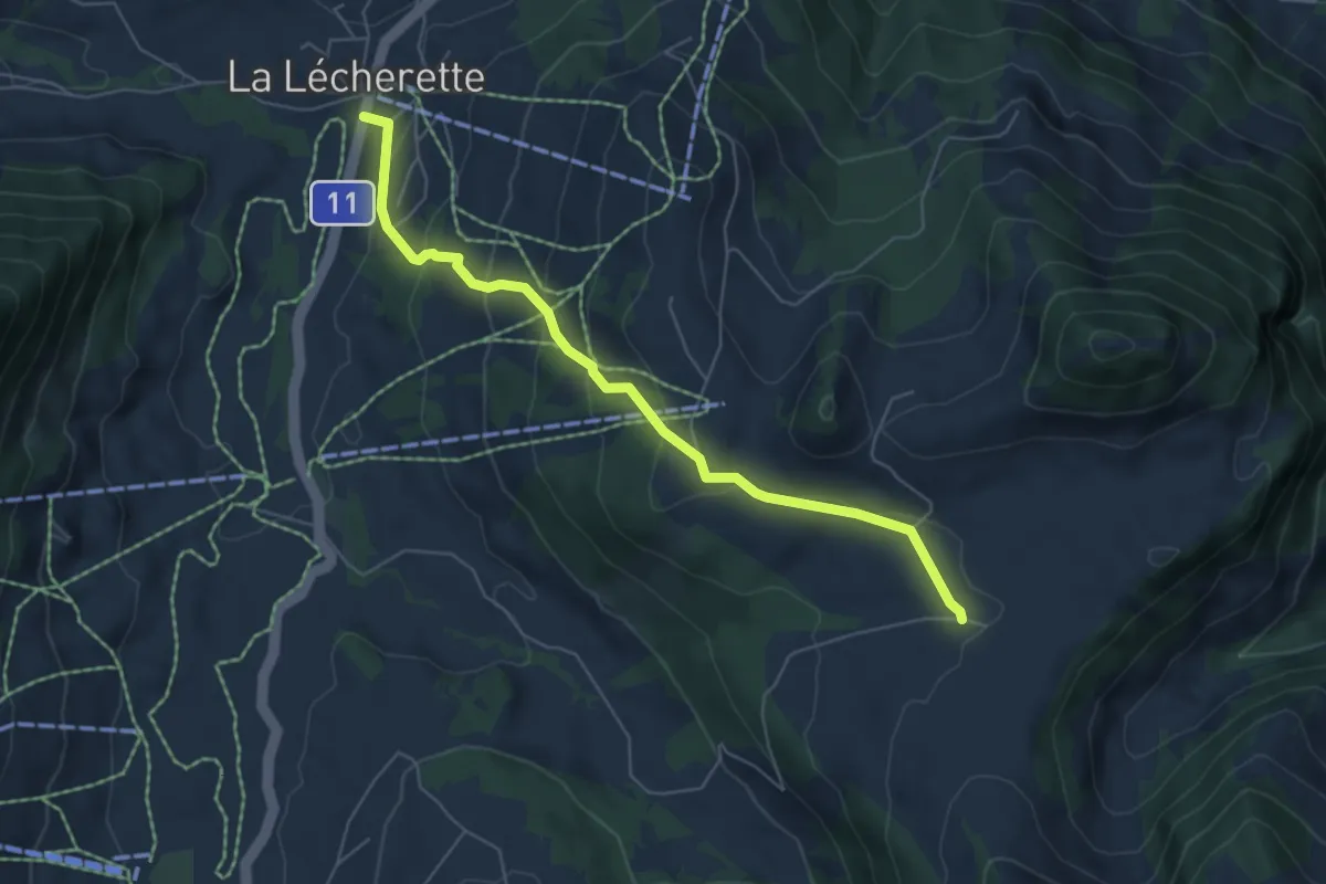
Medium · Cabin
La Lécherette – Pra Cornet
5.8 km · ↑ 296 m · 2 h 1 min
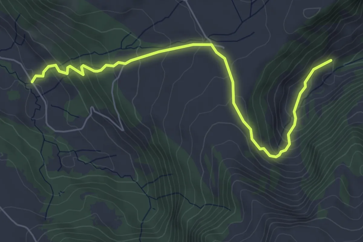
Medium · Trail
Communs de l'Hongrin – Les Fonds
6.2 km · ↑ 389 m · 2 h 18 min
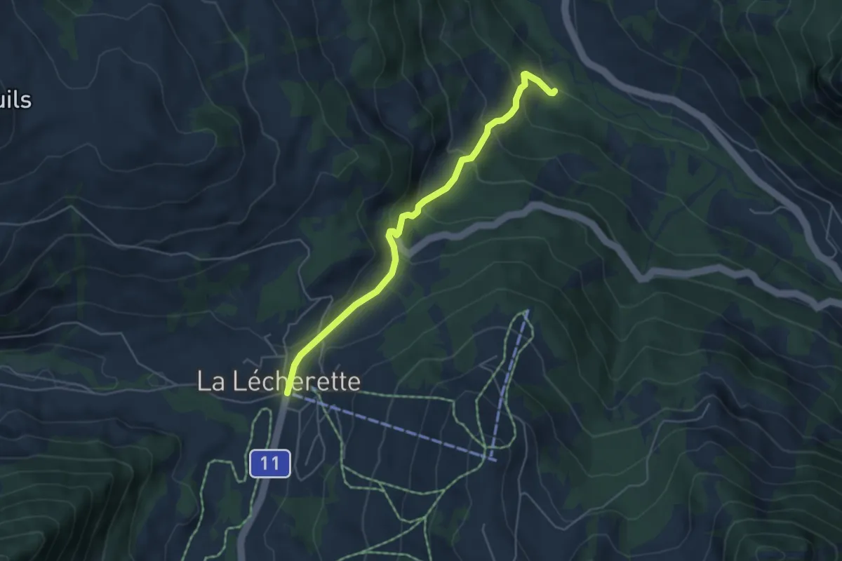
Easy · Trail
Ciernes Raynoud – La Lécherette
4.7 km · ↑ 307 m · 1 h 47 min
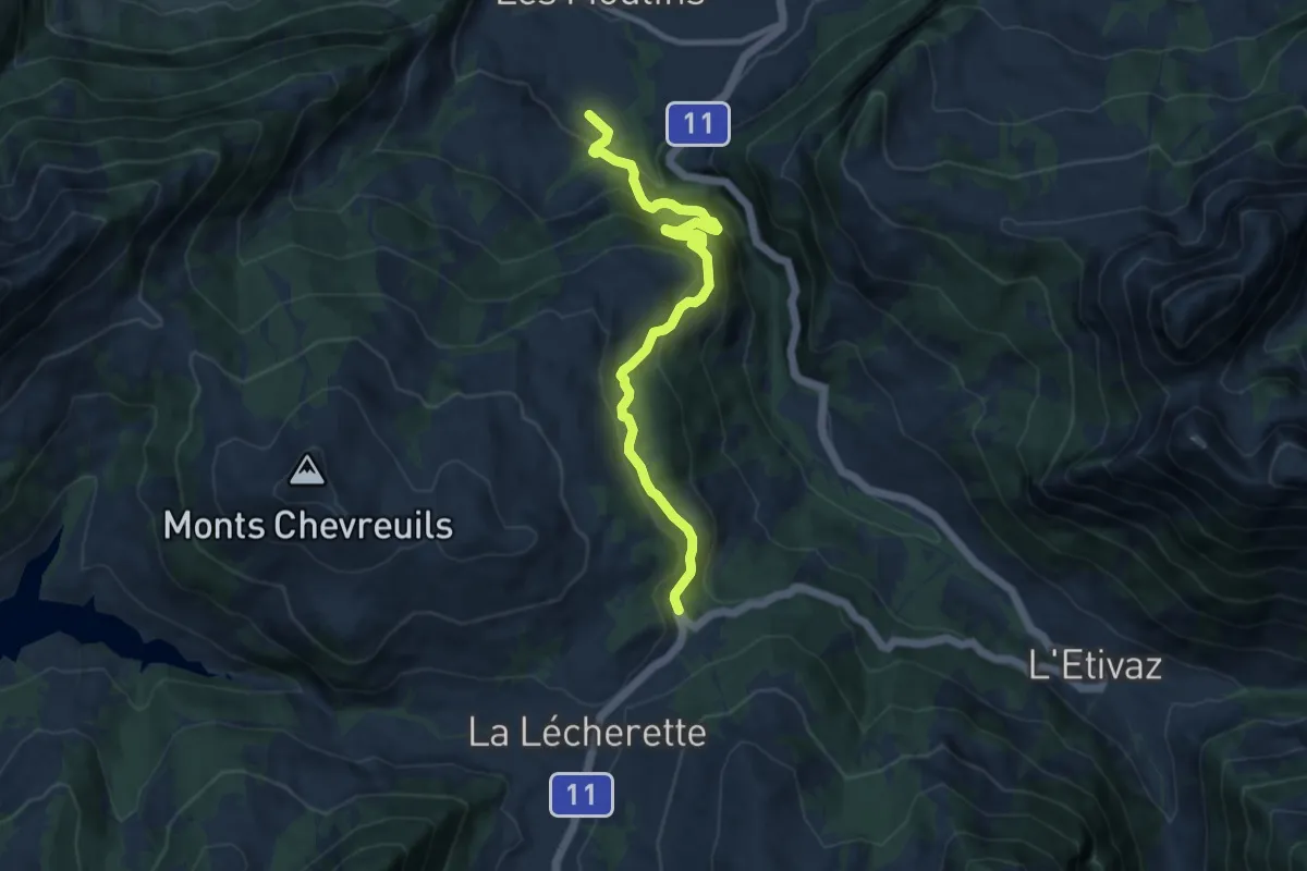
Medium · Trail
La Borne – Les Coullayes
9.6 km · ↑ 715 m · 3 h 48 min
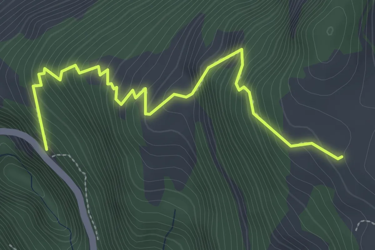
Medium · Trail
Gorges du Pissot – Sur le Grin
3.3 km · ↑ 429 m · 1 h 42 min