Trails in Switzerland
15,055 hiking trails, each with its route, climb, walking time and grade.
All trails, page 188 of 314
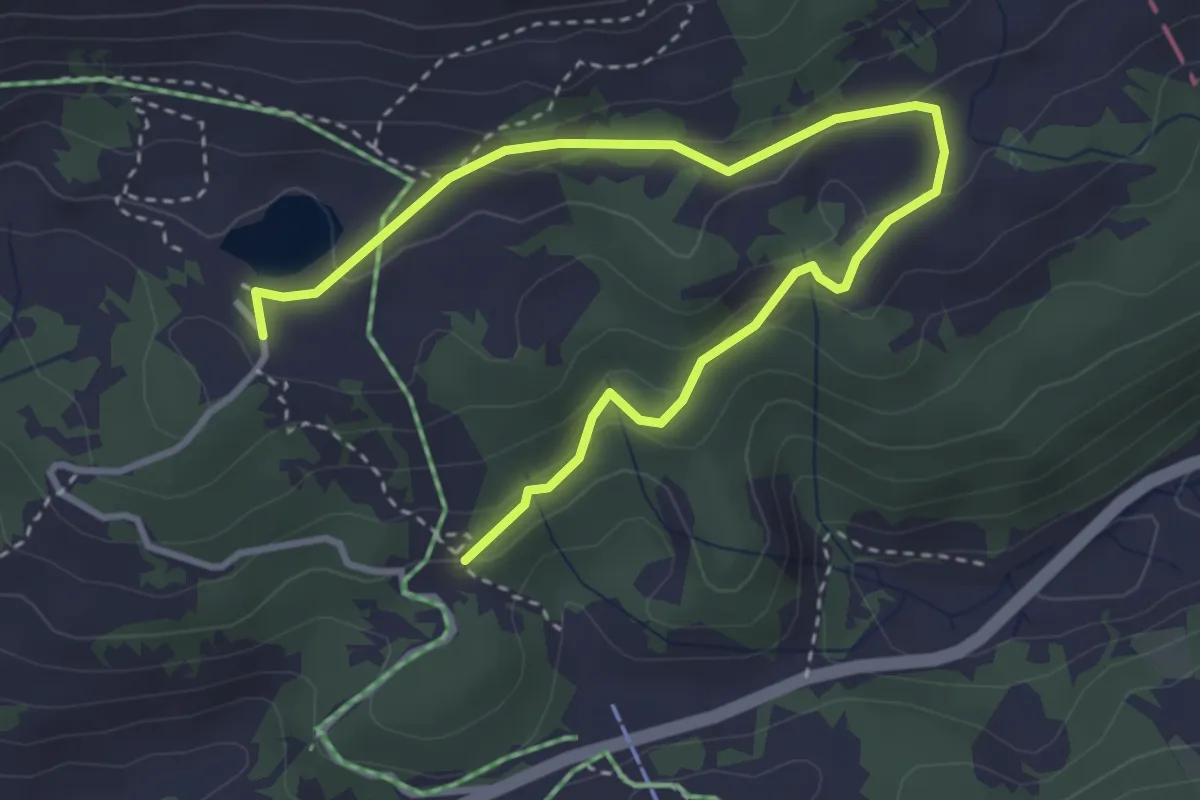
Easy · Trail
Lac Retaud – Le Rard
4.5 km · ↑ 208 m · 1 h 30 min
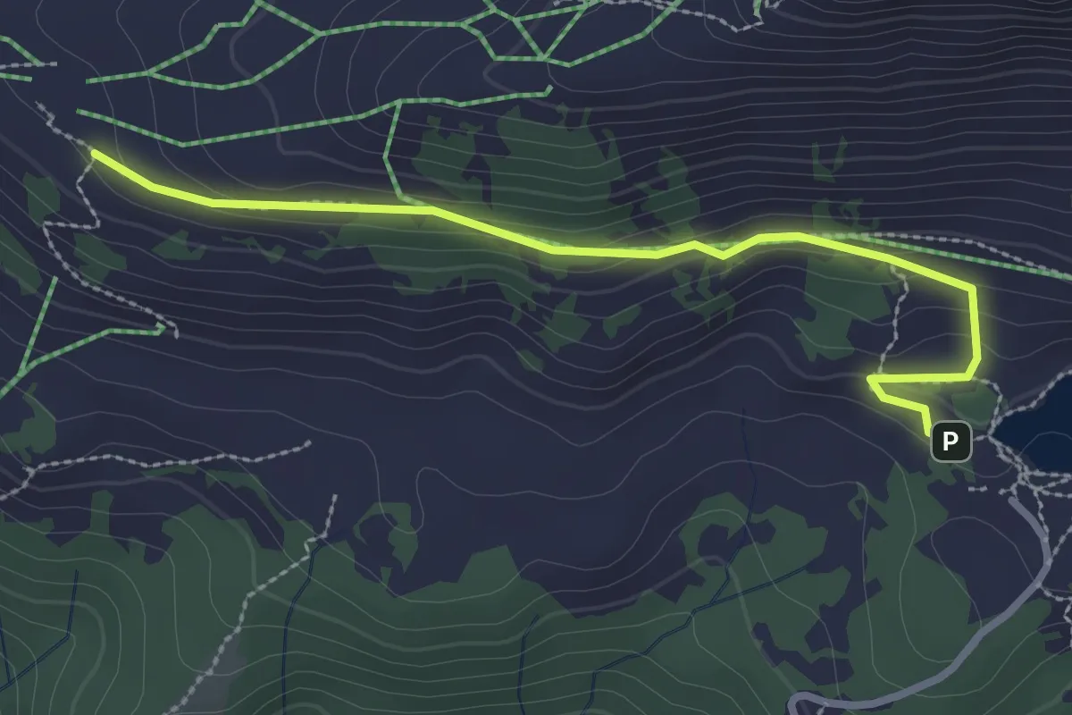
Easy · Trail
Lac Retaud – La Marnèche
2.9 km · ↑ 101 m · 54 min
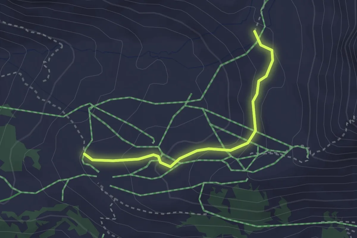
Easy · Trail
La Marnèche – Chalet d'Isenau
2.5 km · ↑ 104 m · 49 min
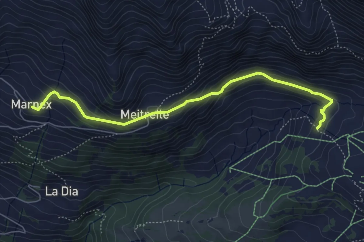
Easy · Trail
La Crua – Marnex
5.3 km · ↑ 241 m · 1 h 47 min
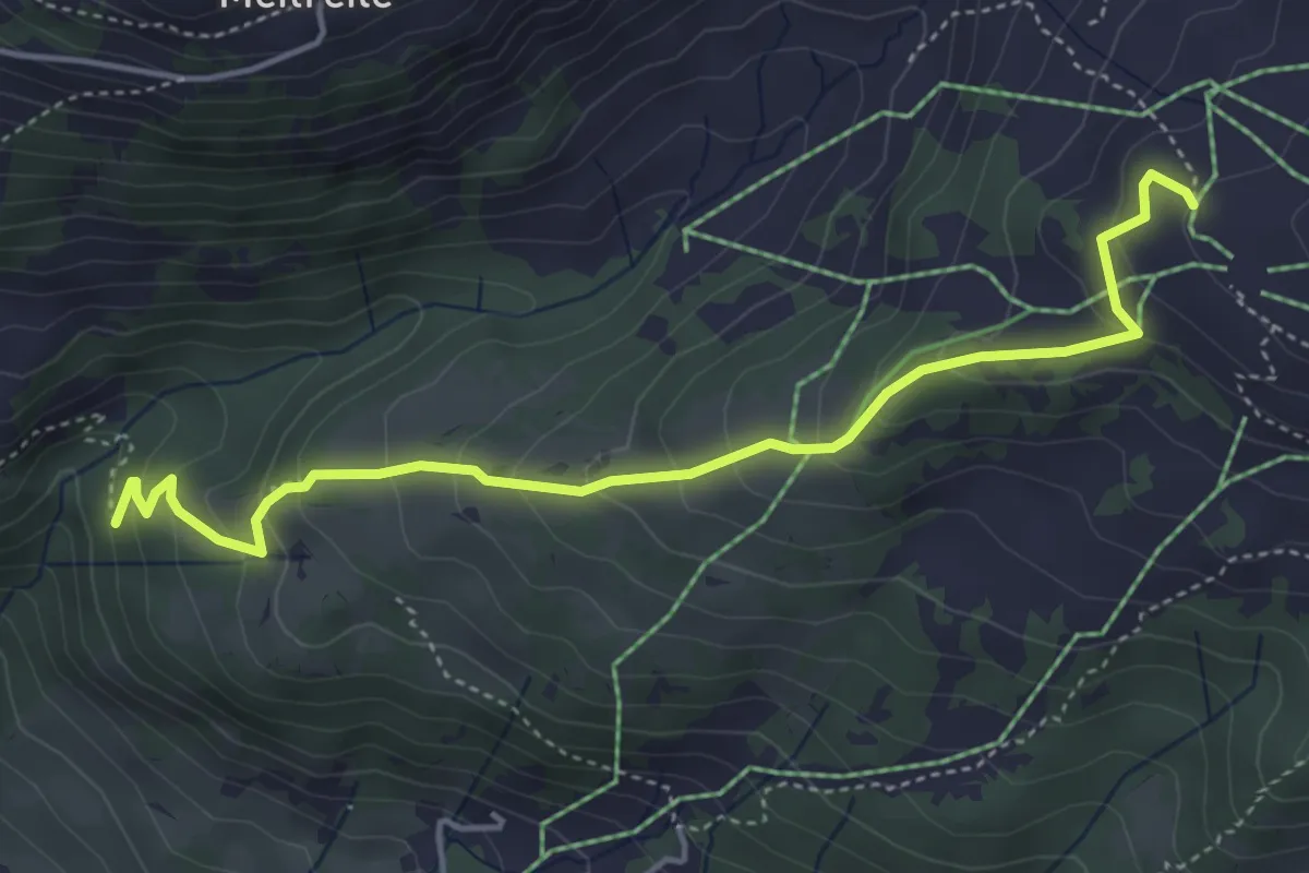
Medium · Trail
La Marnèche – La Combe
4.7 km · ↑ 329 m · 1 h 50 min
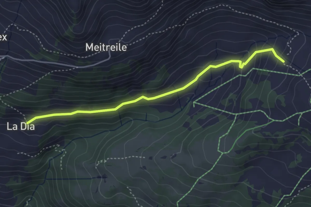
Easy · Trail
La Dia – La Crua
4.0 km · ↑ 212 m · 1 h 24 min
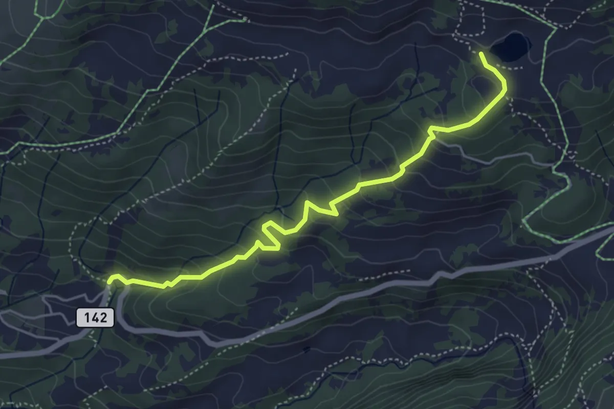
Medium · Trail
Pont Bourquin – Lac Retaud
4.9 km · ↑ 342 m · 1 h 54 min
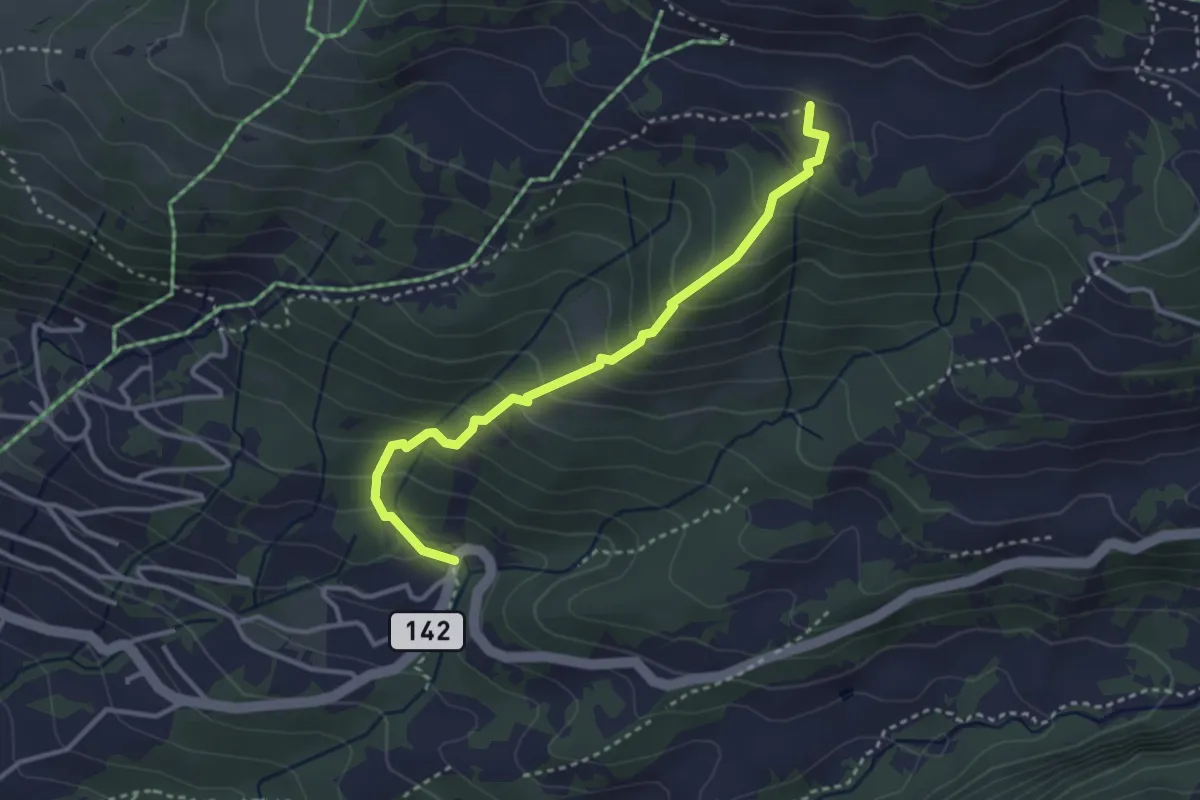
Medium · Trail
Pont Bourquin – Les Moilles
3.3 km · ↑ 326 m · 1 h 29 min
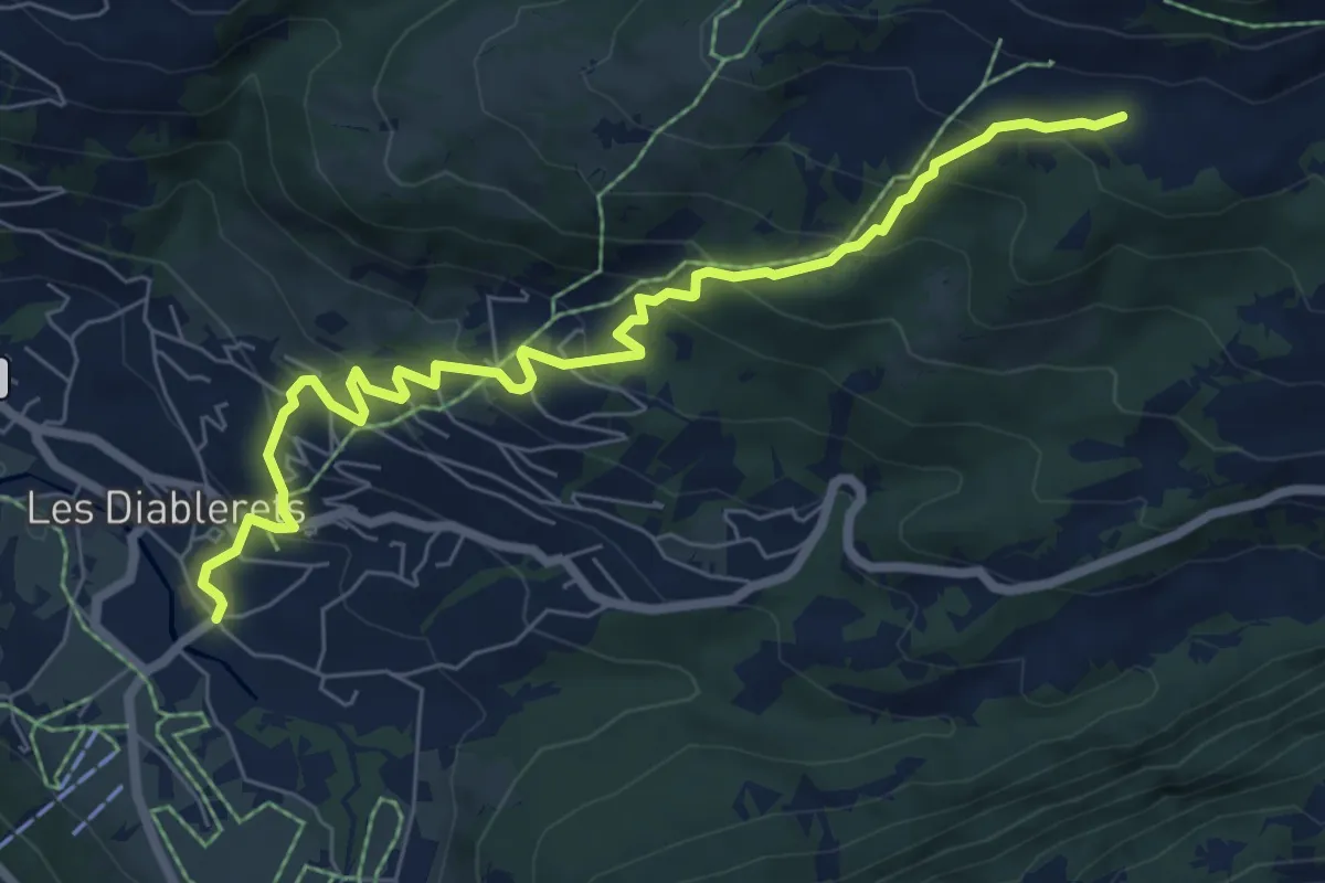
Medium · Trail
Les Diablerets – Les Moilles
7.7 km · ↑ 515 m · 2 h 55 min
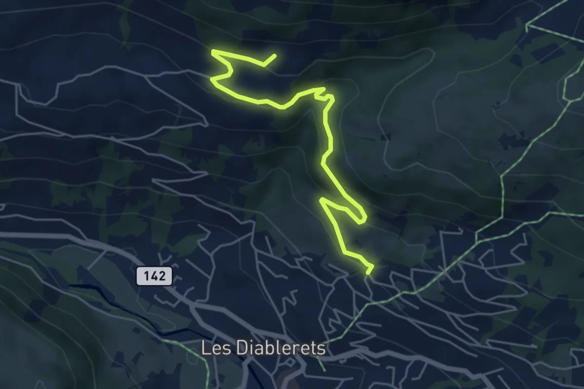
Easy · Trail
La Moille – La Dia
5.1 km · ↑ 239 m · 1 h 43 min
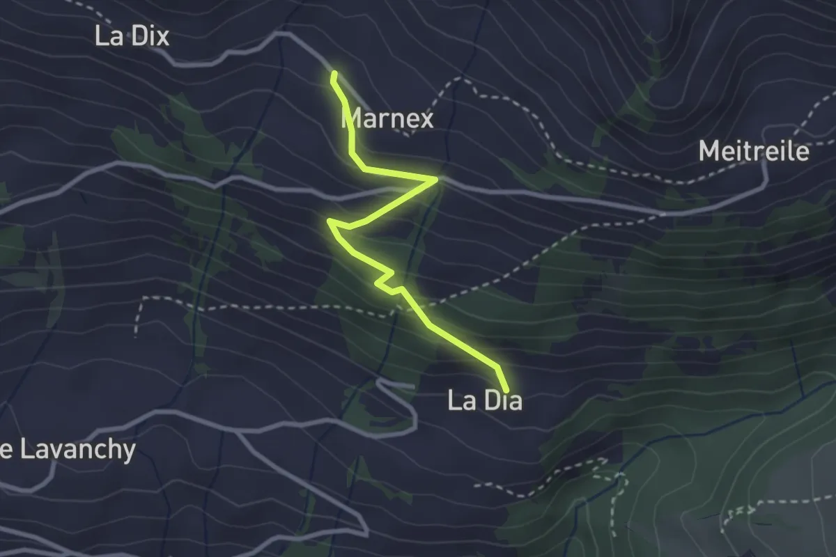
Easy · Trail
La Dia – Marnex
2.5 km · ↑ 228 m · 1 h 5 min
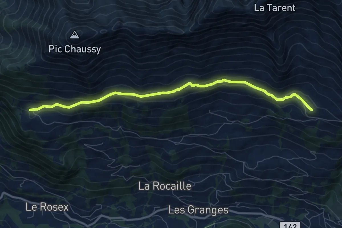
Medium · Trail
Marnex – Chersaule
8.2 km · ↑ 276 m · 2 h 31 min
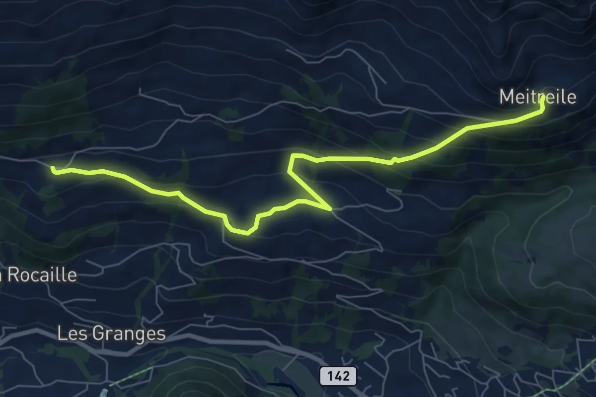
Medium · Trail
Meitreile – La Ville
7.2 km · ↑ 507 m · 2 h 48 min
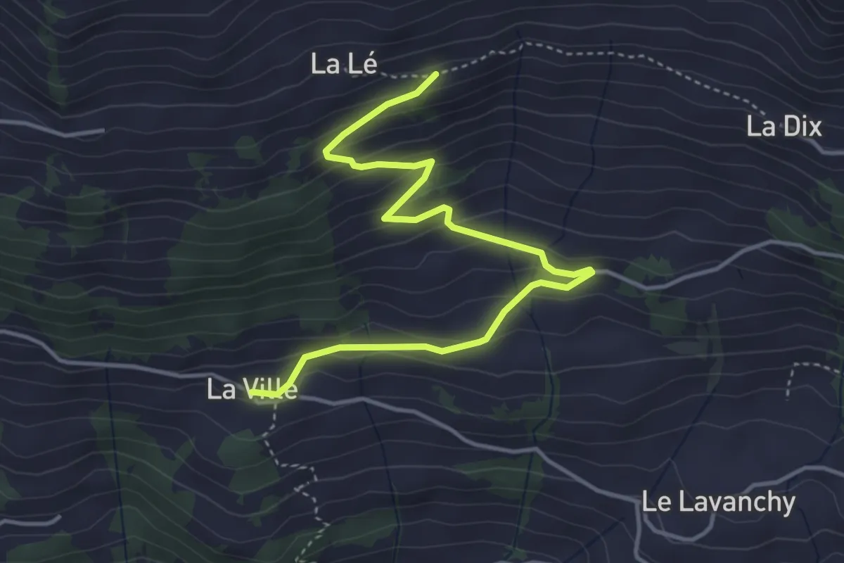
Easy · Trail
La Ville – La Lé
4.6 km · ↑ 295 m · 1 h 44 min
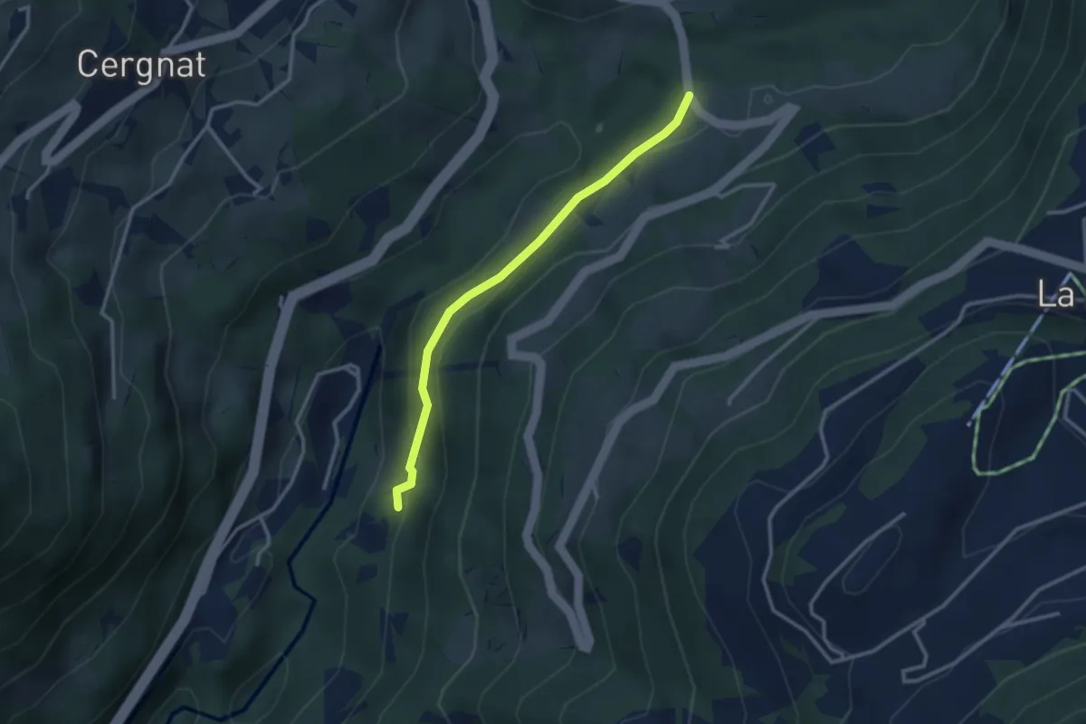
Easy · Trail
Les Planches – Les Faveires
2.8 km · ↑ 105 m · 53 min
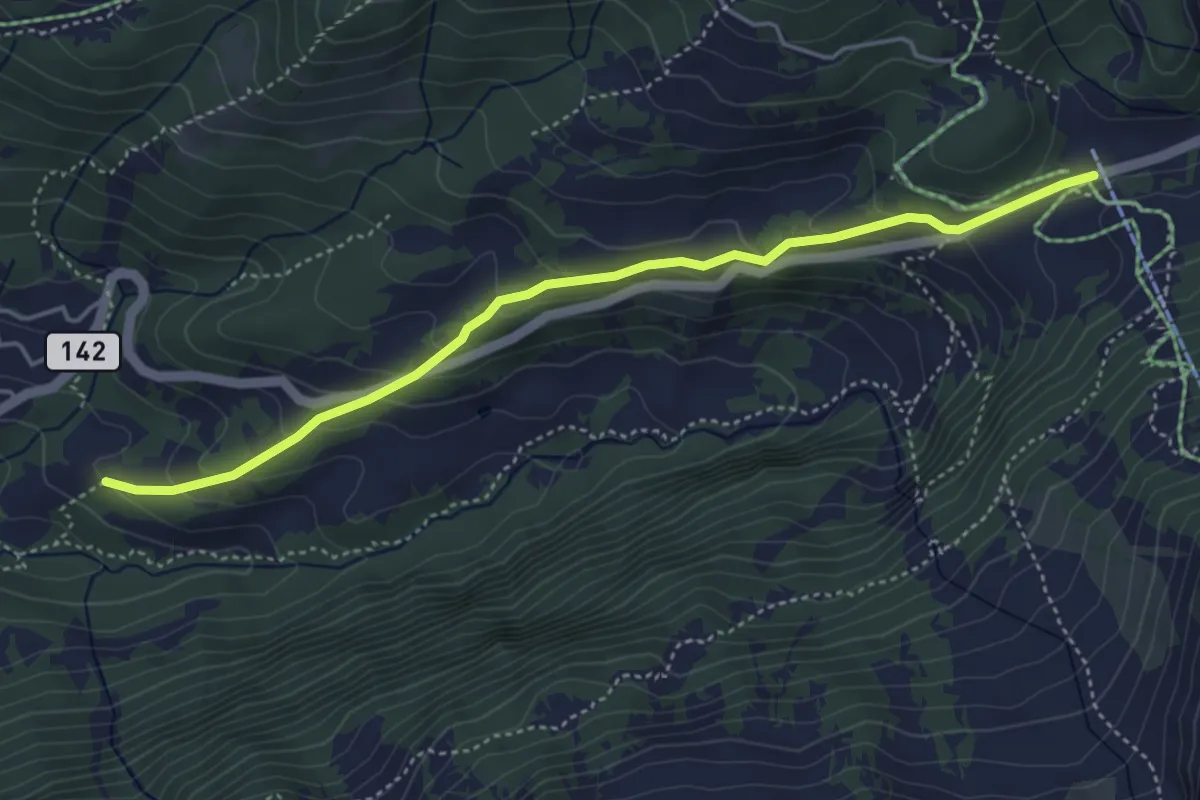
Easy · Trail
La Siaz – Col du Pillon
4.6 km · ↑ 244 m · 1 h 37 min
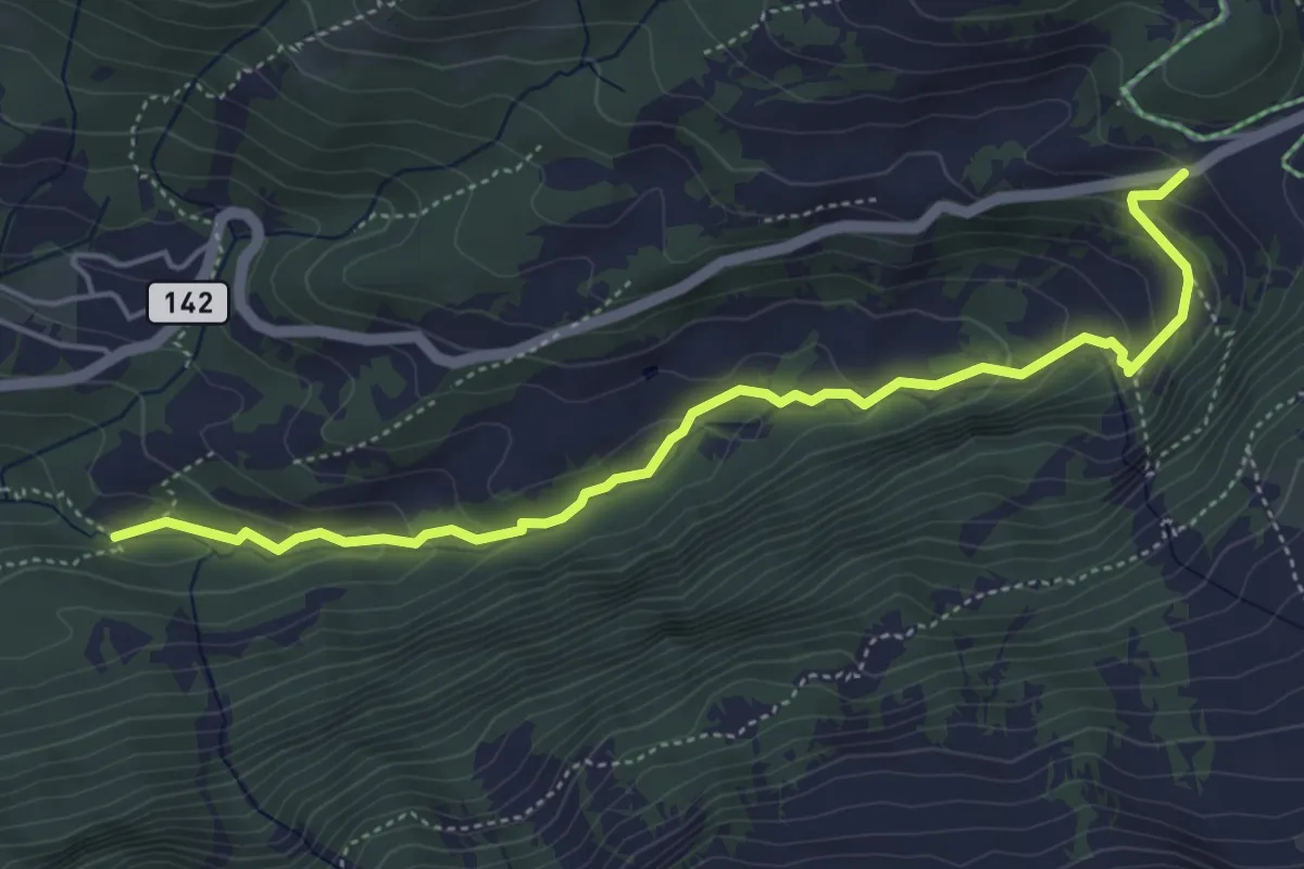
Easy · Trail
Col du Pillon – La Palanche
5.3 km · ↑ 268 m · 1 h 50 min
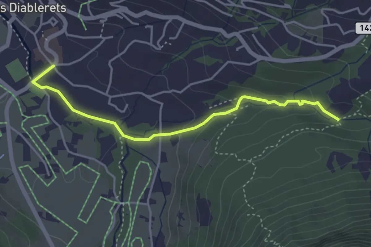
Easy · Trail
Les Diablerets – La Palanche
3.6 km · ↑ 104 m · 1 h 5 min
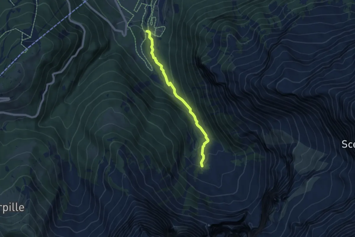
Easy · Trail
Le Droutsay – Creux de Champ
4.7 km · ↑ 198 m · 1 h 32 min
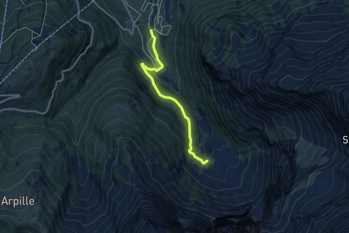
Easy · Trail
Le Droutsay – Vers Champ
5.7 km · ↑ 307 m · 2 h 1 min
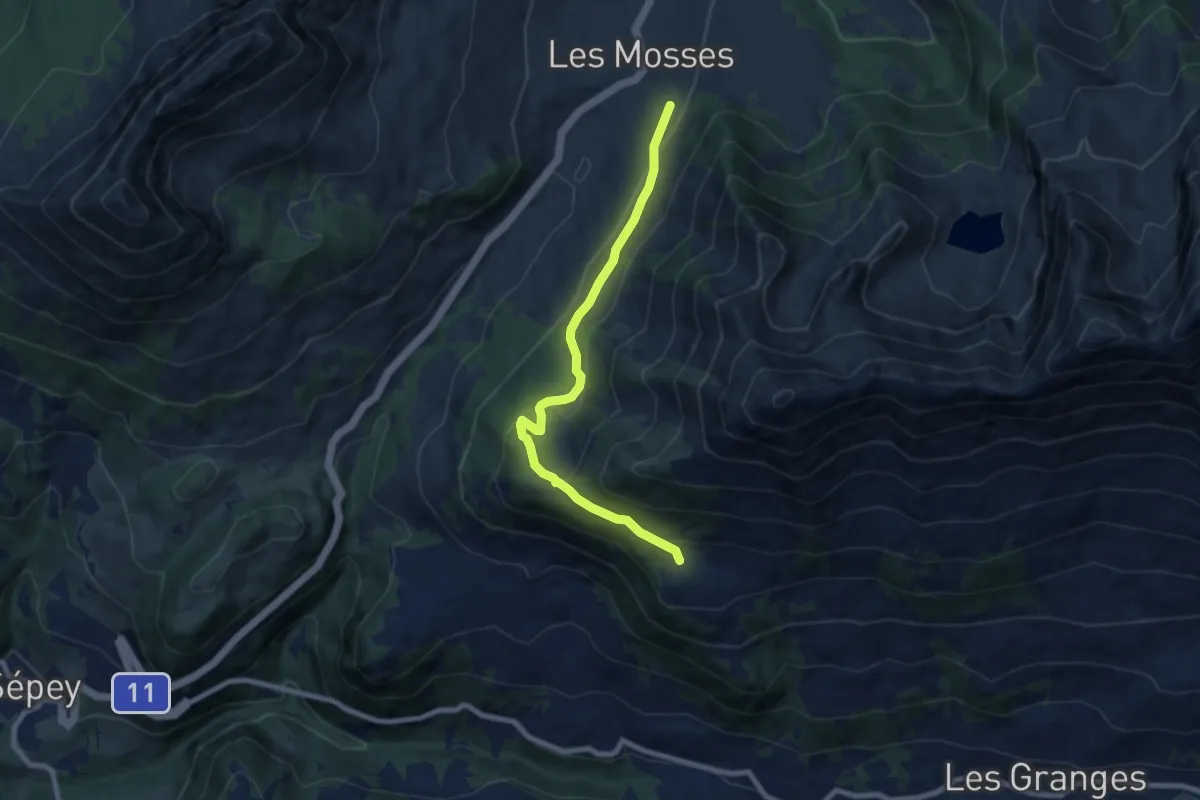
Medium · Trail
Les Mosses – Chersaule
7.7 km · ↑ 329 m · 2 h 33 min
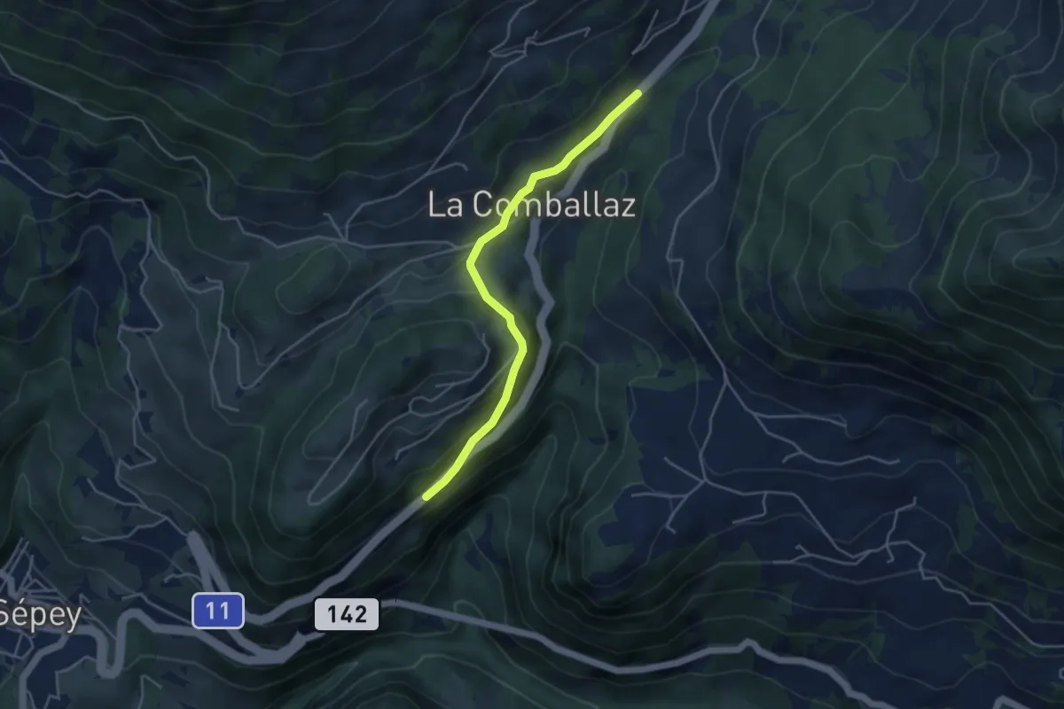
Easy · Trail
La Comballaz – Aux Caudreys
4.0 km · ↑ 143 m · 1 h 16 min
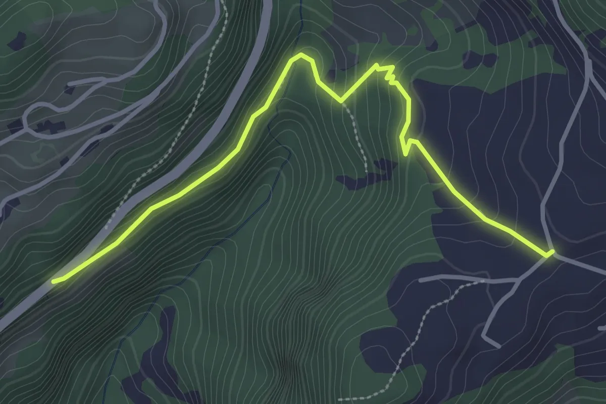
Easy · Trail
Les Voëttes – Aux Caudreys
3.4 km · ↑ 134 m · 1 h 5 min
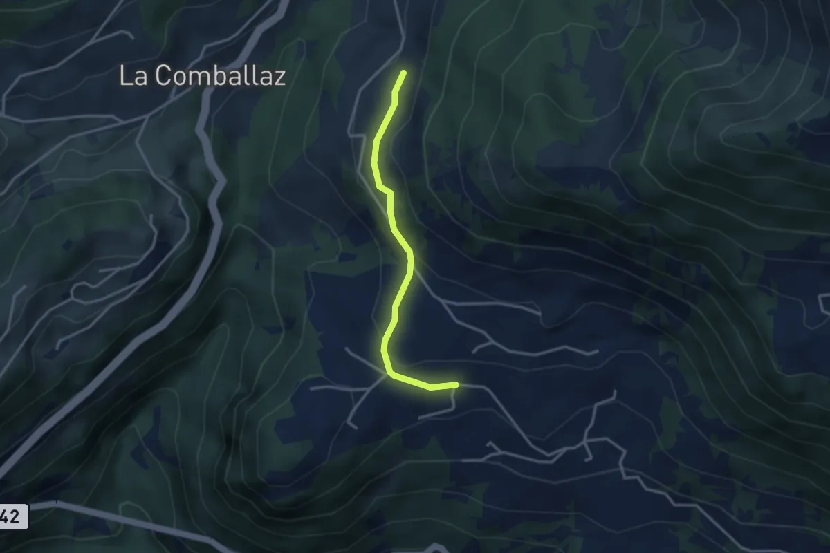
Easy · Trail
Mimont – Les Voëttes
2.8 km · ↑ 130 m · 56 min
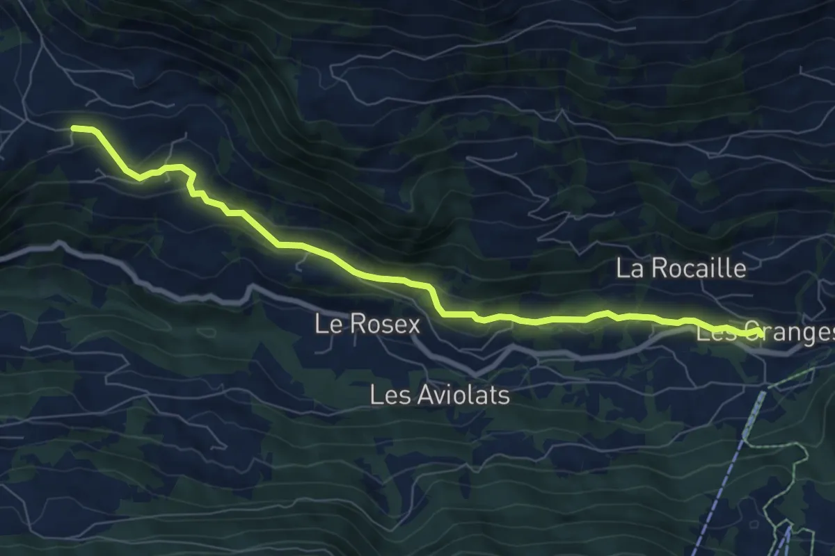
Easy · Trail
Les Voëttes – Vers l'Eglise
8.0 km · ↑ 248 m · 2 h 25 min
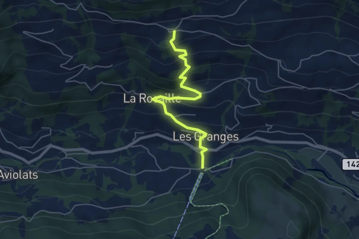
Medium · Trail
Vers l'Eglise – La Ville
4.5 km · ↑ 358 m · 1 h 50 min
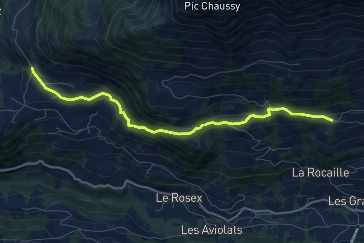
Medium · Trail
La Ville – Les Voëttes
7.9 km · ↑ 322 m · 2 h 35 min
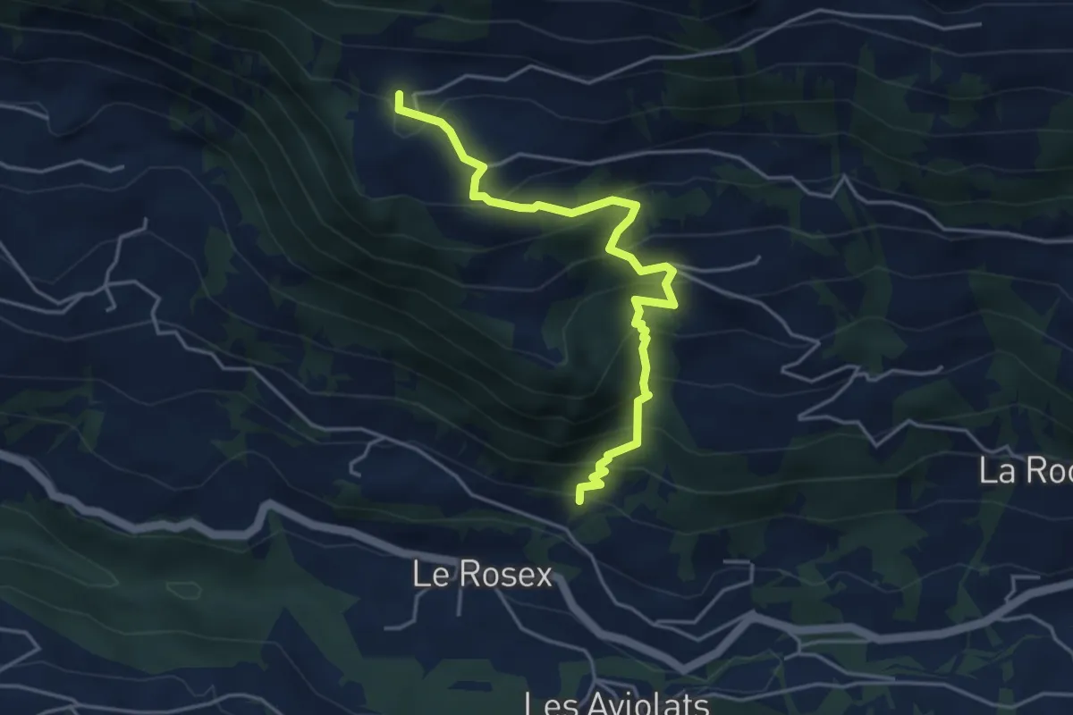
Medium · Trail
Chersaule – Grangettes
4.4 km · ↑ 478 m · 2 h 4 min
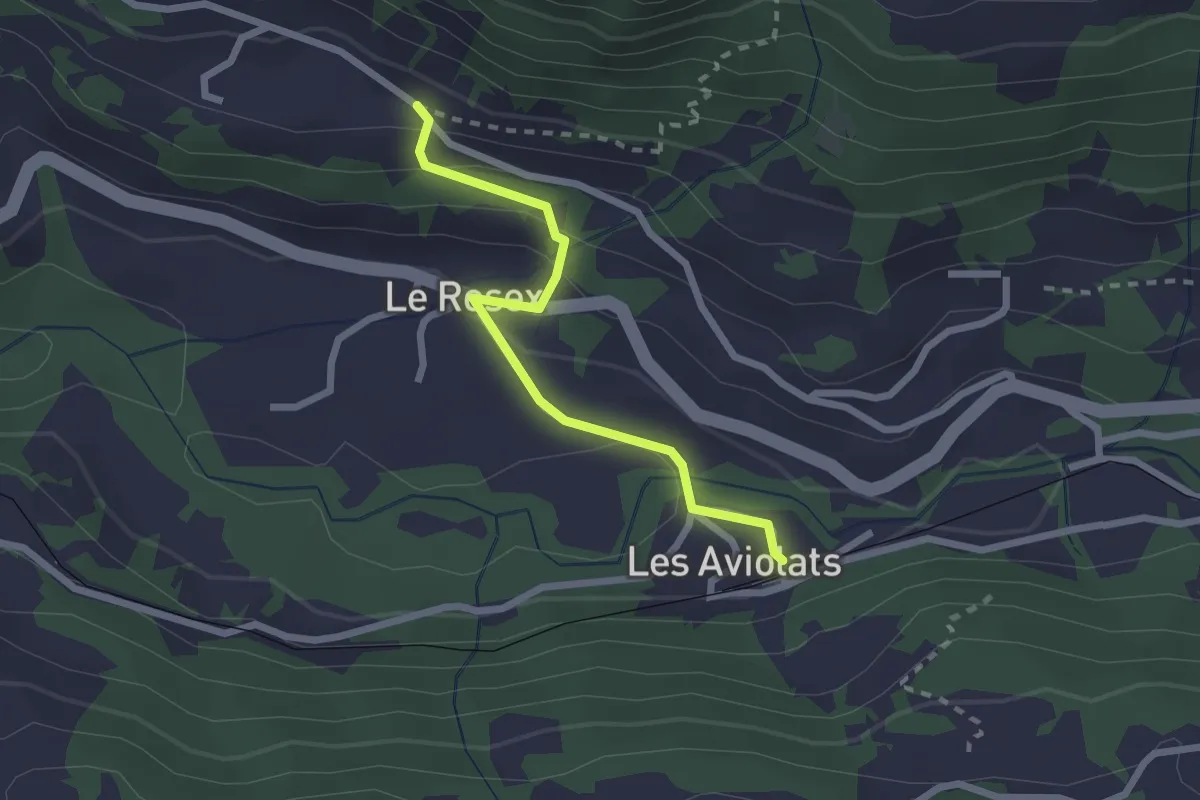
Easy · Trail
Grangettes – Les Aviolats
2.2 km · ↑ 116 m · 47 min
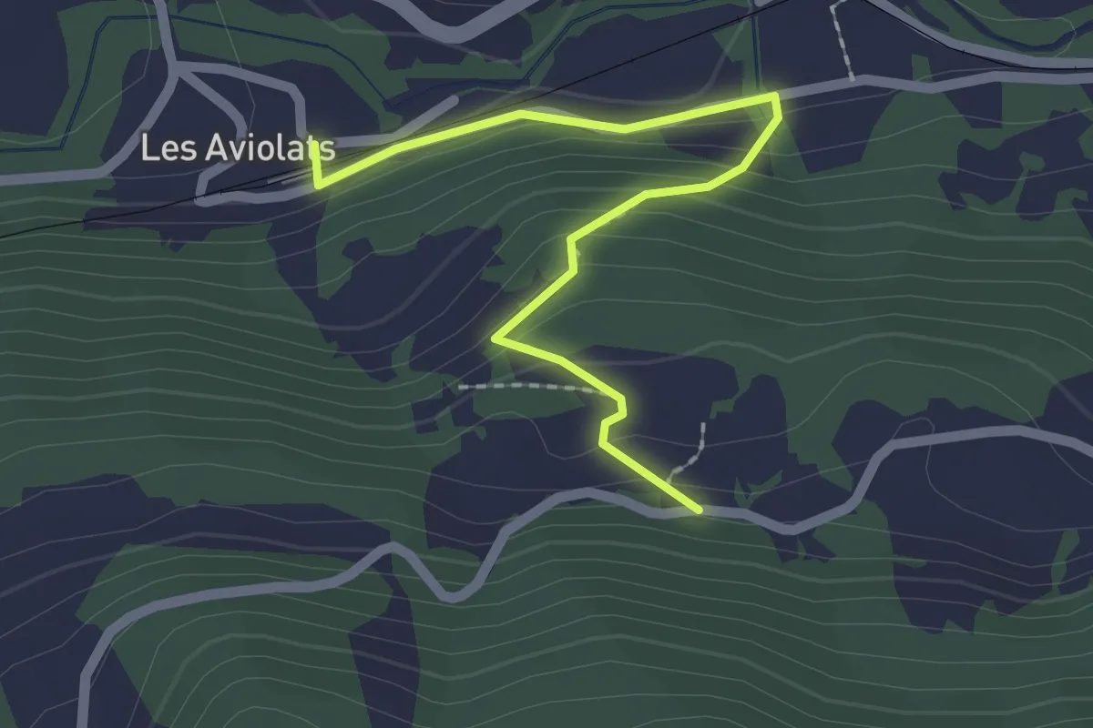
Easy · Trail
Les Aviolats – Rionzey
2.2 km · ↑ 125 m · 47 min
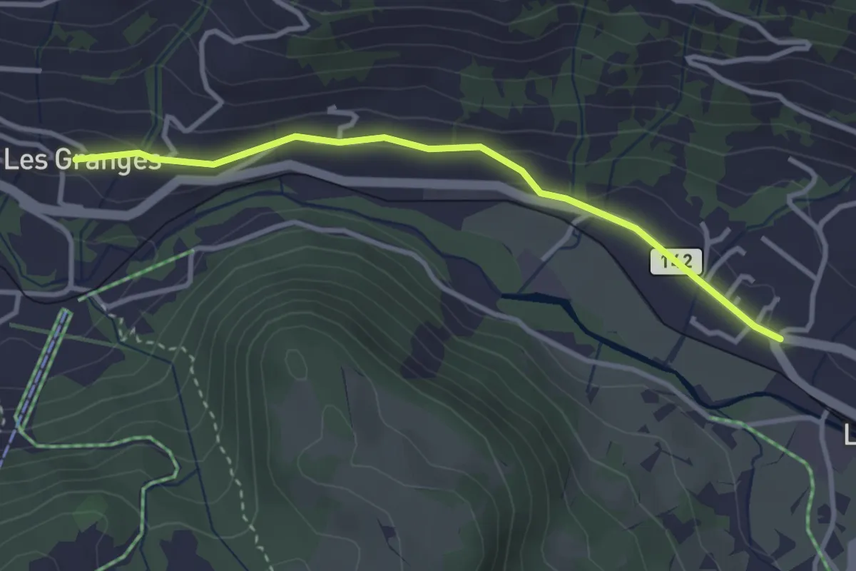
Easy · Trail
Les Granges – Les Diablerets
3.1 km · ↑ 48 m · 51 min
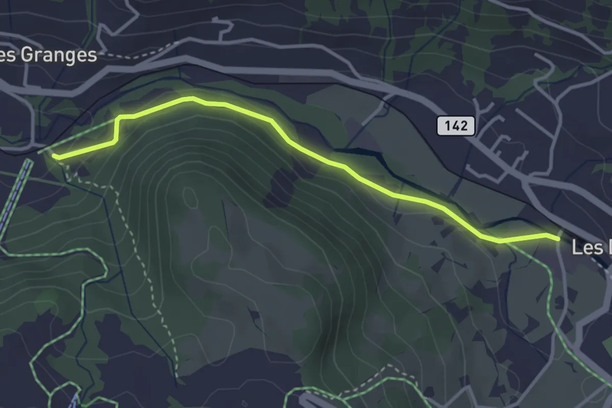
Easy · Trail
Vers l'Eglise – Les Diablerets
3.3 km · ↑ 69 m · 56 min
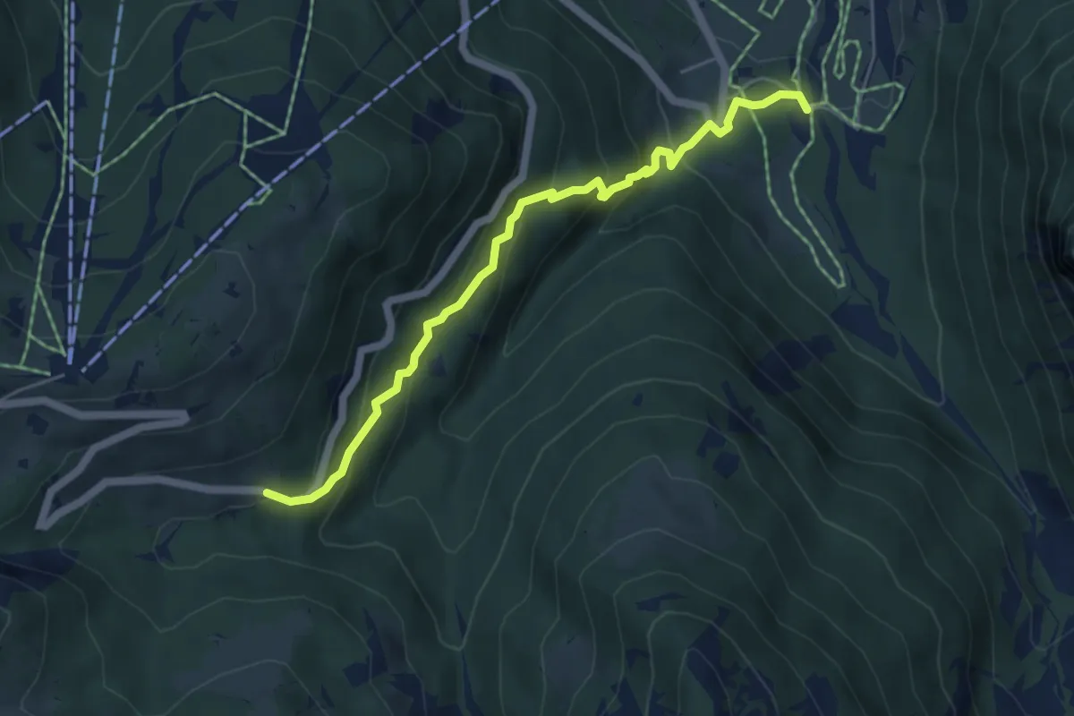
Medium · Trail
Le Droutsay – Fond des Mazots
5.2 km · ↑ 421 m · 2 h 8 min
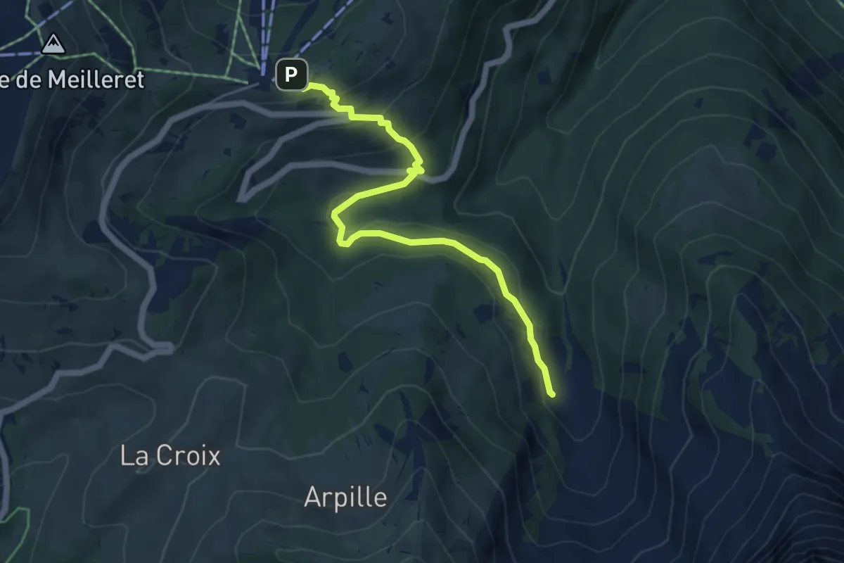
Medium · Trail
Les Mazots – Creux de Culan
5.2 km · ↑ 212 m · 1 h 42 min
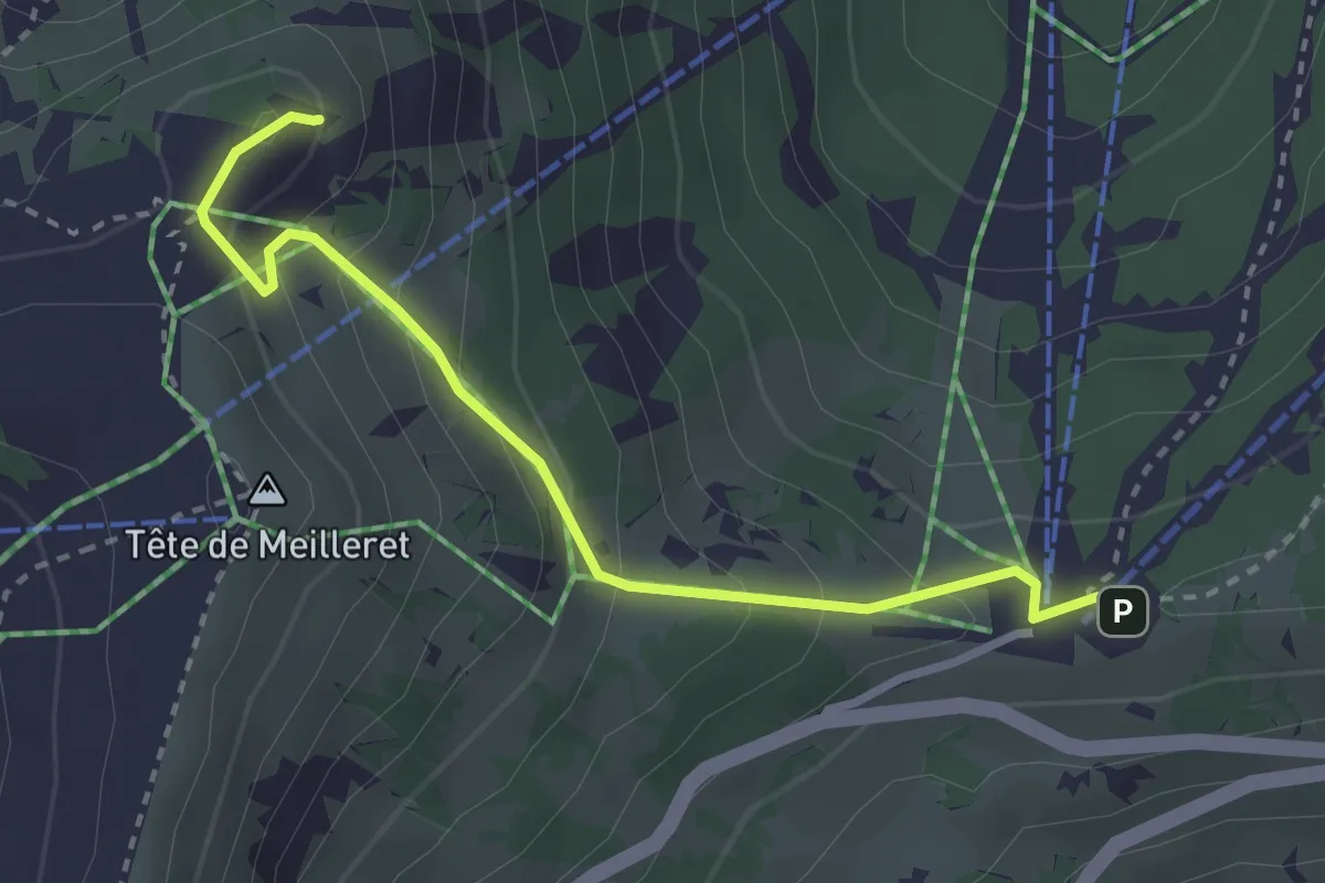
Medium · Summit
Les Mazots – Tête de Meilleret
3.0 km · ↑ 210 m · 1 h 9 min
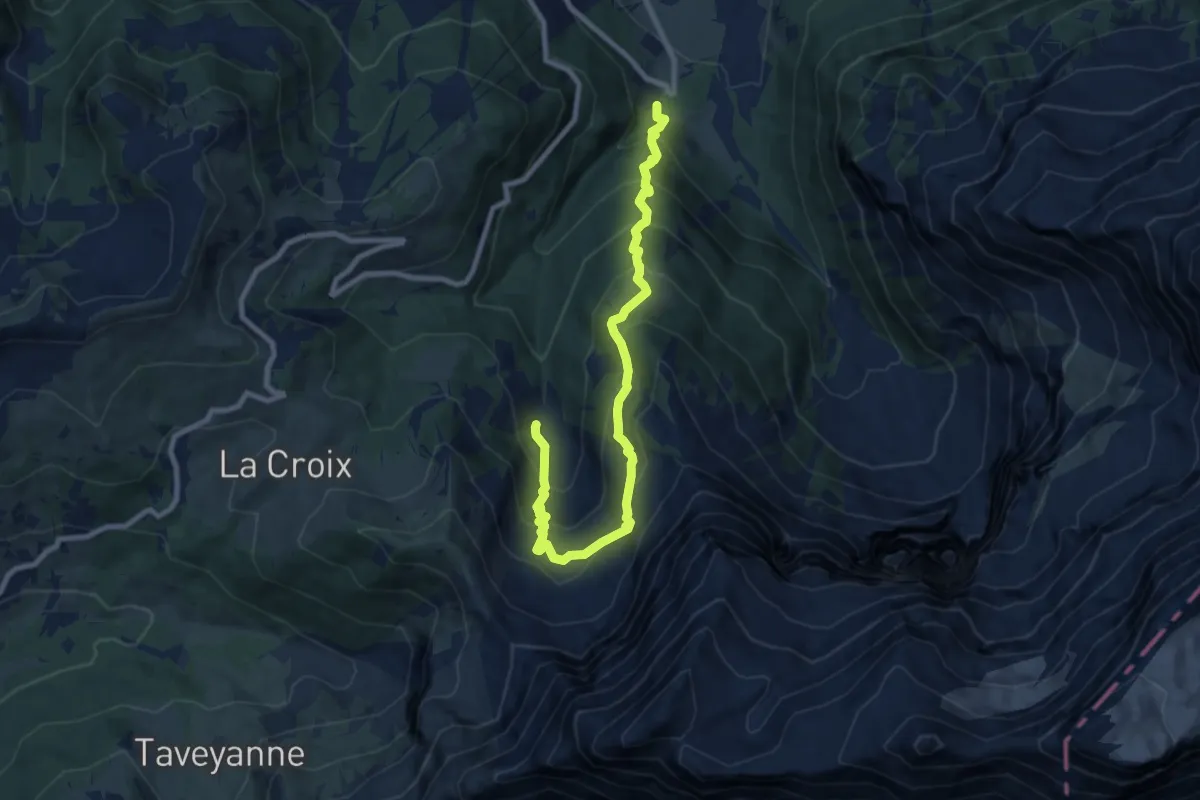
Demanding · Trail
Le Droutsay – Fond de Culan
9.5 km · ↑ 945 m · 4 h 17 min
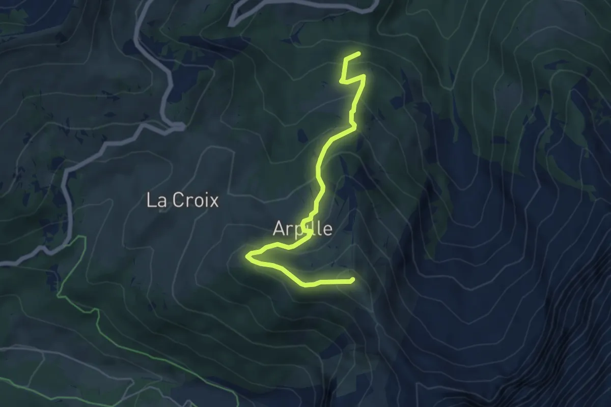
Medium · Summit
La Tailla – Pointe d'Arpille
5.1 km · ↑ 394 m · 2 h 4 min
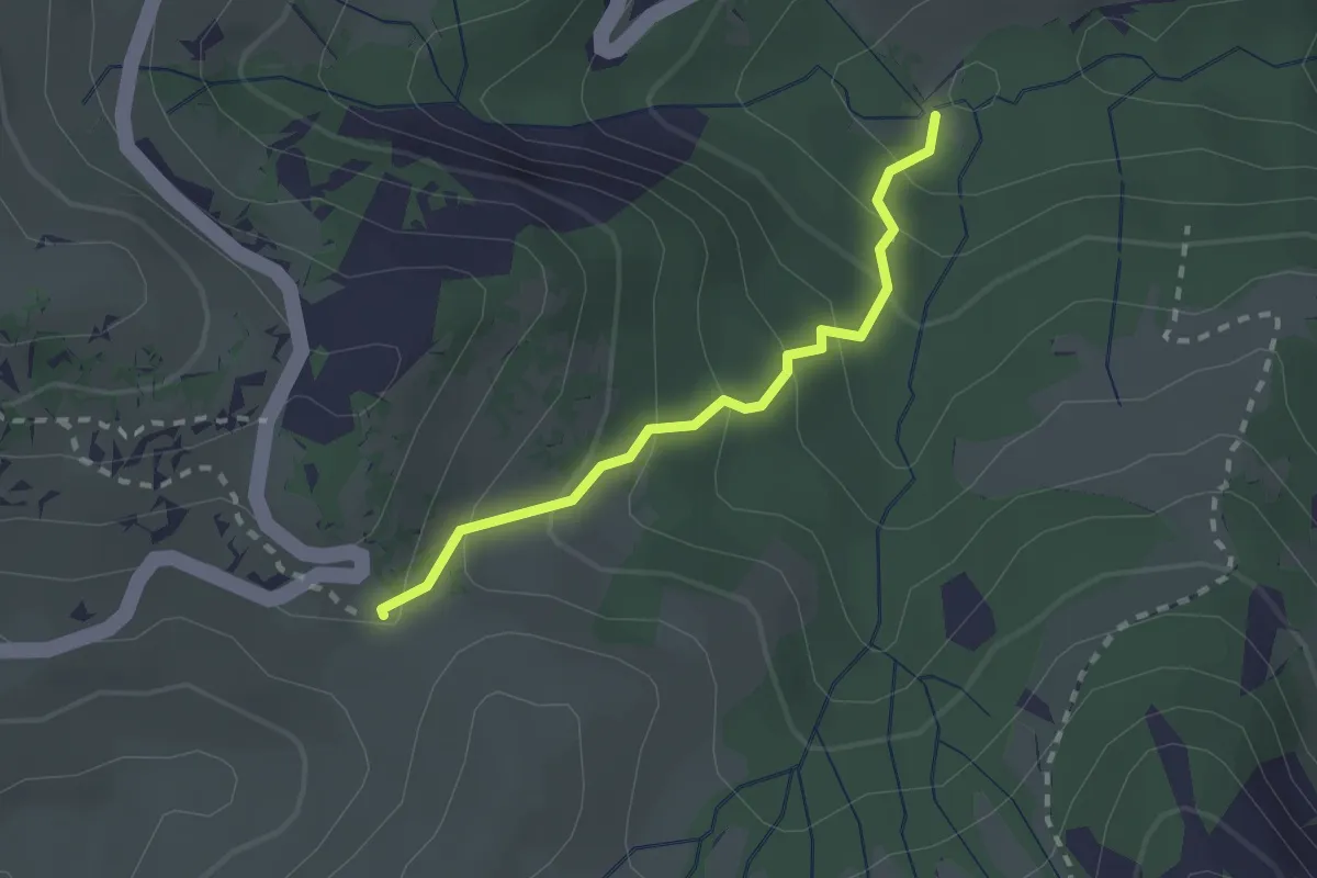
Easy · Trail
La Tailla – Col de la Croix
2.0 km · ↑ 183 m · 53 min
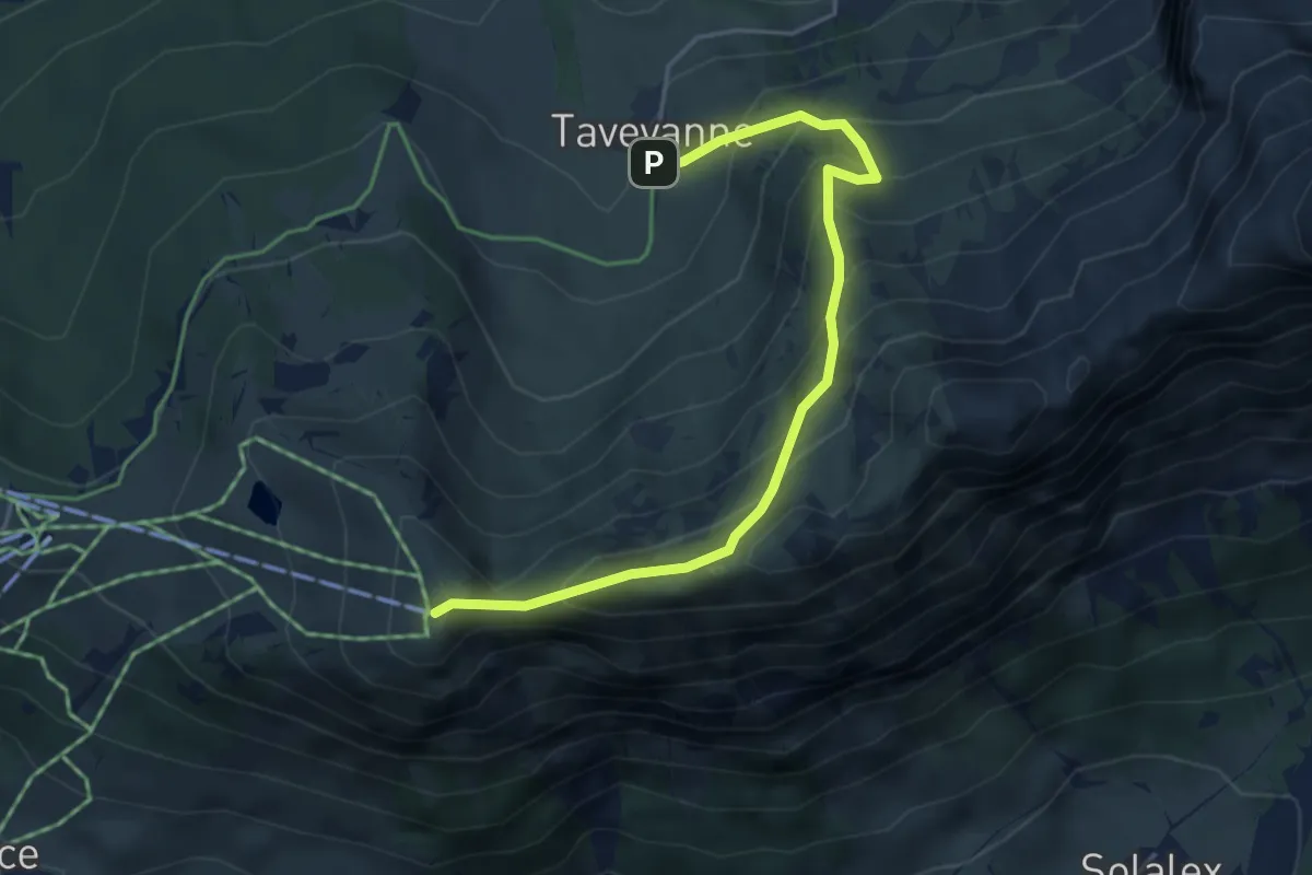
Medium · Summit
Taveyannaz – Croix des Chaux
4.6 km · ↑ 494 m · 2 h 10 min
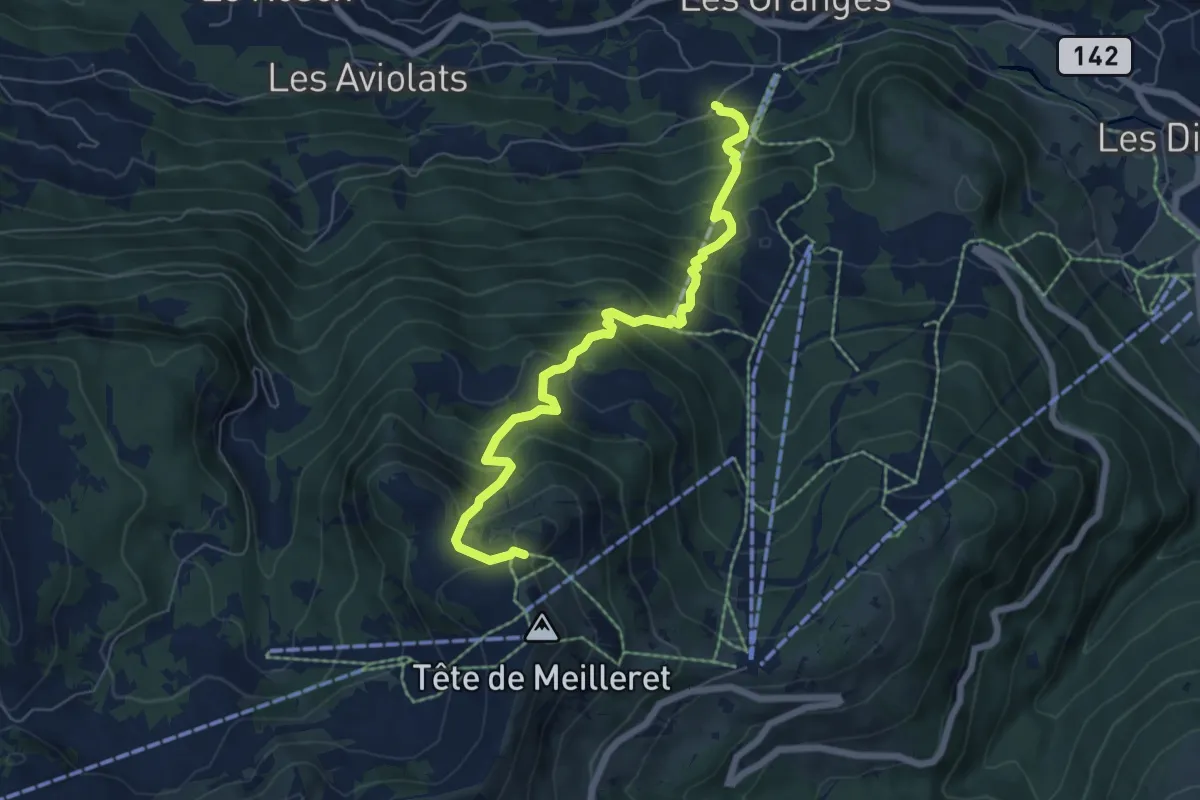
Medium · Trail
Vers l'Eglise – Tête de Meilleret
6.7 km · ↑ 762 m · 3 h 14 min
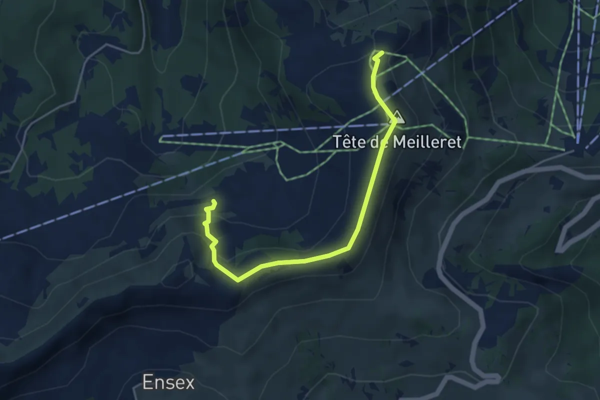
Medium · Trail
Tête de Meilleret – l'Encrène
4.1 km · ↑ 217 m · 1 h 26 min
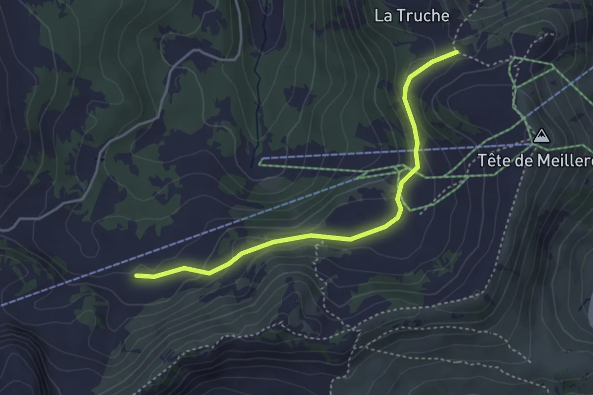
Medium · Trail
Tête de Meilleret – Perche
3.7 km · ↑ 136 m · 1 h 11 min
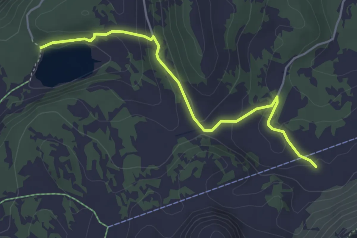
Easy · Trail
Perche – Lac des Chavonnes
4.0 km · ↑ 175 m · 1 h 19 min
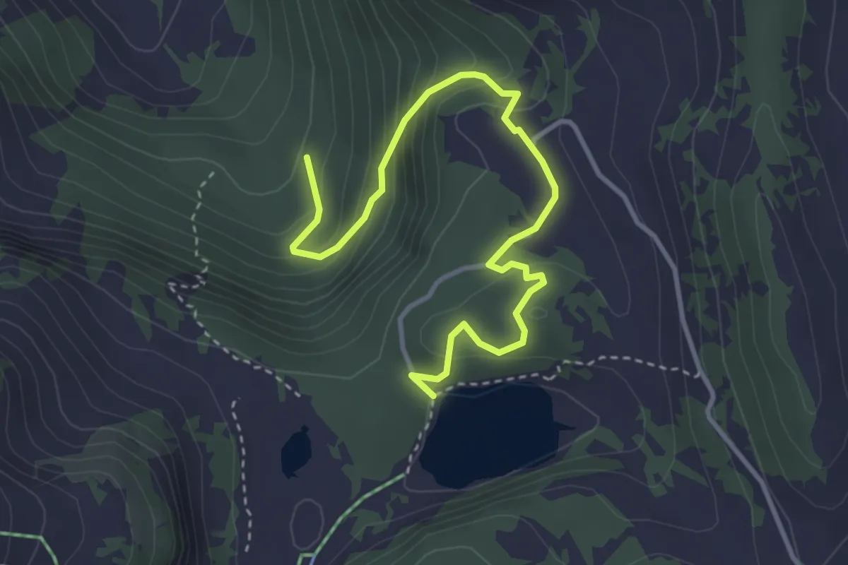
Easy · Trail
Lac des Chavonnes – Les Fontaines
4.0 km · ↑ 270 m · 1 h 32 min
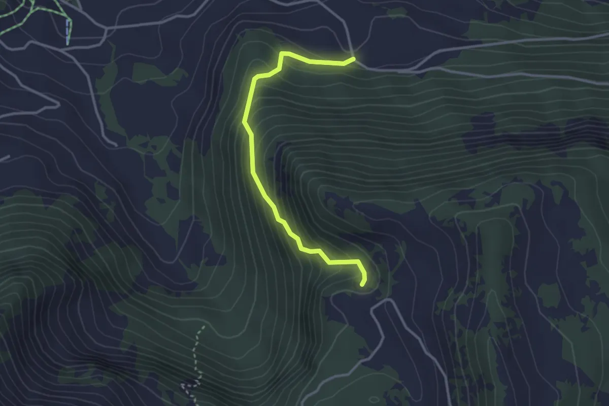
Easy · Trail
Temeley – Chavonnes
3.0 km · ↑ 283 m · 1 h 20 min
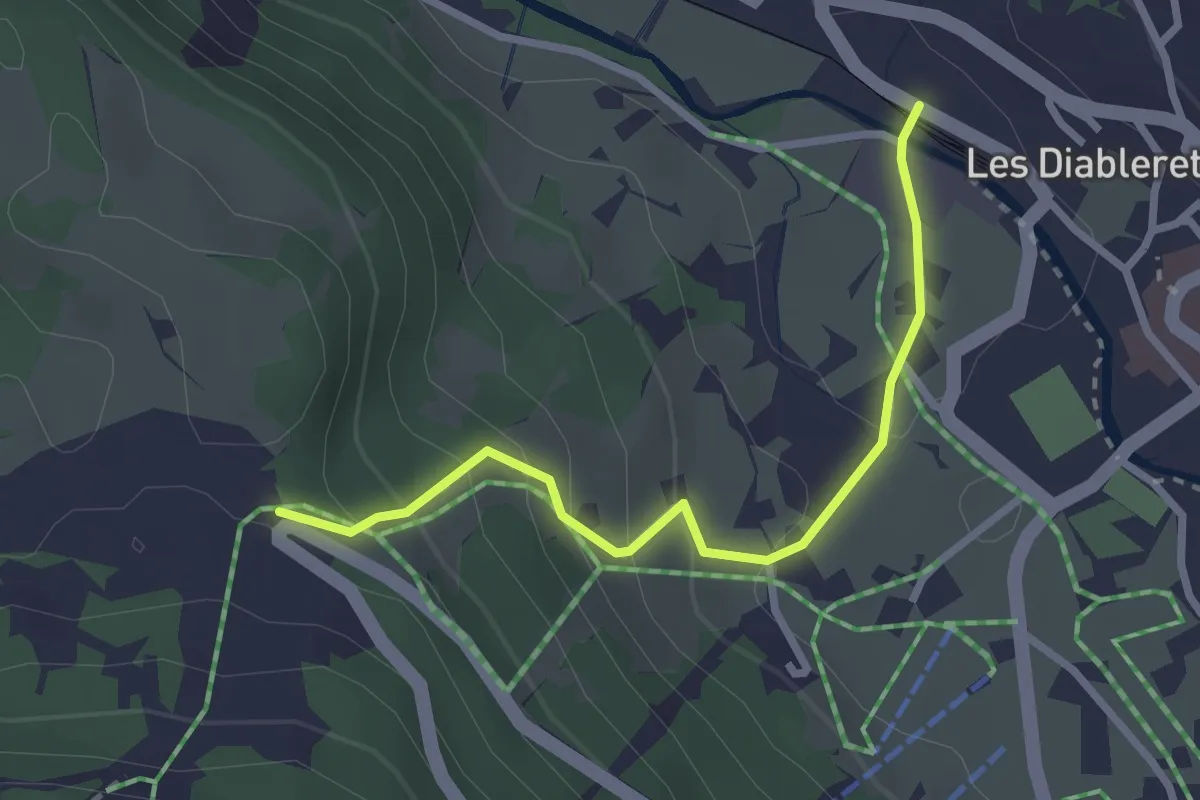
Easy · Trail
Le Rachy – Les Diablerets
2.7 km · ↑ 181 m · 1 h 1 min
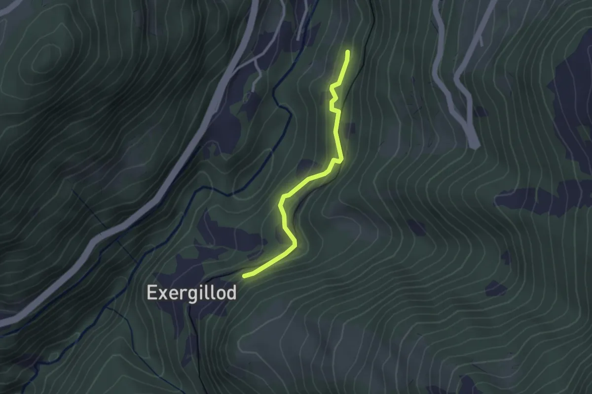
Easy · Trail
Les Faveires – Exergillod
2.3 km · ↑ 144 m · 52 min
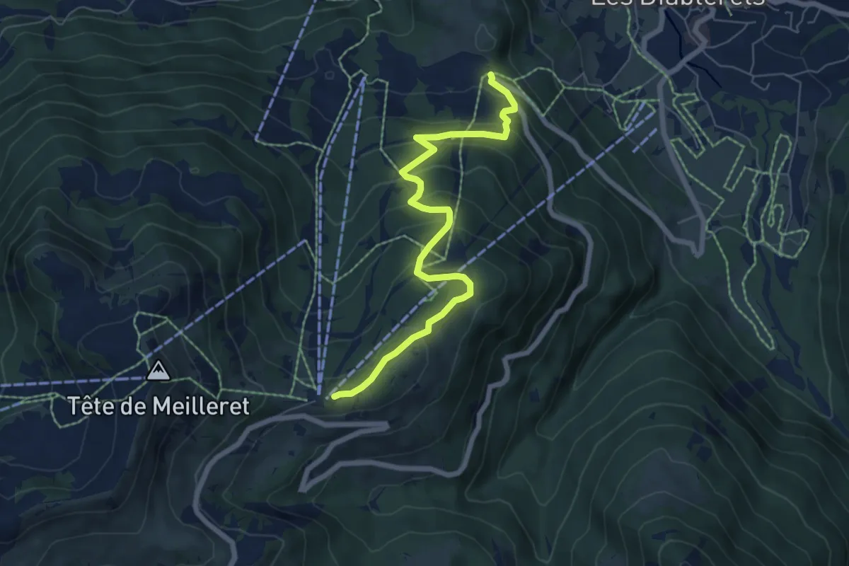
Medium · Trail
Le Rachy – Les Mazots
6.6 km · ↑ 418 m · 2 h 28 min