Trails in Switzerland
15,055 hiking trails, each with its route, climb, walking time and grade.
All trails, page 189 of 314
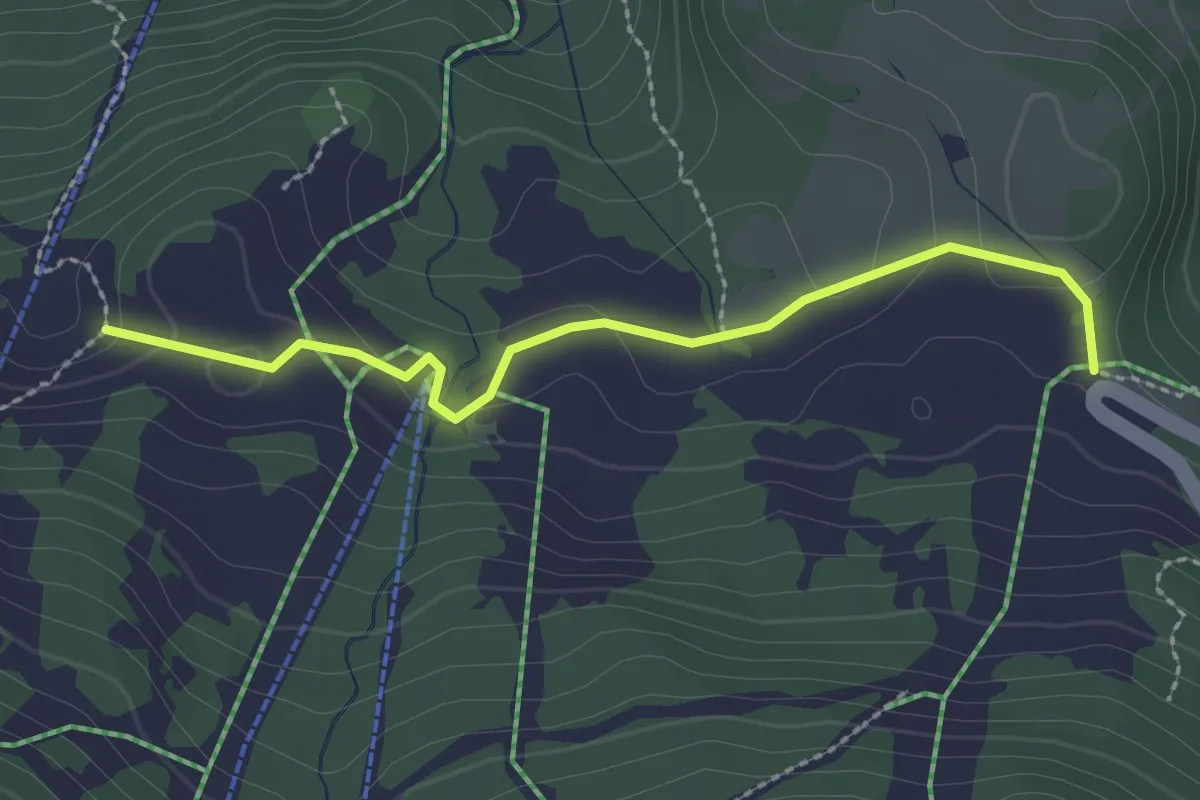
Easy · Trail
Le Rachy – La Ruvine
2.4 km · ↑ 65 m · 42 min
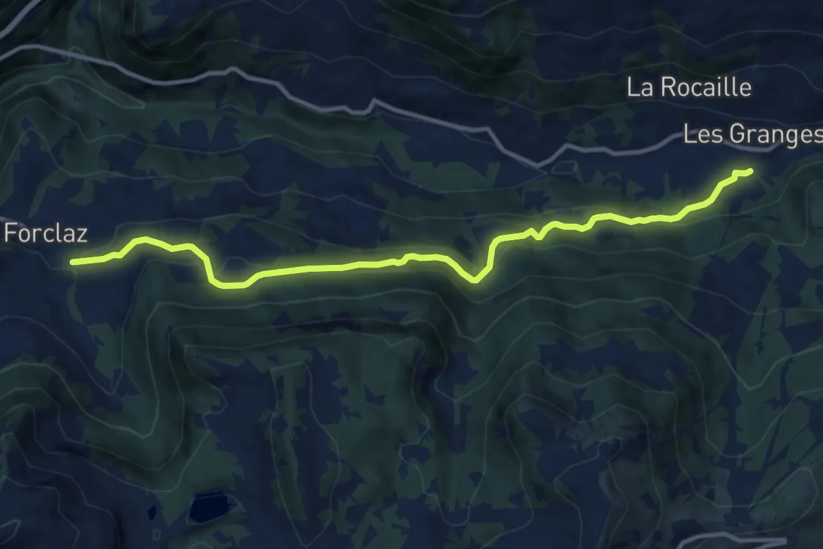
Medium · Trail
Vers l'Eglise – La Forclaz
10.8 km · ↑ 472 m · 3 h 34 min
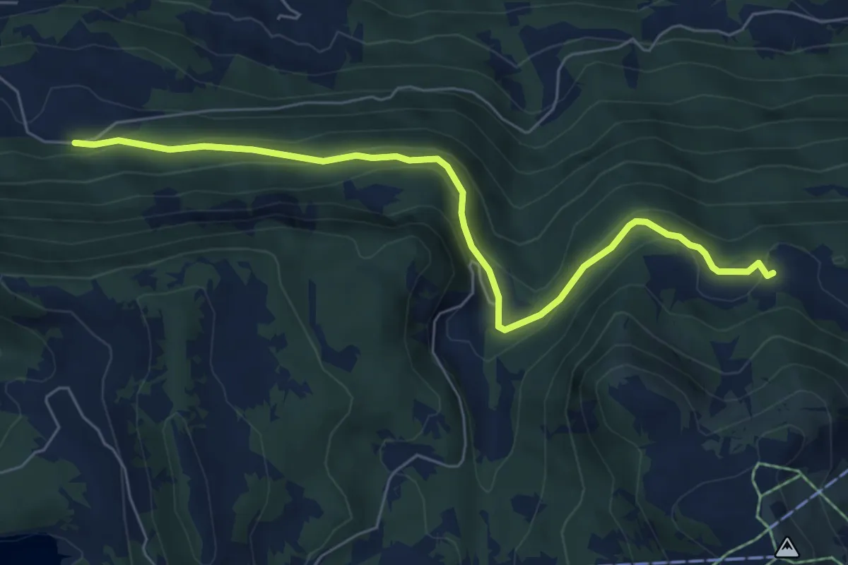
Easy · Trail
Temeley – La Bierlaz
6.5 km · ↑ 298 m · 2 h 11 min
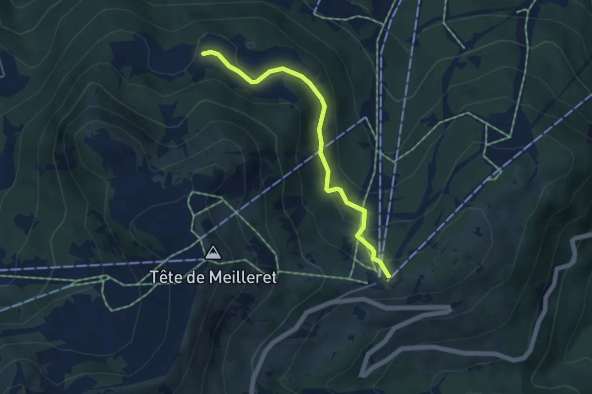
Easy · Trail
Les Mazots – La Bierlaz
3.7 km · ↑ 168 m · 1 h 14 min
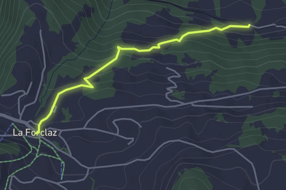
Easy · Trail
Les Echenards – La Forclaz
3.2 km · ↑ 182 m · 1 h 9 min
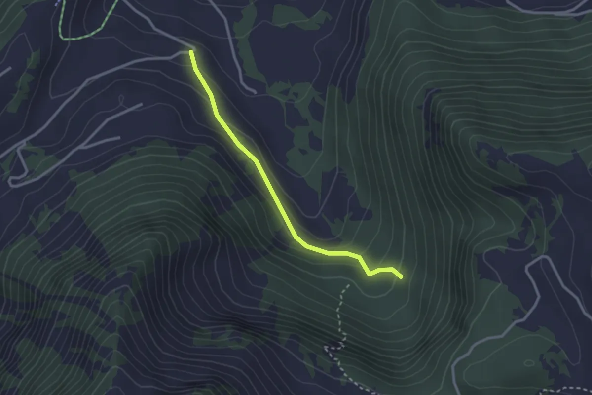
Easy · Trail
Les Perrettorins – Les Fontaines
2.5 km · ↑ 122 m · 51 min
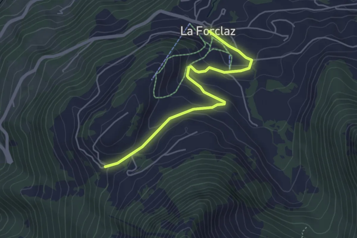
Easy · Trail
La Forclaz – Les Cougnons
4.4 km · ↑ 163 m · 1 h 24 min
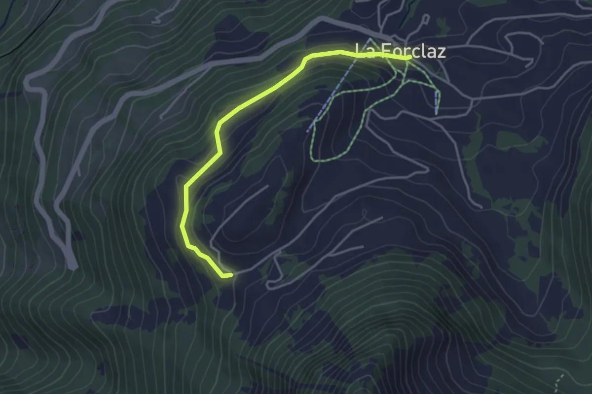
Easy · Trail
La Forclaz – Les Cougnons
3.4 km · ↑ 131 m · 1 h 5 min
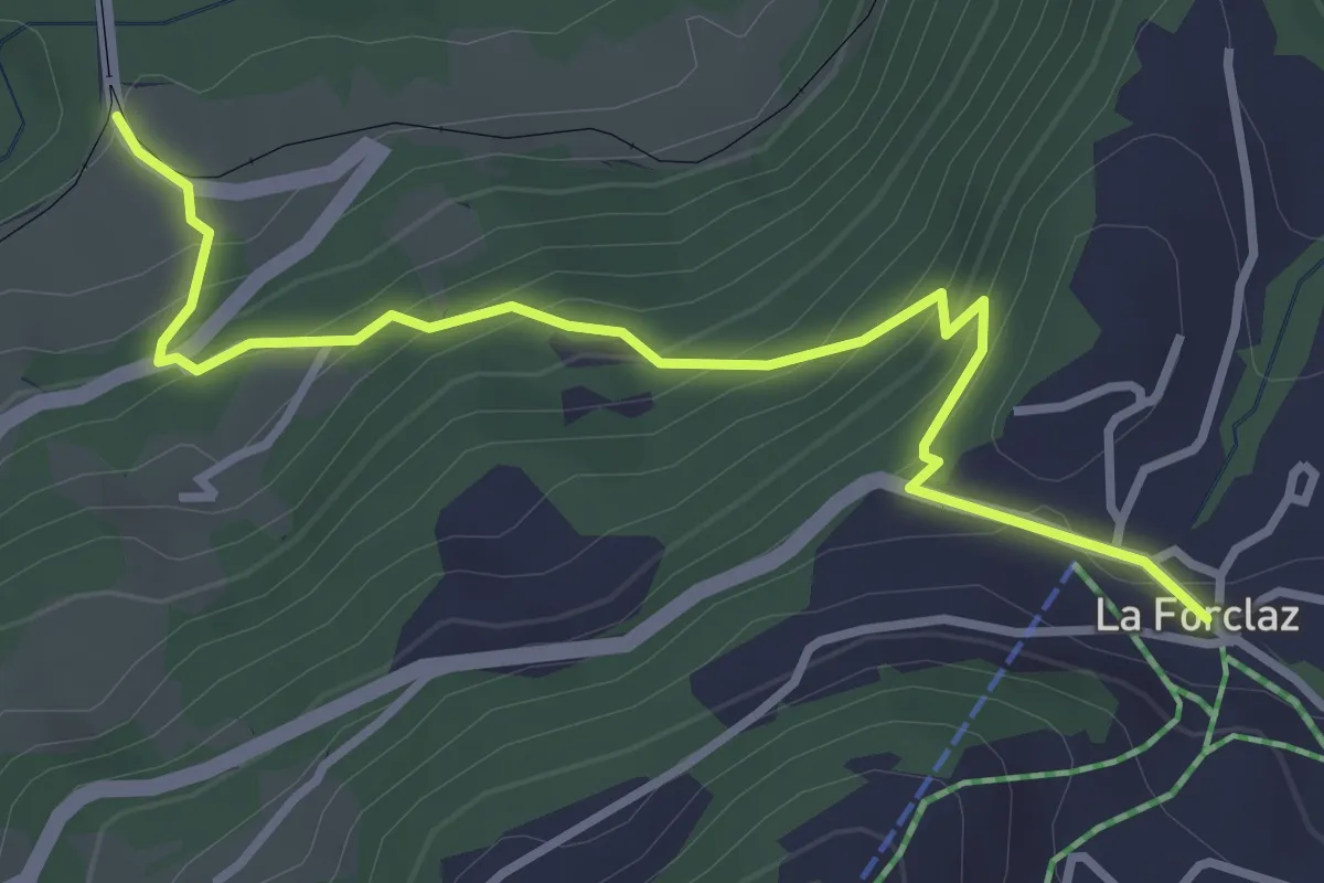
Medium · Trail
Les Planches – La Forclaz
3.6 km · ↑ 328 m · 1 h 34 min
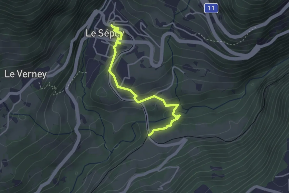
Easy · Trail
Les Planches – Le Sépey
3.2 km · ↑ 80 m · 56 min
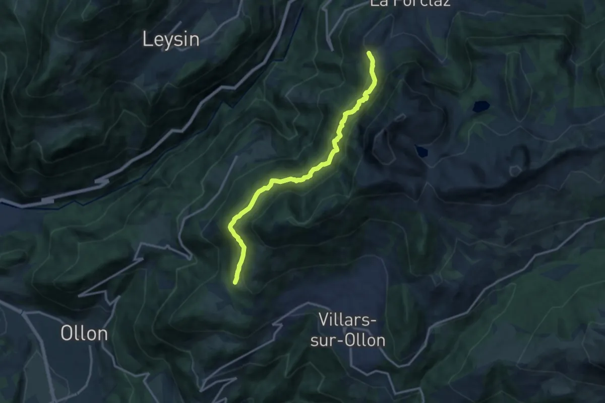
Demanding · Trail
Les Cougnons – Chesières
11.7 km · ↑ 879 m · 4 h 41 min
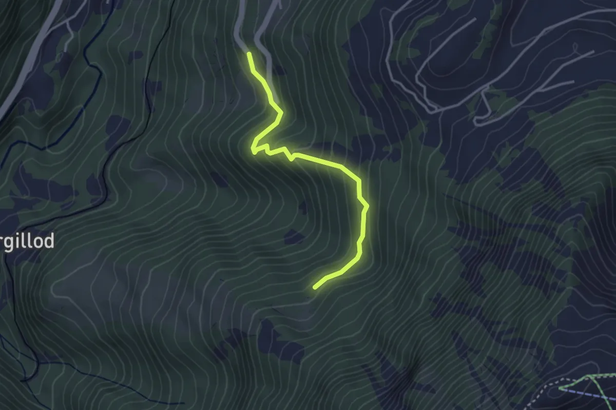
Easy · Trail
Les Granges – Creux des Dardeys
3.1 km · ↑ 232 m · 1 h 14 min
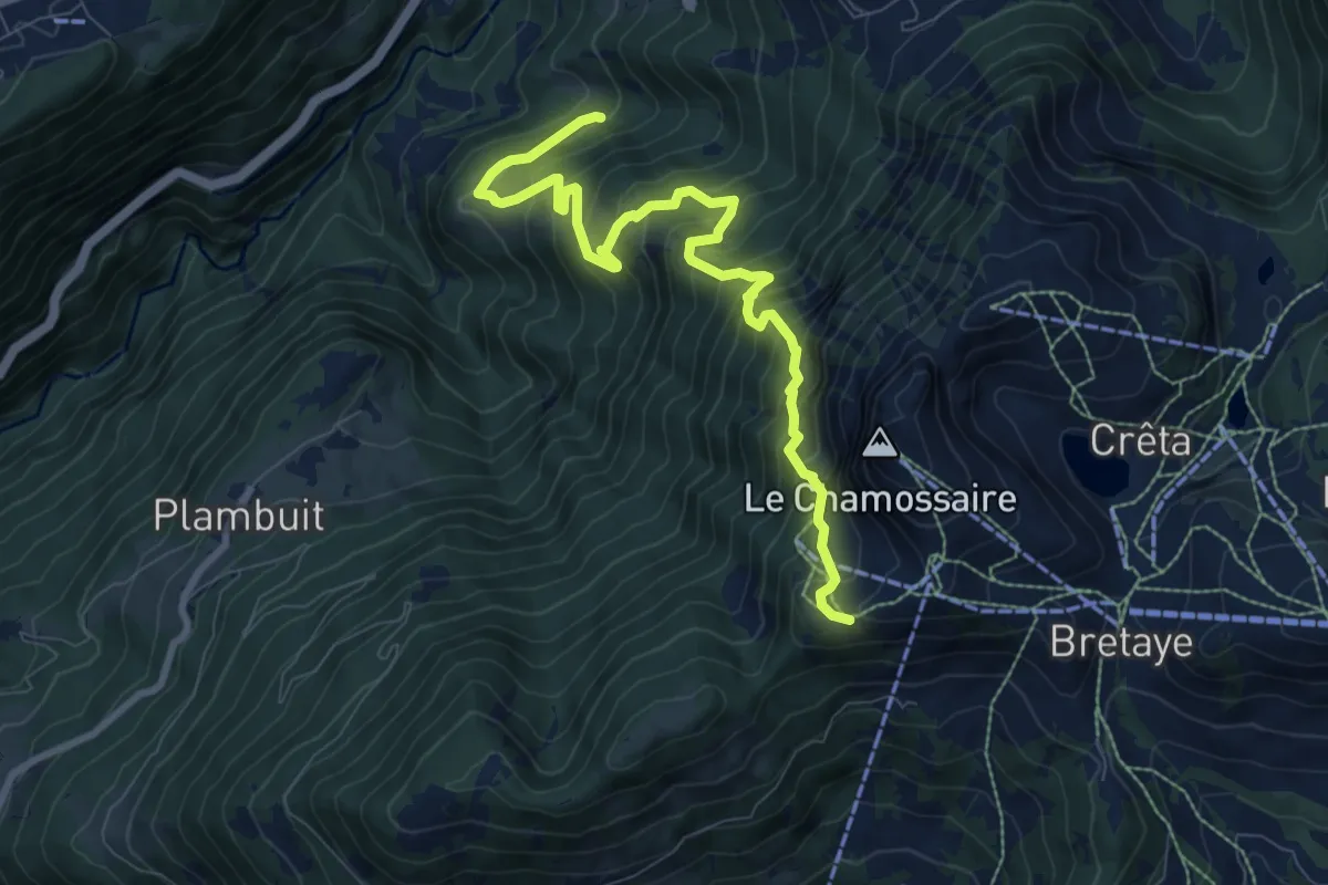
Demanding · Trail
Les Larets – L'Aiguille
9.4 km · ↑ 1033 m · 4 h 27 min
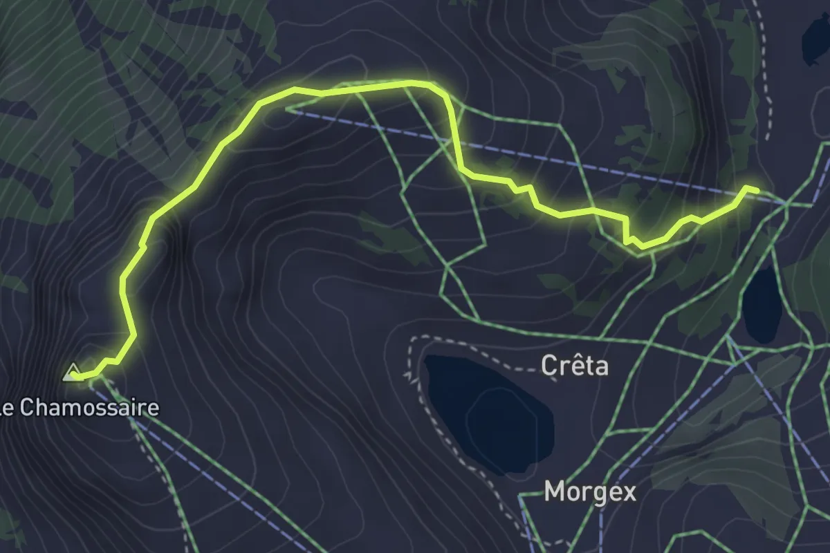
Medium · Summit
Le Chamossaire – Lac Noir
4.0 km · ↑ 377 m · 1 h 46 min
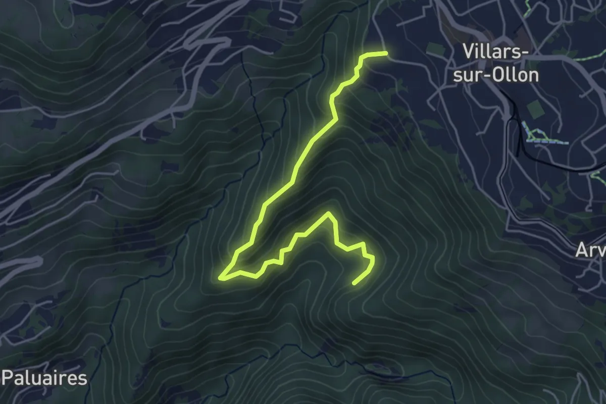
Medium · Trail
Villars-sur-Ollon – Dominge
4.8 km · ↑ 408 m · 2 h 2 min
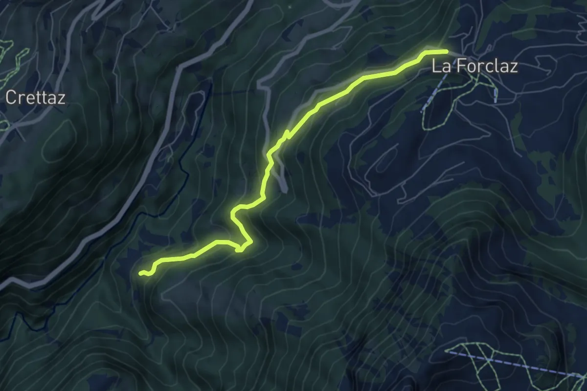
Medium · Trail
Exergillod – La Forclaz
6.8 km · ↑ 514 m · 2 h 43 min
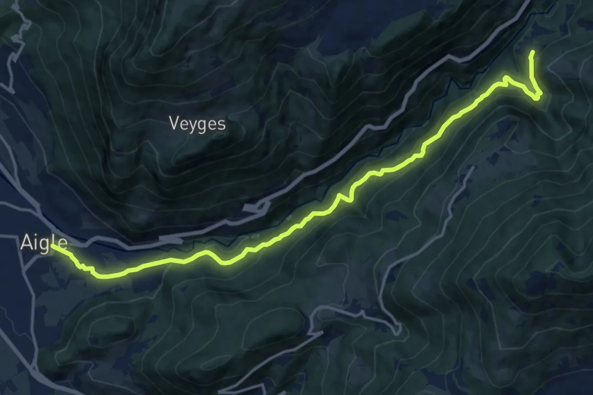
Demanding · Trail
Exergillod – Aigle
14.5 km · ↑ 950 m · 5 h 28 min
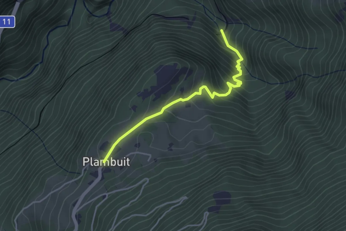
Easy · Trail
En Thy – Plambuit
3.6 km · ↑ 263 m · 1 h 25 min
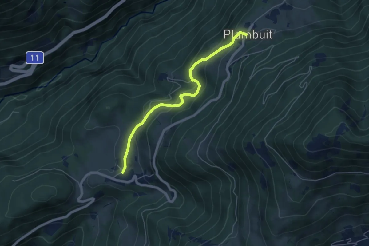
Easy · Trail
Plambuit – Panex
4.7 km · ↑ 305 m · 1 h 47 min
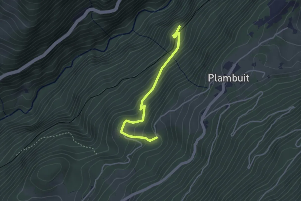
Easy · Trail
Plambuit – Salins
3.1 km · ↑ 253 m · 1 h 17 min
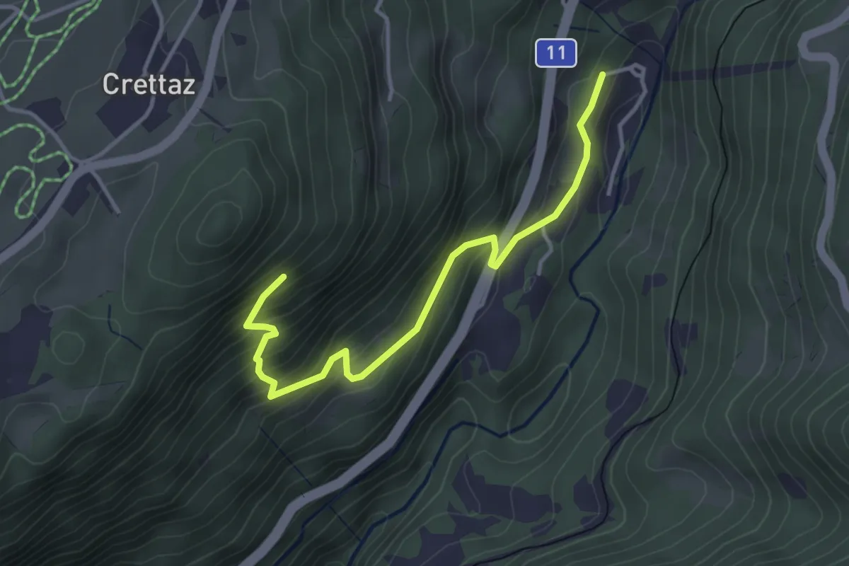
Medium · Trail
Le Flot de Crête – Le Pont
3.8 km · ↑ 352 m · 1 h 39 min
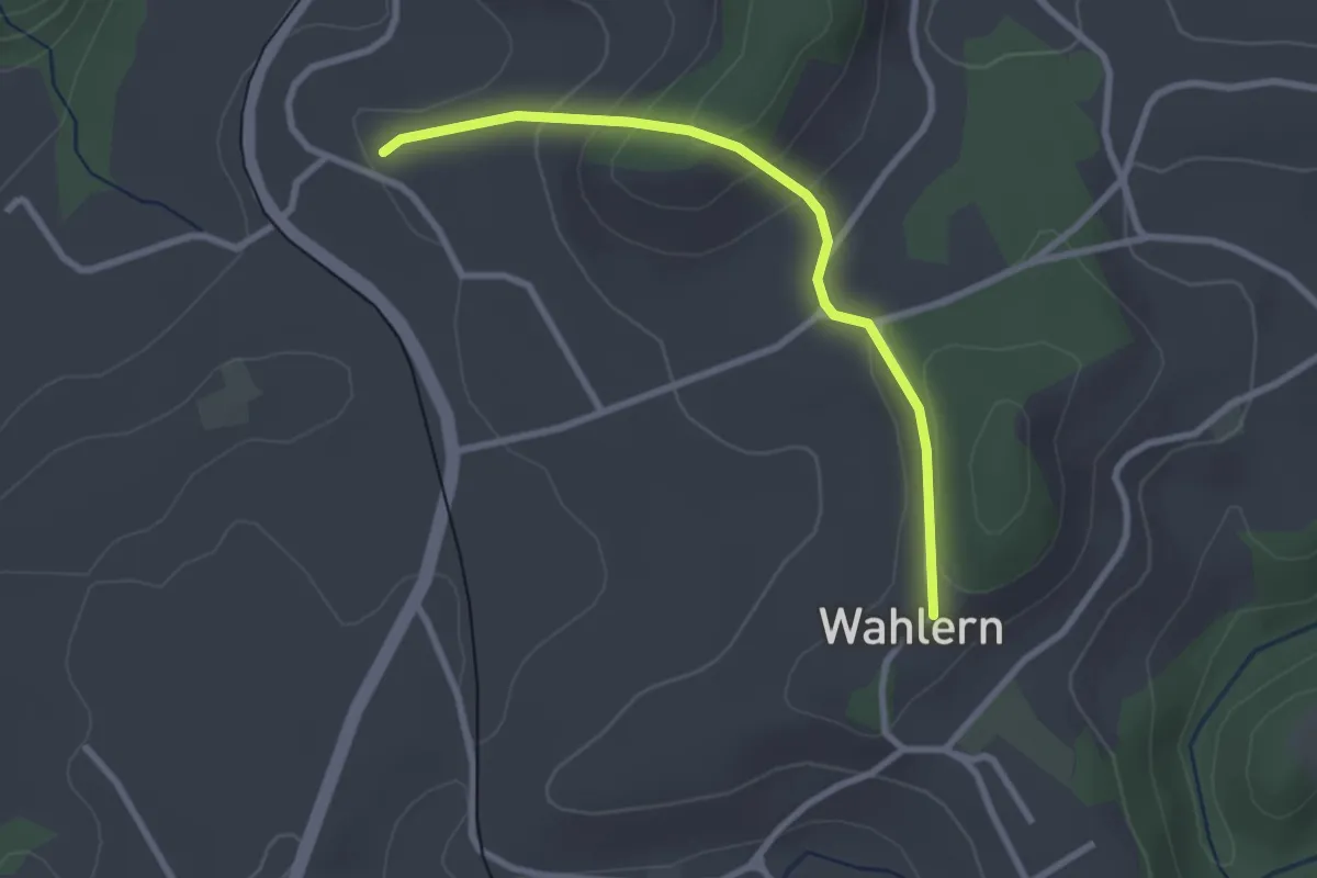
Easy · Trail
Steinhaus – Wahlern
2.6 km · ↑ 138 m · 55 min
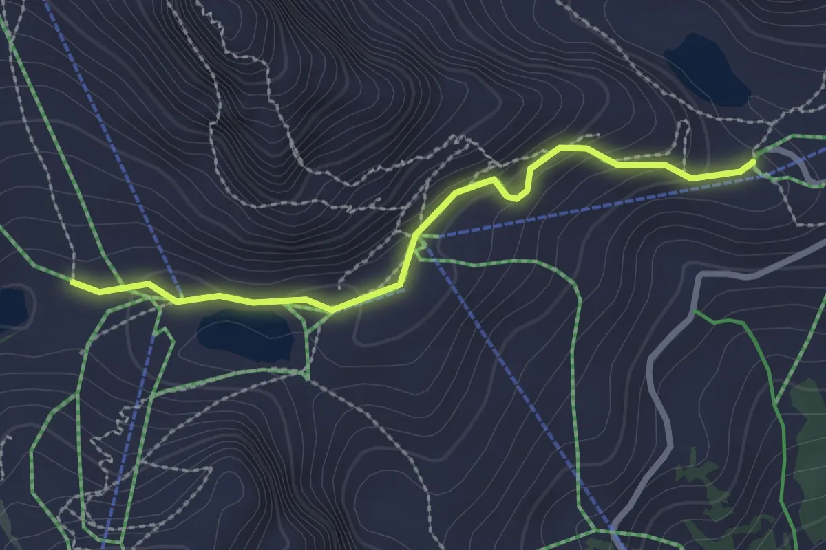
Easy · Cabin
Aï – Mayen
2.4 km · ↑ 96 m · 46 min
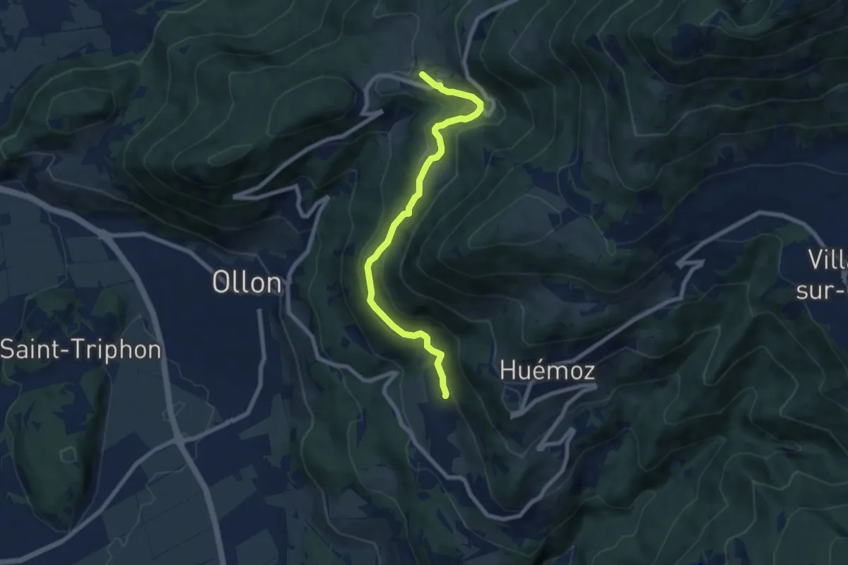
Medium · Trail
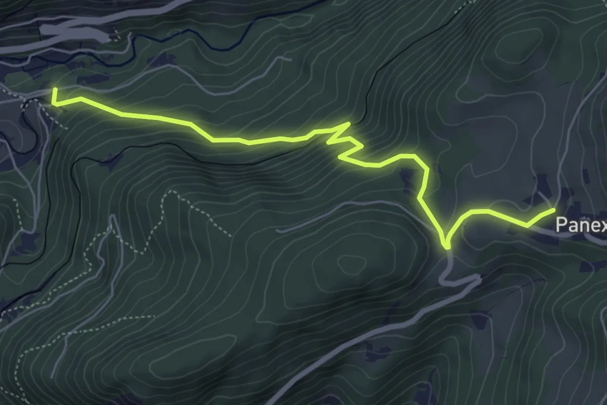
Panex – Glutières
7.2 km · ↑ 333 m · 2 h 25 min
Medium · Trail
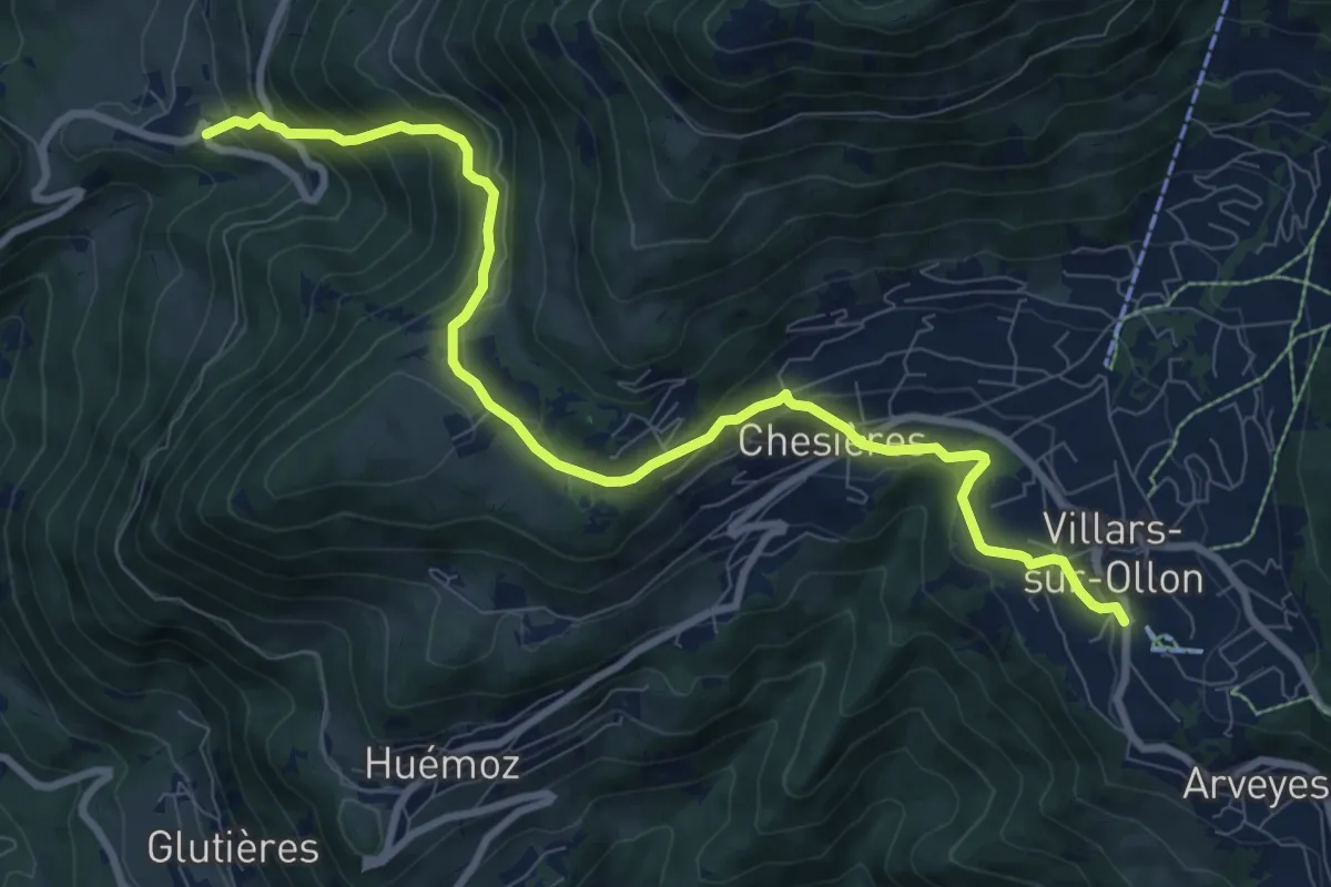
Panex – Aigle Parc Aventure
6.0 km · ↑ 429 m · 2 h 20 min
Medium · Trail
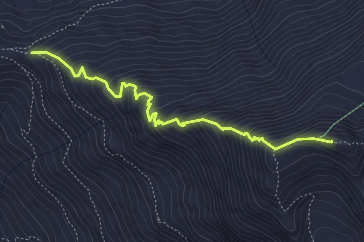
Panex – Villars
10.0 km · ↑ 559 m · 3 h 34 min
Expert · Summit
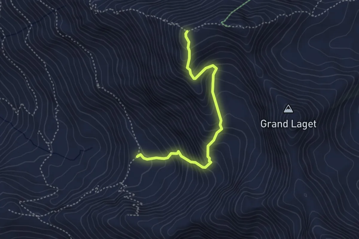
Col de Mille – Mont Rogneux
4.9 km · ↑ 581 m · 2 h 25 min
Expert · Trail
Plan Sevéreu – Mont Rogneux
3.8 km · ↑ 507 m · 2 h
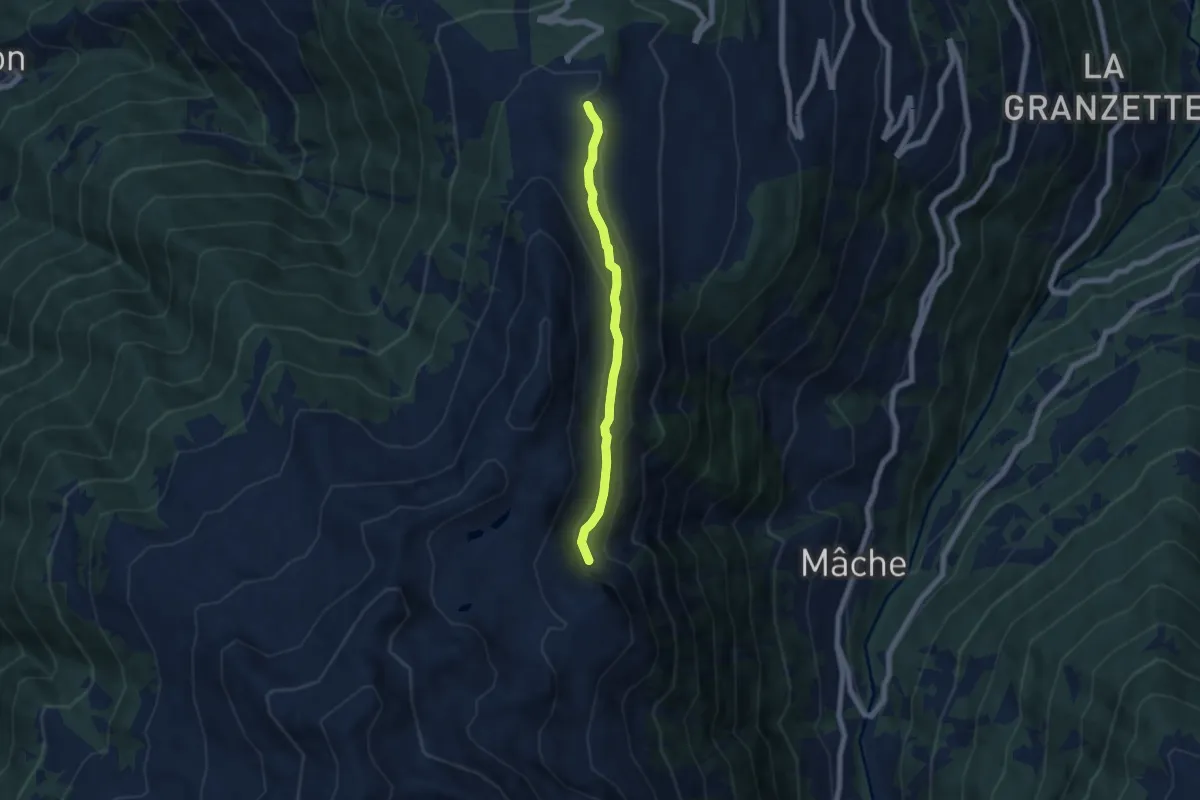
Easy · Trail
Thyon – Le Torrent de l'Aâ
5.6 km · ↑ 246 m · 1 h 51 min
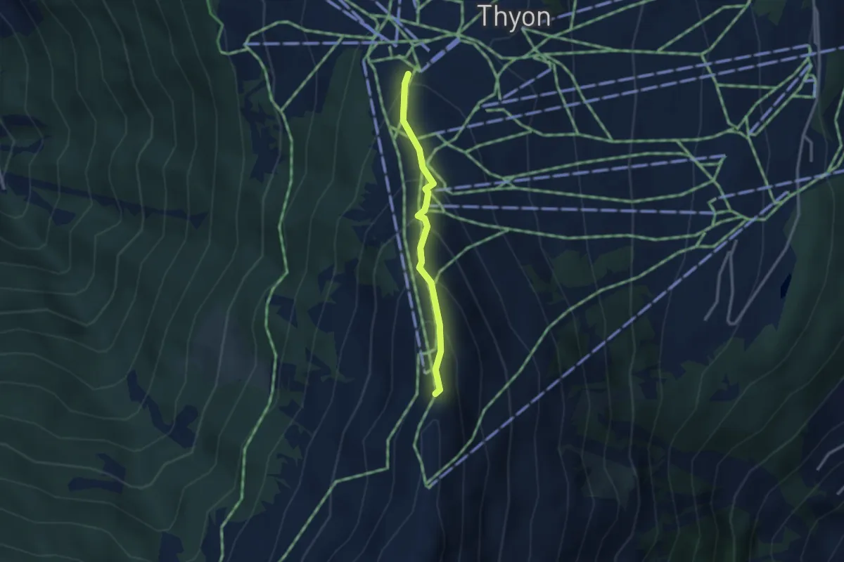
Medium · Trail
Thyon – Les Crêtes de Thyon
2.4 km · ↑ 236 m · 1 h 4 min
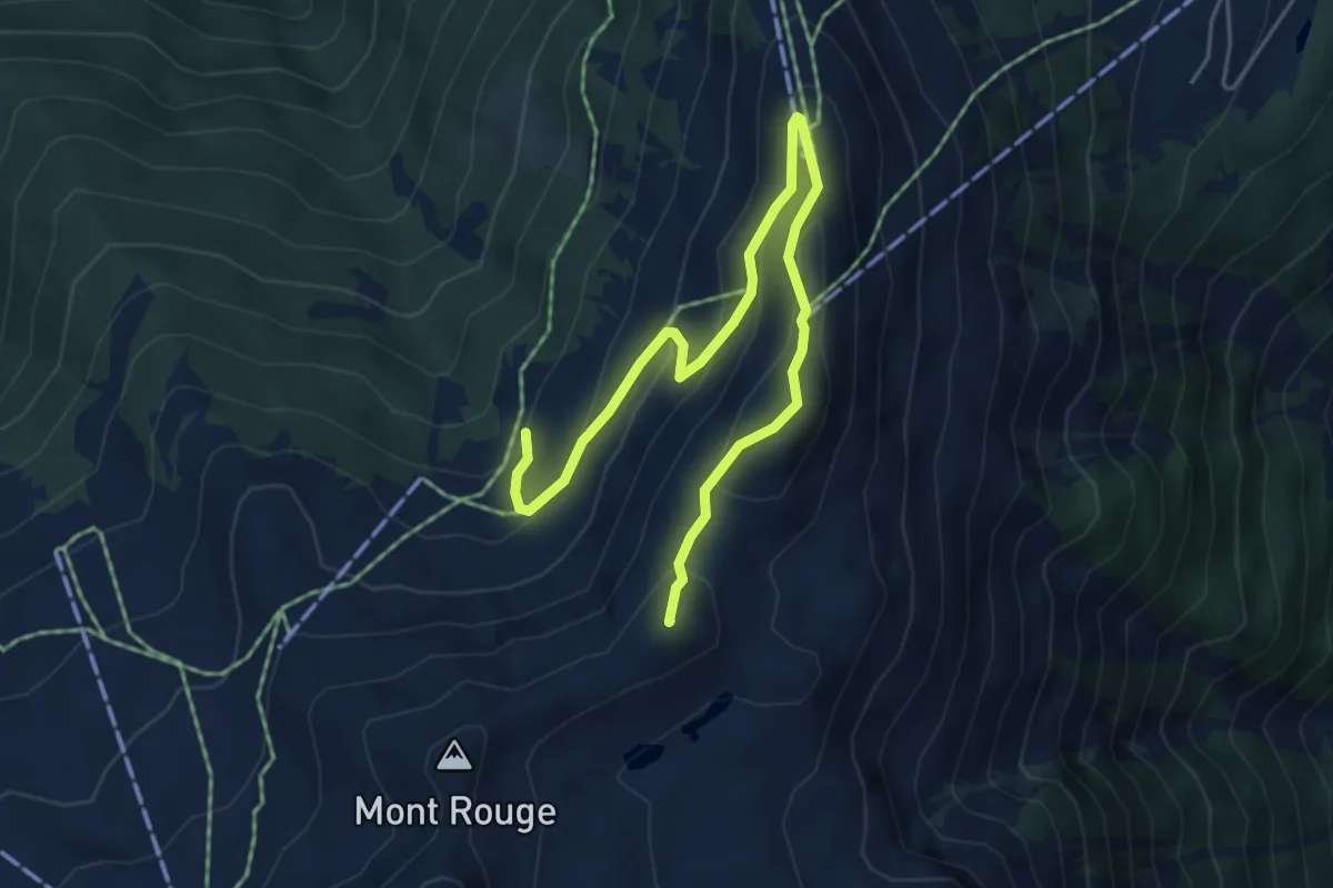
Medium · Summit
La Combire – Mont Carré
6.1 km · ↑ 413 m · 2 h 19 min
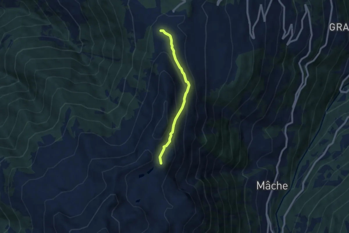
Easy · Trail
Thyon – Mont Carré
5.1 km · ↑ 303 m · 1 h 52 min
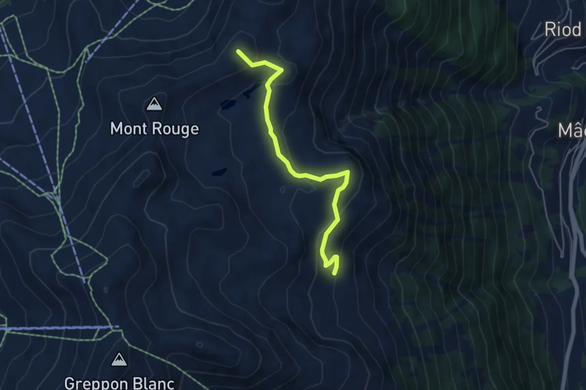
Medium · Summit
Mont Carré – Cabane d'Essertze
4.5 km · ↑ 232 m · 1 h 33 min
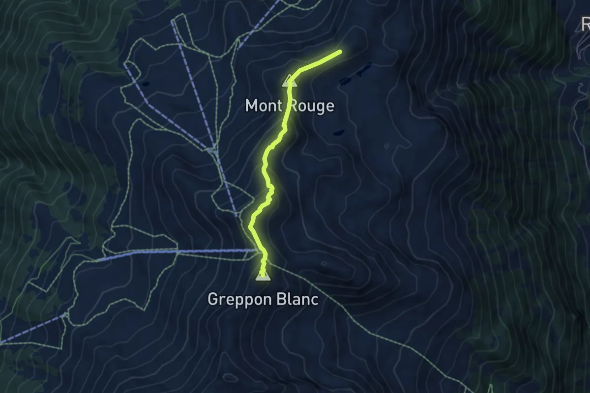
Medium · Summit
Mont Carré – Le Crepon Blanc
4.7 km · ↑ 370 m · 1 h 54 min
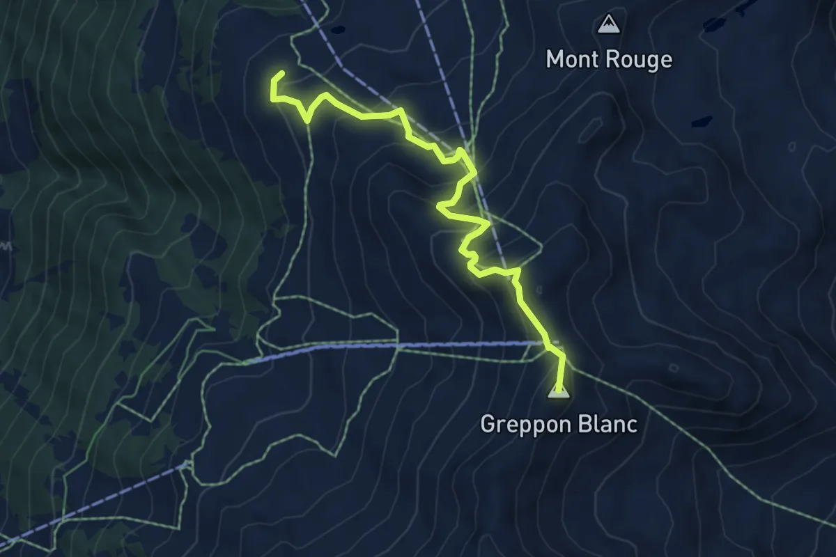
Medium · Summit
La Meina – Le Crepon Blanc
5.9 km · ↑ 464 m · 2 h 23 min
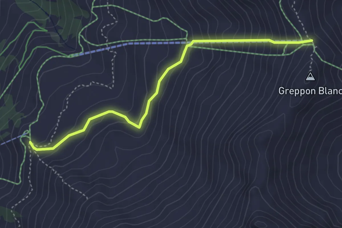
Medium · Trail
La Tsa – Le Crepon Blanc
4.0 km · ↑ 404 m · 1 h 50 min
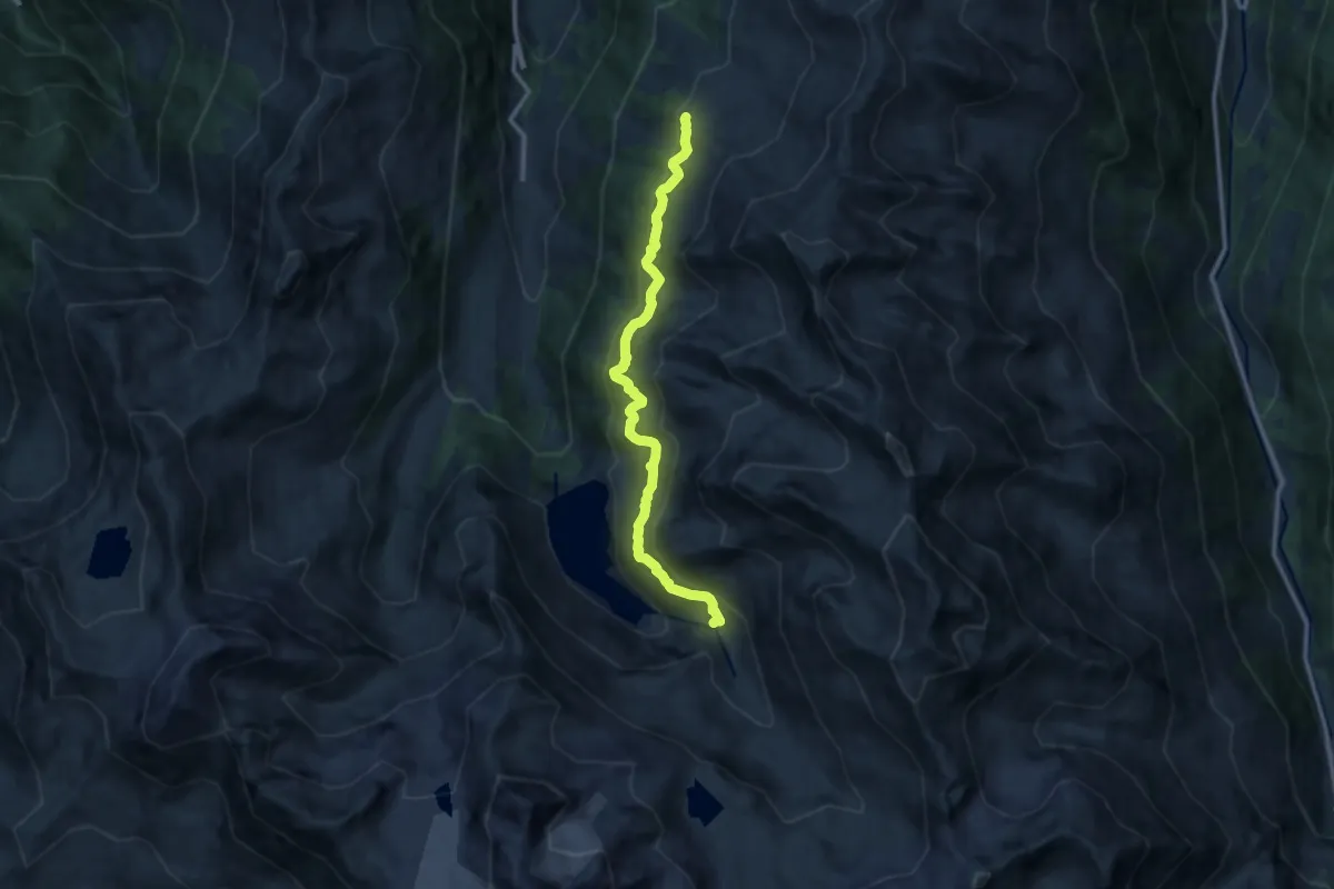
Medium · Trail
La Gouille – La Tsa
10.9 km · ↑ 737 m · 4 h 10 min
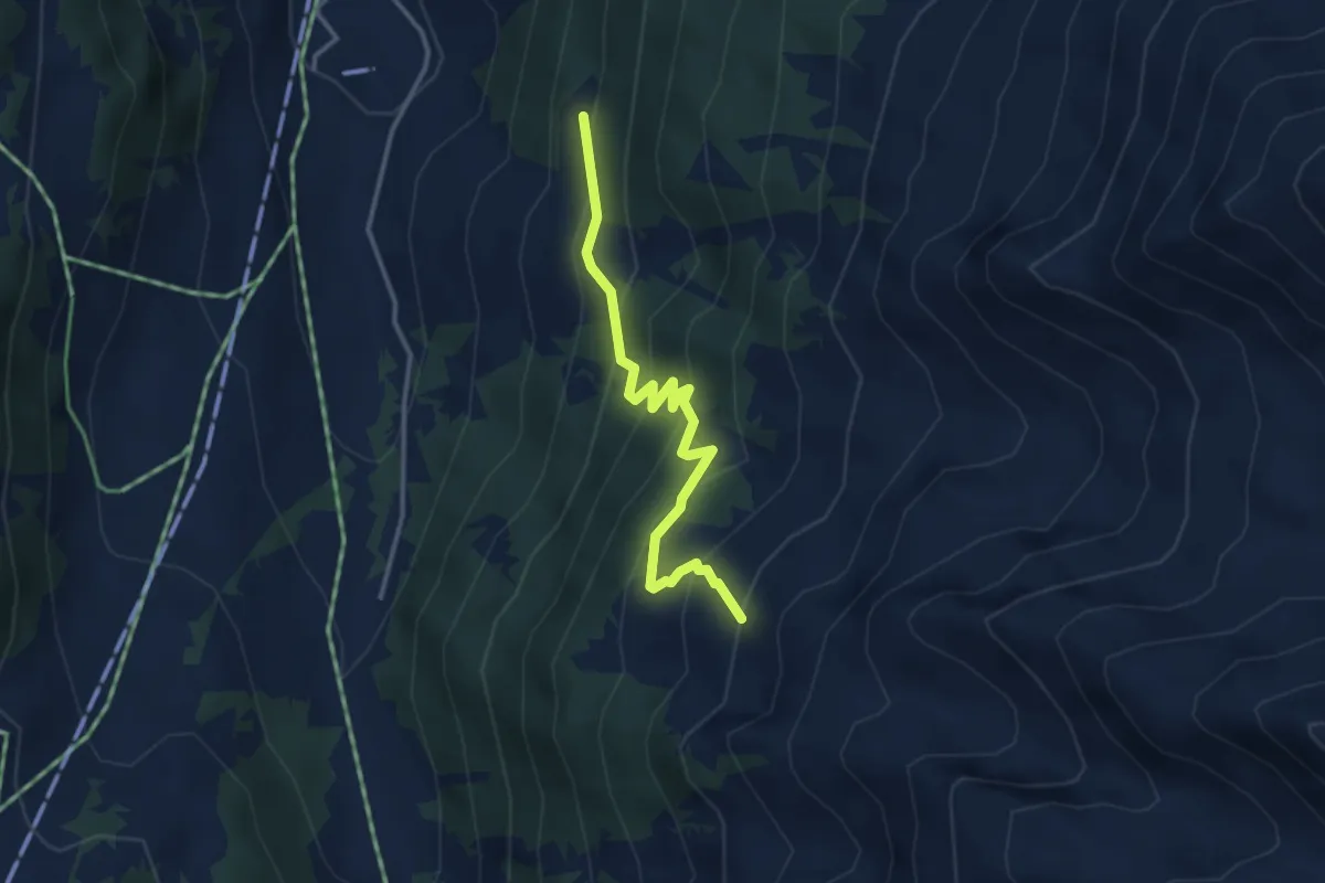
Medium · Trail
Siviez – Chervé
3.4 km · ↑ 313 m · 1 h 29 min
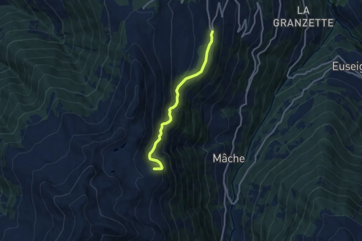
Medium · Summit
Thermes – Cabane d'Essertze
7.1 km · ↑ 581 m · 2 h 56 min
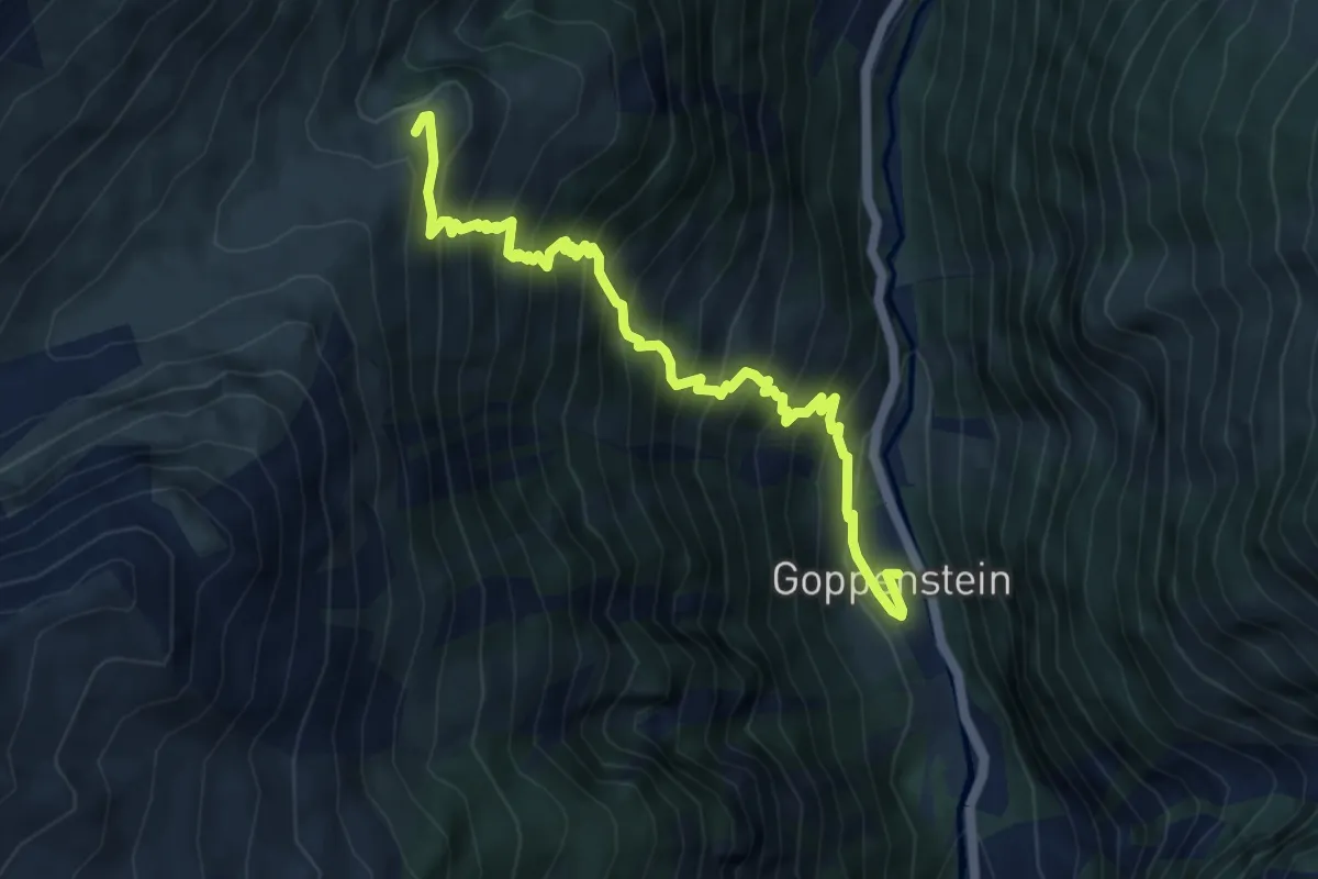
Demanding · Trail
Goppenstein – Faldumalp
6.0 km · ↑ 828 m · 3 h 13 min
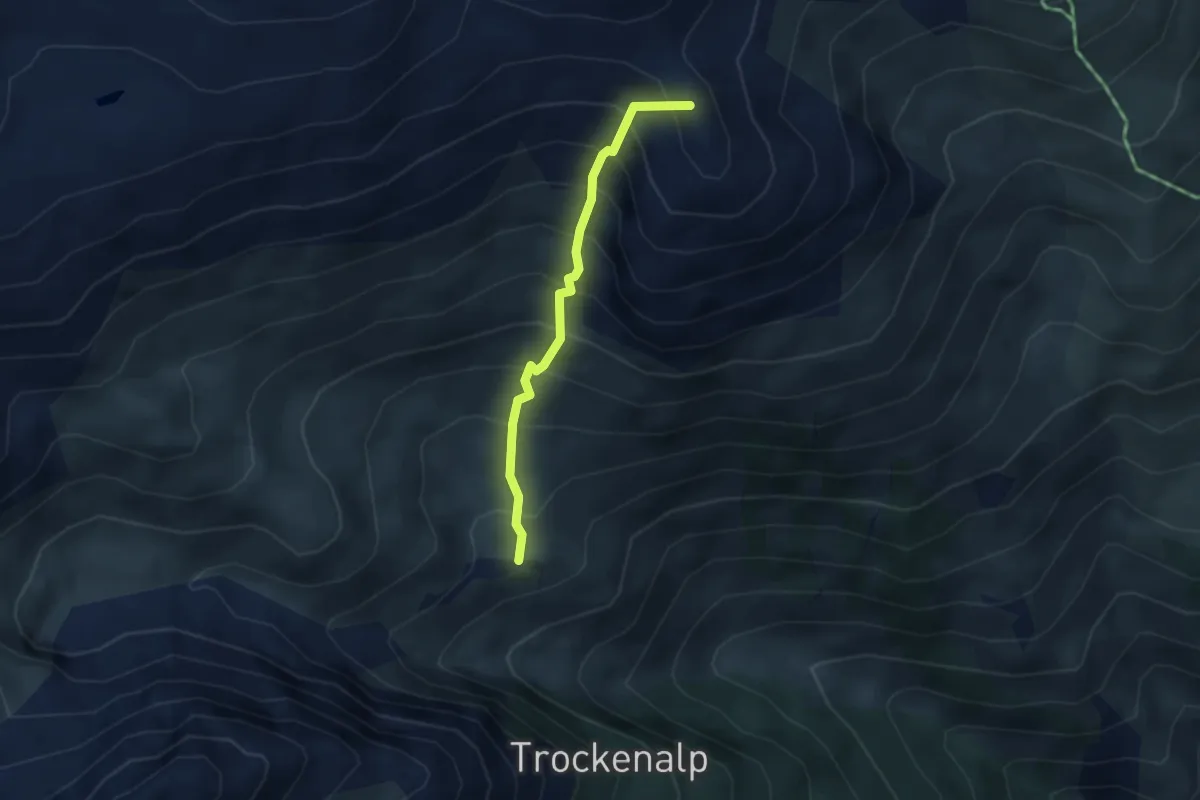
Medium · Summit
Kummenalp – Sattlegi
2.9 km · ↑ 468 m · 1 h 42 min
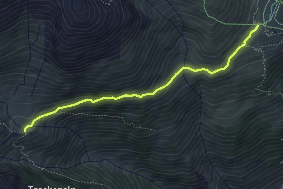
Medium · Trail
Kummenalp – Hockenalp
4.8 km · ↑ 226 m · 1 h 38 min
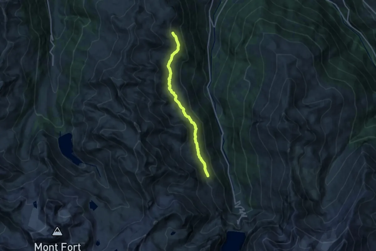
Medium · Trail
Le Mirio – Cabane d'Essertze
12.2 km · ↑ 556 m · 4 h 5 min
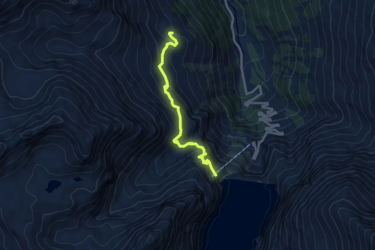
Medium · Trail
Allève – Barrage de la Dixence
5.5 km · ↑ 421 m · 2 h 13 min
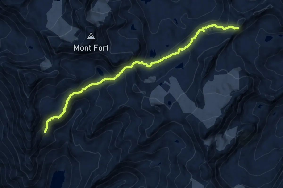
Demanding · Trail
Col de Prafleuri – Col Termin
12.5 km · ↑ 989 m · 5 h 5 min
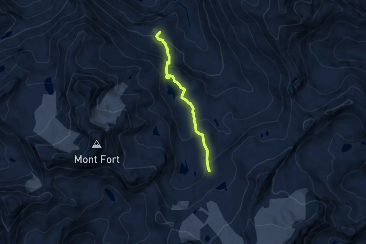
Medium · Cabin
Cabane Saint-Laurent – Mont Calme
5.9 km · ↑ 358 m · 2 h 10 min
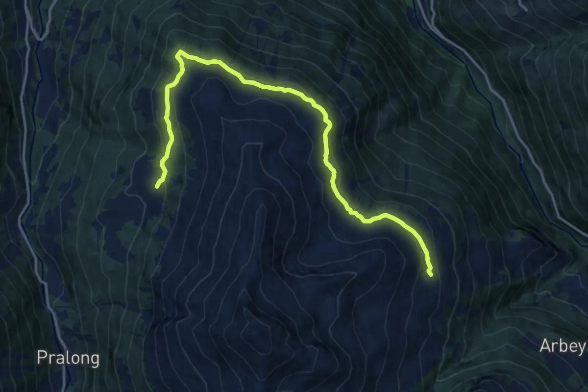
Medium · Trail
Mandelon – La Meina
13.7 km · ↑ 445 m · 4 h 11 min
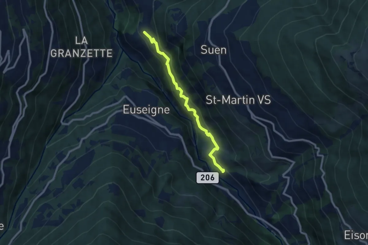
Medium · Trail
Ossona – La Luette
6.1 km · ↑ 470 m · 2 h 27 min