Trails in Switzerland
15,055 hiking trails, each with its route, climb, walking time and grade.
All trails, page 190 of 314
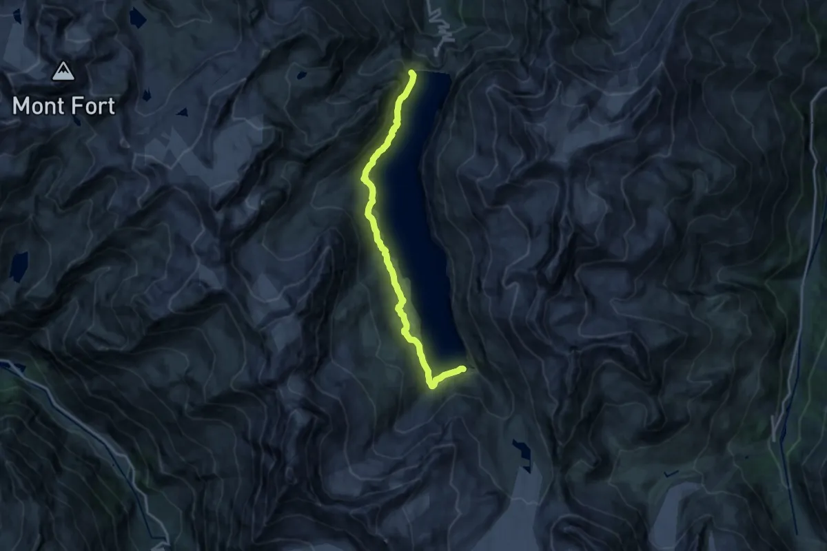
Medium · Trail
Barrage de la Dixence – Chemin du Lac des Dix
14.4 km · ↑ 766 m · 5 h 3 min
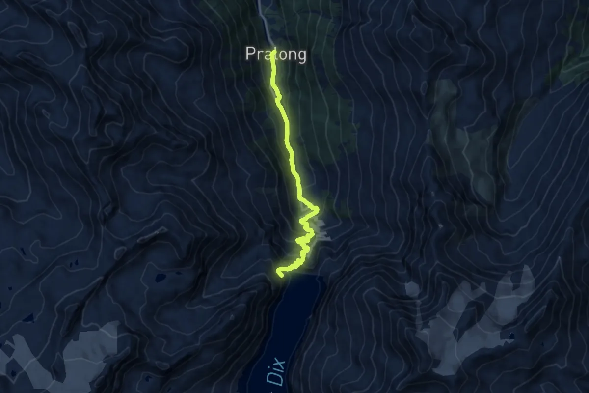
Demanding · Trail
Pralong – Barrage de la Dixence
10.9 km · ↑ 835 m · 4 h 23 min
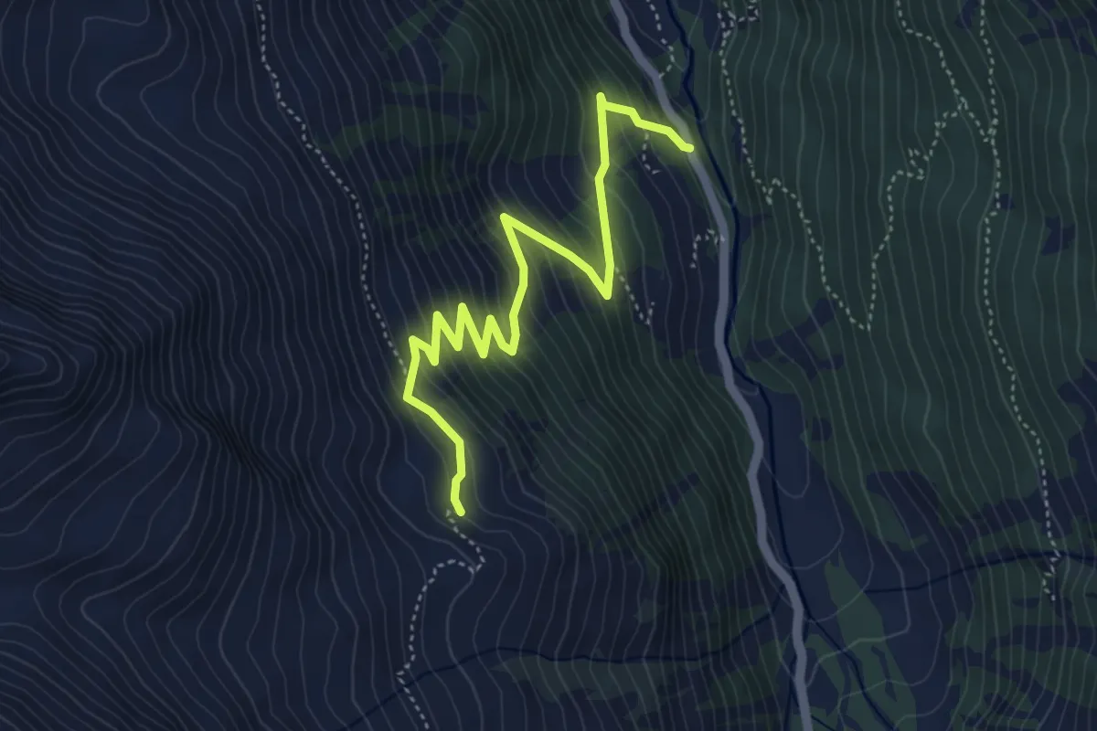
Medium · Trail
Les Mayentsets – Alléve
5.2 km · ↑ 487 m · 2 h 16 min
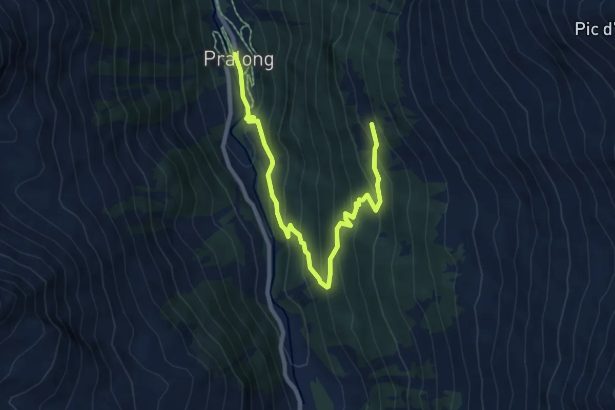
Medium · Trail
Pralong – Novèlé
6.4 km · ↑ 474 m · 2 h 33 min
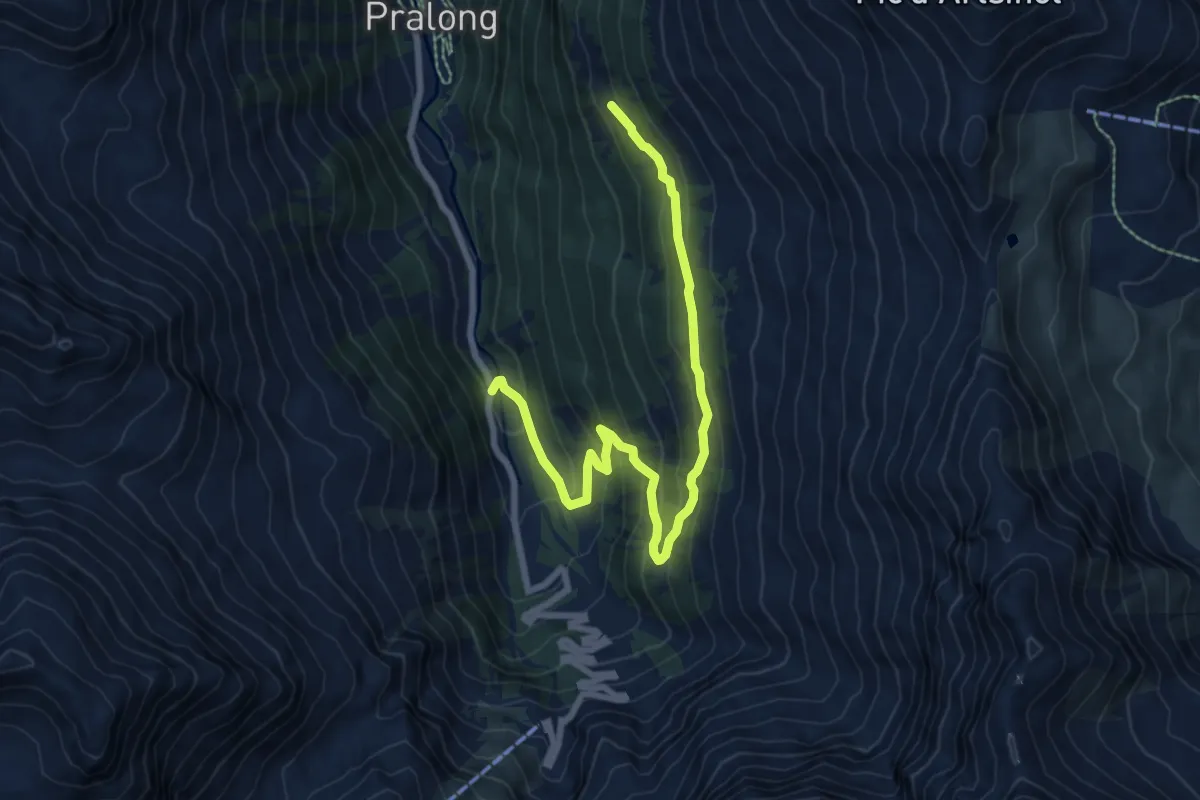
Medium · Trail
Novèlé – Méribé
8.4 km · ↑ 532 m · 3 h 8 min
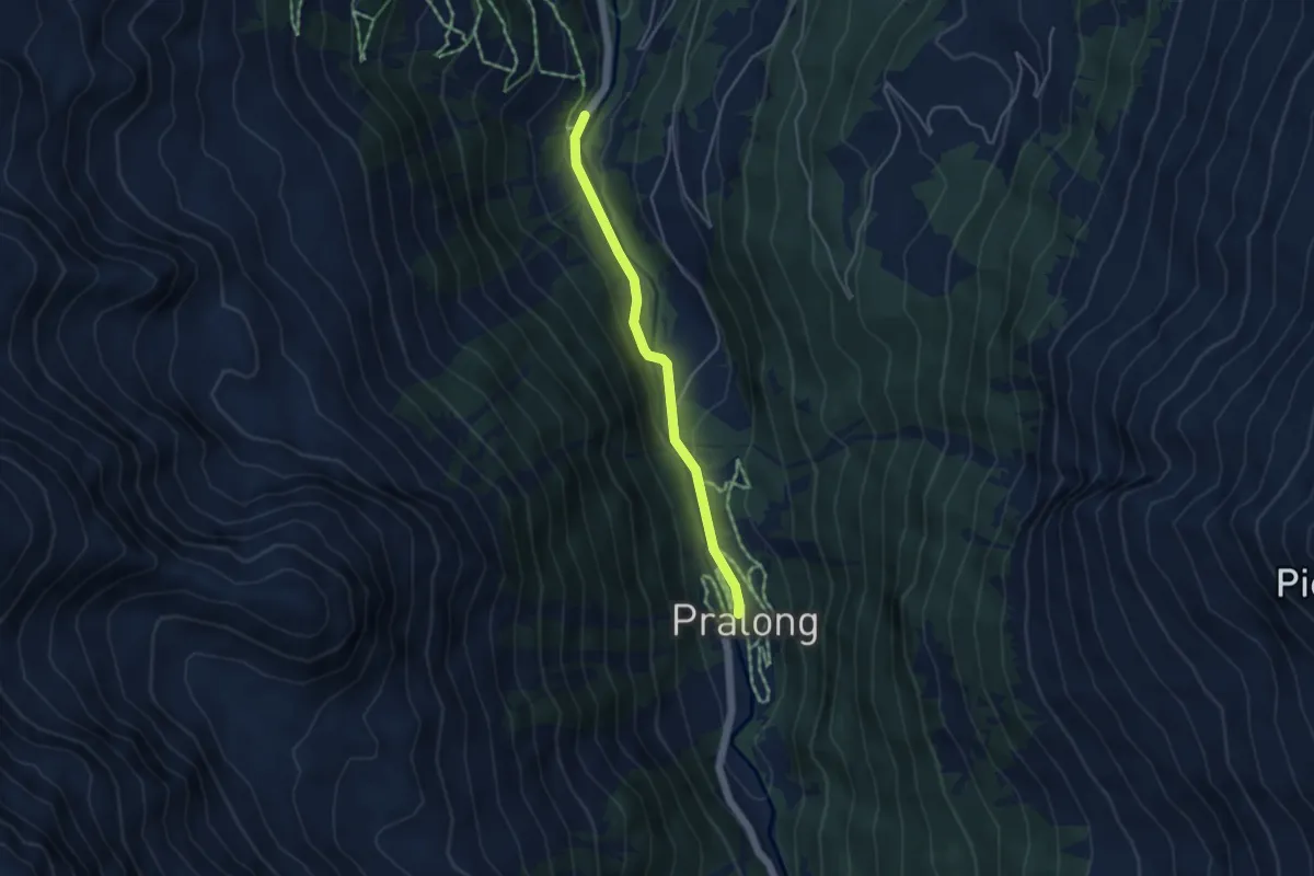
Easy · Trail
Pralong – Prapperot
3.9 km · ↑ 64 m · 1 h 4 min
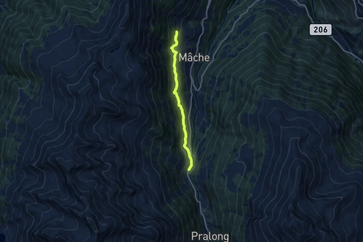
Medium · Trail
Prapperot – Riod
8.3 km · ↑ 549 m · 3 h 9 min
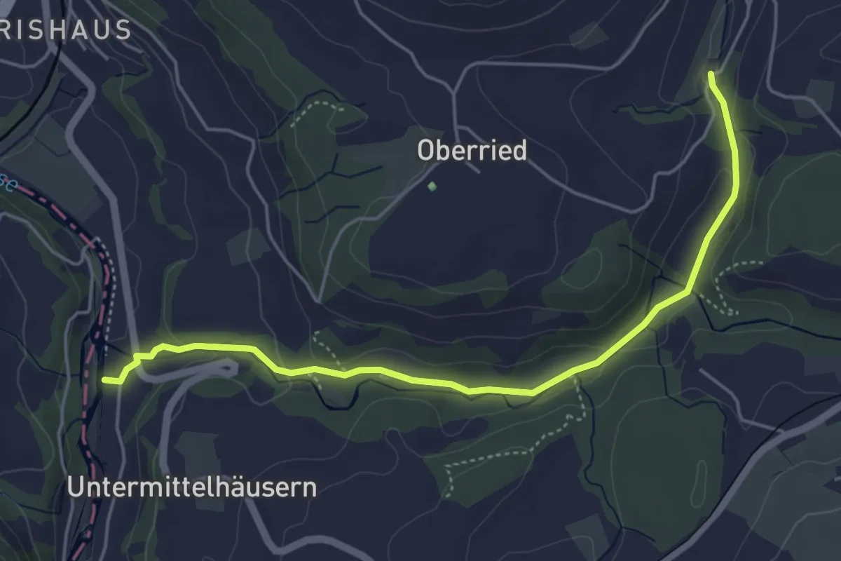
Easy · Trail
Sensematt – Grabenmüli
5.1 km · ↑ 116 m · 1 h 27 min
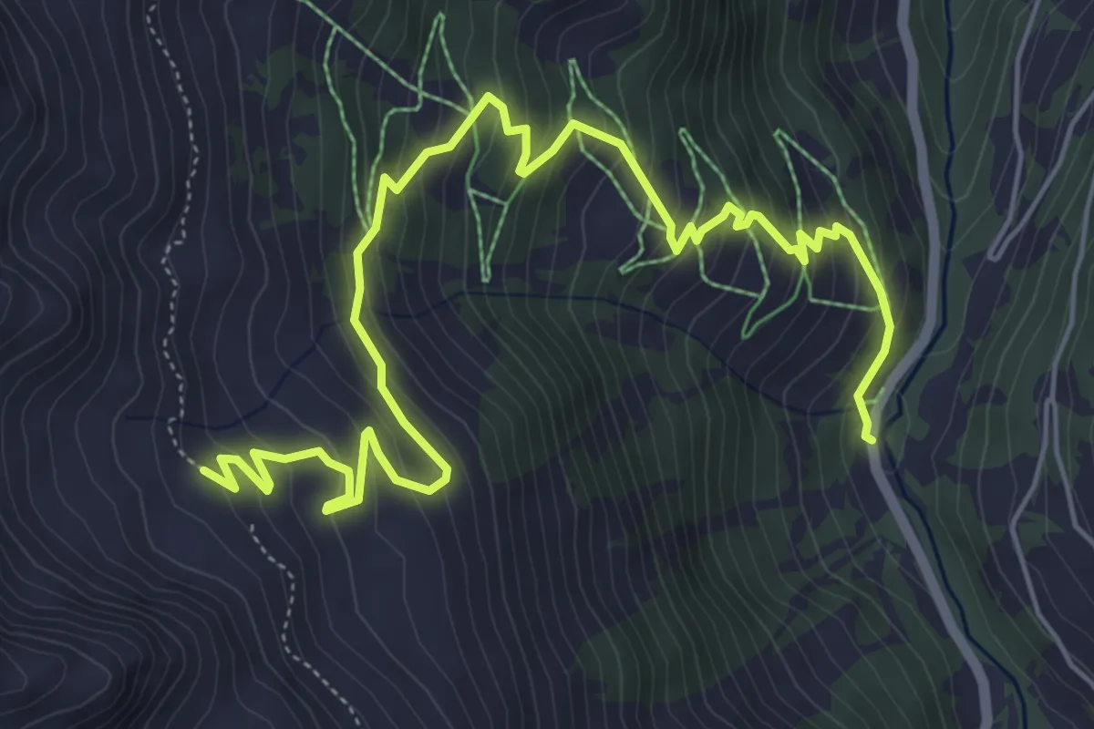
Medium · Trail
Prapperot – Orchère
7.6 km · ↑ 640 m · 3 h 11 min
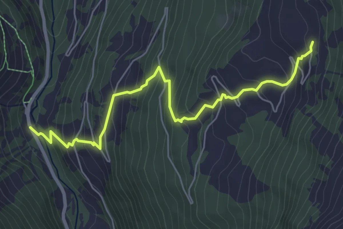
Medium · Trail
Prapperot – Mandelon
5.7 km · ↑ 515 m · 2 h 28 min
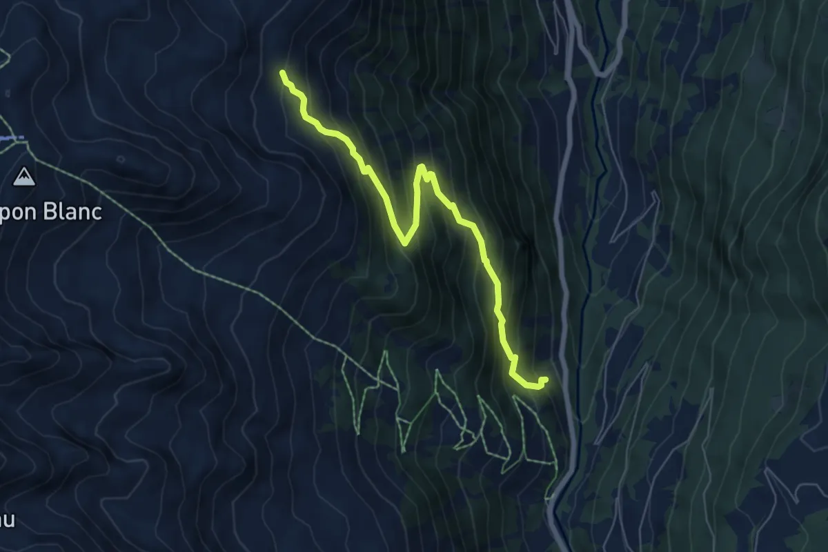
Medium · Cabin
La Bataille – Cabane d'Essertze
6.3 km · ↑ 696 m · 3 h
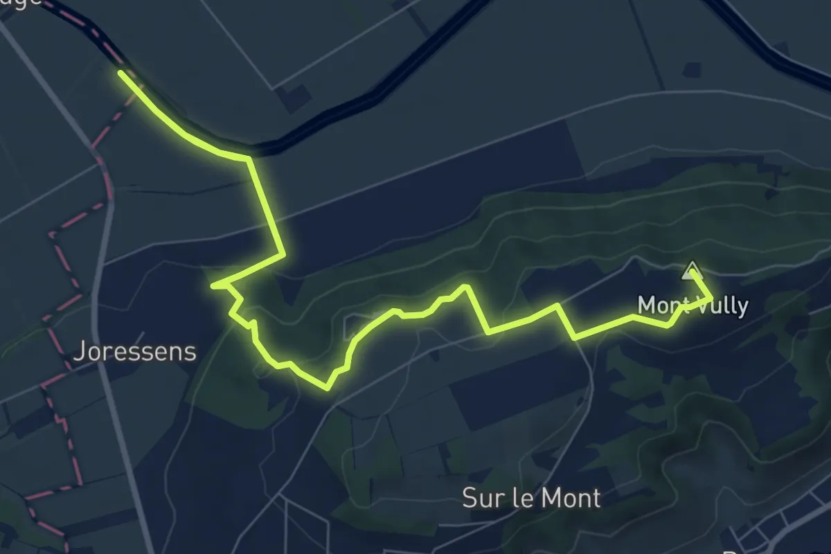
Medium · Summit
Mont Vully – La Sauge
12.1 km · ↑ 264 m · 3 h 25 min
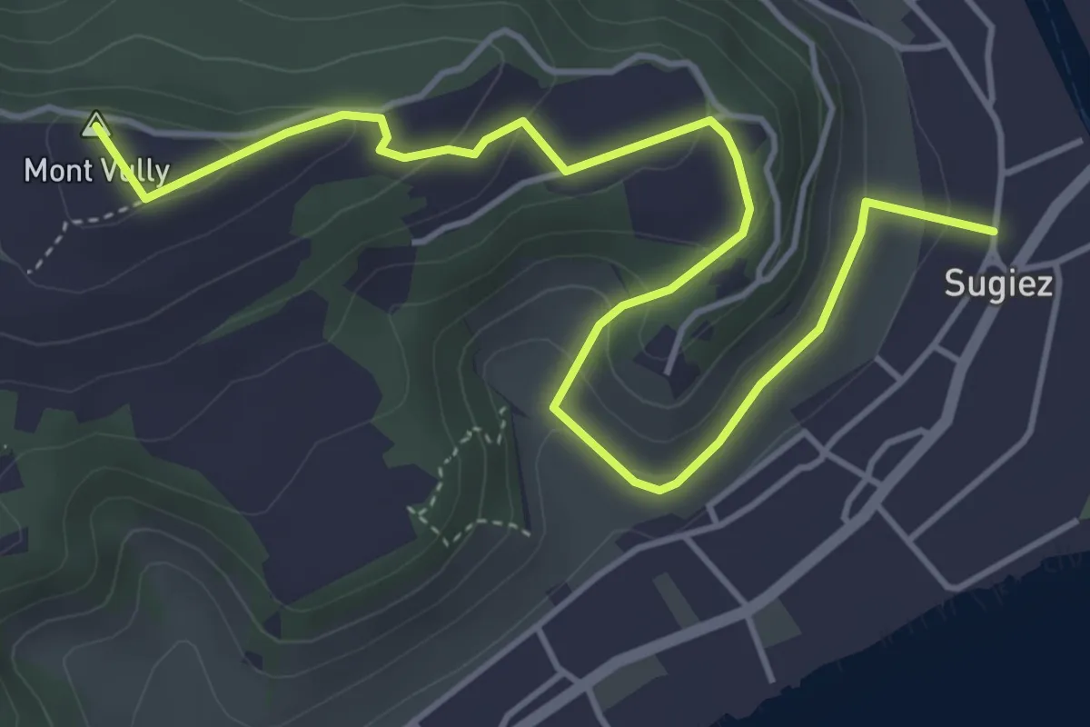
Easy · Summit
Sugiez – Mont Vully
5.6 km · ↑ 247 m · 1 h 51 min
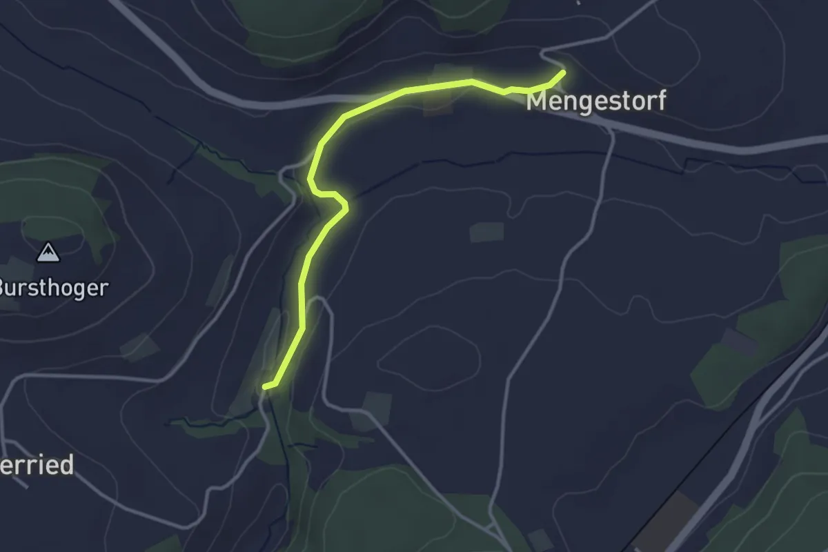
Easy · Trail
Grabenmüli – Mengestorf
3.2 km · ↑ 37 m · 50 min
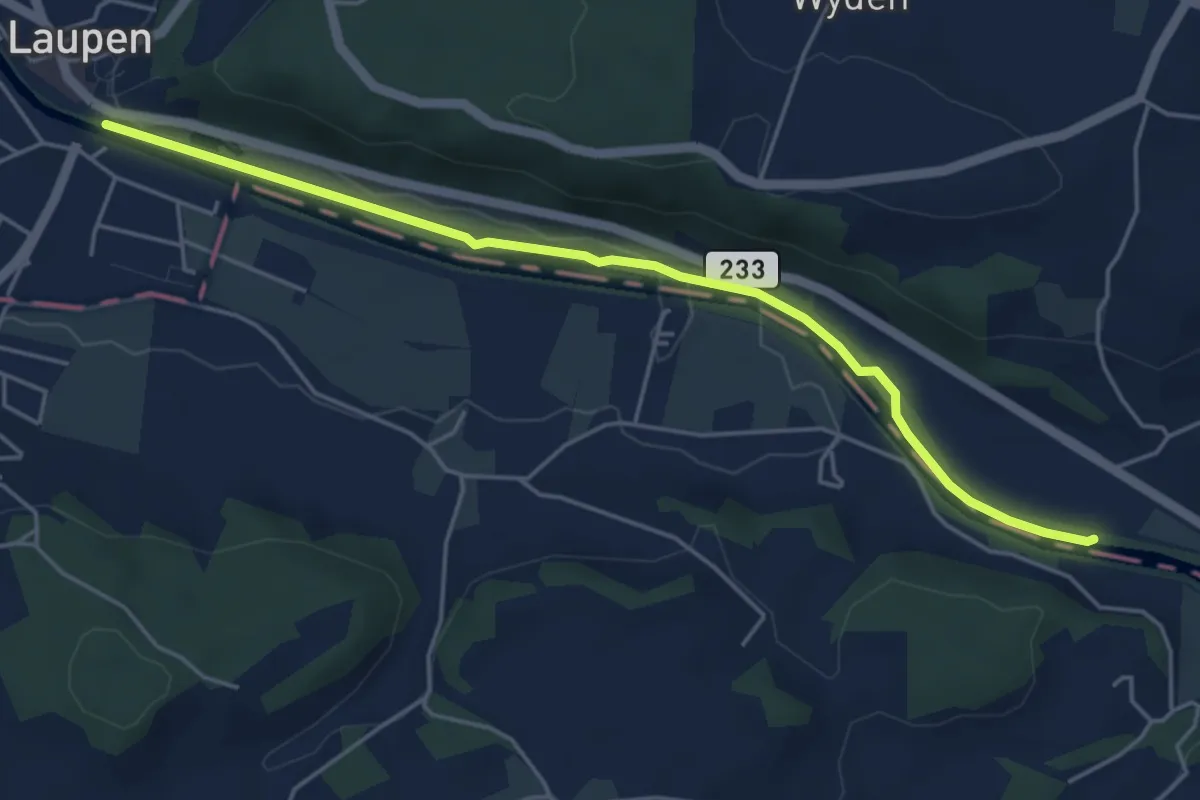
Easy · Trail
Laupen – Riedliau
5.0 km · ↑ 17 m · 1 h 14 min
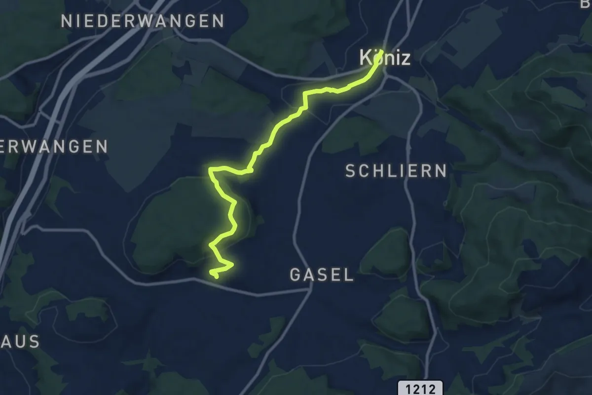
Medium · Trail
Mengestorf – Köniz
9.4 km · ↑ 280 m · 2 h 50 min
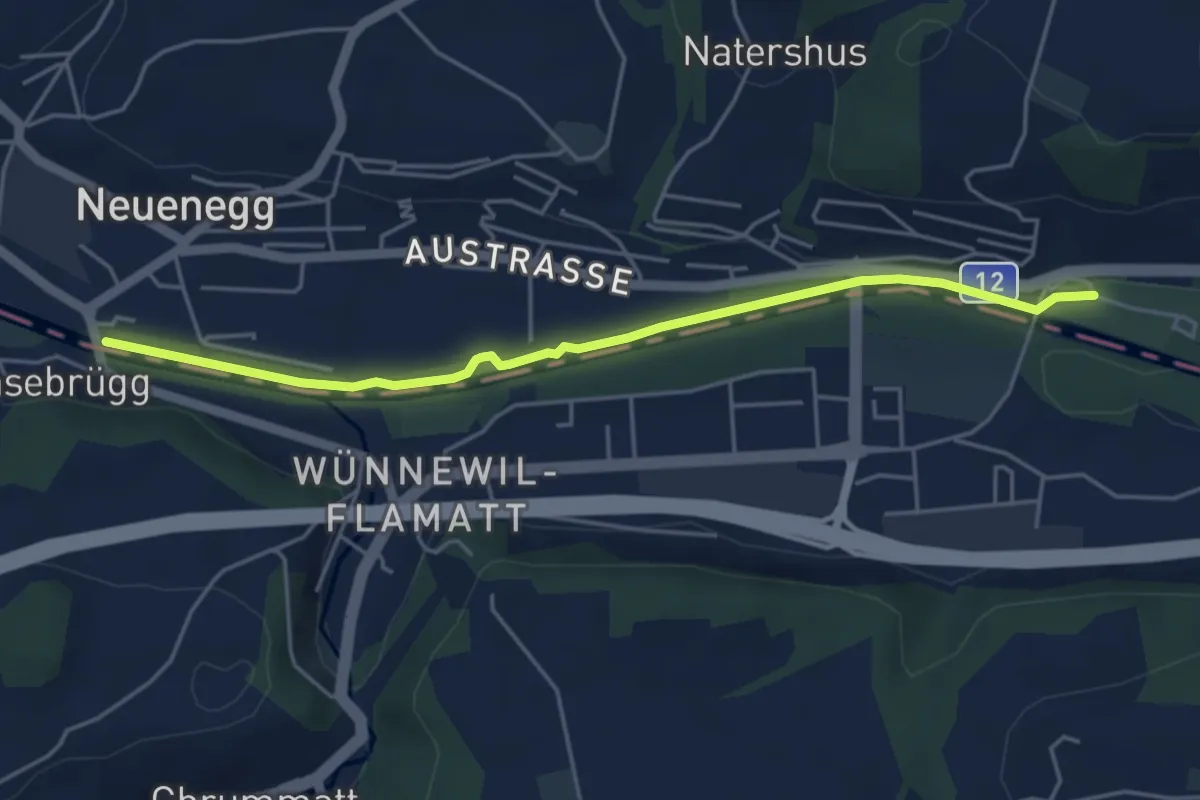
Easy · Trail
Sensebrücke – Steinige Brücke
4.7 km · ↑ 26 m · 1 h 11 min
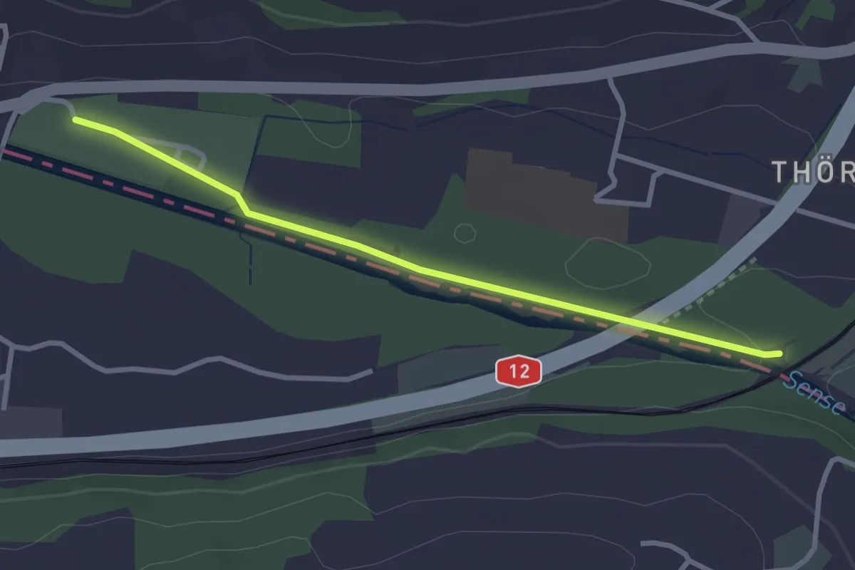
Easy · Trail
Steinerne Brücke – Thörishaus Au
2.8 km · ↑ 22 m · 42 min
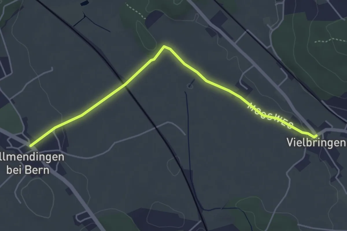
Easy · Trail
Allmendingen – Vielbringen
4.6 km · ↑ 28 m · 1 h 9 min
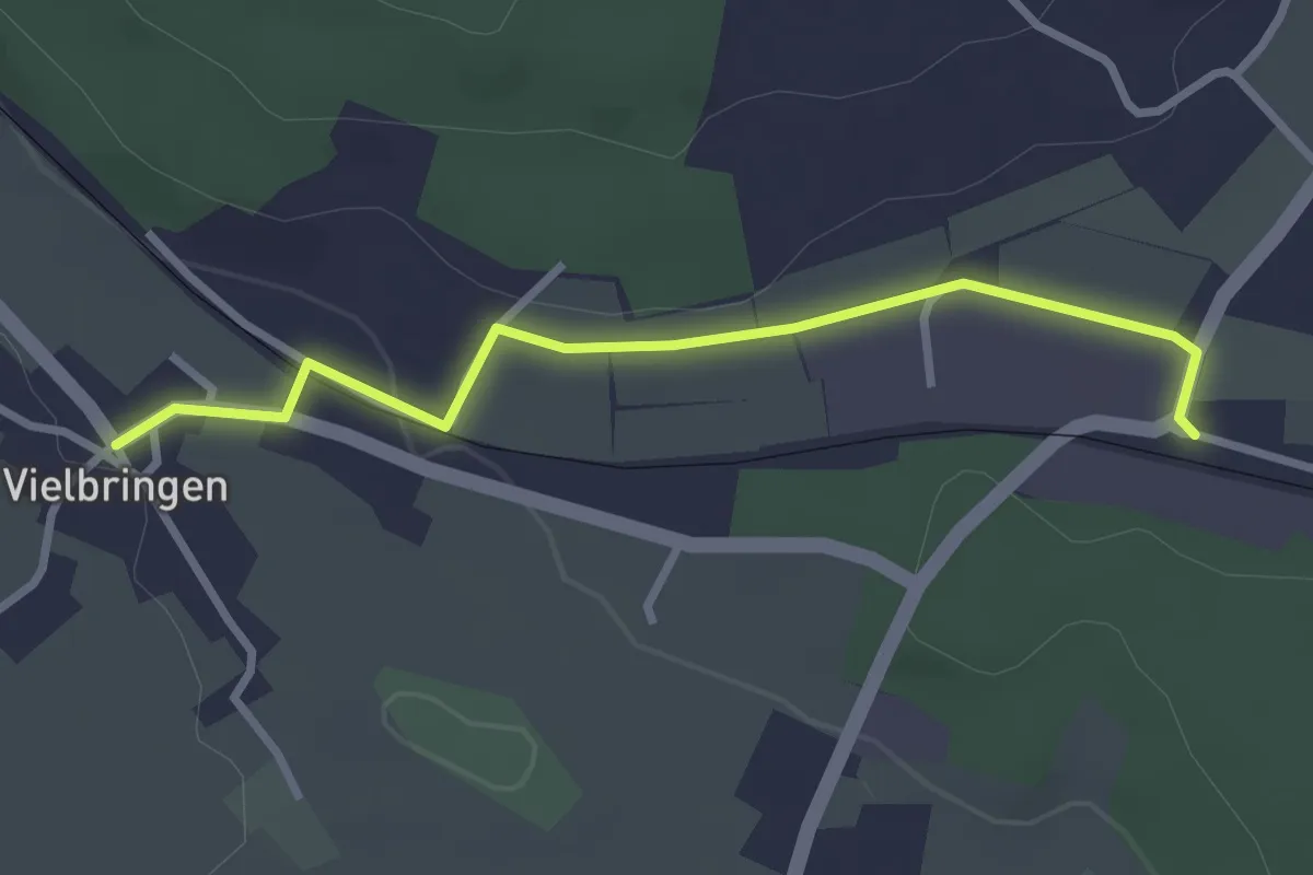
Easy · Trail
Vielbringen – Worb SBB
2.9 km · ↑ 44 m · 46 min
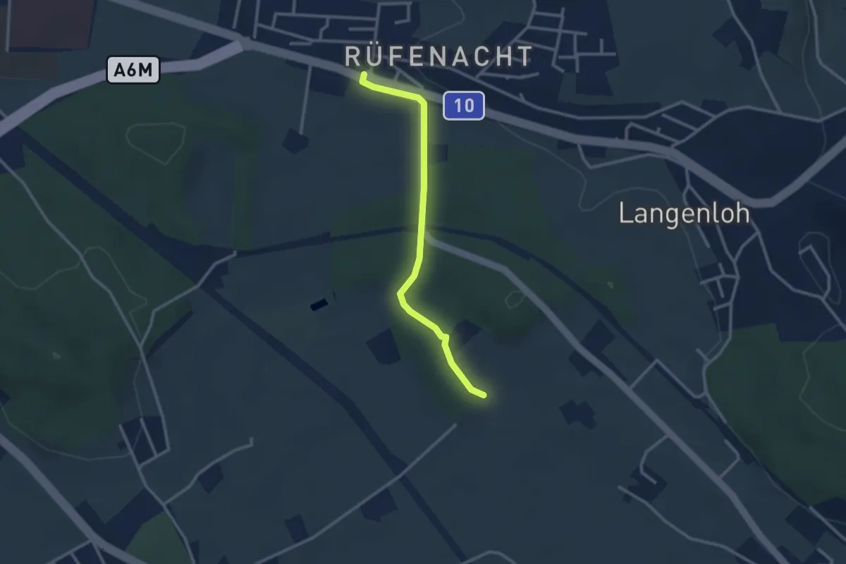
Easy · Trail
Rüfenacht – Chli Hüenliwald
2.6 km · ↑ 20 m · 40 min
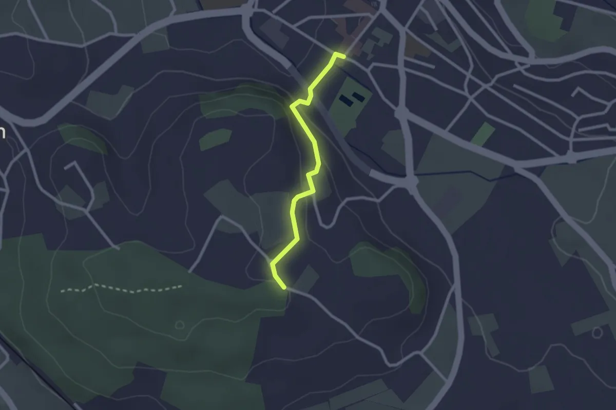
Easy · Trail
Wislen – Worb
2.1 km · ↑ 78 m · 40 min
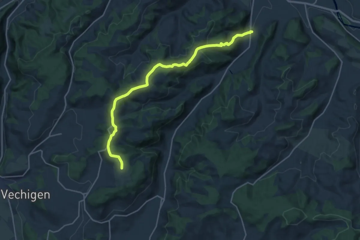
Medium · Trail
Mänziwilegg – Schafhausen
16.2 km · ↑ 533 m · 4 h 58 min
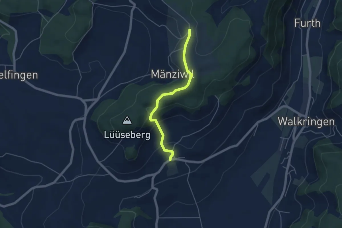
Easy · Trail
Wikartswil – Mänziwilegg
3.9 km · ↑ 180 m · 1 h 19 min
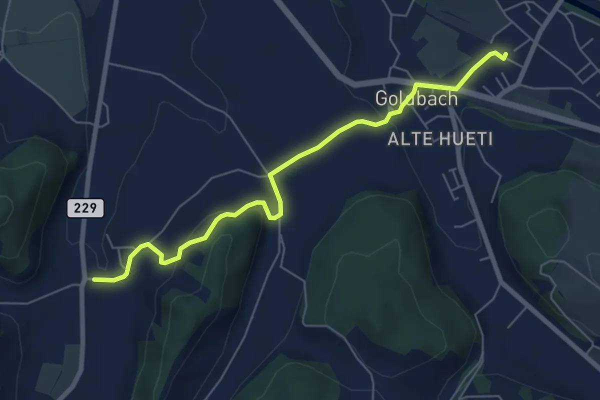
Easy · Trail
Schafhausen – Lützelflüh
5.6 km · ↑ 167 m · 1 h 40 min
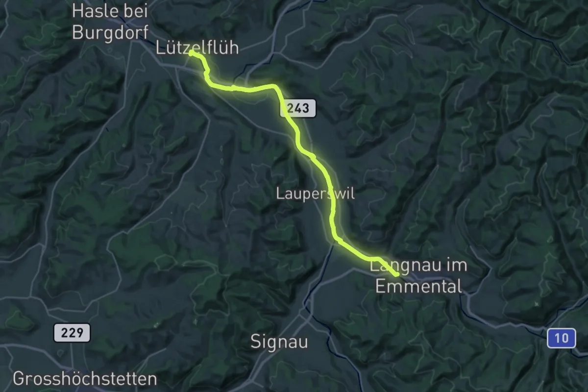
Demanding · Trail
Lützelflüh – Ilfis
25.1 km · ↑ 124 m · 6 h 11 min
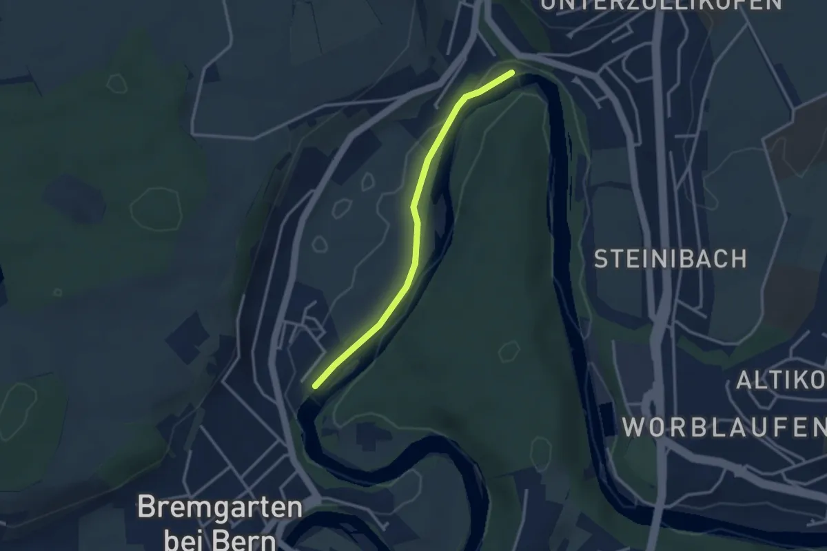
Easy · Trail
Fähre Zehndermätteli – Fähre Reichenbach
2.6 km · ↑ 17 m · 40 min
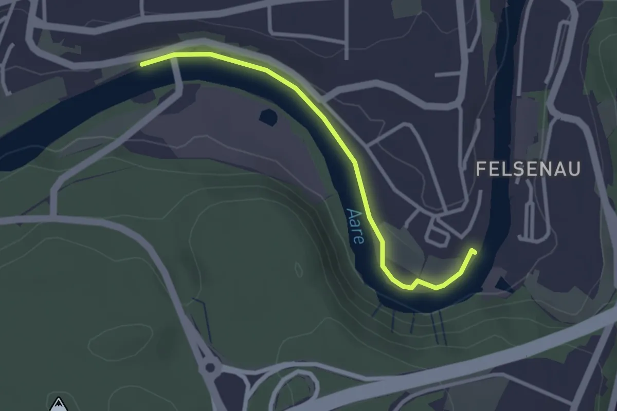
Easy · Trail
Neubrügg – Seftausteg
2.6 km · ↑ 9 m · 38 min
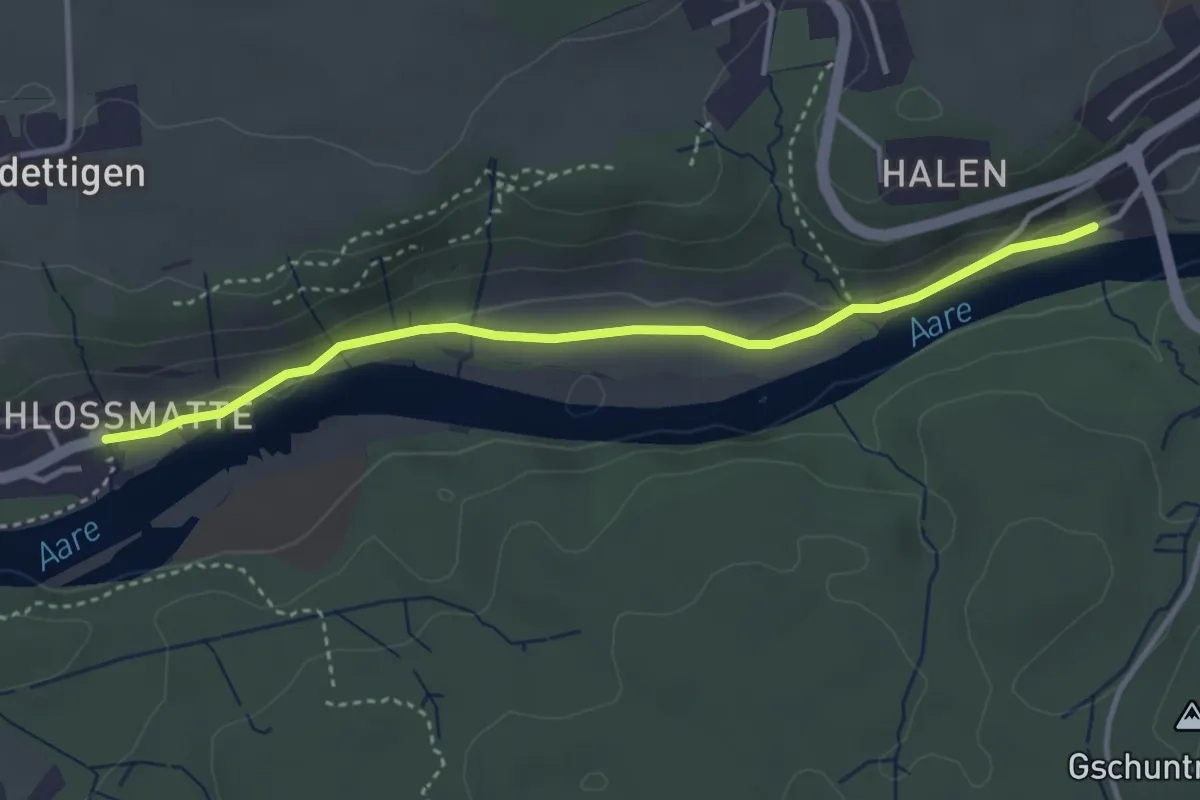
Easy · Trail
Unterdettigen – Halebrügg
3.6 km · ↑ 46 m · 57 min
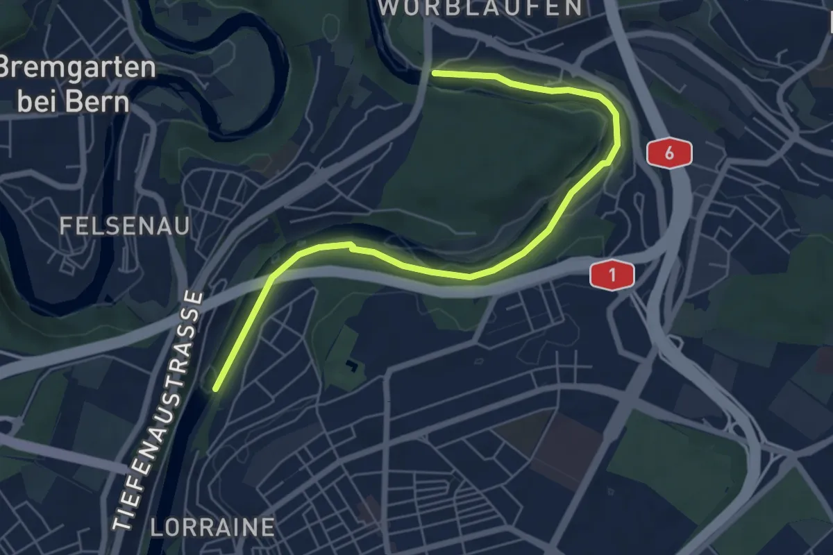
Easy · Trail
Tiefenaubrücke – Felsenausteg
6.4 km · ↑ 56 m · 1 h 38 min
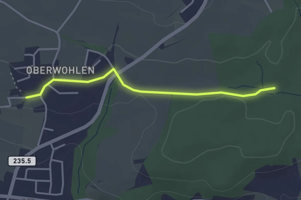
Easy · Trail
Buechholz – Oberwohlen
2.7 km · ↑ 45 m · 45 min
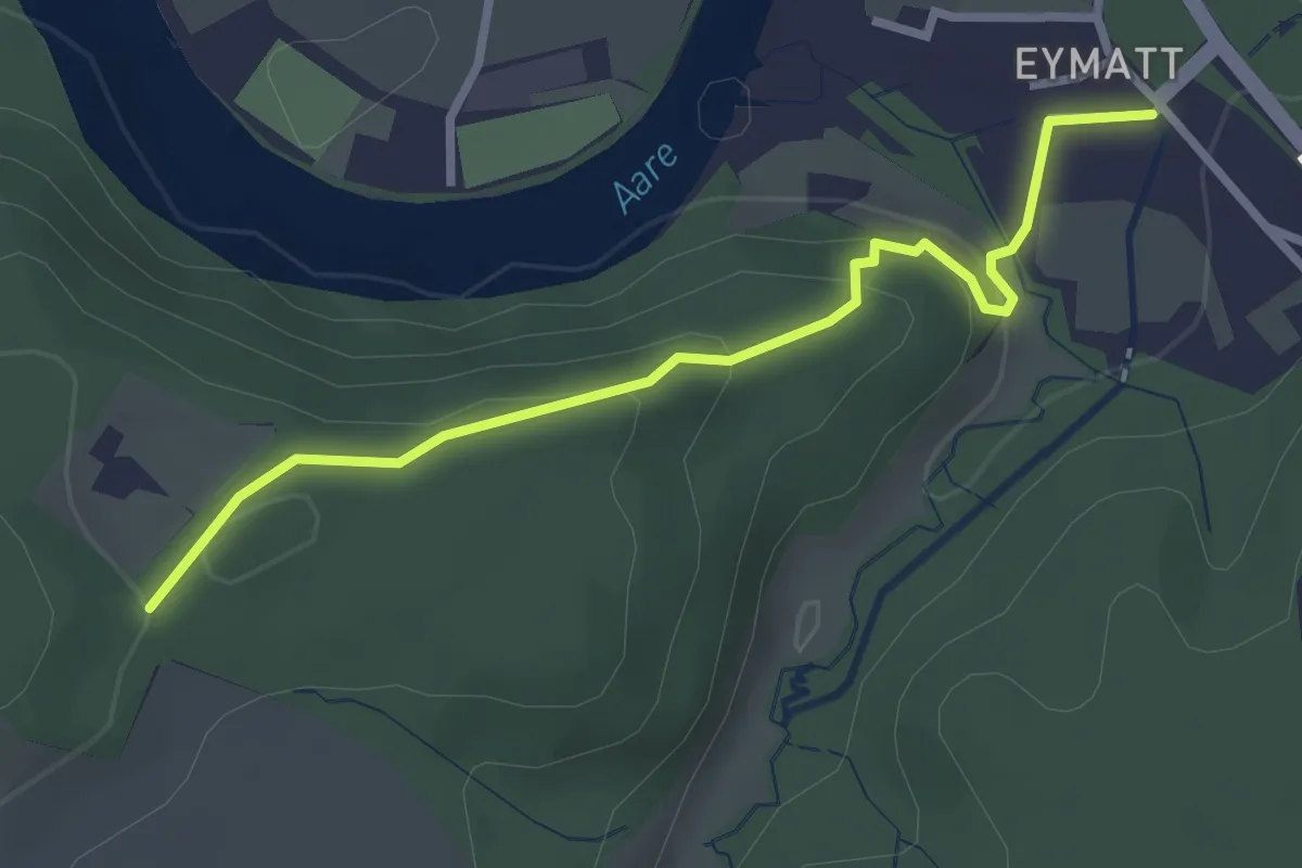
Easy · Trail
Eimatt – Stürleren
2.8 km · ↑ 116 m · 55 min
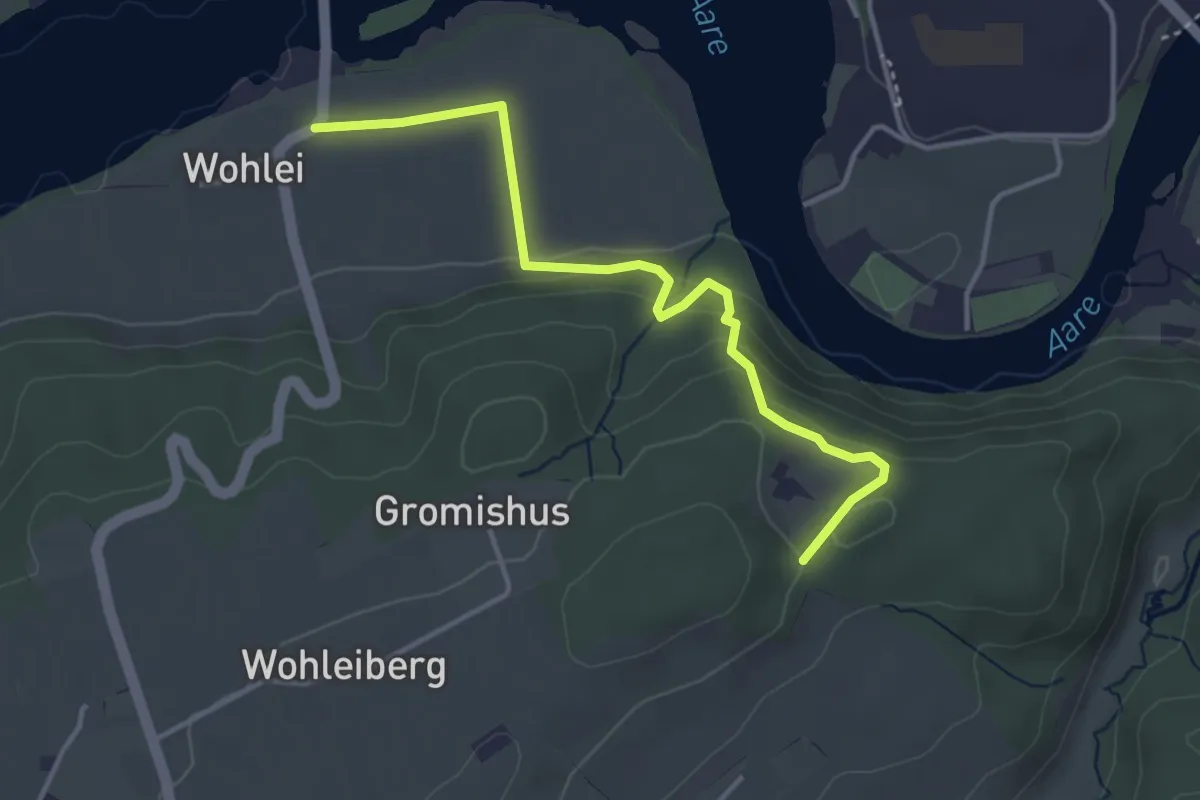
Easy · Trail
Stürleren – Wohlei
3.8 km · ↑ 179 m · 1 h 18 min
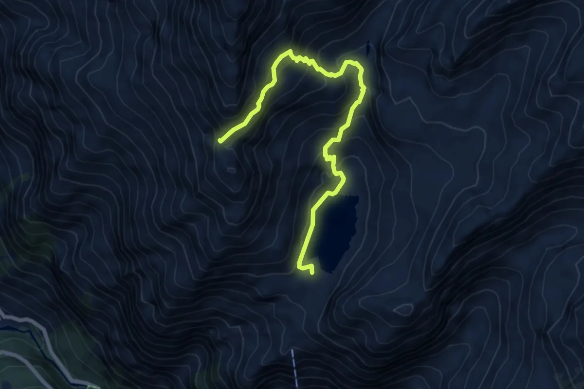
Medium · Cabin
Cabane de Louvie p2239 – Col Termin p2648
6.7 km · ↑ 623 m · 2 h 56 min
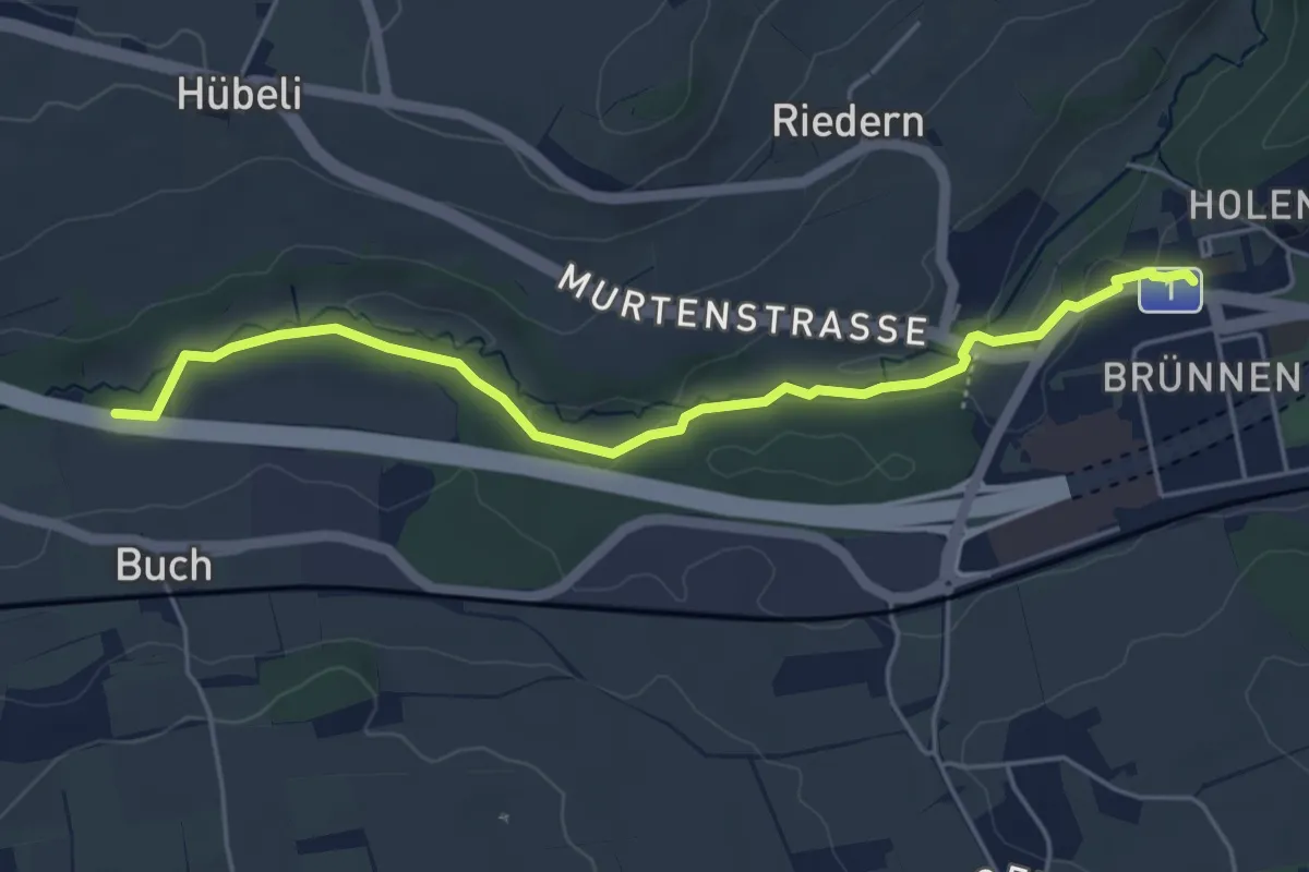
Easy · Trail
Gäbelbach – Autobahnviadukt
5.0 km · ↑ 49 m · 1 h 17 min
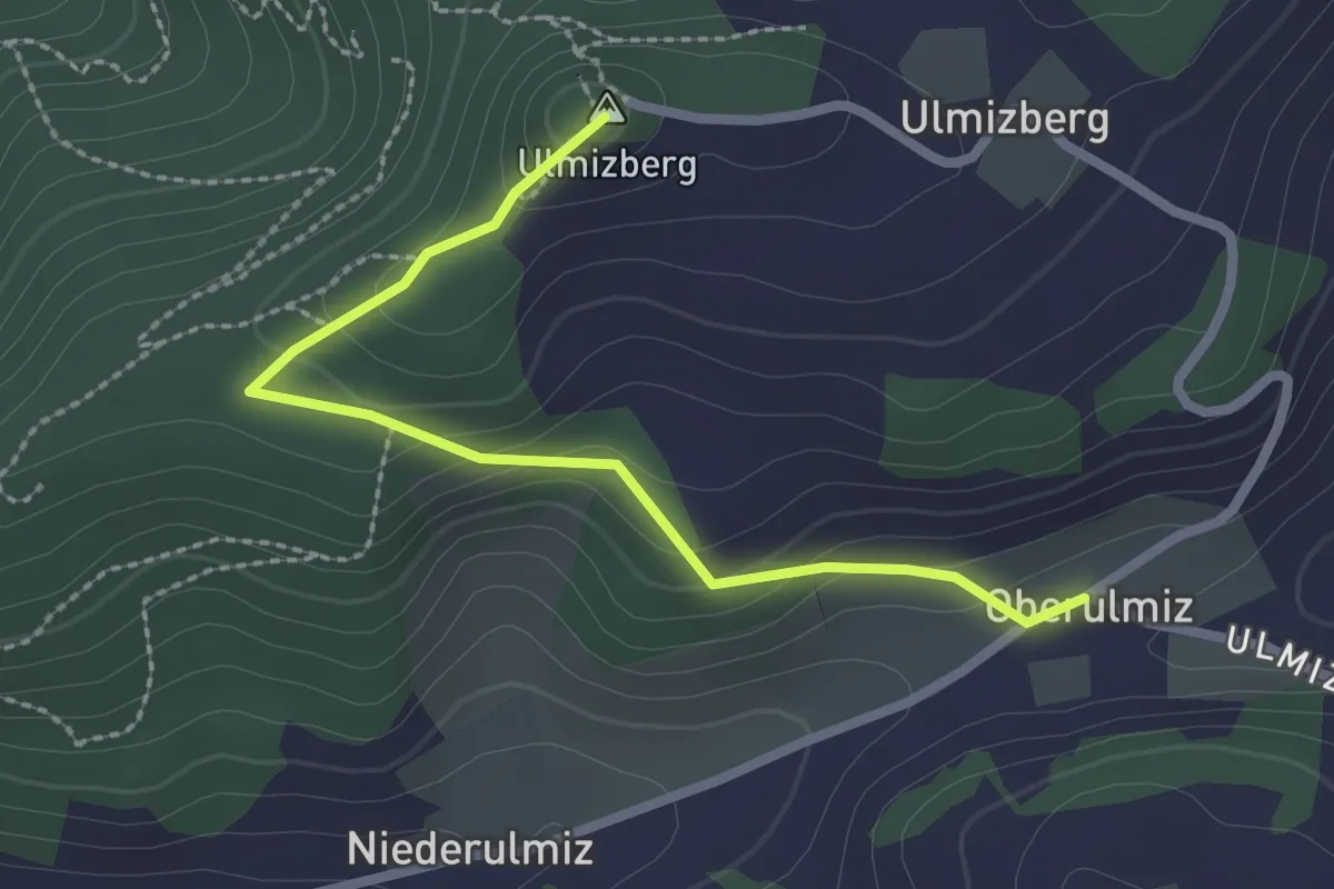
Easy · Summit
Ulmizberg – Oberulmiz
2.5 km · ↑ 118 m · 50 min
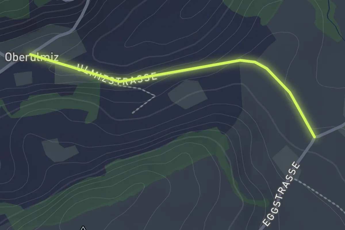
Easy · Trail
Oberulmiz – Kühlewil/Gütsch
2.0 km · ↑ 36 m · 33 min
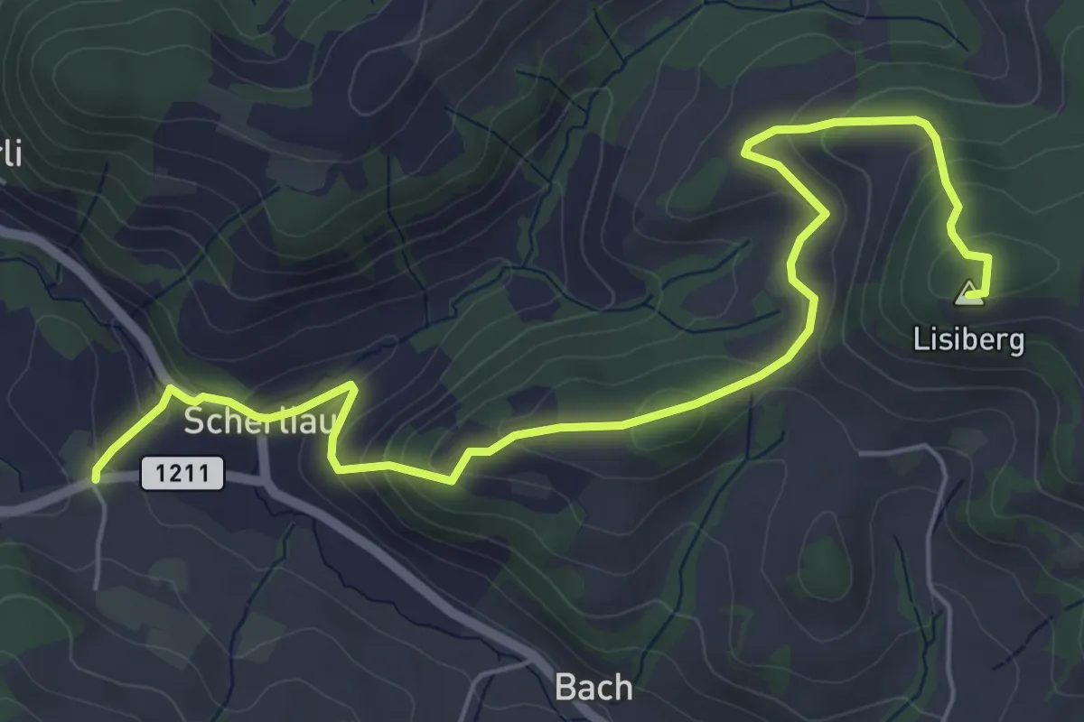
Medium · Summit
Leimen – Lisiberg
6.7 km · ↑ 367 m · 2 h 23 min
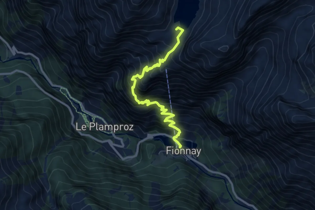
Demanding · Cabin
Fionnay p1492 – Cabane de Louvie p2239
7.1 km · ↑ 888 m · 3 h 36 min
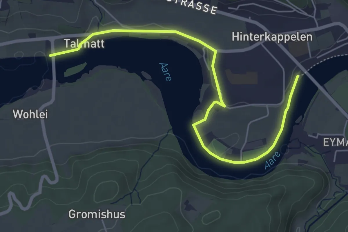
Easy · Trail
Wohleibrügg – Kappelenbrügg
5.9 km · ↑ 60 m · 1 h 31 min
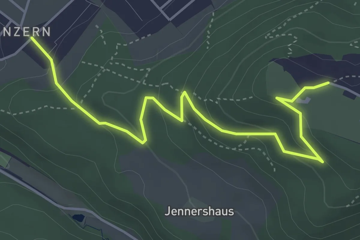
Easy · Trail
Blinzern – Gurten Kulm
4.5 km · ↑ 233 m · 1 h 34 min
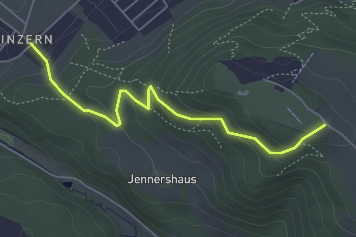
Easy · Summit
Blinzern – Gurten/Ostsignal
4.2 km · ↑ 238 m · 1 h 31 min
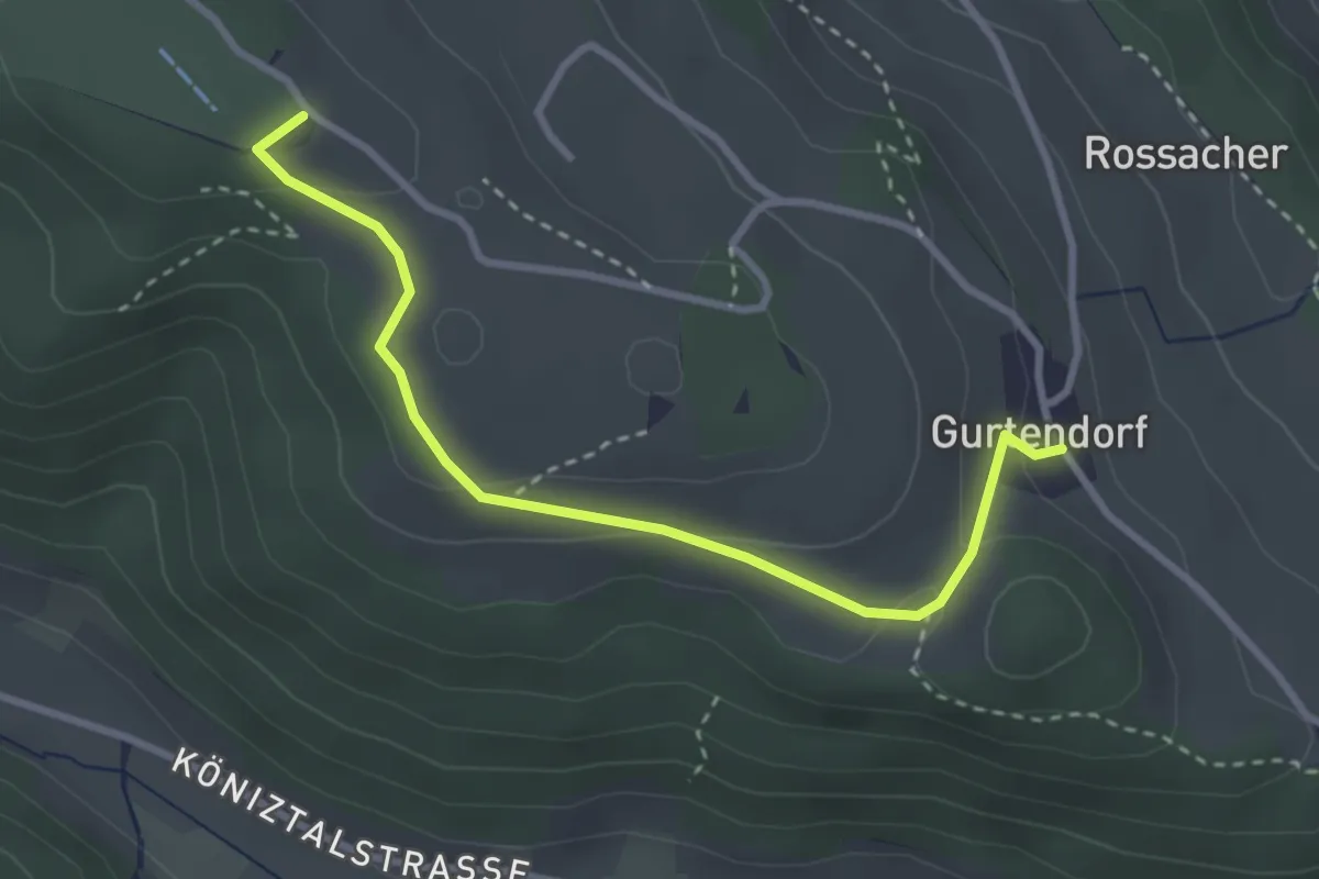
Easy · Summit
Gurten/Ostsignal – Gurtendorf
3.2 km · ↑ 99 m · 58 min
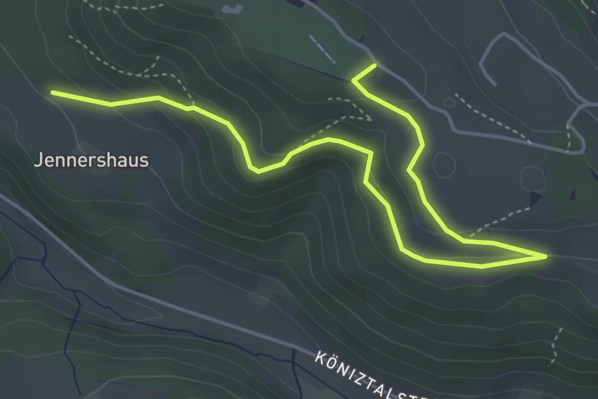
Easy · Summit
Gurten/Ostsignal – Jennershus
5.3 km · ↑ 188 m · 1 h 40 min
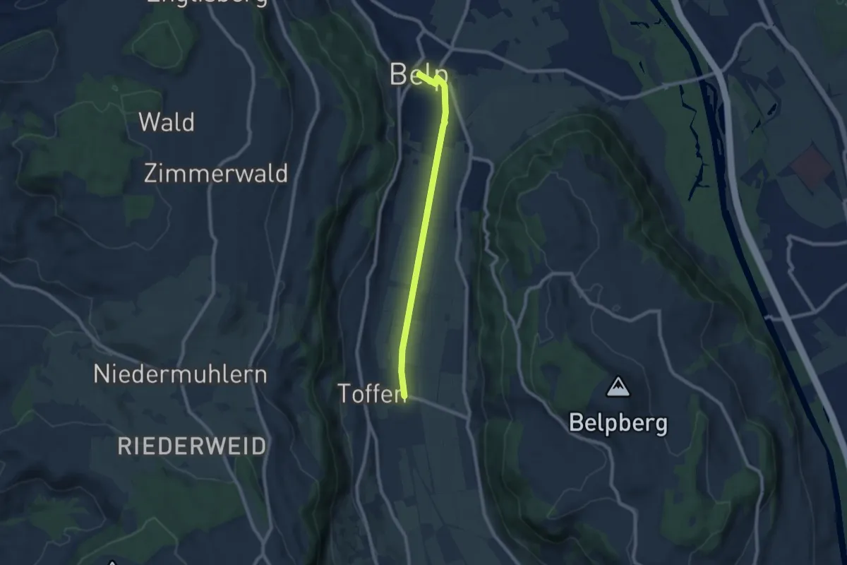
Easy · Trail
Toffen – Belp
7.3 km · ↑ 4 m · 1 h 44 min
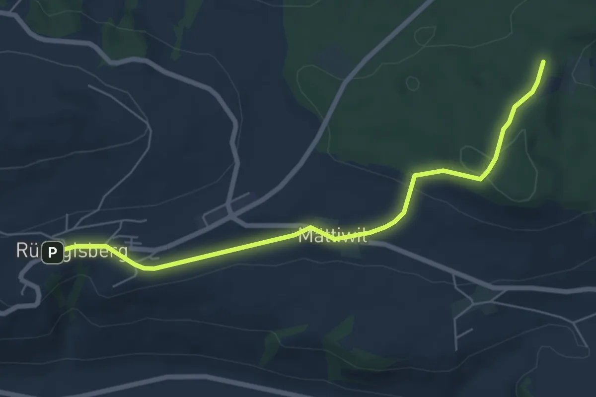
Easy · Trail
Rüeggisberg – Taanwald
5.8 km · ↑ 134 m · 1 h 39 min
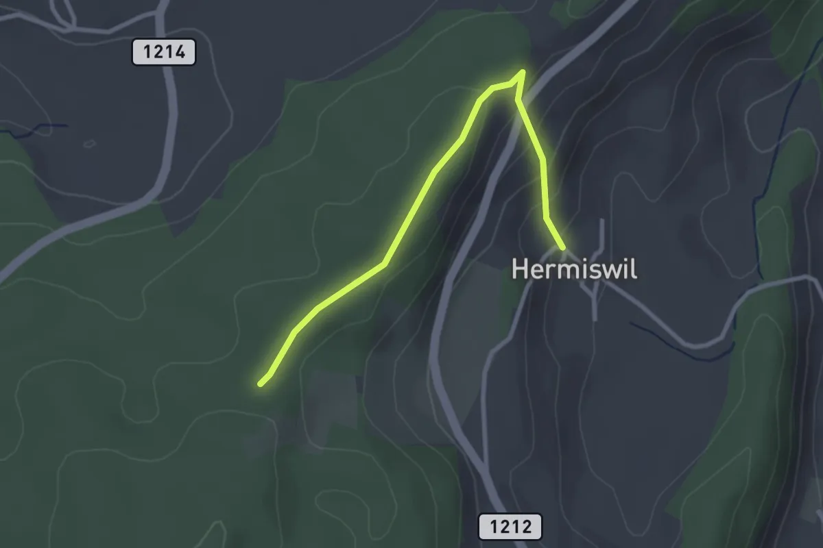
Easy · Trail
Hermiswil – Taanwald
2.7 km · ↑ 115 m · 53 min
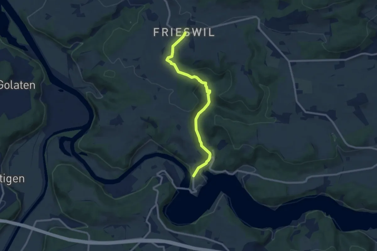
Easy · Trail
Frieswil – Wickacher
7.3 km · ↑ 222 m · 2 h 13 min