Trails in Switzerland
15,055 hiking trails, each with its route, climb, walking time and grade.
All trails, page 191 of 314
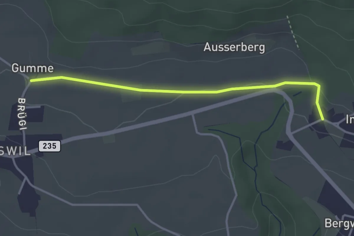
Easy · Trail
Gummen – Innerberg
3.1 km · ↑ 62 m · 52 min
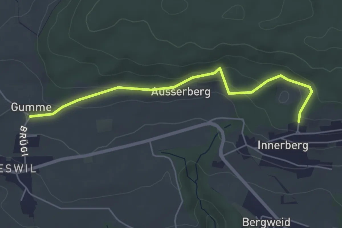
Easy · Trail
Gummen – Innerberg Mösli
4.6 km · ↑ 174 m · 1 h 27 min
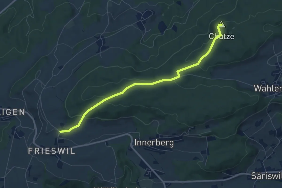
Easy · Summit
Gummen – Chutzenturm
7.5 km · ↑ 205 m · 2 h 13 min
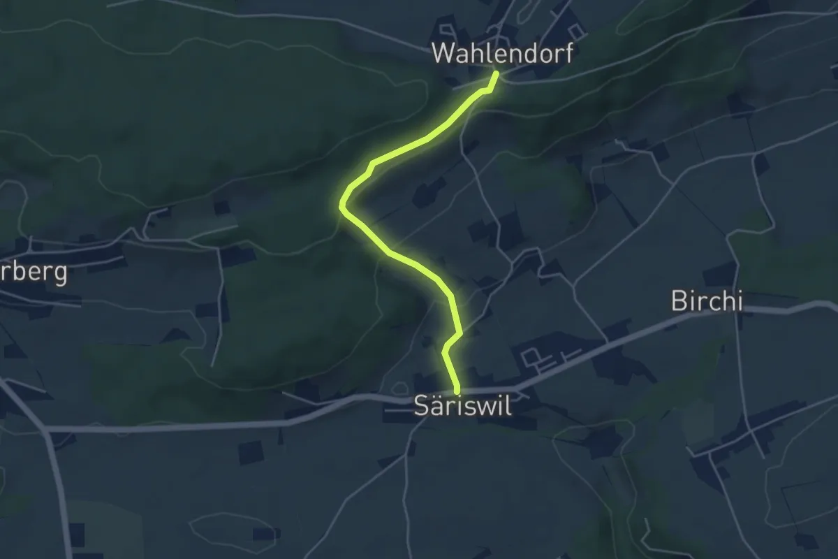
Easy · Trail
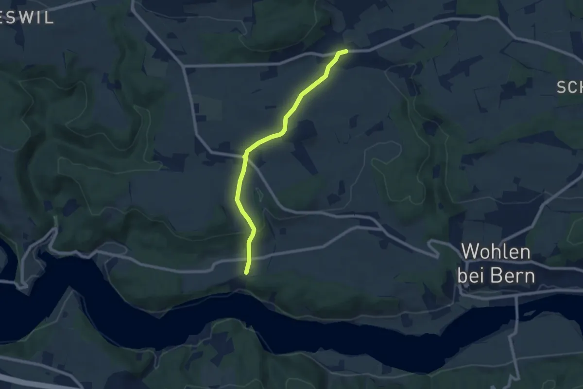
Wahlendorf Usserdorf – Säriswil
4.0 km · ↑ 132 m · 1 h 14 min
Easy · Trail
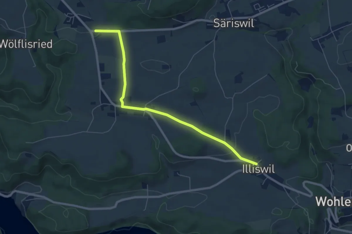
Säriswil – Steinisweg
6.1 km · ↑ 112 m · 1 h 41 min
Easy · Trail
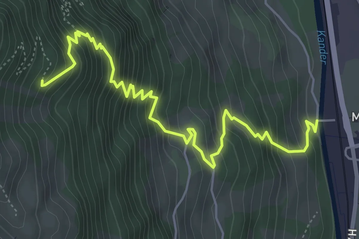
Illiswil – Weiermatt
6.3 km · ↑ 110 m · 1 h 44 min
Medium · Trail
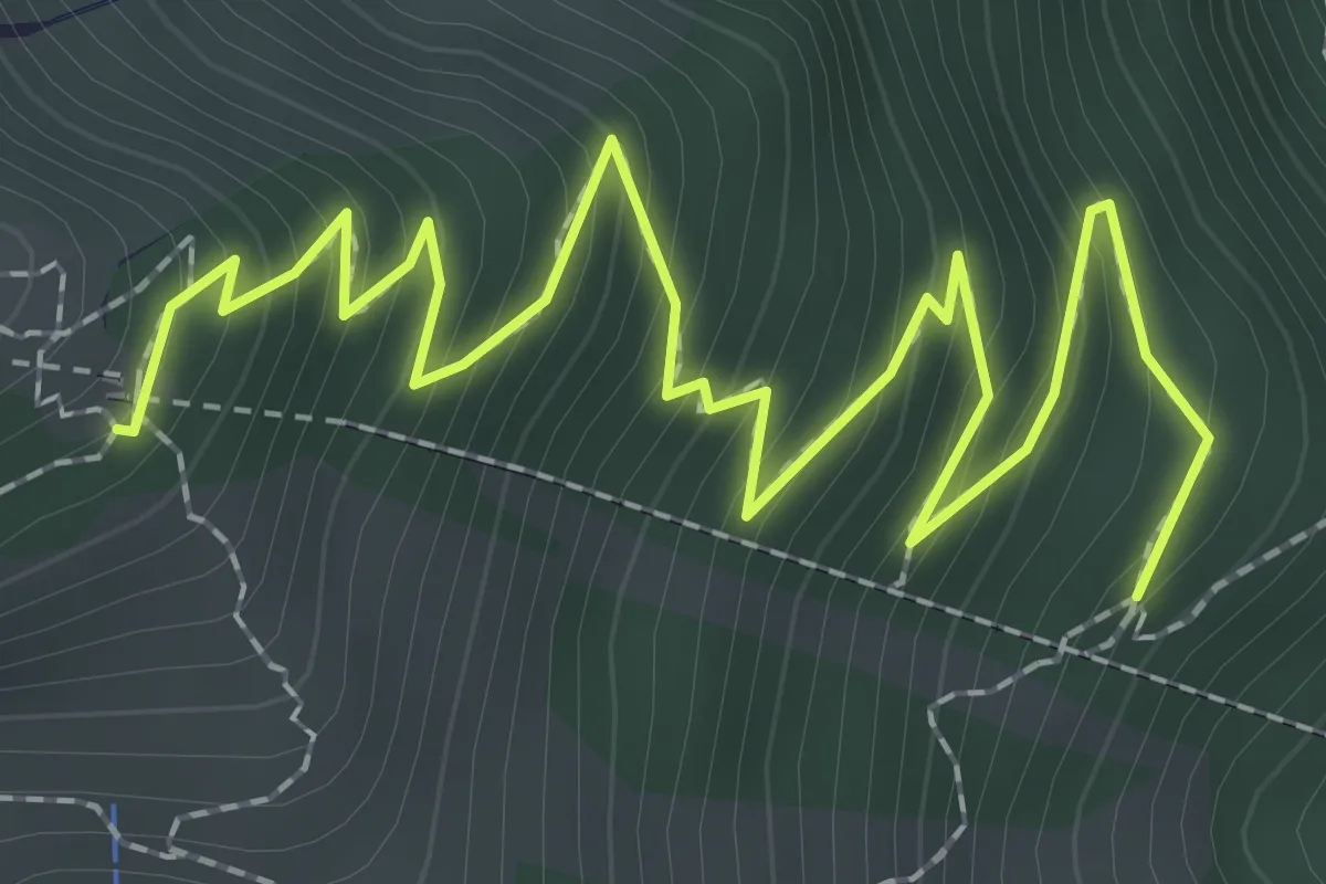
Mülenen – Rölleren
5.8 km · ↑ 727 m · 2 h 56 min
Medium · Trail
Rölleren – Schwandegg
3.2 km · ↑ 360 m · 1 h 32 min
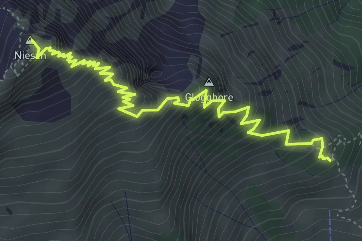
Demanding · Summit
Schwandegg – Niesen
5.4 km · ↑ 834 m · 3 h 5 min
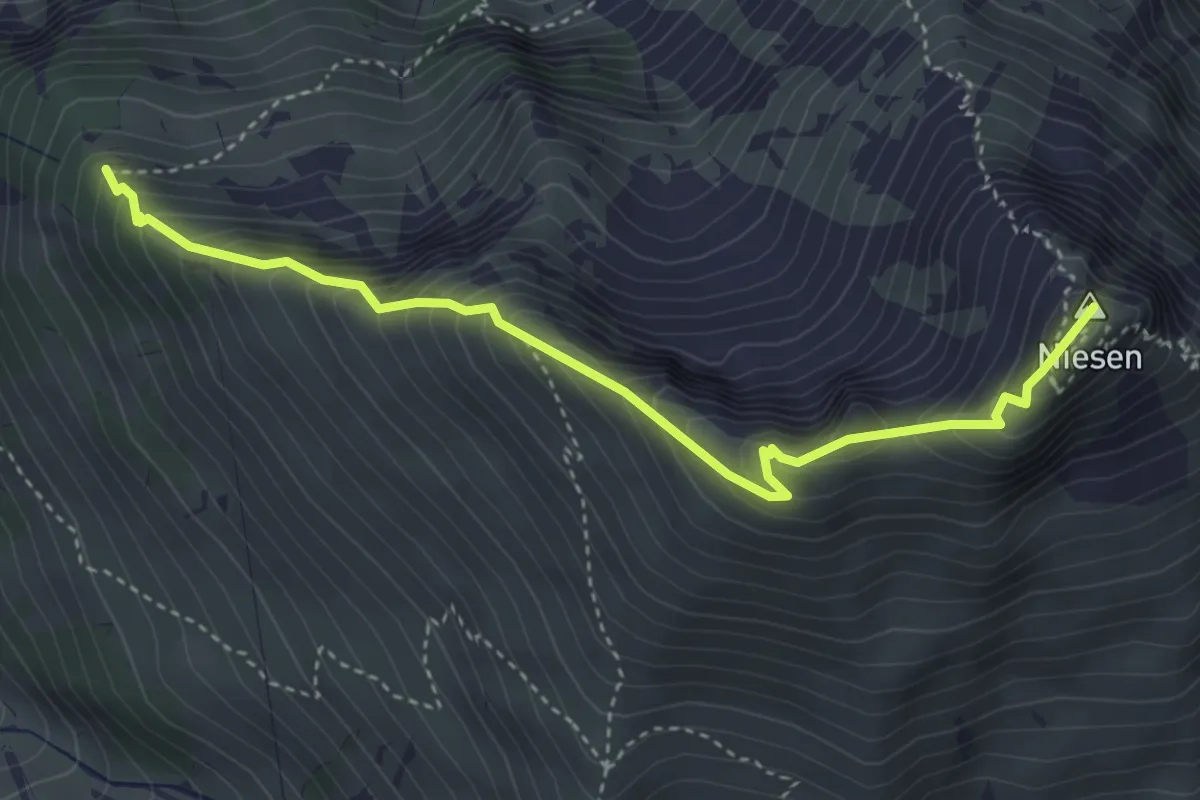
Medium · Summit
Niesen – Stueffistein
4.1 km · ↑ 493 m · 2 h 2 min
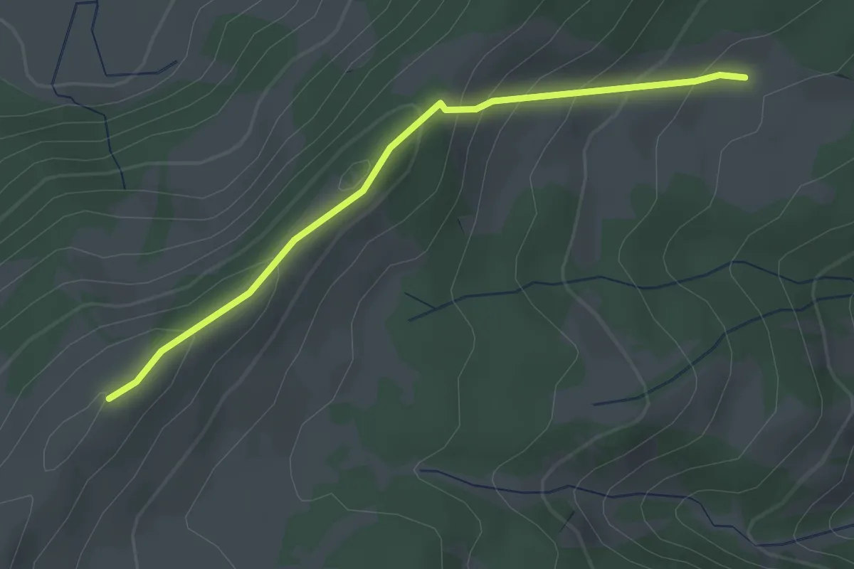
Easy · Cabin
Gros Cousimbert Käsenberg – Wusta
2.7 km · ↑ 180 m · 1 h 2 min
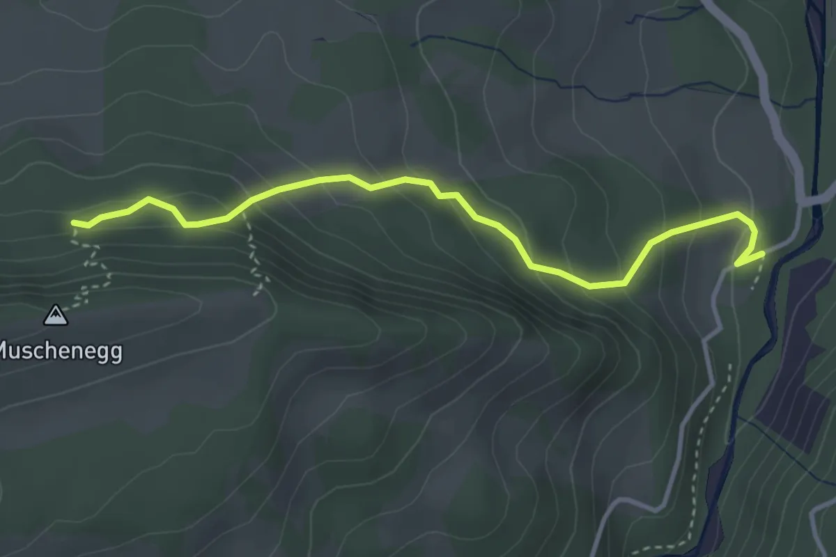
Easy · Trail
Roggeli – Burgerwald
3.6 km · ↑ 266 m · 1 h 25 min
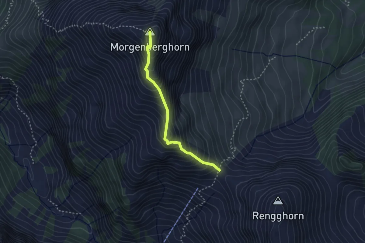
Demanding · Summit
Morgenberghorn – Rennglipass
2.7 km · ↑ 324 m · 1 h 20 min
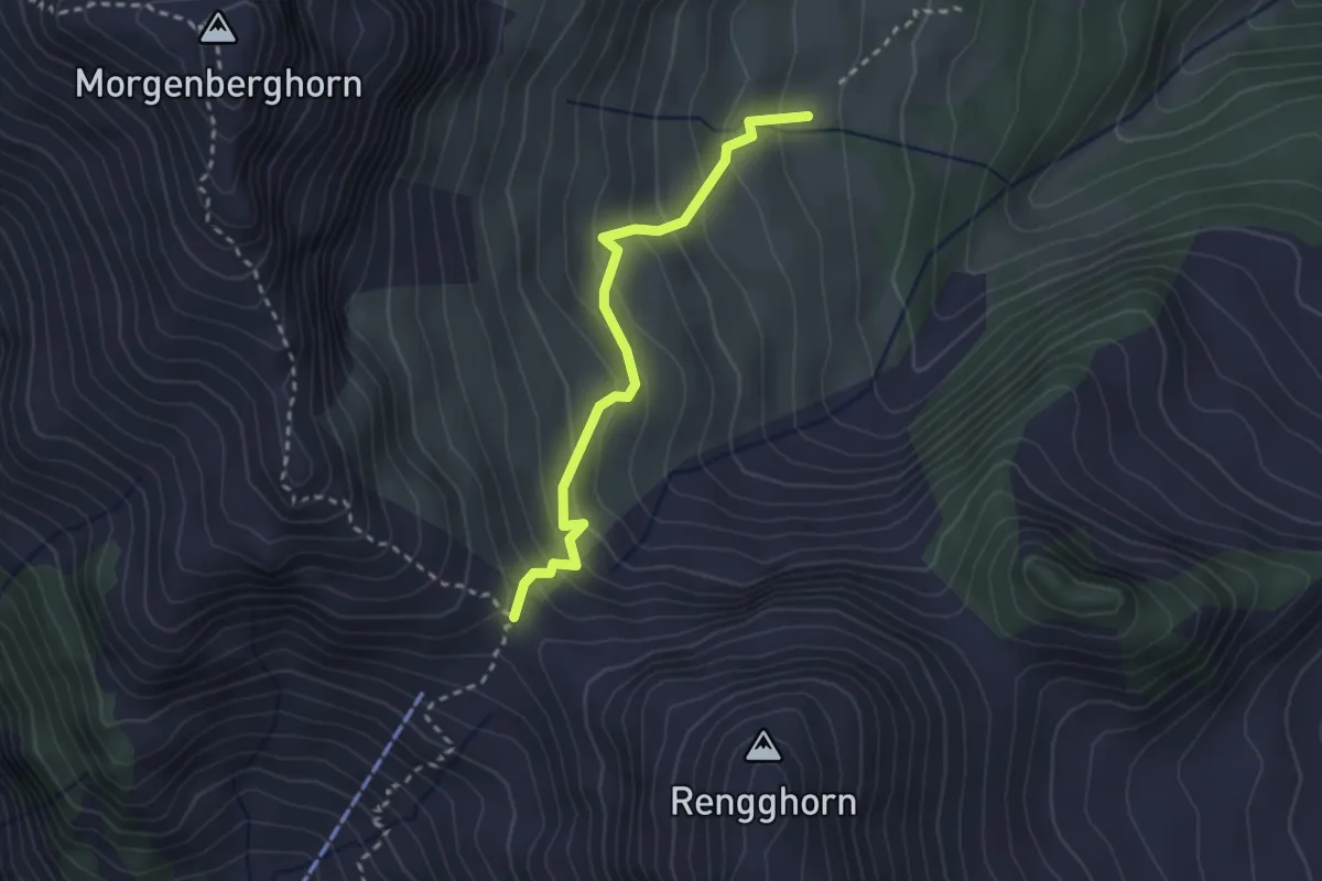
Medium · Trail
Rennglipass – Mittelberg
2.6 km · ↑ 253 m · 1 h 9 min
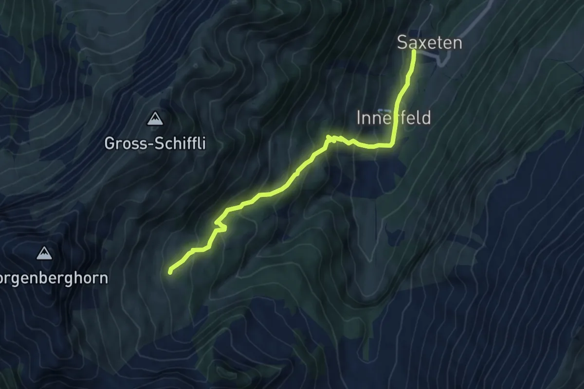
Medium · Trail
Innenberg – Saxeten
6.4 km · ↑ 516 m · 2 h 38 min
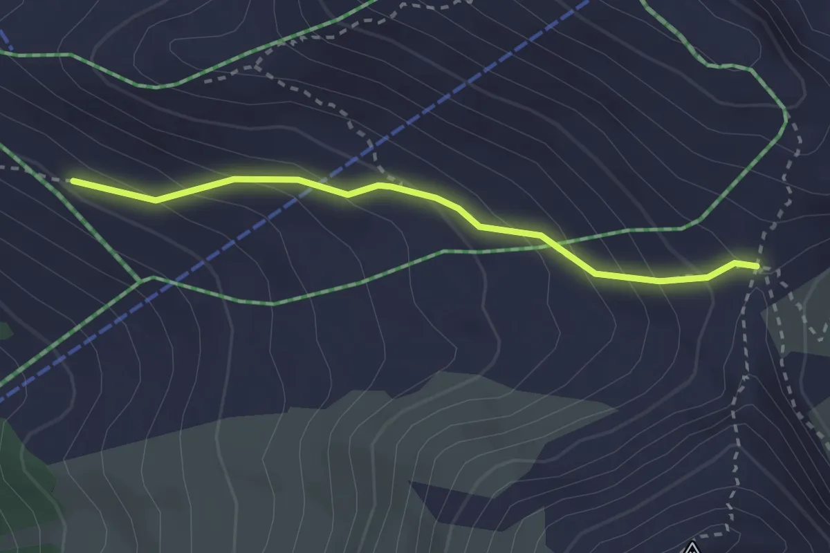
Medium · Trail
Col de Cou – La Combe
2.6 km · ↑ 210 m · 1 h 3 min
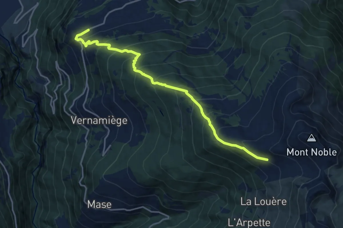
Demanding · Trail
La Combe – Nax
12.6 km · ↑ 1047 m · 5 h 14 min
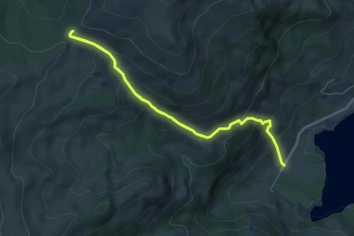
Medium · Trail
Schwarzsee Bad – Fuchses Schwyberg
8.3 km · ↑ 612 m · 3 h 17 min
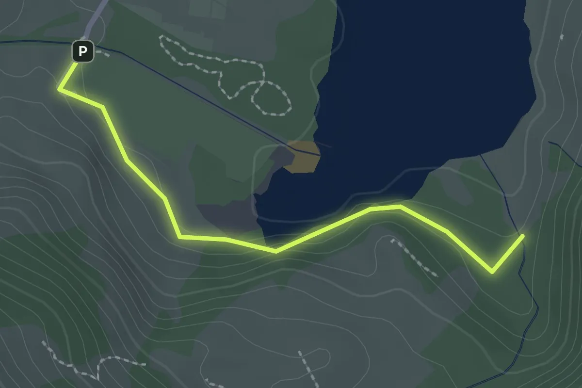
Easy · Trail
Schwarzsee Bad Seeweid – Staldenloch
2.1 km · ↑ 97 m · 43 min
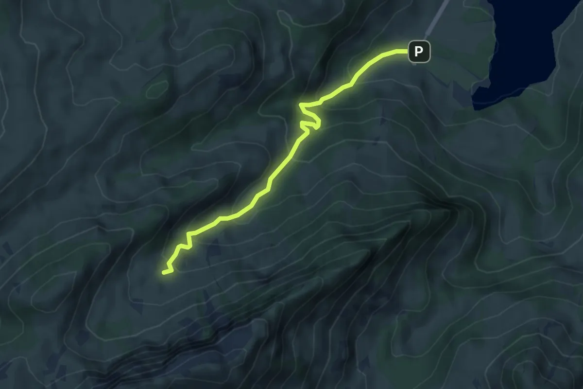
Medium · Trail
Scwarzsee Bad Seeweid – Ober Recardets
4.7 km · ↑ 368 m · 1 h 55 min
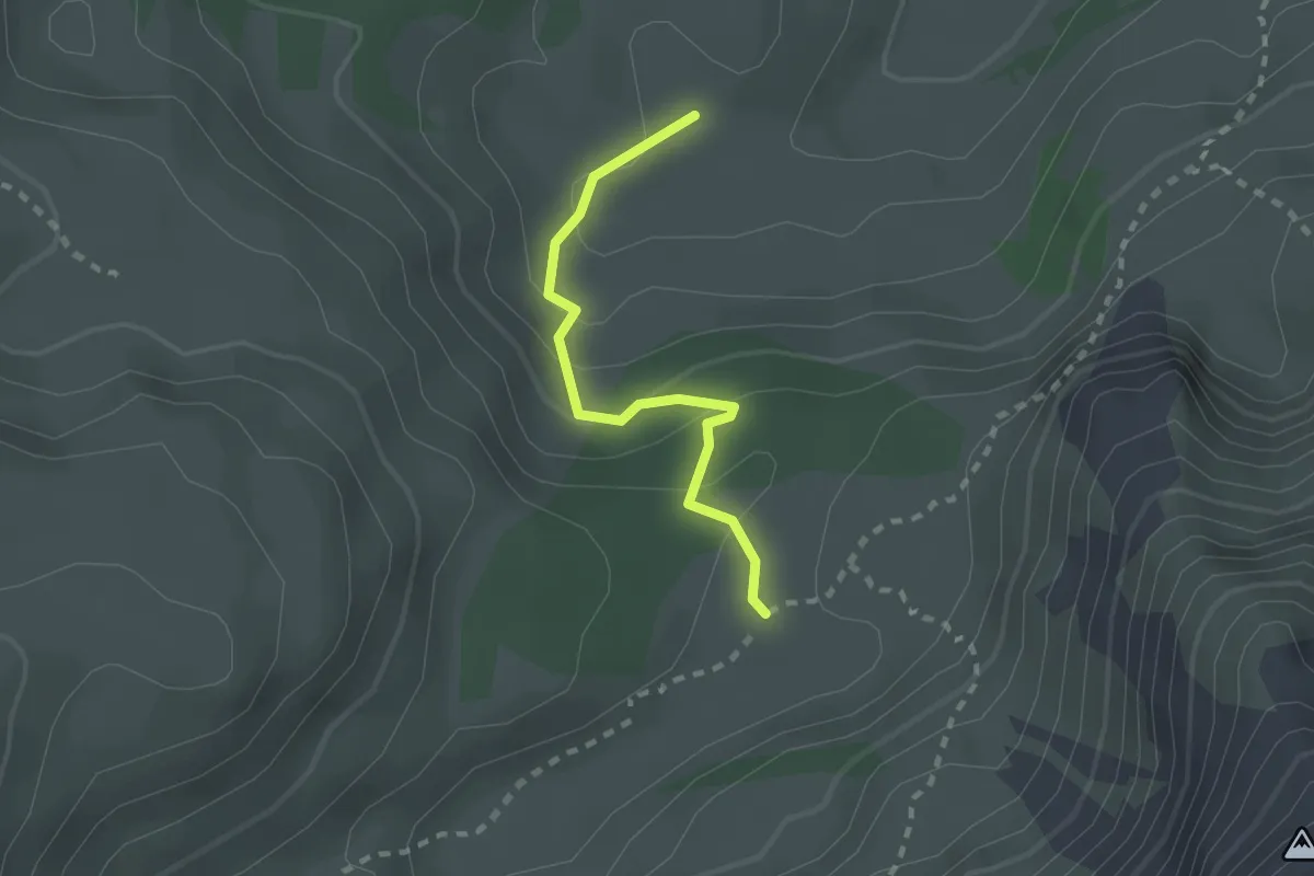
Easy · Cabin
Cerniets – Combi
2.0 km · ↑ 102 m · 42 min
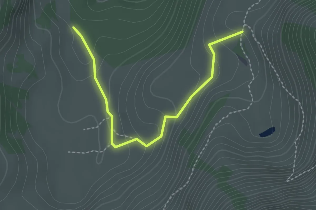
Easy · Trail
Brecca – Rippetli
2.2 km · ↑ 115 m · 46 min
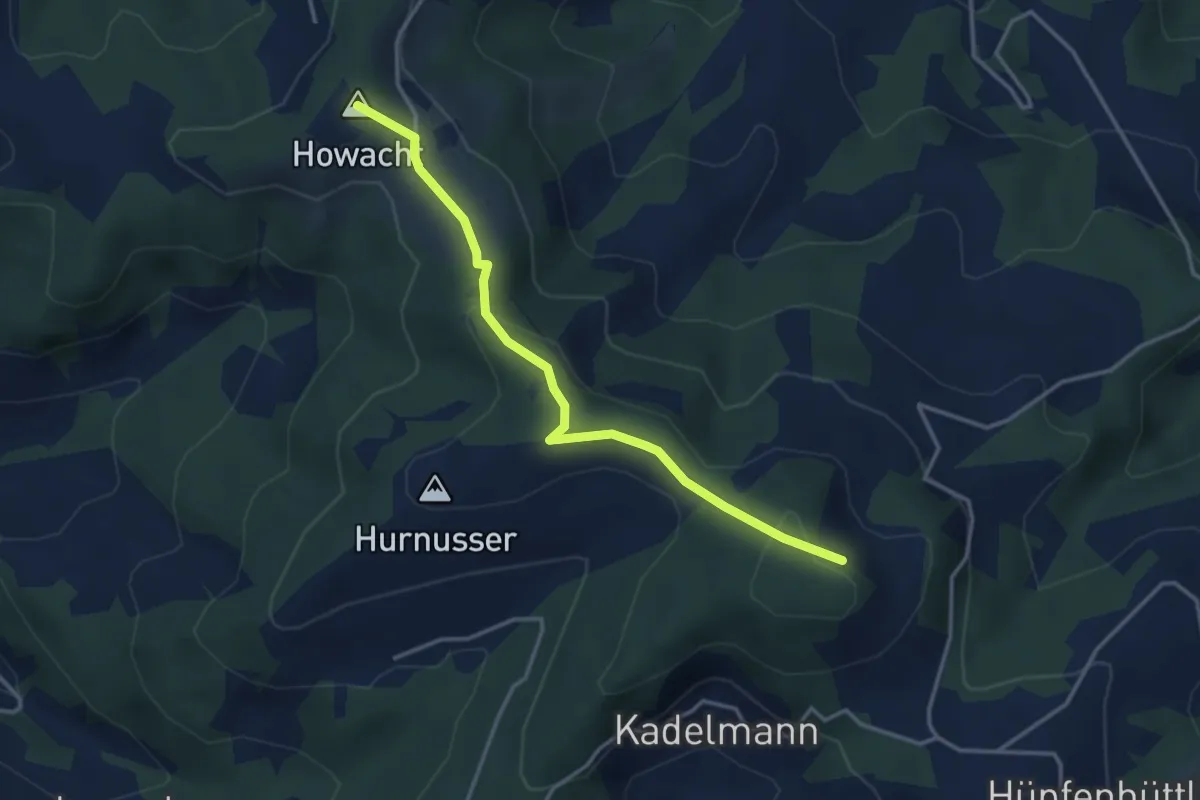
Easy · Summit
Hohwacht – Scheidegg
3.5 km · ↑ 151 m · 1 h 9 min
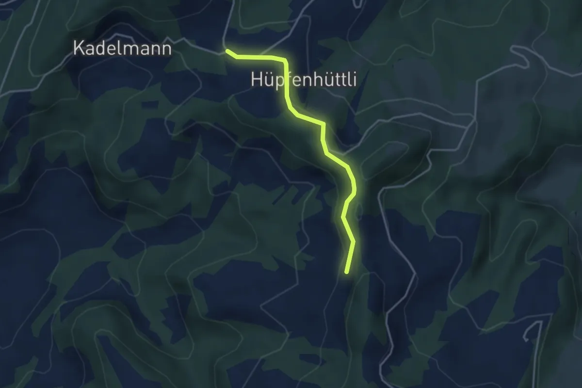
Easy · Trail
Hüpfenboden – Vordere Girsgrat
3.0 km · ↑ 119 m · 58 min
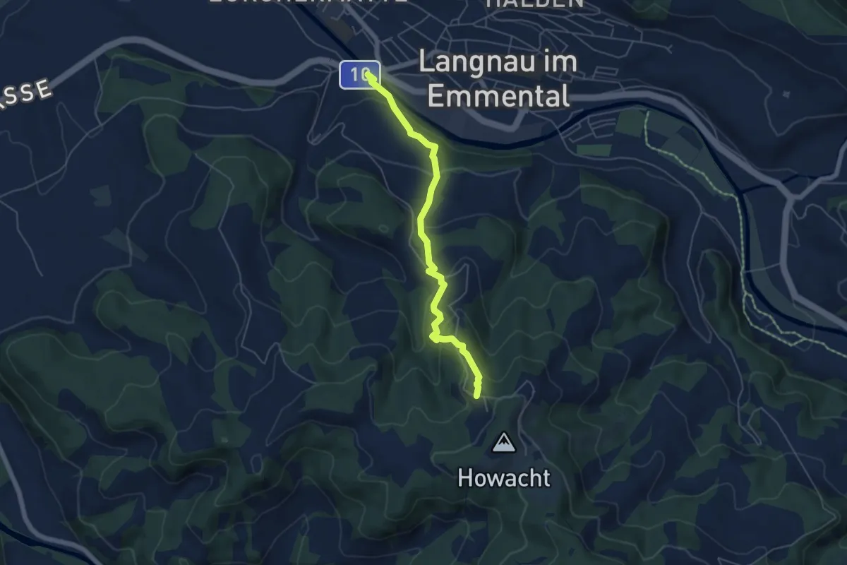
Medium · Trail
Ilfis – Wildmatt
5.0 km · ↑ 314 m · 1 h 52 min
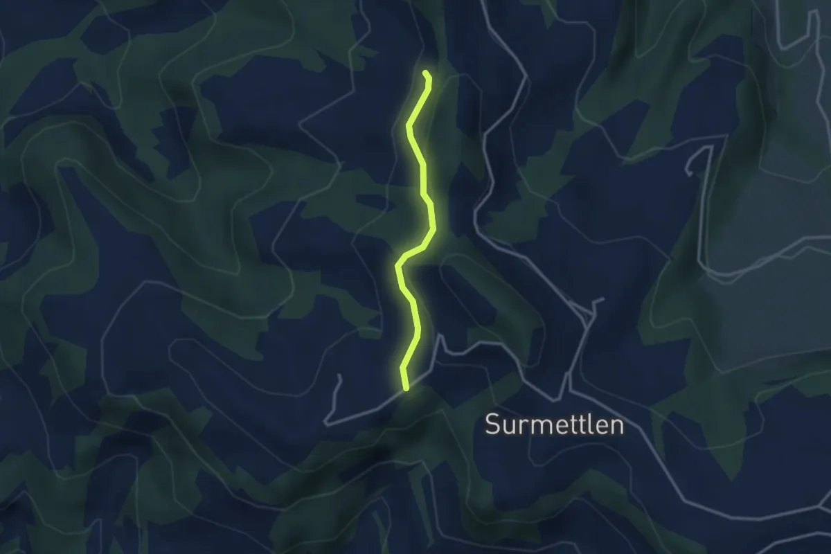
Easy · Trail
Vordere Girsgrat – Hinter Girsgrat
2.3 km · ↑ 83 m · 43 min
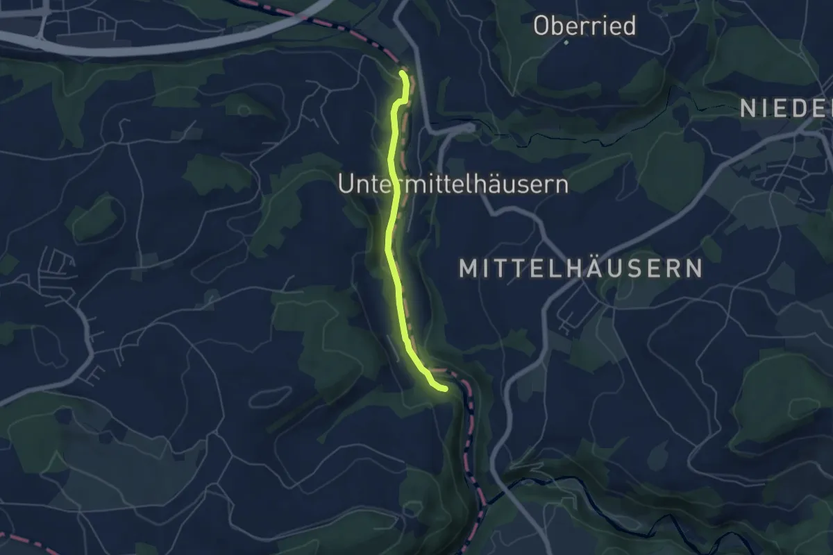
Easy · Trail
Riederenbrücke – Hangried
4.2 km · ↑ 137 m · 1 h 18 min
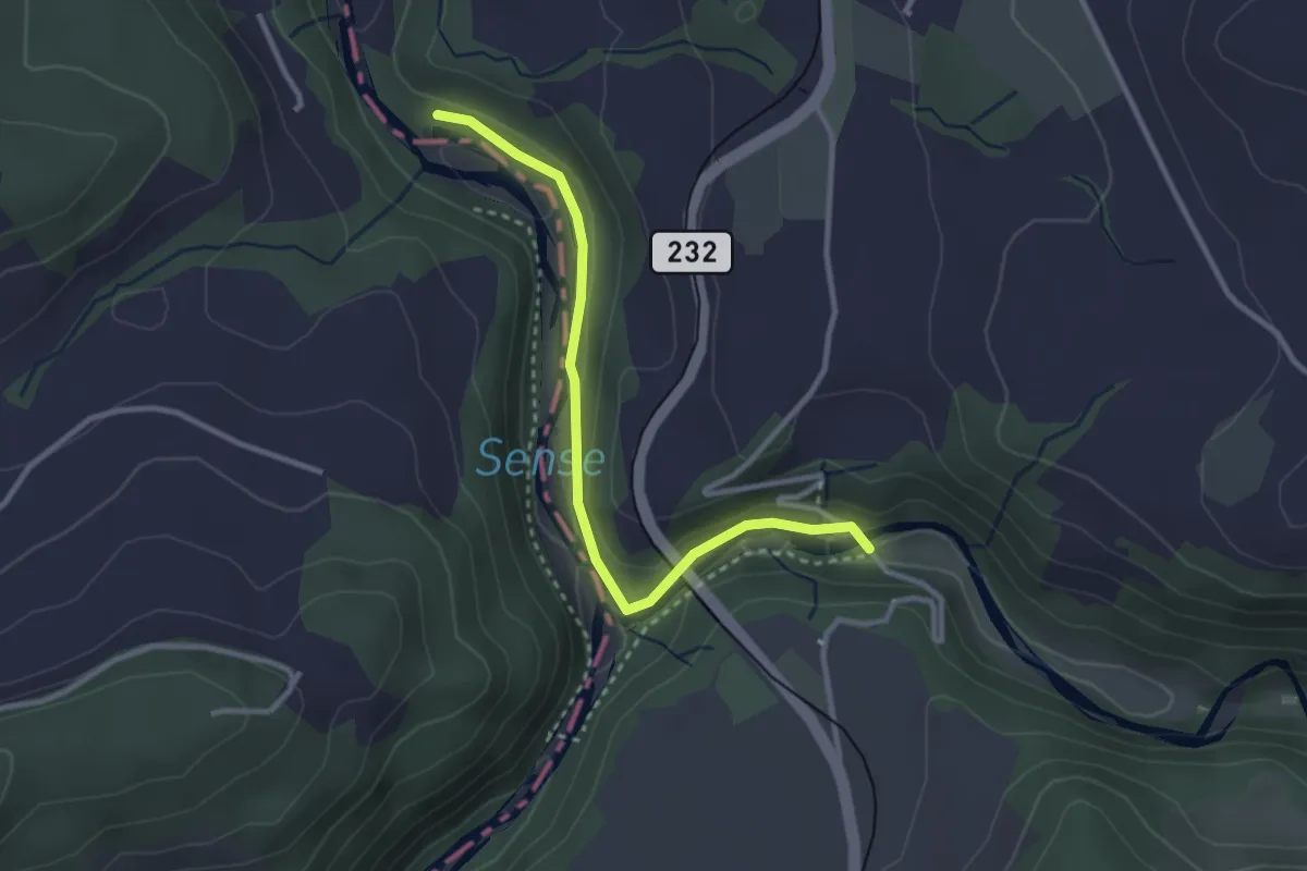
Easy · Trail
Alte Scharzwasserbrücke – Sensegrabe / Büffel
3.0 km · ↑ 52 m · 49 min
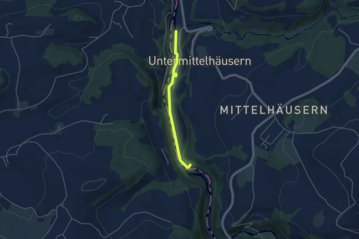
Easy · Trail
Sensegrabe / Büffel – Sensematt
3.2 km · ↑ 50 m · 52 min
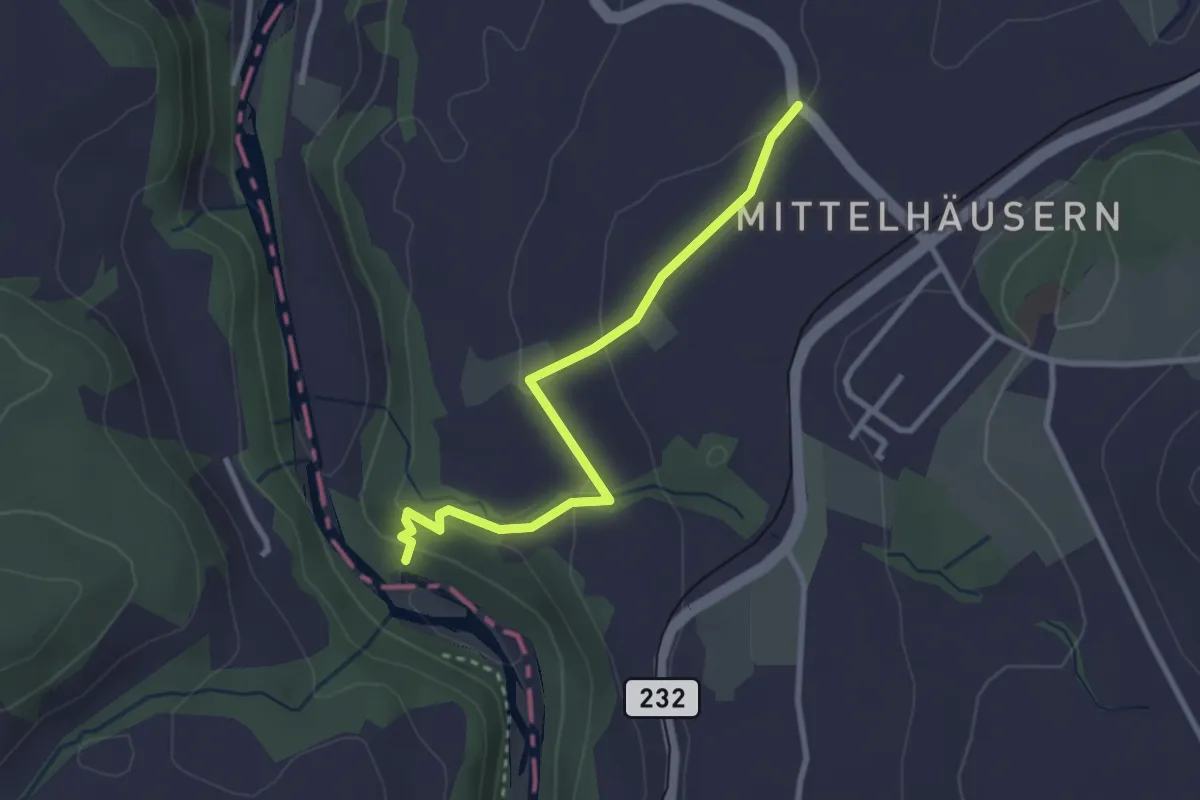
Easy · Trail
Mittelhäusern – Sensematt
2.8 km · ↑ 94 m · 52 min
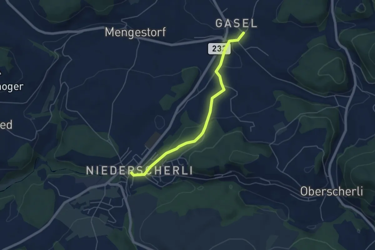
Easy · Trail
Niederscherli – Gasel
4.6 km · ↑ 143 m · 1 h 24 min
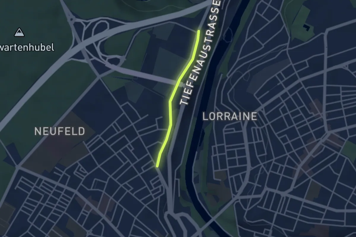
Easy · Trail
Bierhübeli – Äussere Enge
2.2 km · ↑ 9 m · 32 min
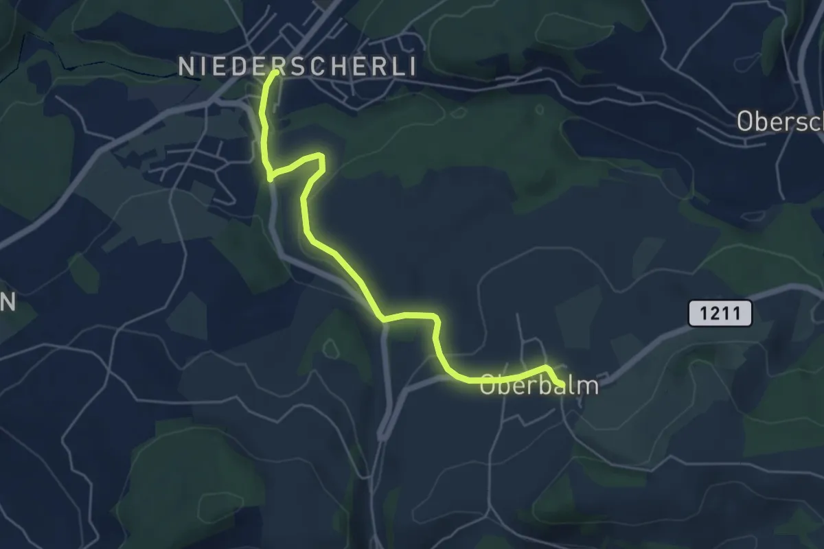
Easy · Trail
Niederscherli – Oberbalm
5.1 km · ↑ 142 m · 1 h 30 min
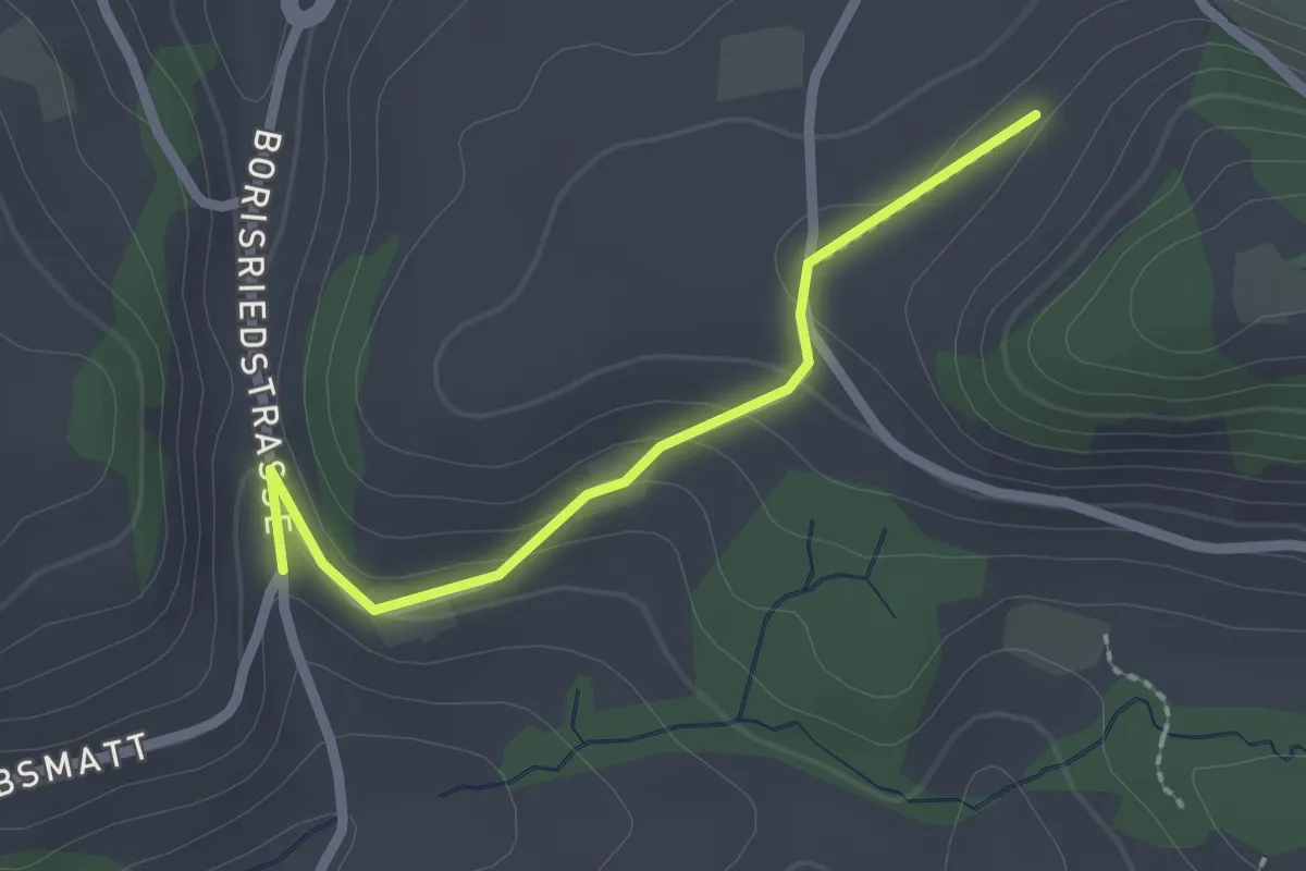
Easy · Trail
Oberbalm/Kirchweg – Schlatt
2.1 km · ↑ 73 m · 39 min
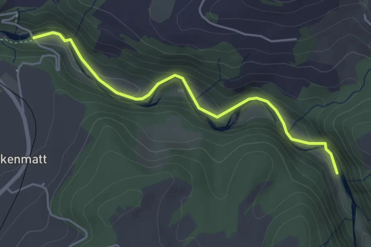
Easy · Trail
Alte Scharzwasserbrücke – Schwarzwassergraben
4.0 km · ↑ 138 m · 1 h 15 min
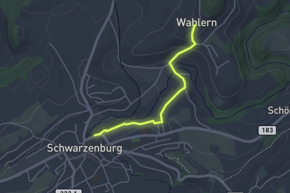
Easy · Trail
Wahlern – Schwarzenburg
3.2 km · ↑ 76 m · 56 min
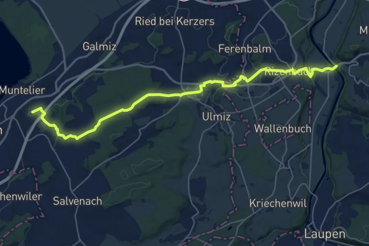
Demanding · Summit
Prehl Murten – Gümmenen
21.5 km · ↑ 325 m · 5 h 46 min
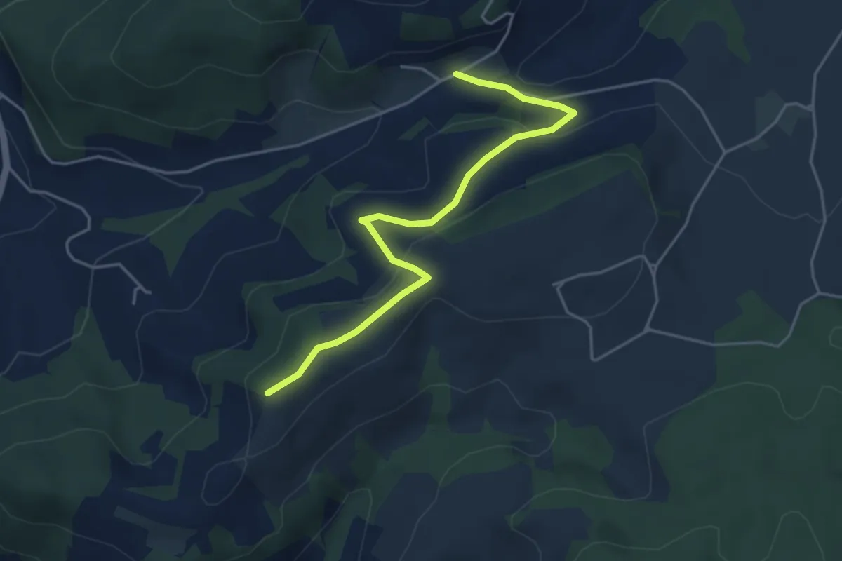
Easy · Trail
Oberulmiz – Zingghöch
4.4 km · ↑ 181 m · 1 h 26 min
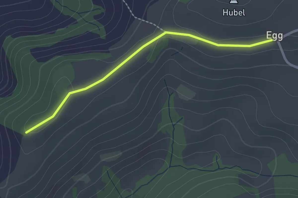
Easy · Trail
Egg – Zingghöch
2.1 km · ↑ 35 m · 34 min
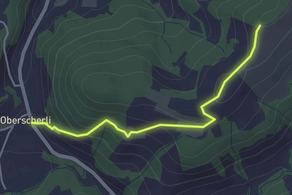
Easy · Trail
Zingghöch – Oberscherli
3.1 km · ↑ 195 m · 1 h 9 min
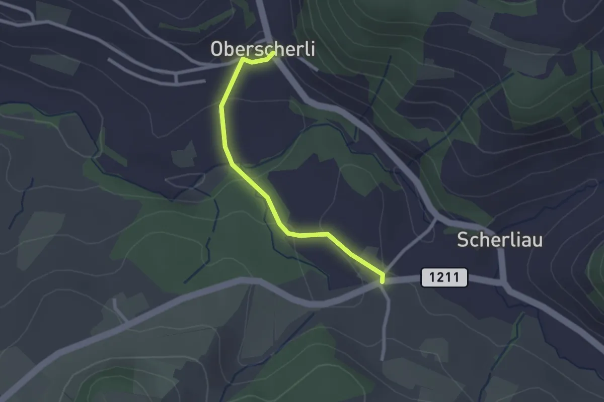
Easy · Trail
Oberscherli – Leiman
2.1 km · ↑ 65 m · 38 min
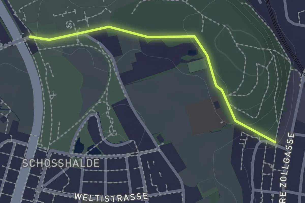
Easy · Trail
Tiefenmösli – Zentrum Paul Klee
2.0 km · ↑ 38 m · 33 min
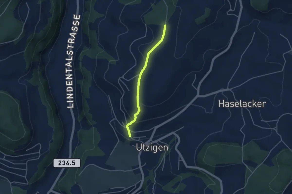
Easy · Trail
Utzigenwull – Utzigen/Schloss
3.0 km · ↑ 121 m · 58 min
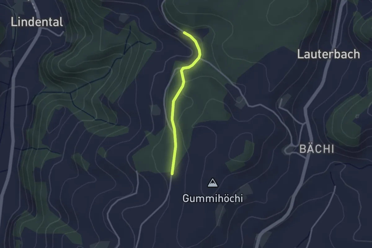
Easy · Trail
Sunnerain – Utzigenwull
2.1 km · ↑ 23 m · 33 min
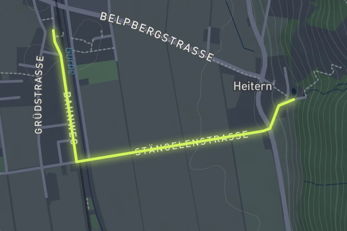
Easy · Trail
Toffen/Station – Heitern
2.6 km · ↑ 38 m · 41 min
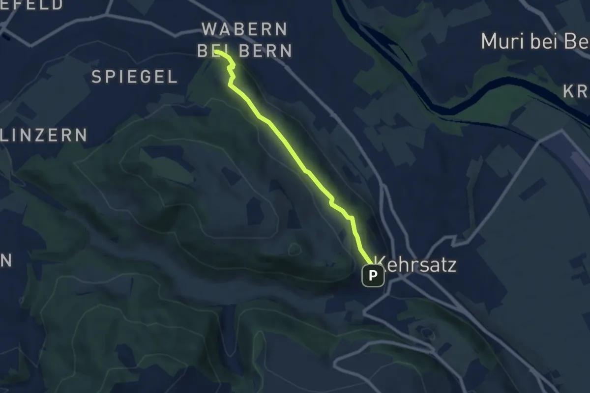
Easy · Trail
Wabern/Gurtenbahn – Breitägerte
5.6 km · ↑ 158 m · 1 h 40 min
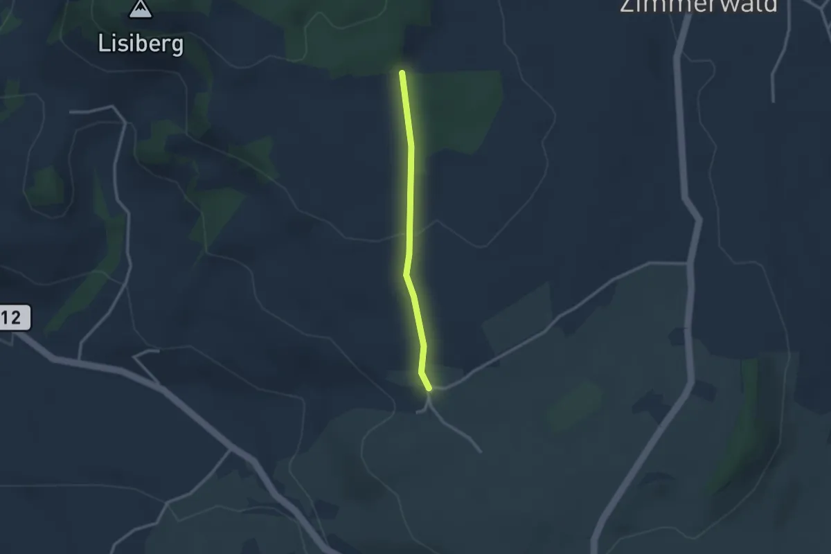
Easy · Trail
Allmid – Obermuhlern
2.1 km · ↑ 62 m · 38 min
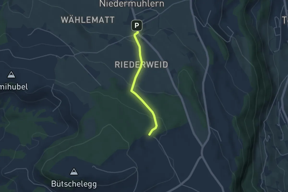
Easy · Trail
Niedermuhlern – Buechweid
3.1 km · ↑ 123 m · 1 h