Trails in Switzerland
15,055 hiking trails, each with its route, climb, walking time and grade.
All trails, page 192 of 314
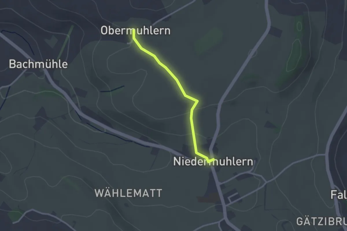
Easy · Trail
Obermuhlern – Niedermuhlern
2.2 km · ↑ 44 m · 37 min
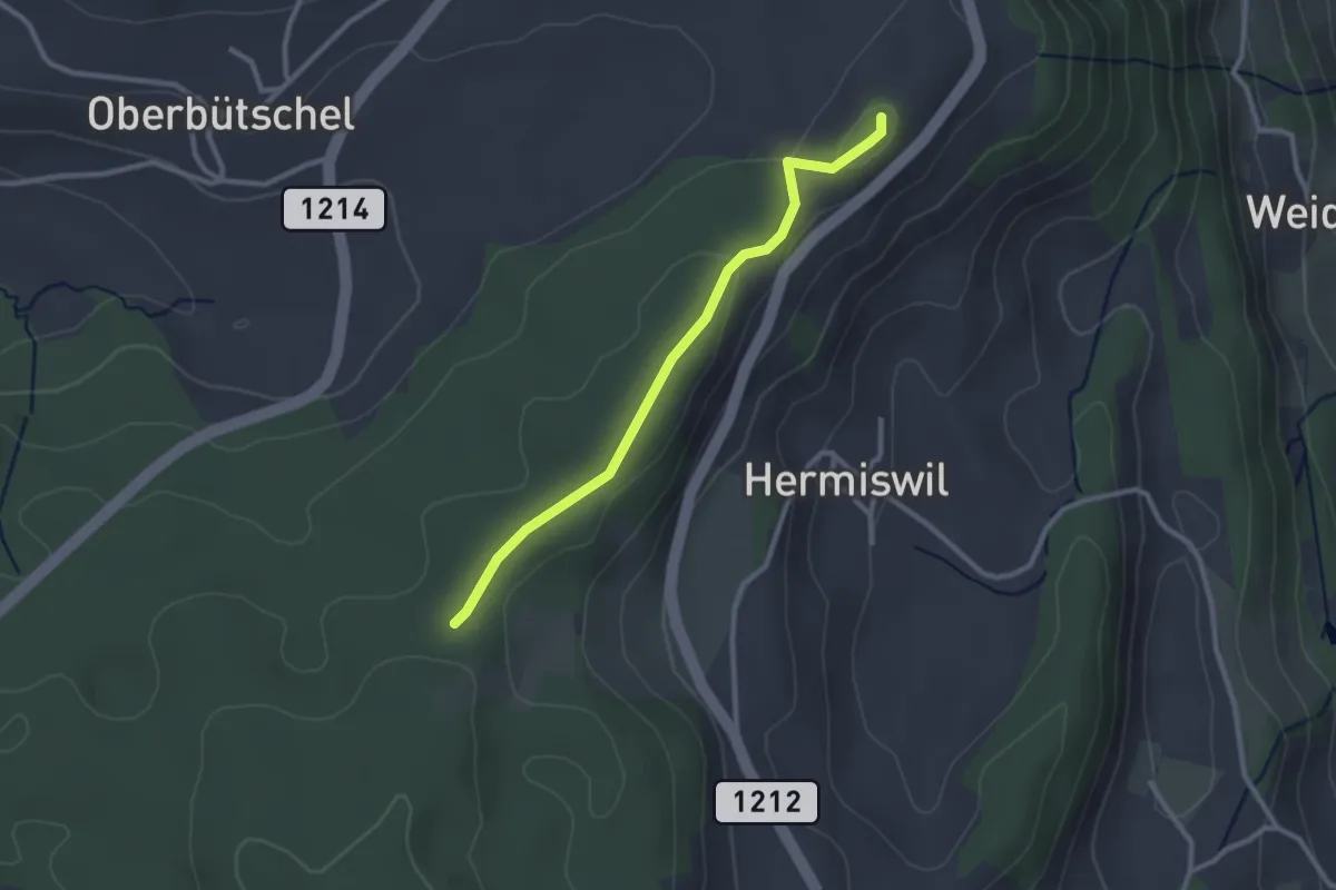
Easy · Summit
Tavelgedenkstätte – Taanwald
2.6 km · ↑ 53 m · 44 min
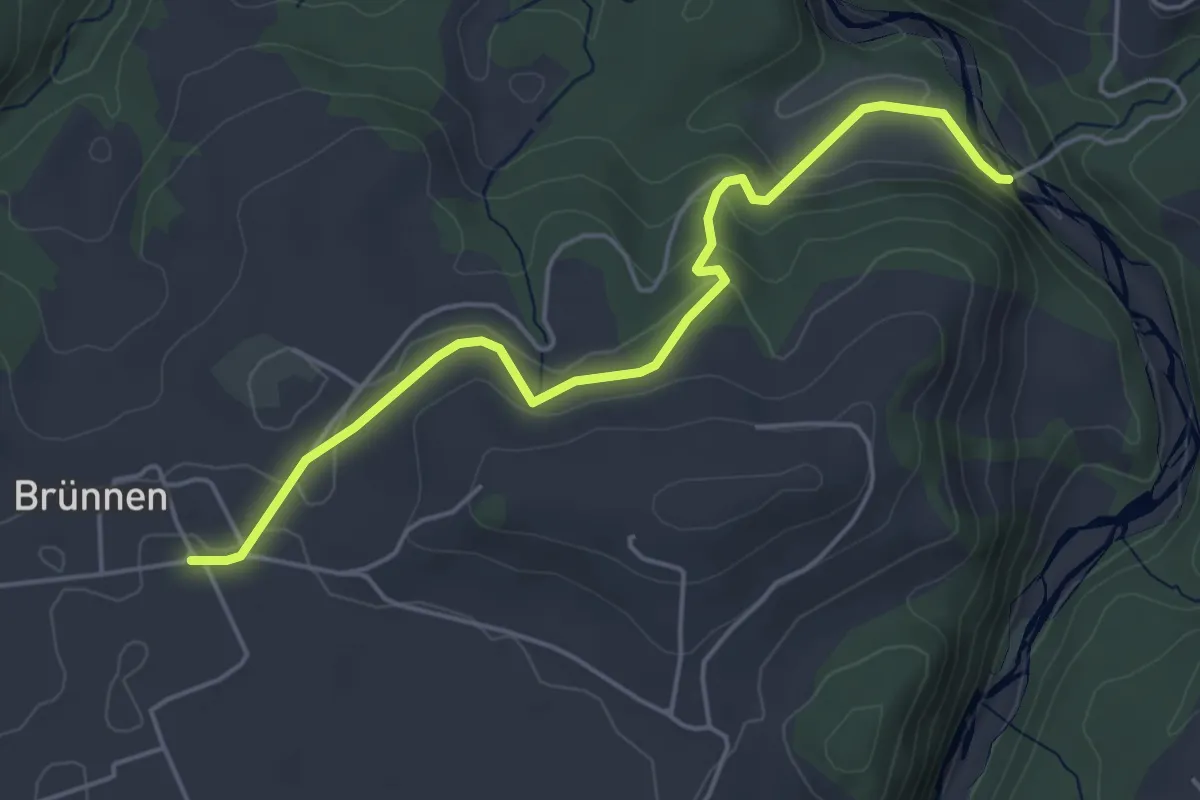
Easy · Trail
Rossgrabenbrücke – Elisried
4.9 km · ↑ 164 m · 1 h 31 min
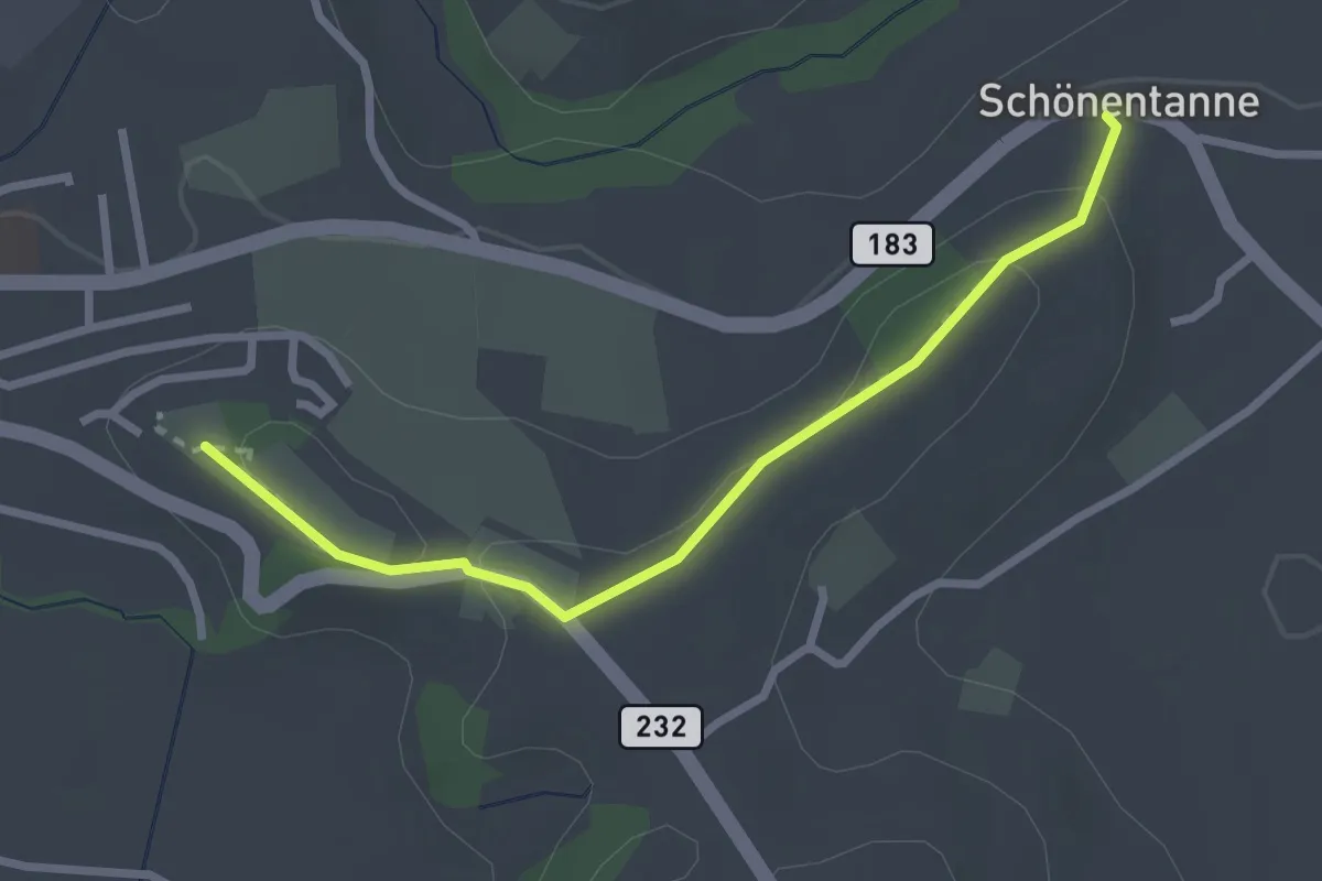
Easy · Trail
Schönentannen – Galgenzelg
2.7 km · ↑ 76 m · 48 min
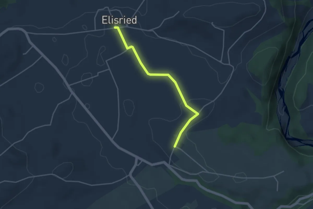
Easy · Trail
Elisried – Henzischwand
3.2 km · ↑ 13 m · 47 min
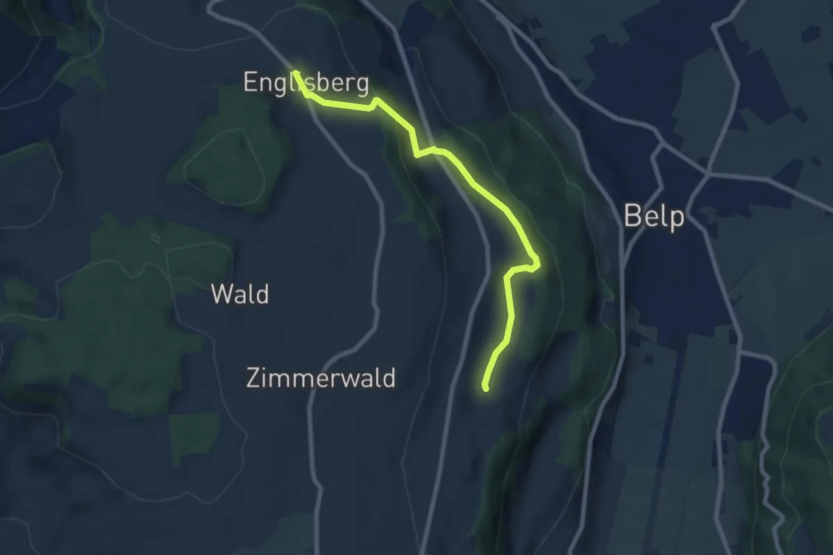
Easy · Trail
Englisberg – Hofmatt
6.5 km · ↑ 186 m · 1 h 56 min
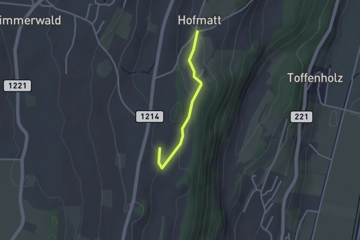
Easy · Trail
Hofmatt – Rossweid
2.1 km · ↑ 34 m · 35 min
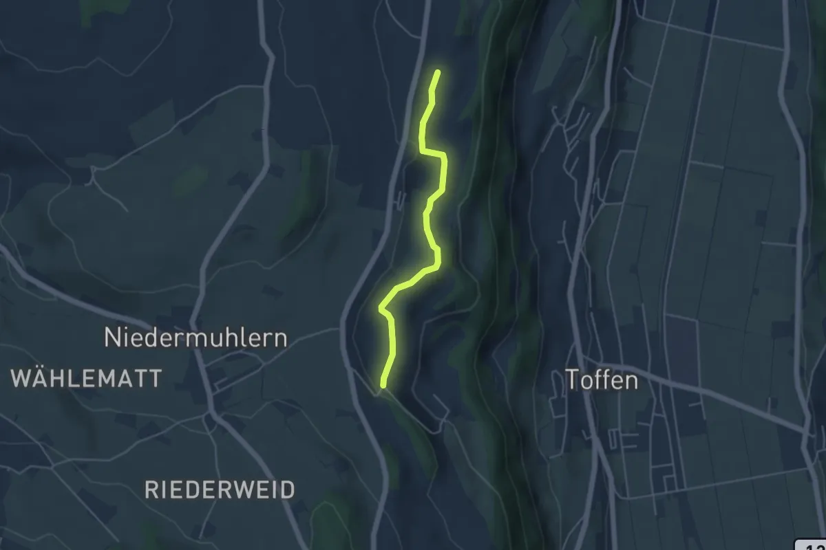
Easy · Trail
Rossweid – Falebach
3.8 km · ↑ 92 m · 1 h 5 min
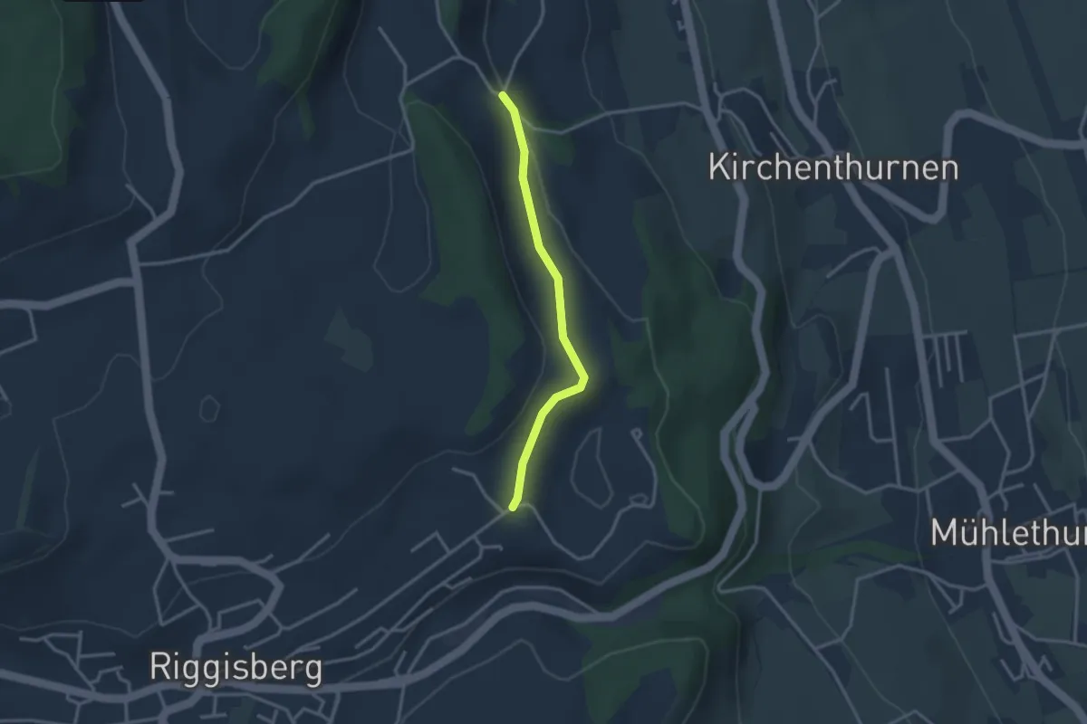
Easy · Trail
Uf der Mur – Eybrunne
2.6 km · ↑ 78 m · 47 min
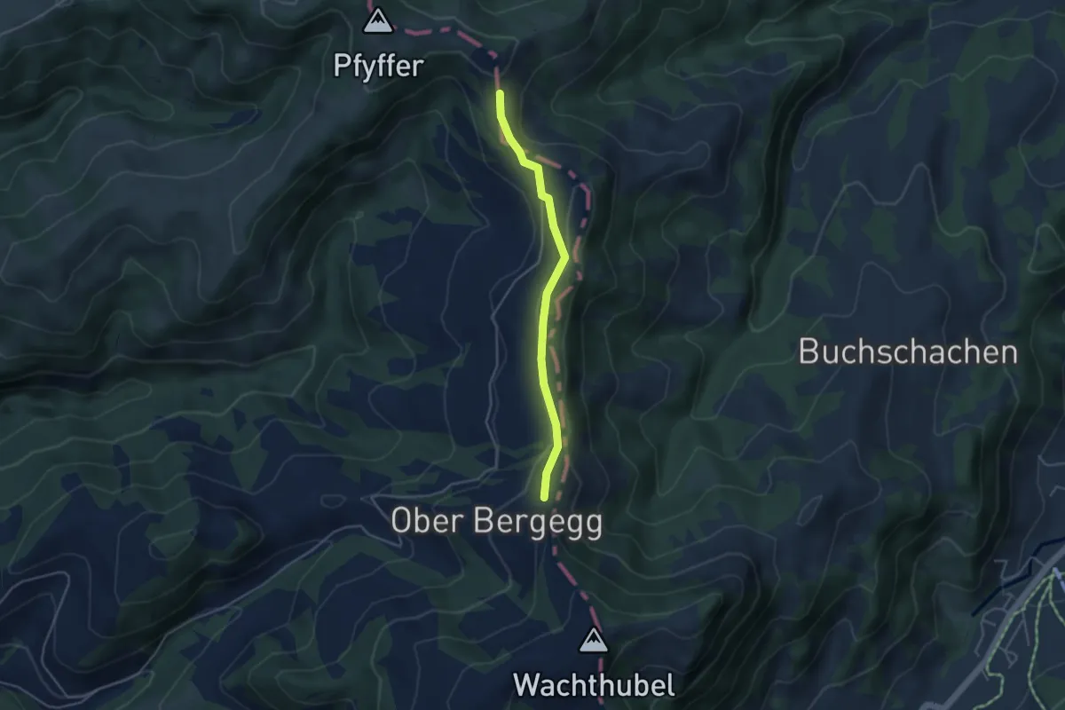
Easy · Trail
Brunneboden – Bergegg
3.7 km · ↑ 65 m · 1 h 1 min
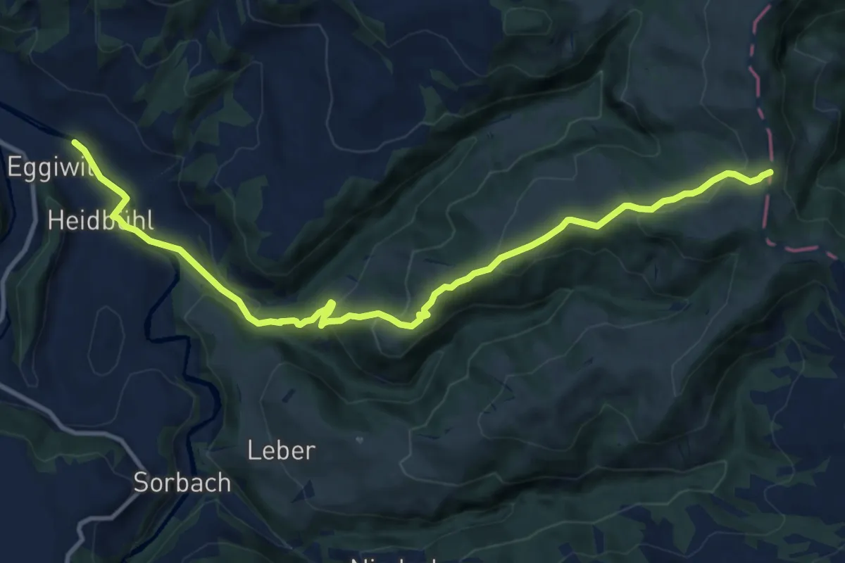
Medium · Trail
Hellstäg – Hinter Rämisgumme
11.8 km · ↑ 503 m · 3 h 53 min
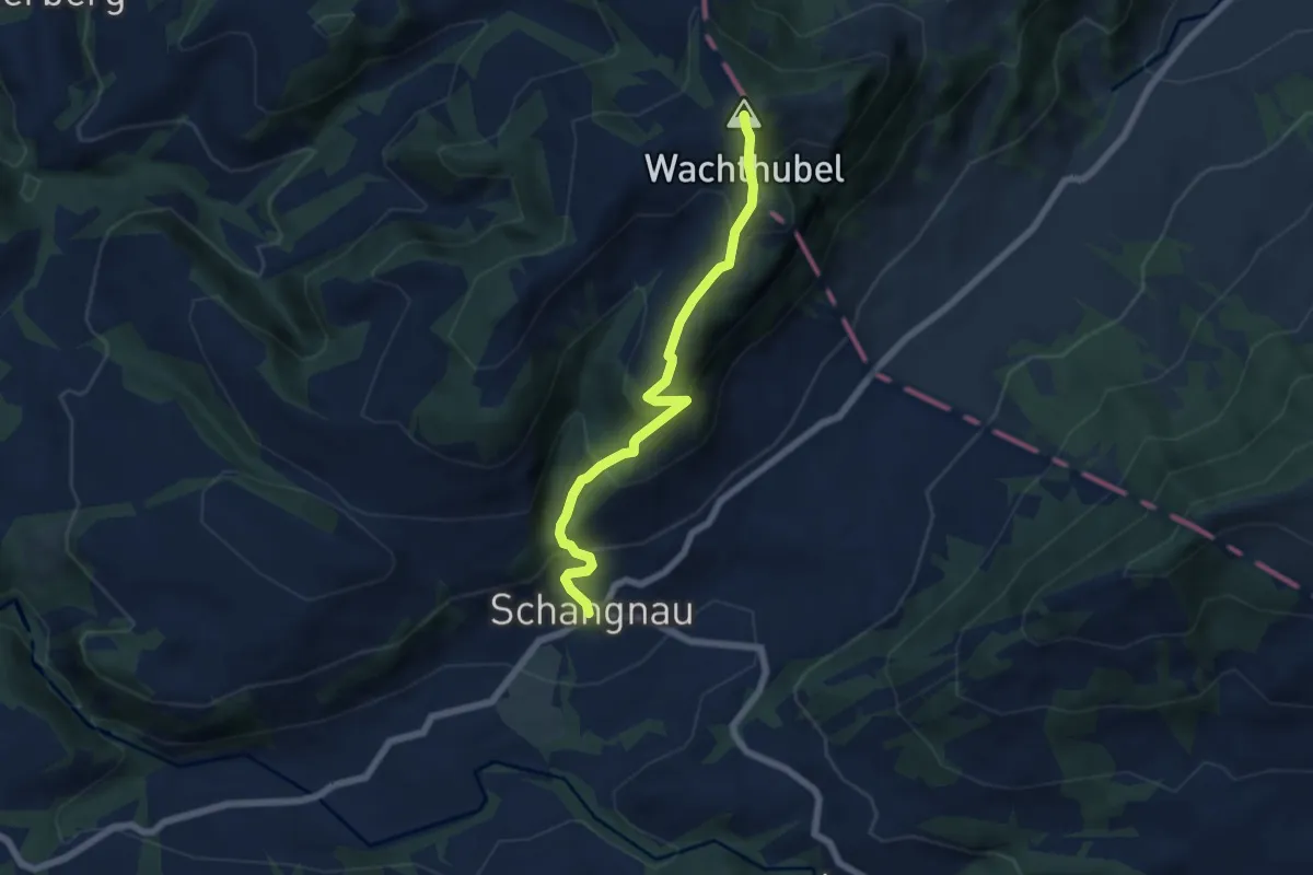
Medium · Summit
Wachthubel – Schangnau
6.0 km · ↑ 453 m · 2 h 23 min
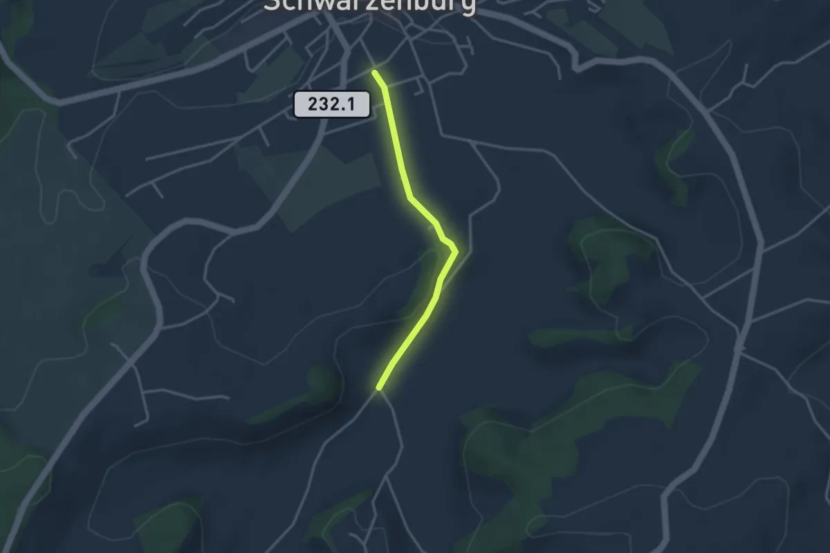
Easy · Trail
Schwarzenburg/Schloss – Schönenboden
2.7 km · ↑ 23 m · 41 min
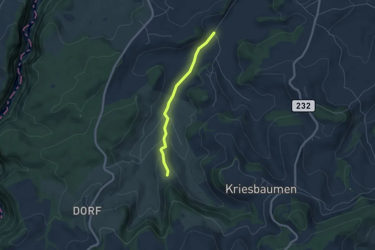
Easy · Trail
Schönenboden – Pfad
4.4 km · ↑ 111 m · 1 h 16 min
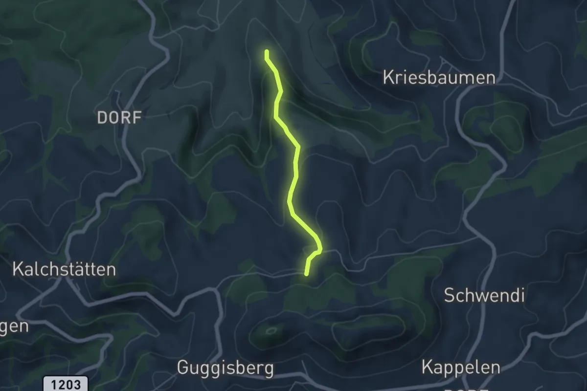
Easy · Trail
Pfad – Walenhaus
3.6 km · ↑ 193 m · 1 h 17 min
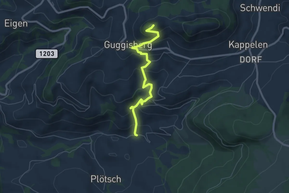
Medium · Summit
Guggershorn – Laubbach
5.6 km · ↑ 381 m · 2 h 9 min
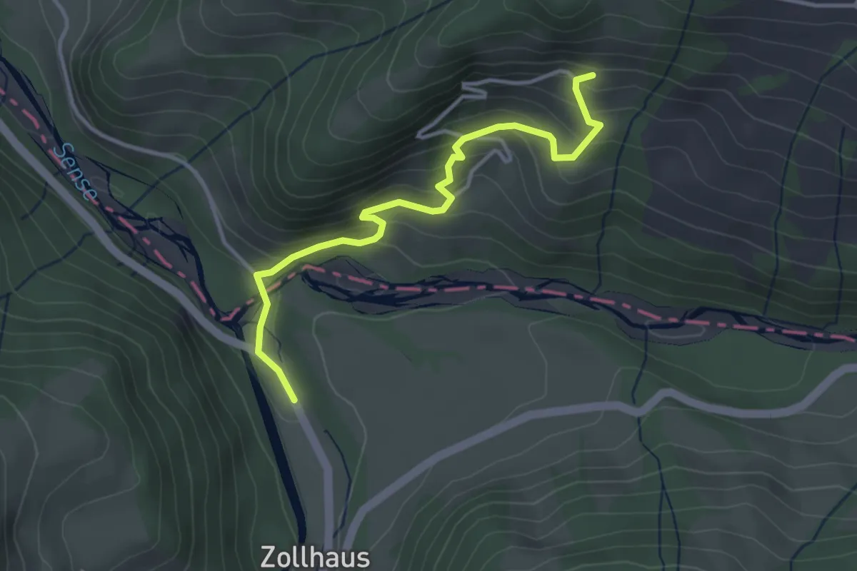
Easy · Trail
Obersti Siten – Zollhaus
3.6 km · ↑ 248 m · 1 h 23 min
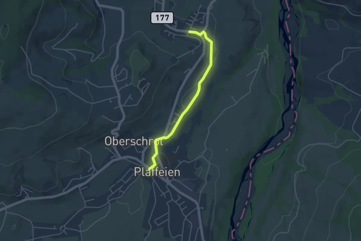
Easy · Trail
Plaffeien – Zumholz
3.7 km · ↑ 32 m · 57 min
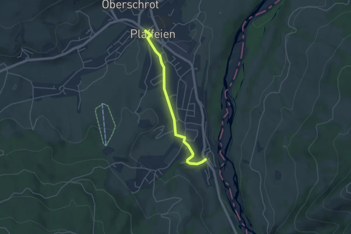
Easy · Trail
Rufenen – Plaffeien
3.7 km · ↑ 27 m · 55 min
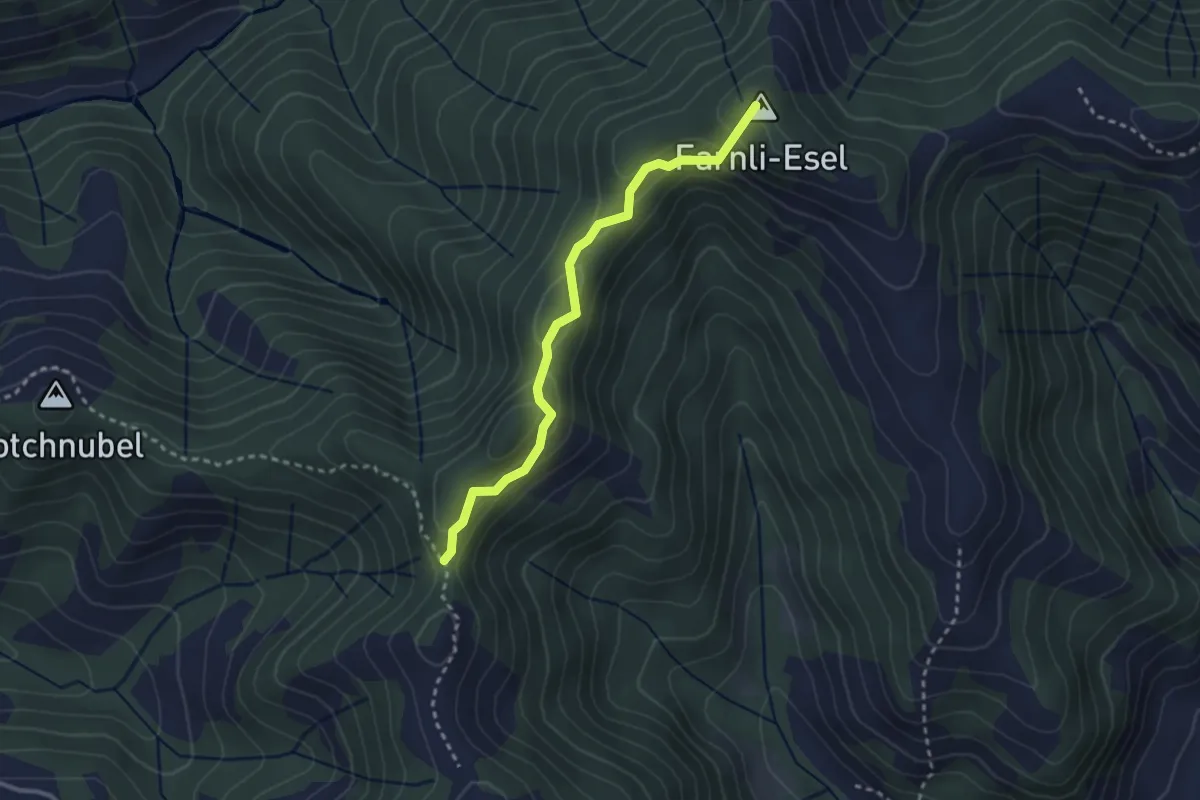
Easy · Summit
Hohmattgäatterli – Mittleri Lushütte
2.7 km · ↑ 89 m · 50 min
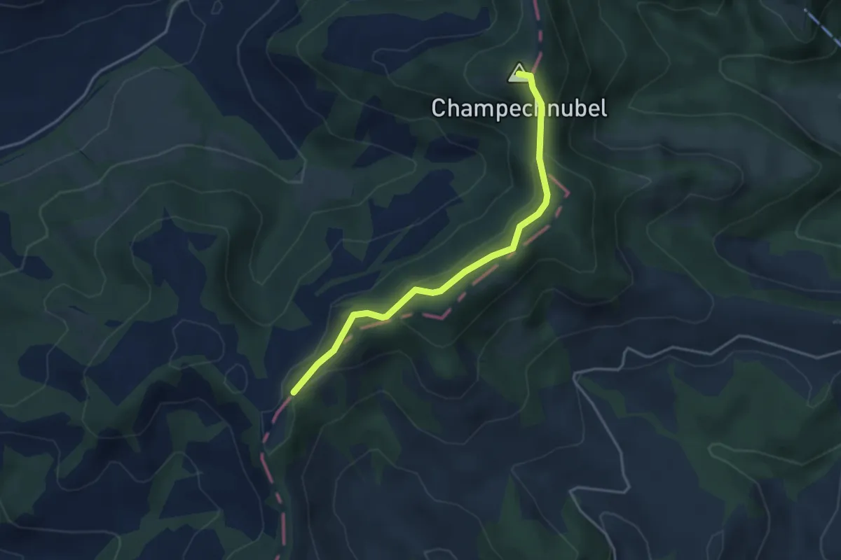
Easy · Summit
Champechnubel – Chrüzboden
3.5 km · ↑ 169 m · 1 h 11 min
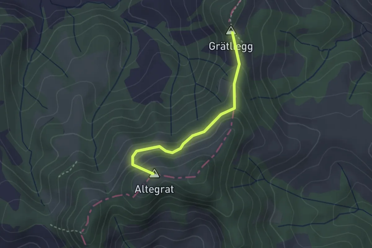
Easy · Summit
Grätliegg – Altengratswchwendi
2.5 km · ↑ 176 m · 59 min
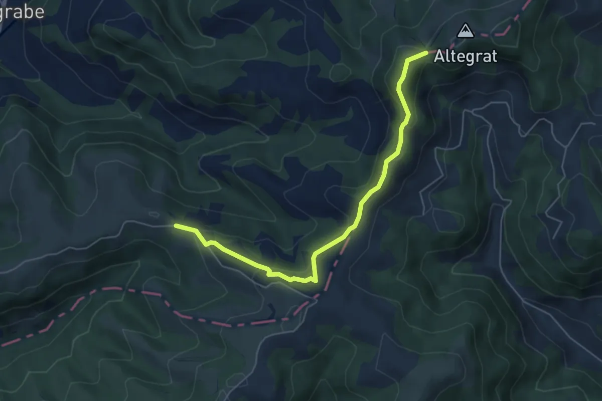
Easy · Trail
Altengratswchwendi – Ober Altgfähl
5.3 km · ↑ 230 m · 1 h 45 min
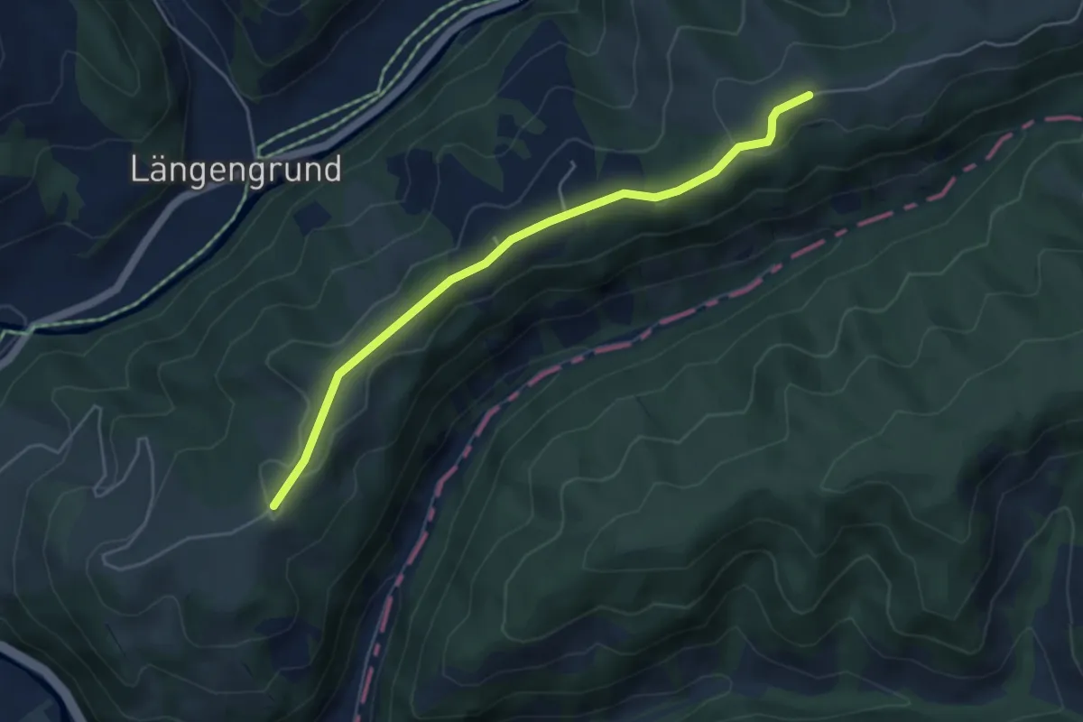
Easy · Trail
Schindelegg – Vorder Risisegg
4.6 km · ↑ 67 m · 1 h 13 min
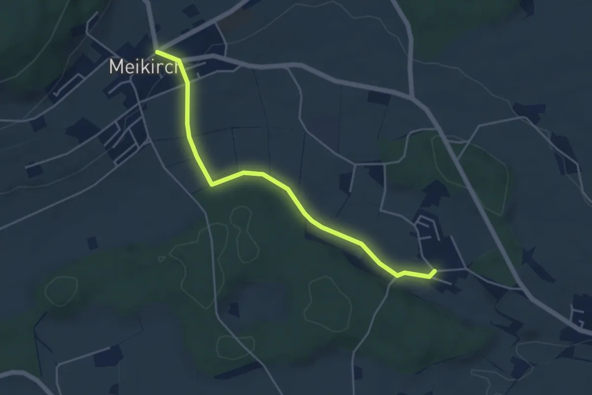
Easy · Trail
Weissenstein – Meikirch
4.2 km · ↑ 47 m · 1 h 5 min
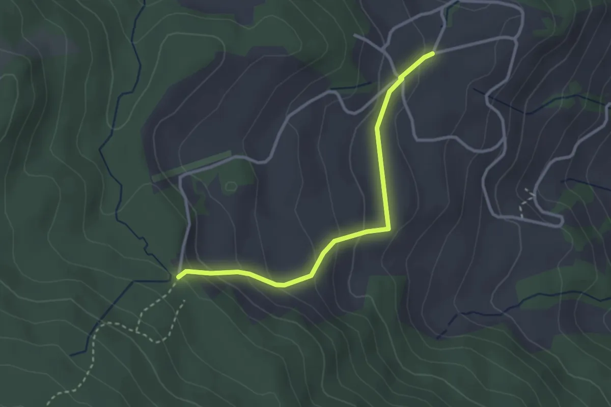
Easy · Trail
Stafelalp – Grundbach
2.9 km · ↑ 160 m · 1 h 1 min
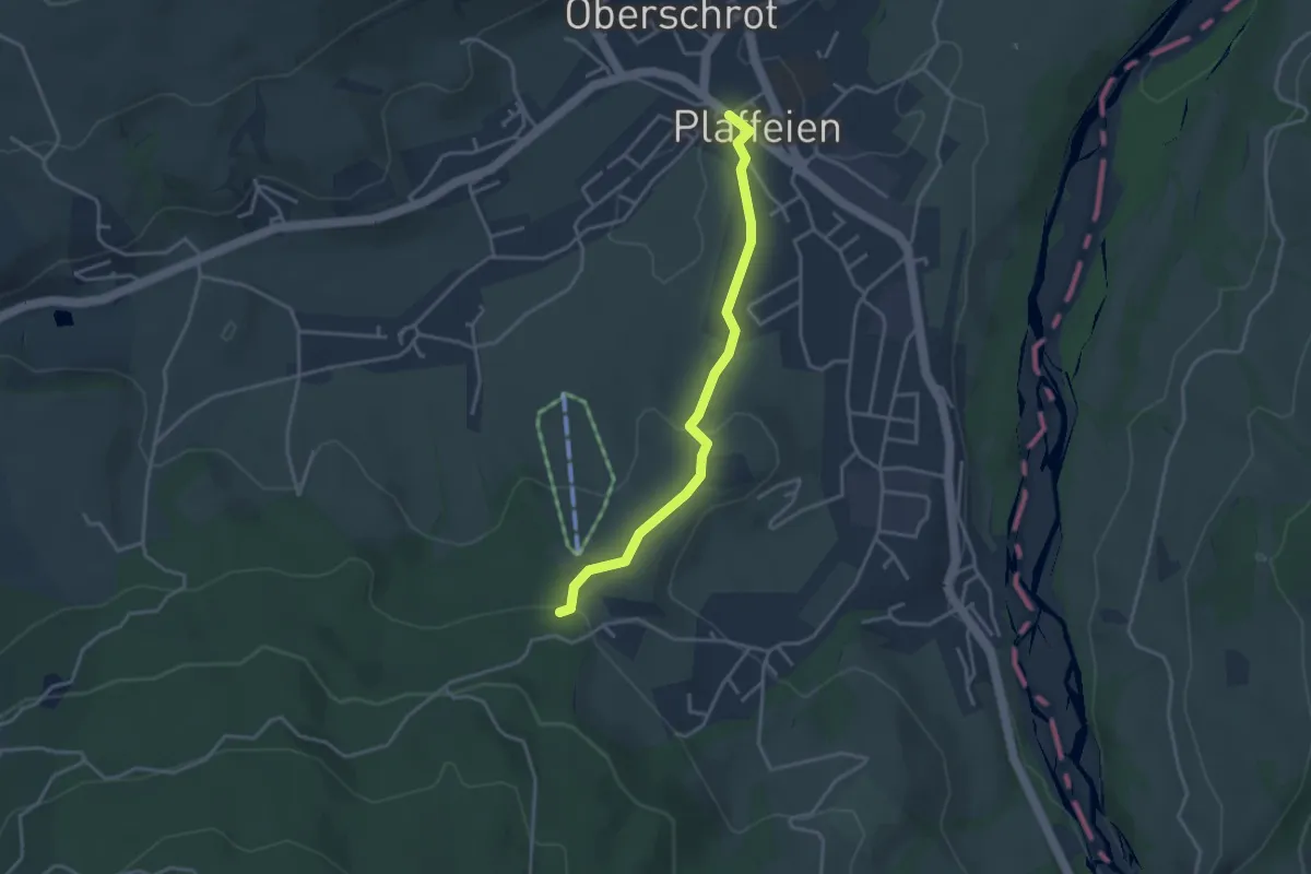
Easy · Trail
Plaffeien – Hapfere
3.4 km · ↑ 88 m · 59 min
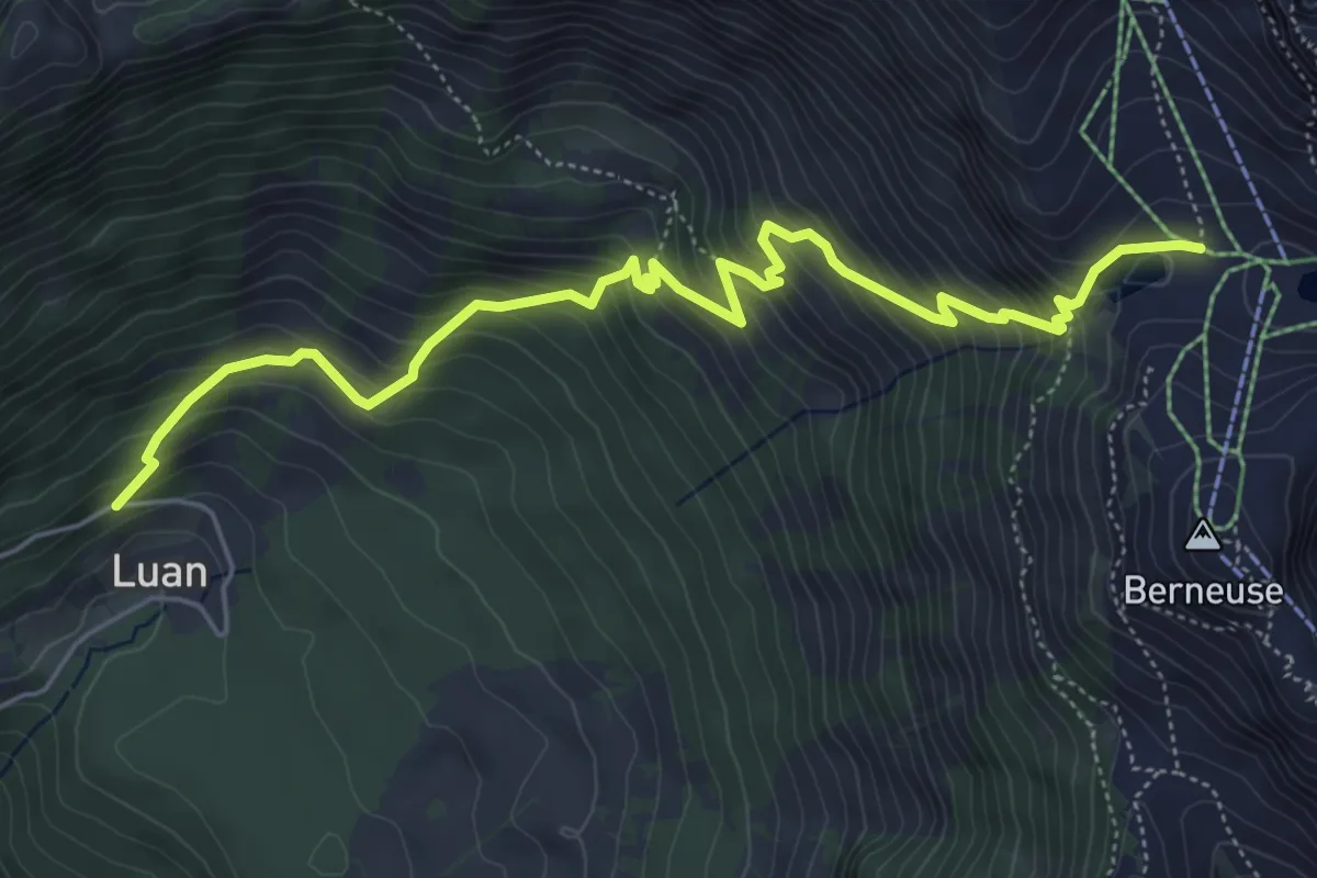
Medium · Trail
Luan – Ai
6.4 km · ↑ 688 m · 3 h
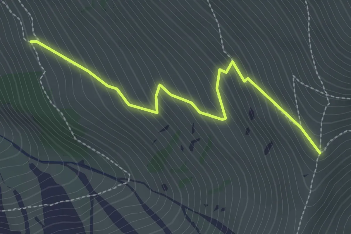
Medium · Trail
Obere Stalde – Niesengrat
2.5 km · ↑ 274 m · 1 h 11 min
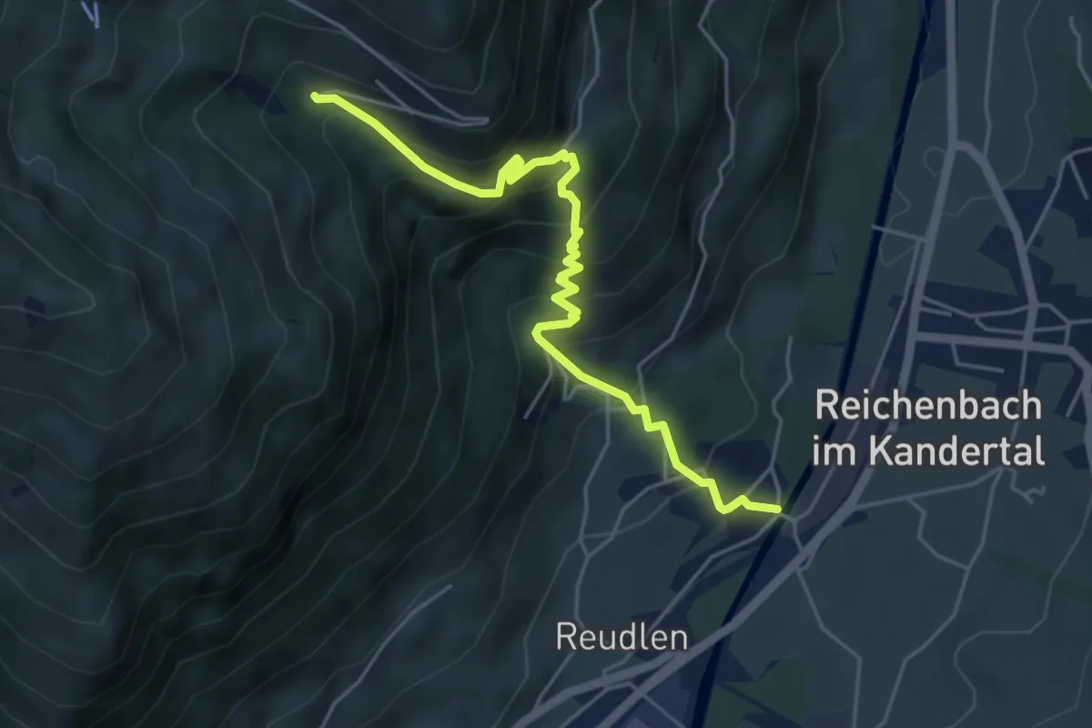
Medium · Trail
Reudlenbrücke – Stöpfweidleni
5.1 km · ↑ 526 m · 2 h 20 min
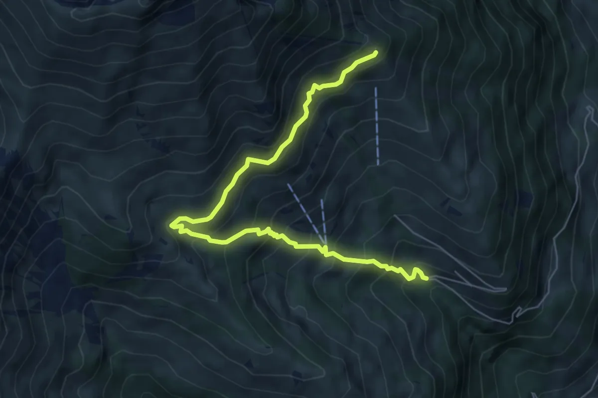
Medium · Trail
Schwandegg – Stöpfweidleni
6.8 km · ↑ 670 m · 3 h 4 min
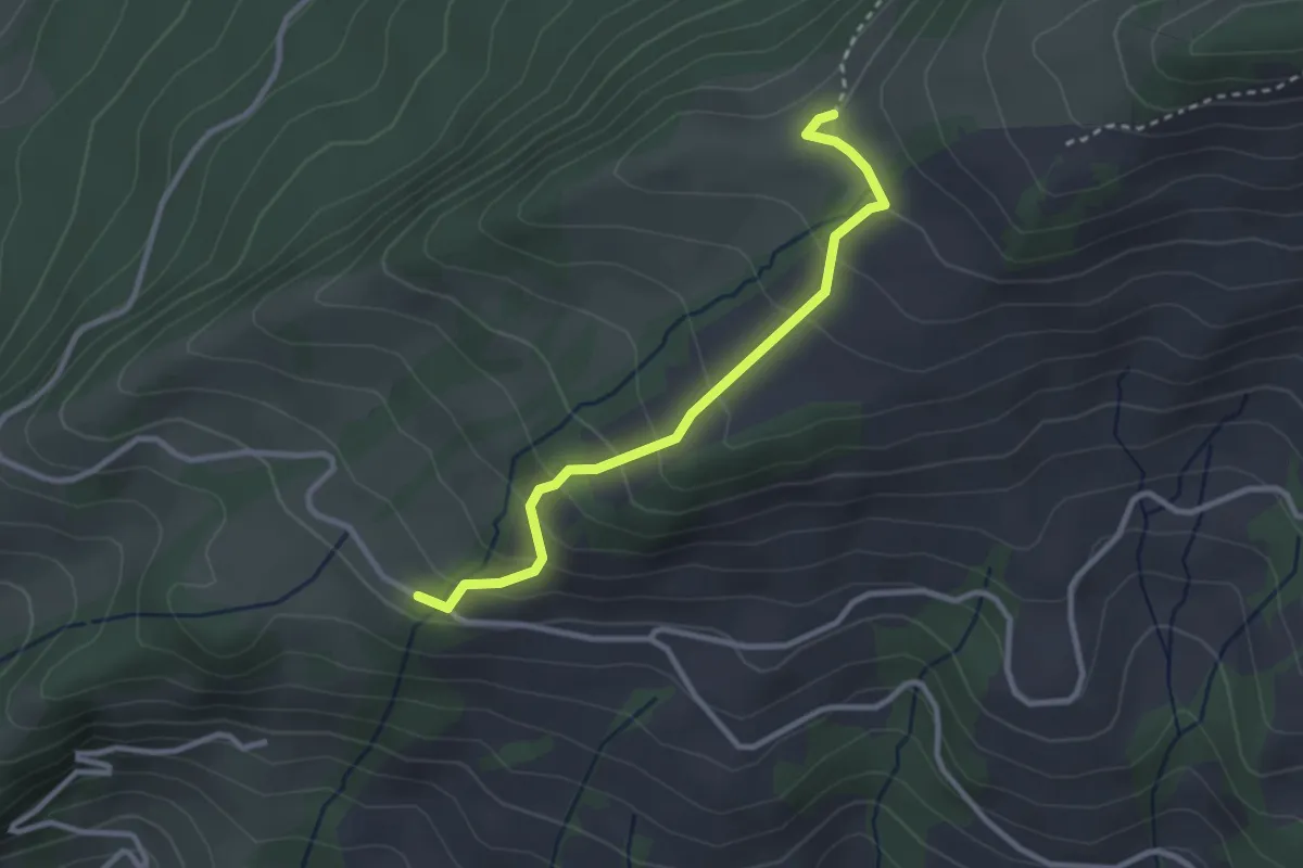
Easy · Trail
Martene – Underi Hällstett
2.8 km · ↑ 209 m · 1 h 7 min
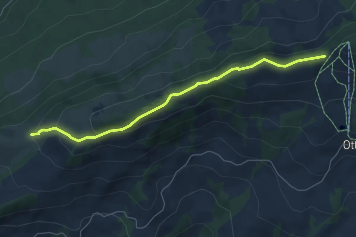
Easy · Trail
Underi Hällstett – Horbüelpass
5.2 km · ↑ 224 m · 1 h 43 min
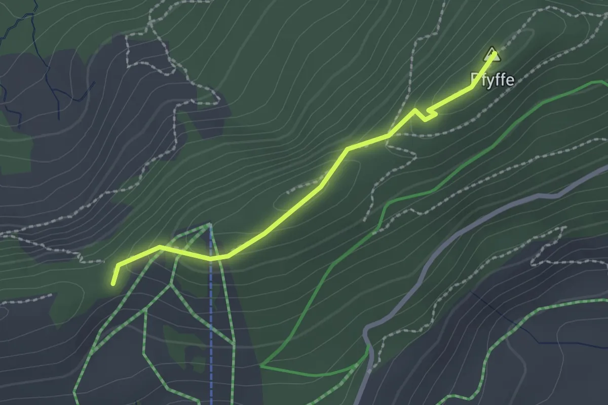
Easy · Summit
Horbüelpass – Pfyffe
2.0 km · ↑ 73 m · 38 min
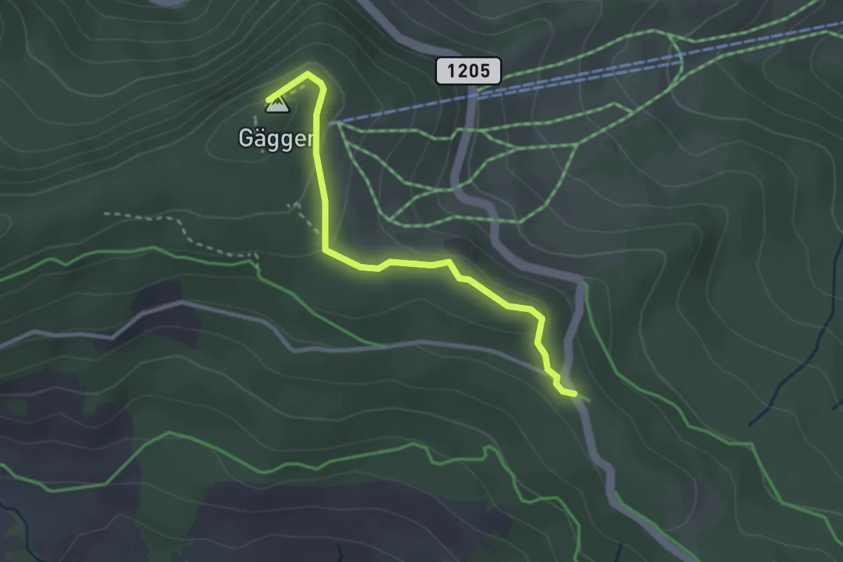
Easy · Summit
Gägger – Süftenen
2.6 km · ↑ 111 m · 52 min
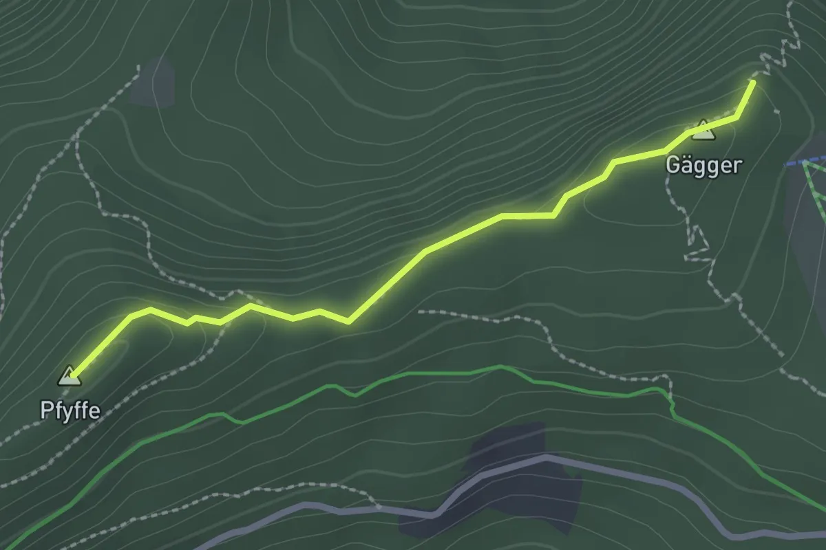
Easy · Summit
Pfyffe – Gägger
2.3 km · ↑ 84 m · 43 min
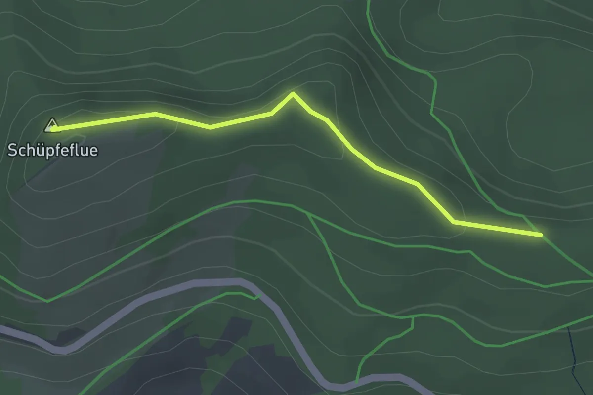
Easy · Summit
Schüpfenflue – Selibüelsattel
2.6 km · ↑ 85 m · 47 min
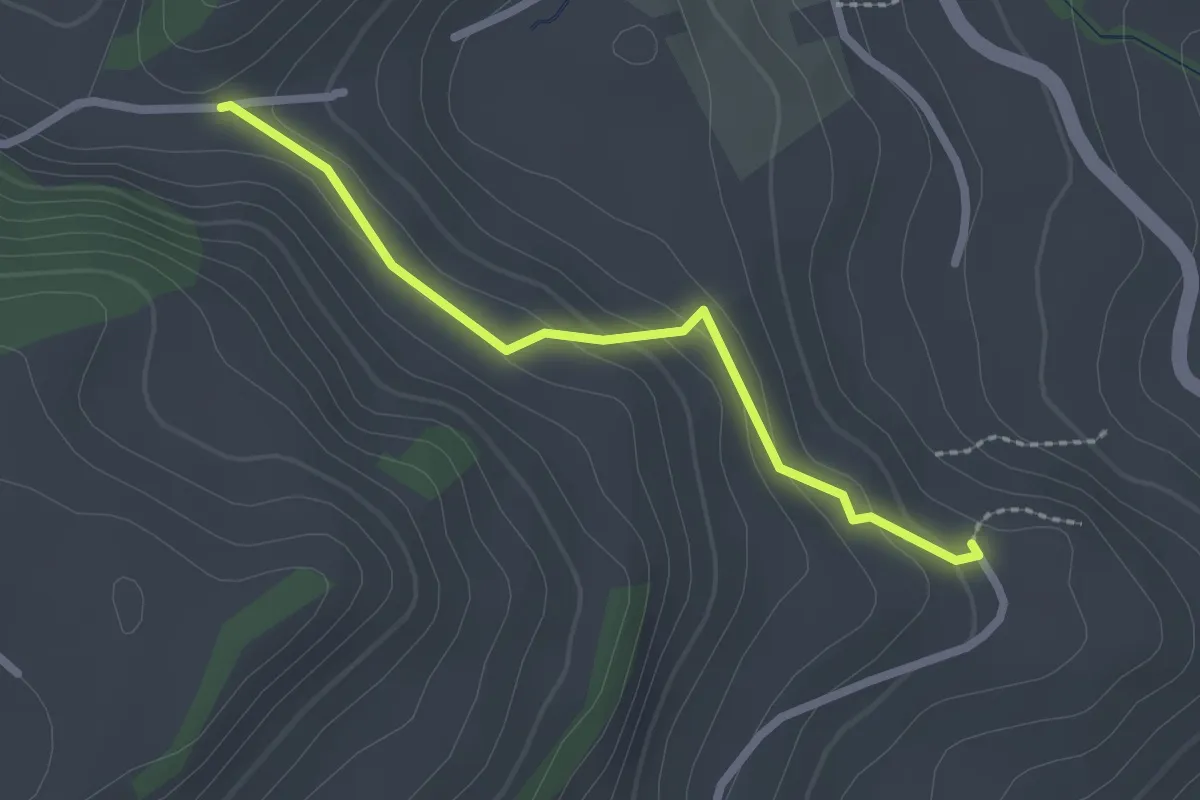
Easy · Trail
Fluhweid – Lörtscherei
2.2 km · ↑ 86 m · 42 min
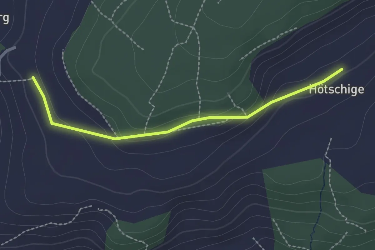
Easy · Trail
Ballenbüel – Ober Hötschige
2.2 km · ↑ 55 m · 38 min
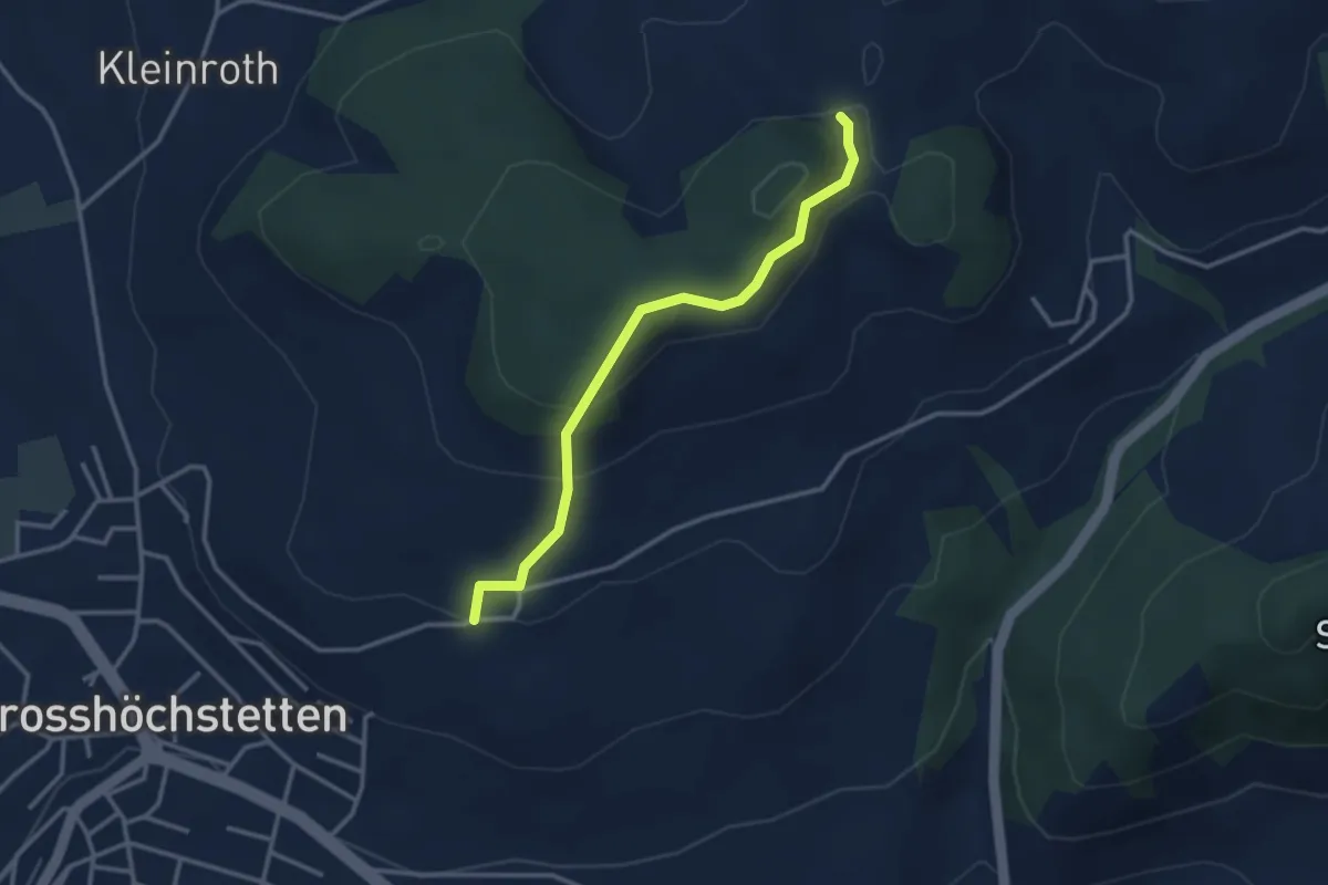
Easy · Trail
Möschberg – Büel
3.0 km · ↑ 156 m · 1 h 3 min
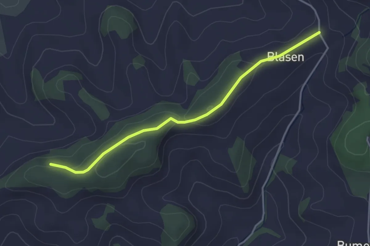
Easy · Trail
Chapfwald – Blase
3.5 km · ↑ 83 m · 1 h 1 min
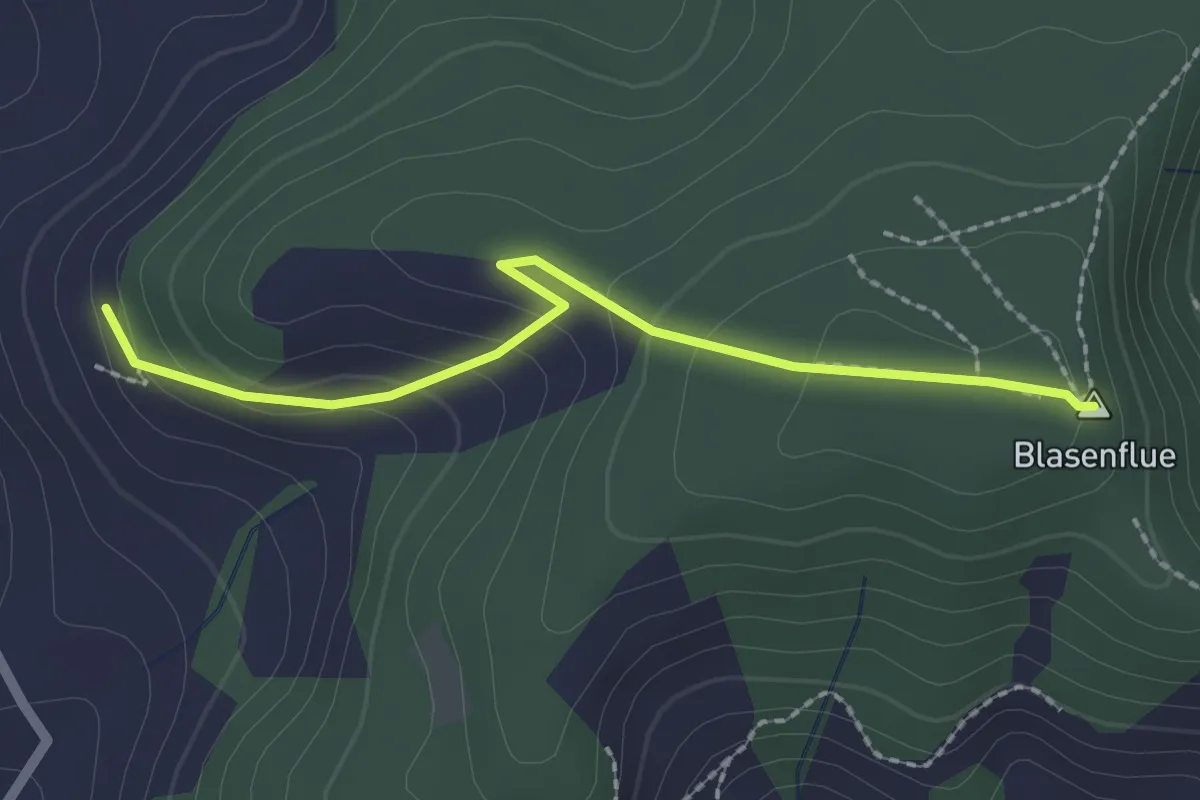
Easy · Summit
Blasenhorn – Blaseflue
2.1 km · ↑ 140 m · 48 min
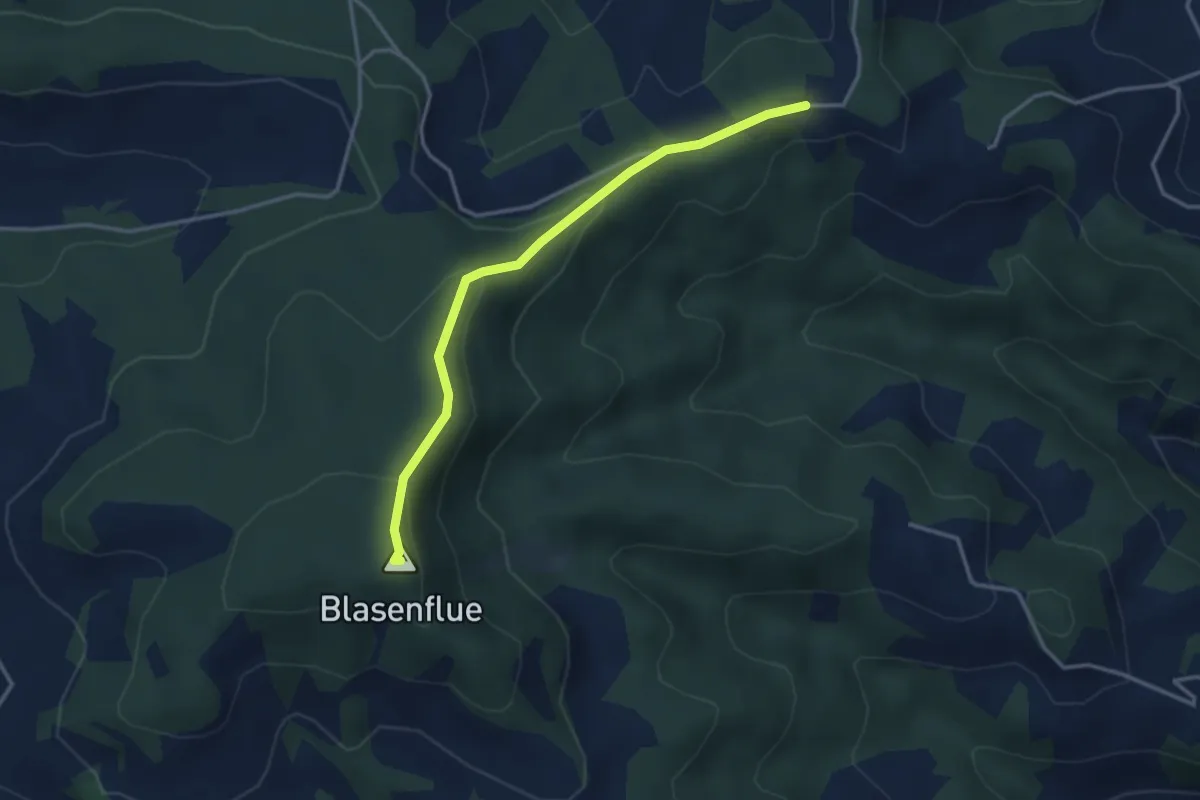
Easy · Summit
Blaseflue – Waldhaüsern
3.3 km · ↑ 139 m · 1 h 5 min
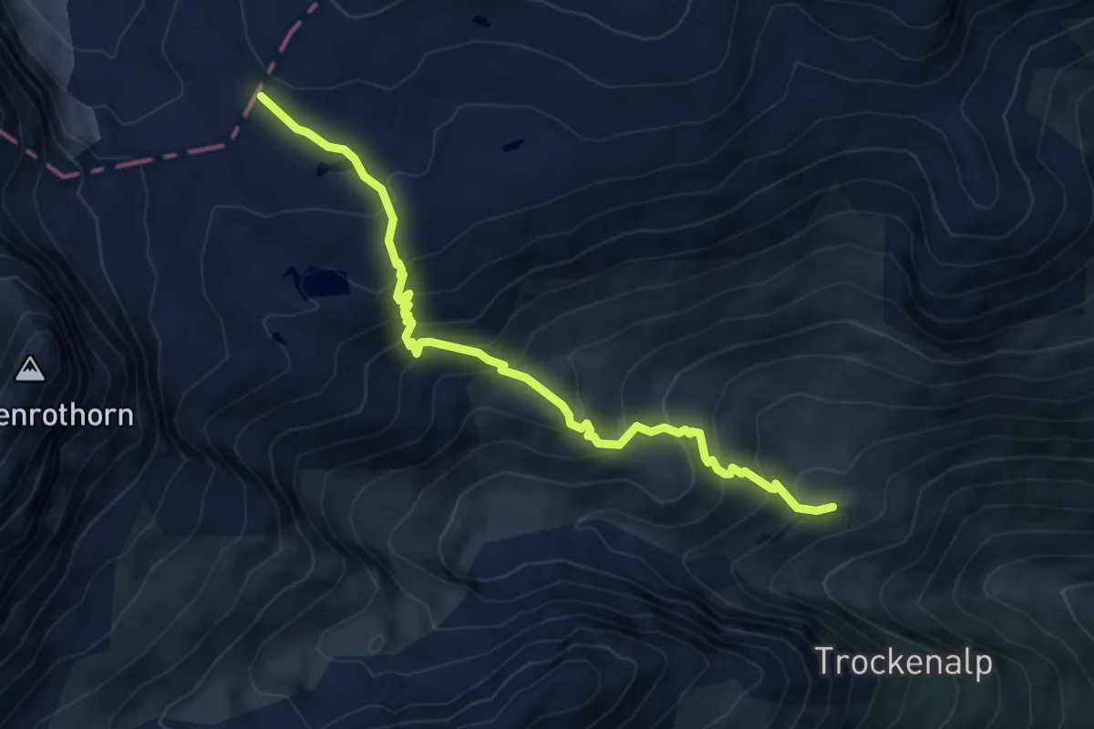
Medium · Cabin
Lötschenpass – Kummenalp
6.0 km · ↑ 619 m · 2 h 46 min
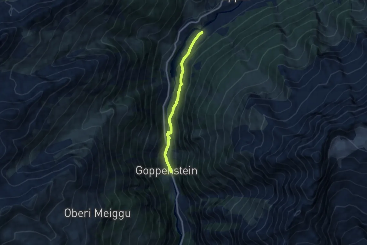
Easy · Trail
Harrischfuhre – Goppenstein
6.3 km · ↑ 278 m · 2 h 6 min
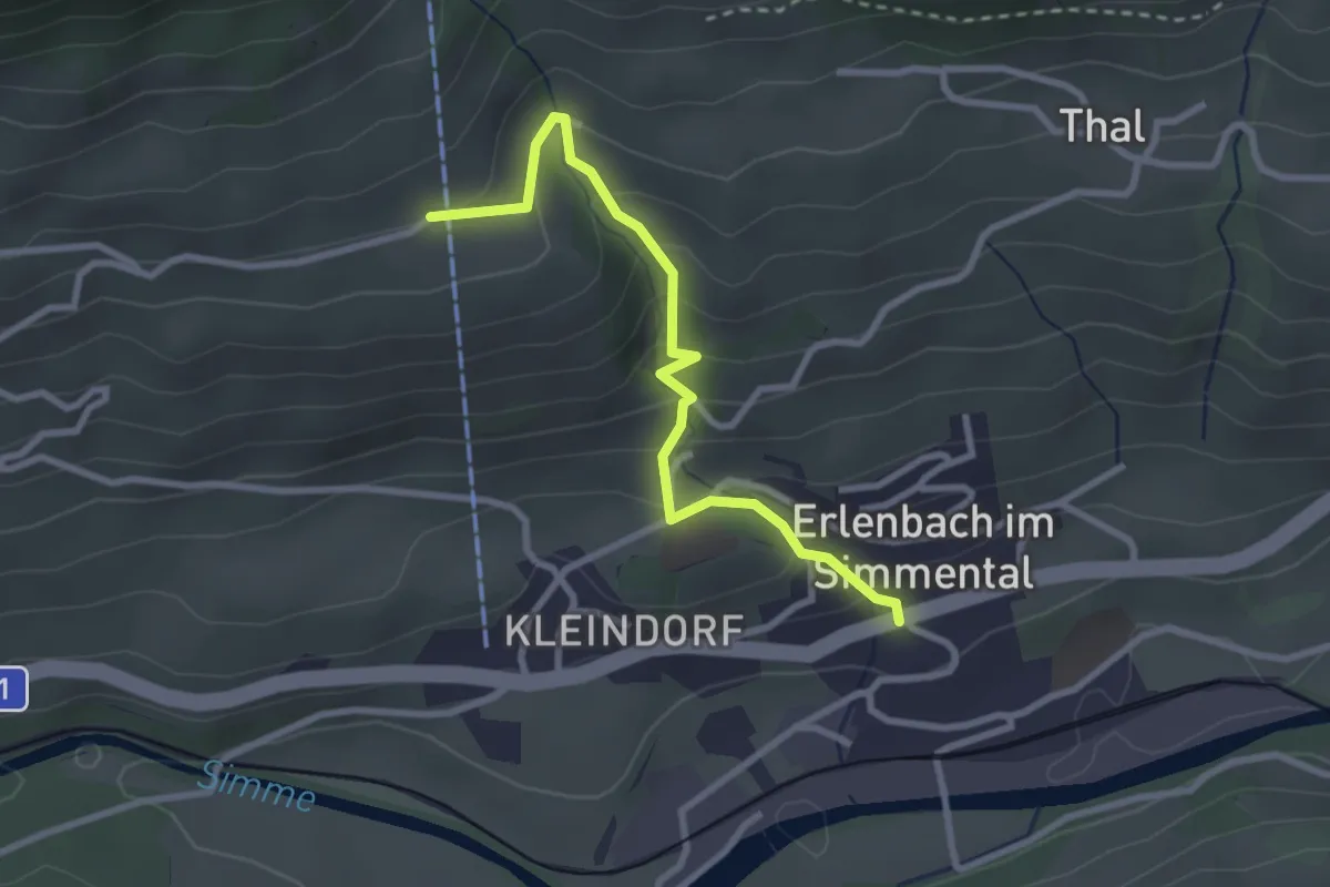
Easy · Trail
Erlenbach – Moos
2.8 km · ↑ 218 m · 1 h 8 min
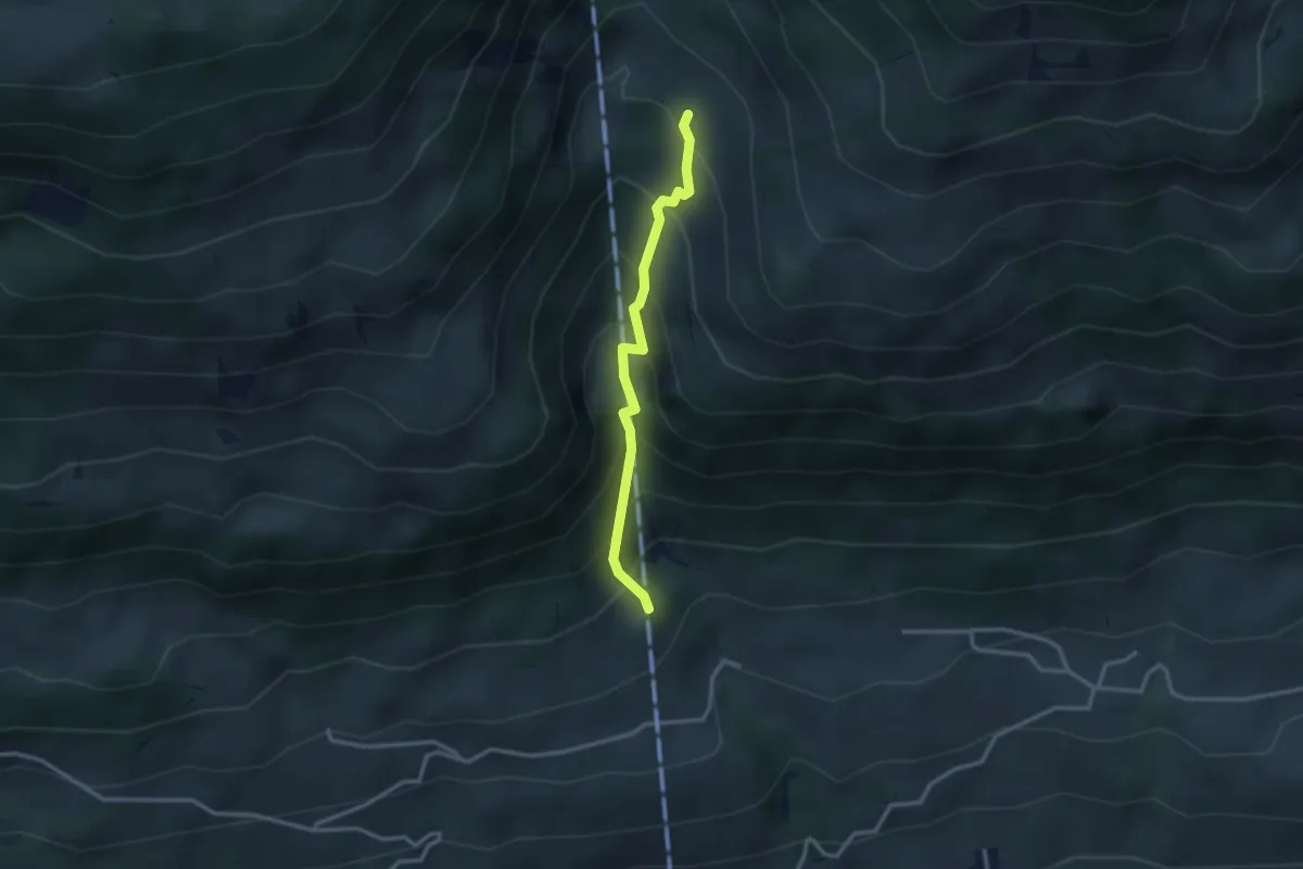
Medium · Trail
Oberberg – Oberschlusi
2.6 km · ↑ 328 m · 1 h 19 min
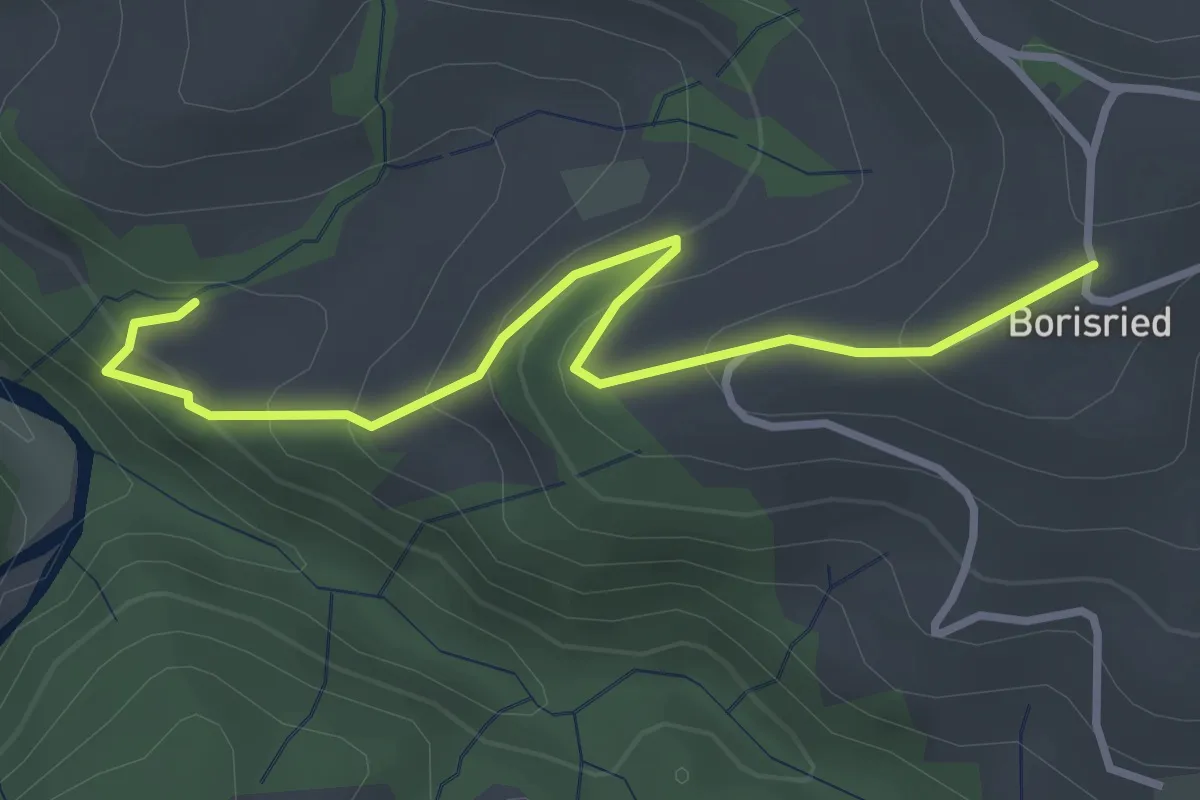
Easy · Trail
Mösli – Borisried
3.4 km · ↑ 219 m · 1 h 16 min