Trails in Switzerland
15,055 hiking trails, each with its route, climb, walking time and grade.
All trails, page 193 of 314
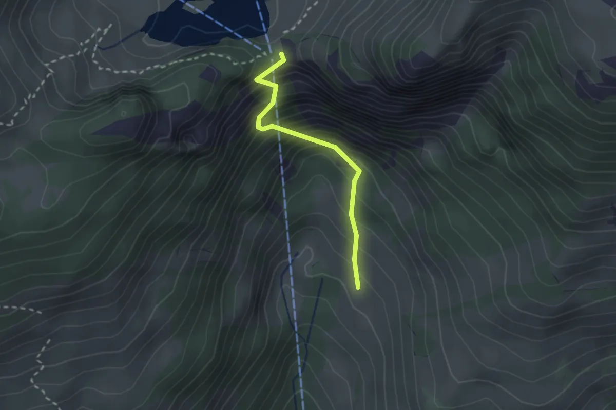
Easy · Trail
Oberschlusi – Chrindi
2.0 km · ↑ 313 m · 1 h 9 min
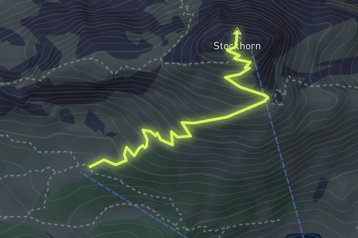
Medium · Summit
Oberstockenalp – Stockhorn
3.3 km · ↑ 367 m · 1 h 34 min
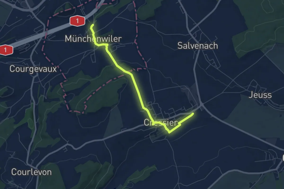
Easy · Trail
Cressier – Münchenwiler Chliholz
6.8 km · ↑ 156 m · 1 h 56 min
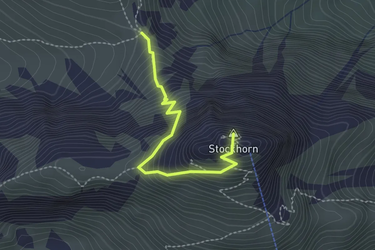
Demanding · Summit
Stockhorn – Bacchegg
2.2 km · ↑ 381 m · 1 h 20 min
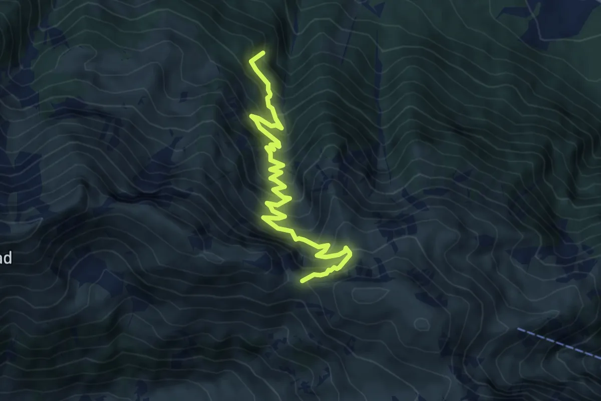
Medium · Trail
Walalpgrat – Möntschelewald
7.2 km · ↑ 692 m · 3 h 12 min
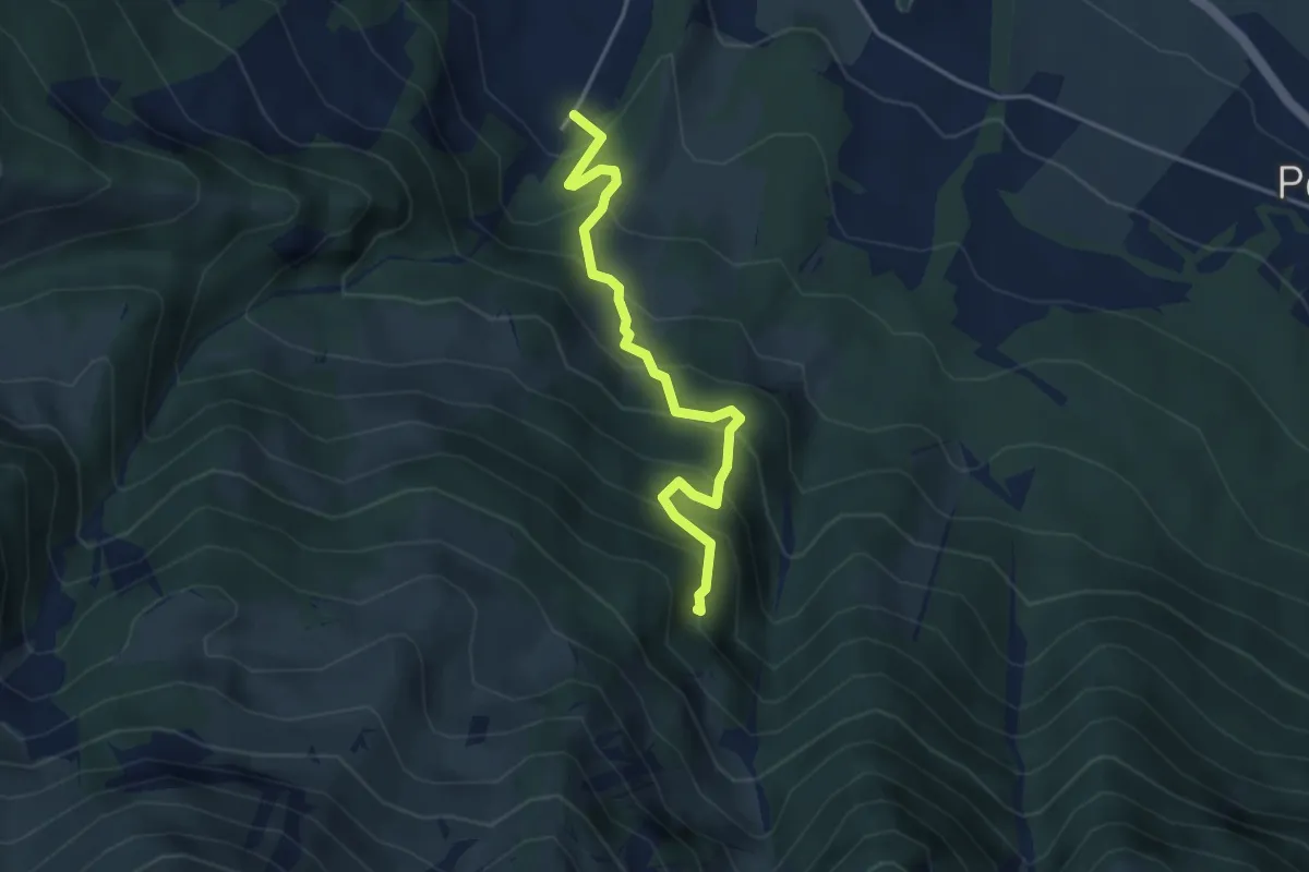
Medium · Trail
Möntschelewald – Blumenstein/Kirche
3.8 km · ↑ 448 m · 1 h 51 min
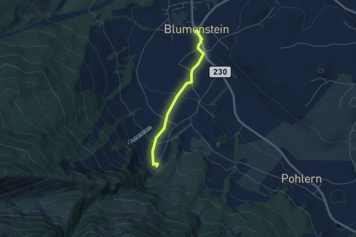
Easy · Trail
Blumenstein/Kirche – Blumenstein
4.1 km · ↑ 129 m · 1 h 15 min
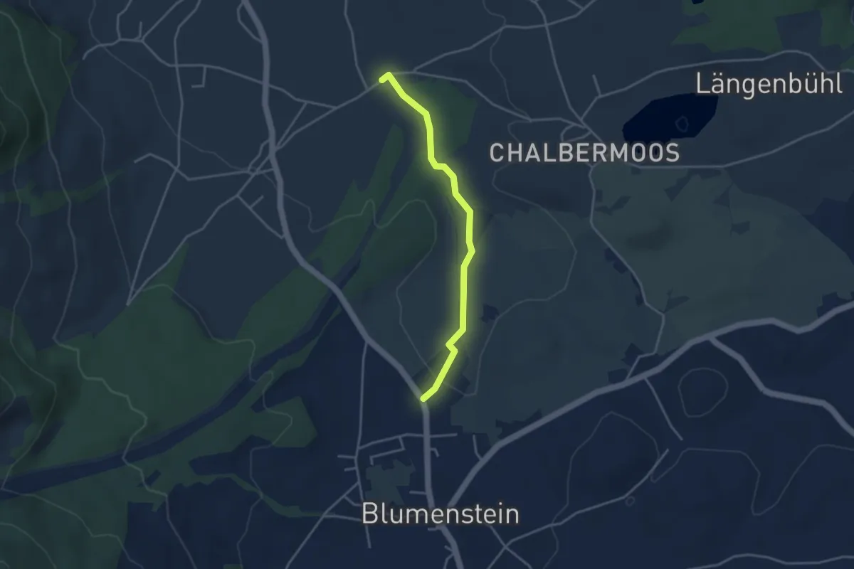
Easy · Trail
Blumenstein/Bad – Längmoos
3.3 km · ↑ 31 m · 50 min
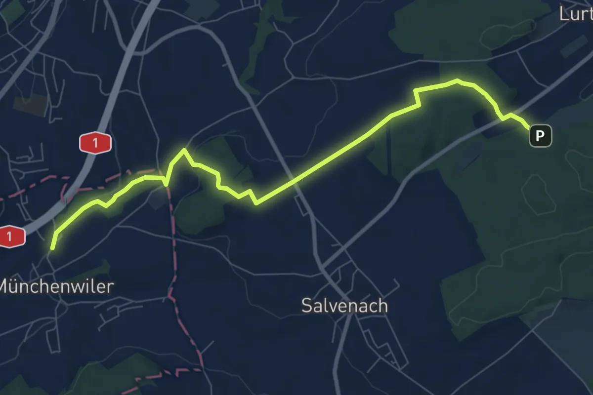
Medium · Trail
Münchenwiler Chliholz – Galmacher
8.6 km · ↑ 189 m · 2 h 26 min
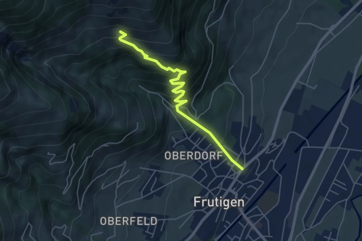
Medium · Trail
Frutigen – Ueblenberg
4.6 km · ↑ 470 m · 2 h 7 min
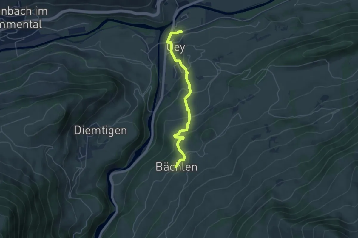
Easy · Trail
Bächlen – Oey Station
4.4 km · ↑ 213 m · 1 h 29 min
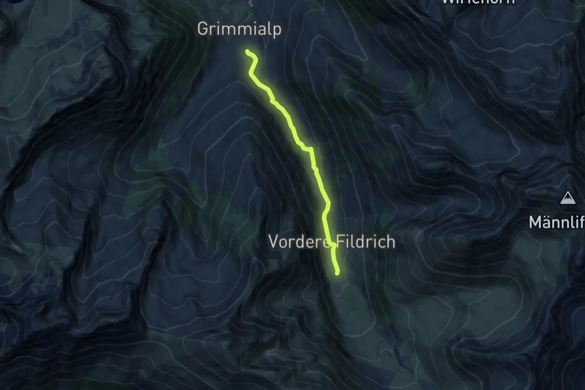
Easy · Trail
Fildrich – Egg
7.6 km · ↑ 184 m · 2 h 11 min
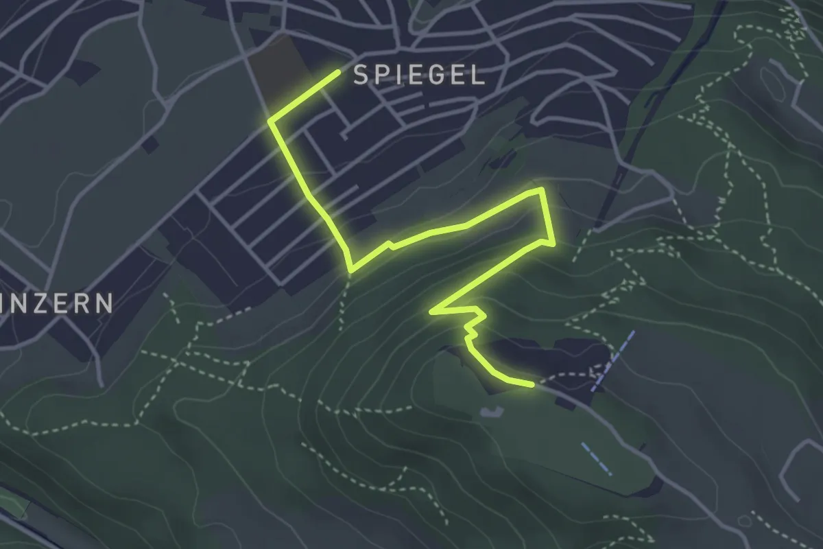
Easy · Trail
Spiegel Zentrum – Gurten Kulm
4.0 km · ↑ 214 m · 1 h 25 min
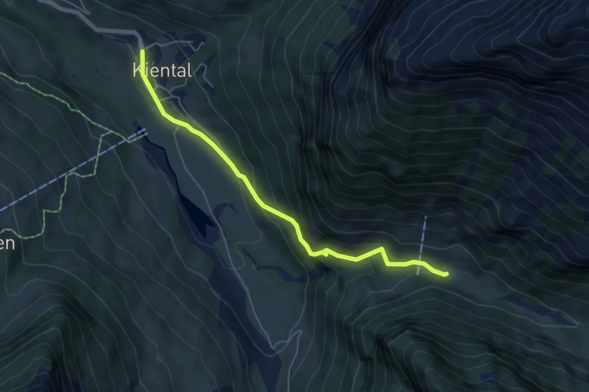
Medium · Trail
Spiggergrund – Kiental
5.1 km · ↑ 344 m · 1 h 57 min
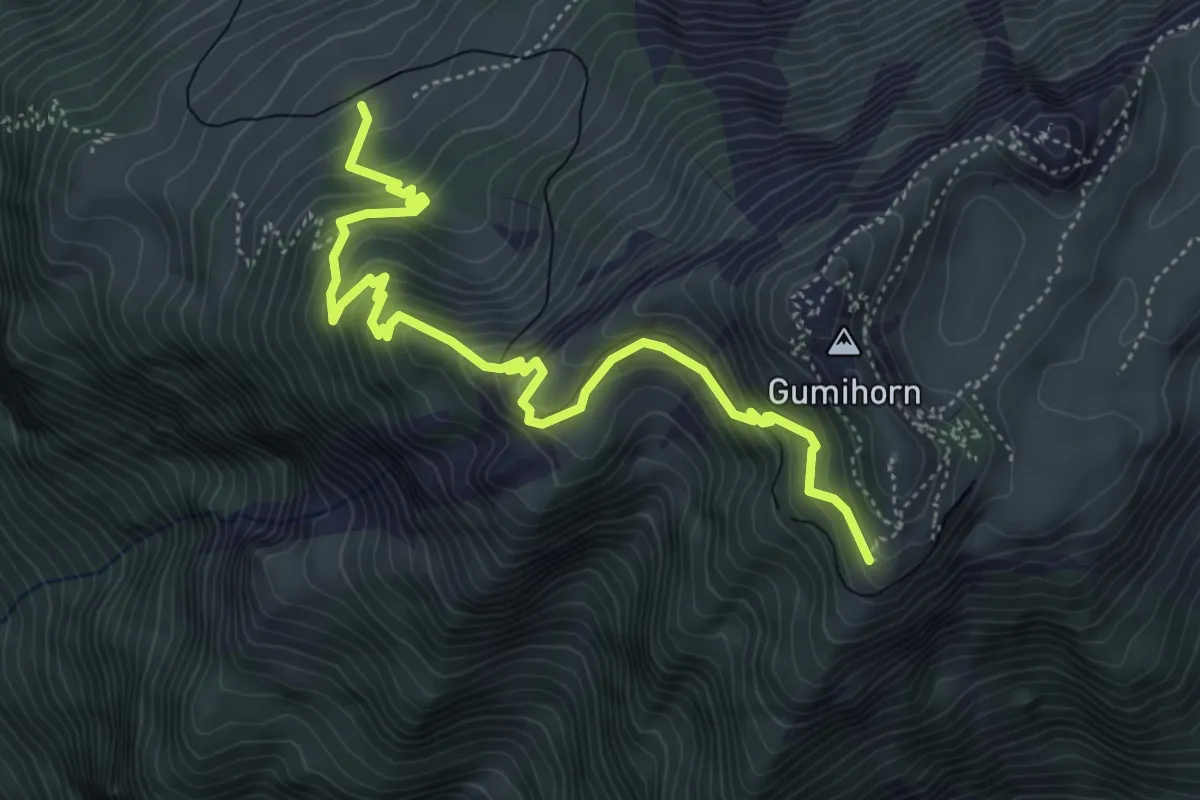
Medium · Trail
Breitlauenen – Schynige Platte
5.6 km · ↑ 529 m · 2 h 28 min
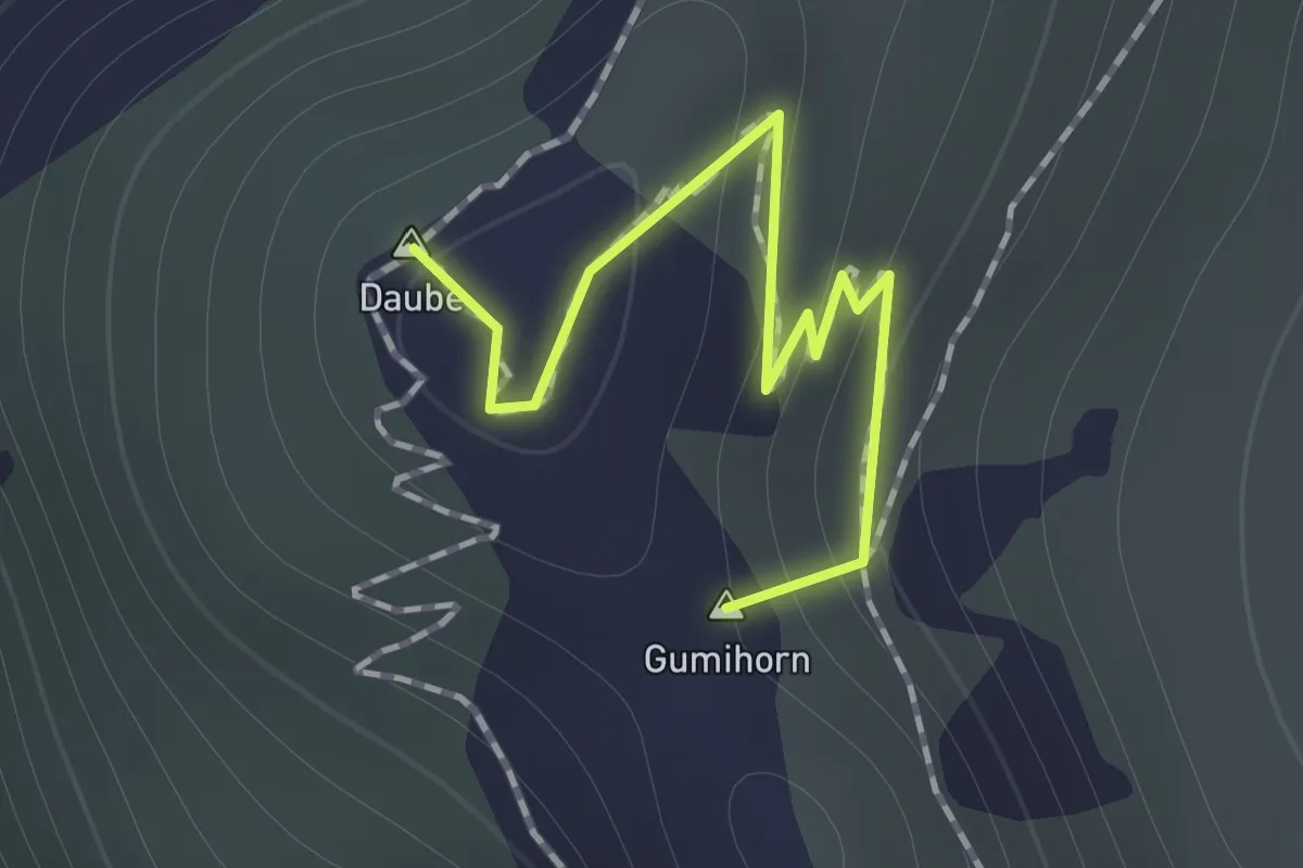
Medium · Summit
Schynige Platte – Daube
1.0 km · ↑ 39 m · 19 min
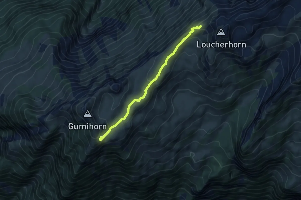
Medium · Trail
Schynige Platte – Lauchera Grätli
5.0 km · ↑ 171 m · 1 h 33 min
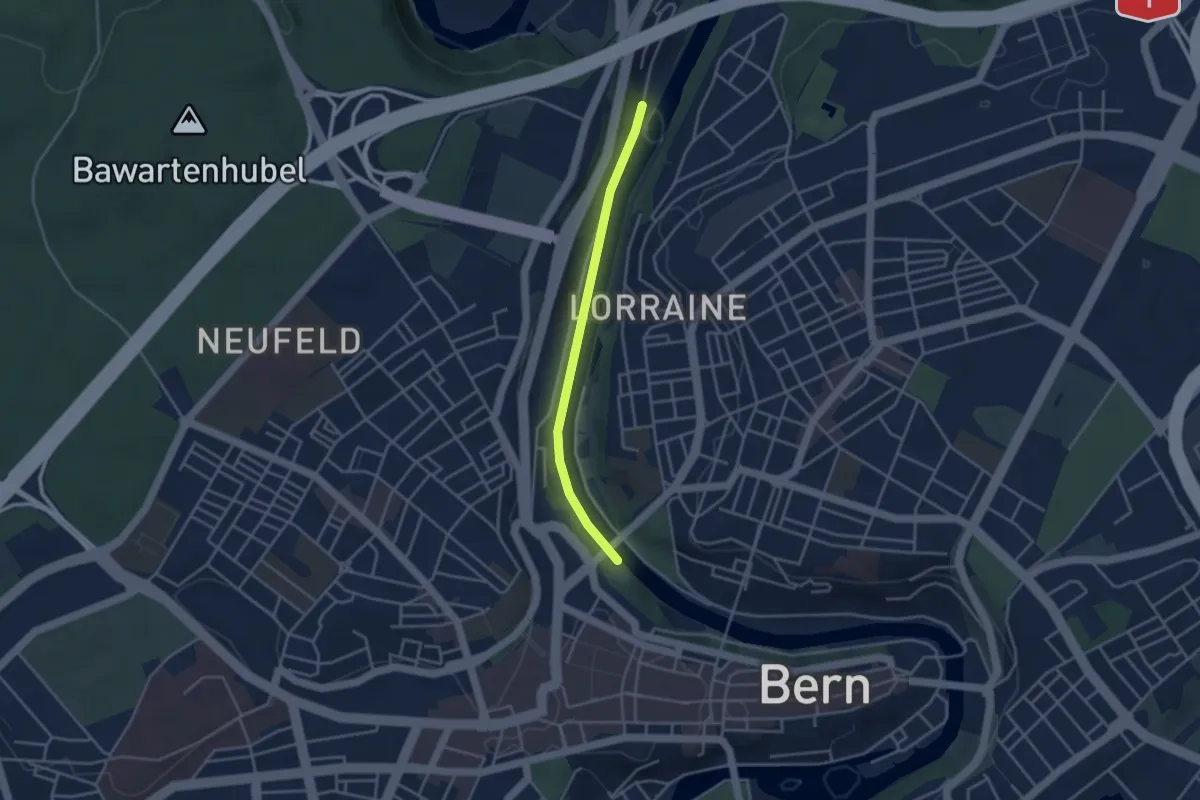
Easy · Trail
Blutturm – Stauwehr Felsenau
3.3 km · ↑ 60 m · 55 min
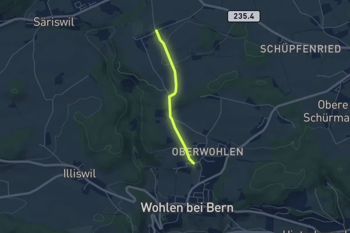
Easy · Trail
Oberwohlen – Möriswil
3.6 km · ↑ 79 m · 1 h 1 min
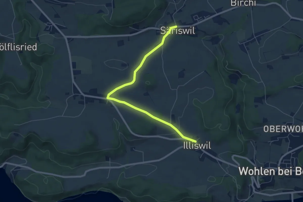
Easy · Trail
Säriswil – Illiswil
6.6 km · ↑ 101 m · 1 h 46 min
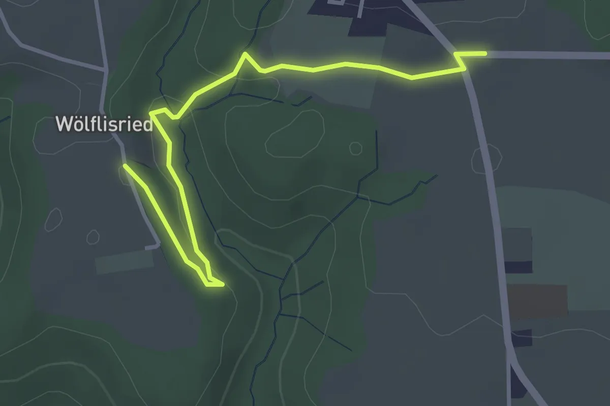
Easy · Trail
Weiermatt – Wölfisried
3.5 km · ↑ 81 m · 1 h
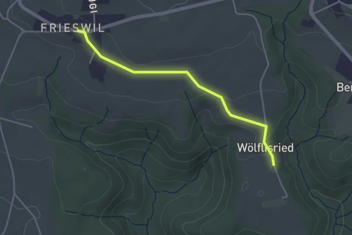
Easy · Trail
Wölflisried – Frieswil
3.1 km · ↑ 53 m · 51 min
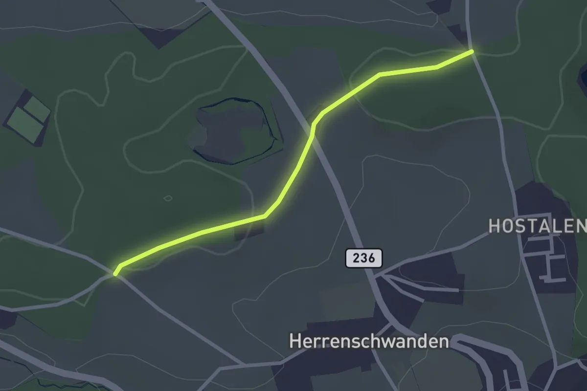
Easy · Trail
Burrishus – Lörwald
2.4 km · ↑ 34 m · 39 min
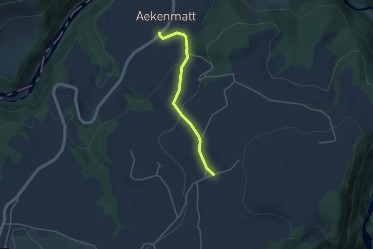
Easy · Trail
Steinenbrünnen – Aeckenmatt
2.7 km · ↑ 121 m · 54 min
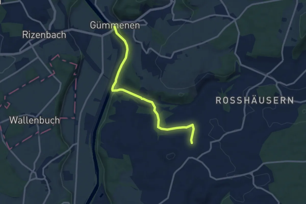
Easy · Trail
Gümmenen – Spengelried
7.1 km · ↑ 173 m · 2 h 3 min
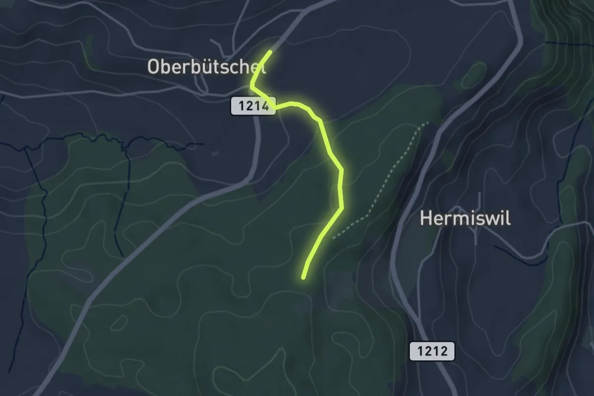
Easy · Trail
Oberbütschel – Taanwald
2.6 km · ↑ 101 m · 50 min
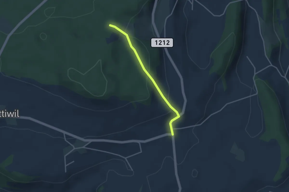
Easy · Trail
Taanwald – Hasli
2.6 km · ↑ 117 m · 52 min
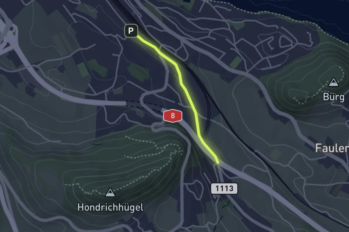
Easy · Trail
Spiez/Bahnhof – Salzbrunnen
2.3 km · ↑ 36 m · 37 min
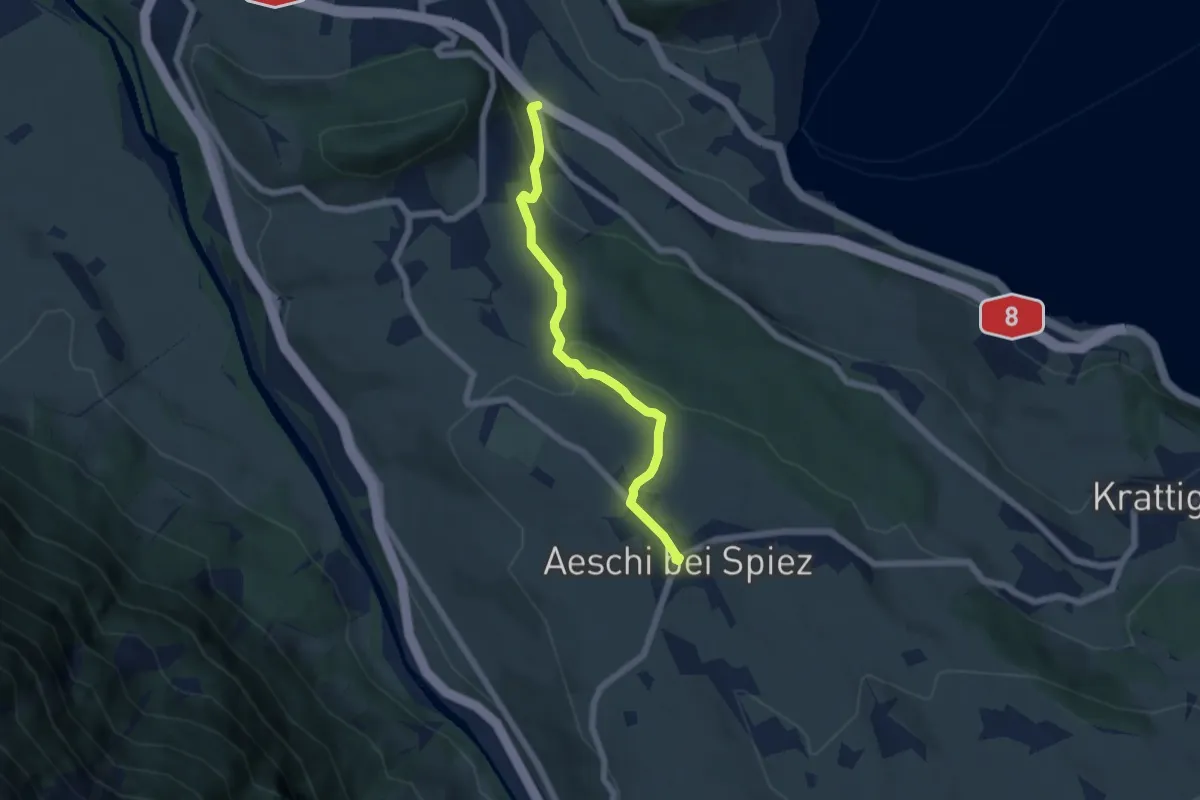
Easy · Trail
Salzbrunnen – Aeschi
5.4 km · ↑ 215 m · 1 h 44 min
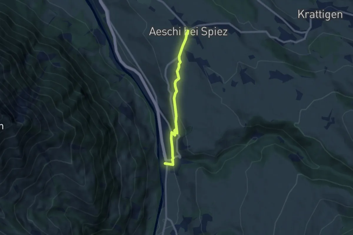
Easy · Trail
Aeschi – Mülenen
5.5 km · ↑ 166 m · 1 h 39 min
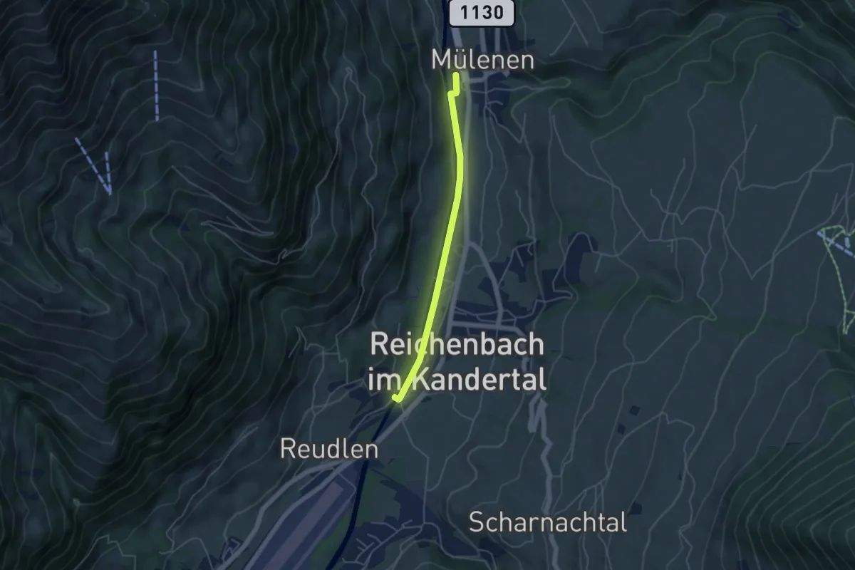
Easy · Trail
Mülenen – Reudlenbrücke
4.1 km · ↑ 36 m · 1 h 3 min
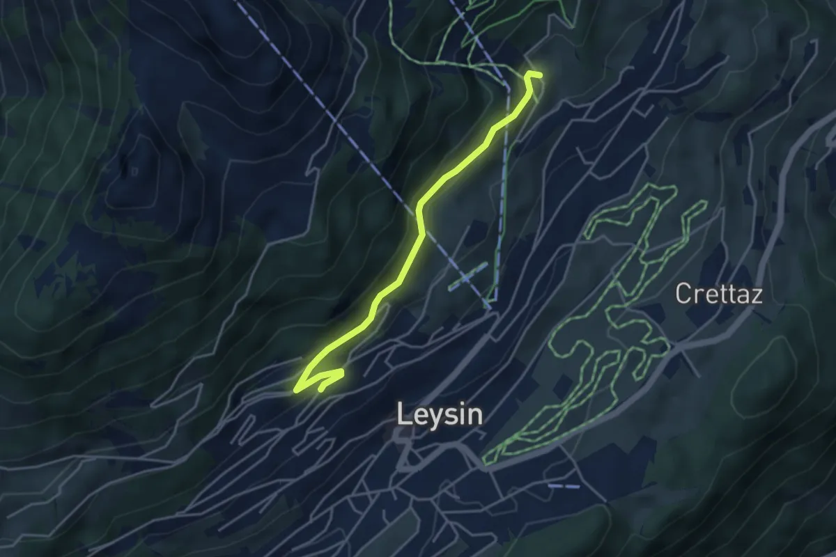
Medium · Trail
Féydey – Tresselerie
3.8 km · ↑ 169 m · 1 h 16 min
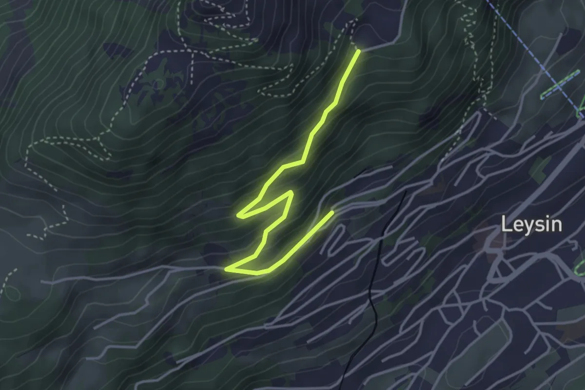
Easy · Trail
Le Bockli – Joux des Vents
3.8 km · ↑ 223 m · 1 h 23 min
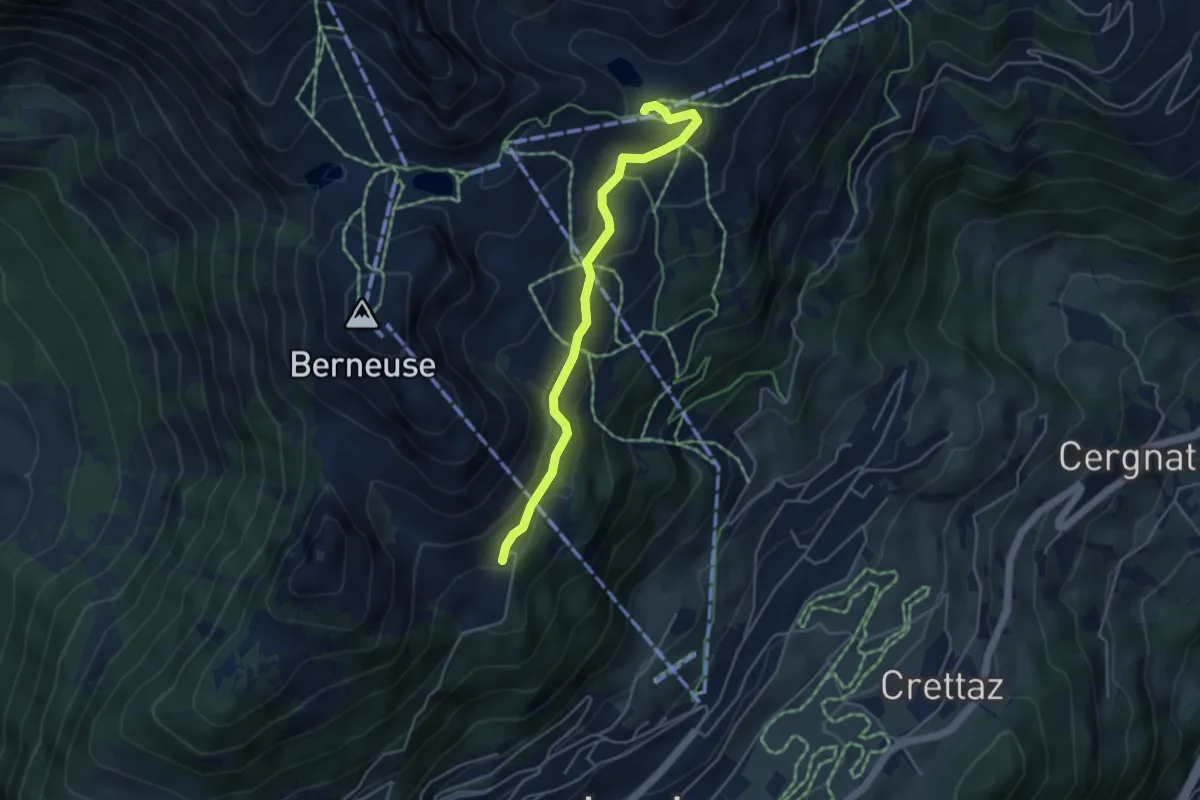
Easy · Cabin
Le Temeley – Mayen
4.3 km · ↑ 205 m · 1 h 28 min
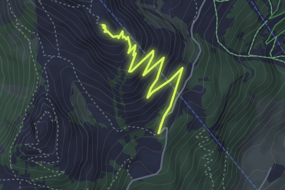
Medium · Summit
Temeley – Geteillon
3.9 km · ↑ 280 m · 1 h 32 min
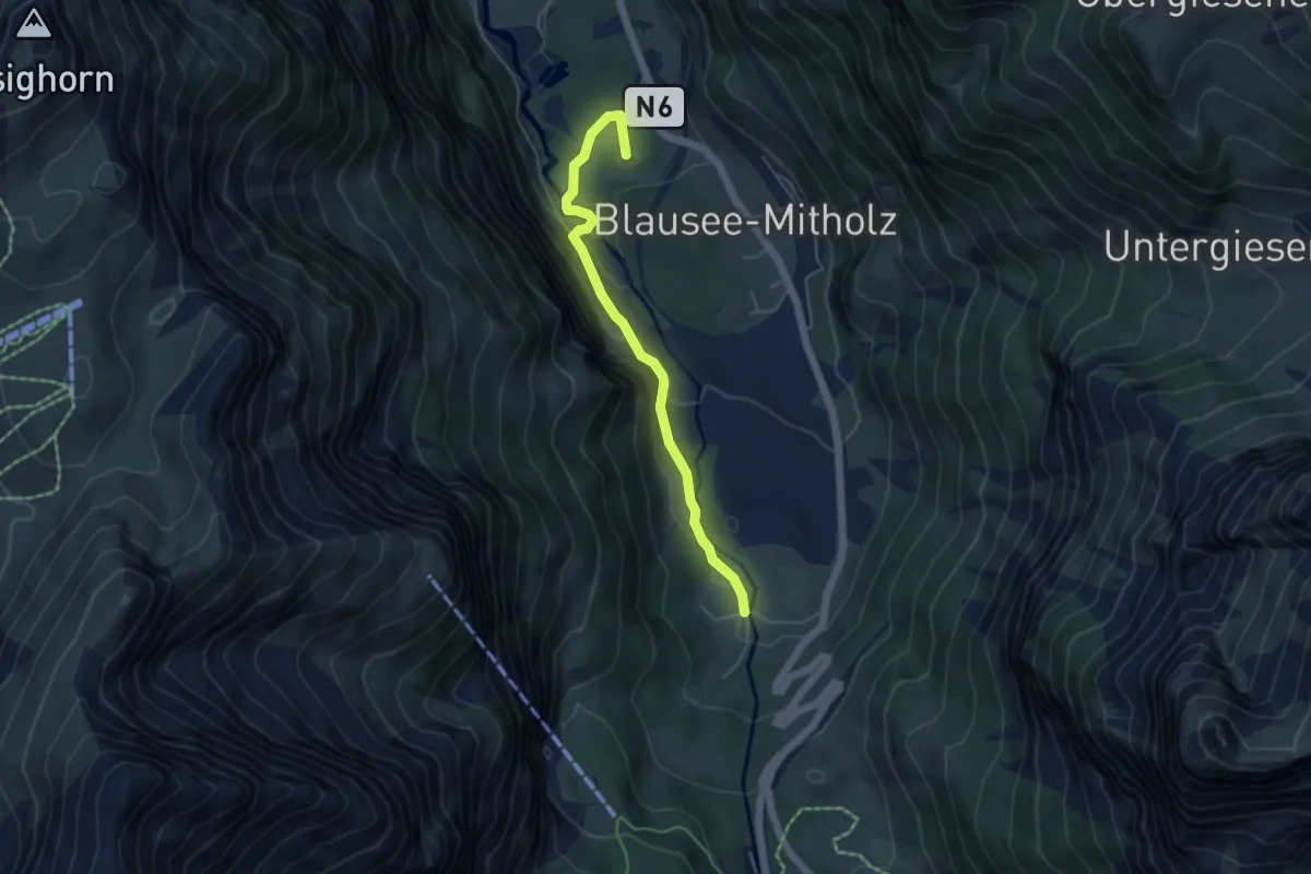
Easy · Summit
Blausee – Underem Büel
4.8 km · ↑ 157 m · 1 h 28 min
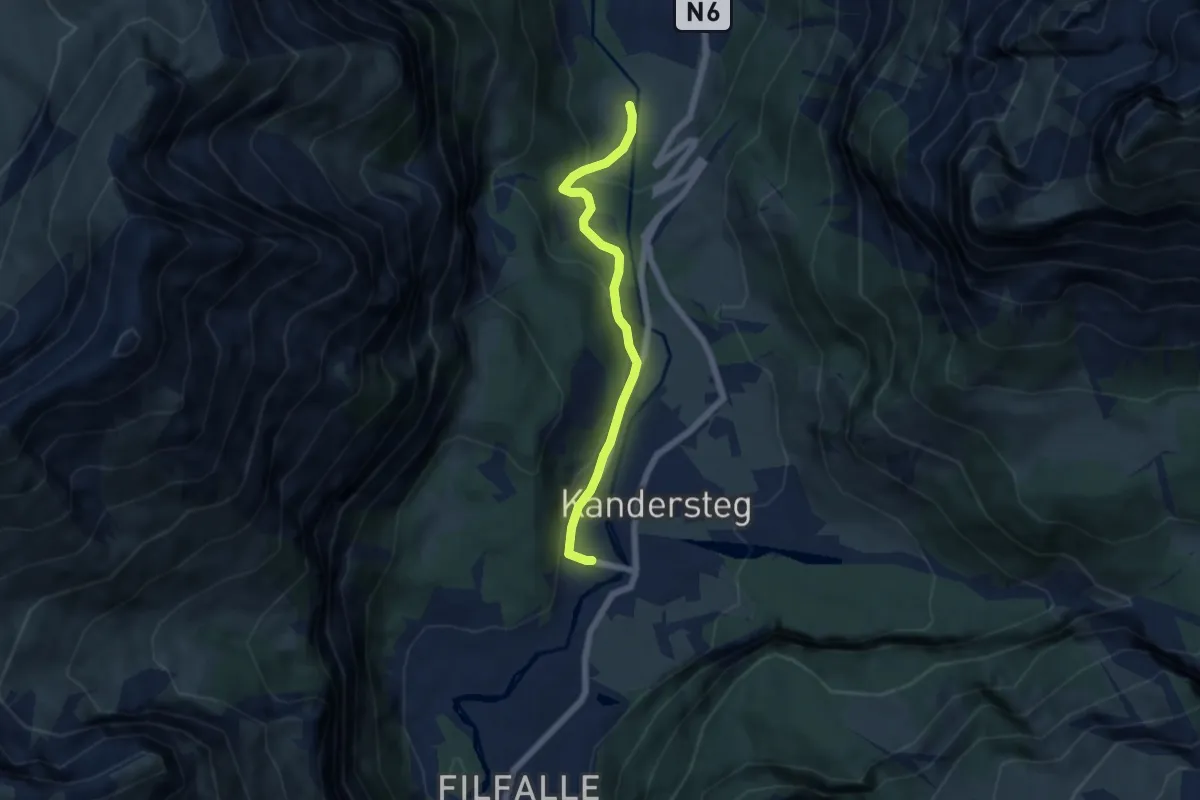
Easy · Trail
Underem Büel – Kandersteg
5.4 km · ↑ 195 m · 1 h 42 min
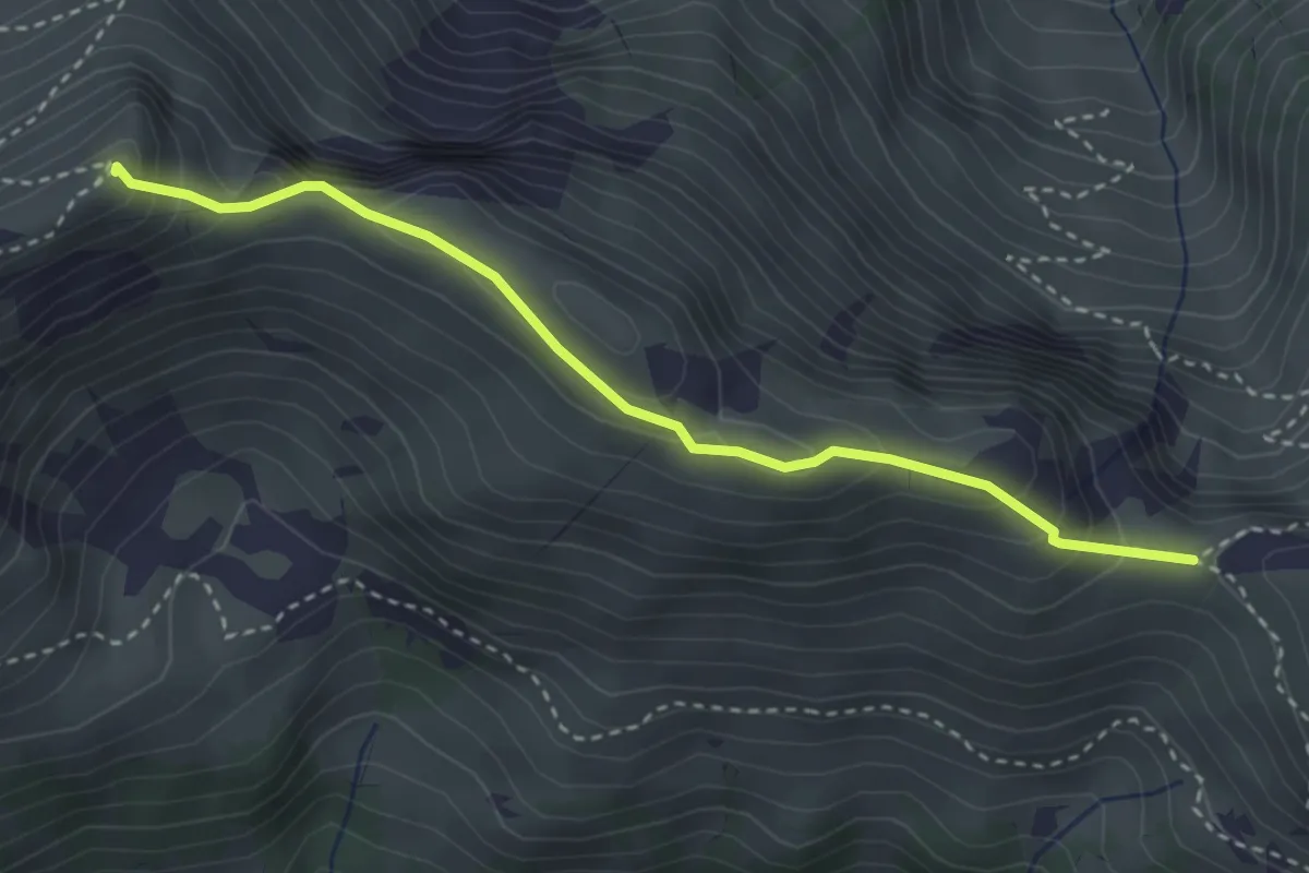
Medium · Summit
Walalpgrat – Möntschelespitz
3.3 km · ↑ 225 m · 1 h 16 min
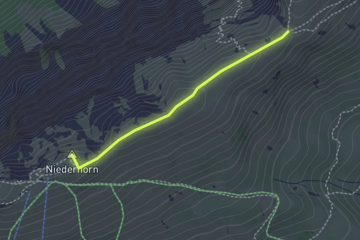
Medium · Summit
Niederhorn – Hohseil
1.9 km · ↑ 32 m · 31 min
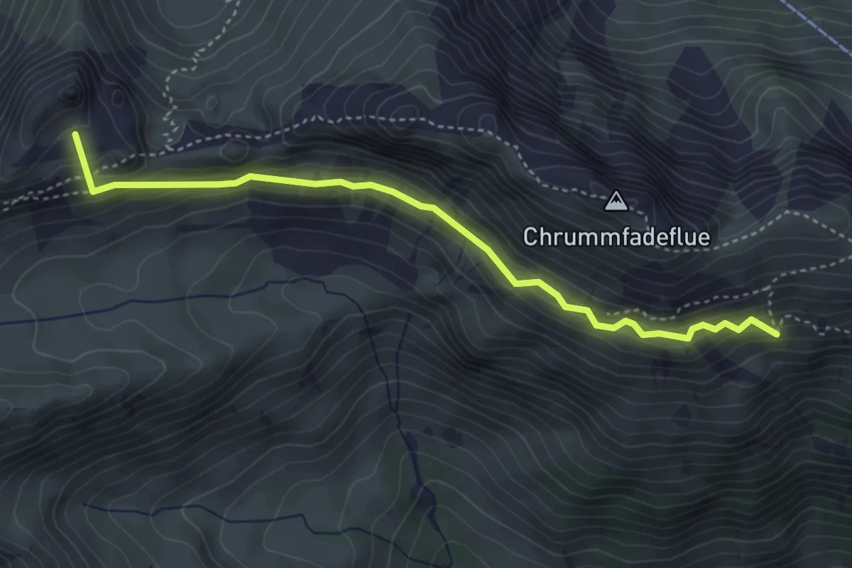
Medium · Summit
Schiterwang – Leiterenpass
4.1 km · ↑ 293 m · 1 h 36 min
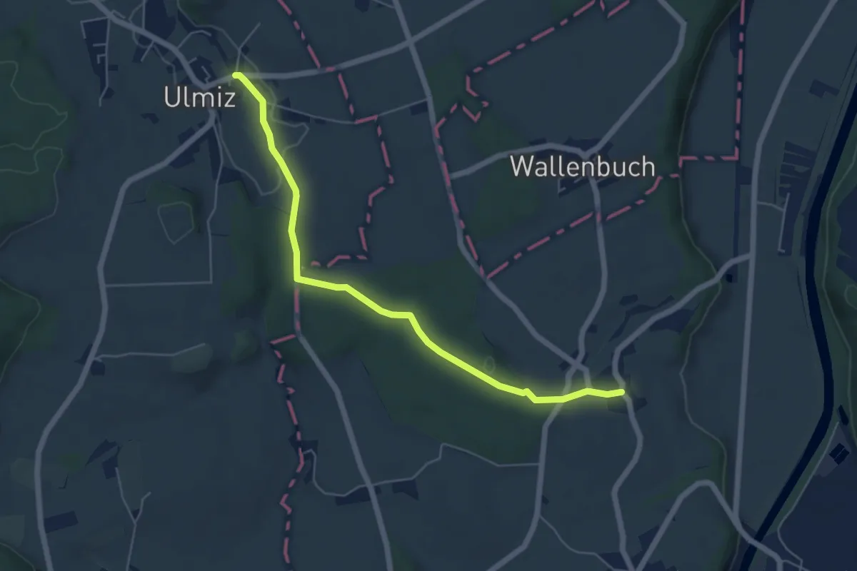
Easy · Trail
Ulmiz – Gammen
5.6 km · ↑ 82 m · 1 h 30 min
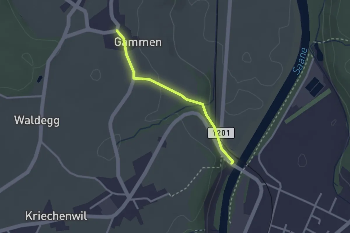
Easy · Trail
Gammen – Saanebrücke
2.0 km · ↑ 42 m · 34 min
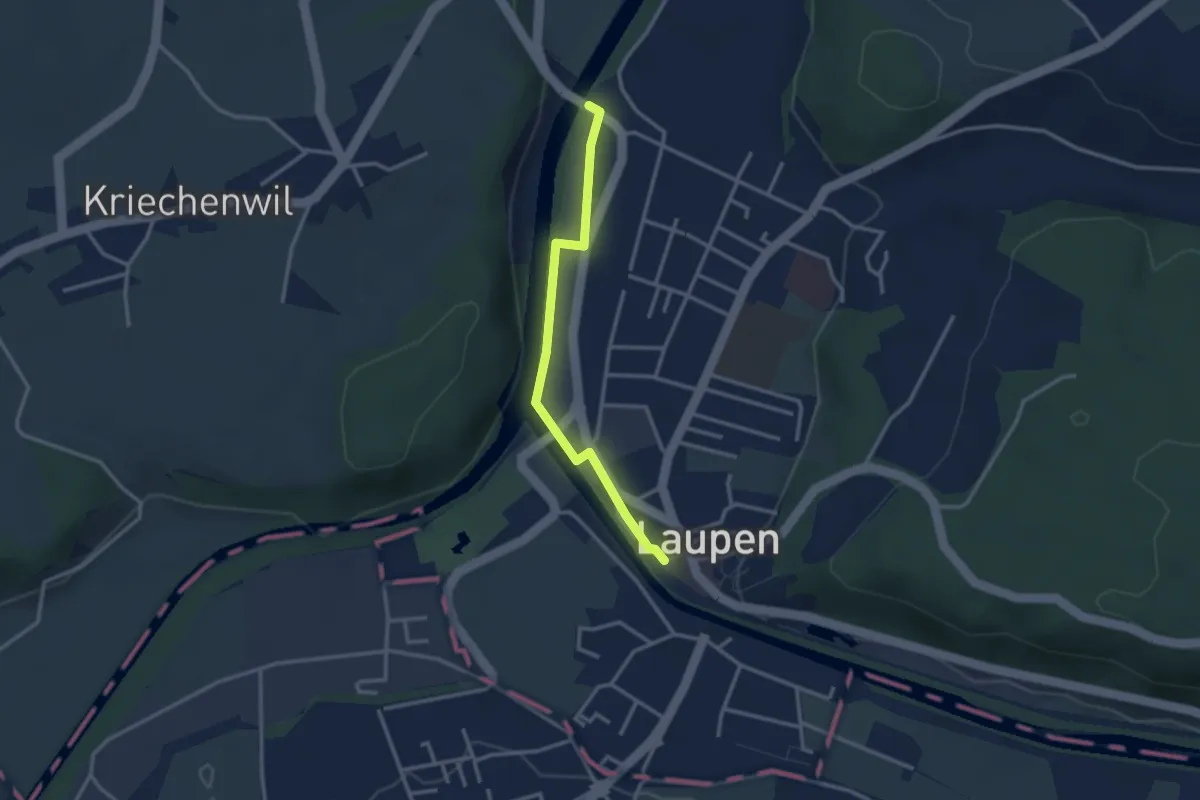
Easy · Trail
Saanebrücke – Laupen
2.8 km · ↑ 15 m · 41 min
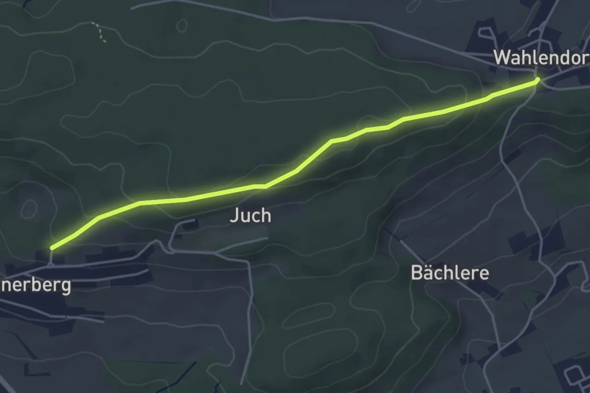
Easy · Trail
Wahlendorf Usserdorf – Innerberg Mösli
4.3 km · ↑ 155 m · 1 h 22 min
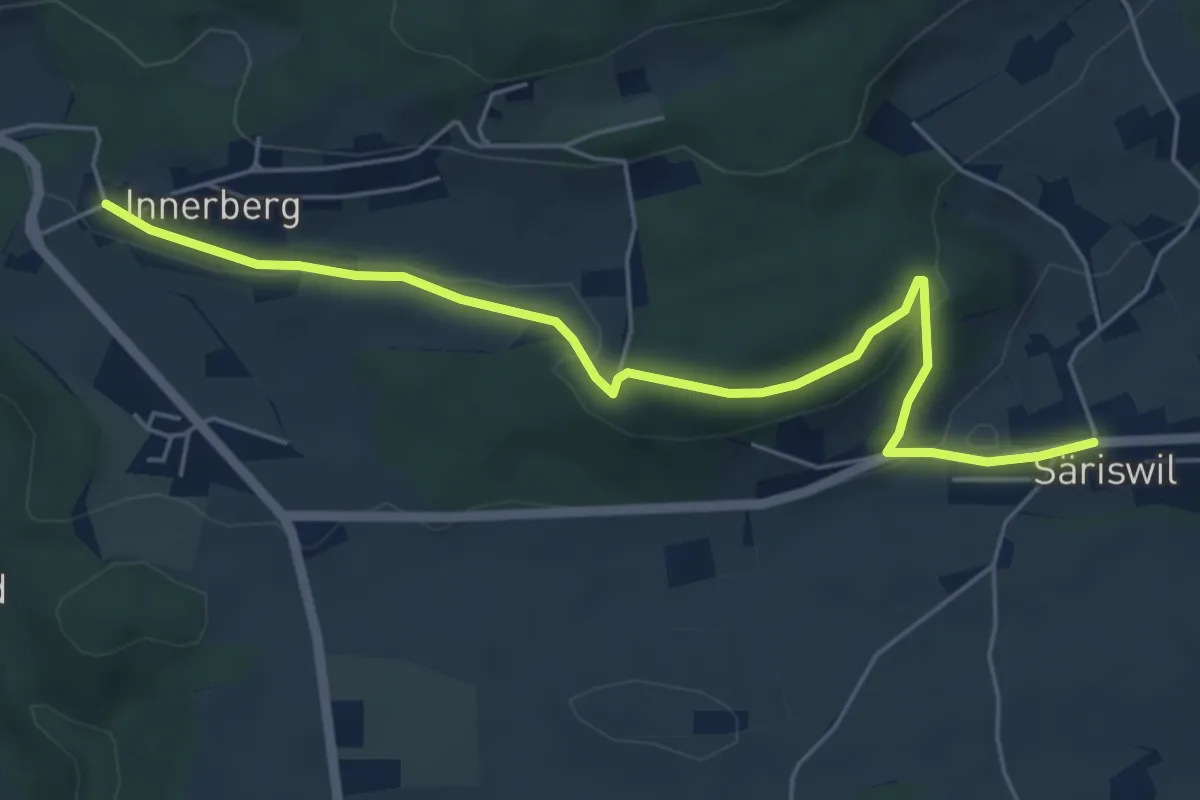
Easy · Trail
Innerberg – Säriswil
5.8 km · ↑ 147 m · 1 h 42 min
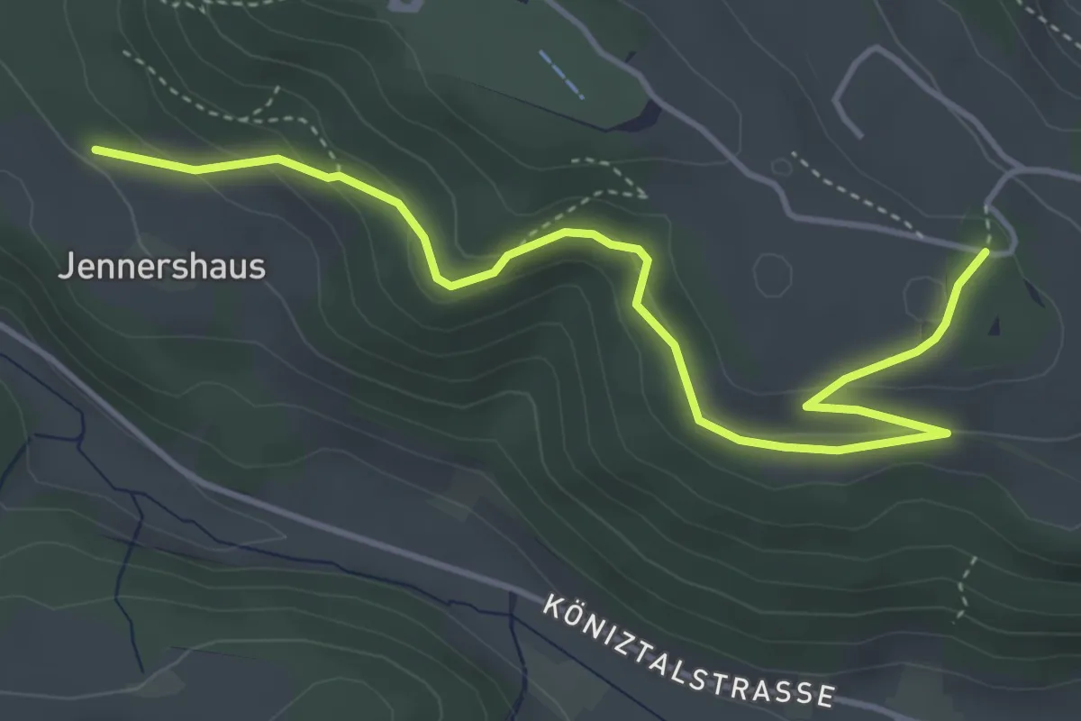
Easy · Trail
Jennershus – Studholz
4.7 km · ↑ 167 m · 1 h 29 min
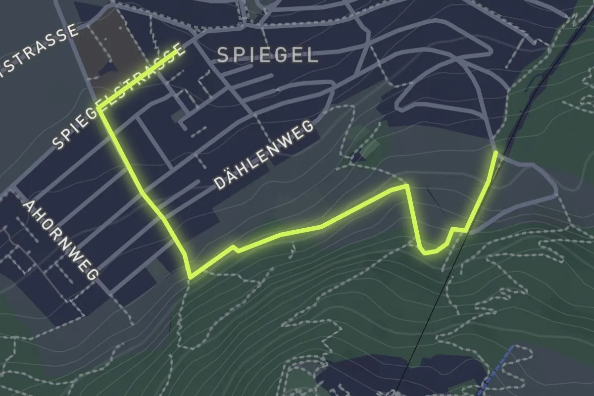
Easy · Trail
Grüenenboden – Spiegel Zentrum
3.1 km · ↑ 154 m · 1 h 4 min
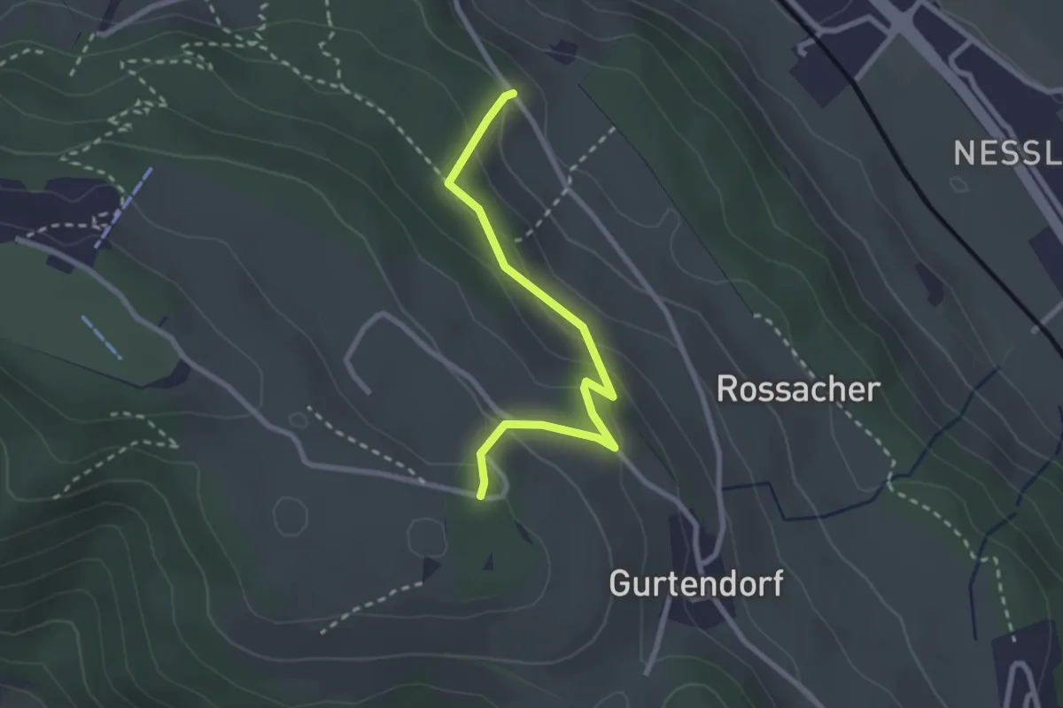
Easy · Trail
Bergweid – Studholz
2.5 km · ↑ 156 m · 56 min