Trails in Switzerland
15,055 hiking trails, each with its route, climb, walking time and grade.
All trails, page 194 of 314
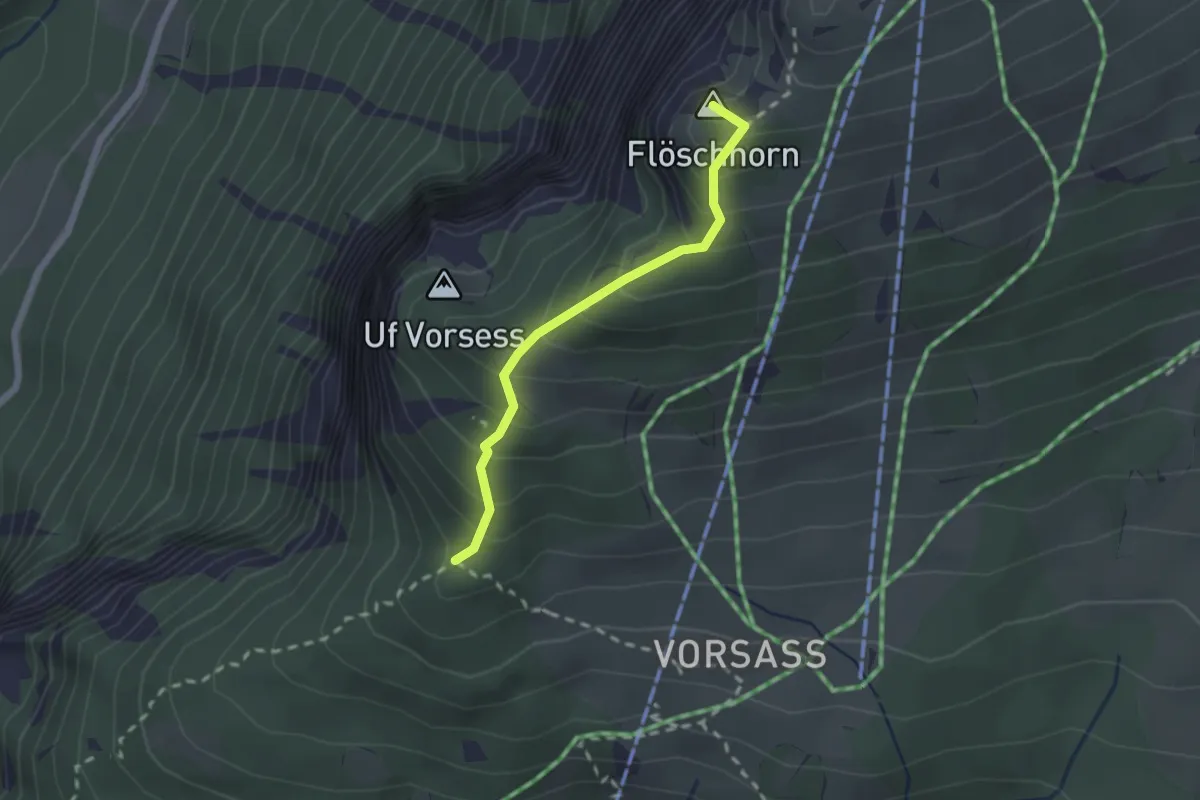
Medium · Summit
Vorsass Türli – Niederhorn
1.9 km · ↑ 217 m · 55 min
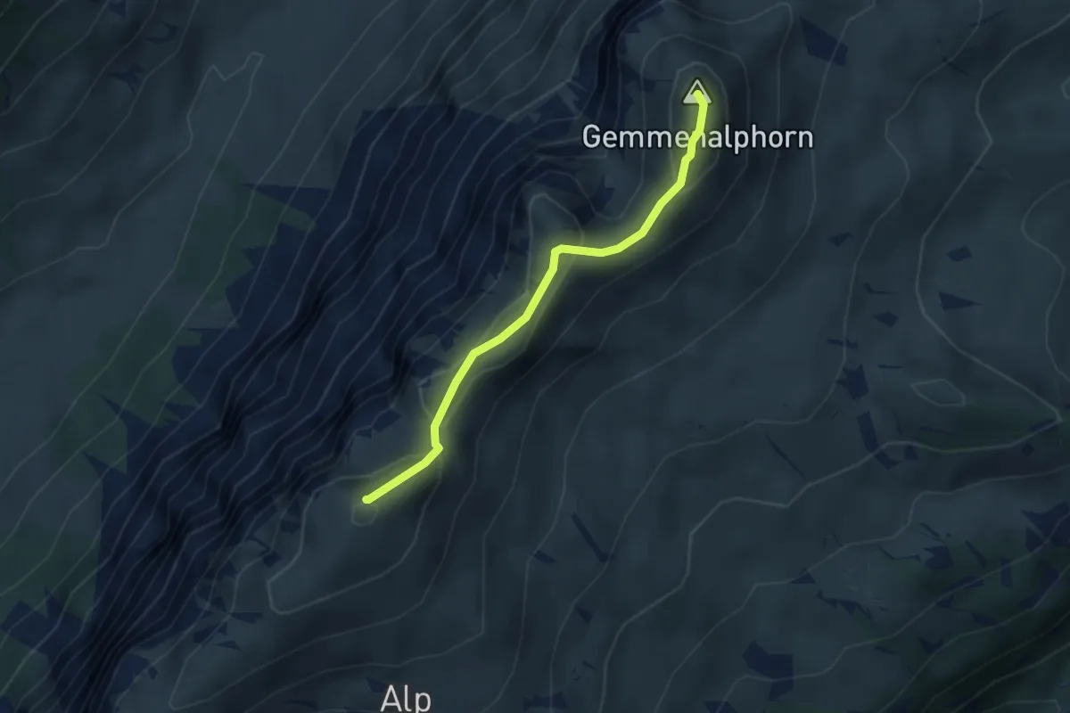
Medium · Summit
Burgfeldstand – Gemmenalphorn
3.0 km · ↑ 130 m · 1 h
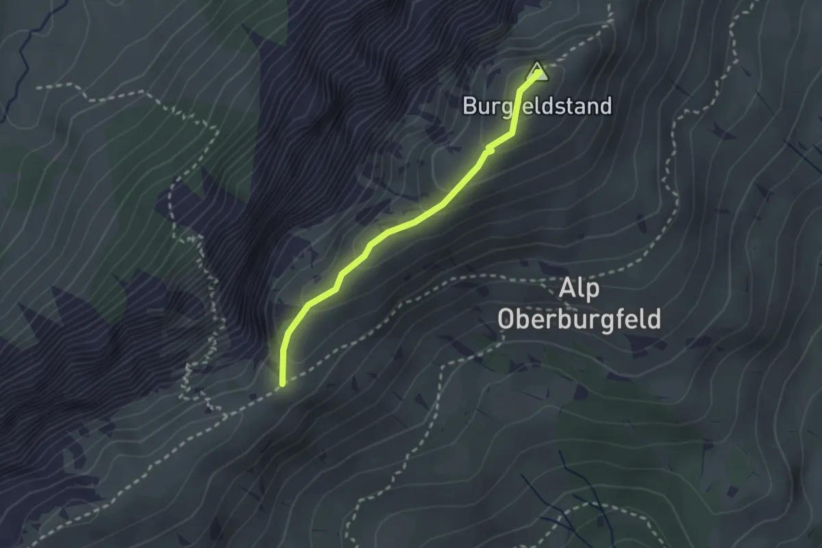
Medium · Summit
Hohseil – Burgfeldstand
2.2 km · ↑ 128 m · 47 min
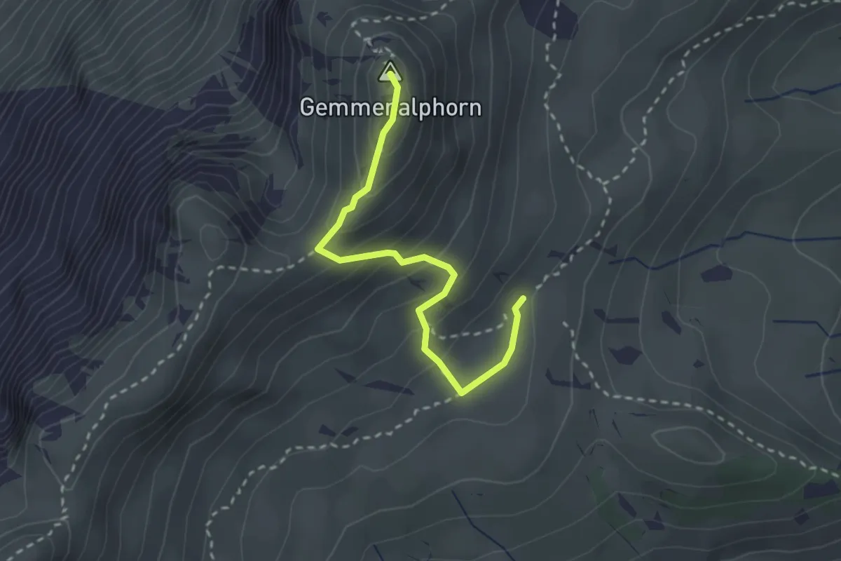
Medium · Summit
Gemmenalp/Oberberg – Gemmenalphorn
2.6 km · ↑ 171 m · 59 min
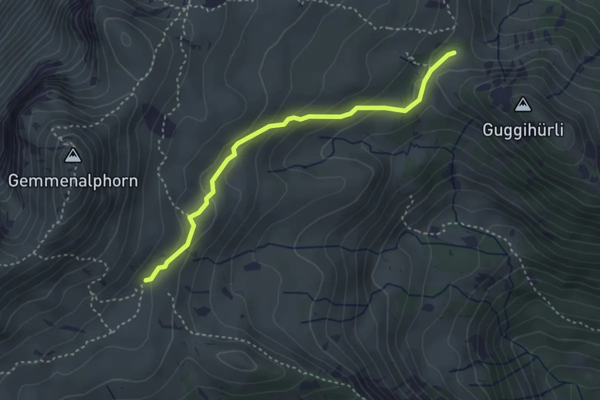
Medium · Trail
Gemmenalp/Oberberg – Bärenei
3.3 km · ↑ 183 m · 1 h 11 min
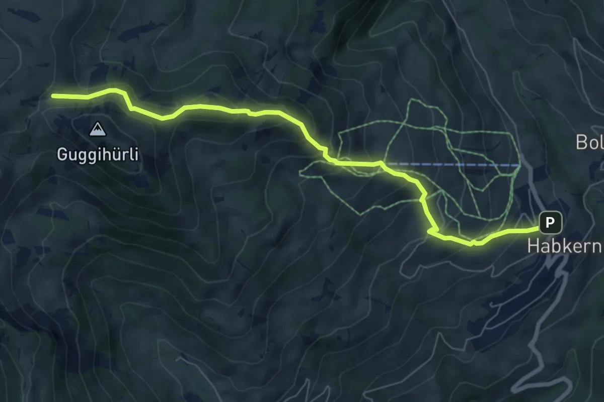
Medium · Trail
Habkern – Bäreney
7.1 km · ↑ 659 m · 3 h 6 min
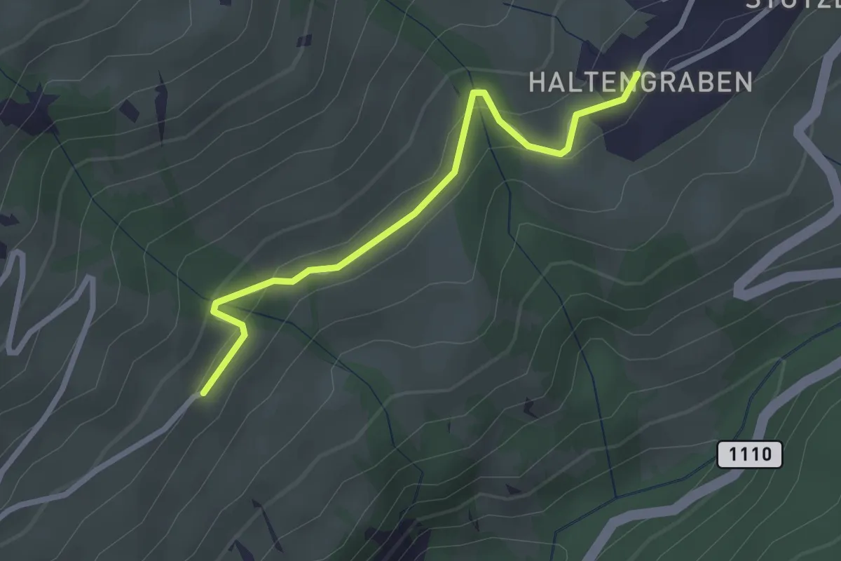
Easy · Trail
Habkern/Haltengraben – Bort
2.4 km · ↑ 99 m · 47 min
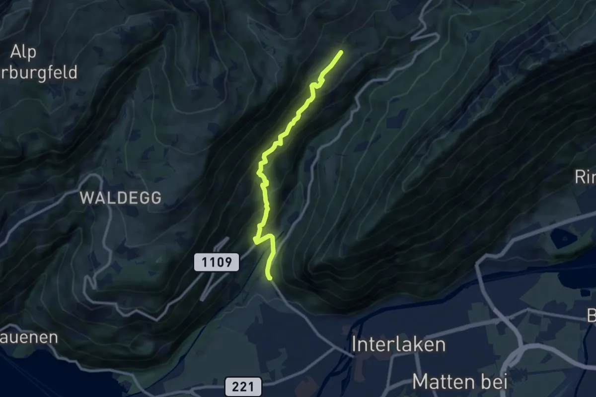
Medium · Trail
Bort – St. Niklausan
7.9 km · ↑ 603 m · 3 h 11 min
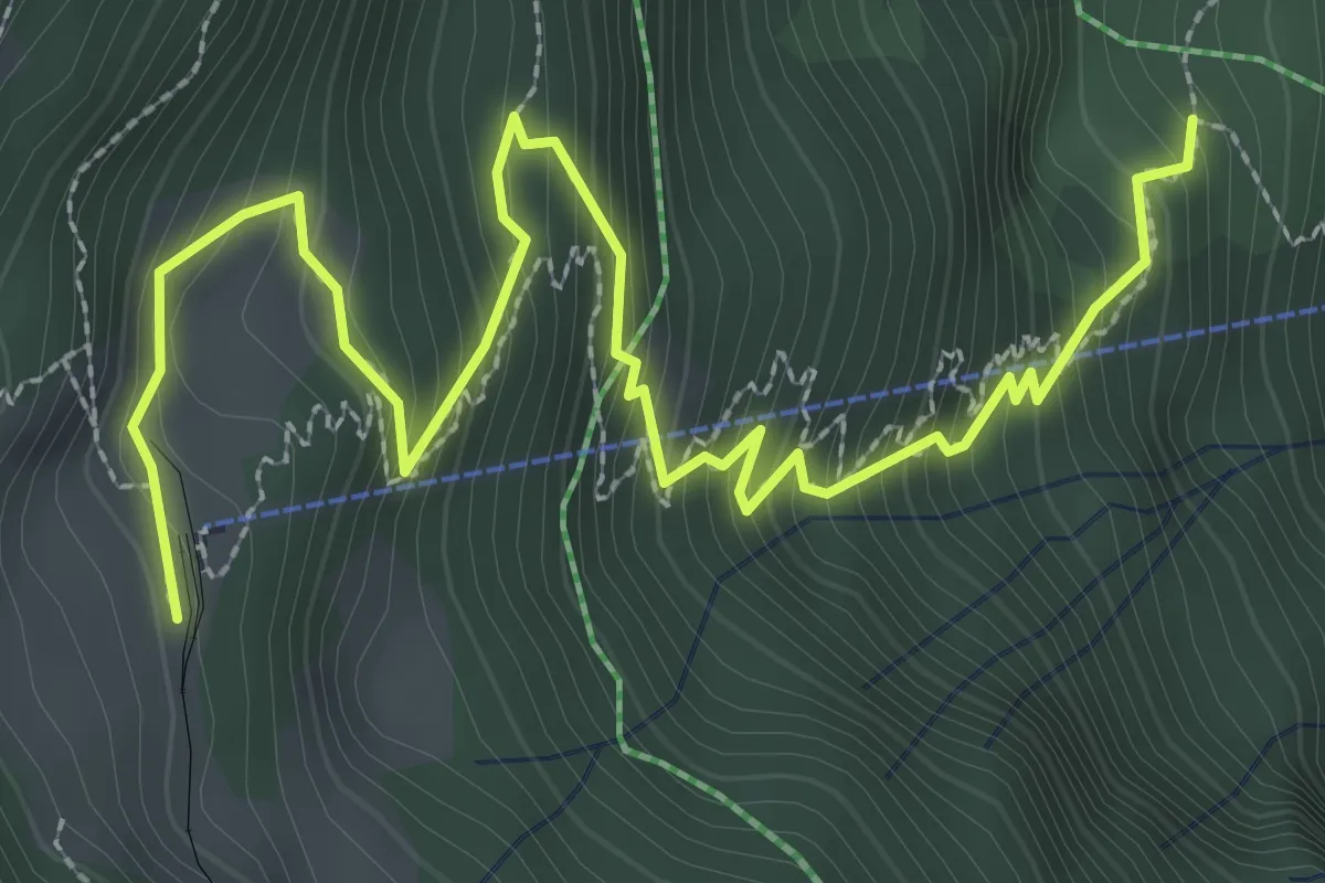
Medium · Trail
Grütschalp – Alpweg
3.9 km · ↑ 439 m · 1 h 52 min
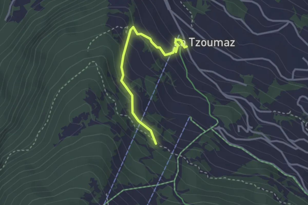
Easy · Trail
Les Chablotays – La Tzoumaz
2.4 km · ↑ 186 m · 59 min
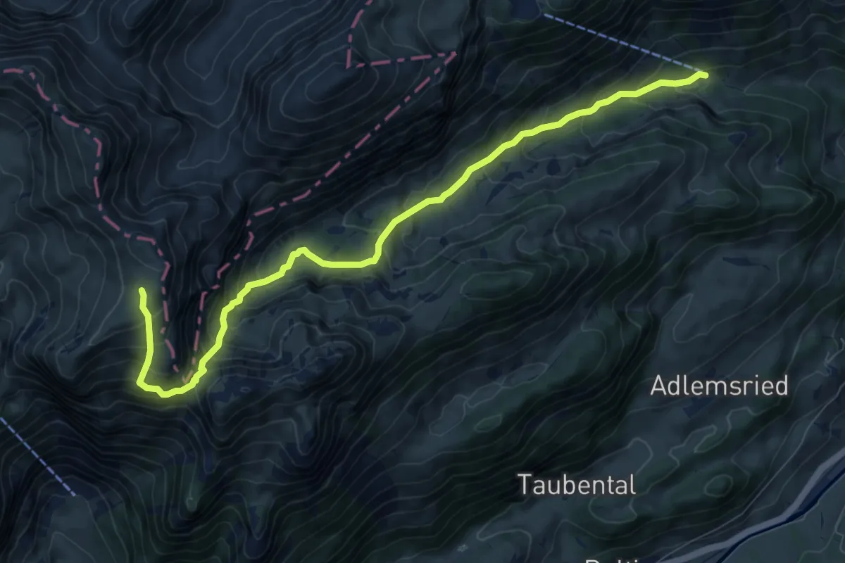
Demanding · Trail
Buufal – Langel
9.6 km · ↑ 859 m · 4 h 7 min
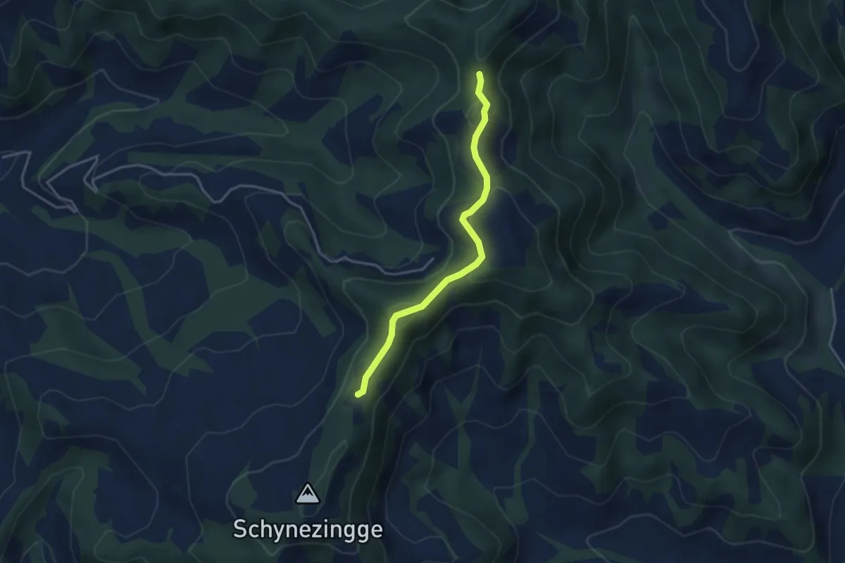
Easy · Trail
Hohmattgäterli – Zinggenstall
3.4 km · ↑ 169 m · 1 h 10 min
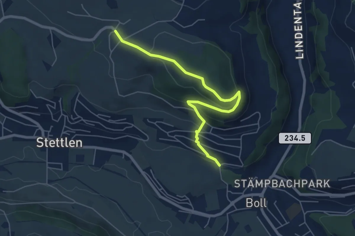
Easy · Trail
Ferenberg – Sinneringen
5.4 km · ↑ 245 m · 1 h 48 min
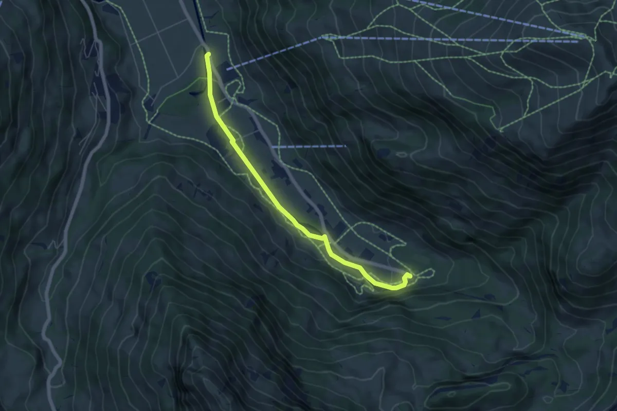
Easy · Trail
Metschbahn – Simmefälle
5.7 km · ↑ 59 m · 1 h 29 min
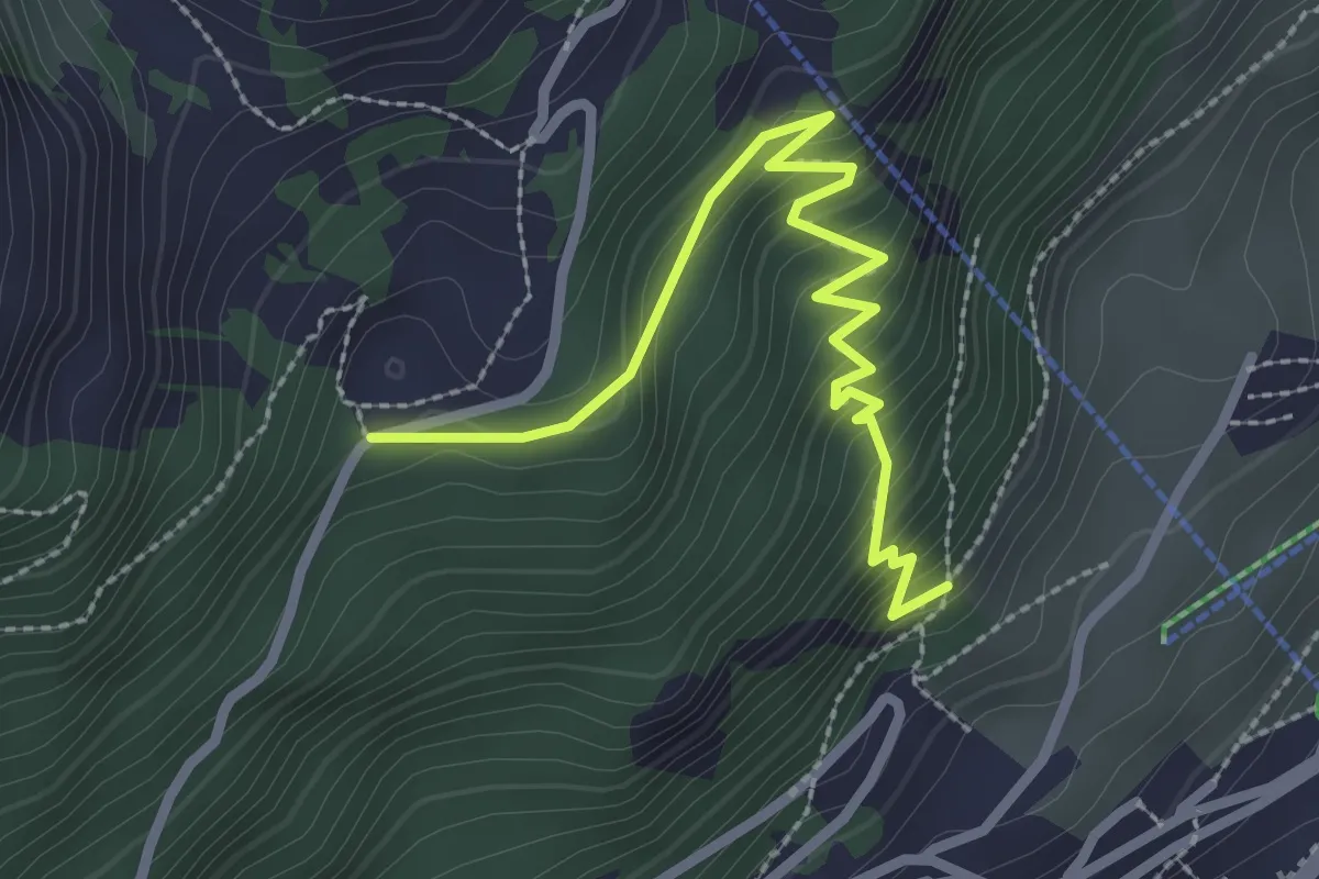
Medium · Trail
Leysin – Joux des Vents
2.9 km · ↑ 297 m · 1 h 20 min
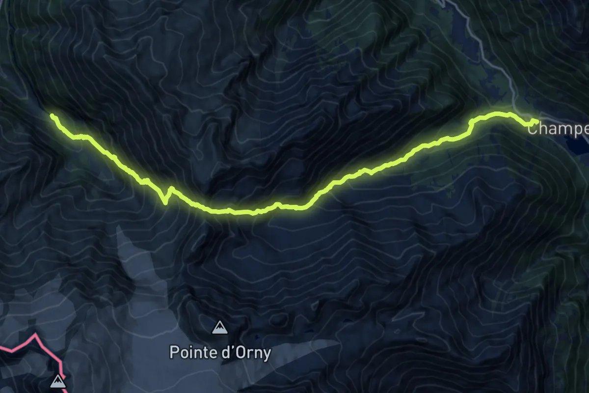
Expert · Trail
Champex – Chalet du Glacier
9.8 km · ↑ 1139 m · 4 h 52 min
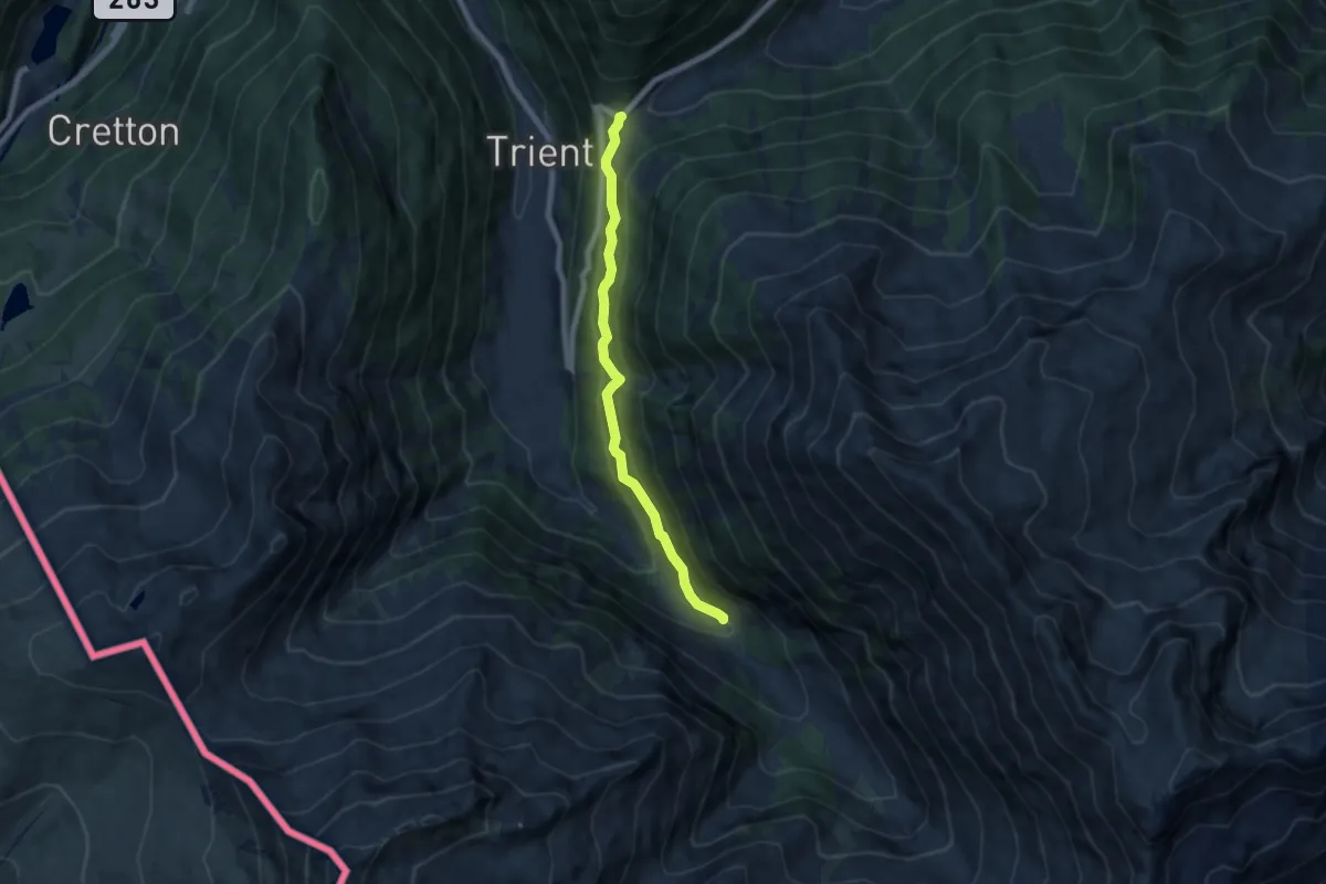
Medium · Trail
Chalet du Glacier – Col de la Forclaz
6.4 km · ↑ 373 m · 2 h 20 min
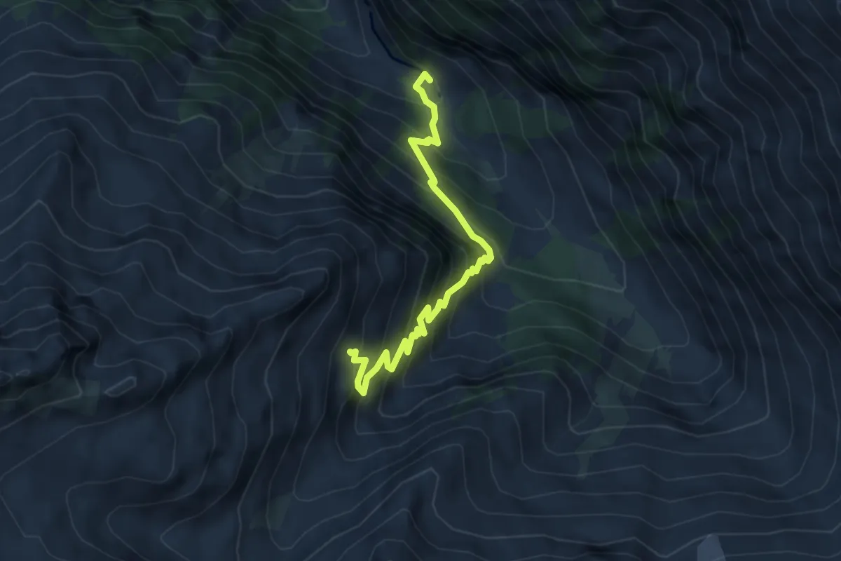
Medium · Trail
Chalet du Glacier – Refuge Les Grand
4.8 km · ↑ 657 m · 2 h 34 min
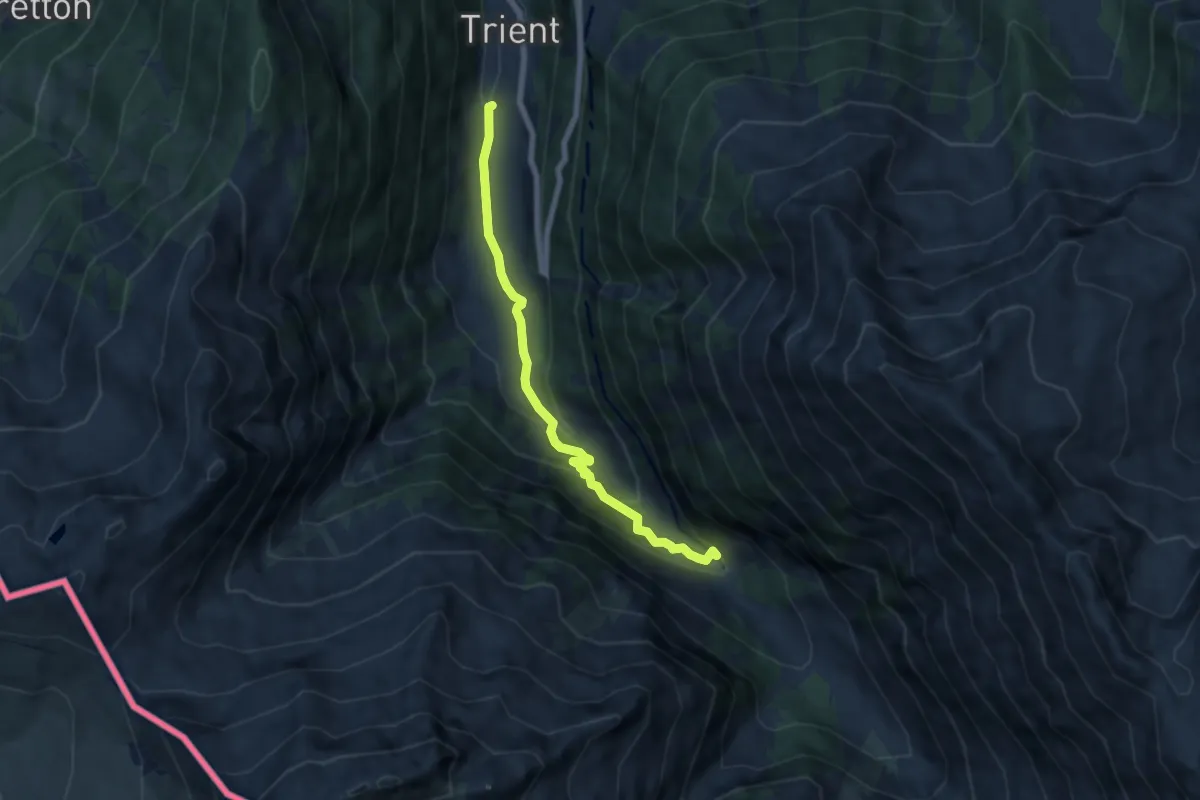
Medium · Trail
Chalet du Glacier – Trient
6.3 km · ↑ 297 m · 2 h 8 min
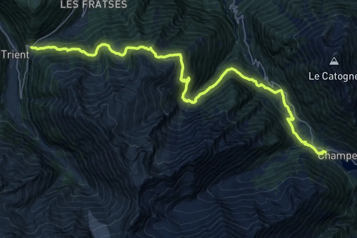
Demanding · Trail
Champex – Col de la Forclaz
13.0 km · ↑ 873 m · 5 h 8 min
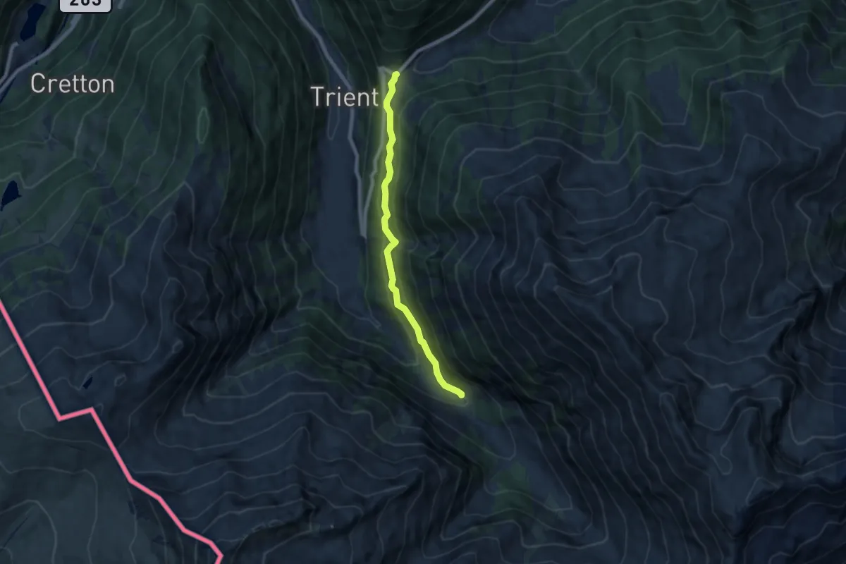
Medium · Trail
Col de la Forclaz – Chalet du Glacier
6.4 km · ↑ 347 m · 2 h 16 min
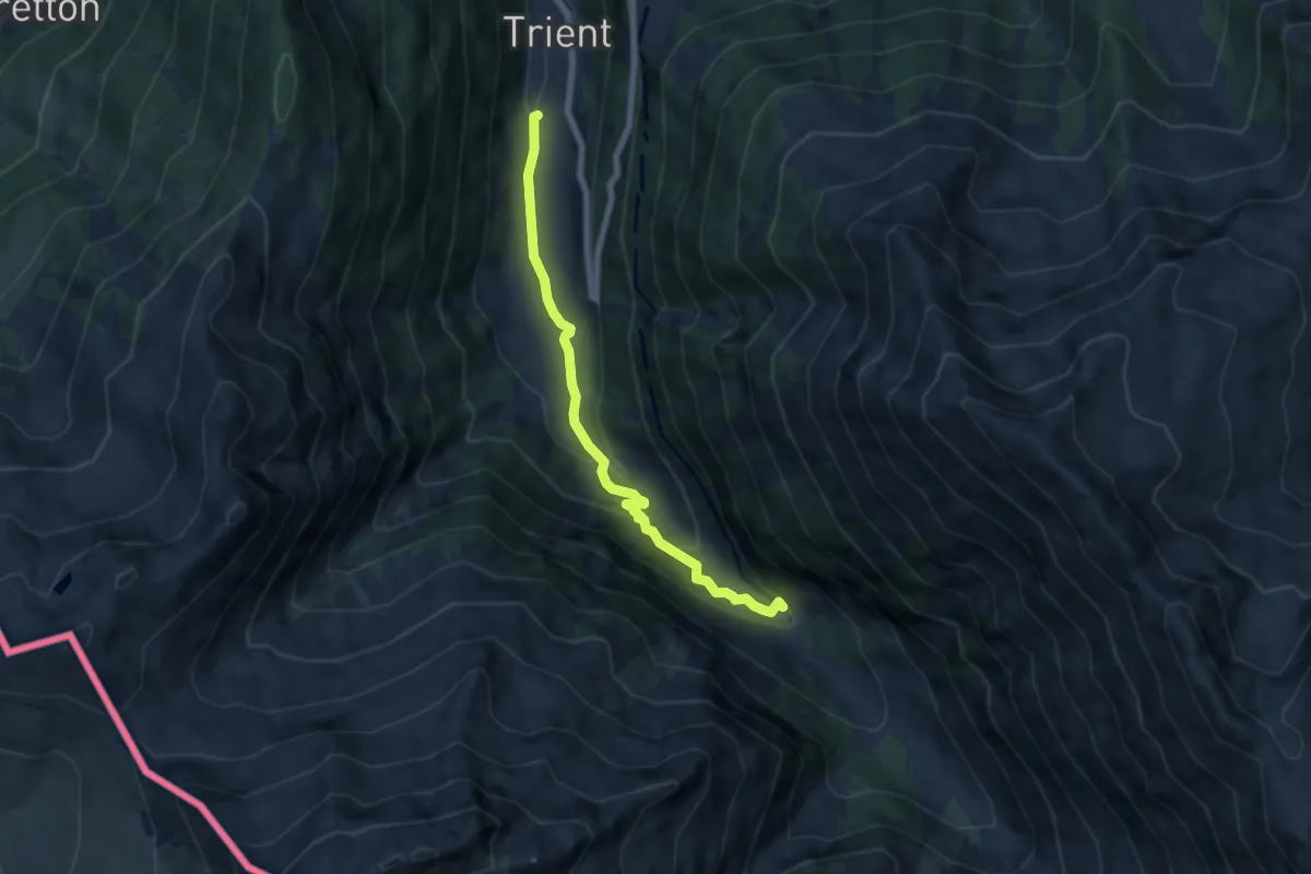
Medium · Trail
Trient – Chalet du Glacier
6.3 km · ↑ 298 m · 2 h 8 min
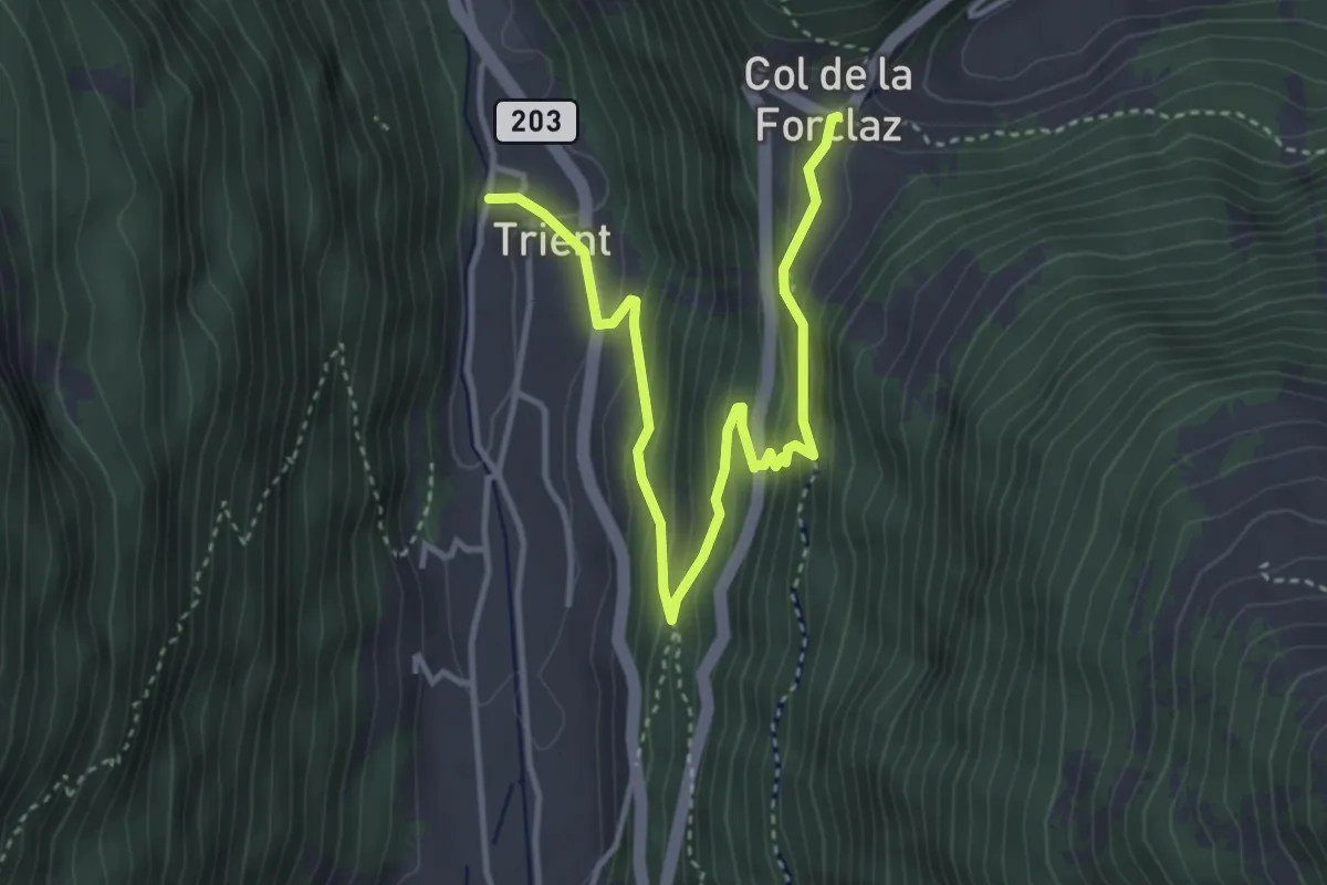
Medium · Trail
Col de la Forclaz – Trient
4.3 km · ↑ 286 m · 1 h 38 min
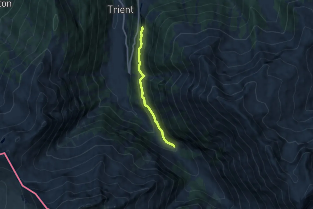
Medium · Trail
Col de la Forclaz – Chalet du Glacier
5.3 km · ↑ 326 m · 1 h 57 min
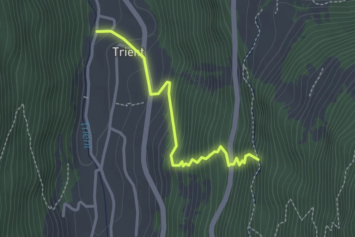
Medium · Trail
Trient – Col de la Forclaz
2.2 km · ↑ 237 m · 1 h 2 min
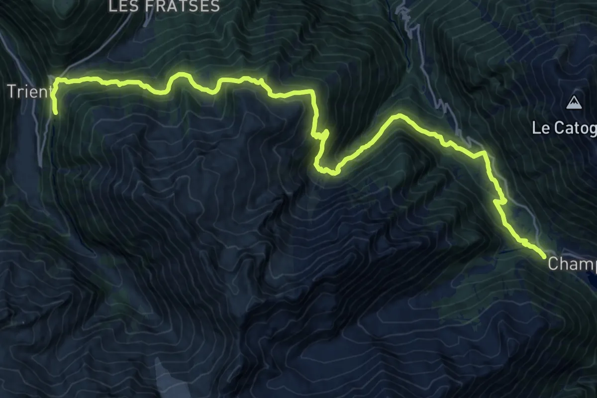
Demanding · Trail
Col de la Forclaz – Champex
13.3 km · ↑ 862 m · 5 h 12 min
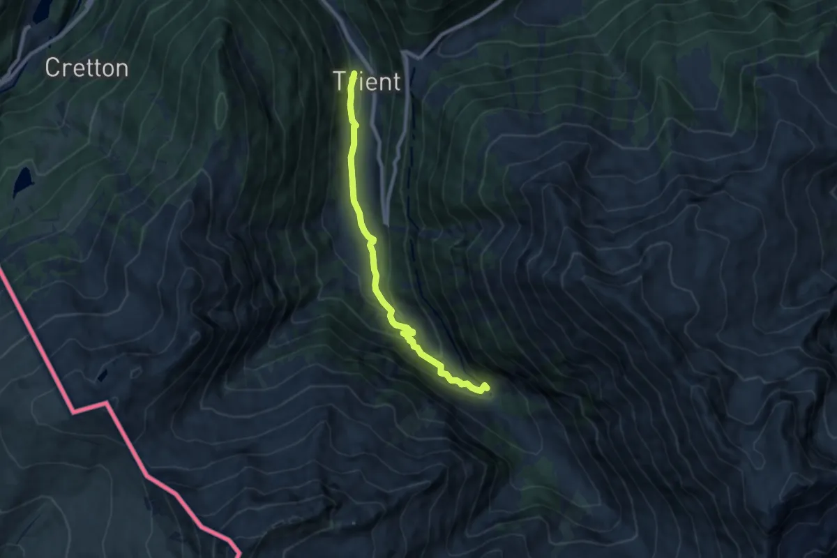
Medium · Trail
Trient – Chalet du Glacier
7.2 km · ↑ 317 m · 2 h 24 min
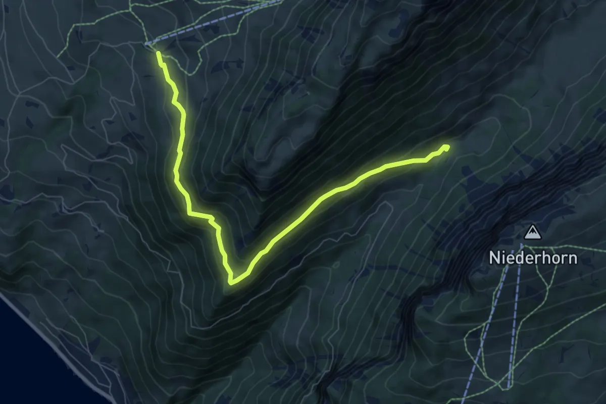
Medium · Trail
Justistal – Wilerallmi
8.1 km · ↑ 405 m · 2 h 48 min
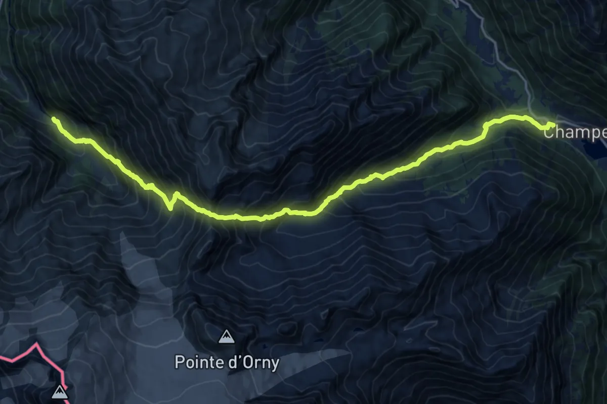
Expert · Trail
Chalet du Glacier – Champex
9.8 km · ↑ 1139 m · 4 h 52 min
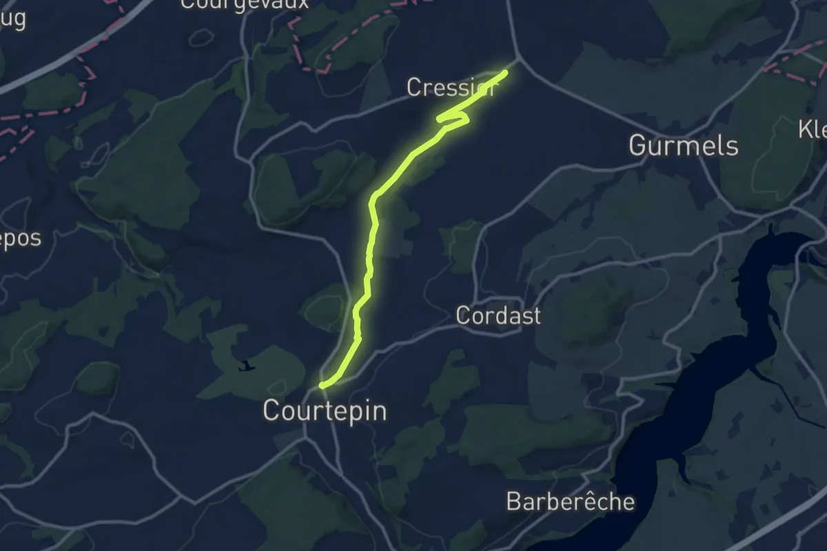
Medium · Trail
Courtepin-gare – Cressier
10.2 km · ↑ 70 m · 2 h 34 min
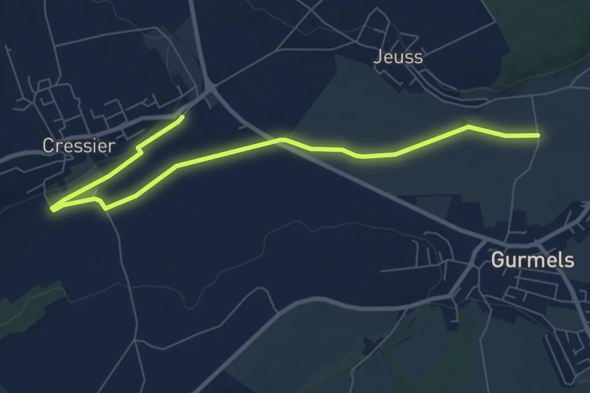
Easy · Trail
Bieberenächer – Cressier
7.8 km · ↑ 22 m · 1 h 53 min
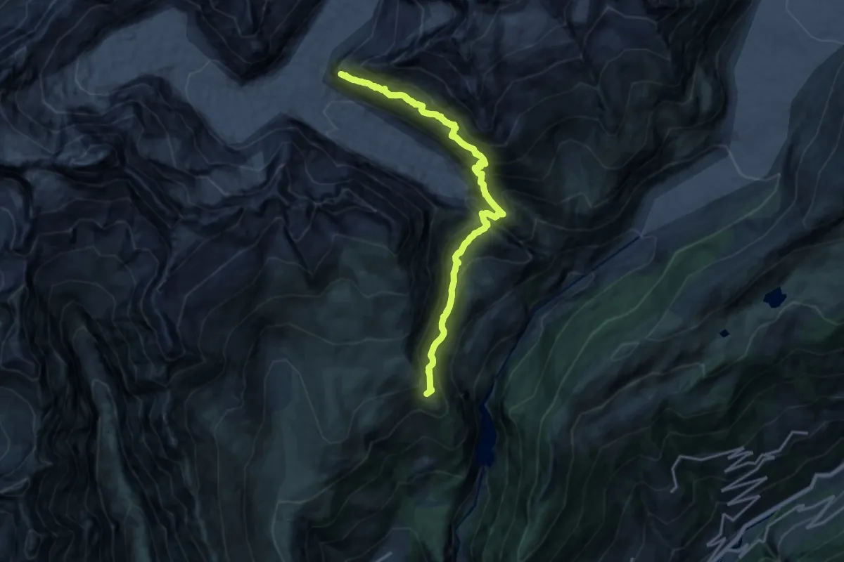
Demanding · Cabin
Hotel Belalp Aletschbord – Oberaletschhütten
16.0 km · ↑ 1554 m · 7 h 9 min
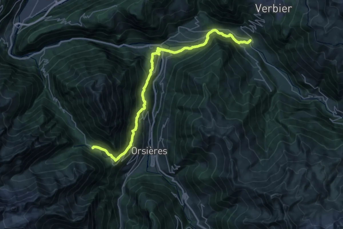
Medium · Trail
Champex – Le Châble
14.8 km · ↑ 342 m · 4 h 46 min
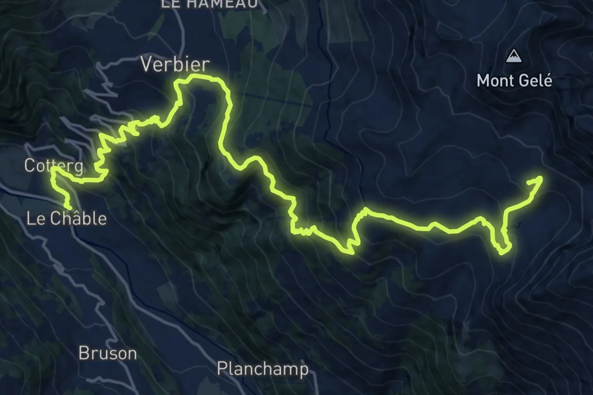
Demanding · Cabin
Le Châble – Cabane du Mont Fort
12.3 km · ↑ 1769 m · 6 h 7 min
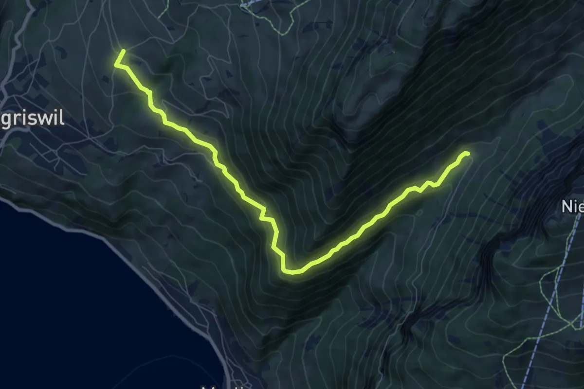
Medium · Trail
Justistal/Grön – Zälg
8.9 km · ↑ 530 m · 3 h 14 min
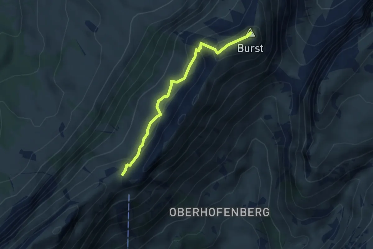
Demanding · Summit
Burst – Schneide
3.4 km · ↑ 279 m · 1 h 25 min
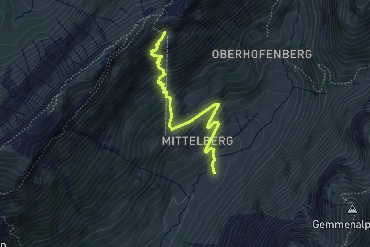
Demanding · Trail
Gross Mittelberg – Schäferhüttli
4.3 km · ↑ 491 m · 2 h 4 min
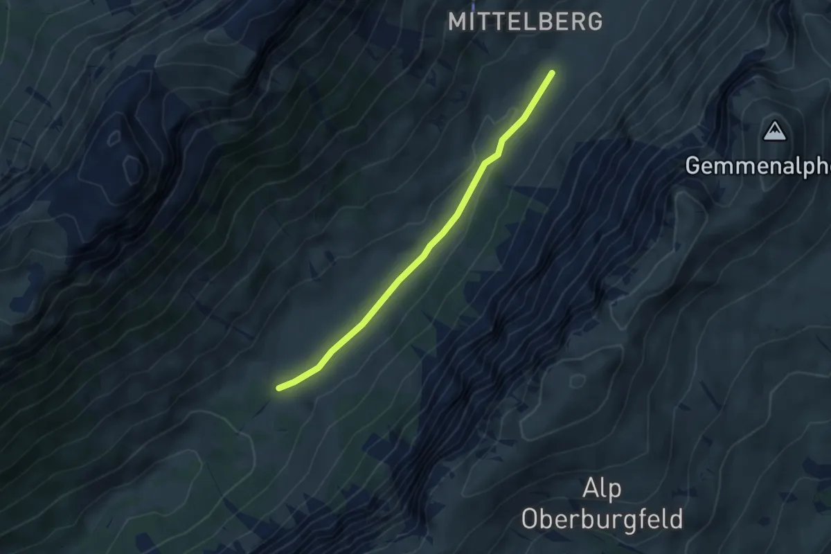
Easy · Trail
Püfel – Gross Mittelberg
3.7 km · ↑ 54 m · 59 min
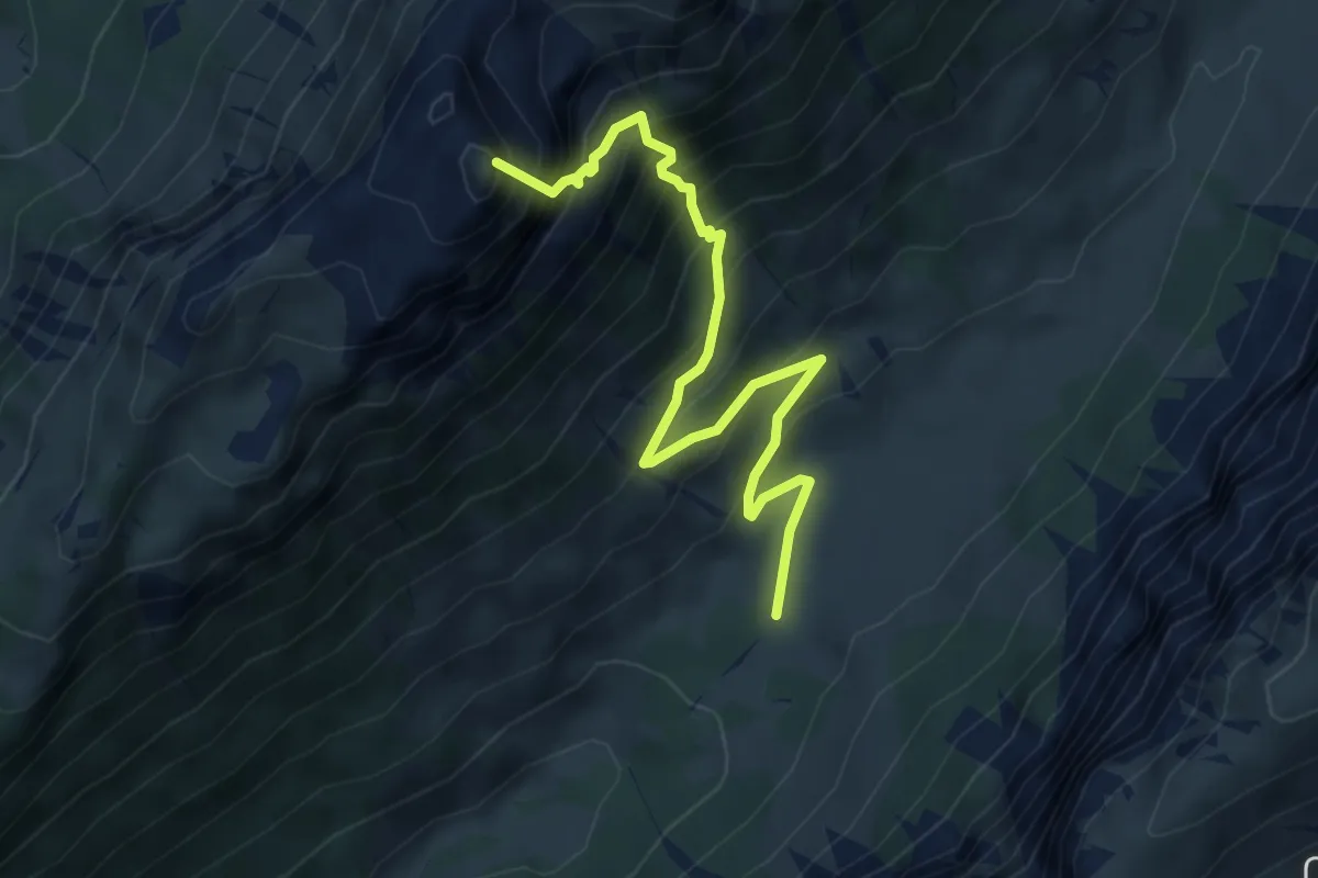
Demanding · Summit
Püfel – Schafloch
5.3 km · ↑ 679 m · 2 h 44 min
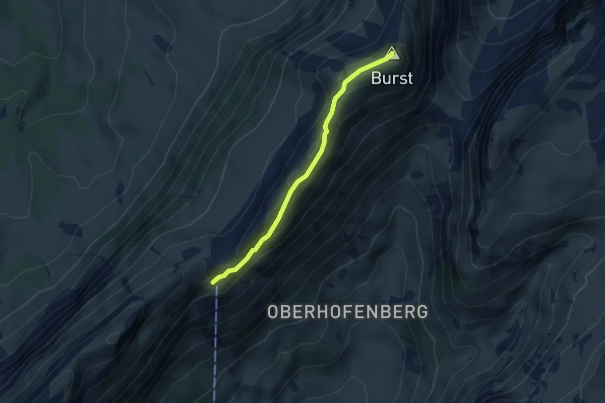
Easy · Summit
Schäferhüttli – Burst
3.1 km · ↑ 188 m · 1 h 9 min
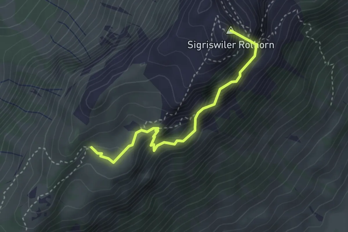
Demanding · Summit
Schafloch – Oberbergli
3.0 km · ↑ 402 m · 1 h 35 min
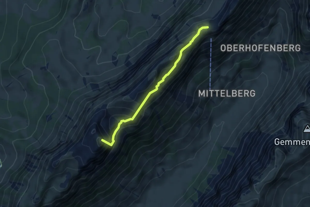
Demanding · Summit
Schneide – Schafloch
4.7 km · ↑ 517 m · 2 h 13 min
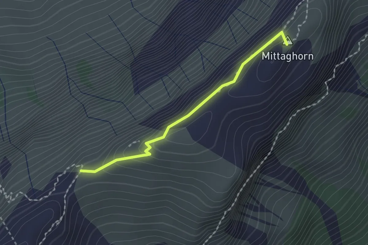
Demanding · Summit
Schneide – Stäpfli/Schafläger
1.5 km · ↑ 62 m · 29 min
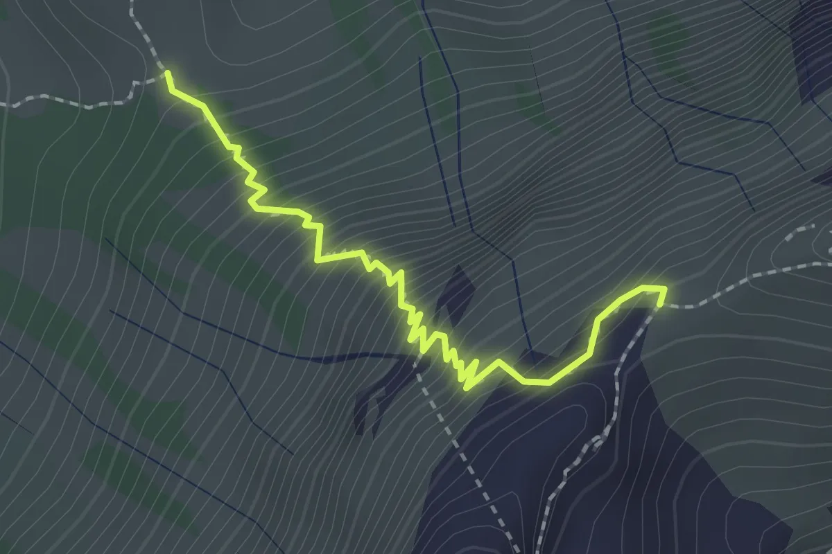
Medium · Trail
Stäpfli/Schafläger – Zettenalp (Bim Ofe)
2.0 km · ↑ 331 m · 1 h 12 min
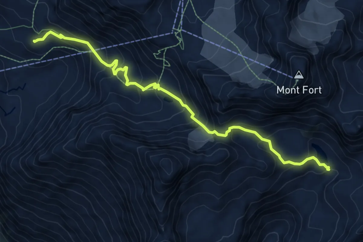
Expert · Cabin
Cabane Mont Fort – Col de Louvie
9.2 km · ↑ 642 m · 3 h 34 min
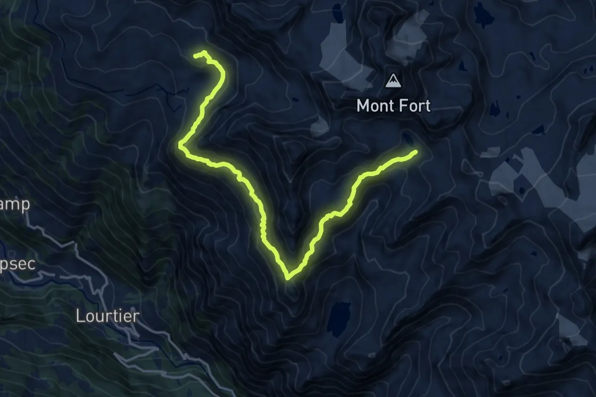
Expert · Cabin
Cabane du Mont Fort – Lac du Petit Mont Fort
15.6 km · ↑ 1167 m · 6 h 13 min
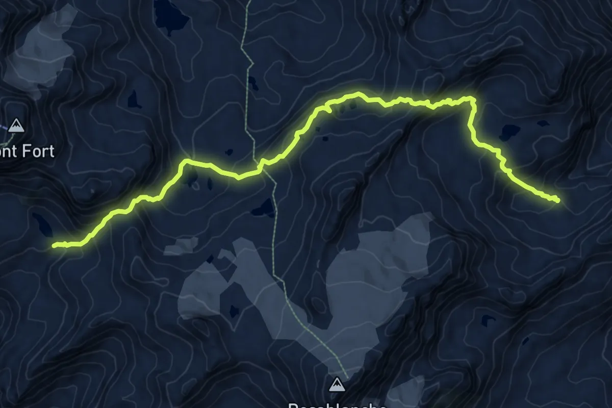
Demanding · Cabin
Lac du Petit Mont Fort – Cabane de Prafleuri
12.2 km · ↑ 1020 m · 5 h 5 min
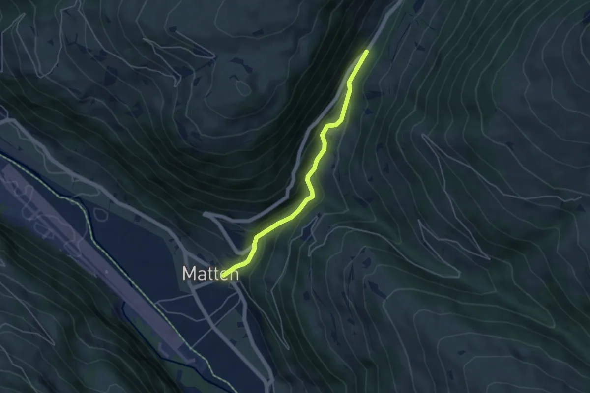
Easy · Trail
Matten – Bachweiden
4.1 km · ↑ 242 m · 1 h 29 min