Trails in Switzerland
15,055 hiking trails, each with its route, climb, walking time and grade.
All trails, page 195 of 314
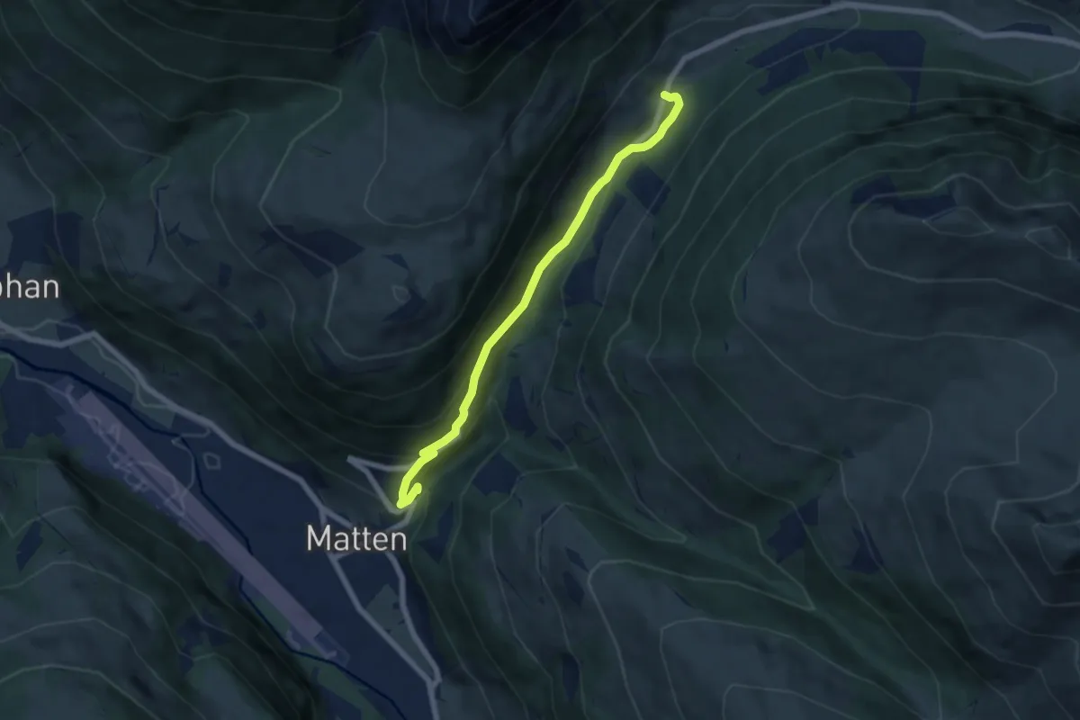
Easy · Trail
Matten – Stalde
6.0 km · ↑ 285 m · 2 h 2 min
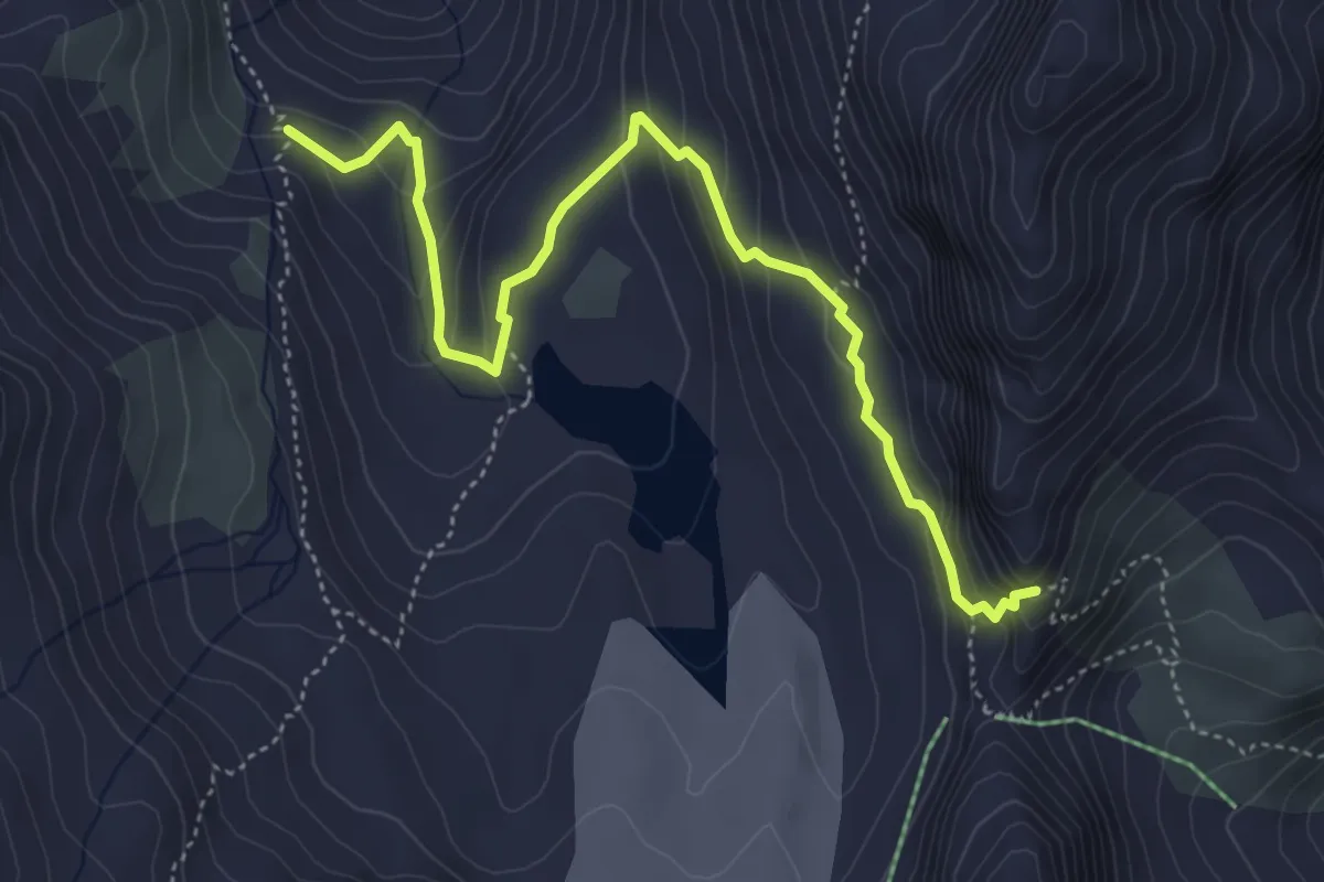
Demanding · Trail
Torrent de Cheilon – Col de Riedmatten
5.2 km · ↑ 325 m · 1 h 56 min
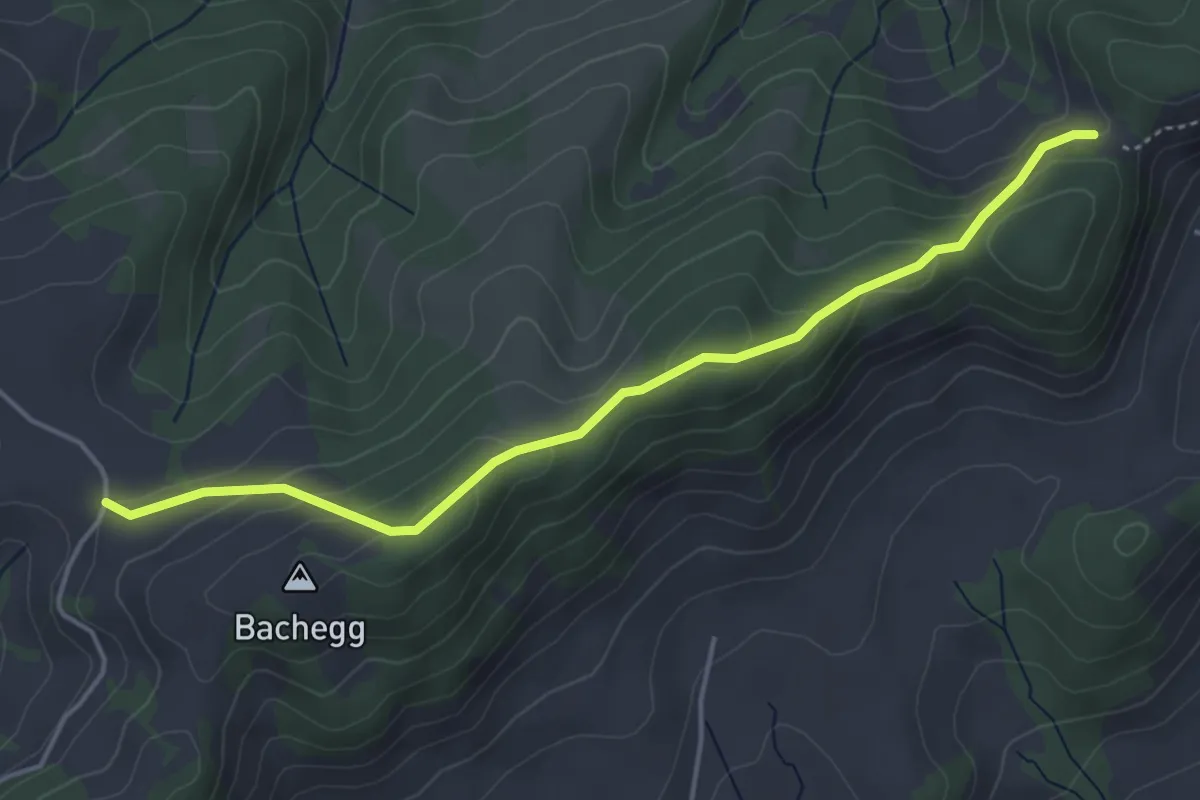
Easy · Trail
Gmeinwerch – Obstaldenegg
4.5 km · ↑ 211 m · 1 h 31 min
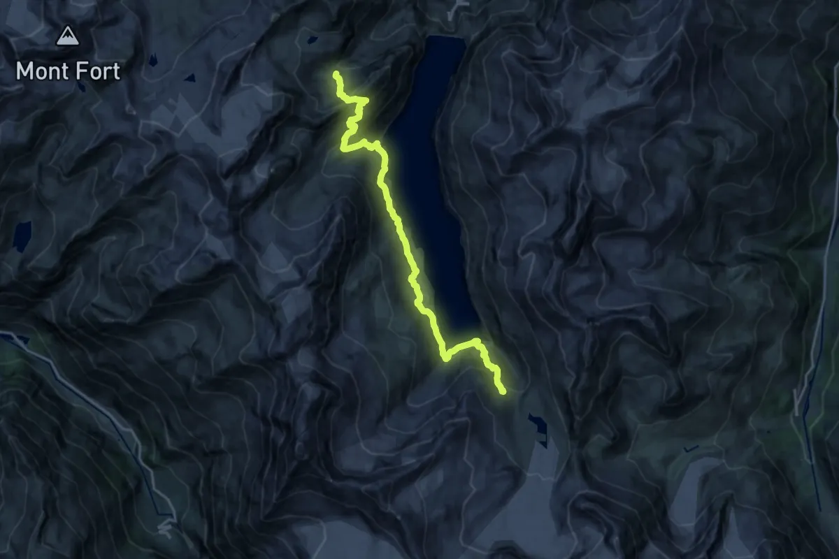
Demanding · Cabin
Cabane de Prafleuri – Torrent de Cheilon
18.5 km · ↑ 1236 m · 7 h 3 min
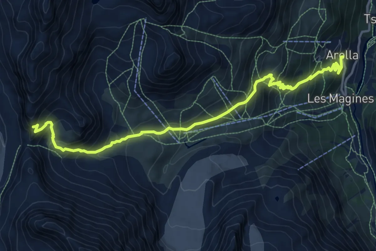
Demanding · Trail
Col de Riedmatten – Arolla
11.5 km · ↑ 895 m · 4 h 40 min
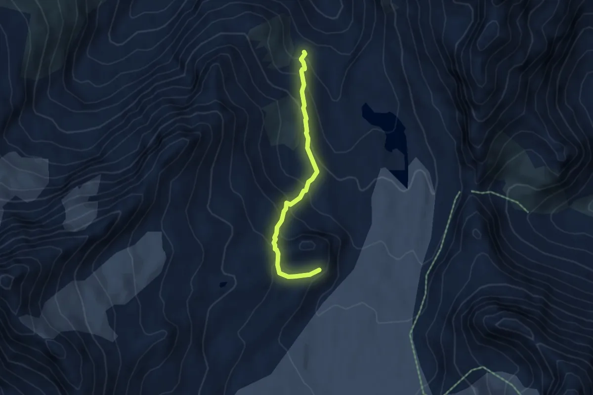
Medium · Cabin
Lac des Dix – Cabane des Dix
4.3 km · ↑ 357 m · 1 h 48 min
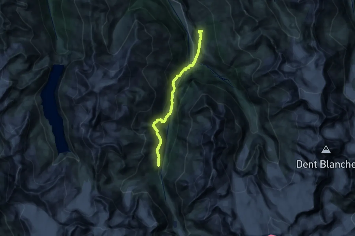
Medium · Trail
Arolla – La Sage
10.9 km · ↑ 581 m · 4 h 10 min
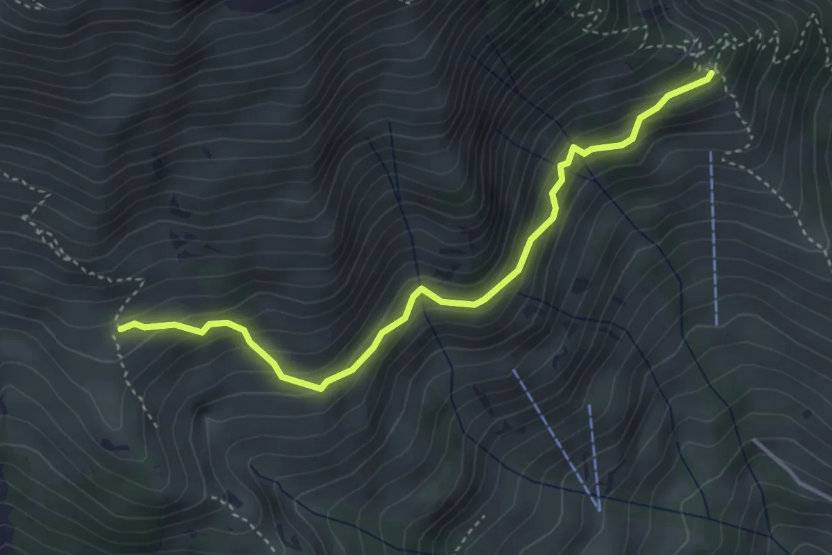
Medium · Trail
Schwandegg – Oberniese
3.9 km · ↑ 327 m · 1 h 38 min
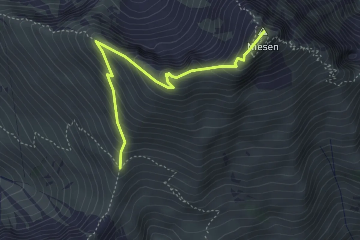
Medium · Summit
Niesen – Niesengrat
4.0 km · ↑ 380 m · 1 h 46 min
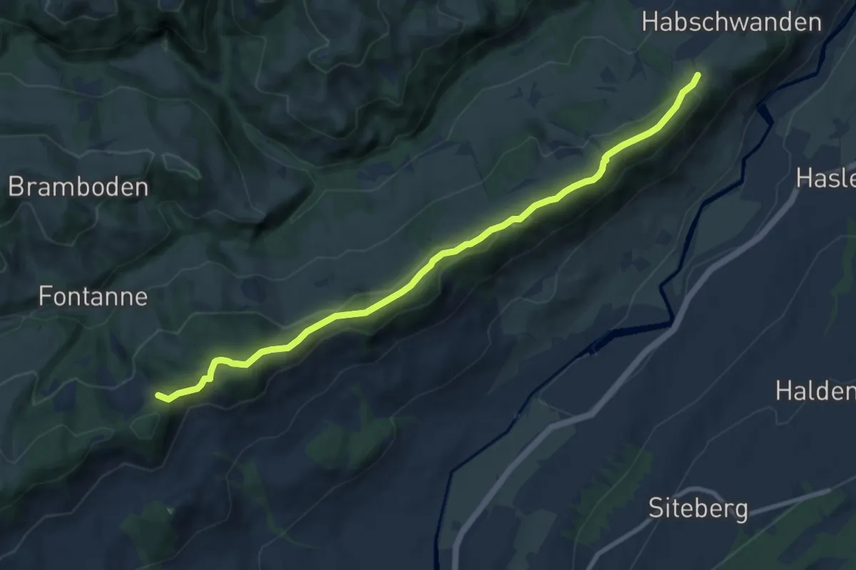
Medium · Trail
Bergli – Obstaldenegg
9.2 km · ↑ 308 m · 2 h 51 min
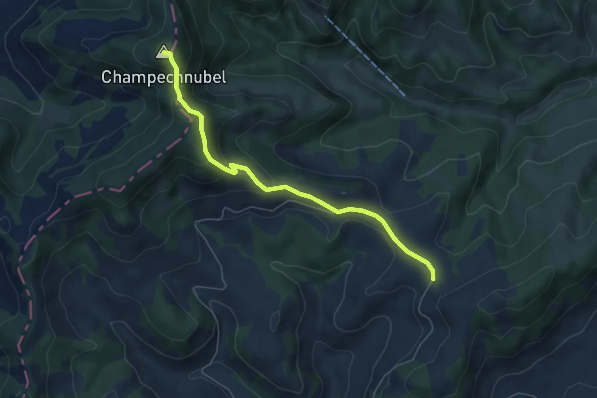
Easy · Summit
Gmeinwerch – Champechnubel
5.3 km · ↑ 263 m · 1 h 50 min
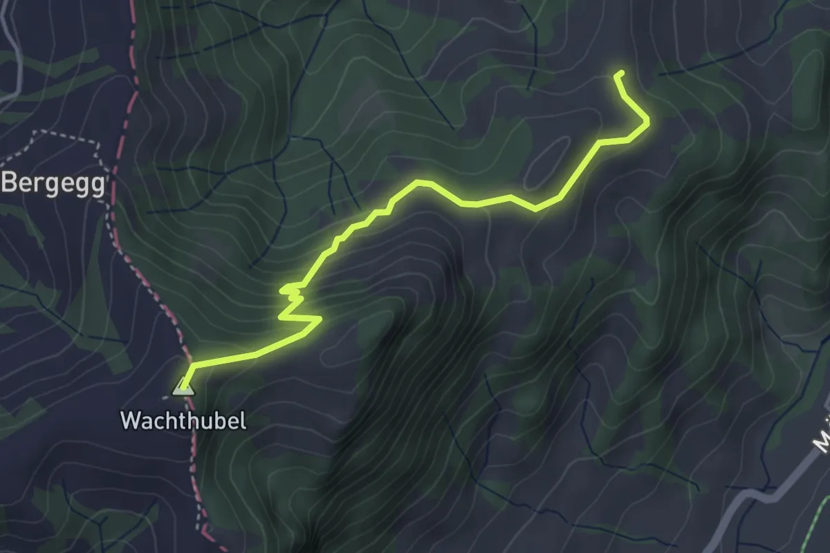
Easy · Summit
Buschachenegg – Wachthubel
3.9 km · ↑ 271 m · 1 h 31 min
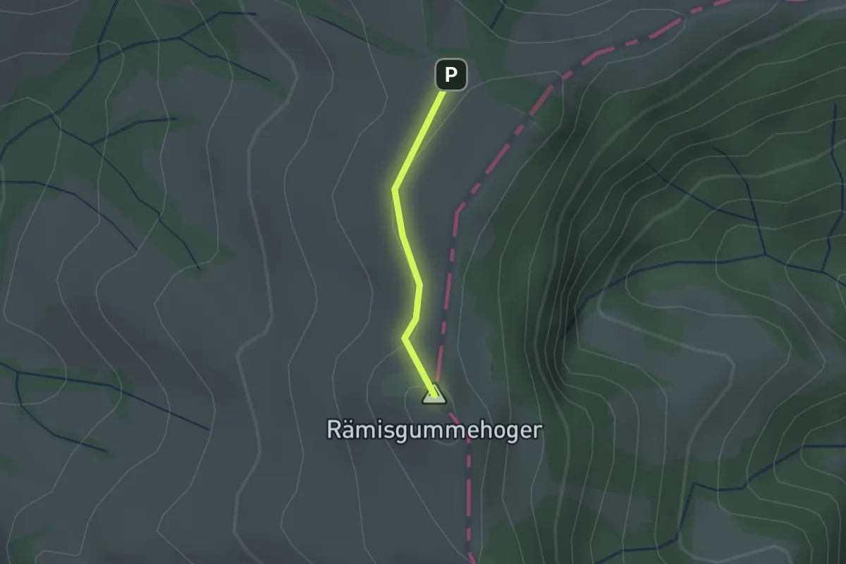
Easy · Summit
Vorder Rämisgumme – Hinder Rämisgumme
1.1 km · ↑ 20 m · 18 min
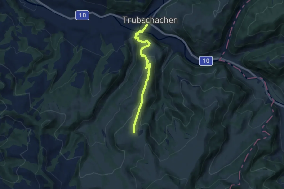
Easy · Trail
Trubschachen – Unter Houenen
6.8 km · ↑ 313 m · 2 h 17 min
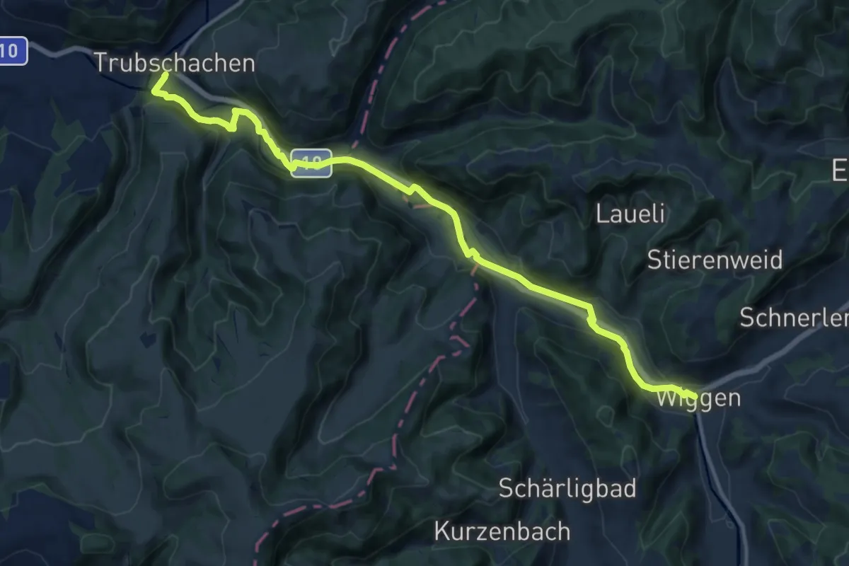
Medium · Trail
Wiggen – Trubschachen
13.8 km · ↑ 234 m · 3 h 46 min
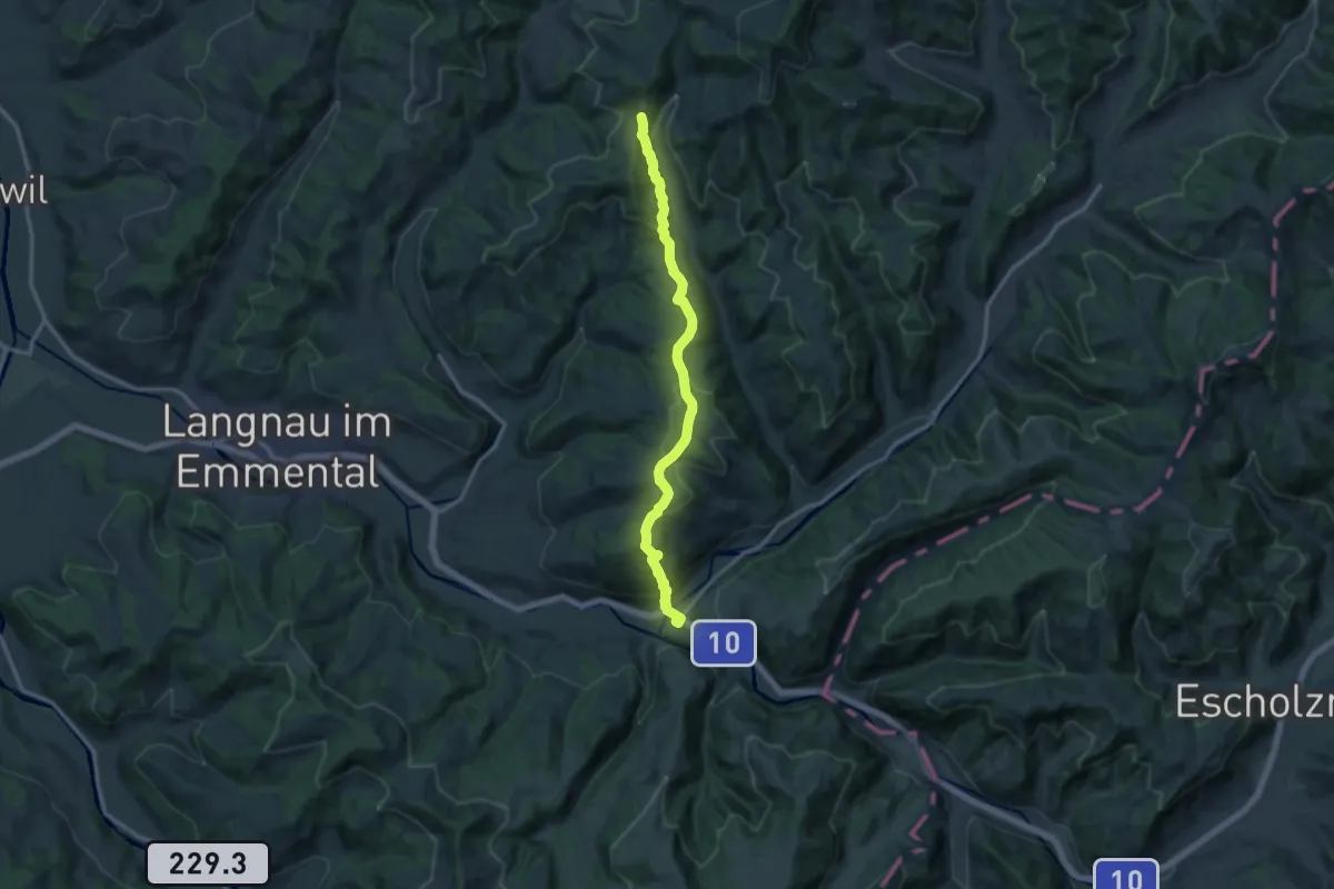
Medium · Trail
Trubschachen – Imperech
13.1 km · ↑ 600 m · 4 h 24 min
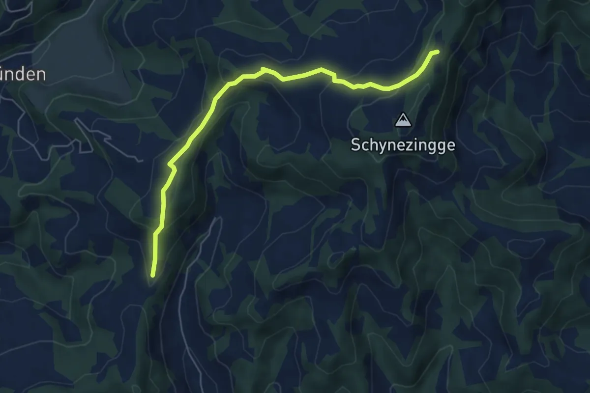
Easy · Trail
Zinggenstall – Imperech
5.7 km · ↑ 287 m · 1 h 58 min
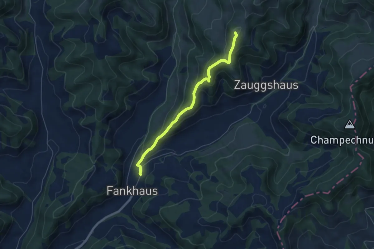
Medium · Summit
Fankhus – Grüebli
5.1 km · ↑ 309 m · 1 h 53 min
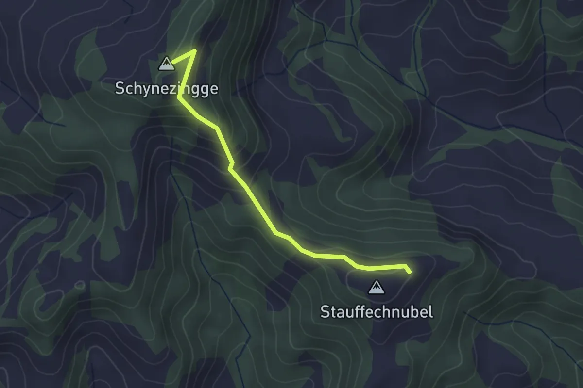
Medium · Summit
Stauffenchnubbel – Zinggenstall
2.7 km · ↑ 170 m · 1 h 1 min
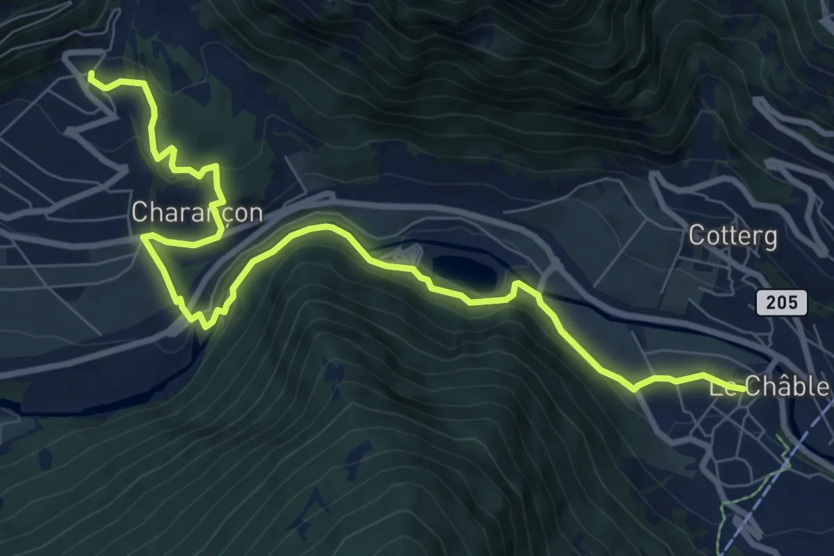
Medium · Trail
Cries – Le Châble
9.6 km · ↑ 285 m · 2 h 53 min
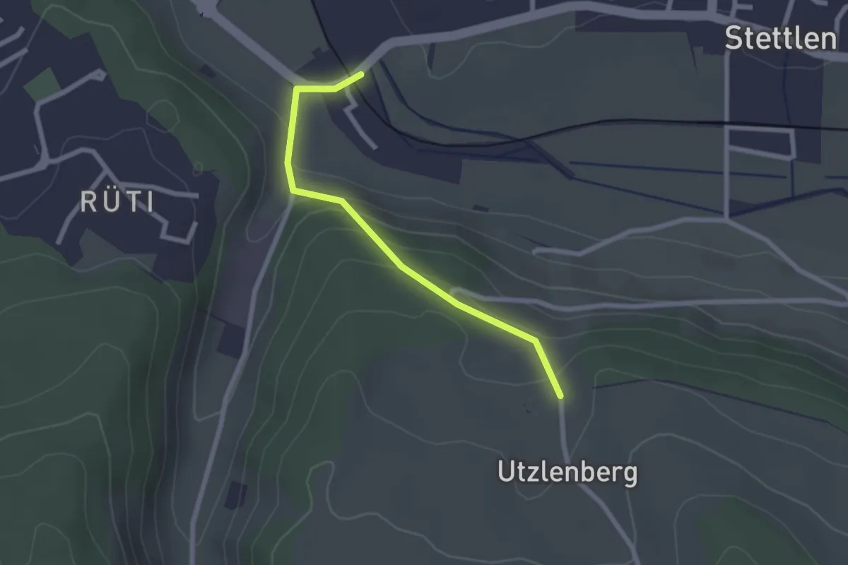
Easy · Trail
Deisswil – Utzlenberg
2.1 km · ↑ 124 m · 46 min
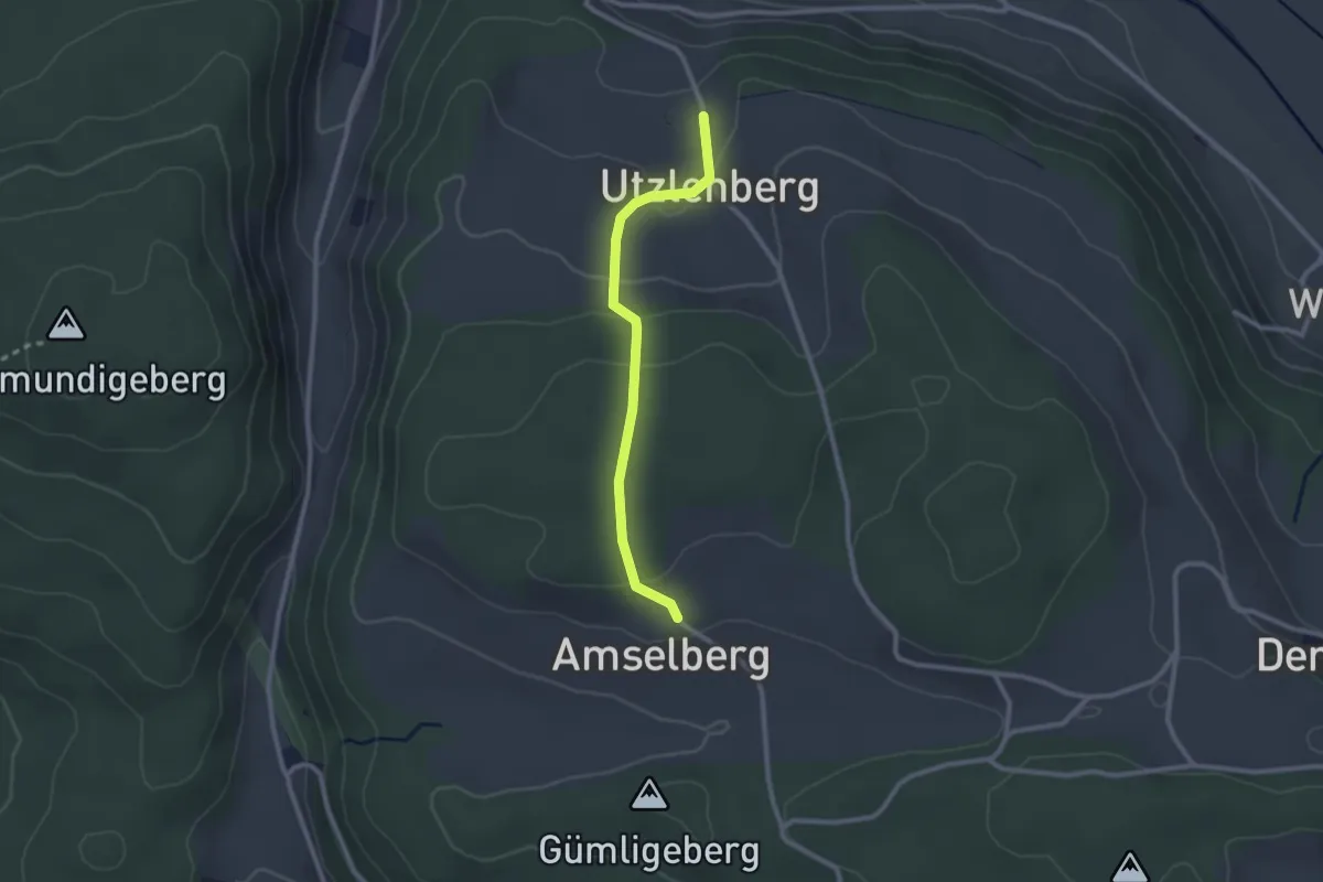
Easy · Trail
Amslenberg – Utzlenberg
2.3 km · ↑ 104 m · 46 min
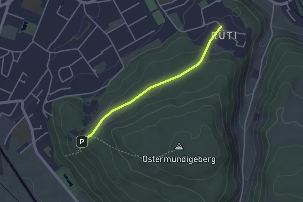
Easy · Trail
Rüti – Steinbrüche
2.7 km · ↑ 63 m · 46 min
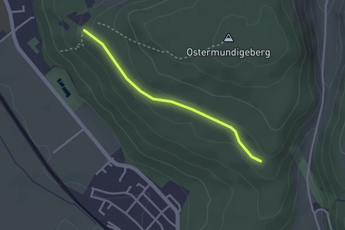
Easy · Trail
Harnischberg – Steinbrüche
2.2 km · ↑ 46 m · 38 min
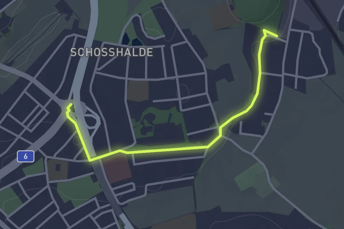
Easy · Trail
Tiefenmösli – Freudenbergerplatz
2.9 km · ↑ 44 m · 46 min
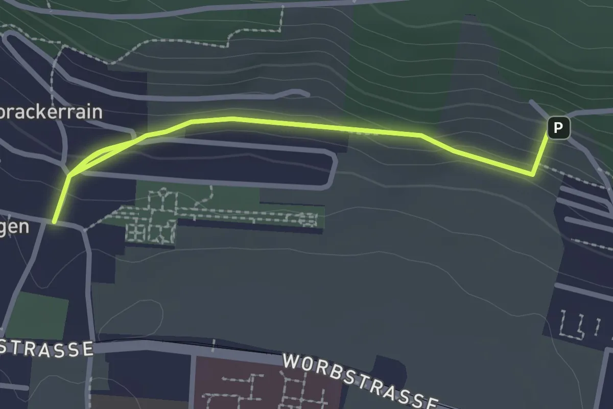
Easy · Trail
Gümligen/Kirche – Scheieholz
2.7 km · ↑ 103 m · 51 min
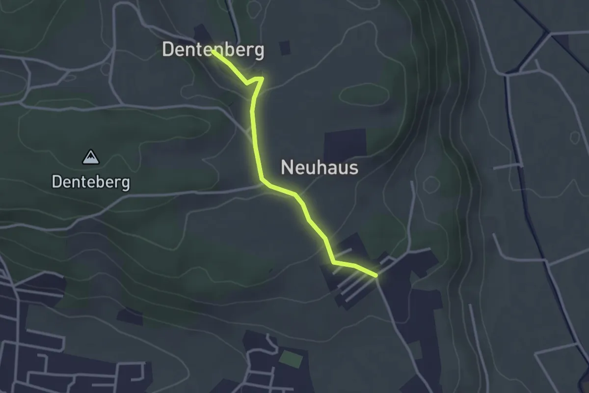
Easy · Trail
Neuhus – Dentenberg
2.4 km · ↑ 84 m · 46 min
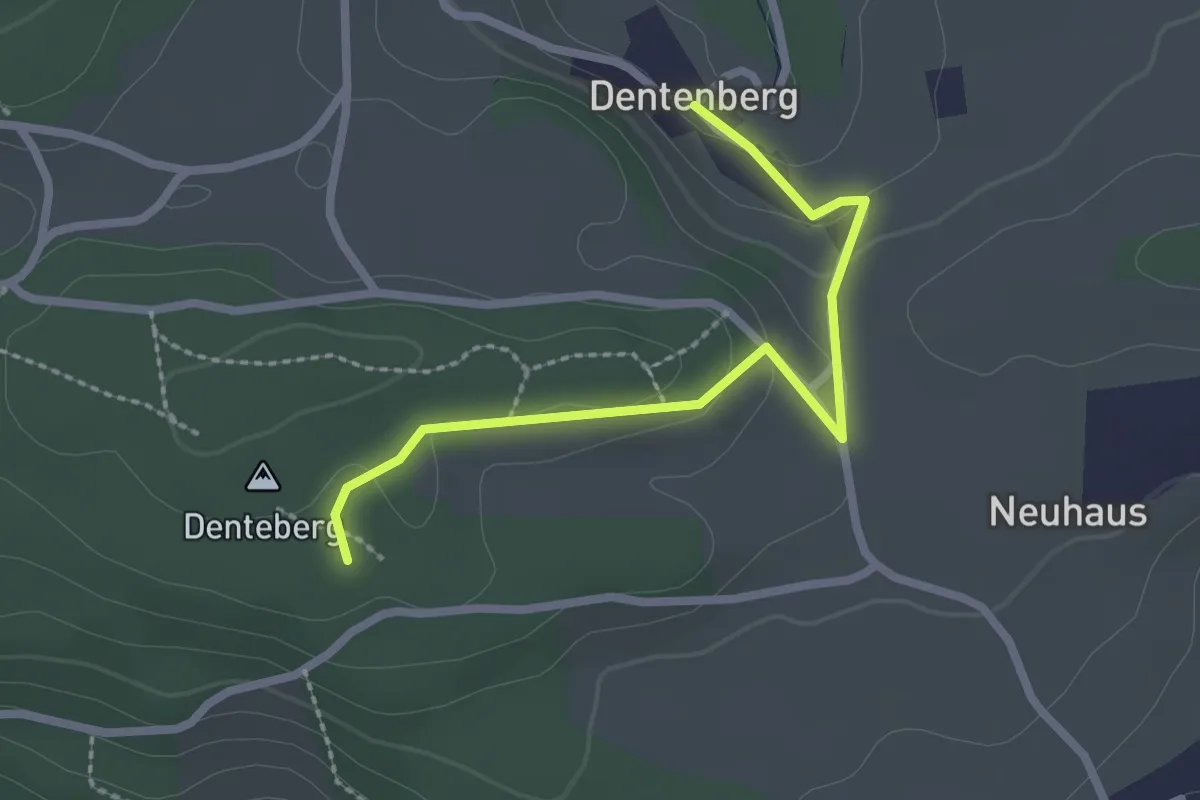
Easy · Trail
Dentenberg – Dentenberg
2.4 km · ↑ 69 m · 43 min
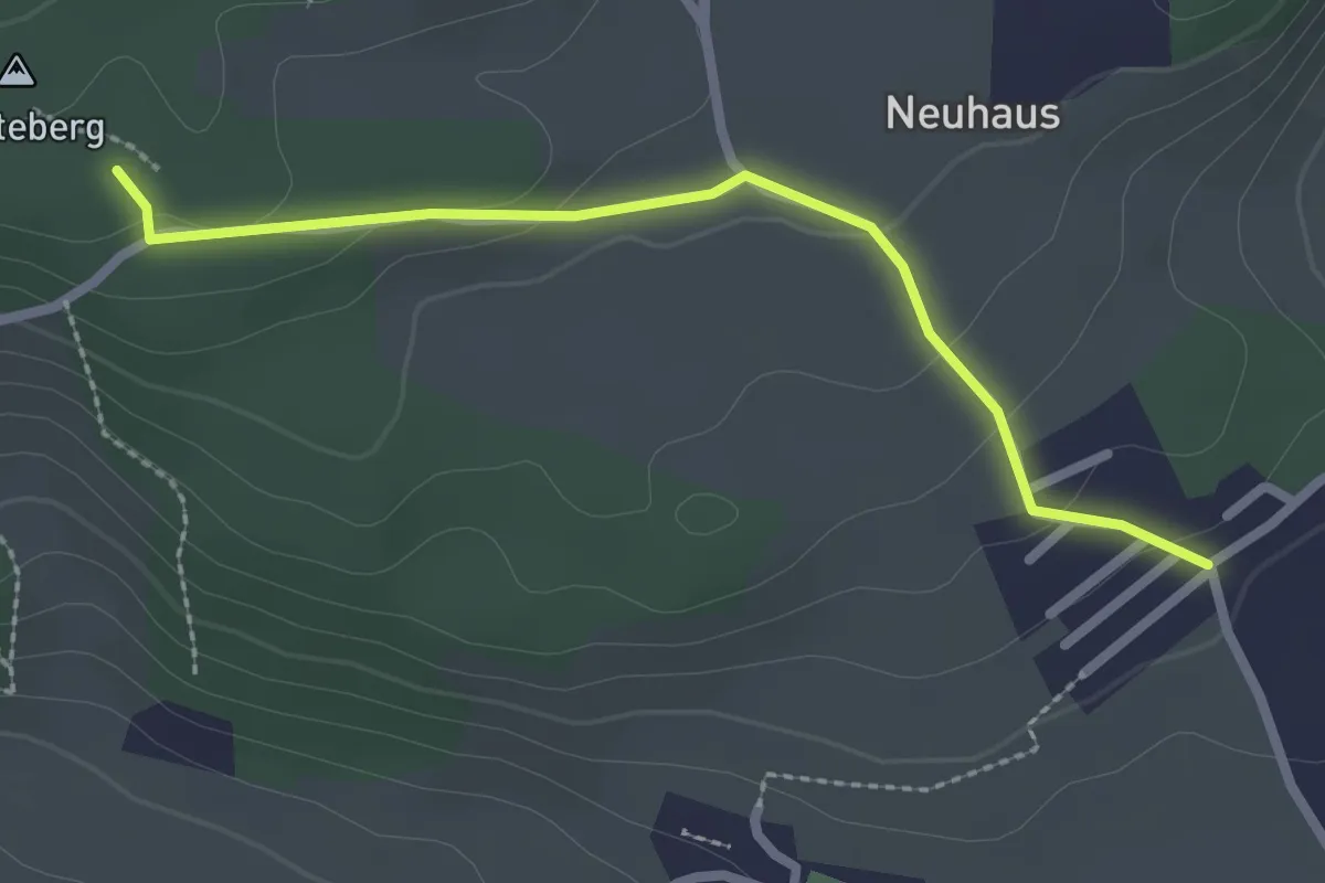
Easy · Trail
Neuhus – Denteberg
2.4 km · ↑ 73 m · 43 min
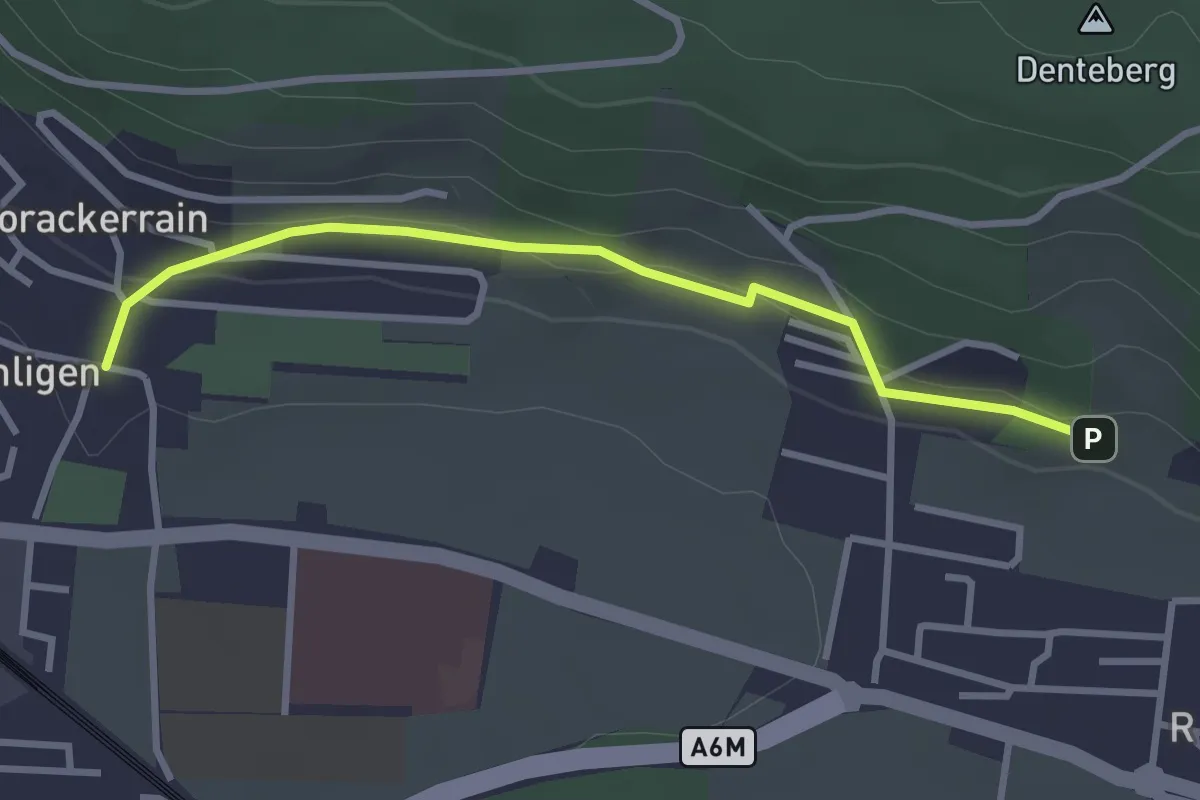
Easy · Trail
Sunnedörfli – Gümligen/Kirche
3.0 km · ↑ 80 m · 53 min
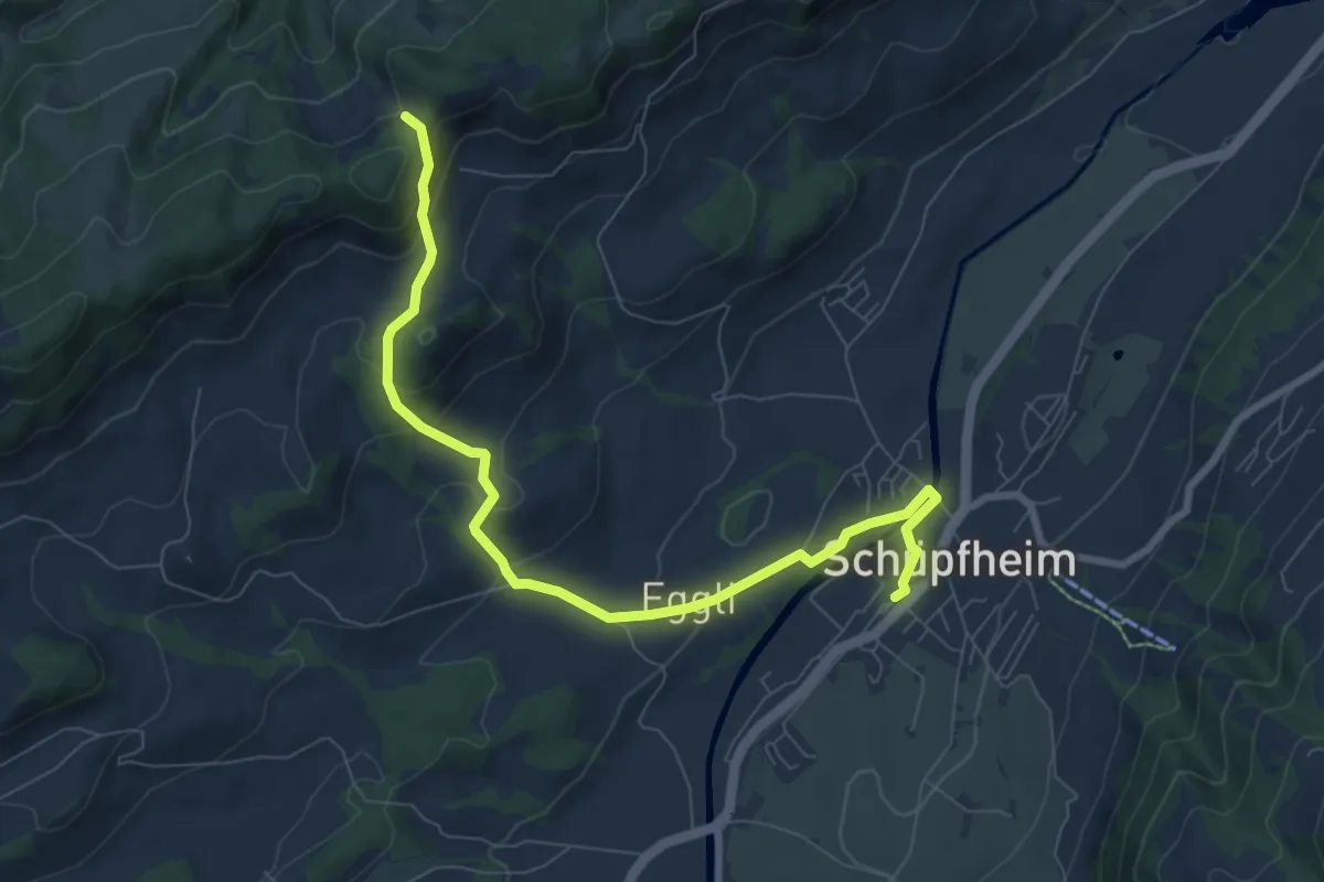
Medium · Trail
Schüpfheim – Obstaldenegg
8.5 km · ↑ 351 m · 2 h 46 min
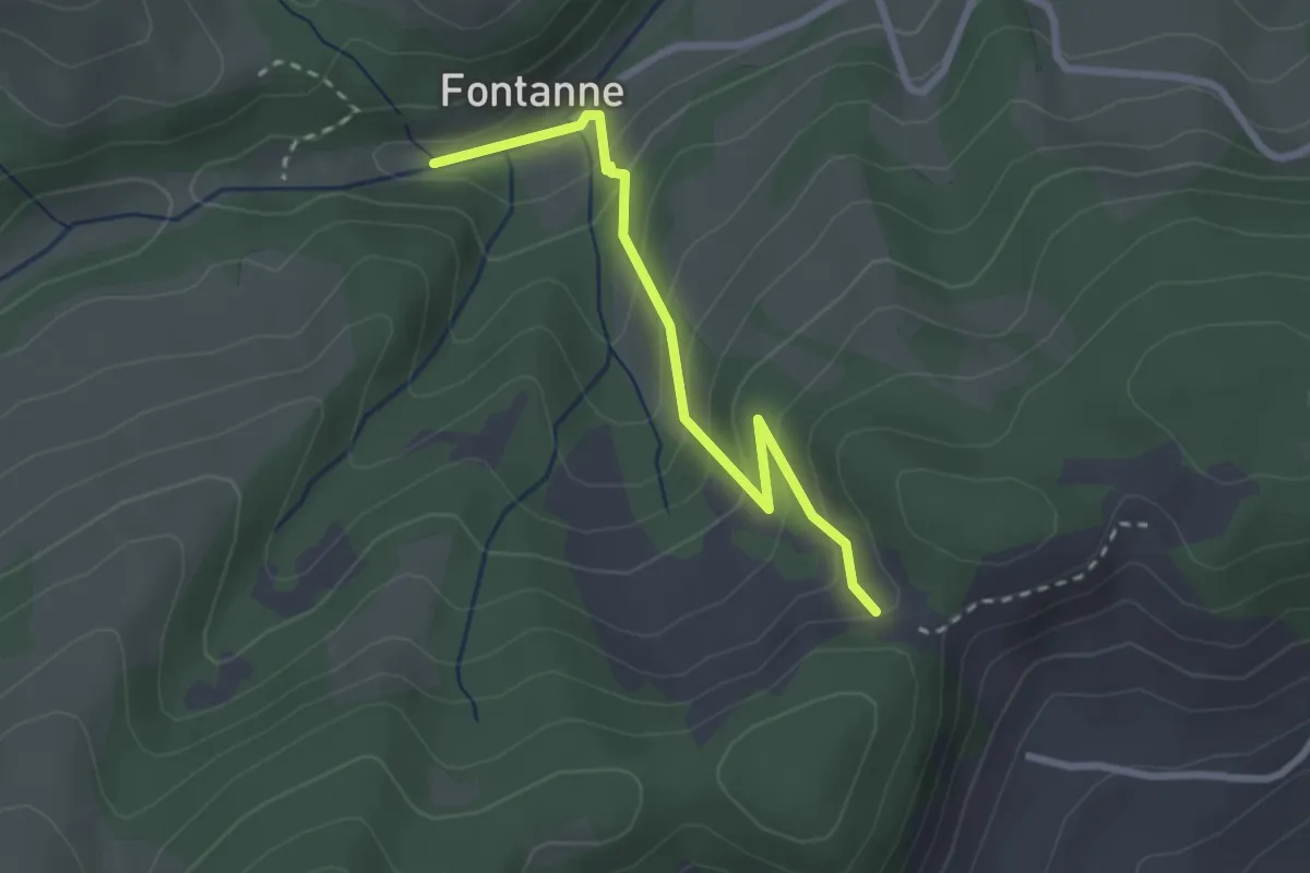
Easy · Trail
Obstaldenegg – Fontanne
2.5 km · ↑ 218 m · 1 h 4 min
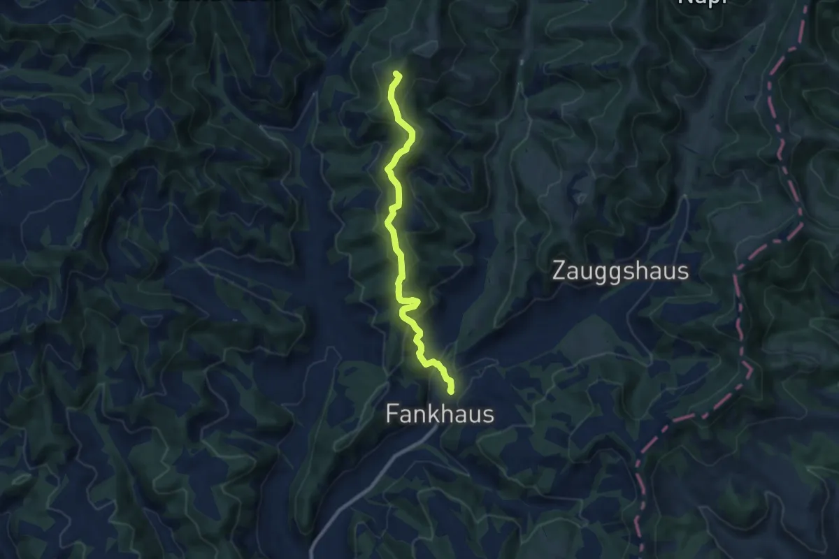
Medium · Summit
Fankhaus – Höchänzialp
7.9 km · ↑ 436 m · 2 h 49 min
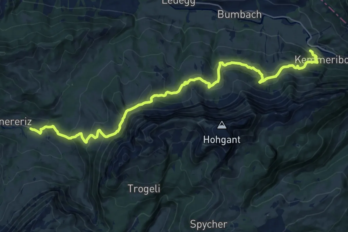
Medium · Trail
Innereriz – Kemmeribodenbad
11.4 km · ↑ 645 m · 4 h 17 min
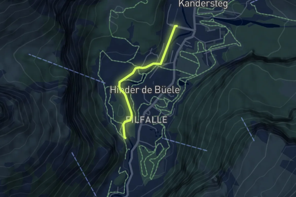
Easy · Trail
Kandersteg – Pfadfinder Zentrum
3.6 km · ↑ 20 m · 53 min
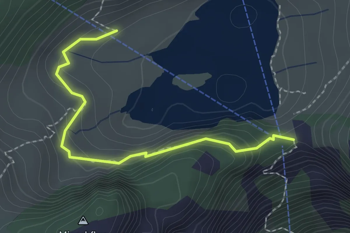
Easy · Trail
Hinterstockenalp – Chrindri
2.1 km · ↑ 148 m · 49 min
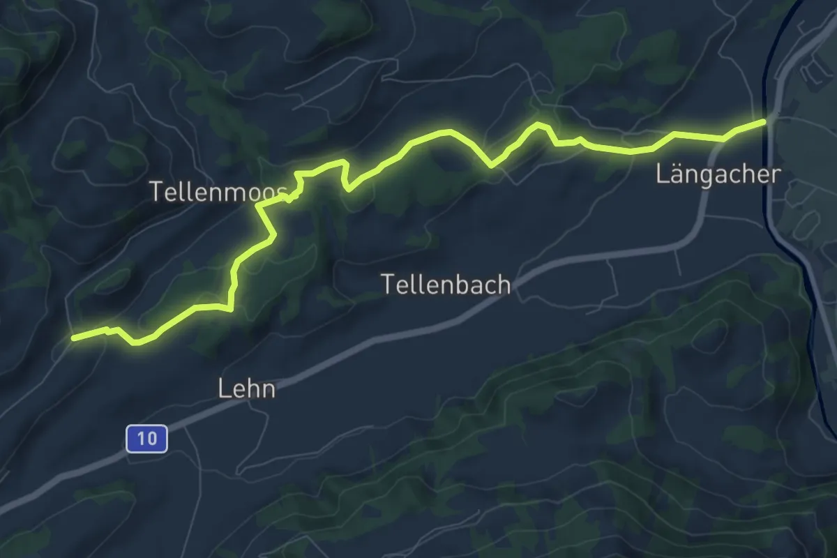
Medium · Trail
Bodenmatt – Landbrügg
10.5 km · ↑ 177 m · 2 h 51 min
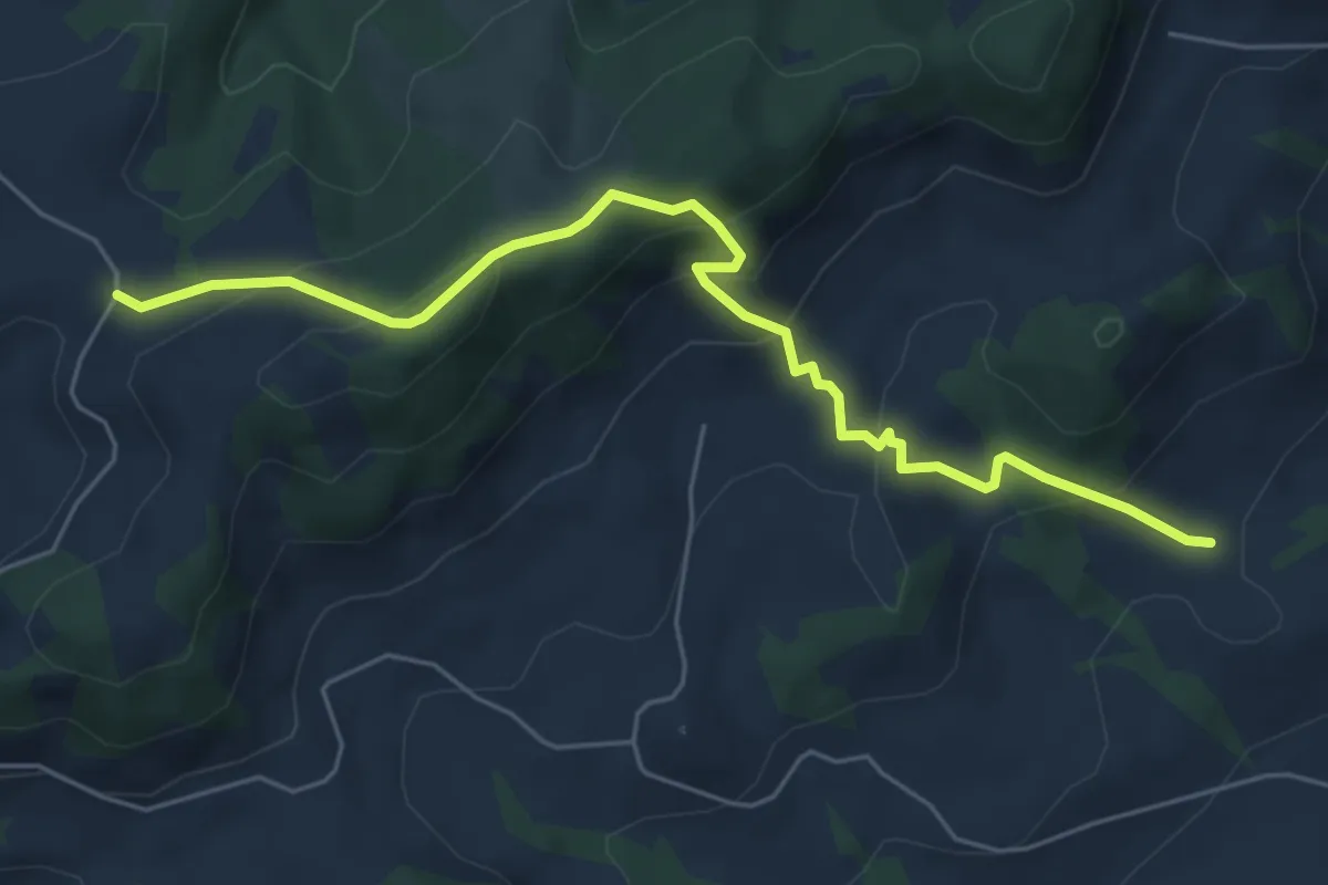
Medium · Trail
Lindenbüel – Gmeinwerch
6.0 km · ↑ 380 m · 2 h 14 min
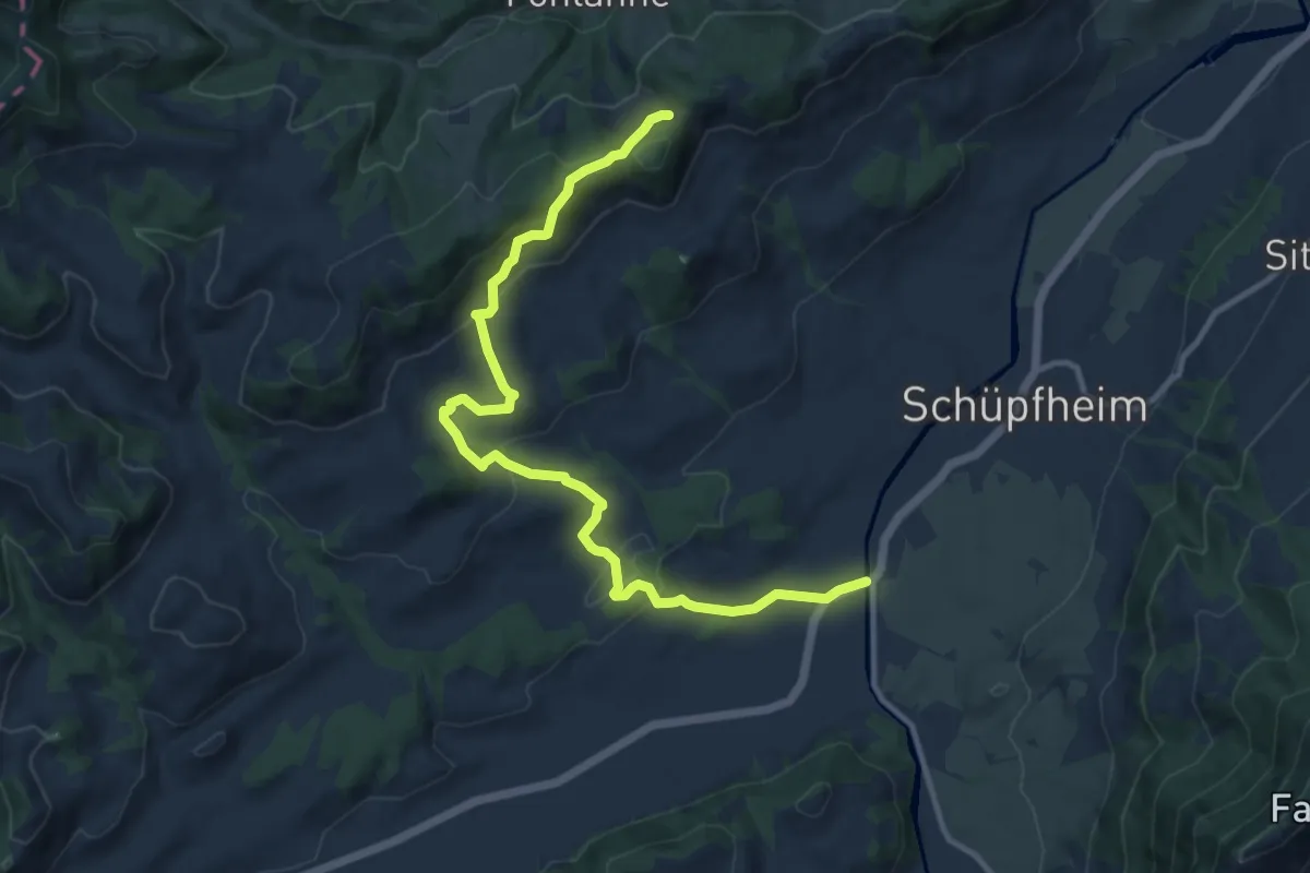
Medium · Trail
Landbrügg – Obstaldenegg
12.2 km · ↑ 477 m · 3 h 55 min
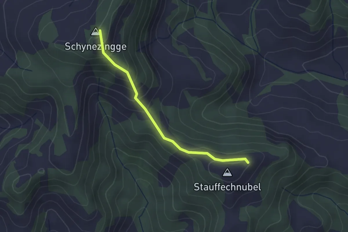
Medium · Summit
Stauffenchnubbel – Schynenalp
2.5 km · ↑ 170 m · 57 min
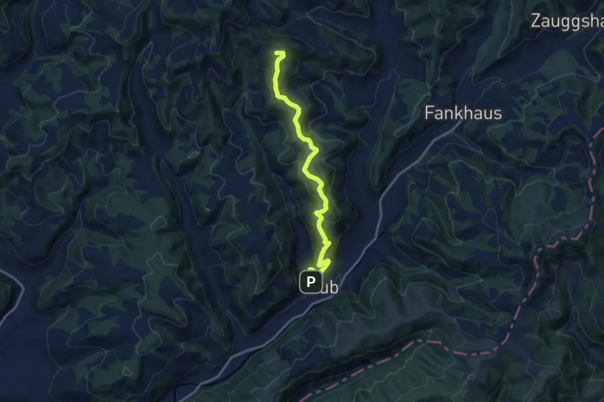
Medium · Summit
Trub – Stauffenchnubbel
9.8 km · ↑ 598 m · 3 h 37 min
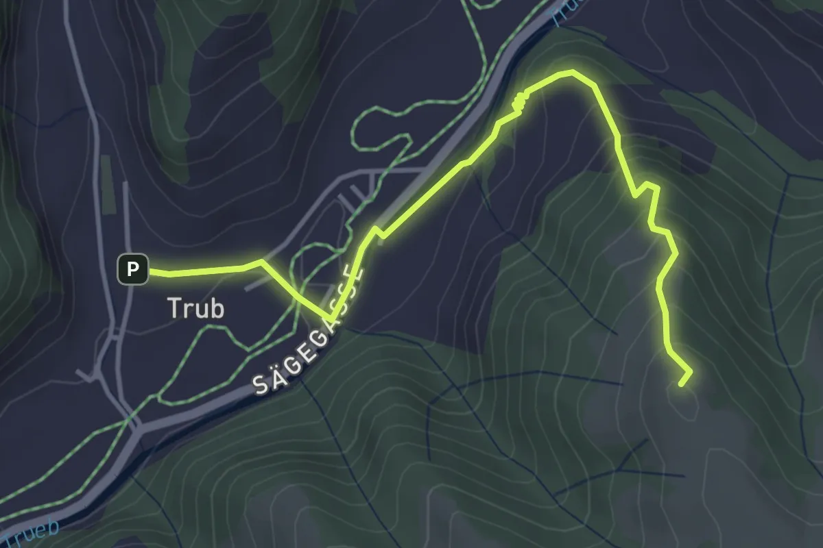
Medium · Summit
Risiseggchnubbel – Trub
4.2 km · ↑ 294 m · 1 h 38 min
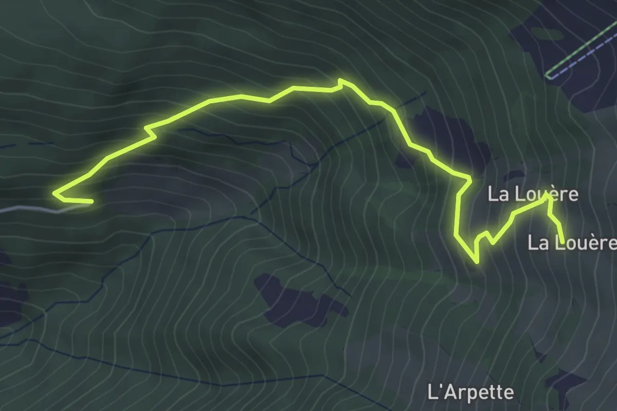
Medium · Cabin
Mayen-des-Praz – La Louère
5.0 km · ↑ 516 m · 2 h 18 min
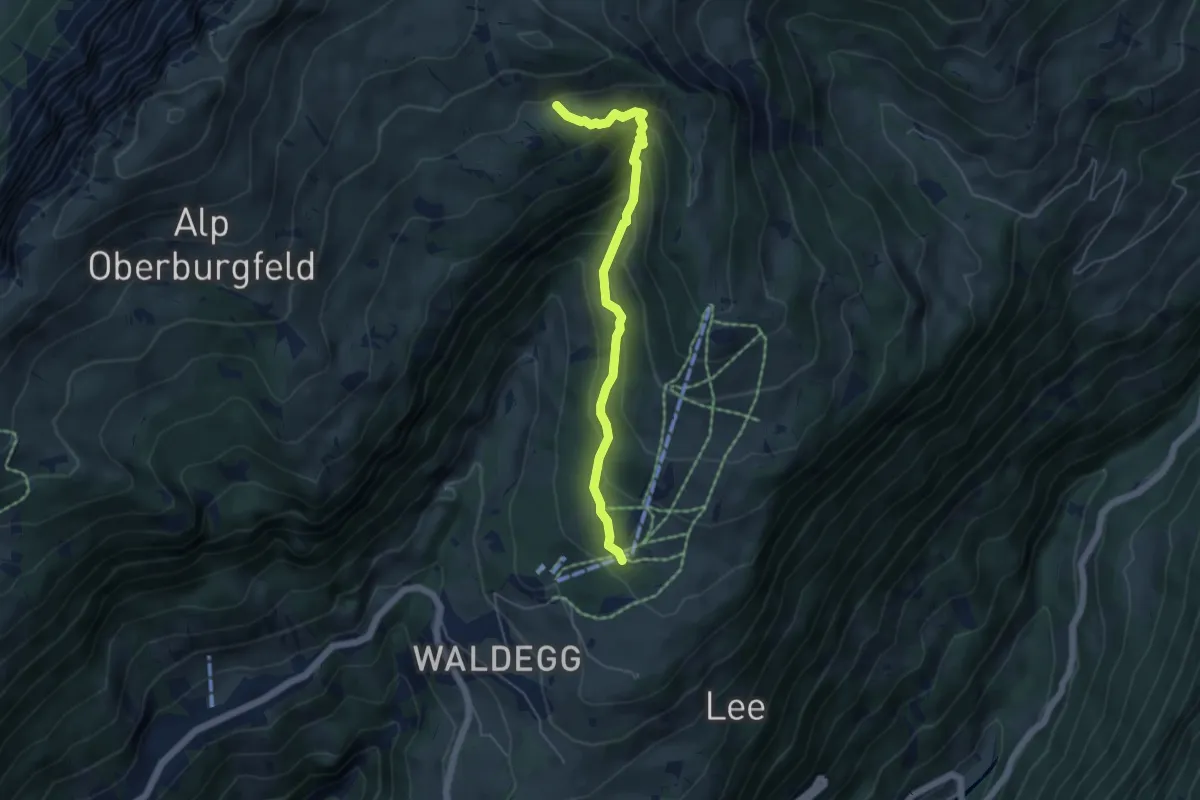
Medium · Trail
Chüematte – Grosse Stall
4.9 km · ↑ 377 m · 1 h 59 min
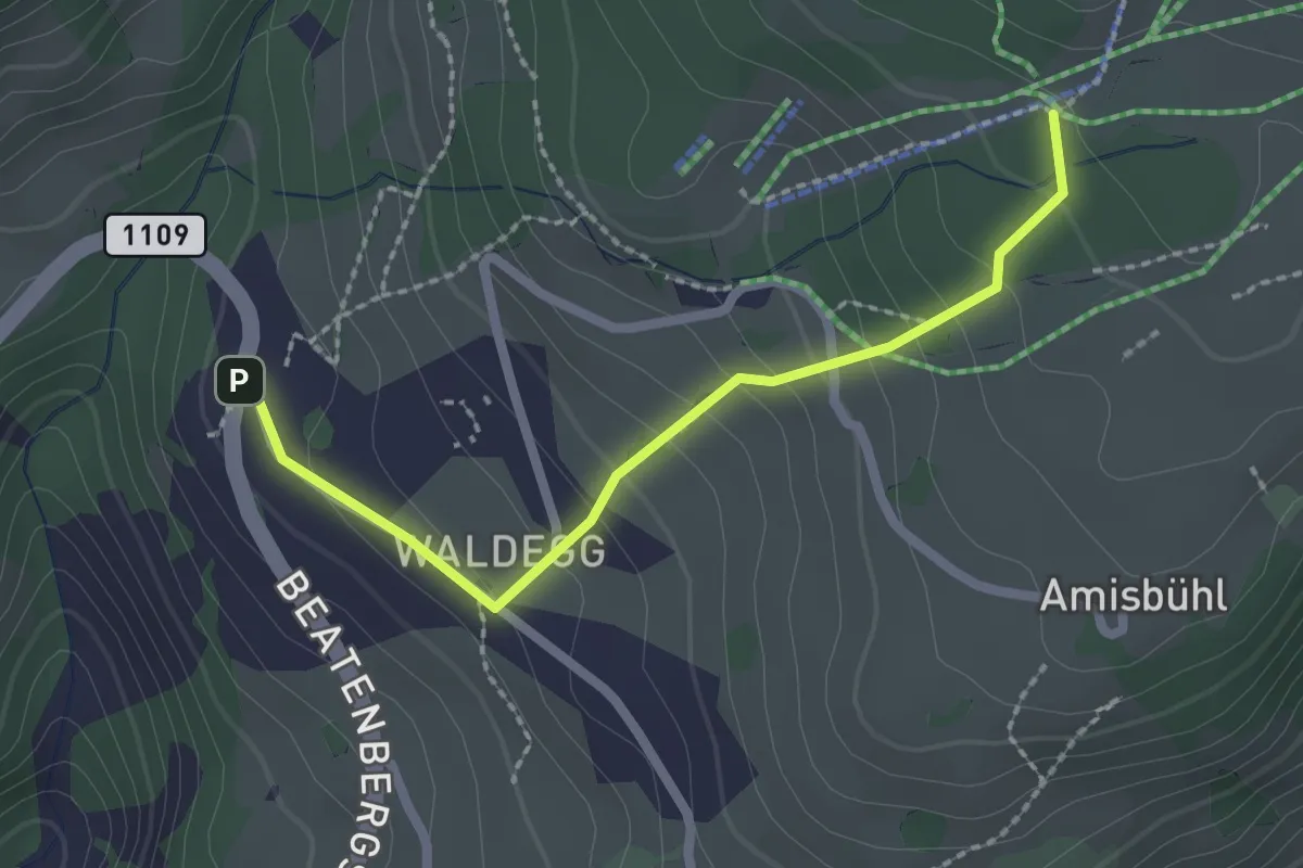
Easy · Trail
Spycherwald – Waldegg
2.2 km · ↑ 158 m · 51 min
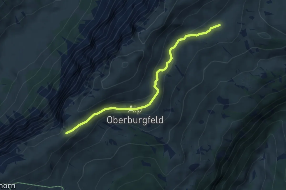
Medium · Trail
Hohseil – Oberberg
4.7 km · ↑ 186 m · 1 h 30 min
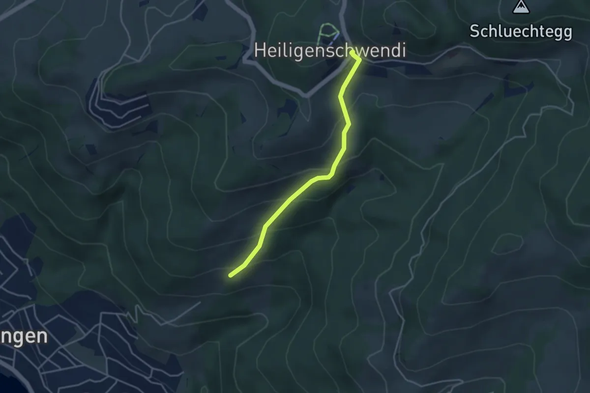
Easy · Trail
Oberi Allmit – Schwendi
3.3 km · ↑ 268 m · 1 h 21 min
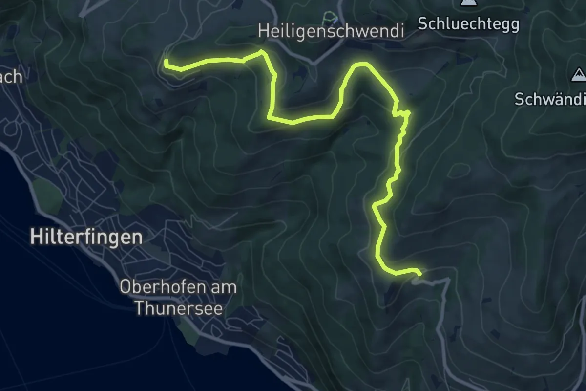
Medium · Trail
Halten – Ringoldswil
9.7 km · ↑ 384 m · 3 h 7 min