Trails in Switzerland
15,055 hiking trails, each with its route, climb, walking time and grade.
All trails, page 196 of 314
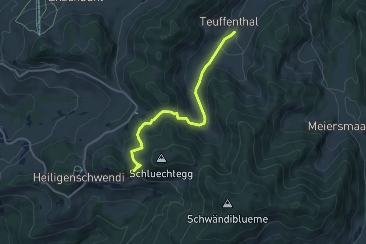
Medium · Trail
Gründungsahorn – Teuffenthal
6.5 km · ↑ 366 m · 2 h 20 min
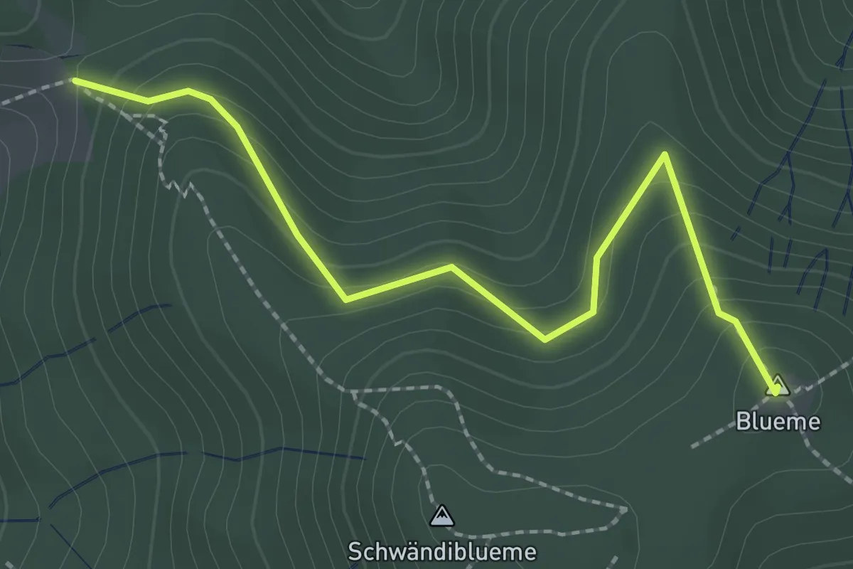
Easy · Summit
Wolfgrube – Blueme
2.4 km · ↑ 171 m · 57 min
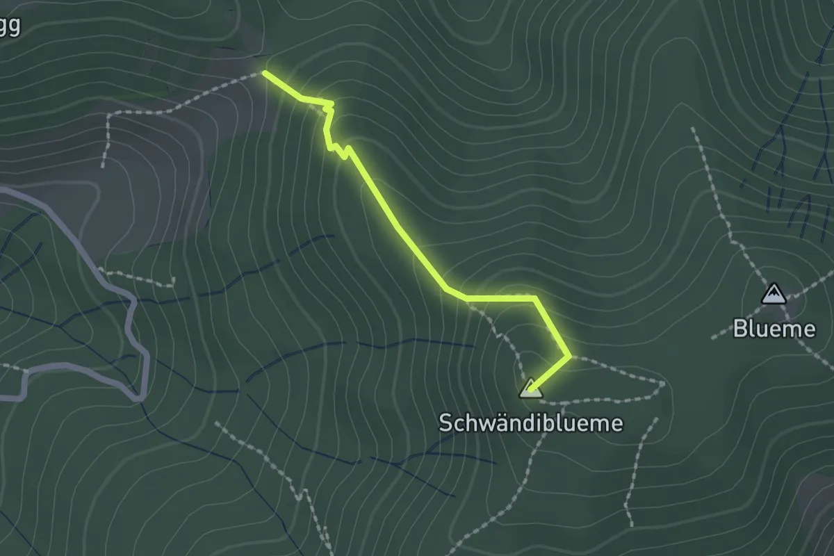
Easy · Summit
Wolfgrube – Blume / Aussichtsturm
1.6 km · ↑ 138 m · 41 min
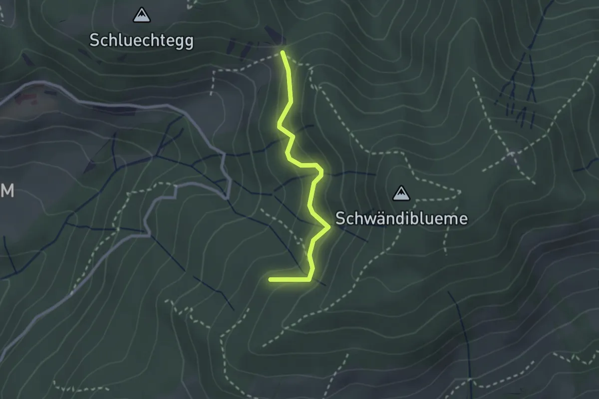
Easy · Trail
Wolfgrube – Hinderport
2.2 km · ↑ 170 m · 53 min
Easy · Summit
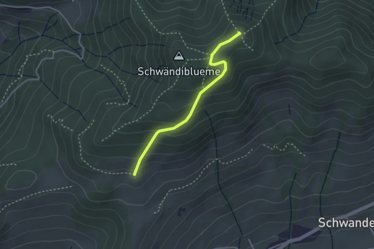
Blueme – Tschingelallmi
2.6 km · ↑ 168 m · 59 min
Medium · Summit
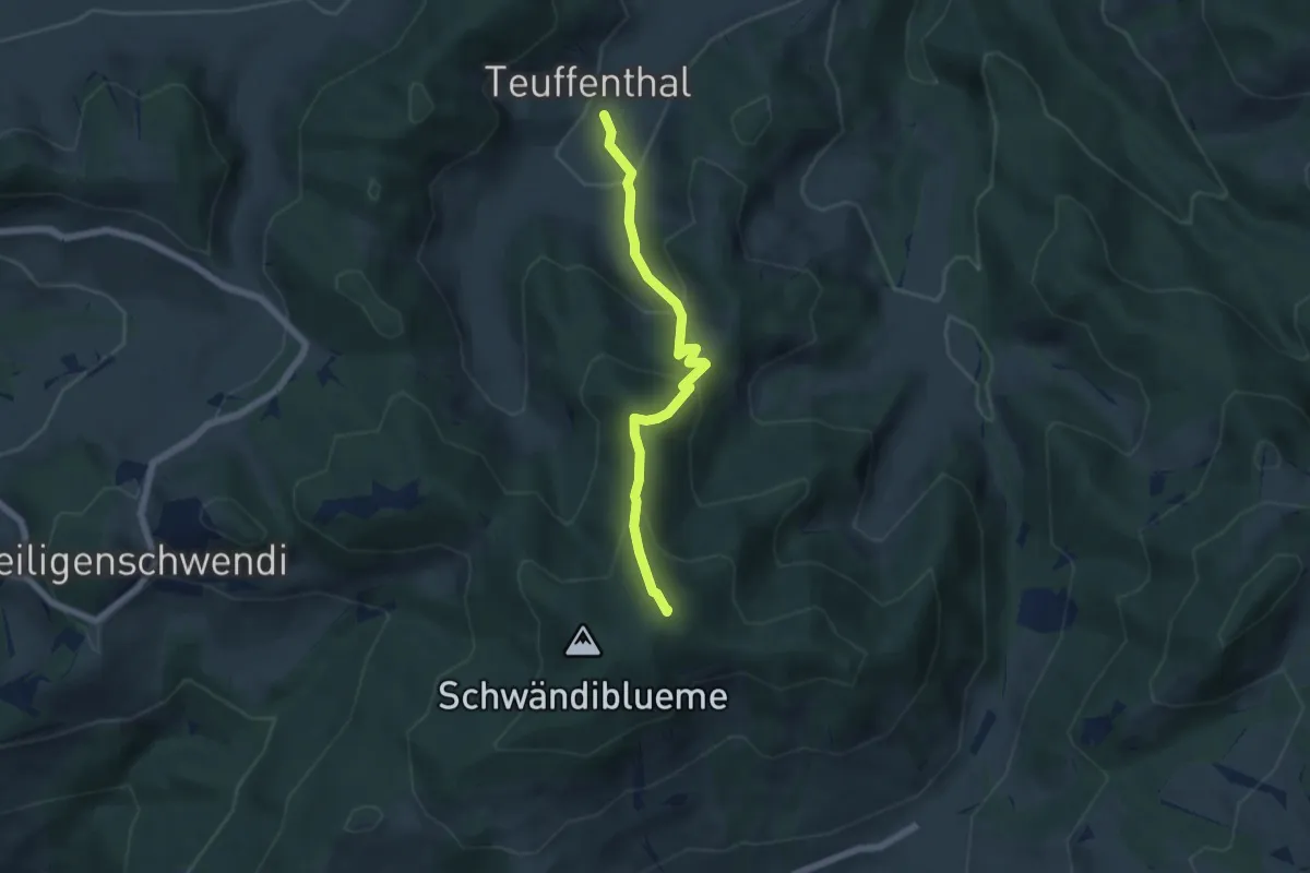
Blueme – Teuffenthal
5.5 km · ↑ 419 m · 2 h 12 min
Medium · Summit
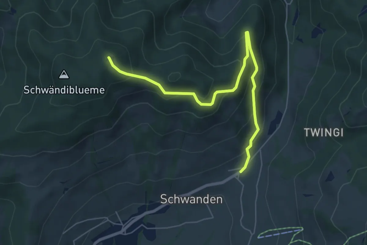
Blueme – Schwanden Sagi
5.9 km · ↑ 341 m · 2 h 8 min
Easy · Trail
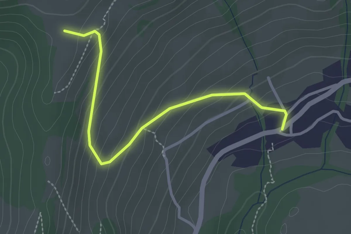
Schwanden – Margelsattel
2.6 km · ↑ 163 m · 59 min
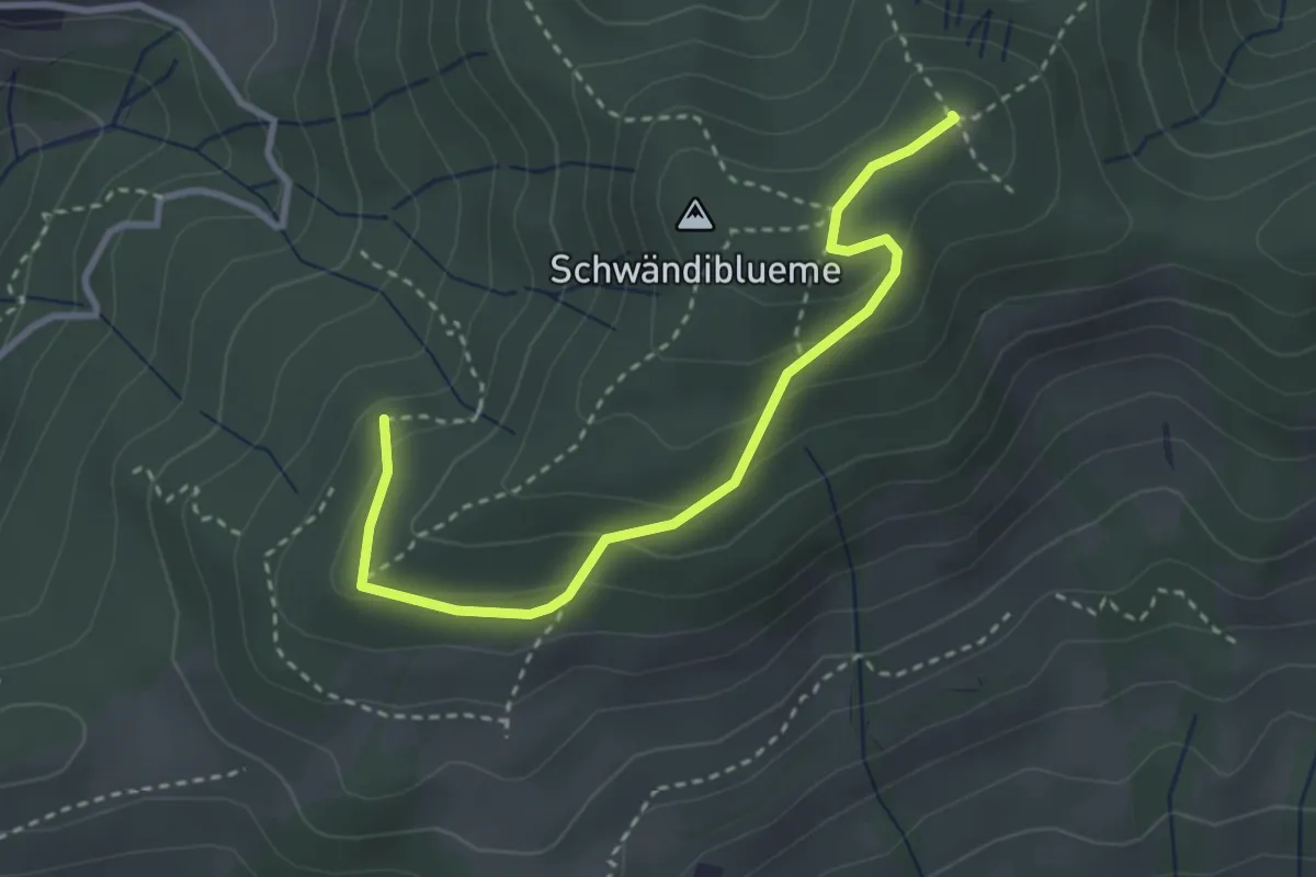
Easy · Summit
Hinterport – Blueme
3.3 km · ↑ 158 m · 1 h 7 min
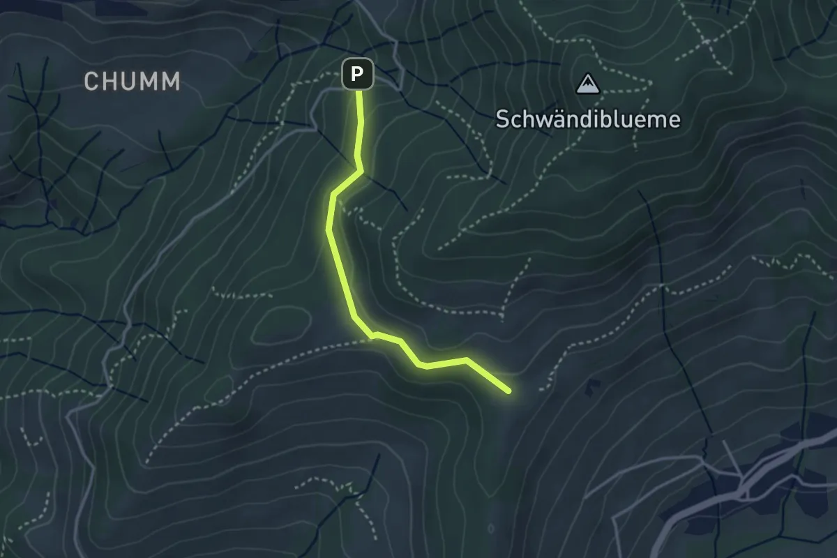
Easy · Trail
Margelsattel – Schwendi REHA Zentrum
2.8 km · ↑ 111 m · 54 min
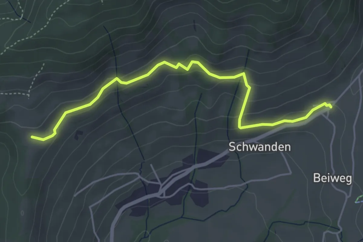
Easy · Trail
Margelsattel – Schwanden / Sagi
4.7 km · ↑ 195 m · 1 h 32 min
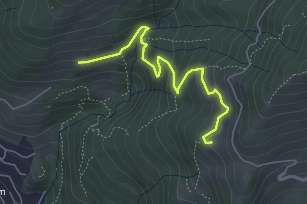
Easy · Trail
Oberi Allmit – Chrinde
4.4 km · ↑ 258 m · 1 h 36 min
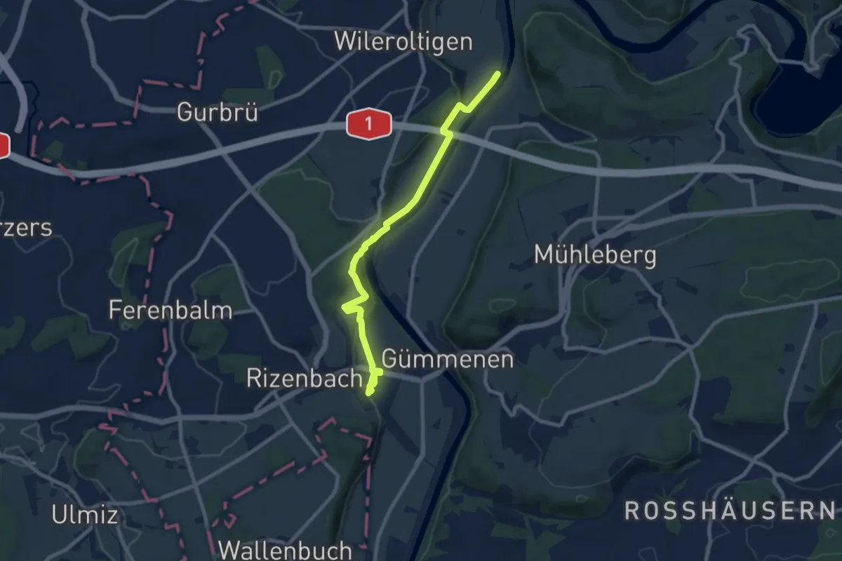
Medium · Trail
Gümmenen Bahnhof – Wilerau
8.7 km · ↑ 267 m · 2 h 38 min
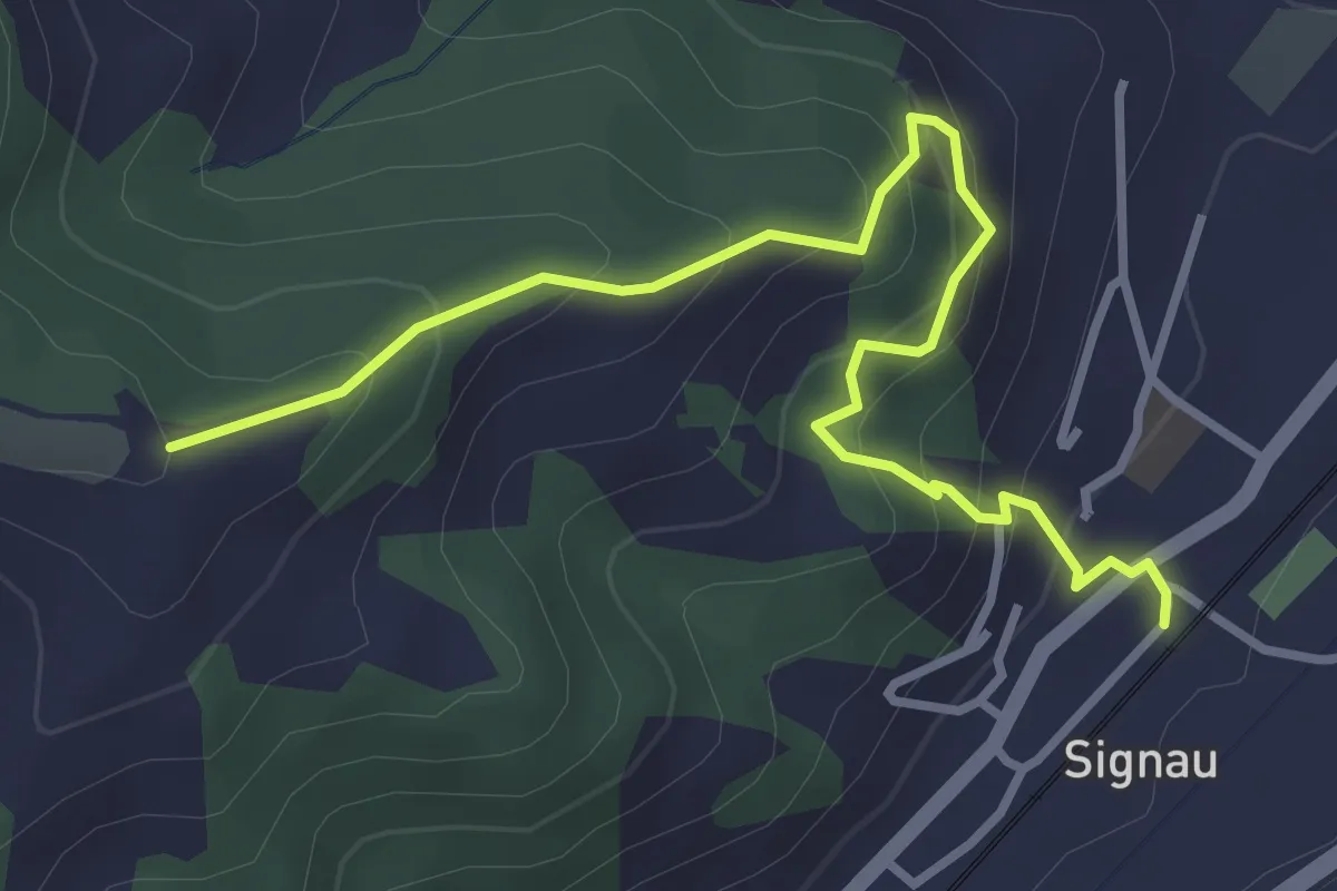
Easy · Trail
Signau – Ober Rainsberg
3.7 km · ↑ 311 m · 1 h 33 min
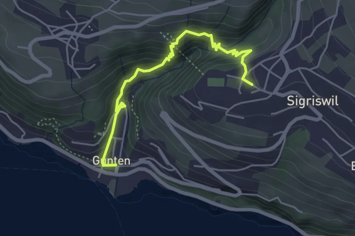
Medium · Trail
Gunten – Sigriswil
4.2 km · ↑ 334 m · 1 h 42 min
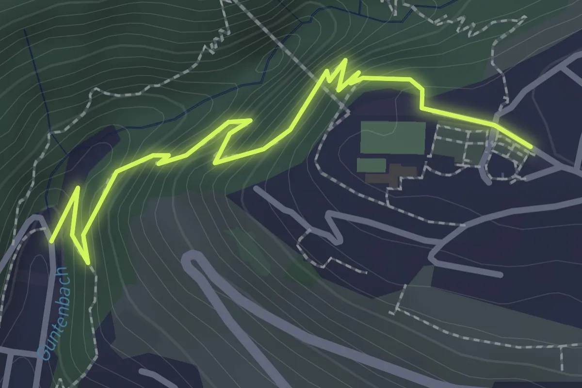
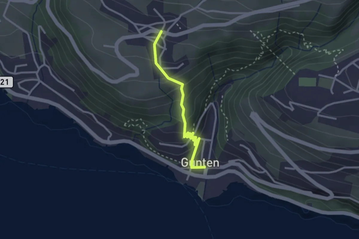
Easy · Trail
Gunten – Sigriswil
2.7 km · ↑ 186 m · 1 h 3 min
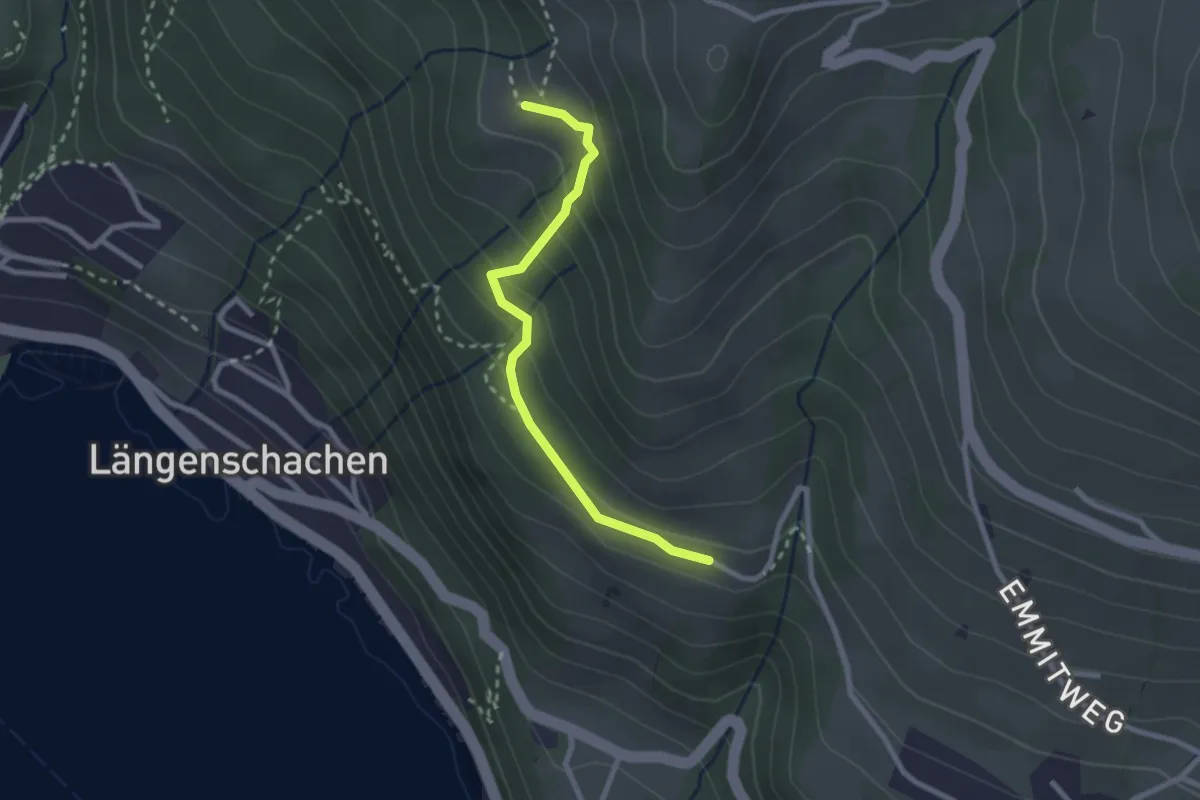
Easy · Trail
Gunten – Aeschlen
2.3 km · ↑ 192 m · 58 min
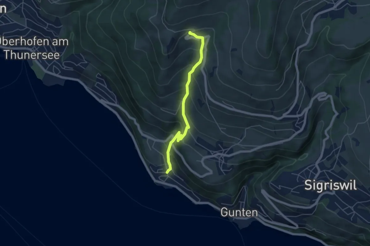
Easy · Trail
Chieni – Erizbüel
2.4 km · ↑ 167 m · 56 min
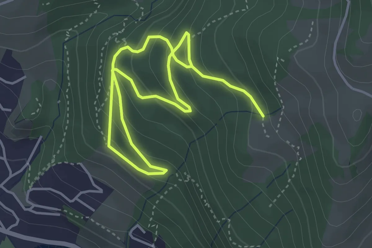
Medium · Trail
Ringoldswil – Oertli
4.6 km · ↑ 439 m · 2 h 2 min
Medium · Trail
Bloch – Chieni
5.5 km · ↑ 383 m · 2 h 7 min
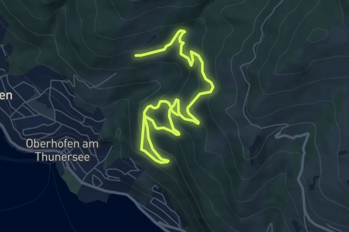
Medium · Trail
Oberi Allmit – Bloch
8.9 km · ↑ 567 m · 3 h 20 min
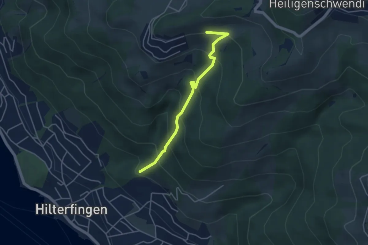
Easy · Trail
Tannebüel – Haltenegg
3.4 km · ↑ 315 m · 1 h 29 min
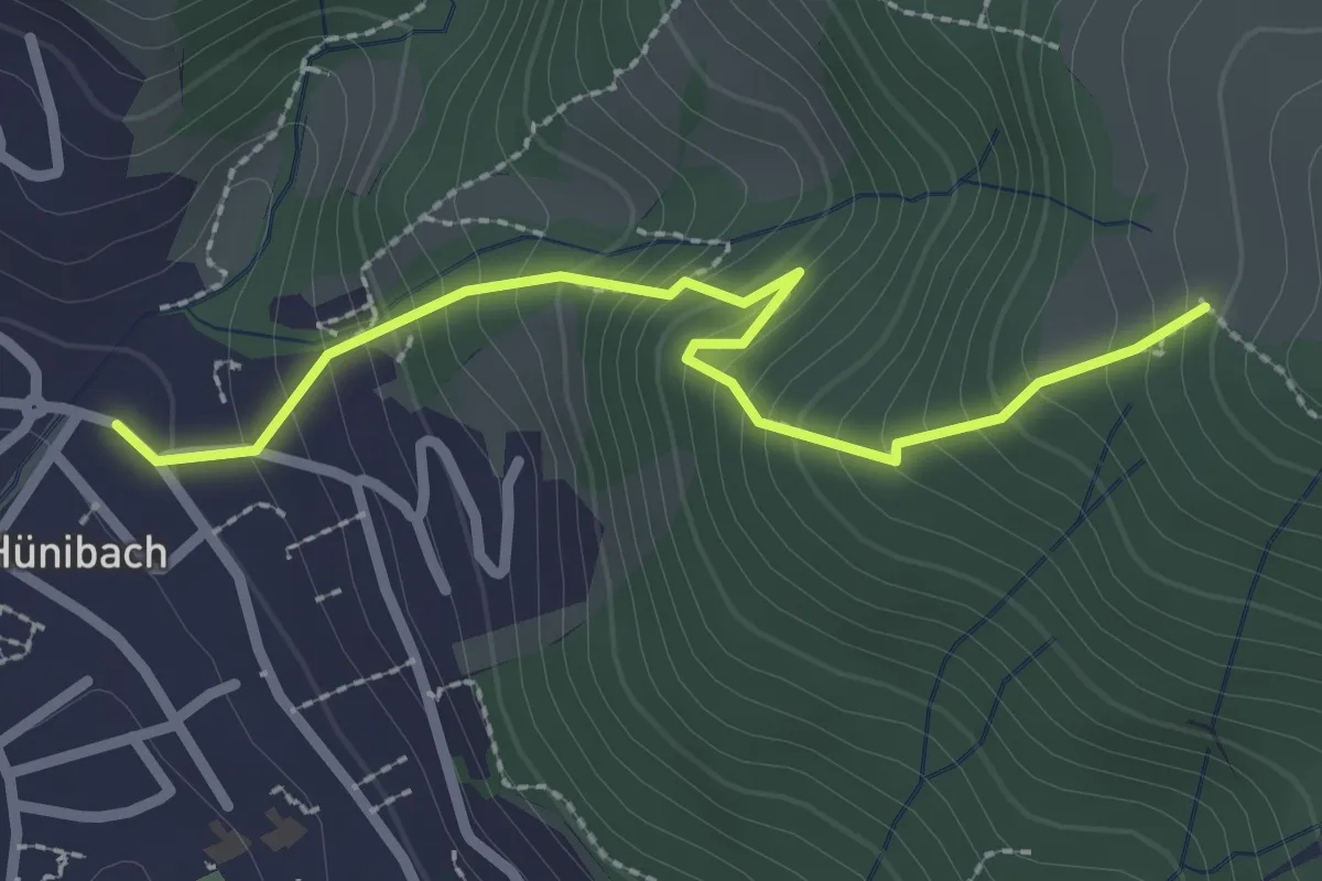
Medium · Trail
Hünibach – Eichholzweid
2.5 km · ↑ 322 m · 1 h 18 min
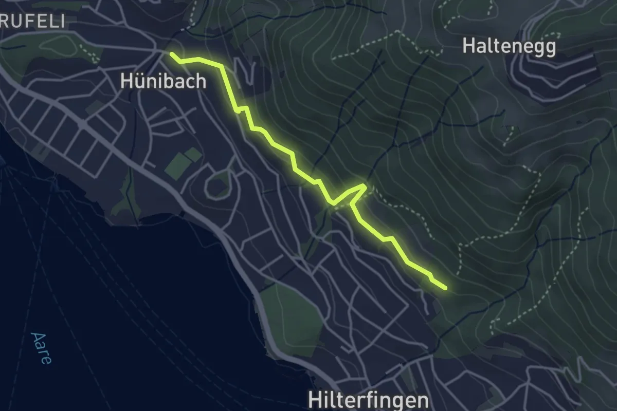
Easy · Trail
Hünibach – Hilterfingen Burech
3.5 km · ↑ 176 m · 1 h 13 min
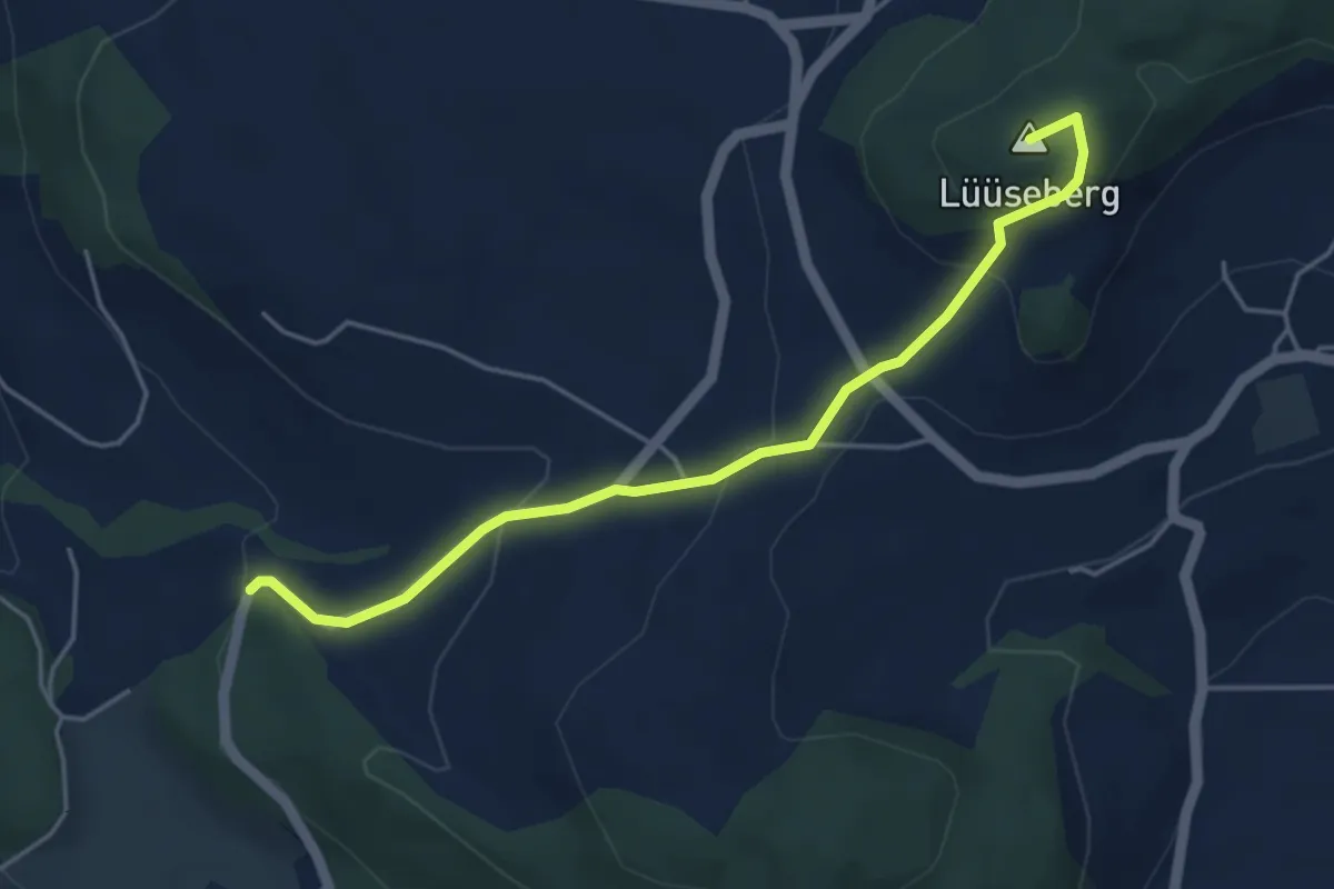
Easy · Summit
Worb/Hasli – Lüseberg
4.6 km · ↑ 219 m · 1 h 34 min
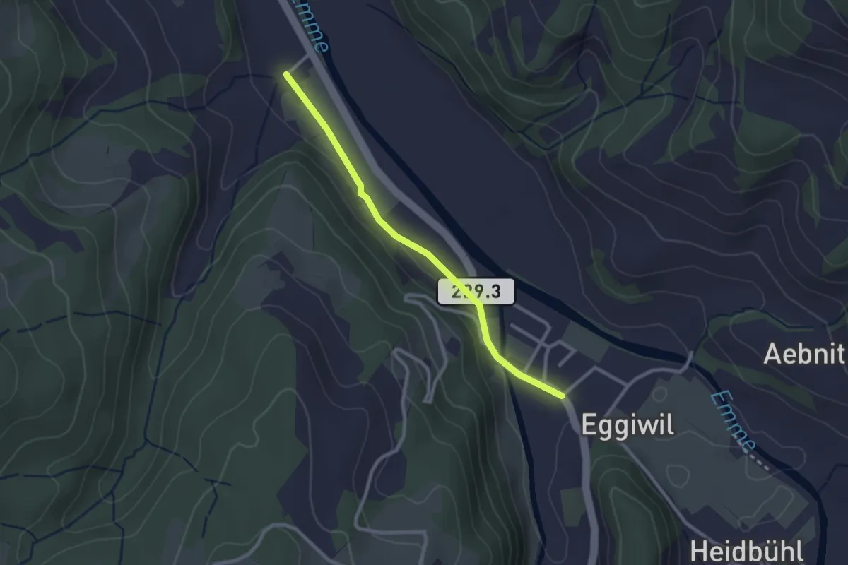
Easy · Trail
Holzmatt – Eggiwil
2.4 km · ↑ 40 m · 39 min
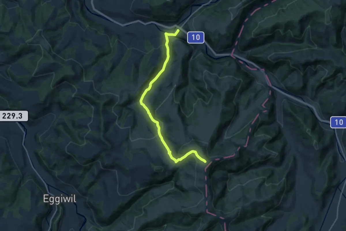
Medium · Trail
Vorder Rämisgumme – Trubschachen
12.7 km · ↑ 567 m · 4 h 13 min
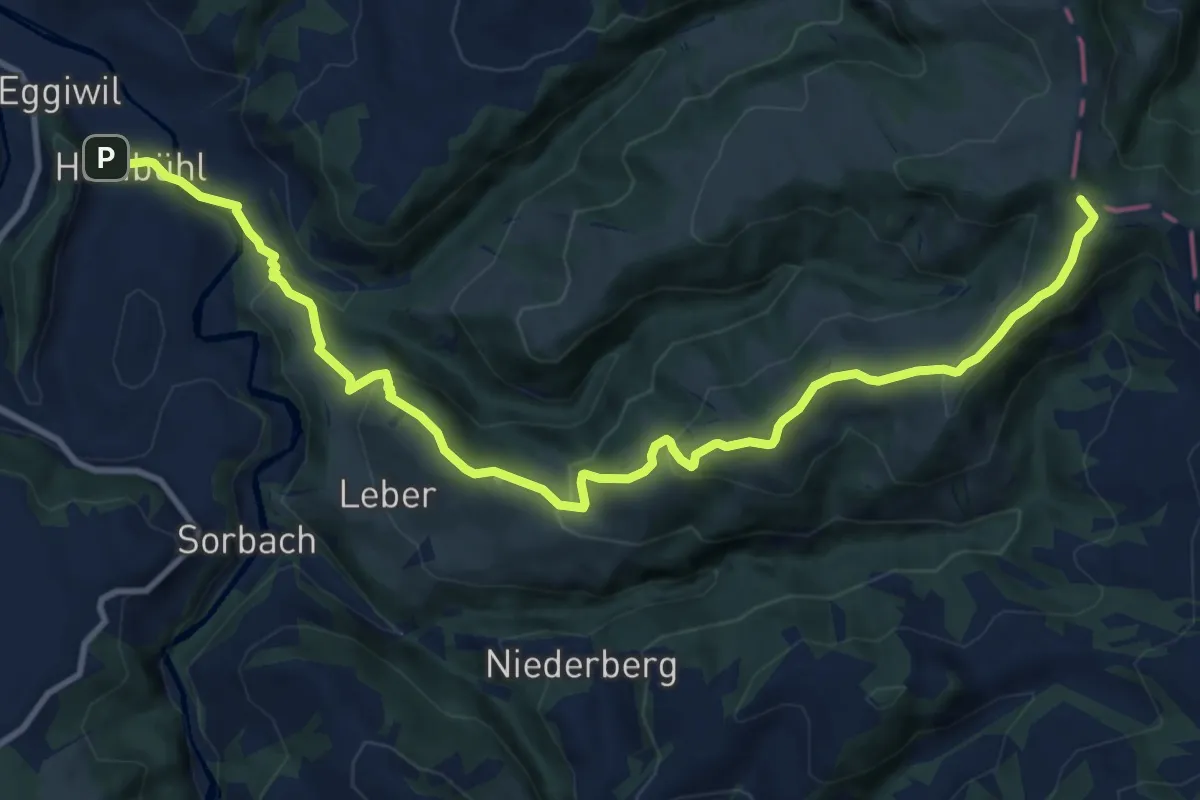
Medium · Summit
Heidbüehl – Pfyffer
12.8 km · ↑ 548 m · 4 h 12 min
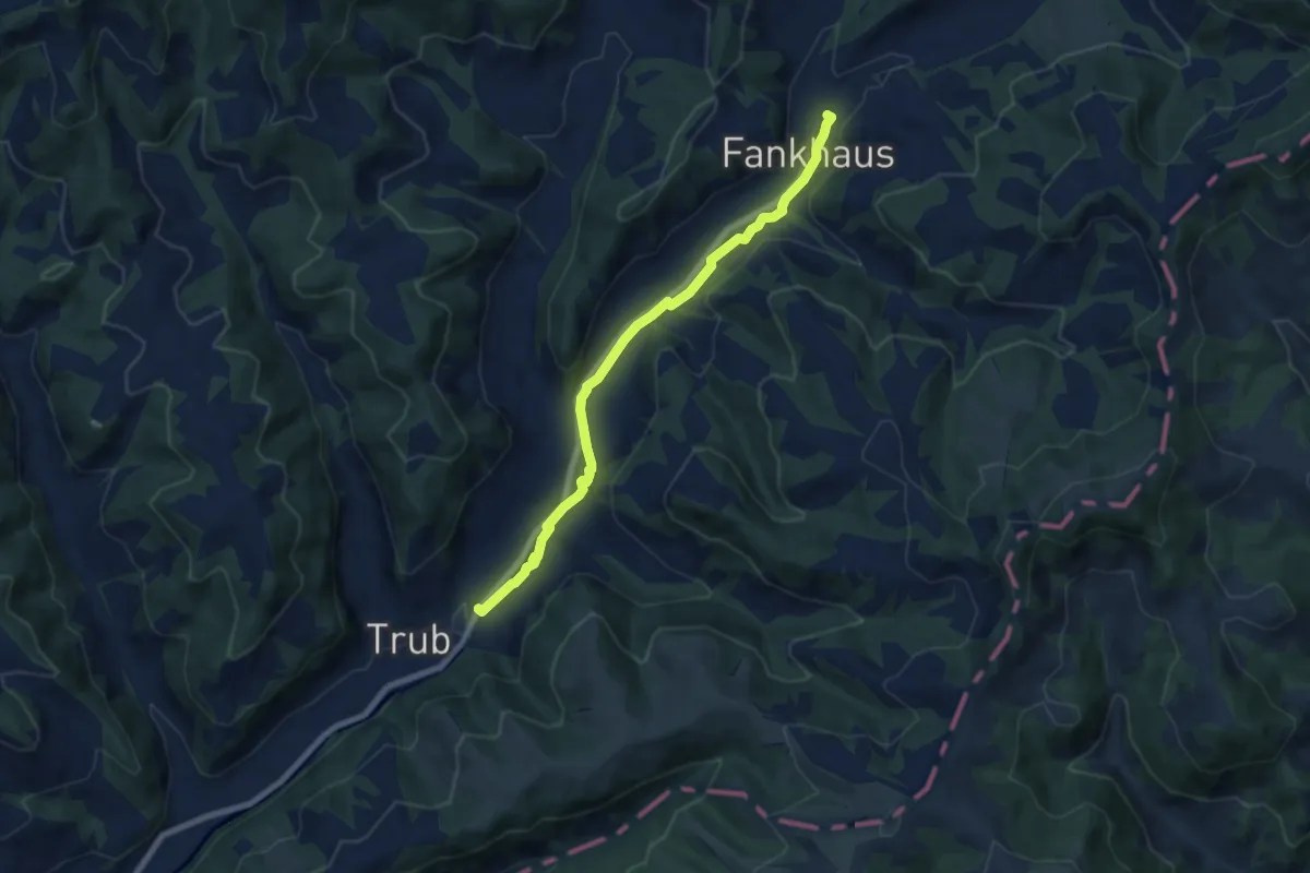
Medium · Trail
Trub – Fankhus
7.3 km · ↑ 182 m · 2 h 7 min
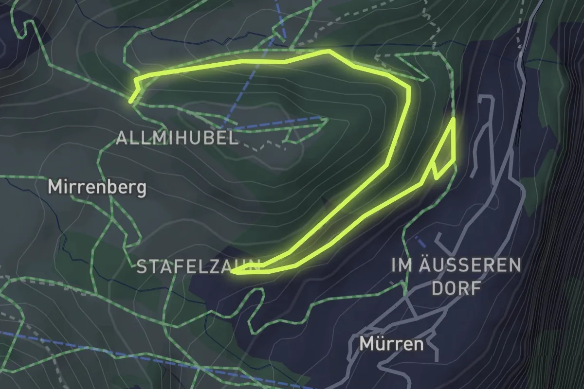
Medium · Trail
Höhlücke – Murren
4.9 km · ↑ 220 m · 1 h 39 min
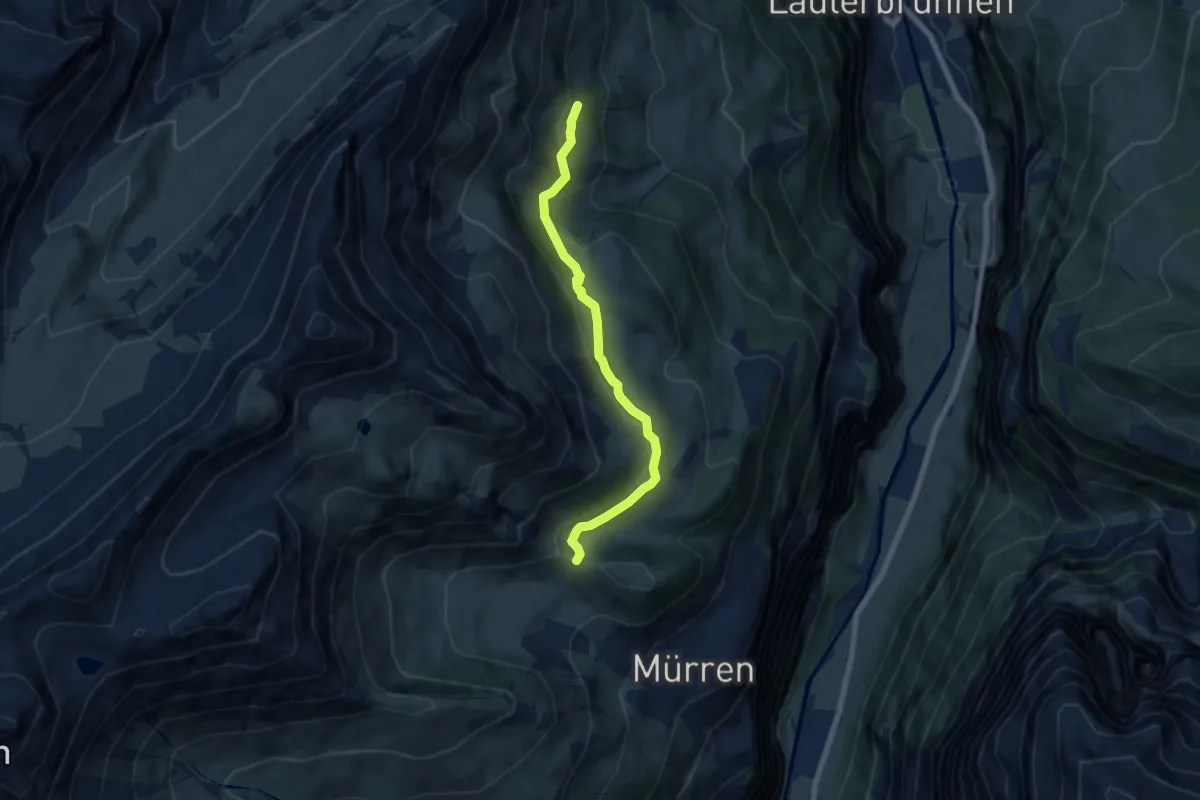
Easy · Trail
Pletschenalp – Höhlücke
6.6 km · ↑ 222 m · 2 h 2 min
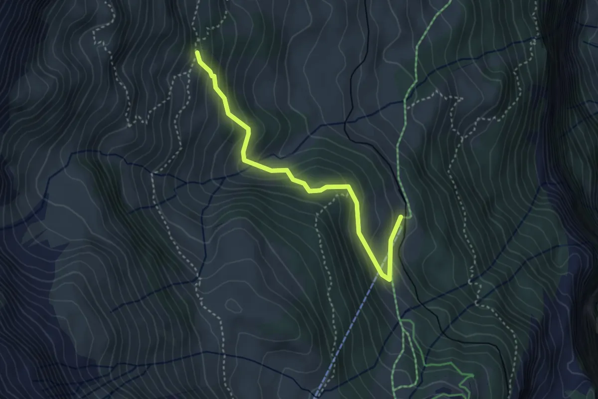
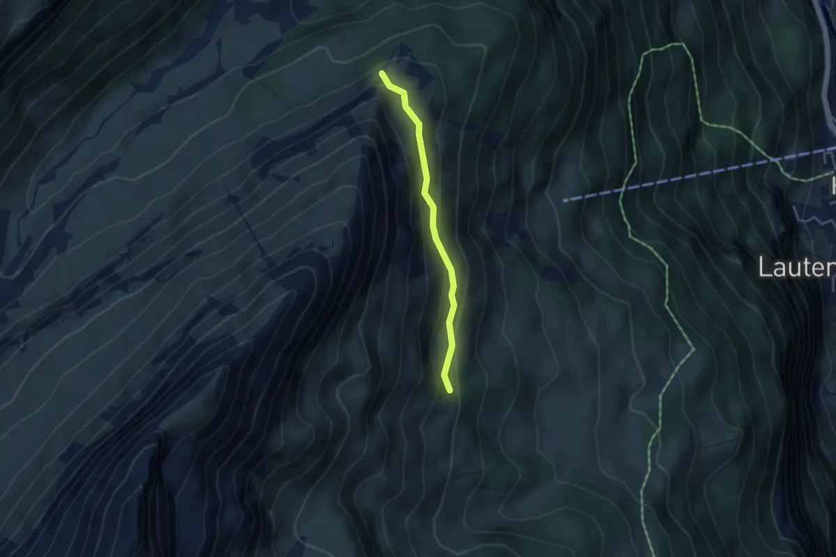
Medium · Trail
Pletschenalp – Winteregg
3.6 km · ↑ 270 m · 1 h 26 min
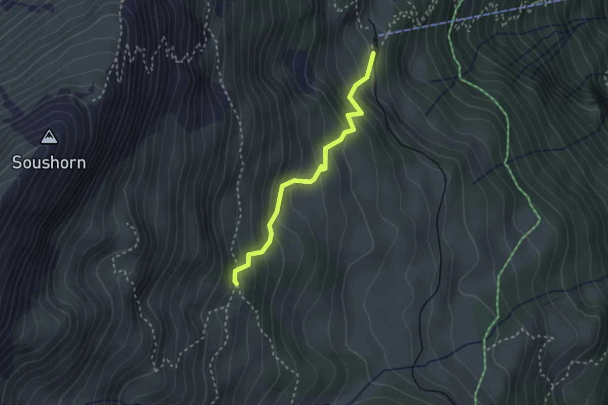
Medium · Trail
Pletschenalp – Marchegg
3.1 km · ↑ 191 m · 1 h 9 min
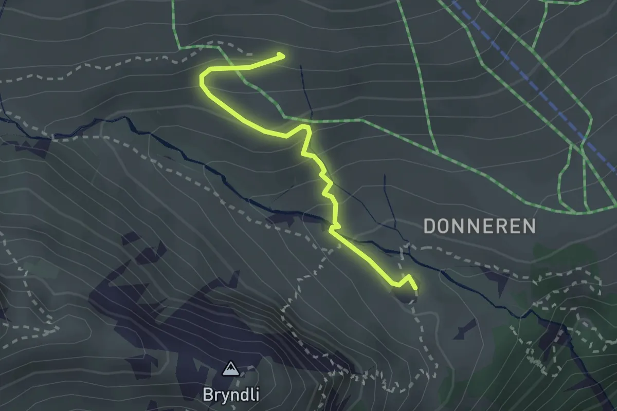
Easy · Trail
Grütschalp – Pletschenalp
2.5 km · ↑ 268 m · 1 h 10 min
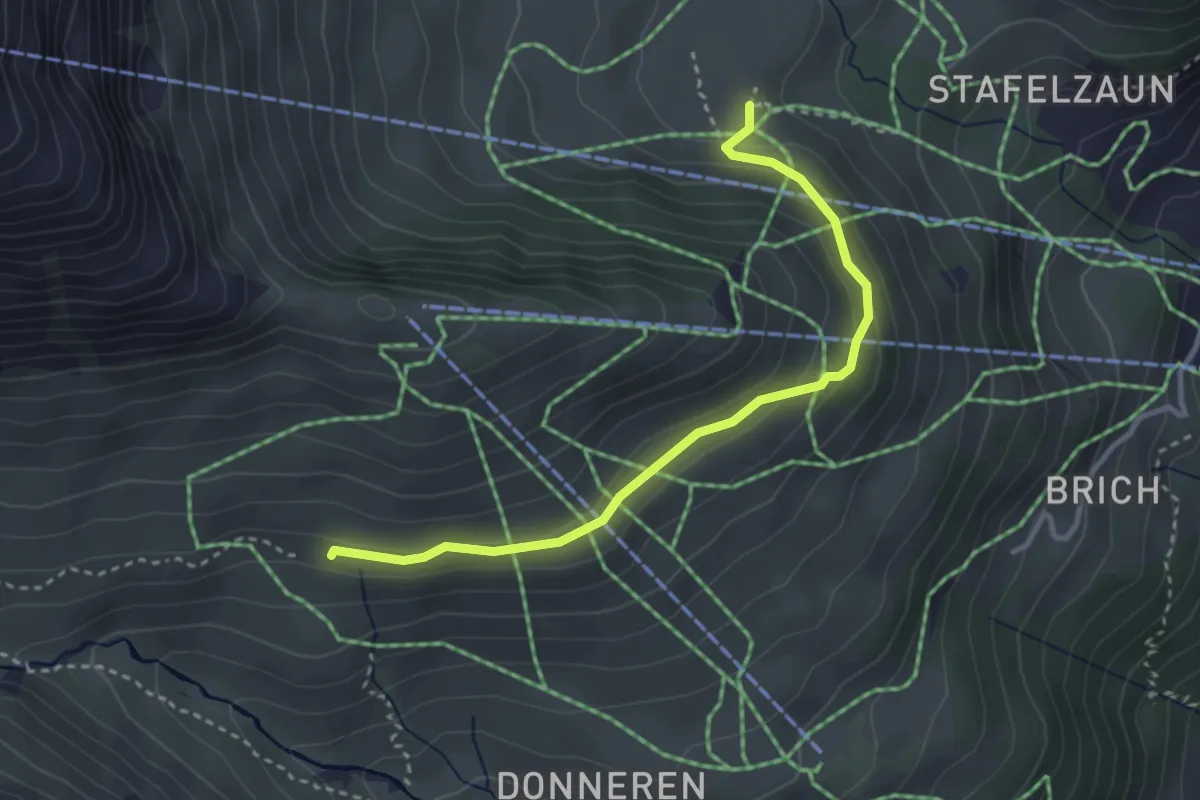
Medium · Cabin
Schiltalp – Spilboden
2.2 km · ↑ 165 m · 53 min
Medium · Trail
Im Suppen – Schiltalp
3.3 km · ↑ 122 m · 1 h 2 min
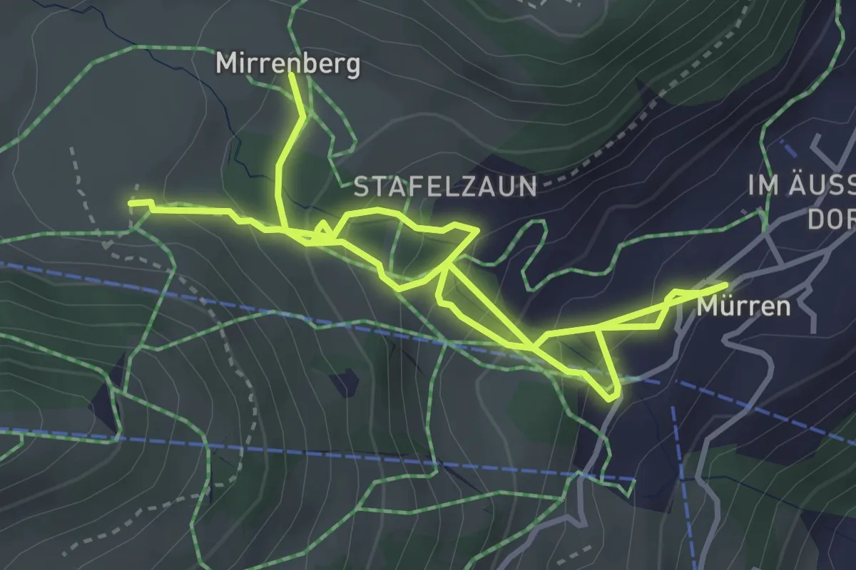
Medium · Trail
Im Suppen – Mirrenberg
5.5 km · ↑ 429 m · 2 h 14 min
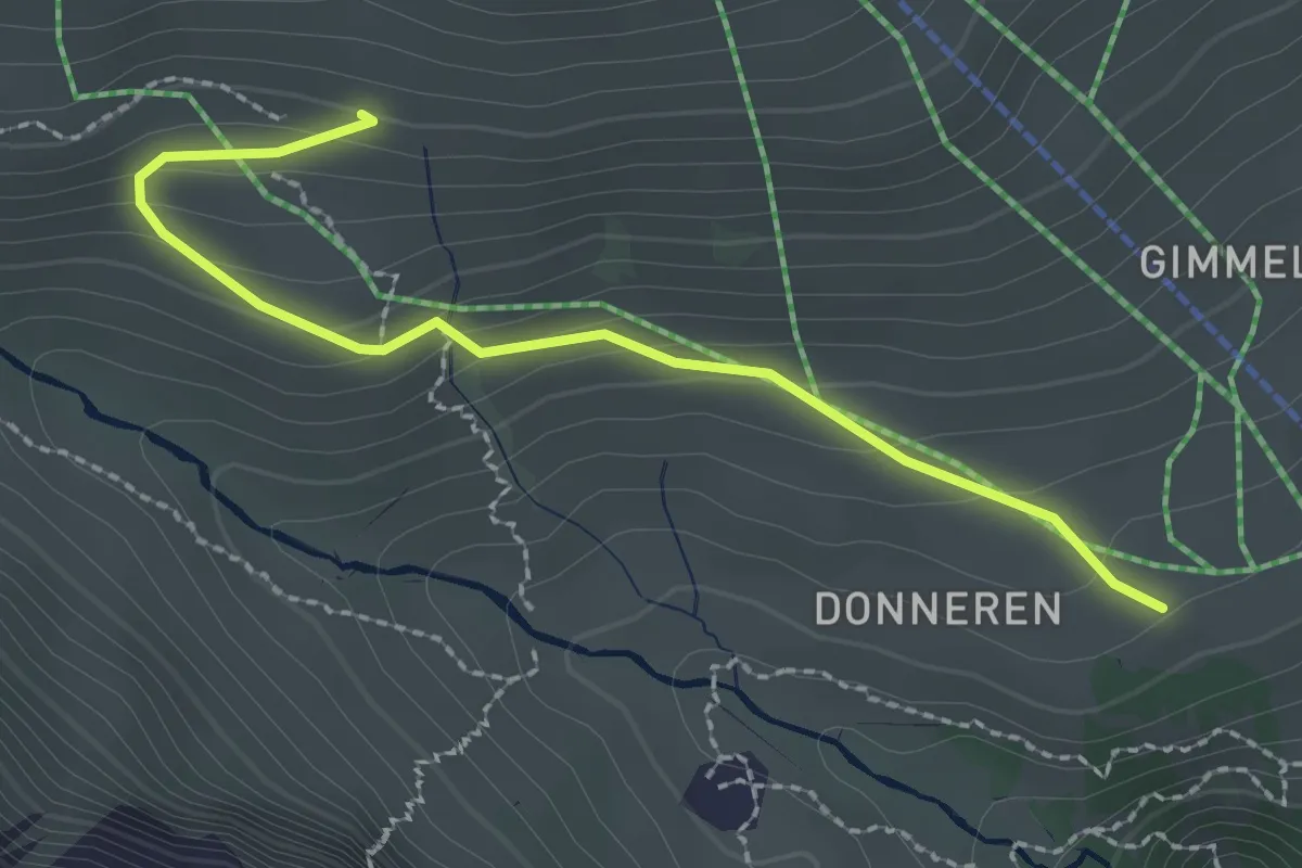
Easy · Trail
Schiltalp – Gimmeln / Uf Donern
2.4 km · ↑ 139 m · 52 min
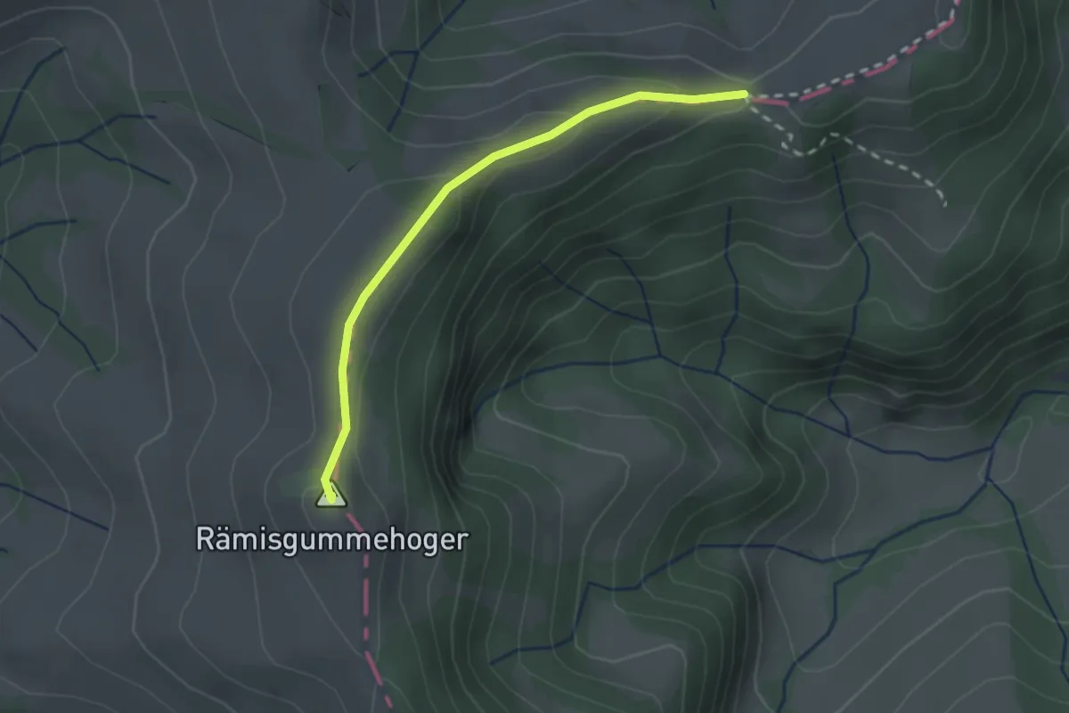
Easy · Summit
Geissholle – Rämisgummenhoger
2.2 km · ↑ 87 m · 42 min
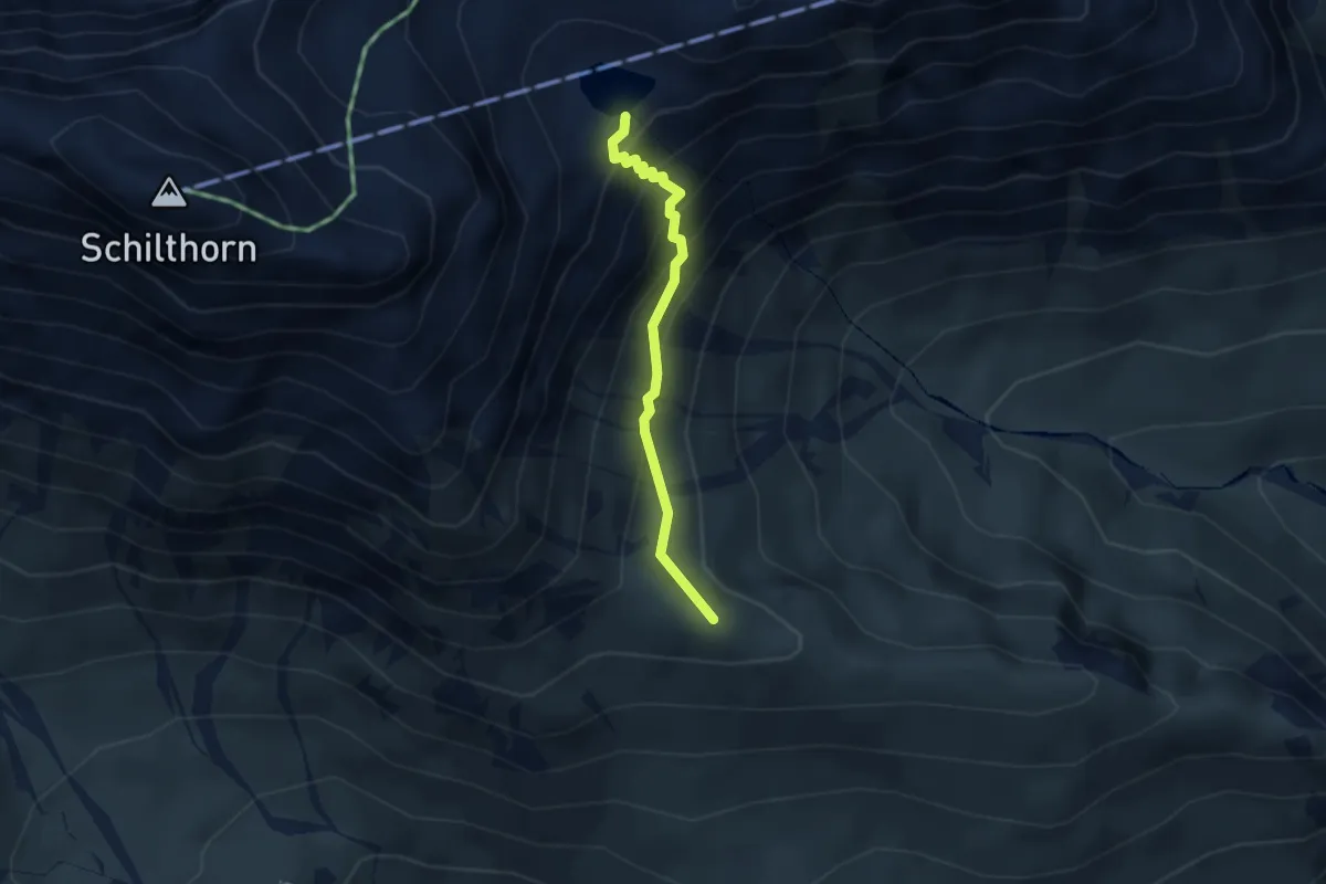
Demanding · Trail
Wassenegg – Grauseeli
2.6 km · ↑ 259 m · 1 h 10 min
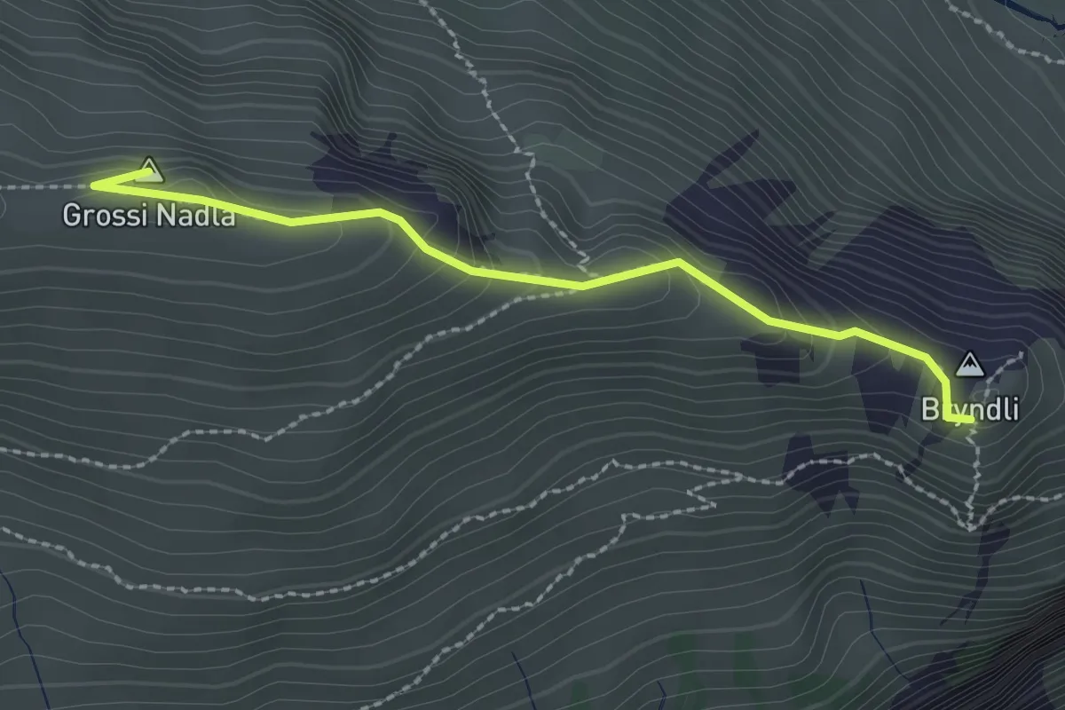
Easy · Summit
Wassenegg – Bryndli
2.3 km · ↑ 154 m · 52 min
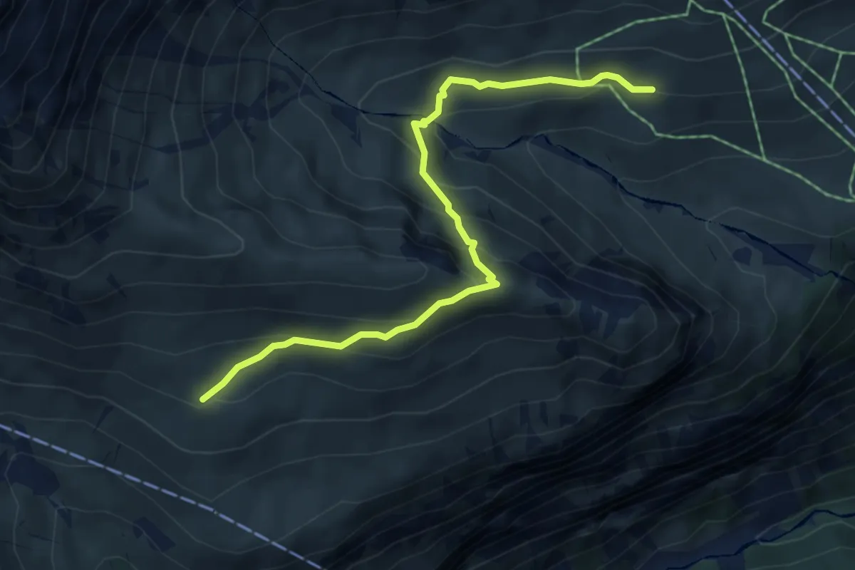
Medium · Trail
Schiltalp – Oberläger
5.4 km · ↑ 347 m · 2 h 2 min
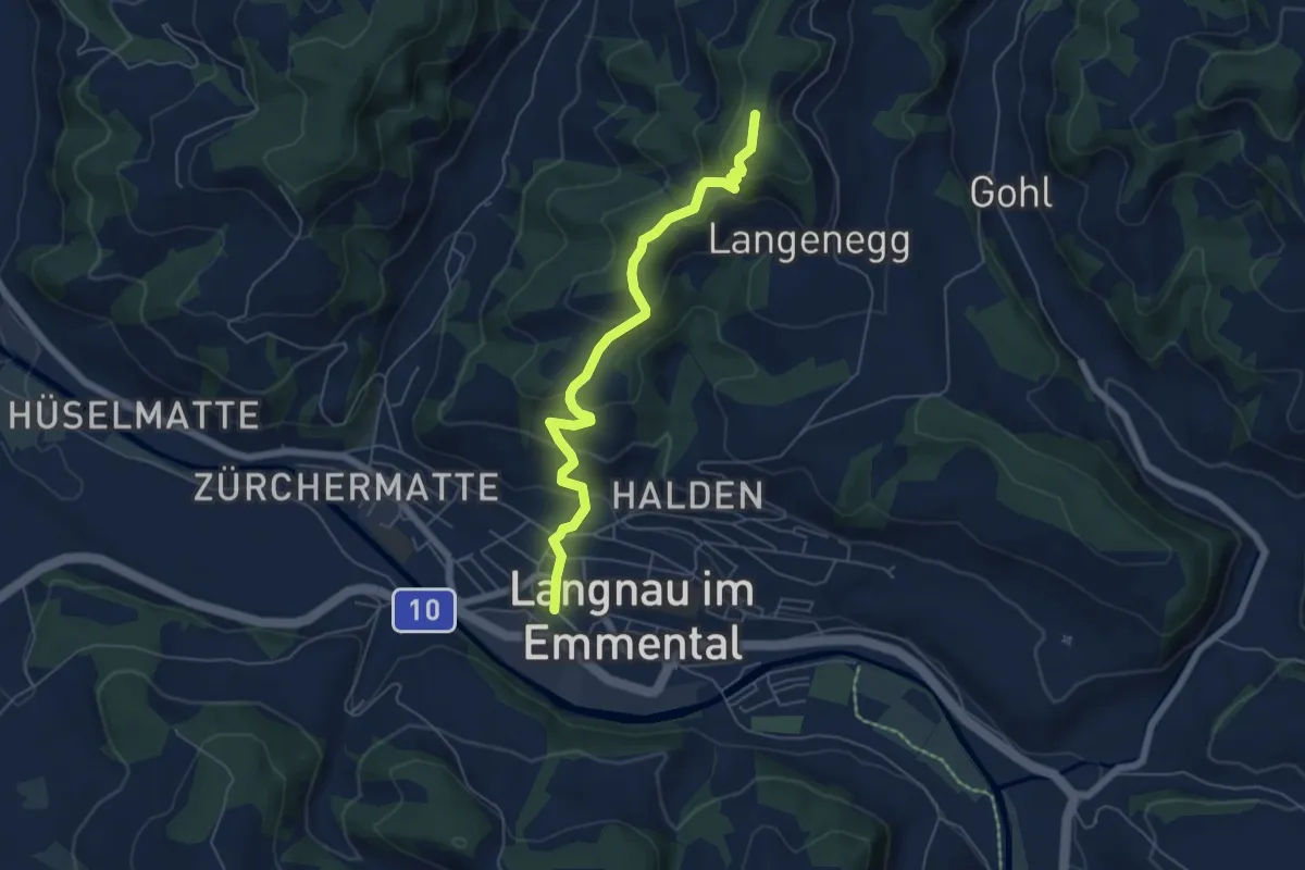
Medium · Trail
Langnau i.E. – Hohgrat
5.7 km · ↑ 322 m · 2 h 3 min
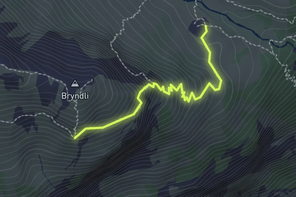
Medium · Cabin
Bryndli – Spilboden
2.1 km · ↑ 233 m · 1 h 1 min
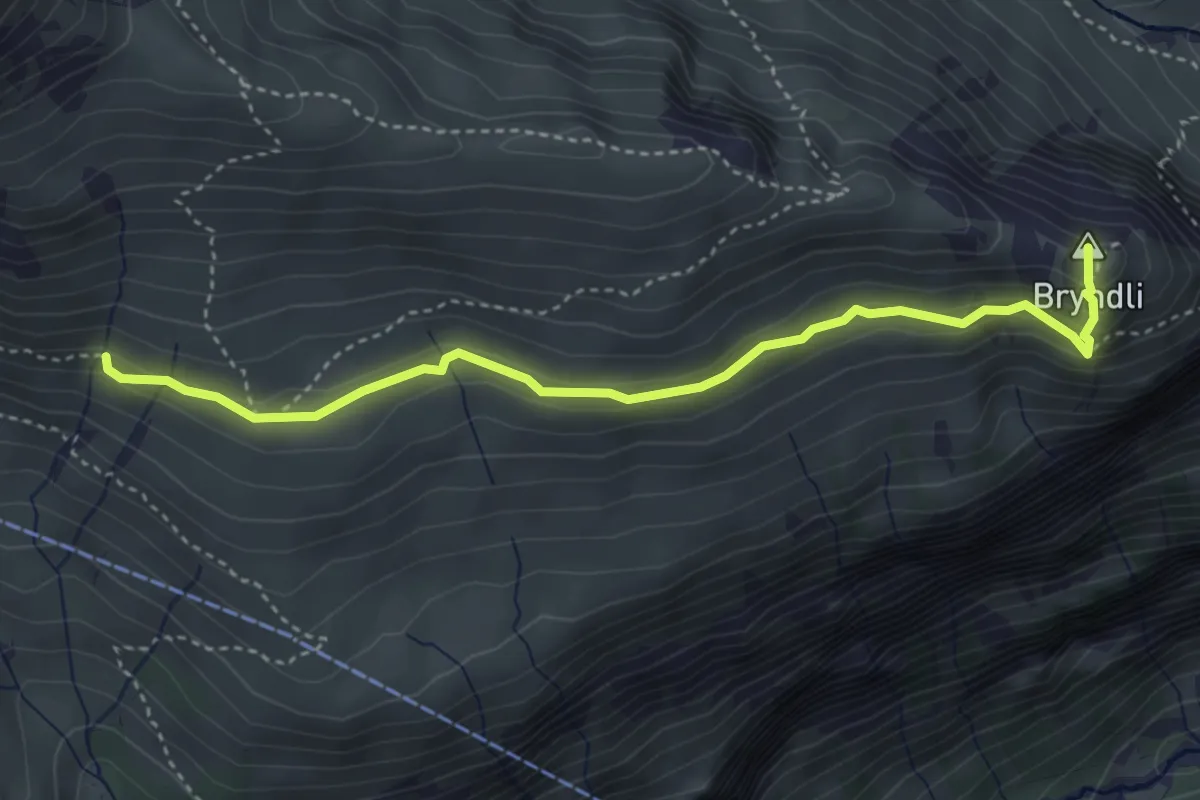
Medium · Summit
Bryndli – Oberläger
4.1 km · ↑ 236 m · 1 h 28 min
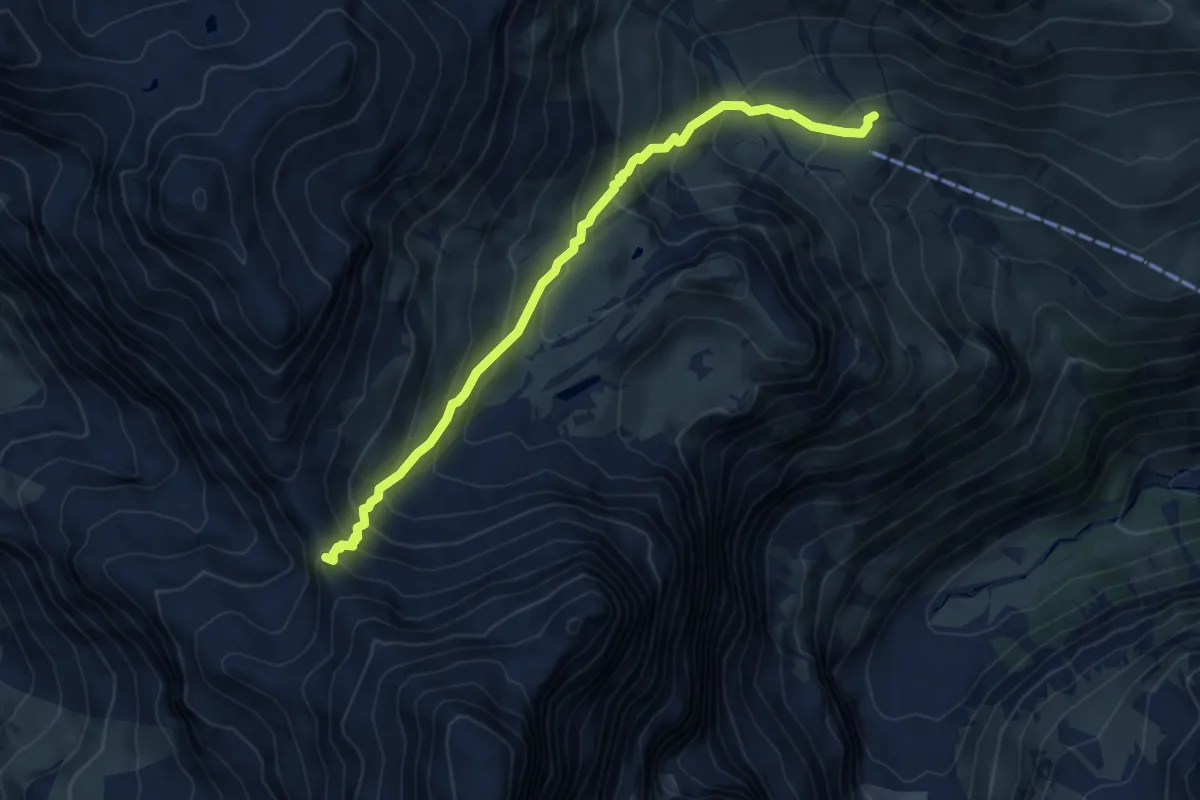
Medium · Cabin
Boganggenalp / Rotstockhütte – Sefinenfurgge
6.0 km · ↑ 552 m · 2 h 36 min
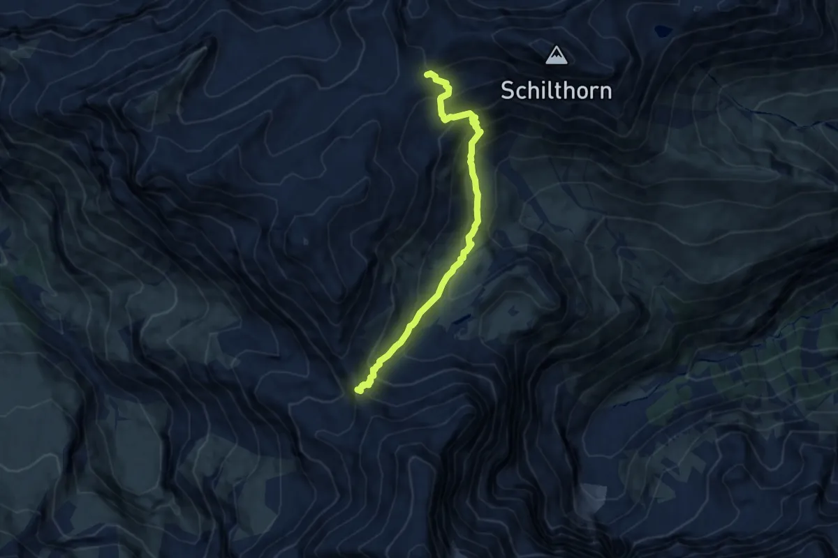
Demanding · Trail
Rote Härd – Sefinenfurgge
7.8 km · ↑ 766 m · 3 h 30 min
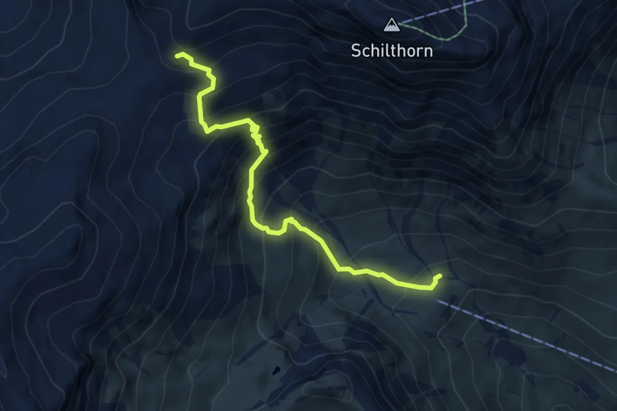
Demanding · Cabin
Rote Härd – Boganggenalp / Rotstockhütte
5.5 km · ↑ 648 m · 2 h 42 min